A collection of walks, discoveries, insights and pictures of exploring Dartmoor National Park
October 26, 2026
Fernworthy Farm
Richard Hansford Worth (1868-1950), the distinguished civil engineer, geologist, archaeologist, and writer, renowned for his lifelong contributions to the study of Dartmoor considered the suffix ‘worthy’ to possible indicate a Saxon origin (5th to 11th century), which may suggest that Fernworthy dates from that period. However, the first mention of the estate was recorded as Vernaworthy in 1355 and the Ferneworthy in 1377 (ref: Gover, Mawer, Stenton). Into the 17th century, there is also a mention of Fernworthie Hedges in a Dartmoor Perambulation of 1609 which is suggestive of a settlement here at that time. In 1627 there were three tenements recorded Fernworthy. At the end of the 17th century the estate was owned by the Lightfoot family who rebuilt the farmhouse and set up a stone over the porch with the legend ‘l 1690’.
Nearly 100 years later in 1786, the land at Fernworthy was held by Sir John Davie of Creedy (Crediton), who by 1802, had enclosed 278 acres of land with the Ferguson family (ref: Gill / Somers Cocks). It was from the late 18th Century, through land grants provided by the Duchy of Cornwall, certain estate holders began to expand the size of their holdings. This period of Dartmoor history is usually referred to as the ‘improver period’. One of the ‘improvers’ was Sir John Davie. It is known that he not only owned Fernworthy but had begun to expand his holdings with additional areas of moorland outside his estate and absorbed the lands of smaller farms in the area, namely Assacombe, Silk House, Lowton and Higher Lowton. By 1825, Sir John had acquired all of these farms (most were in ruins) which had effectively become part of Fernworthy. Silk House and the two Lowton farmsteads were absorbed into Fernworthy by 1796. Assacombe appears to have been the last farmstead to have been absorbed.
At the time of the Tithe Apportionment and Map (circa 1840), the Fernworthy estate was recorded as including all the aforementioned absorbed farms. The owner of the Fernworthy estate was Sir Humphrey Phineas Davie (son of Sir John Davie) and the tenant was Richard Born. After Richard Born, the tenancy was passed down to the Endacott and Mortimore families. The ‘modern farm’ was rebuilt in 1858.
The land at Fernworthy was acquired in 1917 by the Duchy of Cornwall estate before the later reservoir construction. The Prince of Wales (Edward) made and brief visit to the Farm in 1930 by which time the managed forest (conifers) had covered more than 800 acres. The farm was demolished in the late 1930’s to make way for the new reservoir whose construction was started in 1936 and was finished in 1942. The demolishing of the buildings at Fernworthy Farm were very thorough and there are very few surviving remains.
This post attempts to record as much of the remains of the farm the author found during two visits (in 2020 with Frank Collinson and in 2026 with Sue Rogers). Grateful thanks to assistance and interpretation afforded by Frank and Sue. Also, thanks to the Dr Phil Newman for the detailed report of the ‘Archaeology of Fernworthy Forest’ published in 2013 and to Deborah Lister for her newspaper and census research.
Bibliography
Dr Phil Newman MIFA, FS – July 2013 Southwest Landscape Investigations; The Archaeology of Fernworthy Forest, Dartmoor, Devon A New Survey
Crispin Gill – (1970) – Dartmoor: a new study – Chapter 9 (Exploitation by John Somers Cocks)
J.E.B Gover, A.Mawer & F.M Stenton – (1931) – The Place-Names of Devon: Part One, 198
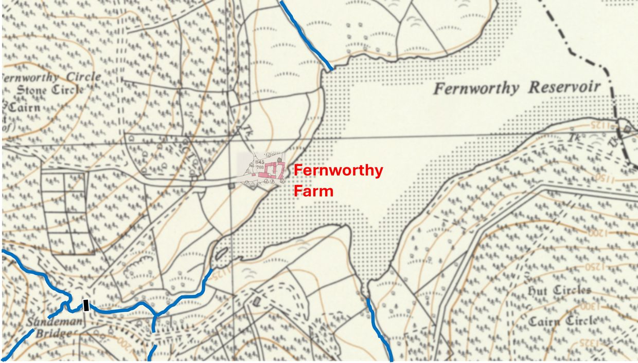
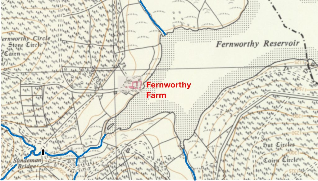
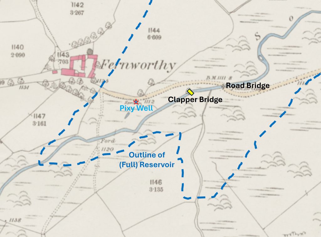
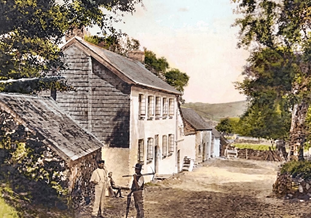
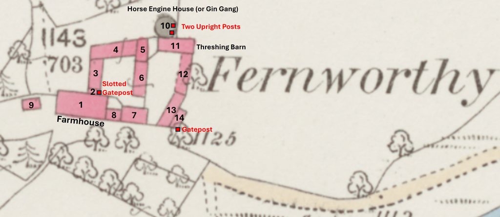
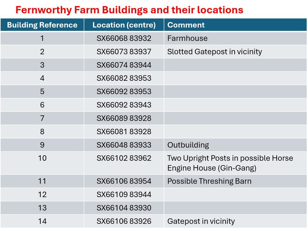
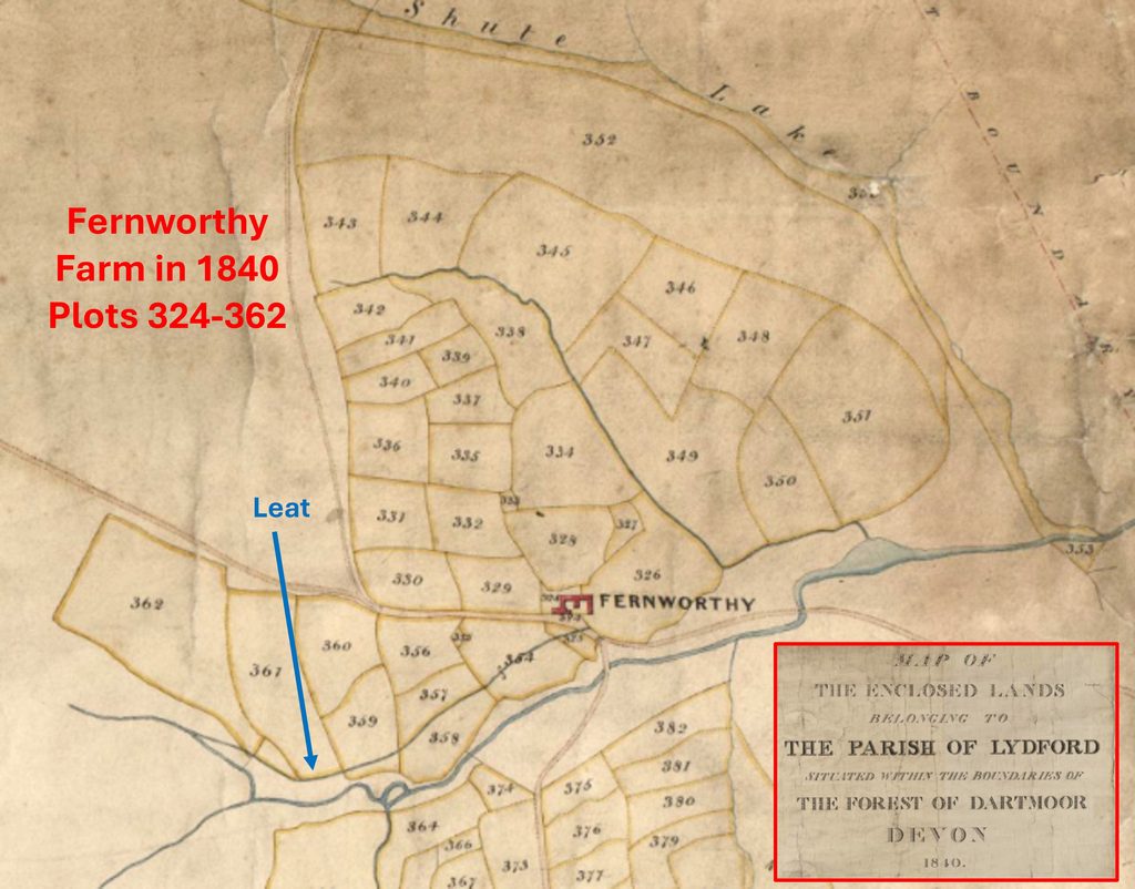
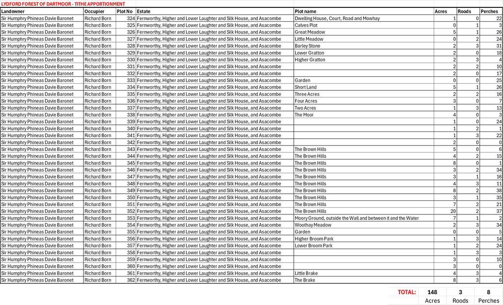
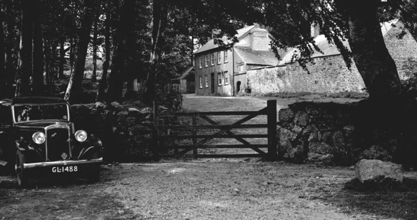
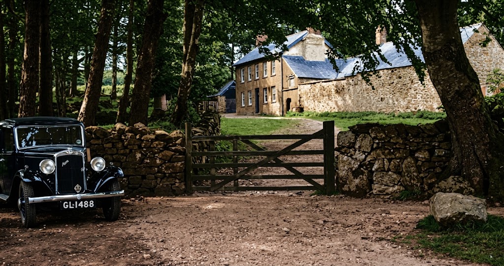
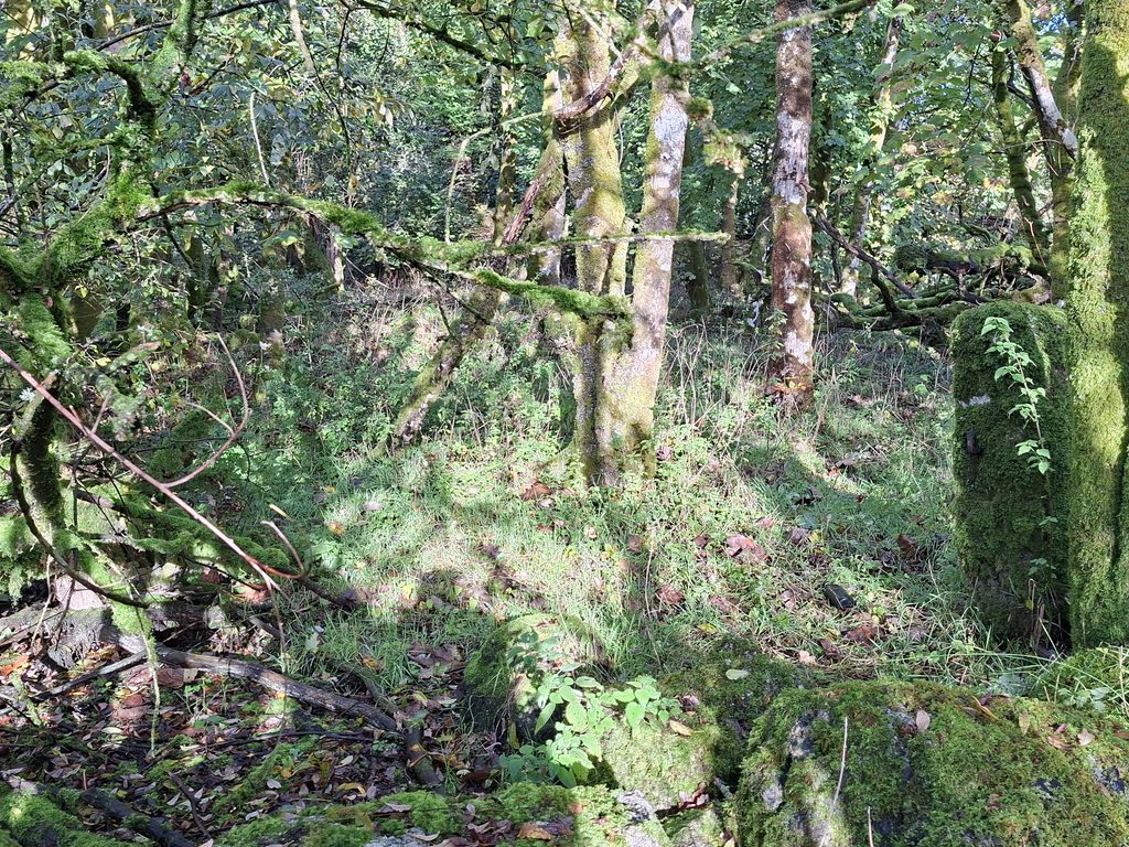
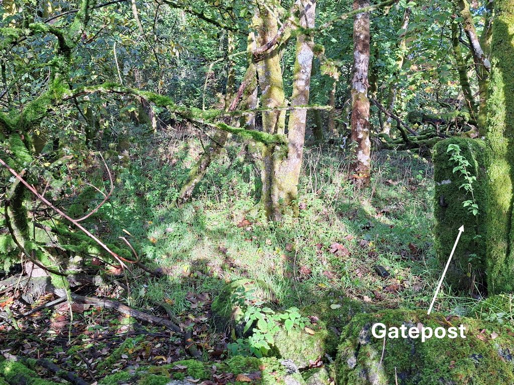
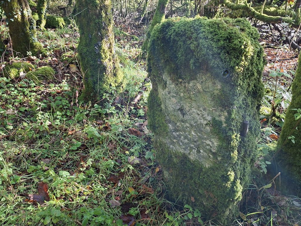
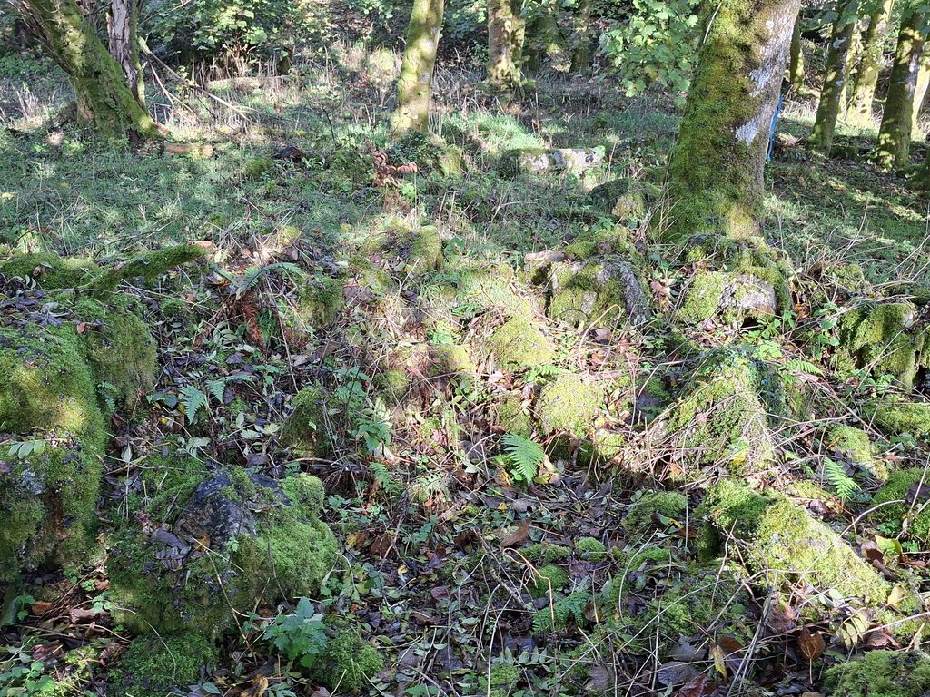
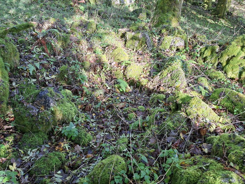
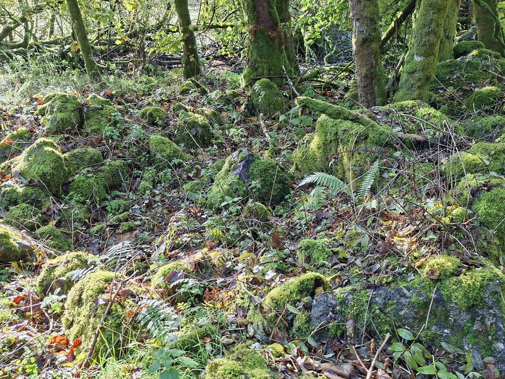
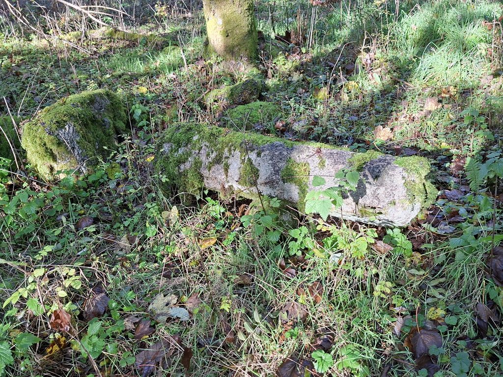
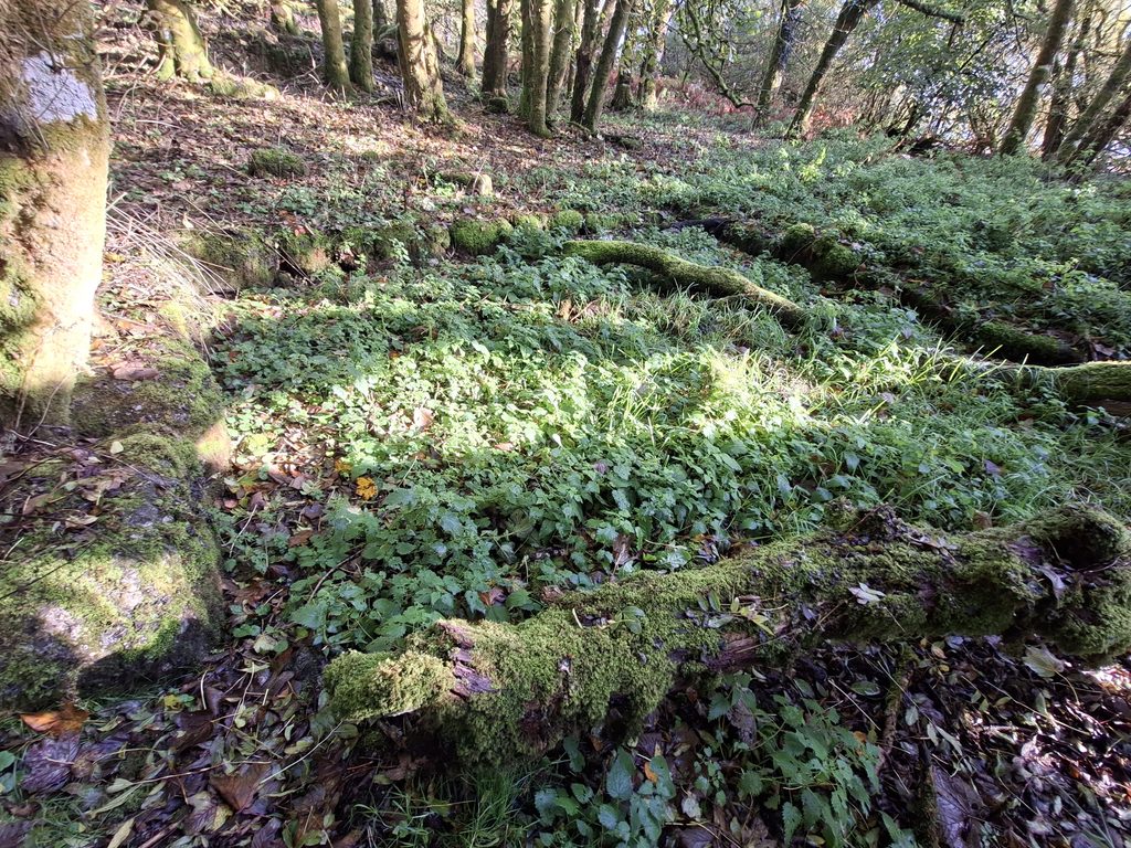
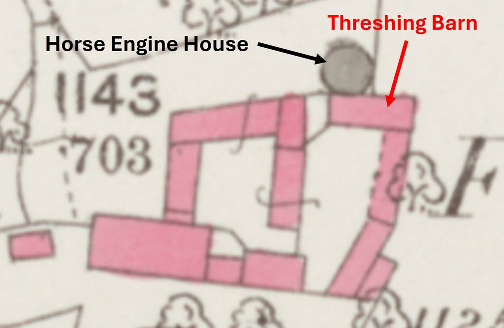
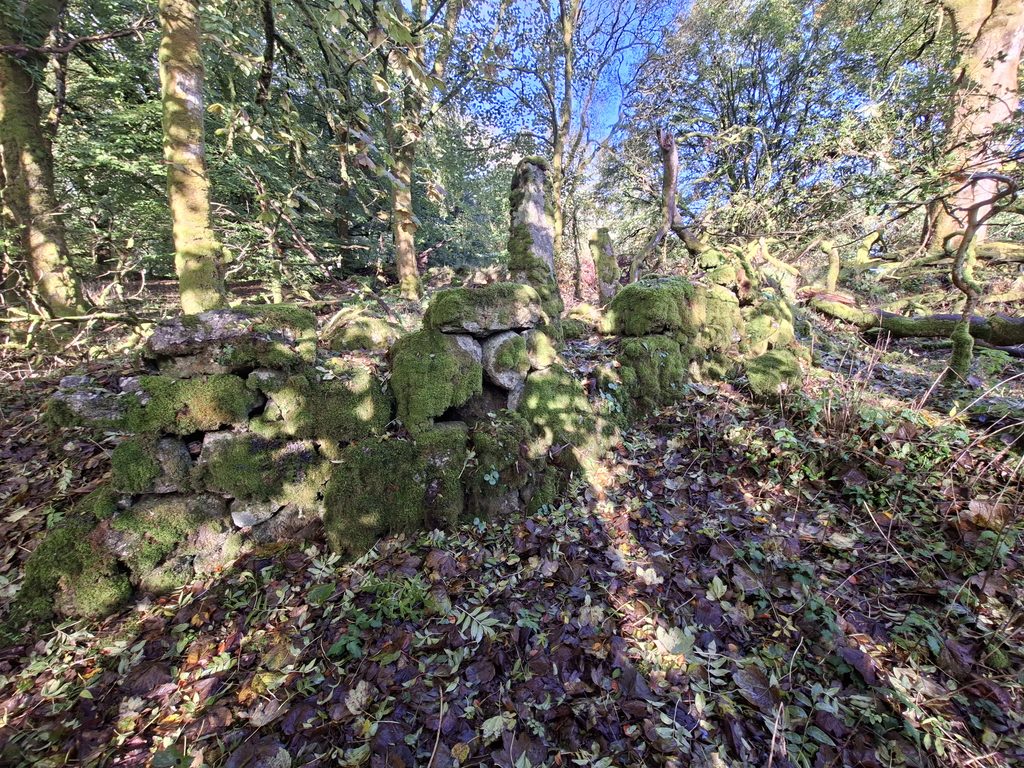
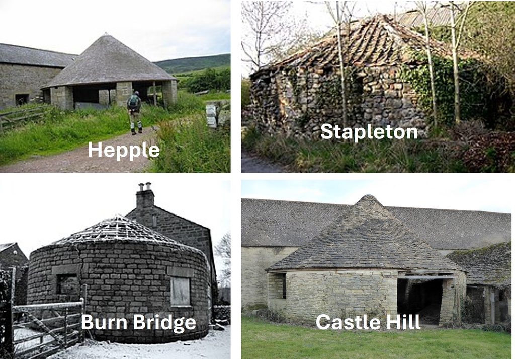
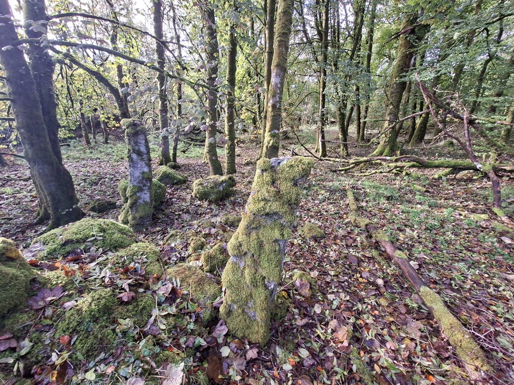
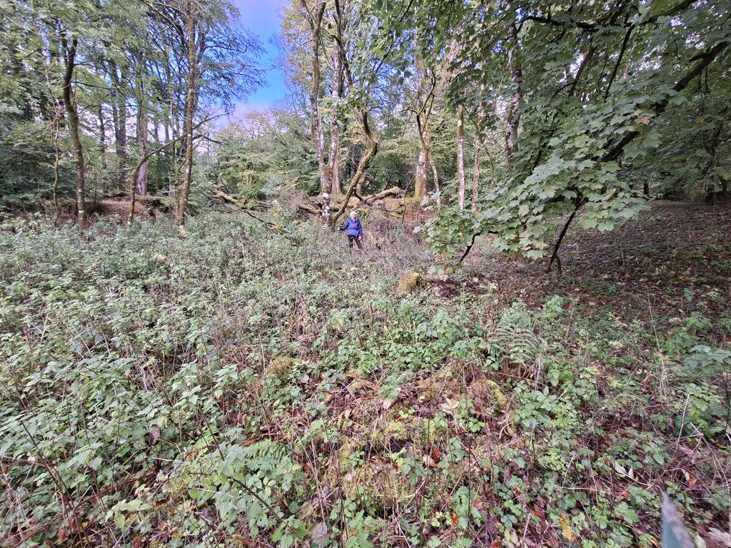
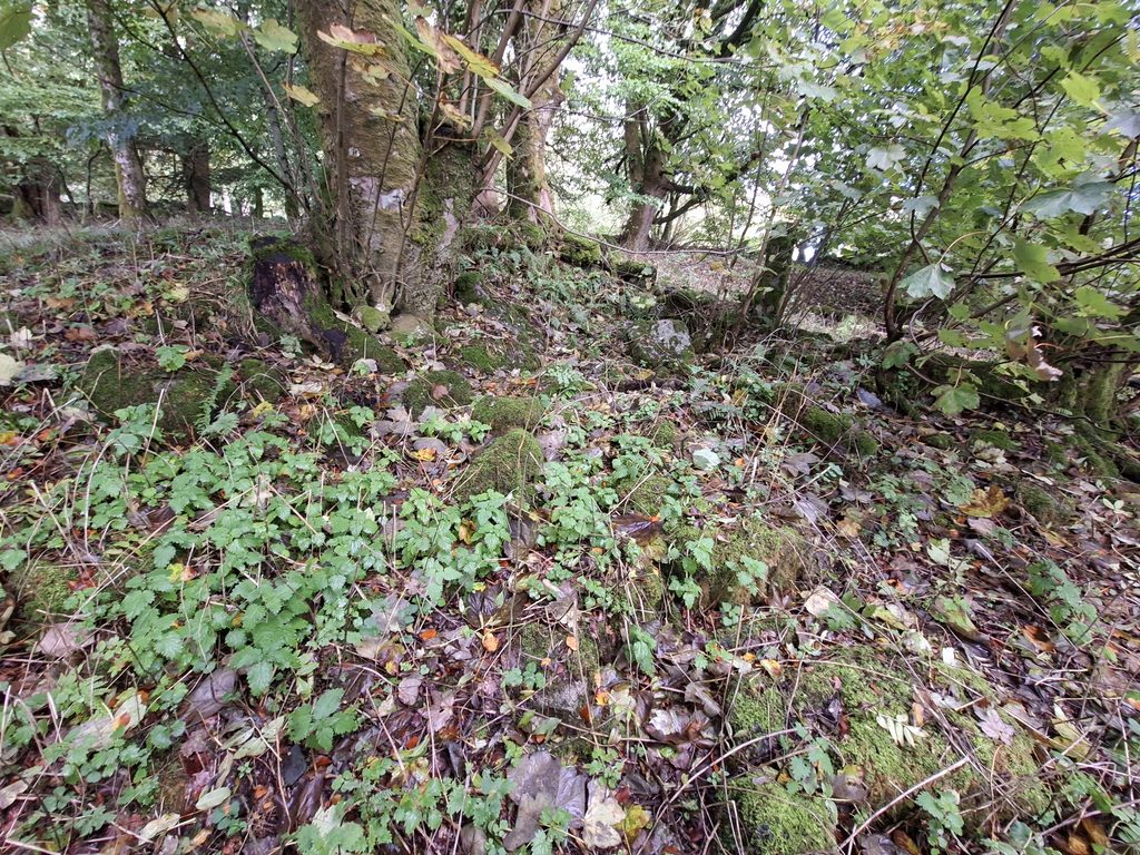
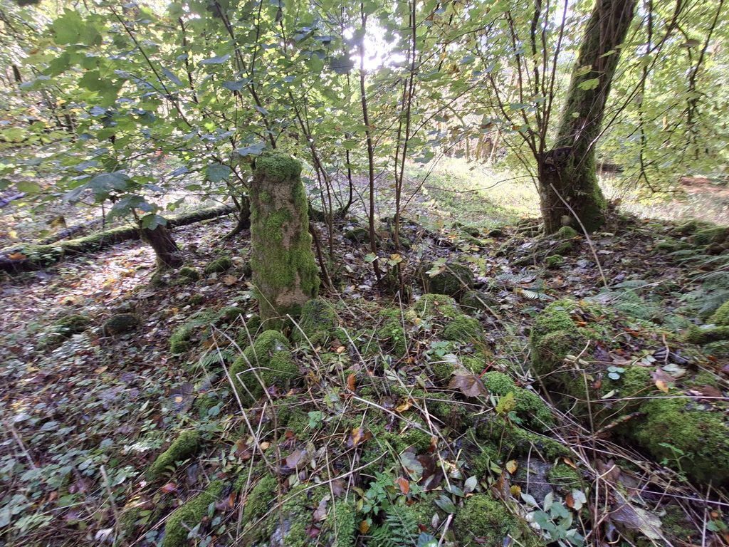
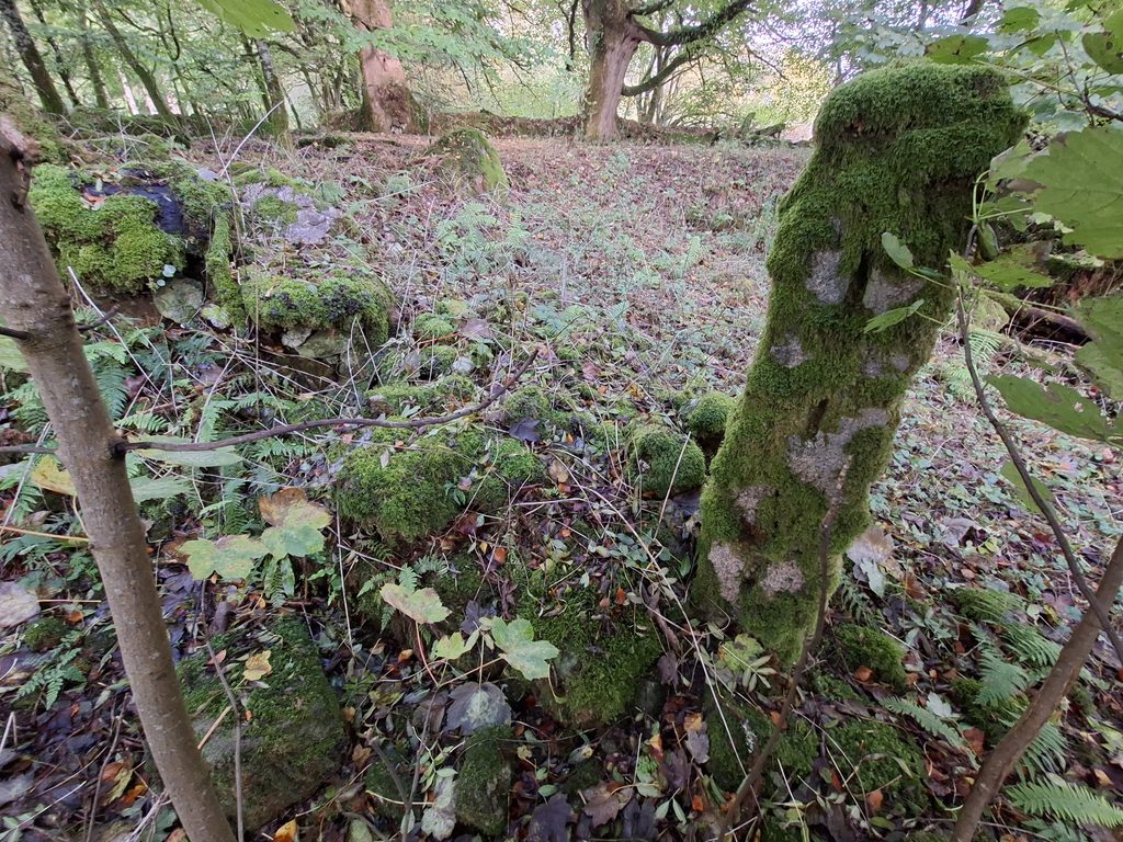
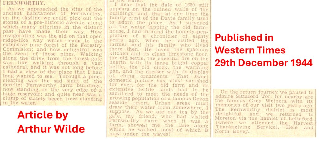
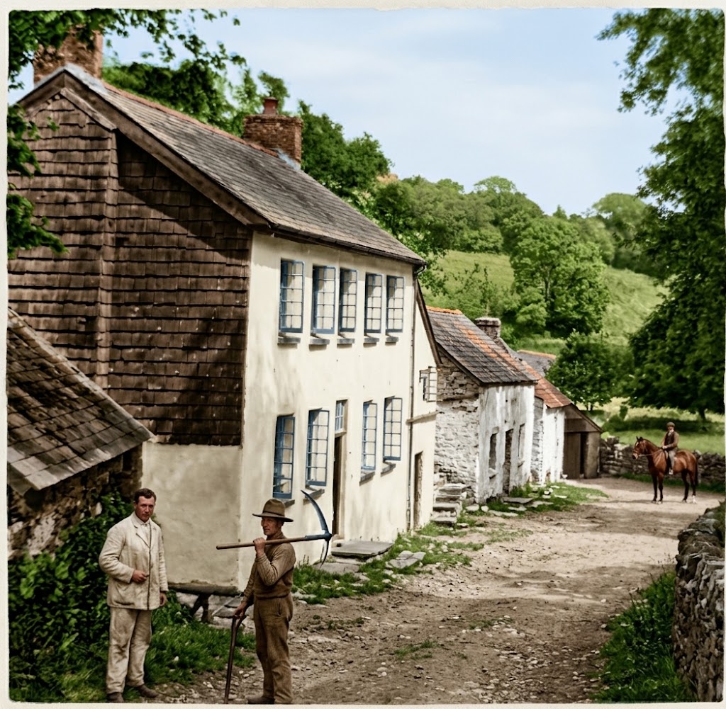
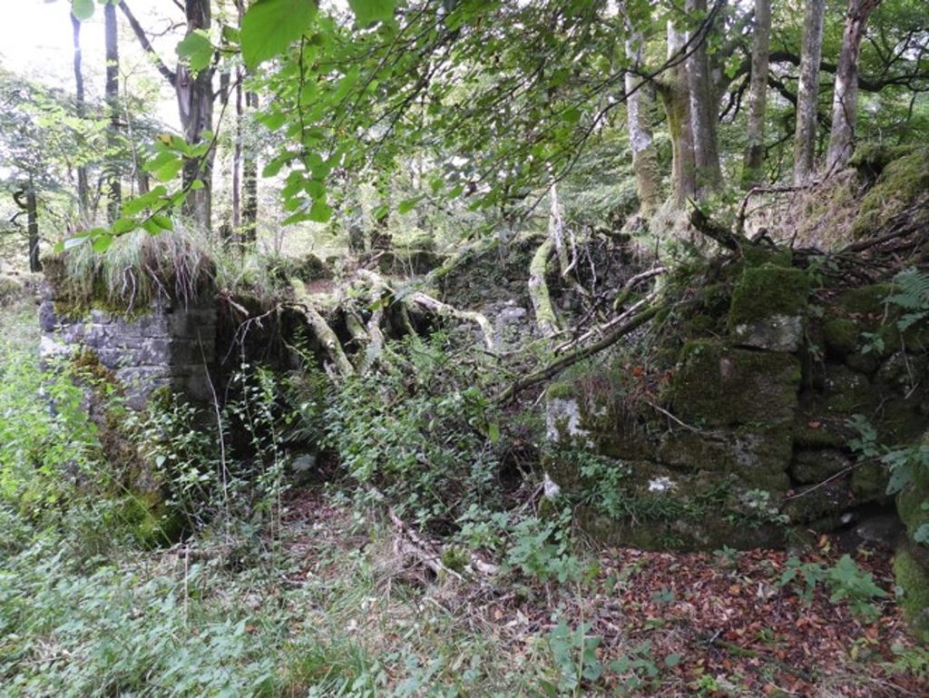
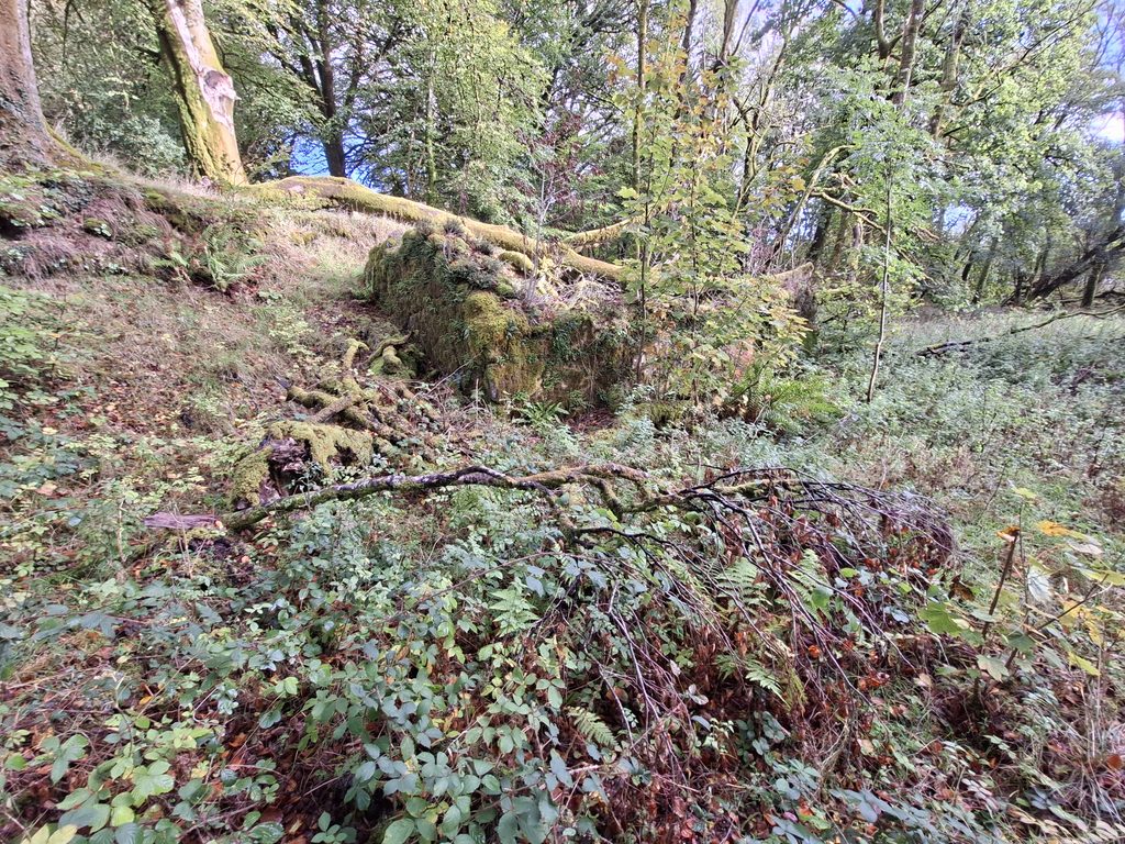
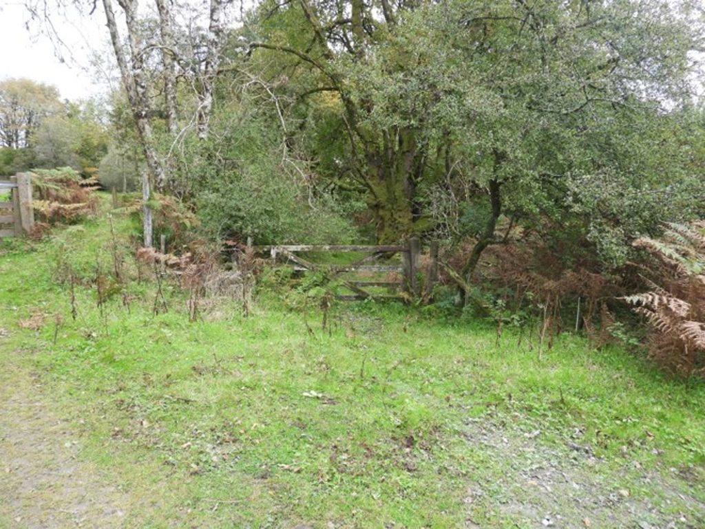
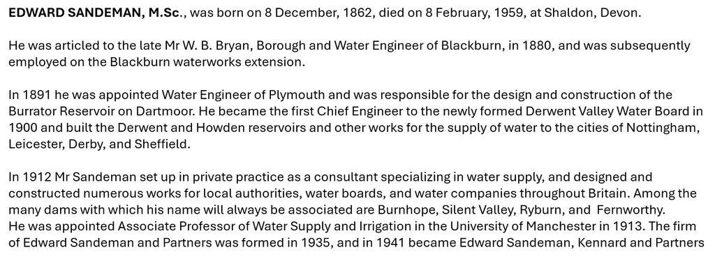
This annotated map from 1963, shows the location of Fernworthy Farm with the Reservoir and the three main water courses feeding it. The map also shows Sandeman Bridge which was constructed between 1936 and 1942 at the time the dam was being built. This was because the road through Fernworthy Farm to the open moor and access to the forested area to the west of the farm had been flooded. (Edward) Sandeman was the Engineer for the construction of the Dam and some history relating to him is covered towards the end of this postAccess to Fernworthy Farm before the Reservoir was constructed. Pictures of the former access road can be found here: https://dartmoorexplorations.co.uk/fernworthy-reservoir-former-access-road-to-fernworthy-farm-and-usually-submerged-bridges-over-teign/Fernworthy Farm in 1907 as viewed from the lane to the west leading to the open moor. The farmhouse had two storeys with 9 closely spaced windows (5 on first floor and 4 on ground floor with a doorway). The farmhouse has the appearance of a rendered exterior finish in limewash. It is suggested (ref: Newman) that the ‘whiteness’ of the finish may have possibly been added to the photograph to make it look more attractive for the postcard.This annotated 1886 map shows Fernworthy as comprising a large house (1) with a range of buildings (2-14, excl. 9) forming two rectangular yards on the north and east sides. In the north east corner was a probable Horse Engine House (or Gin Gang) and an adjacent Threshing Barn. To the west of the Farmhouse was a small outbuilding (9) which was the last addition as it did not appear on the 1840 Tithe Map. The ‘grey’ outline of the probable Horse Engine House suggests it was not roofed in 1886 – indeed it may never have been roofedThese grid references of the 14 structures at Fernworthy Farm are the approx. centre of each (using the National Library of Scotland) Maps. These grid references proved useful when exploring what few remains there were at the Farm. Note however, that the GPS grid references in this post were taken amongst trees and therefore accuracy may be less than it could be. That said, a grid reading at the north west corner of the Farmhouse (1), does appear to be accurate within a few metres.This annotated extract of the 1840 Tithe Map of Parish of Lydford (Forest of Dartmoor) shows the extent of the farm and its associated plots of land to the north of the South Teign river. The land owner was Sir Humphrey Phineas Davie (10th Baronet Davie) and the occupier was Richard Born. The Fernworthy Farm estate included Higher and Lower Lowton, Silk House and Assacombe, were all located to the south of the South Teign River. The estate to north of the South Teign river, namely plots 324-362 are shown on map extract. The Tithe Map shows a leat which provided water to Fernworthy Farm which was diverted from the South Teign. The leat flowed from the north side of the river and flowed for 590 metres dropping 15 metres in height to enter the farm court on the south side. Note the Horse Engine House (circular structure) is not shown either because it didn’t exist then or if it did maybe because it wasn’t roofed it was not marked on the map?Tithe Apportionment for the estate relating to Fernworthy Farm on the north side of the South Teign river. The total area of this part of this estate was nearly 149 acres. Sir Humphrey died in 1846 and after Richard Born the tenancy was passed down to the Endacott and Mortimore families.This picture of the farm (from the east) was taken on 22nd September 1934, a short time before the reservoir construction started (1936). The walling appears to have been largely dismantled and the remains of it and the gateway have been engulfed with trees and vegetation making a ‘then and now’ comparison very difficult (notwithstanding the fact that only the overgrown ruins of the small outbuilding to the left of the house in the picture is the most discernible in 2026)A colourised version of the previous photograph. The author believes vehicle (GL 1488) is a classic 1930s Austin 10/4 saloon, which was produced between 1932 and 1936. ‘GL’ refers to registration in Bath. This picture is typical of Fernworthy Farm today (October 2026). It was taken not far from where the picture with the Austin 10/4 was taken in 1934. On initial inspection of the photograph there appears to be nothing of significant interest. On closer inspection, there is a gatepost (with hanger) on the far right of the pictureThe gatepost. It is located at SX66109 83921 but the accuracy of this reference might not as good as it could be.If the GPS grid reference is accurate then this gatepost is located adjacent to Building / Structure 14Possible remains of Building / Structure 7The GPS grid reference for Building / Structure 7 was taken at SX660689 83923More rock tumble from Building 7, which was located at the south eastern end of a row of buildings shown on the 1930’s postcard (ie two structures down from the Farmhouse) Possible lintel found at SX66087 83940 where Building 6 would have been. It is great to think that this was the ‘Lightfoot’ stone over the porch with the legend ‘l 1690’. However this is doubtful.Outline of foundations of possibly Building 11 at SX66110 83955It is thought that in the north east corner of Fernworthy there was a ‘Horse Engine House’ or ‘Gin Gang’. If this was the case then the adjacent building would have been a Threshing Barn in all probability. Taken from Wikipedia: “A gin gang, wheelhouse, roundhouse or horse-engine house was a structure built to enclose a horse engine, usually circular but sometimes square or octagonal, attached to a threshing barn. Most were built in England in the late 18th and early 19th centuries. The threshing barn held a small threshing machine which was connected to the gin gang via wooden gears, drive shafts and drive belt, and was powered by a horse which walked round and round inside the gin gang”.Building or Structure 10 with two upright posts, thought to have been the horse engine house. It may have been covered albeit with a wooden structure. It was annotated as unroofed on the 1886 OS mapCorner of the Horse Engine House at SX66105 83961Possible edge of the Horse Engine HouseOther Horse Engine Houses or Gin Gangs around England. Wikipedia records: Local names for covered gin gangs include covered gin−house, covered horse−walk, engine house, gin−case, gin−gan, gin−gang, gin−house, gin−race, horse−gear, horse mill, round−house, track−shed, four−wheelhouse, wheel−rig, wheel−shade and wheel−shed. These are not to be confused with the uncovered ones which include being called gin−circle, ginnyring, horse−course, horse−gang, horse−path, horse−track and horse−walkPair of gateposts – possibly from between Buildings 6&7 or 7&13 (unfortunately the author forgot to record a GPS reading here)This is a north west edge of the Farmhouse built into a shallow slope. The grid reference taken at this point was SX66064 83935 which tallies up exactly with the National Library of Scotland GR at this point giving the author confidence on accuracy of all GR’s in this postSue Rogers standing in the middle of the Farmhouse. This truly emphasises how complete the demolition in the 1930s was.Rock tumble at Building 3 to the north of the Farmhouse (1)Gatepost containing four vertical slots stands erect adjacent to the Farmhouse location at Building / Structure 2. It may have served as part of an entrance to the yardThe slotted gatepost is located at SX66077 83936Article by Arthur Wilde which appeared in Western Times on 29th December 1944, two years after the reservoir had been completedThis is a fully colourised (AI enhanced) view of the 1907 postcard from earlier in the post. AI has added someone on horseback in the background where previously there had been a cart. The Farmhouse had a slate roof and partial slate cladding on the western gable end. It is probably worth noting that the Farmhouse had a full height chimney at each end of the house suggesting hearths on both the ground floor and first floor. There are a range of outbuildings to the eastern end of the house (numbered 7,8 13 and 14 in this post). There was a small gate connected to the last building (14), which is behind the man on horseback, which is where the author believes a gatepost is still located (at SX66109 83921). The small outbuilding (14) in the foreground is the only structure to survive today to any great extent.
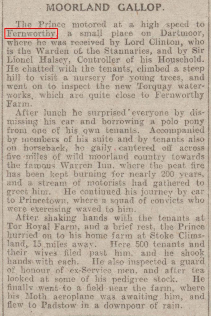
Details of the Prince of Wales visit to Fernworthy as published in Edinburgh Evening News on 29th May 1930. It is interesting to note the Prince of Wales inspected a nursery for young trees and the new Torquay Waterworks. One assumes that the ‘new Torquay waterworks’ being extant in 1930 were a pre-cursor to the construction of the reservoir
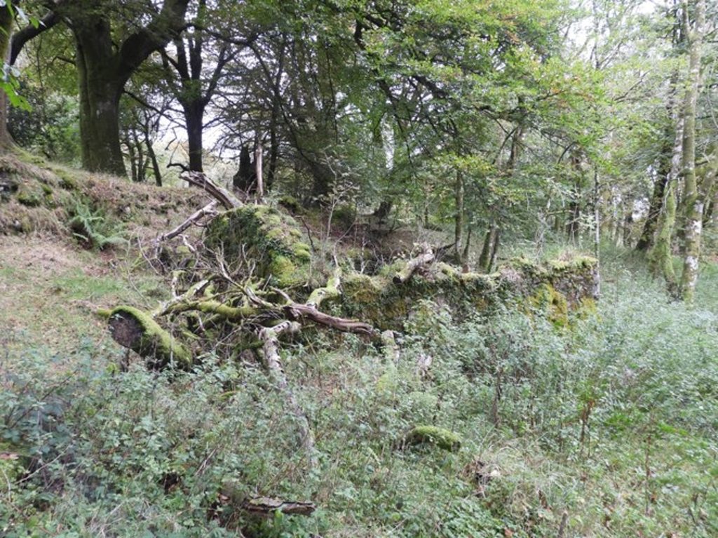
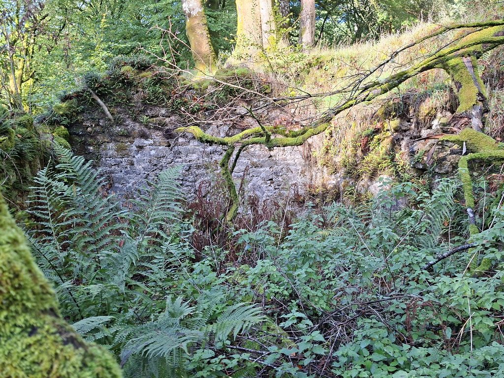
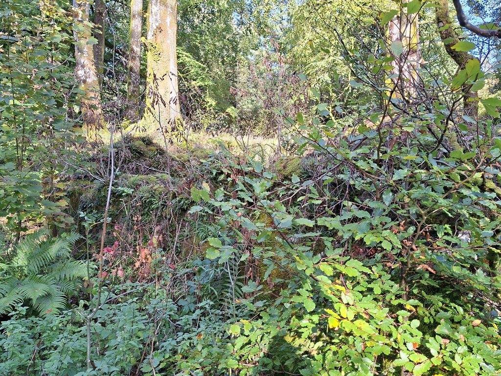
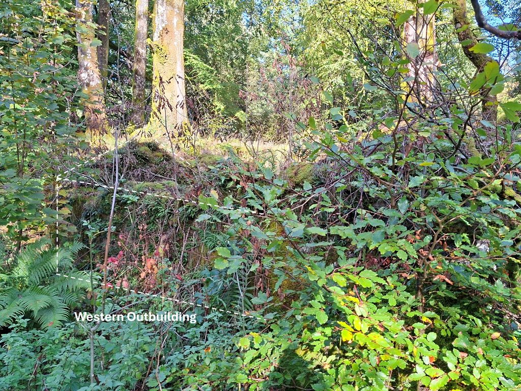
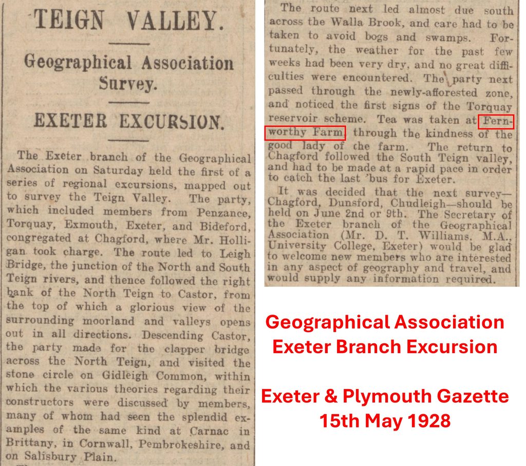
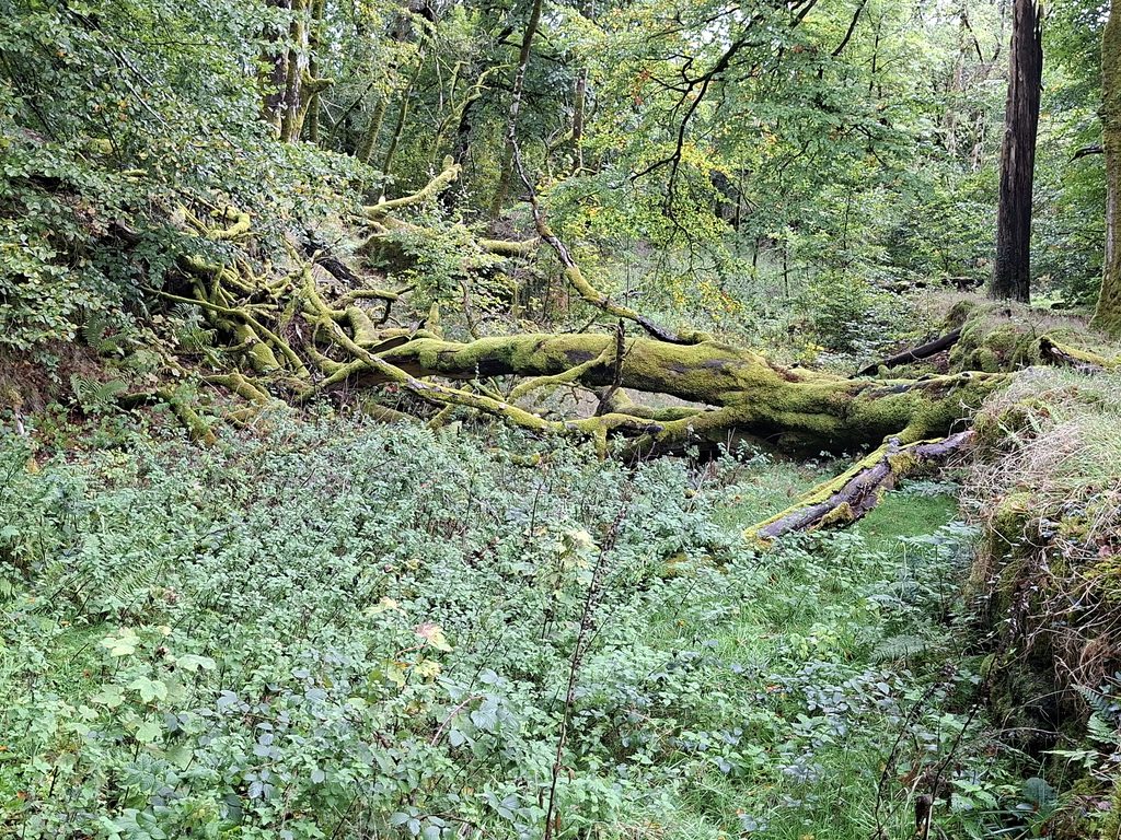
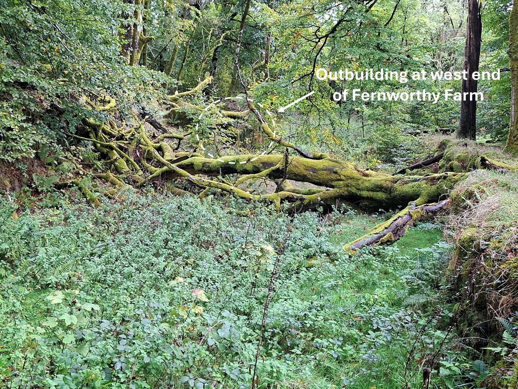
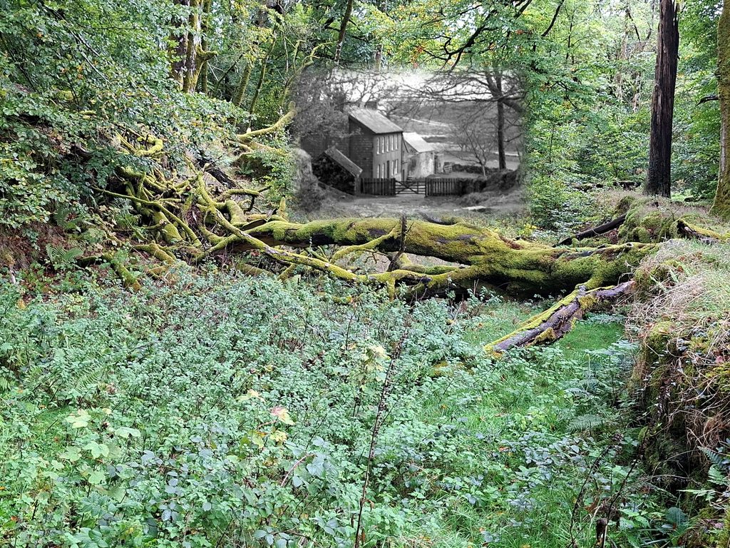
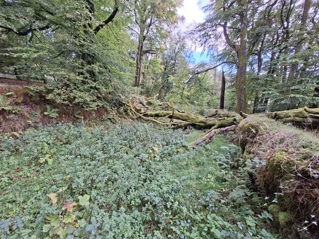
The small outbuilding (14) to the west of the FarmhouseThe small outbuilding can be dated as having been constructed between 1840 (Tithe Map) and 1886 (OS Map)Inside the small outbuilding showing a dozen of more courses of stoneThe small outbuilding from the lane hidden by vegetationAnnotated photograph to show the outline of the (Western) Outbuilding Winter view of the Outbuilding, which is centred at SX66048 83933Tea was taken at Fernworthy Farm by the Geographical Association Exeter Branch in 1928 during an excursion as recorded in Exeter & Plymouth Gazette on 15th May 1928
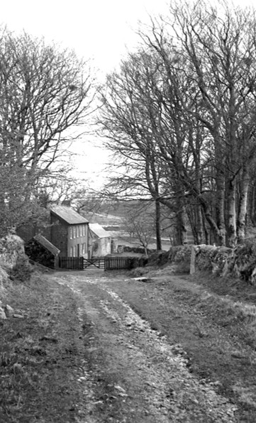
To the west of Fernworthy was a 300m walled lane provided access to the commons of Dartmoor. It was used by the occupiers of this farm as well as others droving livestock from other farms. The picture dates from April 1933
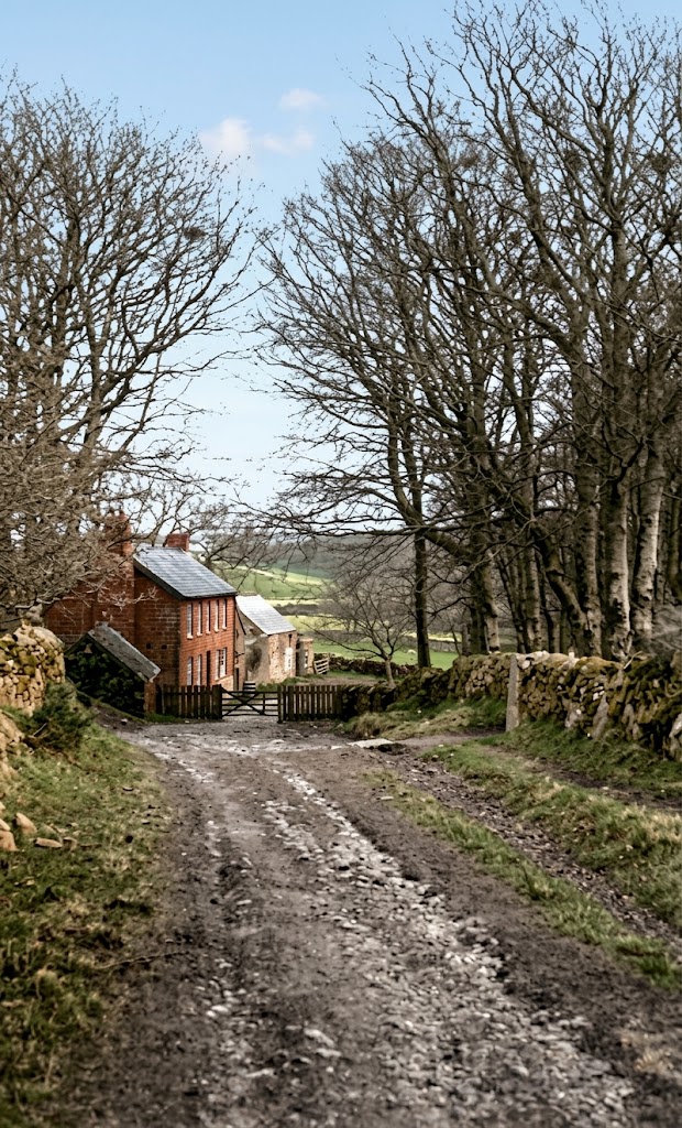
This is a colourised (AI) version of the April 1933 photograph, where the Farmhouse is depicted as being block construction (maybe not 100% fully representative though). The white limewash from the previously shown postcard doesn’t appear
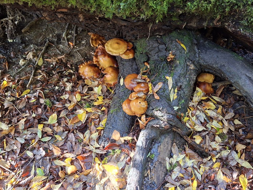
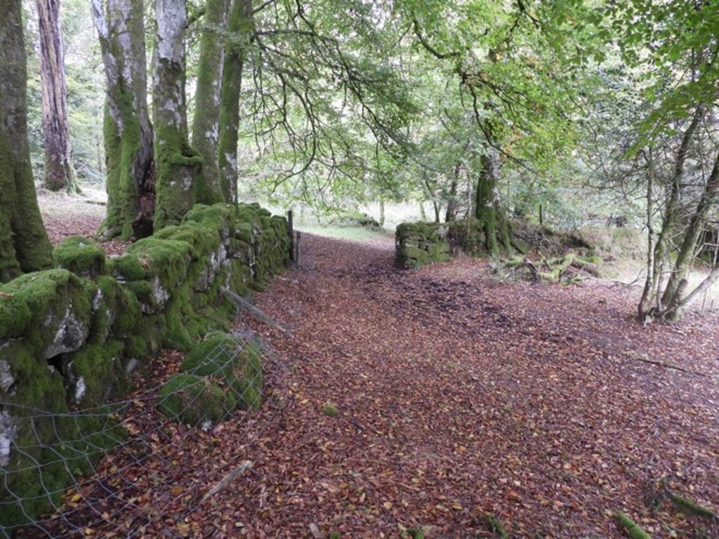
The view in lane to the west of Fernworthy in October 2026, from near where the April 1933 photograph had been takenIn order to position a ‘then and now’ photograph it was necessary to keep the small outbuilding (14) in the compositionThe April 1933 view superimposed onto the October 2026 view in the lane west of FernworthyA slightly wider view of the lane. The walls on the side of the lane are still extantTop of the lane where there is now a gate. Behind this point is the end of the tarmac roadSome funghi found at FernworthyWalling at Fernworthy. Possibly the entrance into ‘Great Meadow’ – plot 326 from the Tithe
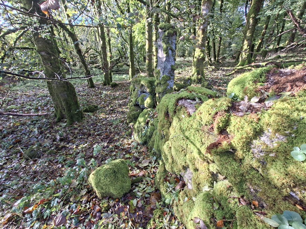
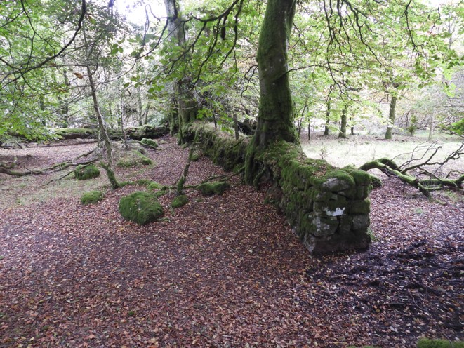
Well constructed walls, possibly from as early as the late 17th century
5 courses – well constructed (or rebuilt ?)
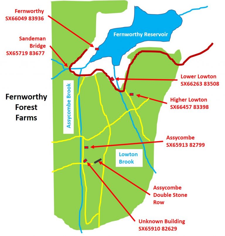
Fernworthy Farms which were acquired by the ‘improver’ Sir John Davie. As previously mentioned he not only owned Fernworthy but he expanded his holdings with additional areas of moorland outside his estate and absorbed the lands of smaller farms in the area, namely Assacombe, Silk House, Lowton and Higher Lowton. At the top of Assycombe Hill there are two boundary stones inscribed ‘D’ which appear to denote the southern boundary of the estate. More information can be found here: Sir John Davie early 19th Century ‘improver period’ at Fernworthy and the Newtake boundaries – Dartmoor Explorations
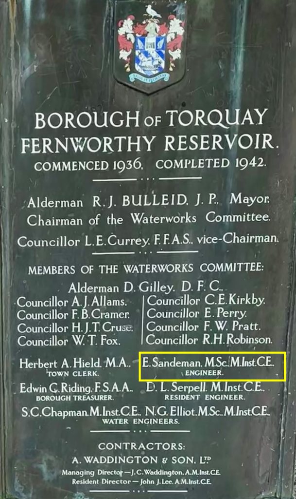
Near the dam at Fernworthy is this plaque. Of interest is E. Sandeman (Edward) who was the Engineer of the project. His name can also be found at the west end of the reservoir near Fernworthy Farm!
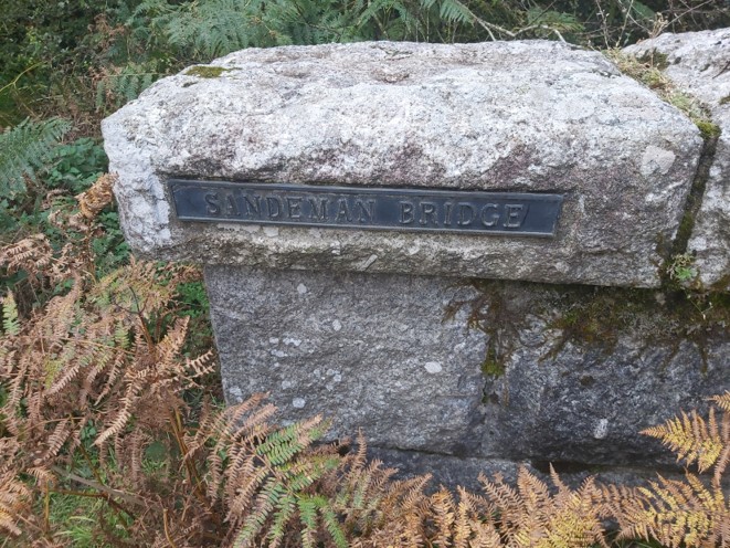
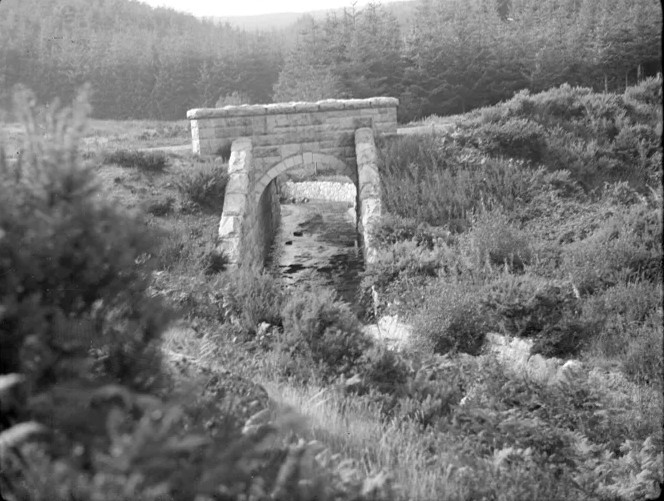
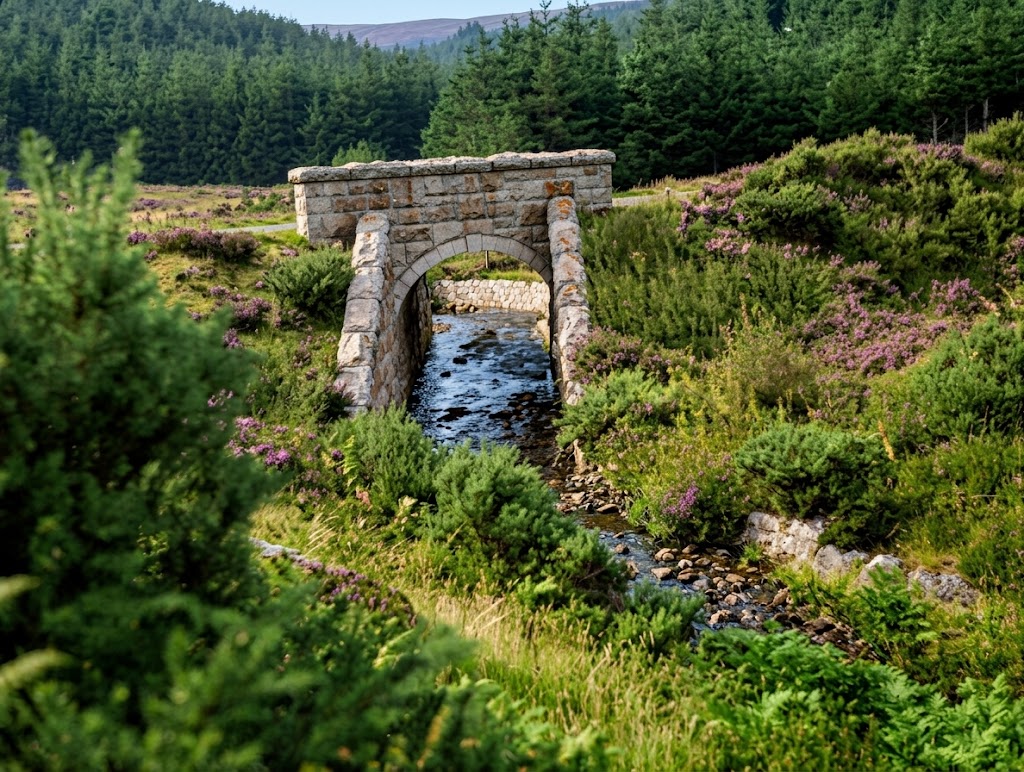
(Edward) Sandeman Bridge at SX65719 83677. Naming this bridge after the Engineer for Fernworthy Reservoir is rather a nice touch. The construction of this bridge over the South Teign was needed as the road had to be redirected due to the rising waters of the reservoir covering the original bridge and road. Although the farm had to be abandoned (and no longer needed access), there was access required to the open moor (e.g Teign Head Farm) and to the managed forest (conifers).
Obituary of the Fernworthy Reservoir Engineer, Edward Sandeman (ref: Graces Guide). It makes interesting reading insofar as Sandeman appears to have been involved with many water projects for around half a century. Not only was he associated with Fernworthy from 1936 thorugh to 1942 but also with Burrator as the Water Engineer of Plymouth in 1891 – quite a distinguished career.
Sandeman Bridge in 1949
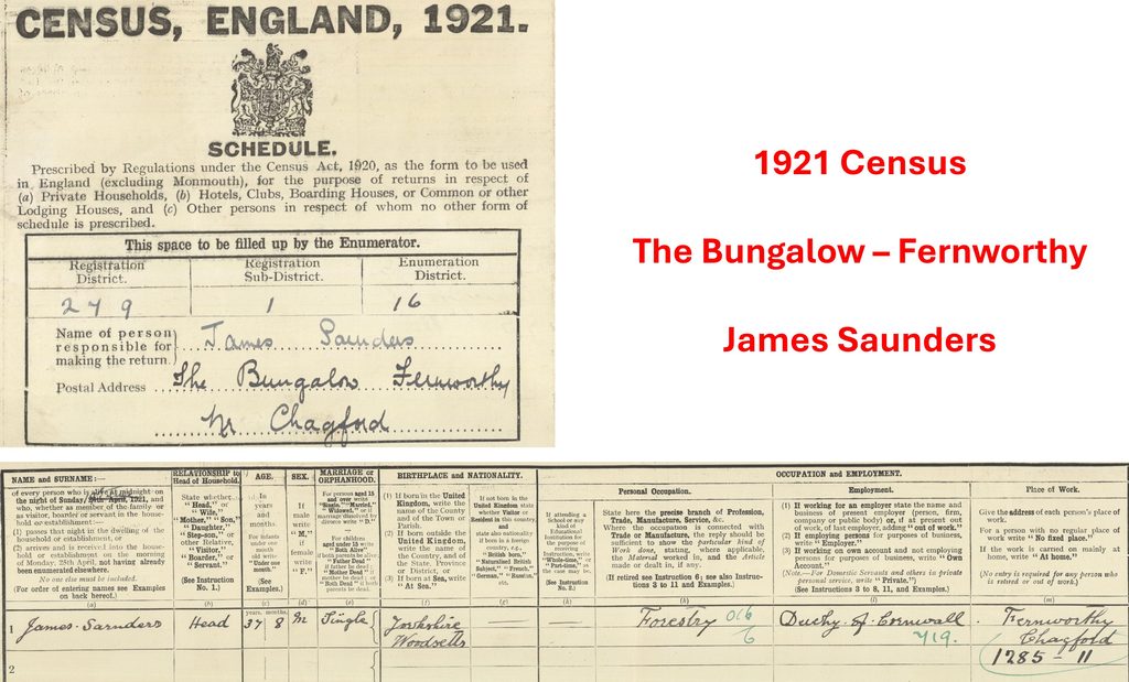
Colourised version of the 1949 photograph of Sandeman Bridge. Note the walling on the upstream banks of the South Teign, clearly to prevent erosionThis extract from the 1921 Census suggests there was a Bungalow at Fernworthy occupied by James Saunders. This is a conundrum insofar as it appears on the face of it not to be Fernworthy Farm but a bungalow in the area occupied by a Forestry worker. Is it possible that Building 7 covered in this post and shown in the 1907 postcard was the dwelling mentioned on the census? The aforementioned building in the postcard does look like a single storied dwelling. If anyone reading this post knows where this bungalow might have been located the author would be grateful in hearing from them. Thank you