A collection of walks, discoveries, insights and pictures of exploring Dartmoor National Park
August 19, 2023
Sir John Davie early 19th Century ‘improver period’ at Fernworthy and the Newtake boundaries
From the late 18th Century, through land grants provided by the Duchy of Cornwall, certain estate holders began to expand the size of their holdings. This period of Dartmoor history is usually referred to as the ‘improver period’. One of the ‘improvers’ was Sir John Davie of Crediton. He owned Fernworthy and by the 1780s began to expand his holdings and additional areas of moorland outside his estate and absorbed the lands of the smaller farms in the area, namely Assacombe, Silk House, Lowton and Higher Lowton. By 1825, Sir John had acquired all of these farms (most were in ruins) and had effectively become part of Fernworthy. Silk House and the two Lowton farmsteads were absorbed into Fernworthy by 1796. Assacombe appears to have been the last farmstead to have been absorbed. The ‘Fernworthy Farms’ are considered at : https://dartmoorexplorations.co.uk/category/farming/fernworthy-farms/
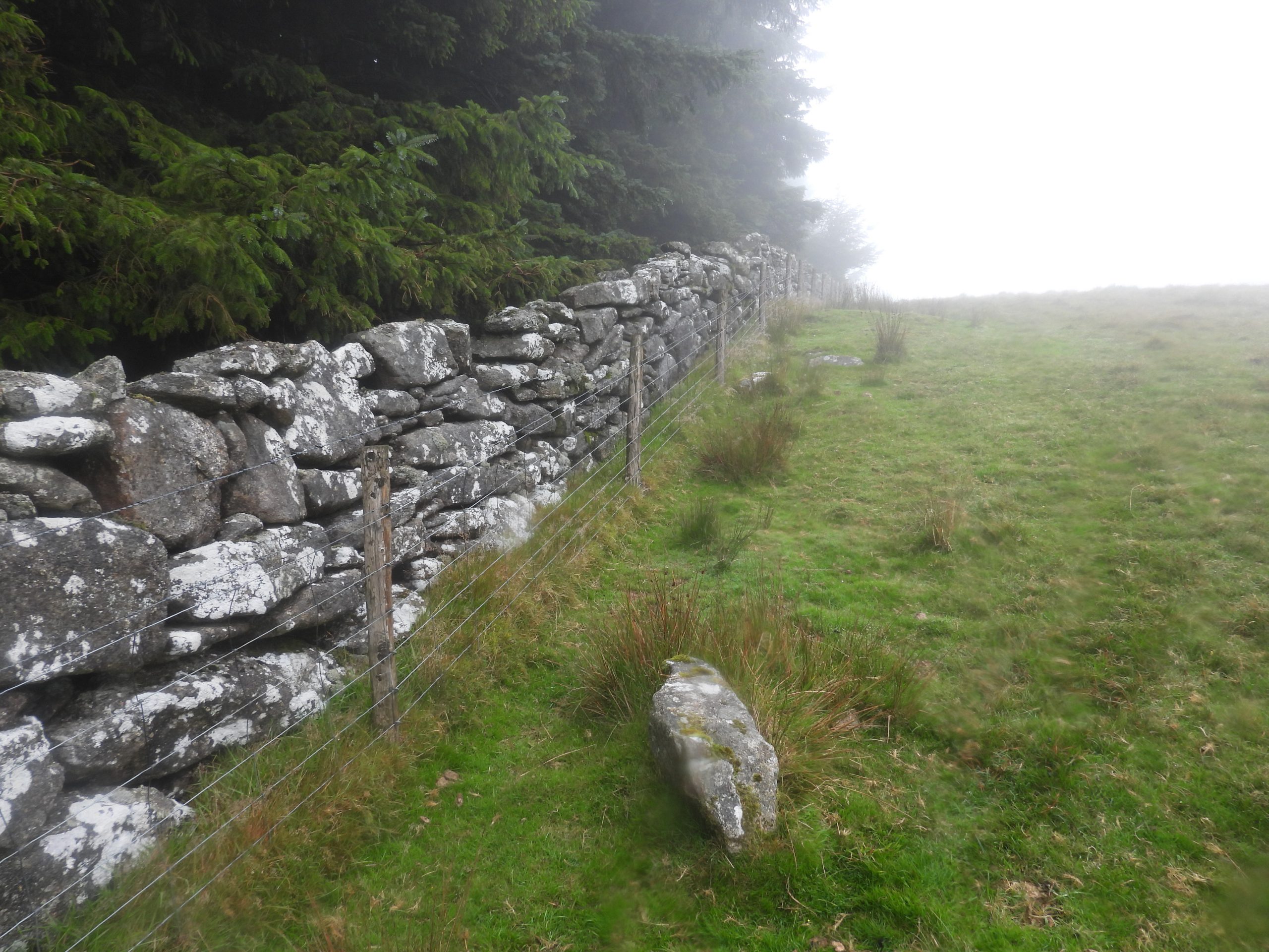
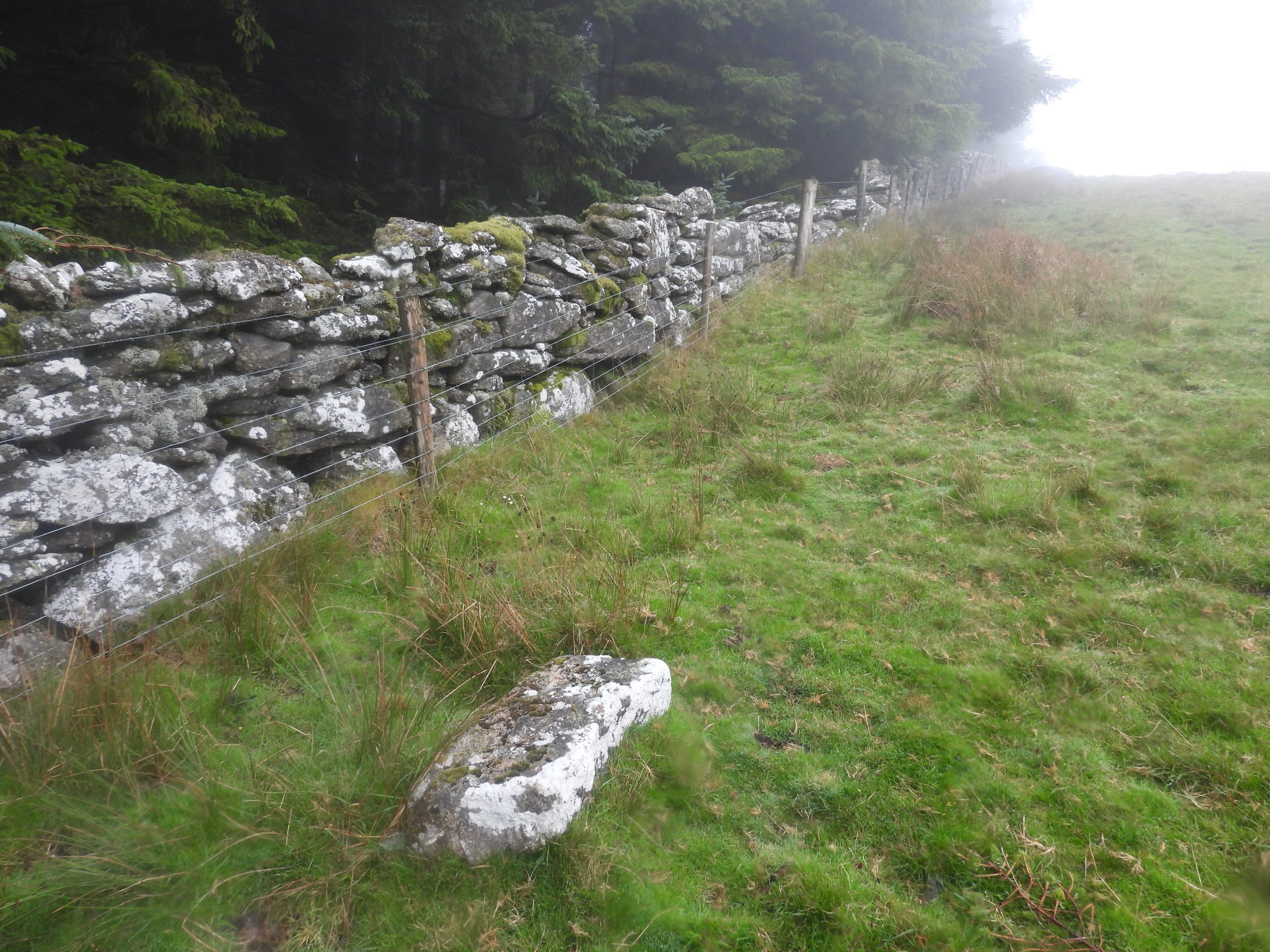
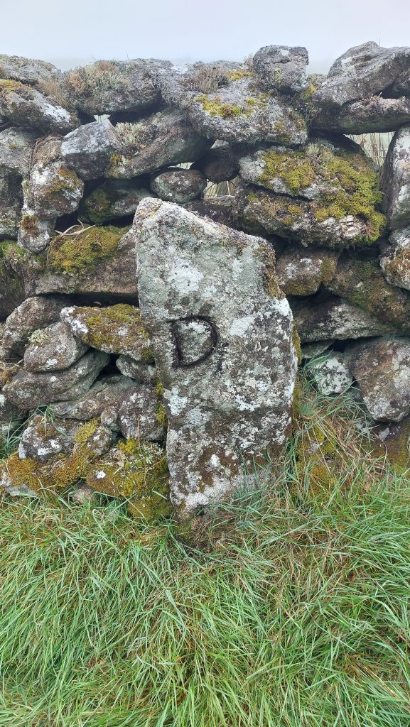
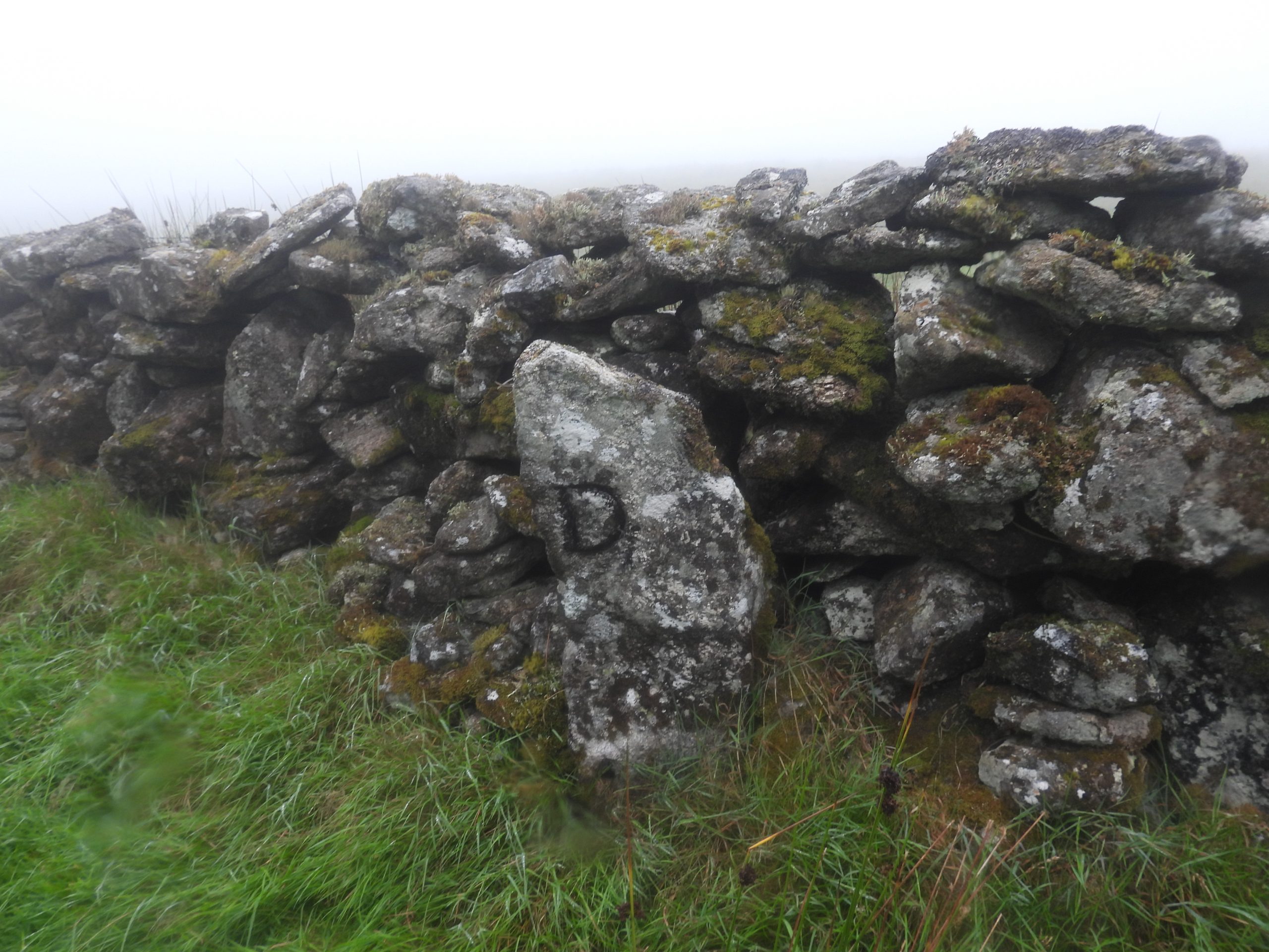
The Fernworthy outer drystone wall which is marks the modern (early 20th Century) plantation boundary , is recorded to have been completed by 1807 and marks the limit of Sir John Davie’s absorbed lands. However, a map from 1796 only depicts this outer newtake wall as a series of points joined by straight lines. This, one would assume depicted the intended layout, which was constructed in 1807 and is what we see today. On the map, there were several ‘deviations’ of a marked line accompanied with the annotation ‘bound’. Two upright stones located are recorded at or near the southern boundary of the Fernworthy outer drystone wall which are inscribed with a ‘D’ which is assumed stands for ‘Davie’. Therefore, it is entirely possible that these stones were erected circa 1796, marking the boundary before the wall was constructed and that more stones remain to be discovered. With this in mind the author visited the area and (where possible) explored both sides of the south and west parts of the wall to see if he could find any more of the Sir John Davie ‘D’ stones. This history and post wouldn’t have been possible without information found in ‘The Archaeology of Fernworthy Forest, Dartmoor, Devon A New Survey – 2013’ by Dr Phil Newman. Some superb research work can be found in the survey.
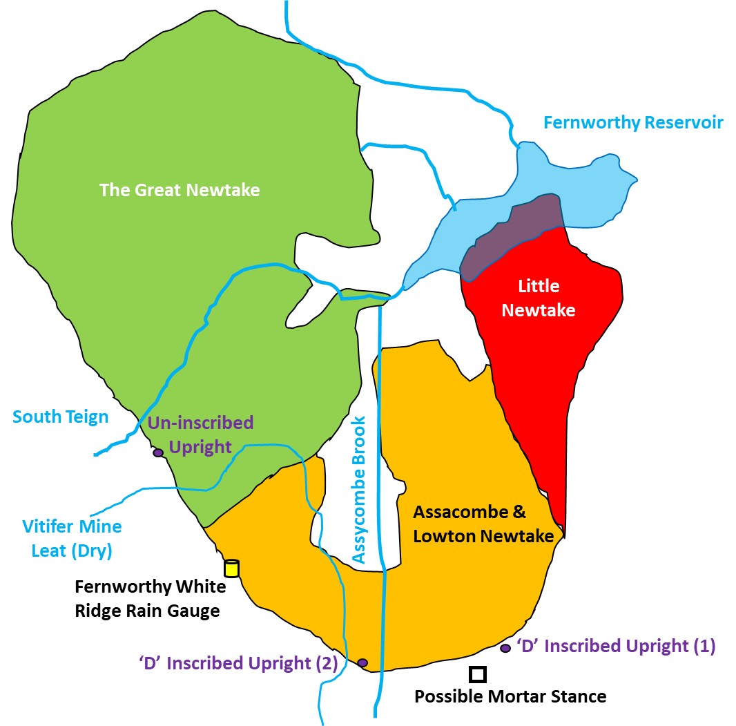
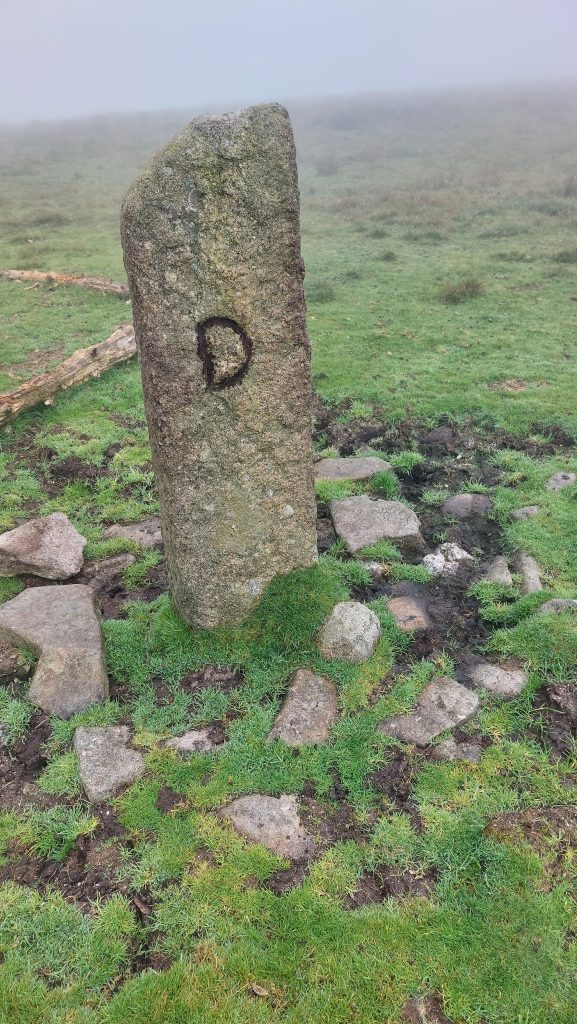
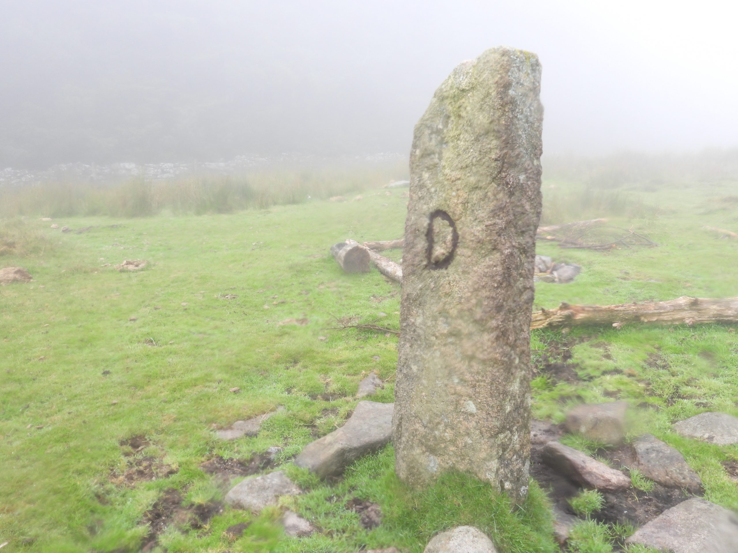
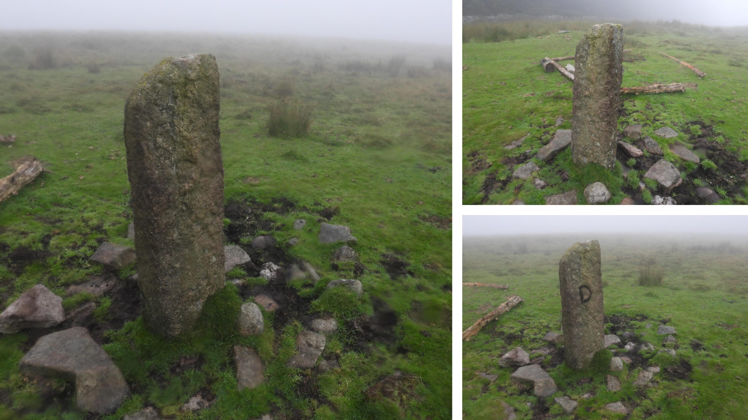
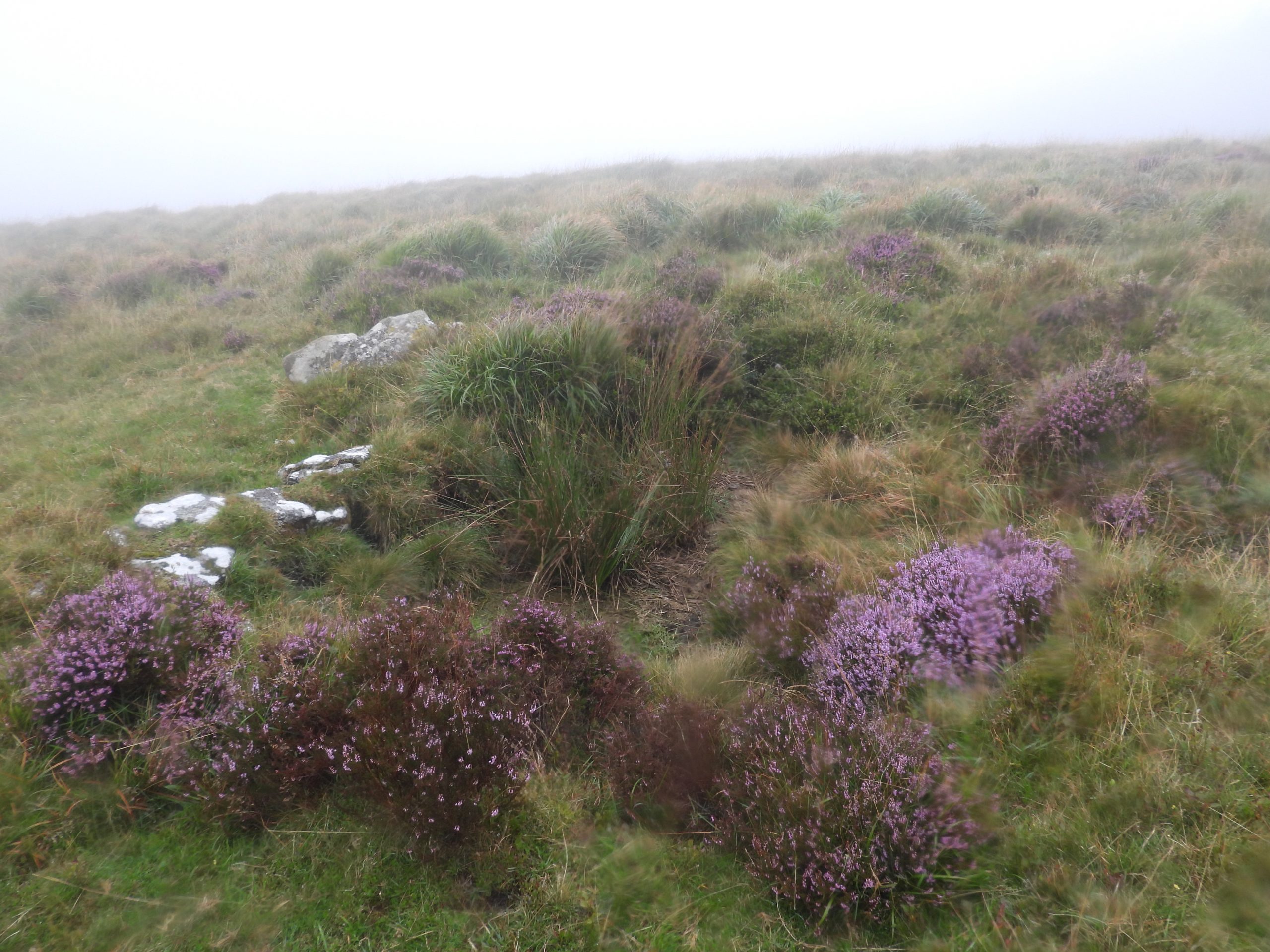
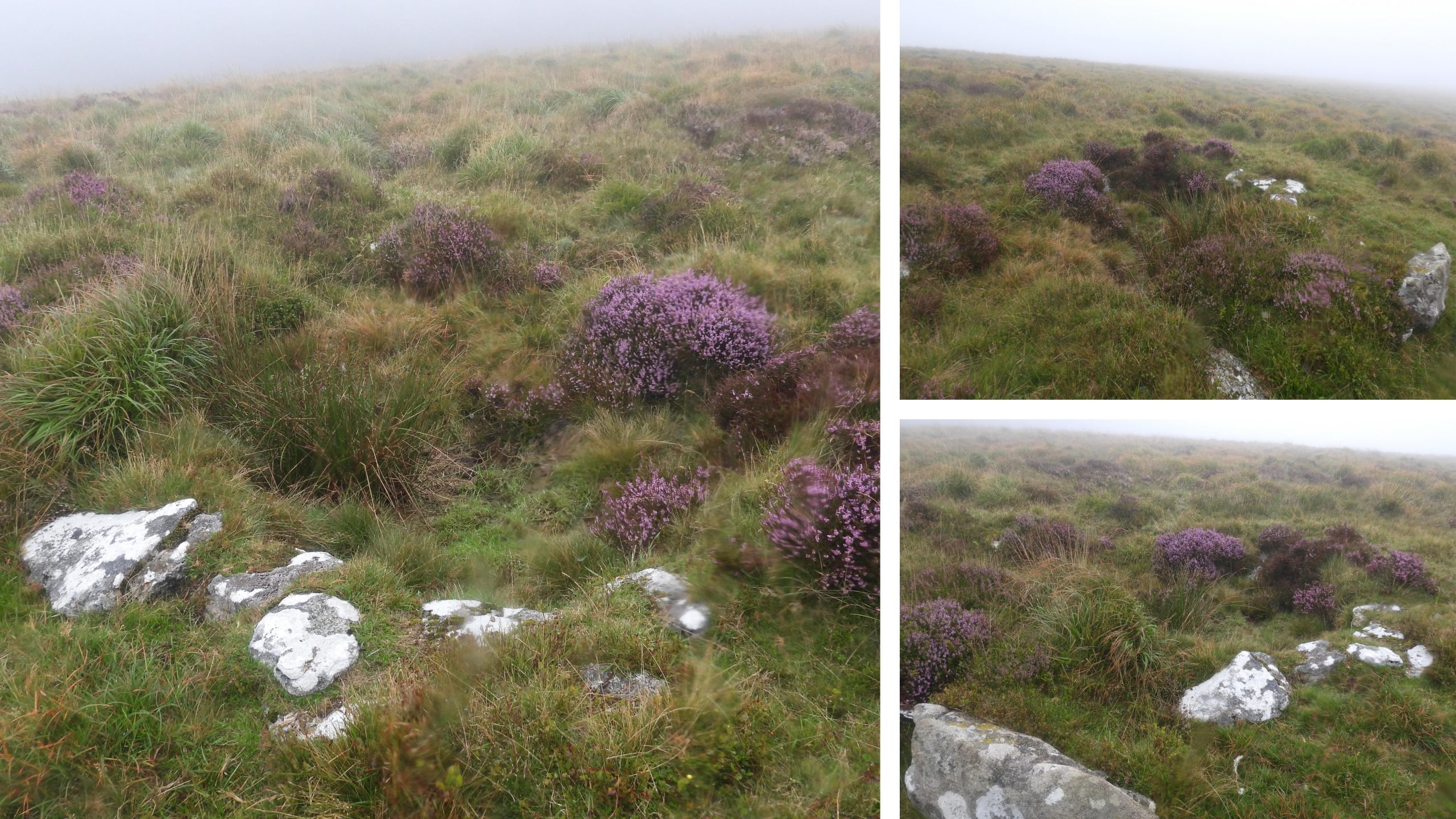
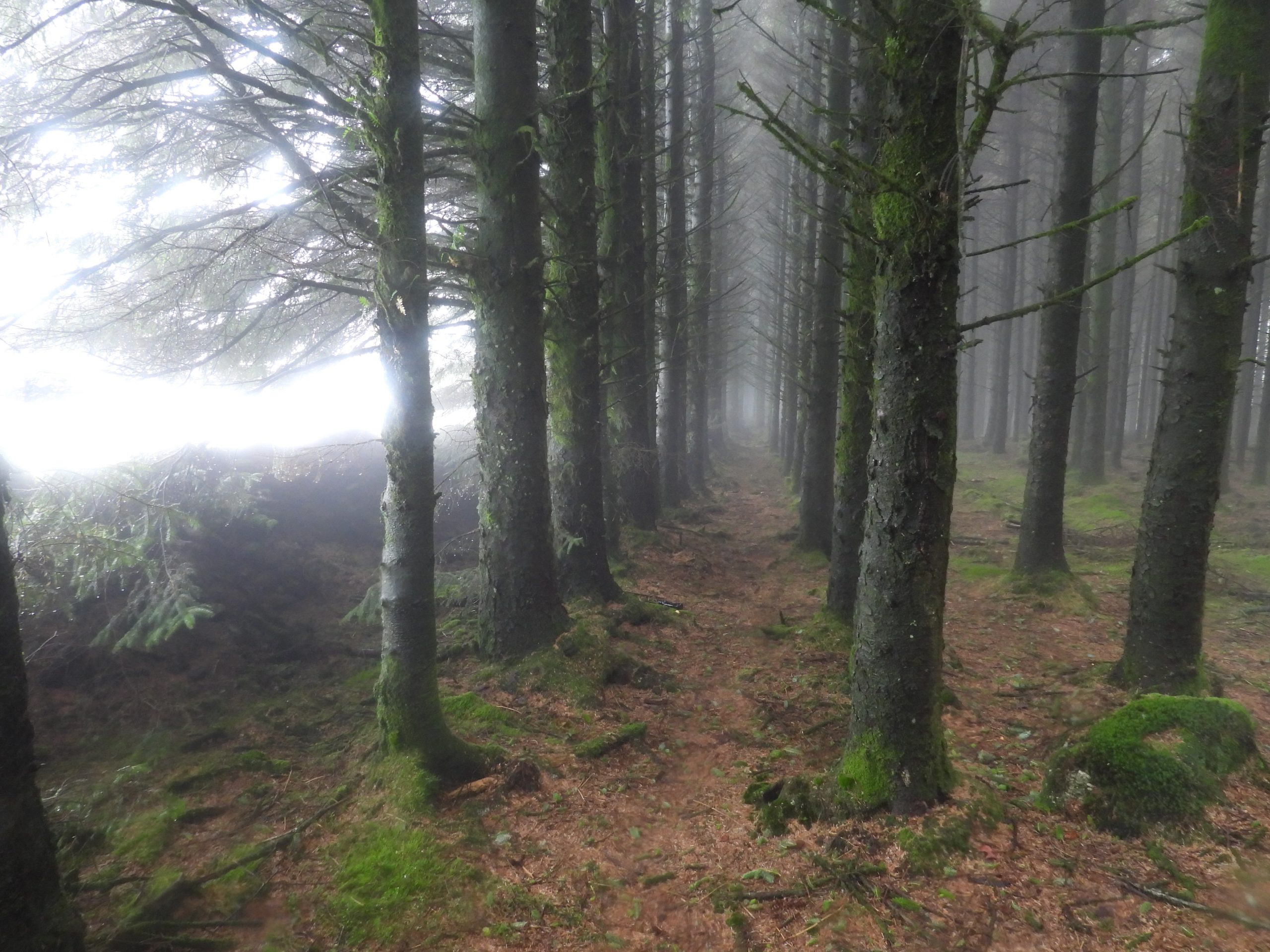
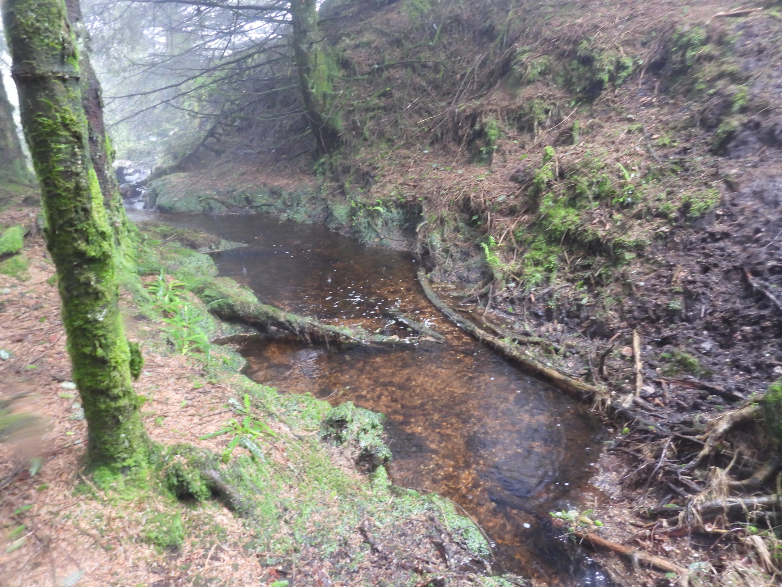
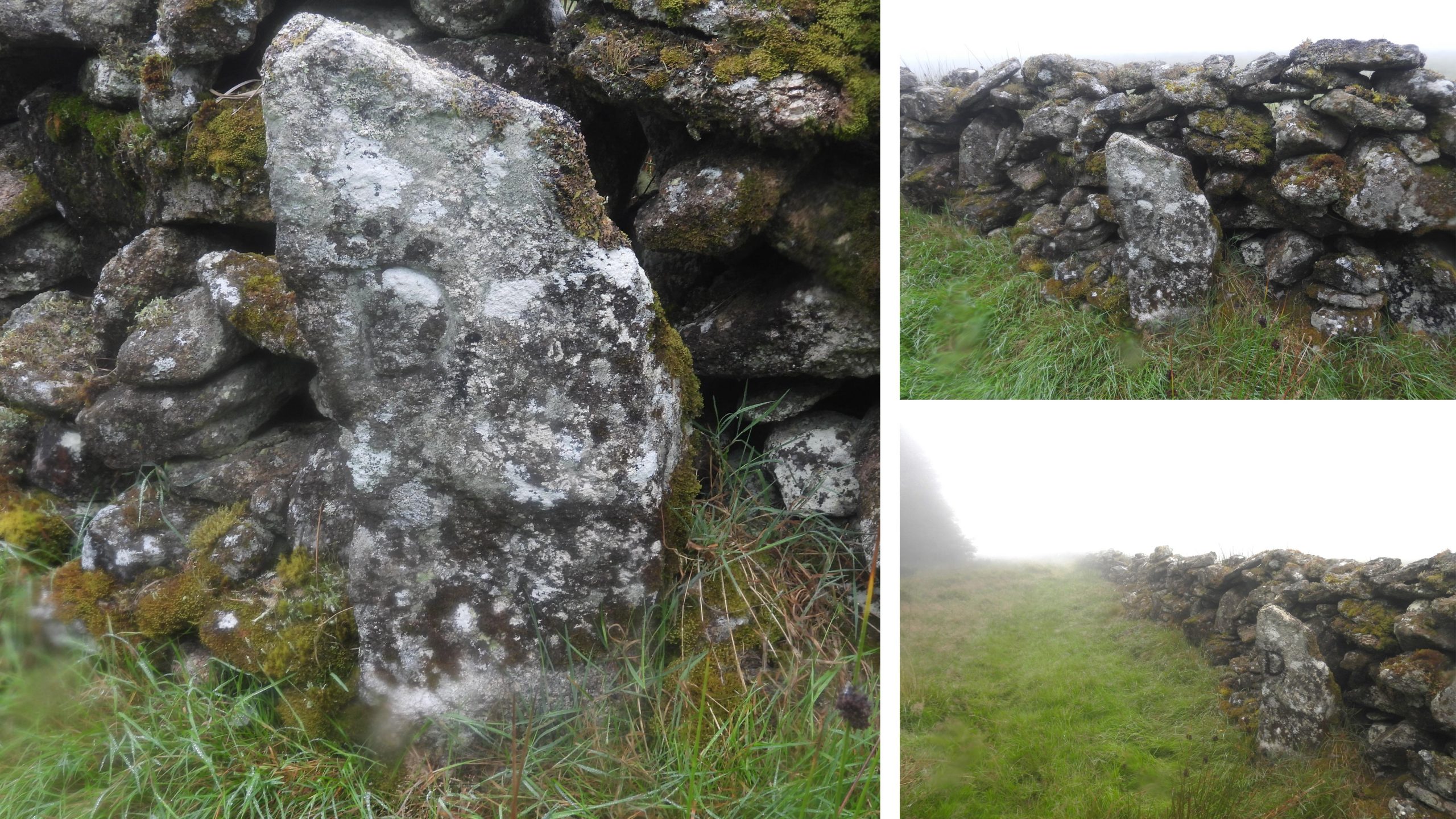
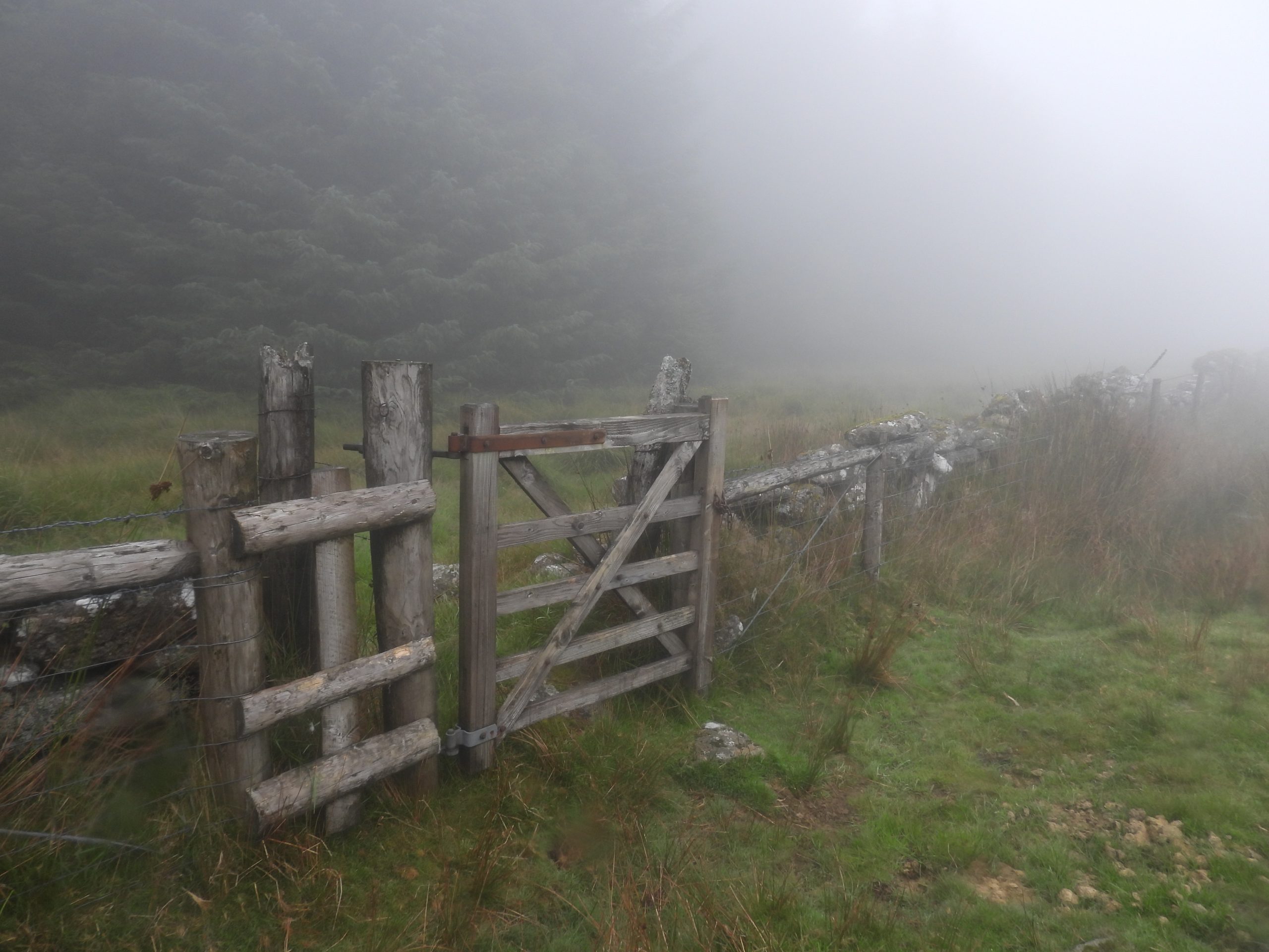
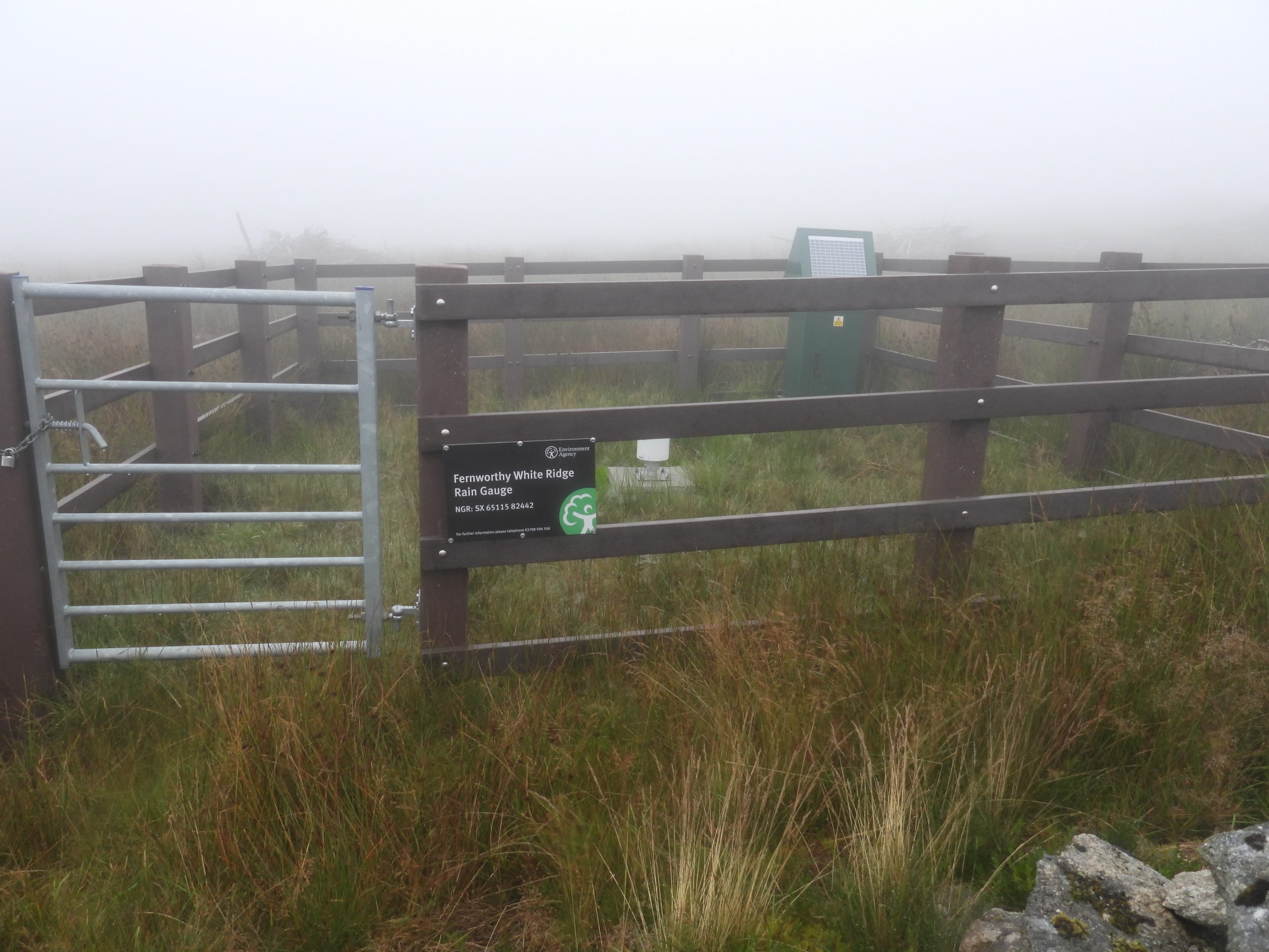
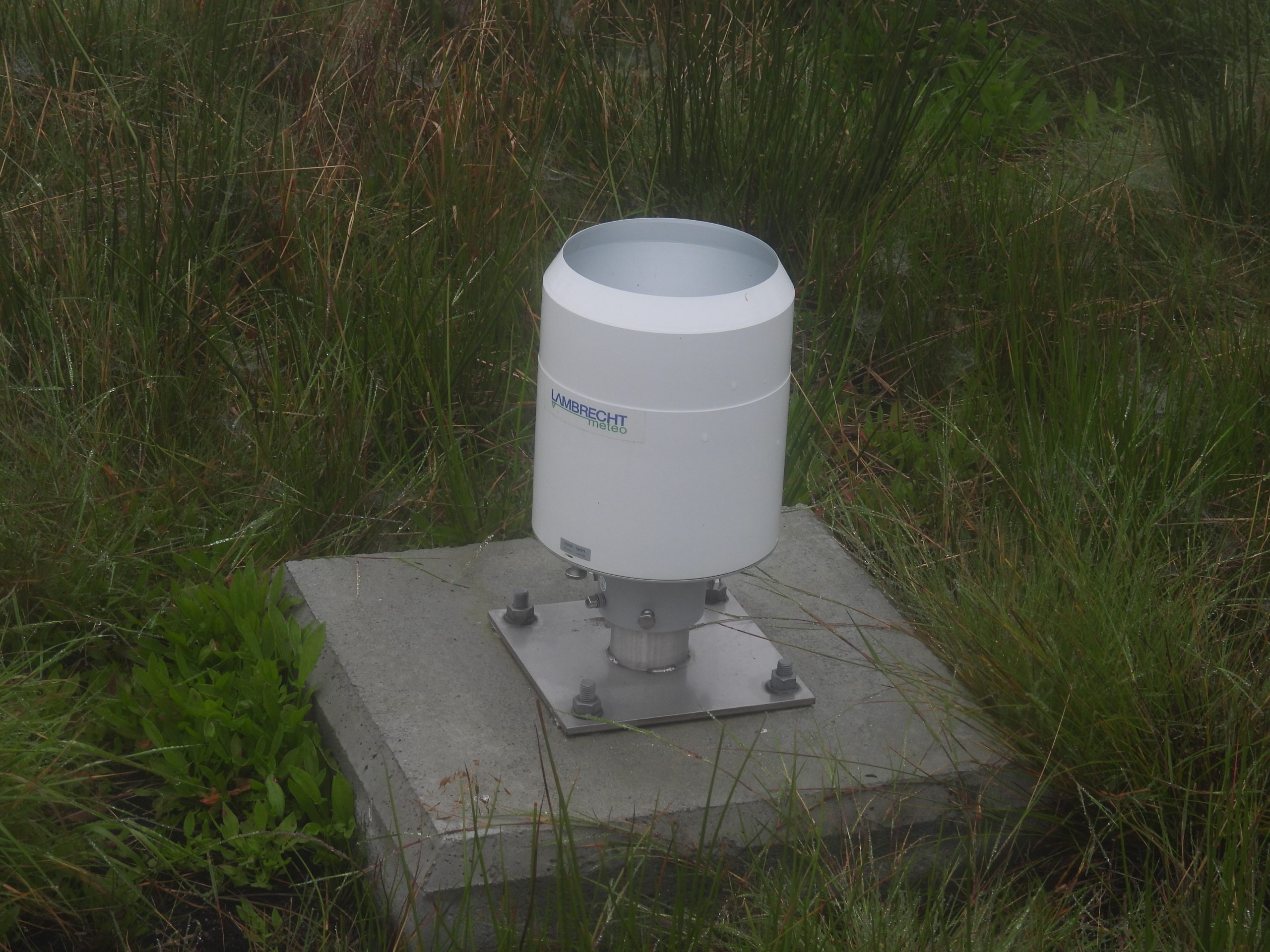
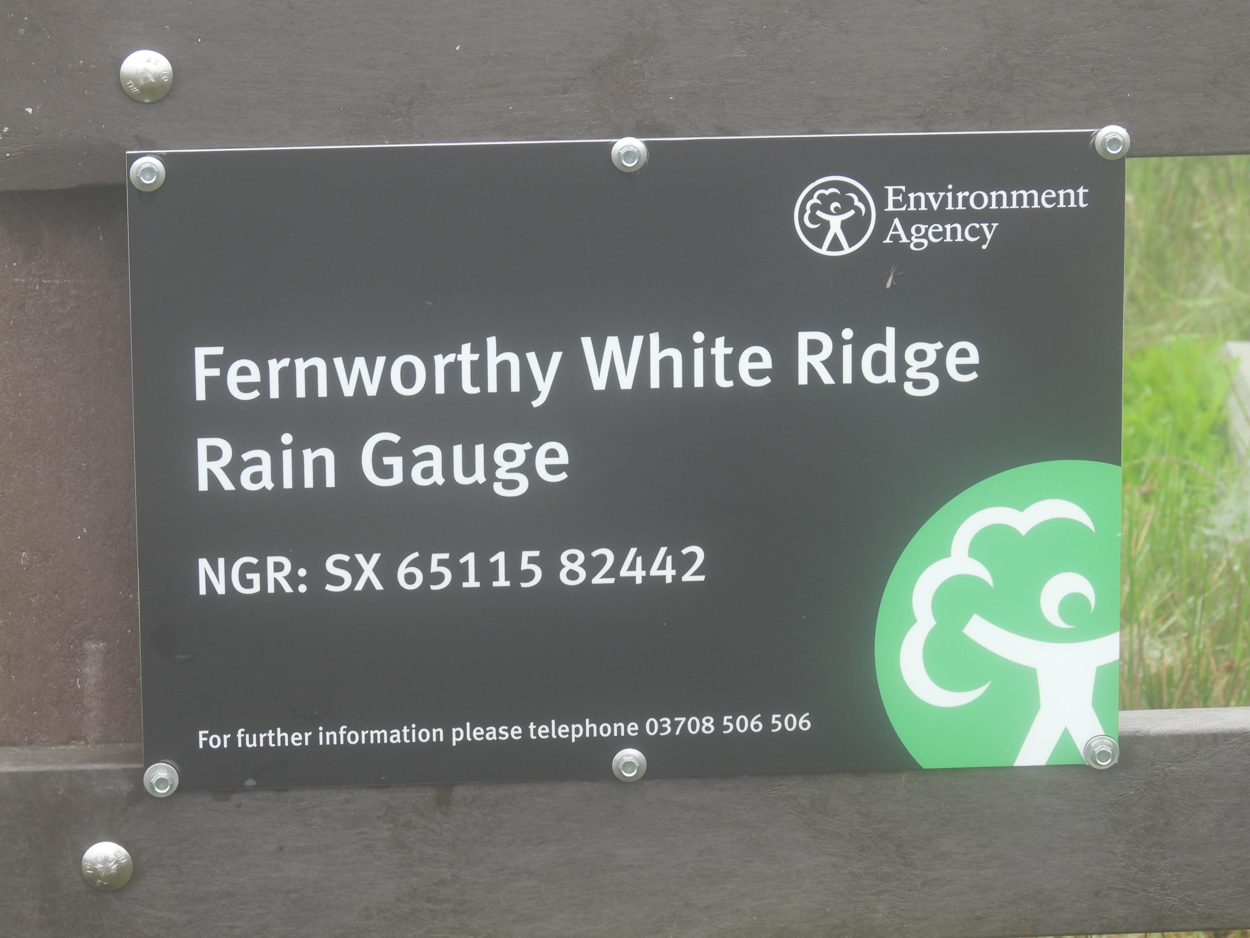
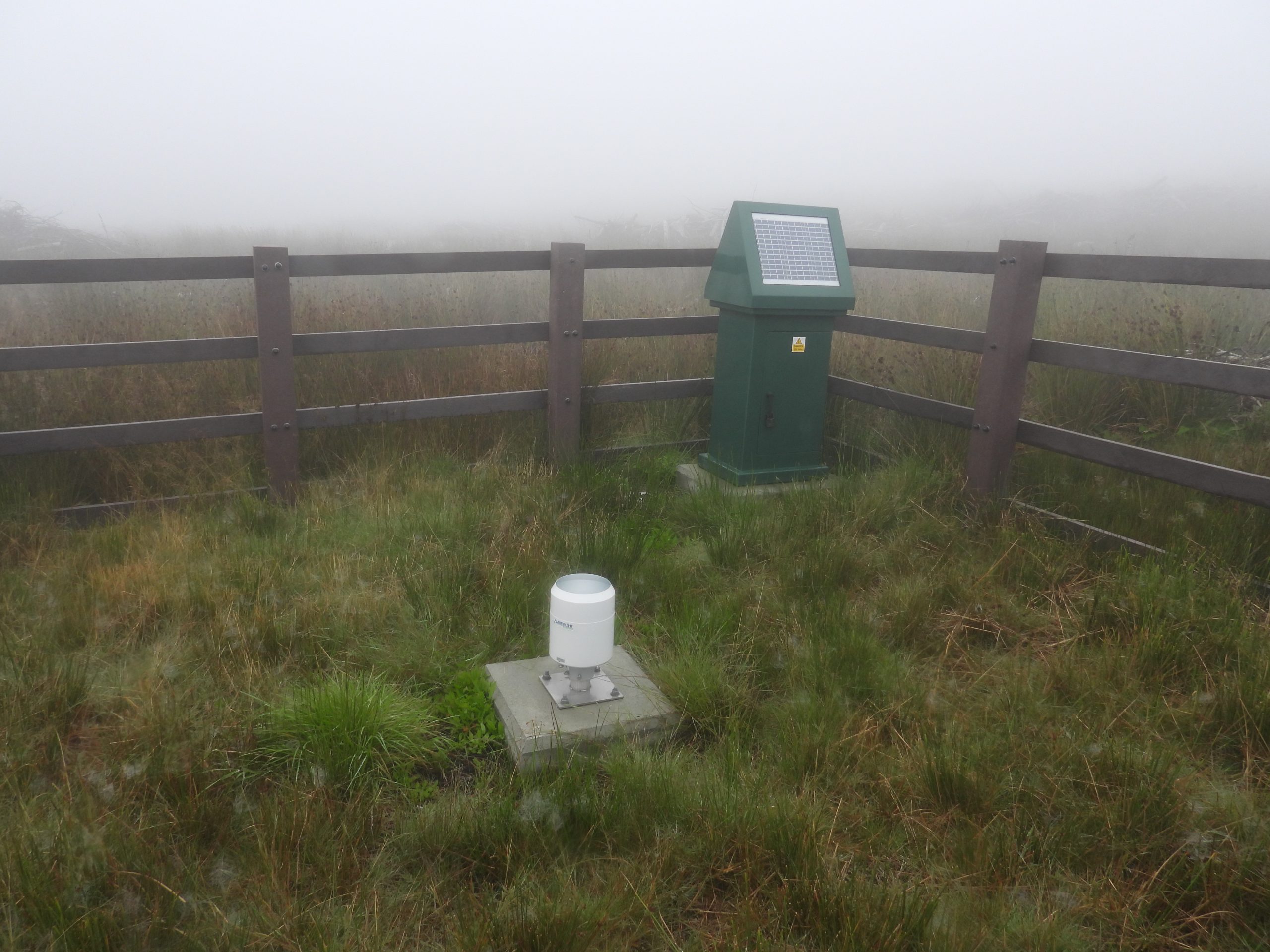
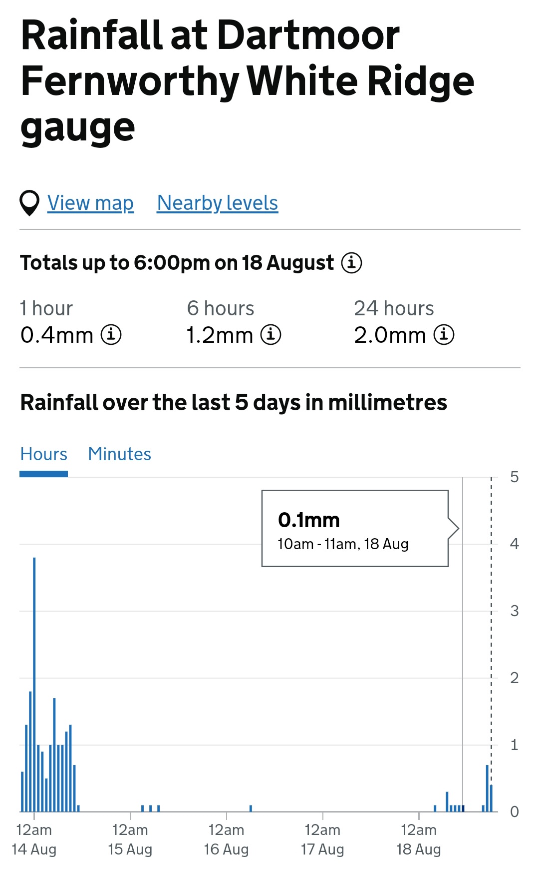
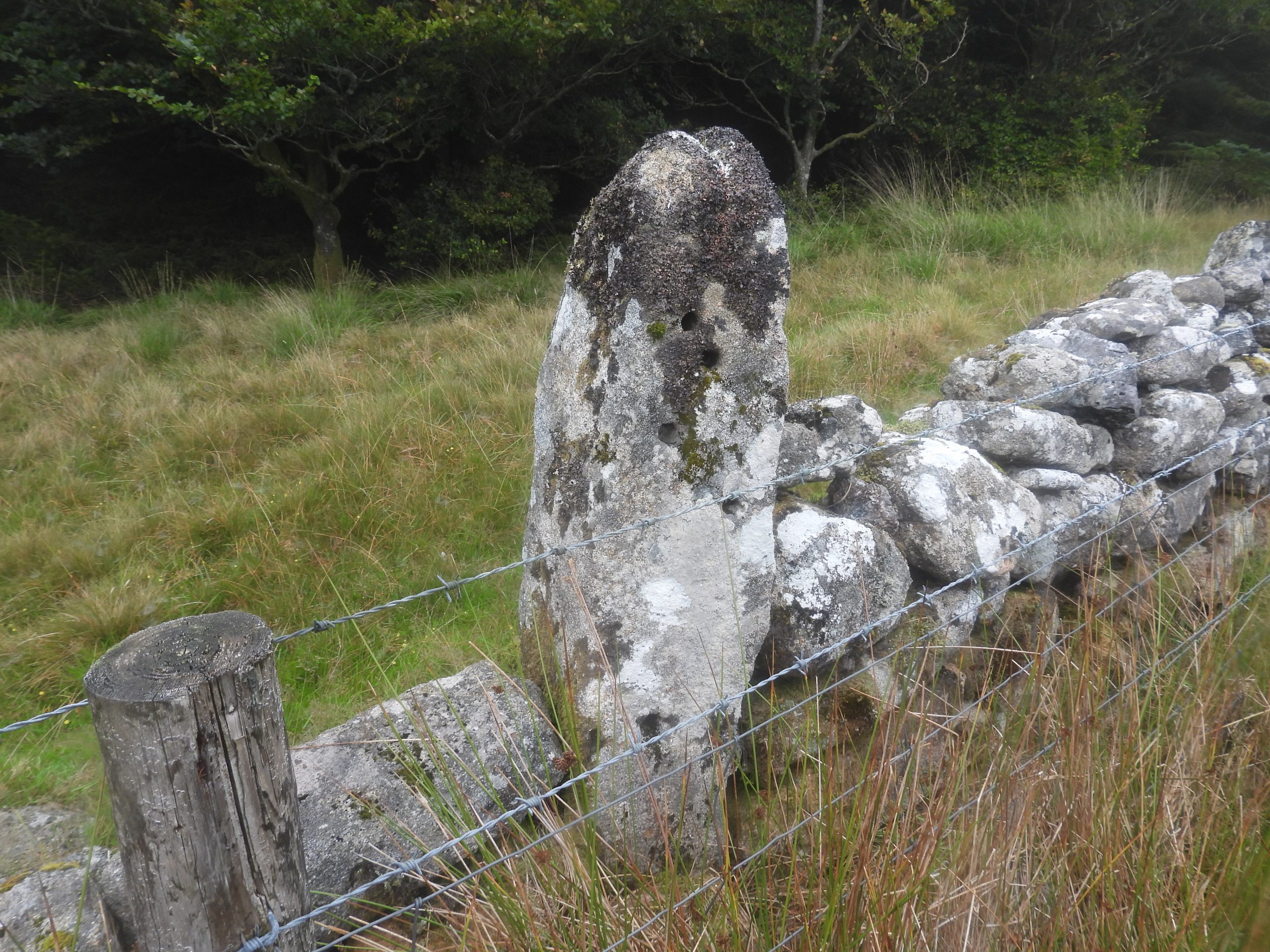
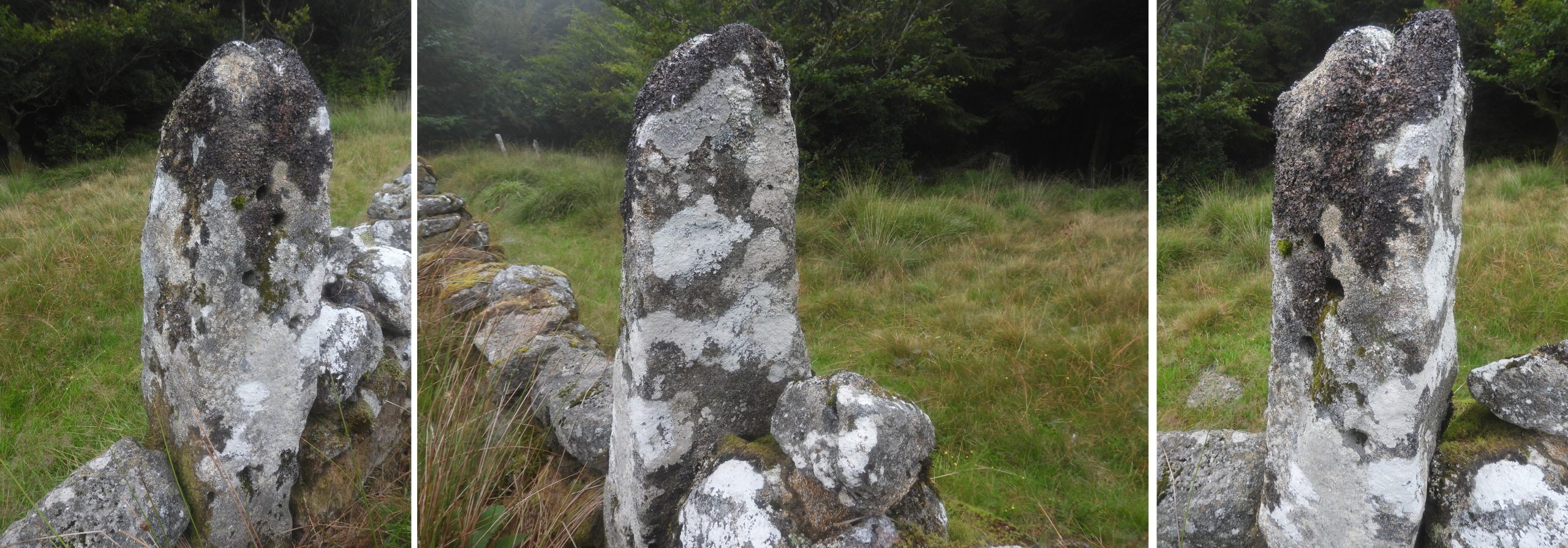
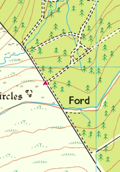
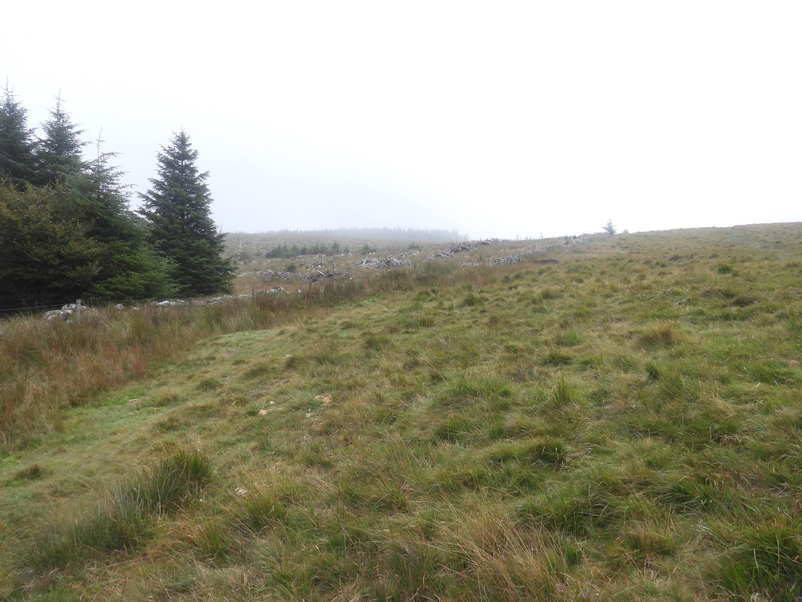
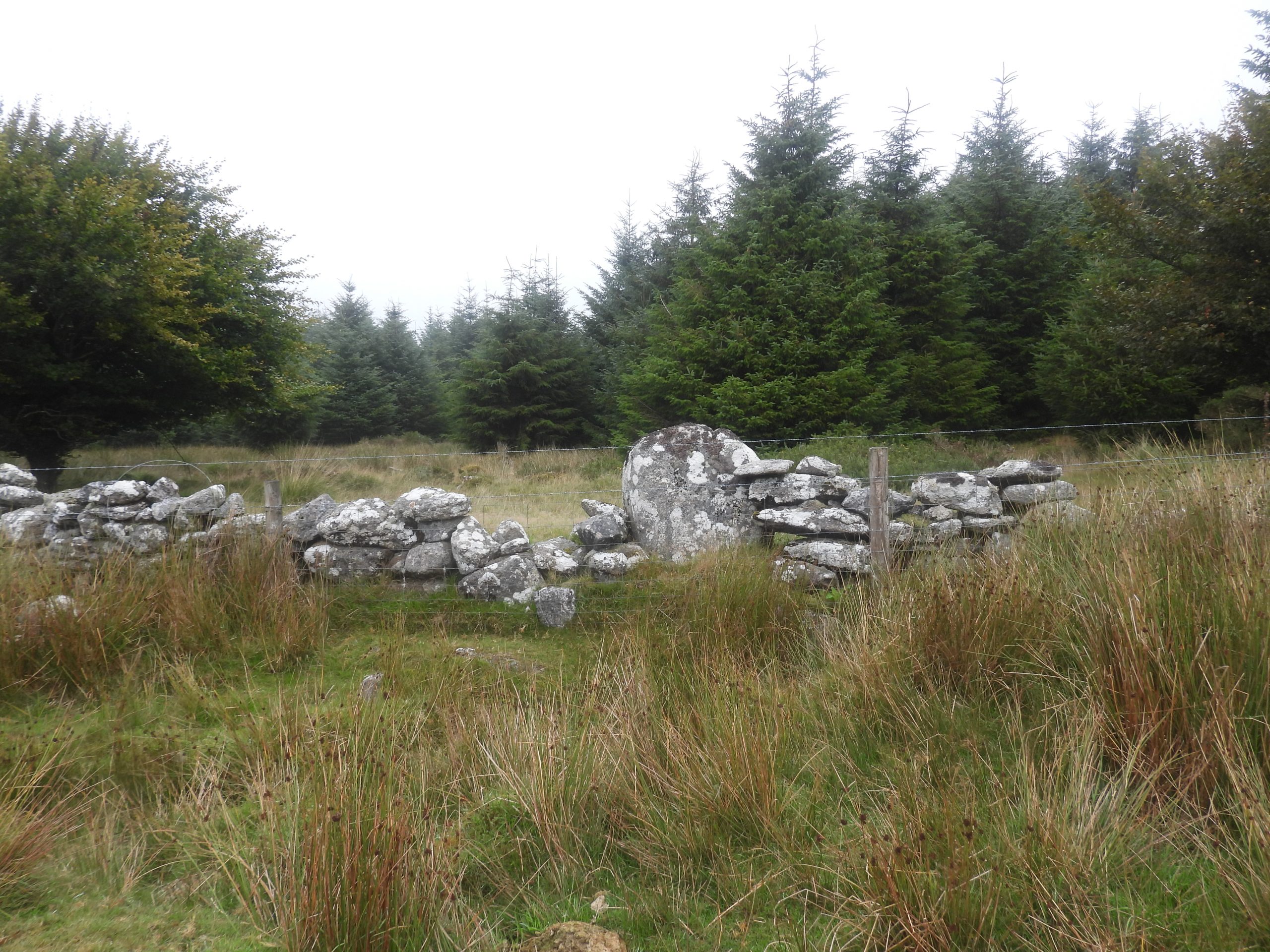
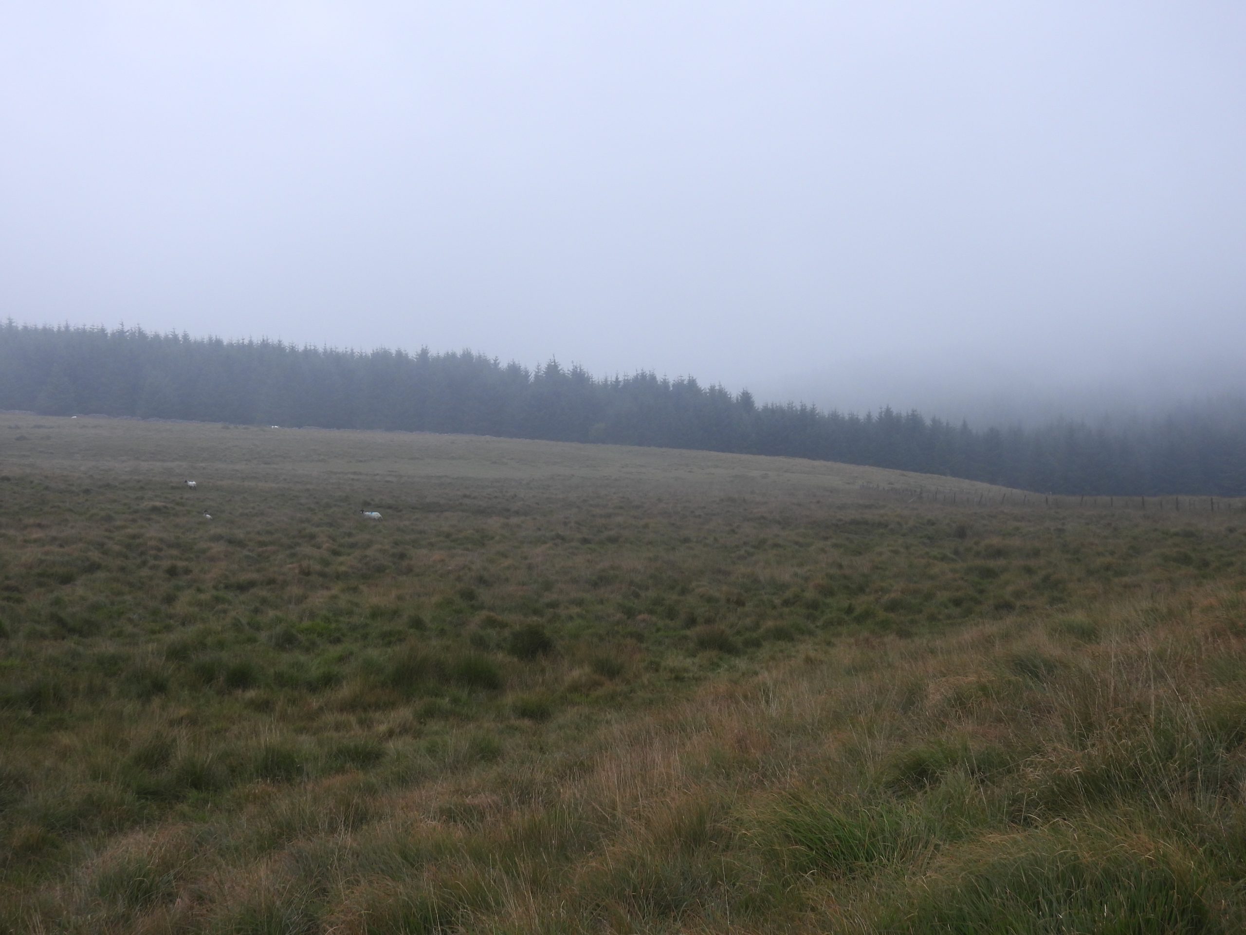
Sketch map of the three ‘newtakes’ which make up the modern day Fernworthy plantation. These newtakes were established during the Sir John Davie ‘improver period’. The map shows the key features covered in this post.On the broad summit of Assycombe Hill, the easiest of the Sir John Davie stones can be found. The Royal Commission for Historic Monuments England record it as being 1.4 metres high, 0.4 metres wide and 0.15 metres thick with part of the top has been cut at an angle. This is marked as ‘D’ inscribed upright (1) on the sketch mapThe upright is set with numerous small boulders crudely embedded around its base. It is located at SX66455 81998Interestingly, prior to the Dr Phil Newman research from 2013, the upright was recorded as a ‘Duchy’ bound, albeit the ‘Duchy Boundary’ is nearly 1km away to the east at Hurston RidgeA short distance away from the ‘D’ inscribed upright on Assycombe Hill is a slightly amorphous shallow depression. It is described by some observers as being a ruined hut. The depression is approximately 4.8m across and up to 0.5m deep. Furthermore it has a crude stony rim 0.5m wide and 0.5m high. It is located at SX66375 81894 Other considerations for the purpose of the construction is that it may be a mortar stance (military origin) or possibly may be caused by the extraction of surface moor stone. Walking down hill along the south west edge of the outer newtake wall. There are several large stones, which look boundary marker ‘shaped’ but in all likelihood are just fallen capstones from the drystone wallAnother fallen ‘capstone’ ?Where possible the author entered the plantation to explore the inside of the drystone wall to see if any more ‘D’ stones could be located. The rather foggy day made for a very atmospheric explorationAssycombe Brook just inside the plantationJust inside the drystone wall, not far uphill from the Assycombe Brook stands a second stone inscribed with the letter ‘D’. This stone would be difficult to see from the ‘moorland’ side of the wall.This second ‘D’ stone is recorded as being 0.9m high and is annotated ‘D’ inscribed upright (2) on the sketch mapThis second Sir John Davie ‘D’ stone is located at SX65729 81910Small gate just uphill from the 2nd ‘D’ inscribed stone.On the plantation boundary is a new (ish) automated rain gauge The rain gauge is very sleek Location grid referenceThe solar panel clearly used to power the gauge and send data automatically. A far cry from the ‘old fashioned’ more manual rain gauges which had to be visited to get the dataThe data from this rain gauge can be be found at https://check-for-flooding.service.gov.uk/rainfall-station/E82840 On the date of visit (18th August) the gauge had recorded 0.1mm per hour in the foggy conditions !A third upright stone, this time without an inscription can be found built into the wall just south of the South Teign. It has at least 6 holes in it, each being 5-10cm deepThe upright resembles a gatepost, albeit it, on first inspection does not appear to be part of a gate. It is sited (ref: Newman) approximately at the point of one of the 18th century map markers described as ‘The Seventh Side Bound South’. It is located at SX64775 82930The author is doubtful that the ‘third’ upright represents the marking-out phase at Fernworthy from 1796, as it appears to be located at the end of a forest track. One might suspect it was originally a gate post but was it left in position as a marker ?With the fog lifted slightly the photograph is of the edge of the Great Newtake, where recent tree felling and replanting has taken place A large boulder on the Great Newtake boundary. The author was unable to see the reverse side of the boulder to see if it had any distinguishing marks.Final view of the plantation from near Assycombe Brook Head as the fog descends again.