Dartmoor Explorations

A collection of walks, discoveries, insights and pictures of exploring Dartmoor National Park

Upper Swincombe Farm

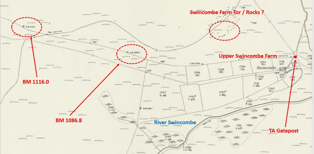
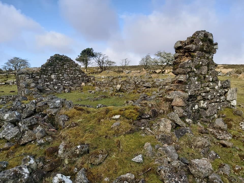
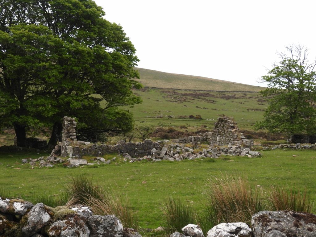
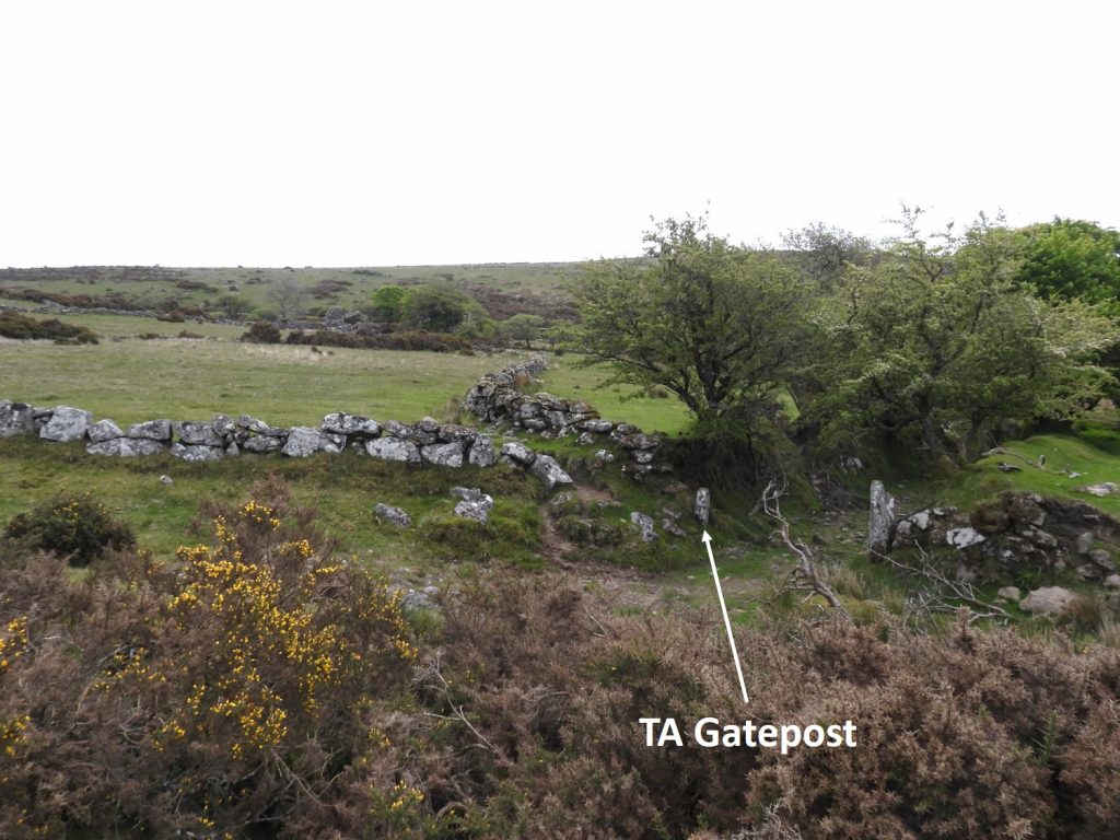
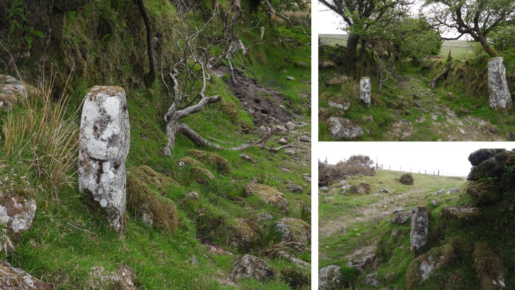
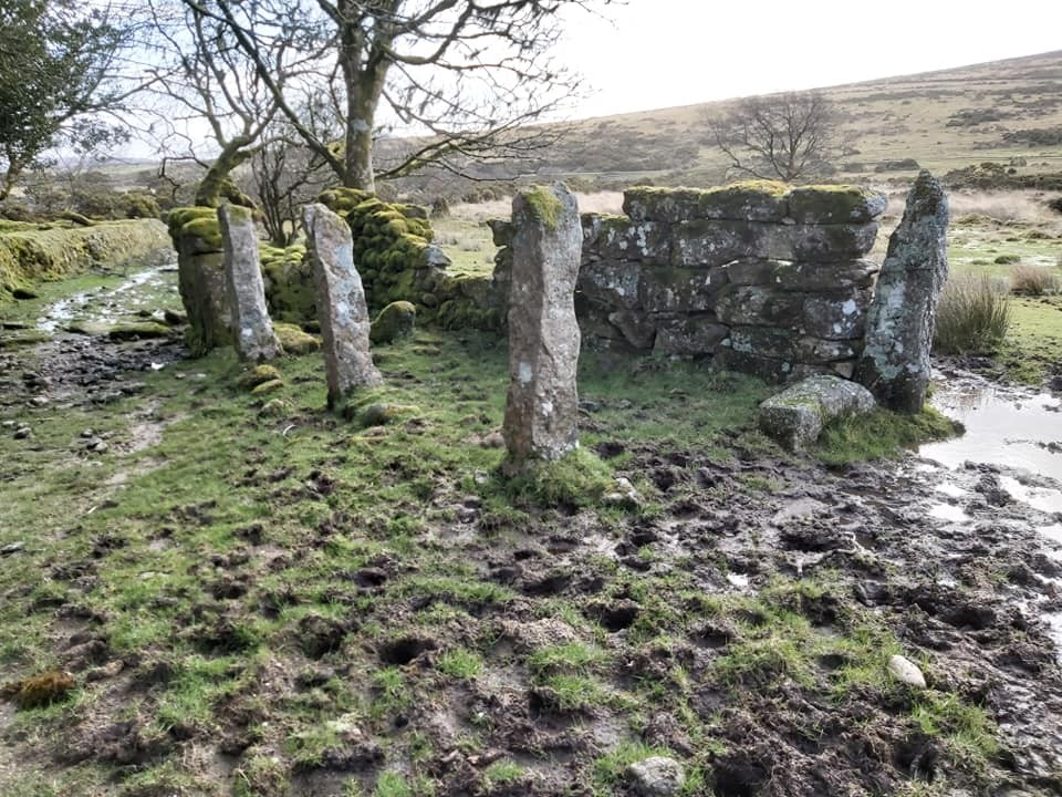
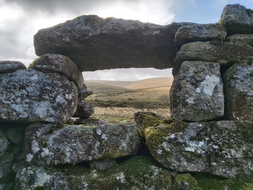
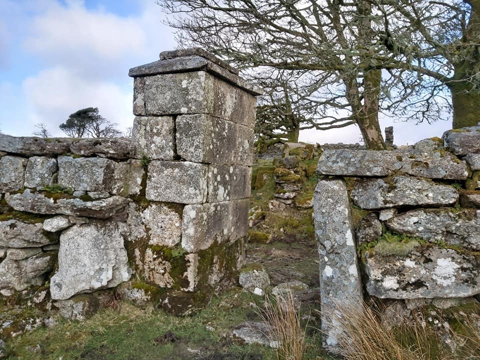
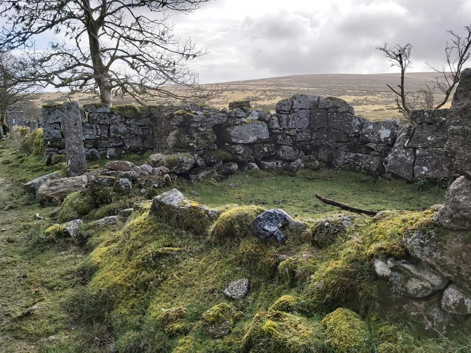
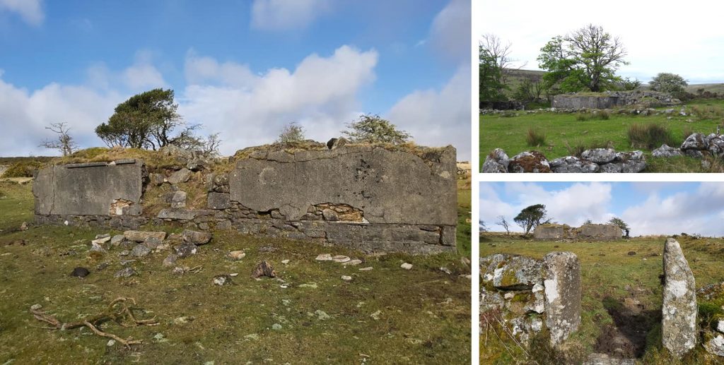
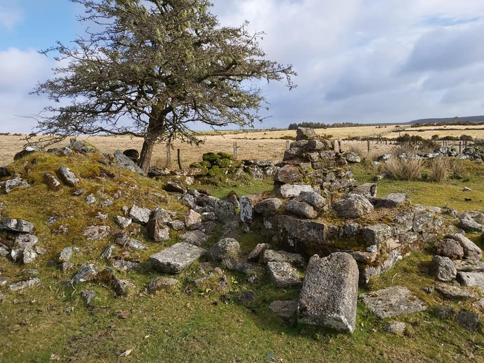
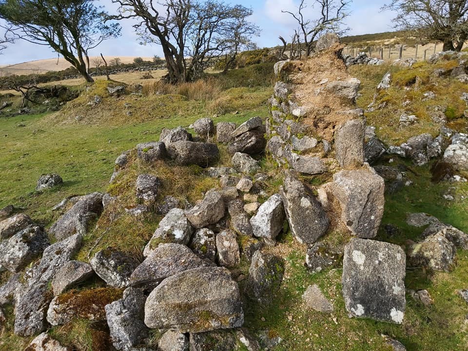
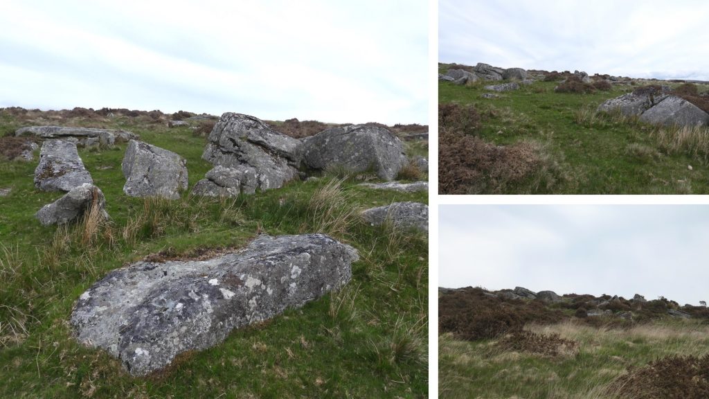
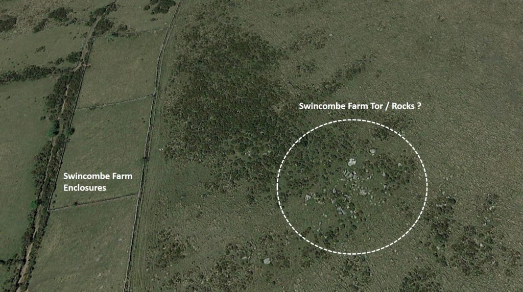
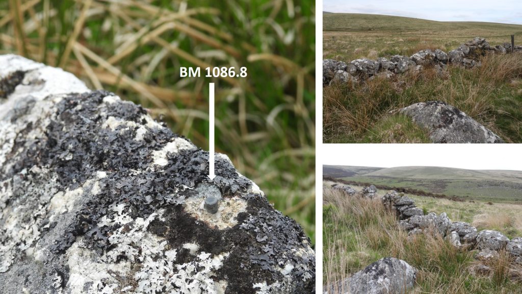
This post related to the remains of Swincombe Farm (aka Upper Swincombe Farm) and some immediate surrounds including a TA standing stone / gate post, a possible tor and two “bolt” type benchmarks. The main farm consist of a roofless 19th century byre with a further roofless barn/byre and store building close by. There is also a more “modern” (now demolished) farmhouse which had been built in 1913. All the buildings apparently overly earlier structures depicted in 1818 as lodges of Tor Royal estate belonging to Sir Thomas Tyrwhitt.

USF Map
This map with annotations shows the key features in this post.
USF 1
Ruins at Upper Swincombe Farm. This is likely to be the earlier farmhouse from circa 1839, occupied by John Toop.
USF 2
Upper Swincombe Farm ruins can be located at SX63950 72570. The building is described in the Dartmoor HER as: “A 19c byre of mortared boulder construction 8.4m by 3.3m internally with troughs along the n wall. The building is aligned e-w and is roofless”.
USF 3
This gatepost was formerly used to mark old packhorse track over the moor from Tavistock to Ashburton. It is Inscribed with letter T on one face and with letter A on opposite face. The stone was first erected in 1699. John Bishops House (aka Lower Swincombe Farm) can also be seen in this photograph.
USF 4
Close up of the TA gatepost. It can be located at SX63987 72510
USF 5
Is this a cross laid out in the ruin? SX63959 72579
USF 6
Outbuilding. SX63975 72560
USF 7
View to Deep Swincombe (girt)
USF 8
An impressive gatepost (originally a pair), which marked the eastern boundary of Tyrwhitt’s Tor Royal estate at SX63966 72564. The buildings were once used as a fishing retreat.
USF 9
Another outbuilding SX63924 72559
USF 10
Later dated building, built around 191,3 last occupied in 1955. It can be located at SX63932 72572.

USF 11
A very small outbuilding. Perhaps the WC?
USF 12
Small outbuilding. SX63925 72596
USF 13
To the north-west of the farm are a substantial set of rocks or possible small tor. SX63765 72717
USF 14
The set of rocks / tor can be seen clearly on Google Earth.
USF 15
“Bolt” style benchmark at SX63438 72635.
USF 16
“Bolt” style benchmark at SX63095 72728.
Total Page Visits: 2476 - Today Page Visits: 4

Next Post

Previous Post

Leave a Reply

© 2024 Dartmoor Explorations

Theme by Anders Norén

Social media & sharing icons powered by UltimatelySocial