A collection of walks, discoveries, insights and pictures of exploring Dartmoor National Park
October 24, 2026
Fernworthy Reservoir – Former access road to Fernworthy Farm and usually submerged bridges over Teign
A farm at Fernworthy is believed to have possibly existed dating back to Saxon times. The ‘modern farm’ was rebuilt in 1858 but was demolished in the late 1930’s to make way for the new reservoir whose construction was started in 1936 and was finished in 1942. Access to the ‘modern farm’ was gained via a road which came in from an easterly direction from the closest farmstead at Metherall (which is thought to have pre-dated Fernworthy).
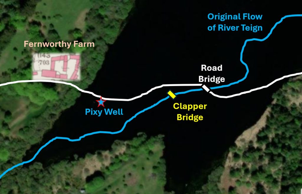
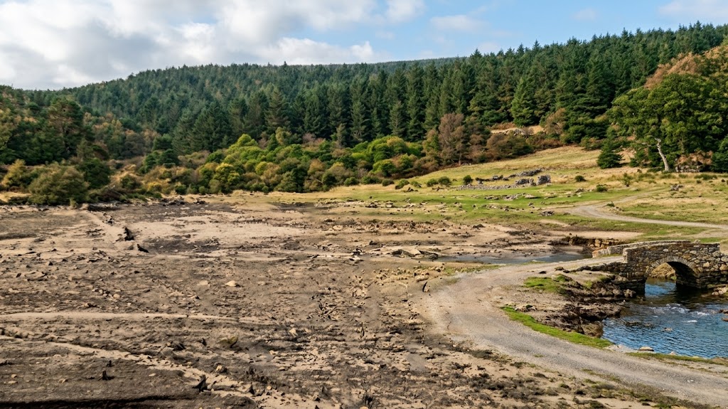
The original road to the farm is now usually submerged by Fernworthy Reservoir, with a new tarmac road (for forestry vehicles) now circumnavigating the reservoir at its eastern end to a point close to Sanderman Bridge which is where the River Teign enters the reservoir.
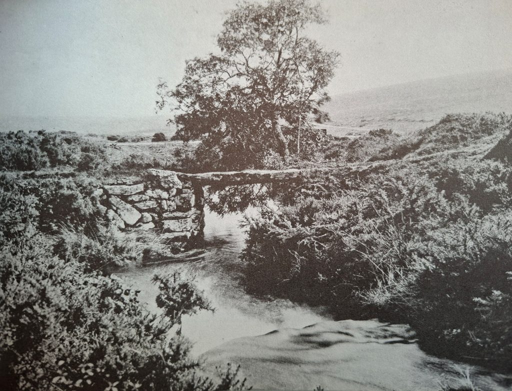
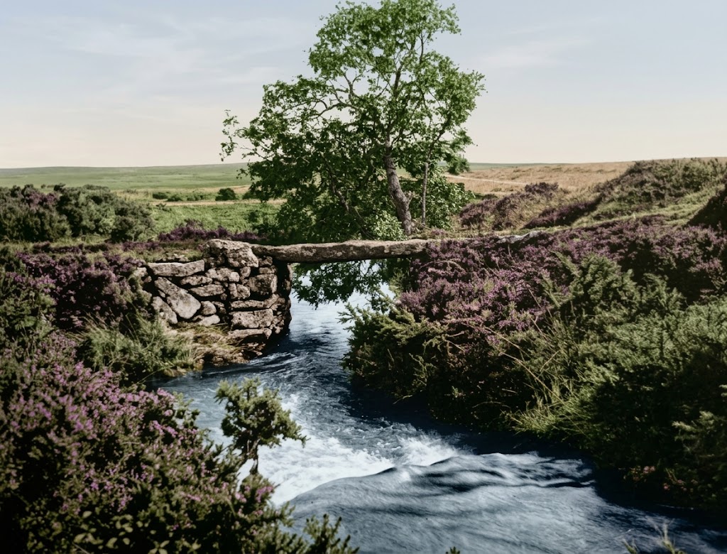
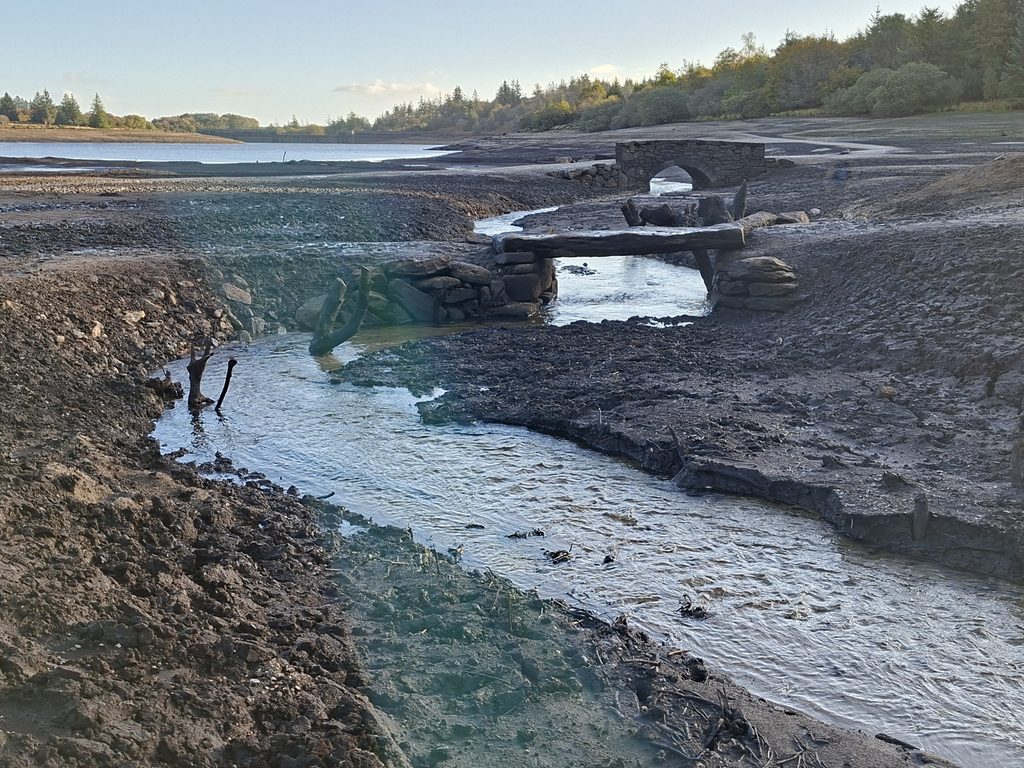
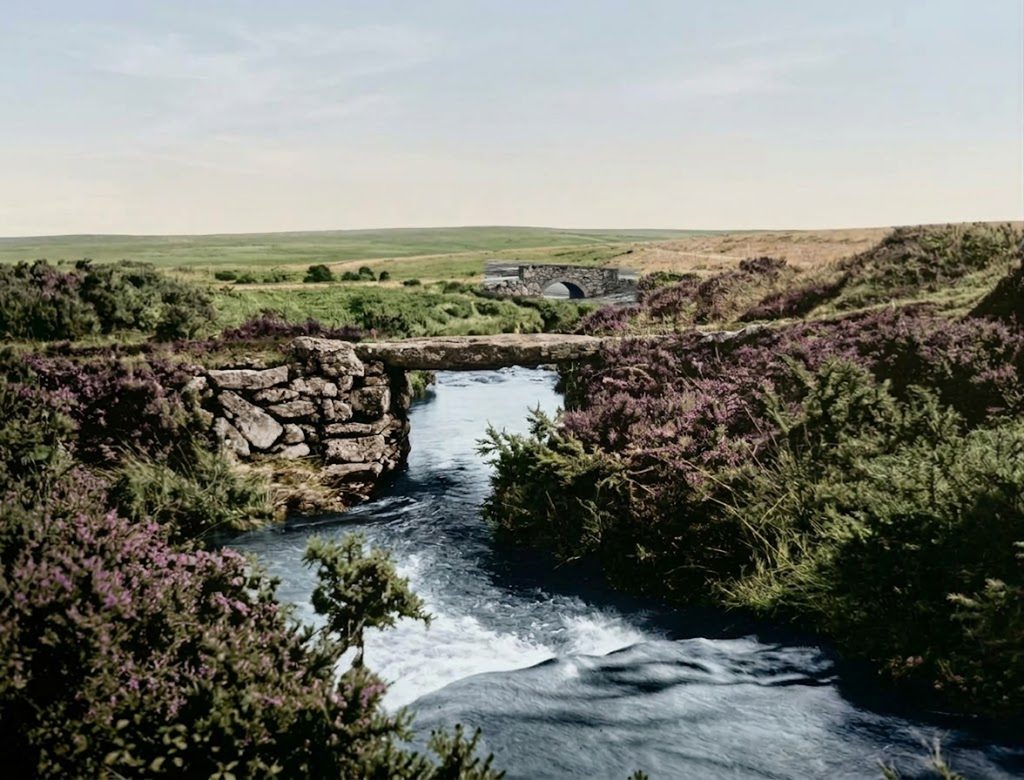
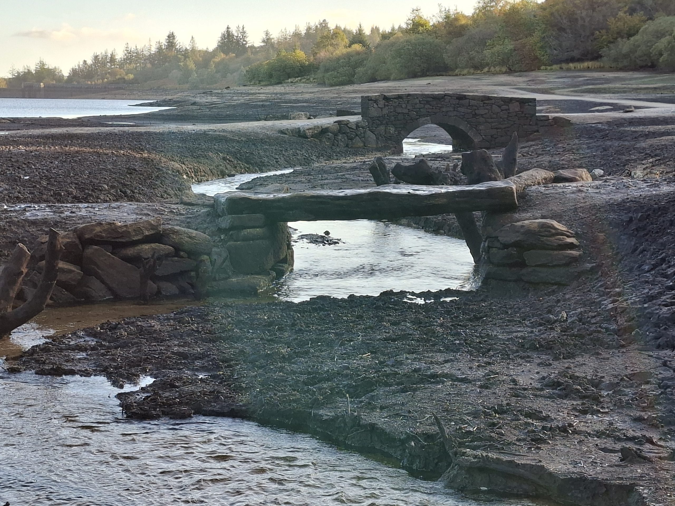
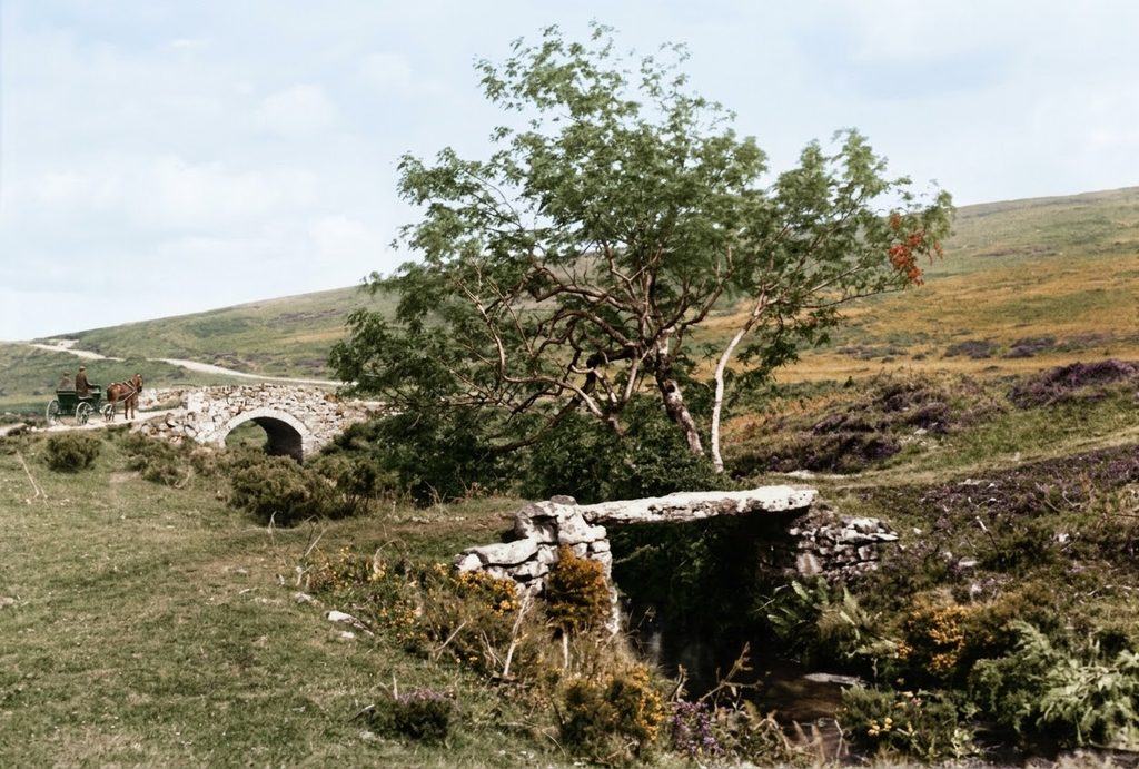
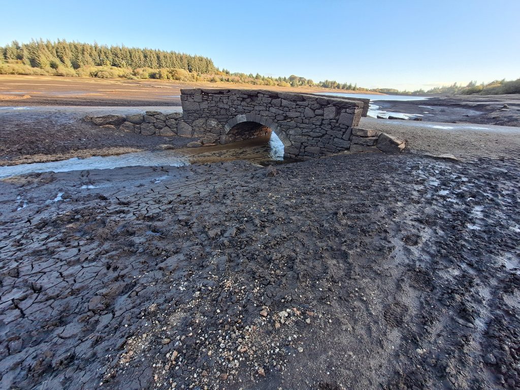
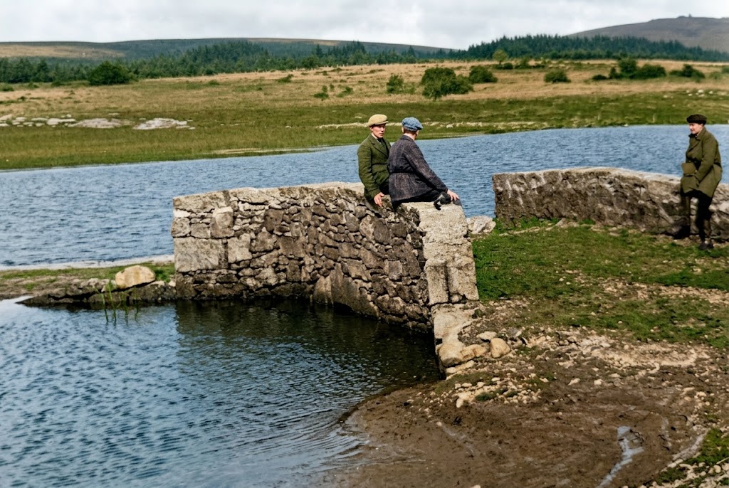
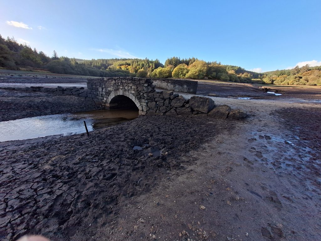
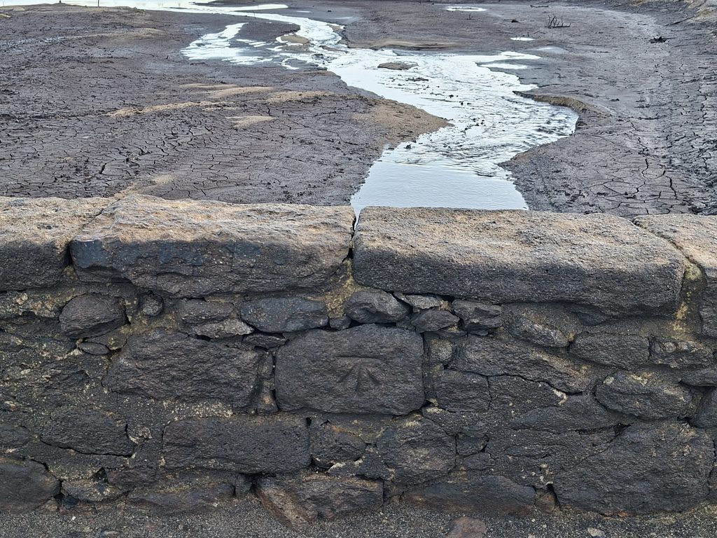
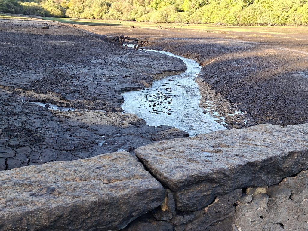
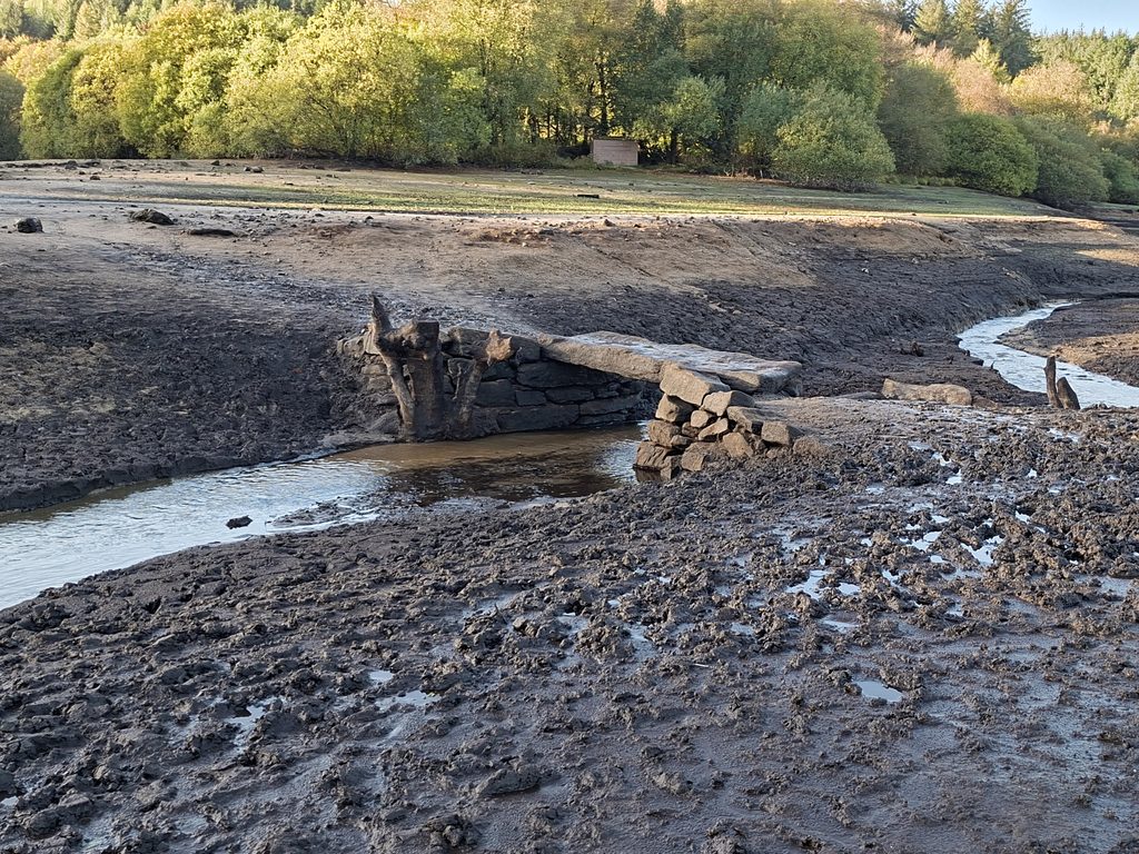
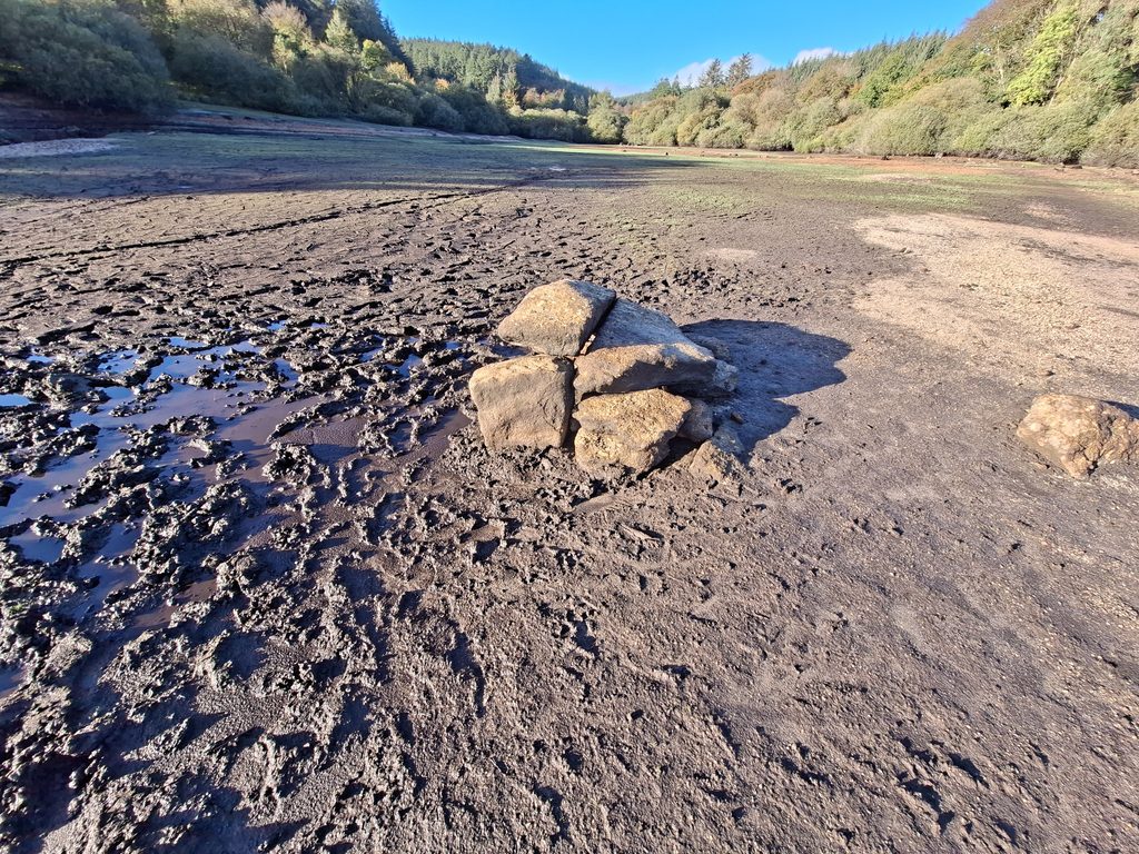
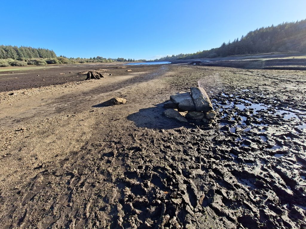
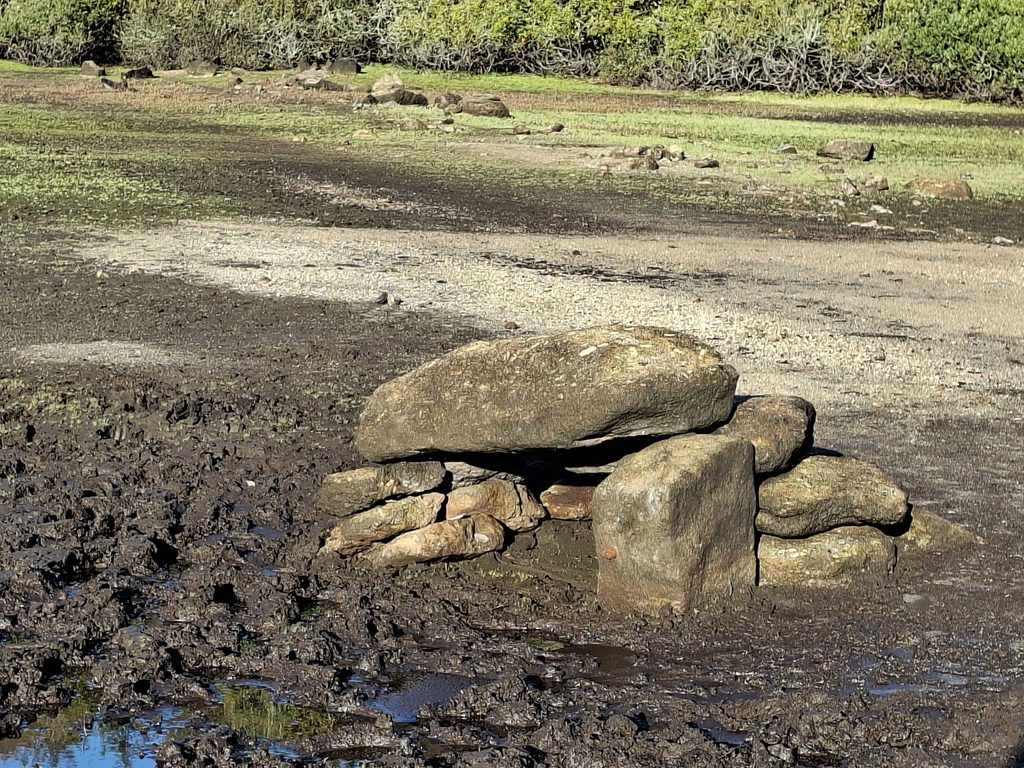
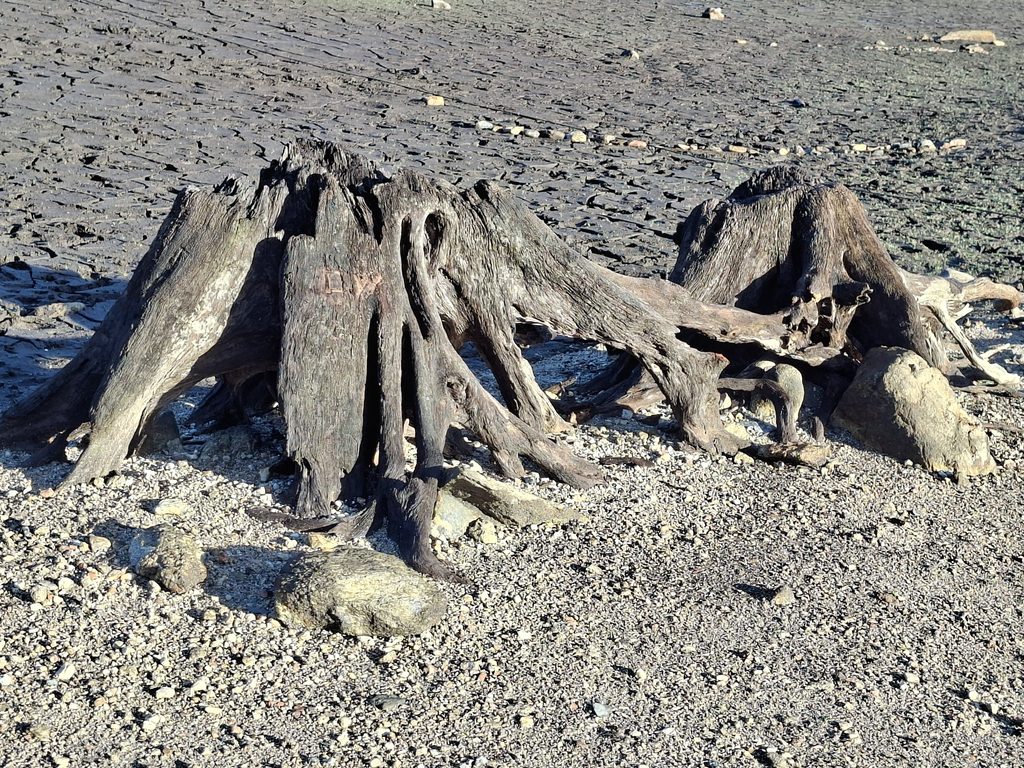
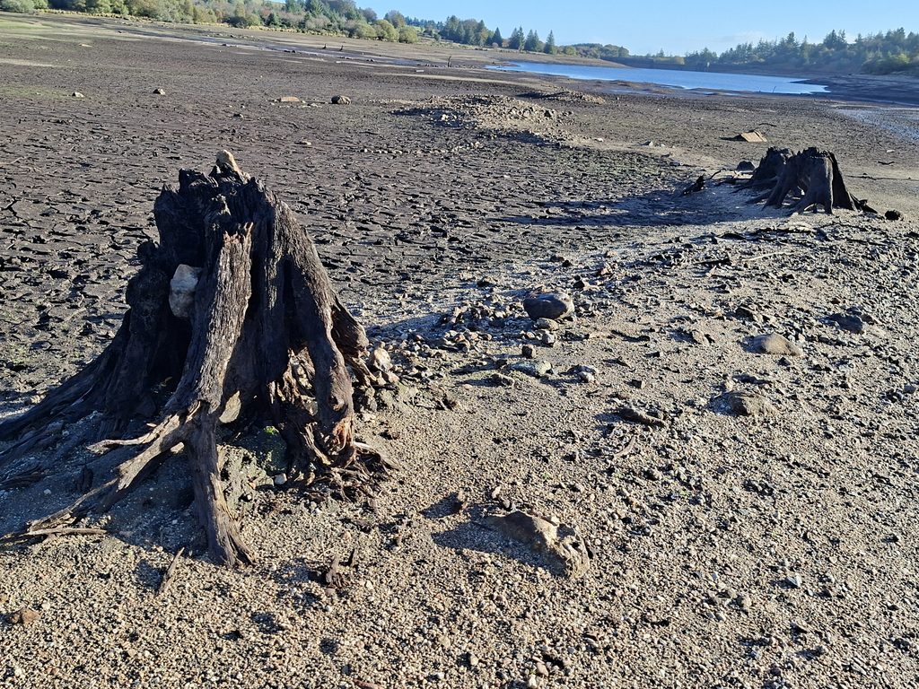
As a result of the extensive drought in Summer 2026, the old road to the former Fernworthy Farm was exposed with the low water level. This revealed an old road bridge to the farm plus a nearby clapper, which had been photographed circa 1938 before the completion of the reservoir. Also exposed due to the low water level at the eastern end of the reservoir is an old well, some old walling, old Medieval tracks and some old petrified tree stumps. The post also shows photographs from the drought years of 1955 and 1976.
The author would like to thank Sue Rogers for sharing a 1938 photograph of the Clapper Bridge, which inspired a visit, resulting in this post.
Bibliography
James Mildren – (1984) – Dartmoor in the Old Days, page 45
Eric Hemery – (1983) – High Dartmoor, pages 753-755
T. Brown – (1957) – Holy and Notable Wells of Devon, 210 (Article in Serial). SDV304810.
Sue Rogers – (2026) – Pers. Conv.
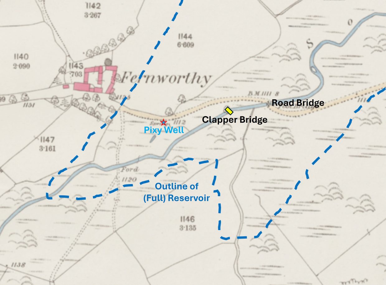
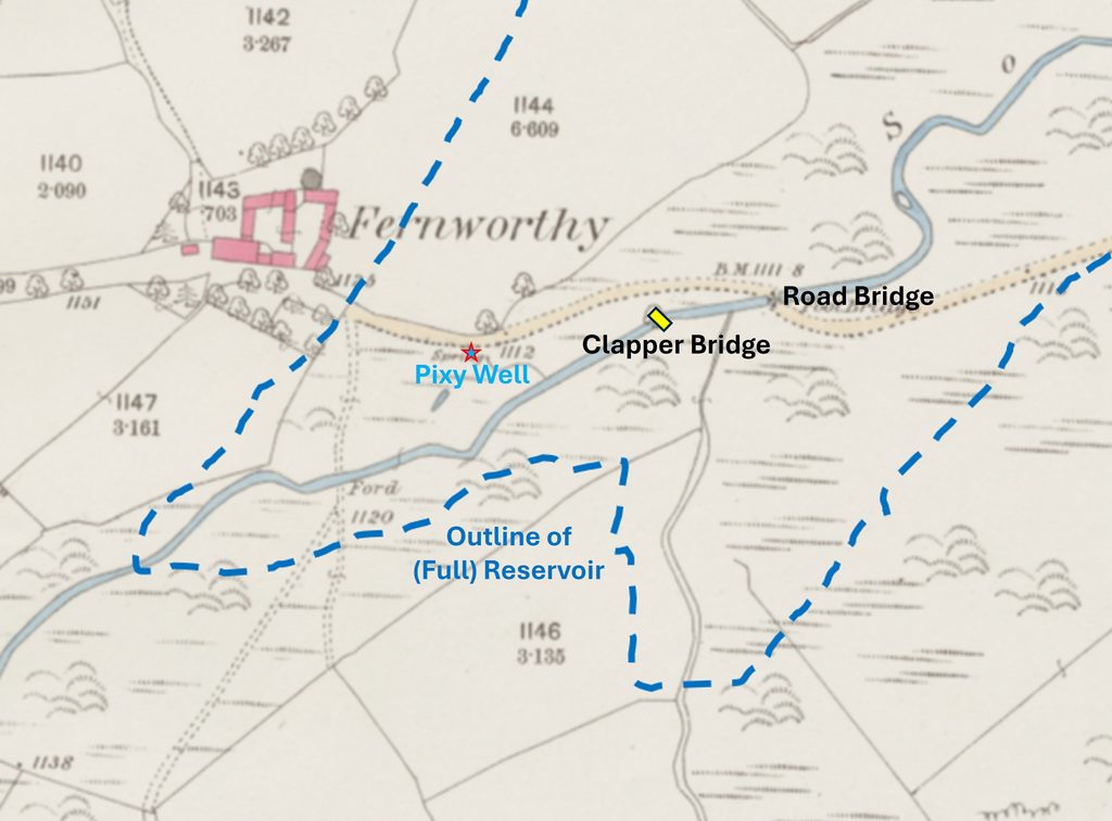
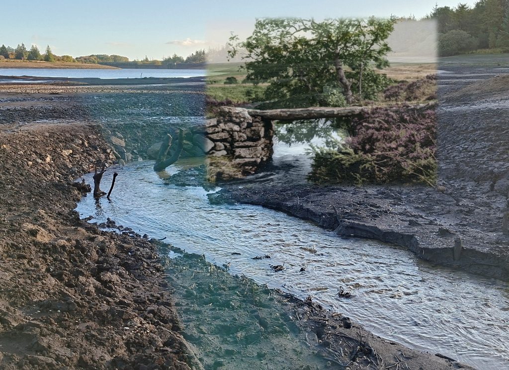
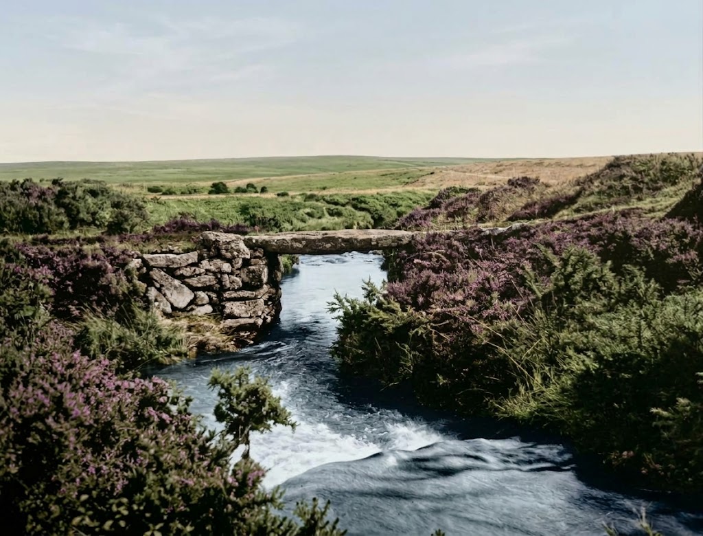
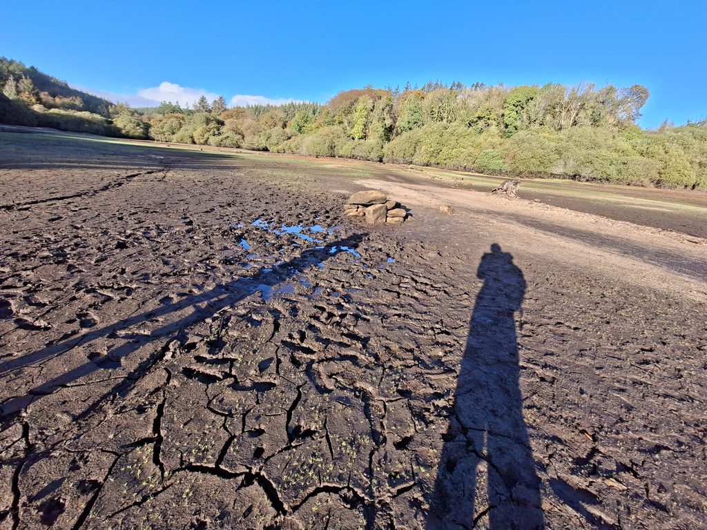
19th century map of Fernworthy with annotated locations of the Clapper Bridge, Pixy Well and the outline of the (full) reservoirAnnoated Google Earth showing the location of Fernworthy farm, the bridge locations, Pixy Well and the original course of the River TeignA 1938 photograph of the Clapper Bridge. Just to the right of the tree, the outline of the Road Bridge can just be made out. A colourised version of the 1938 photographOctober 2026. More or less the same location as the 1938 composition. It was very muddy near the river which prevented getting any closer to it.Superimposed colourised 1938 photograph on the October 2026 photograph, lining up the blocks of the bridge abutmentsUsing some AI, the tree from the 1938 composition is removed!The 1938 colourised (no tree) composition with the Road Bridge added in. This composition is as close to what the view would have looked like in 1938
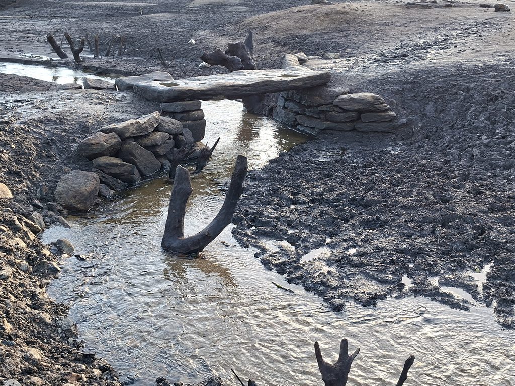
Another view from 2026. Note the petrified trees between the two bridges. The composition was taken early morning.
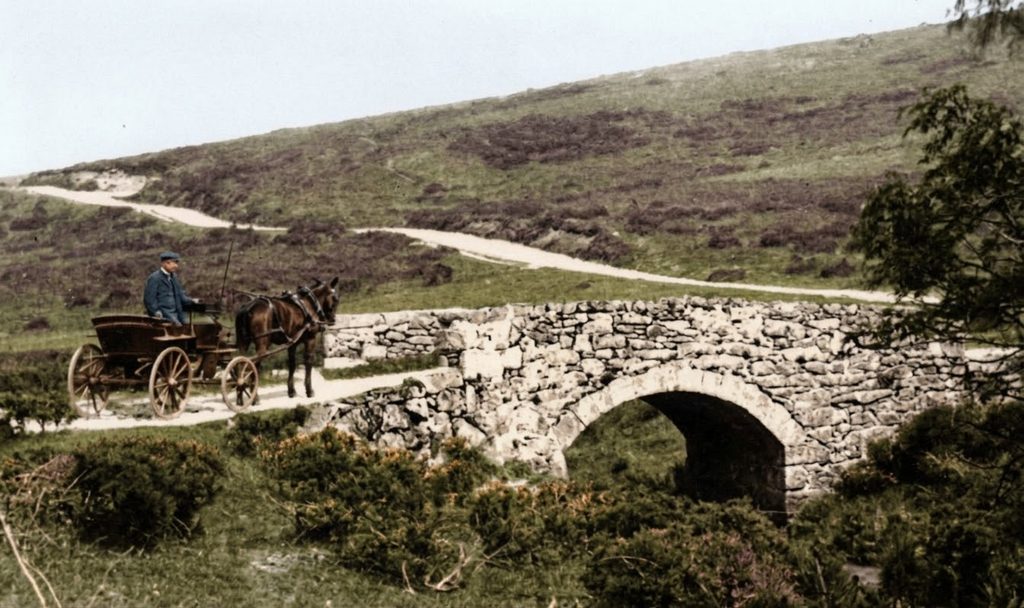
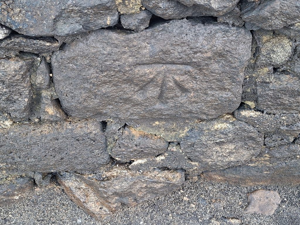
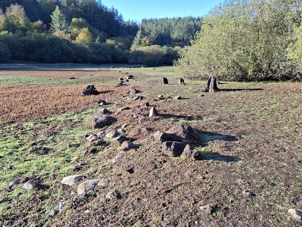
Clapper and Bridge – early 20th centuryThis is a colourised Hemery composition (with text removed) from the 1976 drought. 50 years on, the scene (in drought conditions) has change little The Road Bridge to Fernworthy Farm. Probable late 18th / early 19th construction for access to the farm replacing the need for the nearby Clapper BridgeThe Road Bridge during the drought of 1955. This is a colourised picture from Eric Hemery’s High Dartmoor. In the picture are; the Water Superintendent S.E.Potter, Eric Hemery and a Western Morning News reporter. In 1979, (Sydney) Potter, made a biblical inscription on the ‘Heath Stone'(which is located just off the road not far from Metherall). Details can be found here: https://dartmoorexplorations.co.uk/biblical-inscriptions/This October 2026 view of the bridge shows some collapse on the north east corner (the corner nearest the camera), otherwise given how long the bridge has been underwater it is in remarkable conditionBridge, most likely from early 20th centuryBenchmark, B.M. 1111.8 on the bridge.The Benchmark is rather a splendid ‘cut’The Clapper Bridge from the Road Bridge. Note between the bridges is where Lowton Brook originally flowed into the River TeignThis Clapper Bridge may have Medieval origins and was most likely the original crossing of the River Teign to get to Fernworthy FarmClapper Bridge from the north east. Note the tree stump which is probably the same tree from the 1938 photographPixy Well – a Medieval Spring. The name ‘Pixy’ was mentioned by a T.Brown in 1957 in an article called ‘Holy and Notable Wells of Devon’Pixy Well is located adjacent to the old Fernworthy farm roadEric Hemery (High Dartmoor) calls this Fernworthy WellShadows – looking at Pixy Well and beyond to the treeline where Fernworthy Farm ruins are locatedAn old wall line and ancient track (both which can be identified on 19th century maps)Petrified tree stumpsPetrified tree stumps. The level of the reservoir is very evident from this photograph