Dartmoor Explorations

A collection of walks, discoveries, insights and pictures of exploring Dartmoor National Park

‘H’ Boundstones on Reaves and Medieval Walls (possibly part of Huxton Farm boundary)

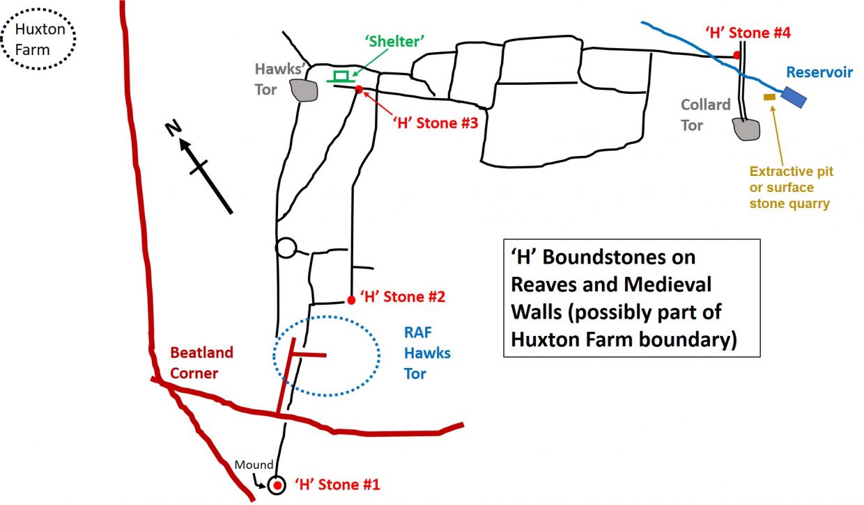
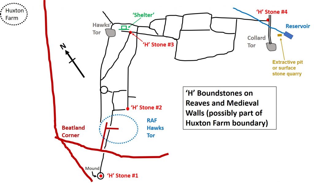
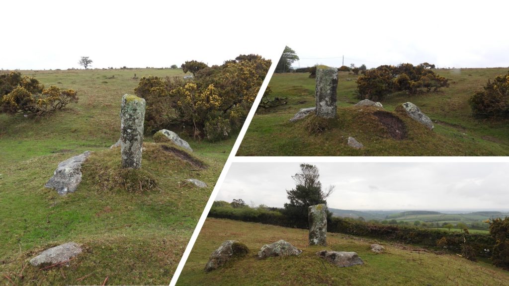
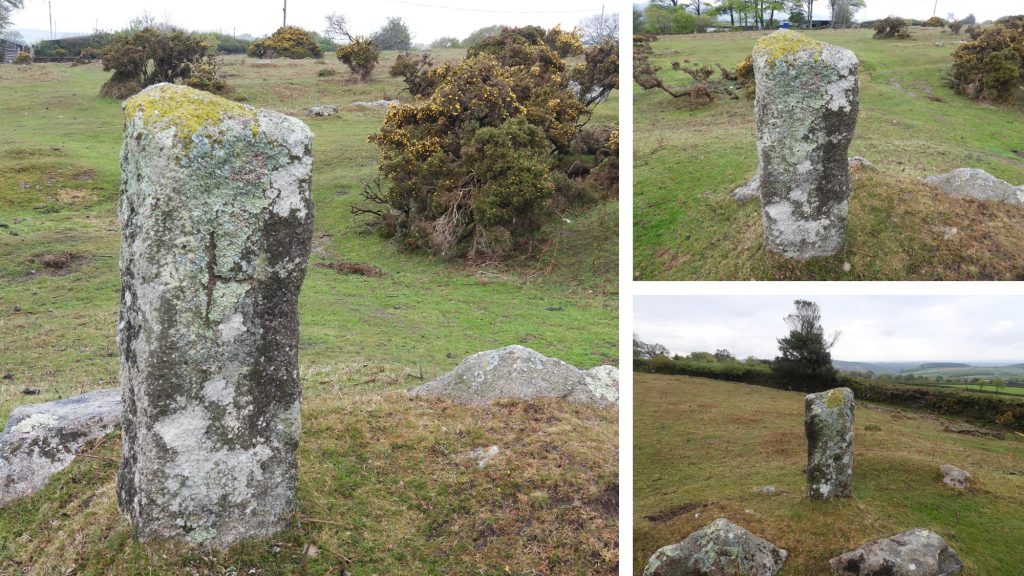
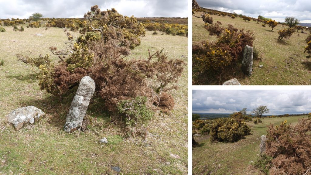
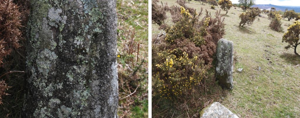
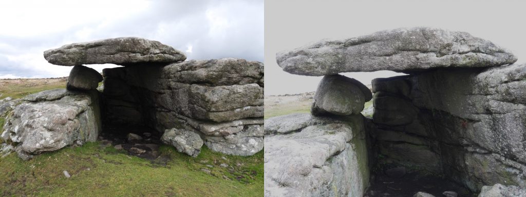
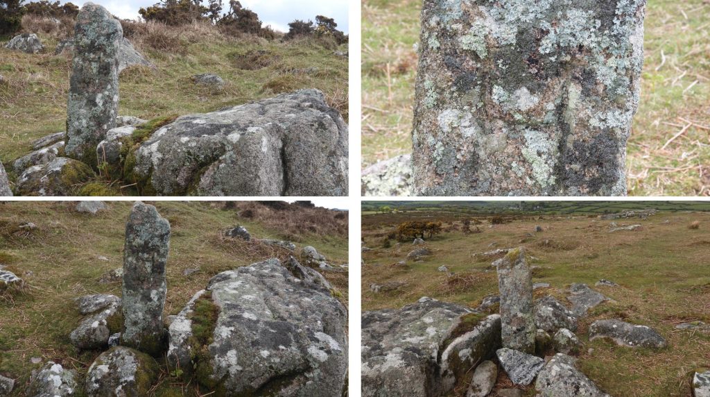
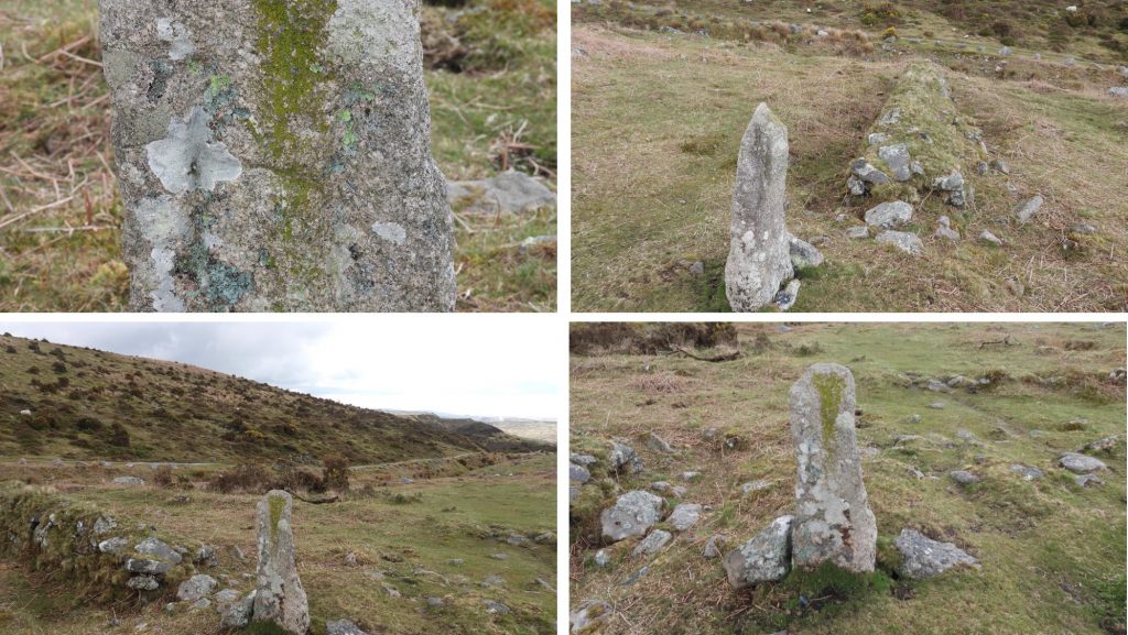
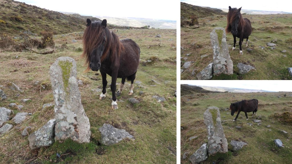
This post relates principally to four monolithic boundstones associated with old reaves and medieval field boundaries covered by Dave Brewer in “Dartmoor Boundary Markers” (2nd Edition). Each of the boundstones bears the letter ‘H’, which is speculated as possibly relating the use of the land ‘so circumscribed’ by the nearby Huxton Farm to the west.

H Stones Map
This map is adapted from one found in the Dartmoor Boundary Markers (2nd Edition) by Dave Brewer (2002) and shows the approximate location of the salient features found in this post.
H1a
The most southerly ‘H’ Boundstone #1 can be found on a mound at SX54928 62126
H1b
H Boundstone #1, is close to Kneel Gate and Beatland Corner.
H2a
‘H’ Boundstone #2 can be found at SX55151 62265
H2b
‘H’ Boundstone #2 can be found on the corner of a reave just above the remains of RAF Haws Tor.
Shaugh Prior Church
Zoomed in picture of Shaugh Prior Church from near “Hawks Tor Shelter”.
Hawks Shelter 1
Views of the “Hawks Tor Shelter” close to ‘H’ boundstone #3, which can be seen in the top left picture.
Hawks Shelter 2
Close up view of the “Hawks Tor Shelter”
H3
‘H’ Boundstone #3 can be found at SX55372 62472. In the Dave Brewer book, he states this stone is ‘more or less’ recumbent. It is unknown to the author when this stone was re-erected. The boundstone is at the terminal point of a north / south reave and on an east / west wall.
H4a
‘H’ Boundstone #4 can be found at SX55738 62224 on a wall running away from the nearby Collard Tor. Dave Brewer comments: “All appear to be either on or very near to the ancient boundary line bequested to Buckland Abbey by Amicia, countess of Devon, for its foundation in 1278. The ‘H’ boundstones are also mentioned in “Field Systems and Boundaries on Shaugh Moor and Wotter” by John Collis.
4b
An inquisitive visitor to ‘H’ boundstone #4, who wanted his / her picture taken.
Reservoir
Close to the 4th ‘H’ boundstone is this well constructed reservoir which is built into a south-east facing hillside and comprises a crude stone wall around 1.6 metres high which is retained by a substantial earth and stone bank some 1.9 metres high. There are stumps of iron posts which indicate that the wall had a fence along its top. There is evidence of a leat which approaches from the north-west. The stored water was probably piped to the nearby China Clay works. It can be located at SX55738 62131. Just a few metres away is one of numerous oval and rectilinear pits in the area. The pits have been interpreted as the remains of extractive pits or surface stone quarries, potentially of medieval to post-medieval date. Source: Heritage Gateway.

Total Page Visits: 1143 - Today Page Visits: 2

Next Post

Previous Post

Leave a Reply

© 2024 Dartmoor Explorations

Theme by Anders Norén

Social media & sharing icons powered by UltimatelySocial