A collection of walks, discoveries, insights and pictures of exploring Dartmoor National Park
September 28, 2023
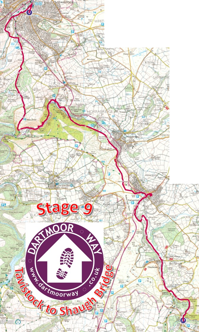
Dartmoor Way – Stage 9 – Tavistock to Shaugh Bridge
This ninth stage of the Dartmoor Way is stated on the official website (dartmoorway.co.uk) as being 11.75 miles (18.6 km) starting at Tavistock and finishing at Shaugh Bridge. The elevation climb is 1400ft (427m), with the longest individual climb being from the River Walkham (near Buckator House) through to the old Horrabridge Railway Station through Yelverton along footpaths and parts of the old Great Western Railway line.
This post of the ninth stage was recorded by the author as being 19.3 km (around 12.1 miles) in length, which included a minor deviation / side trips from the official route to the Rock Inn at Yelverton for refreshment. As with all other posts recording the Dartmoor Way, this post records historical features, shows pictures of some far reaching views, shows pictures of wildlife and shows pictures of points of interest – all photographs taken by the author along the route are annotated.
The GPS plot of the 9th stage of the Dartmoor Way. There was a minor deviation to the Rock Inn in Yelverton approx 2/3rd into the walk
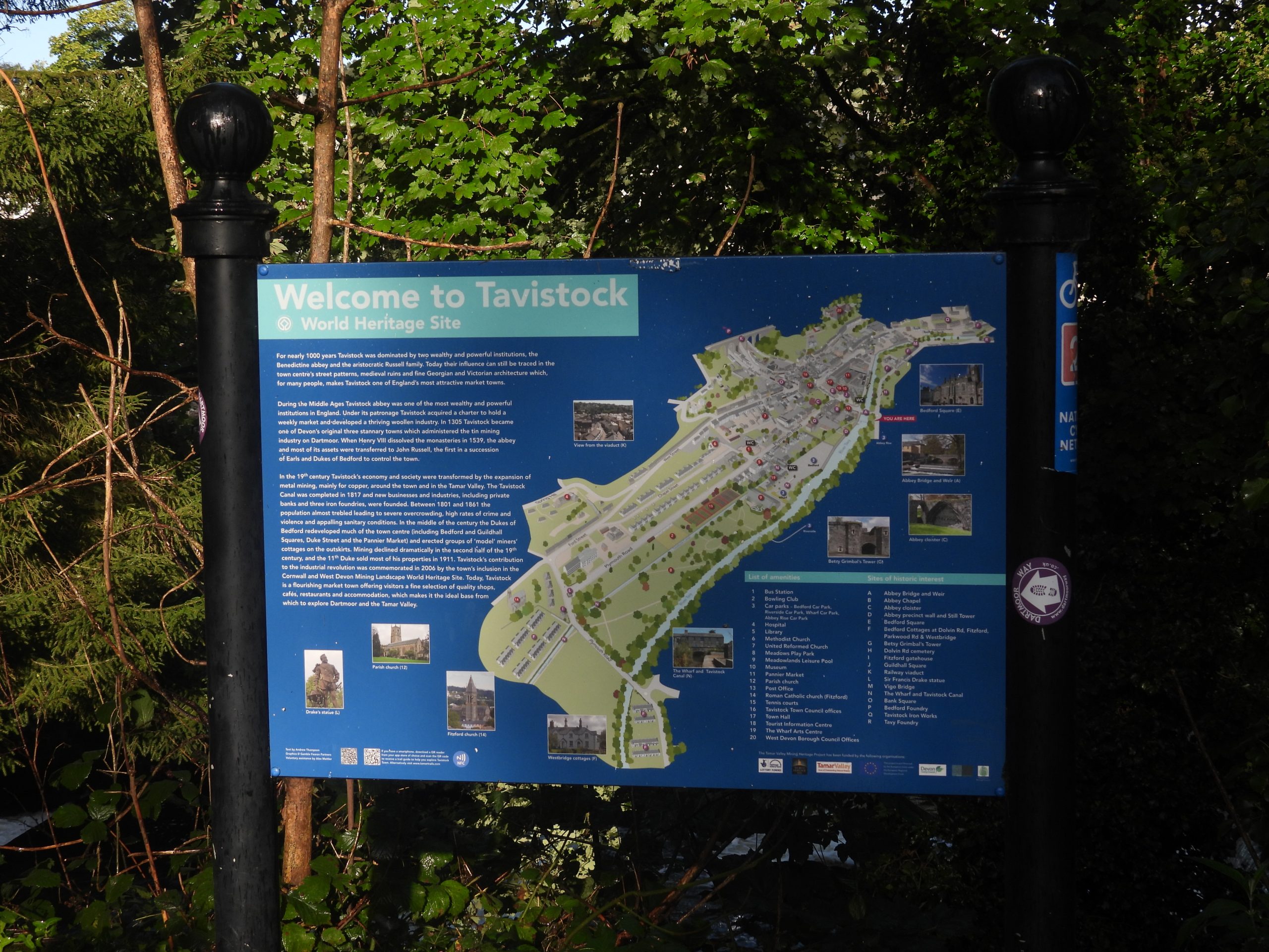
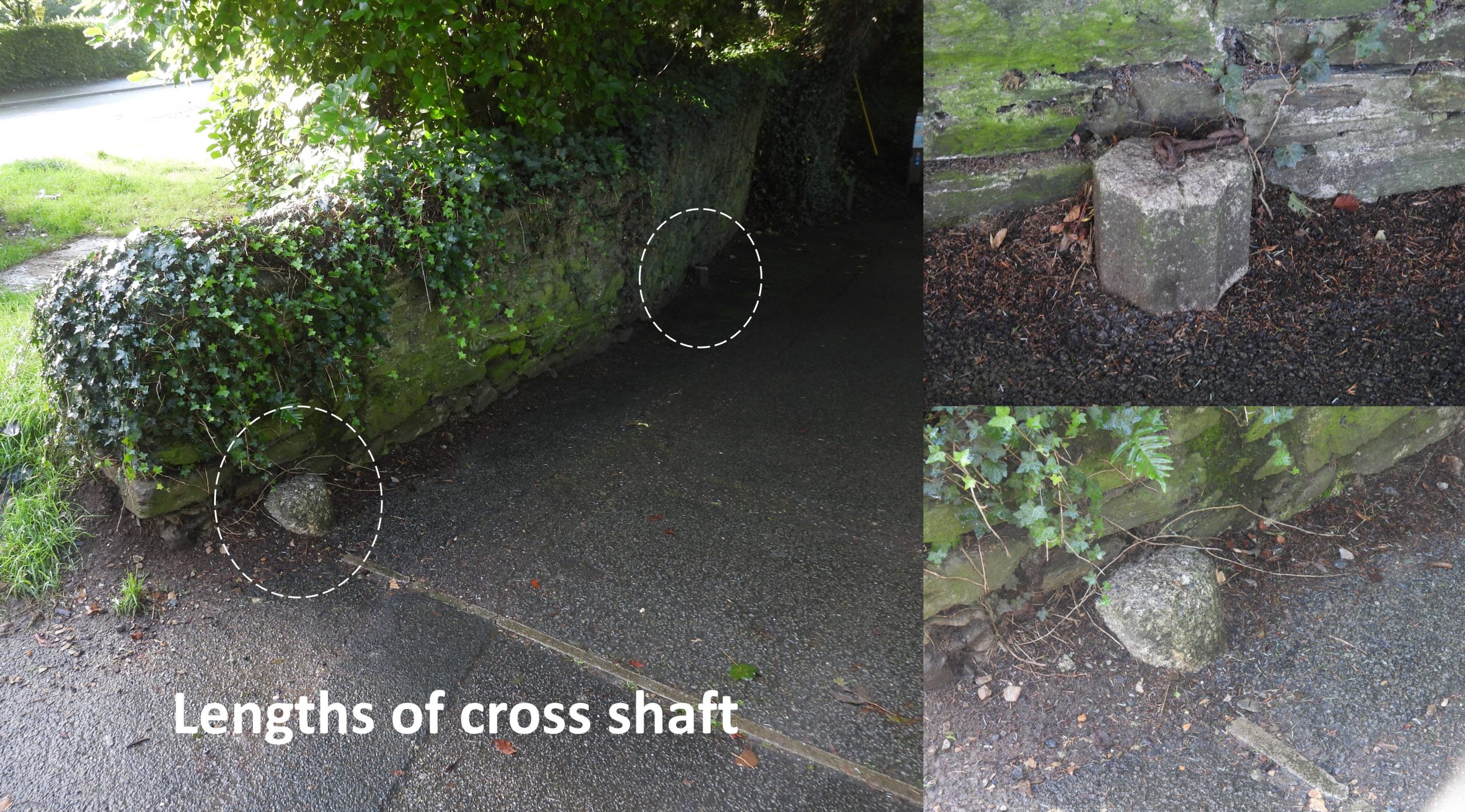
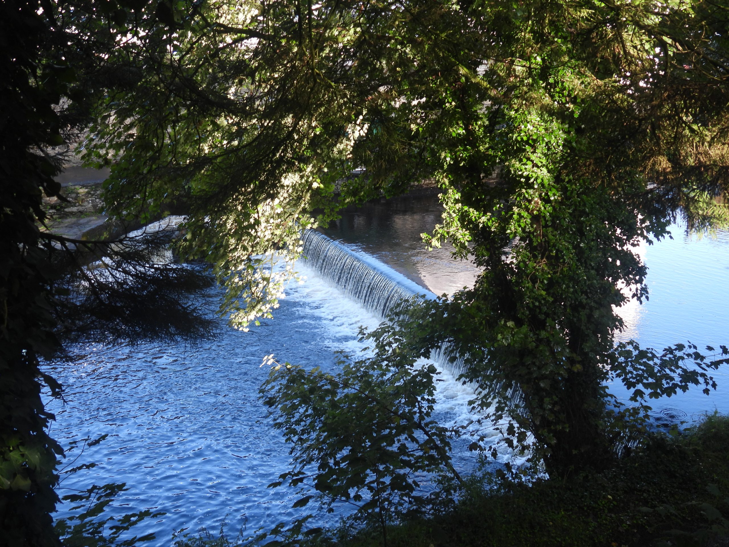
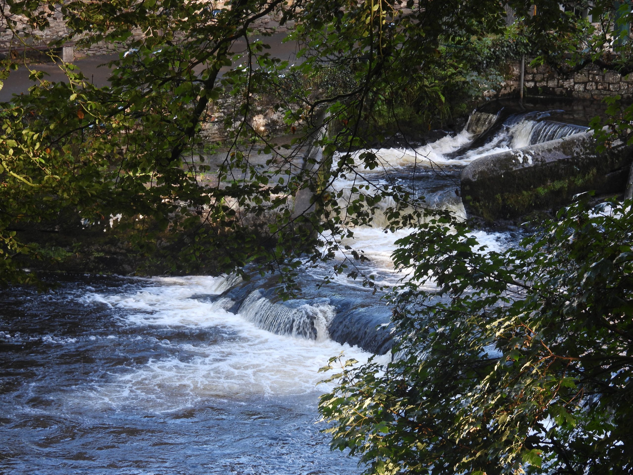
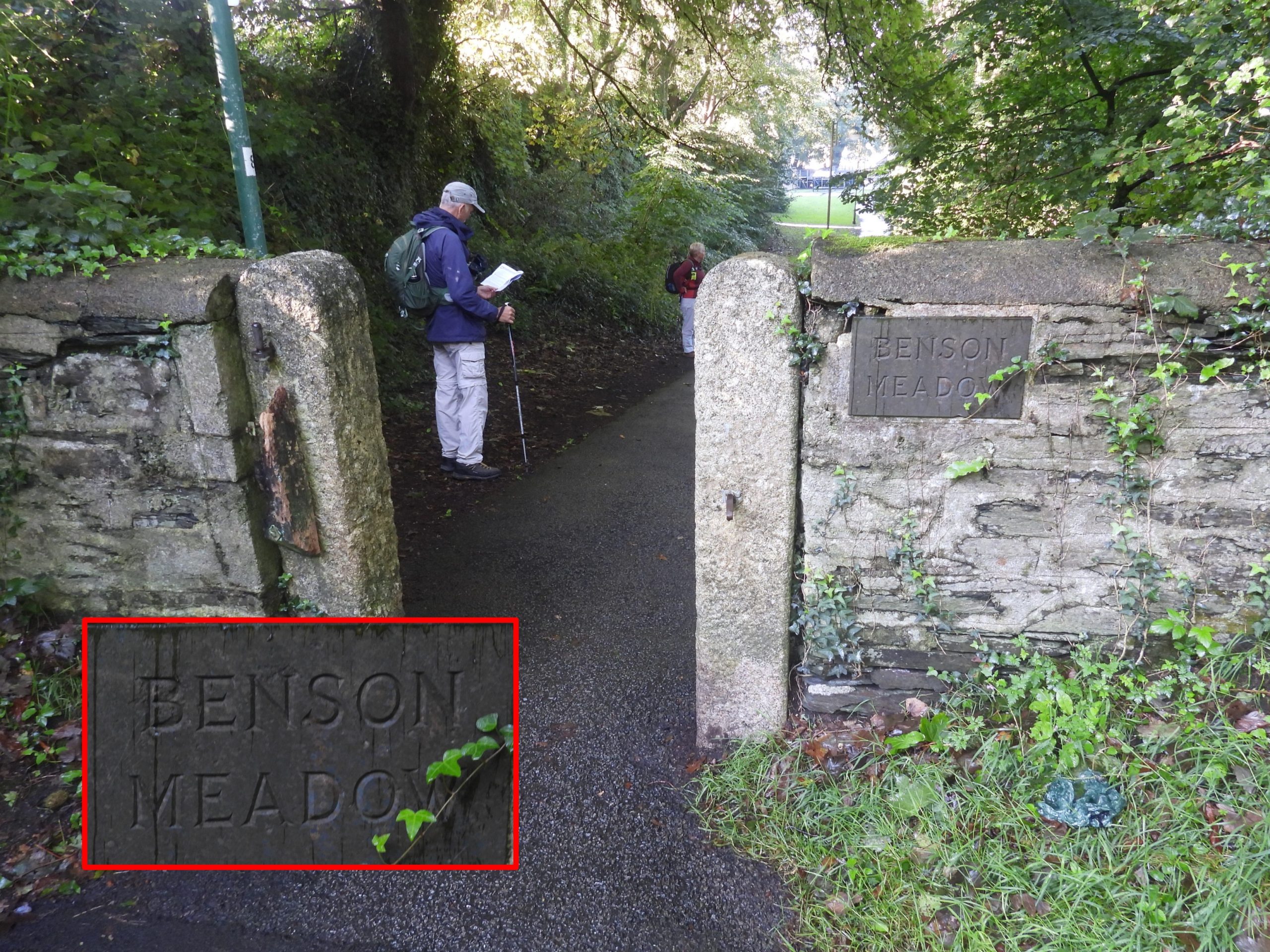
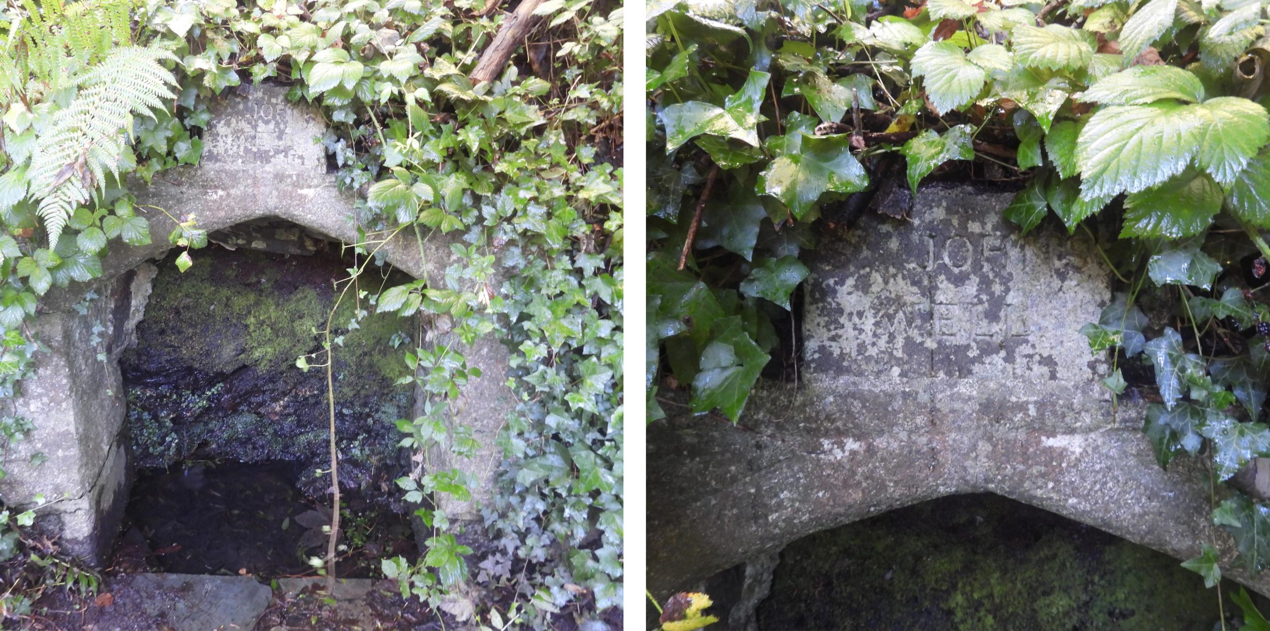
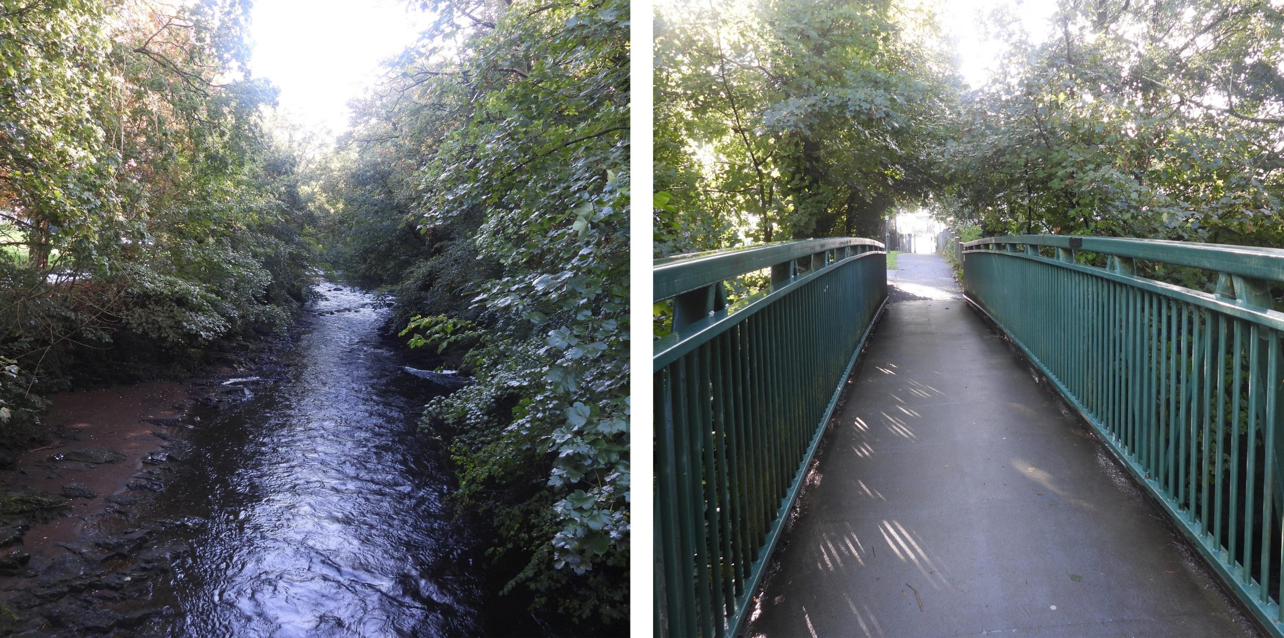
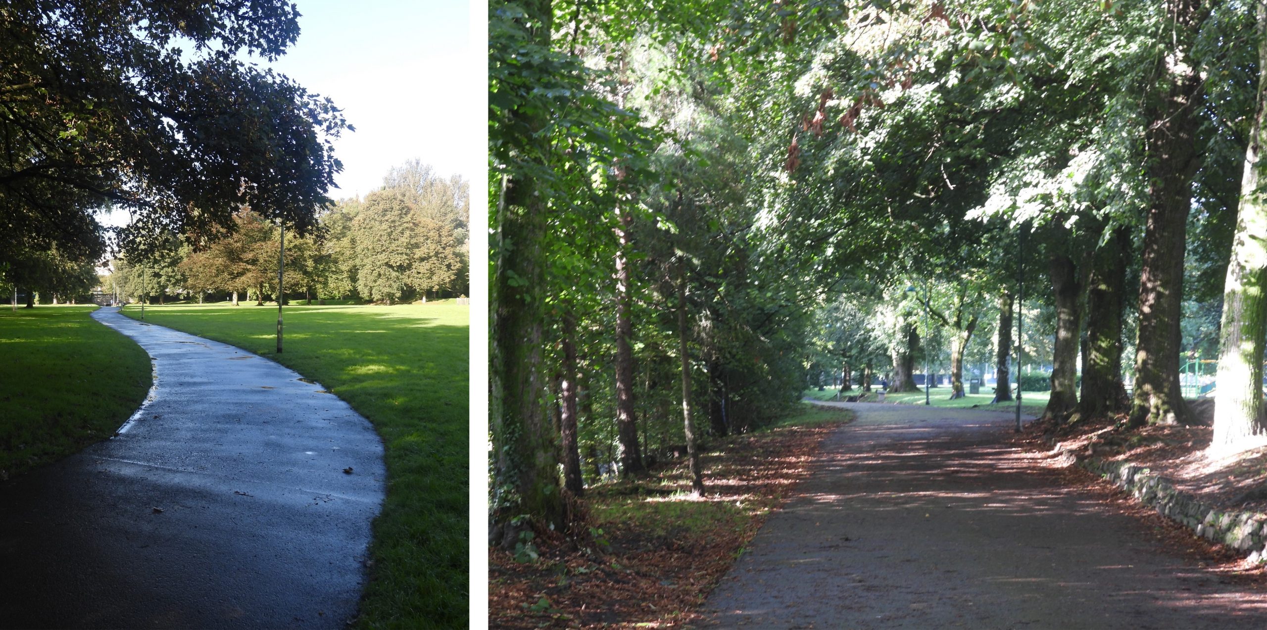
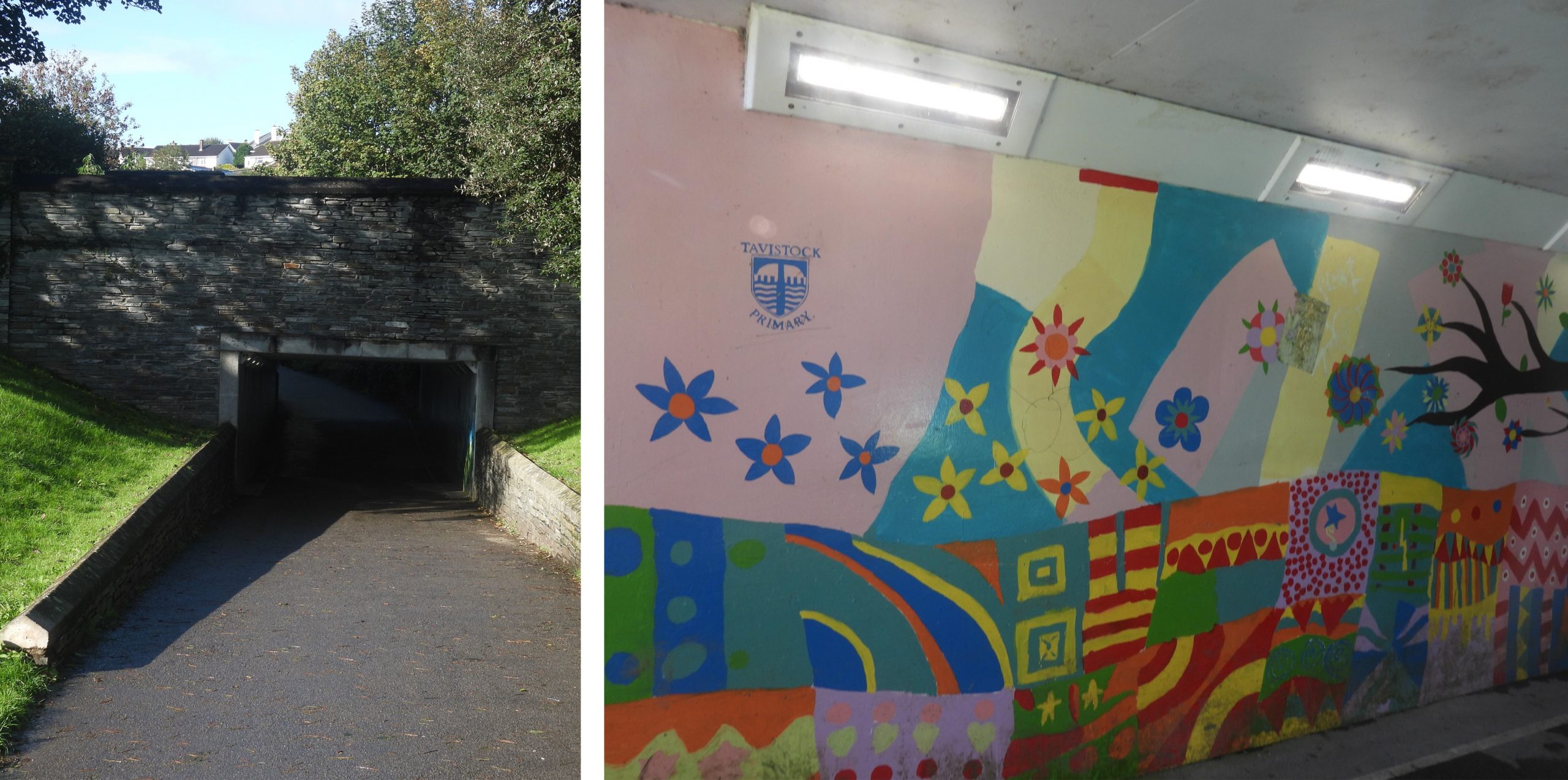
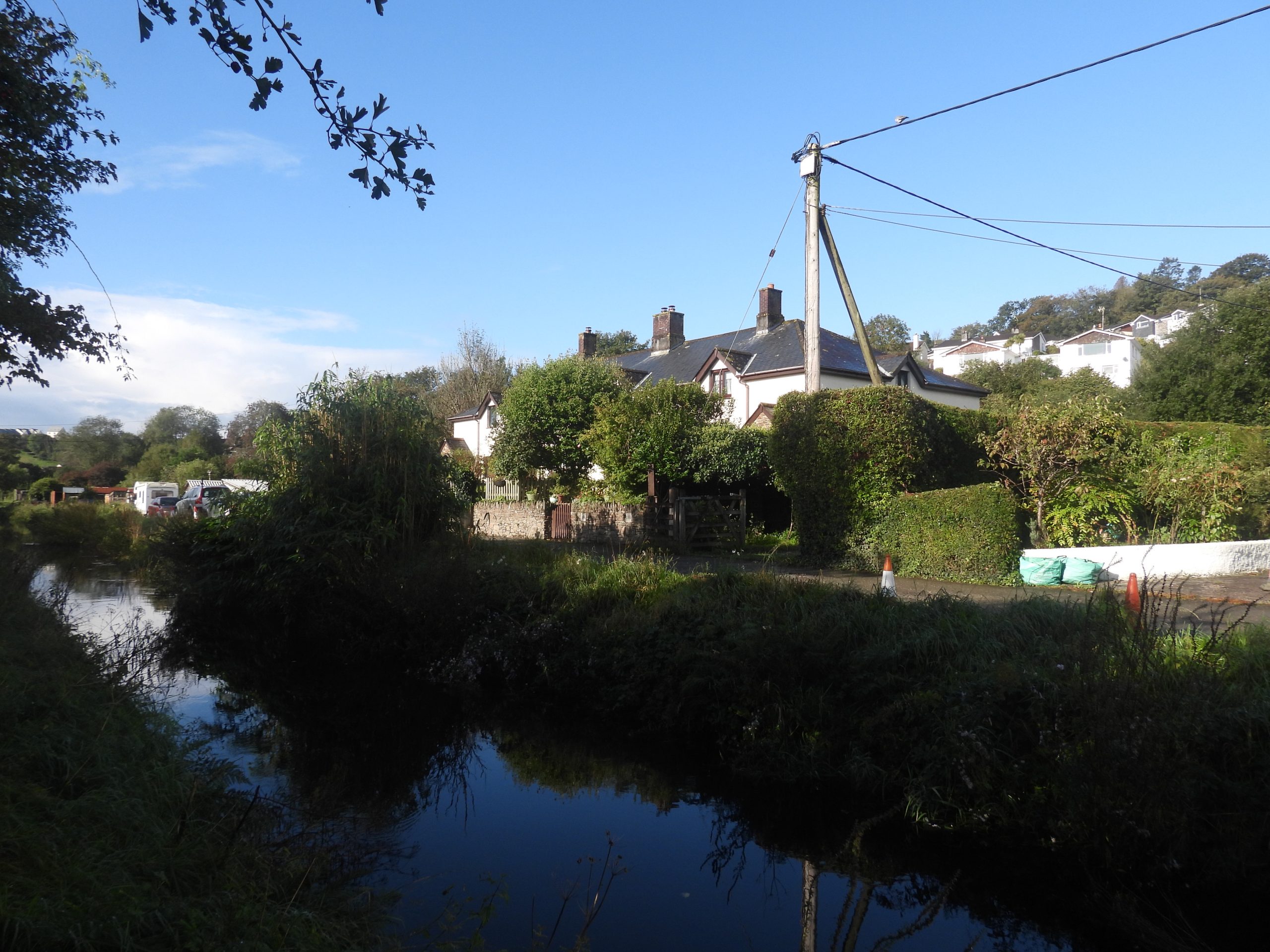
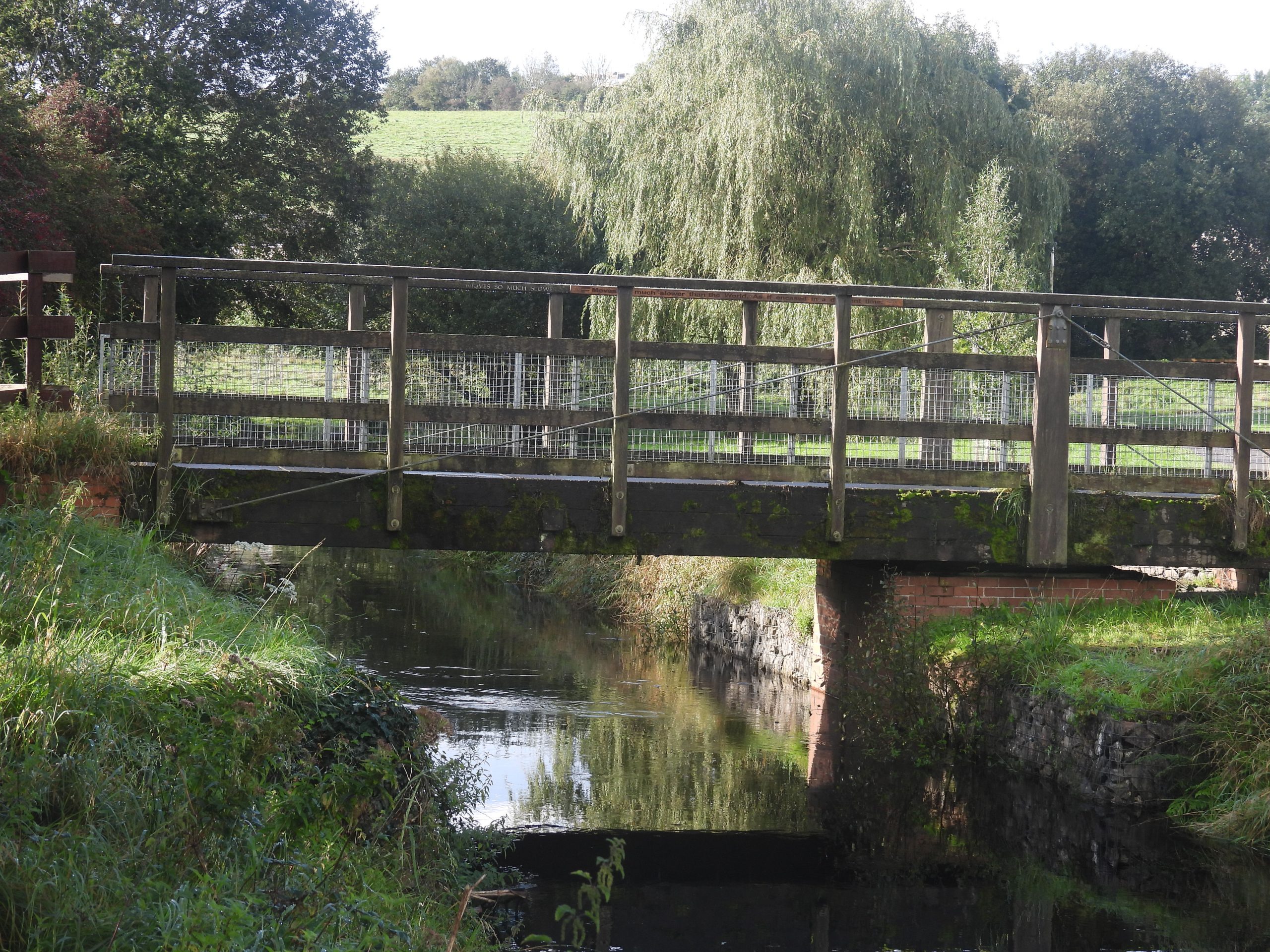
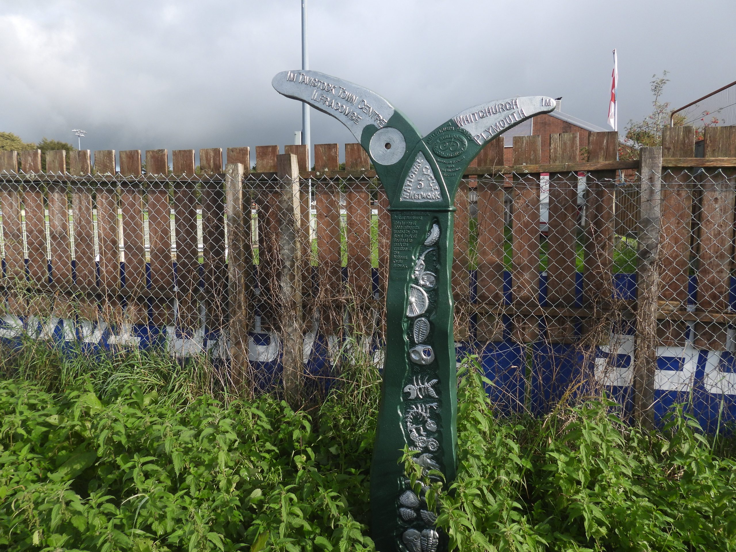
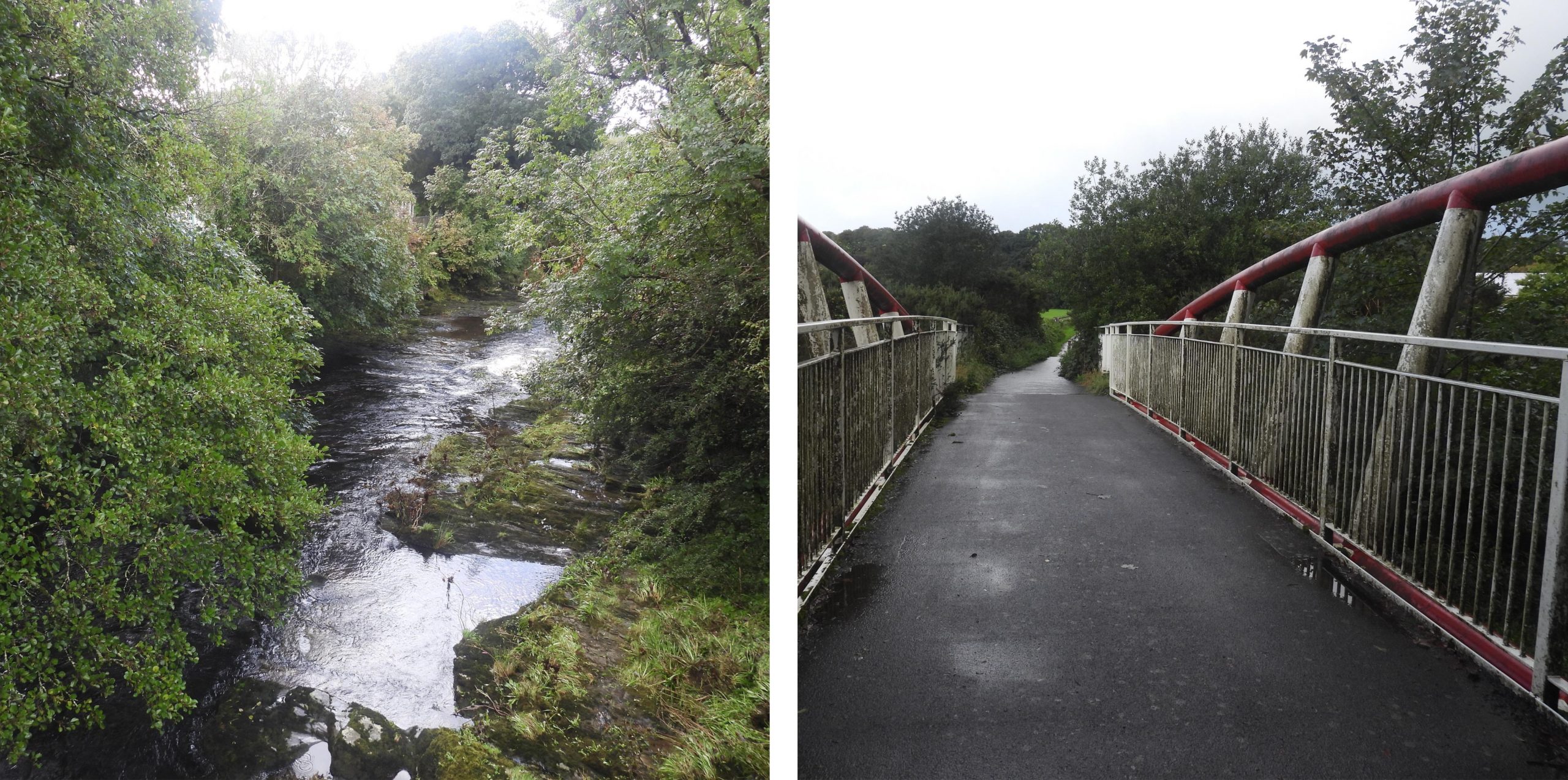
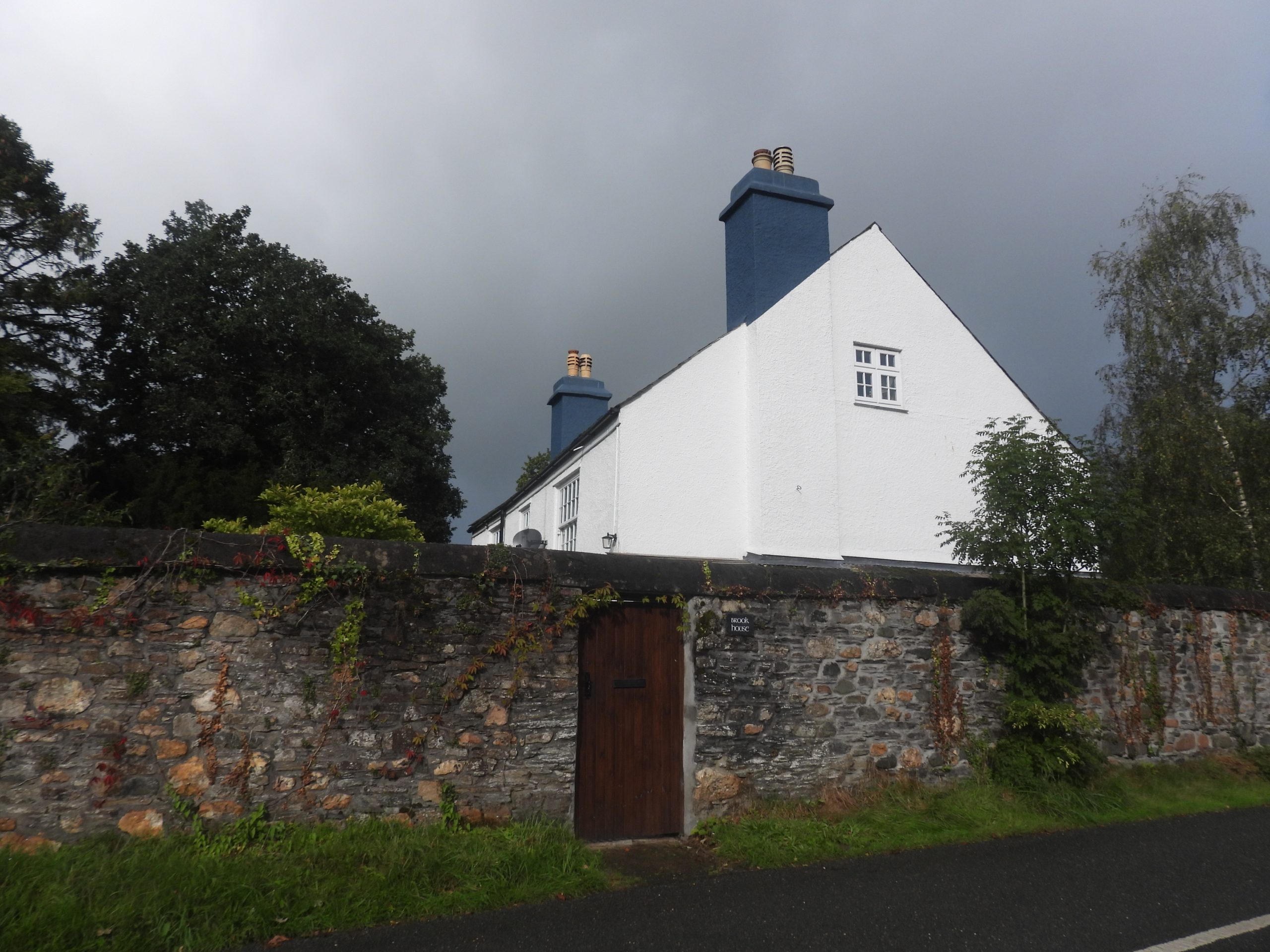
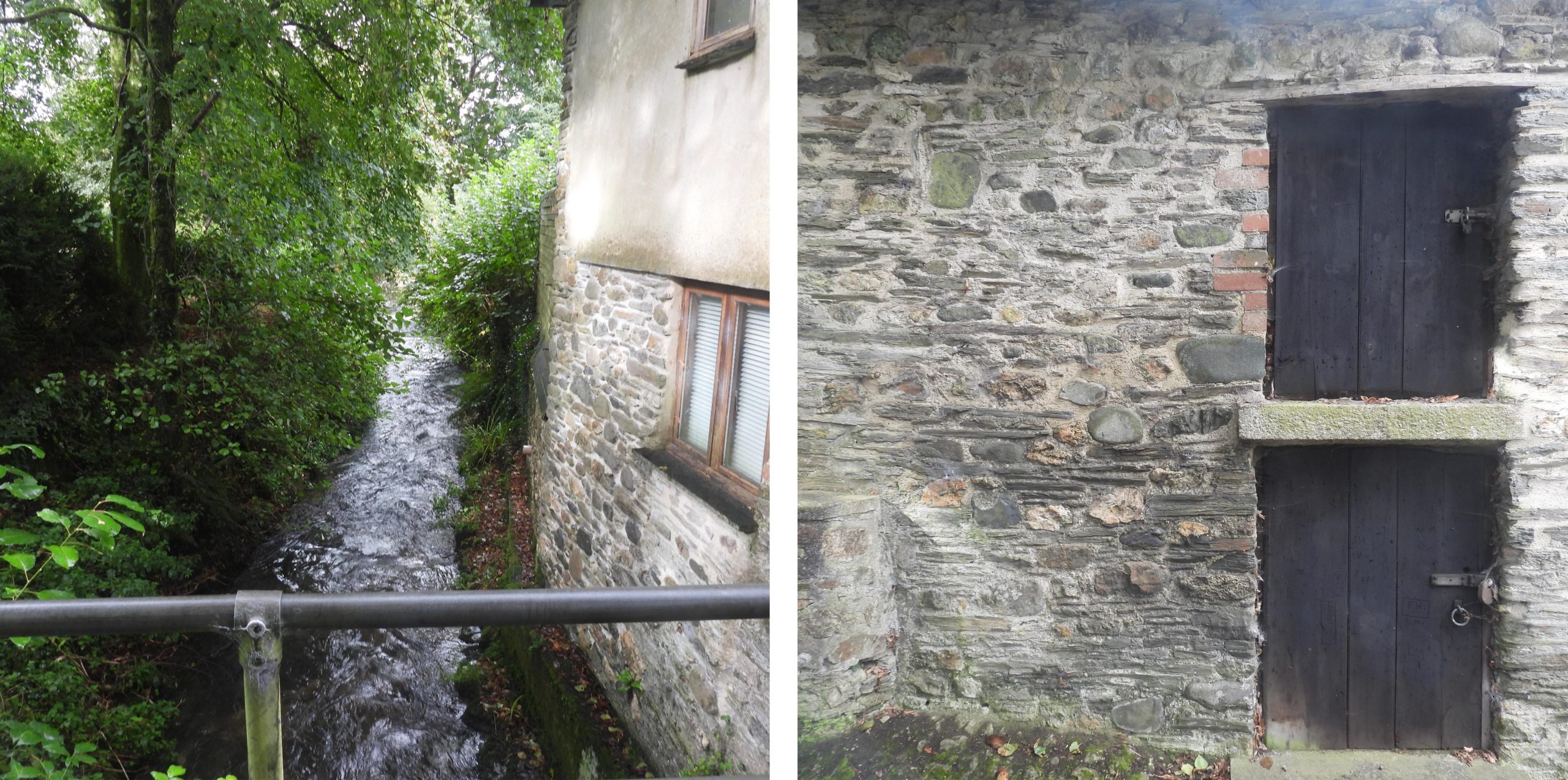
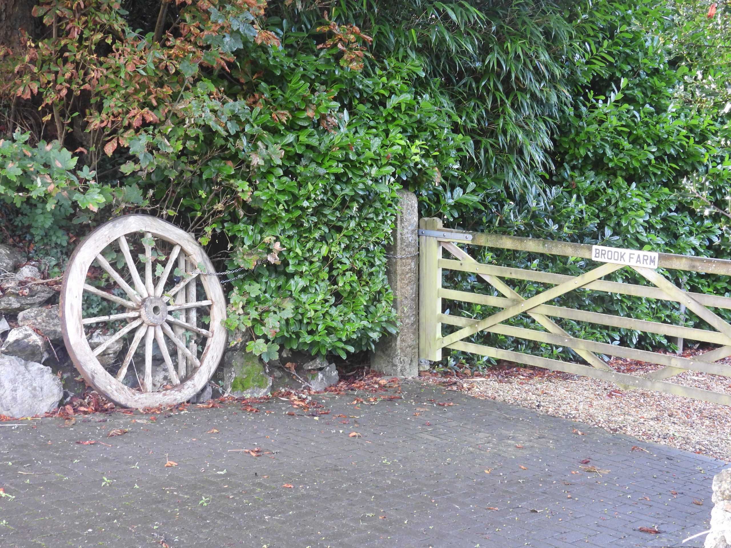
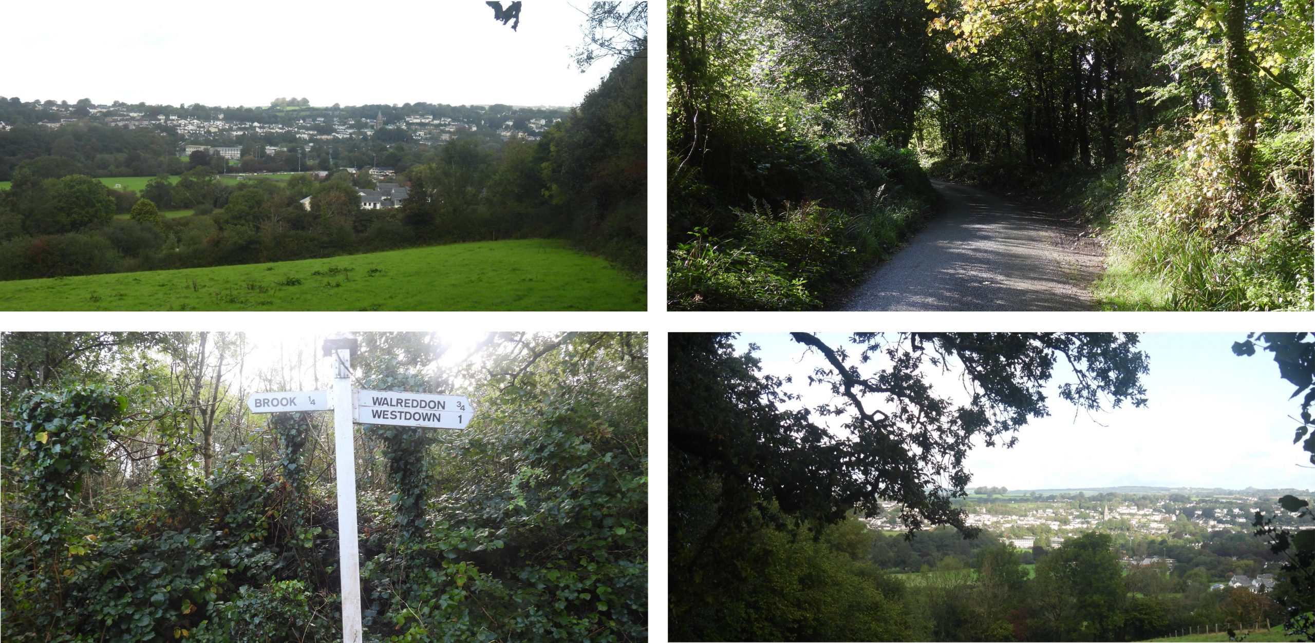
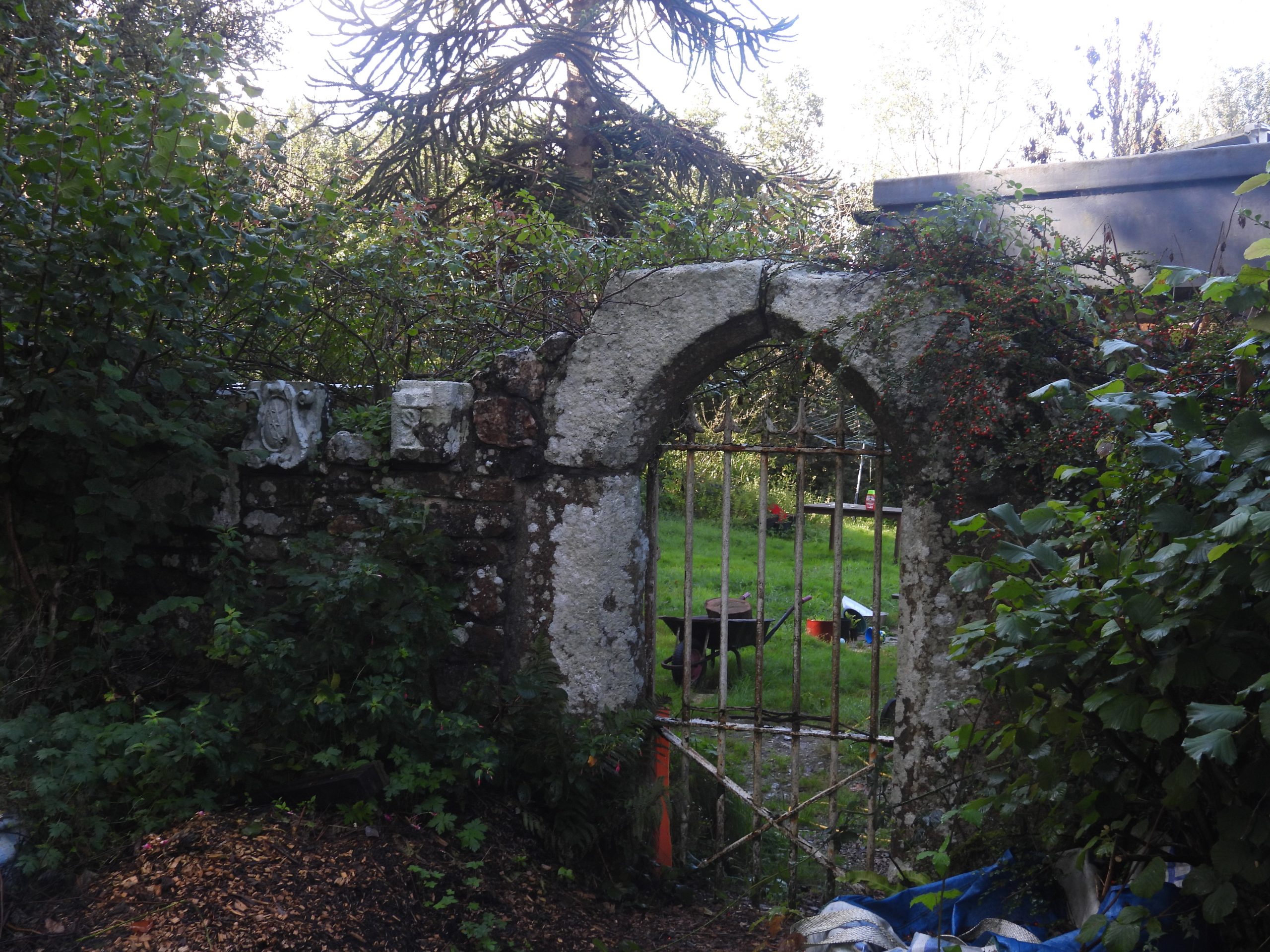
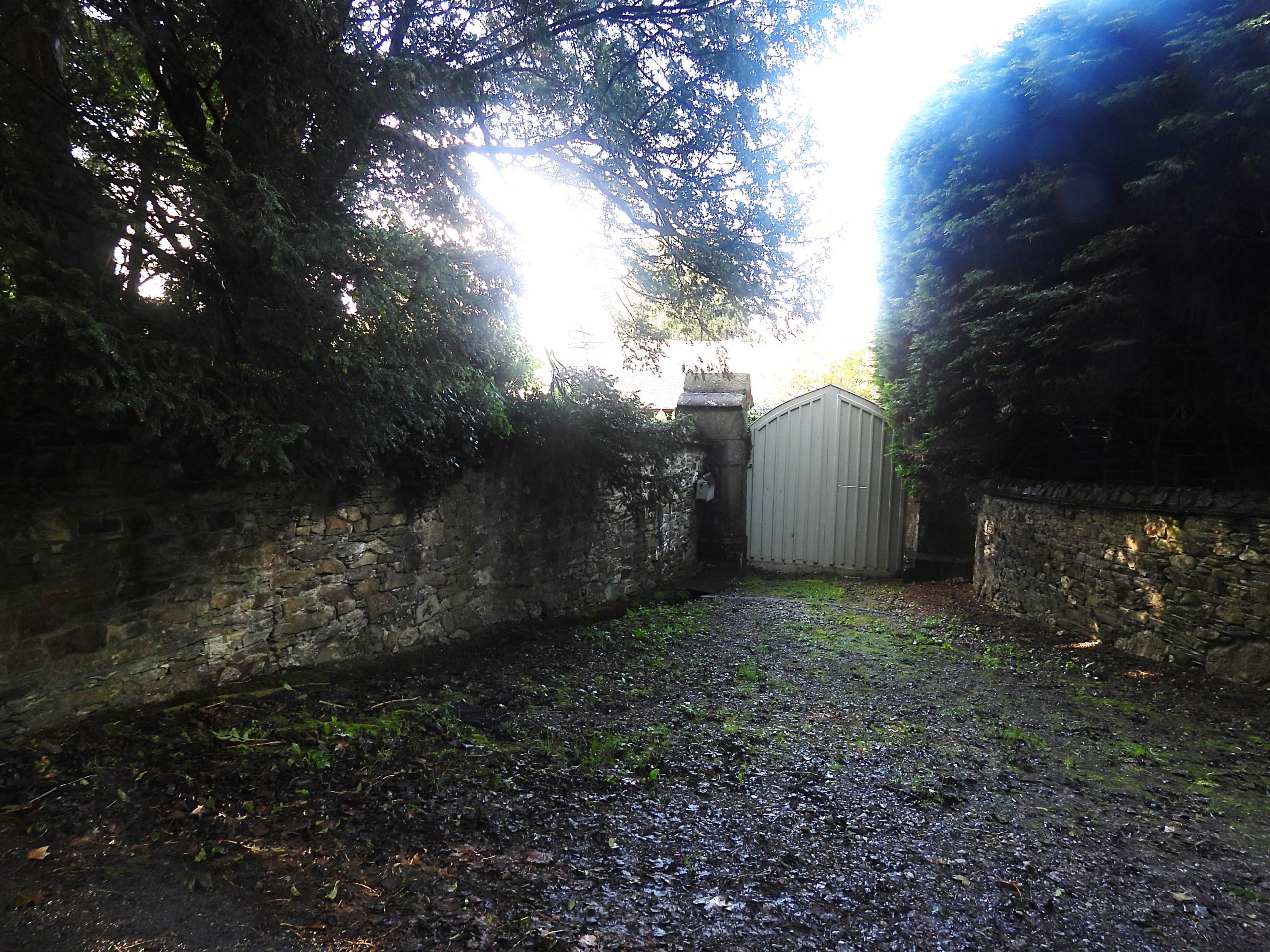
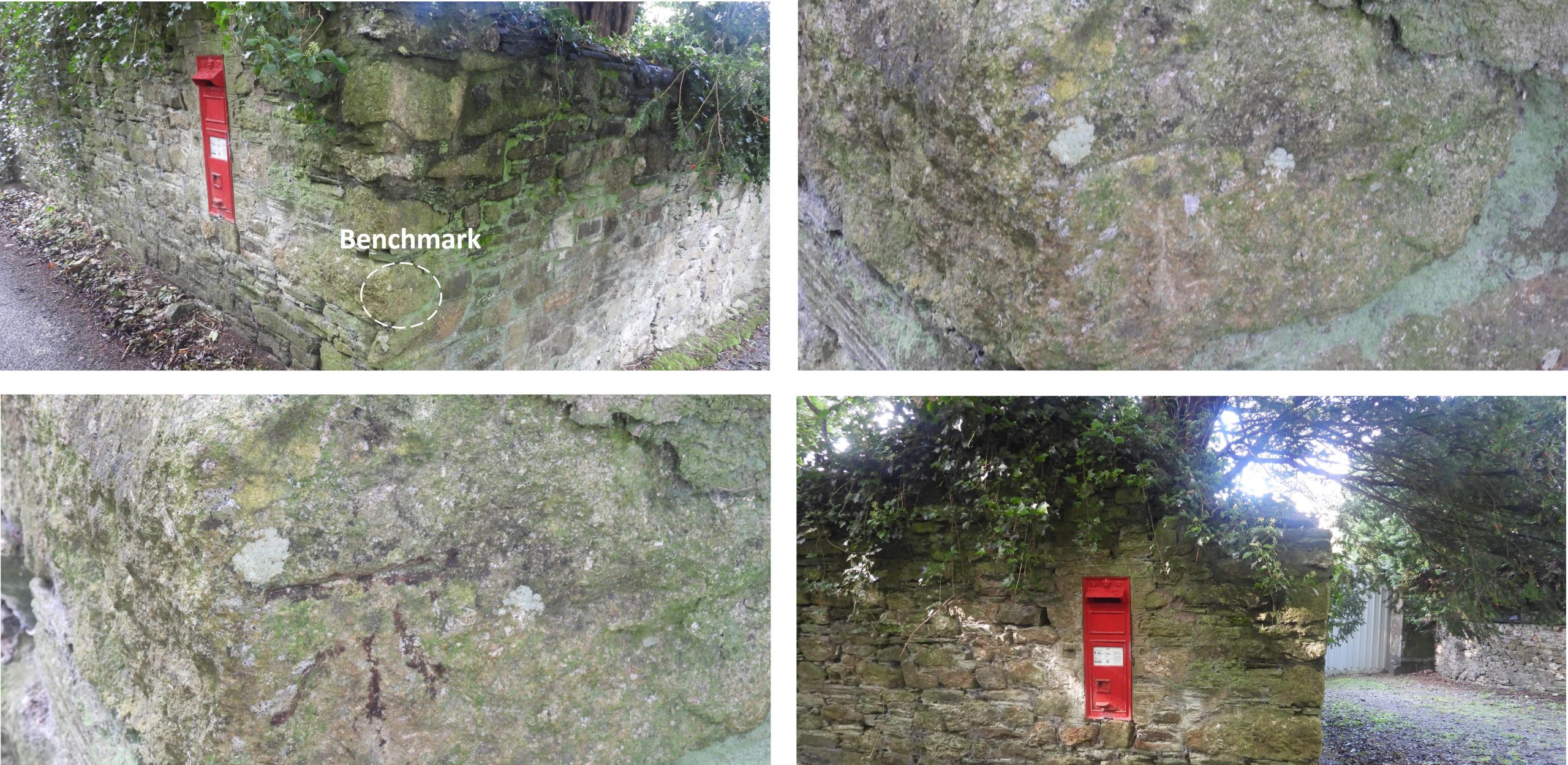
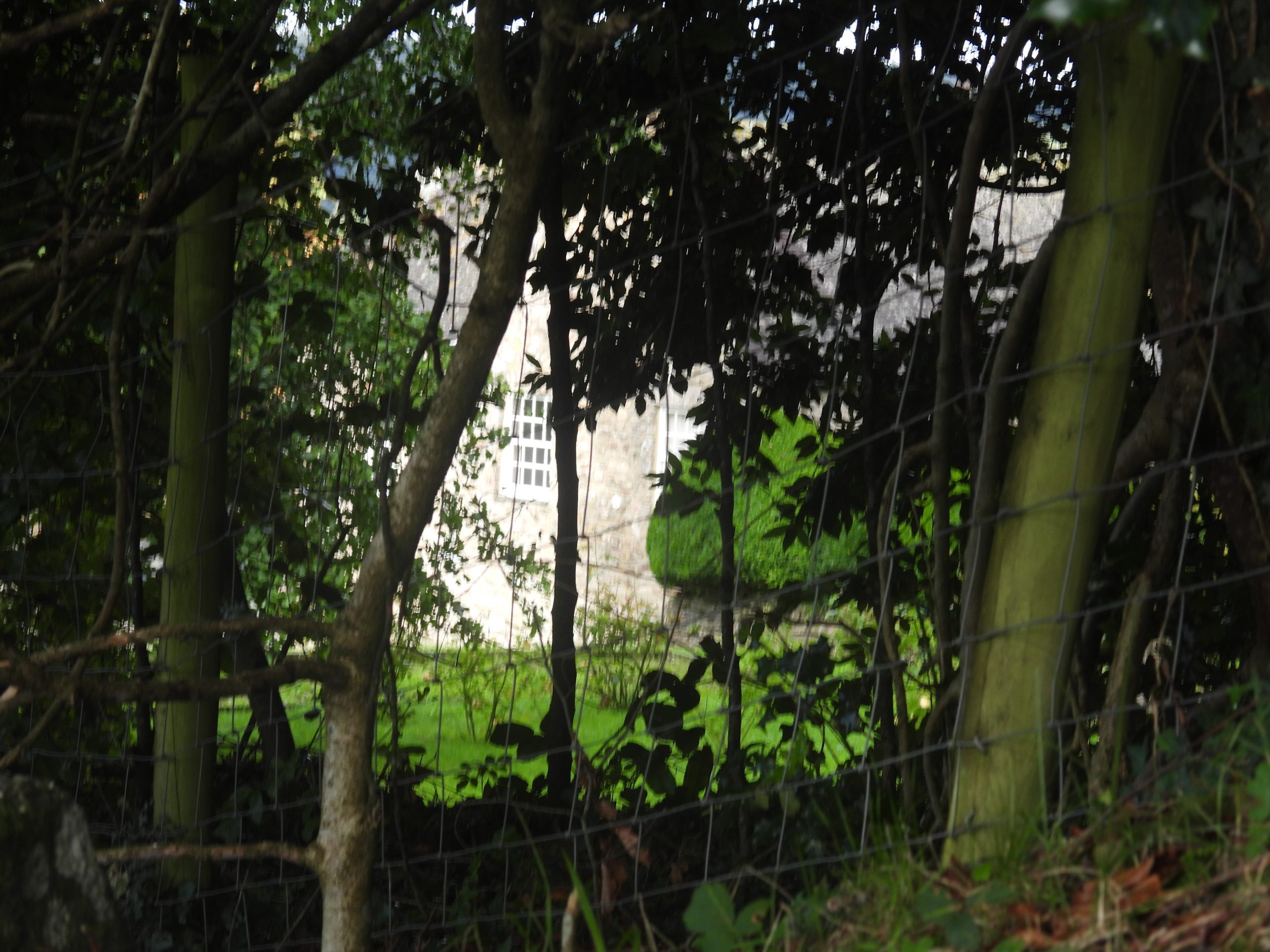
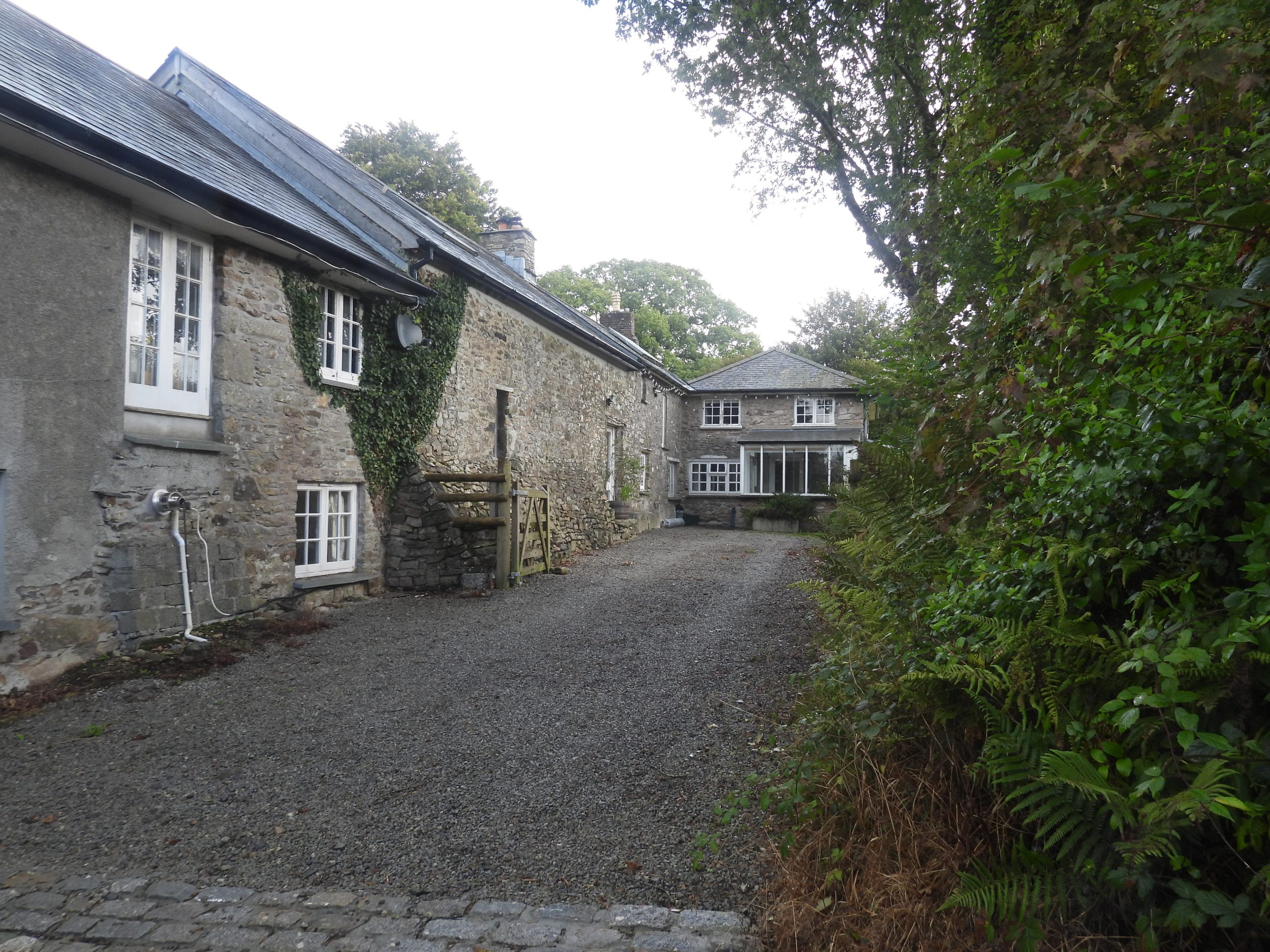
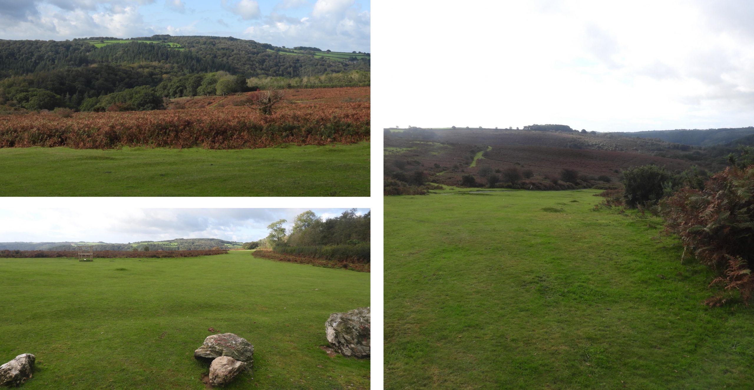
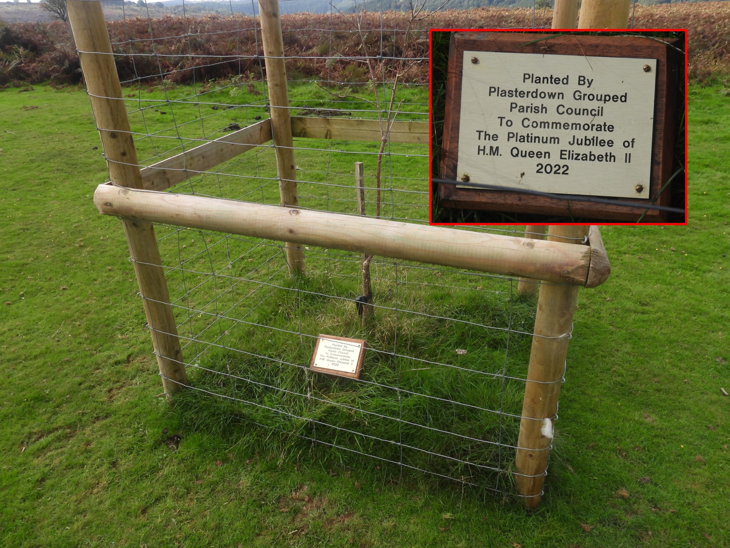
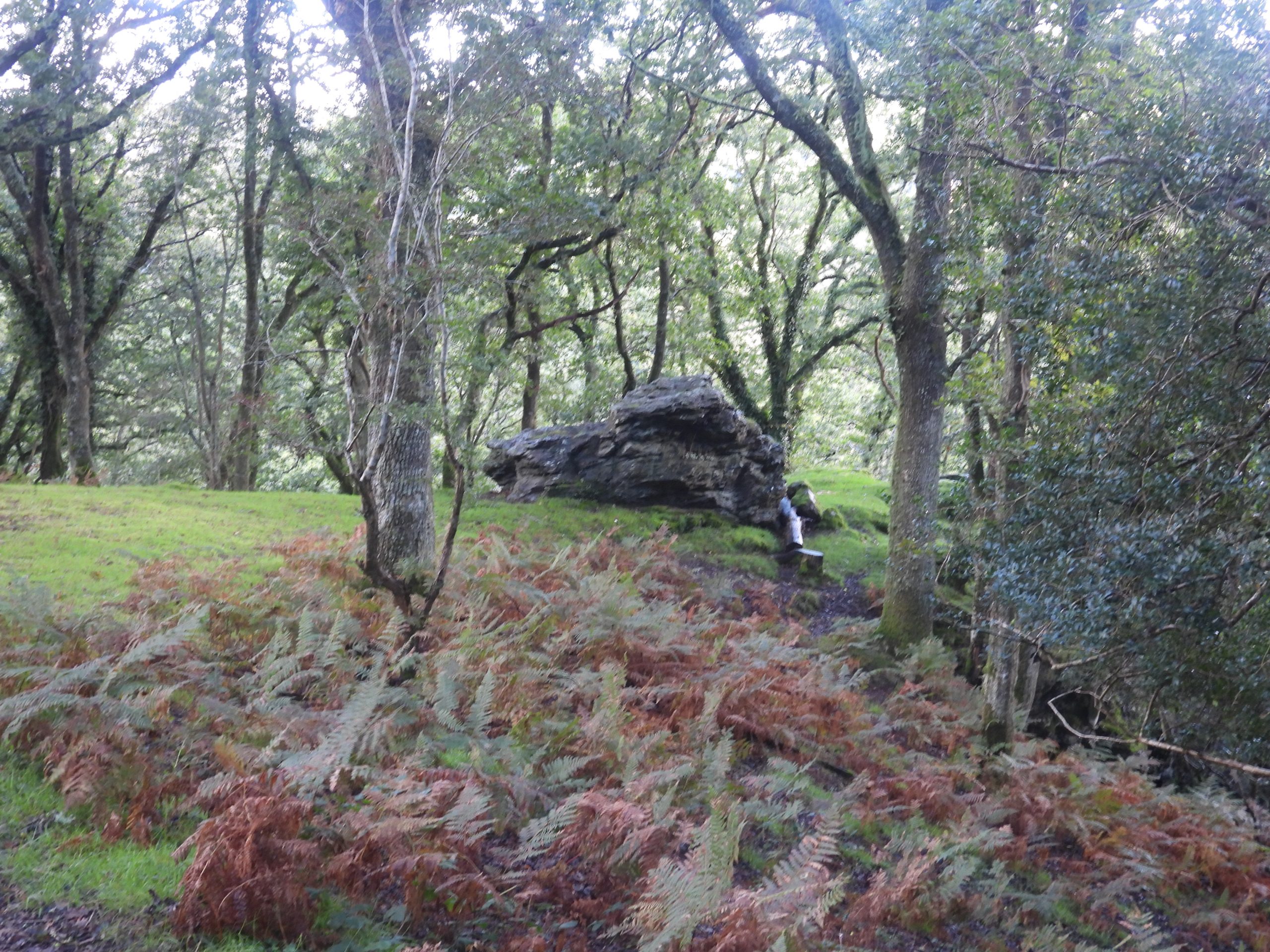
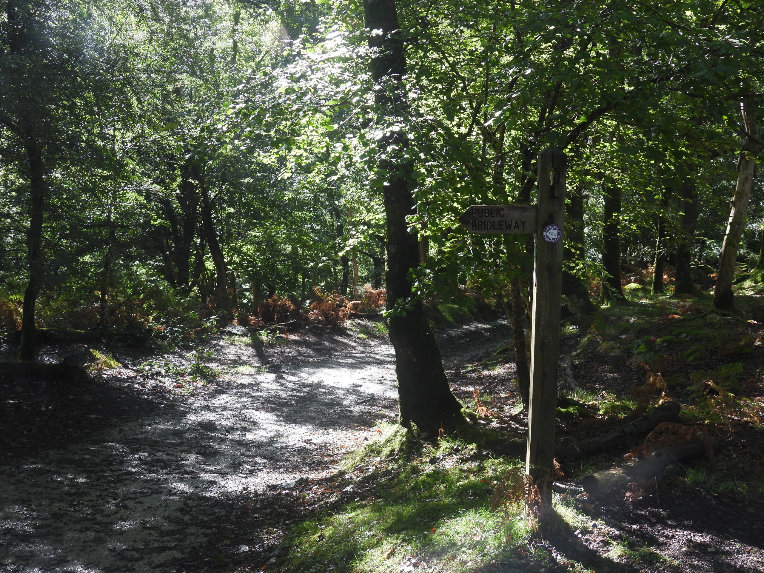
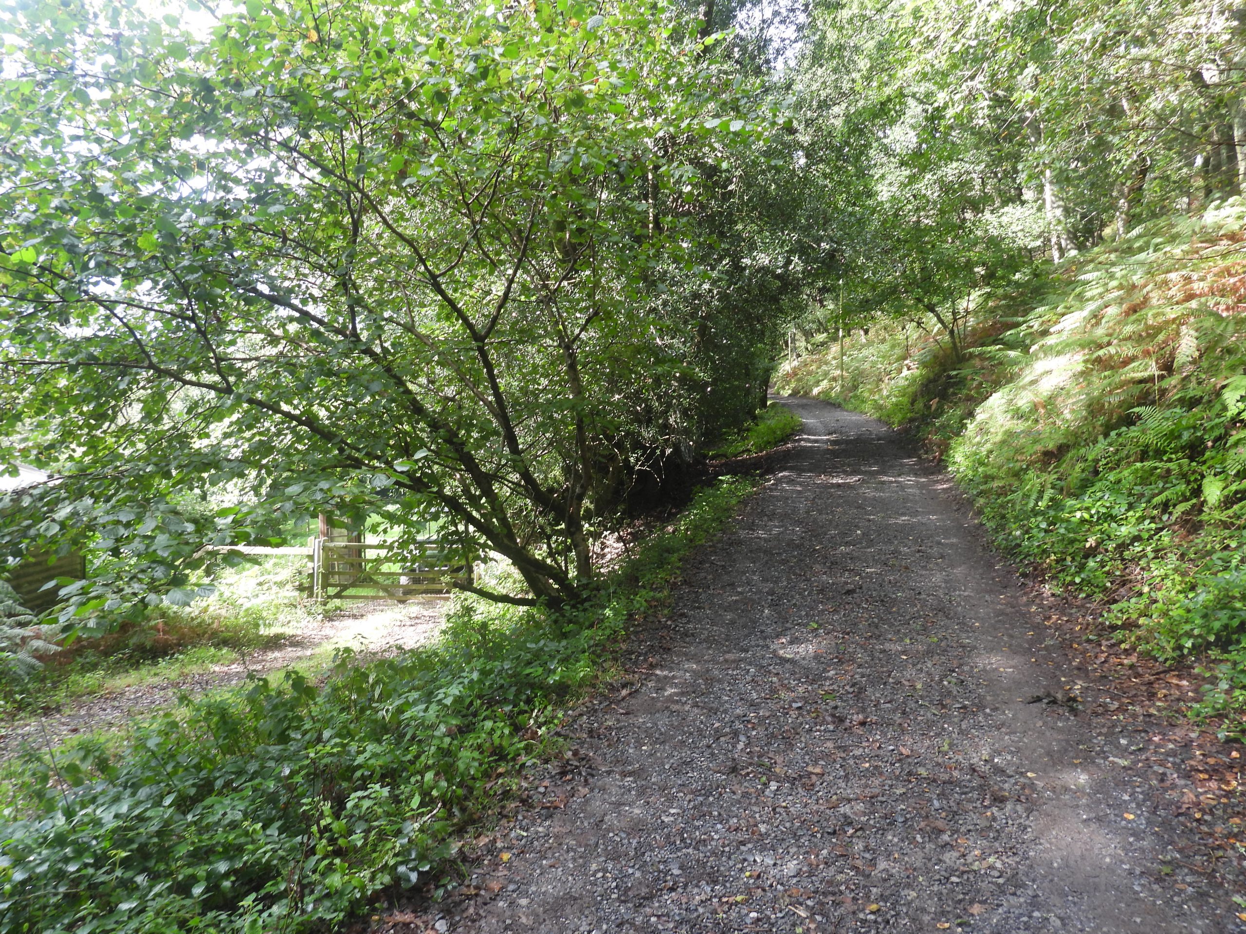
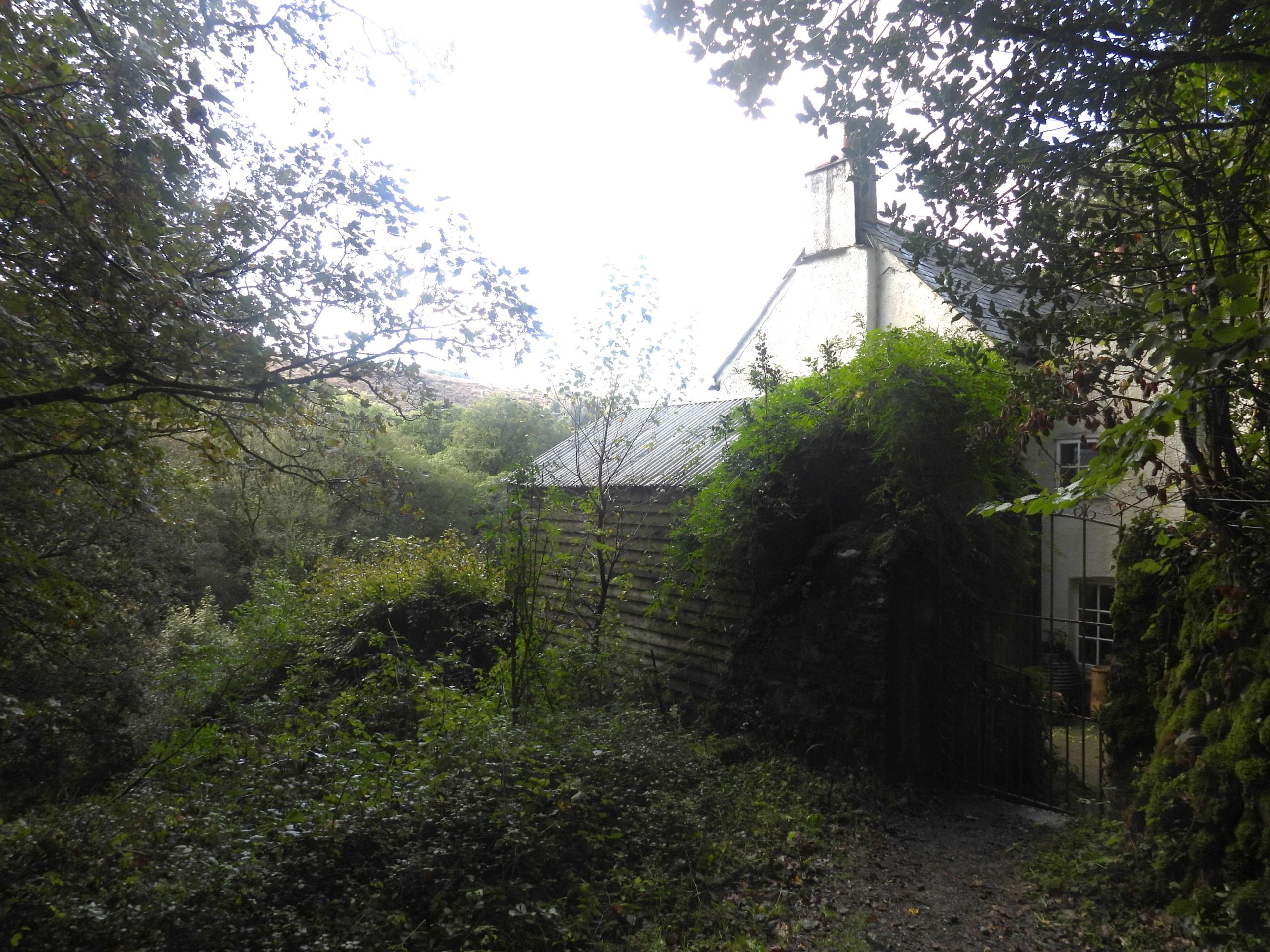
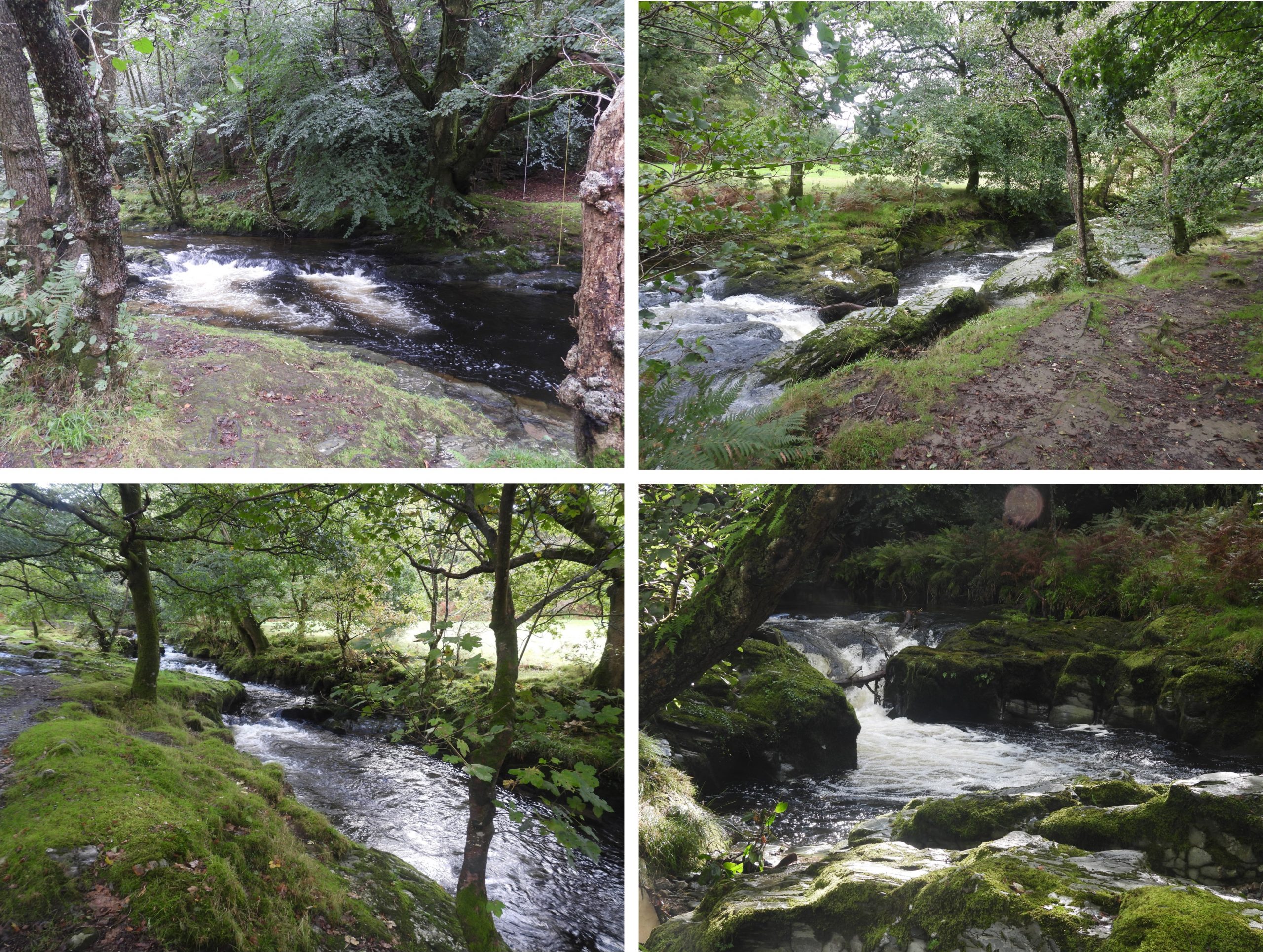
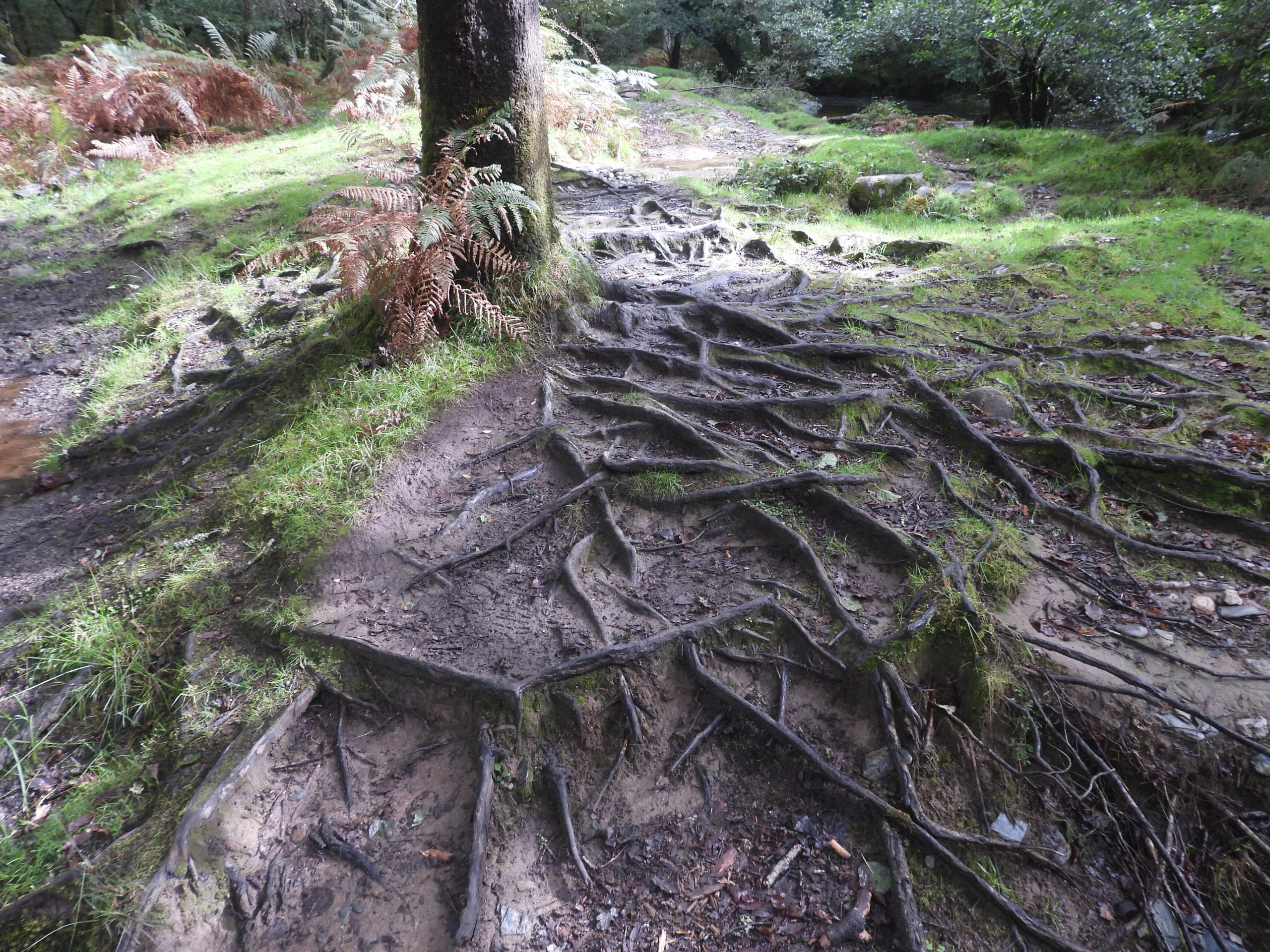
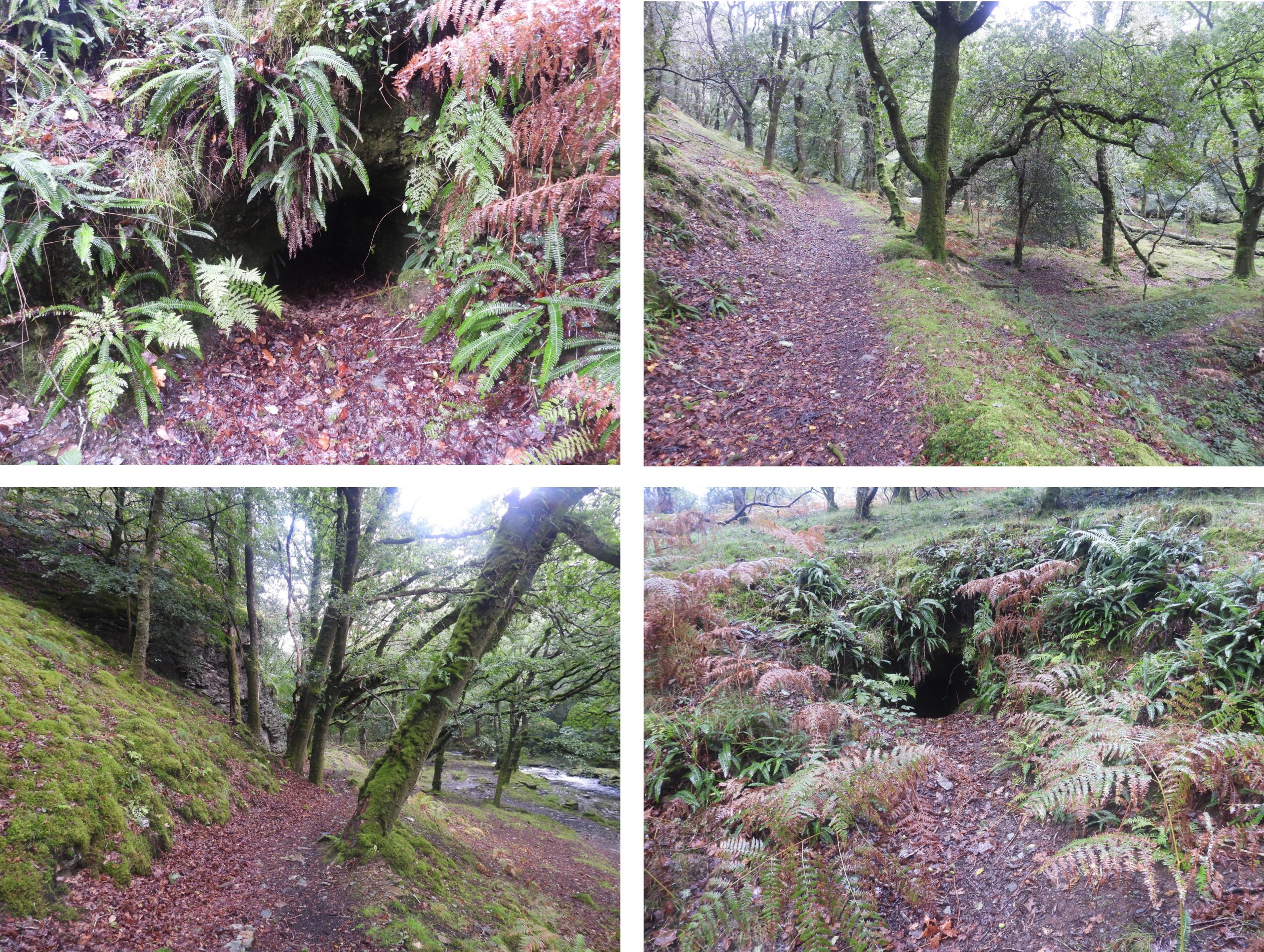
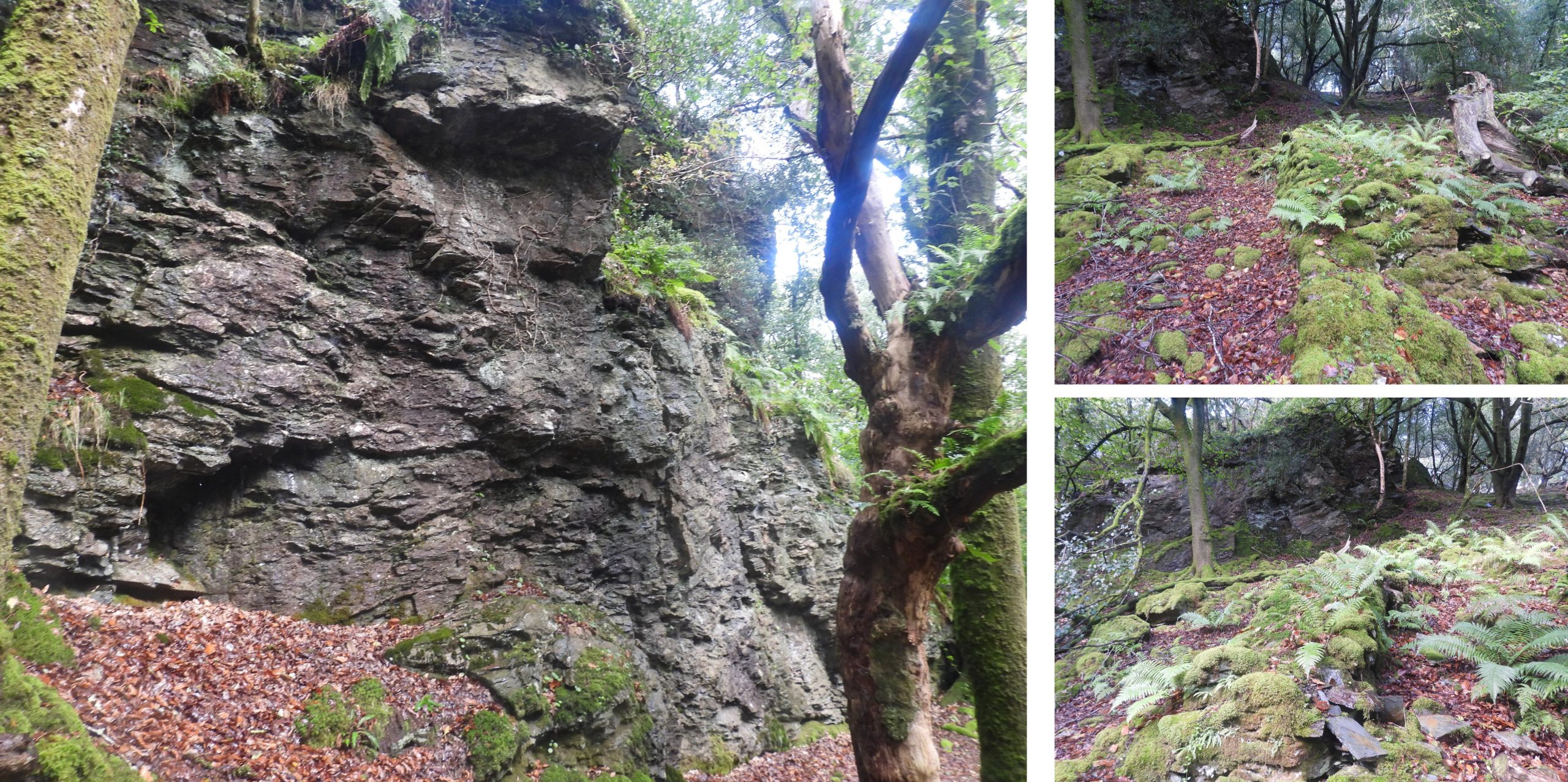
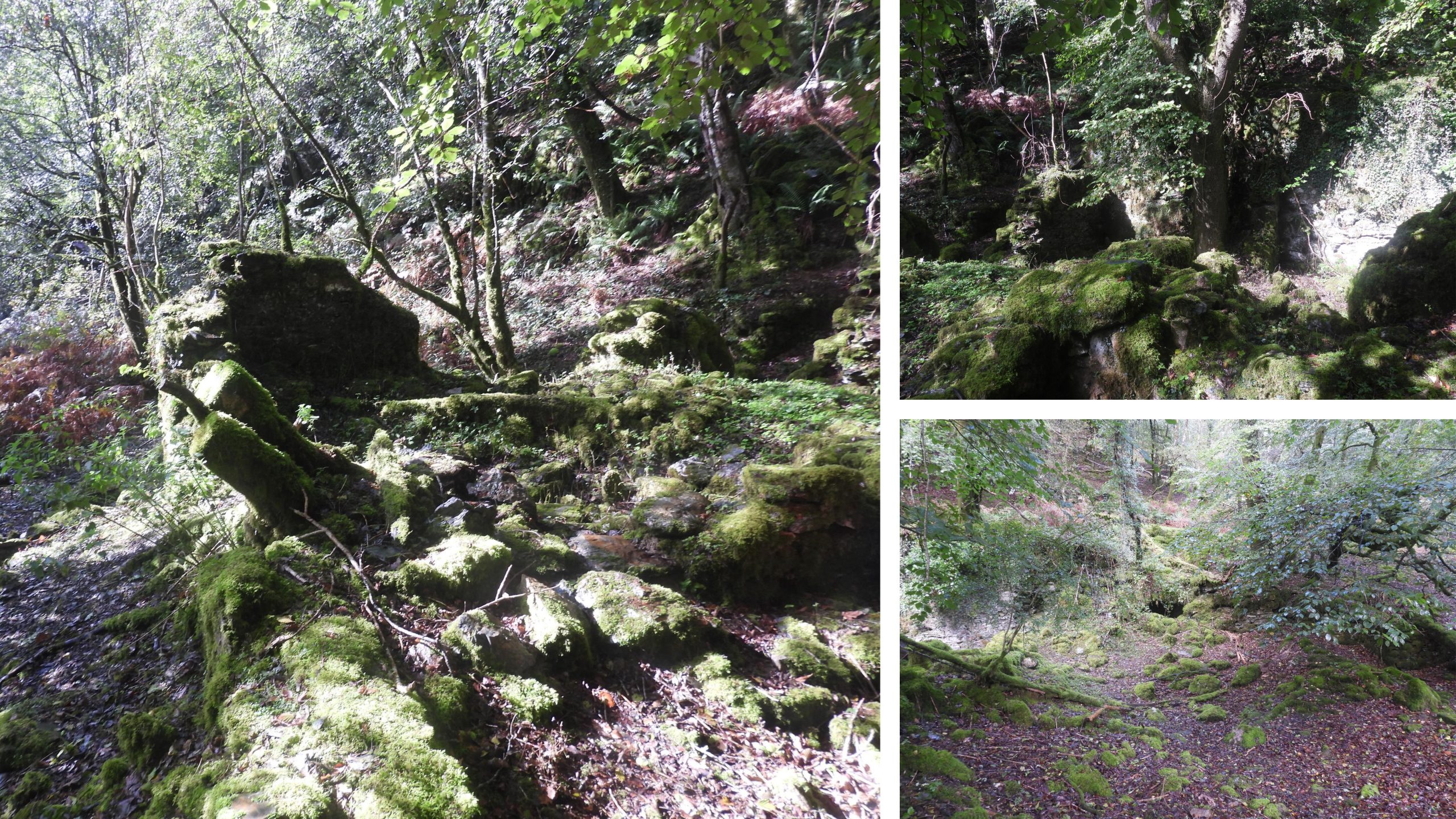
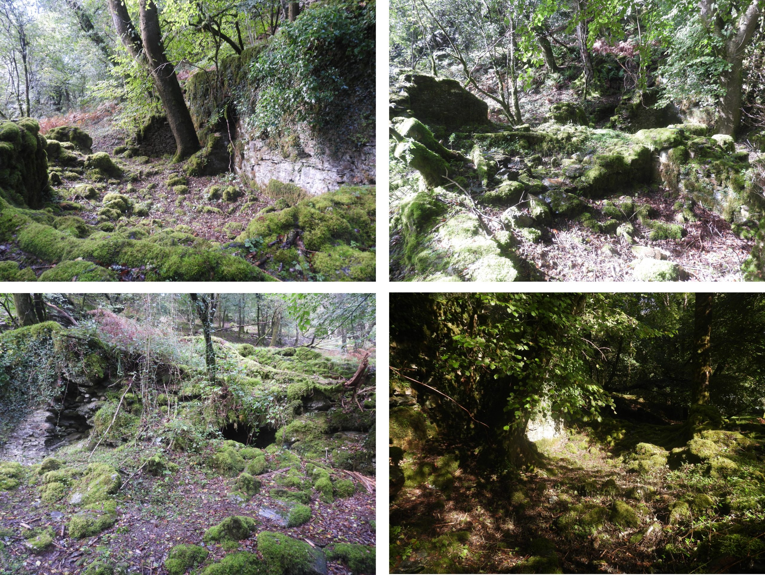
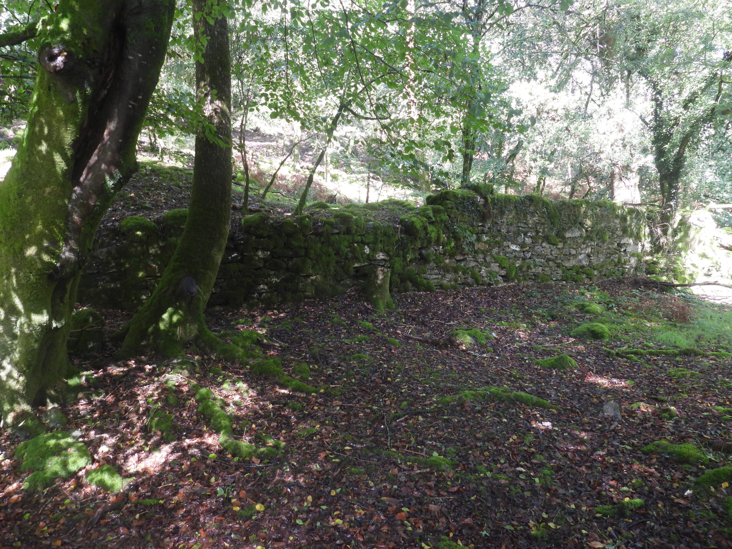
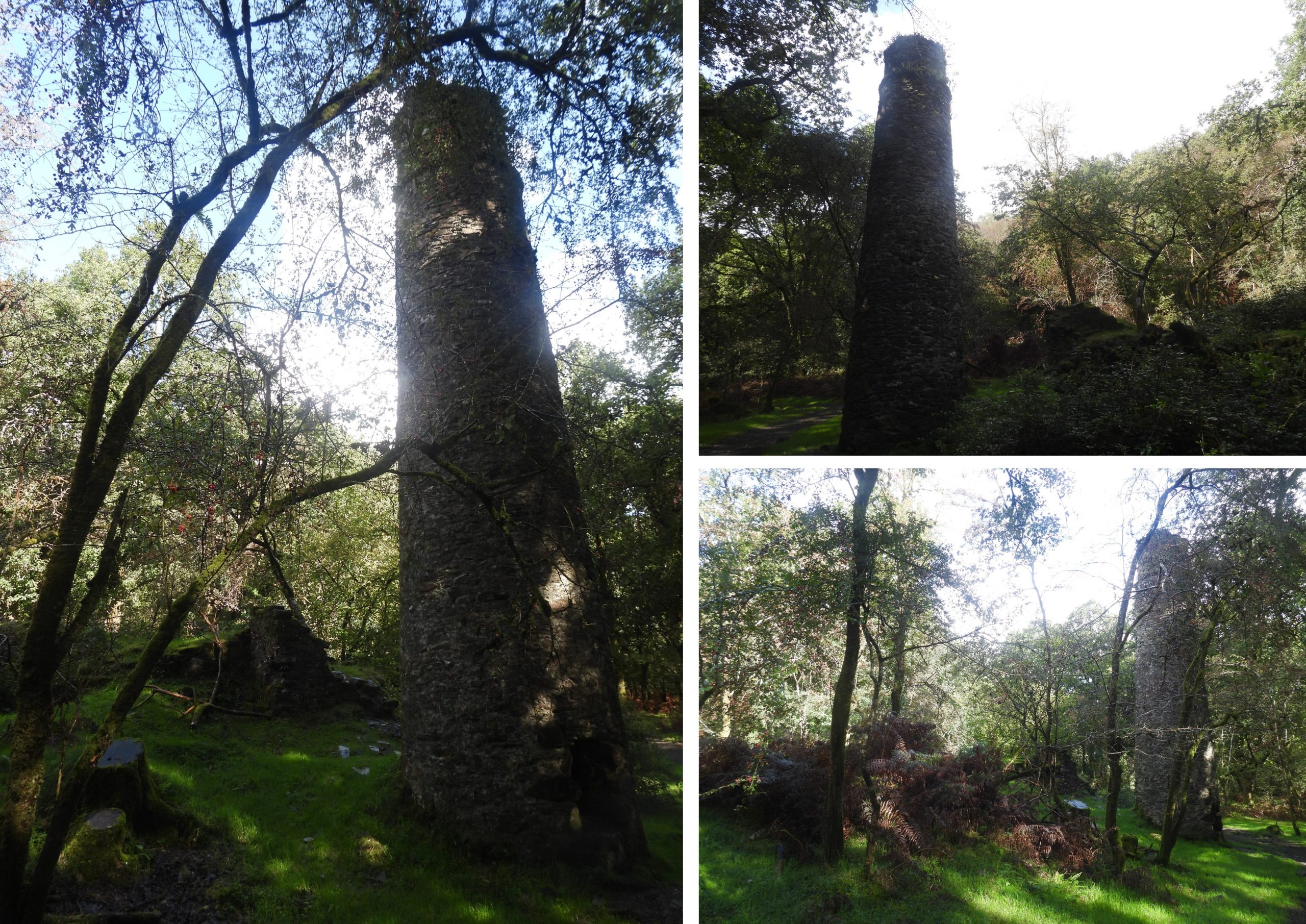
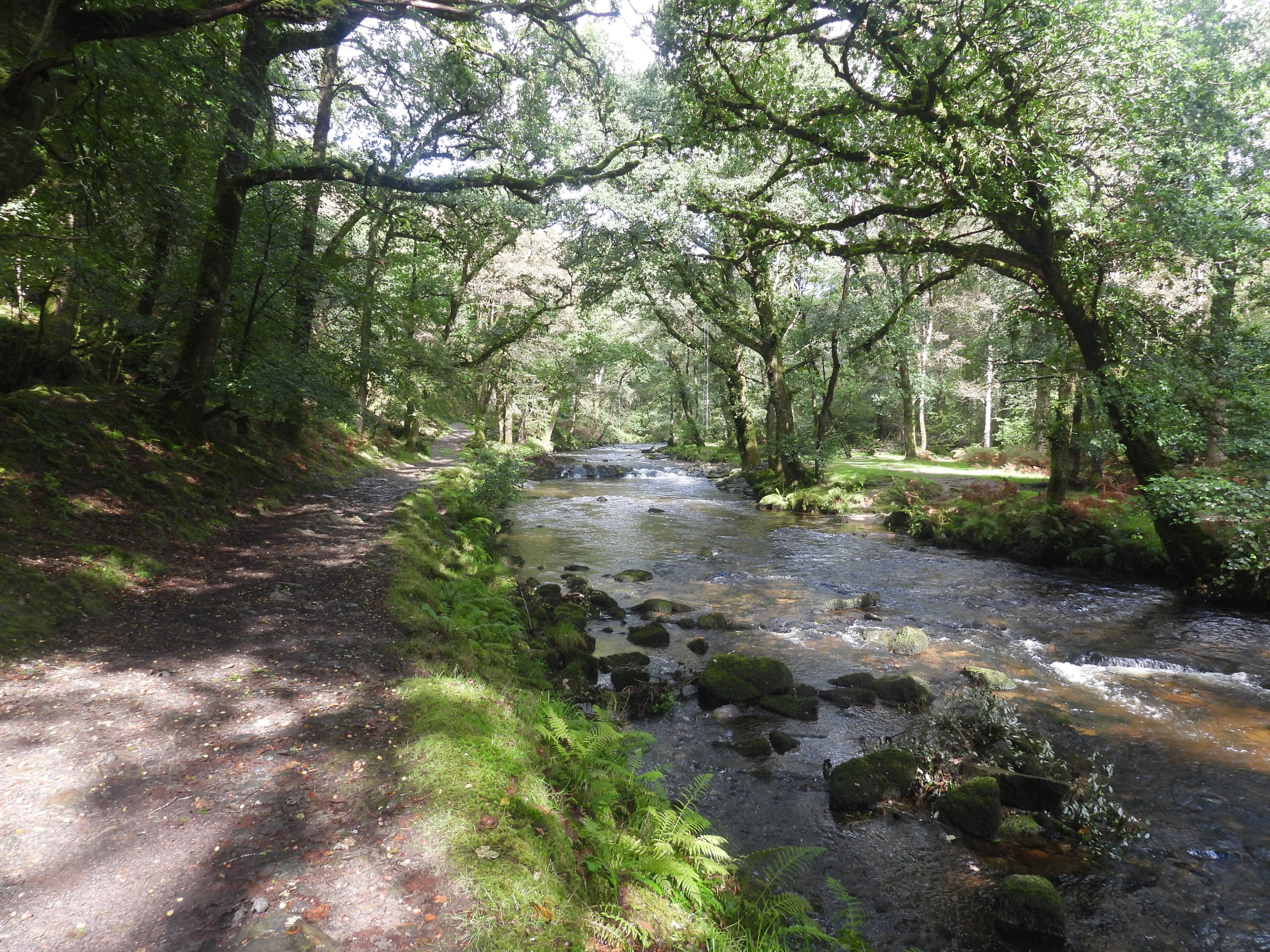
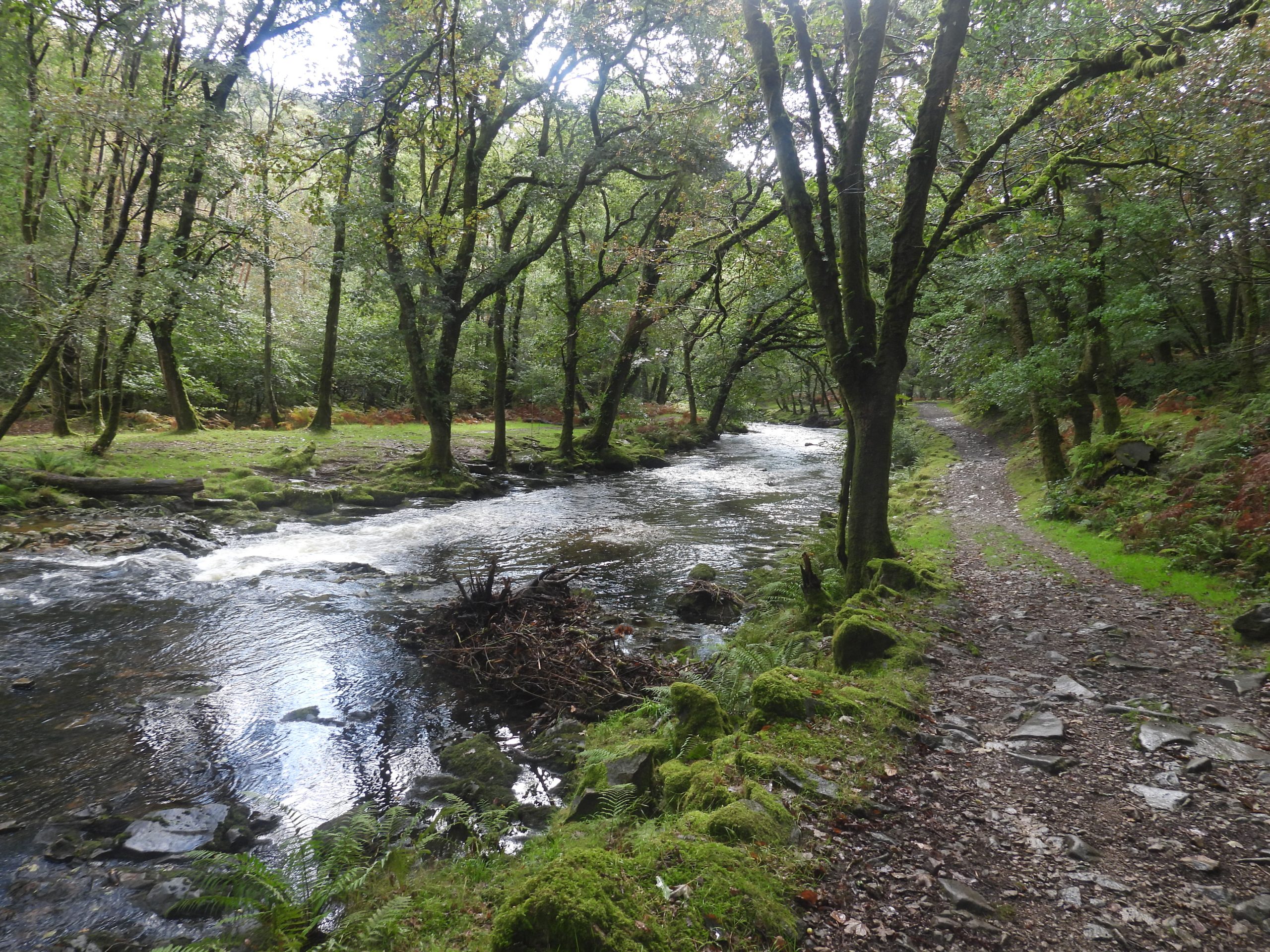
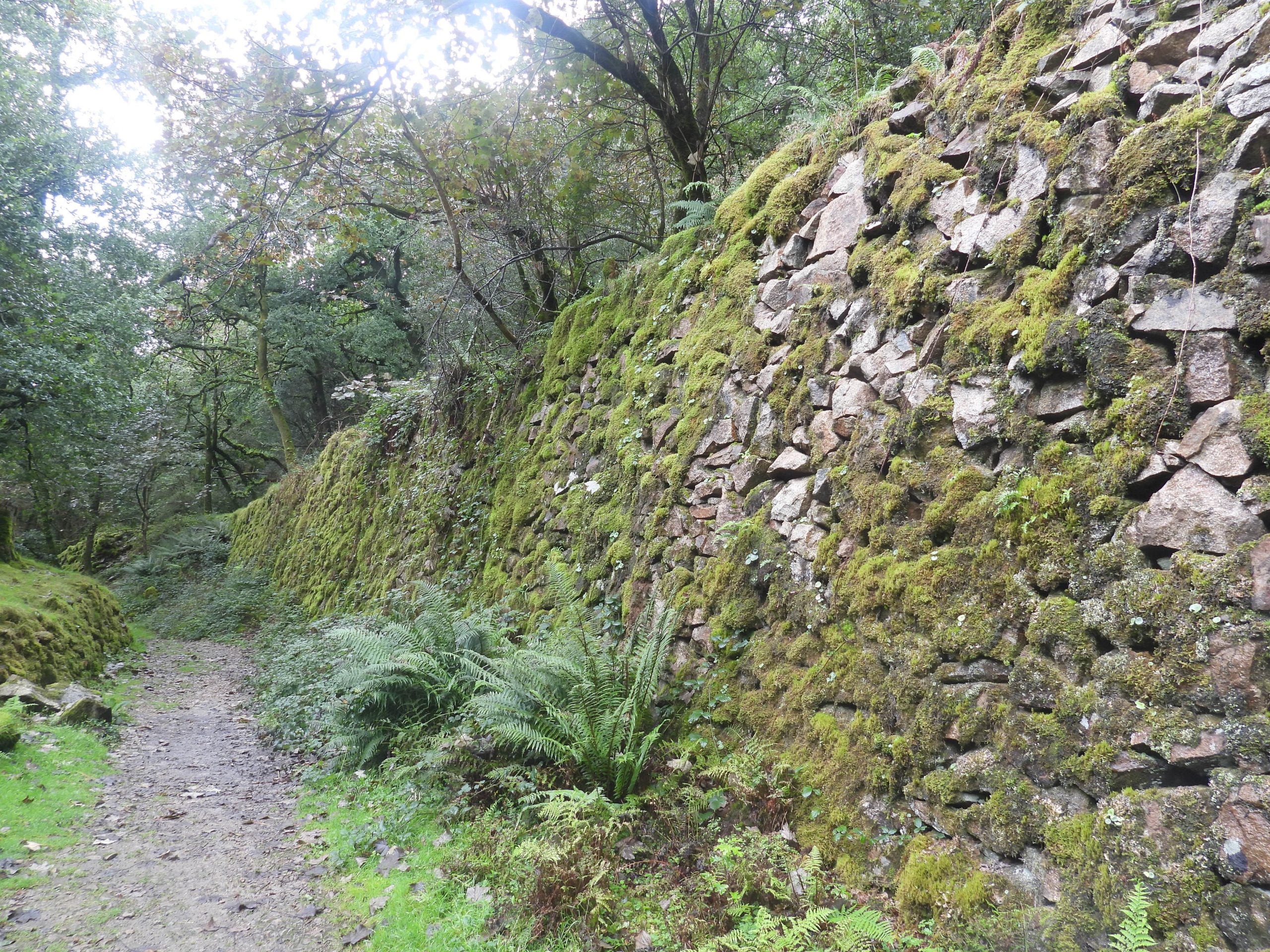
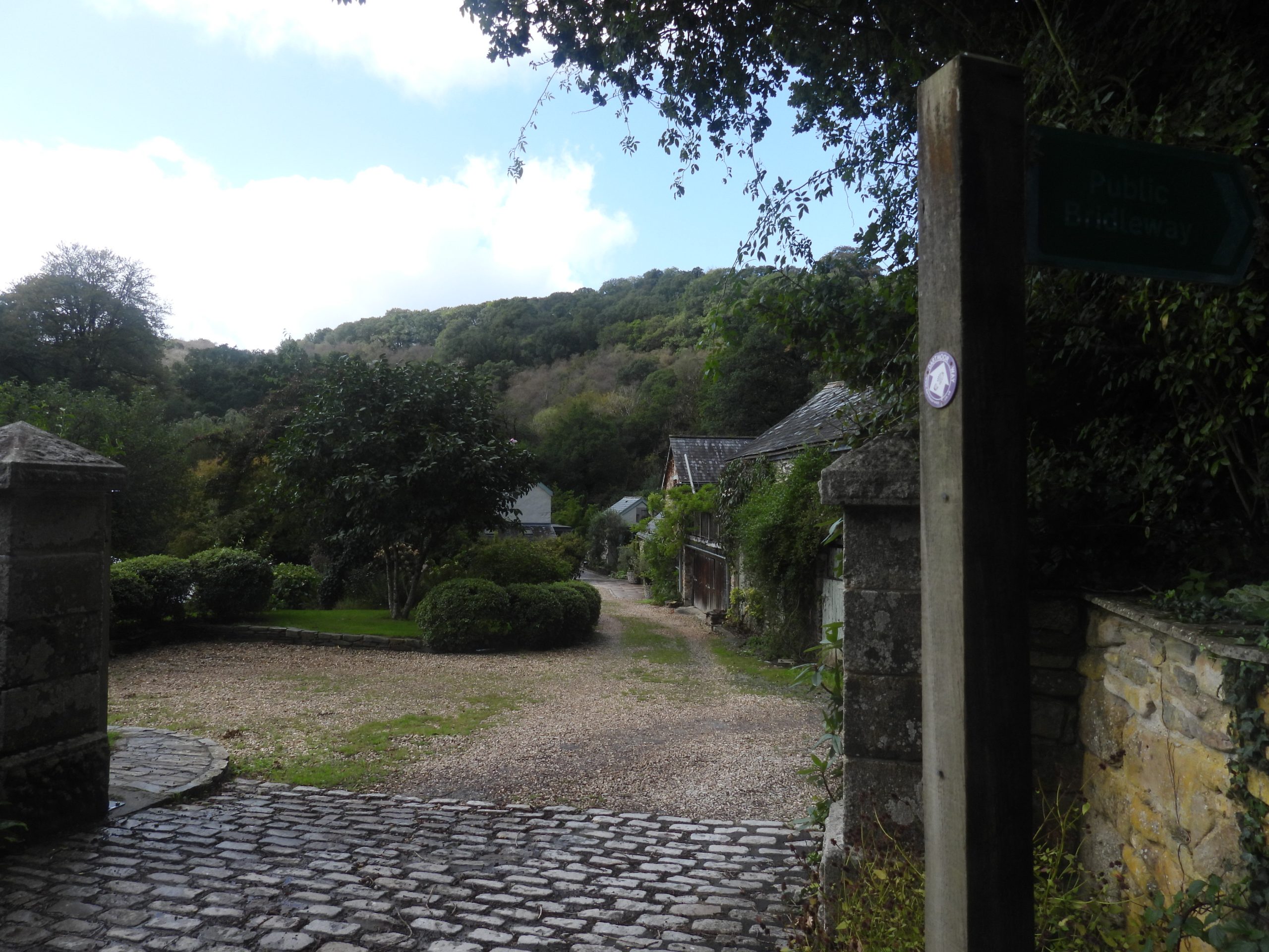
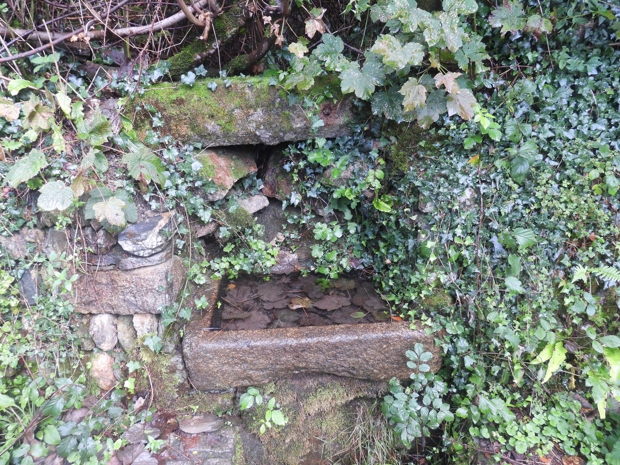
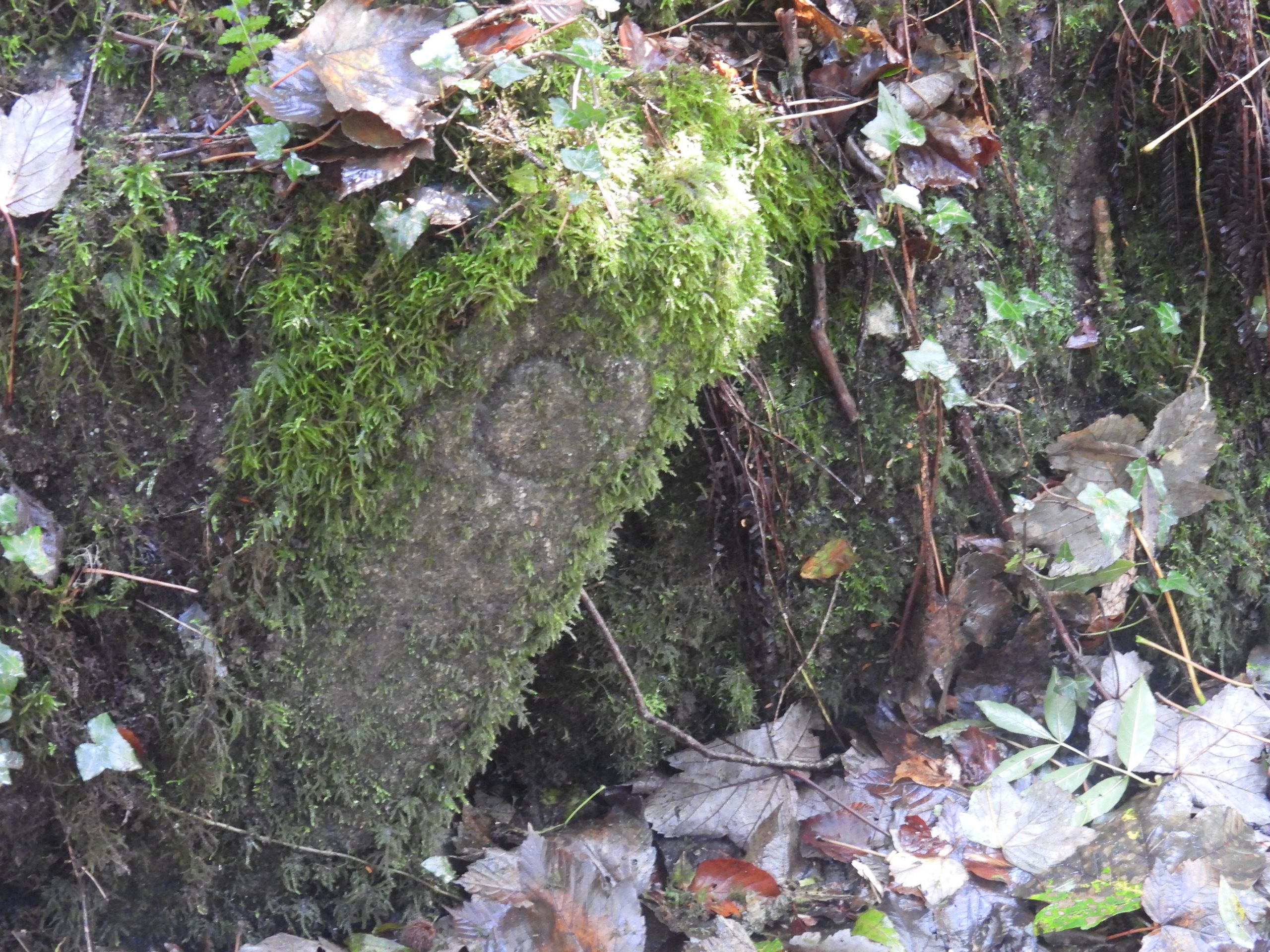
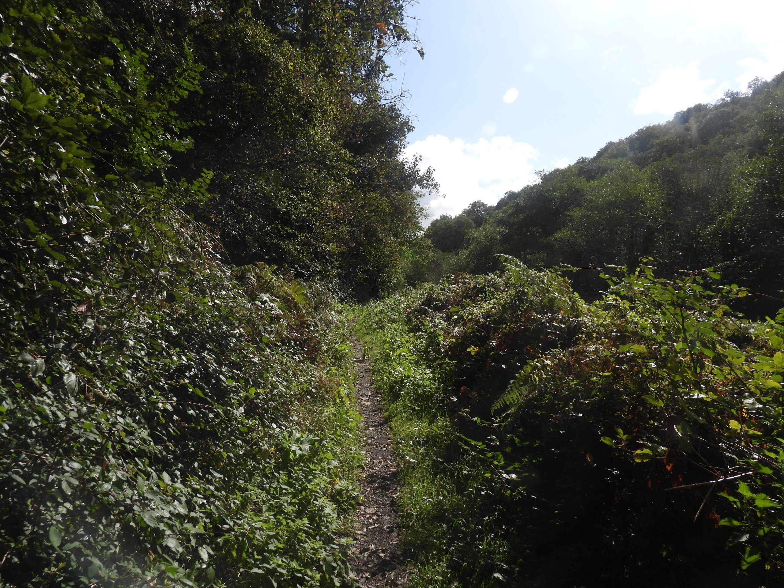
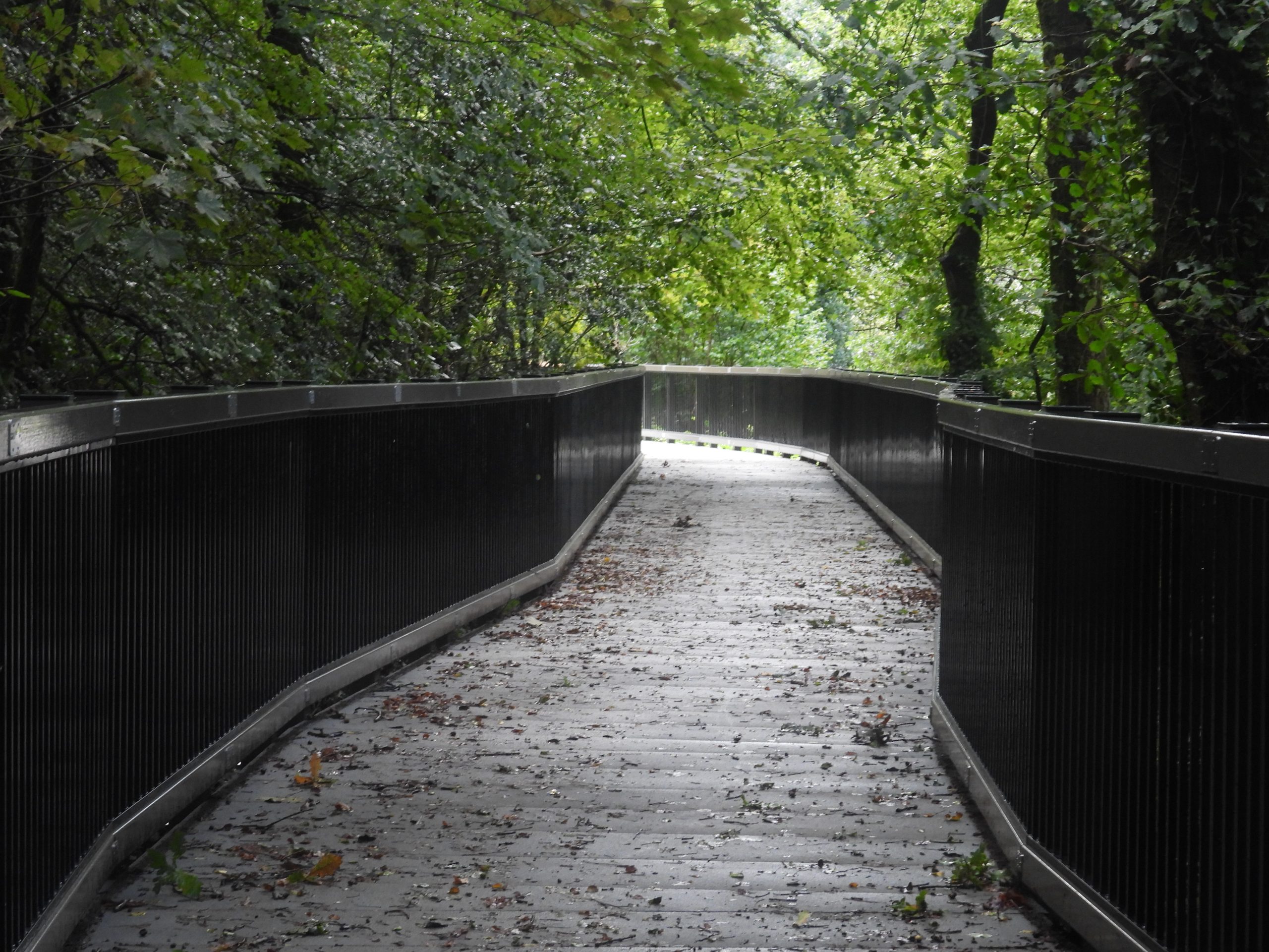
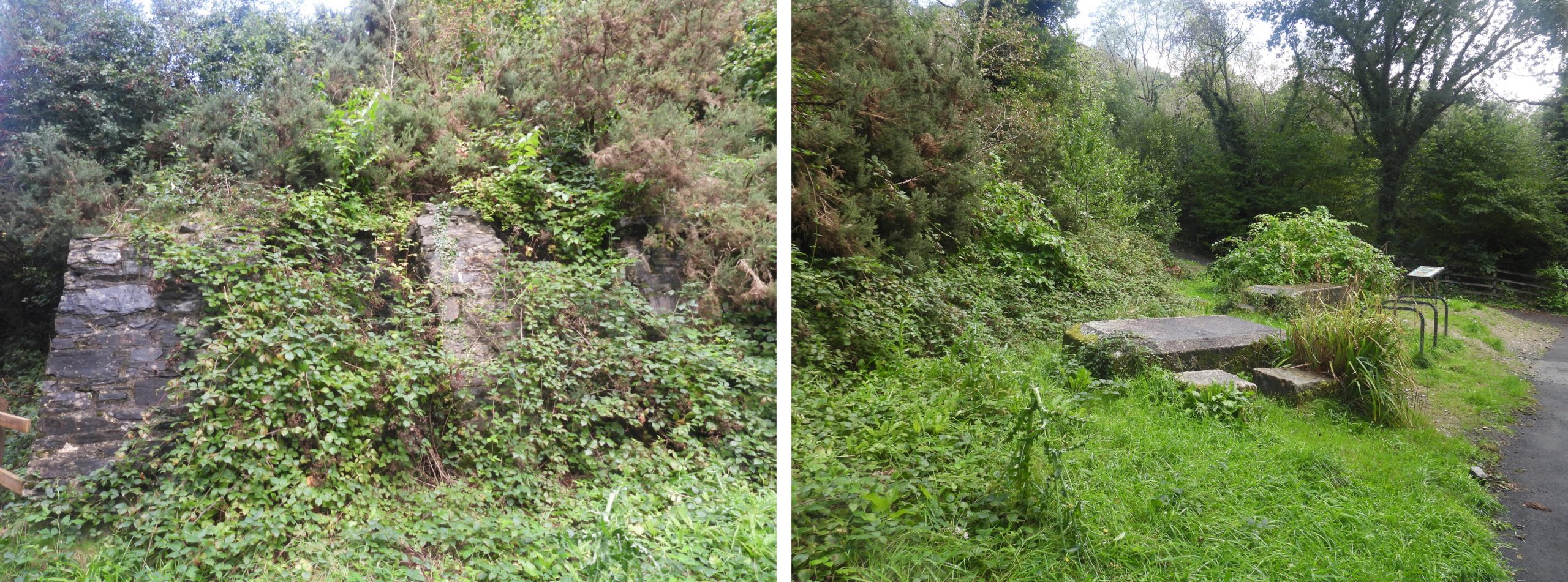
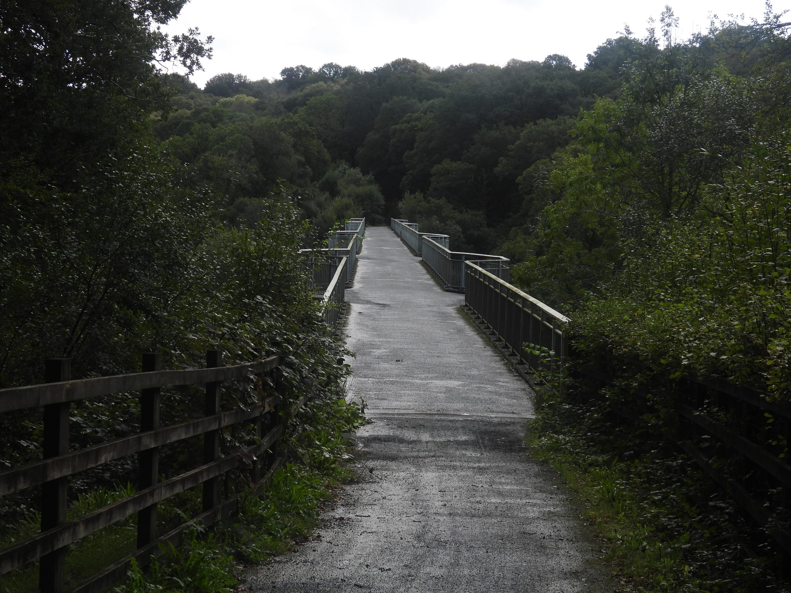
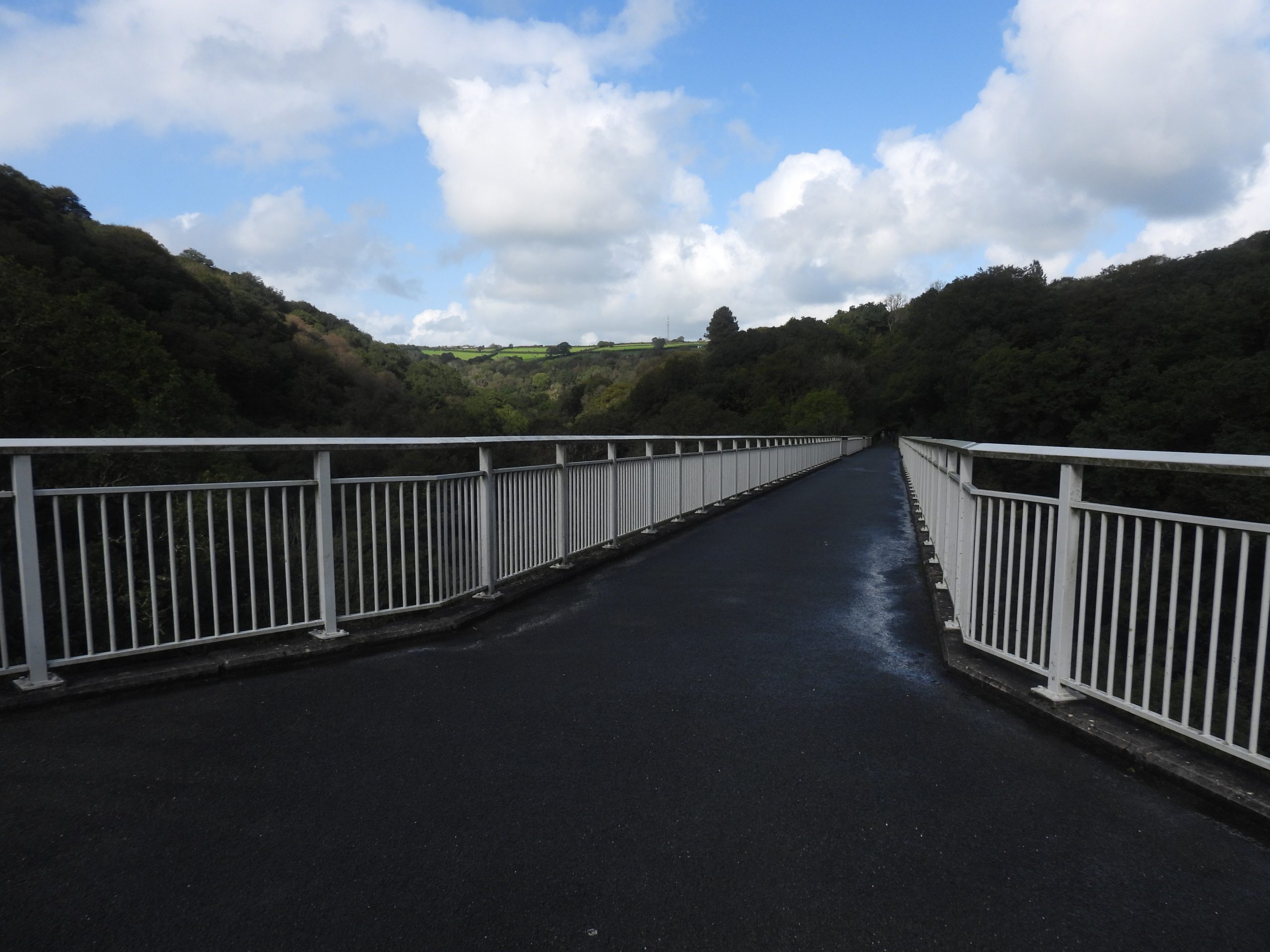
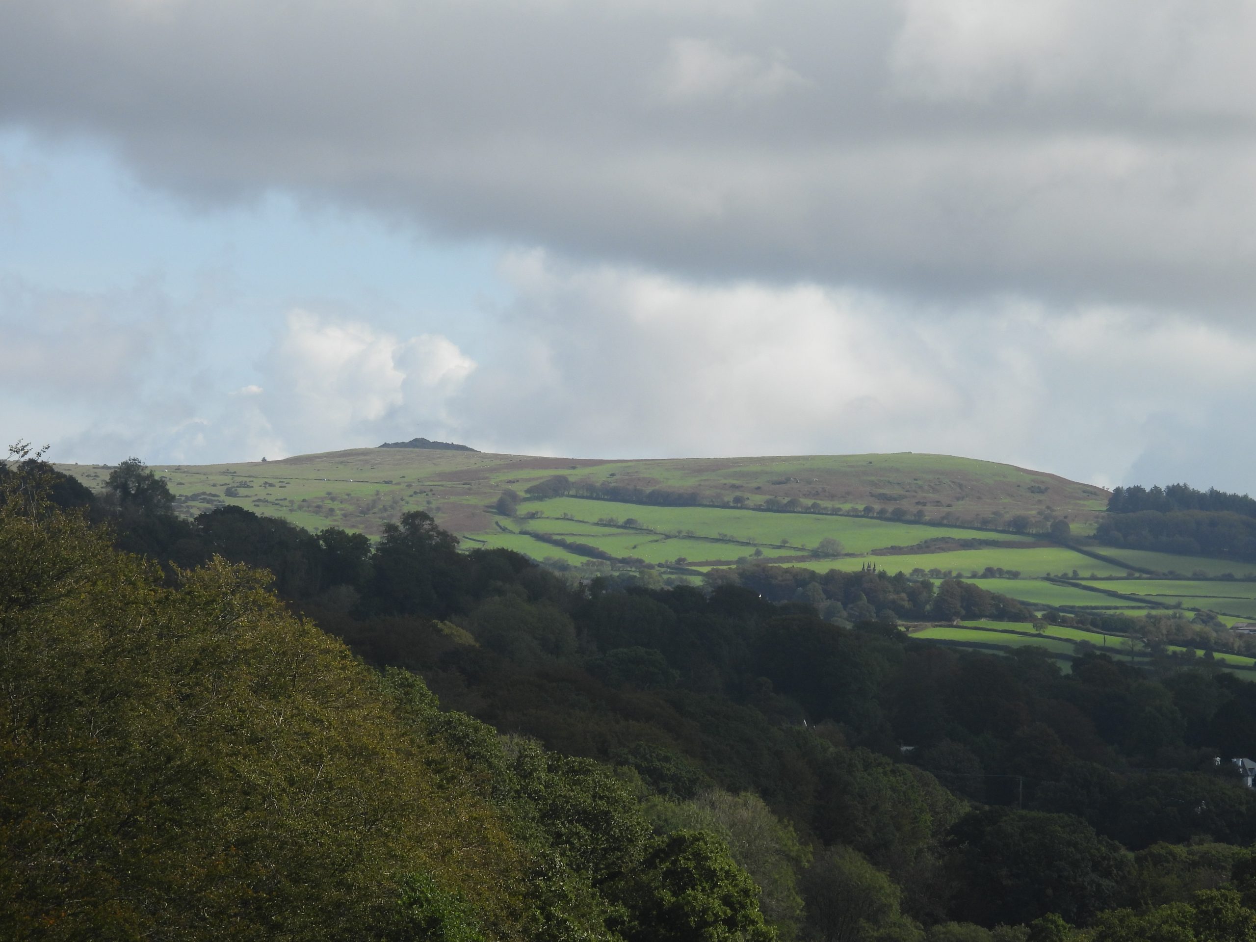
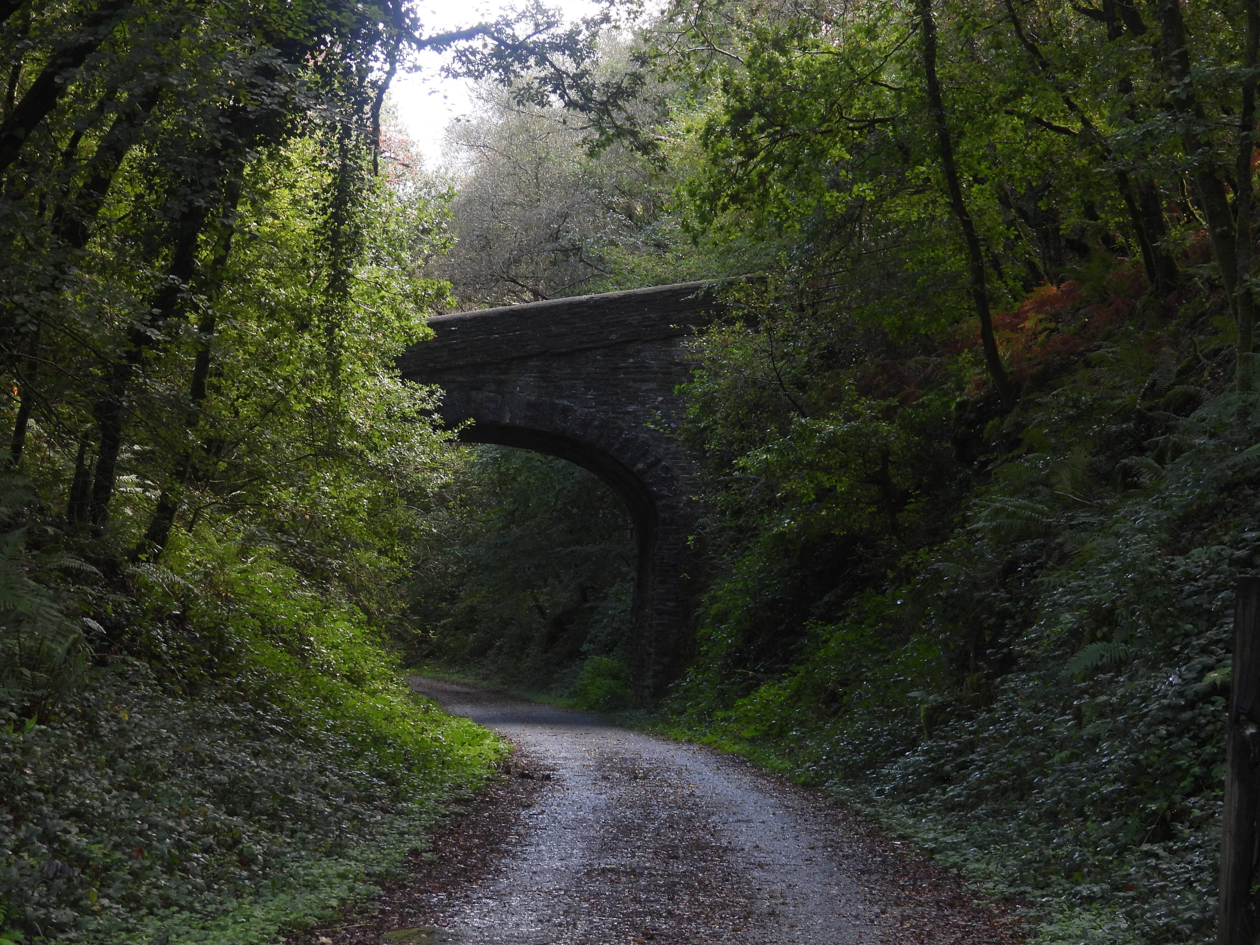
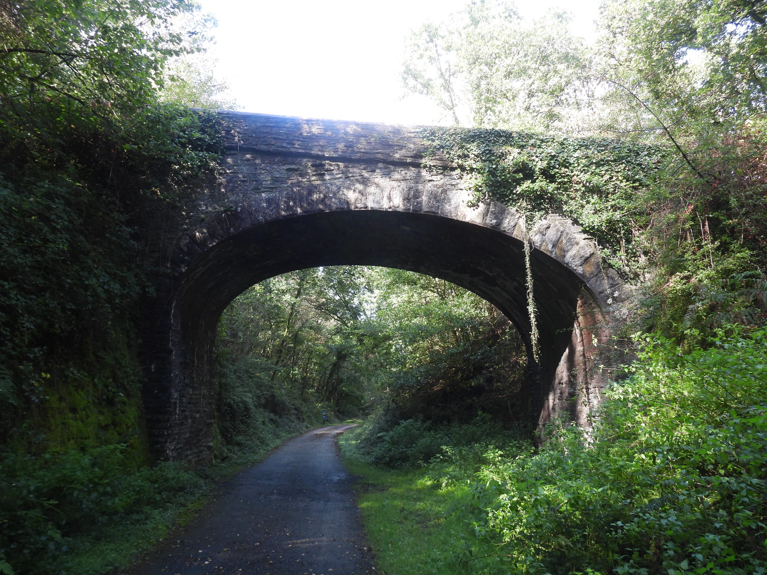
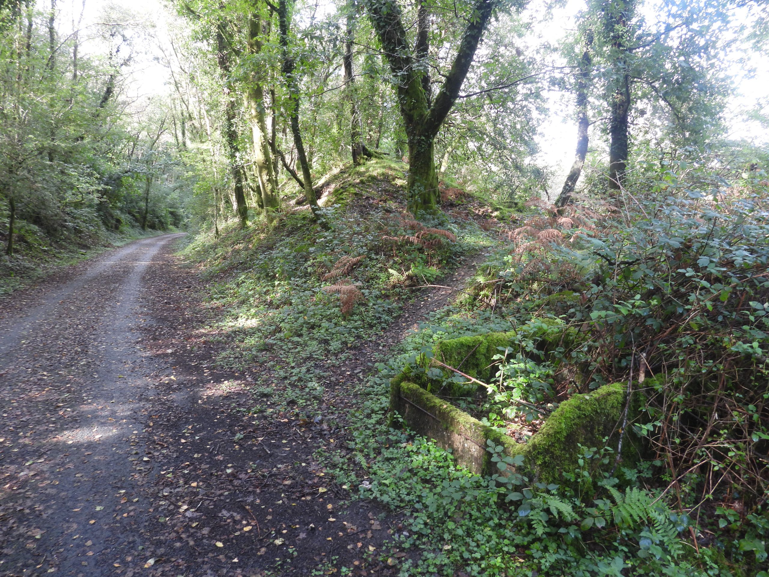
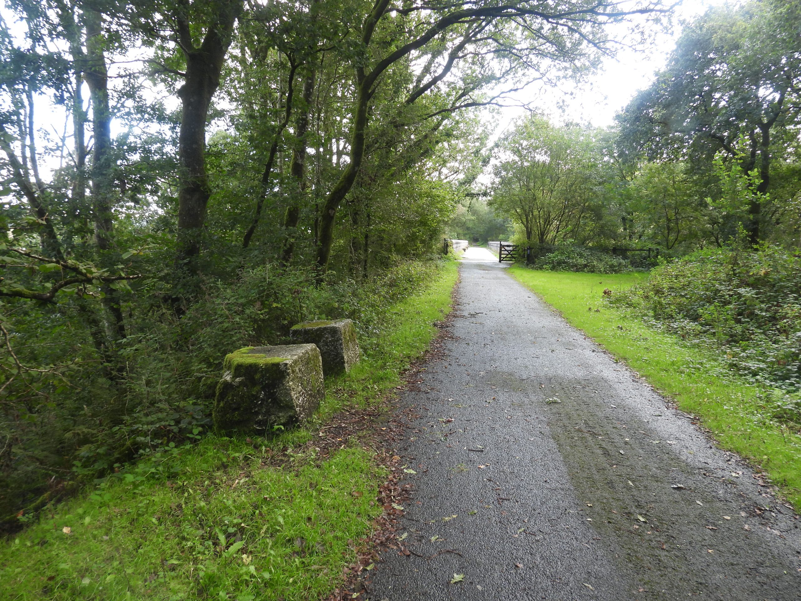
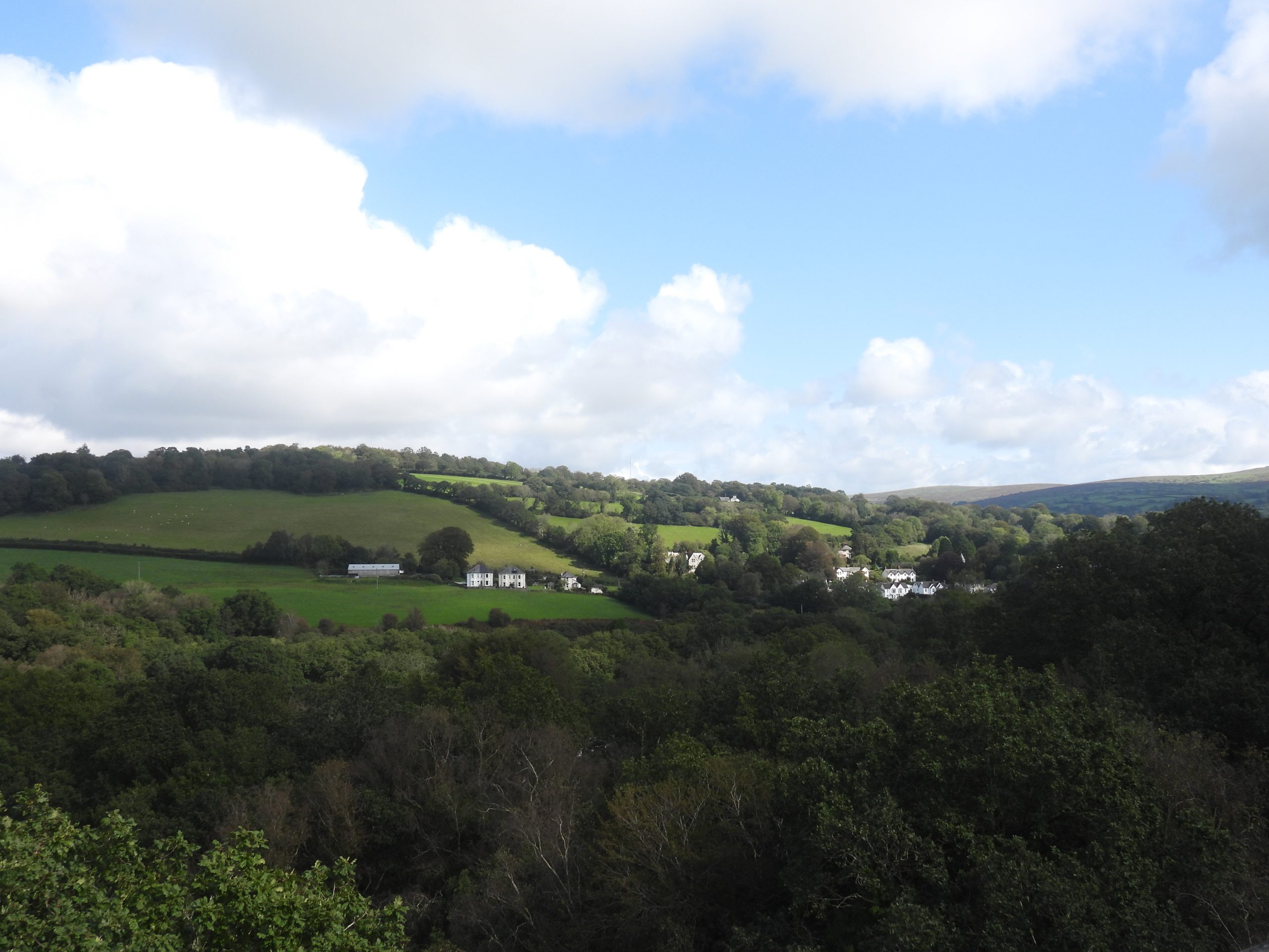
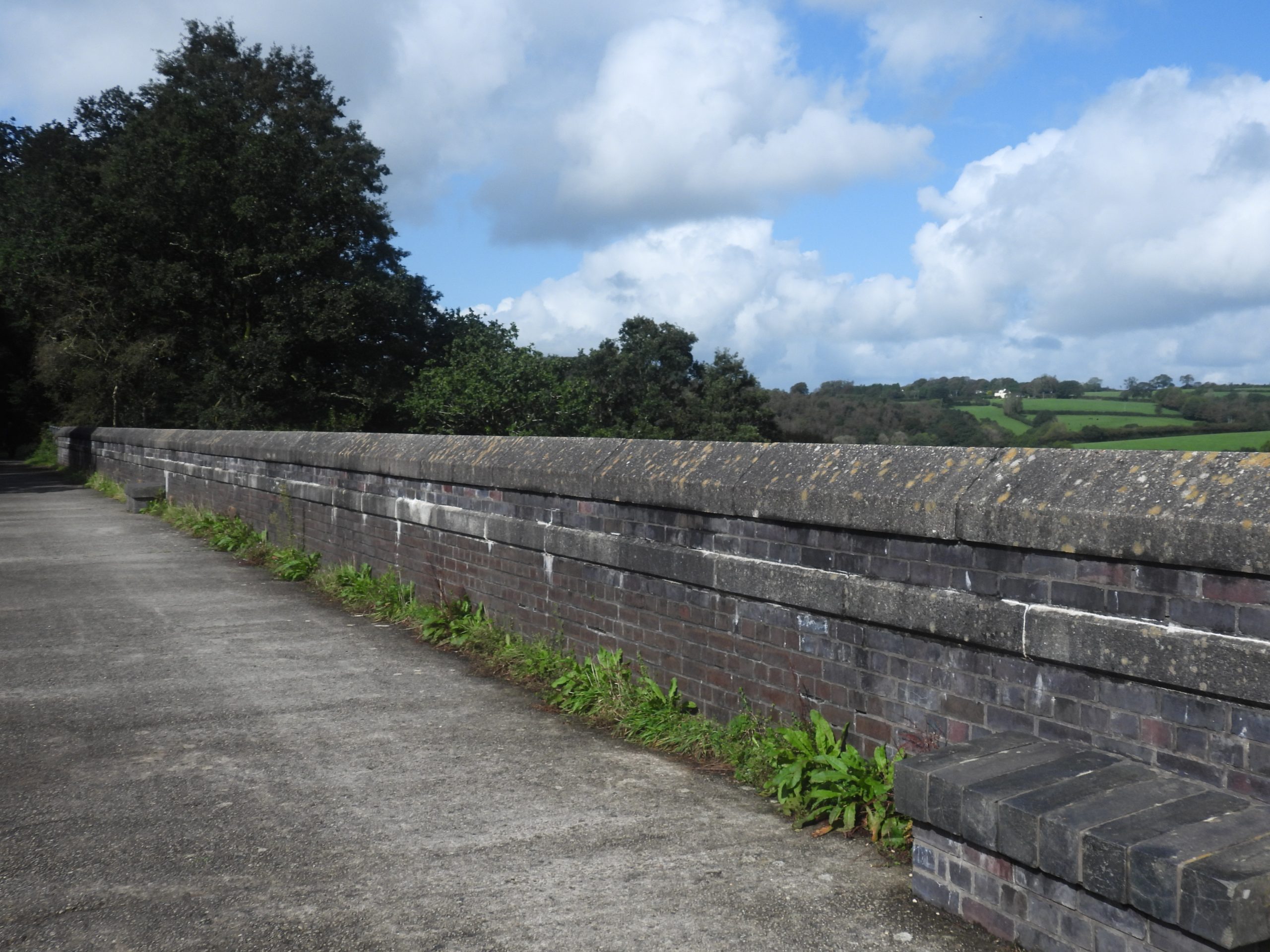
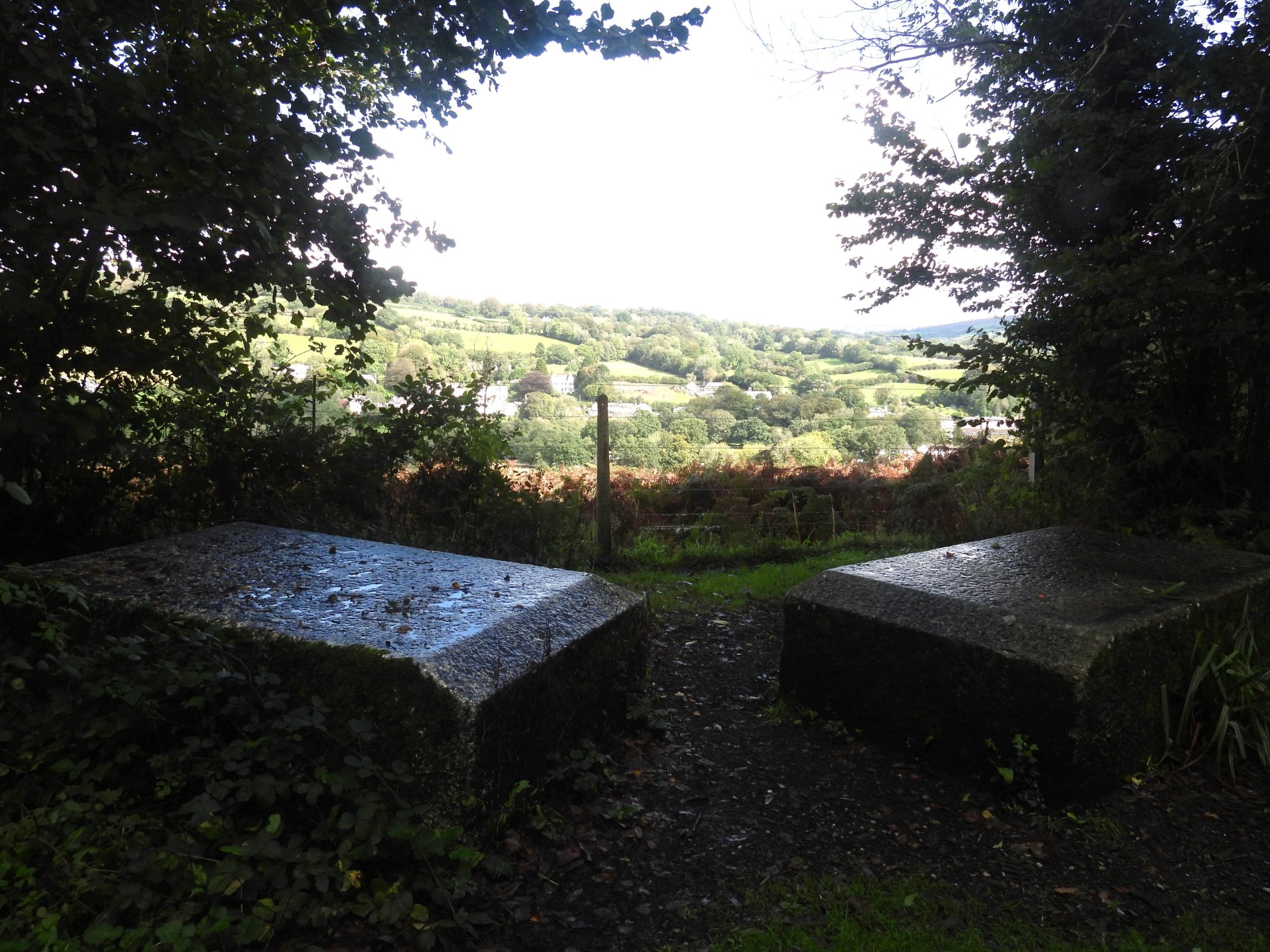
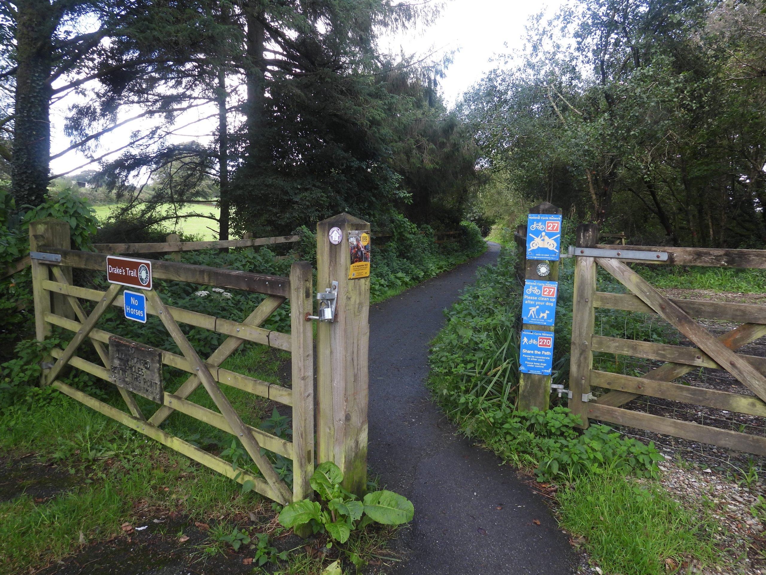
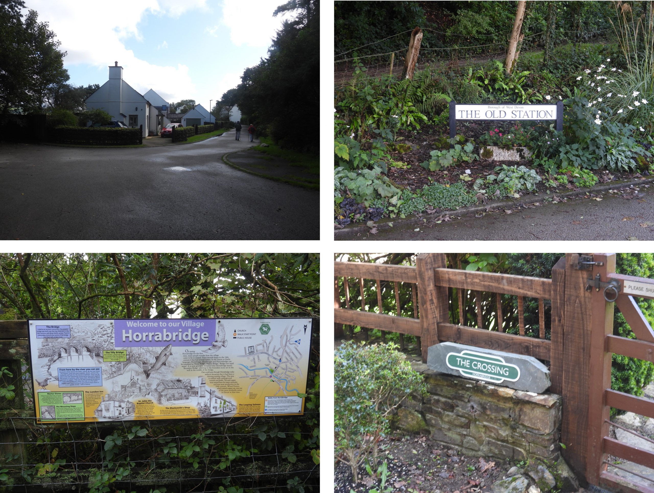
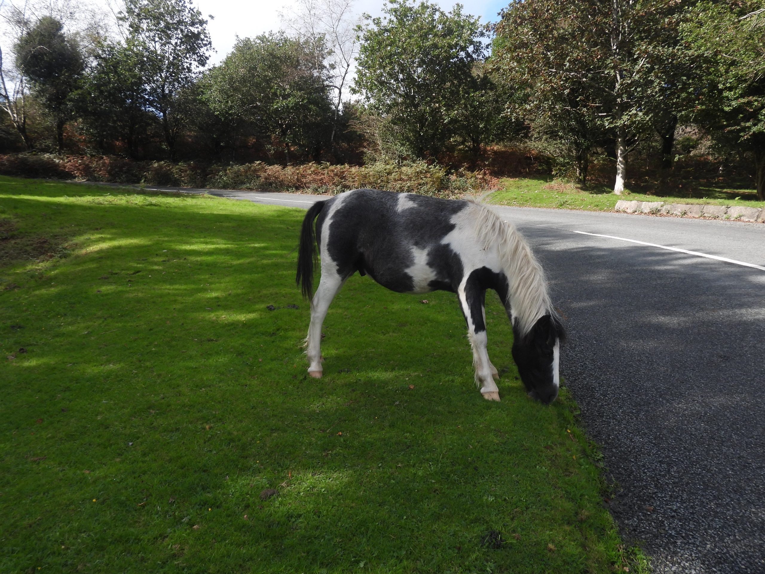
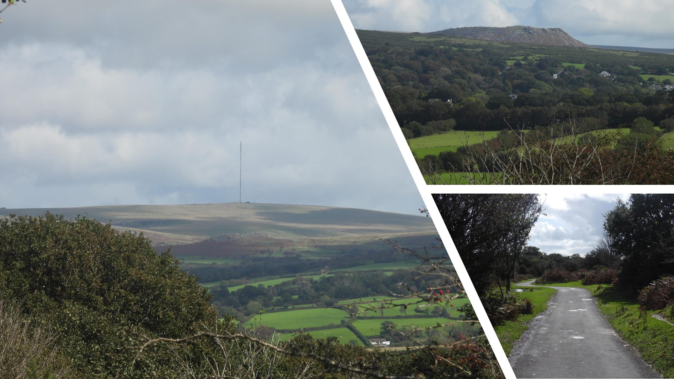
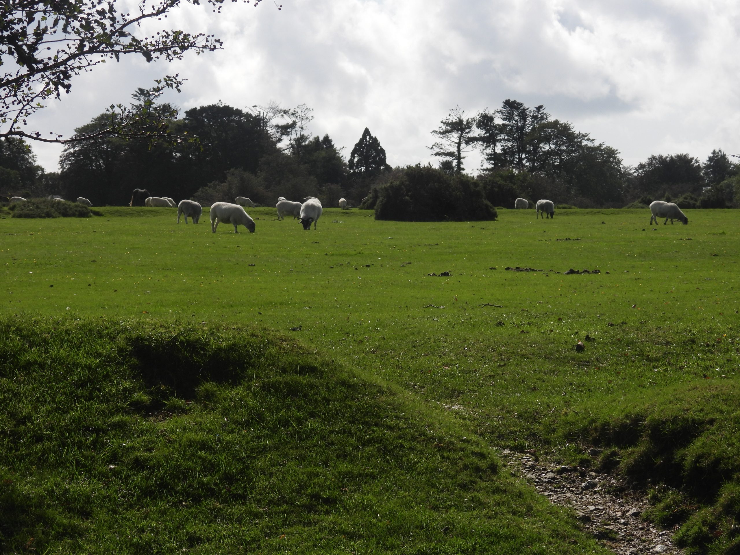
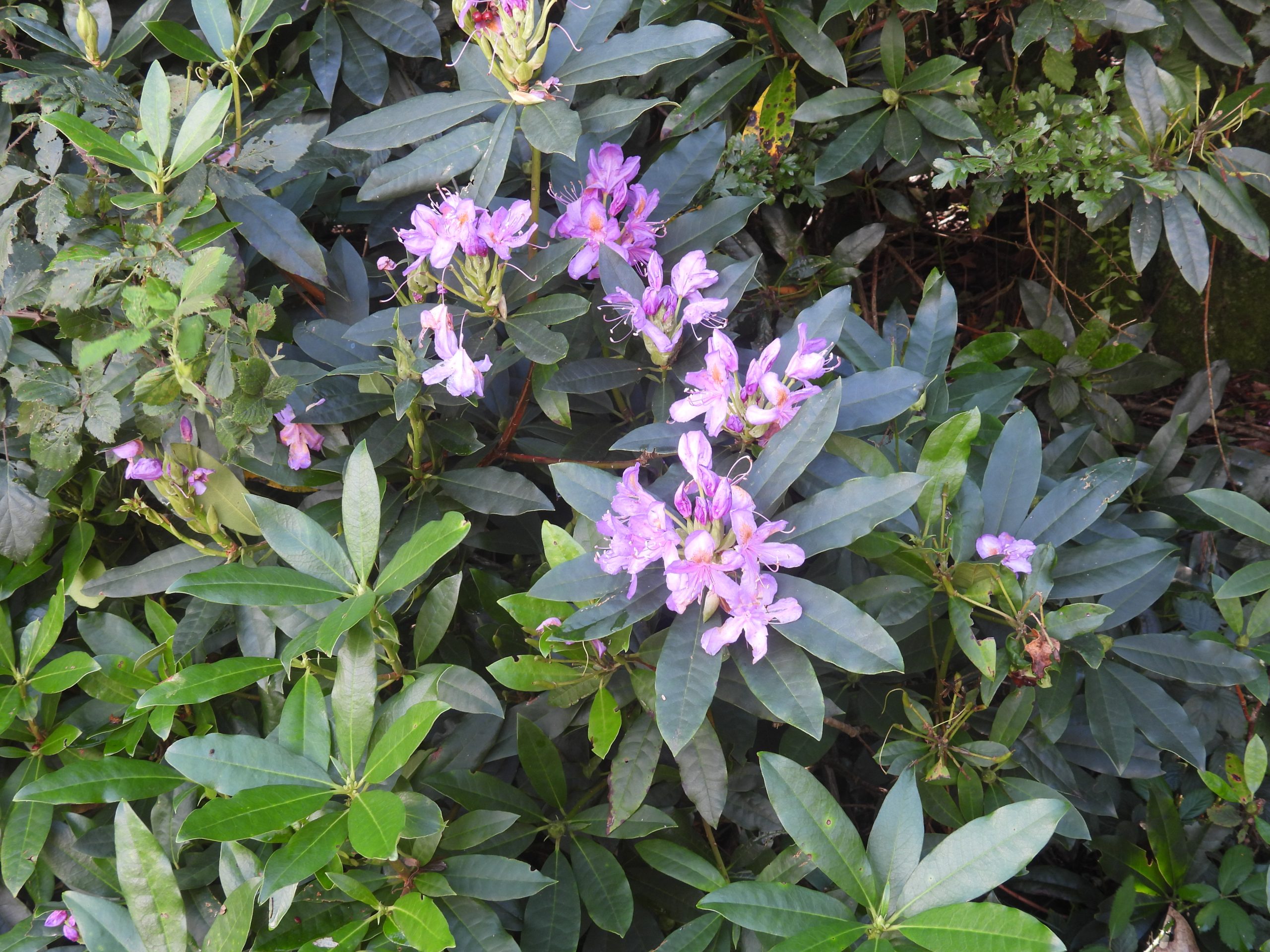
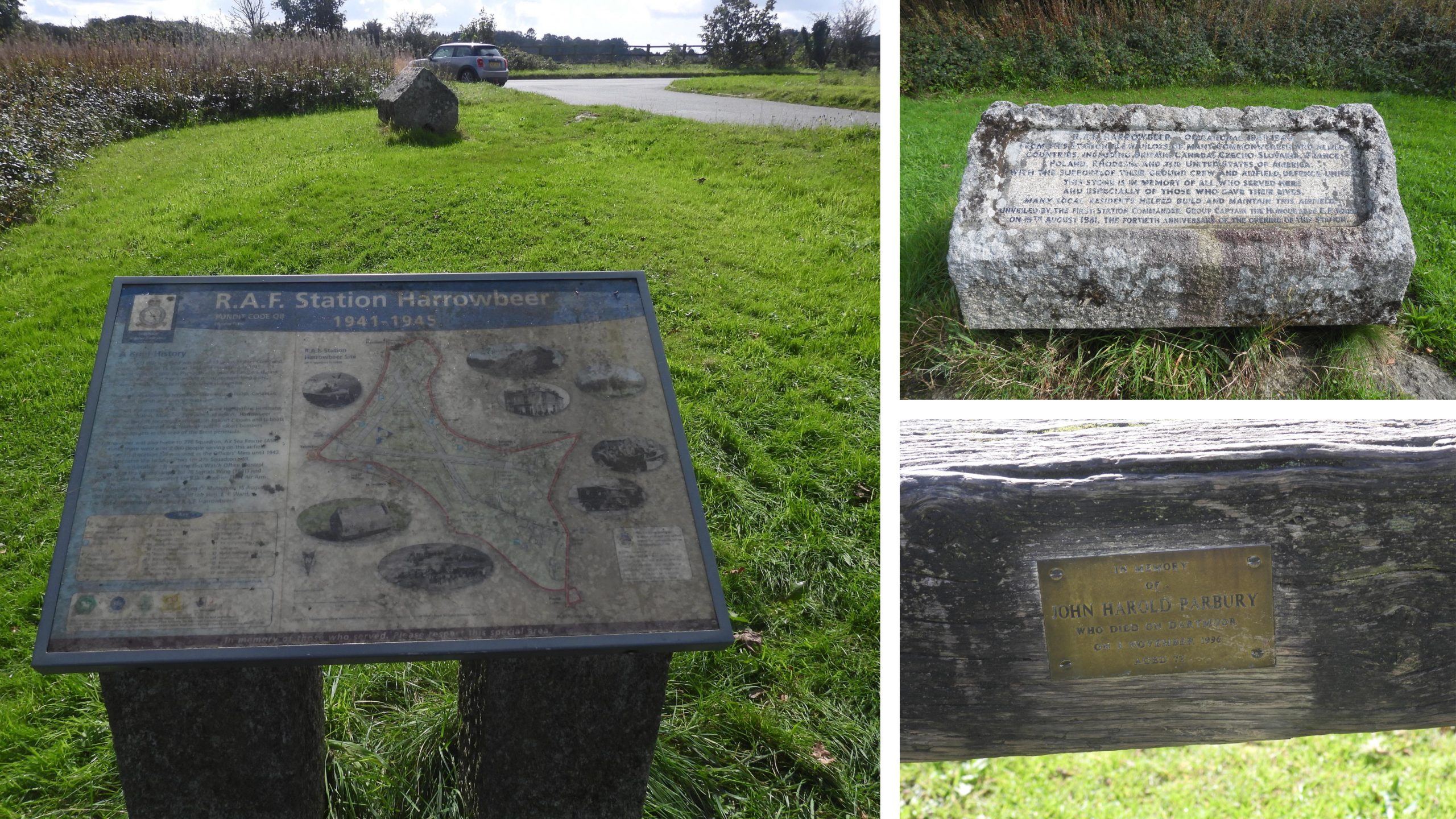
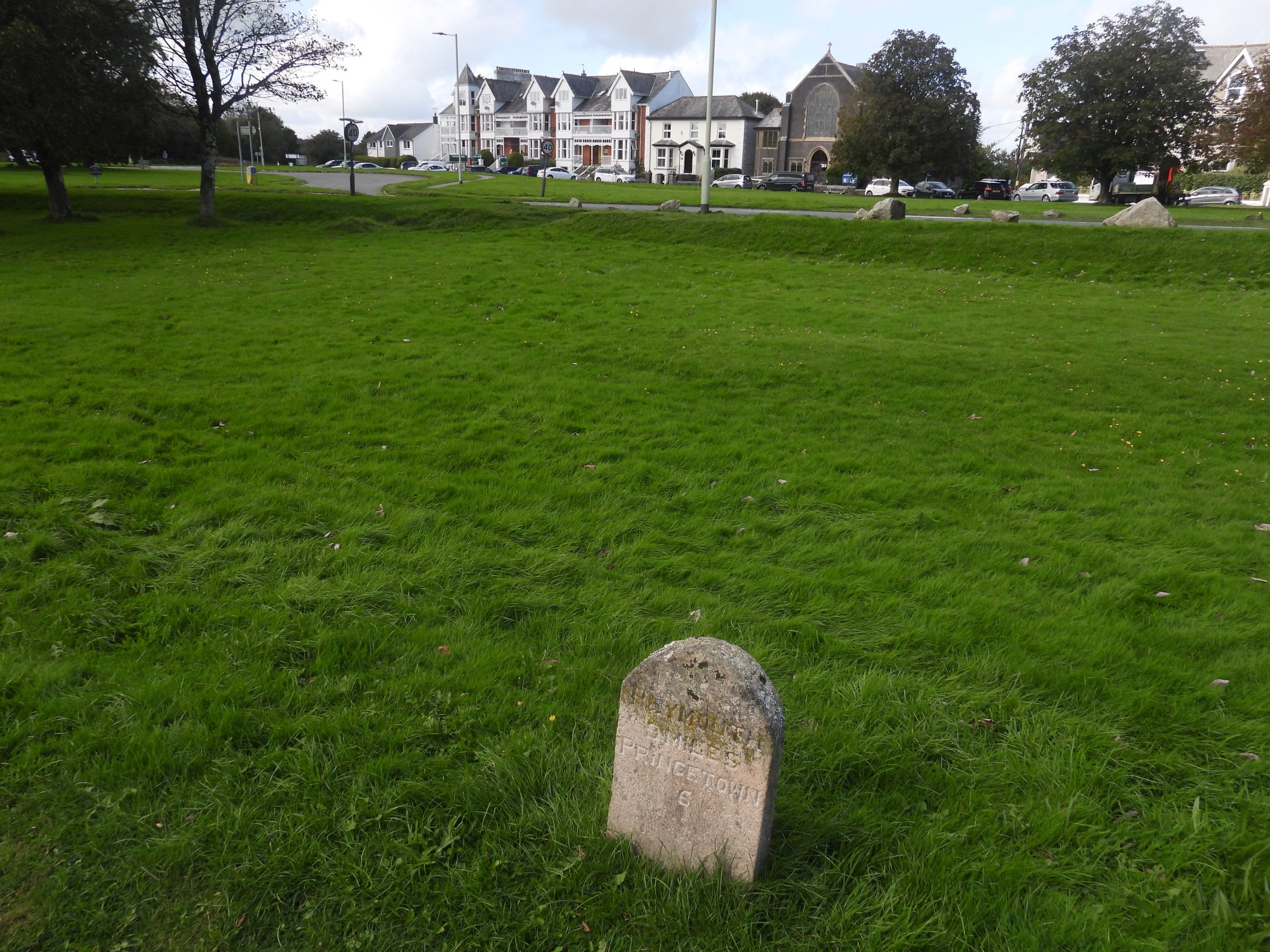
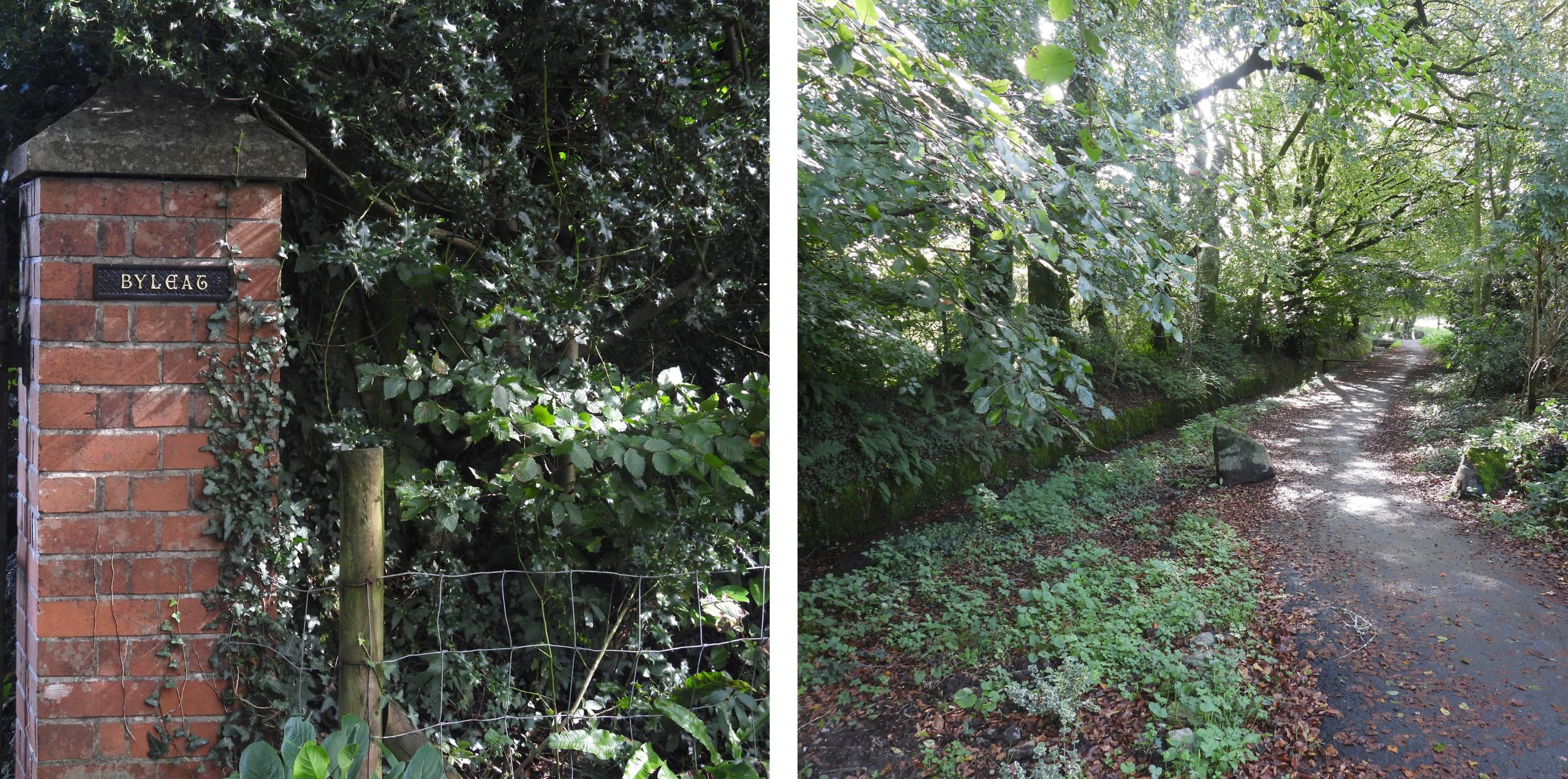
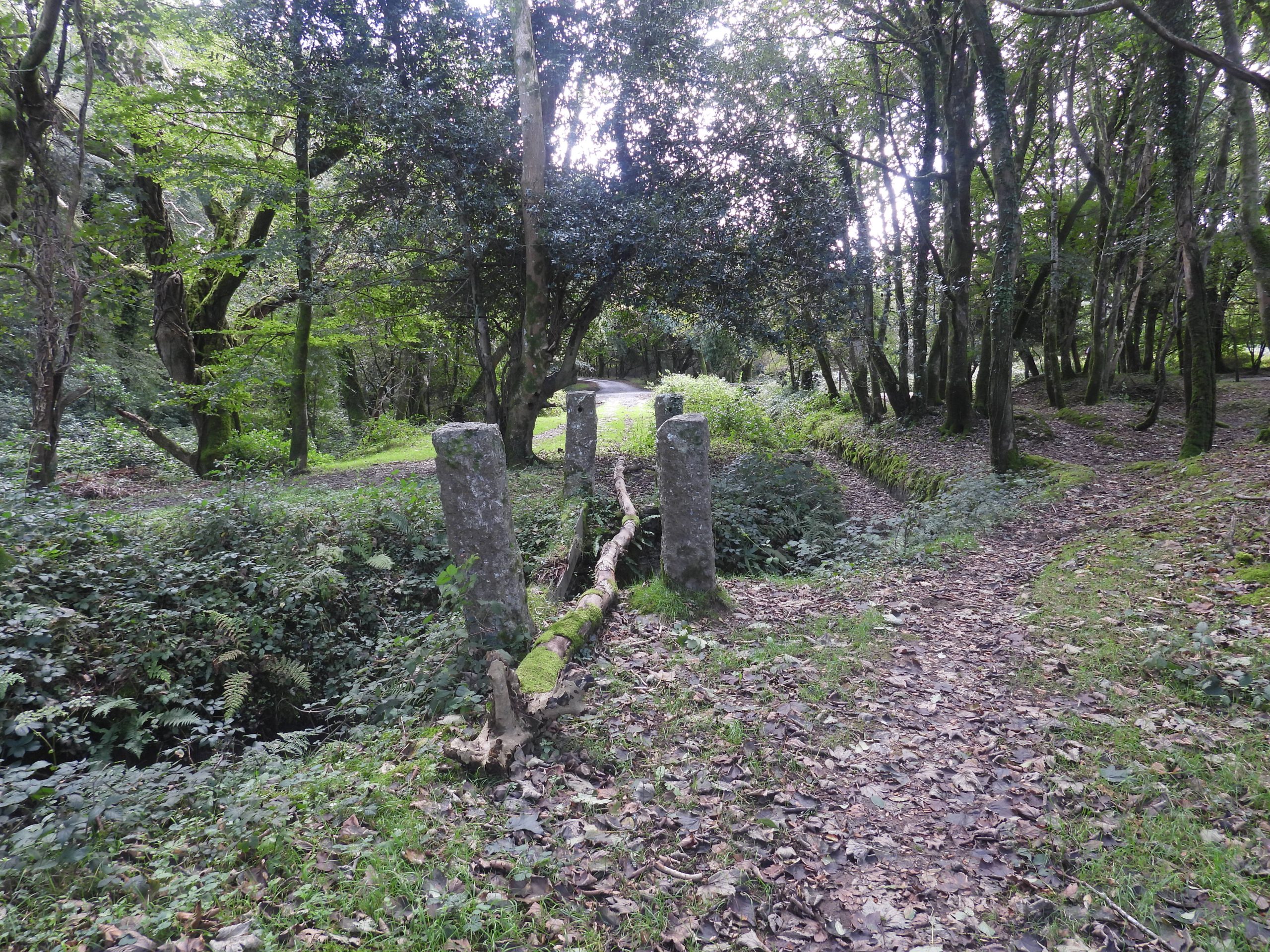
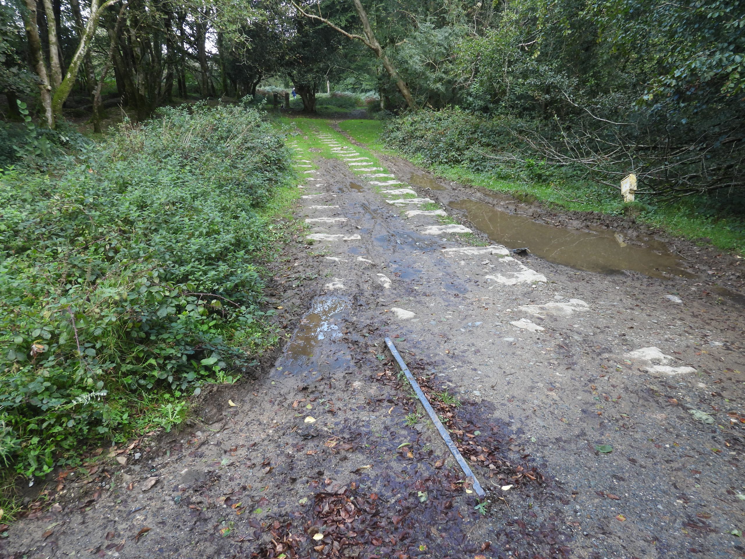
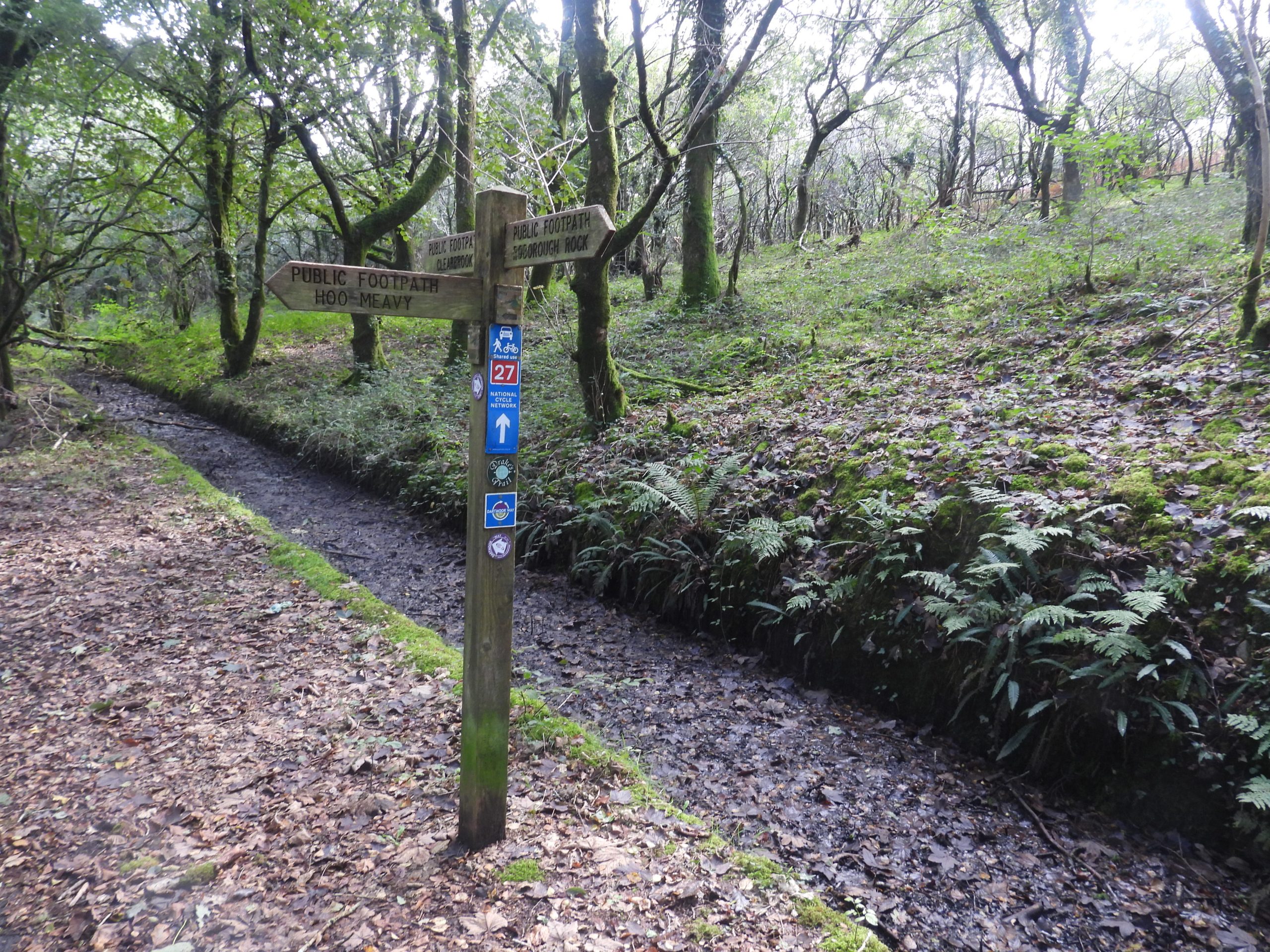
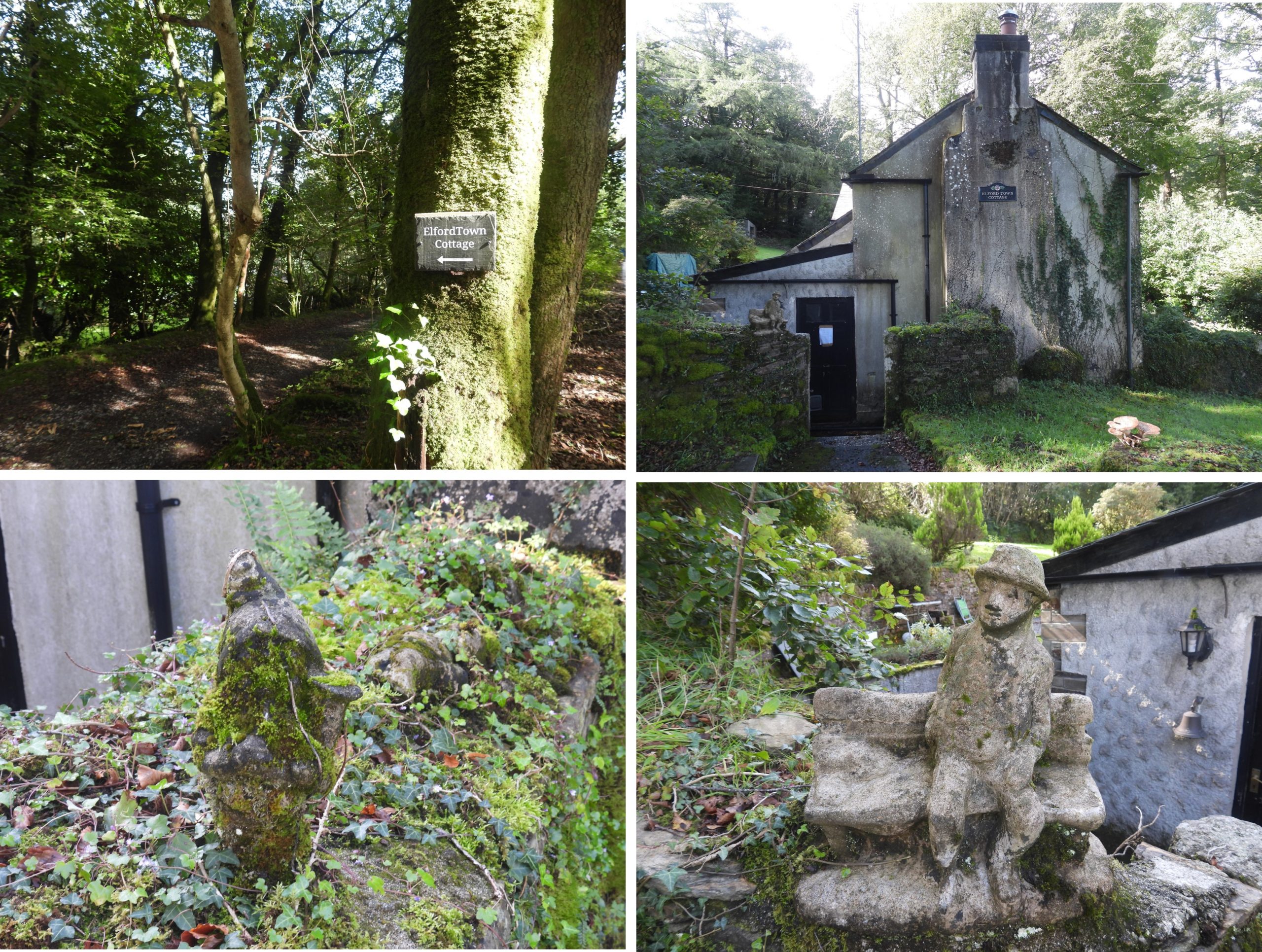
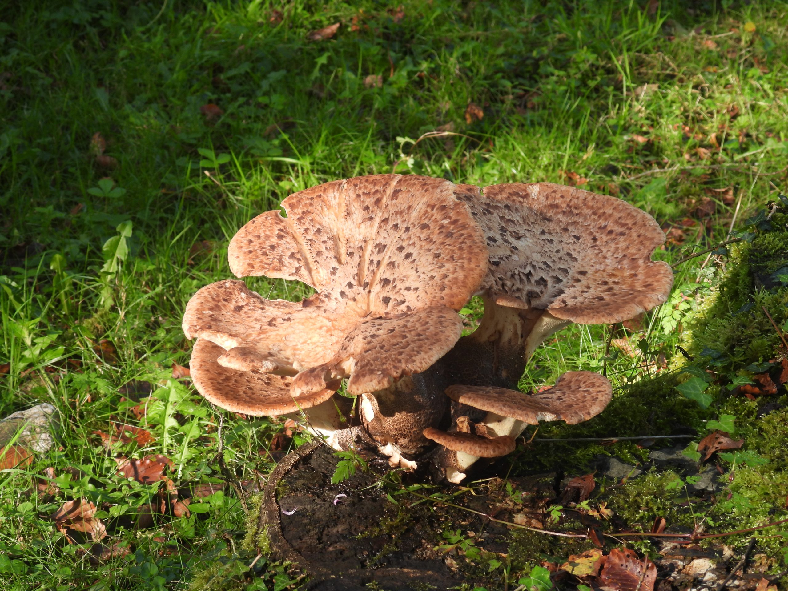
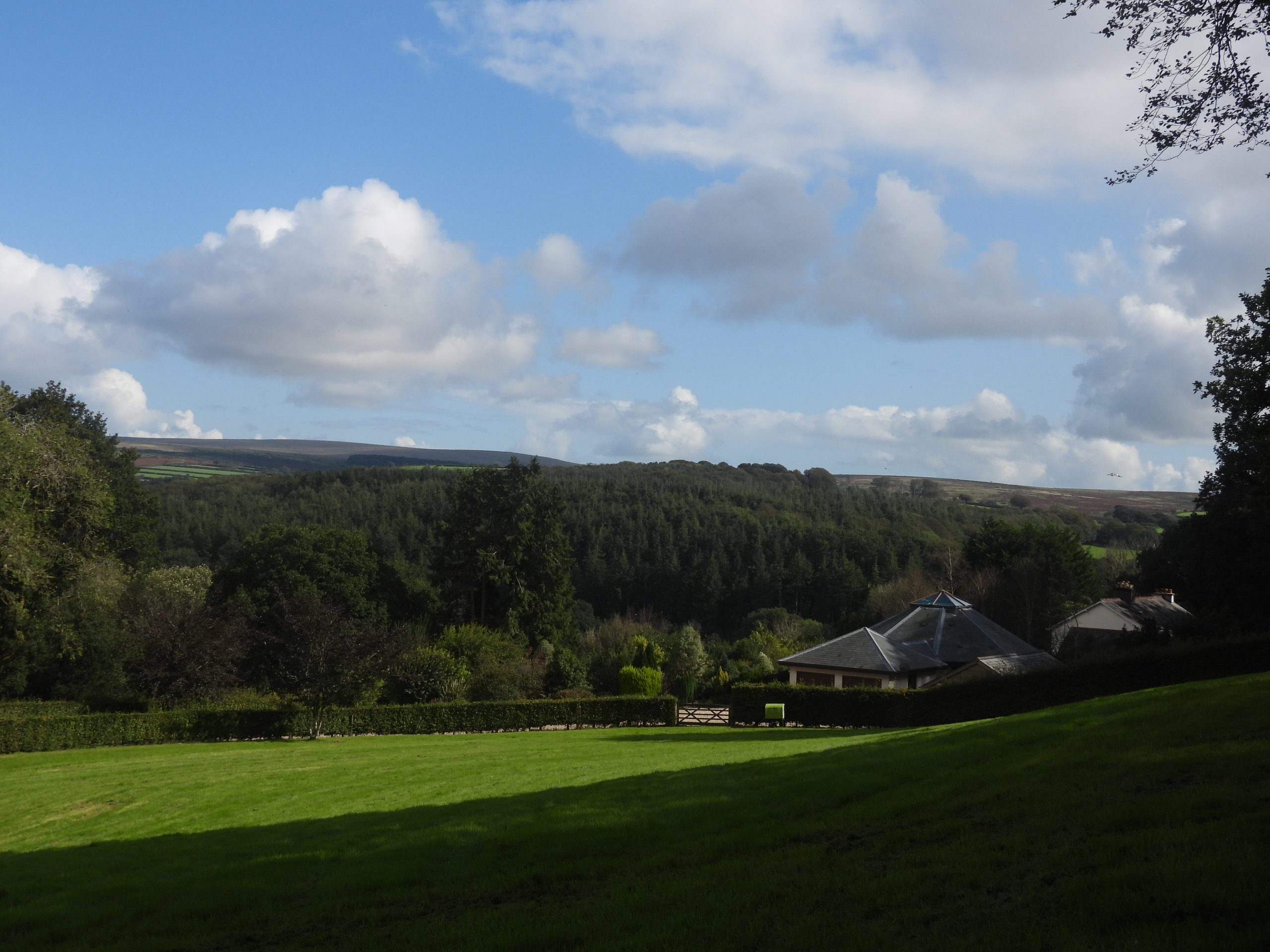
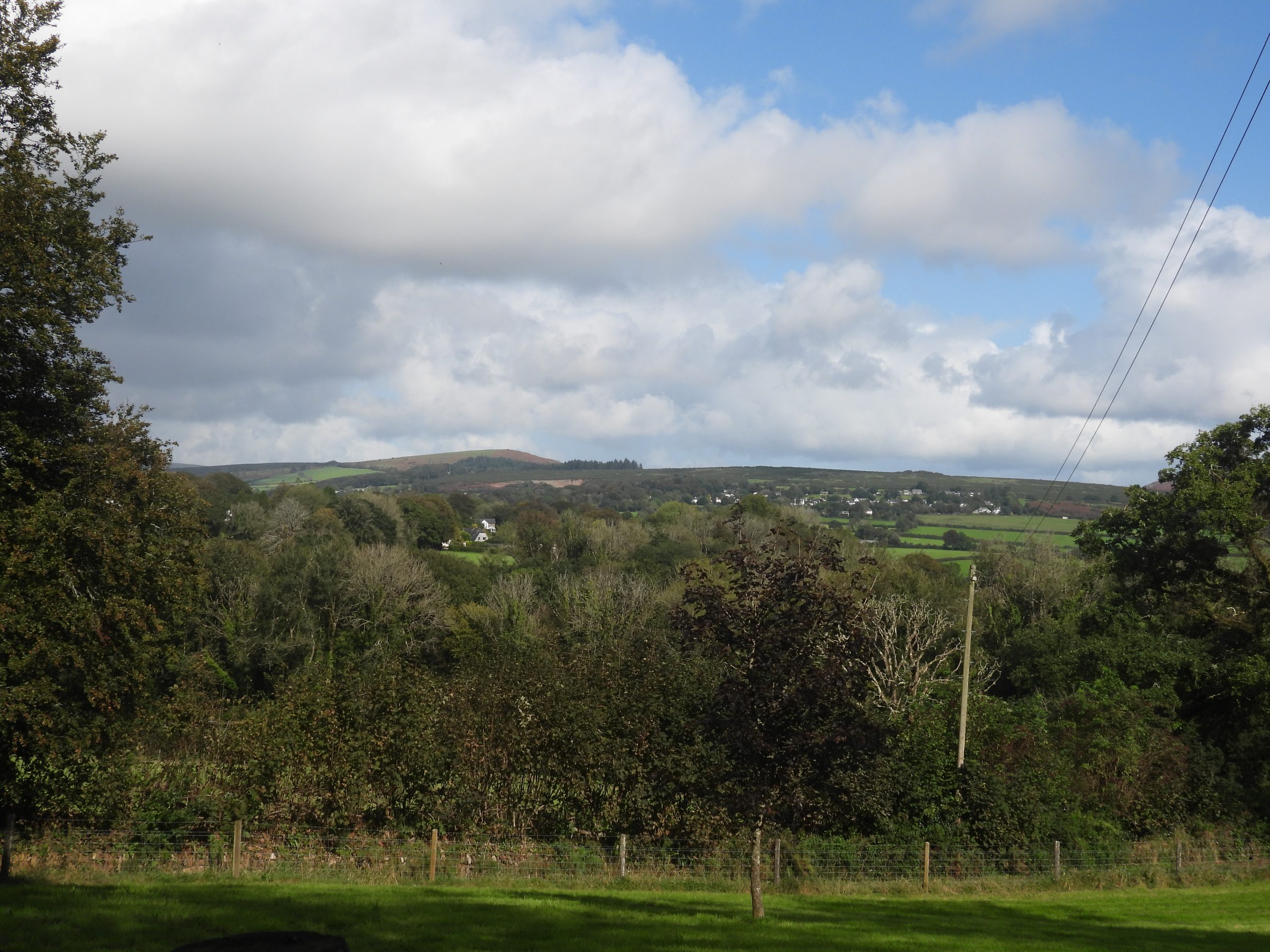
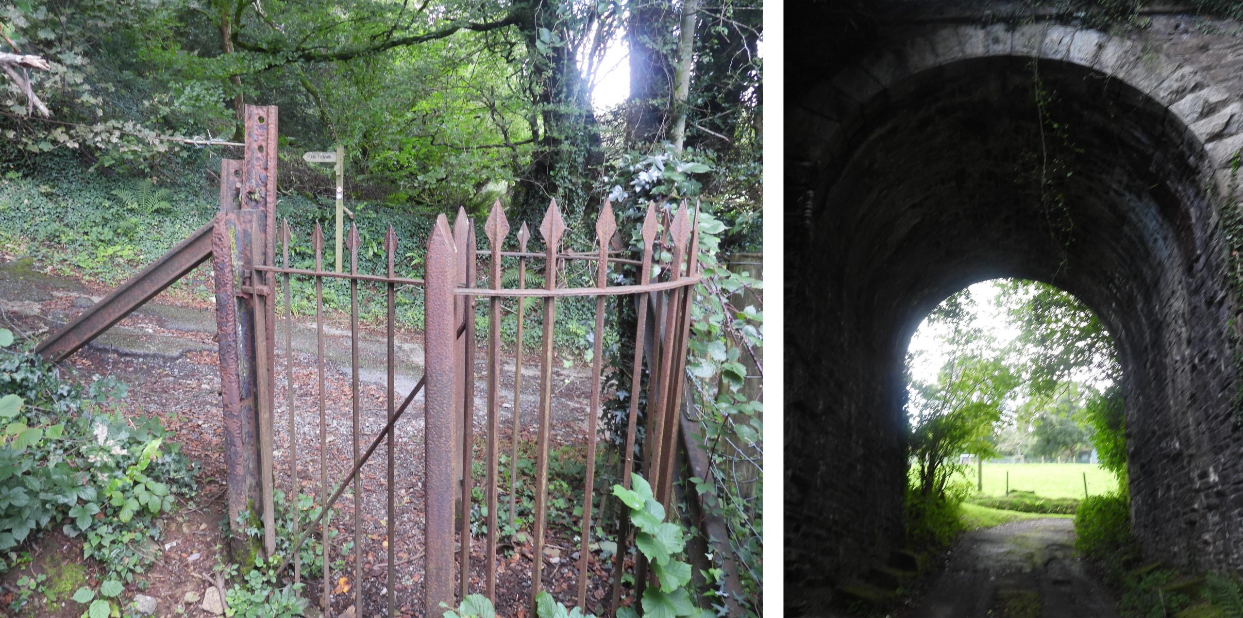
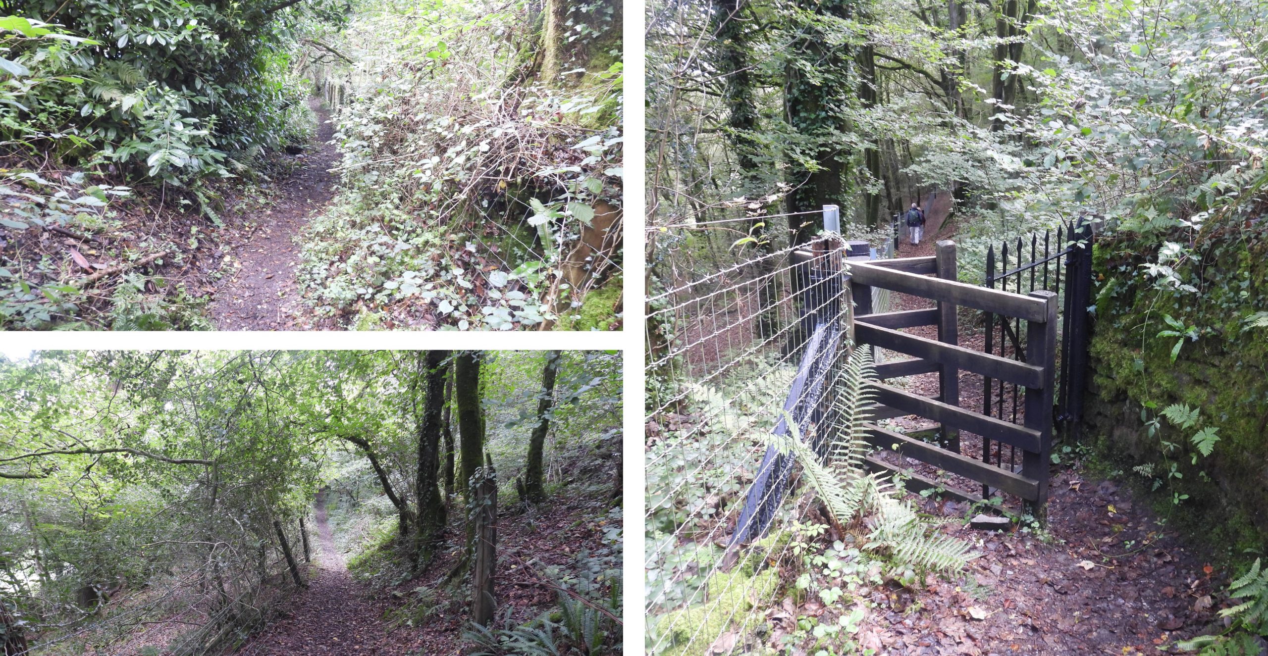
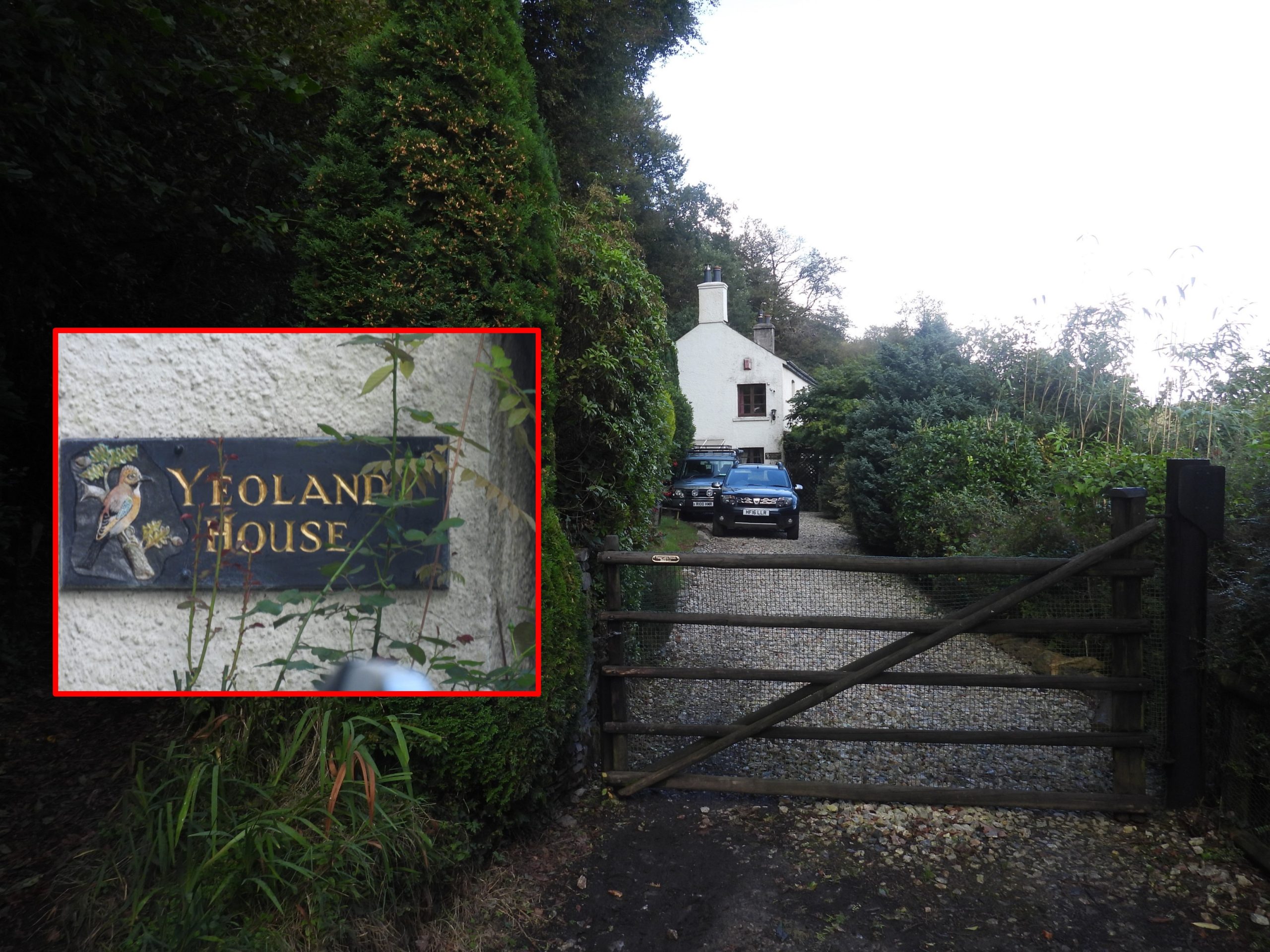
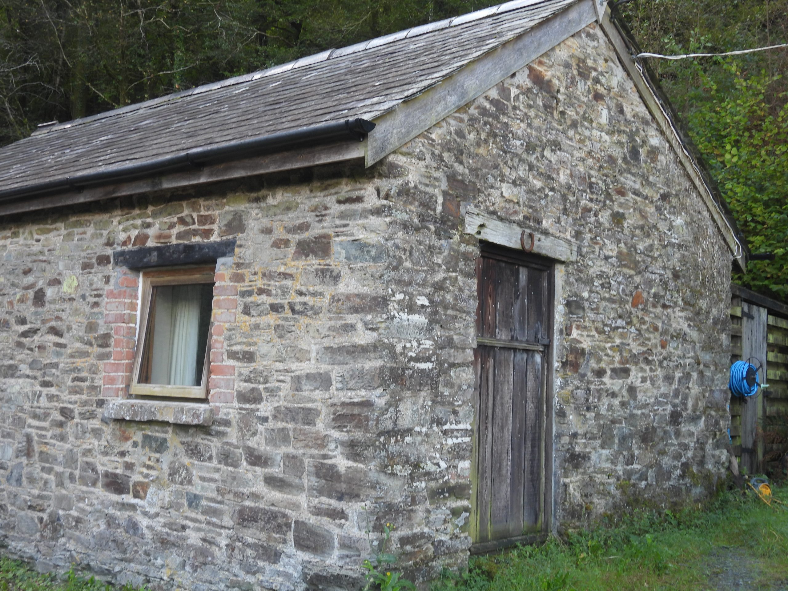
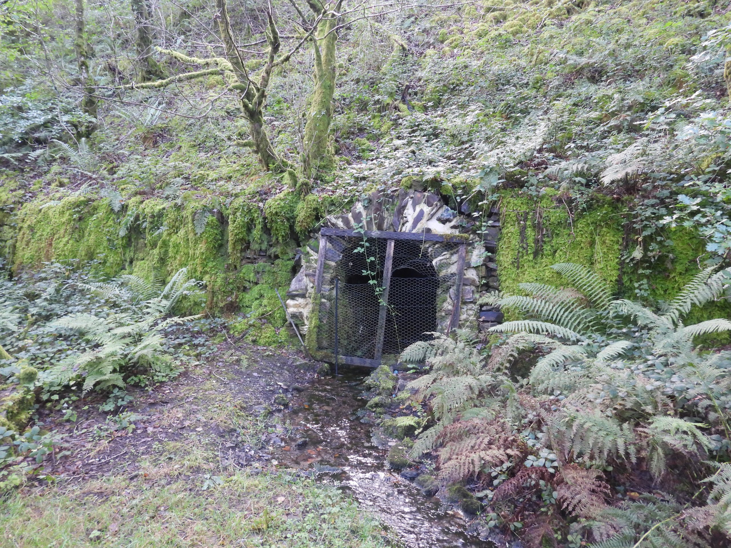
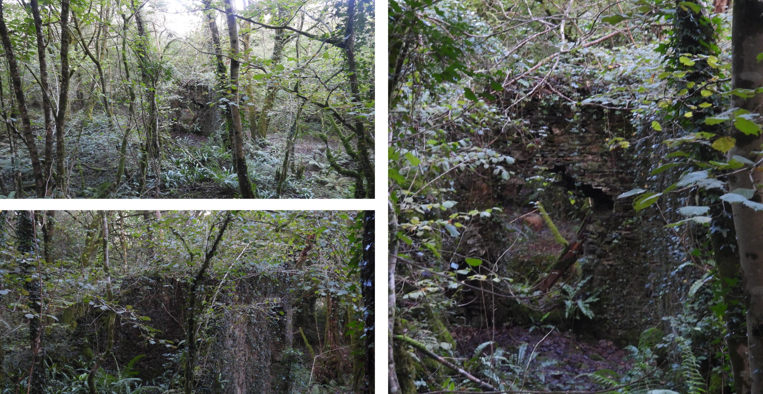
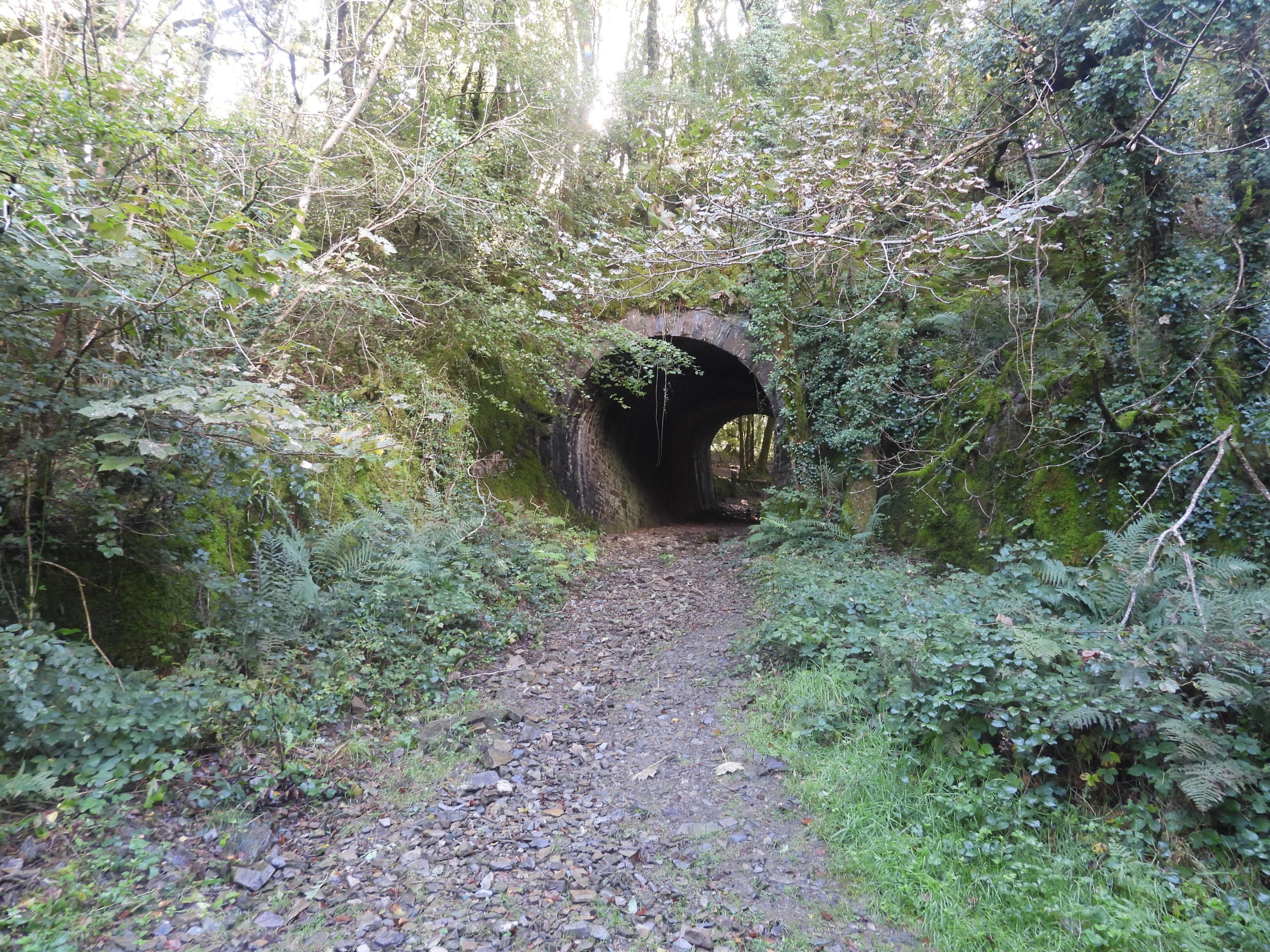
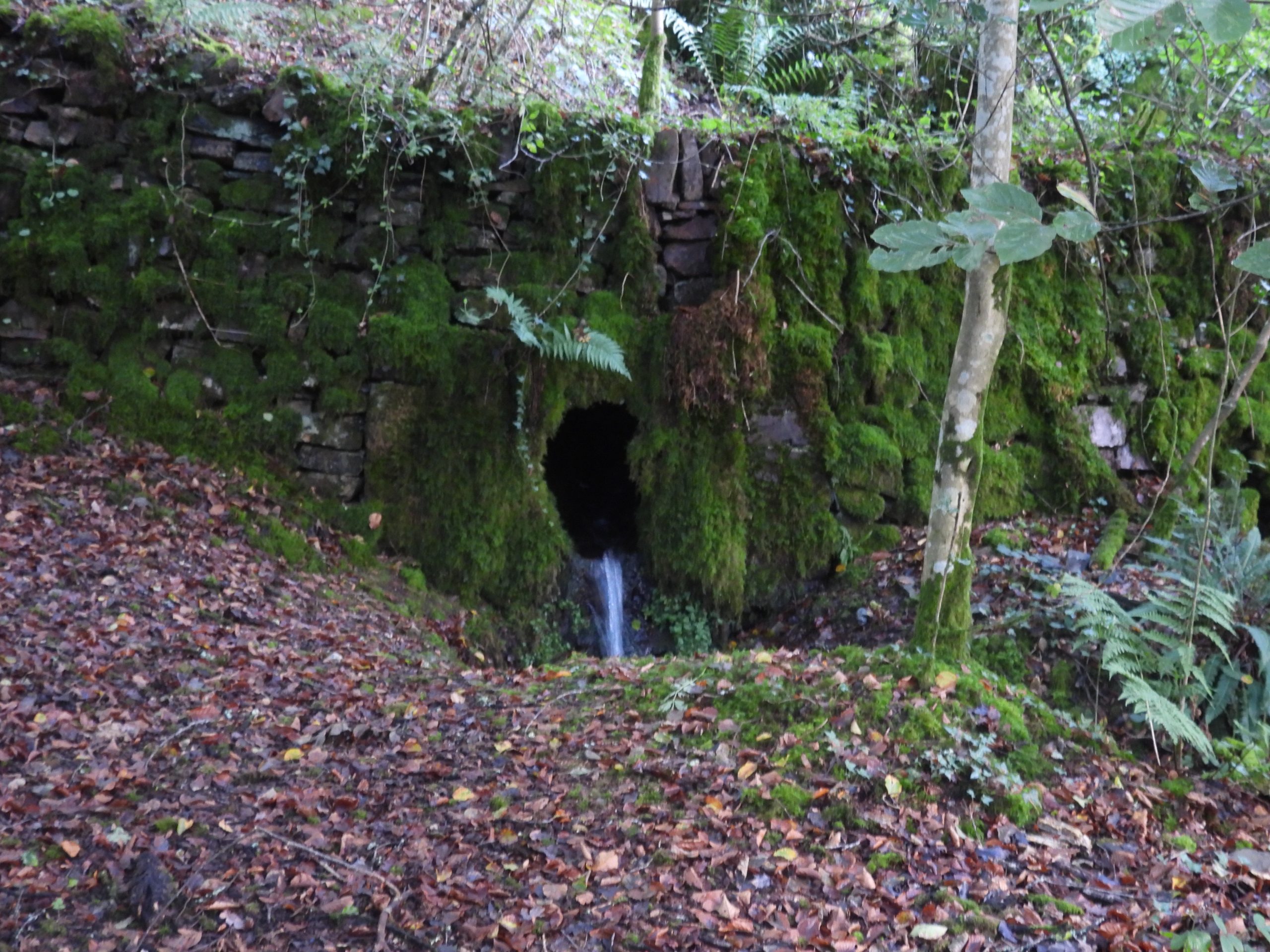
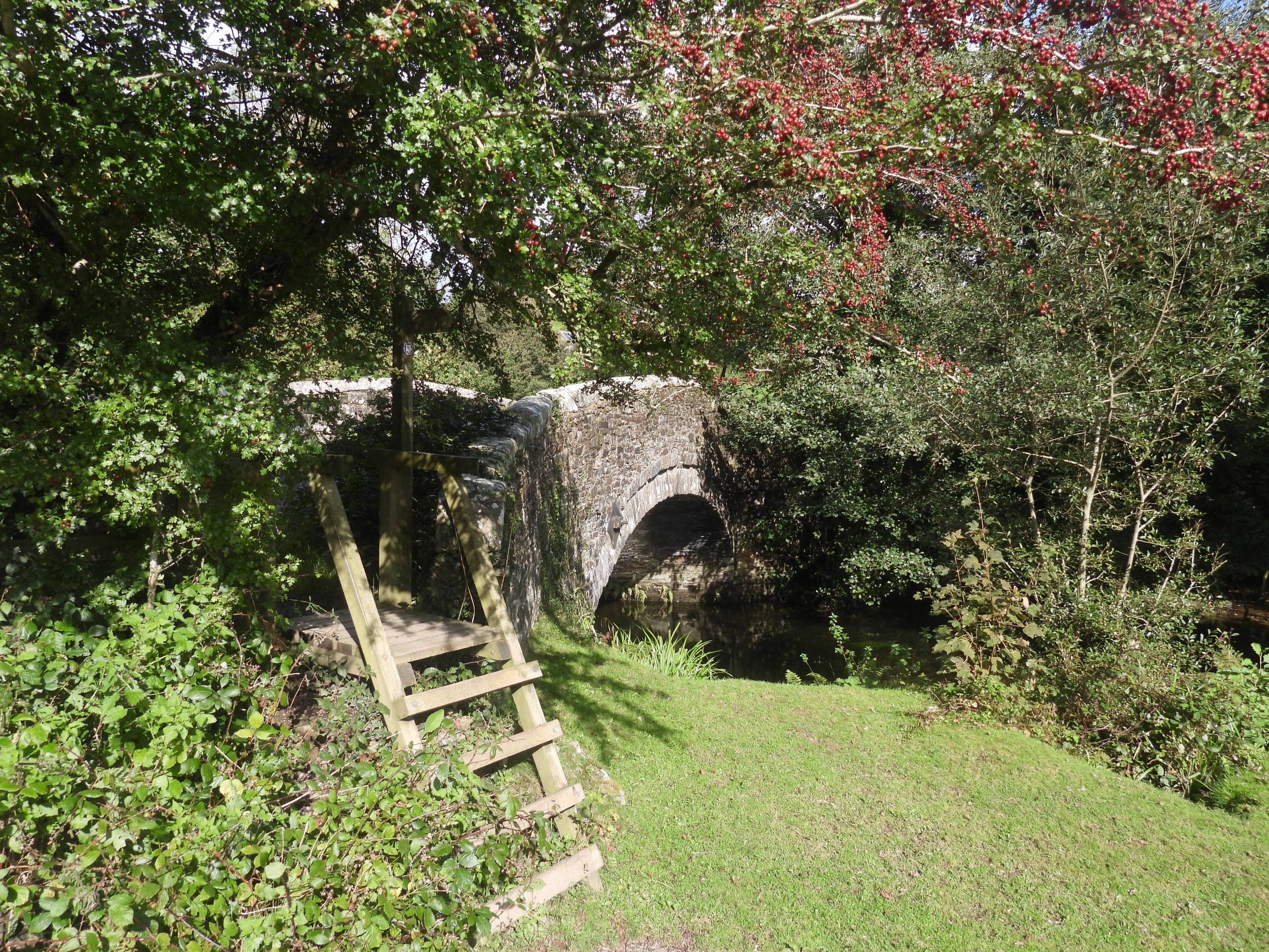
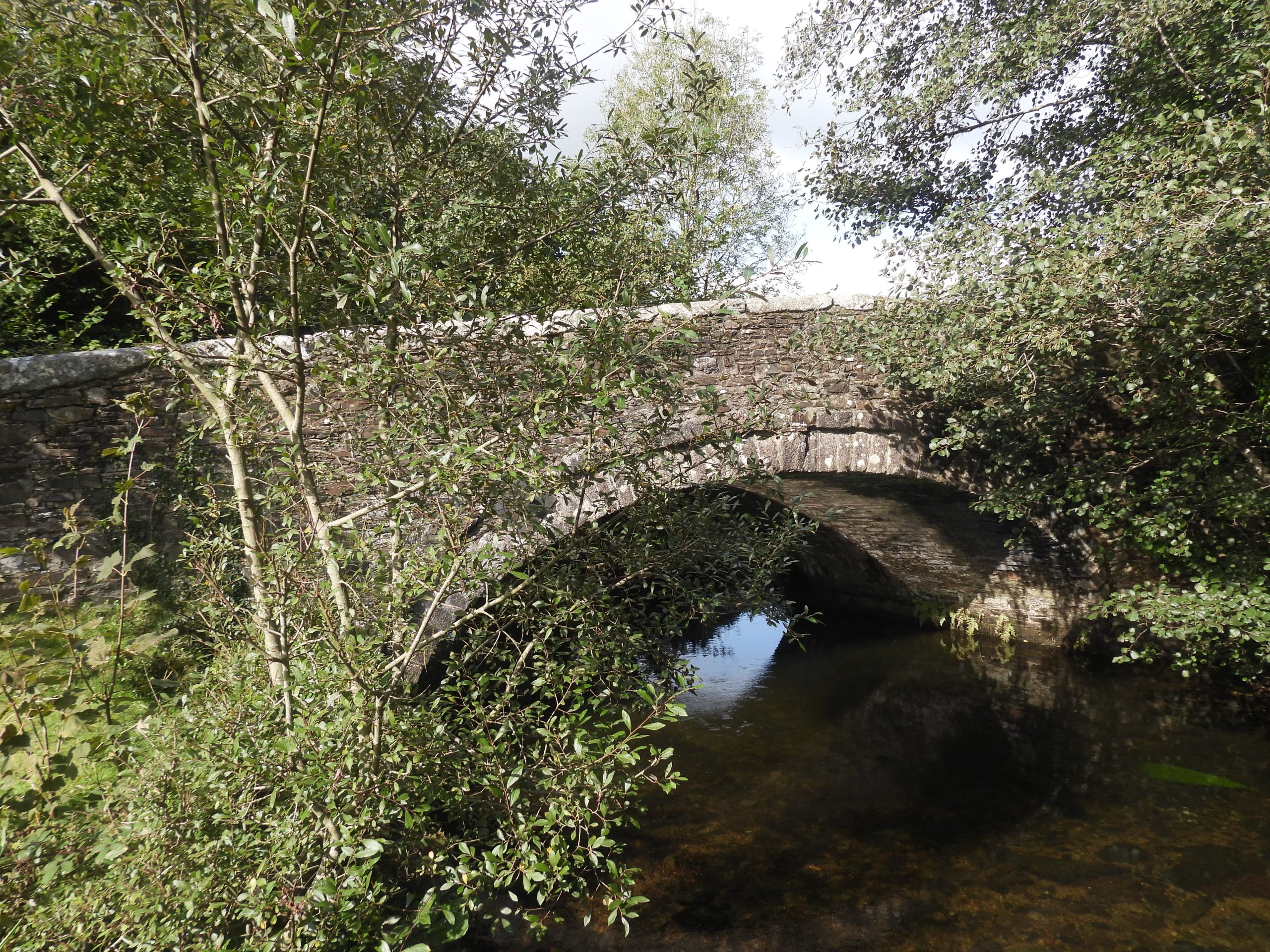
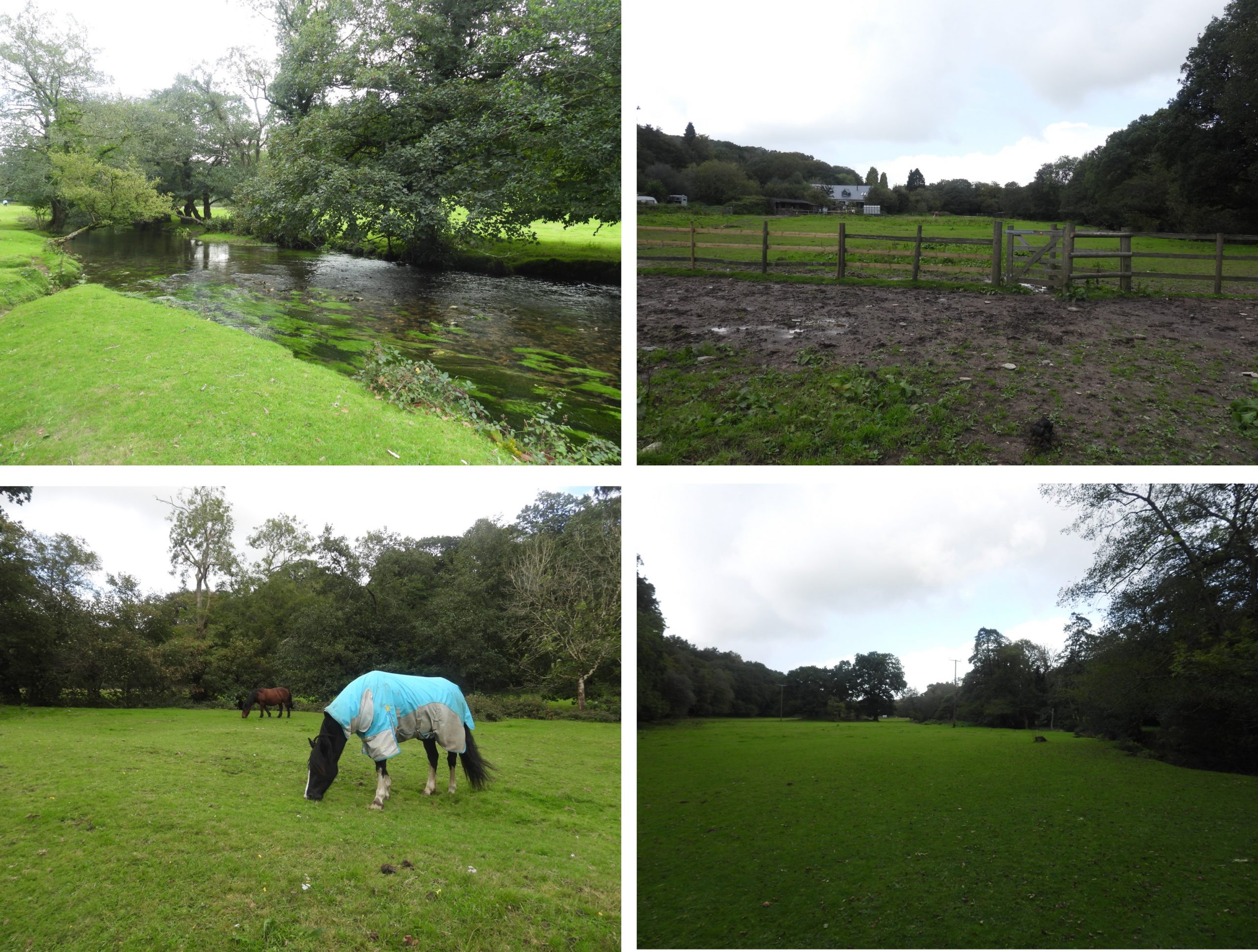
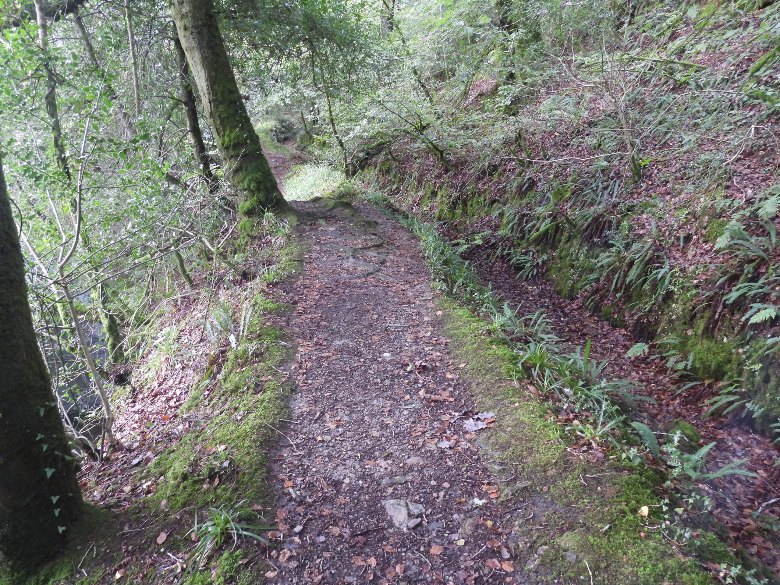
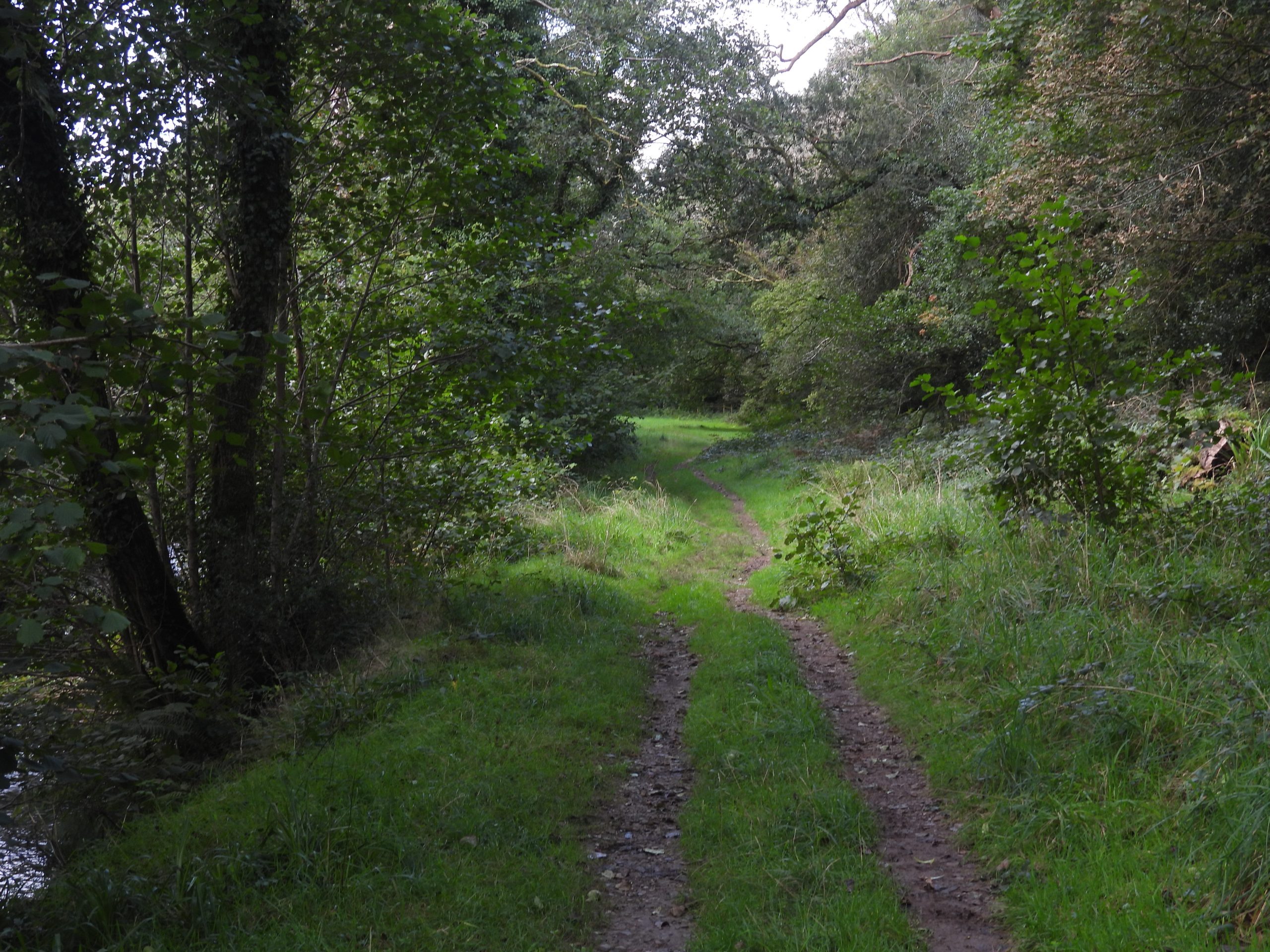
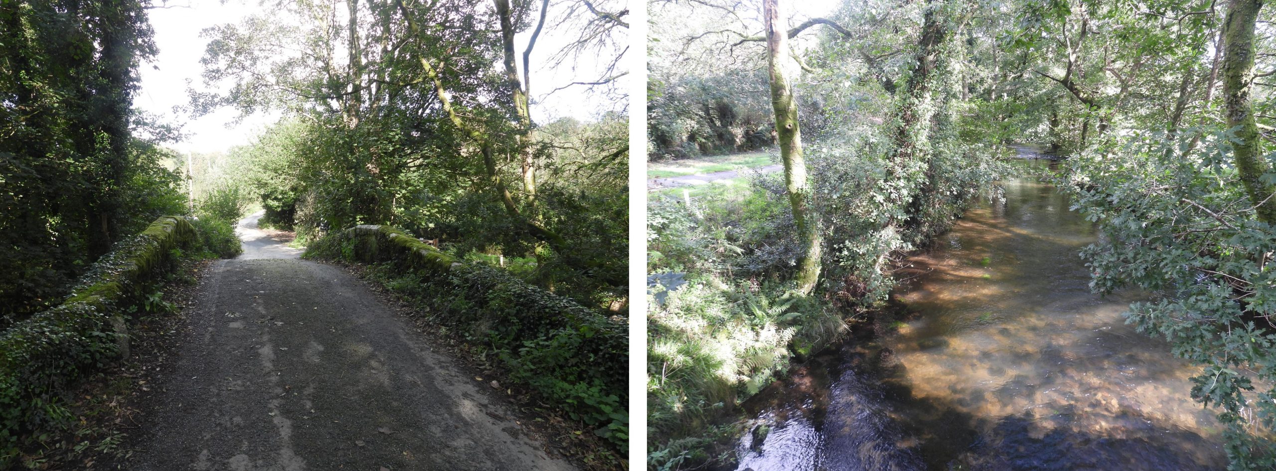
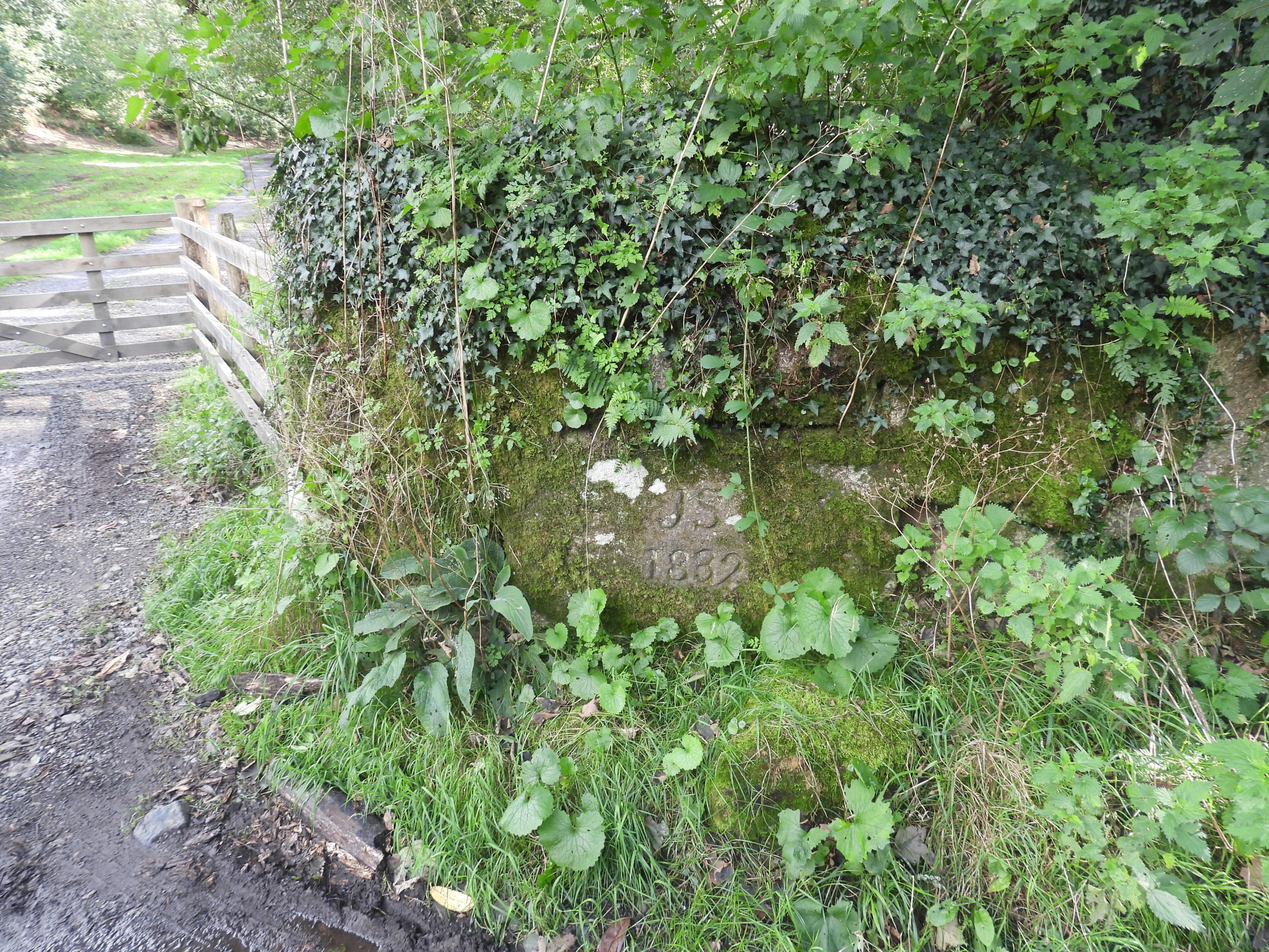
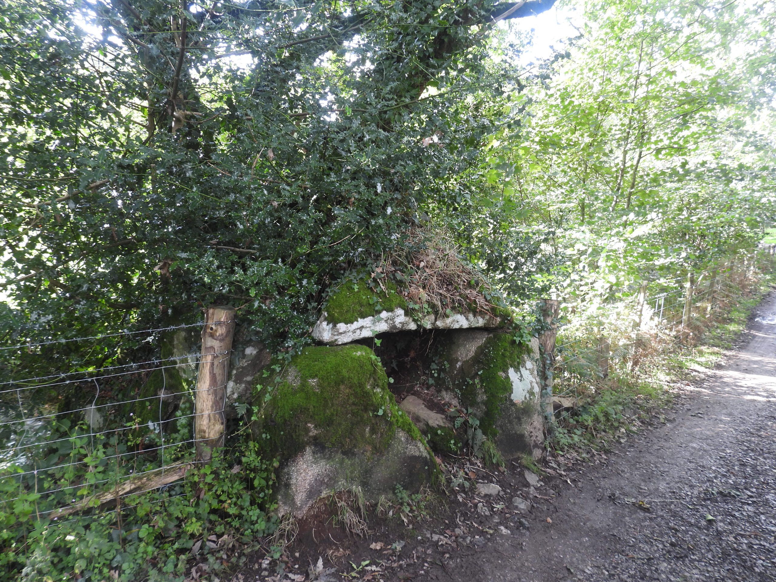
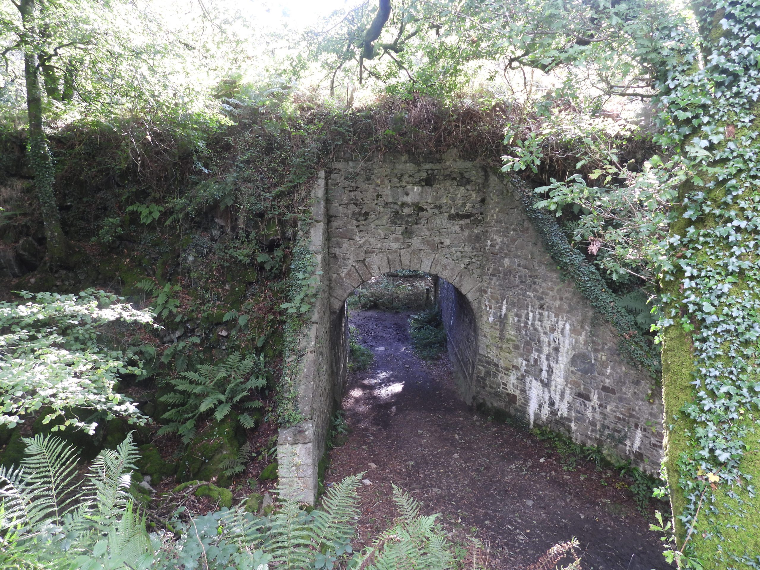
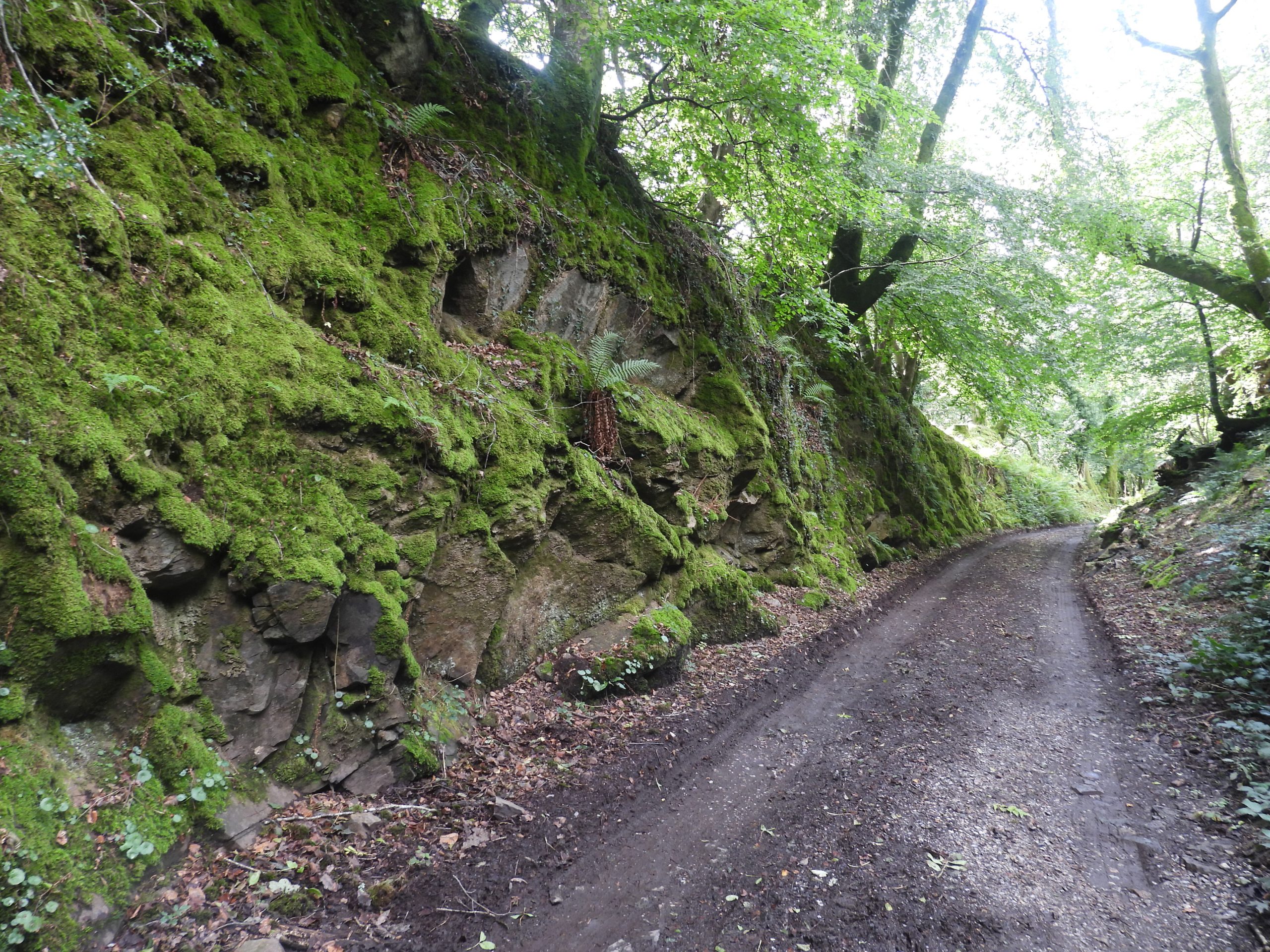
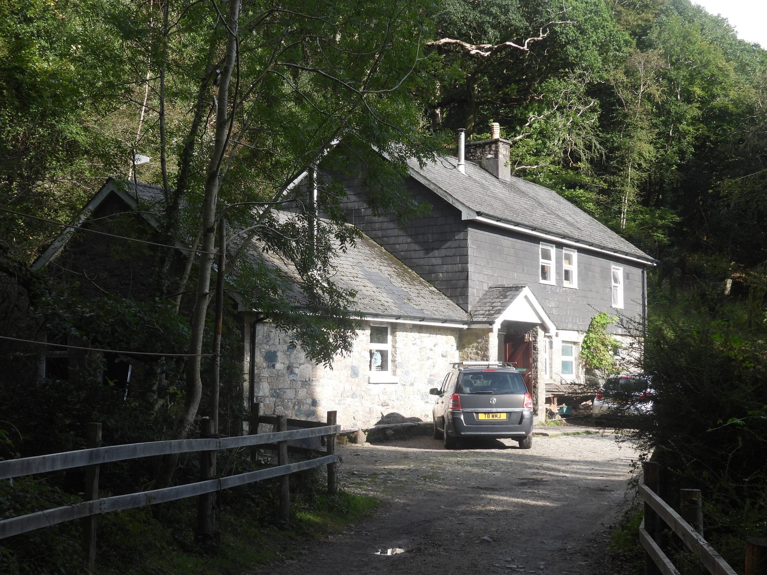
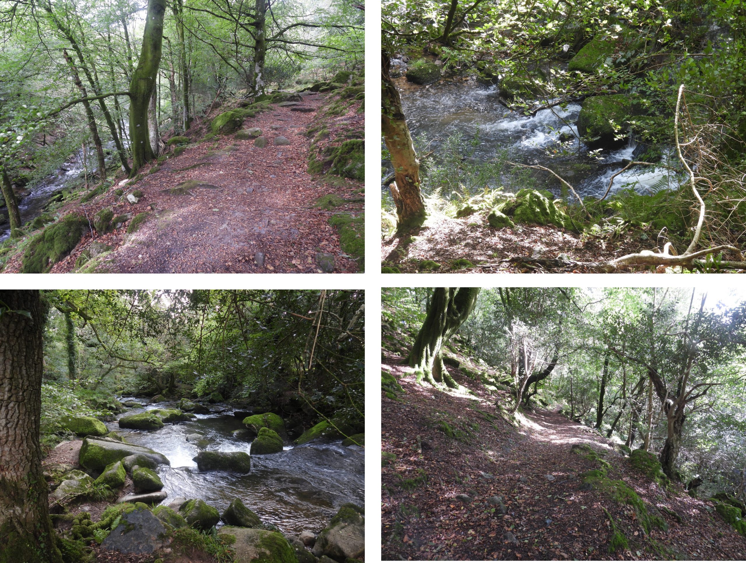
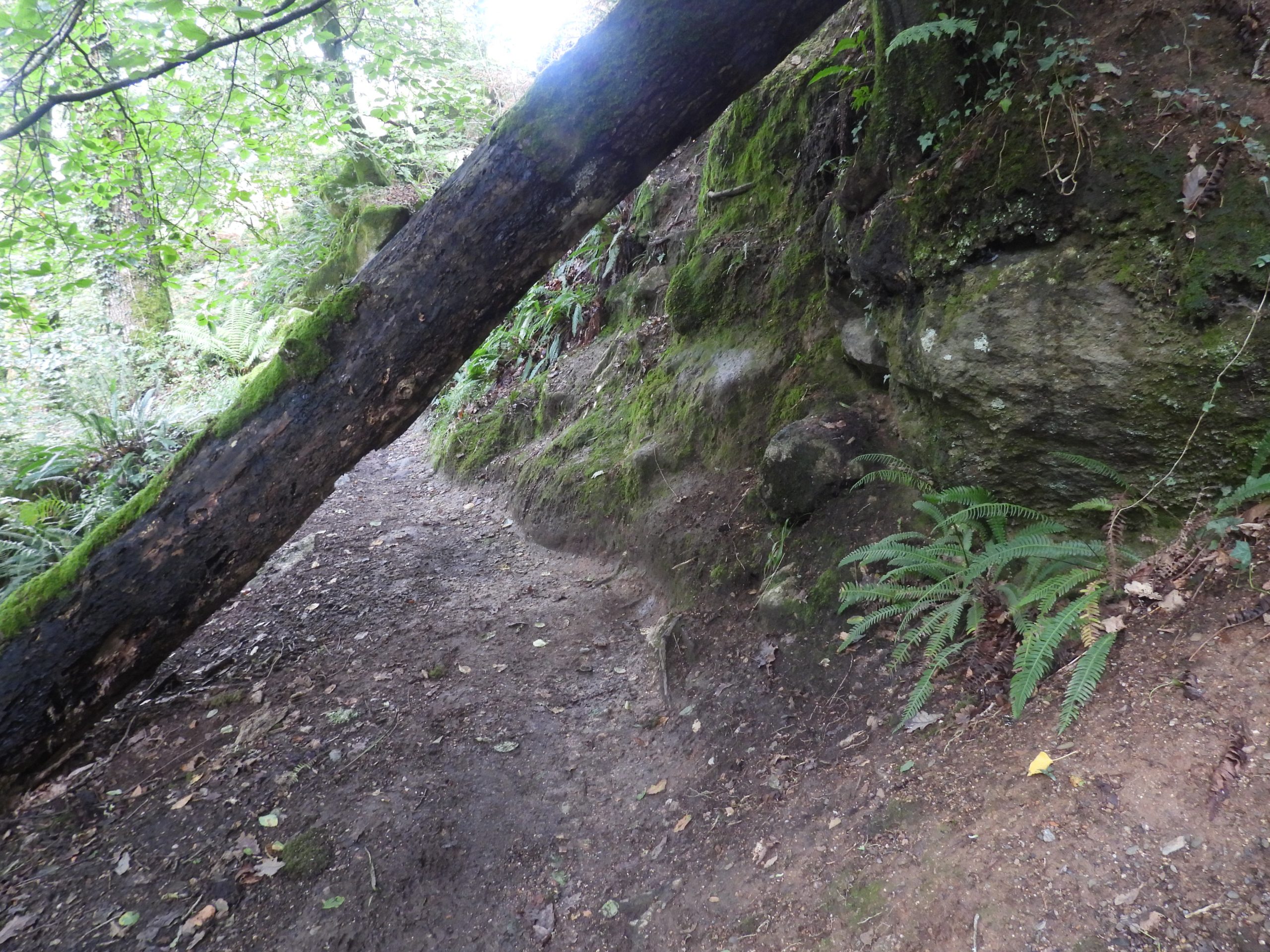
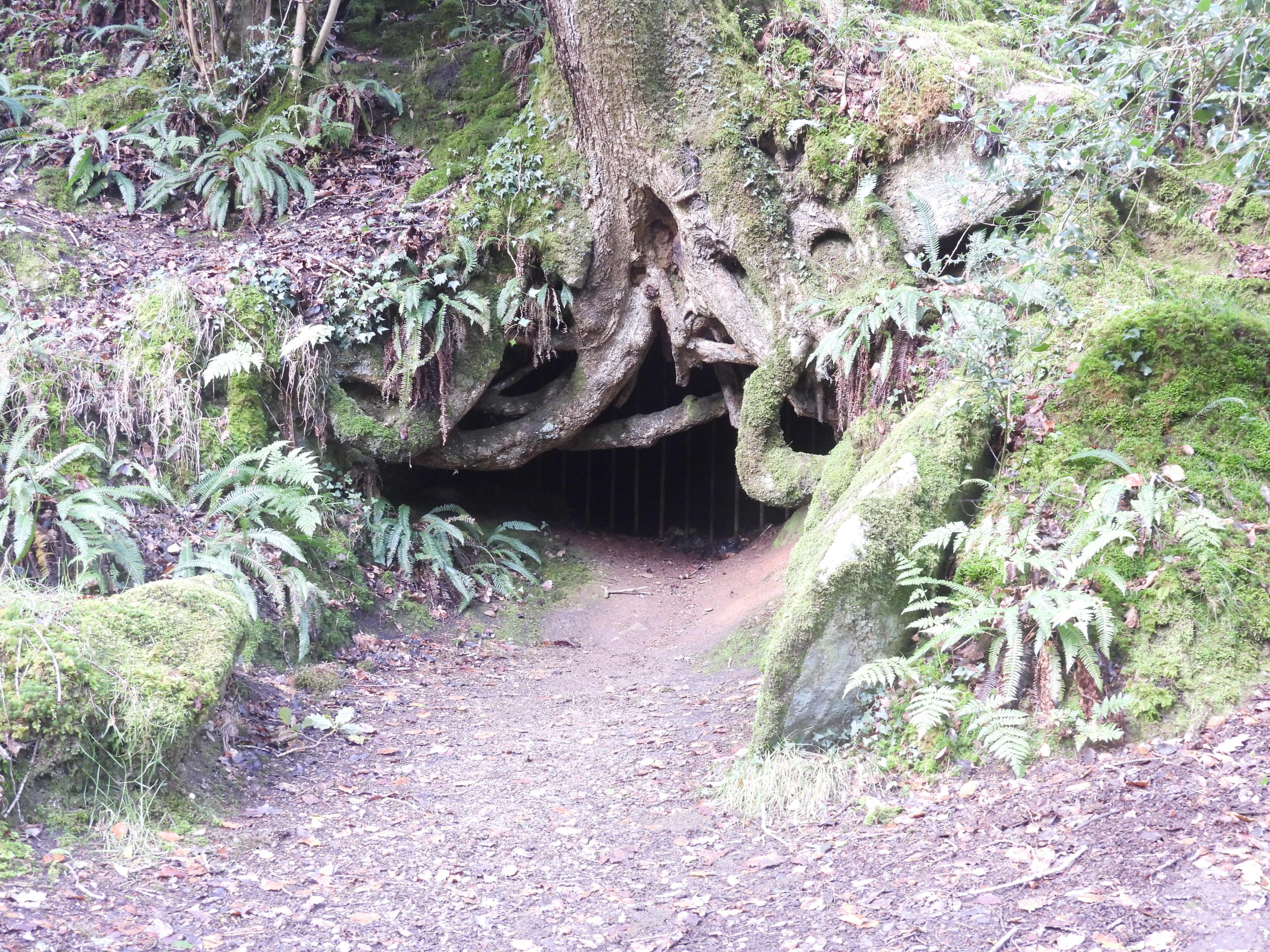
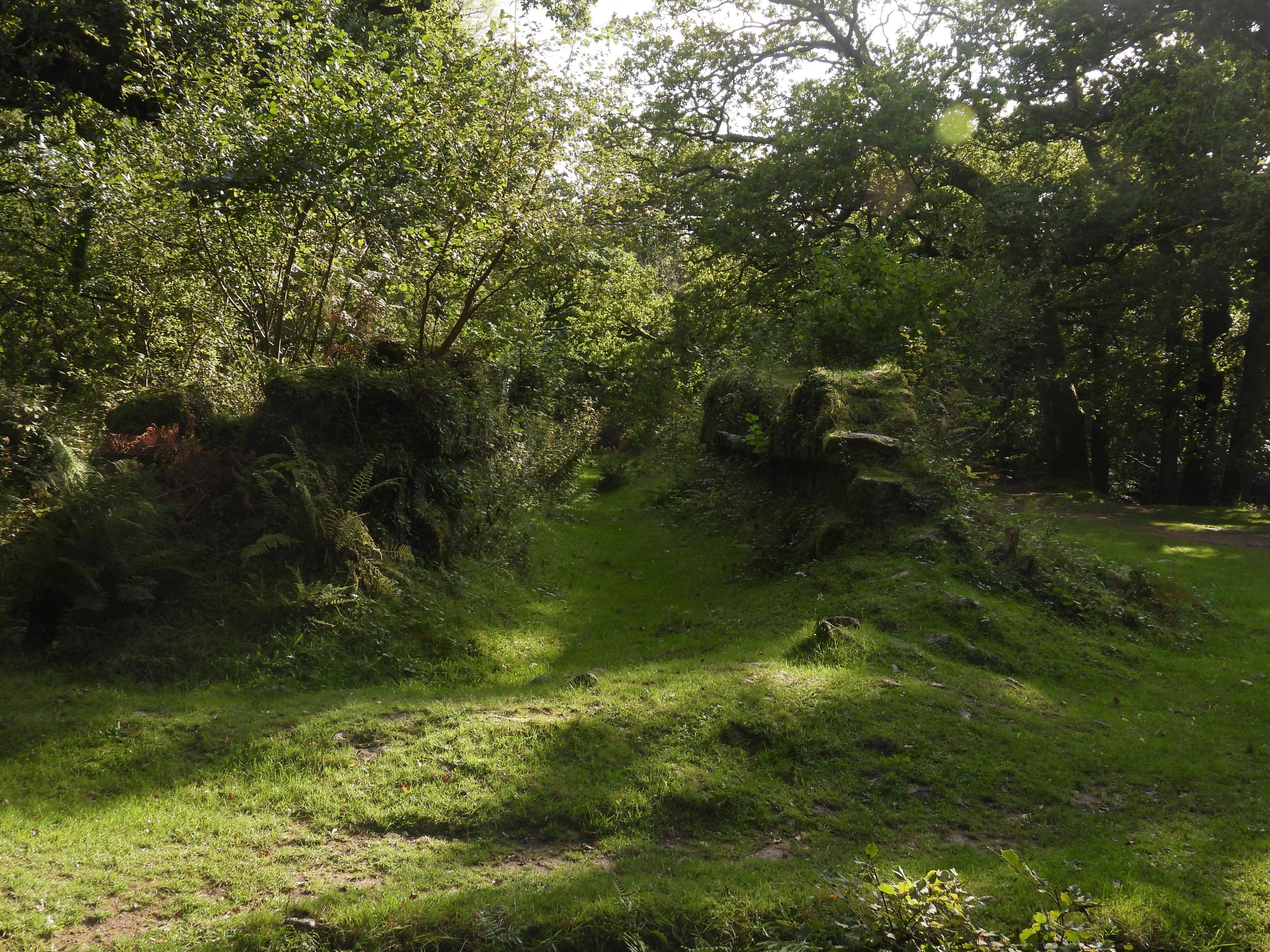
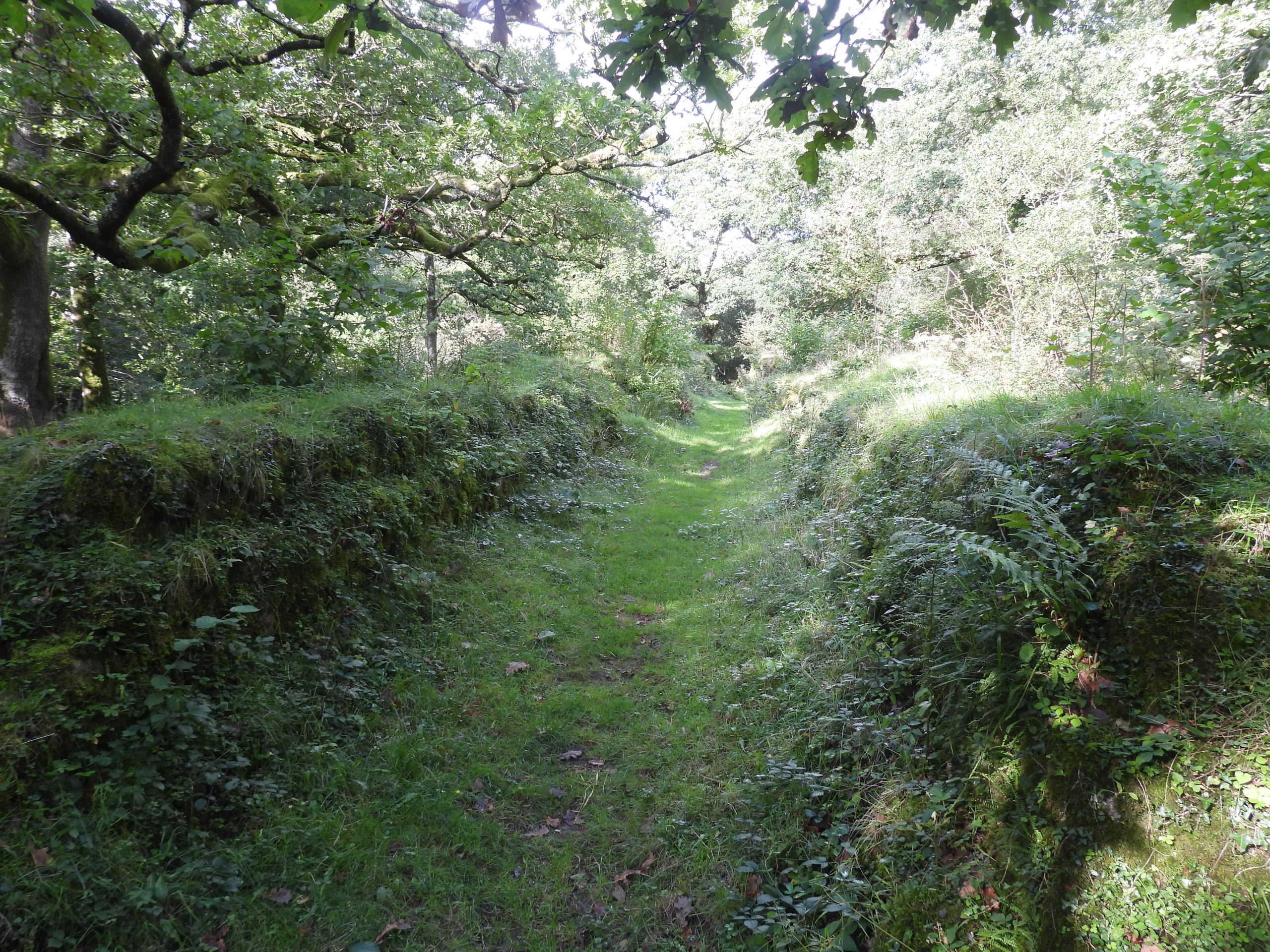
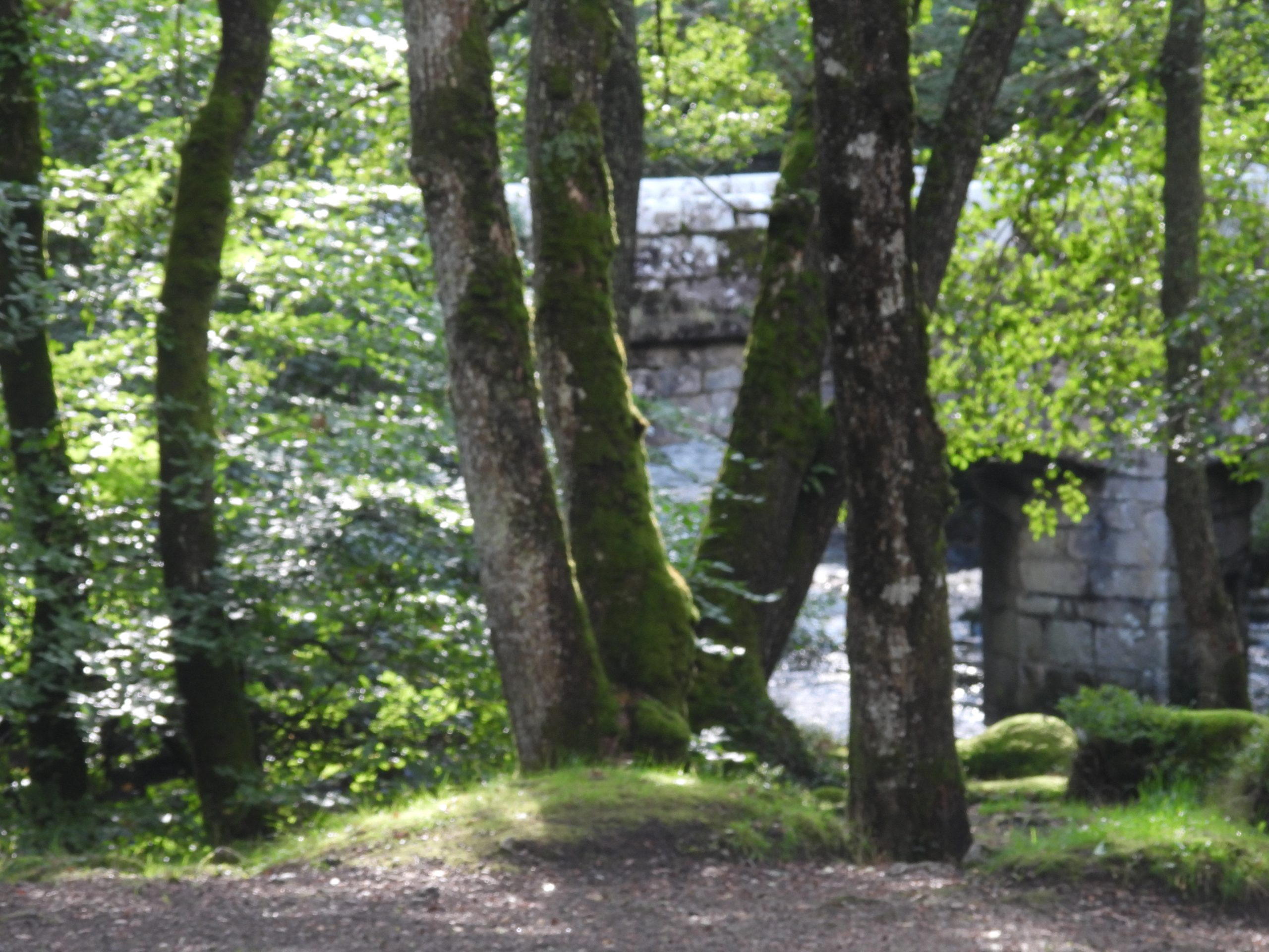
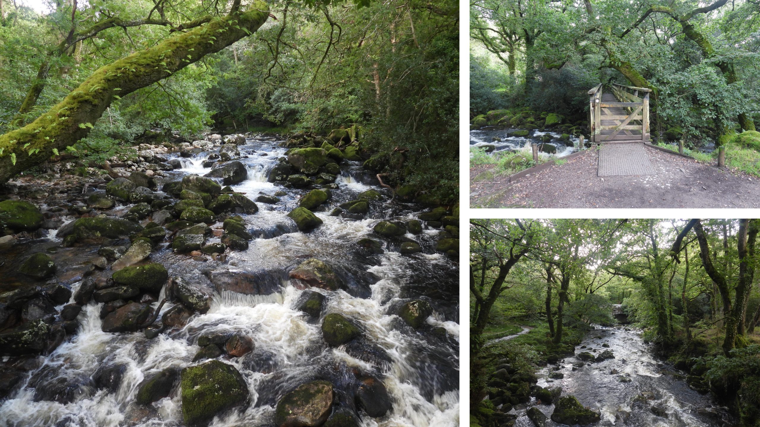
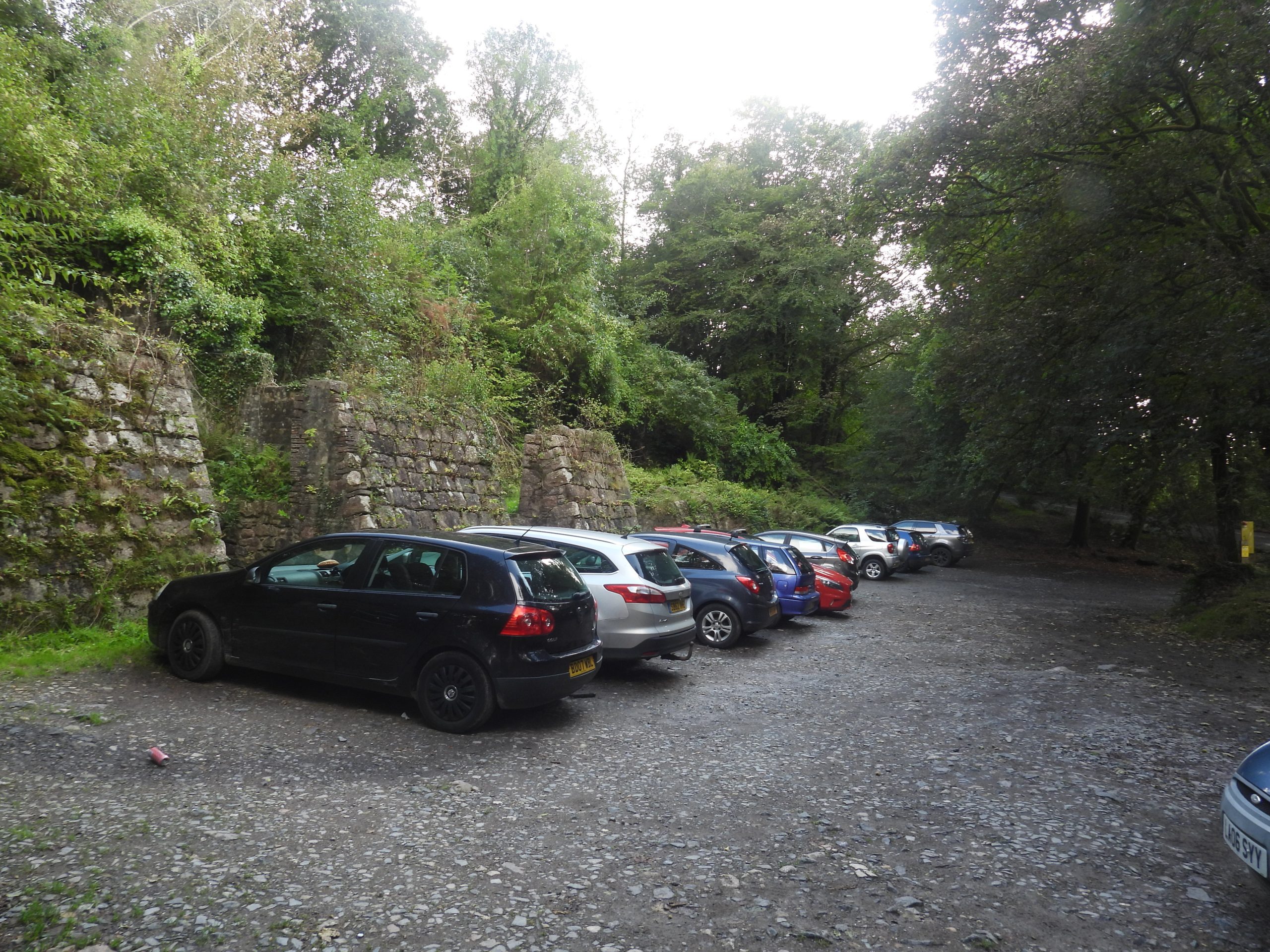
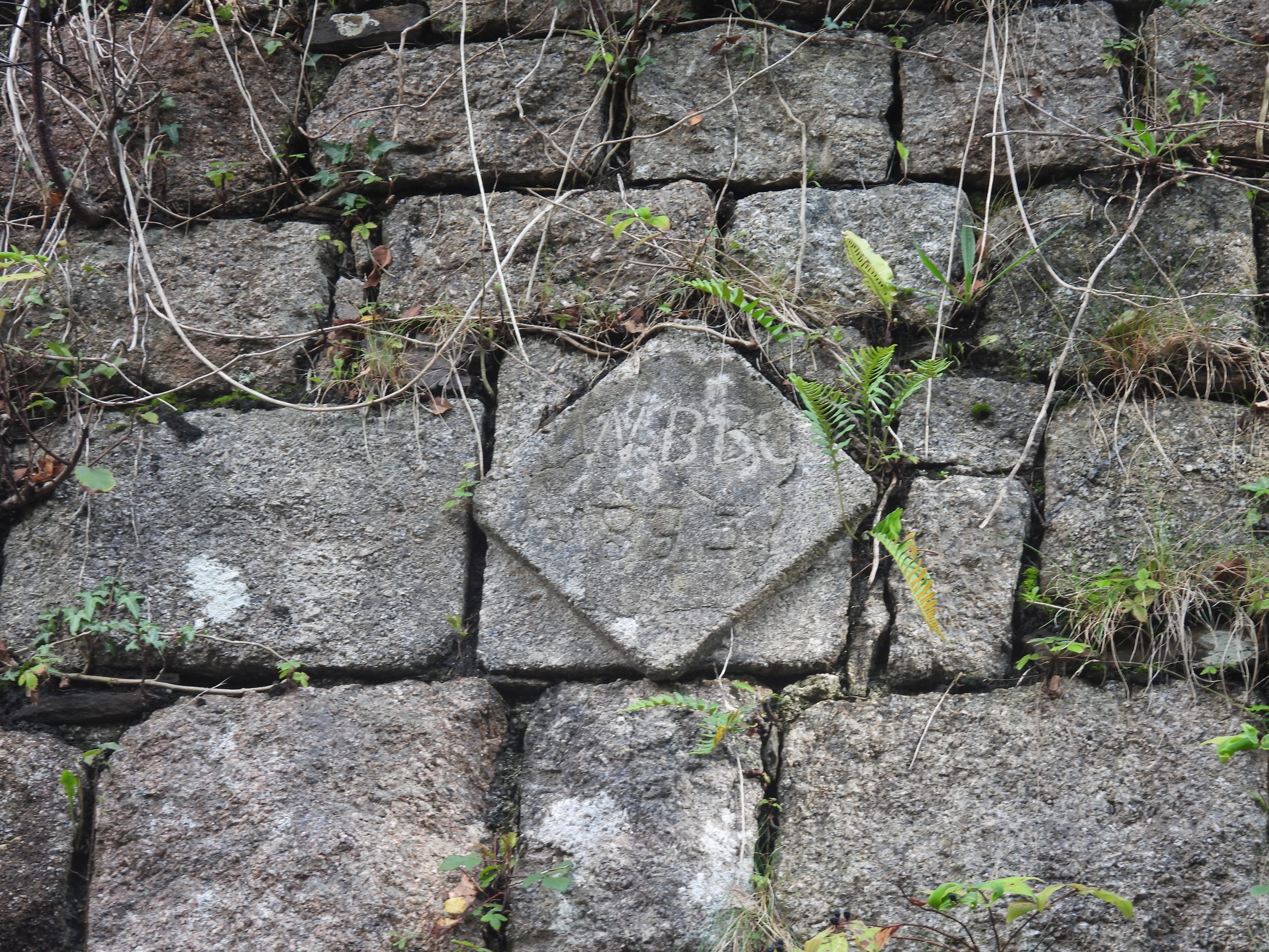
Sign at the start of stage 9 of the Dartmoor Way providing information on the town. Note the Dartmoor Way arrow on the supporting posts of this sign.Stage 9 follows St John’s Avenue, a broad tarmac way that parallels the River Tavy. At the beginning of this tarmac way (as recorded on the Heritage Gateway) there are two short lengths of cross shaft which stand in the ground at the base of a wall. The Heritage Gateway records: “Fragment ‘A’, nearest the road, is slightly tapered with chamfered edges, and its top is rounded off. Fragment ‘B’ has hollow chamfered edges and a hook secured in its top”. The fragments are located at SX48235 74280 and SX48233 74275Part of the Abbey weir, which was constructed in 1804-5 to provide water for the canal.There is also a salmon ladder here which was reconstructed in around 1891.Entering Benson Meadow. This area of land was purchased for the town in 1928.St. John’s Well, in Benson’s Meadow has been suggested as being probably the spring referred to by Mrs Bray in 1836 in ‘The Borders of the Tamar and the Tavy’ (3 vols.). The well is located underneath a natural cliff and steep revetment wall and comprises a granite arch set in front of the well. There is an inscription on the arch which is located at SX48006 74043Crossing the Tavy from Benson Meadow into ‘The Meadows’‘The Meadows’, became a public recreation area in 1898 after decades of lobbying of the various Duke’s of Bedford over a number of decades. The area was originally known as Jessop’s Hay when the area was used as pasture for cattle or for growing hay. It finally came into public ownership in 1912, after Herbrand, the 11th Duke so much of his property in Tavistock a year earlier.The way passes under the A386, where there is a fabulous mural painted by (or on behalf of) Tavistock PrimaryThe Tavistock canal was built between 1803 and 1817 under engineer John Taylor. It was built to connect Tavistock with the River Tamar at Morwellham primarily for transporting copper ore from the Mary Tavy mines. At the Morwellham end there is an incline plane to account for the final differences in height from the canal to the river. The canal was also used for slate, limestone, coal and other products. Bridge over Tavistock Canal. The canal is four miles long which includes a one and half mile tunnel. The Dartmoor Way leaves the canal shortly after this bridgeLovely signpost next to Langsford Park, home of Tavistock AFC. The author can recall playing football here in the late 80s / early 90s.Crossing the Tavy once more heading towards Brook LaneBrook House is believed to be from mid 19th century or earlier and was formerly known as Tavy Cottage.Tiddy Brook BarnEntrance to Brook FarmBrook Lane with views of TavistockWalreddon Lodge. The manor dates from 15th century, with various major build phases from 17th century onwards. The date of the lodge is unknownThe main gate to Walreddon Manor. At the junction of the short Walreddon Manor drive and Brook Lane, the is a ‘VR’ letterbox and a benchmark. The letterbox is at SX478801 71324Glimpse of Walreddon Manor.Higher WalreddonWest Down and views. There are ridge and furrow earthworks here, which probably are of medieval date.Near the car park on West Down. The tree was planted in 2022 to commemorate H.M Queen Elizabeth II Platinum Jubilee. It is located at SX47958 70825Descending the track into the Walkham Valley, this rock outcrop is passed. The outcrop does not have any historical provenance regarding a name. That said, it has been labelled in recent times as West Down Crags by the ‘Tors of Dartmoor’ group. The summit seen here, belies the actual size of the massive rocks below. More information can be found here: https://www.torsofdartmoor.co.uk/tor-page.php?tor=west-down-cragsBridleway junction (Double Waters, where the Walkham meets the Tavy, is down the right fork) but at this point the Dartmoor Way heads left, towards BuckatorThe track leading to BuckatorBuckator, which was once the mine captain’s house for the Bedford & Sortridge mine. An old leat once terminated near the property, which was used to feed water from the River Walkham to drive a 30-foot water-wheel (to power flat rods up the hill to West Down , where there was a shaft). Ref: Dartmoor Tin Research GroupBelow Buckator, the Dartmoor Way follows the footpath next to the River Walkham. This is a delightful section of this fast running river. Exposed beech tree rootsSlightly off the Dartmoor Way this adit and leat can be found. The adit (one of two in the area) is located at SX48446 70184. The leat leads from the Walkham to Buckator with the section of the leat shown in the photograph being extended in 1853. The author believes before the leat extension, it would only have reached an ore-processing complex to the east. Views of Raven Rock. The leat previously mentioned passes at the base of this huge non-granite tor. William Crossing and Mrs Bray provide some provenance to its name. More information can be found here: https://www.torsofdartmoor.co.uk/tor-page.php?tor=raven-rock-walkhamClose to Raven Rock is an ore-processing complex. It is difficult to discern in photographs as the 6 roomed complex has trees now growing on the site. The complex is believed to date from pre-1850 (as there are no buddles).It is believed that this complex may have been used for roasting/burning tin ore to remove arsenical and other impurities (there is a flue evident here).To the east end of 6 roomed complex is a long retaining wall with a levelled terrace. Its former use is unknownChimney of the disused Westdown Copper Mine at SX48791 70540. The valley appears to have been mined for both copper and tin in the 19th century. The mine was set up by the West Downs Consolidated Mining Company in 1847 but the venture failed and was closed in early 1852.Continuing east along the Walkham valley, the track is located next to the riverThe track alongside the river looking westThe track passes this very tall revetment, which is located near a quarry. Lower Grenofen, which is a wedding venueLower Grenofen trough which can be found in the lane In the lane leading down to Grenofen Bridge (from Grenofen Cross), there is a ‘C’ (county) stone. It is unusual, insofar as it is further away from the bridge than is the norm for these stones. This one is located at SX49022 71063Path leaving the Grenofen Bridge areaApproaching Gem Bridge along the Tavistock branch of the former GWR line. The track opened to Tavistock on 22nd June 1859 and closed 31st December 1962. There is some stone work and granite blocks next to the track as Gem Bridge is approachedThe new Gem bridge across the Walkham was opened in 2010. The original Grenofen viaduct (of which part of the piers remain) was designed by Isambard Kingdom Brunel and erected between 1856 and 1859. After the railway was closed in 1962, the bridge was partially dismantled before it was finally demolished in 1965. The new “Gem cycle bridge” was opened in 2012 for cyclists and walkers. Its design references Brunel’s original timber viaduct. View from Gem Bridge. Walkhampton Church, Peek Hill and Sharpitor can be seen in the photographScrew Bridge crossing the trackThe bridge is a splendid construction. Above just a path crosses overBox by the track. Was this originally a sand box used for track adhesion for both traction and braking ?Granite blocks next to the track when approaching Magpie ViaductView from Magpie Viaduct. The west end of Horrabridge.Magpie Viaduct. There is an interesting record in the Heritage Gateway which states: “Original viaduct built of granite and timber in 1859 to design by Brunel. Rebuilt in 1902 in Staffordshire brick. The viaduct is 197.5m long by up to 19m high”. It is unusual for Devon, for such a construction being built from engineering bricksMore granite blocks next to a small clearing looking towards HorrabridgeLeaving the track, entering an area of housing. Note the Dartmoor Way signArea of the old Horrabridge Railway Station. There is some lovely signage herePony where the track crosses the road leading to Pound (and onto Crapstone and Buckland Monachorum)As the path ascends to Yelverton, there are fabulous views towards North Hessary and SheepstorSheep grazing at RAF HarrowbeerLate flowering rhododendron next to the pathMemorials around Leg o Mutton. The Memorial (granite) is for RAF Harrowbeer dated 15th August 1981, the fortieth anniversary of the opening of the Station. The brass plaque is on a bench (where the author took lunch) and is in memory of John Harold Parbury. Yelverton, where a minor deviation was taken to visit the Rock Inn. The milestone in the picture is inscribed “PLYMOUTH 9 MILES / PRINCETOWN 6 MILES”Back to the Dartmoor Way after refreshment. The path follows the old Plymouth Leat which was constructed between 1589 and 1591 under the supervision of Sir Francis Drake. The ‘take off’ head weir was on the River Meavy (now under Burrator Reservoir). The leat was 17 miles long to the city of Plymouth. The path leaves Plymouth Leat and passes alongside a second leat (Devonport Leat). Next to Devonport Leat (and crossing it) was the Plymouth and Dartmoor Tramway (Opened in 1823 and used mainly to transport granite). Devonport Leat was constructed from 1795-1802 to supply water to Plymouth Dock (known as Devonport after 1824).Granite setts from the Plymouth and Dartmoor Tramway. Most of the rails were removed in 1916 but the one in the picture may be an originalThe Dartmoor Way leaves Devonport Leat and turns north east towards Elford Town Cottage and Hoo Meavy beyond.Elford Town Cottage. There are two concrete statues here (a gnome and a man on a bench)Fungi next to Elford Town CottageDescending towards the old railway line and Meavy valley. The building is called the Coach HouseView of DouslandThe Dartmoor Way passes underneath the old Great Western Railway and through an old (railway) kissing gatePath to Hoo Meavy, which passes alongside Yeoland HouseYeoland House. There was a mine called Yeoland Consols to the south which was worked for tin between 1851-1857. The author is unsure if the house was extant at the time of the mine. It may have even been a part of the operation.Barn next to Yeoland HouseA ‘culvert’ for a small stream built into the railway embankment, next to the Dartmoor Way. This ruined building between the track and the River Meavy was part of the Yeoland Consols mine, most probably part of the dressing floors complex. Tunnel through the railway embankment, beyond which lies Chubb TorA ‘culvert’ for another small stream built into the railway embankment, next to the Dartmoor Way. Hoo Meavy bridge over River Meavy. The bridge is 18th century and was repaired in late 19th or early 20th centuries.Crossing fields alongside the River Meavy, to the south of Hoo Meavy bridge.Leaving the fields the path runs alongside yet another leat. This leat is the Wheal Lopes Mine Leat and dates from 1819. The leat ran for 9km between Hoo Meavy bridge to the mine located at Hele Bottom. It was quite a feat of engineering insofar as at Knowle Wood it enters a stone lined conduit. It continues afterwards to an iron aqueduct crossing near Great Western Railway tunnel, which must of been built at the same time was the railway as it post dates the mine.Approaching Goodameavy bridgeCrossing the Meavy at Goodameavy BridgeAt the north east end of Goodameavy Bridge is an inscribed stone ‘JS 1832’. The initials are for a J.Scoble, a one-time landowner.Leaving Goodameavy Bridge and heading along the track to Dewerstone Cottage, this granite platform is passed. The reason for it is unknown.Below the track is a bridge / tunnel above which is an embankment which was intended to link the granite tramway (from Dewerstone quarries) with the railway across the Meavy. The link was never completed because a bridge would have needed to have been constructed across the river. However, permission to build across the River Meavy could not be obtained from the landowner (Maristow Estates). and they stated that they effectively owned the river. More information can be found here: https://dartmoorexplorations.co.uk/dewerstone-quarries/The track to Dewerstone Cottage The Dartmoor HER and the National Trust have recorded Dewerstone Cottage as an old Smithy and the old Managers House (both associated with the quarries). It was speculated that northern end was most likely the smithy and the southern end the managers house.Descending the track from Dewerstone Cottage to the MeavyTree fallen over the path. An adit, believed to relate to the northern shaft of the nearby iron mine. This is adjacent to the path near the Meavy. At Shaugh, there were two industries here, a iron mine and a brickworks. The principal surviving structure of the Shaugh Bridge brickworks is the now roofless remains of a kiln, which was a “Brogden and Casper” Improved Tunnel Kiln. The picture shows the structure of the north end at SX53355 63766. The kiln today measures over 50 m long but evidence suggests that it originally measured about 62 m long.The southern end of the kiln looking North. SX53328 63724. More information on the Iron Mine and Brickworks can be found here: https://dartmoorexplorations.co.uk/category/industry/ferro-ceramic/Glimpse of Shaugh Bridge through the trees where the Rivers Plym and Meavy meetCrossing the River PlymStage 9 ends at the Linhay / Cart Bays of the Shaugh China Clay Works. The works (processing complex) was built between 1870 and 1895 in three different phases and closed down in 1952. Extraction of china clay had began around 1860. More information can be found here: https://dartmoorexplorations.co.uk/shaugh-china-clay-works/On one of the granite piers has a date stone inscribed “WBBC 1895” . The date stone is located at SX53345 63628. WBBC stands for Watts, Blake, Bearne and Company and the date is believed to represent the time of an expansion of the works.