A collection of walks, discoveries, insights and pictures of exploring Dartmoor National Park
October 22, 2023
Dartmoor Way – Stage 10 – Shaugh Bridge to Ivybridge
This tenth stage of the Dartmoor Way is stated on the official website (dartmoorway.co.uk) as being 12 miles (19.25 km) starting at Shaugh Bridge and finishing at Ivybridge. The elevation climb is 1686 ft (514m), with the longest individual climb being from the Shaugh Bridge through to North Wood, overlooking the Plym Valley across to the Dewerstone.
This post of the tenth stage was recorded by the author as being 21.6 km (around 13.5 miles) in length, which included a minor deviation / side trips from the official route to the Cornwood Inn for refreshment. As with all other posts recording the Dartmoor Way, this post records historical features, shows pictures of some far reaching views, shows pictures of wildlife and shows pictures of points of interest – all photographs taken by the author along the route are annotated.
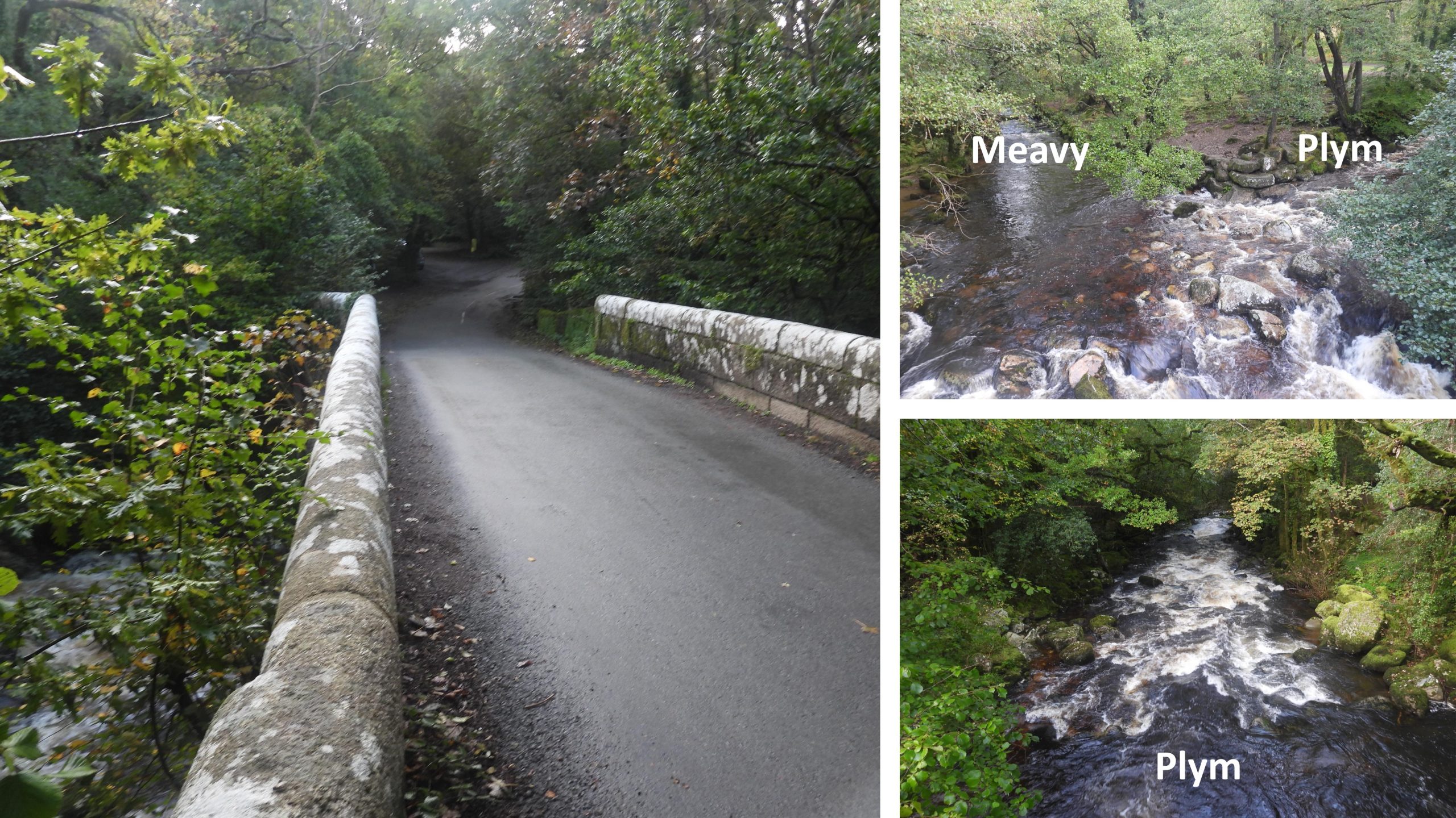
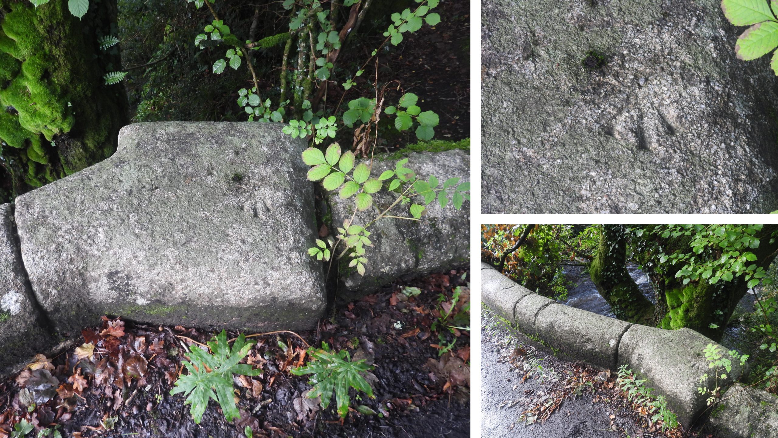
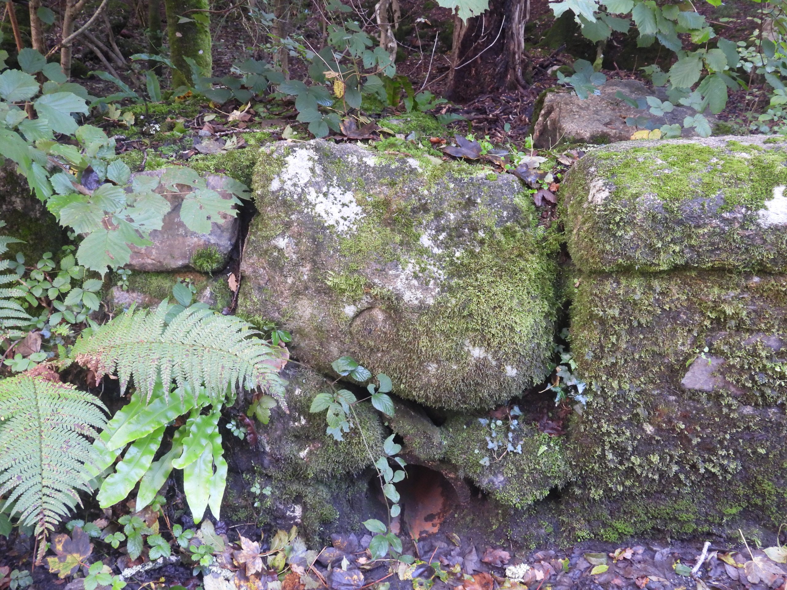
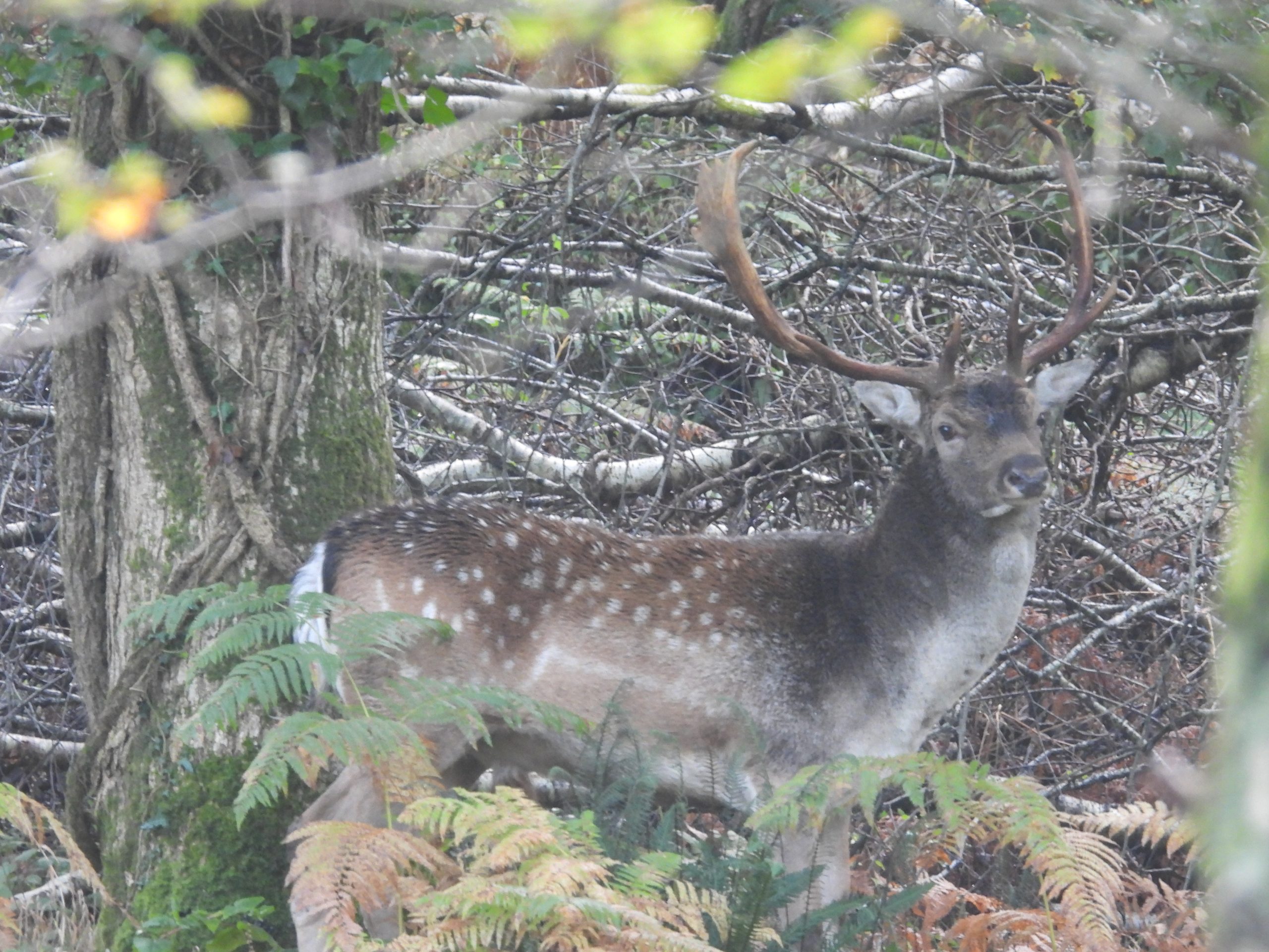
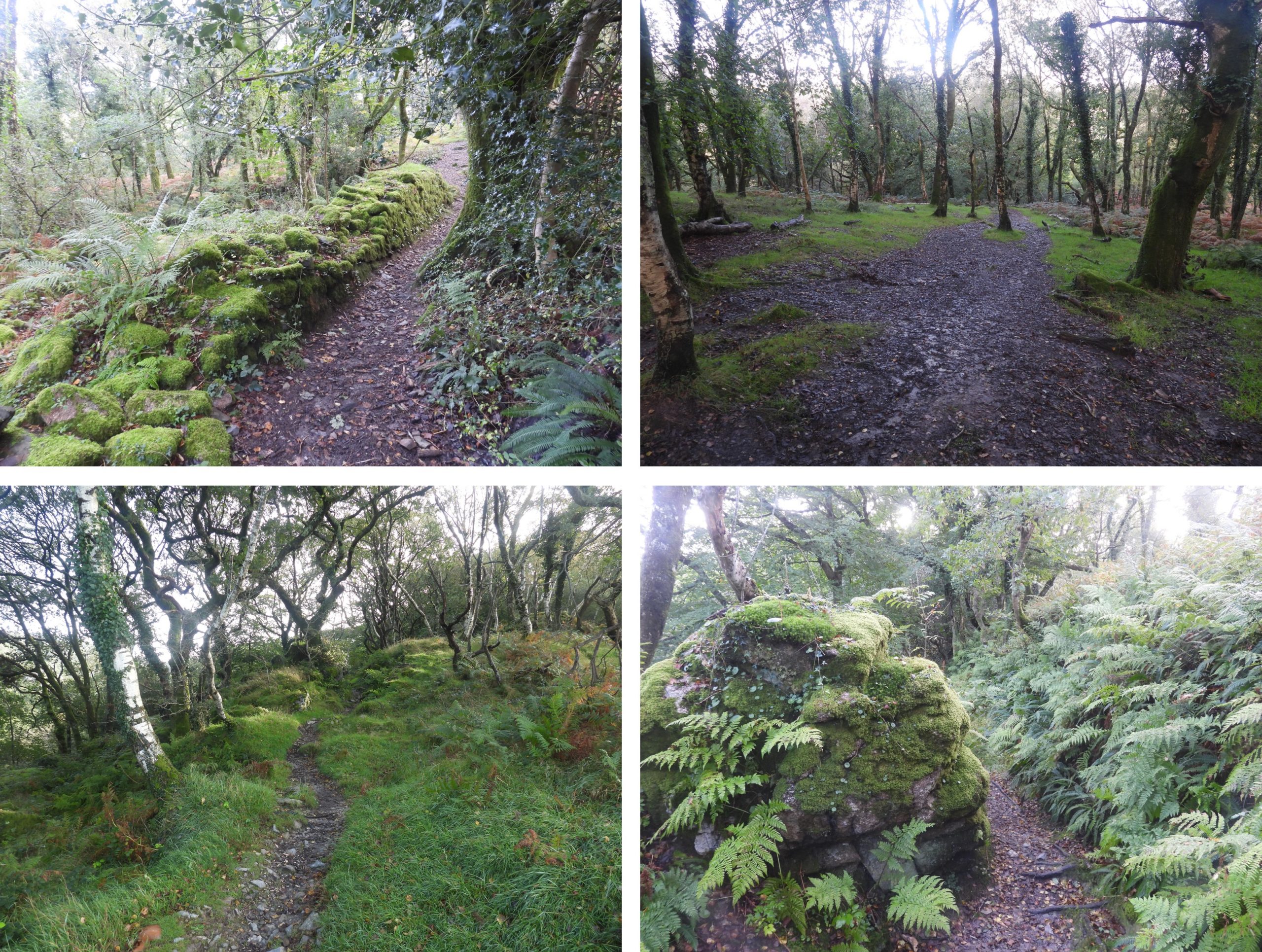
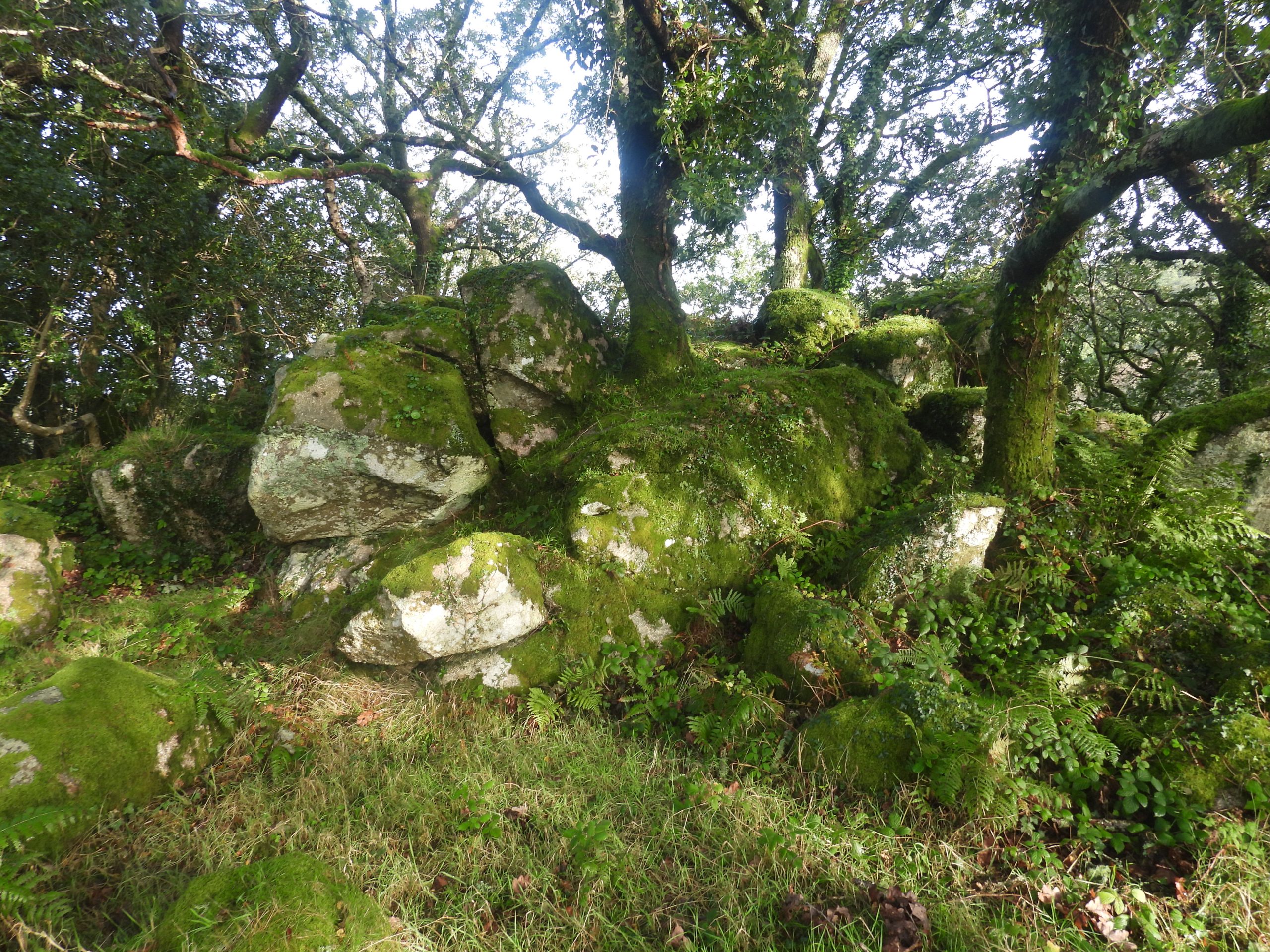
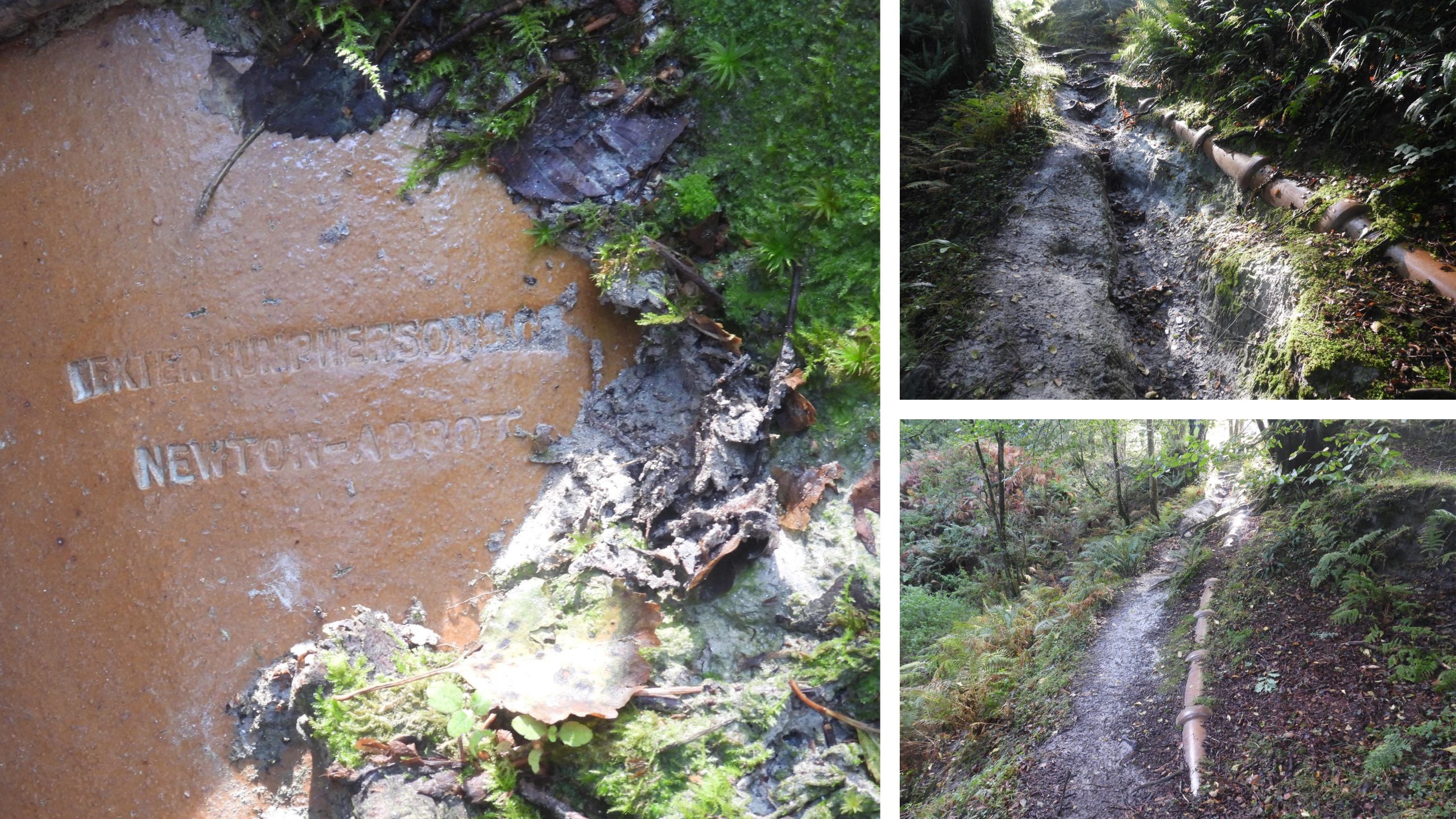
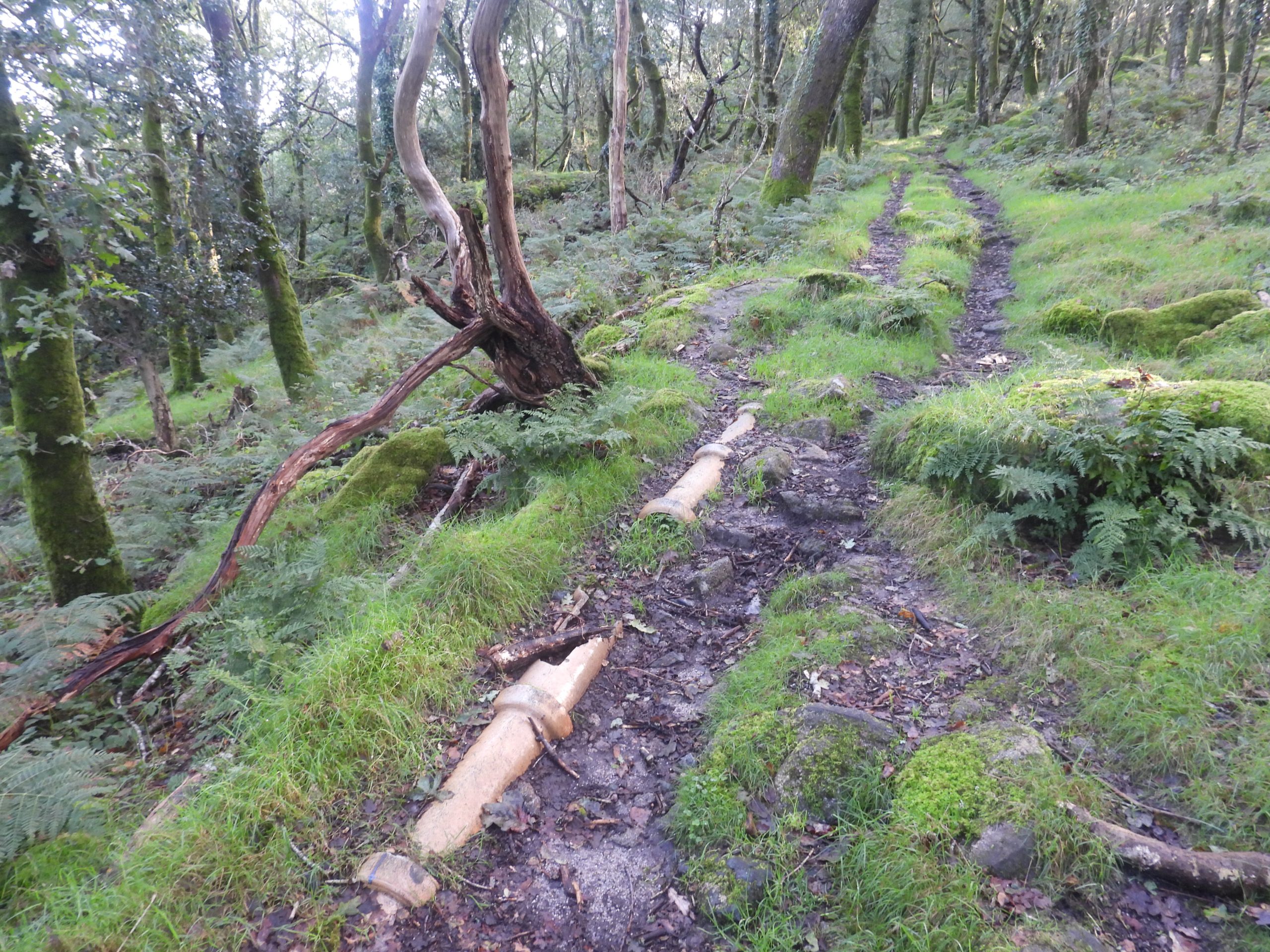
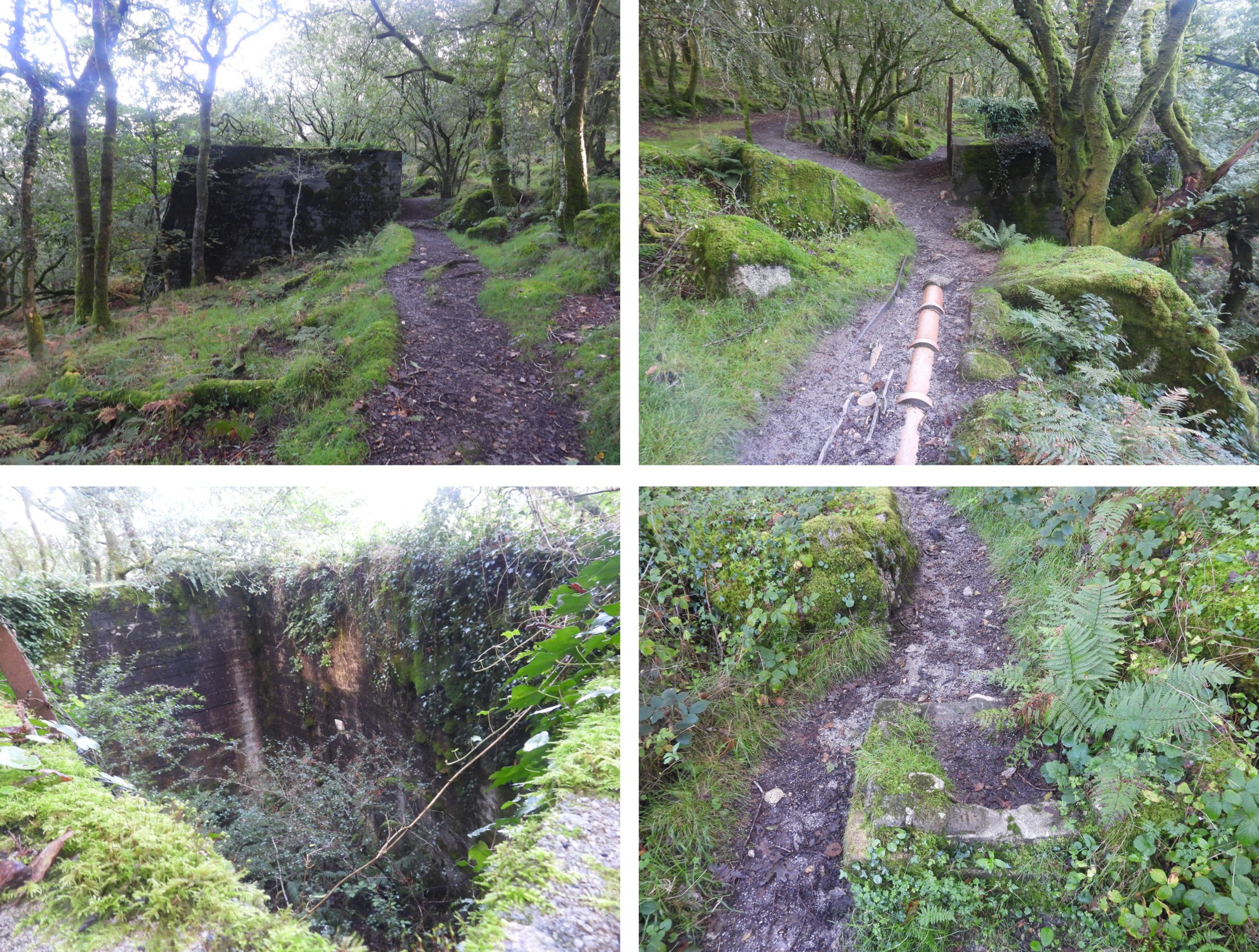
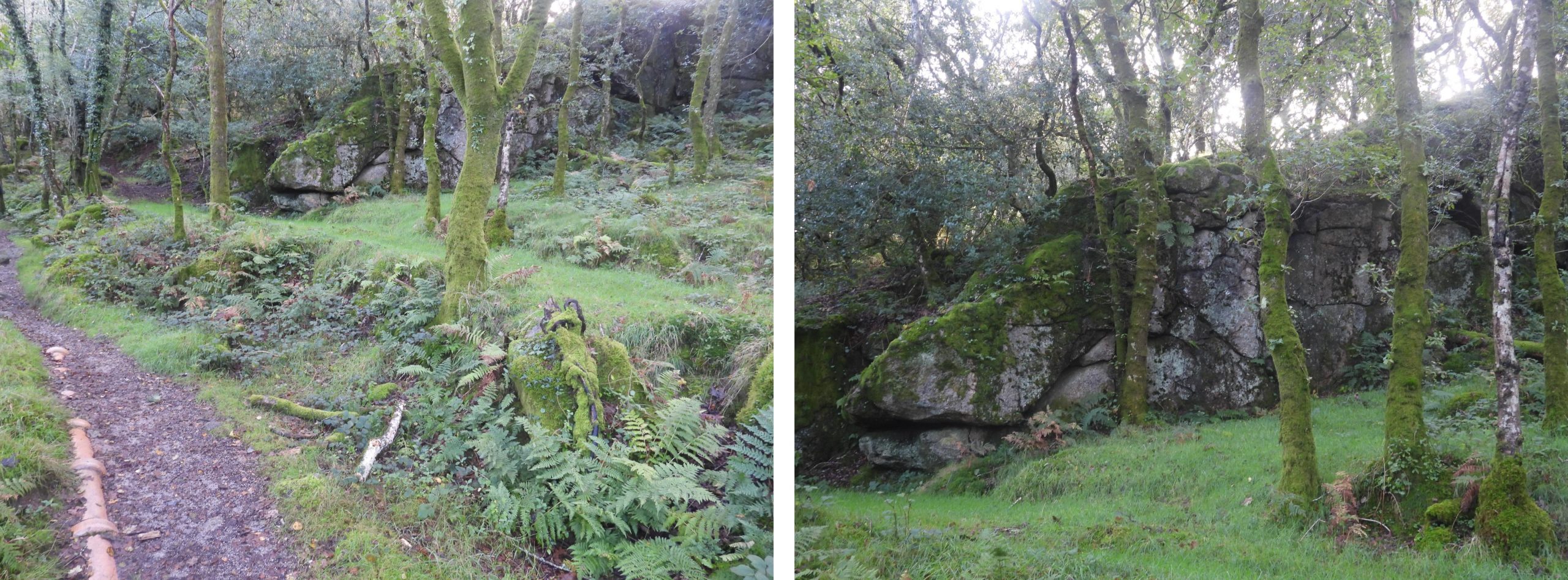
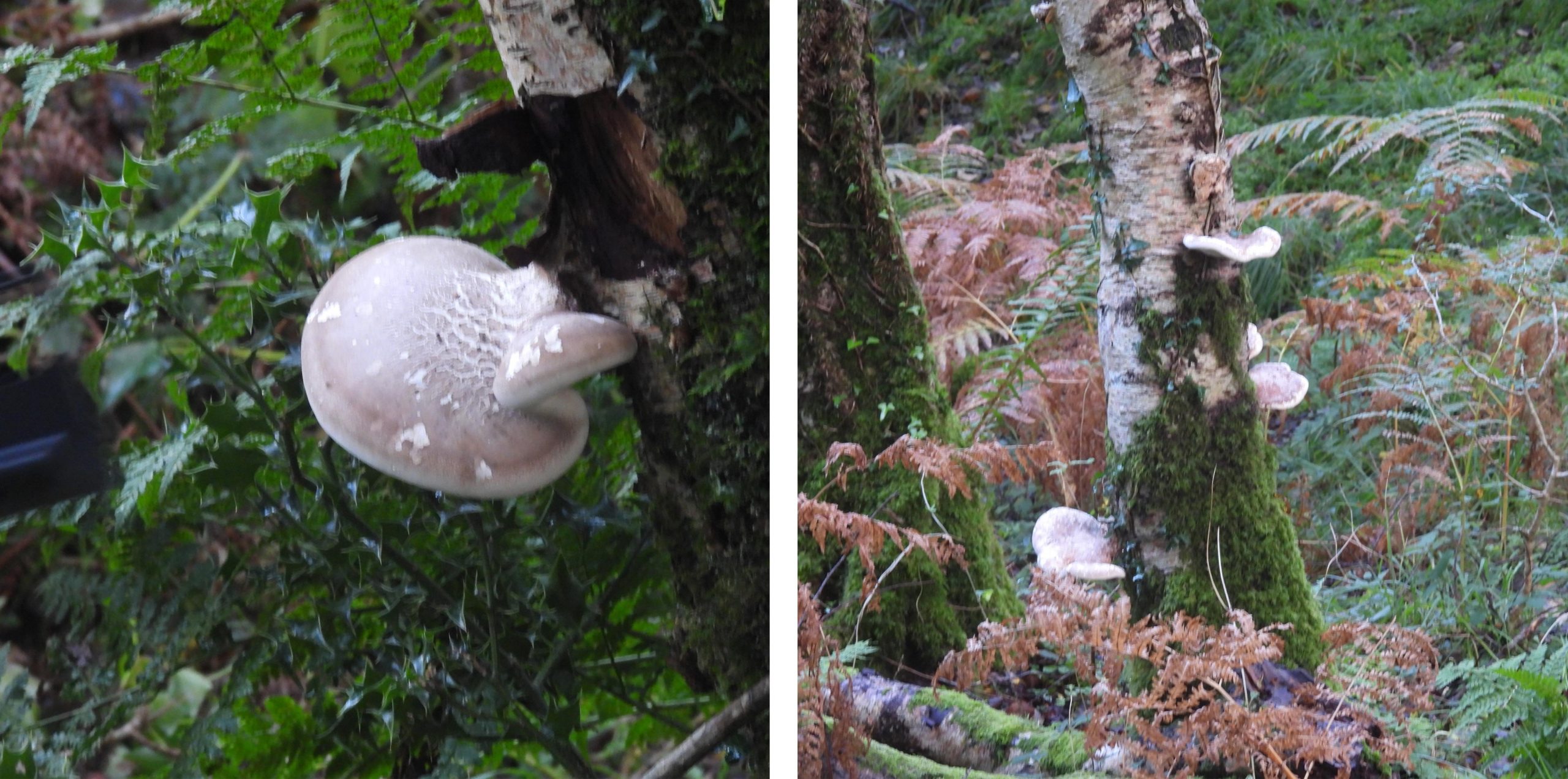
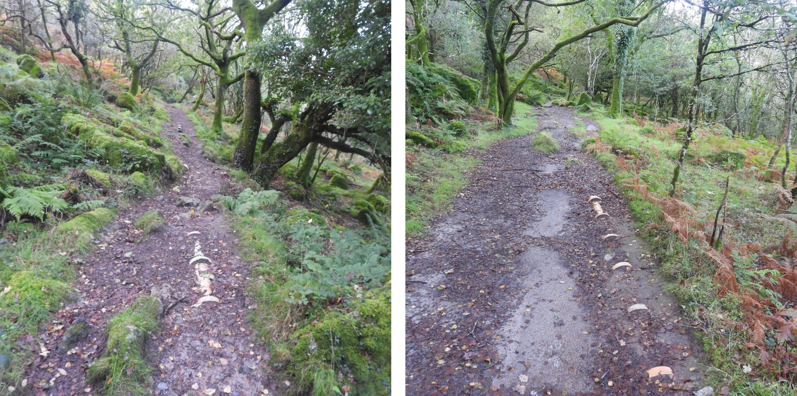
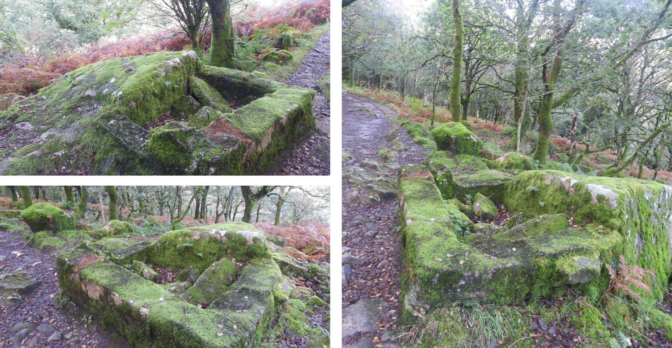
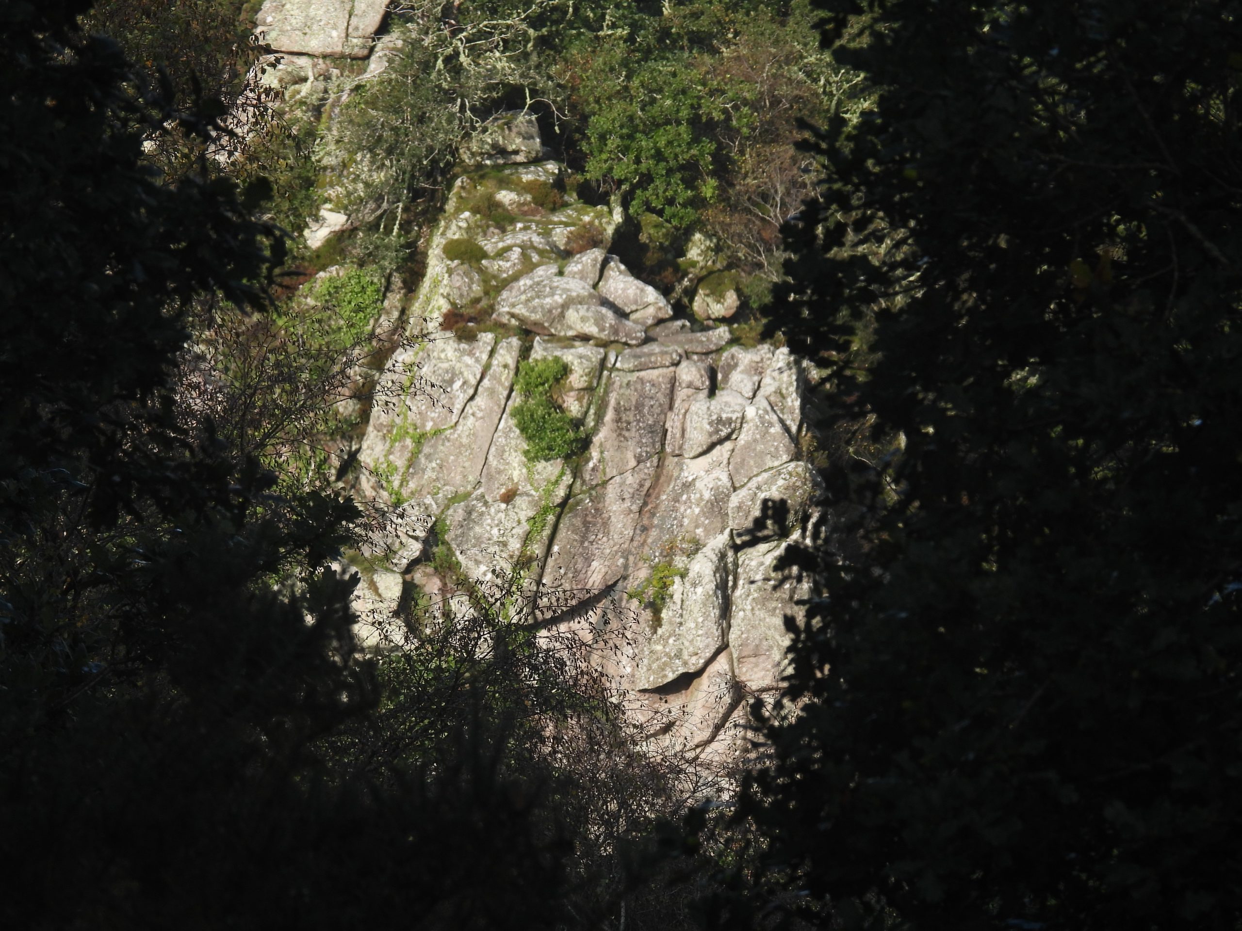
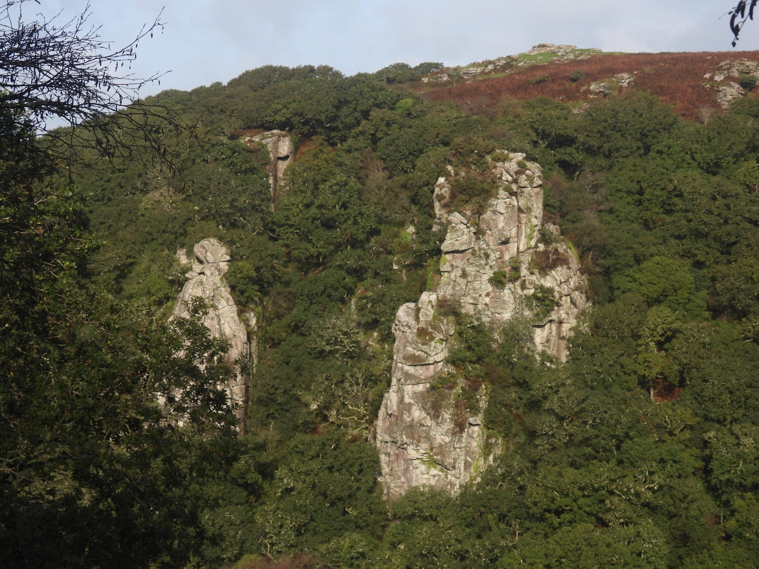
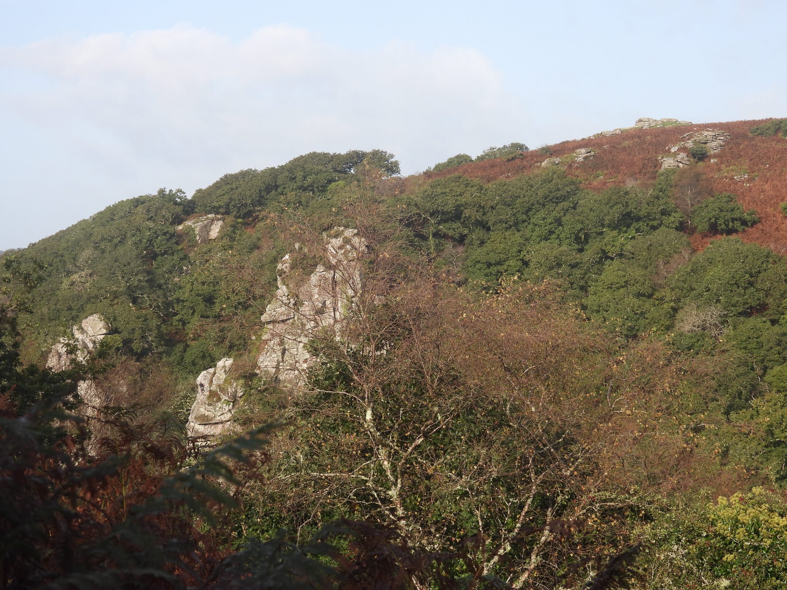
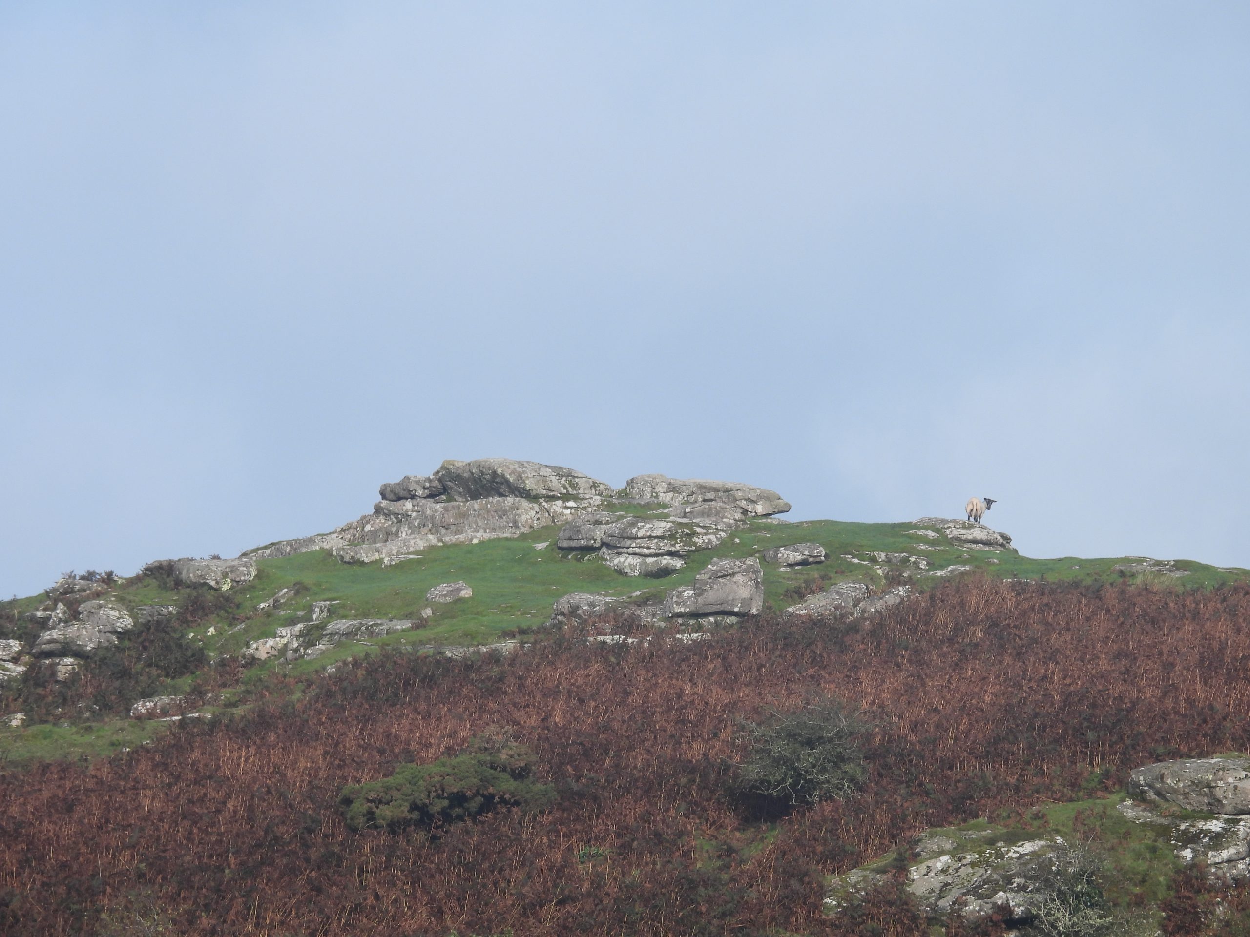
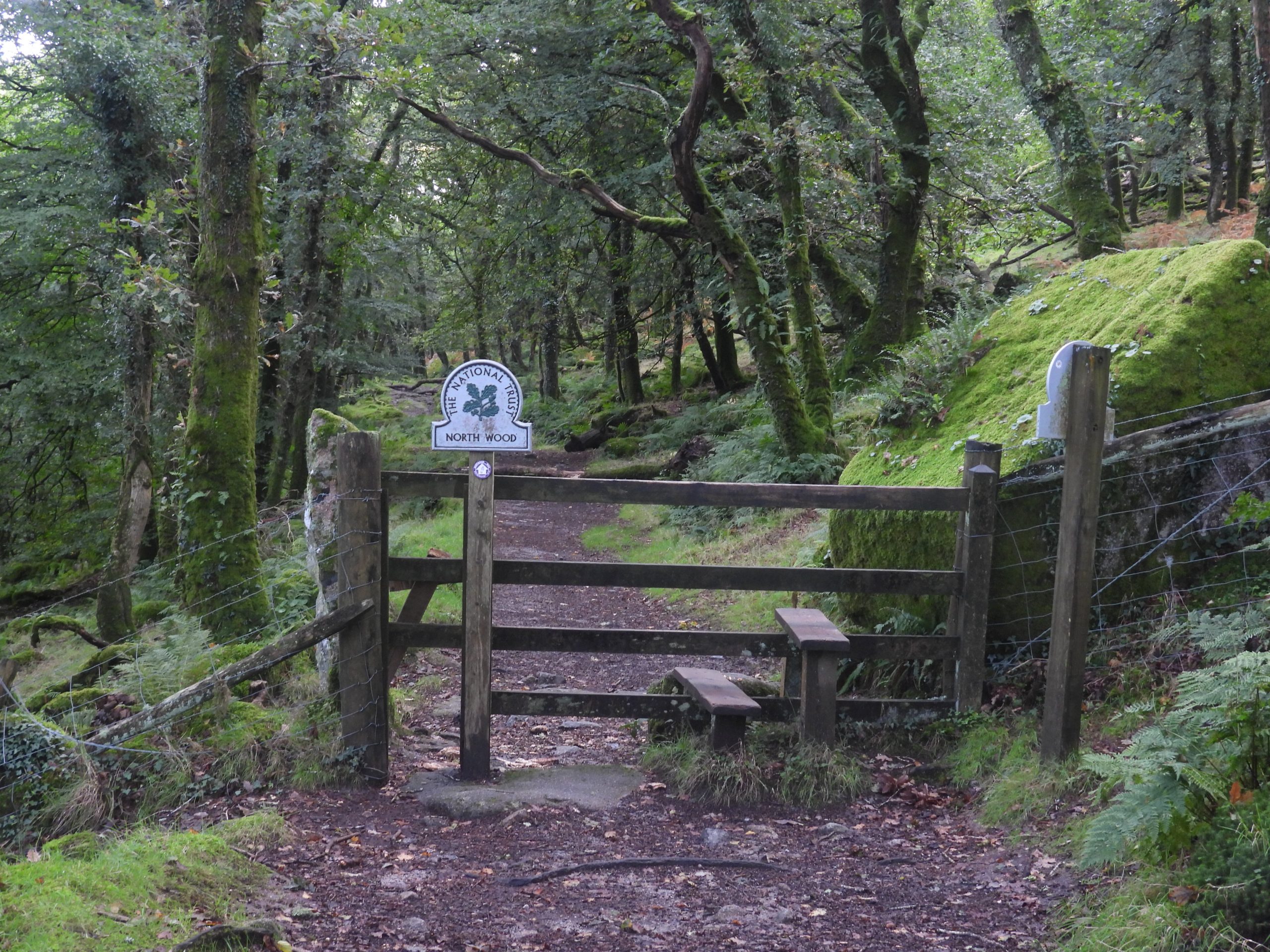
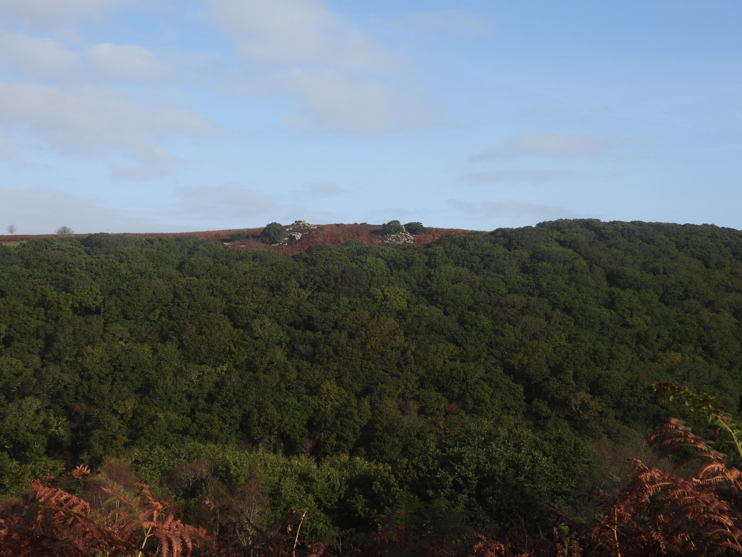
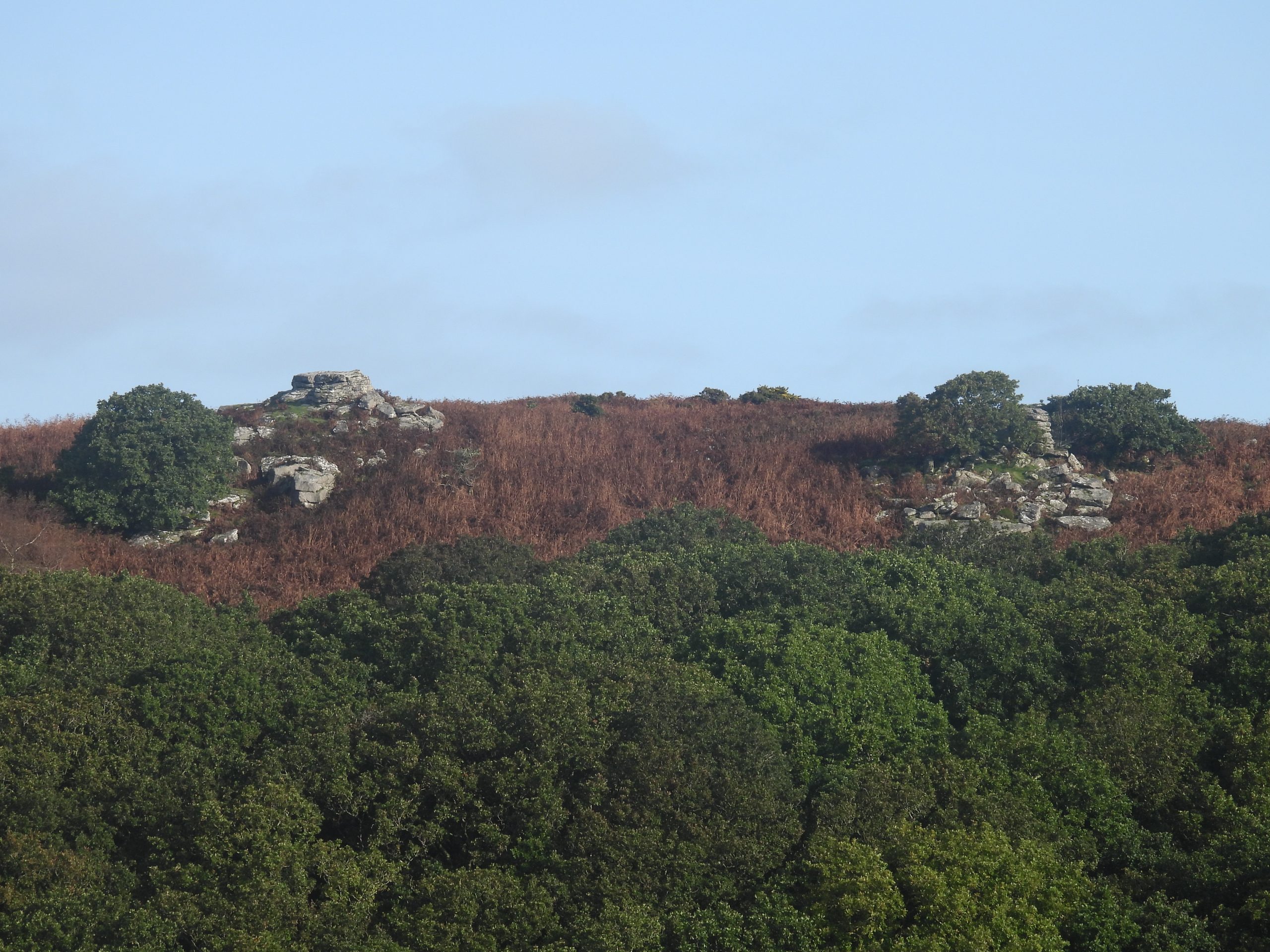
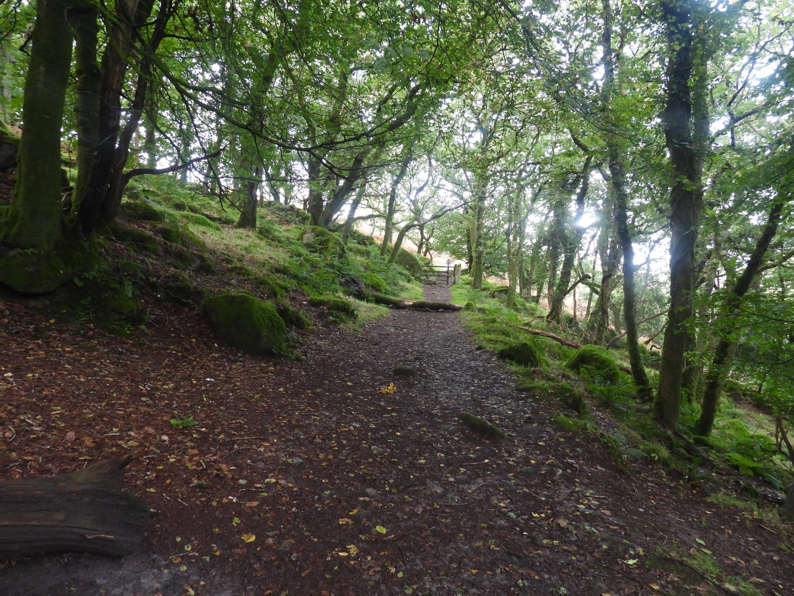
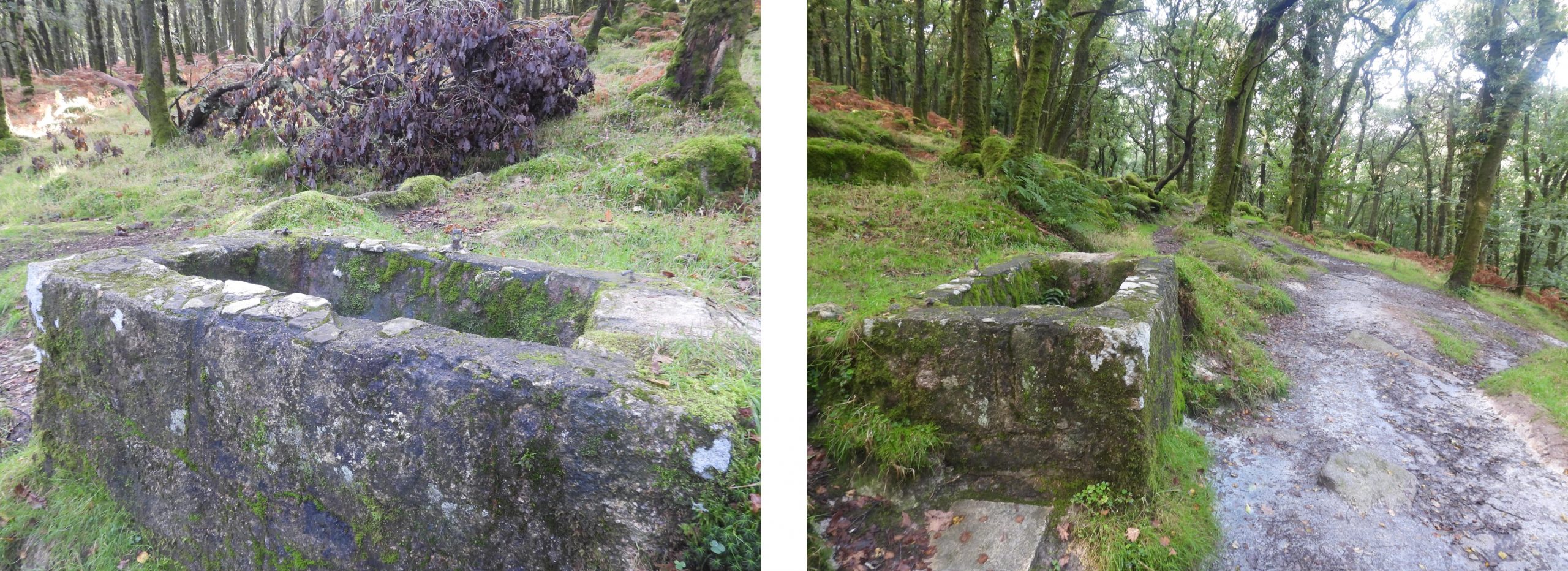
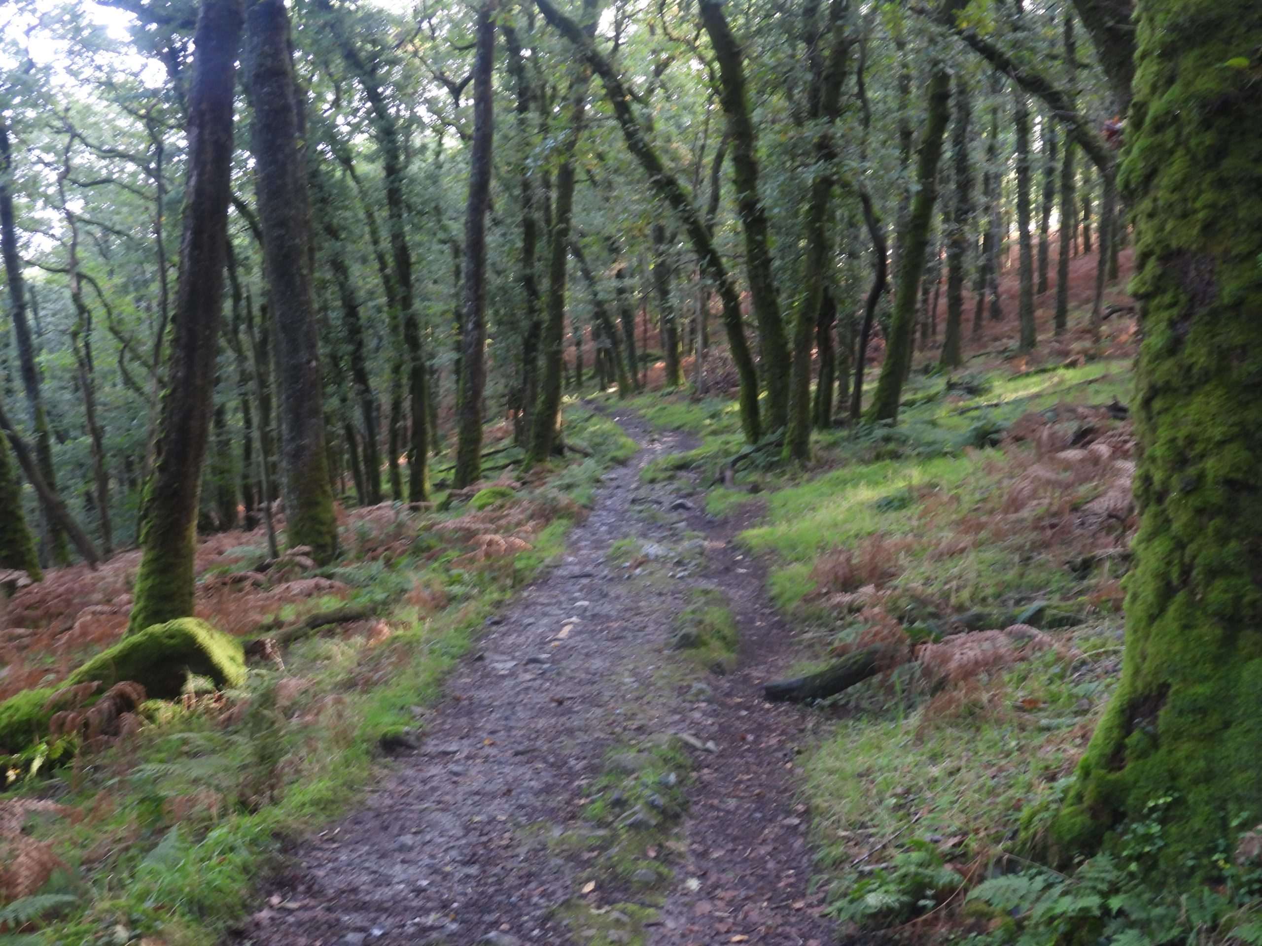
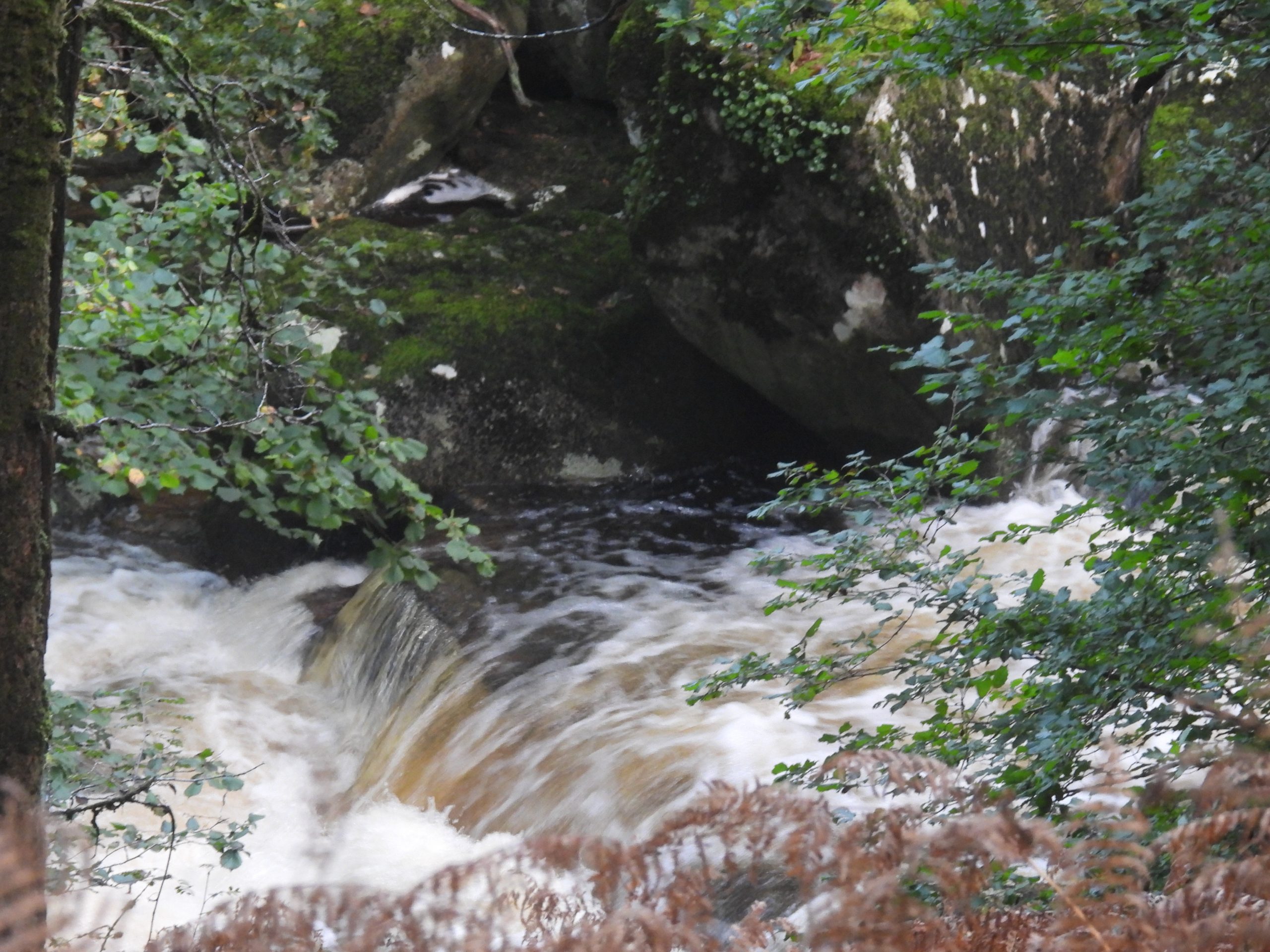
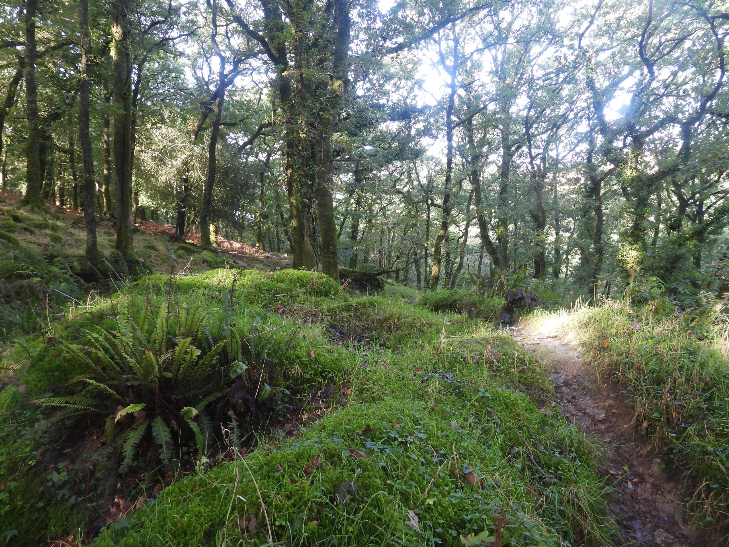
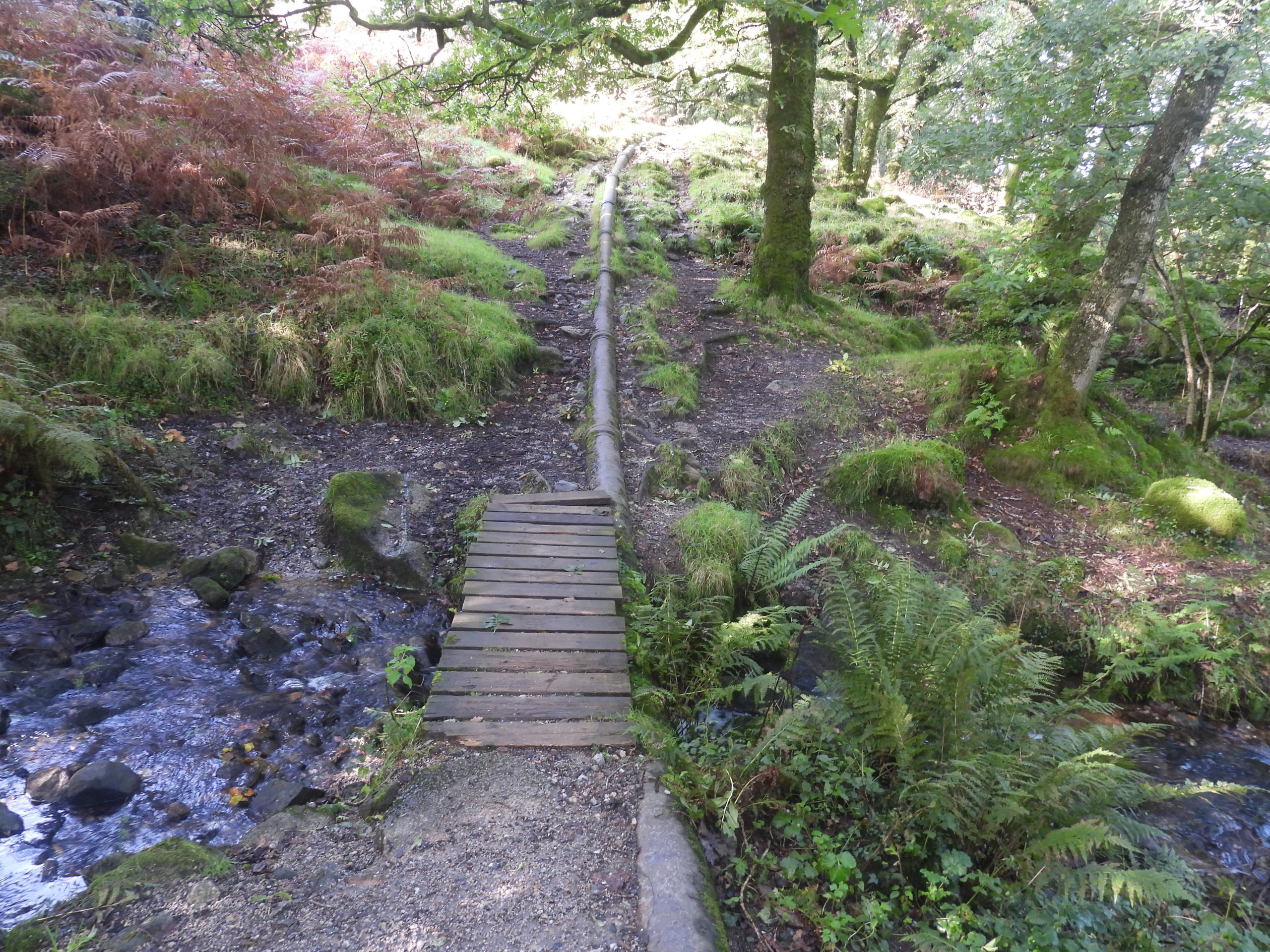
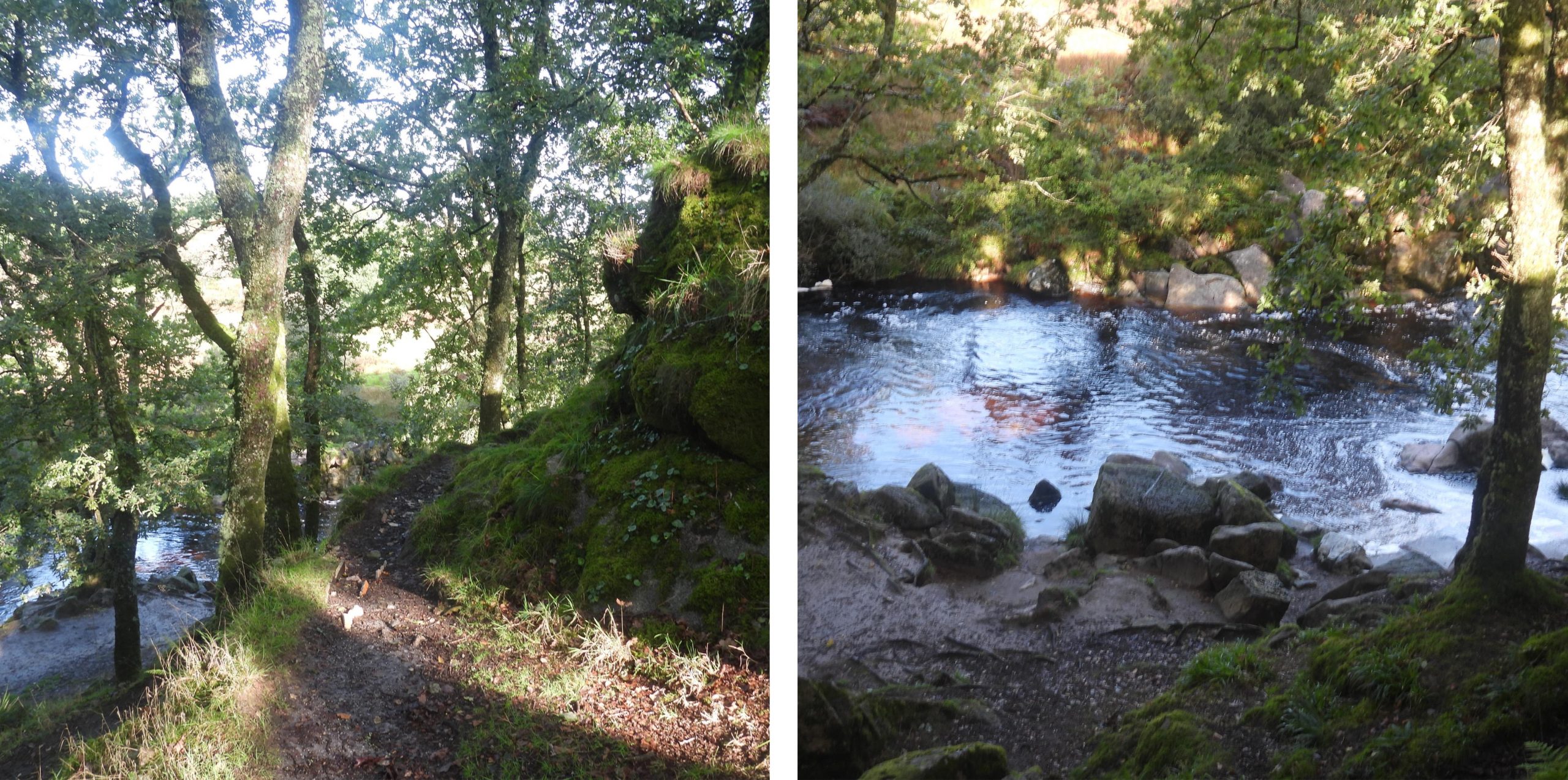
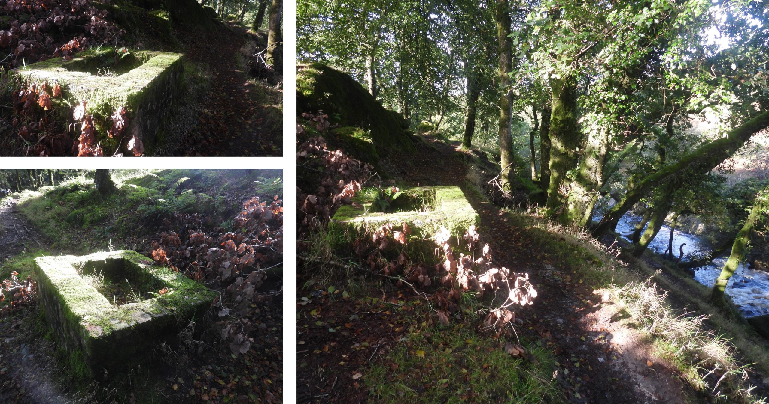
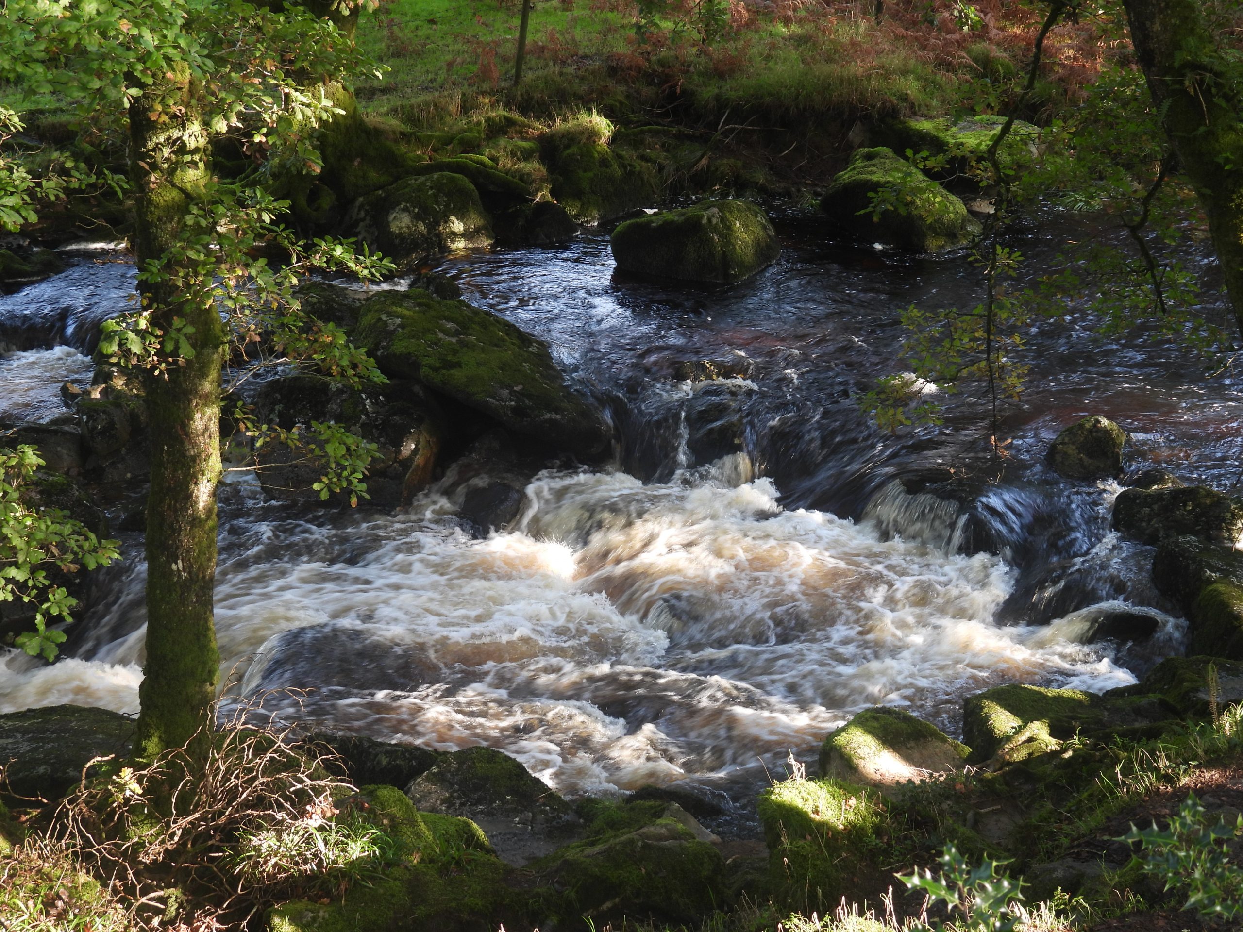
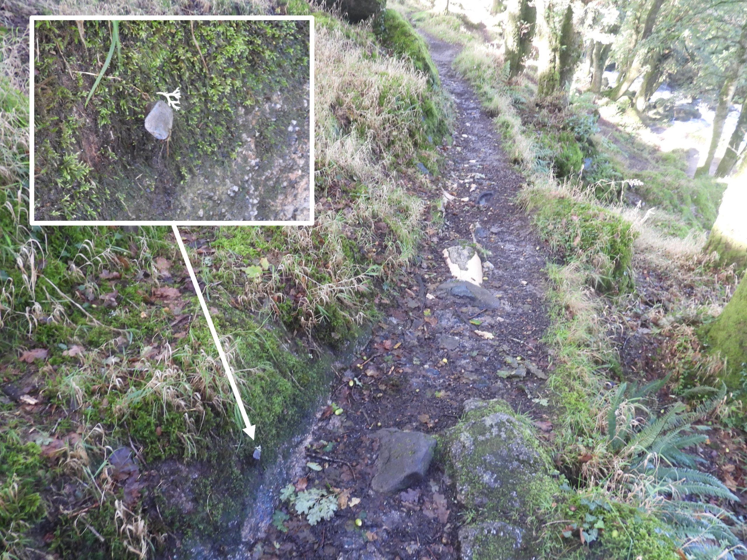
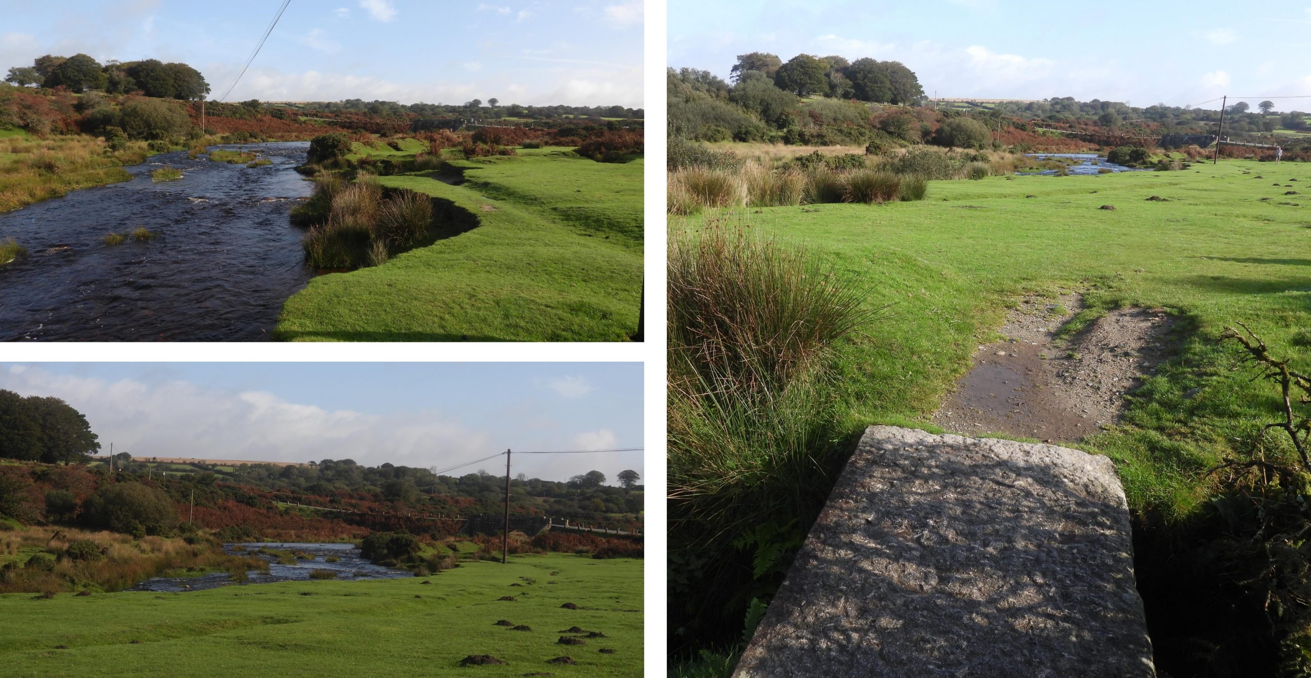
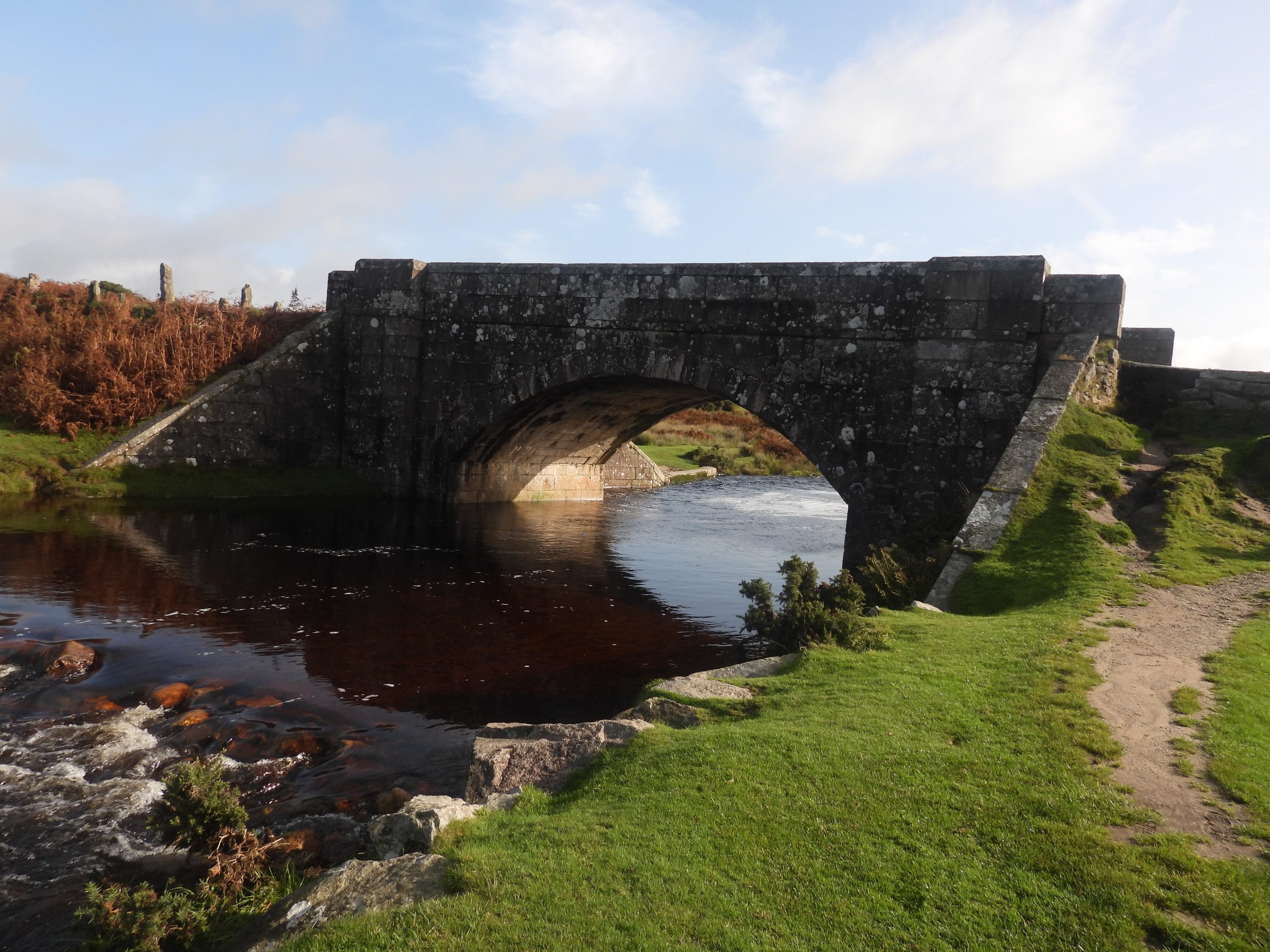
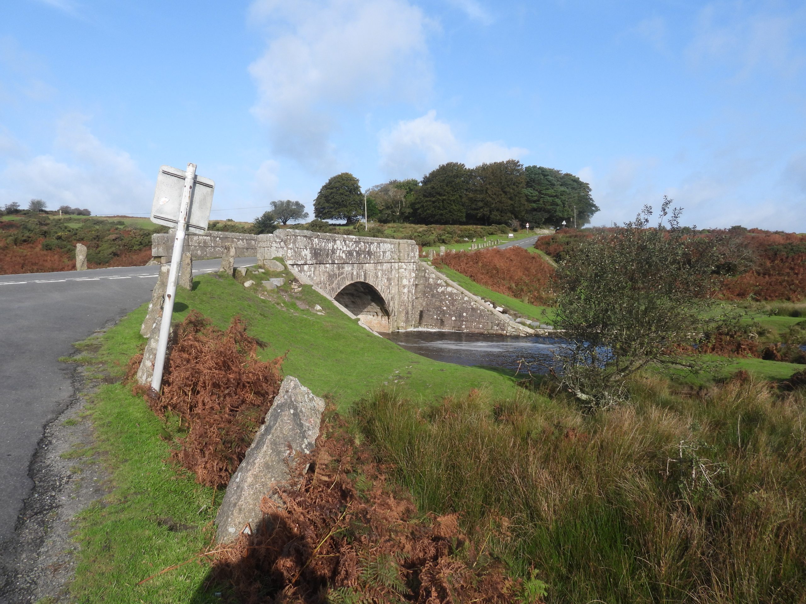
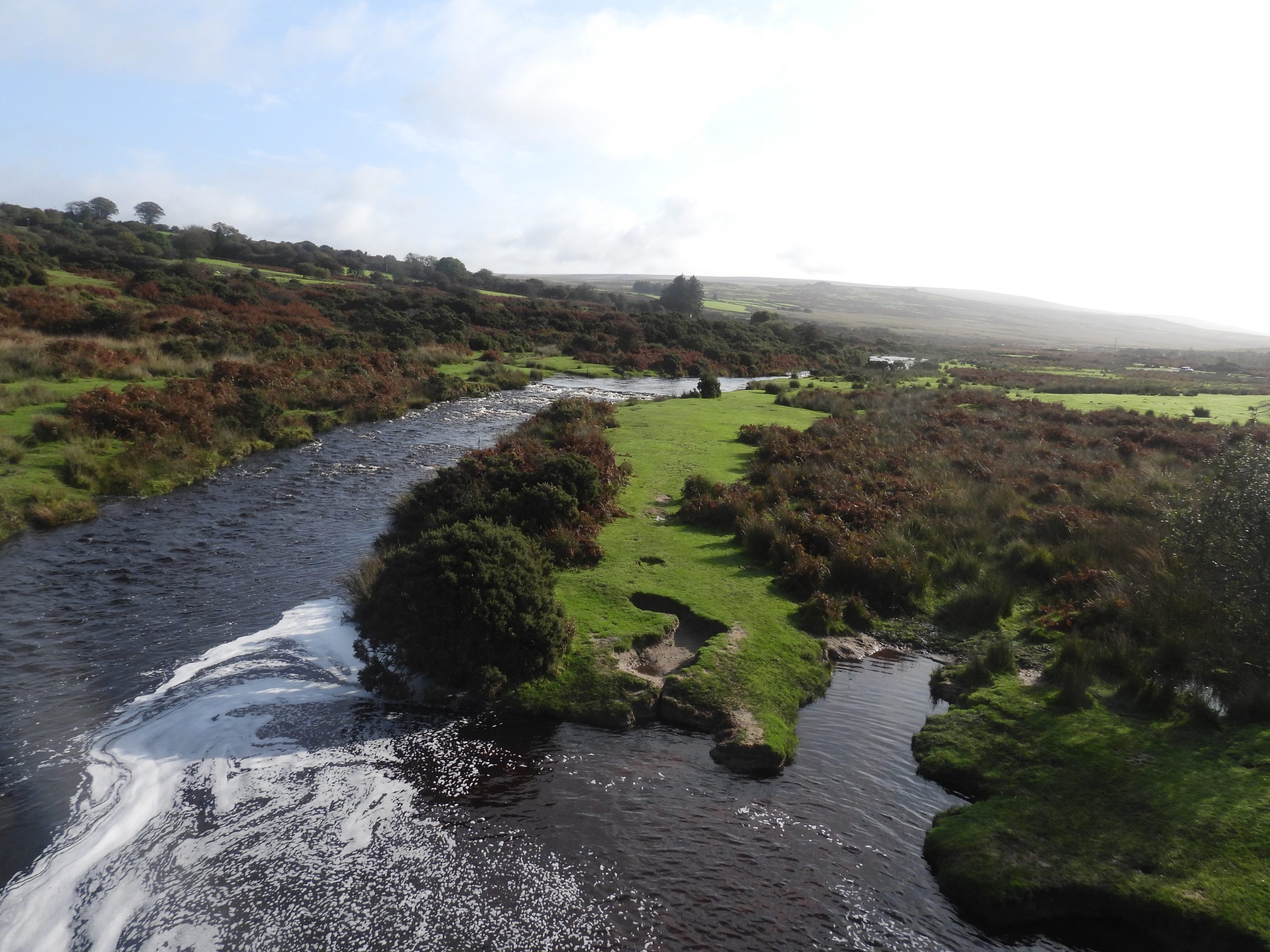
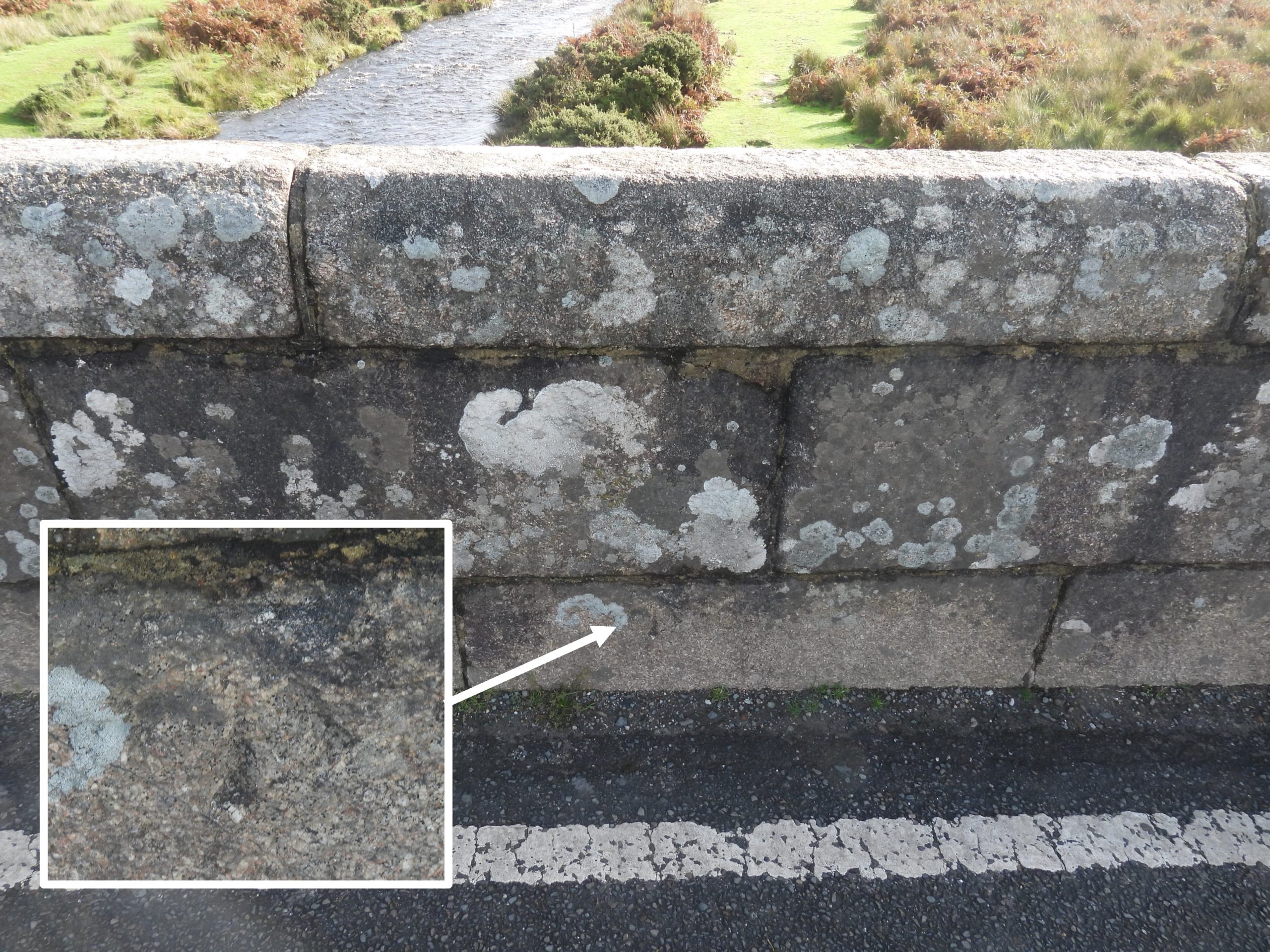
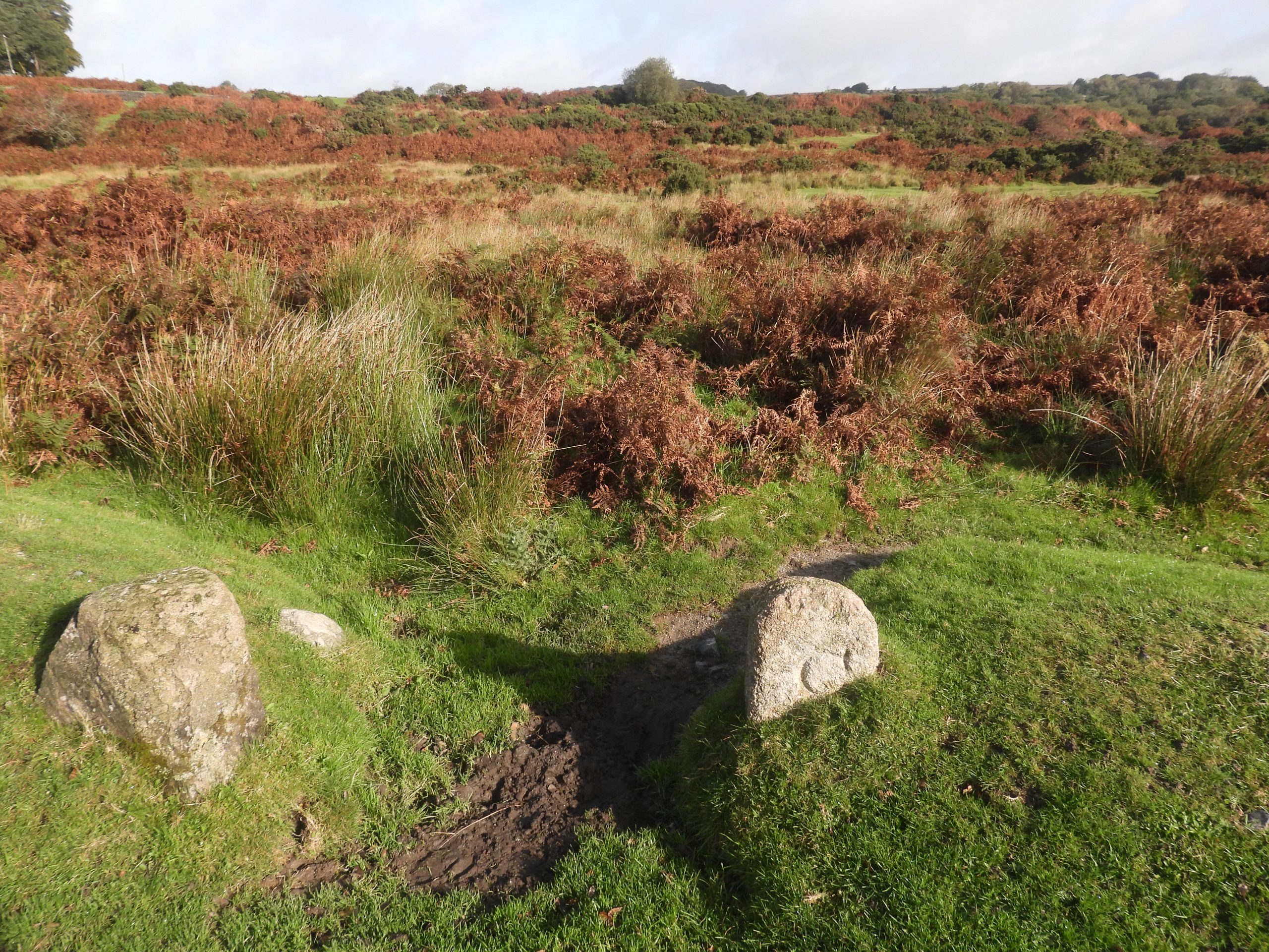
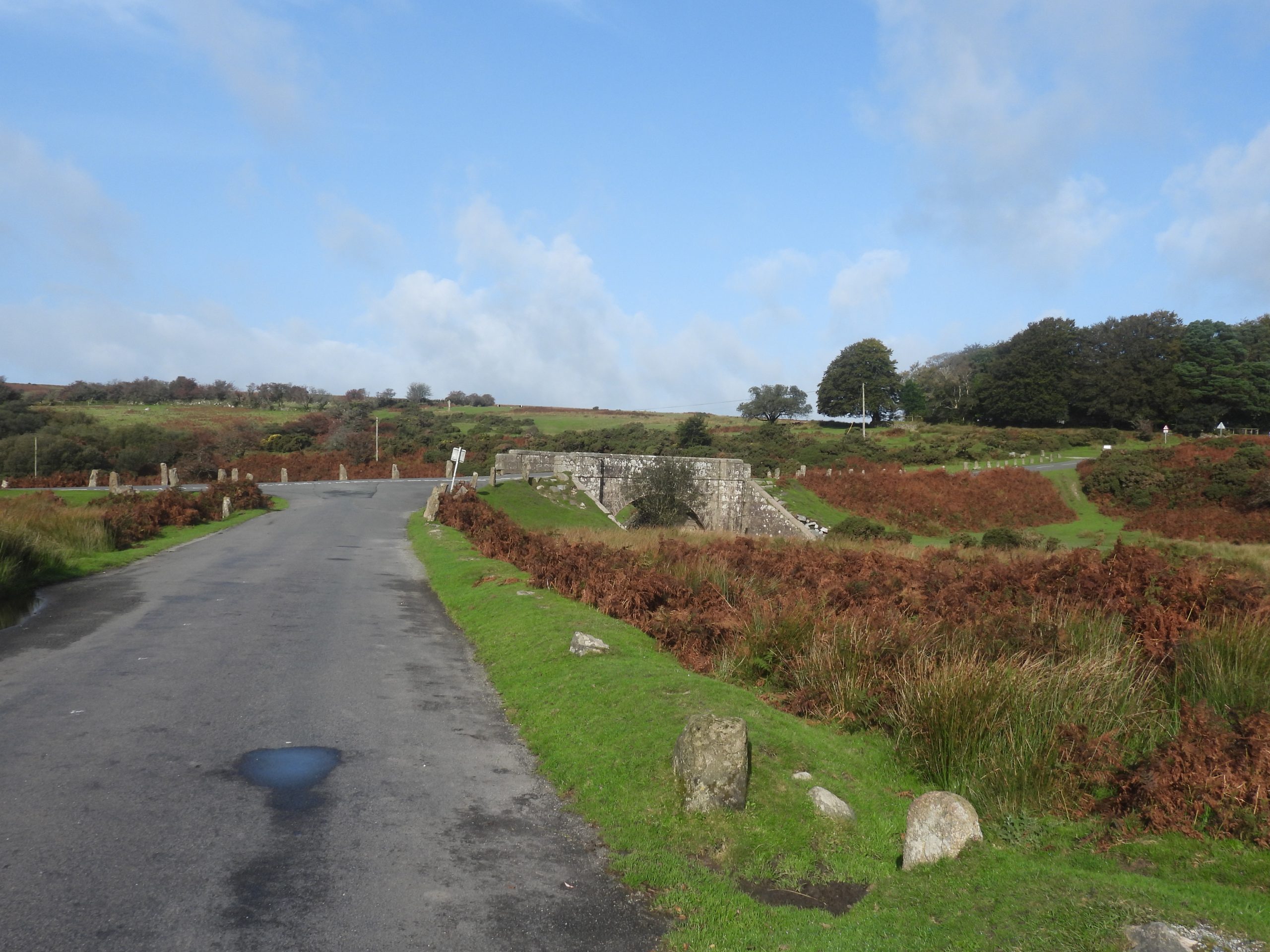
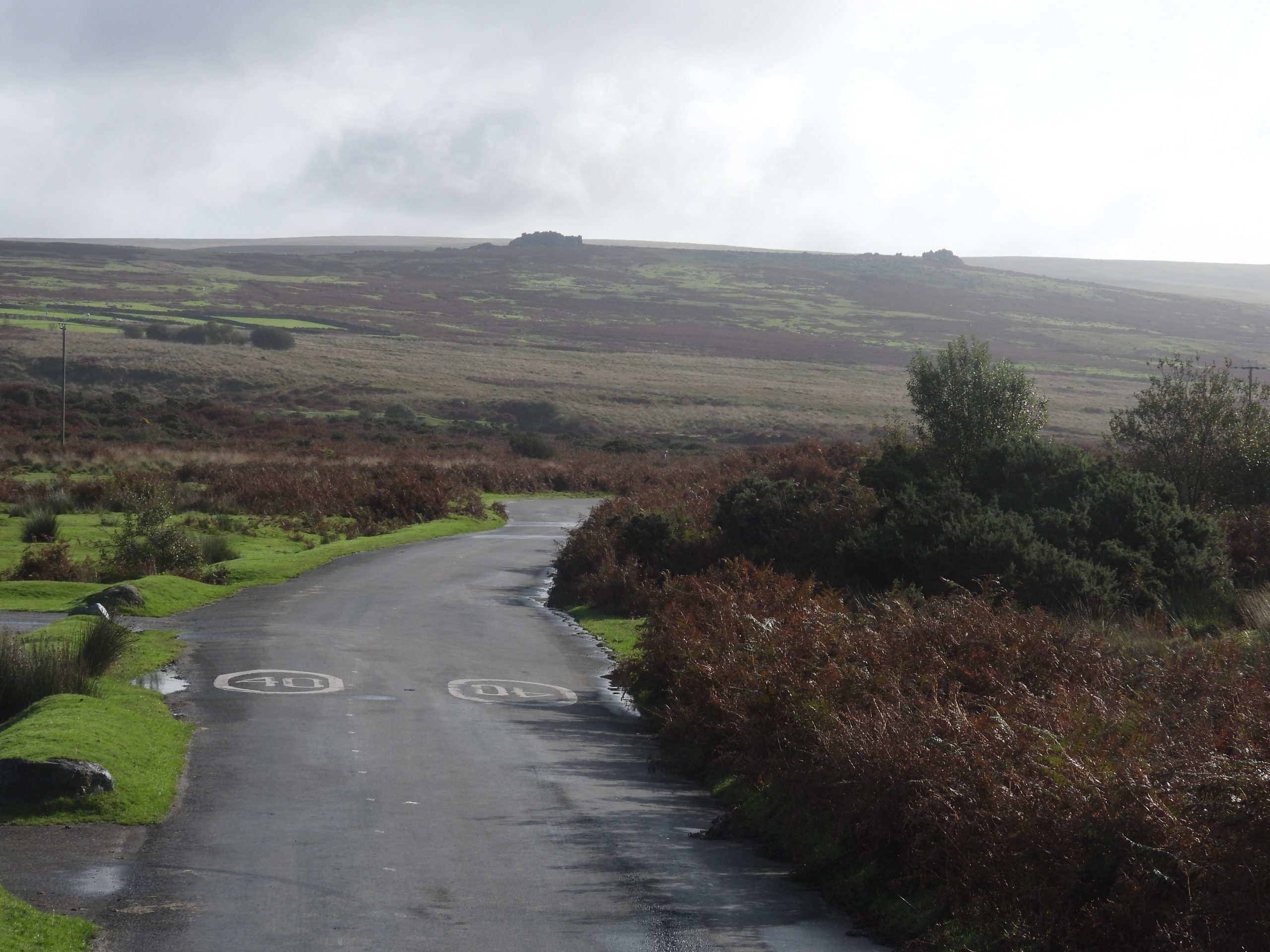
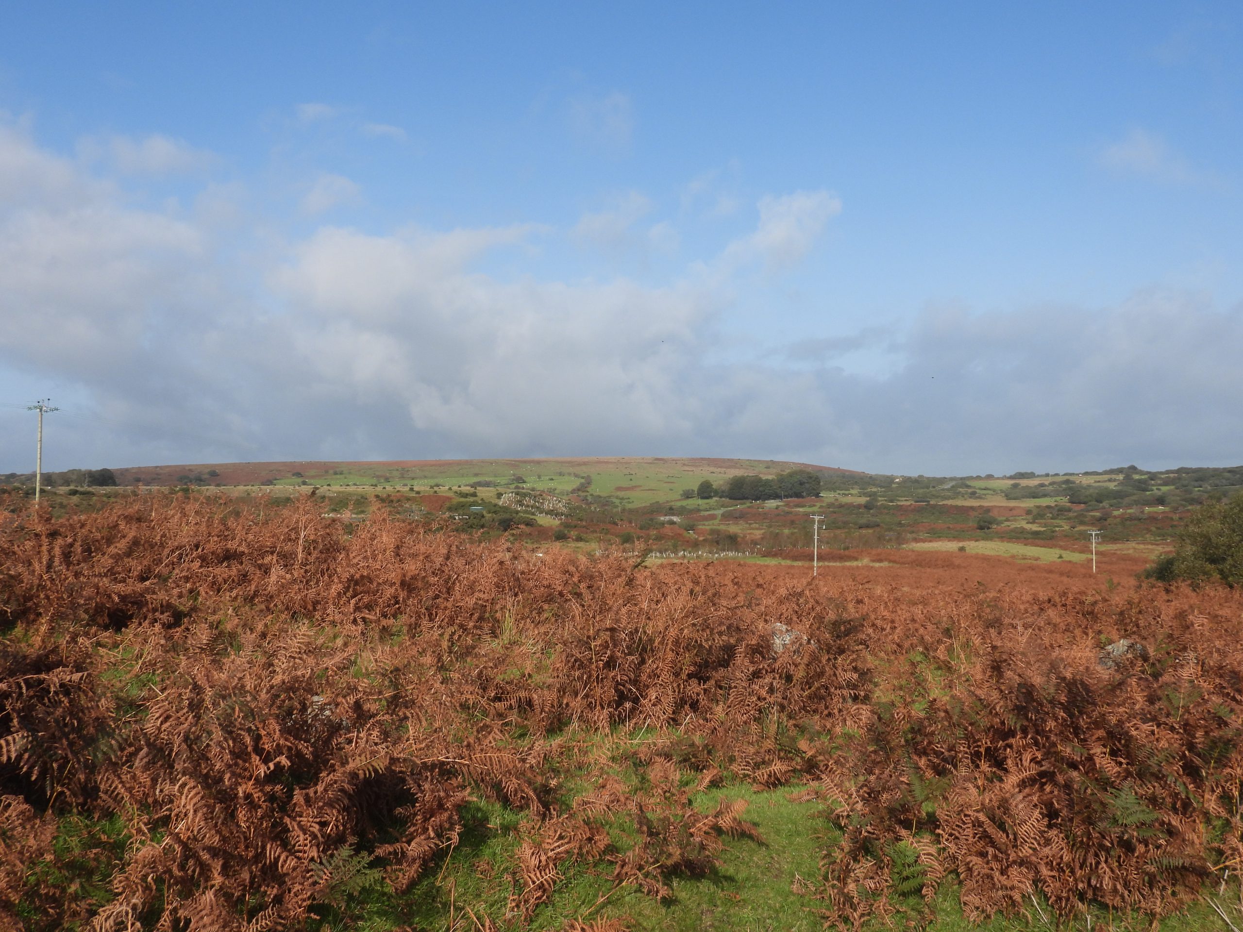
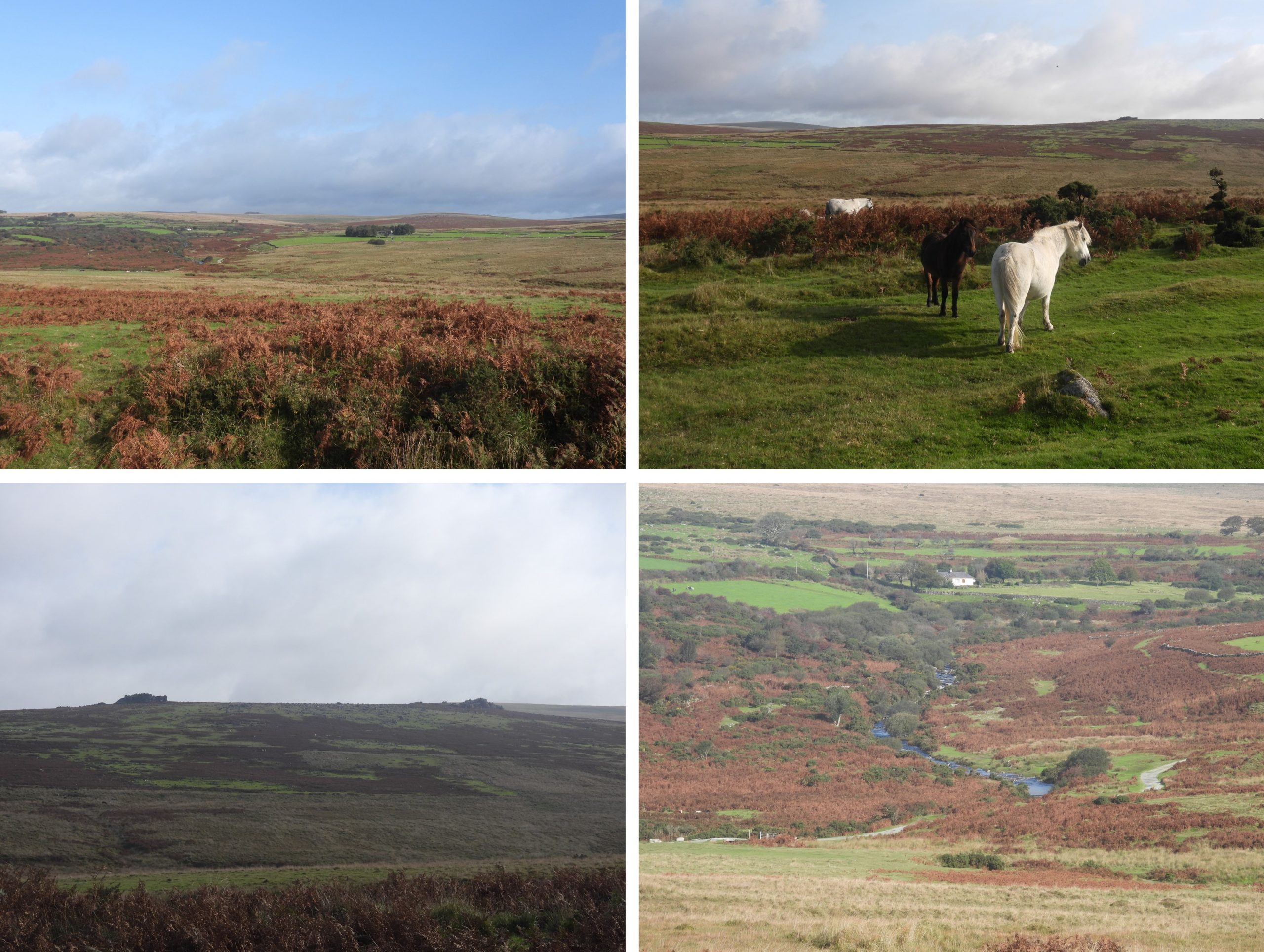
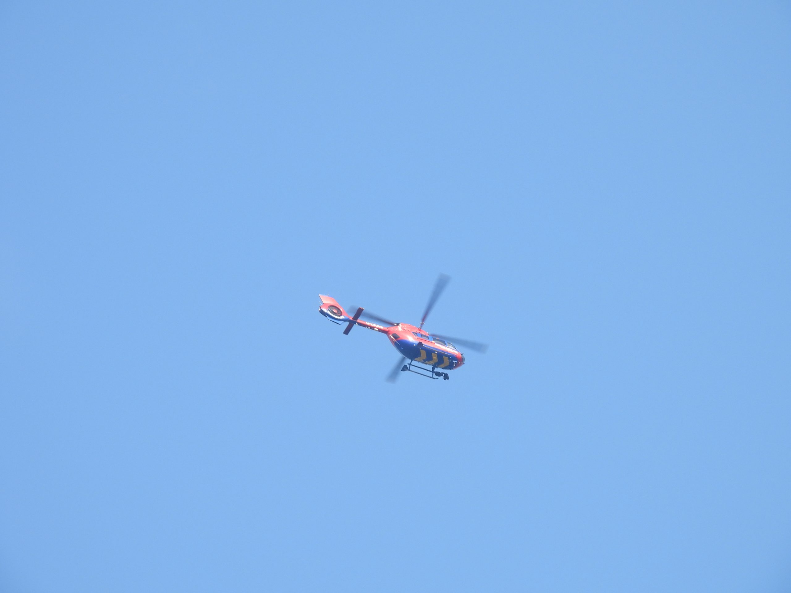
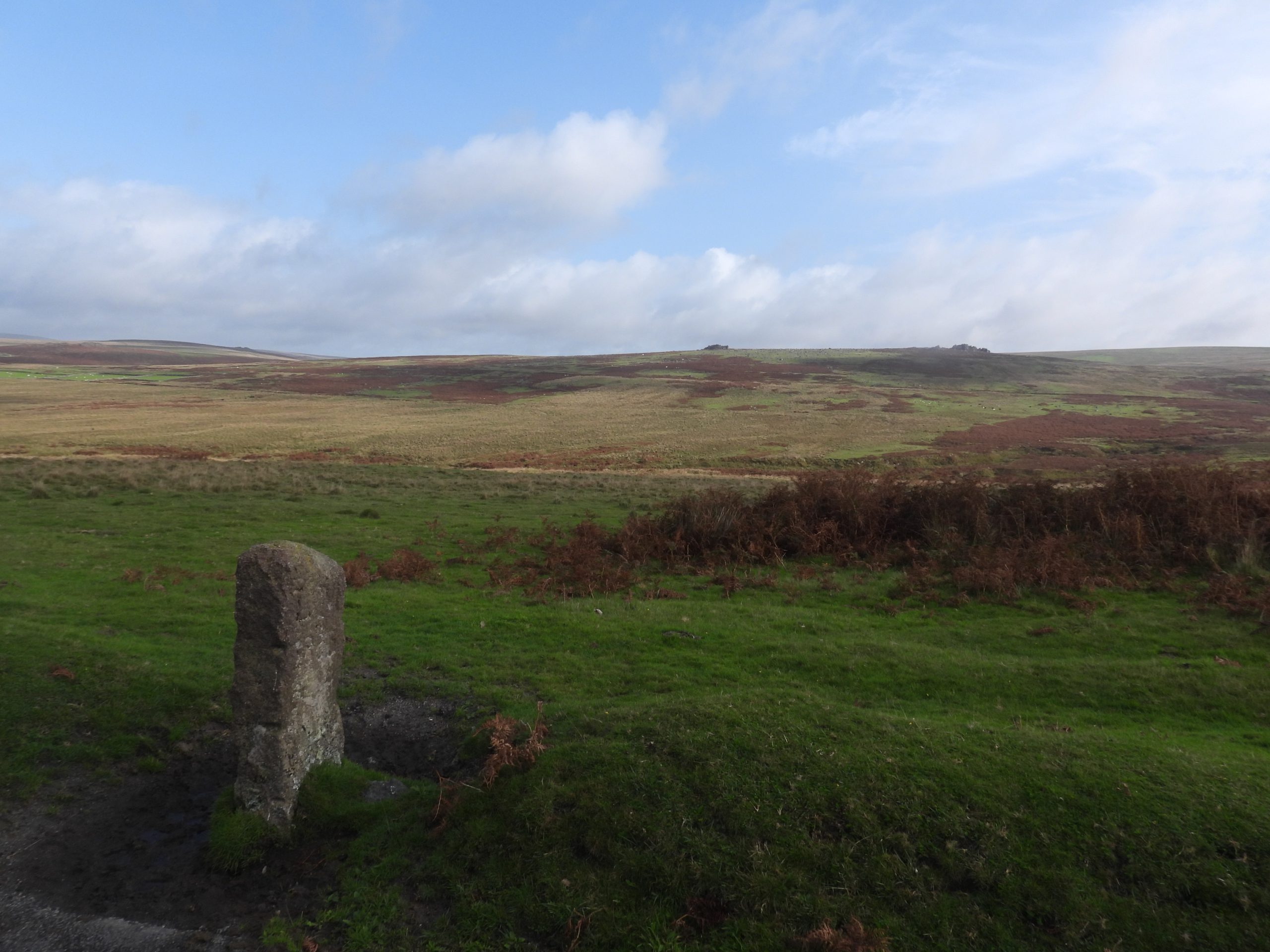
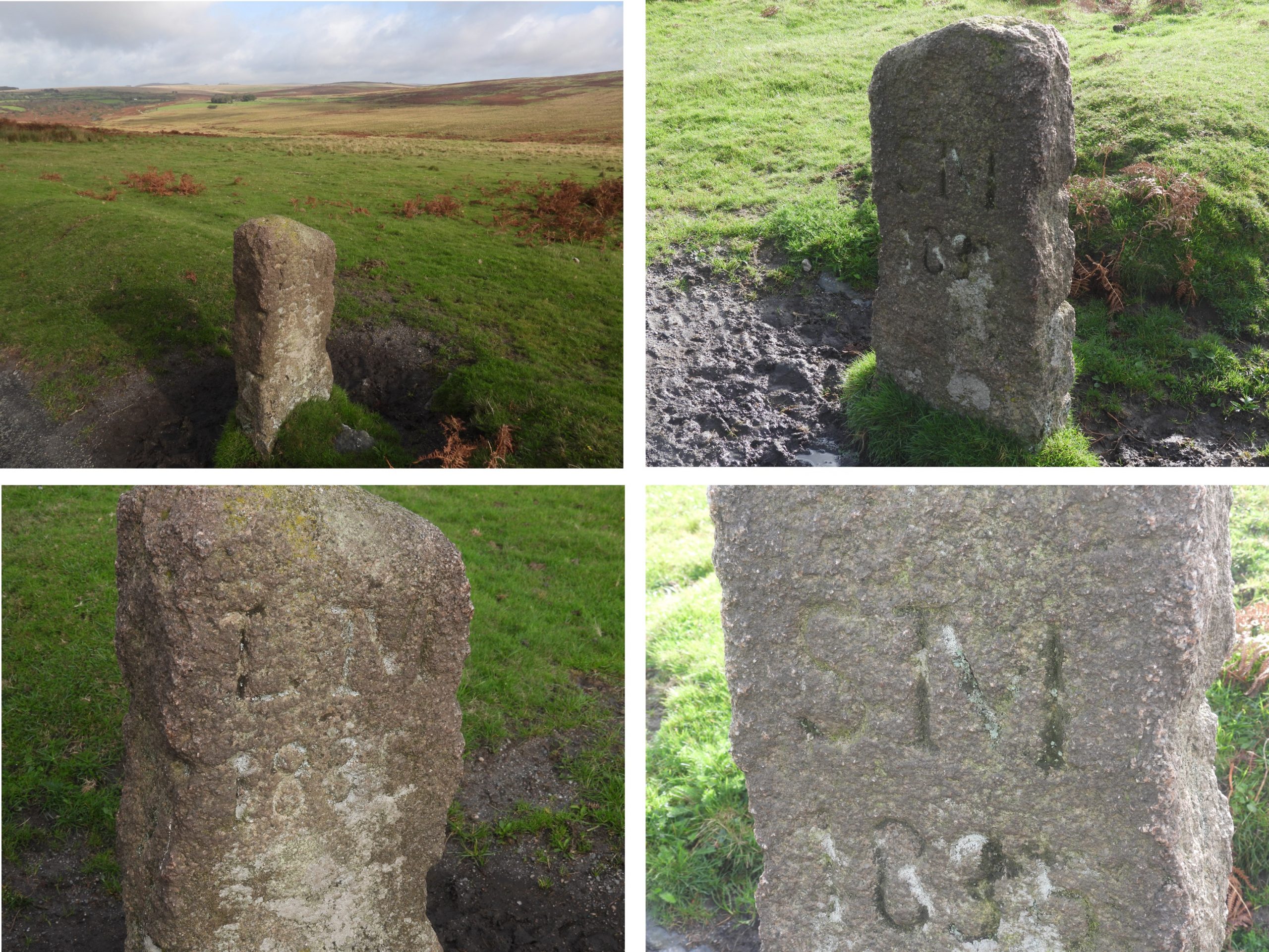
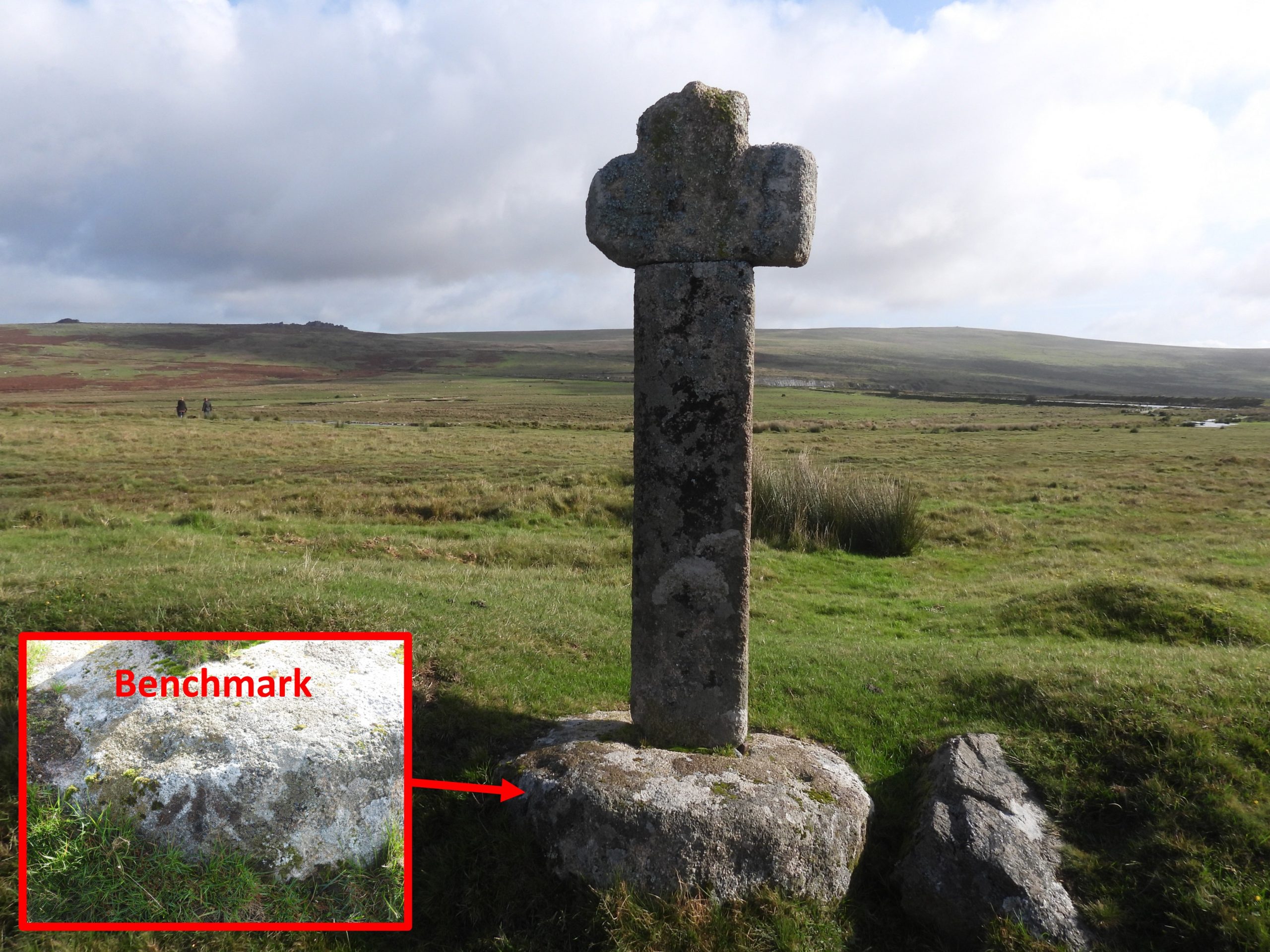
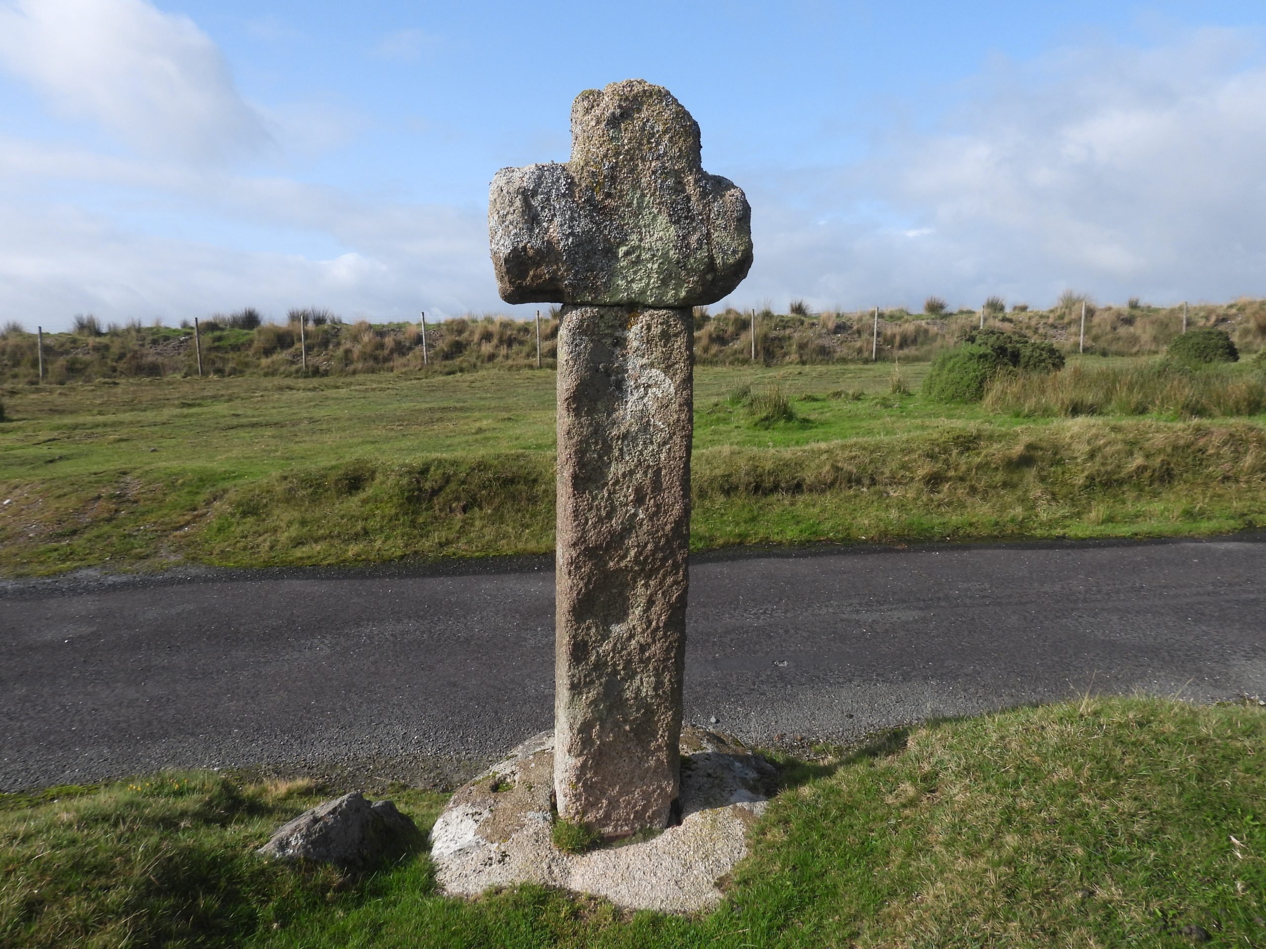
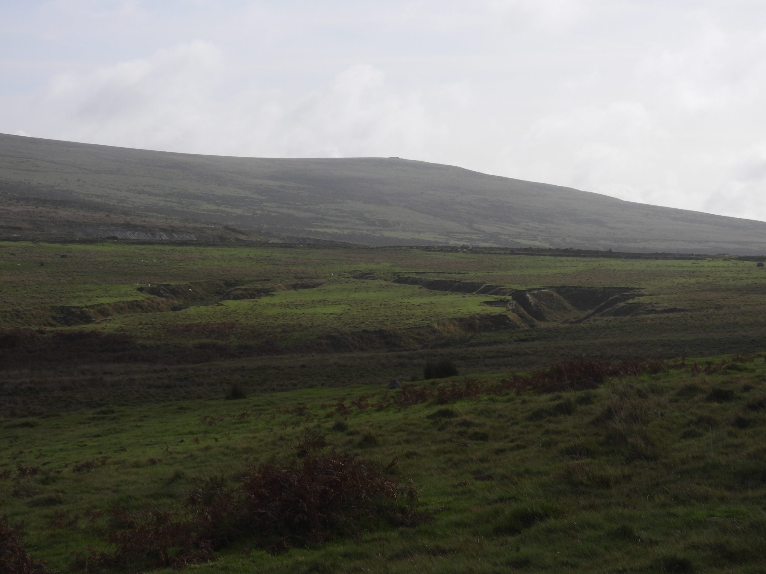
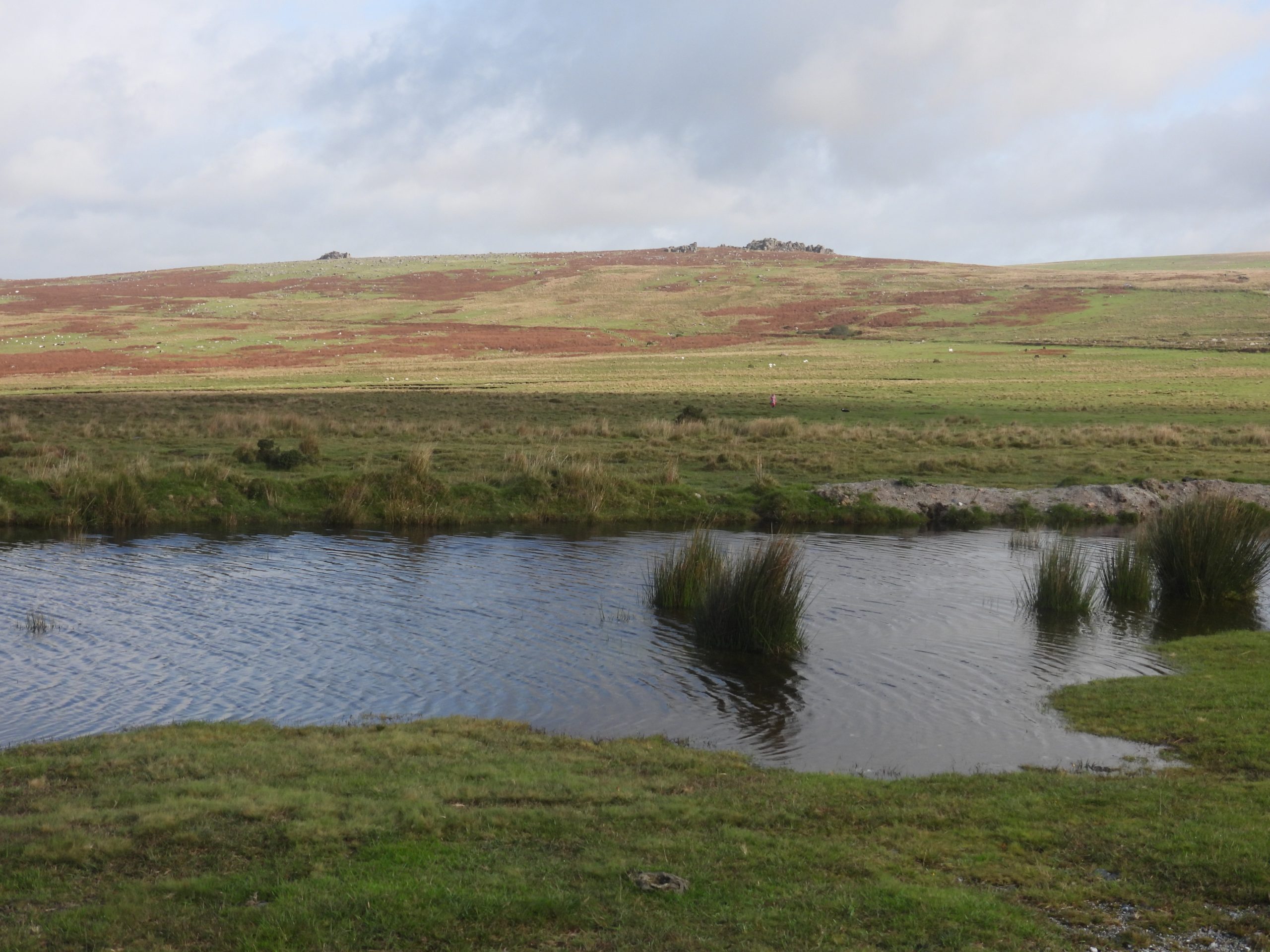
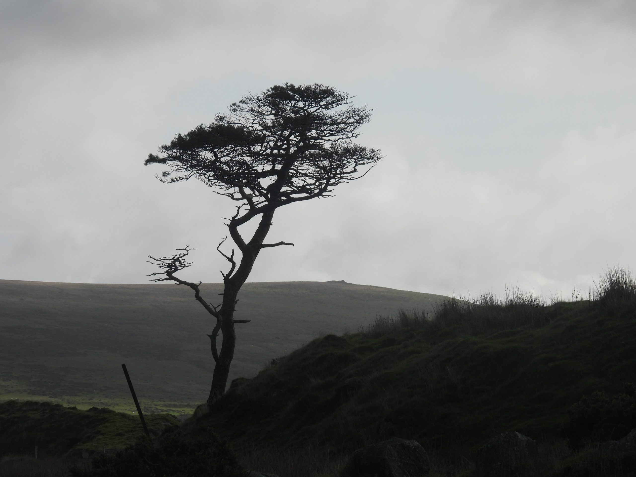
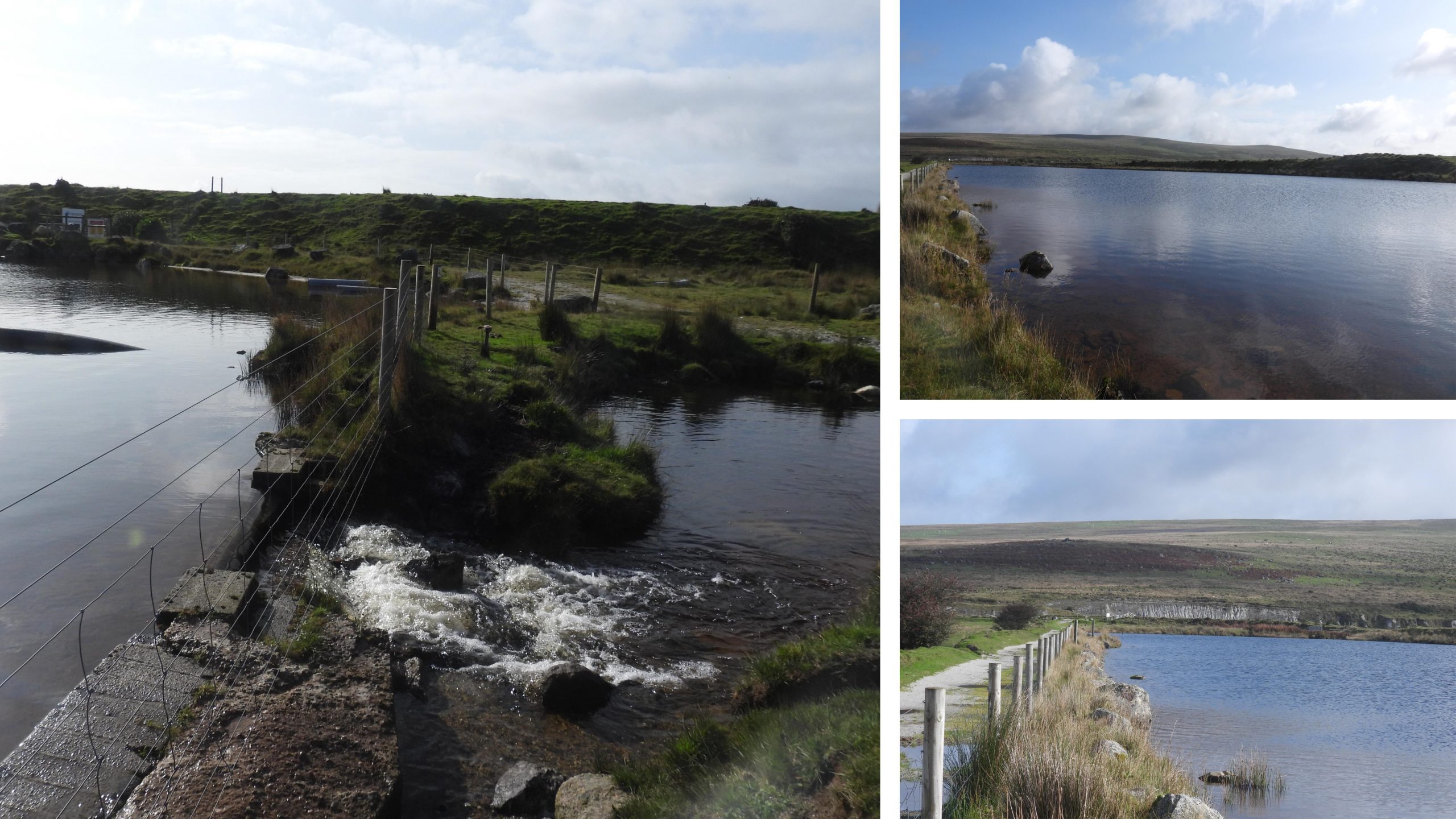
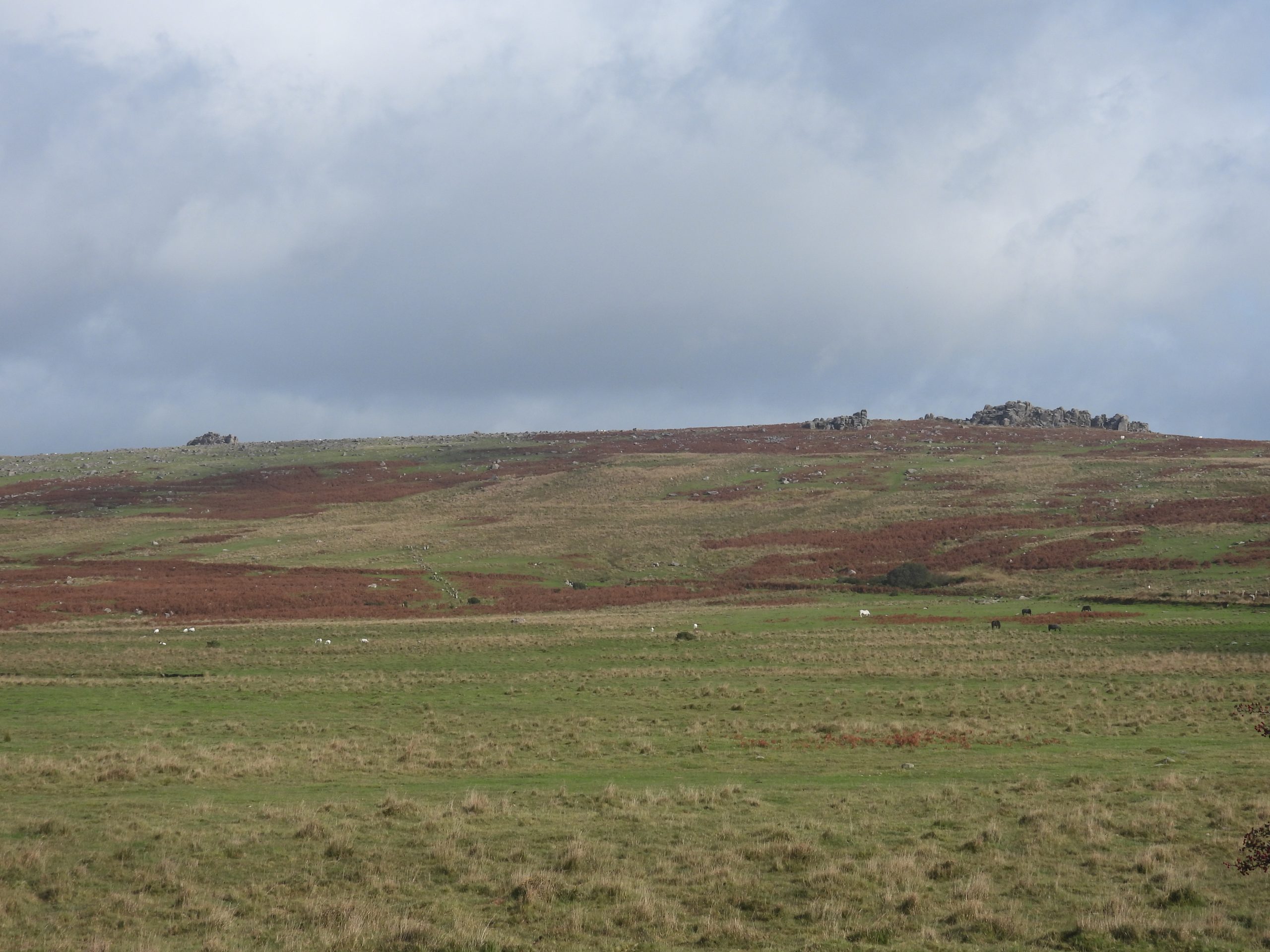
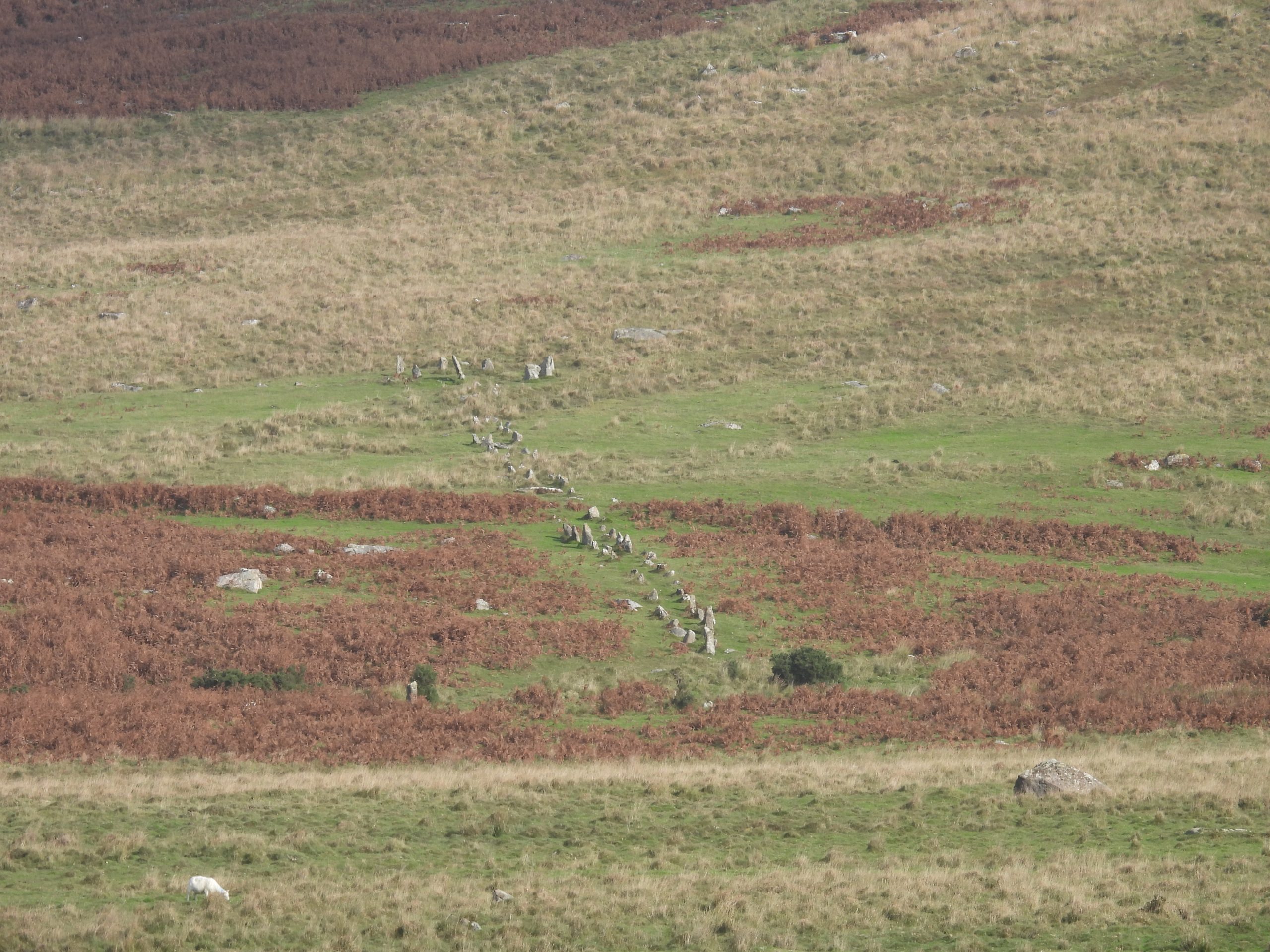
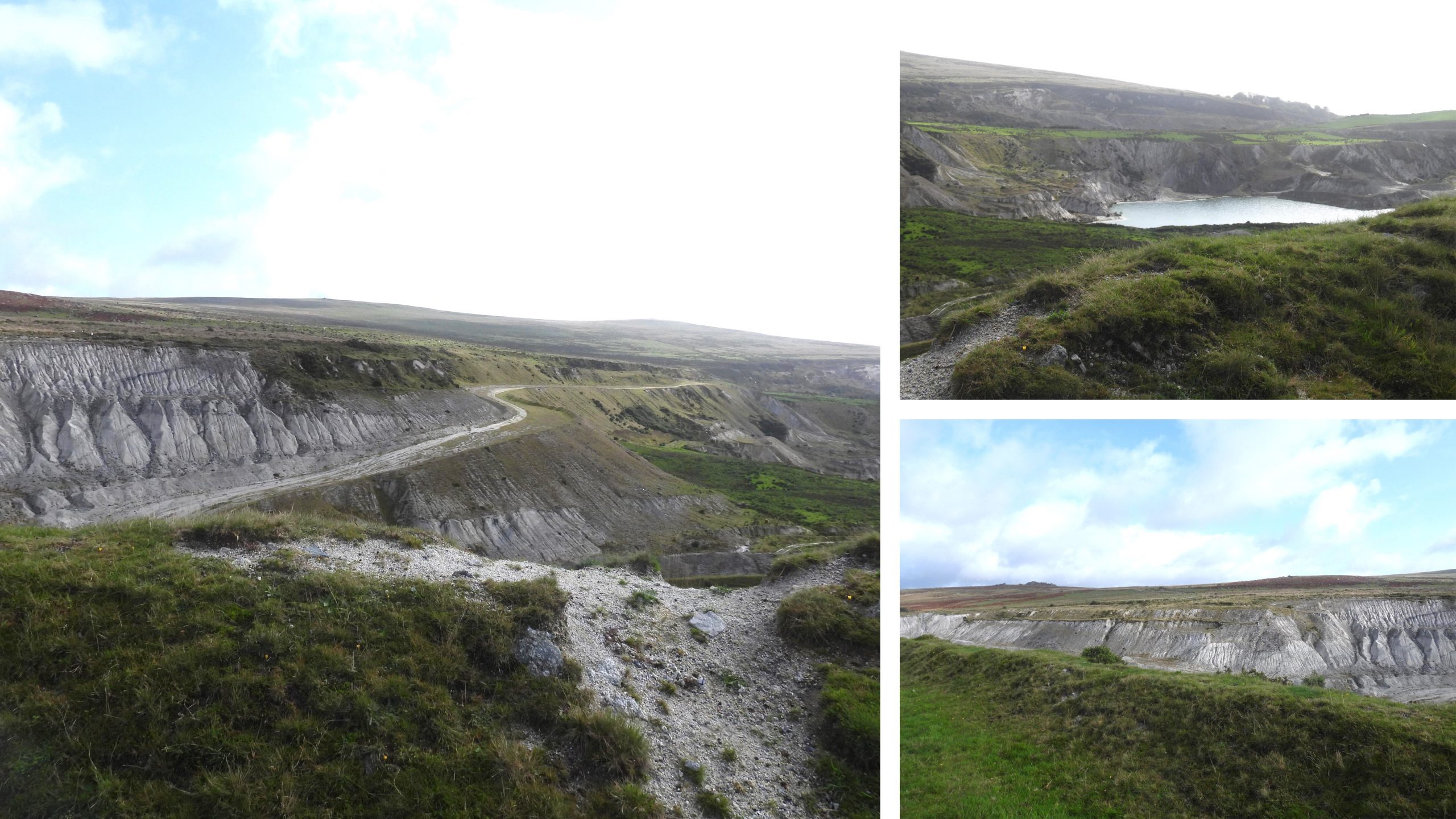
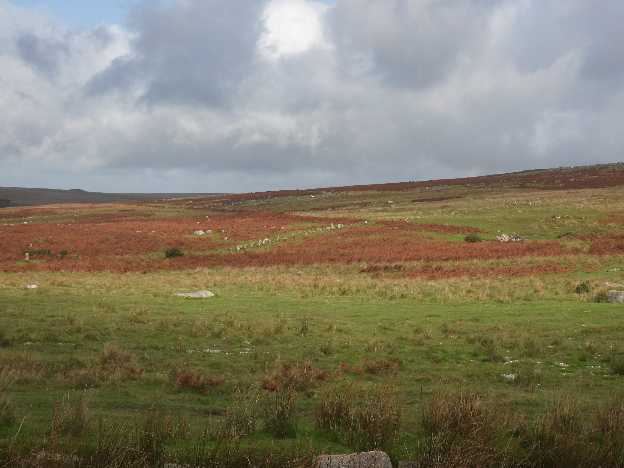
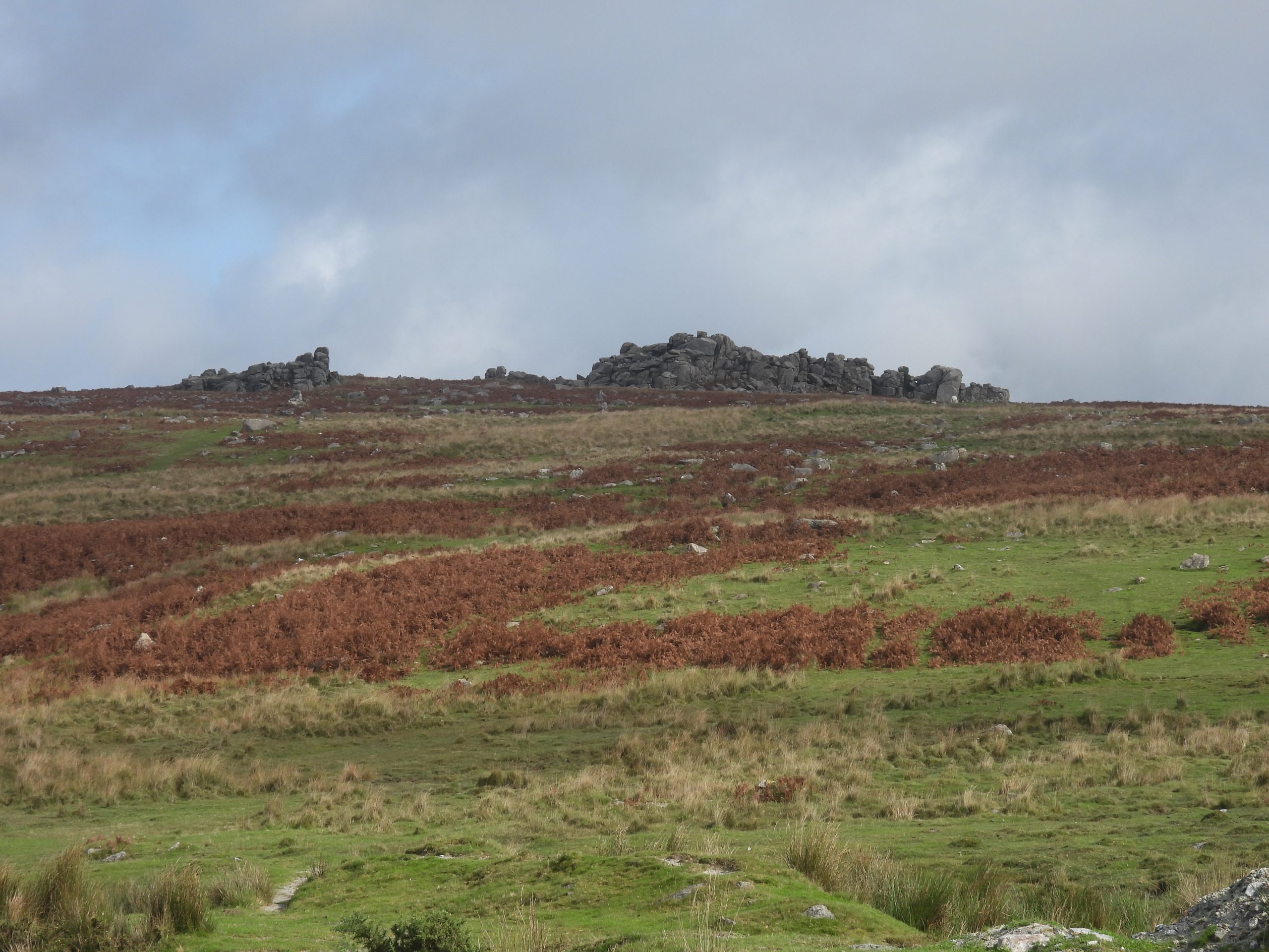
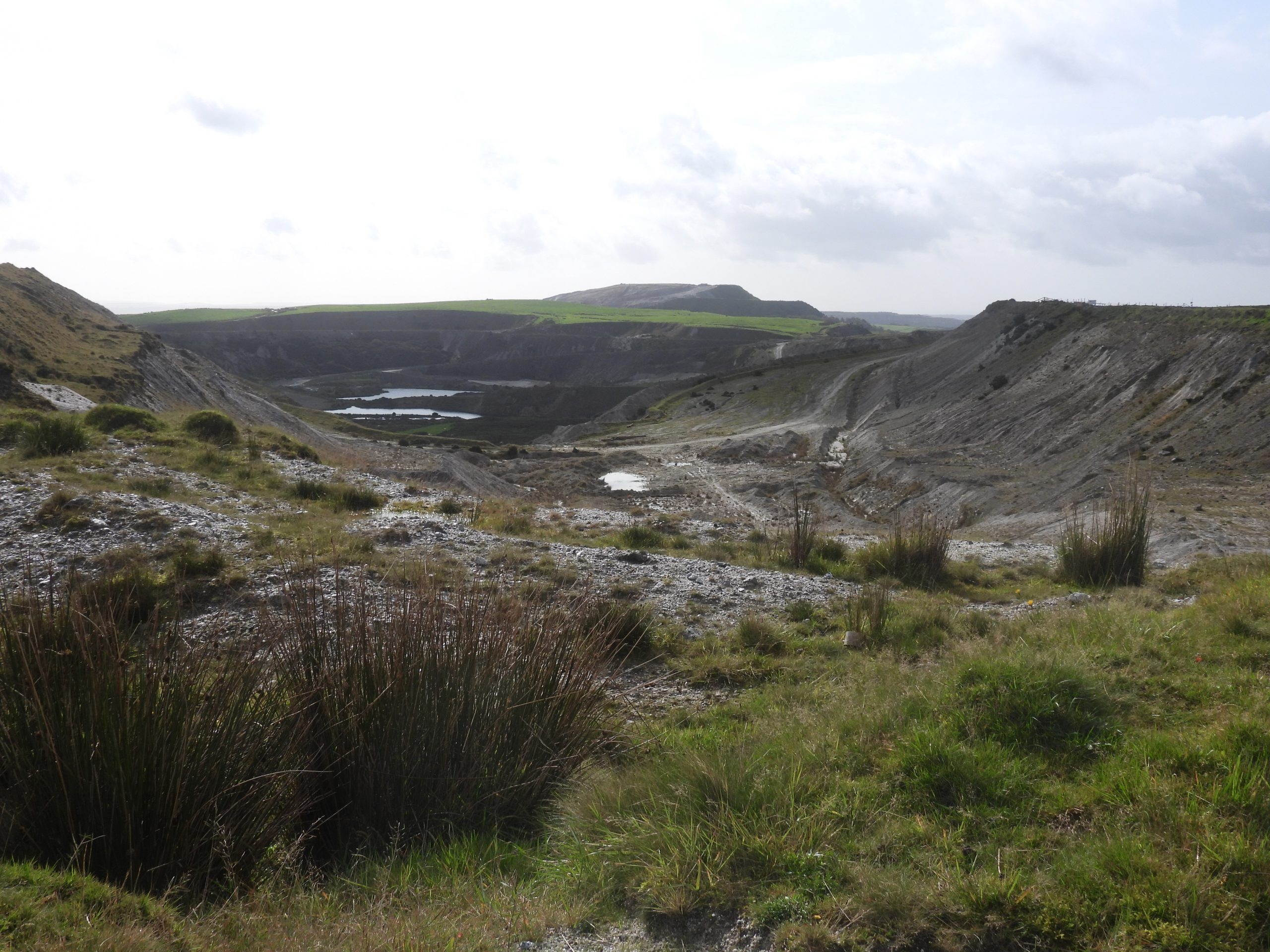
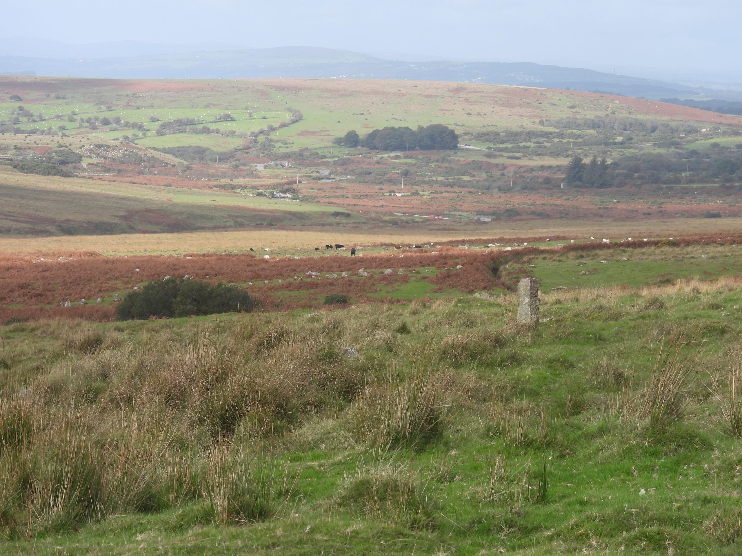
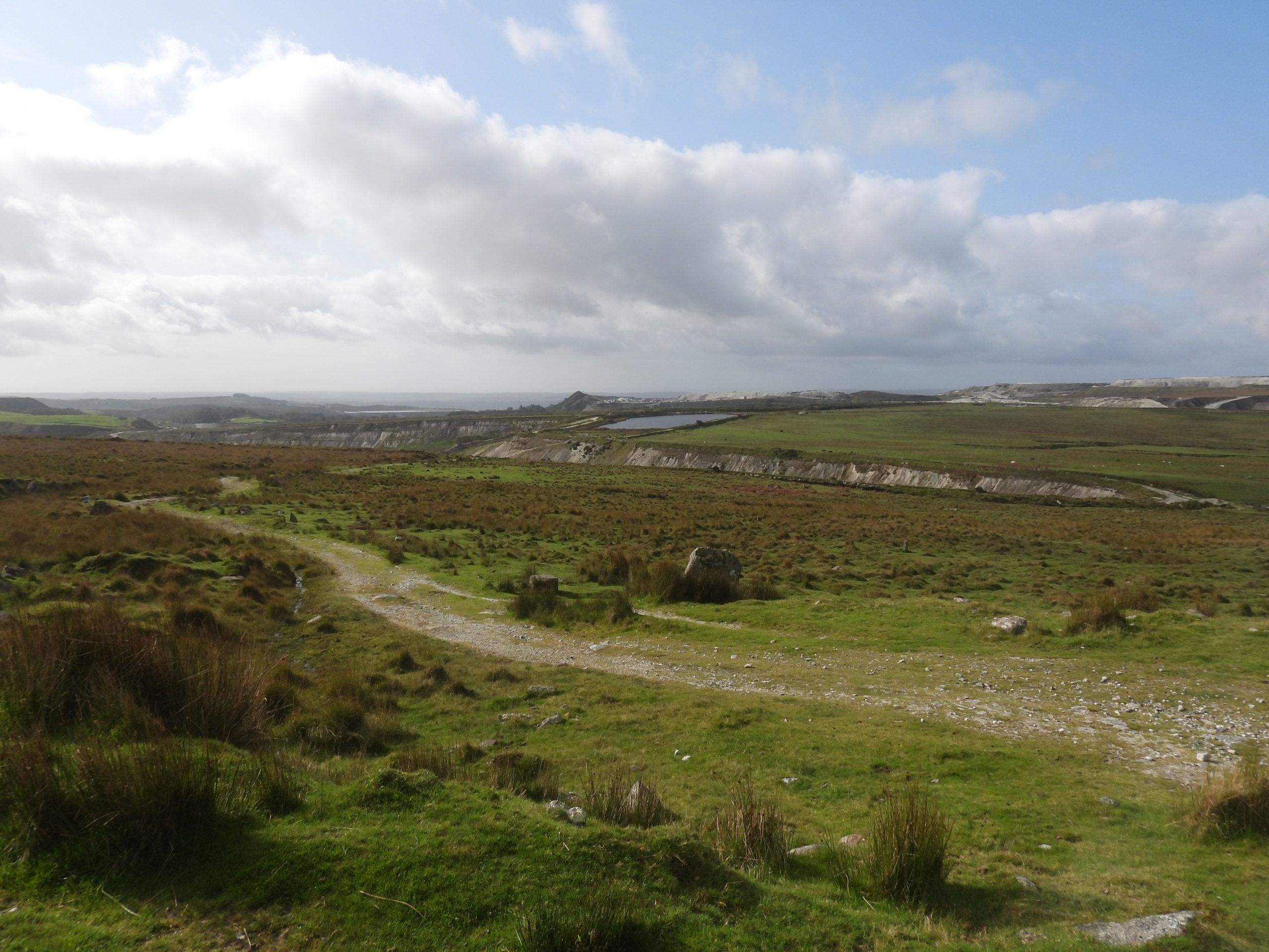
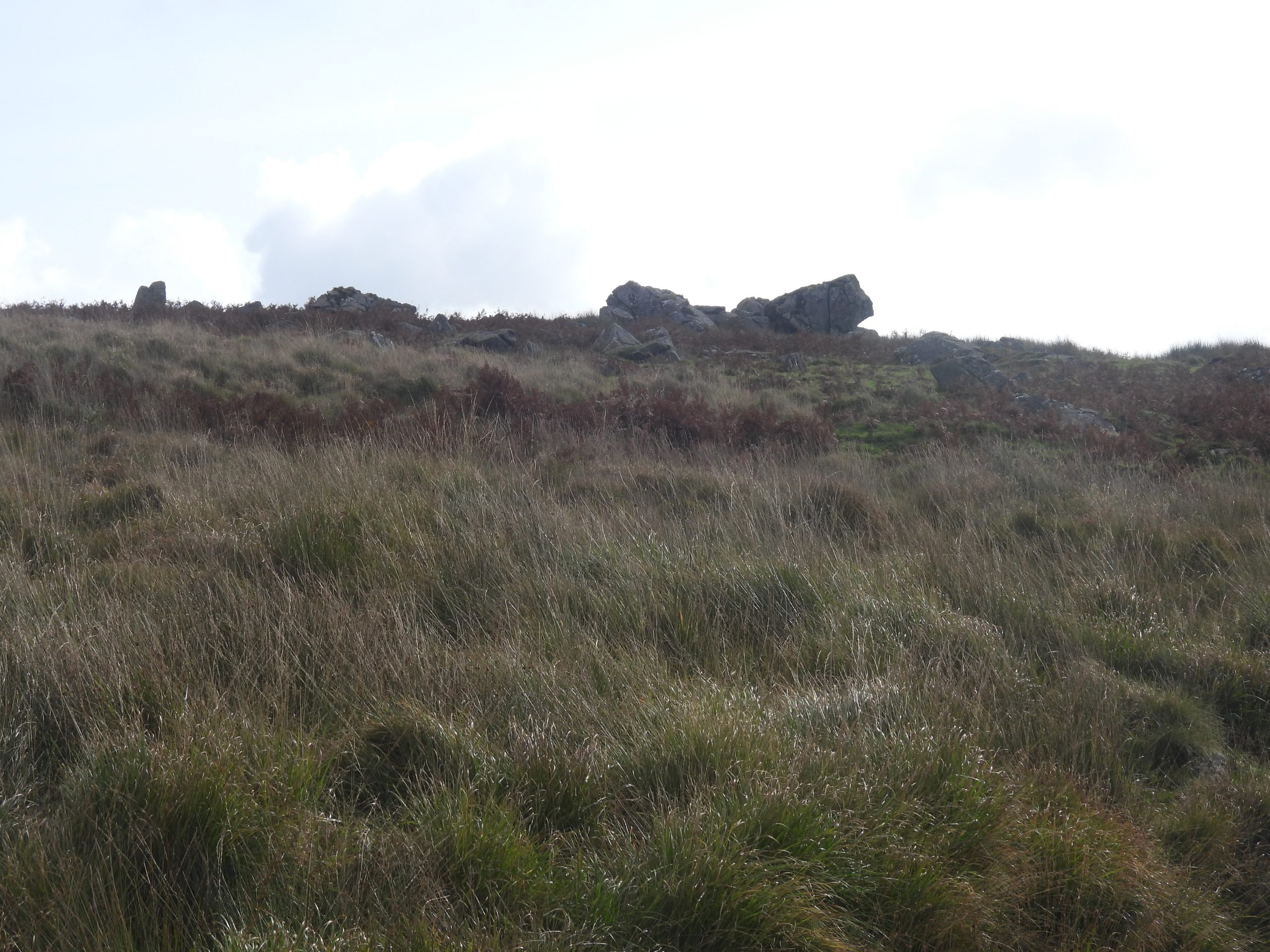
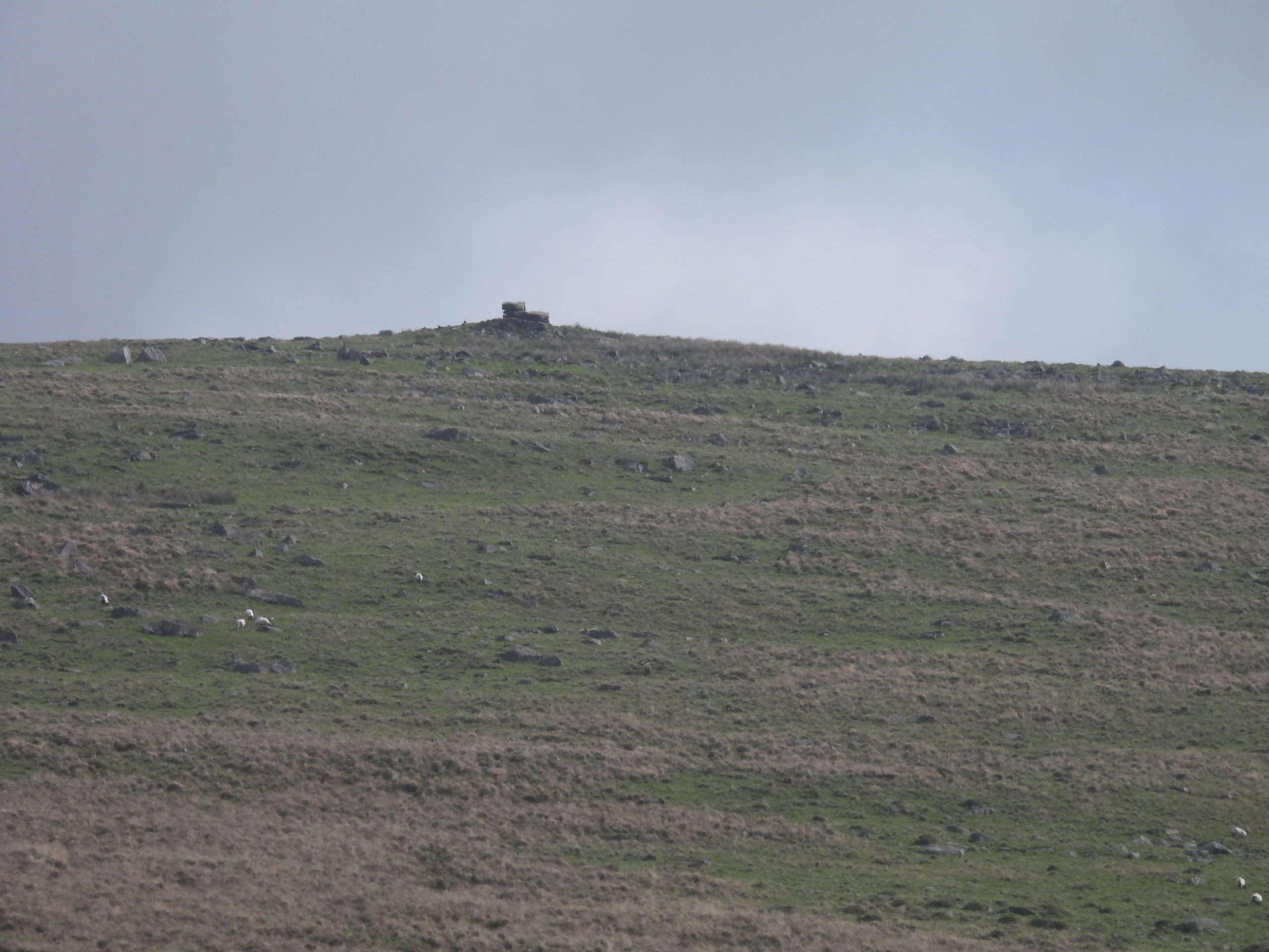
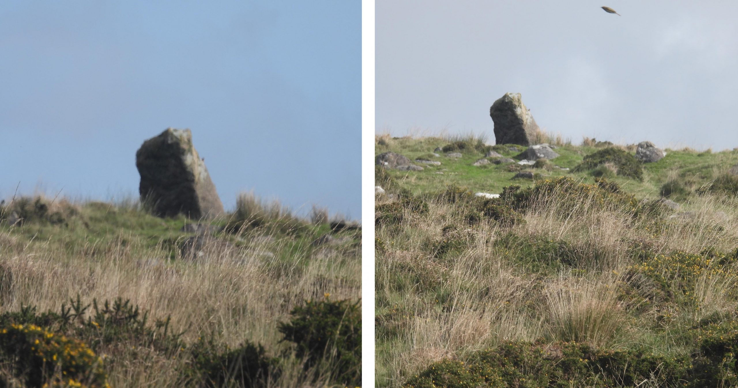
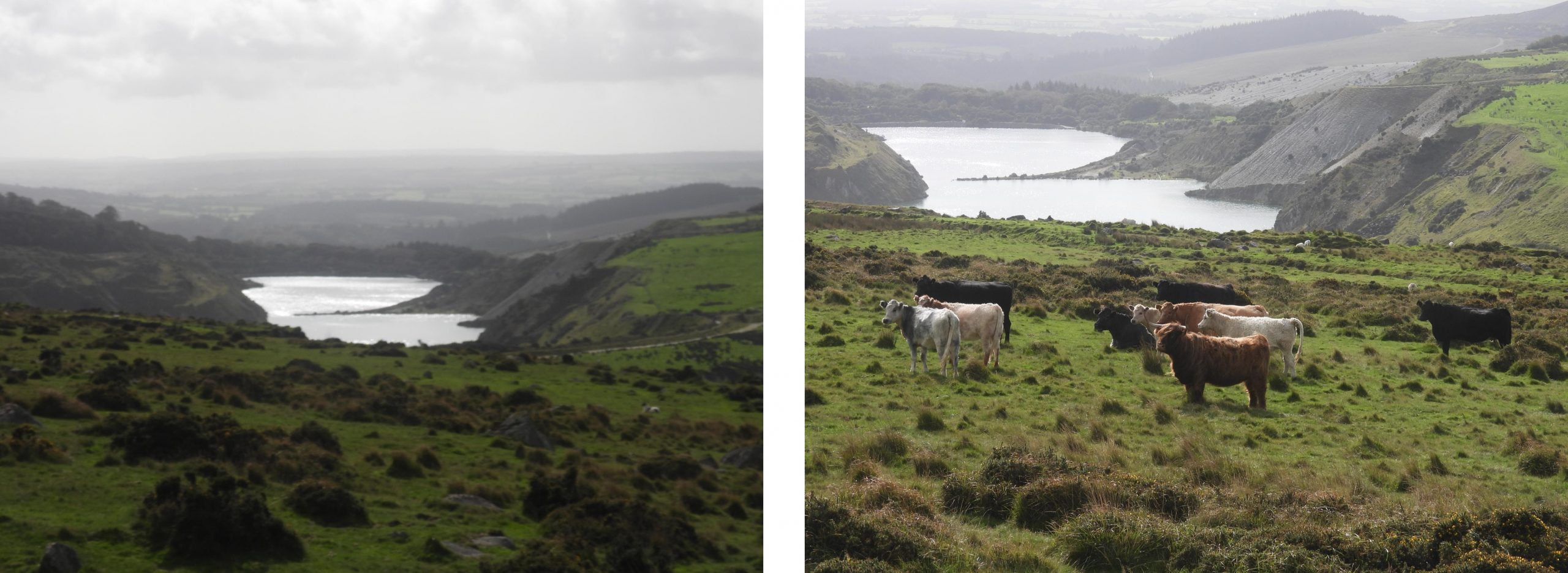
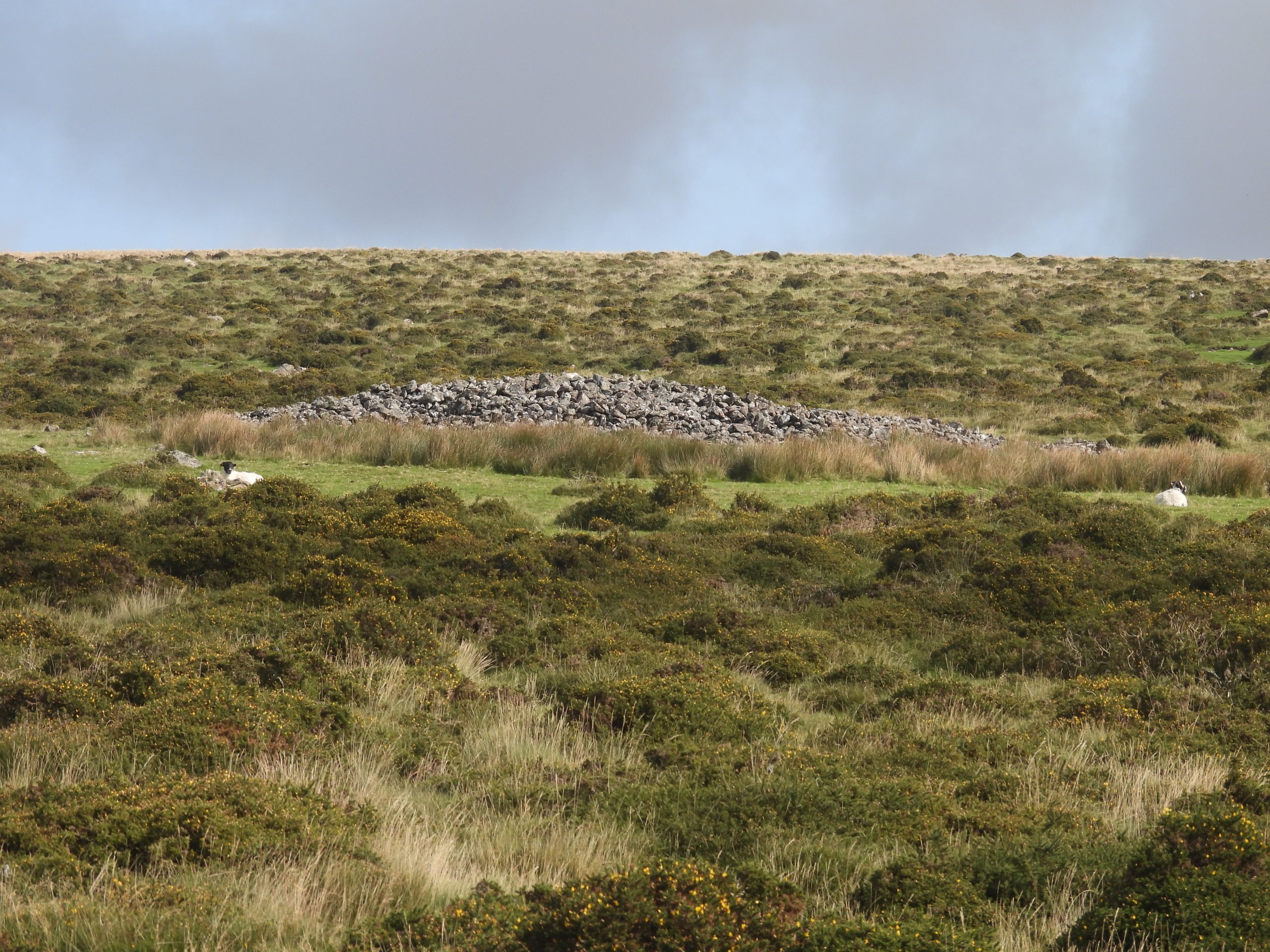
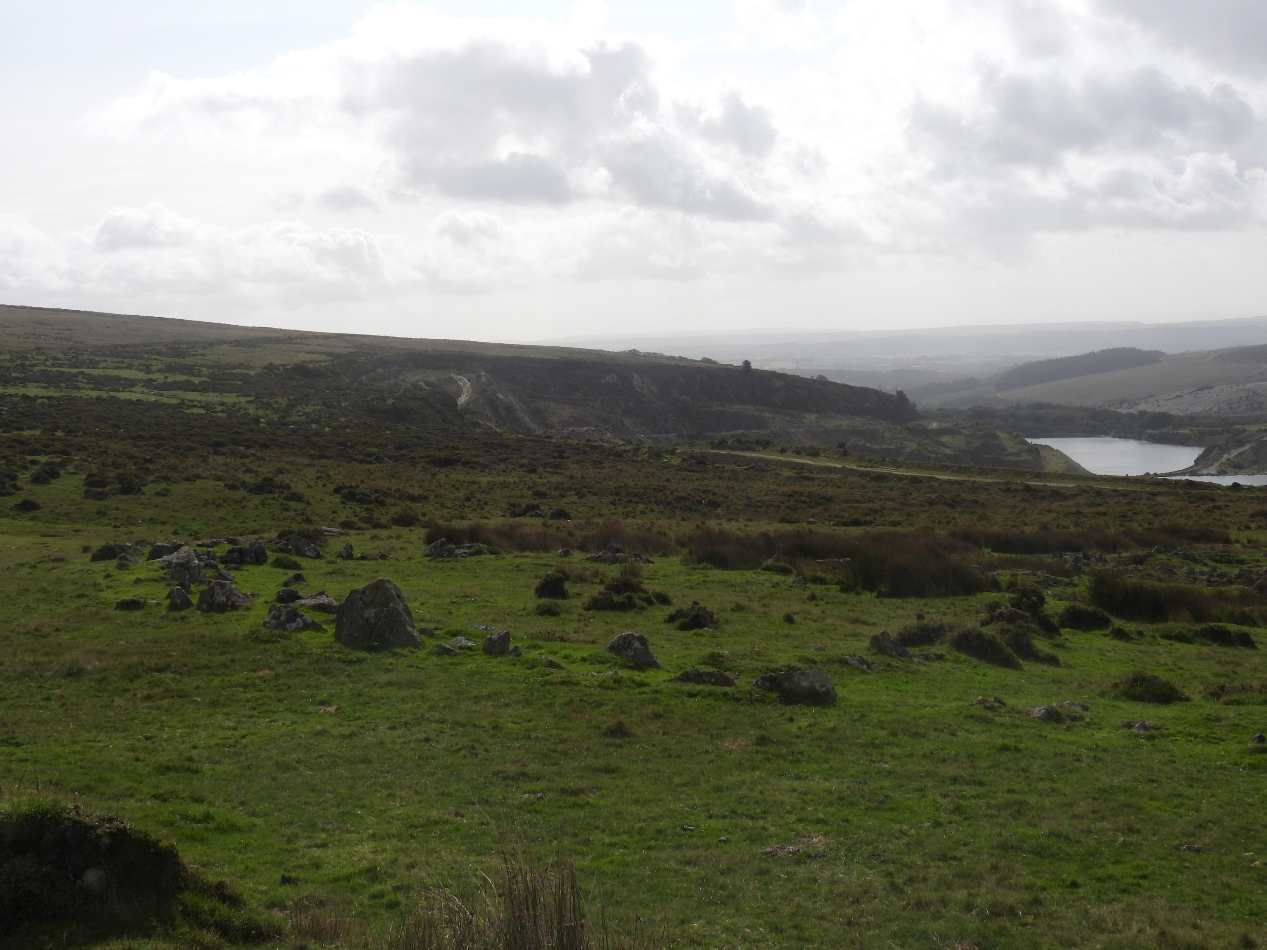
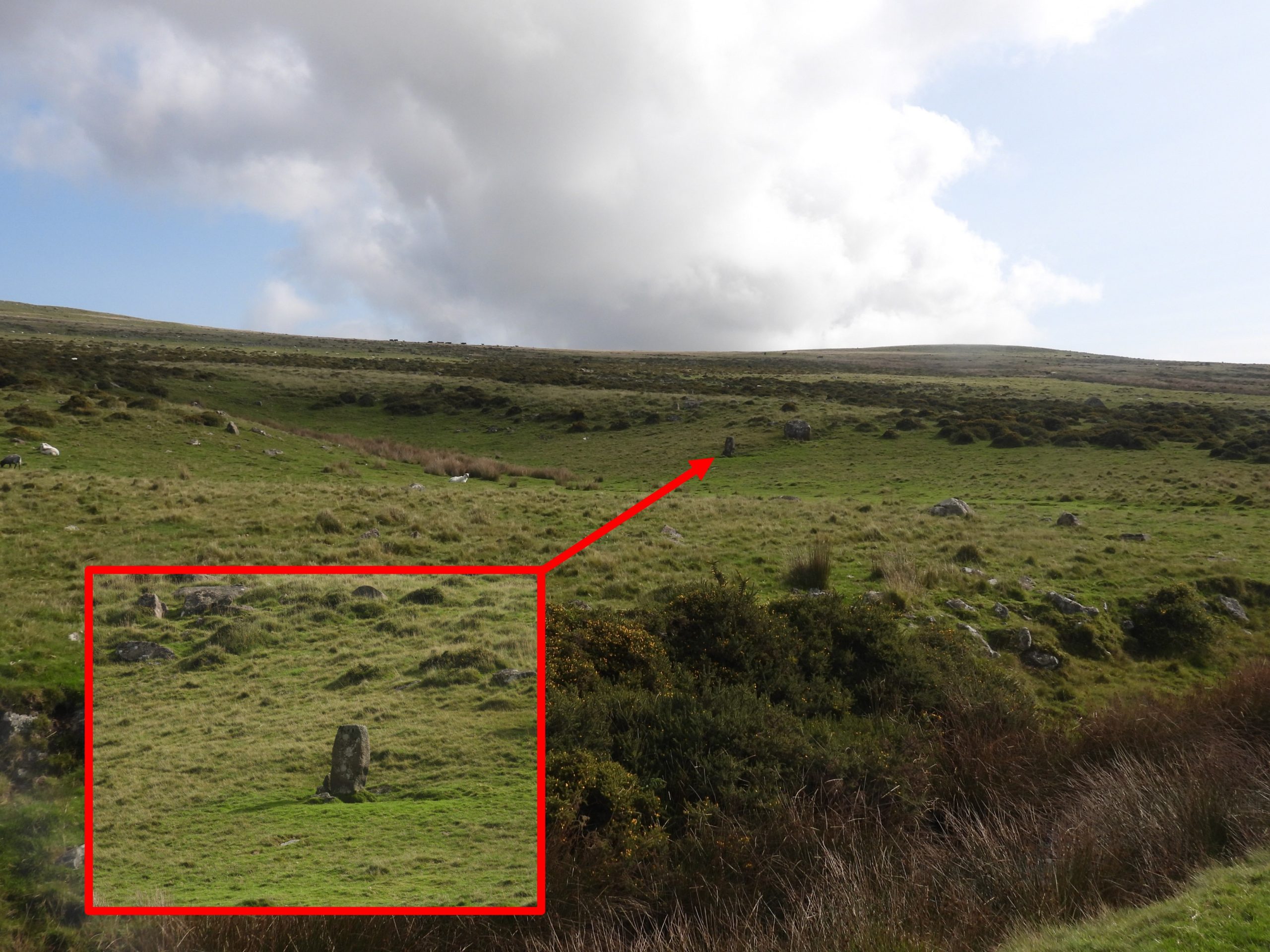
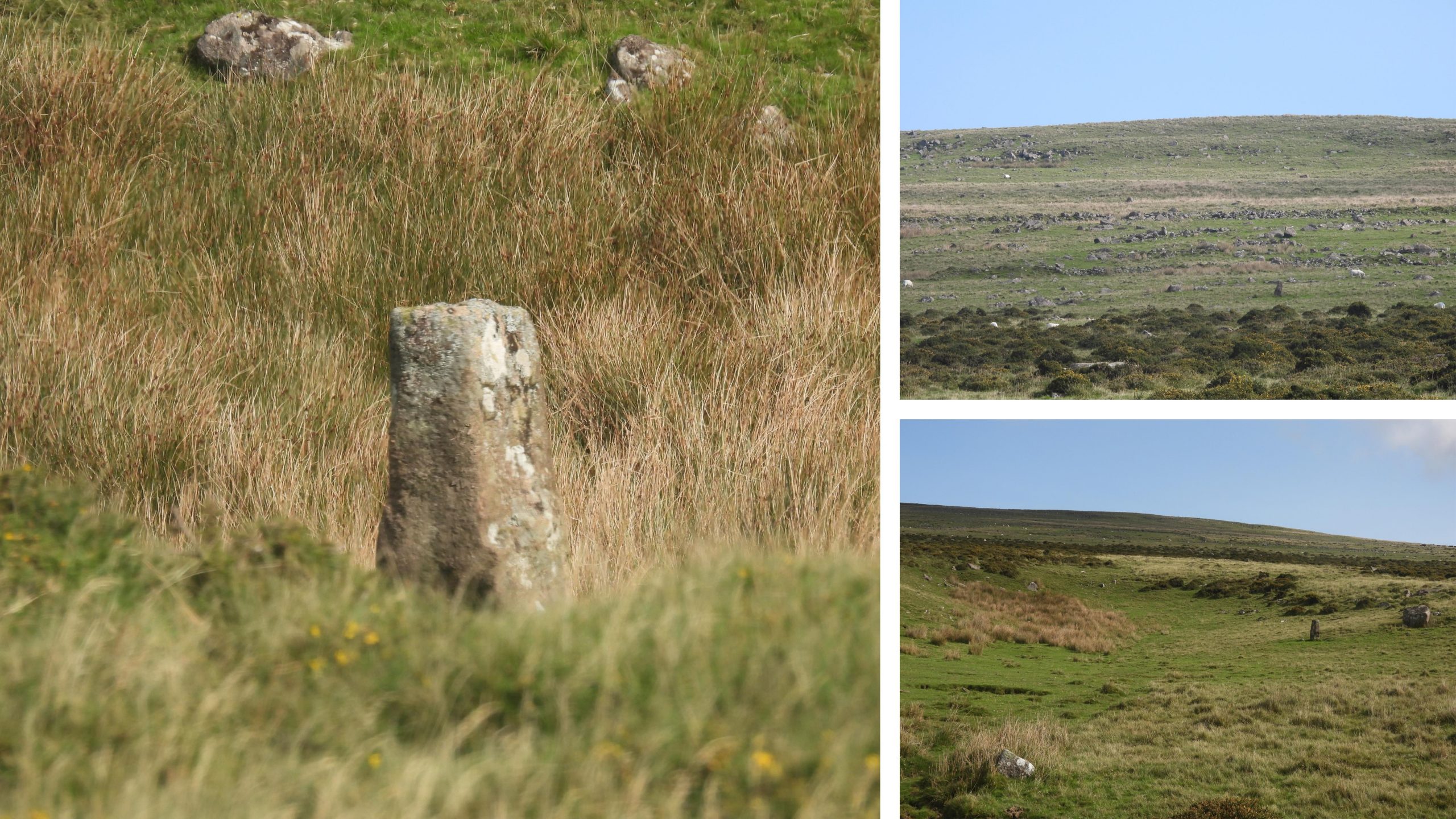
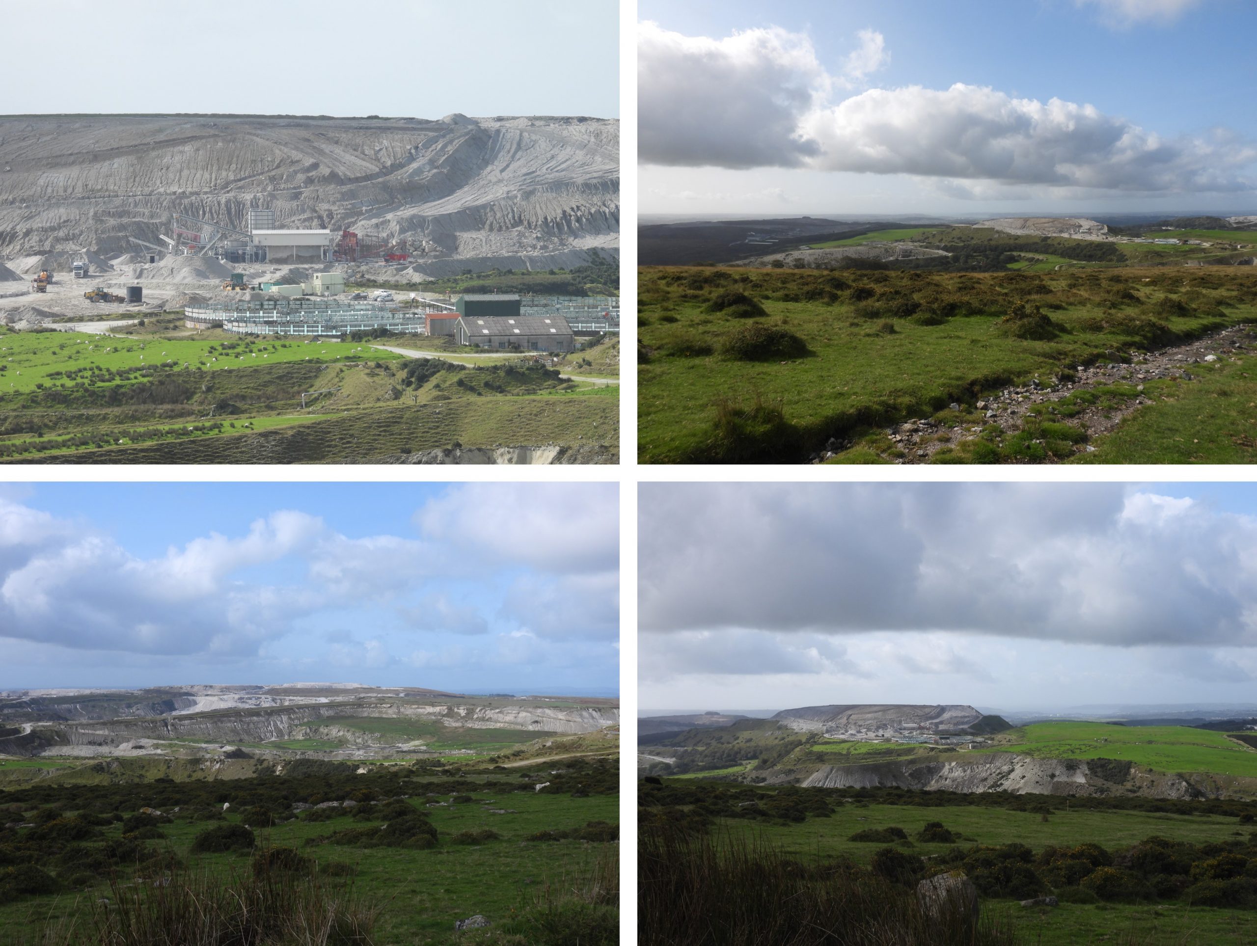
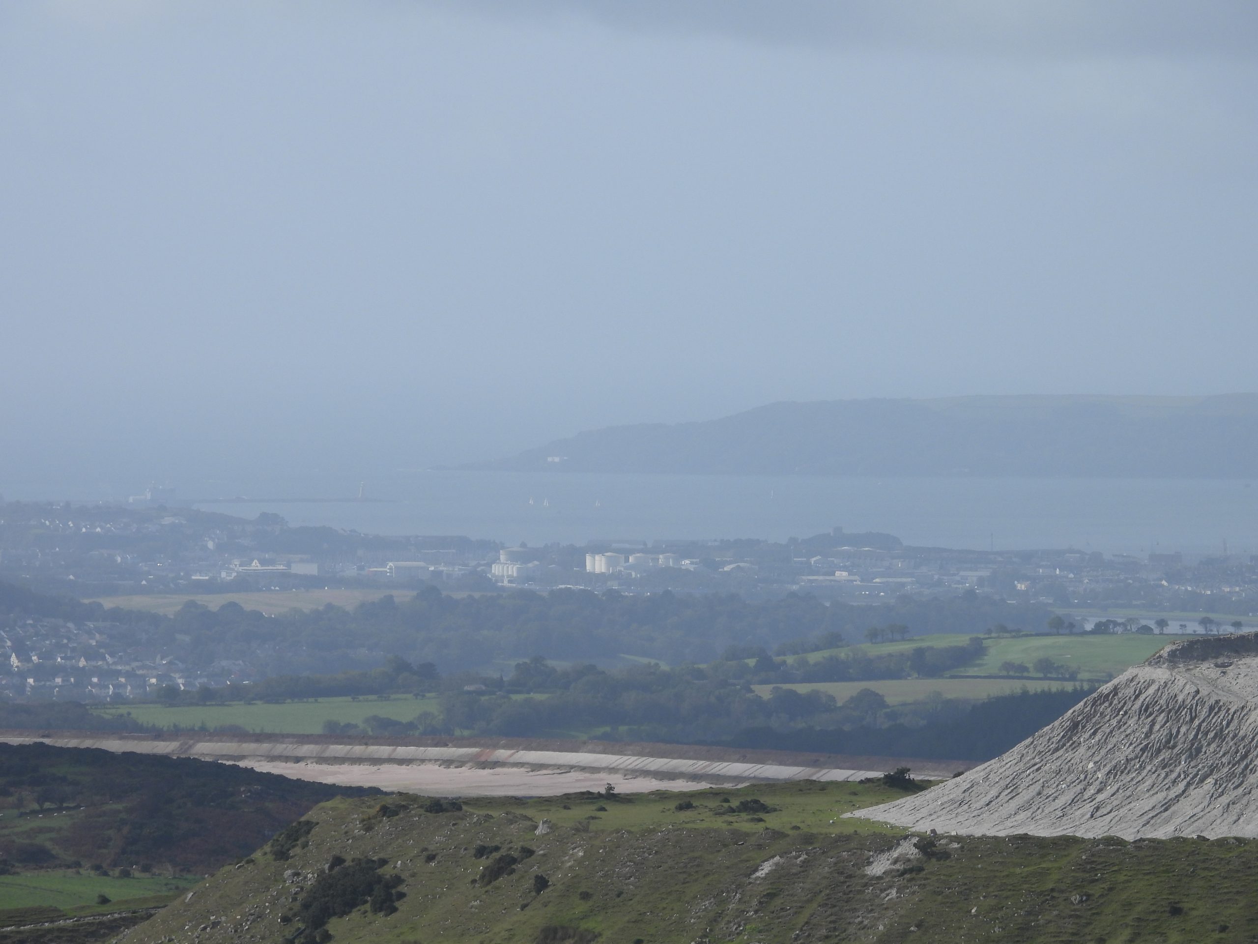
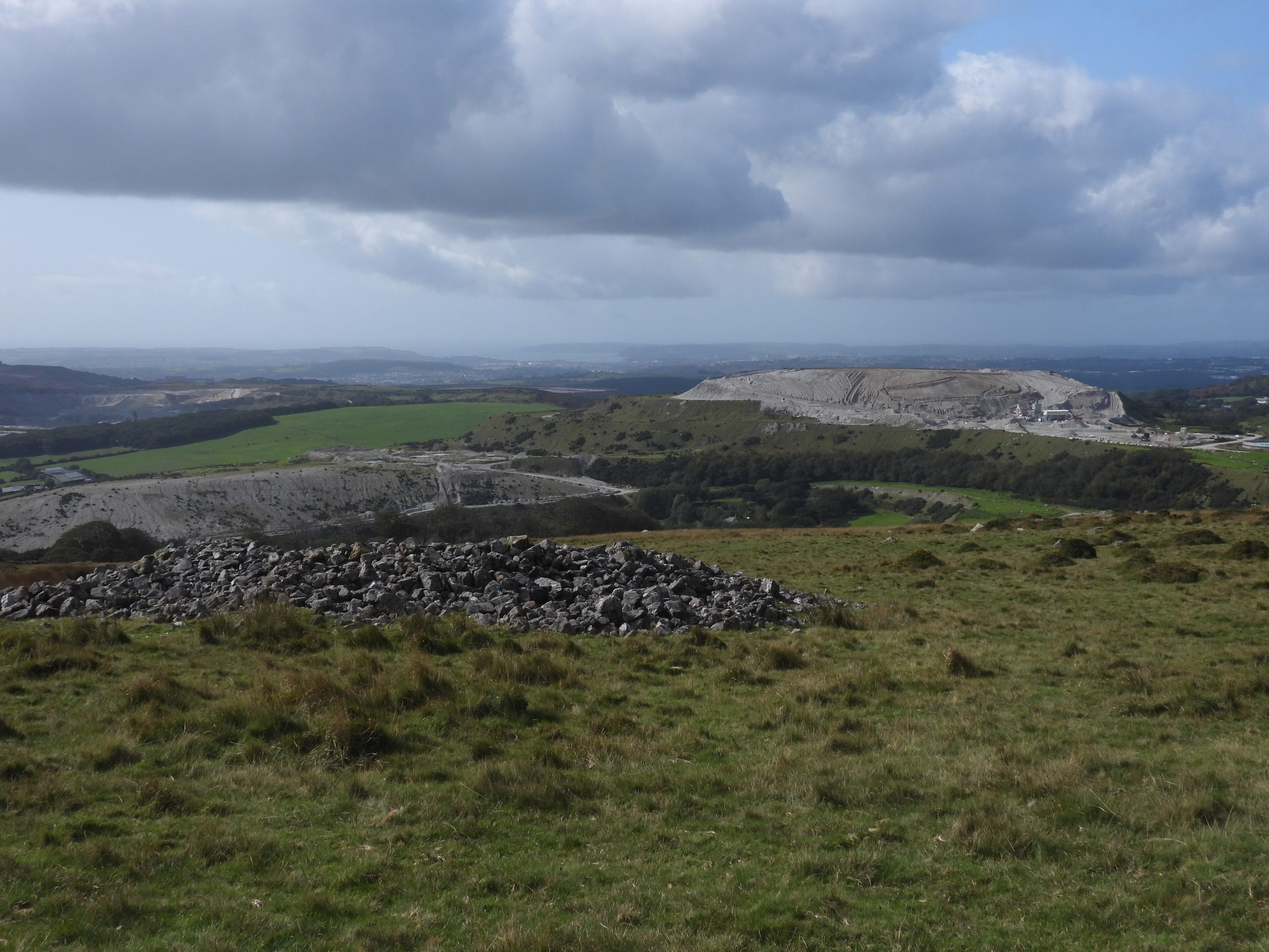
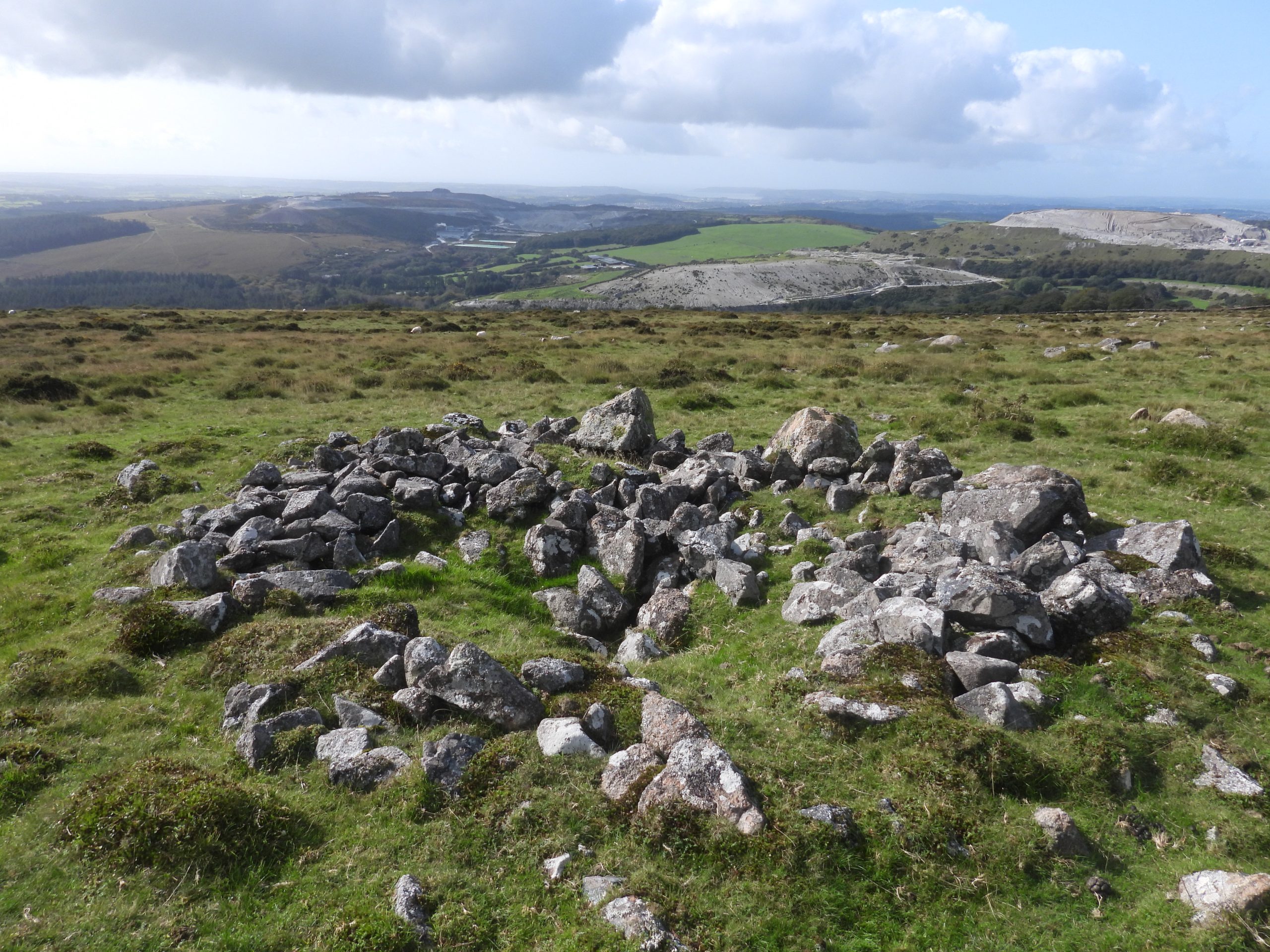
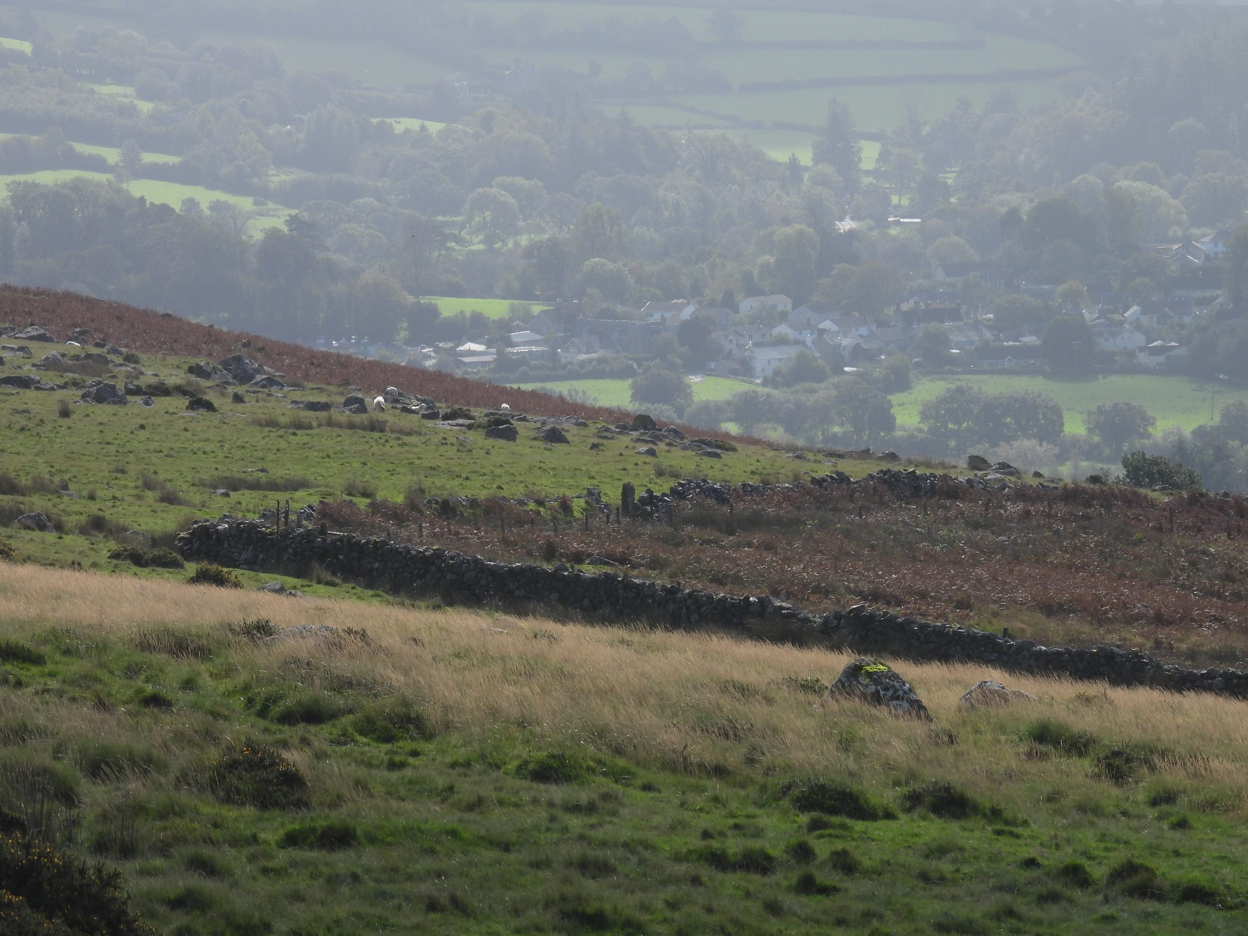
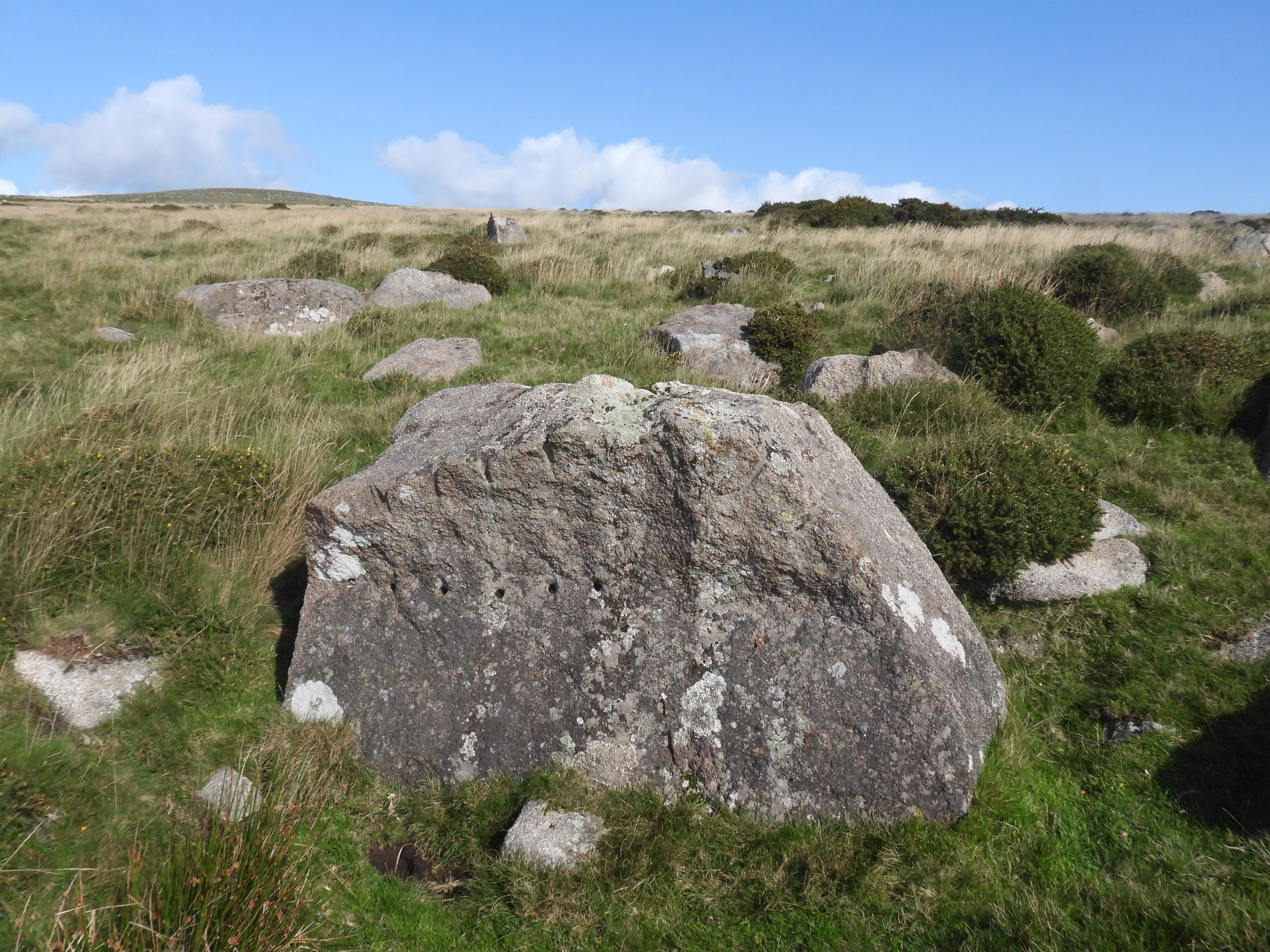
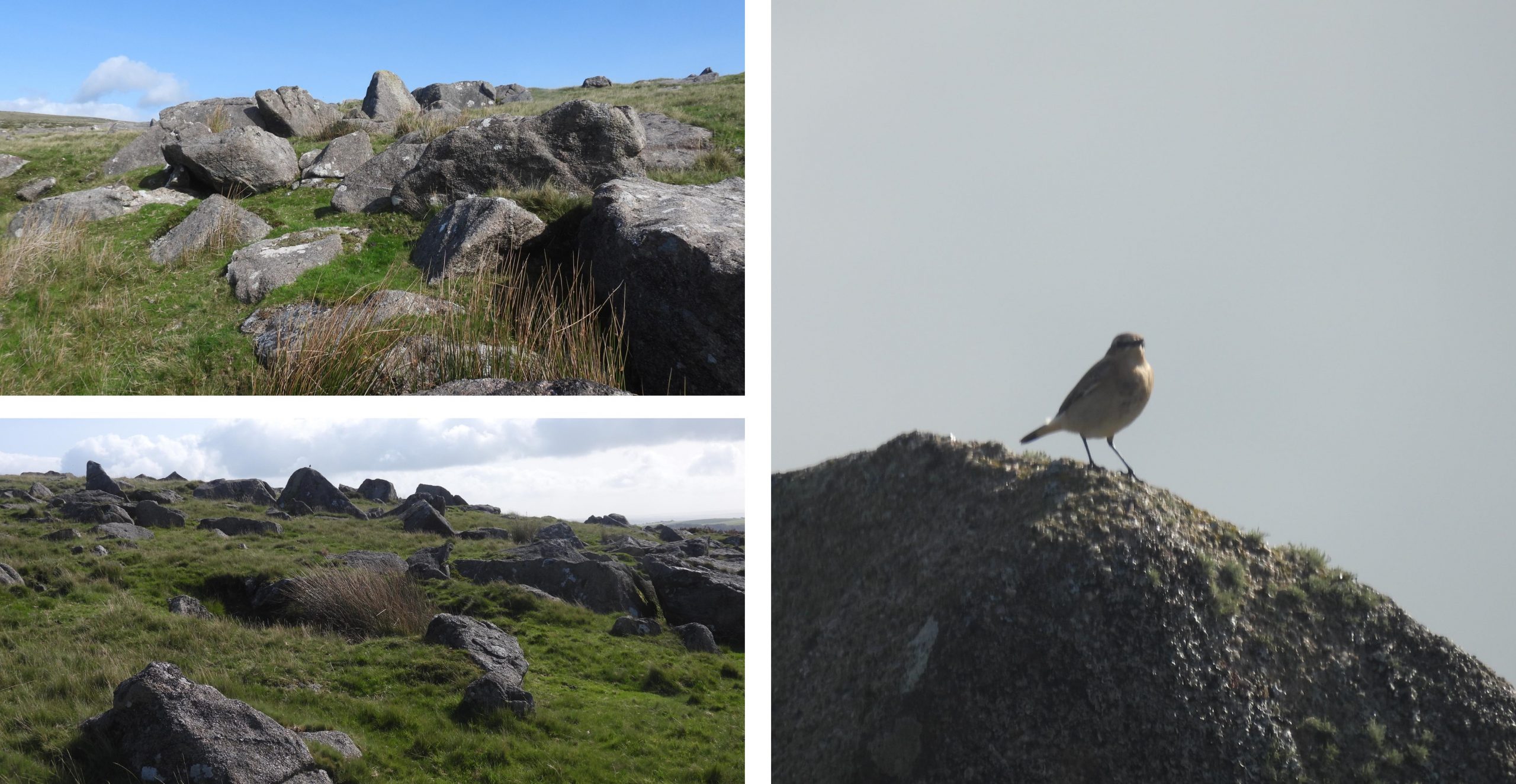
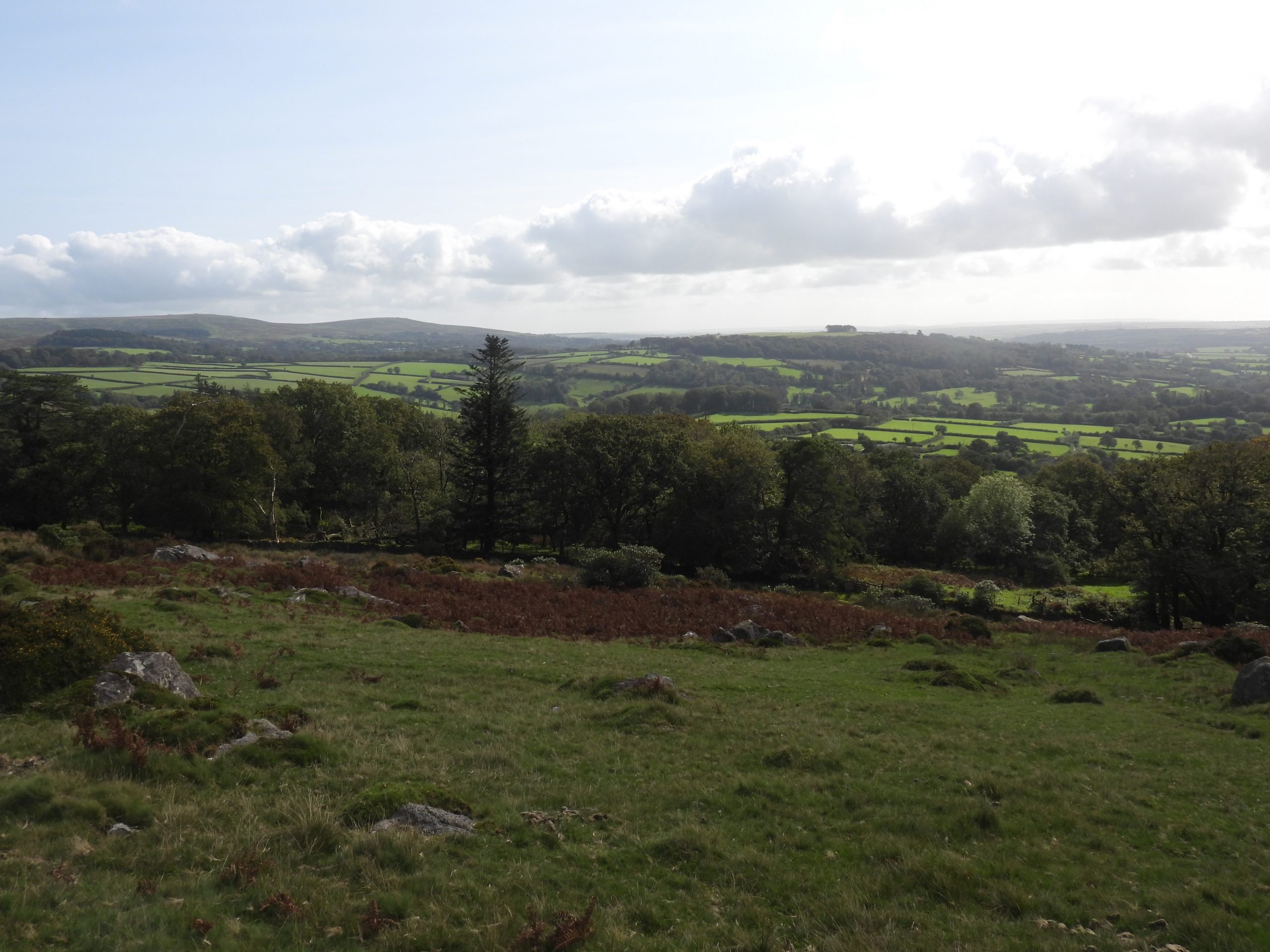
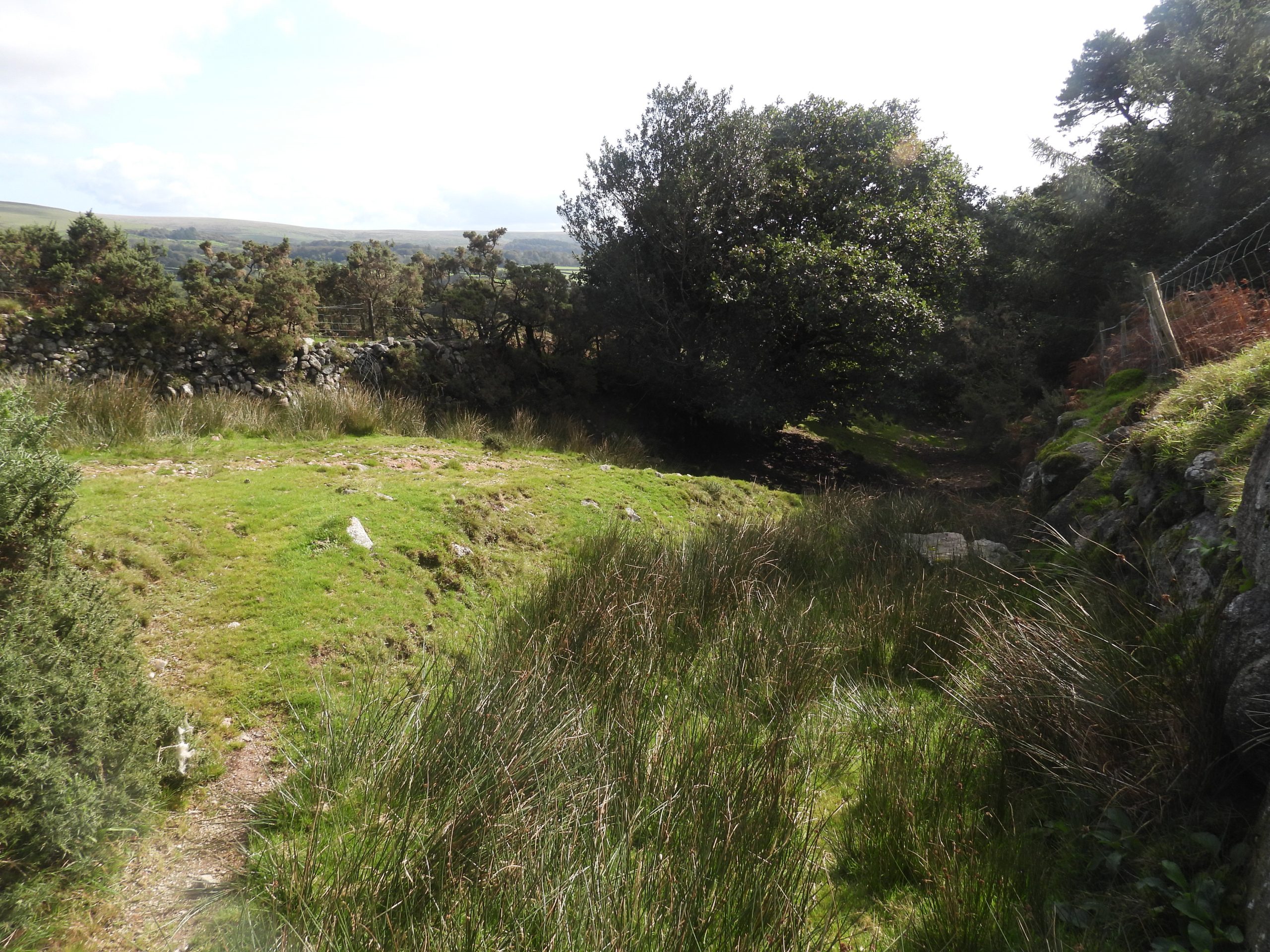
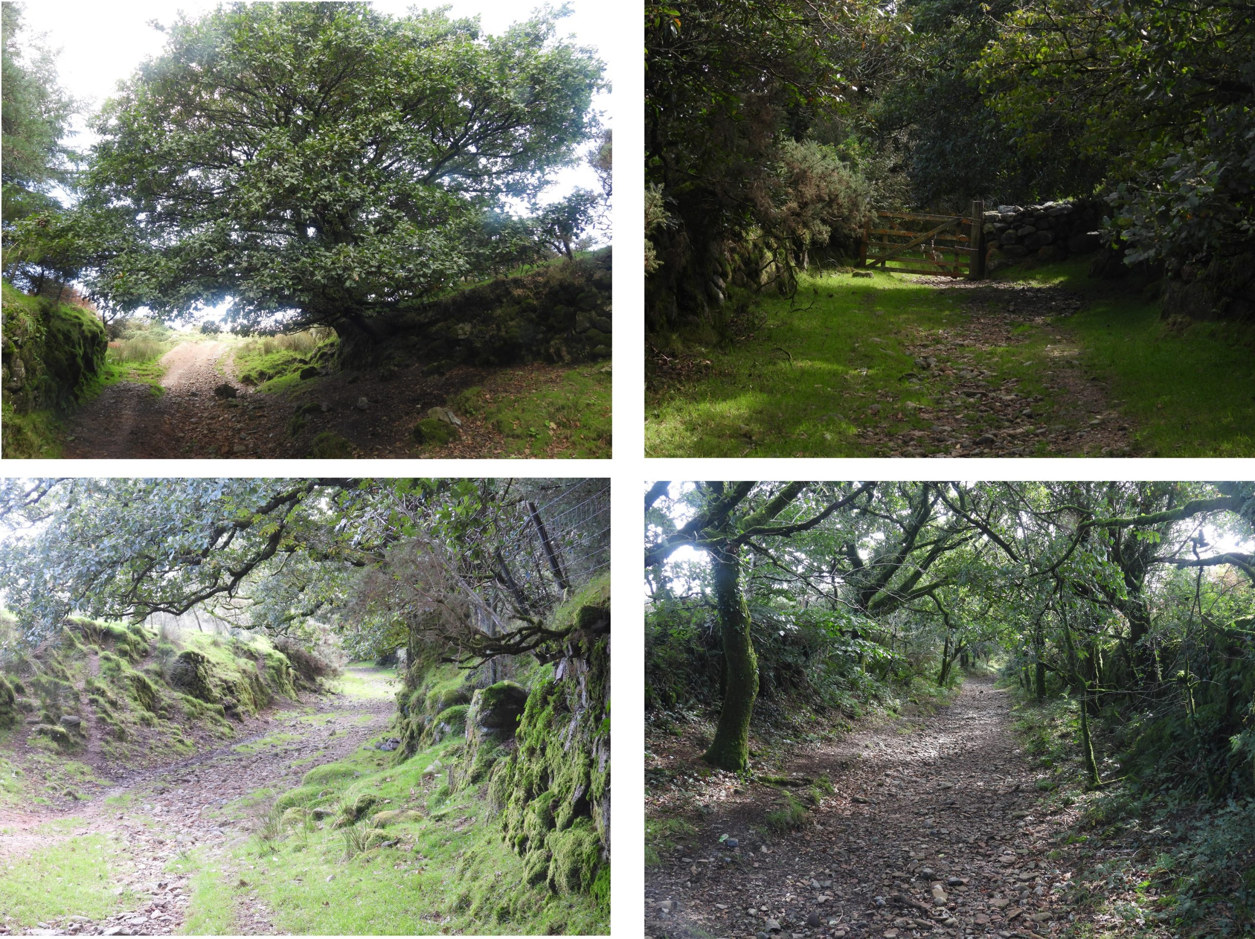
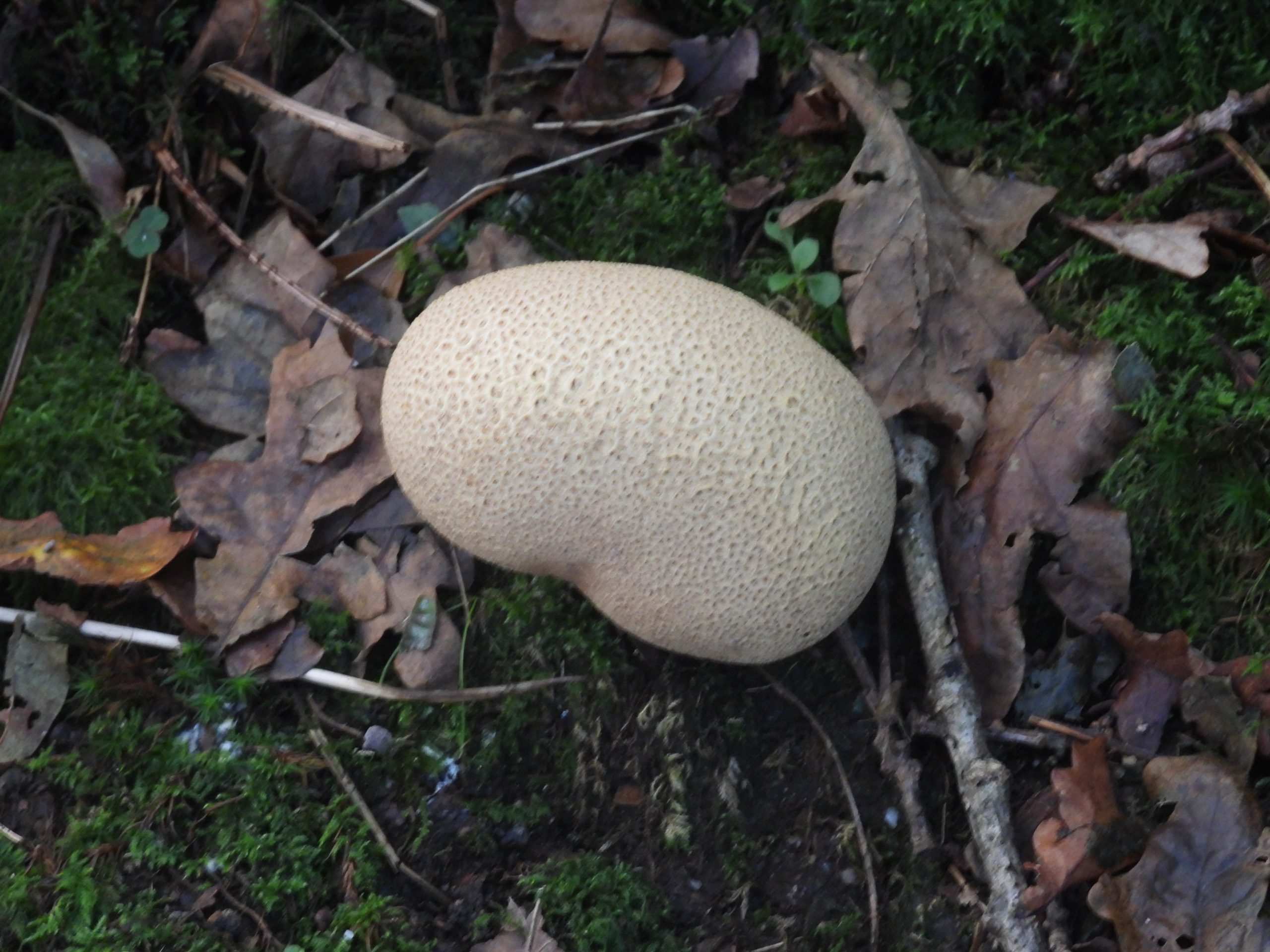
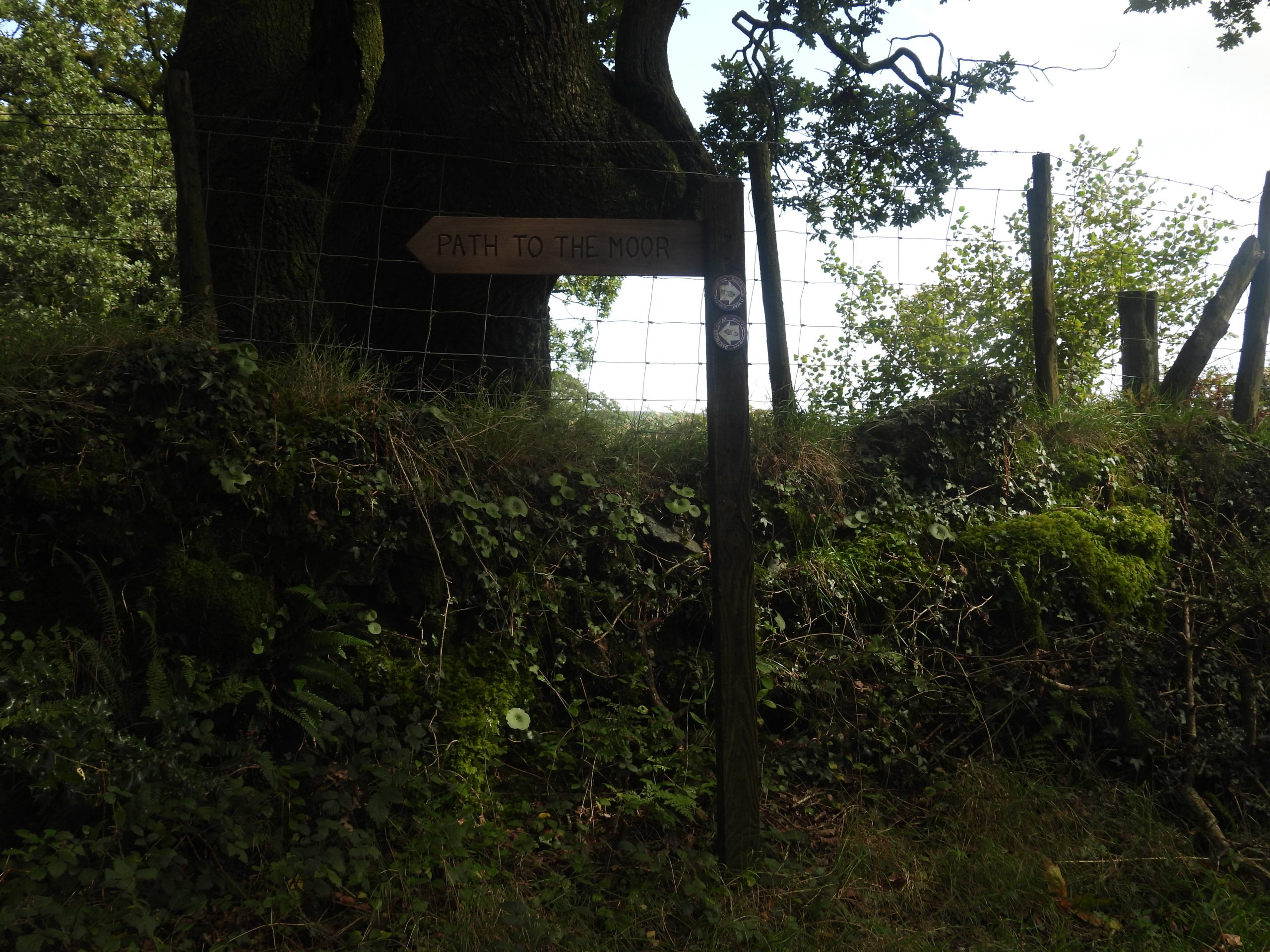
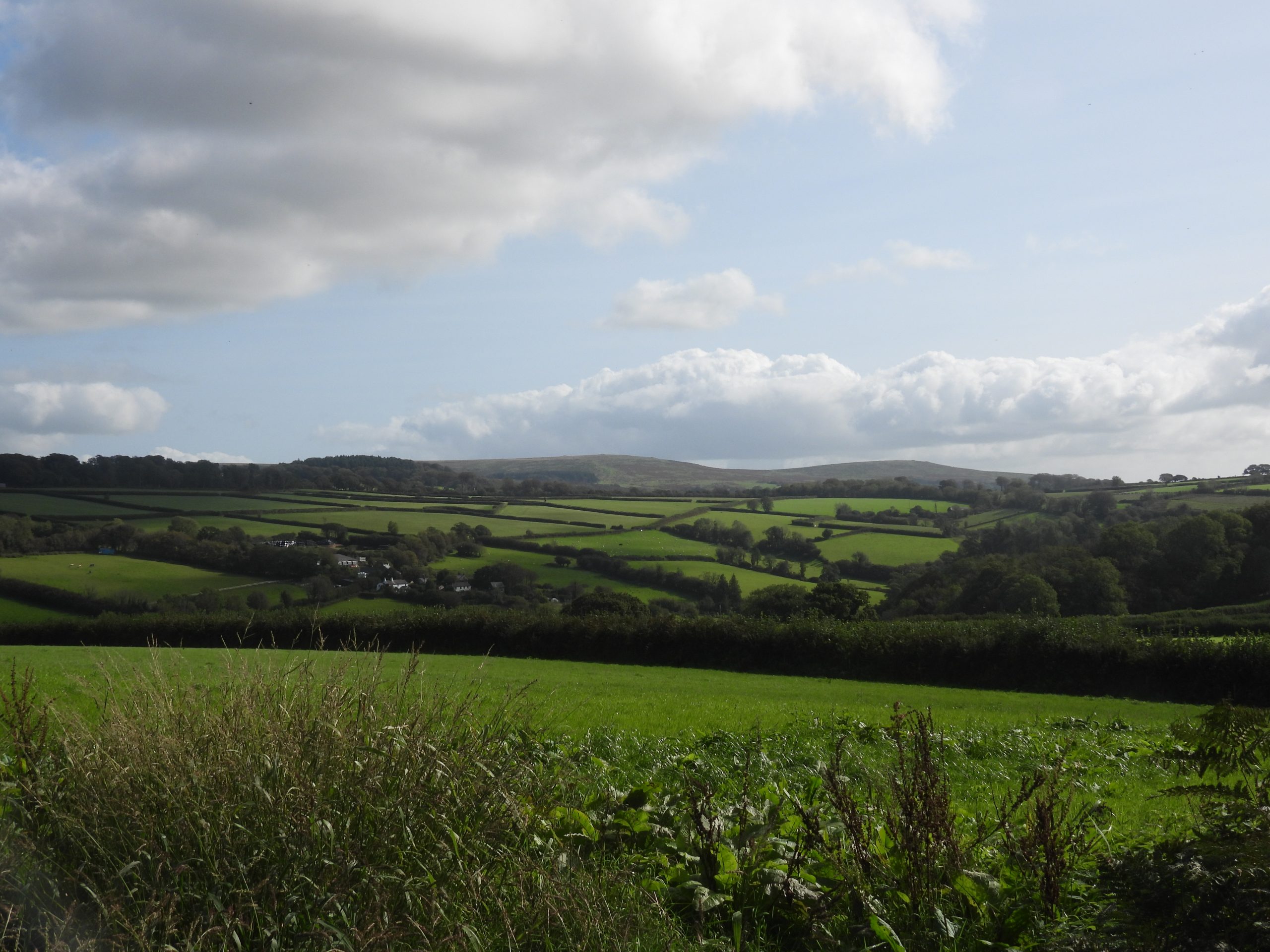
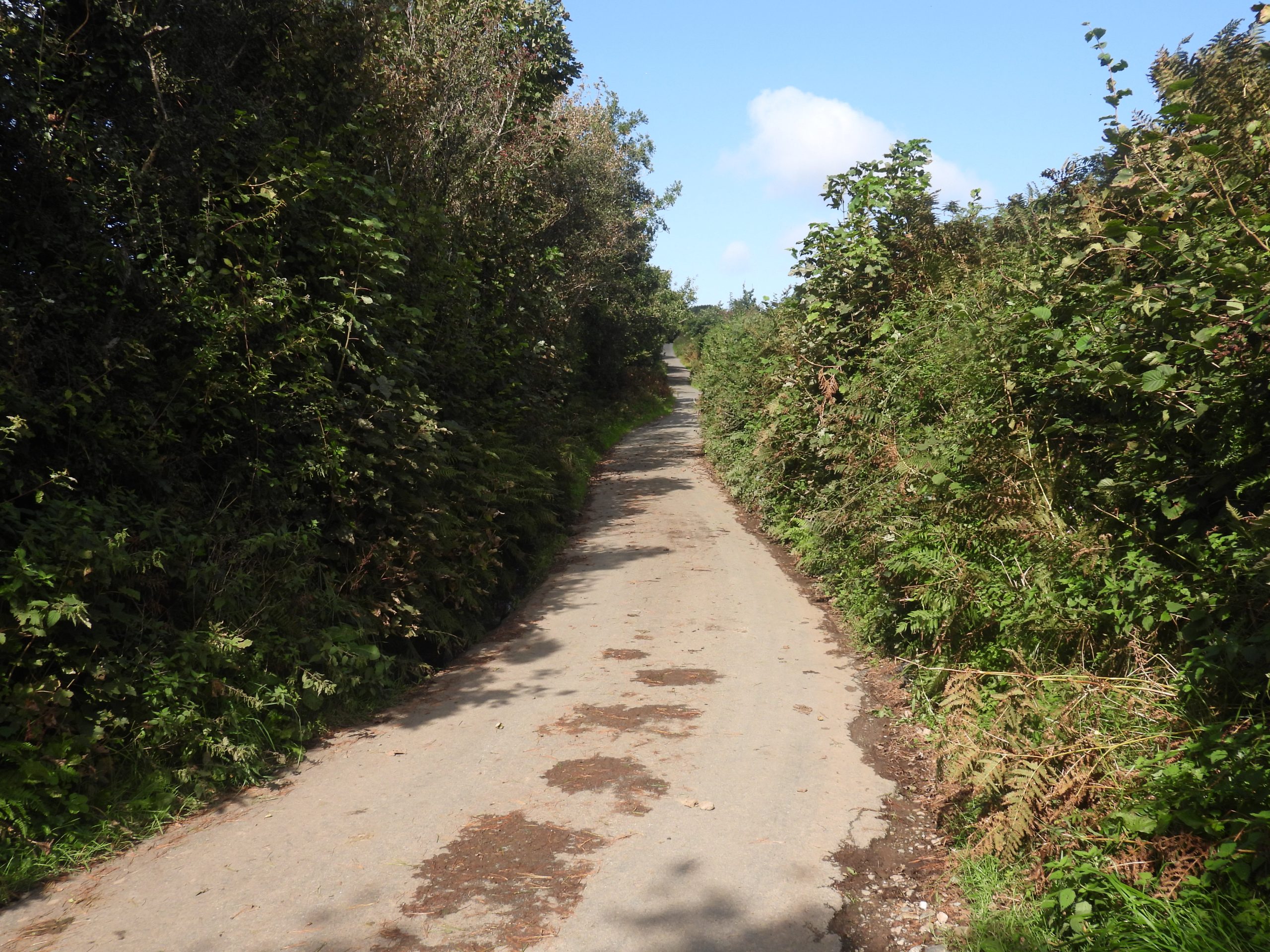
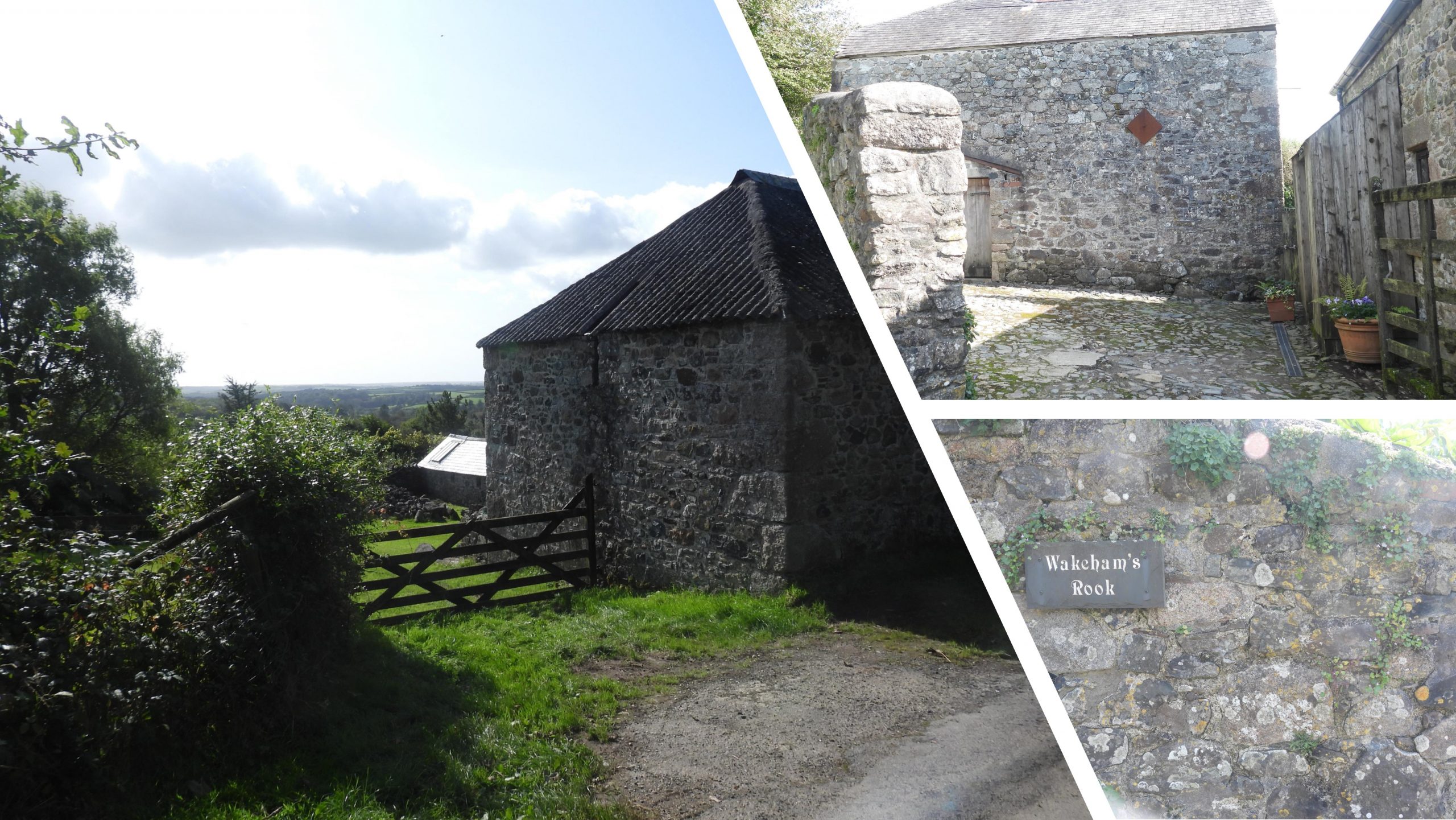
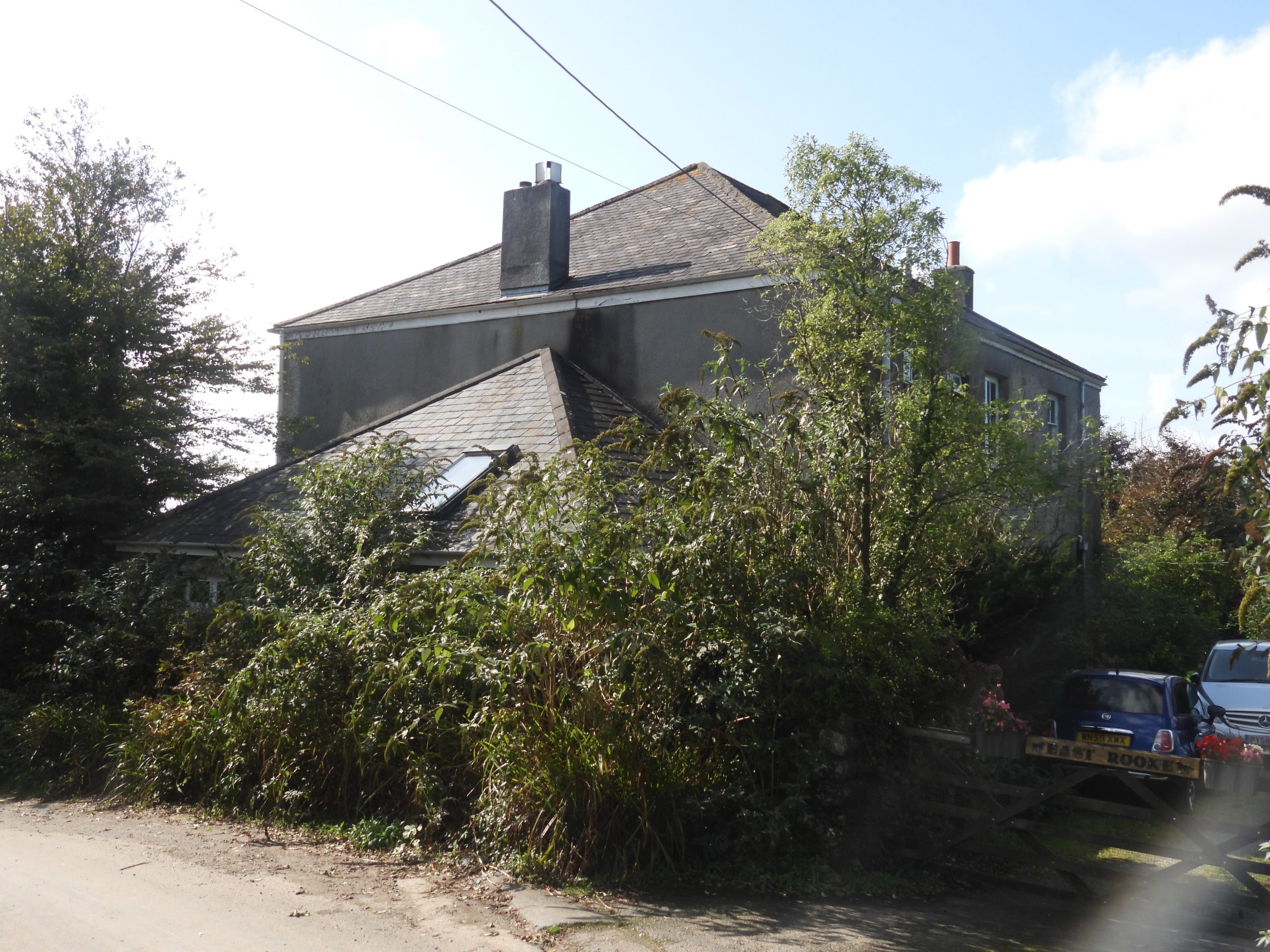
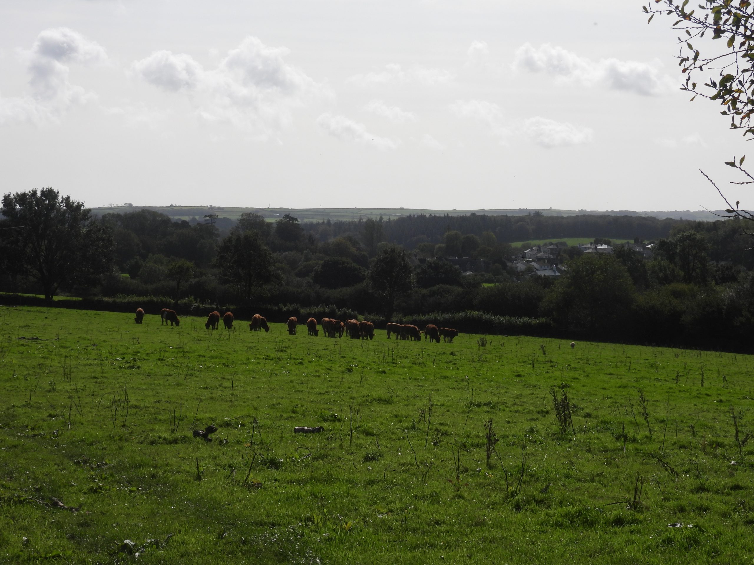
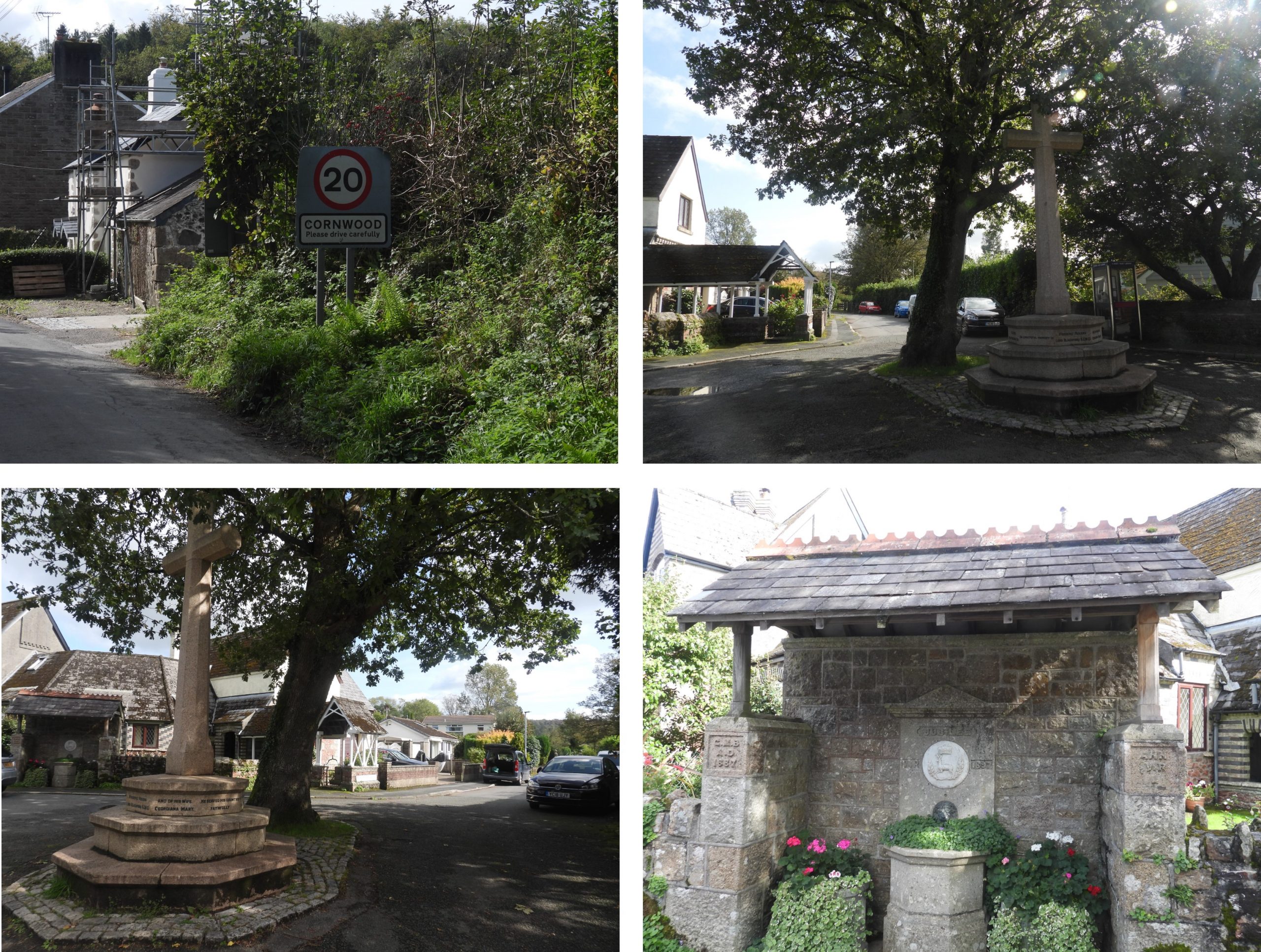
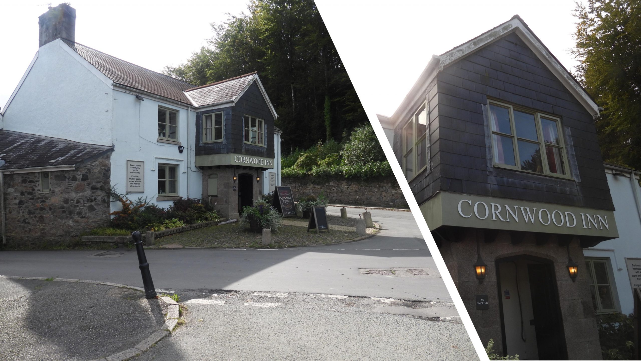
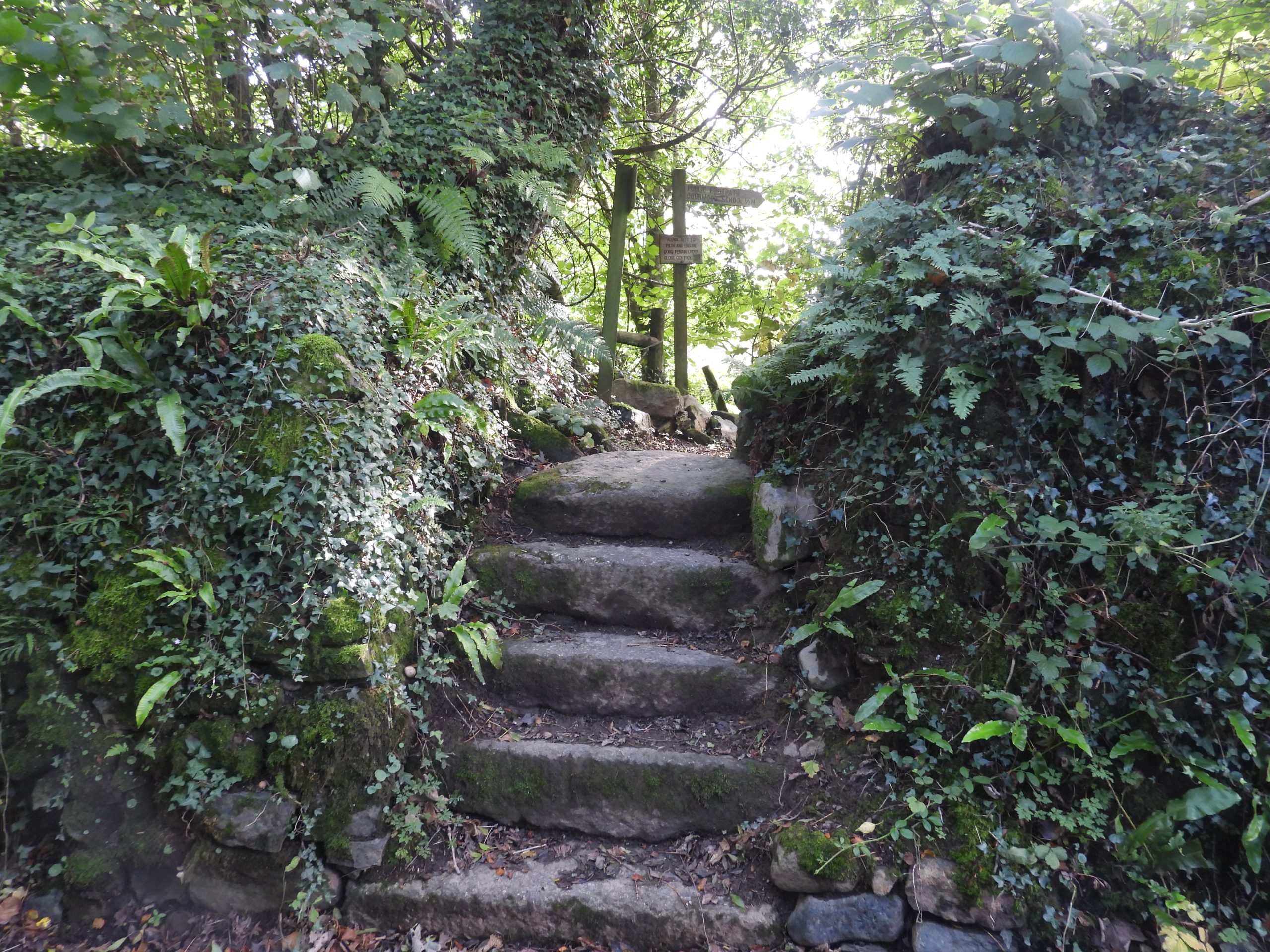
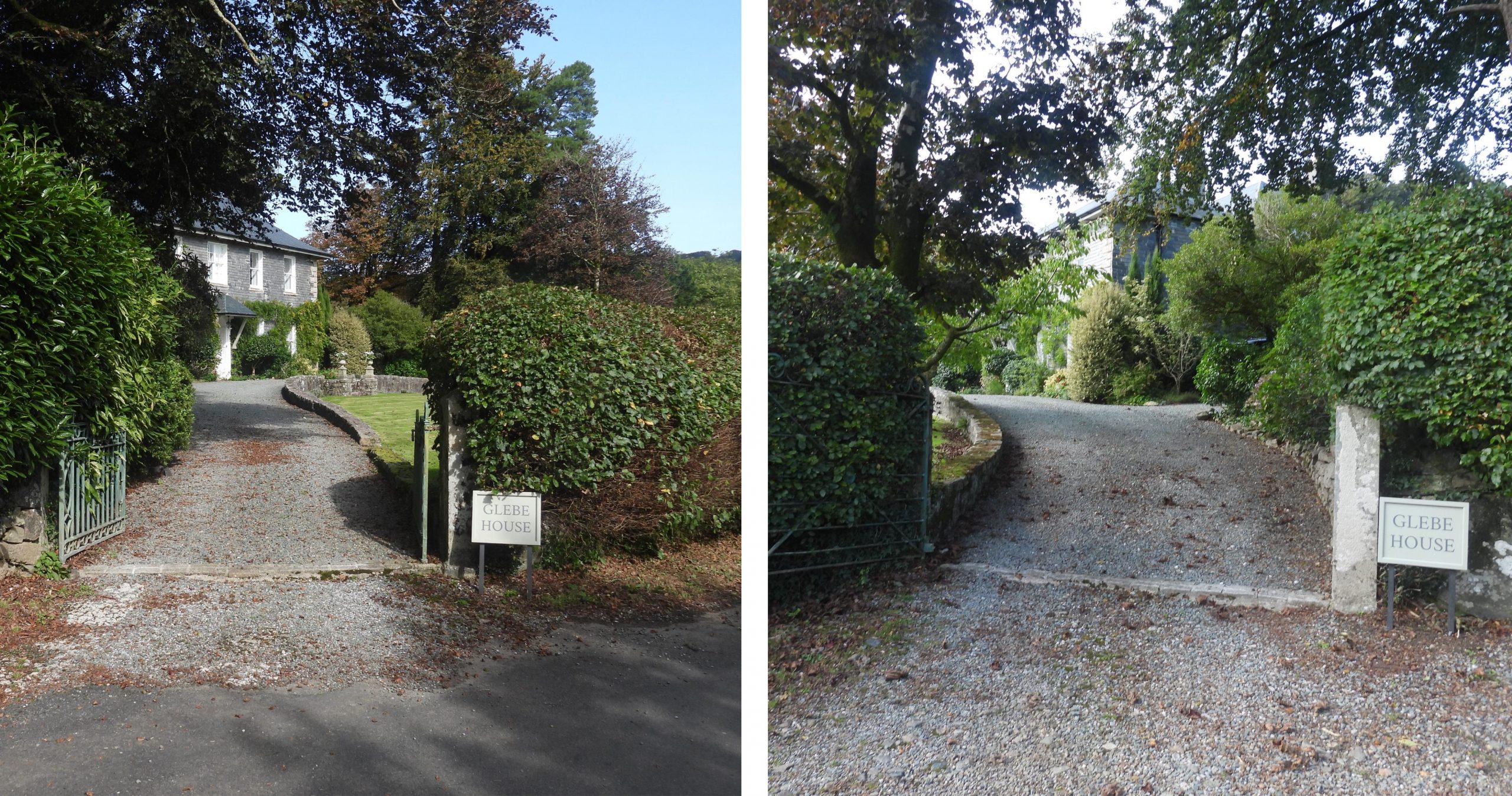
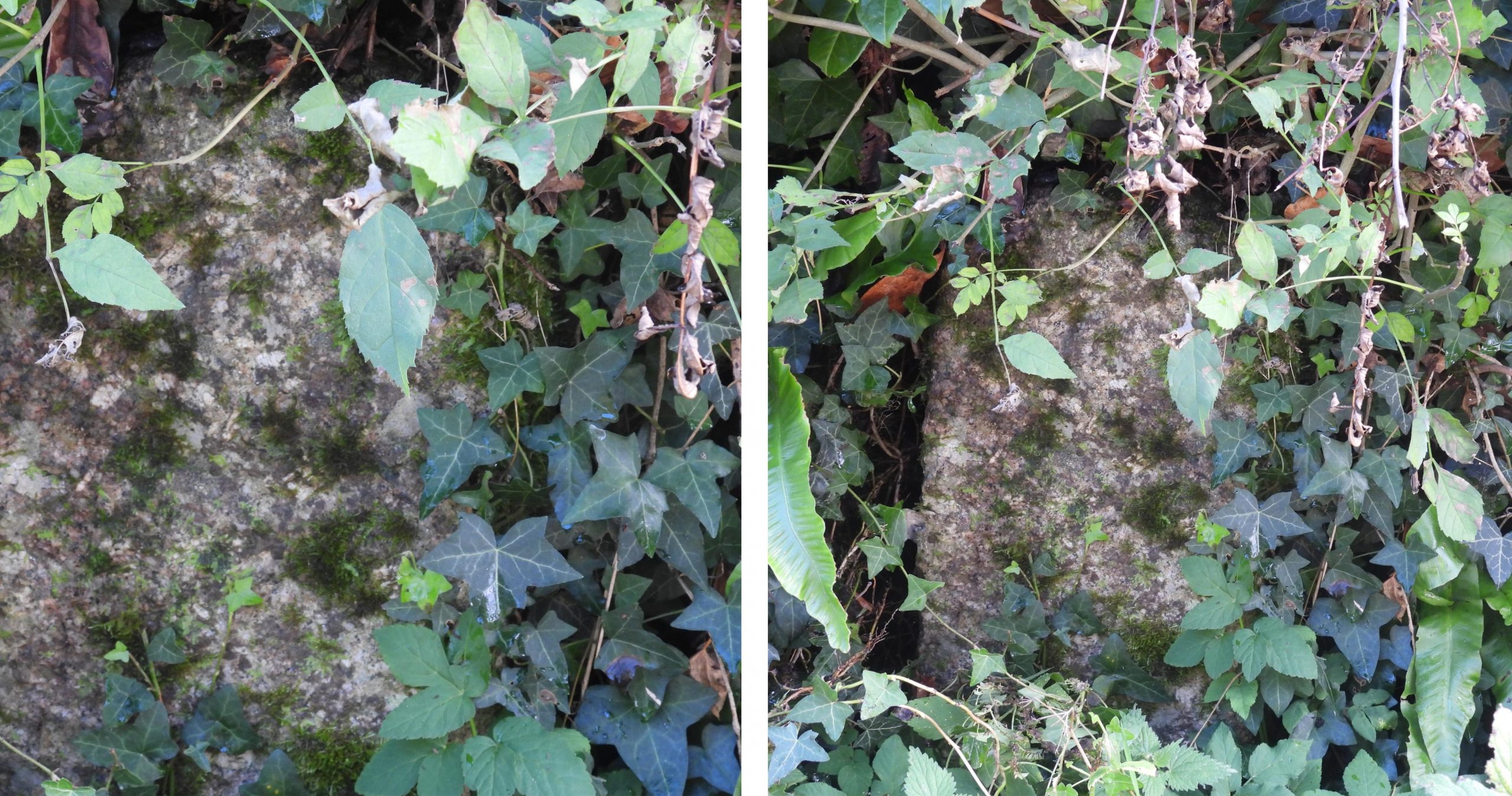
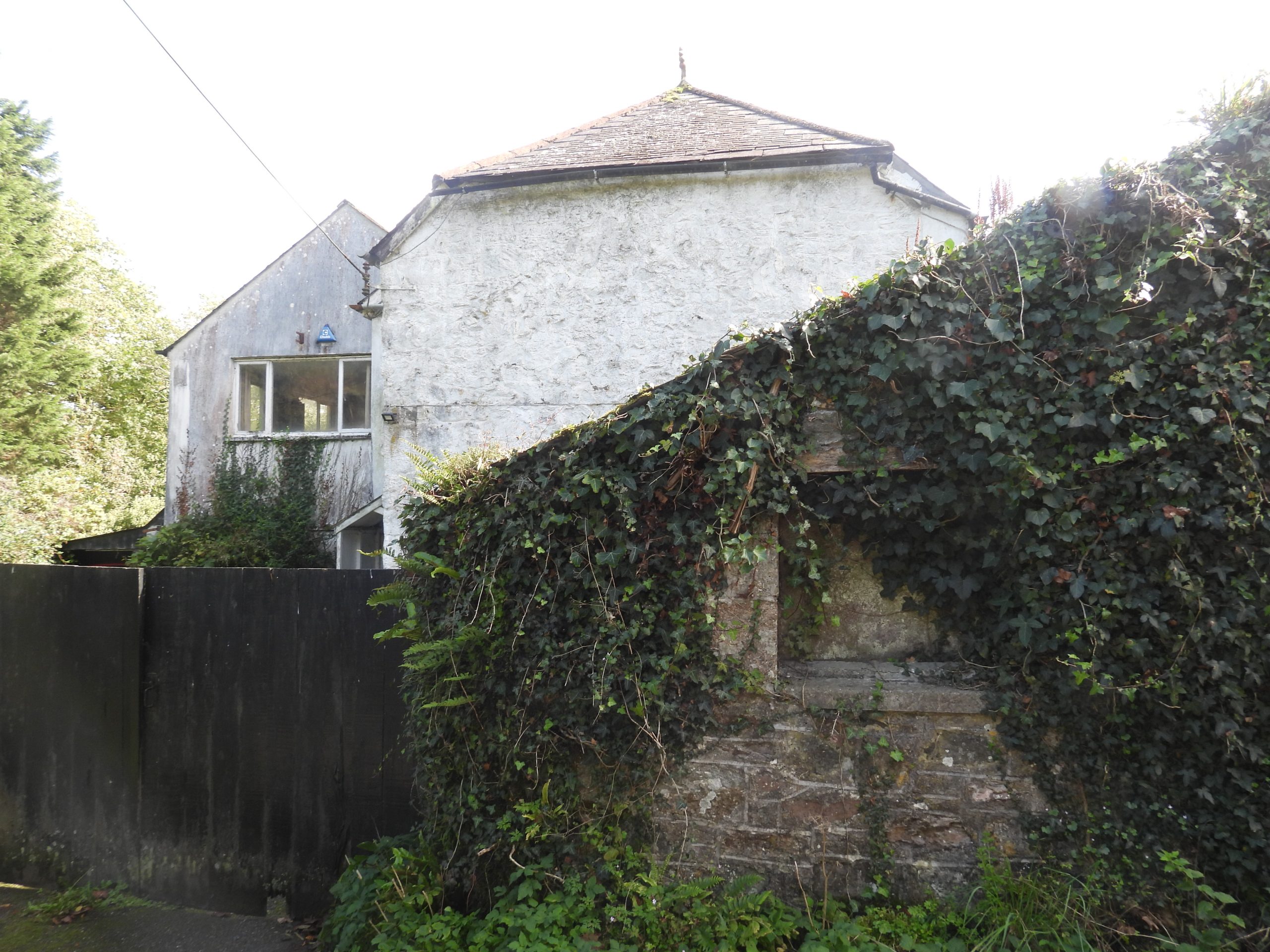
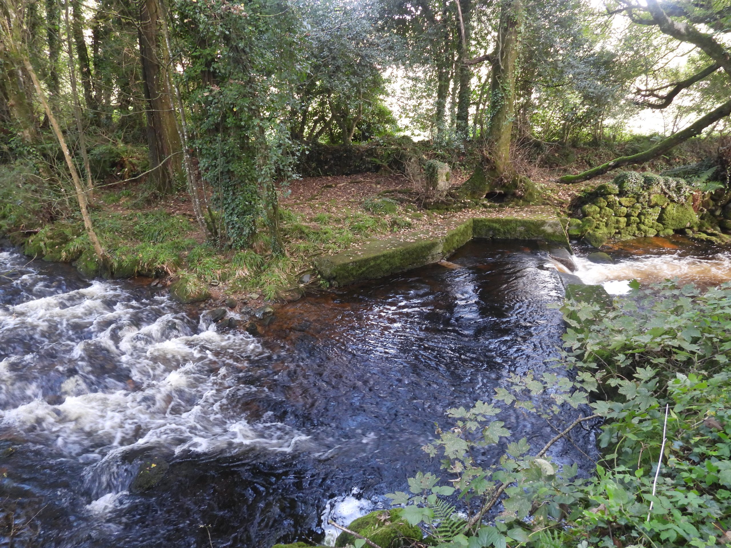
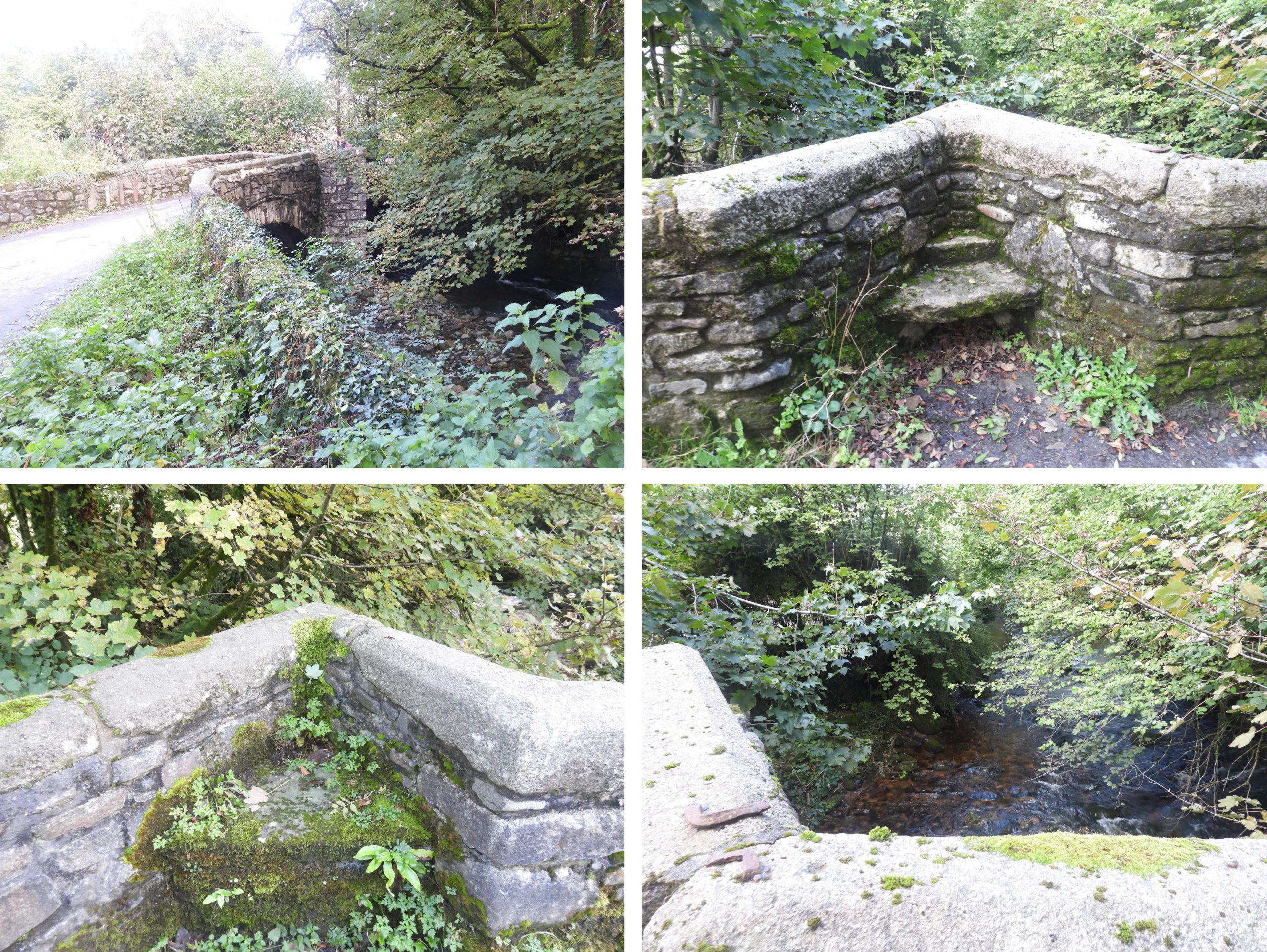
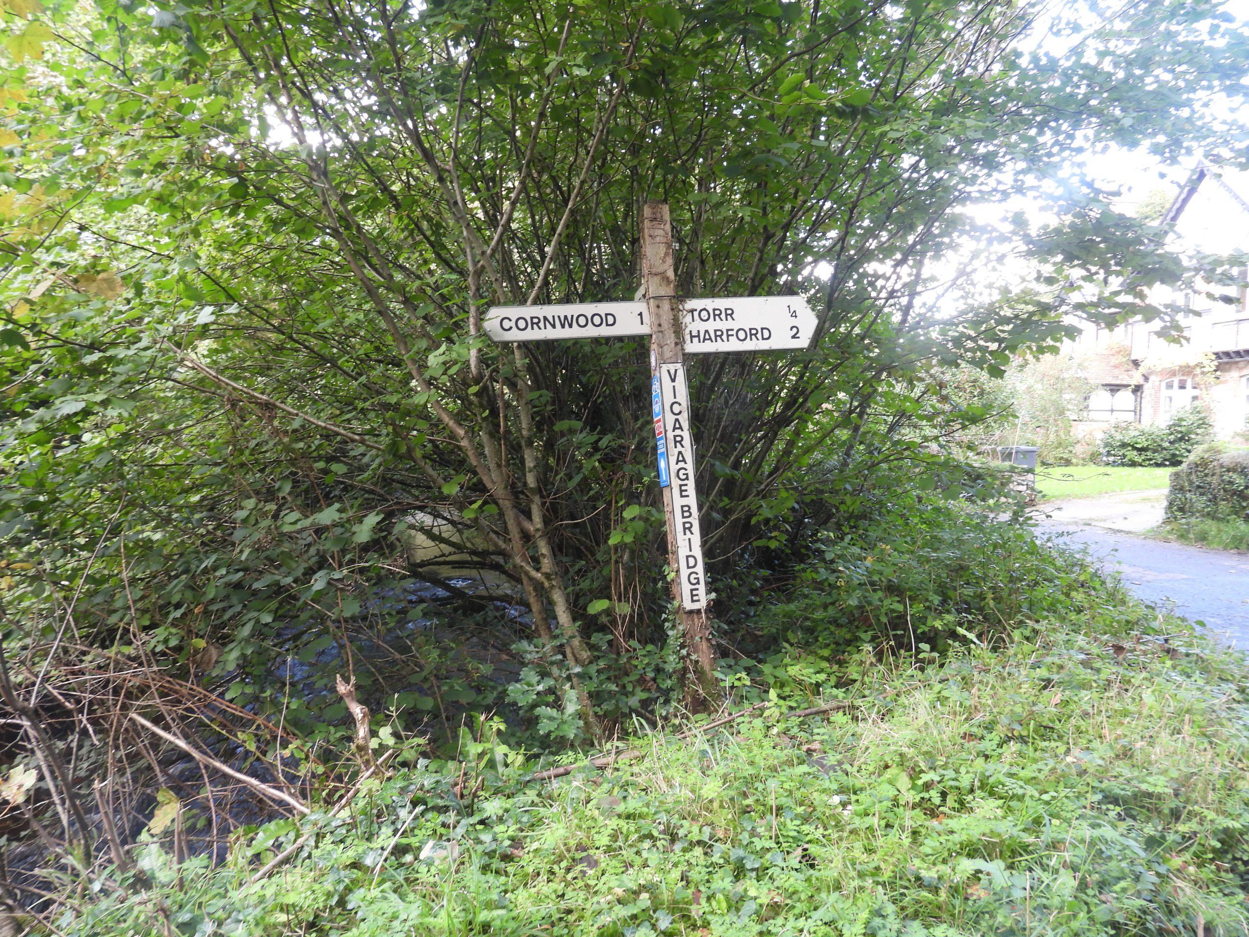
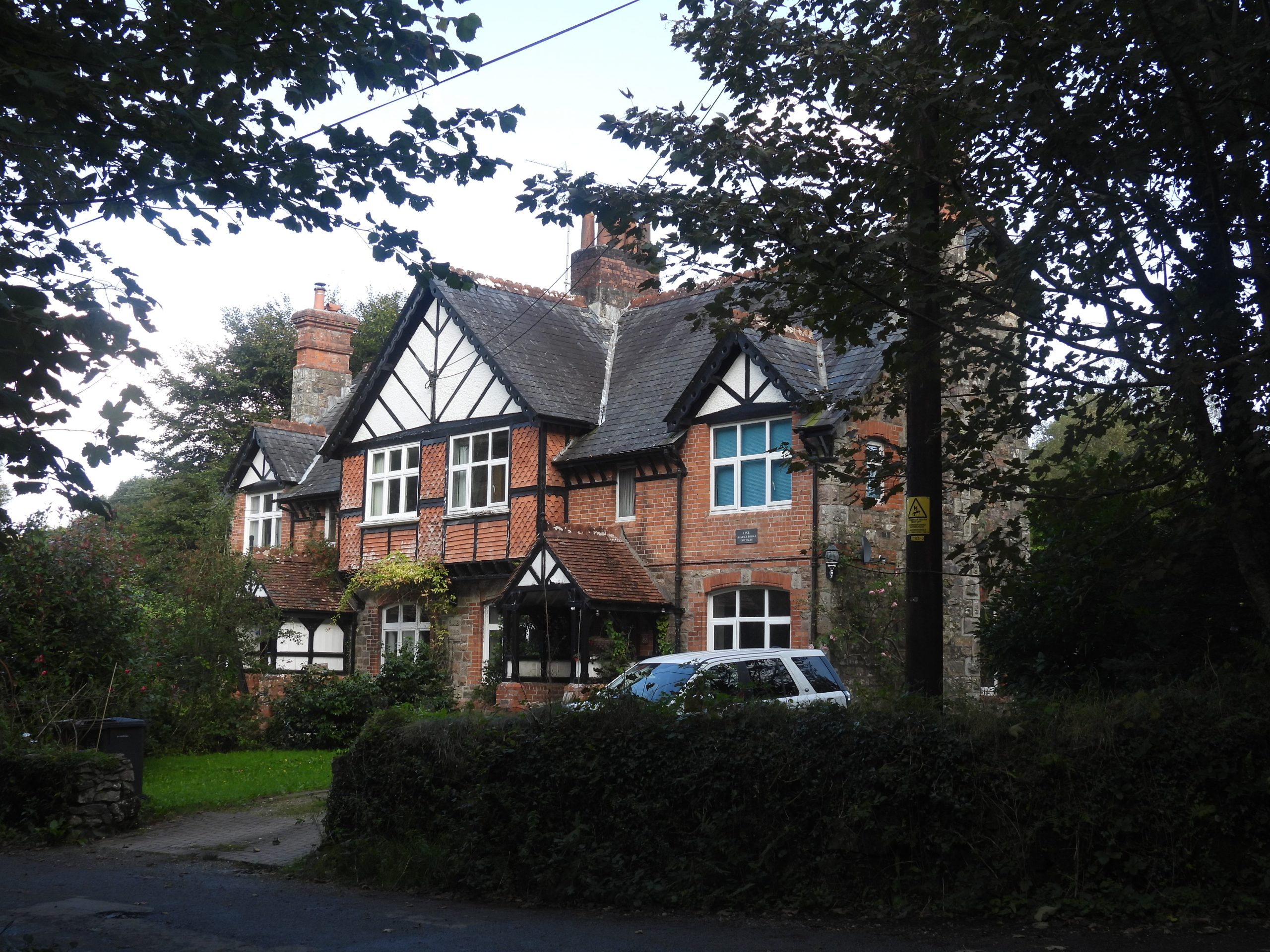
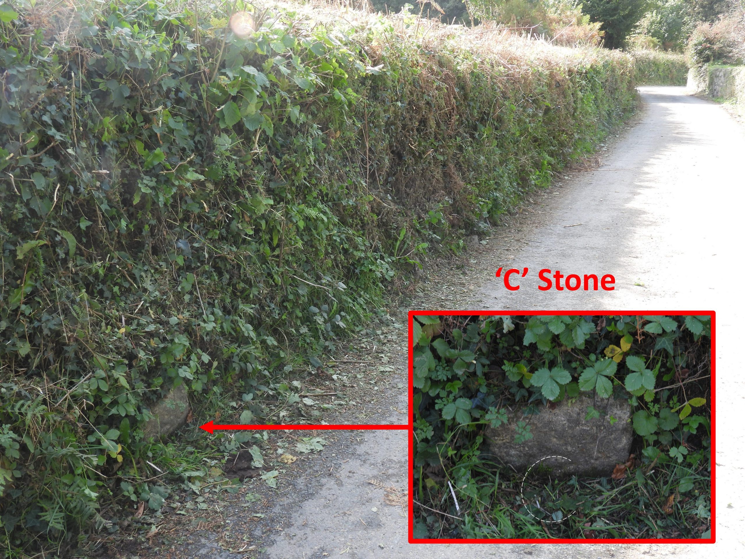
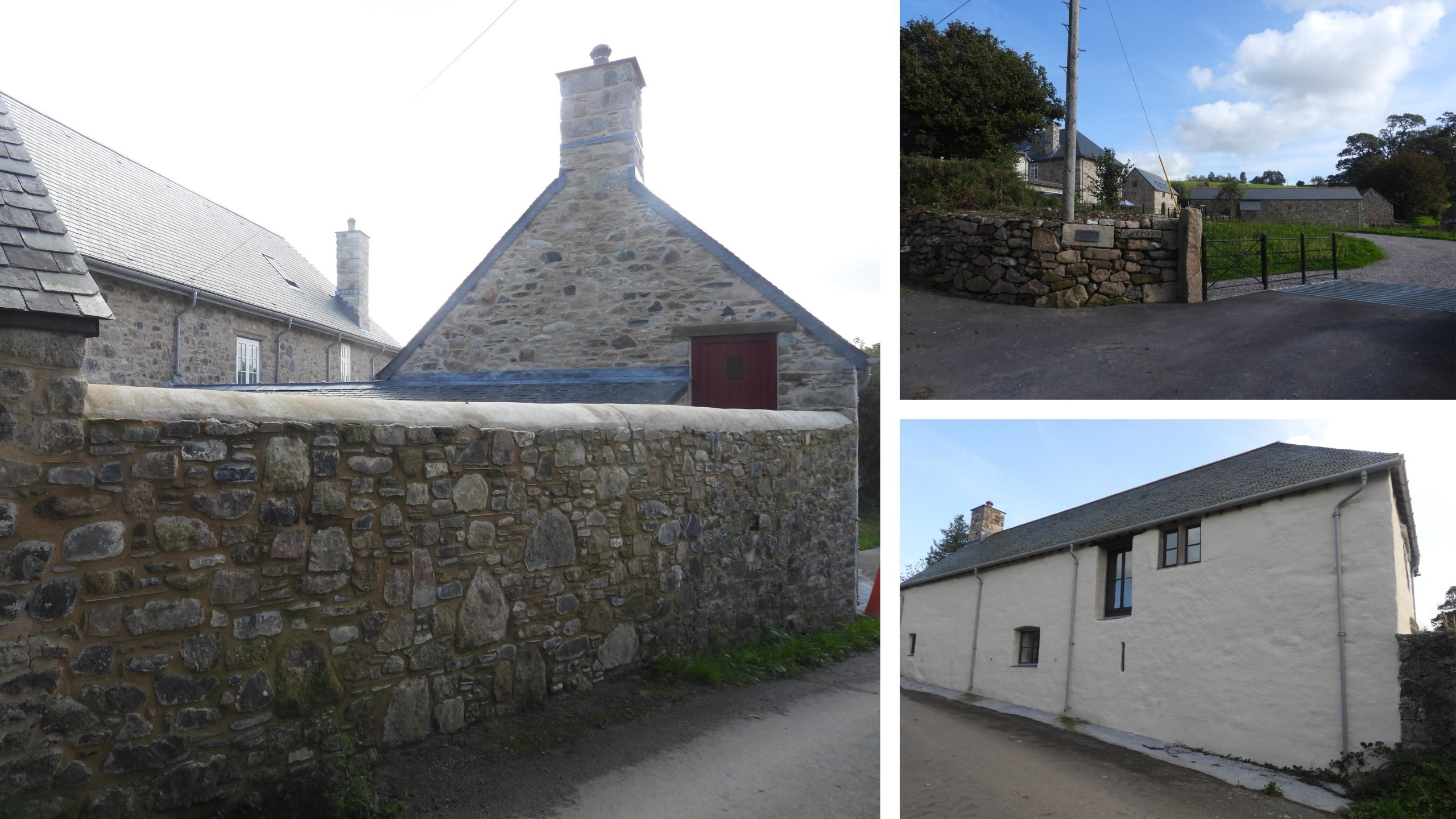
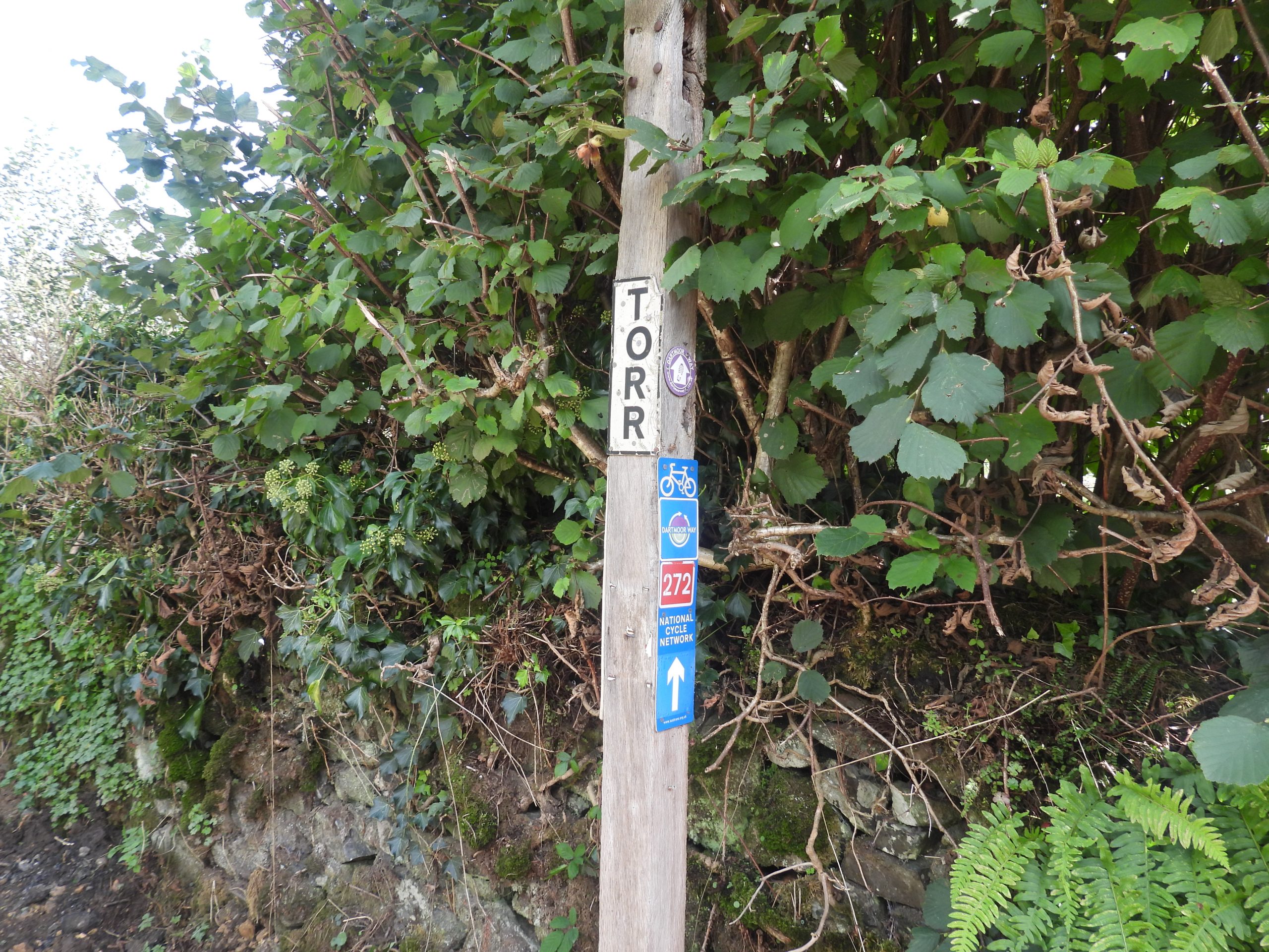
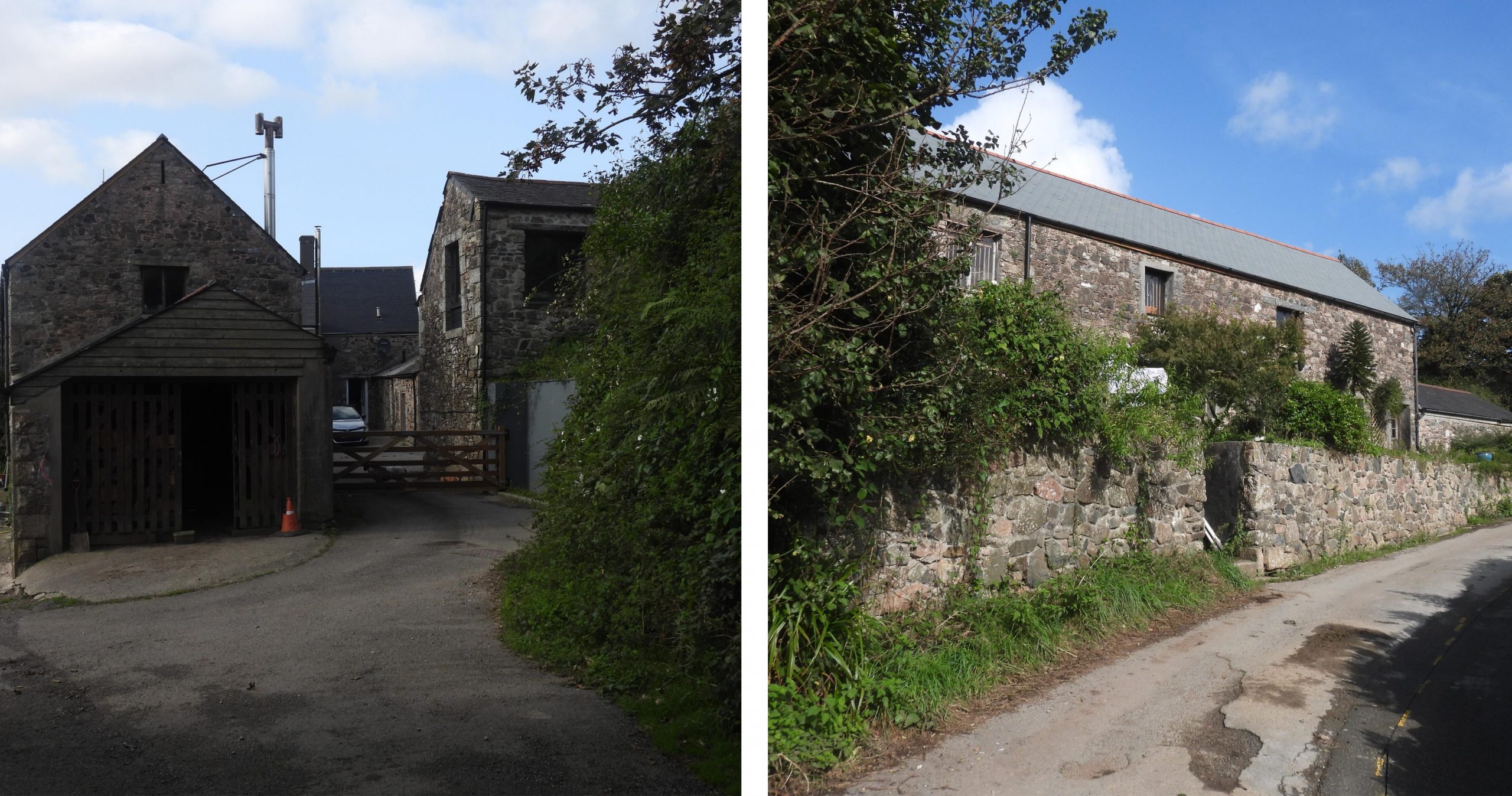
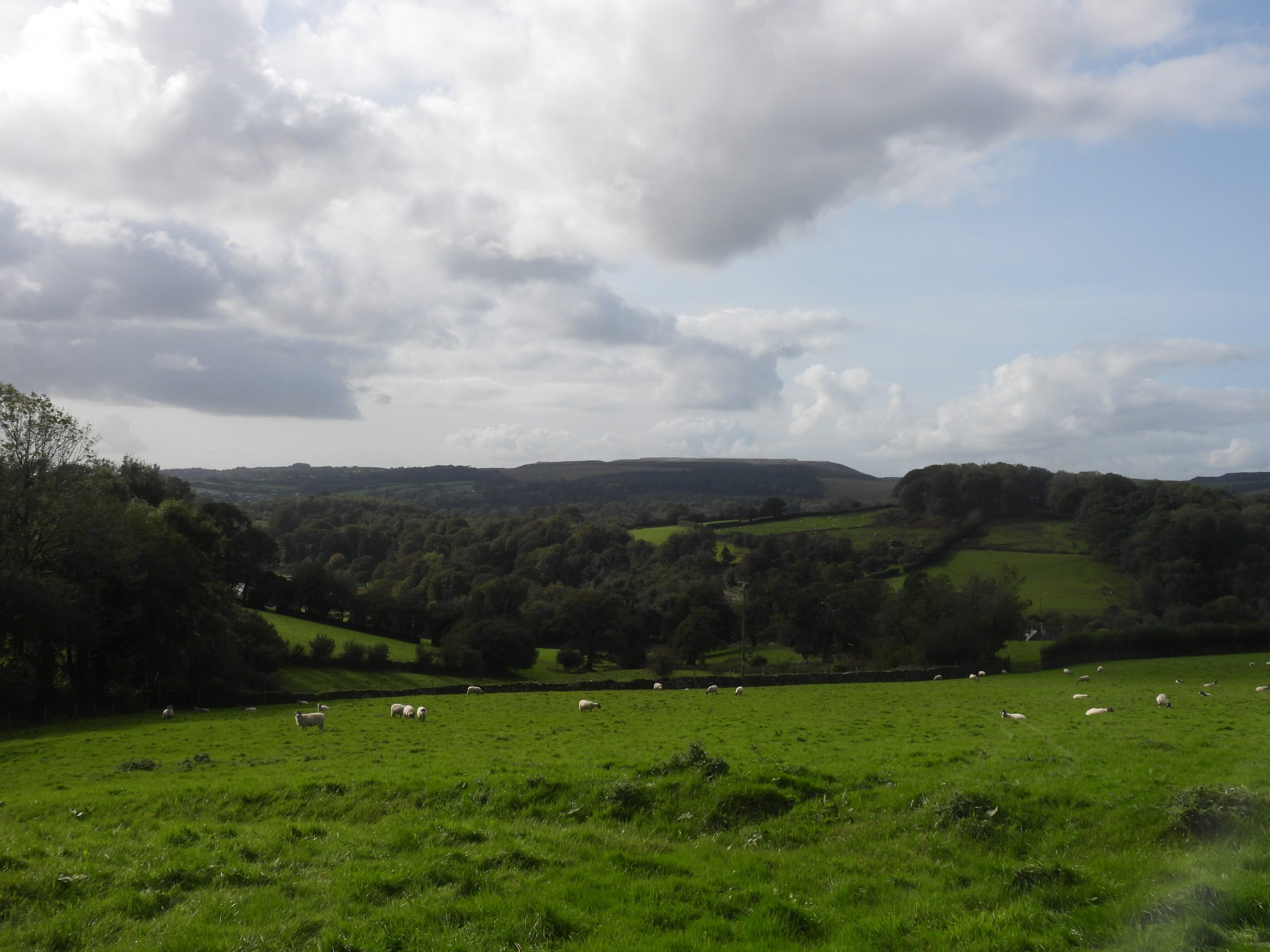
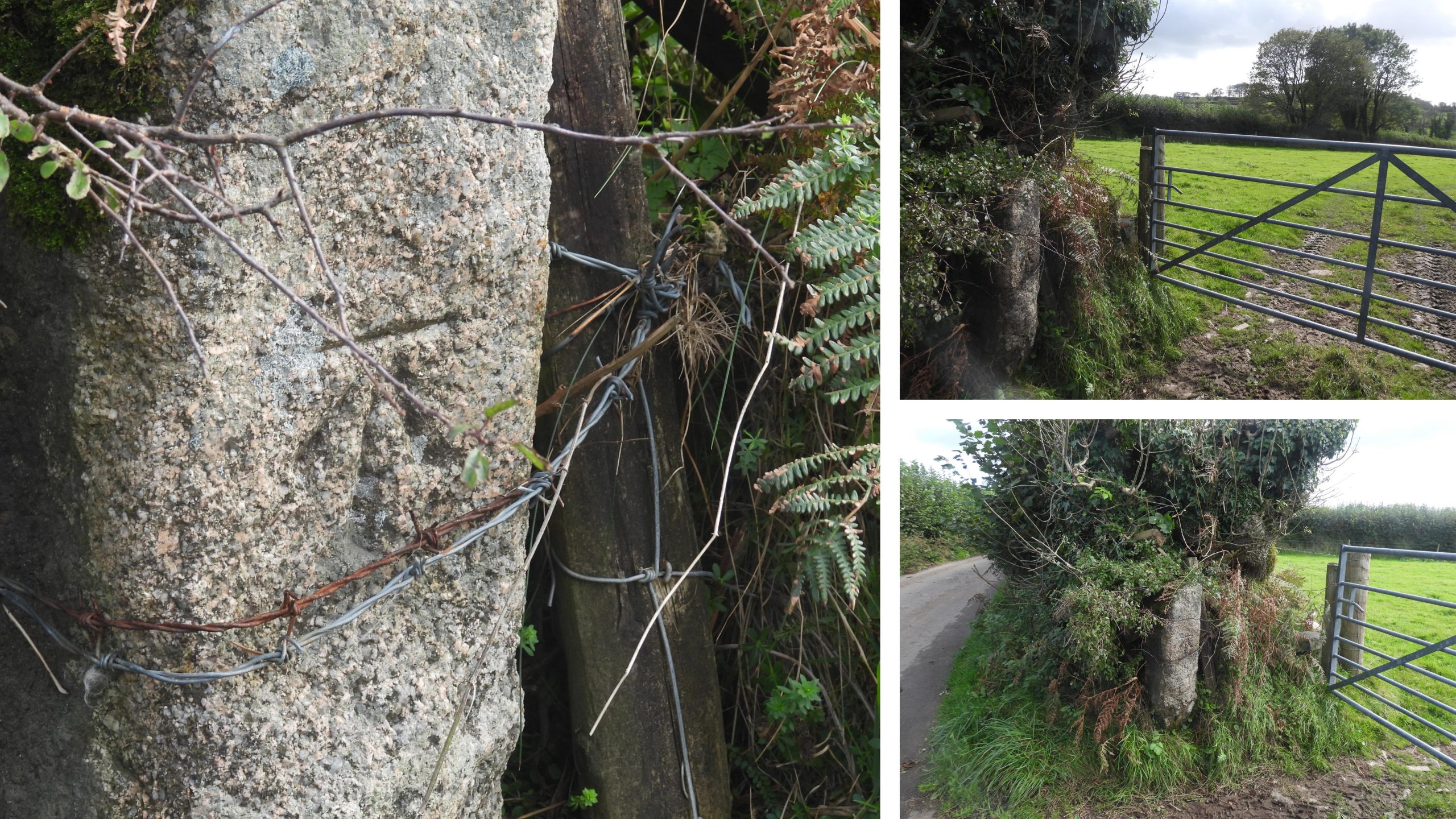
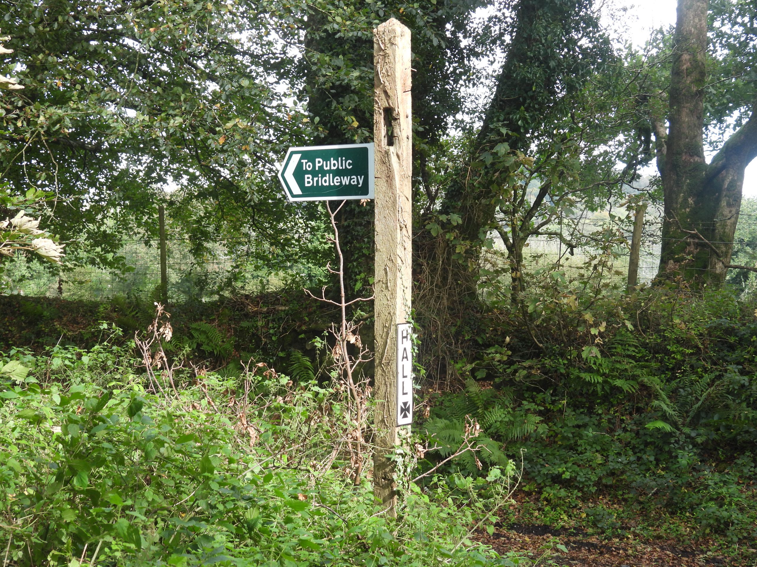
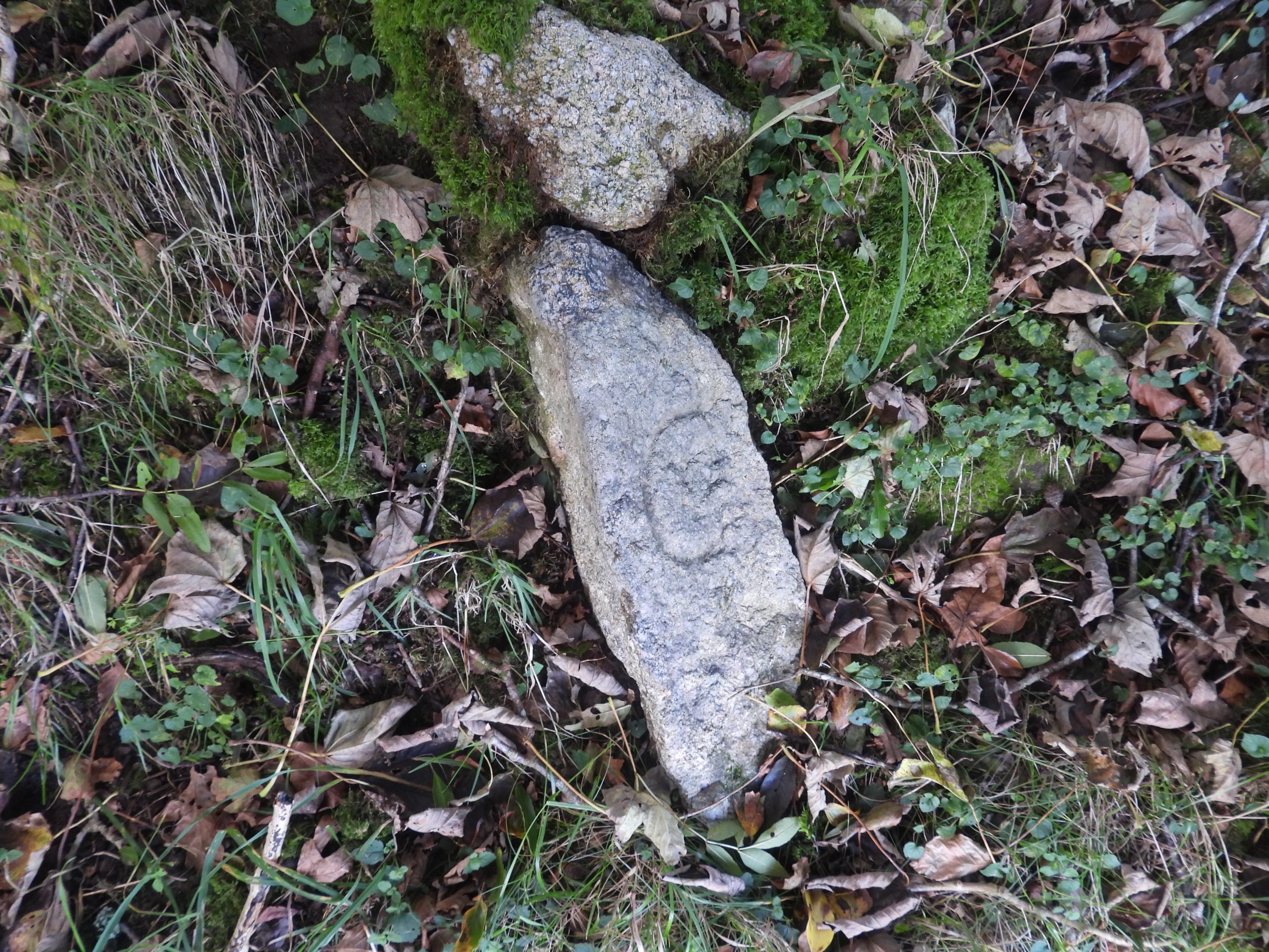
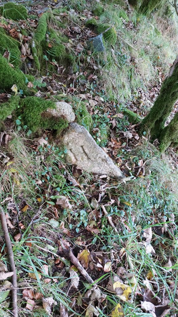
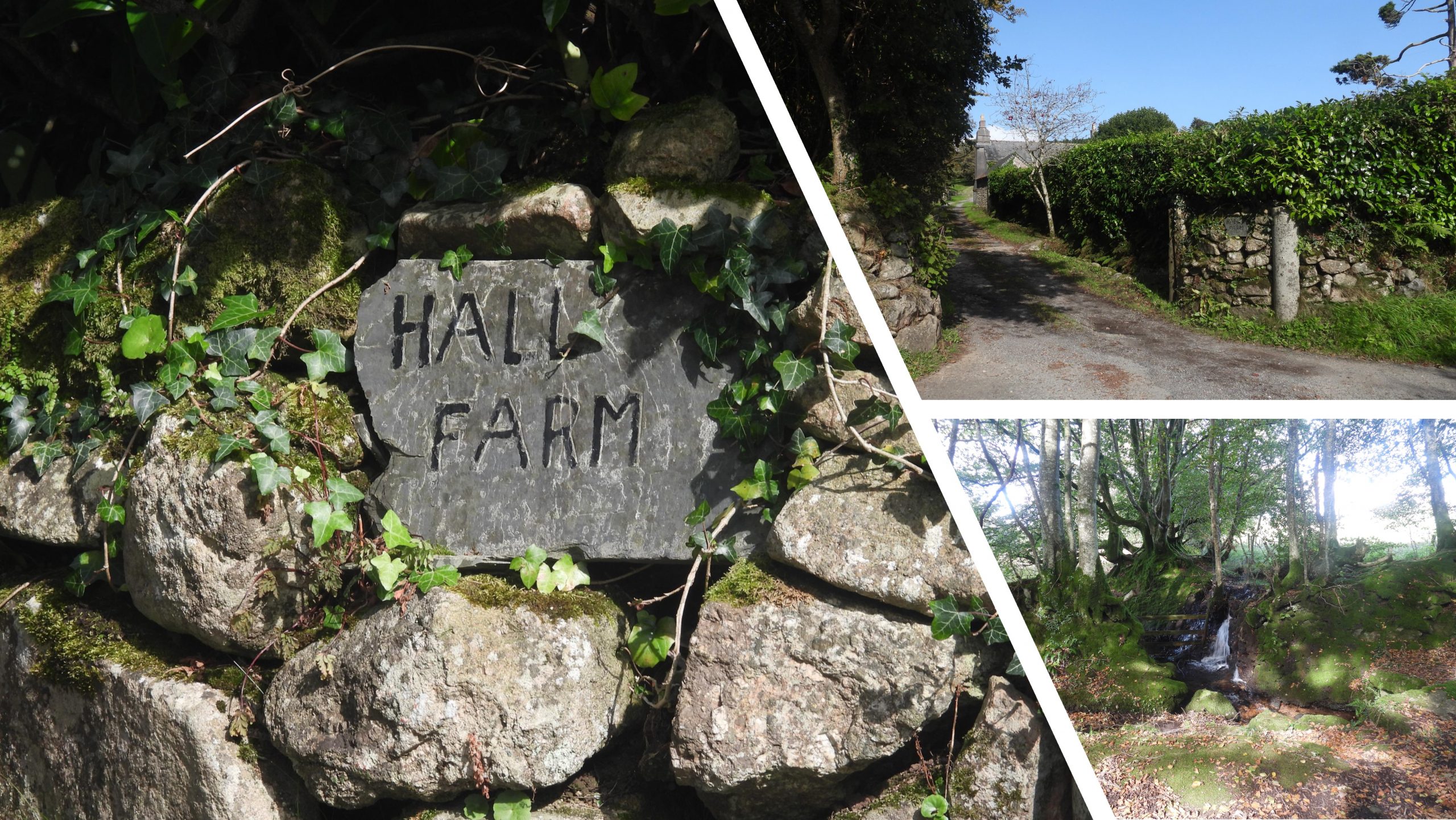
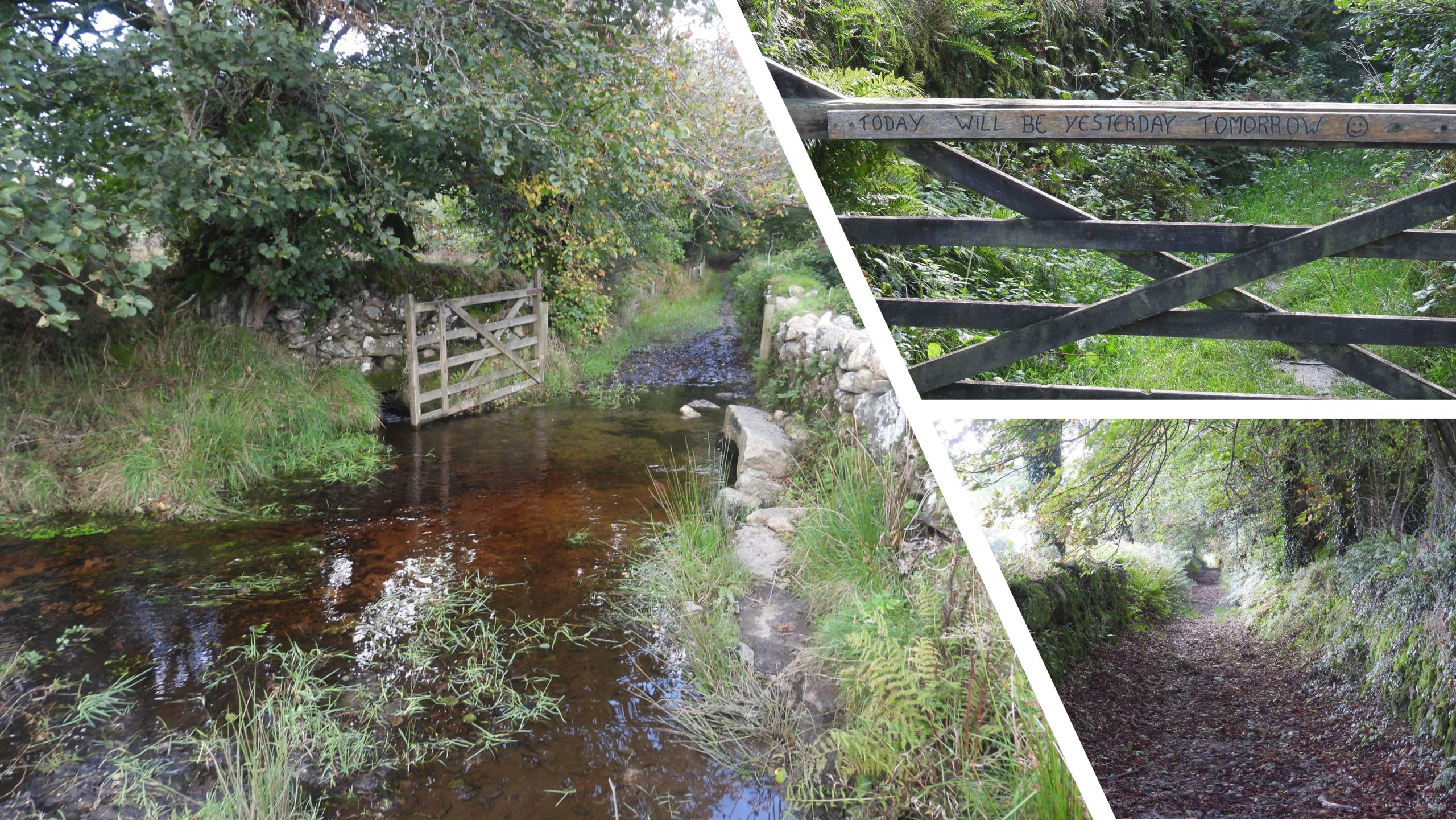
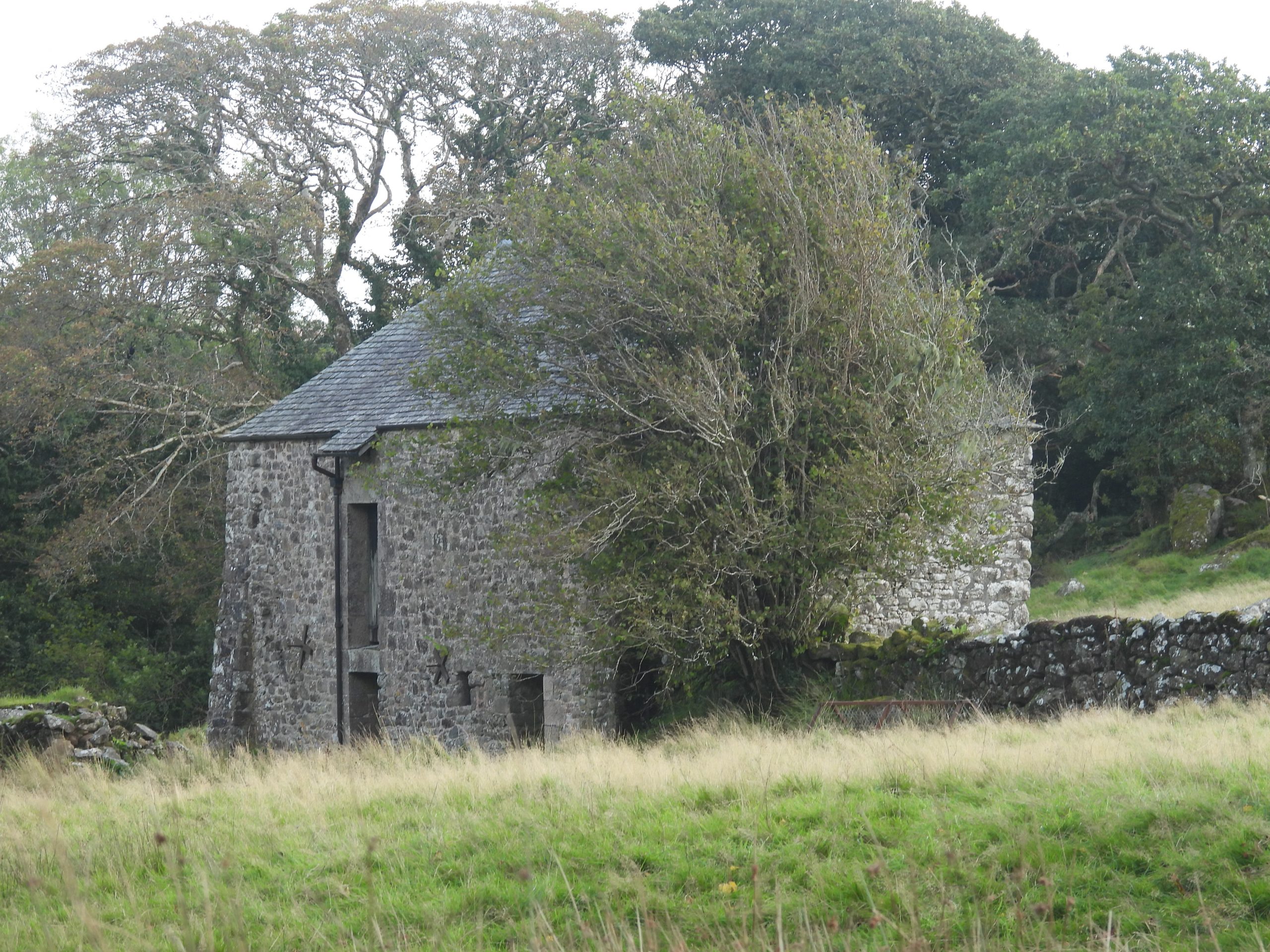
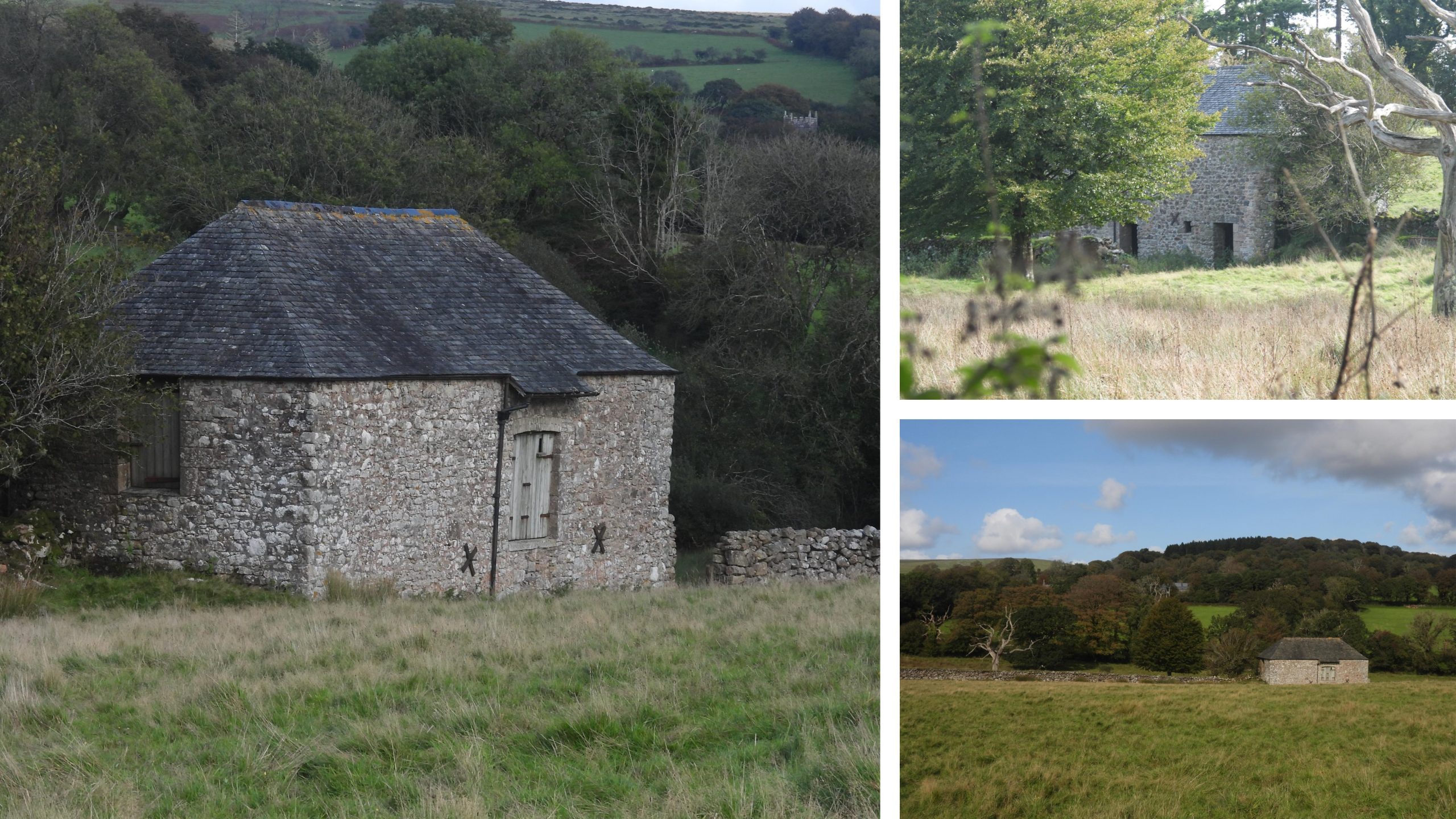
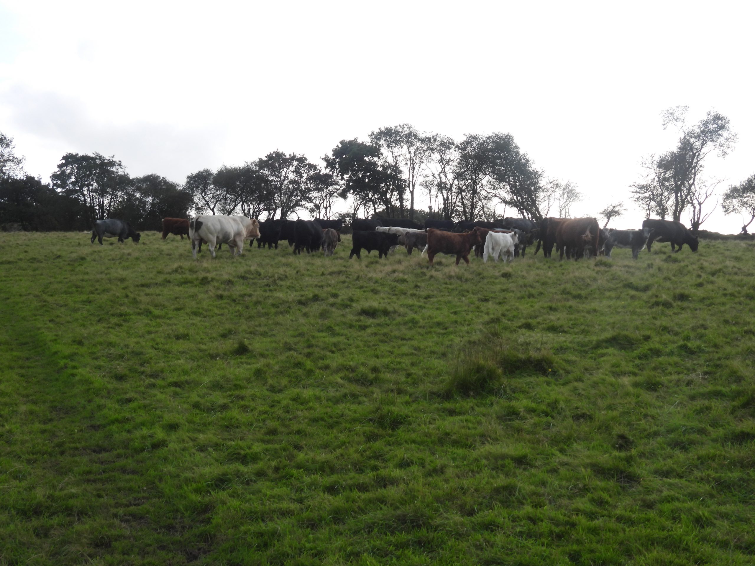
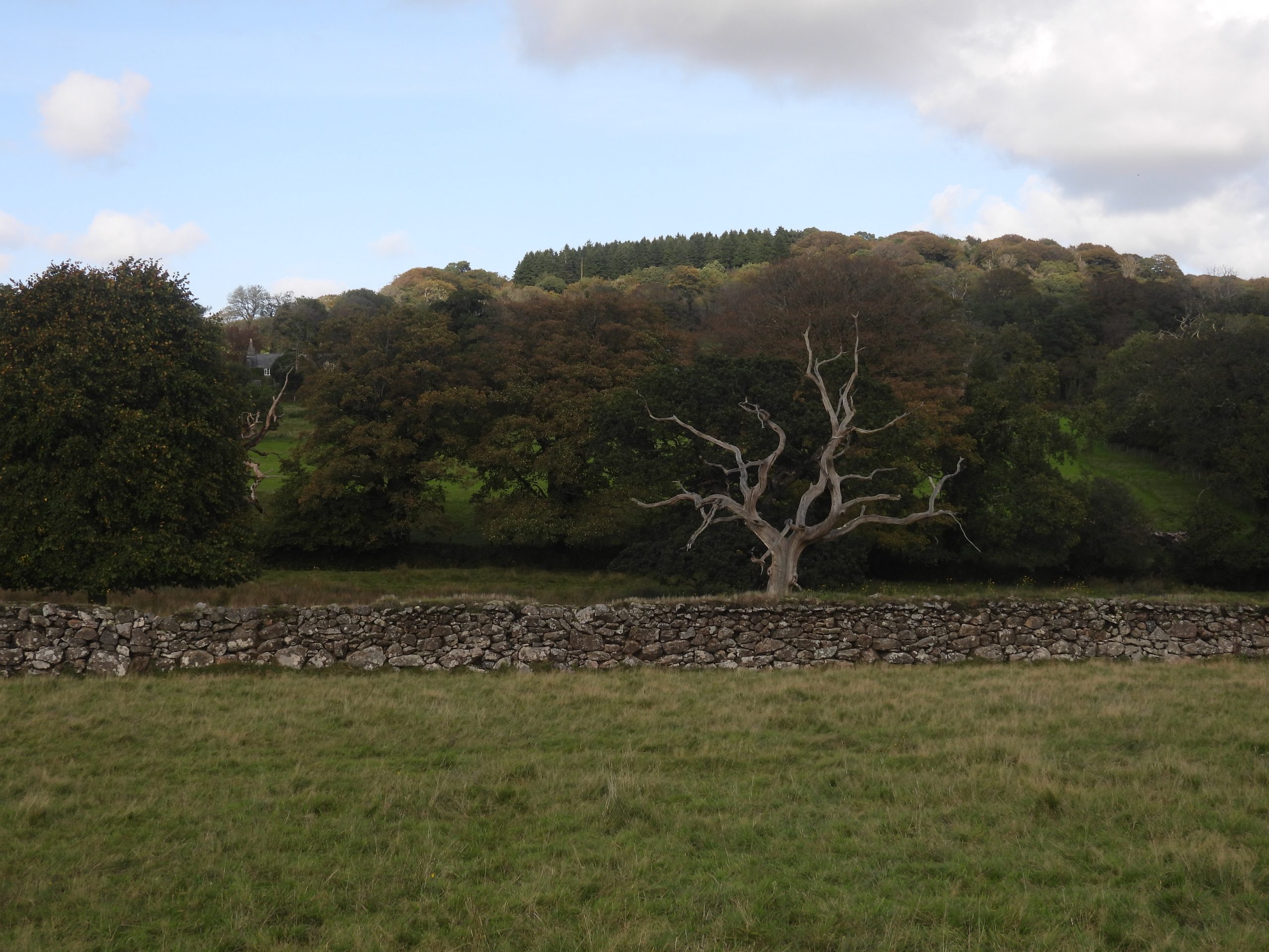
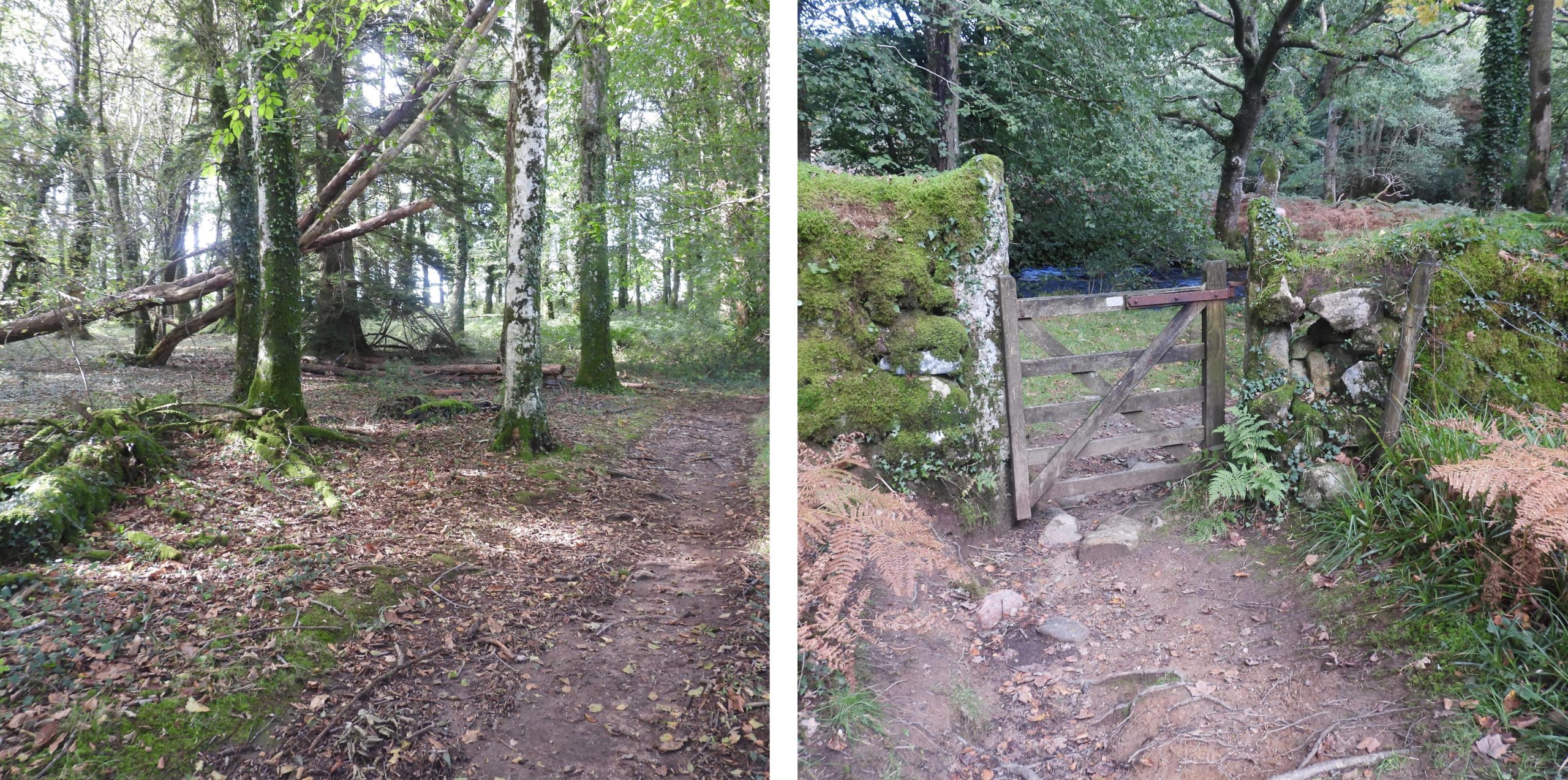
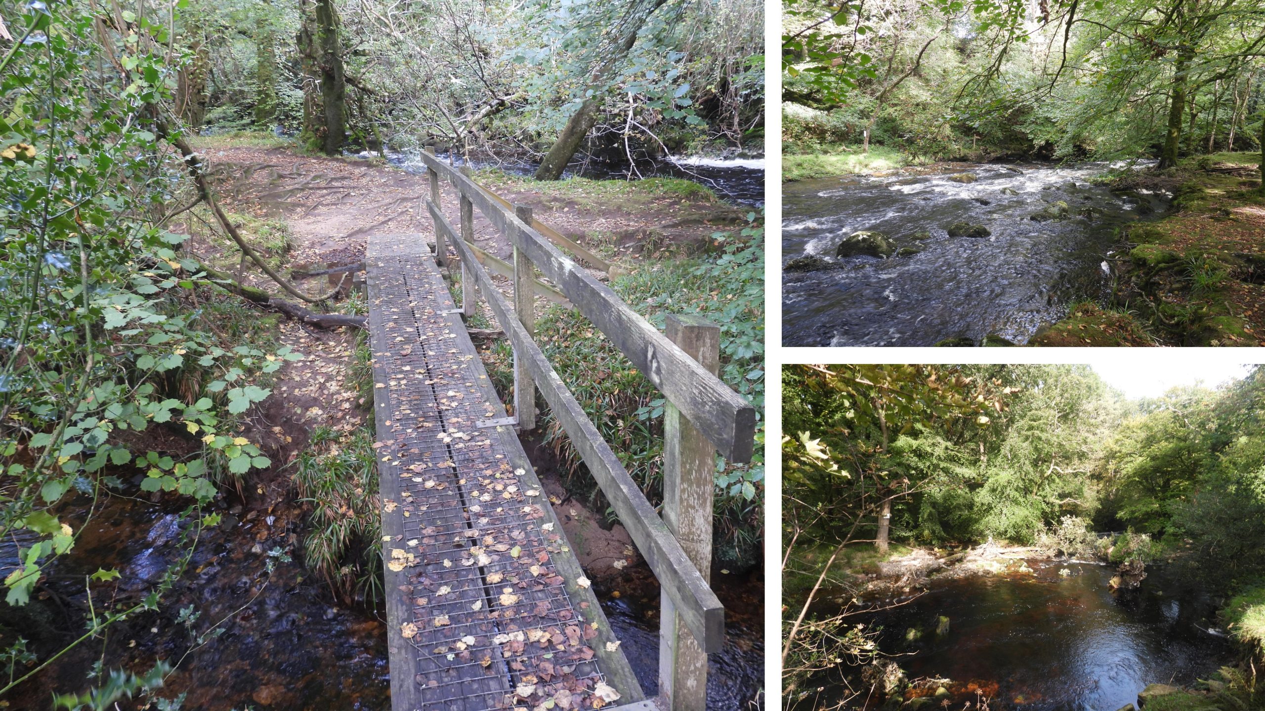
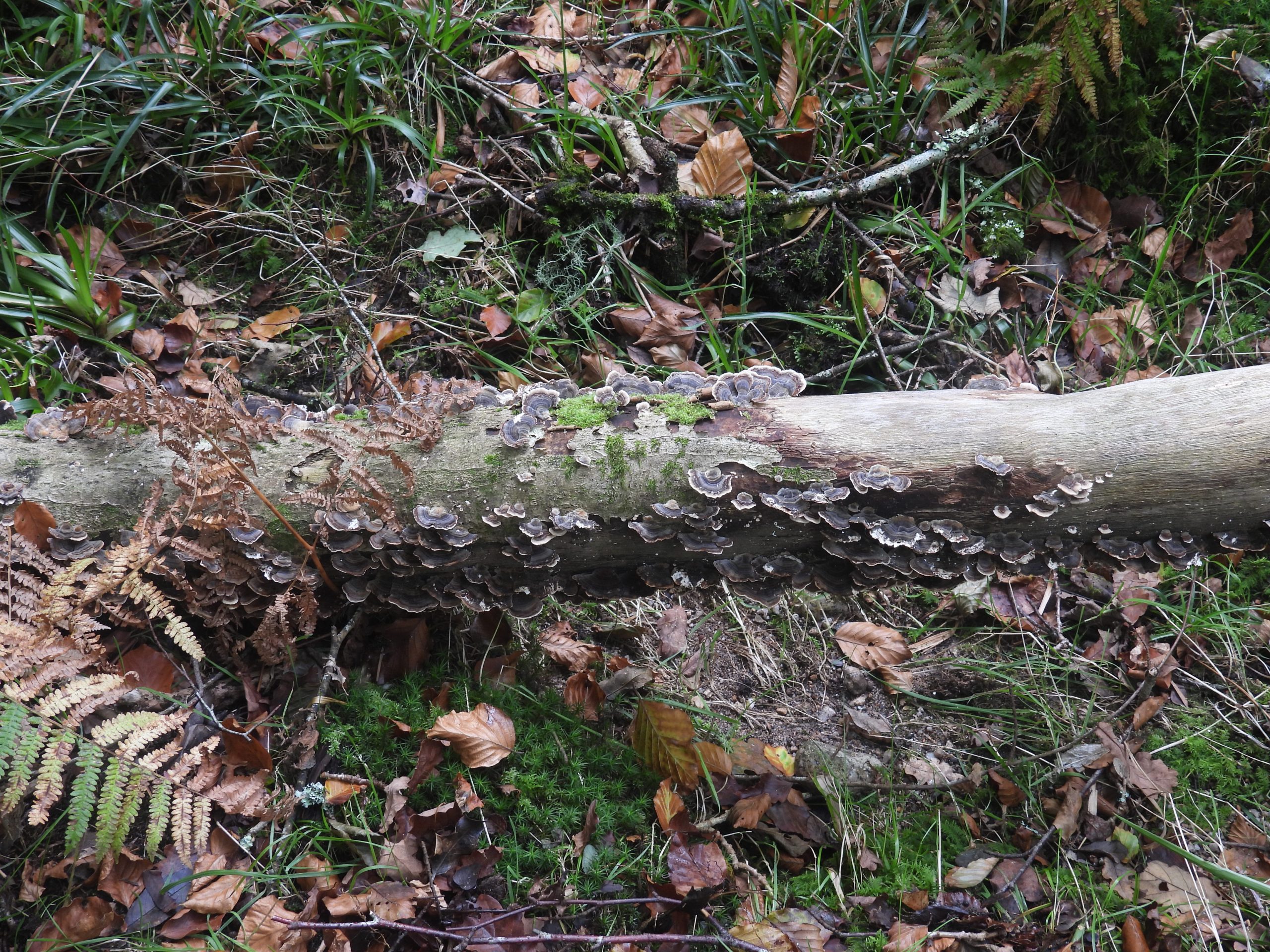
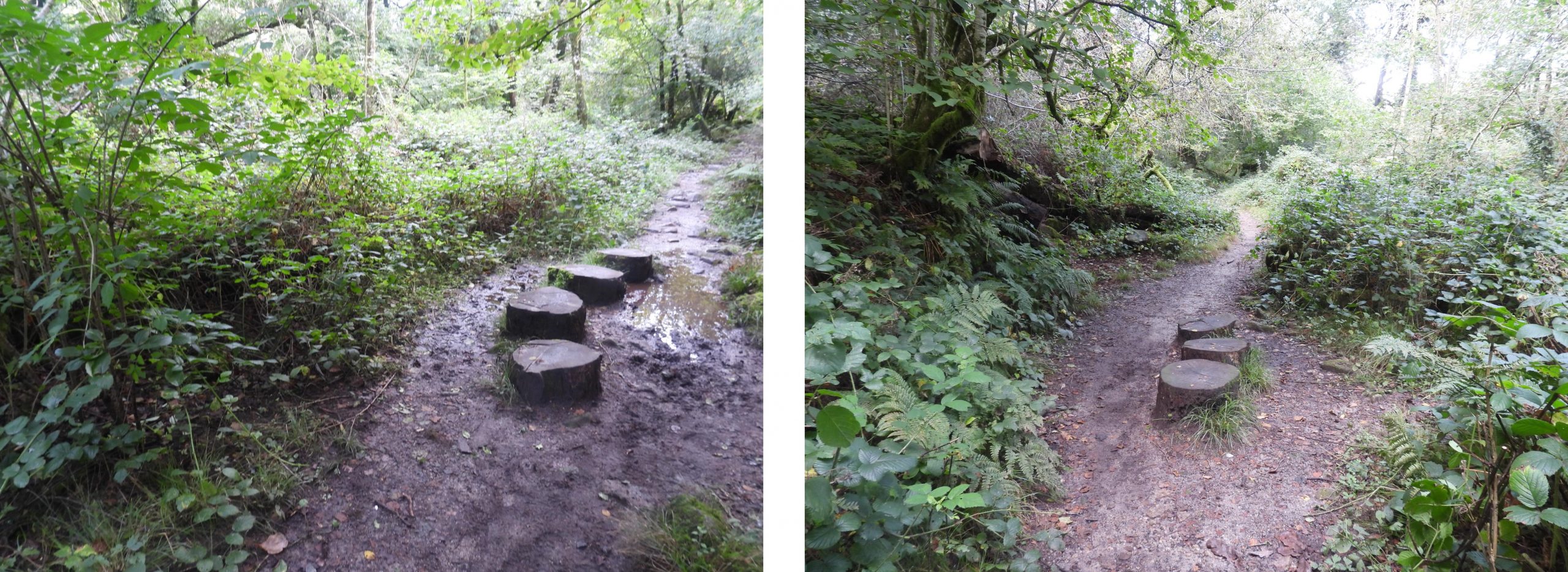
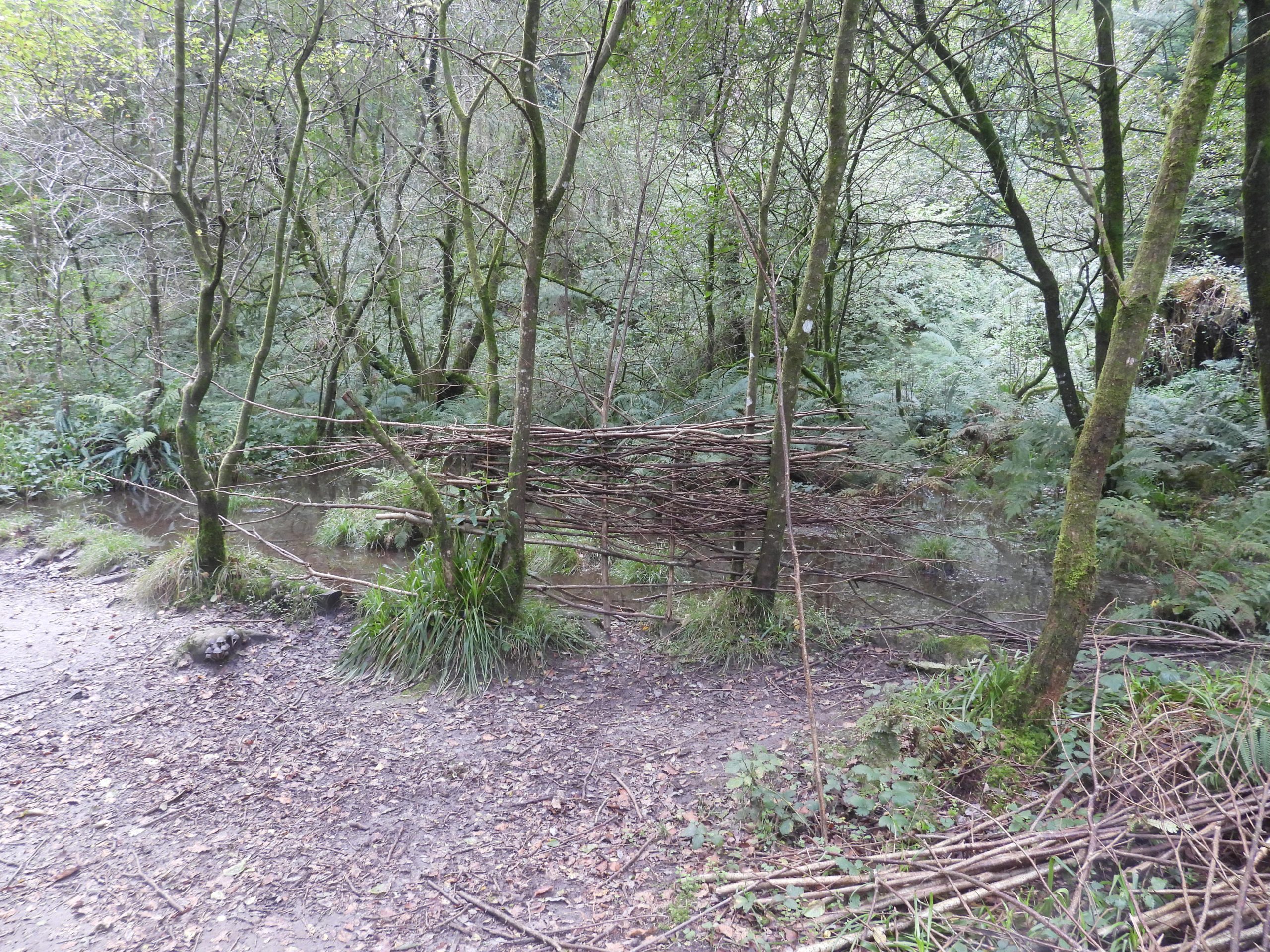
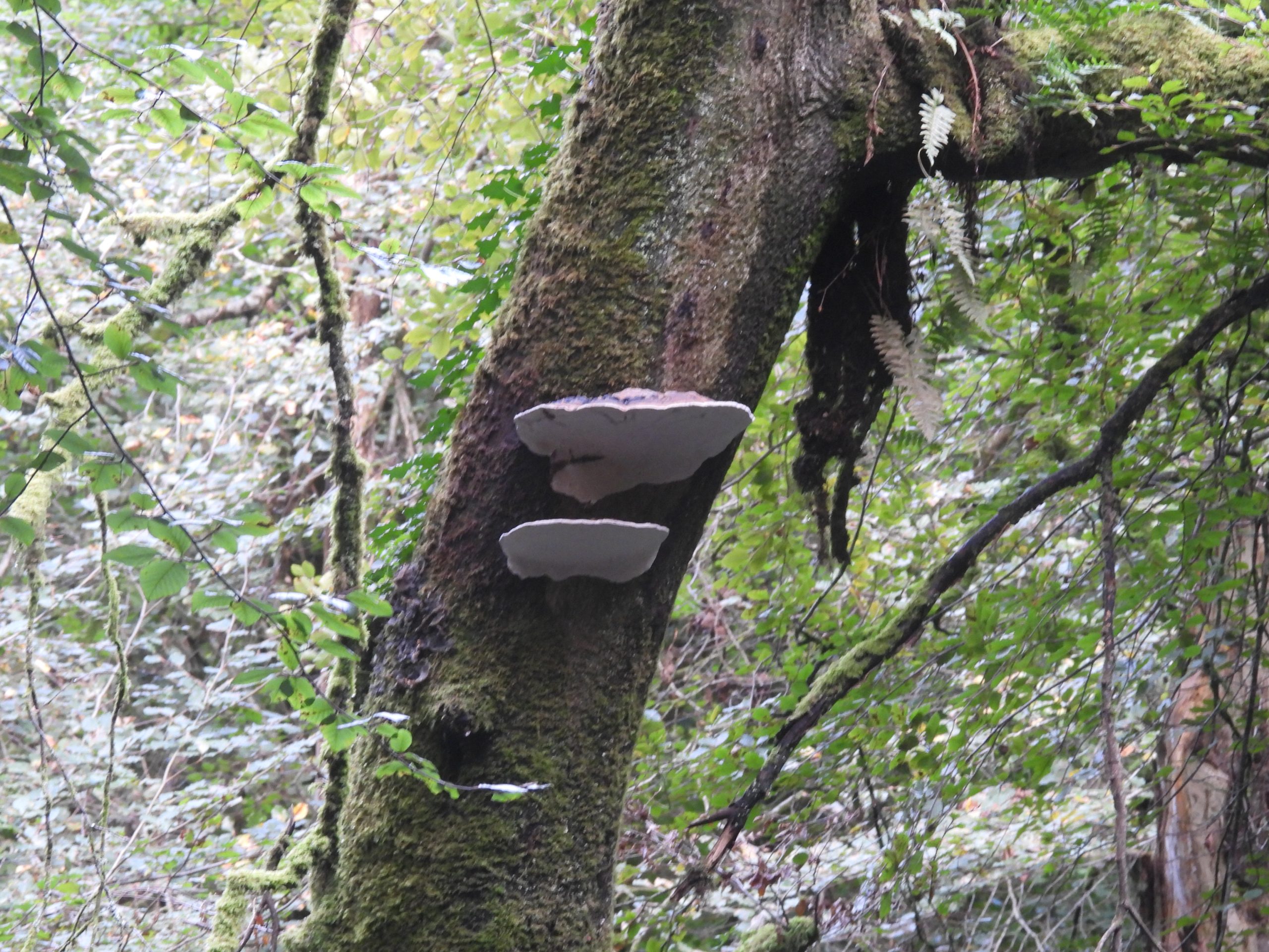
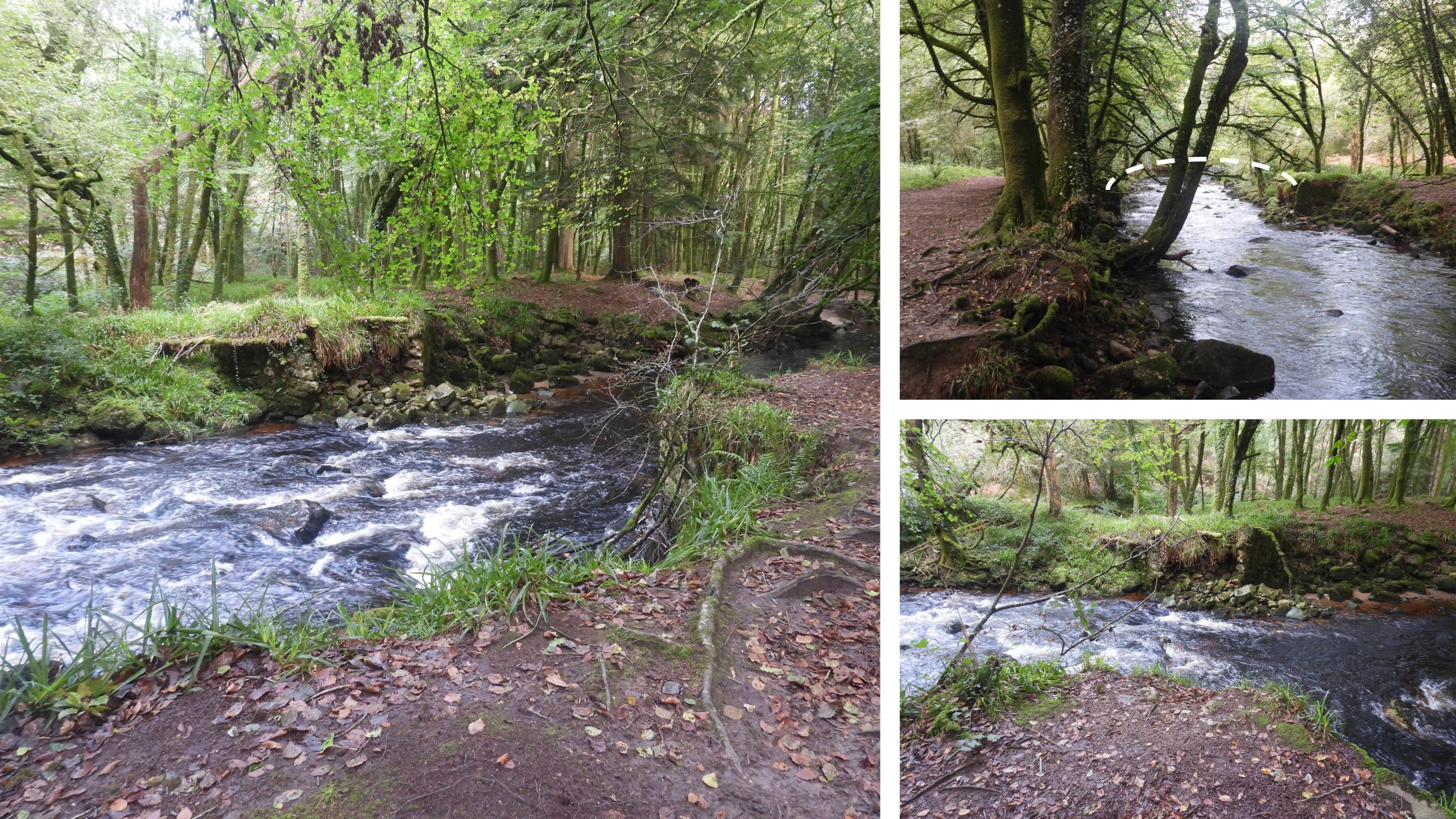
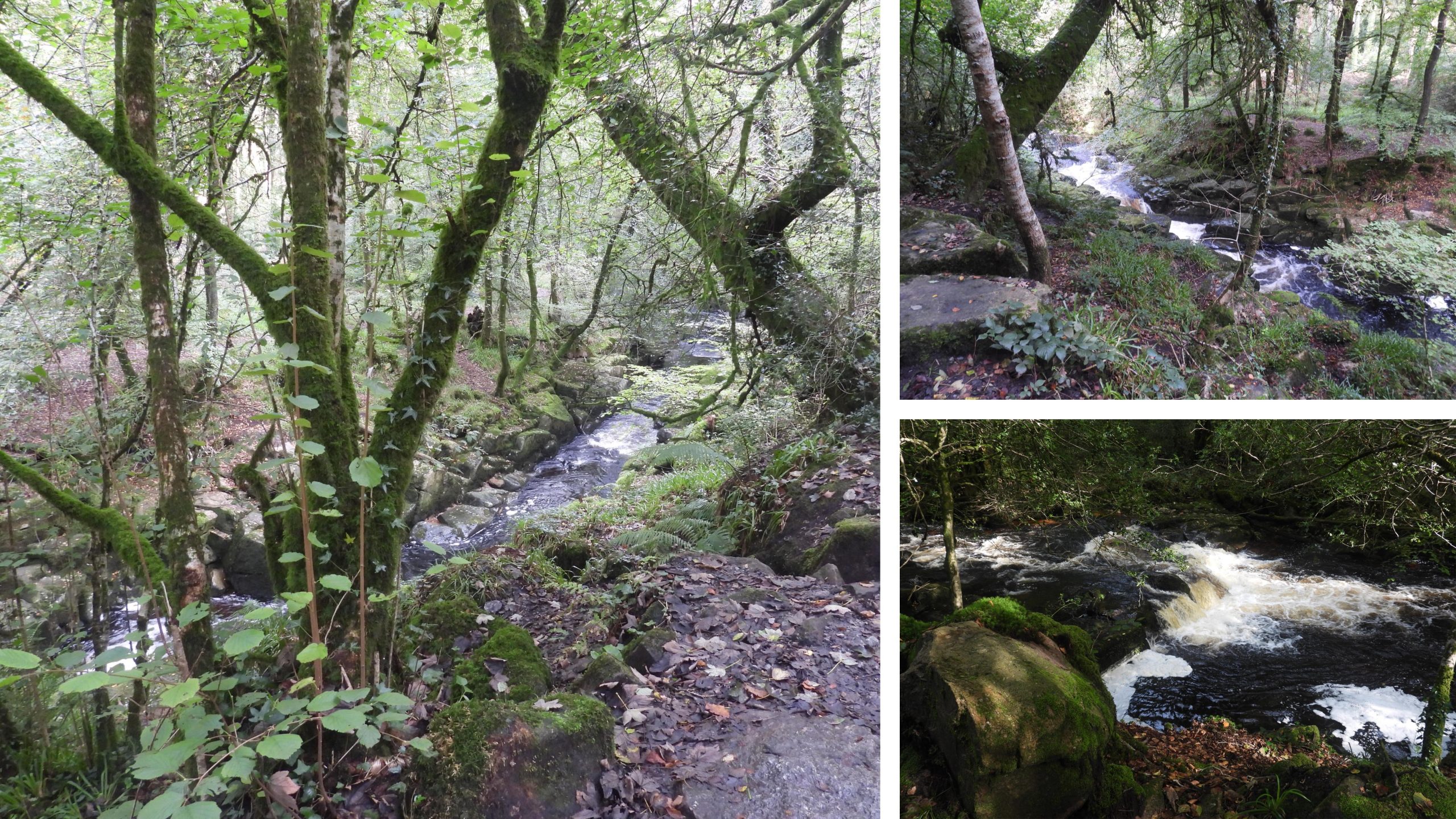
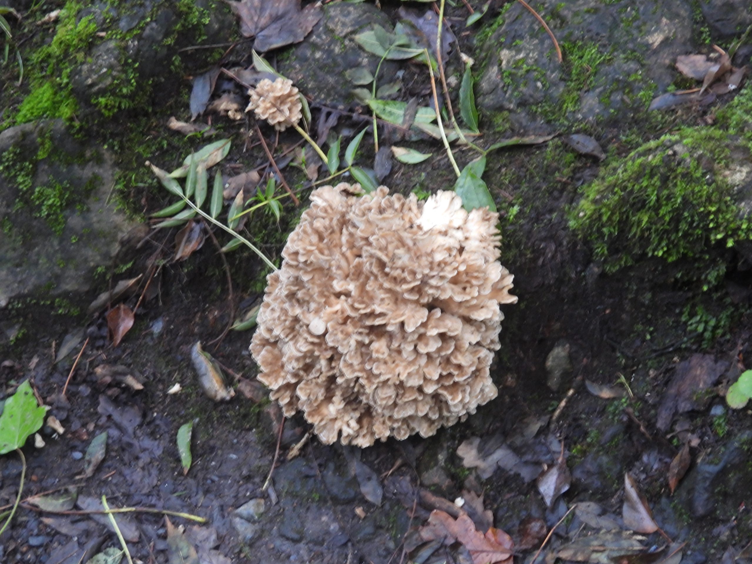
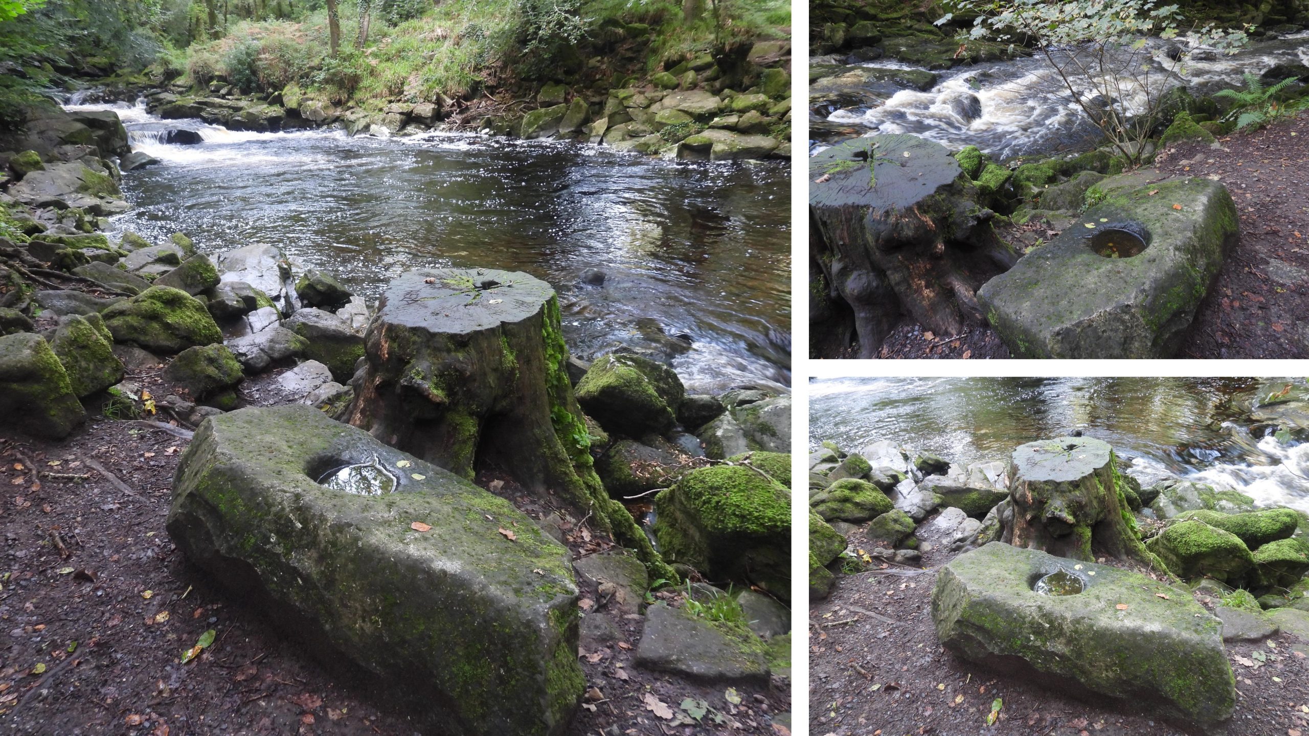
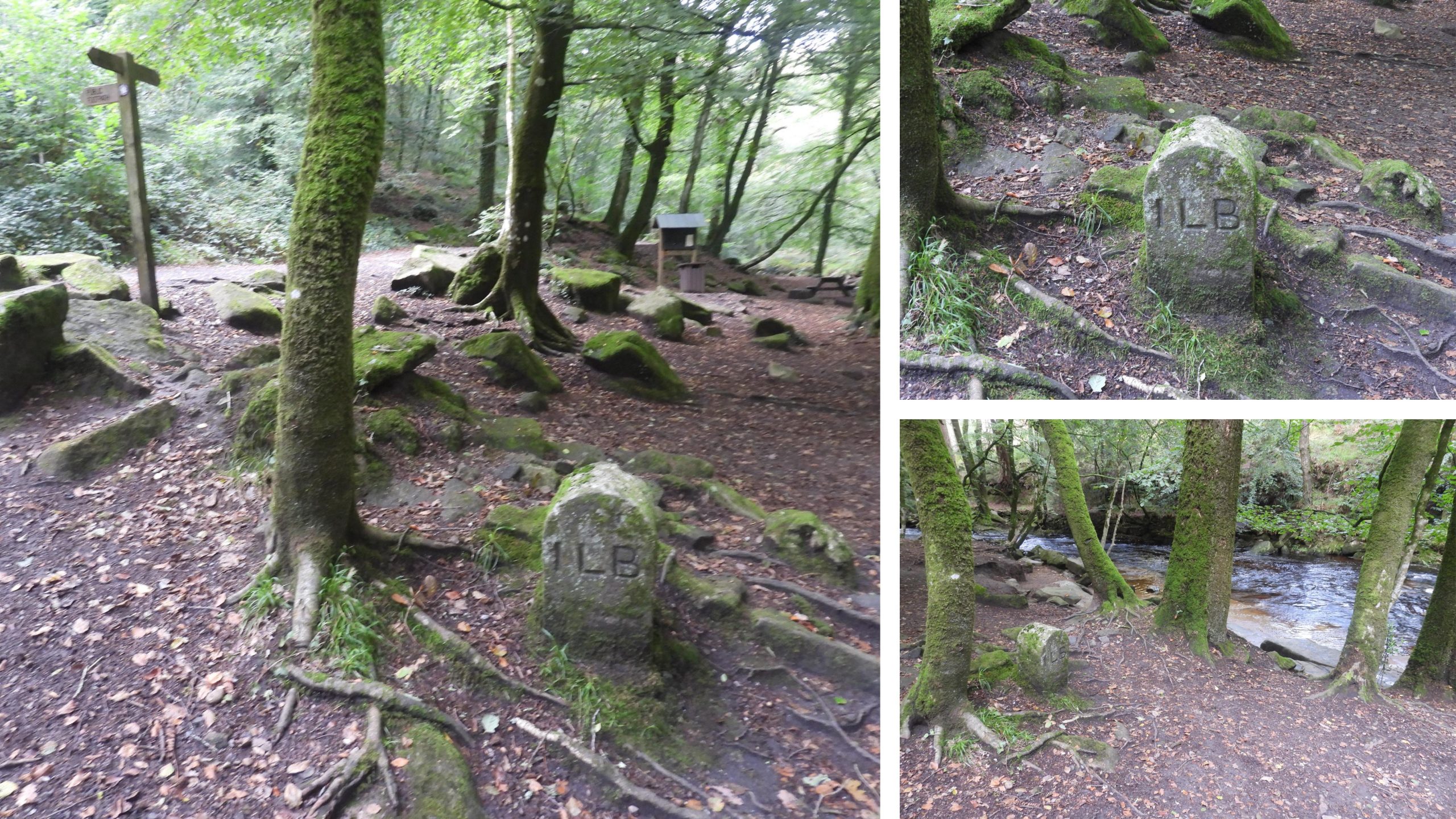
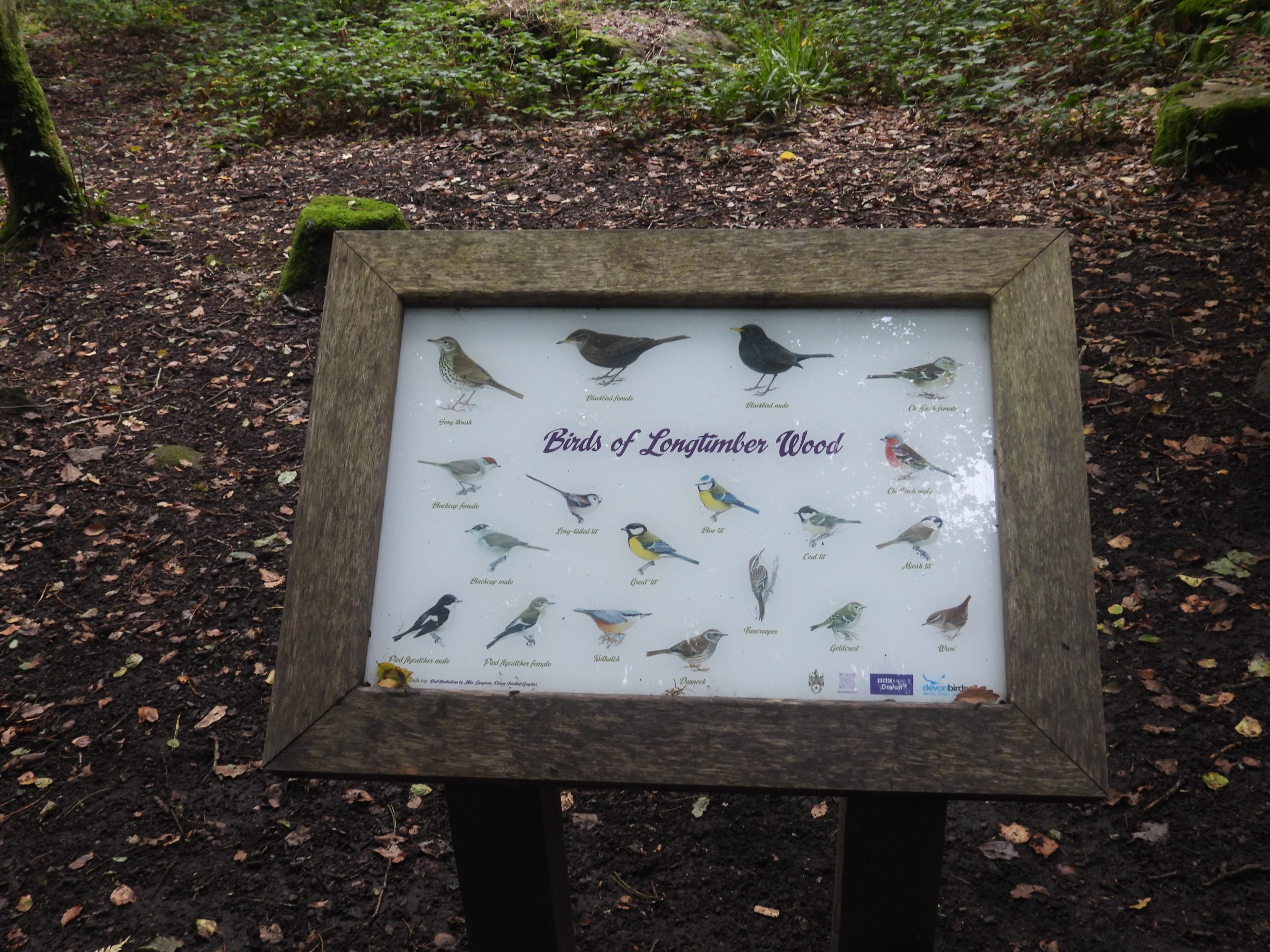
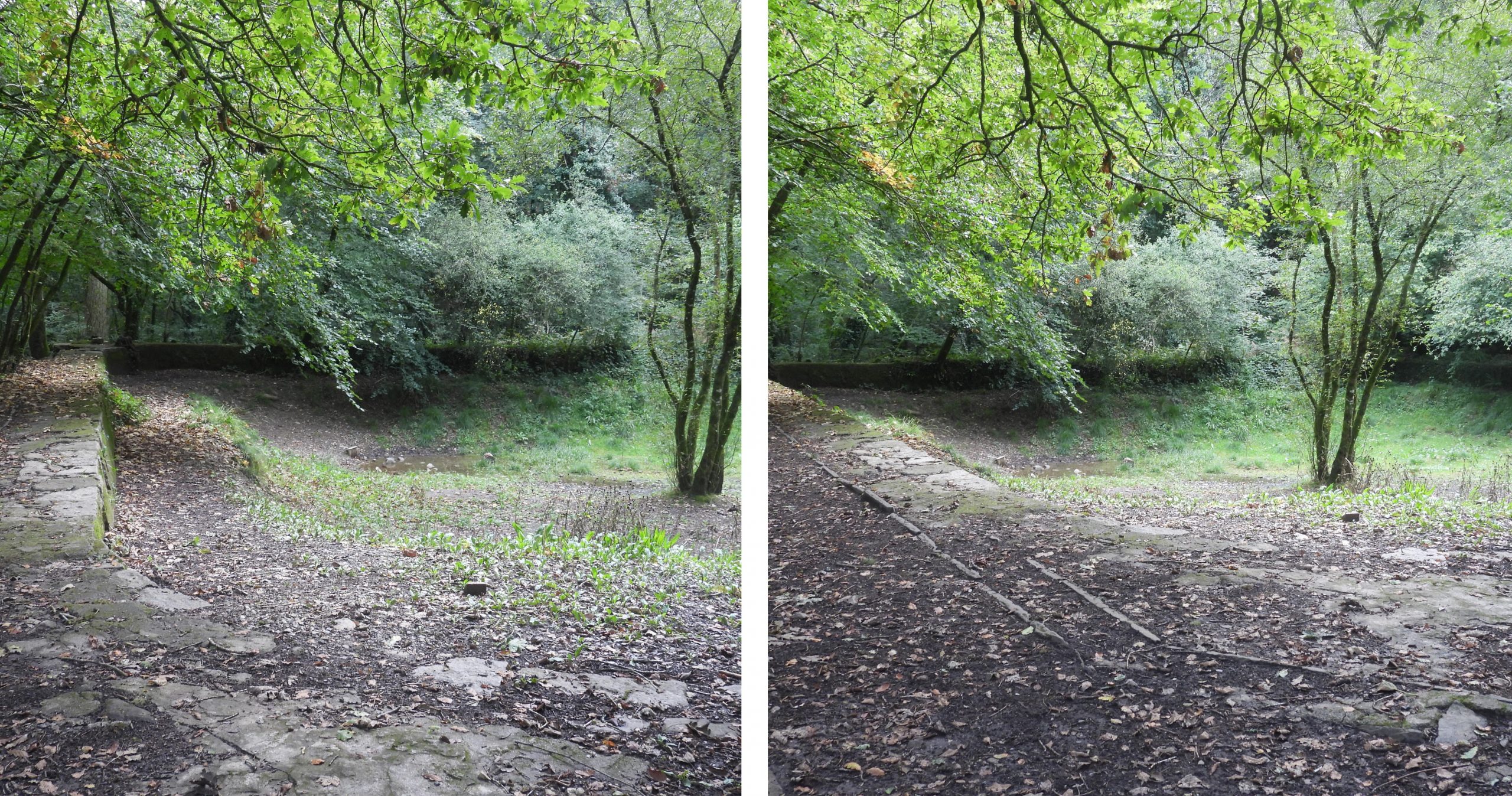
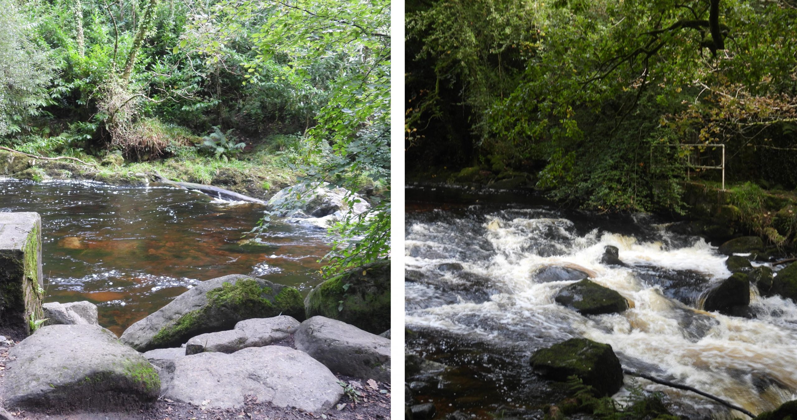
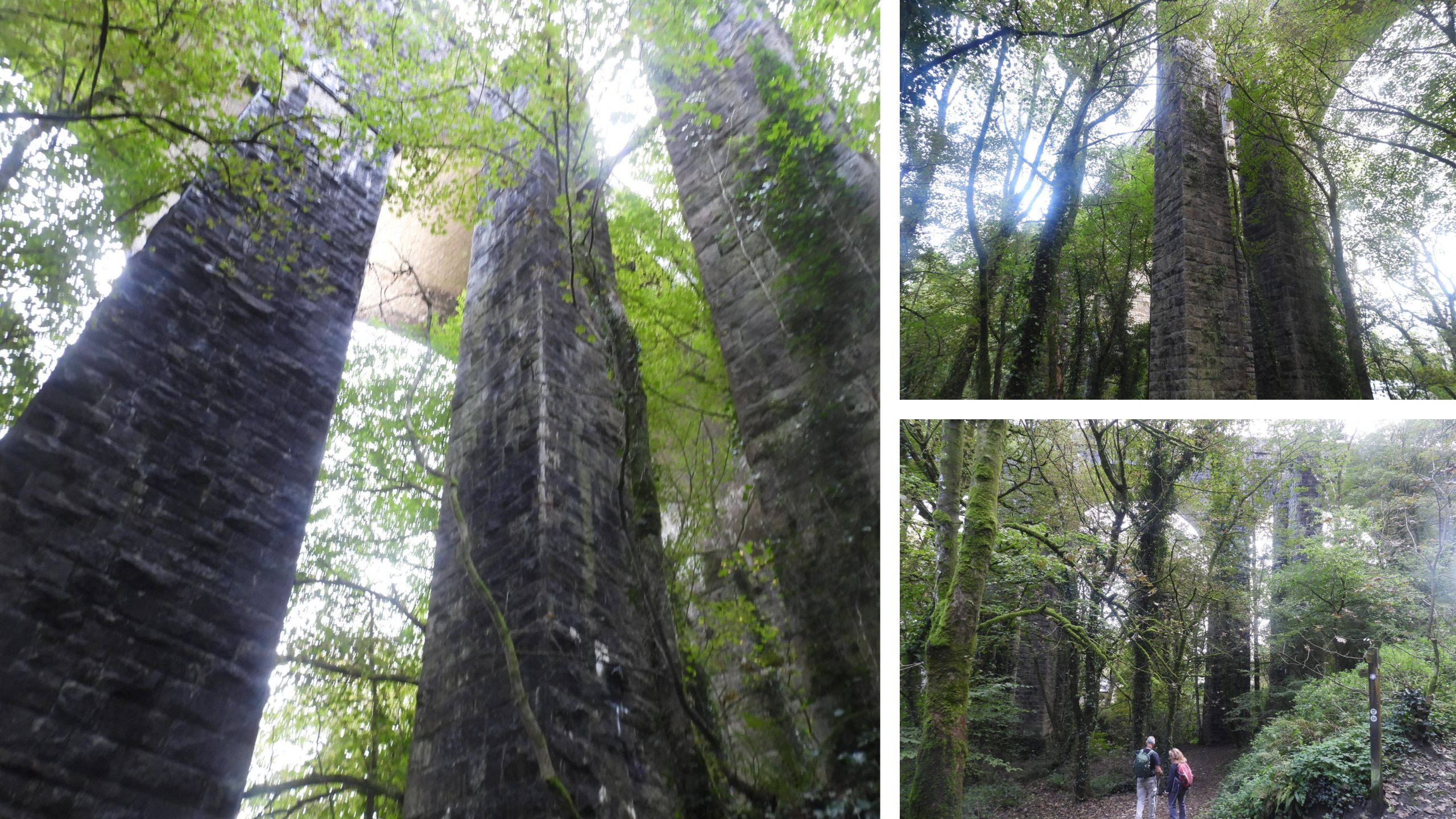
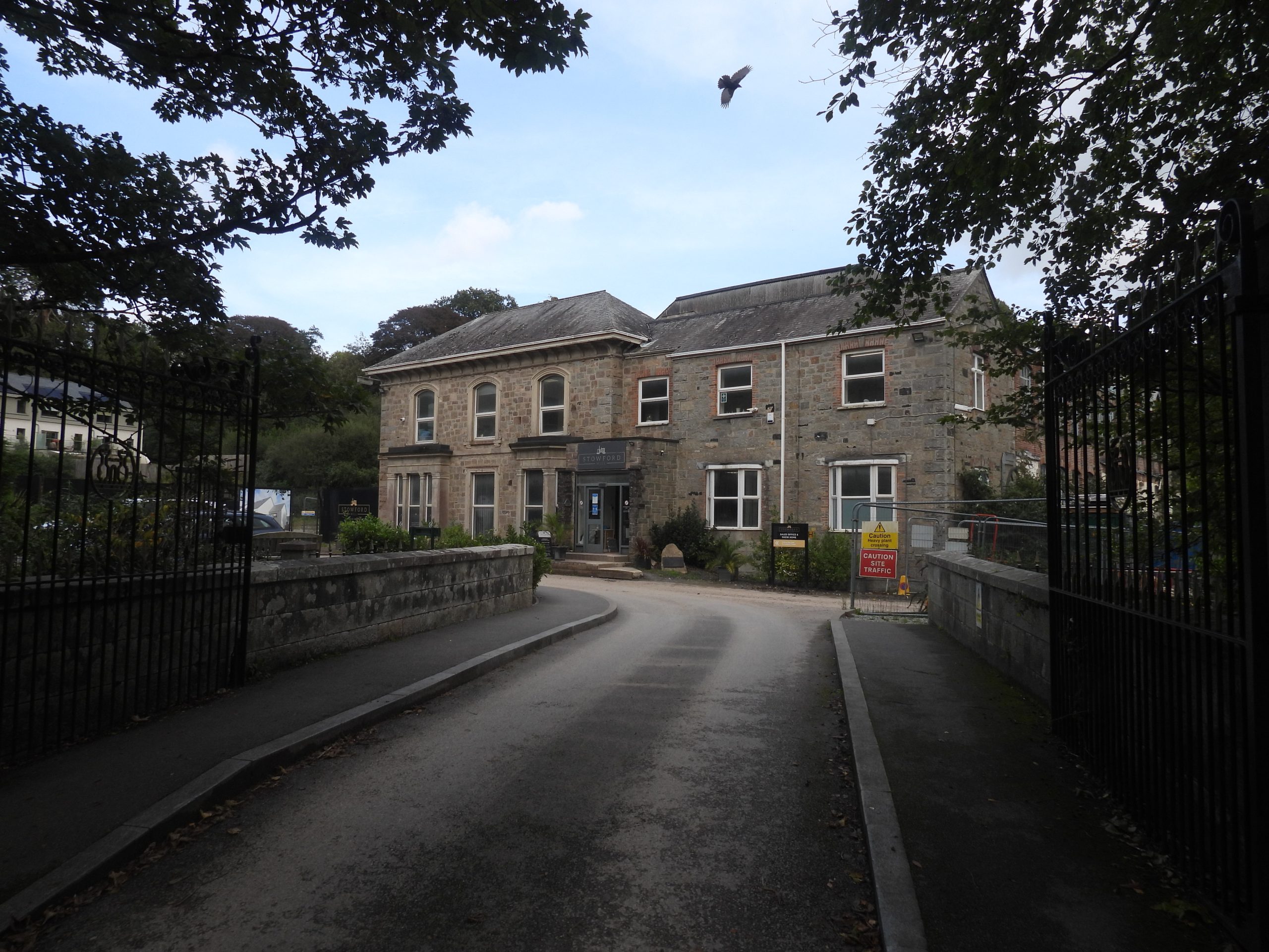
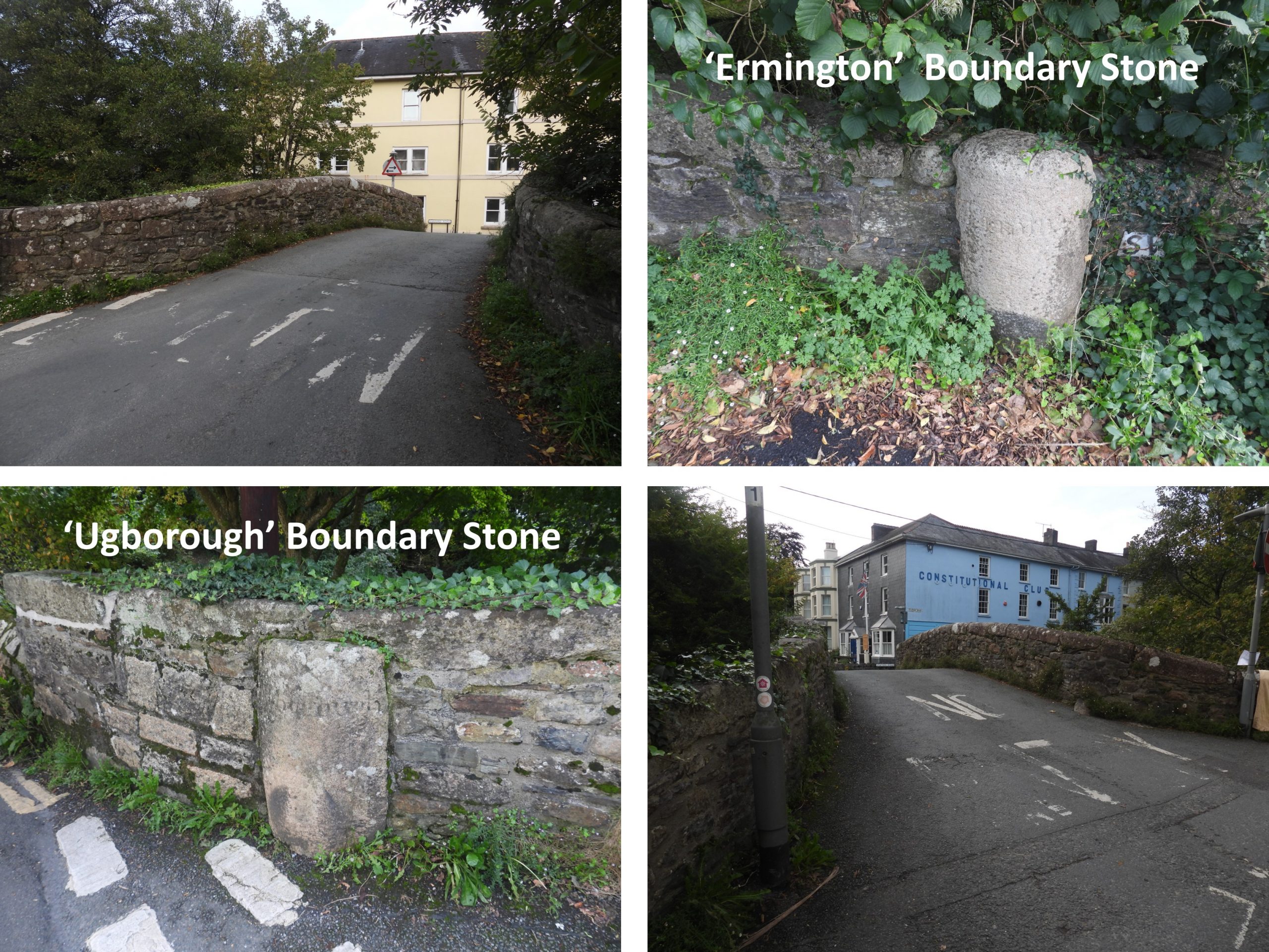
Dartmoor Way – Stage 10 map. Note the minor deviation into Cornwood villageShaugh Bridge at the start of stage 10 of the Dartmoor Way. 200 years ago on 27th January 1823 Shaugh bridge arches were destroyed by floodwater due to a sudden thaw. It is a grade II listed structure and is listed on the English Heritage registerBenchmark on the north west end of Shaugh Bridge. SX53260 63670Inscribed ‘C’ stone at south east end of Shaugh Bridge. If this is a “County Stone” it does seem to be too close to the bridge for a typical stone of this type. It is possible that this is inscribed as an ‘O’. It does not appear to be mentioned in any reference material the author has access to.Part of the Shaugh Bridge clay works (processing complex) which was built between 1870 and 1895 in three different phases and closed down in 1952. Extraction of china clay had began around 1860. More information can be found here: https://dartmoorexplorations.co.uk/shaugh-china-clay-works/This stag was found in one of the two main settling tanks of the Shaugh Bridge clay processing complexClimbing the hill from Shaugh Bridge onto the path leading to North Wood and onwards to Cadover BridgeSmall outcrop at SX53616 63511. The outcrop is un-named.First section of exposed clay pipeline (which was two miles long and which once conveyed waterborne clay (in suspension) down to the Shaugh Bridge china clay works from the Wigford Down – Shaugh Lake clay pits). The clay pipes were made by Hexter Humpherson of Newton Abbot, which is recorded as having been established in 1890. Their 1902 catalogue describes the firm as: Manufacturers of plain & ornamental terra cotta, vitreous engineering bricks, vitreous buff pavements, real stoneware pipes and traps, tested pipes, patent hassall jointed pipes also stanford jointed pipes, terra cotta chimney tops, garden edging, real stoneware rustic & grape vases, fire bricks, of exceptional quality. These dates suggest the clay processing works were established at least 20 years before the clay pipeline was constructed.More outcrops, which are possibly the named ‘West Down Crags’ from recent times (21st century) on the website torsofdartmoor.co.ukAs the track continues east, more exposed claypipe is encountered. The pipeline comprised a single ceramic pipe (internal diameter 0.2m)A roofless rectangular structure, which appears to be some kind of “tank” has been constructed next to the pipeline. The tank is approx 10m x 7m and lies on the steep north-west facing slopes of West Down, making the down hill side of the structure very tall. The tank structure is located at SX53956 63482.More outcrops, believed to be the recently named (21st Century) ‘West Down Tor ‘ (ref: torsofdartmoor.co.uk)Fungi near the trackMore of the exposed claypipelineThere are four inspection chambers along the pipeline which are all approx 2m x 1m. This one is located at SX54106 63656.Part of Dewerstone RockDewerstone Rocks with Dewerstone Hill above. The rock outcrops are named to distinguish them to climbers, with names such as “The Tower, Raven Buttress, Pinnacle Buttress, Needle Buttress, The Devil’s Rock” (ref: torsofdartmoor.co.uk)The National Trust, states that the rocks; “…takes its name from the Dartmoor legend of demonic hunter Dewer; the Devil himself. When night fell, Dewer would hunt down people who were lost on the moor. Accompanied by a pack of fearsome, ghostly dogs called Whist Hounds, Dewer would drive people to their deaths via a fatal fall from Dewerstone’s highest cliff”. Zoomed in on Dewerstone Hill. On top of the Hill are some Victorian inscriptions, one of which (as stated by William Crossing) has the following inscription carved on it: “Carrington – Obit Septembris MDCCCXXX“ in memory of Dartmoor poet Noel Thomas Carrington who died on 2nd September 1830North Wood – note the Dartmoor Way sign just below the ‘National Trust’ omegaAcross the valley is Cadworthy Tor, just above Cadworthy Wood.Zoomed into Cadworthy Tor (also known as Oxen Tor – ref: Mike Brown Gazetteer of Dartmoor Names)Entering North WoodThe second inspection chamber along the pipeline is located at SX54592 64036. It is recorded that workers had to regularly pull scrapers through the pipe to clear intruding tree roots. (Reference: Owens M 1994 ‘Industries beneath Dewer’ Dartmoor Magazine 35, 16-18). Presumably these inspection points were used for other access to identify where there were blockages – similar to the inspection points used on the Redlake Pipeline (albeit this pipeline would have pre-dated the Redlake pipeline).Contiuning east through North WoodZoomed in glimpses of the River Plym. Through this stage, there are 4 major rivers to be seen, namely; Meavy, Plym, Yealm and ErmeThe third Inspection chamber 3 is elevated on a revetment and rather overgrown at SX54972 64179Where the pipeline traverses a stream in a small valley there is a cast iron pipe. Gravity taking the clay in suspension across. The track as it nears Cadover Bridge passes close to the Plym.The 4th and final inspection chamber is located at SXSX55158 64439.Small waterfall on the PlymIron spike next to the track which one would assume is related to the clay pipelineThe course of the pipeline near the Cadover Bridge car park appears to be a depression crossing the grassy area.Cadover Bridge dates from 1940’sA bridge at ‘Cadaworth’ or ‘Cadworth’ is mentioned in a charter of Isabella de Fortibus in 1291. A ‘holloway’ (not shown in picture) to the west of the present bridge may have led to an earlier bridge. It was known as ‘Cadworthy Bridge’ on the 19th century Tithe Map and as ‘Cadaford Bridge’ on the late 19th century map. View from Cadover Bridge looking upstream Benchmark (B.M. 0691.0) on Cadover BridgeCounty ‘C’ Stone associated with the Bridge at SX55602 64606County ‘C’ Stone in foreground in relation to the bridgeOld Cornwood road with Trowlesworthy Tors in the distanceAutumnal colours looking back in the direction of Cadover Bridge and Wigford DownViews from the old Cornwood Road – Trowlesworthy Tors, River Plym, Ponies and Trowlesworthy Warren HouseBeing buzzedBoundary Stone on the eastern verge of road dating from 1835. This boundary stone is one of three (still extant) in the area which is the divide between Lee Moor and Shaugh Moor. The other two stones are to the north between the road and Blackabrook. There was a fourth stone in place (now in storage), which was erect on a barrow called Emmets post, but was removed around 2014 due to the incursions of the clay worksThe Boundary Stone is inscribed ‘SM 1835′ on the north side and ‘LM 1835’ on the south side. It is thought to relate to the clay industry, where ‘SM’ for Shaugh Moor and ‘LM’ for Lee Moor. Backaton Cross consists of a modern shaft, originally cut for a window sill, which accounts for one of its edges being bevelled. The cross stands in an ancient circular socket stone and is surmounted by the ancient head and arms. There is an OS Benchmark on the base with an associated rivetFormerly known as ‘Romans Cross’ but its true name seems to be ‘Blackaton Cross’, which probable comes from a spot nearby named Blackaton Slaggets where much peat has been cut in the past. (ref: Watson, 2007-2017, Devon Crosses)Extensive alluvial streamwork situated within the valley bottom of the Blacka Brook.Looking across Trowlesworthy Waste towards Trowlesworthy TorsLone tree near Big Pond with Shell Top on the hill in the distanceBig PondLittle Trowlesworthy (left) and Great Trowlesworthy (right) with the line of the double stone row running north-north-east by south-south-west visible just left of centre in the pictureZoomed in view of the double stone row. The Heritage Gateway records that the alignment measures over 120 metres and includes at least 103 stones in position. Clay workings, labelled as Whitehill Yeo on OS mapsAnother view of the double stone row. There is a stone circle associated with the row at its northern end. The row is cut through by the Lee Moor China Clay Works Leat. Close up of Great Trowlesworthy TorZoomed in view of the clay workingsLooking across to Cadover Bridge. The standing stone in the foreground is uninscribed and is one of 10 in this area. The author believes that these 10 stones mark the northern boundary of the Whithill Yeo Clay Works. The track snaking uphill from Big PondHexton Tor from the trackZoomed in view of Shell TopThe Hanging Stone Standing Stone at the bottom end of Cross Dyke. It is inscribed with ‘CB’ that could relate to Cholwich BoundaryCows and flooded clay pitThis large round cairn has been measures at 26 metre by 24 metre by 1.2 metre high and has several hollows dug into its surface. It was investigated by Worth in the latter part of the 19th century and this work revealed a small number of stone-lined chambers, which were identified as huts. (ref: Gerrard 1990-2002, Monument Protection Programme. Archaeological Item Dataset). It lies to the north of the Dartmoor WayEnclosed settlement below the track. On the OS map, the Dartmoor National Park boundary can be seen to ‘curve around’ these antiquities keeping them within the confines of park.This standing stone is marked with “LM” on one face and “PM” on the other. It lies on the Lee Moor / Penn Moor boundary and subsequently the Cornwood / Shaugh Prior boundary. The boundary stone can be found at SX59054 63148More on this and other boundary markers in the area can be found at : https://dartmoorexplorations.co.uk/boundary-markers-in-china-clay-country-lee-moor/More views of the clay workingsPlymouth Sound in the haze beyond the clay workingsA Cairn (barrow) just within the Dartmoor National Park Boundary. Looking uphill towards Penn Beacon.Platform Cairn Circle at SX59826 62265. Jeremy Butler in Dartmoor Atlas of Antiquities (South West) – map 52 states: “Circa 4.0 metres diameter by 0.1 metres high. A roughly circular arrangement of small stones, many of them on end and apparently artificially set, probably the remains of a companion to the large cairn a few metres to the west”.Wall corner with Cornwood in the backgroundRock splitting evident at SX60002 61903There are plenty of rocks where the OS map labels ‘Rook Tor’. However, to a lot of Dartmoor observers the tor itself is much lower down the hill near West Rook GateViews near West Rook gate. Hanger Down Clump (a small wood) is evident on the skylineDescending off the open moor towards East Rook gateEast Rook gate and lane (holloway)Some lovely fungi in the laneSignpost with the Dartmoor Way direction ‘circles’ onViews towards Weatherdon Hill, Butterdon Hill and Western BeaconThe tarmac lane leading down from East Rook gate Wakeham’s RookEast RookCows munching – Cornwood beyondA minor diversion into Cornwood, a lovely village with plenty of charm. Cornwood was first recorded in the Domesday Book of 1186 as Cornehuda with a relatively large settlement of 24 households. The Latin cross under the tree was erected in 1902. The Fountain was built to mark Queen Victoria’s Golden Jubilee in 1887.Cornwood Inn is now community run and good to see openOn the lane between Cornwood and Torr / Harford, these steps can be found. They lead to a footpath (Cornwood Footpath 2) which leads the hiker to the school this avoiding the lane. Glebe House was formerly the vicarage and it is assumed that the bridge down the hill (called Vicarage or Wisdome) was named after the this. It is grade II listed and was built circa 18th century (at the rear) with the front of the property being circa early 19th century. The front part is slate hung with rusticated granite quoins.On the south side of the lane (opposite Glebe House) under some ivy is one of two ‘C’ (County) stones. Bridges either constructed by the county, or taken over and therefore maintained by them and sited within the county of Devon would have had a set of two ‘C’ stones erected on either side of the bridge. This ‘C’ stone is located at SX61374 60270.Unknown building just downhill from Glebe House on the opposite side of the roadAbout 50m downstream from the bridge lies a modern concrete weir.Wisdome Bridge (or Vicarage Bridge) is built from granite rubble with dressed granite segmental arches. The original ‘Parson’s Bridge’ was reported to be in decay in 1668. The bridge has two arches with two refuges in the parapets above. The parapets have chamfered granite coping. Unfortunately, the bridge seems to have been “hit” a few times in recent years and repairs are evident.The signpost near the bridge name it as ‘Vicarage Bridge’. The OS map label it as Wisdome BridgeVicarage Bridge cottages appear on maps from 1890’s, so must have been built at that period as they do not appear on maps before that date. Strangely, when these cottages were built the bridge was named Wisdome on OS maps.On the east side of the bridge, near Wisdome Manor, is the second of the two ‘C’ (County) stones associated with the bridge. It appear to have been “re-set” lower than the modern day road level. The ‘C’ appears to have been buried by the modern road level. It can be found at SX61520 60362. Wisdome Barton is a recently restored 16th-17th century farmhouse. It was purchased by John Rogers in 1690.Signpost at Torr. Note the Dartmoor Way ‘circle’Tor FarmView looking west across fields between Torr and Hall CrossGateway between Torr and Hall Cross. There is a benchmark on the granite upright at SX62135 60145Hall CrossNear to Hall Cross, just inside a field is this boundary marker. It is inscribed with a ‘C’ and an ‘H’ which stand for Cornwood and Harford as it lies on the Parish Boundary. More information on other boundary markers in the area can be found at : https://dartmoorexplorations.co.uk/harford-cornwood-parish-boundary-markers/The boundary marker is inscribed “C” (for Cornwood) on the north side and “H” (for Harford) on the south side. It is located at SX62462 59860Hall Farm – circa 18th century. Gateways and lane leading to Longtimber Wood from Cornwood – Harford road. There is a rather fun inscription on a gate here; “Today will be yesterday tomorrow”. There is an extensive water meadow system here called the King’s Gutter Leat, which leads southwardsKing’s Barn is a field barn with court which dates from at least the early-mid 19th centuryKing’s Barn. Hankin (1977-1980) records: “The barn with its associated court occupies 30 perches (tithe apportionment). Rectangular in plan, with hipped roof, the barn has been rebuilt or very much restored within the last 100 years”Cows near King Barn were blocking the path and reluctantley moved onLooking back (north) towards Hall Farm, this dead tree and drystone walls are a delightful compositionDescending into the Erme valley near King’s CornerThe Erme, the fourth major Dartmoor river encountered in this stage (after the Meavy, Plym and Yealm)Lovely bracket fungiSome wooden stepping stones across a wet and muddy patch on the path leading south towards IvybridgeWillow constructionAnother bracket fungiAt SX63546 58031, there are the remains of an abutment indicating a bridge stood here once. The lack of central pier suggests a substantial single-span structure, probably stone and mortar built. It would have connected Lukesland Wood with Pithill WoodMore views of the ErmeAn unusual ‘flower’ type fungiThis holed stone by the Erme is known as Treneman’s Basin. It is located at SX63595 57536. There is a legend surrounding this stone which is located at : https://ivybridge-heritage.org/longtimber-woods/ The stone contains a well-formed hollow measuring 0.28cm in diameter and 0.18cm in depth (ref Marchant – 2003). The stone was thought by R H Worth to be a tinner’s mortar where tin ore would be crushed before smelting. However, there is no evidence of a Tinner’s Mill in this area!ILB (Ivybridge Local Board) inscribed stone is located at SX63627 57476. Taken from the Ivybridge Heritage website : “The Local Board included many local businessmen such as John Allen and his sons Edward and John, the owners of Stowford Paper Mill, Francis Holman, owner of Ivybridge Paper Mills, Samuel Head, proprietor of the local tannery and William Mallet, the proprietor of the London Hotel. The responsibilities of the board included the supply of safe drinking water, drainage and sewerage and other matters relating to the sanitary condition of the village”. This stone marks part of the Ivybridge Local Board boundary and can be found where Hunter’s path meets the main track.Lovely information board on ‘Birds of Longtimber Wood’.The ‘swimming pool’ was originally a reservoir supplying clean water to the residents of Ivybridge. It was constructed during 1873-74 at the request of the Ivybridge Local Board of Health. There is a story regarding the pool in the Ivybridge Heritage website, thus: “During World War II, the American soldiers of the 116th Infantry Regiment, stationed at Uphill Camp on Exeter Road in Ivybridge, used the swimming pool for training prior to D-Day. Having upgraded the swimming pool area they erected camouflage netting which they had to climb and then, after wading through the water, continued their endurance training on Dartmoor”.The Stowford Cleave Weir and Sluice Gate on the Erme. It is possible that this weir might have been an extension of an existing one and was built during John Allen’s redevelopment of Stowford Mill in the 1850s and 60s. Railway viaduct(s) – the old and the new. The original viaduct was built by Brunel circa 1849 and had timber on stone piers. The present stone structure dates from 1893.Leat and gorge. The leat is stone lined and ends at the tarmac road. Did the leat once serve Union Corn Mills in Ivybridge?Entrance to Stowford Mill across the river from the west. The first papermill on the site was built in 1787. The “Ivy Bridge” was built in 17th Century on the site of an earlier bridge and carried the main Exeter to Plymouth road until the construction of the lower bridge in 1825. The river Erme is a parish boundary here and at each end of the old Ivy Bridge, against the southern parapets, are two boundstones. The parish boundary stone on the west side of the bridge and is inscribed “Ermington” and on the east side of the bridge is inscribed “Ugborough”. The bridge marks the end of Stage 10 (and the start of Stage 1) – The Dartmoor Way loop completed !