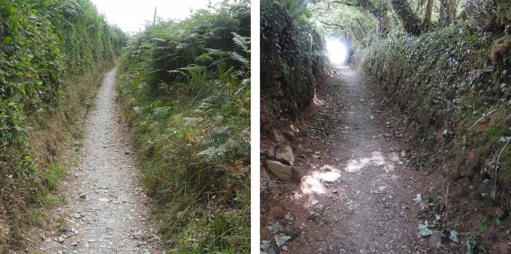
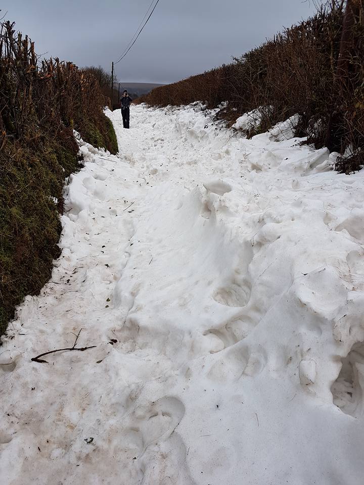
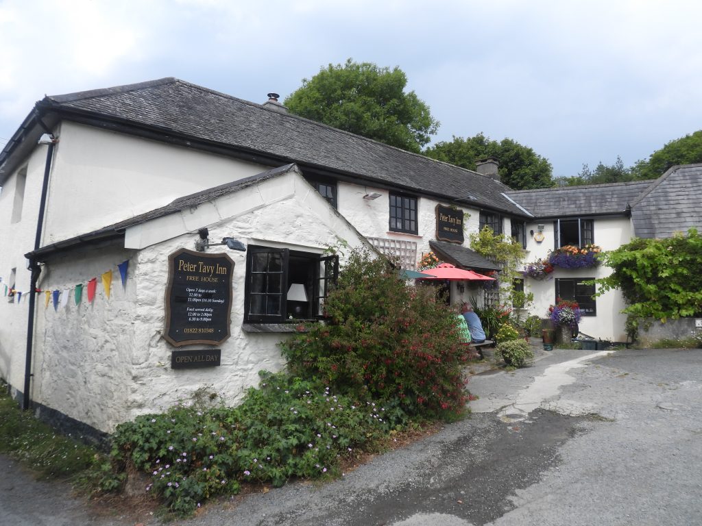
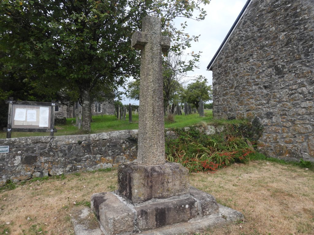
A collection of walks, discoveries, insights and pictures of exploring Dartmoor National Park
September 8, 2022
Dartmoor Way – Stage 8 – Lydford to Tavistock
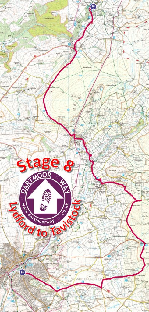
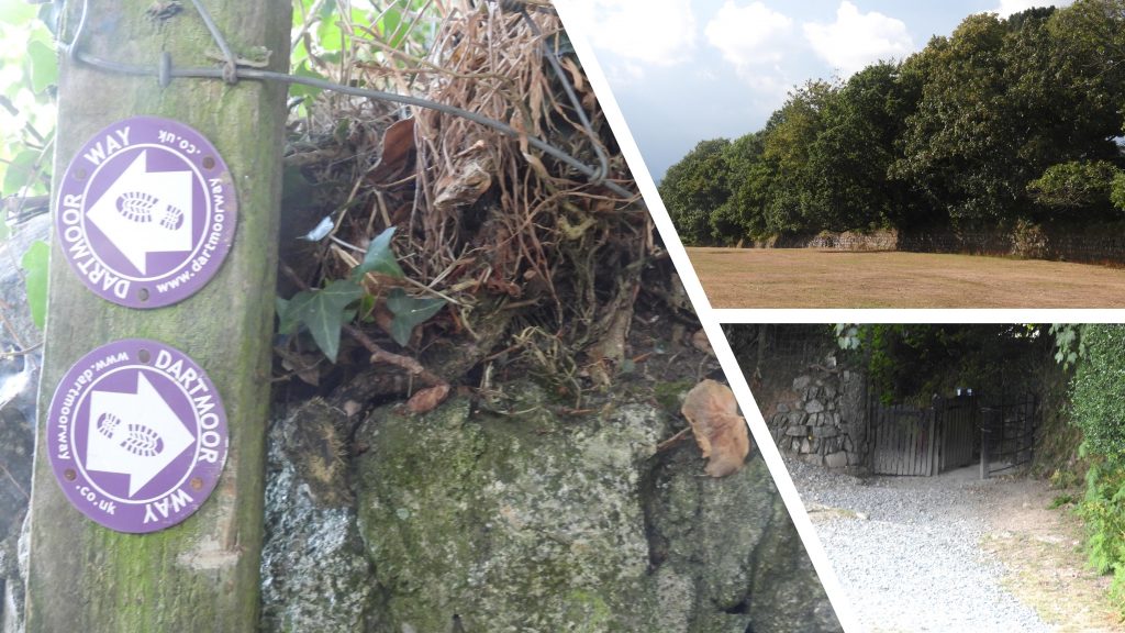
This eighth stage of the Dartmoor Way is stated on the official website (dartmoorway.co.uk) as being 12.75 miles (20.5 km) starting at Lydford and finishing at Tavistock. The elevation climb is 1594ft (486m), with the longest individual climb being from Peter Tavy through Coombe and up through the woods to Great Coombe Tor and the Higher Godsworthy road below Cox Tor. The author had a personal interest in this stage having assisted with the signing of the route between Tavistock and Peter Tavy in 2019.
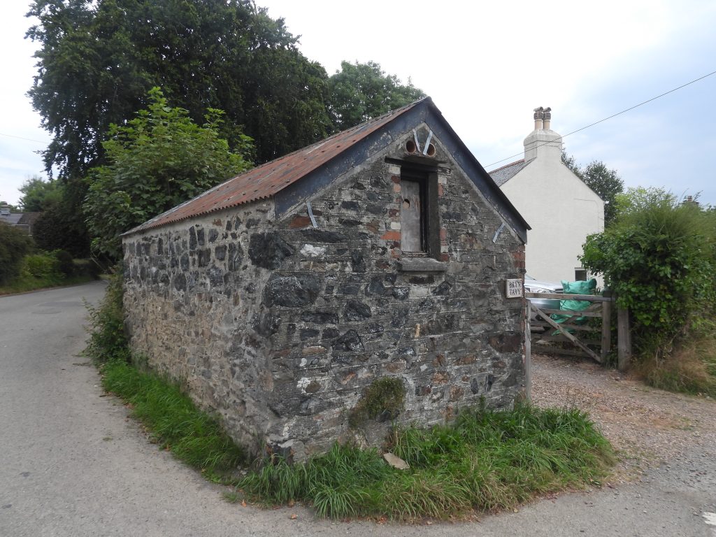
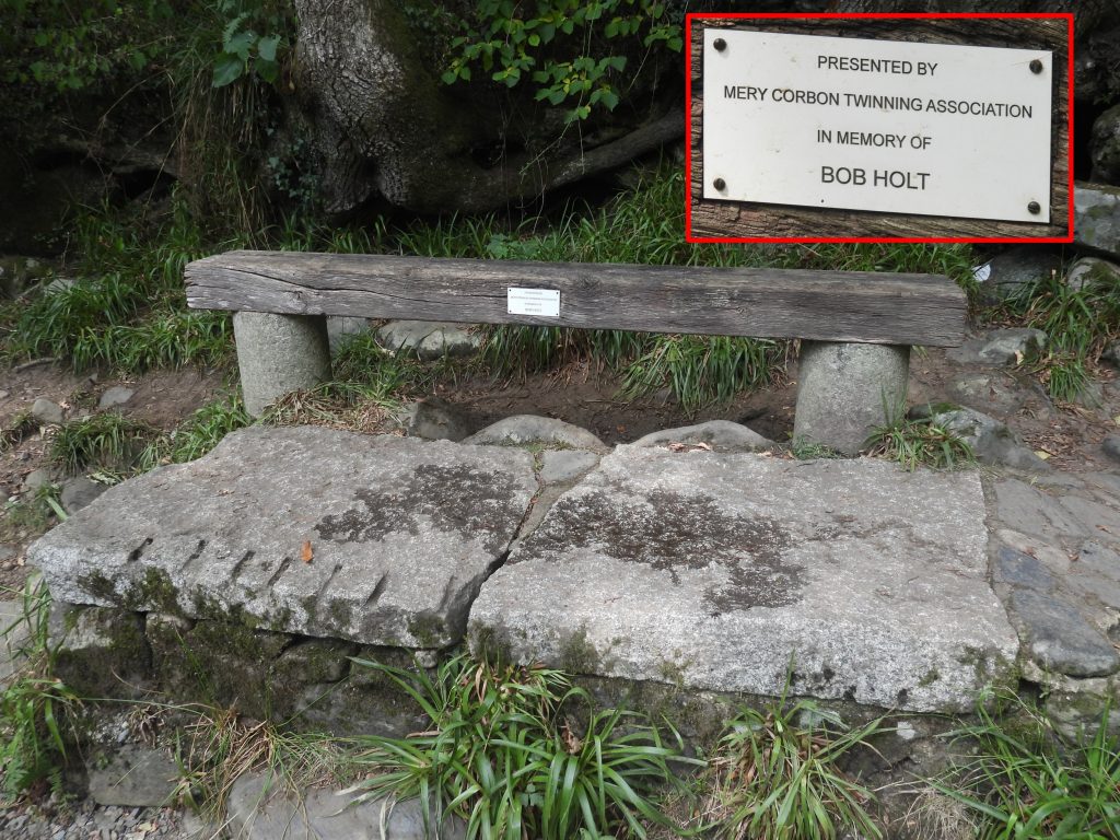
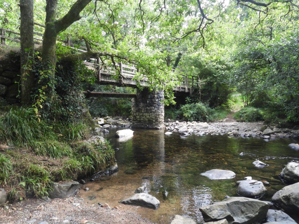
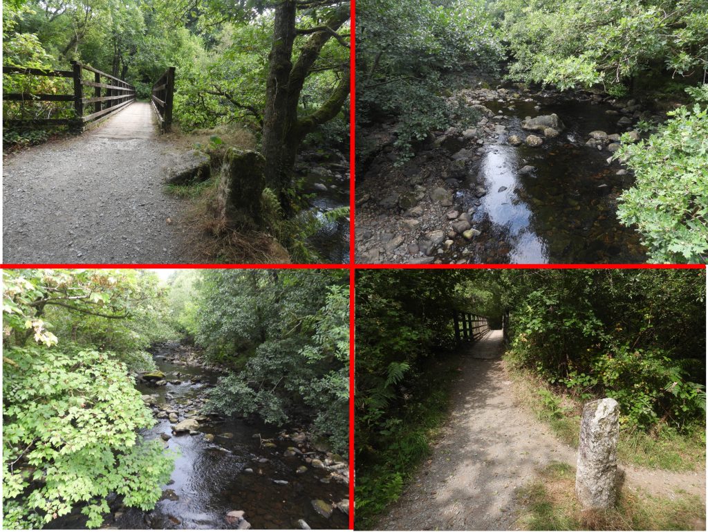
This post of the eighth stage was recorded by the author as being 23.3 km (around 14.6 miles) in length. That said, the author made a couple of minor deviations / side trips from the official route to look at the (Wesleyan) Methodist Chapel and War Memorial in Mary Tavy and to visit the churches of Mary Tavy (St. Mary’s) and Peter Tavy (St. Peter’s). As with all other posts recording the Dartmoor Way, this post records historical features, shows pictures of some far reaching views, shows pictures of wildlife and shows pictures of points of interest – all photographs taken by the author along the route are annotated.
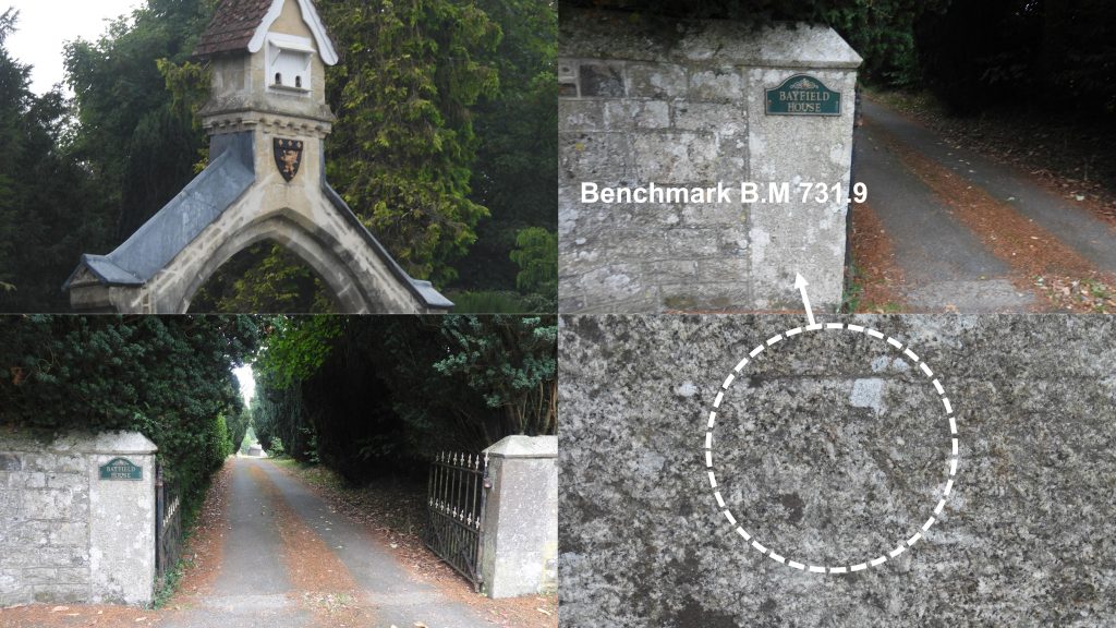
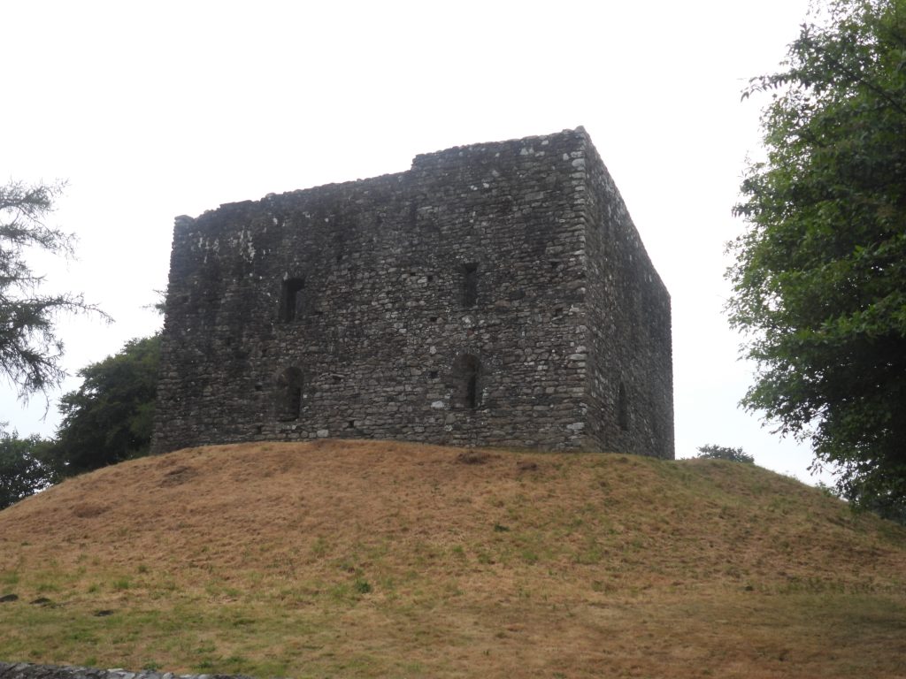
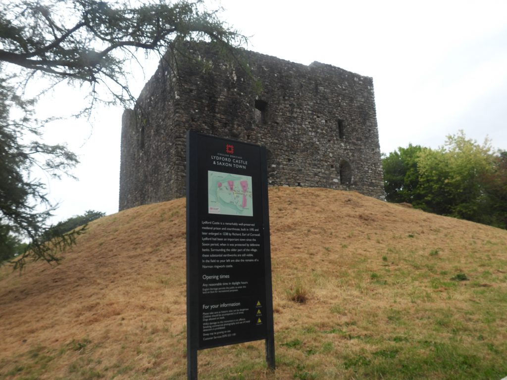
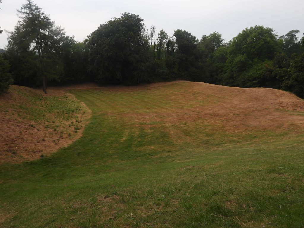
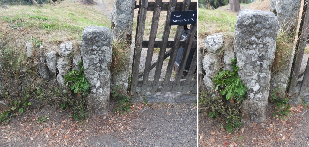
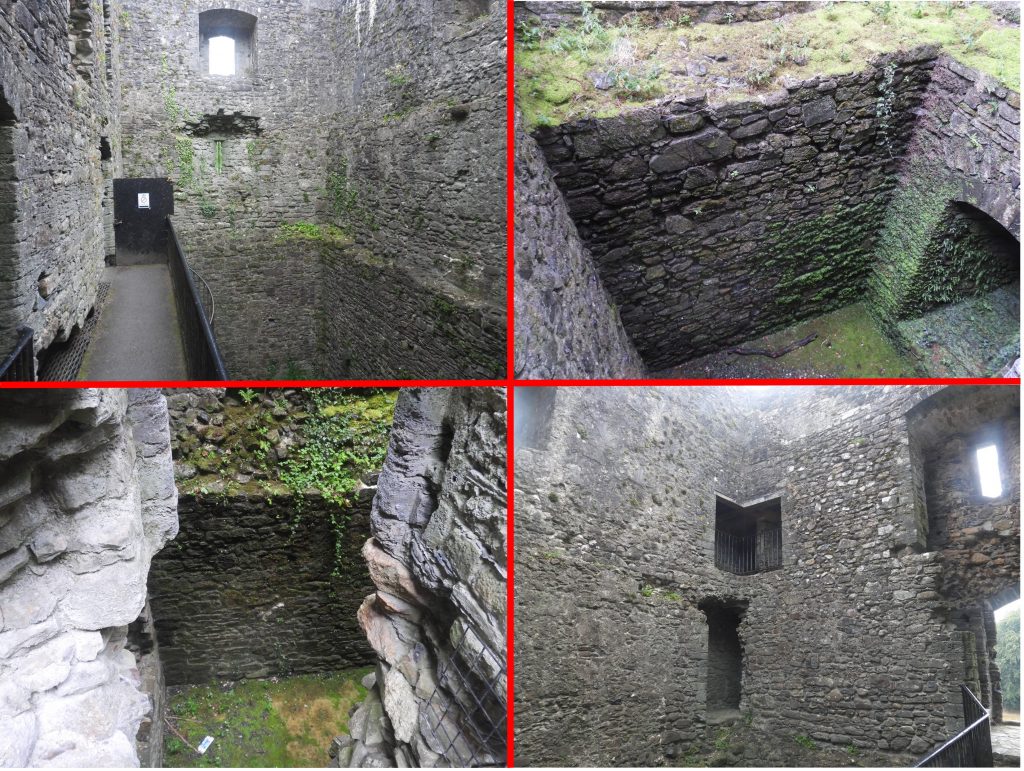
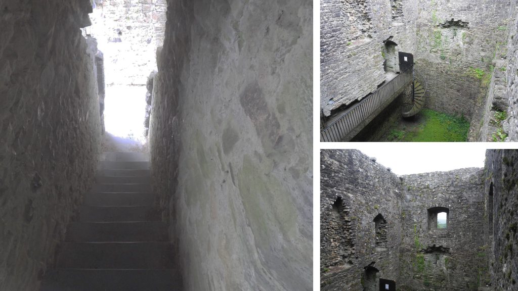
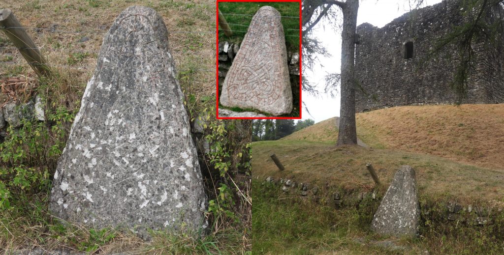
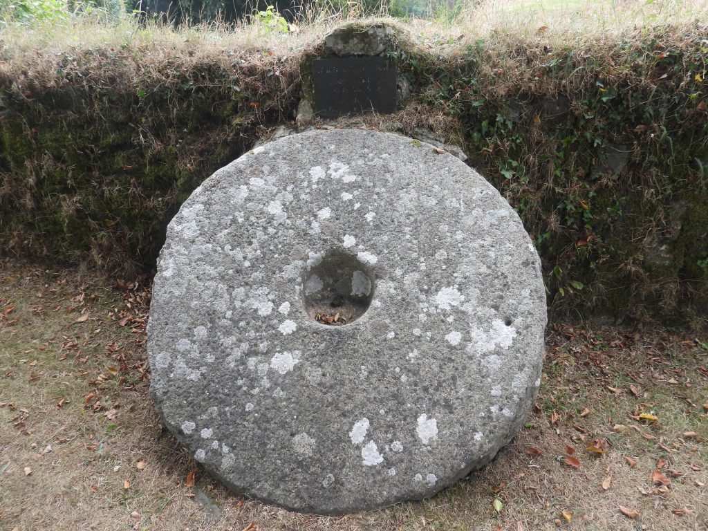
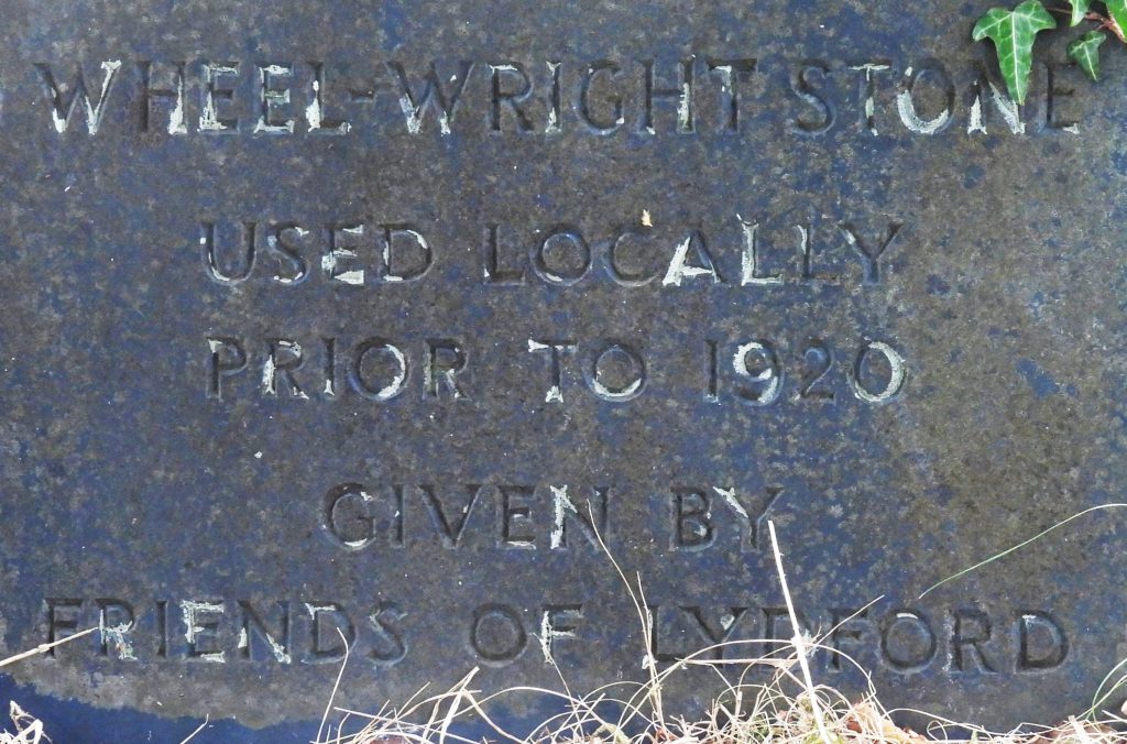
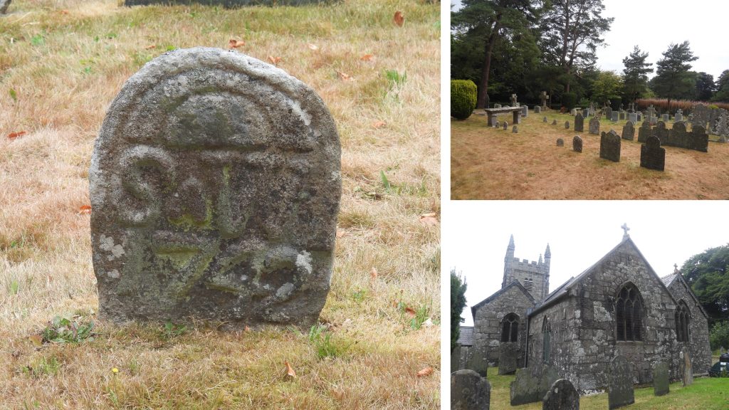
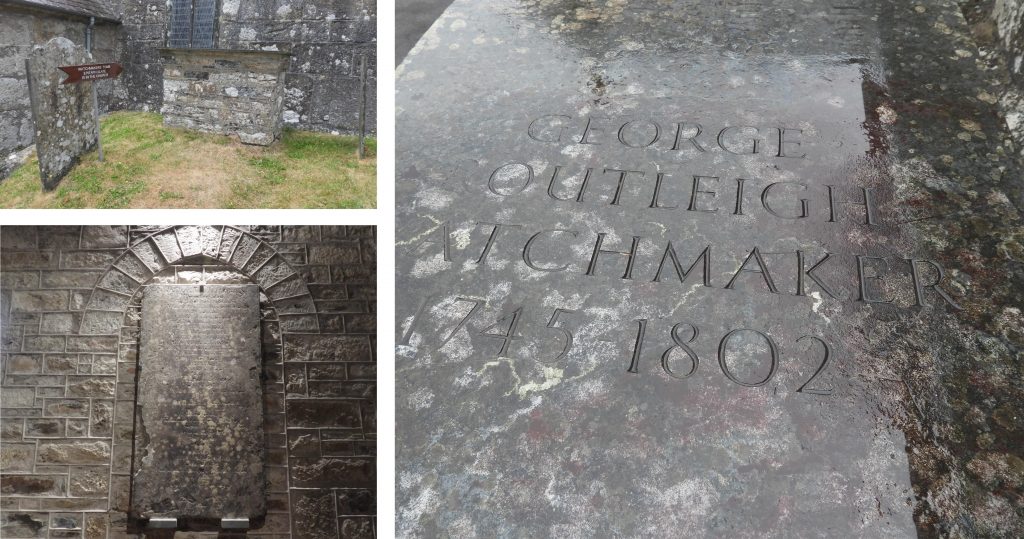
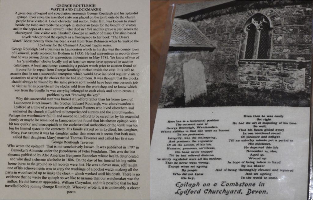
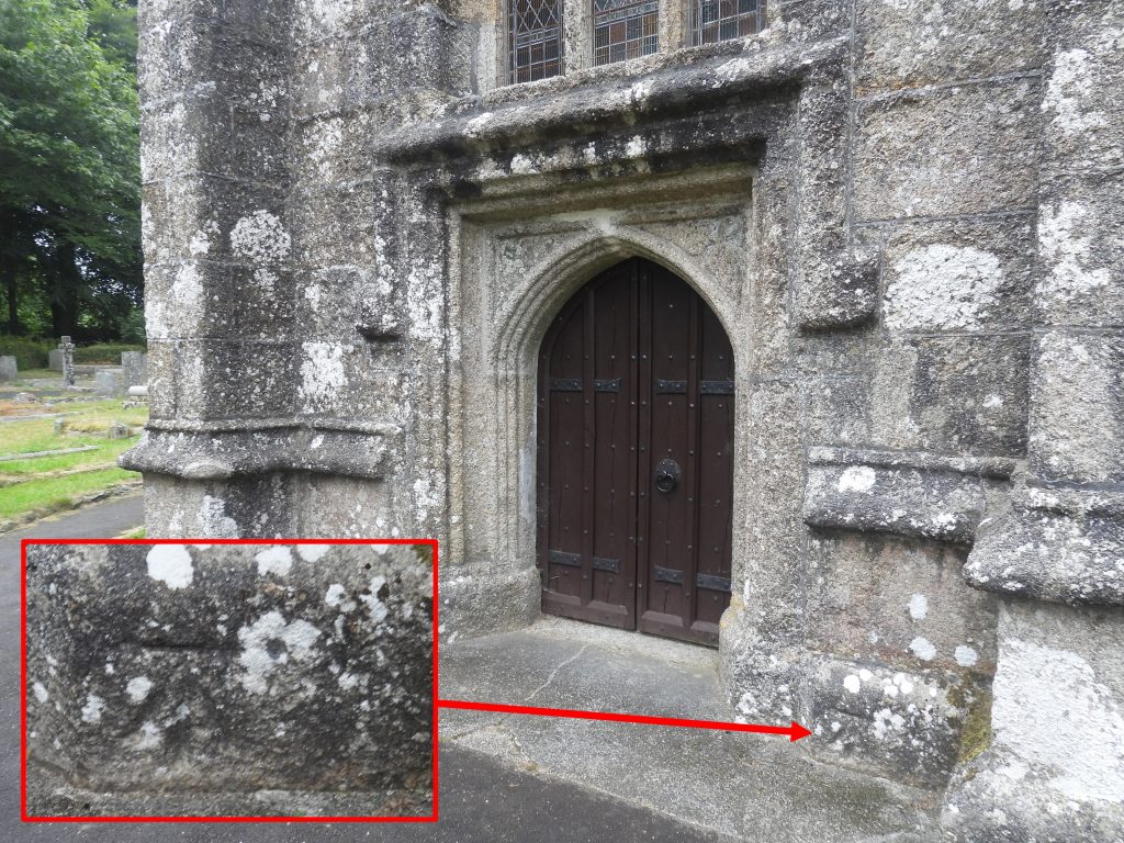
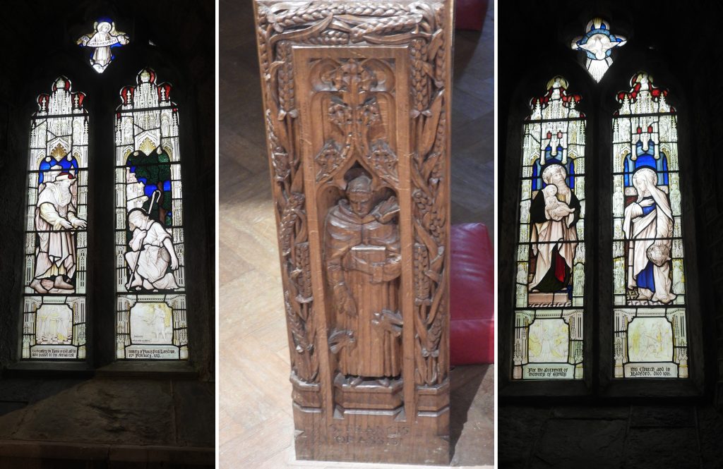
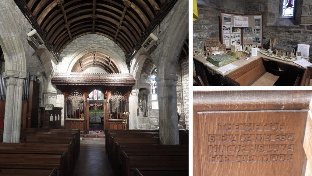
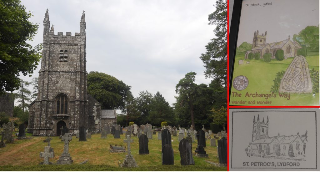
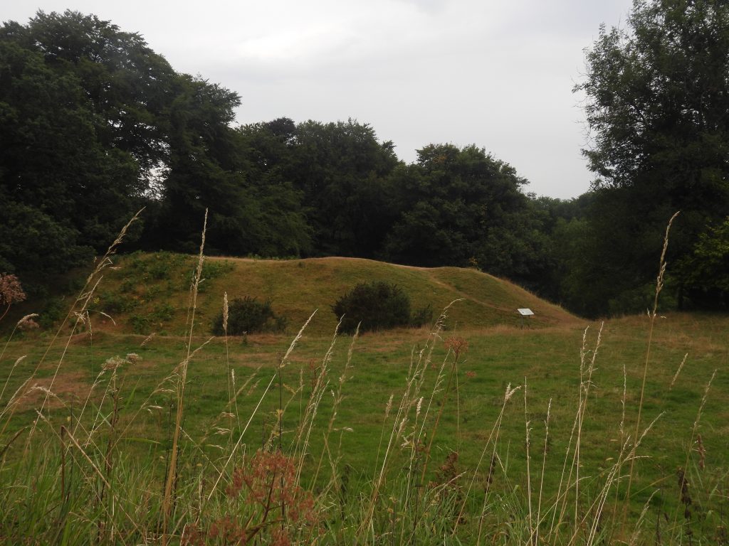
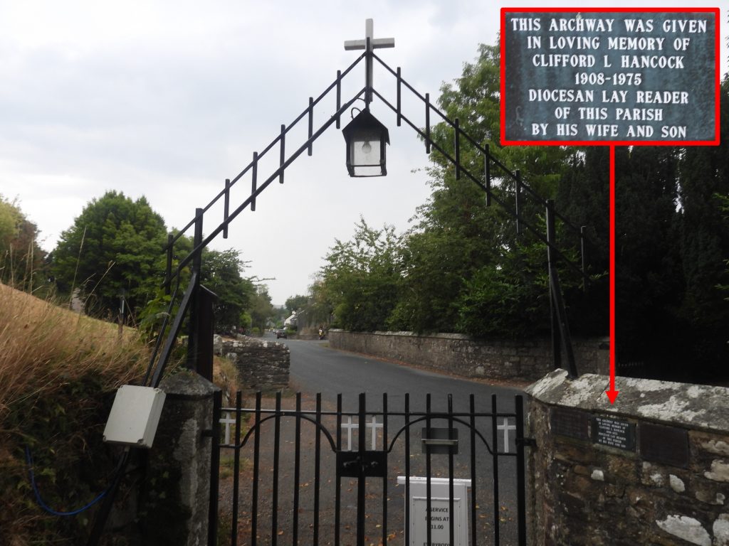
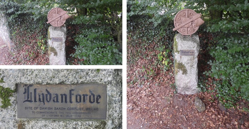
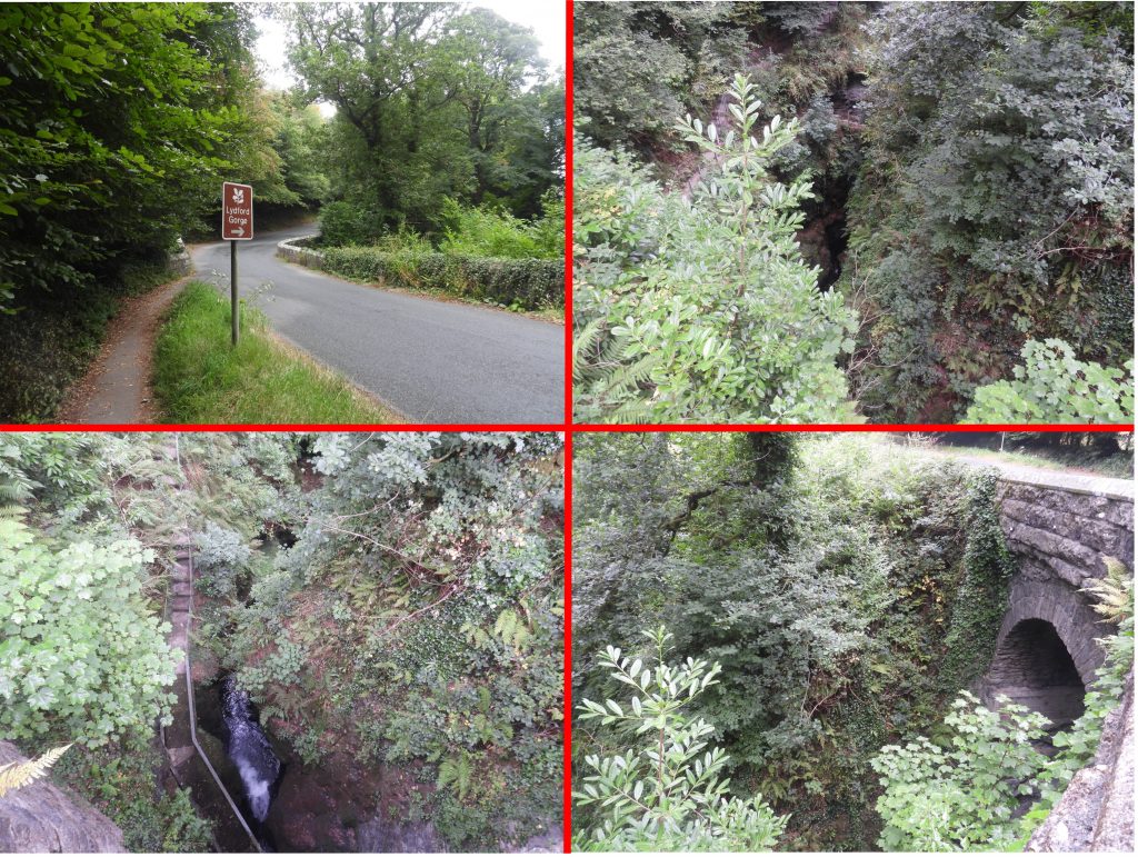
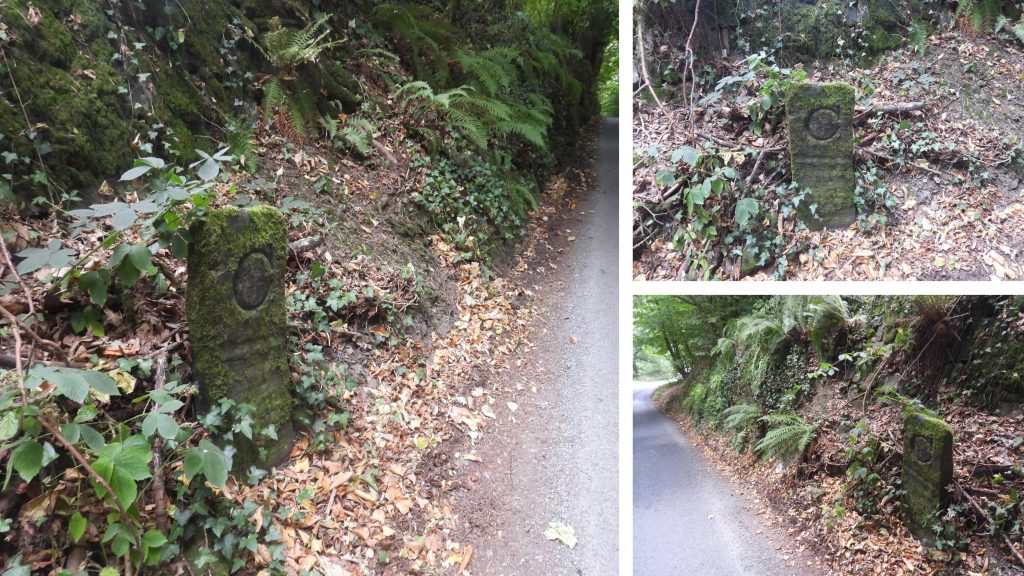
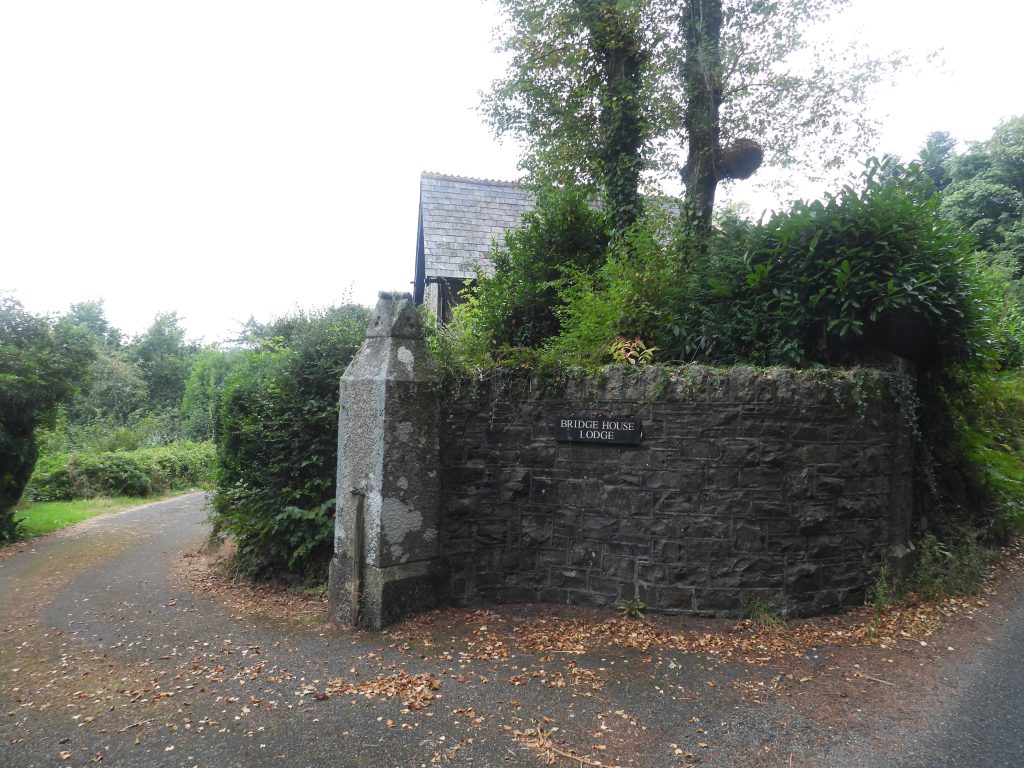
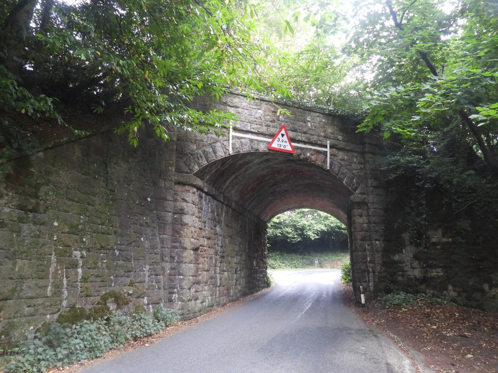
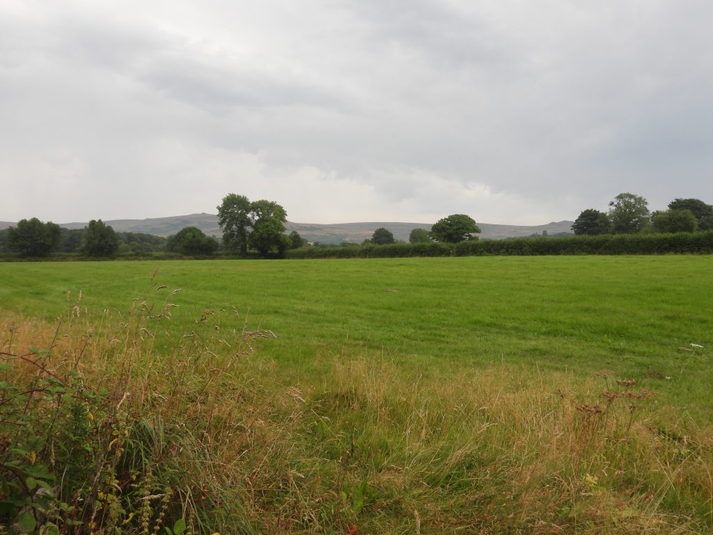
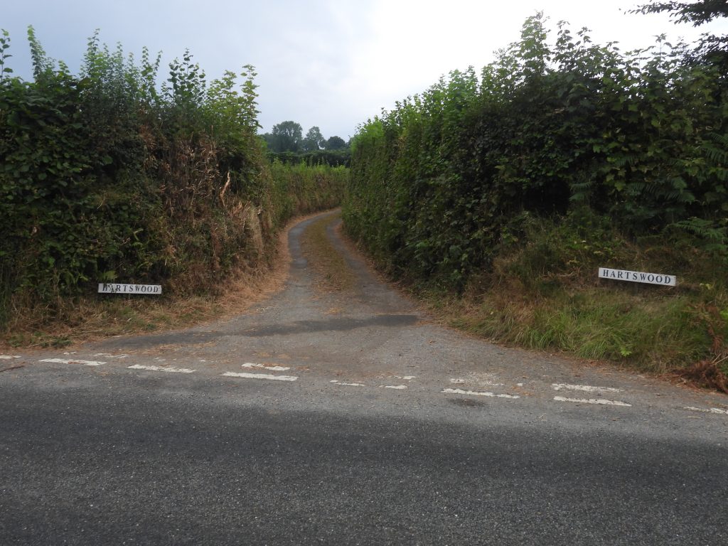
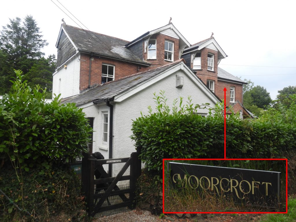
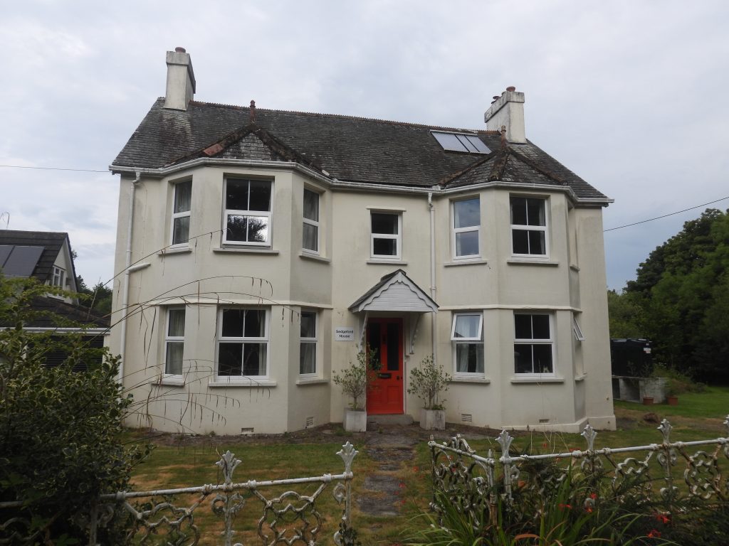
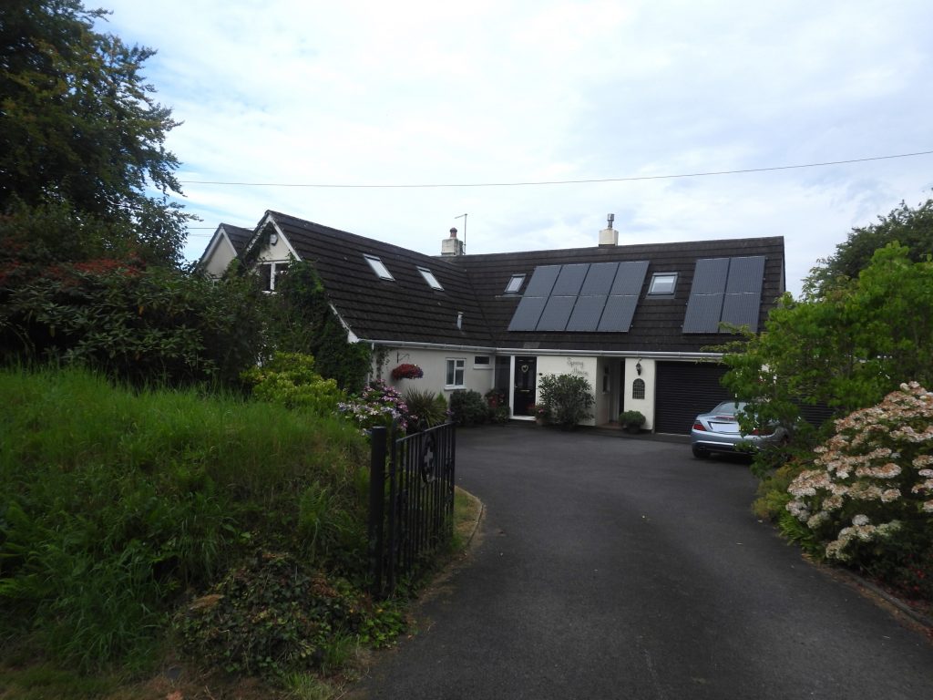
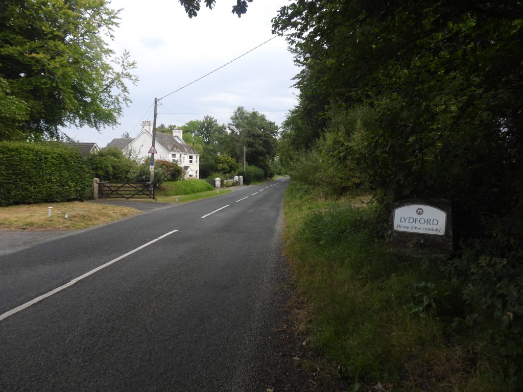
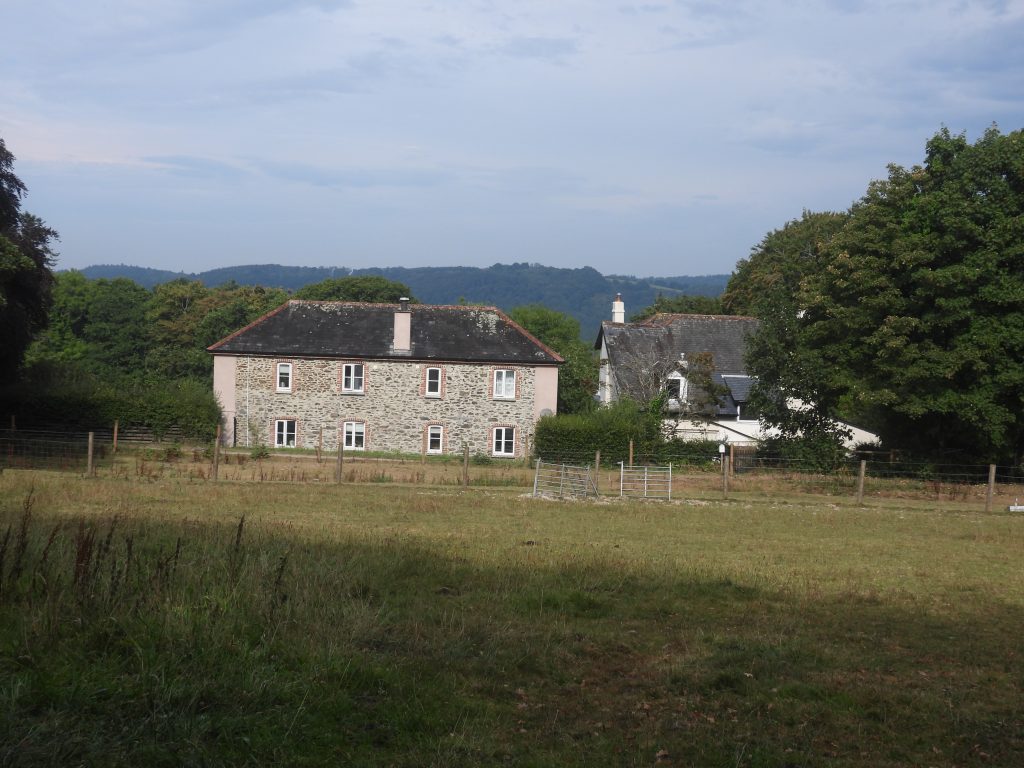
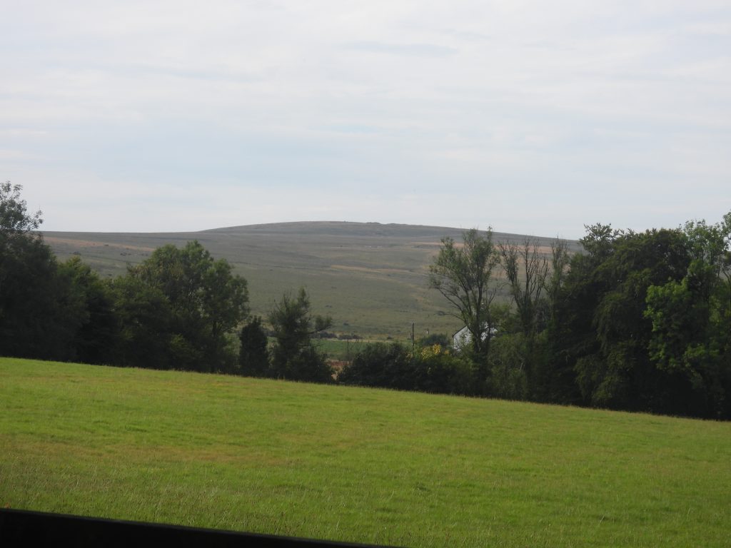
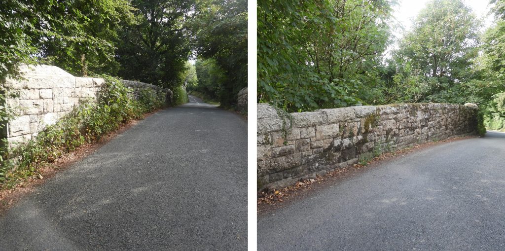
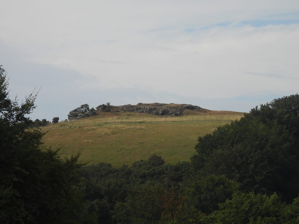
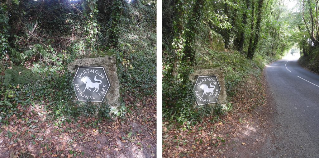
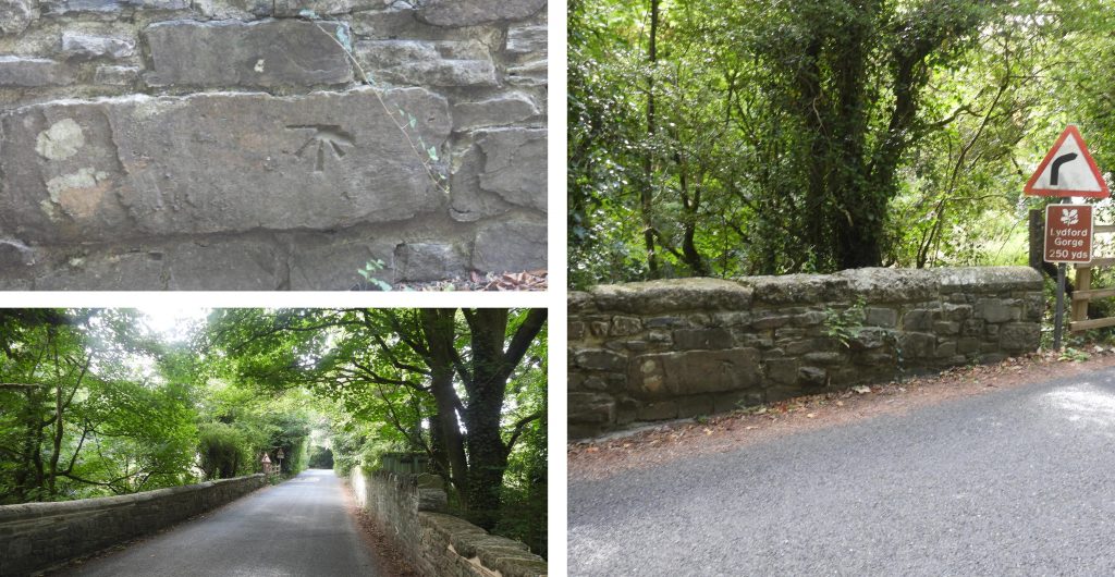
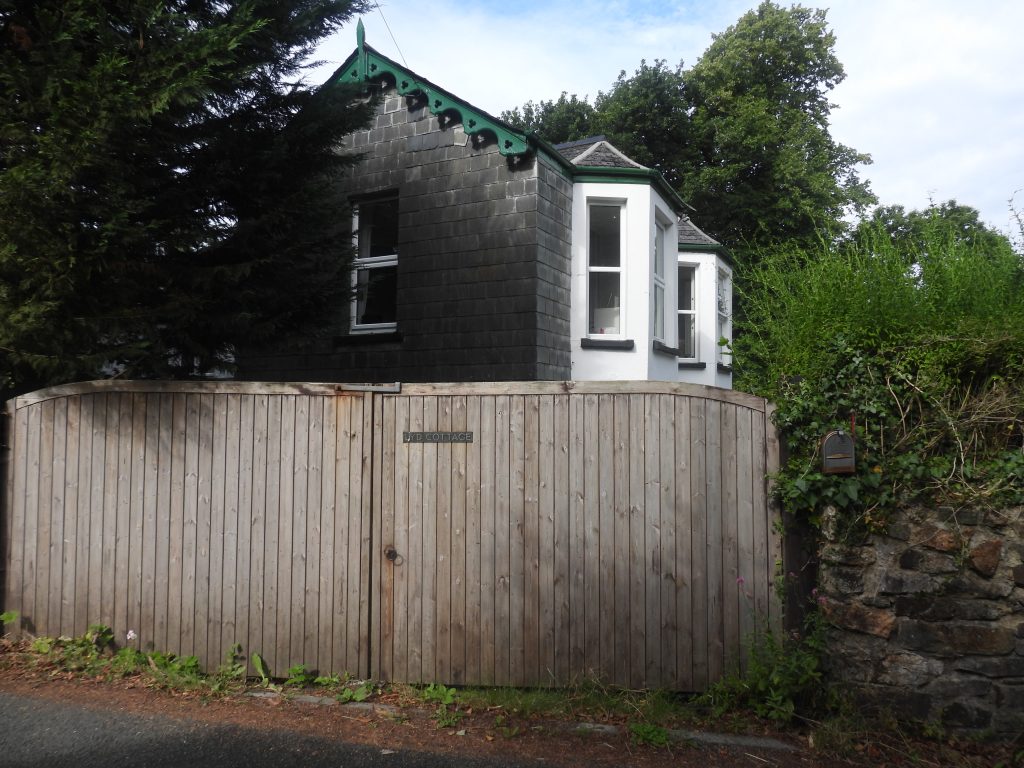
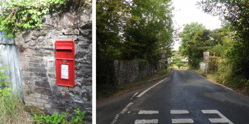
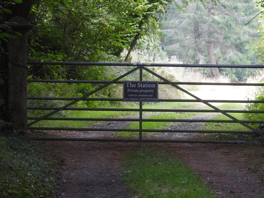
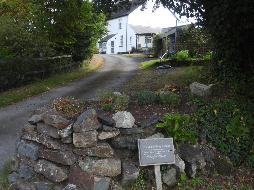
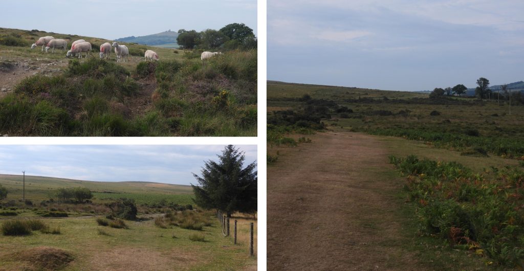
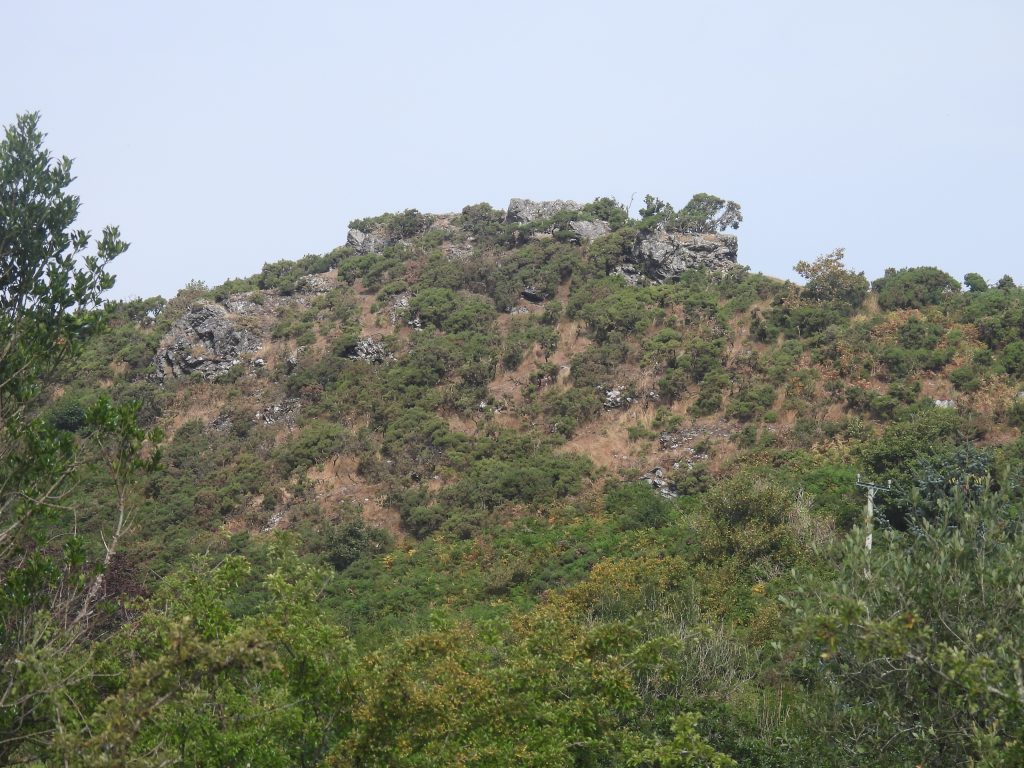
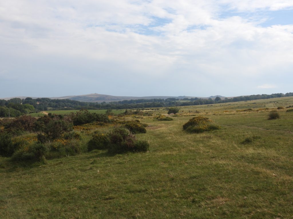
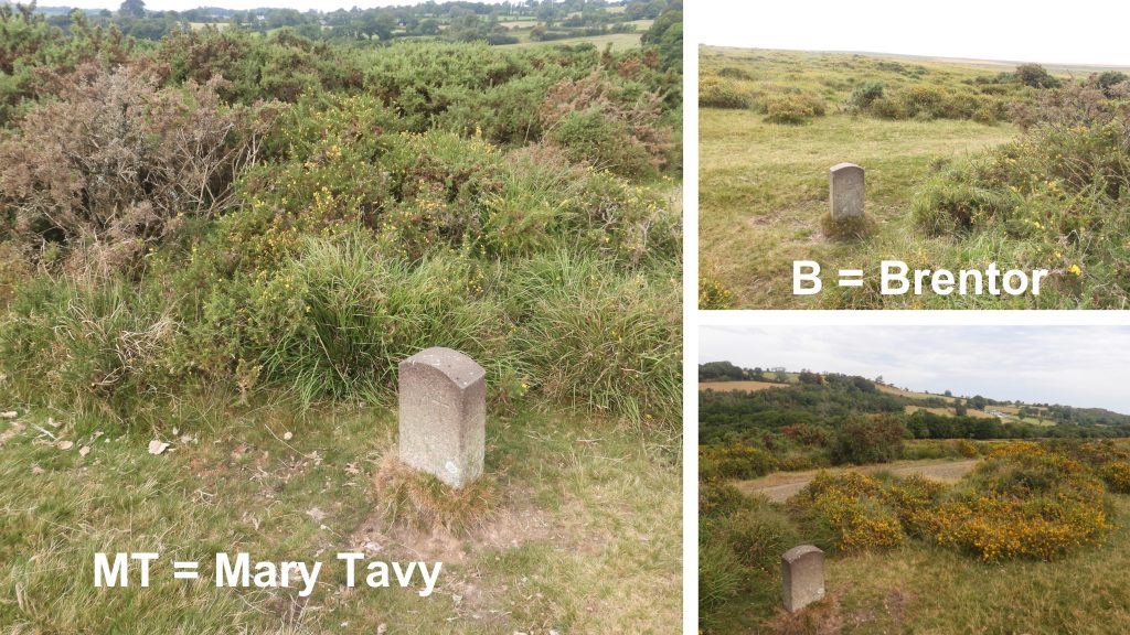
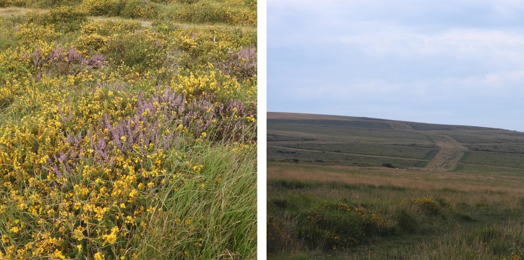
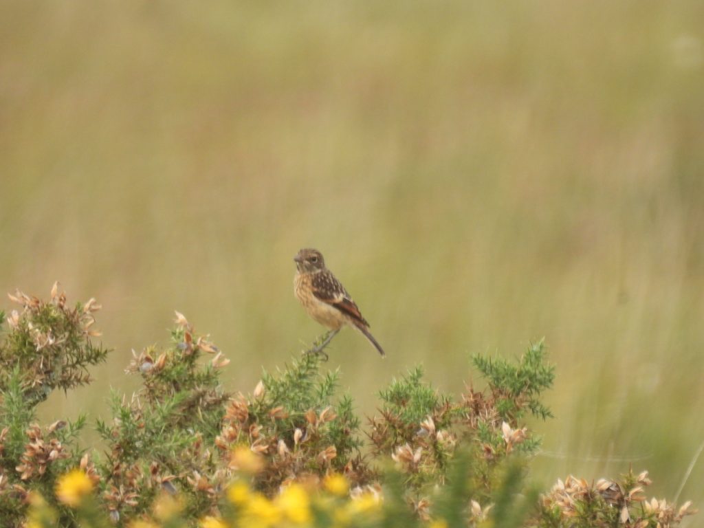
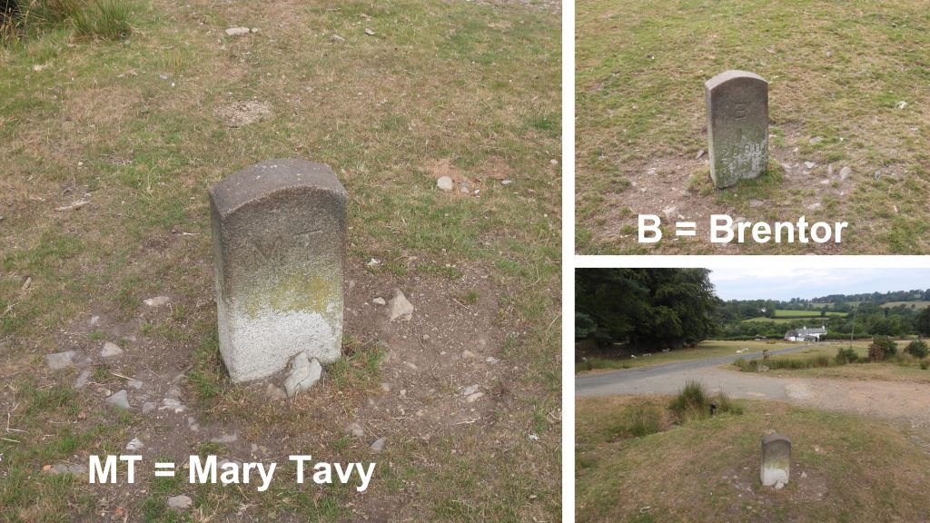
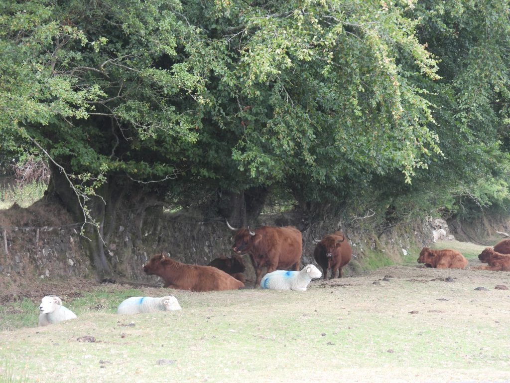
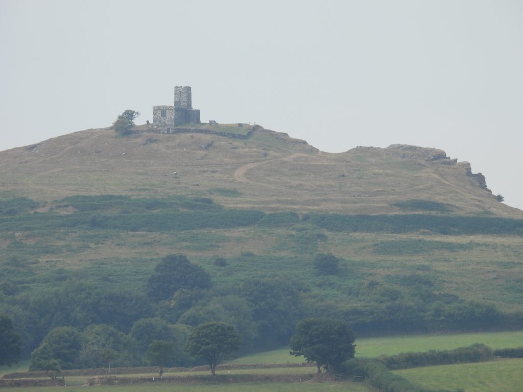
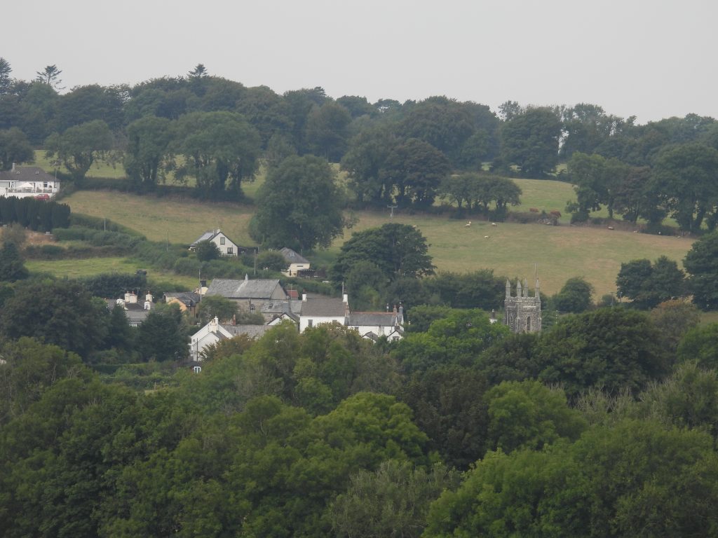
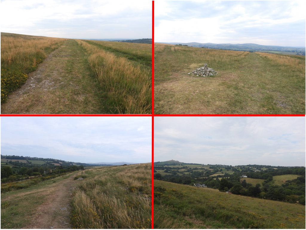
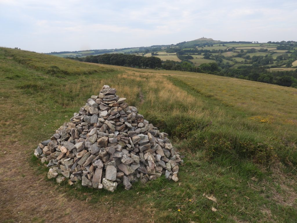
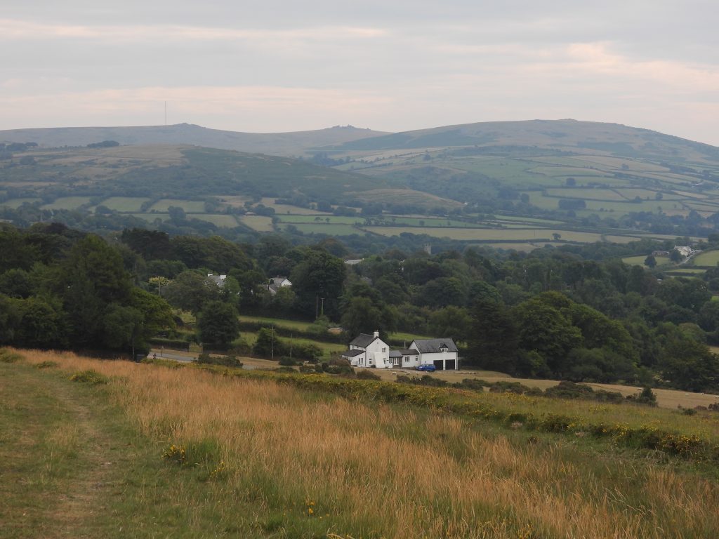
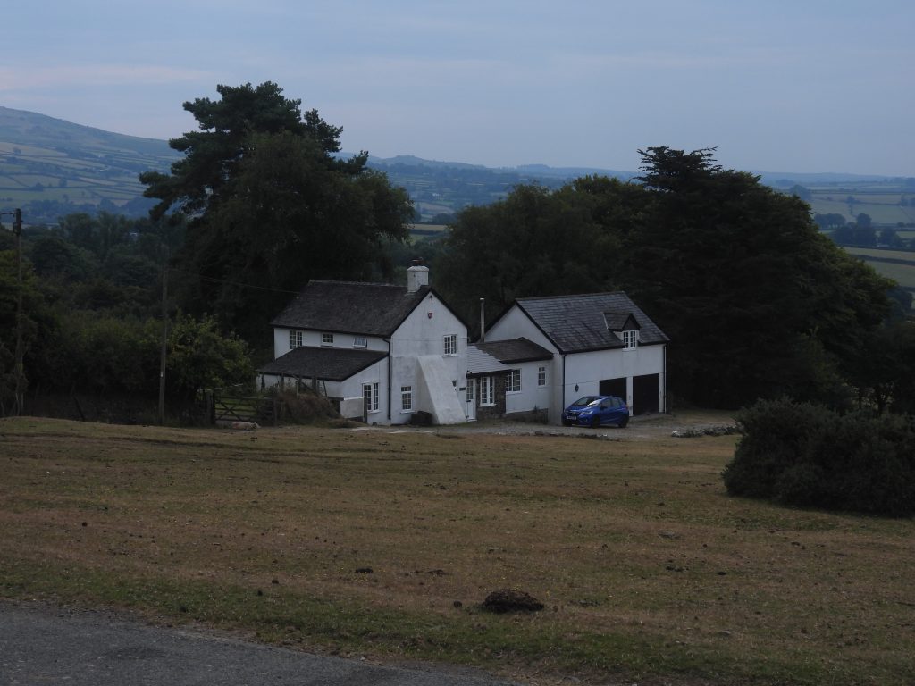
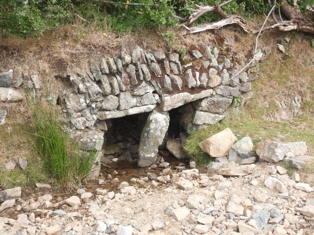
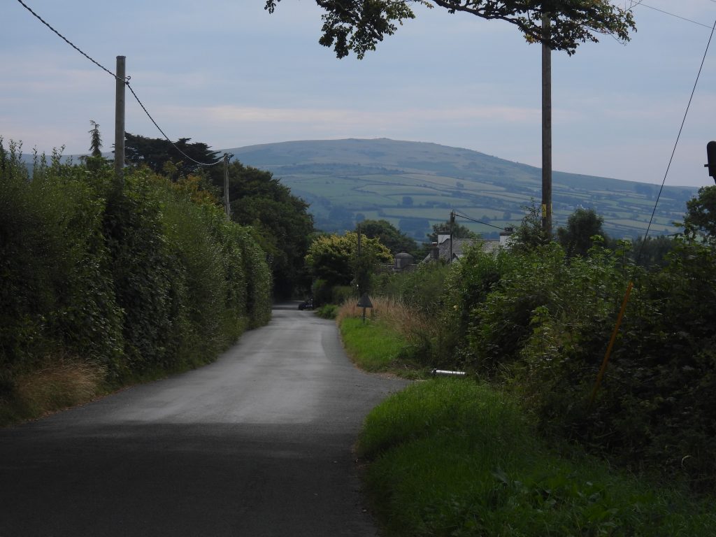
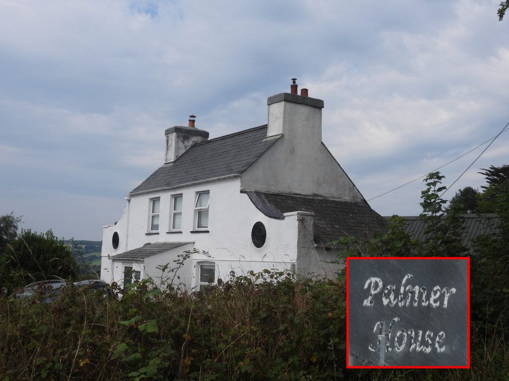
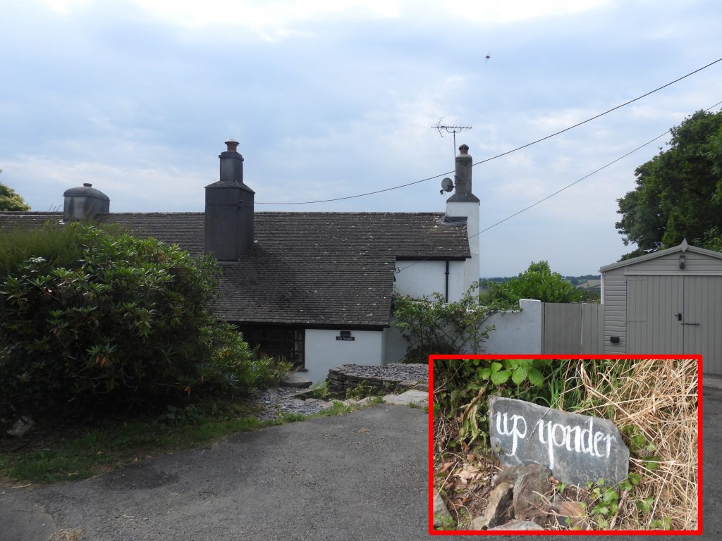
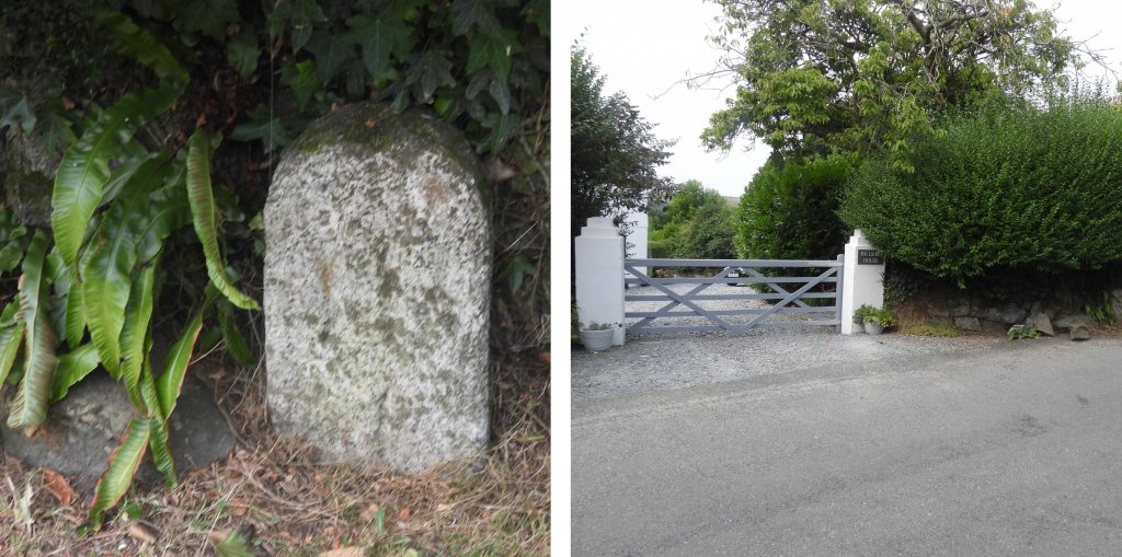
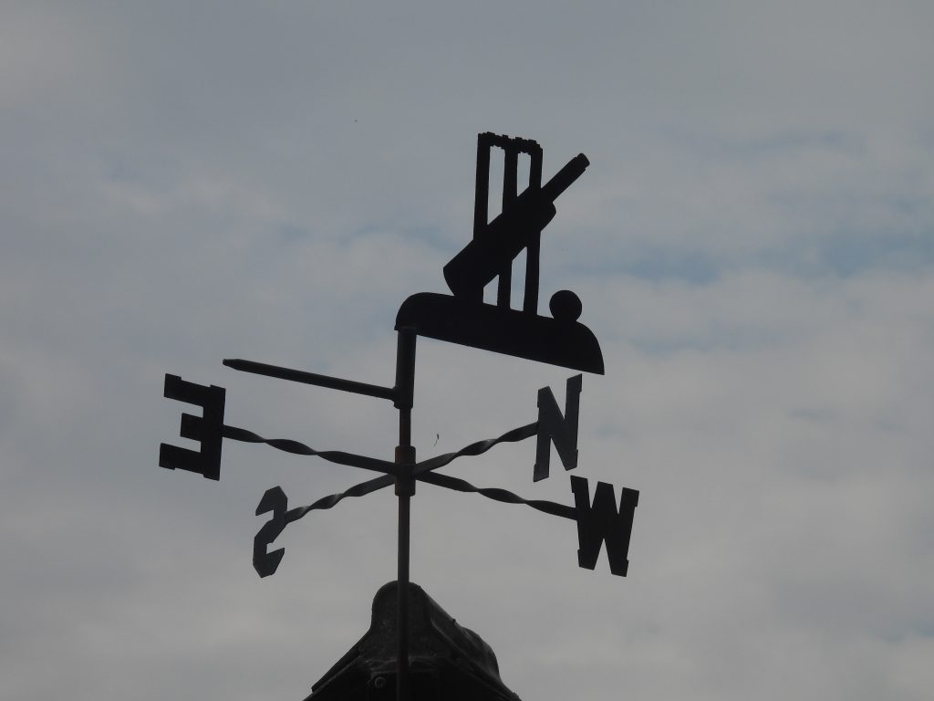
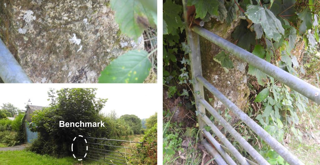
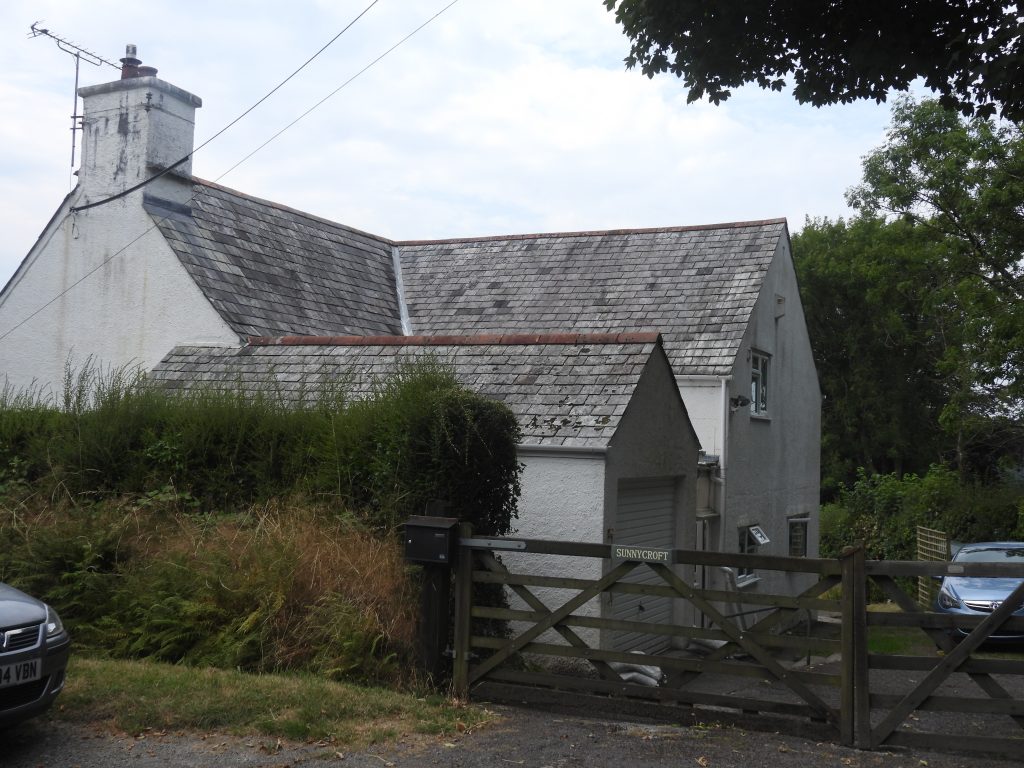
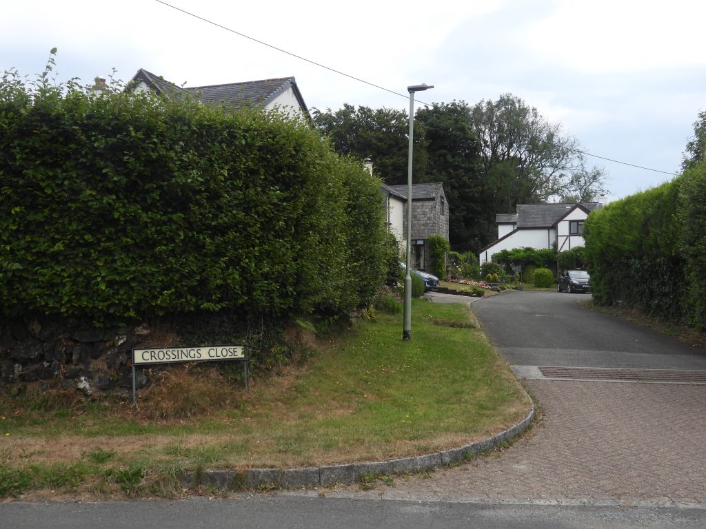
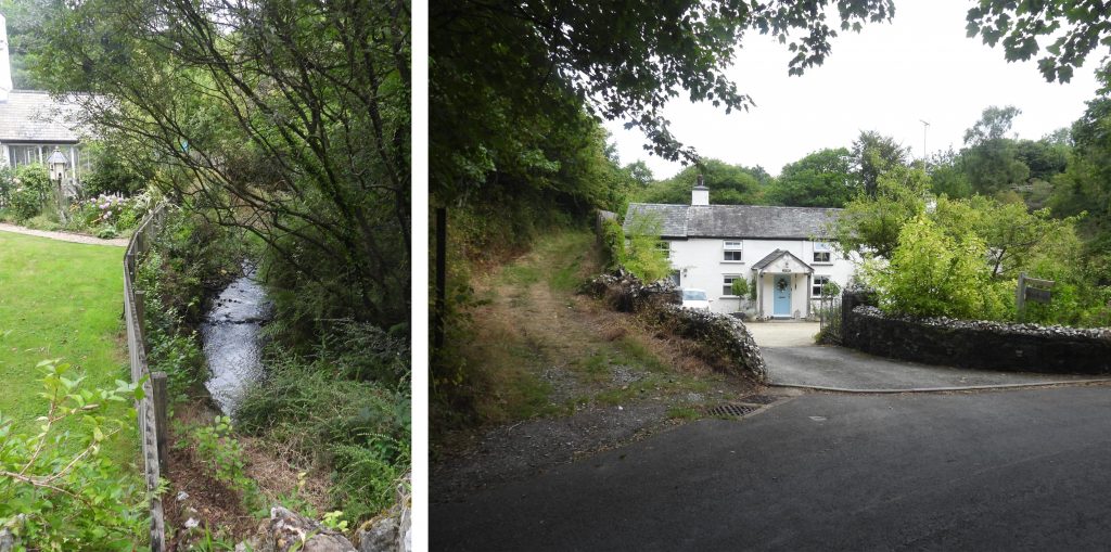
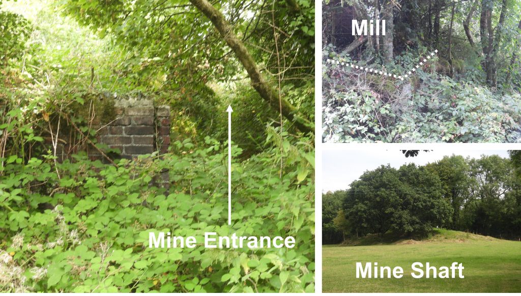
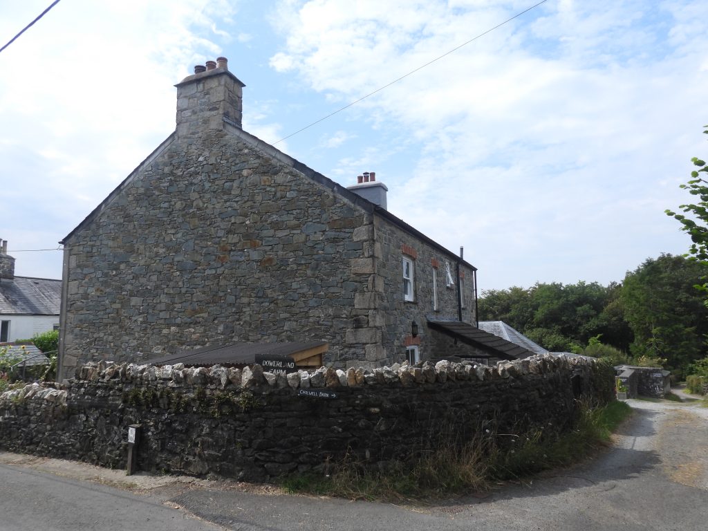
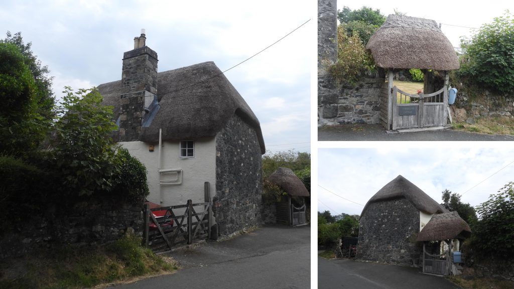
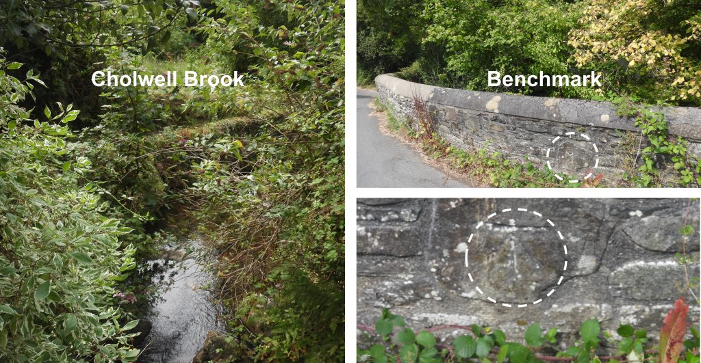
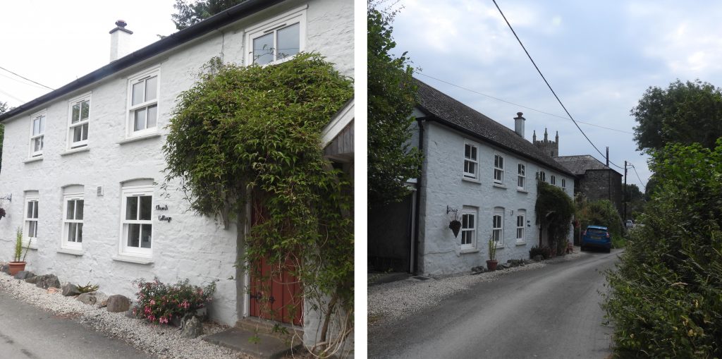
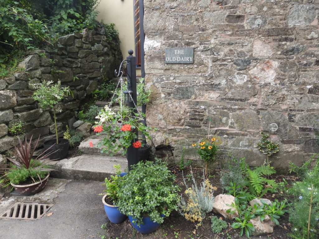
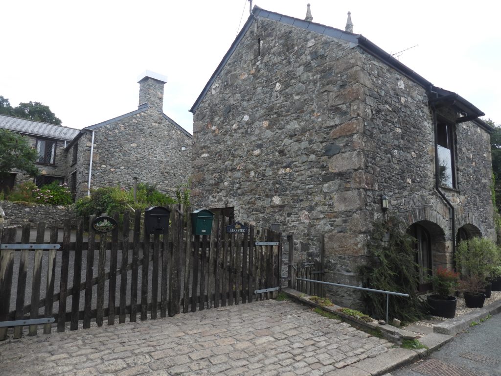
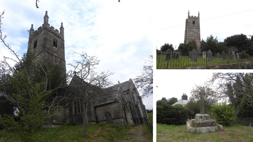
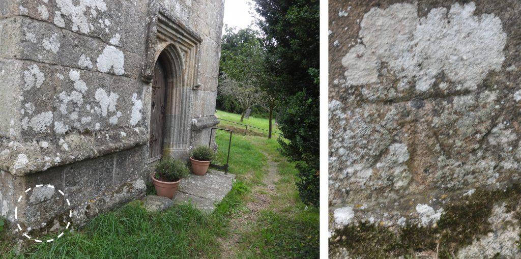
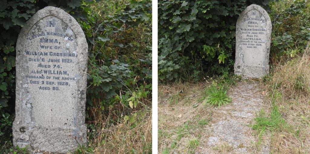
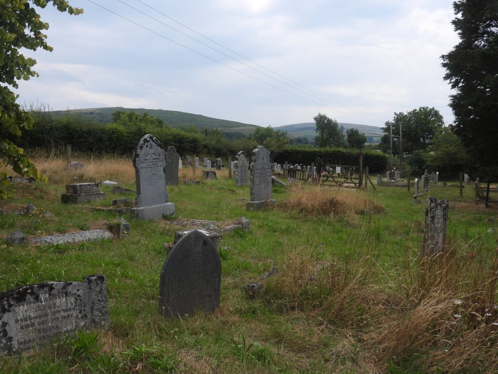
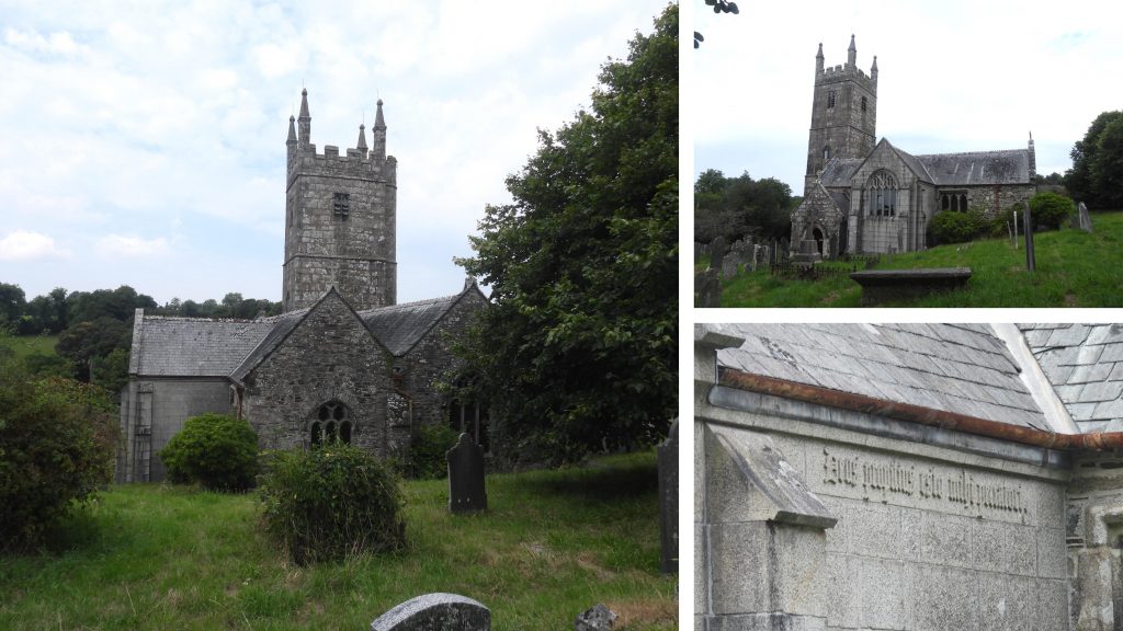
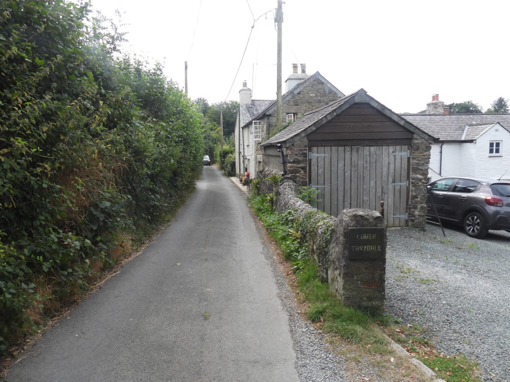
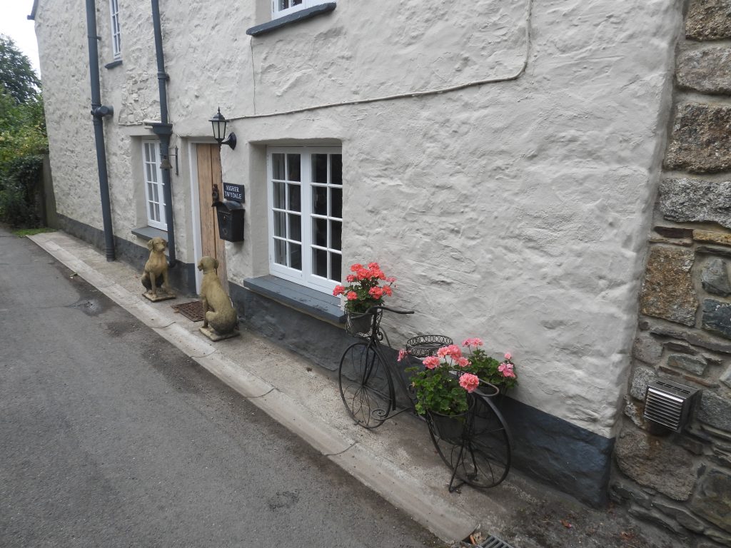
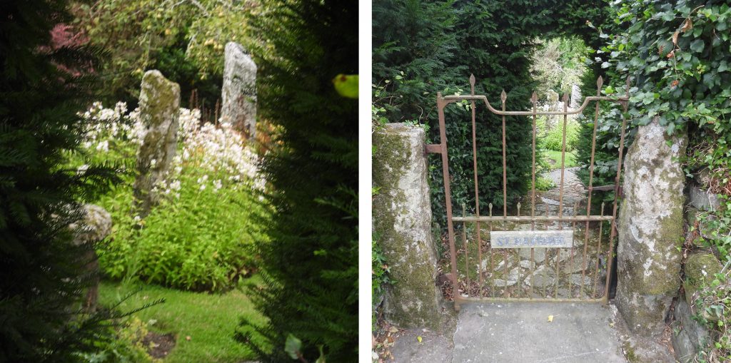
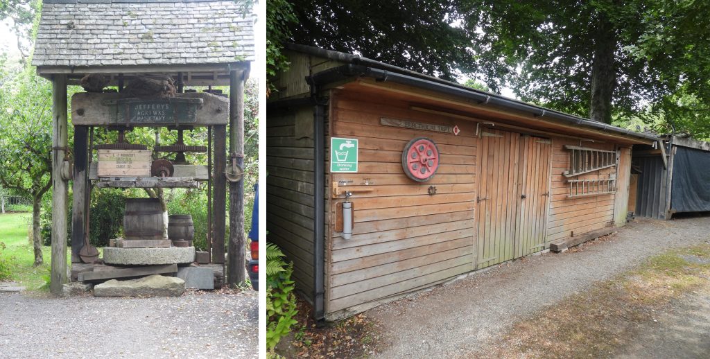
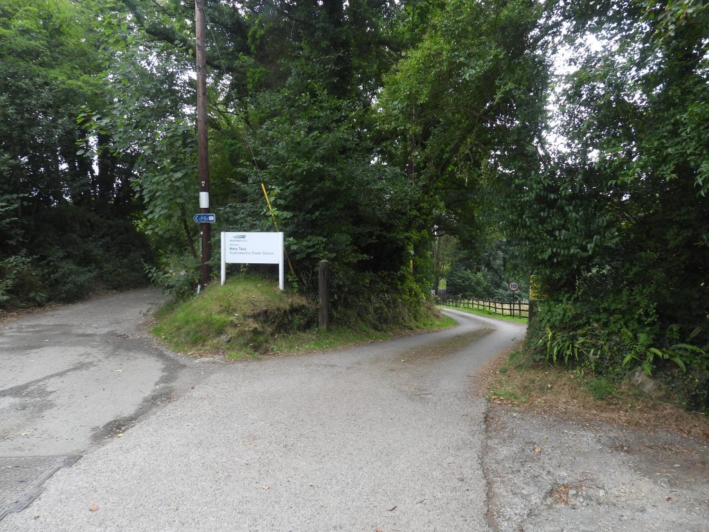
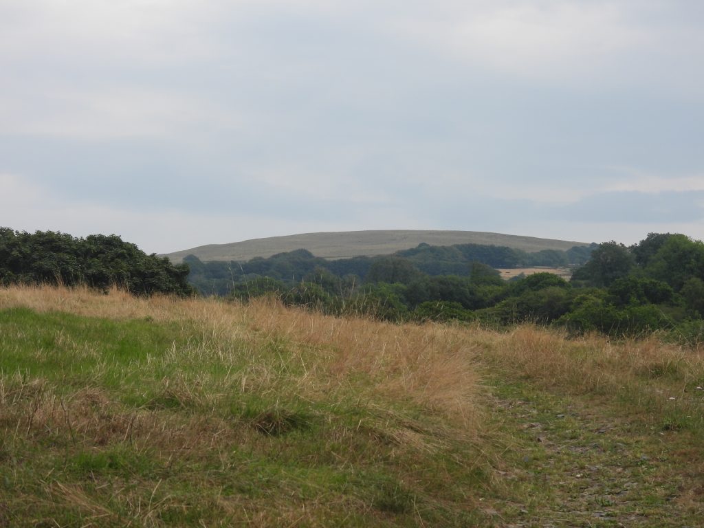
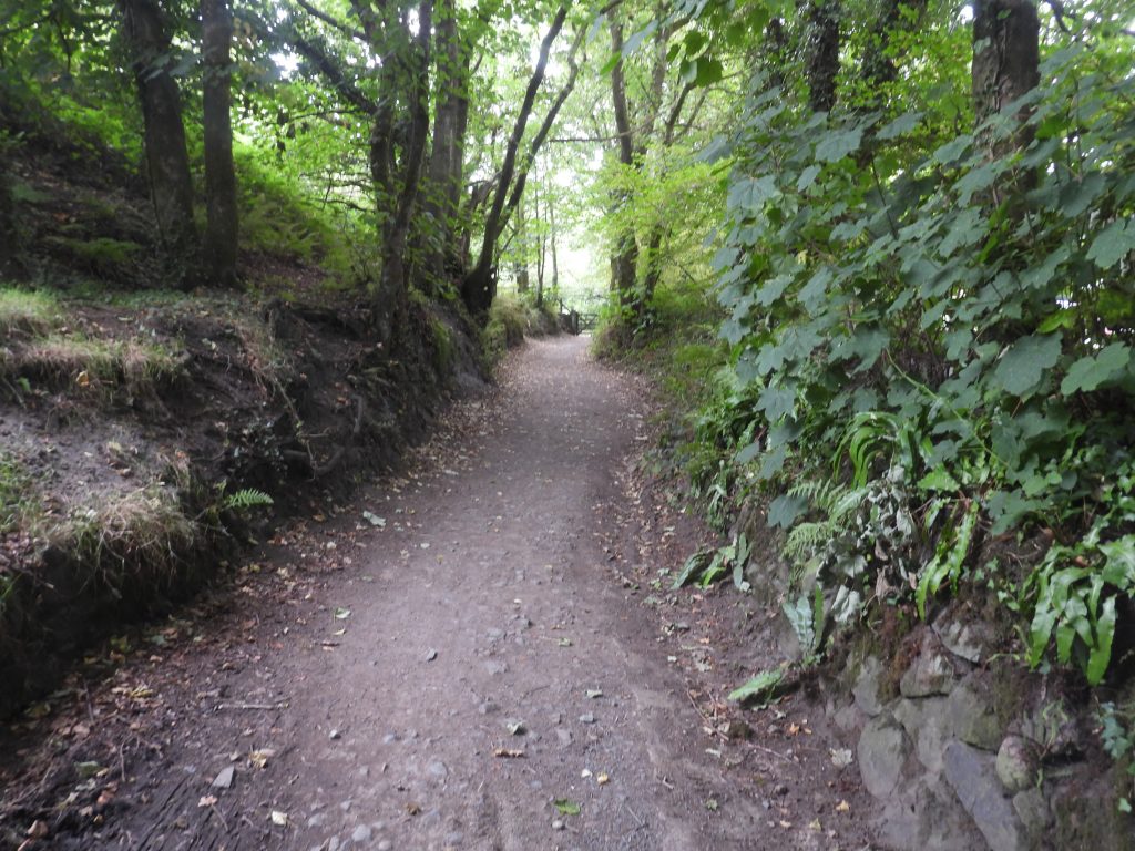
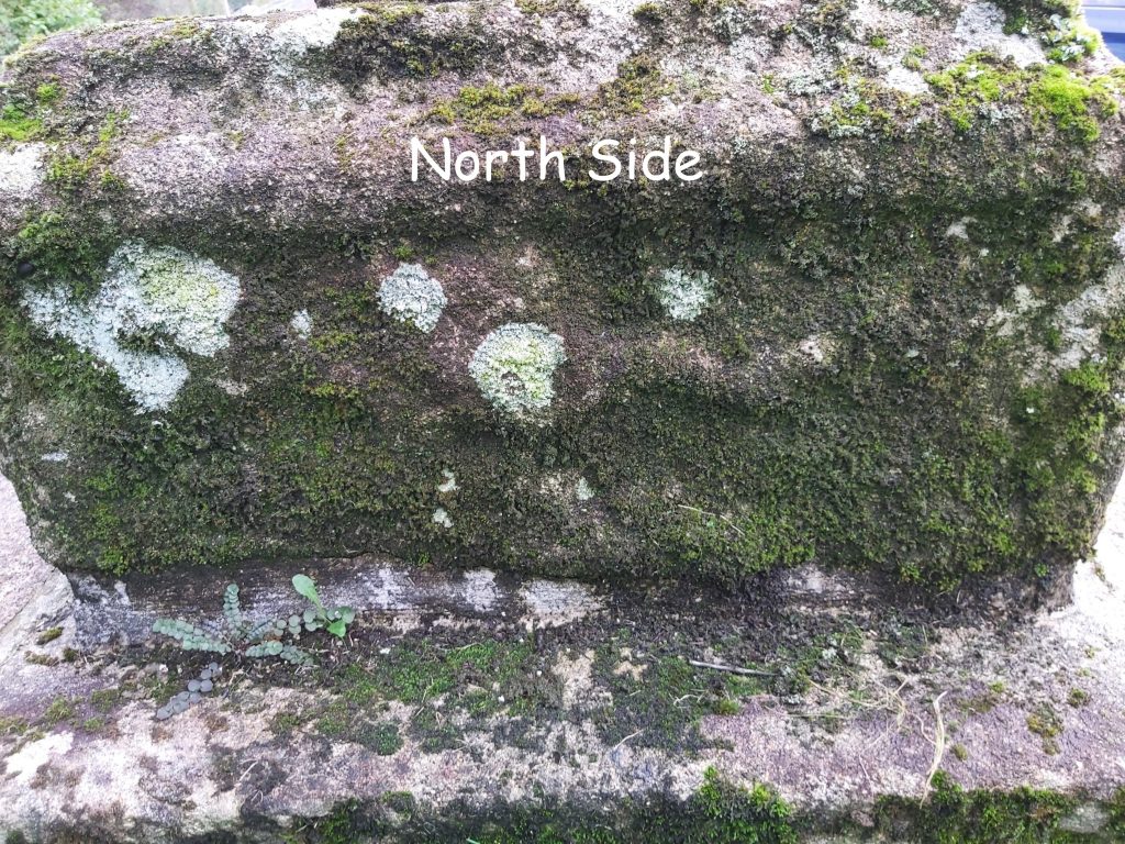
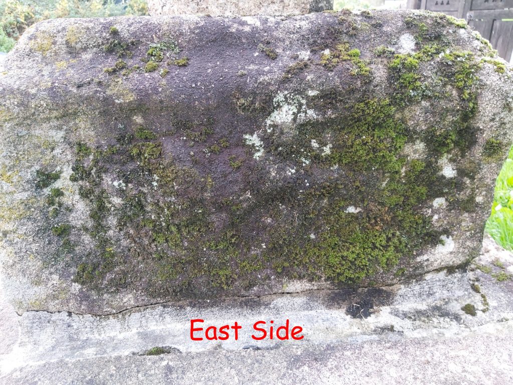
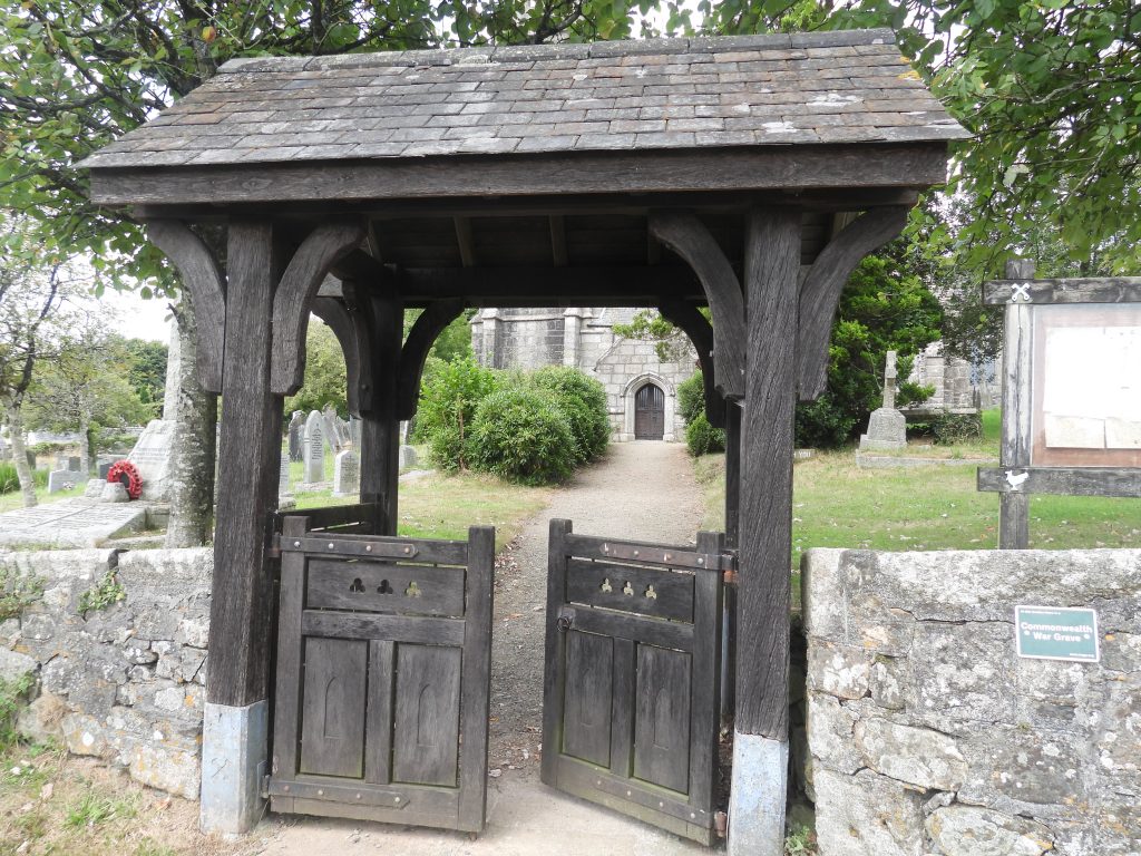
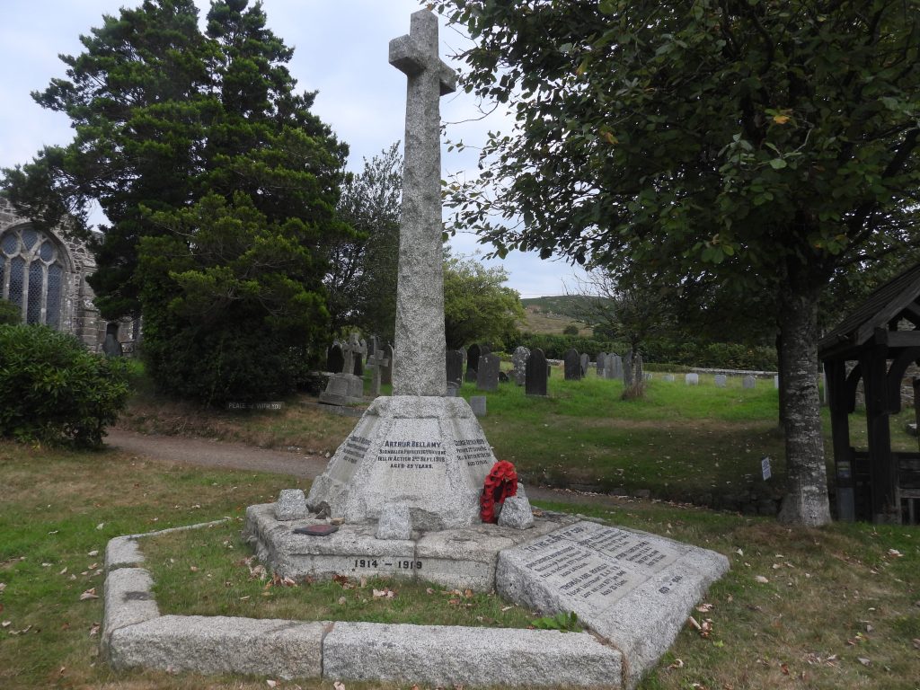
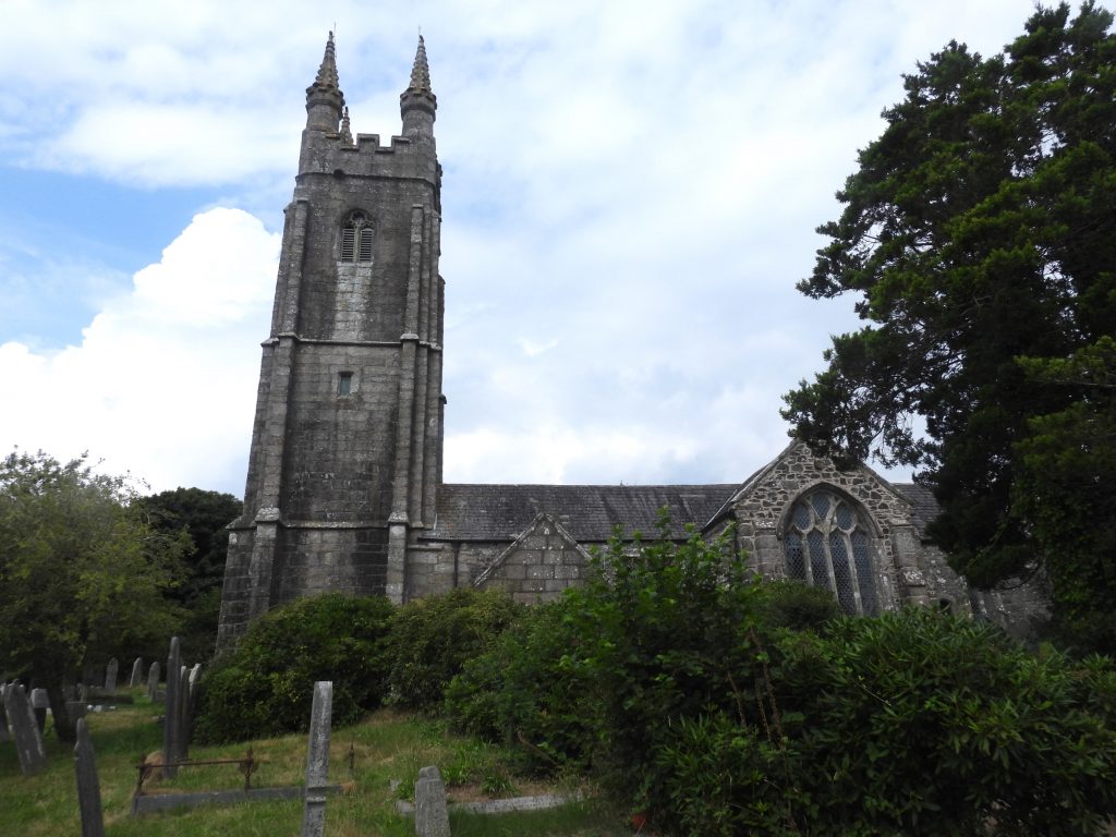
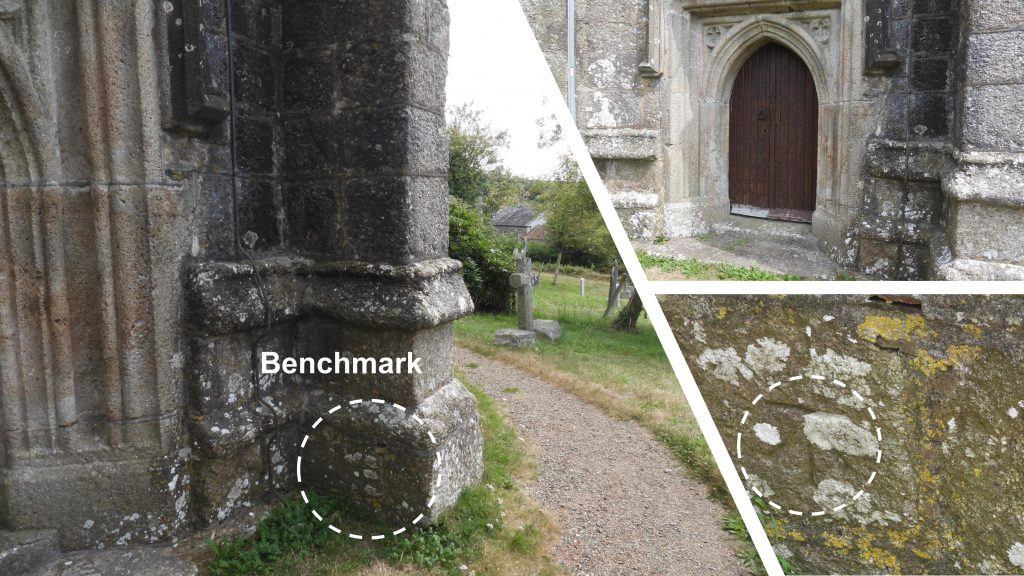
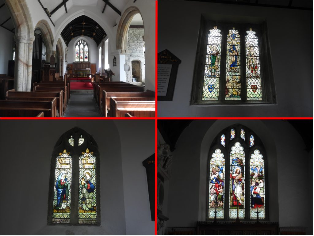
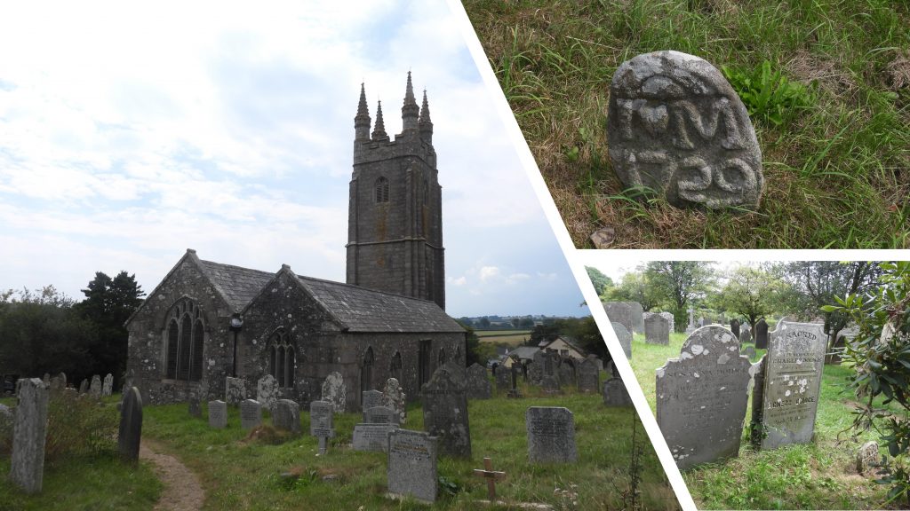
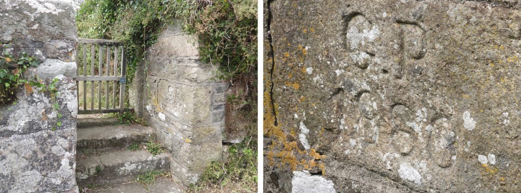
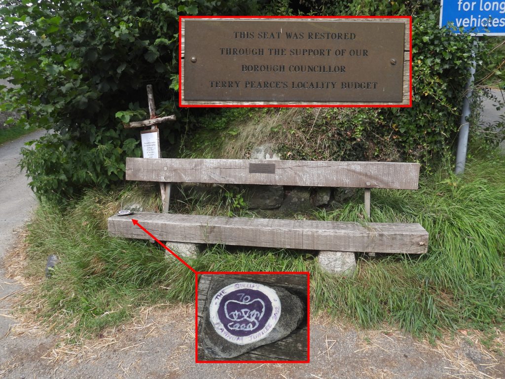
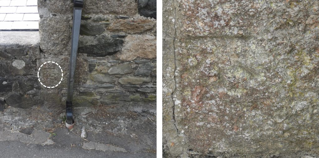
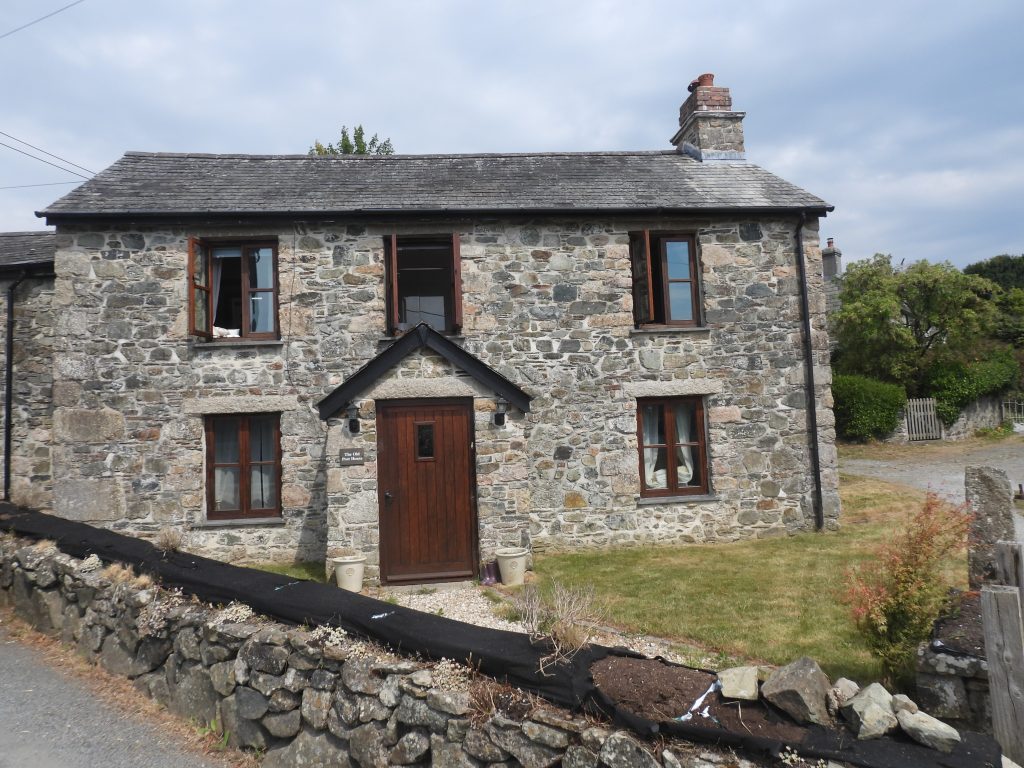
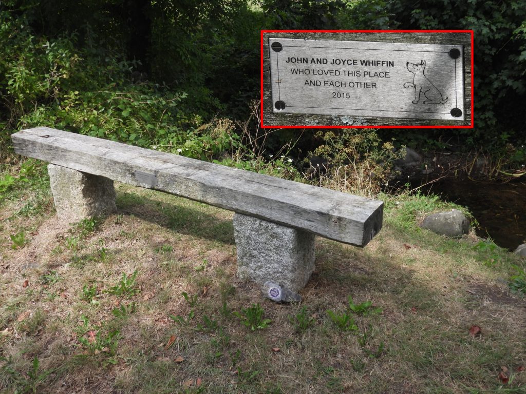
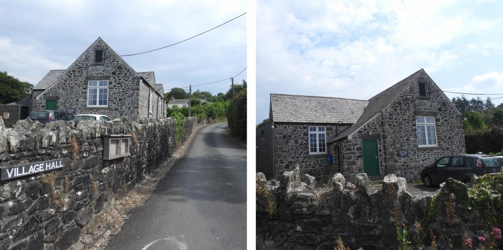
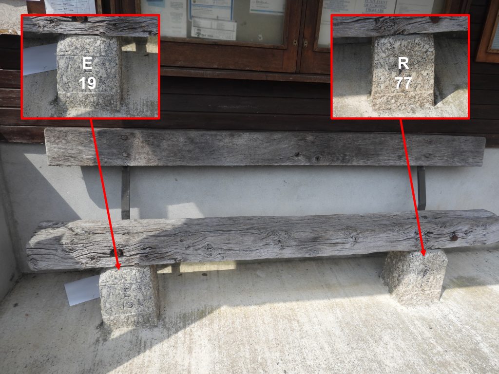
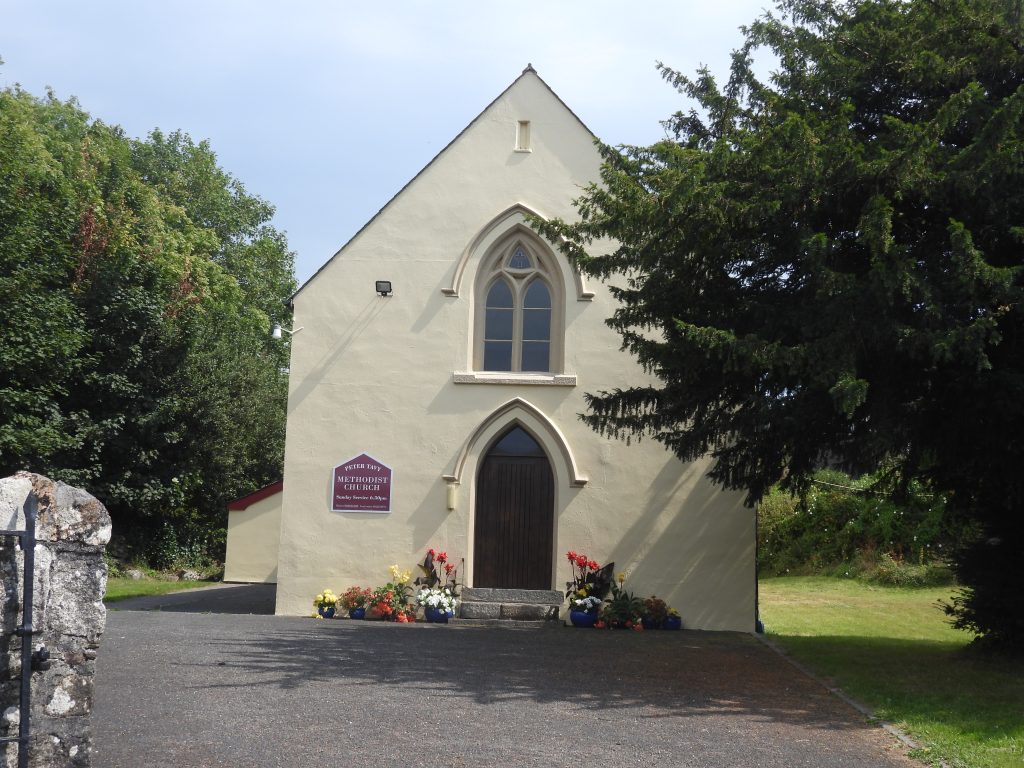
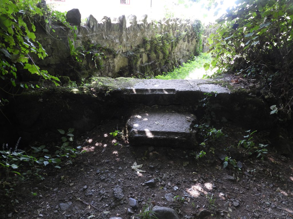
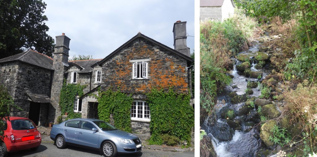
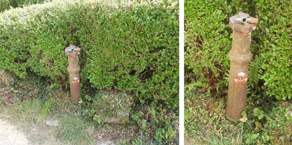
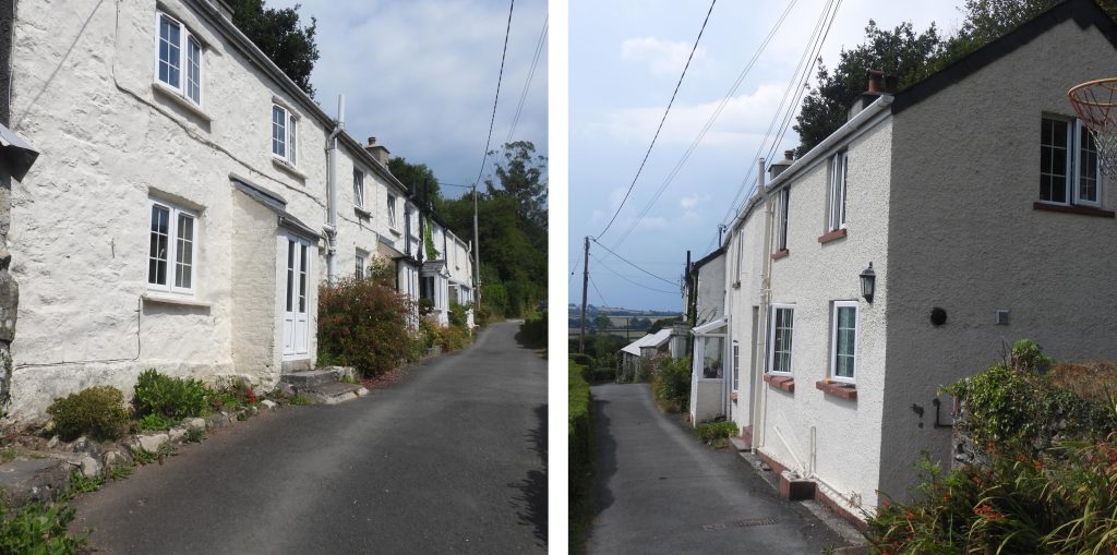
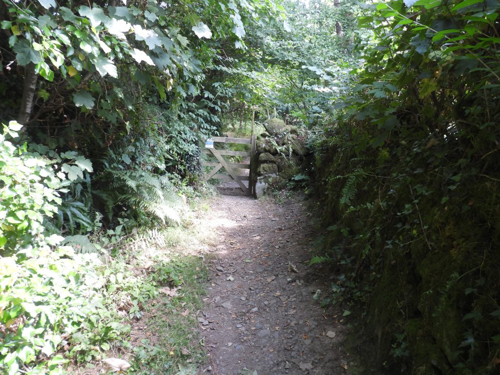
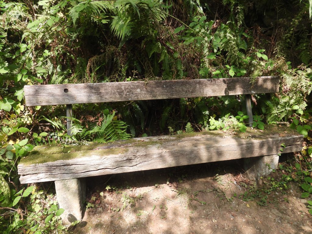
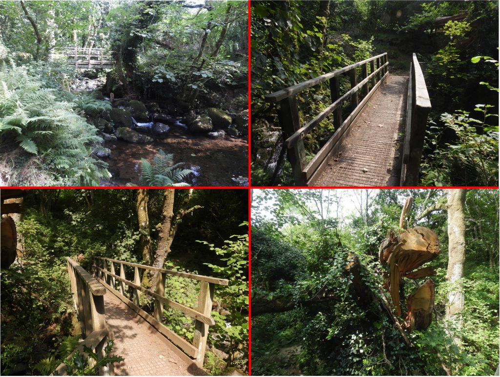
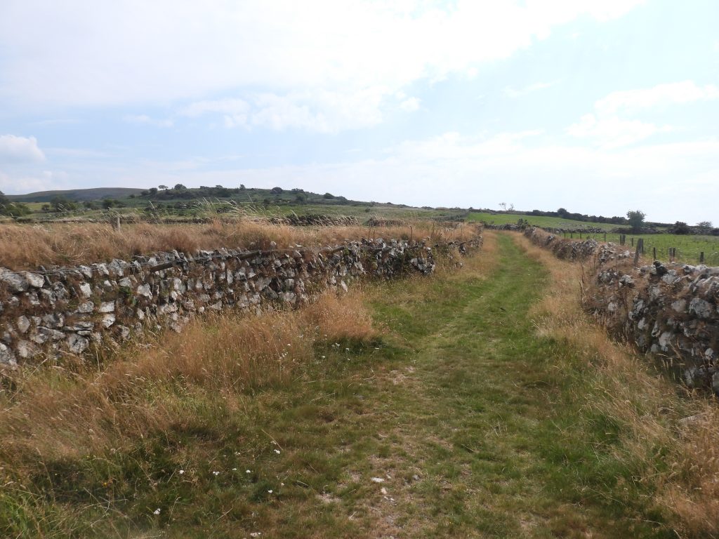
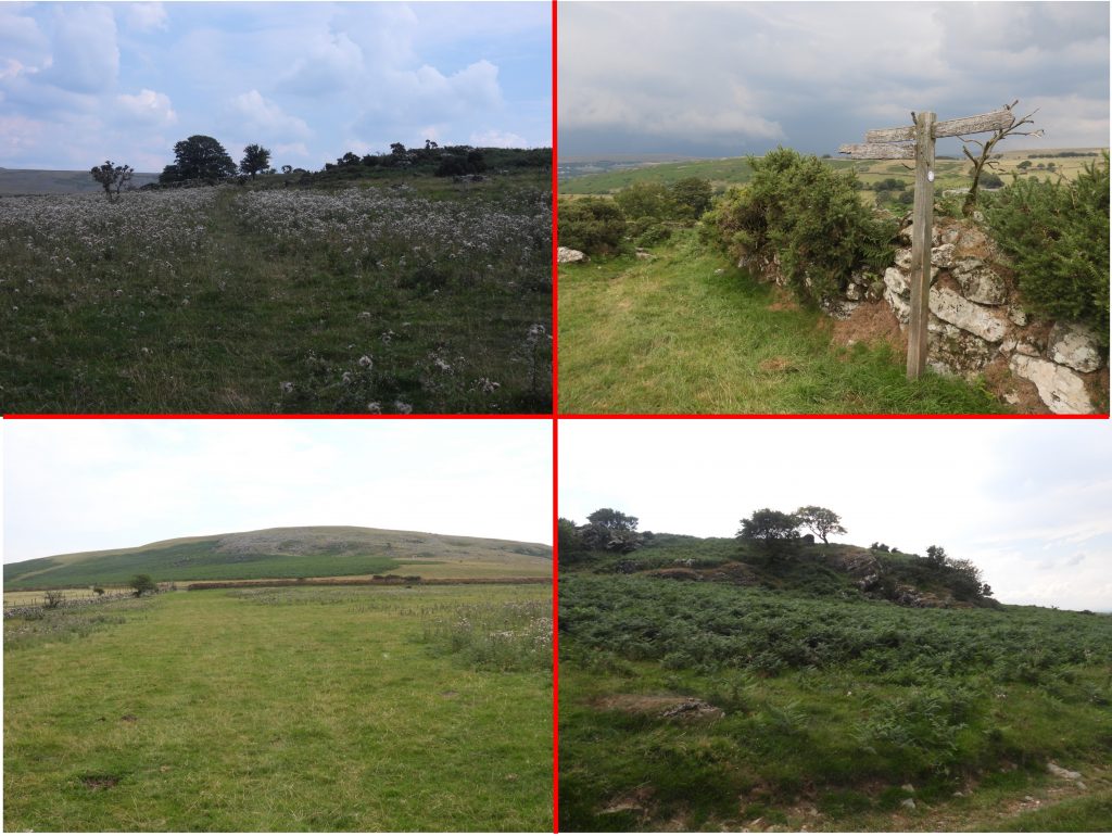
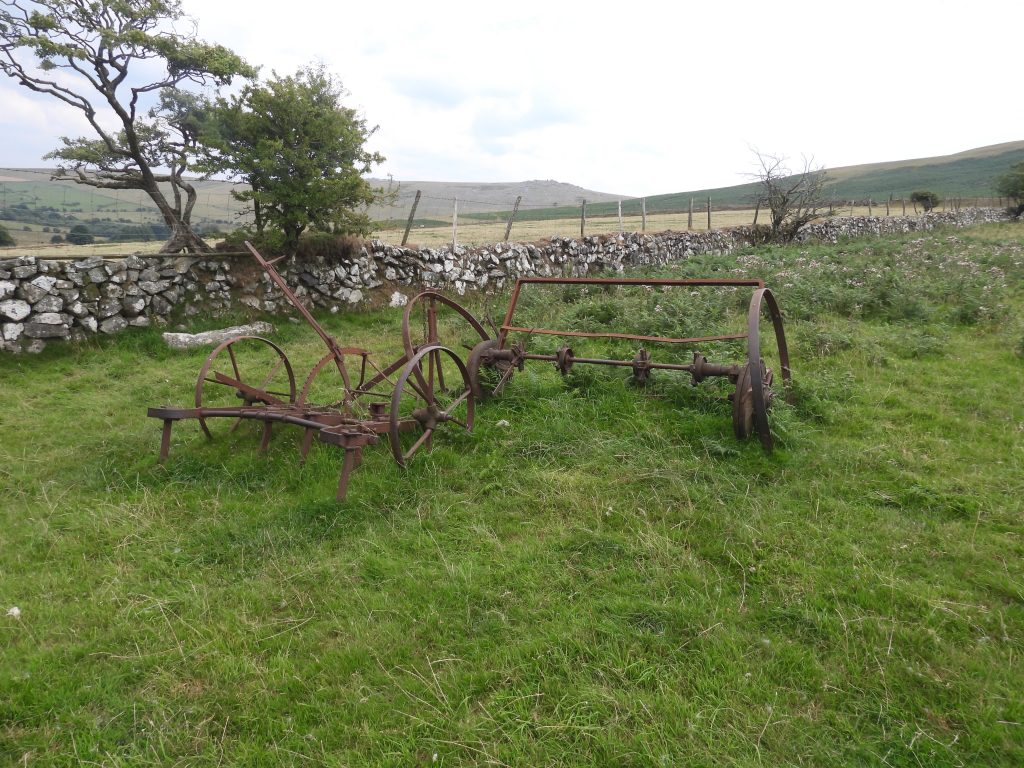
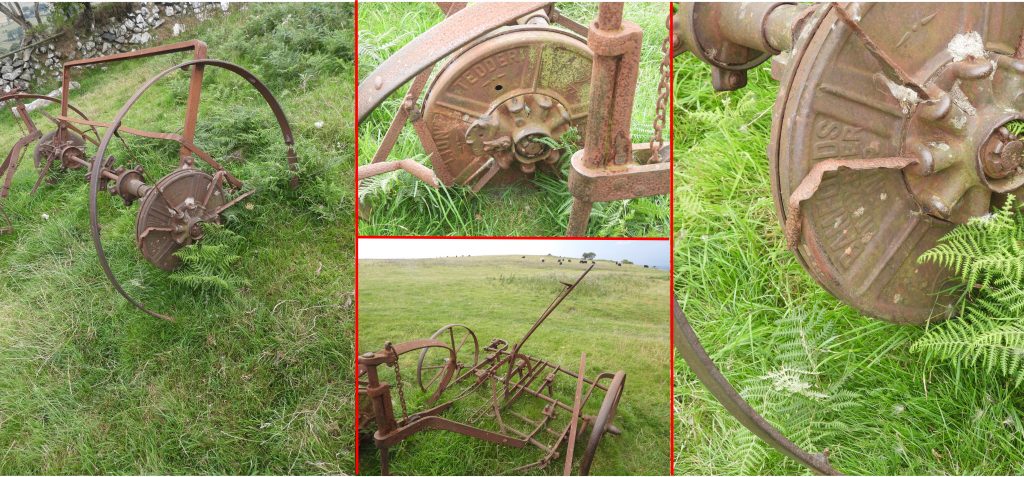
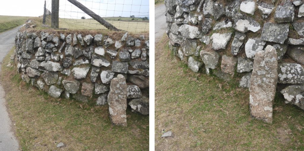
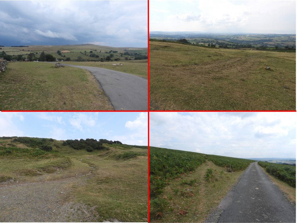
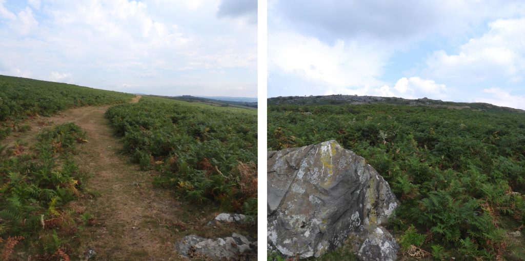
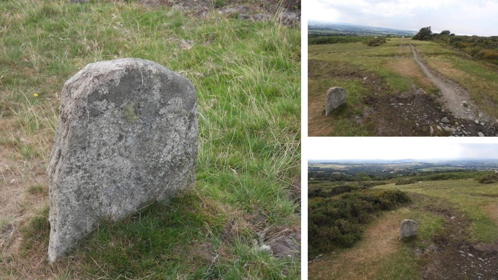
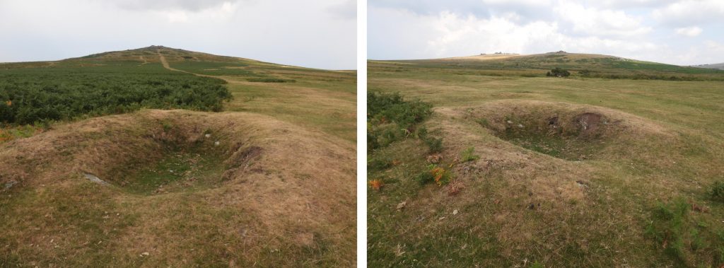
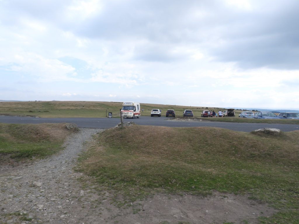
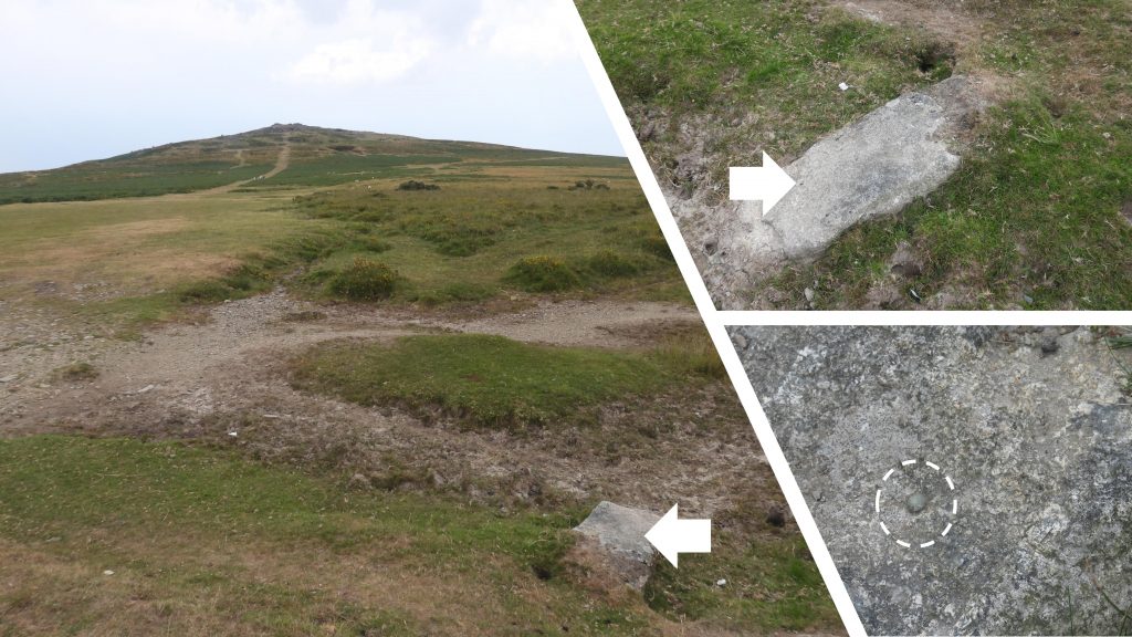
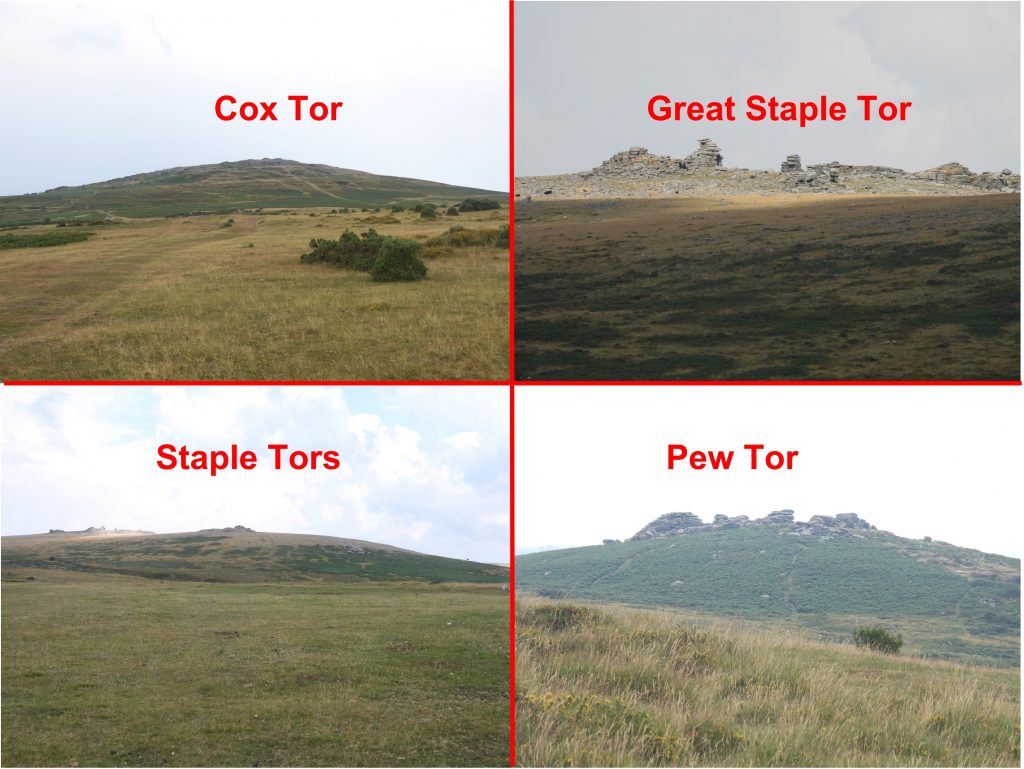
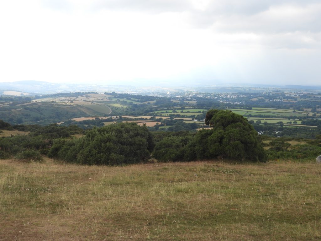
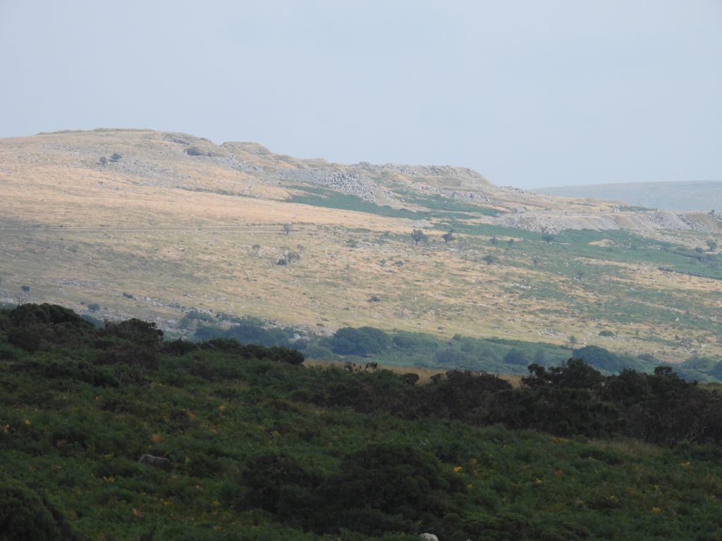
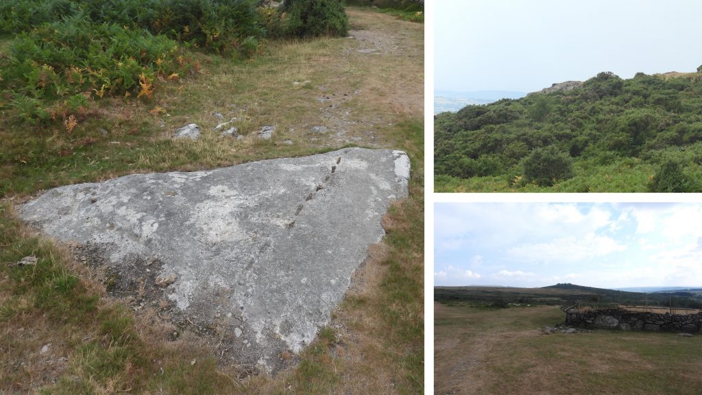
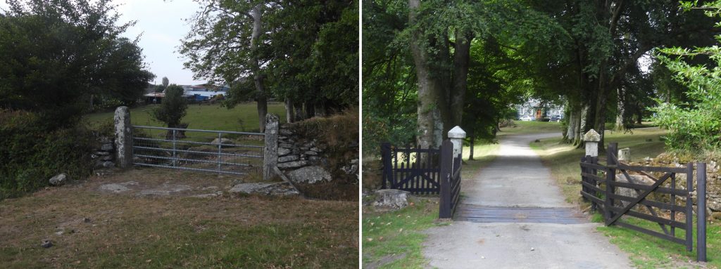
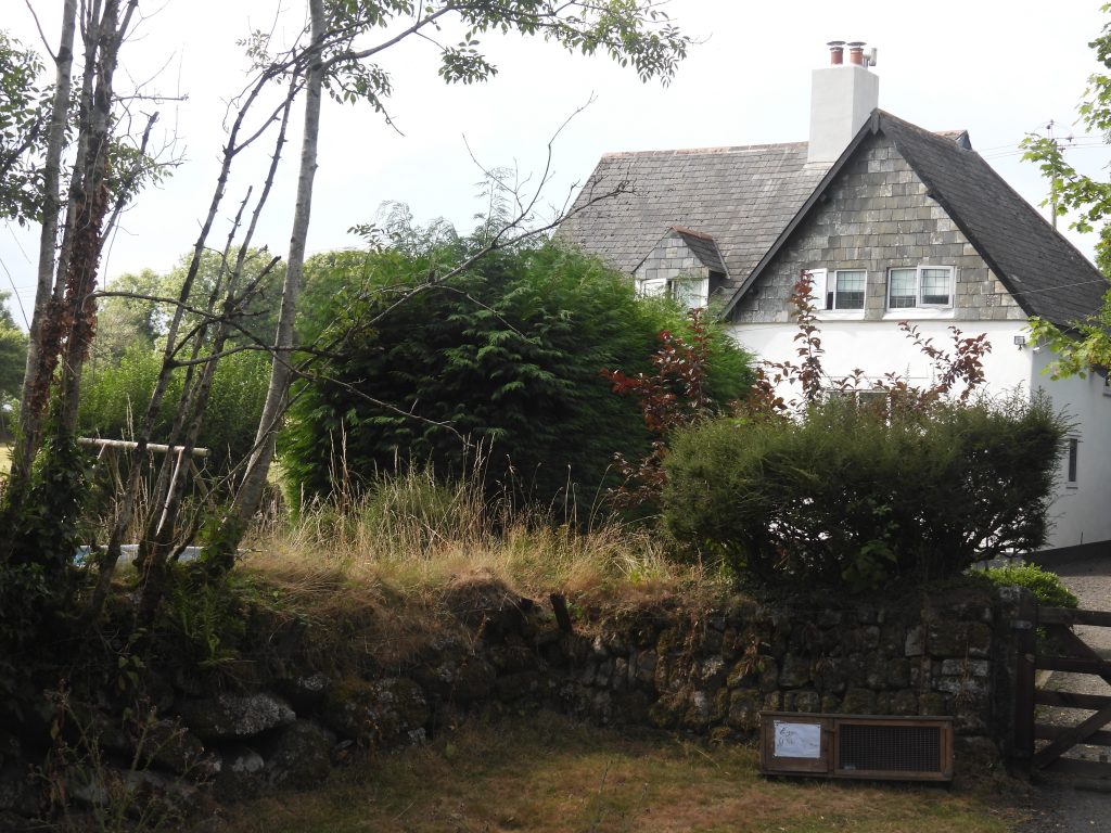
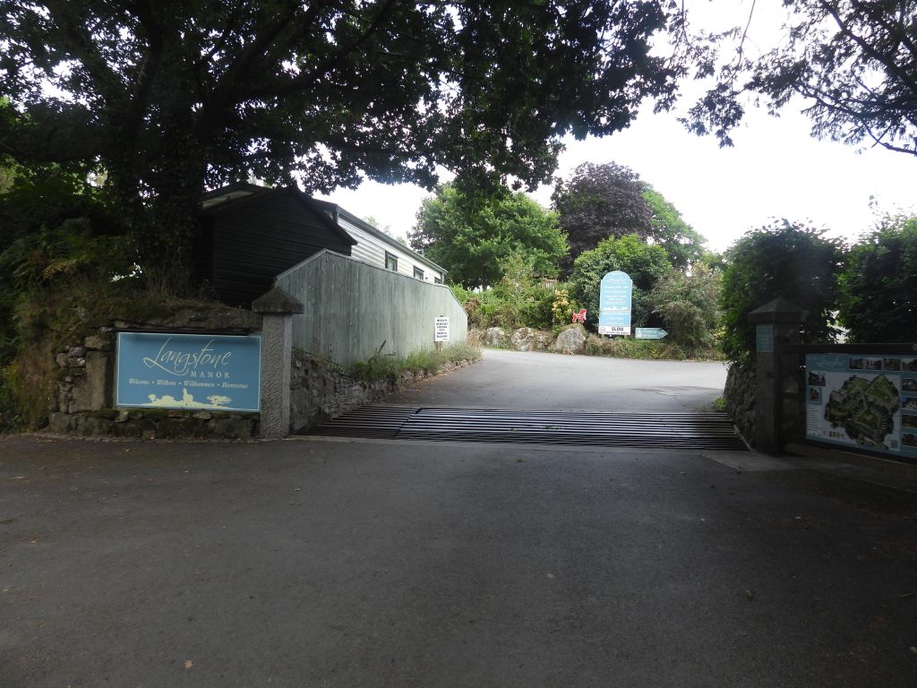
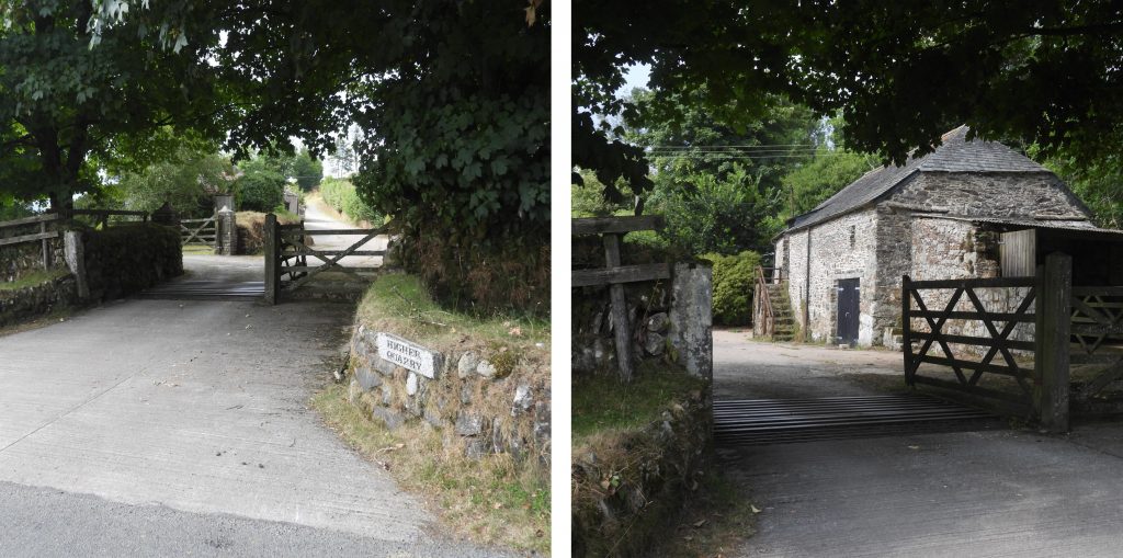
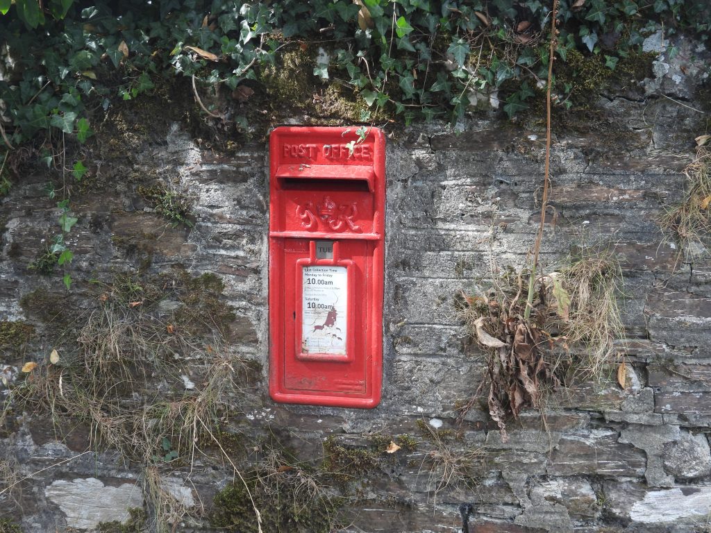
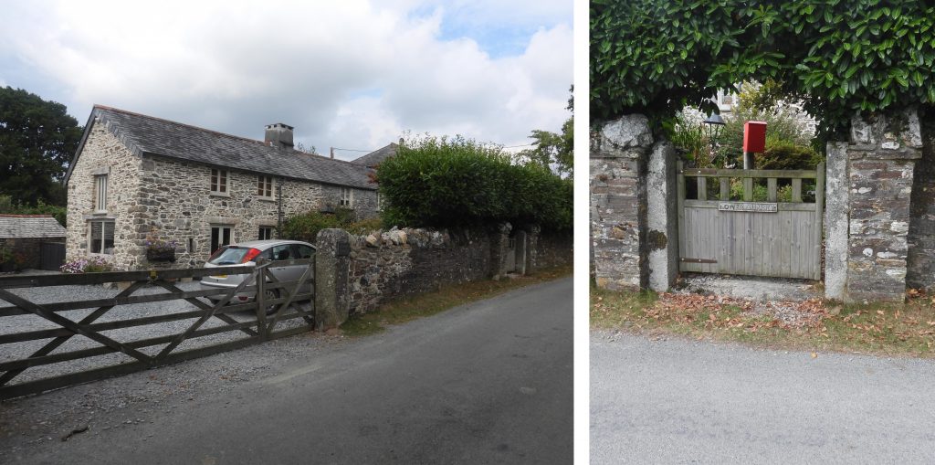
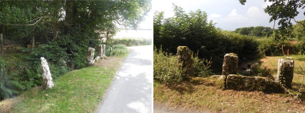
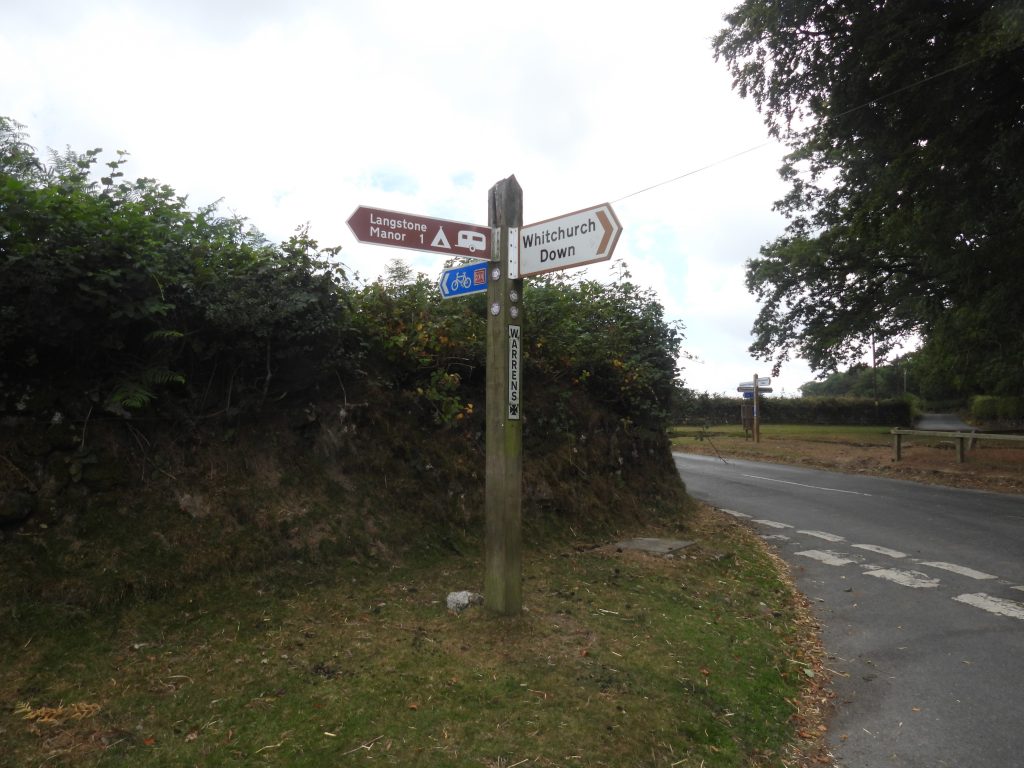
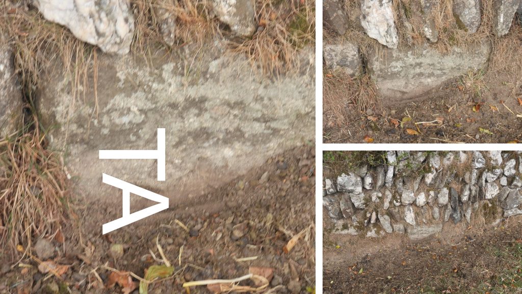
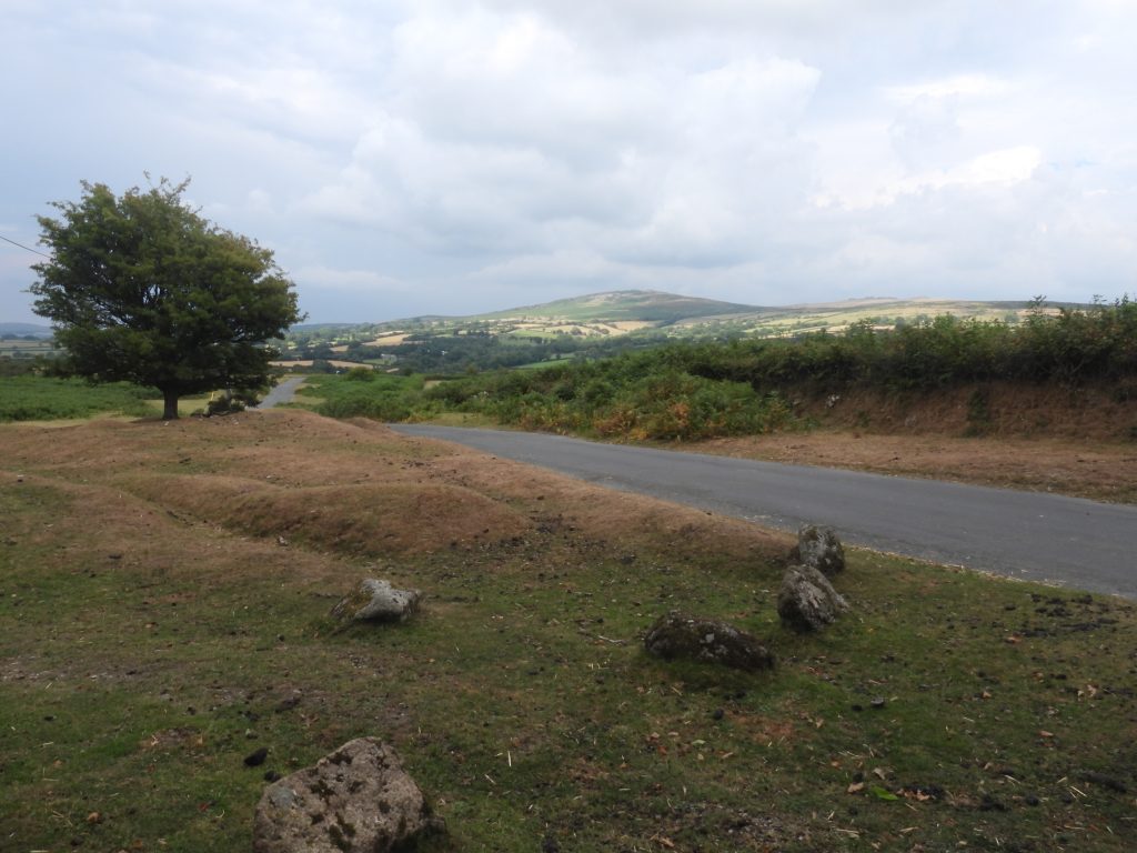
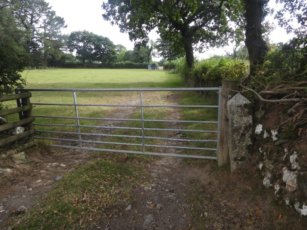
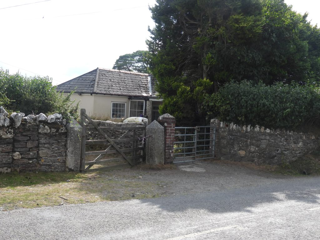
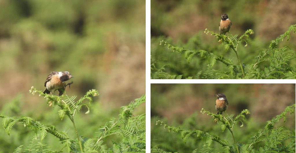
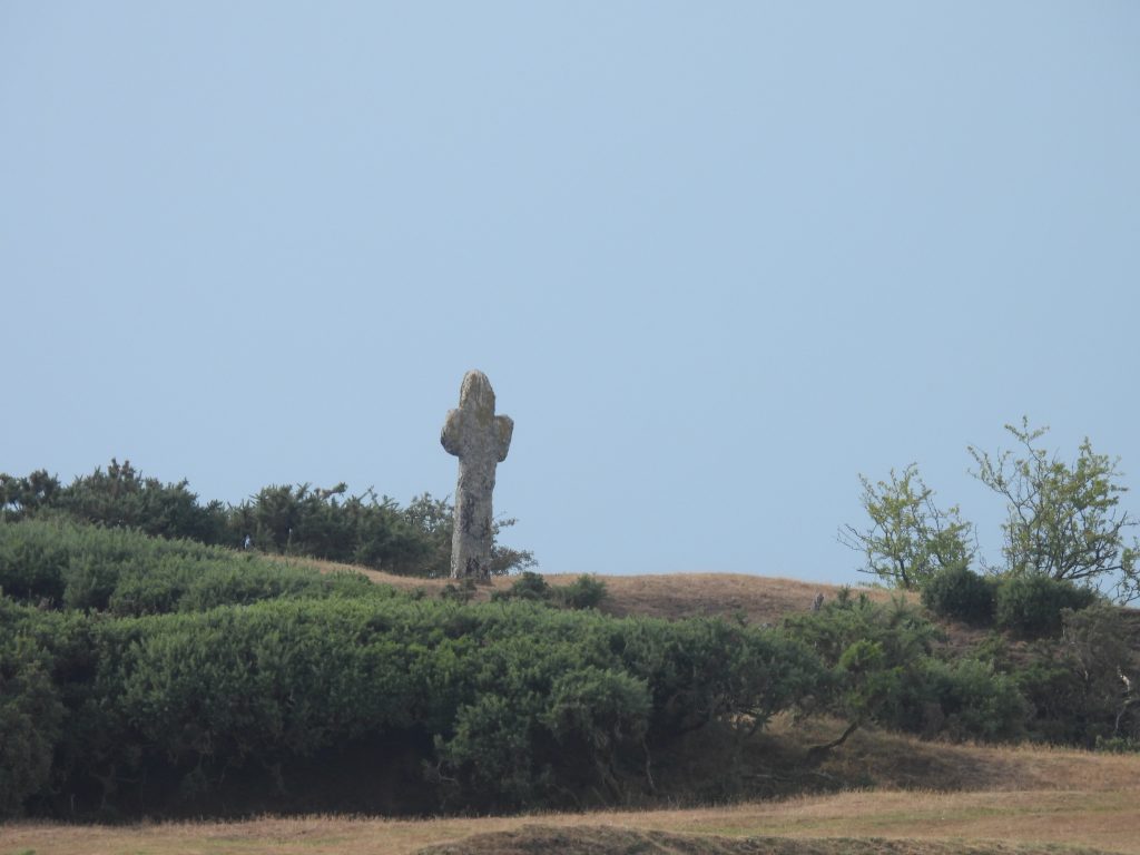
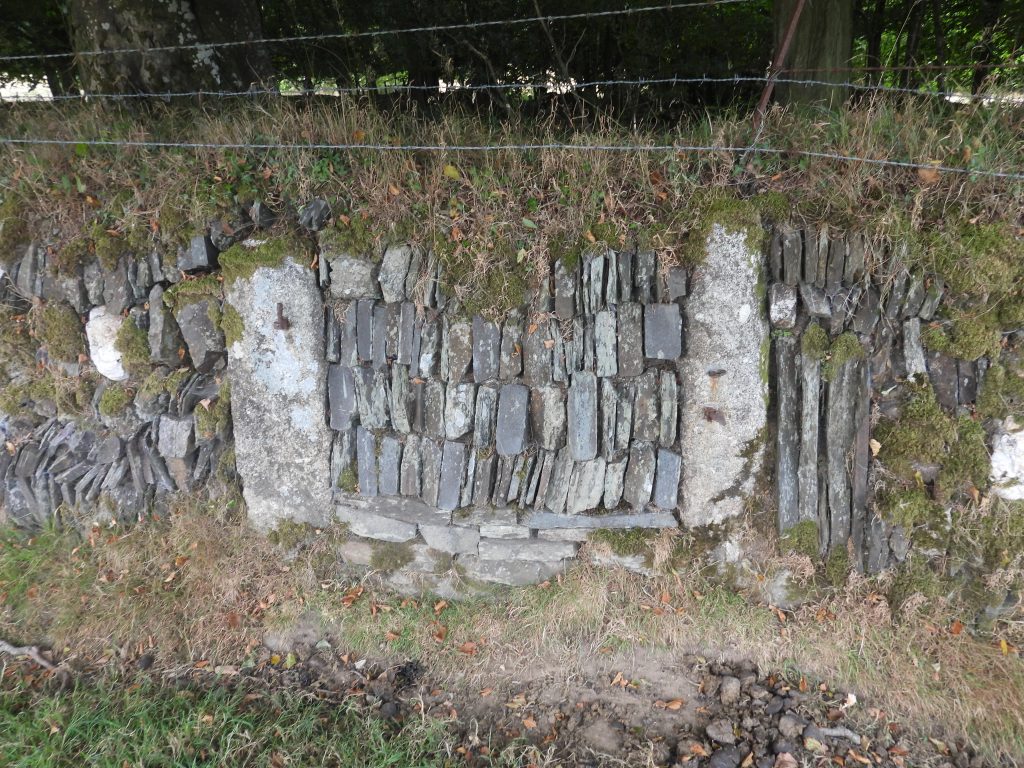
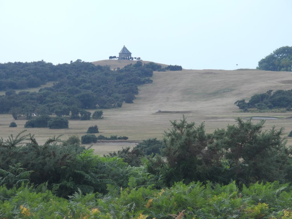
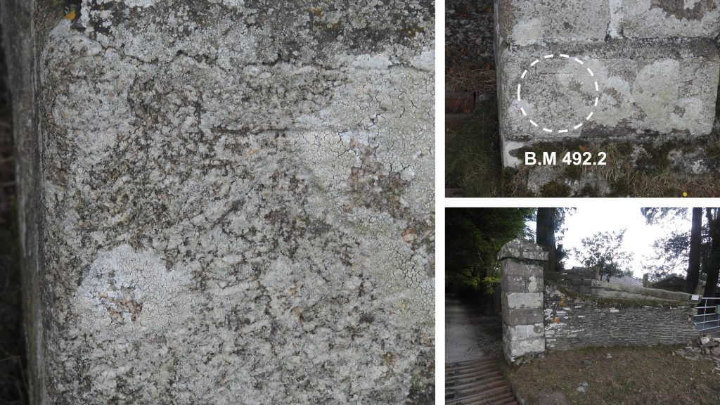
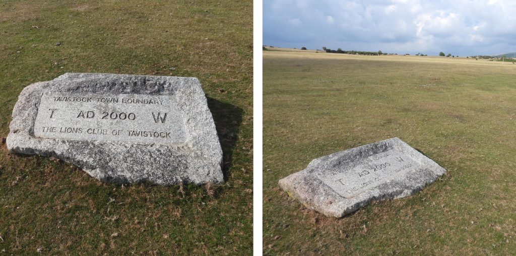
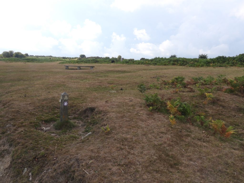
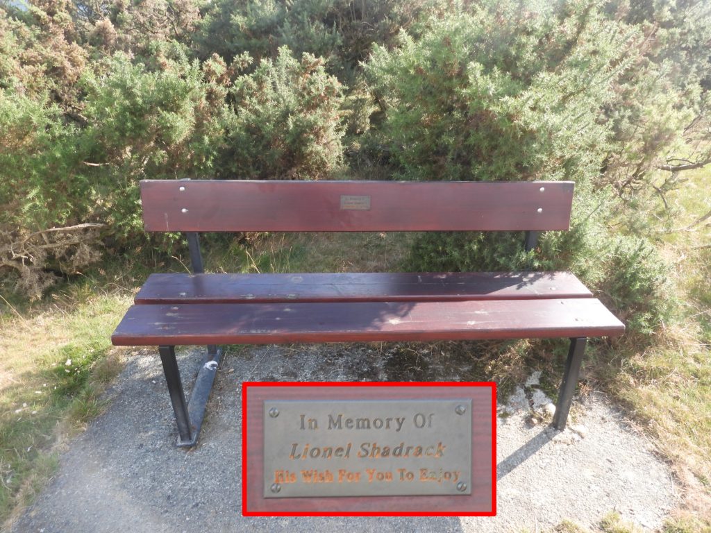
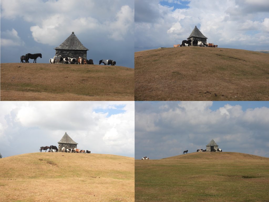
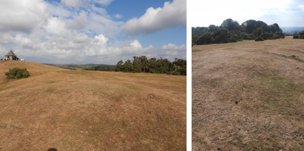
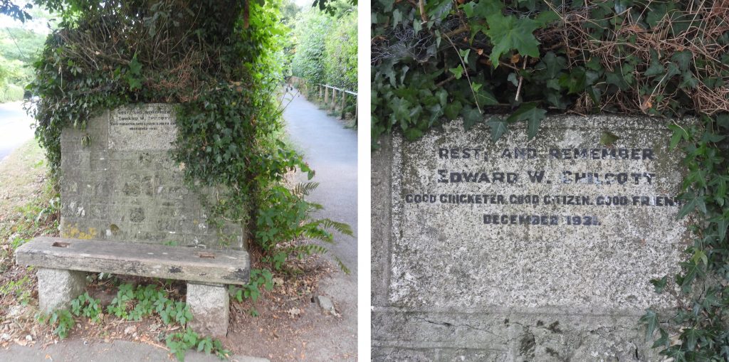
The GPS plot of the 8th stage of the Dartmoor Way. Before embarking on the walk, a side trip to the castle and church are worth while. B.M 731.9 as shown on side-by-side and on Dartmoor HER map. It is on the north west gatepost of entrance to Bayfield House, Lydford. Bayfield House was built as the rectory to St. Petroc’s Church in 1870. It is located at SX50964 84745Lydford Castle (Gaol) – The first castle in Lydford is sometimes termed the “Norman Fort” and was a small ringwork built in a corner of the Anglo-Saxon fortified Burh in the years after the Norman conquest of England. It was intended to help control Devon following the widespread revolt against Norman rule in 1068. The Norman fort had been abandoned by the middle of the 12th century. Source: WikipediaThe second castle in Lydford was constructed in 1195 following a wave of law and order problems across England. It included a stone tower with a surrounding bailey, and rapidly became used as a prison and court to administer the laws in the Forest of Dartmoor and the Devon stanneries. Originally the two storey 12th century tower was 15.8 metres square and had walls 3 metres thick. (Source: Wikipedia and Dartmoor HER)Rectangular bailey north-west of stone tower bounded by Saxon earthworkMilestone at entrance to castle (gaol). Once a gatepost with a broken peg/hook in the face. It is recorded as dating from c1762. It is inscribed, ‘8 T 9 O’ (meaning 8 miles to Tavistock, 9 miles to Okehampton). Location : SX50955 84752The tower was rebuilt, circa 1260s by Richard Earl of Cornwall and was redesigned to resemble a motte and bailey castle. The rebuilt made the walls 2 metre thick with a mound built up round the ground floor of the original tower. It was considered an antiquated design for the period but one that was heavily symbolic of authority and power. An excavation by the Ministry of Works in 1958 showed that the lower storey of the keep had been filled up with rubble to first floor level in the 13th century. The results of this excavation indicated that the three-storey keep was originally a free standing structure without a mound. In 1342 the castle, when it was still being used as a prison and courtroom, passed to the Duchy of Cornwall, who owned it until the 20th century.The Viking or Rune Stone. The picture with the red frame supplied with thanks by Tim Sandles (to show the inscriptions in better light than those in photographs taken by the author). The ‘Rune Stone’ was commissioned to mark the 1,000th anniversary of a year 997 Viking raid on Lydford. The stone was made by a stonemason called ‘Eric the Red’ and when it was unveiled a sacrifice of mead was poured over it at the celebrations of the Viking’s 97 festival on the 27th July. (Ref: https://www.legendarydartmoor.co.uk/lyd_vik.htm)The “Wheel-wright stone” can be found just inside the gate to St. Petroc’s Church.Inscribed slab above the Wheelwrights stoneSt. Petroc’s Church and graveyard, which is thought to be early Christian on the grounds of its sub-circular shape, which has been modified and the massive nature of the enclosure wall. Source: Pearce (1985), The Early Church in the Landscape: The Evidence from North Devon.The tomb of the watchmaker can be found outside St. Petroc’s Church. George Routleigh (the watchmaker) passed away on 14th November 1802. He had lived in Launceston and it is believed that when his health started to decline he moved in with his brother (Edward), who was a local churchwarden and who was living in the parsonage house. The lid stone of the George Routleigh tomb has been removed from outside and now resides on a wall inside the church and is lit by a spotlight. This was to prevent further weathering of the epitaph inscribed on it. The epitaph is rather amusing and was originally thought that George had written it some years before his death. The words have been found to have been published in an American almanac in 1797, being the work of a black American astronomer called Benjamin Banneker who was also a clockmaker. However, in more recent years, an even earlier version has been discovered as having been printed in the Derby Mercury in 1786. Source: Devon Heritage. The epitaph reads: Here lies in horizontal position The outside case of George Routleigh, Watchmaker Whose abilities in that line were an honour To his profession Integrity was his mainspring, And prudence the regulator Of all the actions of his life. Humane, generous and liberal His hand never stopped Till he had relieved distress. So nicely regulated were all his motions That he never went wrong Except when set agoing By people Who did not know His key. Even then he was easily Set right again. He had the art of disposing his time So well That his hours glided away In one continual round Of pleasure and delight Till an unlucky minute put a period to His existence. He departed this life Nov. 14th 1802 Aged 57 Wound up In the hopes of being By his Maker And of being thoroughly cleaned, repaired And set agoing In the world to come.An obligatory benchmark can be found on the Church and as seems usual in the authors experience, this one can be found on the tower (west end). Its reference is B.M. 0729.4 and its GR is SX50895 84736A wood carving and some stained glass windows in St. Petroc’s. The south aisle windows are all late 19th century.St Petroc’s Church is mentioned in the 13th century with an earlier church sacked by the Vikings in 997. The tower and south aisle were built in the 15th century and the church was restored in the 19th century. There are some fabulous carvings, a rood screen and a lovely model to be seen. The rood screen is a reproduction from 1903.St. Petroc’s is a part of the Dartmoor Archangel’s Way. This pilgrimage route was launched on Saturday 31st July 2021. The route starts at St Michael’s, Brentor, and runs for 35 miles to St Michael the Archangel, Chagford.Iron Age Fort to the west of St. Petroc’s Church.Archway at entrance to St. Petorc’s Church.As with the ‘Rune Stone’ this stone also commemorates the Viking raid of year 997. It was erected in 1990 by the Lydford Women’s Institute. The plaque reads: “Llydanforde – SITE OF DANISH SAXON CONFLICT 997 AD – TO COMMEMORATE THE 70TH ANNIVERSARY – OF LYDFORD W.I. 1920 – 1970.” It can be found at SX50943 84715Lydford Bridge supports the main road over the deep ravine of River Lyd, where the Devils Cauldron is located. It has some medieval fabric but was considerably widened in the 20th century. Continuing in a southerly direction a “C” (county) stone associated with Lydford Bridge can be located. The GR is SX50942 84470Bridge House Lodge on the routeThe road passes under the former London and South Western RailwayViews from the road as the Dartmoor Way heads south. Tors viewed include Great LinksEntrance to Hartswood (which can’t be seen from the road). This historic farmstead was known as ‘Waterfall’ at the time of the Tithe Map and was referred to as ‘Watervale Farm’ on OS 1880s map.Moorcroft (right) and Hazeldene (left) on the south side of the road are relatively modern buildings.Sedgefield House, another relatively modern house on the south side of the road.Spring House, another relatively modern house on the south side of the road.Leaving LydfordHolmeleigh Coach House as viewed across the old London and South Western RailwayView across the Black Down and Gibbet Hill. The building behind the trees is Hall Farm Bridge over the former London and South Western RailwayWas Tor.Dartmoor National Park sign a short distance from the Whitelady Waterfall entrance of Lydford Gorge.Long wall over a tributary of the River Lyd near the site of the former manor house at Westford. The benchmark is B.M. 0645.50 and can be found at SX50265 83184Lyd Cottage, a modern building near the old manor house site of WestfordPoint where the Dartmoor Way turns by ‘Weak Bridge’ which crosses the former Tavistock and Launceston branch of the South Devon Railway. The branch to Launceston opened on 1st June 1865 and closed on 31st December 1962.Entrance to the former Lydford Junction station. The station was built by the South Devon Railway and opened in 1865. At one point it had 4 platforms.The old railway cottage as the Dartmoor Way enters open moorland for the first time on this stage. Entering the open moorland at the north west side of Black Down. The track is labelled Mary Tavy Footpath 32 on the Dartmoor HER.Another view of Was Tor – from Mary Tavy Footpath 32Looking north with Great Links Tor, Arms Tor, Brai (Brat) Tor, Sharp Tor and Hare Tor in the distance.B / MT boundary post lies alongside a track (also known as Mary Tavy Footpath 32). This post is located at SX49955 82433. In 1987, the parish boundary of Brentor and Mary Tavy saw a change where the area east of the ‘White Lady Waterfall’ on the River Lyd transferred from Brentor to the new (smaller) Lydford parish* and an area on the west side of Blackdown, transferred to Brentor from Mary Tavy parish. Along these newly defined boundaries are six upright smooth finished granite posts, which are suitably inscribed to mark the changes. *In 1987 the parish of Lydford finally lost its claim to be the largest parish in England as it was split into two civil parishes; Lydford and Dartmoor Forest, with the latter being largely the higher open moor.Moorland gate to Burn CottageView of Burn Cottage (foreground) with Was Tor Farm (background). The former South Devon Railway lies in the trees just beyond Burn CottageBrentor coming into view. A Dartmoor Way ‘sticker’ remains on a broken metal signpost.B / MT boundary post located at SX49623 82105. Gorse and heather (left) and track to Gibbet Hill (right).Fledgling stonechat View of West Blackdown Cottage from B / MT post. This post can be found at SX49266 81611and additionally has a date inscription (2000) under the “B”.Chilling in the shade on a hot day Zoomed in view of St Michael de Rupe, located on the hill of Brent Tor. It is believed to be probably largely 13th century with 15th century alterations and 15th century tower. It was further restored in 1889/90. North Brentor with the church of St Michael tower prominent.Views from near the south end of Black DownClearance cairn next to the trackApproaching the outskirts of Mary Tavy. Distant tors include Cox Tor, Great Staple Tor and Roos Tor.Glenside, which was marked in an area called Palmers Tenement on 19th century maps.Watercourse from below Higher Spring next to Brentor RoadHeading down Brentor RoadPalmer House, which presumably relates to the area called Palmer’s TenementThe wonderfully named “Up Yonder” on the Brentor Road. Next to Hillside House is a standing stone inscribed ‘HB 1’, which the author believes is a boundary stone relating to an old mine in the area called Wheal Hope.A cricket lover on Brentor RoadBenchmark on Brentor Road at SX49921 79787Sunnycroft is mentioned on the Dartmoor HER, which states: “origins as an early-mid 19th century house, greatly altered and extended in the 20th century”.A modern estate in Mary Tavy. It is assumed that the name is in honour of William Crossing, the Dartmoor Author who lived in the village and is buried in St. Mary’s church. In the 1890’s the William and Emma Crossing moved from South Brent to Brentor and then on to Mary Tavy.At this point on the Dartmoor Way, the author decided to make a minor detour by ‘Bryn Tavy’ down Chapel Lane to view the (Wesleyan) Methodist church and the war memorial. ‘Bryn Tavy’ dates from at least the early-mid 19th centuryThe Wesleyan Methodist Chapel alongside the A386 at Mary Tavy. The date plaque states the year it was built, 1835. There are several “foundation” stone shaped blocks on the east side of the chapel. The Historic England entry (1326255) states in has a: “Front gable end has gabled porch with round-headed opening for double doors with decorative strap hinges, round-headed sash to right and left with 12 panes to lower section and margin glazing”The war memorial is at the junction of the A386 with Bal Lane, opposite the Wesleyan Methodist chapel and comprises a granite obelisk on an inscribed square base. There is a raised wreath inscribed ‘LEST WE FORGET’ and the dates 1914 and 1918 on one side.C.J Down garage on A386‘Brookside’ may have been associated with Wheal Friendship mine, perhaps as workers accommodation. It is located just adjacent to the leat running through the mine and near to the calciners. (Source: Dartmoor HER)Part of Wheal Friendship Mine, which can be seen from the road through Mary Tavy. The mill was a stamping mill and was constructed in 1912, to replace the mill near Brenton’s Shaft, which is located to the east. Source: P.H.G Richardson, The Mines of Dartmoor and the Tamar Valley after 1913).Dowerland Farm. Although the farm dates from an earlier period, the farmhouse and threshing barn are early 19th century in date.Dowerland Cottage Cottage dates from at least the early-mid 19th century as its depicted on the Tithe Map.Bridge over Cholwell Brook has a benchmark on it, which is depicted on the Dartmoor HER map. The benchmark is reference B.M. 0549.1 and the GR is SX50765 78900. At this point the Dartmoor Way turns south east enroute to the River Tavy.Church Cottage – On the modern OS map this is represented as a single rectangular building, although the labels refer to both Church Cottage (northern end) and The Old Dairy (southern end). The cottages are shown on the Mary Tavy Tithe Map and 539 on apportionment with the ‘Cottages’, owned by John Buller and occupied by William Rowe and others.The ‘Old Dairy’ at southern end of the cottages.Kirkside is located alongside St. Mary’s Church. The building closest to the road is a former barn dating from early 19th century. It is possible that the building at the rear was the ‘priest’s house’ mentioned by Worth (in 1893).St. Mary’s Church is believed to have had 14th century origins. The churchyard cross is from 15th century with late 19th century restoration (new cross head).St. Mary’s benchmark can be found at SX50909 78755. Its reference number is B.M. 0566.2.A visit to the church wouldn’t be complete without paying respects to Emma and William Crossing.Graveyard with Smeardon Down beyond.The second phase of building St. Mary’s was early 15th century. Lower Tavydale. ‘Tavydale’ was divided into two dwellings (upper and lower) have originally been a single rambling farmhouse. It dates from at least the early 19th centuryOutside Higher TavydaleSt. Raphael. The building is not depicted on the Tithe Map as another dwelling is shown here, closer to the road. That said, the late 19th century historic map shows a new building has replaced that shown on the Tithe Map, which, presumably is St. Raphael. There are some upright standing stones in the garden.A cider press near Mary Tavy power station. I am grateful to Andy Benham who provided the following story: “the current owner is a very affable chap and we spent over an hour chatting with him on the way to the pub in Peter Tavy. It was an unsold item at the local farm machinery sale for a couple of years until he made a ‘silly’ offer and ended up the proud owner of a cider press. He’s got an orchard and it has been used to make a village cider from local windfalls and the like”. Entrance to the Mary Tavy hydro-electric power station. The first phase of the power station was opened in December 1932 using water diverted from the River Tavy at Hillbridge Weir. There was a 1 and 1/4 mile long extant leat originally and this was extended another 3/4 mile then a 1 metre diameter pipe took the water to the power station. The second phase of the power station took place in 1936 using water diverted from Tavy Cleave along the 200 year old Reddaford Leat for 4 and 1/2 miles. Water entered a linear reservoir at Wheal Jewell before being taken by pipe to the power station. Heading towards the Tavy. This open view from the track is Smeardon Down.Mary Tavy Bridleway 14 heading towards the River Tavy.A great place for lunch next to the footbridge over the River Tavy. Méry-Corbon is twinned with Mary Tavy and is the former commune in the Calvados department in the Normandy region of north western France. On 1 January 2017, Méry-Corbon was merged into the new commune Méry-Bissières-en-Auge. The Twinning Charter between Mary Tavy and Méry-Bissières-en-Auge, was signed on 24th April 1982.View from the Bob Holt benchViews of and from the footbridge over the River Tavy between Mary Tavy and Peter Tavy.Longtimber Tor is very overgrown but it is possible to get to the summit as there is a pathThe lane to Peter Tavy from the bridgeThe same lane to Peter Tavy from the bridge in March 2018Peter Tavy Inn is believed to date from at least the 17th century, although it may actually be 15th century, according to one source (Quick: 1992, Dartmoor Inns). It was originally a farm cottage and blacksmith’s shop. It is possible that the original cottage was built to house stonemason’s and workers who were employed to repair the walls and tower of the Church during the 15th century. The inn was extended and altered in 19th and 20th centuries. An intriguing story is that the famous escapee, Frank ‘Axeman’ Mitchell (the only man to escape from Princetown prison without recapture) is said to have visited and possibly stayed here around 1965 with his bills being paid by one of the notorious Kray twins. Source: Dartmoor HER records.Peter Tavy’s cross was re-erected on 11th December 2000 to mark the millennium. The new shaft and cross was made by Messrs Pascoe of Gunnislake with granite being donated by DNPA which was quarried at Merrivale. A special service was held on 1st January and was attended by about 50 people. Source: Dartmoor Magazine (issue 63). Carvings on the socket stone include the Cross Keys of St. Peter, a Fish, a frontal view of a Rams head, a Salamander and a Rampant Lion. The cross had been dismantled 150 years earlier as horse drawn hearses needed extra room to turn around outside the church, so the cross was removed. The cross was laid in pieces outside the church wall but the shaft and cross were lost just leaving the socket. A new shaft and cross had to be made.Facing South, there are two panels on the socket stone.The left panel shows the Cross Keys of St Peter, the Patron for St Peter’s Church, Peter Tavy. The right panel has an anchor with a coil of rope at its base – representing hope and salvation. This also links with St Peter’s occupation as a fisherman. Source: Dartmoor-crosses.org.ukThe West facing side of the socket stone has two panels. The left panel shows a fish – representing the Eucharist or Jesus. In medieval times there were strict ‘fish days’, commonly on Friday, representing abstinence. On the right panel is a Ram’s Head – this connects with the rural work of agriculture and also indicates the sacrifice and the blessings of the lamb. Source: Dartmoor-crosses.org.ukThe North facing side of the socket stone has only one panel which is of a Salamander – representing divine peace. This animal is said to have the ability to exude a mucus which was believed to have the effect of calming troubled waters. Source: Dartmoor-crosses.org.ukThe East facing side of the socket stone has only one panel which is a Rampant Lion, representing courage and kingship. Source: Dartmoor-crosses.org.ukThe Lychgate of St. PetersThis memorial cross was erected in 1922 with funding from parishioners to commemorate those who fell in the First World War. It also includes the names of those who died during the Second World War. Running around the riser of the base is an inscription: ‘IN HONOURED MEMORY OF / THOSE OF THIS PARISH / WHO GAVE THEIR LIVES / IN THE GREAT WAR / 1914 – 1919.’ St. Peter’s is believed to be of 14th century origin, was much rebuilt in 15th century and restored in the 1870s. The obligatory benchmark on the church. Reference B.M. 0567.2 at SX51299 77771The Dartmoor HER records that, “the north aisle has 5 windows, all 2-light with restored tracery except for the central window which is circa late 15th century and taller with cinquefoiled heads and square hoodmould. East end of aisle has 3-light Perpendicular windows with renewed mullions”. St. Peter’s graveyard with some gravestones dating to the 18th century.At the exit onto the Cudliptown road is an inscription. The origins of the “G.P. 1880” stone by the steps into the Peter Tavy Churchyard reveals that the Church wall was rebuilt in 1880 and the Churchwarden was George PalmerBack to the Dartmoor way after the side trip to St. Peter’s church. At the corner of the lane to Peter Tavy Inn and the road to Cudliptown is a restored bench. There was also a Queen Elizabeth Platinum Jubilee “painted stone” left on it.Gatehouse farmstead in the middle of the villageB.M. 0541.9 on one of the buildings of Downgate Farm at SX51369 77655The old Post Office dates from at least the early – mid 19th century.A bench near the Colly Brook. The plaque has lovely wordsThe village hall in Peter Tavy was built at a cost of £300 as a school. It was a two-roomed building opened in 1865 for girls and infants (the boys were still taught in the old school). Source: Mary Stanbrook, 1991, Old Dartmoor Schools Remembered. The school finally closed in 1959The Dartmoor Way passes the (bus) shelter in Peter Tavy. It is interesting to note that there are inscriptions here, to celebrate Queen Elizabeth’s Silver Jubilee. On the Left Hand granite pedestal is an “E” with “19” underneath and on the Right Hand granite pedestal is an “R” with “77” underneath.Peter Tavy Methodist Chapel next to the lane the Dartmoor Way takes en-route to Coombe.Stone stile near to the ChapelNext to the Colly Brook and a small bridge is Higher Mill. It is 18th century and has a 19th century addition. There is still a millstone here (just behind the red car).A water hydrant in Coombe. The author has conducted some research of this Hydrant by Ham Baker & Co, Westminster as follows: “In December 1893 the business of Ham Baker and Co. of Grosvenor Road, Westminster, and Langley Green, Worcestershire, were founded. They were engaged in the erection of iron and brass foundries and fitting shops for the manufacture of engineers’ specialities for sewerage and water works. In 1905 they became engaged in sewage and water fittings. The Ham Baker group are still going in 2021 With manufacturing bases in the UK, China, Hong Kong, UAE and Australia.“Combe CottagesThe lane at Combe entering the woodland at this gate. Just beyond the gate, the Dartmoor Way turns right (south east) towards a bridge over the Colly BrookBench beside the footbridge over the Colly BrookThe footbridge over the Colly BrookThe Mill Pond in the Combe, which has been used as a swimming pool. It is fed by a leat with water collected from the Colly Brook upstream. Over the years it has often been drained for safety reasons. On the day the author passed on this stage of the Dartmoor Way, there were swimmers in the pool. Climbing the track from the Mill Pond to Great Combe Tor. The track is known as Peter Tavy Bridleway 11Beautiful views from near Great Coombe Tor: these include St. Peter’s church below, Smeardon Down and White Tor.An approaching storm over Brentor – it really was that dark !Great Combe TorLeaving Great Combe Tor along Peter Tavy Bridleway 11 through between some lovely dry stone walls.Paths close to Sharp Tor (Peter Tavy) on Peter Tavy Bridleway 11 enroute to the Higher Godsworthy roadOld farm machinery next to the Dartmoor Way (Peter Tavy Bridleway 11) at SX52719 76983. This machinery is most probably from late 19th century.The old machinery was made by Henry Bamford and Son, Uttoxeter. It is a ‘Tedder’. Henry Bamford and Son (Samuel) was founded in 1871. The company closed in 1987. A minor side trip from the Dartmoor Way along the Higher Godsworthy road to record a boundary stone at Lawns Corner. Recorded by Tim Jenkinson in 2007, (Miscellaneous Milestones and Boundary Markers of Dartmoor Roads) he states: “Boundary Stone at Lawns Corner where the road bends north towards Higher Godsworthy Farm. Leaning beside wall next to yellow grit bin west side of road (SX52980 76931). Legend ‘P’. Misshapen stone worn and apparently moved to current spot in c. 1970s (citing Hemery) after being found in wall. ‘P’ is thought to relate to Peter Tavy. Thought to be late 18th century in date”.Higher Godsworthy road. Good views from here as the Dartmoor Way passes a small quarry (bottom left picture) before leaving the road by way of a well defined track (Peter Tavy Footpath 8) which is the bottom right picture.Peter Tavy Footpath 8 at the south west side of Cox Tor.The track passes this boundary stone. It is one of a series of boundary stones on the Peter Tavy / Whitchurch parish boundary which are believed to relate to the Radcliffes of Warleigh, who were considerable landowners in the area from the late 16th century. The Radcliffes owned Cox Tor farm, Hill town, Collaton, Dennithorne, Godsworthy, Horndon and Longstone. The stones are inscribed with “RB” (or part thereof) with the “R” believed standing for Radcliffe. The stone in the picture is Radcliffe Boundary Stone 7 and is probably the best preserved stone. It can be found at SX52791 75415. More information on these stones can be found here: https://dartmoorexplorations.co.uk/radcliffe-boundary-stones-on-peter-tavy-whitchurch-parish-bounds/Approaching the car park at Pork Hill, the Dartmoor Way passes this semi-circular feature. The Dartmoor HER describes it as “a rectangular building measuring 3.5m x 2.7m”. It is located at SX53086 75218The car park at top of Pork HillClose to the B3357 road at SX53128 75161 a benchmark rivet (possibly B.M. 1082.9) can be found.Views from near Port Hill car park.Looking towards the end point (Tavistock) of this eighth stage of the Dartmoor WayDistant views of Swelltor quarriesNear Prowtytown Rocks. Top Right is Prowtytown Rocks, bottom right is Pew Tor and on left a large granite boulder with an attempt to split it.Leaving the open moor near to Moortown Farm and is said to probably date from at least the 14th century based on documentary evidence.Moortown CottageEntrance to Langstone Manor now a camping, caravanning and glamping pods establishment. According to their website: “Originally Stone Farm, the property was bought by Samuel Lang (brother-in-law of the Duke of Bedford) and developed into four villas, Langstone Villas, surrounded by the pleasure grounds (as per deeds) in 1871. These villas were probably used by mine workers. Subsequently, the whole building was developed into the Manor house and an extension added. Previous tenants of the Manor House include the family of the Writer/Poet Coleridge. The Manor House was a Country Hotel for many years and then in the early 1960’s was split into two and became a camping park”. Higher Quarry FarmGR Letterbox near Higher QuarryLower Quarry Farmstead dates from at least the 17th century, but may be older.Road bridge west of Lower Quarry, described as a clapper bridgeThe “T” junction from the Moortown road leading to Warren Cross.Warren Cross showing the Dartmoor Way signs put up by the author in 2019TA stone at Warren Cross. “This stone is recorded in the Dave Brewer report on T/A guide stones from 1991. He records there being a “small piece of rectangular section” on the northern side of the wall at Warrens Cross, having the incised letters ‘TA’ on the exposed face – thought of as being part of an old guide stone”. Certainly the old packhorse track passed close to this point at Pixie’s Cross.Views from Warren Cross looking north to Cox Tor. The Dartmoor Way turns west here towards Whitchurch Common.A gate along the road towards Whitchurch Down. The reason the author took this picture was because to the unusually well dressed gatepost, which looks like a boundary markers (similar to the PCWW stones).Venn Bungalow with some more rather splendid dressed gateposts. The Dartmoor HER suggests this road could have been a part of ‘The Abbots Way’ ; the alleged route of monks between Tavistock and Buckfast Abbeys, across the southern moor, which was first named as such in the late 18th century. Eric Hemery and Worth have doubted the route and have suggested alternatives.Stonechat having a scratch (left picture)Zoomed in view of Pixies Cross, which is a medieval wayside crossBlocked gate where an old benchmark according to side-by-side) was / is located. The reference is B.M 0515.4 at SX50157 73437View of the “Pimple” Benchmark, B.M. 0492.2 at Gate Cottage (SX49927 73343). The lane here runs south to a 17th century farmhouse and outbuildings at Holwell.A Tavistock/Whitchurch Parish Boundary Marker at SX49705 73303, dated for the millenium. At this point the Dartmoor Way heads north west up to ‘The Pimple’Dartmoor Way signpost Lionel Shadrack BenchThe Pimple on Whitchurch Down is a folly. It is a small triangular building which was designed in 1914, by Sir Edwin Lutyens, for the Duke of Bedford. The ‘Pimple’ was built over the entrance to and on top of a reservoirTo the south-west of the ‘Pimple’ is a mound where a former Royal Observer Corps (ROC) post, once stood. It opened in October 1940 and was closed in December 1952. It is located at SX49130 73056Leaving Whitchurch Down near the end of Stage 8. Good to see the Dartmoor Way signs the author put up in 2019 still in position,As the Dartmoor Way exits Whitchurch Common down and small lane onto Down Road a bench dedicated to Edward Chillcott can be found. The date on it looks like December 1931 (albeit the last digit is blurred). The plaque says REST AND REMEMBER EDWARD W CHILCOTT GOOD CRICKETER, GOOD CITIZEN, GOOD FRIEND DECEMBER 1931Down Road – the end of Stage 8 as the author had parked in one of the parking spaces at the bottom of the hill.