A collection of walks, discoveries, insights and pictures of exploring Dartmoor National Park
August 12, 2022
Dartmoor Way – Stage 7 – Okehampton to Lydford
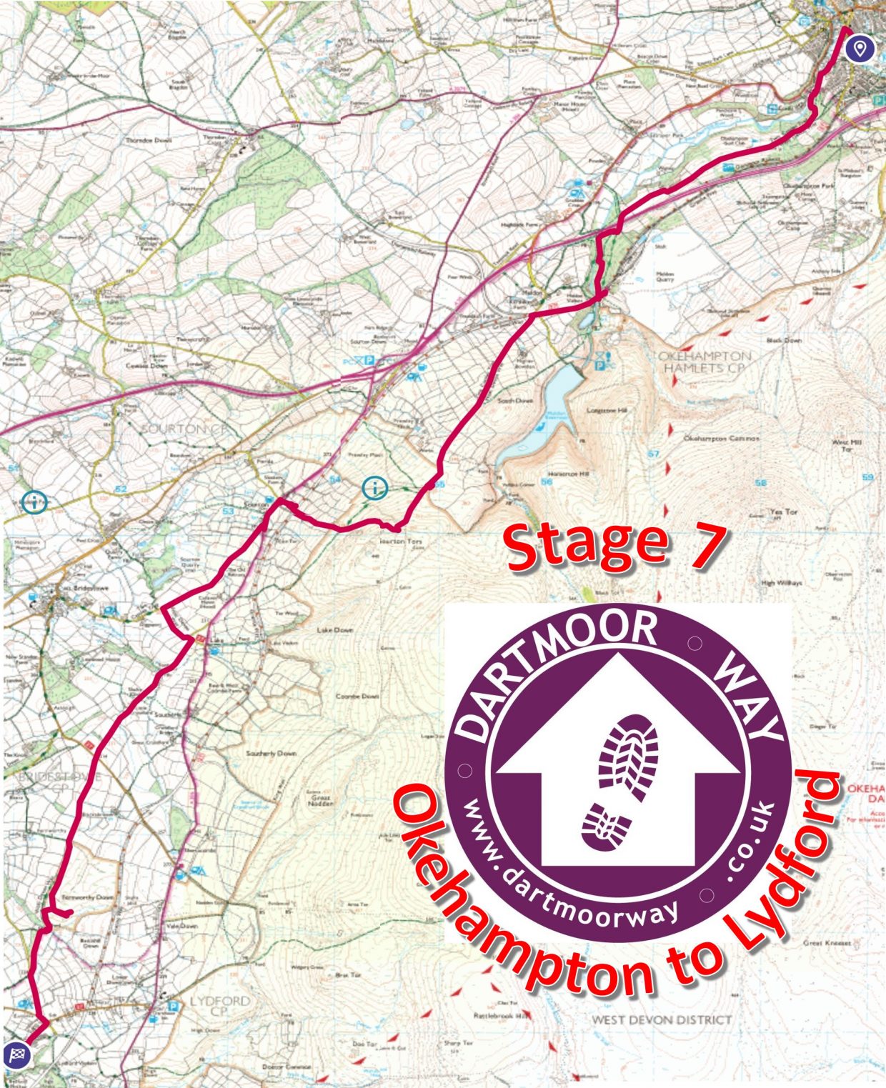
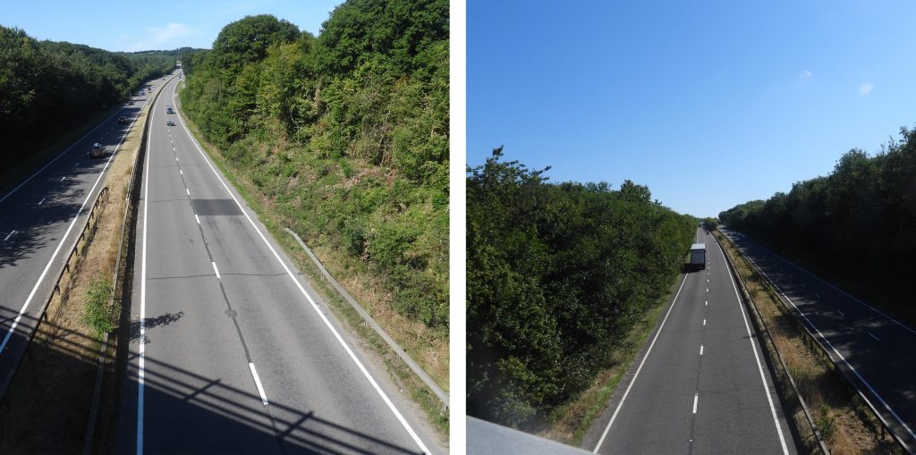
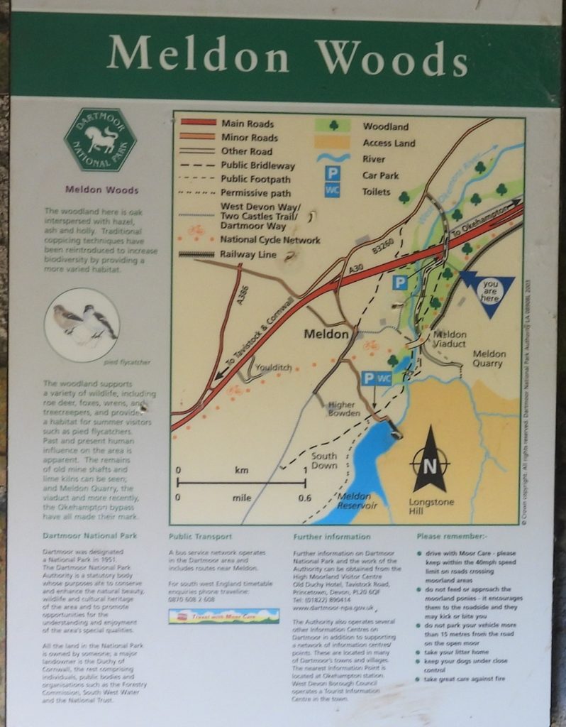
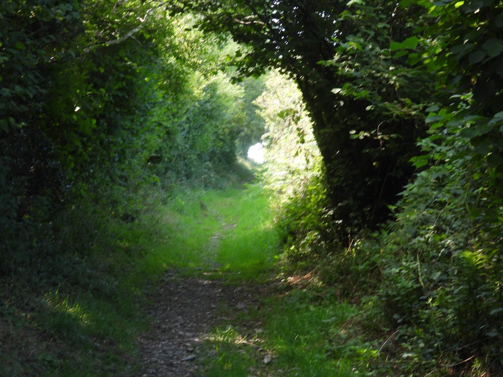
This seventh stage of the Dartmoor Way is stated on the official website (dartmoorway.co.uk) as being 9.75miles (15 km) starting at Okehampton and finishing at Lydford. The elevation climb is 1397ft (426m), with the longest individual climb being through Meldon Woods and onto Meldon Viaduct. This post of the seventh stage was recorded by the author as being 18.0 km (around 11.25 miles) in length. That said, the author made a couple of minor deviations / side trips from the official route to go and follow the West Okement river in Meldon Woods and to view Battishall Down Mine at the southern end of Fernworthy Down. As with all other posts recording the Dartmoor Way, this post records historical features, shows pictures of some far reaching views, shows pictures of wildlife and shows pictures of points of interest – all photographs taken by the author along the route are annotated.
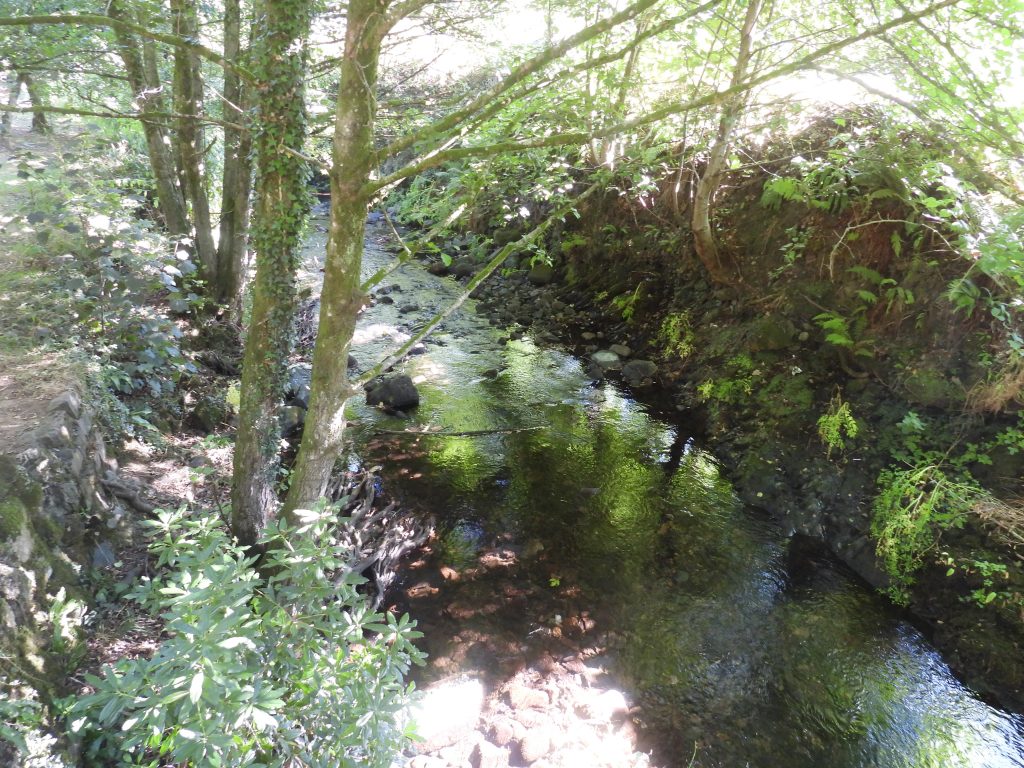
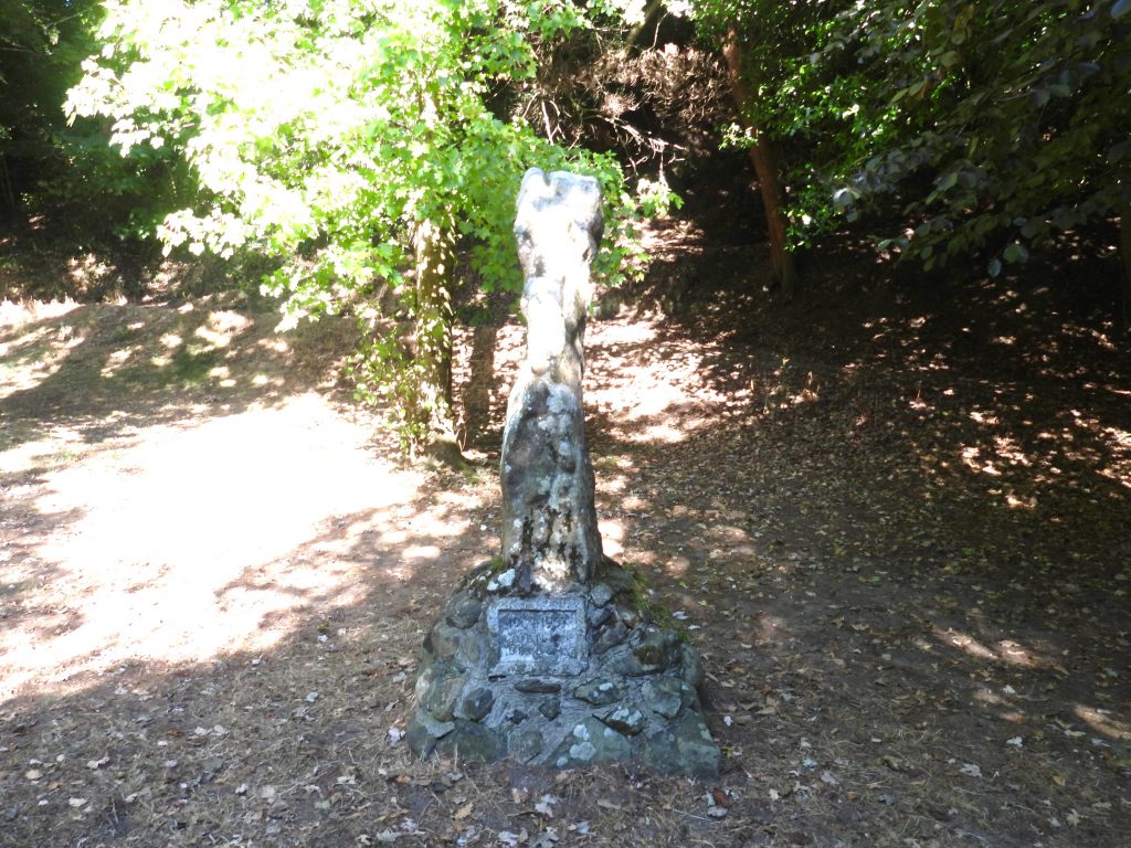
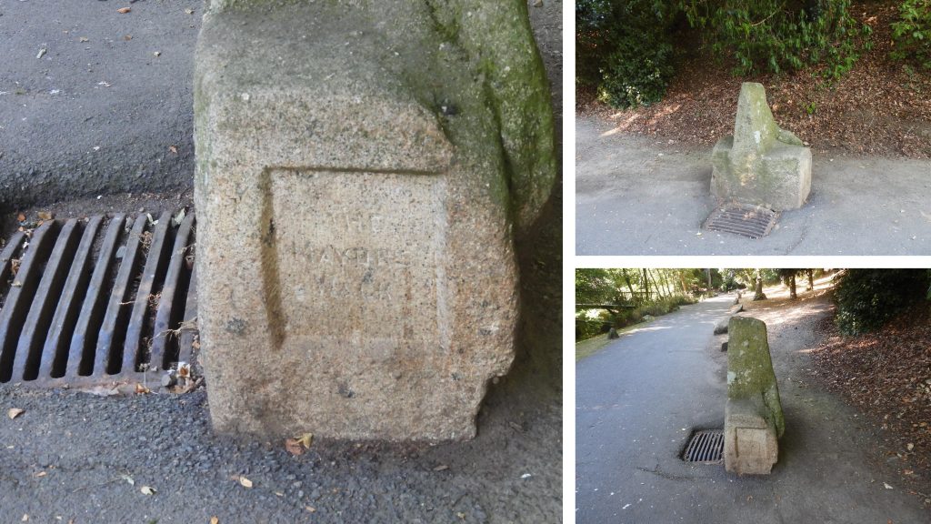
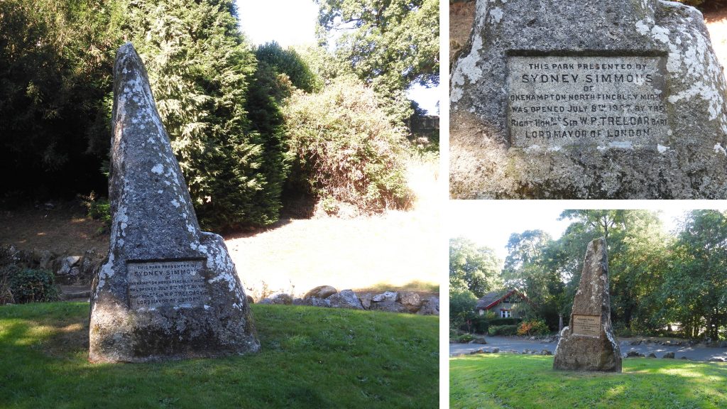
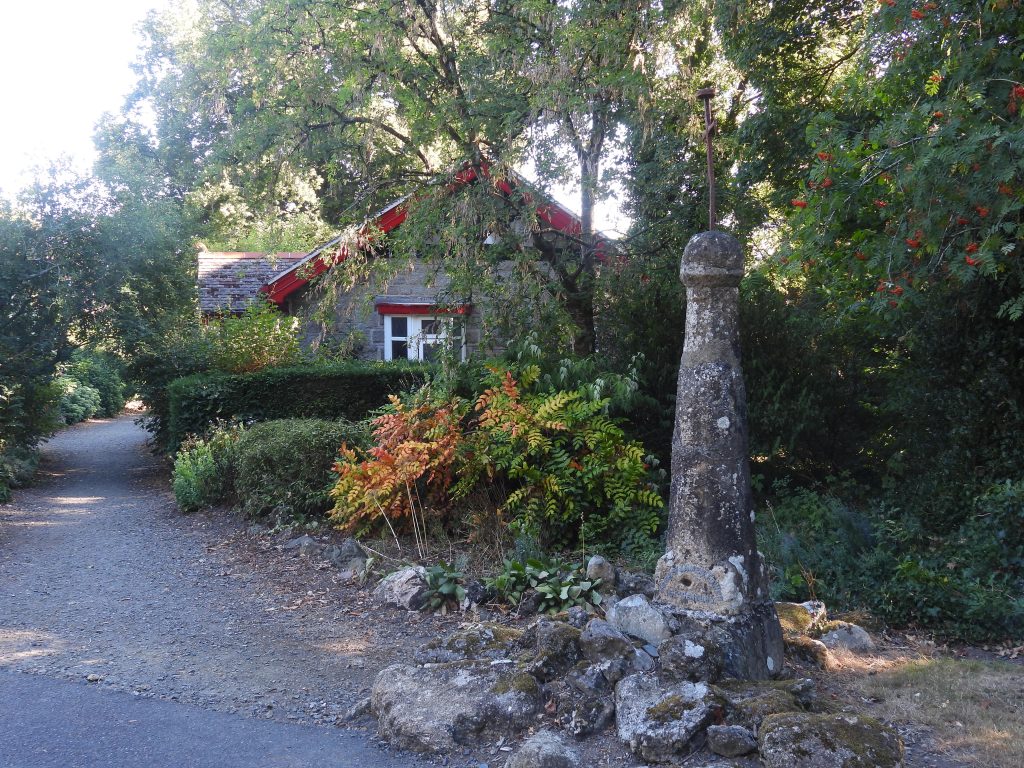
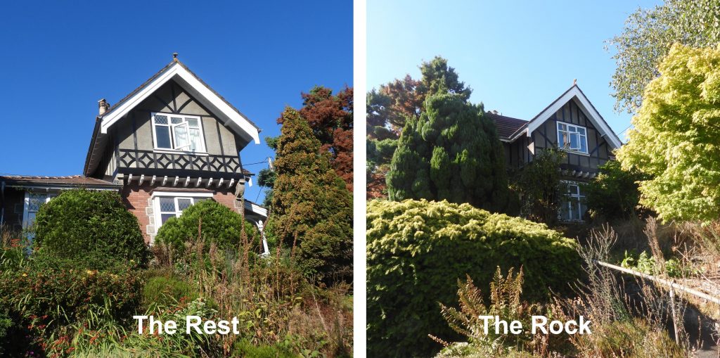
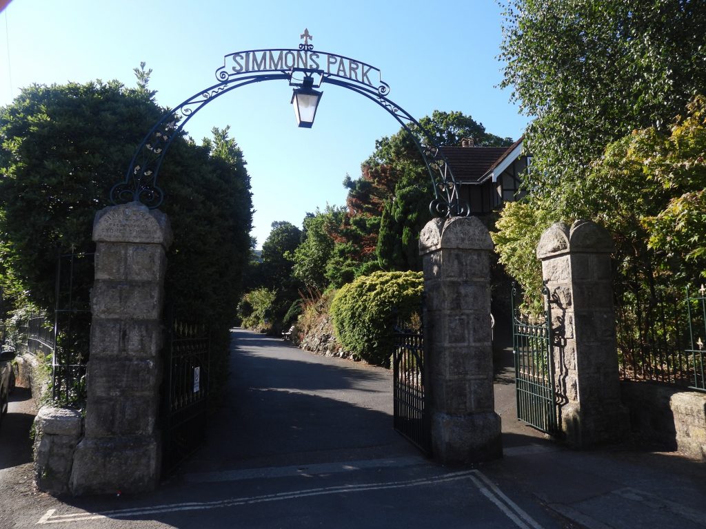
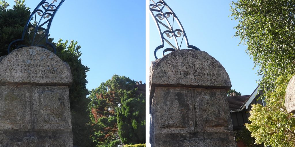
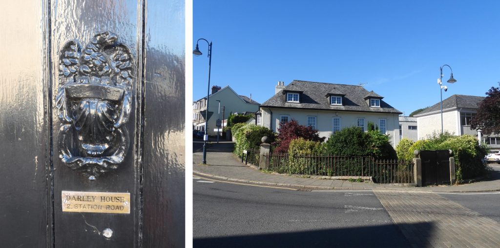
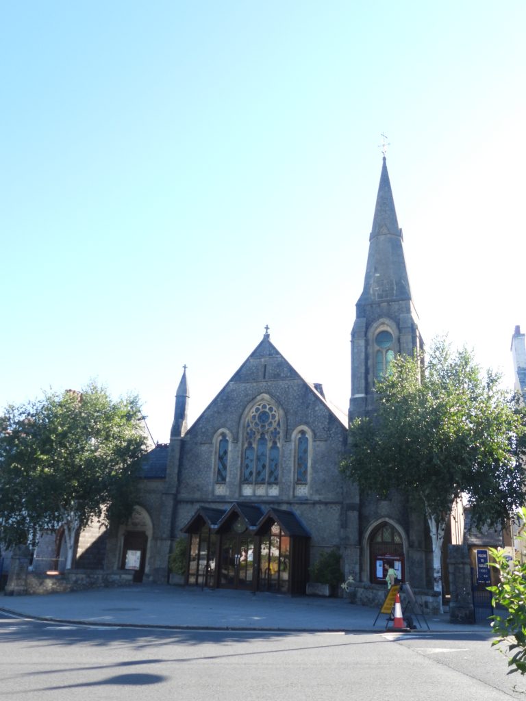
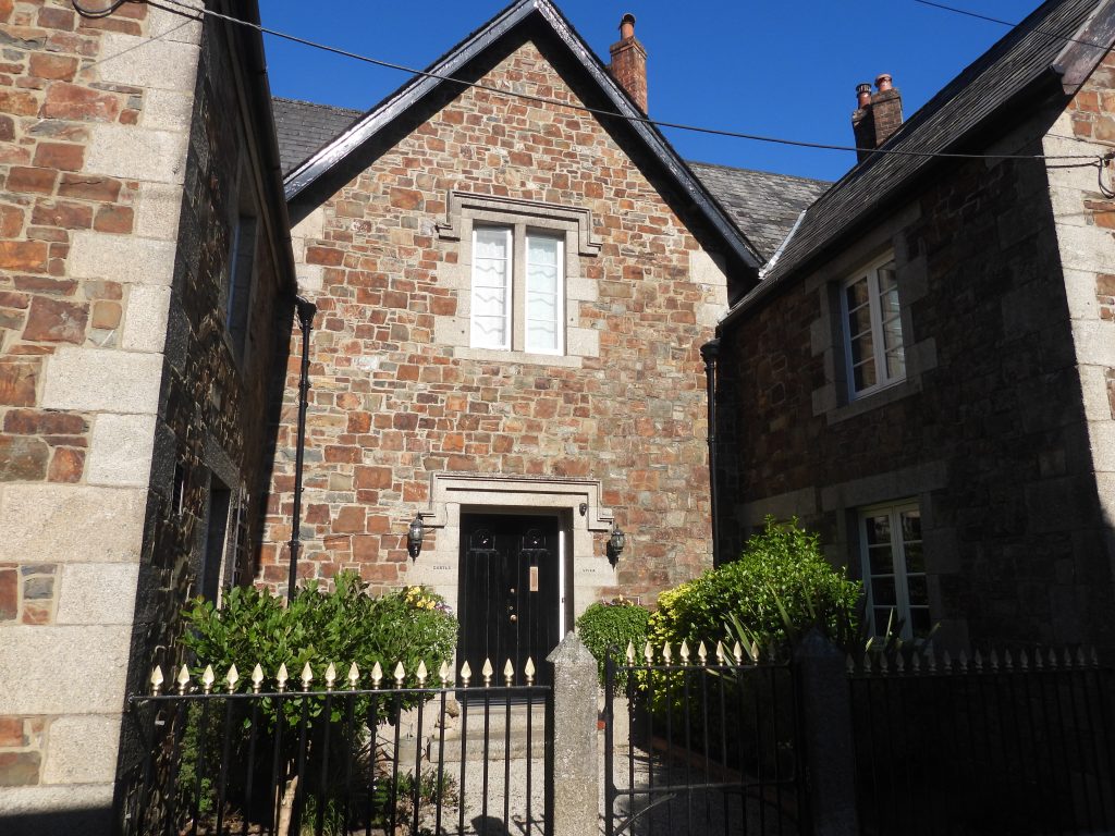
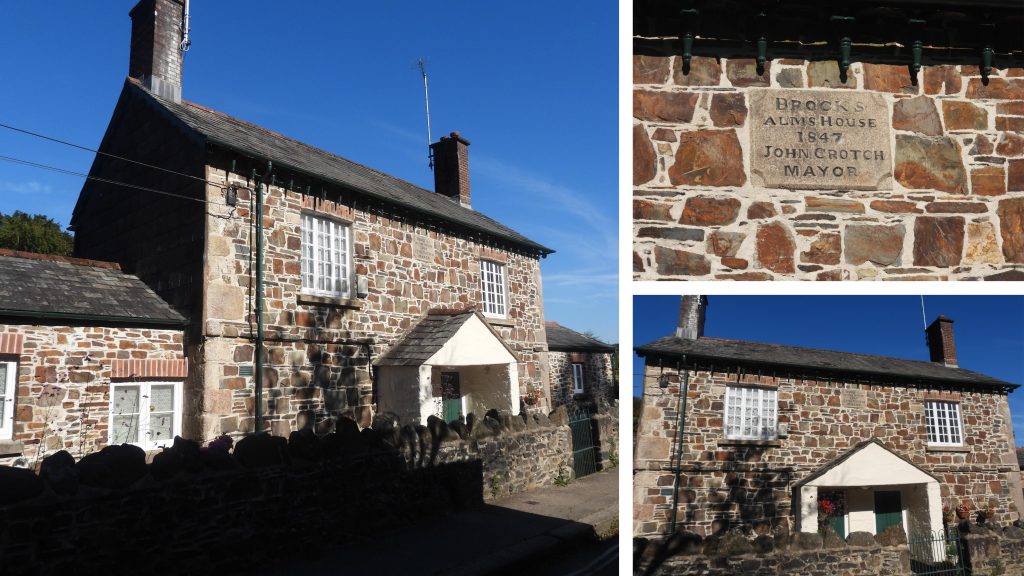
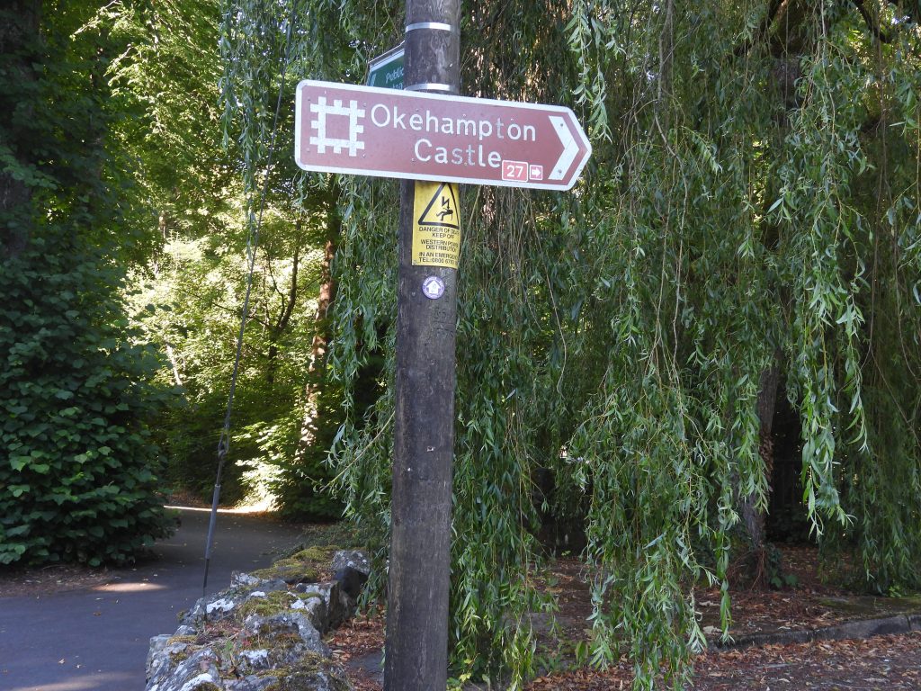
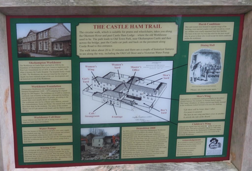
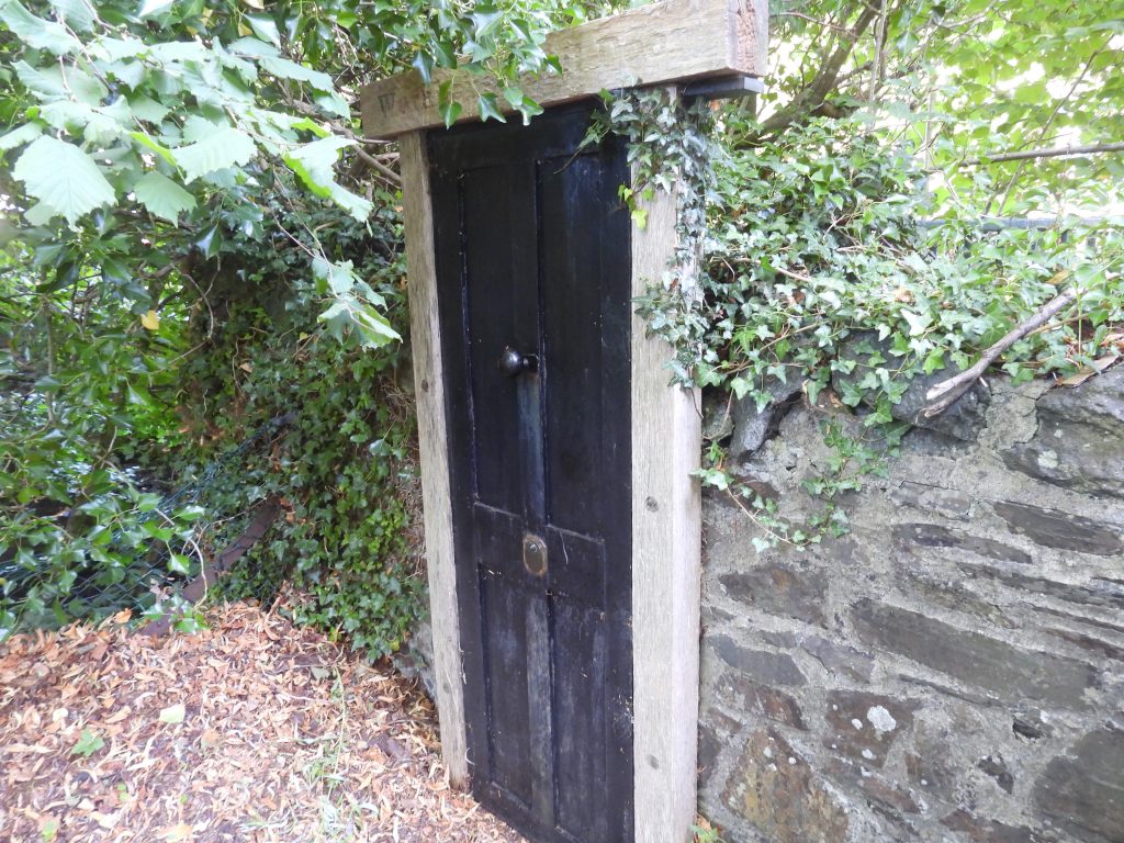
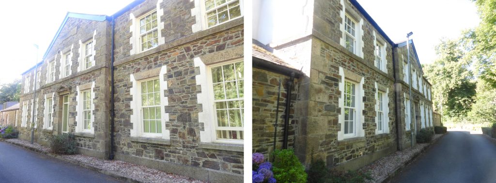
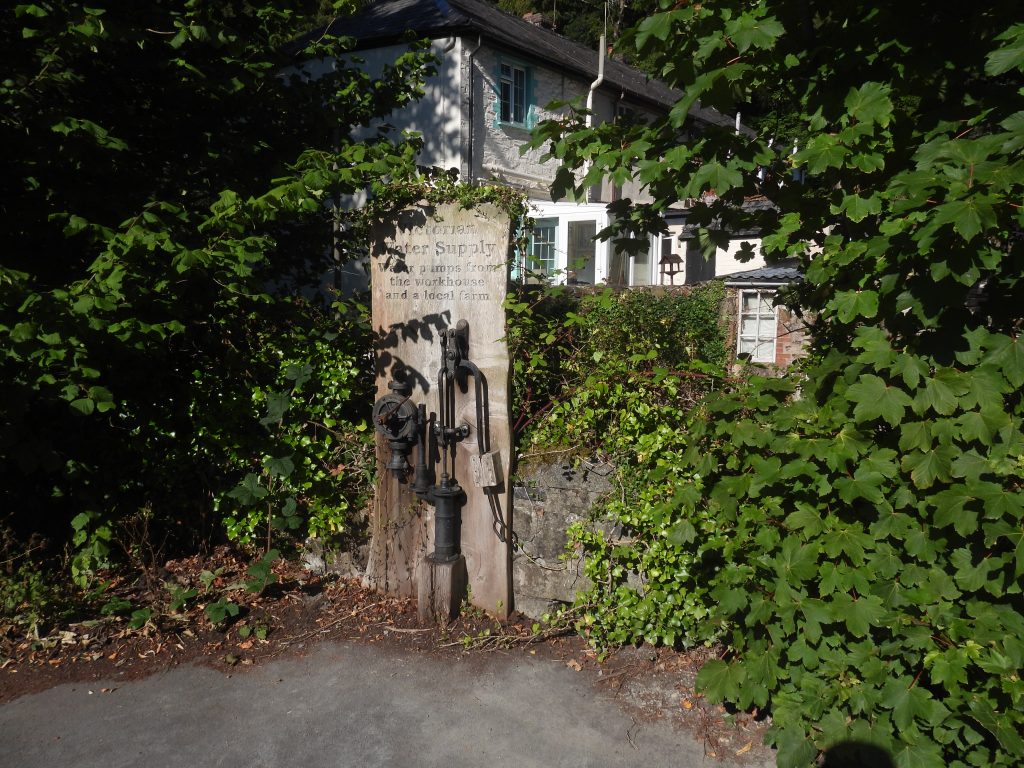
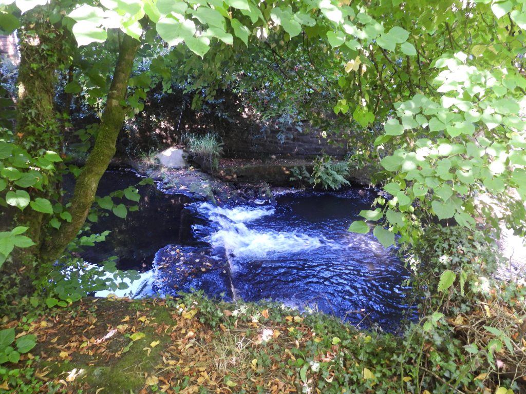
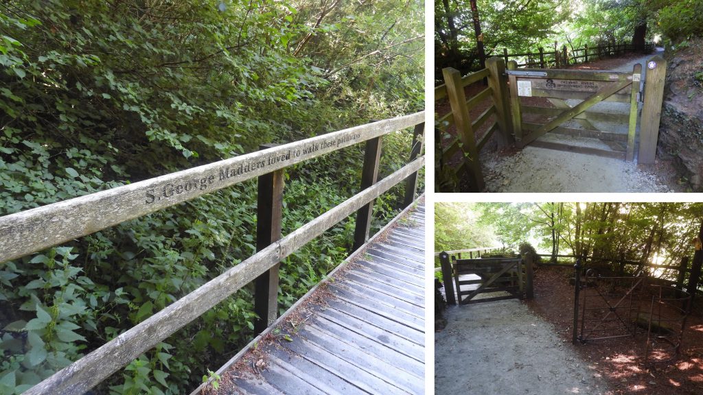
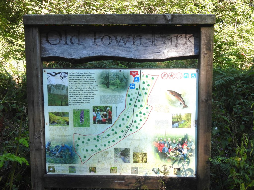
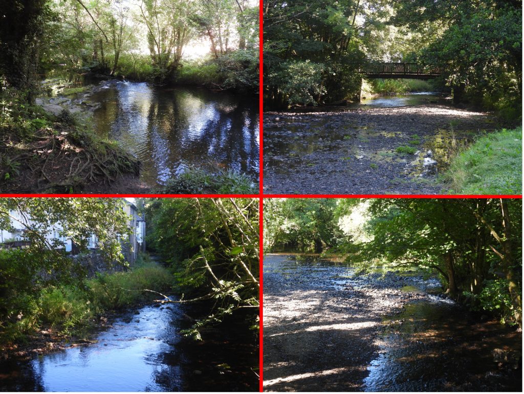
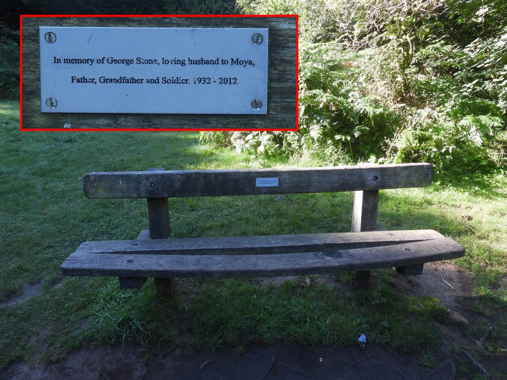
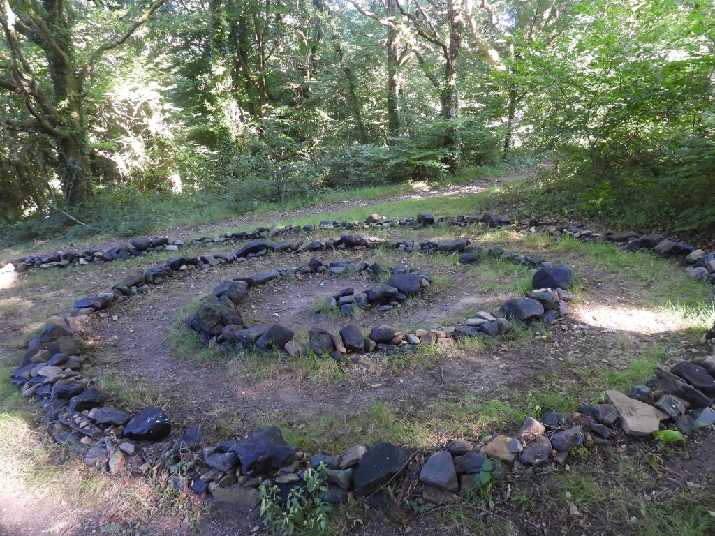
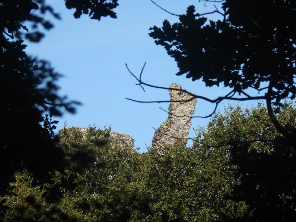
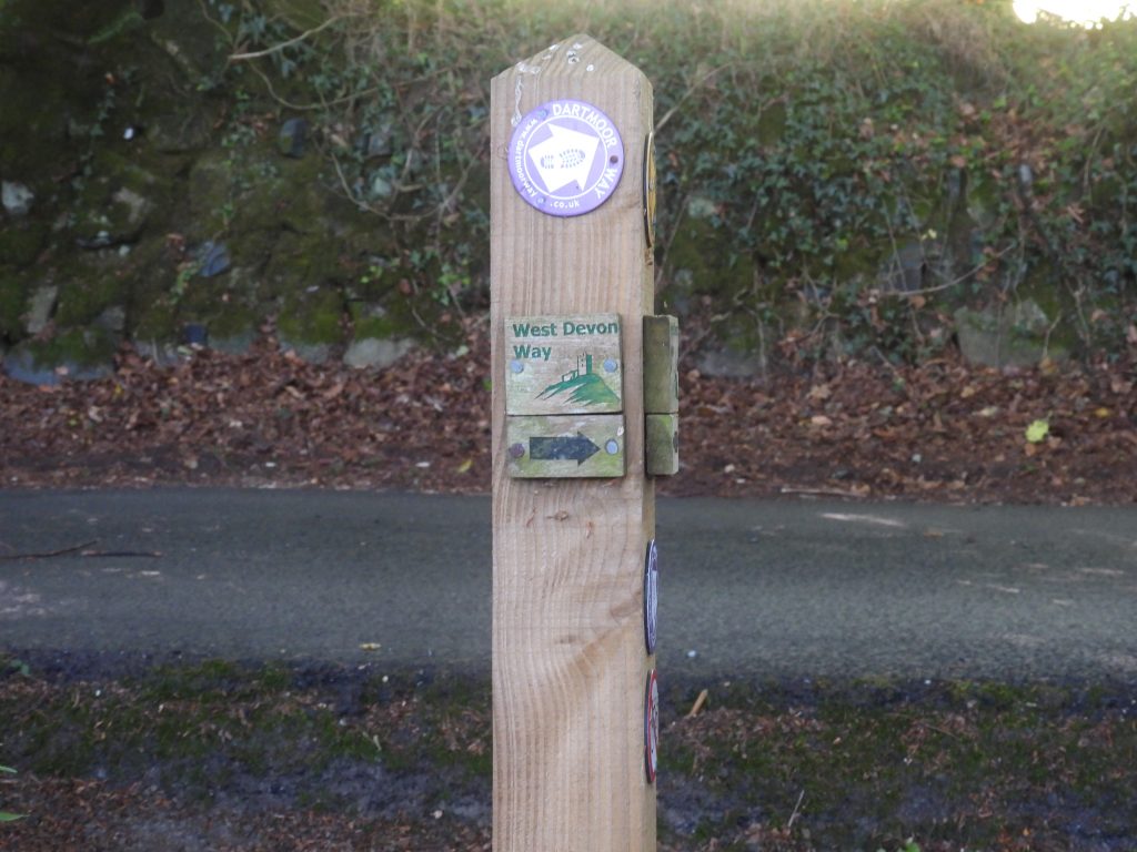
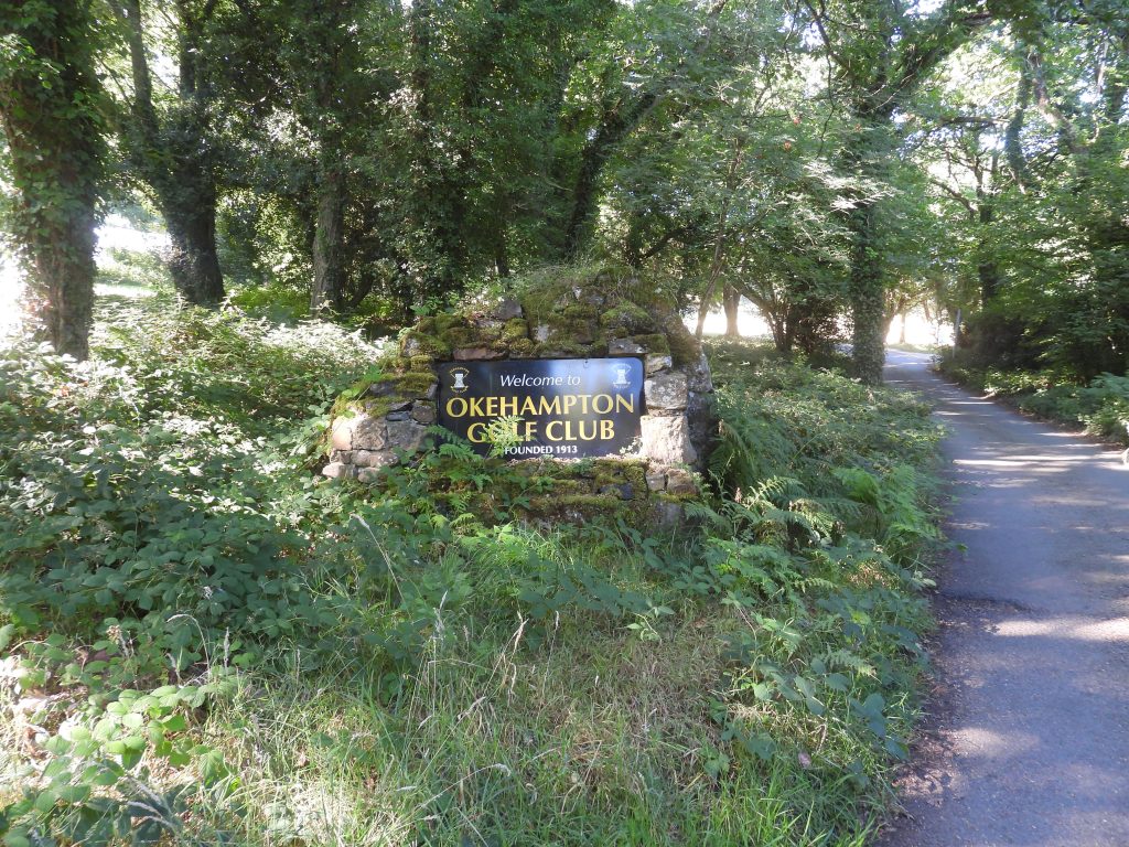
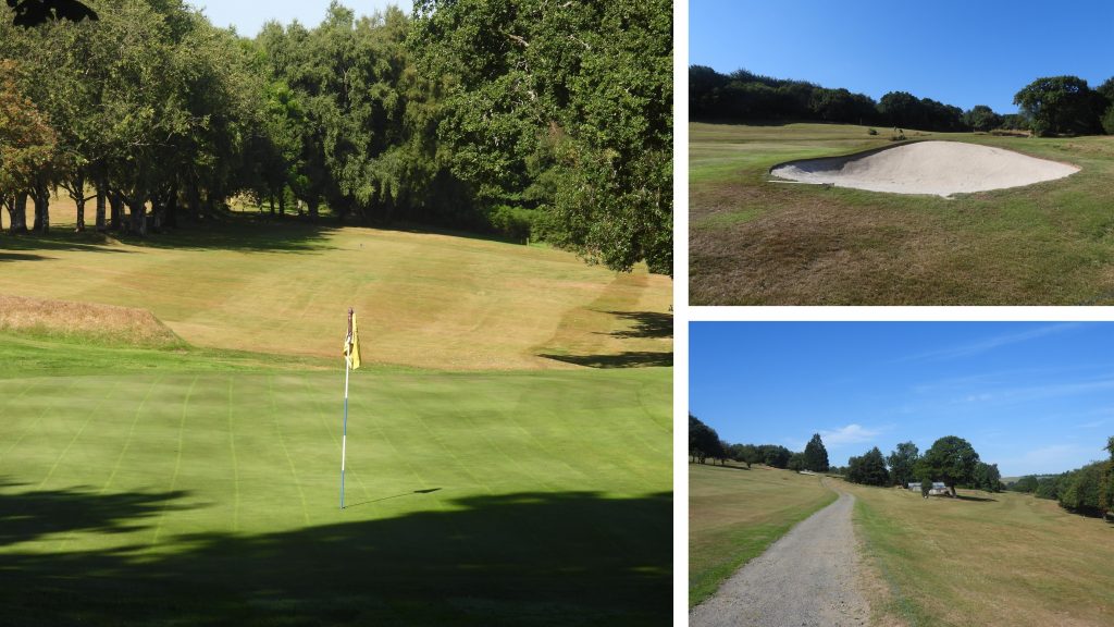
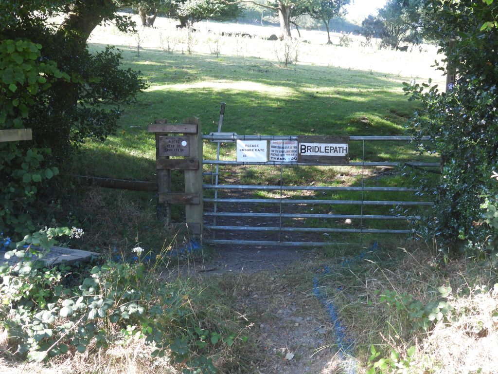
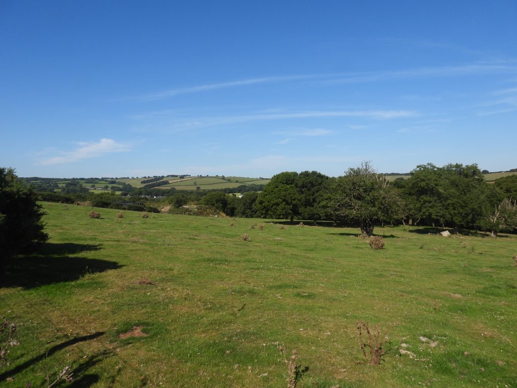
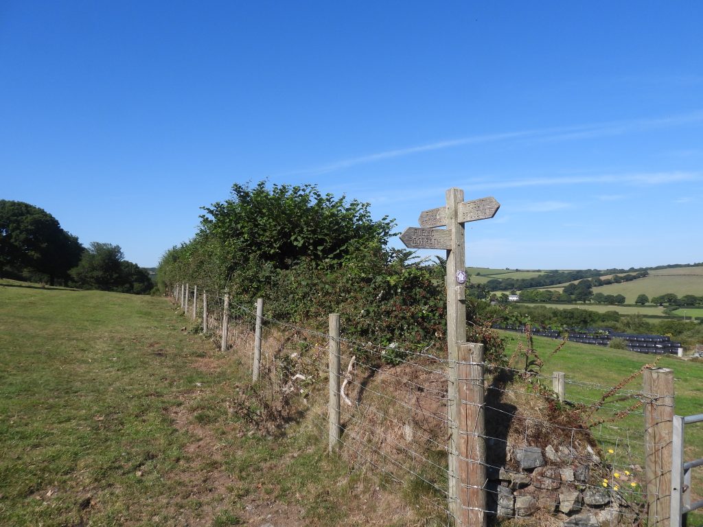
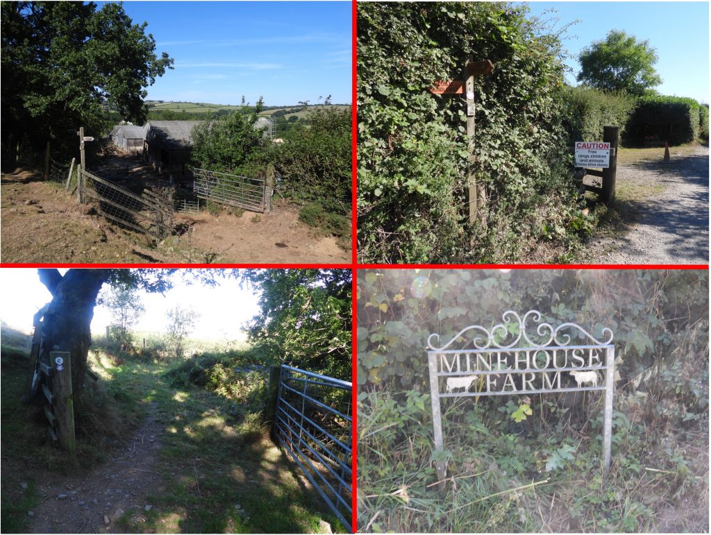
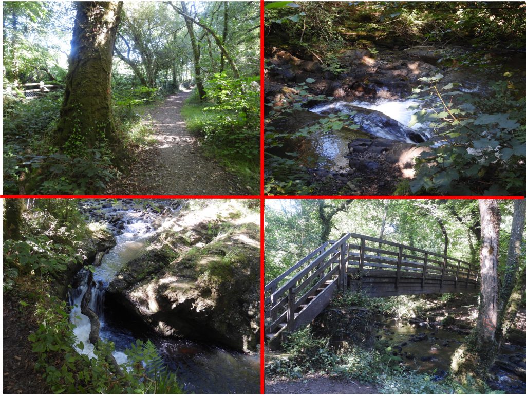
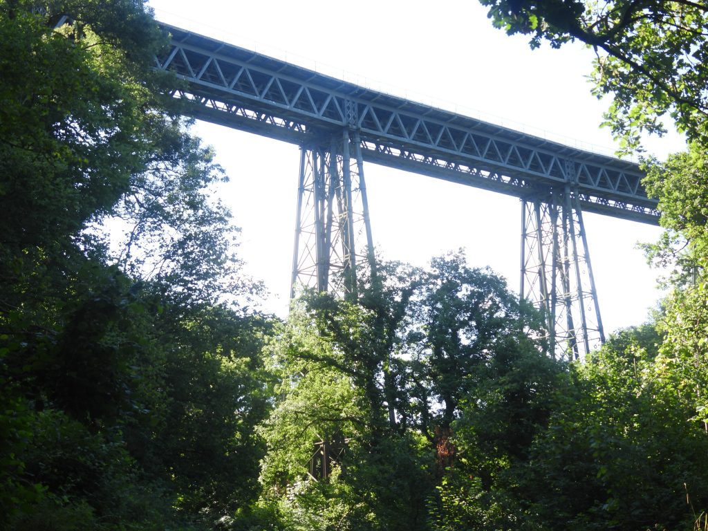
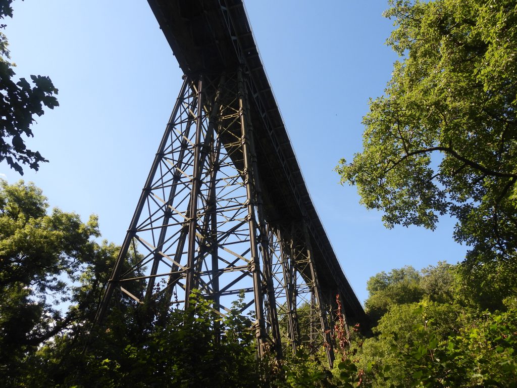
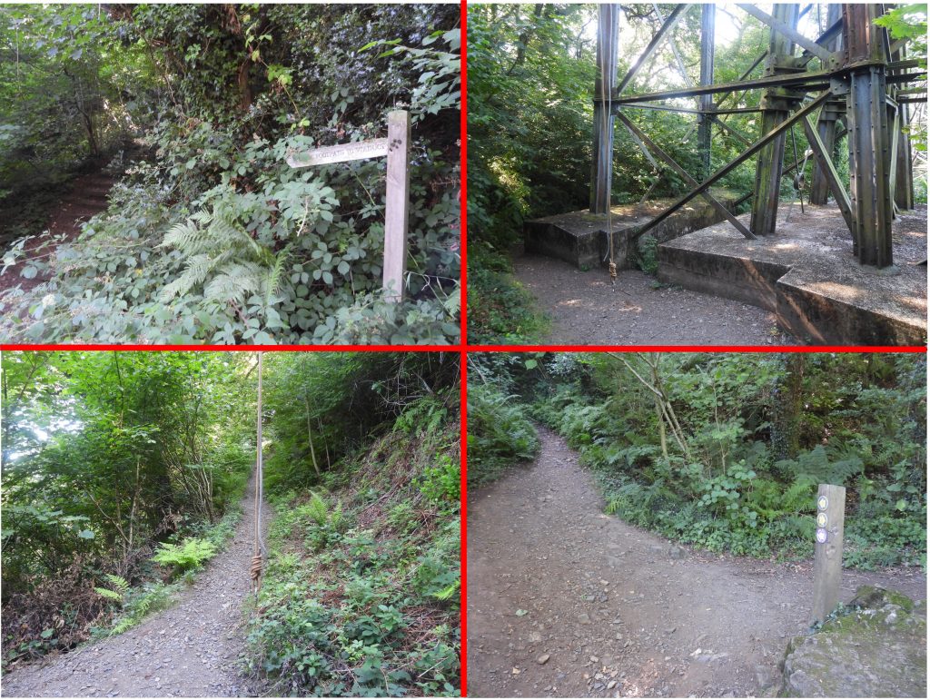
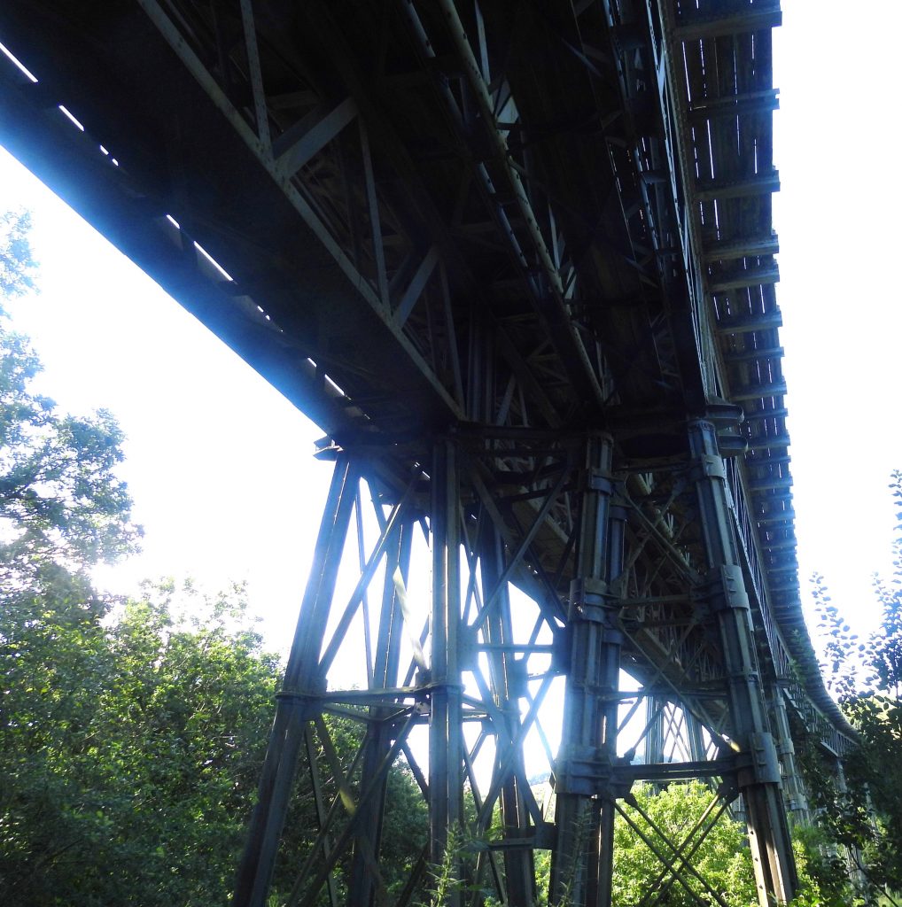
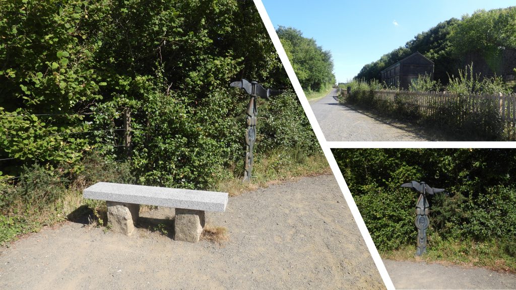
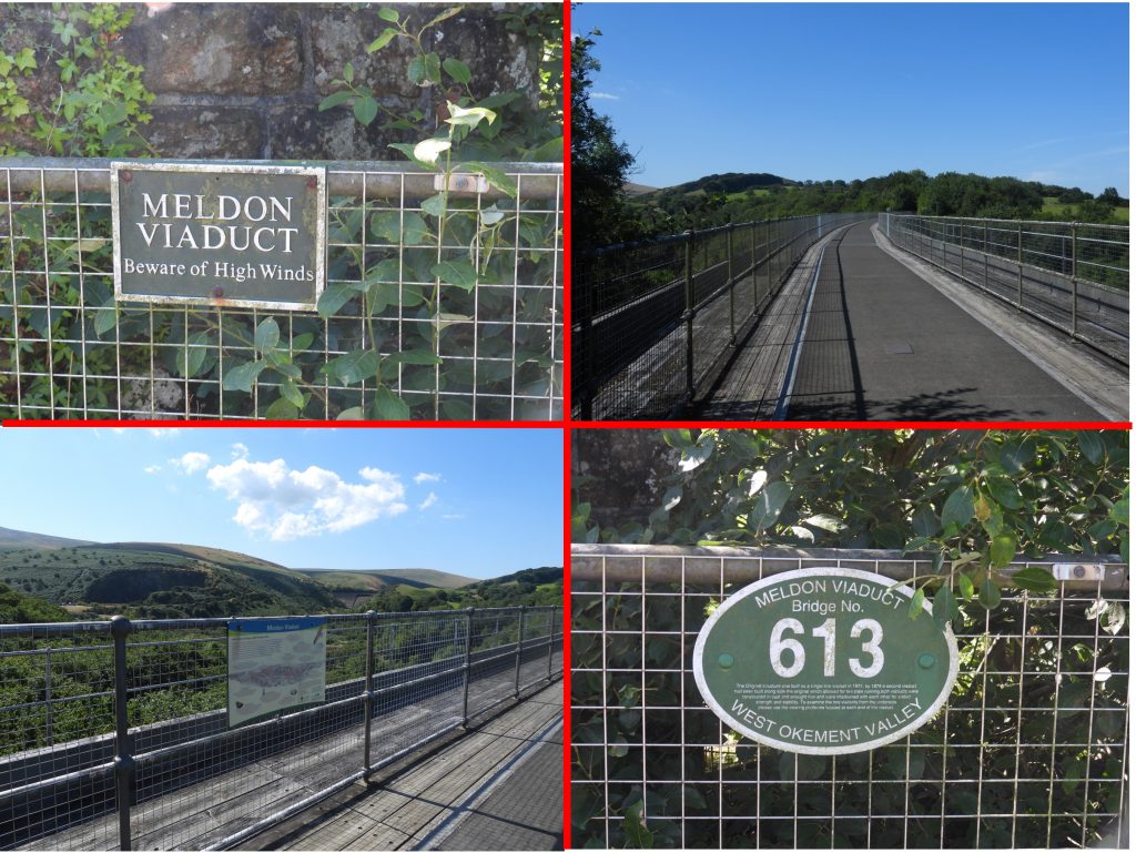
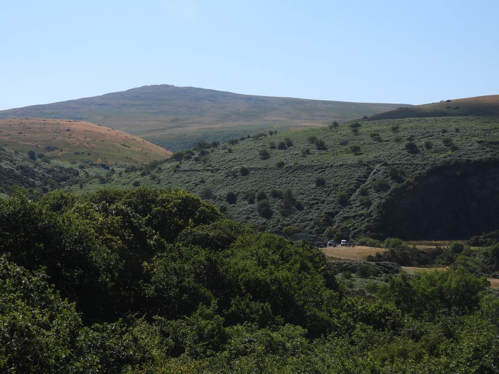
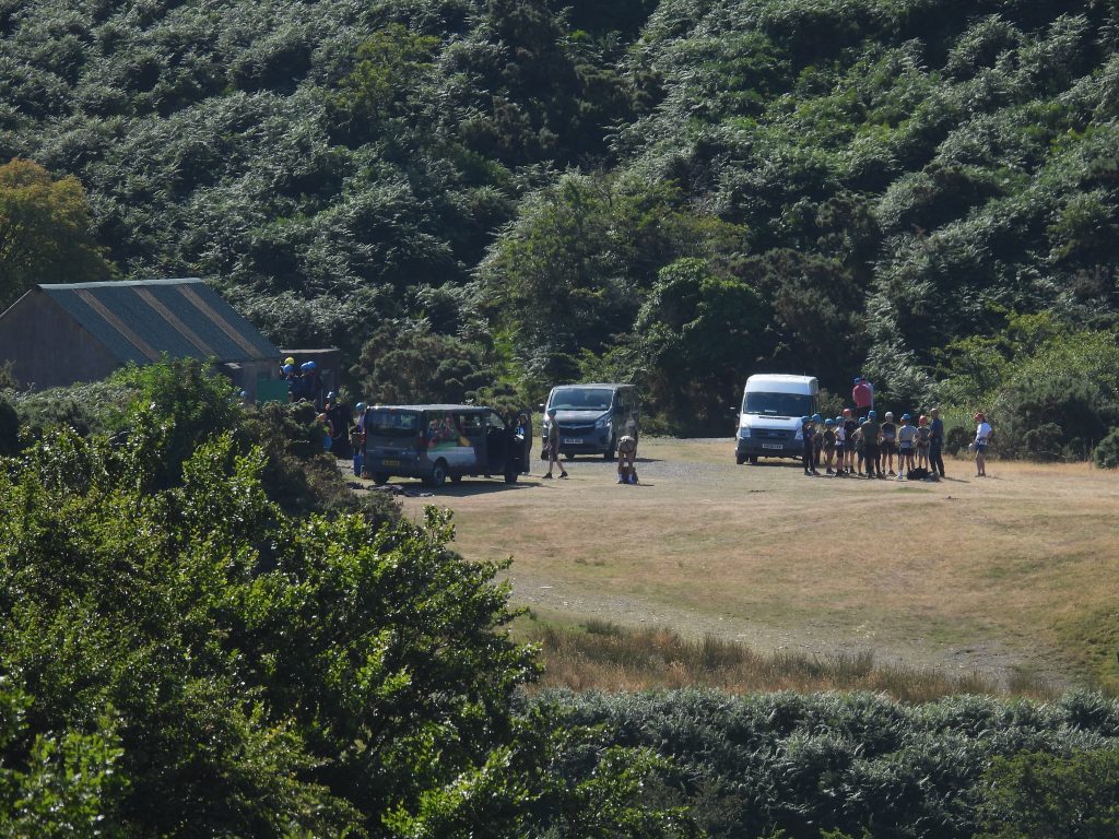
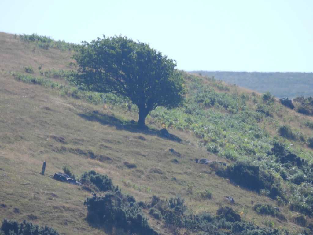
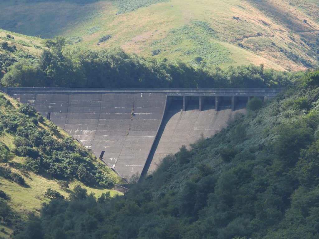
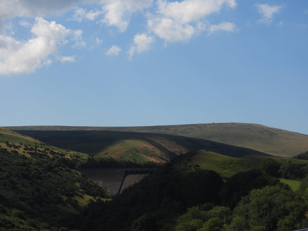
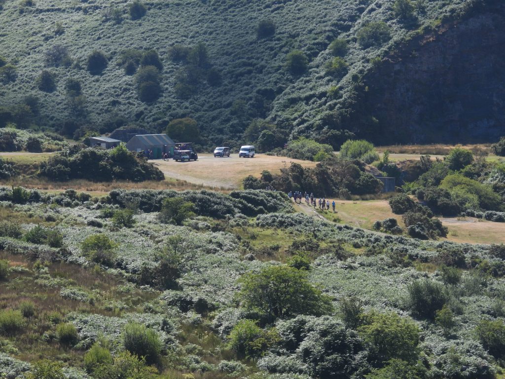
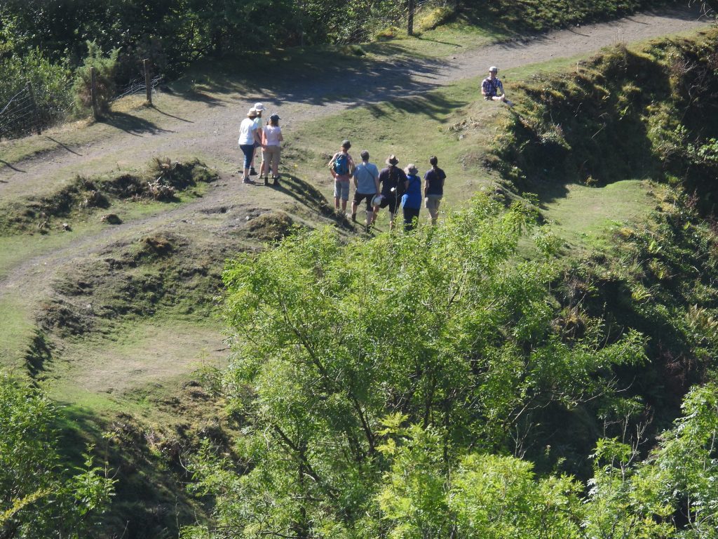
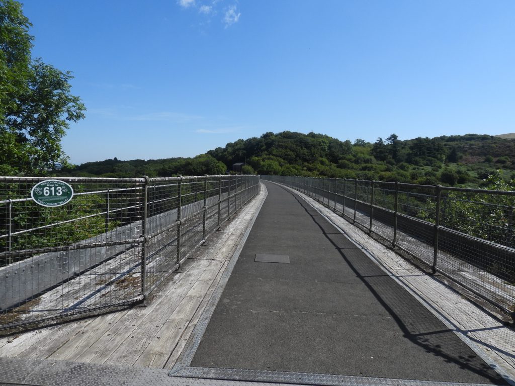
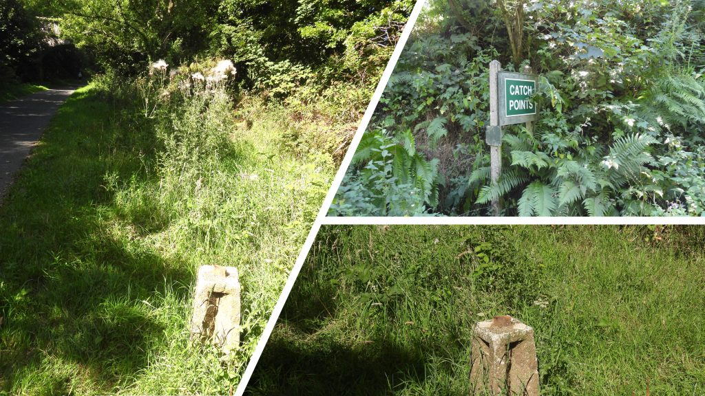
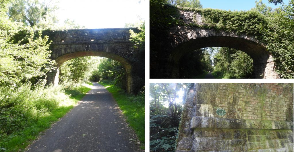
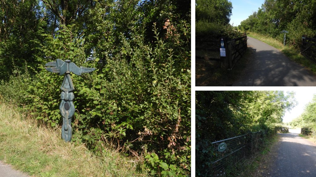
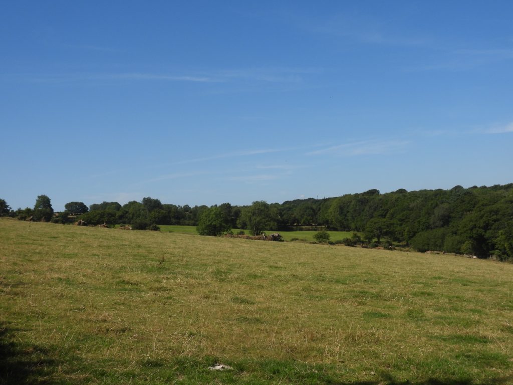
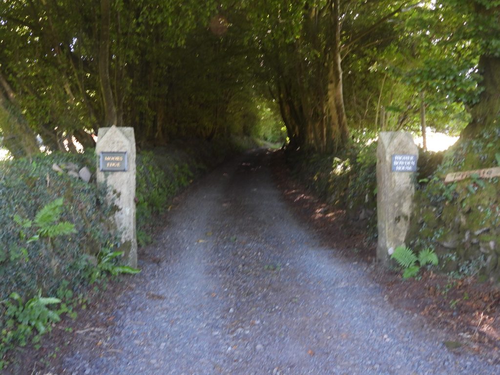
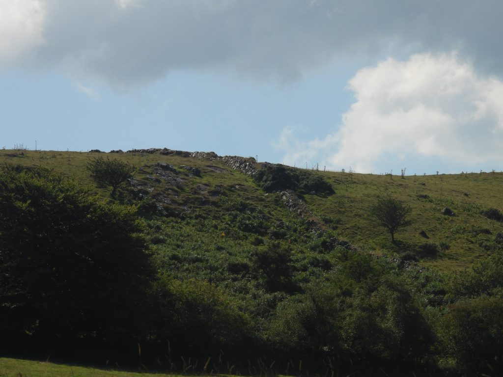
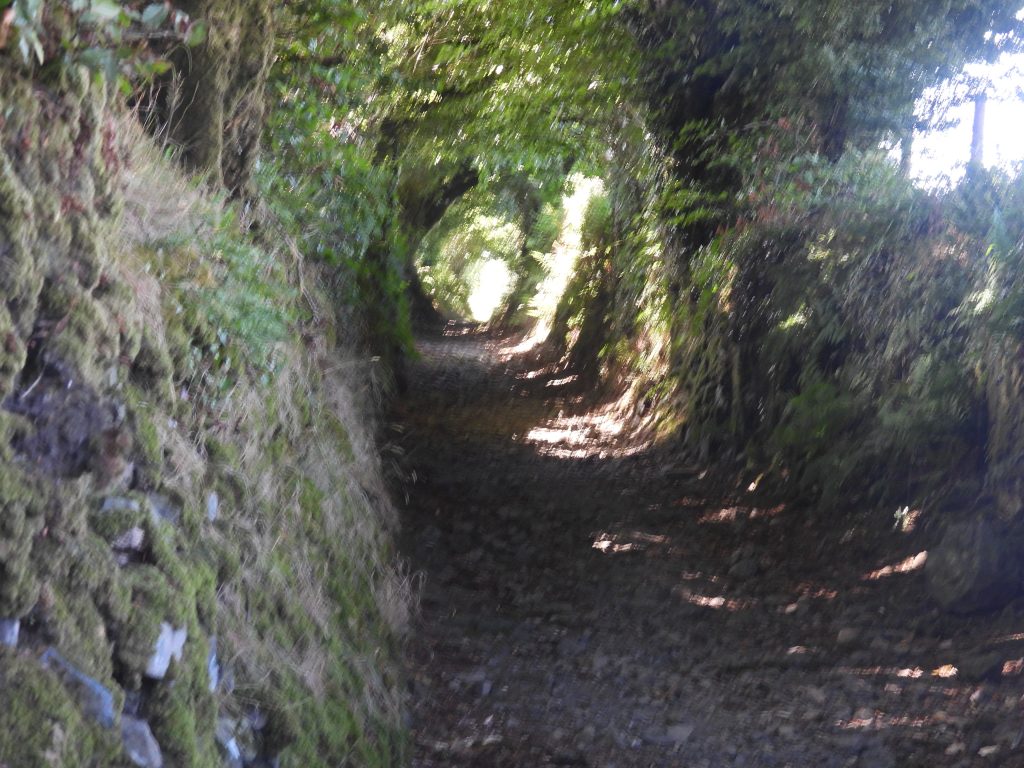
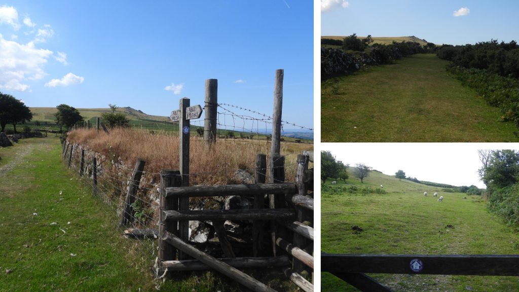
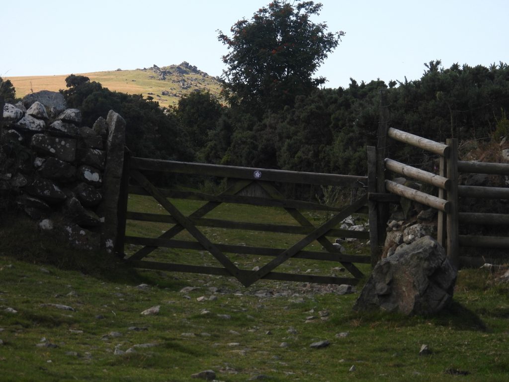
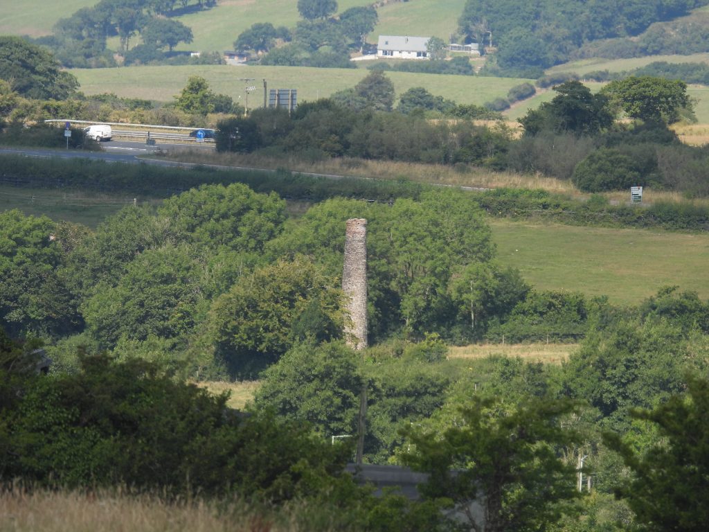
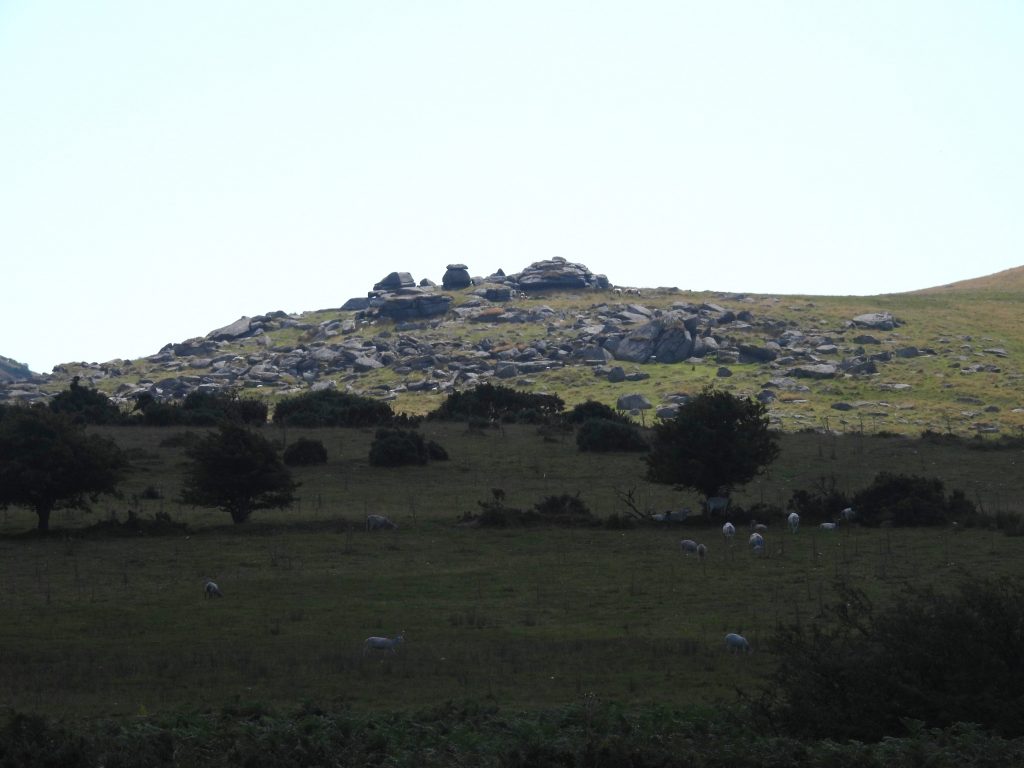
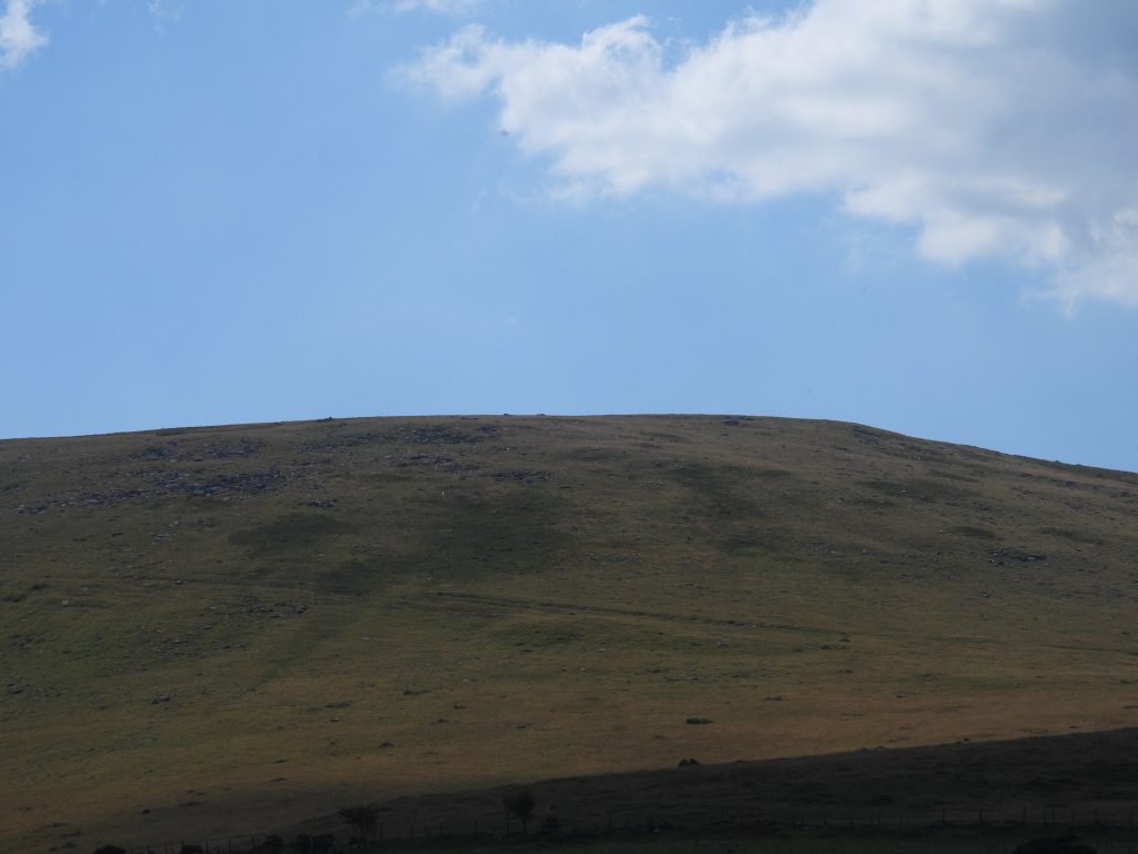
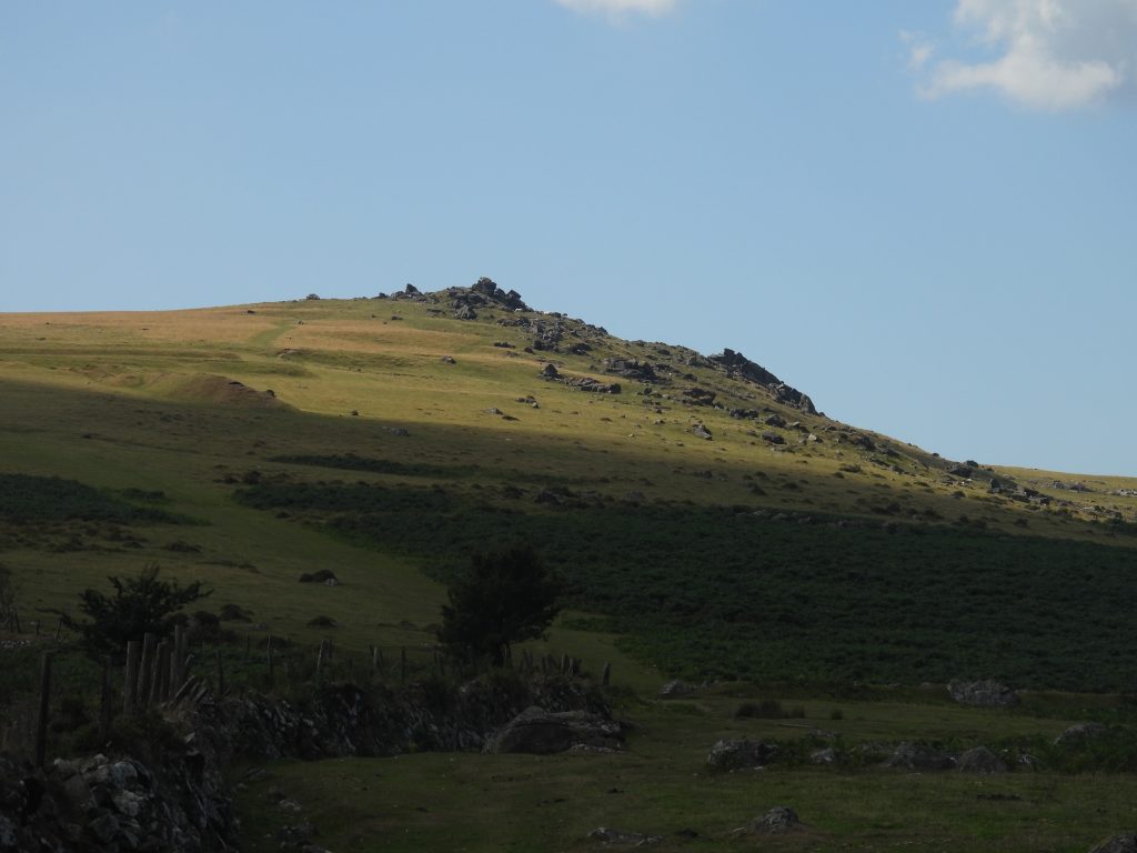
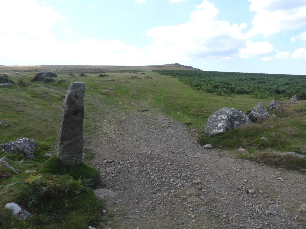
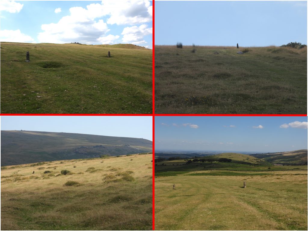
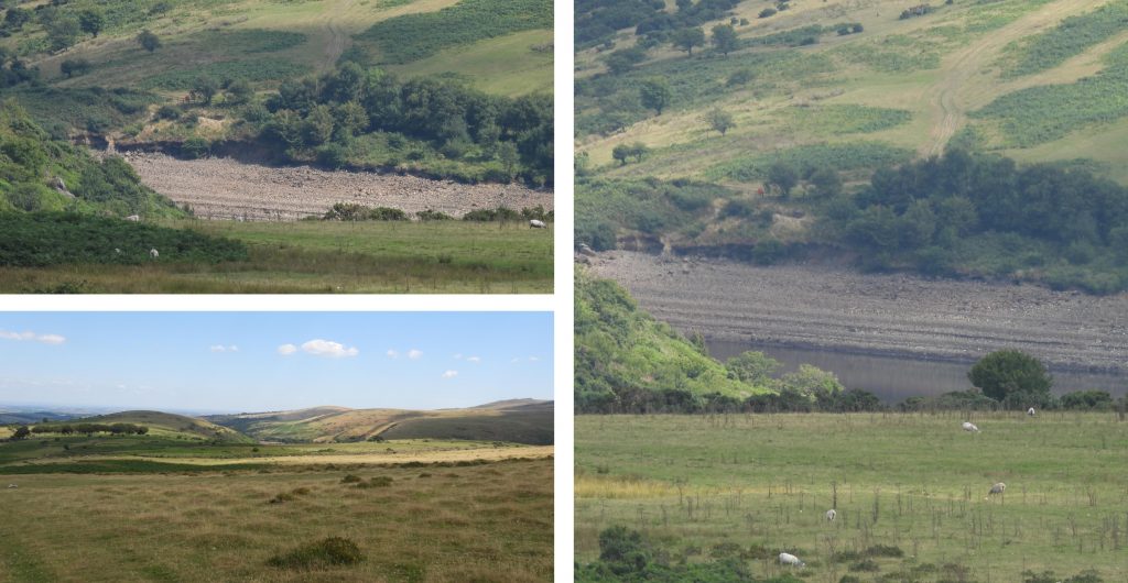
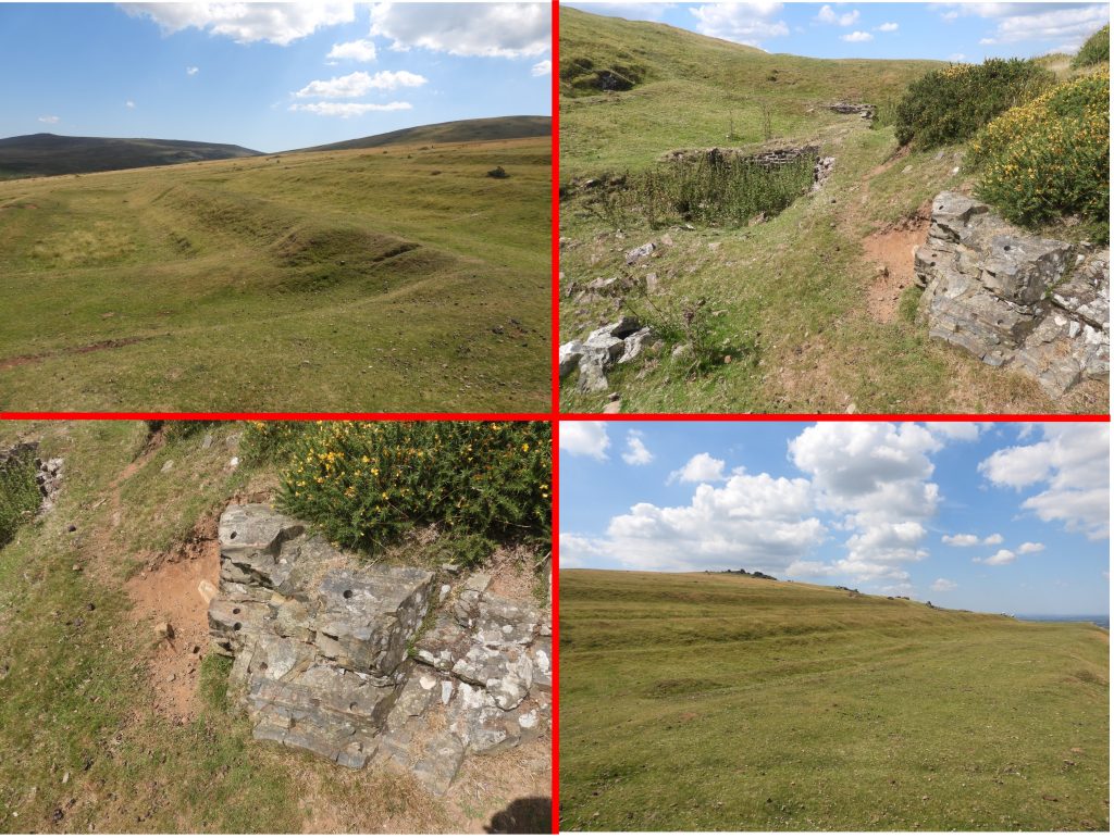
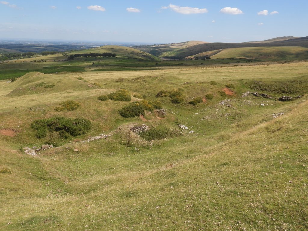
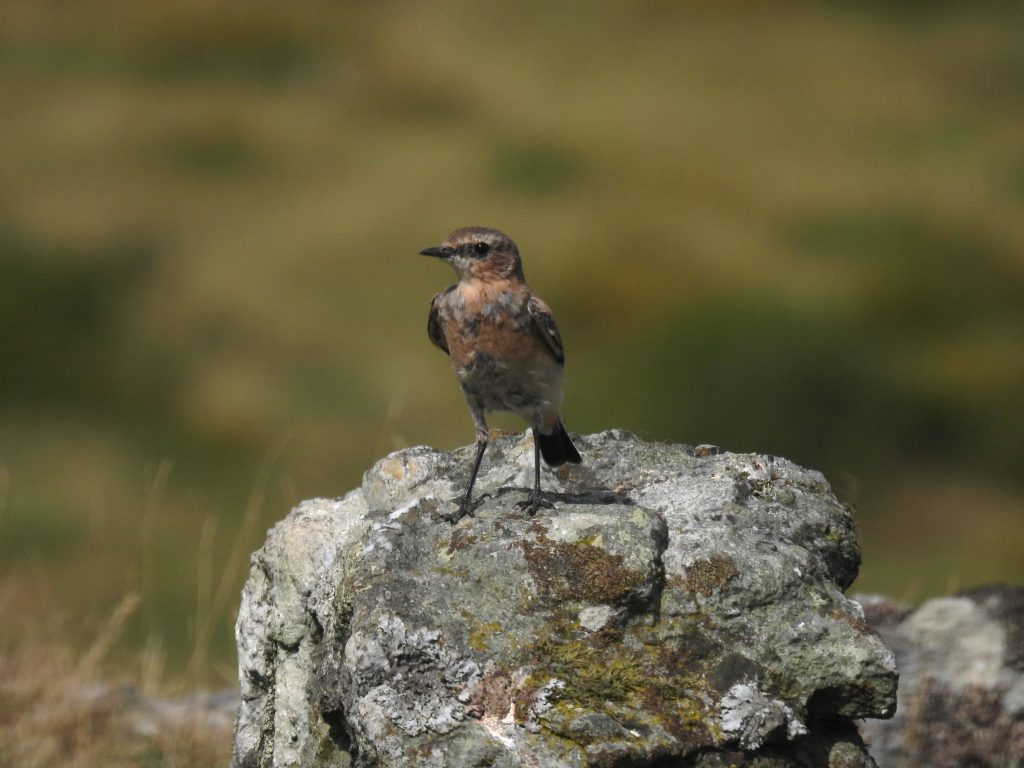
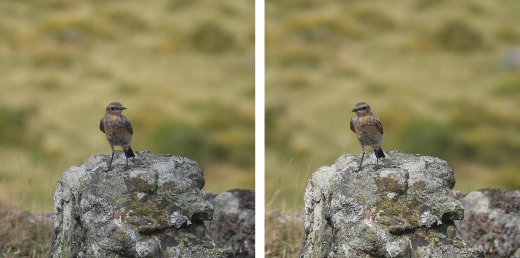
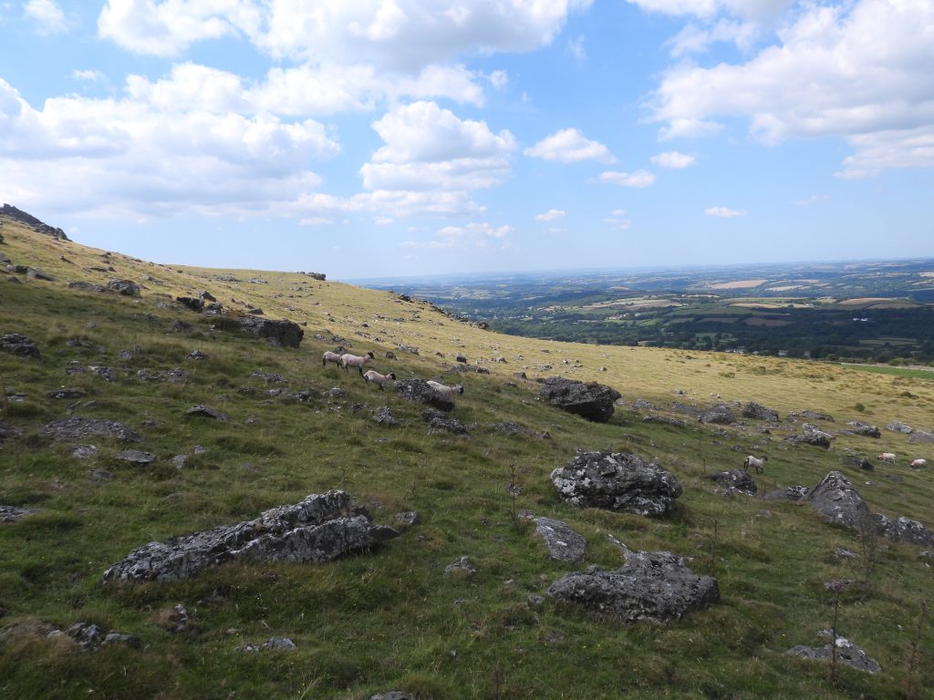
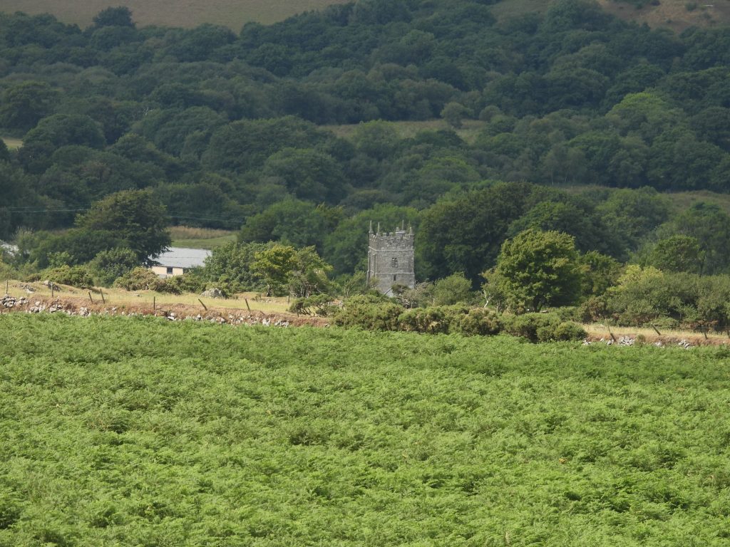
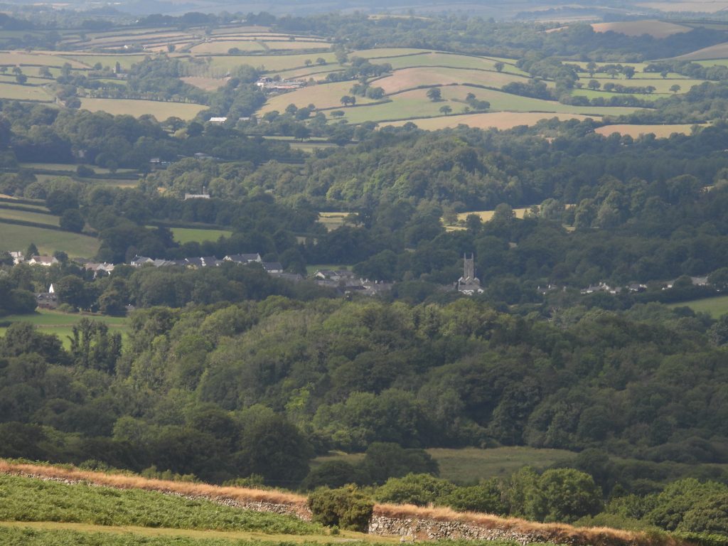
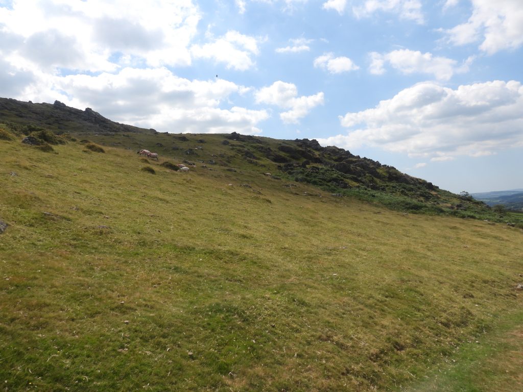
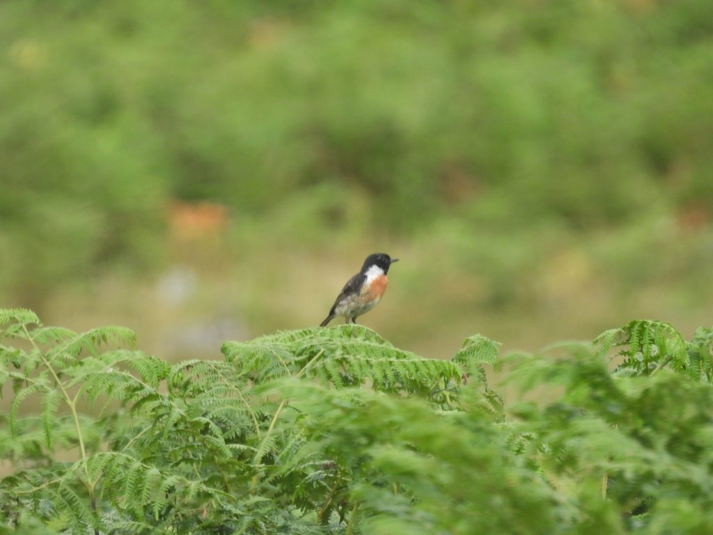
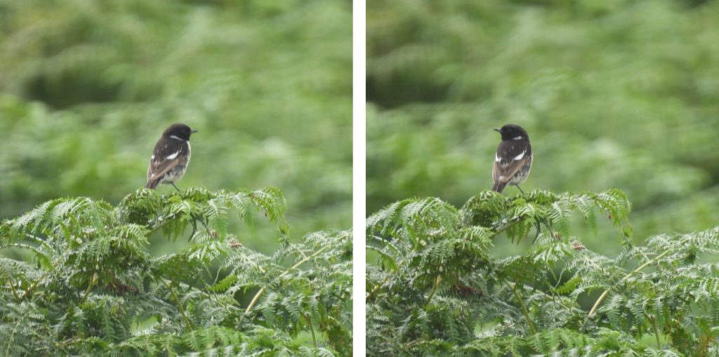
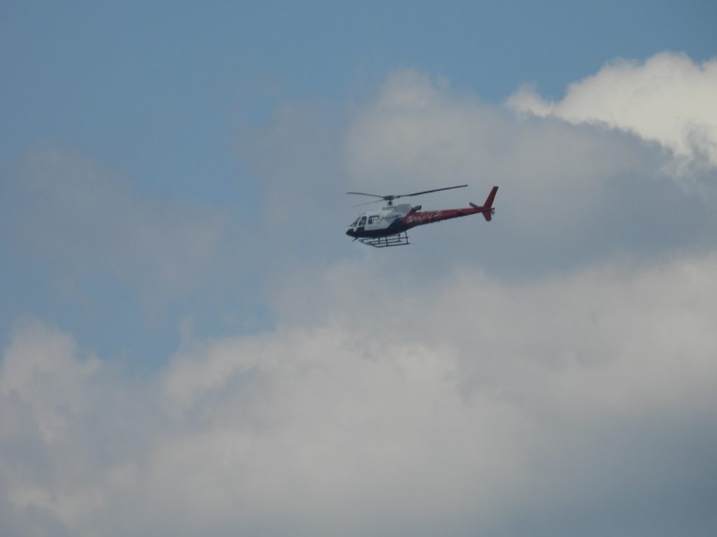
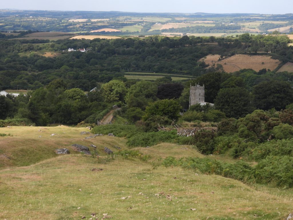
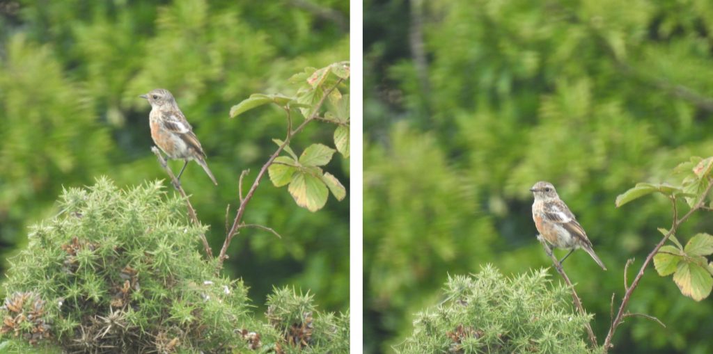
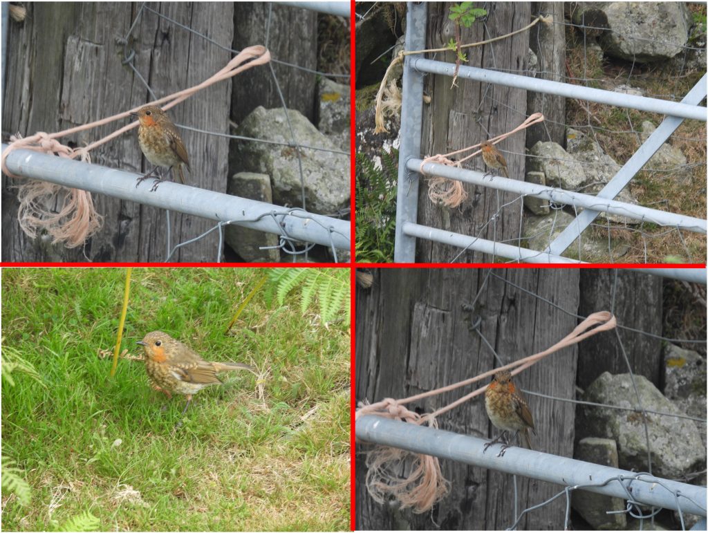
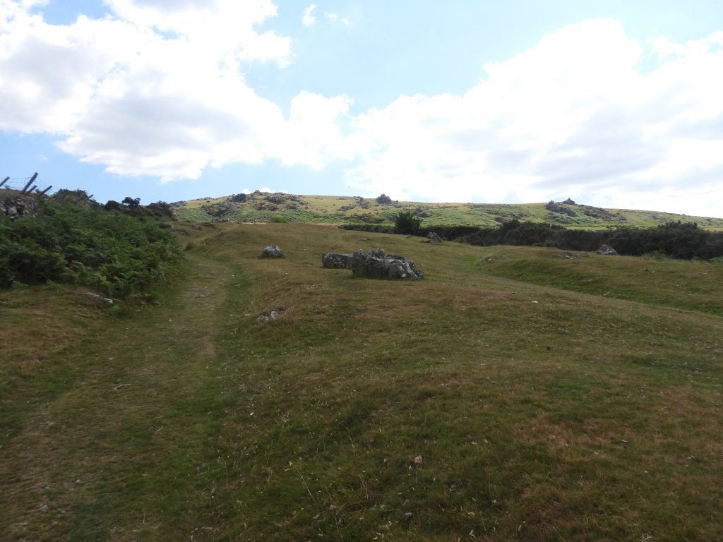
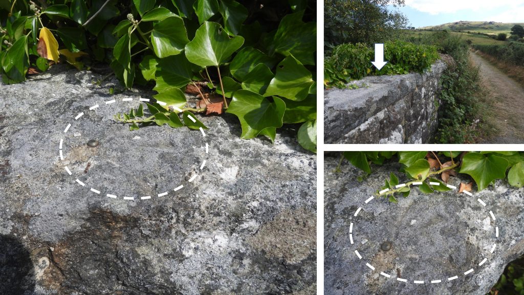
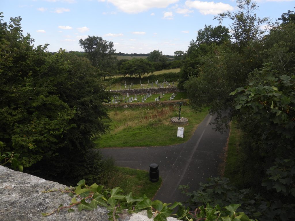
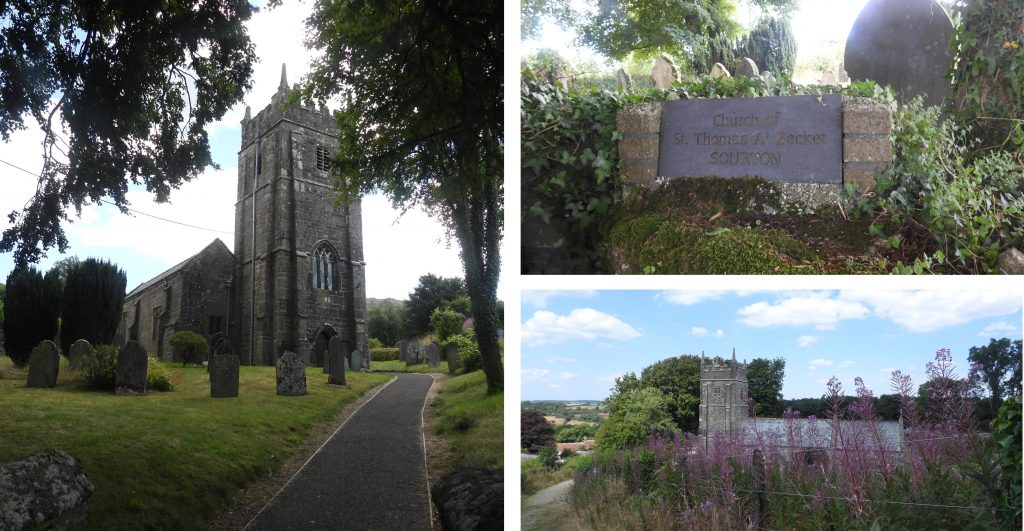
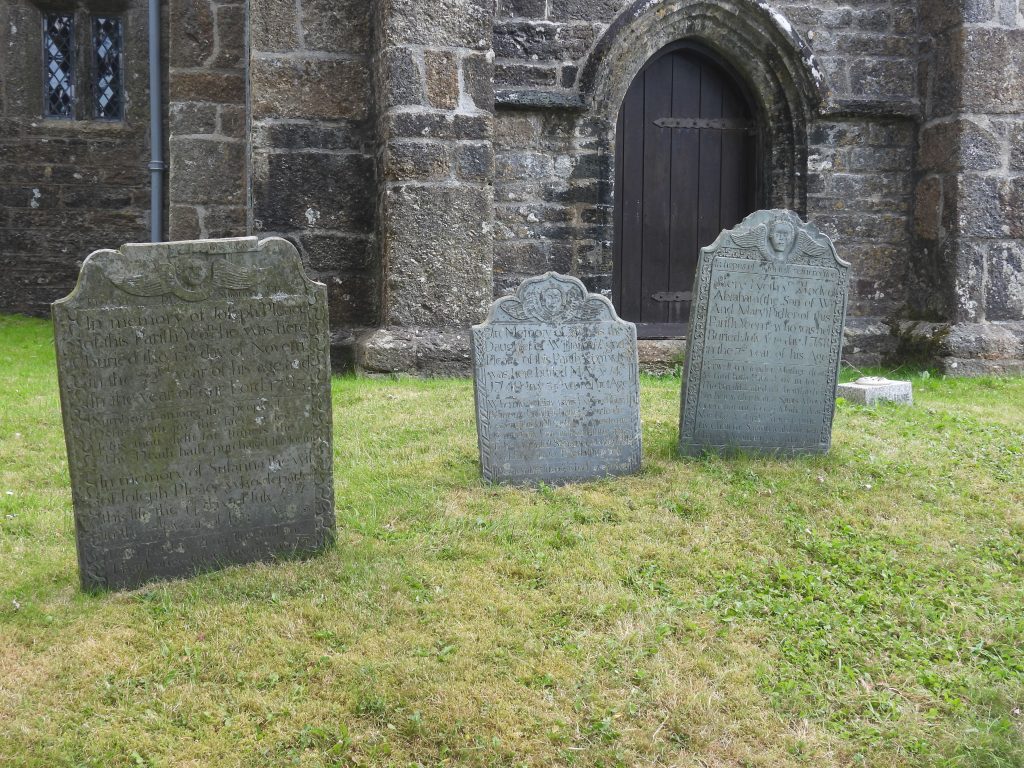
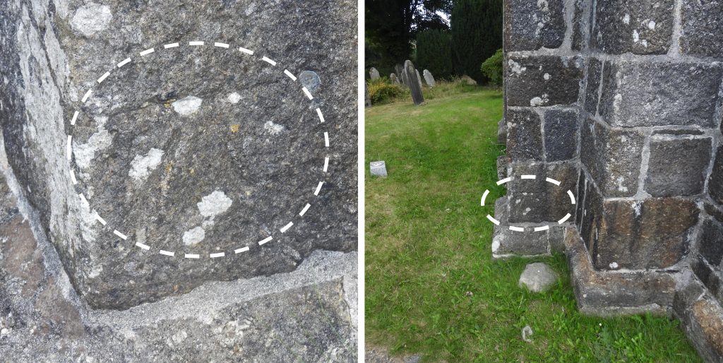
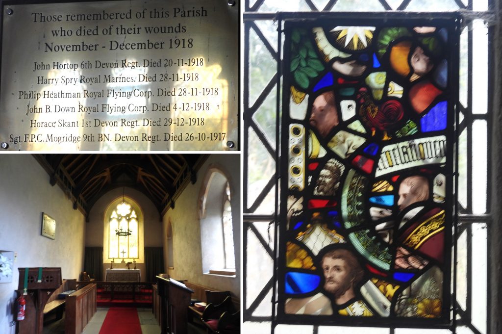
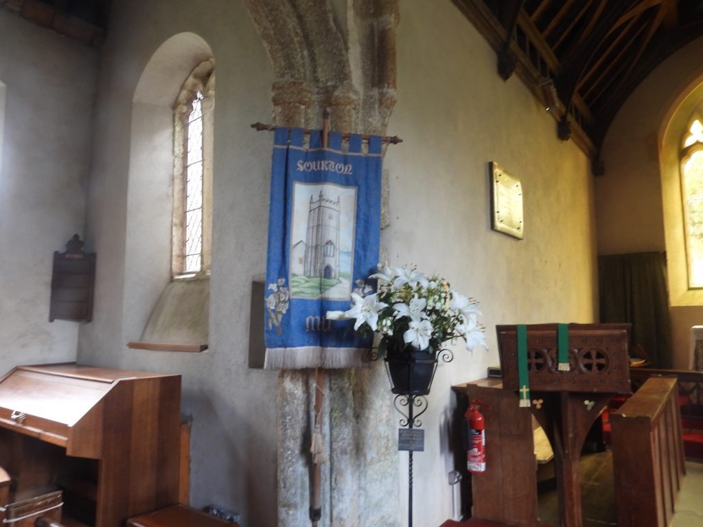
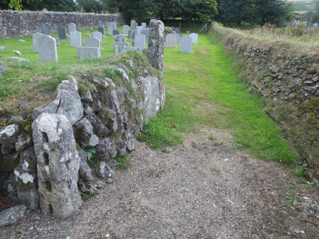
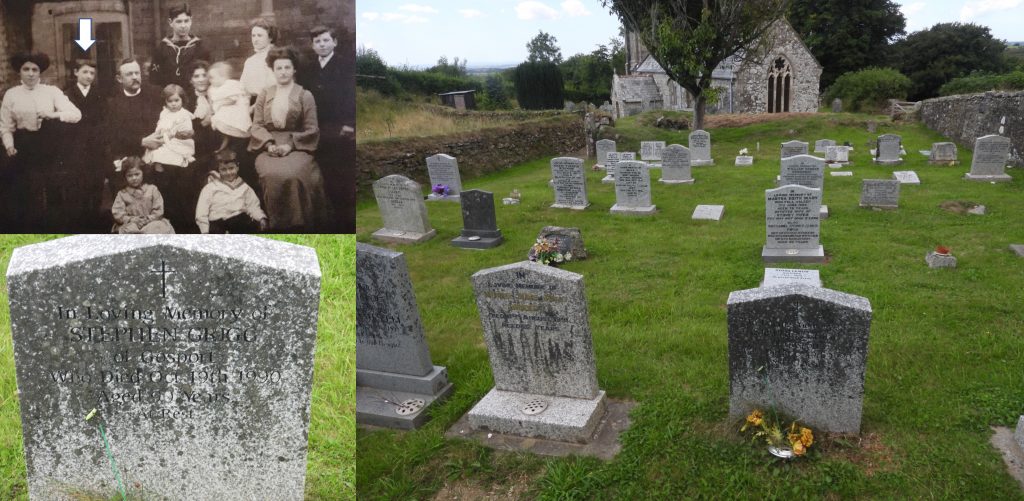
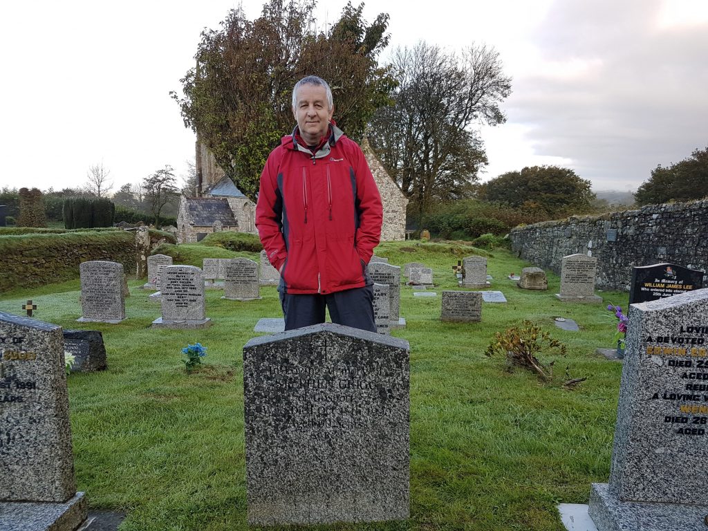
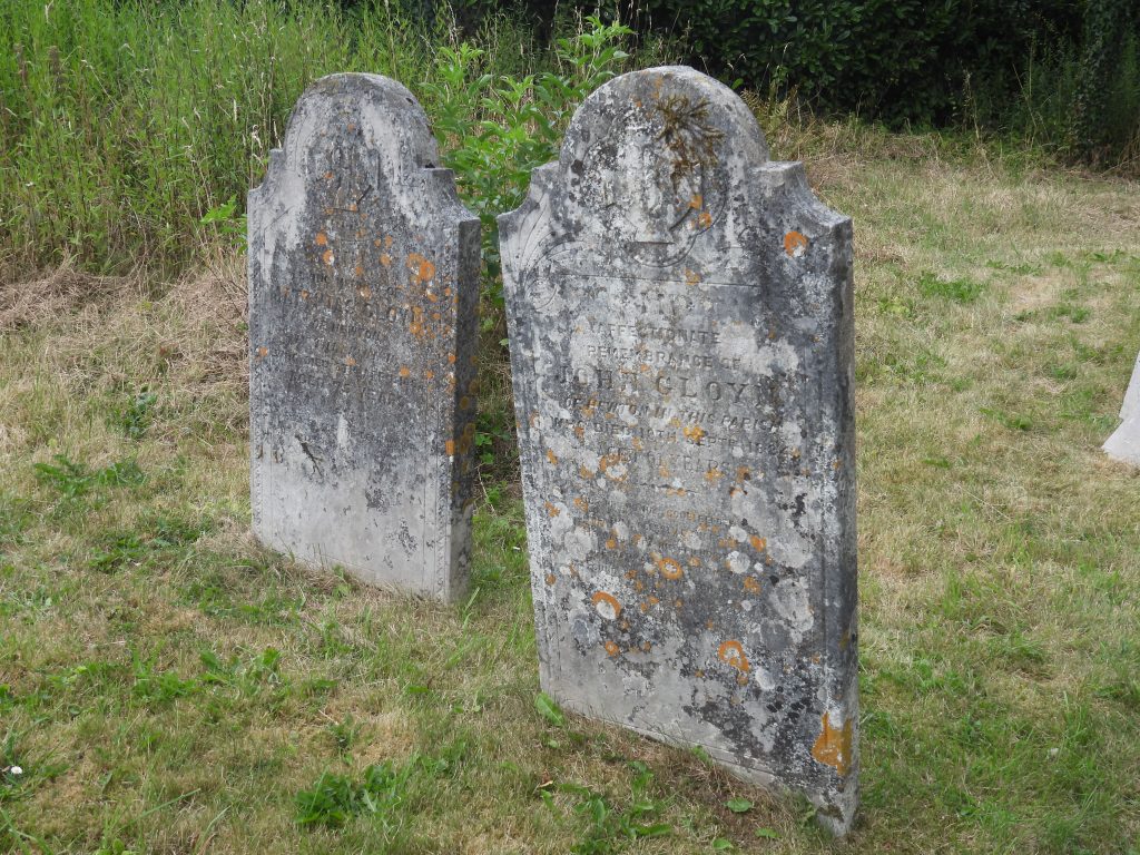
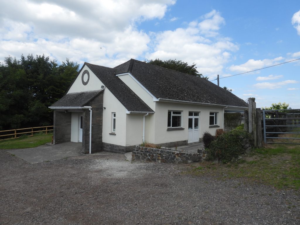
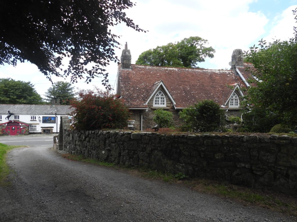
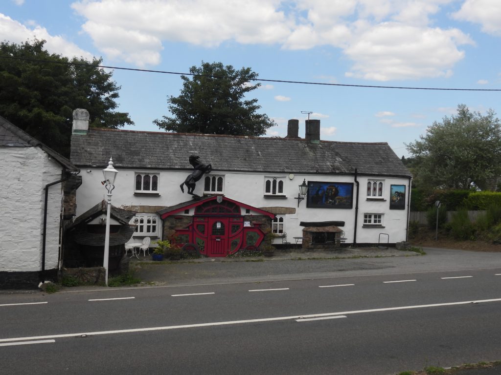
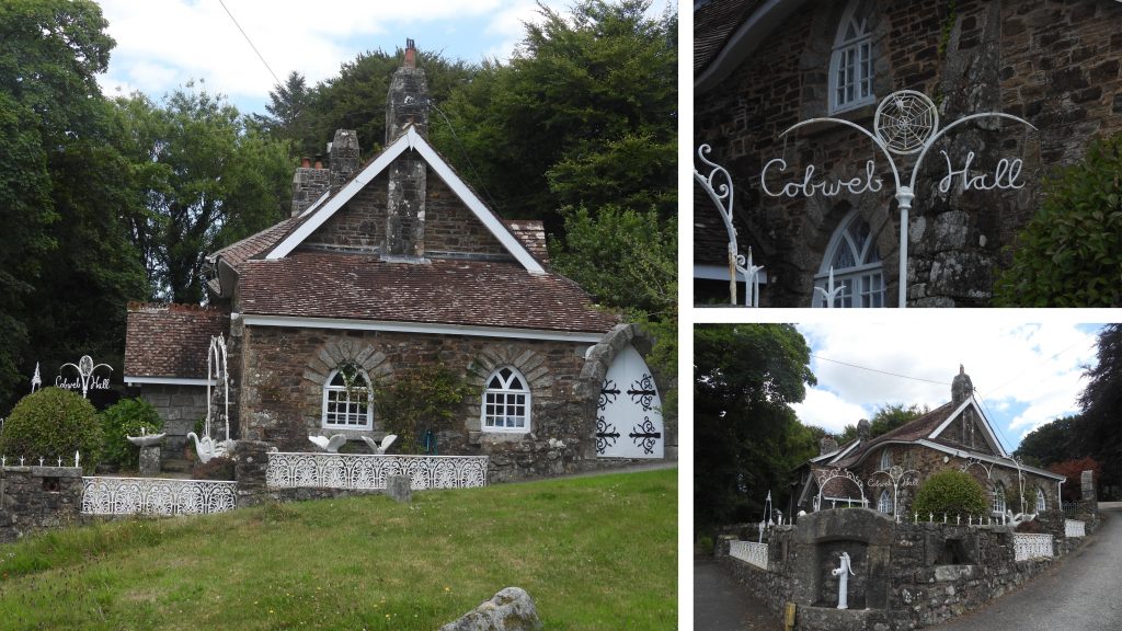
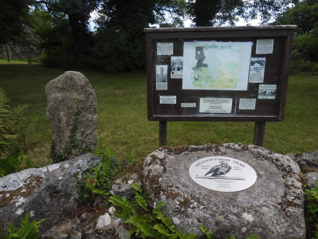
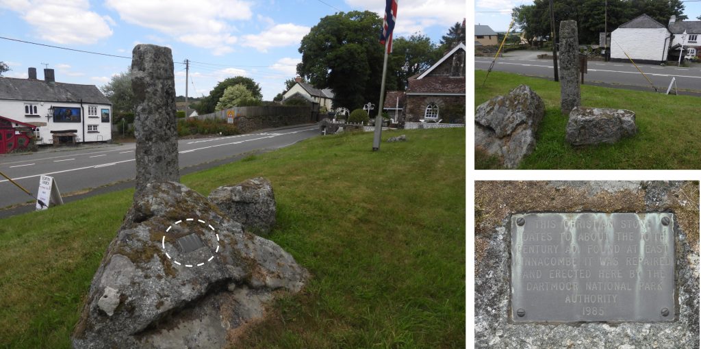
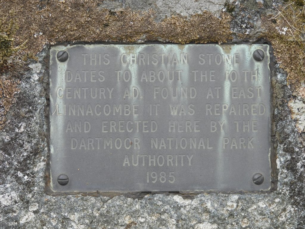
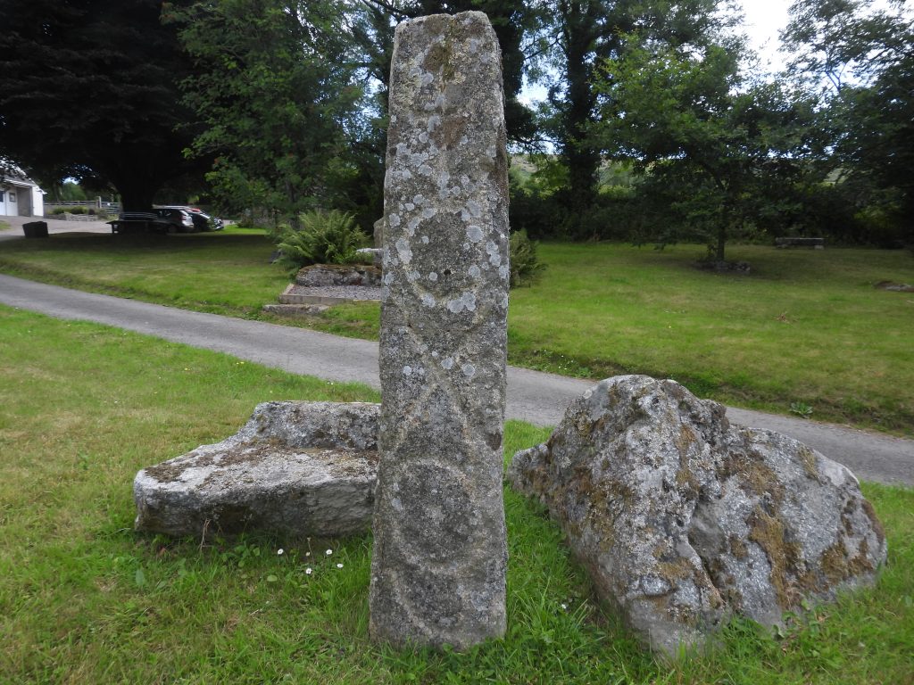
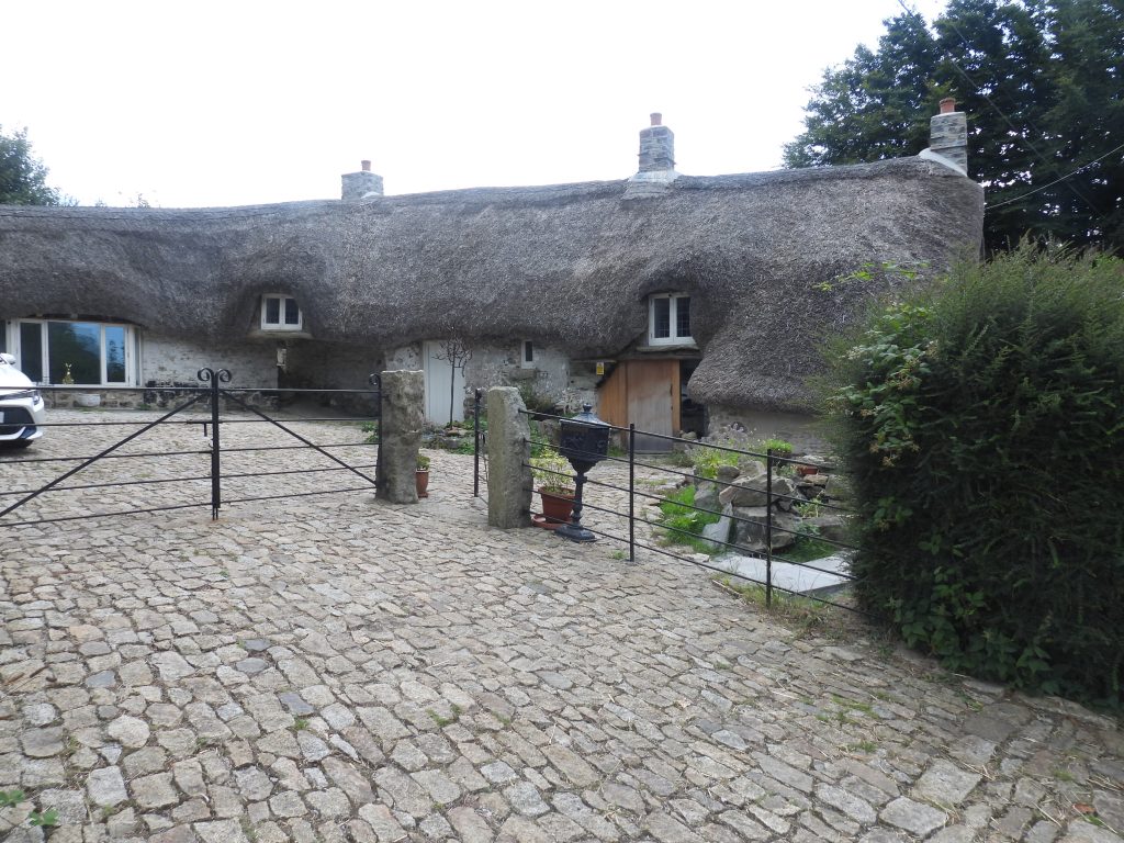
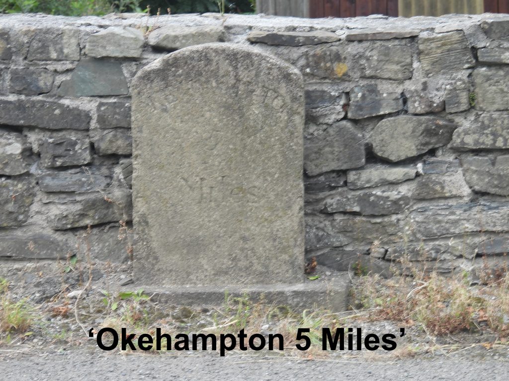
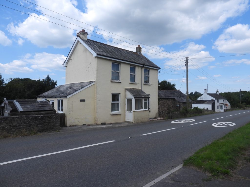
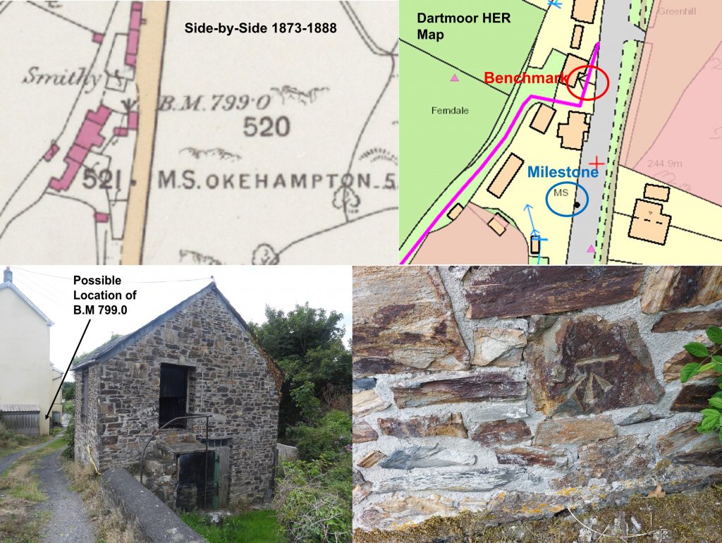
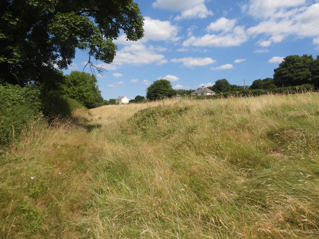
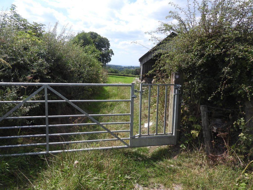
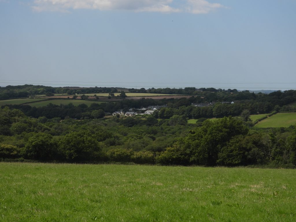
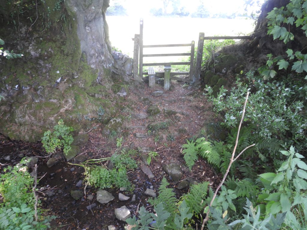
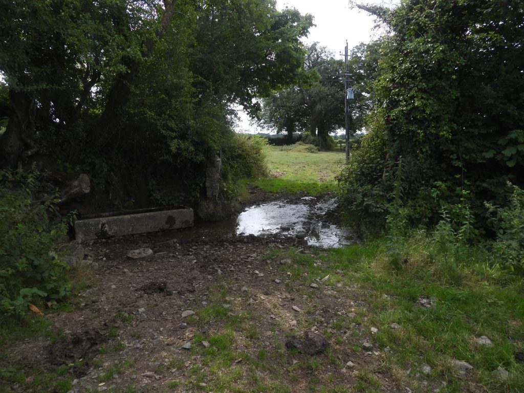
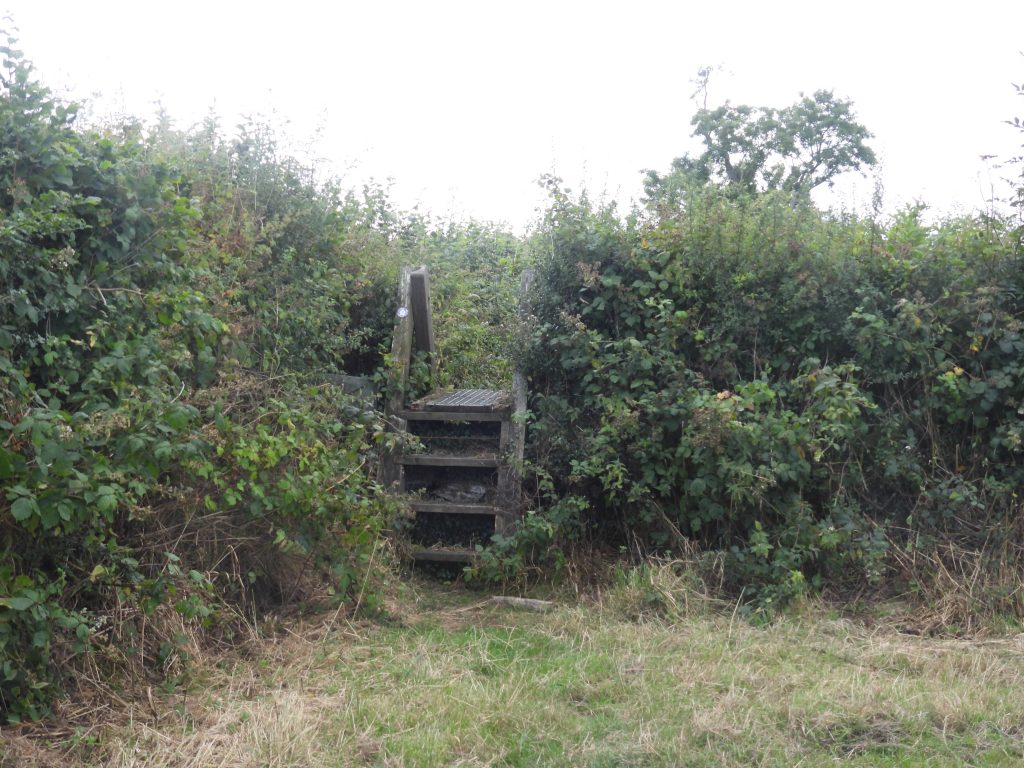
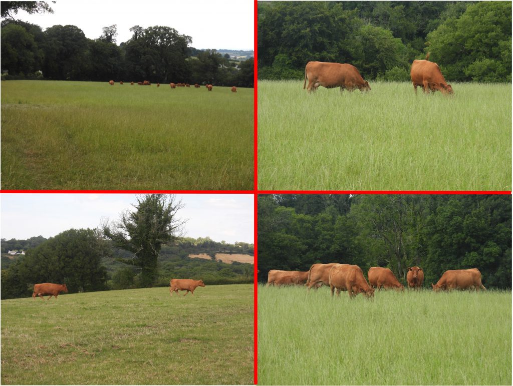
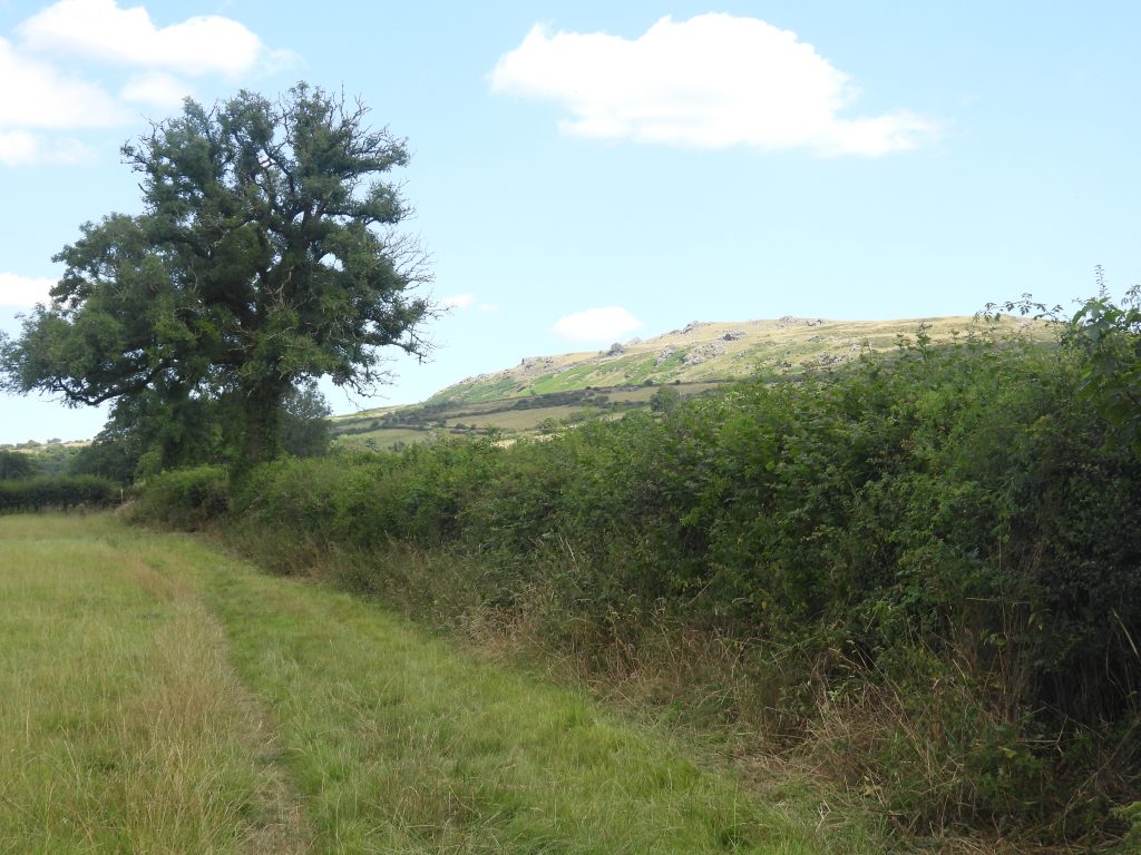
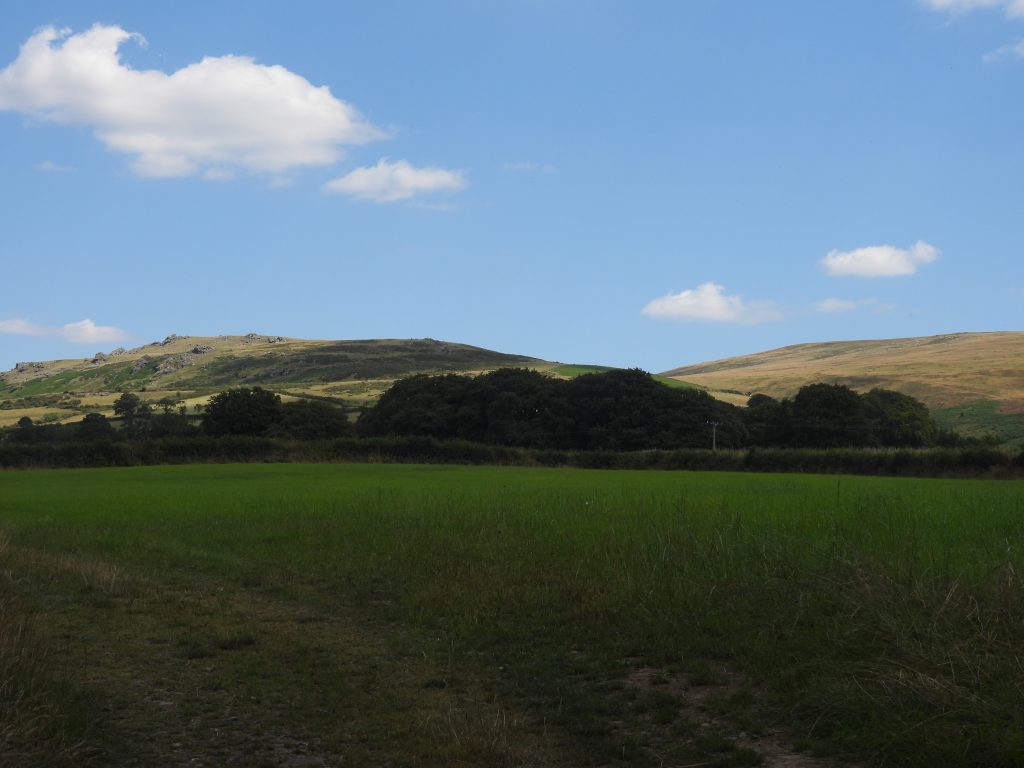
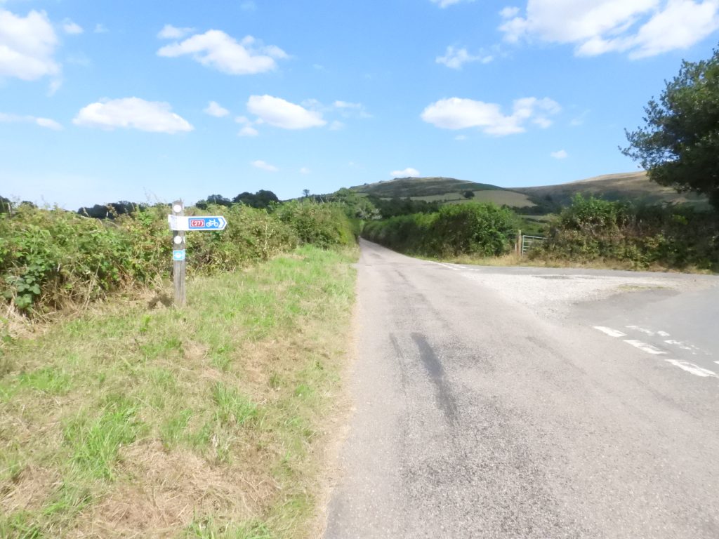
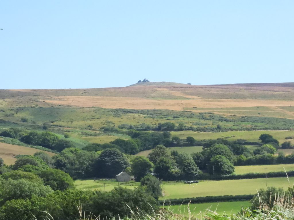
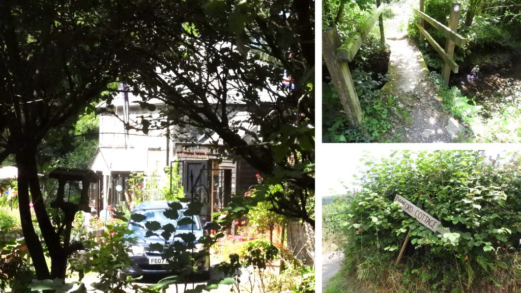
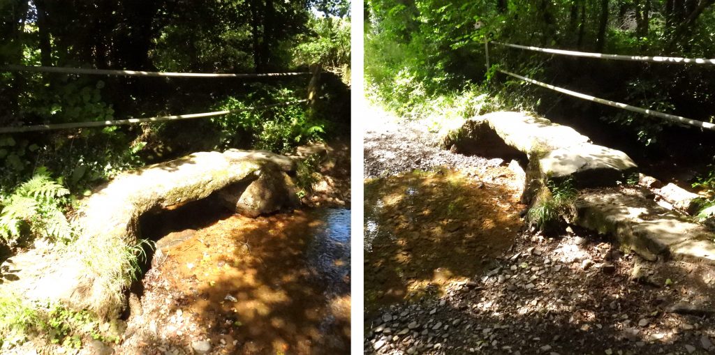
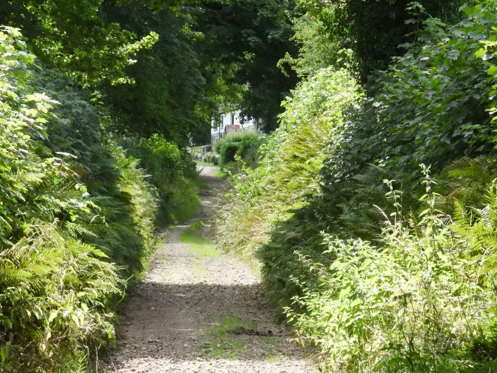
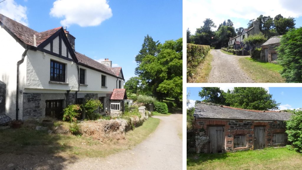
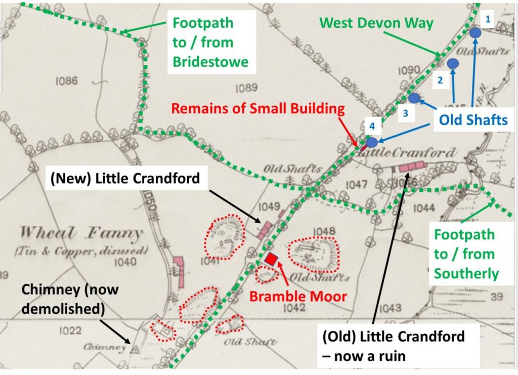
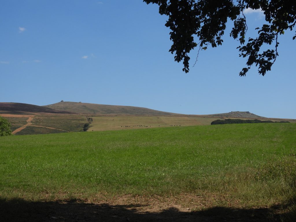
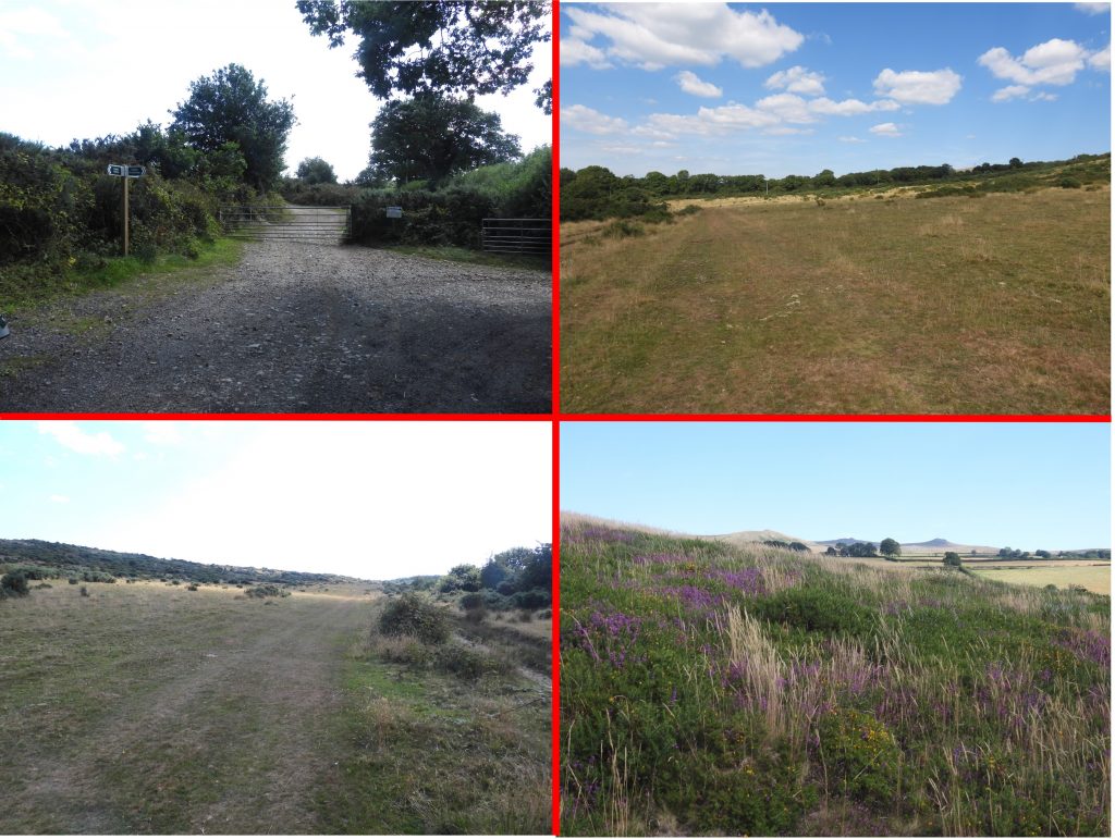
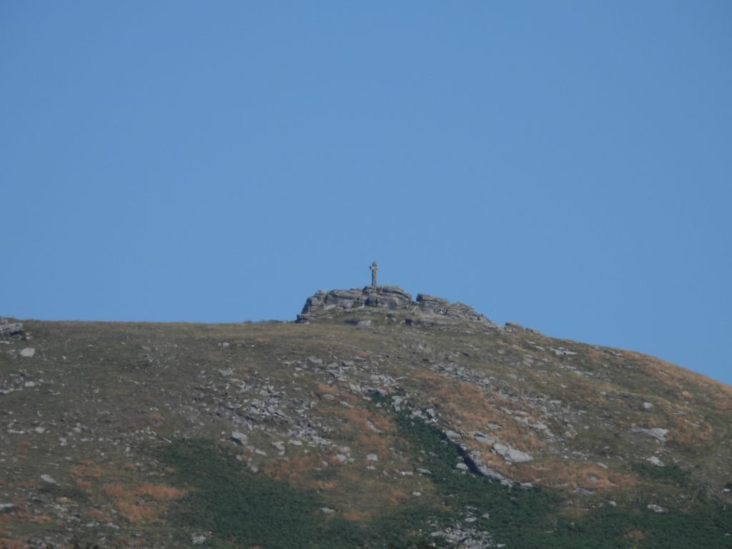
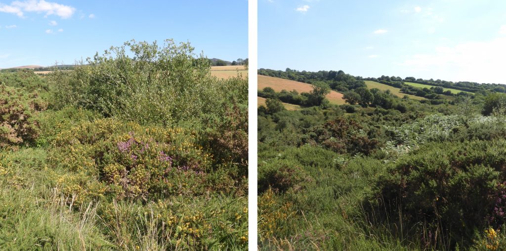
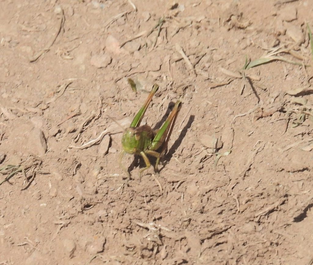
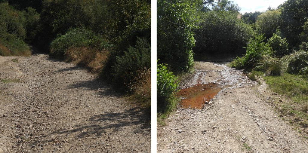
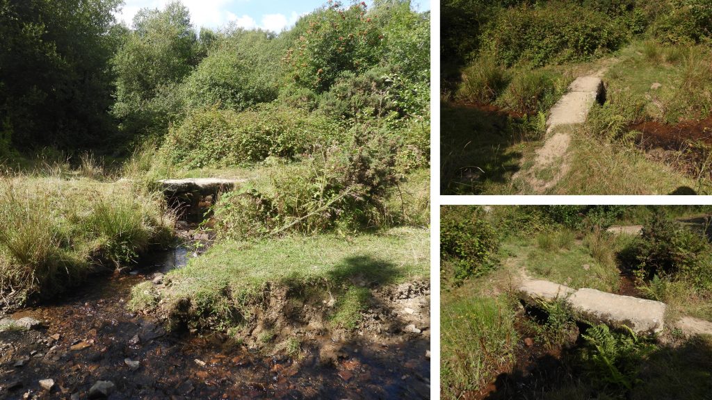
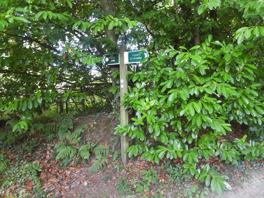
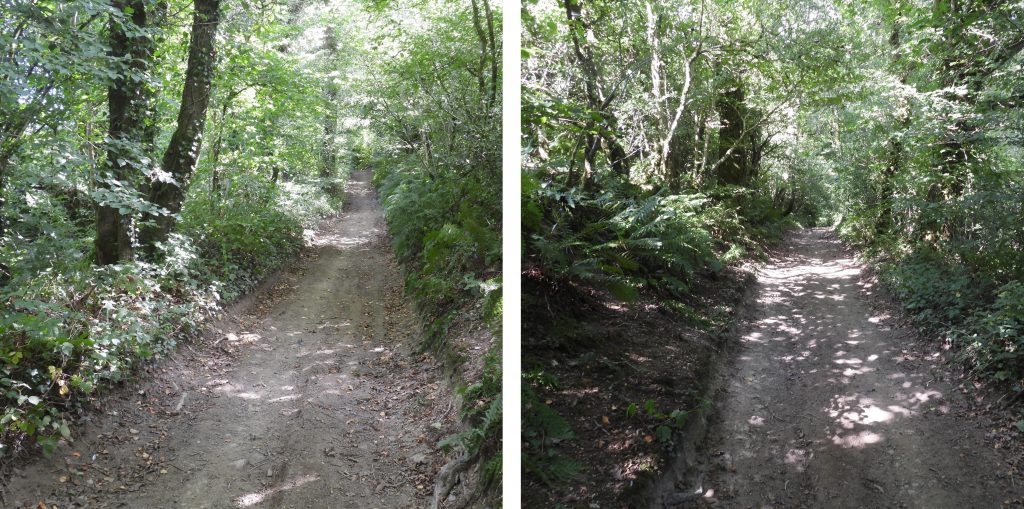
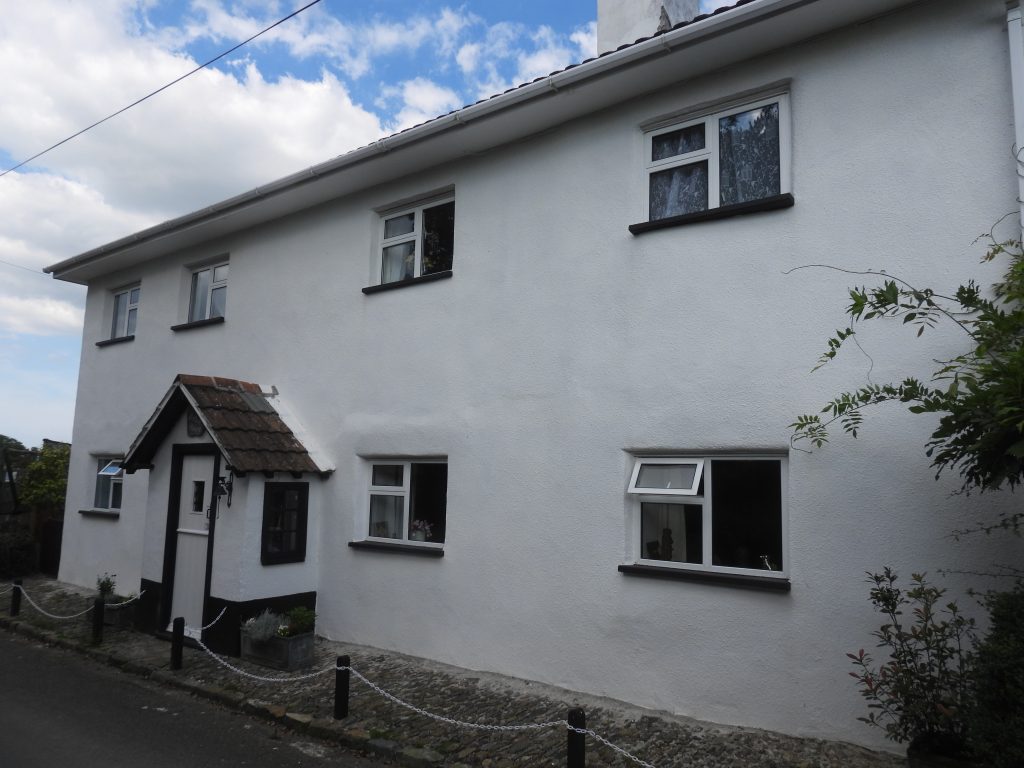
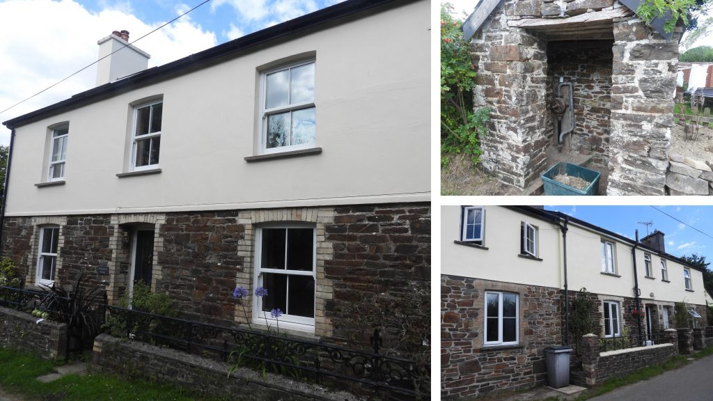
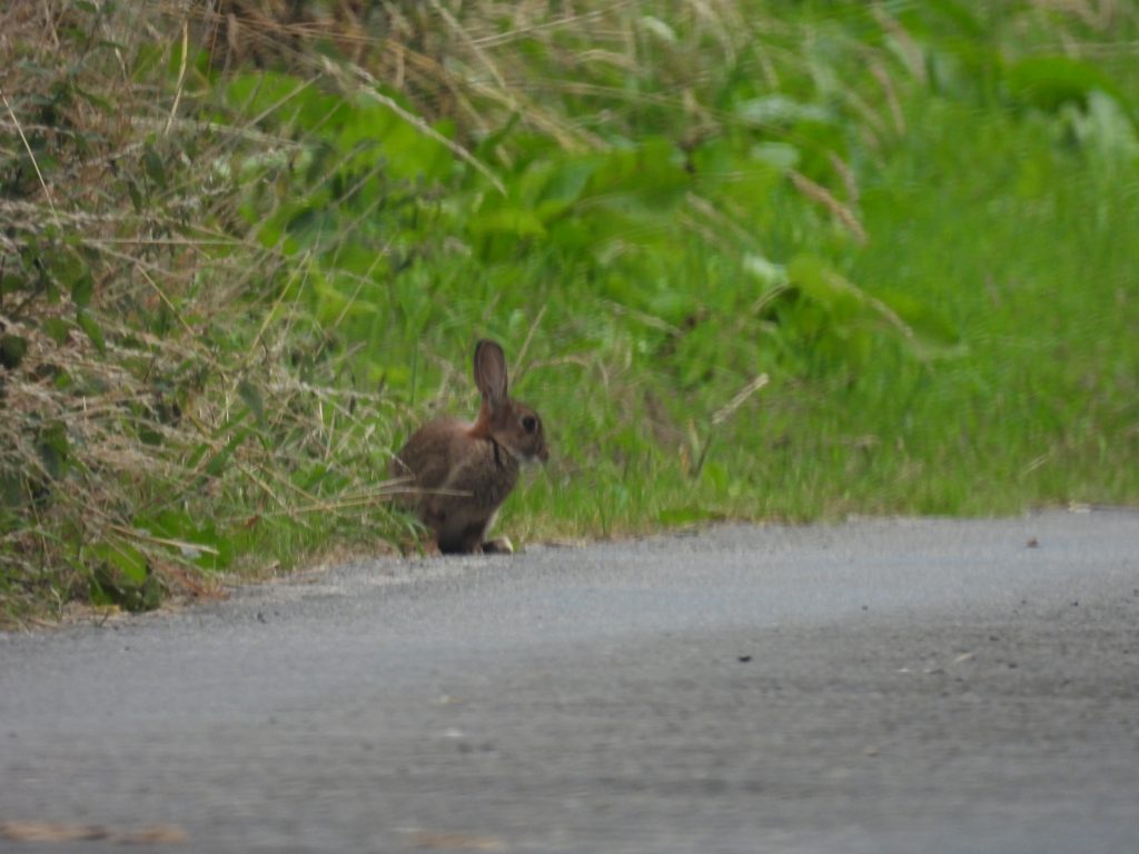
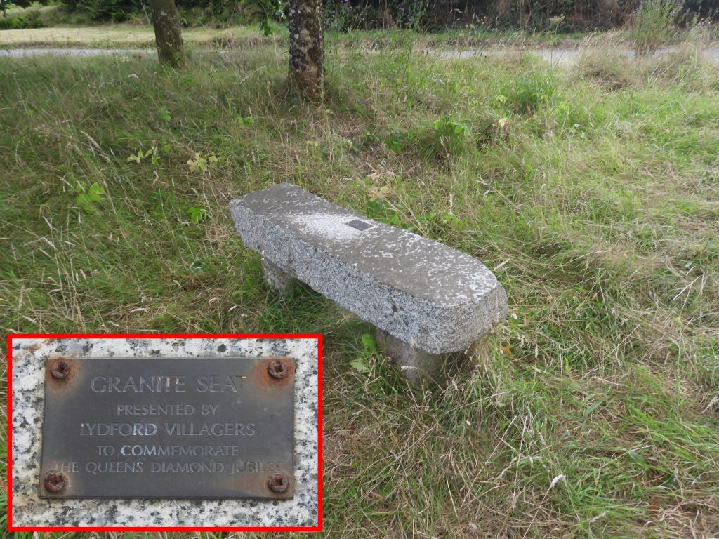
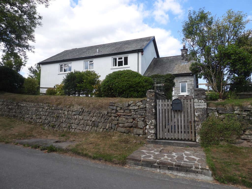
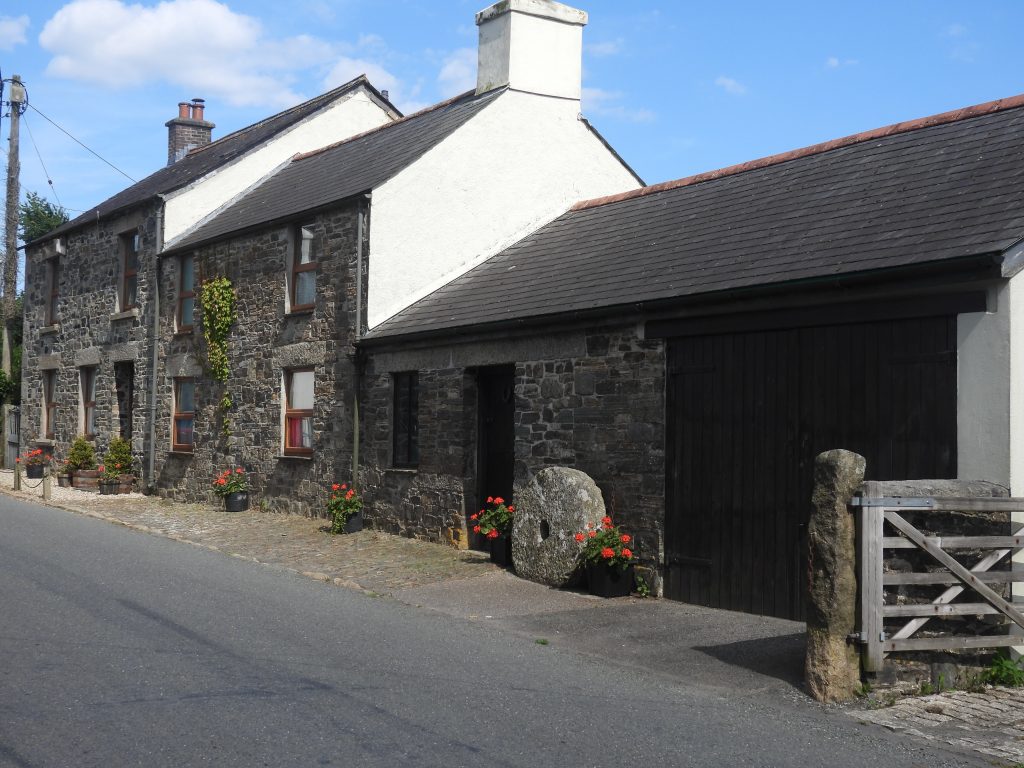
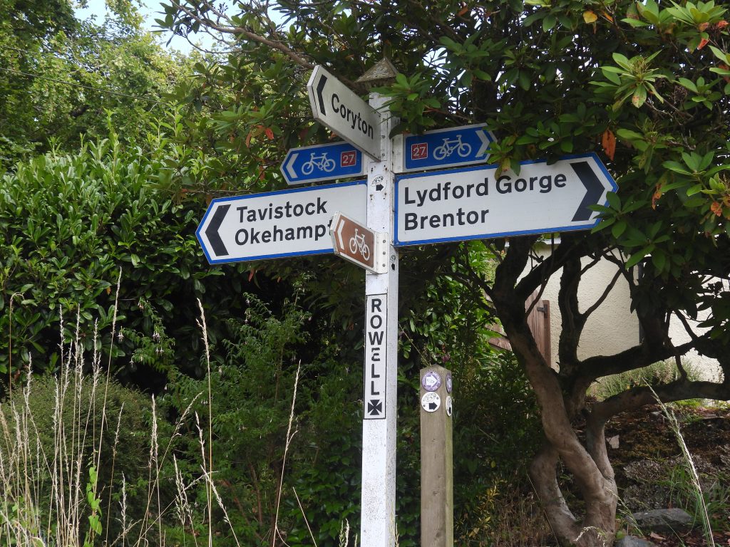
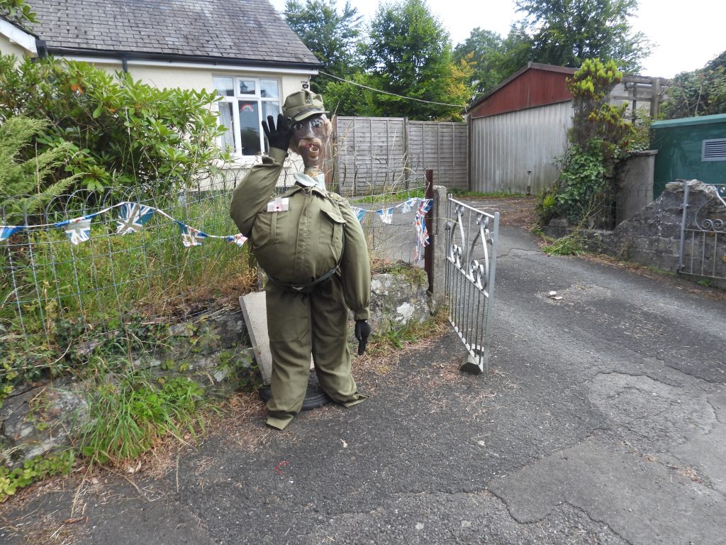
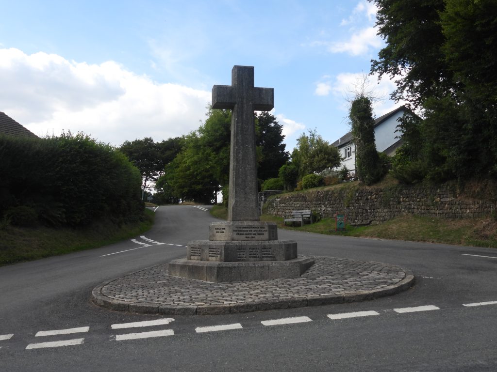
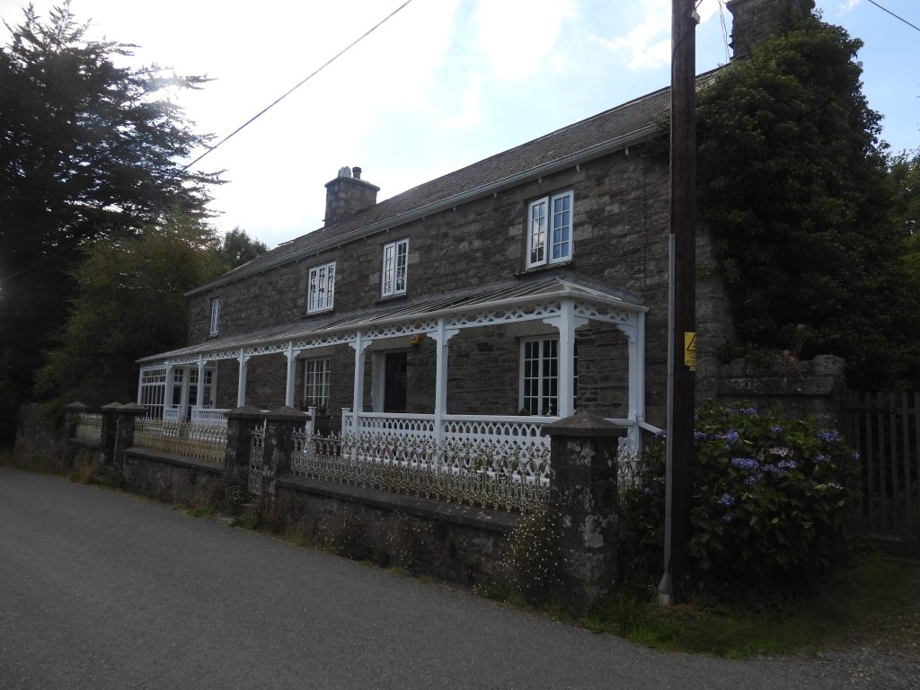
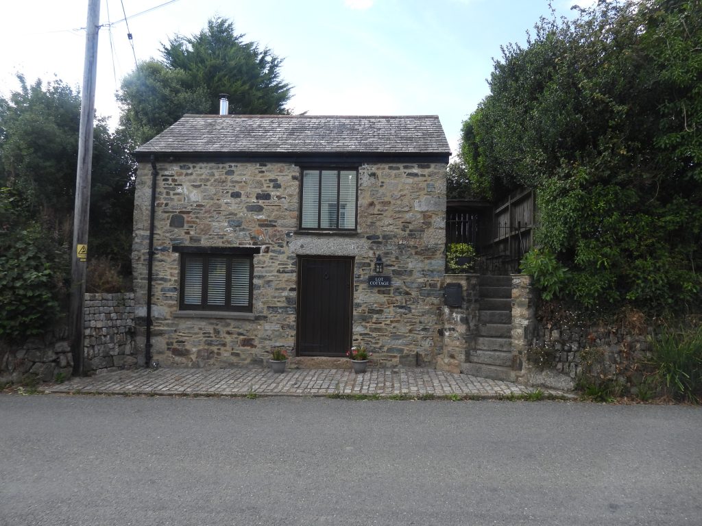
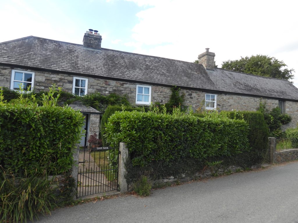
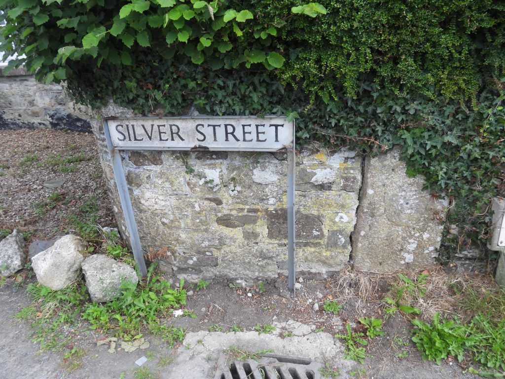
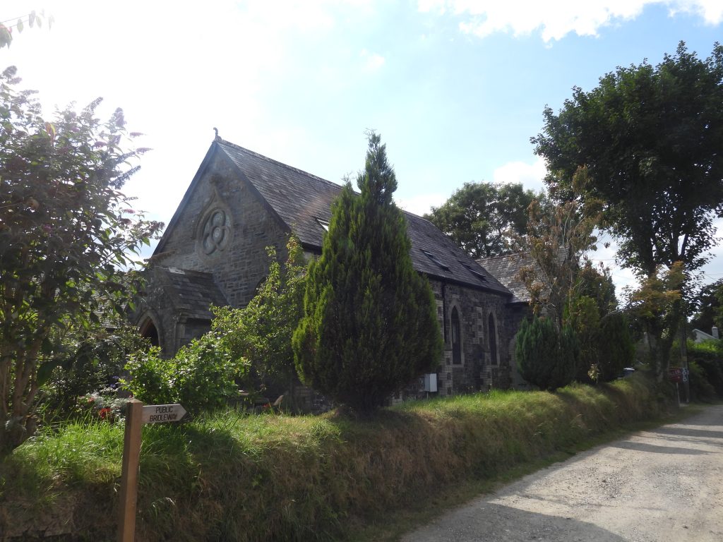
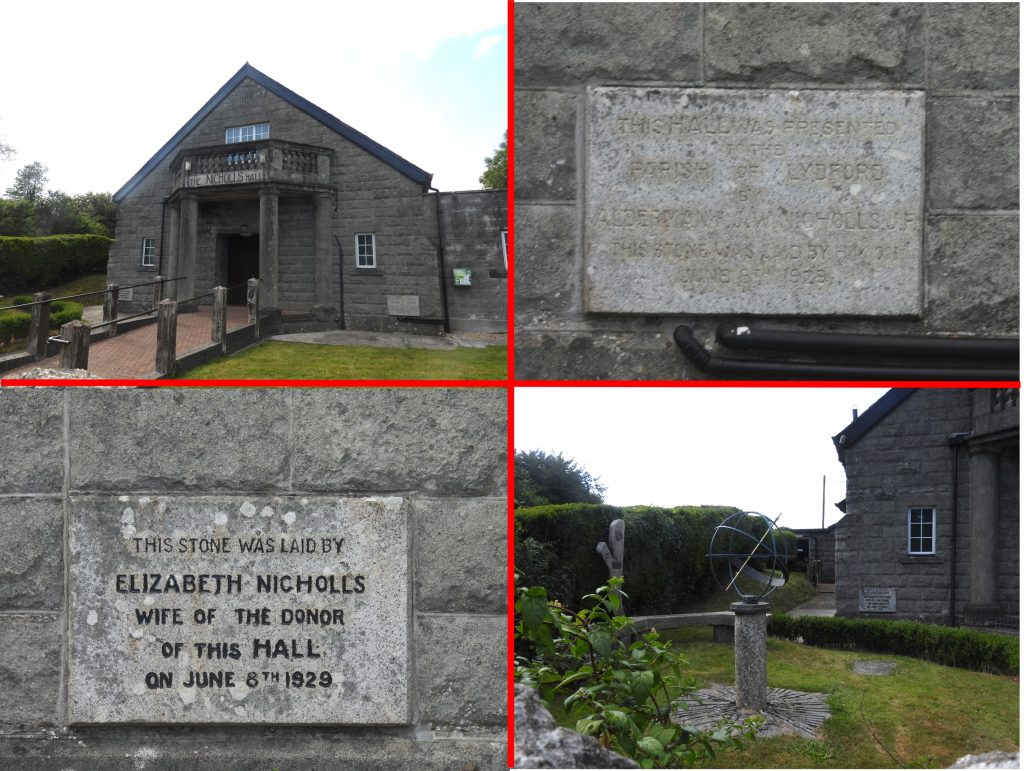
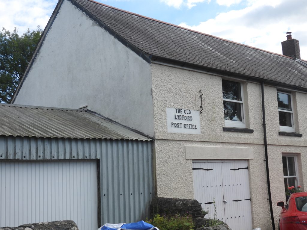
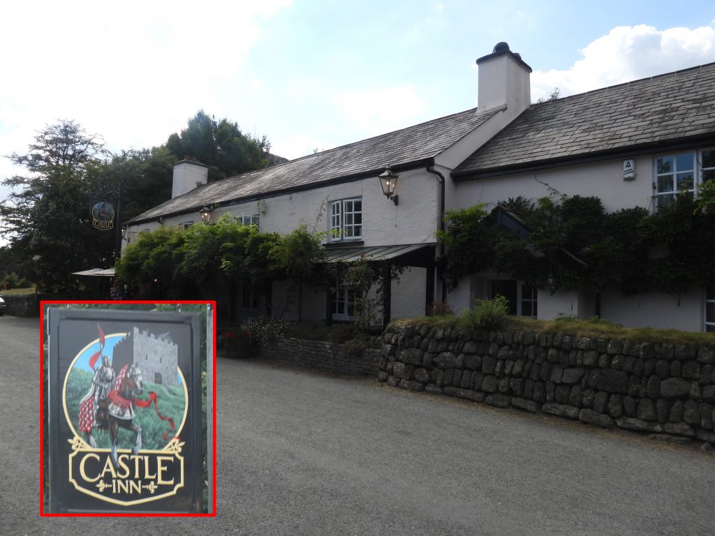
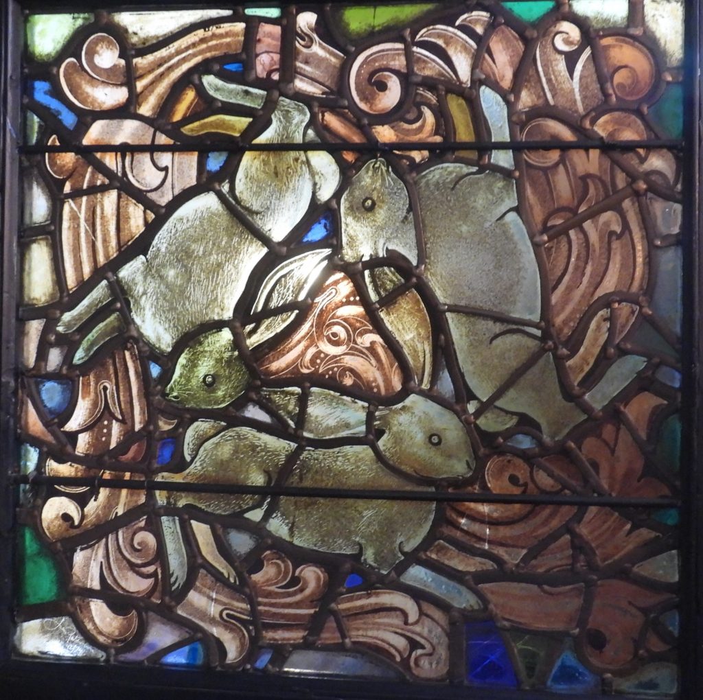
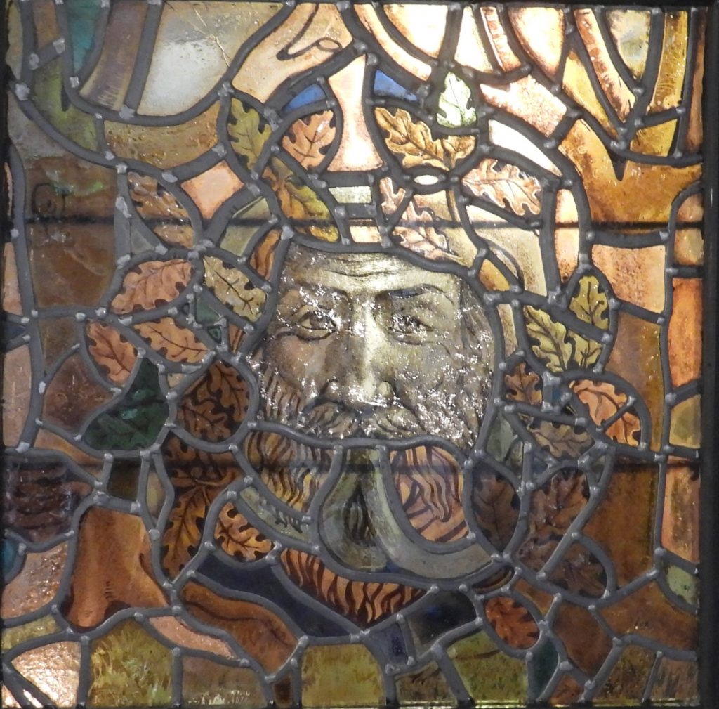
The GPS plot of the 7th stage of the Dartmoor Way. The small “tail” near Lydford represents the side trip to look at Battishall Down MineEast Okement from bridge connecting the car park with Simmons Park50th anniversary memorial of Simmons Park, inscribed 1907-1957 Jubilee BridgeThe Mayors Walk inscription on a piece of granite which looks similar to an old “Victorian love seat” Simmons Park gets its name from Sydney Simmons, a local man who made his fortune in America. In 1906, he gave Okehampton Council the funds for this commons site and transformed it into a park. The basis of the money was that he would have a big say in the design of the park including the park having five almshouses, in three separate buildings. One side of the plaque on the standing stone near the northern entrance says: THIS PARK PRESENTED BY SYDNEY SIMMONS OF OKEHAMPTON NORTH FINCHLEY WAS OPENED JULY 8TH 1907 BY THE RIGHT HON SIR W P TRELOAR LORD MAYOR OF LONDON‘The Nook’ in Simmons Park is one of the five almshouses and is a single storey lodge with half-timbered gables, bay windows, and a timbered porch on the west façade. The east façade which faces the East Okement River has an exposed basement which incorporates a ground floor verandah.‘The Rock’ and ‘The Rest’ are semi-detached dwellings near the north entrance gates to Simmons park and are not symmetrical, giving the building the impression of a single, grand house.Simmons Park is recorded on Historic England register (1001625).Simmons Park north entrance. The left sided inscription is: “SIMMONS PARK 1907 PRESENTED BY SYDNEY SIMMONS FOR THE TOWN OF OKEHAMPTON”. The right sided inscription is “SIMMONS PARK 1907 W. BIRD GERMAN TOWN MAYOR 1905 . 06 . 07”. The ‘W’ stands in the right sided inscription stands for William. Masonic Hall at the junction of Mill Road and Station Road. The Masonic Lodge in Okehampton was founded in 1878 and is the 1753rd such lodge founded since records began in 1717. Ref: http://www.okehamptonmasons.co.uk/Darley House on the junction of George Street, Station Road and Castle Road. It is an 18th century / early 19th century stuccoed stone house with five bays, two storeys and attic with three hipped roof dormers.Fairplace Church is opposite Darley House. The church was completed in 1904, firstly for the Wesleyan Methodists, joined in 1962 by those from the Bible Christian tradition and amalgamating with the United Reform Church in 1974. (Source: https://www.westdevonmethodists.org.uk/churches/okehampton-fairplace/). Of interest is is that a J. Bird German donated windows to Fairplace Chapel in 1903 – presumably related to the town Mayor of 1905-7.Castle Villa on Castle RoadFrom the Dartmoor HER: “The earliest provision for alsmhouses in Okehampton was the gift of Richard Brock in 1588. The original buildings probably stood on the site of the present Victorian ones in Castle Road”. A Stone plaque above the doorway is inscribed “Brock’s Almshouse 1847 John Crotch Mayor”.Signpost where the Dartmoor Way deviates off Castle RoadCastle Ham Trail information board leading to Old Town Park passing the old Okehampton workhouseOn the Castle Ham trail is an old Workhouse cell door attached to a wall. It can be found at SX58650 94696The old Okehampton workhouse was built in 1836-7 before being opened formally in February 1838. It became a geriatric hospital after World War II before finally closing in 2002. The original building was built to accommodate 230 paupers but only around 120 occupied the building during the 19th century. (Ref: Dartmoor HER). In 2008, most of the original complex was demolished leaving only the frontage block as seen in the photographs.Another curiosity on the Castle Ham trail is an old Victorian pump attached to a wood backing. It can be found at SX58574 94593Small weir on the West OkementEntrance to Old Town Park. The boardwalk has an inscription “S.George Madders loved to walk these pathways”.Old Town Park mapViews of West Okement river near Old Town ParkLovely memorial to a George Stone on a bench in Old Town park.Labrinth close to the main path shared by Dartmoor Way, West Devon Way and Two Castles TrailGlimpse of Okehampton Castle through the trees from the pathSigns showing the “shared” path between several trails / waysThe Dartmoor Way follows a bridleway (Okehampton Hamlets Bridleway 2 which crosses Okehampton Golf Course.The bridleway predates the golf course and is well marked. Obviously, any walker should keep a look out for golf balls if crossing – the author saw a couple which were hit to within 10 metres of the path as some fairways ‘blindly’ cross the bridleway.Leaving the golf course. The blue lines on the grass indicating the course of the bridleway right to the end.Looking west across fields towards Thorndon CrossSignpost at junction between Okehampton Hamlets Bridleway 2 (east-west) with Okehampton Hamlets Footpath 40 (left turn -south)Passing Minehouse FarmCrossing the A30Into Meldon Woods. A minor detour to follow the path alongside the A30 then alongside the West Okement avoids a section of tarmac and is very picturesqueMeldon Woods with some lovely waterfalls and woodland paths. Do not cross the bridge (this is the Two Castles Trail route) but take an uphill path from here back to the tarmac road.Meldon viaduct is a wrought iron trussed railway viaduct built in 1874. and is believed to be the last surviving high metal viaduct in the country. The Dartmoor Way passes beneath the viaduct before a stepped path is taken to the top.Underneath Meldon viaduct. The structure is 165m long with 6 girder spans and is supported by lattice piers, the tallest of which is 36.6m. The pathway up to the track bed level at Meldon Viaduct. A rope and carabiner dangling from the structure, which was either left from an inspection of the structure or possibly part of the outward bounds adventures Under the viaduct. On closer inspection the viaduct can be seen as being actually two interwoven structures. Each of the structures carried one set of tracks. The legs on each structure are slightly flayed – quite a marvel for late 19th century Engineering. The viaduct was originally built for a single track railway (in 1874) but by 1878 a double track was required. It is believed that the Engineer (William Robert Galbraith) designed a girder bridge as opposed to a masonry one due to high winds in this exposed location.East end of Meldon Viaduct with bench, sign and Meldon Quarry Halt station. The station was originally constructed circa 1920 by the L&SW Railway and at that time there was no public access and it merely functioned as a staff halt for quarry workers, their families and other railway staff working at Meldon Quarry. The quarry originally had no metalled road access and some quarry workers and their families lived in cottages situated near the quarry. They used the halt for access to Okehampton. The halt was not shown in the public railway timetable and local passenger services would only call by special arrangement.The viaduct is known as Bridge 613. Rail traffic beyond Meldon (ie at East end of the viaduct) ceased in 1968. The east bound line was temporarily used circa 1970 for lorries carrying construction material for Meldon Dam. All the final rails were removed in 1990 and the structure became part of the Granite Way in 1996. Source: Dartmoor Railway Association.View from Meldon Viaduct looking up the Red-a-Ven Brook valley towards Yes TorOutward Bound adventures near the Aplite Quarry at Meldon. The hard hats suggested some rock climbing was taking placeZoomed in view from the viaduct towards a lone tree and a granite upright. The granite upright is inscribed “CL” which stands for Cornydon Luxmore. The Luxmore family purchased an (eighth) of the Manor of Okehampton in 1759, including Okehampton Park. Between 1790 and 1796 Cornydon Luxmore was the Mayor of Okehampton. Ref: David Brewer (2002), Dartmoor Boundary MarkersMeldon Reservoir Dam from Meldon Viaduct. The reservoir was officially opened on 22nd September 1972 and was the last (of eight) reservoirs to have been built within the national park. Stats: The dam is 200m long, 55.2m high and was constructed using 270,000 tons of concrete. Meldon Reservoir Dam with Corn Ridge in the backgroundThe Outward Bounders moving off towards the West Okement. The Aplite Quarry is top right of this pictureThe author was intrigued by this group below Meldon Viaduct and realised they were taking a group photograph. Great day for a hike….West end of Meldon ViaductRailway paraphernalia between the viaduct and bridge 614. For the technically minded “Catch Points” are a pair of sprung loaded trailing points located on gradients steeper than 1 in 260. Their purpose is to derail any train running back without authority or out of control. Their location here was presumably to prevent a runaway train going out of control back towards Meldon Viaduct and the Meldon Quarry station beyond.Bridge 614 carries a track towards Prewley Farm. The Lydford Junction to Okehampton railway line opened on 12th October 1878. The line was was a 4 ft 8 1⁄2 in (1,435 mm) standard gauge line that carried trains direct from London Waterloo station.The Dartmoor Way (good weather route) leaves the old track bed (Granite Way) at bridge 615.Views from near Higher Bowden on Okehampton Hamlets Bridleway 5, where the Dartmoor Way leads towards the northern flanks of South DownEntrance to Higher Bowden. The farmstead dates from at least the early 14th century.South DownLane by South DownLane by South Down. This is known as King Lane and was on the northern section of the King Way, a track which can be followed from Tavistock to Okehampton.Dartmoor Way near Prewley farmstead and water works. Water from the West Okement is gravity fed by a 12 inch diameter pipe to the Prewley Moor treatment works and will pass under the track at some point. See also: https://dartmoorexplorations.co.uk/water-extraction-from-west-okement-by-north-devon-water-board-ndwb-above-vellake-corner/Gate and Sourton Tors beyondLooking west towards the A30 from the Dartmoor Way. The chimney is from Sourton Consols which was small 19th century copper mine. The site now consists of a chimney, an old shaft and traces of a quarry. Shilstone Tor in the sunshine across fields in the shadeCorn RidgeSourton Tors. The Dartmoor Way passes to the right (west) of these torsPossibly a juvenile wheatearGranite gatepost on Prewley Moor as the Dartmoor Way enters open moorland. This is an area called Vellake GatePart of the King Way is followed on the Dartmoor Way between Sourton Tors (just to the east of) and South Down (just to the west of) From ‘Walking Dartmoor’s Ancient Tracks: A guide to 28 routes’, Eric Hemery writes: “In an attempt to account for the name-origin of the track, we must rely on both documented history and tradition concerning ‘the King’s Posts’. Although a regular postal service between the smaller towns of West Devon and east Cornwall [sic] was not inaugurated until 1722, a petition of 1630 addressed to King Charles I, concerning ‘the King’s Posts’, specified the need to provide posthorses ‘on the Western Stages of His Majesty’s Posts … from London to Plymouth’. This resulted in a proclamation dated 31 July 1635 about arrangements subsequently undertaken for post-boys riding the ‘Plymouth Road’ – that is, the route from Exeter south of the Moor via Ashburton. It was not until 1720, however, that a regular mounted postboy service was established between Okehampton (then on the London-Launceston postal routes) and Tavistock. In the meantime, the King’s Messengers had carried official posts on horseback between the two towns when needed”. There are several guide stones in this area (as shown in the photographs).Views to Meldon Reservoir from near Sourton Iceworks. The lack of water in the reservoir is very pronounced (August 2022)Sourton Iceworks: Helen Harris conducted a survey and wrote an article on the Iceworks in 1988. She stated that: “the iceworks were established in 1876, but the first good ice crop was not until 1879. Ice was exported to Plymouth and London from Bridestowe station. The business failed through a combination of mild winters (no ice) and hard winters (access to transport impossible) and the works were given up in 1886”. Channels led from the spring which supplied the water down to a series of five terraces. Blocks of ice were stored in peat-insulated tanks and were said to last until early July. Ice was exported to Plymouth and London from Bridestowe station. Near the ruins of a building is a rock which appears to have half a dozen drill marks in it.Outline of a building at Sourton Iceowork. Some very interesting information on the history of the iceworks can be found here: https://www.legendarydartmoor.co.uk/ice_fact.htmPossibly a Juvenile Wheatear Possibly a Juvenile WheatearFlank of Sourton TorsSt. Thomas Becket church at Sourton glimpsed from the track on the west side of Sourton TorsDistant view of Bridestowe. More views of the western flanks of Sourton TorsStonechatPossible stonechatBuzzed by this helicopter on descent to SourtonSkylark Descending to SourtonPossible ChaffinchFriendly RobinLooking back up the track (Sourton Bridleway 15) towards Sourton Tors and East TorBridge (known as Hall Lane Bridge) over the Granite Way being guarded by a Robin. Benchmark with rivet / bolt on the bridge parapet. View of the Granite Way and St. Thomas Becket Church graveyard from Hall Lane BridgeChurch of St Thomas of Canterbury has a 14th century chancel which was rebuilt in 1848. The rest of the church is 15th century and was largely restored in 1881.Three gravestones at the western doorway of the church are from the 18th century. All have decorative carved borders and winged angel’s head at the top.The church has the obligatory benchmark. B.M. 0854.5Views from inside the church: Plaque to remember those who perished from the wounds from WWI between November and December 1918; Altar and stained glass window. Sourton Church colourSlotted gatepost in graveyardThe author has connections with the St. Thomas Becket graveyard, insofar as his fathers’ step brother is buried in the graveyard. His name (Stephen Grigg) is exactly the same as the authors. My father found out he had an extended family with lots of step brothers and sisters around 2002 after being contacted by a family member tracing their family tree. It was also discovered that a (then) unmarked grave belonged to a step brother, Stephen Grigg (1900-1990) who had lived at Sourton Down. The black and white photograph shows Stephen around 1905 (ish) with his siblings and parents. Since the placing of the gravestone around 2003 the author always visits the gravestone when in the area and on this occasion was very touched as someone (unknown) had laid flowers. RIP Stephen.An old archive picture of the author alongside the gravestone of his (namesake) step-uncle. If anyone can remember Stephen Grigg from Sourton Down circa late 1980s please contact the author. Thank you.Gravestones to the Gloyn family (Matthew and John) near south entrance to the churchSourton Village Hall. Taken from: https://sourtonvillagehall.org.uk/ “Fundraising for Sourton Hall started after the second world war by having whist drives and barn dances at Sleekers Farm in Sourton. The land was given to Sourton Parish by Leawood Estate to enable a hall to be built and work started in 1962, although it wasn’t finished until 1963 due the very bad winter and spring. Okehampton Builders built the hall which was eventually opened on September 13th 1963”.Lane leading down to the main road at Sourton. The iconic Highwayman Inn can be seen on left of picture and the rear of Cobweb Hall on the right of the picture.Highwayman Inn is described as the “most unusual pub in Britain”. It is superbly described by Philip Knowling in his book ‘Dartmoor Follies’ as a “Fantasy touched with pirate ship, church, museum, junk shop and fairy-tale”. The Inn is testament to John (Buster) Jones who moved to the New Inn (as it was known) in 1959 from which time he and his wife transformed it. The transformation includes the use of an old Okehampton to Launceston stage coach set up as a lobby at the front door. There is a YouTube video on the Inn which can be found here: https://www.youtube.com/watch?v=BLiaViGmlG8Cobweb Hall was acquired by John (Buster) Jones around 1975. It was originally built in 1897 as the village Jubilee Hall. Having transformed the New Inn into the Highwayman Inn across the road, Jones turned his attention to the Jubilee Hall. Jones fell out with the planning authorities, who at one point wanted the building pulled down to within 2 feet of the foundations because of the unusual roof line and the windows. Cobweb Hall was the home for ‘Buster’ for many years and the author believes it is now a holiday let.Sourton Village Green information board with granite standing stoneSourton Green Saxon Cross was found propping up the roof of a nearby farm building until the 1980’sThe plaque reads: “THIS CHRISTIAN STONE DATES TO ABOUT THE 10TH CENTURY AD. FOUND AT EAST LINNACOMBE IT WAS REPAIRED AND ERECTED HERE BY THE DARTMOOR NATIONAL PARK AUTHORITY 1985″Sourton Green Saxon Cross is recorded as being 1.75m tall The granite stone has been identified as an early Christian, Saxon relic, and it has Os and Xs engraved onto two of its faces.The old Post Office is probable 17th century and has 19th century alterations and additions.Milestone marked “Okehampton 5 Miles” near Ferndale (where the Dartmoor Way leaves the A386). The milestone dates from c.1817 and is located at SX53335 90063The Dartmoor Way passes behind this property; Ferndale. The story of benchmark(s) by Ferndale. The Dartmoor HER map (top right) shows a benchmark located on an outbuilding at Ferndale next to the A386 at the southern end of Sourton. It is unlabelled. The 1873-1888 side by side map (top left) shows B.M 799.0 on the building next to the main road. The “outbuilding” on this map is labelled as a smithy. The two pictures at the bottom show where B.M 799.0 should be and where the unlabelled benchmark on the smithy is located today at SX53337 90101. It is conjectured that B.M. 799.0 is the original, which was likely rendered over and replaced by the one of the smithy. The OS Benchmark Archive dates the recent benchmark to 1964 (Ref: Max Piper)The Dartmoor Way follows a footpath (Sourton Footpath 4) from Ferndale next to a hedge line. The way at this point has left the National ParkGate on Sourton Footpath 4Looking across fields from the Dartmoor Way to the hamlet of PooleCharming little brook by a stileAfter a prolonged spell of dry weather, the author was rather surprised to be greeted by this rather wet and muddy gate entrance which required careful skirting around.Ladder stile on the Dartmoor Way (Sourton Footpath 4)(Probable) Devon RedsDistant views of Sourton Tors and East TorSourton Tors and Corn RidgeTurning on the road between Diggaport and LakeDistant views of Great Links TorDamford Cottage on Sourton Byway 10Clapper over Crandford Brook near DamfordLane (Sourton Byway 10) to Crandford(New) Little Crandford with its lovely little outbuilding (which is shown on the old 19th century maps) is on the bridleway shared by West Devon Way and Dartmoor Way. The picture postcard location, however, was at the centre of an old mine (Wheal Fanny) in the early 19th century. Wheal Fanny as shown on a 19th Century map. With a little careful exploration some features of this old mine can still be found. Interestingly, the old 19th century map shows the mine as being tin and copper, whereas records suggest it was initially copper then lead. More pictures and information can be found here: https://dartmoorexplorations.co.uk/wheal-fanny/Just south of (new) Little Crandford, old workings (spoil dumps) from Wheal Fanny Mine can be seen from the bridleway.Adjacent to the bridleway and sandwiched between old workings lies a house called Bramble Moor. Great views towards Southerly Down can be seen to the east.Views from Bramblemoor including Great Links Tor and Corn RidgeViews from Bramblemoor including Sourton Tors and Corn RidgeViews from Bramblemoor including Great Links Tor and Arms TorFernworthy Down is crossed by way of a a modern track which is near a disused lane / hollow way Widgery Cross on Brat (Bray) Tor was erected by William Widgery to commemorate the Golden Jubilee of Queen Victoria in 1887.The author took a minor side trip off the Dartmoor Way at the southern end of Fernworthy Down to view Battishill Down Mine. As can be seen from the photographs, in spite being on the rim of the main shaft, vegetation has totally obscured the mine. The Dartmoor HER records that the: “Mine remains at the southern end of Fernworthy Down and on Battishill Down to the east, are depicted on the Ordnance Survey maps of the area and named ‘Battishill Down Mine’. However, the mine was only managed under that title for a few years in the 1870s. For most of its period of operation it was known as Wheal Mary which was, in the 1840s and 50s, incorporated into Lydford Consols, a company that had interests in several small mines in this Lydford and Bridestowe district. By 1884, the mine was recorded by OS surveyors as disused”.Cricket or Grasshopper ? On path between Battishall Down Mine and the Dartmoor Way (Bridlepath)Leaving Fernworthy Down where the track leads down to a shallow fordClapper near the ford at SX51310 86051. The date is unknown but likely to be 19th century as it is marked on the OS 25” map of 1884-6 but not on the Tithe of 1841. Ref: Dr Phil Newman, 2011, An Archaeological Assessment of Fernworthy Down, Bridestowe.Leaving the ford and climbing the hill to the minor road which links Watergate Cross and Lydford.Lane to Lydford is labelled as Bridestowe Byway 16aLeaving Bridestowe Byway 16a and turning towards Lydford the Dartmoor Way passes Bolts HouseShellaford Cottages are the next set of buildings towards LydfordA rather bold rabbit next to the road Diamond Jubilee Seat at SX51232 85193, as the Dartmoor Way enters Lydford. It is assumed this dates from 2012.Lyneaste at Rowell CrossSmithy at Rowell Cross dates from at least the mid-19th century as it is depicted on the Tithe Map. It may have functioned as a wheelwrights shop at this time. Ref: Dartmoor HER. Note the wheelwrights stone leaning up against the building Rowell Cross, where the Dartmoor Way takes its final turn along School Road towards the church and castle in LydfordSoldier at Rowell Cross opposite the war memorialLydford war memorial at Rowell Cross comprises a granite cross on a stepped granite plinth. It was unveiled in December 1921 and records names of the fallen in the two world wars plus has names added for those who died in the Falklands War and the Iraq War.Townend House with its lovely with a veranda on the front dates from at least the early-mid 19th century.Lot Cottage is a charming small property en-routeTown farm dates from mid-19th centuryAt the junction of Silver Steet and the Main Street (School Road) is a granite upright which looks like it may have had a plaque or something attached to it. There is a distinct oval on it with some holes. Its origins are unknown.The former Lydford Bible Christian Chapel which is now a dwelling‘Nicholls Hall’ was built in the late 1920’s, which the two foundation stone plaques give testament to. The donor / benefactor for the building was Alderman J. Nicholls. Old Post OfficeThe Castle Inn is thought to date from 16th or 17th century. It was originally known as the White Horse Inn but changed its name to the Castle Inn in 1807. Before it was an Inn it was the home of the keeper of the castle. It was also a farmhouse for a short period of time. Ref: T. Quick, 1992, Dartmoor InnsThree Hares stained glass window on the door leading into the main bar at the Castle Inn. The earliest examples of this symbol (three hares in a circle with ears joined giving the illusion that they each have two ears) dates from 581 A.D, which was found in Buddhist caves in Mogao, Dunhuang, China. They are thought to have been brought to the UK via the Silk Route where they are found mainly in medieval churches. Dartmoor Tinners’ appear to have adopted the symbol and are often referred to as “Tinners’ Rabbits”Green Man stained glass window on the door leading into the main restaurant at the Castle Inn. The Green Man is usually interpreted as a symbol of rebirth, representing the cycle of new growth that occurs every spring.The Green Man is most commonly depicted in a sculpture, or other representation of a face which is made of, or completely surrounded by leaves. Recorded in “A Little Book of The Green Man” by Mike Harding examples of green man figures from Lebanon and Iraq date from the 2nd century and similar figures existed at that time from Borneo, Nepal and India. Stable Arch to Bayfield House taken from the car park at Lydford. It was built circa 1870 at the same time as Bayfield House which was built as the rectory to St. Petrock’s Church. Interestingly, it originally had a clock at the top but this is now a dovecote.
Excellent as always Steve. For info, the rope left on Meldon Viaduct has almost certainly been left from a Roped Access Technician training course given by the training company that now occupies Meldon Quarry. I’ve got a photo of a trainee and instructor on the structure using just such ropes.


Nigel Machin August 18, 2022
Excellent as always Steve. For info, the rope left on Meldon Viaduct has almost certainly been left from a Roped Access Technician training course given by the training company that now occupies Meldon Quarry. I’ve got a photo of a trainee and instructor on the structure using just such ropes.
SteveGrigg1961 August 18, 2022 — Post author
Hi Nigel, thank you for the additional information
Regards,
Steve