A collection of walks, discoveries, insights and pictures of exploring Dartmoor National Park
September 14, 2020
WATER EXTRACTION FROM WEST OKEMENT BY NORTH DEVON WATER BOARD (NDWB) ABOVE VELLAKE CORNER
Steve Grigg
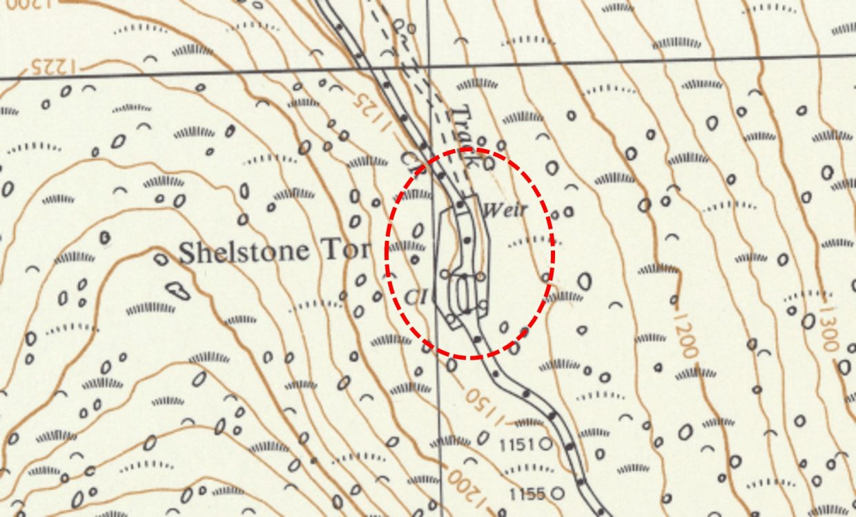
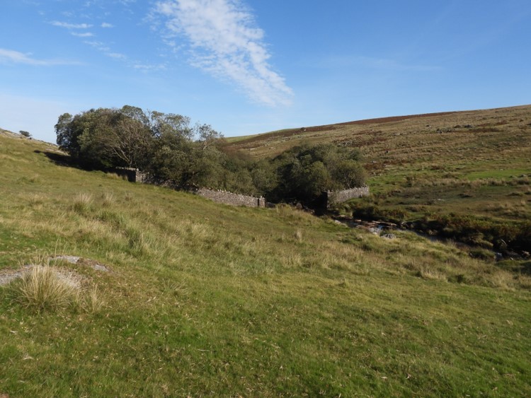
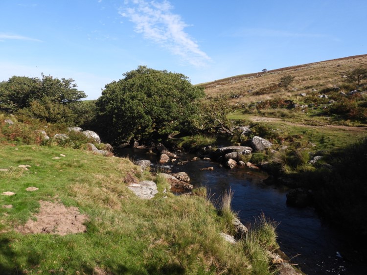
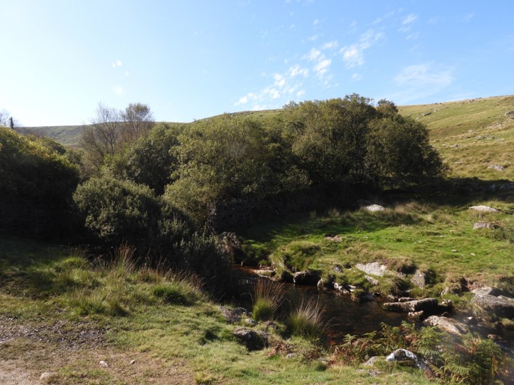
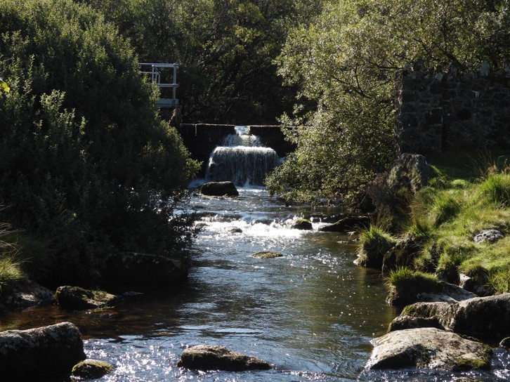
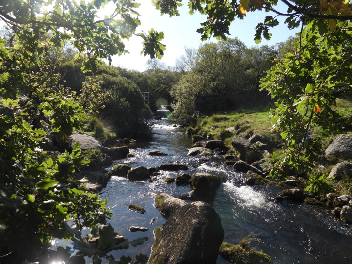
Walking downstream from Black-a-Tor copse along the West Okement on a short flattish plain, there is an enclosed walled area which surrounds the river. Within the boundaries of this walled in area, which is almost full of trees , is a weir and a small pond behind it. The entry gate and weir are located on the north end of the enclosure. The gate is securely padlocked and the walls are quite substantial and certainly designed to keep animals and people out. These constructions were for a water intake point for the North Devon Water Board (NDWB). The extracted water was conveyed by gravity-flow via a 12 inch diameter main through to the water treatment works on Prewley Moor. [ref: High Dartmoor p903 – Eric Hemery]
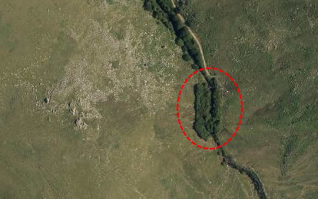
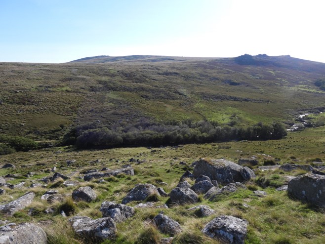
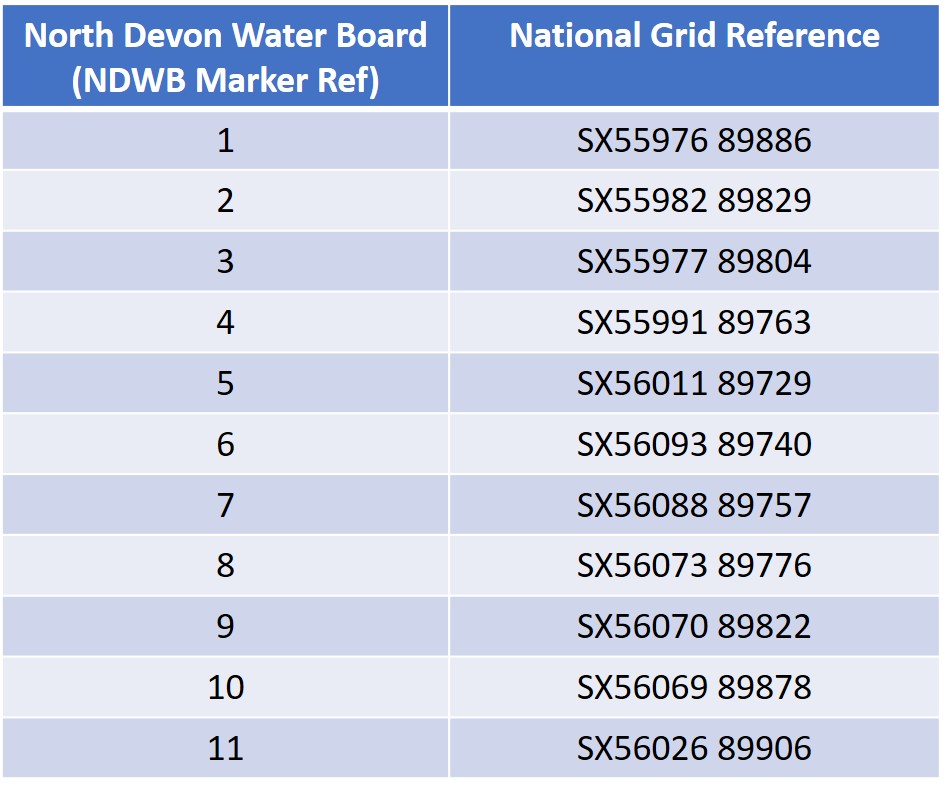
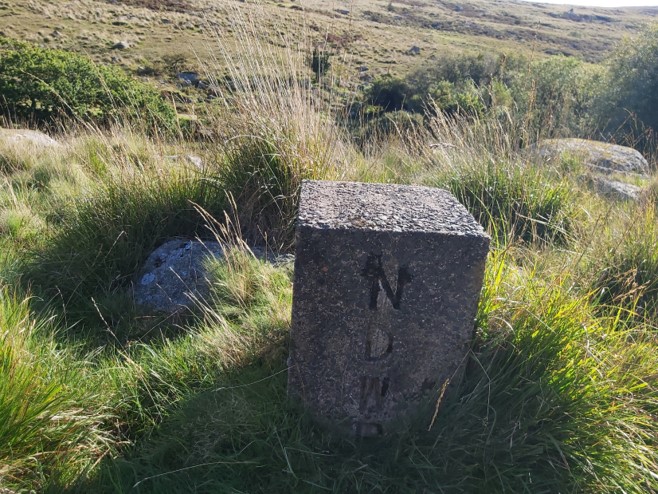
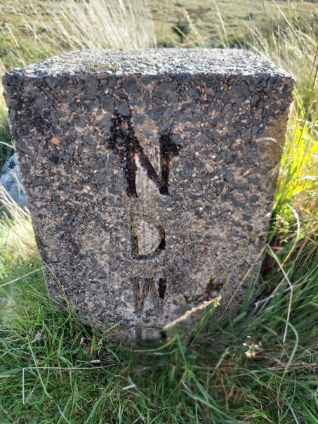
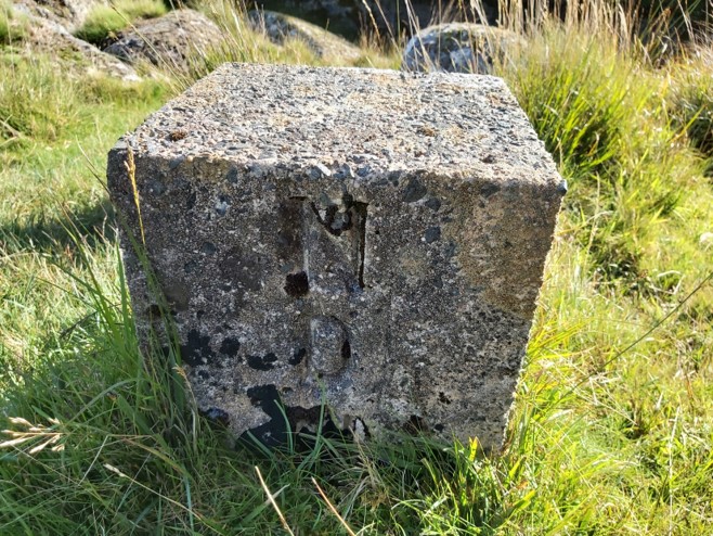
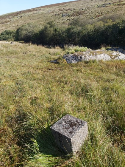
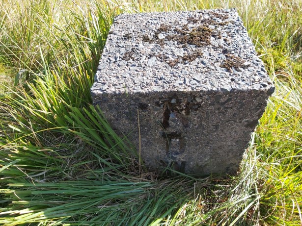
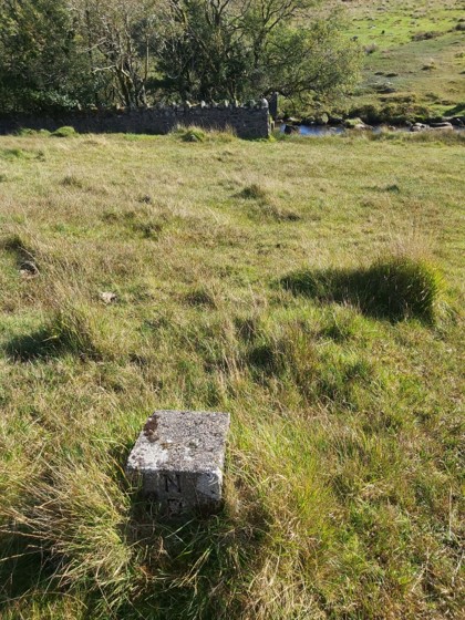
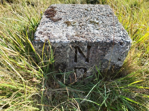
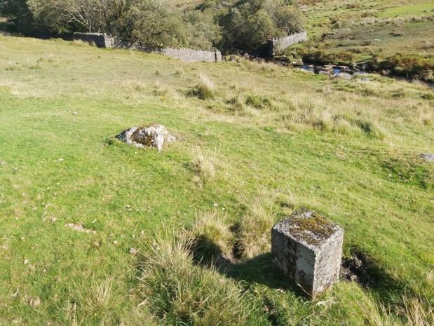
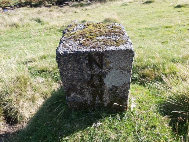
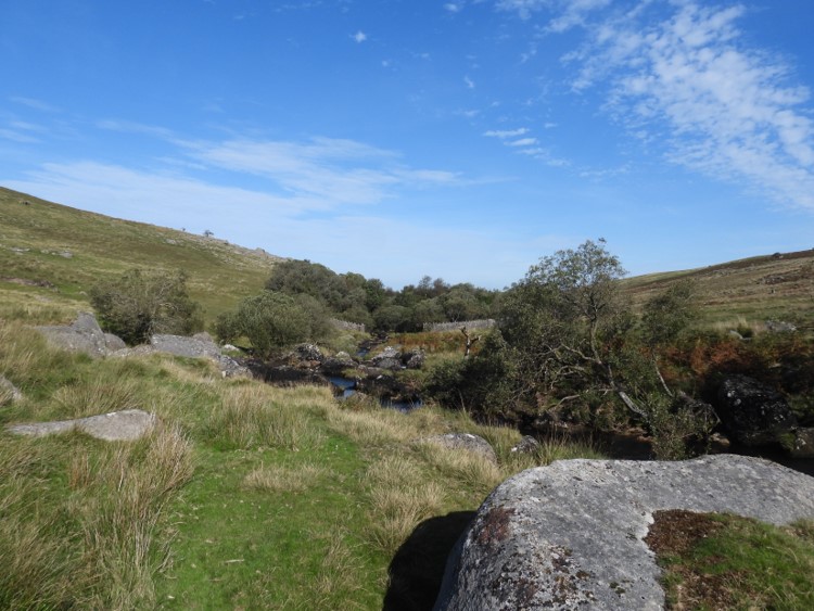
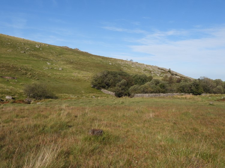
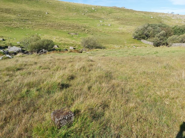
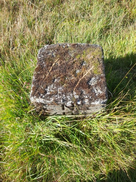
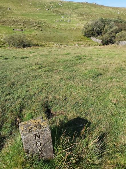
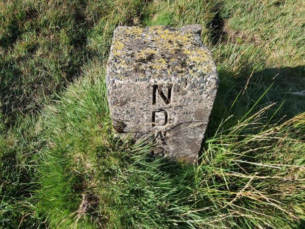
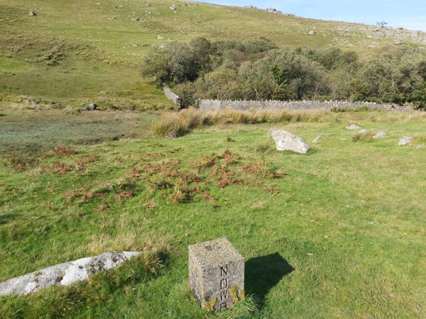
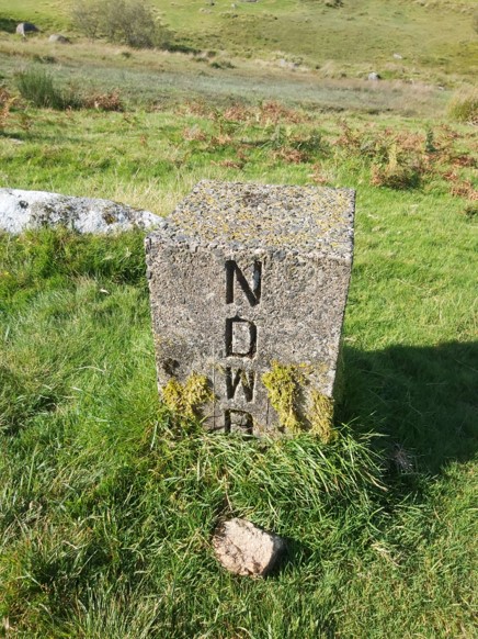
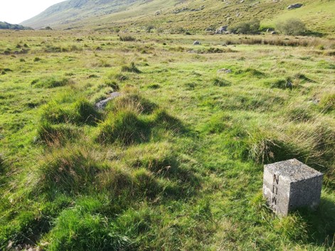
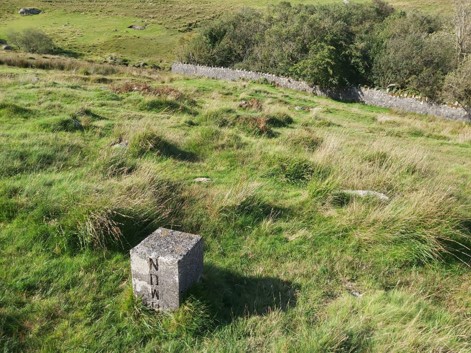
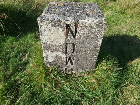
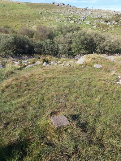
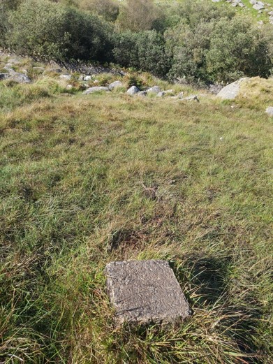
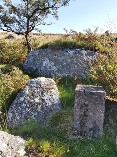
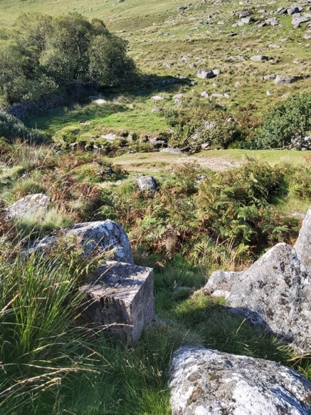
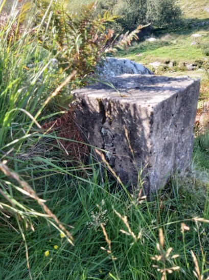
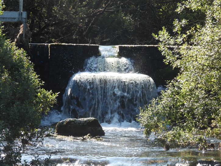
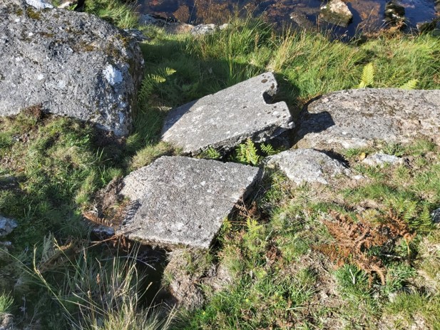
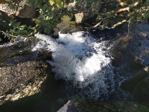
Location of the NDWB water extraction area on West Okement. As can be seen, it is immediately to the East of Shelstone Tor. A google map of the water extraction areaApproaching from the West, close to Shelstone Tor.The trees of the NDWB enclosue can be seen here on the left with Black-a-Tor copse in the mid distance and Lints Tor at the end of the valley.Dave Brewer in his second edition Dartmoor Boundary Markers (P290), mentions there are a series of 11 small boundstones of concrete construction bearing the Letters N D W and B, indicating the water catchment area. Dave Brewer suggests that NDWB have extracted water from West Okement since 1945. The above table shows all the NGR’s for the boundstones.NDWB Boundstone 1. This is the first of 5 boundstones on the west side of the river and enclosureNDWB Boundstone 1 close upNDWB Boundstone 2NDWB Boundstone 2 close upNDWB Boundstone 3NDWB Boundstone 3 close upNDWB Boundstone 4NDWB Boundstone 4 close upNDWB Boundstone 5. This is the last boundstone on the west side of the enclosure and riverNDWB Boundstone 5Looking at the enclosure walls from the South West corner, close to NDWB Boundstone 5Close to the enclosure on SW cornerBit further south with enclosure ahead (looking for a river crossing, which is do-able here when river levels are relatively low)Having crossed the river, this is the east side of the river close to NDWB Boundstone 6NDWB Boundstone 6NDWB Boundstone 6 close upNDWB Boundstone 7NDWB Boundstone 7 close upNDWB Boundstone 8NDWB Boundstone 8NDWB Boundstone 9NDWB Boundstone 9NDWB Boundstone 9 close upNDWB Boundstone 10, almost buriedNDWB Boundstone 10NDWB Boundstone 11NDWB Boundstone 11NDWB Boundstone 11 close upNorth end of the enclosureWeir and glimpse of the pond. River below the weirZoomed in on the weirUnusual constructions the weir. Was this part of the original extraction in 1945. It is located at SX56018 89904Nice little waterfall at SX56010 89900. A slow motion video is below:
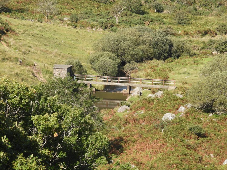
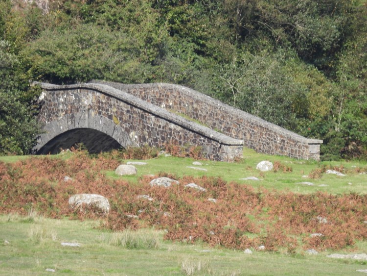
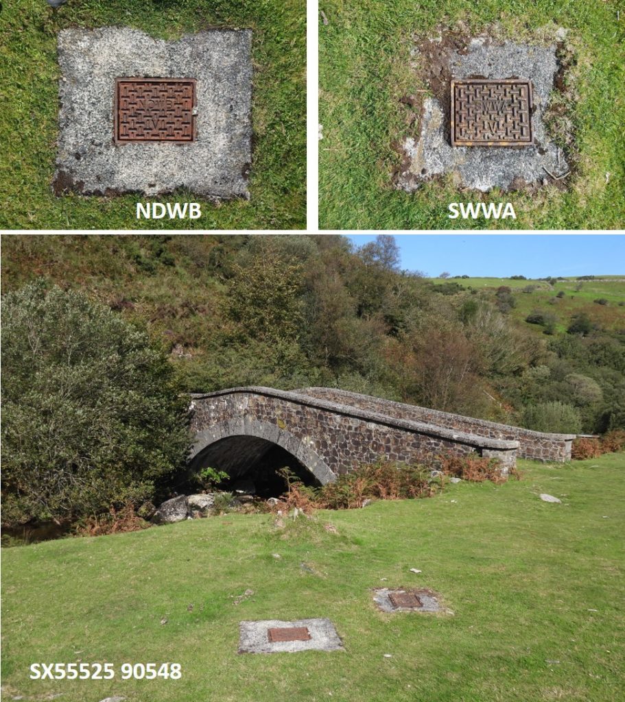
South West Water Metering house, which Eric Hemery (High Dartmoor, P904), describes as a “fortuitous crossing for bipeds”Vellake Corner Bridge, which Eric Hemery (High Dartmoor, P904), describes as a: “Handsome structure, an arch bridge of border stone, which carries foot traffic, for it leads to 89 steps climbing the east flank of Vellake Down, from which a path crosses the King Way to Prewley.”Intriguingly there are two water inspection covers, one with NDWB on it and one with SWWA on it. Therefore, one suspects they were manufactured some years apart.