A collection of walks, discoveries, insights and pictures of exploring Dartmoor National Park
October 27, 2023
The West Dart Aerial Ropeway – (aka The Brimpts to Princetown Aerial Ropeway)
In order to support the war effort, around 1917 (according to the Royal Commission for the Historical Monuments of England), an 8 mile aerial ropeway, or more accurately ‘cableway’ was set up and in use convey timber cut from Brimpts (Little Newtake, Outer Newpark and Snider Park Plantations) to Princetown railway station. The timber was then despatched to Plymouth for onward transportation. The ropeway was supported by a series of wooden pylons (some known to have been set in concrete and others driven into the ground), which supported two ‘wire’ ropes. One wire carried a cradle full of wood to Princetown (rail head) from Brimpts, while the other returned one empty. A concrete masonry bed for an oil engine, the power plant of an aerial ropeway still stands today approx. half way between Brimpts and Princetown in a rough pasture field near Moorlands Farm. The mid-point for the power plant providing equality of pull and thrust for the load.
Before the construction of the ropeway had began, part of the historical background is that on 24th November 1915 the Board of Agriculture set up the ‘Home Grown Timber Committee’ in order to increase the supply of timber for military needs. To this end, it purchased woods and erected sawmills, partly by labour directly engaged for the purpose, partly by battalions of the Canadian Forestry Corps. By April 1916 the ‘committee’ had been given power to acquire standing timber compulsorily, to purchase and convert standing timber, to supply such timber to government departments and generally to make arrangements for the further utilisations of native timber resources. By May 1917 the directorate was transferred to the Board of Trade where it became the ‘Timber Supply Department’ under a Controller of Timber Supplies. (ref: https://discovery.nationalarchives.gov.uk/).
It is likely that the ropeway only lasted for a few years probably from 1917 through to 1919 or 1920 at the latest. However, during that time timber carried amounted to roughly to 4 /5,000 tons. When the war ended the ‘Timber Supply Department’ was replaced by a ‘Timber Disposal Department’ to dispose of the stocks and equipment remaining from its former operations. The directorate was wound up in 1922. Very little appears to have been written about this short lived Dartmoor venture and the author knows of only two pictures in existence of the ropeway dating back to the period of WWI or just after. One of the pictures appears in Hemery’s High Dartmoor and it was in this publication the author first became aware of the ropeway in the 1980s.
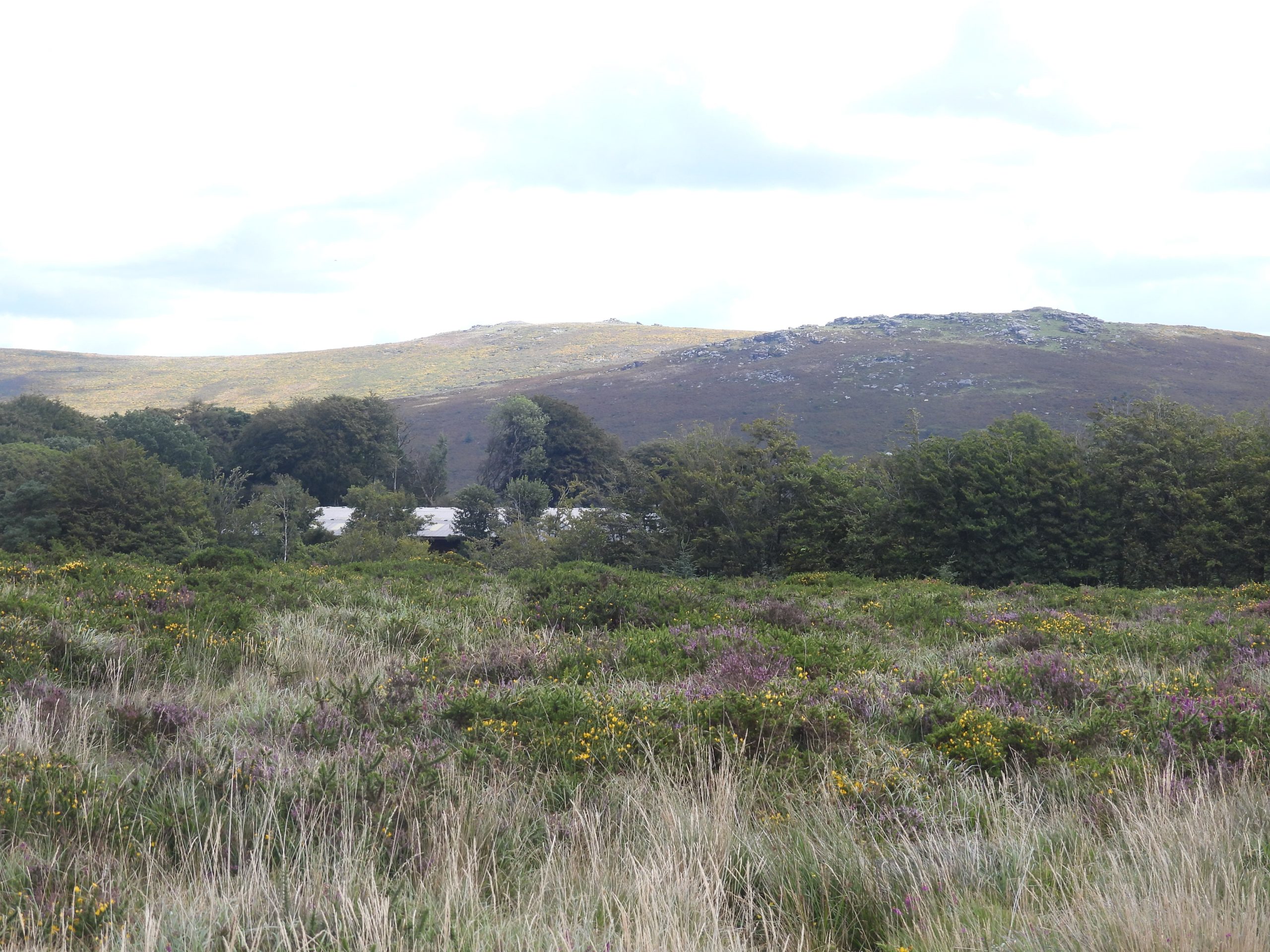
This post records research the author has undertaken plus the results of an exploration between Princetown and Brimpts Plantation(s) to look at the probable route the ropeway would have taken and to see if there were any remaining remnants of the venture.
Bibliography and Acknowledgements
High Dartmoor – Eric Hemery – 1983 (pages 408, 492-3 and 562)
Dartmoor Chris – extracts from newspaper articles (Exeter & Plymouth Gazette and Western Morning News)
The Brimpts to Princetown Aerial Ropeway – Dartmoor News (number 150)
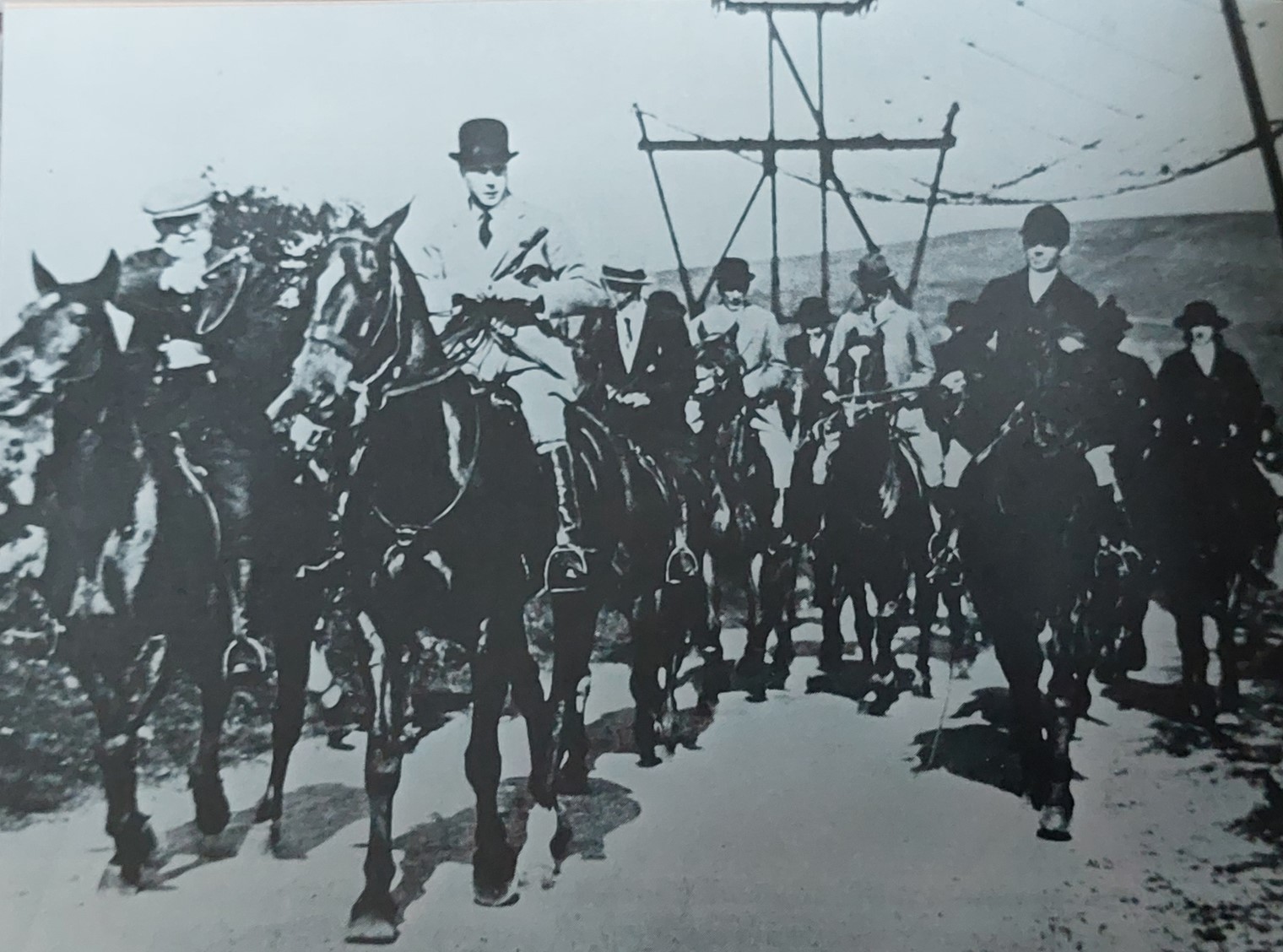
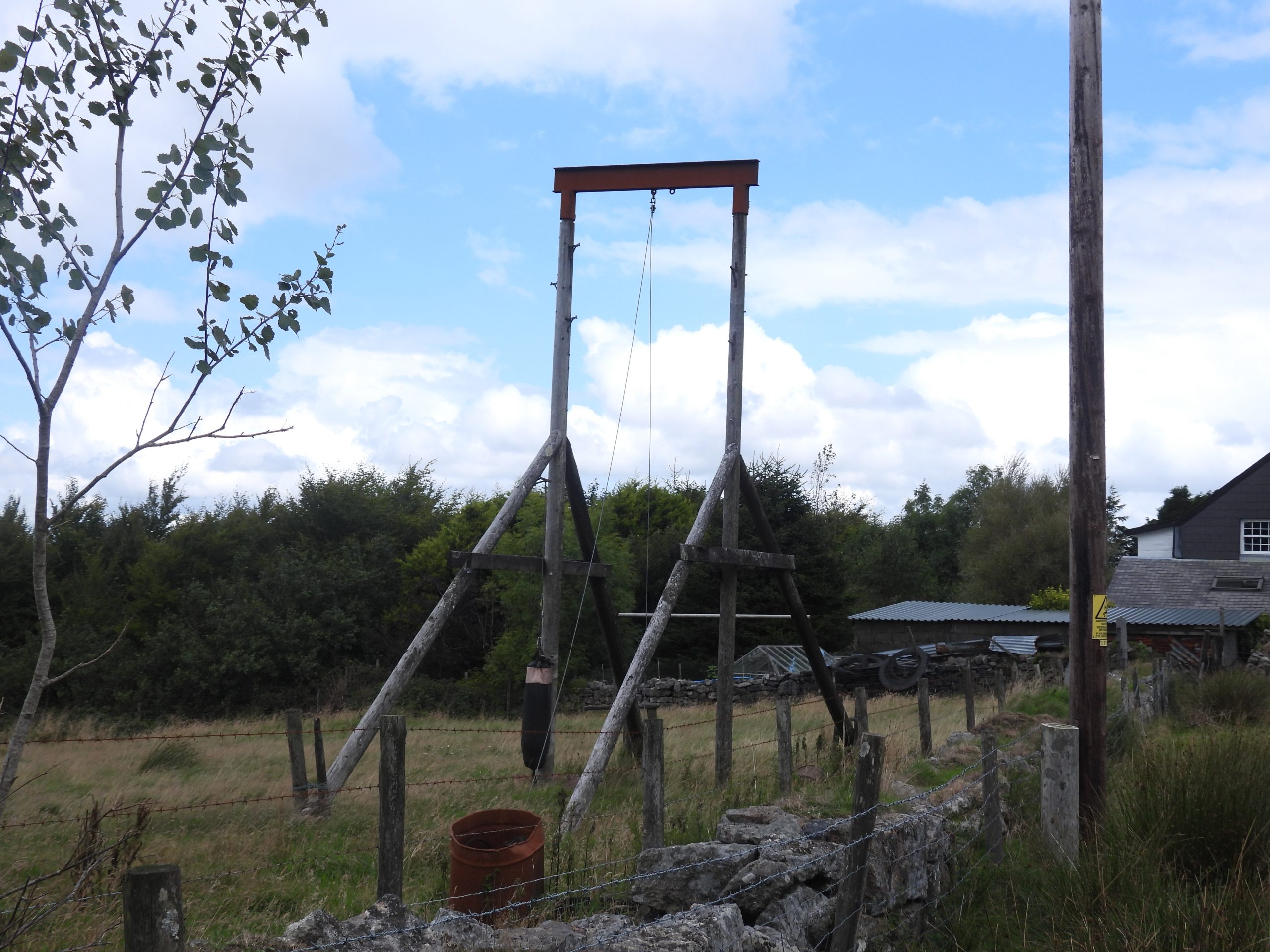
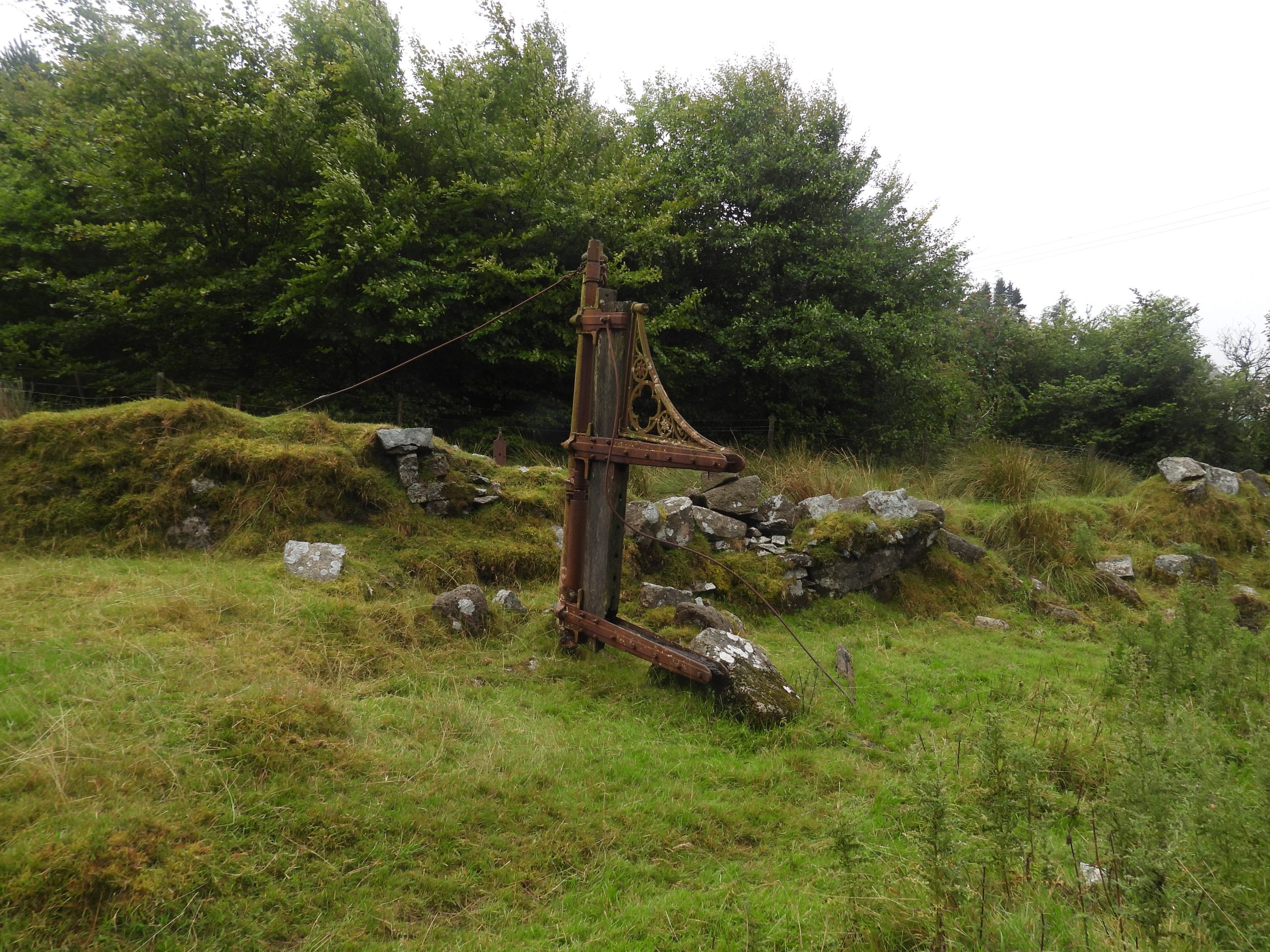
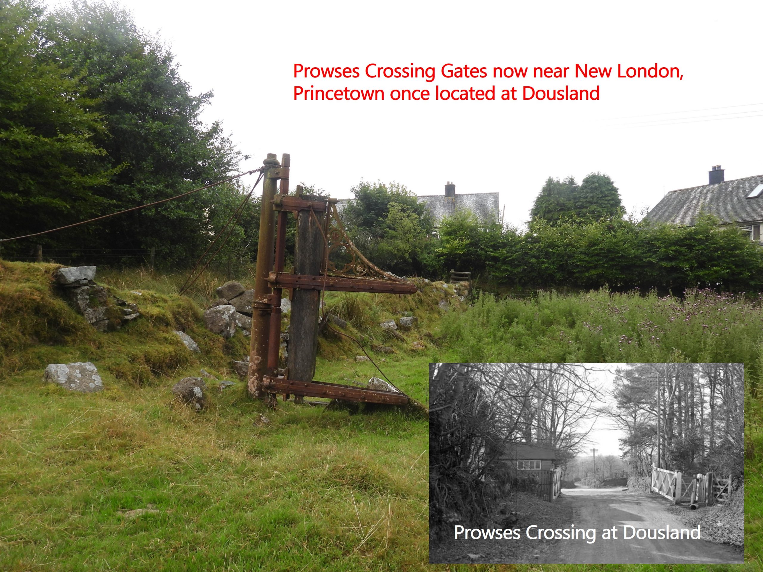
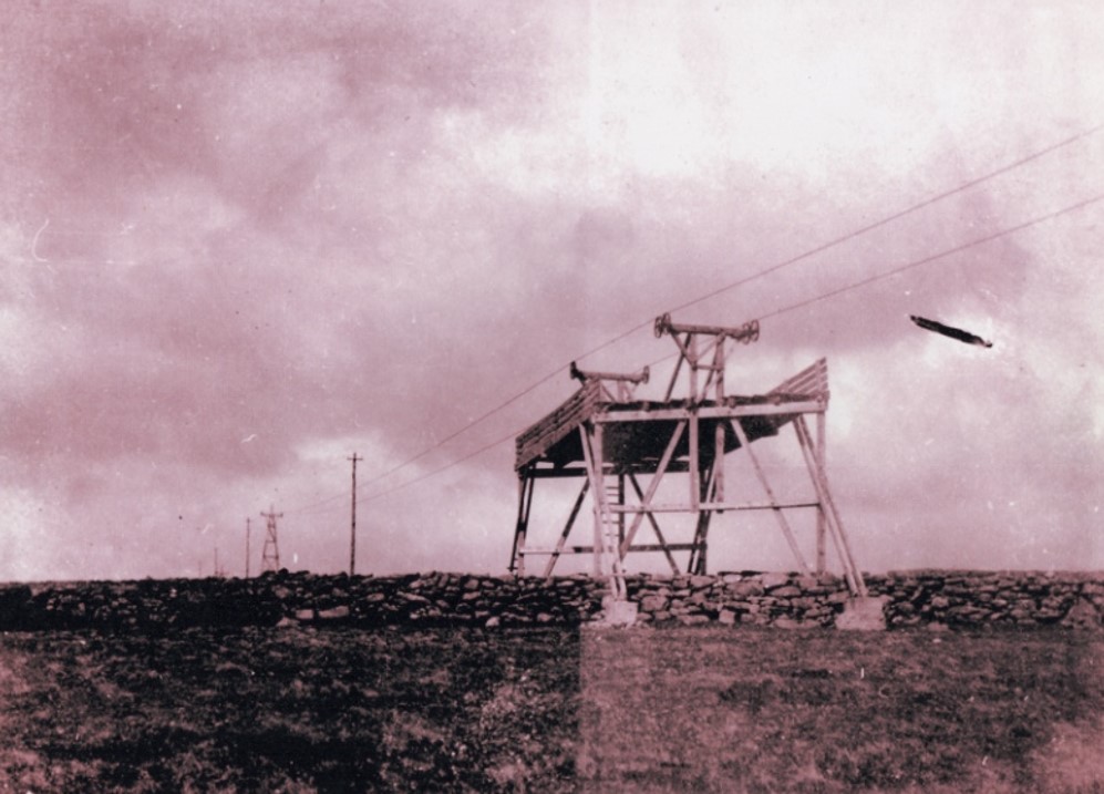
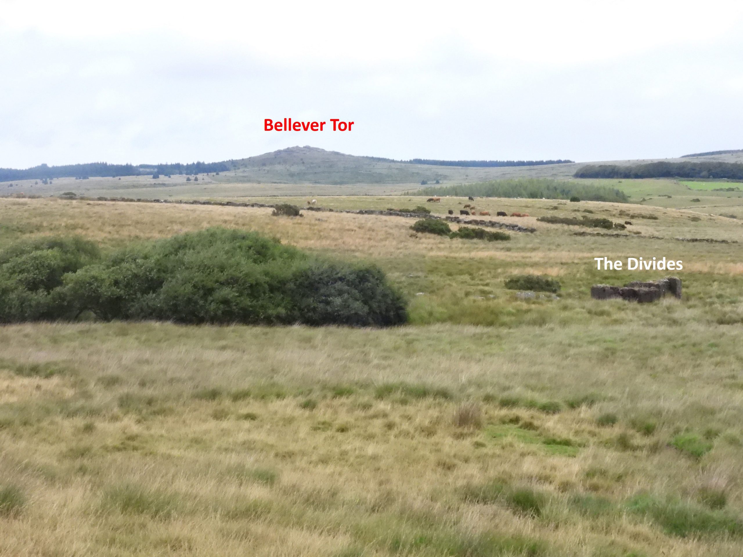
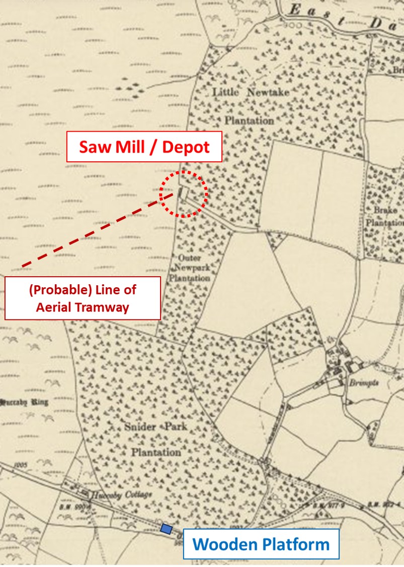
This sketch map shows the probable route the aerial tramway would have taken. The two (known) photographs of the tramway (see camera icons on sketch) and the location (the ‘divides’) of concrete masonry bed for the oil engine, the power plant of an aerial ropeway provide with some accuracy the probable western half of the route. However, the eastern part of the route from the ‘divides’ to Brimpts is open to a little more conjecture. The author has seen a suggestion (in an article in Dartmoor News) that the ropeway ran to the southern end of Snider Park Planation (SX6640 7340). However, there is evidence in Eric Hemery’s High Dartmoor that the actual eastern half of the route where a former depot / sawmill is believed to have been located to the north by the junction between Little Newtake Plantation and Outer Newpark Plantation (SX6638 7435).This picture shows the aerial ropeway in 1921, where it approached Tor Gate and Princetown Station. The ropeway had a safety net here as it crossed Castle Road. The riding party is headed by HRH Prince Edward, Duke of Cornwall with John Worth of Whiteworks acting as the guide. Eric Hemery in High Dartmoor (Pages 492-3) records that: “Much of the bark on the timber, loosened in the course of felling and loading, dropped from the cradles during transit and was recovered by moorland wives as highly prized kindling wood”.Leaving Princetown near New London, this structure could easily be mistaken for part of the aerial ropeway. It has been suggested that it is some kind of training aid (ref: Dartmoor CAM 15-07-15). The remains of a railway crossing gate at New London, Princetown. This was once thought by some to be part of the overhead ropeway (ref: Dartmoor CAM 15-7-15) – this thought was corrected.Prowses Crossing was once located in Iron Mine Lane, Dousland. The railway track crossed the road and ran behind the house now called ‘The Crossing’, which was originally the crossing-keeper’s house. At New London, Princetown the crossing for a period was used as a cattle crush. The second remaining picture of the aerial ropeway, thought to have been taken near Tor Royal road just south of Princetown. From the photograph it appears evident there may have been more than one style of supporting tower. On the sketch map the possible location is annotated as photograph 2. This picture can be found hanging on the wall at Old Police Station Cafe, Princetown and at https://oldprincetown.weebly.com/ (whom permission was sought to publish in this post).
The aerial ropeway is known to have still been in operation in 1919 by virtue of correspondence through the Western Morning News titled: ‘Ropeway at Brimpts’, thus:
Sir. – My attention has been called to an article in last Saturday’s issue of your paper on the question of the ropeway at Brimpts.
I welcome any criticism on the department’s operations, but I think when the real facts of the case are put before you that you will agree with me, instead of the ropeway being an extravagance, it is a sound economy.
The only unfortunate thing about it is that owing to the difficulty on account of the war in getting men and material, the work was unable to be finished by the time contracted for, August 1918, otherwise, of course, most of the wood would have been removed. The matter was very carefully considered before it was gone on with, and the cost of road repairs arising would have come to nearly as much as the cost of the ropeway; in addition to that this department would have had to supply a large number of motor lorries and men to deliver the wood, while the cost of transferring the wood by the ropeway is exceedingly small. No wood has been carried by road transport since it was decided to install the ropeway, and after the wood has been delivered the ropeway is being taken over by another buyer at a price which will reduce the cost by half.
The wood which has to be carried amounts roughly to 4 /5,000 tons, and I am pleased to say that instead of working badly, it is working exceedingly well. The only difficulty this department has in getting the wood away is caused by the trouble of getting trucks to load the wood when it is conveyed to Princetown by the ropeway.
Saml. [Samuel] Calder, Controller of Timber Supplies. Board of Trade (Timber Supply Dept.), 80, Newman-street, Oxford-street, W. 1st Nov. 1919
Western Morning News: Wednesday 3rd December 1919.
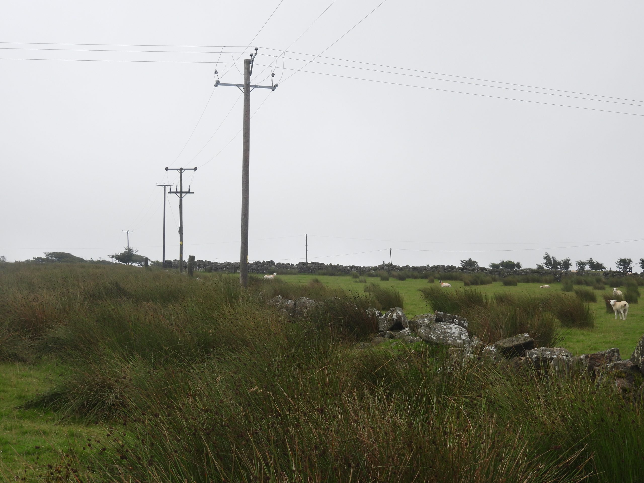
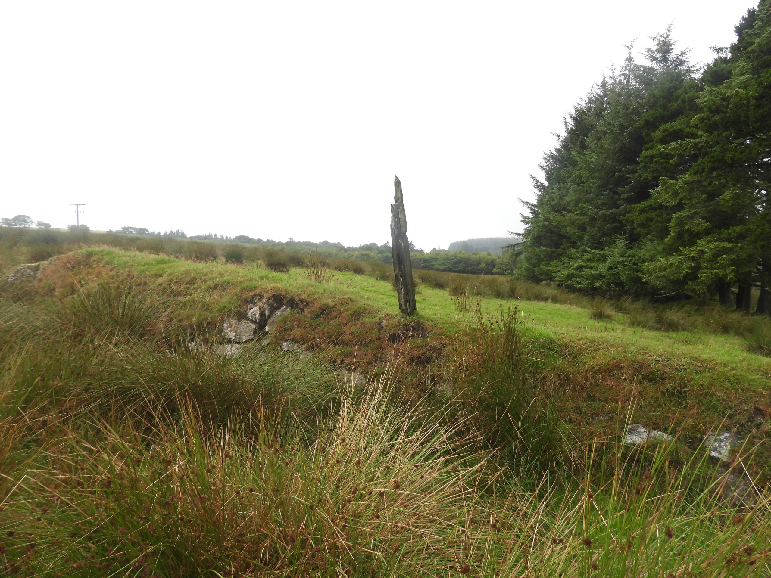
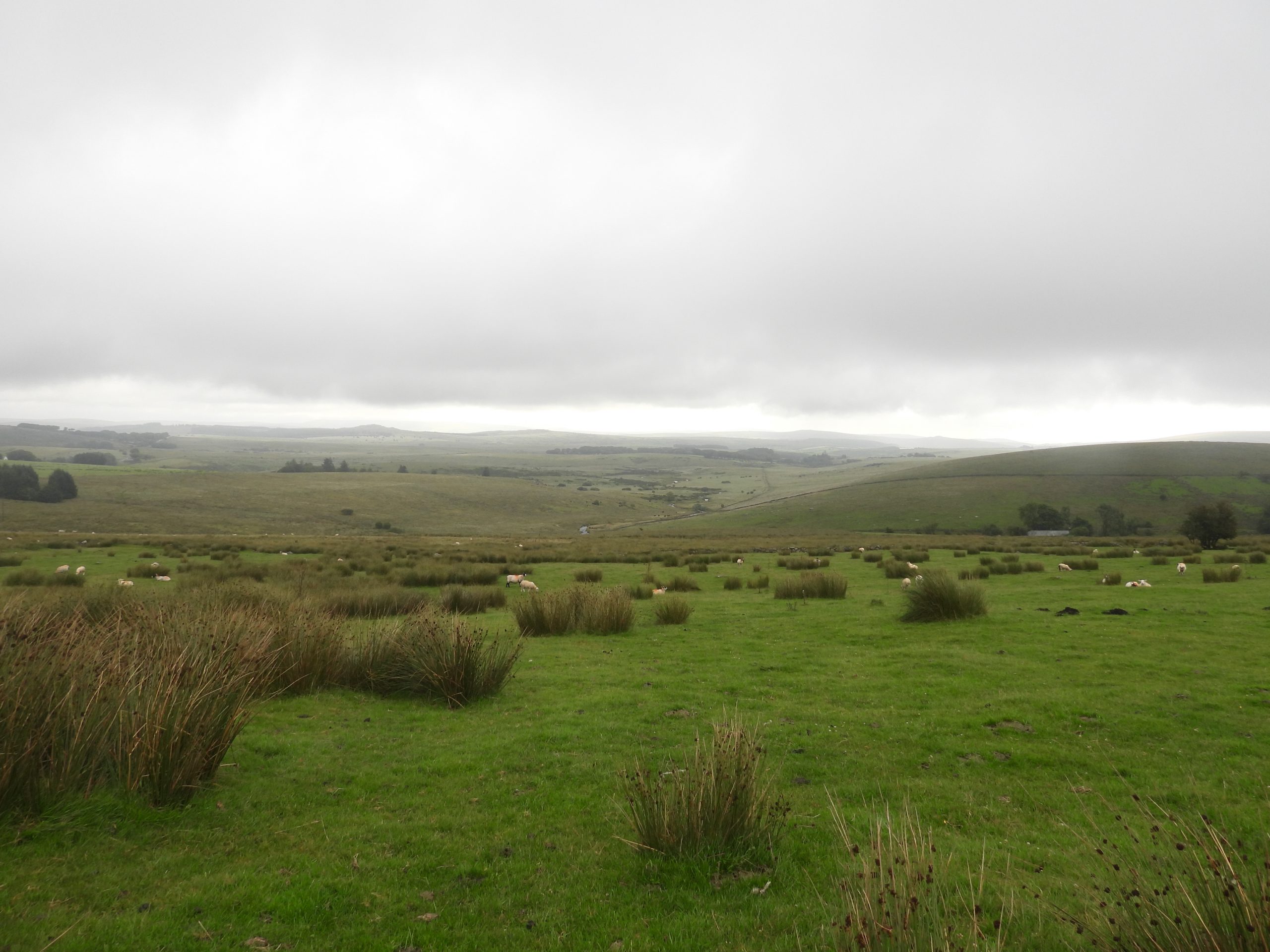
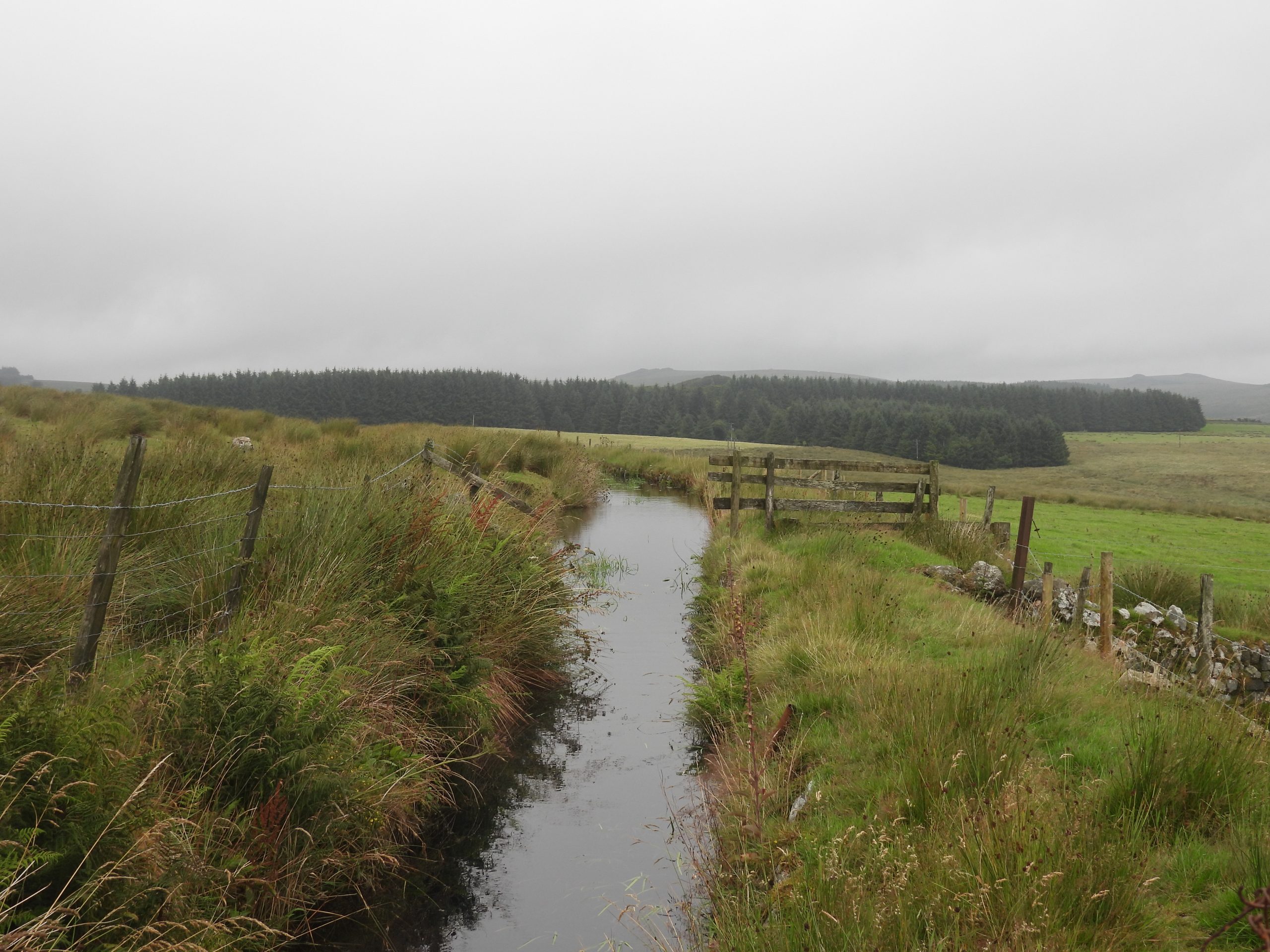
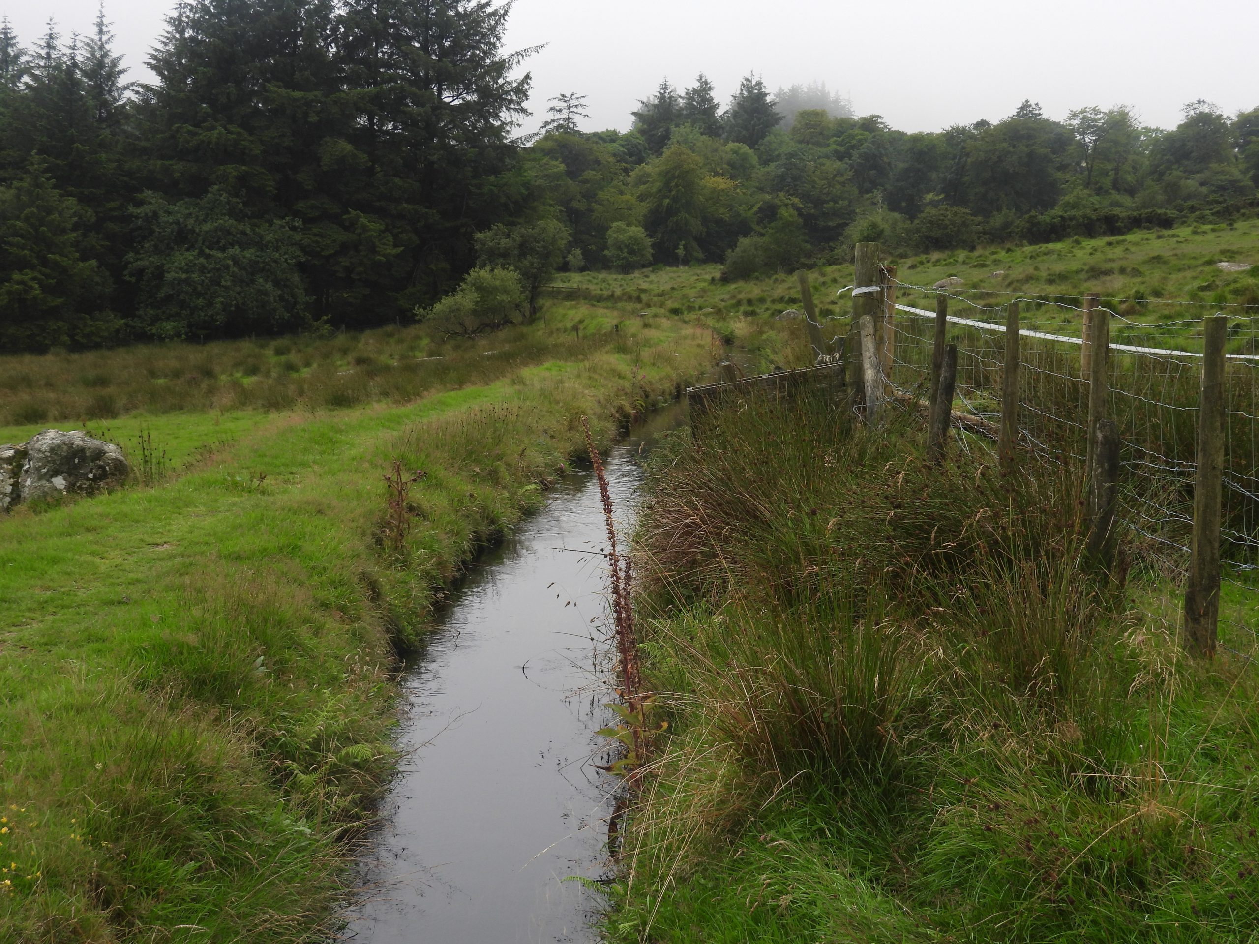
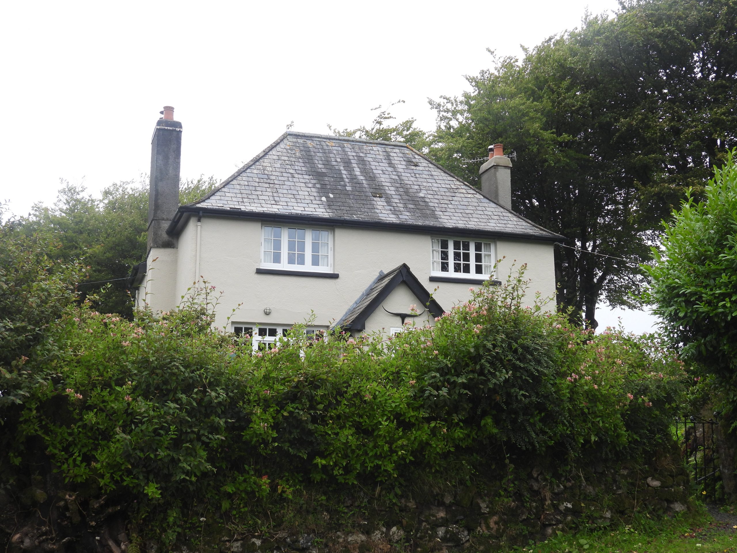
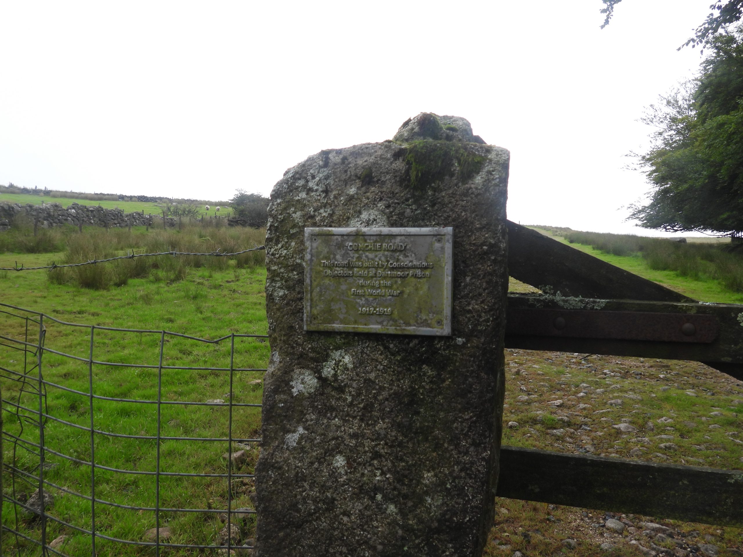
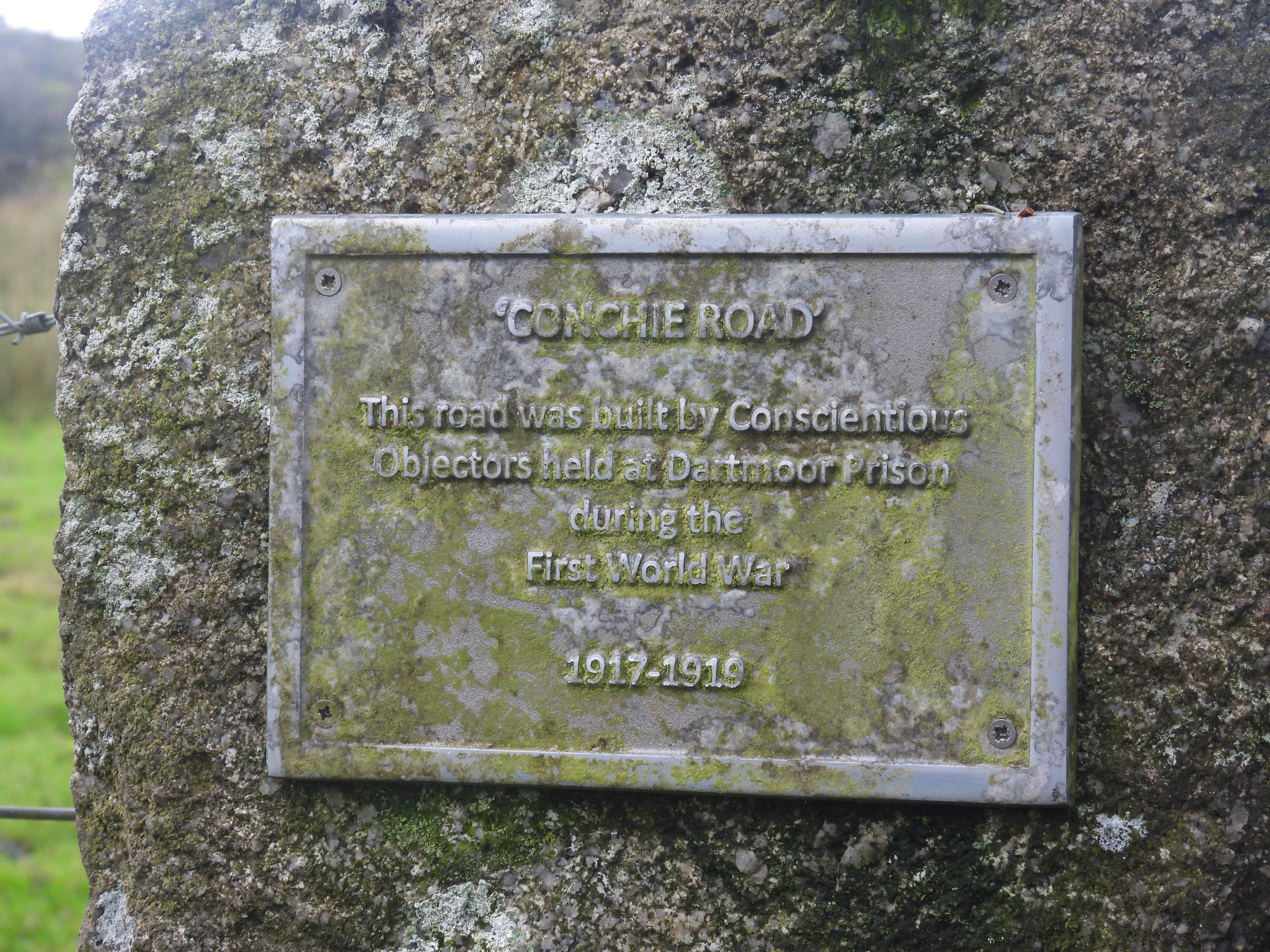
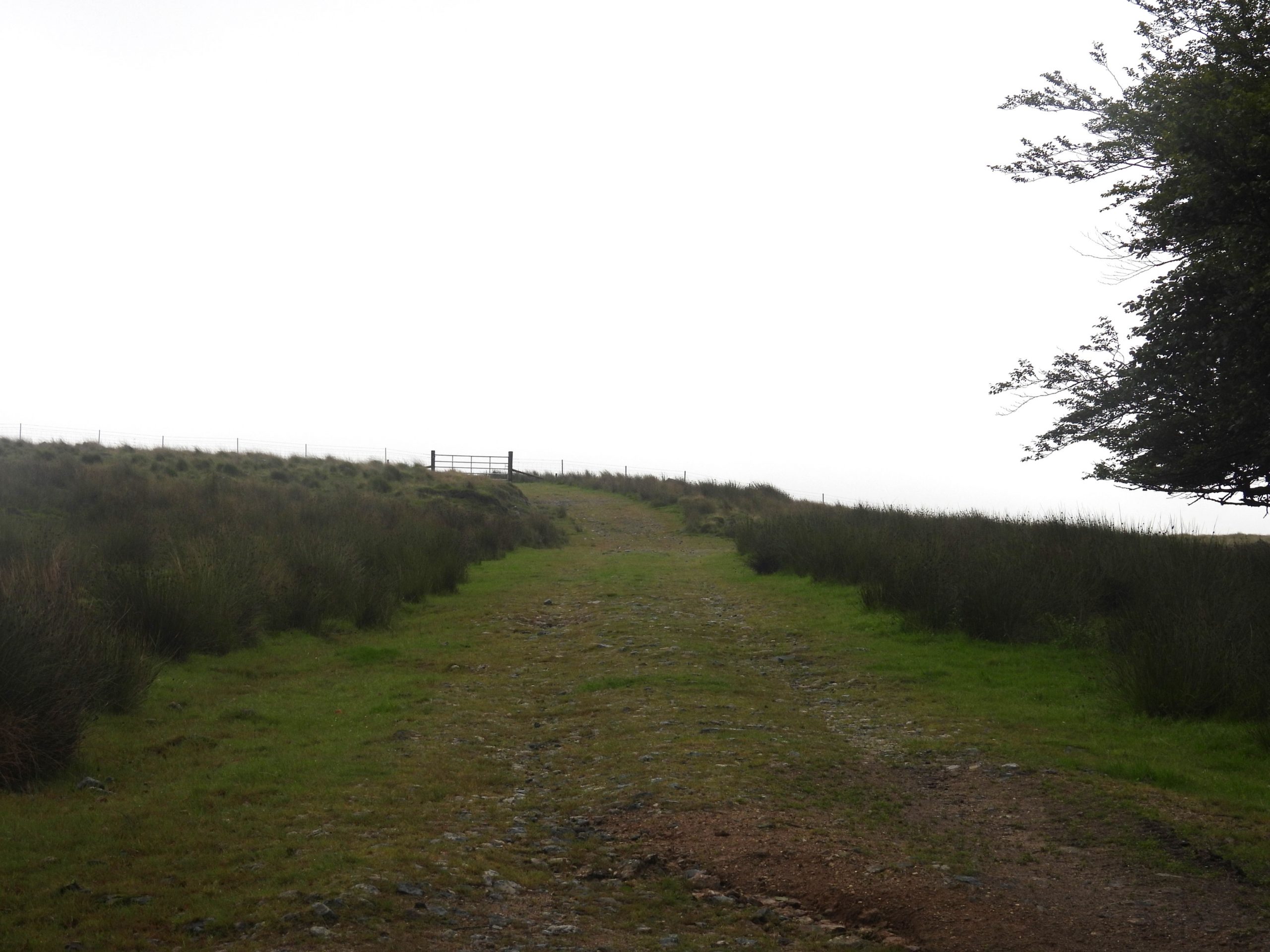
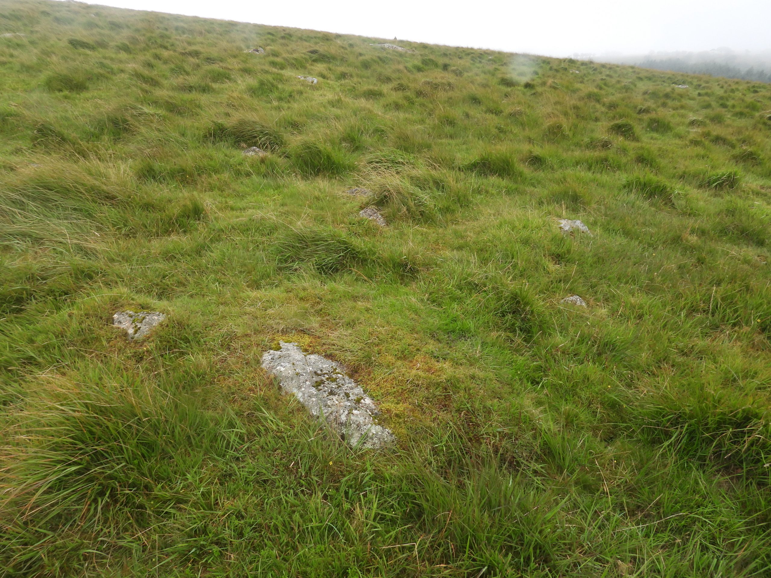
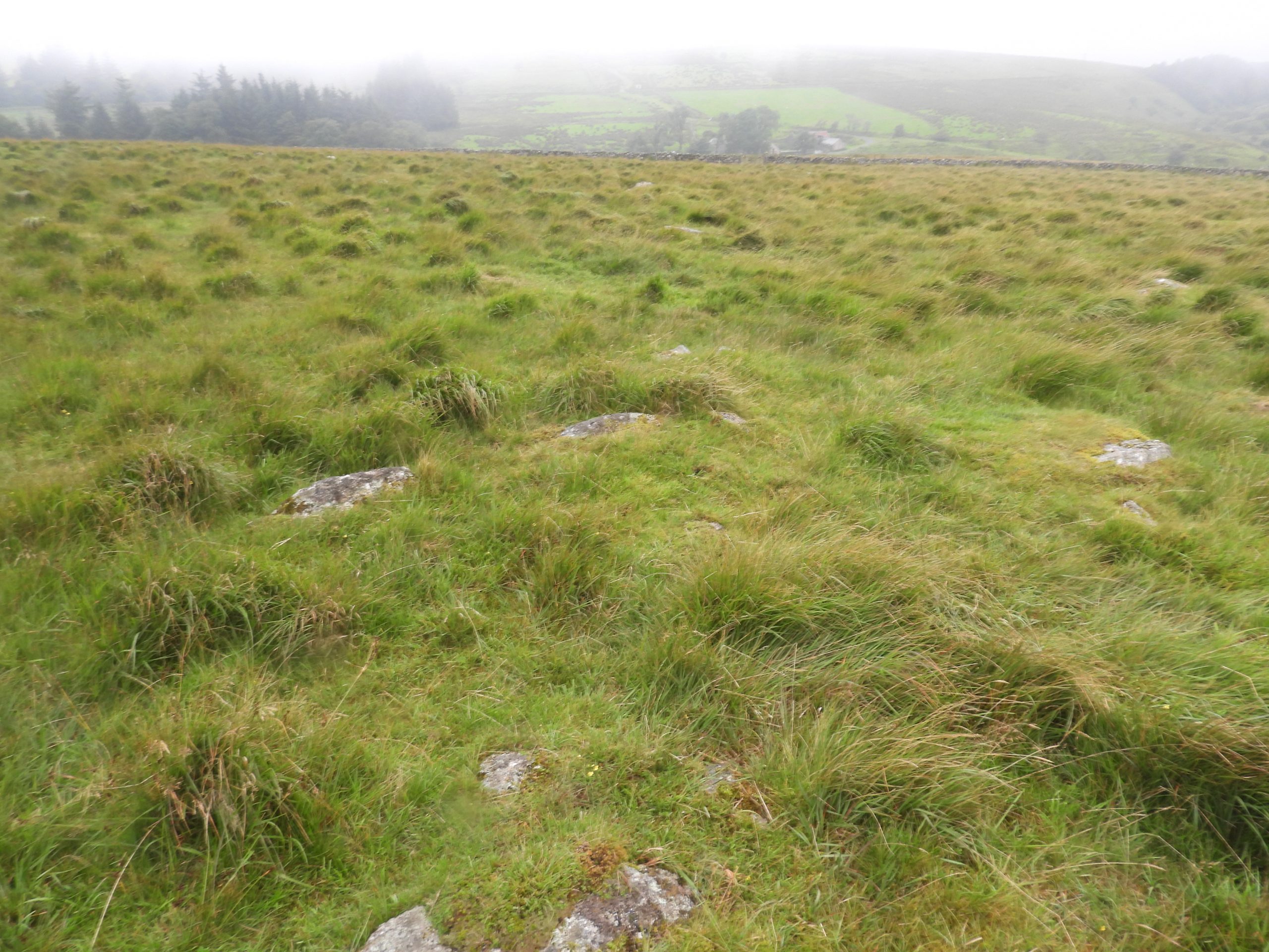
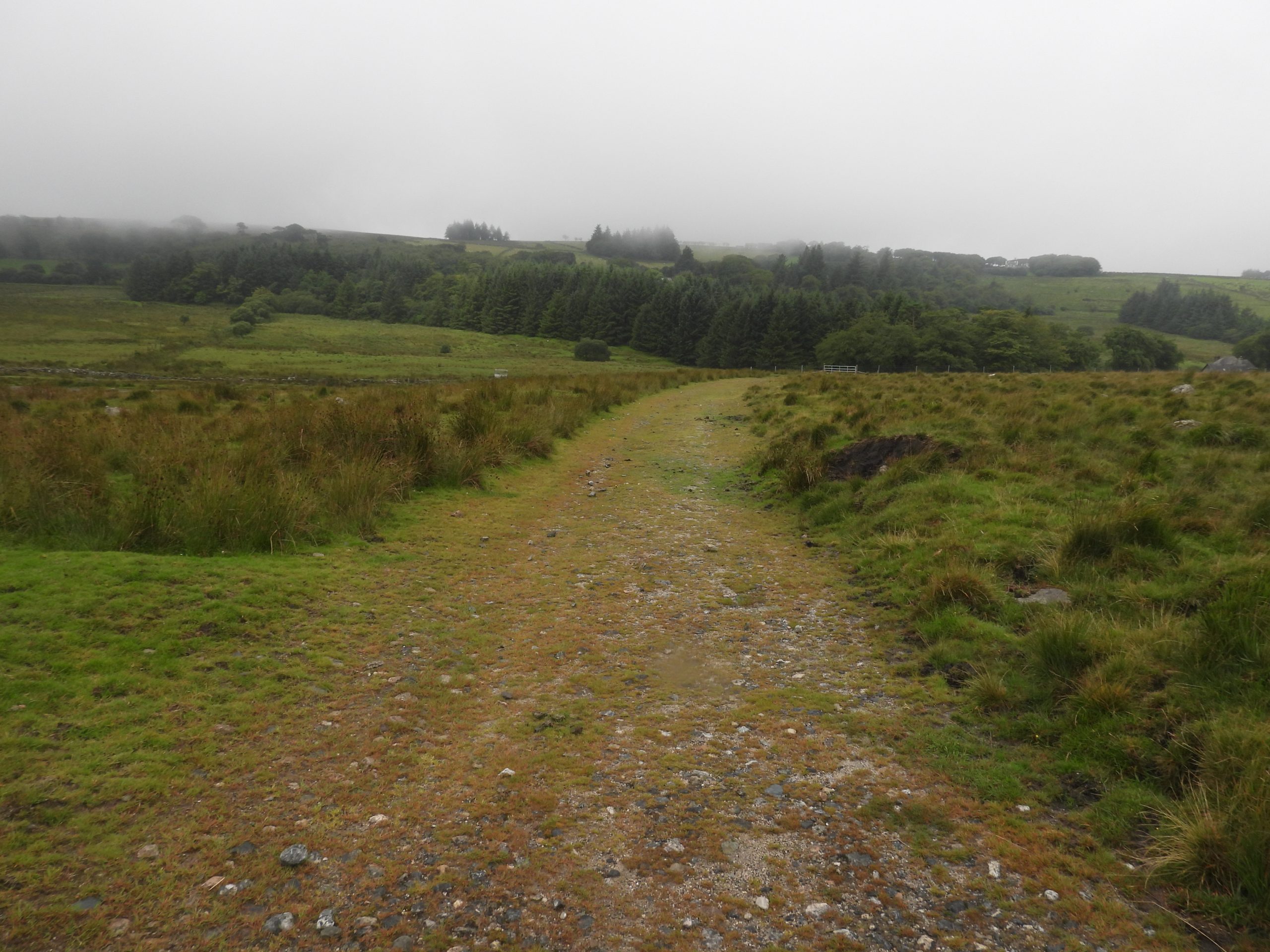
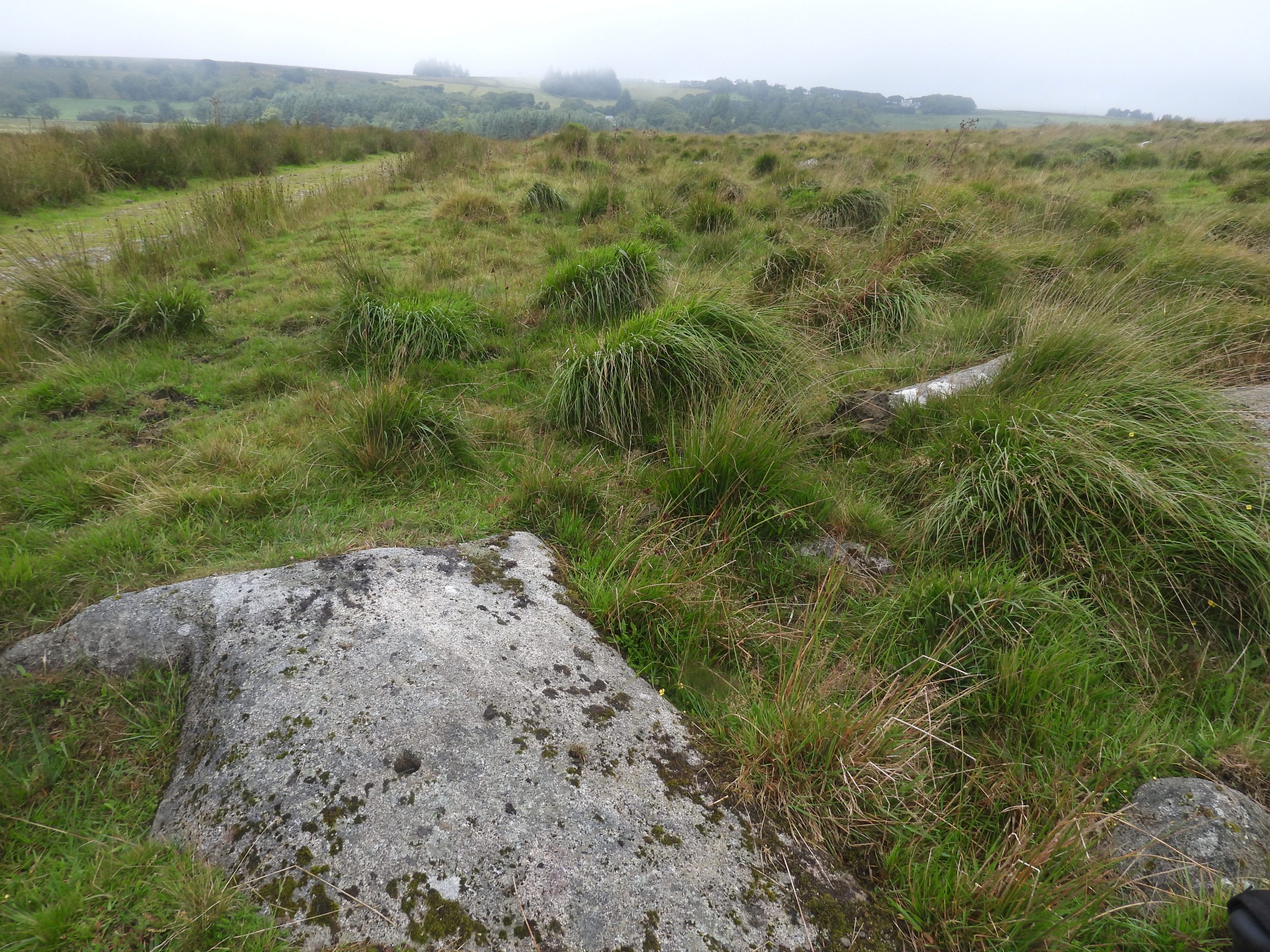
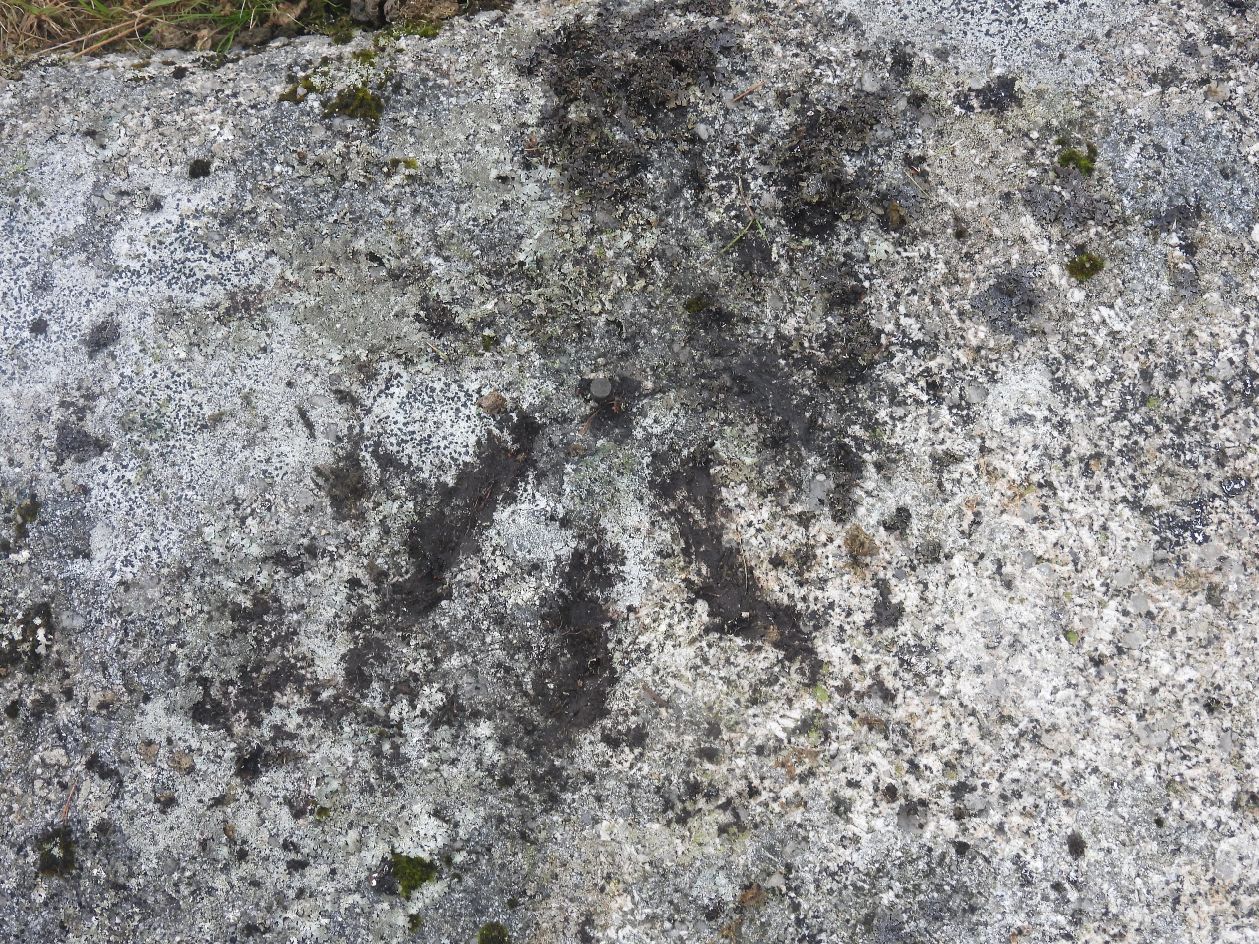
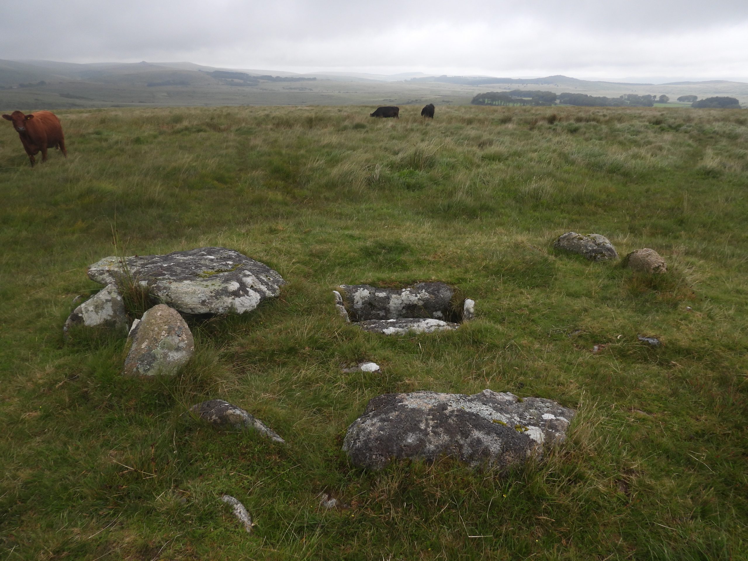
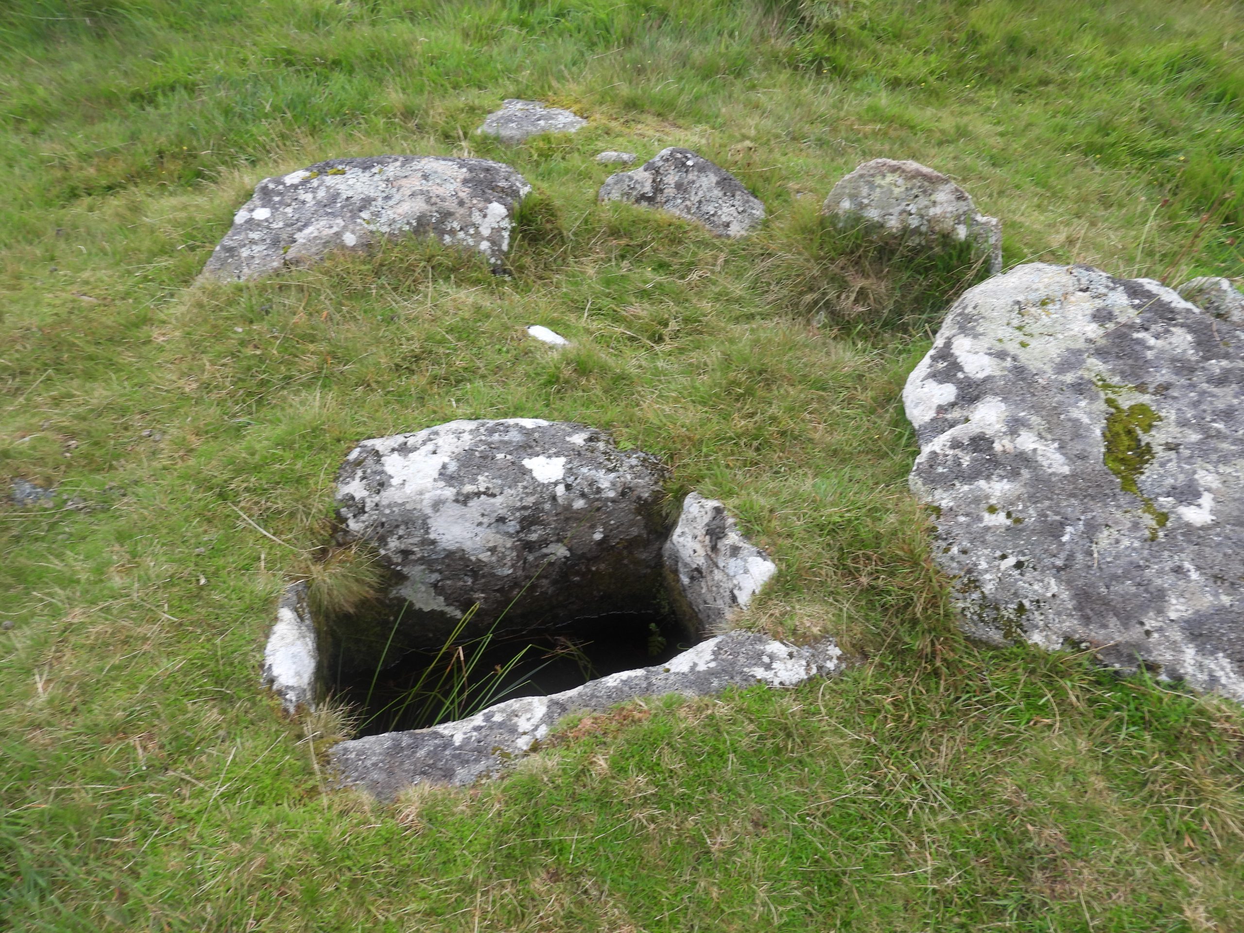
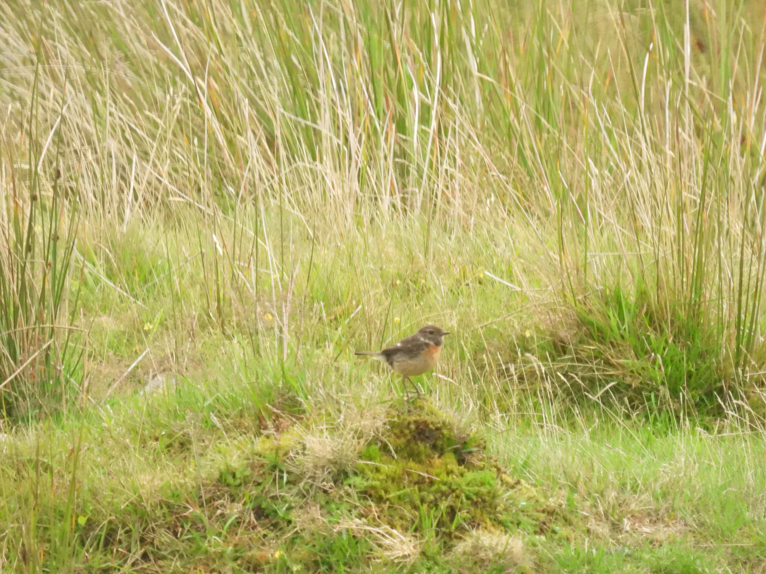
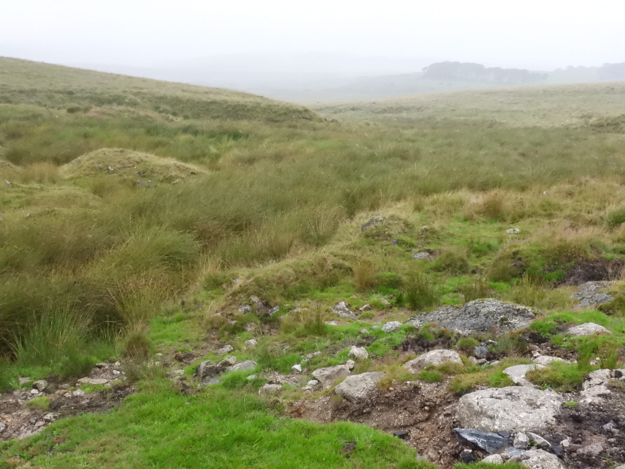
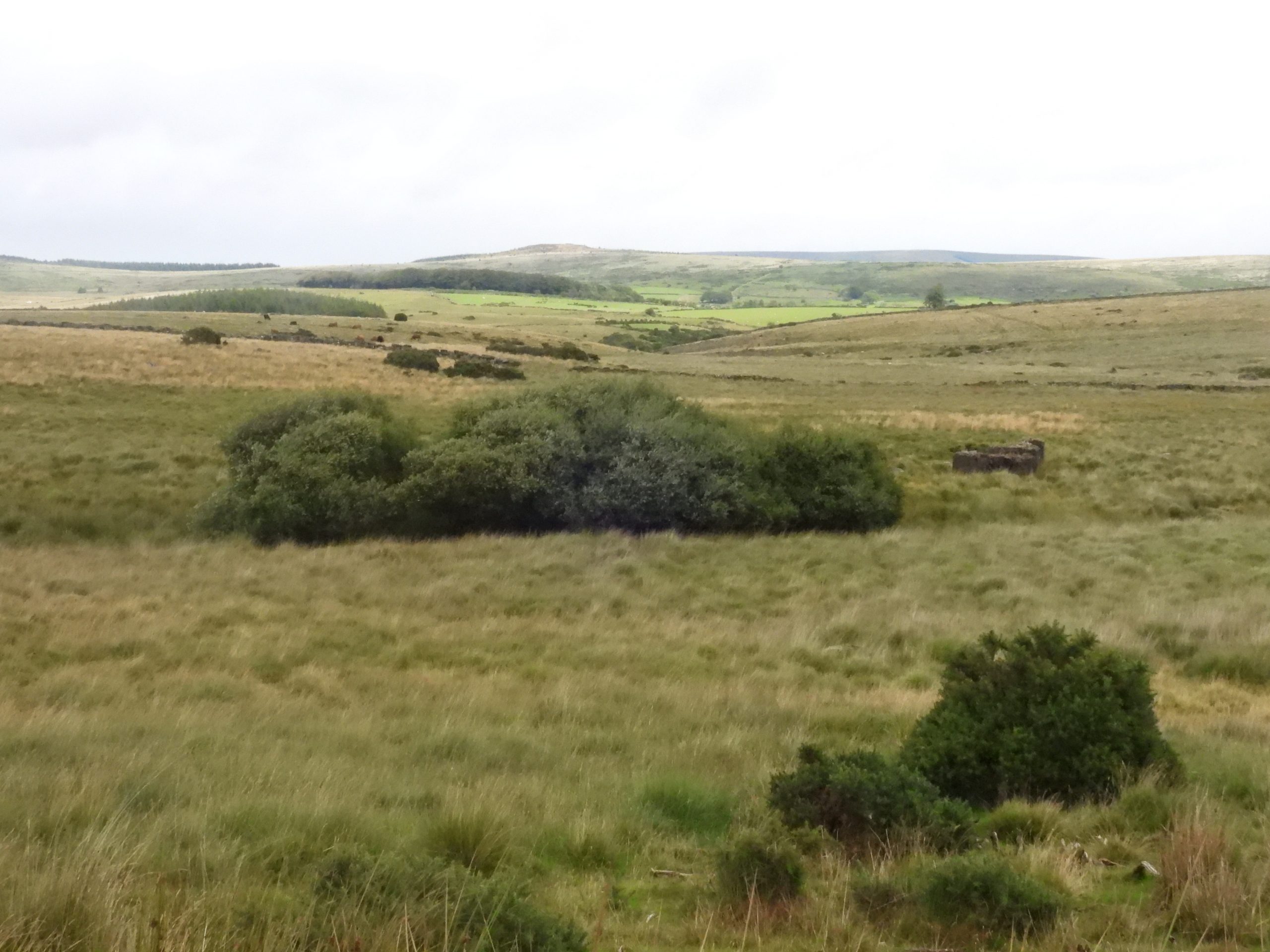
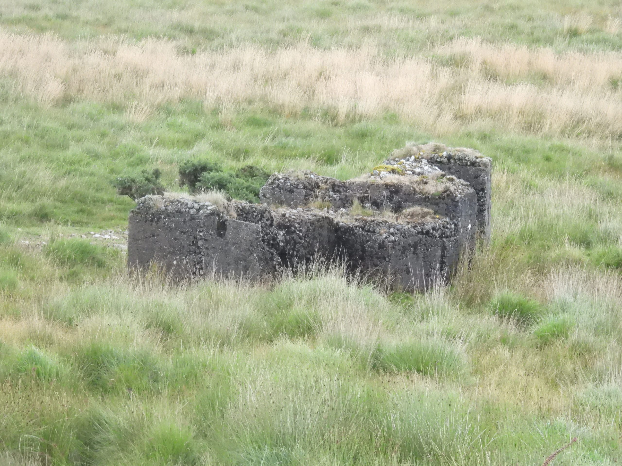
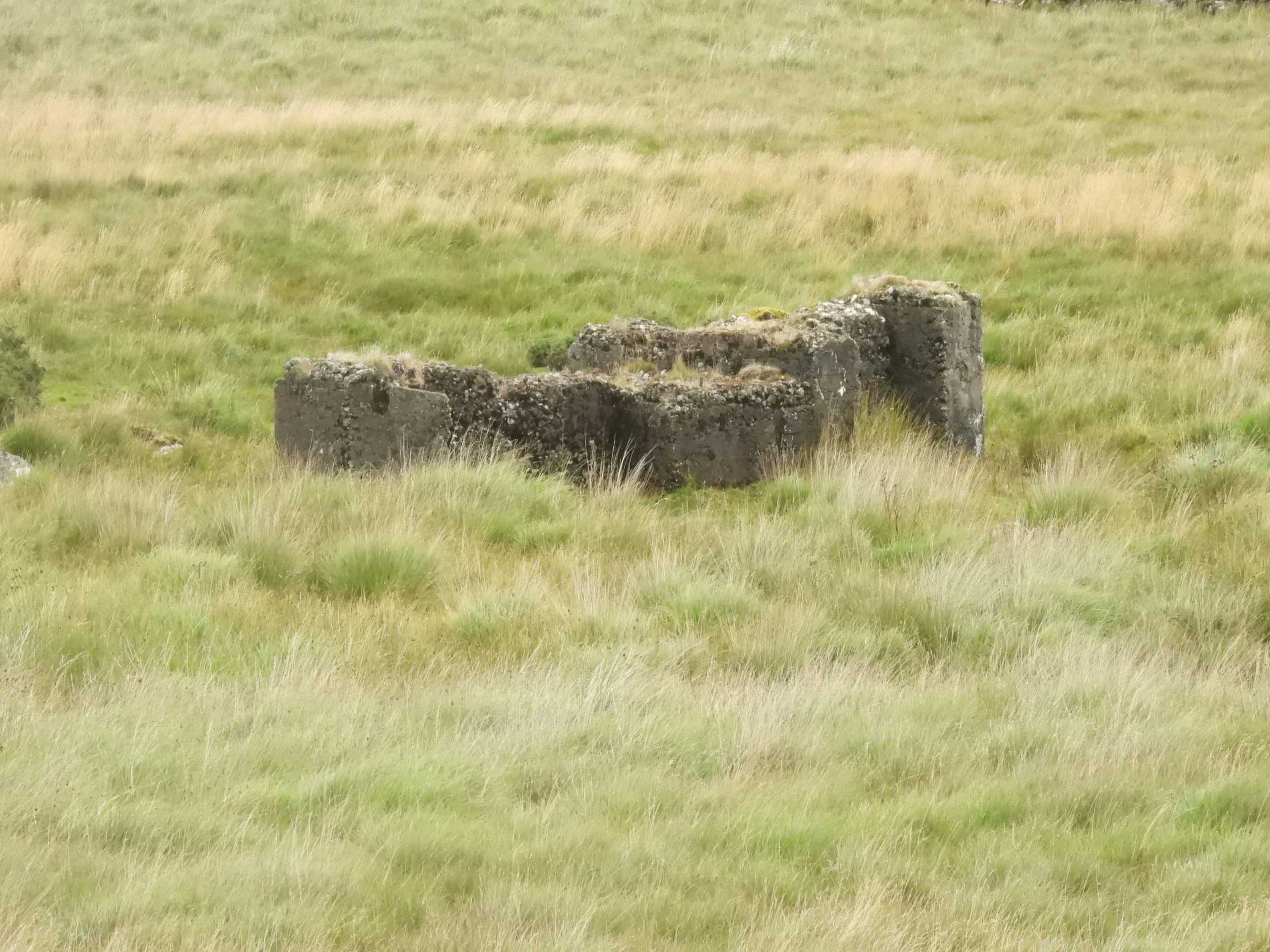
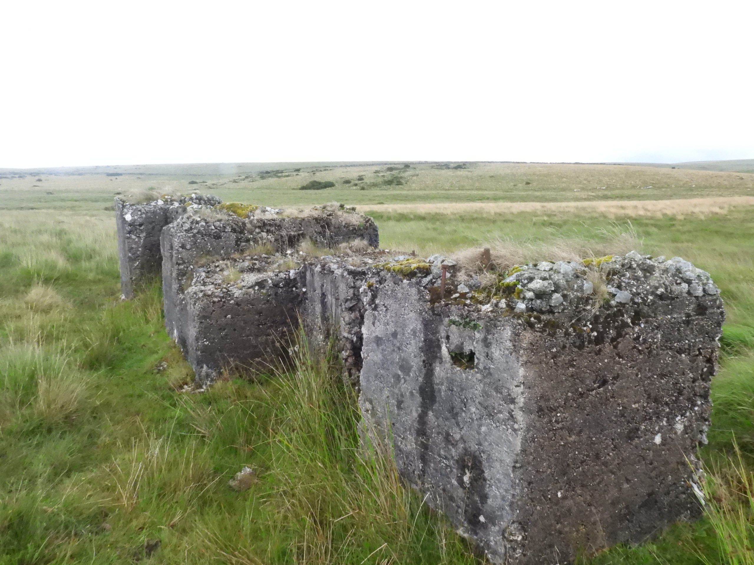
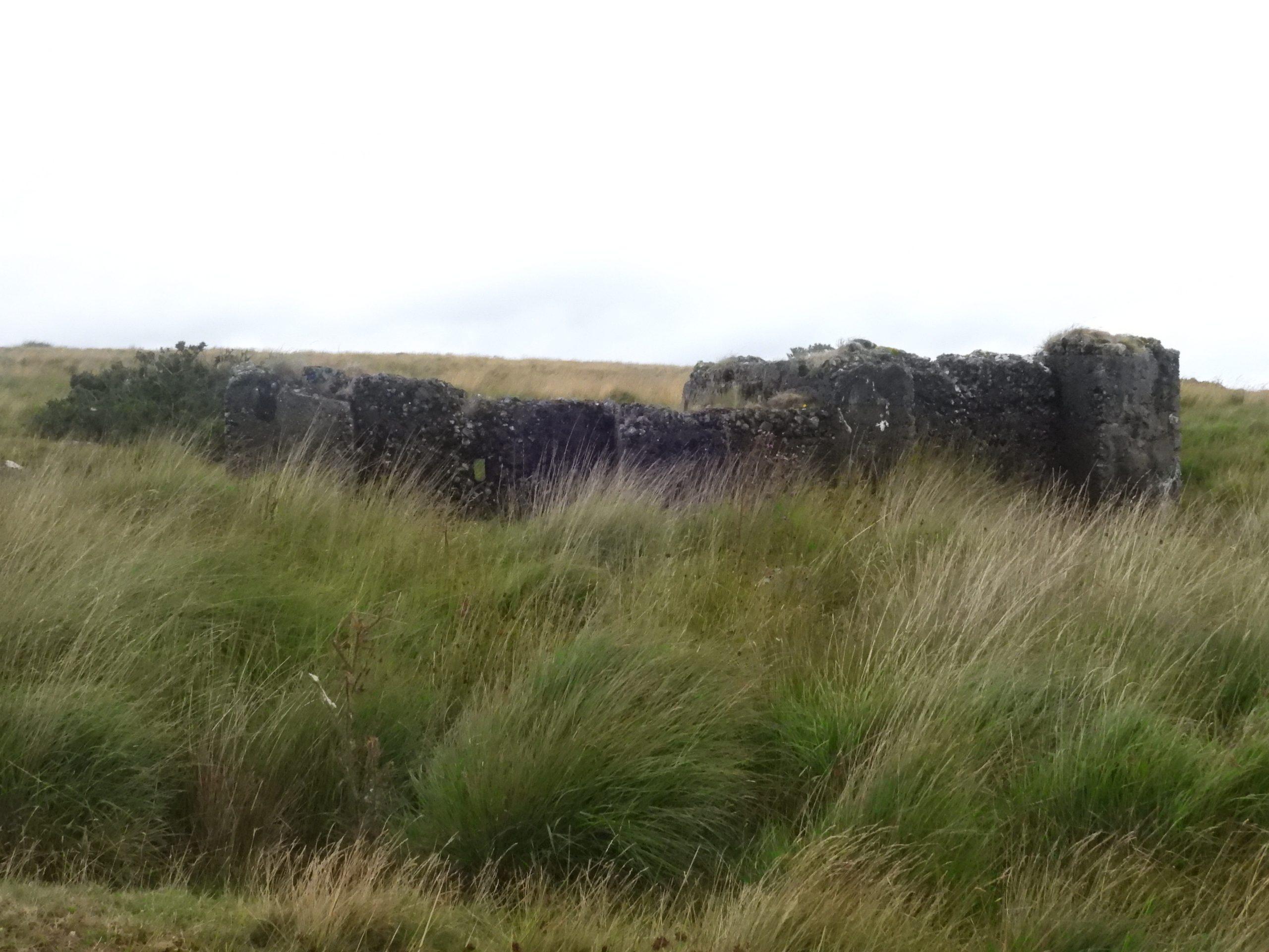
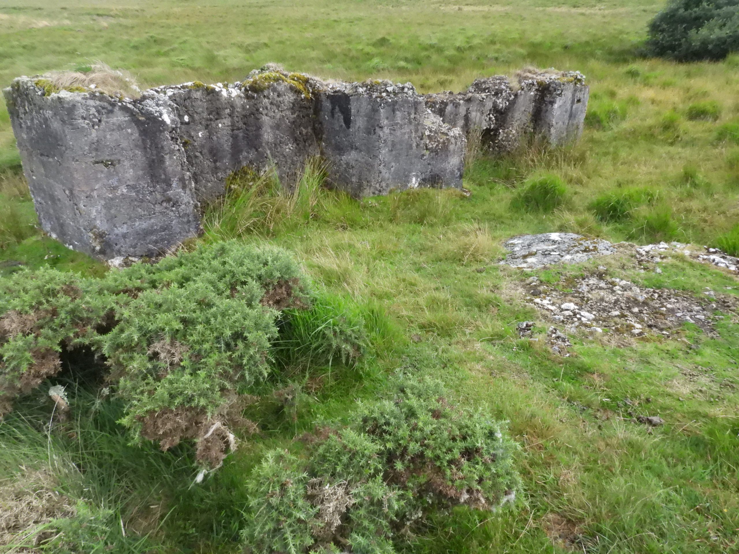
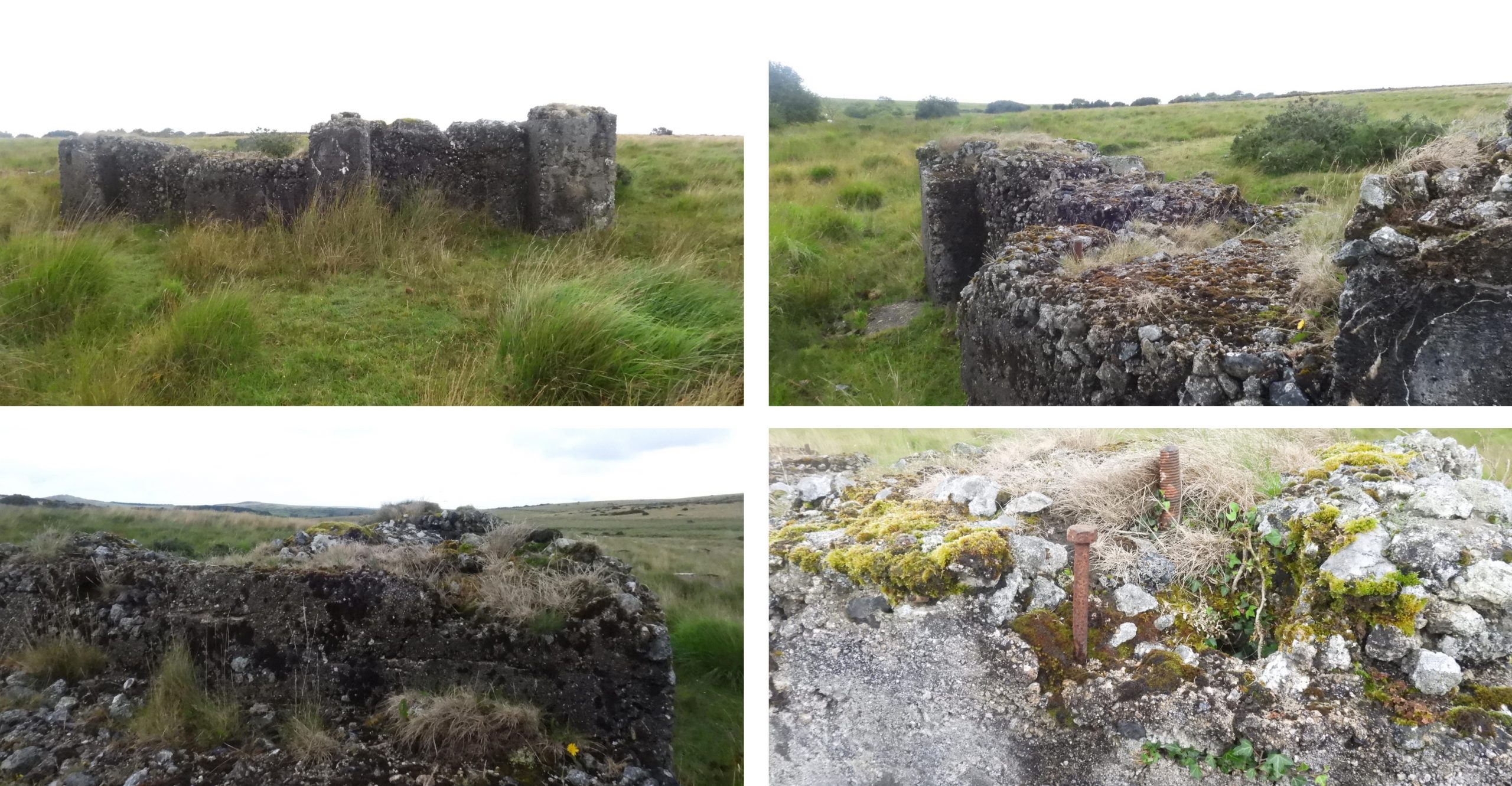
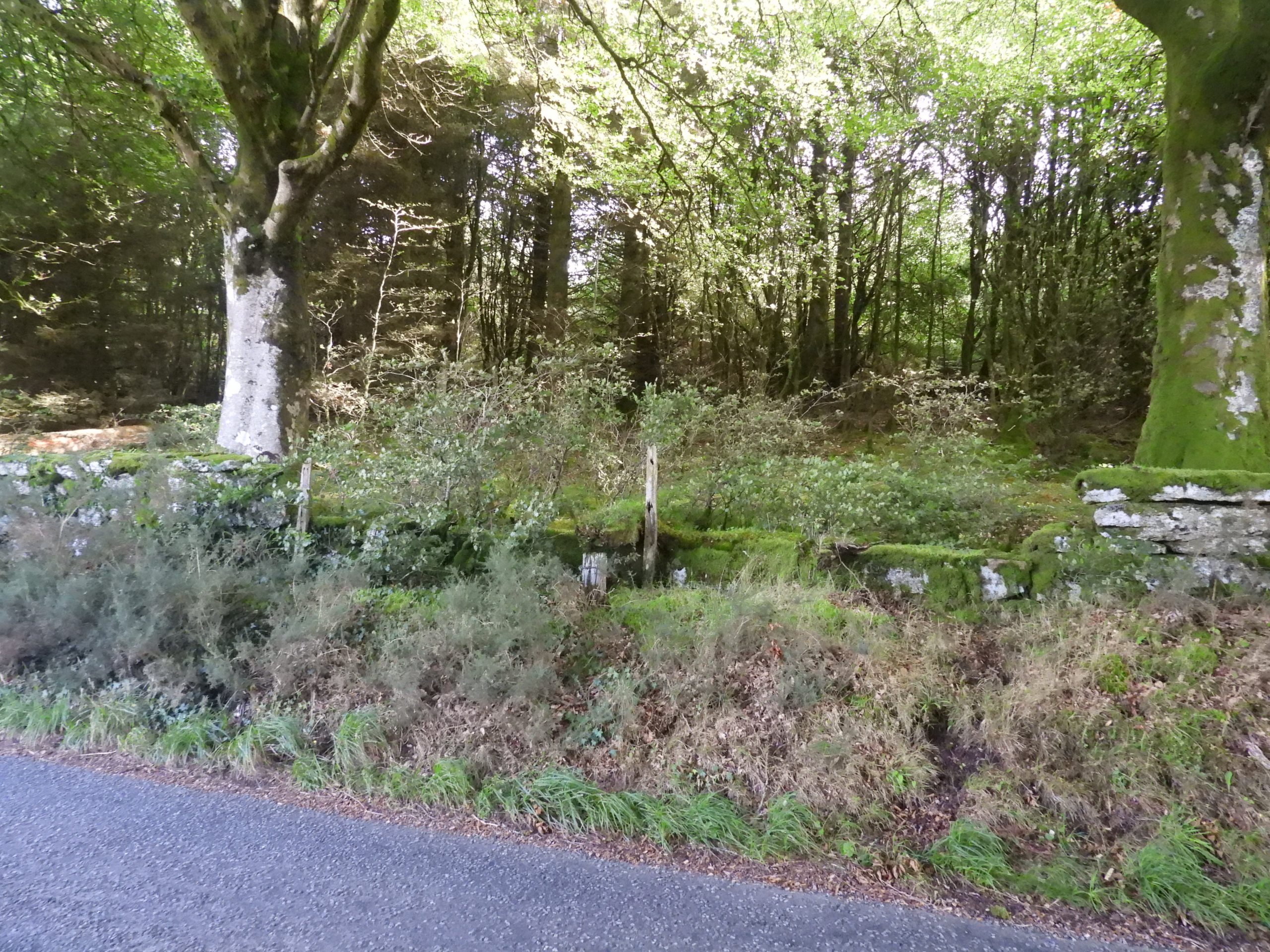
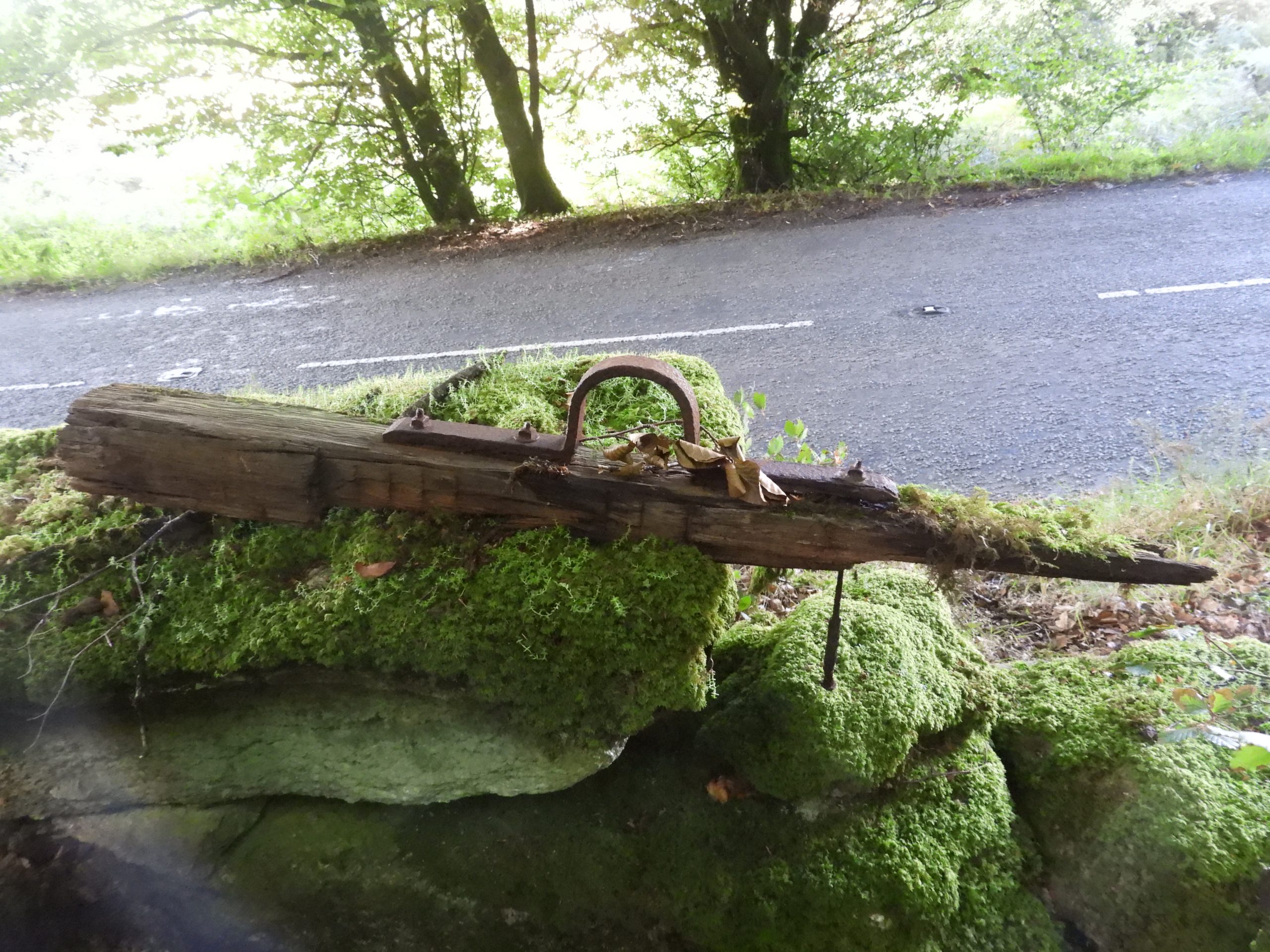
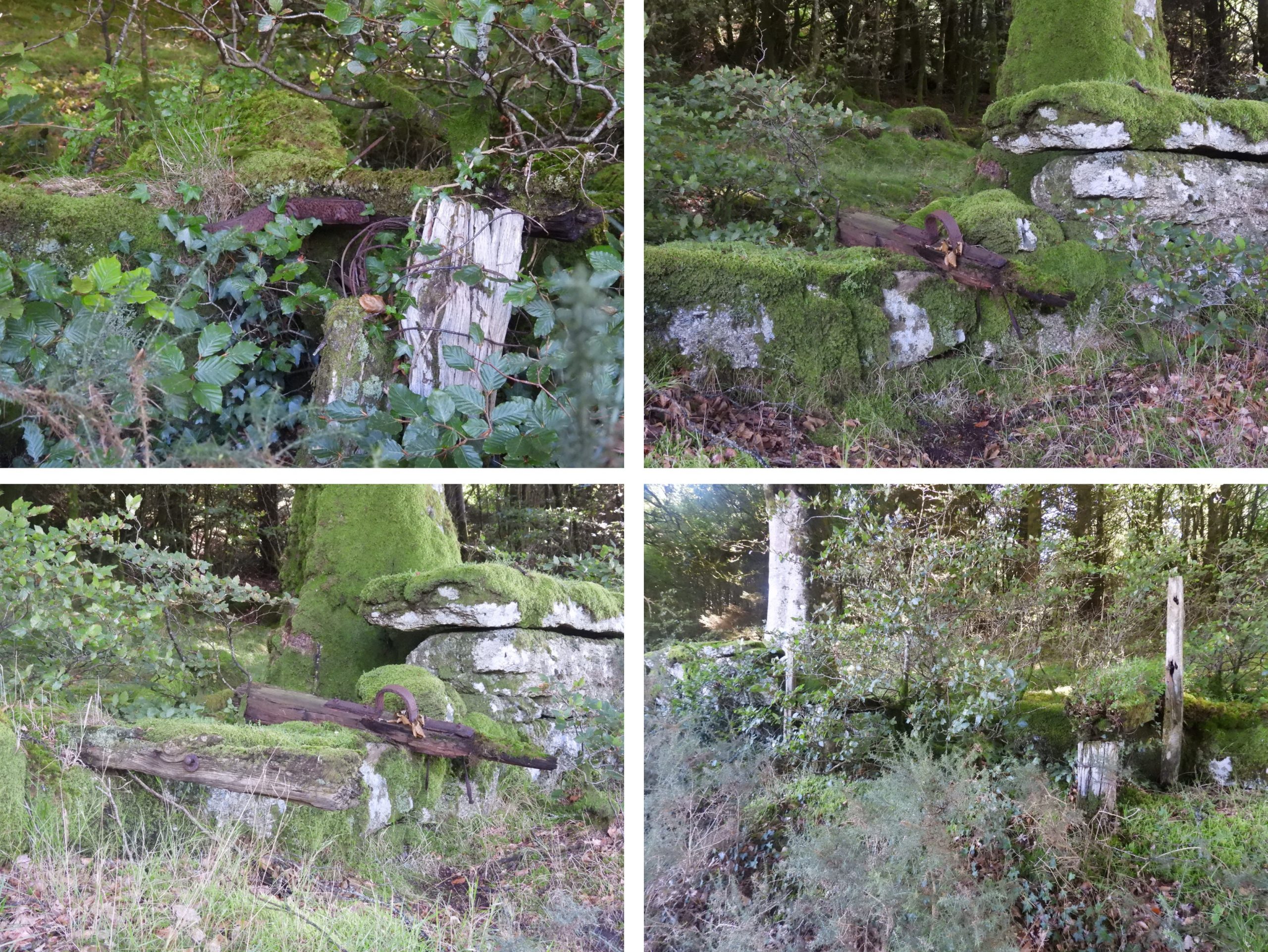
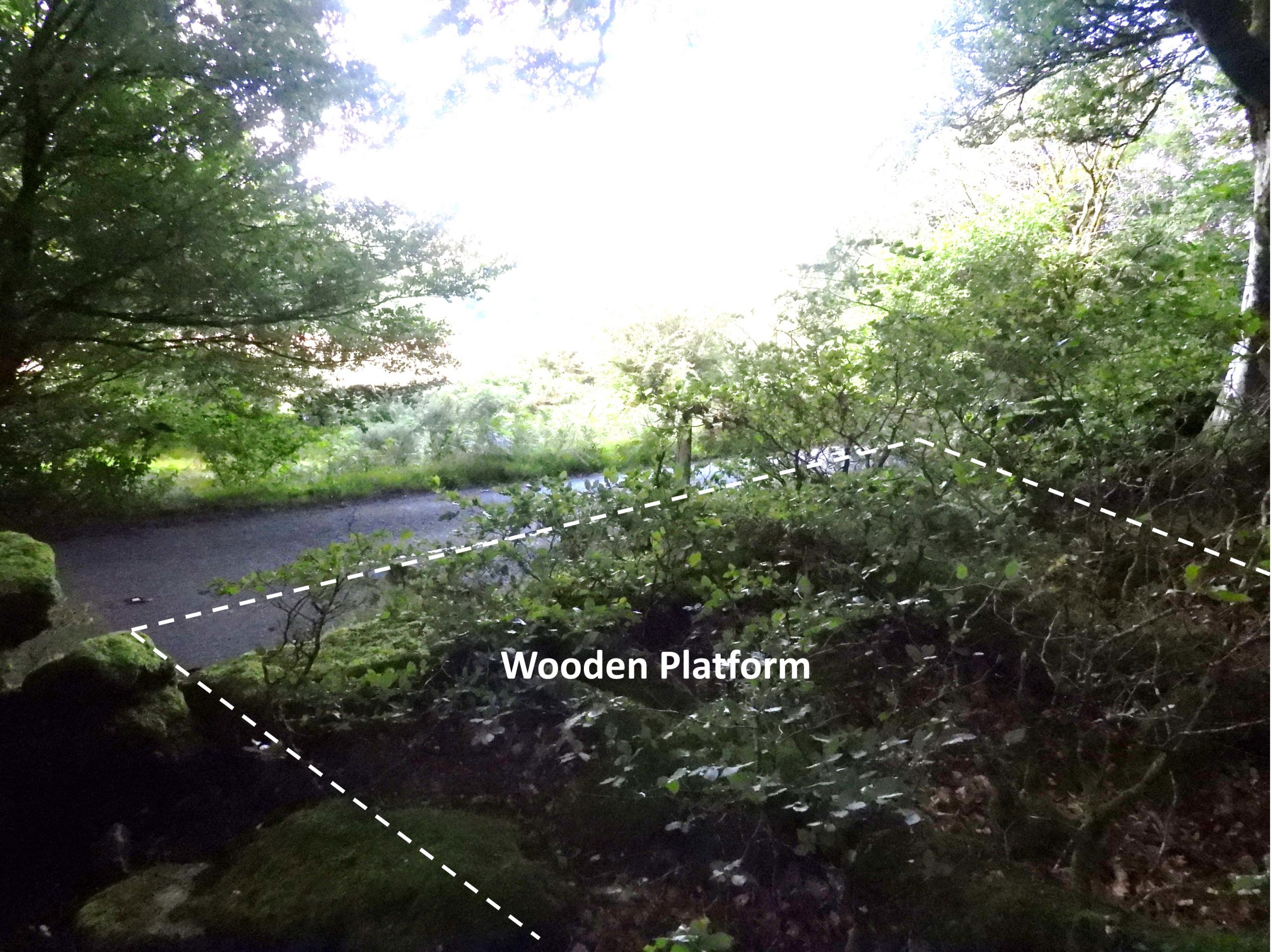
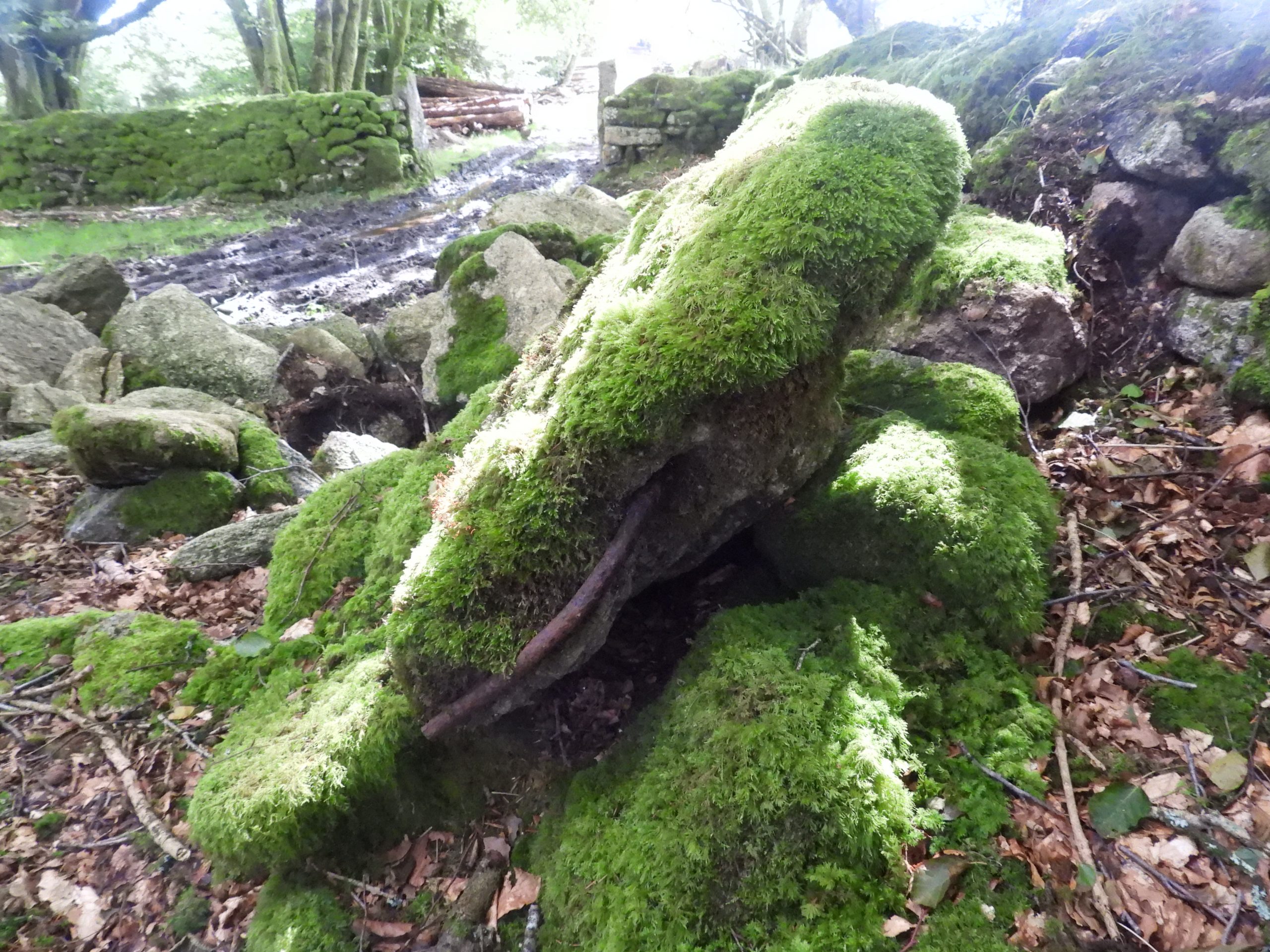
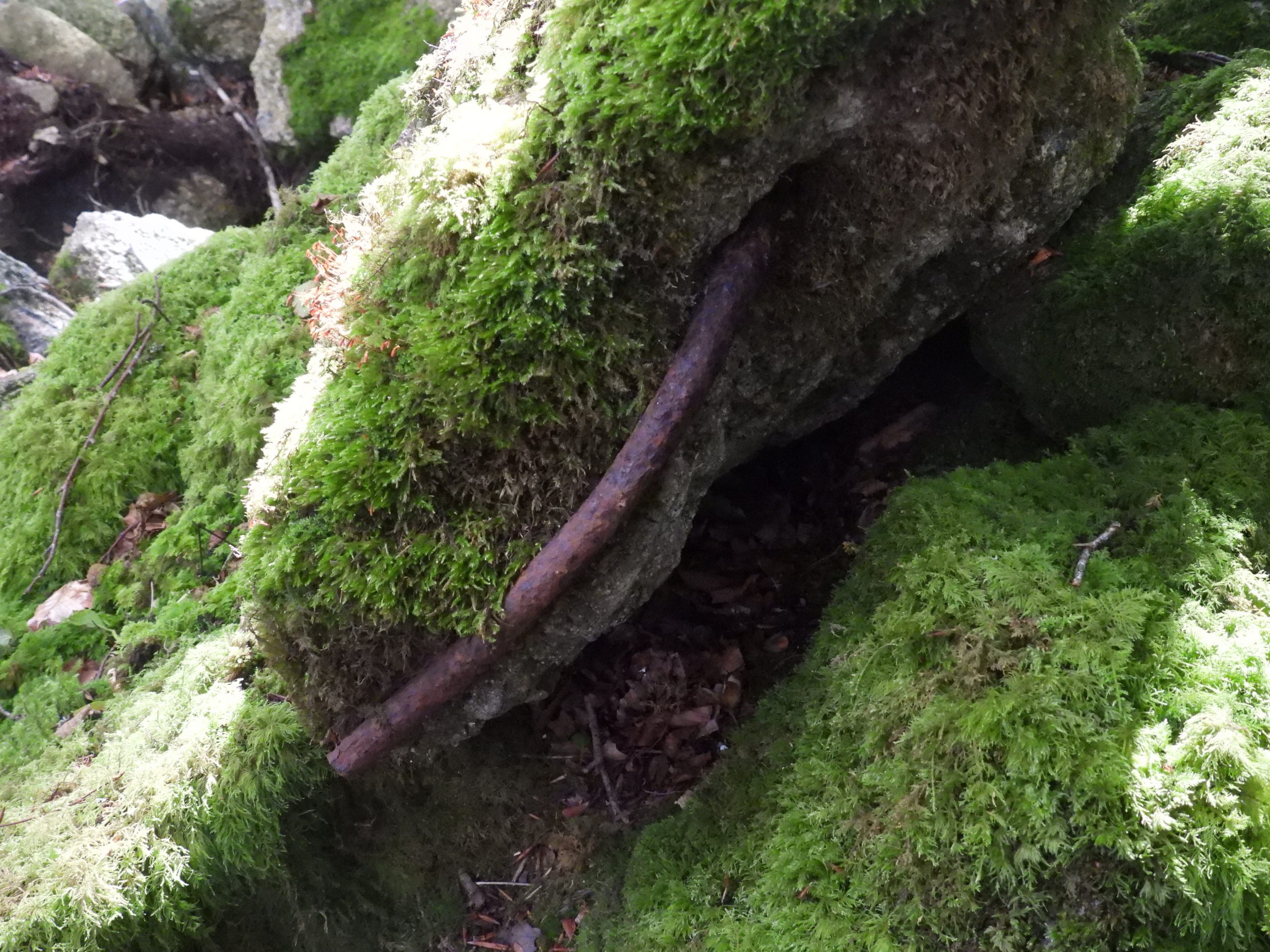
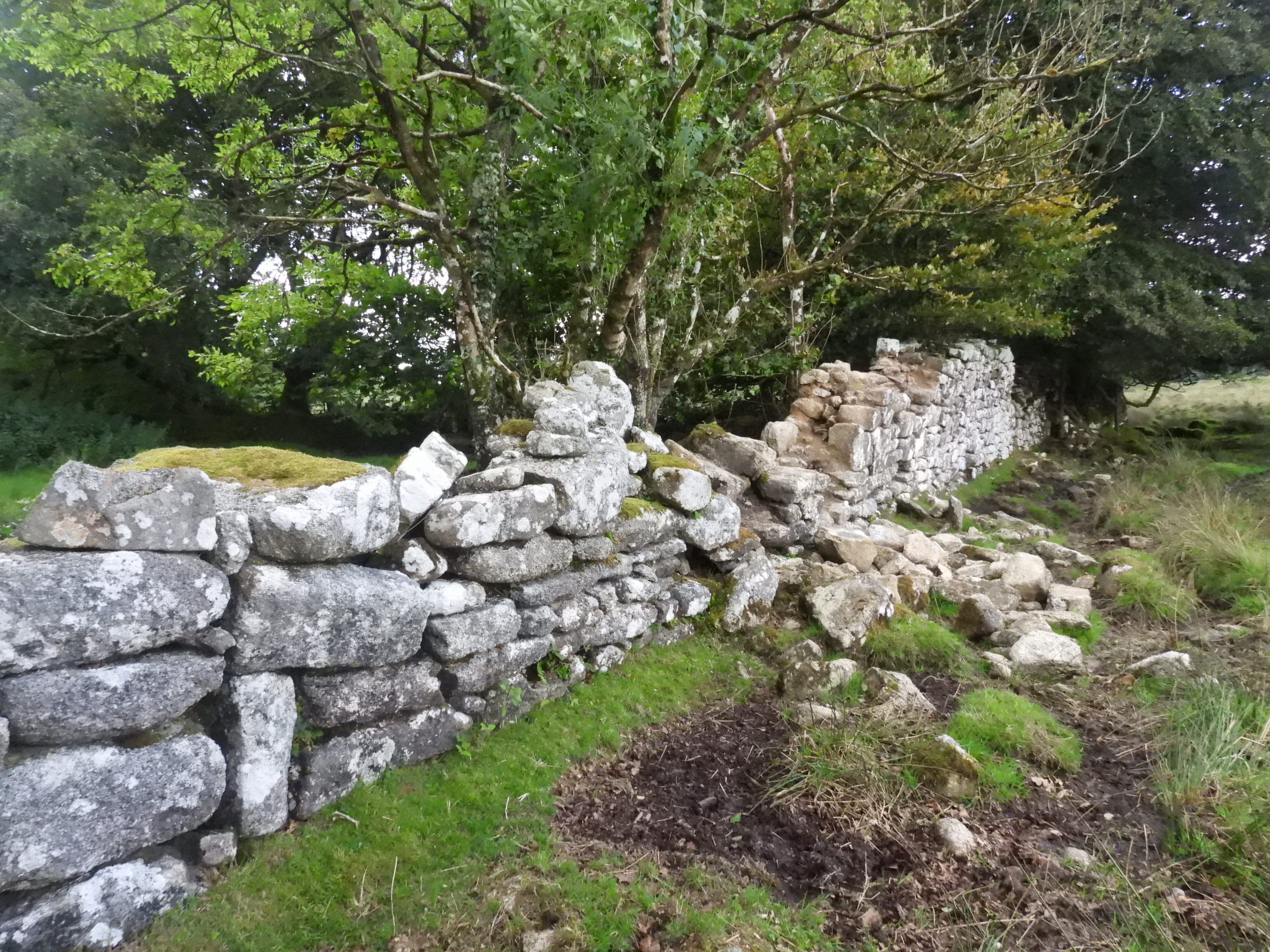
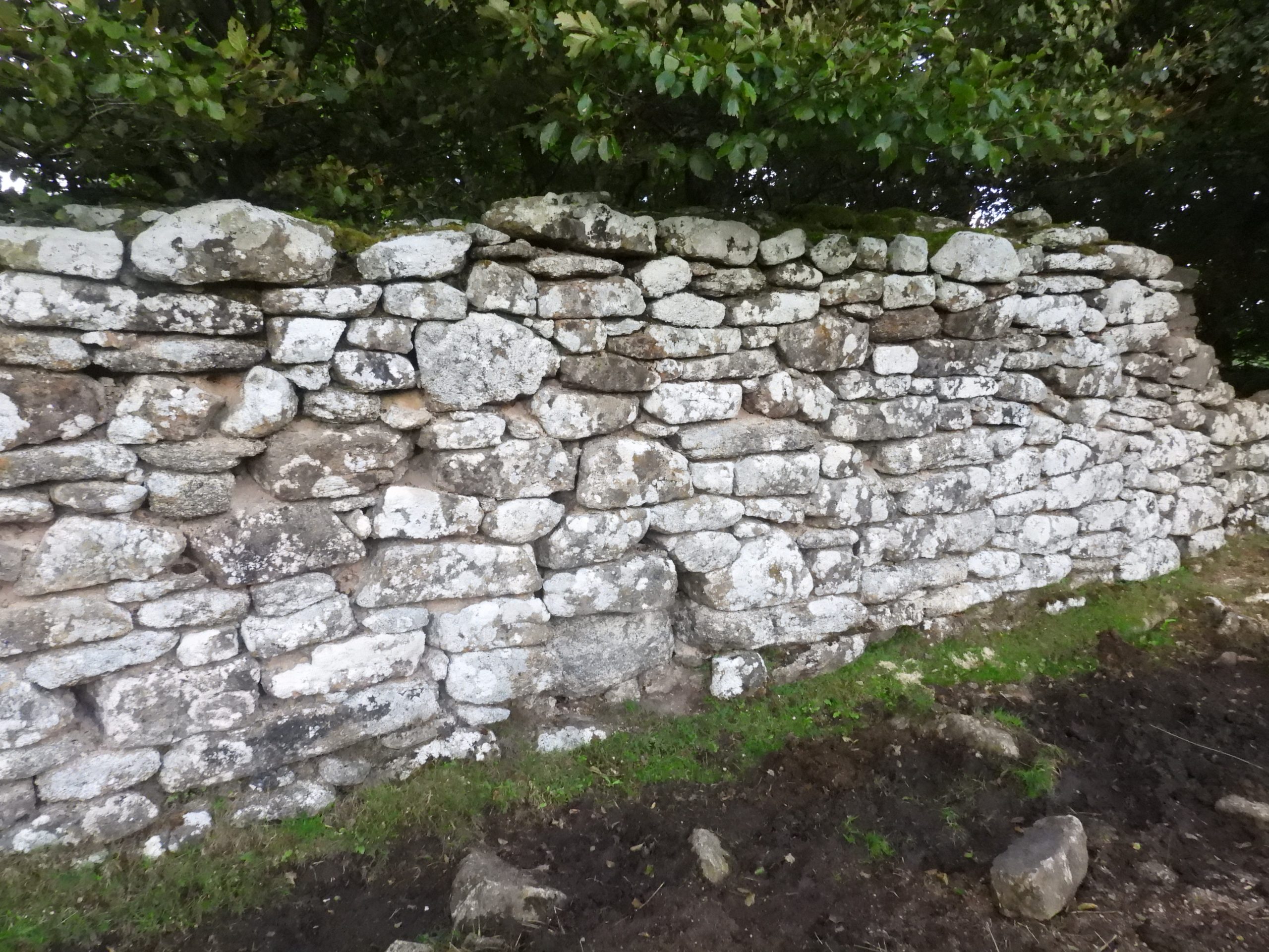
This is the probable area, just outside Princetown where the second picture of the aerial ropeway was taken. In Eric Hemery’s High Dartmoor (P408), there is an interesting account of old Princetown residents (Mr and Mrs Henry Moore), who would watch the passing cradles with their log cargo pass their sitting-room window. Henry recalled that some ‘people of less than high principles’ were at times known to dislodge a log from a moving cradle as an ill-gotten source of firewood.Next to the trackway near New London is an wooden pole in a grass covered drystone wall. It is tempting to think this may have been part of the aerial ropeway but this is extremely doubtful as it lies too far off the ‘expected line’. This wooded pole is located at SX59502 73678Near Bachelors Hall looking east. In all likelihood the ropeway passed over the small dome of the hill (on right of photograph), which is marked by spot height 412 on modern OS maps. This hill is known as Frog HillDevonport Leat looking north towards the plantations near ockery on the B3212. The ropeway would have crossed the leat near hereDevonport leat looking south towards North PlantationBullpark with the distinctive horn above the doorway. The ropeway would have been seen from this building to the northThe start of conchie road. The aerial ropeway would have passed almost parallel to this road en-route to the ‘divides’. Eric Hemery, informs us that conscientious objectors under the supervision of a Princetown Engineer helped to run the ropeway (ie running the engine at the ‘divides’)Conchie Road would have been constructed at around the same time as the aerial ropeway. One wonders if there was a connection between the two constructions?Conchie Road climbing up the lower slopes of Frog HillFrog Hill. There are the remains of possible foundations here, albeit not concrete. The footprint of the foundations seem to be such that they may be from a ropeway tower. These stones certainly look placed (as opposed to natural) and do lie of the probable route of the ropeway. In Eric Hemery’s High Dartmoor (P 408), there is a suggestion that some of the pylons for the ropeway were driven into the ground, which potentially is what these foundations relate to.Looking west, into the gloom, Bachelors Hall tin mine and Devonport leat can just be made out, where the ropeway would have passed by. The ‘possible foundations’ are located at SX60500 73520Back to Conchie Road to continue the journey east towards the ‘divides’ and Brimpts. The ground across Frog Hill being very tussockyNext to Conchie Road, a large boulder with a benchmark with a rivet / boltClose up of the benchmark with rivet / bolt. It can be located at SX60721 73242No exploration of this area would be complete without visiting the ‘Crock of Gold’ ring setting cairn with cist. ‘Crock of Gold’ at SX61281 73067Leaving the ‘Crock of Gold’ and heading east along Conchie Road. The terrain to the left (north) was very tussocky and as such trying to find ropeway tower foundations was virtually impossible.Cholake. The aerial ropeway would have crossed this small stream / brook and over the small (un-named) domed hill seen beyondStonechat near CholakeAnother Stonechat near CholakeCholake shows evidence of tin streamingFirst glimpse of ‘half way’ namely the concrete constructions at the ‘divides’. This is where the power plant for the aerial ropeway was located.This crumbling concrete structure, as can be seen by the photograph, is situated in enclosed rough pasture. It lies to the south of Moorlands FarmThe structure is built of shuttered concrete and small granite stones. It comprises two short walls extending at an angle of approximately 145 degrees to each otherStructure alignment to PrincetownStructure alignment to Brimpts PlantationHelen Harris (1968) noted, the east wall of the base points in the general direction of Swincombe Meetwhilst the north west wall indicates that the ropeway / cableway followed a course around the lower north slopes of Royal Hill. The author believes that this observation regarding the east wall, provides further evidence that the ropeway would have passed to the north of Sherbeton and onto Little Newtake Plantation / Outer Newtake Plantation (over Swincombe Meet) and not to the south of Sherbeton and onto Snider Planation.The Heritage Gateway records the structure as being from 1.2m to 1.6m high and approximately 1.6m by 2.7m by 2.5m and 2.7m.The author recorded the location as being at SX62767 73114The base of the building maybe a few metres from the structure The flat top of the structure has a number of small square sockets, presumably post holes and a few threaded bolt in situ.The structure is known as ‘The Divides’Close up of structureRusting bolts over 100 years oldSunsetThe masonry bed for an engine, the power plant of an aerial ropeway stands a few metres away from the main structure. It is approximately 2.3m by 1.2m, with a depressed centre and four bolts at each end. The reason for this location is that, being halfway between the termini ‘it would have ensured equality of pull and thrust for the load’.
The evidence regarding the closure year for the aerial ropeway can be found in an advert published in Western Morning News on Saturday 1st January 1921. viz:
“Per Order of the Board of Trade Timber Supplies Department.
To Colliery, Quarry and Mine-owners, Timber, Machinery and Rail Merchants, Sawmill Proprietors, Dealers, and Others.
Peter Hamley and Sons are favoured with instructions by the above Department to Sell by Auction, Early in February, at Plymbridge and Tavistock, Devon, the whole of the Portable Traction Engines, Rack and Portable Saw Benches, Aerial Ropeway, Rails and Wagons, Buildings, Road Transport Wagons and Carts and Stores, at the Depots at Plymbridge and Brimpts.
Further particulars in future announcements and detailed catalogues in course of preparation from the Divisional Officer, Exeter, or of the Auctioneers. Telegrams: “Auctioneers, Plymouth.” Phone 269 Plymouth. Norwich Union Chambers, 32 Westwell-street, Plymouth”.
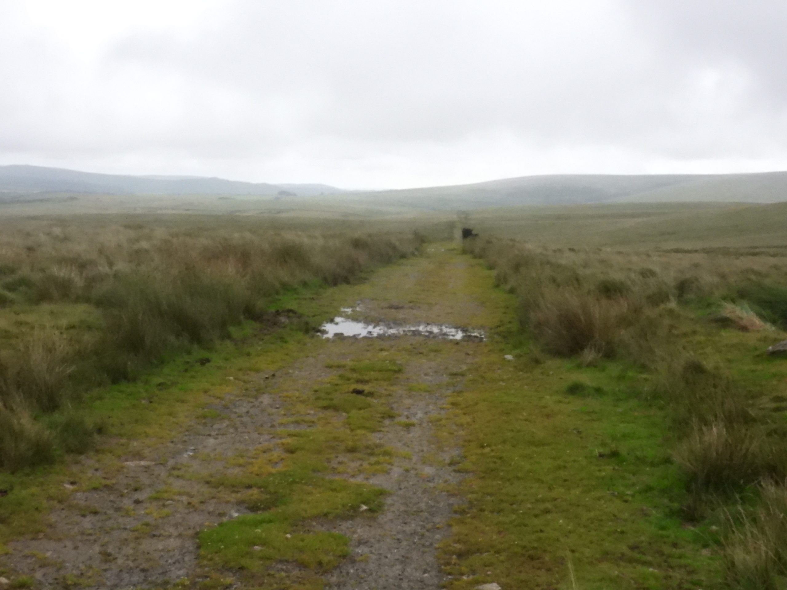
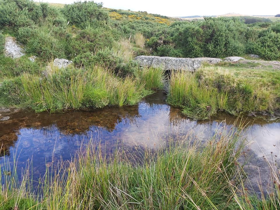
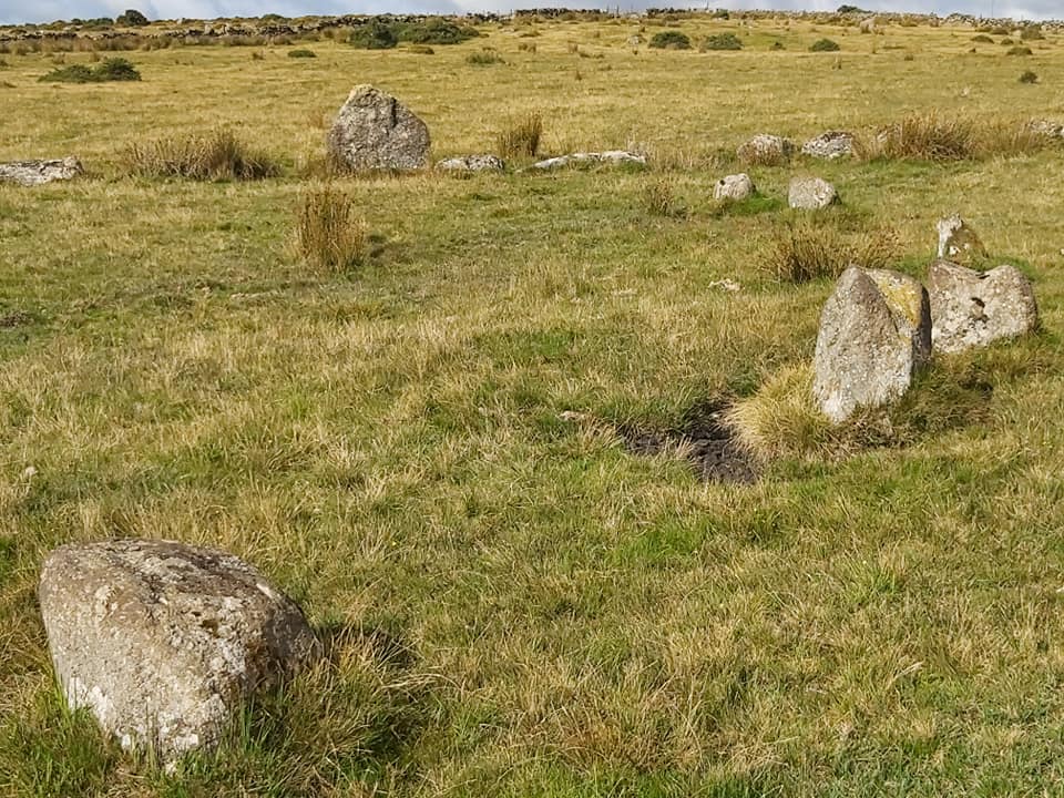
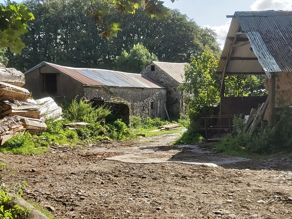
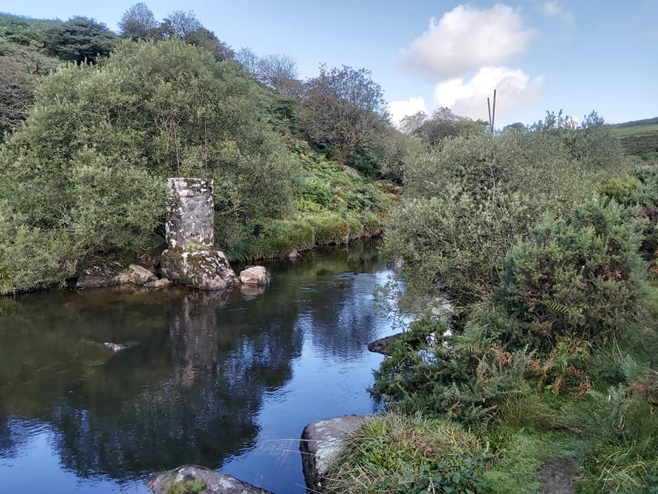
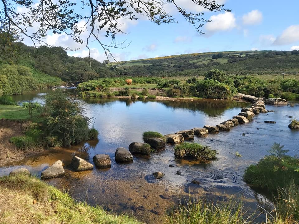
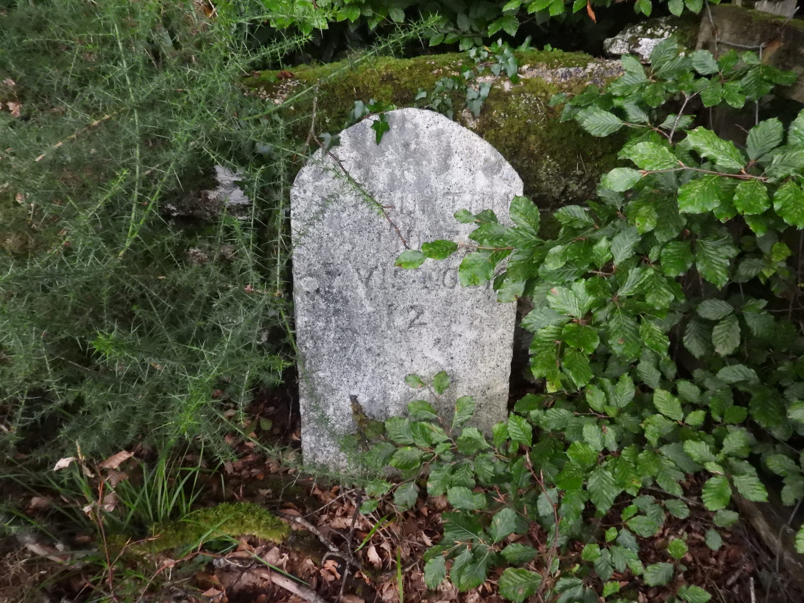
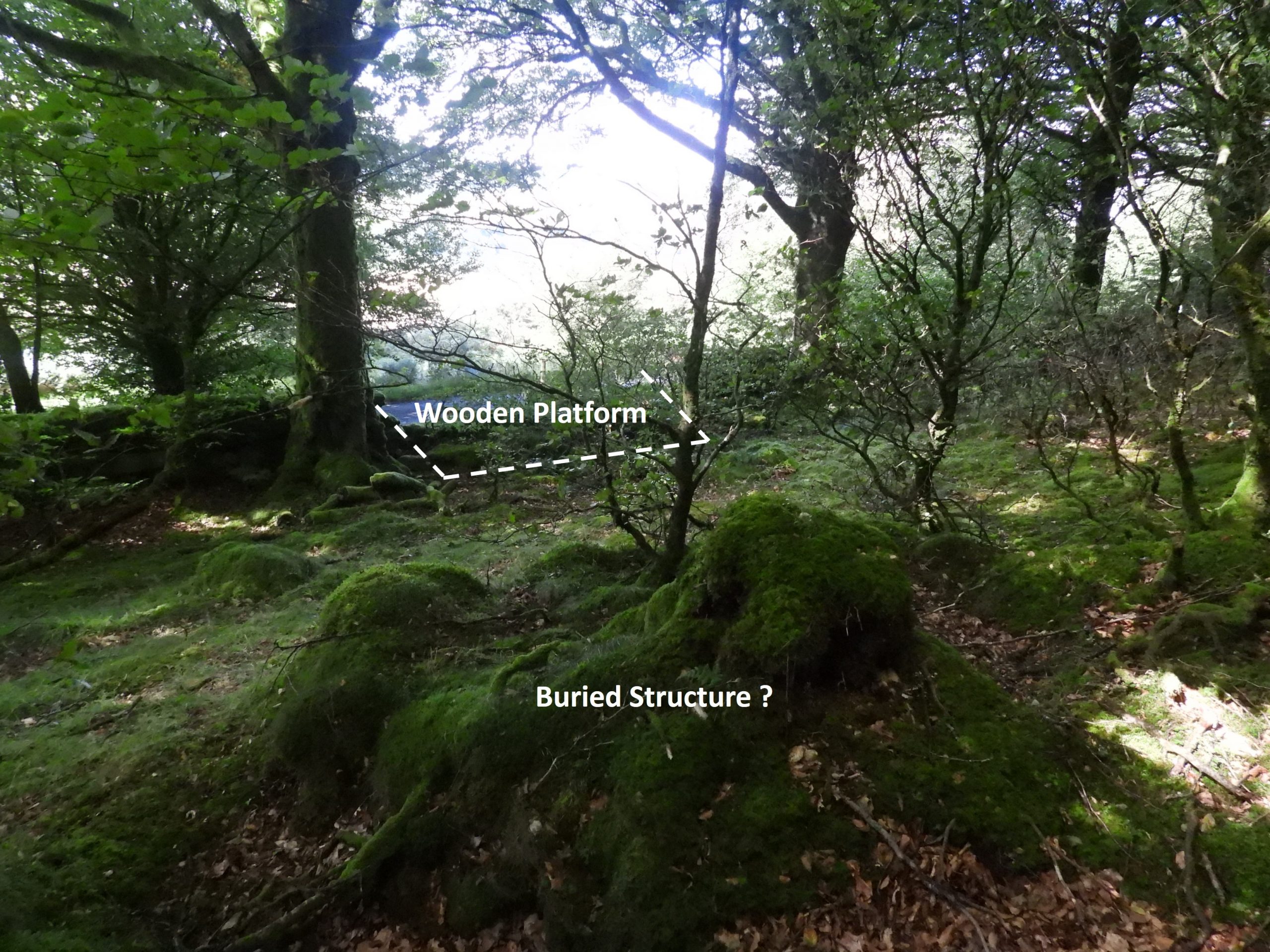
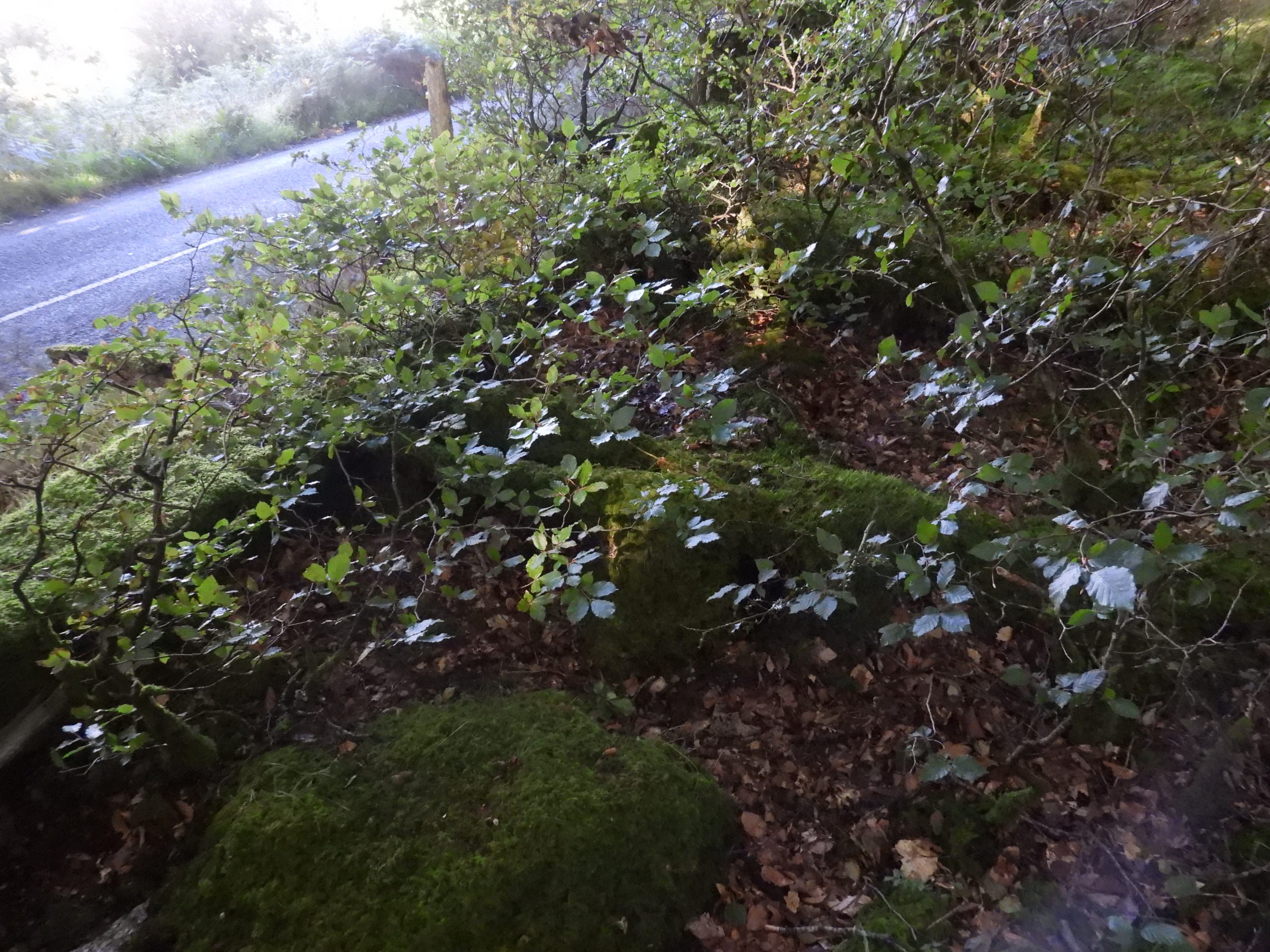
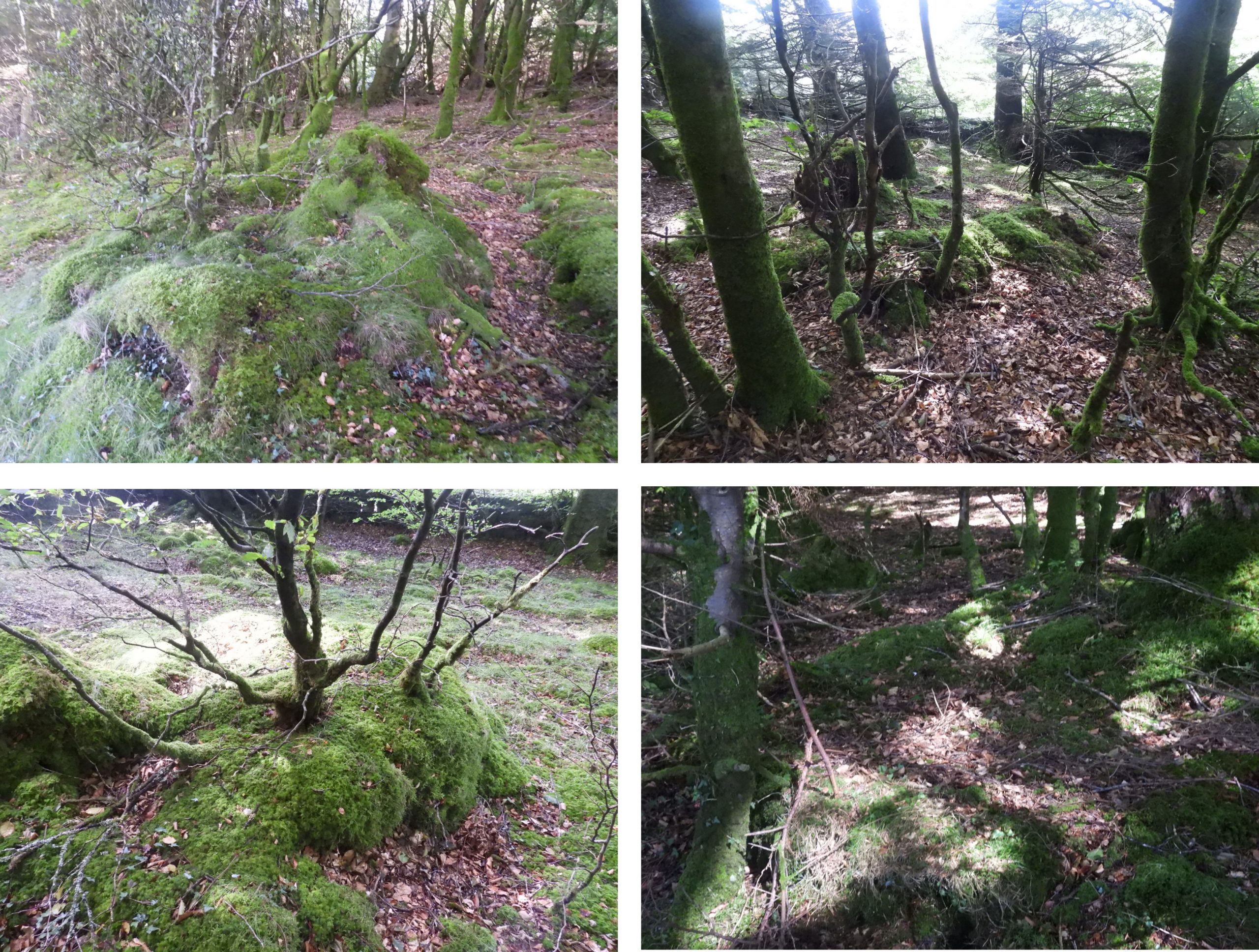
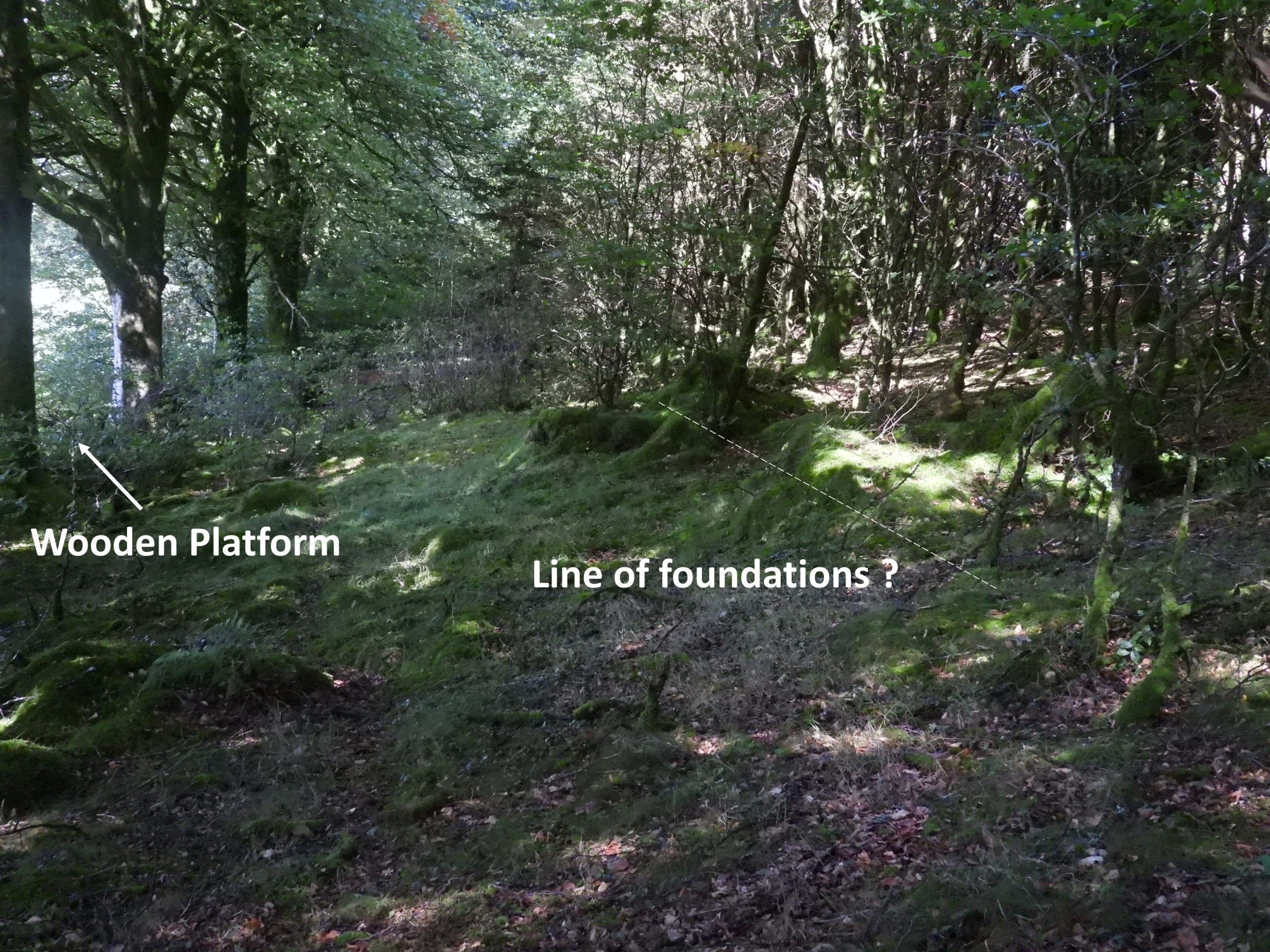
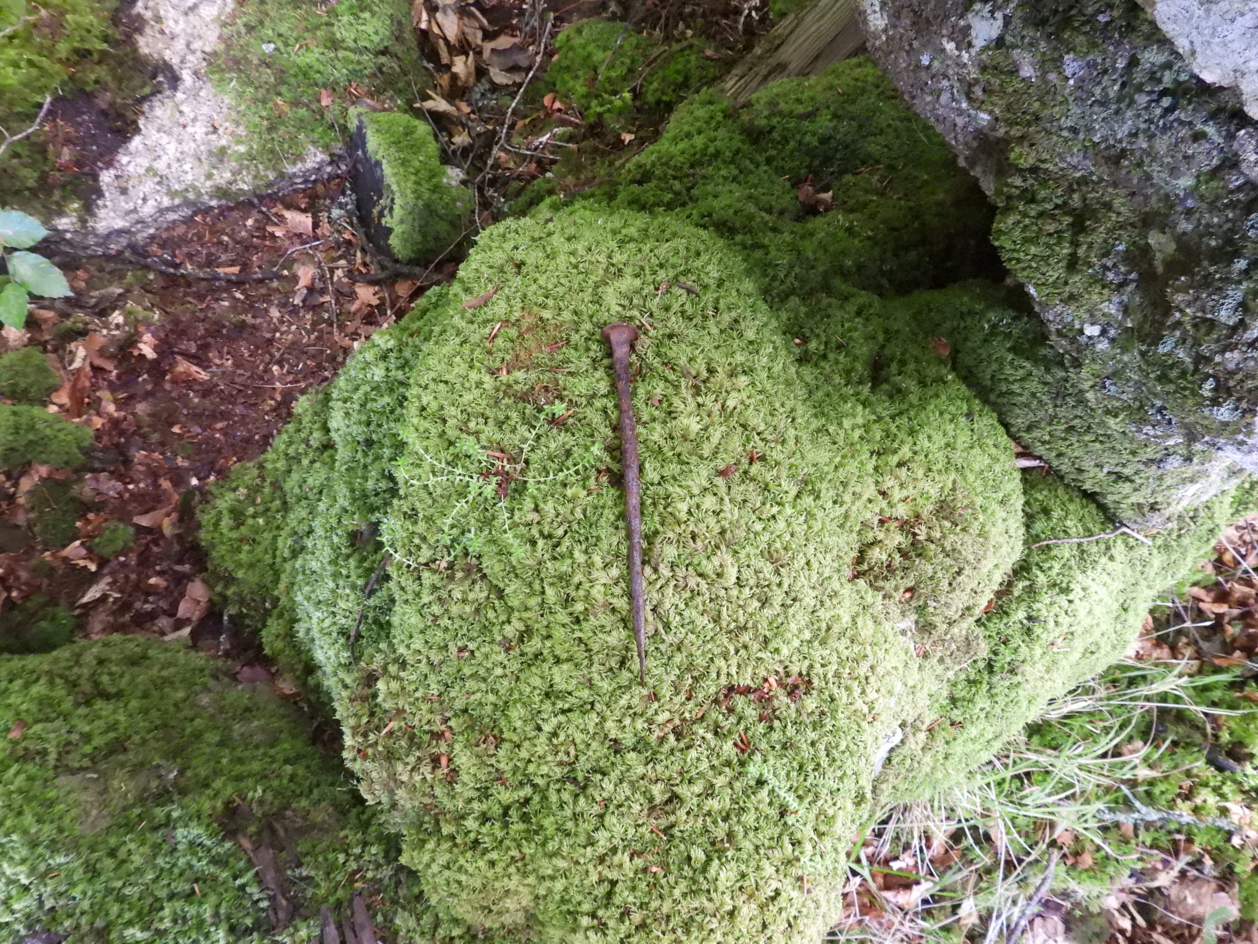
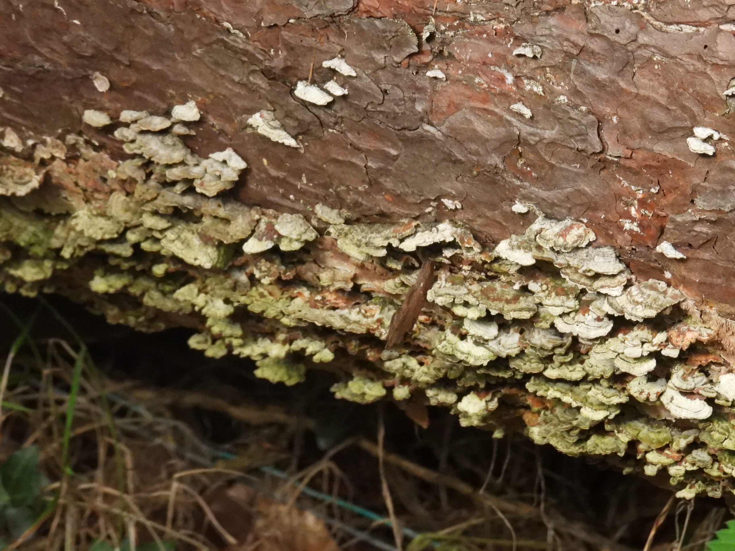
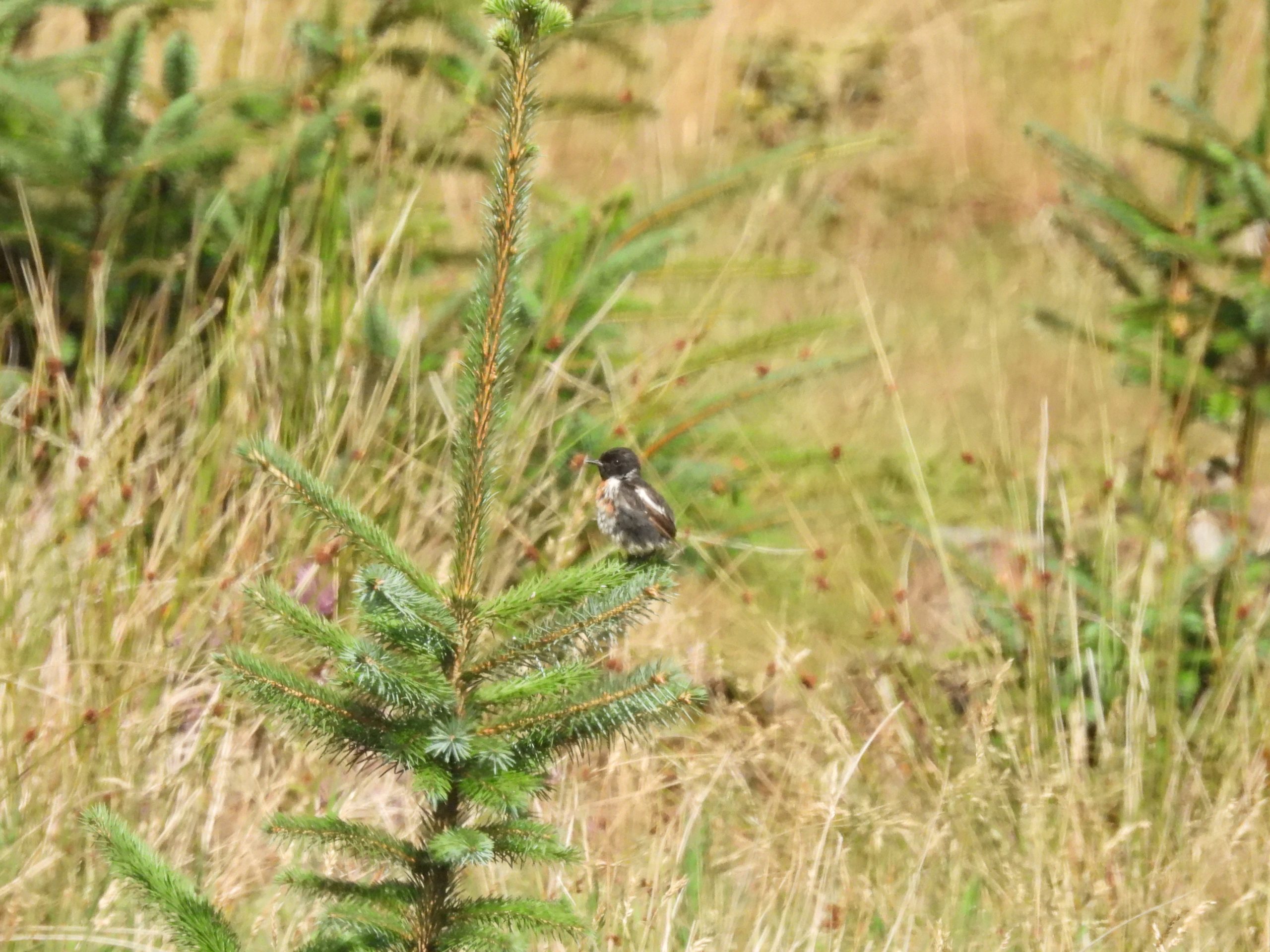
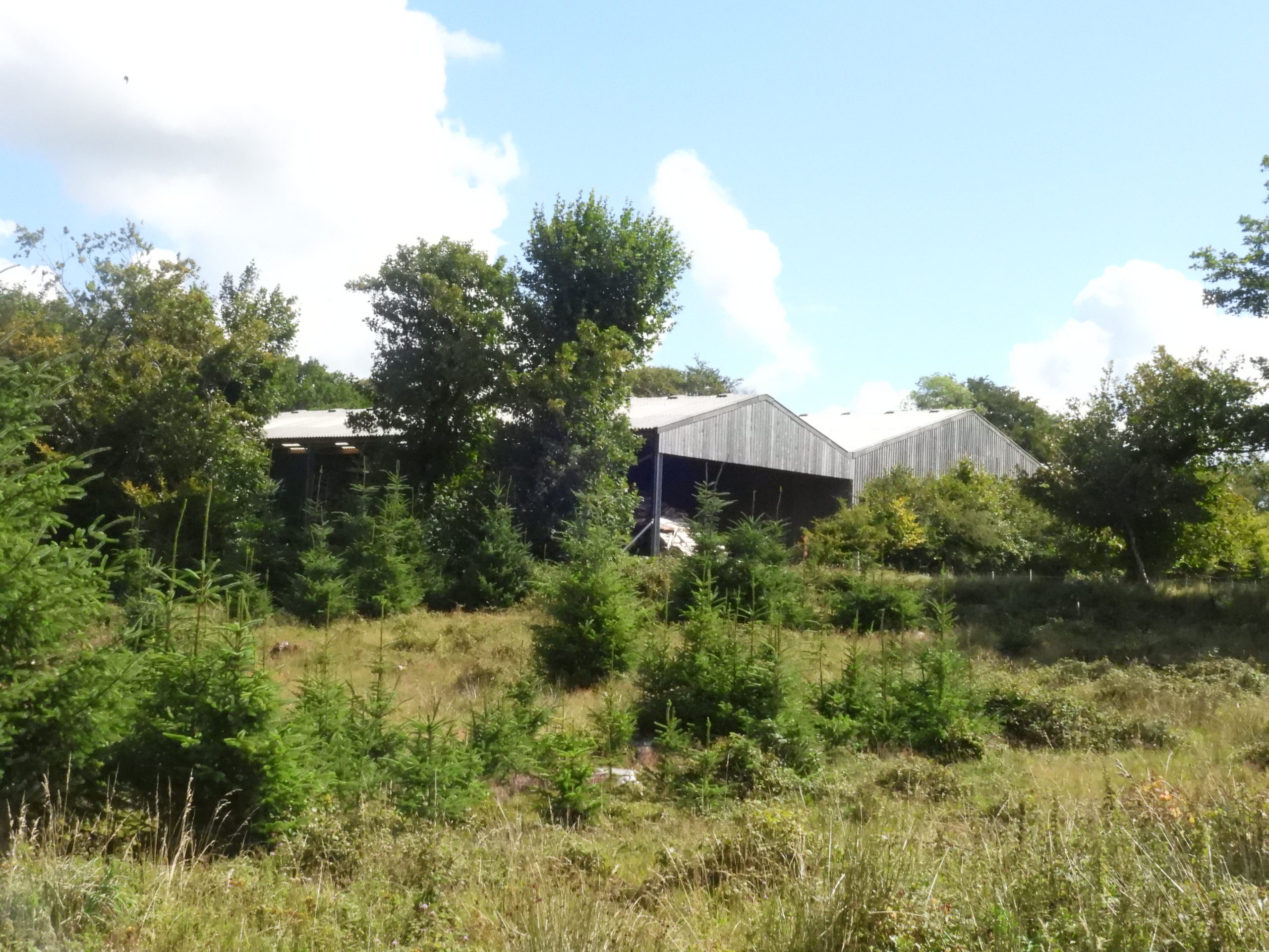
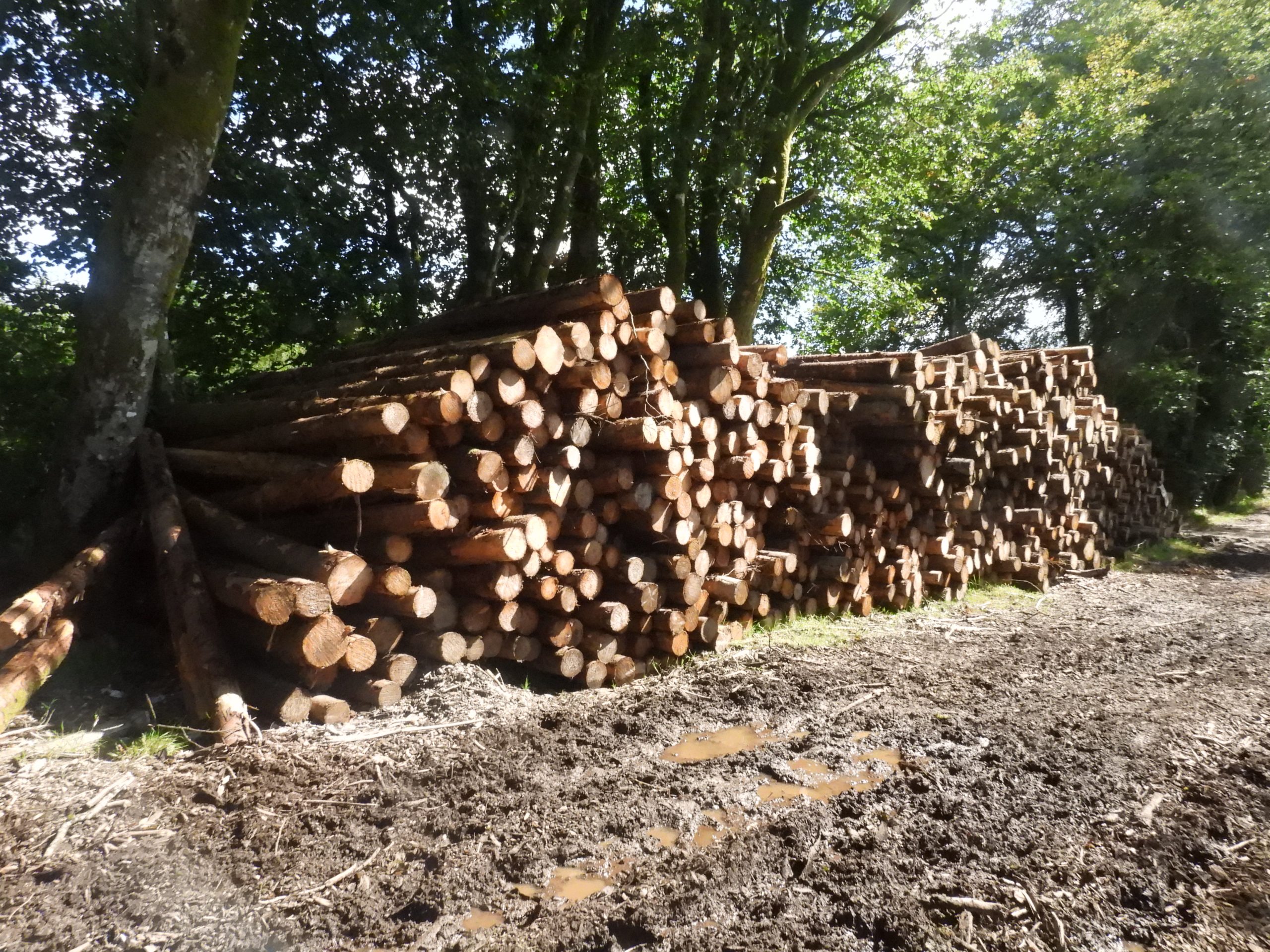
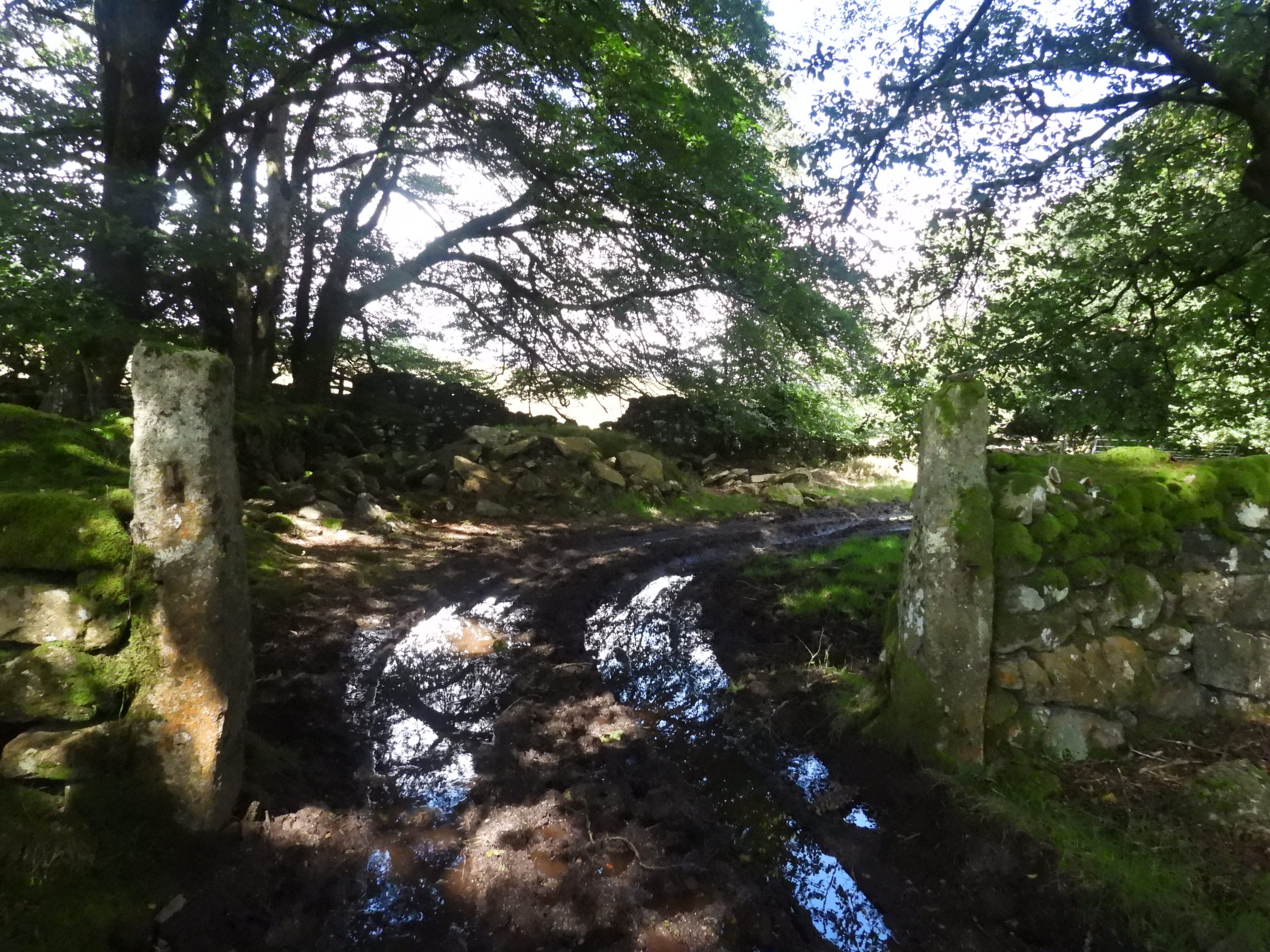
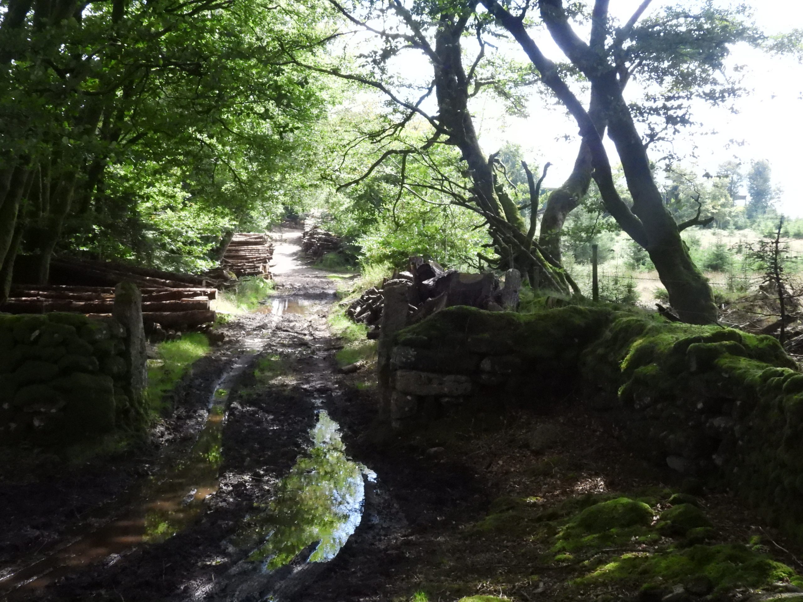
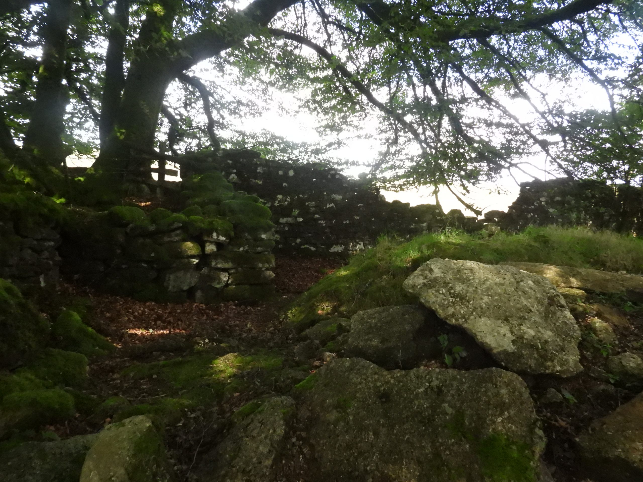
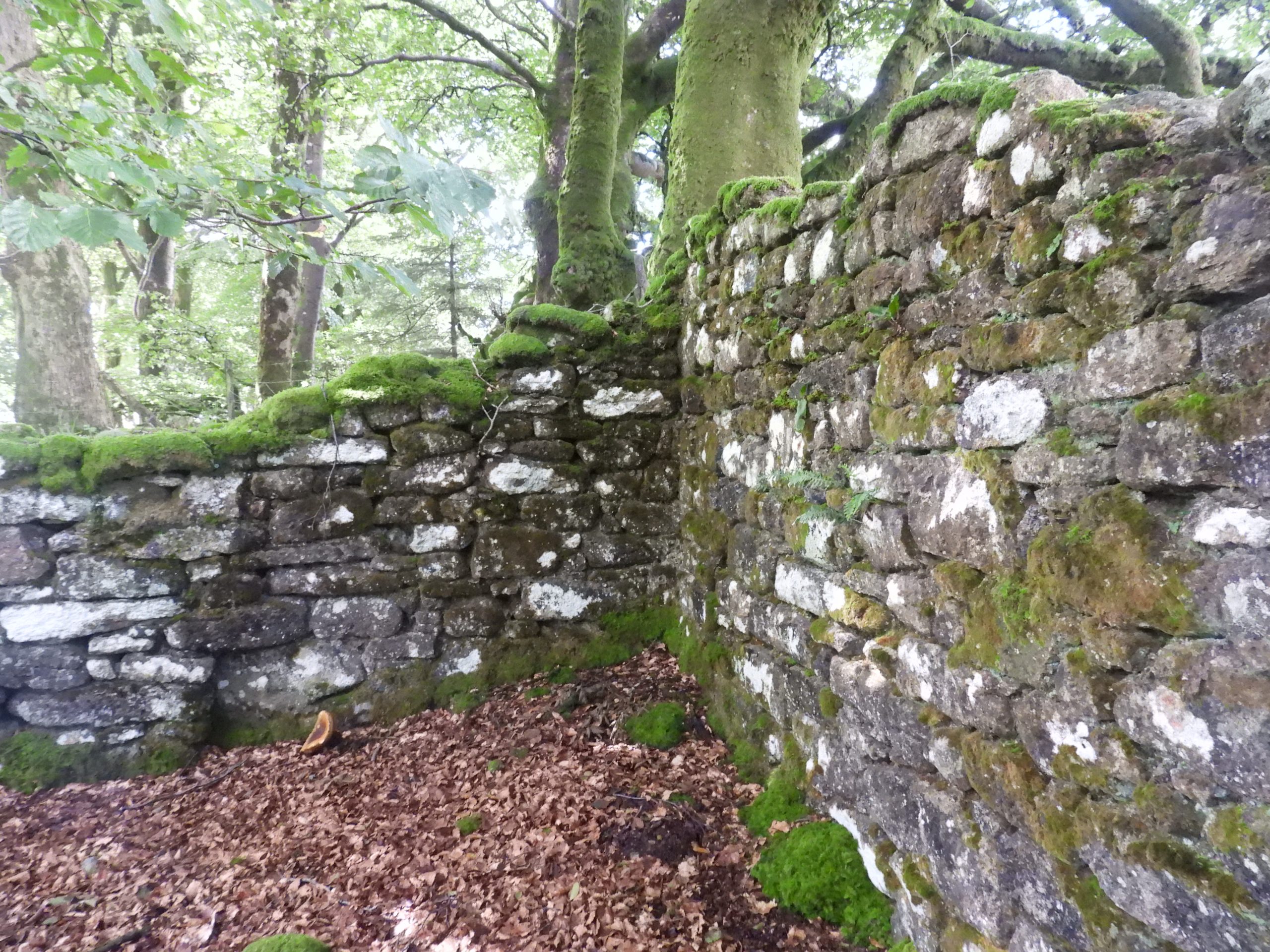
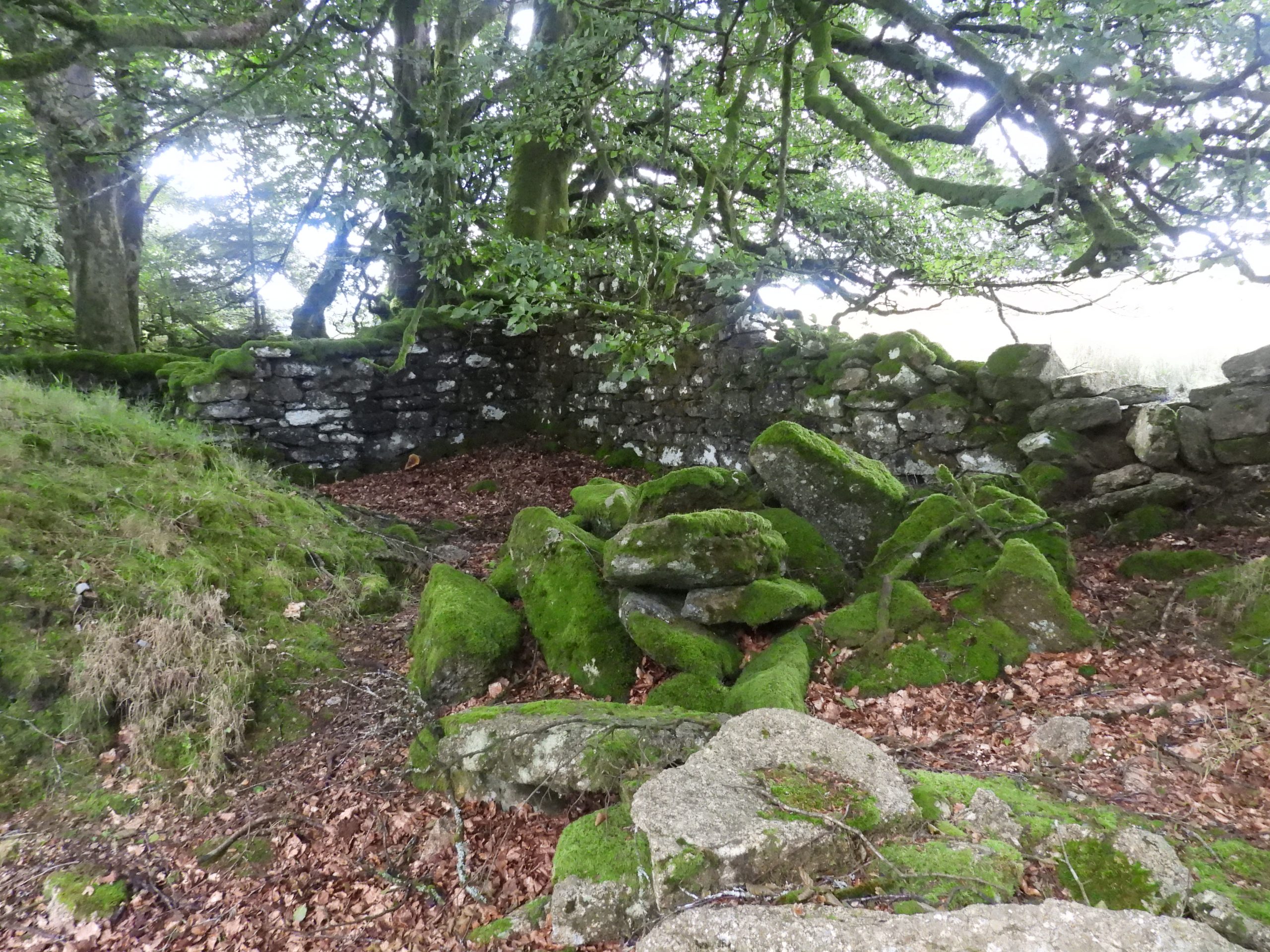
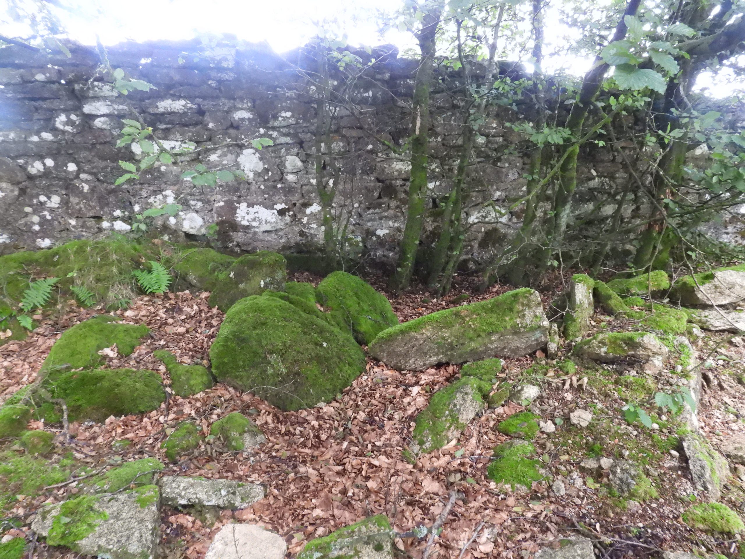
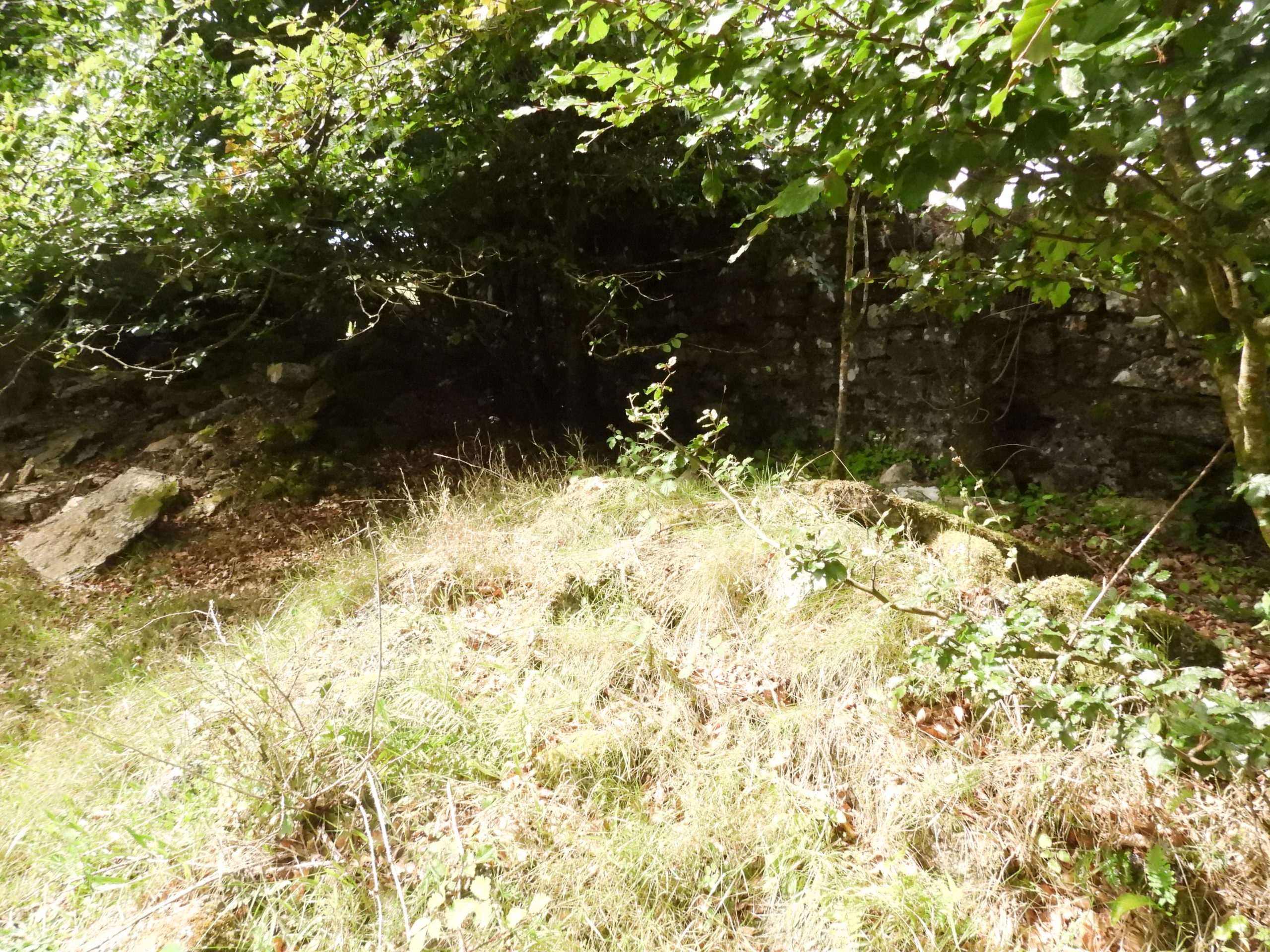
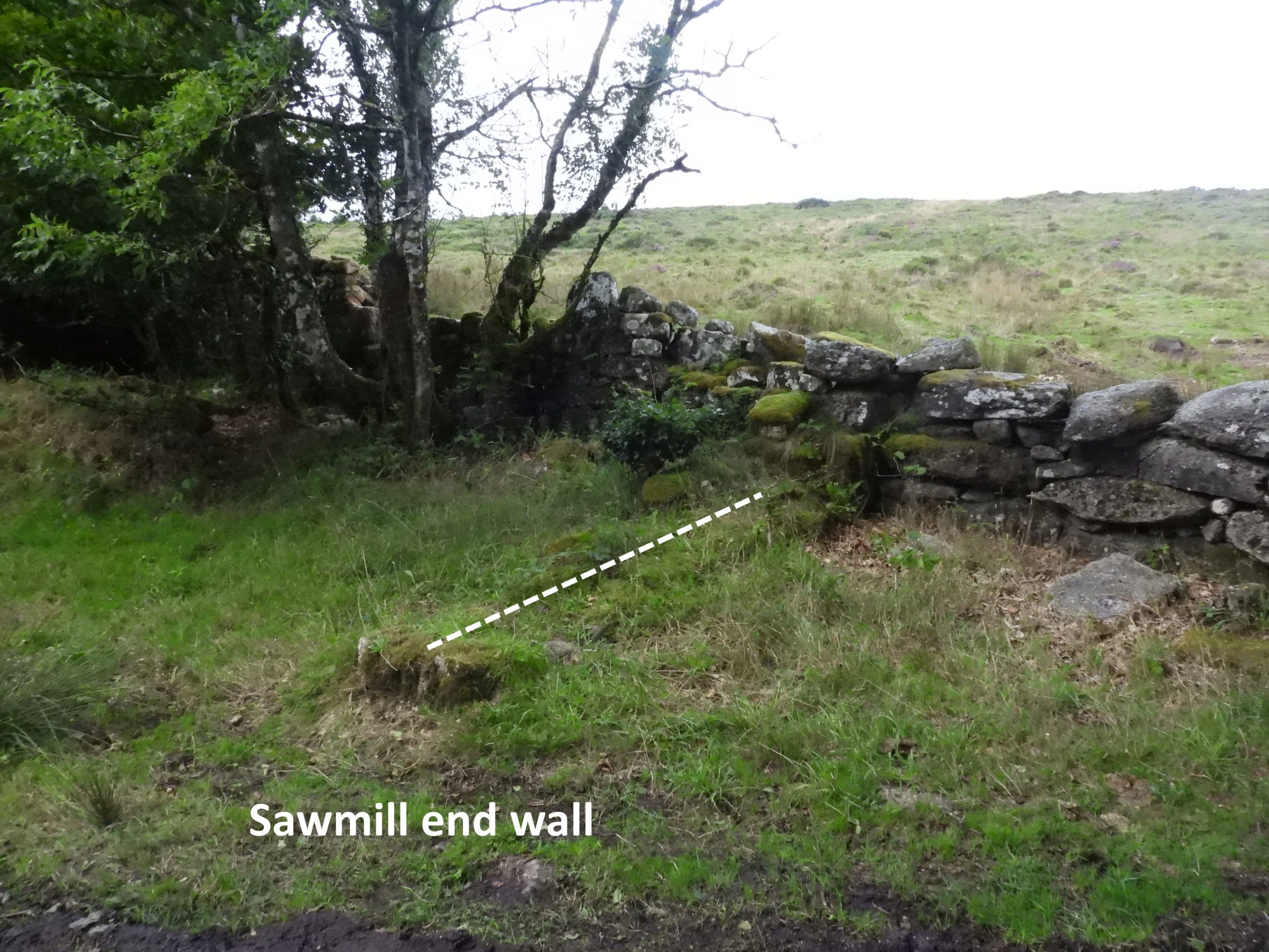
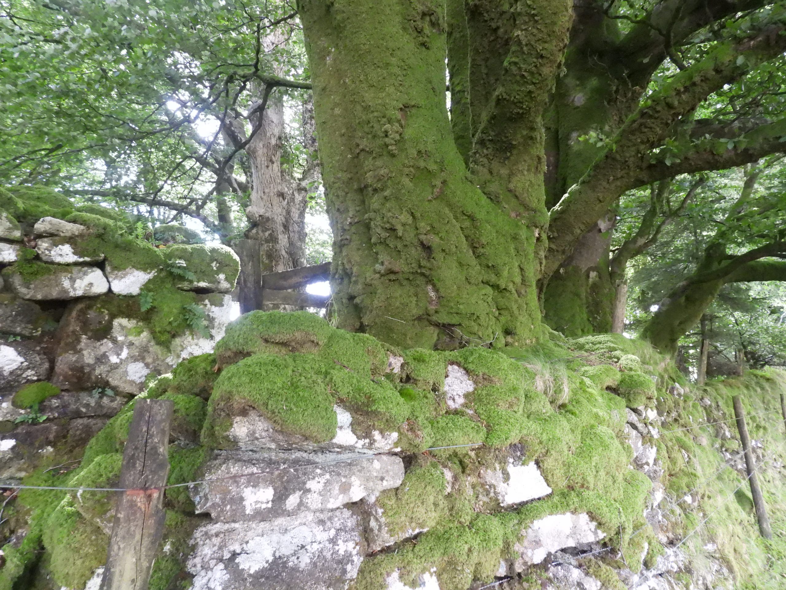
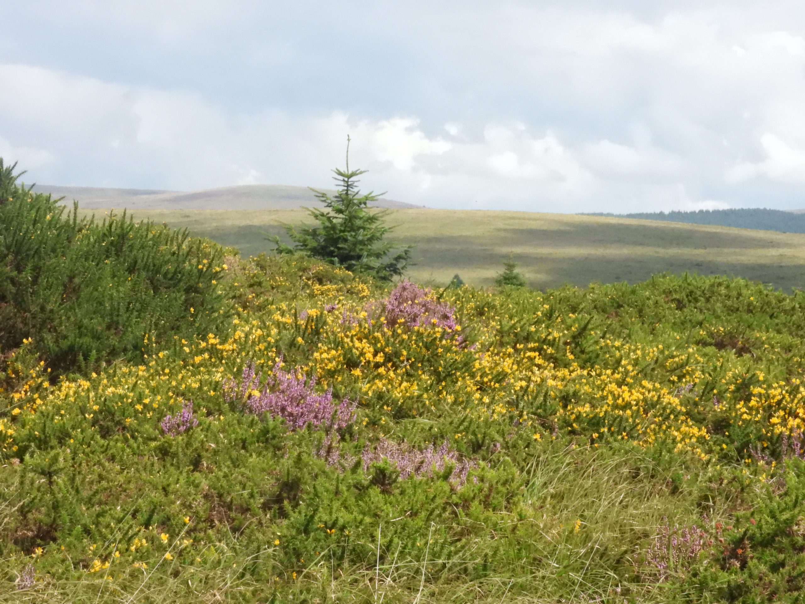
Access to the divides is difficult, but is best obtained via Rue Lake ford / clapper albeit the ground is uneven and can get very wet. Location is SX63049 73350The author suggests the aerial ropeway, in all probability, passed to the north of Sherberton. If this was the case it would have passed to north of Sherberton Stone circle picturedSherbertonStennent Rocks near Swincombe Meet. Helen Harris (1968) made this observation: “It (the ropeway) was not a great success and suffered from the weather, especially the wind in the great expanse over the Dart valley near Swincombe Meet”A point of interest near Swincombe Meet is the foundations of Fisherman’s Bridge, which would have been extant when the aerial ropeway was in operation. West Dart Stepping stones at Swincombe Meet, close to the most likely place where the aerial tramway crossed the riverSherberton stepping stones. Had the aerial ropeway passed to the south of Sherberton and onto Snider Planation it would have passed over head near here.Near Wydemeet and Great Stennent Tor looking over the Swincombe river. This would have been on the path of any possible south route to Snider PlantationMilestone just outside Snider Park Plantation near Brimpts. It is inscribed ‘ASHBURTON 8, TAVISTOCK 12’Map of Little Newtake Plantation, Outer Newpark Plantation and Snider Park Plantation annotated to show the locations of the depot / sawmill and wooden platform mentioned in this postSouth end of Snider Plantation next to B3212. There is a section of wall here which appears to have been ‘lowered’. This is at SX66329 73440Inside the plantation there is evidence of a wooden platform which would have straddled the lowered drystone wall. The article in the Dartmoor News suggests this may have been part of the aerial tramway (ie where the timber was loaded). The author casts doubt over whether this was part of the aerial ropeway because it is very close to the road and is unlikely to have provided enough headroom for the timber to cross the road.The author suggests this platform might have been used to load a lorry or wagonThere appears to be a buried structure close to the platformZoomed in view reveals wooden struts that remain on the platform. The whole structure is approx 6m x 5mThere are several mysterious buried structures near the southern boundary of Snider Park PlantationThe author has been unable to find out any further information relating the platform of the line of foundations located at the south end of Snider Plantation.Large nail found in the plantation next to the wooden platformBracket fungi on dead logButterfly in the plantationStonechat in the plantationIs this a modern saw mill in Little Newtake Plantation?The modern sawmill (?) with Yar Tor and Corndon Tor beyondLogging at Little Newtake Plantation in 2023. Historically, Charles Barrington (Duchy Steward, who lived at Brimpts in mid-late 19th century) extended the local planting in 1862 being reputedly responsible for 40,000 trees (ref: Eric Hemery’s High Dartmoor page 562). It is these trees which the ‘Timber Supply Department’ under a Controller of Timber Supplies in 1917 had their eyes on. The trees Barrington was responsible for were majority softwoods but with many conifers.Gateway leading to the ruins of a depot, which is believed where the aerial ropeway may have started / terminated. The depot and loading platform stood inside the boundary wall – west of which is Outer Newtake and east of which is Outer Newpark Plantation). Massive shire horses were used to move the timber to this point. The author suspects there may have been some further sawing of timber prior to loading onto the aerial ropeway.Looking back through the gate (from the old depot) towards the pile of logs. Site of the saw mill, which is located near a broad gateway onto the open moor (Outer Newtake). It is discernible from the newtake wall by virtue of the thickness of the walling here recorded in Eric Hemery’s High Dartmoor (P 492) as being “two feet in thickness”Corner of the saw mill, where the walls are nearly 3m high. The grid reference here is SX66385 74345Building stone, which might have been a part of the saw mill. In charge of the haulage teams was Jack Bellamy of Postbridge with general labour being supplied by conscientious objectors and Portuguese. Of interest is an article which appeared in the Plymouth and Exeter Gazette on 5th July 1917: “A PRINCETOWN STRIKE – Portuguese, to the number of about a hundred, who were employed by the War Office to fell timber at Brimpts, near Princetown, struck work, but, after the police and an interpreter had been called in, they agreed to return to their task”.More building material in the mill. The length of the mill was measured at around 25m. The author suspects (not evidenced) that the mill was rather a simple affair with a possible lean-to type construction with the machinery being belt driven from a tractor (if further sawing was undertaken). Here a wide yard is formed within the broad gateway and in front of the building ruinsFungi in the millOvergrown mound of rubble within the millThis concrete embedded iron works suggesting there used to be a construction hereClose up of the iron workA 3m wall spir can be found at the north end of the mill. It is perpendicular to the moor newtake wall. To the south of this point the wall appears to have been enhanced and is double width (where the mill is located), whereas the wall is only single width here.The outside wall of the saw mill appears to have been increased from single block to double block width, perhaps indicating that this was more than just a ordinary newtake wallThe double width wall from Outer Newtake (moorland) side At the south end of the double width wall is what looks like a platform (where the tree is now growing). The author speculates that this was the terminal point of the ropeway. That said, there is no supportive evidence of this.The depot / saw mill from the open moorland leading towards Huccaby Ring and Huccaby Tor. All the evidence suggests this was the route of the ropeway, which would have passed slightly to the north of Huccaby Tor before crossing the West Dart near Swincombe Meet and onwards to the ‘Divides’ past Sherberton FarmAny evidence of foundations for the ropeway (if indeed there are any still), would be swallowed up in the dense gorse and heather which cover the hillside to the west of Little Newtake and Outer Newpark Plantation
As a postscript to the story is a letter which appeared in the Western Morning News on Monday 25th June 1923, titled: ‘War Material at Princetown’ the letter was making a complaint regarding the amount of material relating to the aerial ropeway, which still existed at Princetown Railway Station at that time: “Since the Timber Supply Department of the Board of Trade ceased to exist, the Government have lost sight of a quantity of war material lying near Princetown Railway Station. It comprises the aerial ropeway, which was erected at great cost, from Princetown to Brimpts Plantation, a distance over the moor of eight miles. It was intended to convey pit props for use in the trenches and dug-outs, but as a system it was not a success. Many months ago it was dismantled, and the dump consists of ironwork, pulley sets, iron cradles, sixteen drums of steel cable, a traction engine, and truck”. It would seem the remnants of the operation remained well after it stopped