Dartmoor Explorations

A collection of walks, discoveries, insights and pictures of exploring Dartmoor National Park

Lower Piles Medieval Farmstead and Settlement

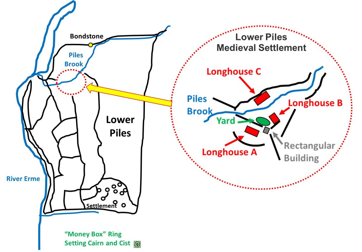
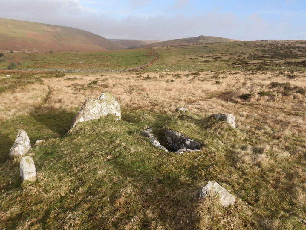
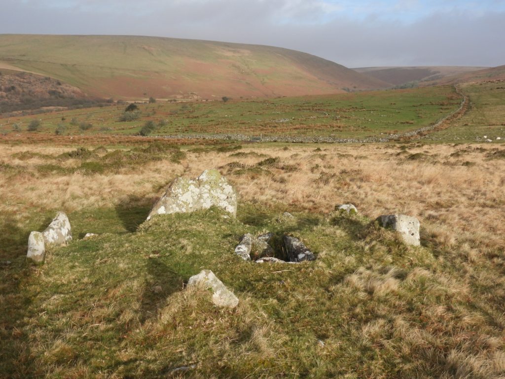
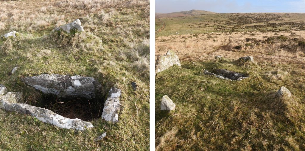
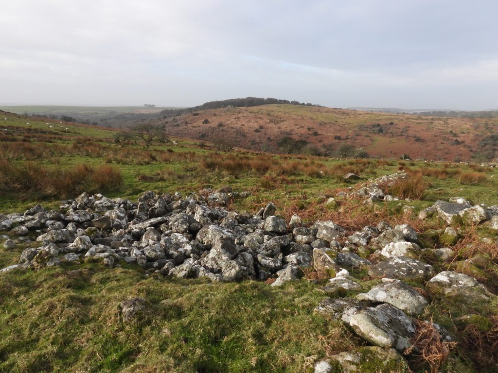
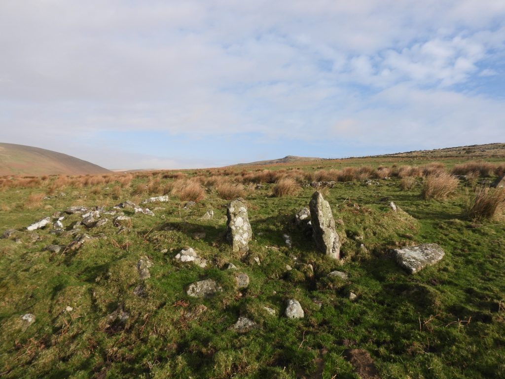
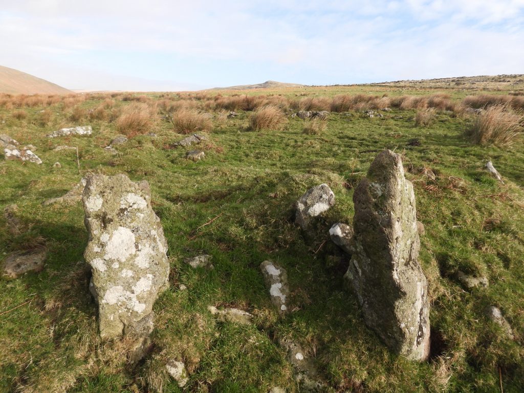
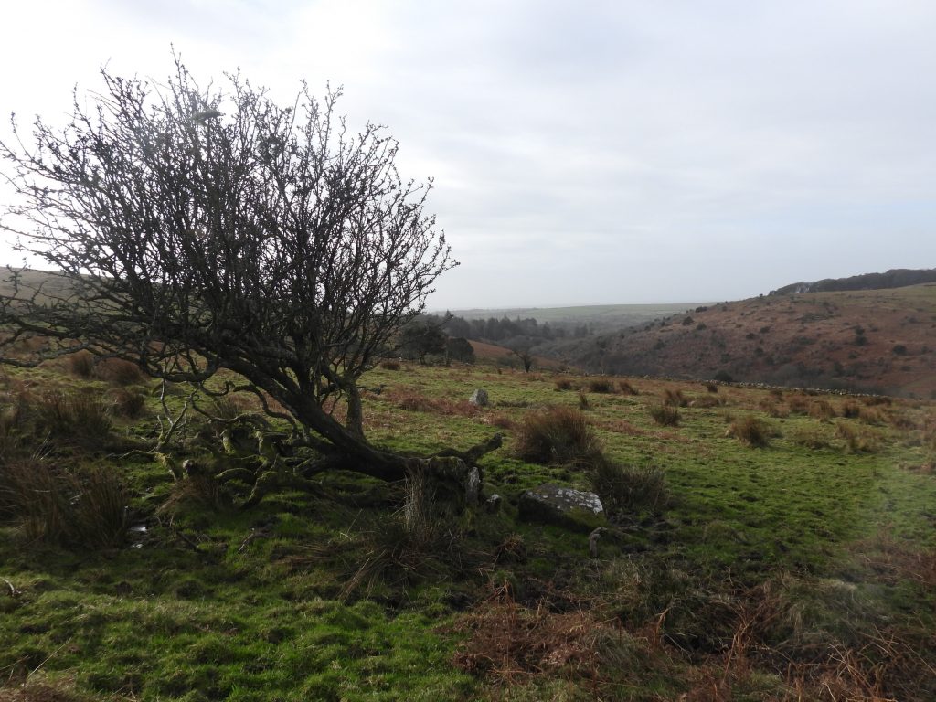
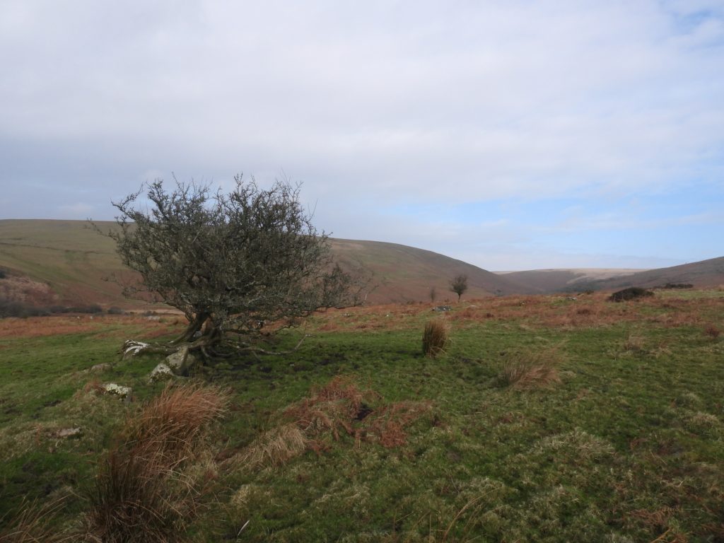
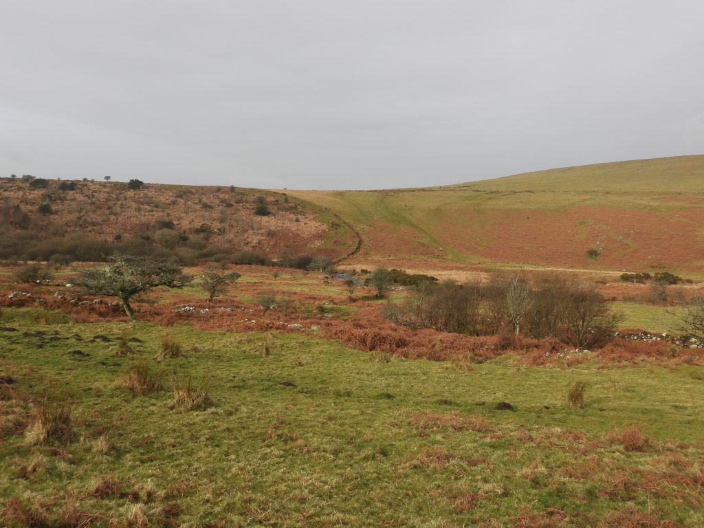
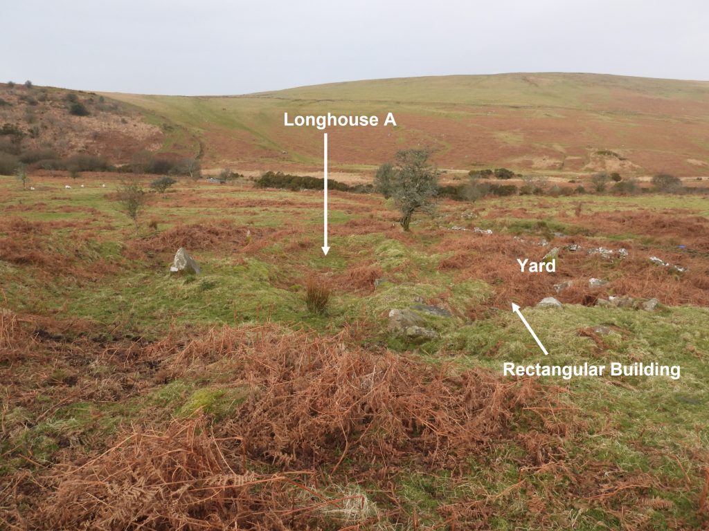
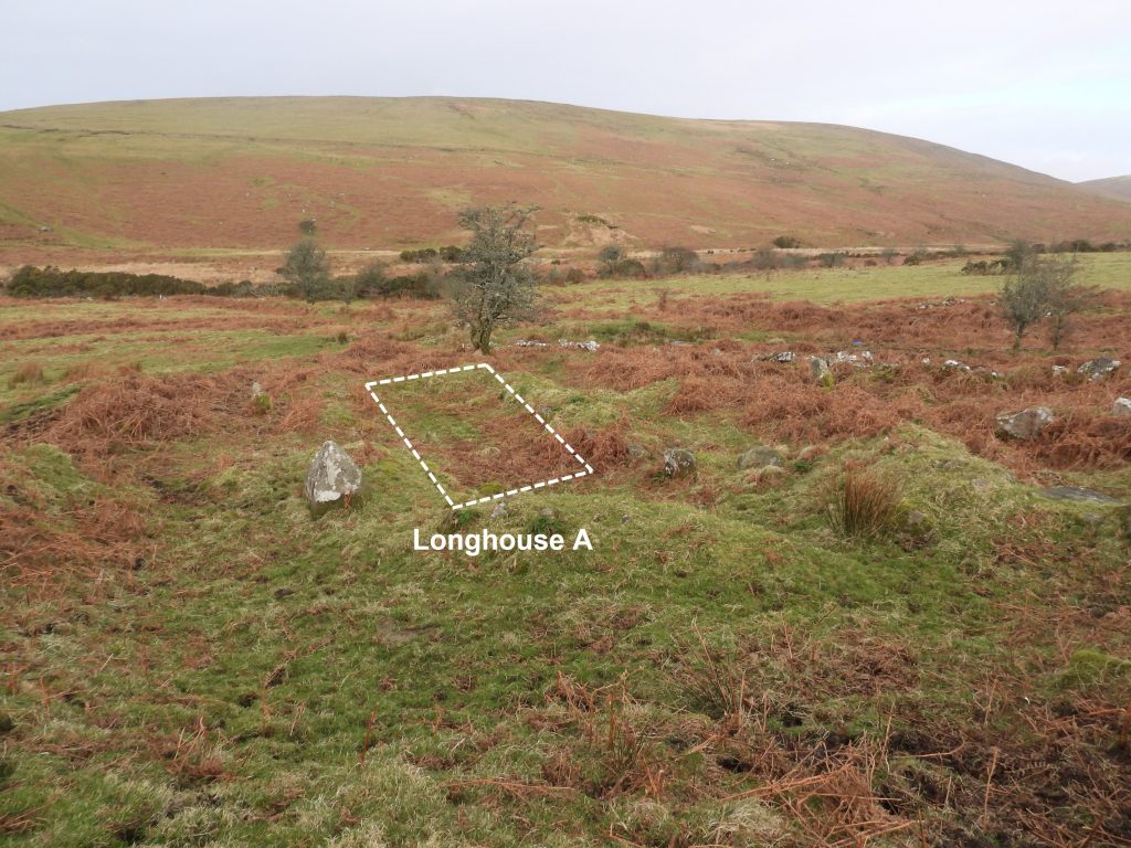
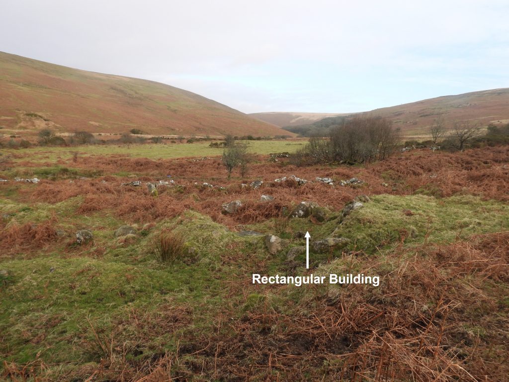
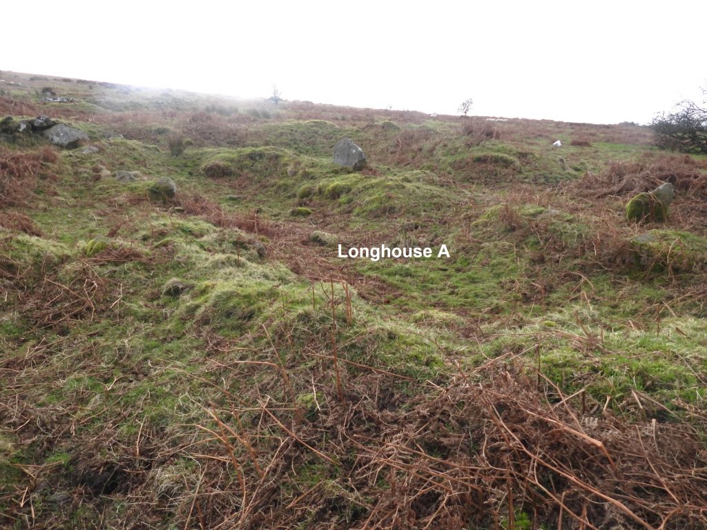
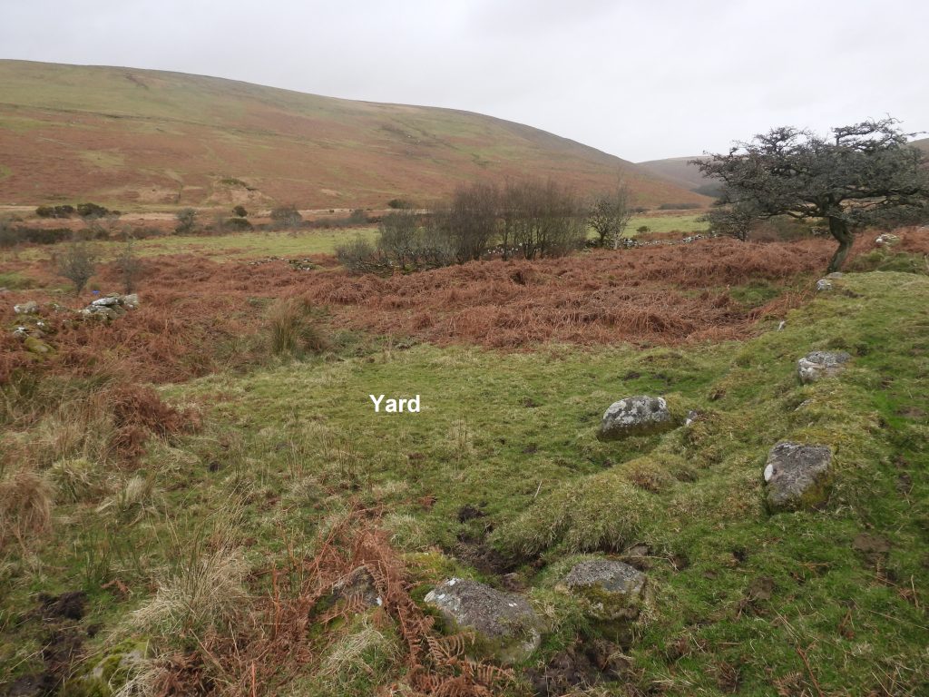
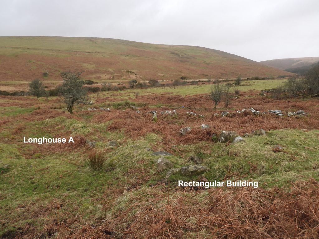
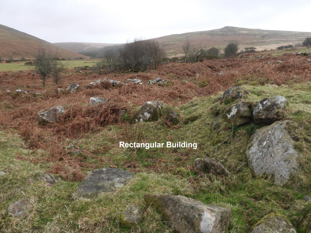
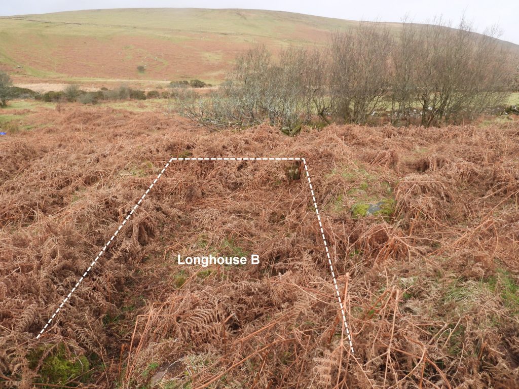
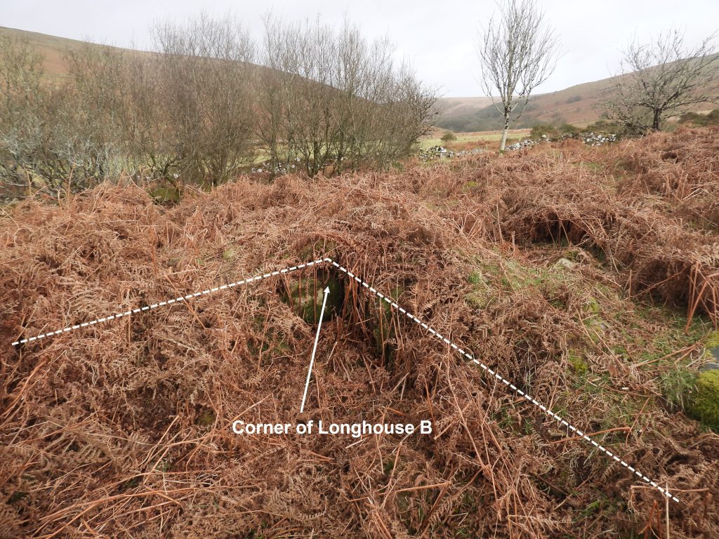
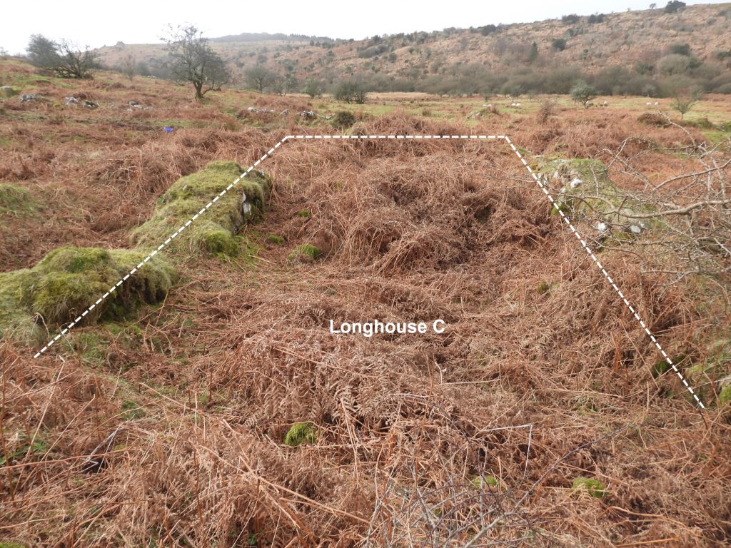
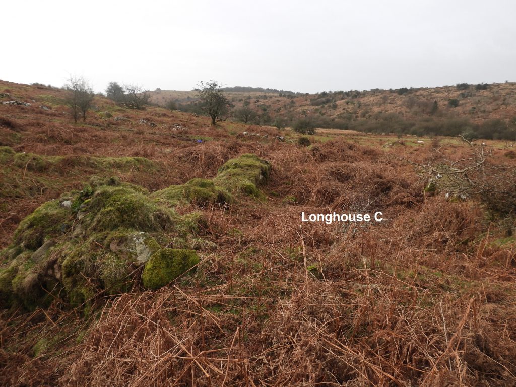
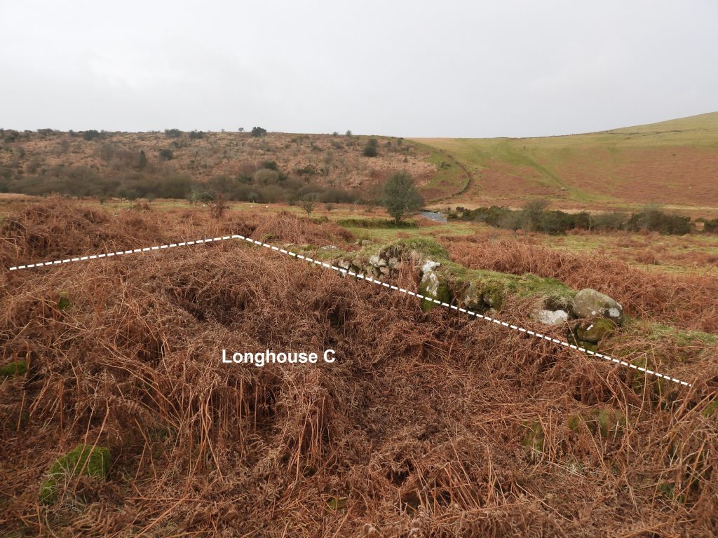
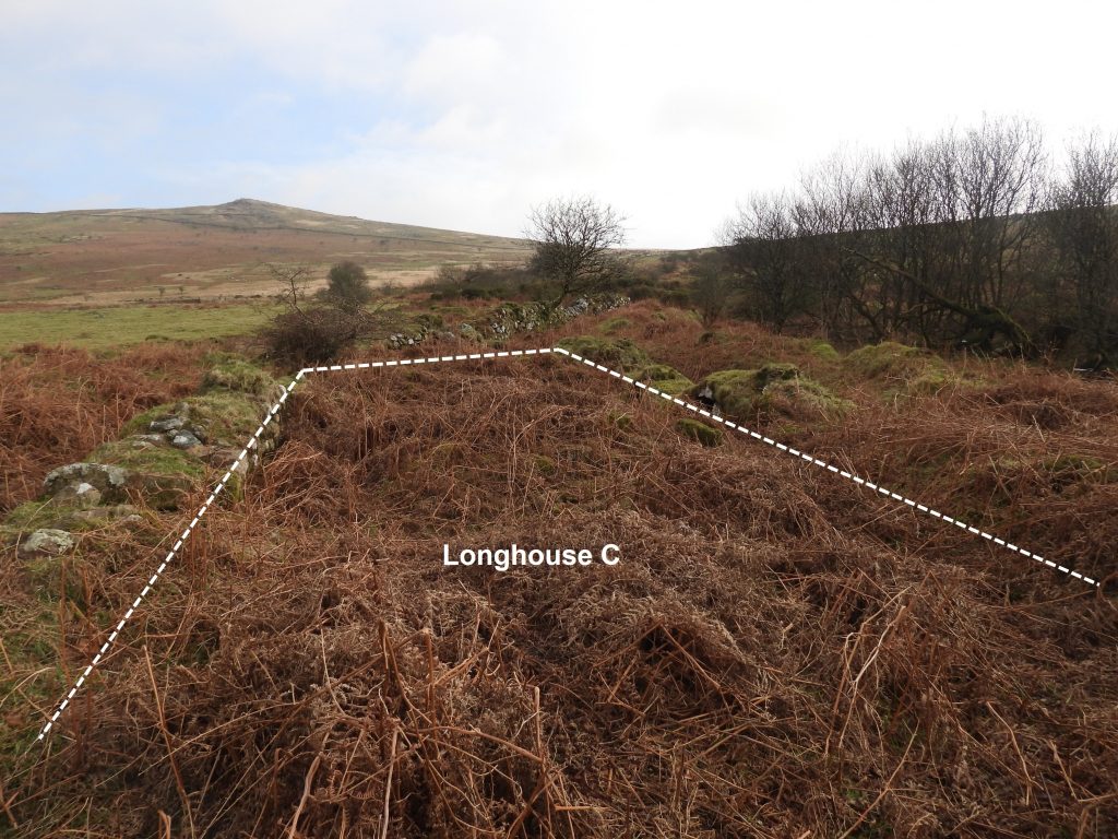
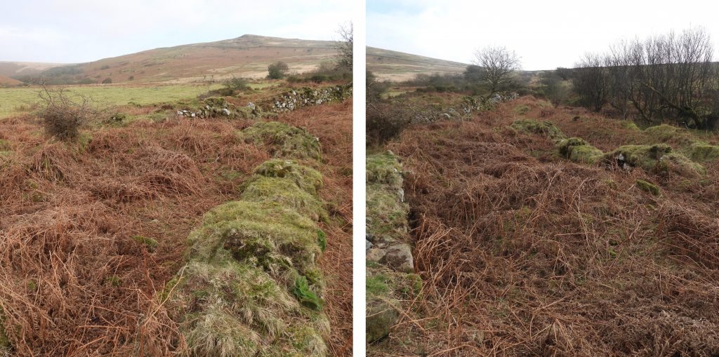
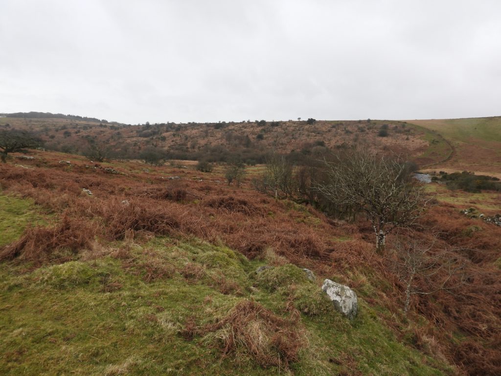
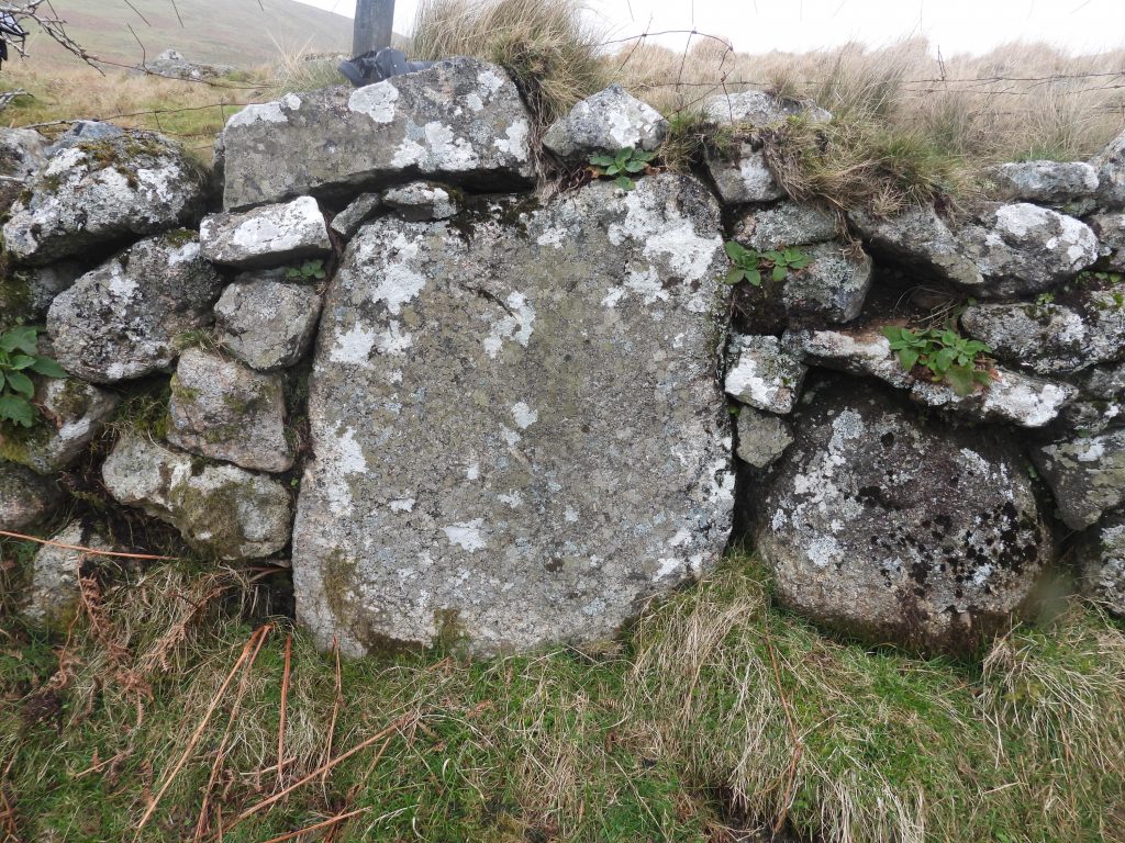
This deserted Medieval farmstead comprises three (probable) long houses, a rectangular building and a yard, which are situated on gentle west facing slopes astride Piles Brook within the River Erme valley. Also in the area is a large bronze age settlement, a superb ring setting cairn with cist and a possible old bondstone. Information for this post has been obtained from the Dartmoor HER and Jeremy Butler’s Dartmoor Atlas of Antiquities: Volume Four – The South-East.

Map
Sketch map showing the key features found in this post.
LP1
This cist, which the author has always known as “the money box” lies within the retaining kerb of a cairn. Great views to the north overlooking Lower Piles with Piles Copse and Sharp Tor beyond.
LP2
The retaining kerb is 4 metres in diameter and 0.3 metres high. The cist lies slightly to the east of the centre and is orientated south-east to north-west.
LP3
The cist measures 1.2 metres in length and 0.6 metres wide at the south-east end and 0.4 metres wide at the north-west, with a depth of 0.9 metres. It can be found at SX64530 60250
LP4
Part of the Lower Piles settlement with Tristis Rock (aka Hall Tor) on Burford Down beyond. Jeremy Butler in the Dartmoor Atlas of Antiquities: Volume Four – The South-East states: ‘Lower Piles Settlement’ has thirteen surviving hut circles of which only two are less than 6.0 metres in diameter. They had been used for stone for the nearby newtake wall and for local stone clearance. This hut circle was recorded at SX64480 60483.
LP5
A grand entrance to a hut circle with Sharp Tor in the distance.
LP6
The entrance to this hut circle is located at SX64460 60532.
LP7
A windswept tree within the Lower Piles Newtake with Erme Valley and Tristis Rock beyond.
LP8
Another windswept tree within the Lower Piles Newtake with Erme Valley to the north.
LP9
Looking across the Lower Piles Medieval Farmstead in the foreground to the River Erme and Yadsworthy Waste beyond.
LP10
Looking down at Longhouse A, the yard (between Longhouse A and Longhouse B) and small rectangular building from the east.
LP11
Longhouse A is recorded as measuring 15.0m by 4.5m.
LP12
The small rectangular building measures about 6.5m by 4.0m internally and appear to have been partly destroyed by the construction of a modern newtake wall.
LP13
Longhouse A has evidence of an internal partition (ie a couple of stones under the bracken). The centre of the longhouse is located at SX64204 60978.
LP14
The yard in the Dartmoor HER is recorded as measuring 17m by 12m.
LP15
View of the relative positions of Longhouse A and the rectangular building.
LP16
The rectangular is located at SX64219 60969.
LP17
Longhouse B is very overgrown. It is recorded as measuring 11.0m by 3.2m. It is located at SX64235 60993.
LP18
Pulling away some of the bracken the north west corner of the Longhouse is revealed.
LP19
Longhouse C is very overgrown but the walls are very distinct.
LP20
Longhouse C is recorded a measuring 18m by 5m with walls 1.0m wide and up to 0.8m high.
LP21
Longhouse C with views to River Ermes and Yadsworthy Waste.
LP22
There is evidence of an internal partition (amongst the bracken) in Longhouse C.
LP23
The centre of Longhouse C is located at SX64215 61012
LP24
Looking at Lower Piles Medieval Farmstead from the north east (with Piles Brook to the right of the picture).
LP25
The Harford Tithe Map from 1838 marks a “bondstone” on the stone wall which divides the enclosures of Higher Piles from the enclosures of Lower Piles. It is not certain that the “bondstone” exists any more, but the large stone shown in the photograph forms part of the wall on the Lower Piles (south) side and roughly in the right place according to the tithe map. The boulder is approx 1m x 1m. It can be found at SX64438 61213.

Total Page Visits: 1889 - Today Page Visits: 6

Next Post

Previous Post

Leave a Reply

© 2024 Dartmoor Explorations

Theme by Anders Norén

Social media & sharing icons powered by UltimatelySocial