A collection of walks, discoveries, insights and pictures of exploring Dartmoor National Park
January 8, 2024
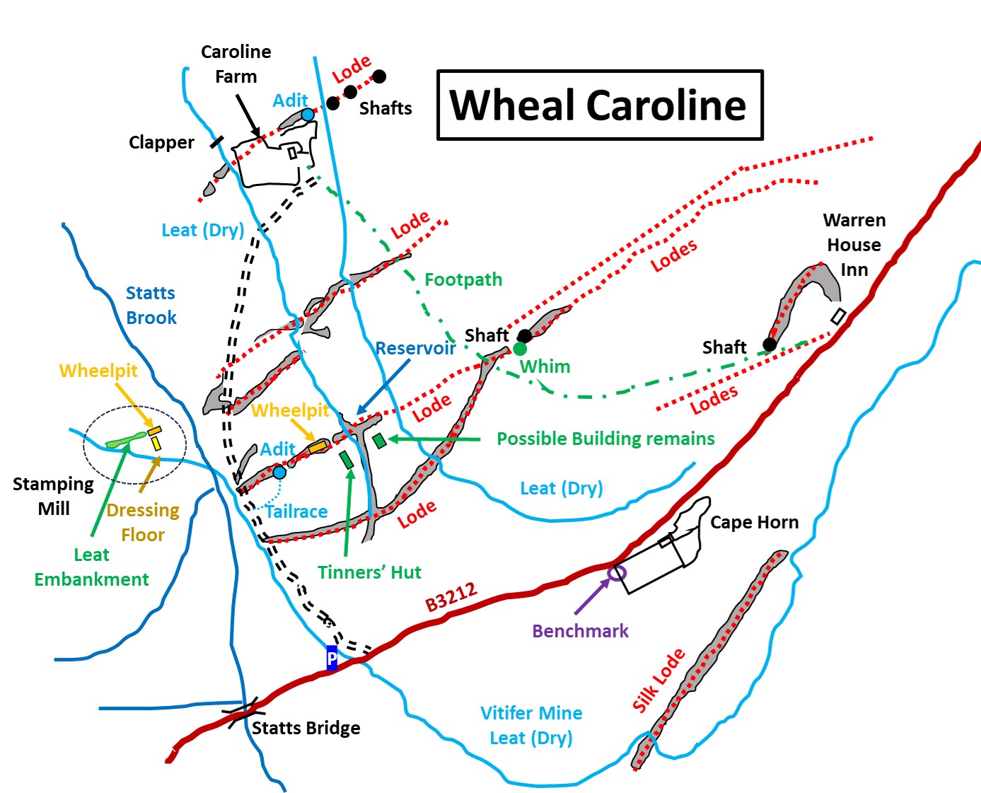
Wheal Caroline
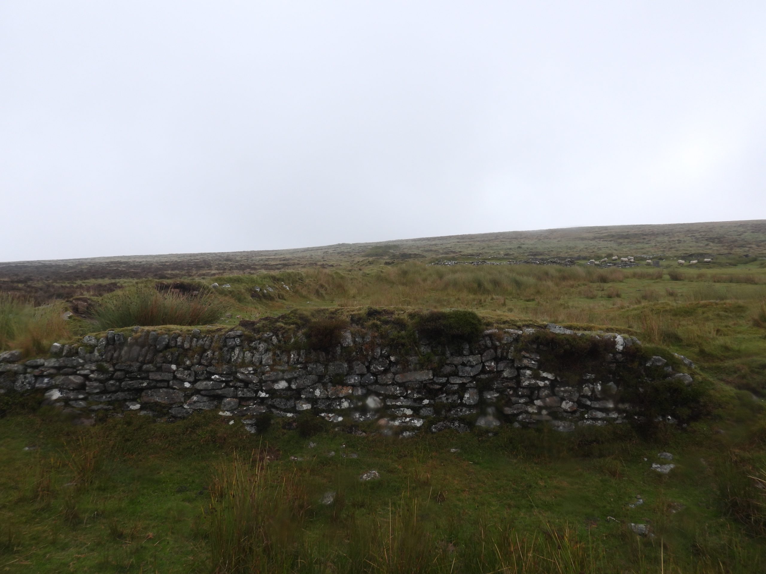
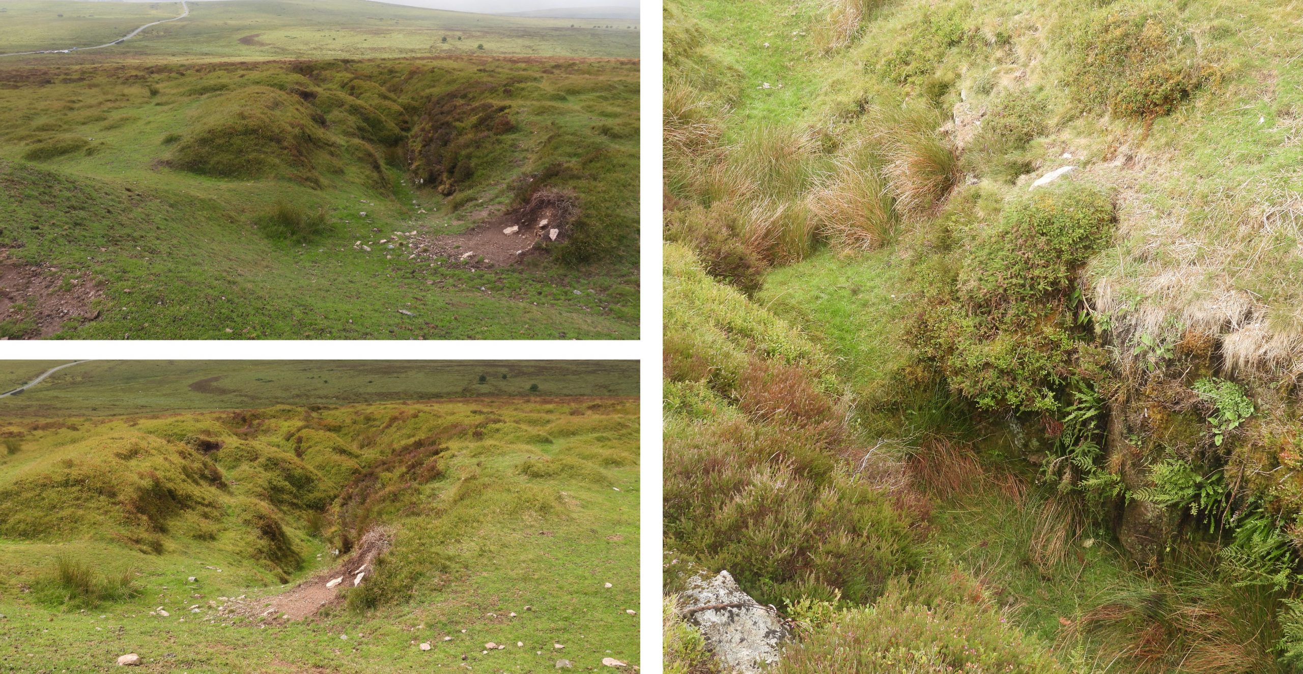
Between Water Hill and Statts Brook, there are a number of openworks, which date from the medieval period, around the 16th century. In the late 18th century, nearby to these openworks, mine adventurers were exploiting the openworks of the ‘old men’ in the nearby Redwater Valley at Birch Tor and Vitifer Mine. Indeed, by 1796, it is known that at least 13 shafts had been sunk at Vitifer and a leat to support the operations had been dug taking water from the East Dart and North Teign rivers. This leat, the Birch Tor and Vitifer Leat had been constructed around 1793 and passed close to the Water Hill / Statts Brook openworks.
It appears that in the early part of the 19th century the mine adventurers had expanded their horizons and started re-working the old men openworks between Water Hill and Statts Brook and were utilising the Birch Tor and Vitifer leat to run a small stamping mill. There is little documentary records regarding the Wheal Caroline venture but it is known that the sett existed in 1826 and ran from Water Hill down to the Walla Brook. The mine closed in the 1830’s but there were several attempts to work the area again during the 19th Century and certainly by the early 1880’s it was being worked again. This is speculated by virtue of an 1884 ordnance survey map, which shows a waterwheel with aqueduct (launder) at one of the main openworks. The waterwheel would have provided power through a ‘flat rod’ system to pump out a shaft further up the hill.
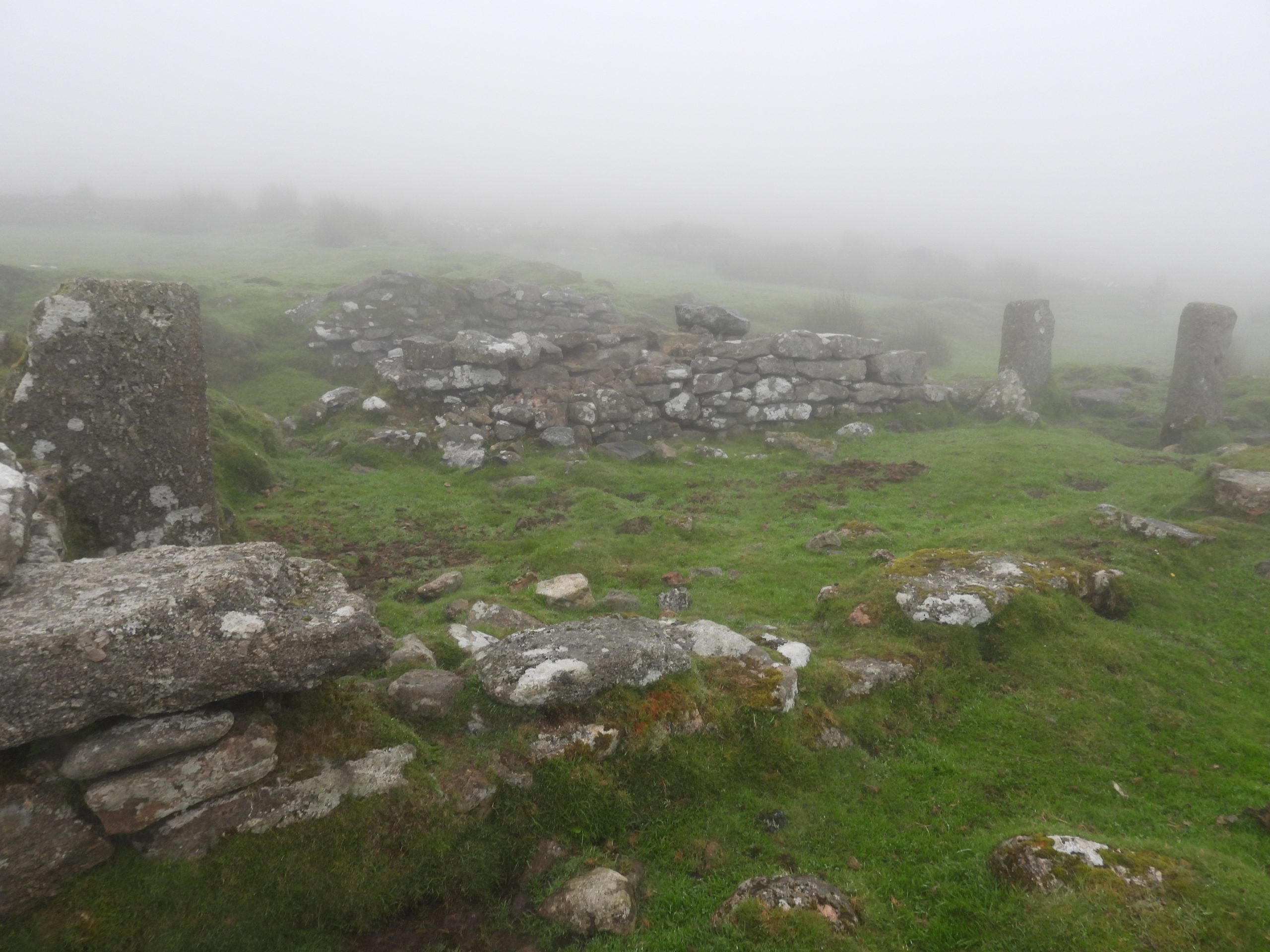
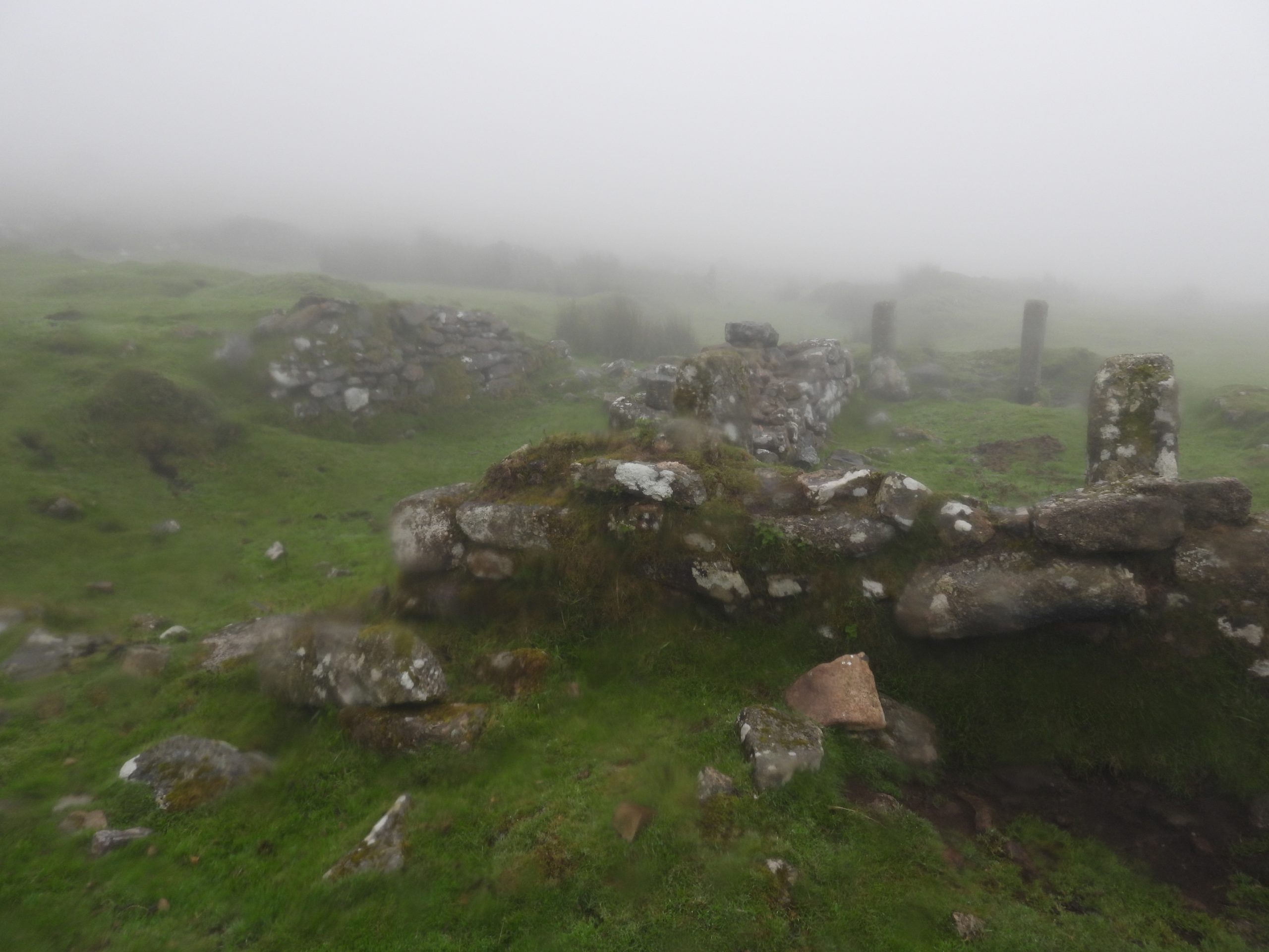
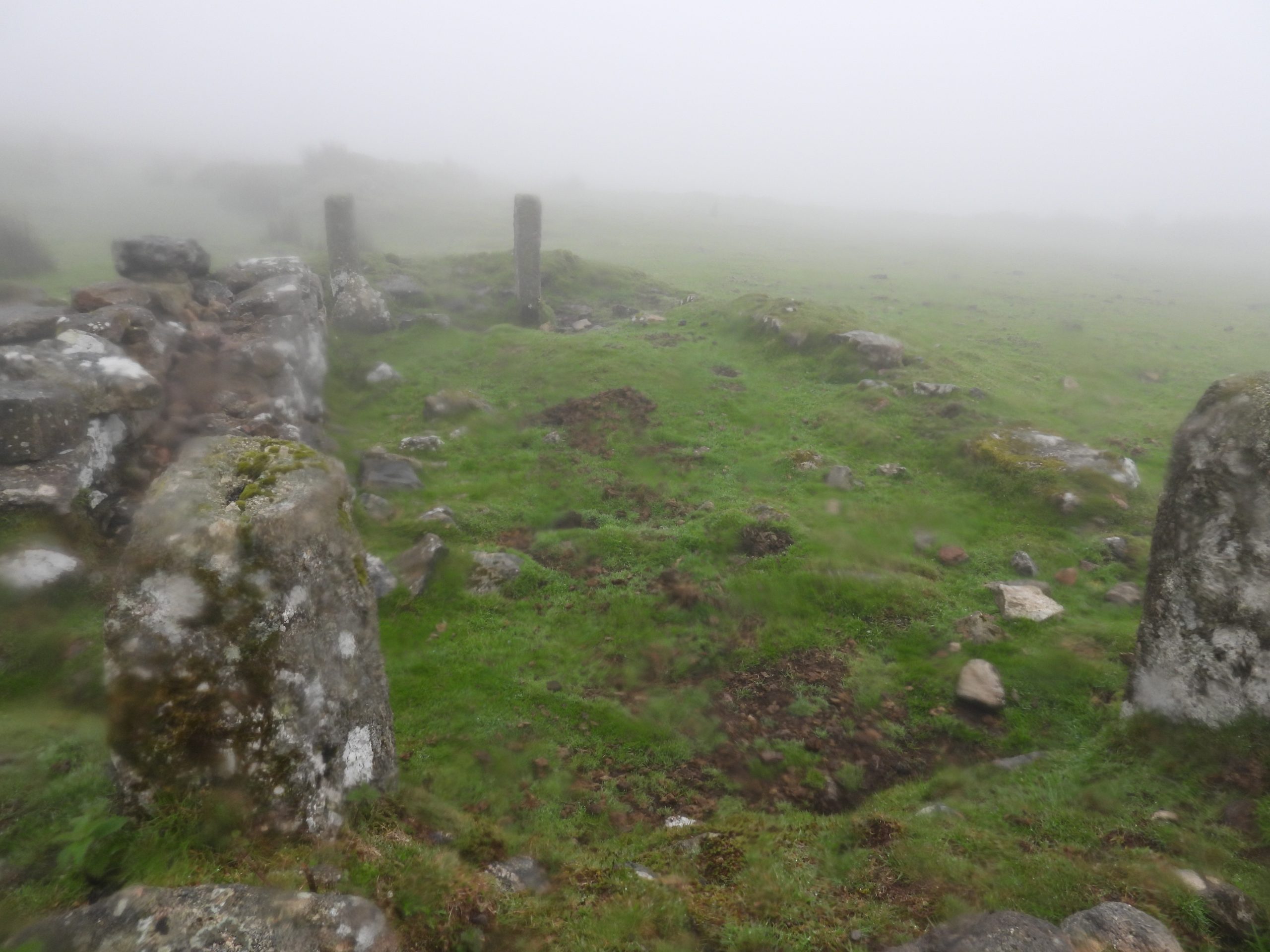
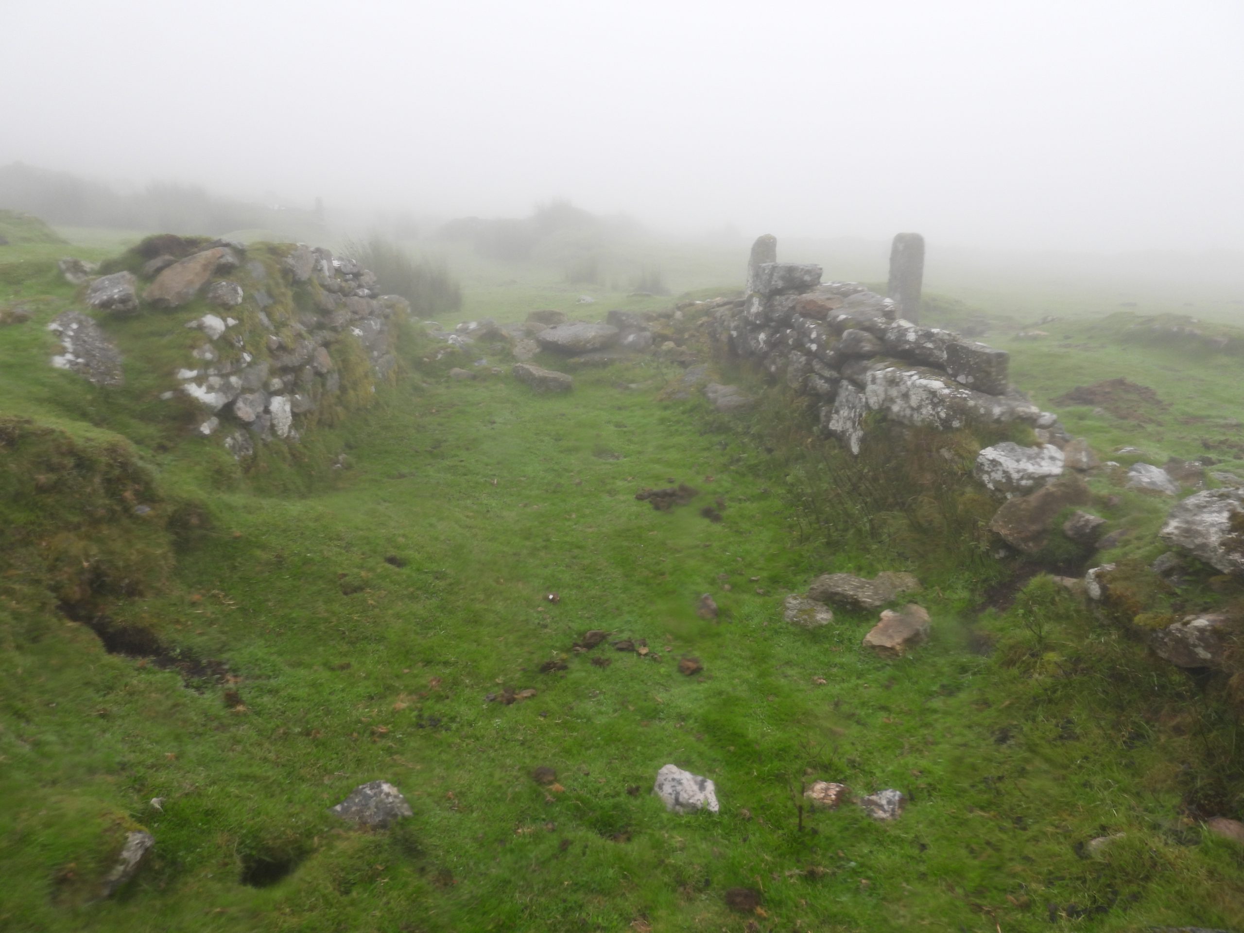
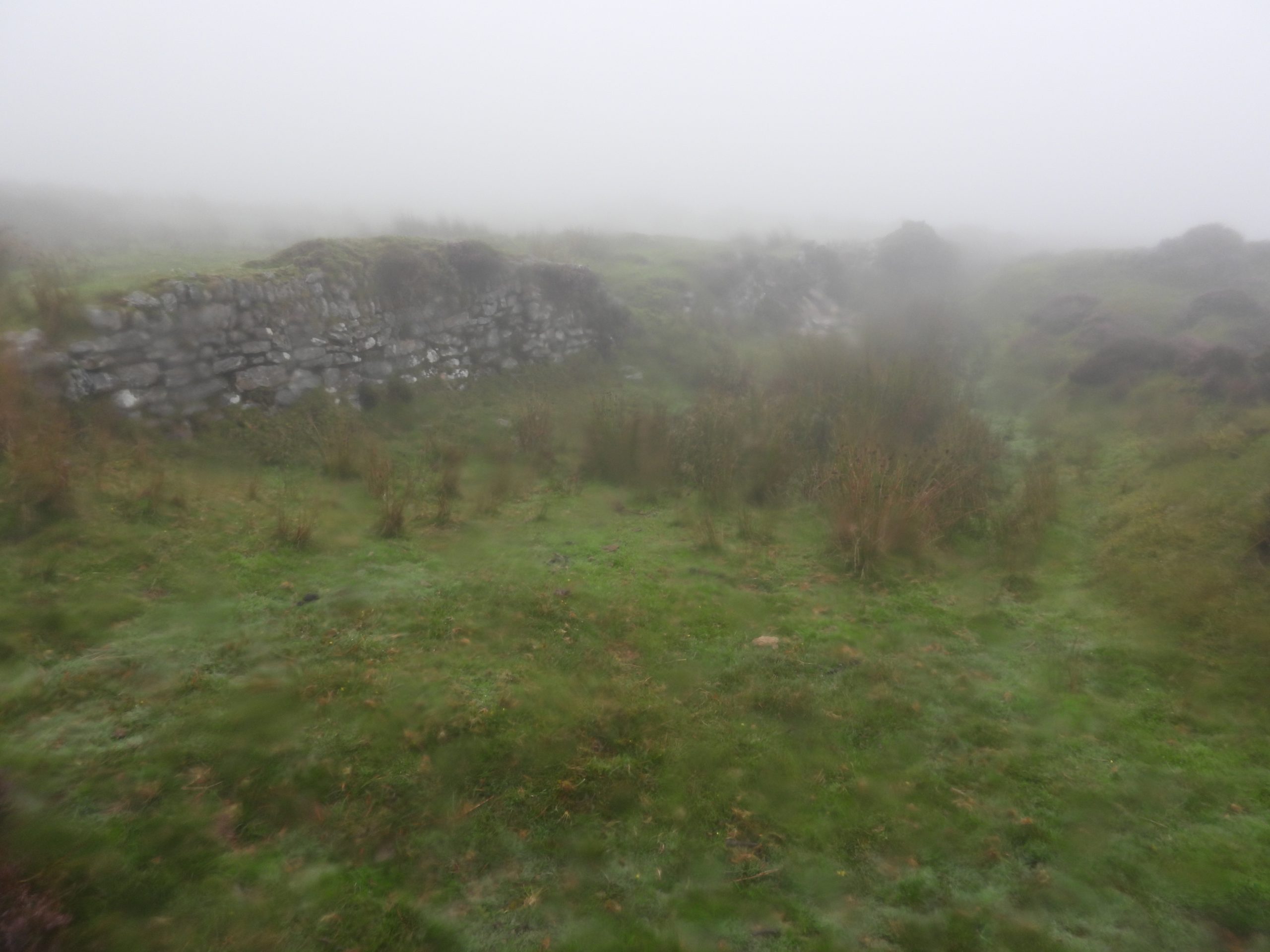
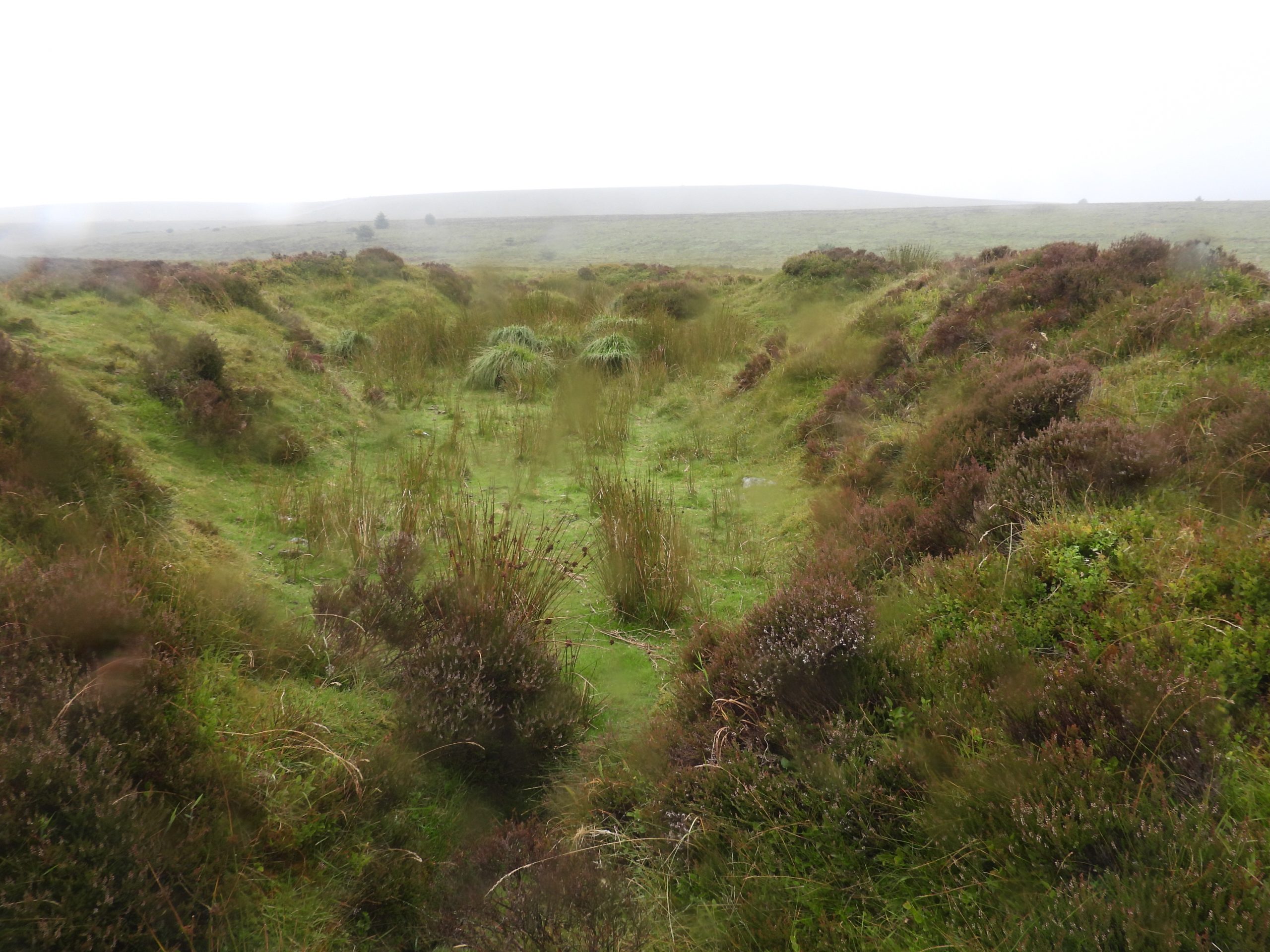
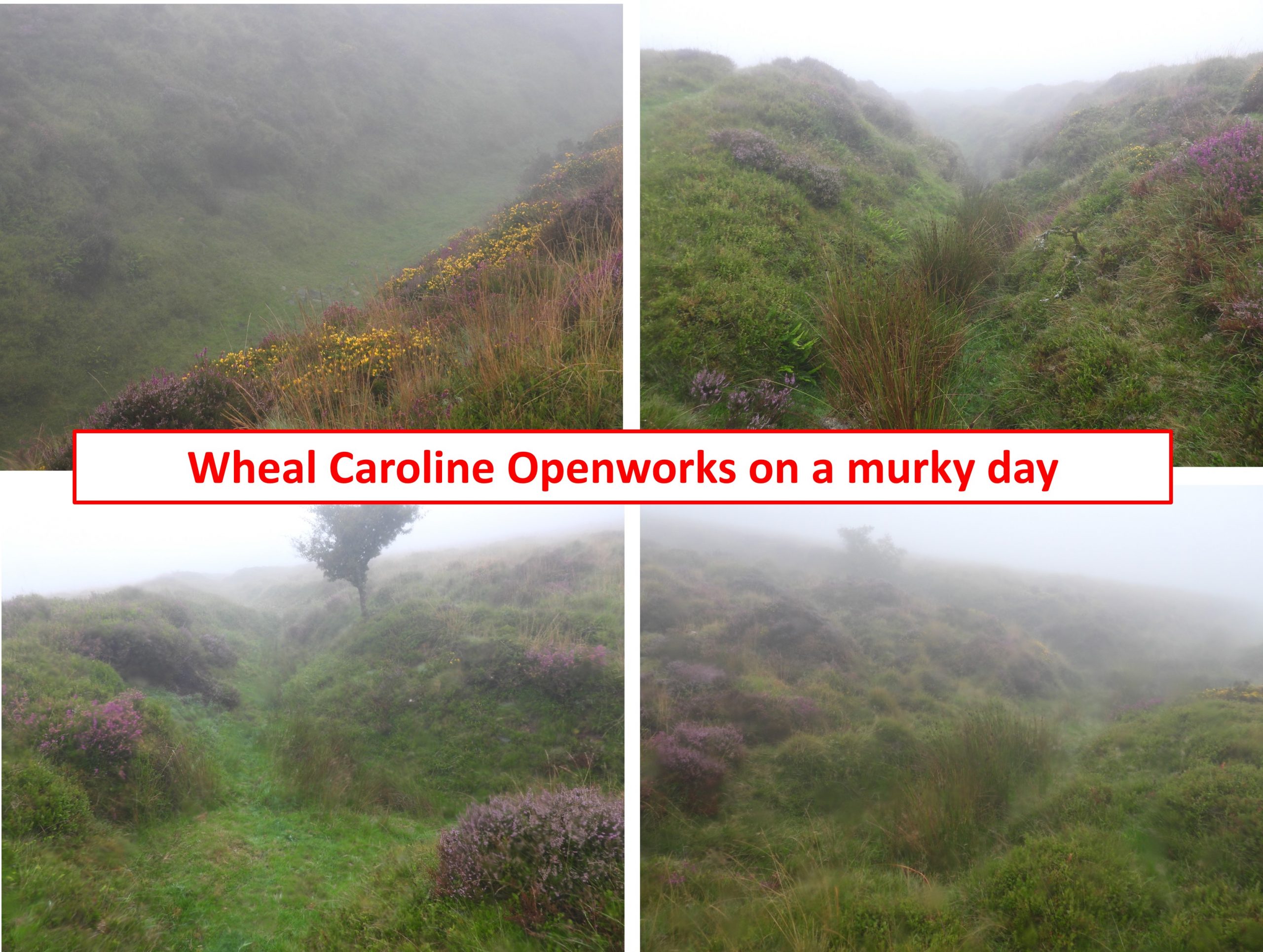
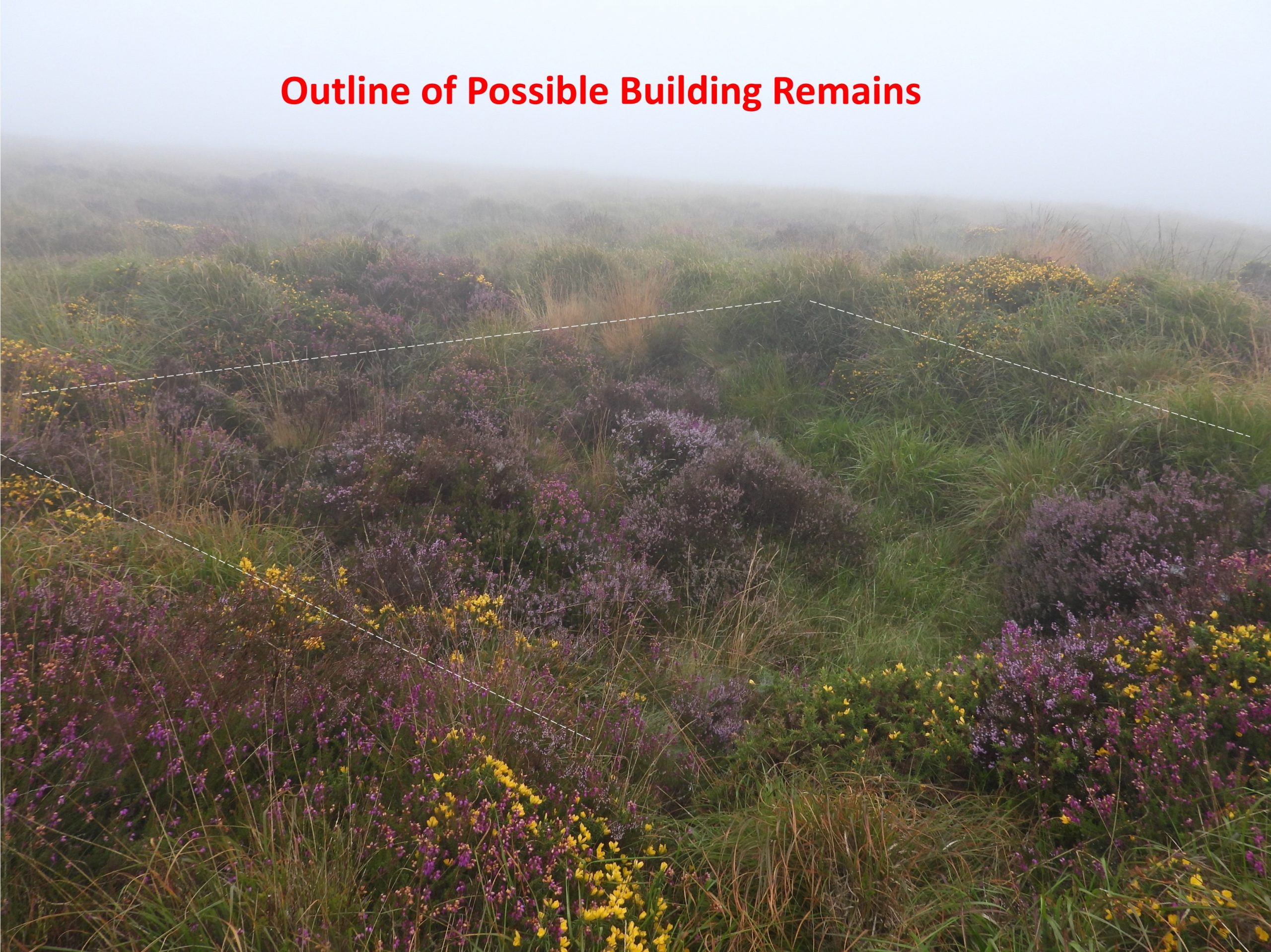
Towards the north west end of the mine operations are the remains of a small ruinous dwelling house which is believed was connected to the nearby mine. It was still being lived in during the 1850s having been adapted as a farm and was known as Caroline Buildings or Caroline Cott. It has also been known as Caroline or Statts Farm. This post explore the openworks, leats, adits, shafts, buildings and tinner’s mill associated with the mine operations. The explorations and photographs were taken over two rather grey and murky Dartmoor days which provided quite an atmospheric feel to the location.
Bibliography
Dartmoor Tin Research Group (July 2023) – notes by Stephen Holley
Royal Commission for the Historical Monuments of England, Duchy Farms Project Survey (Newman – December 1992)
Eric Hemery (1983), High Dartmoor, page 514
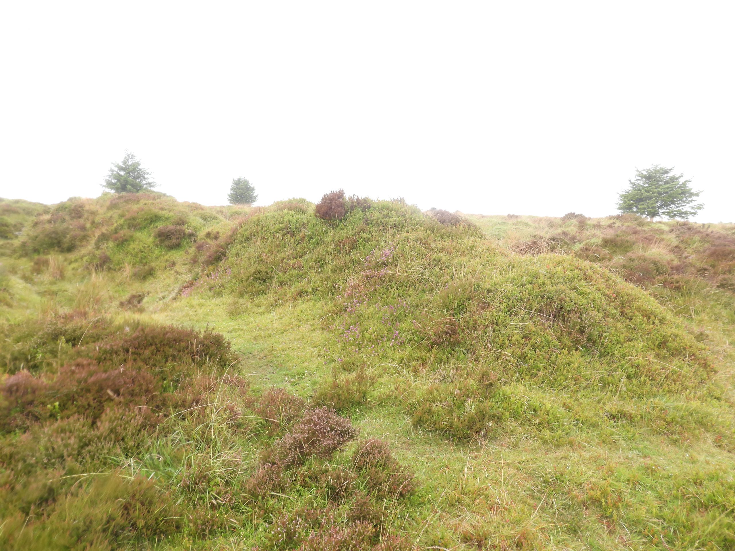
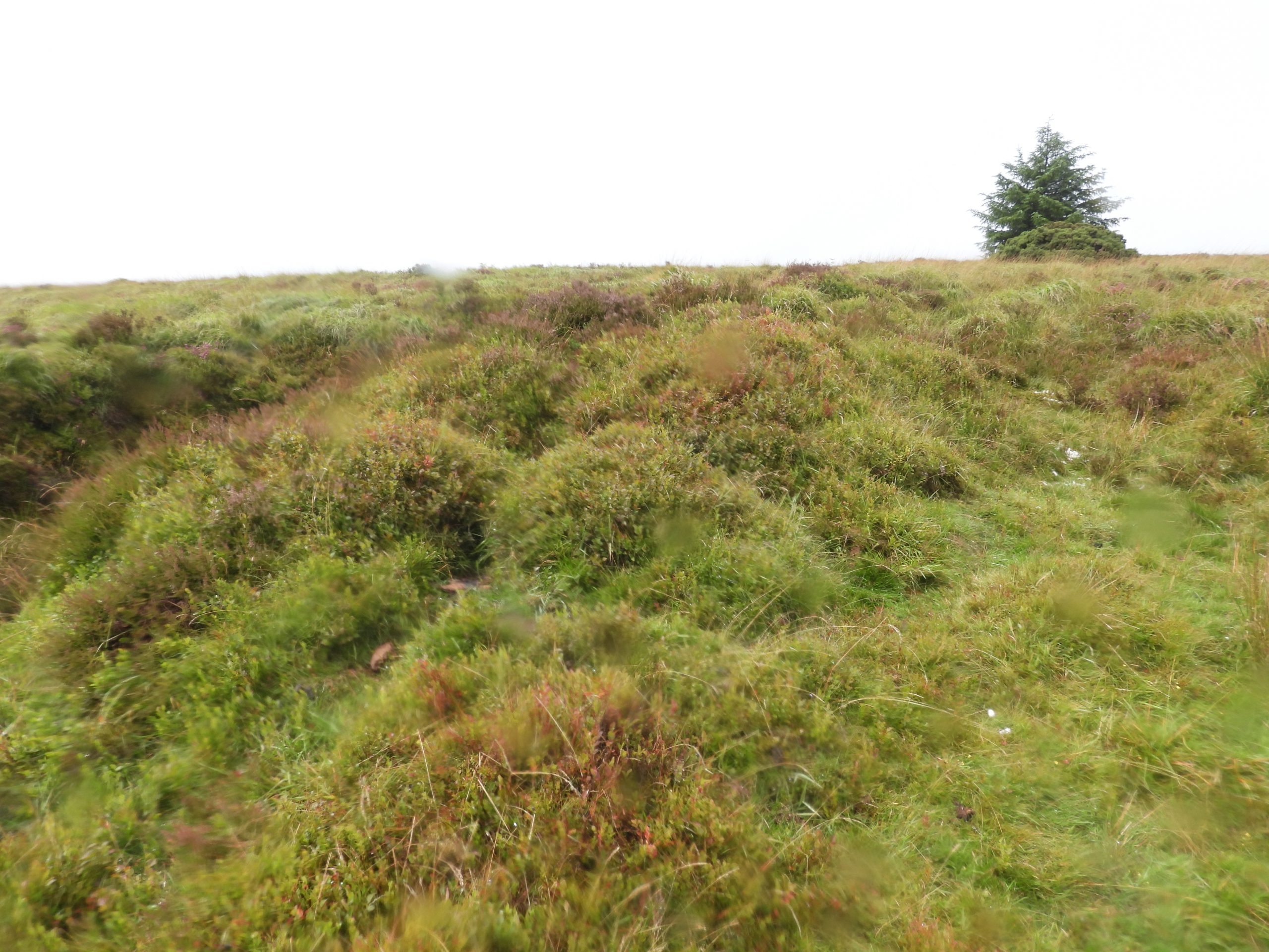
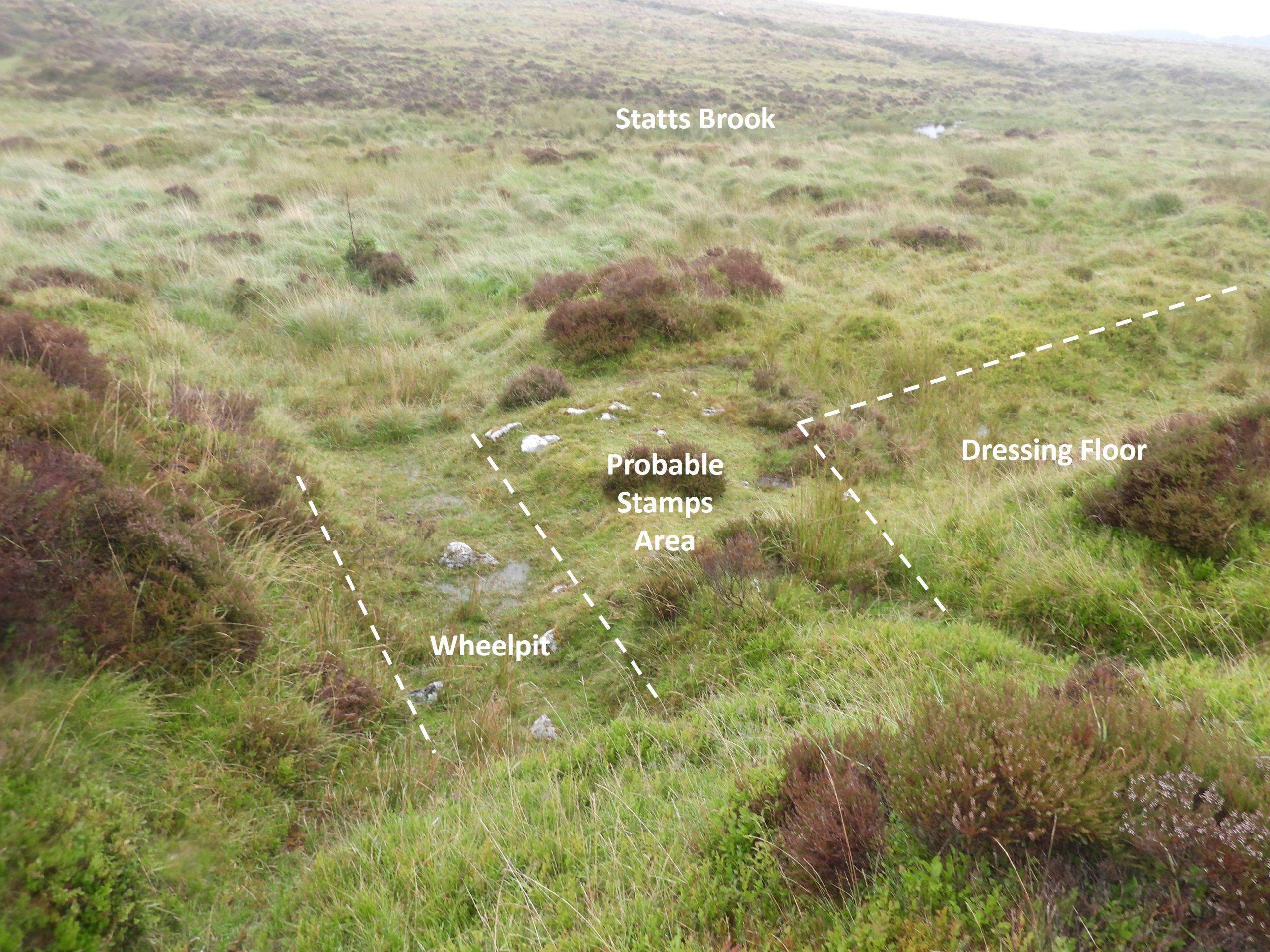
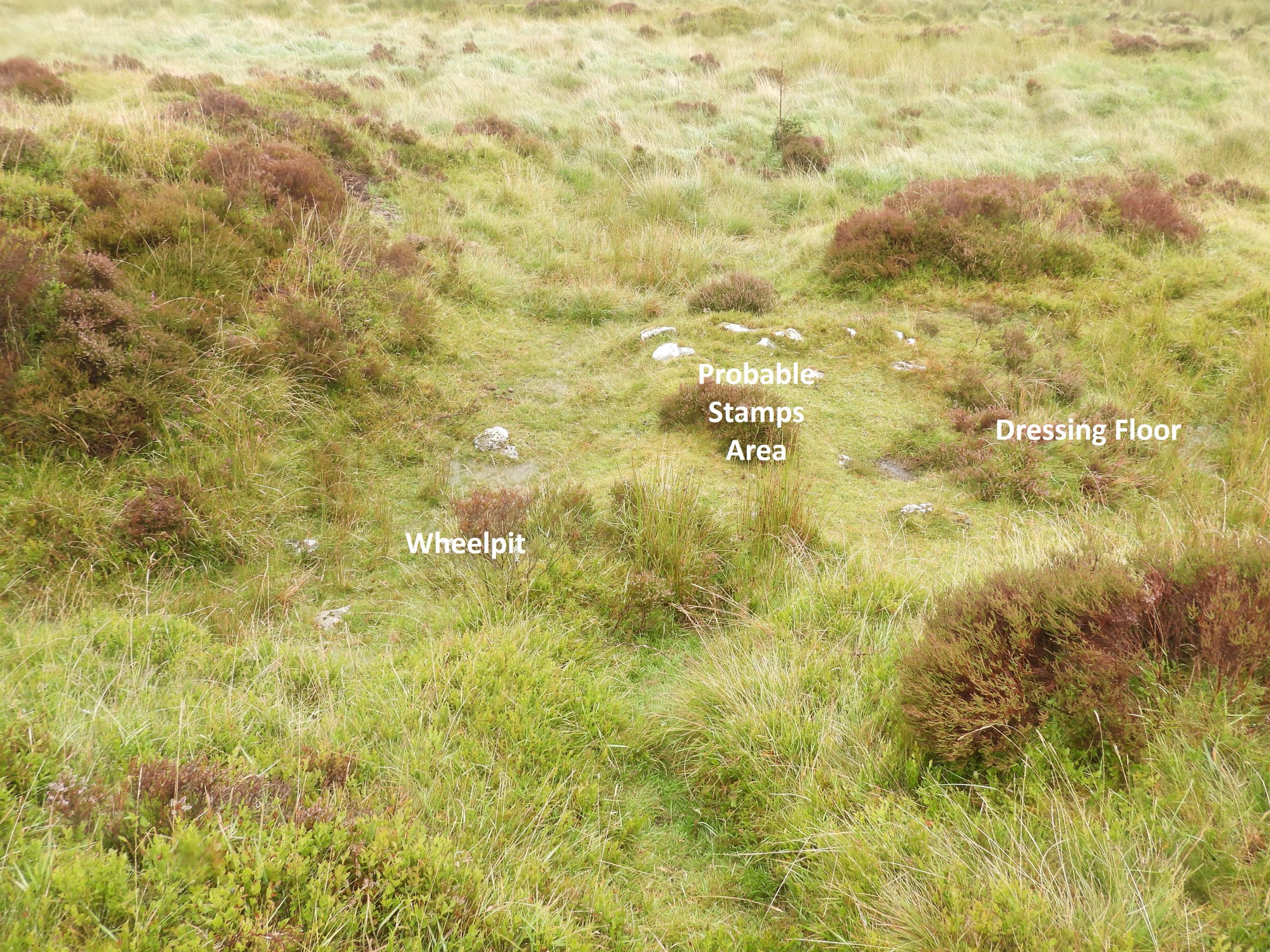
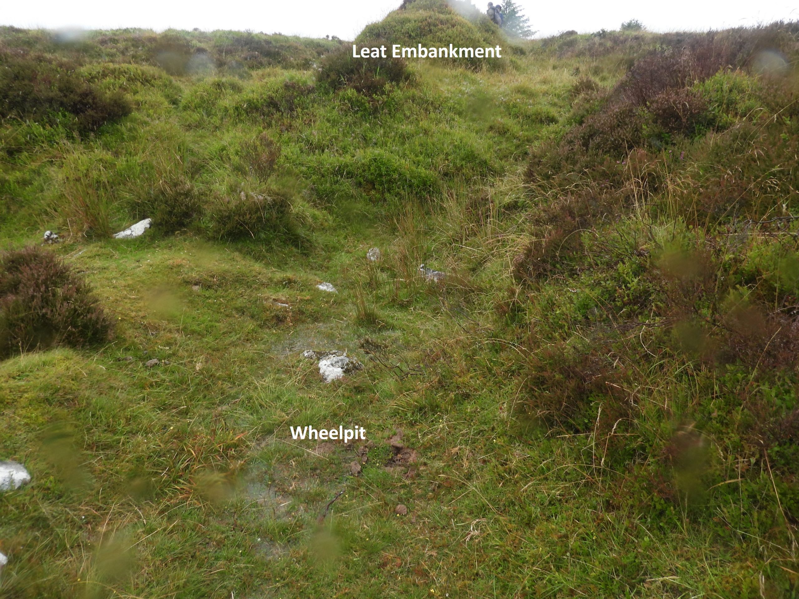
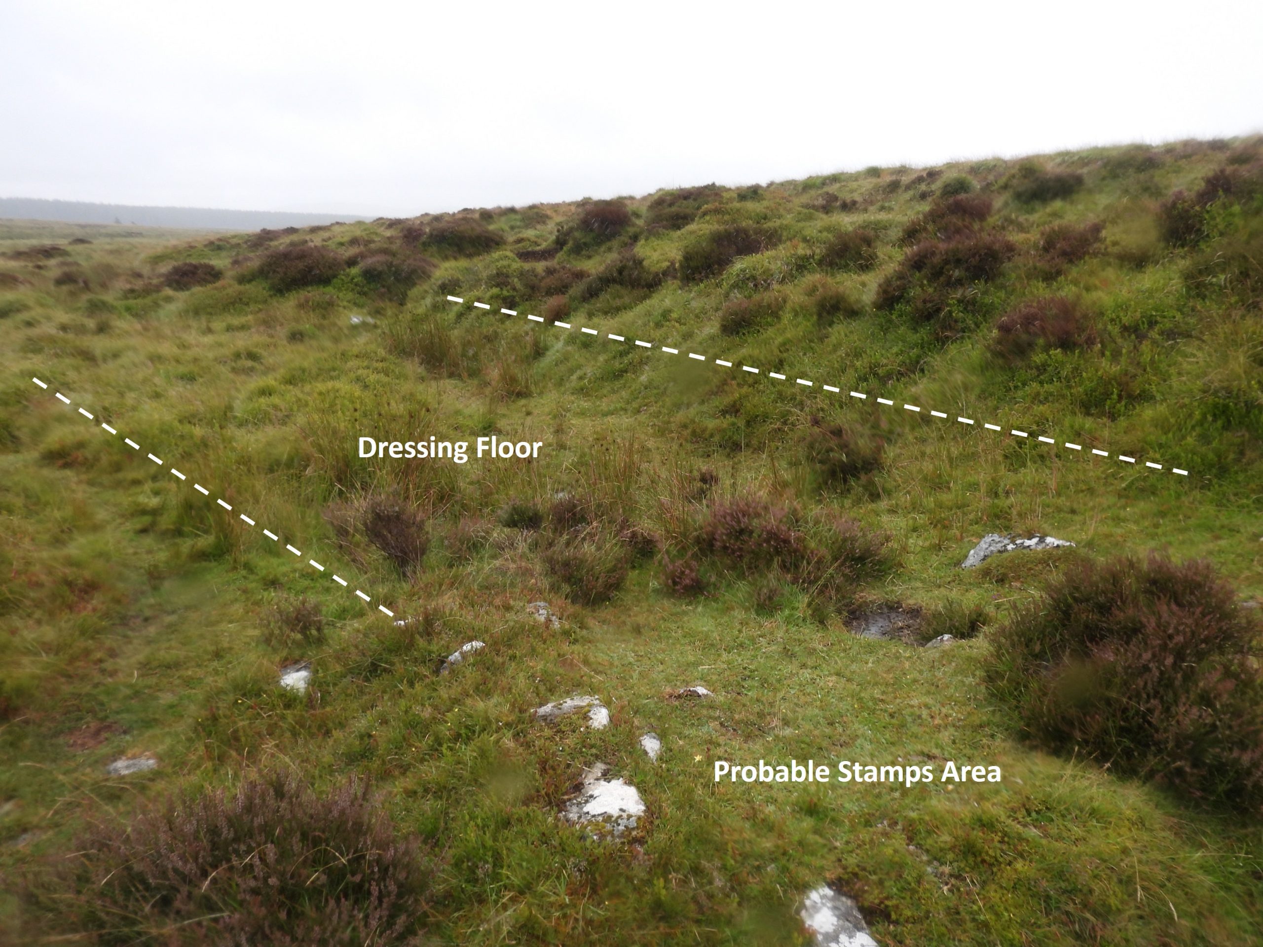
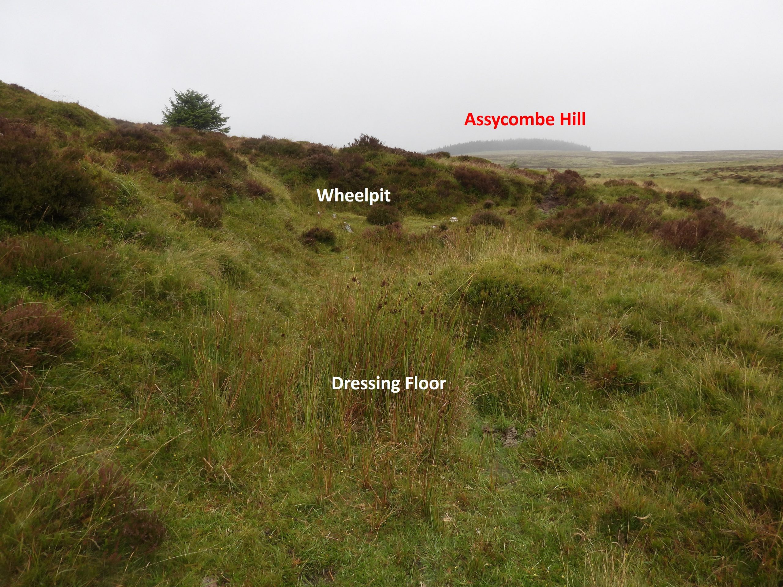
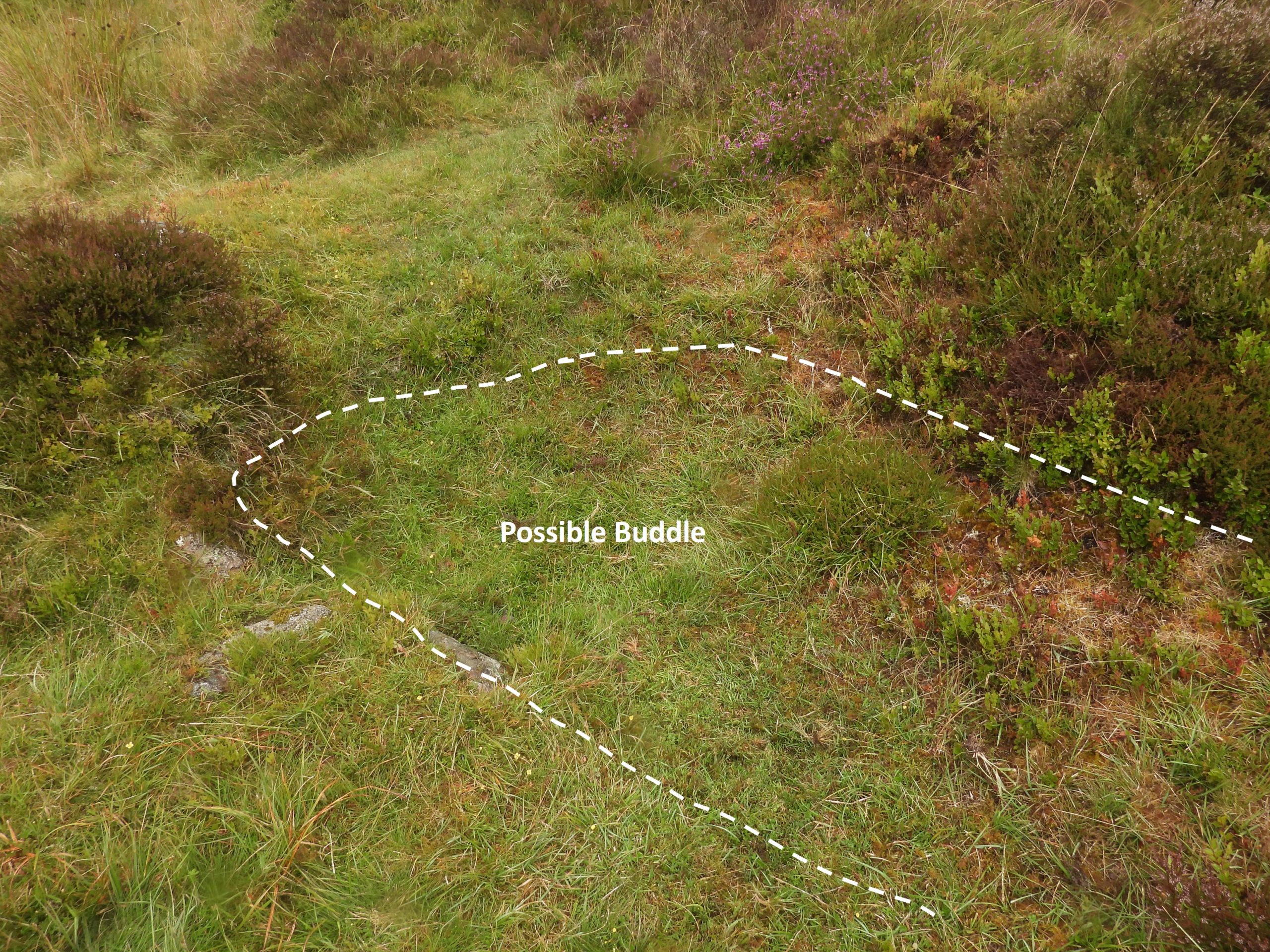
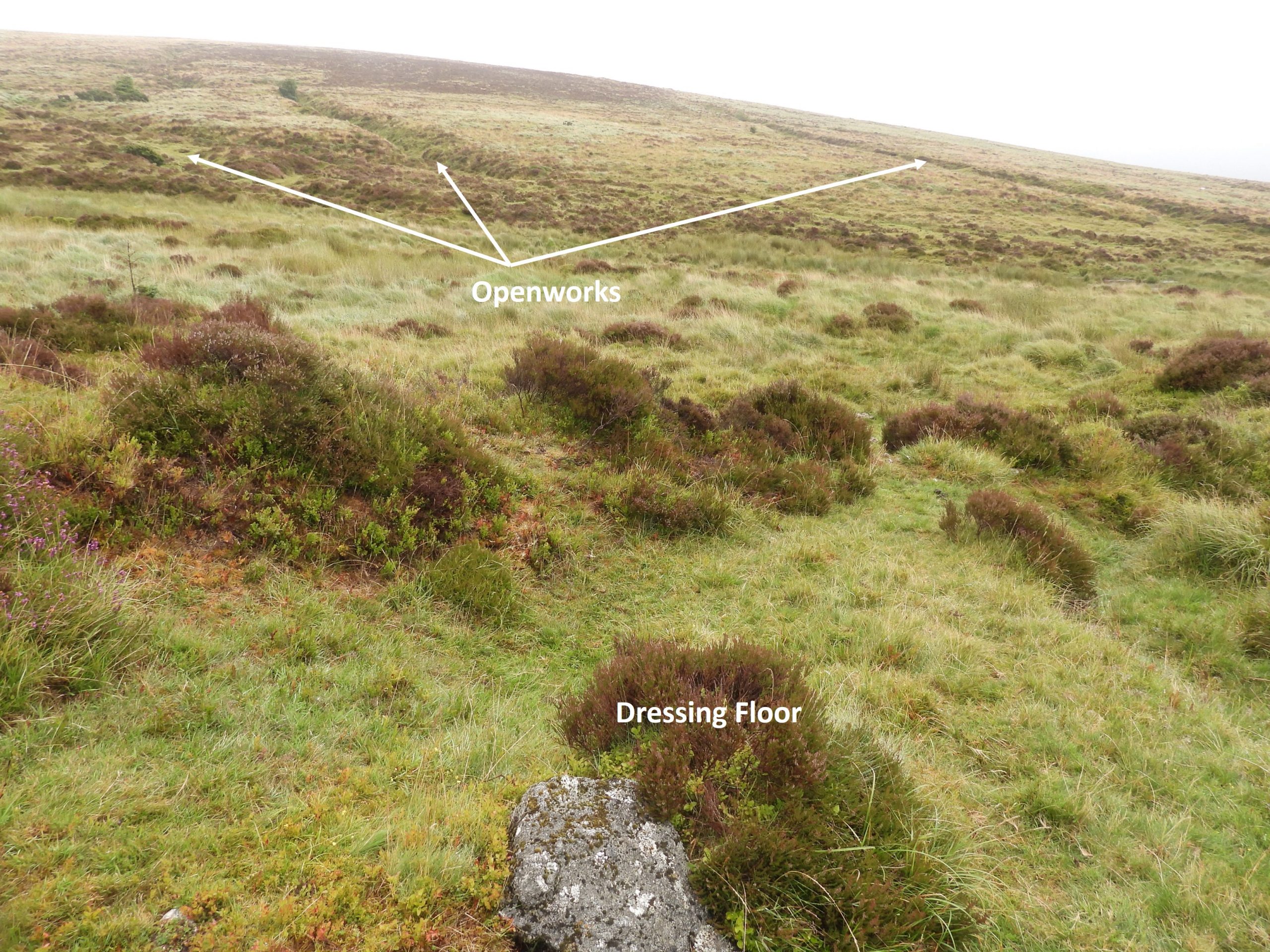
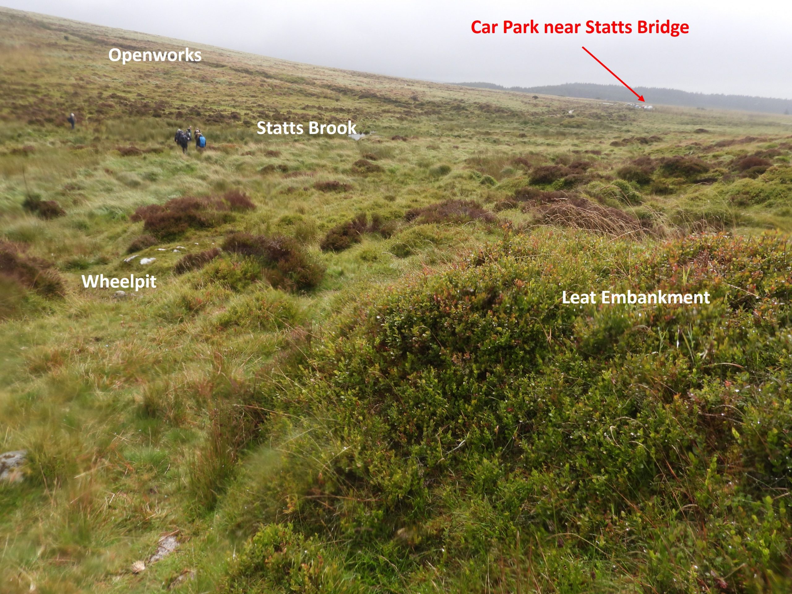
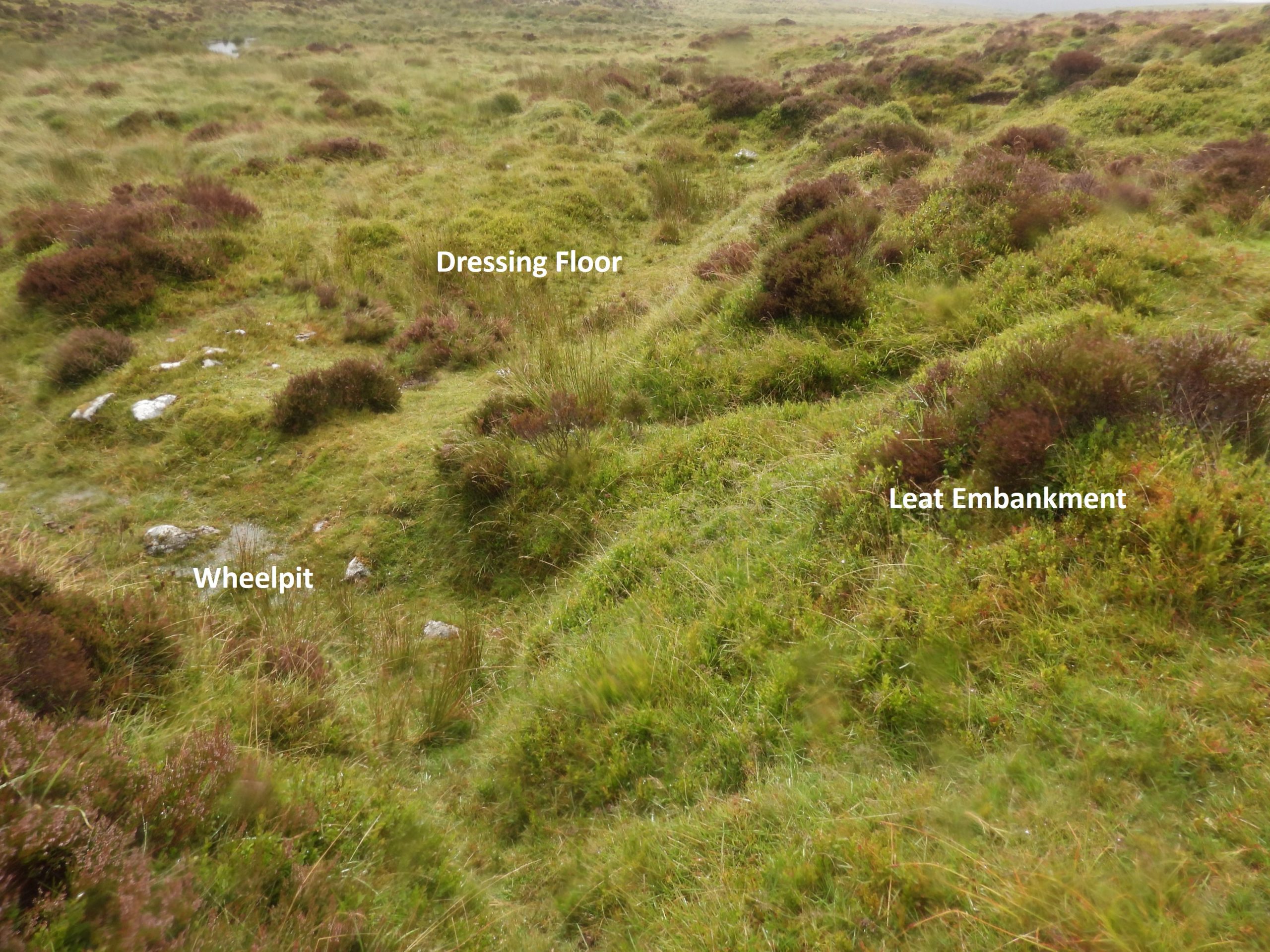
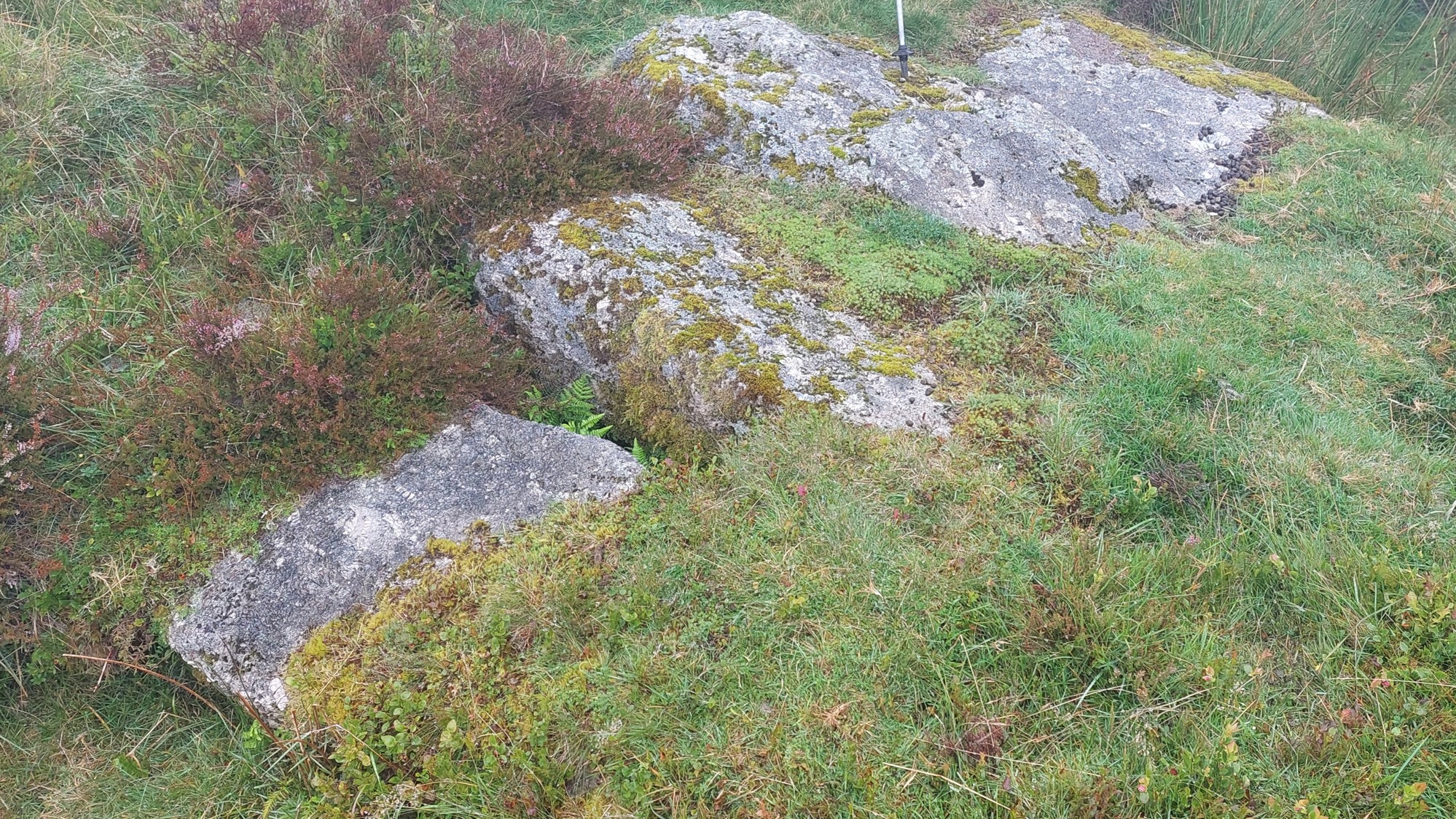
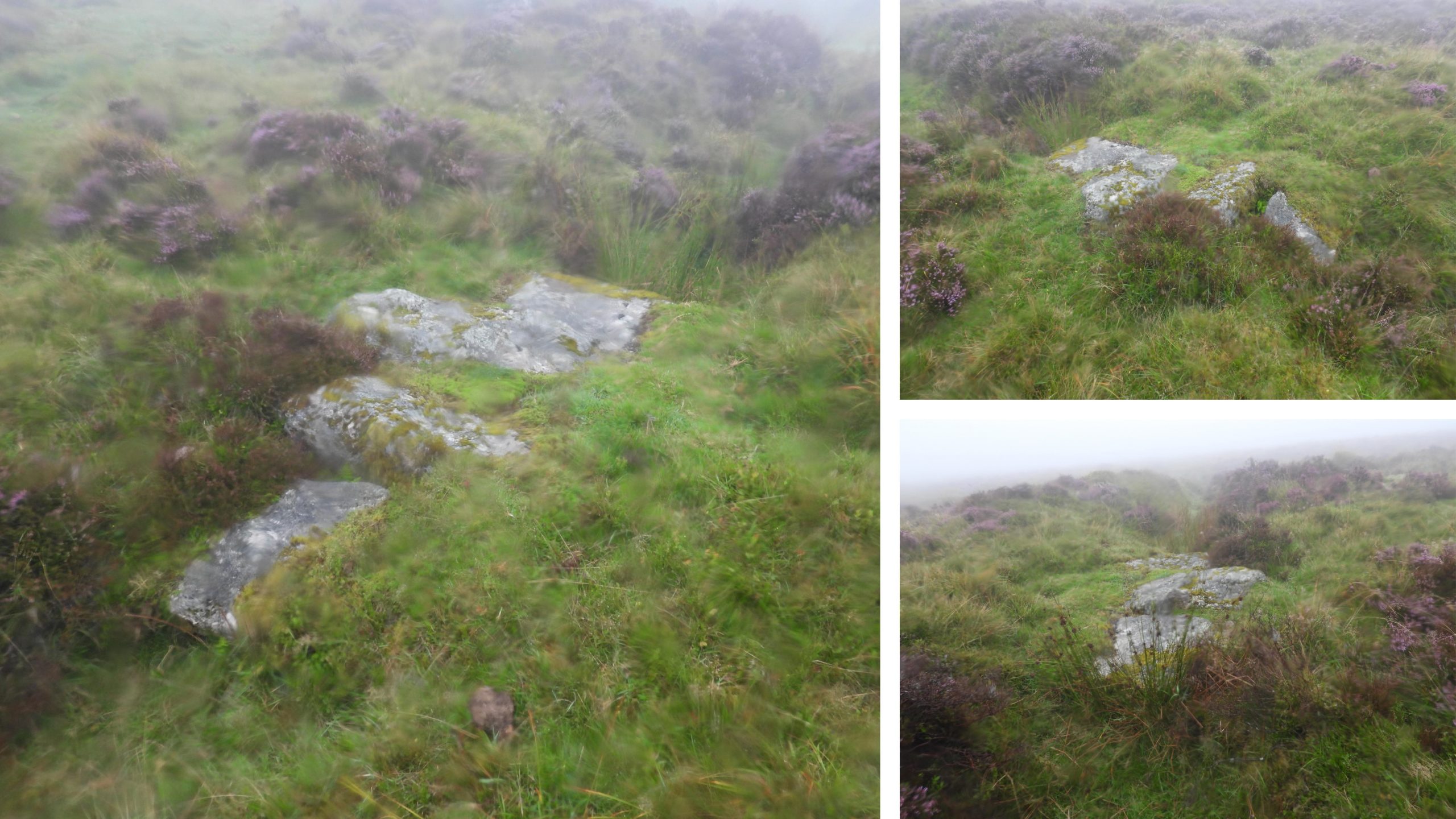
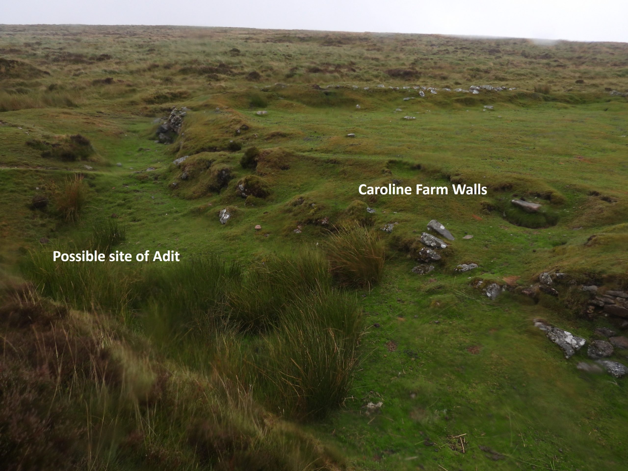
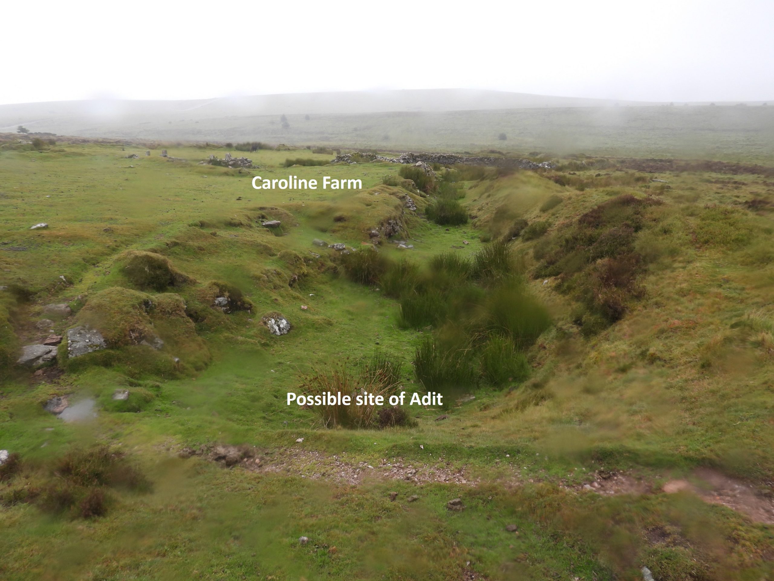
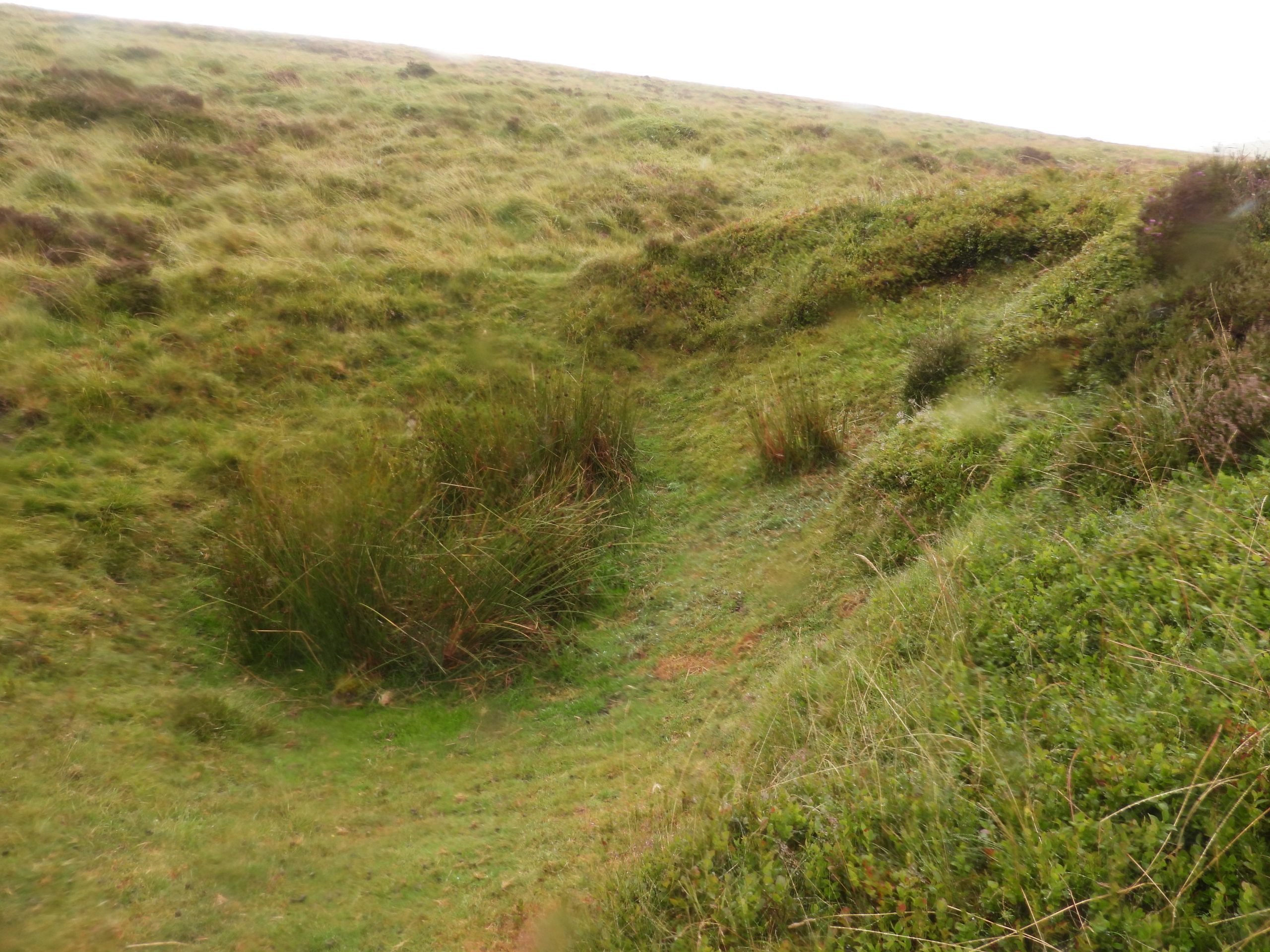
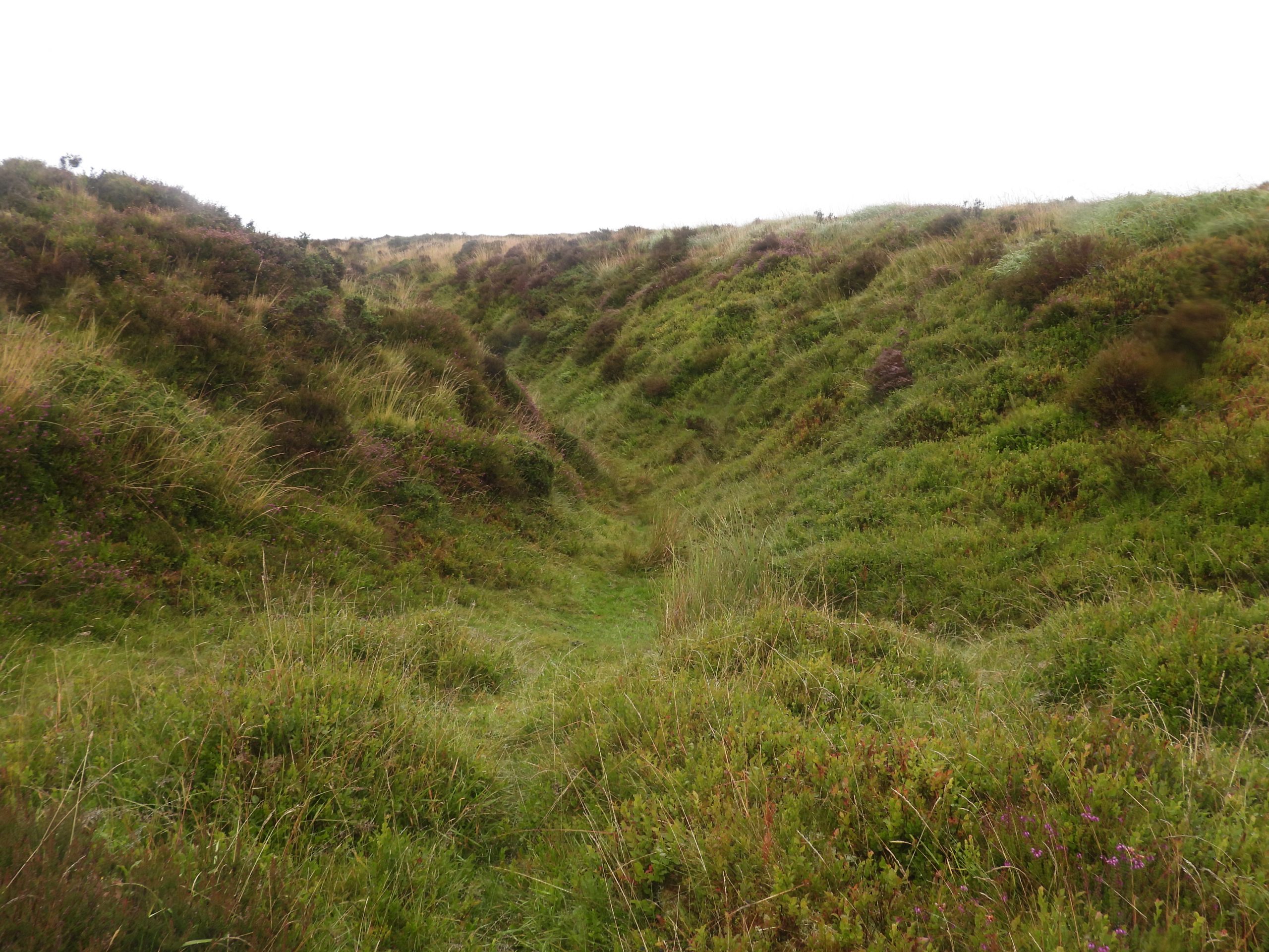
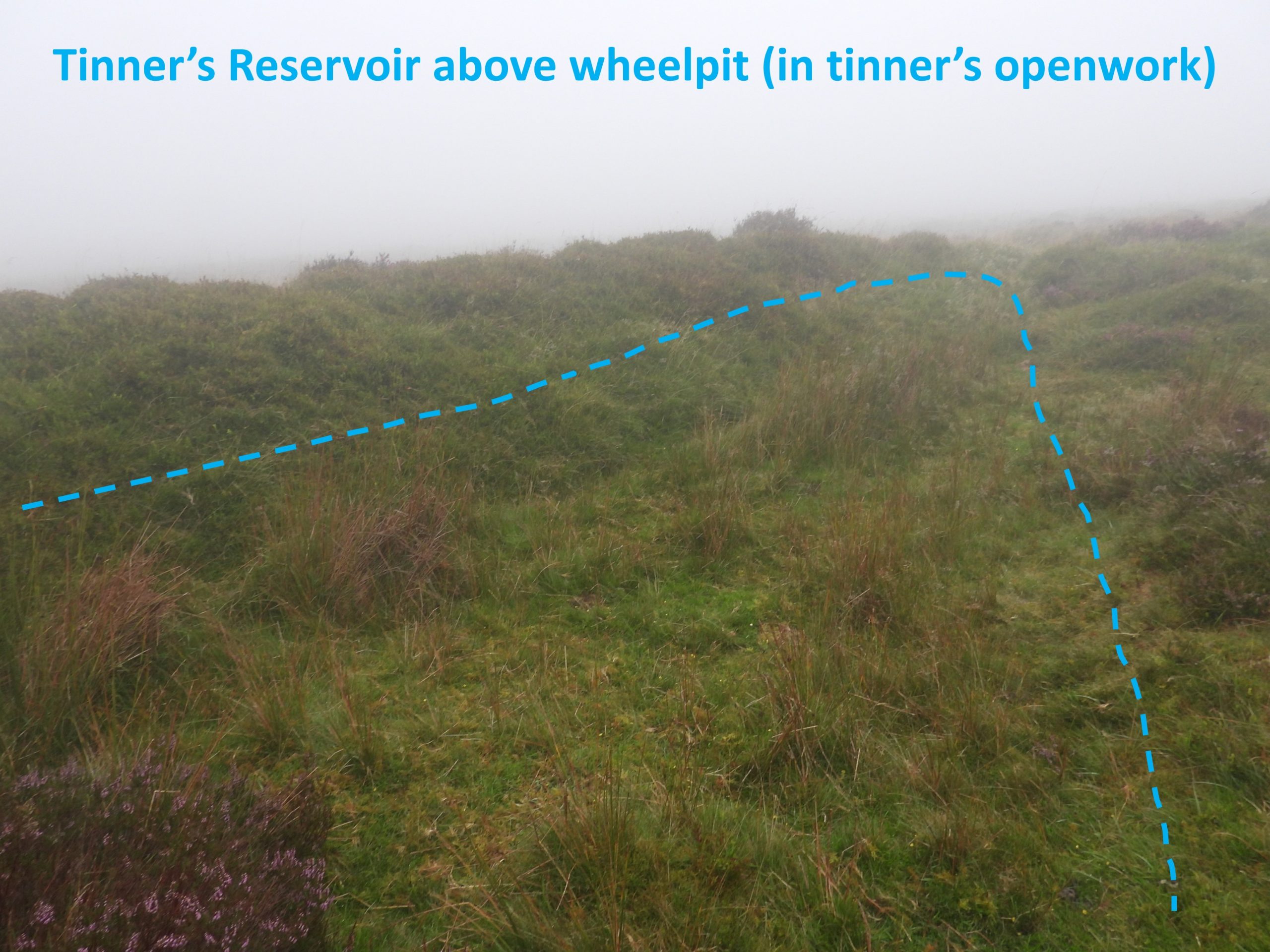
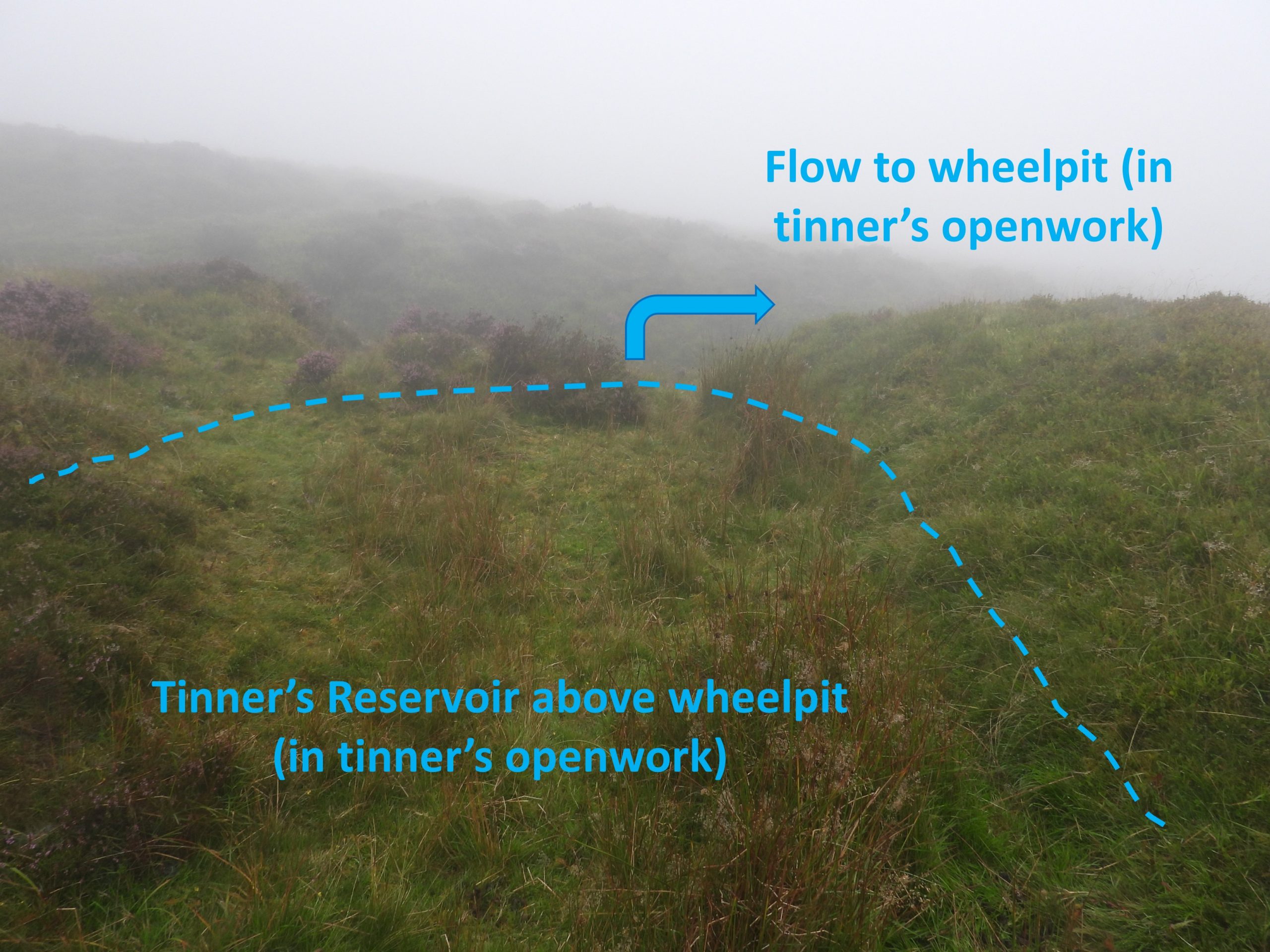
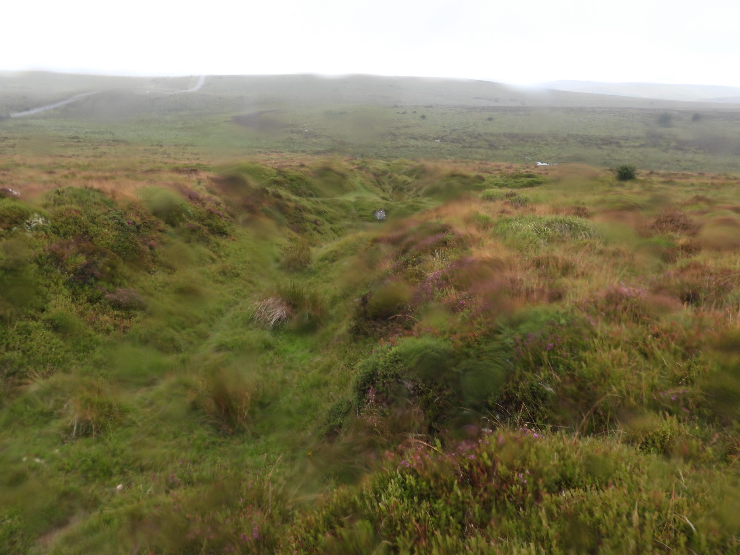
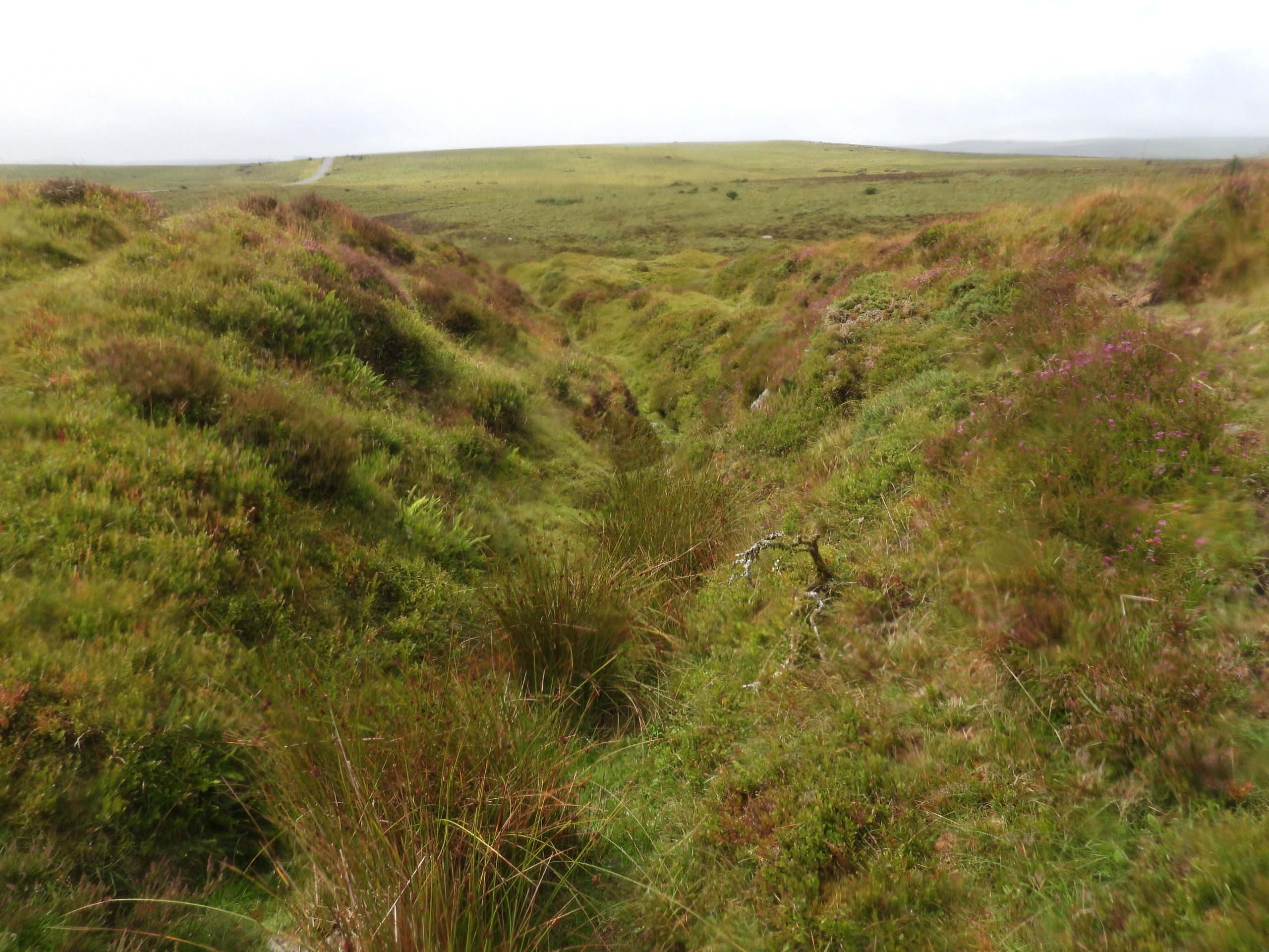
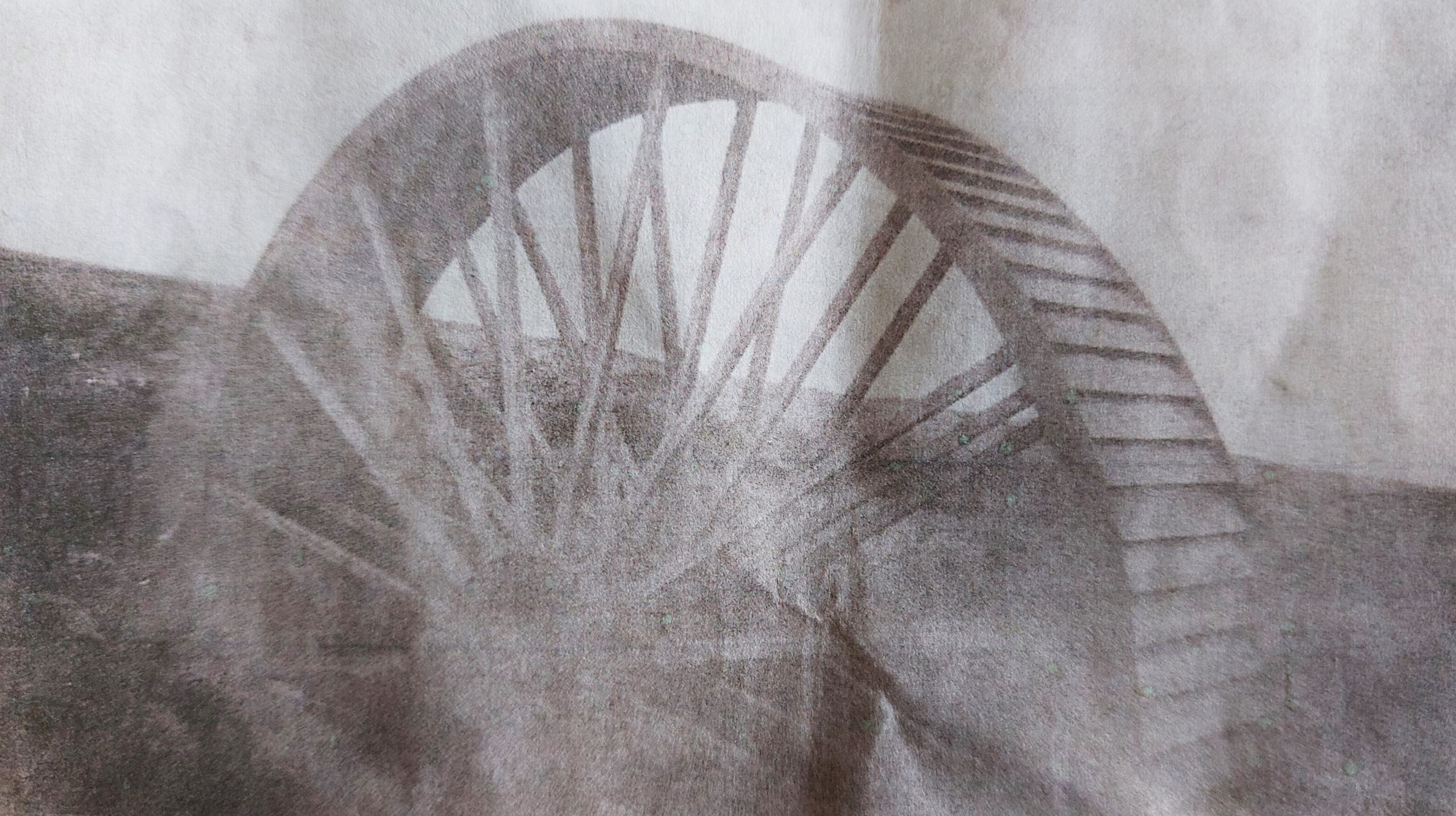
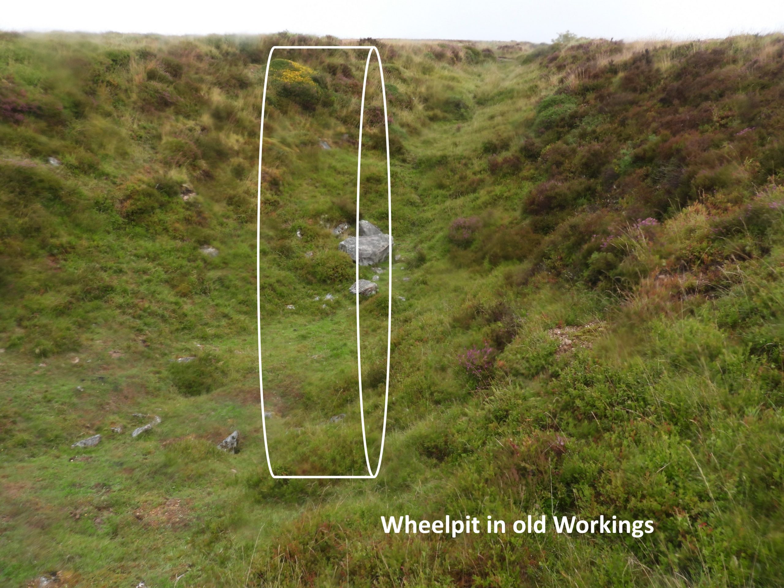
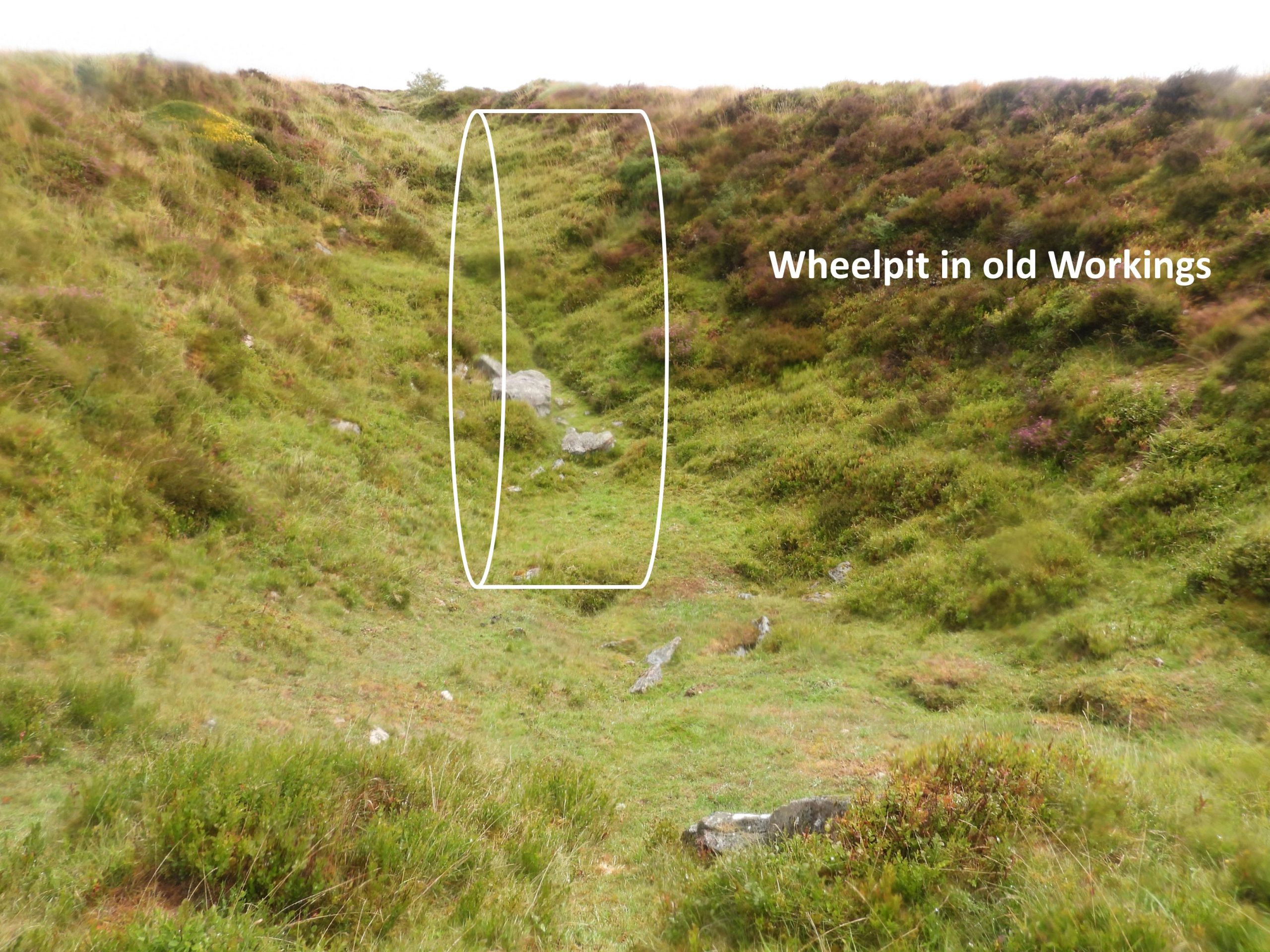
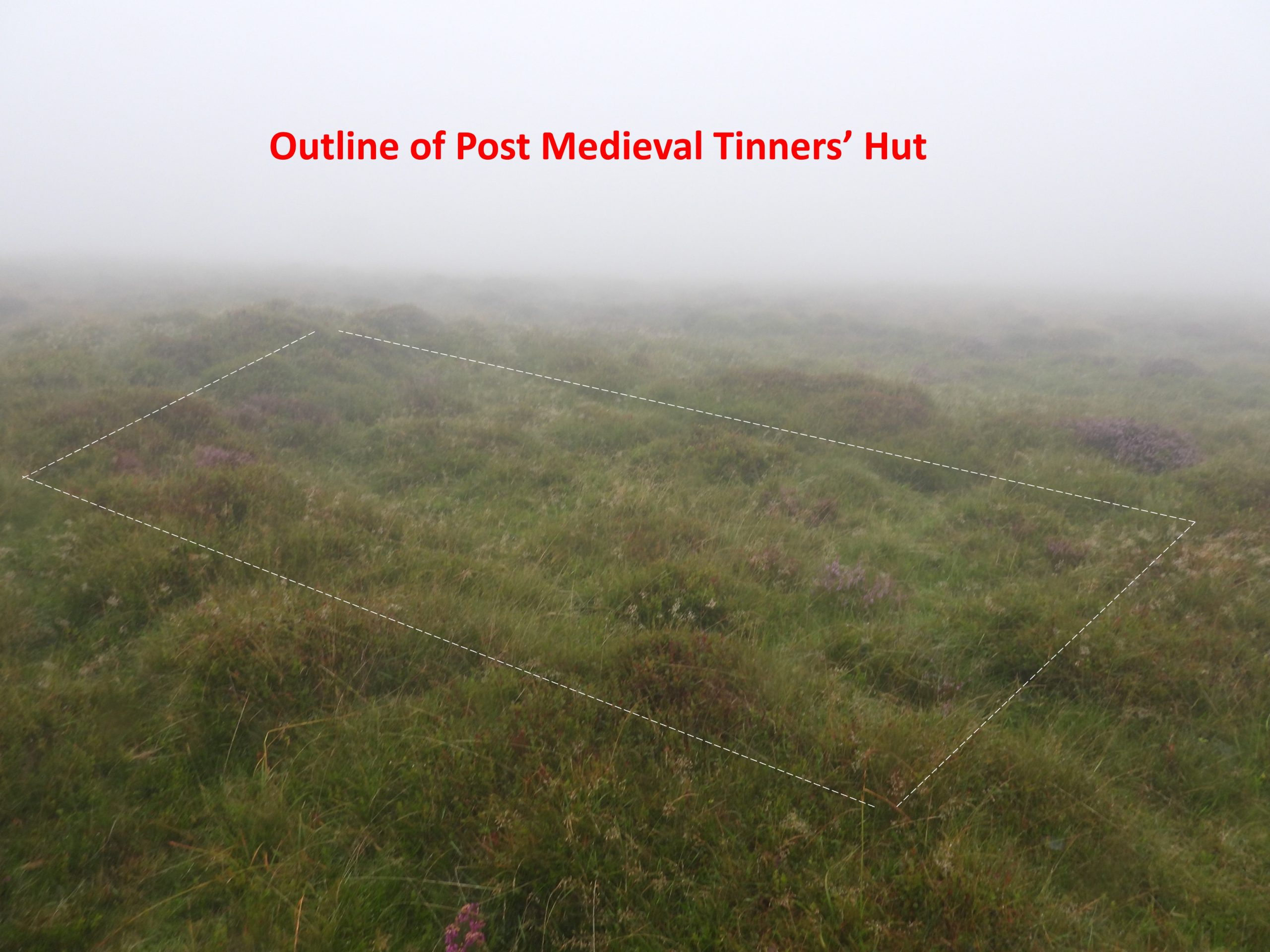
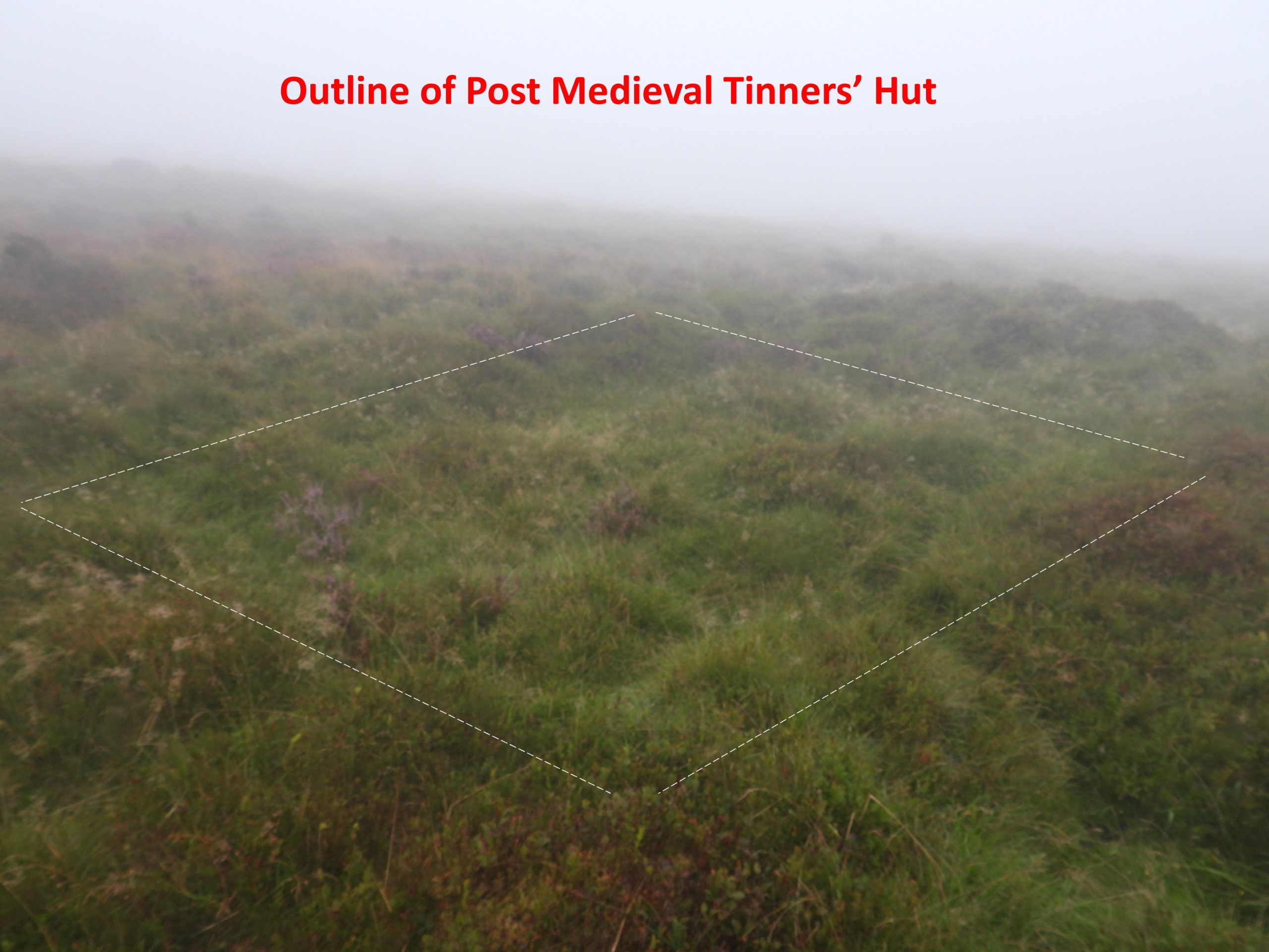
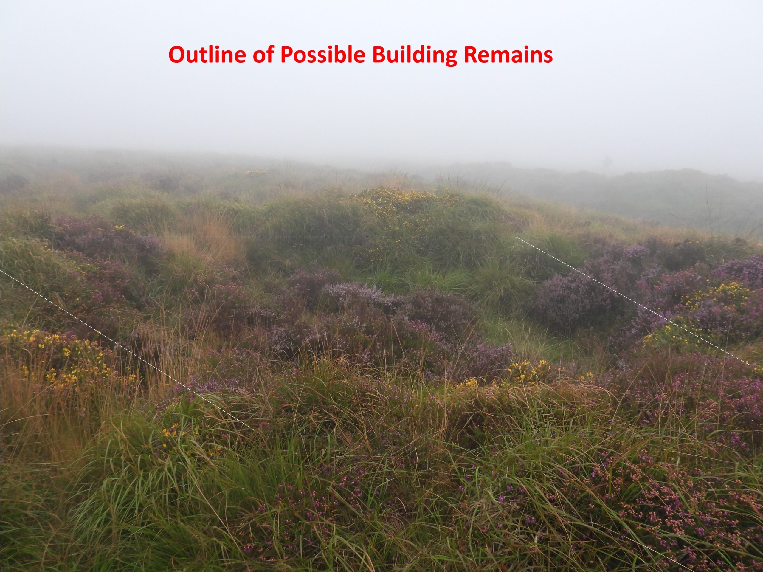
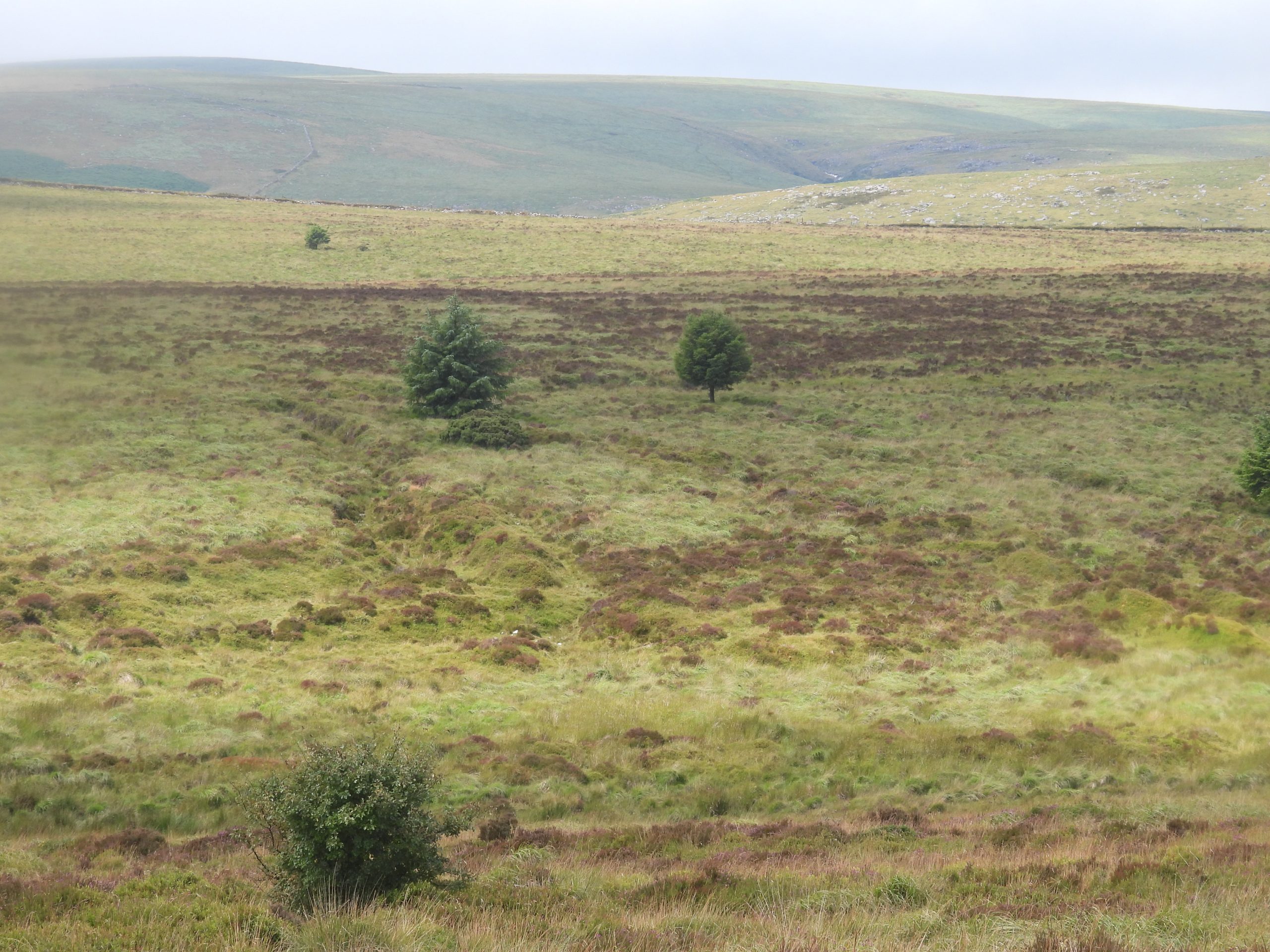
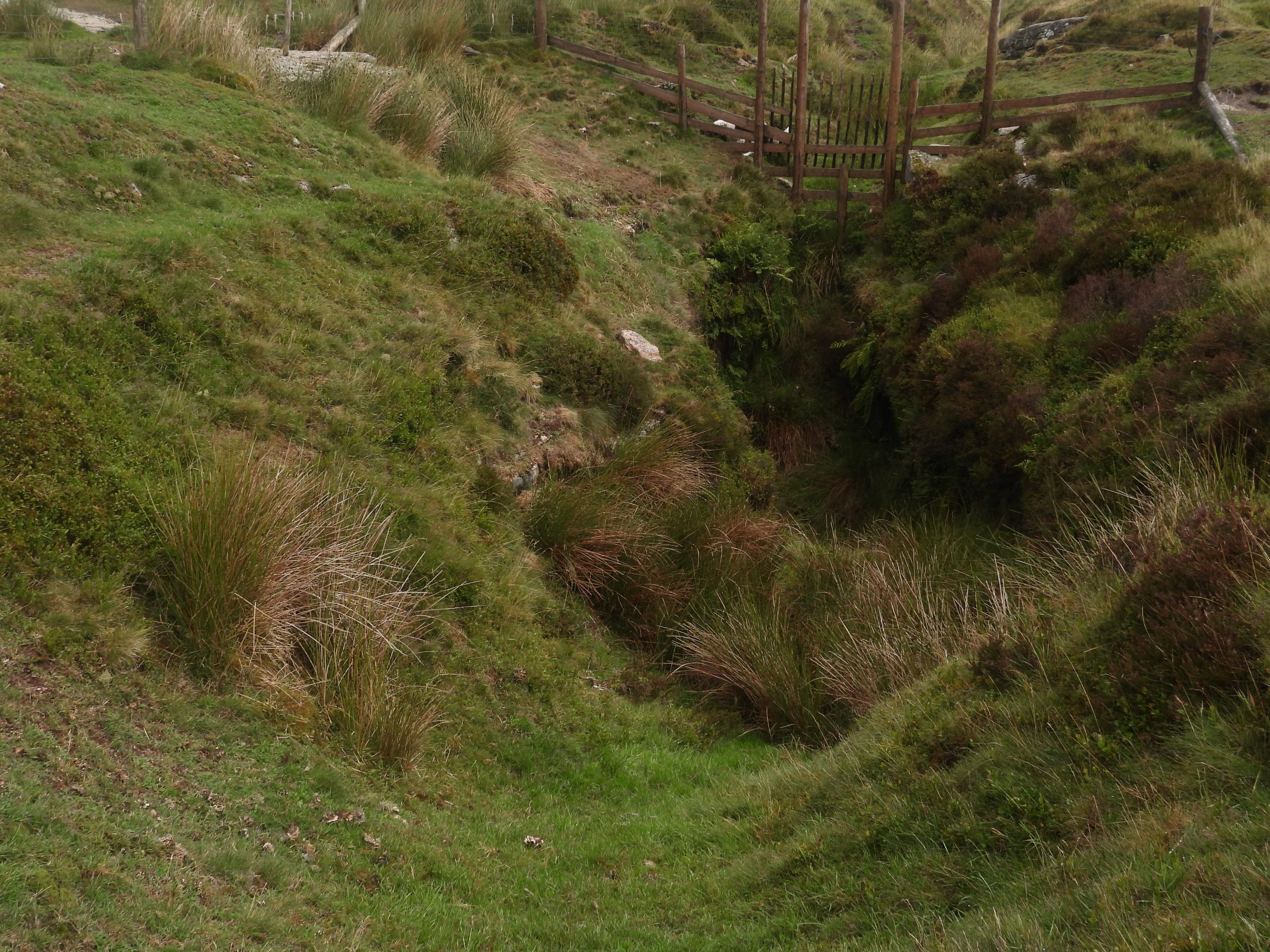
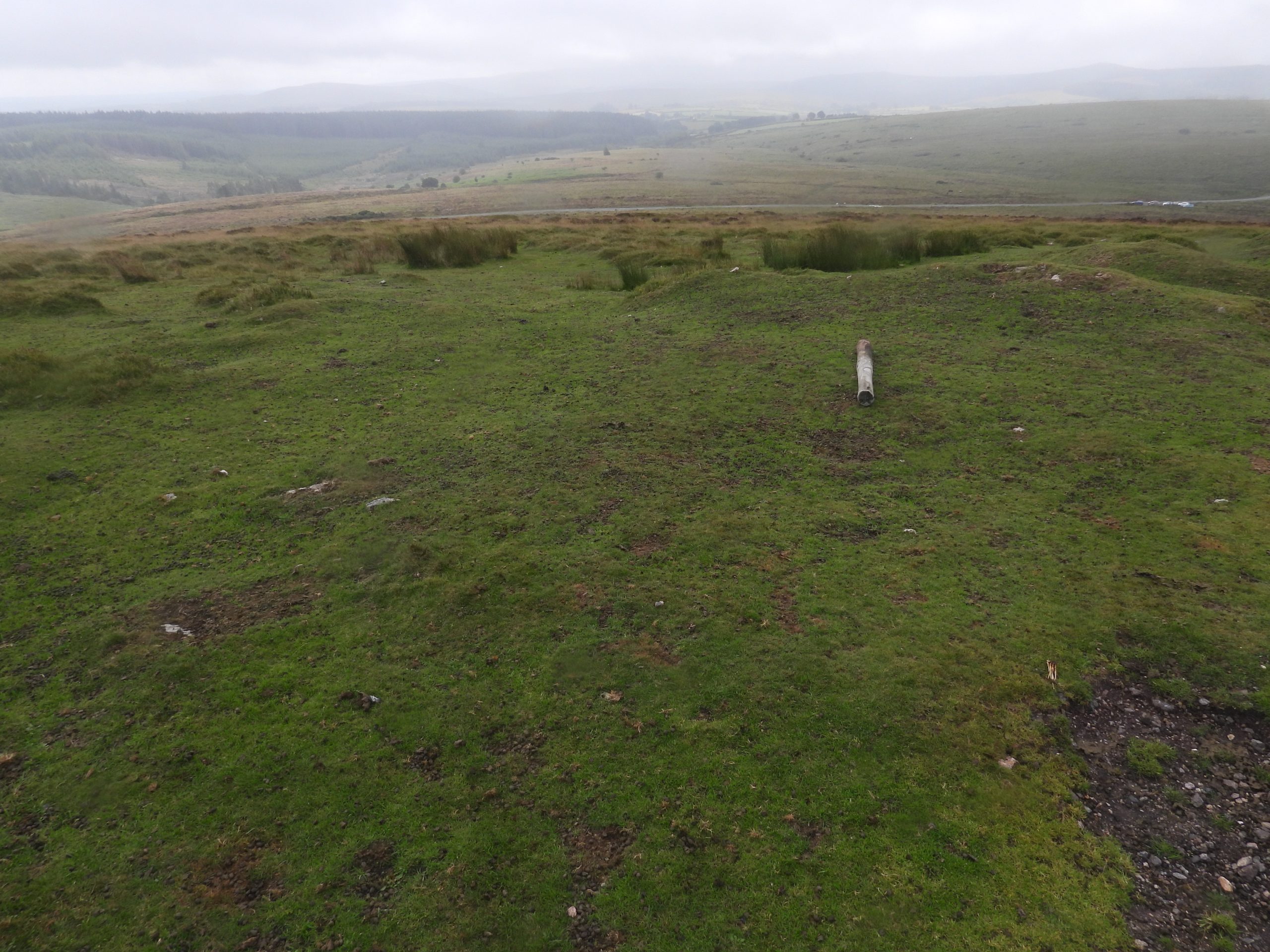
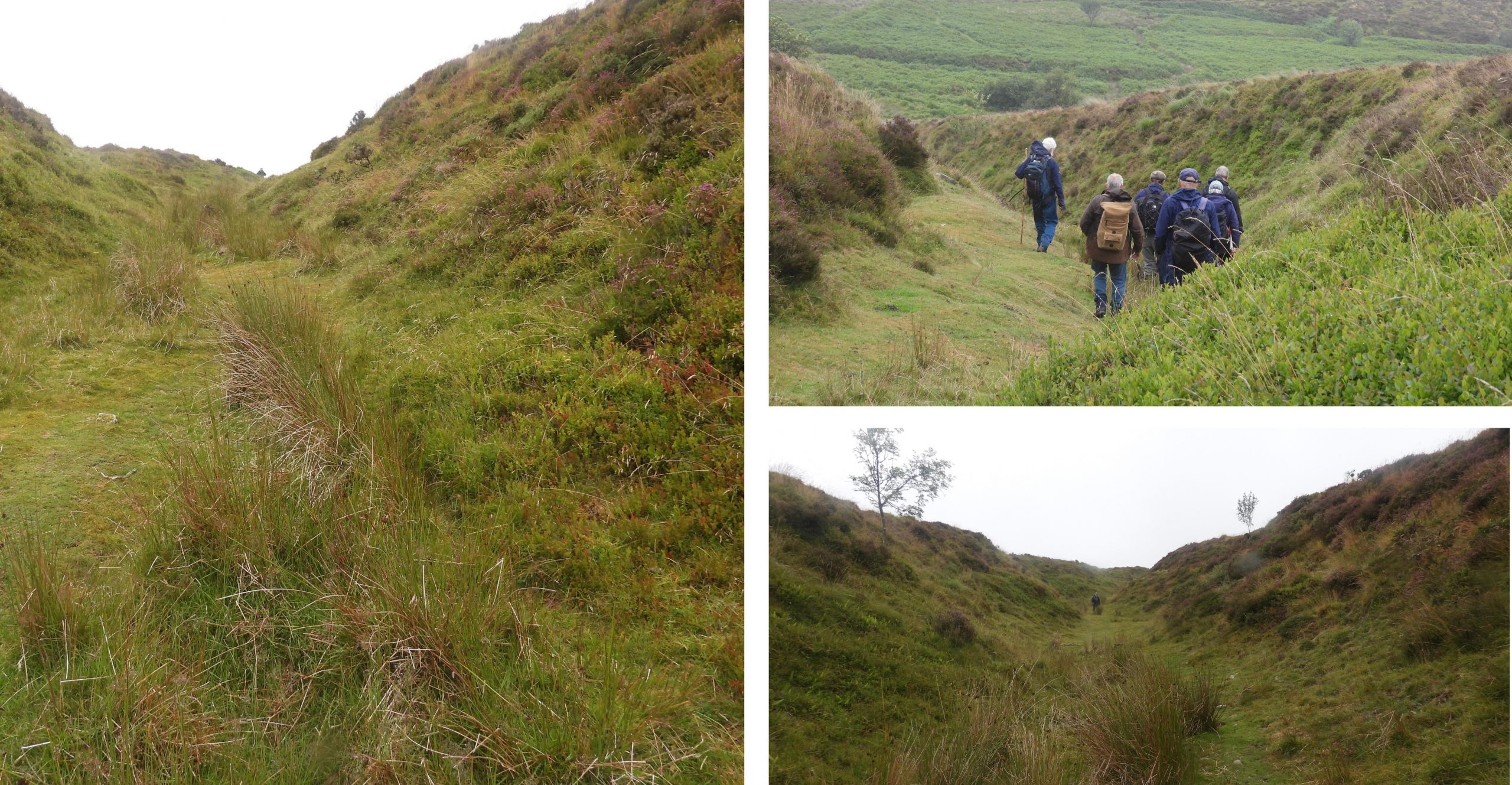
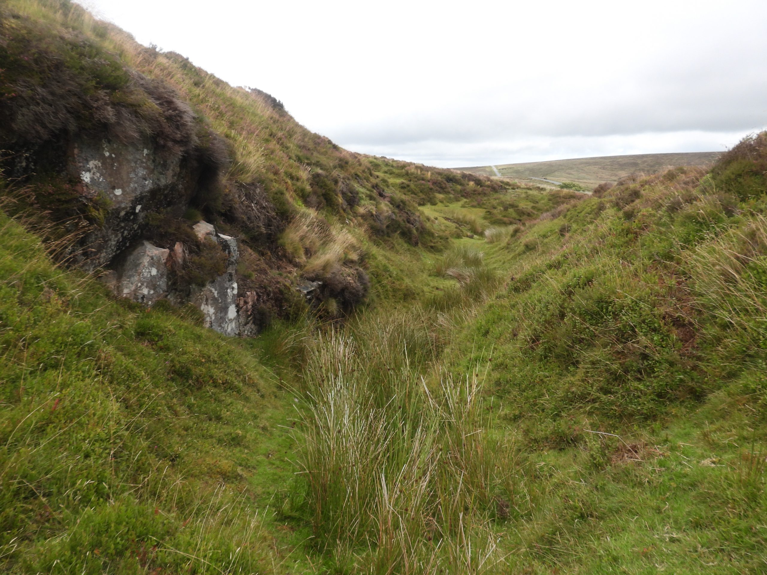
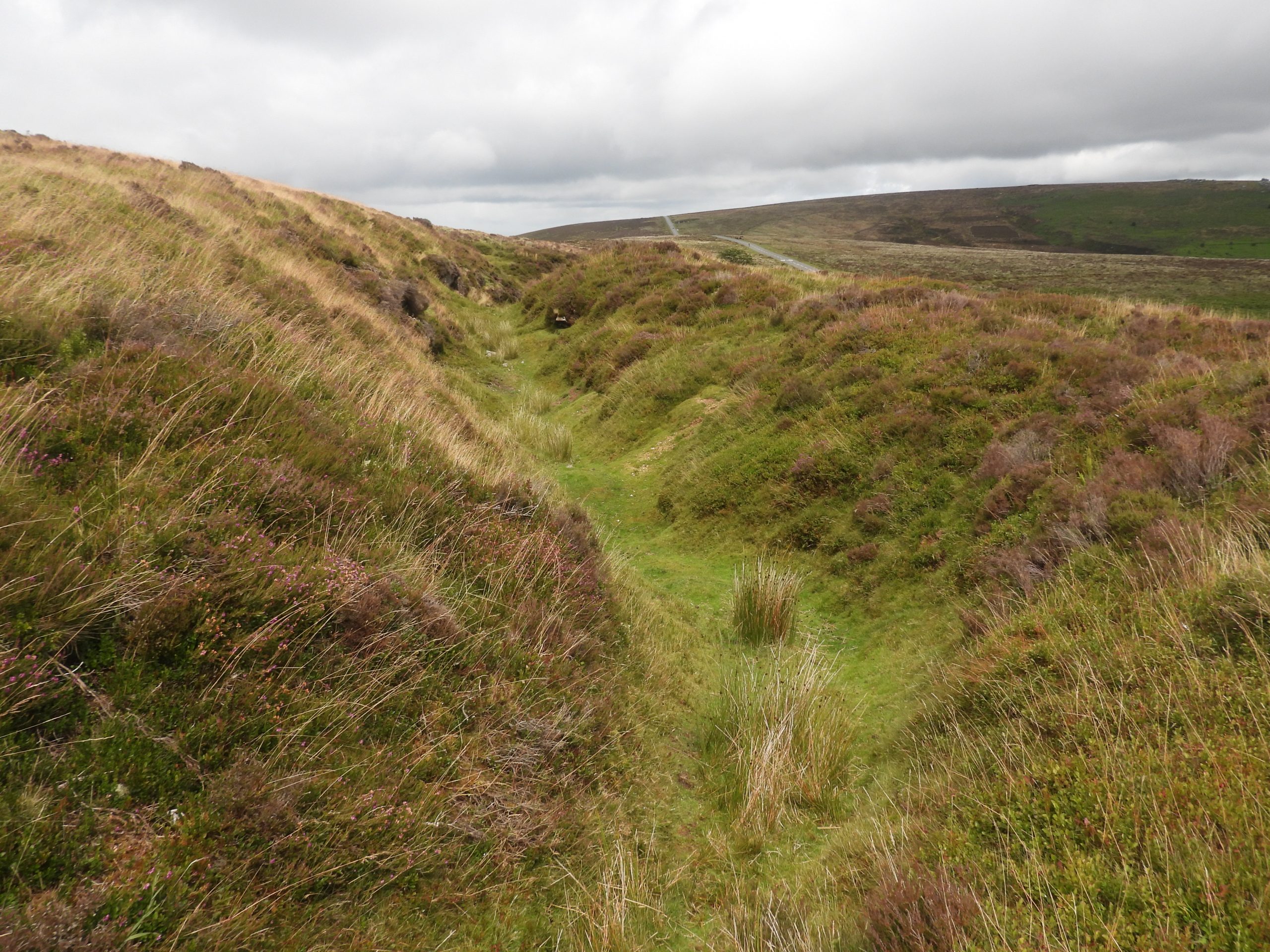
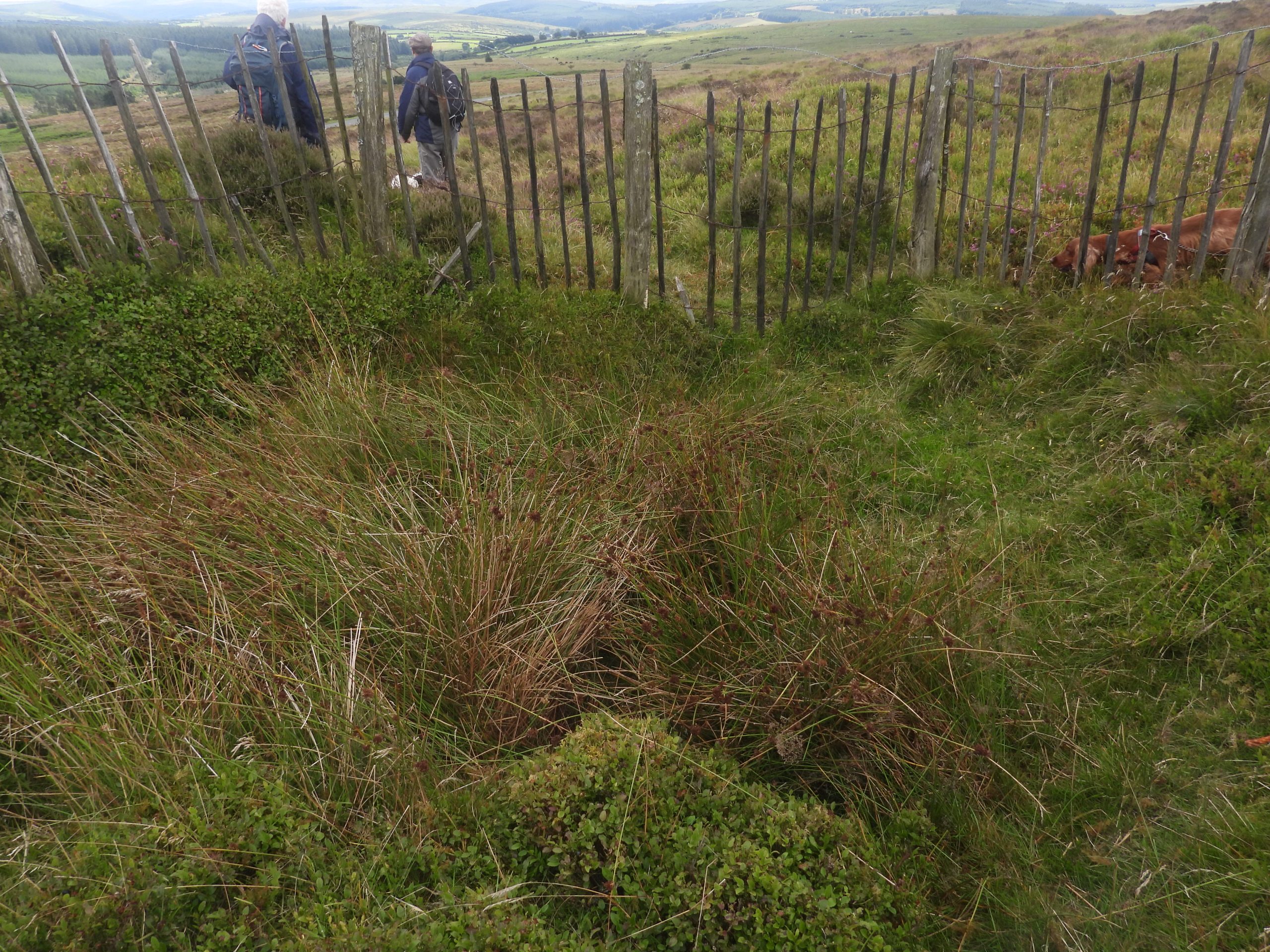
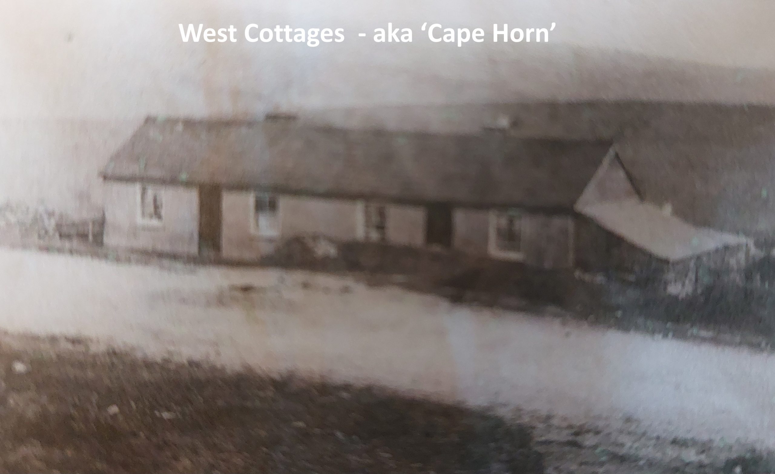
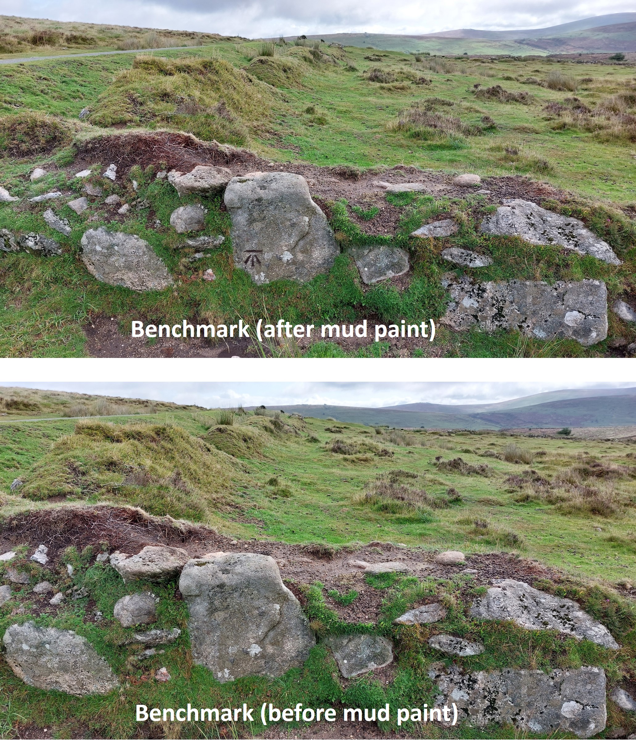
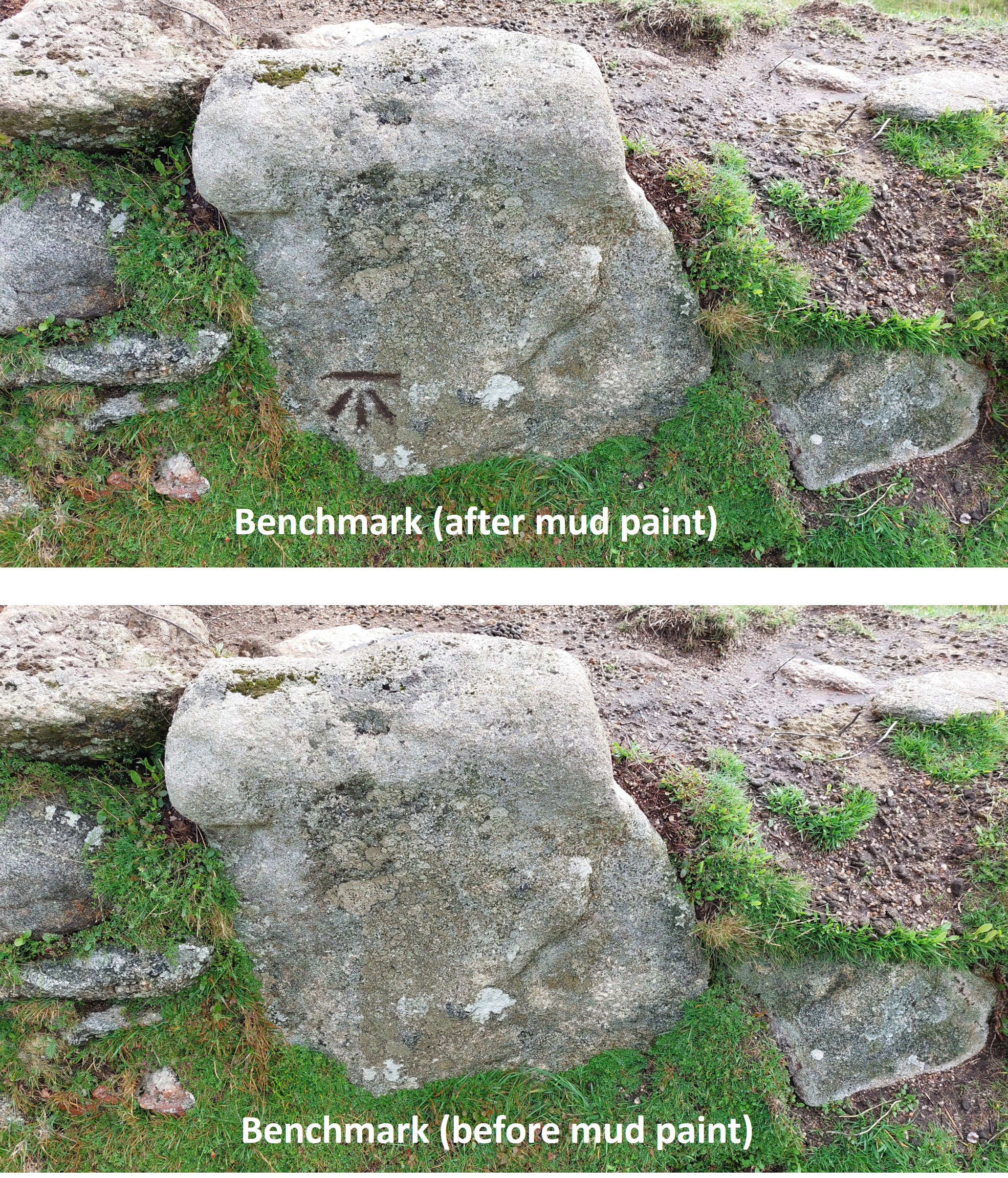
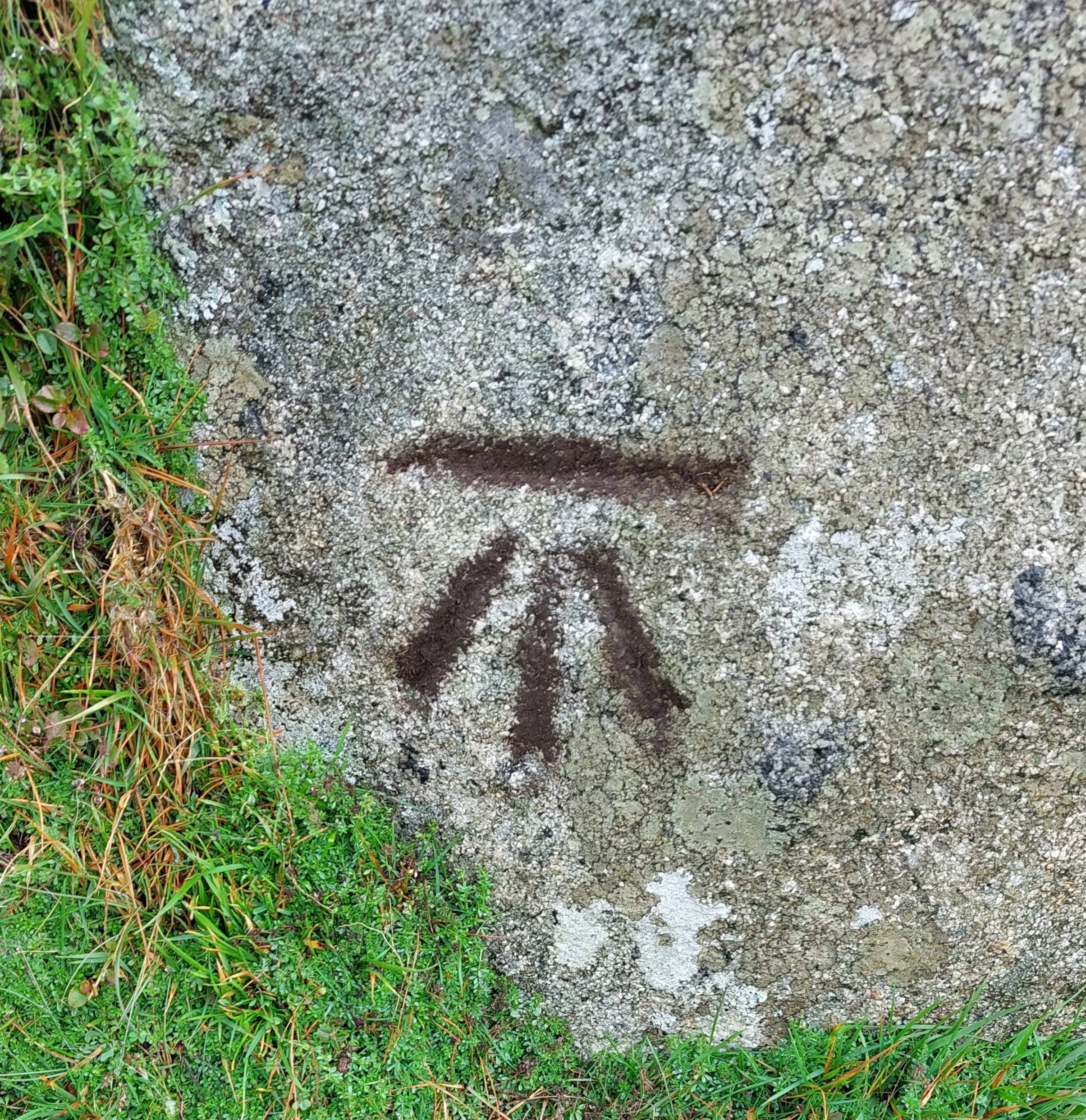
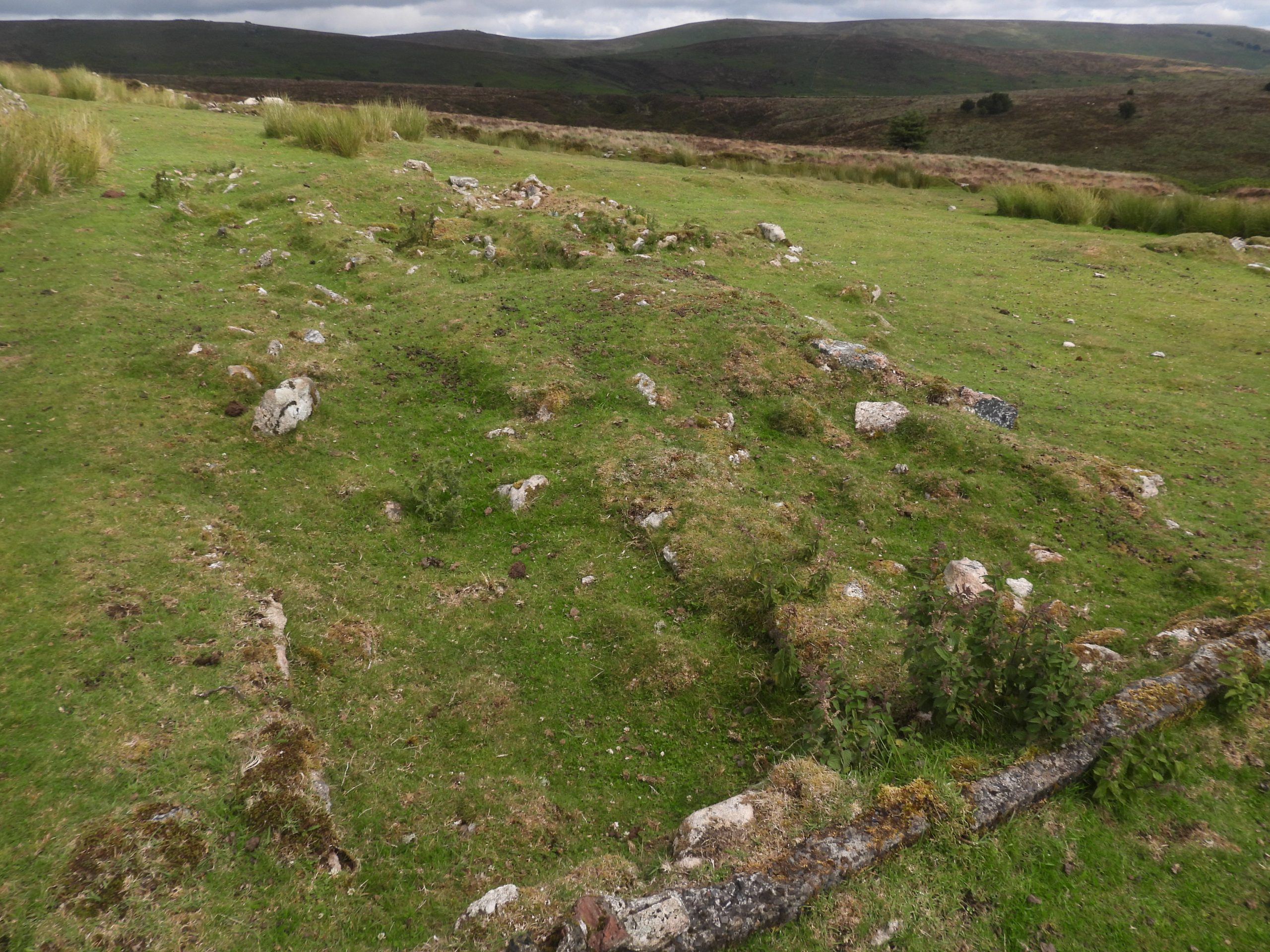
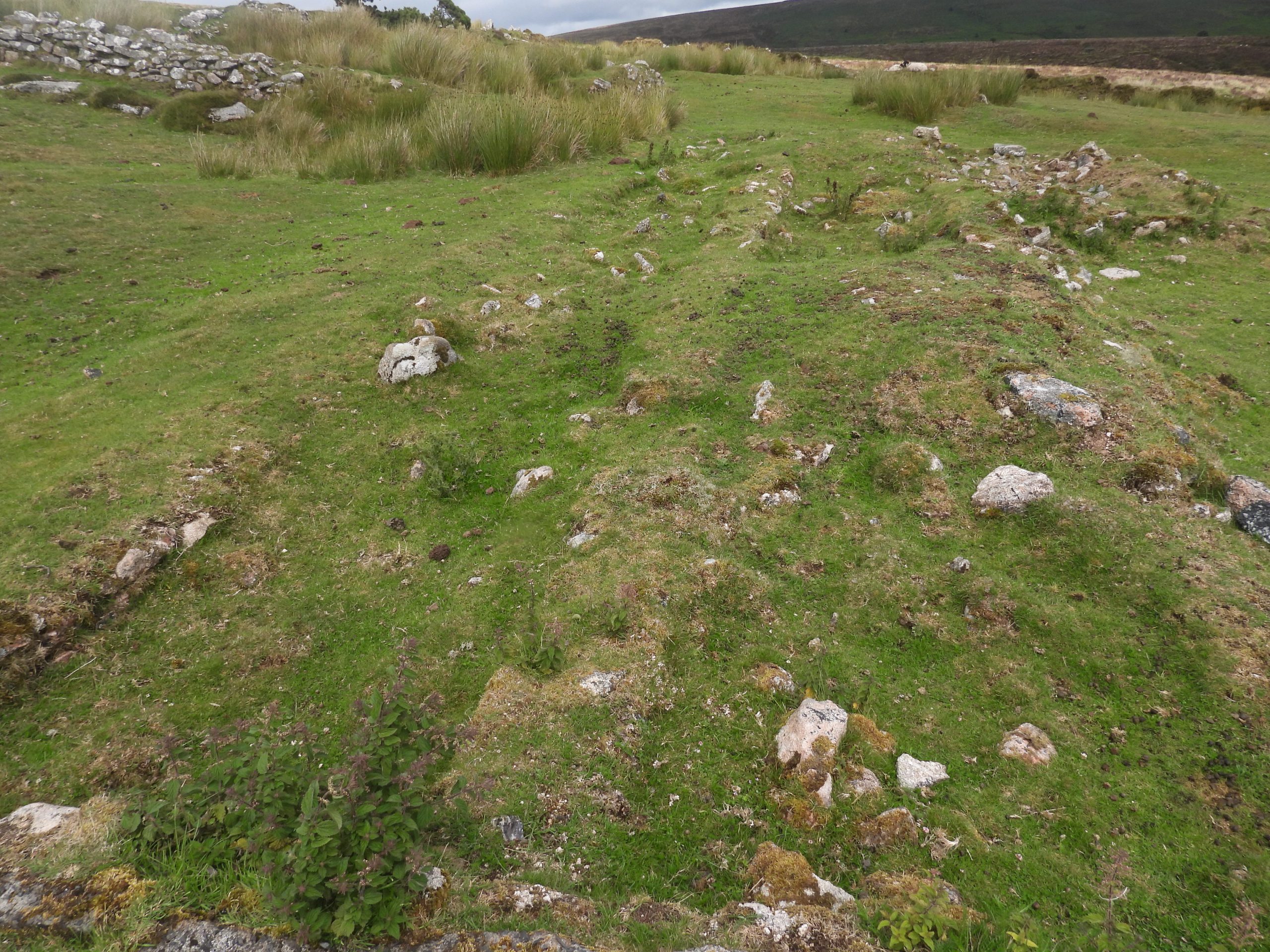
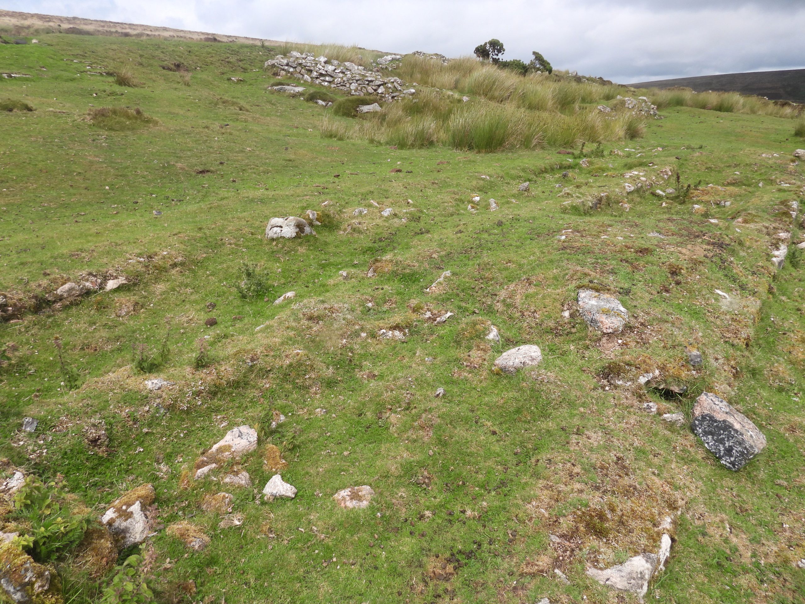
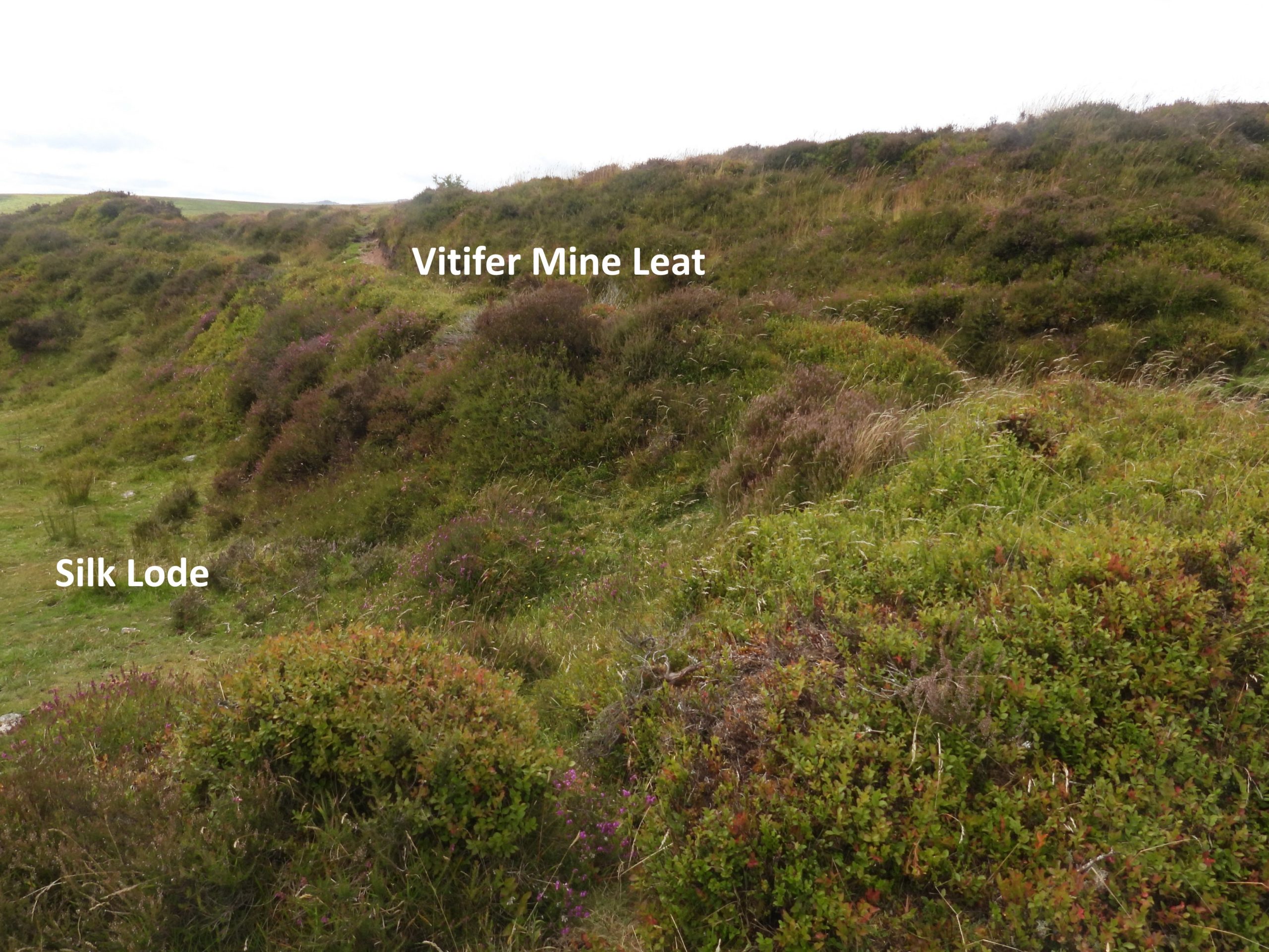
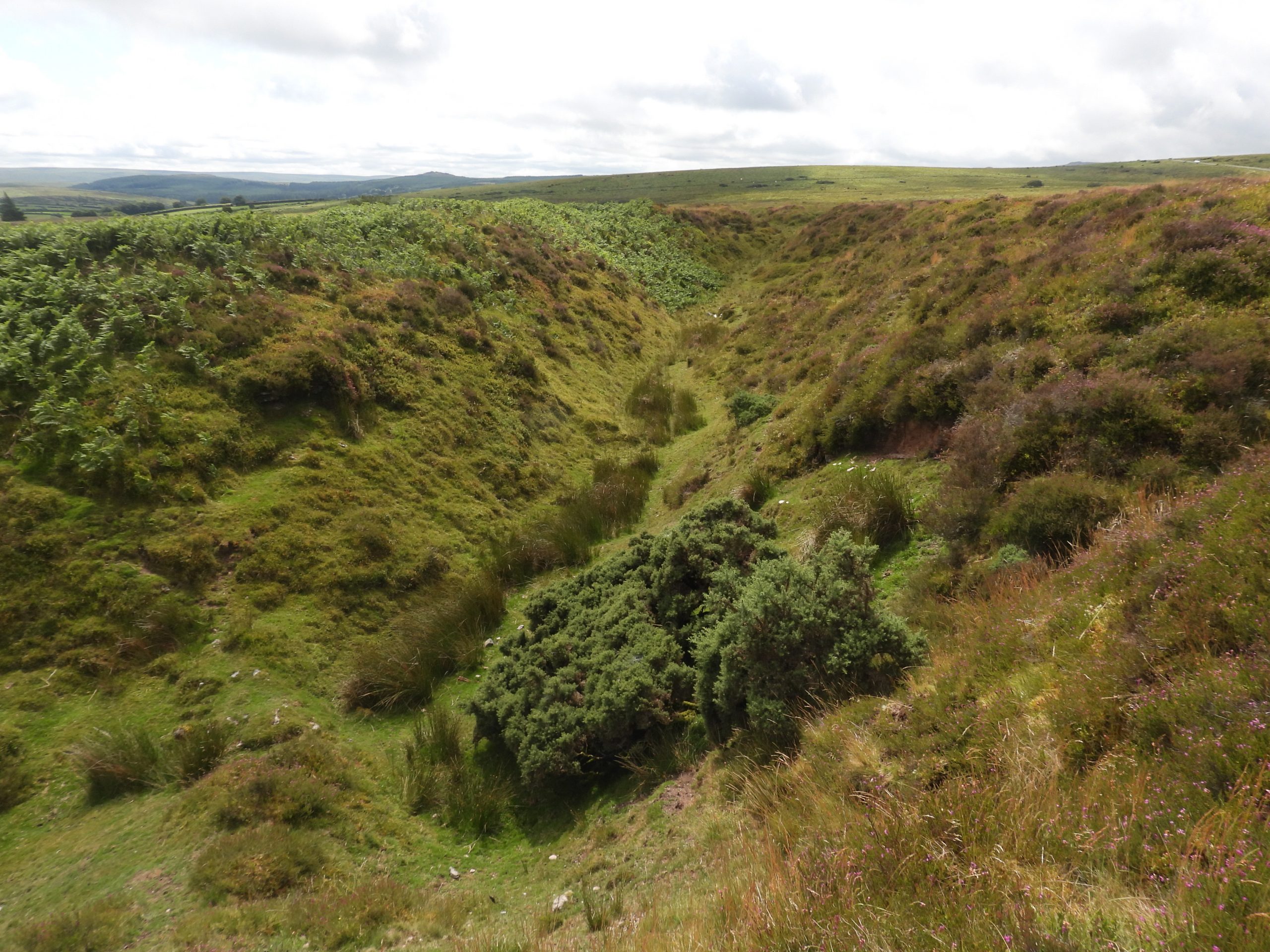
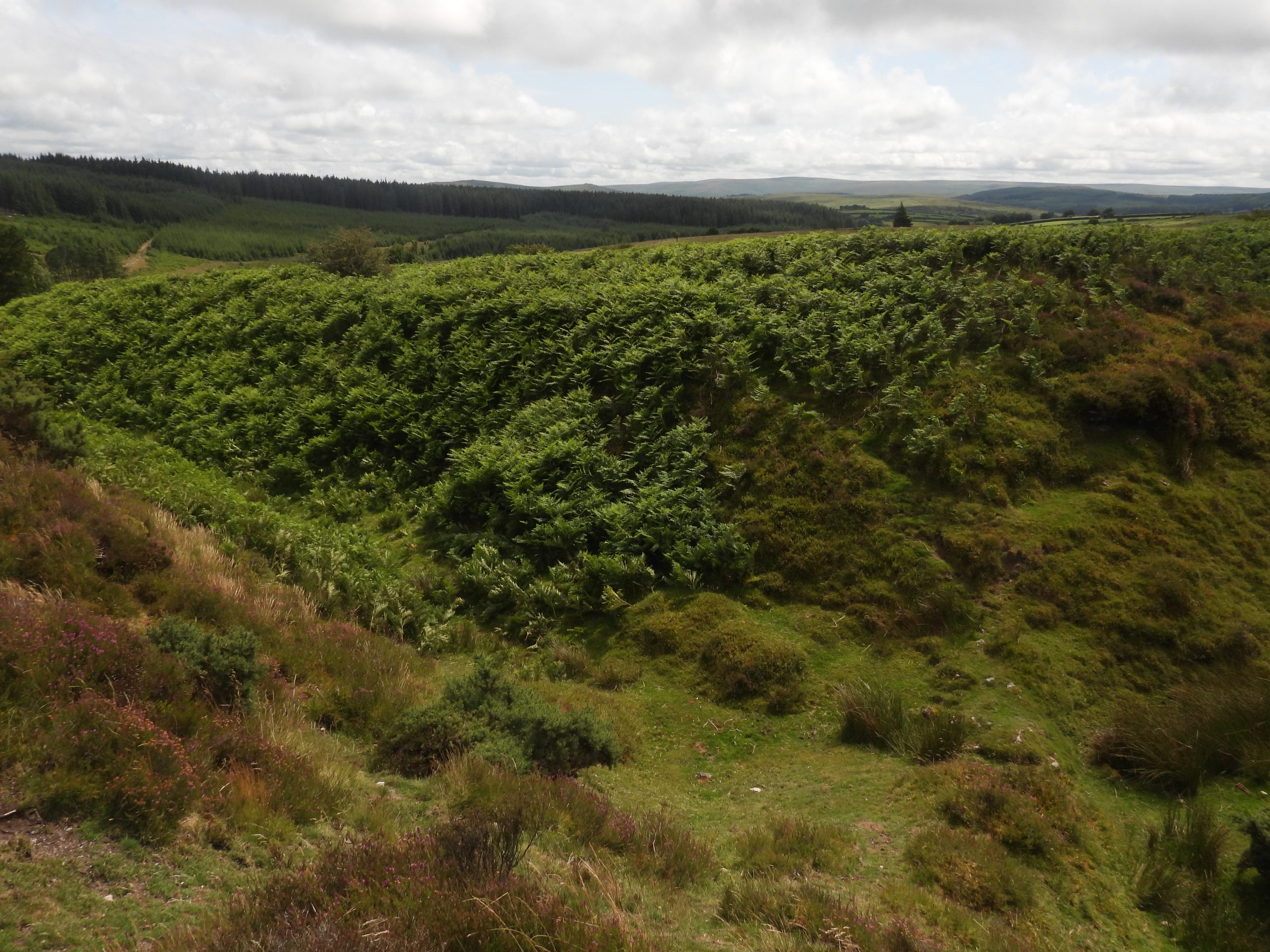
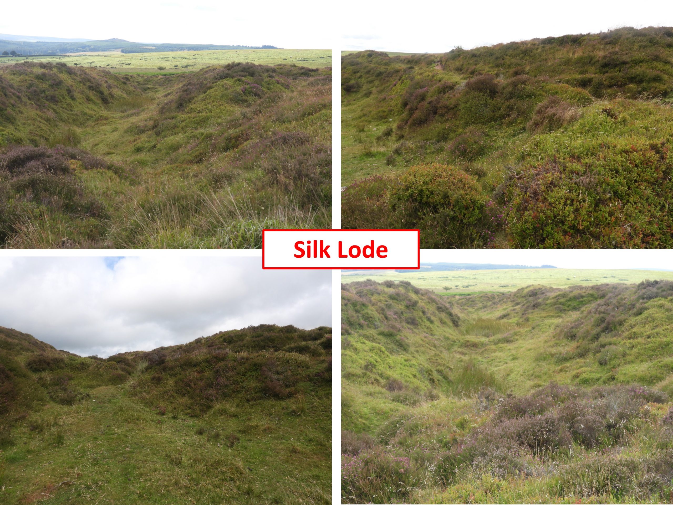
Sketch map of the key features covered in this postThe leat embankment of a ‘tinners mill’ on the west side of Statts / Stats Brook. This was the processing area for the 19th century Wheal Caroline. It lies 40m to the west of brook. The end of the leat embankment is at SX66628 80835The leat embankment provided the height for water to have flowed onto an overshot waterwheel in the mill. The water would have been sourced off the Vitifer Mine Leat and (most likely) have been returned to the leat further downLooking east from atop the leat embankment , the wheelpit, probable stamps area and dressing floor become evidentThere would have been a wooden launder here to feed the overshot wheel. The probable stamps area and dressing floor located nearbyThe wheelpit was recorded by the author as being at SX66637 80839The probable stamps are is located at SX66638 80835The flat dressing floor to the south of the wheelpit and probable stamps areaThere is a possible buddle at SX66635 80829, but is difficult to positively discernFrom the dressing floor of the mill the three main openworks of Wheal Caroline can be easily identified.The visit to the tinners mill was with the Darmoor Tin Research Group (DTRG). Some of the group can be seen in the photograph leaving the area and approaching Statts BrookThis tinners’ mill is mentioned in the very first edition of the Dartmoor Magazine (Winter 1985) on page 9. At that time it would appear to have been a relatively unrecorded site and was stated as being “on the true right bank of Stats Brook a couple hundred yards of so north of Stats Bridge at approx 668806”. The authors GPS plot put the mill as being at SX66637 80839, some 200 metres or so from the 1985 measurement. The RCHME record it as being at SX6664 8084, the same as the author.This small granite footbridge / clapper is located around 10m north west of the Caroline Farm enclosure, spanning a dry leat. It comprises 4 rough slabs, each being approx 2m in length. The combined width of the slabs is around 2.5mThe Caroline Farm footbridge / clapper is located at SX66730 81179Caroline Farm on a misty and murky day. Eric Hemery in High Dartmoor (Page 514) records: “After the first closure of the mine…….the buildings were adapted for use as a farm by Henry Jenkins. They are recorded in 1839 as ‘Cot House and Potato Garden’. Mining resumed at the Caroline sett in the second half of the 19th century but site reverted to farming when mining finally ceased”.The Royal Commission for Historical Monuments England (RCHME) further state the remains of the abandoned Caroline Farm / Statts Farm consist of two small irregular shaped enclosures covering a total of 0.4 ha. The ruins include a well-built farmhouse and adjacent linhay. The house ruins in the Dartmoor murk. They have been recorded as measuring 9.4m north to south by 3.3m internally, with walls 0.9m thick and up to 1.2m high (ref: RCHME). There is no obvious trace of an entrance. Two pairs of upright granite pillars, 1.5m apart, are probably fire surrounds and lie in the north-east and south-east sides. The pairs of upright granite pillars are around 1.5m apart and have been suggested as being probably a fire surround.Typical walls at the farm. It is interesting that Hemery (High Dartmoor) refers to this as being Caroline Farm and Butler (Dartmoor Atlas of Antiquities – volume 2) as Statts Farm. Both books were published only 8 years apart in 1983 and 1991 respectively.Another murky picture of the farmOld openworks below the farmThere is a possible adit (now blocked off) in an ovoid marshy depression measuring 4.5m x 7m x 0.8m deep and which was likely associated with the three shaftheads to the east (ref: RCHME). Contextual view of the location of the possible adit and openwork in relation to Caroline Farm. The approx location is SX66850 81210Possible site to a shaft, the first of three east of the adit at SX66865 81215. These shafts are shown on the sketch map at the start of this post. All the shafts are located on the most northerly of the known lodes in the area. The RCHME record that the three shafts are at SX6686 8122, SX6688 8124 and SX6692 8125 and are aligned on a southwest to northeast orientation, spaced up to 20m apart. The main openwork at Wheal Caroline is centred around SX6680 8080 and is clearly marked on modern OS maps. This medieval openwork is worth exploring as it was reused by the 19th century miners to locate a water wheel and flat rodsWalking from the Statts Brook valley up the main openworks towards the location of the late 19th century waterwheelThe Royal Commission for the Historical Monuments of England record that the openworks were served by a total of seven reservoirs, which are all now dry and silted (located at SX6685 8096, SX6687 8100, SX6684 8101, SX6687 8102, SX6683 8086, SX6706 8087 and SX 6717 8103). The above picture shows a reservoir, which is of particular note as it provided a supplementary water source for a water wheel which was constructed within an earlier disused openwork (see sketch map)The main openworks looking down towards the location of the 19th century wheelpit, which is just below the ‘line’ of the leat which can be seen in the photograph crossing the openworks. The leat crossing was marked as an aqueduct on late 19th century maps and would have most likely been a launder connecting the leat to the waterwheel. The flat rods from the water wheel would have been fed up this openworkThe openwork near the wheelpitThis photograph was taken around 1905 and is the only known image of the ‘pumping’ water wheel at Wheal Caroline. The wheel was used to power flat rods and help drain a shaft which is located at the top of the hill. The wheel is thought to have been removed around 1909. Eric Hemery (in High Dartmoor, page 514) described the wheel as being ‘large and alas! motionless’ in 1889. The old wheelpit is identifiable as its just below where there was a tinners’ reservoir and a leat running across the openworks. The fragmentary remnants of wheelpit in the form of small granite blocks can be found here. The waterwheel was is located at approx. SX66844 80844The remains of a possible post medieval tinner’s hut is recorded on the Heritage Gateway as being situated within an area of tinworks and openworks which pre-dated the Wheal Caroline operations. The tinners’ hut is also recorded as being close to a linear openwork that had been adapted into a wheelpit. The photograph is the location of the tinner’s hut recorded by the author as SX66866 80806The Tinner’s Hut is cut into a southwest facing slope. The structure is recorded on the Heritage Gateway as: ‘measuring about 7 metres long, 4 metres wide and is enclosed by a turf-covered stony bank, possibly a wall, up to 0.6 metres high and 0.5 metres wide. Two narrow gaps appear in the downhill side but the position of the entrance is not obvious’.Whilst looking for the remains of the possible post medieval tinner’s hut, the author came across what looks like another possible building, which is around 5-6m square. The possible building remains were recorded as being at SX66899 80836. This location, may of course just be a natural hollow as it is unrecorded on the Heritage Gateway.Zoomed in view of the stamping mill across Statts Brook, taken from near the old wheelpit (as the murk had lifted)Near the top of the old openworks an (un-named) shaft can be found. This shaft was pumped using the power from the aforementioned water wheel. The shaft is located at SX67084 80948Adjacent to the shaft is a whim plat used for hauling at the shaft. The whim plat is located at SX67086 80938Views of various openworks near to the shaft (left) and close up of the shaft (right). Where two lodes met is said to be where the greatest concentration of tin was to be found, which is why a shaft was sunk here.The DTRG group heading down the openworks on the southern side of Water Hill, which lead (more or less) to the Warren House Inn.Openworks near the Warren House InnThe openworks near and just to the north of the B3212 are quite shallow at their upper end but lead to yet another shaft (the 5th shaft the author is aware of in this area)The shaft at the top end of the openworks leading from the Warren House Inn. As with the other shafts associated with the Wheal Caroline Sett, this shaft is un-named. It is located at SX67279 80884West Cottages (also known as ‘Cape Horn’) was lived in by miners who worked at both Vitifer Mine and Golden Dagger Mine. These cottages were located 300m to the west of Warren House inn adjacent to the Postbridge / Moretonhampstead road. The cottages were known as ‘Cape Horn’ as a nod to the winds that blow across this isolated location.A short distance from West Cottages next to the B3212 is a benchmark, which could date from as early as 1820The benchmark is difficult to discern before a mud paint was added. The benchmark is located at SX67151 80677Built in the late 19th or early 20th century, only the concrete foundations survive on West Cottages, measuring 15.2 metres east-west by 2.7 metres.In the Duchy Farms Project Survey Visit, by S. Probert, it is recorded: “Pieces of brick and slate, presumably from the walls and roof, are scattered over the surrounding area. An entrance is discernible in the centre of the southern side. A small outshot formerly adjoined the south-eastern corner. The cottages lie within a contemporary enclosure of about 0.5ha”.West Cottage ruins lie at SX67216 80694. Inhabitants of the cottages included Captain Richard Jory and his wife in their retirement and for a while Frank Hellier who worked at both Vitifer and Golden Dagger Mines lived here.There is old lode (openworks) to the south of the old West Cottages. It is called Silk Lode, but appears to have been untouched by the 19th century mine adventurers, except where they had to cross the old working with their leat, the Birch Tor and Vitifer Leat, circa 1793.The silk lode / openworks looking west – note the improvement in the weather !The silk lode at the junction where one arm heads west and a second arm heads southThe Silk Lode area is well documented in the Heritage Gateway (including RCHME). It is suggested the “area covers 20 hectares and extends from West Cottages to Statts Bridge on the northern side and bounded by the Walla Brook streamworks to the south”. Additionally : “the main focus of the activity comprises a large openwork which consists of two elements. The northern element is a ‘T’ shaped working, the second element is a linear openwork. The dimensions for both elements between 11m and 20m wide and up to 8m deep”. The photographs do not do justice to the size of these openworks !