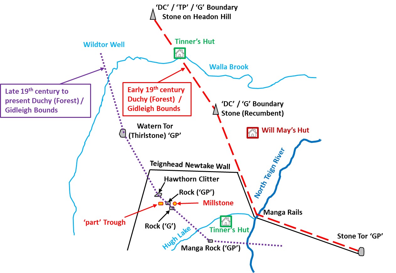
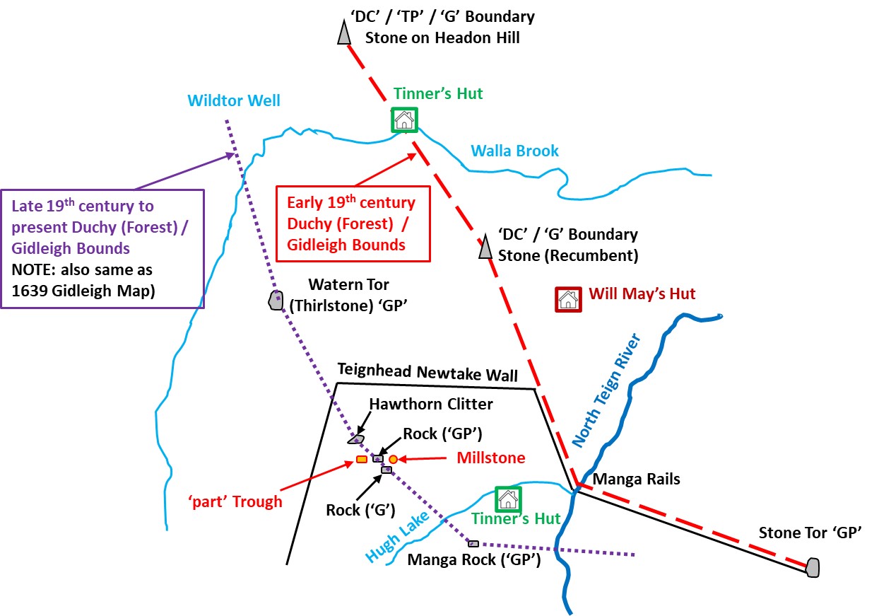
The Gidleigh Commons bounds border the parishes of Chagford to the east and Lydford (the Forest of Dartmoor) to the south and west. During the first part of the 19th century there was a dispute between the Commoners of Gidleigh with the Duchy regarding the Gidleigh Commons southern boundary (from Batworthy Corner area near Cow Bridge through Stone Tor to Manga Rock) which was covered in the first post. The dispute appeared to have been resolved through a 1842-43 settlement for which the author has referred to “Dartmoor Boundary Markers” (second edition) by Dave Brewer. This post considers the same dispute(s) and resolution(s) but considers the western boundary between Stone Tor and Headon Hill.
The cause of the original boundary uncertainty of the boundary appears to have started during the 1608 forest of Dartmoor Perambulation where the jurors misinterpreted Wotesbrokelakesfote (Hew / Hugh Lake Foot) as Whoodlake (Walabrook) from the Heigheston (Longstone). Thus the forest boundary in 1608 continued north from the Longstone rather that turning west and must have placed both the Gidleigh and Throwleigh boundaries into some doubt. Around this time the Gidleigh commoners conducted their own perambulations and a map dating from 1639 reveals that a number of points of reference for their purposes “crept in”. Of note, is that the 1639 Gidleigh map showed their boundary to run in a direct line from Manga Rock to the Thirlstone (Watern Tor) and through the land where a future newtake wall (Teignhead) was to be built nearly two centuries later !
Fast forward to 1791, a House of Commons petition sought authority to enclose large parts of central Dartmoor which resulted in the Duchy granting leases to enclose huge newtakes to enlarge farms. It was as a result of this petition that Teignhead Farm (circa 1808) and its newtake were built. This brought sharply into focus the Gidleigh bounds as the Teignhead Farm enclosures extended far beyond the line of the forest bounds accepted by the commoners of Gidleigh (by around 700 / 800 acres). The Teignhead Farm newtake wall effectively brought around 200 years of uncertainty over the Forest of Dartmoor and Gidleigh Common boundaries into focus. The wall represented a poignant physical barrier which must have caused much controversy with the Commoners. The original wall constructed had to be rebuilt (on a different line and which is the one we see today) as the original one was ‘cast down’ by the commoners. It was the supervisor of the construction of the wall (William Rogers) who was instrumental at the 1842 enquiry and subsequent 1843 settlement when he gave evidence in favour of the Commoners as he stated he (acting on behalf of the Duchy through a Mr Crawford) had built the wall against old Gidleigh ‘G’ marked stones, taken old boundary stones down and used them as foundations in the new wall and had obliterated stones marked with a ‘G’ knocking them out with a pick.
Between the dates of the building of the newtake wall (circa 1808) and the boundary settlement (1843) their had been an interim agreement as to the line of the boundary agreed between the Duchy and Gidleigh. This occurred in 1813 and three new boundstones were erected; 1. Between the Longstone and Stone Tor, 2. Between Teighead newtake wall and the Walla Brook and 3. On Headon Hill.
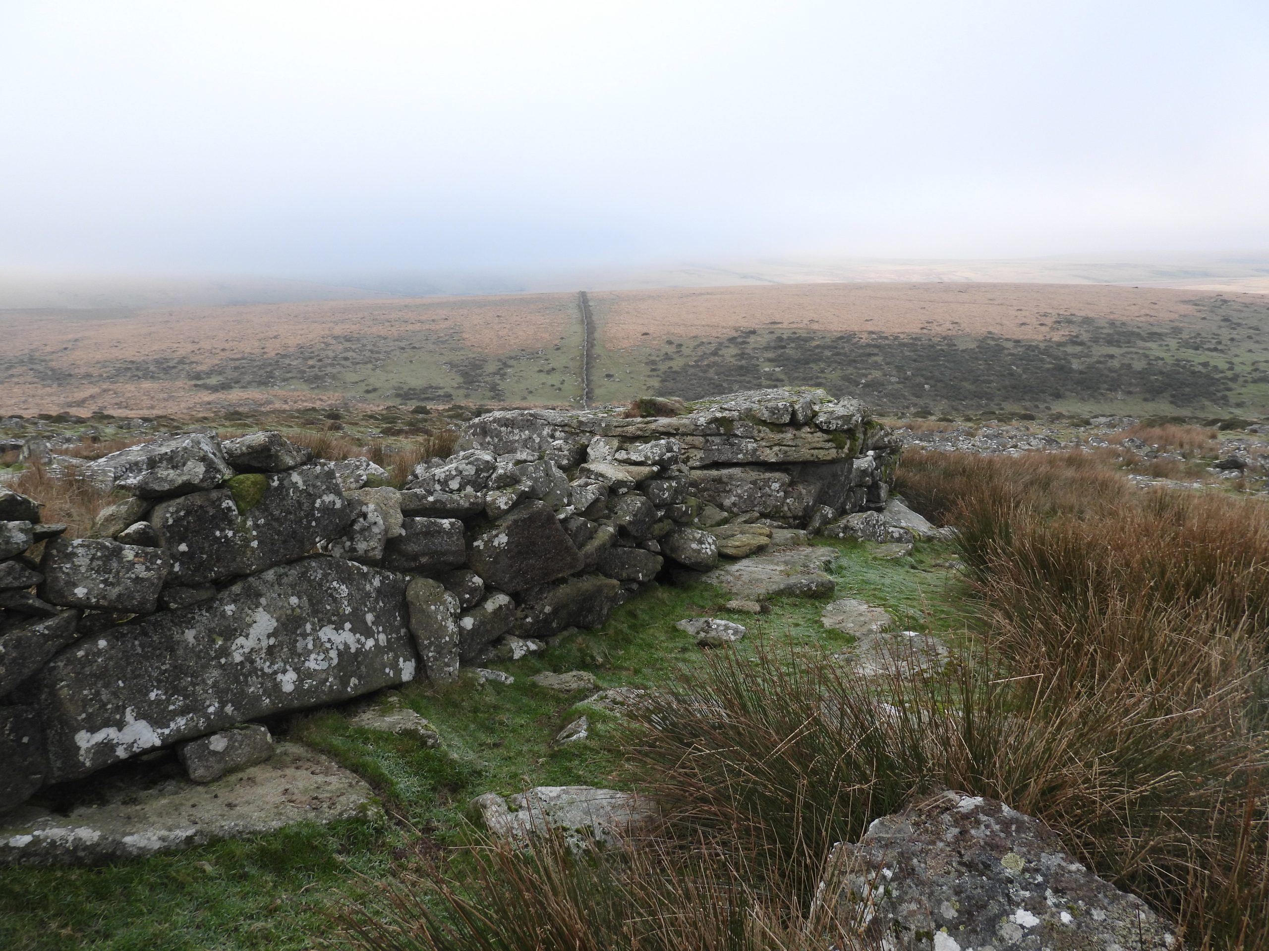
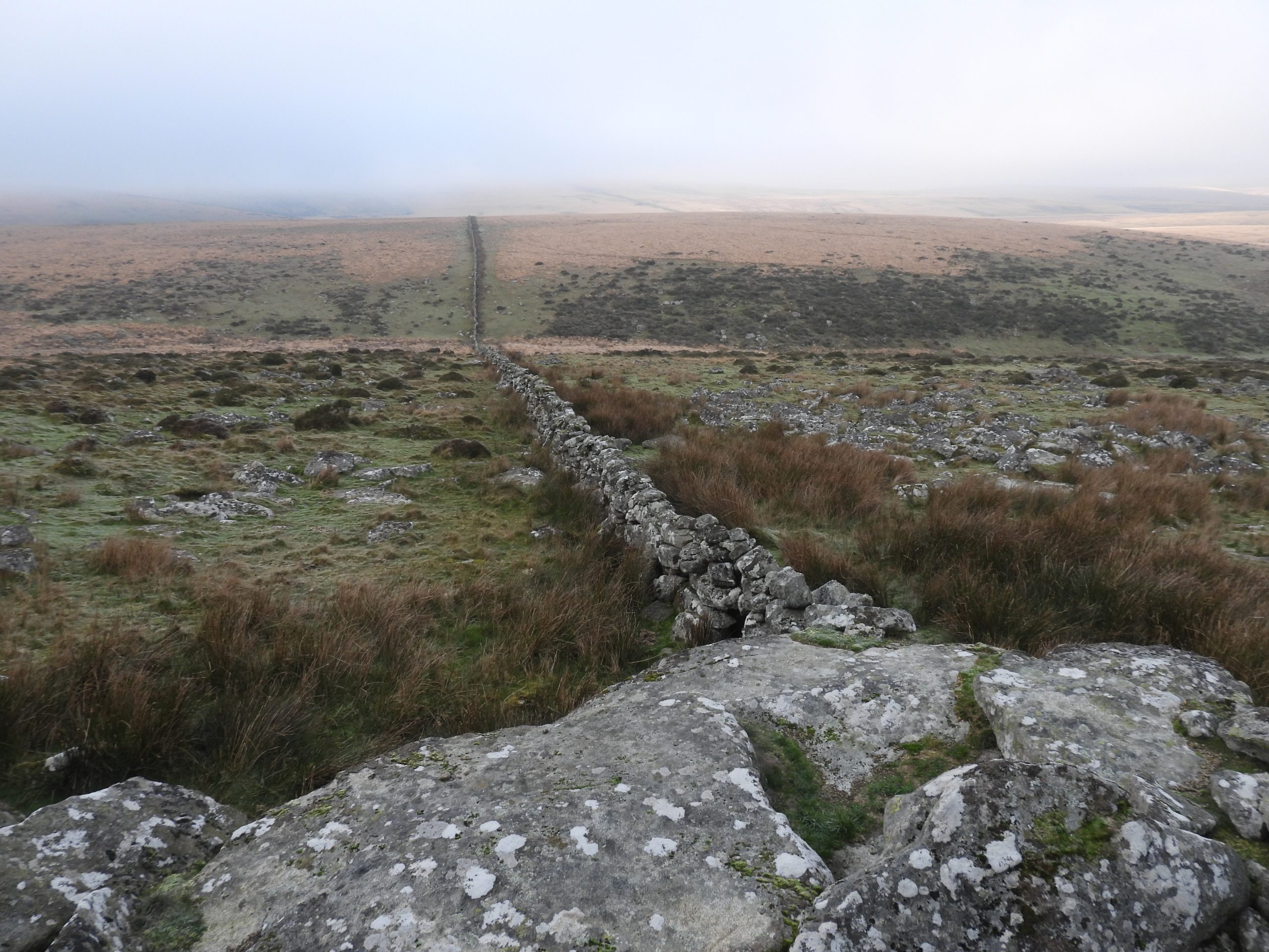
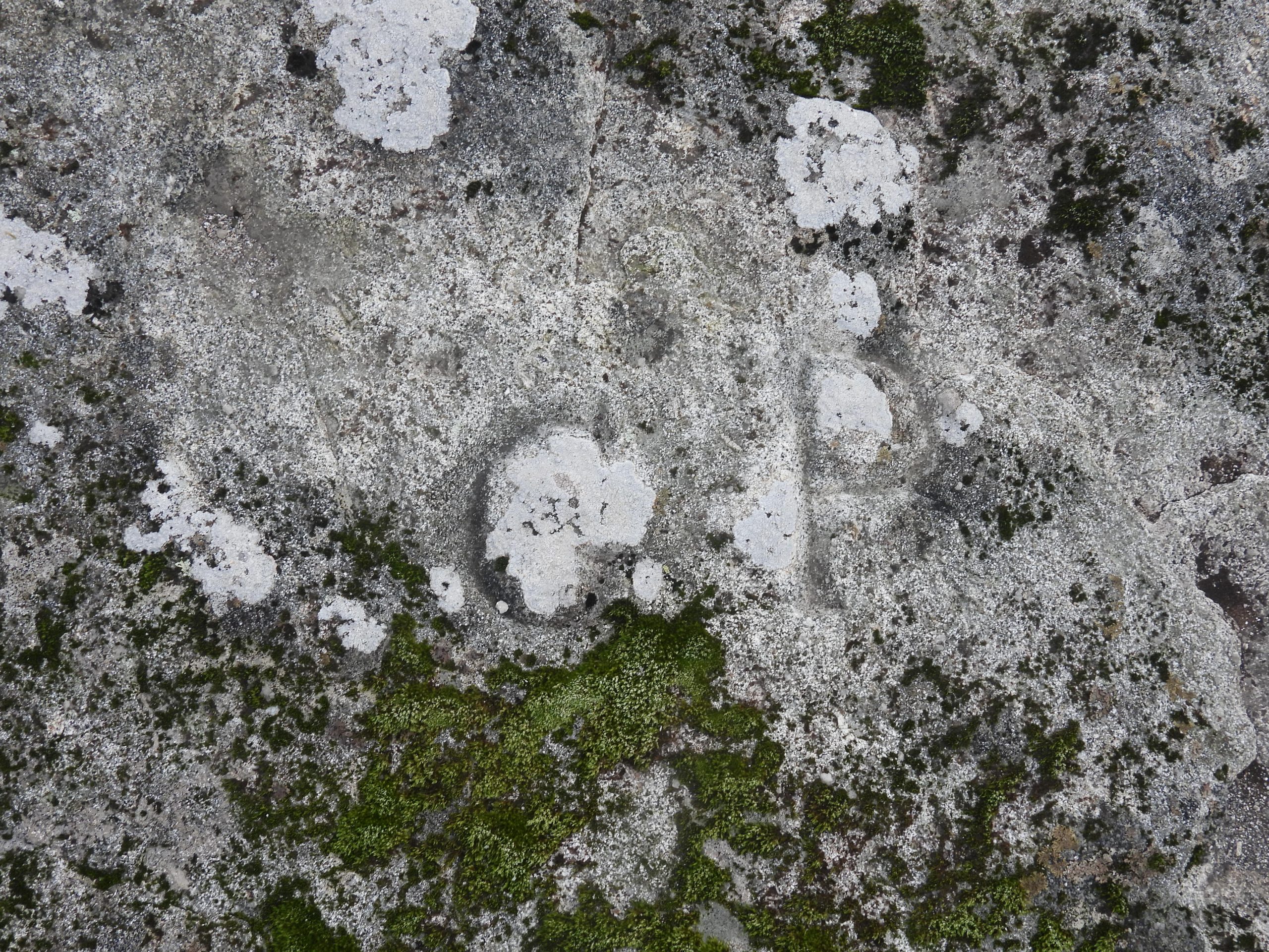
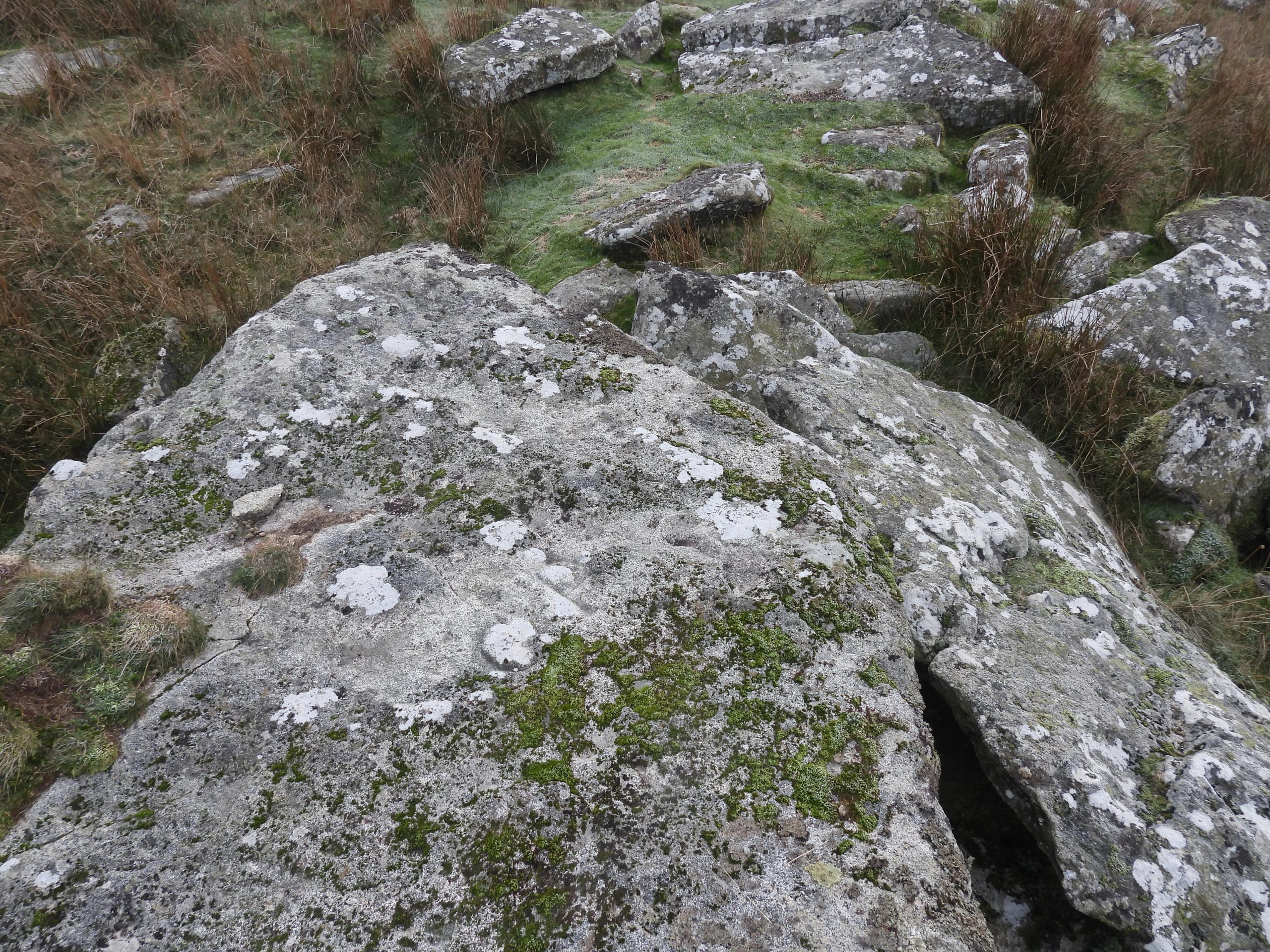
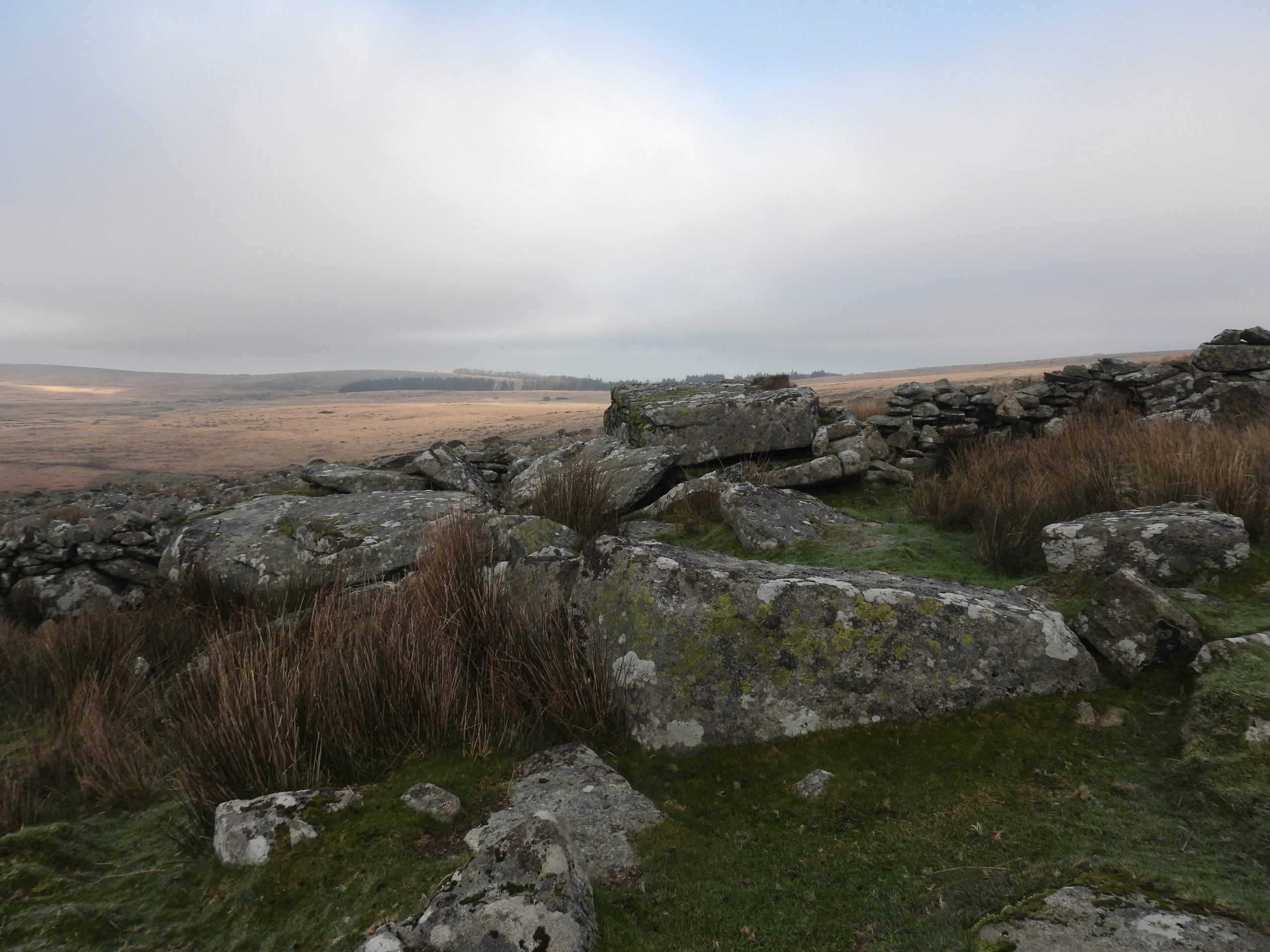
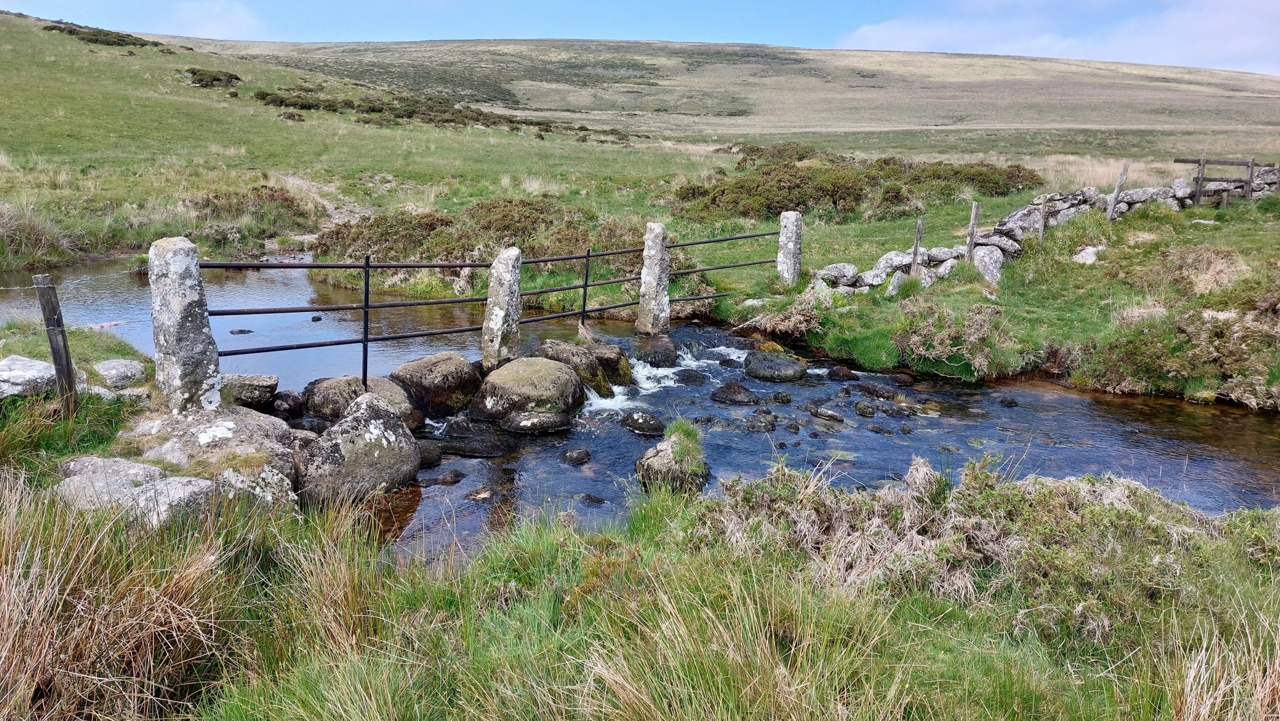
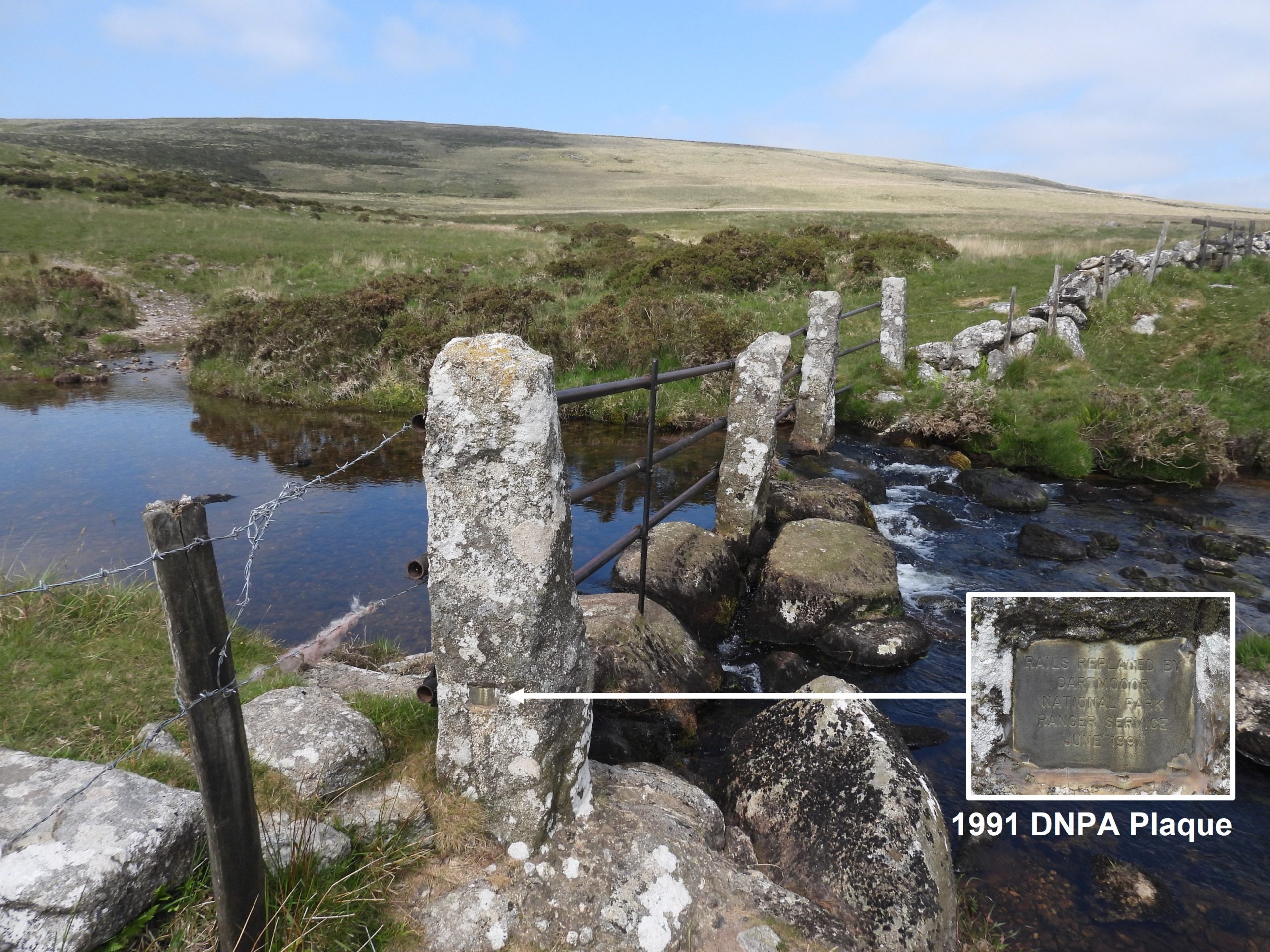
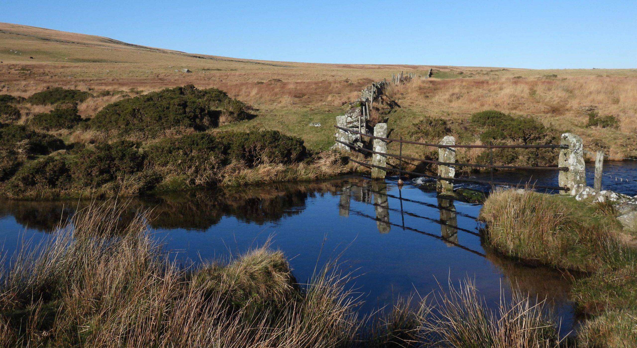
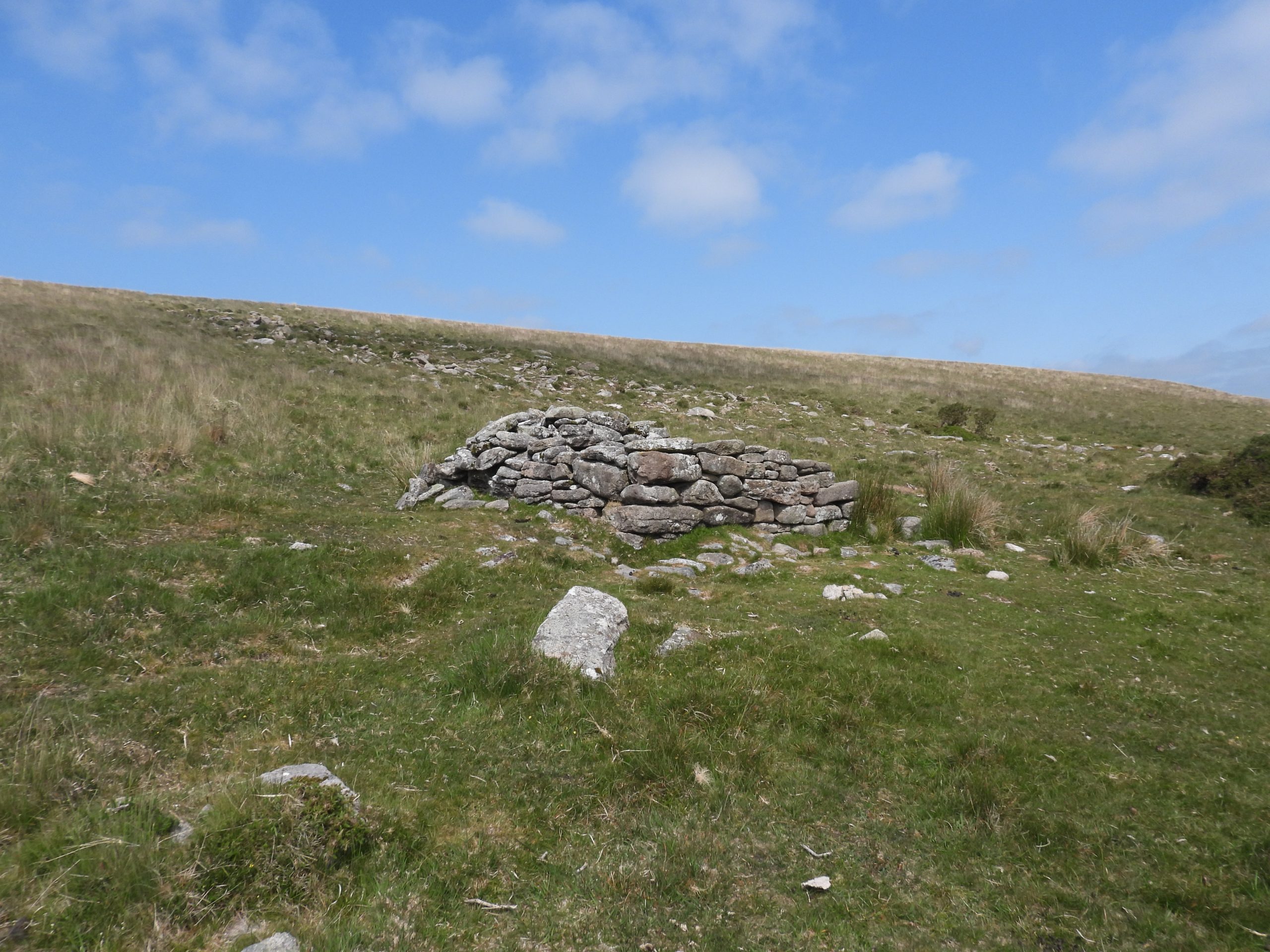
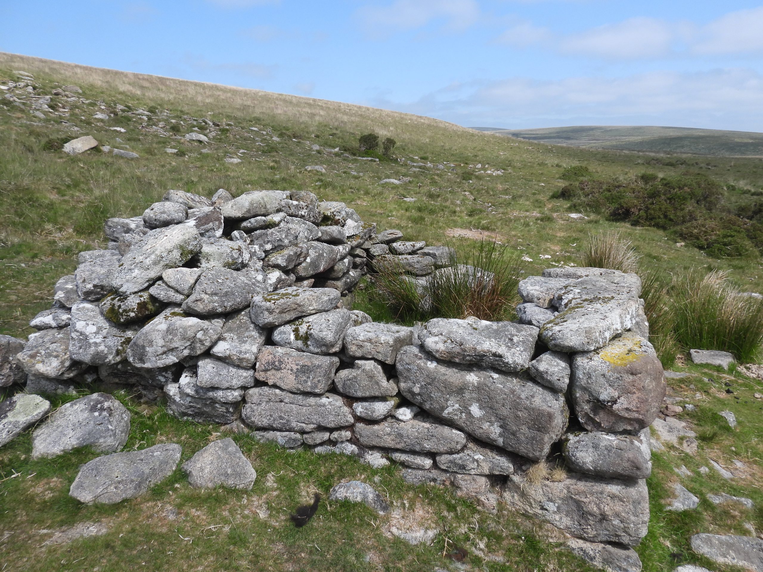
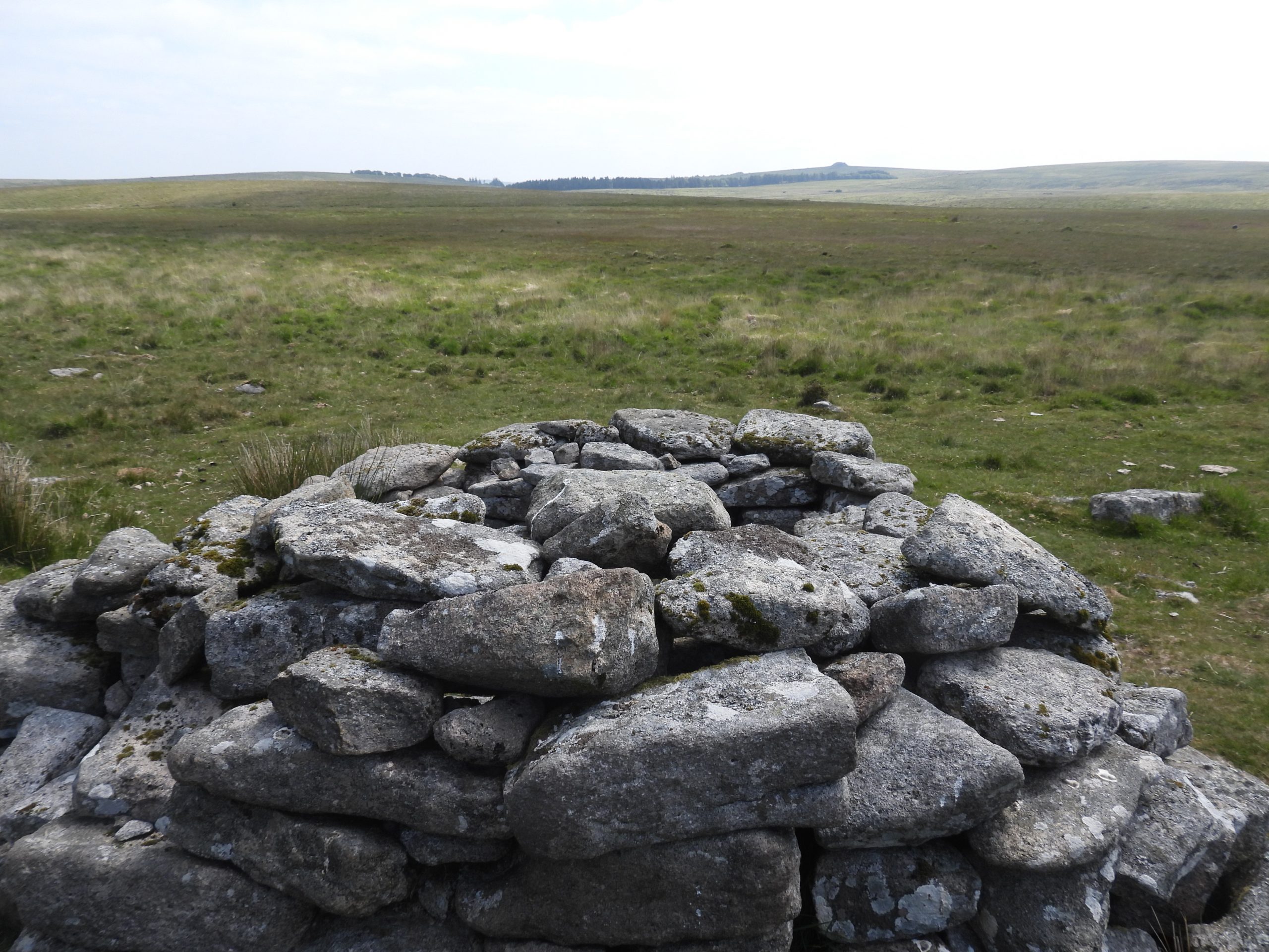
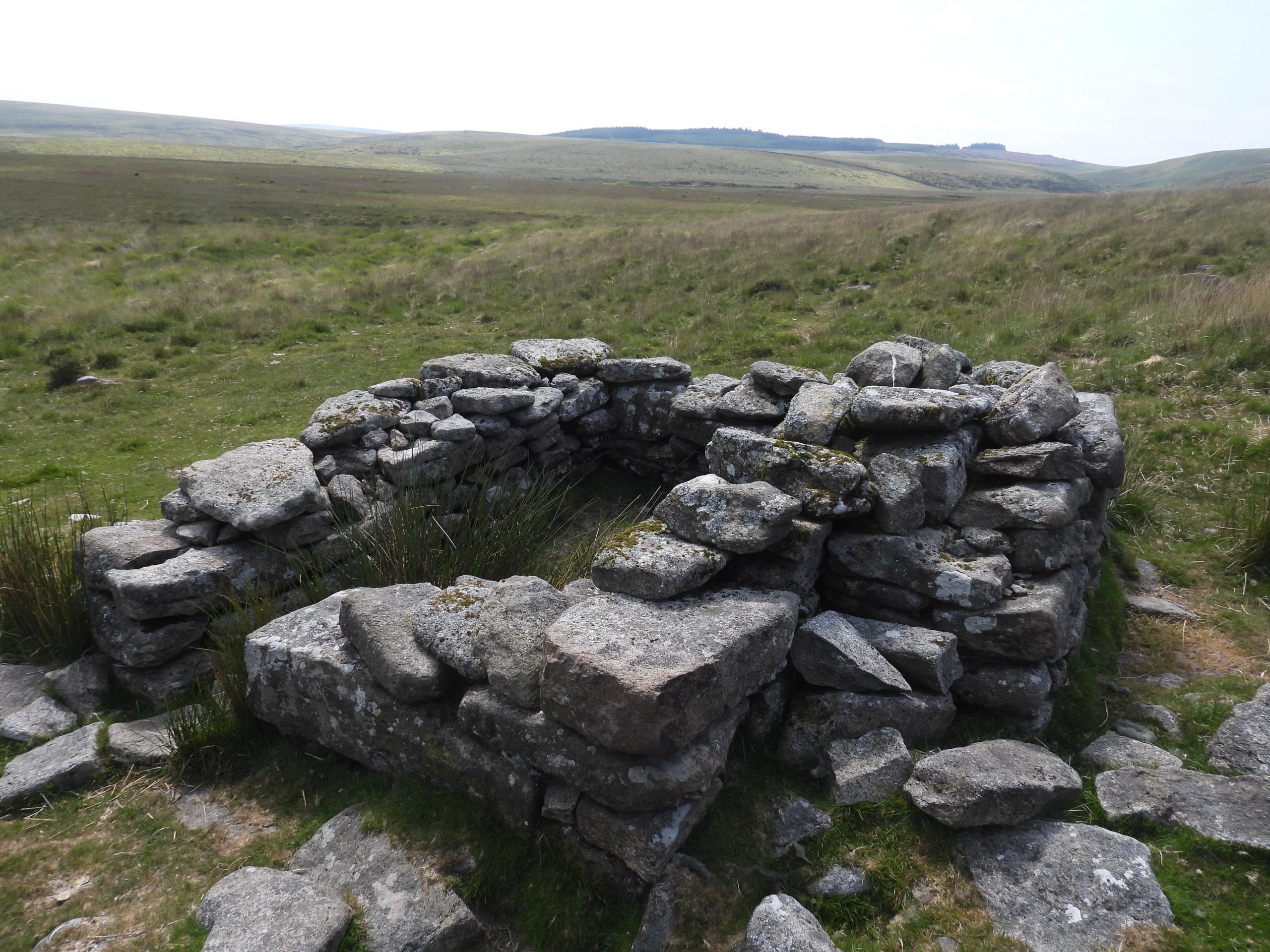
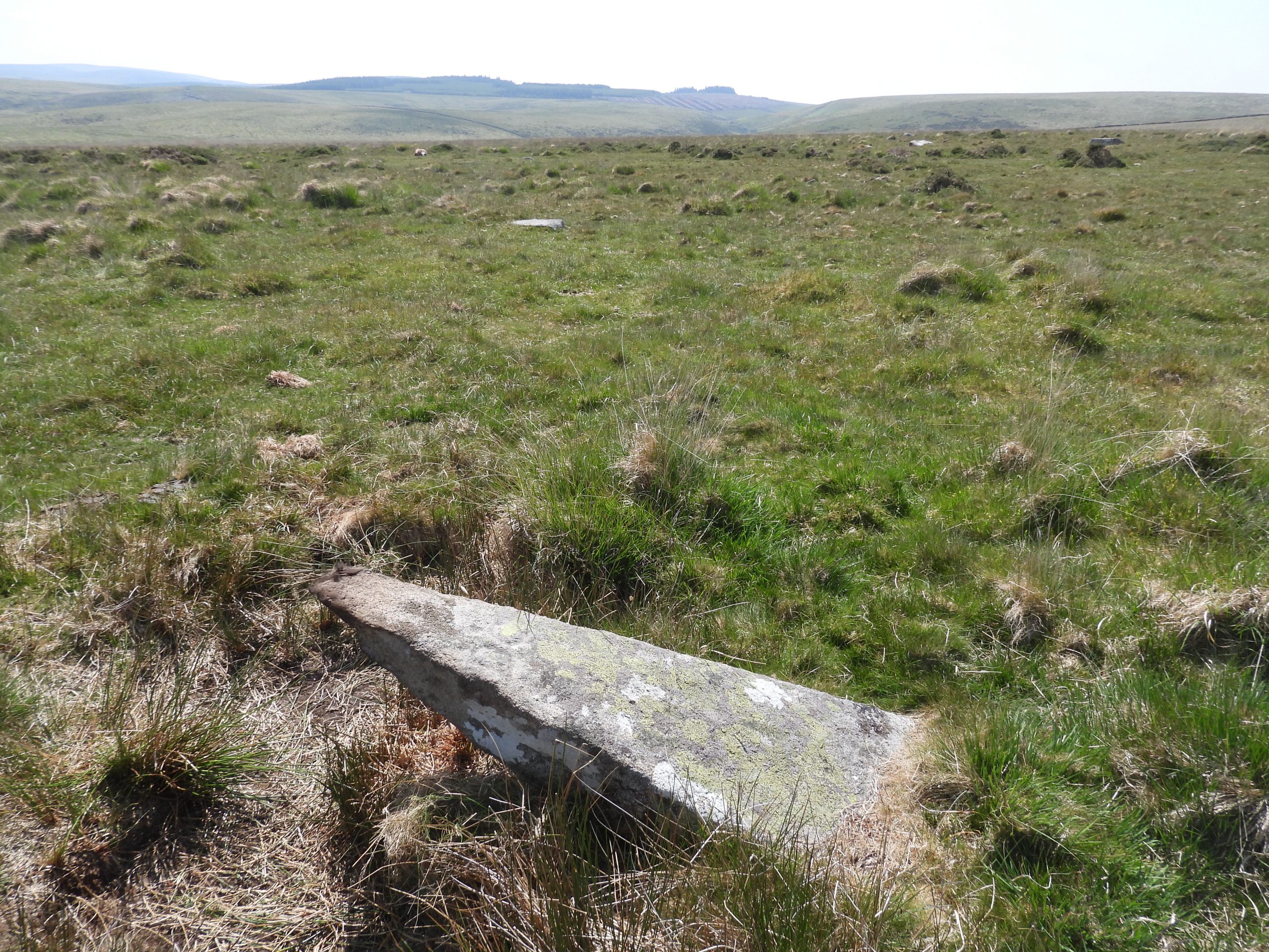
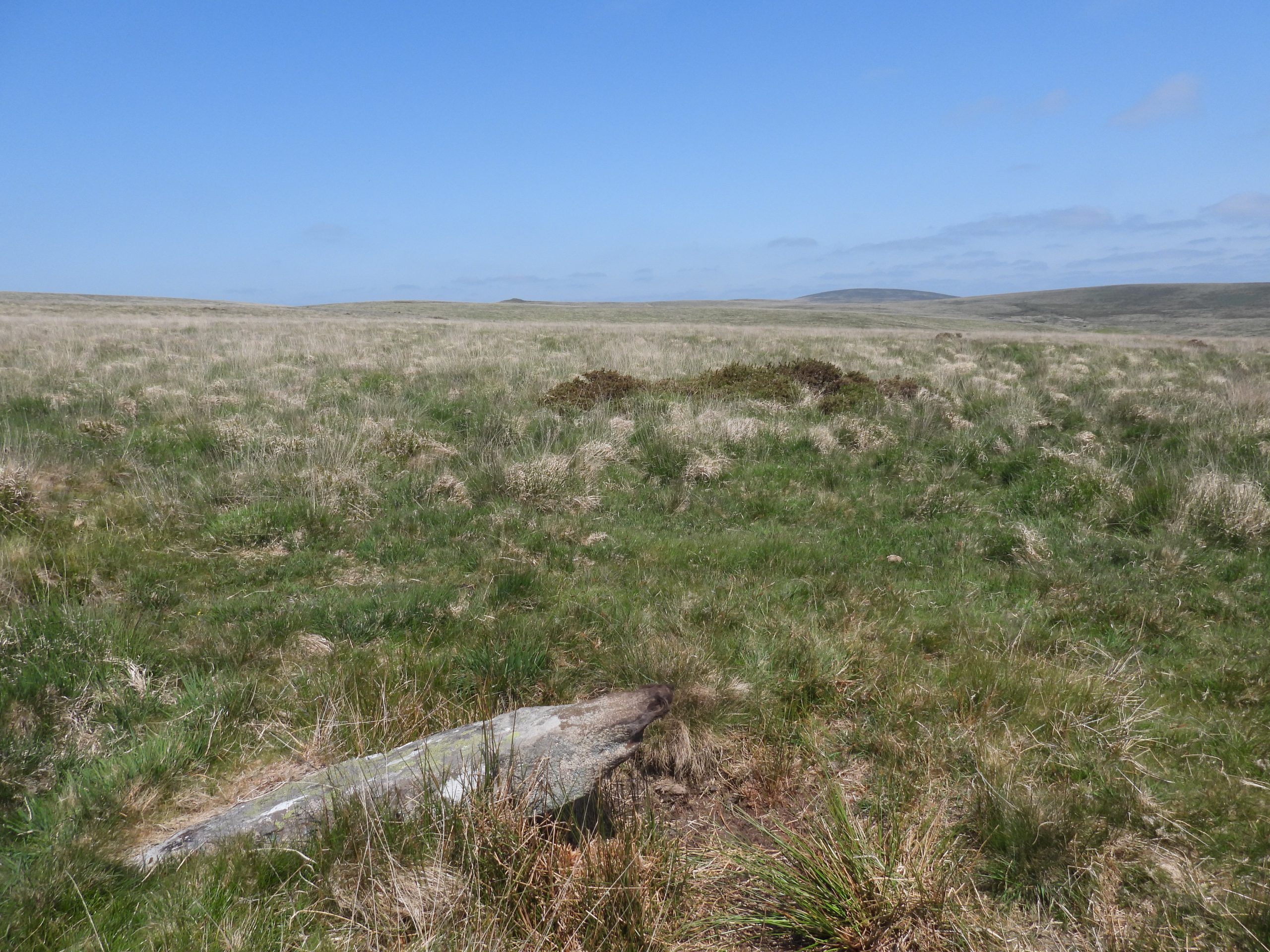
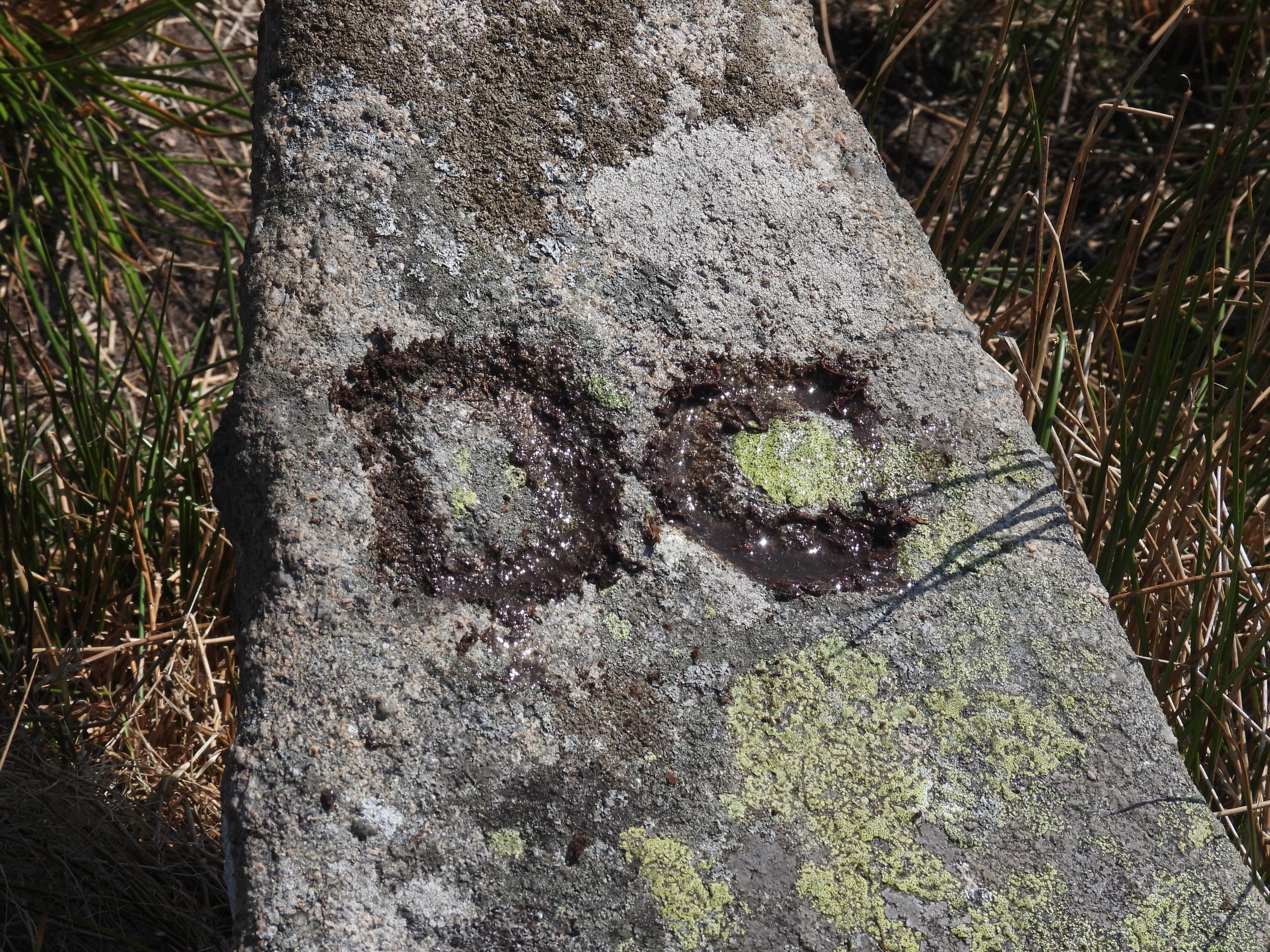
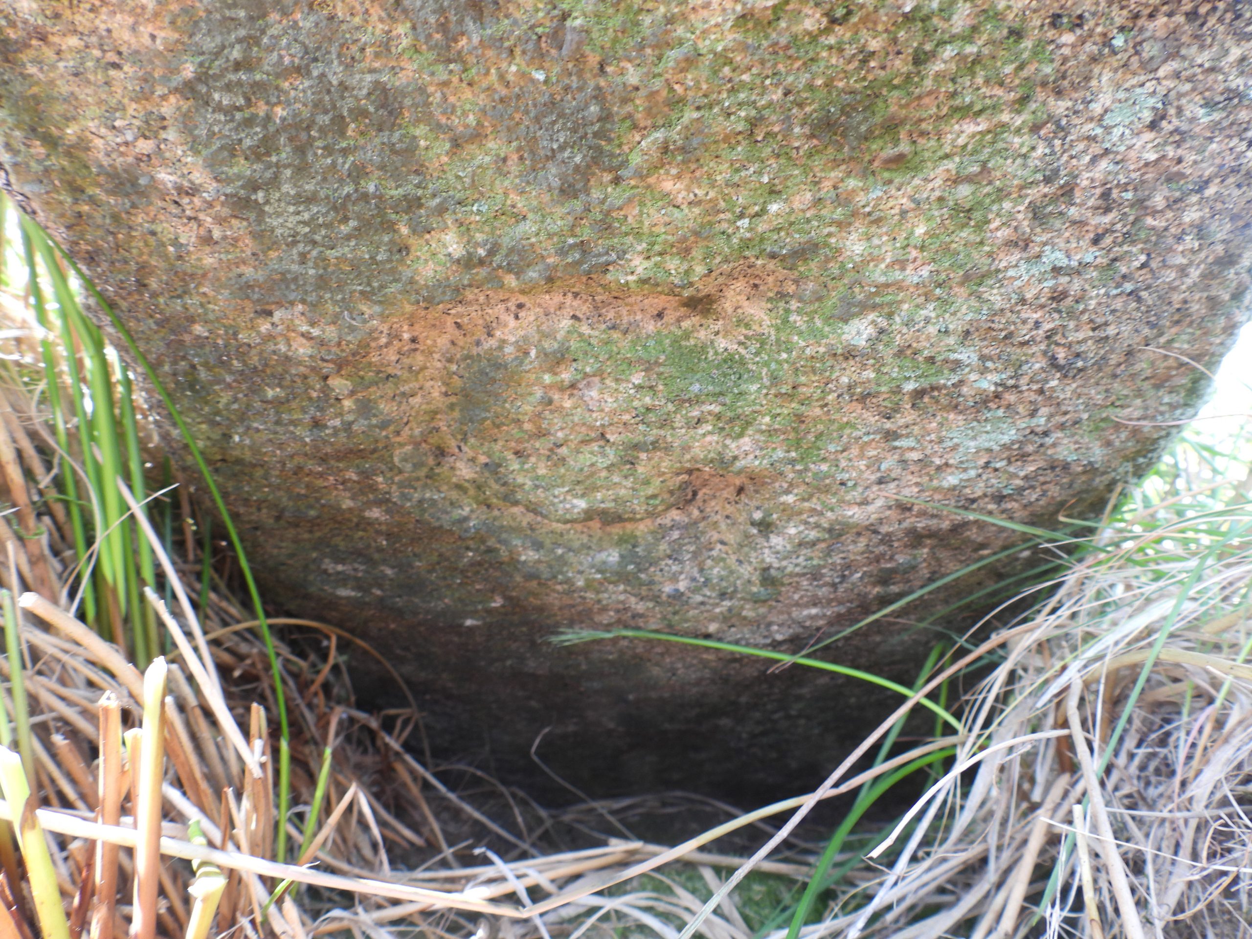
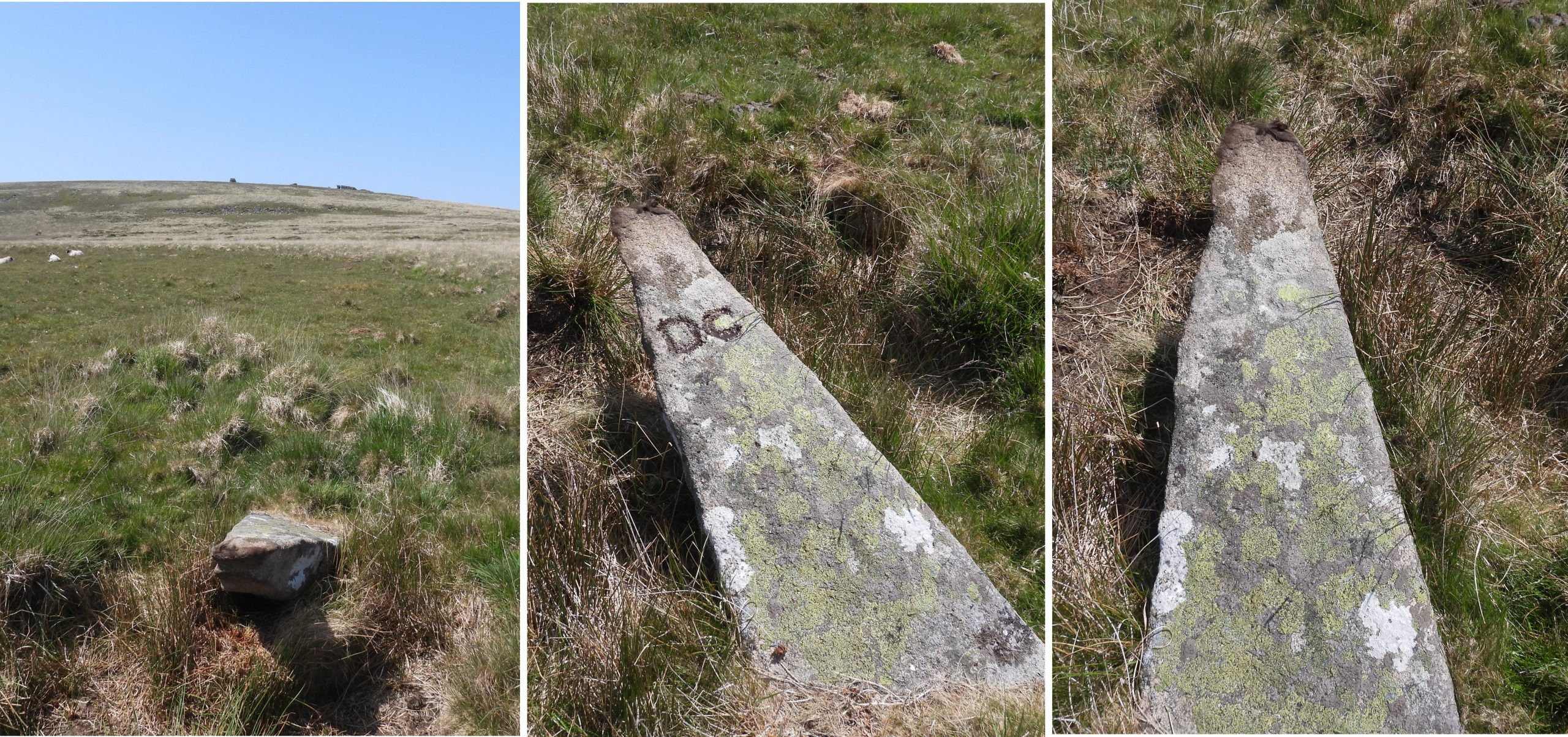
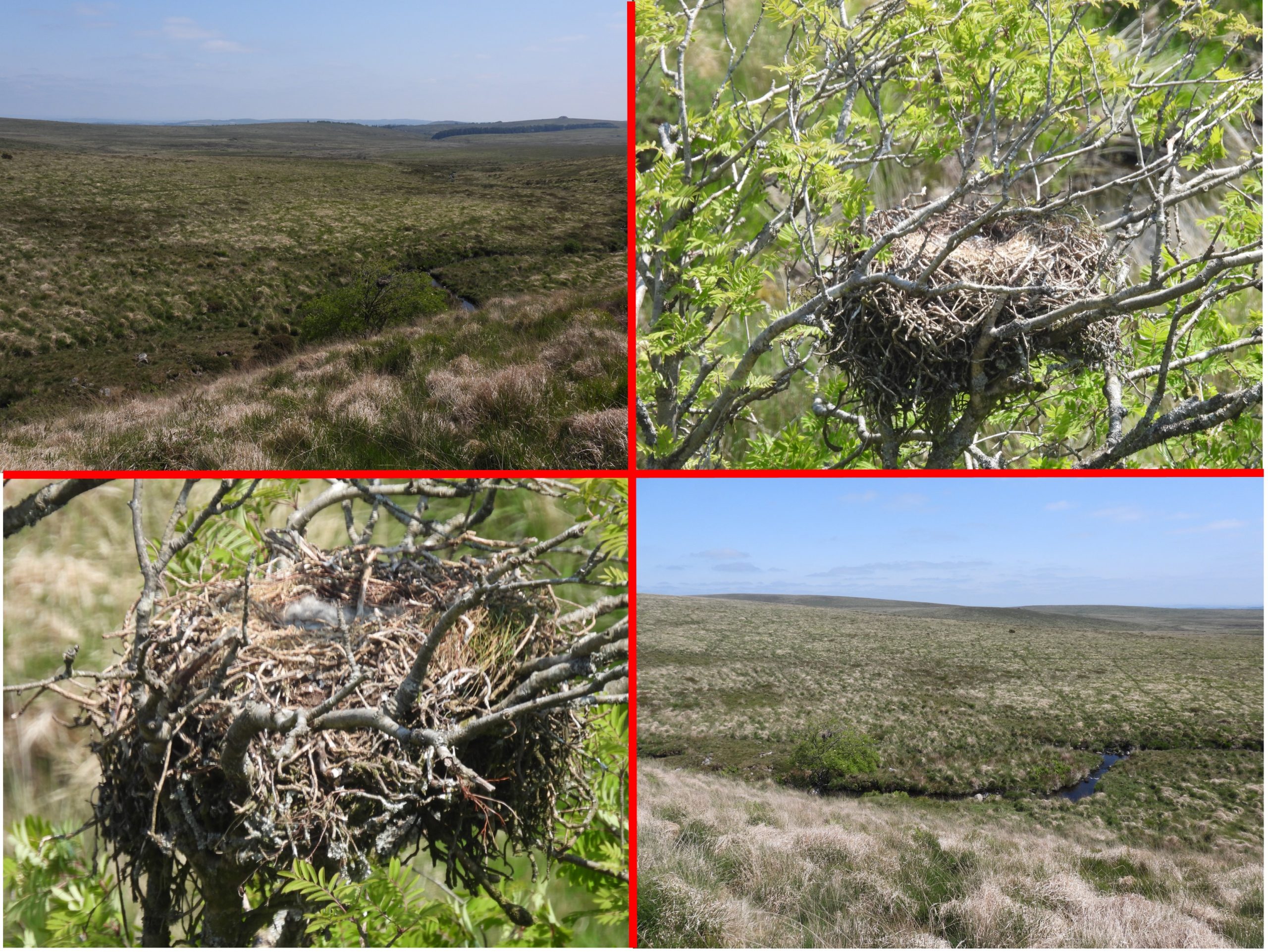
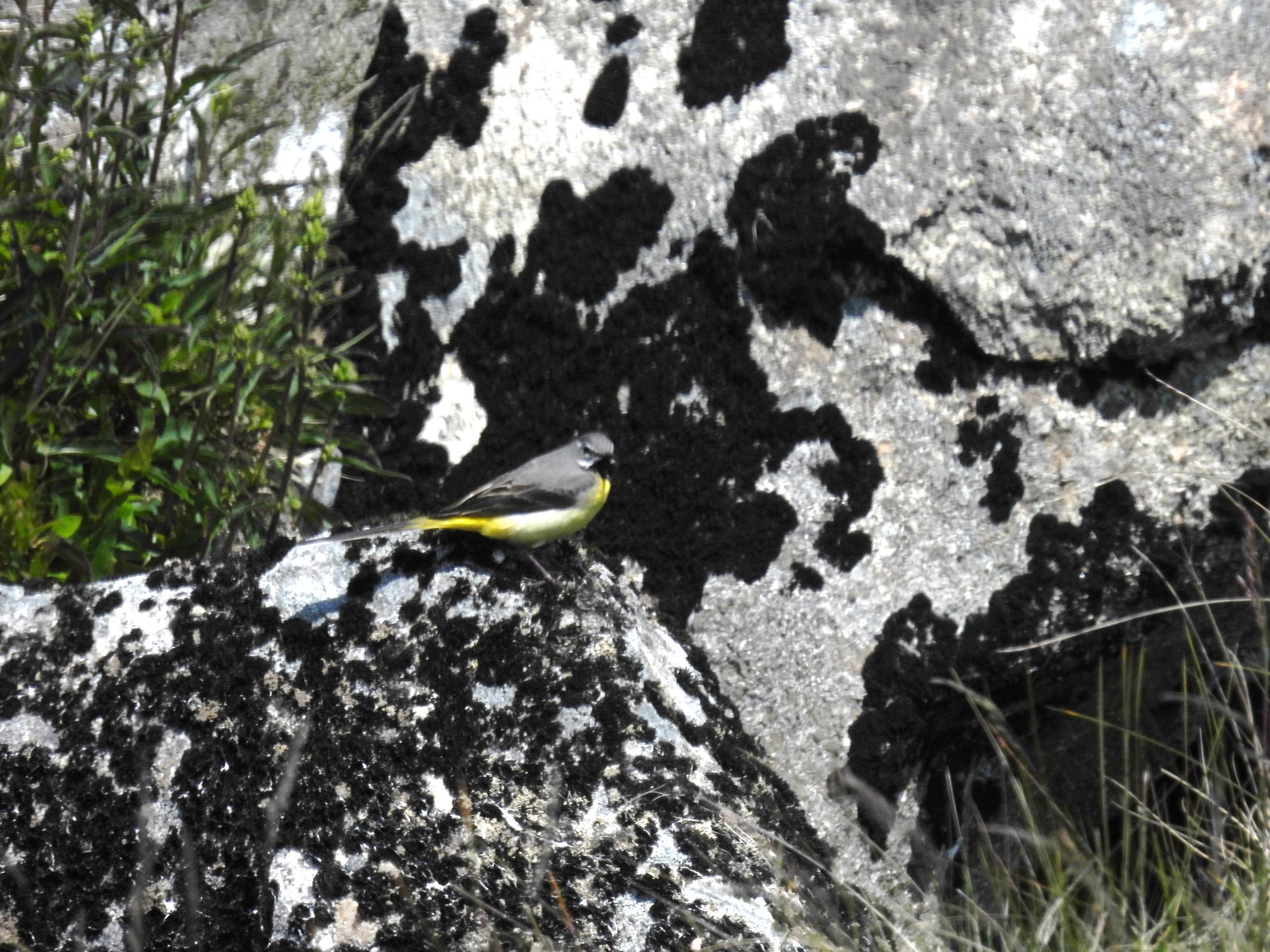
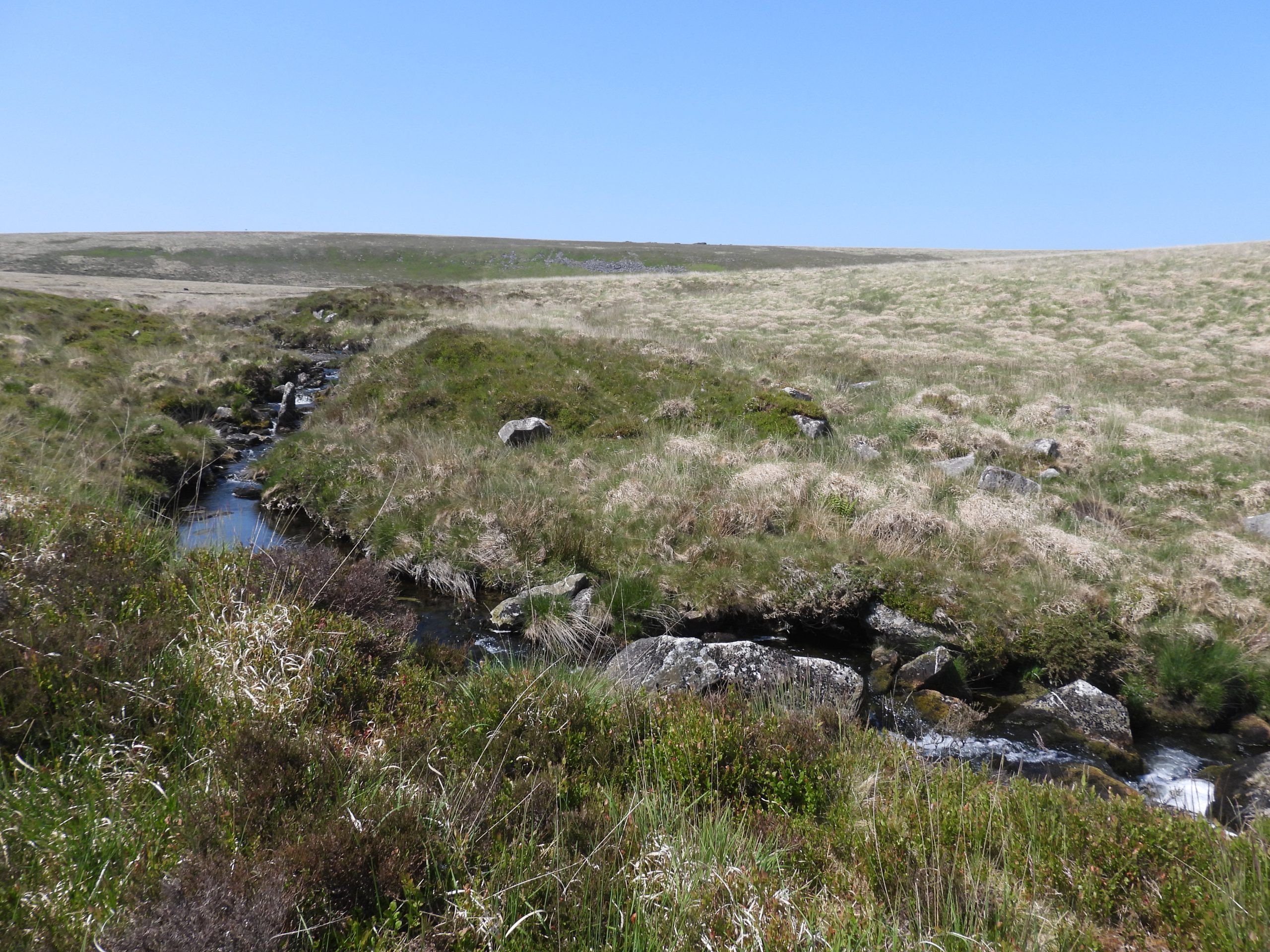
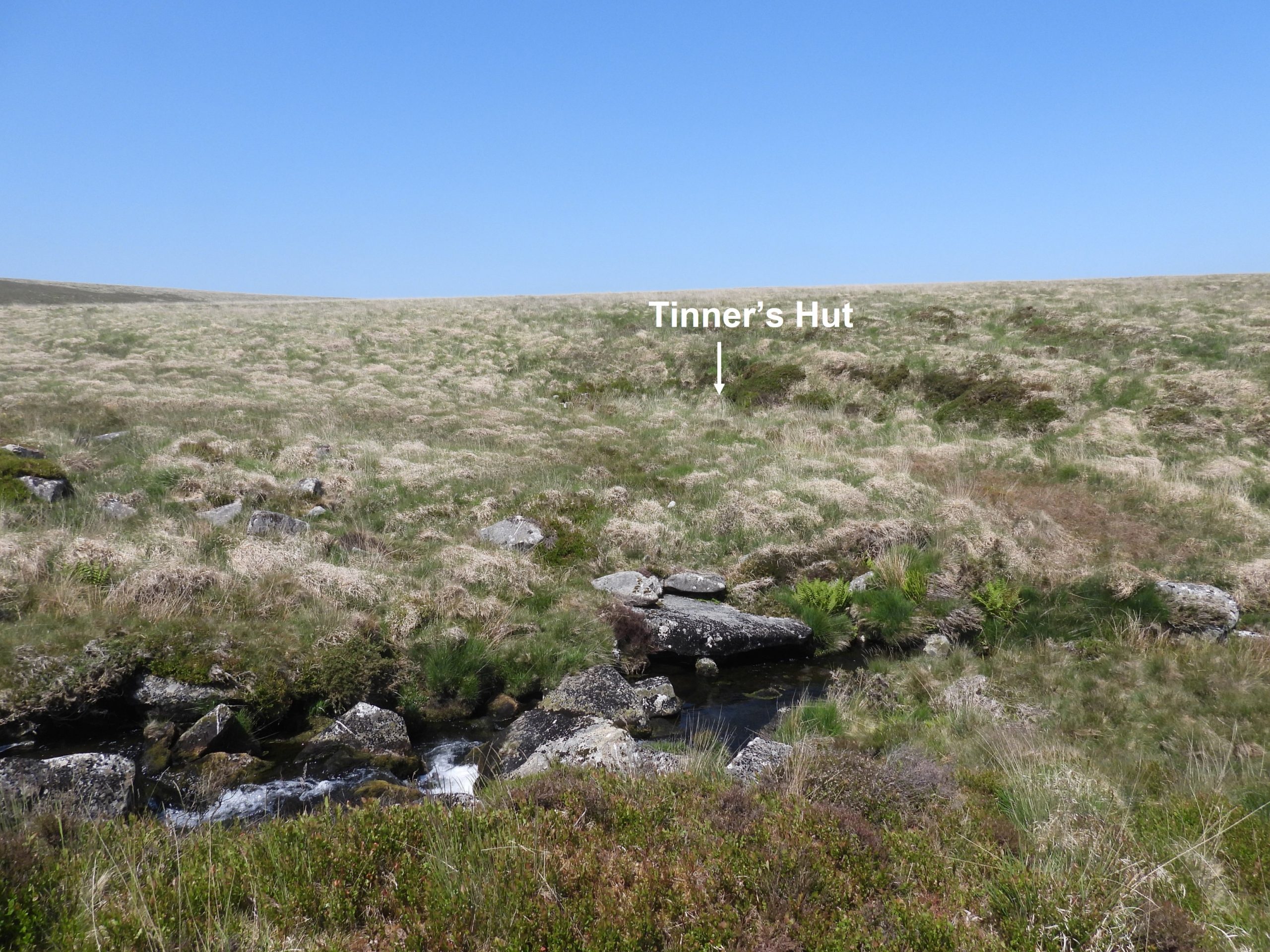
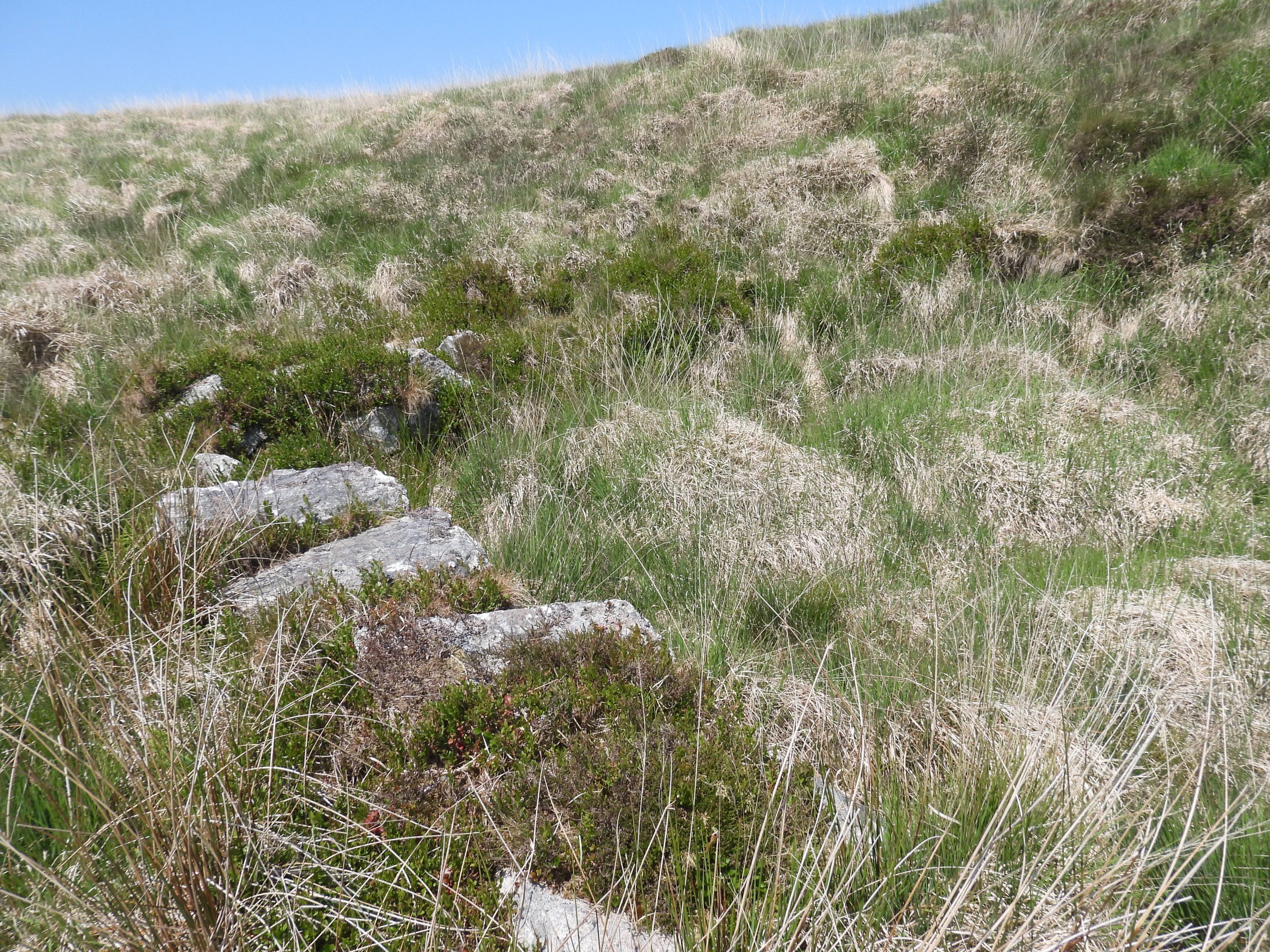
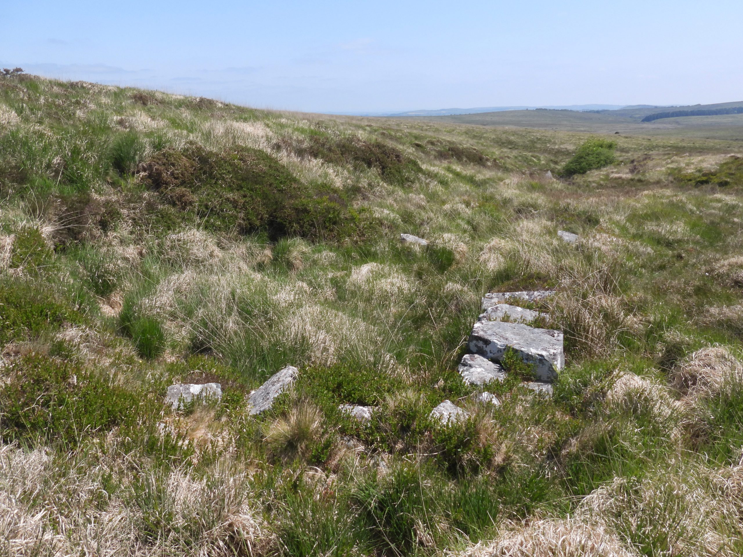
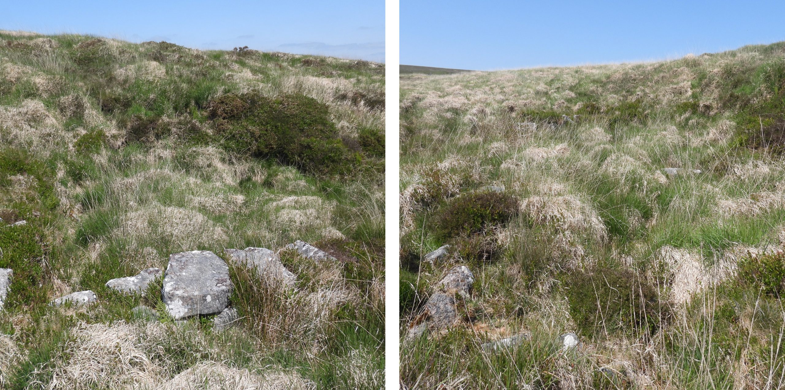
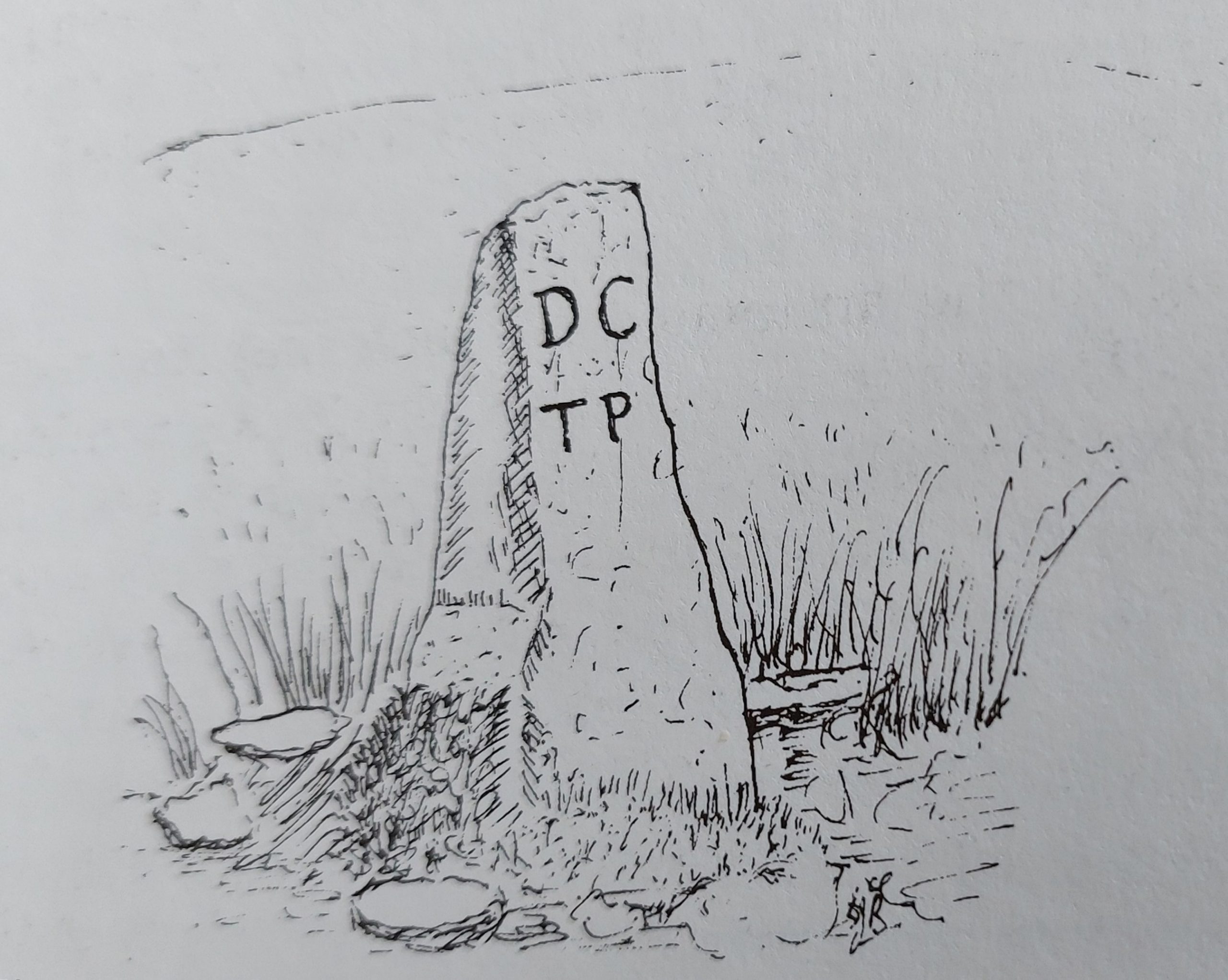
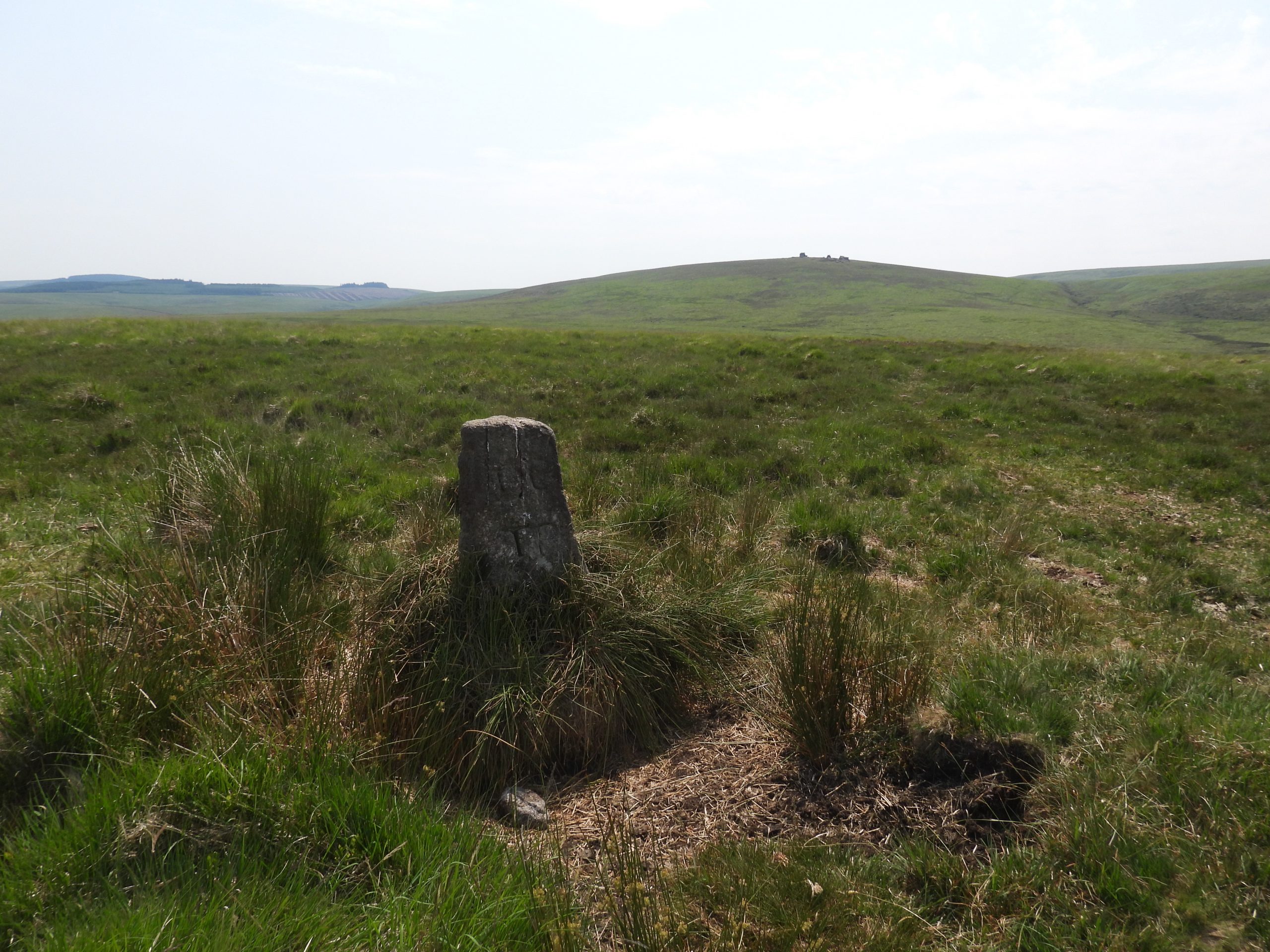
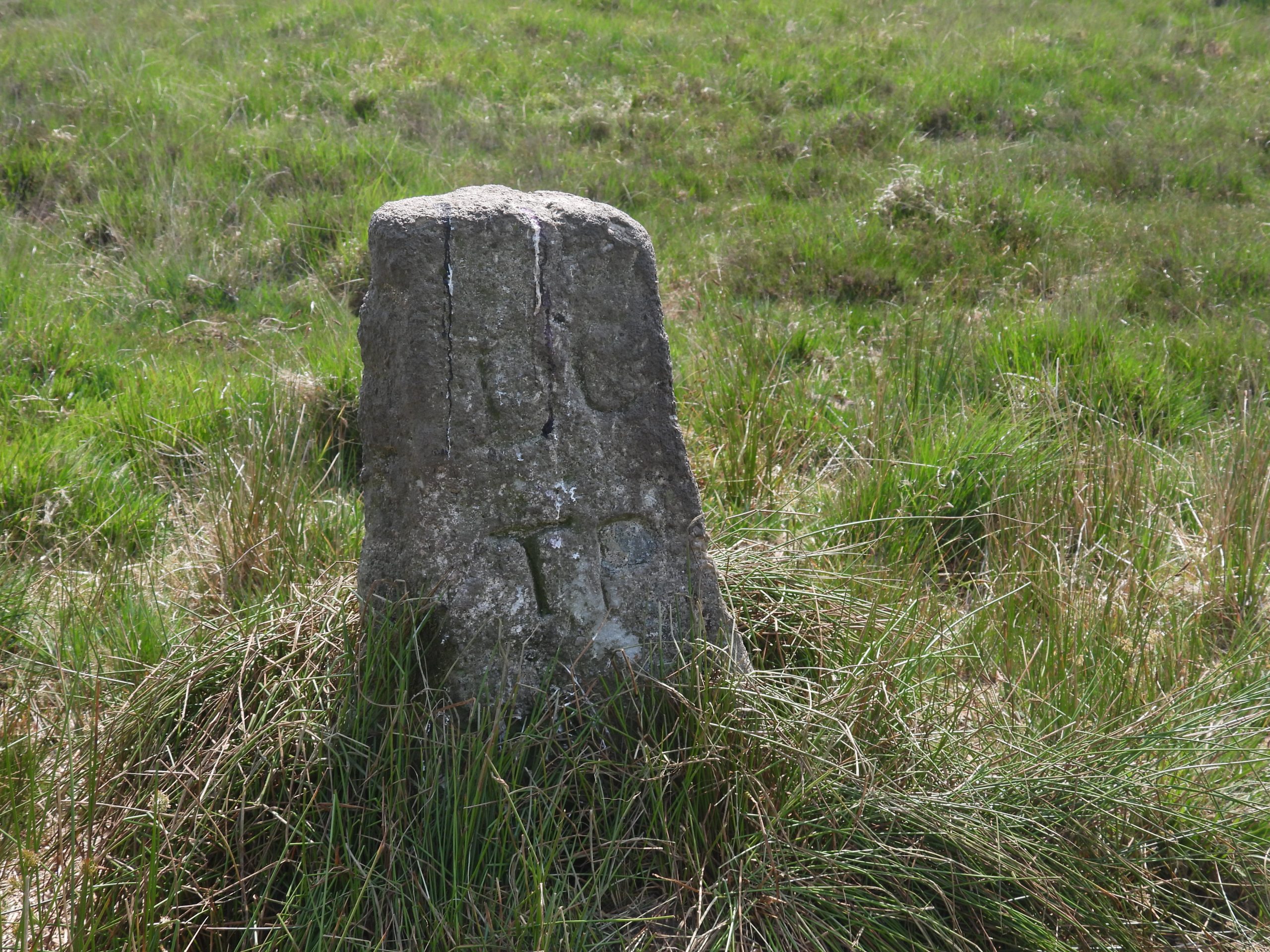
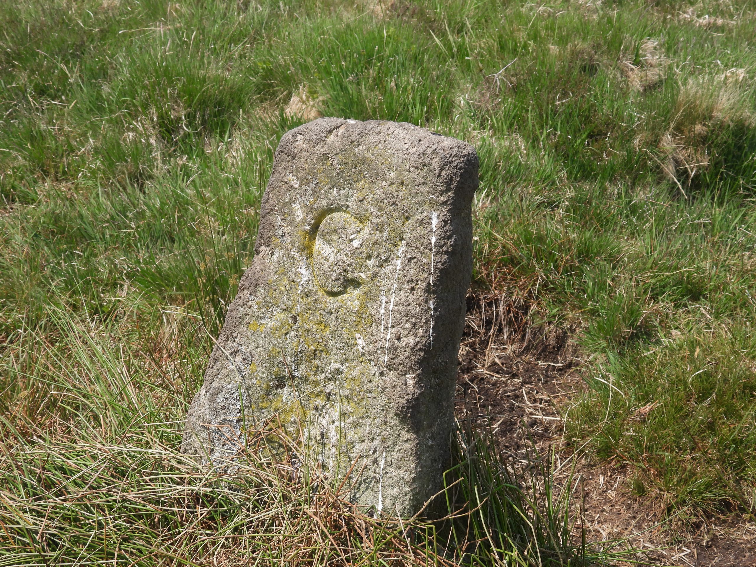
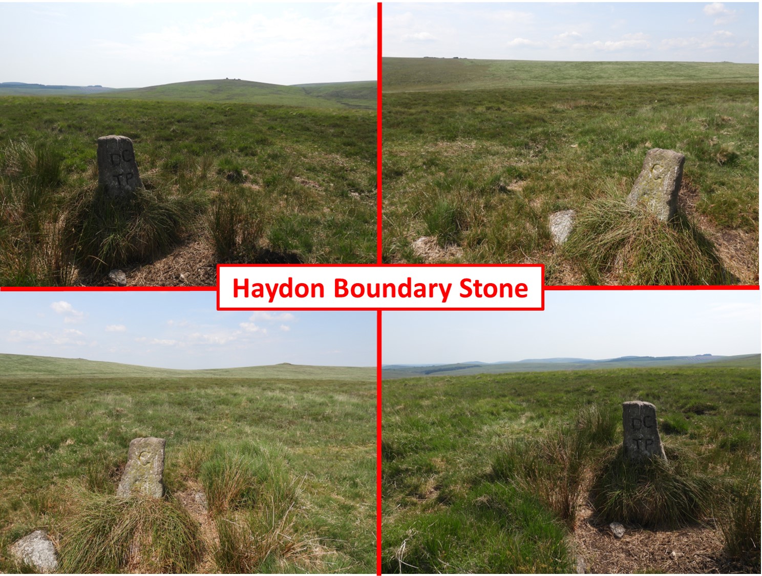
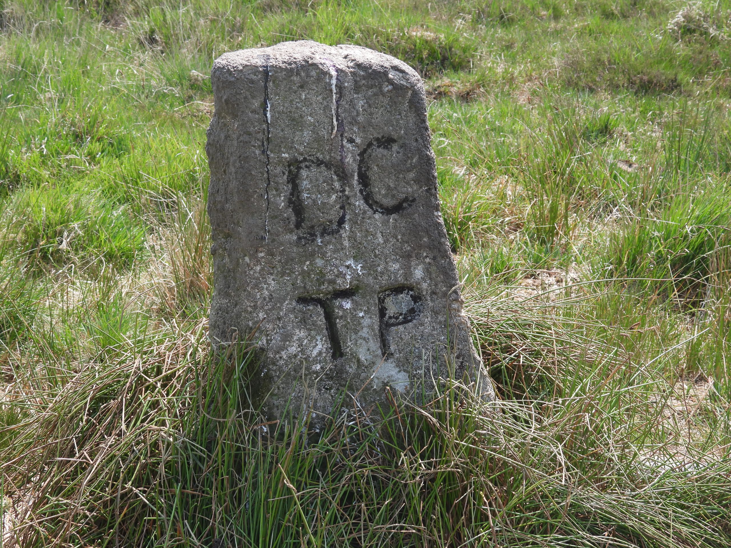
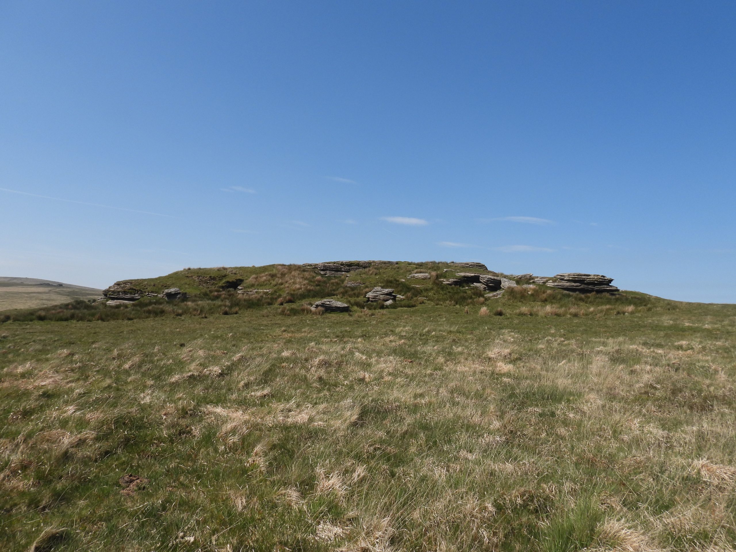
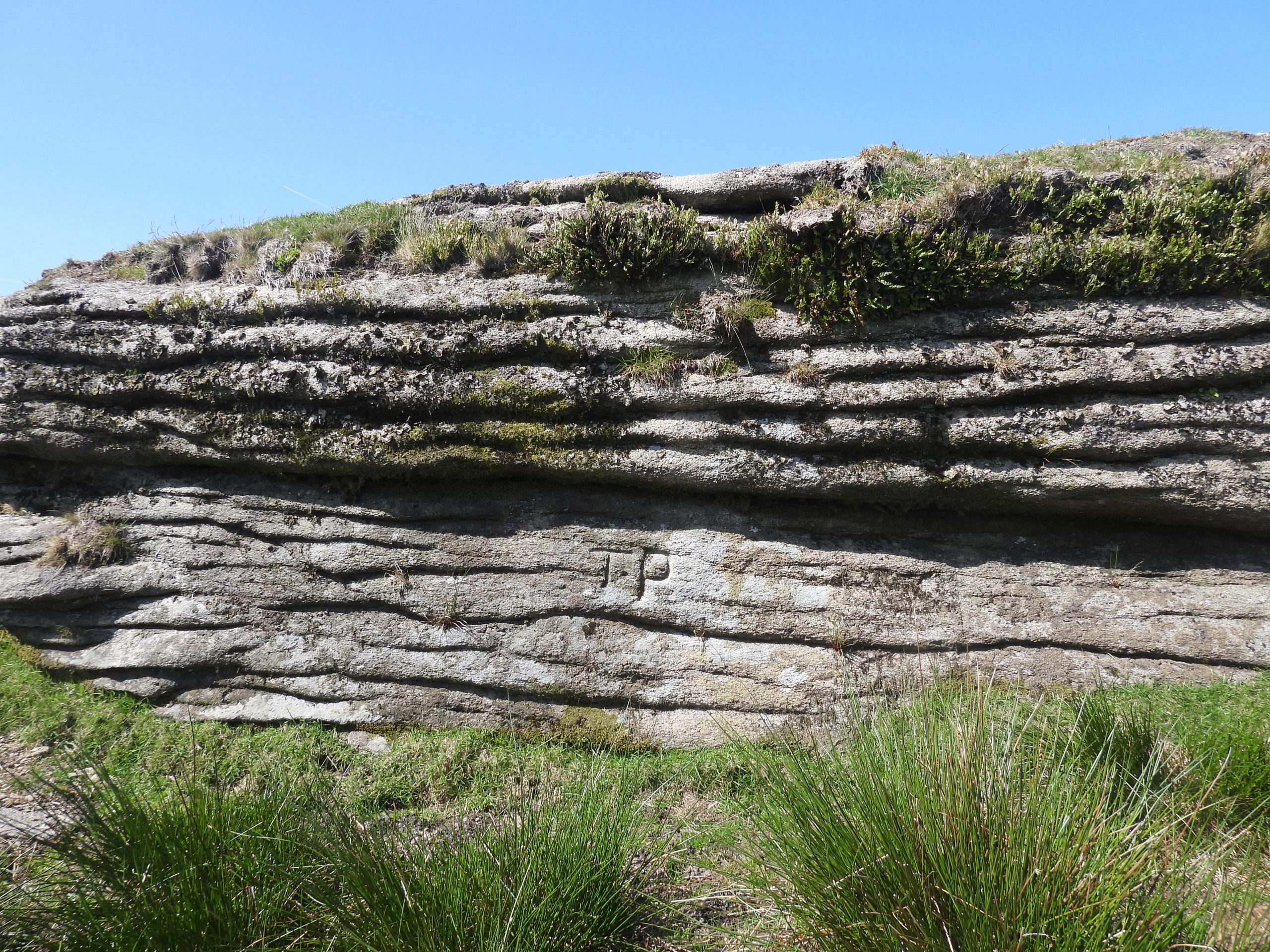
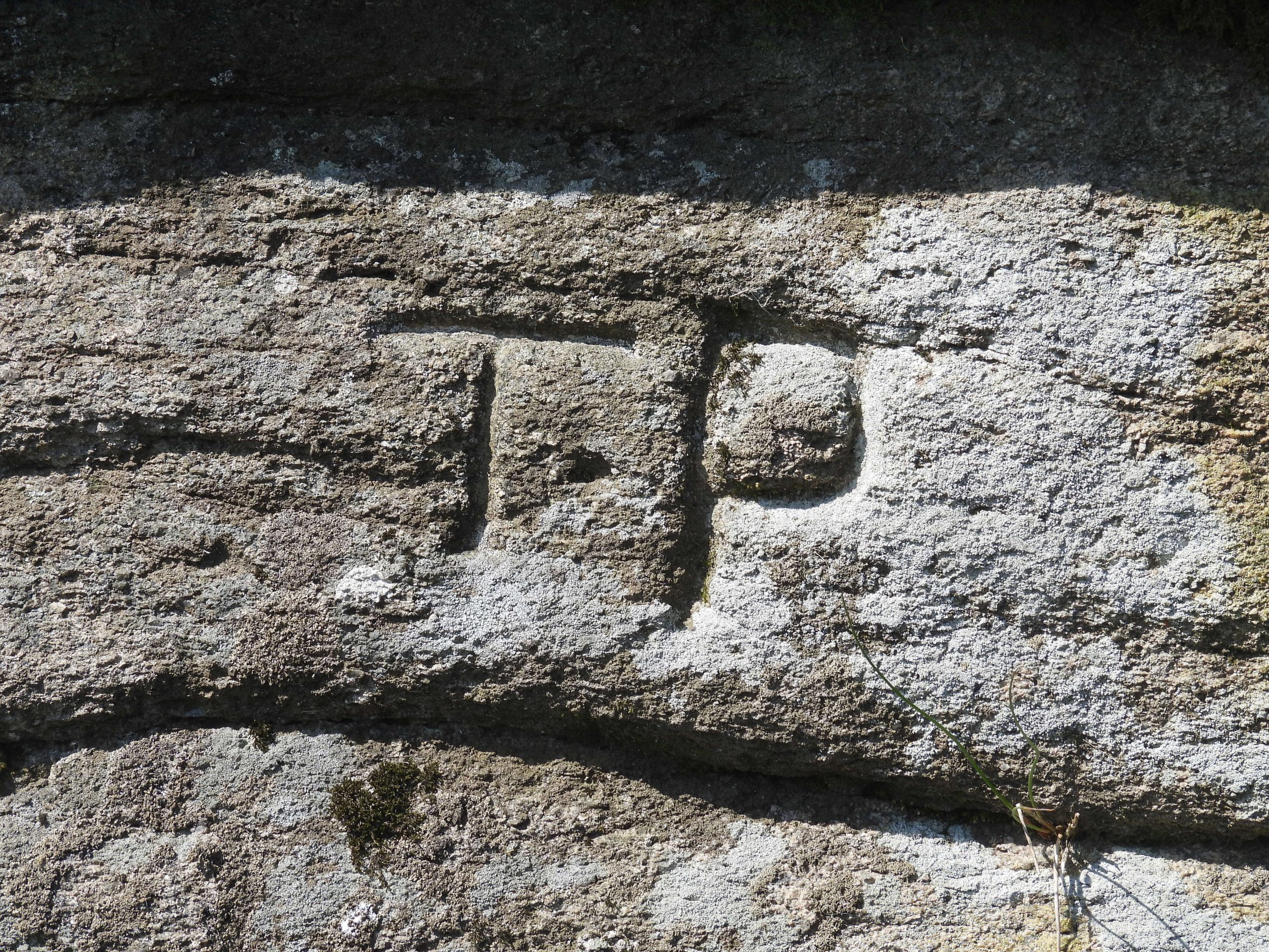
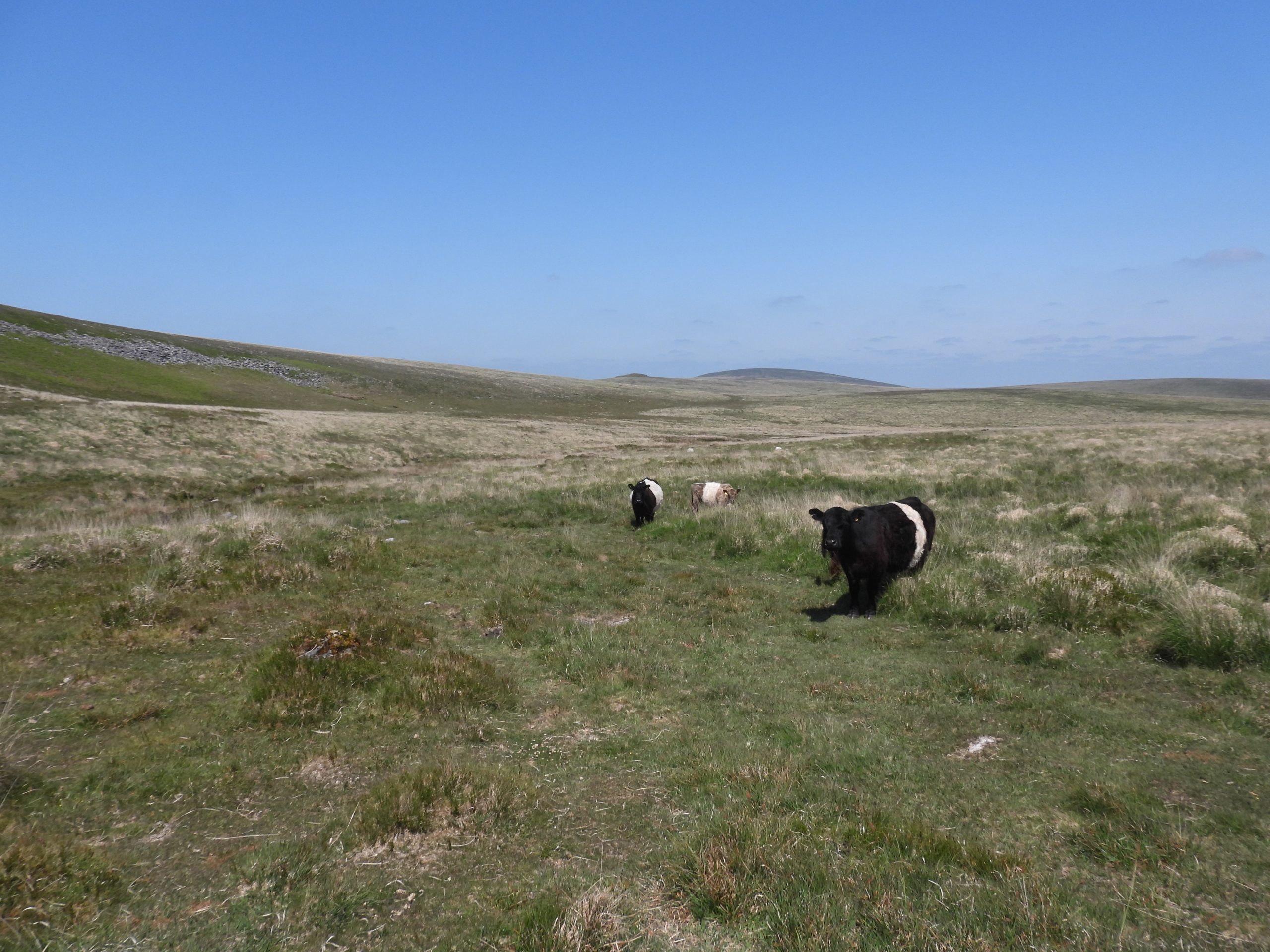
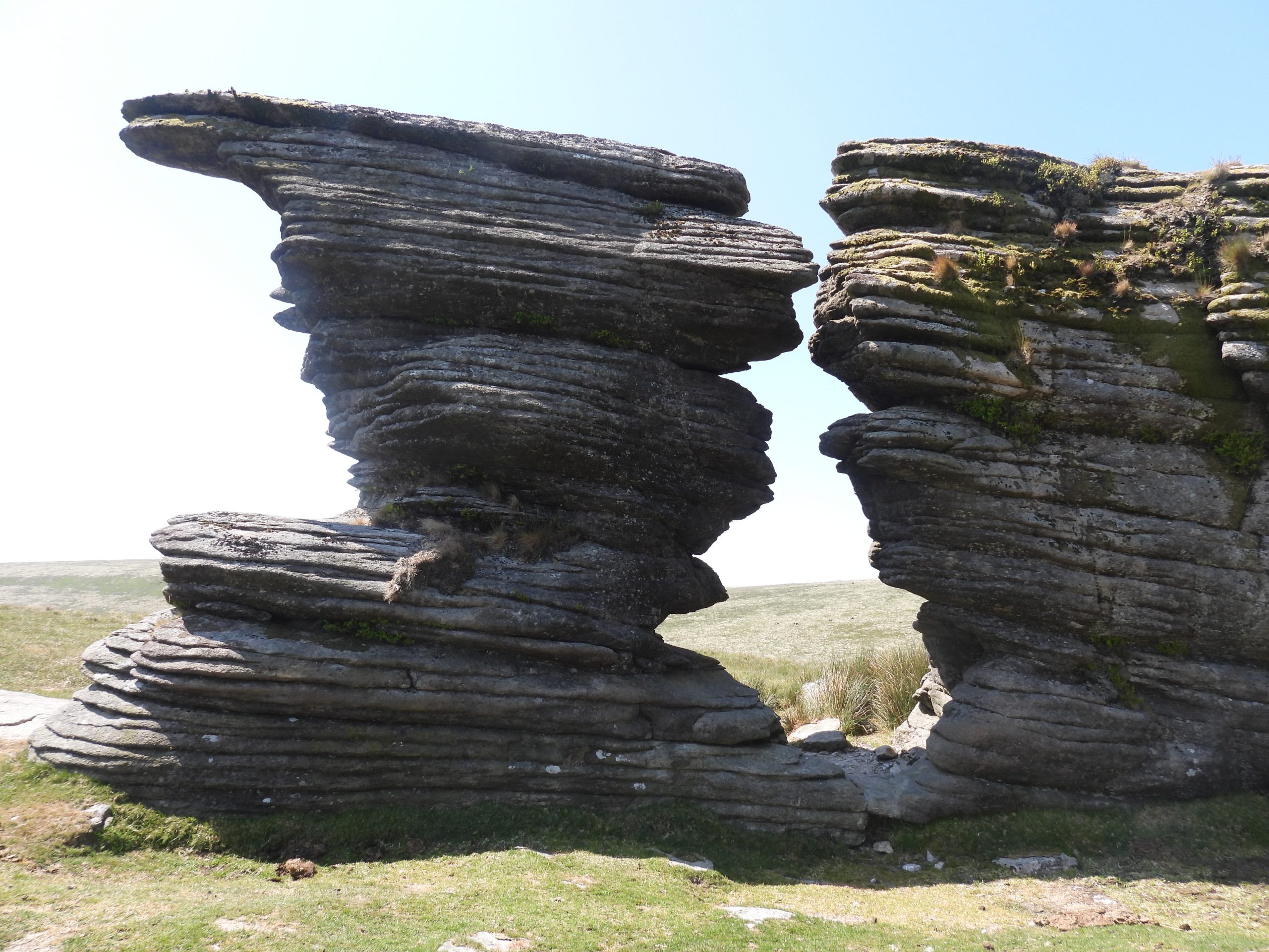
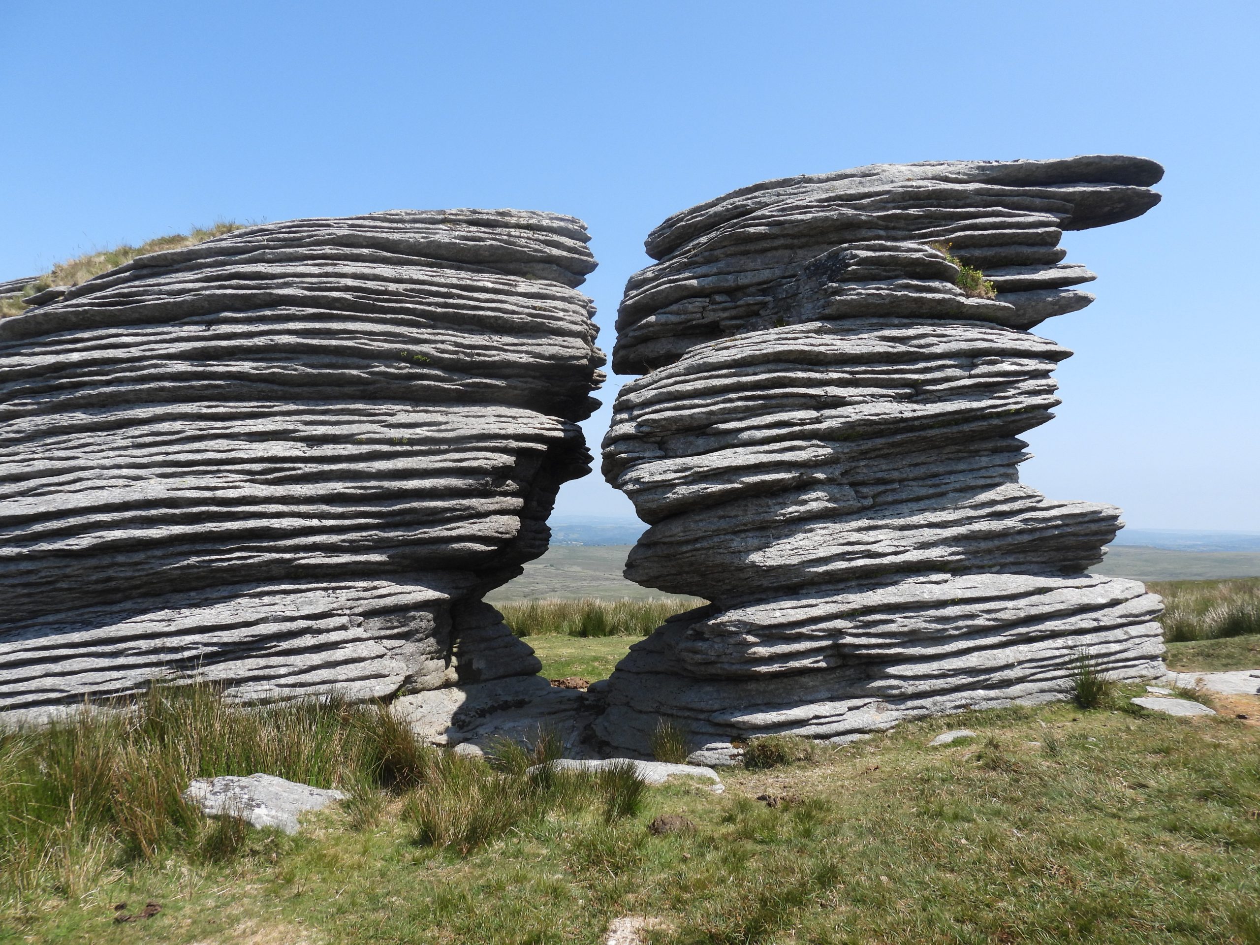
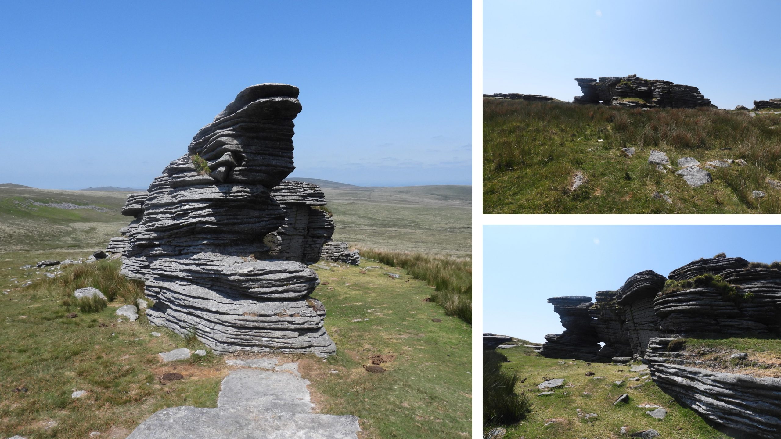
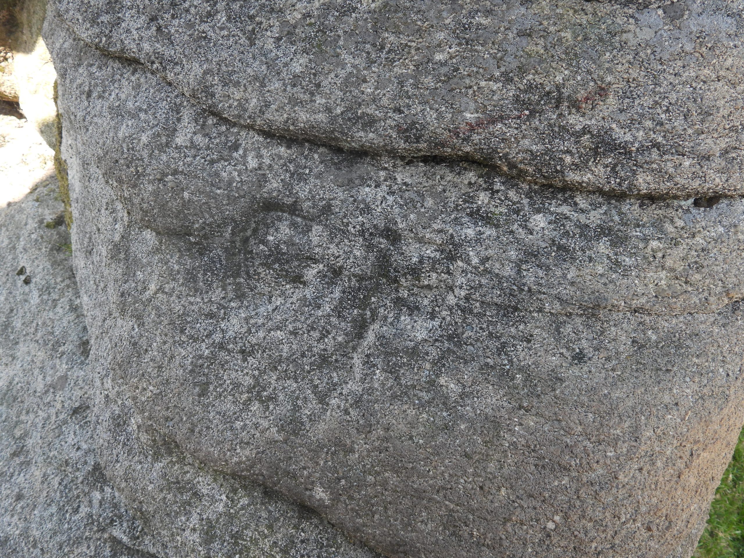
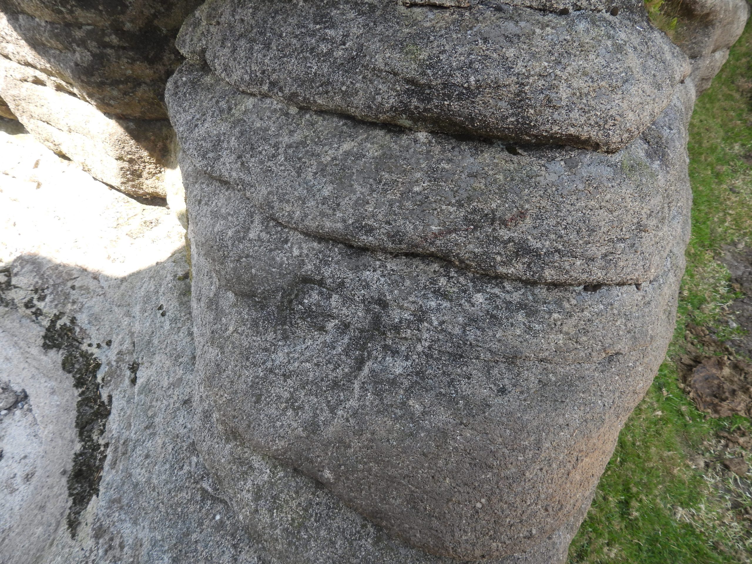
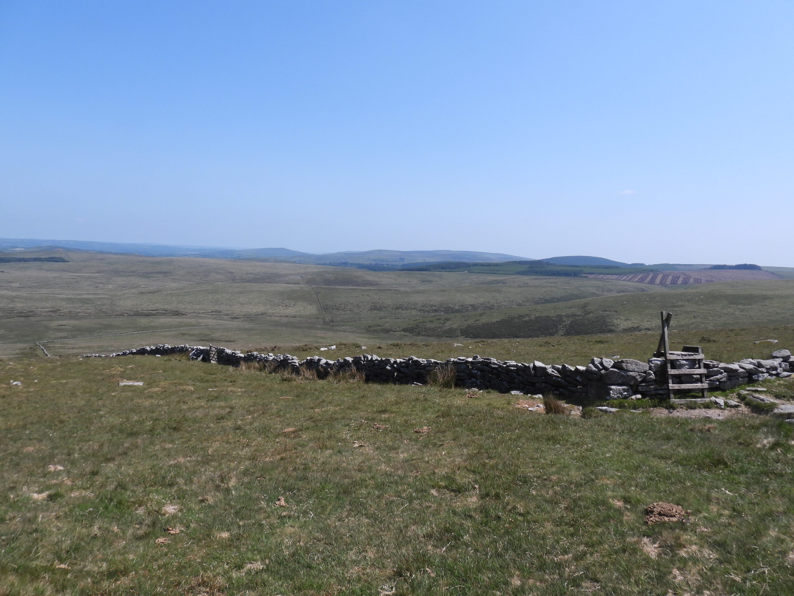
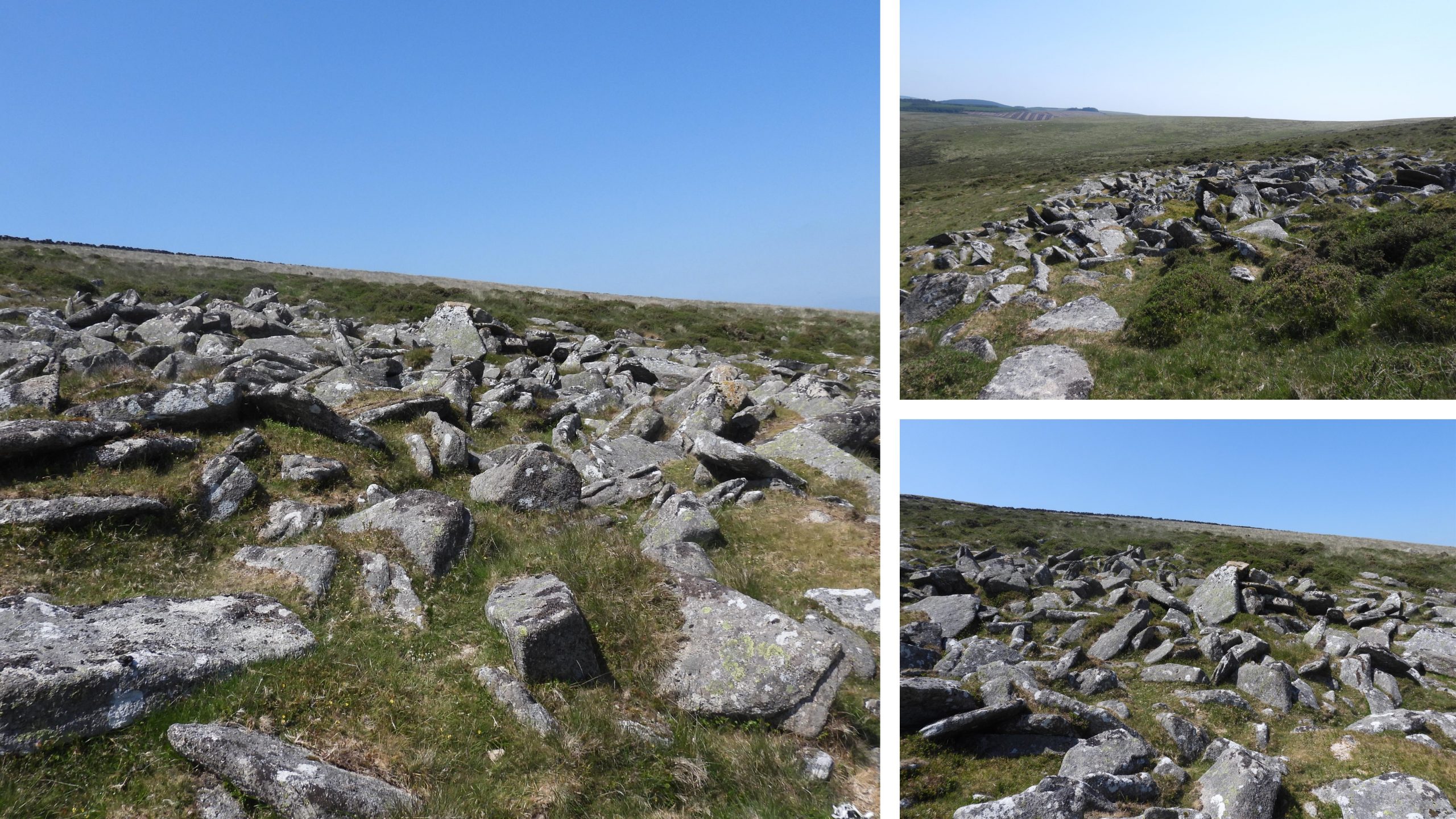
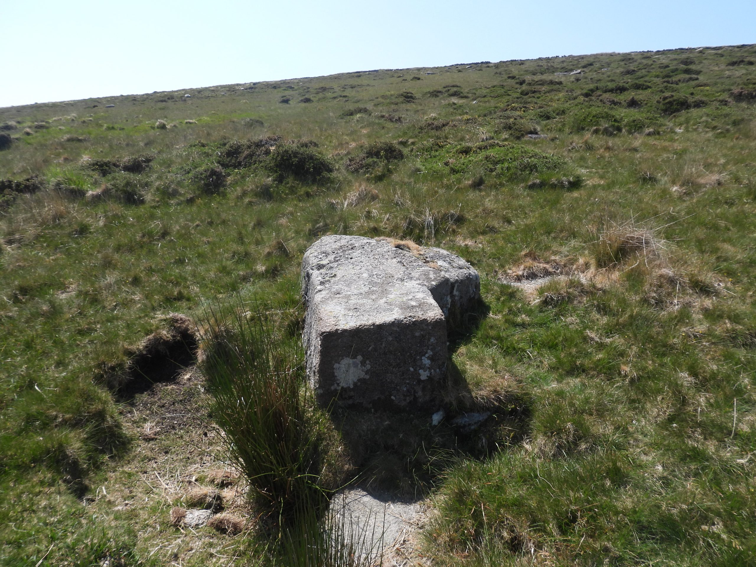
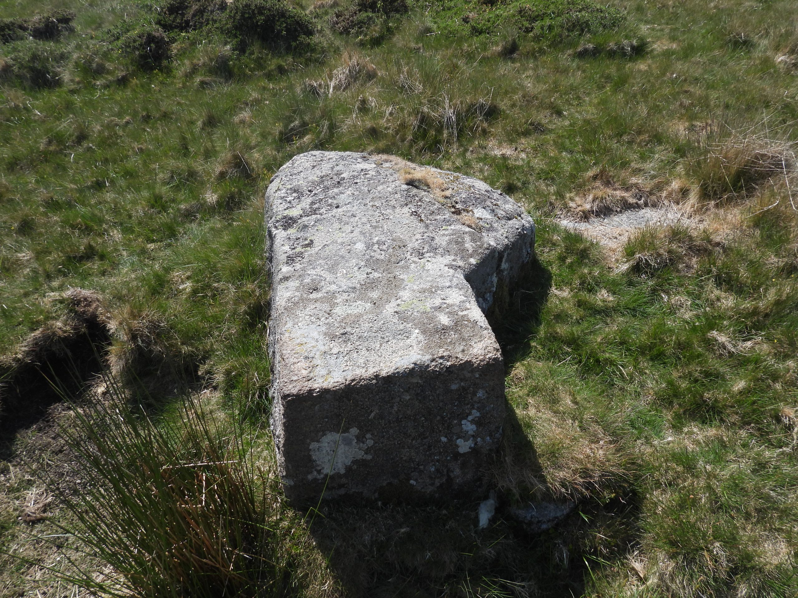
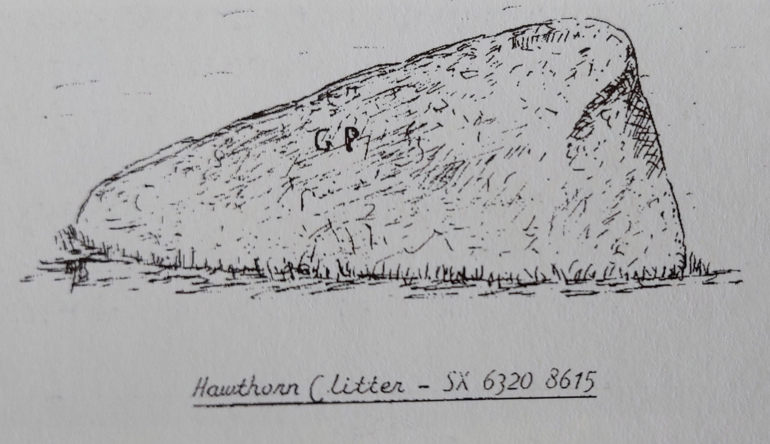
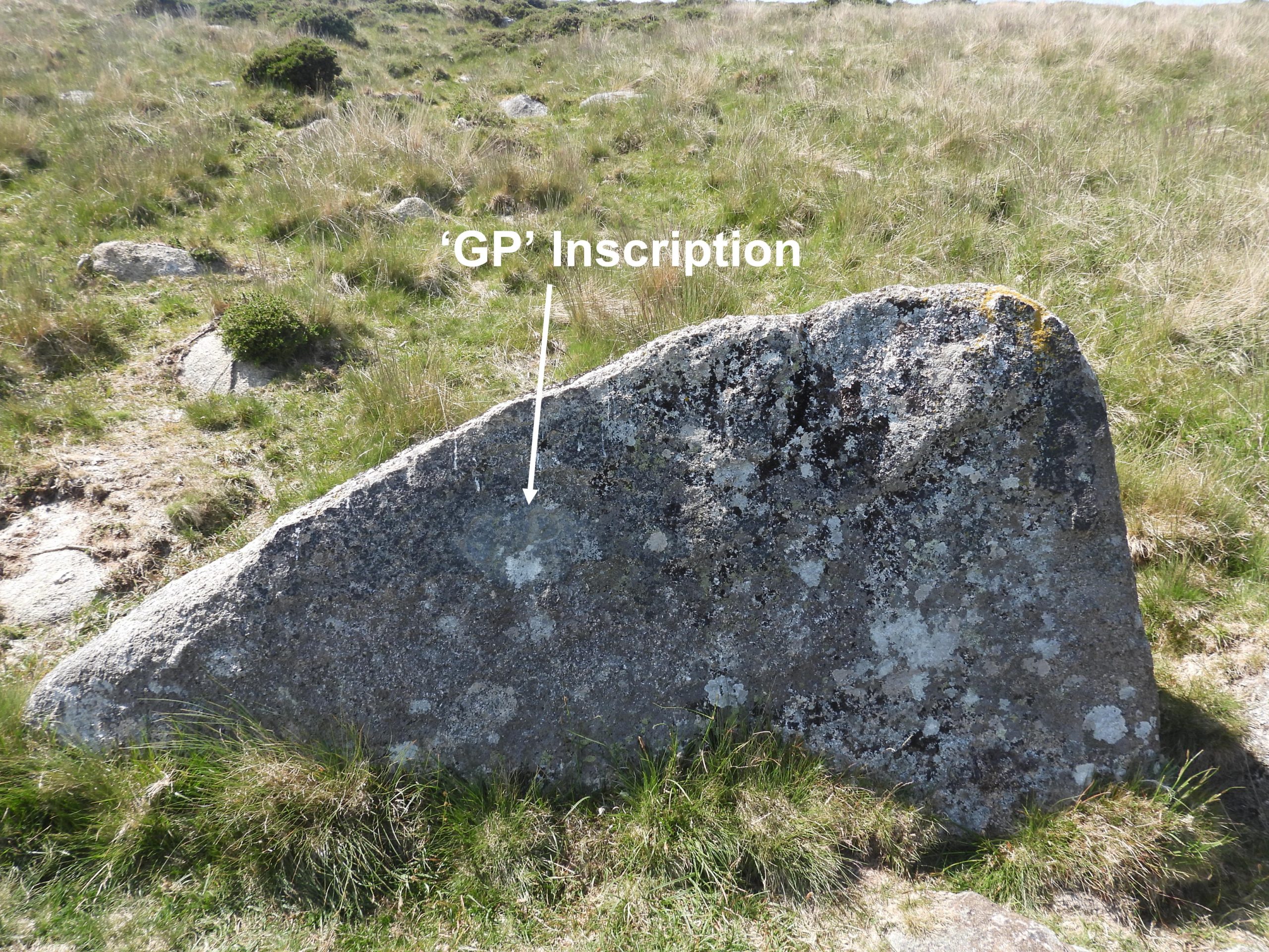
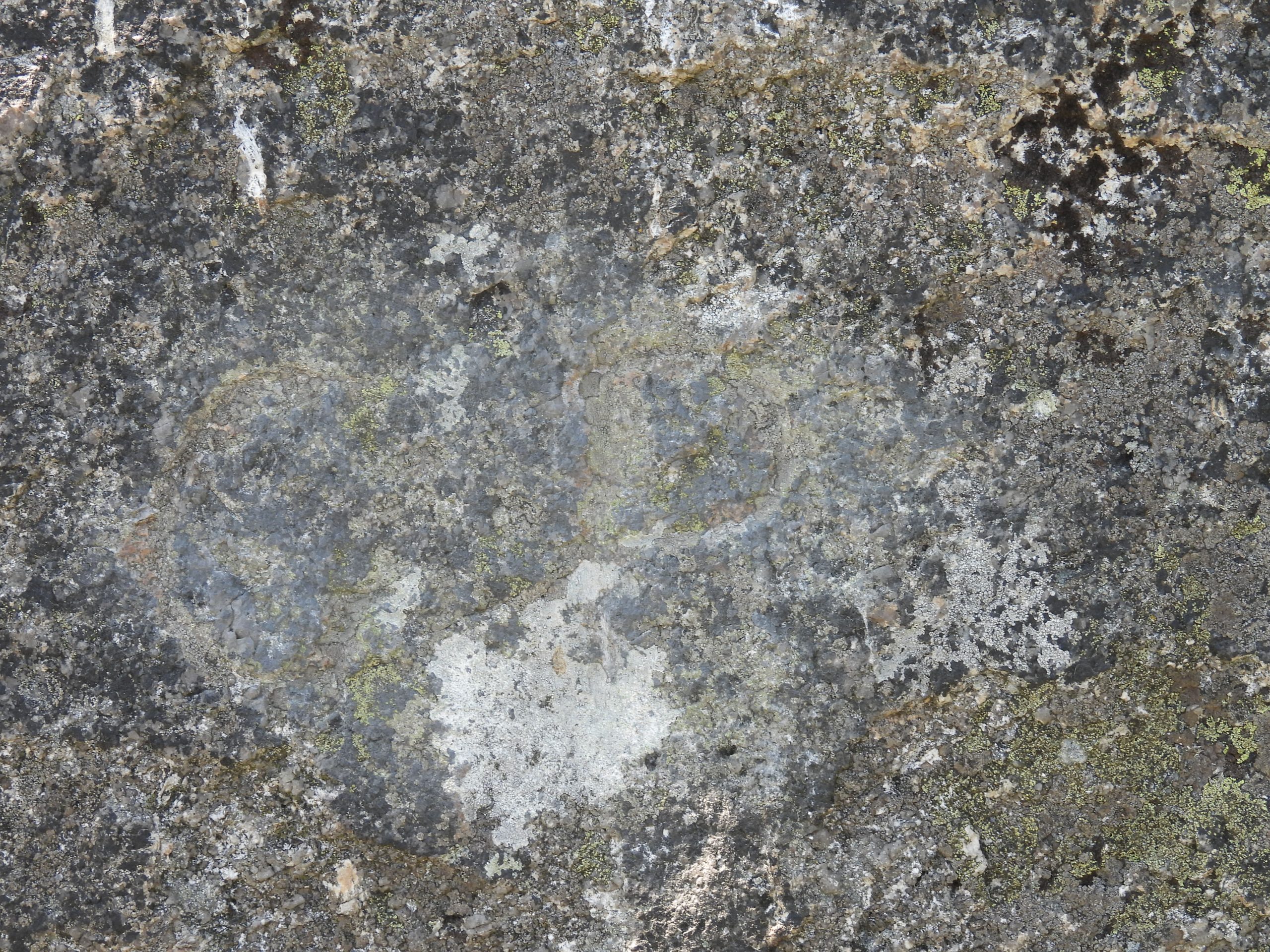
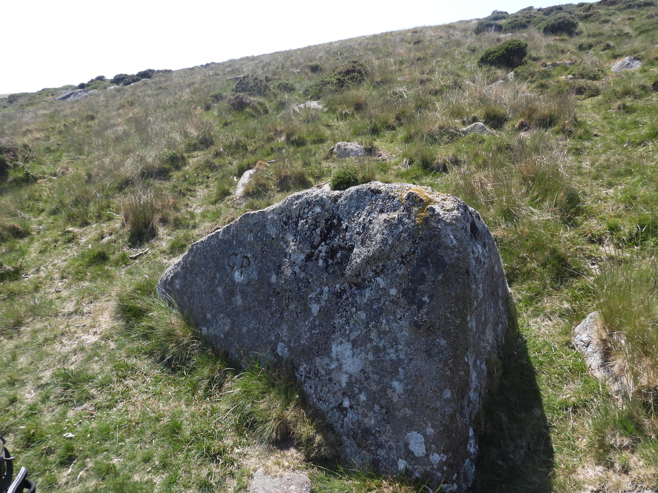
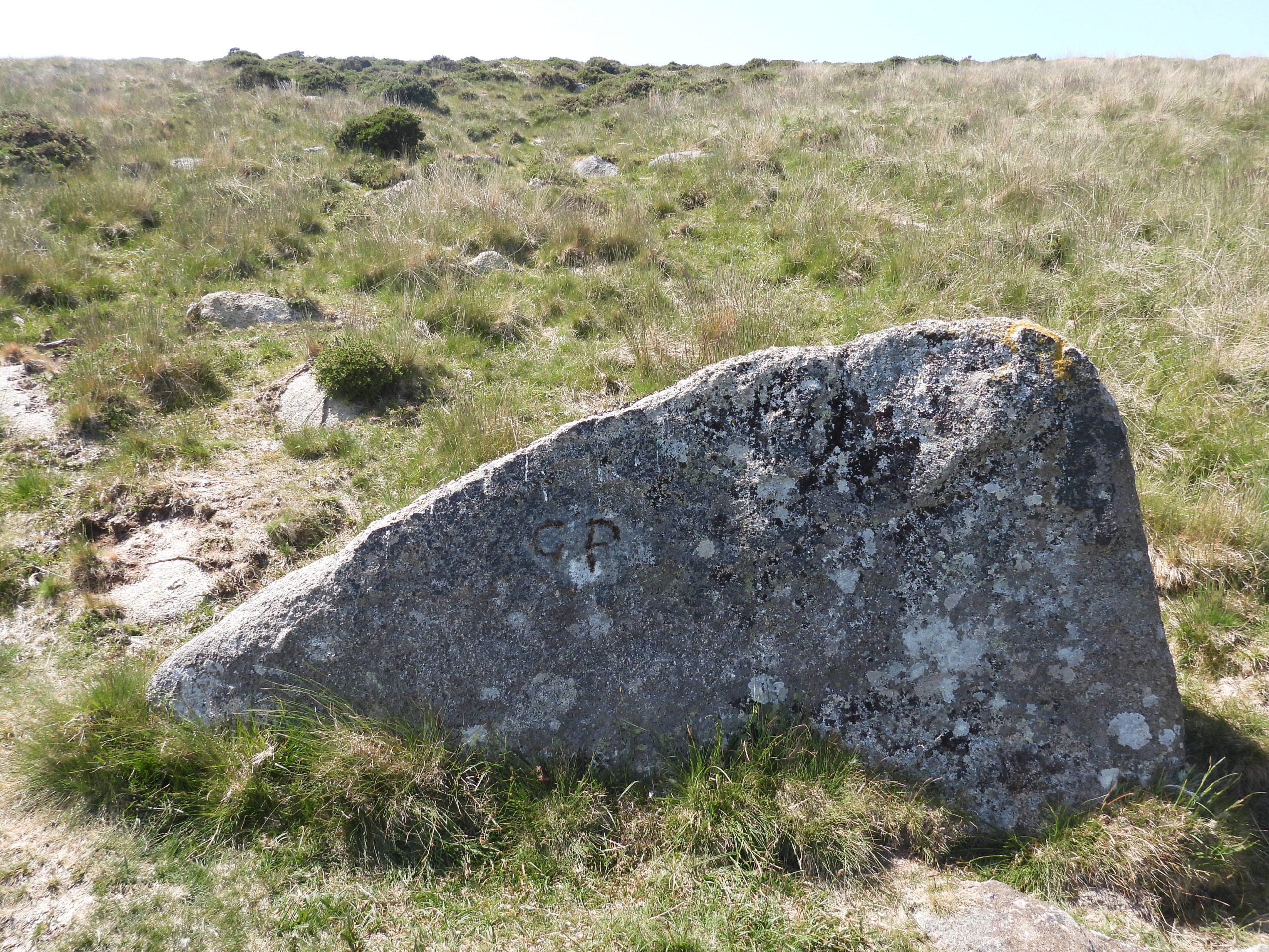
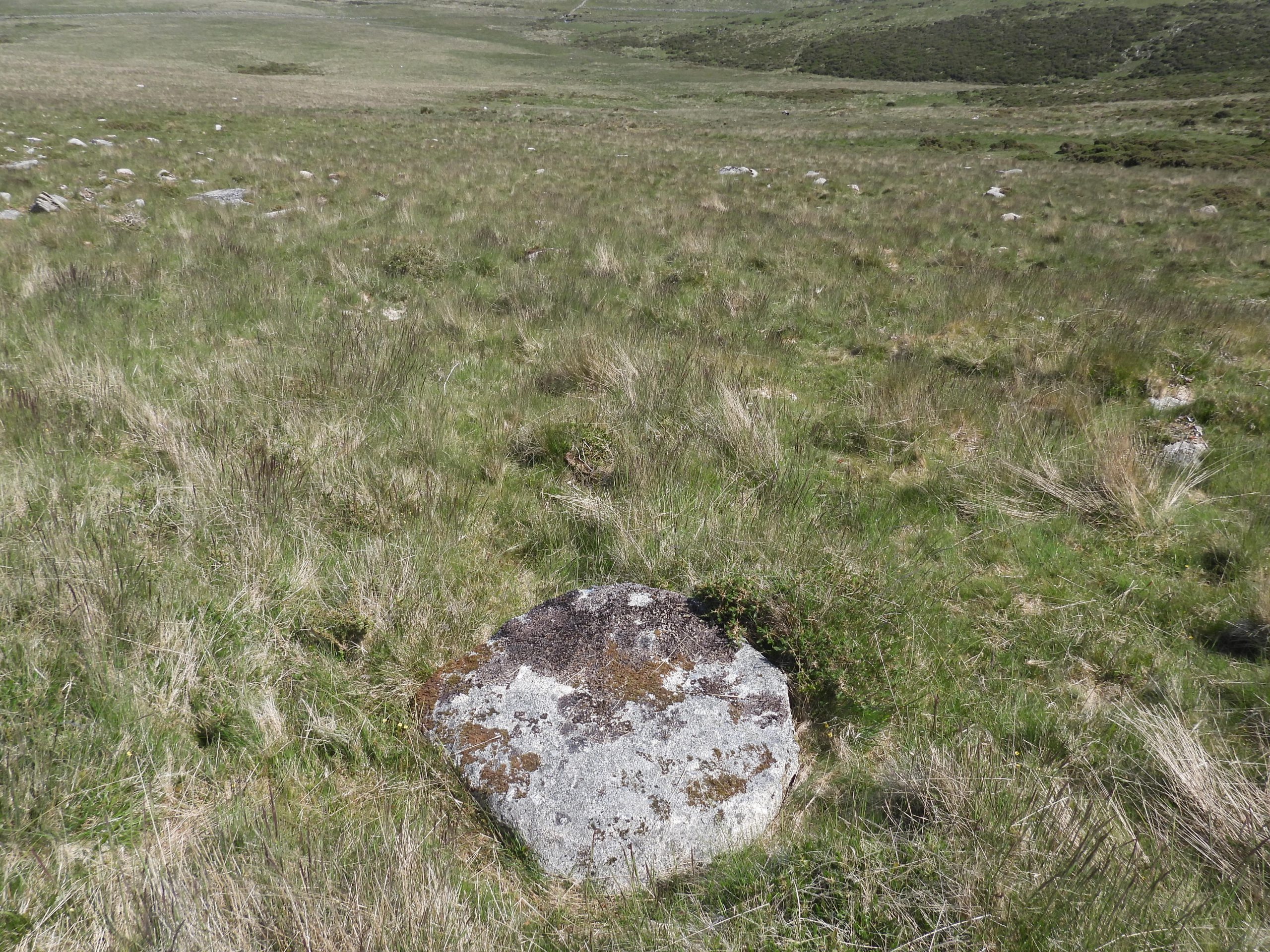
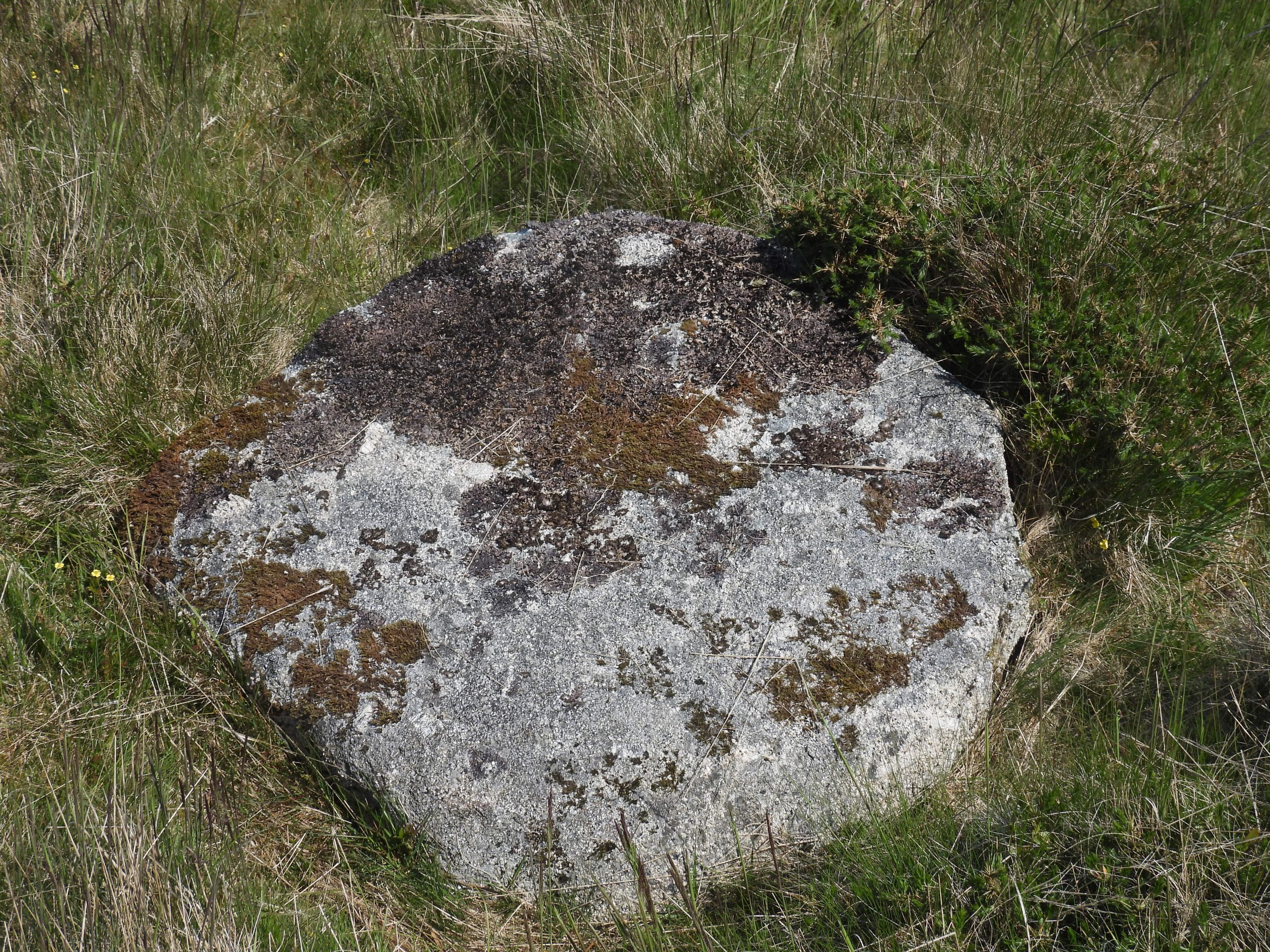
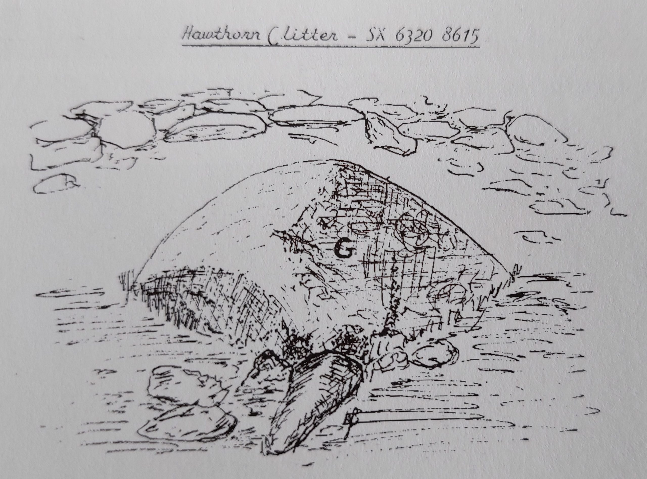
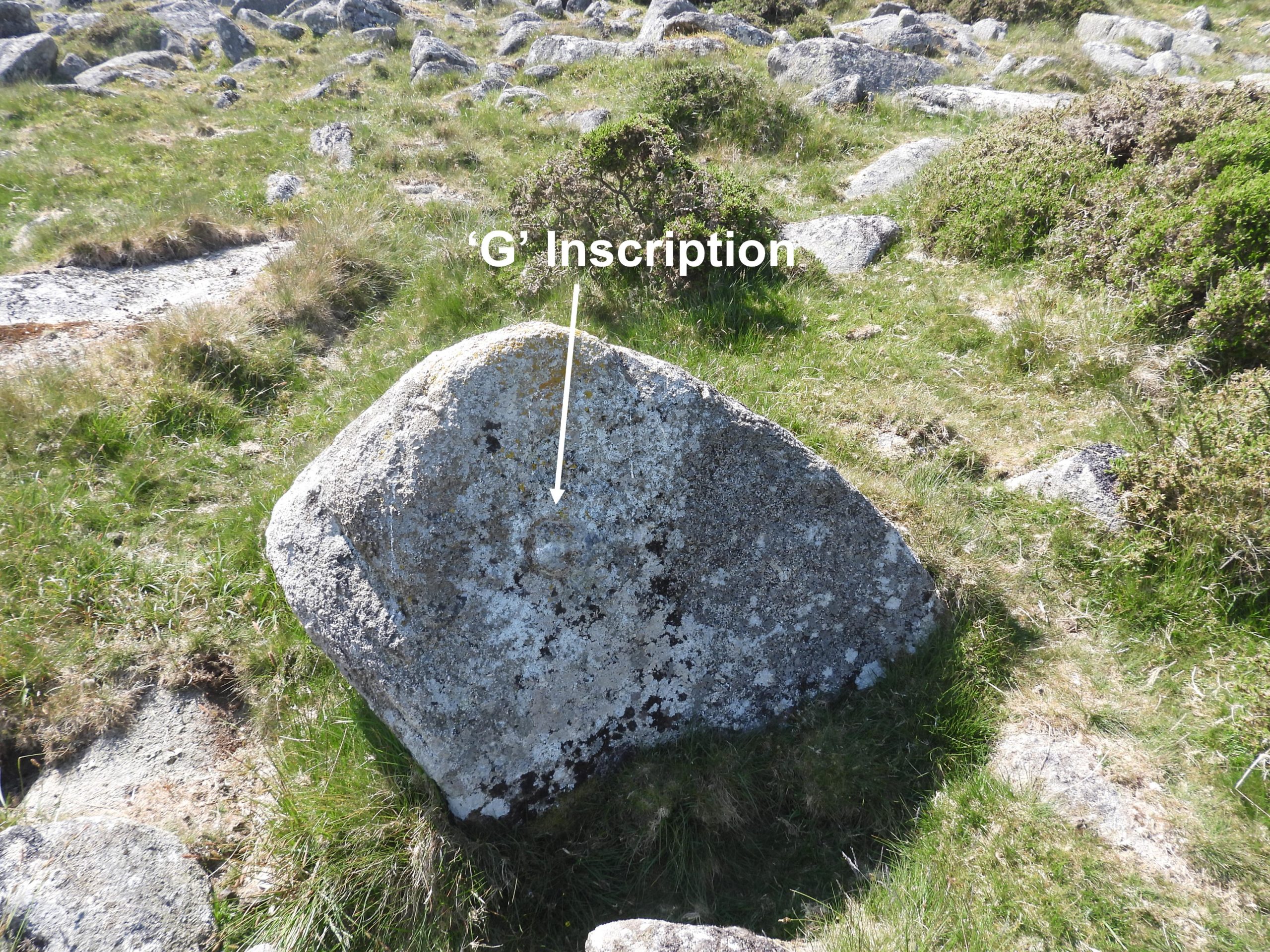
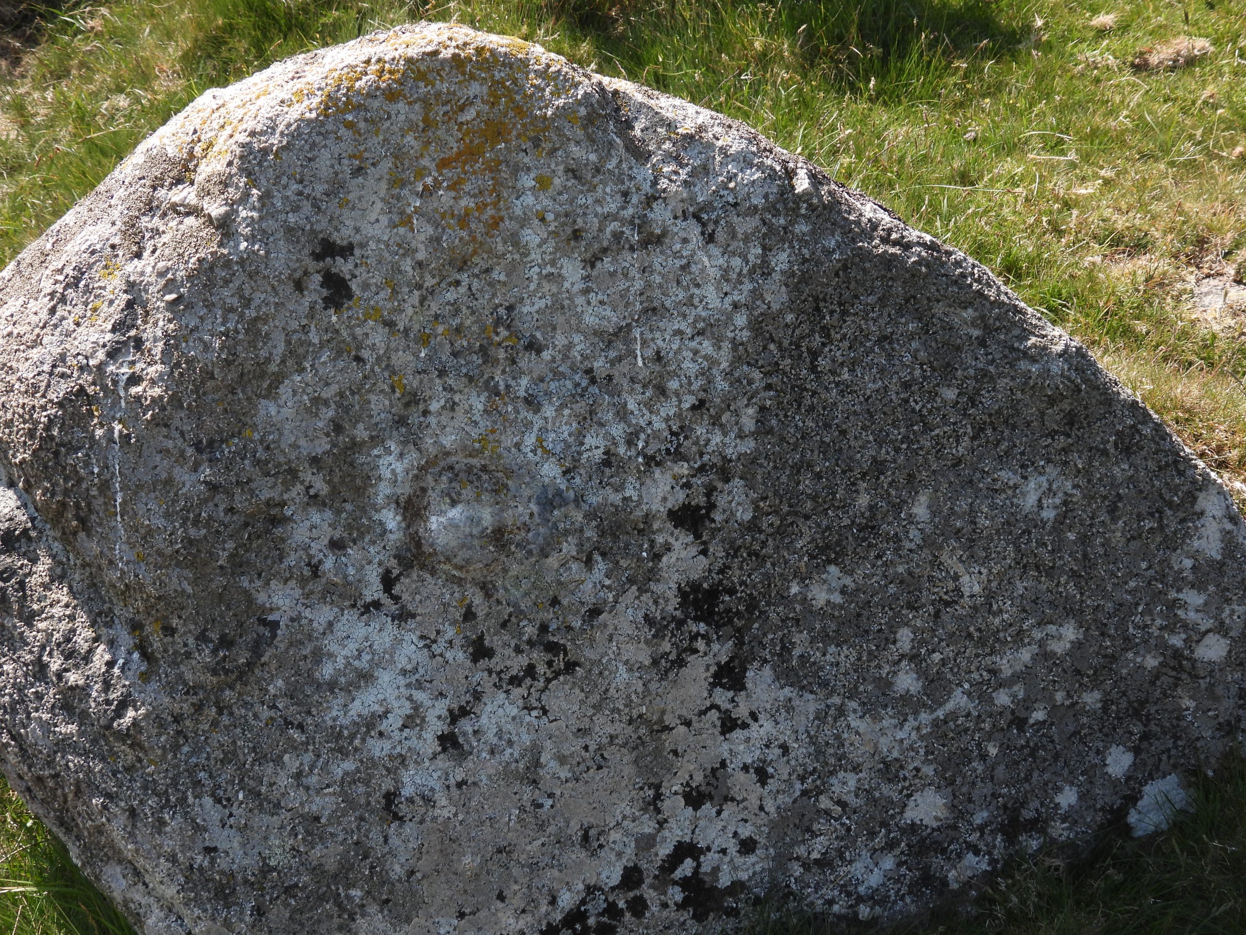
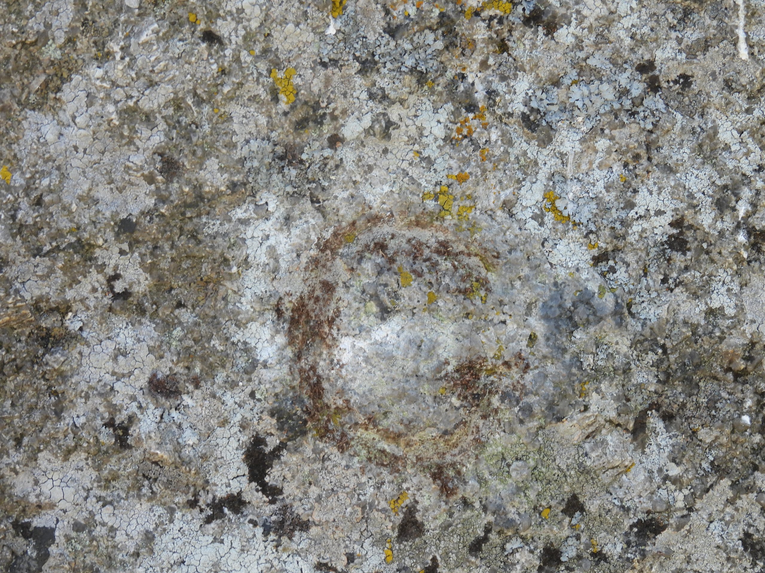
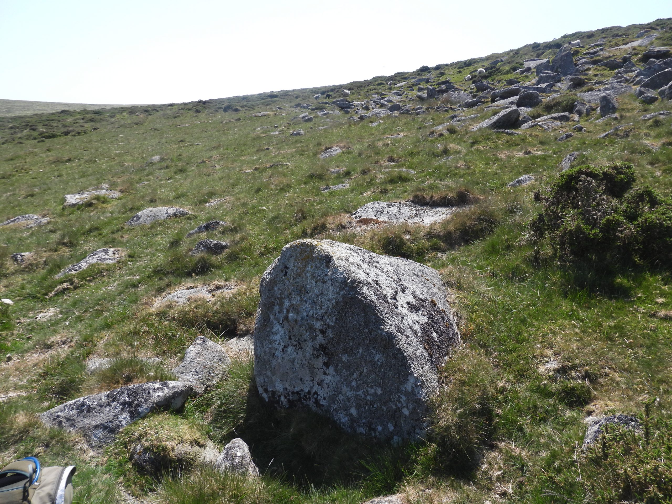
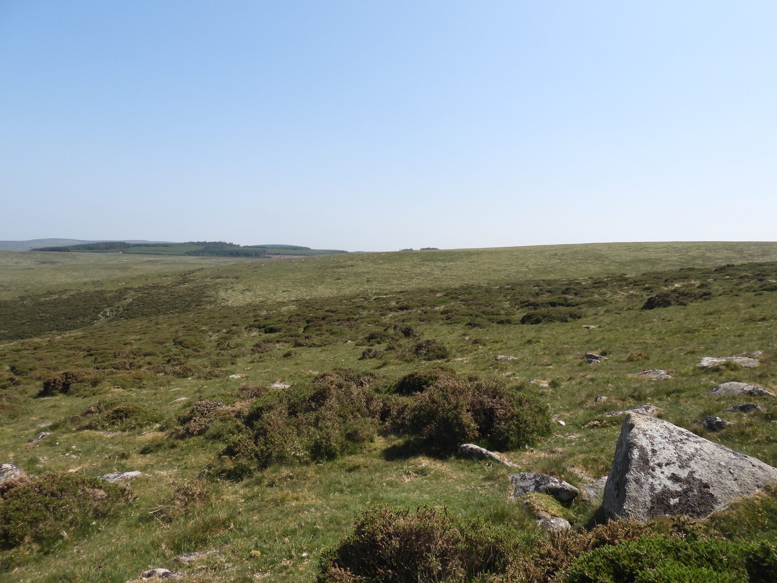
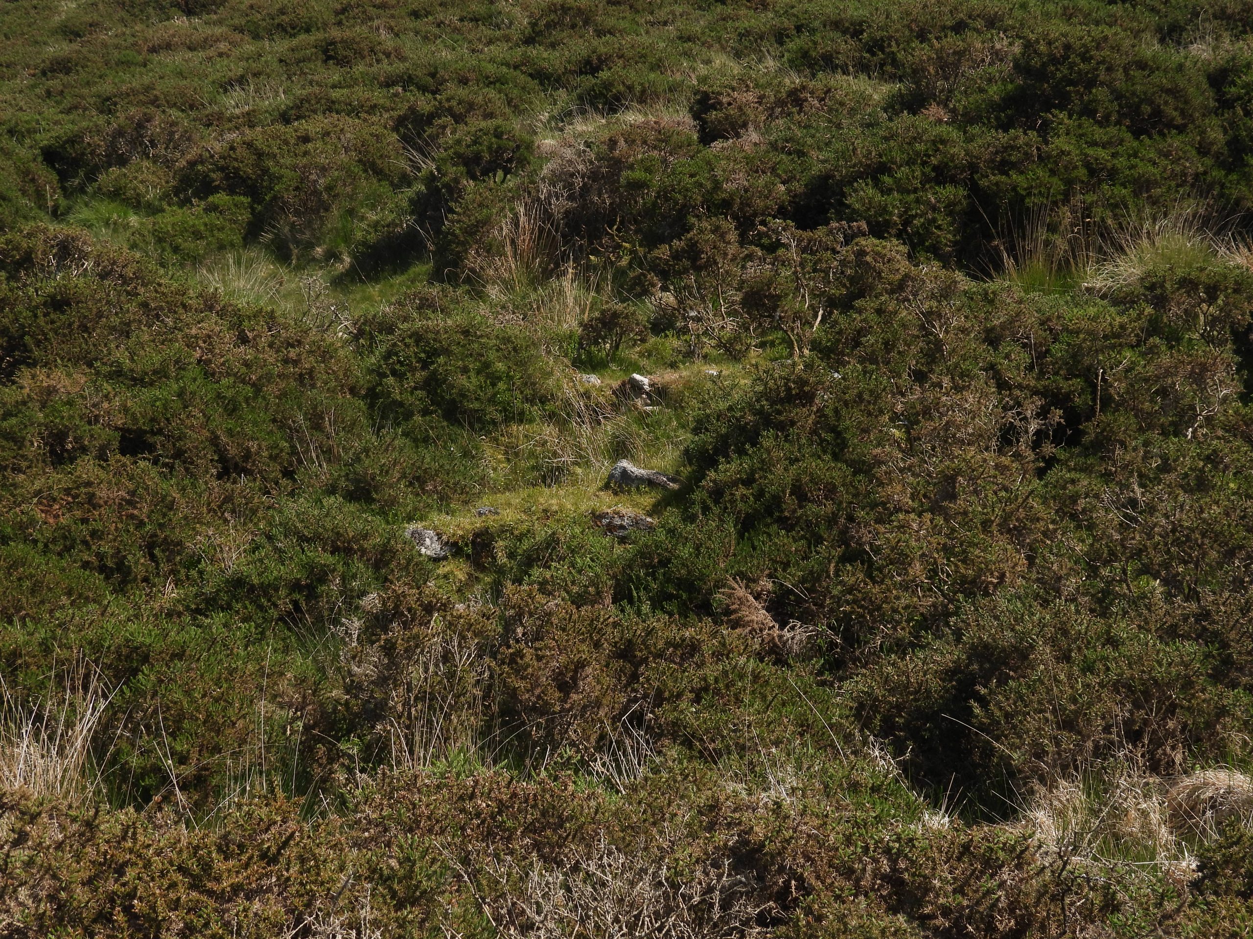
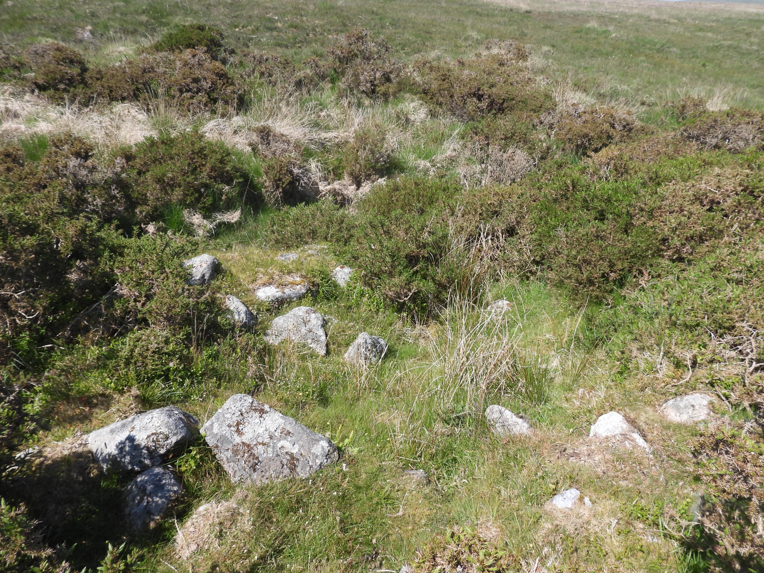
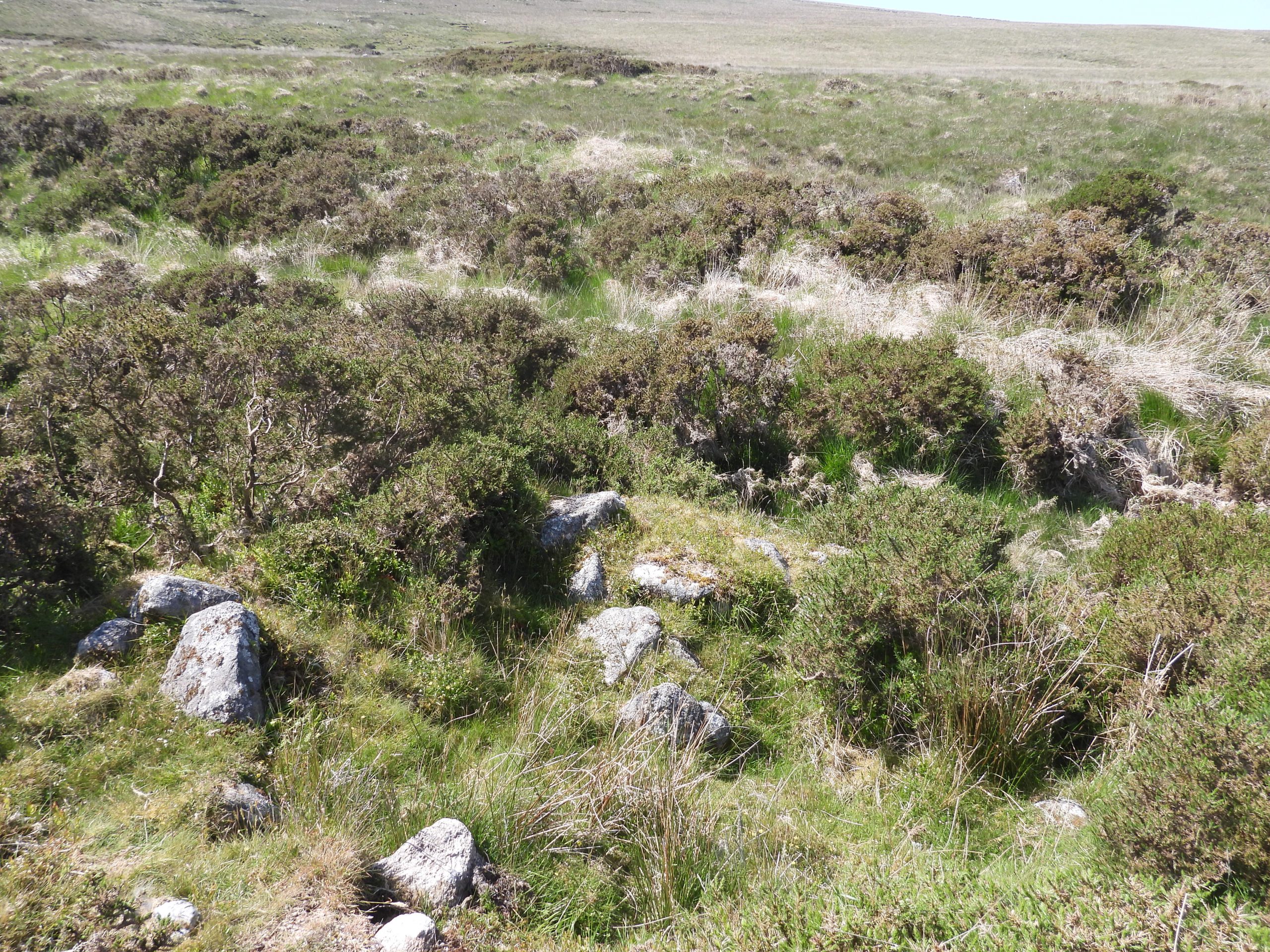
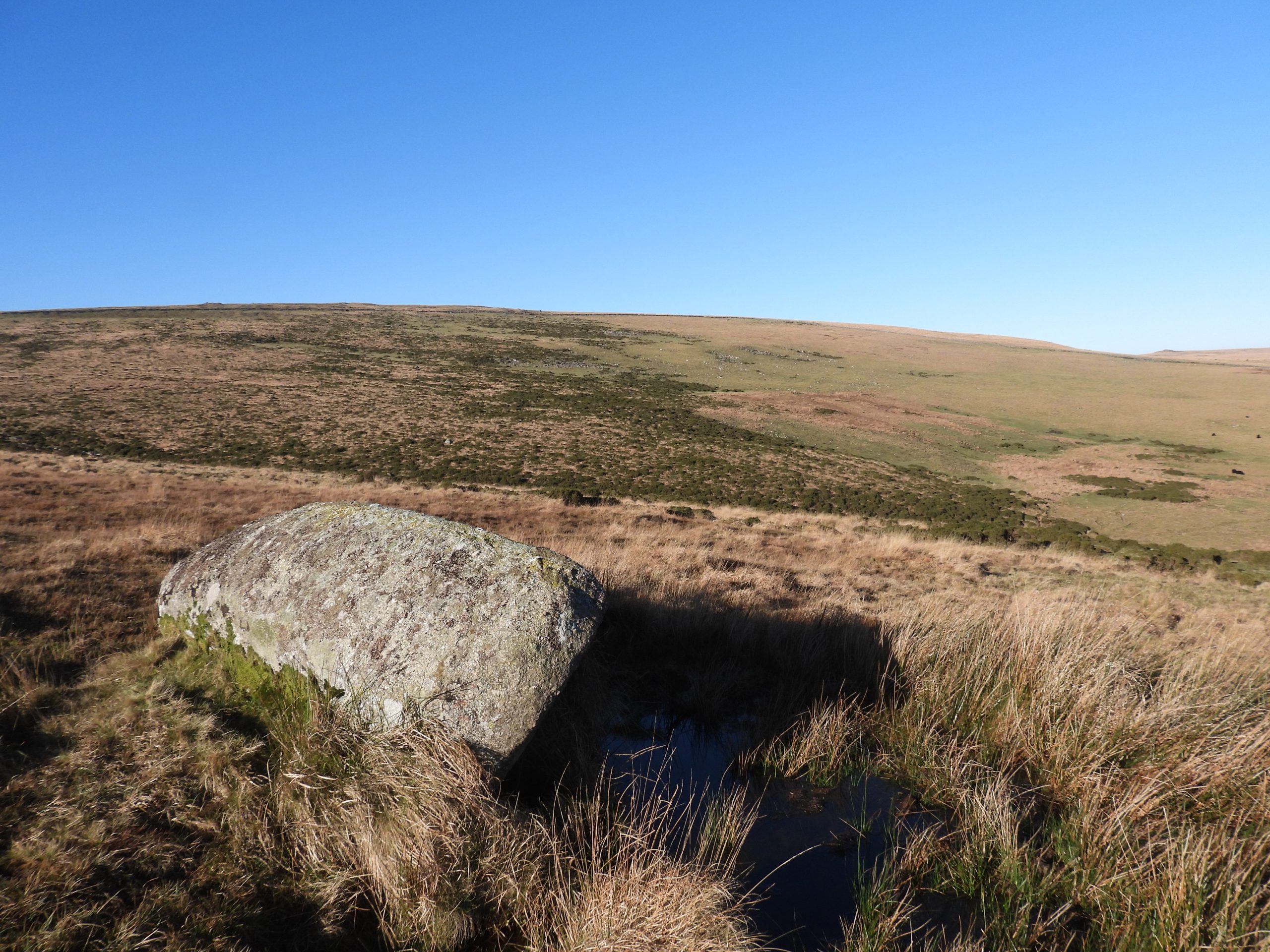
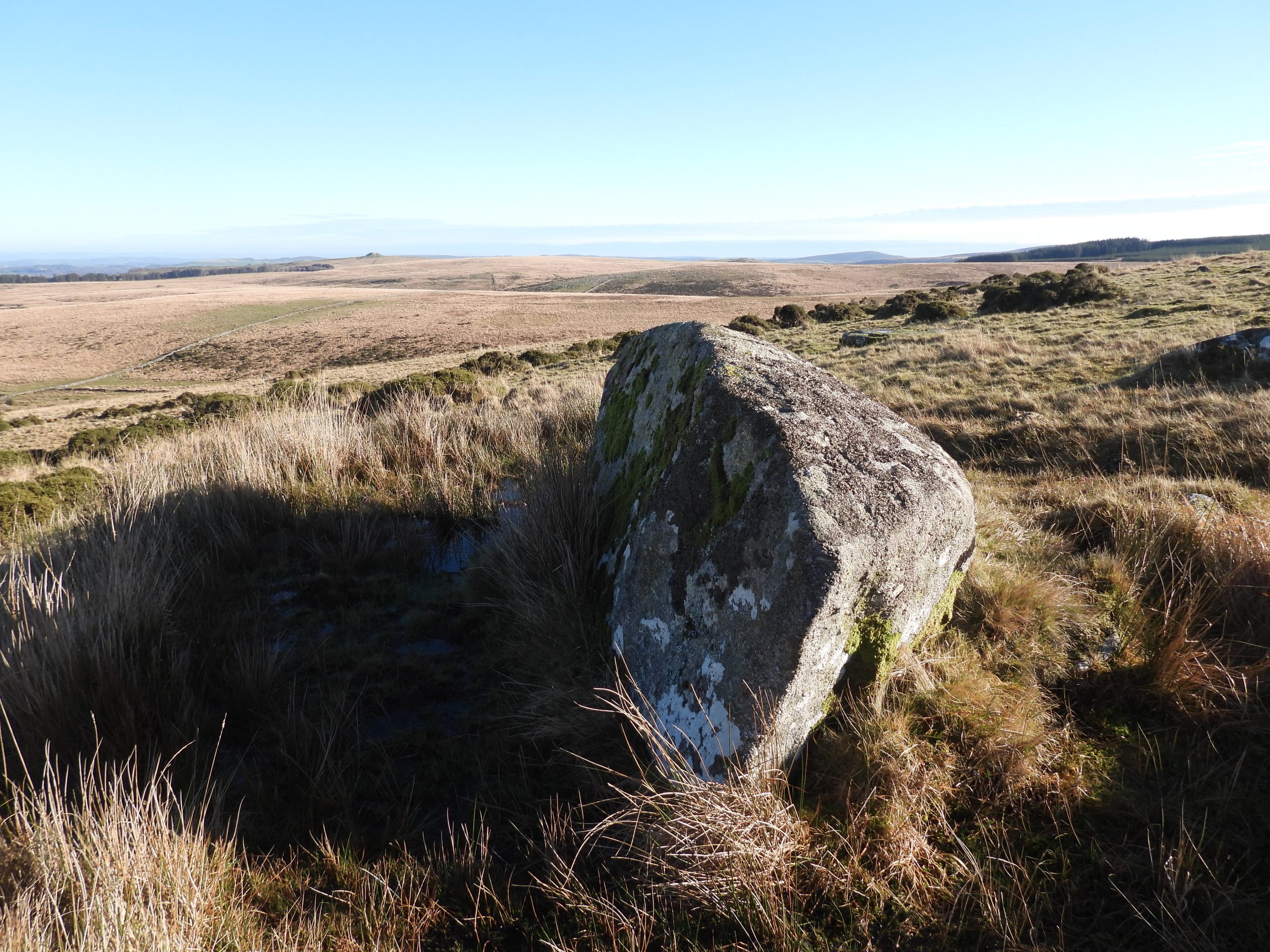
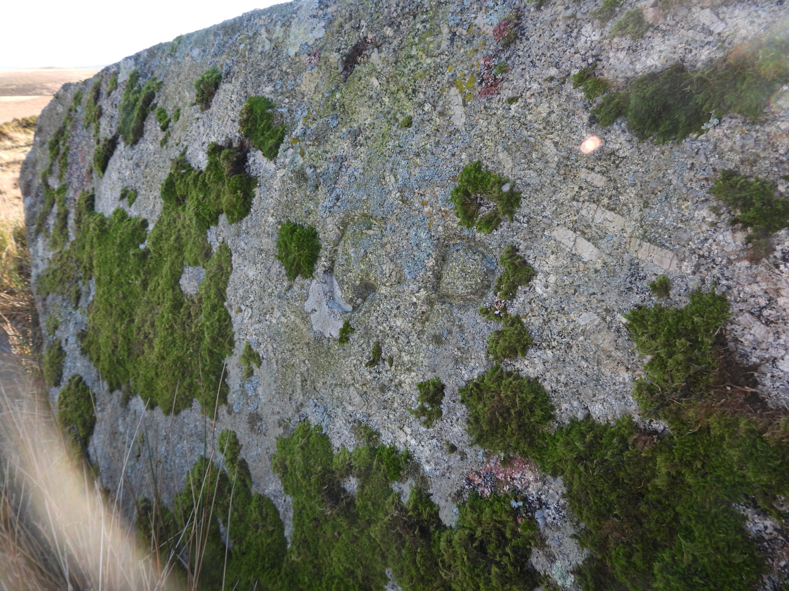
This sketch map shows the area covered in this post. The current Duchy / Gidleigh boundary (agreed in 1842/3) and largely that described in the 1639 map is shown as a dotted purple line. The ‘interim’ boundary from 1813 is shown as a red ‘dashed’ line. Two of the three ‘new’ boundary stones from 1813 are covered in this post, with the other in the aforementioned original postStone Tor is located on the line of the Teign Head farm newtake wall (supervised / built by Rogers on behalf of the Duchy – Mr Crawford). The tor was on the 1639 Gidleigh map and became part of early 19th century duchy / Gidleigh agreement (circa 1813) which to some extent went some way in re-addressing the duchy 1608 boundary claimsLooking west from the top of Stone Tor along the newtake wall. Of interest, is that the wall has only single line of rocks in its construction and has many uprights strategically placed along its length to give it strength.The “GP” inscription on top of Stone Tor. The tor appears to have been part of the Gidleigh bounds from at least 1639 to 1842 (according to Gidleigh) and from at least 1813 to 1842 (according to the Duchy). From 1842/3 to today this tor is no longer on the Gidleigh / Duchy boundary, which runs a short distance to the south.Another view of the “GP” inscription. Of note, is that the new boundary (from 1843) passed through the newtake wall to the south east of the tor and was marked by another B.S, which is no longer extant. Was this B.S knocked over by William Rogers ?Another view of Stone Tor looking north east towards Batworthy and Scorhill.Manga or Mangerford Rails were once on the Duchy / Gidleigh boundary (1813 interim agreement). The granite posts which support these rails have been in place since around 1780. The rails were repaired by DNPA in 1991 and again in 2014The ‘Manga’ Rails were originally intended to control the movement of cattle but today are a very convenient way to cross the North Teign river. Our journey (in this post) now follows the eastern wall of the Teignhead newtake retracing the boundary line of the 1813 agreement between the Duchy and Gidleigh.Will Mays House lies slightly to the east of the interim (1813) Duchy / Gidleigh boundary between the North Teign River and the Walla Brook.Will May’s House is thought to date to around 1800 and the remains comprise walls up to 1.2 metres in height. Will May, a Peat Cutter from Chagford once lived here.Will May’s House is located at SX63949 86872Will May’s House is recorded as measuring 2.7 metres by 1.3 metres with walls being 0.6 metres wide. There is fireplace built into the western wall.The 1639 Gidleigh Map previously mentioned in this post, showed the Commoners recorded their boundary as following a direct straight line from Manga Rock to the Thirlstone (Watern Tor). However, in May 1813 after the Teignhead newtake wall had been built, there was a meeting between the Duchy and Gideligh regarding the boundary as the newtake extended into Gidleigh claimed lands. From a Duchy perspective the newtake was within their lands and had been since 1608. The 1813 agreement (recorded by Dave Brewer in his Dartmoor Boundary Markers, 2nd edition (pages 66-67)), appears to have been between the Duchy and only one Gidleigh representative (called Rowe) which culminated in three new boundary stones being erected. The boundary stone in the above picture is the second of three.This recumbent boundary stone lies between Teignhead newtake and the Walla Brook. The sketch in this post reveal that the boundary stone lies on the same ‘directional’ line as the eastern boundary of the newtake wall, which was no doubt a deliberate positioning (refer to the sketch in this post). To ‘authenticate’ the new boundary stone in 1813 it was inscribed with ‘DC’ (Duchy of Cornwall) on one face. The inscriptions were agreed “to make them (the B.S’s) look more ancient”On the reverse side of the recumbent boundary stone, there is a ‘G’ for Gidleigh. The boundary stone is located at SX63660 87050Dave Brewer records in his book that the three boundary stones were erected and inscribed on October 12th / 13th and cost £2 and 17 shillings. The cost was jointly borne by the Duchy and Gidleigh. The question is who really won here – the Duchy or Gidleigh? The argument for the Duchy is that they protected the Teignhead newtake wall with the ‘new boundary’ not crossing it. The argument for Gidleigh is that the Duchy conceded land they had assumed was their’s from 1608. In any event, Gidleigh finally won in 1842/3 when they ‘regained’ their land they believed was their’s from 1639 (ie from Manga Rock to the Thirlstone) as part of the enquiry / settlement at that time. The forest boundary hasn’t changed since then. It would be nice to see this recumbent boundary stone re-erected at some point.Continuing along the 1813 agreed boundary from the second (recumbent) boundary stone to the third boundary stone on Headon Hill, the ground becomes very tussocky as one approaches the delightful Walla Brook valley. Here there are two quite mature trees, each containing a nest, which one assumes are from crows.This little fellow was seen perched on a rock next to the Walla Brook. The author is not sure of the species.The delightful Walla Brook with Wild Tor and Wildtor clitter just about visible in the distance.Close to the Walla Brook are the remains of a building believed to be a Tinner’s Hut.The walls of the Tinner’s Hut are quite wide at 0.8mEric Hemery records this hut in High Dartmoor (page 787) as being unusually large and measuring 33 feet 2 inches long by 15 feet 3 inches wide and divided internally into two rooms. He concludes htere is little doubt that the building was a tinner’s hostel.The Tinner’s Hut is located at SX63361 87598 and is (more or less) on the line between the second and third 1813 ‘new’ boundary stones.And so to Headon Hill. This picture is a sketch from Dave Brewer’s dartmoor Boundary Markers, second edition (page 56) and is the final boundary stone of the trilogy. It is also known as ‘Haydon B.S’‘Haydon B.S’ with Watern Tor in the distance. The Headon B.S has ‘DC / TP’ inscribed on its north west side. The ‘DC’ (Duchy of Cornwall) would have been the original inscription on this side with ‘TP’ (Throwleigh Parish) added later. It is assumed, due to the orientation of the stone that it was once recumbent and has been re-erected (incorrectly). It is assumed that the stone originally only had ‘DC’ inscribed on this side with Throwleigh utilising it as one of their stones at a later date. On the reverse side of the ‘Headon B.S’ there is a ‘G’ inscribed (Gidleigh). This with the ‘DC’ dates from 1813.Of interest is that the ‘Haydon B.S’ does not lie on the current Throwleigh / Gidleigh parish boundary. In fact it is located about 200m from the boundary. One can only assume that the Duchy / Gidleigh agreement of 1813 chose this spot as it is on the high point of the hill. The fact that Throwleigh appear to have also adopted the stone as well (at a later date) has confused matters as they may not have checked its exact location or perhaps weren’t that concerned about a short distance error? Another explanation is that historically the boundary did run through this point as it does appear to be on the straight line route between Wildtor clitter and Gartaven Ford, two other known waypoints of the parish.The ‘DC’ / ‘TP’ inscription mud painted. The B.S is located at SX63157 87978It is intriguing that the ‘DC’ and ‘TP’ appear to be have been inscribed by the same mason. This may have been the case but at different times as it is recorded that this was ‘newly’ erected in 1813 with ‘DC’ on one side and ‘G’ on the other as described by Brewer (page 67).The line of the 1813 agreement continues to Hound (or Round) Tor, which at that time the Duchy recognised as being on their boundary as did Gidleigh in their 1639 map. To confuse matters even further (if they weren’t already) by 1842 (at the enquiry) the Duchy changed their story (again) and claimed their land was as far east as a line between the Walla Brook clappers and the Whit Moor stone (what a carry on!). Anyway between 1813 and 1842 at least, the Duchy / Gidleigh boundary appears to have run from Stone Tor to Manga Rails before turning from east-west to southeast-northwest from Manga Rails to Headon Hill with the Duchy line continuing to Hound Tor. If the Duchy line ran from Headon Hill to Hound Tor, then they would have been making an incursion into Throwleigh land.At Hound Tor, there is no ‘DC’ inscription just a ‘TP’ for Throwleigh Parish. Hound Tor lies on the boundary of the Forest of Dartmoor and was known as ‘Pava Hundetorre’ to the 1240 perambulators. Close up of the inscription. The author wonders whether the inscription was originally just a ‘T’ as the ‘P’ appears to be taller (both top and bottom). Was the ‘P’ a later addition ?Returning back through Wildtor well, crossing the Walla Brook along the post 1843 Duchy / Gideligh boundary line, these lovely Belted Galloways were encounteredThe Thirlstone ‘Thurleston’ is at the north end of Watern Tor. The general belief is that the 1240 perambulators (forest bounds) passed through here. However, there is some debate as to what the 1608 Perambulators and 1609 Survey Court took as “Thurleston” – did they mean Watern Tor ? The Duchy at one point claimed the Whit moor stone (near White Moor Stone circle at Little Hound Tor) was the ‘Thurleston’ (or Thirlstone / Thurlestone). The Thirlstone (or holed rock). General views of Watern Tor, which to many is their favourite tor within the National Park.On the 1639 Gidleigh map and following the 1842/3 enquiry settlement, the Thirlstone has been considered to be on the Duchy (Forest) / Gidleigh Boundary and a ‘GP’ inscription is evident here.The ‘GP (Gidleigh Parish) inscription is located at SX62913 86875The (finally) agree Duchy / Gidleigh boundary runs close to the stile (just south west of it) at the corner of the Teignhead newtake wallThe next waypoint of the boundary is Hawthorn Clitters at SX63195 86227. Here a boundary marker has been recorded on older 1960’s maps but the author is unaware of its location (if it is still there). Here the boundary changes direction slightly east of south.Heading south east towards the next boundary marker, this rock caught the eye of the author. It looks like the end has been ‘squared off’ as if to make a troughThis ‘part trough’ or ‘unfinished trough’ is located at SX63211 86165As we head towards Hugh Lake and Manga Rock, the first of two inscribed earthfast inscribed rocks are encountered. This is a sketch of the first one which is taken from the Dave Brewer book (page 70).The ‘GP’ (Gidleigh Parish) inscription is barely discernible even after a cleanClose up of the ‘GP’ inscription.With a little help from mud painting the ‘GP’ becomes more evident.This rock is located at SX63269 86161A short distance from the ‘GP’ inscribed rock is a possible unfinished millstoneThe unfinished millstone is located at SX63298 86165Continuing towards Hugh Lake and Manga Rock, the second of two inscribed earthfast inscribed rocks are encountered. This sketch is also taken from the Dave Brewer book (page 70).This second inscribed earthfast rock is barely 100m from the first but is inscribed ‘G’ (Gidleigh) only. Like with the ‘GP’ inscription on the previous rock this ‘G’ inscription is barely discernibleA little mud paint to emphasis the ‘G’.This ‘G’ inscribed rock is located at SX63288 86113. The author wonders why the ‘GP’ and ‘G’ rocks are so close together and can only conclude they were inscribed at different times (perhaps when one or other couldn’t be located ?)A contextual picture of the ‘G’ rock (bottom right) looking across Hugh Lake towards Manga RockJust to the east of the boundary line, where it crosses Hugh (Hew) Lake another Tinner’s Hut can be found (amongst the gorse)Internally the Tinner’s Hut is 3.2m NE-SW by 1.9m NW-SEThe walls are recorded on the Heritage Gateway as being 0.7 metres thick and 0.8 metres high. A probable entrance faces the stream.Manga Rock. Shown on modern OS maps. View overlooking Hew (Hugh Lake) towards Hawthorn Clitter. This rock represents the ‘turning point’ of the Duchy / Gidleigh boundary from southeast-northwest to east-west. The 1639 Gidleigh map showed the boundary leading to Stone Tor from here crossing the North Teign just to the south of Manga rails. Manga Rock from the west. Kes Tor on the horizonManga Rock is inscribed with a “GP”