A collection of walks, discoveries, insights and pictures of exploring Dartmoor National Park
June 23, 2023
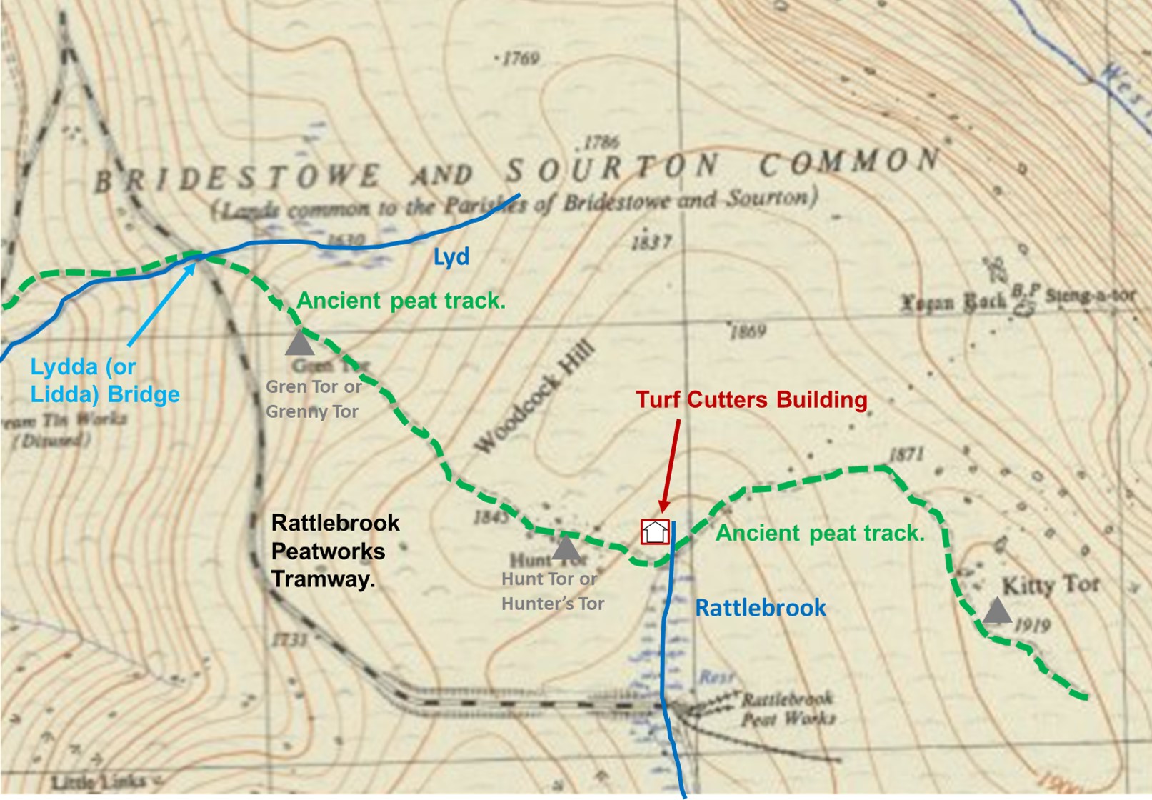
Ancient Peat Track to Kitty Tor and Amicombe Hill
Historical records suggest the lifespan of the Rattlebrook Head Peat Works ran from around 1867 through to 1931 following the first sett licence being granted in January 1867. The railway serving peatworks, opened in 1879 and closed in the 1930s, albeit when the railway line was dismantled the remaining trackway was used until the 1950s by lorries to bring the peat off the moor. Before this highly commercial exploitation of the area for peat, it is very probable that there was domestic exploitation. To this end, to the east then north of the railway line (from Lydda Bridge) is an ancient peat track, which passes to the east of Gren (Grenny) Tor, passing the southern slopes of Woodcock Hill onto Hunt (Hunter’s) Tor then onto Kitty Tor and the northern flanks of Amicombe Hill. This peat track, would have pre-dated the railway and the was more than likely used for the domestic or low level commercial exploitation of the peat in the area. The author has been unable to get a ‘fix’ on the date of this peat track, but would estimate that it was in all likelihood constructed in the 17th or 18th century. Eric Hemery mentions the ‘ancient peat track’ in High Dartmoor (page 976) in relation to it leading to ‘turf-ties’ at Kitty Tor and Amicombe Hill
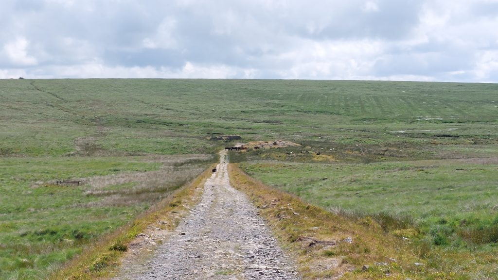
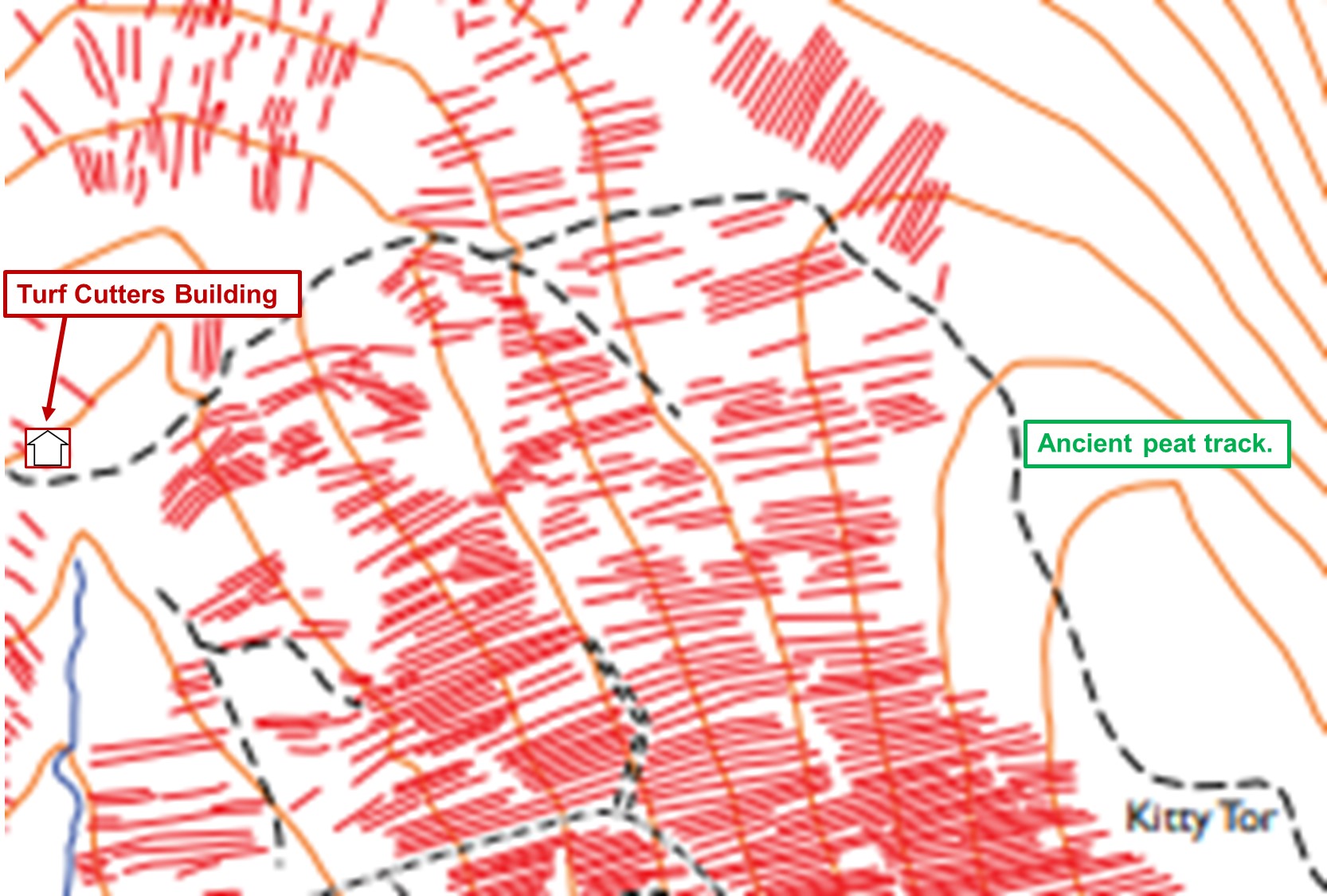
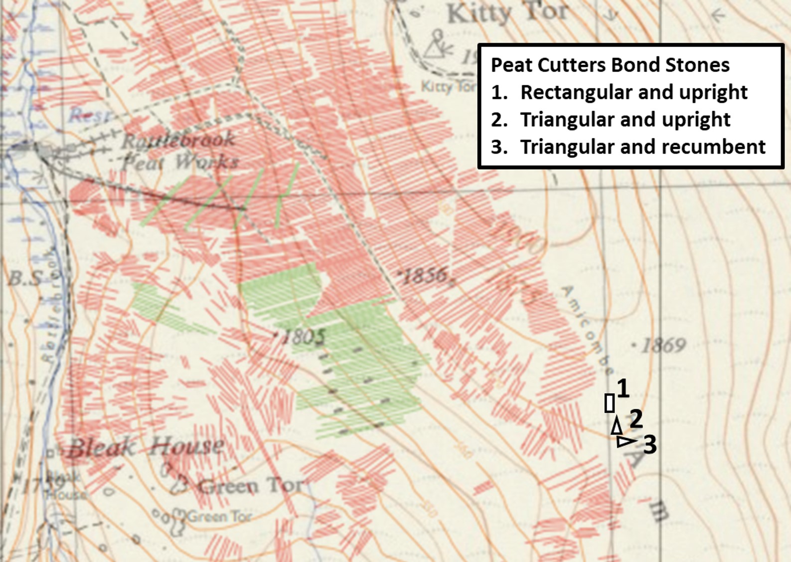
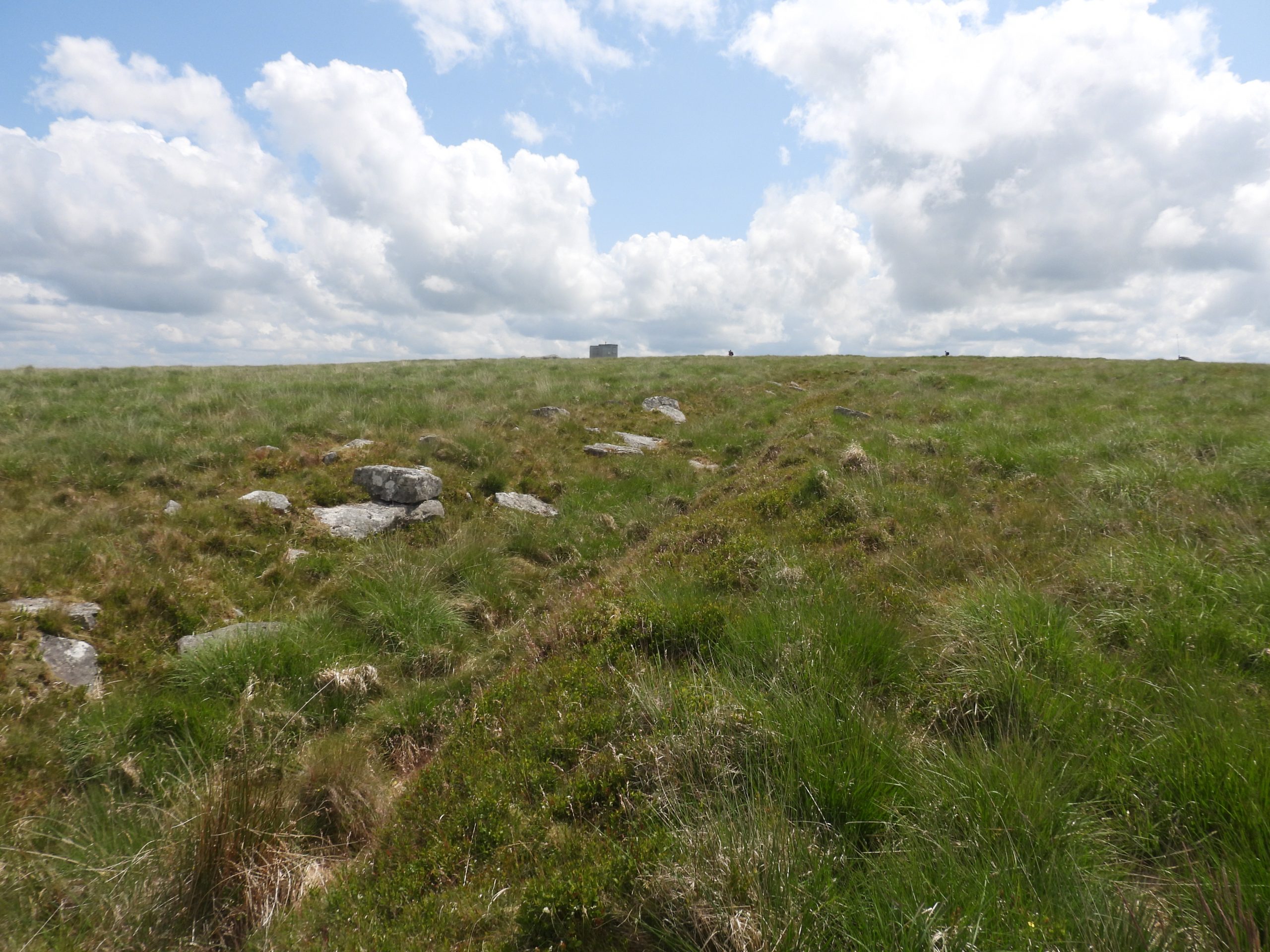
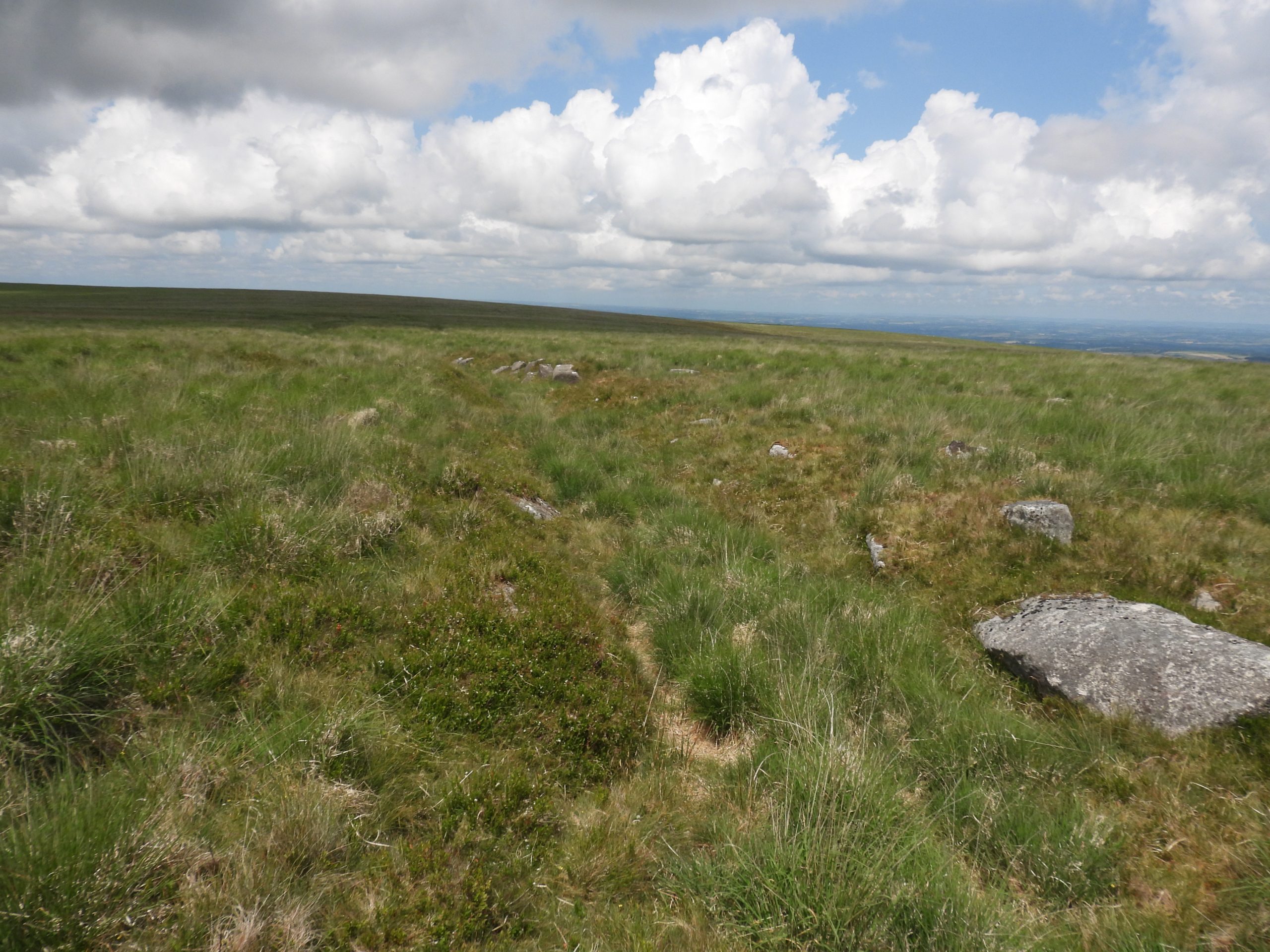
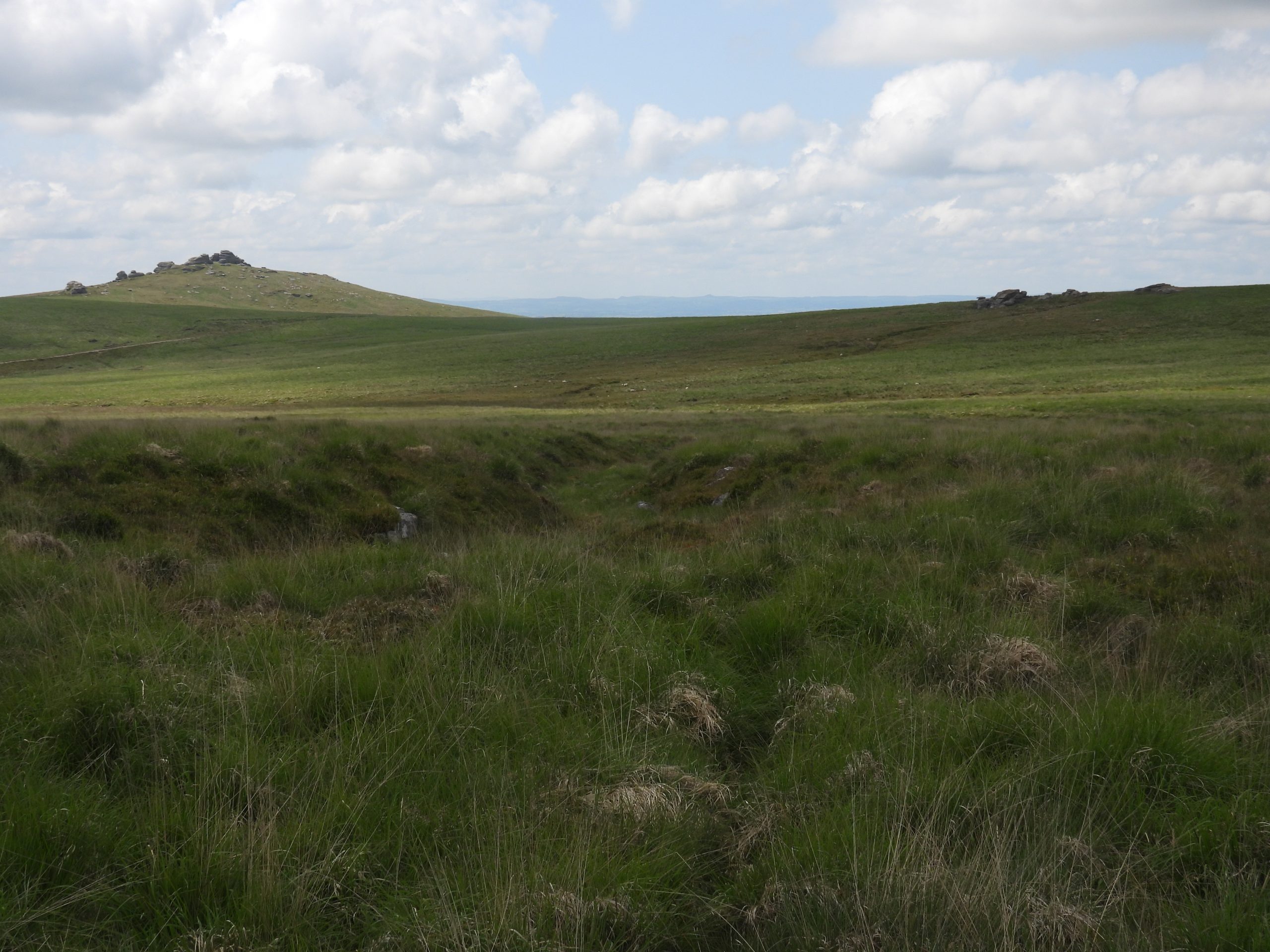
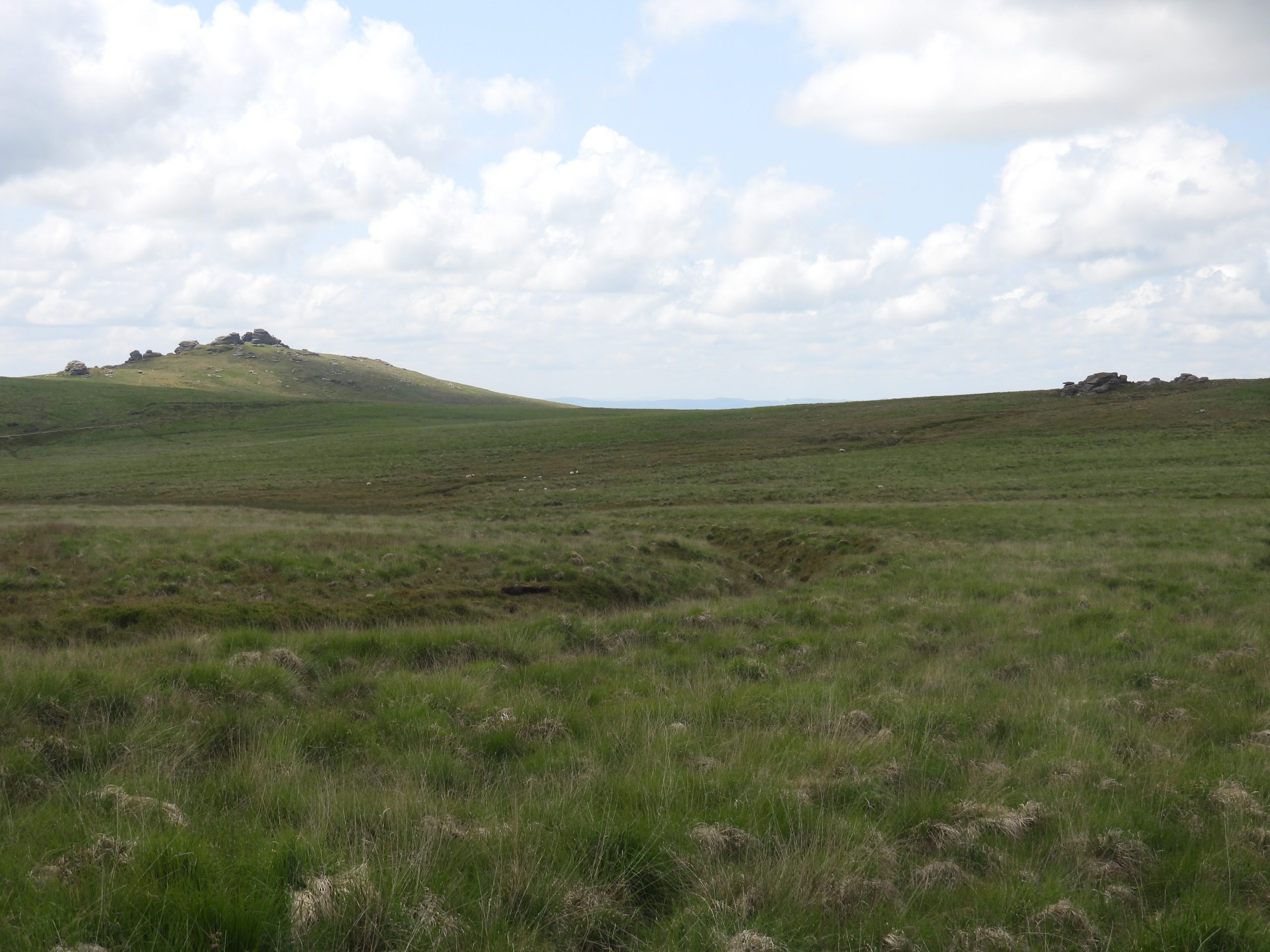
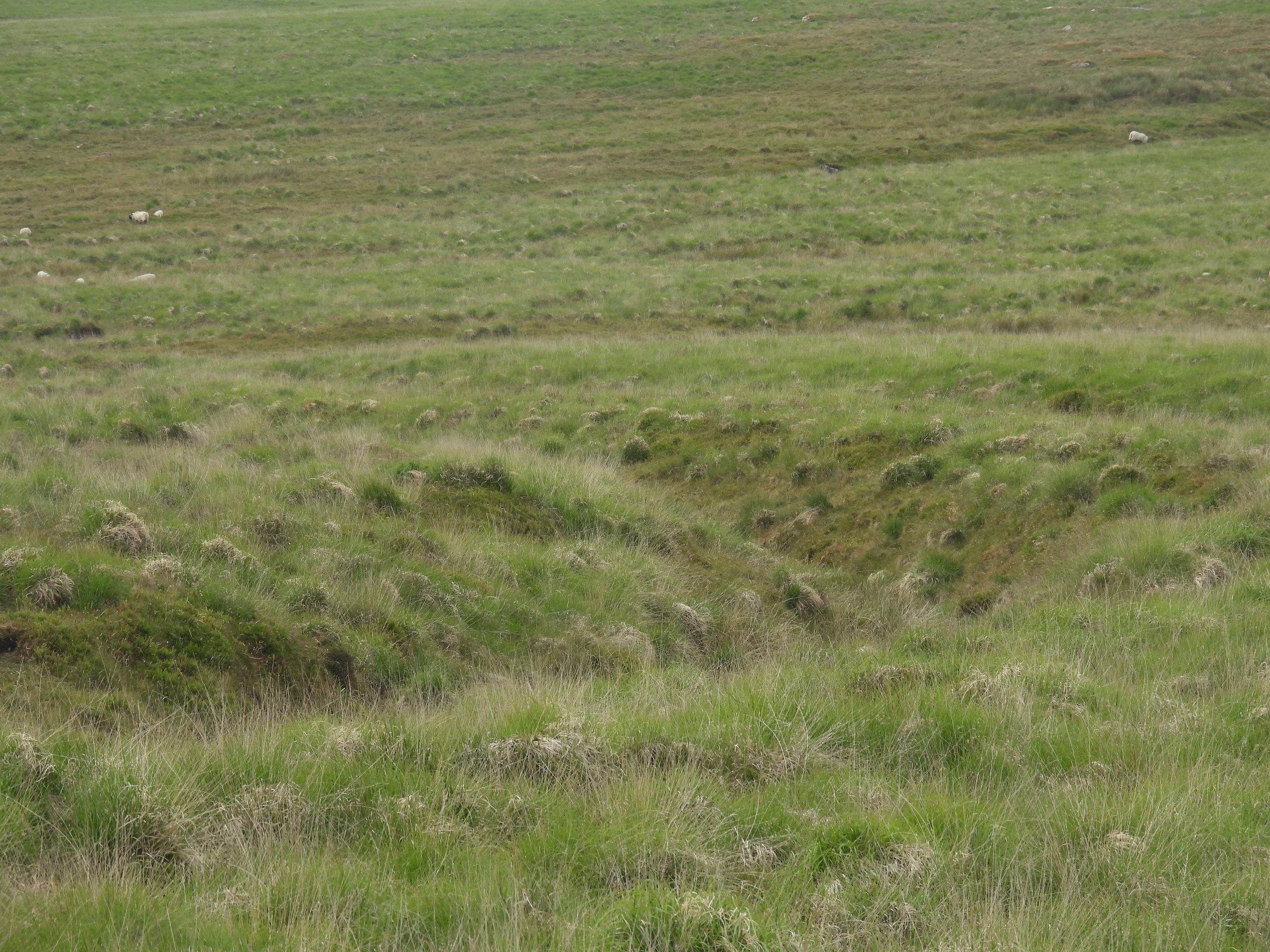
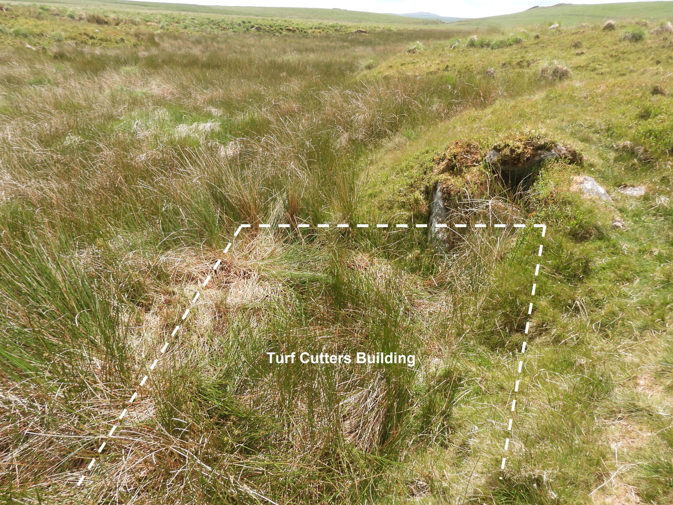
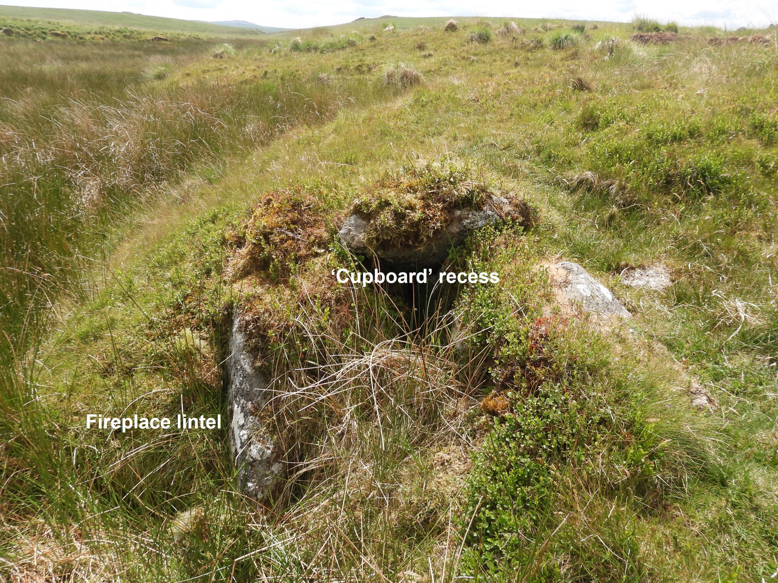
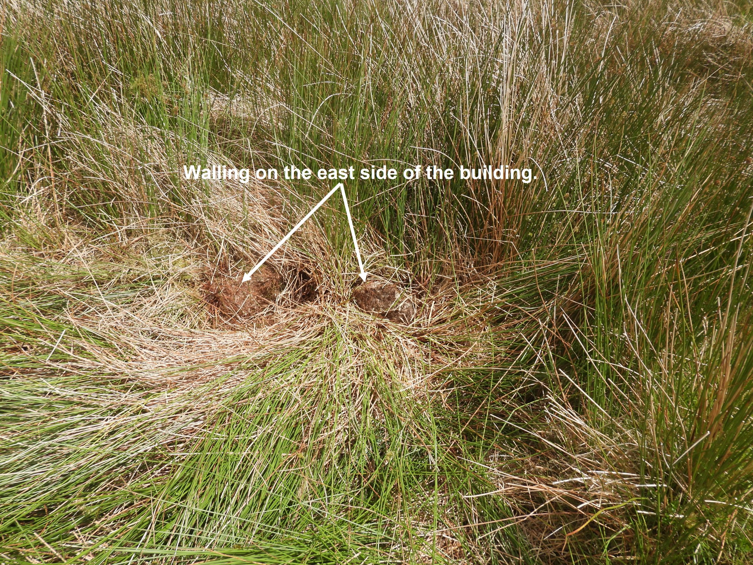
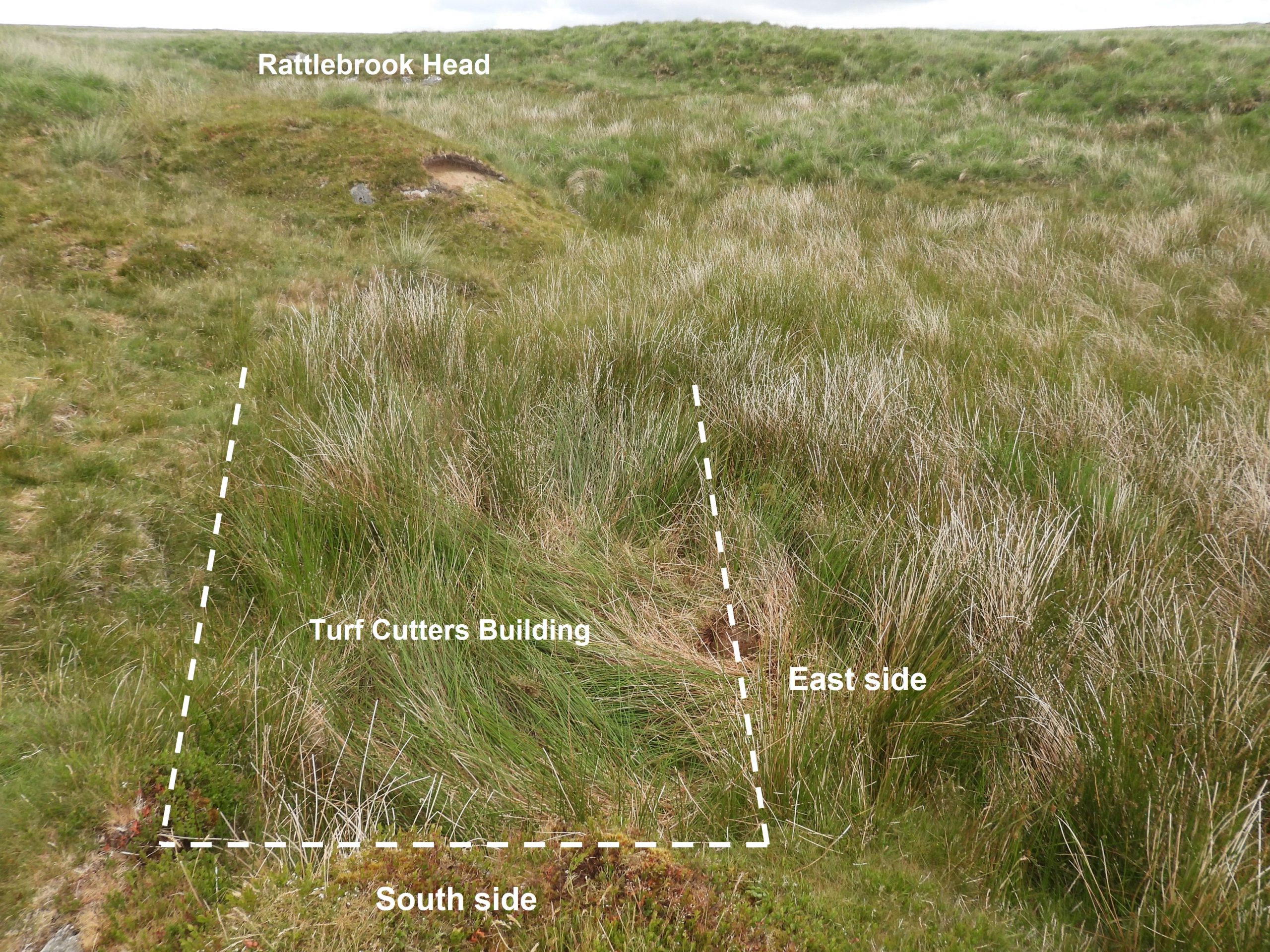
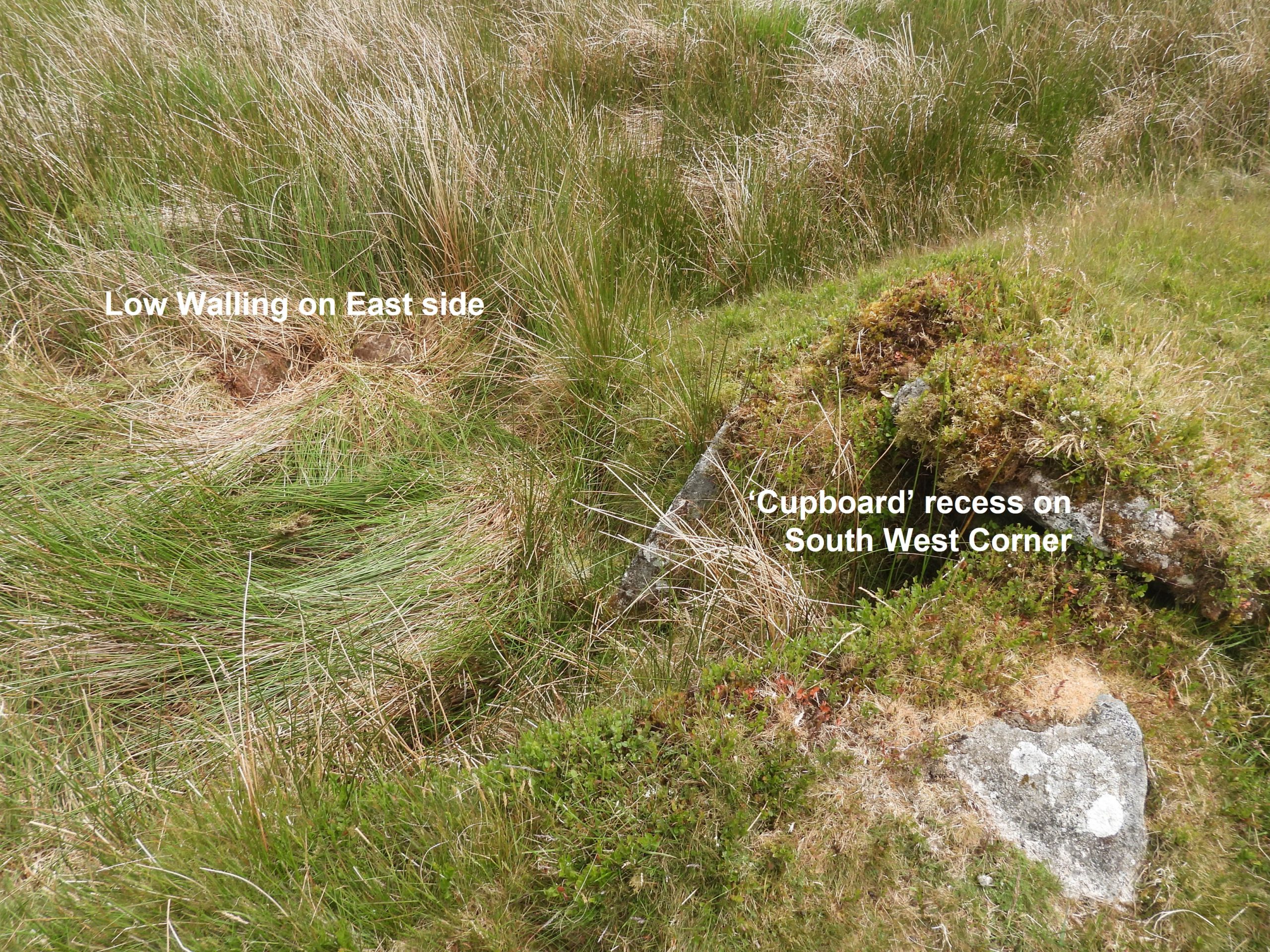
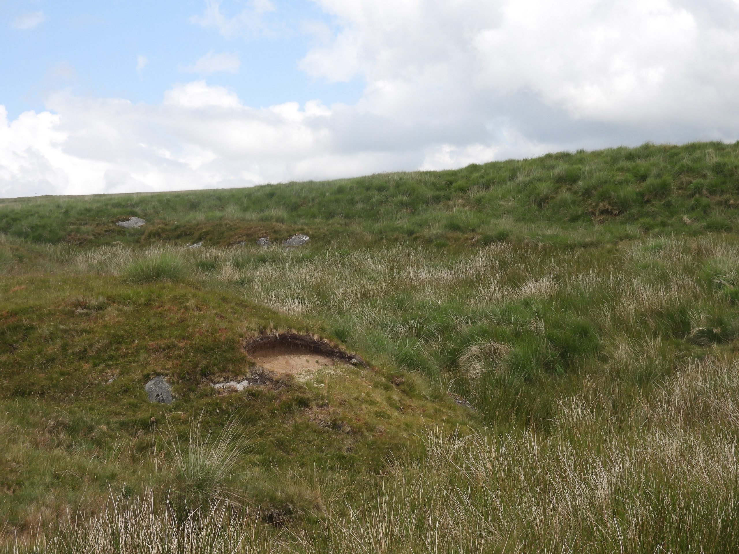
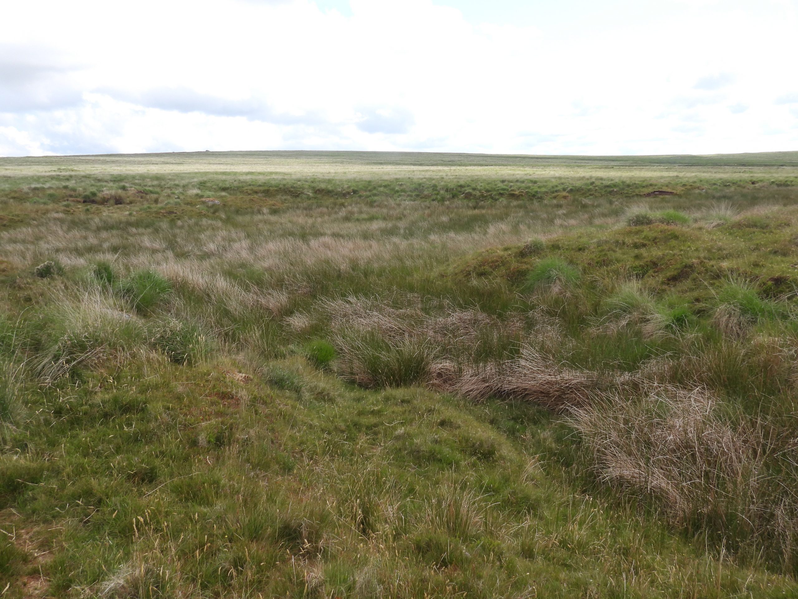
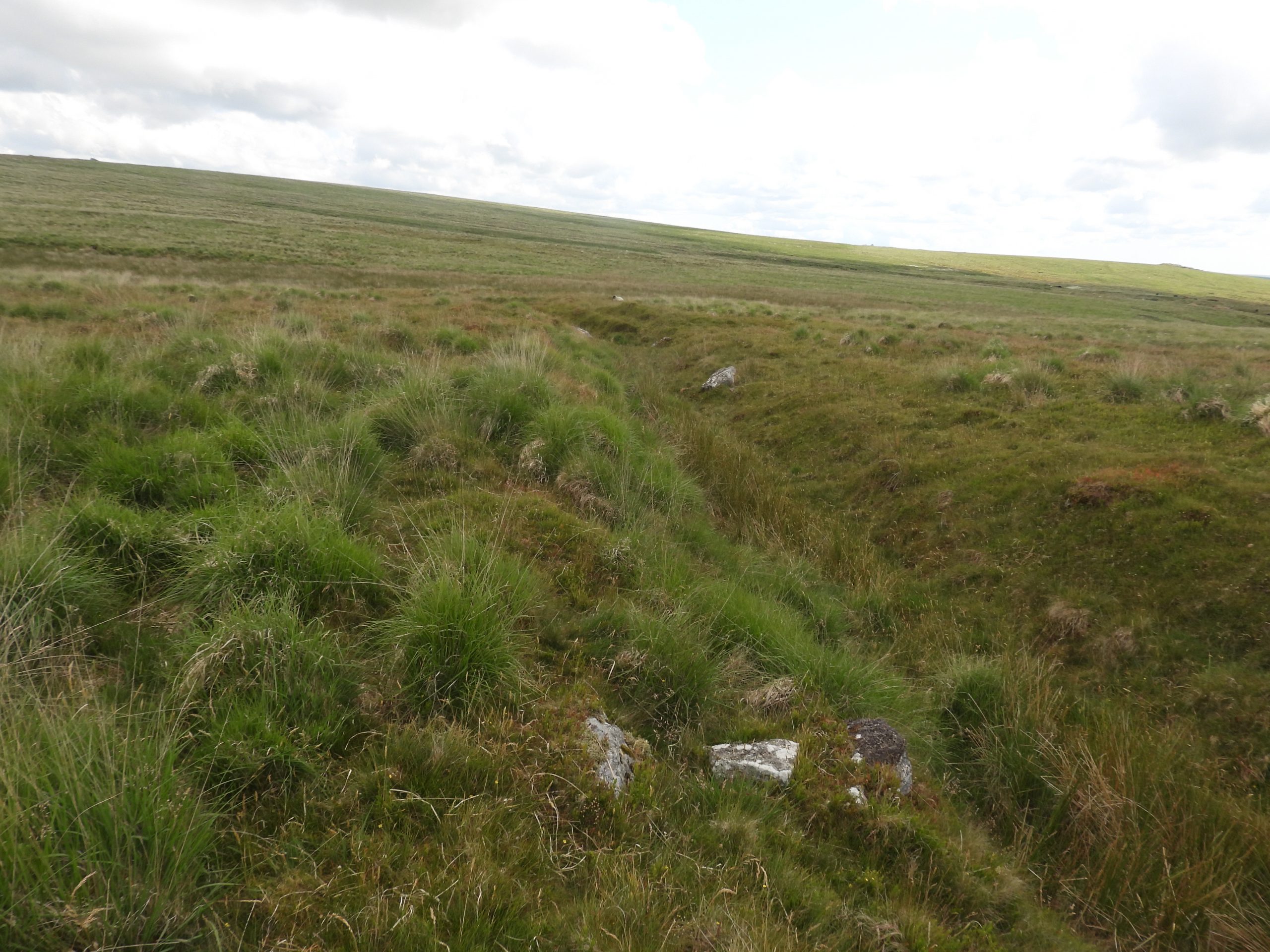
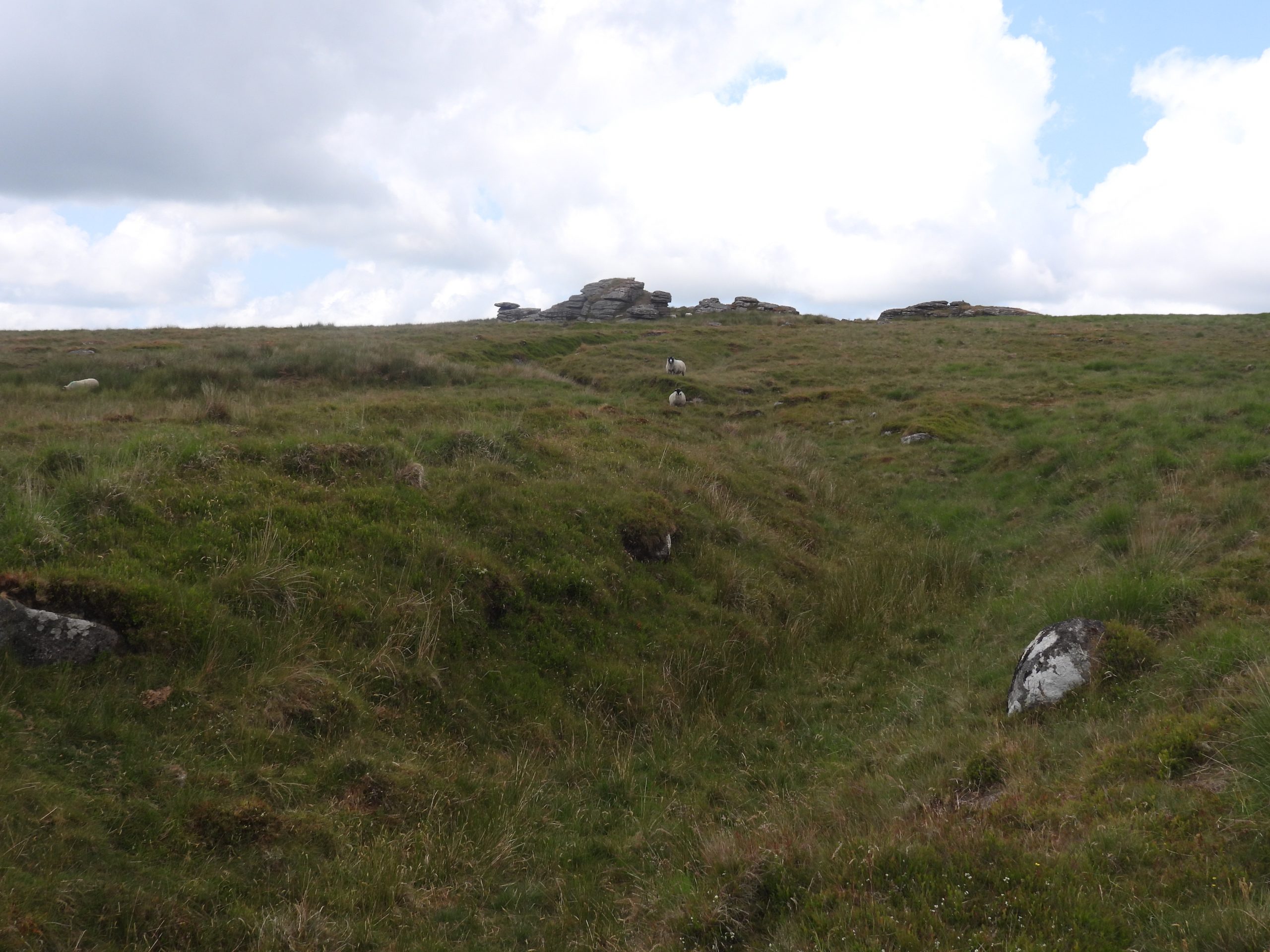
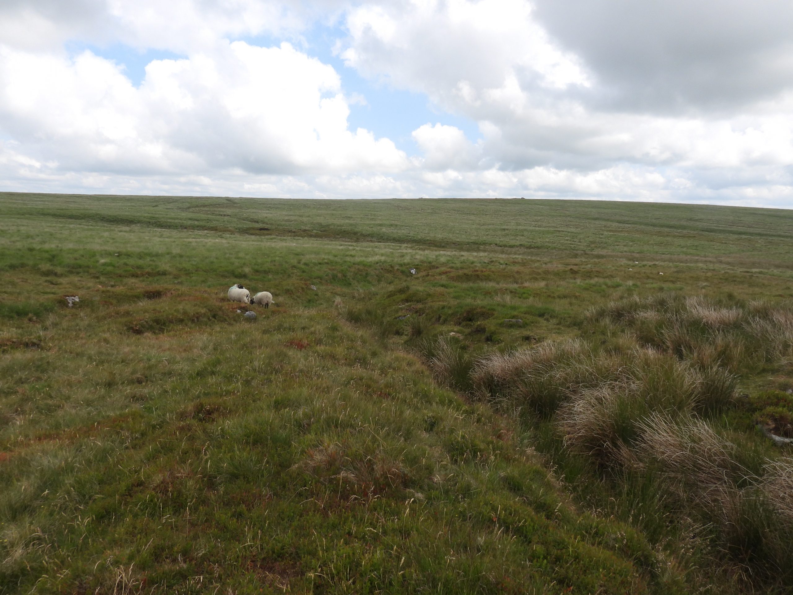
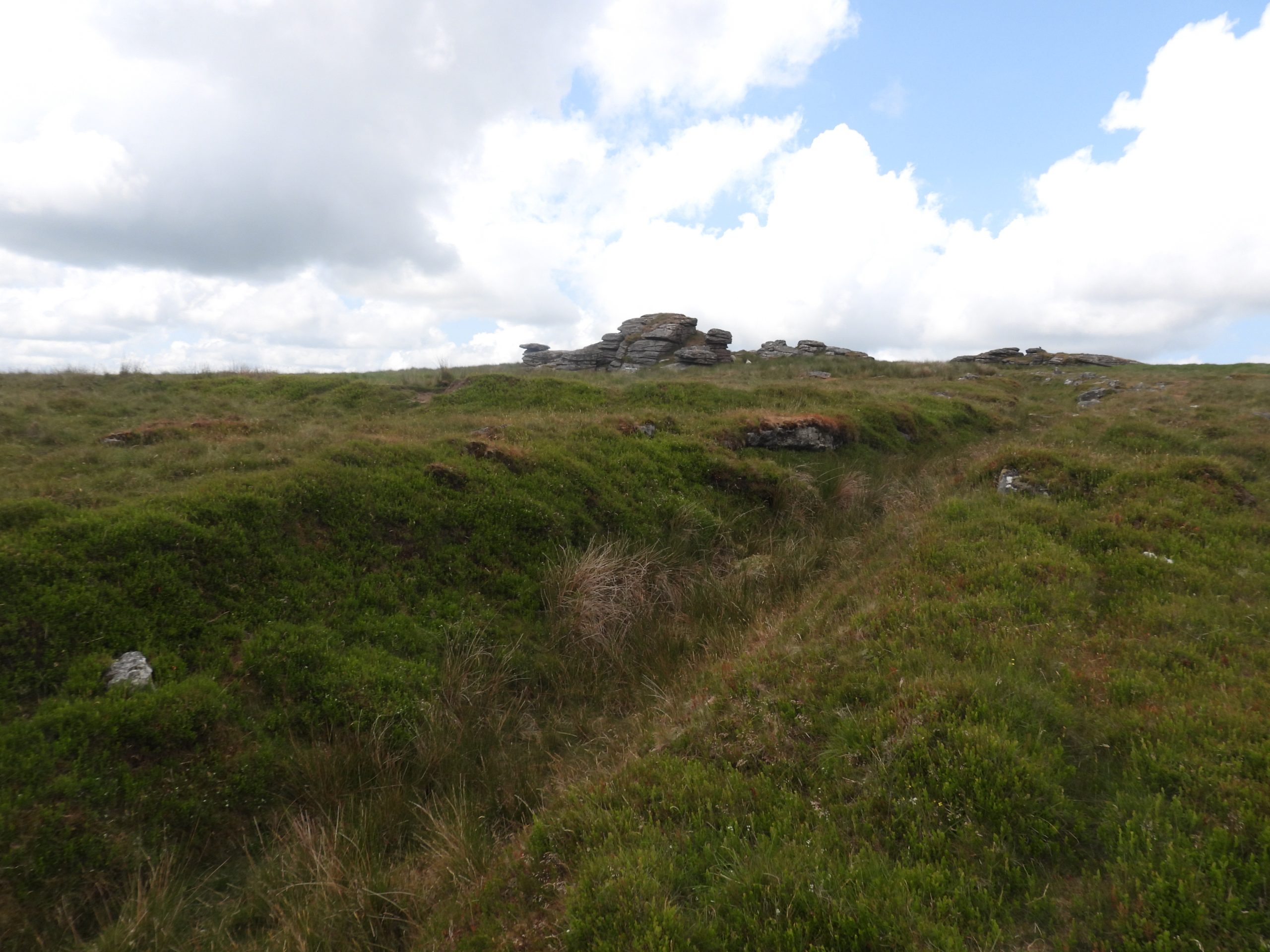
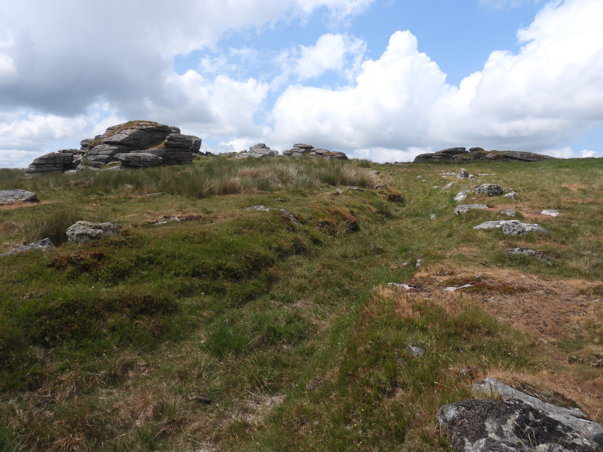
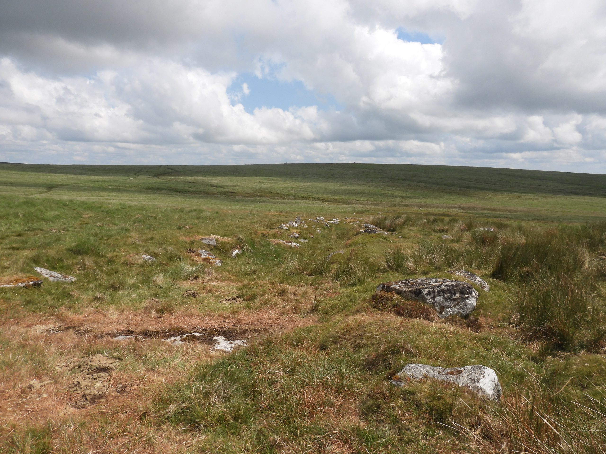
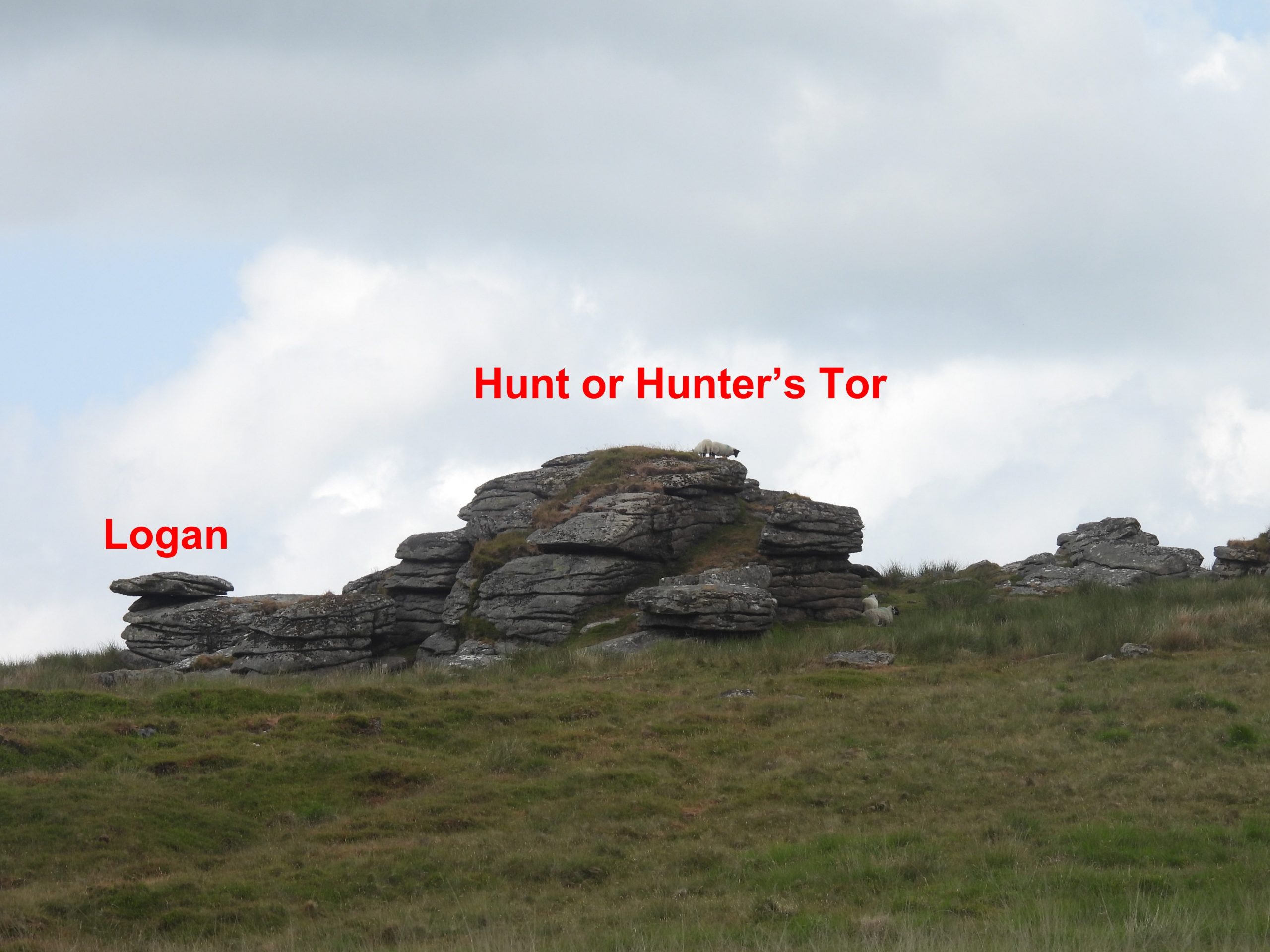
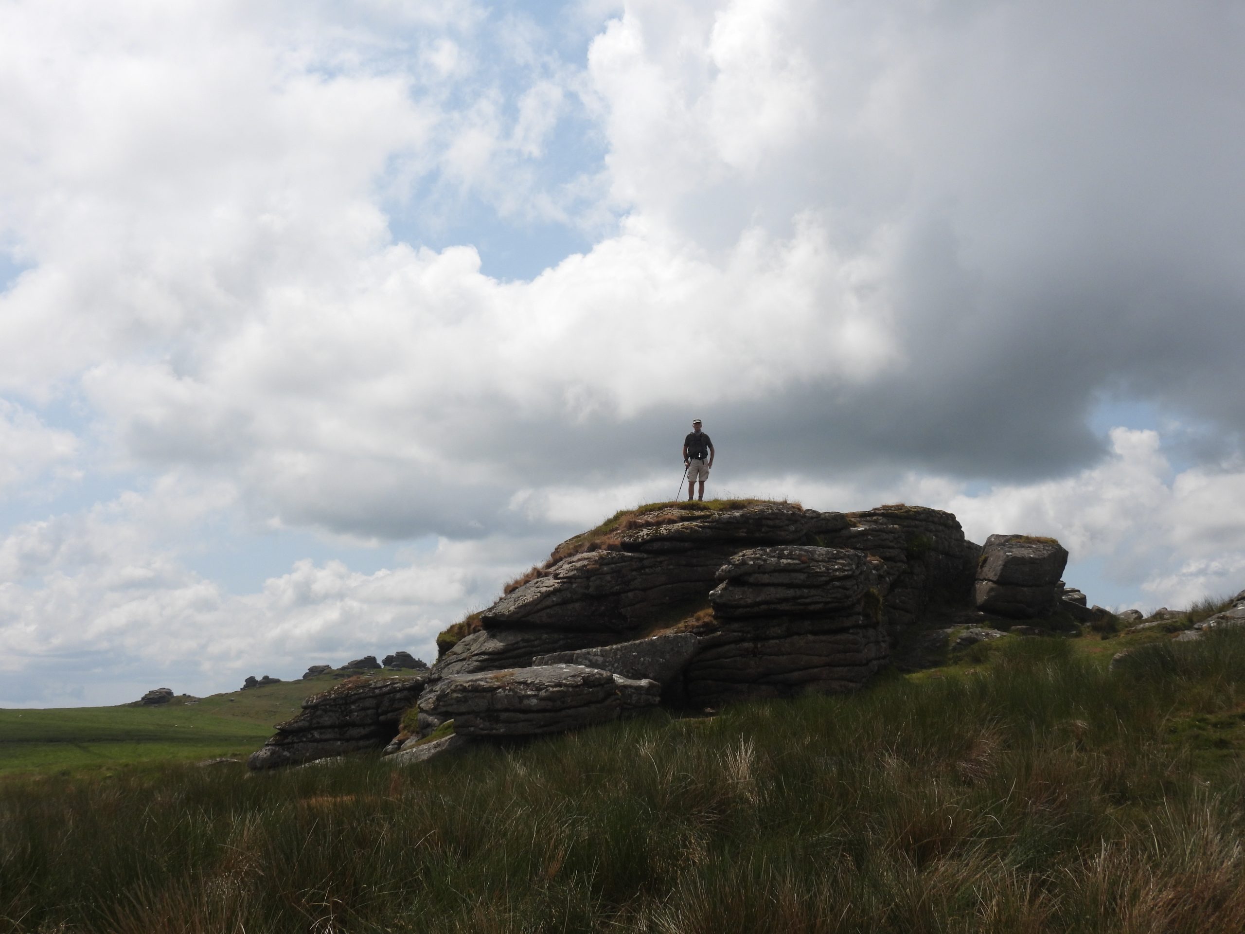
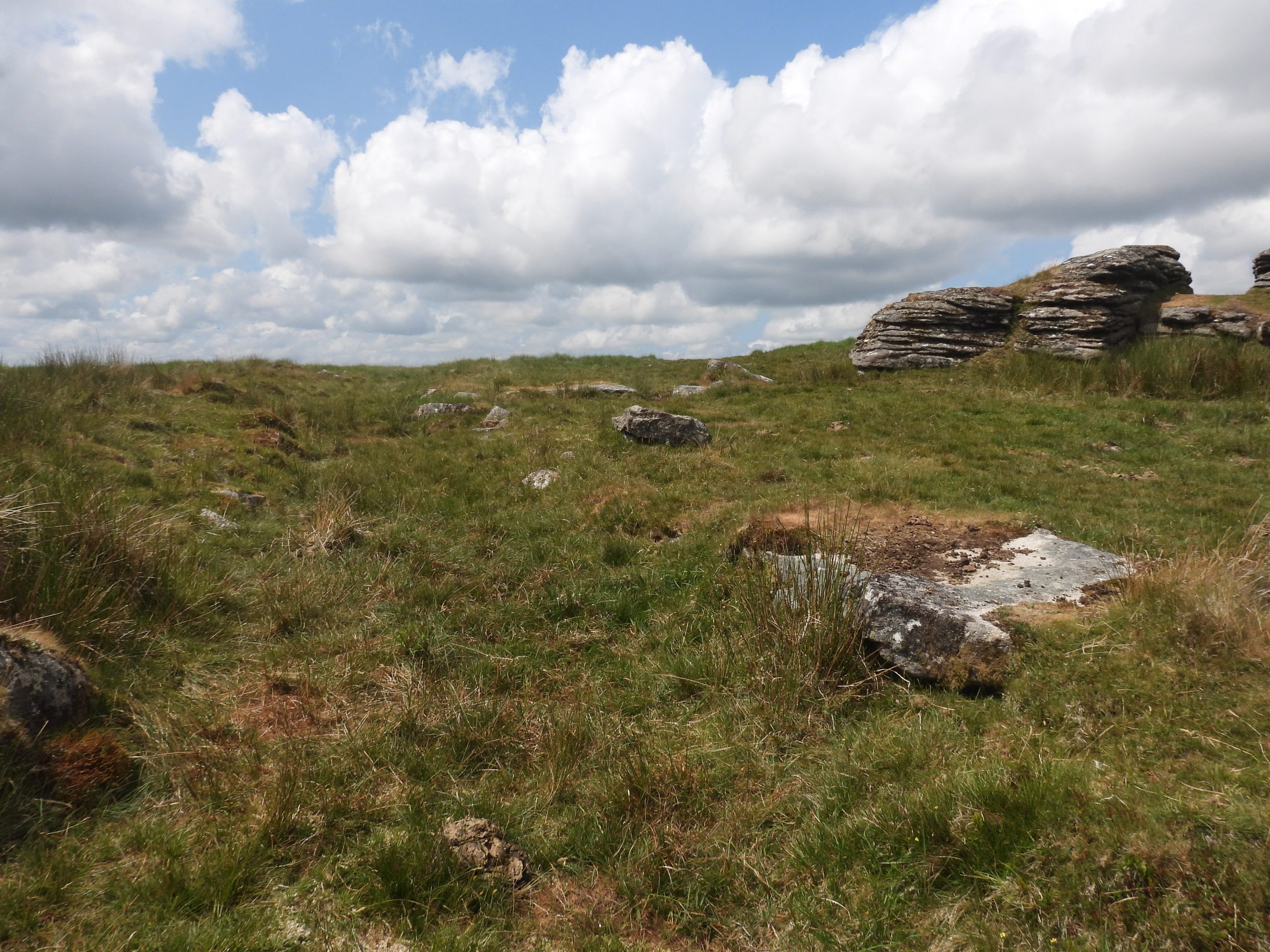
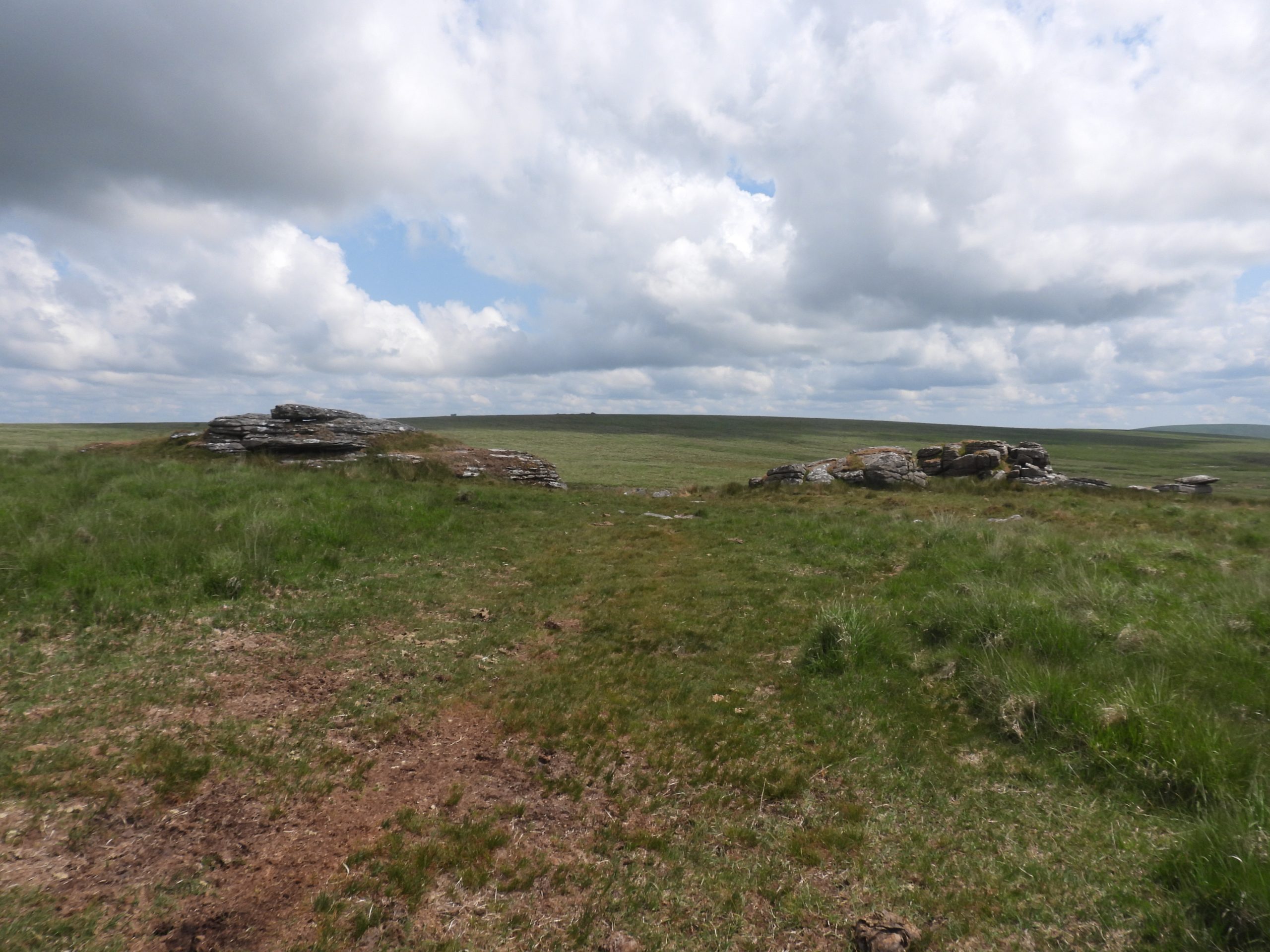
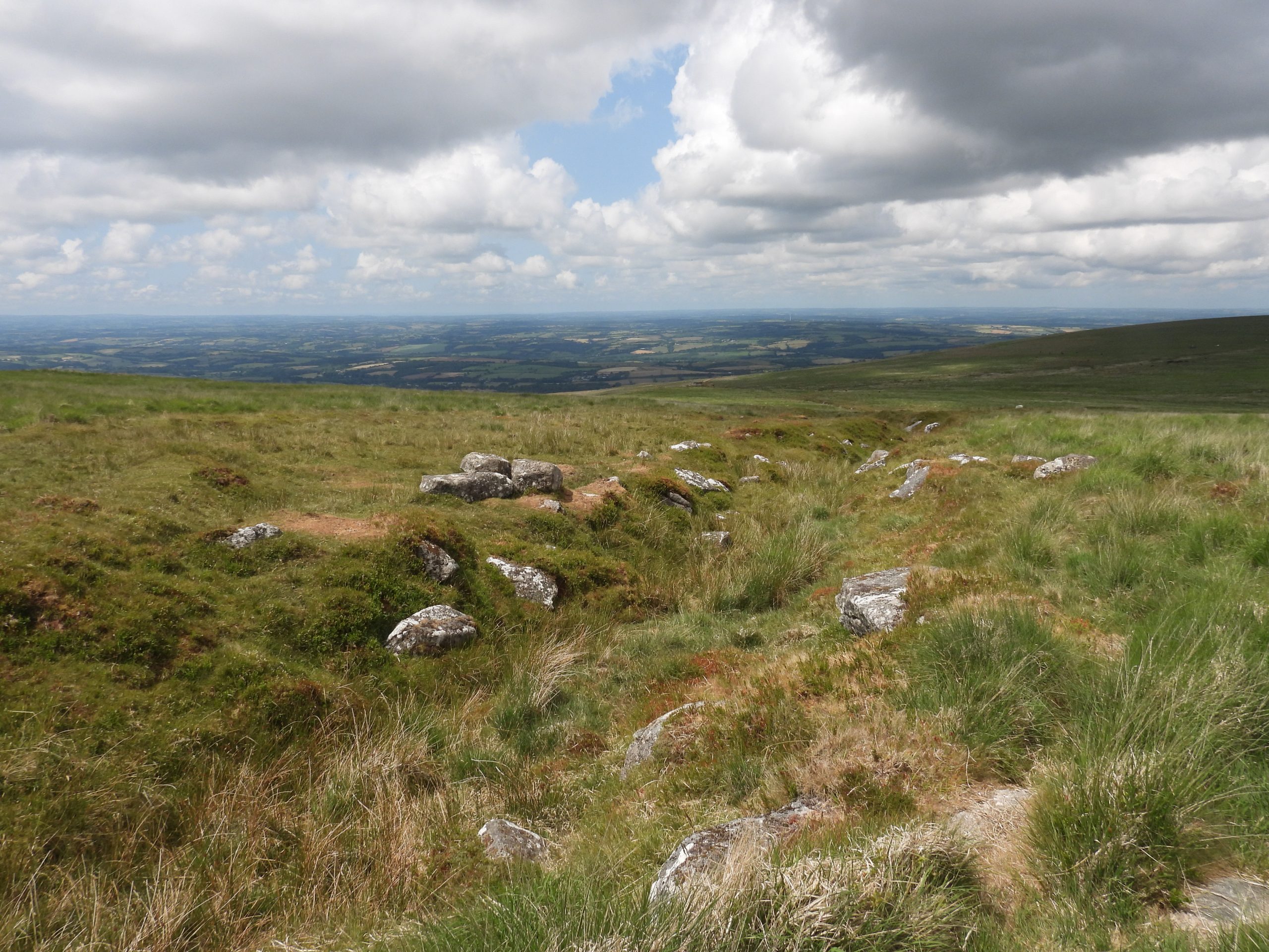
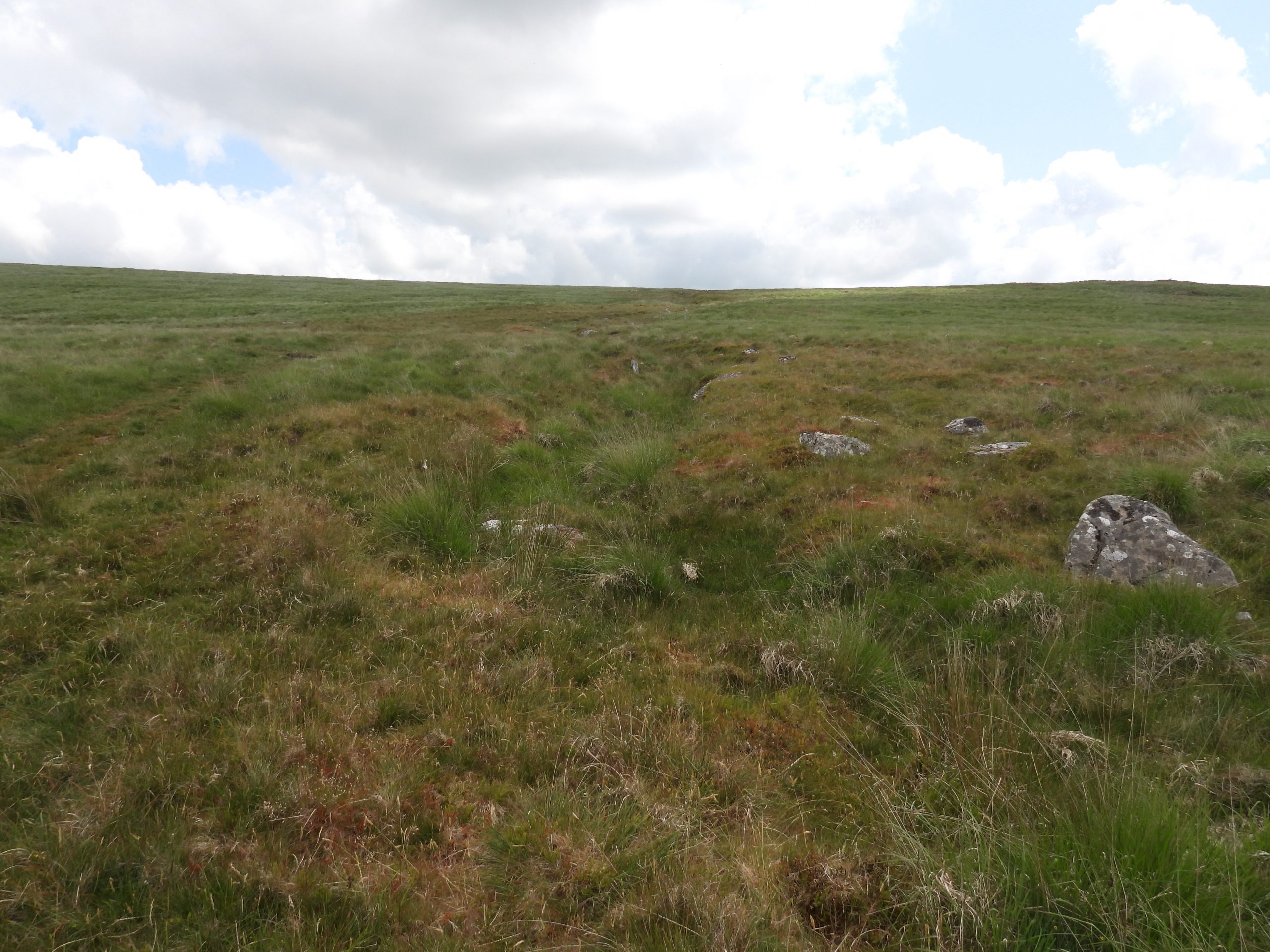
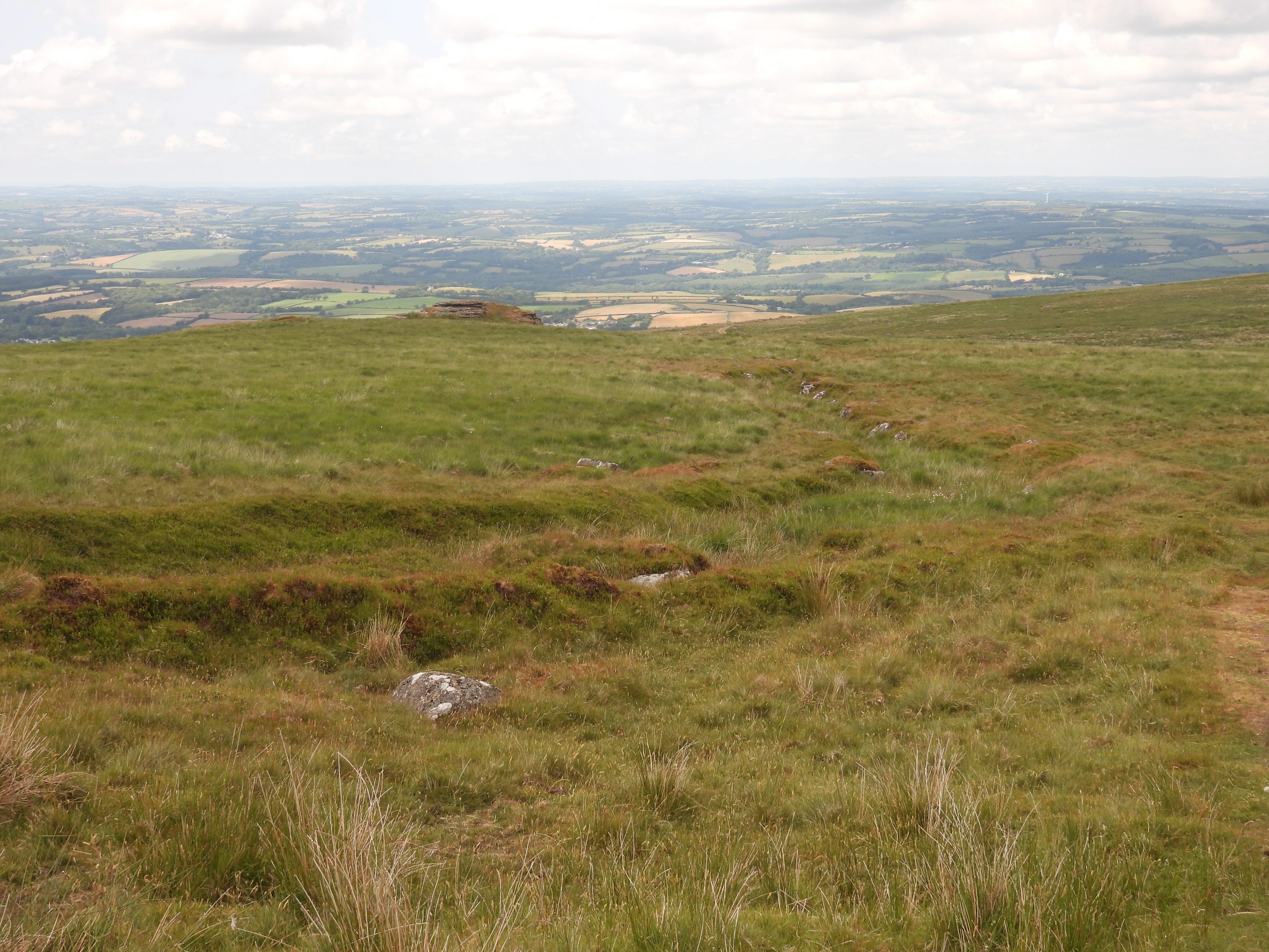
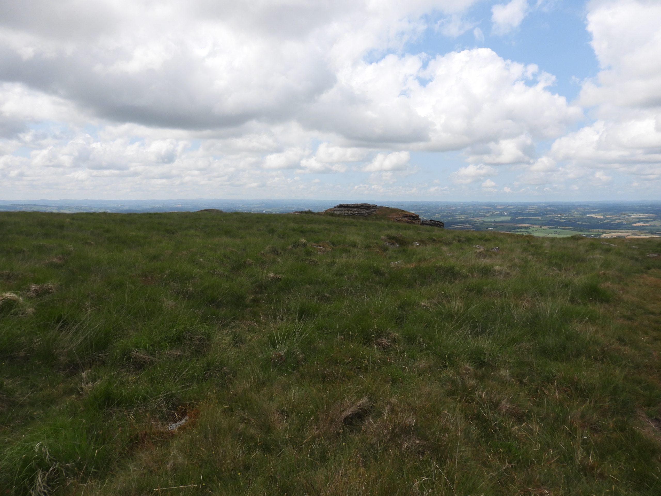
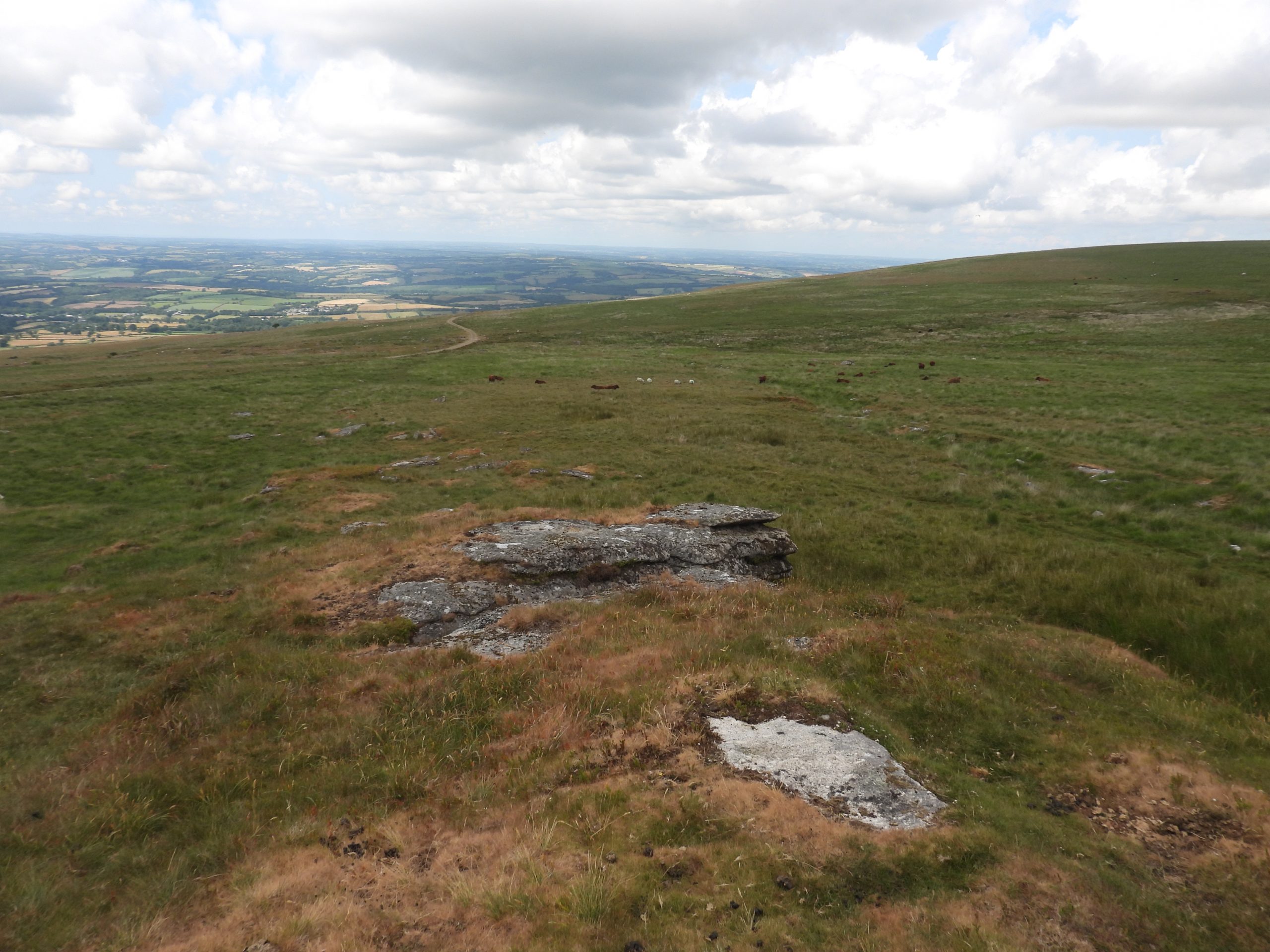
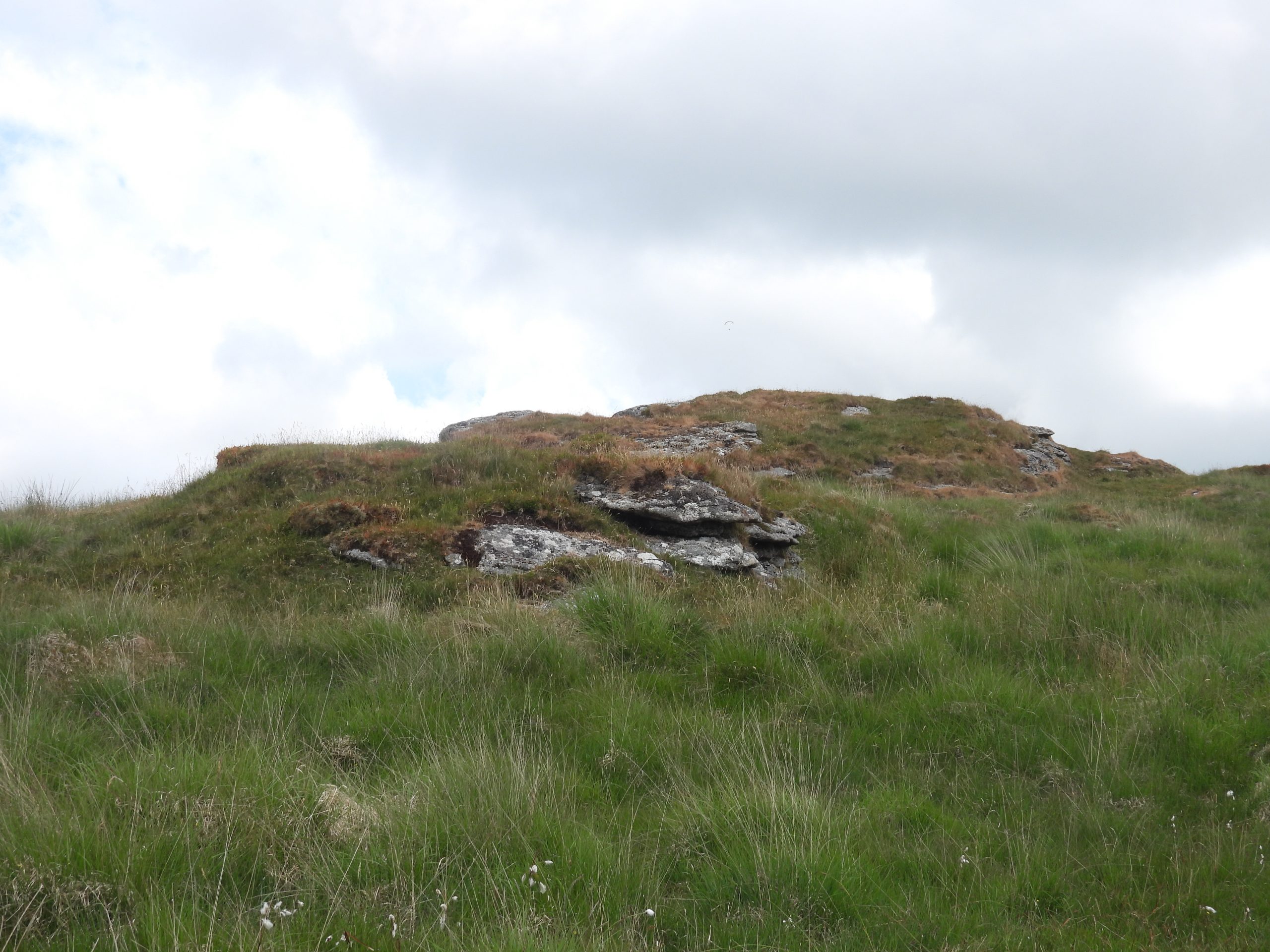
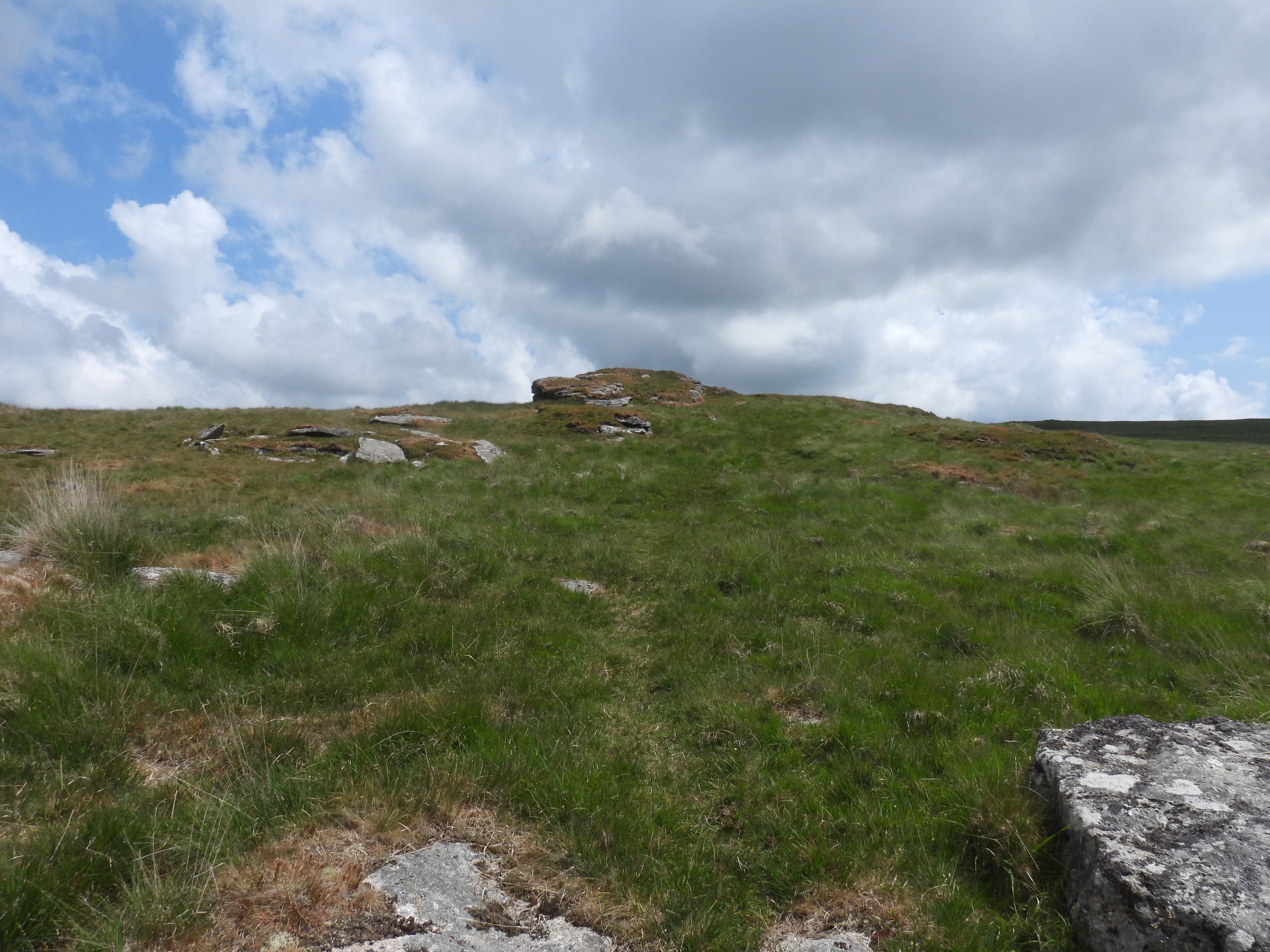
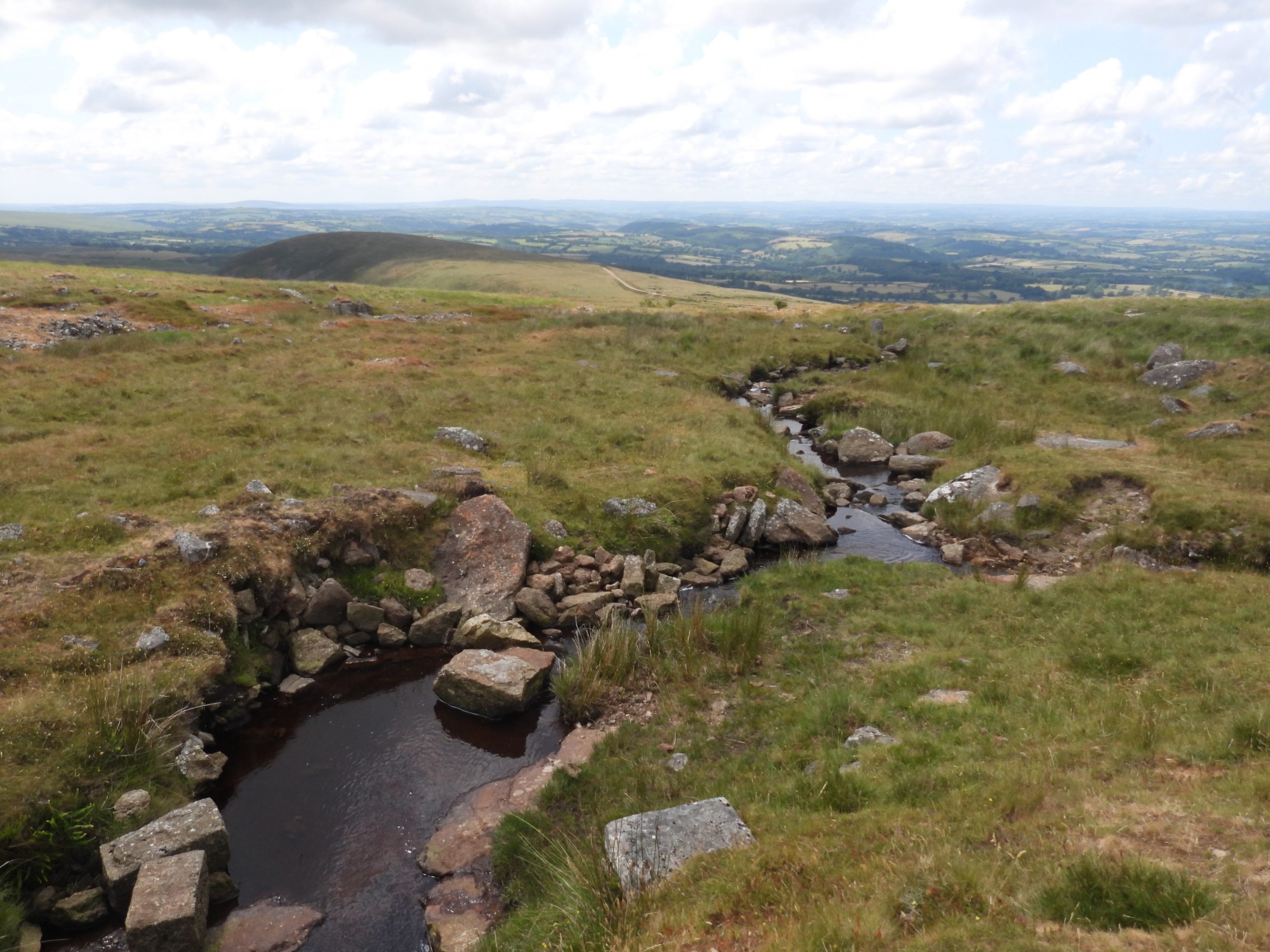
The annotated 20th century map shows the route of the 19th century Rattlebrook Peat Works Railway Line and the ‘ancient peat track’ leading to Kitty Tor. Of note, is that close to the peat track and Rattlebrook there are the ruins of an old building, which is believed may have been a ‘Turf Cutters’ building.The railway embankment leading to the commercial peat works was constructed around 1879. The embankment was needed, most likely for two reasons; firstly to minimise the slope down to the peat works and secondly to keep the railway drained as it crossed the wet / tussocky area near the Rattlebrook. The author conjectures that the ancient peat track was constructed north of the embankment due to the lay of the land (ie wet / tussocky area).The railway embankment leading to the 19th / 20th century peatworks. The ‘lines’ of the commercial turf-ties are very evident in this photograph. Kitty Tor is in the top left corner of the photograph.This picture is a ‘snip’ of a picture which was created and based on a transcription 2009 LIDAR coverage of the area near the ‘ancient peat track’. It seems clear that some of the ‘turf-ties’ (red lines) were from the commercial exploitation between 1879 and the 1950s. That said, it is possible that some of the less symmetrical lines (to the north of the peat cutters building) were from domestic exploitation?To the south and west of Kitty Tor leading onto the northern flank of Amicombe Hill, there are more ‘symmetrical’ turf-ties. Of note in the area are three peat cutters bond stones, which are covered in the following: https://dartmoorexplorations.co.uk/amicombe-hill-peat-cutters-bond-stones/ The picture gives a rather stark result showing the three Peat Cutters Bond Stones lie on the eastern boundary of the peat extraction area. Were these stones originally erected in the 19th century at the time of the Rattlebrook Peatworks or from when the ‘ancient peat track’ was constructed ?Kitty Tor comprises two main piles, two (very conspicuous) military huts and a flagpole. It lies at 584m (1916ft).The ‘ancient peat track’ leads to the north west of Kitty Tor. The track is flanked by large boulders.Looking north towards the flanks of Woodcock HillThe peat track leading towards the Rattlebrook with Great Links Tor (left) and Hunt Tor (right)The peat track is quite a construction being around 1.5m deep in places. No doubt the construction was to dig down to the bedrock / harder ground.Close upSituated of the edge of an extensive area of rushes, about 100 metres north of an ancient west-east peat track is a peat cutters building. The Heritage Gateway suggests it may be tinner’s origin or peat cutter’s origin, the the latter is more probable. The building is 1.5m wide (east-west) and could have been up to 3m long.The first thing to notice is some walling which forms the south-west corner. Heritage Gateway (Tom Greeves – Sept 2007) has interpreted this as being cupboard’ recess and a possible fallen fireplace lintel.The rest of the building is covered in reeds. With some ‘gardening’ part of the eastern wall was exposed.The building is on the right bank of the Rattlebrook near to the head. The medieval name for the brook was ‘Rakernsesbroke’. The head of the brook is recorded in the 1240 Perambulation of Dartmoor.Context view of the south west corner and the low walling of the east side of the building.‘Rakernsesbroke Hedd’Point where the ‘ancient peat track’ crosses the RattlebrookThe peat track heading west from the Rattlebrook towards Hunt TorPeat track with Hunt Tor in backgroundLooking back towards the Rattlebrook with the Kitty Tor just discernible on the horizonThe peat track is quite deep near Hunt TorThe peat track passes between the two main piles of Hunt TorView from Hunt Tor looking back to the Rattlebrook. The peat track can be seen snaking up the hillside oppositeHunt Tor is named as Hunter’s Tor by Eric Hemery in High Dartmoor (page 976). He notes that : “On the south side of the main pile is an un-recorded logan-stone”. This stone was ‘reset’ in the 1990’s (ref: Dartefacts)The tor lies at 560m (1,846ft). Great Links behind lies at 586m.The peat track between the two piles of the torLeaving Hunt (Hunter’s) Tor.Heading towards Gren Tor and Lydda Bridge. Note the large boulders on either side of the peat track.Looking east back towards Hunt TorApproaching Gren (Grenny) Tor Gren Tor. ‘Gren’ is a corruption of ‘Green’ (ref: Tors of Dartmoor)Top of Gren Tor at 515m (1,190ft). The tor has been also known as Grenny or Grinny Tor. Gren Tor from the north westLeaving Gren Tor. The peat track crosses the railway track to the north west of Gren Tor.The infant Lyd at Lydda Bridge. The peat track crosses the railway track near this point.The ancient peat track crossed Lydda Bridge and follows the right (north) bank of the river down hill. The track can just about be discerned in the photograph.