Dartmoor Explorations

A collection of walks, discoveries, insights and pictures of exploring Dartmoor National Park

Gidleigh / Throwleigh Parish Boundary along Forder Brook

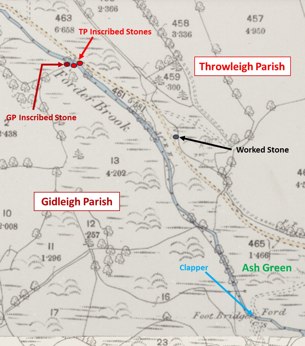
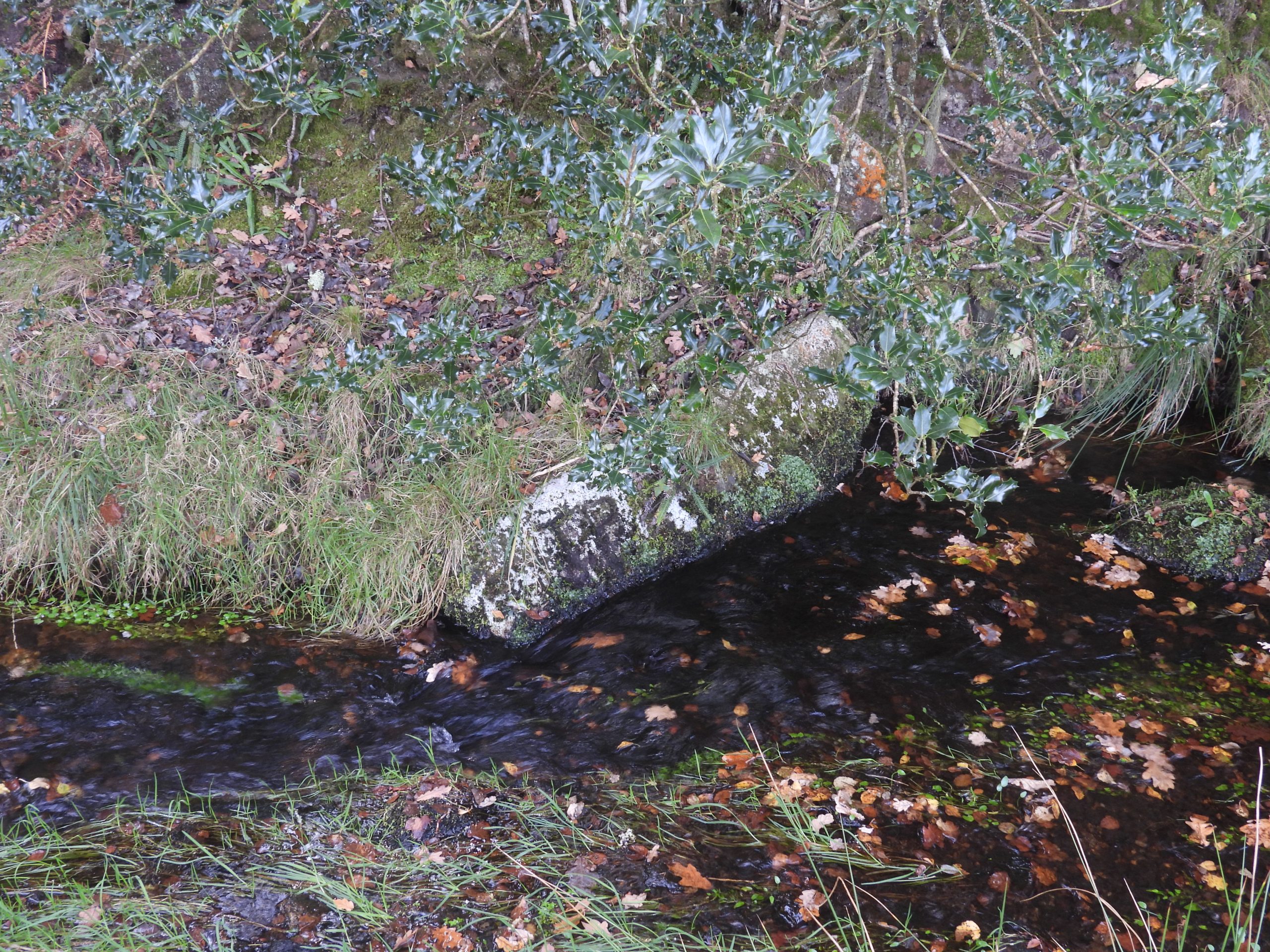
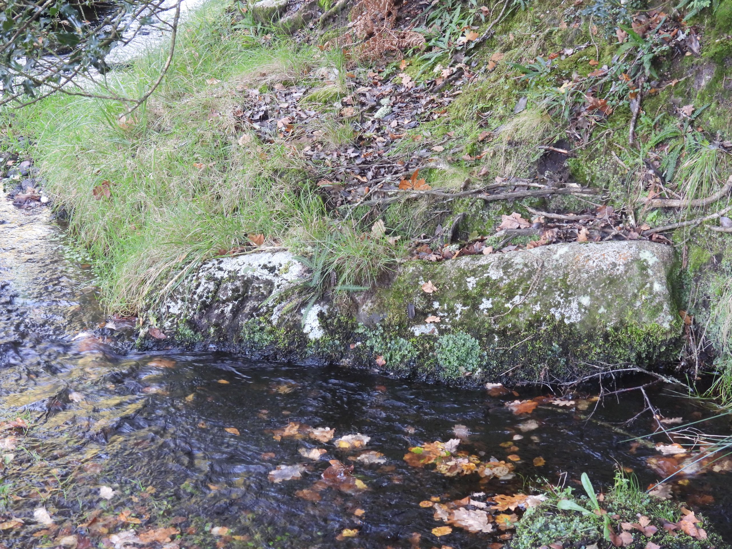
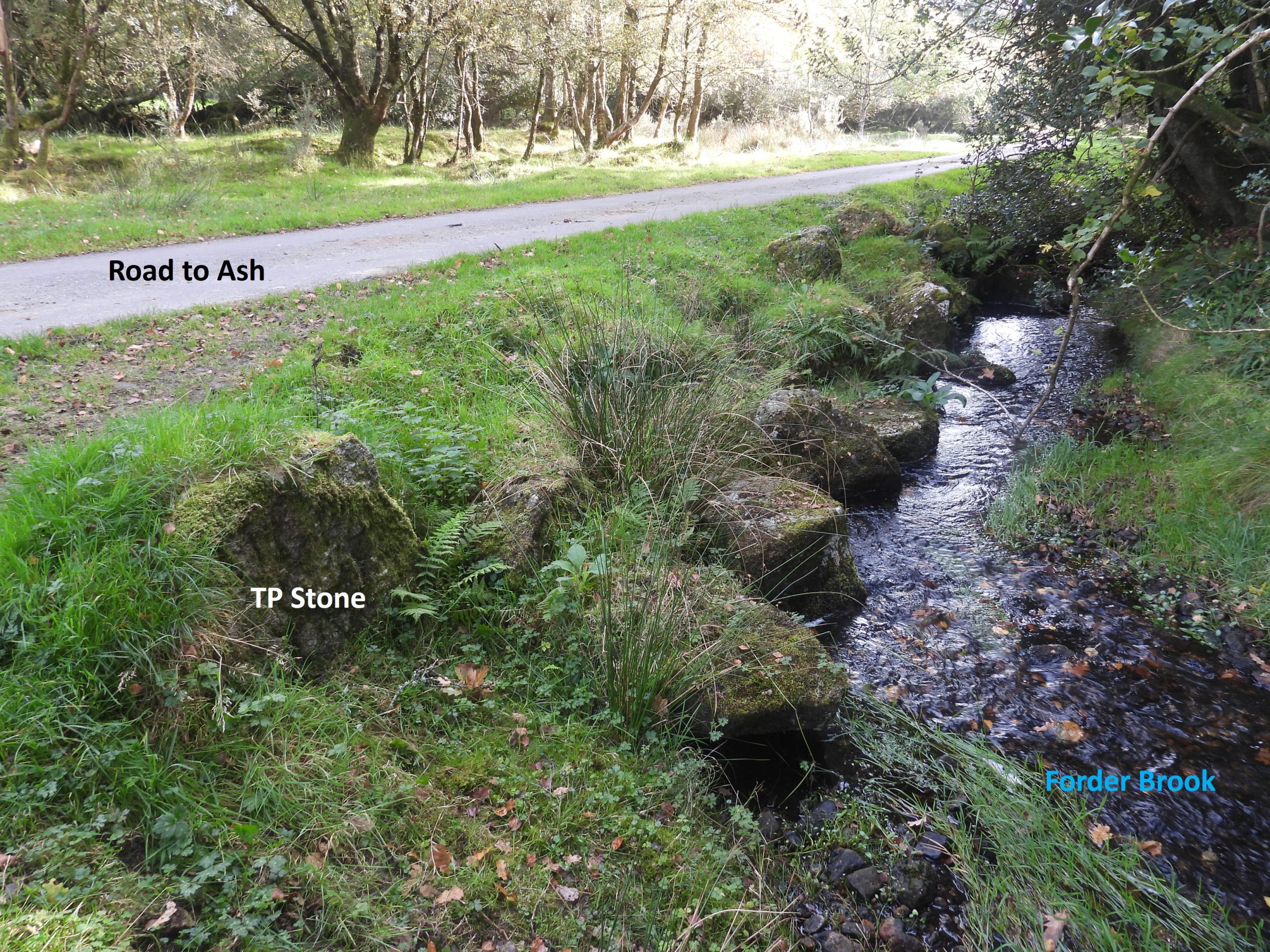
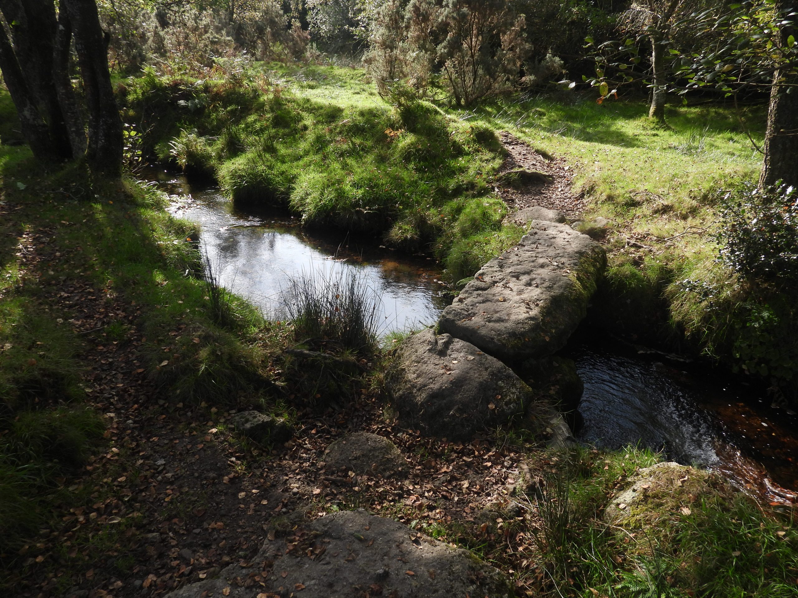
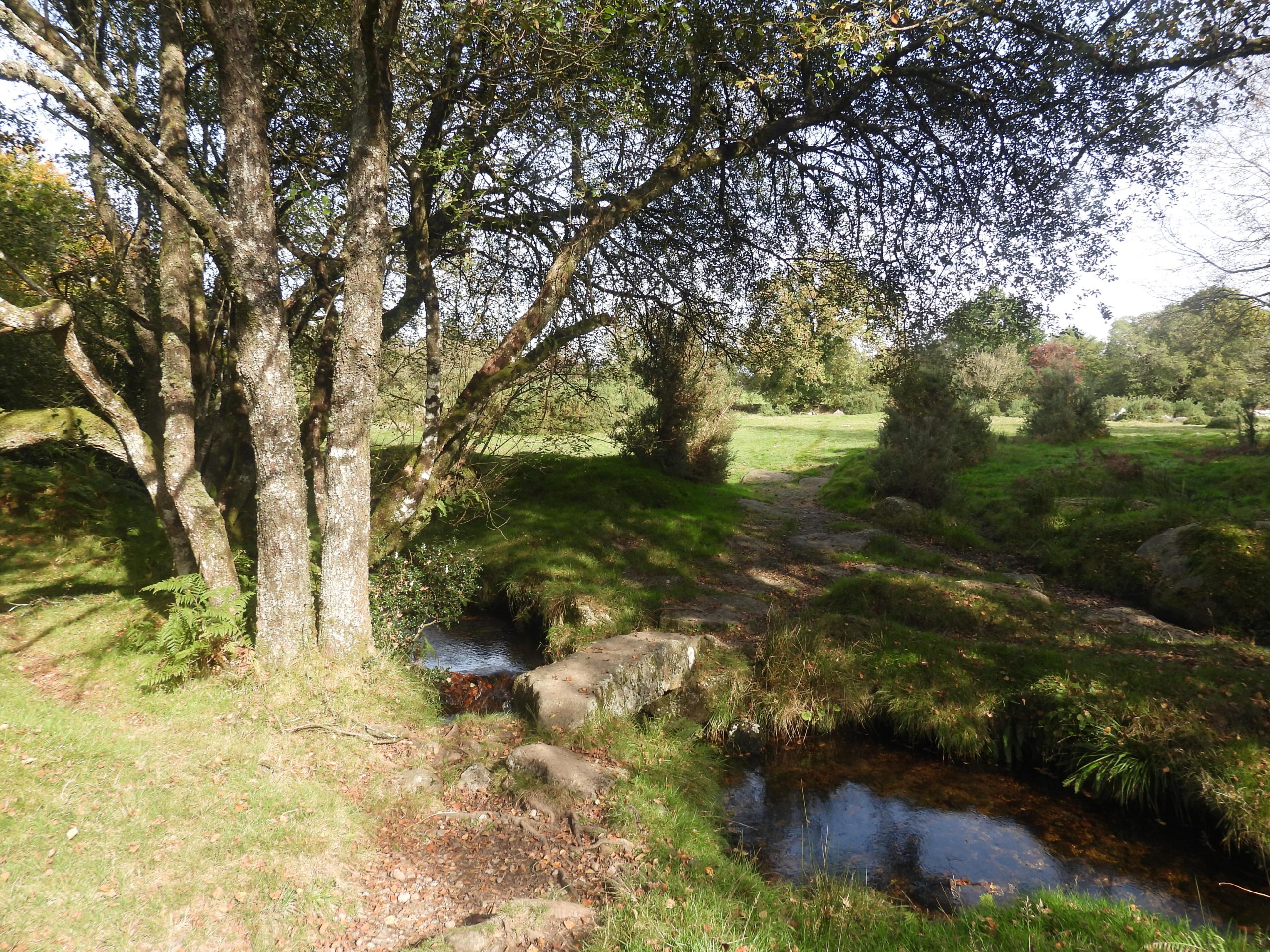
The Dartmoor Parishes of Gidleigh and Throwleigh share a boundary from Wildtor Well, through Gartaven Ford and Whitemoor Marsh then off the high moor and onto Forder Brook. The boundary then follows Forder Brook past Ash, Forder and Chapple before descending under Blackaton Bridge and Highbury Bridge en-route to the North Teign River just downstream from Gidleigh Park. There are many inscribed boundary markers / stones along this route especially on the high moor.

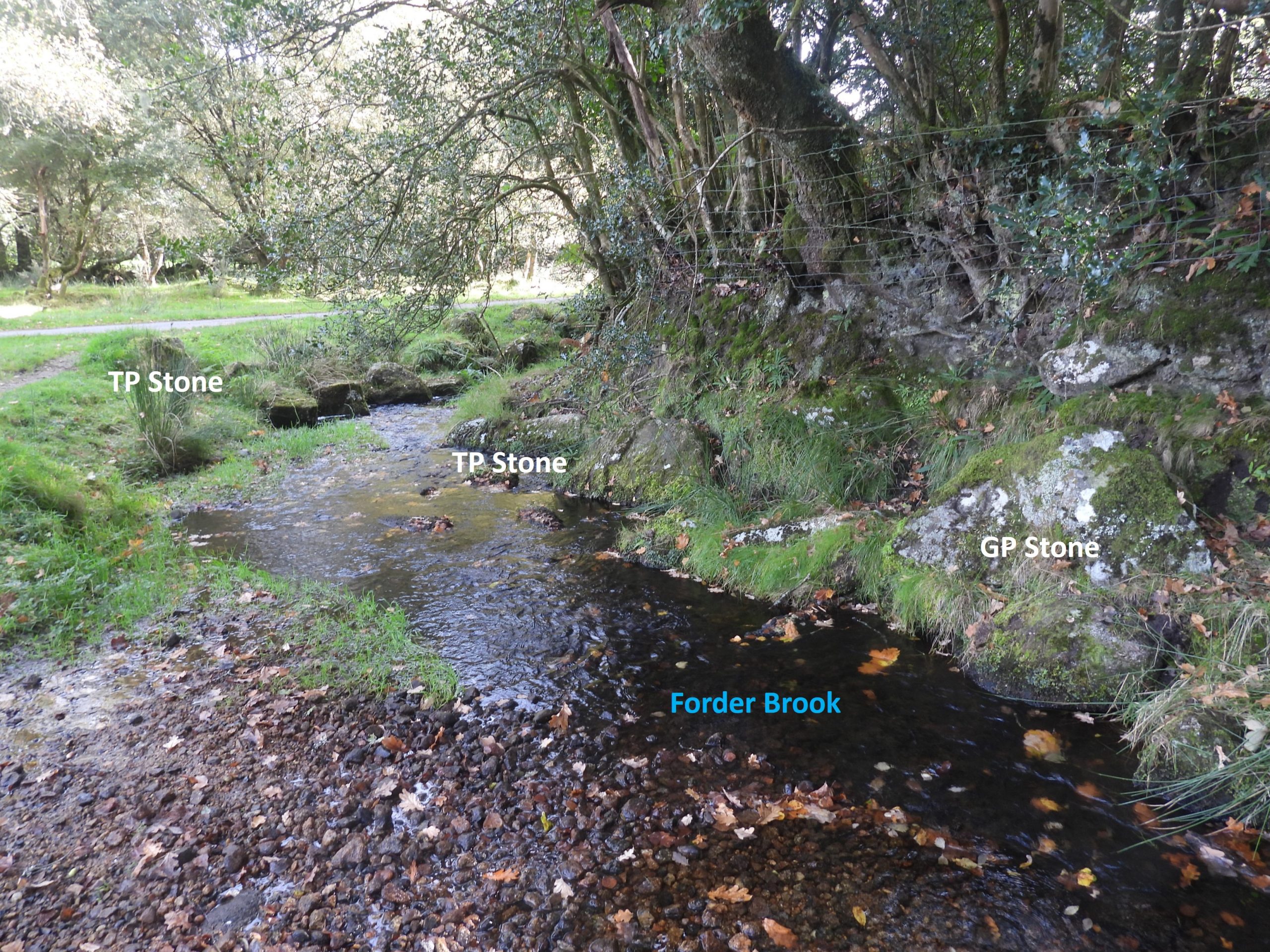
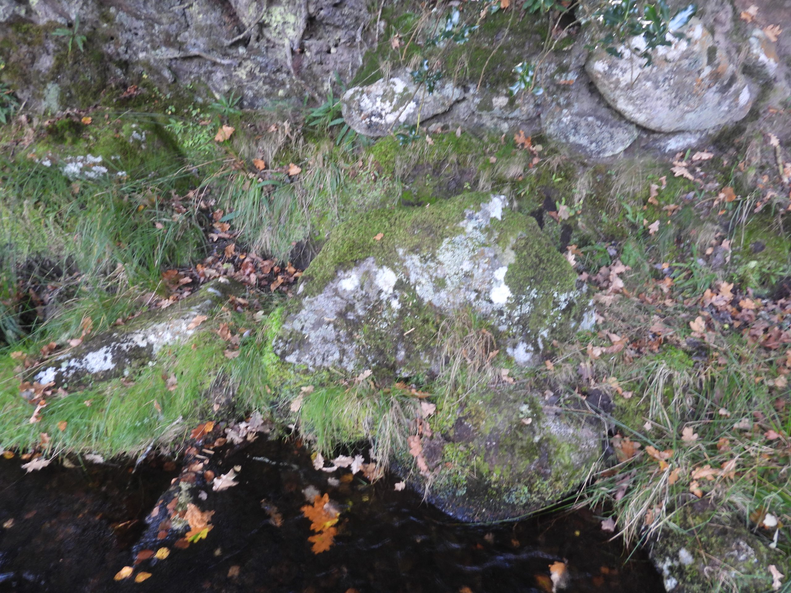
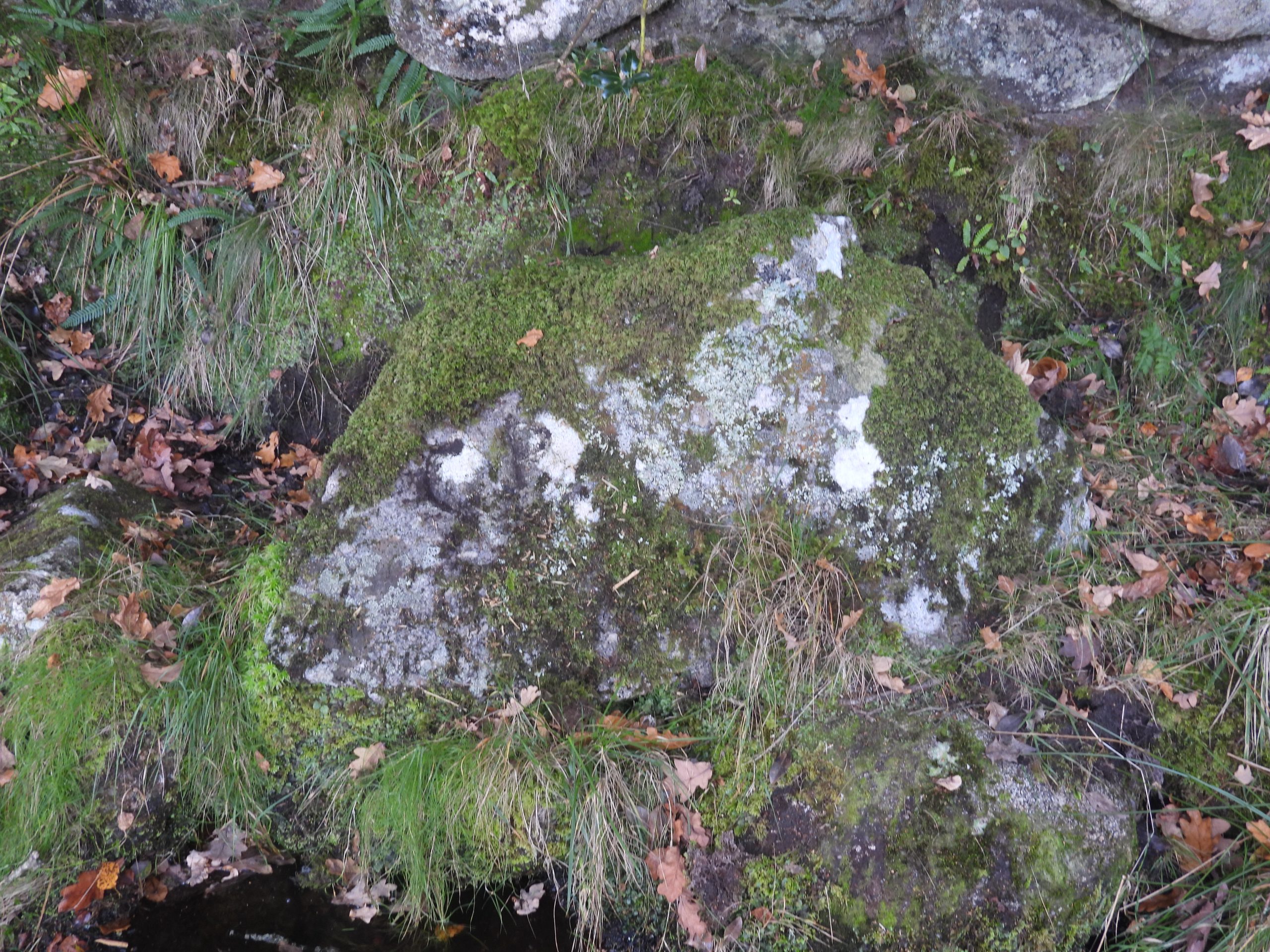
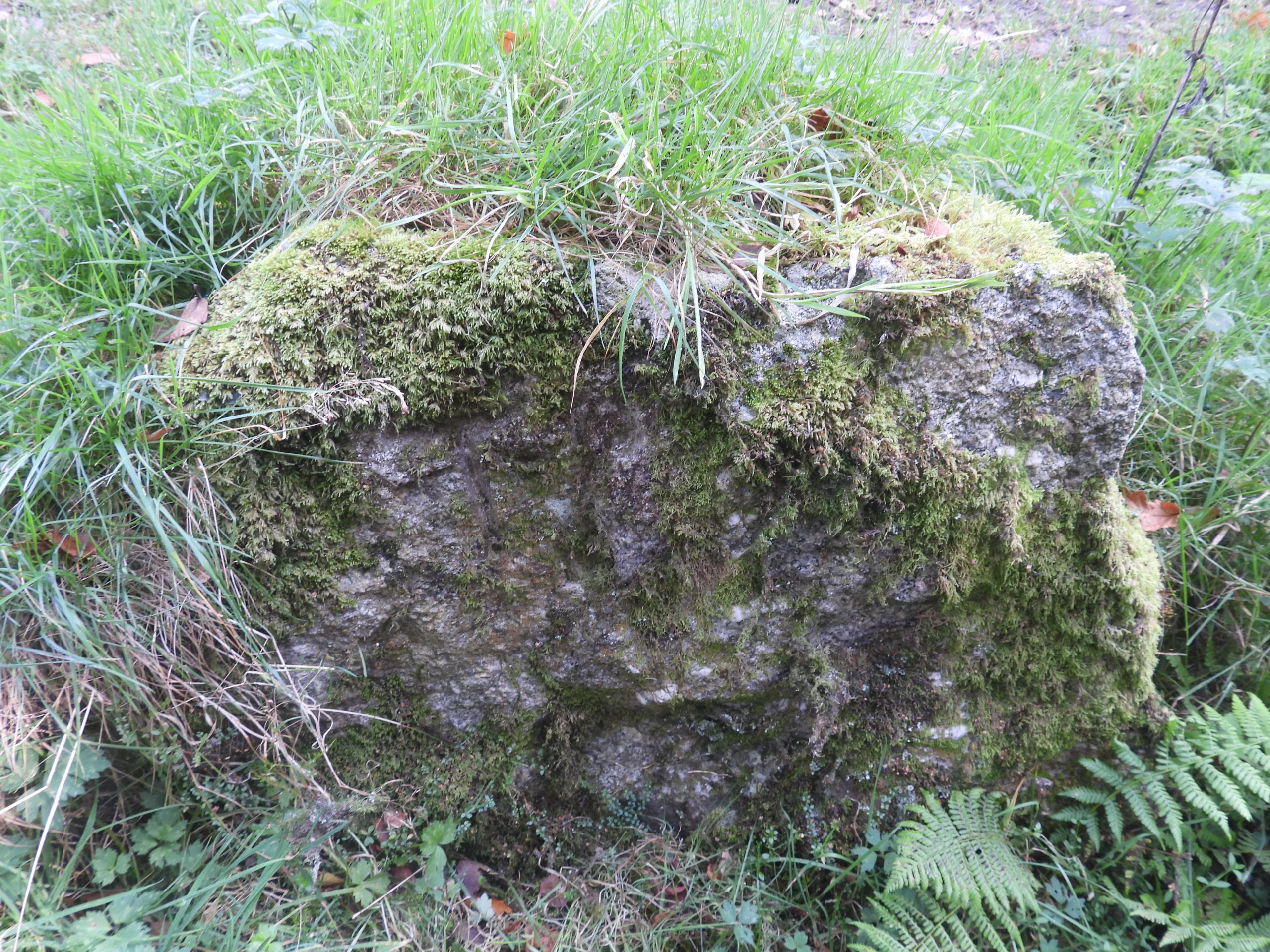
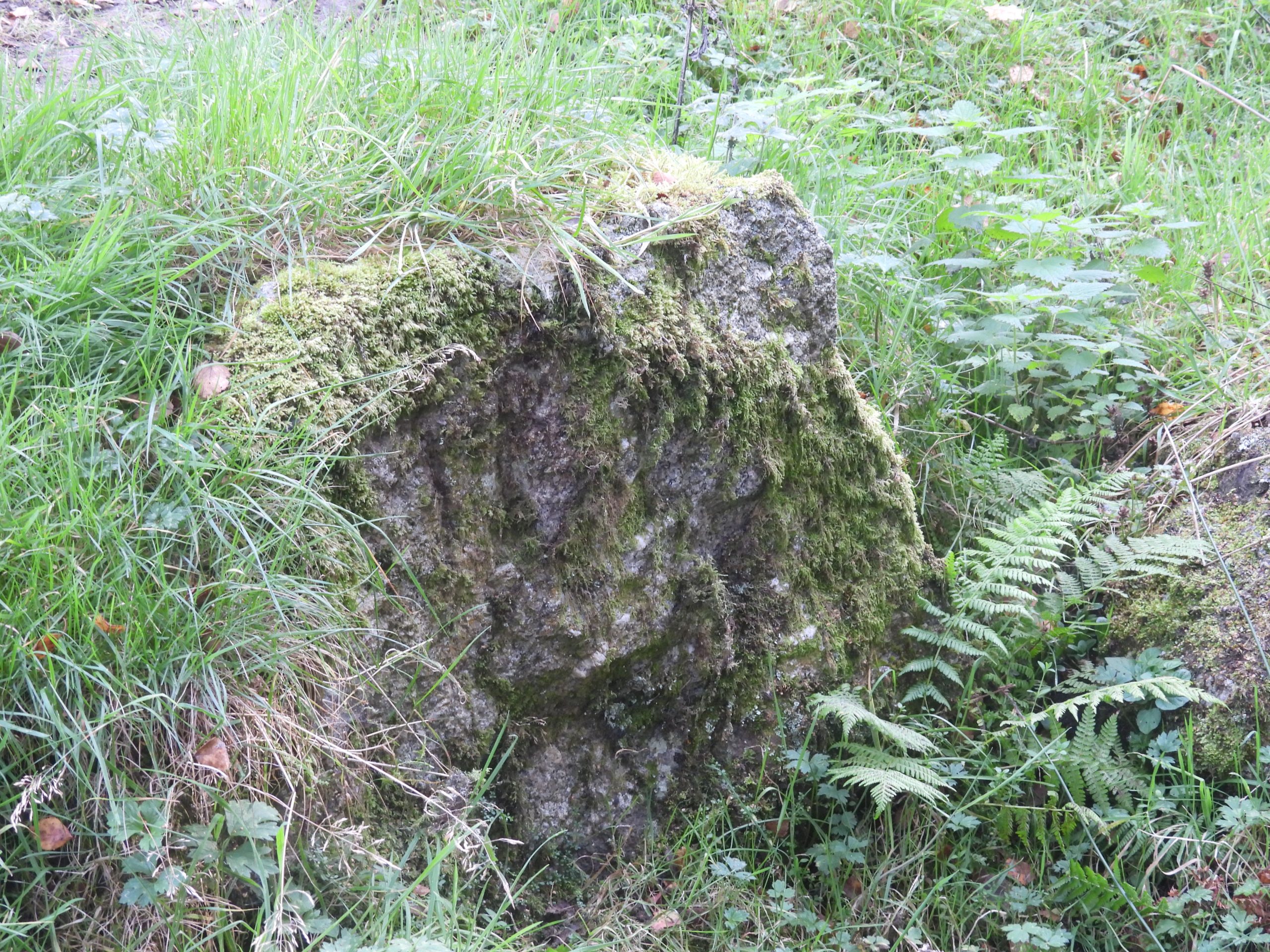
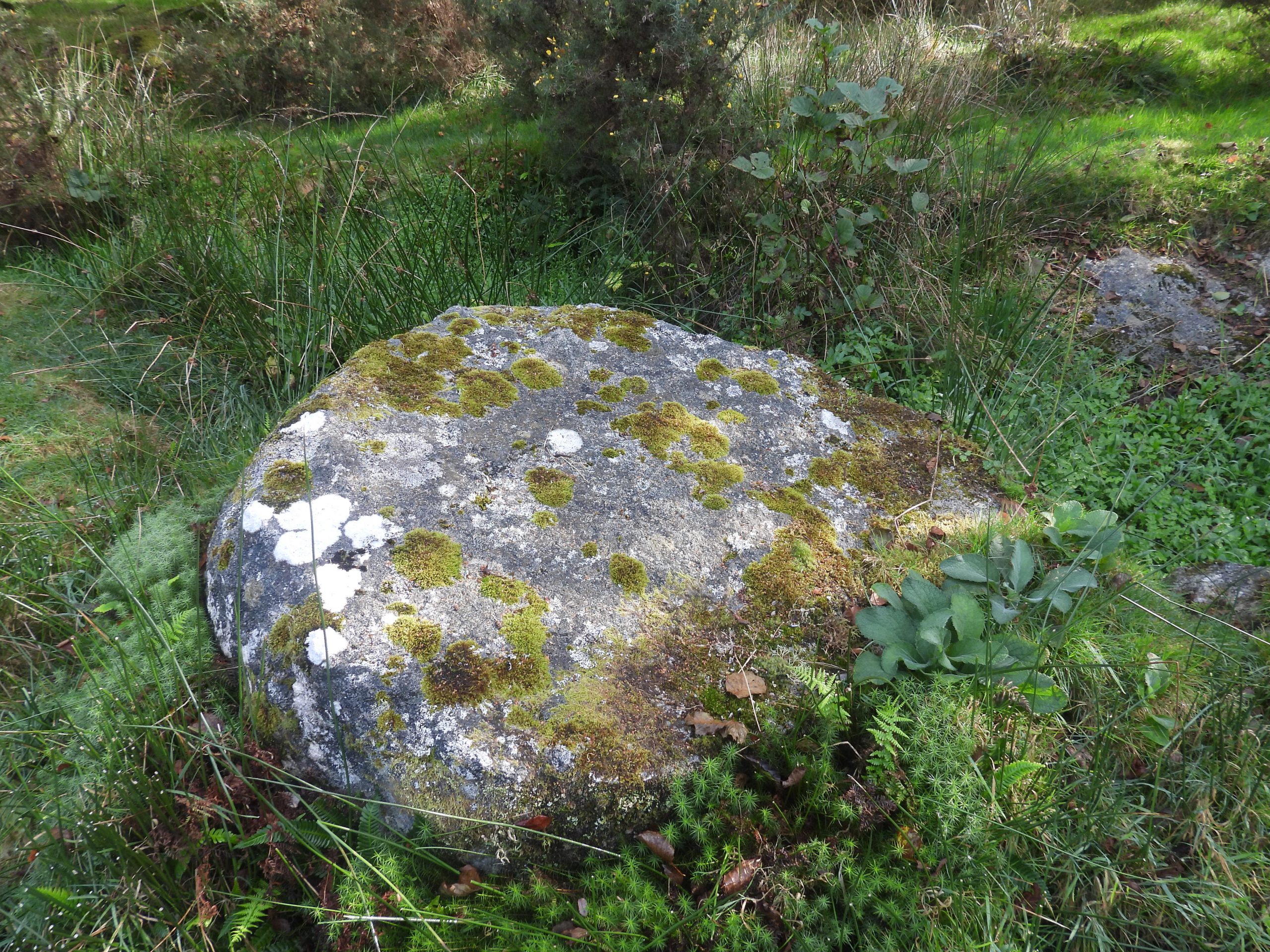
This post covers a short section of the boundary along Forder Brook on which there are three inscribed boundary markers / stones. Intriguingly, one of the three inscriptions appears to be located incorrectly on a stone just inside the neighbouring parish.

0. Map
This 19th century annotated map shows the features covered in this post along Forder Brook
1. Three Parish Boundary Stones
The three inscribed parish boundary stones. One is inscribed ‘GP’ (Gidleigh Parish) and two ‘TP’ (Throwleigh Parish). Intriguingly, with the parish boundary between Throwleigh and Gidleigh being located along the centre of the brook, the ‘TP’ stone on the same side of the brook as the ‘GP’ stone appears to be located within its neighbouring parish. Perhaps this was the reason why the second ‘TP’ stone was inscribed just a few metres away on the other side of the brook?
2. GP a
The ‘GP’ (Gidleigh) parish boundary stone before mud painting
2. GP b
The ‘GP’ (Gidleigh) Parish boundary stone after mud painting. The stone is located at SX66190 89806
3. TP1 a
The ‘TP’ (Throwleigh) parish boundary stone, which is located on the ‘Gidleigh Parish’ side of Forder Brook
3. TP1 b
This ‘TP’ (Throwleigh) parish boundary stone is located at SX66195 89803
4. TP2 a
The second ‘TP’ (Throwleigh) boundary stone is close to the road and very crudely inscribed
4. TP2 b
The second ‘TP’ (Throwleigh) boundary stone is located at SX66197 89807
4. TP2 c
The second ‘TP’ (Throwleigh) boundary stone is located on the Throwleigh parish side of the brook
5. Worked Stone
A short distance south east down the road heading towards Ash, there is a worked stone which appears to be around a 2/3rds complete mill stone. It can be found at SX66299 89722
6. Clapper Bridge a
Crossing Ash Green heading towards Donkey’s Corner (Brook Cottage) this delightful clapper is crossed. It spans Forder Brook and effectively the Throwleigh / Gidleigh Parish boundary
6. Clapper Bridge b
The clapper bridge is located at SX66372 89530
Total Page Visits: 1108 - Today Page Visits: 2

Next Post

Previous Post

Leave a Reply

© 2024 Dartmoor Explorations

Theme by Anders Norén

Social media & sharing icons powered by UltimatelySocial