A collection of walks, discoveries, insights and pictures of exploring Dartmoor National Park
June 17, 2023
Will Farm (possibly on the site of a former Blowing House)
Will was first mentioned as the home of Walter atte Will in 1342. The literal meaning is Walter ‘at the spring’. Fast forward to the 19th century and the tithe map of 1840 the farm at Will is shown as consisting five buildings. The main farmhouse is rectangular and appears to have had an extension on (evidence suggests around 1816) and is roughly aligned east-west. The farm also has two substantial associated agricultural buildings.
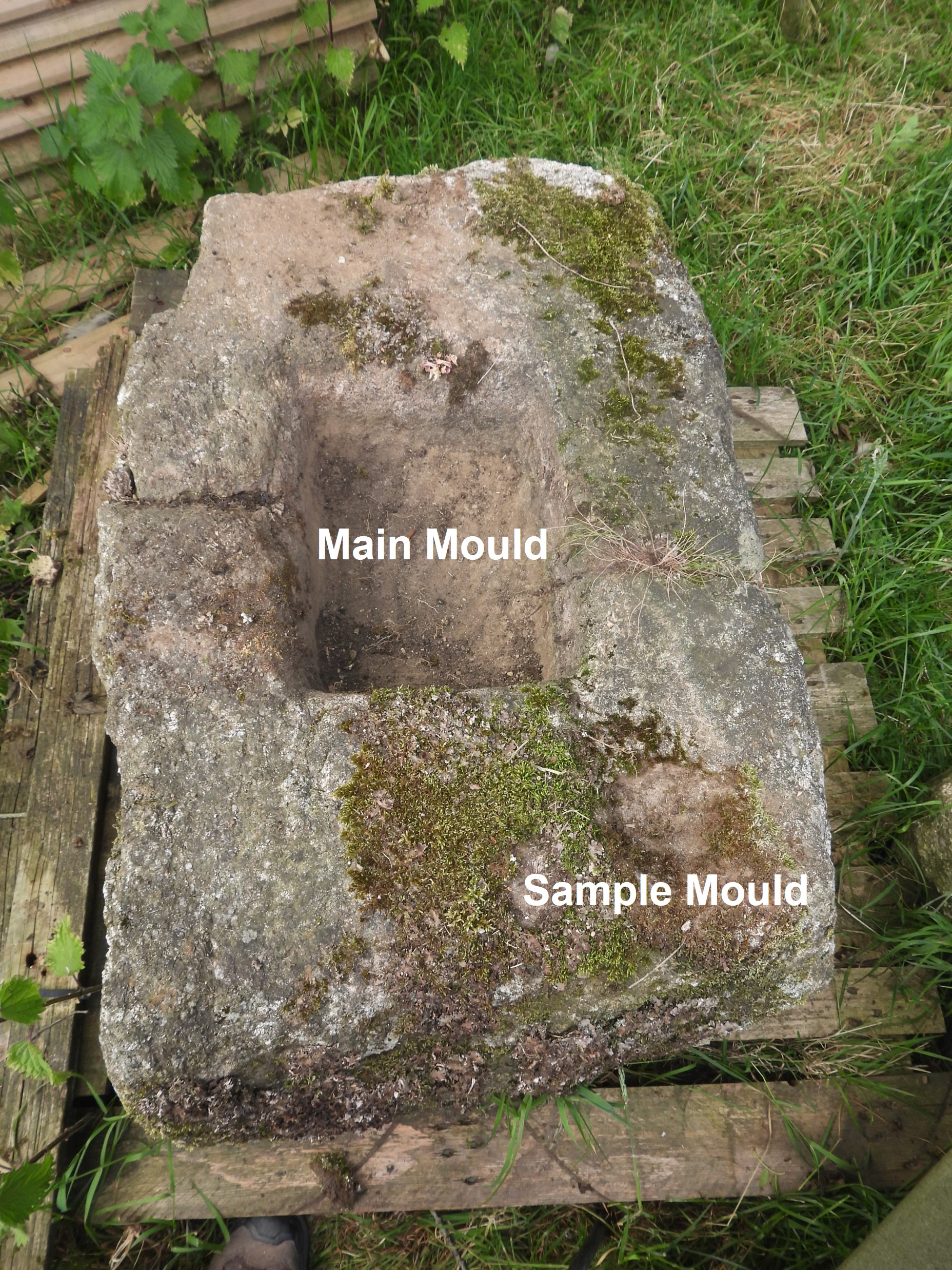
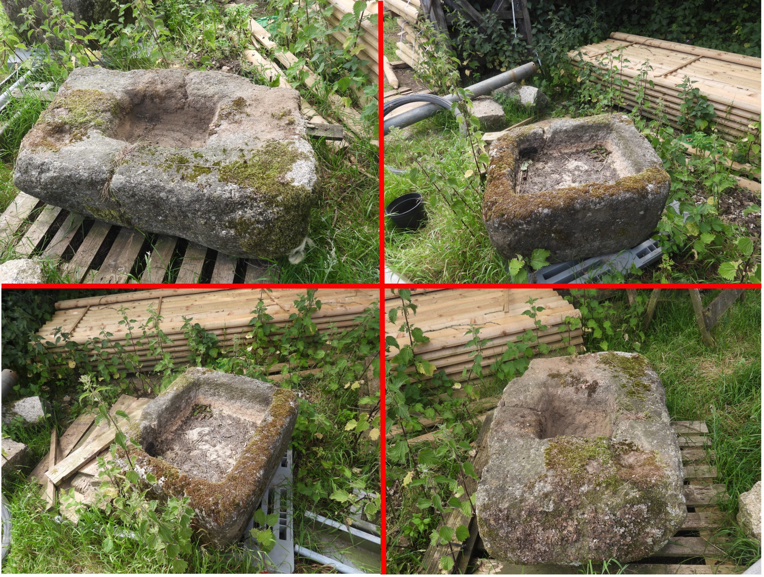
The author was drawn to visit the area as a result of Richard Hansford Worth’s 1940 publication, ‘The Dartmoor Blowing House’ where he mentioned a Blowing mill at Will, Peter Tavy. He stated that although the site of the blowing house was not known there it was possible as he had found an mould-stone. The author was fortunate to have met the current owner (John) of Will whilst in the area and was kindly showed around which included being showed “Worth’s Mould Stone” and many artefacts. Please note most of the features in this post are on Private property (with the exception of the benchmark and post box) albeit some may be seen from the roadway.
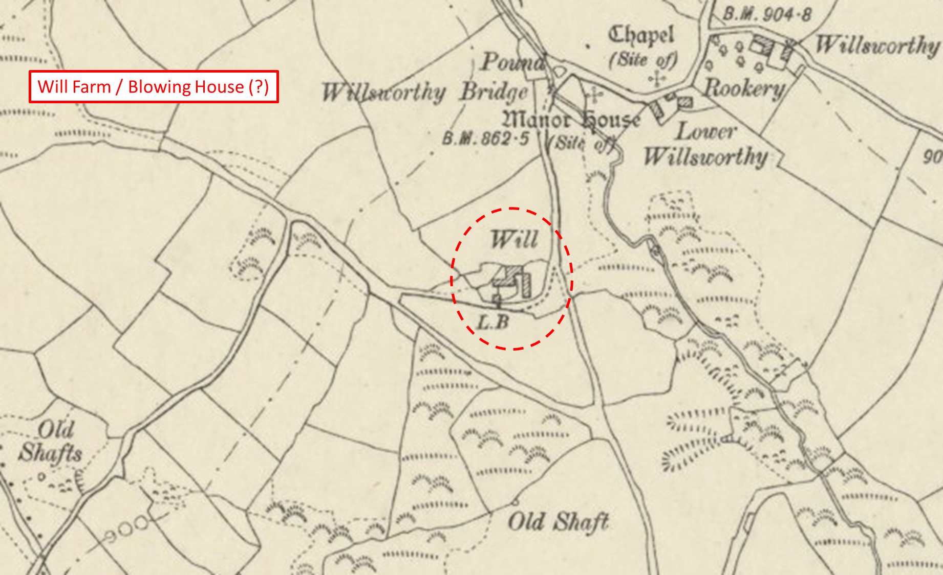
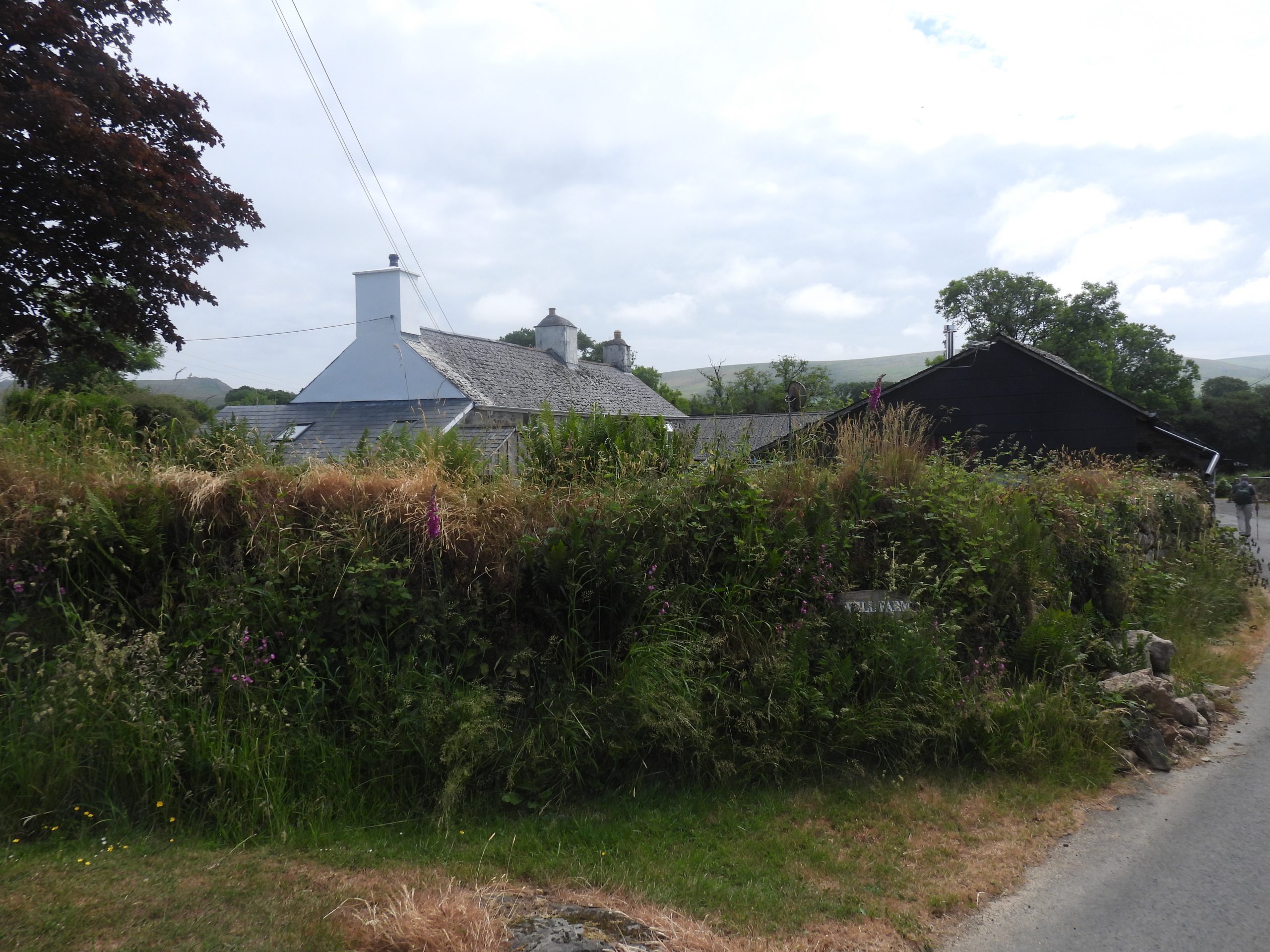
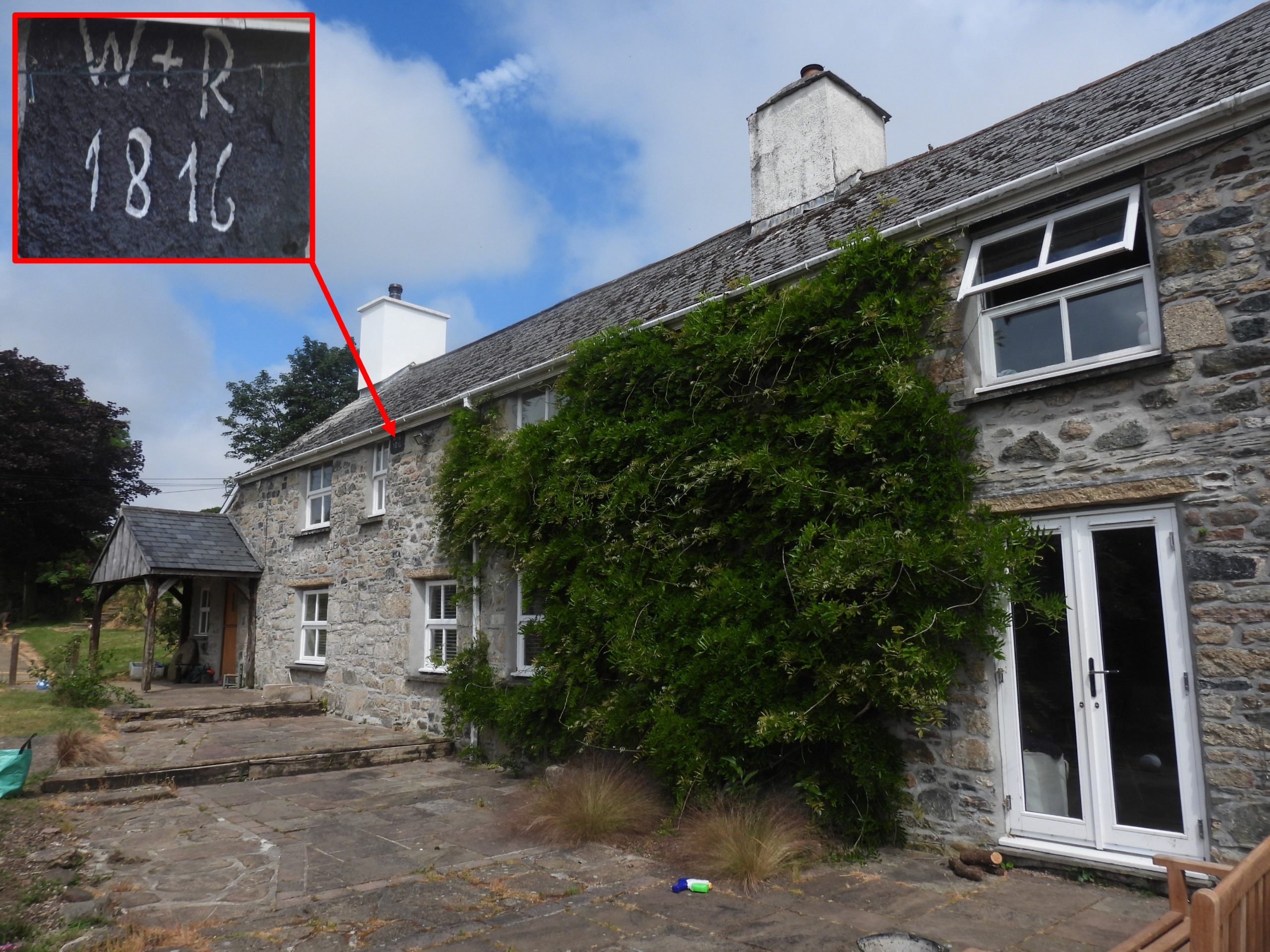
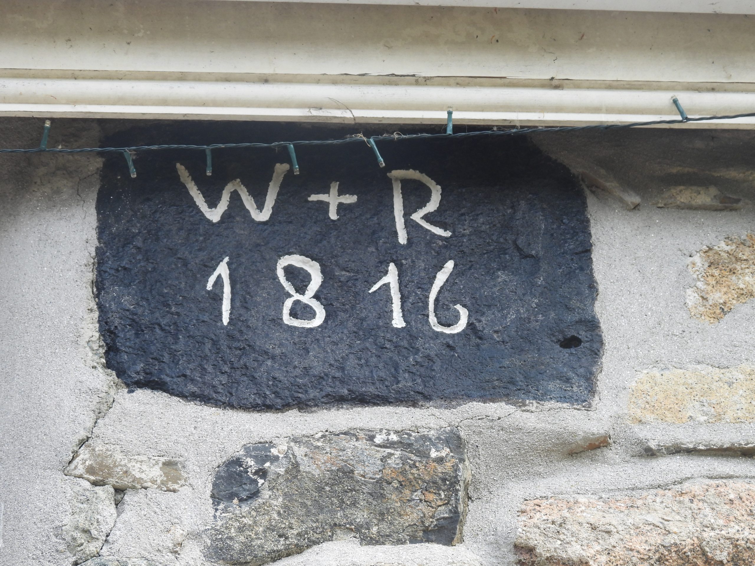
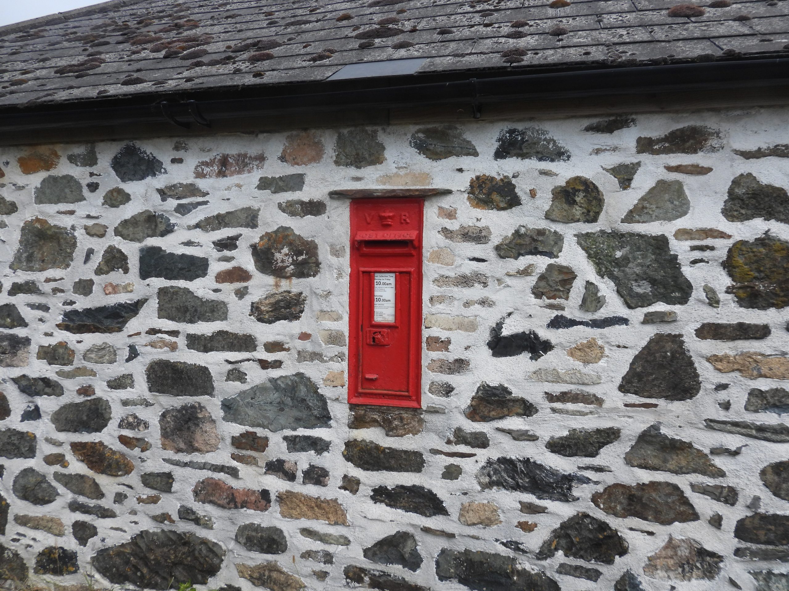
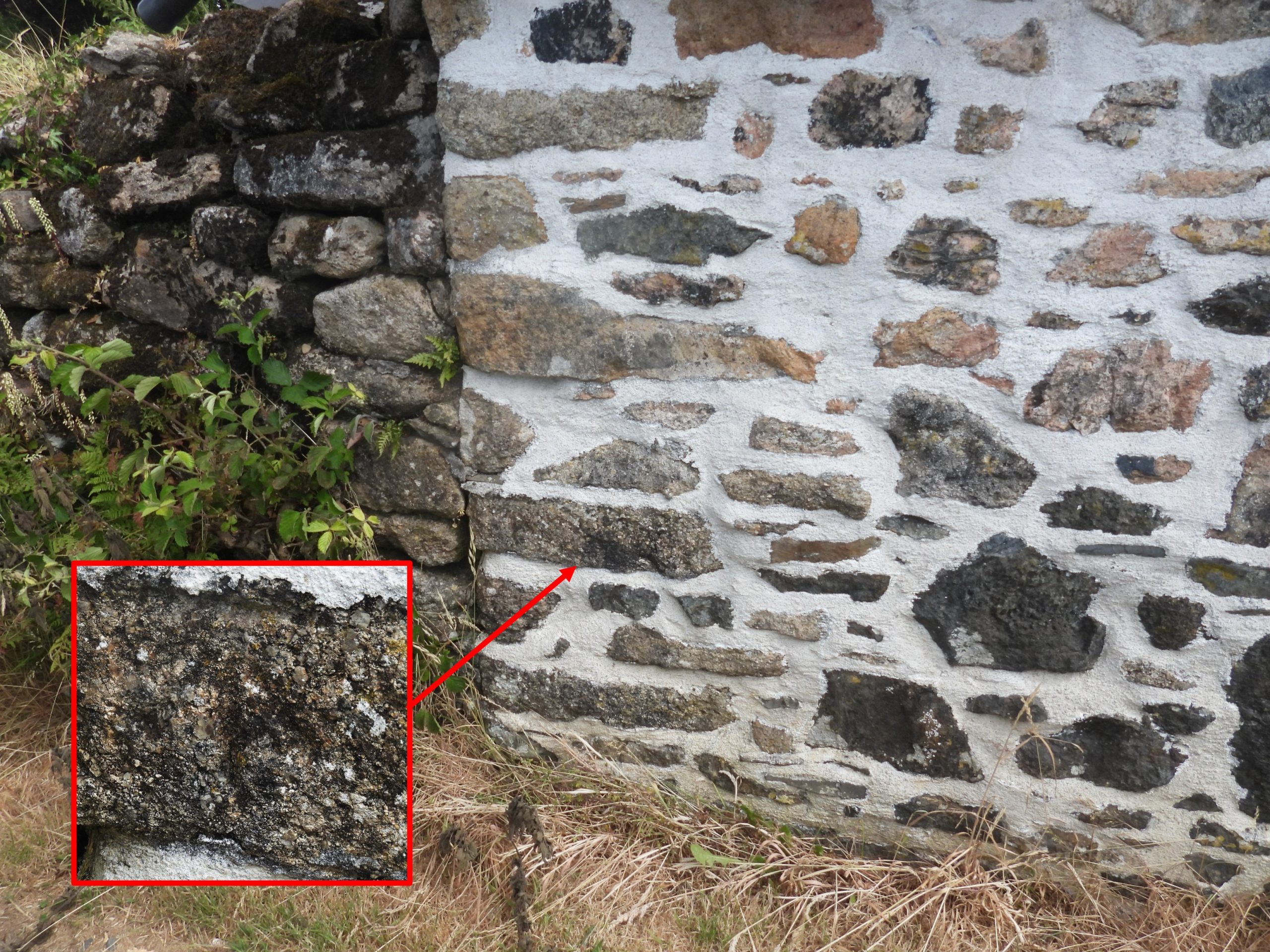
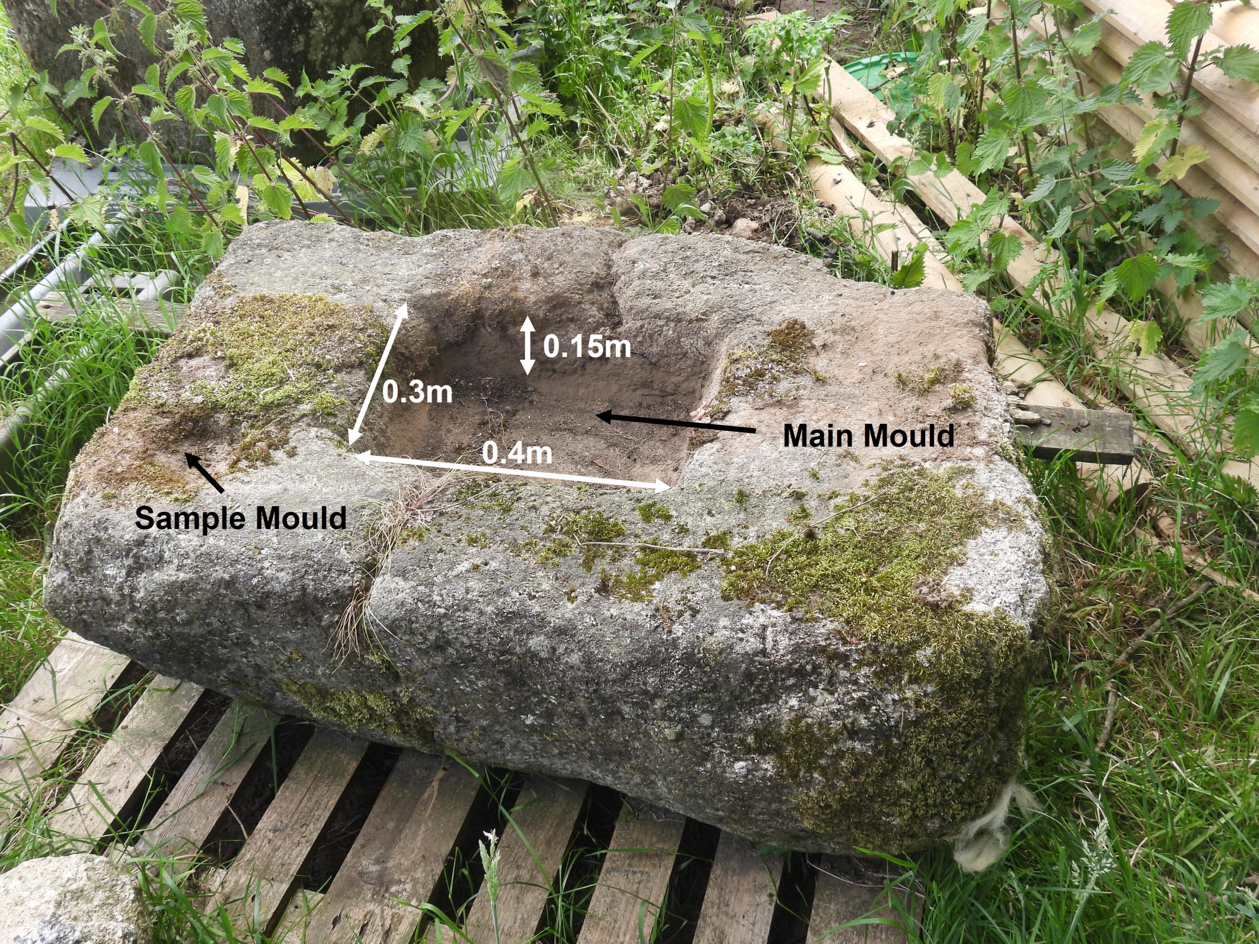
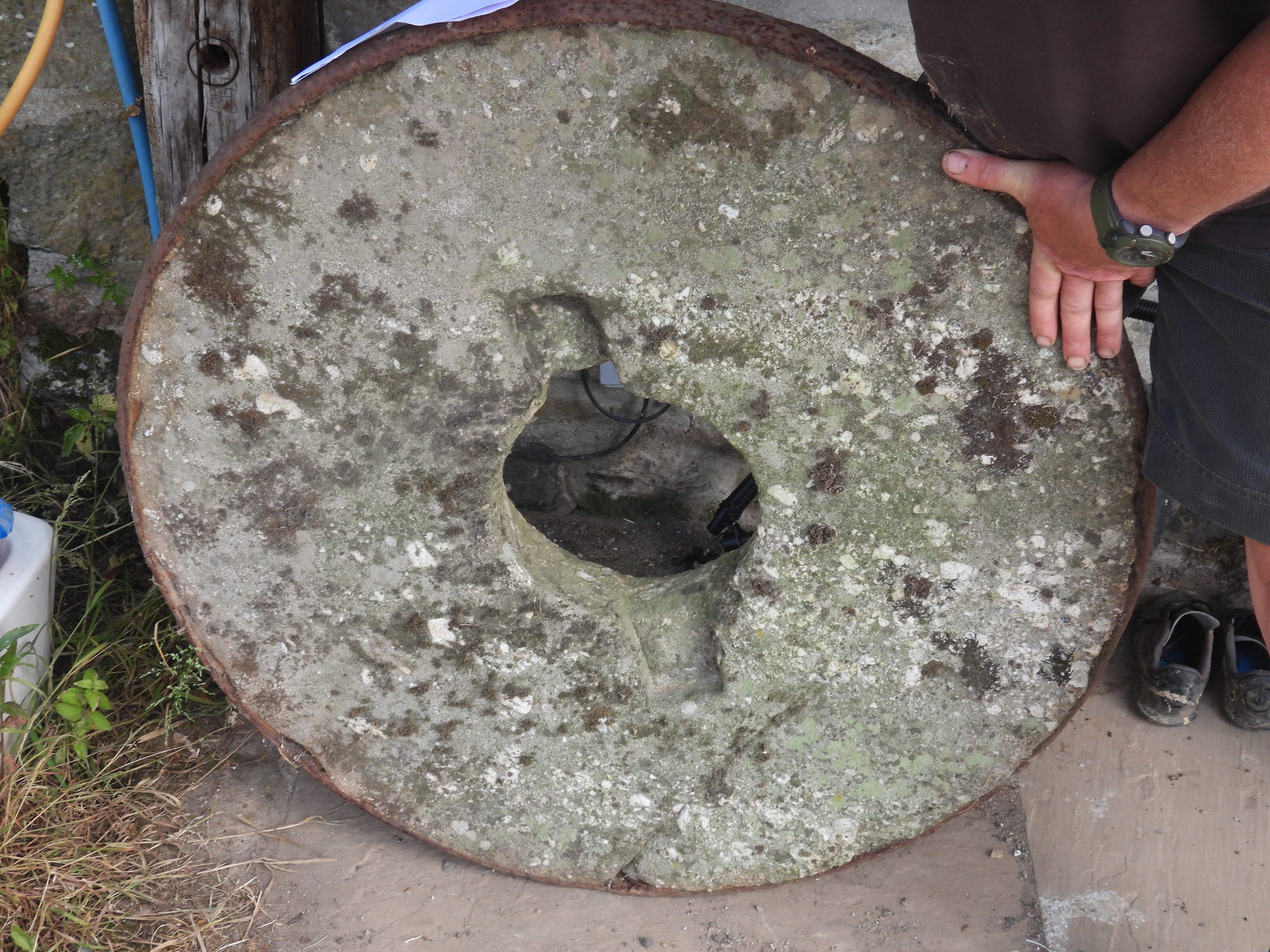
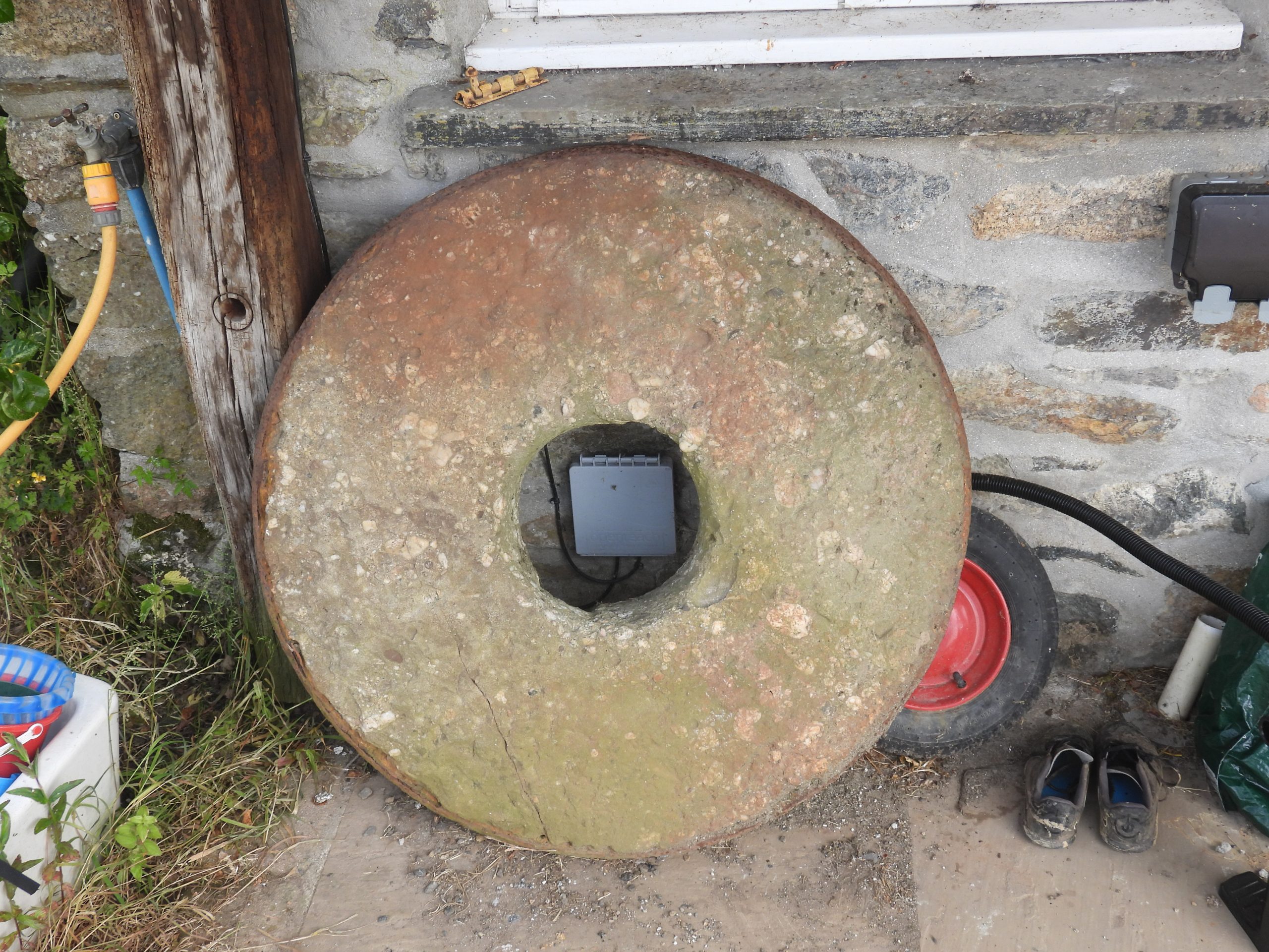
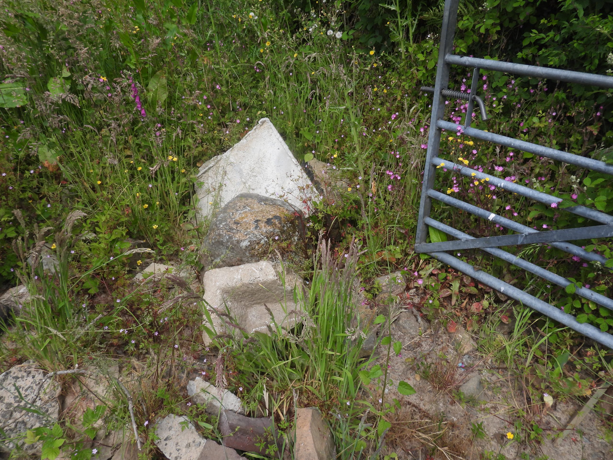
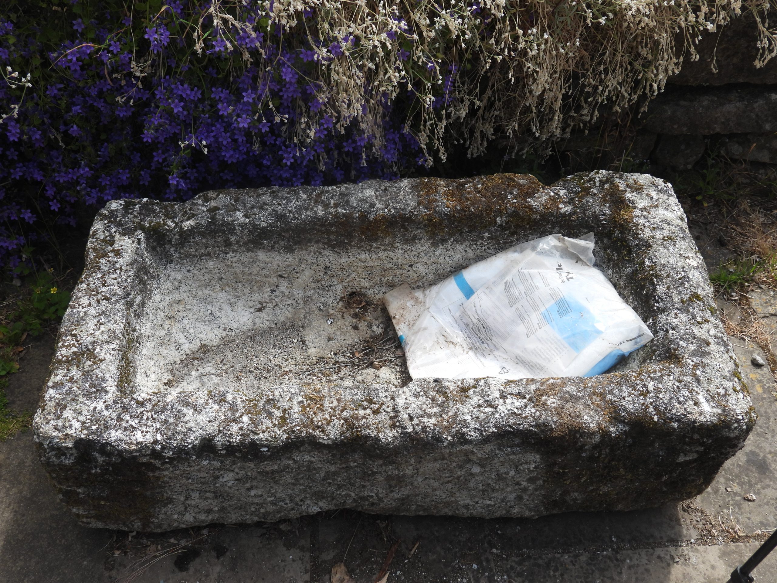
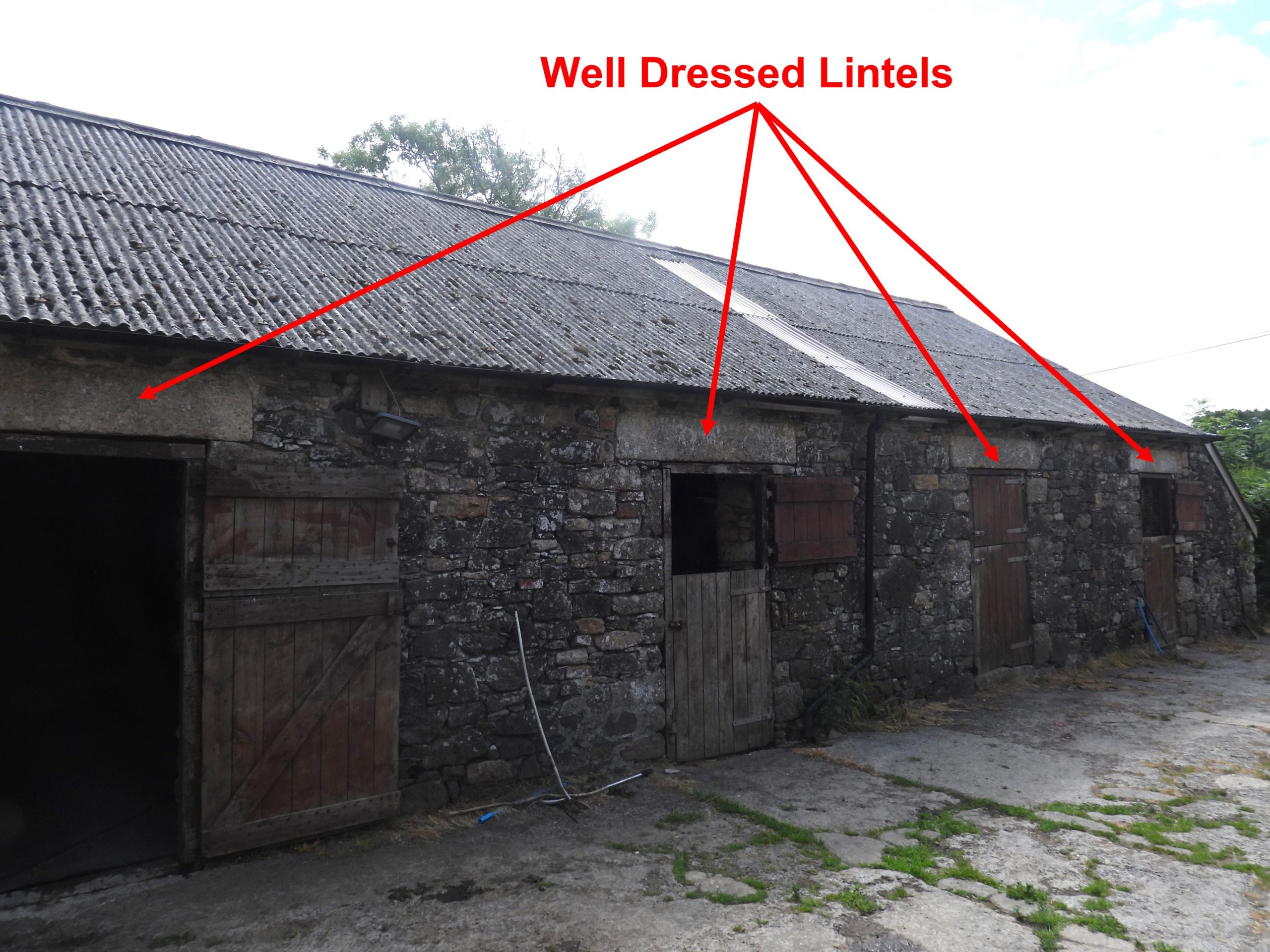
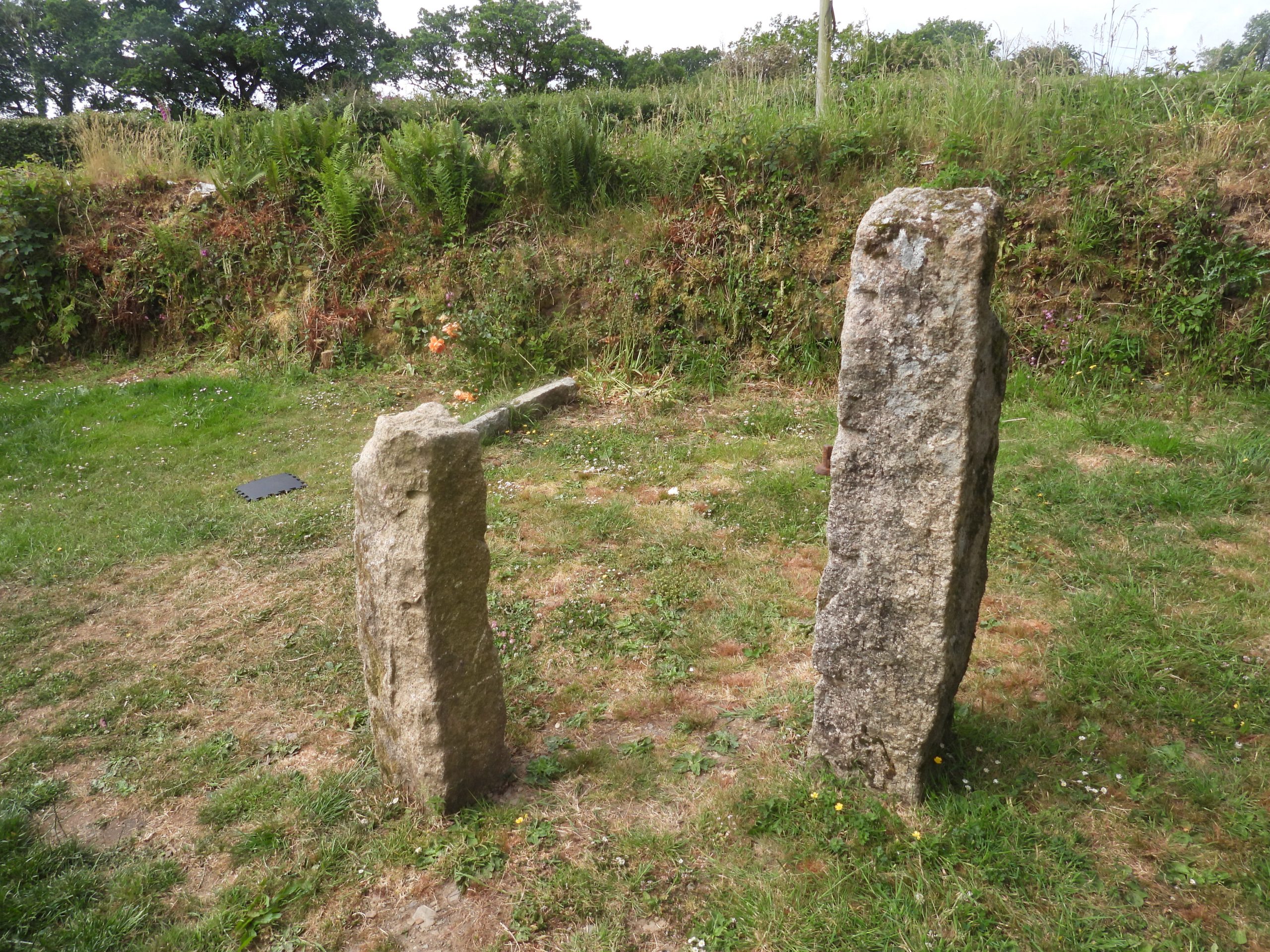
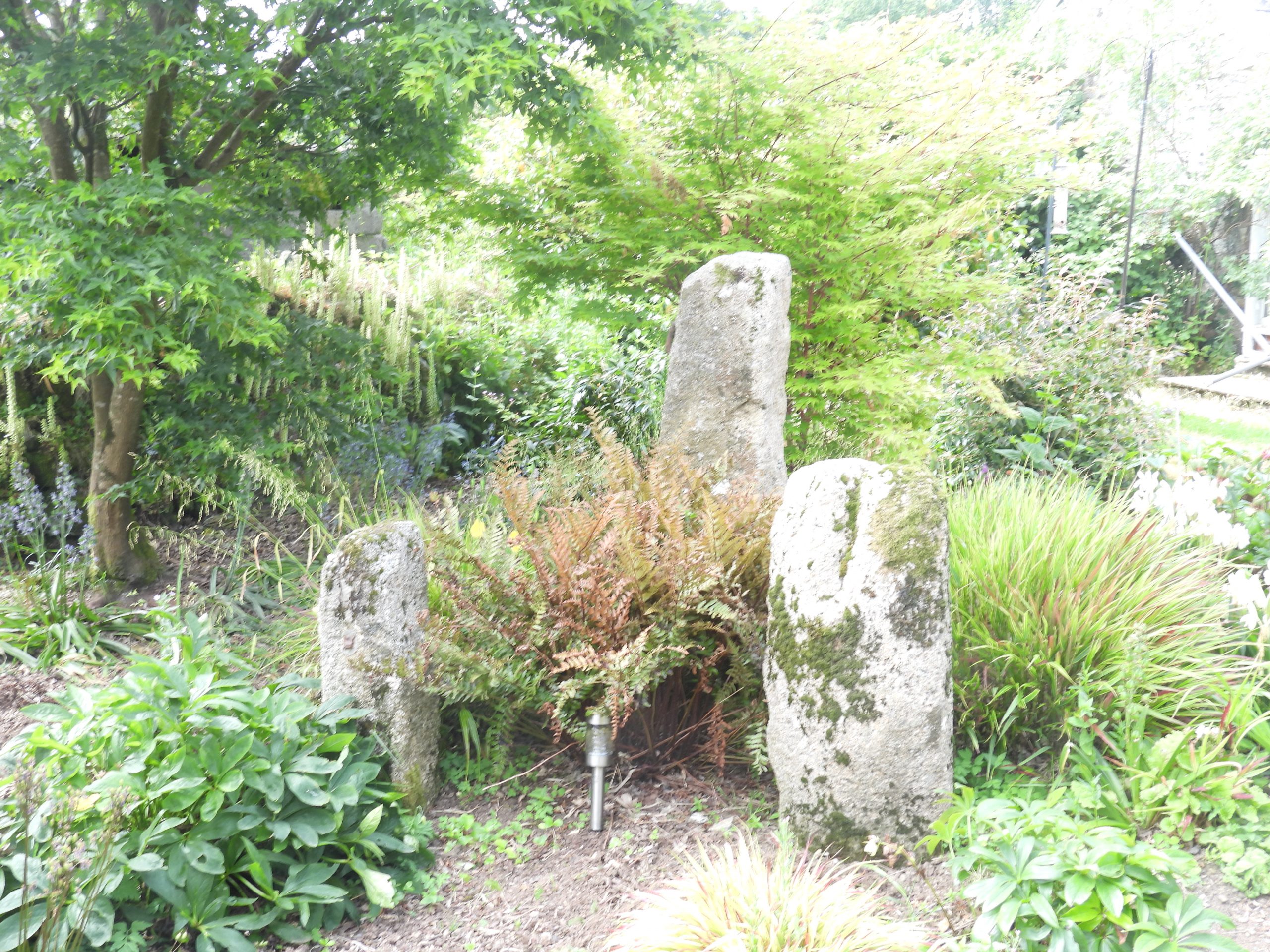
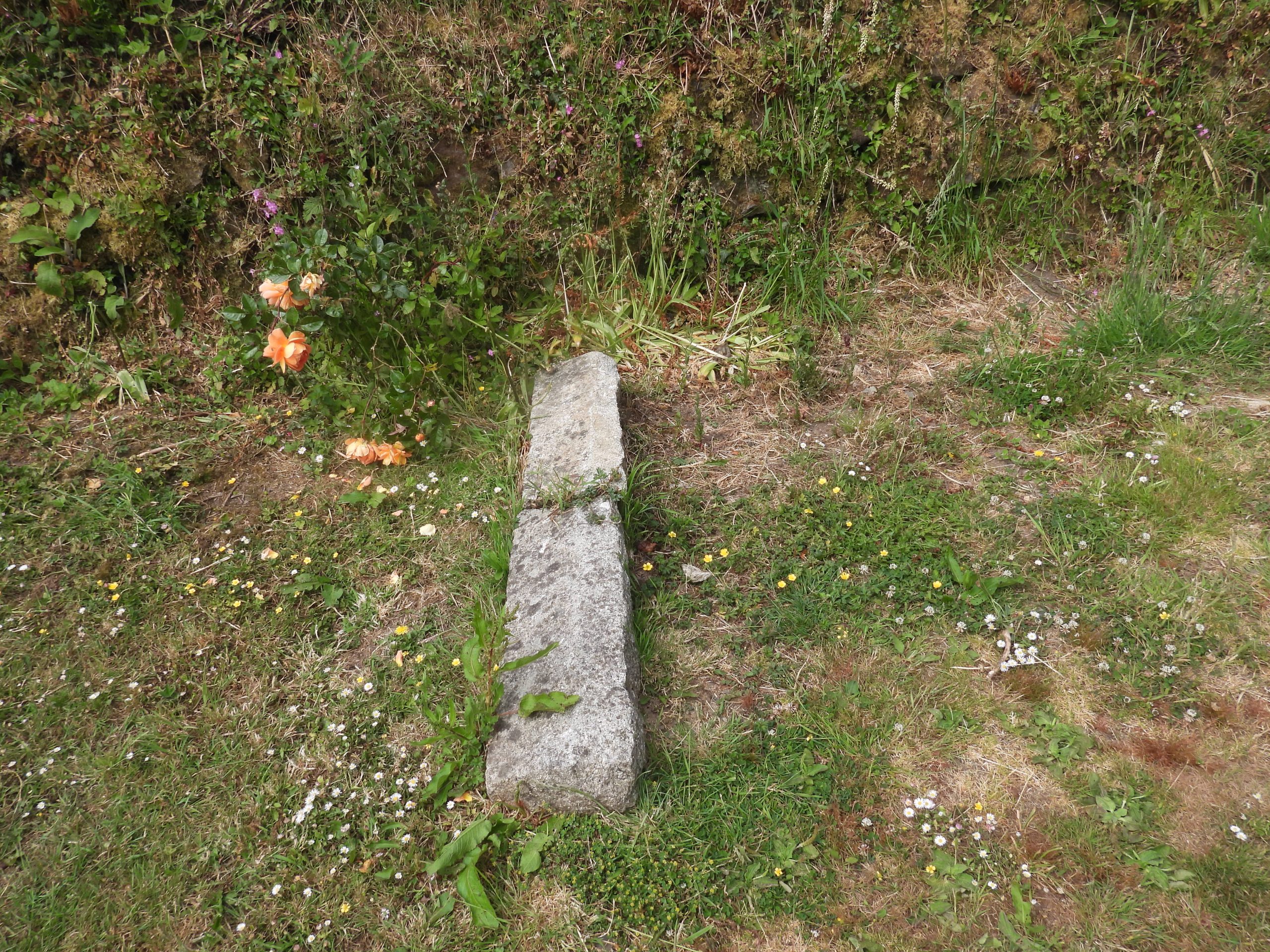
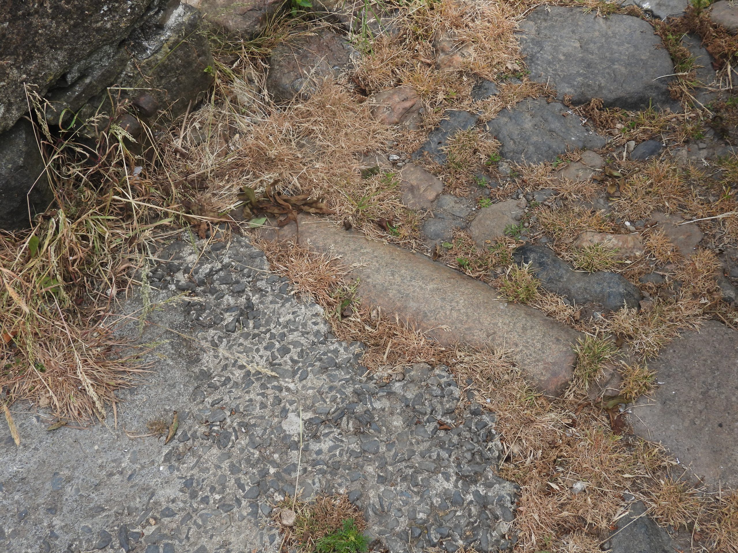
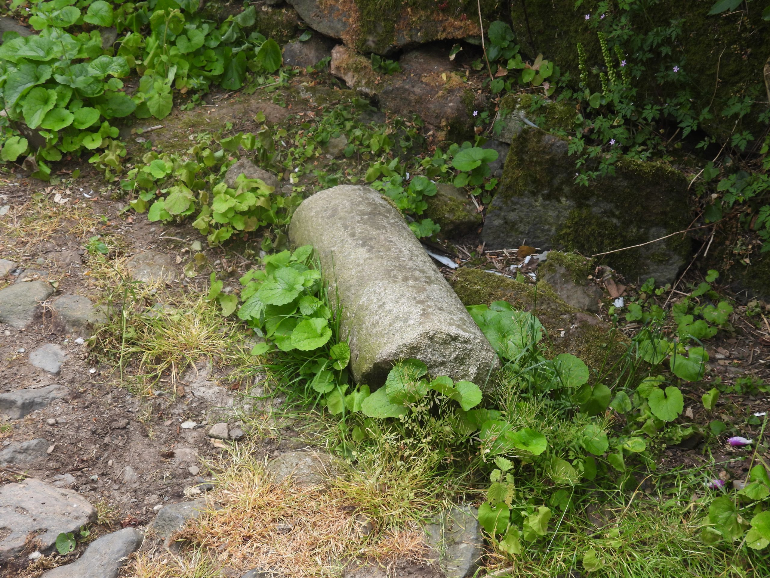
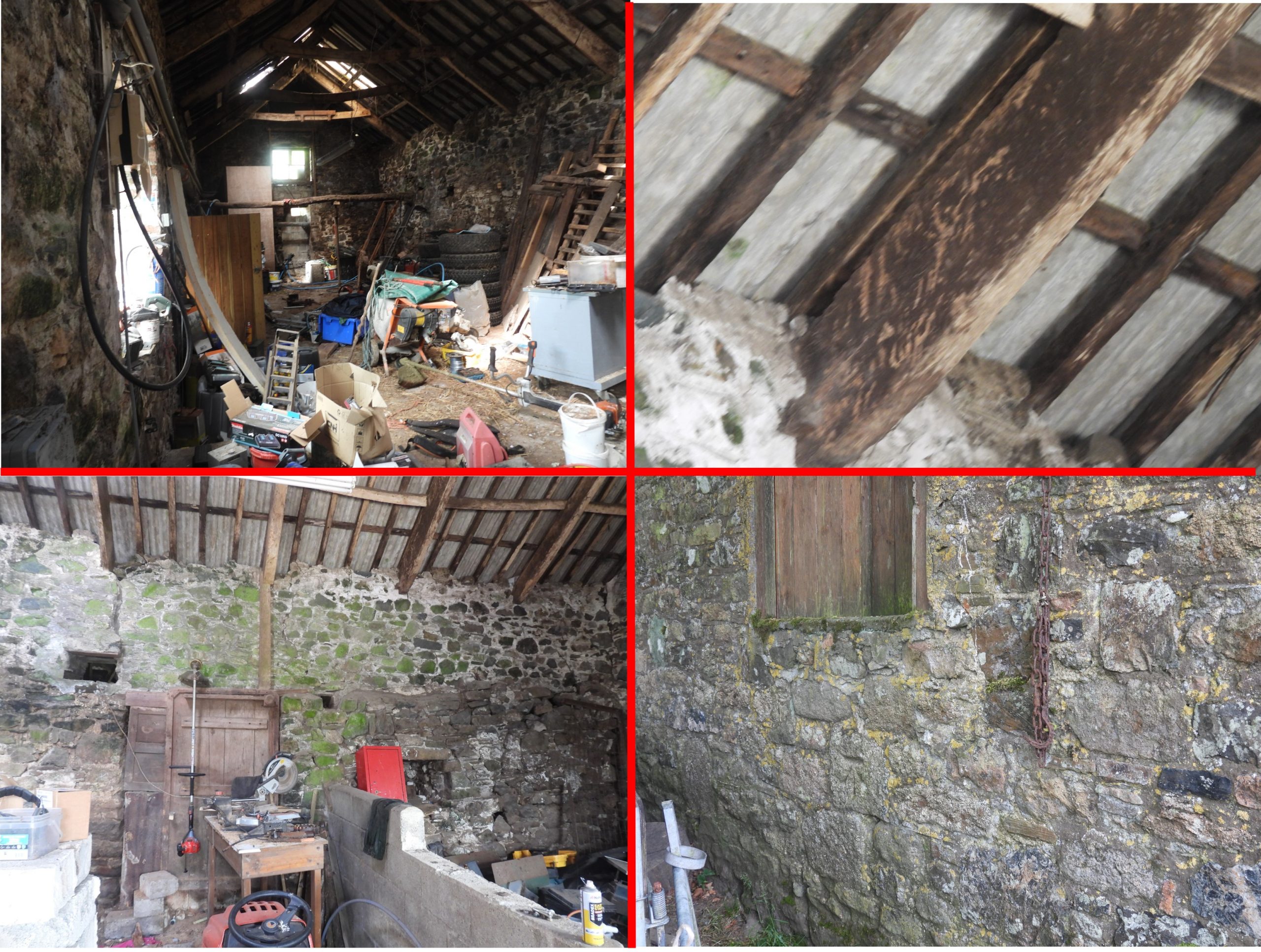
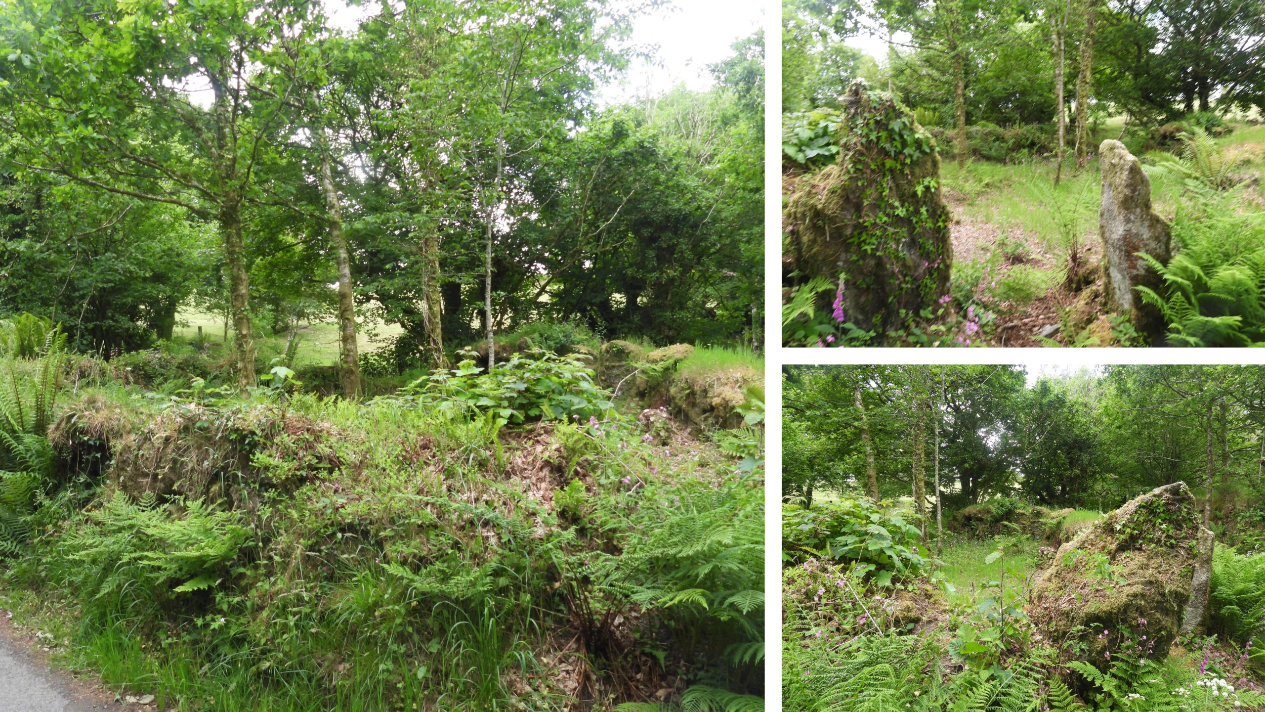
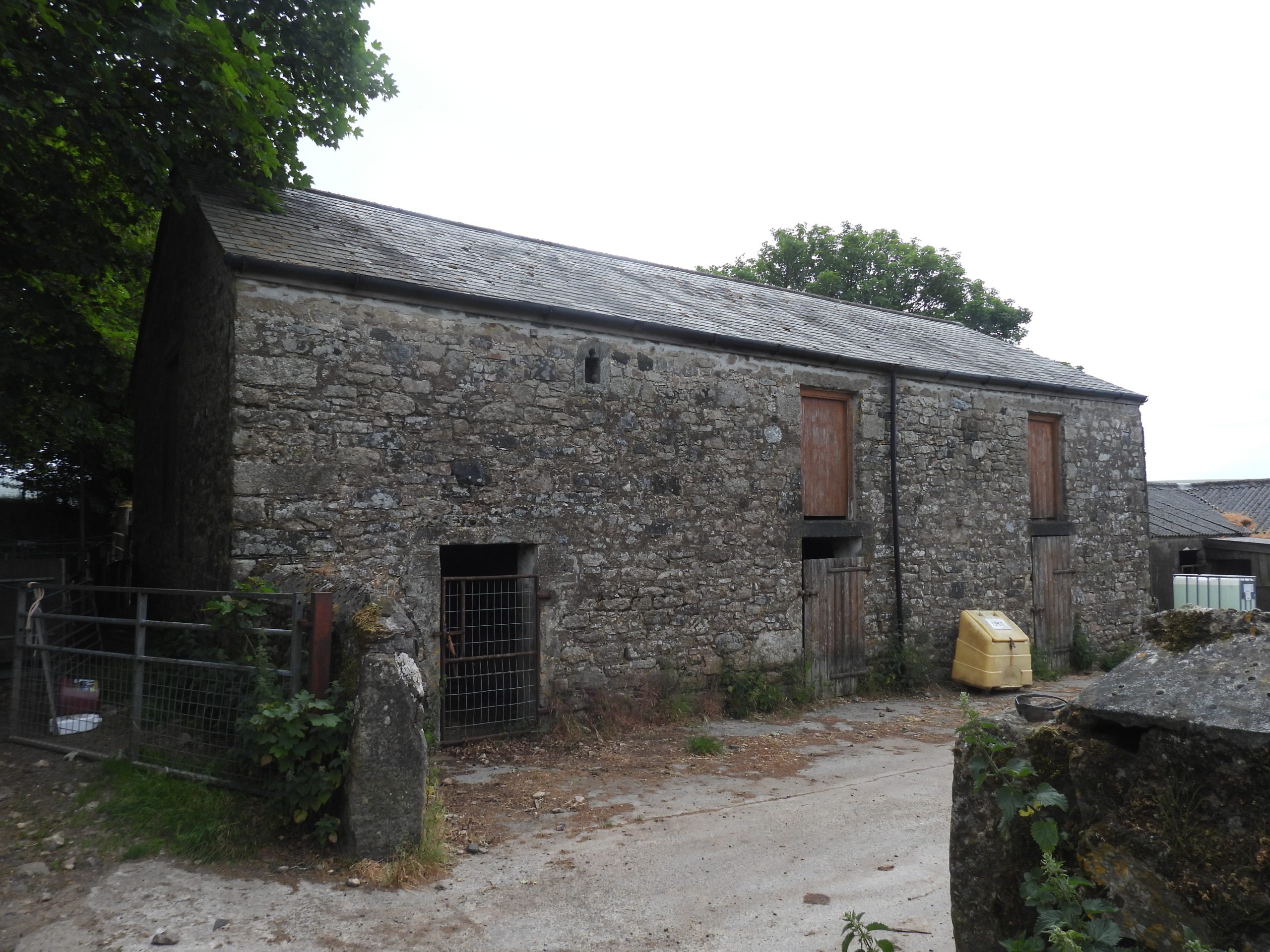
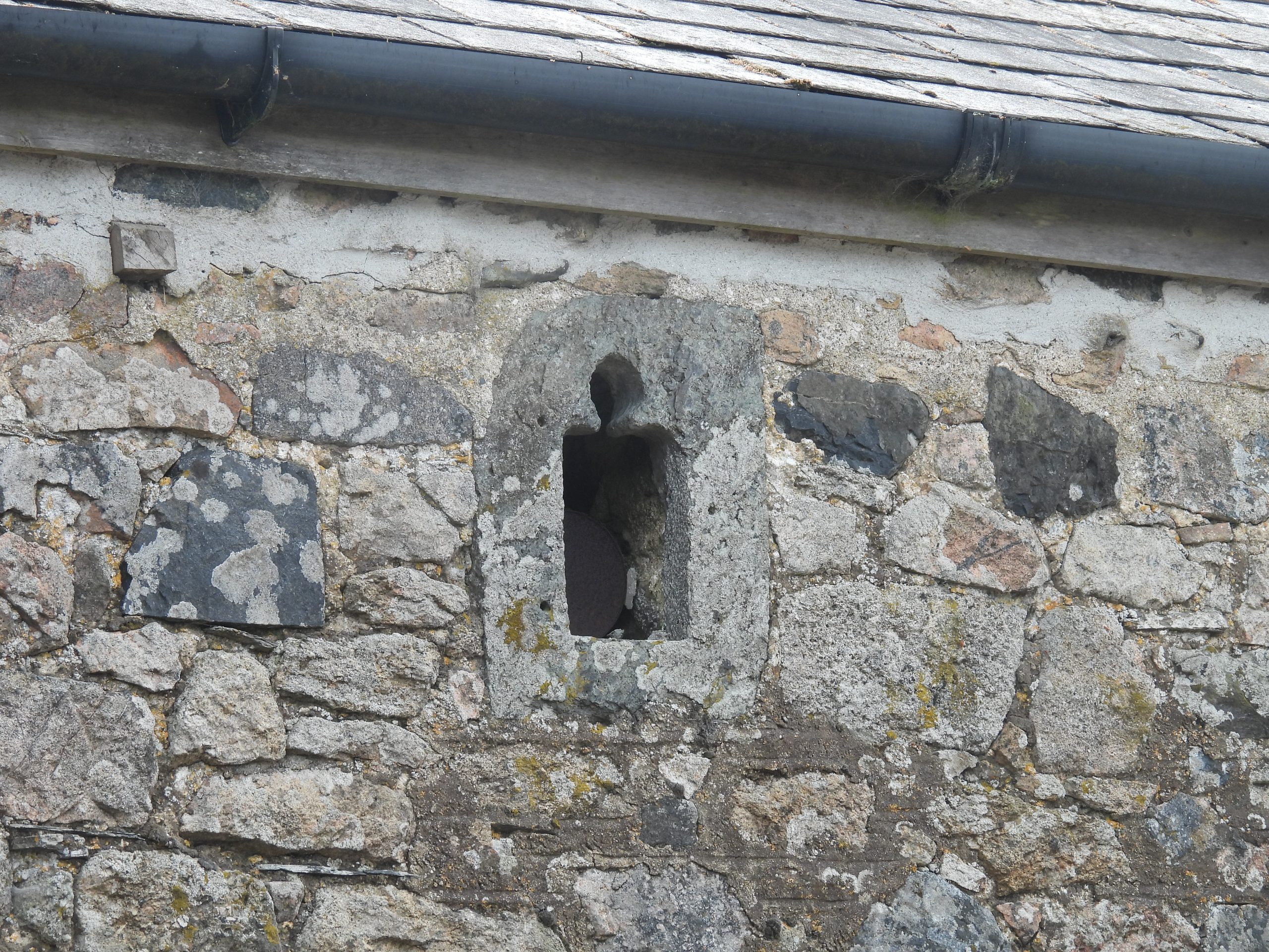
The location of Will, which is passed on the way between Horndon and Lane End. Note the ‘Old Shafts’ shown on this 19th century map plus mention of the old Manor House, near Willsworthy Brook. This post focuses on Will farm but also includes a couple of features adjacent to the old Lich Way track around (Higher and Lower) Willsworthy.Will Farm (June 2023) approaching from the west.The main farmhouse with its extension. The date stone most probably put in place by the builders.Close up of the ‘Builders Plaque’. One assumes ‘W + R’ were the builders (maybe the farm owners / tenants) and the extension was completed in ‘1816’Next to the lane on an outbuilding is an old ‘Victoria’ letterboxAt the end of the outbuilding is a benchmark, which in spite of what looks like modern re-pointing is still extant. The benchmark reference is B.M. 0870.83John (from Will) showed the author ‘Worth’s Mould Stone’. Worth had recorded in 1940 that: “It would hold 96 kilograms of tin. The sample mould would hold about 1.25 kilograms of tin. The mould-stone was found on the roadside waste at Will, near Willsworthy, by the road to Tavy Cleave from Horndon”. NOTE: Worth recorded the weights in pounds of course but the author has converted to a more modern unit.Further to Worth’s observations in 1940, ten years later the Ordnance Survey (O.S) Archaeology Division, recorded that: “The mould stone has been recently (within the past two years) removed to SX5327 8144. The dimensions of the stone are 1.0m. in length by 0.6m. in width by 0.3m. thick. The rectangular mould in the centre of the stone measures 0.4m. by 0.3m. at the top, and 0.3m. by 0.2m. at the bottom of the mould. No further evidence was available regarding the position of the Blowing House in this area”. NOTE: The author has conducted some calculations to confirm this is the one recorded in 1940. Firstly the density of tin is 7287 kg / m3 so 96kg is 0.01317 m3. Taking the O.S mould measurements the with (average) 0.35m x 0.25m and depth 0.15m the calculation of weight is 0.35m x 0.25m x 0.15m x 7287kg/m3 = 95.64kg, which is very close to Worth’s record. Therefore, one safely can conclude this is the mould stone recorded by Worth.The mould stone is now in safe keeping at Will. It is no longer at the location suggested by O.S in 1950, as you would suspect. The author deliberately will not reveal its locationThis mill stone with its two key indents may well be a standard, horizontally set, mill stone for a grist mill. However, could it be possible that it might have been part of a tin mill ?The mill stone has a iron band around its circumferenceAn old broken troughA complete troughOn this outbuilding are four very well dressed lintels, which look ‘out of place’ given the construction of the building. It is conjectured that these might have been salvaged from the old manor house (which is no longer there) shown on 19th century maps.Standing stonesMore standing stonesAn old window ledge Buried rollerGranite rollerInside one of the two substantial outbuildings. If there was ever a tinners mill, this is the probable location with this building constructed over it.Willsworthy or Thornworthy Pound near Willsworthy Brook. The pound is ‘D’-shaped and measures 9.5m north-east to south-west by 7.7m north-west to south-east internally. Interestingly, the pound lies adjacent to the Lich Way. Could its location be related to this ancient track. Also, because of its proximity to the old manor house, the structure being traditionally described as the Manor Pound of Willsworthy.The barn at Higher Willsworthy Farm, which is located next to the Lich WayThis trefoil ‘light’ under the eaves of Higher Willsworthy barn is thought to have come from the former Willsworthy Chapel, which was located nearby.