Dartmoor Explorations

A collection of walks, discoveries, insights and pictures of exploring Dartmoor National Park

Peter Tavy / Mary Tavy Parish Boundary Stones near Hill Bridge

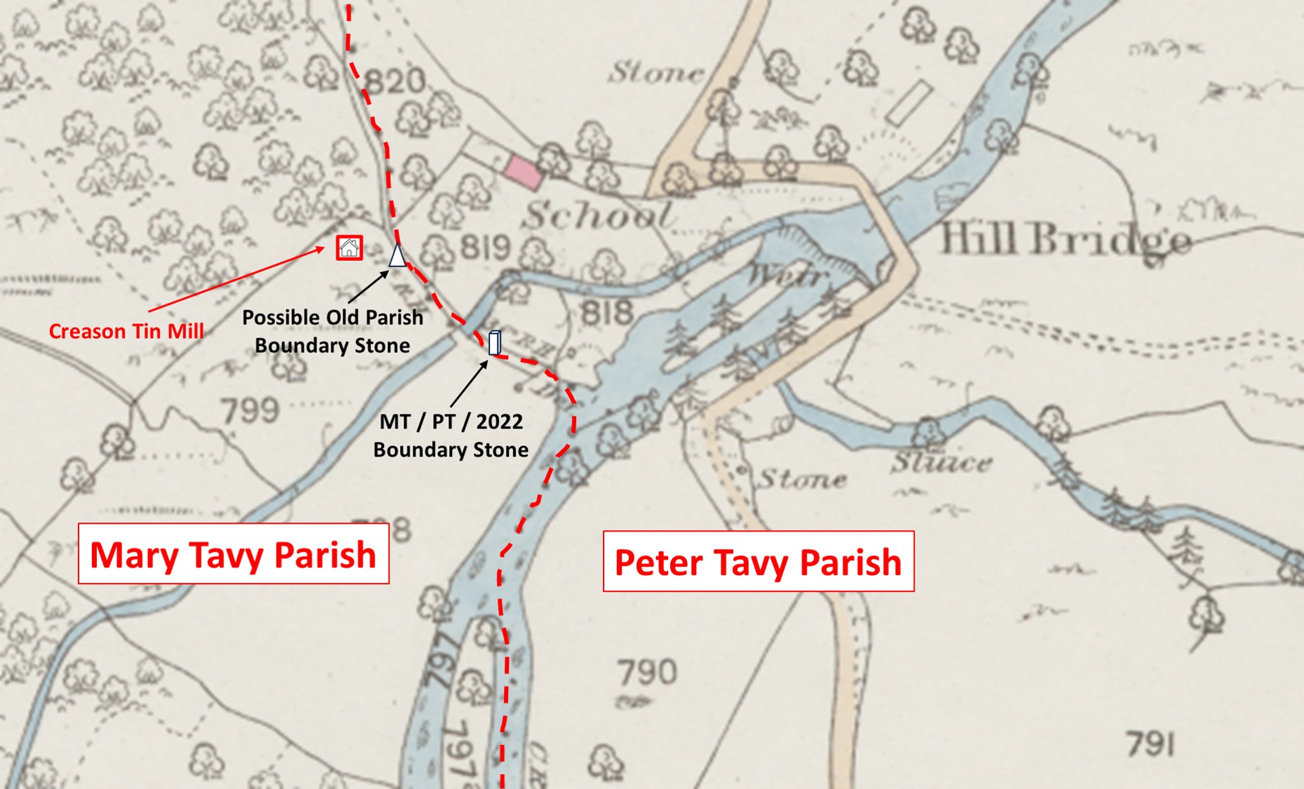
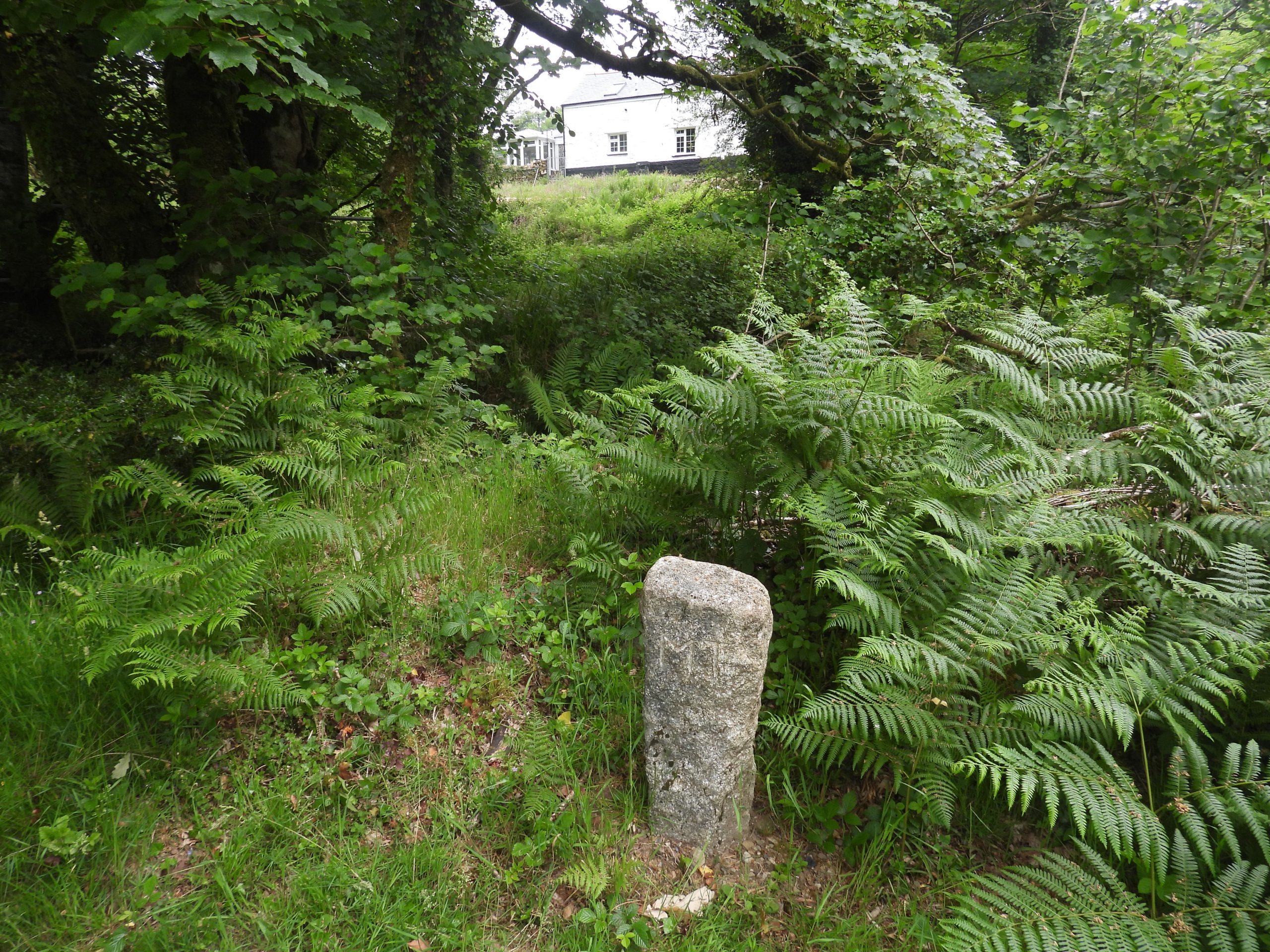
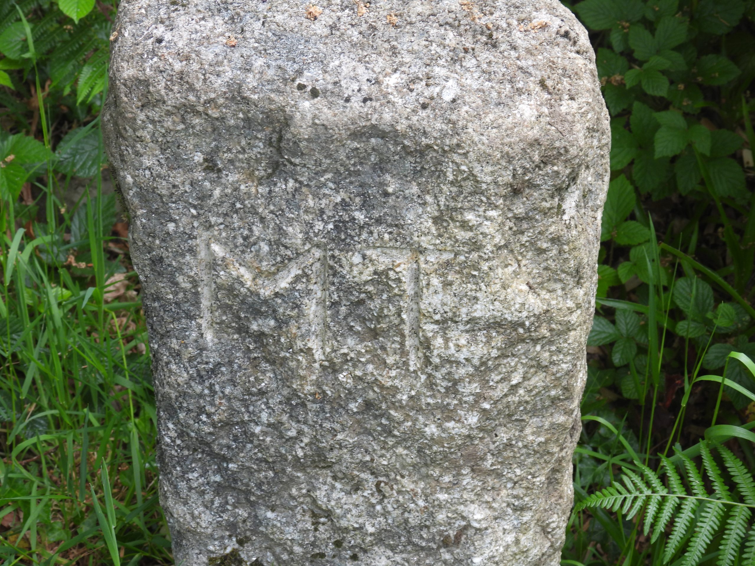
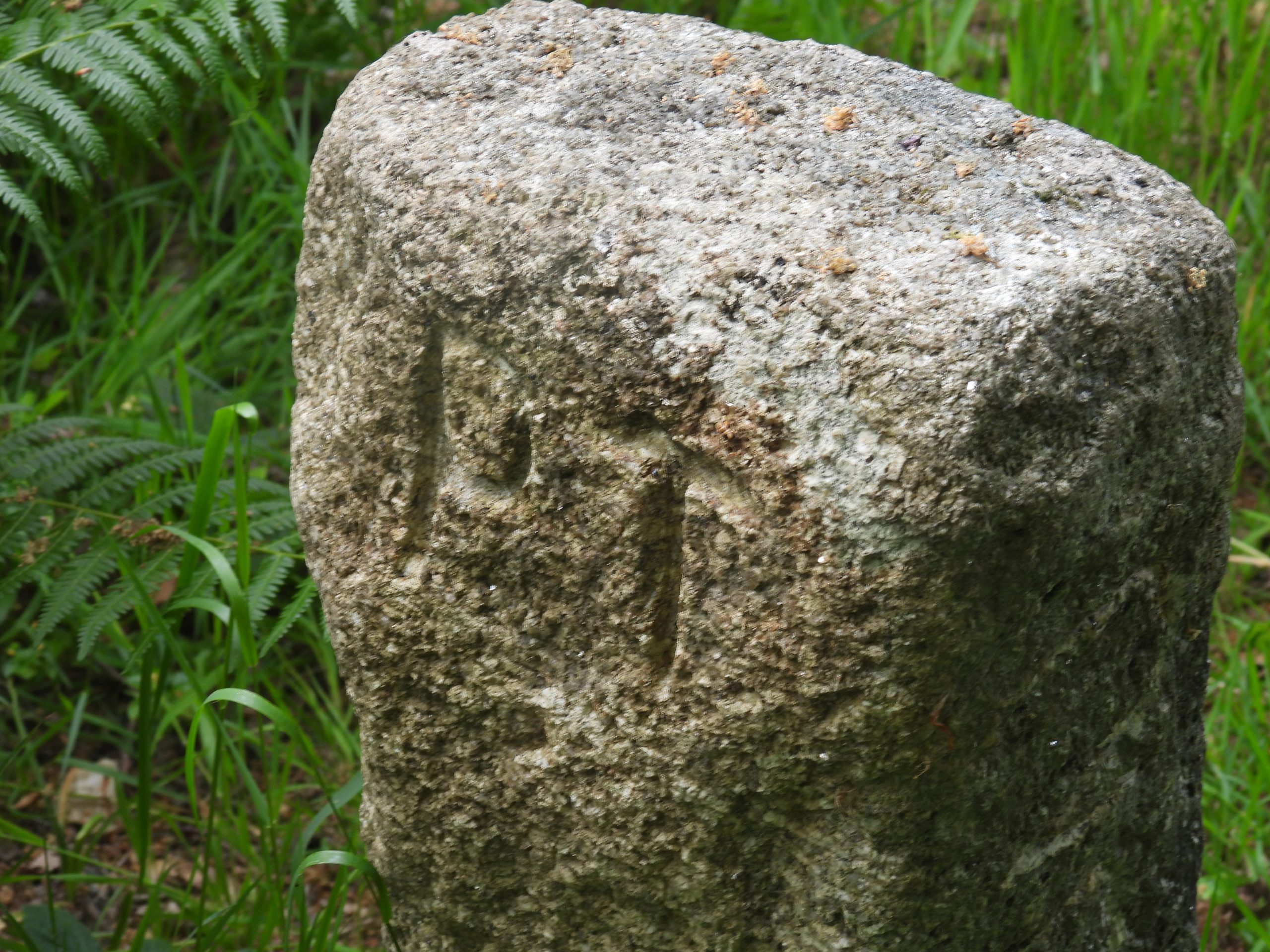
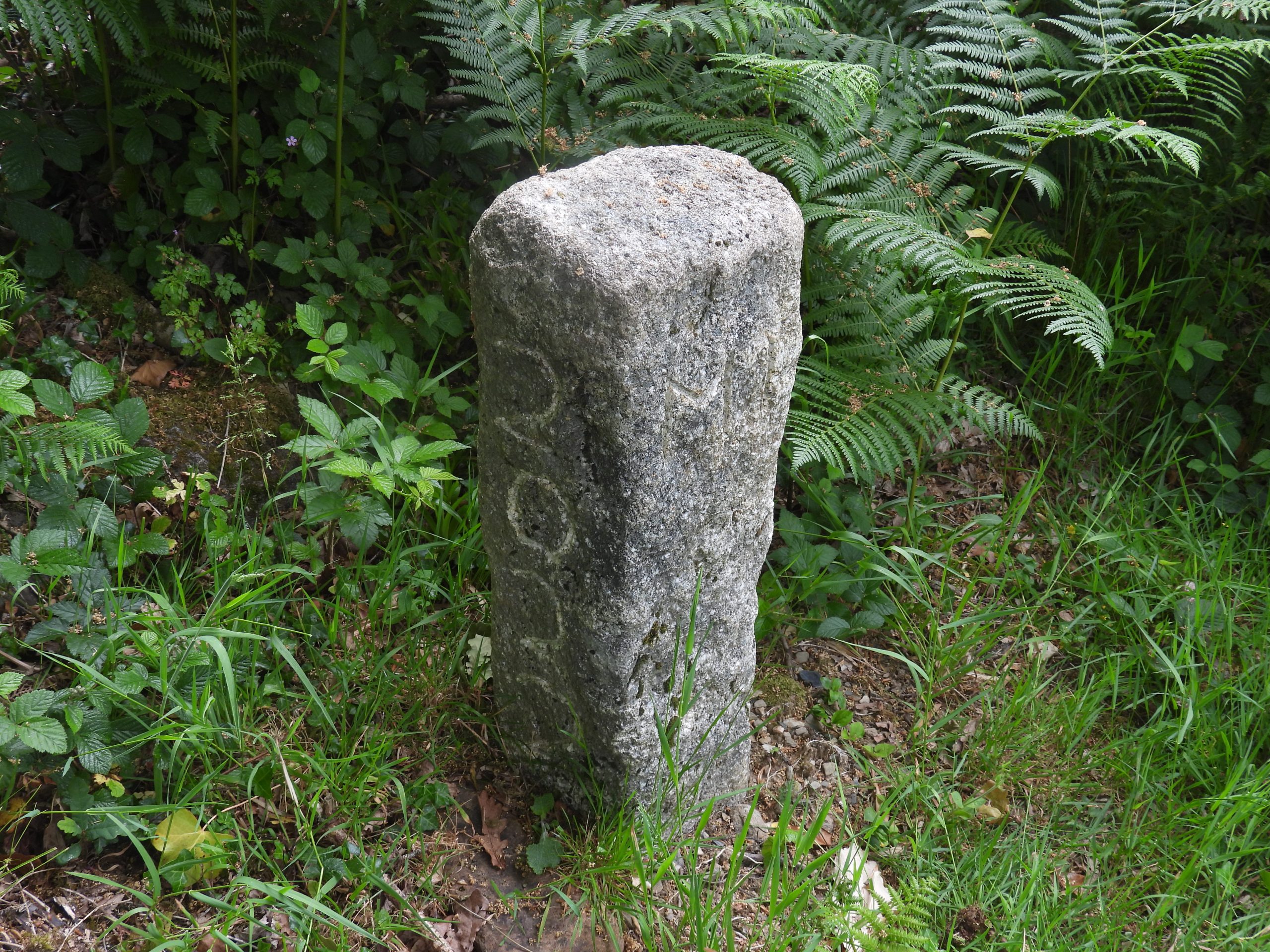
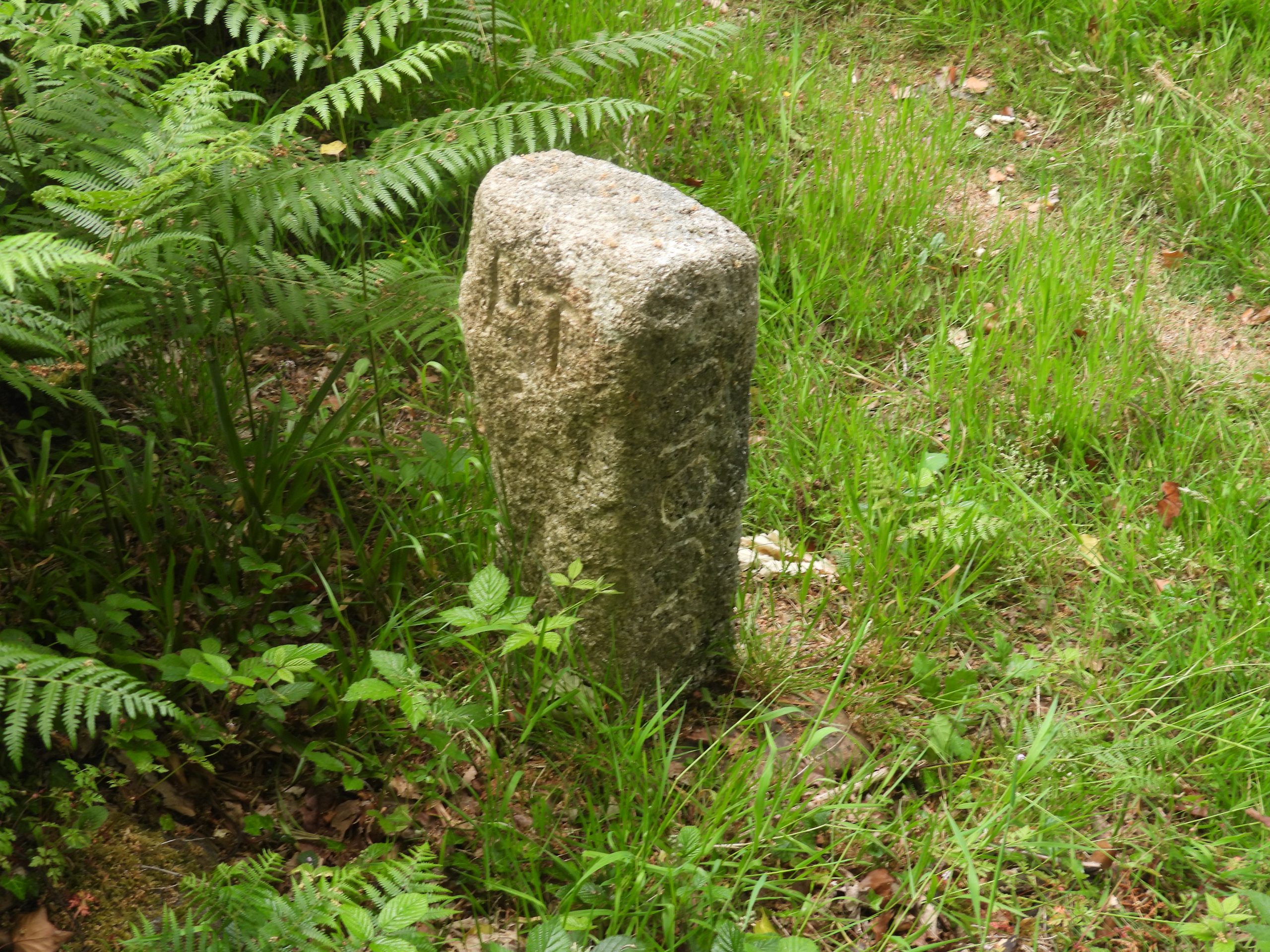
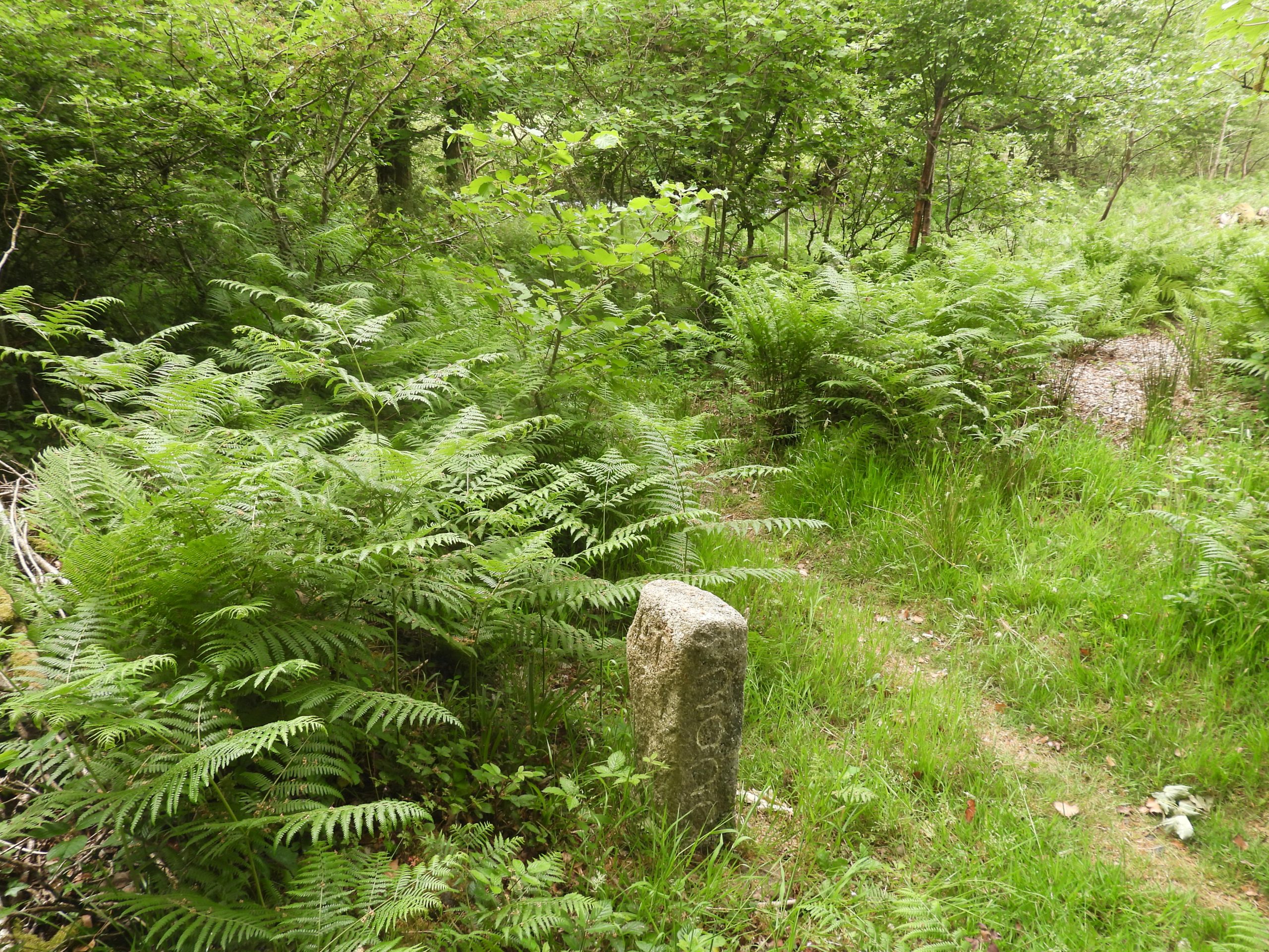
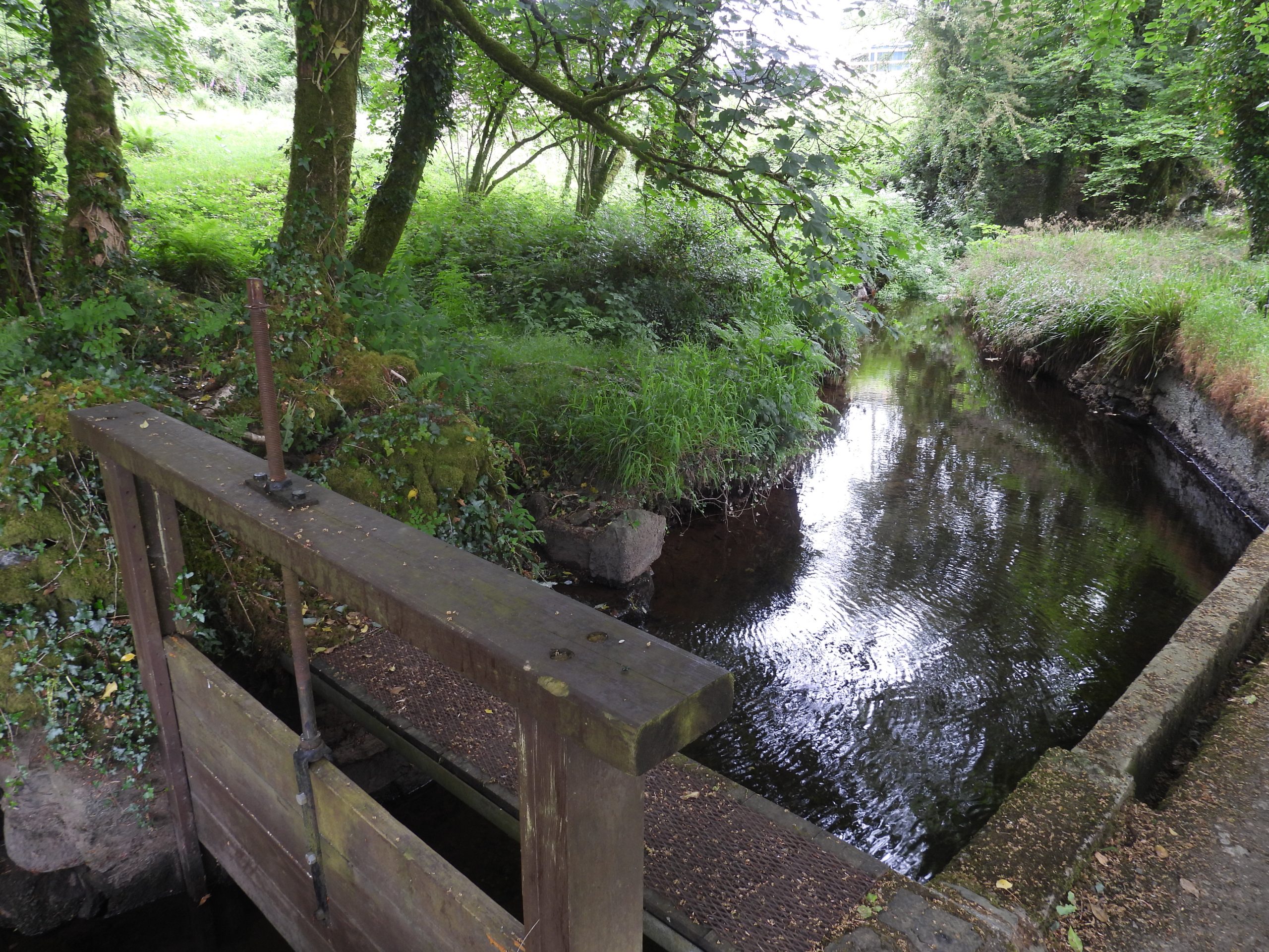
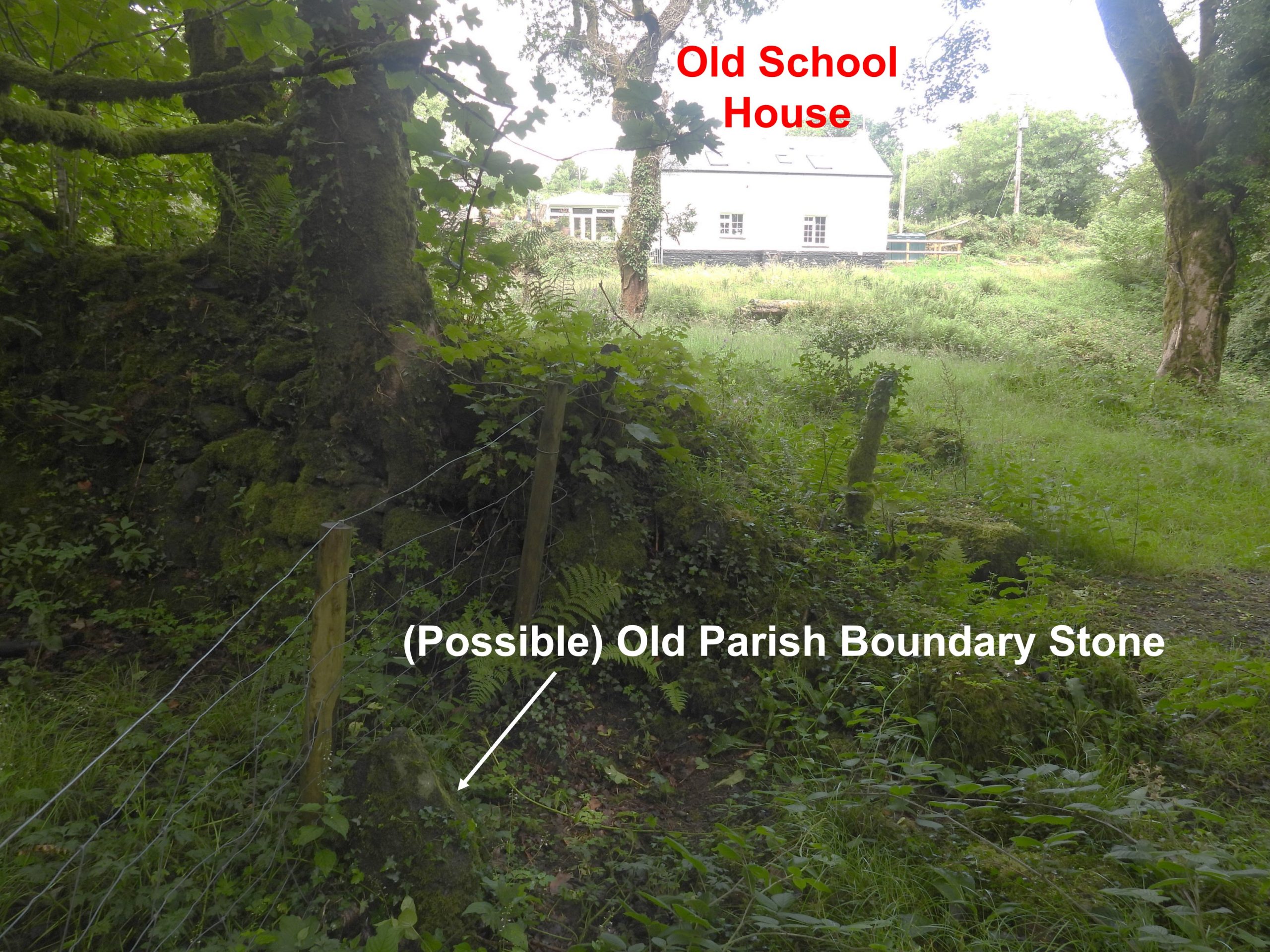
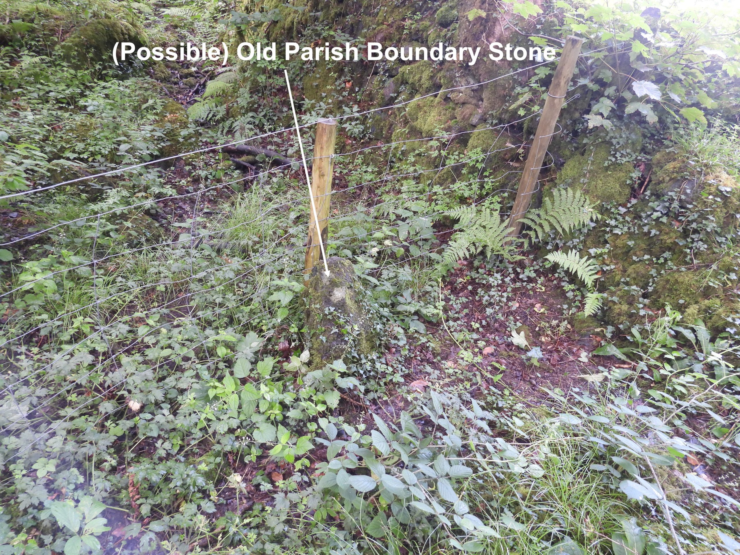
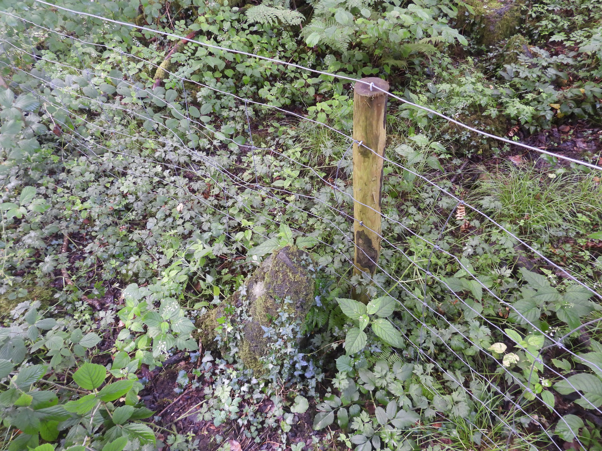
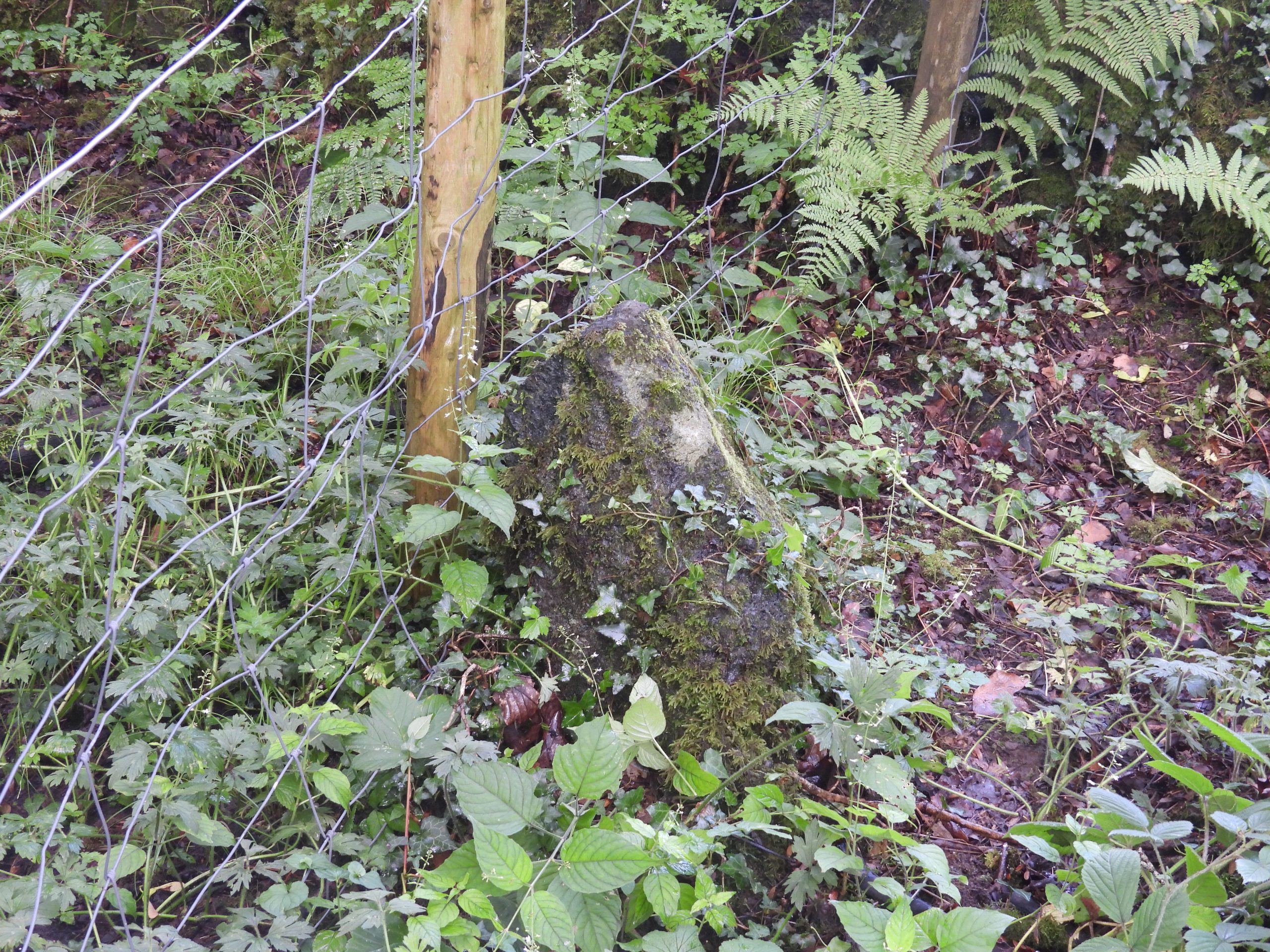
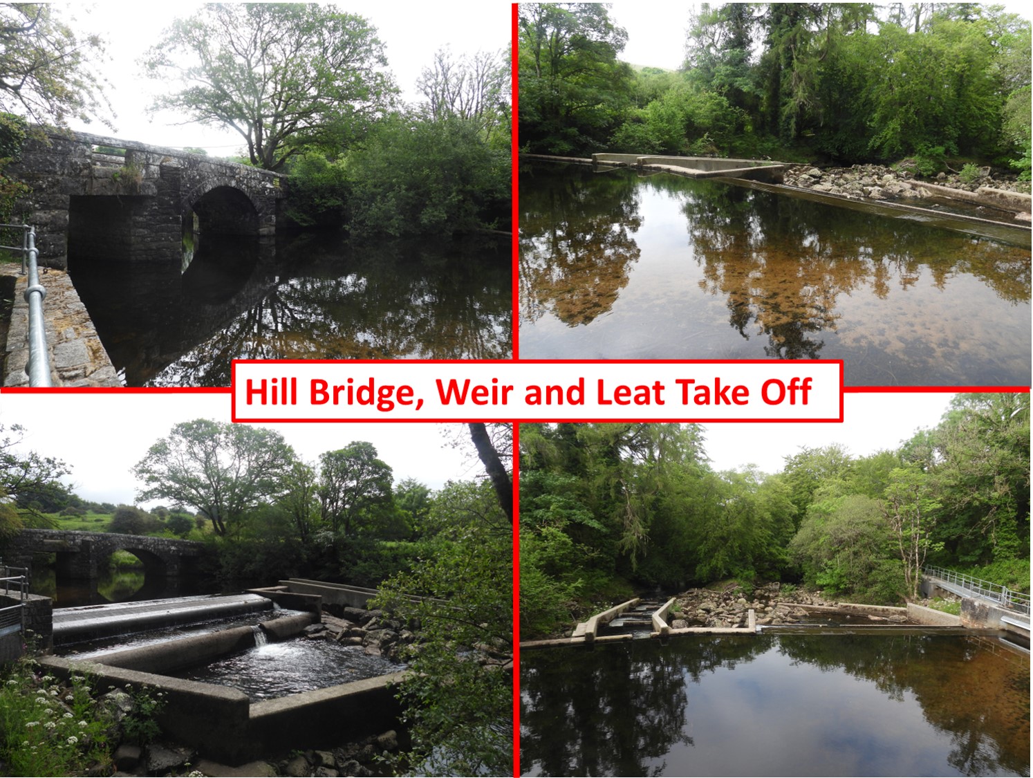
There are two Parish Boundary Stones located either side of the mine leat to the west of Hill Bridge on the River Tavy. The Boundary Stone located to the south of the leat (near a sluice gate) was erected in 2022 to commemorate the Platinum Jubilee of Queen Elizabeth II and is inscribed ‘MT / PT / 2022’. There is also a Boundary Stone located to the north of the leat, near Creason Tin Mill (which is on private land). This second Boundary Stone is not inscribed and as it is on the Parish Boundary is suspected to mark the boundary also, albeit it does not appear to be marked on any map the author is aware of.

0. Map
Annotated map showing the relative positions of the two Boundary Stones covered in this post
1. Boundary Stone 1a
The Parish Boundary Stone to the south of the leat was erected in 2022 to commemorate Queen Elizabeth II Platinum Jubilee. The old school house can be seen in the background across the mine leat.
1. Boundary Stone 1b MT
“MT” = Mary Tavy
1. Boundary Stone 1c PT
“PT” = Peter Tavy
1. Boundary Stone 1d 2022
Boundary Stone showing date “2022” and “MT” inscriptions
1. Boundary Stone 1e 2022
Boundary Stone showing date “2022” and “PT” inscriptions
1. Boundary Stone 1f
The Boundary Stone is located at SX53085 80350
2. Sluice a
This sluice gate is located between the two Parish Boundary Stones
2. Sluice b
The sluice operating mechanism
3. Old School House
The back of the old school house. The building was constructed in 1856 as a chapel of ease. Up until 1872 the only schools in the area were at Peter Tavy and Mary Tavy, which were hard to reach for the children living at isolated farms in the area so The Managers’ Committee of Peter Tavy School raised subscriptions to support a school to be held at Hillbridge Chapel. Source : Mary Stanbrook, Old Dartmoor Schools Remembered. More information from the Mary Stanbrook publication: “There was only a single room to accommodate 30-40 children, some as young as 3 years old. Attendance could be poor and this affected the mistresses (already low) wages. Mrs Elizabeth Ladd was school mistress from 1906 until the school closed in 1924 and she lodged at Wapsworthy with her three children”.
4. Water Gauge
Water Gauge in the Mine Leat
5. Old Boundary Stone 2
A contextual picture of the (possible) Old Parish Boundary Stone in relation to the old School House
5. Old Boundary Stone 2a
The (possible) Boundary Stone is located next to a fence beyond which is private land where Creason Tin Mill is located.
5. Old Boundary Stone 2b
This stone might have been erected to signify something else (e.g a Mine Sett) but it does seem rather odd to be exactly on the Parish Boundary.
5. Old Boundary Stone 2c
This Boundary Stone is located at SX53085 80377
6. Hill Bridge
The weir at Hill Bridge was originally 19th Century, the one in the picture was constructed circa 2000. Hill Bridge is described as being a substantial 19th Century bridge of central arch flanked by lintels made from semi-ashlar granite construction throughout with carved coping stones.
Total Page Visits: 545 - Today Page Visits: 1

Next Post

Previous Post

Leave a Reply

© 2024 Dartmoor Explorations

Theme by Anders Norén

Social media & sharing icons powered by UltimatelySocial