Dartmoor Explorations

A collection of walks, discoveries, insights and pictures of exploring Dartmoor National Park

Fillace and Knowle Downs Bound Stones

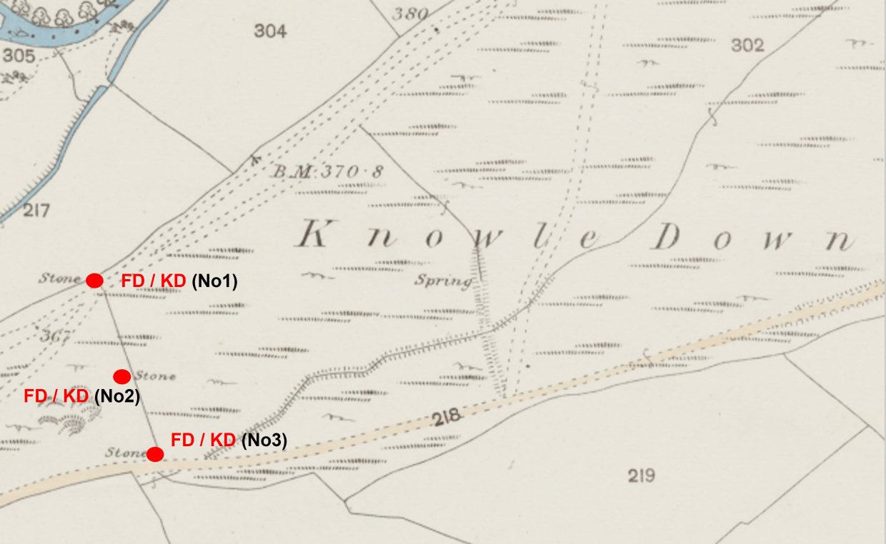
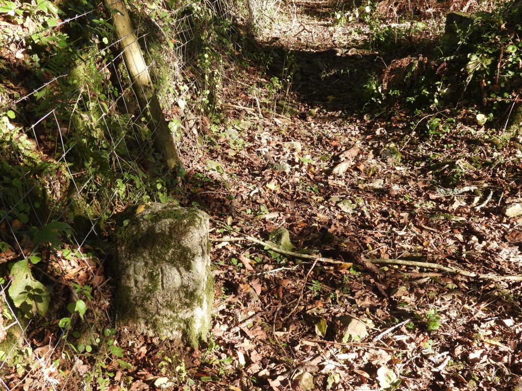
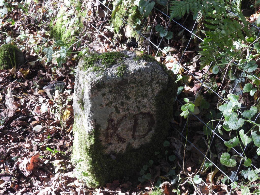
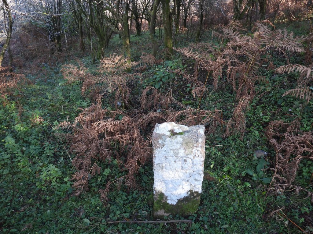
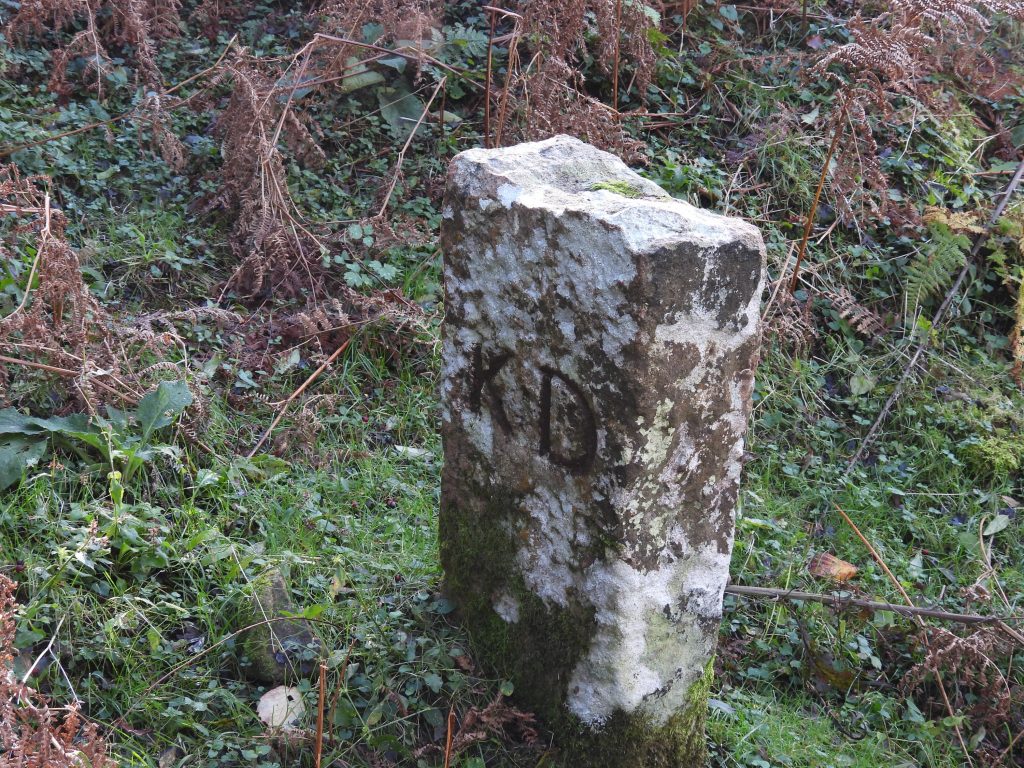
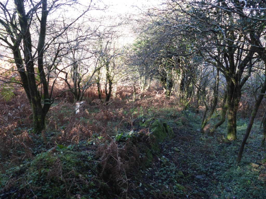
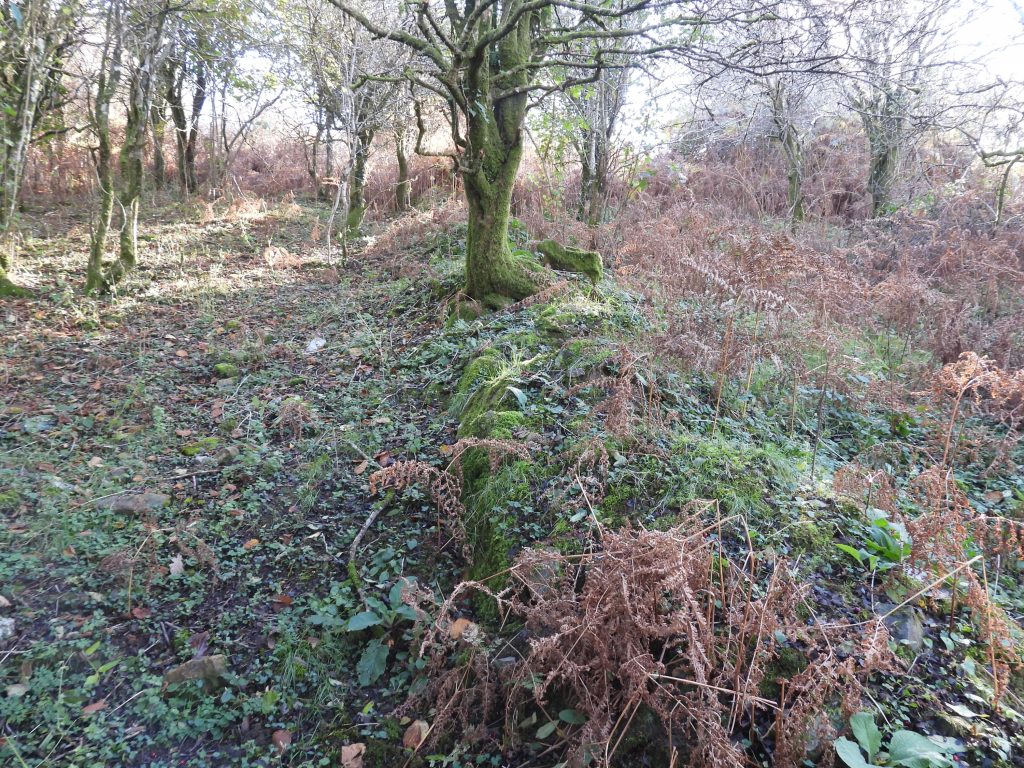
The boundary between Fillace Down (to the west) and the adjoining Knowle Down (to the east) is defined by a wall / reave, close to which originally there were three boundary stones. These boundary stones bear the inscriptions “FD” (for Fillace Down) and “KD” (for Knowle Down) and are located between the Walkhampton / Horrabridge road and the river path close to the River Walkham down the hill to the north.

This post records the location of two of the stones. The third stone (nearest the road) could not be found as there was considerable undergrowth. The author believes the third stone may still be extant and will return when the vegetation dies down for a further search.

Map
Map of the locations of the three FD / KD stones as shown on a 19th century map.
FD1
The first stone next to the path close to the River Walkham. “FD” inscription clearly visible
KD 1
The reverse side of the first stone with mud make over showing “KD”. This stone is located at SX52490 69847
FD2
The second stone is next to a reave / wall approx half way between the river path and the road. As with stone 1, “FD” inscription clearly visible
KD2
The reverse side of the second stone with mud make over showing “KD”. This stone is located at SX52510 69806
Reave 1
The reave / walling in relation to the second stone
Reave 2
The reave looking south towards stone 3 is believed (using side-by-side maps as a guide) to be located at SX52520 69748.


Total Page Visits: 582 - Today Page Visits: 1

Next Post

Previous Post

Leave a Reply

© 2024 Dartmoor Explorations

Theme by Anders Norén

Social media & sharing icons powered by UltimatelySocial