Dartmoor Explorations

A collection of walks, discoveries, insights and pictures of exploring Dartmoor National Park

Copythorne Rushes Boundary Stone

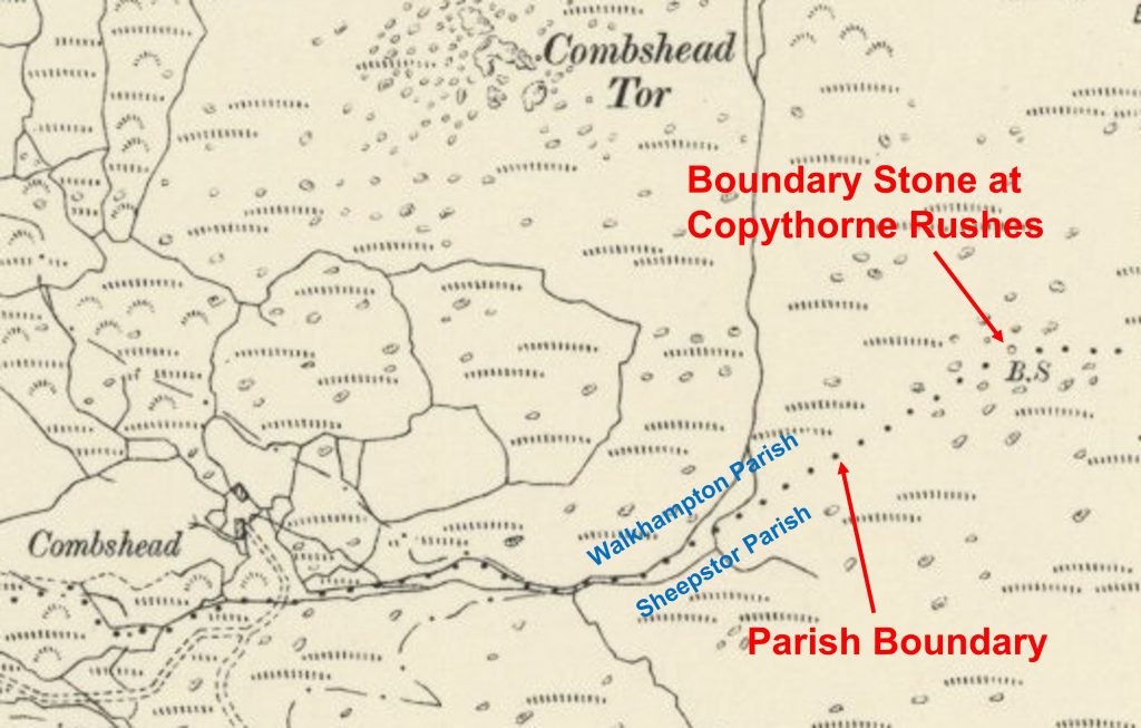
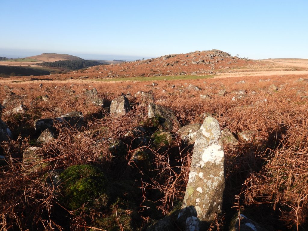
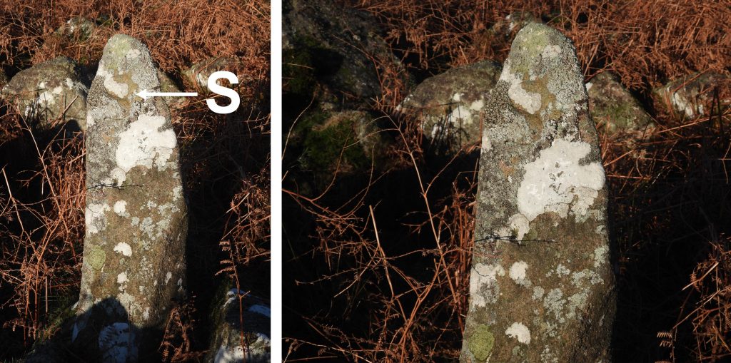
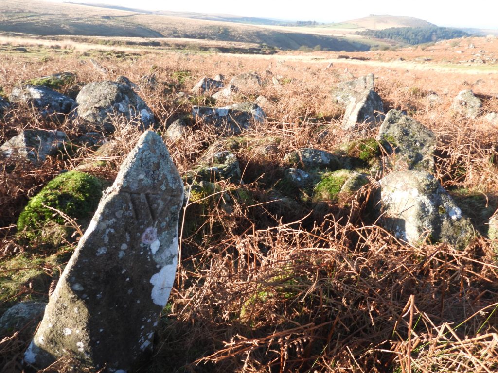
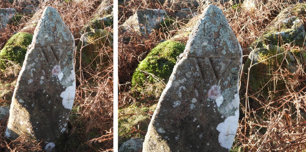
There is a record as early as 1626 when the bounds of the manor and free hamlet of Sheepstor were “presented”. There were 12 jurers’ with whom the bounds were presented (ref Dave Brewer Dartmoor Boundary Markers 2nd Edition). The Sheepstor boundary was slightly changed in the late 19th century around the head weir / take off point of the Plymouth Leat from the River Meavy (Mew/Mewy). The only boundary stone known to exist on the Sheepstor boundary is located at Copythorne (or Copothorne) Rushes, to the south east of Combshead Tor, where the boundary changes direction.

Map
19th Century Map showing the location of the boundary stone and the parish boundary. The stone is still shown on modern OS maps
CR1
View of the south side of the B.S with Combshead Tor (in the near distance) and Sheepstor (in the far distance). The B.S is recorded on the Dartmoor HER as being “1.2 metres high by 0.4 metres by 0.35 metres, tapering towards the top”. The B.S is located at SX59090 68627
CR2
Near the top of the B.S an “S” (for Sheepstor) is inscribed.
CR3
View of the north side of the B.S with the line of Narrator Brook easily discernible
CR4
Near the top of the B.S an “W” (for Walkhampton) is inscribed.

Total Page Visits: 1263 - Today Page Visits: 2

Next Post

Previous Post

Leave a Reply

© 2024 Dartmoor Explorations

Theme by Anders Norén

Social media & sharing icons powered by UltimatelySocial