A collection of walks, discoveries, insights and pictures of exploring Dartmoor National Park
October 16, 2020
Assycombe Farm
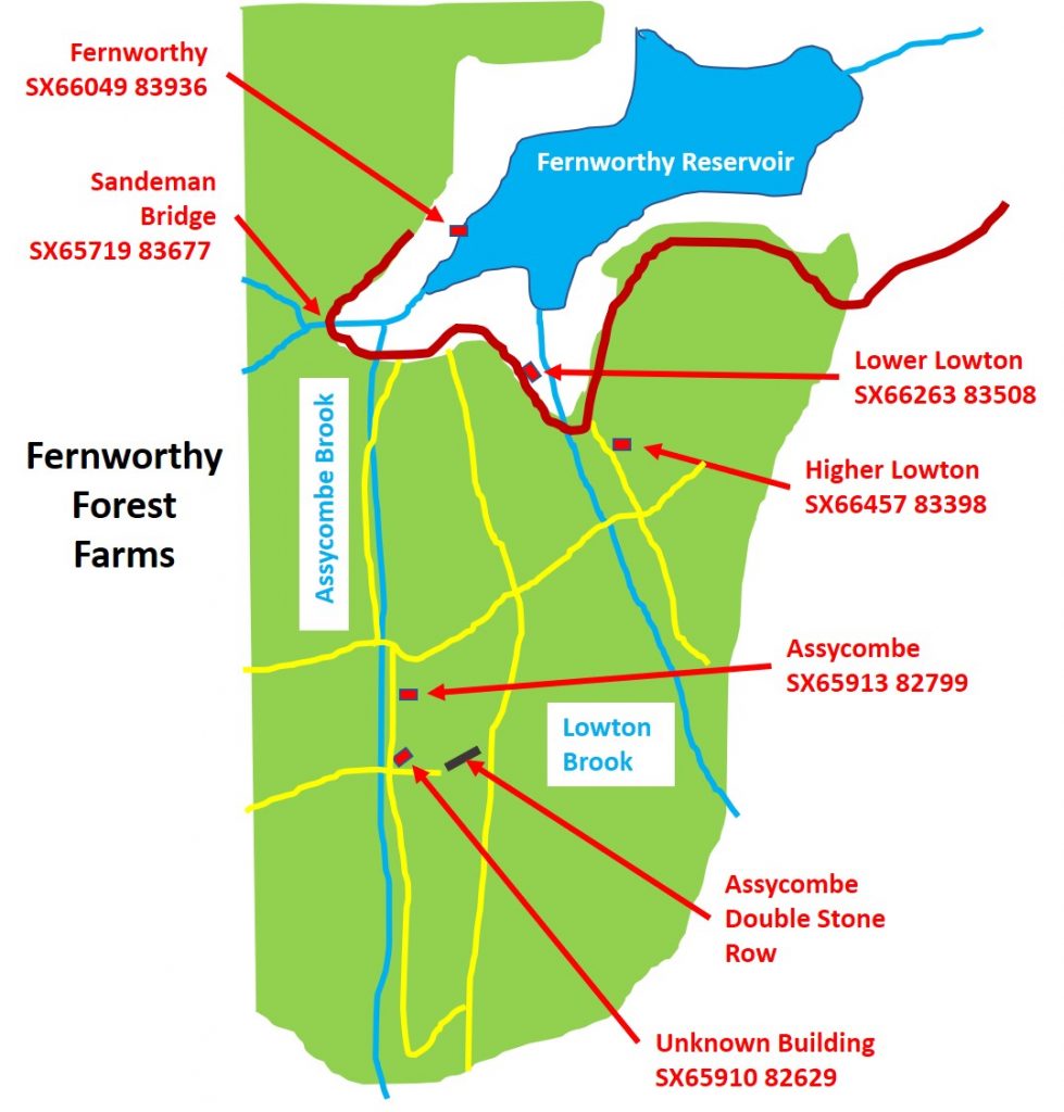
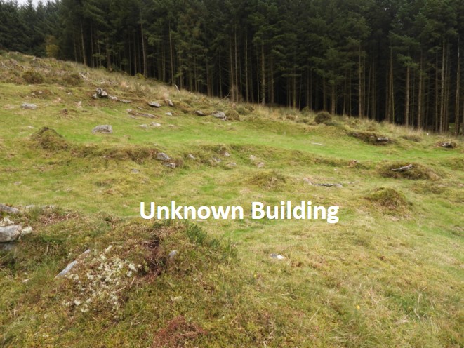
This 2020 exploration was inspired by information taken from the Dartmoor Historic Environment Record (HER) and the plans of farmsteads surveyed by Dr Phil Newman in his archaeological survey of 2013. The farmsteads visited were Higher Lowton, Lowton, Fernworthy and Assycombe plus and unknown building a few hundred metres south of Assycombe. This post covers the exploration of Assycombe
Bibliography
Dr Phil Newman MIFA, FS – July 2013 Southwest Landscape Investigations; The Archaeology of Fernworthy Forest, Dartmoor, Devon A New Survey
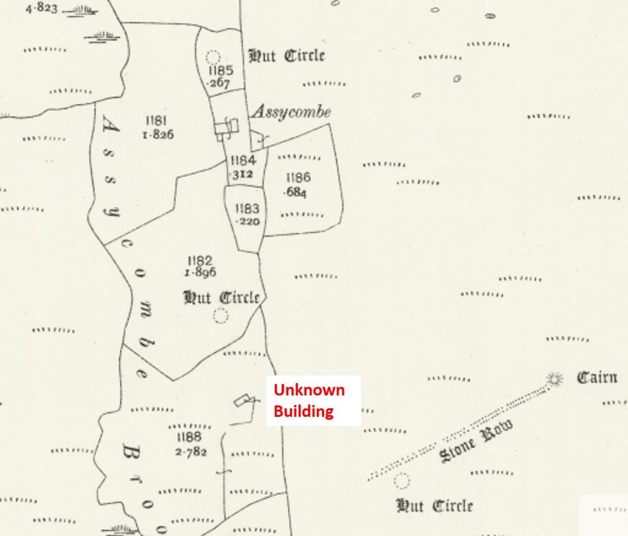
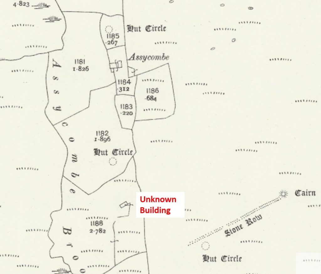
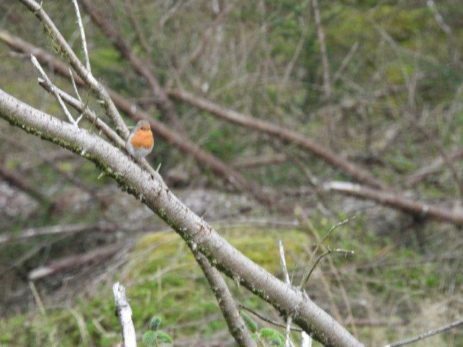
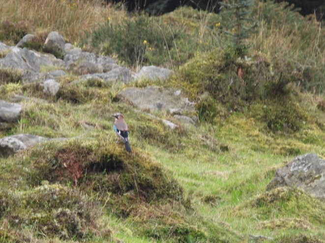
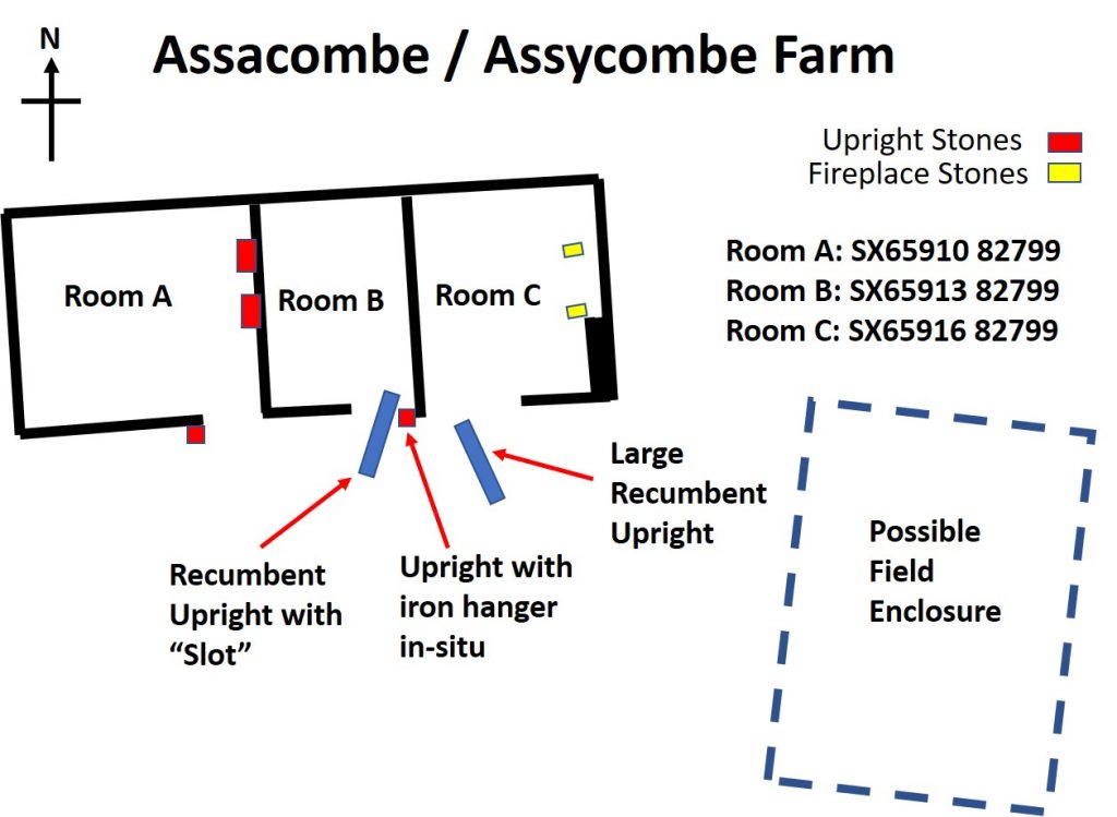
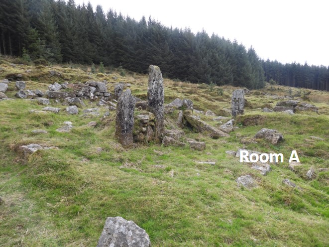
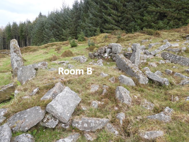
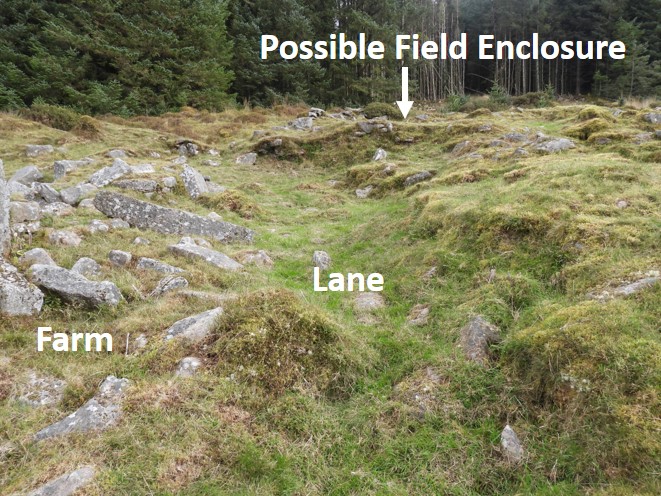
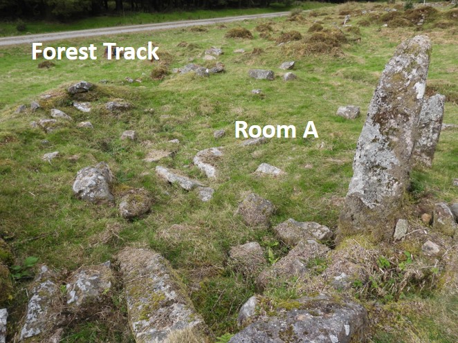
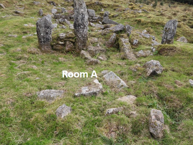
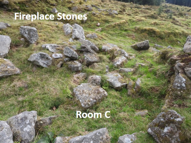
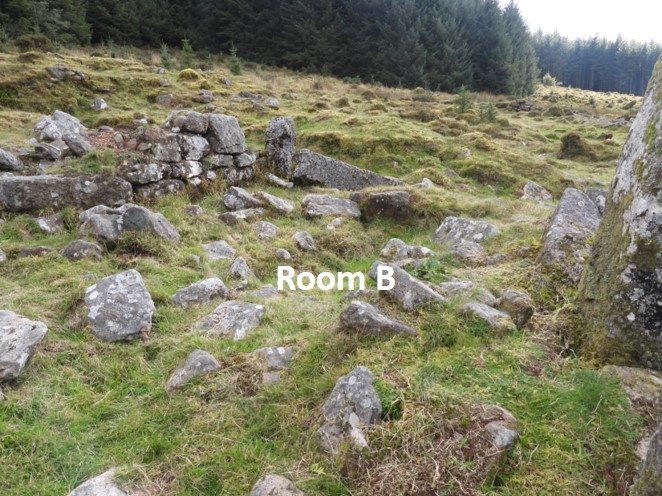
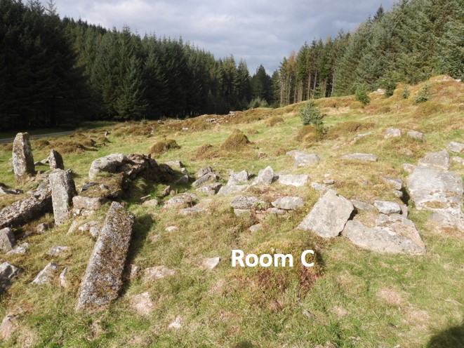
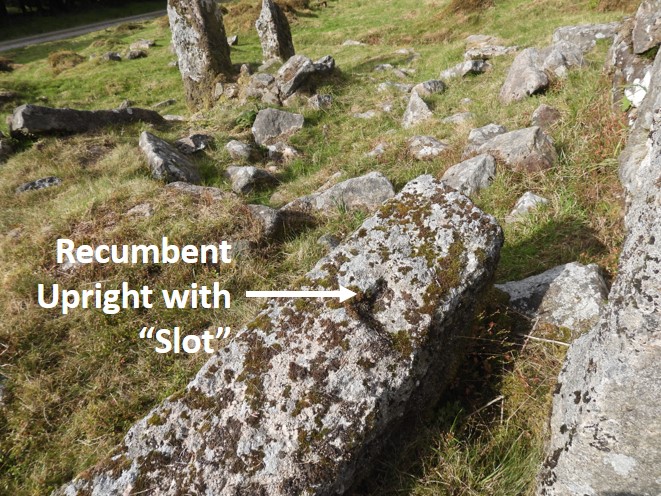
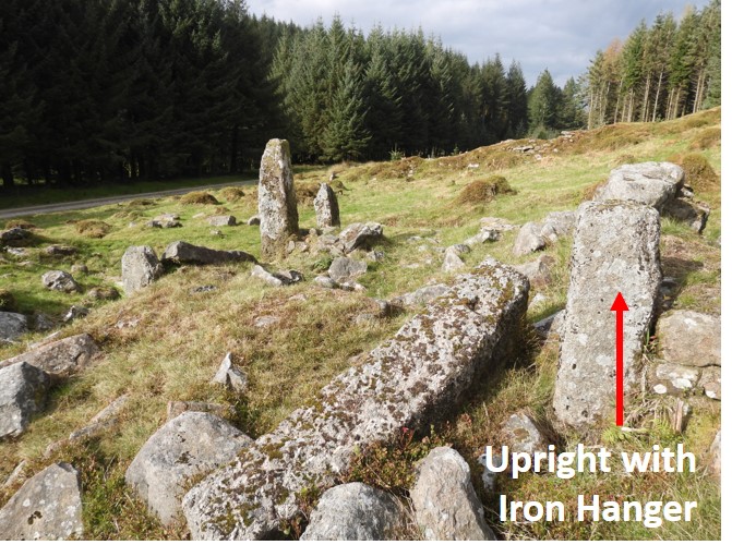
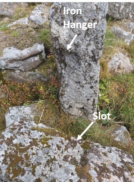
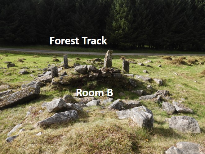
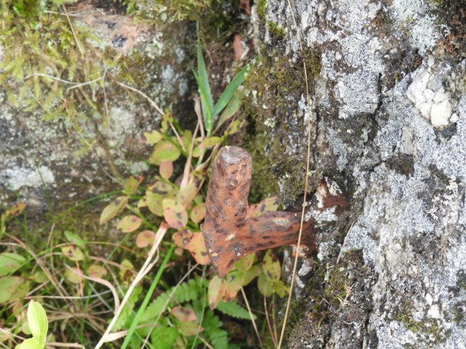
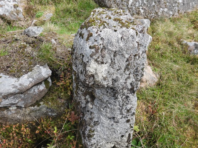
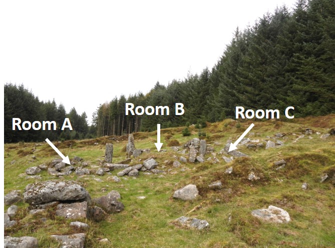
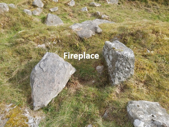
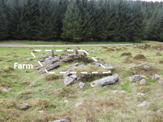
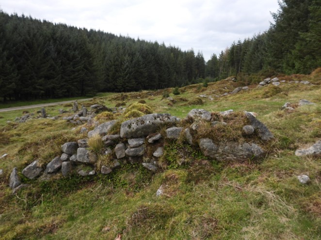
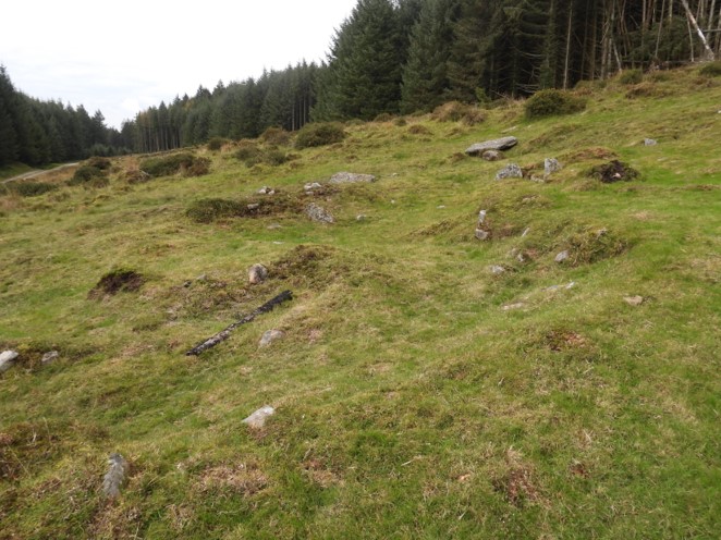
19th century map of Assycombe Farm, the unknown building in relation to the double stone row. Mentioned in Dartmoor HER (ref SDV351784), viz: The placename is first documented in 1488 and it is possible that a small farmstead was established here by that time.This sketch shows the relative locations of the farmsteads in this post. All are easily accessed via forest tracks or the modern tarmac road around Fernworthy ReservoirEn-route to Assycombe Farm from Fernworthy Farm, saw this little chapA rare sighting of a Jay, just a few hundred metres from Assycombe Farm ruins.A very simplified plan of the Assycombe Farm building (aka Assacombe). It was a three roomed dwelling and is around 40m from the forest track. It is orientated approx. W-E. The building is approx 12m x 4.5m.The most striking part of the ruins in 2020 are the uprights between Room A and Room B. Room A is the largest of the three at around 5m long.Room B is uphill (East) of Room A.Next (south) of the farm looks like an old lane. Uphill is what is assumed to be the field enclosure shown on the 19th century map.Another view of Room A, showing how close the farm is to the Forest TrackRoom A looking East (into Rooms B and C)Looking south from the farm buildingThe top building (most easterly) contains a fireplace. It is believed Rooms B and C were interconnected.Another view of Room BRoom C, looking from the southAn interesting recumbent stone with a slot adjacent to Room BNext to the recumbent stone with the slot is an upright with an iron hanger still in situ.Looking East into Room BThe iron hanger on the Room B uprightThe iron hanger uprightView of Assycombe Farm building from the South. This is taken from a similar location to one found on the Dartmoor Archive from 29th May 1894 (Burnard collection). Each of the three rooms had an entrance on the south side, which clearly can be seen from the 1894 picture. The uprights still extant in 2020 can still be made out in the 1894 picture.
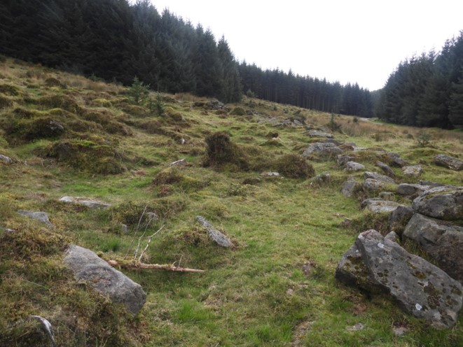
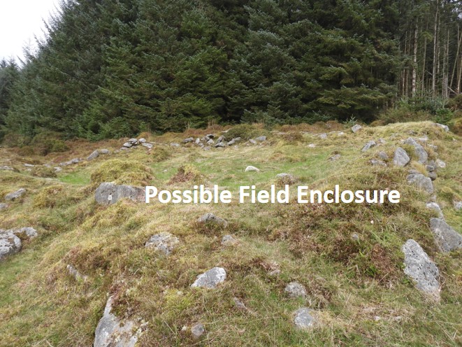
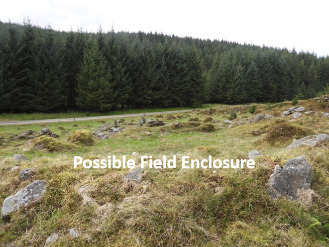
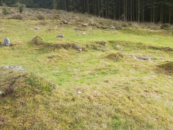
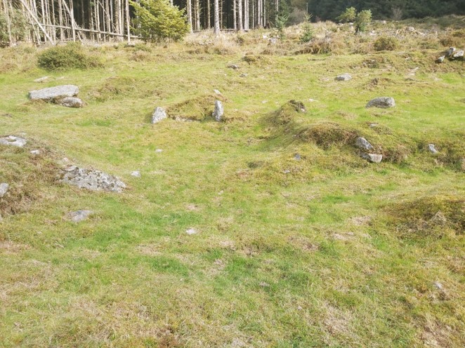
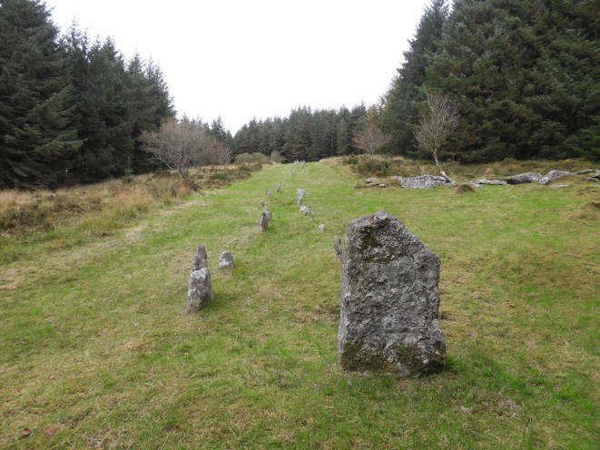
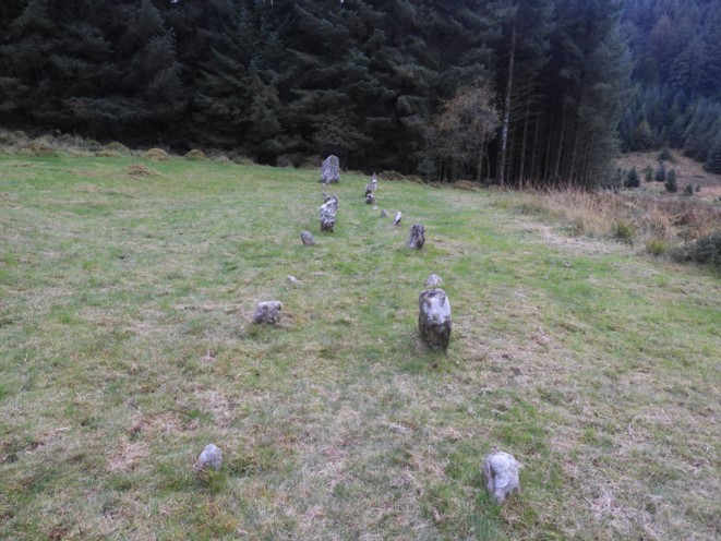
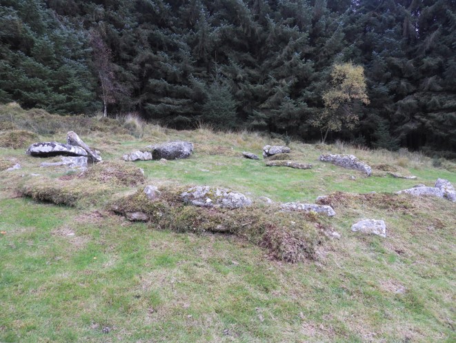
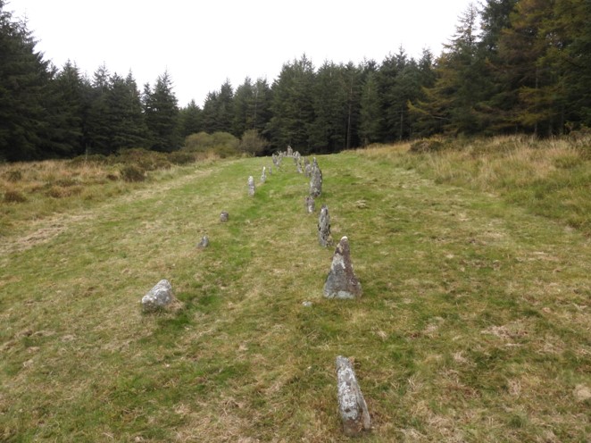
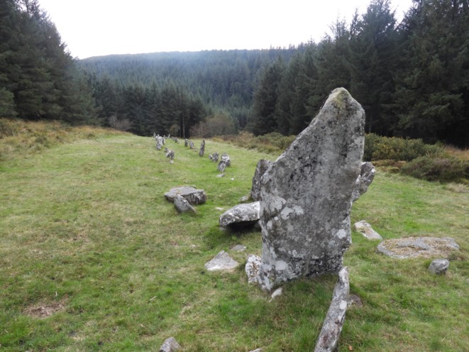
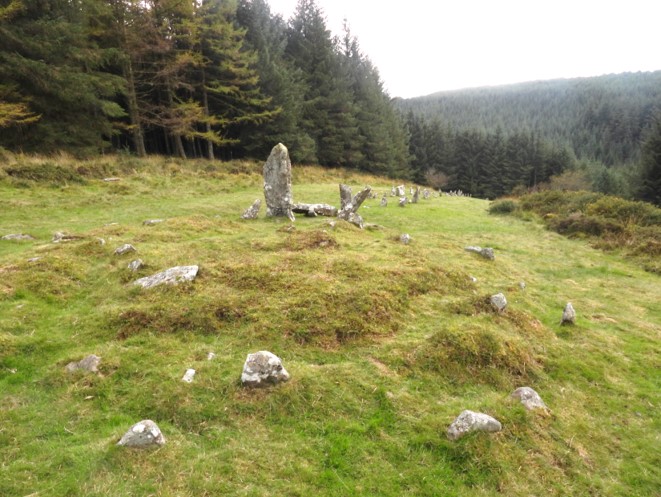
The fireplace stones in Room ASouth East(ish) is a possible field enclosure. It is believed that the walls of the enclosures were maintained until the 19th century. They have been disturbed by forestry activity in places and may also have been the victims of stone robbing in the early 19th century.From the field enclosure looking North-West(ish) over the farm building towards the forest track. The enclosure is at SX65940 82782 Between the enclosure and the farmEnclosure walls, looking north.South of Assycombe lies an unknown building shown on the 19th century map. It is at SX65910 82629The building ruinsA small L-shaped inner yard is built against the south-east corner of the house.Attached to the eastern end of the yard at a slightly higher level is a roughly rectangular enclosure, 11m by 9m which is likely to have been a garden plot.A visit to the area wouldn’t be complete without a visit to the wonderful Assycombe double stone row. This is the east end with a terminal stoneClimbing the hillHut Circle adjacent to the stone row, as can be seen on the 19th century mapLooking up the row (East)Top end (East) of the stone rowCairn at eastern end of the stone row (also shown on 19th century map)