A collection of walks, discoveries, insights and pictures of exploring Dartmoor National Park
July 25, 2022
Dartmoor Way – Stage 5 – Moretonhampstead to Chagford
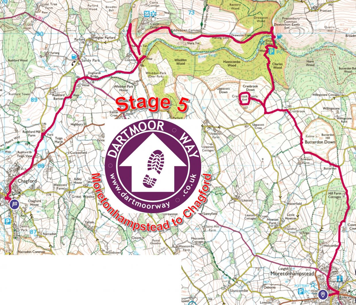
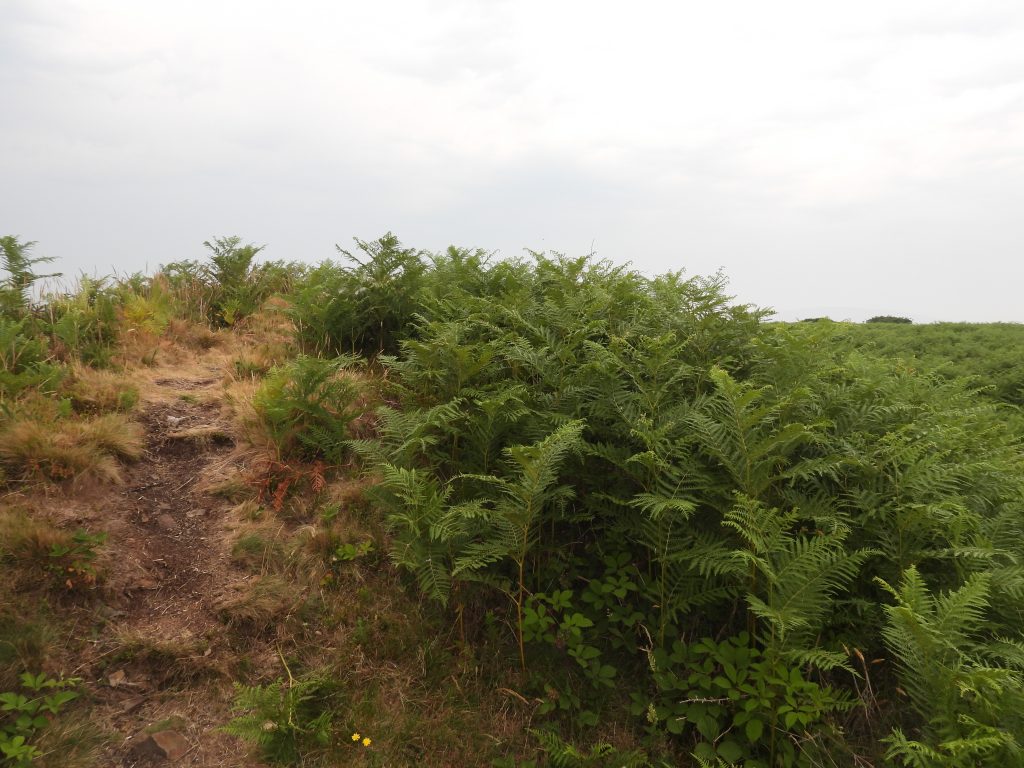
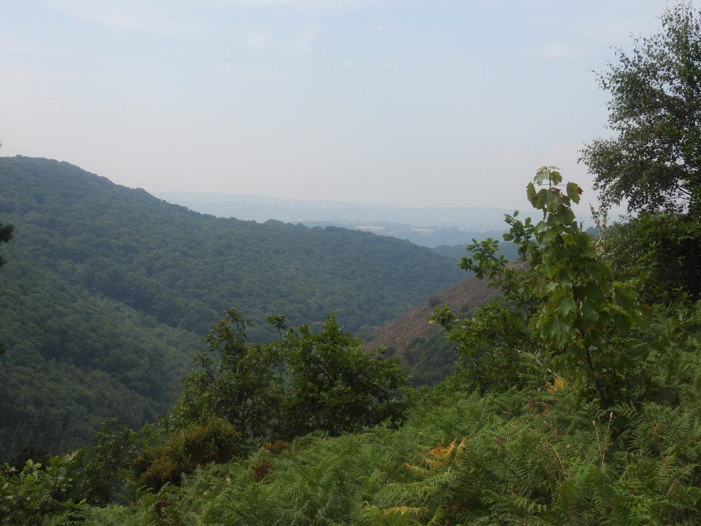
This fifth stage of the Dartmoor Way is stated on the official website (dartmoorway.co.uk) as being 8 miles (12.75 km) starting at Moretonhampstead and finishing at Chagford. The elevation climb is 1519 ft (463 m), with the longest individual climb being from Fingle Bridge, through Drewston Wood to Hunters Path overlooking the Teign Gorge. This post of the fifth stage was recorded by the author as being 15.95 km (around 10 miles) in length. That said, the author made a couple of minor deviations / side trips from the official route, namely: A circumnavigation of Cranbrook Castle (iron age hill fort) and the weir on the Teign below Hunters Tor. As with all other post recording the Dartmoor Way, this post records historical features, shows pictures of some far reaching views, shows pictures of wildlife and shows pictures of points of interest – all photographs taken by the author along the route are annotated.
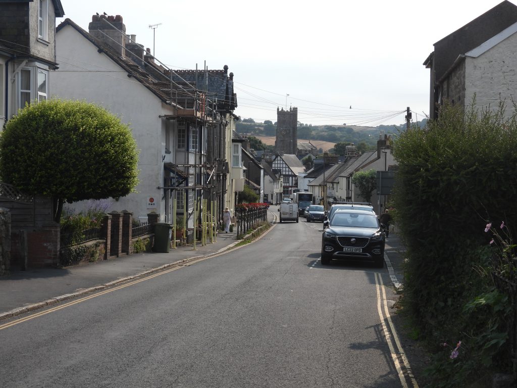
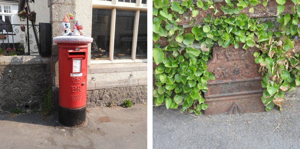
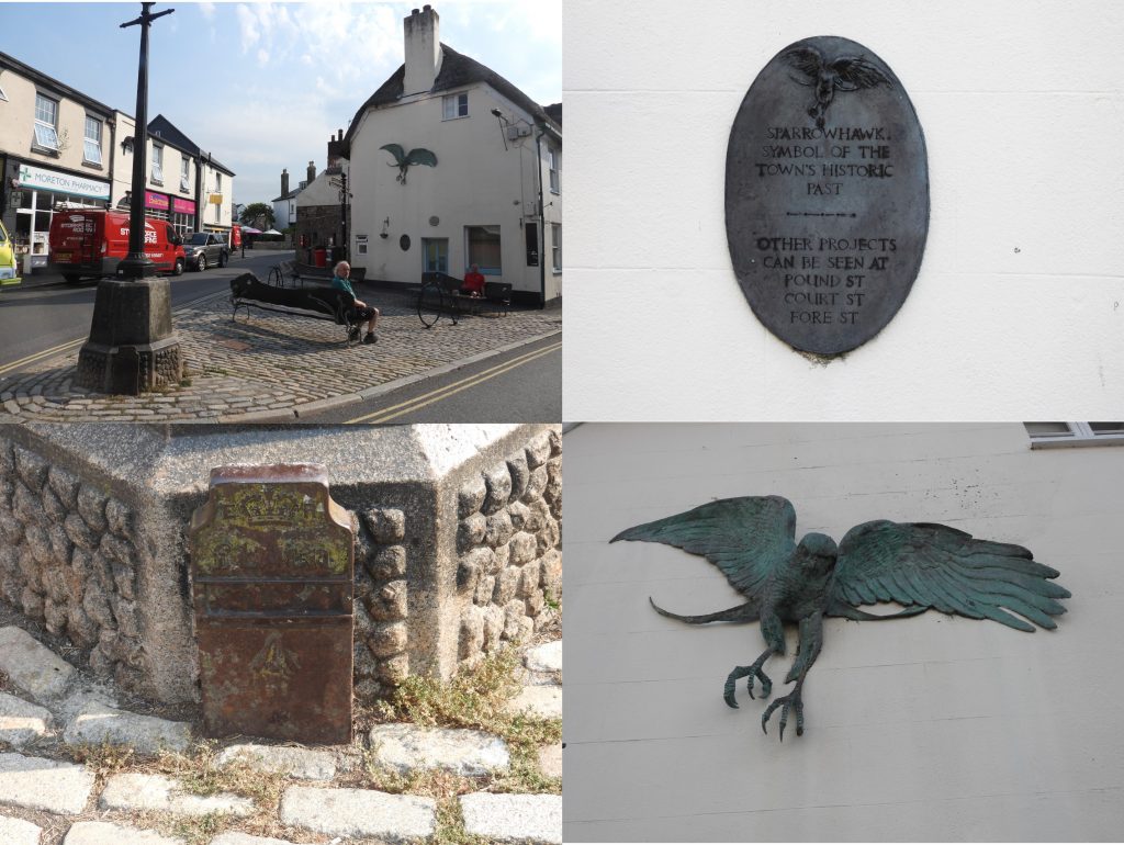
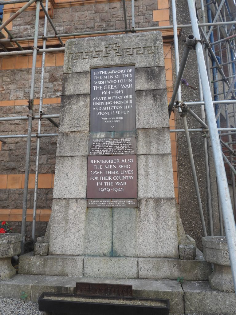
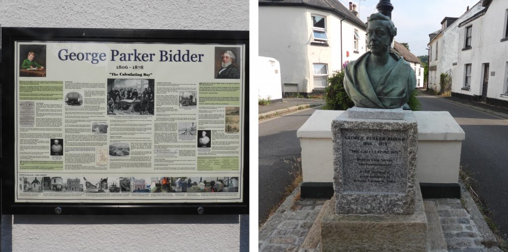
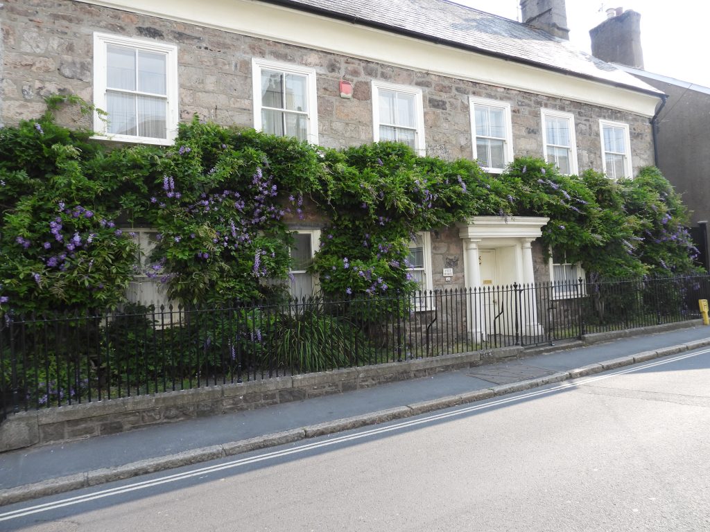
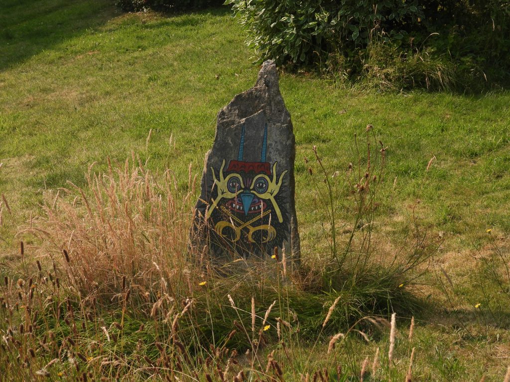
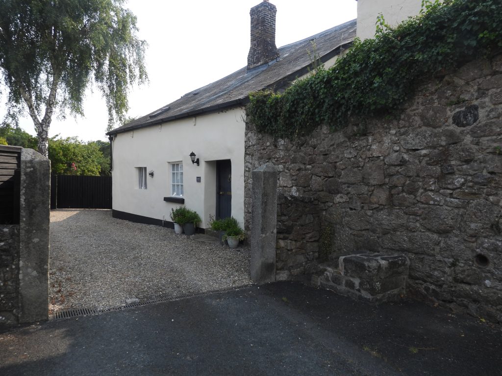
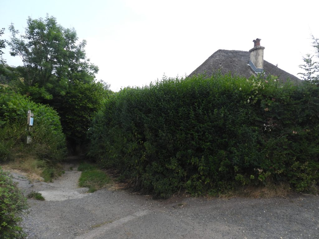
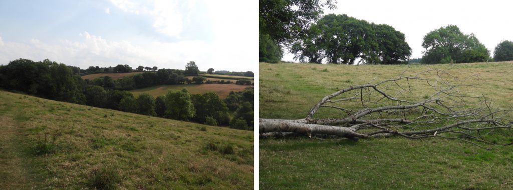
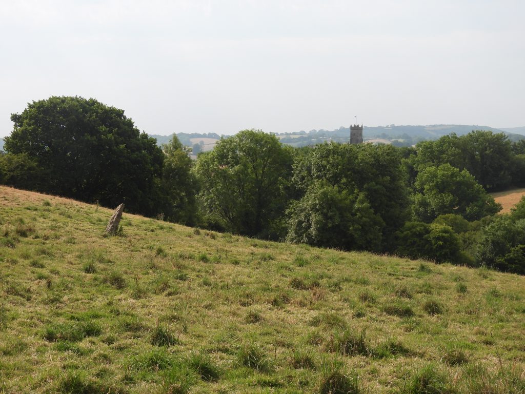
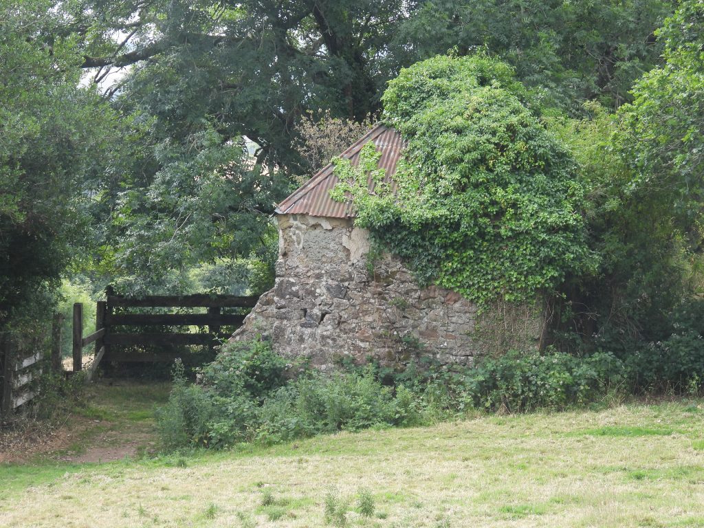
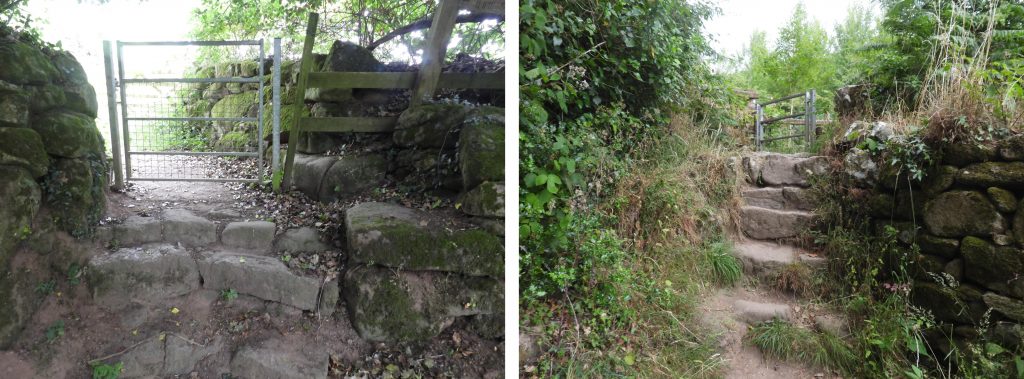
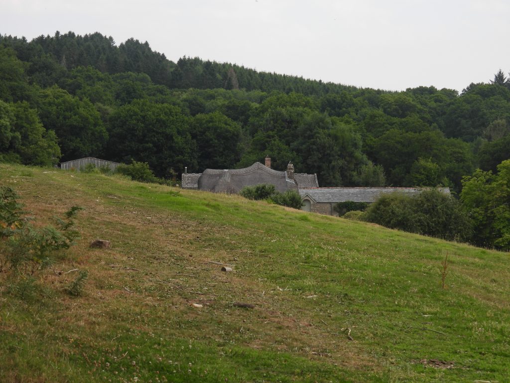
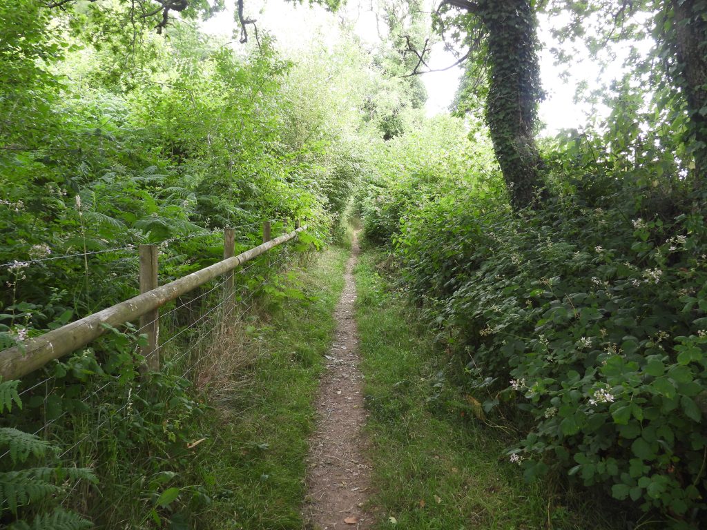
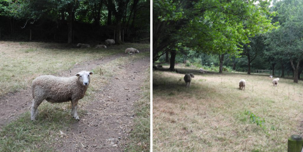
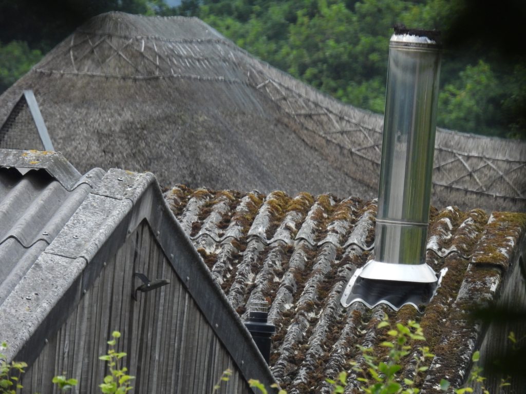
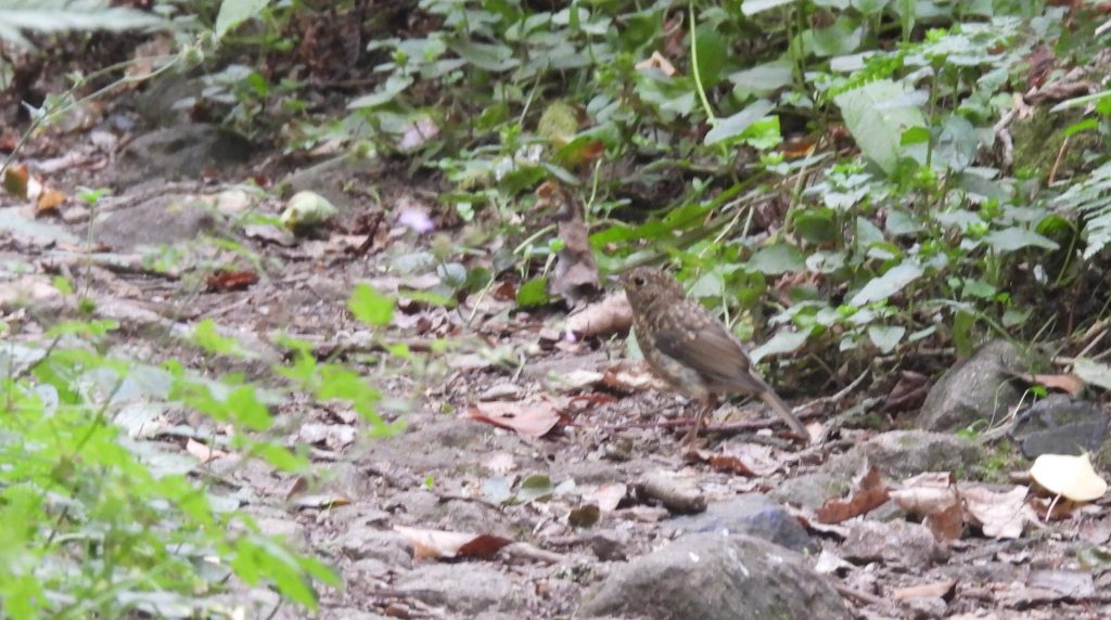
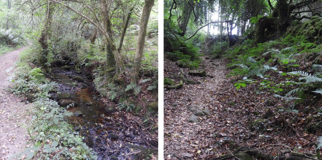
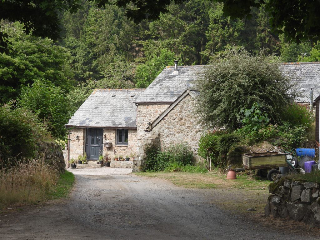
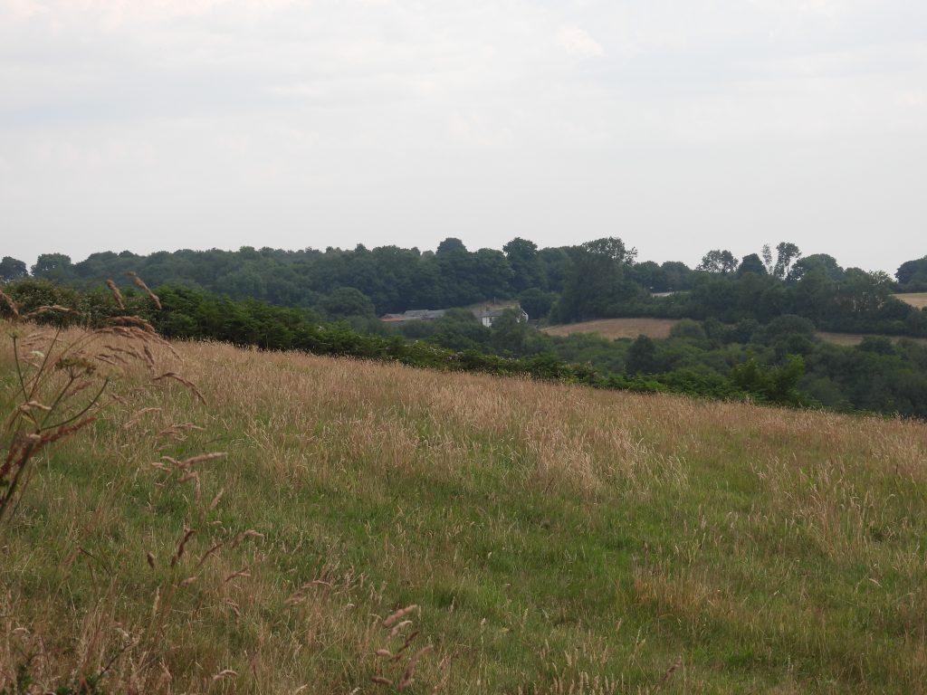
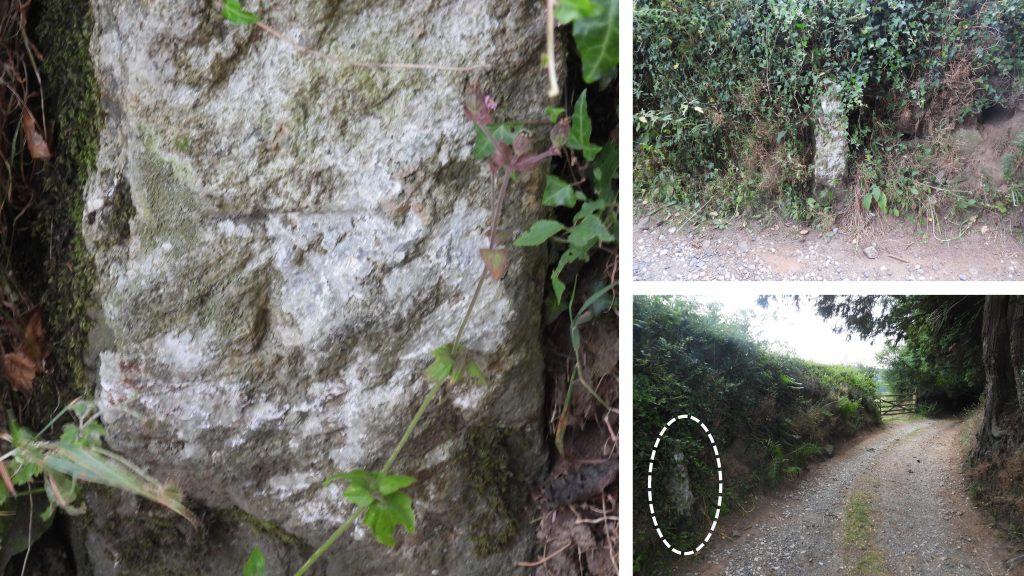
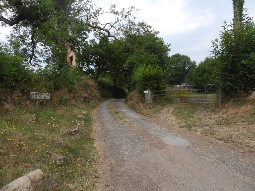
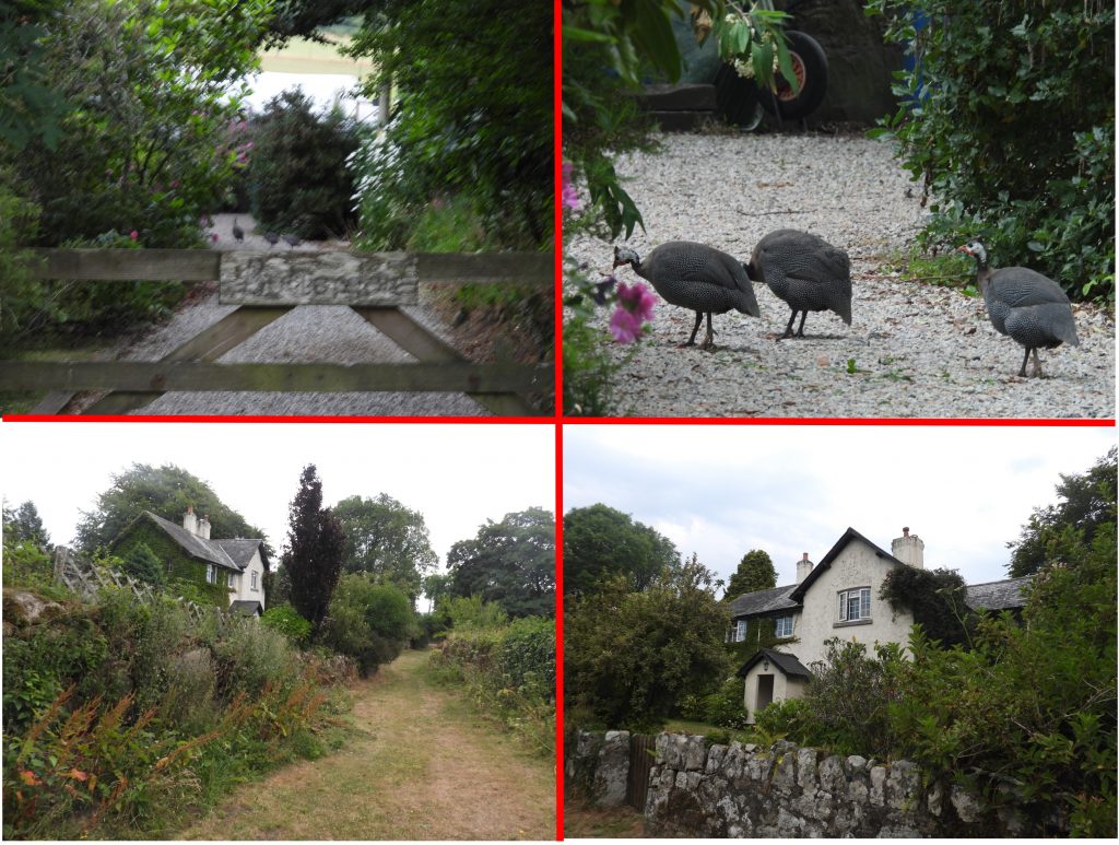
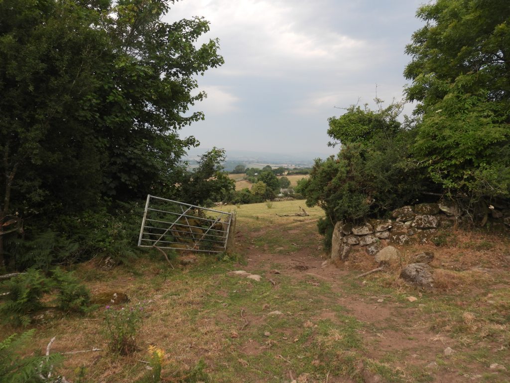
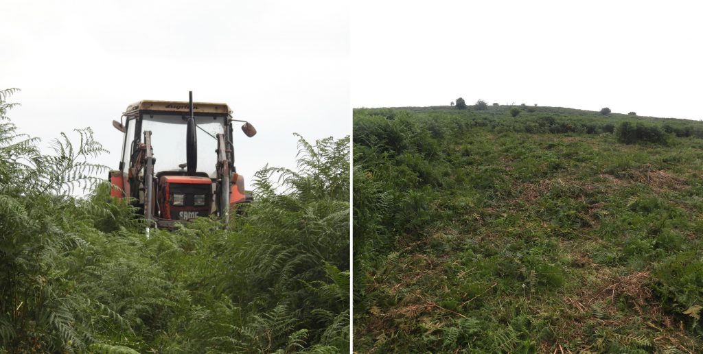
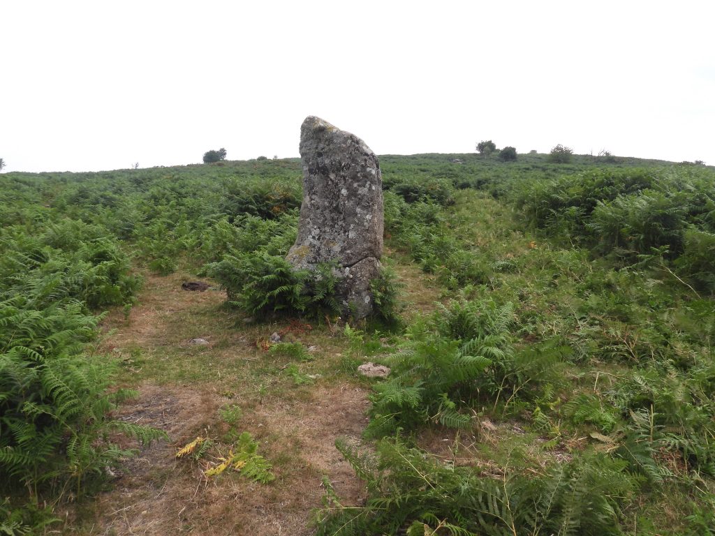
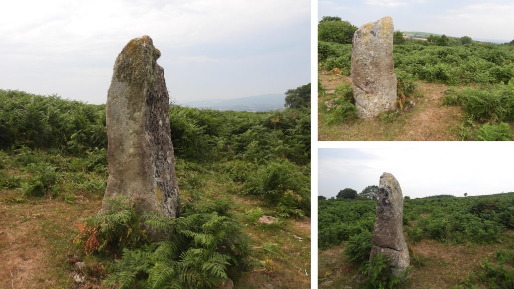
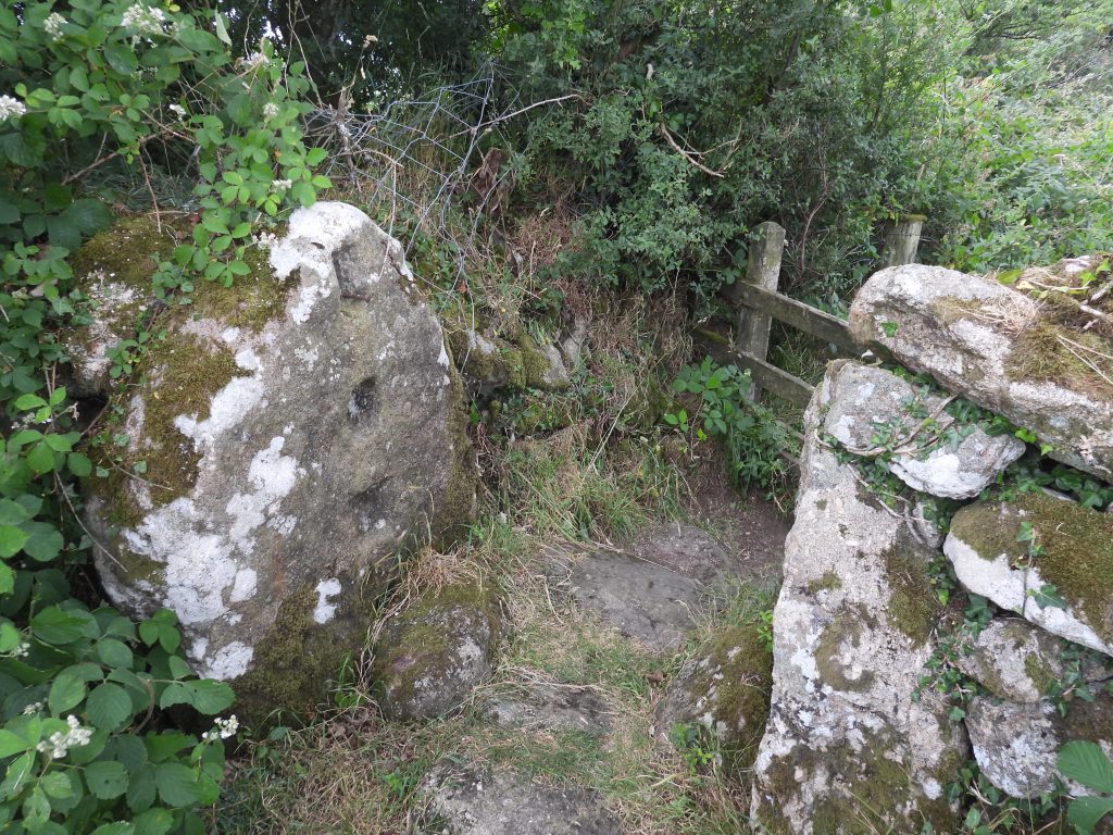
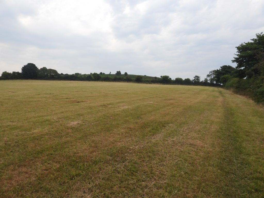
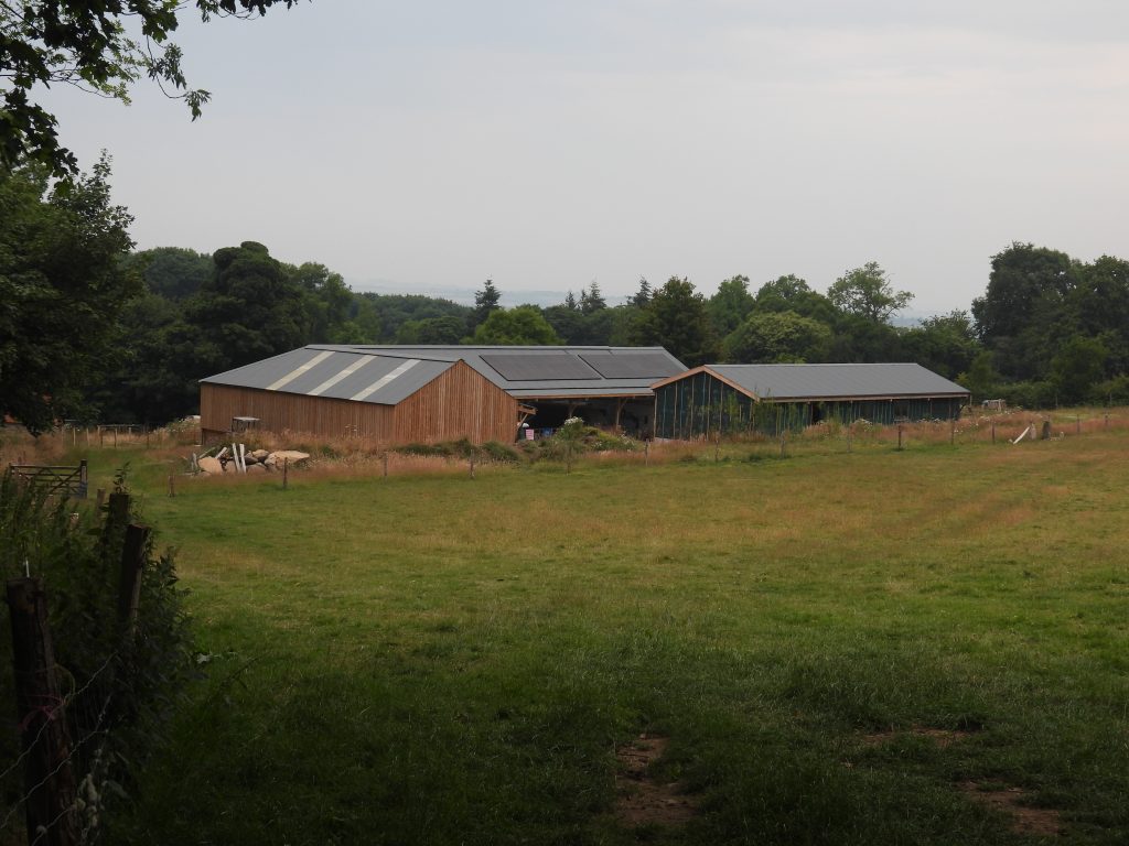
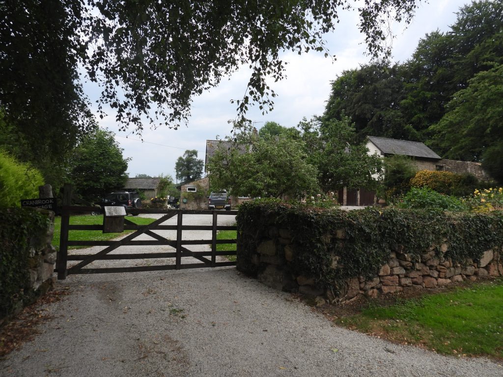
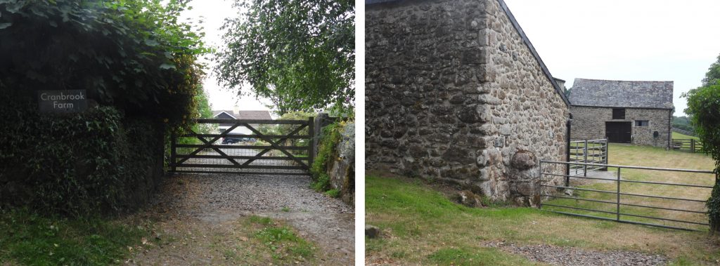
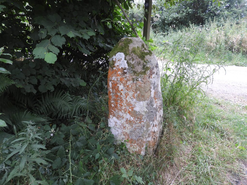
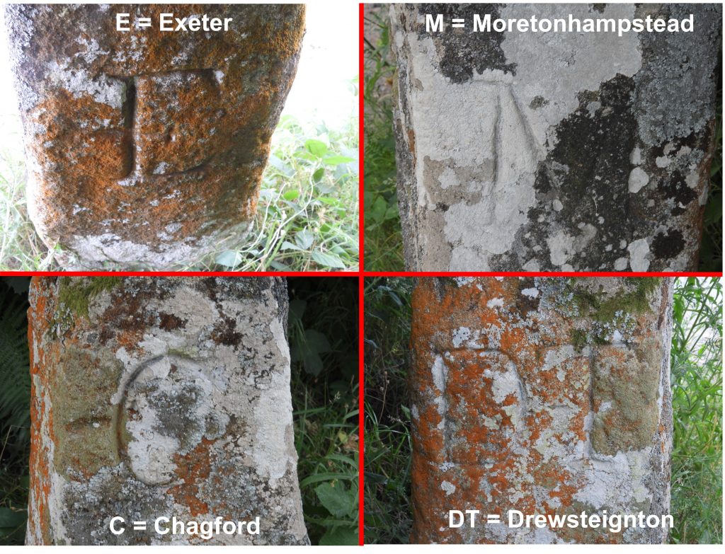
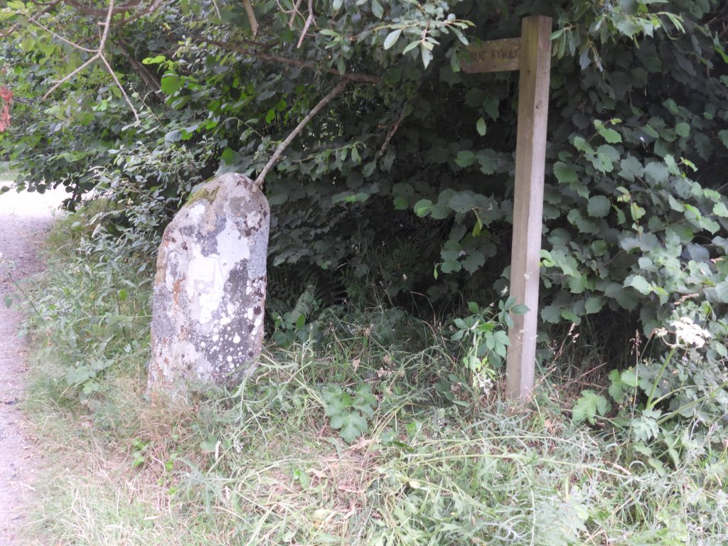
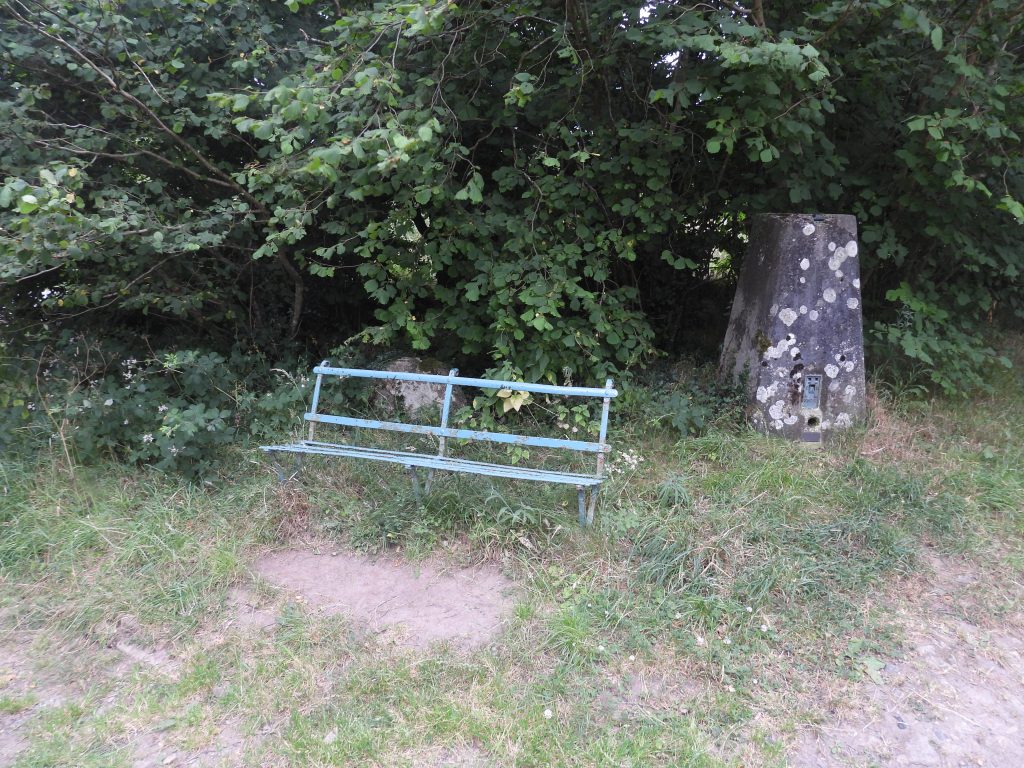
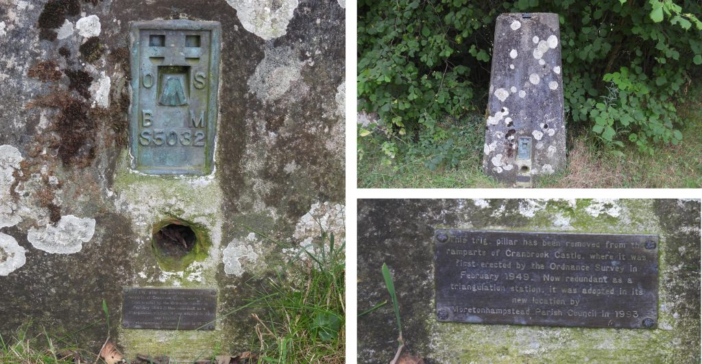
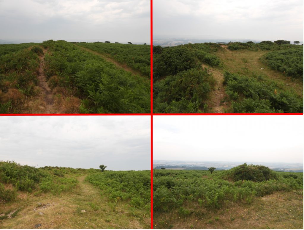
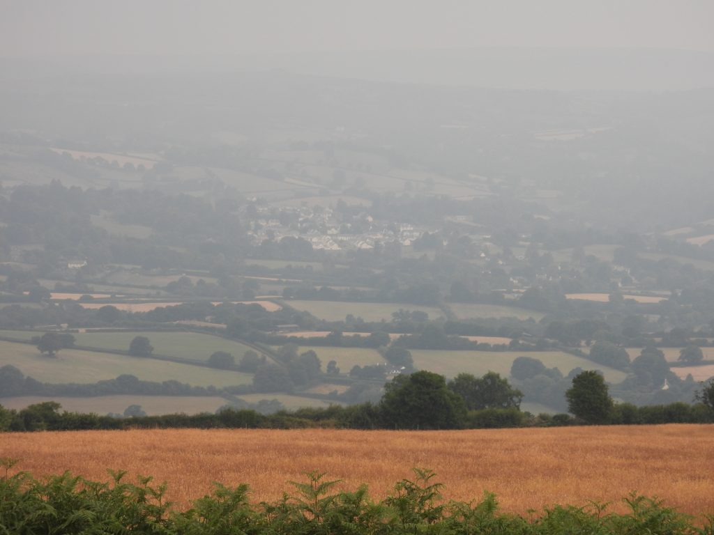
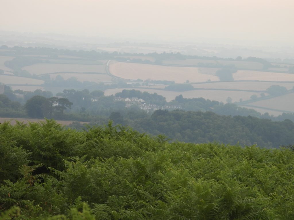
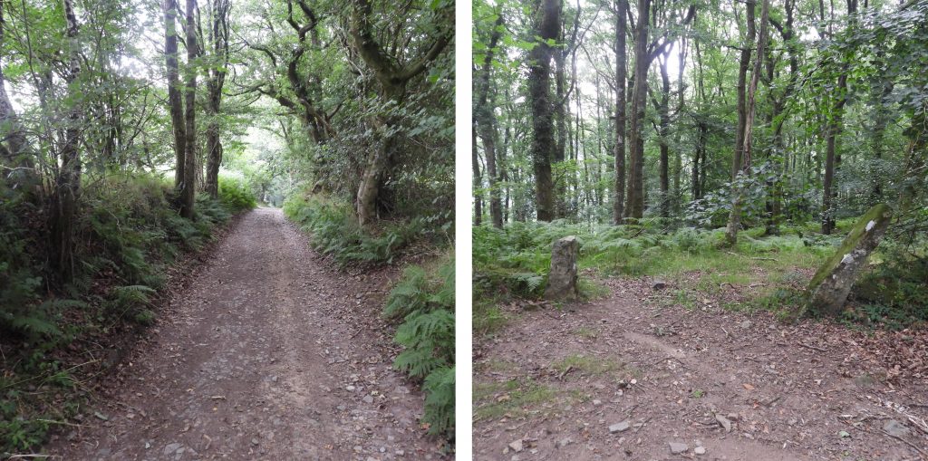
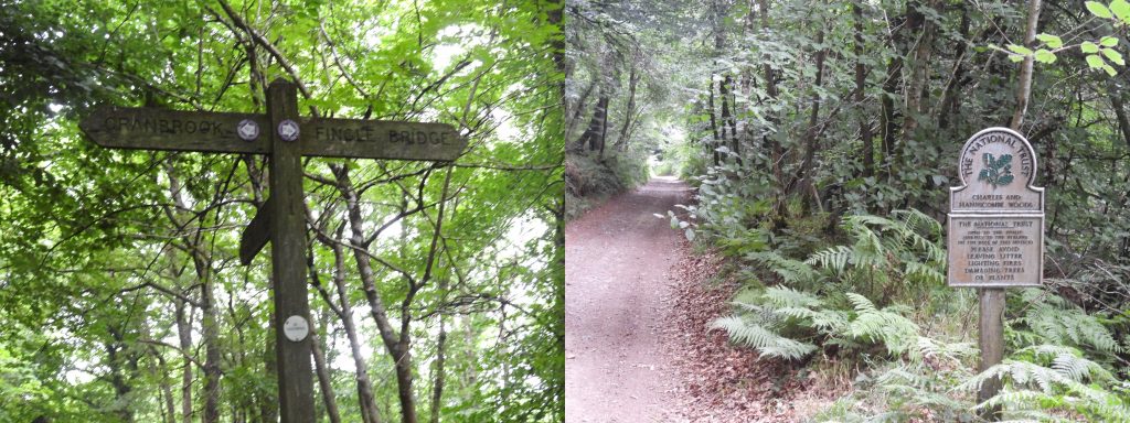
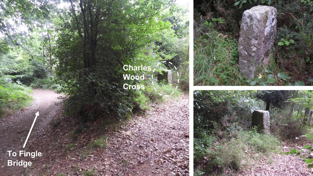
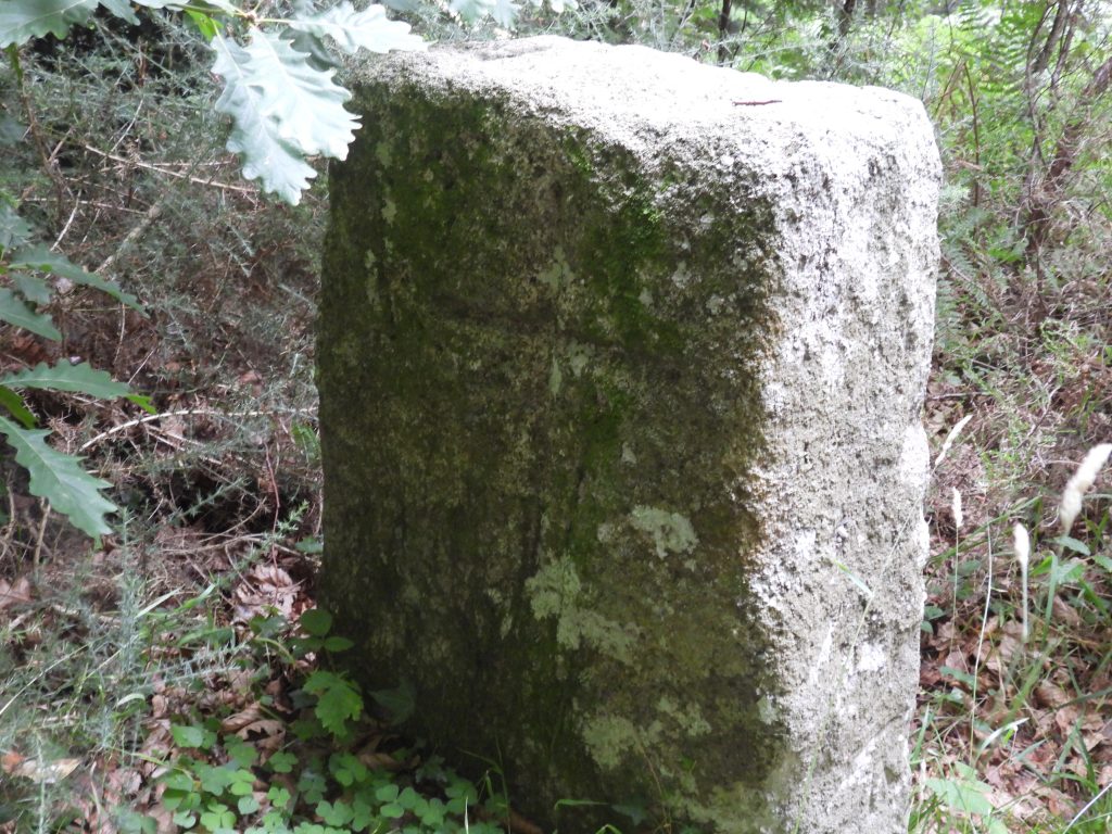
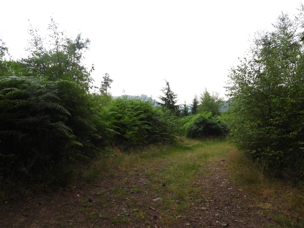
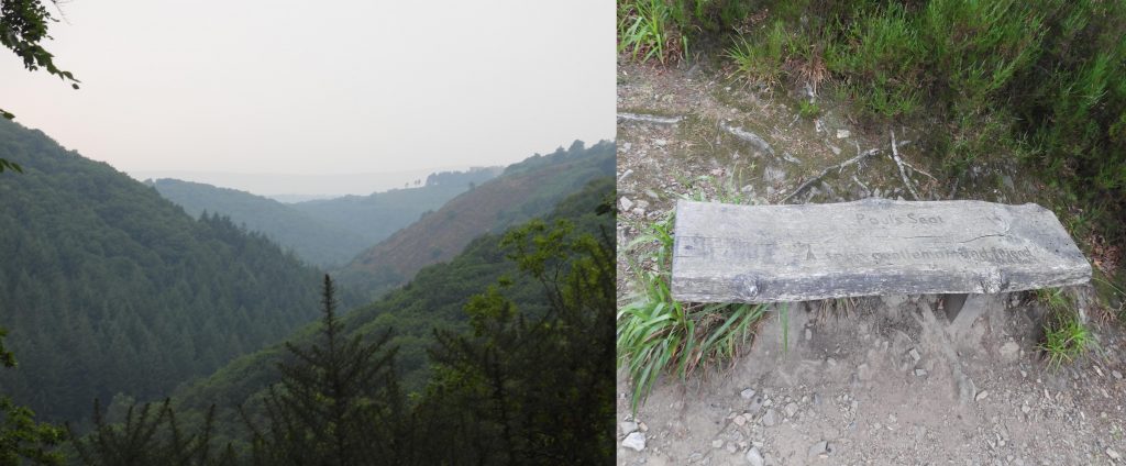
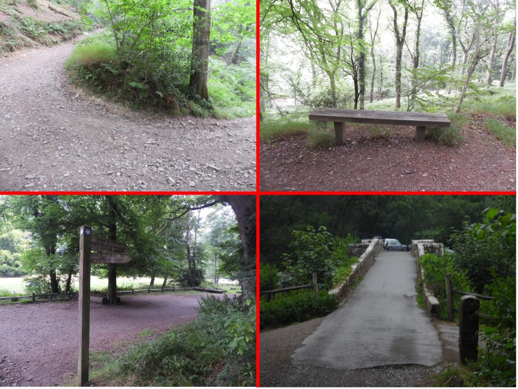
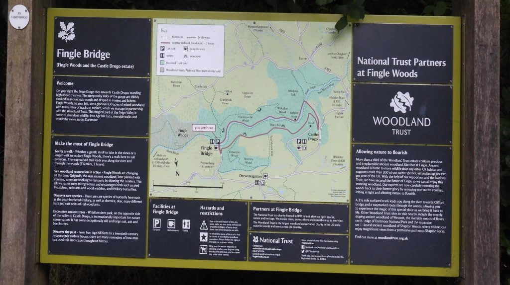
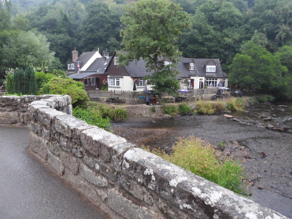
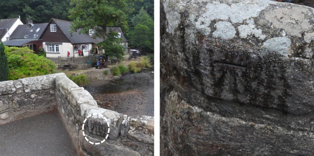
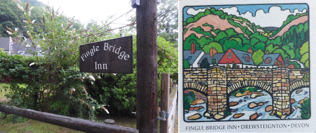
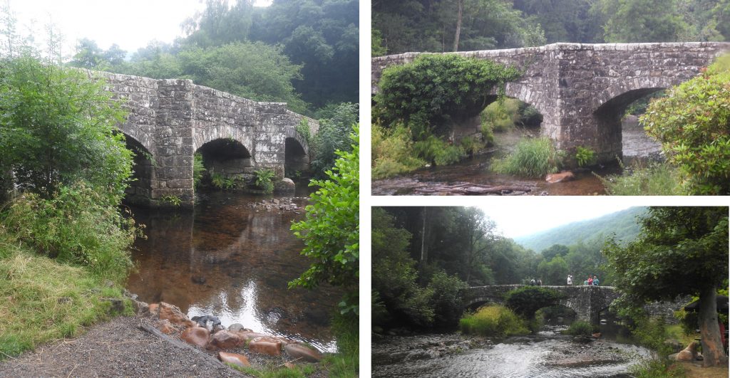
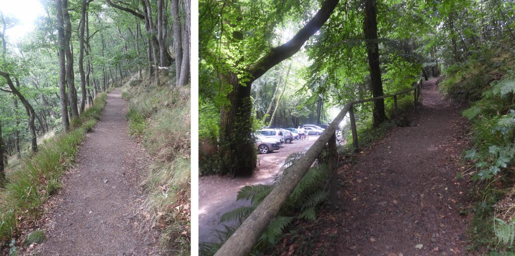
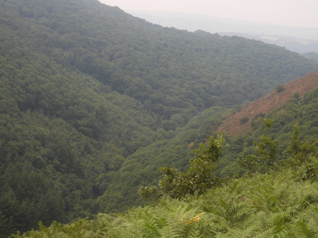
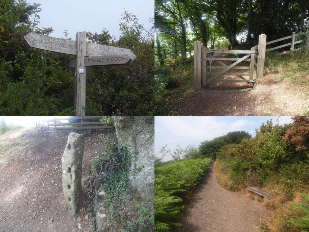
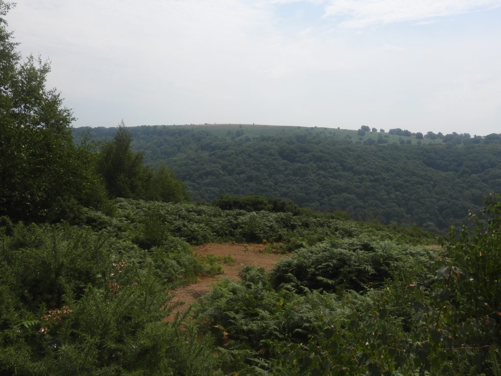
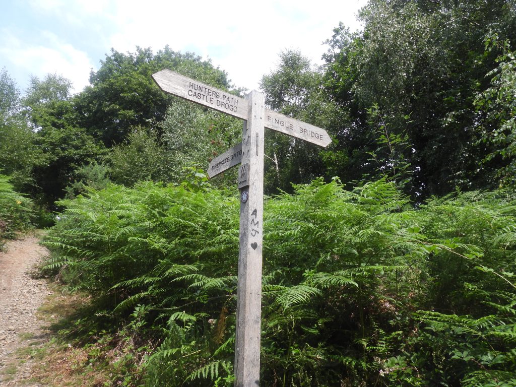
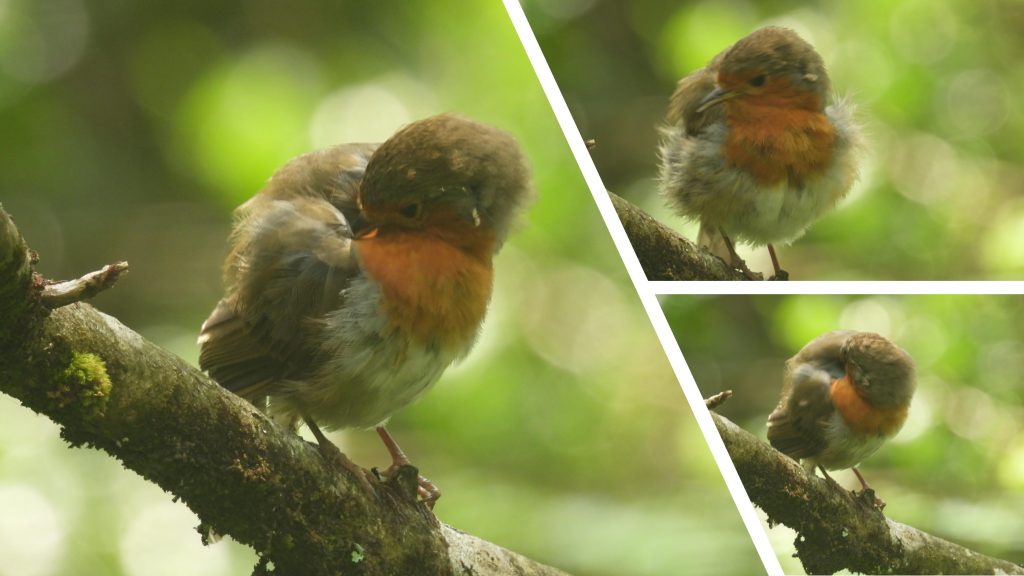
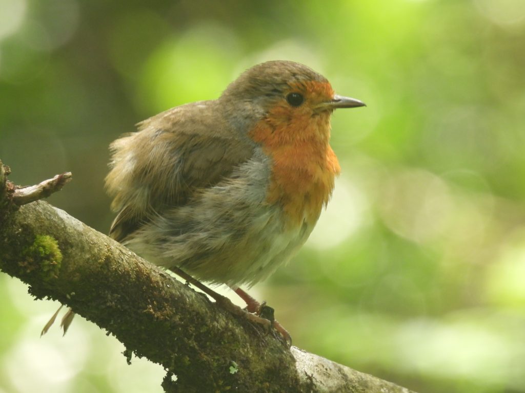
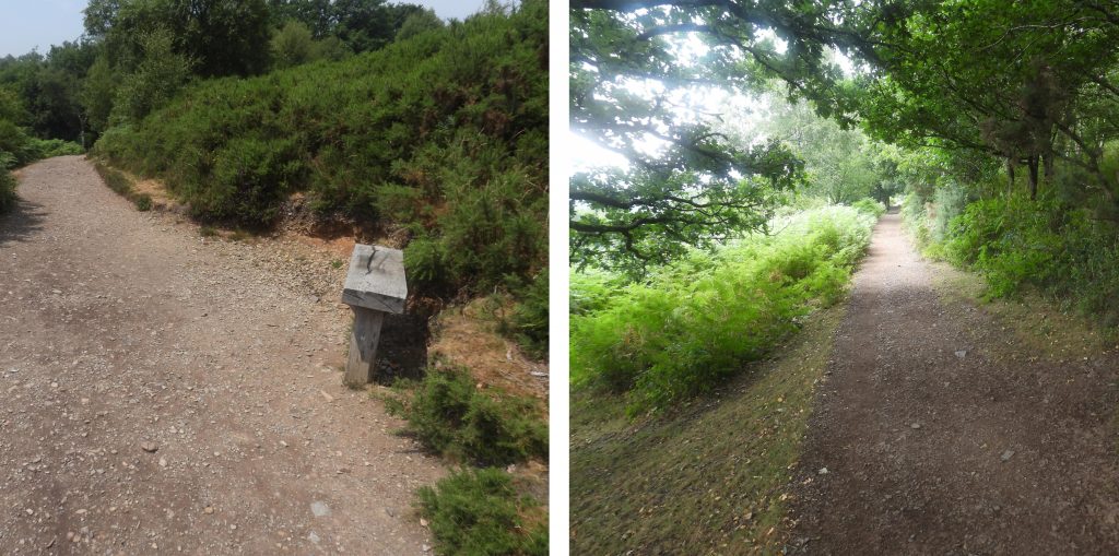
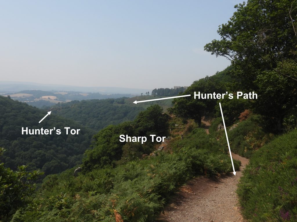
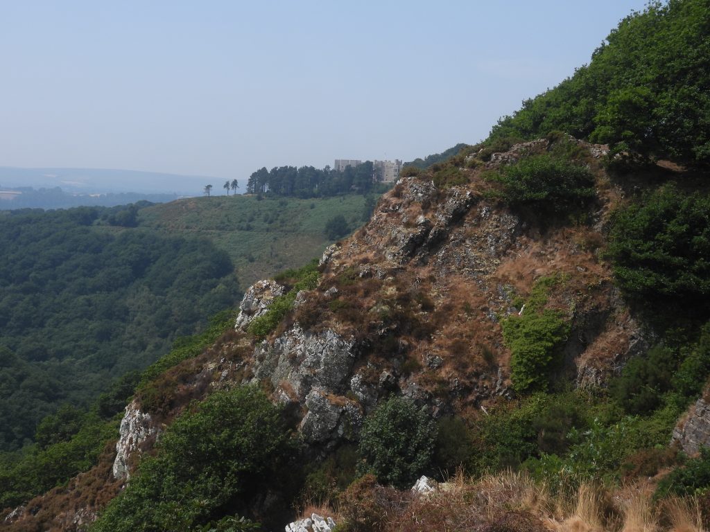
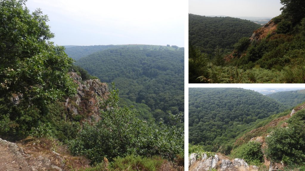
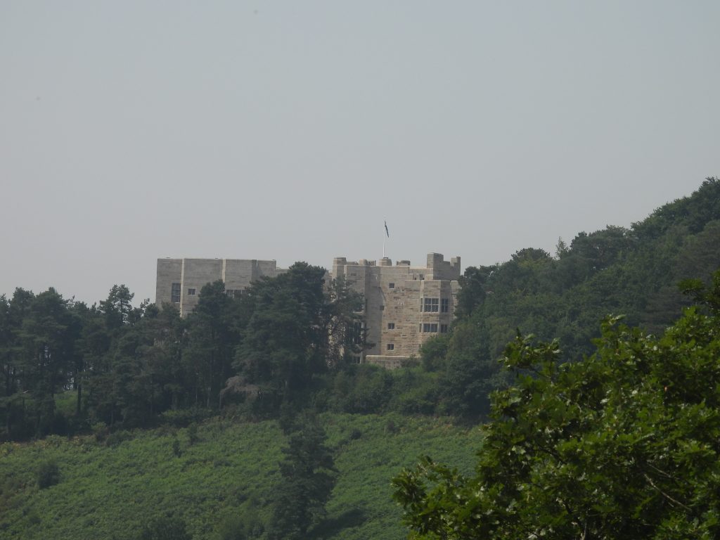
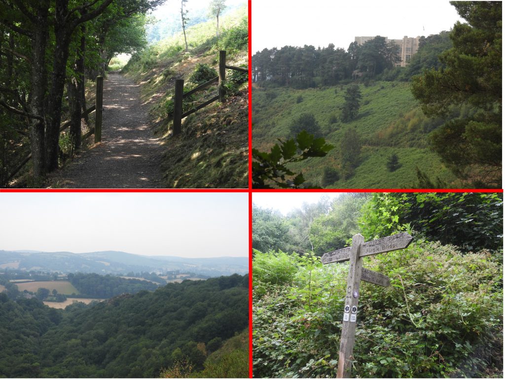
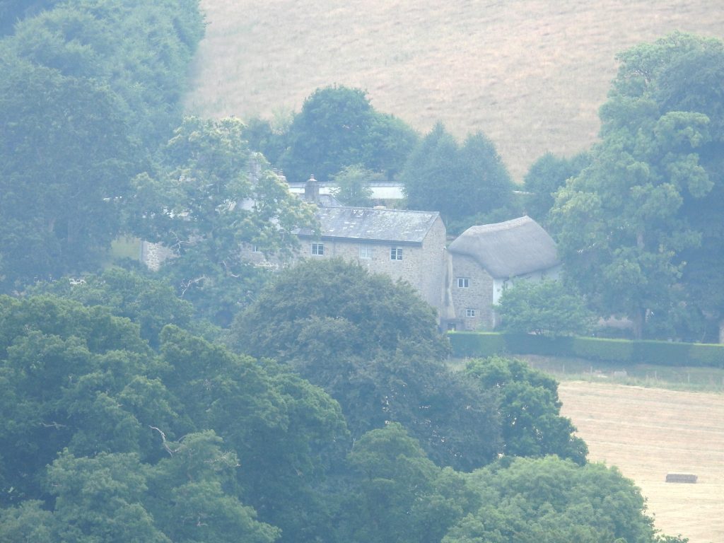
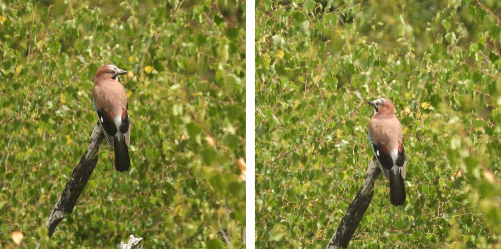
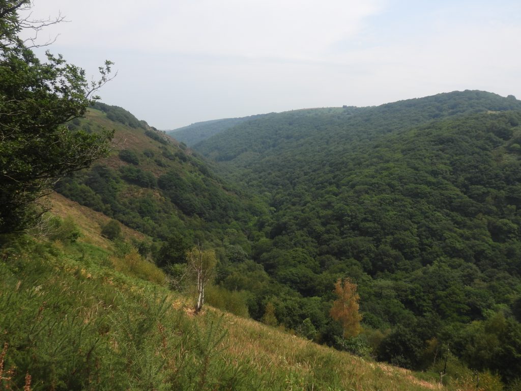
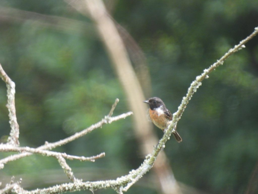
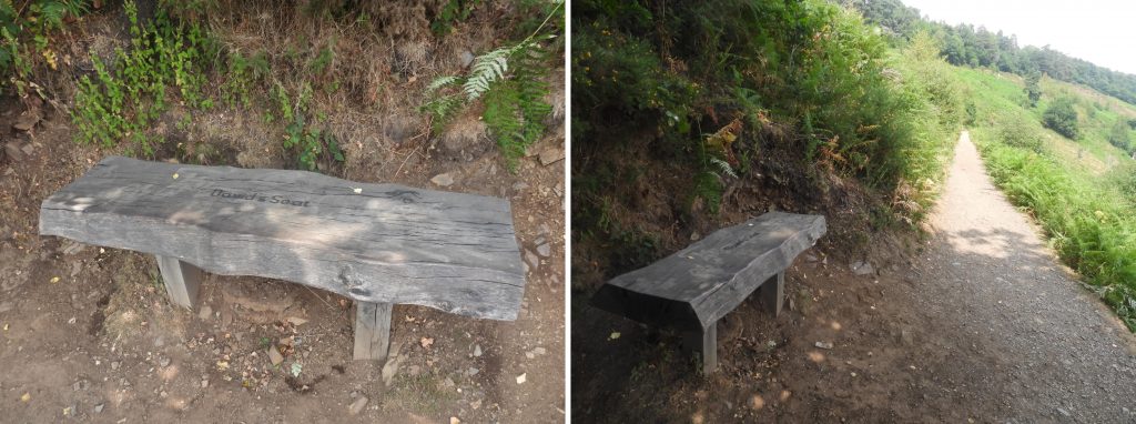
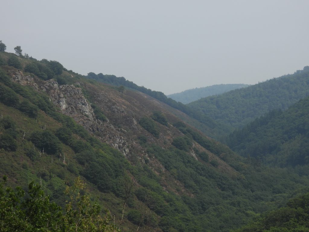
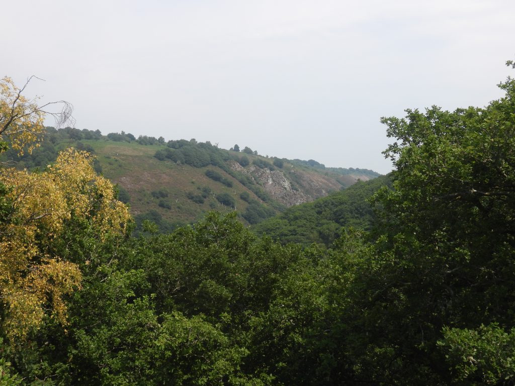
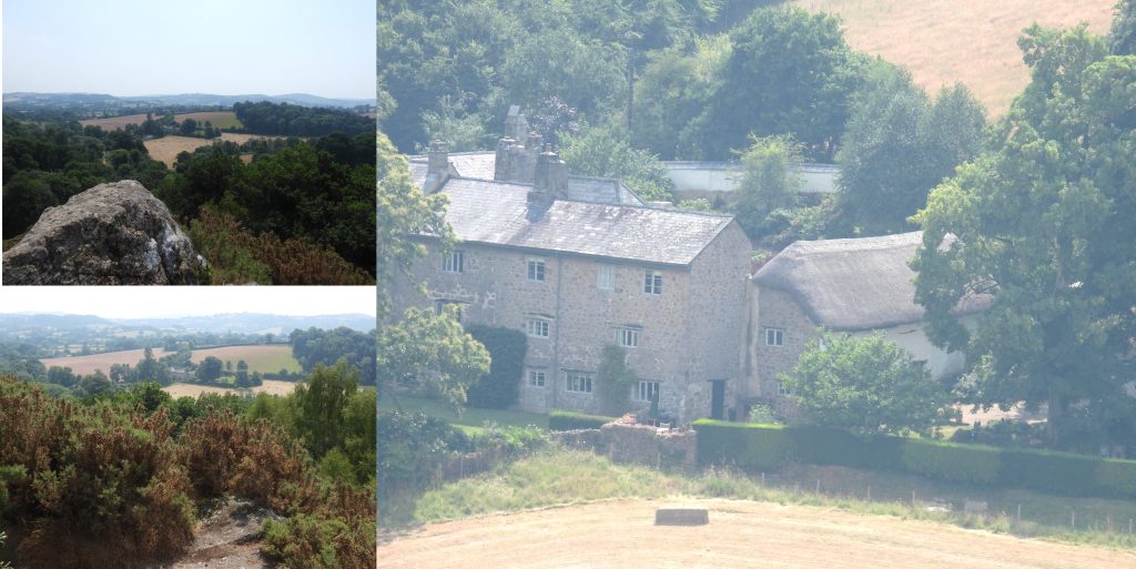
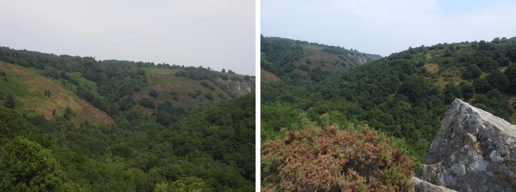
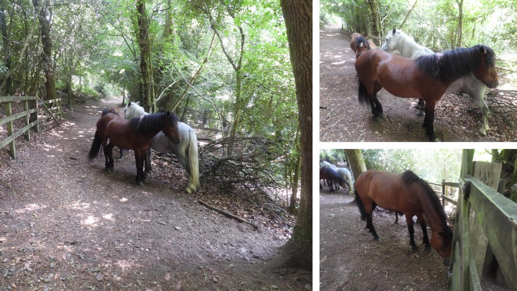
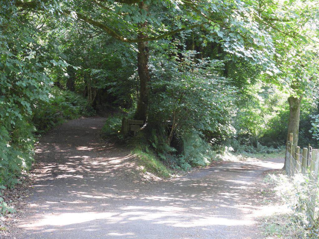
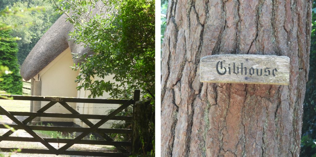
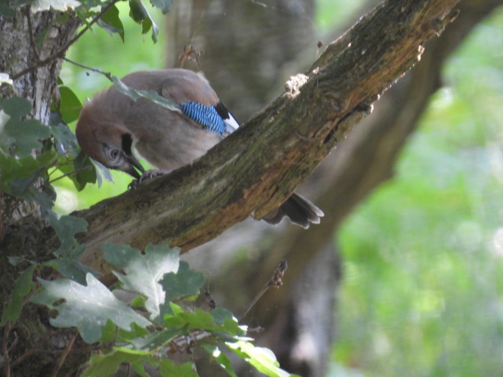
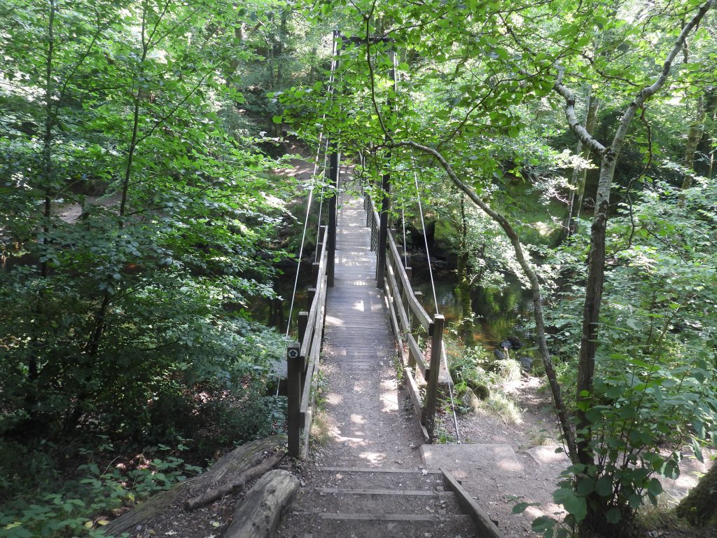
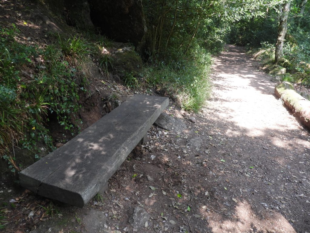
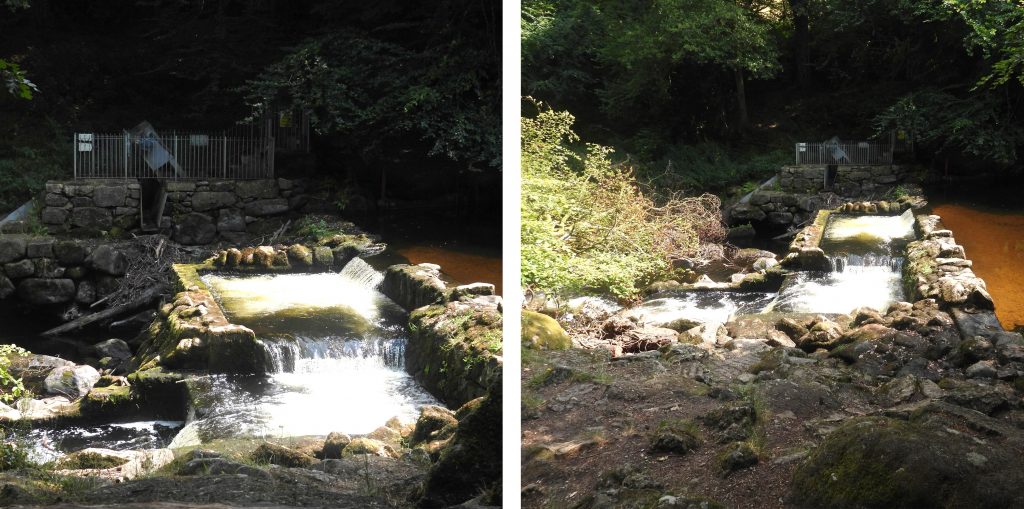
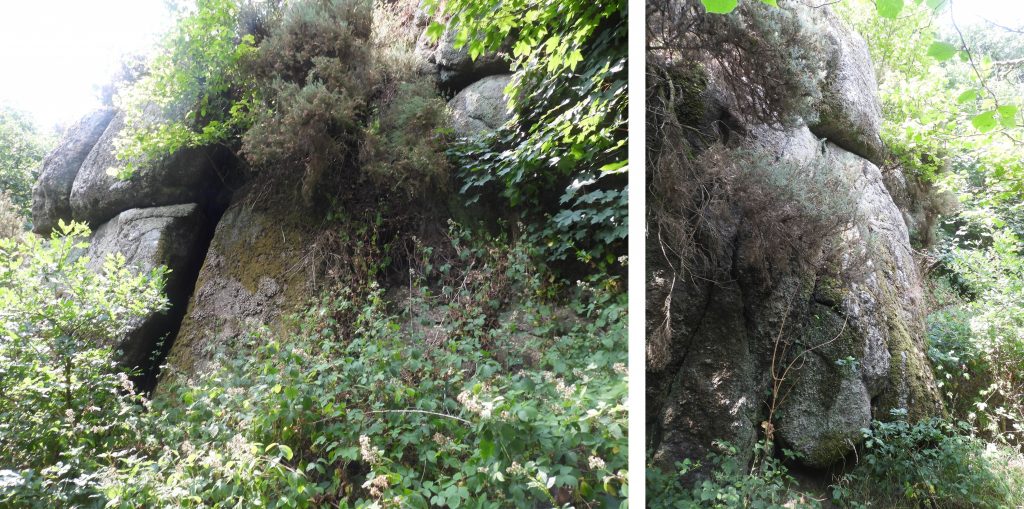
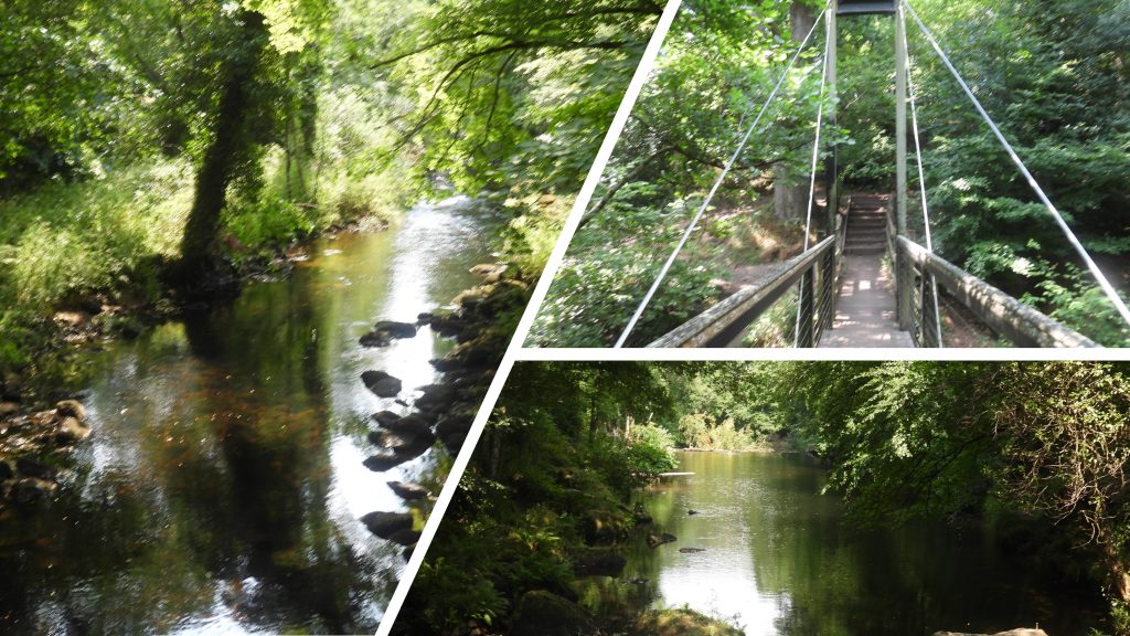
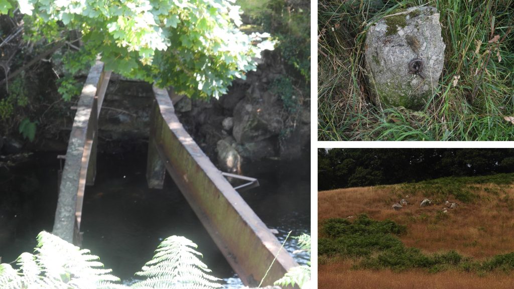
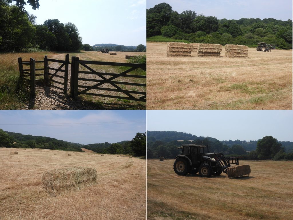
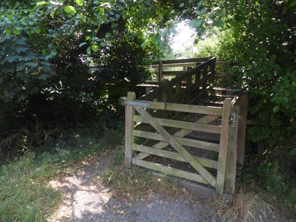
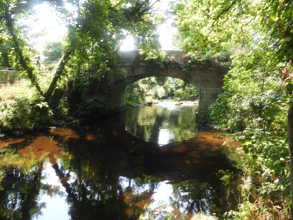
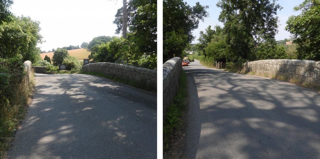
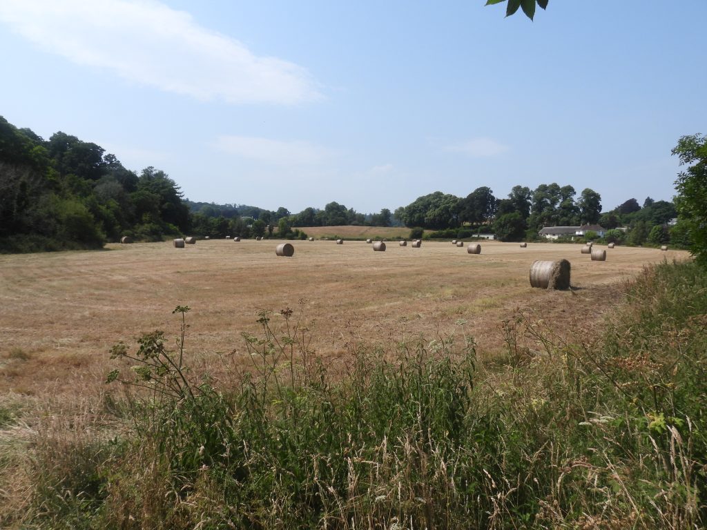
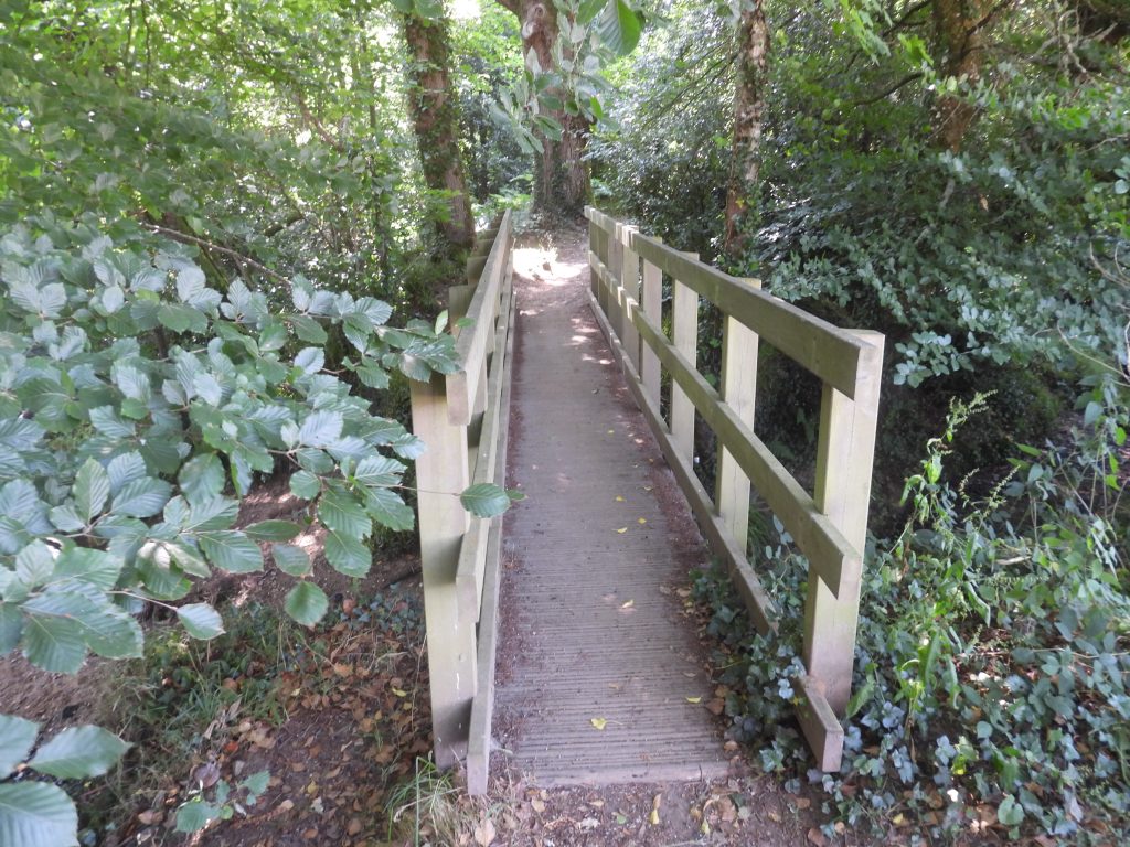
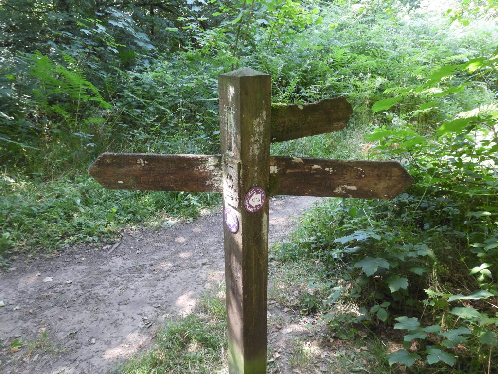
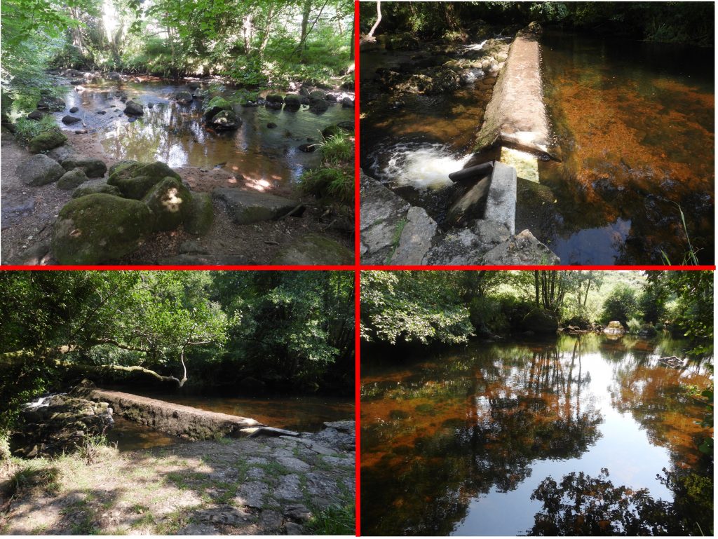
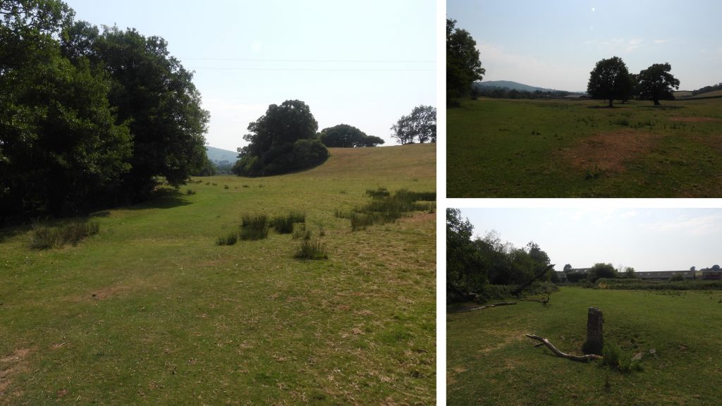
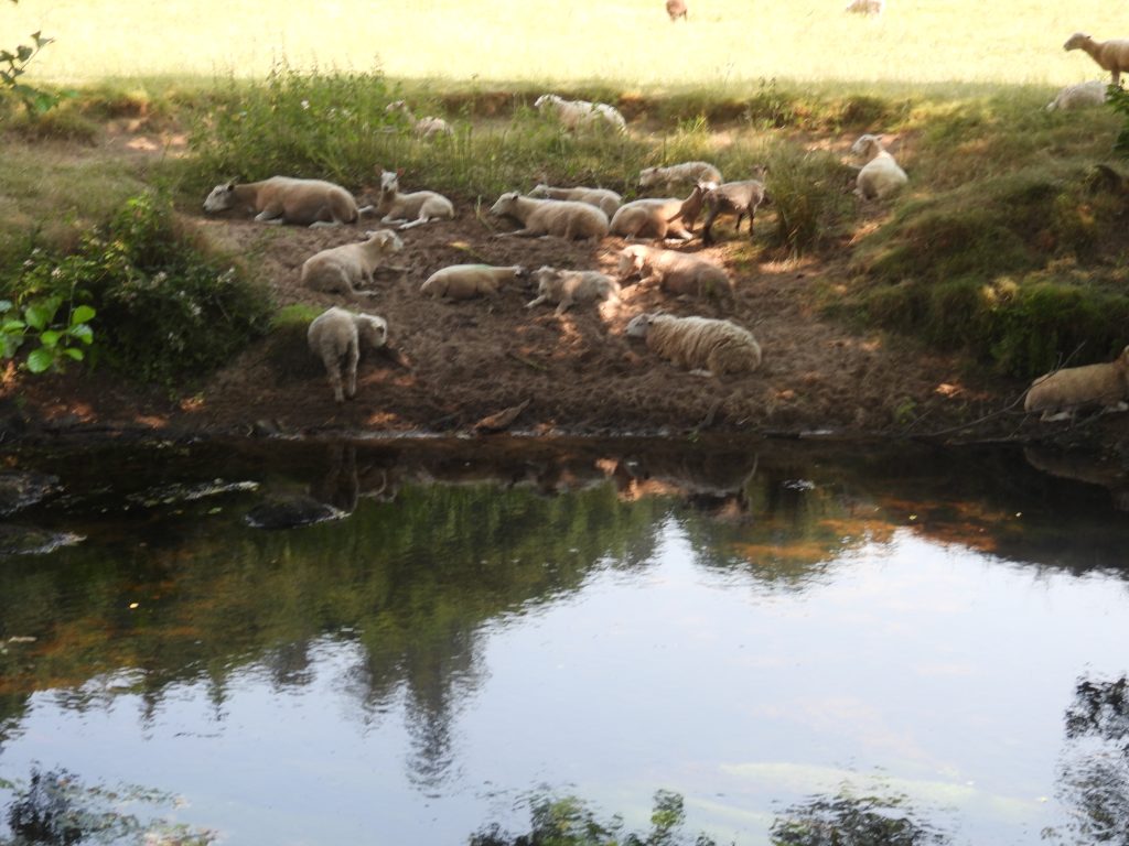
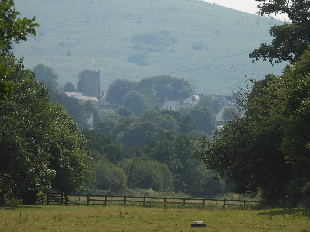
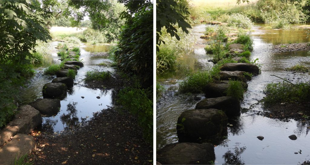
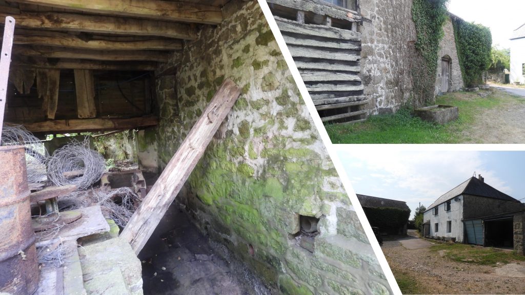
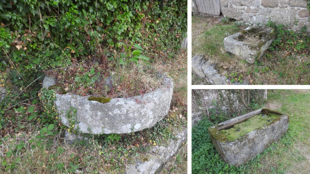
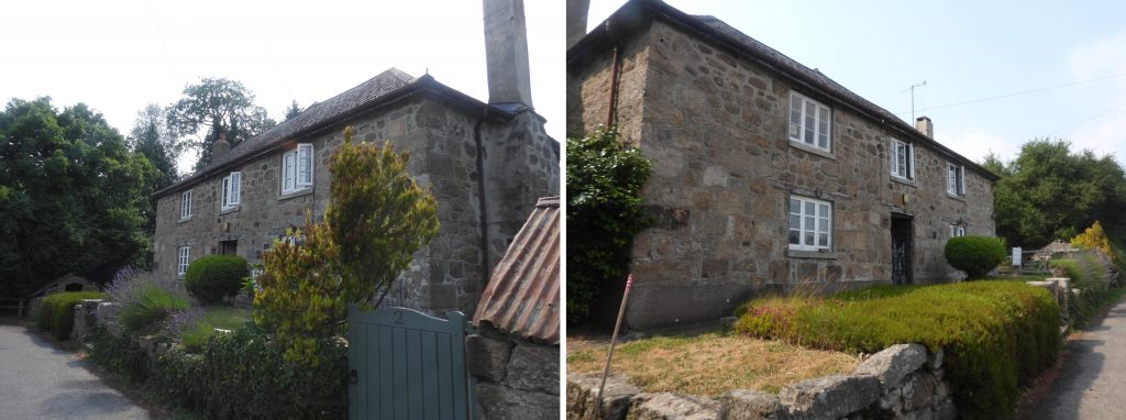
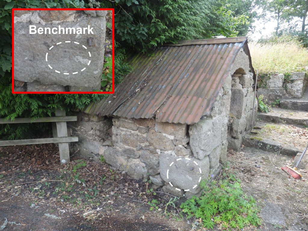
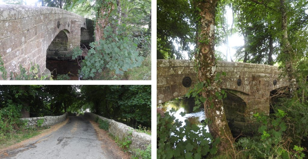
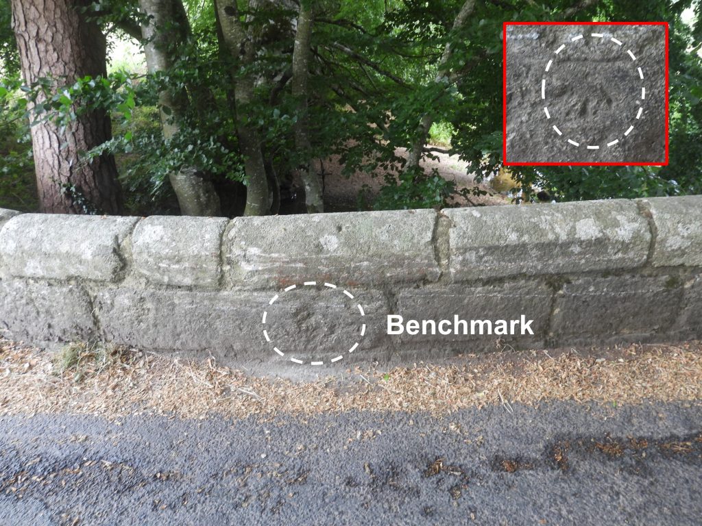
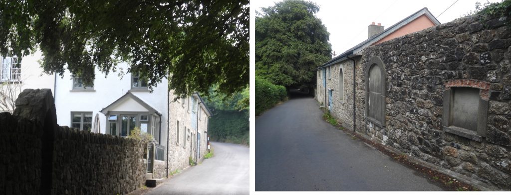
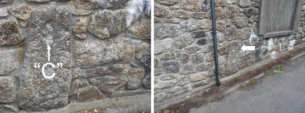
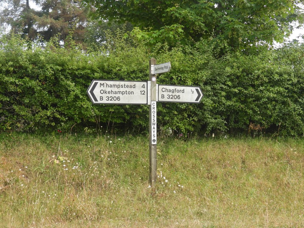
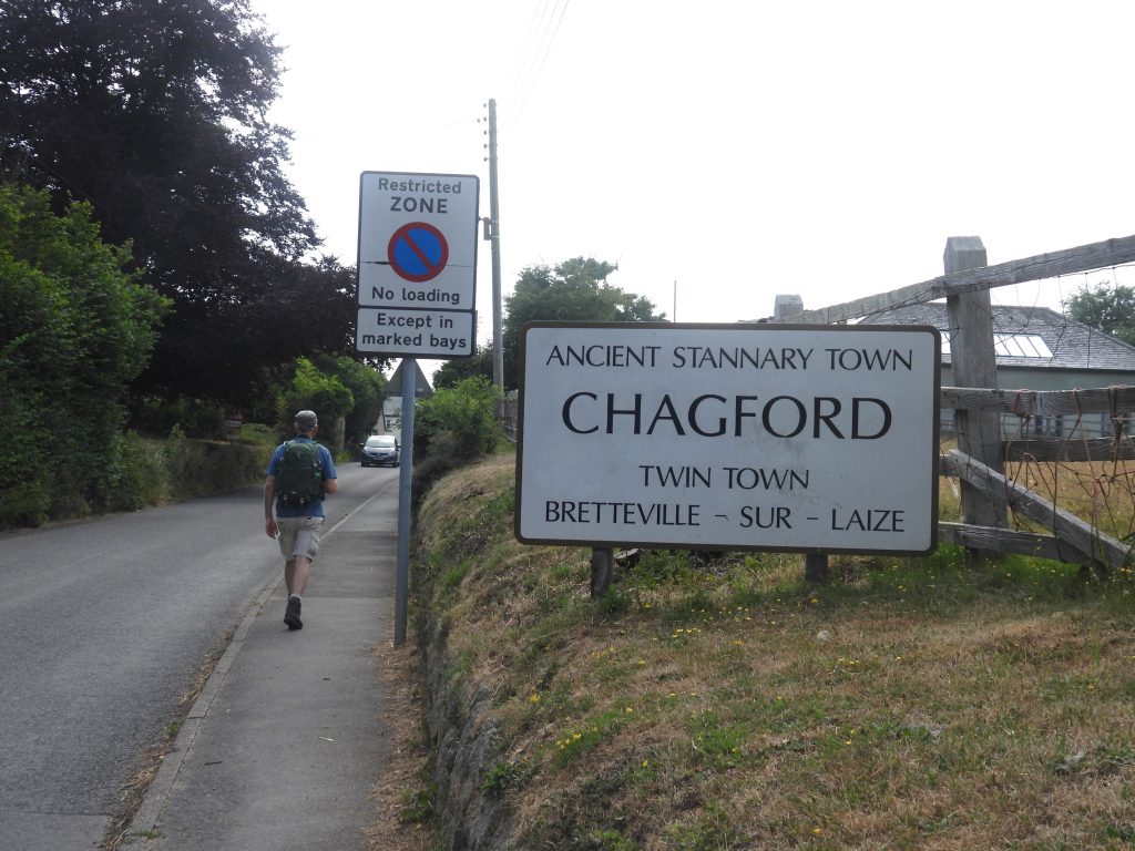
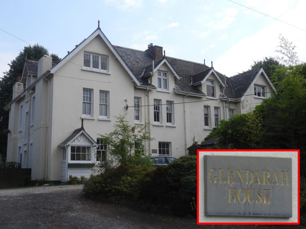
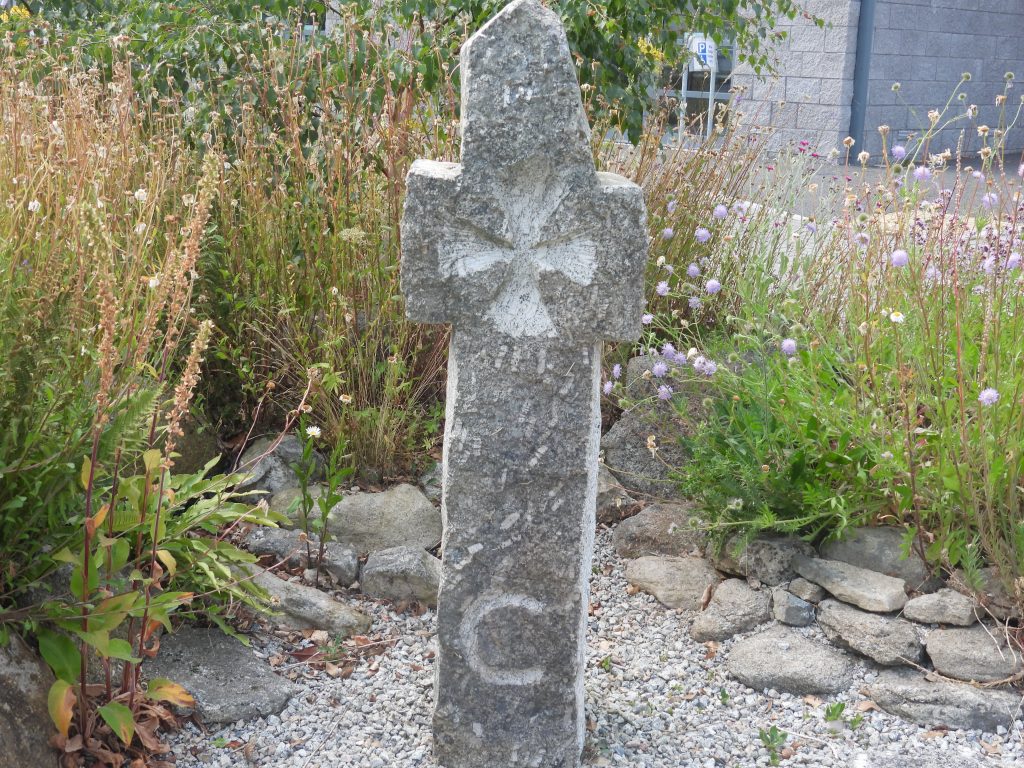
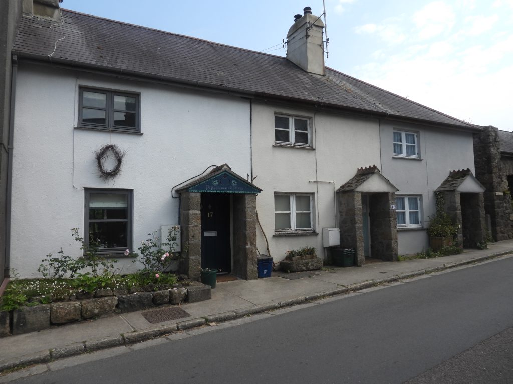
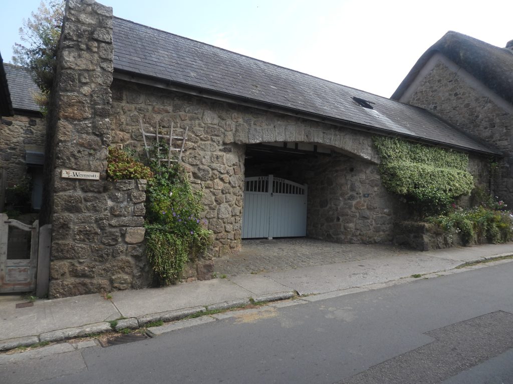
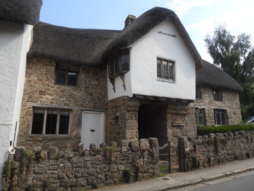
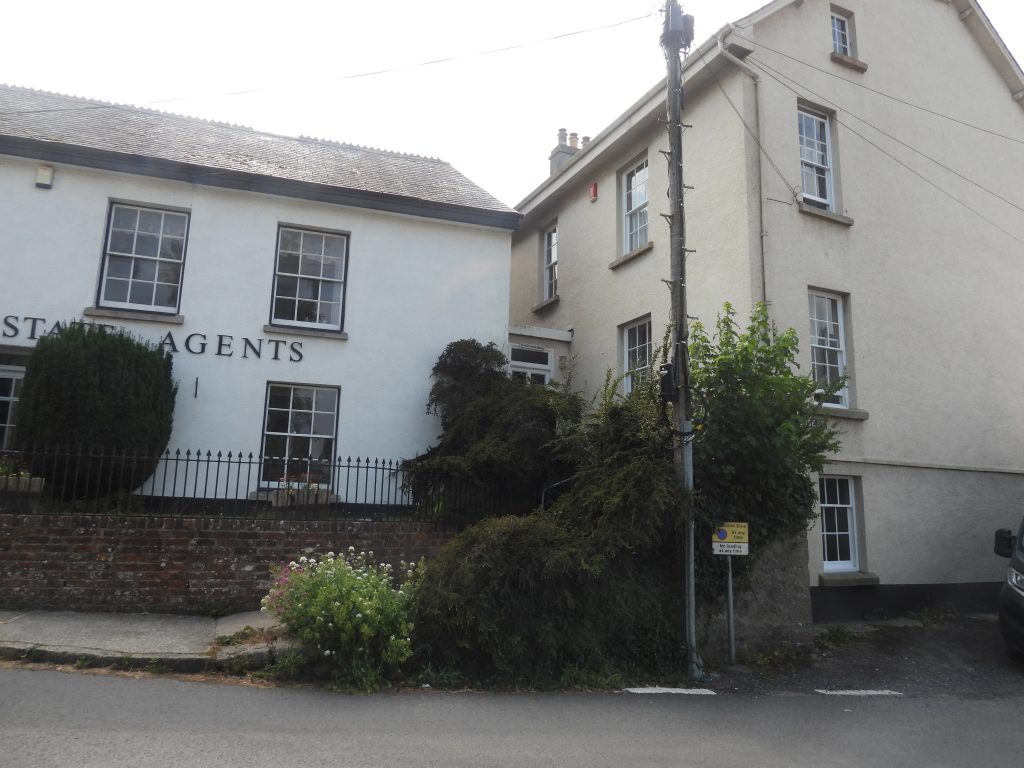
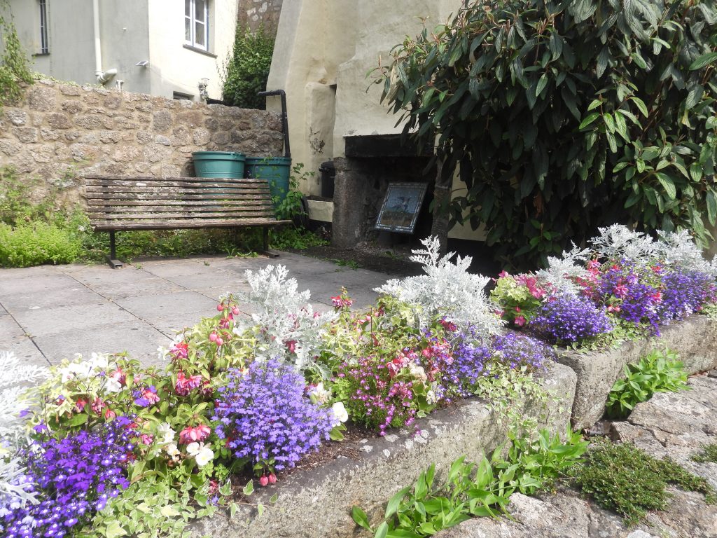
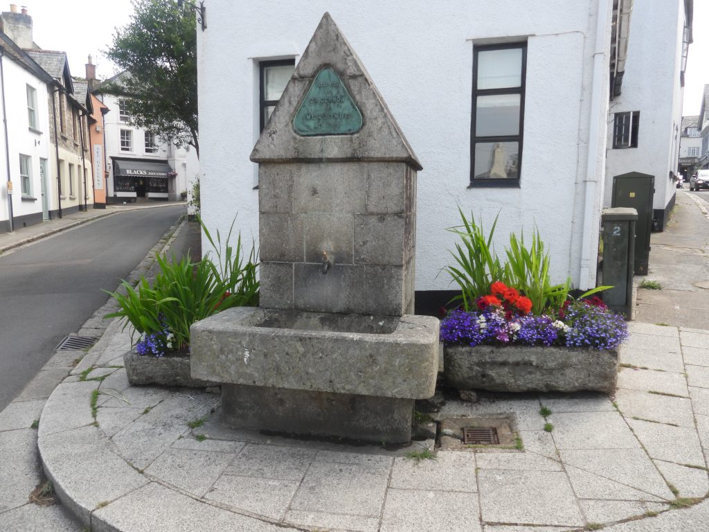
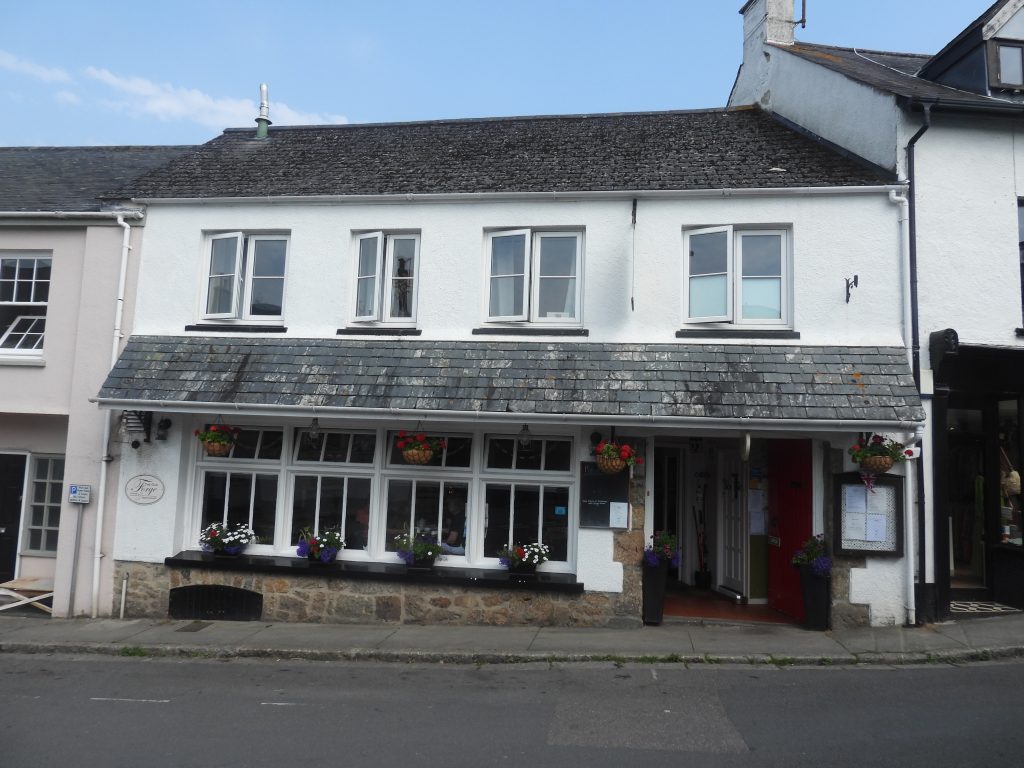
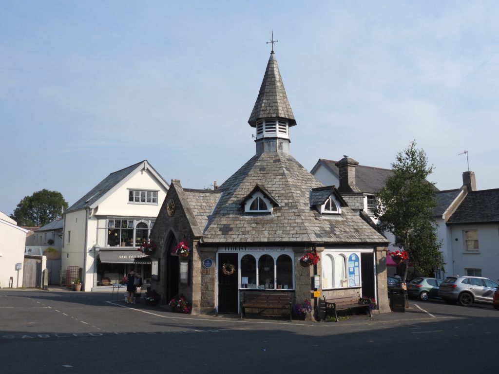
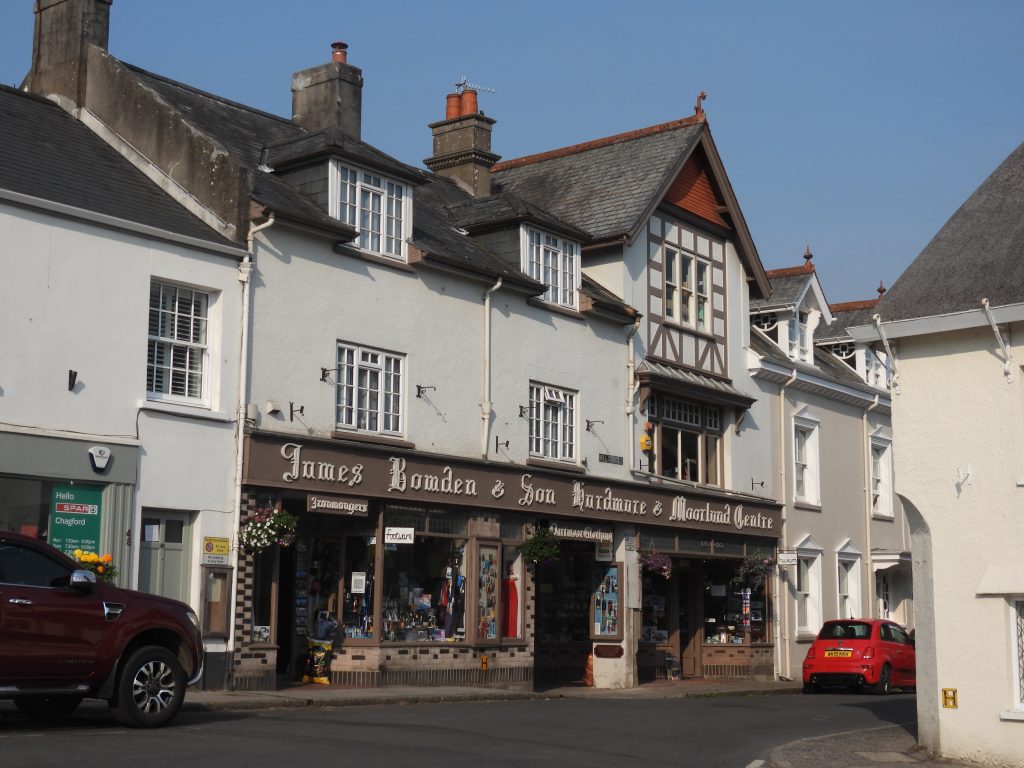
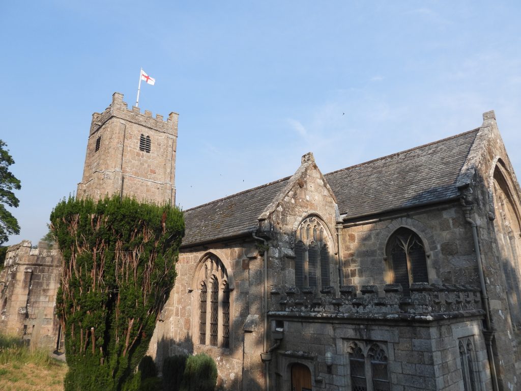
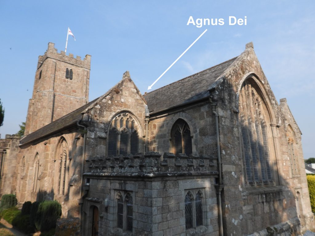
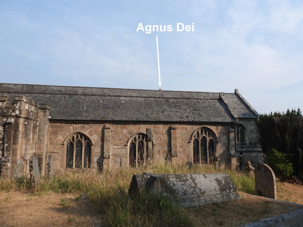
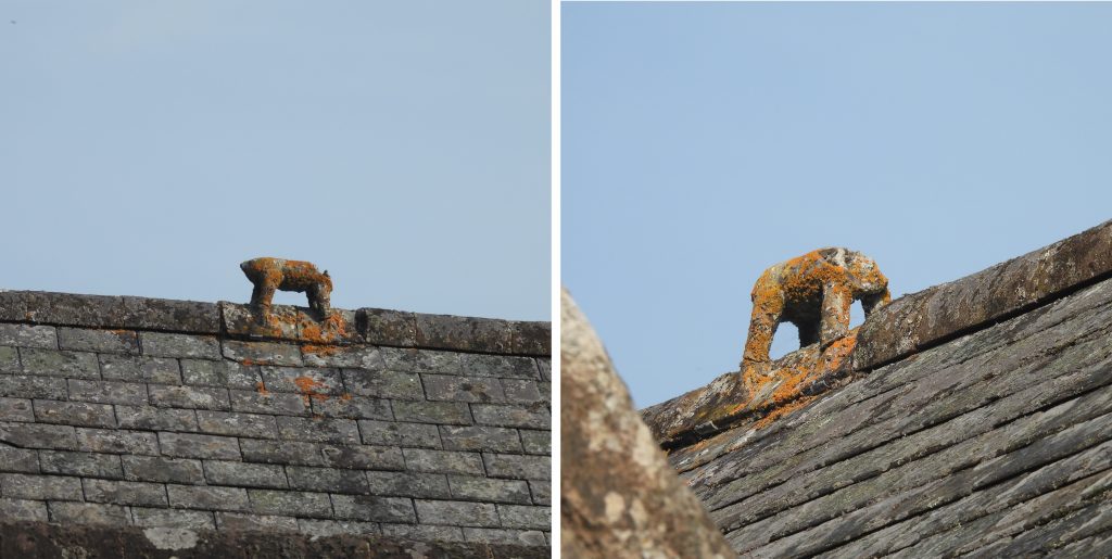
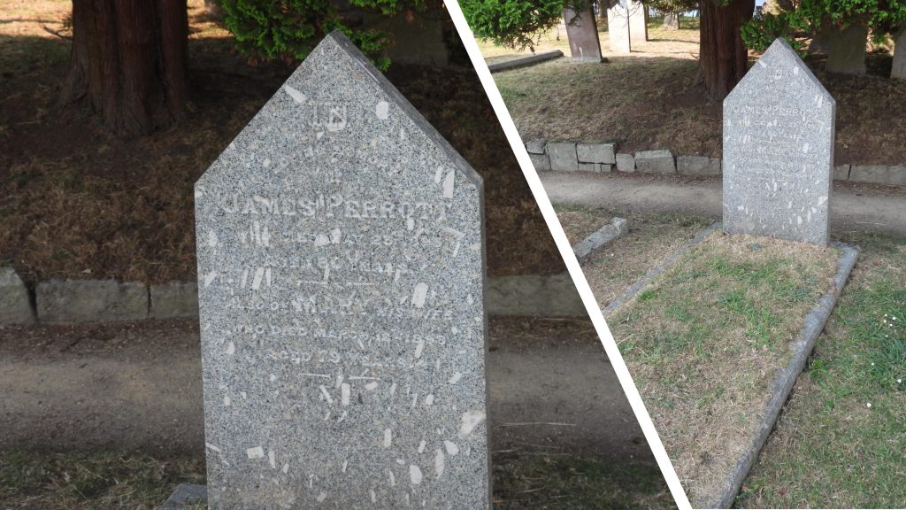
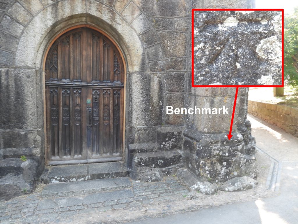
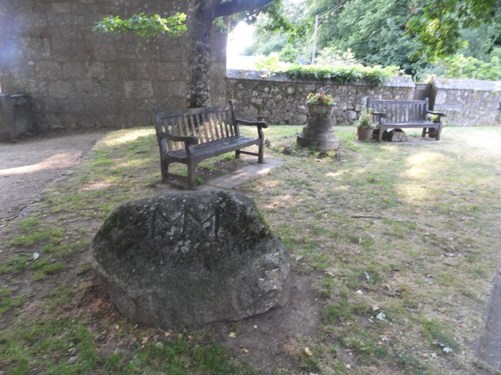
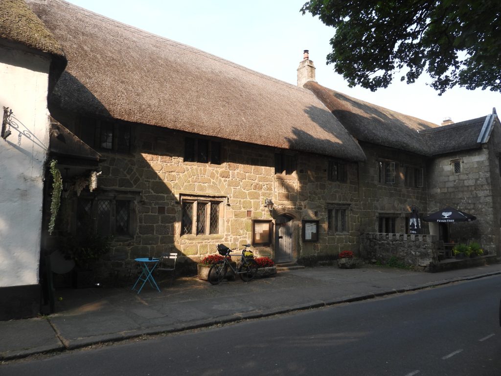
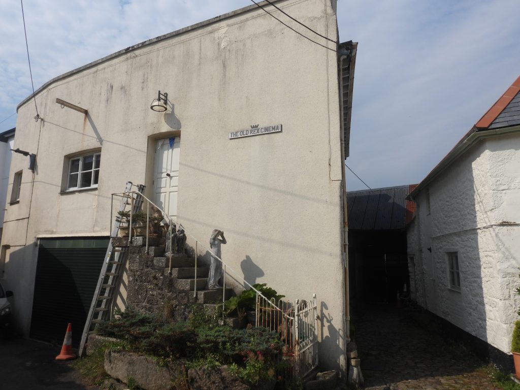
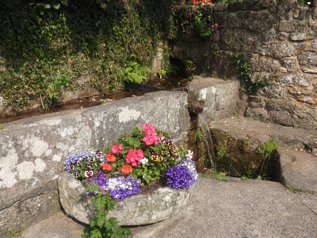
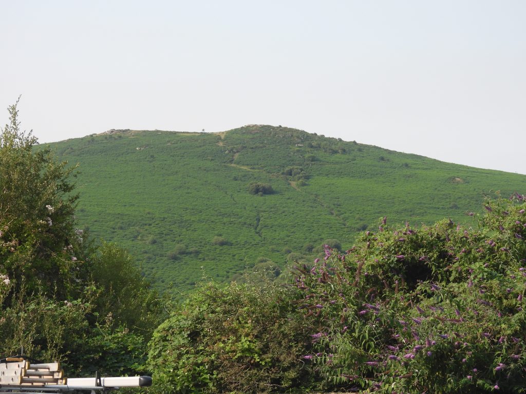
The Dartmoor Way Stage 5 route. The “side trips” taken are obvious from the plotThe Dartmoor Way Stage 5 at start, looking down Court Street in Moretonhampstead.Features on Court Street. A knitted feature on a letterbox and a iron telegraph cable marker. The telegraph cable marker has the Royal Cypher and Crown at the top (ER for Edward) , the government broad arrow at the base an “ft” and “in” across the centre. Between the “ft” and “in” and the broad arrow would have been a moveable plaque which would have had indicated distance in feet and inches. This marker was part of the infrastructure of telegraph cables laid across the country from early 20th century. (ref: Dartmoor Magazine, Issue 124 (Simon Dell). Moretonhampstead Square features including the Sparrowhawk sculpture (a symbol of Moretonhampstead’s past) and another telegraph cable marker.The White Hart Inn is a id-1m8th century coaching inn which was built after a fire destroyed houses that had existed here. It was a particularly busy post inn during the reign of King George III. It was also used as a meeting place for French officers on parole from Princetown prison during the Napoleonic wars.Moretonhampstead War Memorial. The Dartmoor HER states that: “this tall granite rectangular block pier was unveiled by Lord Hambleden on the site of the old Butter Market in 1921 to the memory of those who fell in the 1914-1918 war. A second plaque was added to commemorate those who died in the Second World War. In 2000 the area round the memorial in the Square was refurbished by members of the Parish Council and plaques with the names of the dead are now affixed to the memorial”.George Parker Bidder statue. ‘The Calculating Boy’ of Moretonhampstead was born close to where the statue now stands in his honour. The son of William (a stone mason) and Elizabeth, the young George even before he could read or write showed a great talent for mental arithmetic. His older brother John taught him to count and before too long he had taught himself multiplication. His ability to compute complicated sums in his head at such a young age led to his father taking him on a “tour” (including Oxford and Cambridge) to demonstrate his skills. He was advertised as “The Calculating Prodigy”. In 1819, he was given private tuition (patronised by Sir Henry Jardine) and he went to Edinburgh University a year later. His working career saw him work for Ordnance Survey and the London Dock Company. He worked closely with Robert Stephenson (son of the famous George Stephenson) and they worked together on many railway schemes across the country and even abroad (Norway and Switzerland). He moved back to Devon, firstly to Dartmouth then was in the process of retiring to Stoke Fleming when he passed away in 1878. He is buried in the churchyard at Stoke Fleming. Source: Darmoor Magazine #84Pitt House is a grade II listed building on Ford Street (number 48). It was built circa 1700 and is recorded as probably being the remodelling of an earlier house. Further modifications were made in late 18th century. (ref: Historic England)Standing stone in the garden adjacent to the Sparrowhawk Backpackers Hostel.Forder House in Ford Street (No 50) built around circa 1800. It has been virtually unaltered since it was built. There are some granite steps outside, presumably for mounting and dismounting of horses.Leaving the tarmac in Moretonhampstead via “Moretonhampstead footpath 15”Crossing fields to the north of Moretonhampstead along “Moretonhampstead Footpath 15”Standing stone (probably a scratching post for animals) with Moretonhampstead (St. Andrew’s) Parish Church beyond. Old barn adjacent to fields crossed on Moretonhampstead Footpath 15Gates and steps enroute to Coombe Court.Coombe Court Farm house is a grade II listed building which is recorded as having been built in the 17th century. Footpath bypassing Coombe CourtSheep near Coombe CourtZoomed in view of Coombe Court, which is well hidden from the footpath by trees.Birdlife of the path, possibly a DunnockThe footpath passes alongside the infant Wray BrookHill Farm Cottages. These were built during the 1897-1907 improvements on hambleden estate. Jay near Hill Farm Cottages – long distance without tripod so picture a bit shakyLooking north east across the fields from Hill Farm Cottages is Northmoor FarmsteadAt the end of the Hill Farm Cottages lane is an upright stone with a benchmark on it. The reference (national library of Scotland, side by side maps) is B.M 0943.3Approaching Butterdon CottageButterdon Cottage. There is documentary reference from 1330 of boterdowne (now Butterdown). The farmstead probably dates from 19th century as does the cottagesThe pathway circumnavigates the base of Butterdon Hill. The view through this gate showed a brewing weather front which was to bring rain and thunderButterdon HillOn lower slopes of Butterdon Hill. Natural stone or standing stone at SX74777 88343? It is not far from the “officially recognised” standing stone on Butterdon Hill.The “officially” recognised standing stone on Butterdon Hill measures over 2 meters tall at SX74778839. This standing stone may be located on a cairn. Interestingly, during a survey a local farmer (at Bowden) stated that it is a rubbing stone and cattle clearly use it as such. However, it seems far too massive to have been erected for that purpose and it has the appearance of a prehistoric standing stone and has been recorded as such.A lovely example of a slotted gatepost, where the Dartmoor Way leaves Butterdon enroute to CranbrookMoretonhampstead Footpath 10 crossing fields on way to Cranbrook. View is looking back at Butterdon Hill.Part of Cranbrook FarmCranbrookCranbrook Farmstead dates to at least the mid 14th century. This is on the opposite side of the road from the dwelling “Cranbrook”This guidestone can be found on the junction of a minor road where it meets the forest path which leads down to Fingle Bridge. It is thought to early 19th century. It is inscribed on each face. A sign of the times, it is also microchipped. This four-sided granite pillar has the following inscriptions: On north face ‘D-T’ (Drewsteignton), on west face ‘C’ (Chagford), on east face ‘E’ (Exeter), on south face ‘M’ (Moretonhampstead). Guidestone alongside wooden fingerpostTrig Pillar and bench. The trig was originally located at the Iron Age Hill Fort of Cranbrook Castle. There is a plaque at the base of the trig that reads: ‘This trig. pillar has been removed from the / ramparts of Cranbrook Castle. where it was / first erected by the Ordnance Survey in / February 1949. Now redundant as a / triangulation station. it was adopted in its / new location by / Moretonhampstead Parish Council in 1993.’The trig number is BM S5032 and there is a plaque at the base of the trig reads: “This trig. pillar has been removed from the ramparts of Cranbrook Castle. where it was first erected by the Ordnance Survey in February 1949. Now redundant as a triangulation station. it was adopted in its new location by Moretonhampstead Parish Council in 1993″ The author can just about remember it at its original location!Slight side trip from the official Dartmoor Way route. Cranbrook Castle Iron Age Fort is described as being an univallate hillfort (having one raised edge or wall surrounding a depression) overlooking the River Teign with a small sub-square enclosure of 4 hectares with up to three ramparts with entrances on the east and south-west sides.Possible previous location of BM S5032 trig point (from authors recollection)Weather front brewing over Chagford. View from Cranbrook CastleDrewsteignton from Cranbrook Castle – it had just started to rain.The path that descends from Cranbrook Down to Fingle Bridge is designated “Moretonhampstead Byway 36”. The author was grateful for the shelter as it was raining and there were rumbles of thunder aroundEntering Charles and Hannicombe WoodsCharles Wood Cross is a wayside cross on the Moretonhampstead to Drewsteignton road in ‘Moreton Woods’. In 1765 both Hannicombe Wood and Charles Wood went under the name of ‘Moreton Woods’The stone has a deeply incised but weathered cross on the western face.Descending to Fingle Bridge in the rain (with thunder coming from the west)A clearing at “Pauls Seat” with a view to the west down the Teign Gorge.Approaching Fingle BridgeNoticeboard at Fingle BridgeFingle Bridge Inn from Fingle Bridge.The Department of Environment describe Fingle Bridge thus : “…… first built in the late 16th or early 17th century and by 1665 was described as decayed. The present bridge, constructed in granite, has three segmental arches carried by massive piers”. The bridge (as one would suspect) has a OS benchmark (ref: B.M. 0363.1)Fingle Bridge Inn. Originally called “The Anglers Rest”, it was built in 1957. However, prior to this, in 1897 Mrs Jessie Ashplant started selling teas after a suggestion from the Reverend of Drewsteignton that something should replace the Old Mill, which was located nearby and was destroyed by fire (in 1894). For 10 years she traded in the open air before her tea “shelter” was opened in 1907. (Ref: Quick, T., 1992, Dartmoor Inns)The 17th century Fingle Bridge over the River Teign spans the civil parish boundaries of Moretonhampstead and DrewsteigntonLeaving Fingle Bridge, the Dartmoor Way ascends steeply up through Drewston Wood towards Hunters PathThe Teign Gorge during the ascent to Hunters PathAnother view of the Teign GorgeHunters Path with some features; gate, fingerpost, slotted gatepost and a bench. By this point the author was grateful for the sun coming out.Looking across the Teign Gorge from the Hunters Path to Cranbrook Castle (clear section opposite)Fingerpost. Note that the Hunters Path is not only the route taken by the Dartmoor Way, but is the route of the Two Moors Way (originally Lynmouth to Ivybridge – opened in 1976)Young robin preening just off Hunters PathPreening finishedThe Hunters Path has magnificent views and a number of well placed benches.There are two tors on the side of Teign Gorge and whose upper rocks can be reached from Hunters Path; Sharp Tor and Hunter’s TorSharp Tor. The line of Hunters Path can be made out in the mid-distance just below Castle DrogoViews from Sharp TorCastle Drogo was constructed in 1910 on a previously undeveloped site. Engish Heritage summarises as follows: “Julius Drewe (1856-1931) founded the Home and Colonial Stores in 1883 and rapidly amassed a considerable fortune; A genealogist persuaded Drewe that he was descended from the Norman Drogo family, one of whom gave his name to Drewsteignton in the 12th century. Changing the spelling of his name from Drew to the more authentic Drewe, Julius recovered family property in East Devon, and subsequently decided to establish an estate at Drewsteignton. The site chosen for the proposed Castle was glebe land, but as Drewe’s cousin, Richard Peek, was rector of Drewsteignton, he was able to purchase it in 1910. Further land was acquired, including Whiddon Park, a 16th century deer park on the south side of the Teign gorge. By the time of Drewe’s death in 1931 his estate comprised 1500 acres (625 hectares). Edwin Lutyens (1869-1944) was commissioned to produce plans for a castle and gardens in August 1910”.More views from Hunters Path. The path (also known as Drewsteignton Bridleway 13) was established before Castle Drogo was built in the 19th CenturyAcross the Teign Gorge, Whiddon Park House can be seen. It is believed to date from the mid 16th century or before. It has been the home of the Whiddon family since the time of Queen Elizabeth I and comprises a mansion house and associated barn. Jay close to Hunters PathLooking east “up” Teign GorgeWhinchatDavids Seat on Hunters PathSharp TorSharp TorView from Hunter’s Tor include Whiddon Park House, which is located next to Whiddon Deer Park. The park was created in the 16th century by Sir John Whiddon, who also built the HouseLooking up the gorge from Hunter’s TorPonies in the shade near the end of Hunters Path (close to the switchback down to Coombe)Junction enroute to the Teign. The Dartmoor Way goes left and the private driveway to Coombe is on the right.Gibhouse was a former farmhouse from 16th / 17th century. It was thoroughly renovated circa 1980.Jay eating a catch near the path by GibhouseJay, now on ground looking for its next snackModern footbridge over the River Teign. The Dartmoor Way follows a westerly direction from this point, but the author took a short side trip east up to a weir.Grandmas Seat on riverside path (Drewsteignton Footpath 12)This stone-faced concrete weir was built in the late 1920s across the River Teign and is c360m upsteam of the Turbine House which was used to supply electricity to Castle Drogo. As can be seen in the photographs, at the southeast end of the weir is a cast iron inlet chamber. This has a sluice gate at the west end & a concrete pipe which takes the water to the holding tank at the generating plant via a 362m of pipe. Returning west along the path a large outcrop is passed. It is likely to be part of or an outlier of the larger Hunter’s Tor above. The OS map suggests Hunter’s Tor and this outcrop are separate, so this one could be called Lower Hunter’s Tor Views of the Teign from the footbridgeHeading west towards Dogmarsh Bridge. This path is called “Fisherman’s Path” on the Dartmoor HER map. Features alongside the Fisherman’s Path include an old (slightly bent) bridge, an old gatepost with iron ring and what look like a “tor the making” (group of rocks)Moving Hay stacksFootbridge over the Teign (unmarked on OS Maps)Dogmarsh Bridge.Dogmarsh Bridge is an early-mid 19th century road bridge over the River TeignHay bales in field near to Dogmarsh BridgeFootbridge over a water course called “White Water” which flows into the TeignFingerpost confirming the shared Two Moors Way / Dartmoor Way tracksAnother weir on the Teign, which is at the head of the leat, which fed water to Sandypark mill.The Dartmoor Way is on Chagford Footpath 20 at this point between Dogmarsh Bridge and Rushford MillSnoozing sheepChagford from the footpathRushford Steps across the Teign near to Rushford Mill. The stepping stones probably pre-date Rushford Bridge as a means of crossing the River Teign.Rushford Corn Mill is thought to date to the 15th century and was still grinding corn up to 1947. The buildings are now used for agricultural purposes. The location of where the waterwheel would have been can still be discerned.Next to Rushford Mill are two granite troughs and a grinder (probably associated with the corn grinding but could also have been an apple crusher)Rushford CottagesBenchmark adjacent to Rushford Cottages on what looks like an animal shelterRushford Bridge had 16th / 17th century origins. It was widened in the late 18th-early 19th century and refurbished in 1911. (ref Dartmoor HER – English Heritage)As with many bridges, Rushford Bridge has a benchmarkTeign ViewCounty “C” stone embedded in wall up the hill from Rushford Bridge.Crossways. A right turn (westerly) here to enter ChagfordEntering Chagford. Bretteville-sur-Laize is in Normandy and was twinned with Chagford in 1976.Glendarah House looks to be from 19th century. It is not listed on the Dartmoor HER.This cross serves to mark the building of the new Church of England Primary School in Chagford. More information can be found here: http://www.dartmoor-crosses.org.uk/chagford_school.htmPeppercorn CottageWrenscottThe Bishop’s House was so called as it was used as the lodging for the Bishop of Crediton when he visited the parish. It is a fine medieval longhouse with 17th century additions. (ref: Rice, The Book of Chagford. A Town Apart). Note the oriel window on the upper floor over the porch.On the left is Rock House (now Rendells Estate Offices) which was the Great Western Parcel Office for the area in early 20th century when steam buses ran from here to Exeter. On the right is Southcombe House which was built in 1871 and was originally a farm. These buildings look rather unremarkable but the close proximity of Rock House to Southcombe House was due to a feud. The owner of the Rock House land built his house as close to the front door of Southcombe House as possible, thus destroying the view from there towards the town !Small public garden opposite Rock House / Southcombe HouseThe Jubilee pump and trough is dated 1889. The pump is housed in a square section upright block with a triangular head, the front of which contains a brass plaque recording that the pump was presented by Colonel German of Meacombe in 1889. In front is a granite ashlar trough on a pedestal. (ref: Historic England)Now the Old Forge Café, this was the site of the Crown Iron Works from the early 19th century to the mid-20th century.Market House (aka the “pepperpot”). The first record of a market house on this site is 1574. On 6th March 1618, there was the collapse of a previous market house on this site 10 people. In the 16th Century, the buildings on the site were not only a market house but also a courtroom where the Stannary Courts were held. The Stannary Court was in session, at the time of the tragic event.The famous James Bowden and Sons off Chagford Square. James Henry Bowden, great-grandfather to the current owners (Peter and Colin Smith), came to Chagford in 1862 and bought the forge later known as the Vulcan Iron Works and a house from which later became a shop. From these small beginnings grew the business we enjoy today (information taken from Chagford Local History Society web site).St Michael the Archangel’s Church. Rebuilt in 15th Century.St. Michael the Archangel with the location of an “Agnus Dei” on its roof.The “Agnus Dei” is a small headless stone figure (lamb) on the ridge of the church marking the division of the present chancel from the nave.Close up of the lamb, the Agnus Dei, indicates Chagford’s importance as a wool town. The words “Agnus Dei” translate into English as “Lamb of God”James Perrott grave (1815-1895). In 1854, he left a small receptacle in a peat bank at Cranmere Pool for people he guided there to leave their “calling cards”, this was the start of letterboxing.West door of church. Yet another OS benchmark is located here. (ref B.M. 0633.0)“MM” Millennium Stone.Endacott House is 15th century and Grade II listed building. From Chagford History Society: “Originally it was administered by the Churchwardens and used by Church Guilds as well as for brewing Church Ales. Later it became a Care House where the poor of the Parish were housed. In the late 18th century a schoolroom was created upstairs while the poor were cared for on the ground floor”. It is named Endecott House following its refurbishment in the 1980s in honour of John Endecott, first governor of Massachusetts, who emigrated from Chagford in 1628. The Old Rex Cinema was once the Assembly Rooms. Reference the Chagford History Society, it was here that people gathered for concerts and money raising events, and where Chagford men were called to arms at the beginning of the First World War. By the 1920s it became Chagford’s main entertainment building, the Rex Cinema, until it closed in the 1960s. It is located behind the Globe Inn and and can be accessed through a narrow lane called the DrangTurnlake – which is a possible corruption of Town Lake, the first Town water supply.Meldon Hill, a view from Chagford Car Park. The hill had a 9 hole golf course on it from 1908 to 1930. More information can be found here : https://dartmoorexplorations.co.uk/chagford-golf-course-on-meldon-hill/