A collection of walks, discoveries, insights and pictures of exploring Dartmoor National Park
June 15, 2020
WHEAL CHANCE
Steve Grigg and Frank Collinson
A small mine of late 18th / early 19th century in the upper Newleycombe Valley, fairly close to East Hughes Mine. In this post (just to confuse) Drivage Bottom Stream is noted as per Eric Hemery in High Dartmoor and not as per current OS.Note: research taken from Dartmoor Magazine from Autumn 1987 – author Phil Newman
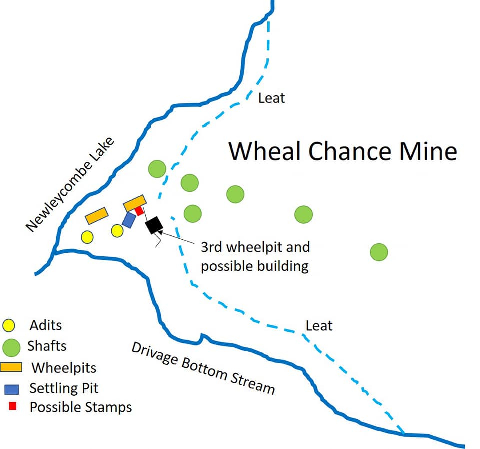
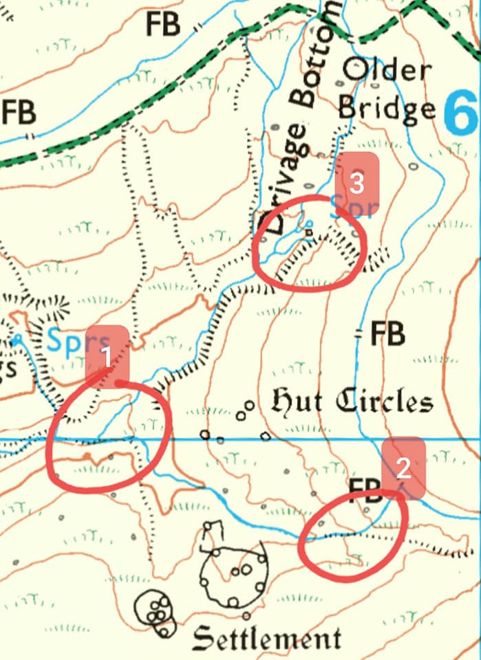
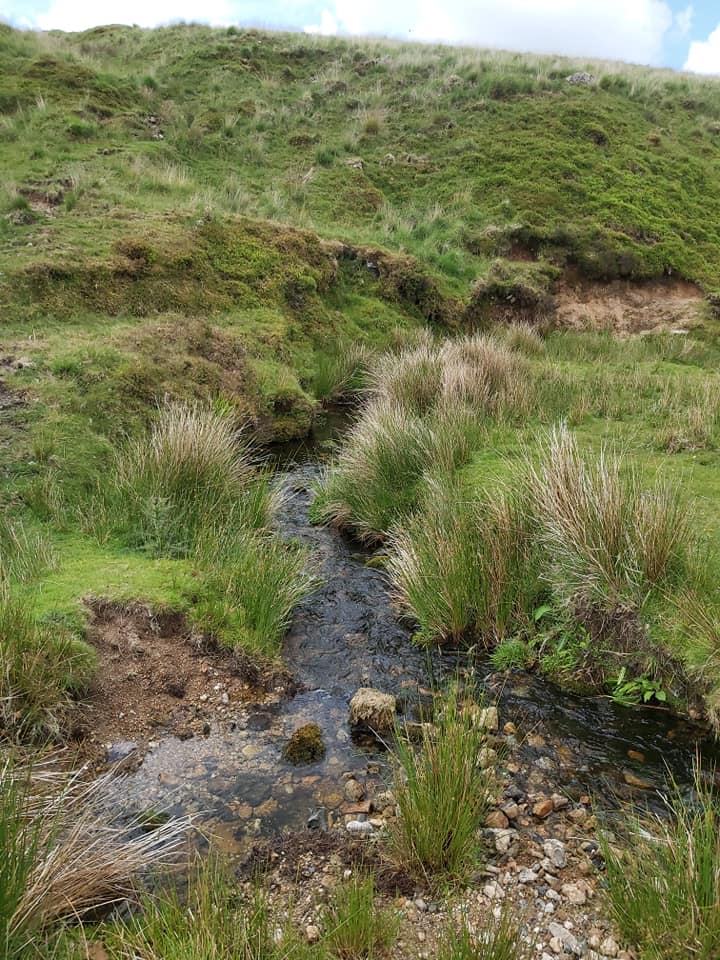
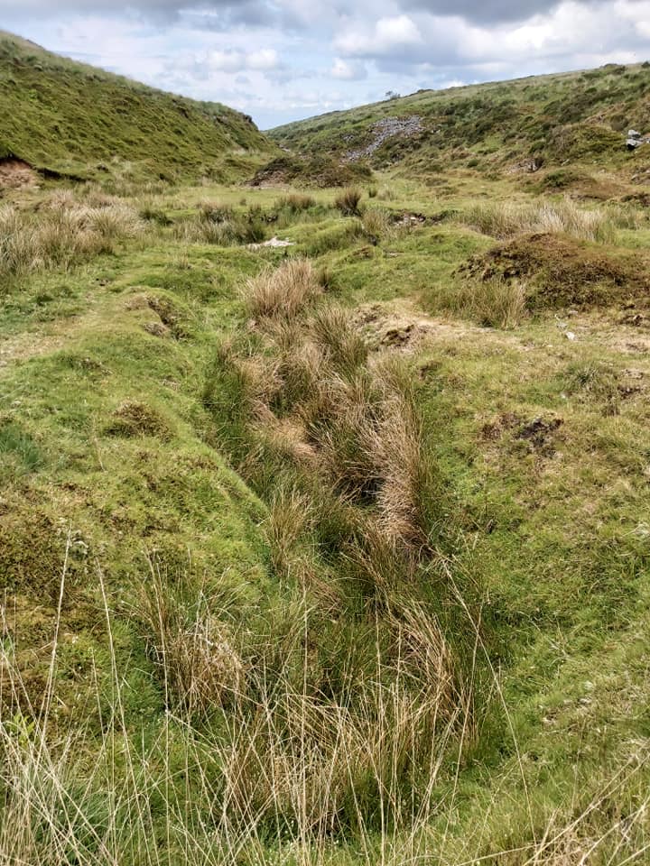
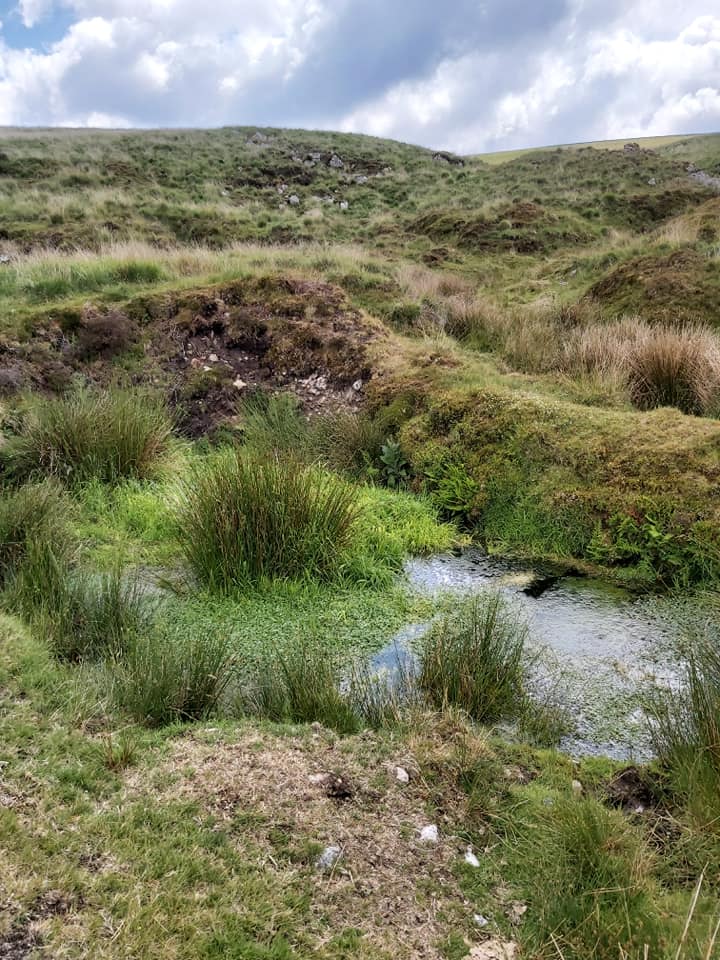
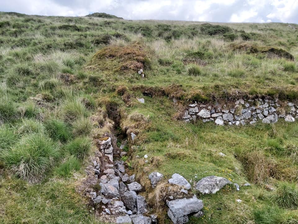
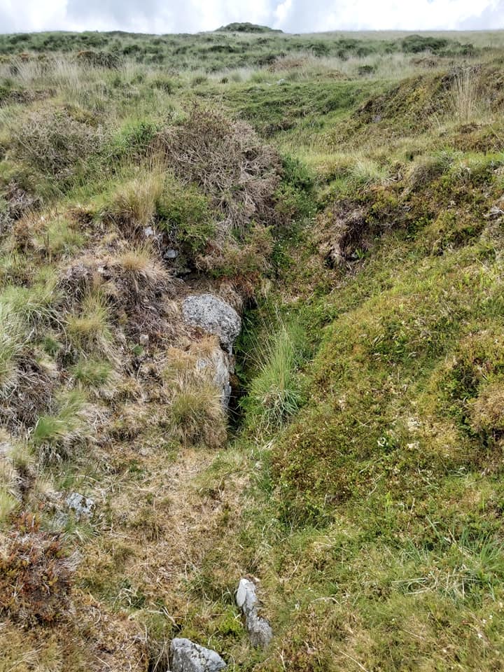
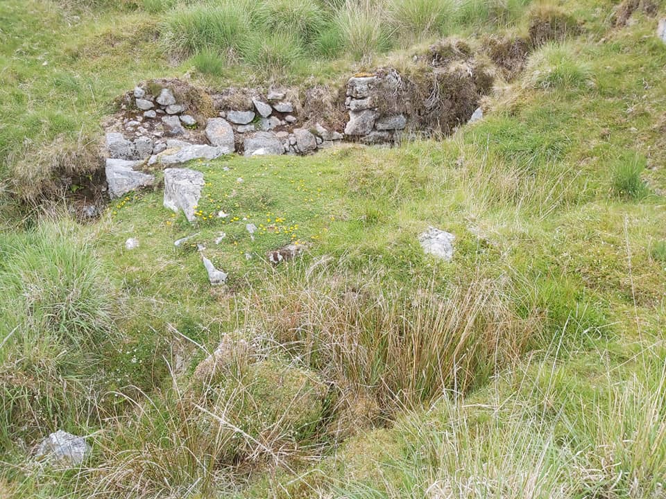
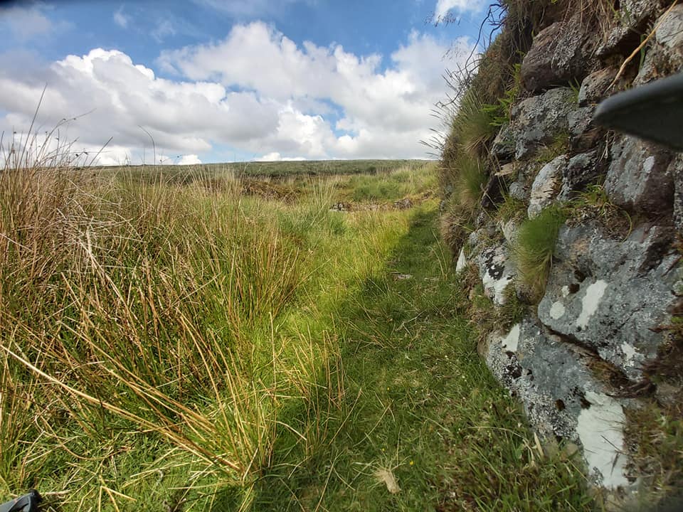
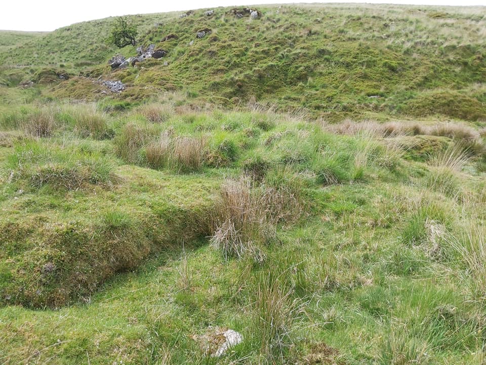
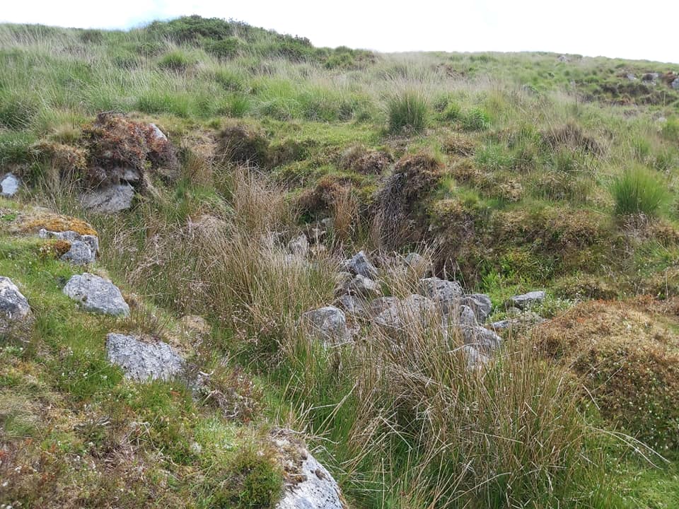
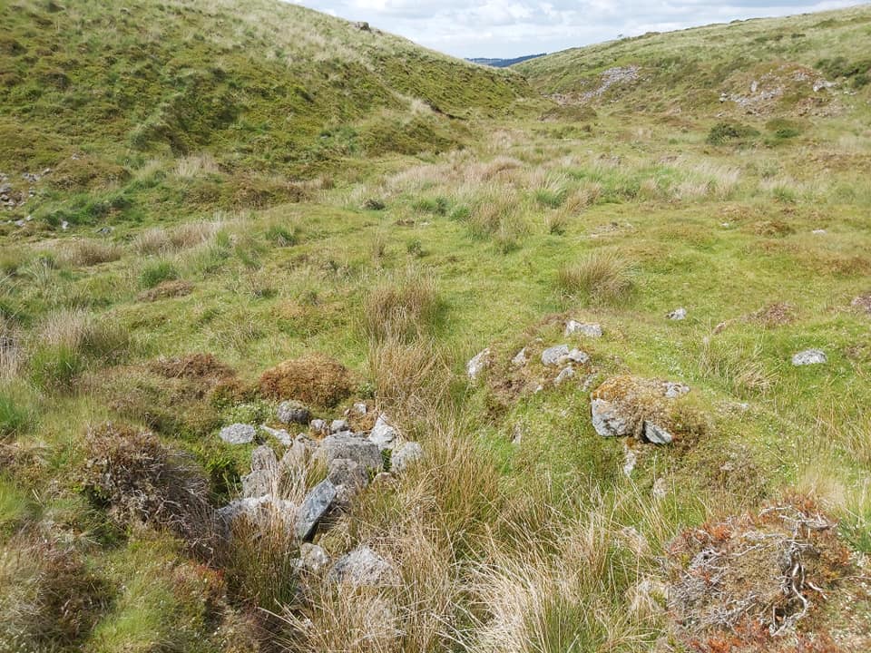
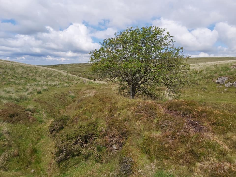
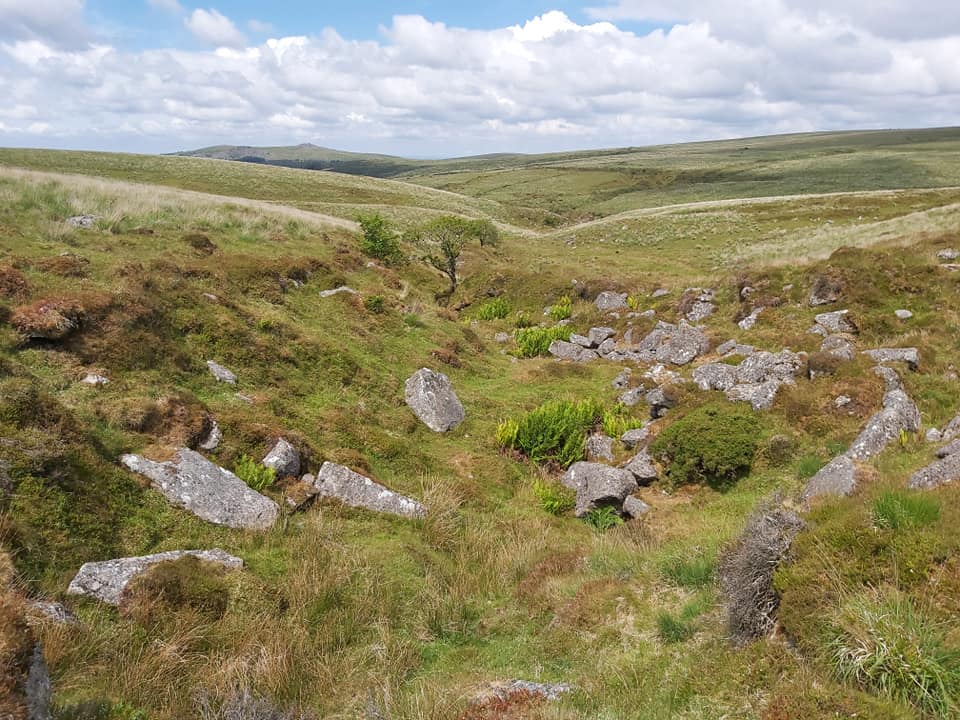
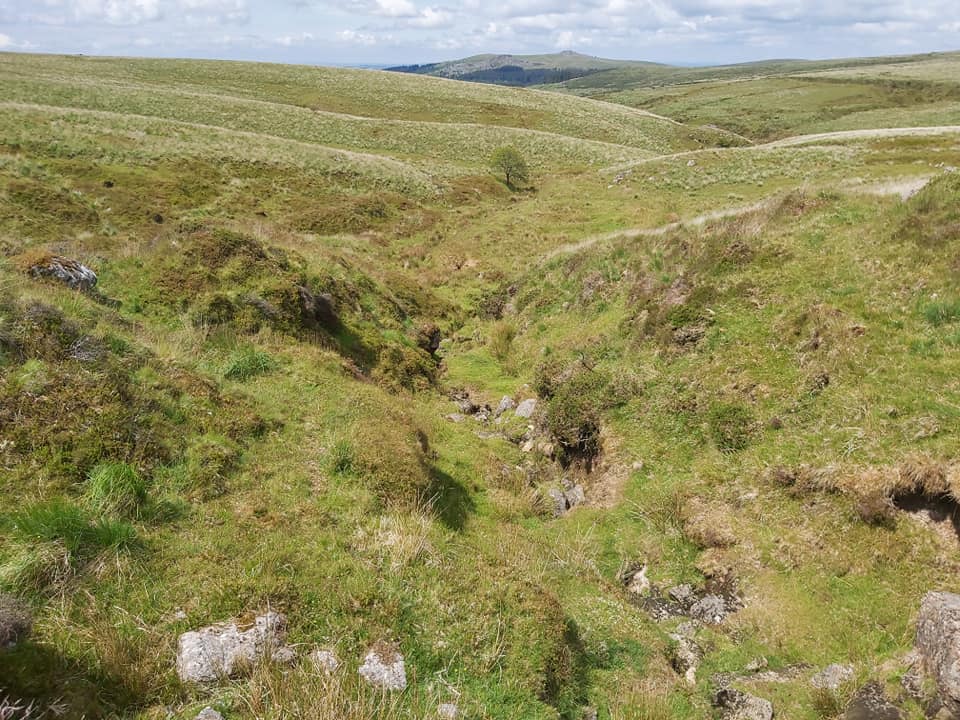
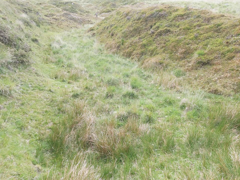
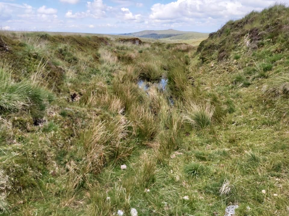
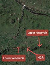
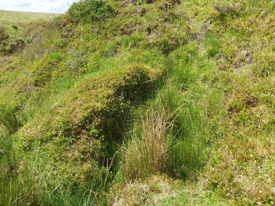
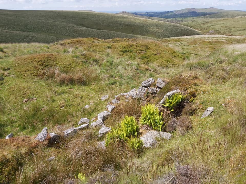
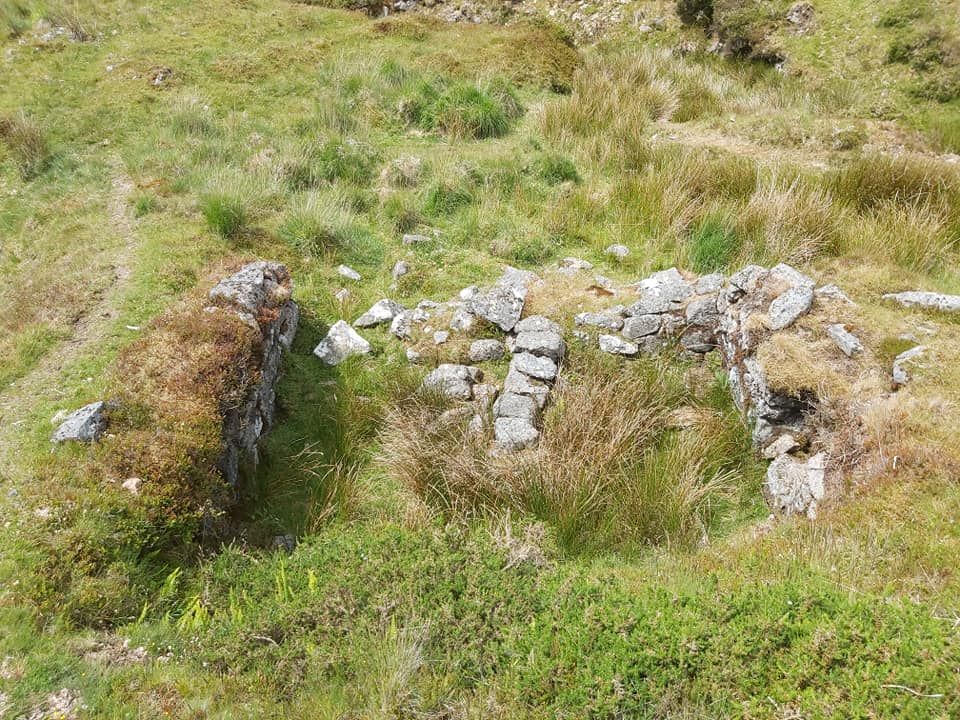
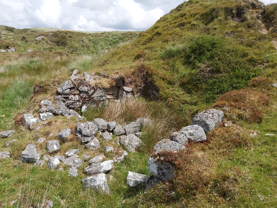
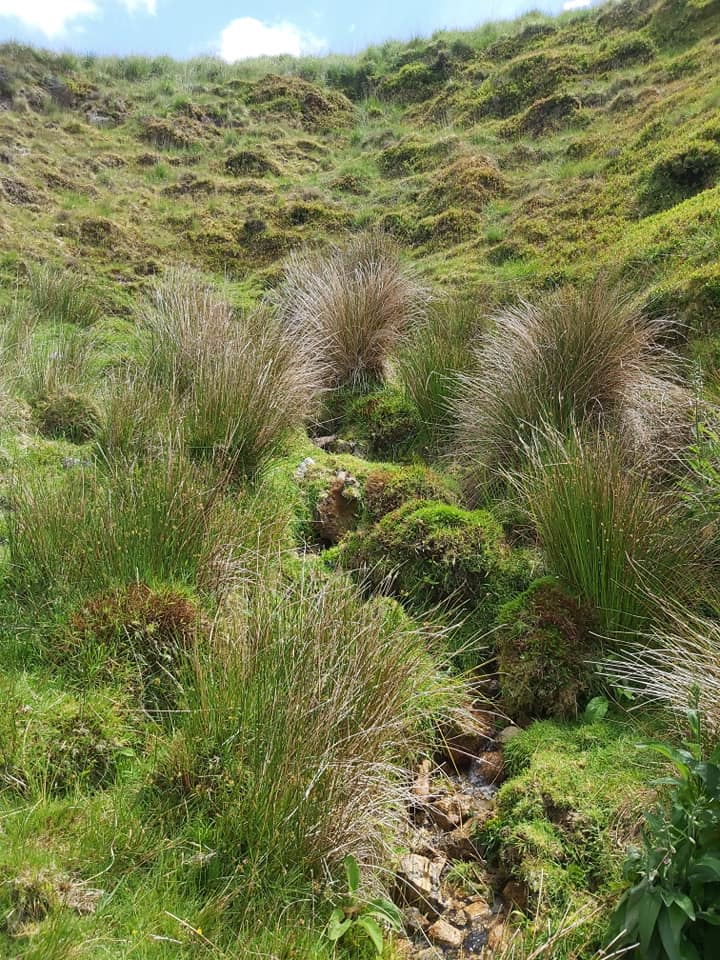
Main Wheal Chance Mine area at confluence of Newleycombe Lake and Drivage Bottom StreamThree areas of exploration. 1 = main part of Wheal Chance Min 2 = two reservoirs to augment water supply, possible bee hive hut and tinners hut 3 = adit and tinners hutConfluence of Drivage Bottom Stream (left) and Newleycombe Lake (right) at SX59476 70000. These were two important streams for the tinners to drive their waterwheelsWheal Chance lower adit (reedy area), amazingly close to Newleycombe Lake at SX59498 70007. This view is looking back down the valley towards East Hughes Mine.The second adit looking SE up Drivage Bottom Stream at SX59515 70006The main wheelpit at Wheal Chance at SX59534 70021. The mound on the horizon is one of the many shafts in the area. The retaining wall on the right, I assume is the line of one of two leats which appear to have fed water to the wheel.Wheel pit 2 at SX59508 70022. The conjecture is that although “in line” with the main wheel pit, being much smaller and the fact there may not have been sufficient water to drive two wheels at the same time, this wheel pre-dates the main one.Side on view of main wheelpit, with possible (tin ore crushing) stamps area (reeds) next to it at SX59534 70017Time for a coffee break alongside the main retaining wall.Settling pit (raised bank in foreground) at SX59526 70014 . This is looking south at Drivage Bottom StreamRuinous area which contains possible building or even a 3rd wheelpit (ref Phil Newman) at SX59545 70006. Note another mound where there is another shaft above.Above the “ruinous area”Following dry leats up to Drivage Bottom StreamLots of open works nearing Devonport Leat (tunnel area).. Great vista down Newleycombe Valley with Leather Tor and Sharpitor in the picture also.More of the open works.This (I believe) is the larger of two reservoirs proving supplementary water. It fits with the DM article description as being 38m long. Thre is a retaining bank between the upper and lower reservoirs (which I am stood on) at SX59872 69859Lower reservoir – 29 metres long.Google Earth of the two reservoirs. Devonport Leat clearly visible at the top of the screenshotPhil Newman describes a “plausible” bee hive hut at the foot of the embankment of the upper reservoir. I believe this is it. Under the heather are retaining walls and there is a small entrance in he foreground. SX59916 69872Tinners Hut close to Devonport Leat and the two reservoirs. Was this part of Wheal Chance ? SX59822 69957Tinners Hut with two rooms near open works towards Older Bridge. Was this part of Wheal Chance ? SX59754 70280Another view of the tinners hut, built into a bank.Adit, close by to the tinners hut and just down from another shaft (located on east side of Devonport leat). Perhaps suggesting this area was also part of Wheal Chance. SX59762 70273