A collection of walks, discoveries, insights and pictures of exploring Dartmoor National Park
March 28, 2023
West Okement Tinners Huts, miscellaneous Shelters and a possible Shepherds Hut
West Okement valley is a beautiful valley in the north west corner of the National Park, which is easiest to access from either Meldon Reservoir or Sourton. It has many features of historical and geographical interest to interest the visitor including numerous tors, an ancient oak copse, an aircraft crash site, numerous parish boundary (inscribed) markers and the place where the 1240 Dartmoor Perambulators crossed.
Along the West Okement river between Black-a-Tor copse and Kneeset Foot under the shadow of Fordsland Ledge and Lints Tor are a number of Tinners’ Huts, a couple of shelters and a building (possible Shepherds’ Hut) which might also be of interest to a visitor to the area. This post records these structures.
Bibliography:
Royal Commission for the Historical Monuments of England (RCHME), 1993-1998, Dartmoor Royal Forest Project (Report – Survey). (Ref: SDV346608)
Jeremy Butler (1991), Dartmoor Atlas of Antiquities: Volume Two – The North, 216, Map 42
S. Probert / P. Newman (2003-2004), Measured survey North Dartmoor Military Range Okehampton Range: Monument Baseline Condition Survey (Report – Survey). (Ref: SDV350801)
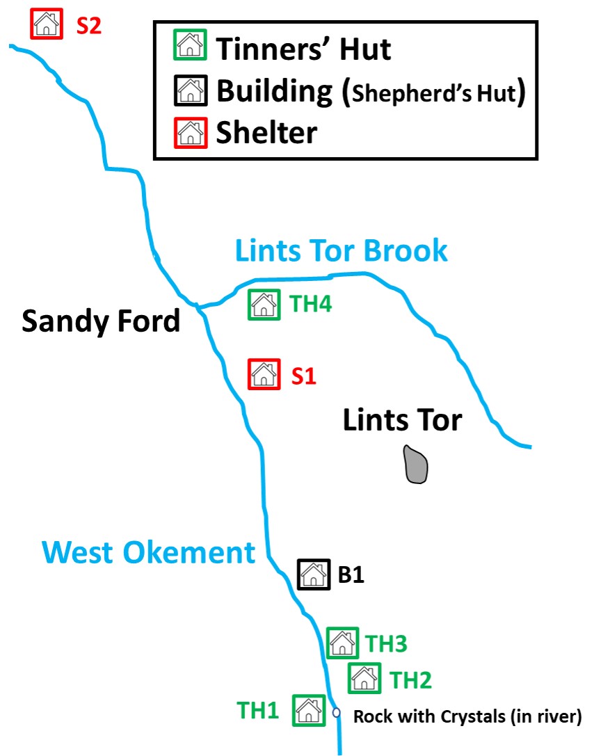
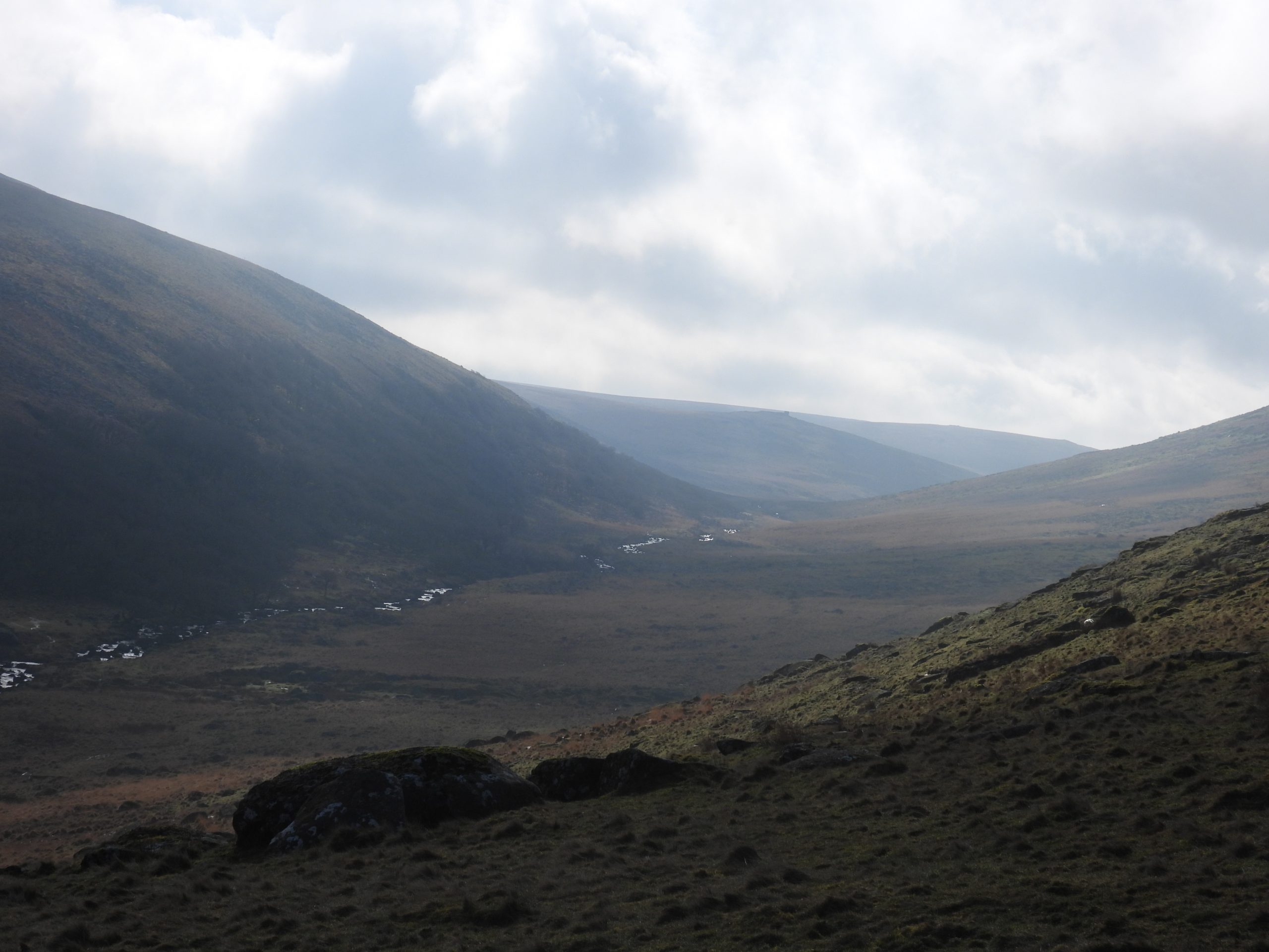
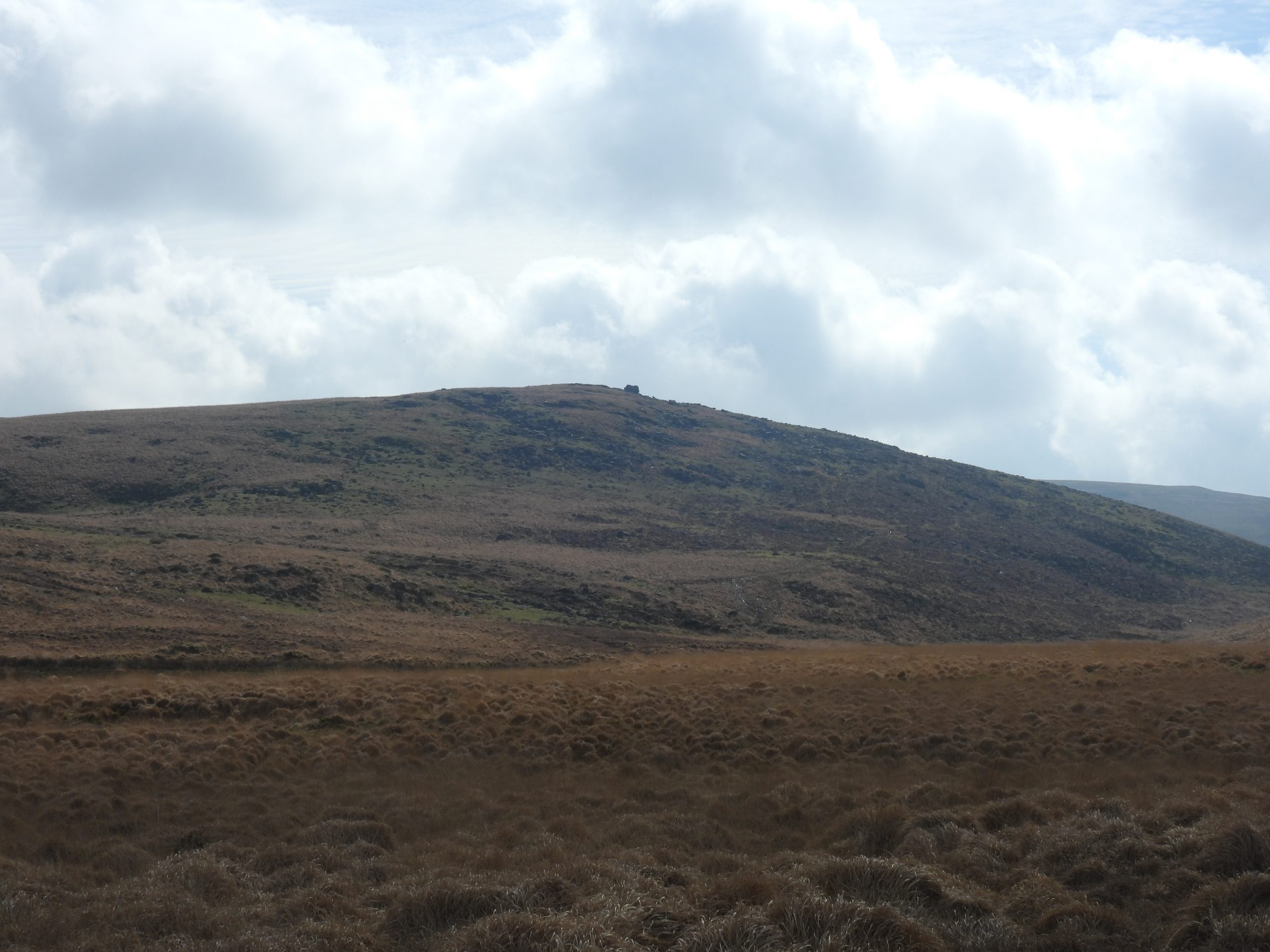
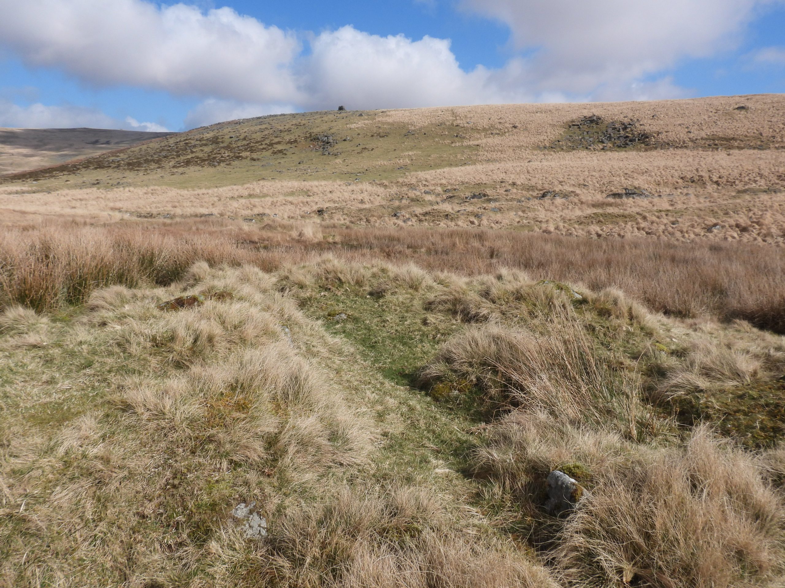
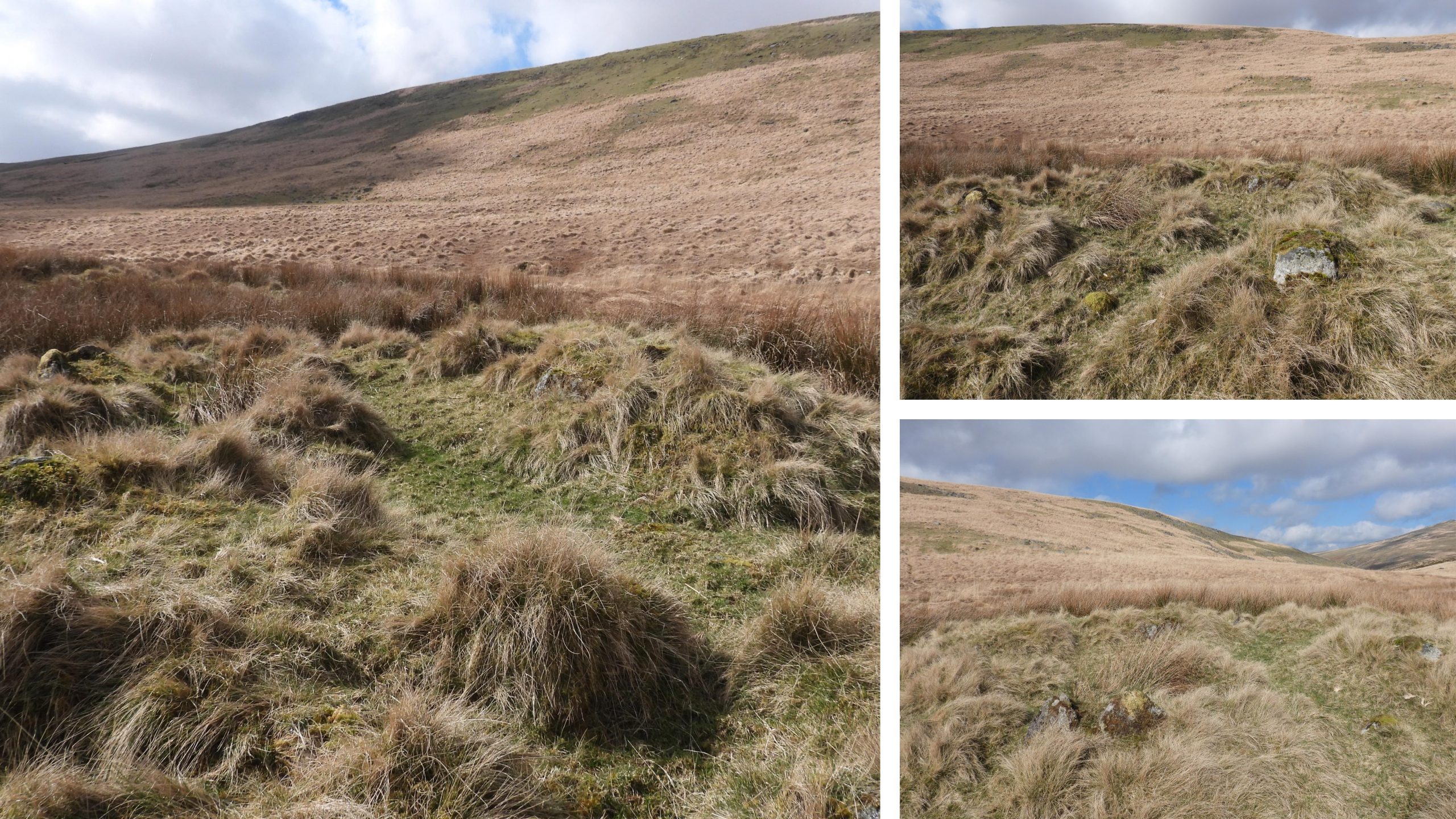
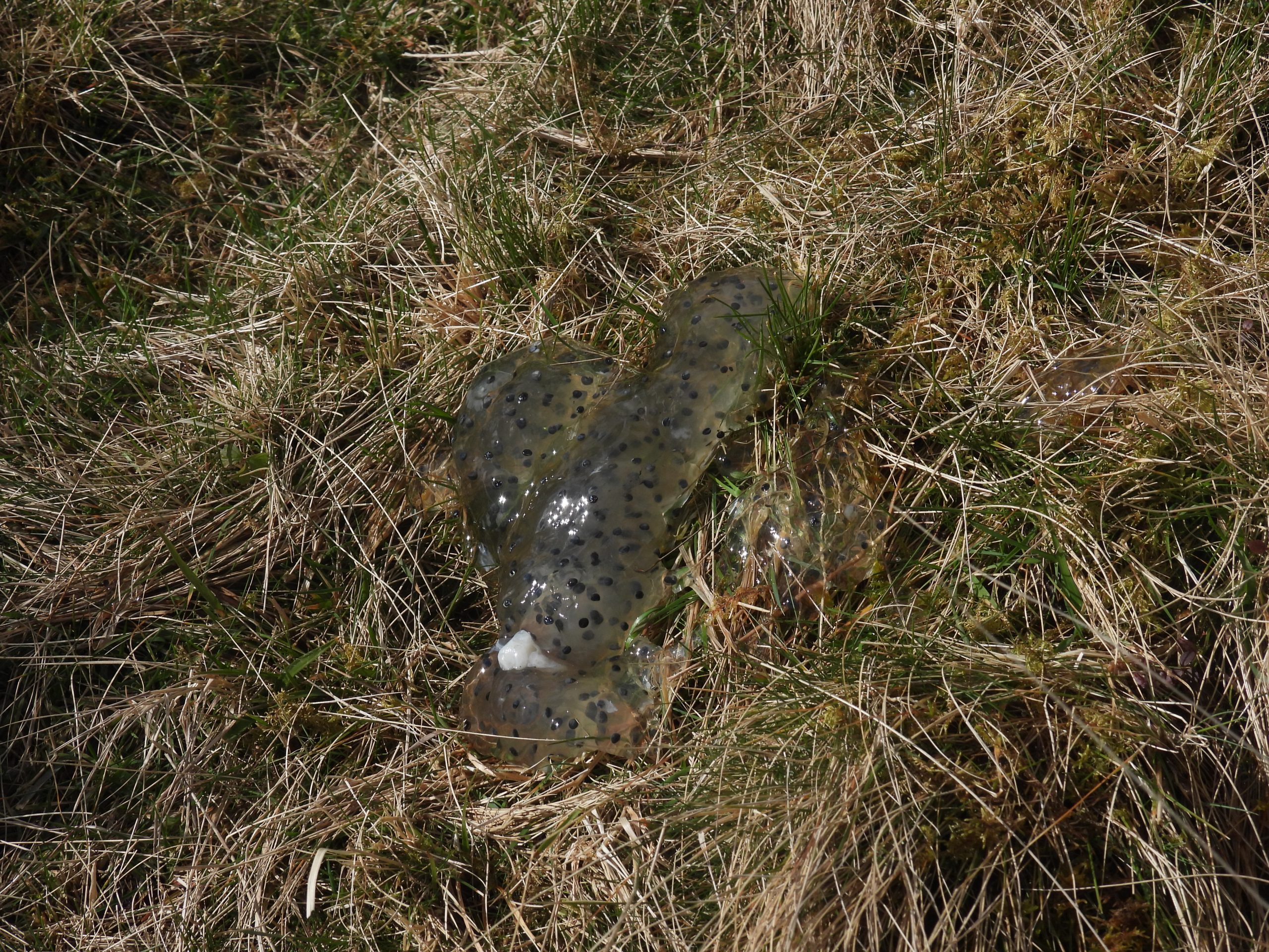
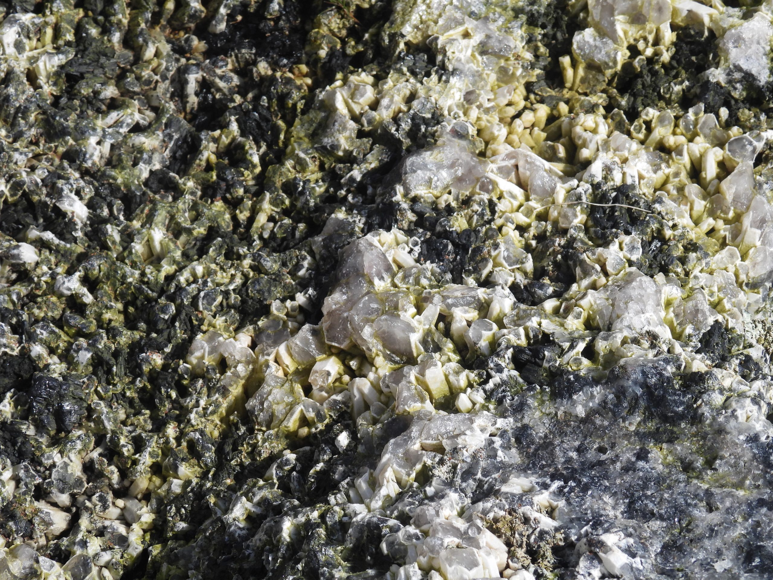
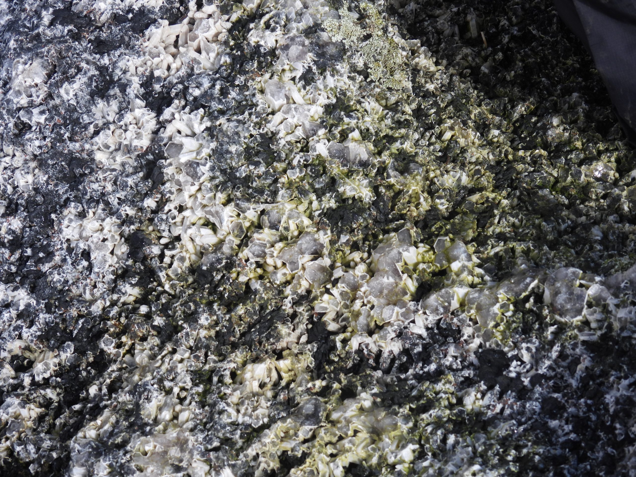
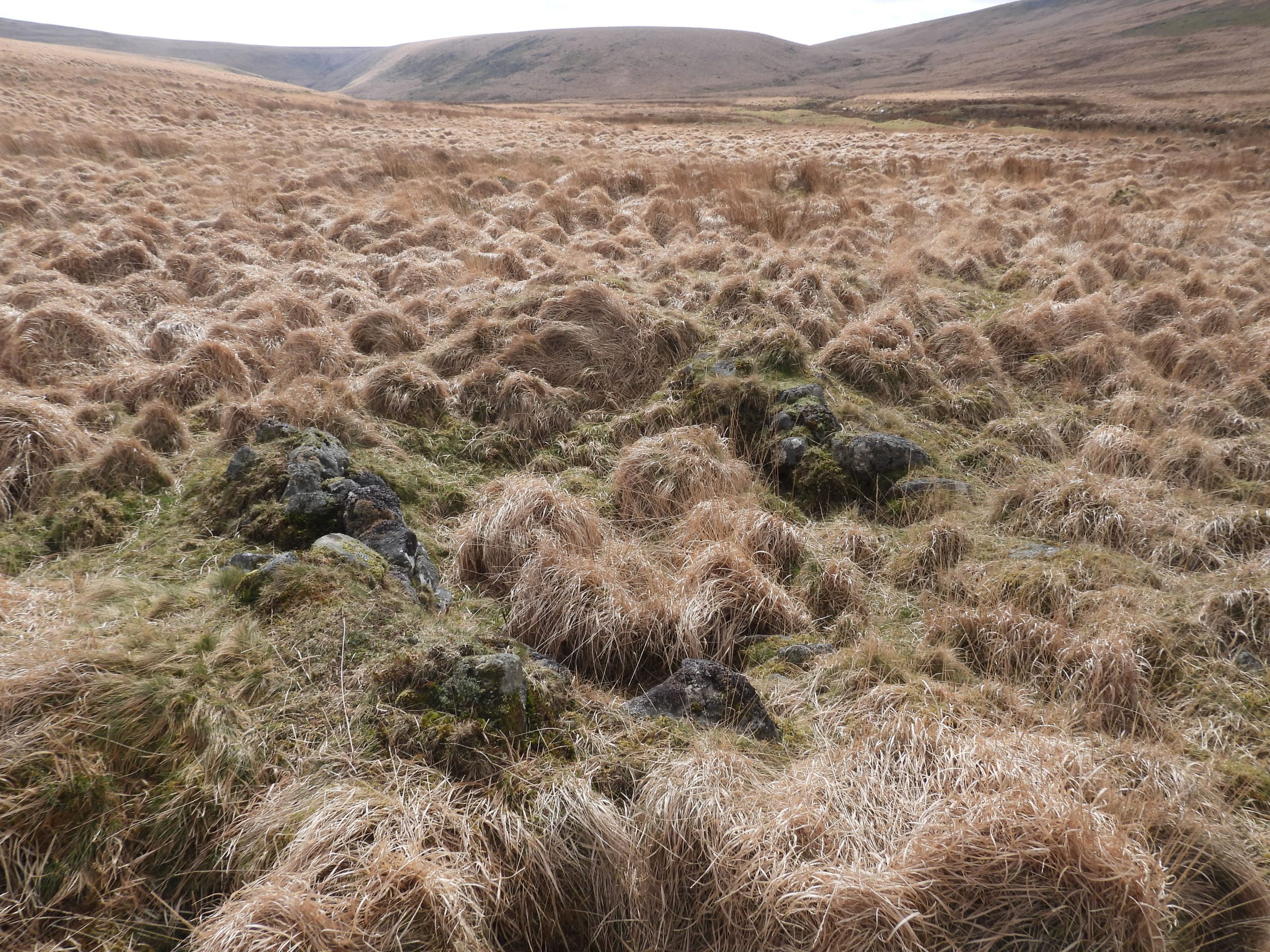
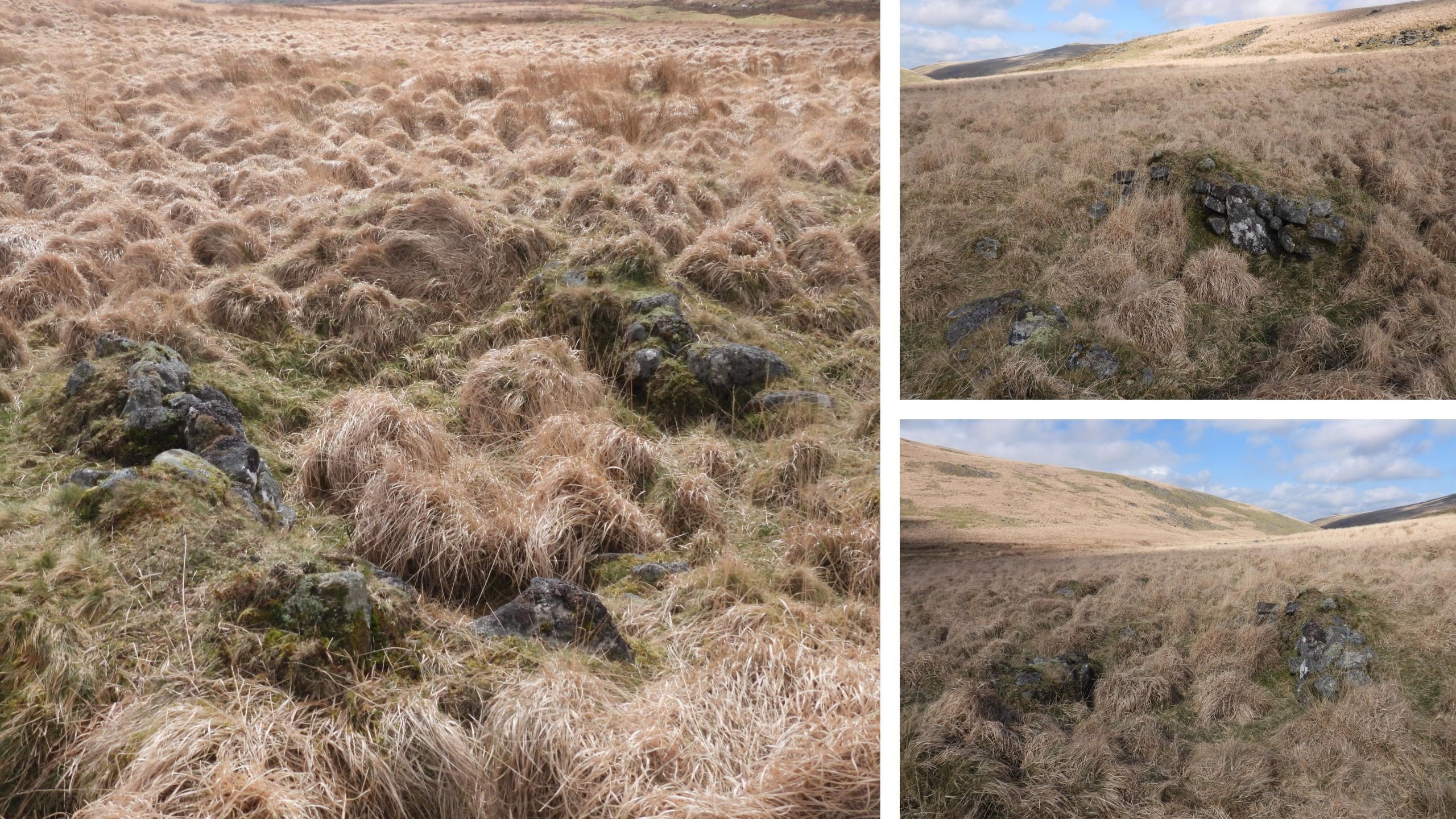
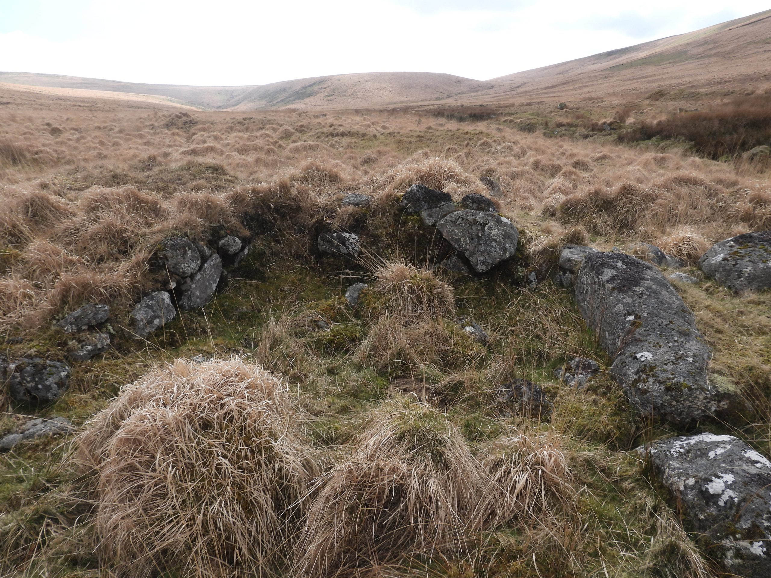
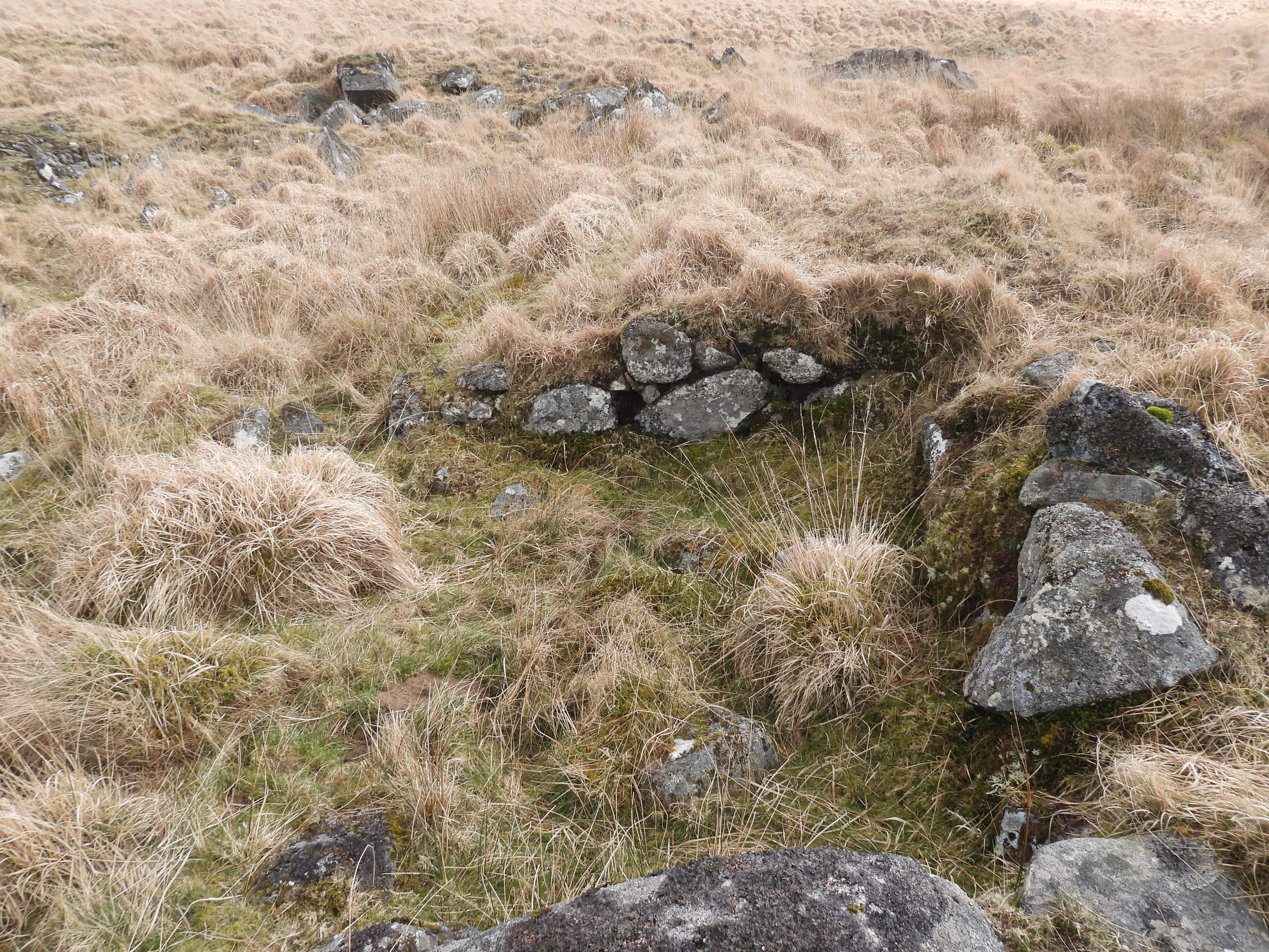
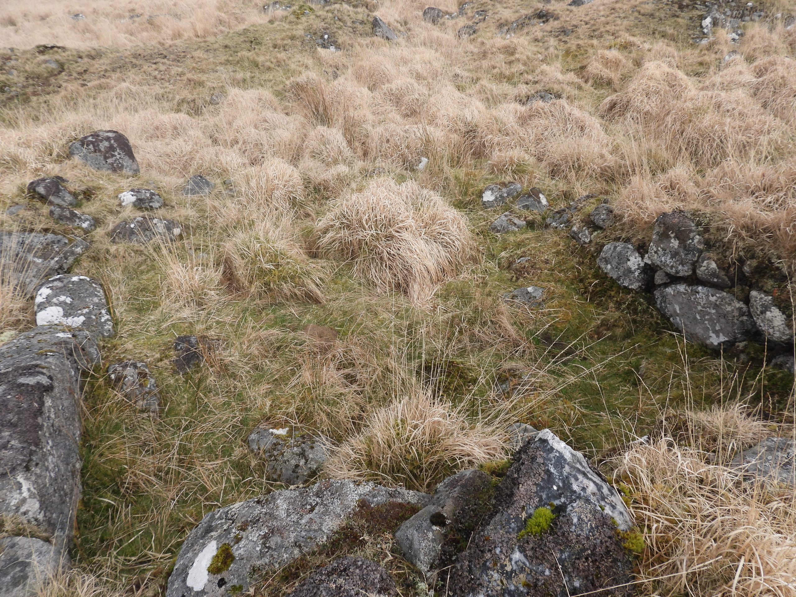
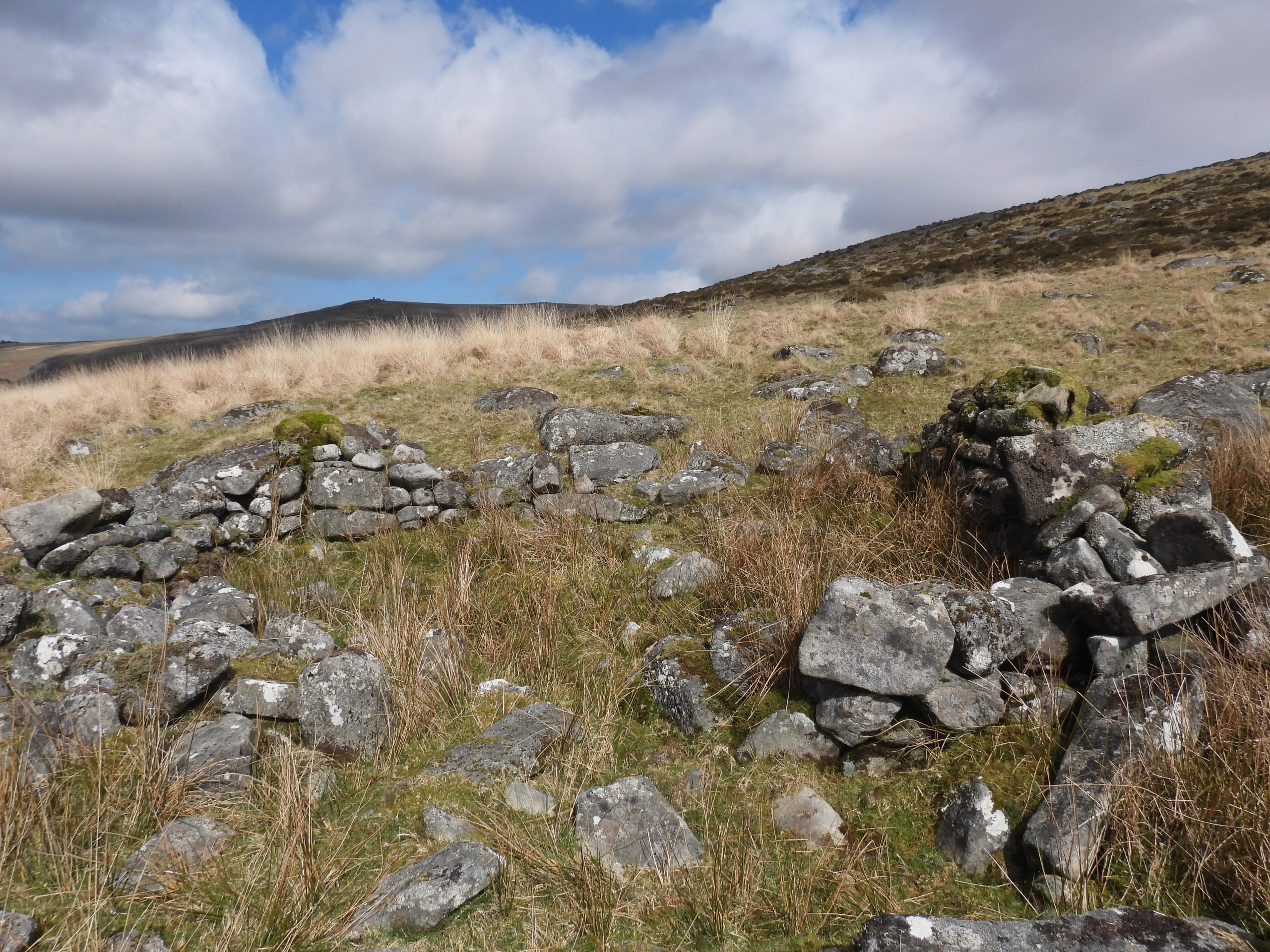
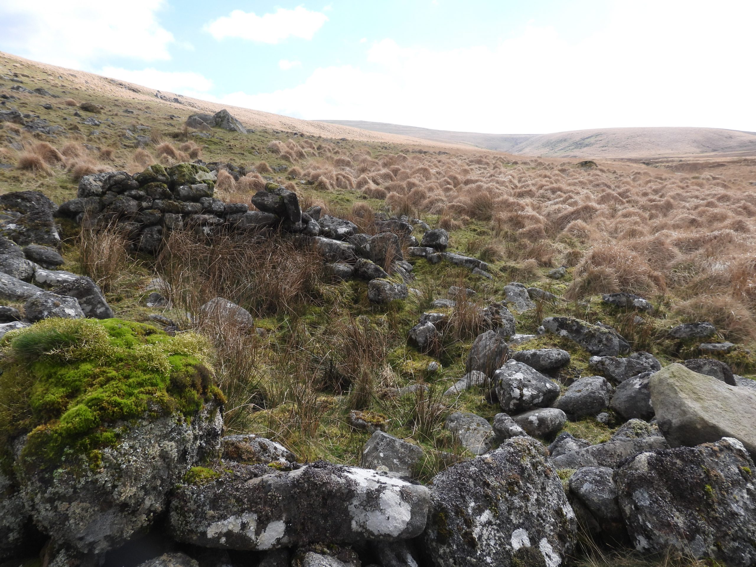
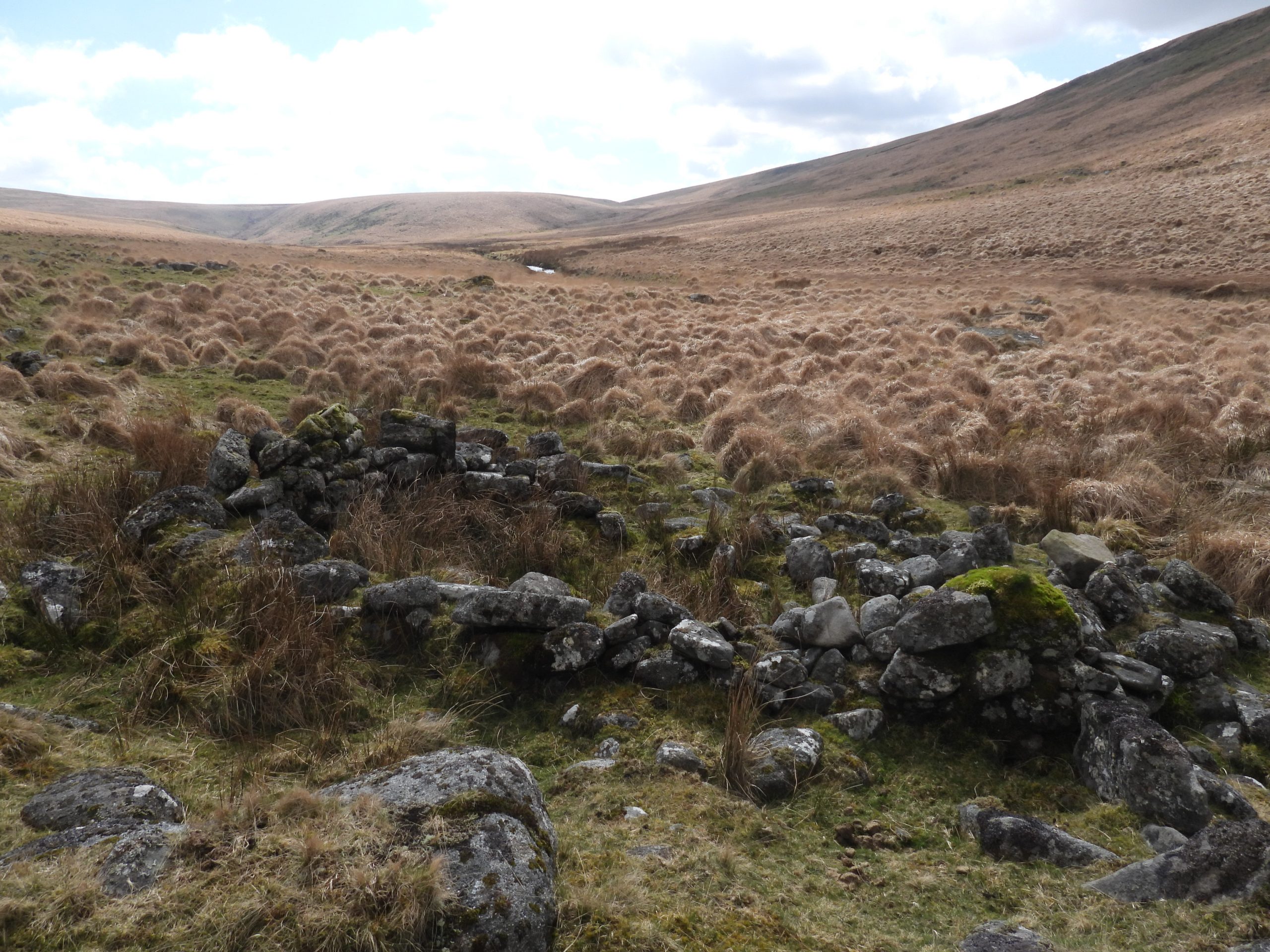
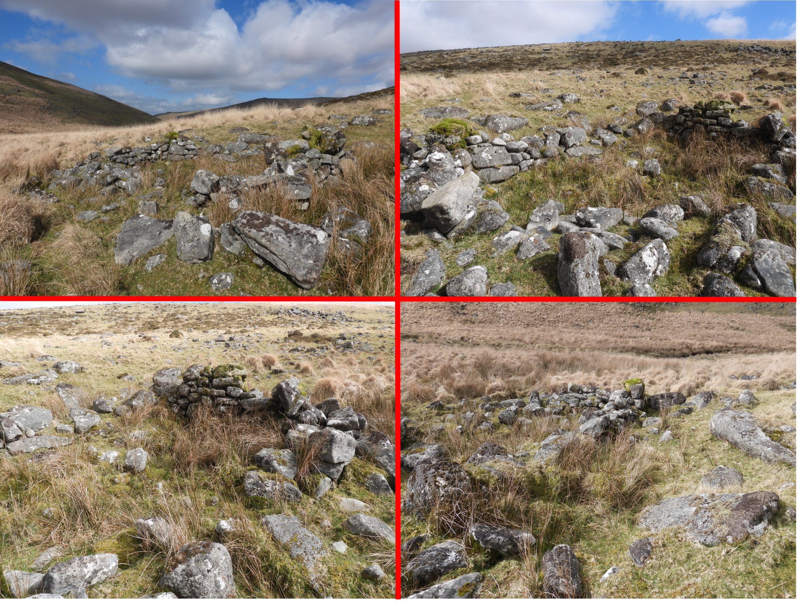
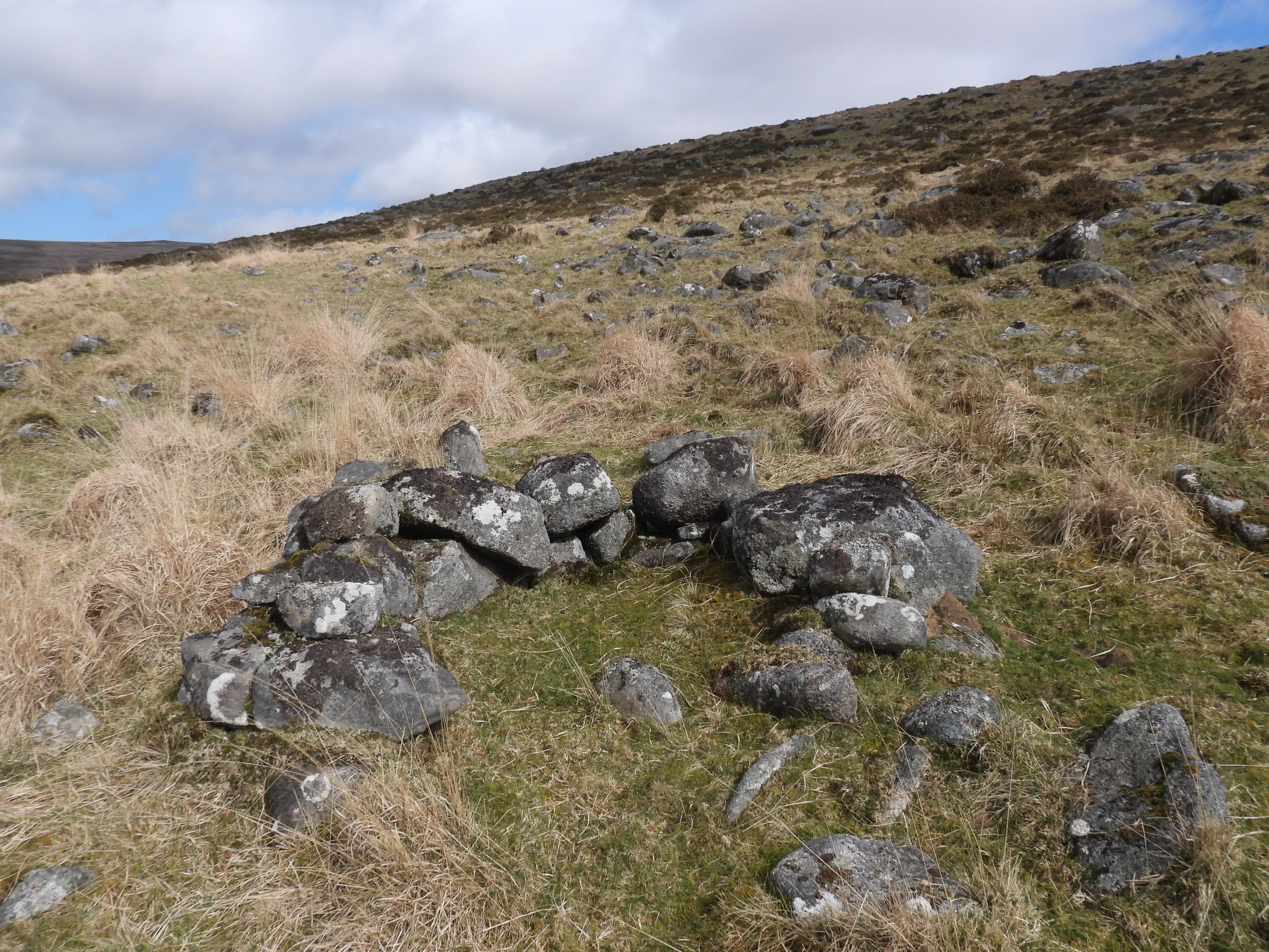
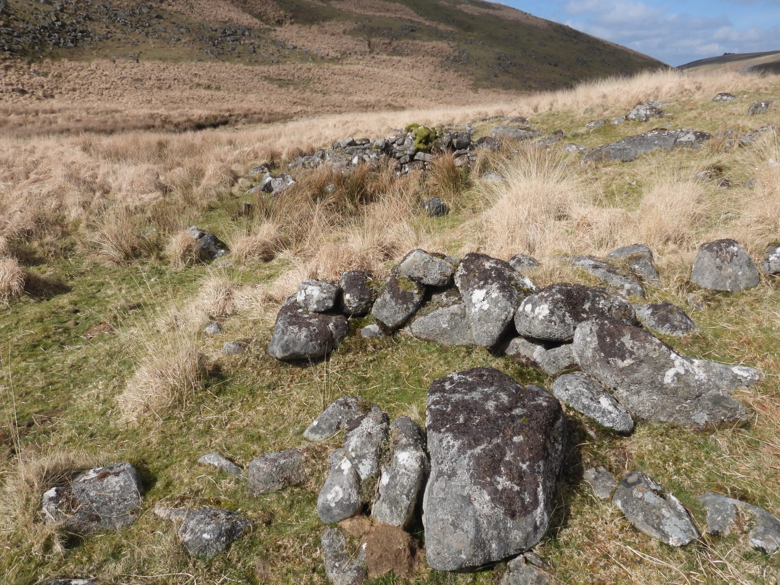
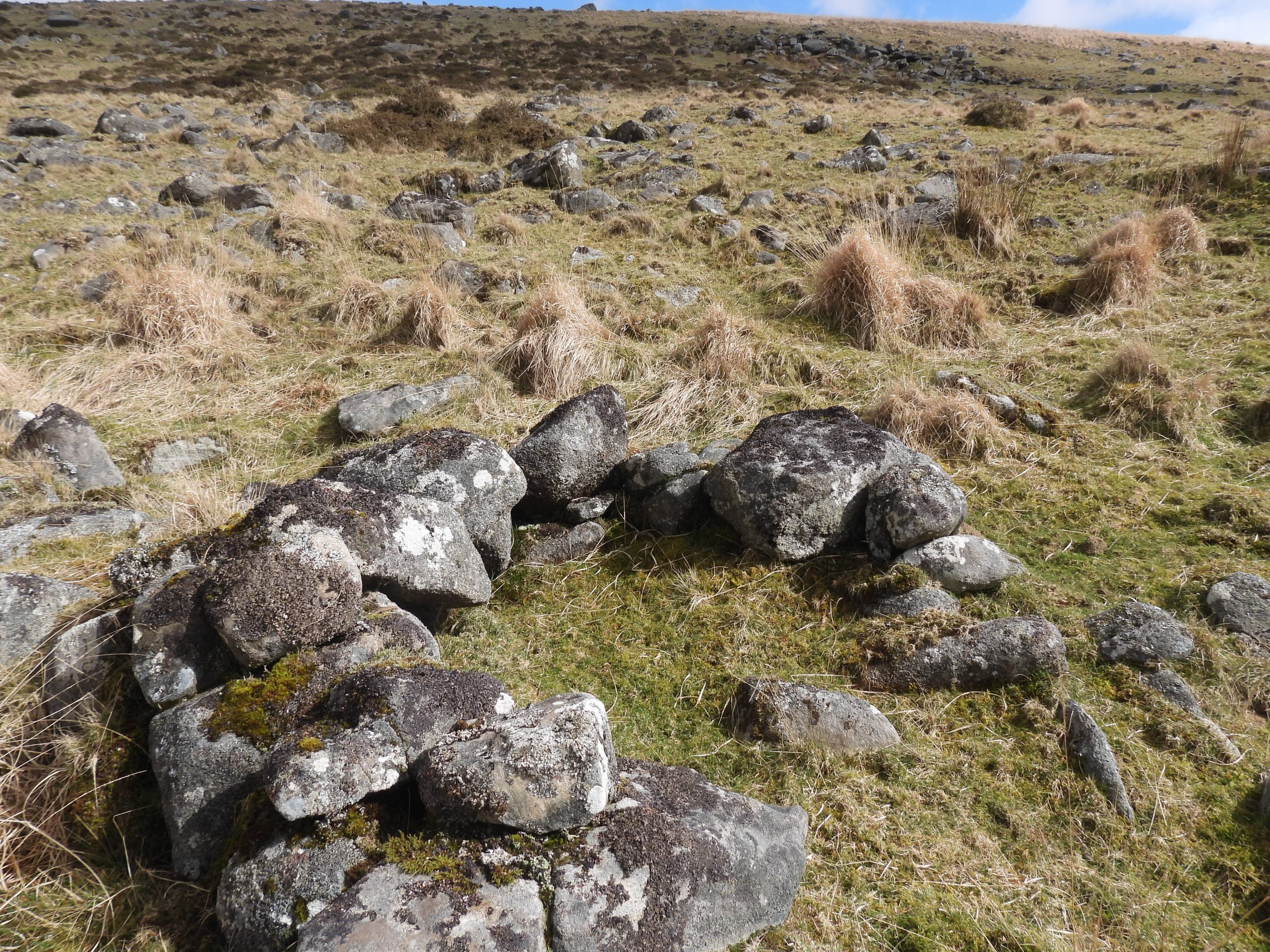
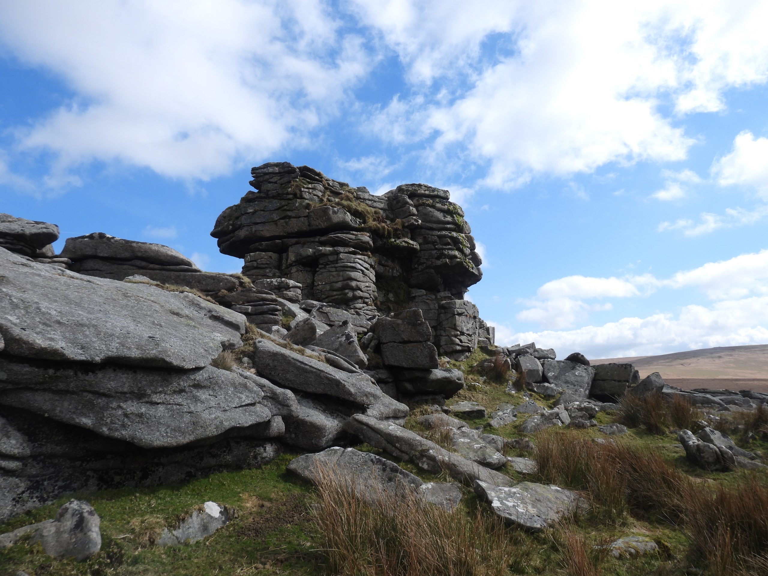
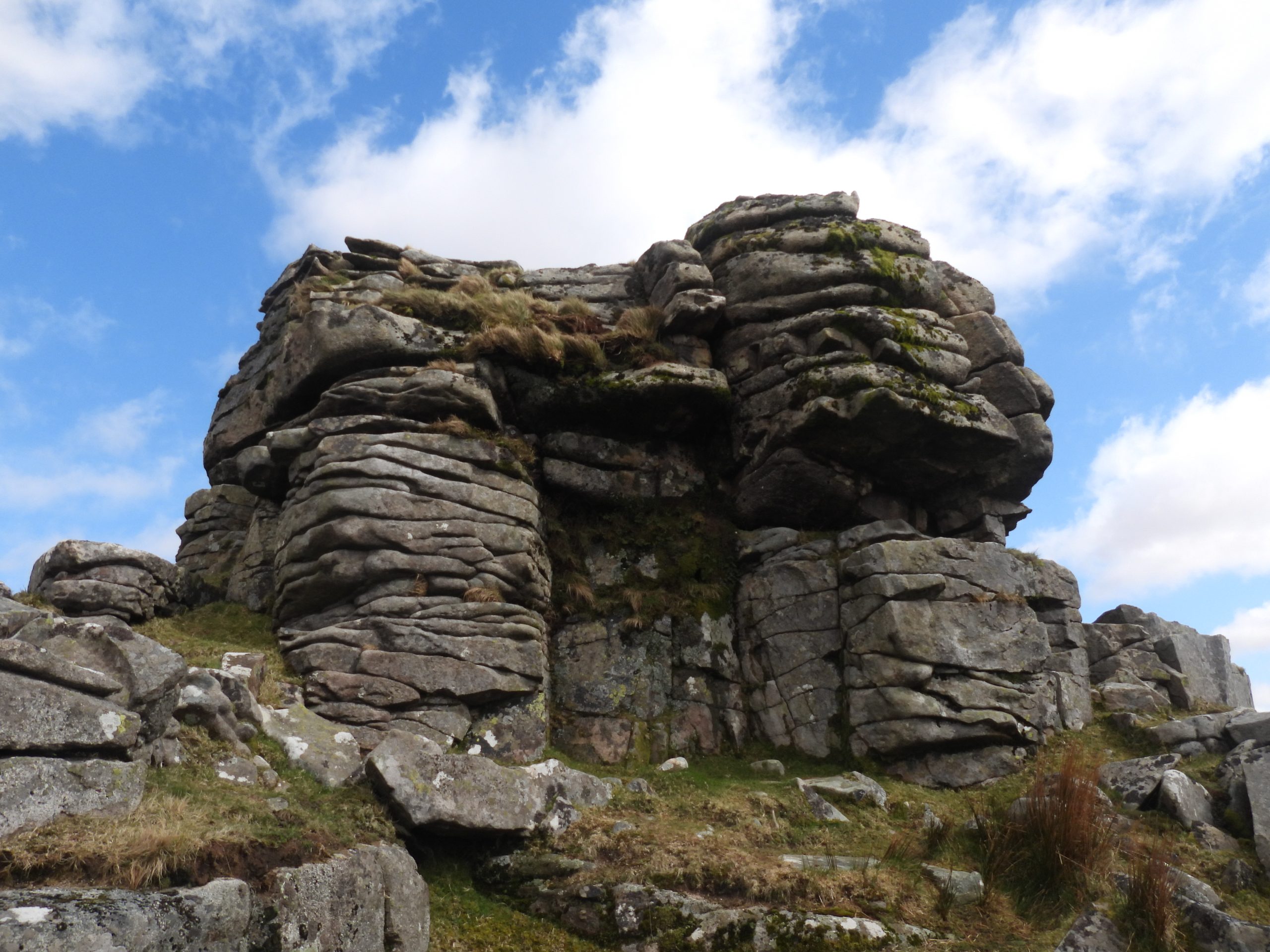
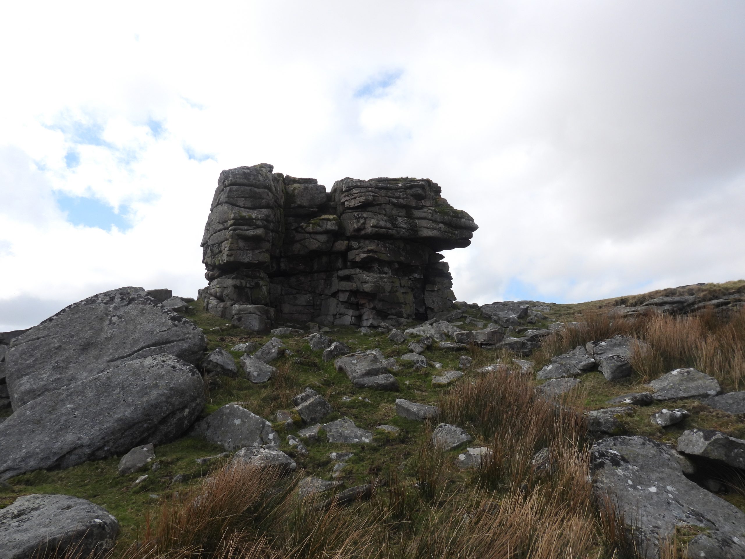
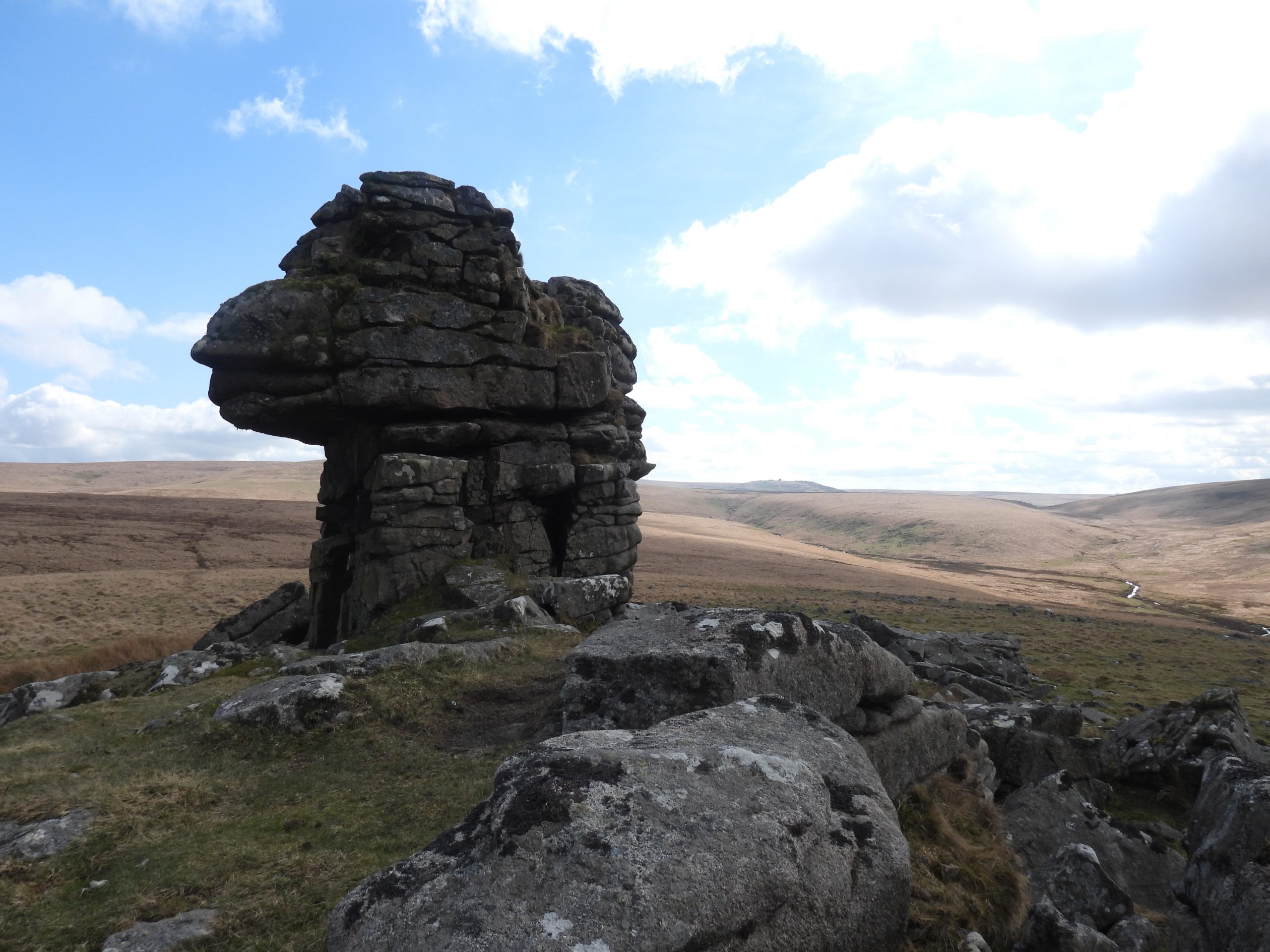
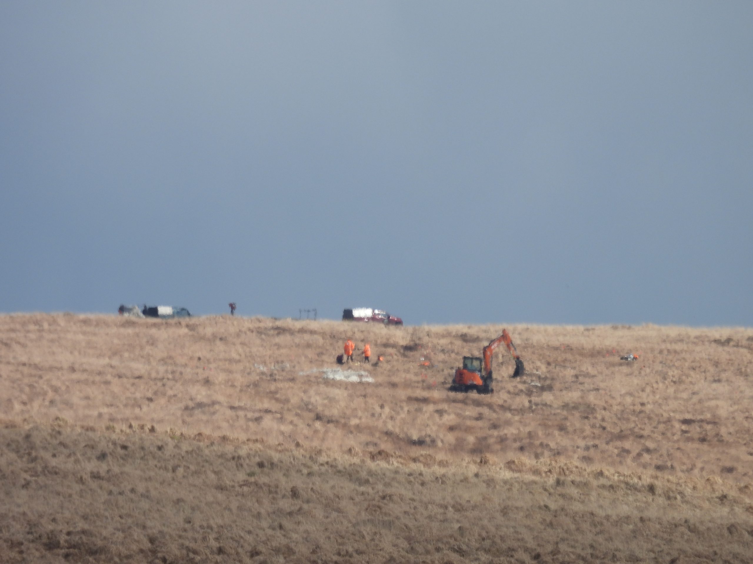
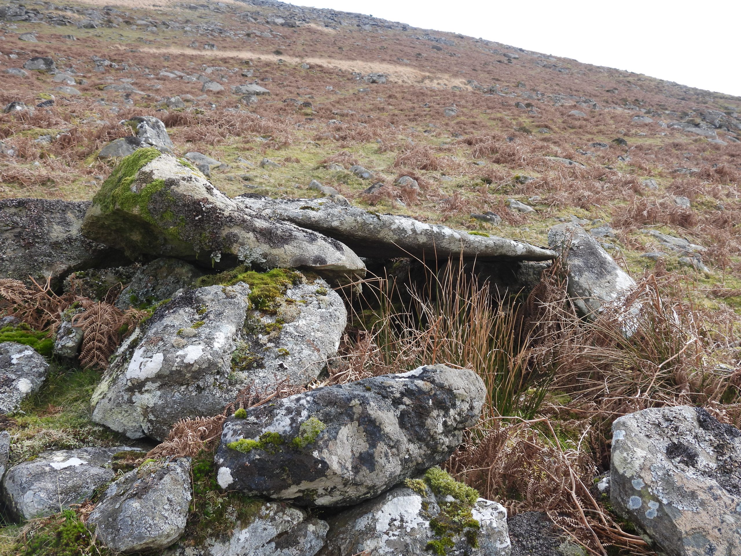
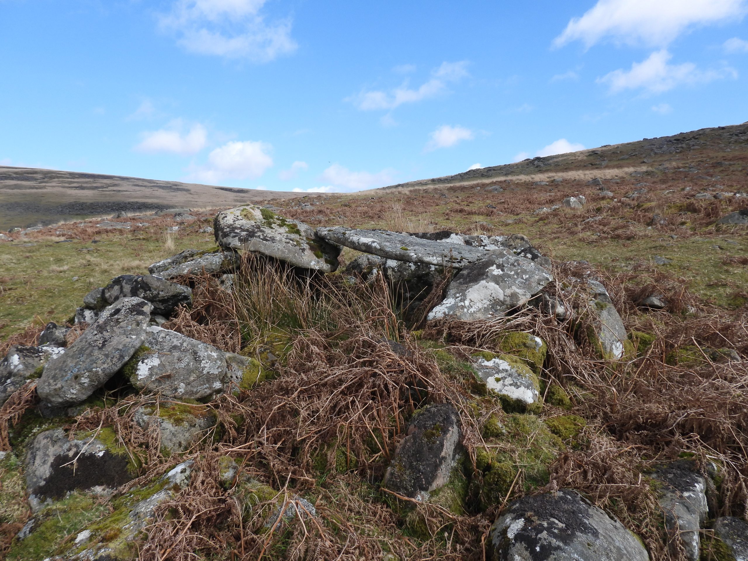
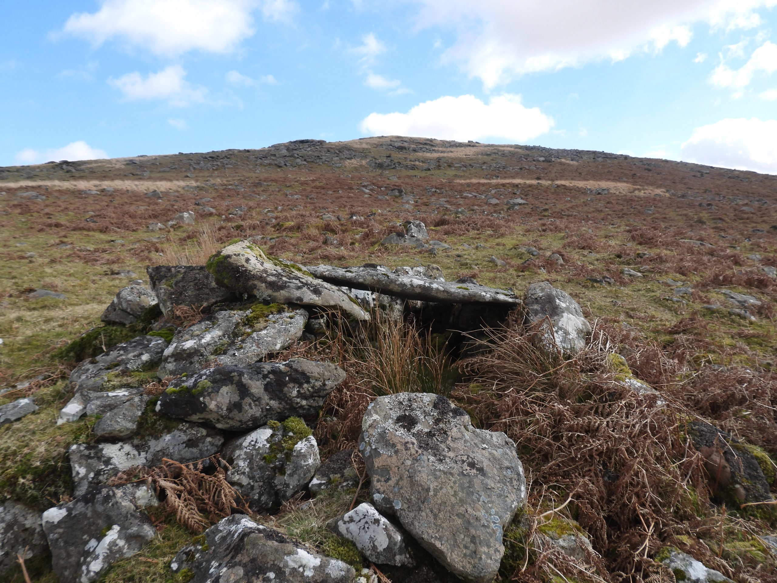
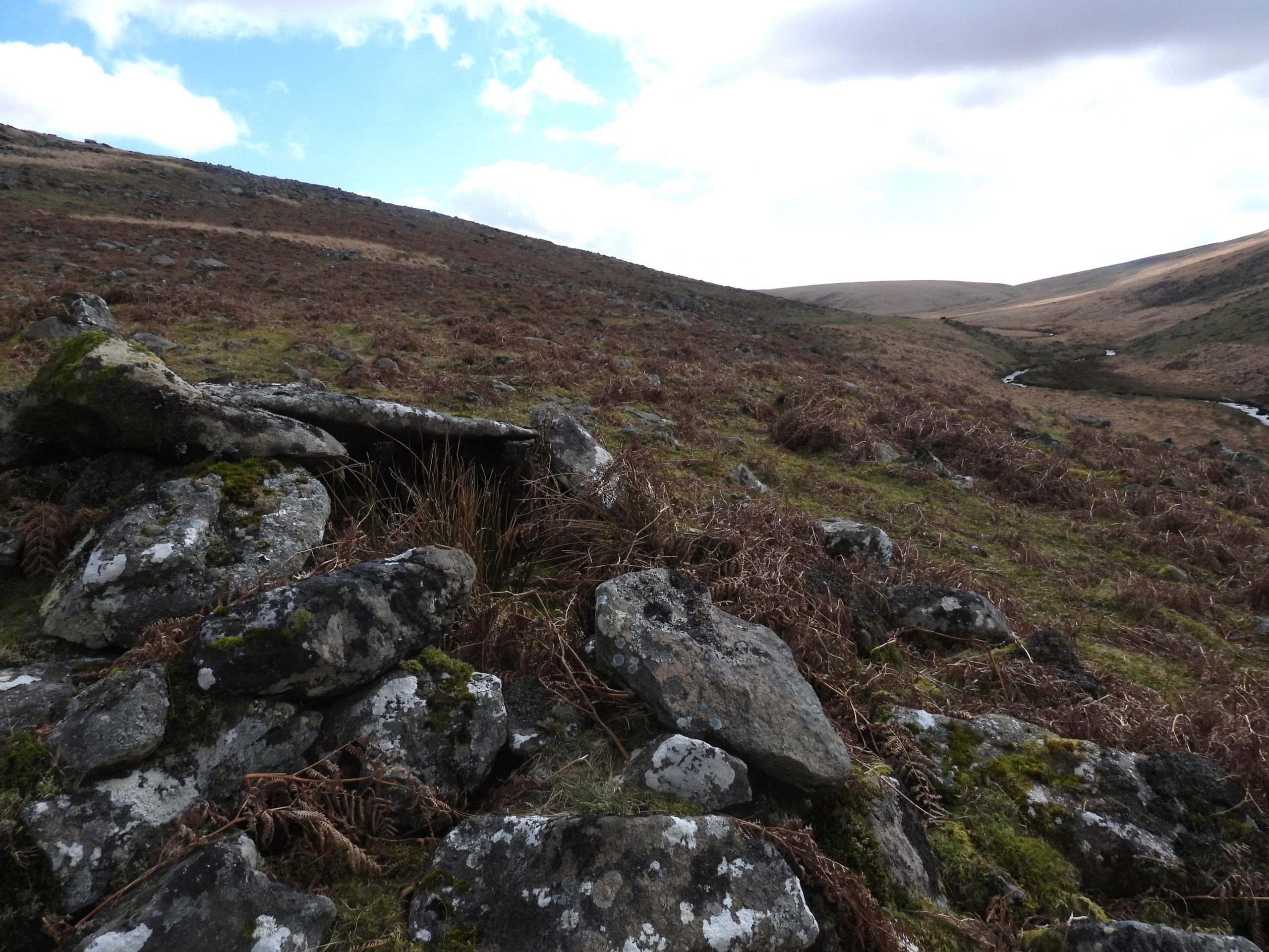
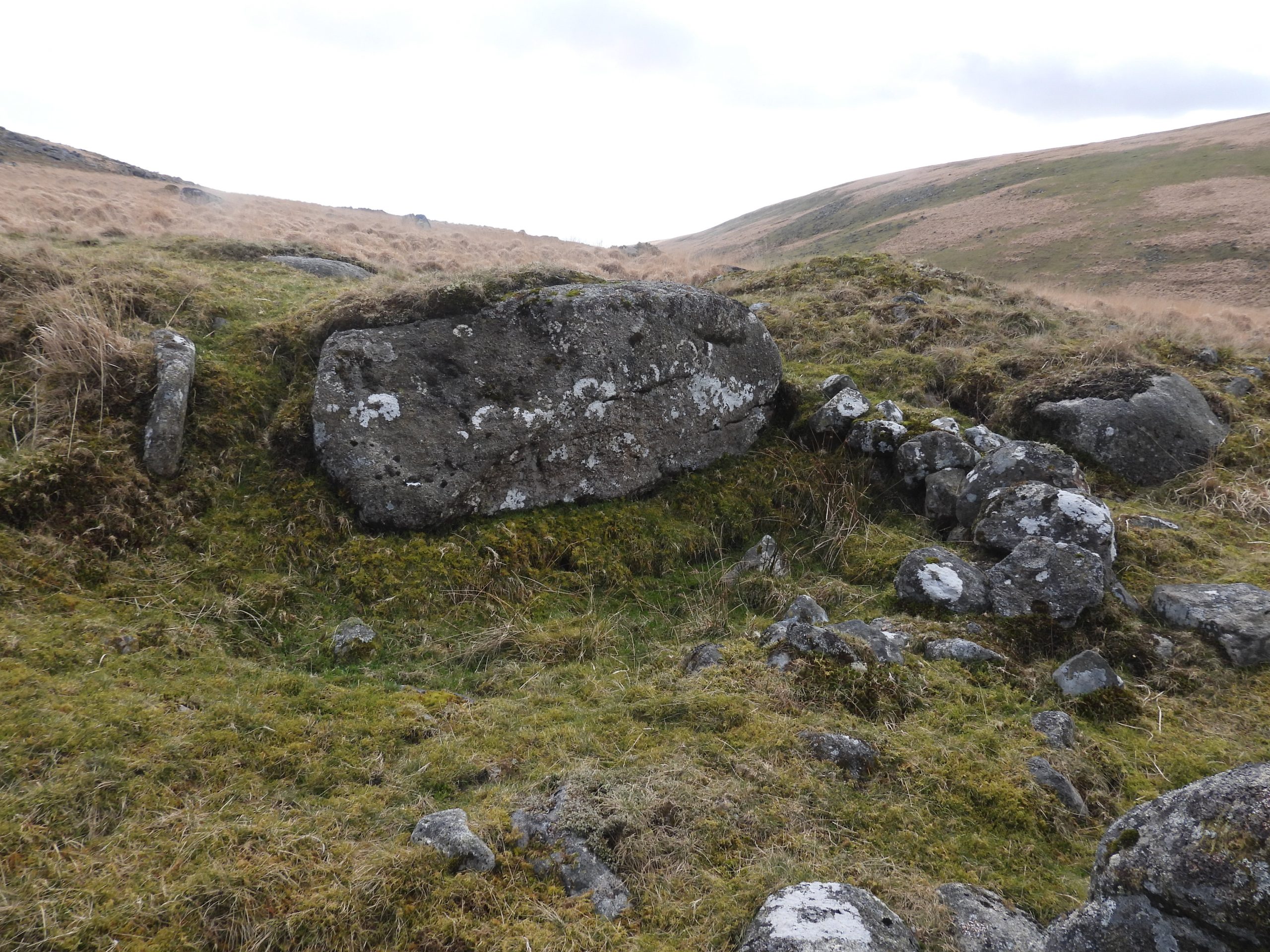
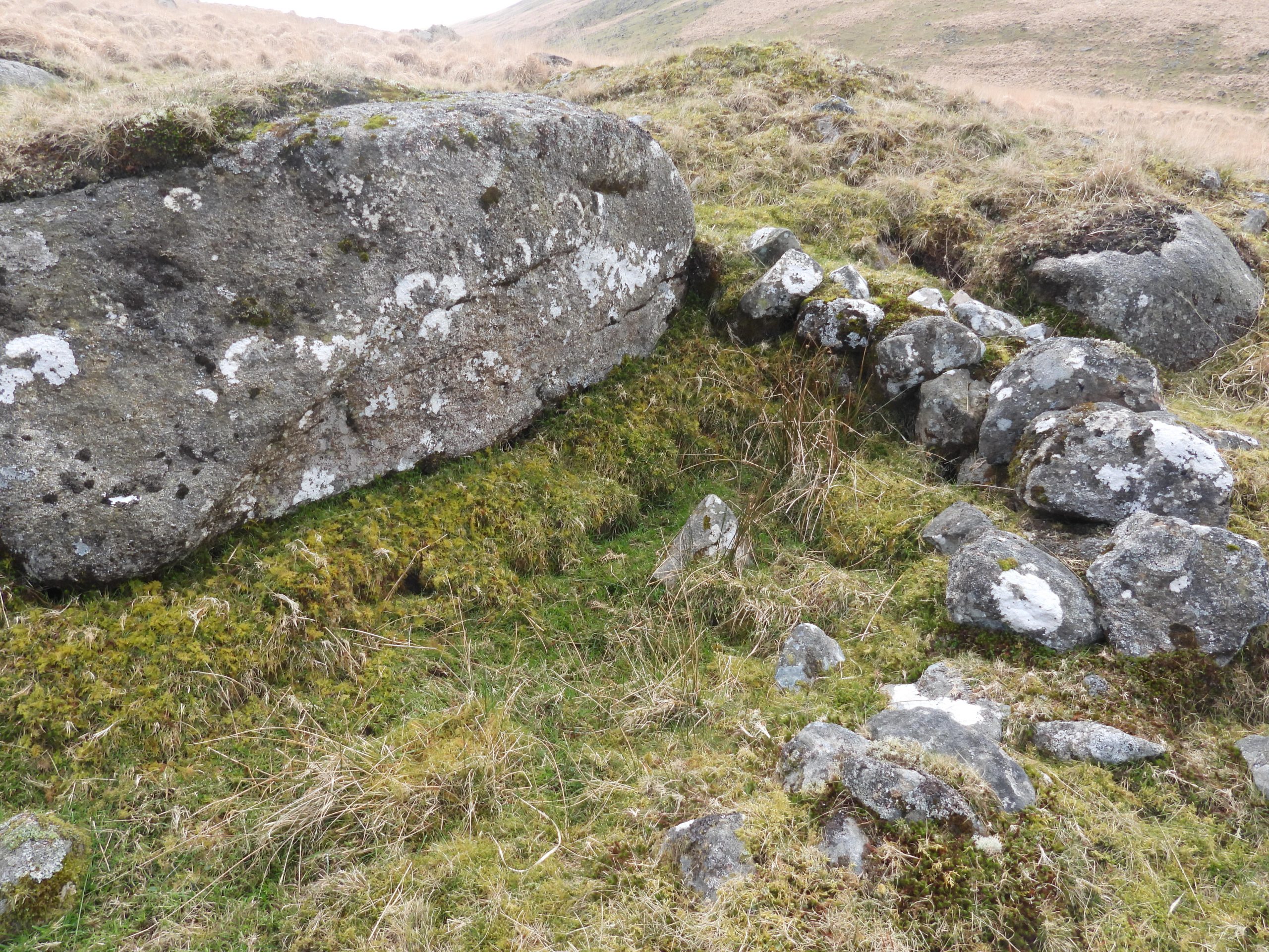
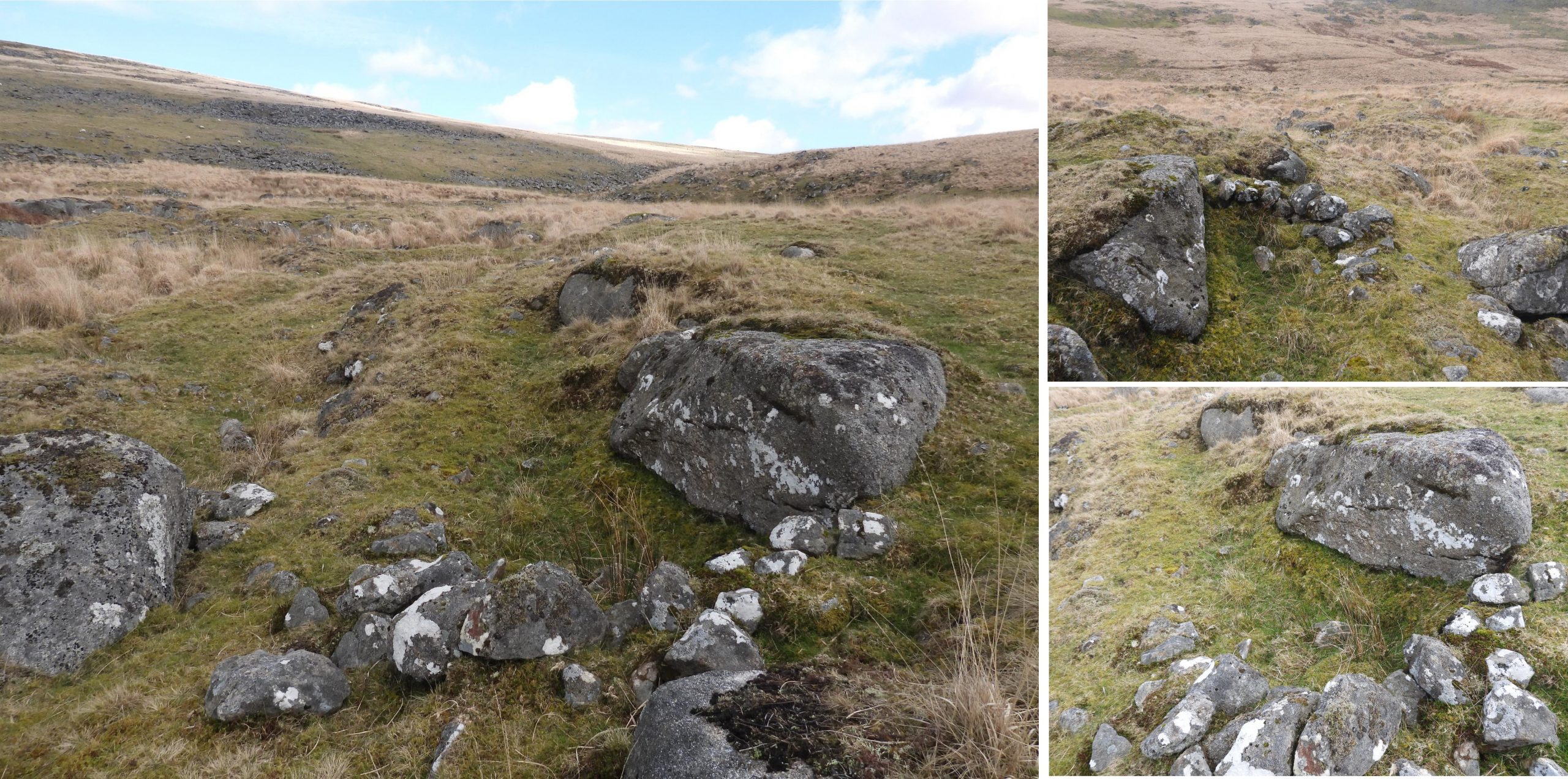
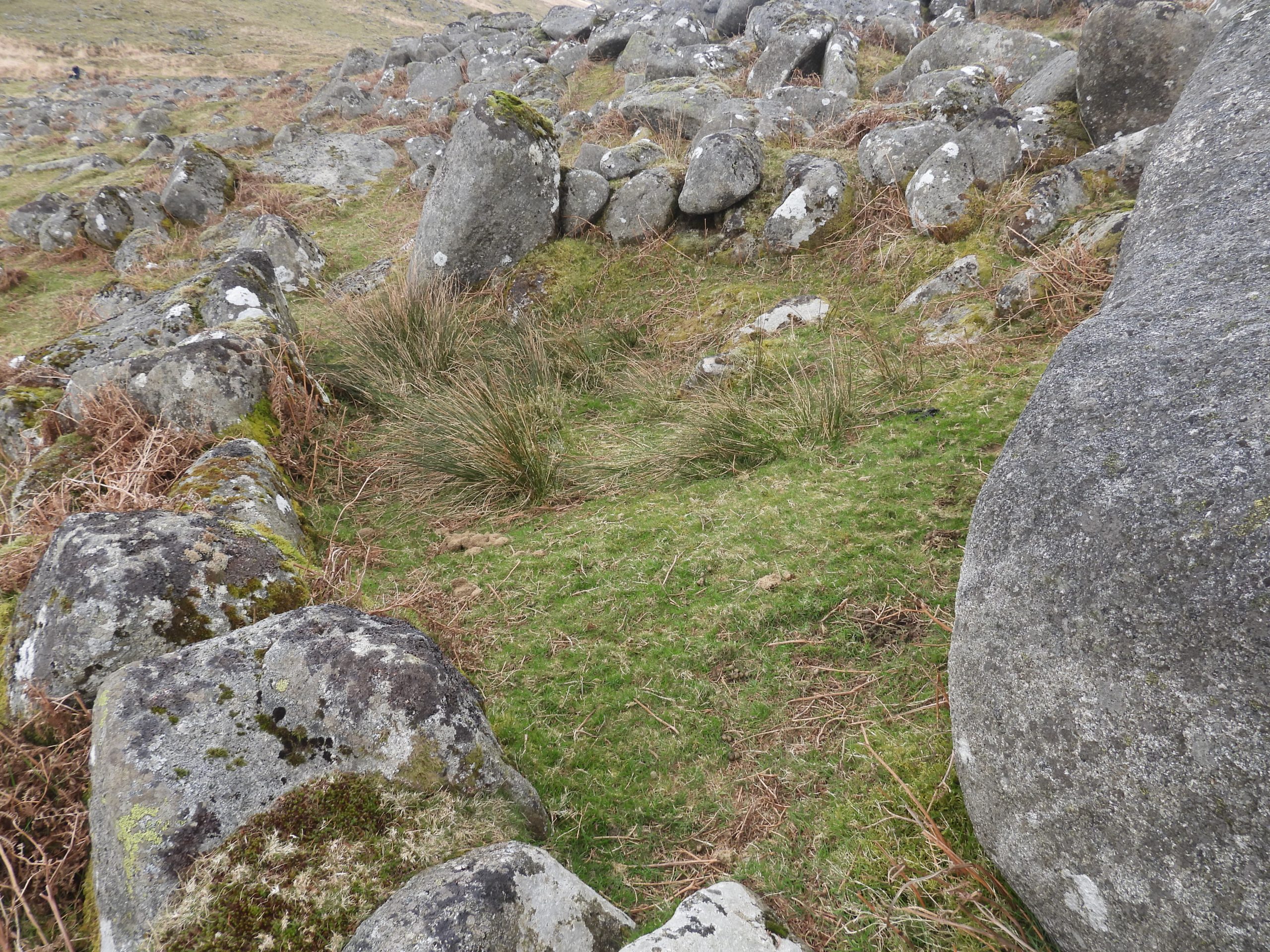
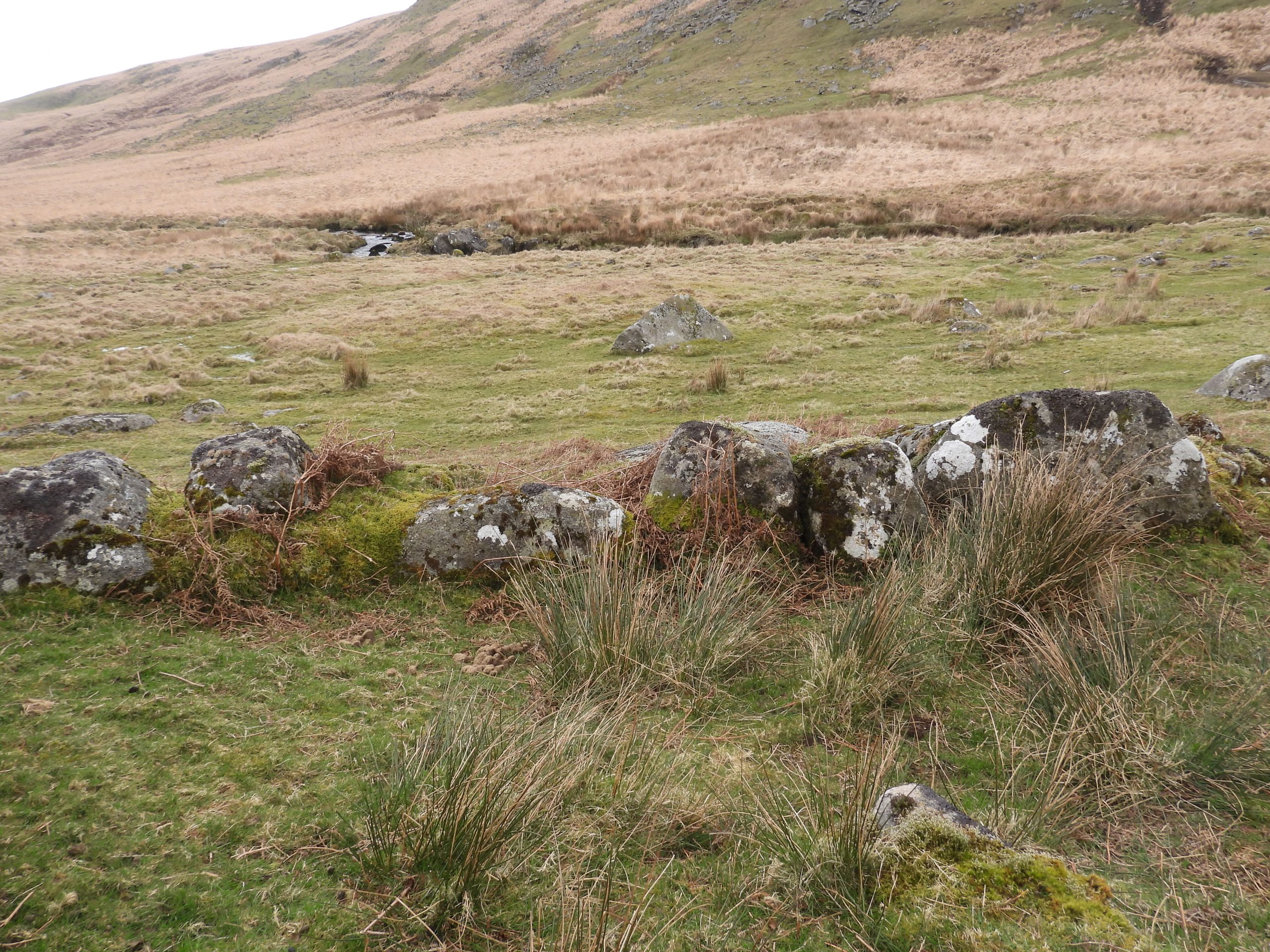
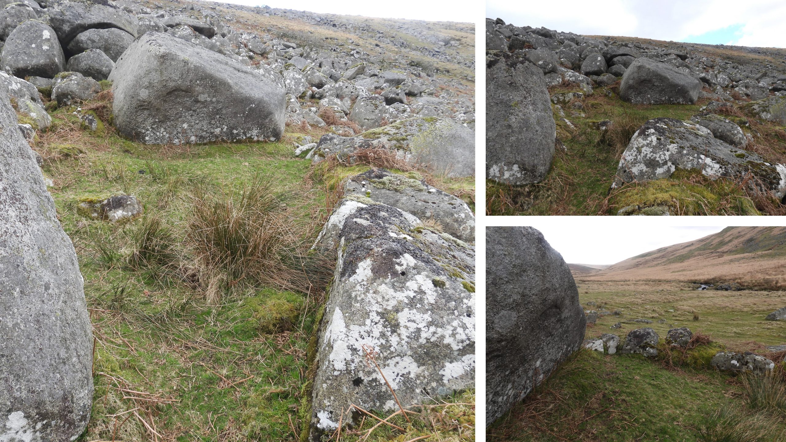
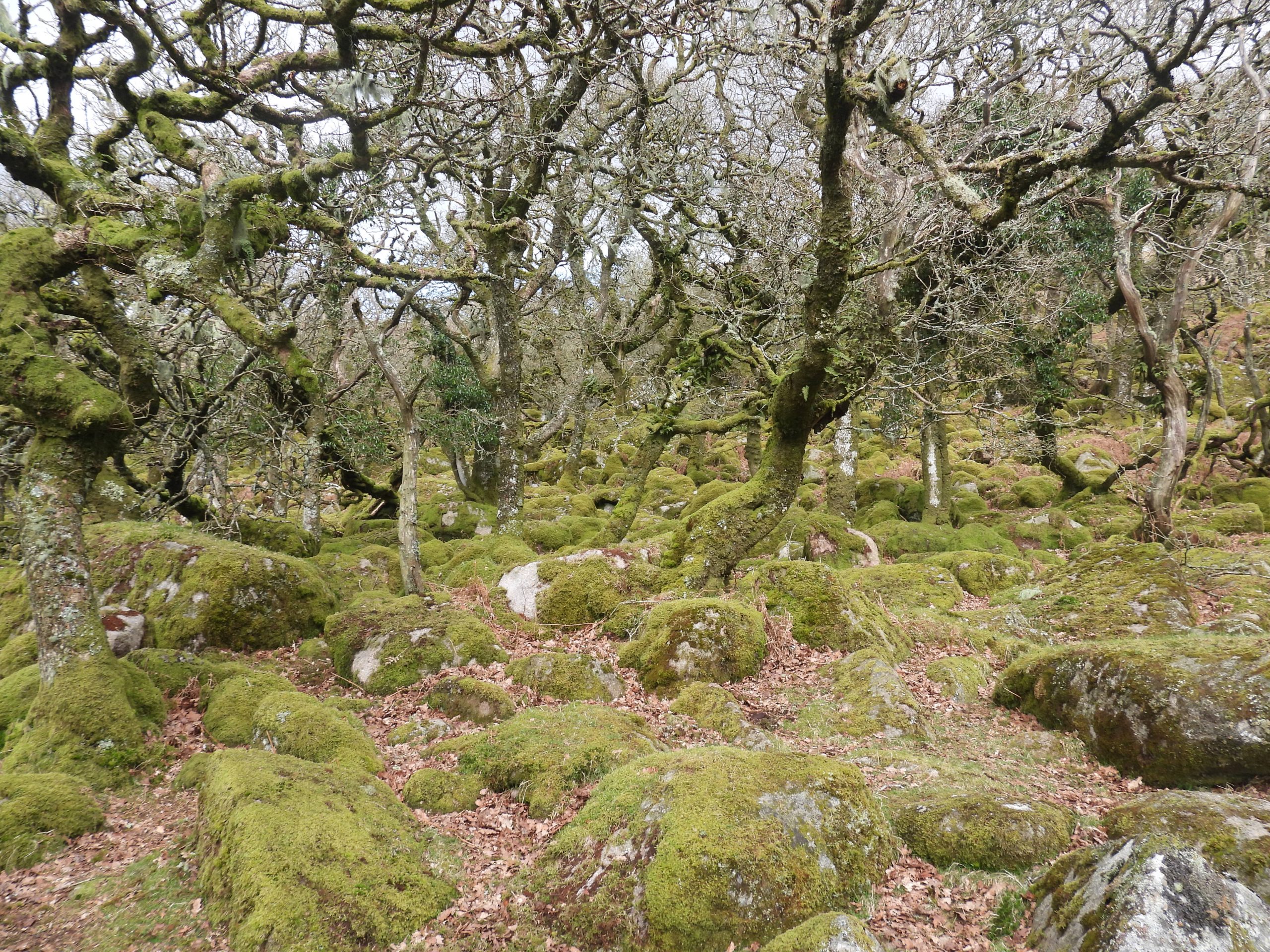
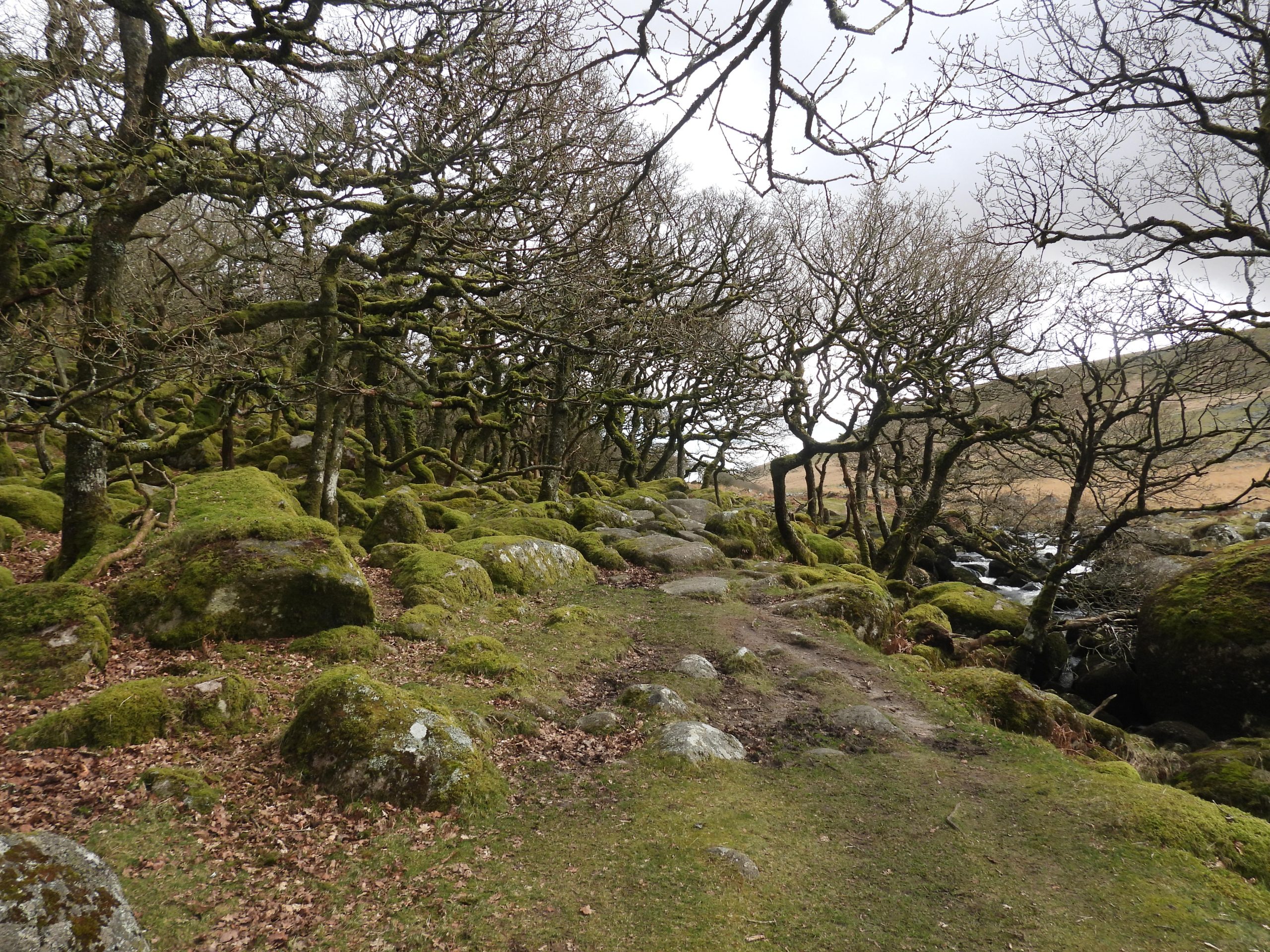
Sketch map showing the features covered in this post.Entering the (moody) West Okement Valley from Shilstone Tor. The author’s route to the valley was from Sourton, via the Iceworks.View of Lints Tor from near Sandy Ford. The route chosen by the author was up the valley on the west side of the river with the return journey on the east side of the river.On the left (west) bank of the West Okement River approx. 550m SW of Lints Tor (as can be seen in the photograph) lies the first Tinners’ Hut (TH1). It is described by the Royal Commission for the Historical Monuments of England (RCHME) as : “A turf covered levelled platform approx. 7m N-S by 3.5m (which) has been created in the top of a spoil heap. The only extant walling is situated in the NE corner where three courses of boulders stand 0.6m high”.The Tinners’ Hut has no obvious entrance or discernible internal features. It lies in quite a wet and boggy area at SX57764 87022.Probably an indication of the wet conditions near the Tinners’ Hut was the presence of some frog spawn.In the middle of the West Okement River near Tinners’ Hut (TH1) is a large boulder, which is ideal for a safe crossing. On top of the rock are some fabulous crystal formations.The author has researched that crystals in granite are evidence of slow cooling from molten rock material. The crystals on this rock are quite large and unusual.About 50-75m from Tinners’ Hut (TH1) lies another rather ruinous Tinners Hut (TH2). It lies in an area of streamworking remains and is approx. 500m SSW of Lints Tor. The picture of the hut is looking south in the direction of Kneeset Foot. It is located at SX57875 86992RCHME record this hut as : “……formed of coursed boulder revetments up to 0.7m high on three sides. It is oriented N to S and measures 2.9m by 2.3m internally with a probable entrance in the W side near the SW corner. No internal features are apparent”. It was a lovely isolated spot for some lunch.A third Tinners’ Hut (TH3) can be found at SX57807 87063Tinners’ Hut (TH3) is the largest in the area and measurements recorded by Jeremy Butler (Dartmoor Atlas of Antiquities (north)) were as 4.4m by 3.0mJeremy Butler further commented that: “…….the north wall has almost disappeared, although the building was constructed from larger blocks than normal”.These substantial remains of a rectangular building are approx. 350m SW of Lints Tor. Some observers consider this may have been a Tinners’ Hut but to the untrained eye it doesn’t look as old as others in the area or indeed in the National Park. Indeed, RCHME suggest the building is too well built to be a Tinners Hut and “….lacks the evidence of processing activity indicative of a blowing house or stamping mill. It would seem more likely that the main structure represents a Shepherd’s Hut”. An entrance can be seen in the foreground alongside (in front of) what appears to be the tumbled remains of a further wall lie parallel to and immediately in front of the SW wall. The function of this secondary wall is uncertain but reminiscent of a entrance shelter. RCHME have recorded the structure as being : “Single roomed (which) measures 4.2m NE to SW by 2.1m internally with coursed boulder walls 1.1m wide and a maximum of 1.25m high”. That said, it may be a result of some internal fallen blocks, the author considers there may have been an internal wall.Adjacent to the north wall there appears to have been further construction, which looks like an extension / outshut but hasn’t been recorded by RCHME. A section of small walling boulder can clearly be seen in the bottom right of the photograph.The Shepherd’s Hut has no trace of a fireplace or chimney. It can be located at SX57757 87224This small, semi-circular structure is around 1.2m in diameter. It lies 10m SE of the building (Shepherd’s Hut) at SX57769 87216RCHME suggest that this structure resembles a small shooting butt. This picture gives a contextual view in relation to the main building.Another option for this structure is that it is a dog kennel. The size would be commensurate with that theory.No trip to this area would be complete without climbing up the hill to Lints Tor. Over the years, the author has heard the rockpile of Lints Tor being referred to as ‘The Sphinx’ or ‘The Camel’s Head’. On 9th August 1961 a member of Dartmoor Rambling Club received a serious hand injury, which required hospital treatment, when a piece of rock weighing about a hundredweight fell from a fractured face of Lints Tor. Apparently, the army had been using the outcrop as target practice previously. View from Lints Tor looking south towards Fur Tor.Zoomed in view from Lints Tor of the peat restoration programme near Okement Hill.Returning downhill approx. 350 metres north west of Lints Tor this crude stone shelter can be found. It is located on a slight shelf above the right (east) bank of the West Okement River. This crude shelter is another artefact recorded by RCHME. They record it as “….roughly rectangular and measures 3.1m east-west by 2.2m externally, with coursed boulder walls 1m wide and a maximum of 0.6m high”. The roof is formed by a large granite slab resting on the walls. There (most likely) have been other slabs making up the roof. Contextual view of the shelter with Lints Tor in the background. It is speculated that the shelter may occupy the site of a former hut circle.There doesn’t appear to be any indication as to the function of this feature. It is located at SX57667 87674. Leaving the Lints Tor area on the east side of the river, just before Lints Tor Brook another Tinners’ Hut (TH4) can be found. It measures 3m x 1.4mThis Tinners’ Hut is poorly preserved. It comprises a levelled platform oriented WSW to ENE cut into the cliff marking the edge of former tinners’ streamworks. It is located at SX57700 87848. The RHCME describe the Tinners’ Hut very well: 1. There is one short length of coursed wall, 0.5m high, at the WSW end (see picture on left -foreground); 2: There is a massive granite block approximately 3.2m long forming the S side of the structure; The N side stands open. Returning down the West Okement Valley on the east side of the river (a few hundred metres before Black-a-Tor copse) another crude shelter can be found. Recorded by Probert and Newman, the site of the shelter consists of a “rectangular platform cut into the foot of a clitter slope and lies on the edge of the floodplain”.Facing the river and flood plain the shelter is enclosed by a series of massive boulders. The shelter can be found at SX57179 88428.The shelter measures 5.1m east to west by a maximum of 4.0m wide. An entrance lies in the western side of the shelter (as can be seen in the foreground of the left picture). The origin and function of this structure doesn’t seem to be known. The author speculates that it may have been an animal corral of some sort as he doubts whether the structure ever had a roof.Leaving the valley by a walk through Black-a-Tor copse. Black-a-Tor Copse contains ancient stunted and twisted oak trees. Only three such high-altitude oak woods occur in the south-west and are relatively well known. The other two are, of course, Wistman’s Wood and Piles Copse.