A collection of walks, discoveries, insights and pictures of exploring Dartmoor National Park
March 26, 2023
Great Rowter / Great Rough Tor Mine
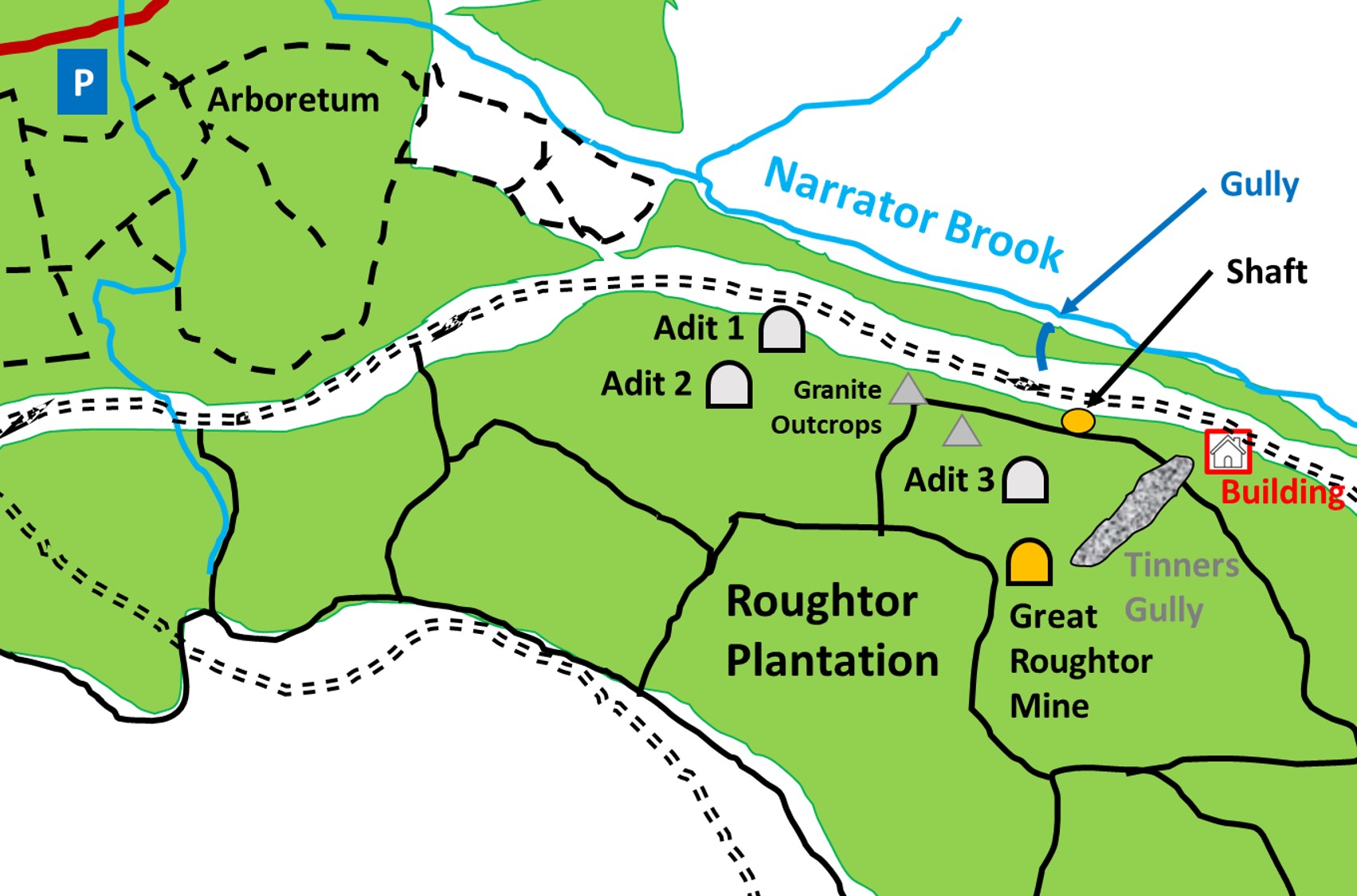
To the east of the Arboretum at Burrator and just to the south of Narrator Brook is Roughtor Plantation. This area has been mined since the medieval period and would have originally been surface open works. Of course the land would have been open moorland being hundreds of years before the plantation came in the 20th century. Following on from the medieval period, a early mining conveyance of 1705 refers to Great Rowter and the mining journal from 1847 refers to Great Rough Tor Mine. Between these date there are records of the Alliance Mining Association in 1825. The author has found very little else written about the mining in the area. The area boasts a number of adits, shafts, granite outcrops, open works, possible leats and at least one building and this post records some of these features but is unlikely to be an exhaustive record as the steep wooded slopes are likely to hide more mining and other artefacts.
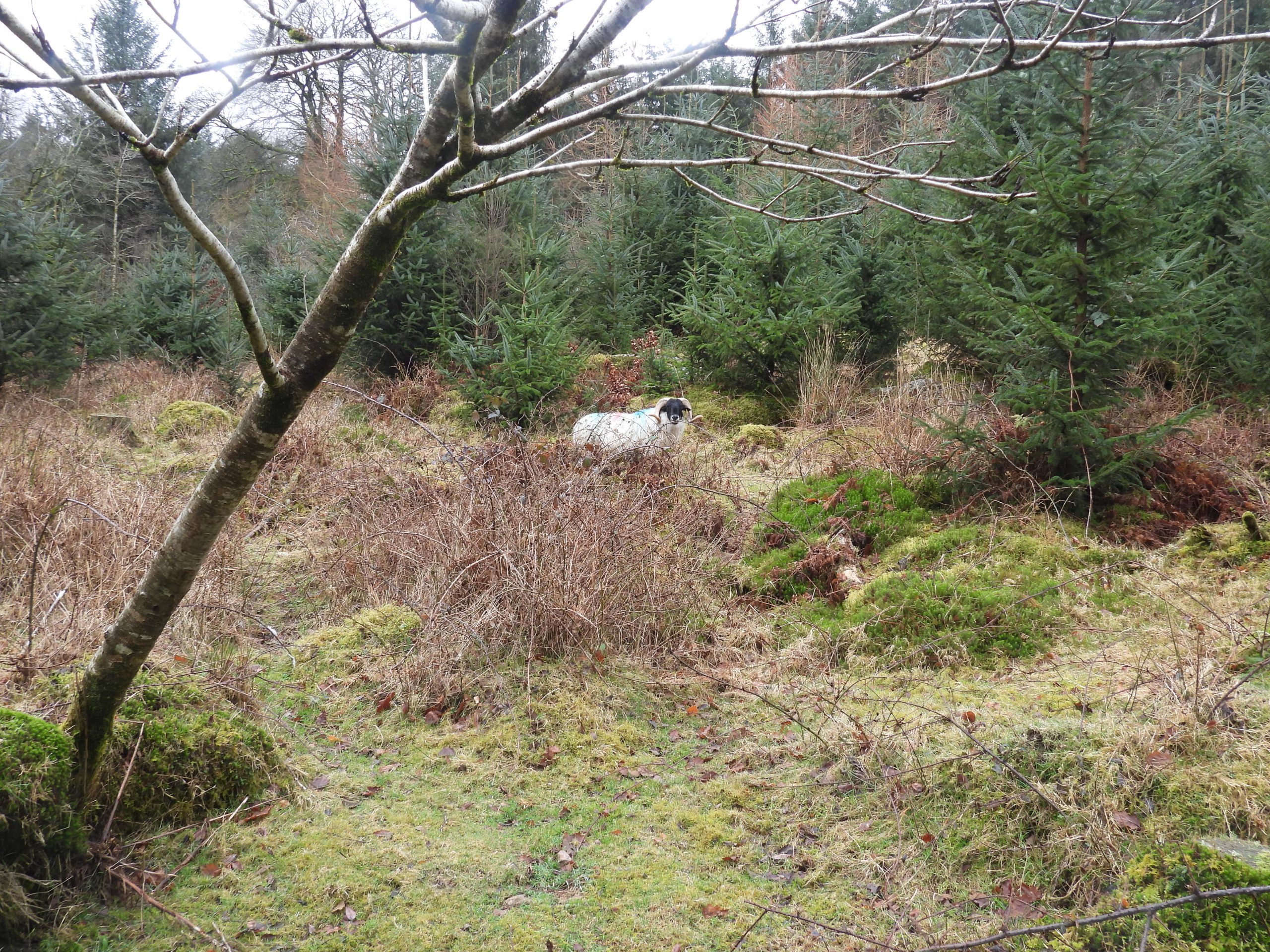
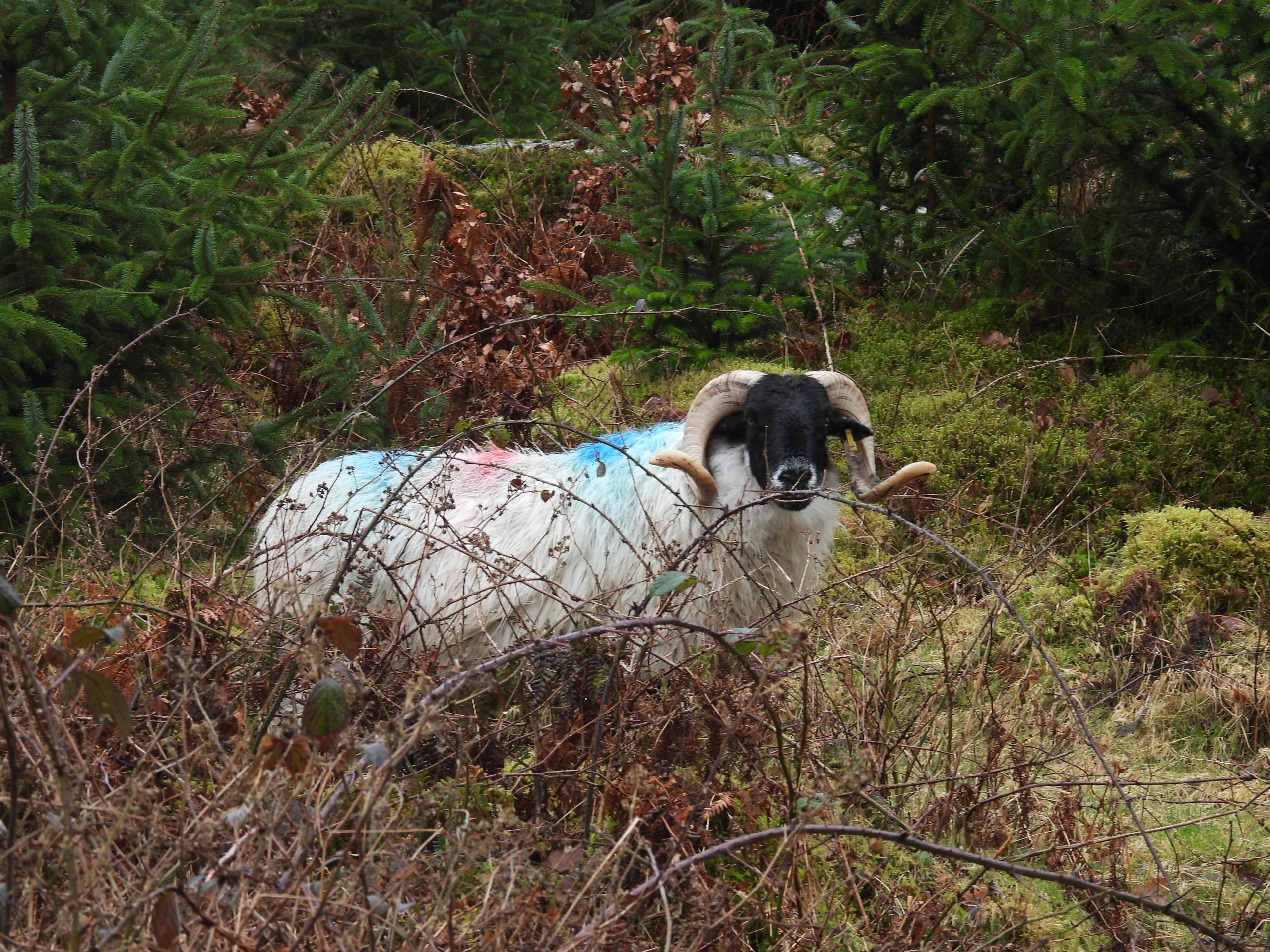
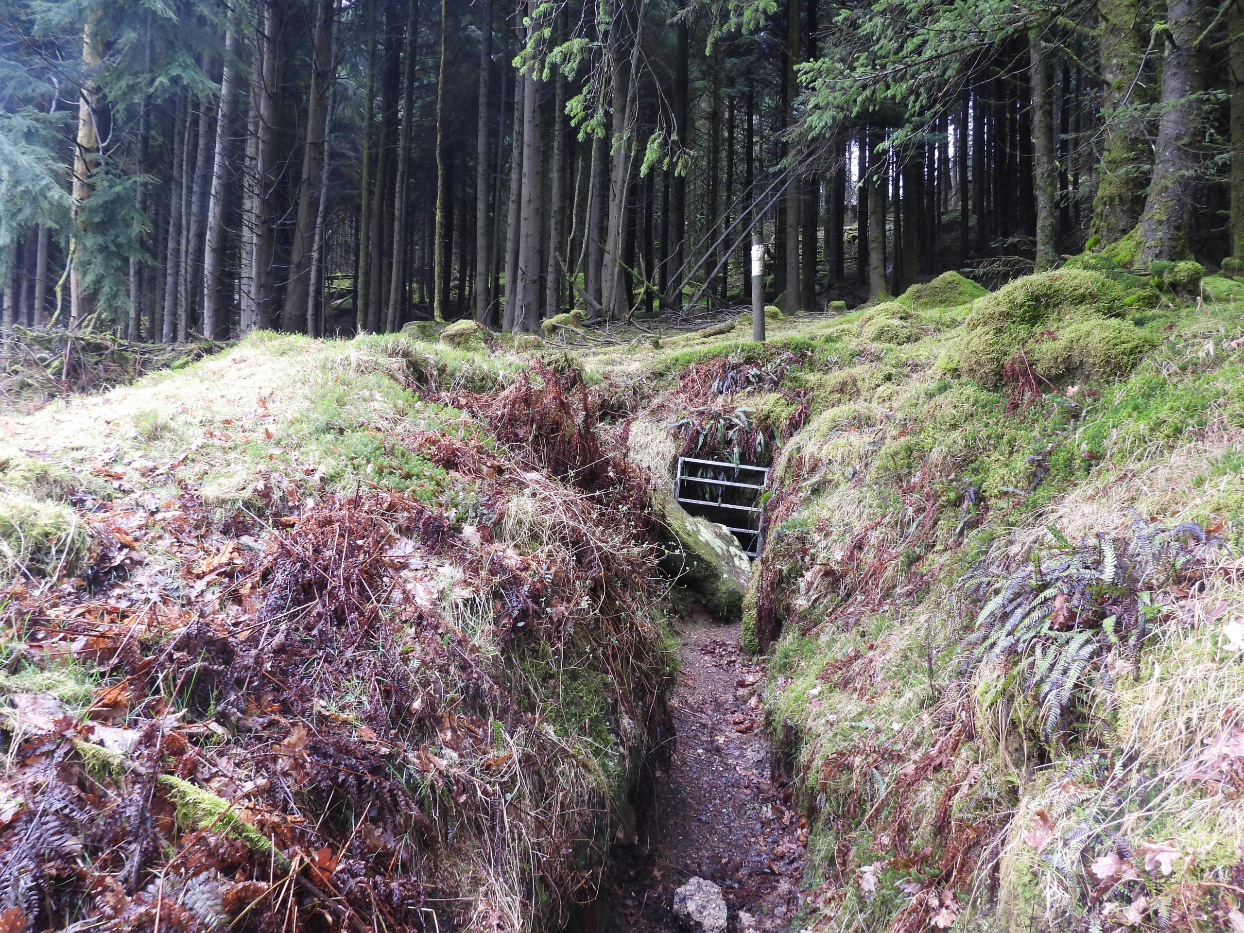
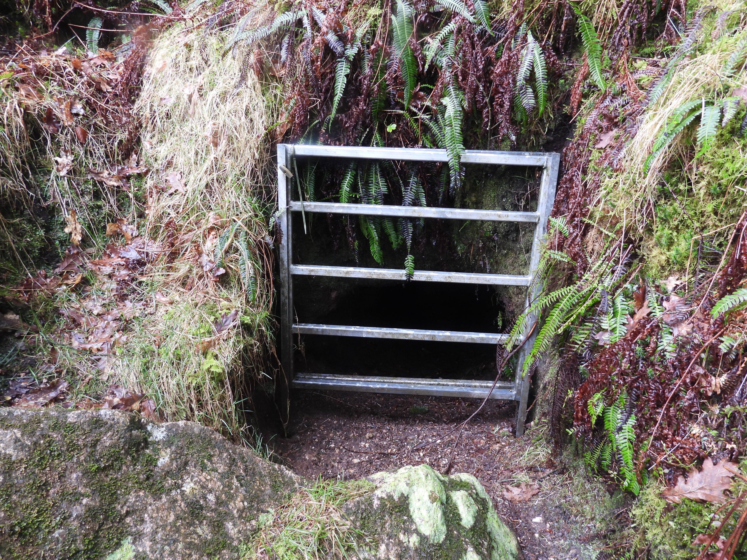
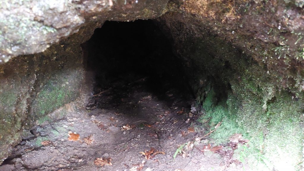
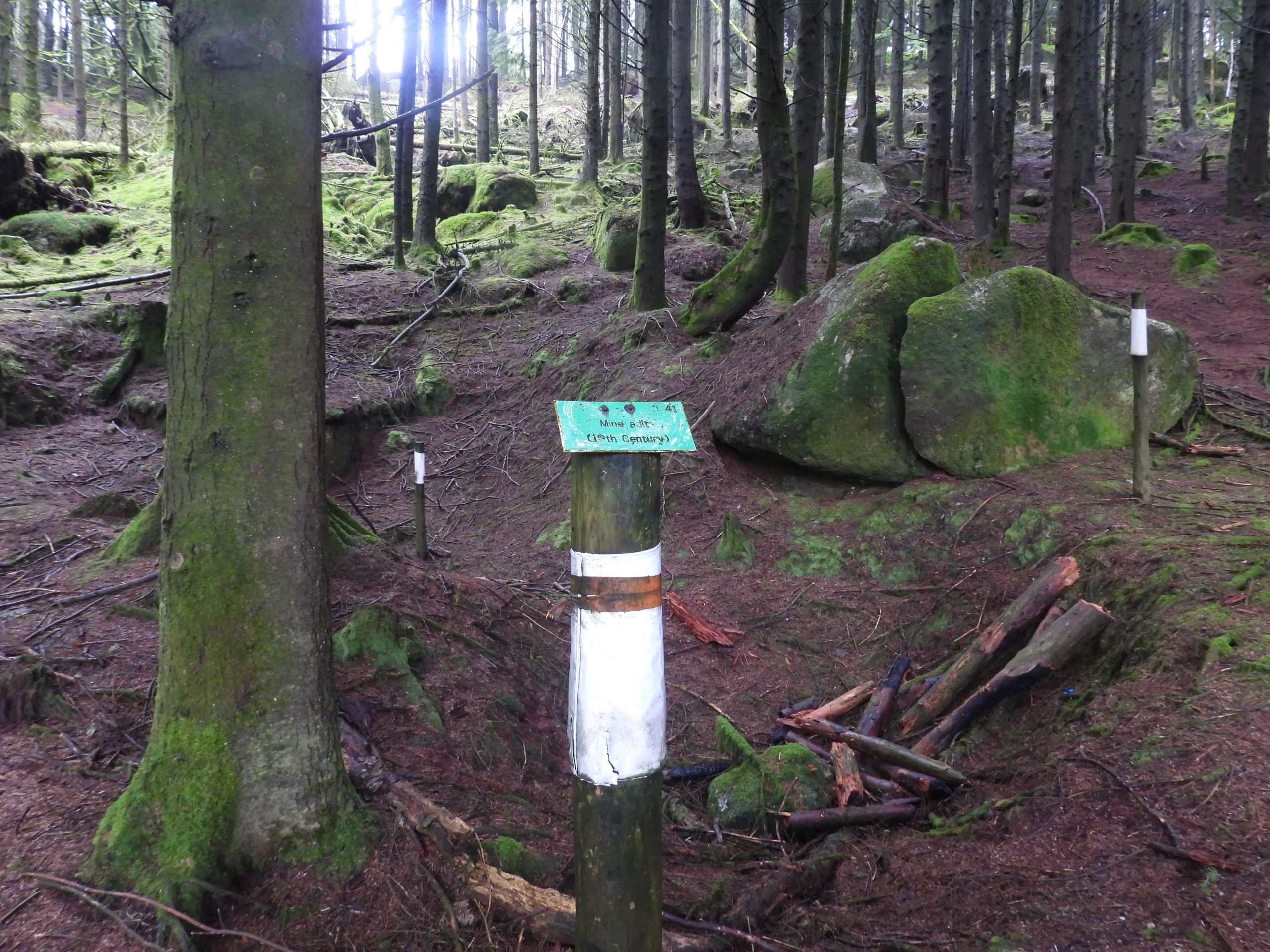
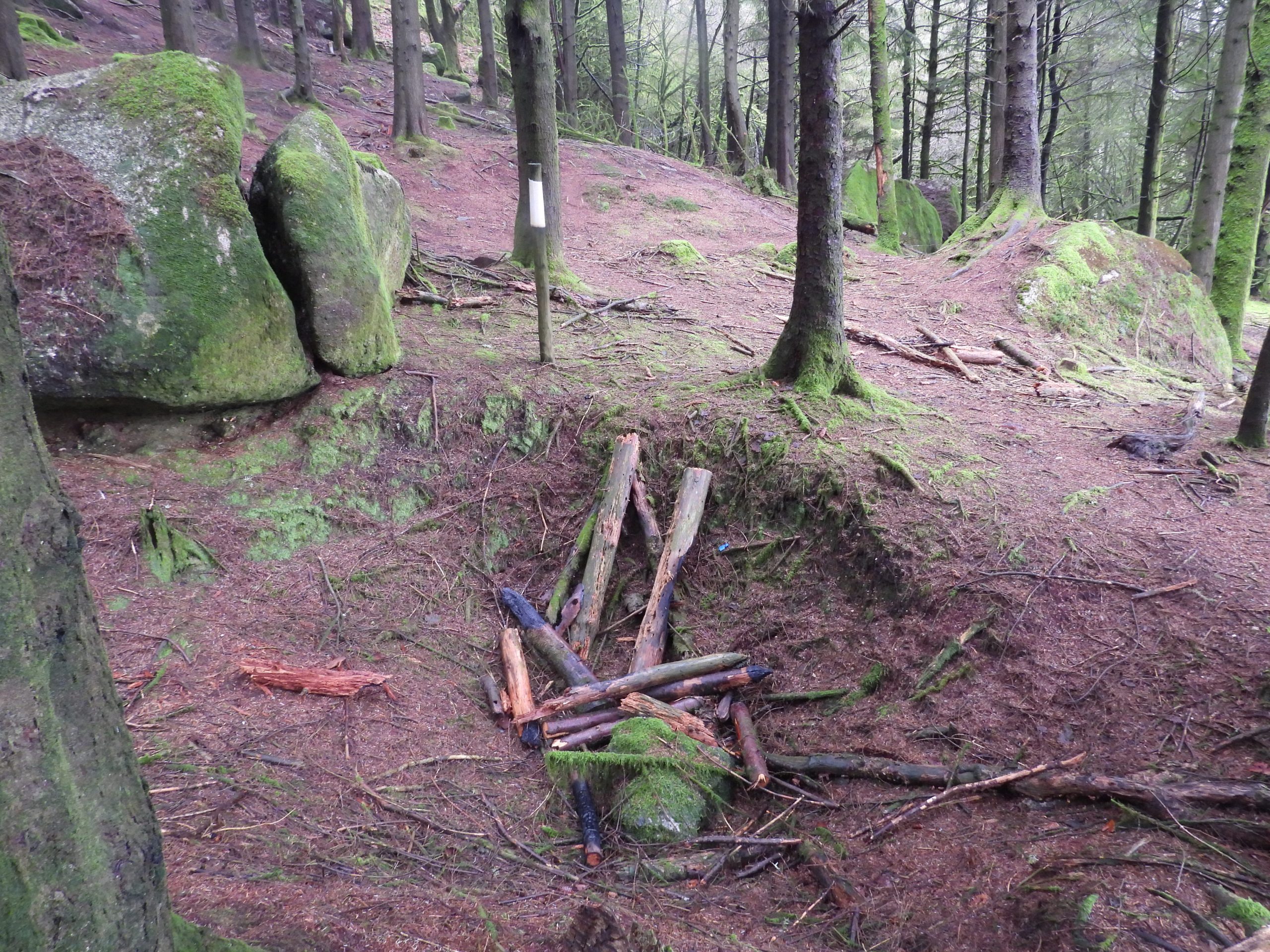
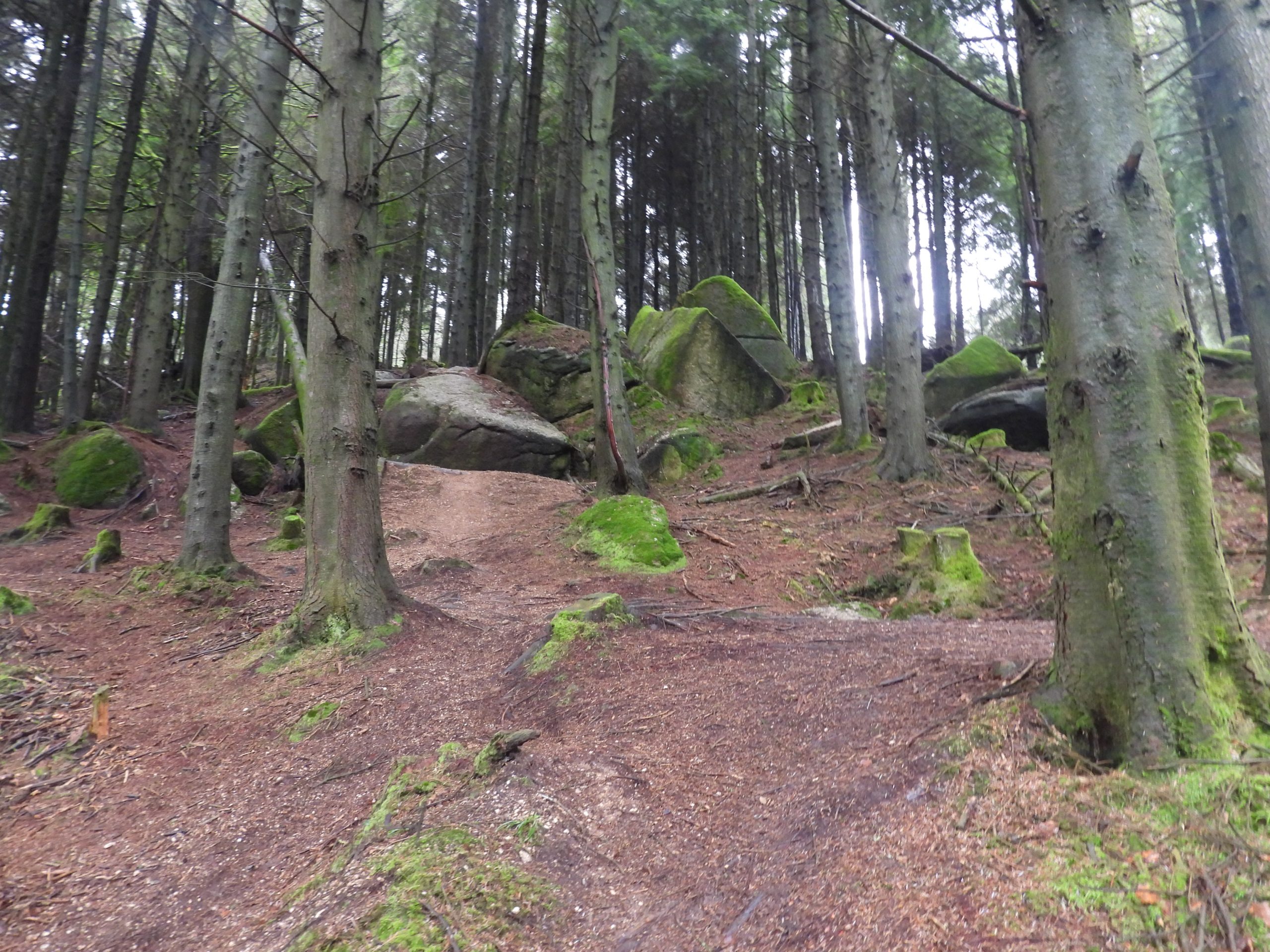
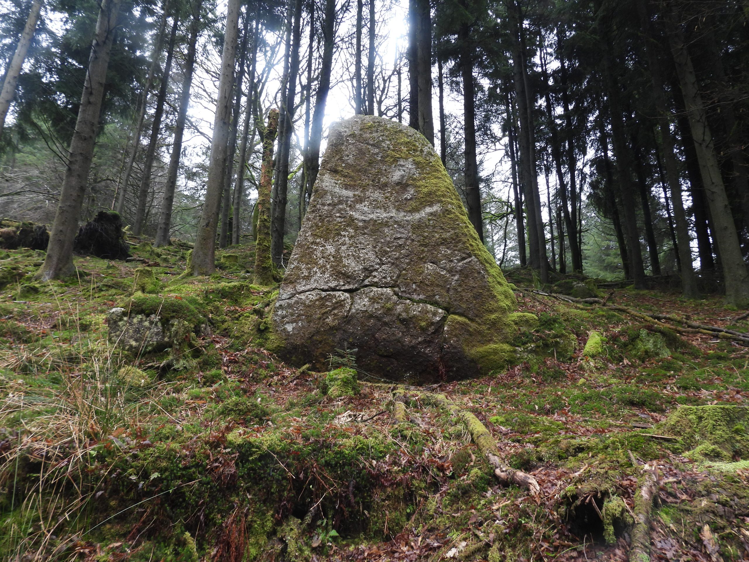
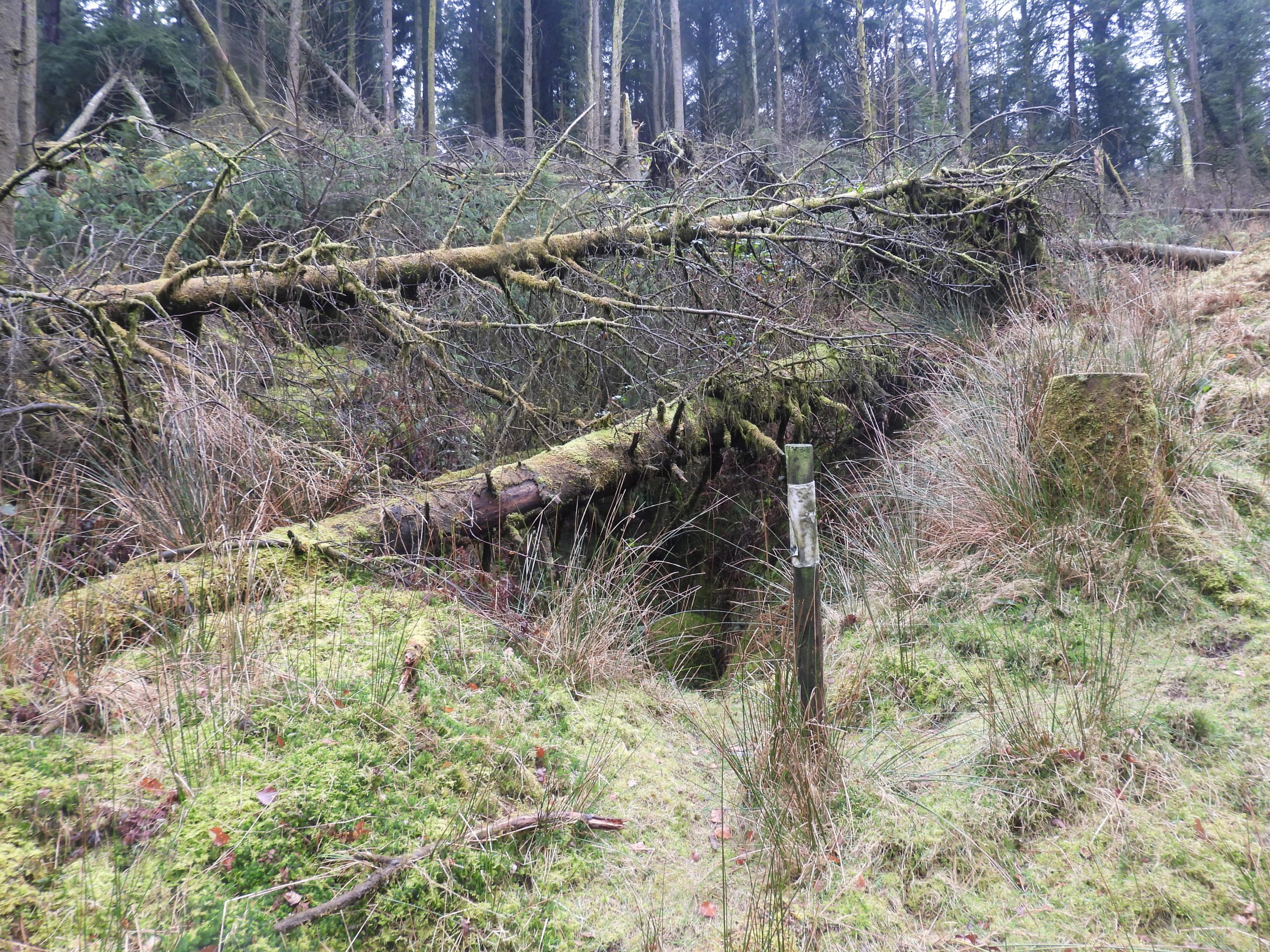
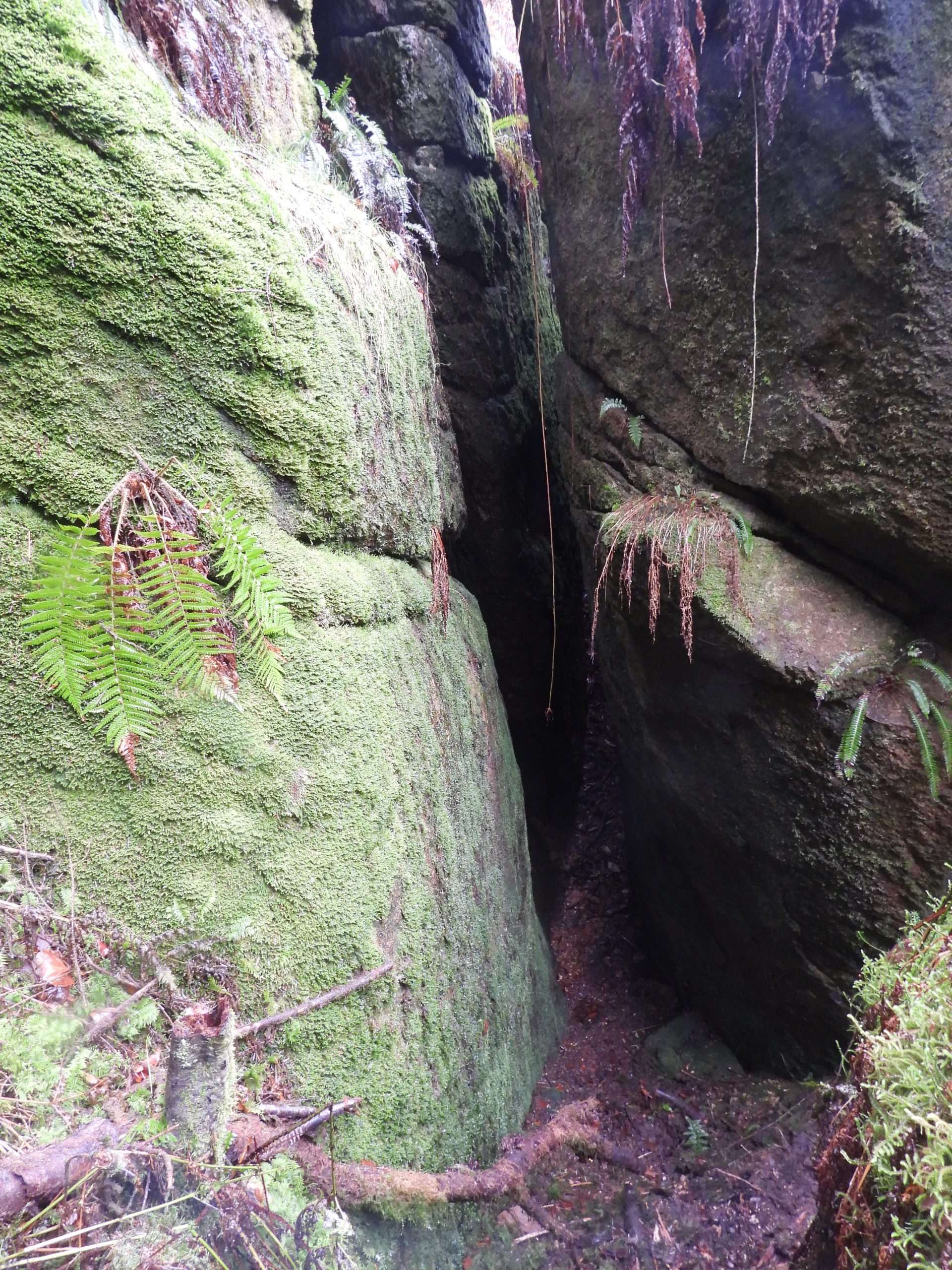
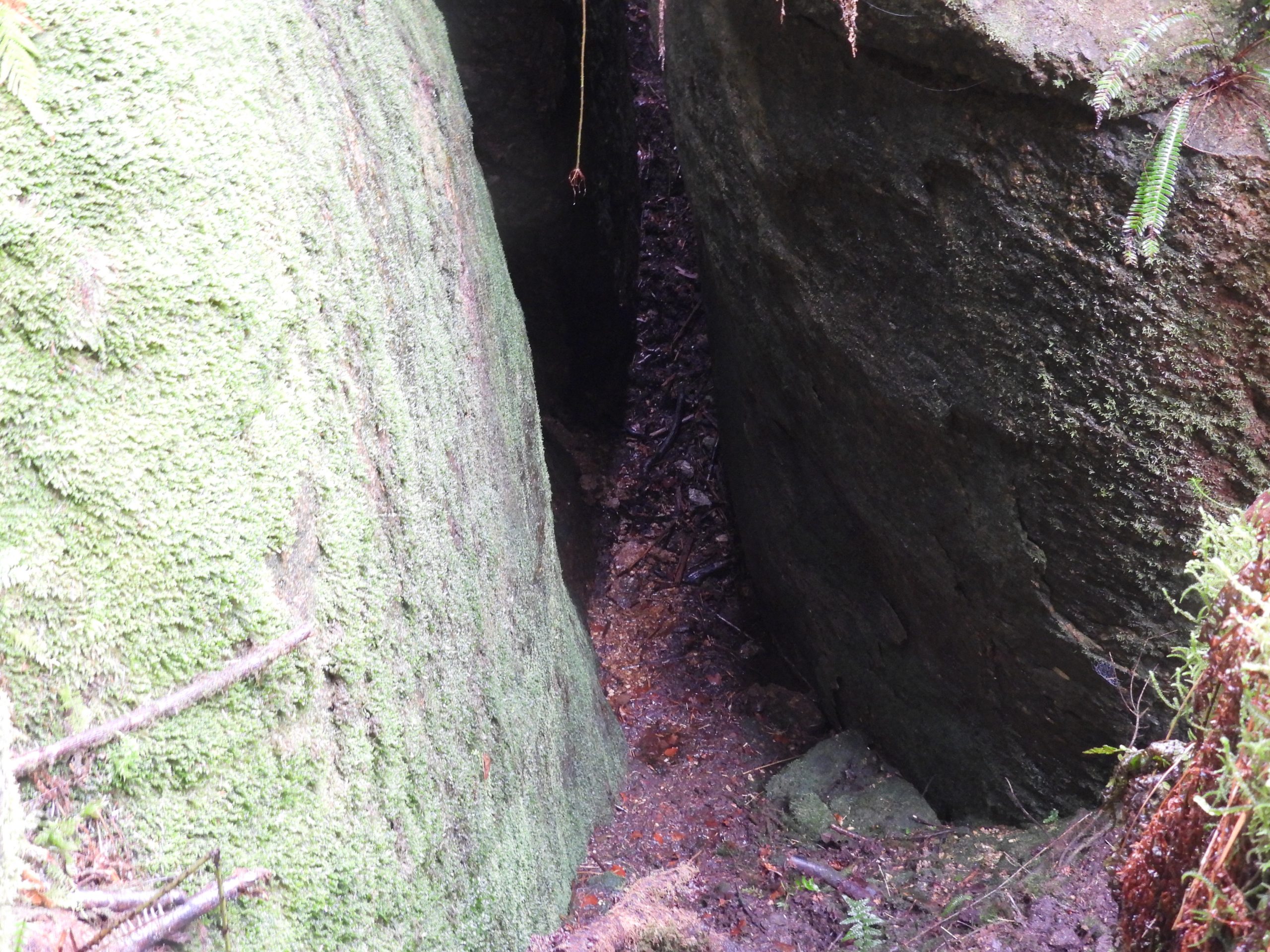
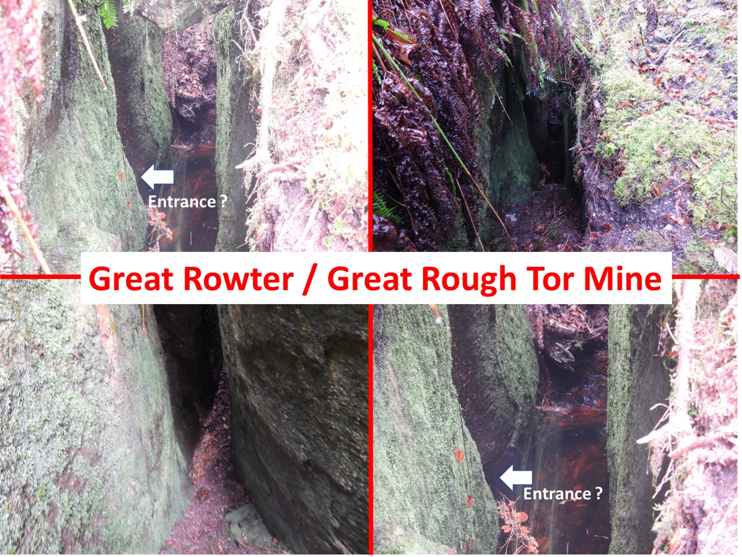
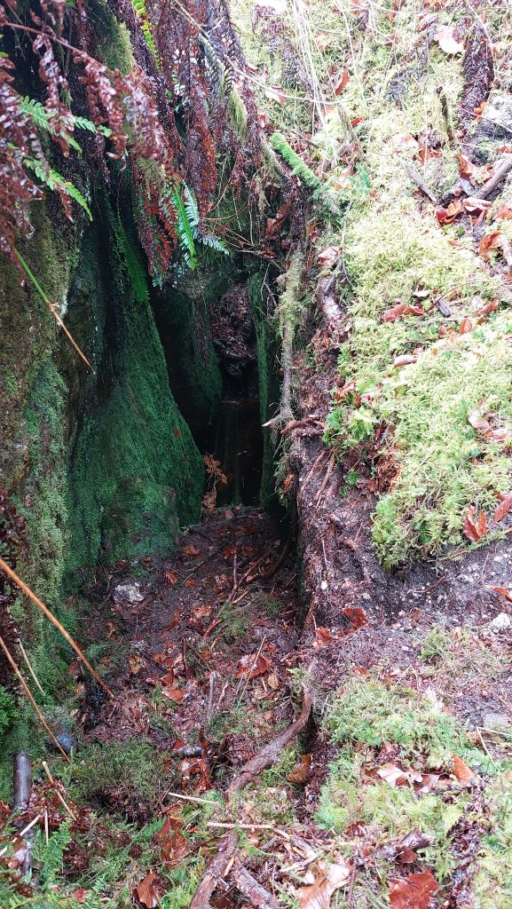
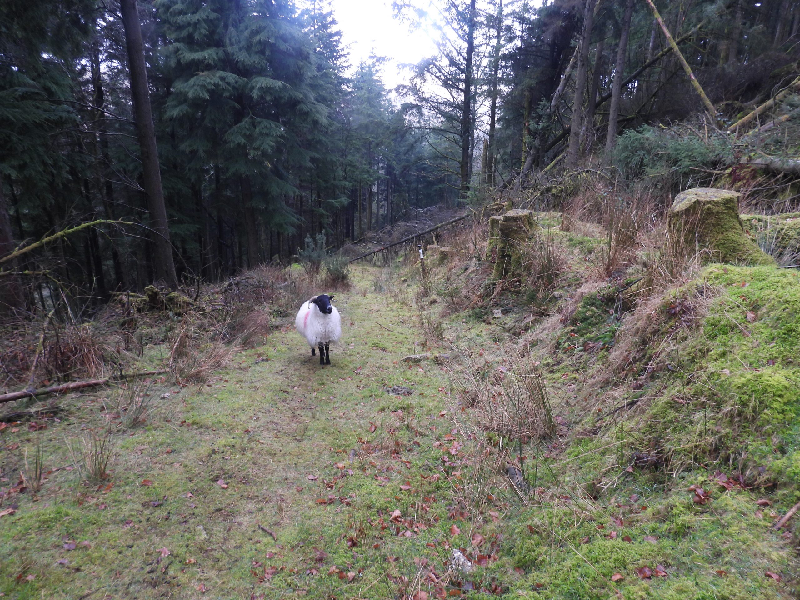
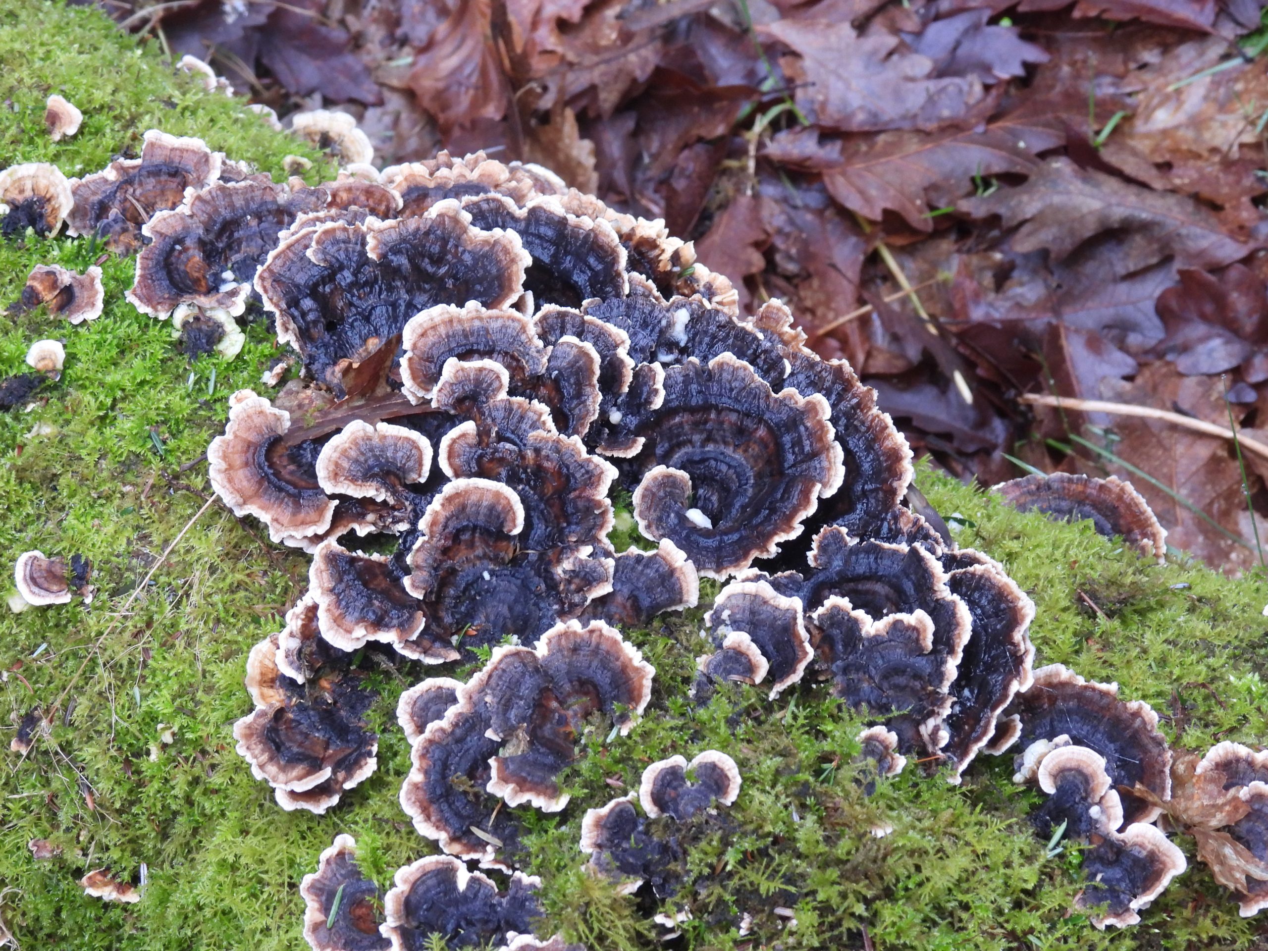
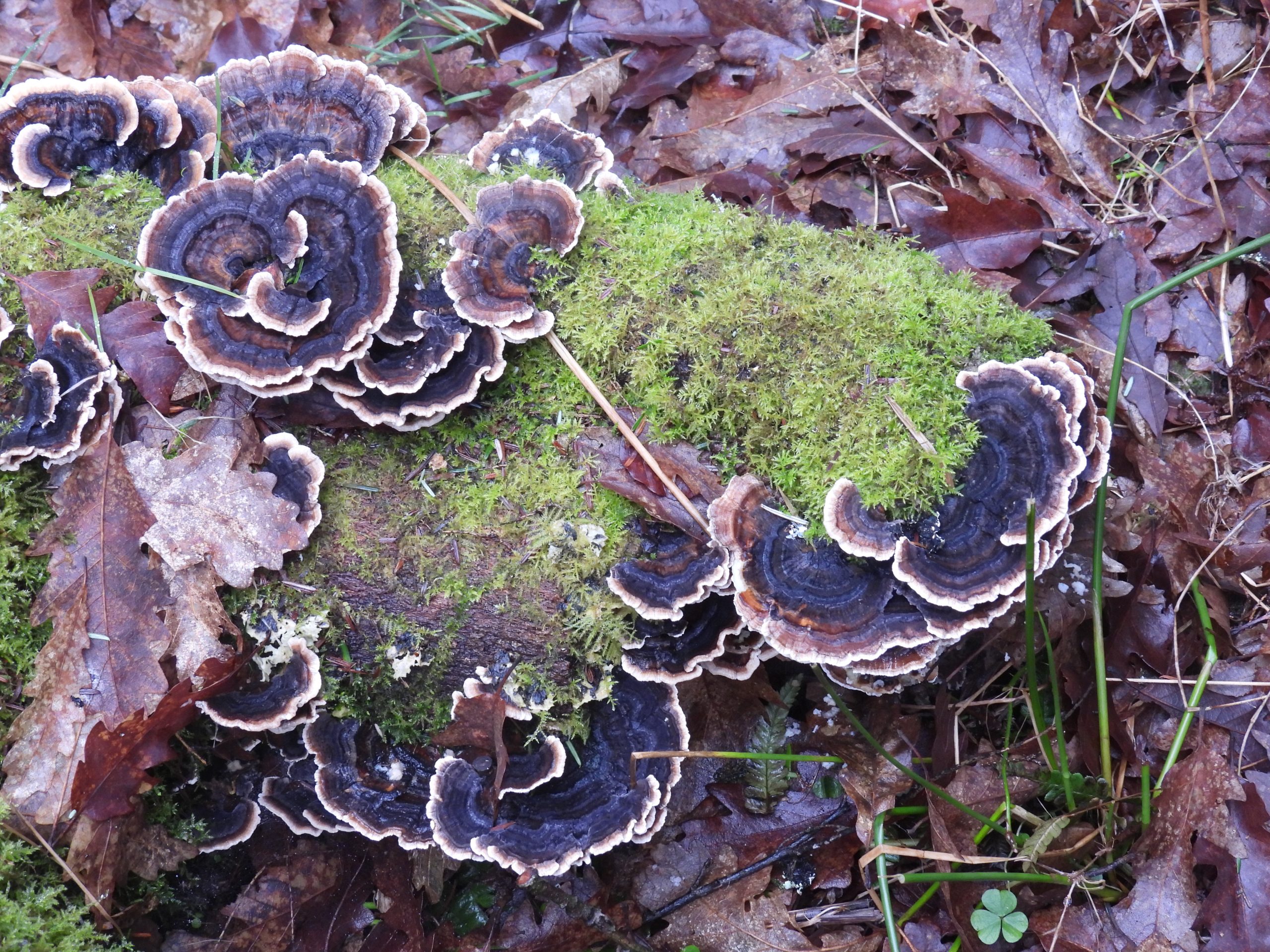
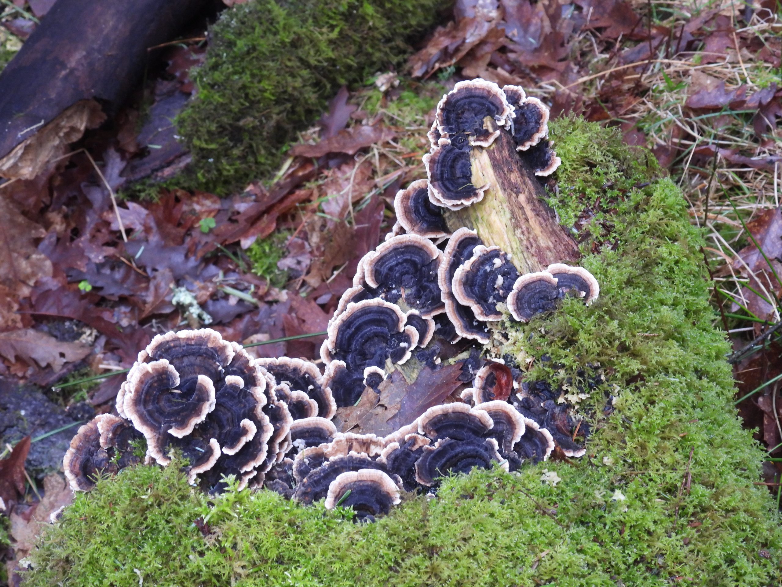
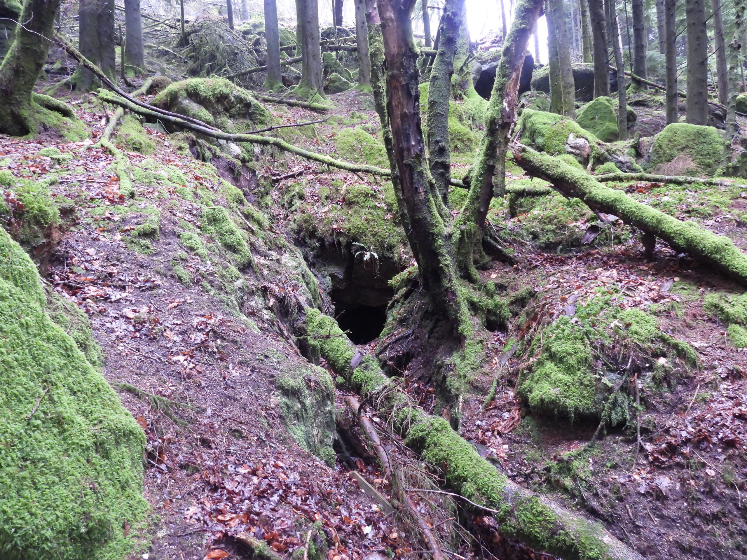
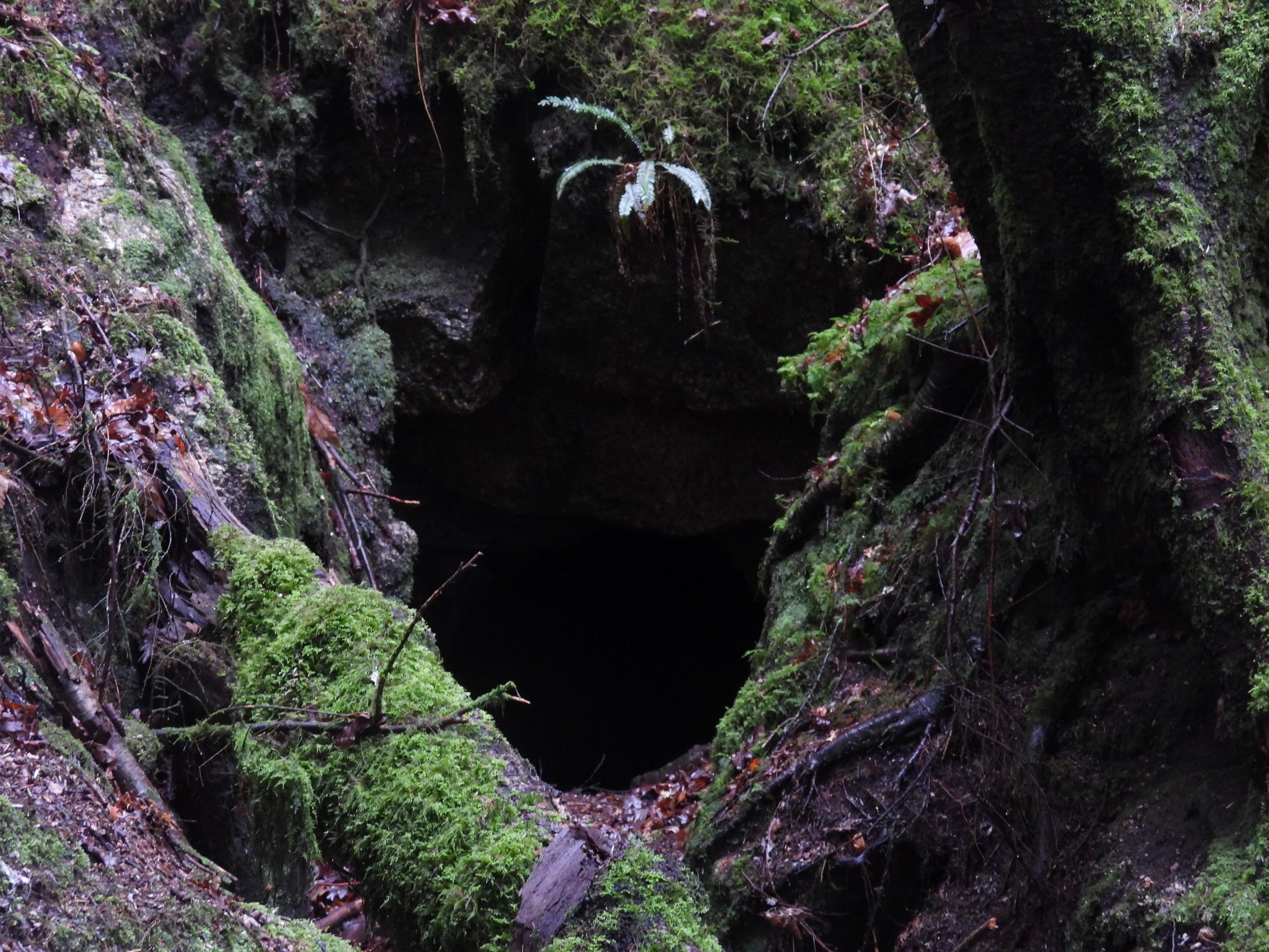
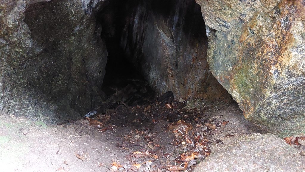
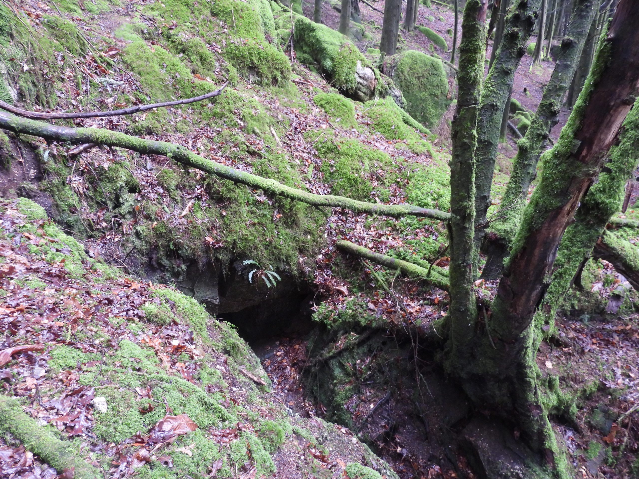
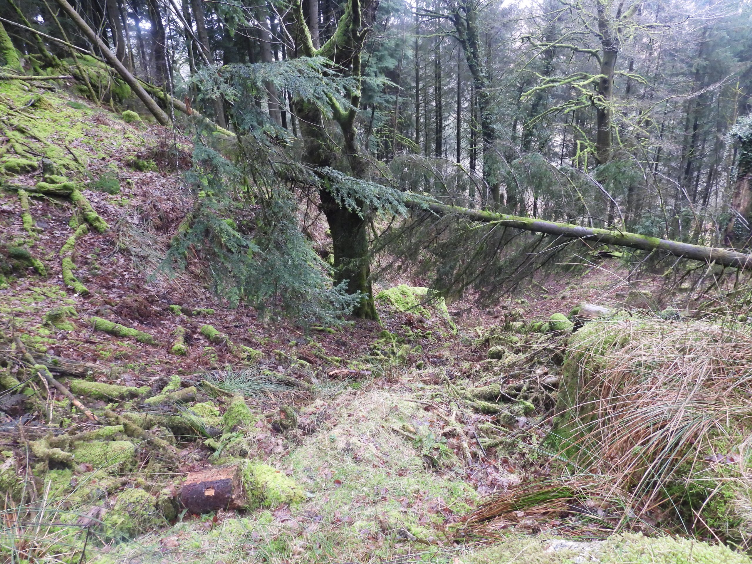
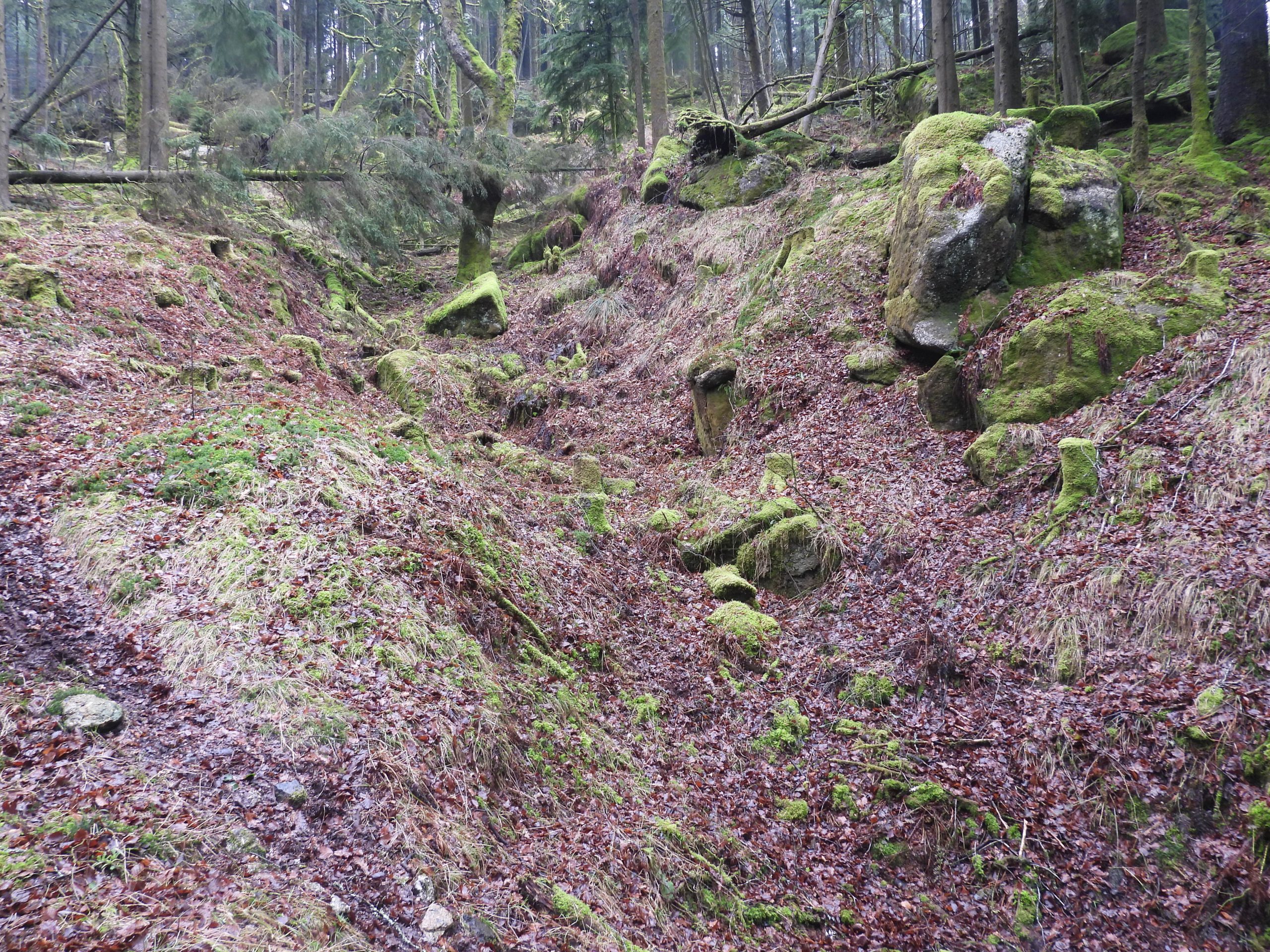
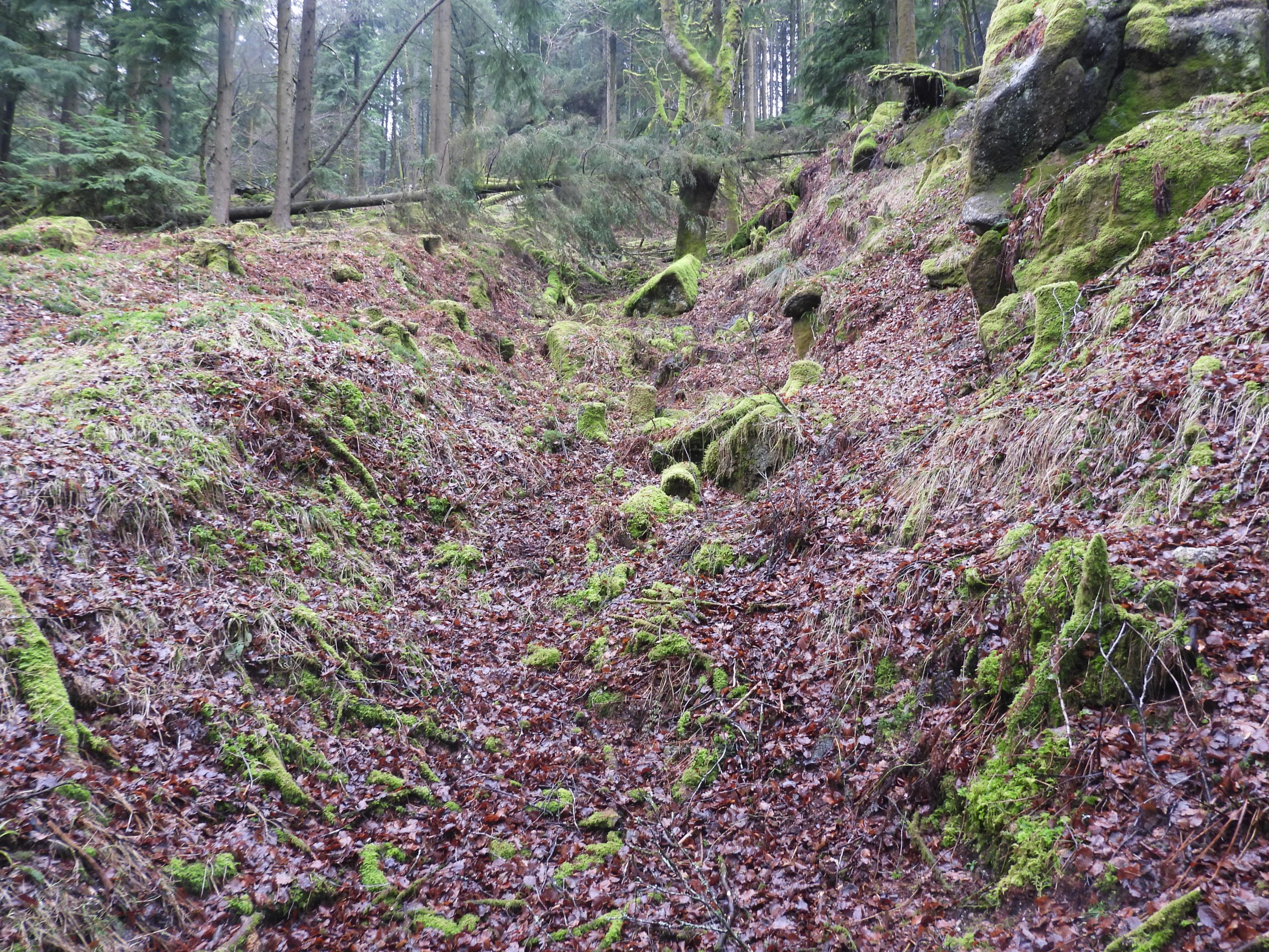
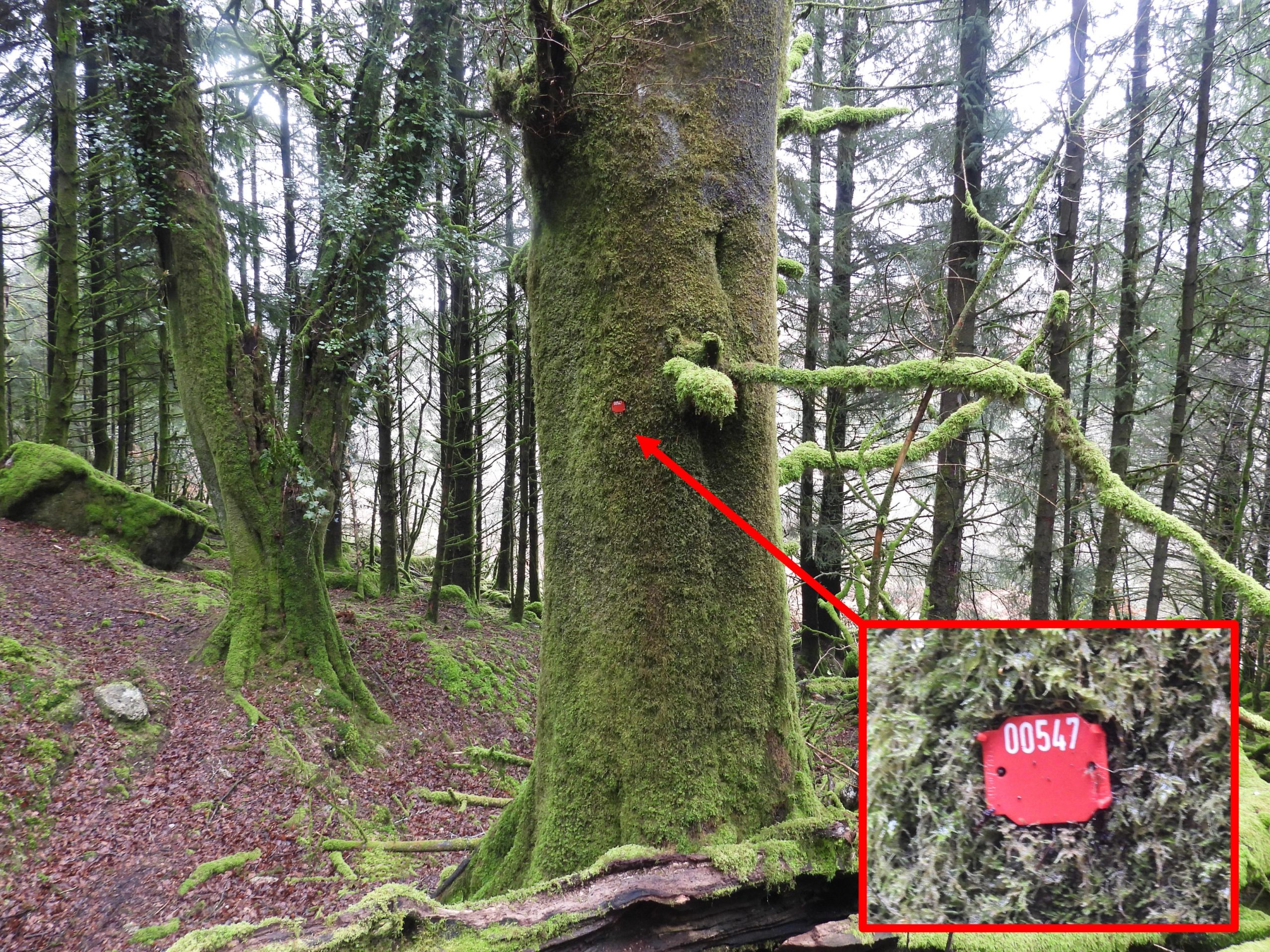
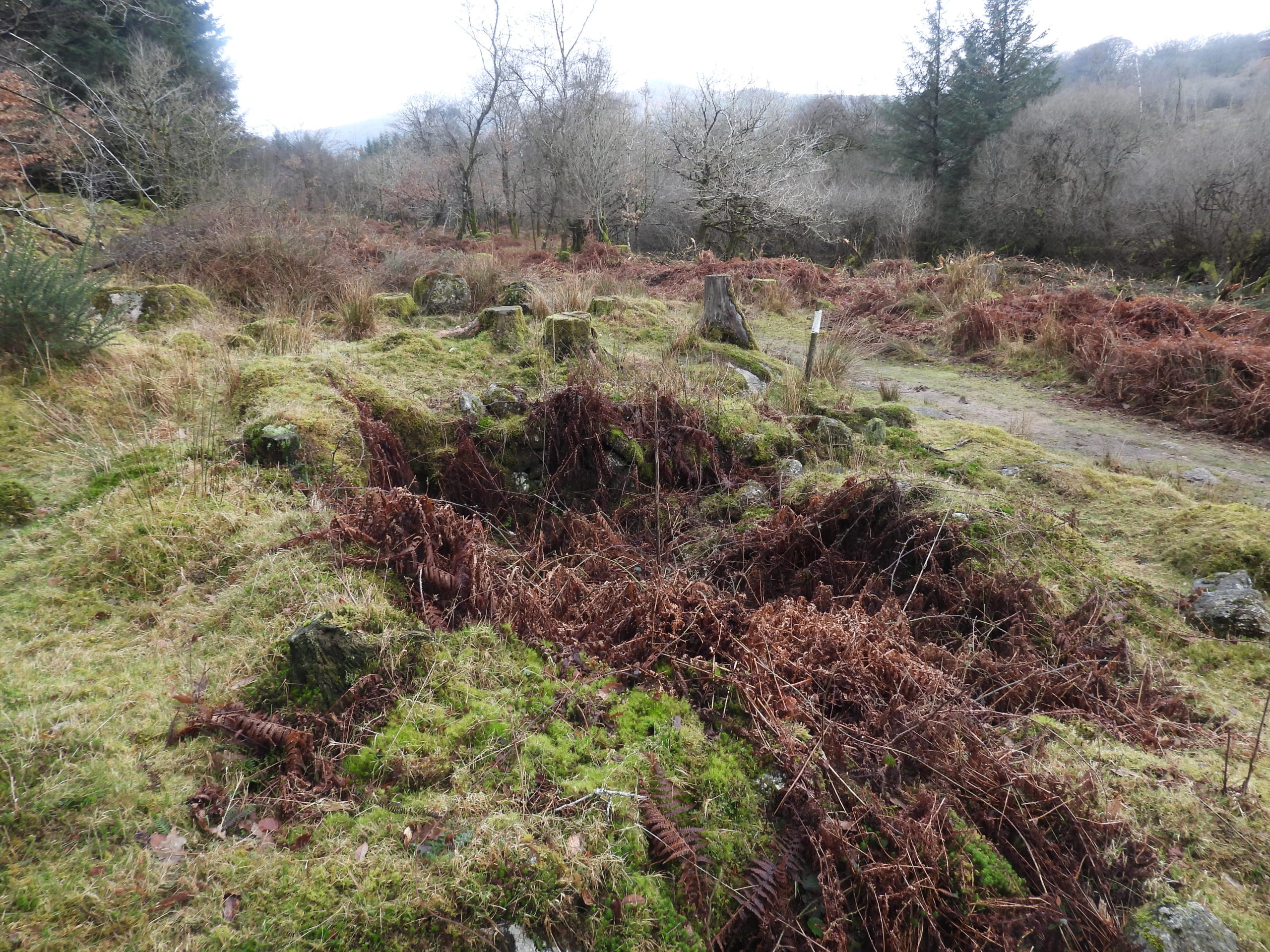
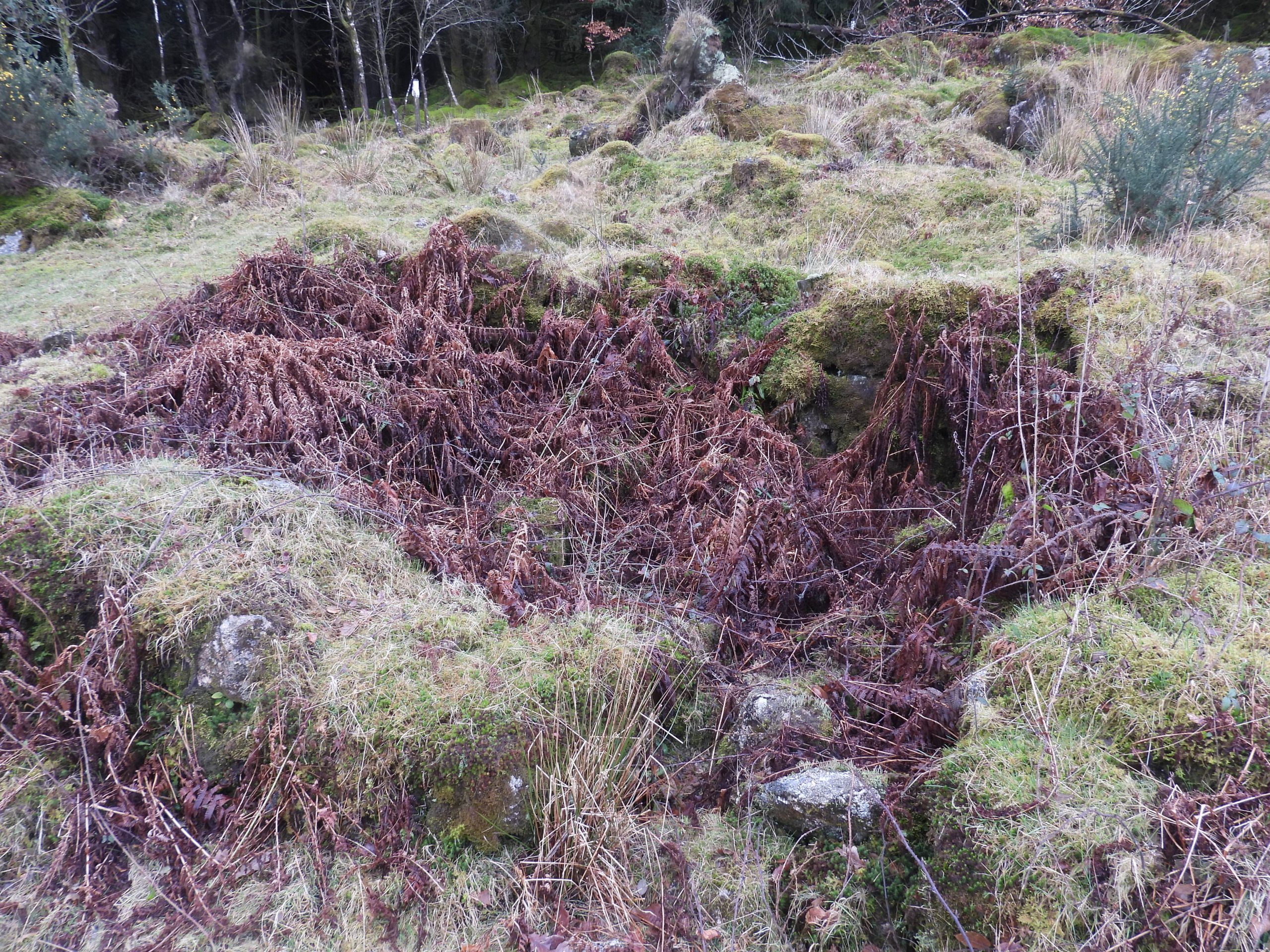
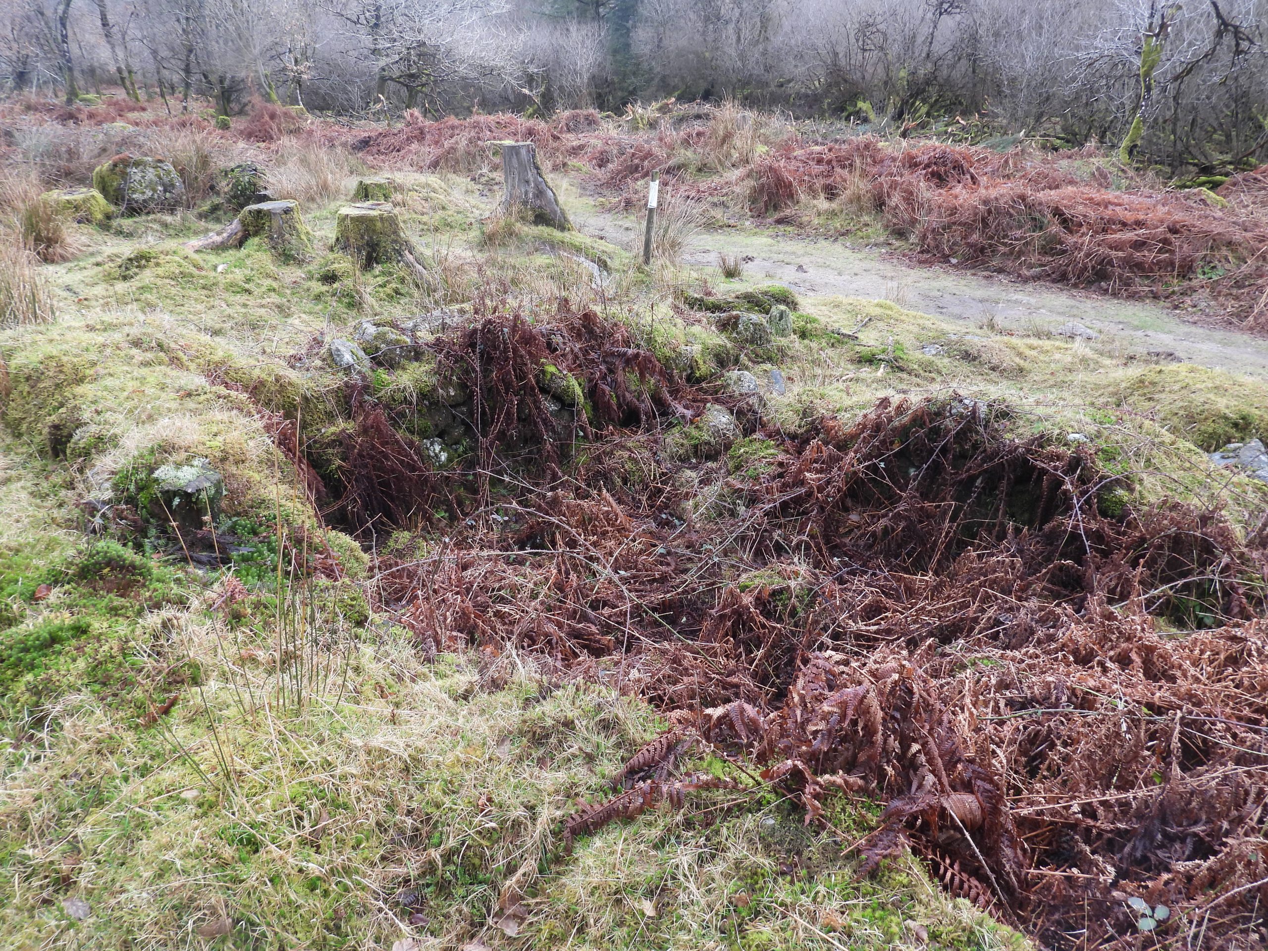
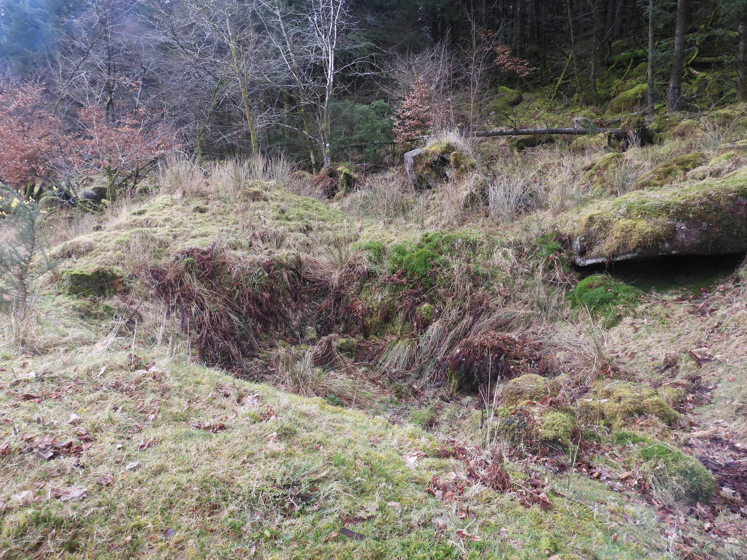
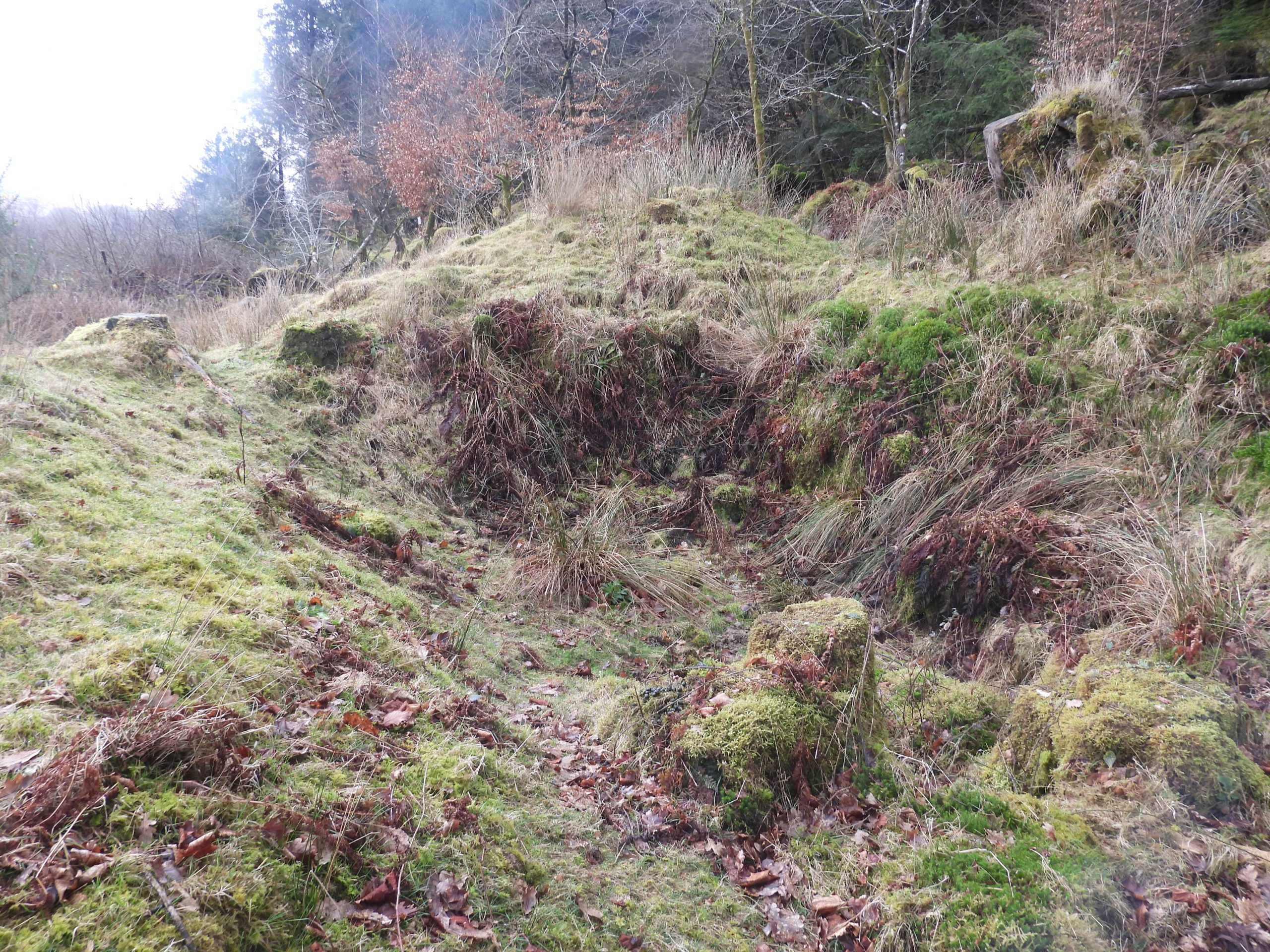
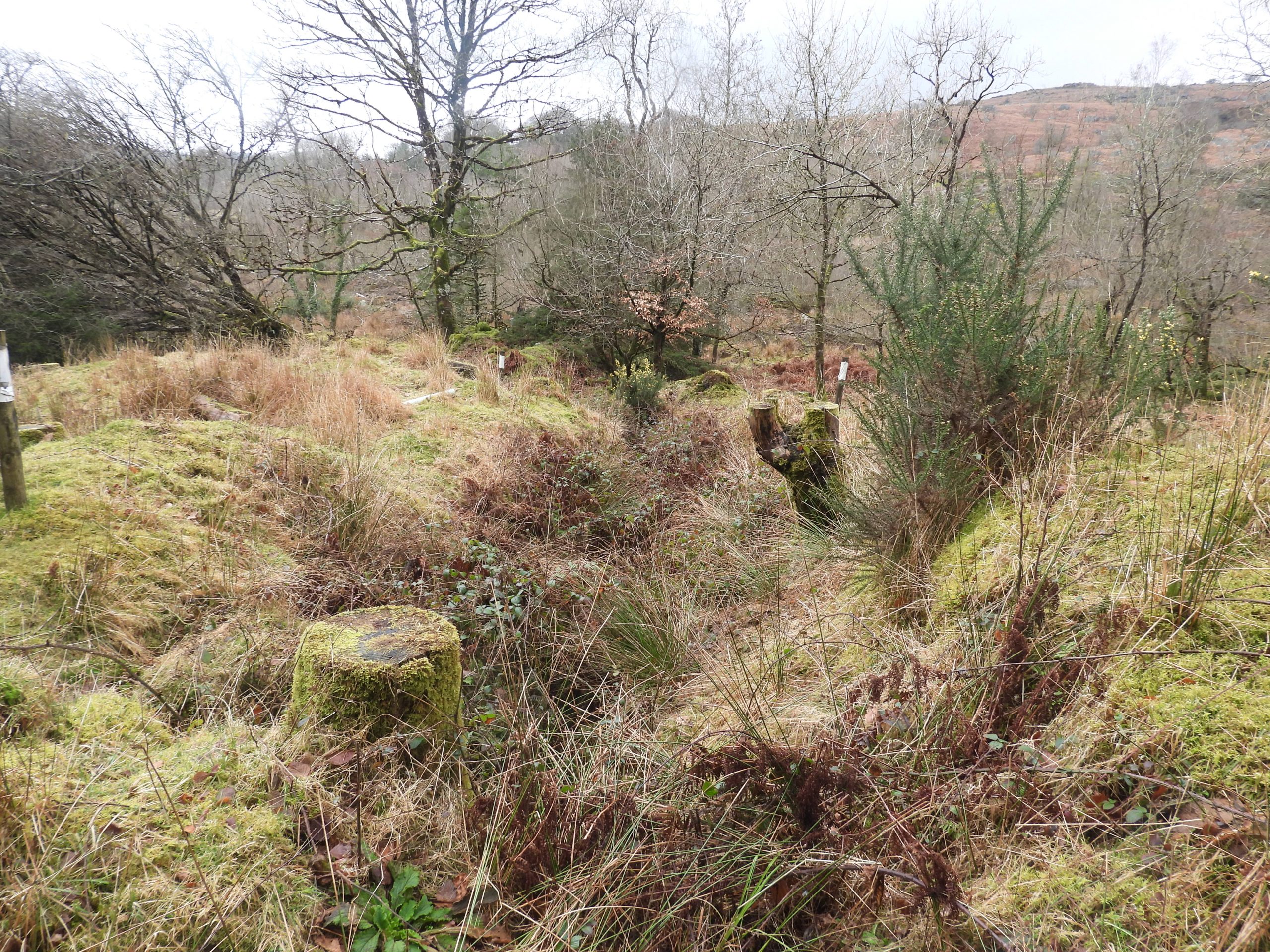
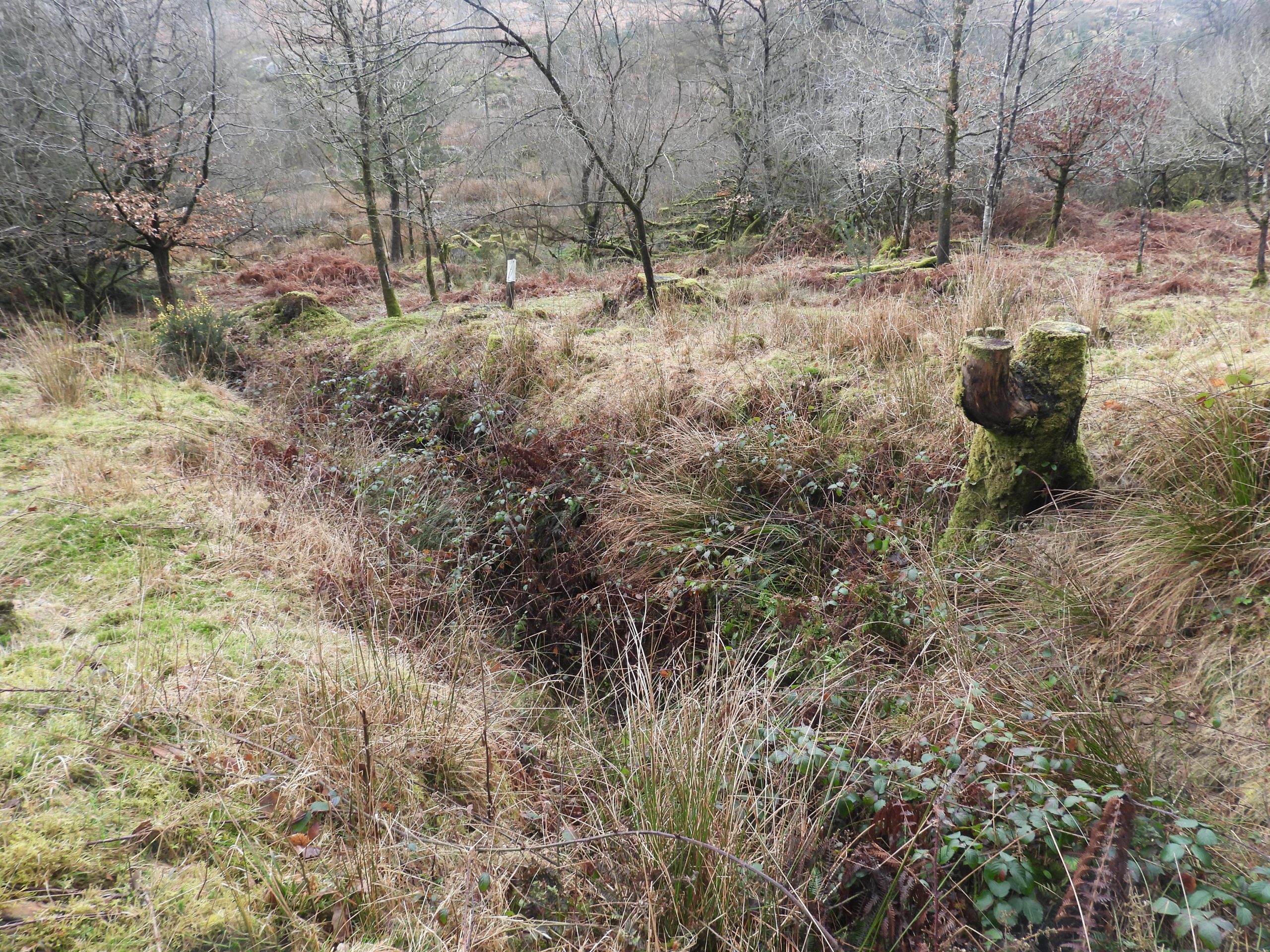
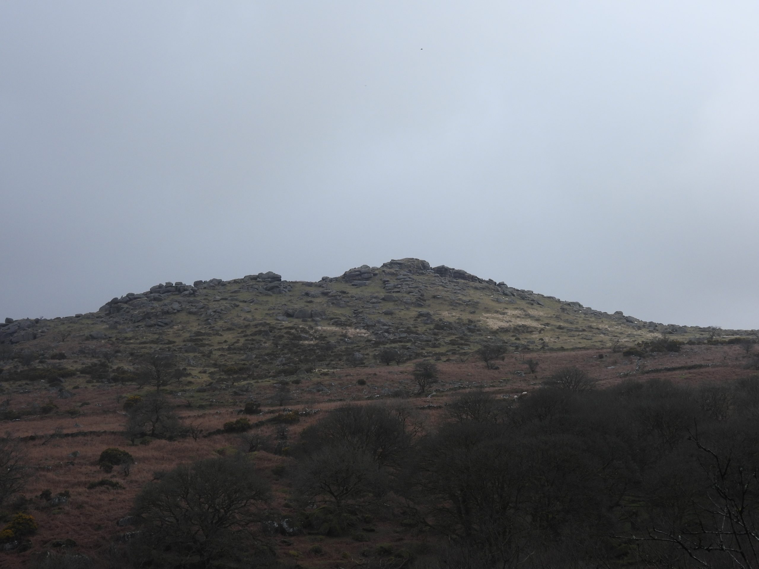
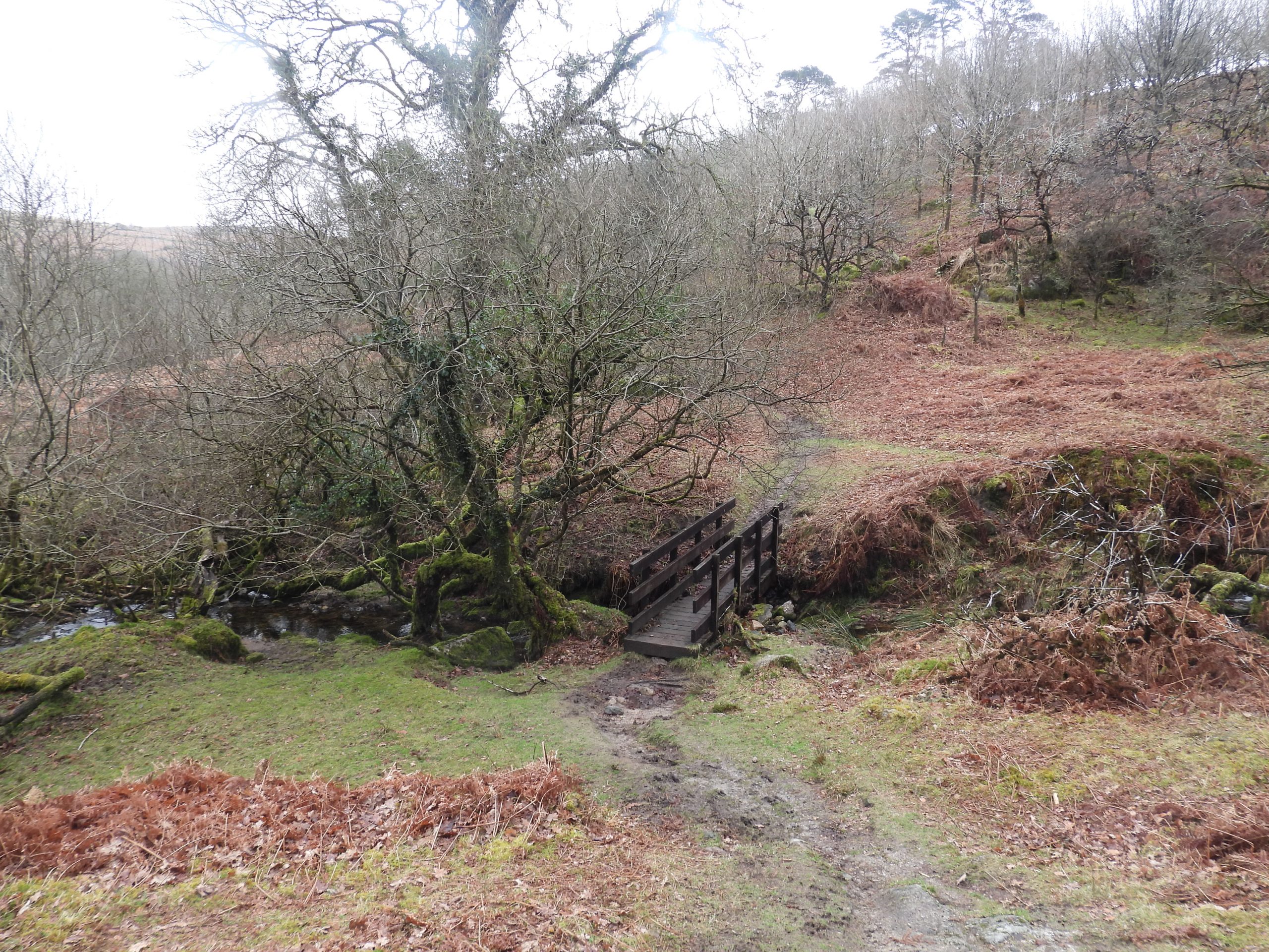
Sketch map of the area covered in this post and the artefacts recorded. Walking from the Arboretum to Roughtor Plantation, the author was aware a local resident was staring in his directionRoughtor Plantation resident close up – magnificent curly hornsClose to the track at the base of the Roughtor Plantation hillside just south of Narrator Brook the first (obvious) adit entrance can be found. This would be of 19th century origin and is one of many which would have been dug into the hillside. This is annotated at Adit 1 on the sketch map.The adit is located at SX57263 68826Inside Adit 1Just up the slope from Adit 1 is a sign indicating the location of : “Mine Adit / (19th Century).Except of the sign there us little else to suggest anything other than a blocked adit here. It is located at SX57272 68796A typical outcrop in Roughtor Plantation. There are a number of outcrops strewn across the hillside, which before the plantation would most likely have been identified as being all part of Rough Tor or Rowter. A large upright in Roughtor PlantationThis white post (next to a foresters track) mark the entrance to the gully of Great Rowter of Great Rough Tor MineThe gully of Great Rough Tor Mine. It is steep and dangerous here, so the author didn’t venture down. That said, there does look like a possible entrance to an underground (adit-like) feature. If this is the case, it is a wonder how this would have been drained.The possible entrance is just beyond the light boulder on the left side of this picture.Great Rowter / Great Rough Tor Mine possible entrance (or is it just a trick of the camera angle which suggests this?). The pictures were taken from near SX57401 68679View of the Great Rowter / Great Rough Tor Mine gully from the west end at SX57379 68677Another local resident of the plantation passing the entrance to the gully of the mine.A little down hill from the mine on another foresters track, this wonderful bracket fungus was found.The bracket fungus is known as ‘Turkey Tail’ – my thanks to Paul Glanville for the identification.Another angle of the bracket fungus.At tbe end of the foresters track below the Great Rowter / Great Rough Tor mine gully is another adit entrance, which is marked as Adit 3 on the sketch map.Adit 3 is ungated. That said, it is quite hidden and is unlikely to be visited by many as it is on a steep slope.Adit 3 is located at SX57394 68727Adit 3 goes in quite a distance and has an atmospheric sound of dripping water.The entrance to Adit 3 from above giving a context of how well hidden it is.Fallen tree across the openworksHeading back down to the track near Narrator Brook, a wide gully (marked by white topped posts) is encountered and is possibly an original tinners’ openworks.More views of the tinners’ gully. The gully is centred around SX57494 68693Is this tree being monitored or is it destined for the chop ?Immediately after the Tinners’ Openworks, just a few 10’s of metres away and next to the track are the remains of a building.This building is marked by a white topped post and is located at SX57507 68747The entry in the Dartmoor HER (Historic Environment Record) was recorded by Tom Greeves in 1977. He recorded it as follows: “Measures 4.9 metres by 3.2 metres (internally). Probably connected with the 19th century alliance mining association, and/or Great Roughtor Mine. A leat passes behind the building, and there is a possible leat embankment and wheelpit. The structure could therefore possibly be a mill site of 16th or 17th century”.The features of this possible Tinners’ Mill are difficult to discern From the possible Tinners’ Mill, along to track (west) is a possible shaft, albeit not recorded on the Dartmoor HER.The possible shaft is at SX57468 68748Close by the possible shaft, the authors attention was drawn to this gully marked by white topped posts. The posts clearly there to mark the feature.The gully looks too long to have been a wheelpit and the author conjectures that it is the run off from an adit. It is located at SX57413 68777Zoomed in view of Down Tor from the track next to Narrator BrookAt the east end of the track by Narrator, this bridge can be found and can lead the explorer onto another Tinners’ Mill and mine at Outholme. Details can be found here: https://dartmoorexplorations.co.uk/outholme-tin-stamping-mill-mine-adit-tinners-openwork-and-farmstead/