A collection of walks, discoveries, insights and pictures of exploring Dartmoor National Park
July 8, 2023
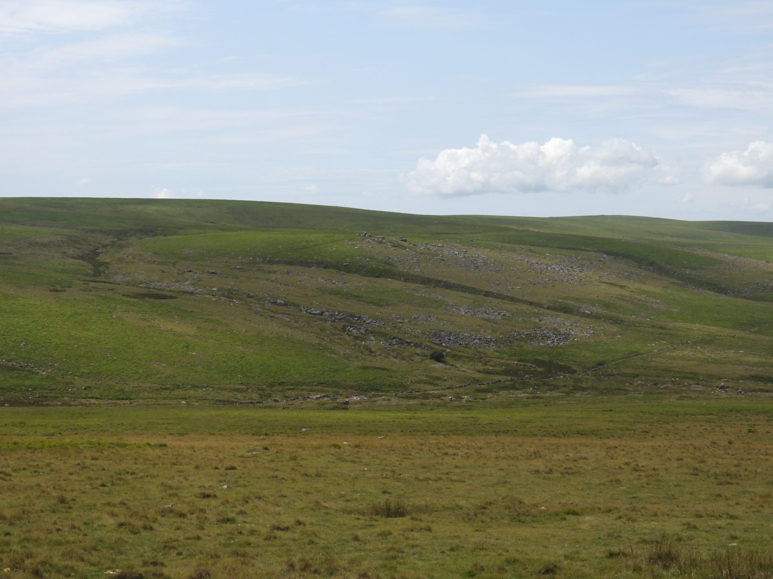
Tinner’s Workings in Fox Tor area – Fox Tor Girt, T Girt, Sunshine Valley, Swincombe Valley and Cater’s Beam
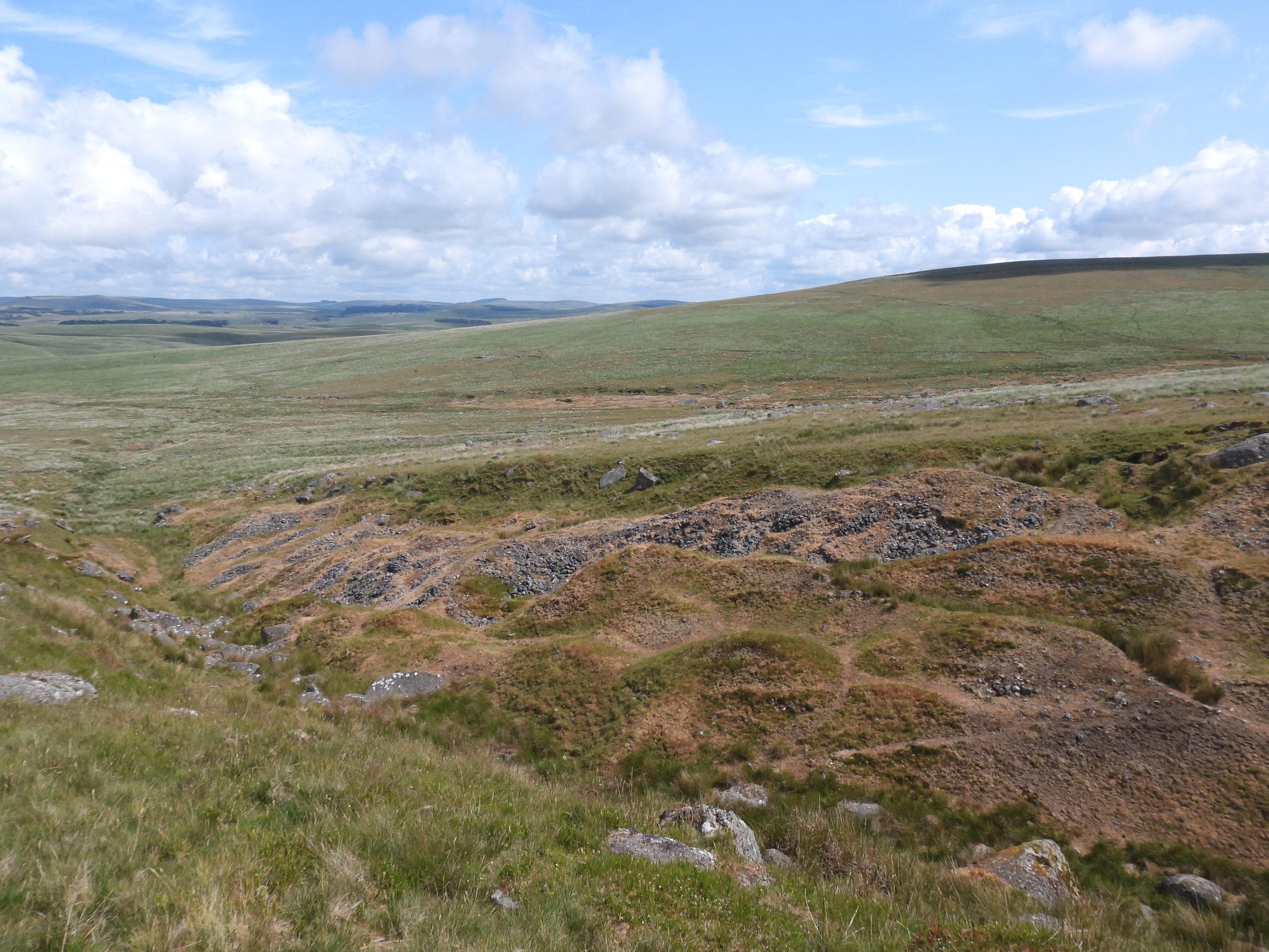
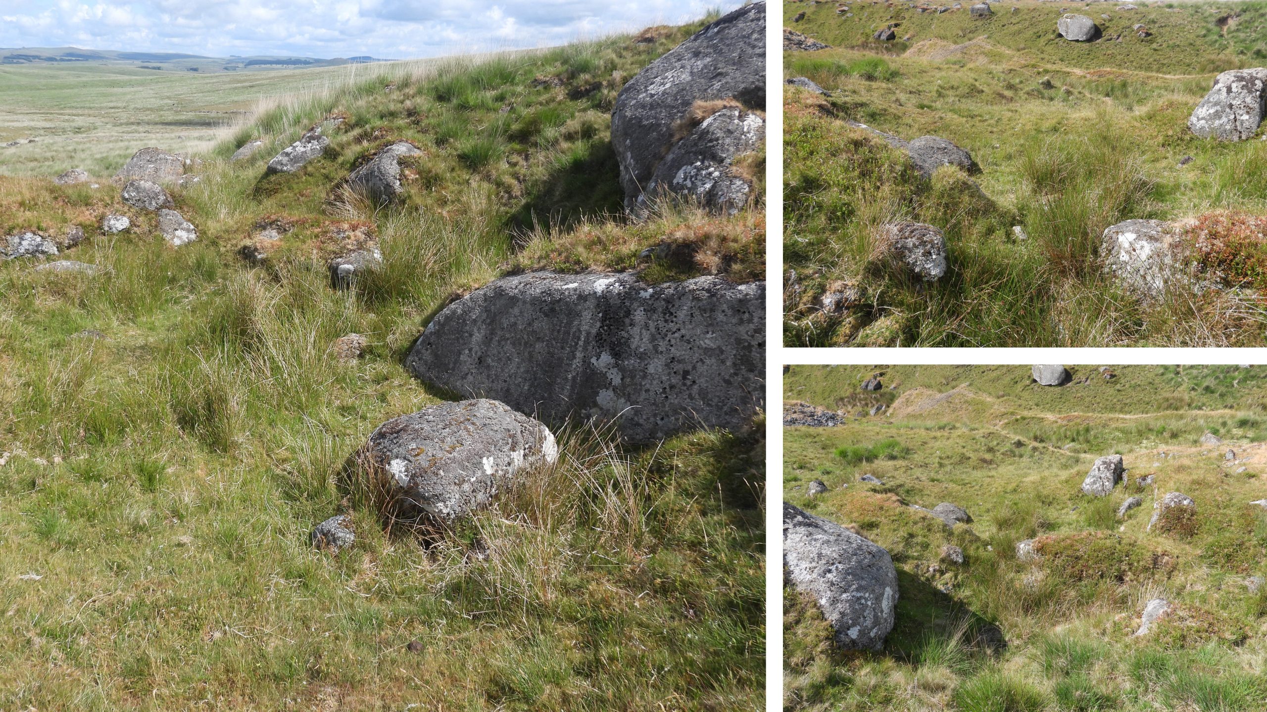
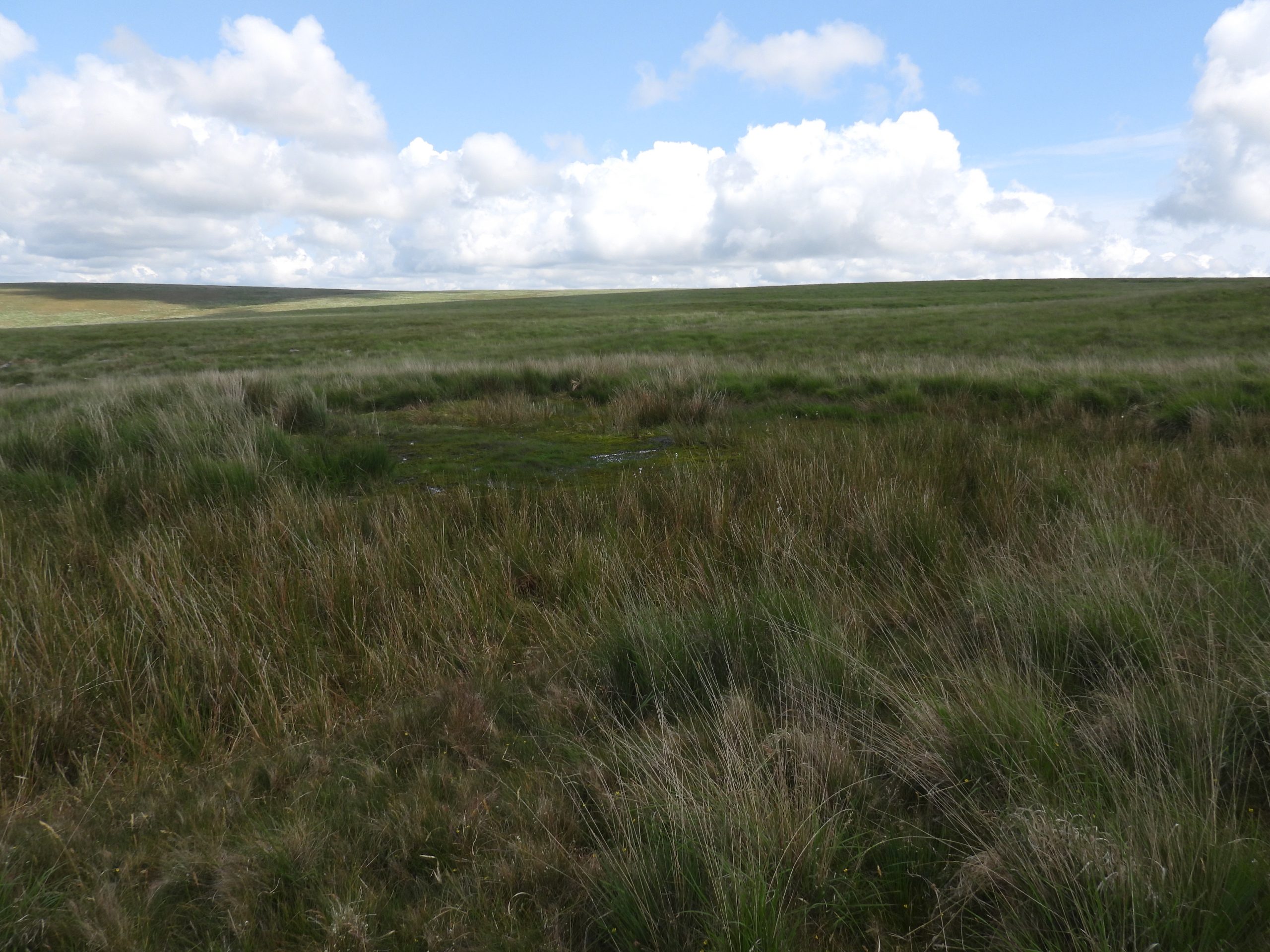
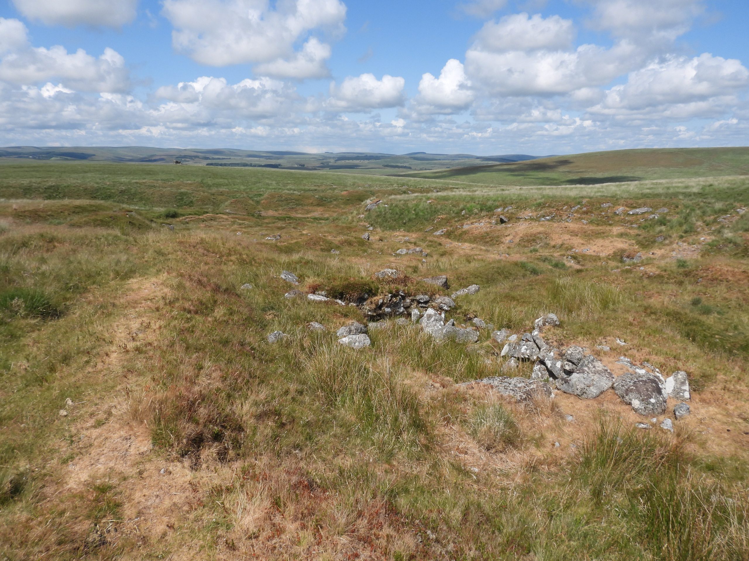
The surrounding area to Fox Tor and Rabbits Tor contains significant Medieval and later streamworks and openworks from the Tinner’s of that period. The area covers approximately 25 hectare extending south from Fox Tor Mires along the courses of River Swincombe , T Girt Stream, Fox Tor Stream and Sunshine Valley. This post covers the area, which has a surprising large concentration of Tinner’s Huts (7), plus a Beehive Hut and a possible Shepherd’s Hut
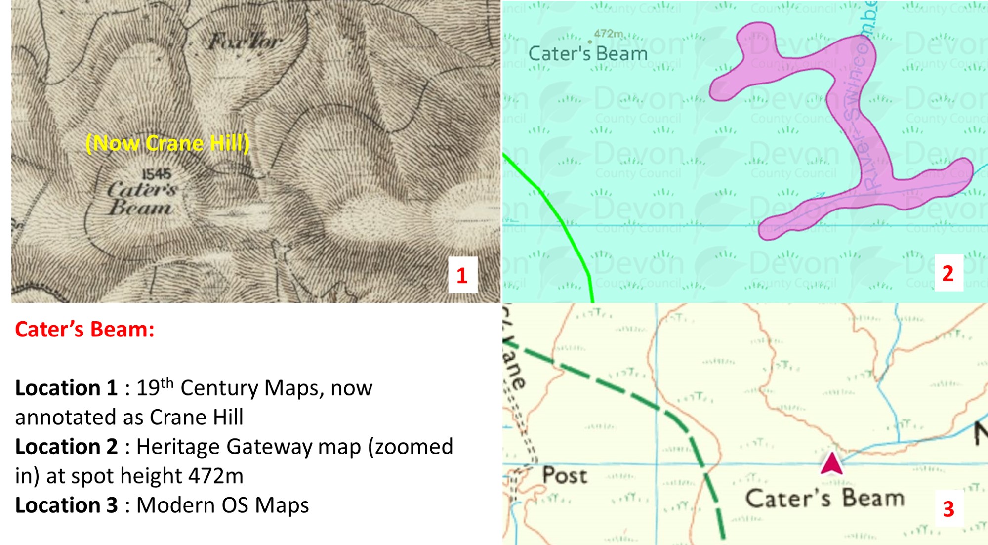
Also considered in this post is what the author calls “Cater’s Beam – the conundrum”. Over the years this location on maps has been at Crane Hill (19th century), been mistaken for the railway sleeper at Blacklane and assigned as the rather non descript spot height on a very flat topped piece of land, close by the label on the modern OS map. The author has always been sceptical of these assignments to the name. Very close to where ‘Cater’s Beam’ is annotated on the modern OS Map are some tinner’s workings, which possibly could relate to the name ?
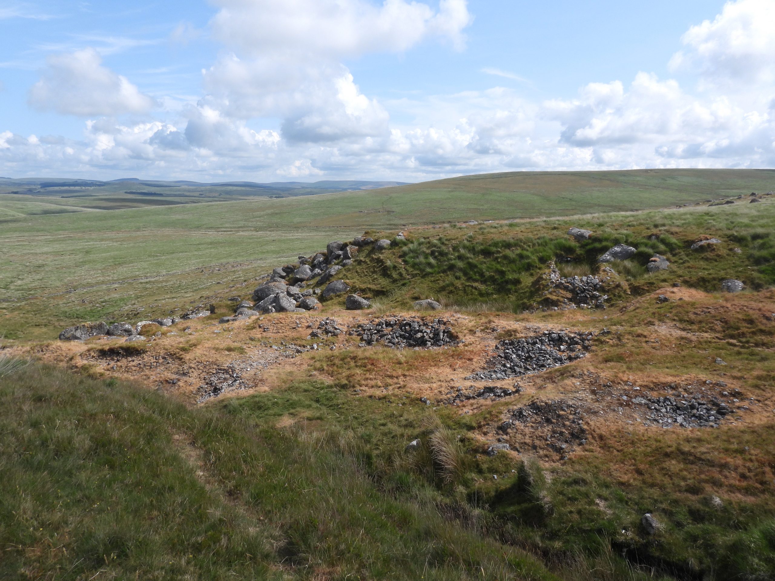
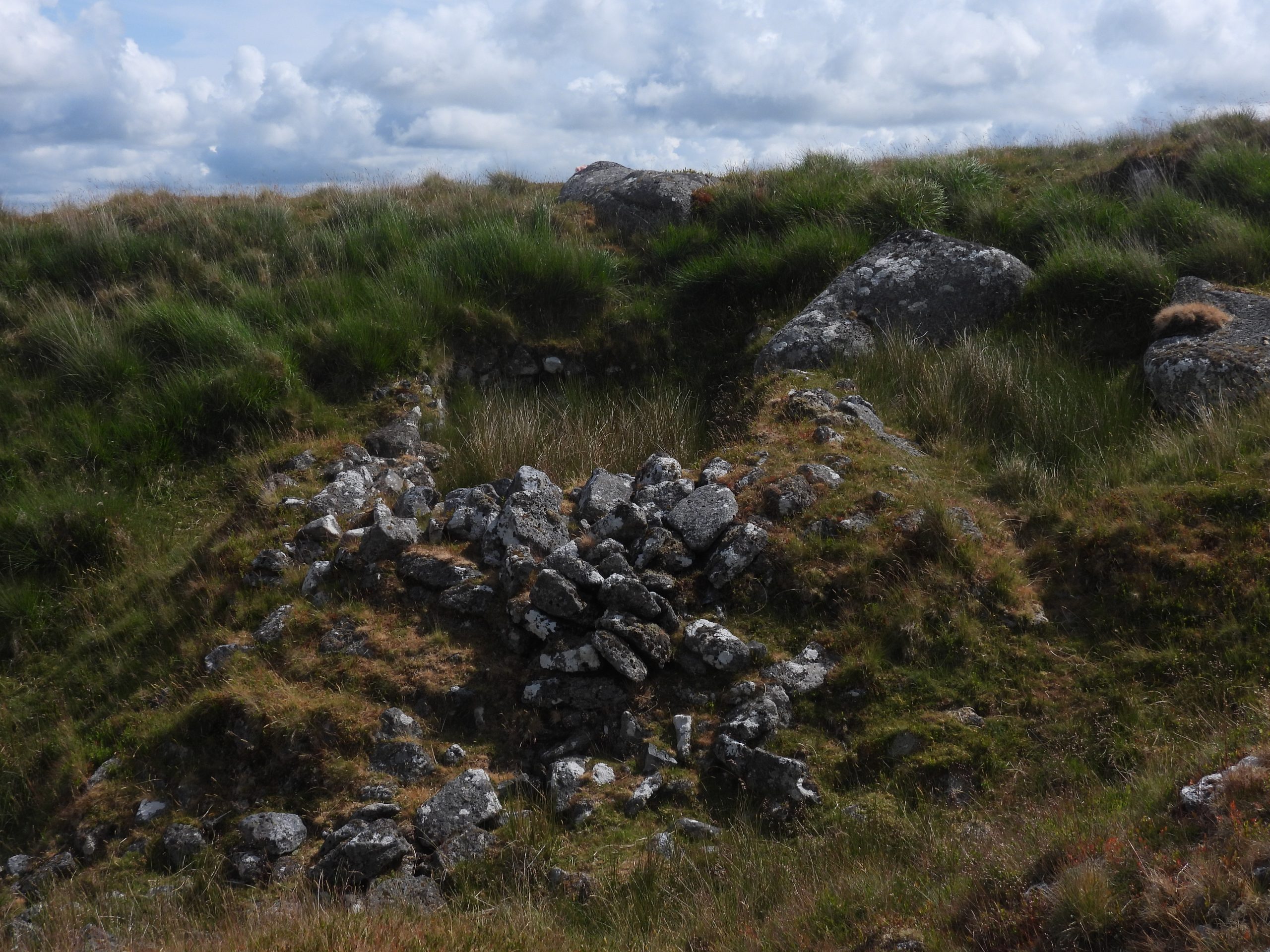
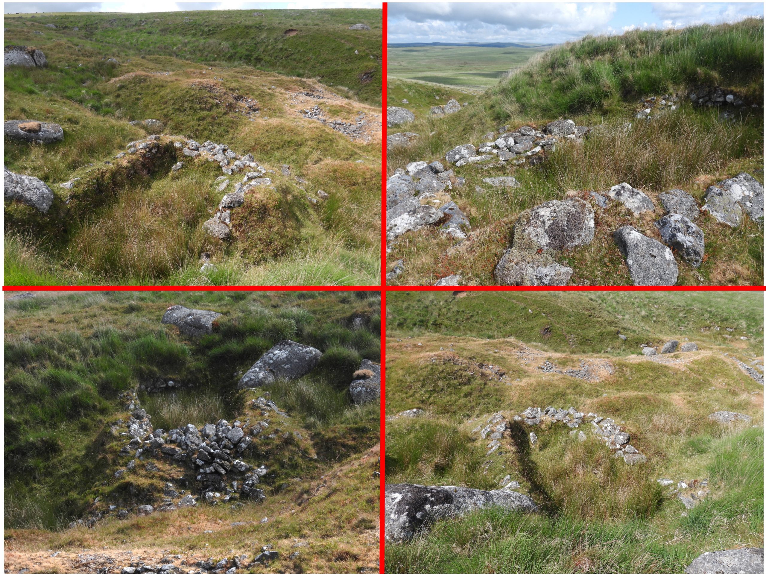
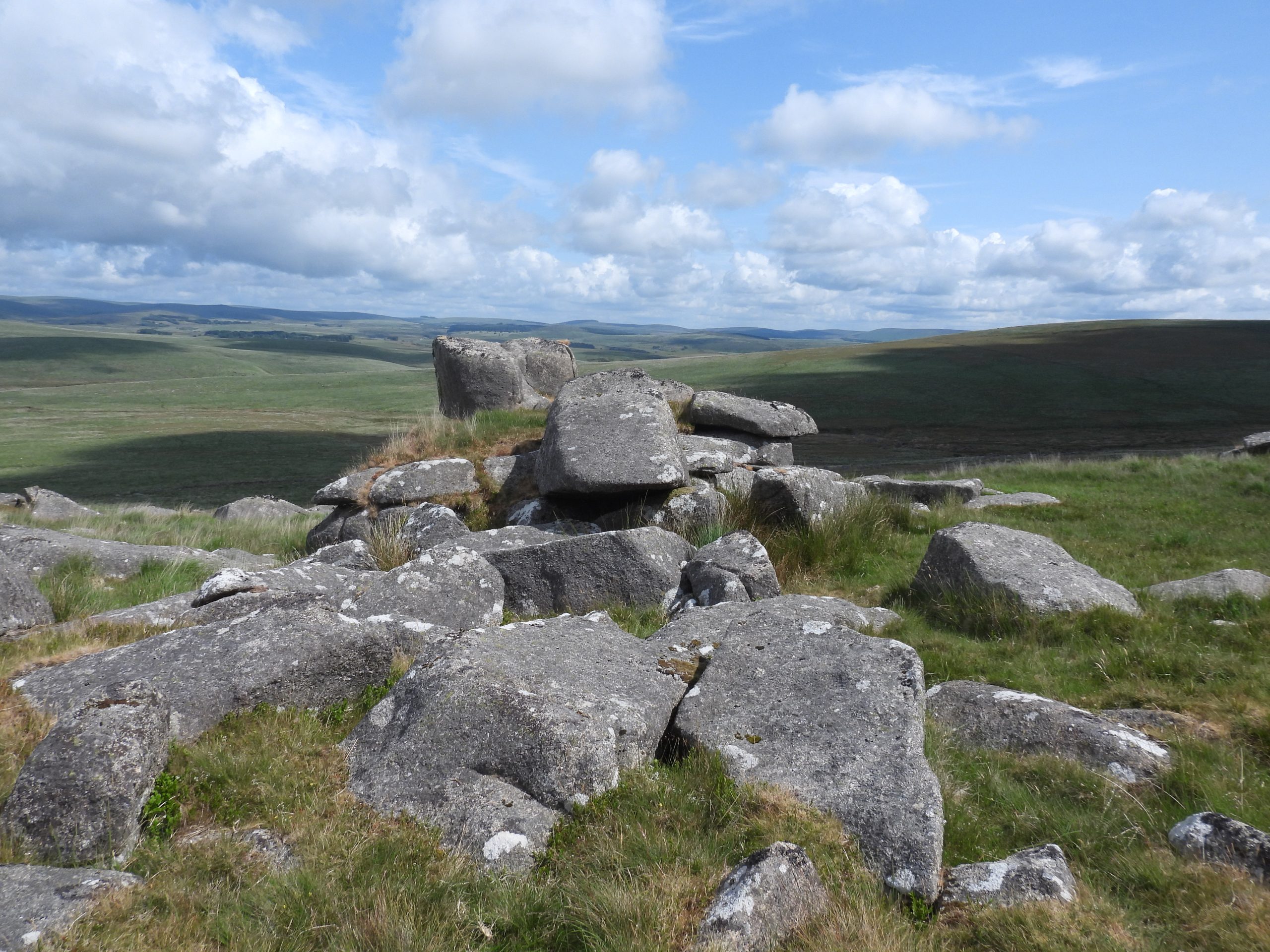
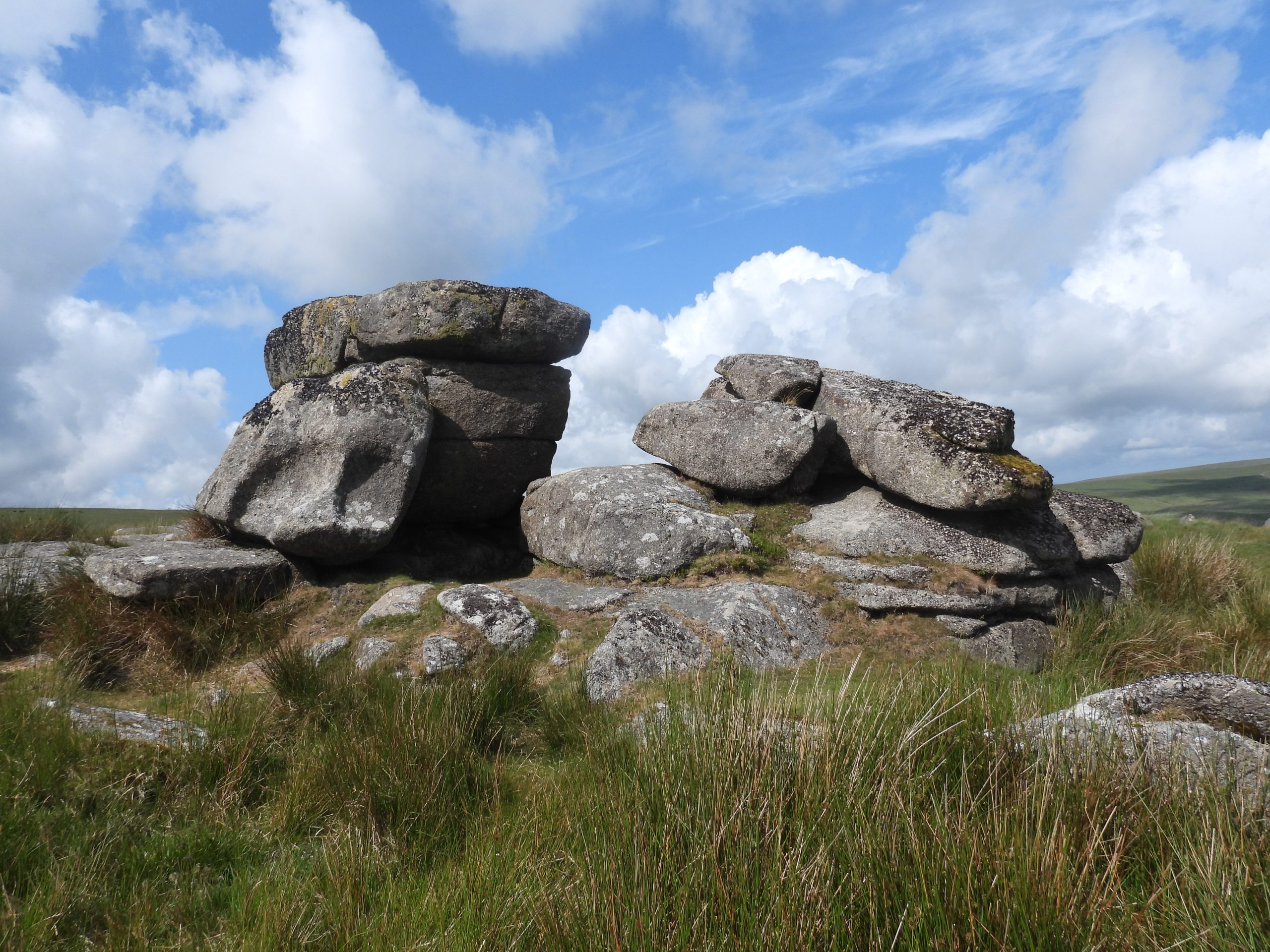
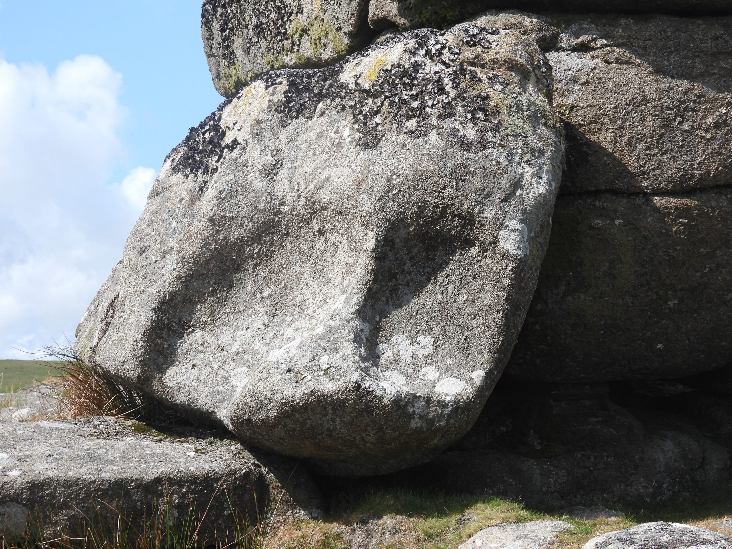
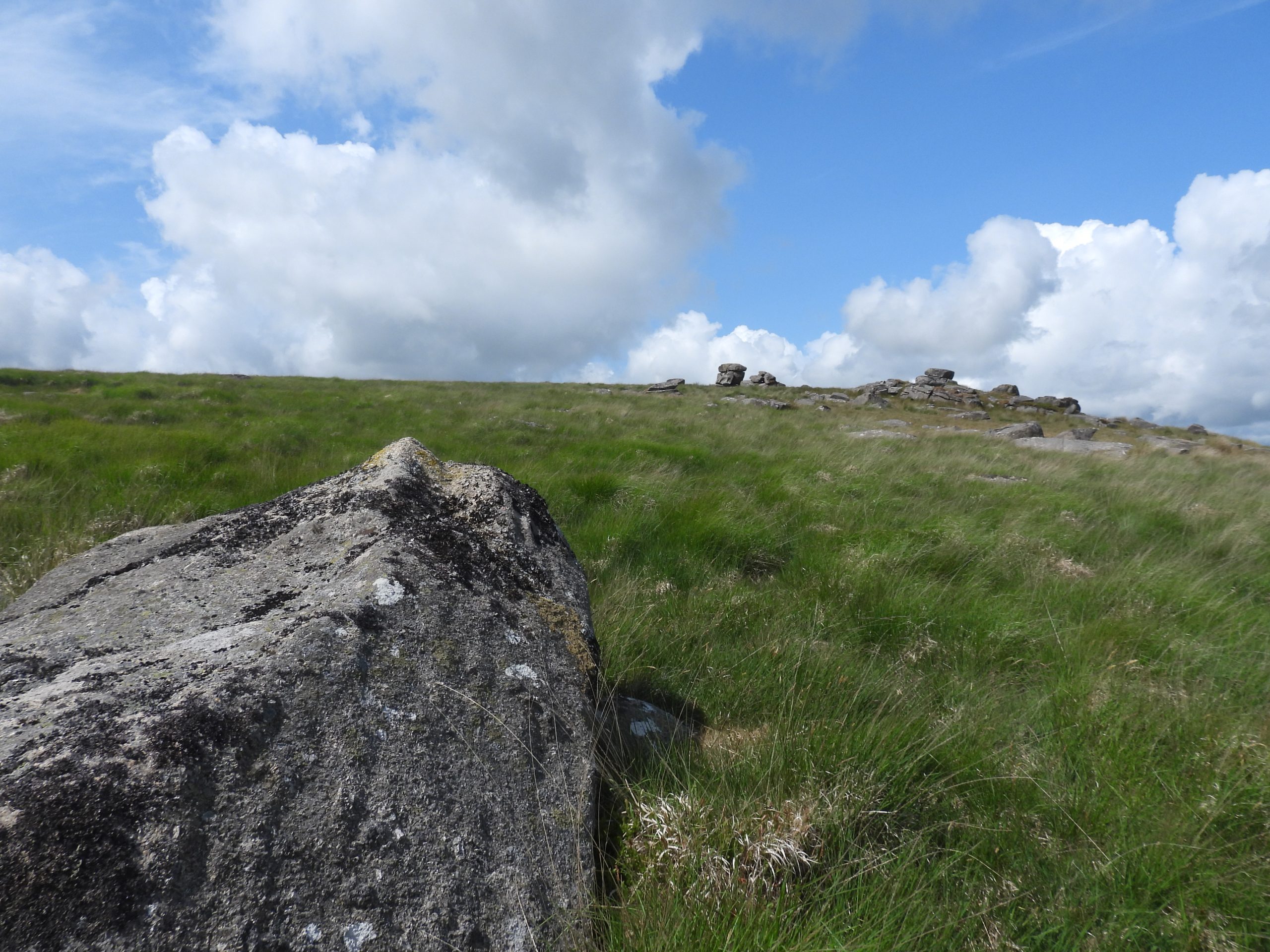
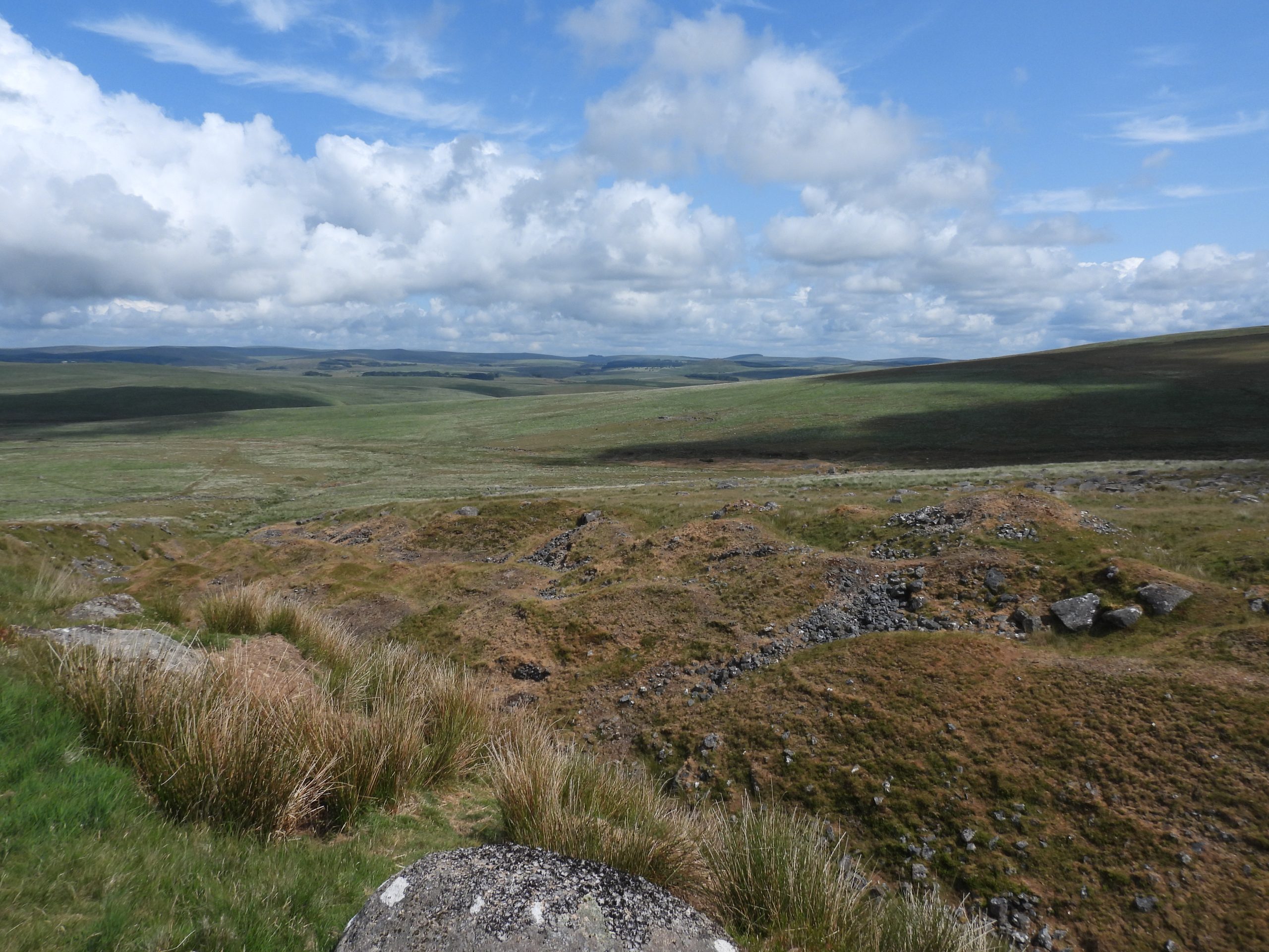
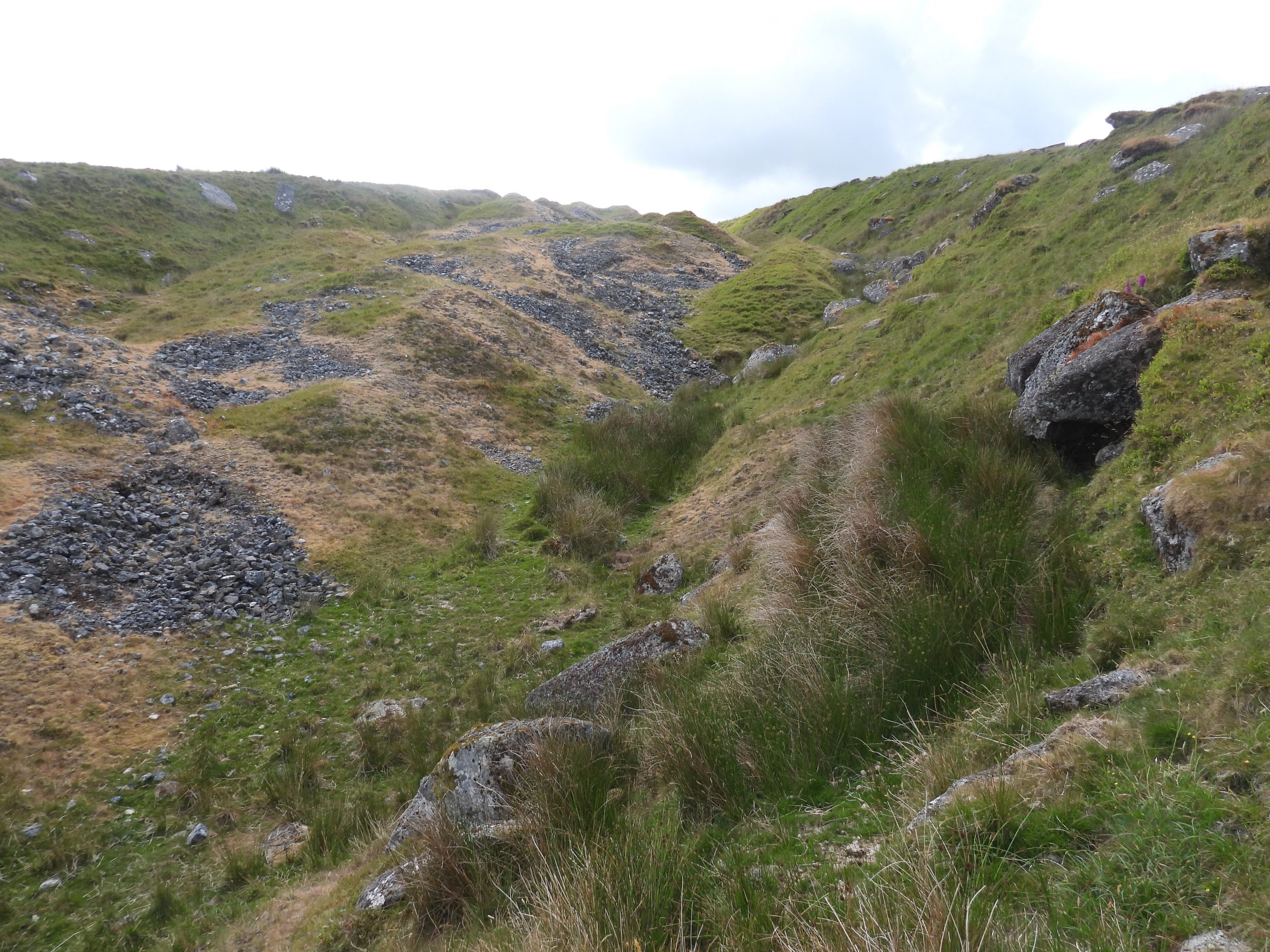
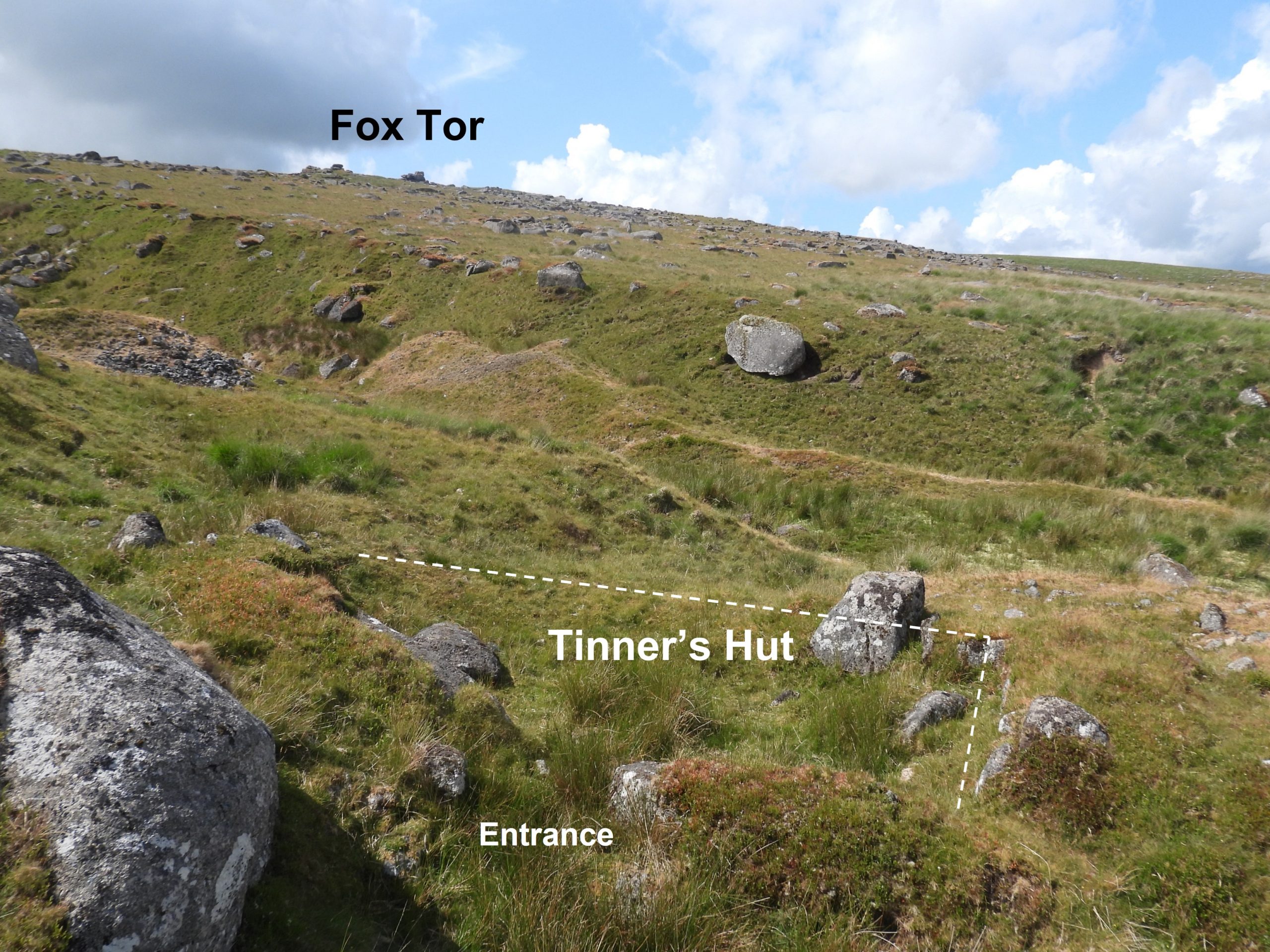
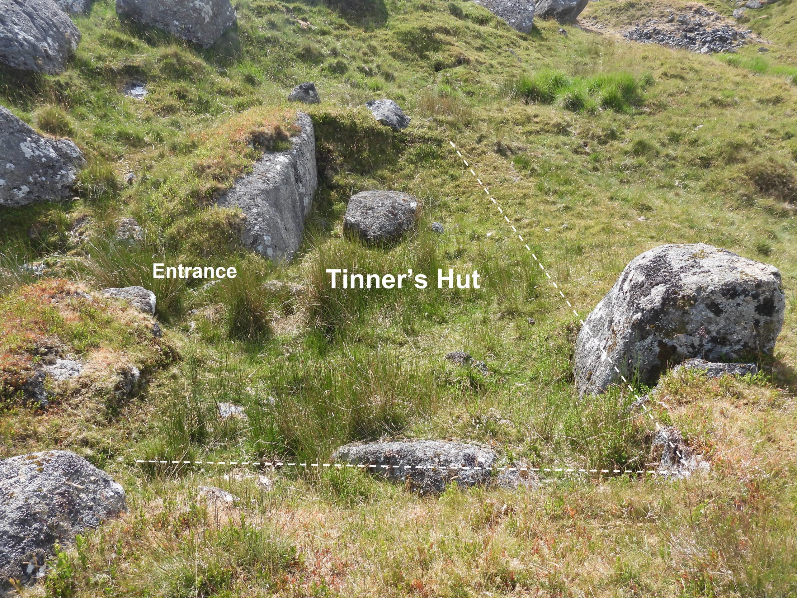
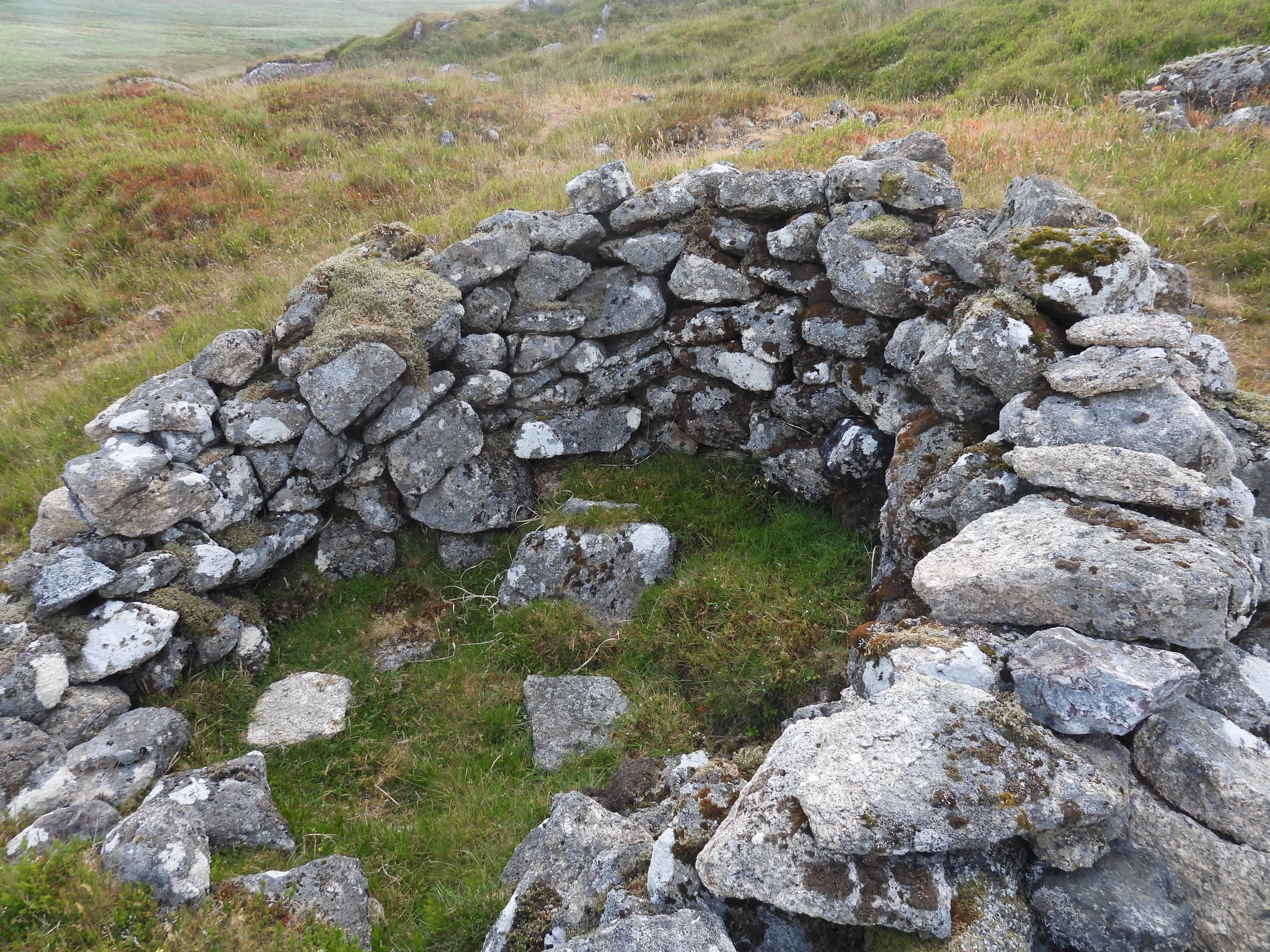
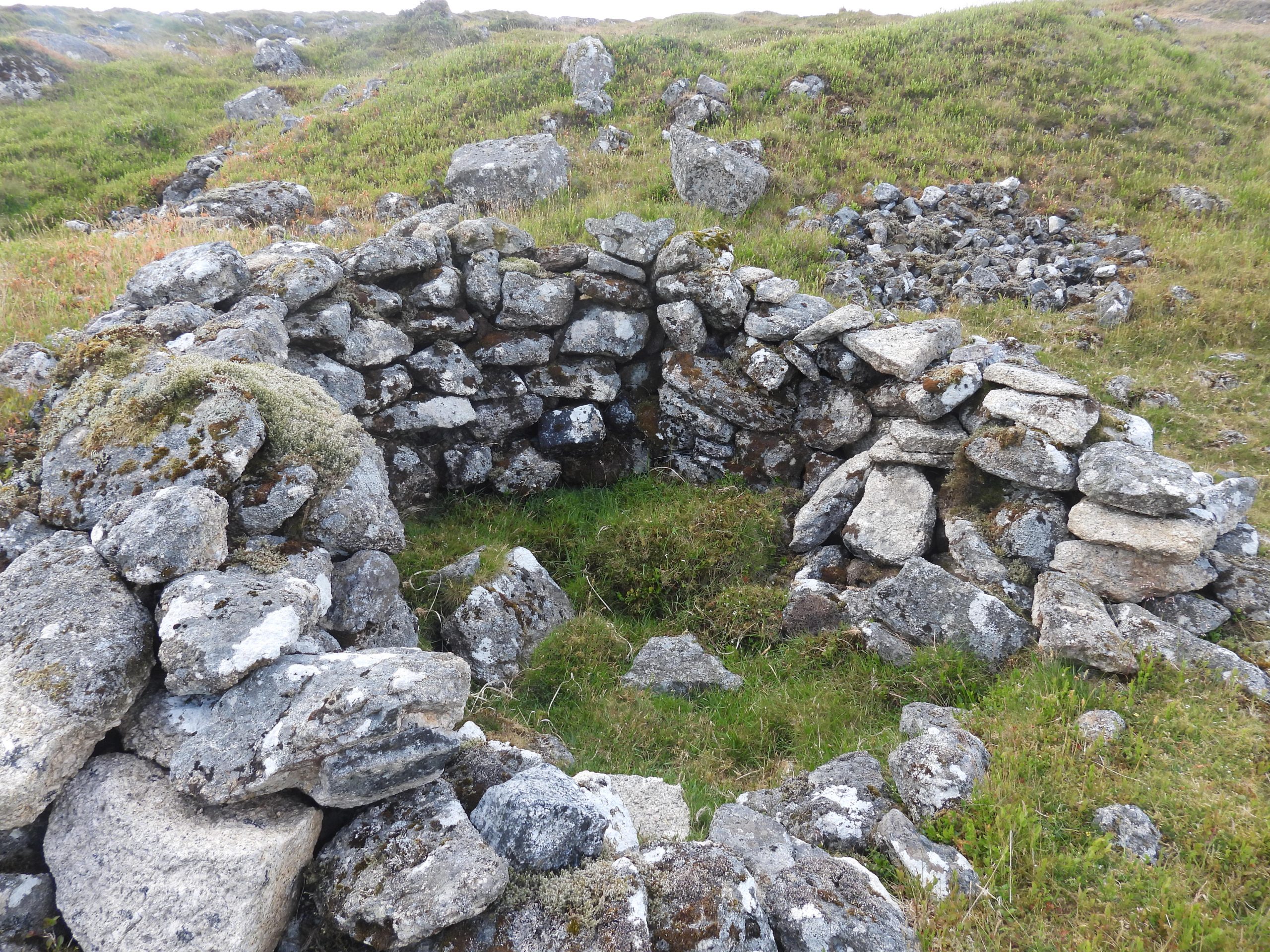
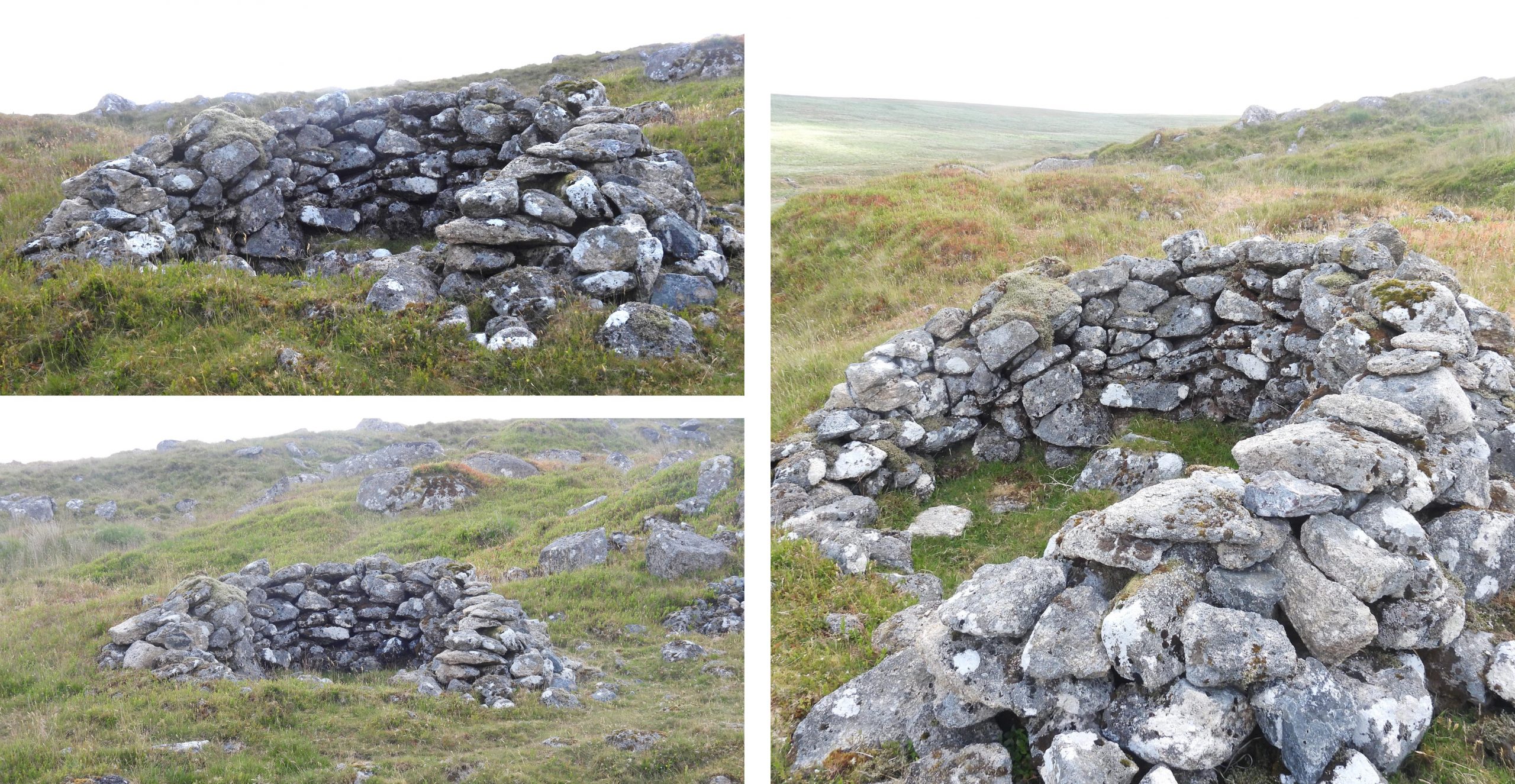
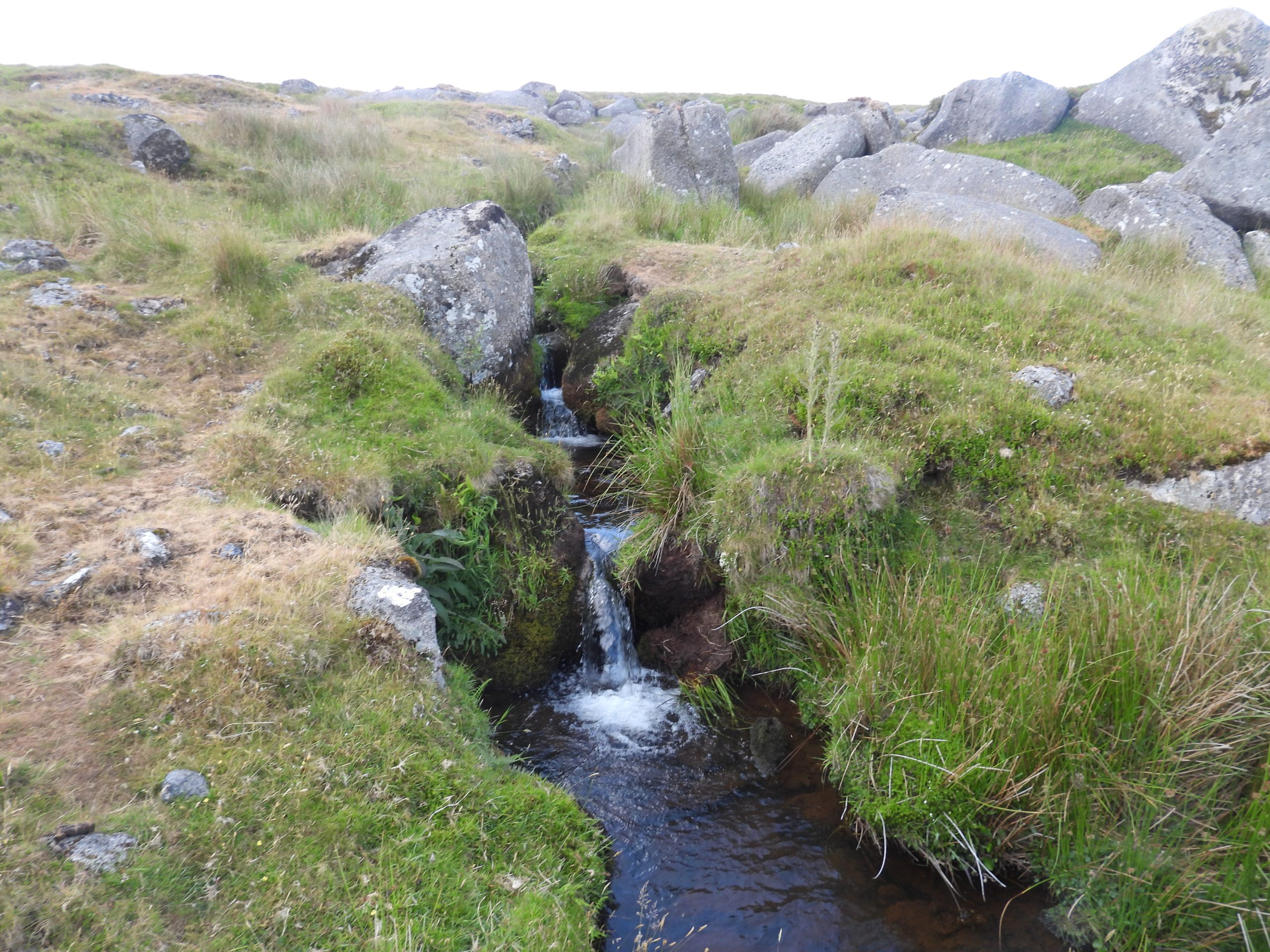
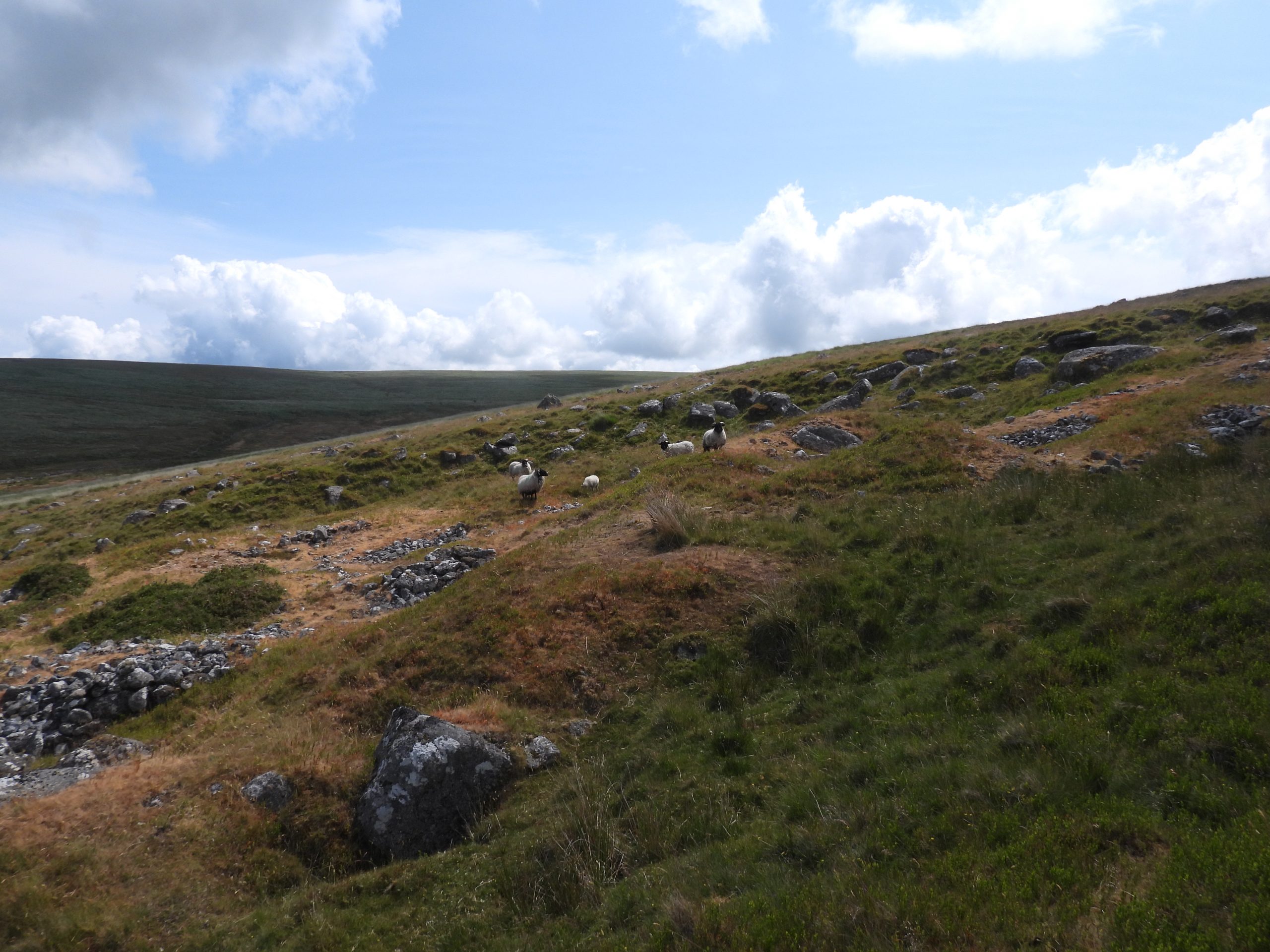
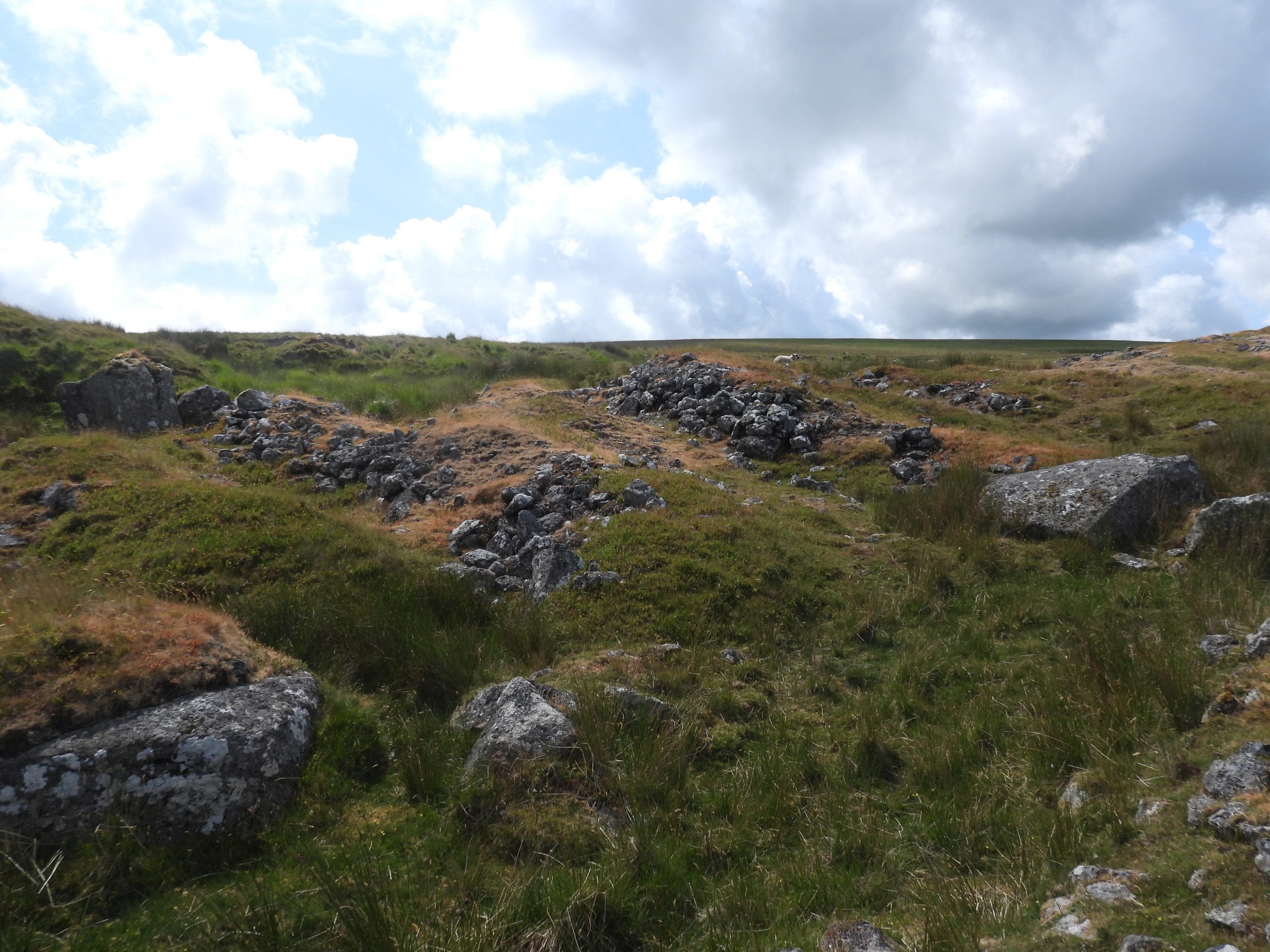
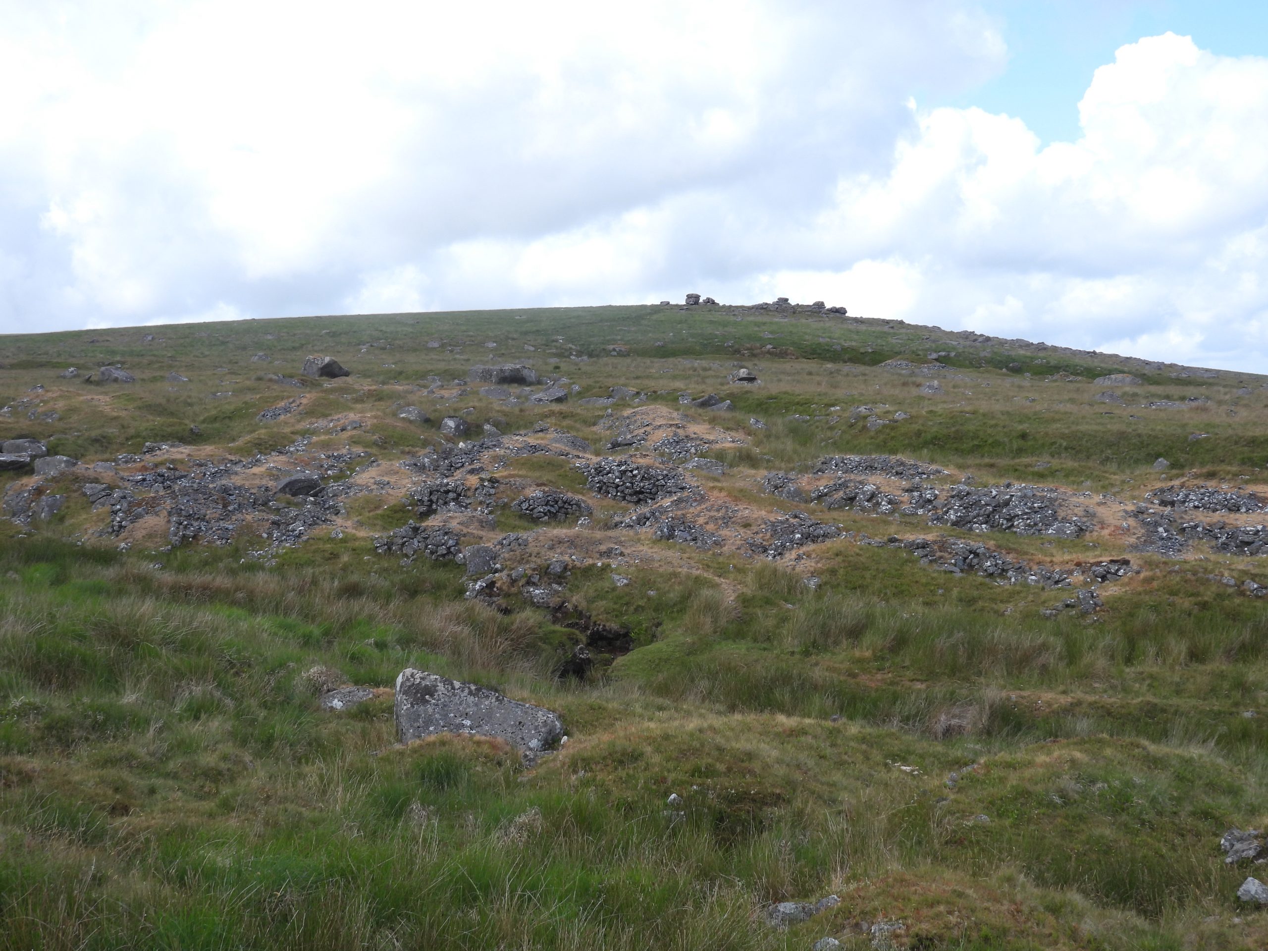
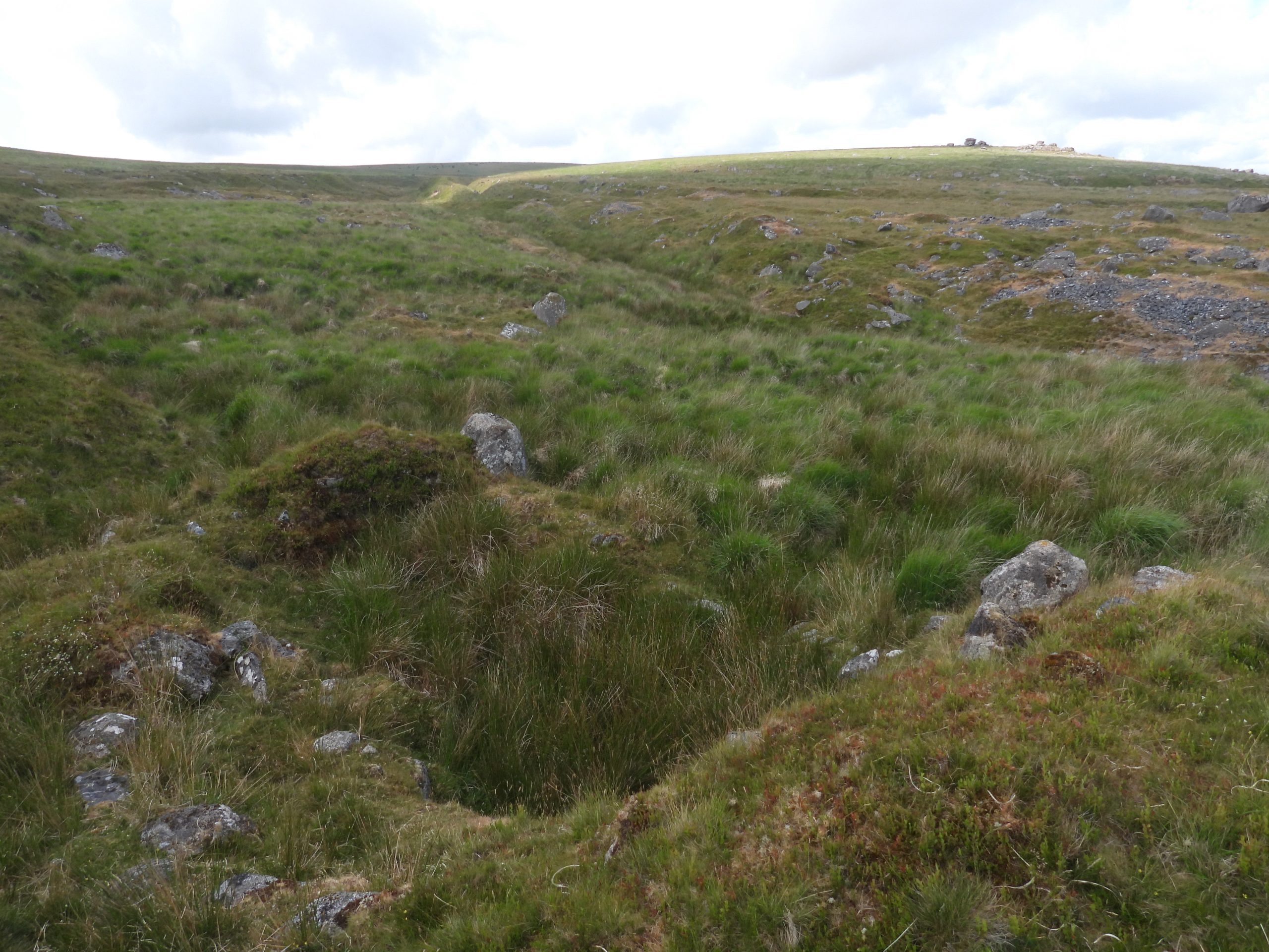
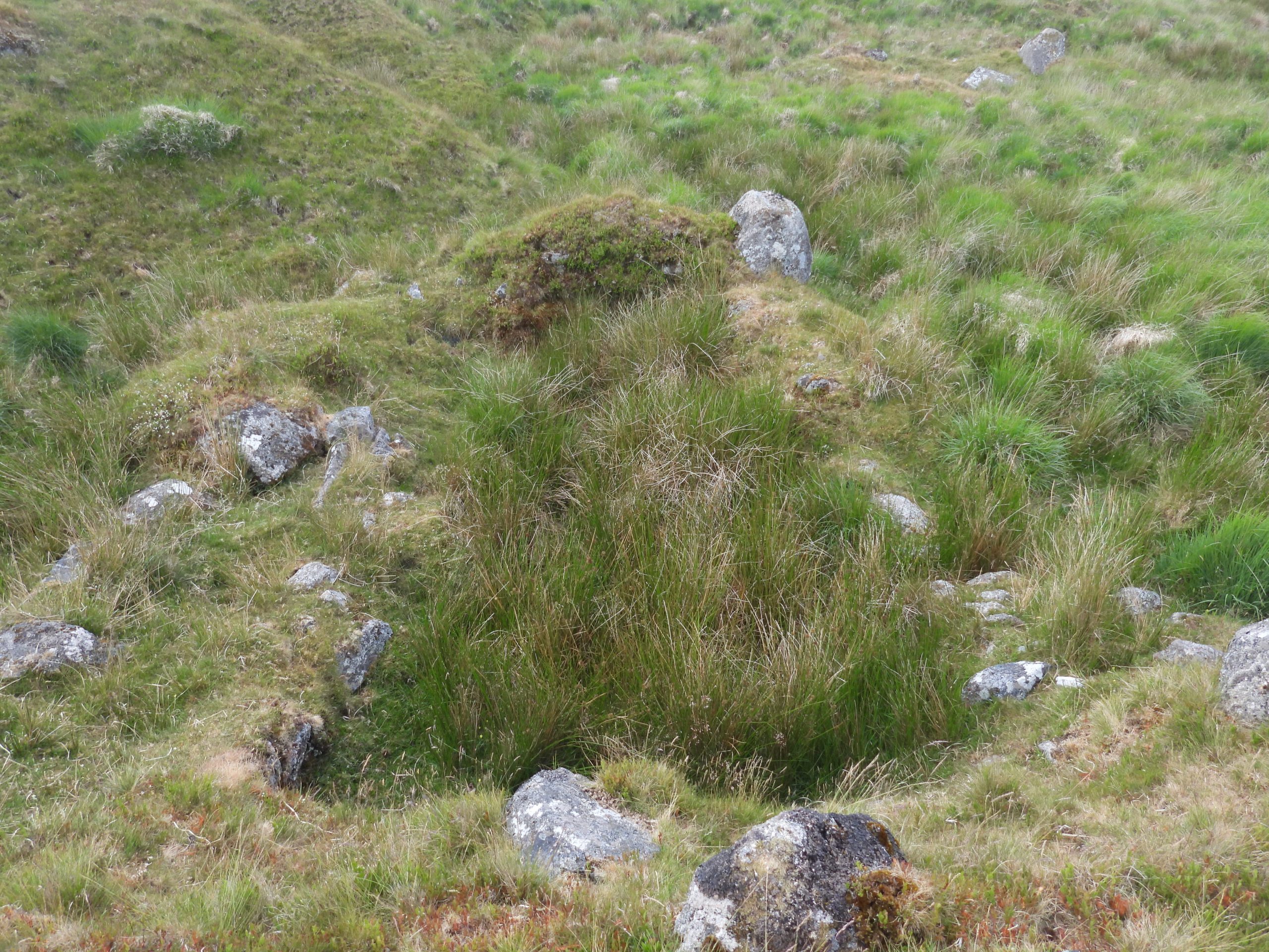
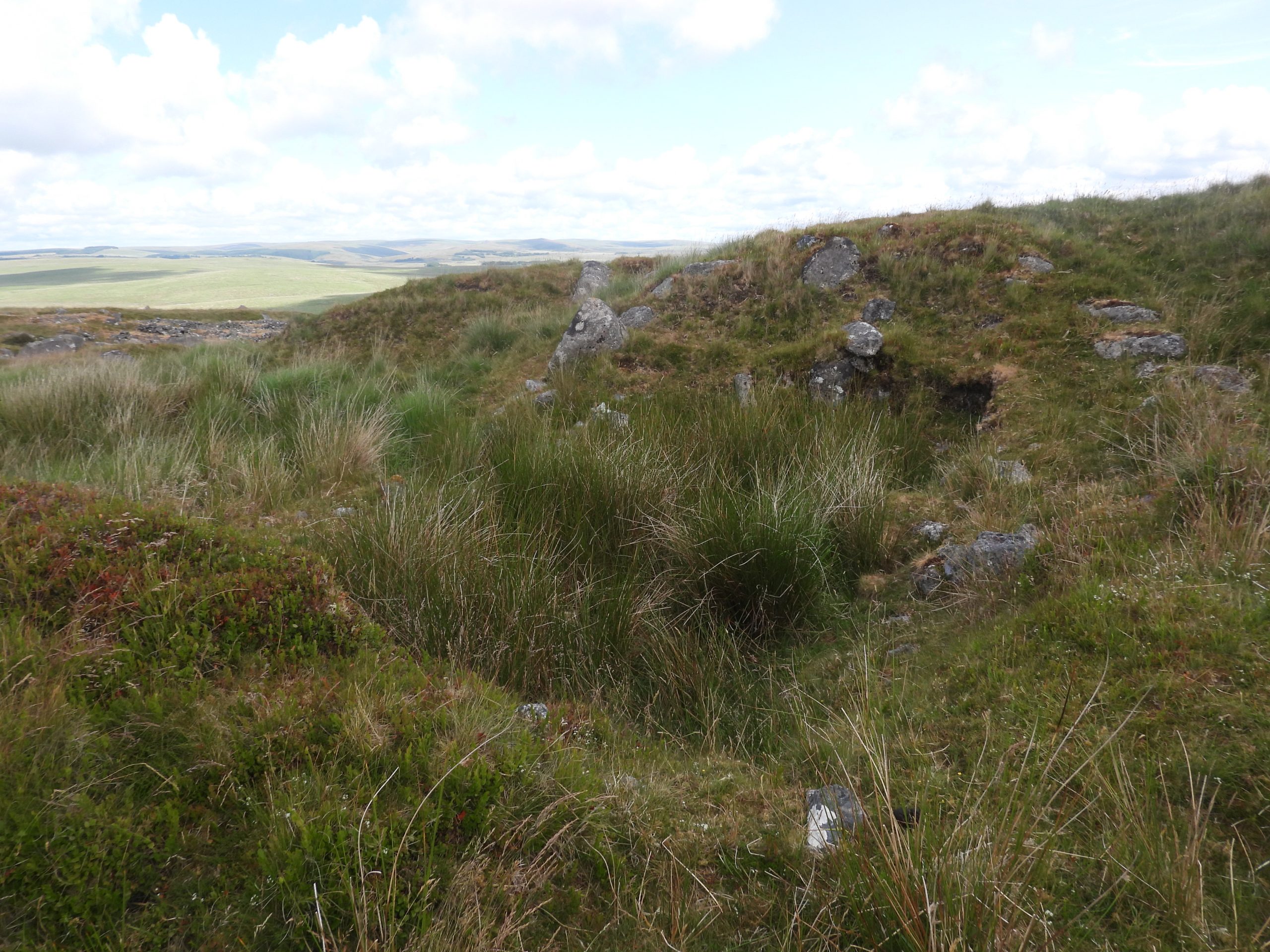
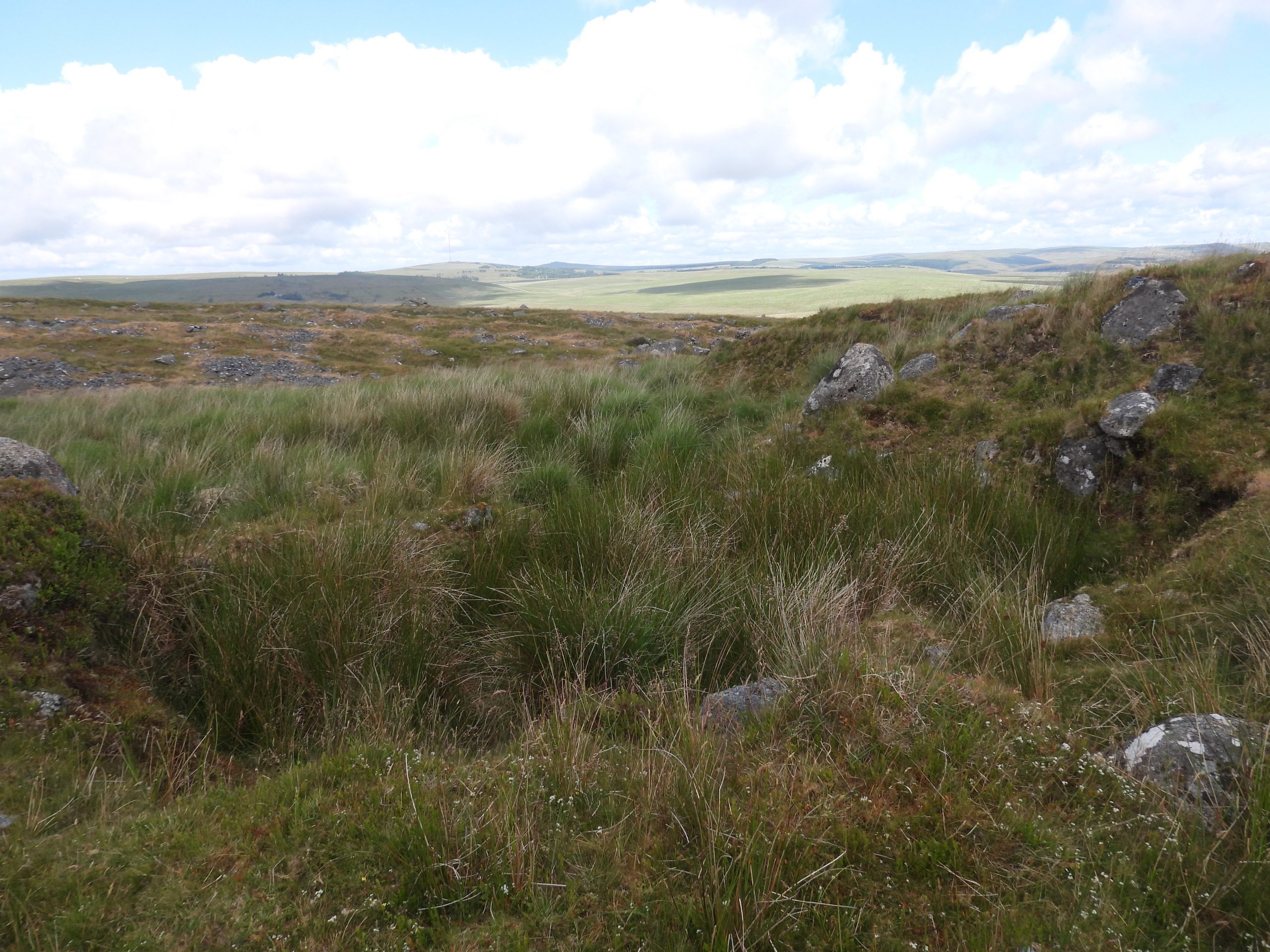
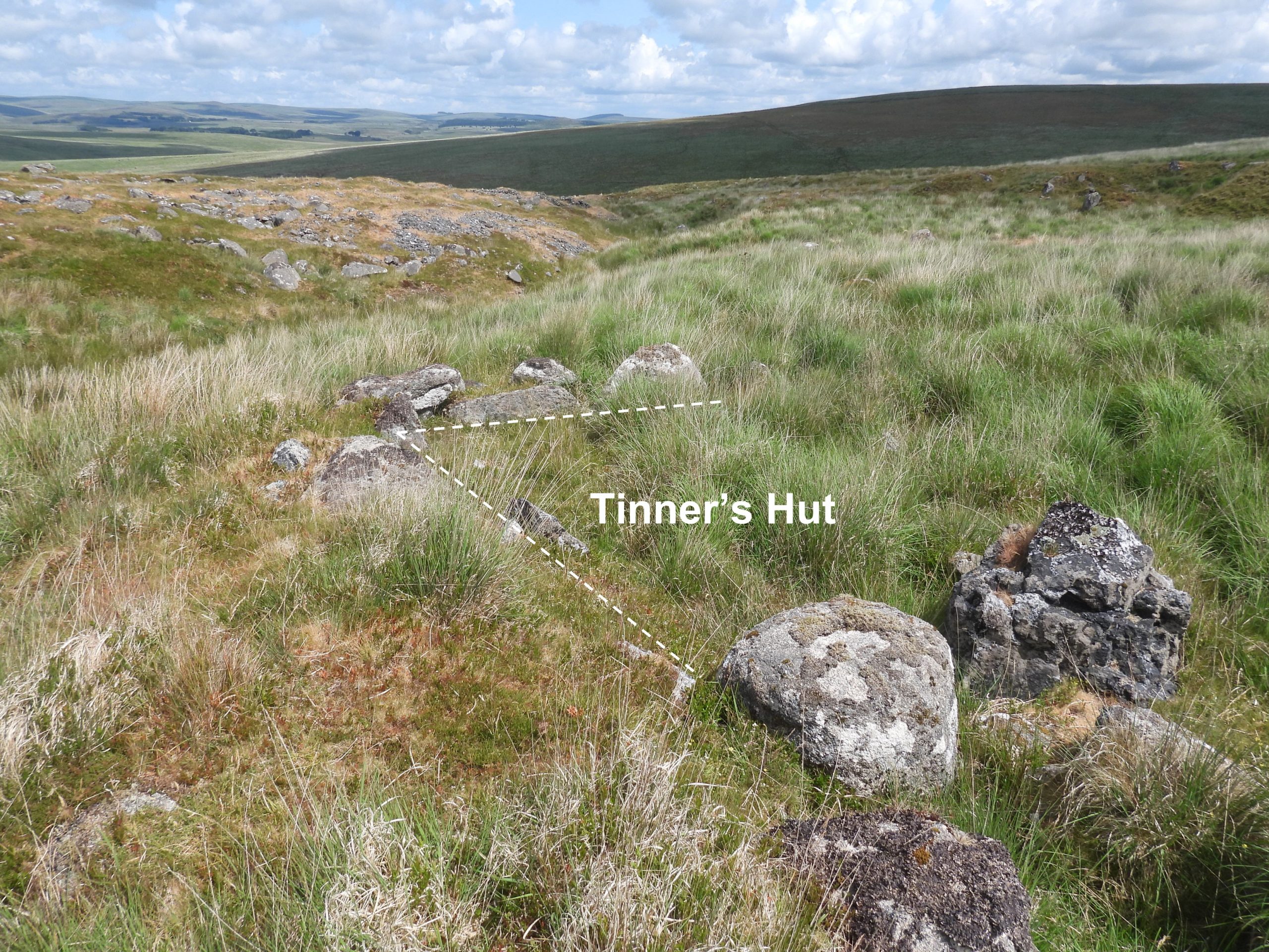
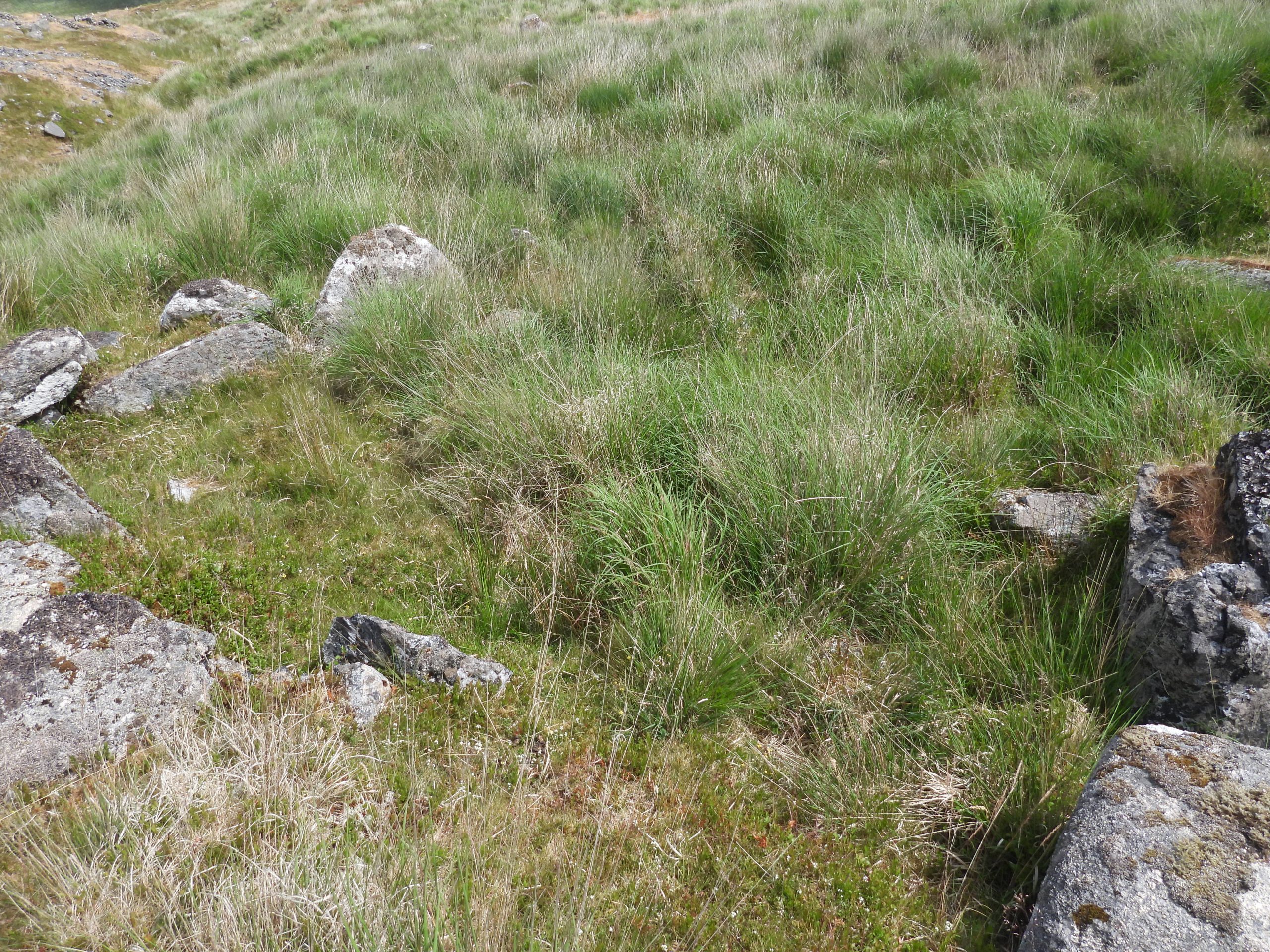
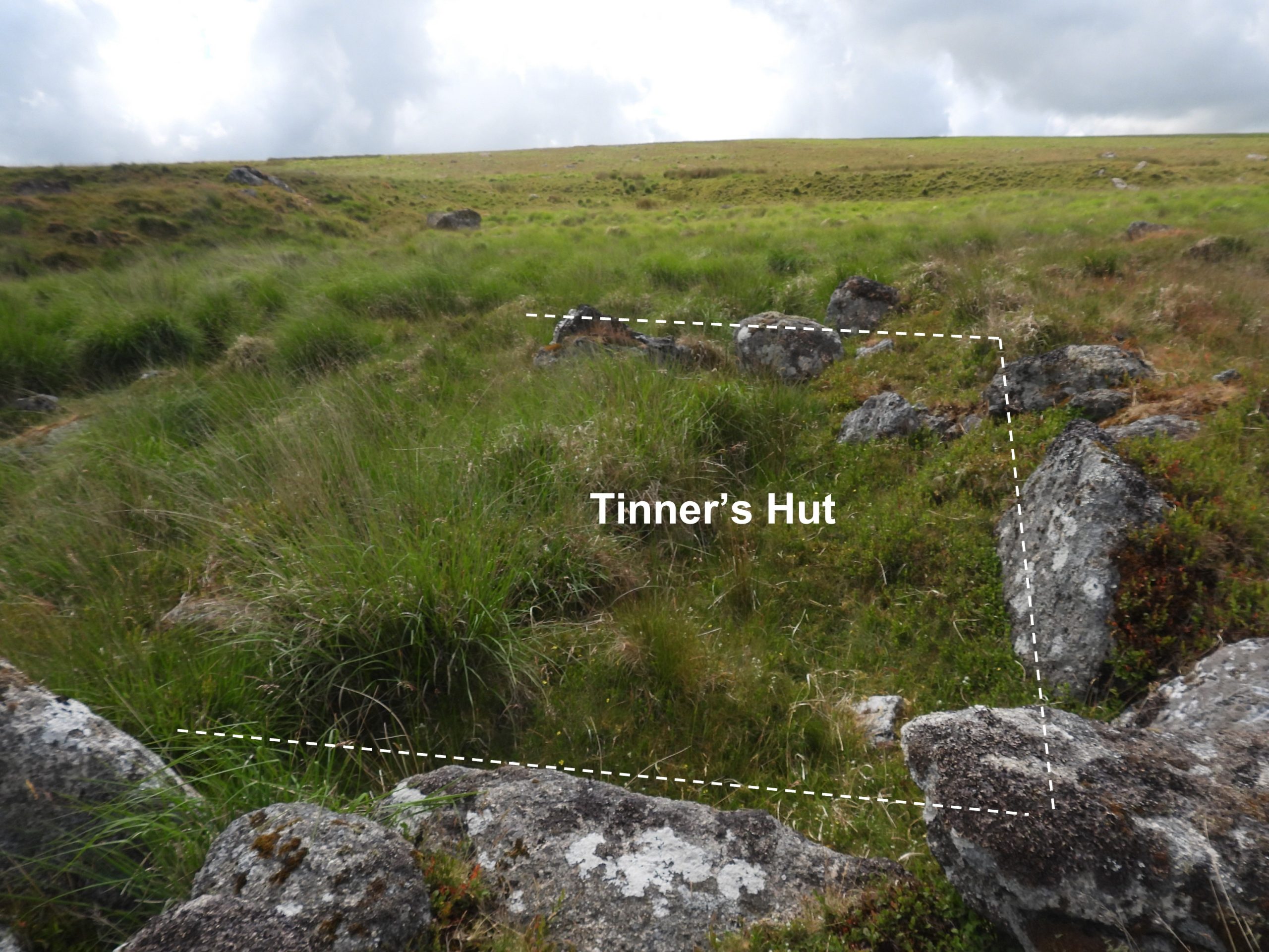
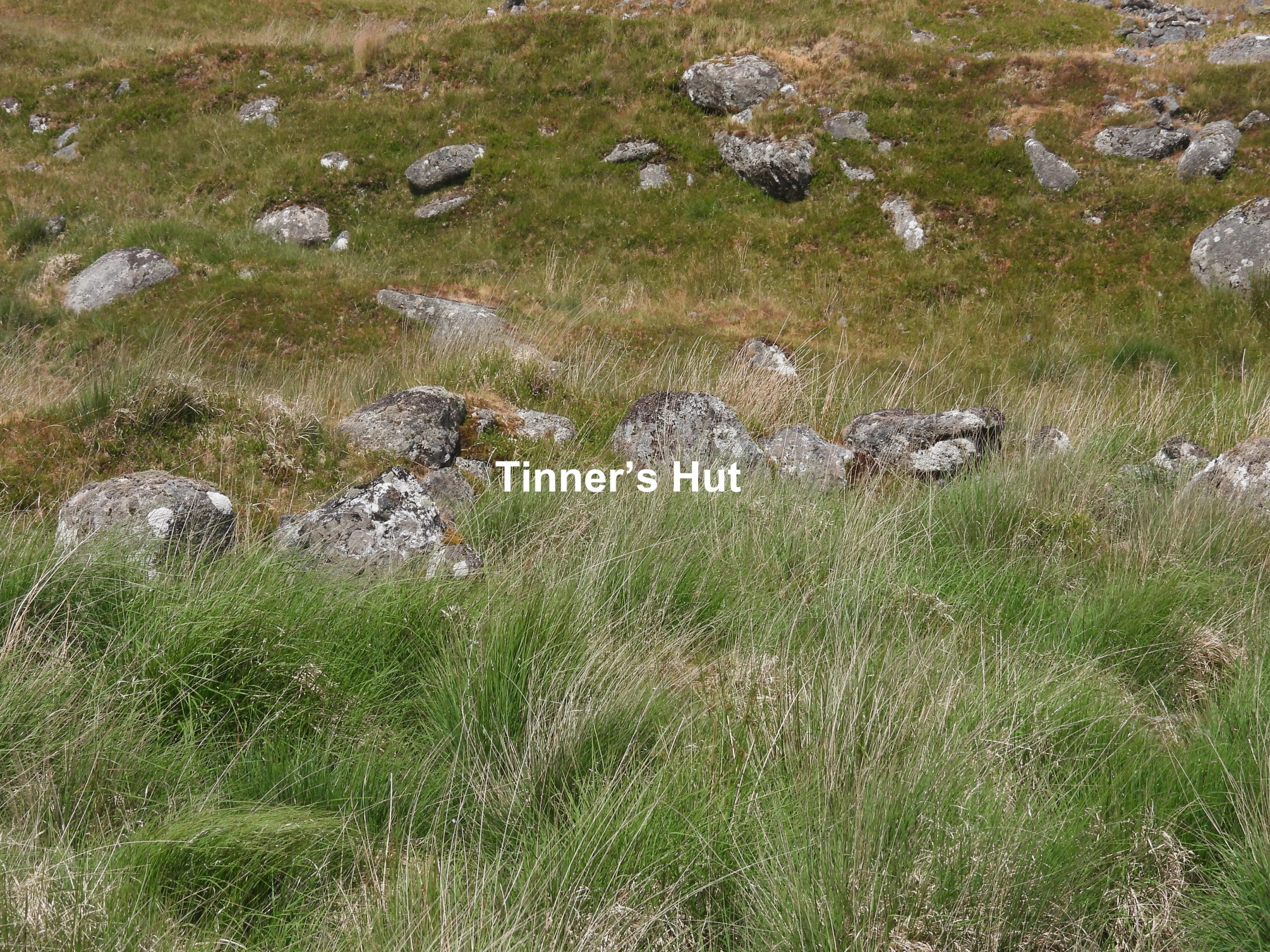
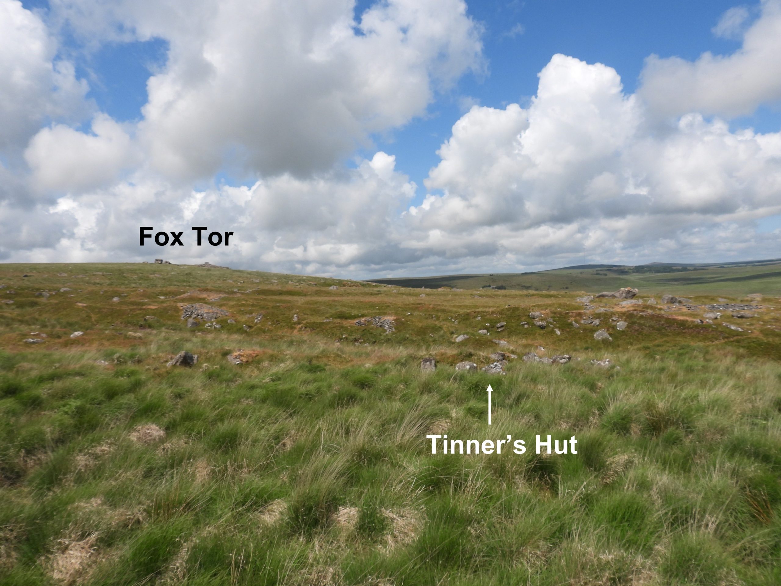
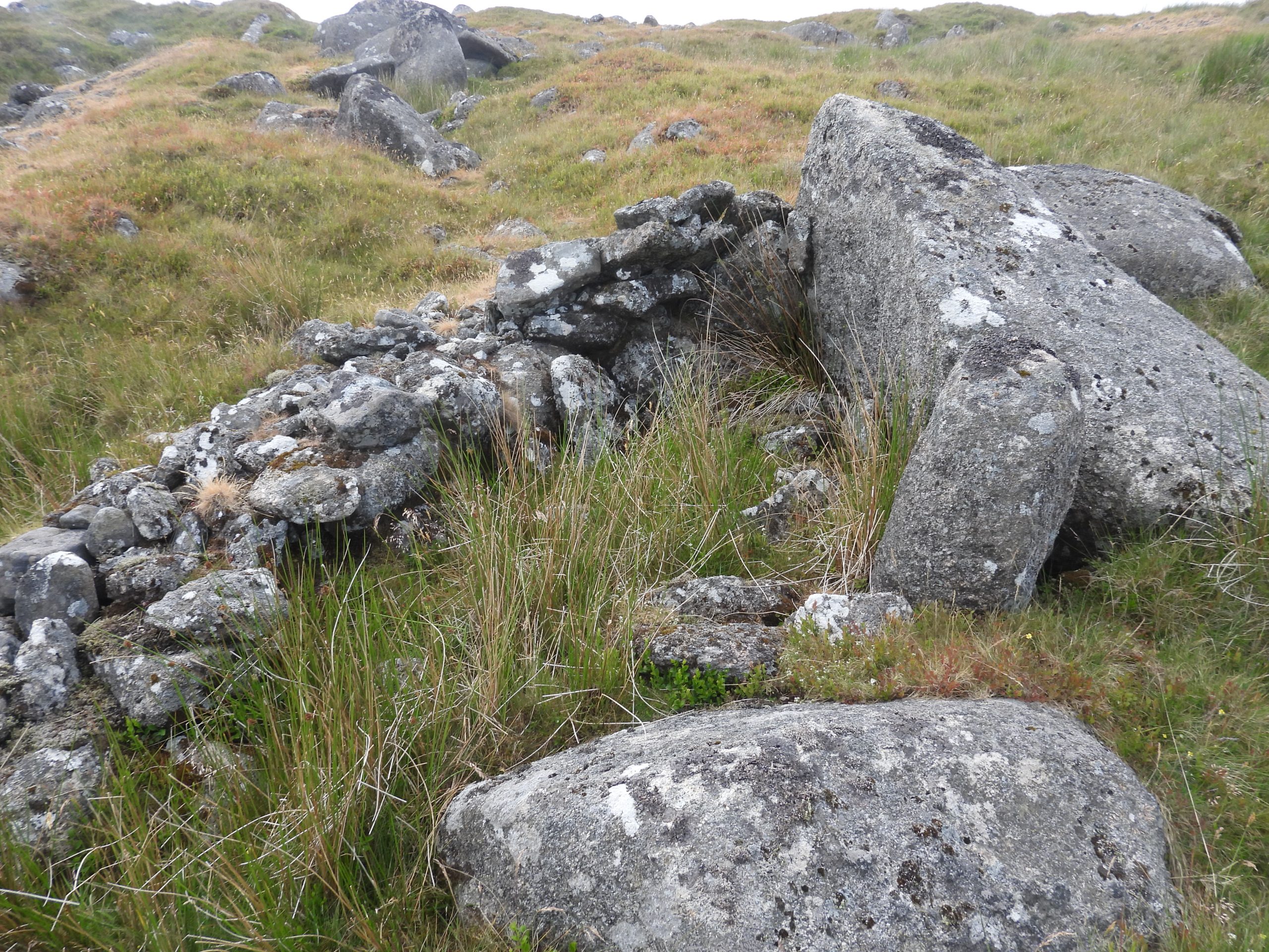
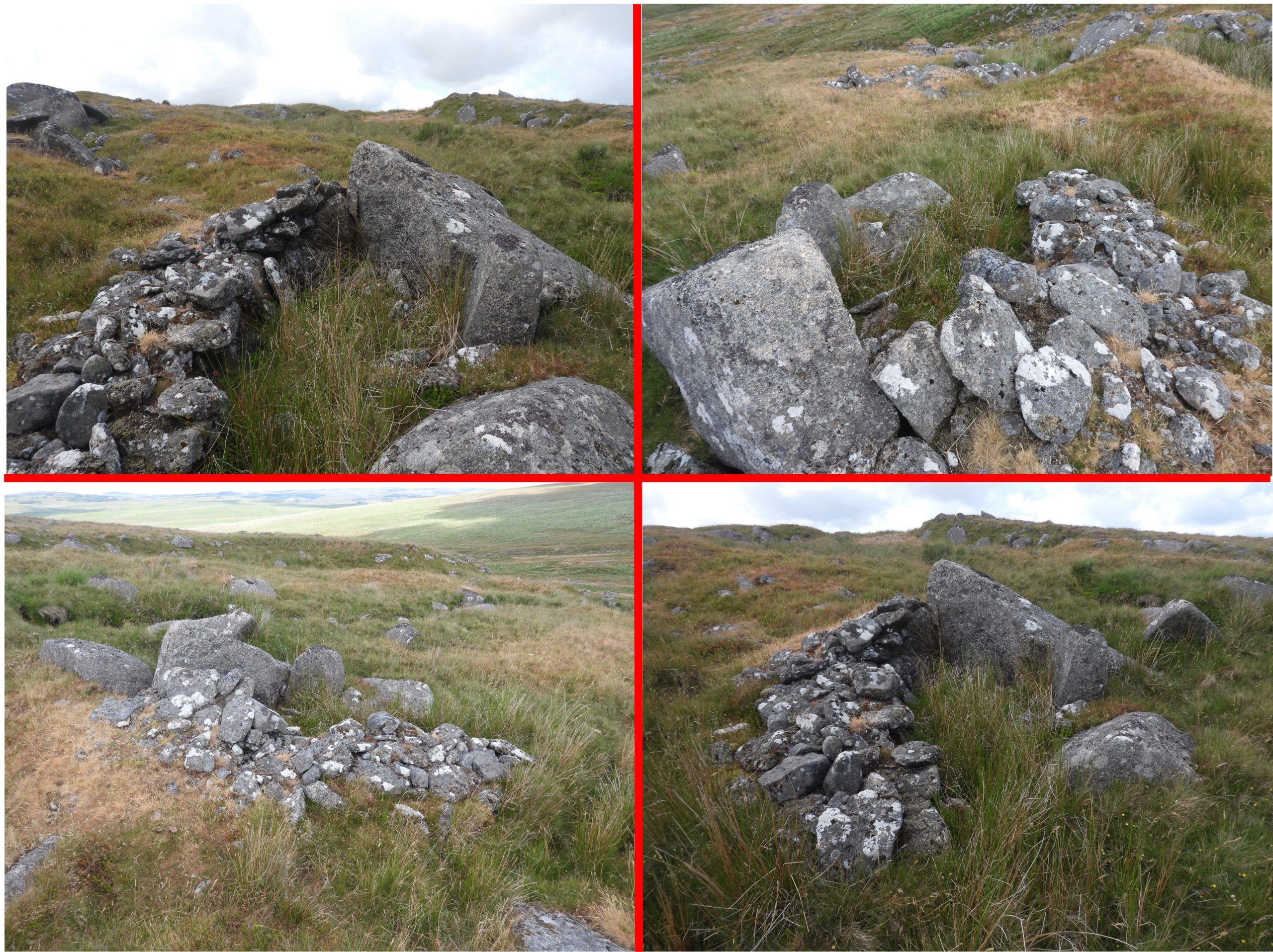
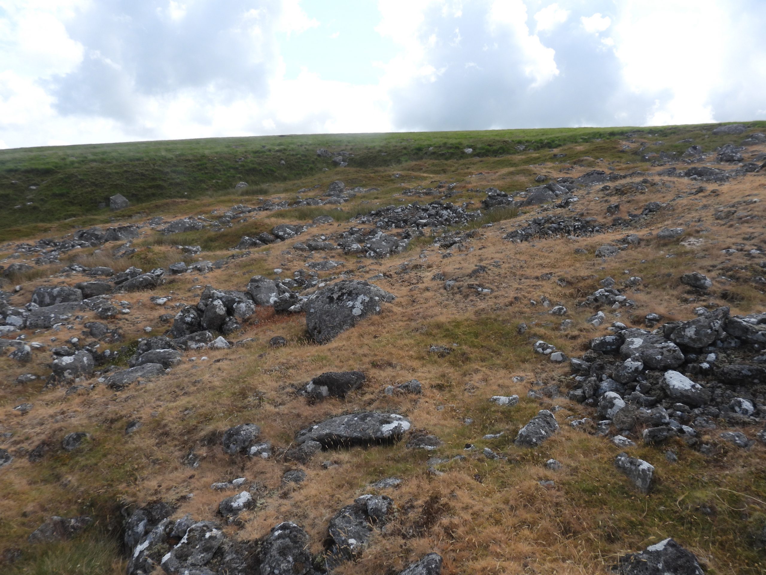
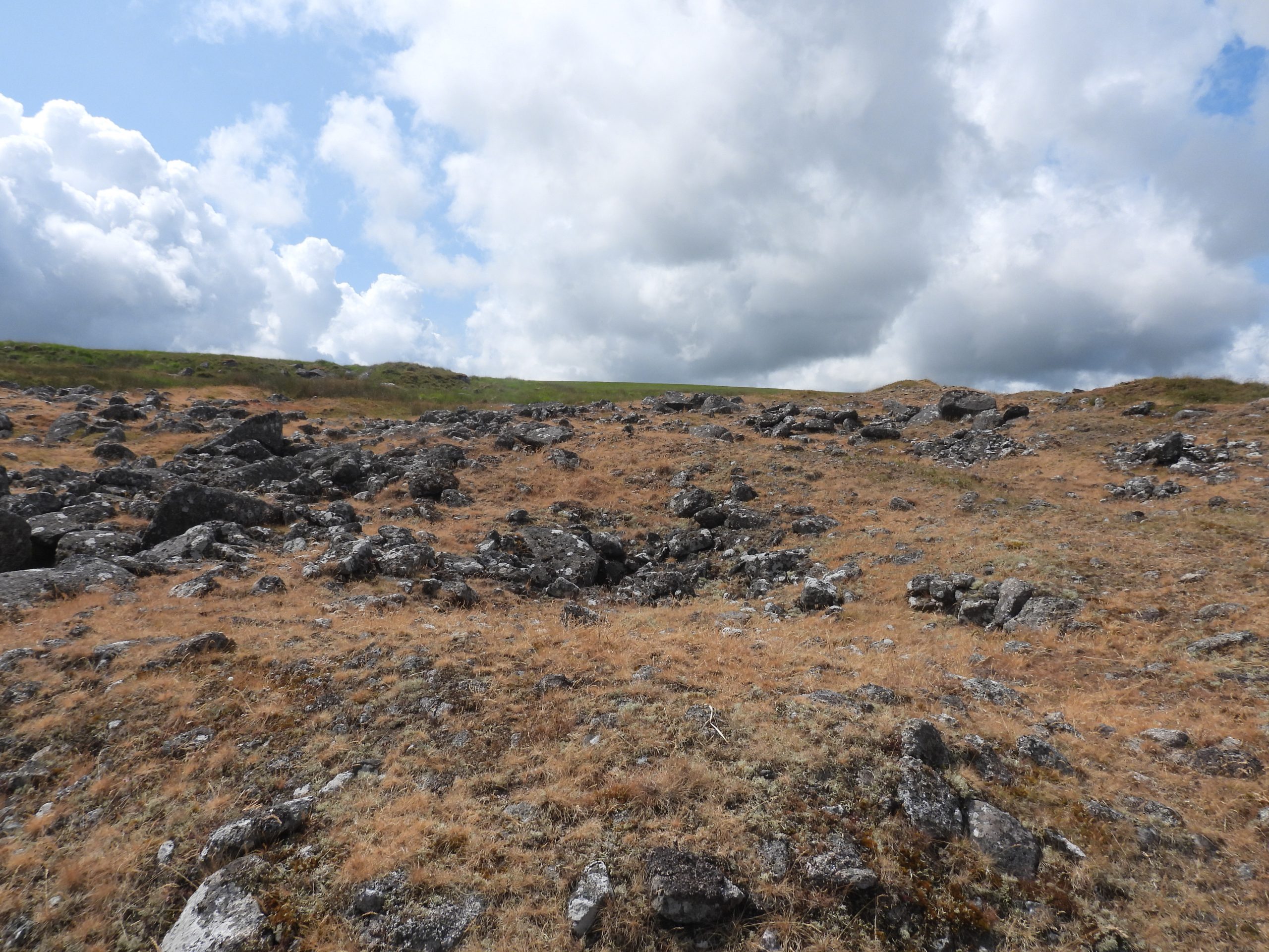
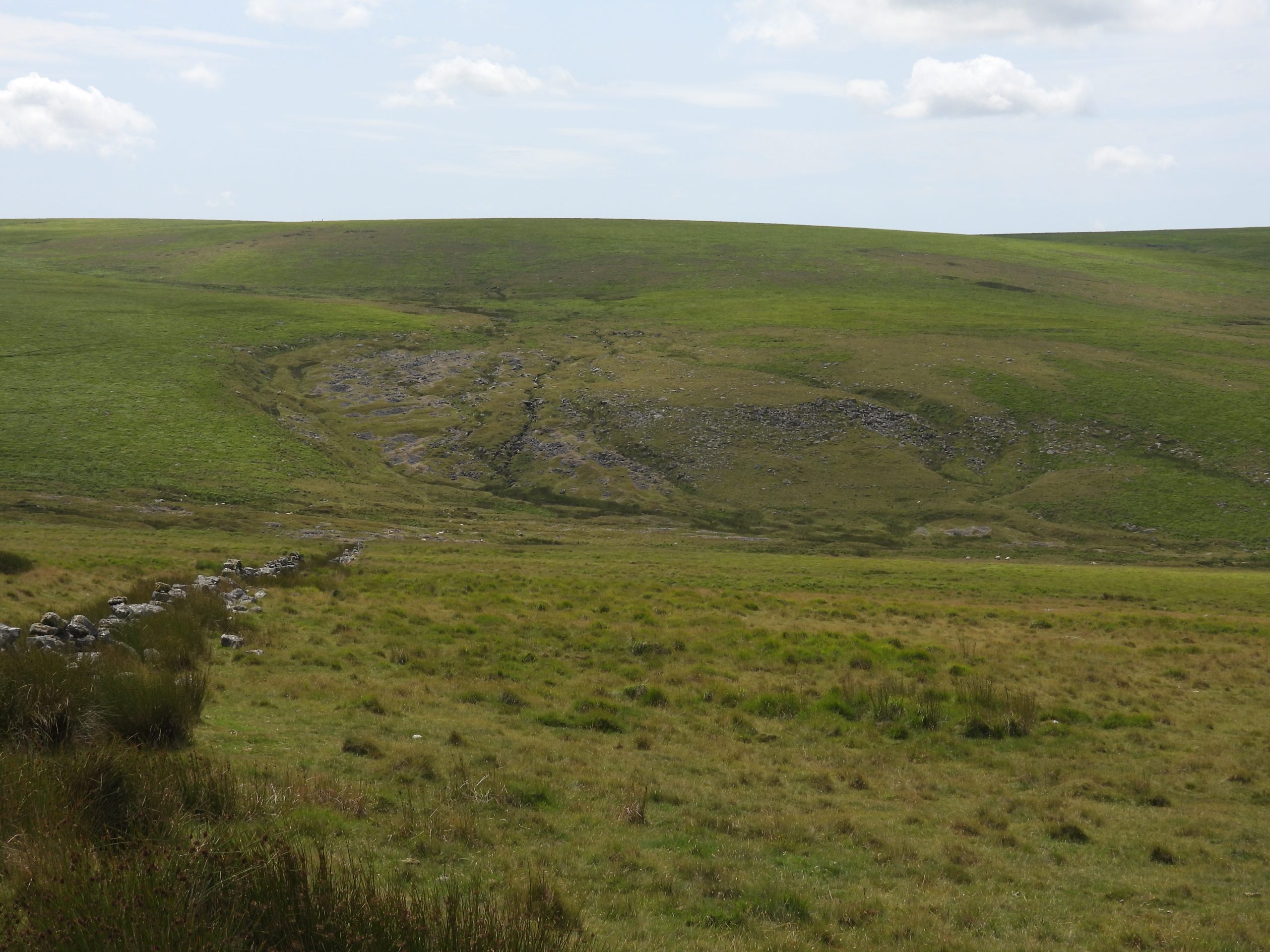
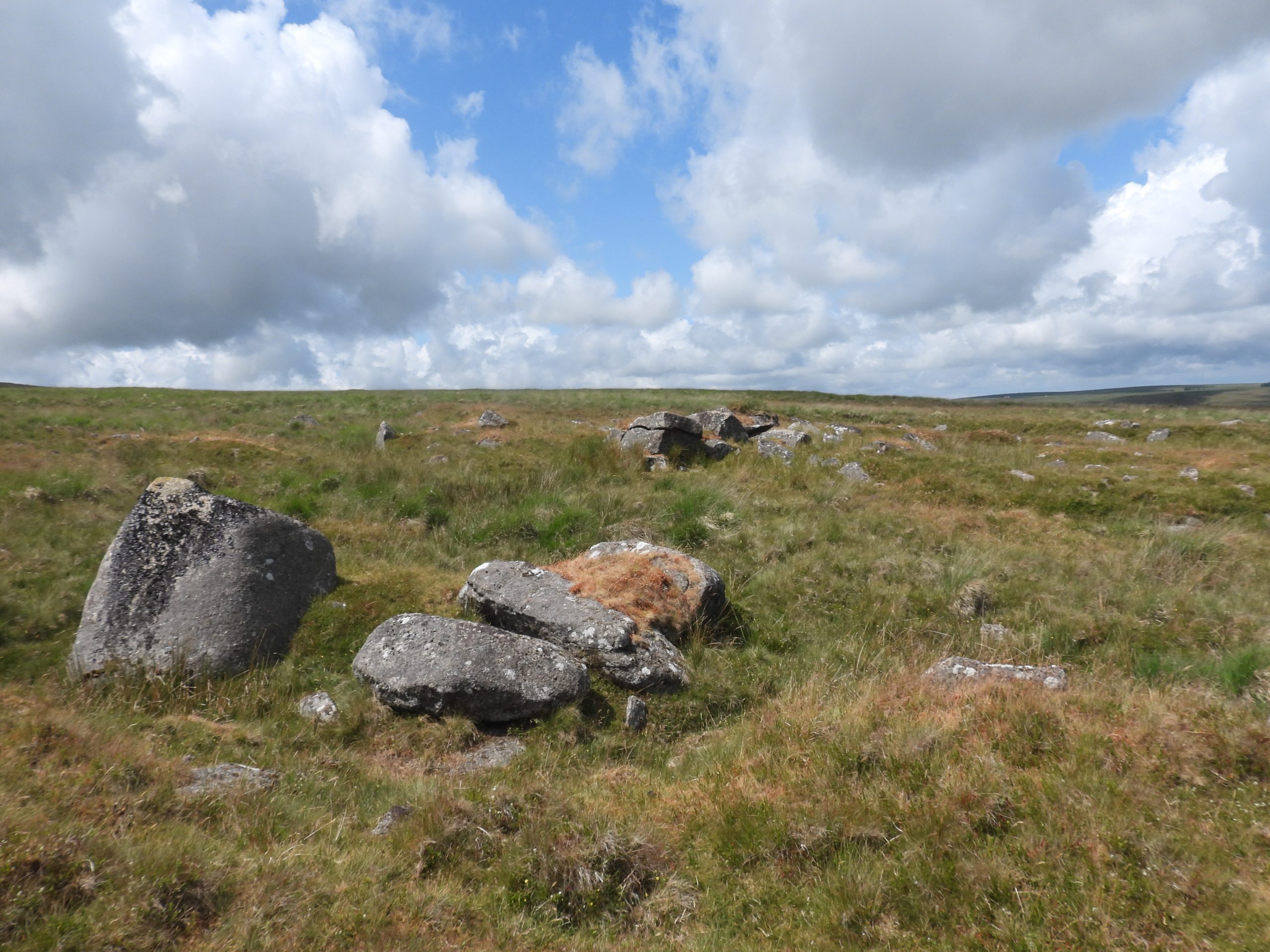
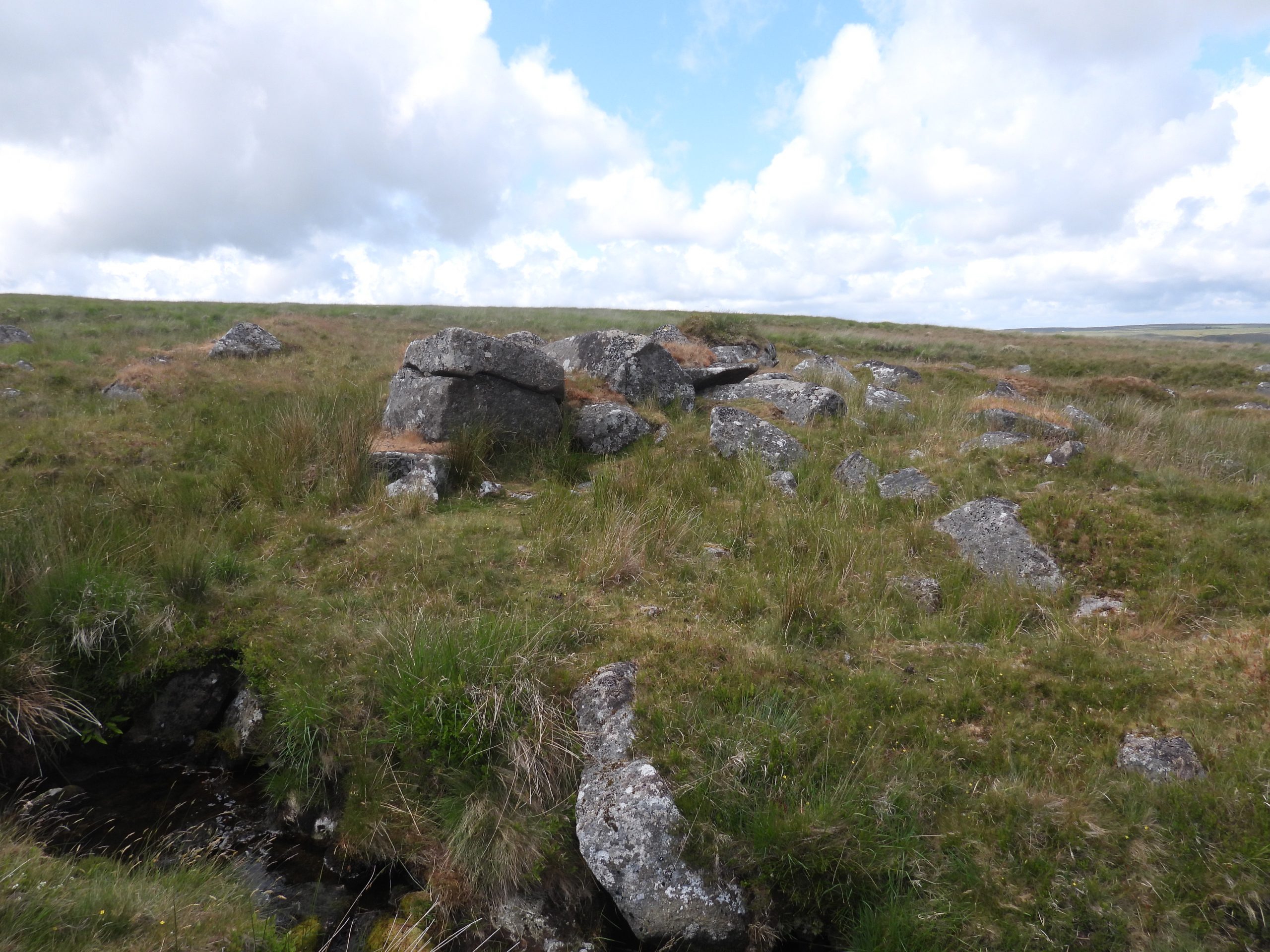
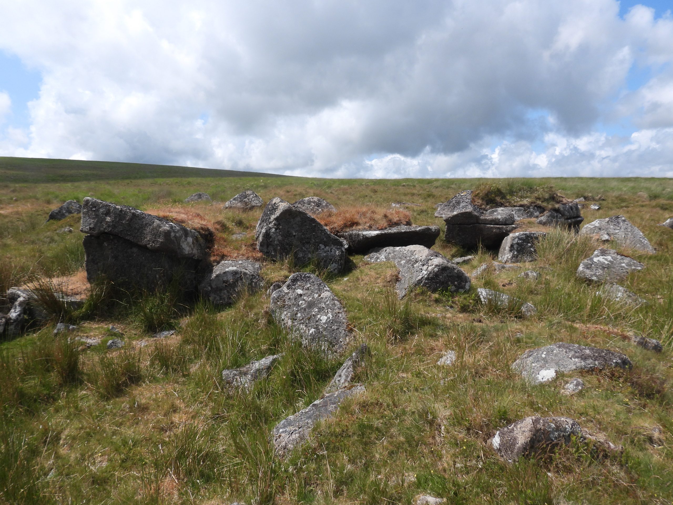
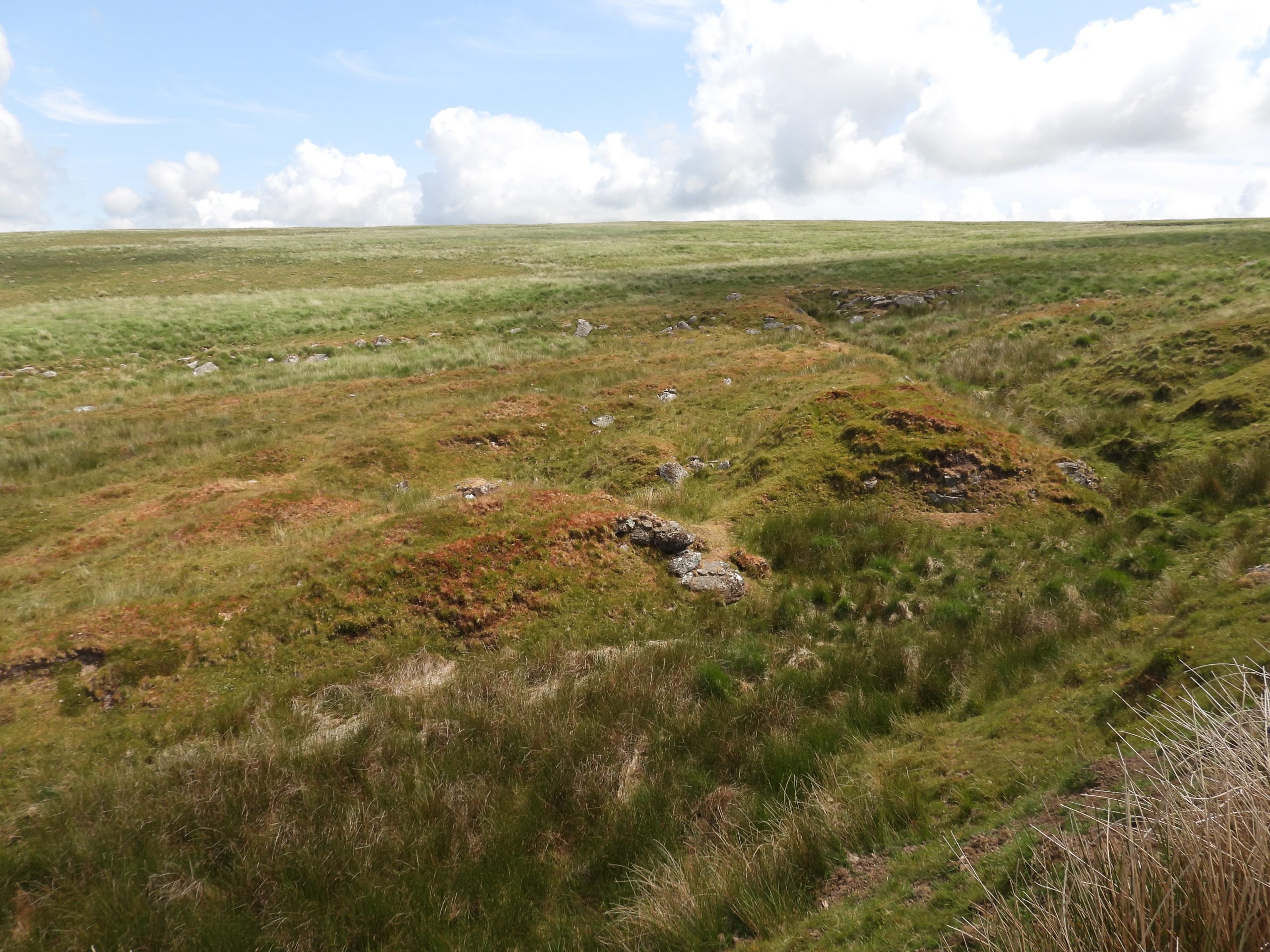
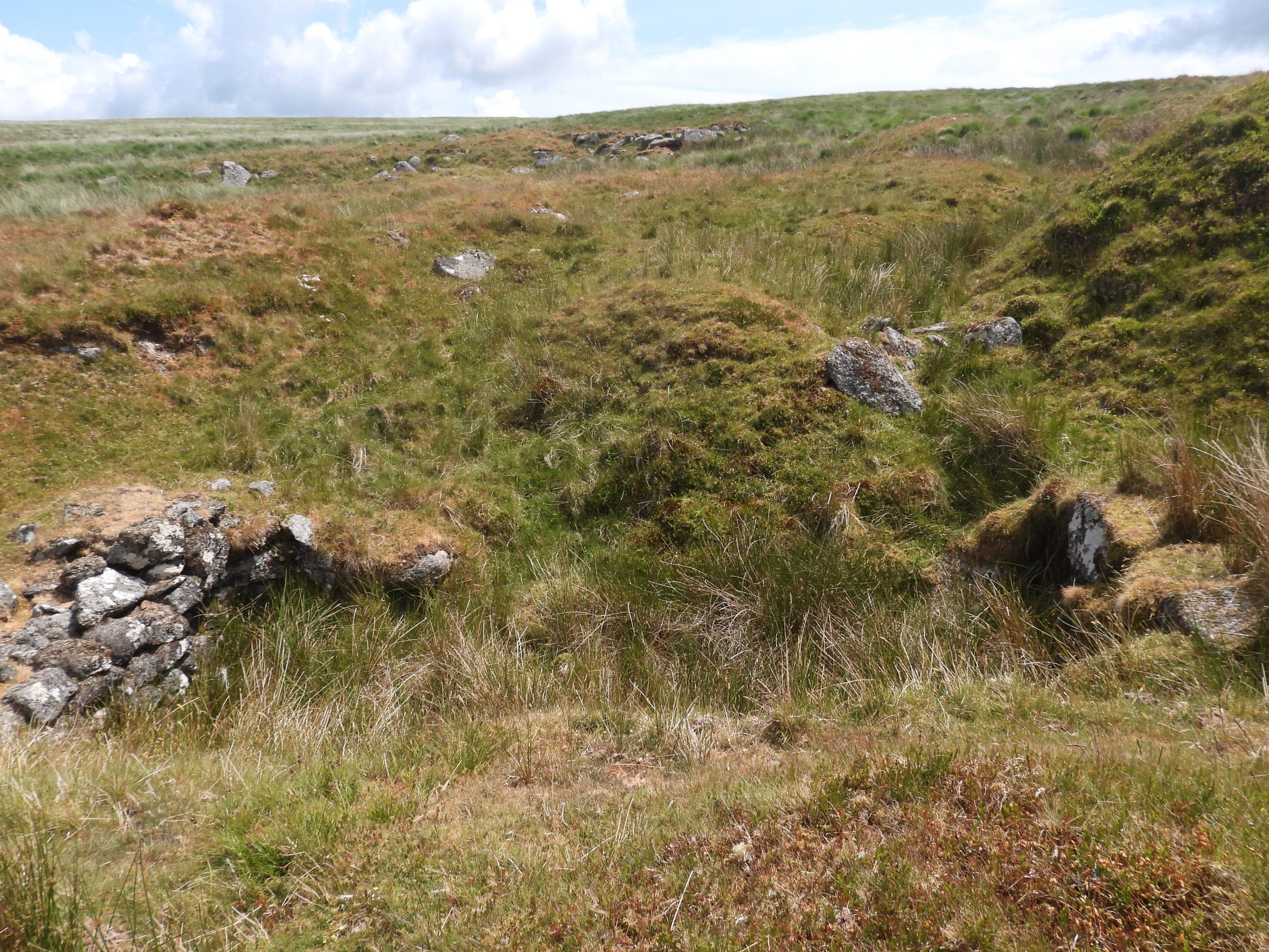
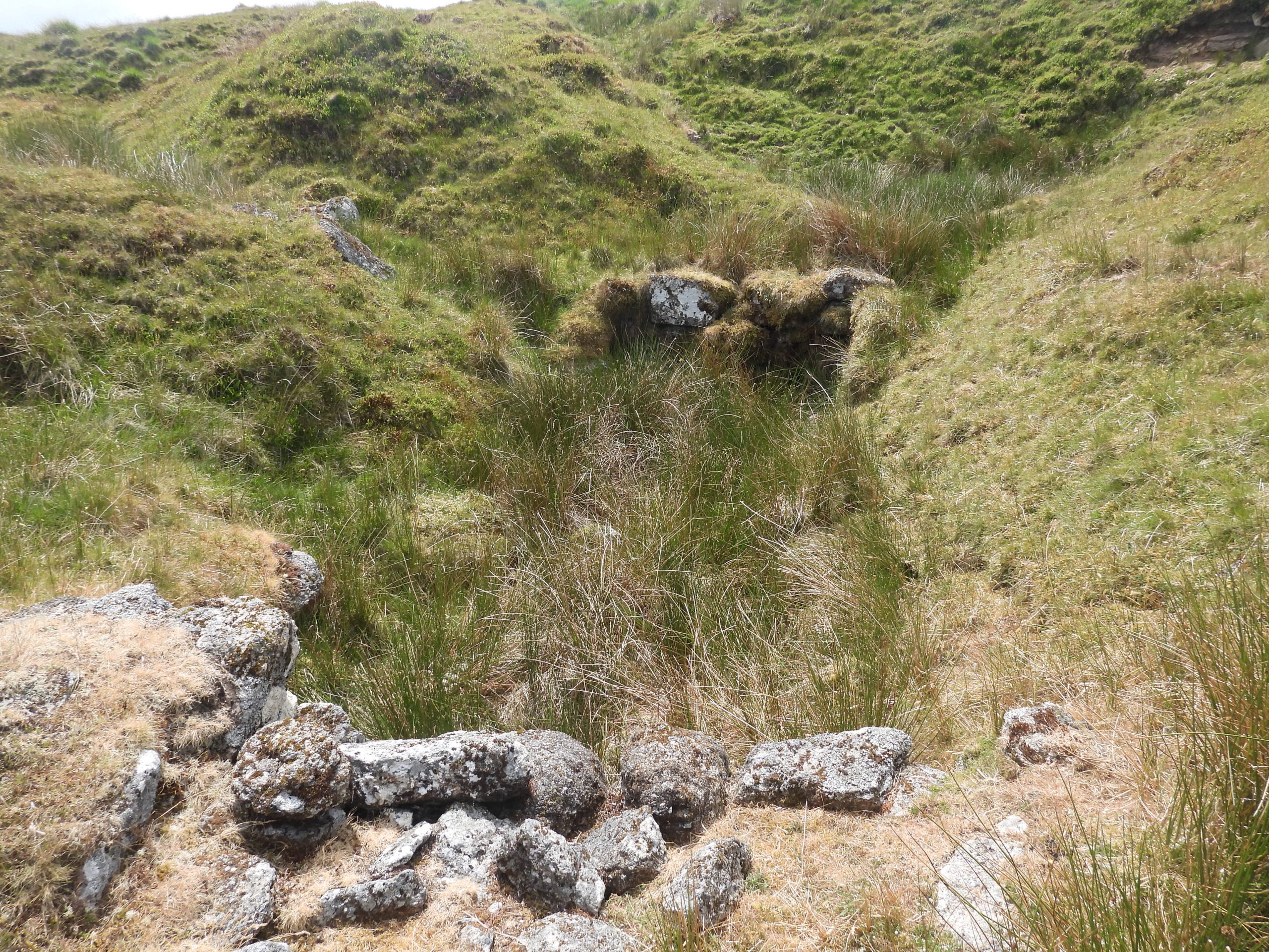
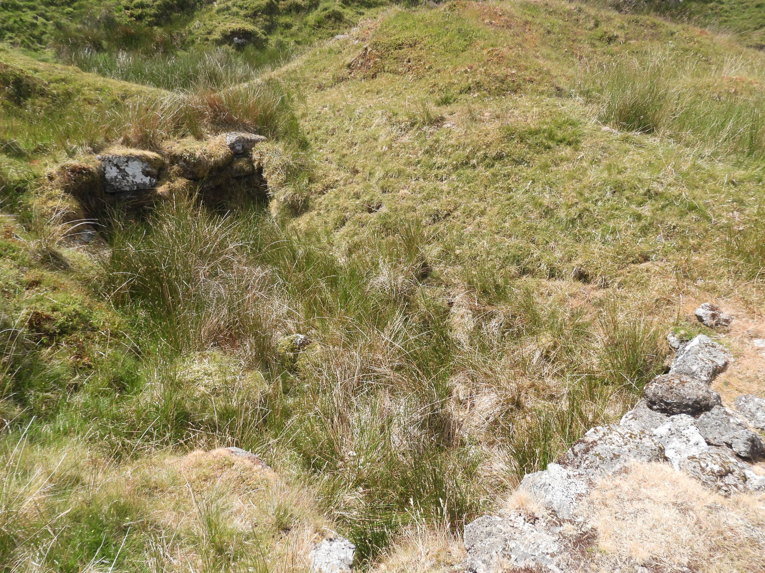
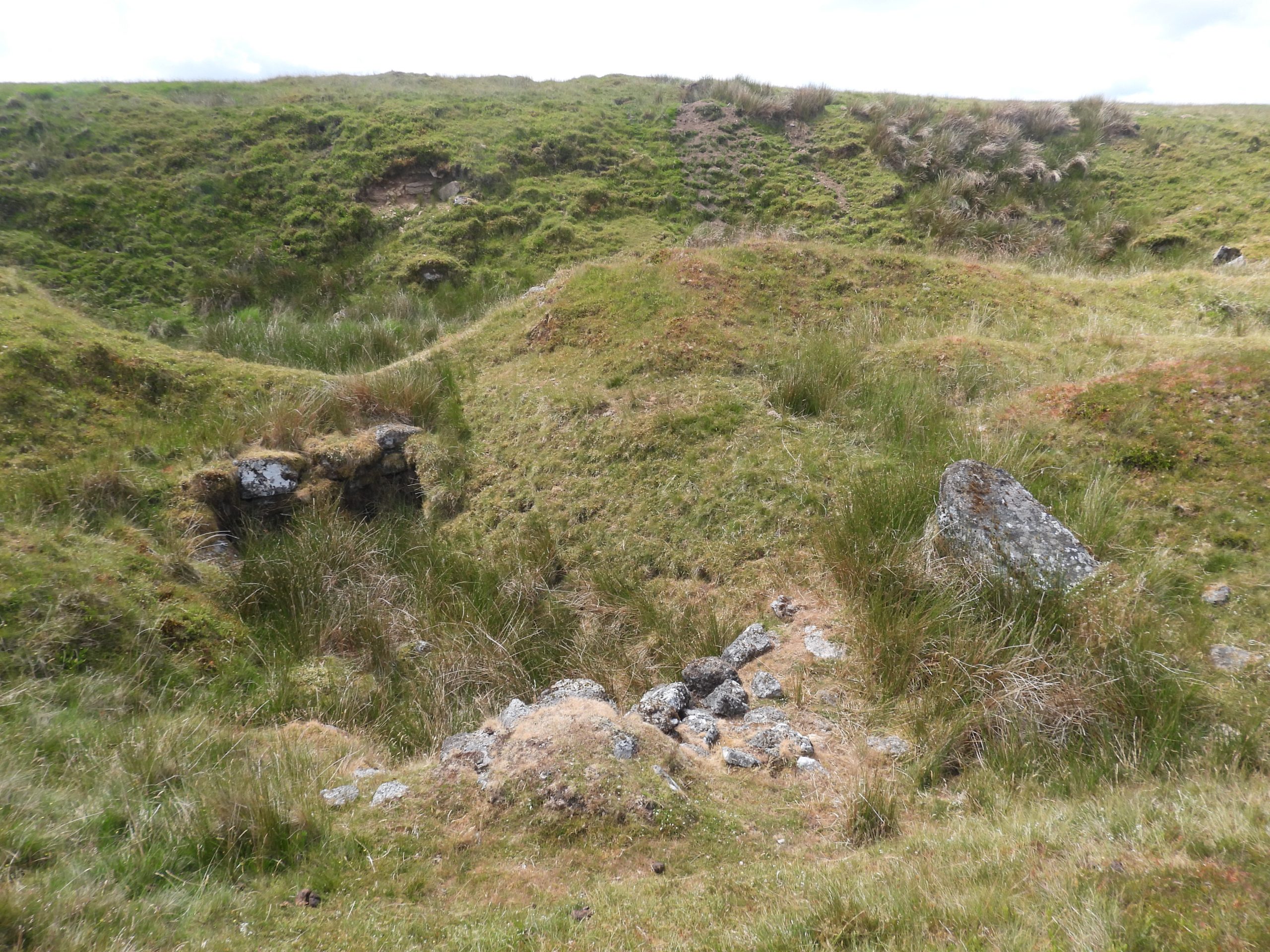
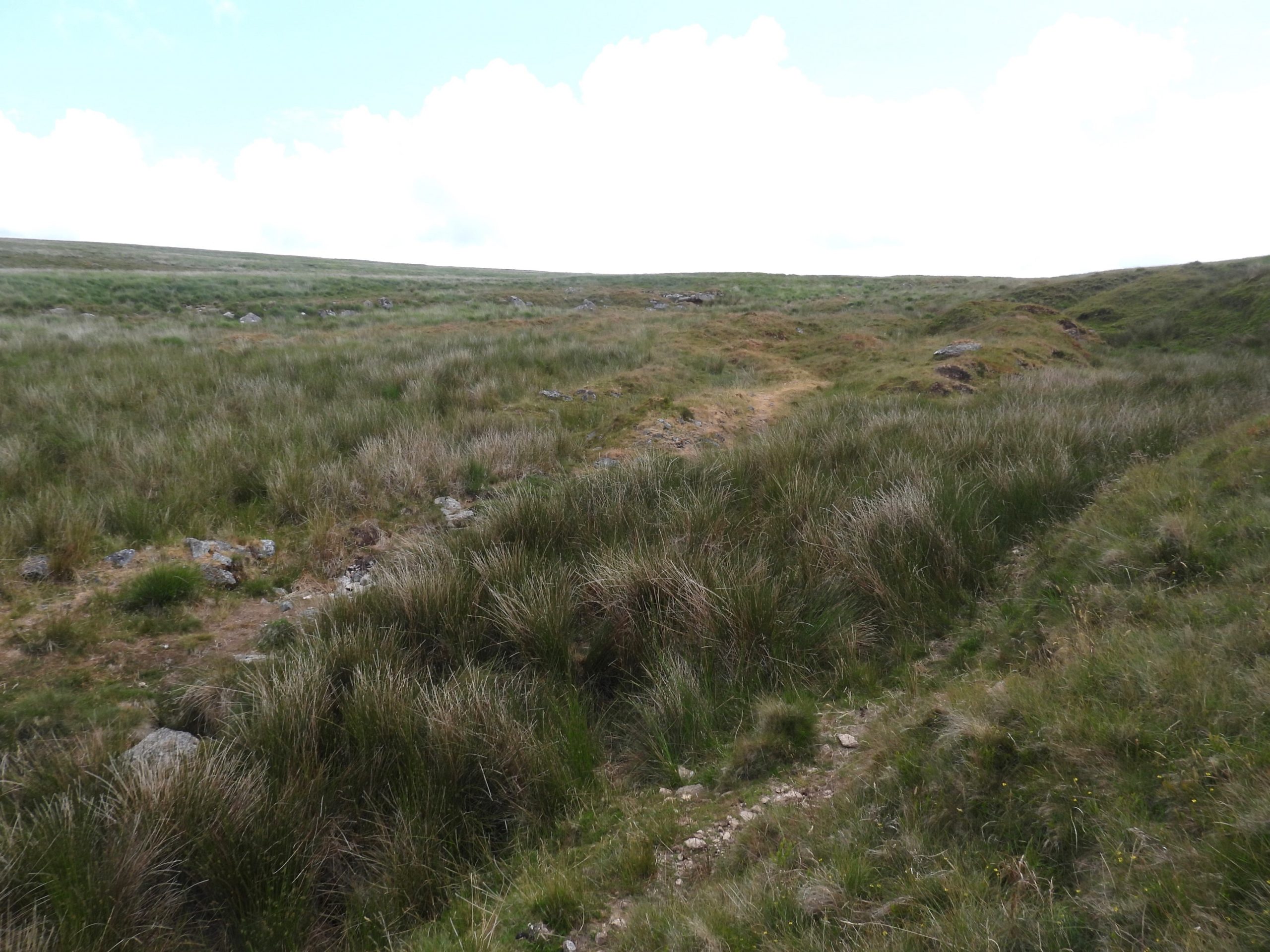
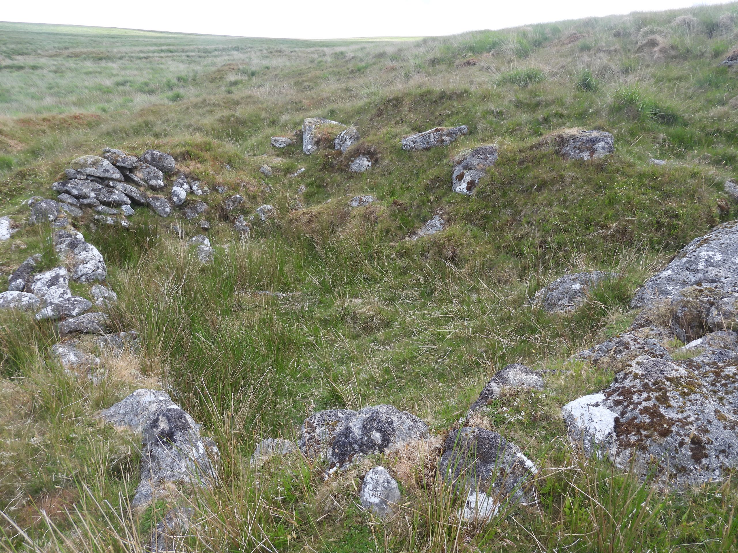
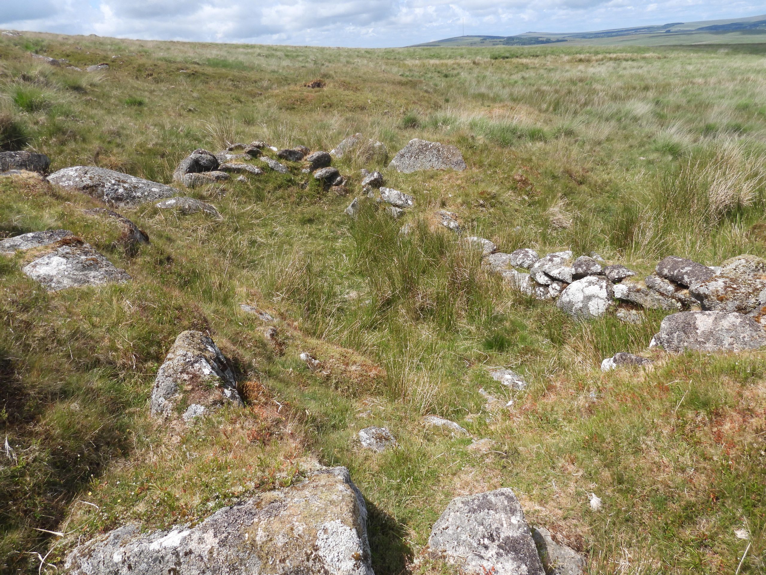
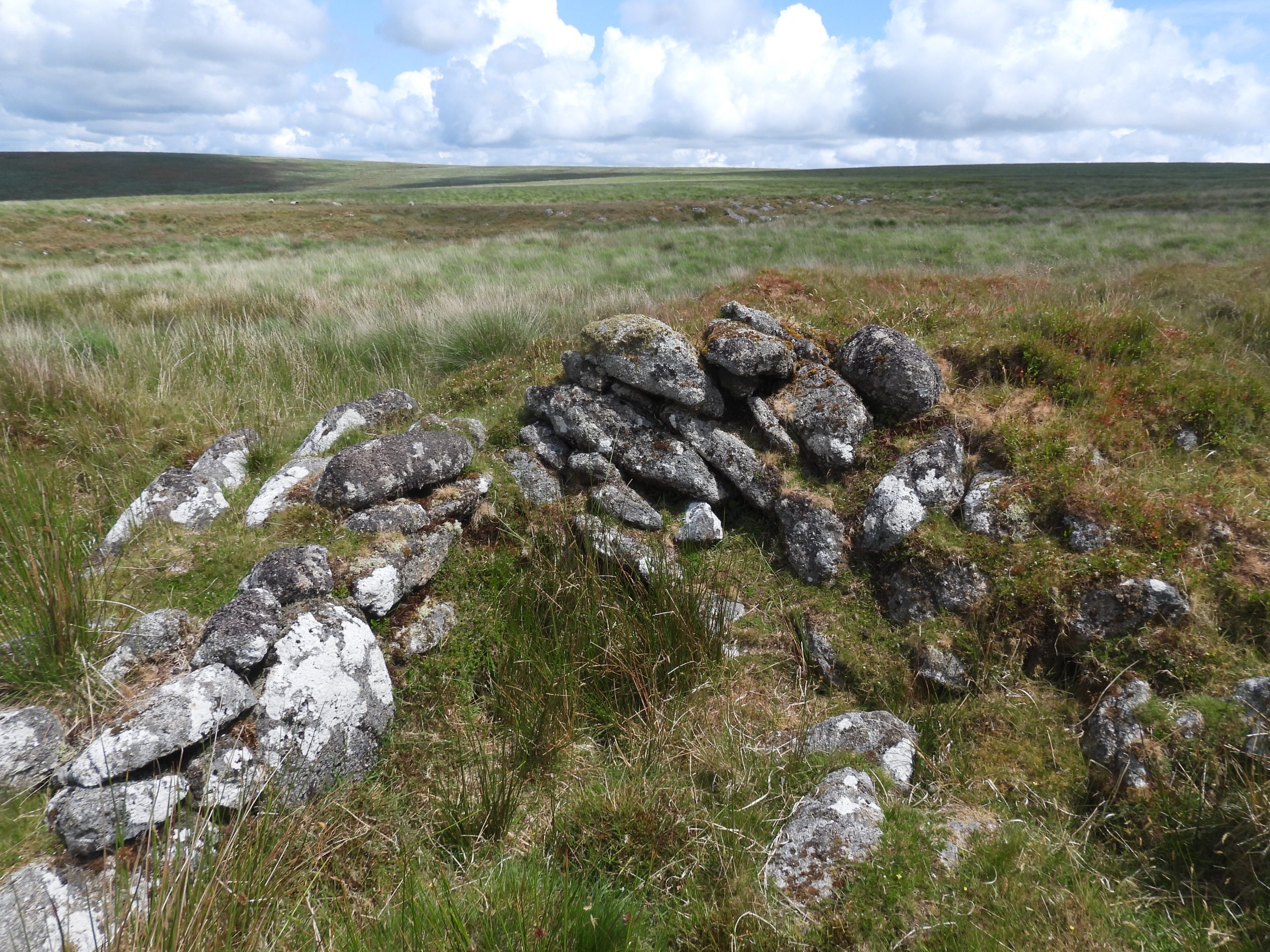
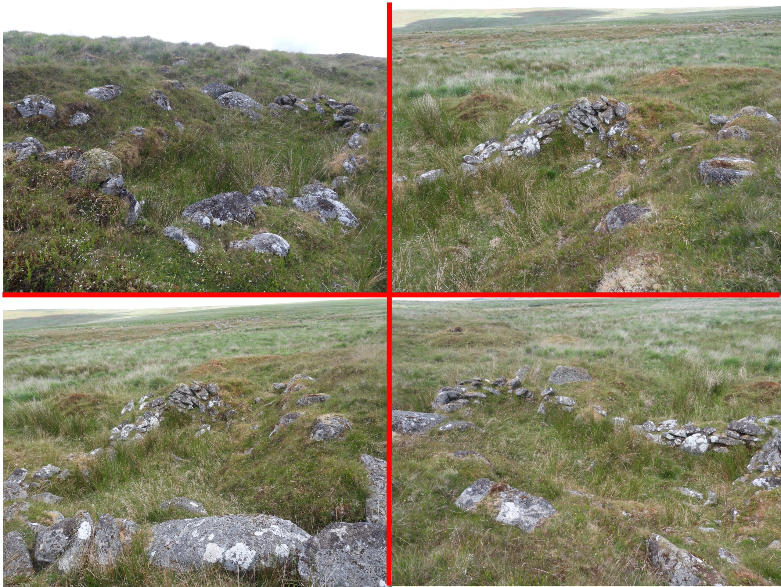
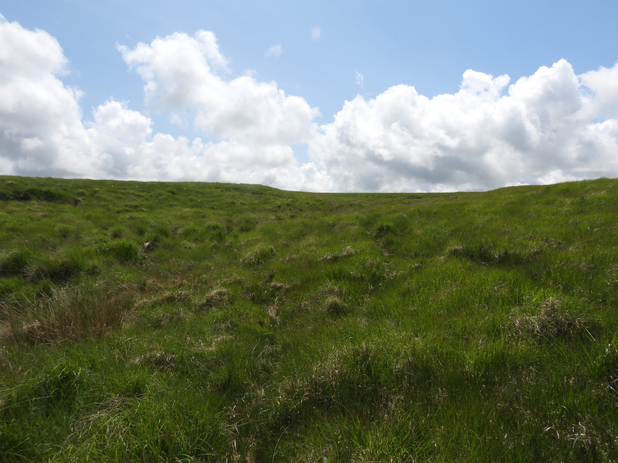
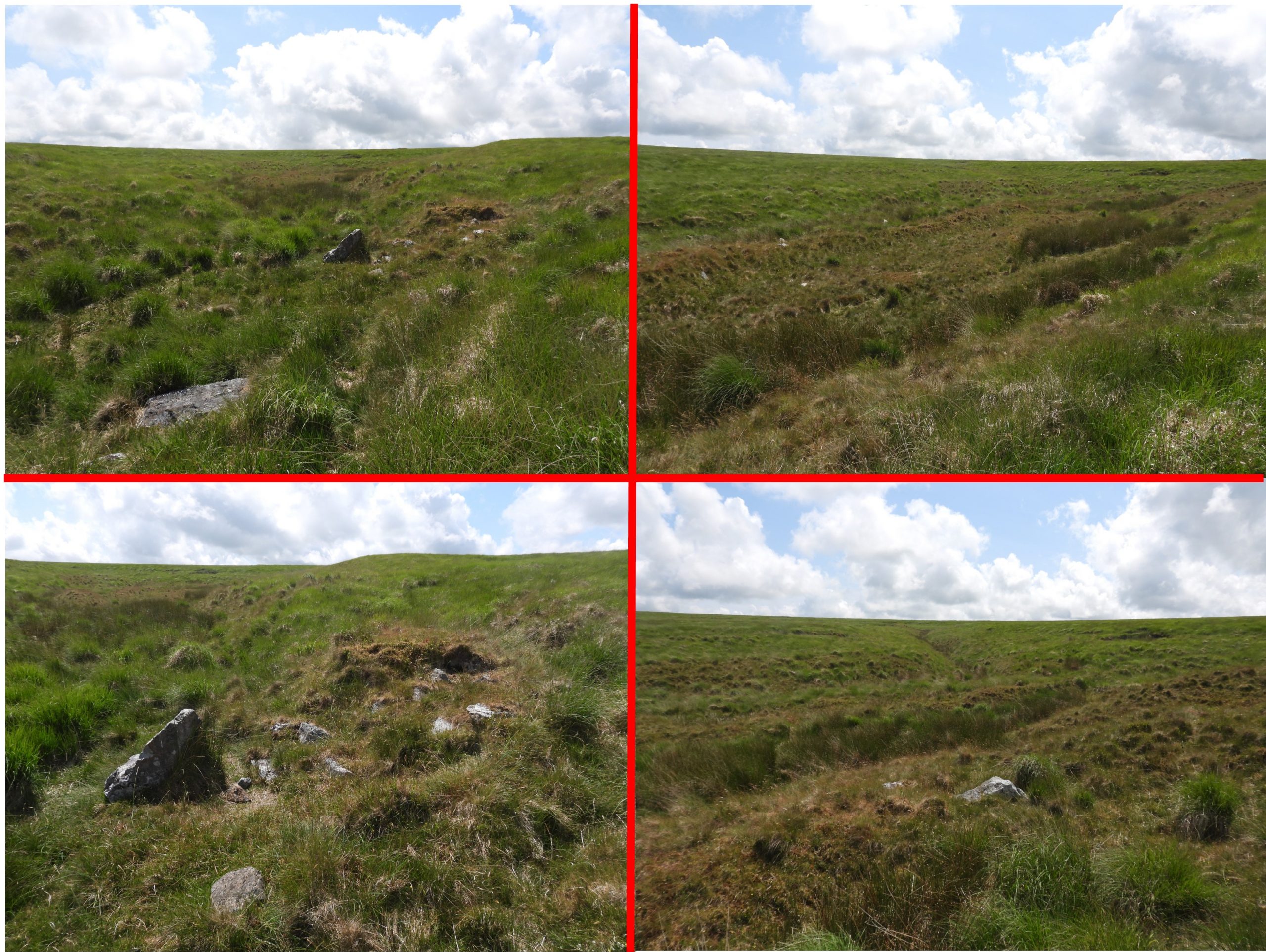
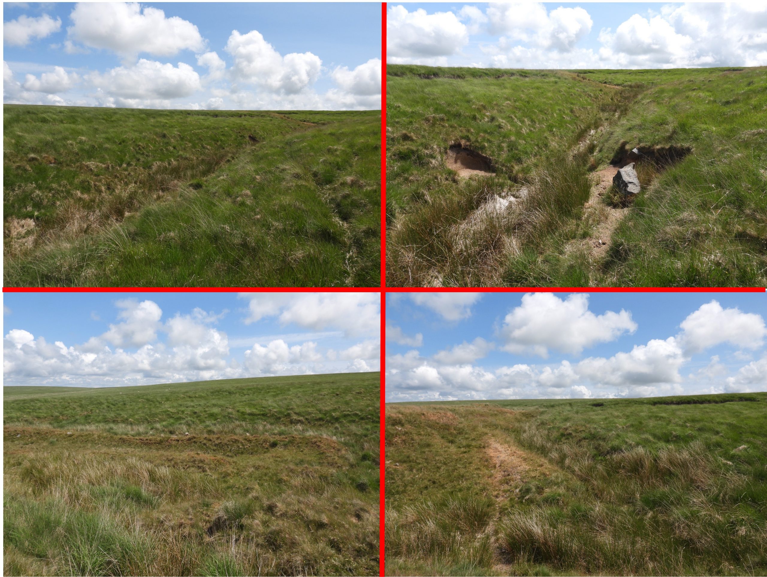
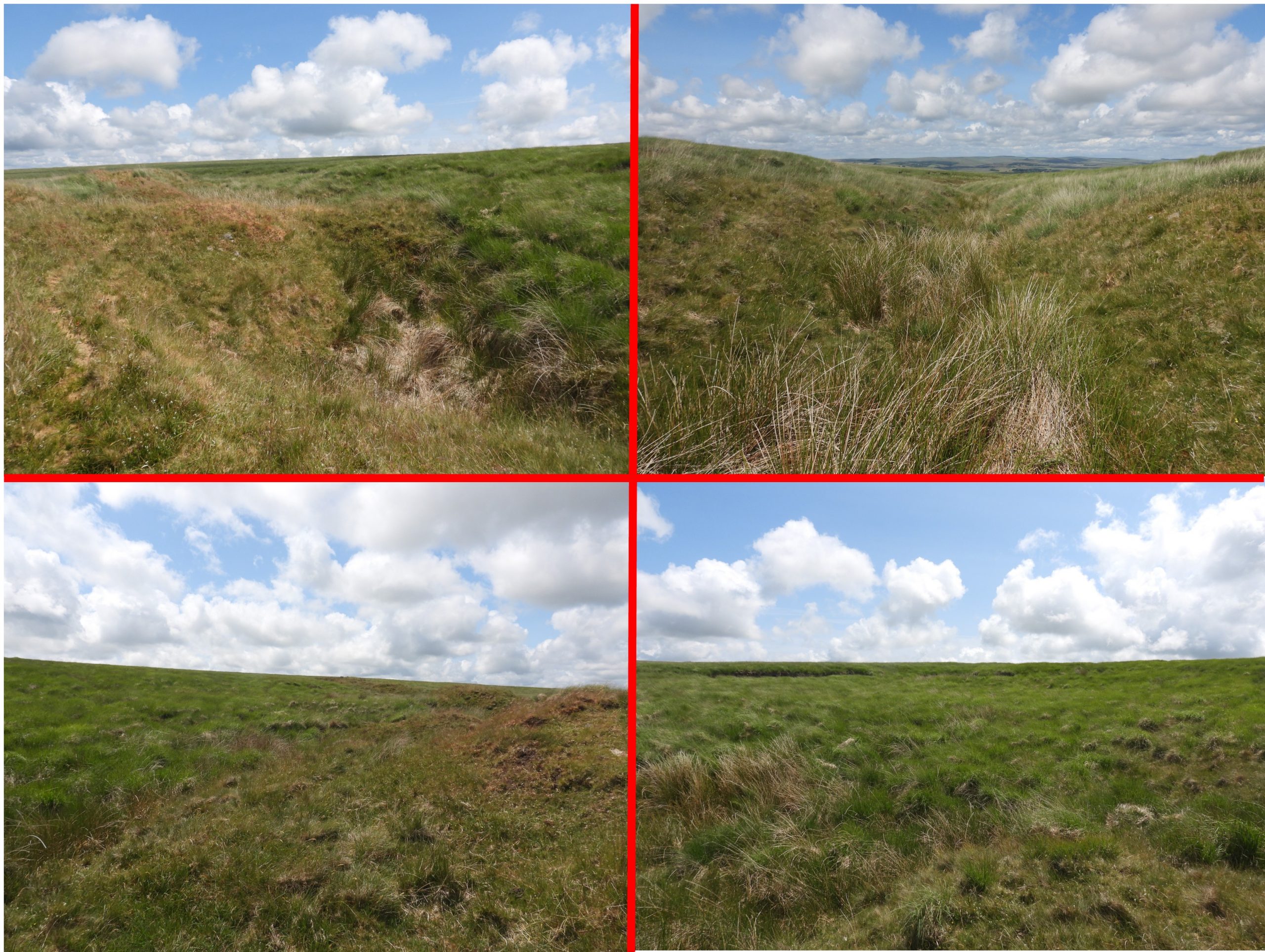
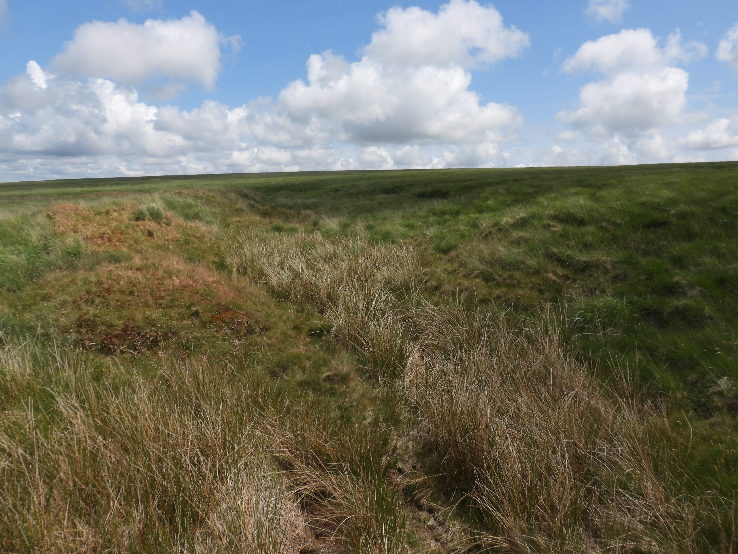
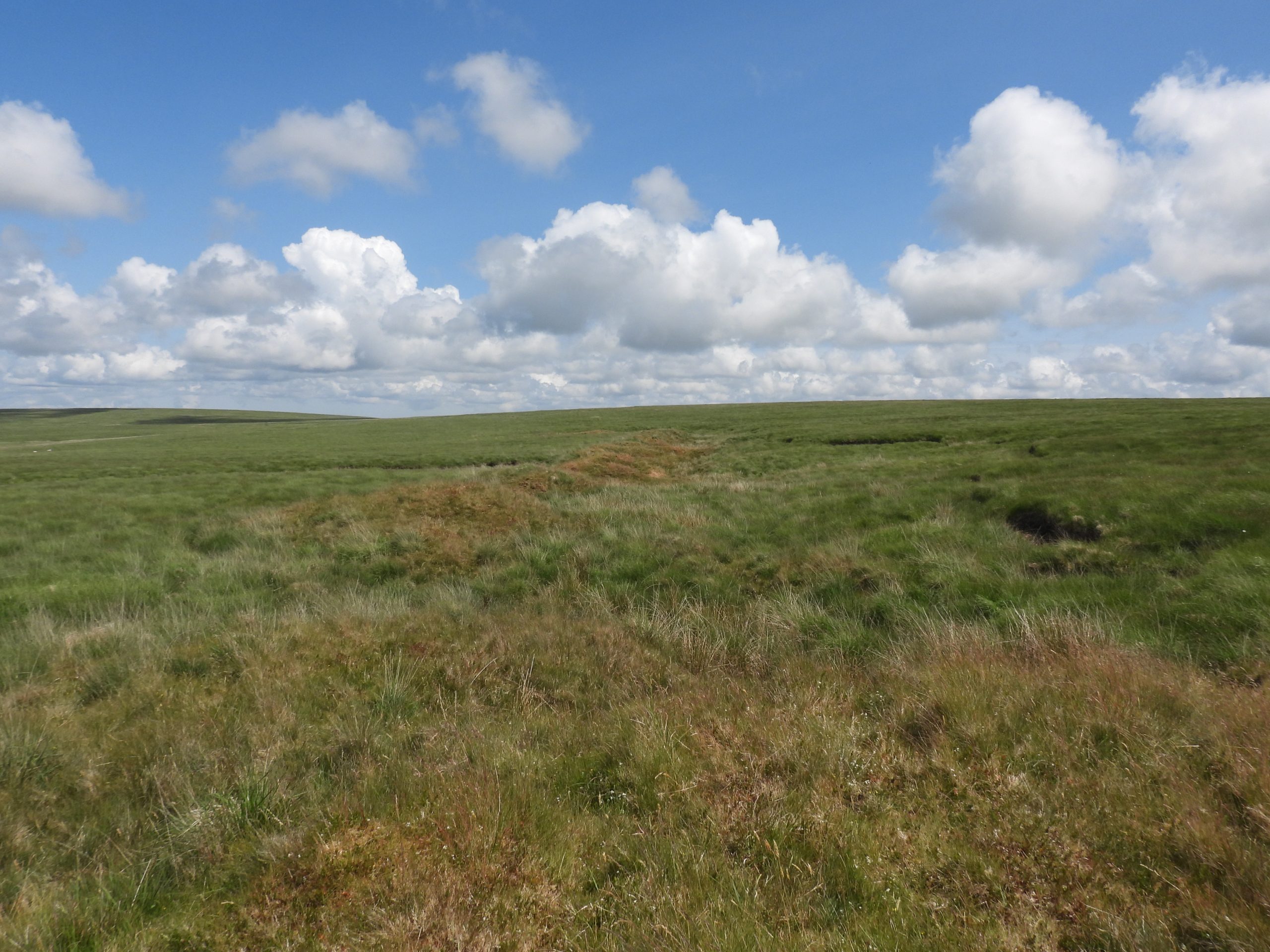
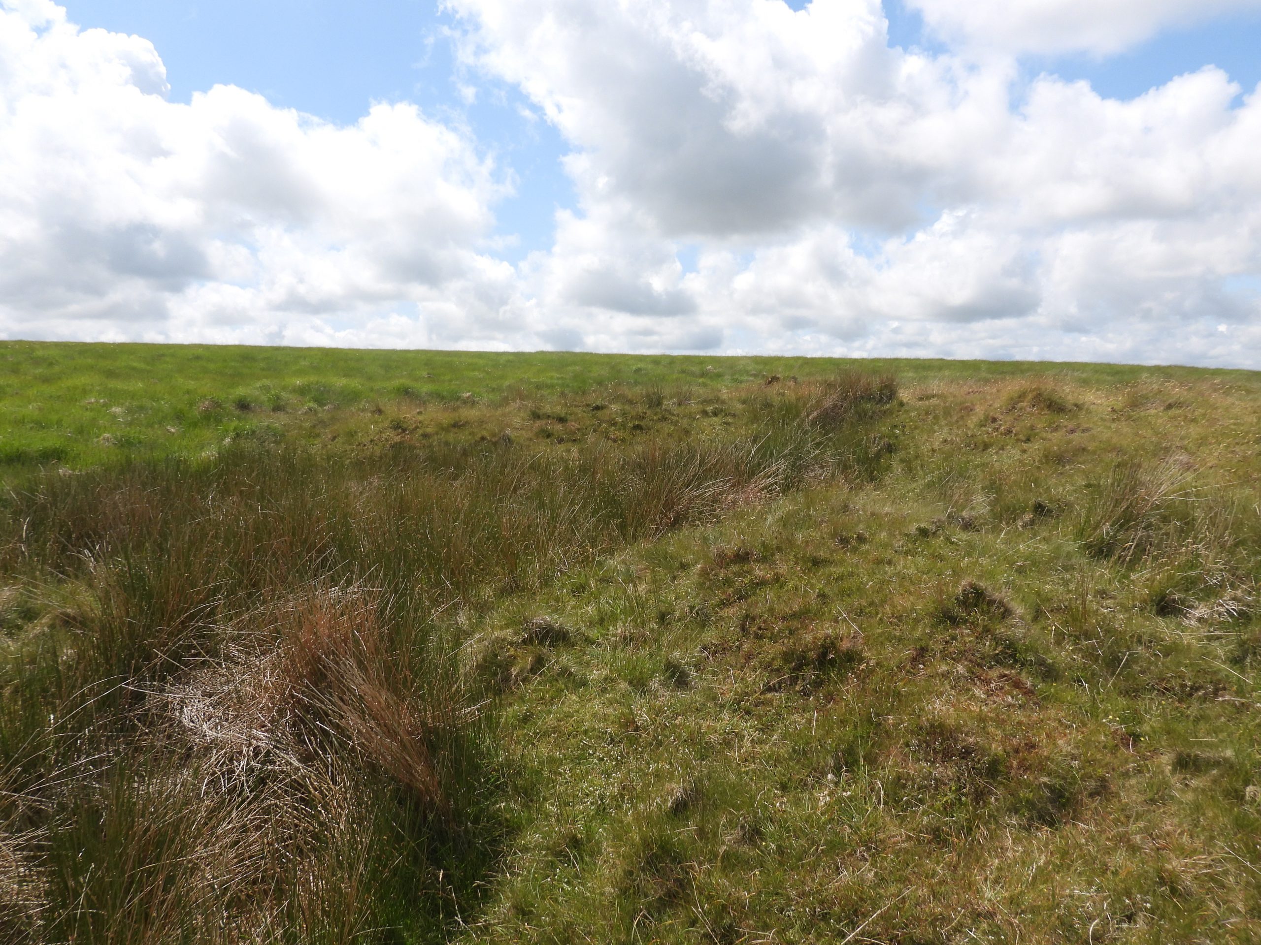
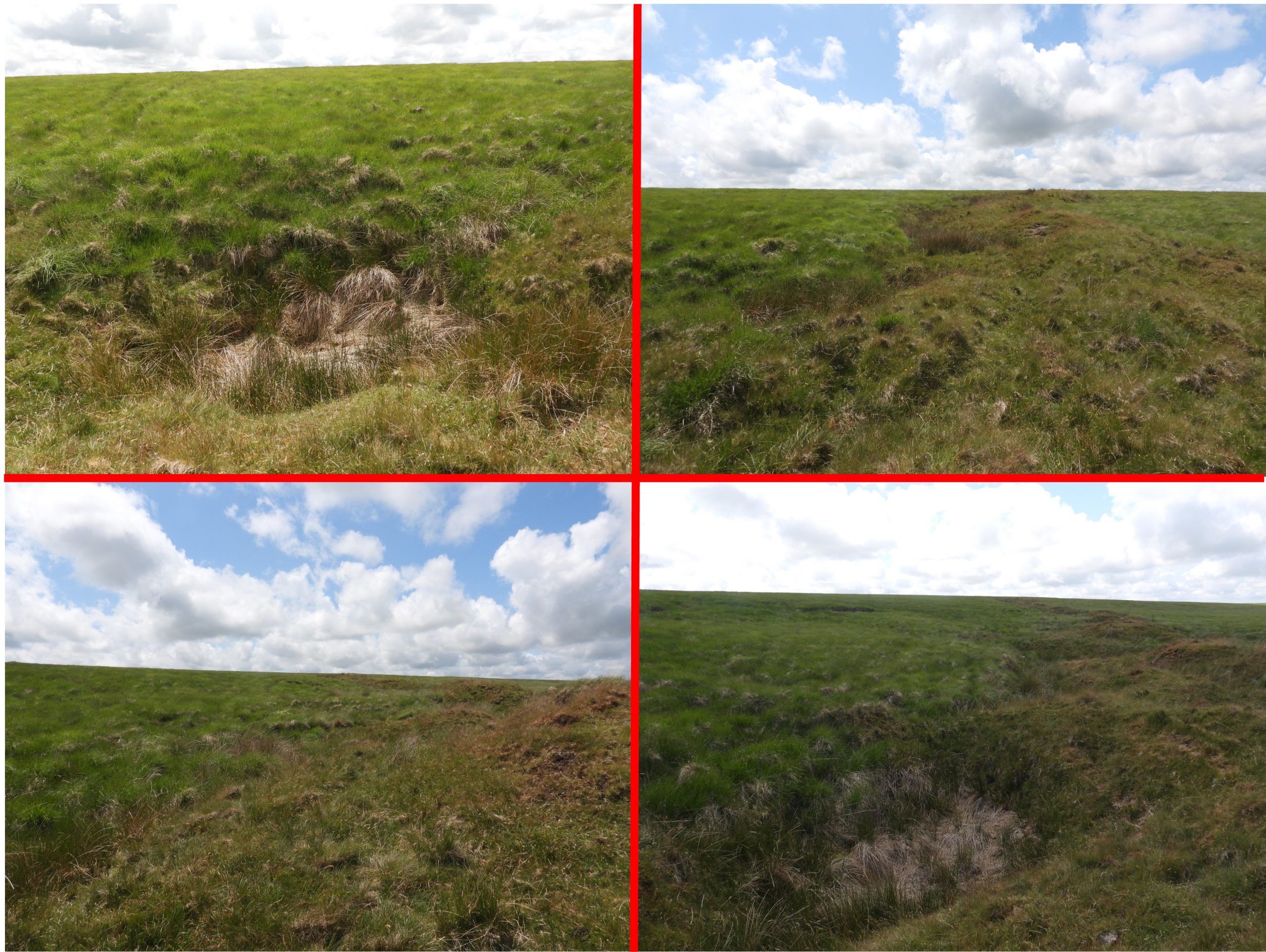
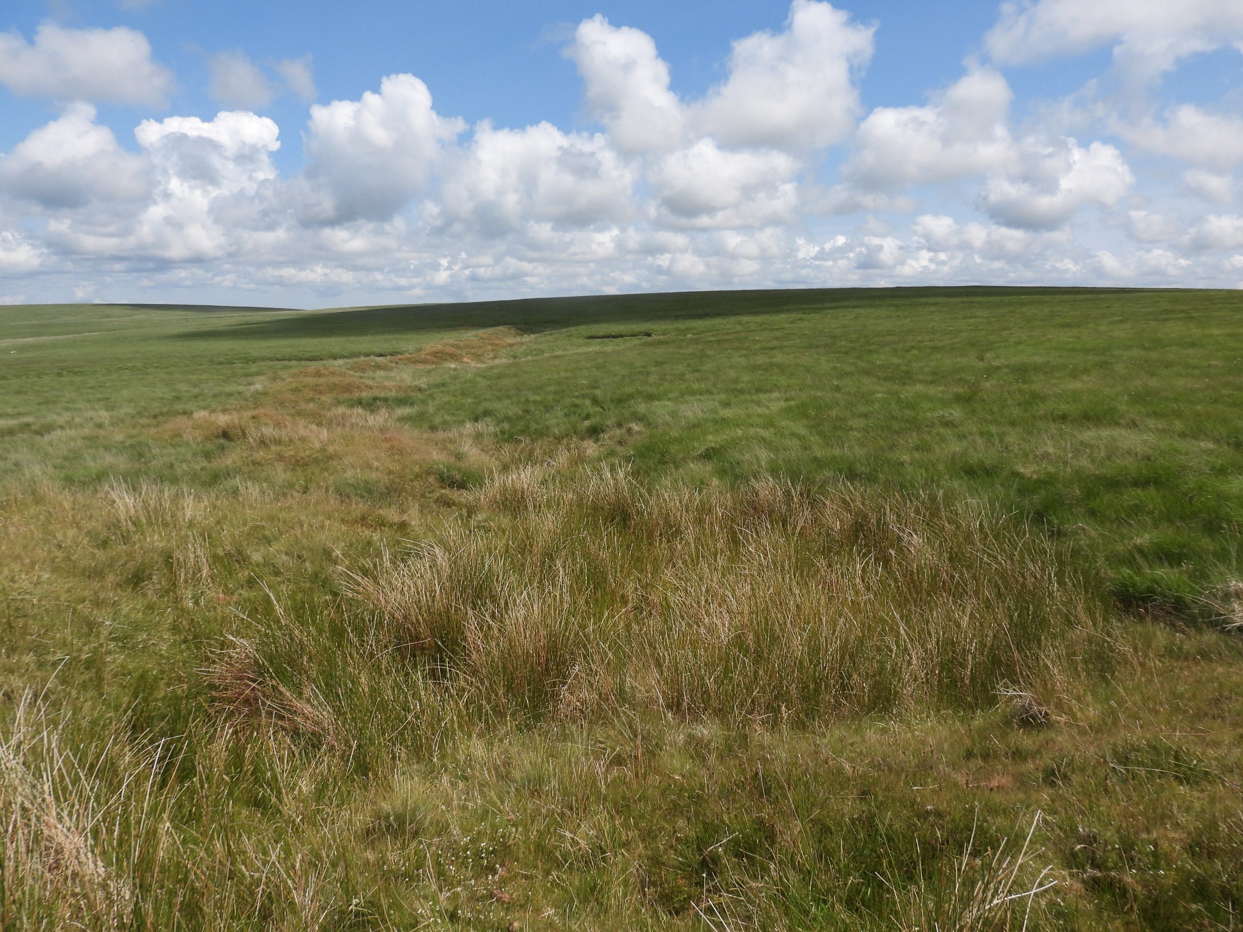
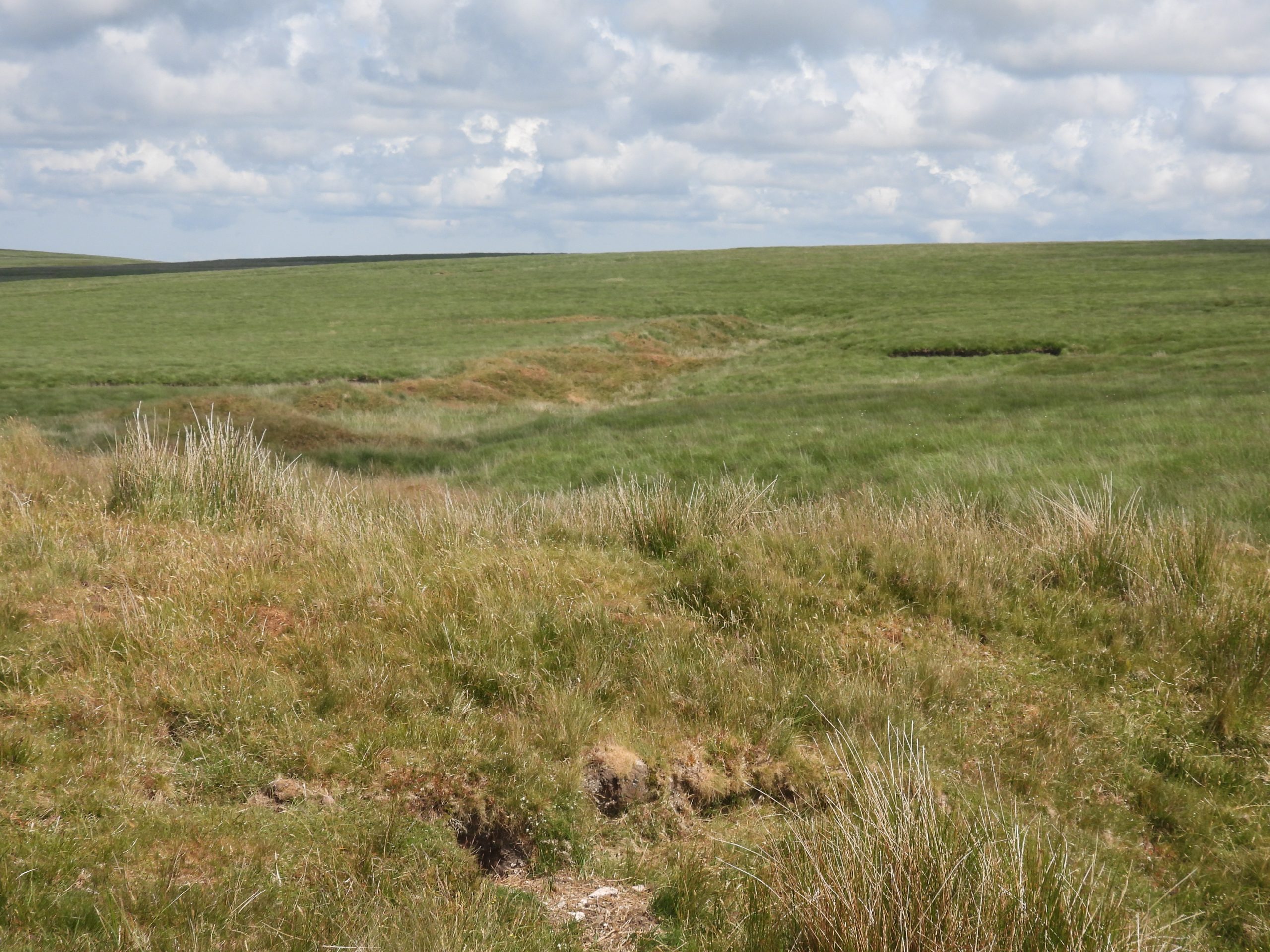
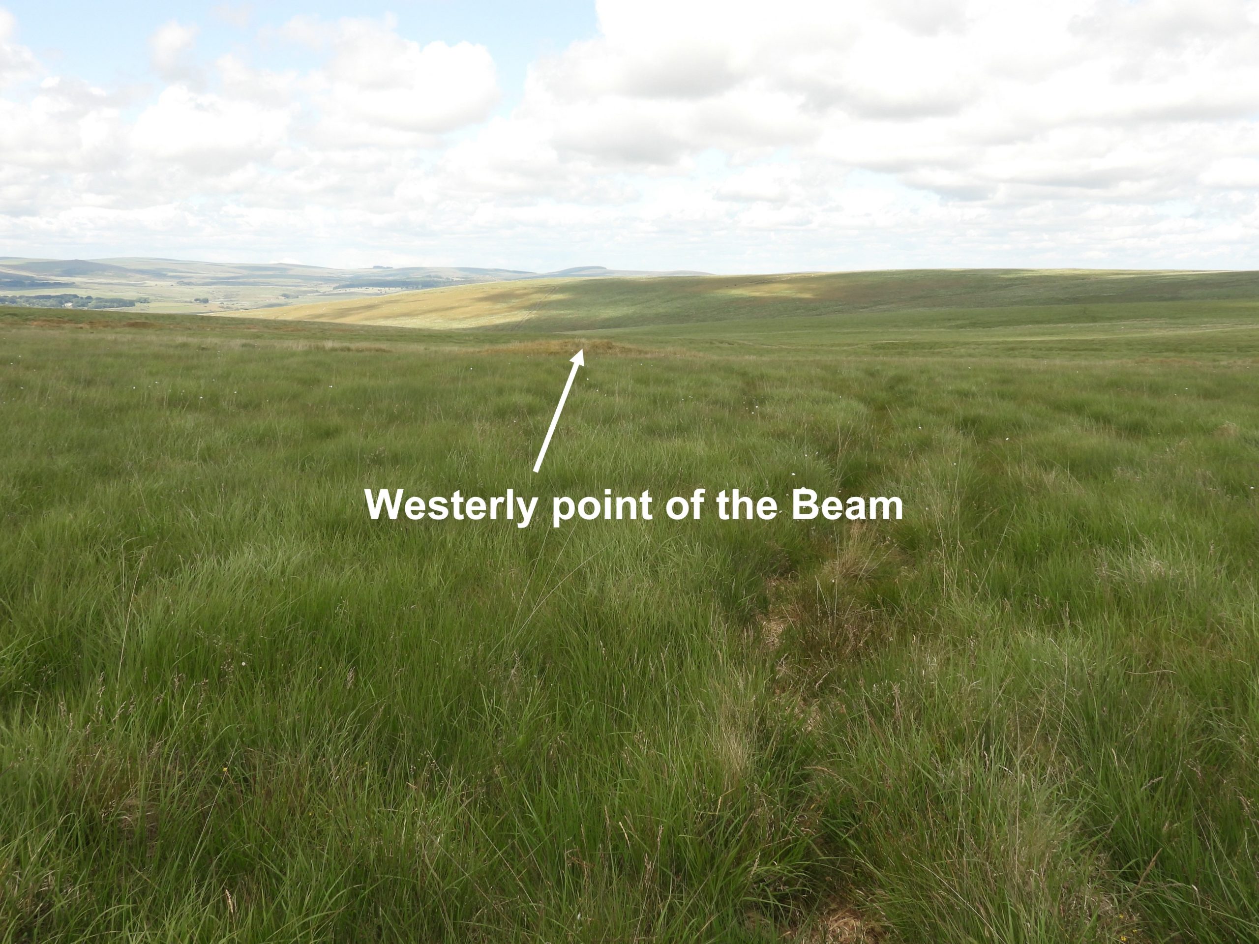
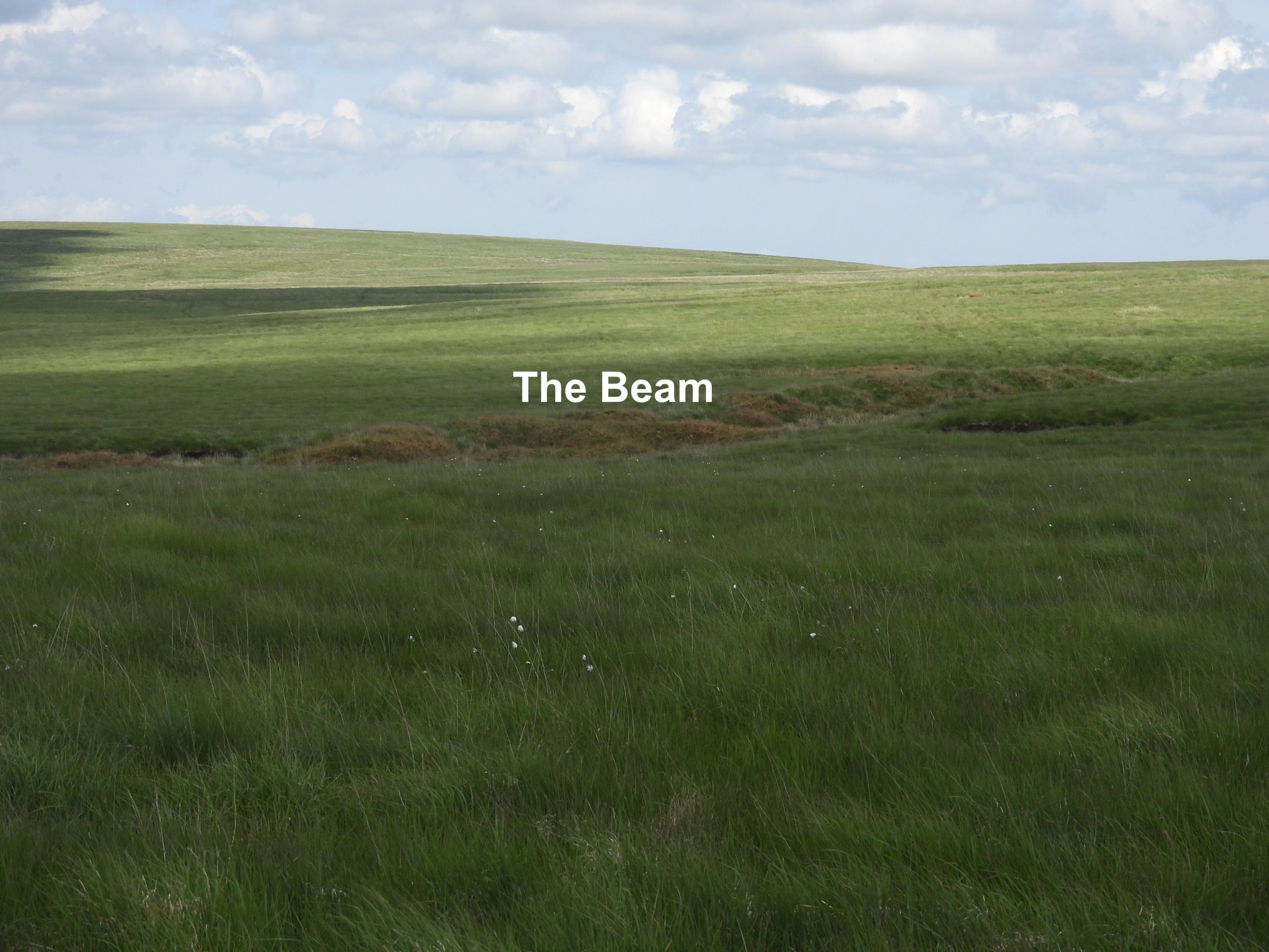
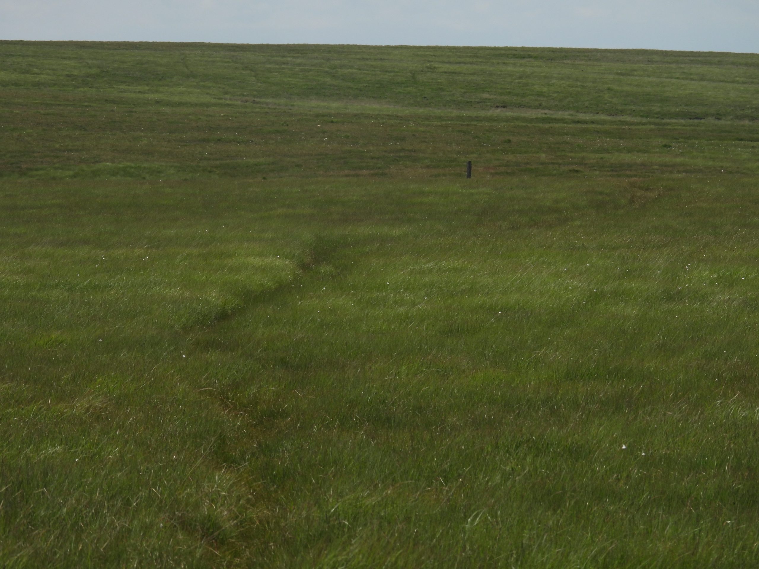
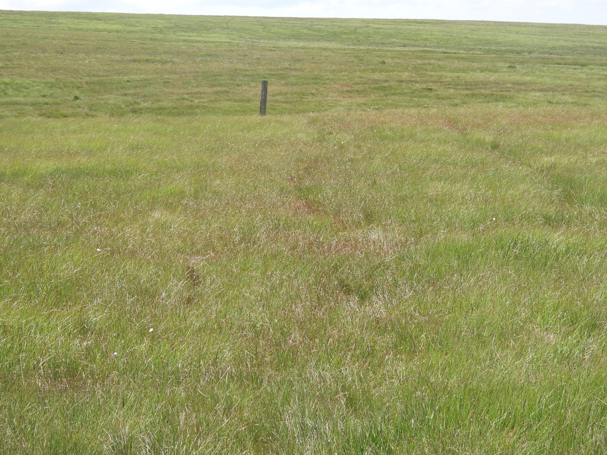
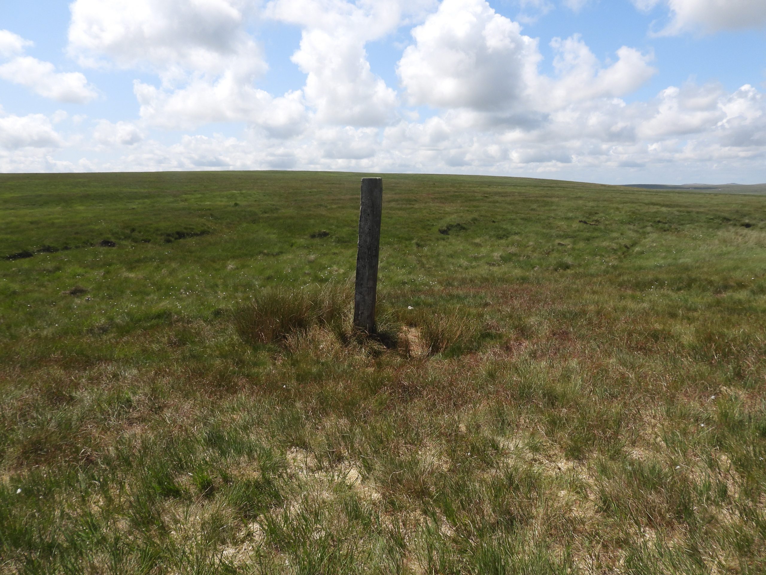
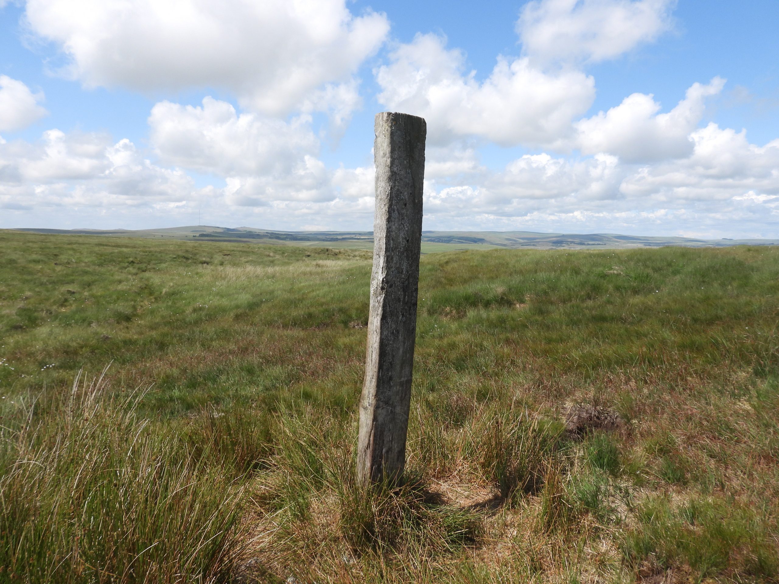
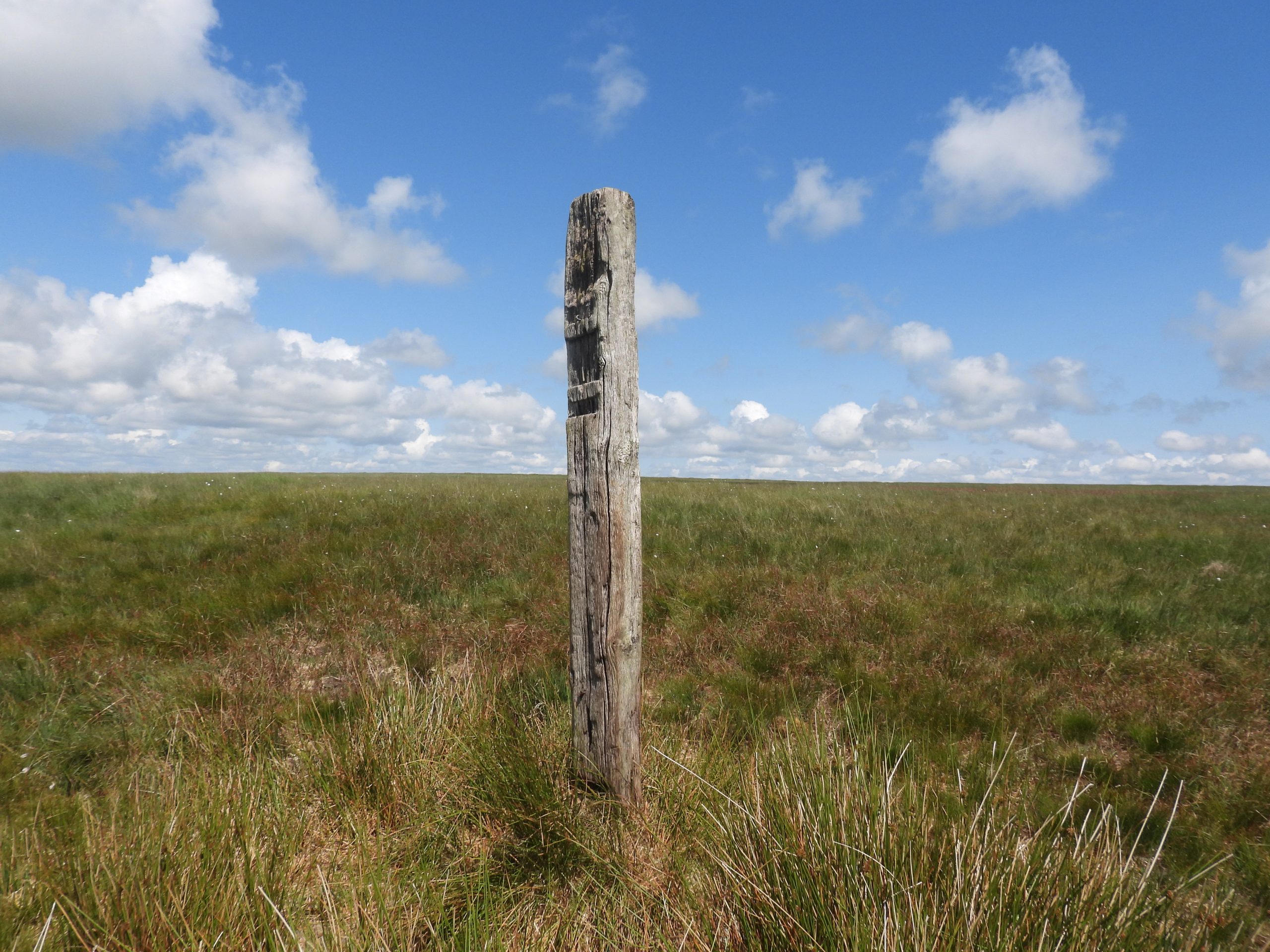
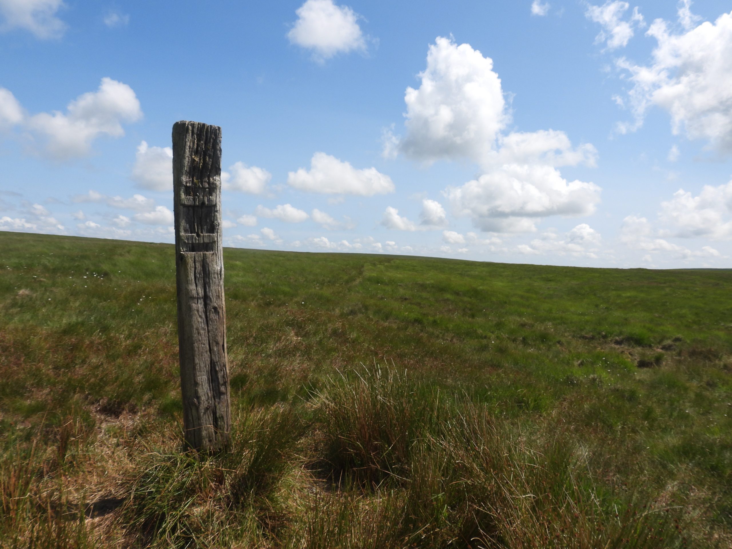
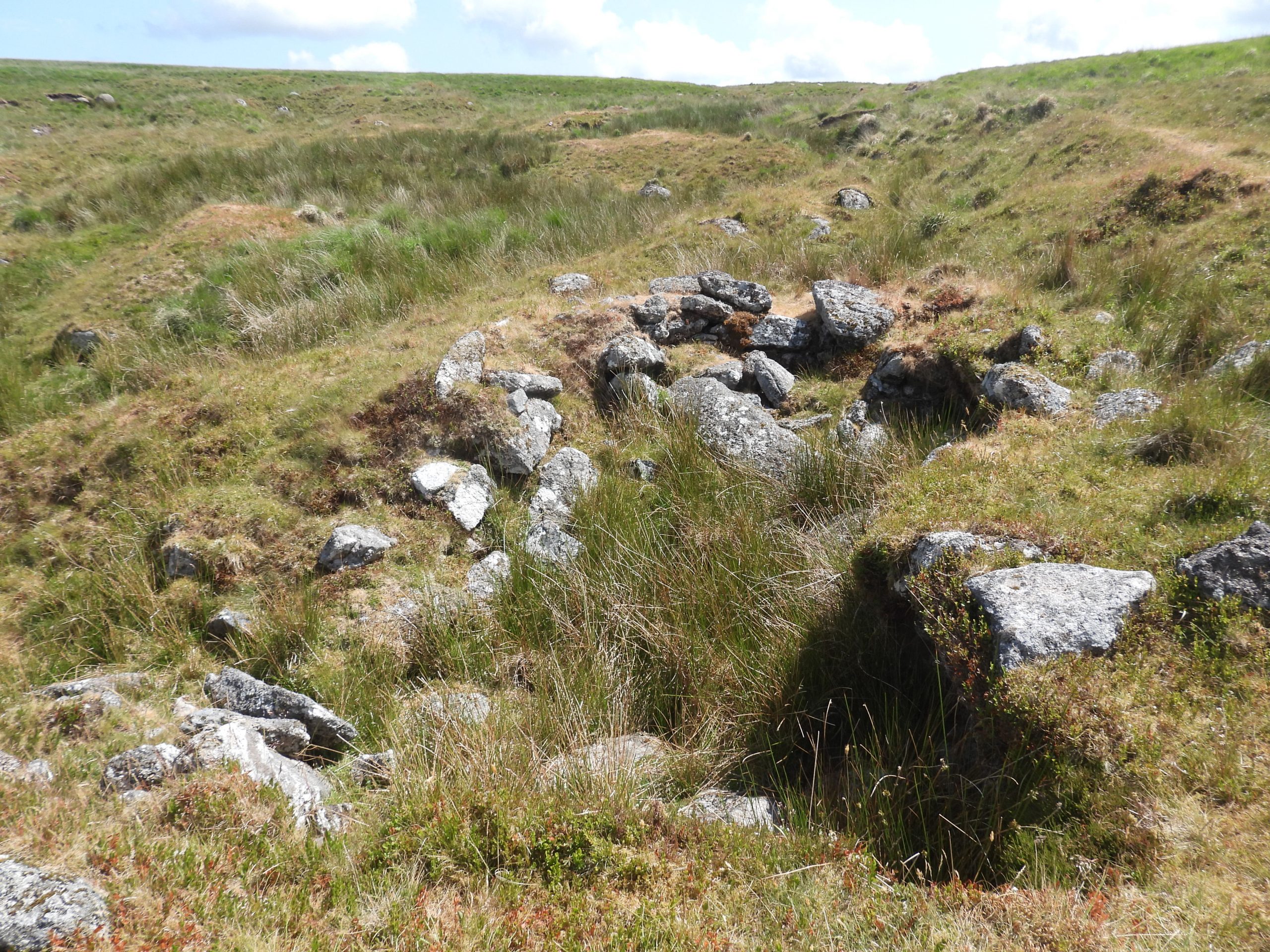
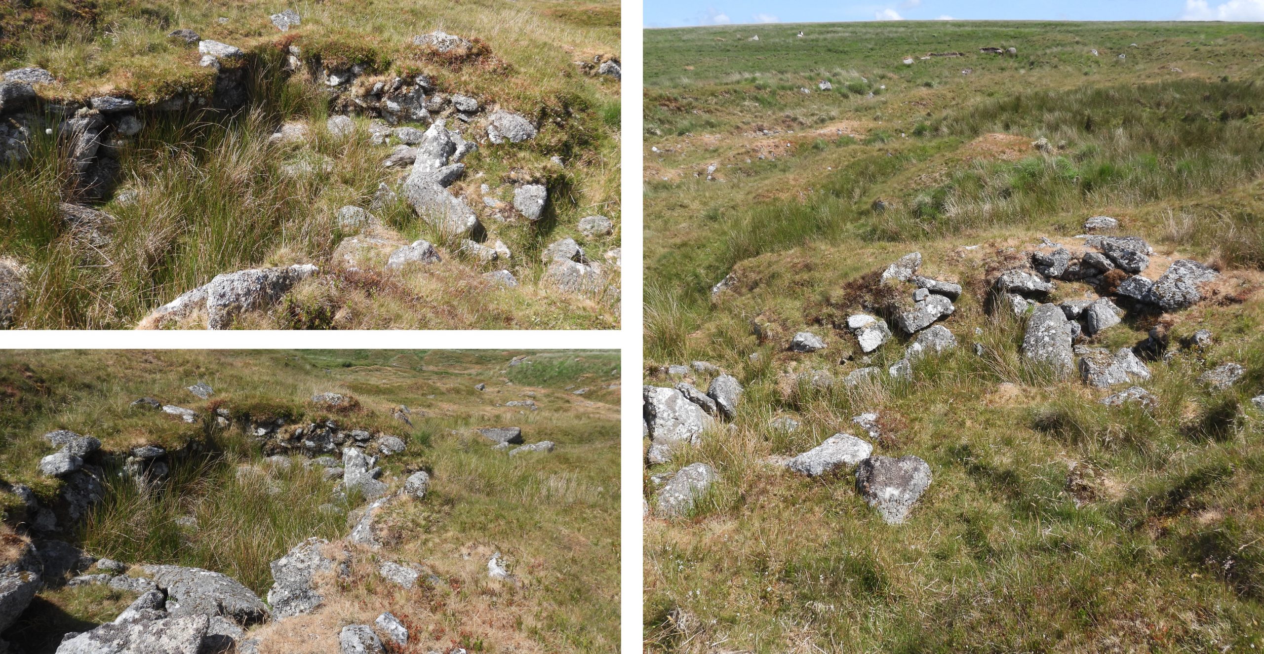
Sketch map of the area covered in this post, which is a fabulous wild part of the southern moorApproaching from the west (via Little Fox Tor) the T Girt Tinner’s workings are encountered. The name is not annotated on the OS map. Of interest, there is also another ‘T Girt’ to the south of Ryder’s Hill, near Snowdon. The Tinner’s Hut in T Girt is a fine example. It was recorded by Jeremy Butler (circa 1993) and has internal measurements of 4 m by 2m. The Tinner’s Hut in T Girt is located at SX62314 69832. The walls are are approx. 0.6m wide and up to 1m high. There is a possible entrance in the north wall (side facing Fox Tor Mire)Fox Tor at 438m above sea level‘The Mammoth Skull’ on Fox Tor. This is toppled piece of granite with two rock basins resembling sunken eyes. It is a favourite coffee stop for the author, on day or night hikesClose up of the ‘Mammoth Skull’Fox Tor viewed from the east. The tor has three main outcrops.The workings of Fox Tor Girt are very extensive and deep. This view is of the ‘western arm’ of the workings. The slopes of Ter Hill are partially in shadow at the top right of this picture.Continuing down the ‘western arm’ of Fox Tor GirtLooking south up the Girt, the extent of the workings becomes very evidentNear the bottom of the ‘western arm’ of Fox Tor Girt is a Tinner’s Hut. This is around 150m south of the newtake wall.The internal measurements of the hut is 6m x 2.4m. There is an entrance on the east side. The construction of the hut has utilised earthfast rocks. It is located at SX62736 70044The northern end of the ‘eastern arm’ of Fox Tor Girt, where the workings are very pronouncedWithin the northern end of the ‘eastern arm’ of Fox Tor Girt is a rather splendid example of a Beehive Hut (or Tinner’s Cache). The Beehive Hut (or Tinner’s Cache) is a small, almost circular corbelled structureThe Beehive Hut / Tinner’s Cache is located at SX63006 70075The stream in Fox Tor GirtMore views of Fox Tor Girt (eastern arm)Fox Tor Girt (eastern arm) with evidence of tin streamingFox Tor Girt (eastern arm) with a pronounced tin streaming. Reference Dartmoor CAM: “Deposits of alluvial tin occur where tin-rich rocks have been broken away by erosion from their parent seam or ‘lode’, and have accumulated in the bottom of river valleys. These accumulations are known as tin streams. After the formation of a tin stream, layers of sand and gravel settled on top of it. Over time they in turn were covered by accumulations of peat and leaf mould. These layers of overburden are frequently several metres deep. To reach the tin stream the tinner’s first had to remove the overburden. This was done by hand and dumps of unwanted overburden were produced alongside or downstream of the working areas. The technique used to extract tin from these streams is known as tin streaming”.Fox Tor Girt (eastern arm) looking west to Fox TorFox Tor Gert and T Gert as viewed from Mount MiseryA Tinner’s Hut (one of two) in Fox Tor Girt (eastern arm)The Tinner’s Hut is Medieval (or later) and measures 6.5m by 2.9m There is a possible entrance in the west side. The building appears to have been been built into the streamwork edge.The Tinner’s Hut is located at SX63000 69850A short distance away from the previous Tinner’s Hut in the centre of the Girt is another hutThis Tinner’s Hut is not that discernible from a distanceThe Tinner’s Hut measures approx 4.5m by 3m. The walls are less than 1m highThis Tinner’s Hut is located at SX62955 69807Tinner’s Hut contextual view in relation to Fox TorFrom Fox Tor Girt, the next valley (to the east) is known as Sunshine Valley and is where the OS map have mistakenly annotated Swincombe Head. Near the lower (northern end) of this shallow valley is an old shelter, thought to be a possible post medieval Shepherd’s ShelterThe Shepherd’s Shelter was recorded by Royal Commission for the Historical Monuments of England in 1995 as: “Sub-rectangular structure measuring 2.3 metres by 1.6m internally, with walls surviving to a maximum height of 1 metre. Three earthfast rocks form its north and west sides”. It is located to the north of small tor, known as Rabbits Tor. It is located at SX63372 69883Sunshine Valley tin streamingLooking south ‘up’ Sunshine ValleySunshine Valley from Mount MiseryThe small outcrops of Rabbits Tor. There is some conjecture as to the precise location of this tor (there is a spread of clitter to the north, but it doesn’t really resemble a tor). The author over the last 40 years or so, has known this location to be Rabbits Tor.In High Dartmoor (Eric Hemery) on page 334, the following is written “Above the stream’s left bank the rocks culminate in a pile known as Rabbits Tor (approx. 1,375 feet), its clitter spreading to the tin-streamed sward across which the stream darts to Swincombe.” This description is under the title ‘Sunshine Valley’. Hemery states here that “The only name borne by the water itself is the-stream-in-Sunshine-Valley“. This is why the author has annotated his sketch map with ‘Sunshine Valley’Rabbits Tor is barely a a small collection of boulders at SX63307 69809. From Rabbits Tor there is a small but very discernible animal track, which leads the walker directly and conveniently to Swincombe Head, where there is more evidence of Tin StreamingAt Swincombe Head there is a rather fabulous Tinner’s Hut which measures 6m by 3.1m. The walls are 1.5m high (north a south gables) and 1.2m wide. Tinner’s Hut as viewed from the northThe Tinner’s Hut is located at SX63930 69764The NE side of the hut (see bottom two pictures) contains a possible cupboard. The Tinner’s Hut is sunk into old workings and has a possible entrance in east wall (left side as viewed in this photograph)Swincombe Head and its stream workingReturning to Sunshine Valley, then heading south from Rabbits Tor a further Tinner’s Hut can be found. This is not far from where the OS have annotated Swincombe Head The Tinner’s Hut measures 3.4m by 7m , with walls of up to 1.3 m The south wall of the Tinner’s Hut is revetted into a spoil heapThe Tinner’s Hut is located at SX63293 69584Swincombe Head (as marked by the OS map)From the Tinner’s Hut and Swincombe Head (OS Map) there is a faint path heading southThe path heading south leads into an area which has been excavated by Tinner’s. The triangular rock (bottom left picture), next to some very obvious ground disturbance is located at SX63436 69217The Royal Commission for the Historical Monuments of England in 1995, have intriguingly described these as: “Earthworks of Medieval or later tin pits and stream working on Caters Beam”. The word ‘on’ suggests that the word beam in this context refers to an area. However, the word ‘beam’ references an open work (e.g Gibby Beam / Owlacombe Beams). There is stream working here but also some open works (pits).Eric Hemery mentions a “featureless hill” the label Cater’s Beam is annotated on modern OS maps. That said, the author conjectures that this area in reality is just a part of Naker’s Hill. As you head south the tin streaming turns into a east – west line of tin pits, which are located on the OS map where a stream appears to have an east and west arm. This is close to where the word ‘Cater’s Beam’ is annotated on modern OS maps. The N / NE part has been cut to drain the working into the SwincombeLooking from the west along the line of Tin Pits. These are effectively a shallow openwork (beam) with lode back pits.The tin pits are shallow and the photographs do not give them justice in terms of being very discernibleMore views of the line of tin pitsThe western end of the tin pits as marked by the walking pole is at SX63326 68998The western most tin pitThis photograph shows the line of tin pits a bit clearer with the stream (leading north) on the left seen as a darker lineThis picture is taken from where the “S” is in ‘Cater’s Beam’ as annotated on the OS Map. This point is at SX63324 68942 barely 50m from the western end of the line of tin pits. As a beam is open works is it possible that the pits are the true “Cater’s Beam”? The author conjectures that this is the most likely candidate for the true “Cater’s Beam”. This is in spite that both Hemery and Crossing refer to ‘Cater’s Beam’ as the hill in this area (which effectively merges into Naker’s Hill).The ‘beam’ of pits from the location annotated ‘Cater’s Beam’ on OS map.It would seem that the map makers cannot decide where Cater’s Beam is located. The author has found at least three locations on various maps. Location 1 appeared on late 19th century maps and is where Crane Hill is now labelled. Location 2 is from the (zoomed in) Heritage Gateway map, where there is a spot height of 472m. Finally, on the latest OS map, Cater’s Beam has moved to south of the 472m spot height and close to the tin pits covered in this post. As a beam is defined as open works, the author concludes that Cater’s Beam is not a hill and therefore must be either the tin pits close to where the modern OS label is located or possibly was an old name for the south end of Fox Tor Girt where Black Lane is located. Any other thoughts on this would be gratefully received.Heading west from ‘Cater’s Beam’, the railway sleeper (post) in Black Lane is approached. It is also known as Wollake Post (north) – there is a southern post not far from Duck’s PoolThe author can recall there being a previous post here which was inscribed ‘CATERS BEAM’. This is probably why this name has been historically, by some, attributed to this railway sleeper rather than the nearby gully or ‘featureless’ hill.The railway sleeper, which in poor weather conditions is invaluable as a guide for those wishing to head south towards Erme countryThe railway sleeper is located at SX62771 69002From the railway sleeper (post) heading south is the author’s favourite route to Duck’s PoolFrom this point, heading north the southern end of Fox Tor Girt (and Black Lane) can be followed.In the southern section of Fox Tor Girt is the final Tinner’s Hut covered in this post. It is known as ‘Fox Tor House’ (reference Eric Hemery in High Dartmoor, page 335 and plate 49)Fox Tor House lies on the west edge of Fox Tor Girt streamworks. The structure was recorded by Butler (1993) as being 5.4m north to south by 3m with walls of 3-4 courses of moorstone, 0.7m high and 1m wide. It is another nice example of a Medieval or later Tinner’s HutFox Tor House is located at SX62666 69427Fox Tor House – There is an entrance on the east side and the interior includes a fallen lintel in the south end.