A collection of walks, discoveries, insights and pictures of exploring Dartmoor National Park
July 10, 2023
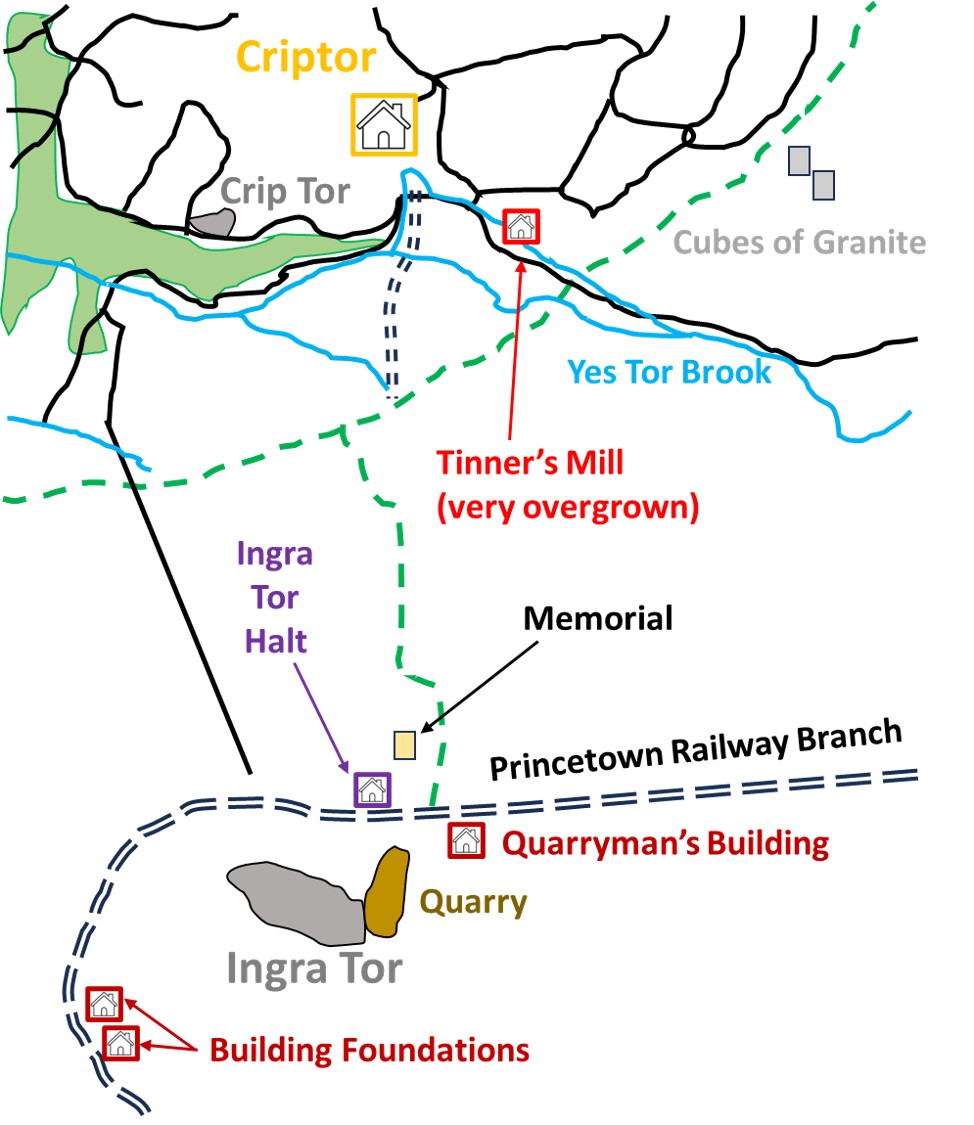
Ingra Tor and environs
On 21st September 1820, following an earlier dispute with the Duchy of Cornwall over lands at Walkhampton Common, Sir Massey Lopes granted a lease relating ‘to the granite thereon’ to the Plymouth and Dartmoor Railway Company, which the company then assigned to Messrs Johnson and Brice. In Carrington’s Dartmoor, it is recorded that Messrs Johnson and Brice were already working King’s Tor Quarry and they were charged to bring ‘this handsome and durable material into rapid and extensive circulation’. It is believed that Ingra Tor Quarry was initially worked not long after the signing of the lease, albeit a description by Bray (1836) suggests it may have been a lot later.
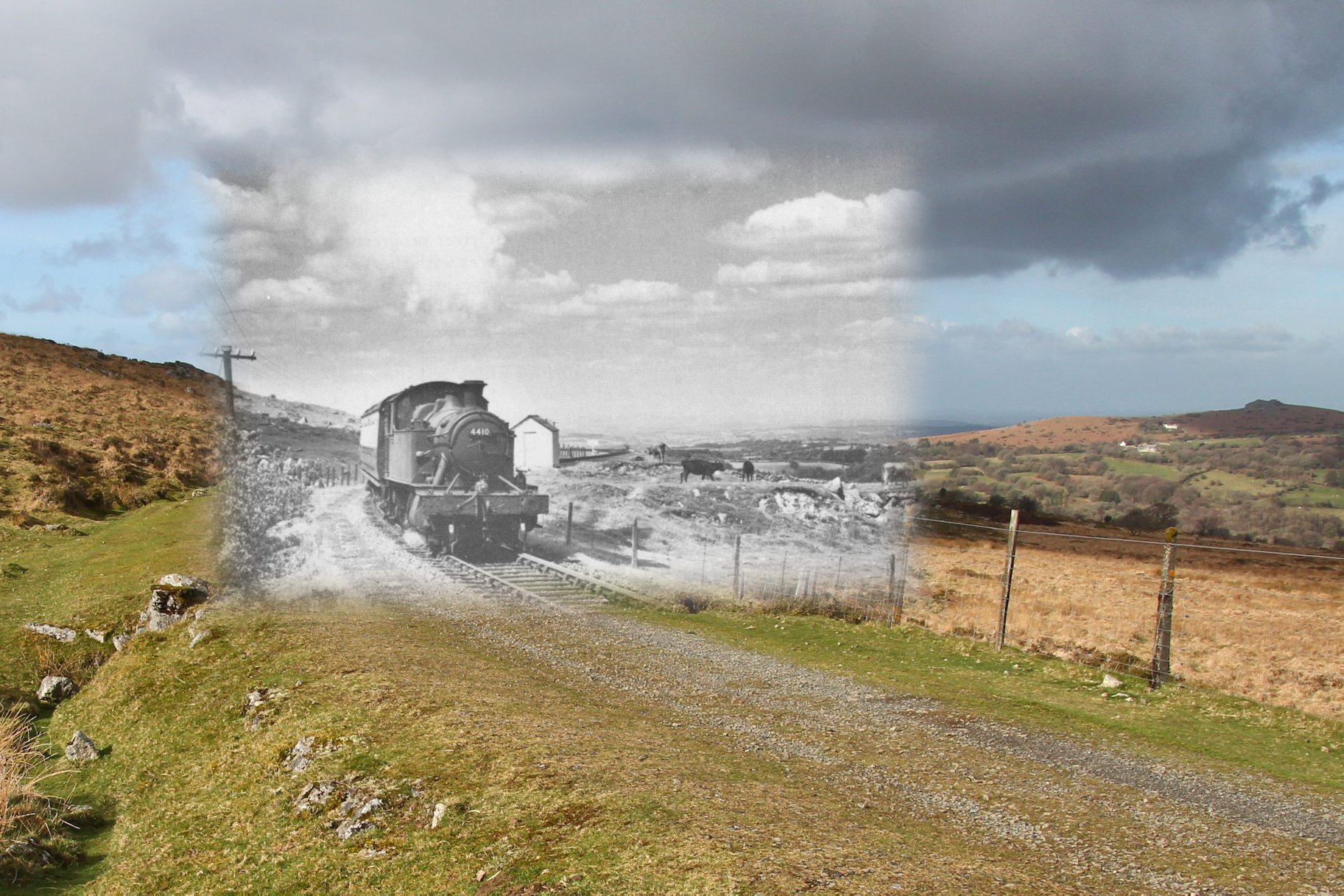
Just over three years later after the initial lease had been signed, on 26th September 1823, the Plymouth and Dartmoor Railway (P&DR) was completed from Sutton Pool (Plymouth) to King’s Tor. The concept was to transport lime, coals, timber and other articles one way with granite being transported in the opposite direction. The line was opened by Sir Thomas Tyrwitt. The Plymouth and Dartmoor Railway line circled around Ingra Tor before much of the track bed was re-used with the opening of the GWR Princetown branch from Yelverton on 11th August 1883. The P&DR would have been integral to the Ingra Tor operation.
The quarries in the area (Foggintor, Swell Tor, King’s Tor and Ingra Tor) were ran by the Johnson Brothers from 1820 to 1865. The Bovills then the Pethicks took over the operations in the latter years of the 19th century. The author is unaware of an exact date but it it is probable that Ingra Tor quarry ceased operations around the turn of the 20th century.
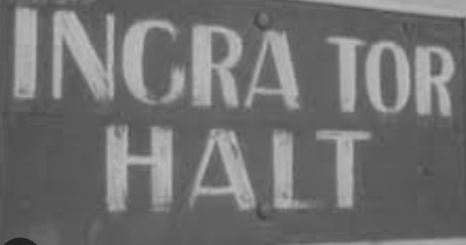
Ingra Tor quarry appears to have had a new lease of life in the 20th century, when quarrymen used the two crane bases within the quarry from 1936 to 1941, along with a building near the railway line. This was following the issuing of a new lease from the Maristow Estate to cut kerbstone, granite setts and road metal from the surface stone lying around. The customer was Devon County Council. Intriguingly, it was at this time Ingra Tor Halt was constructed for the quarrymen and was opened on 2nd March 1936. The halt enabled transportation of men and materials to the quarry.
Bibliography:
The Railways, Quarries and Cottages of Foggintor by Kath Brewer
The Yelverton to Princetown Railway by Anthony R. Kingdom
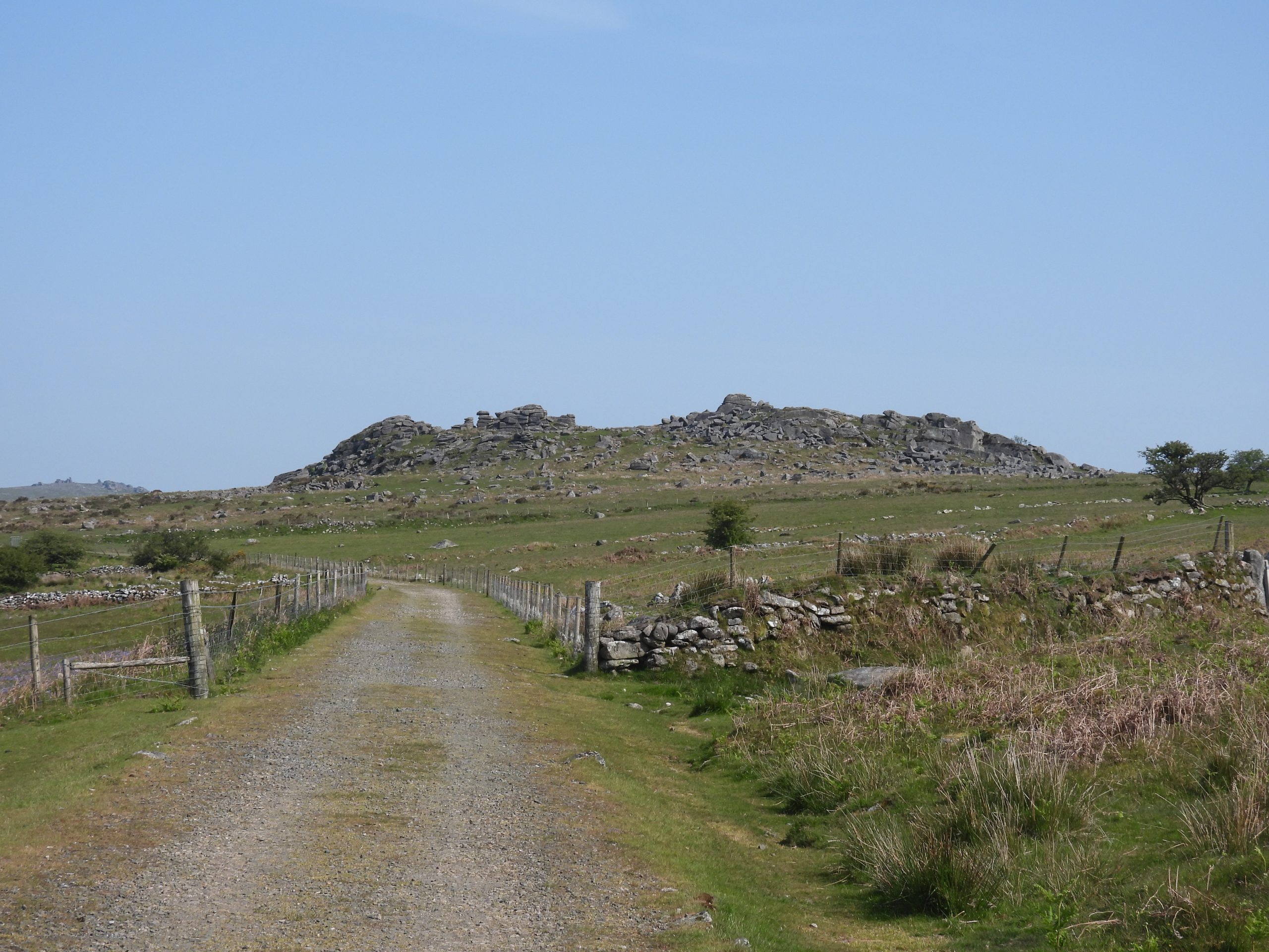
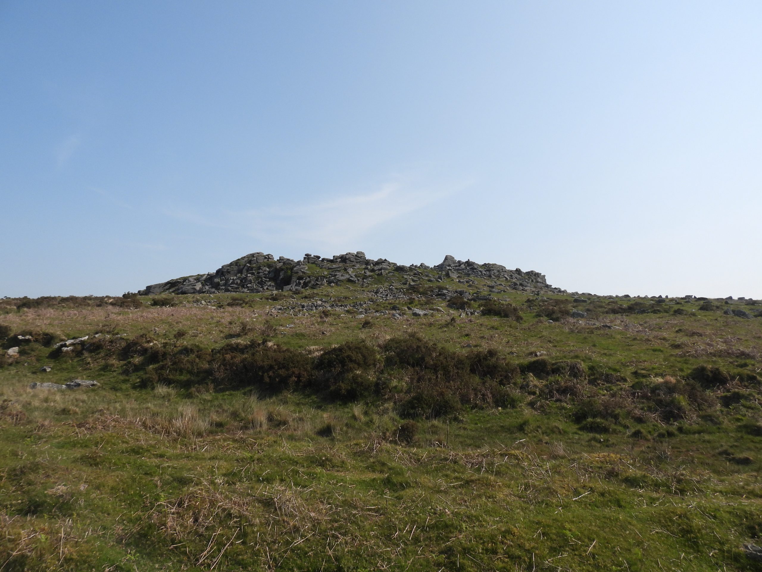
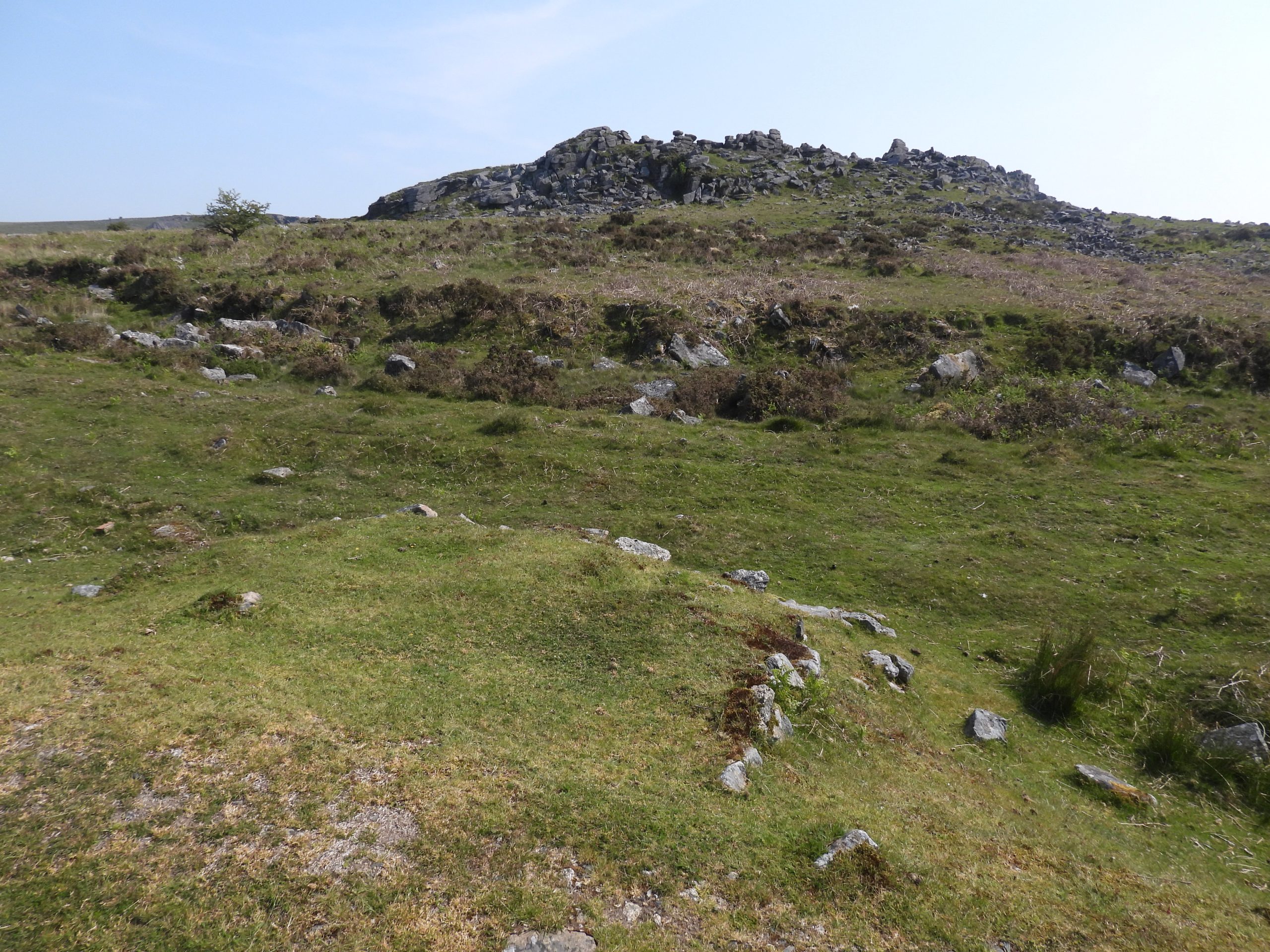
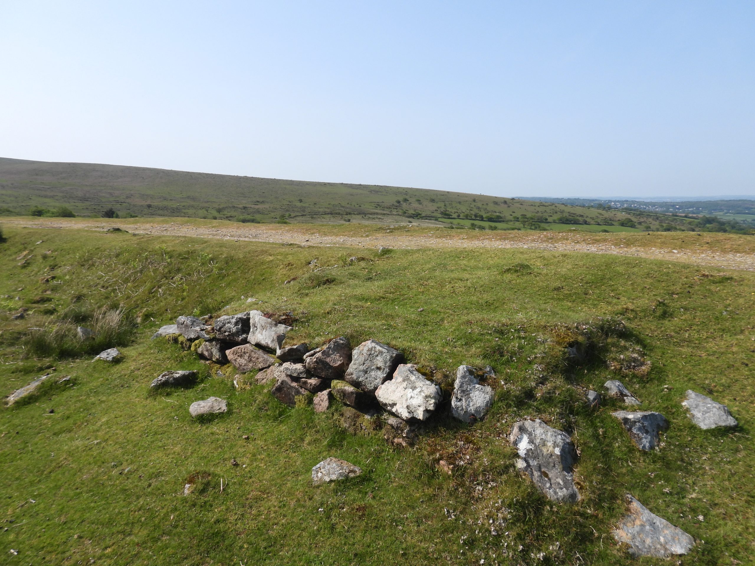
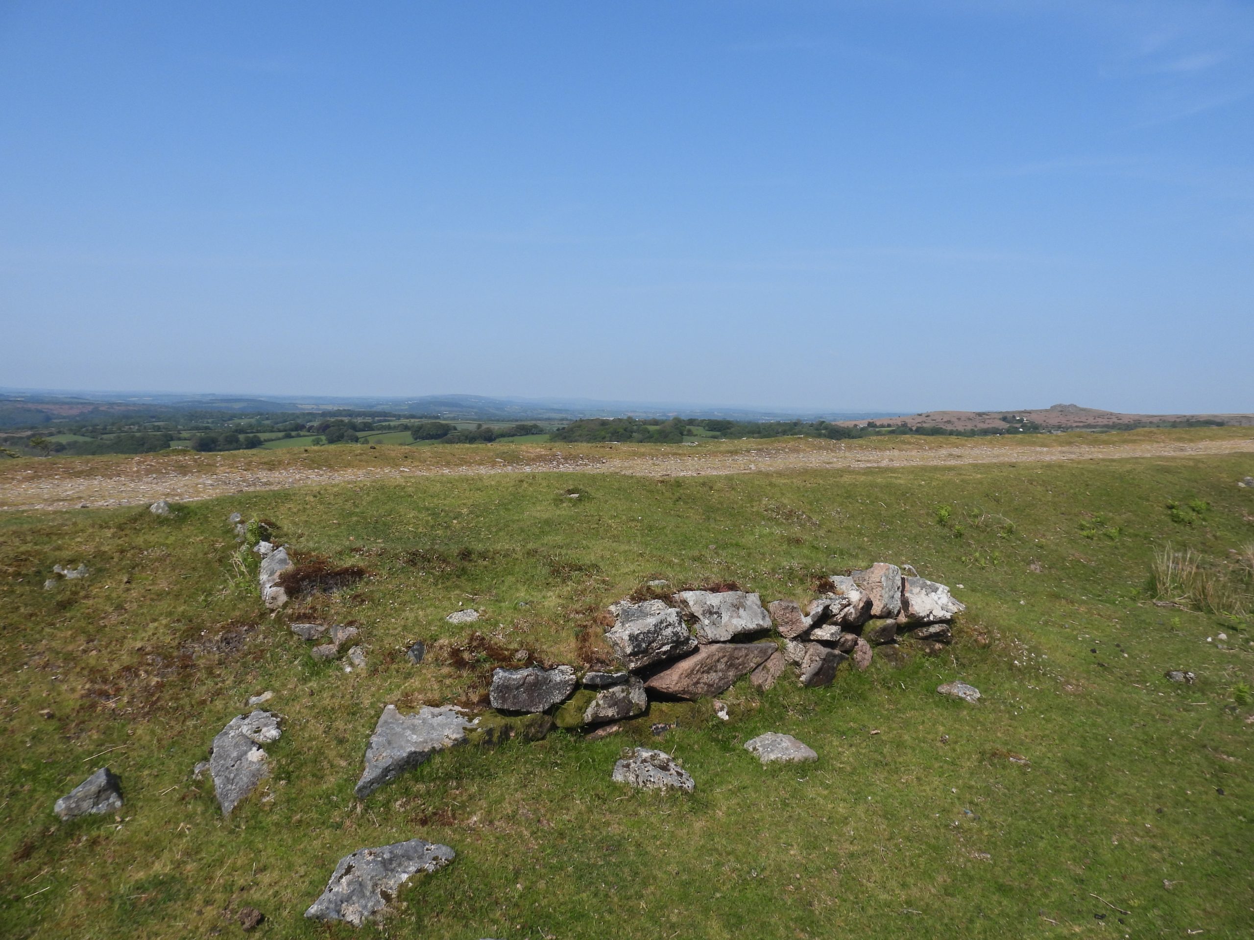
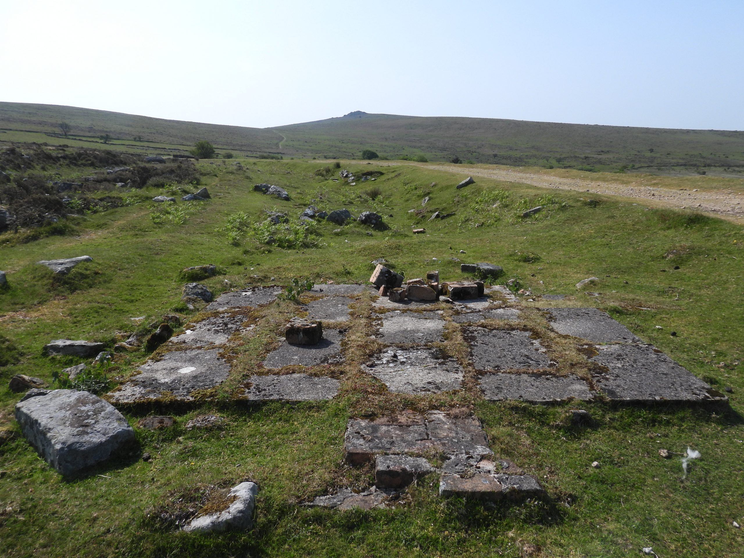
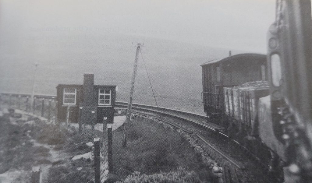
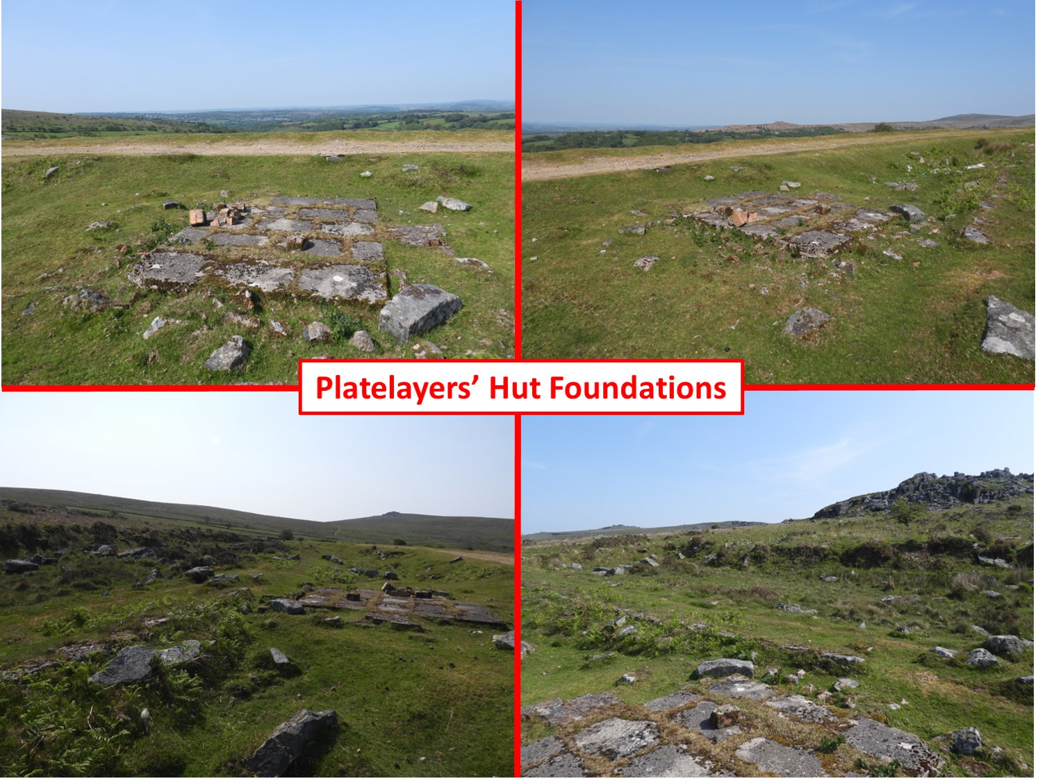
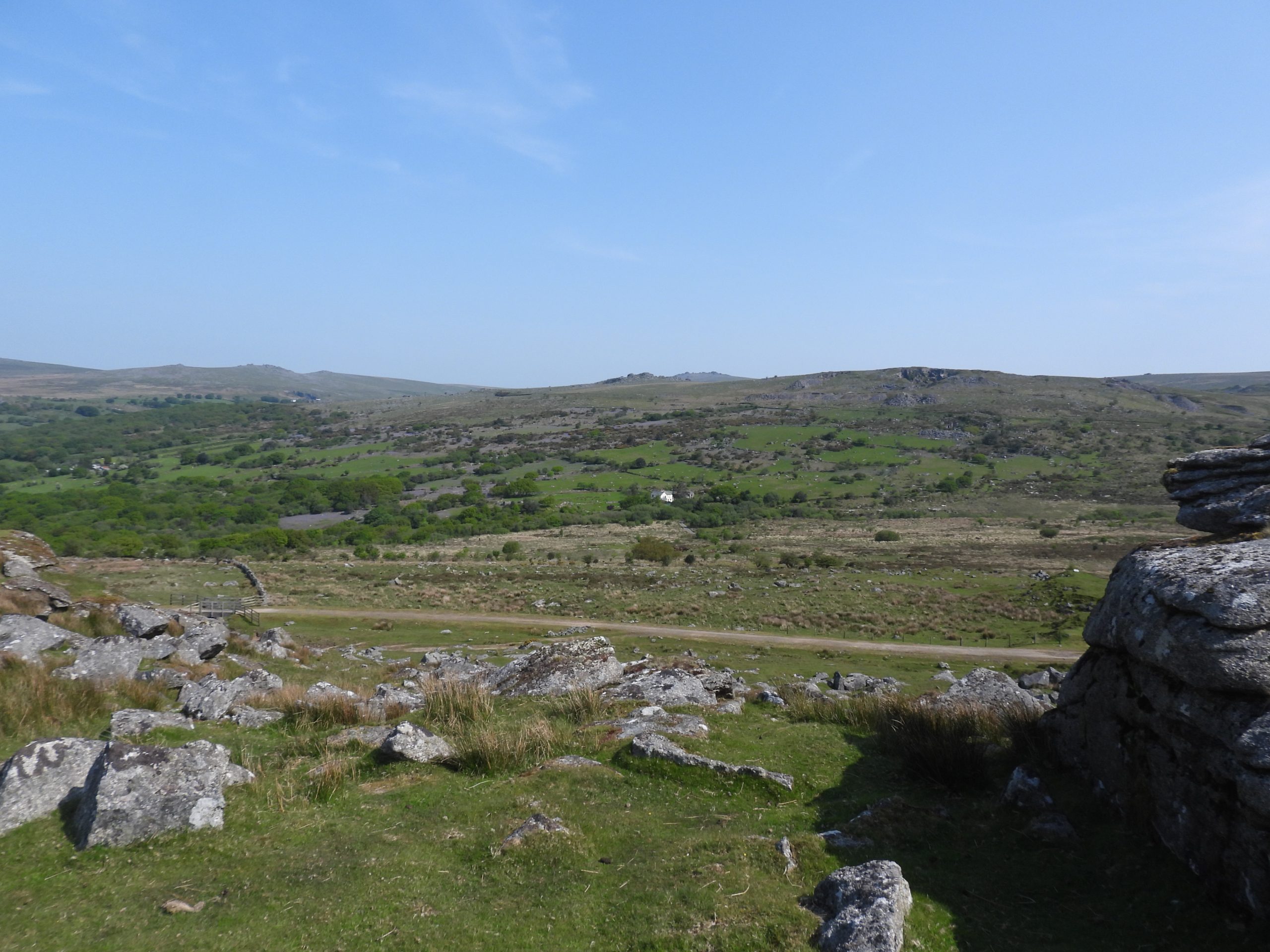
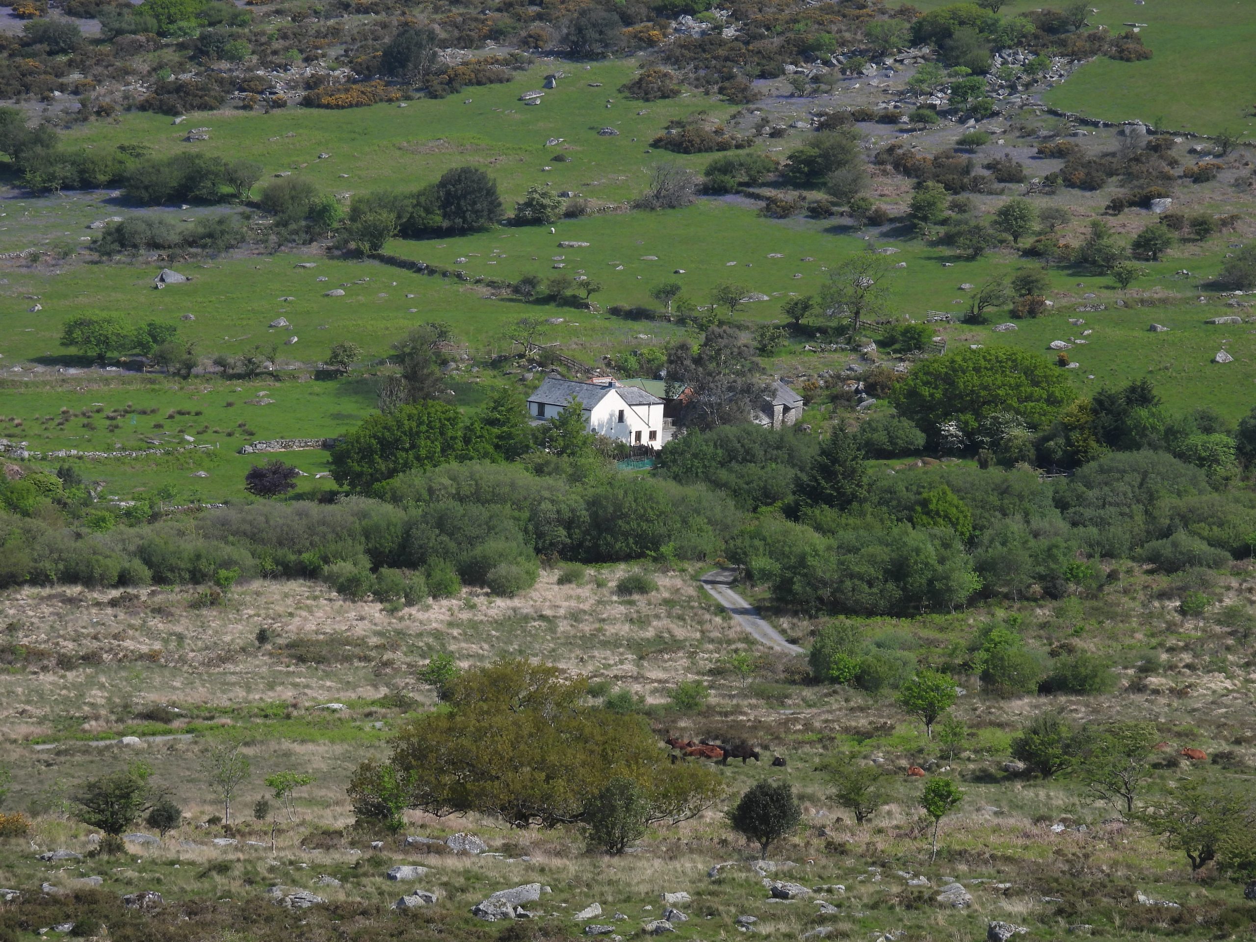
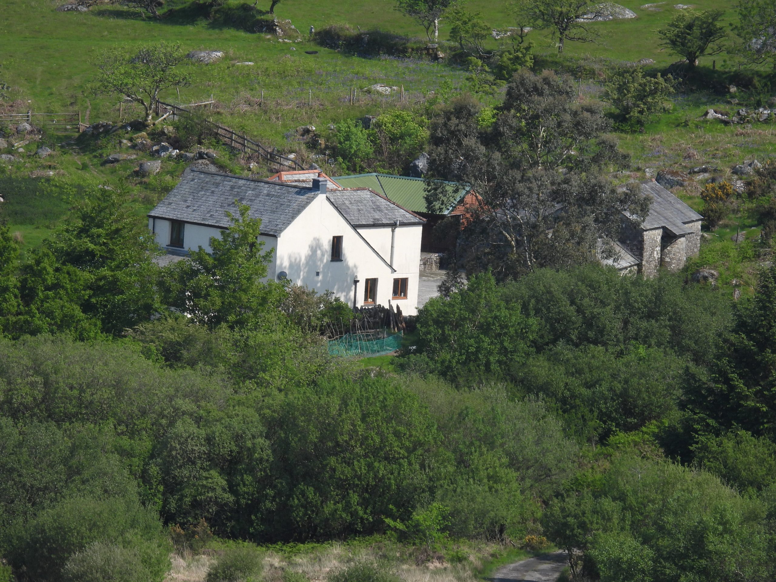
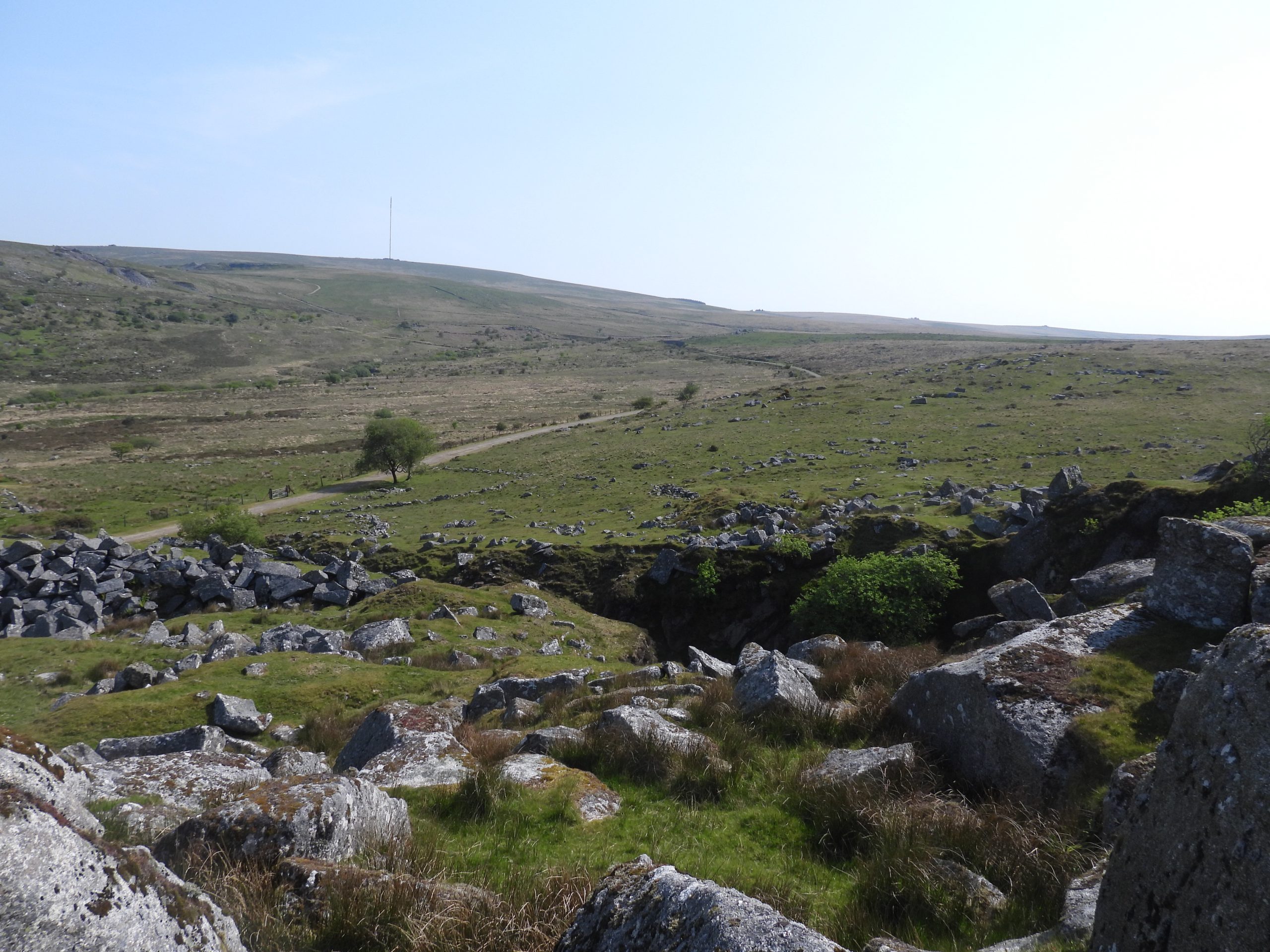
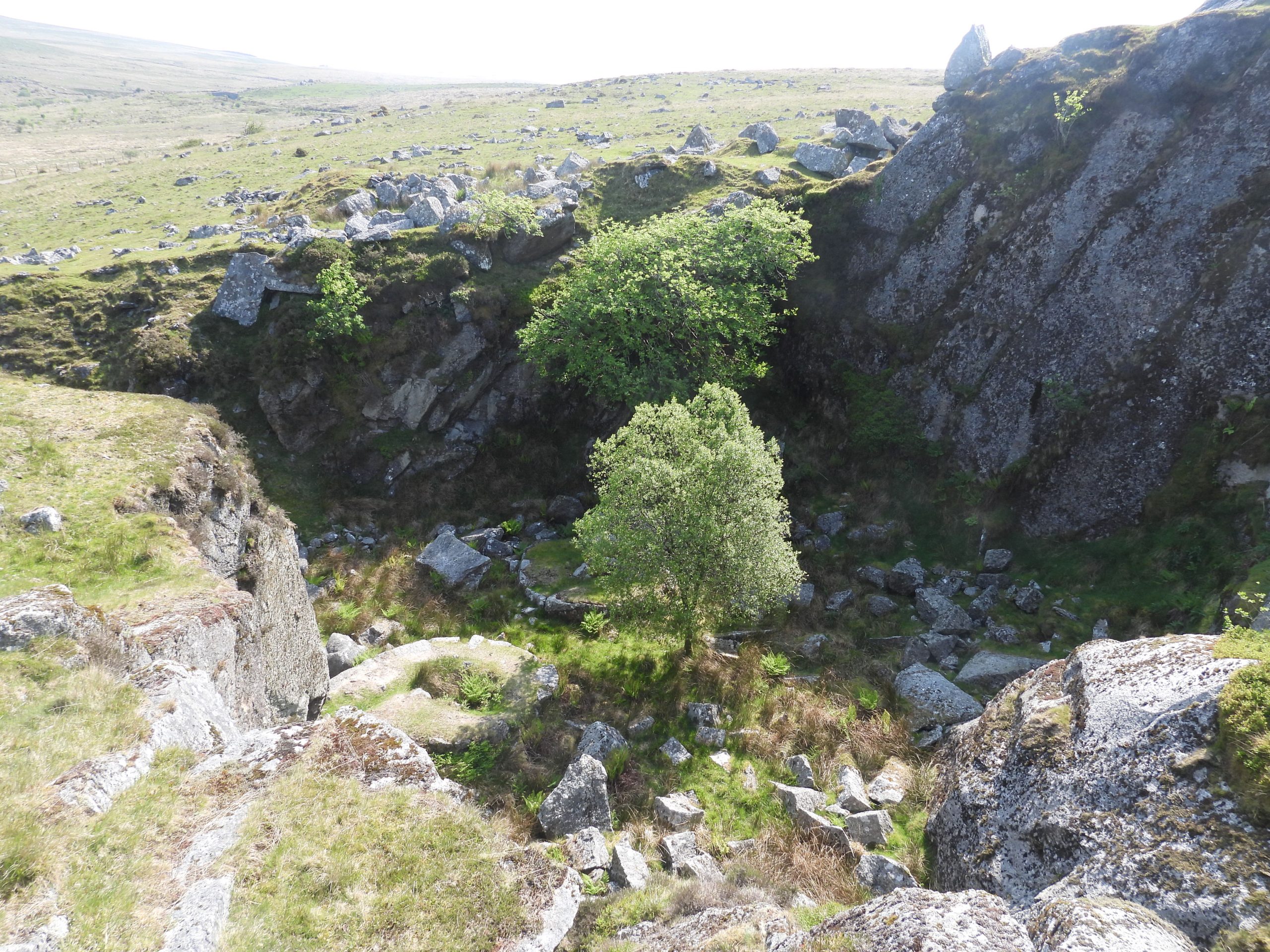
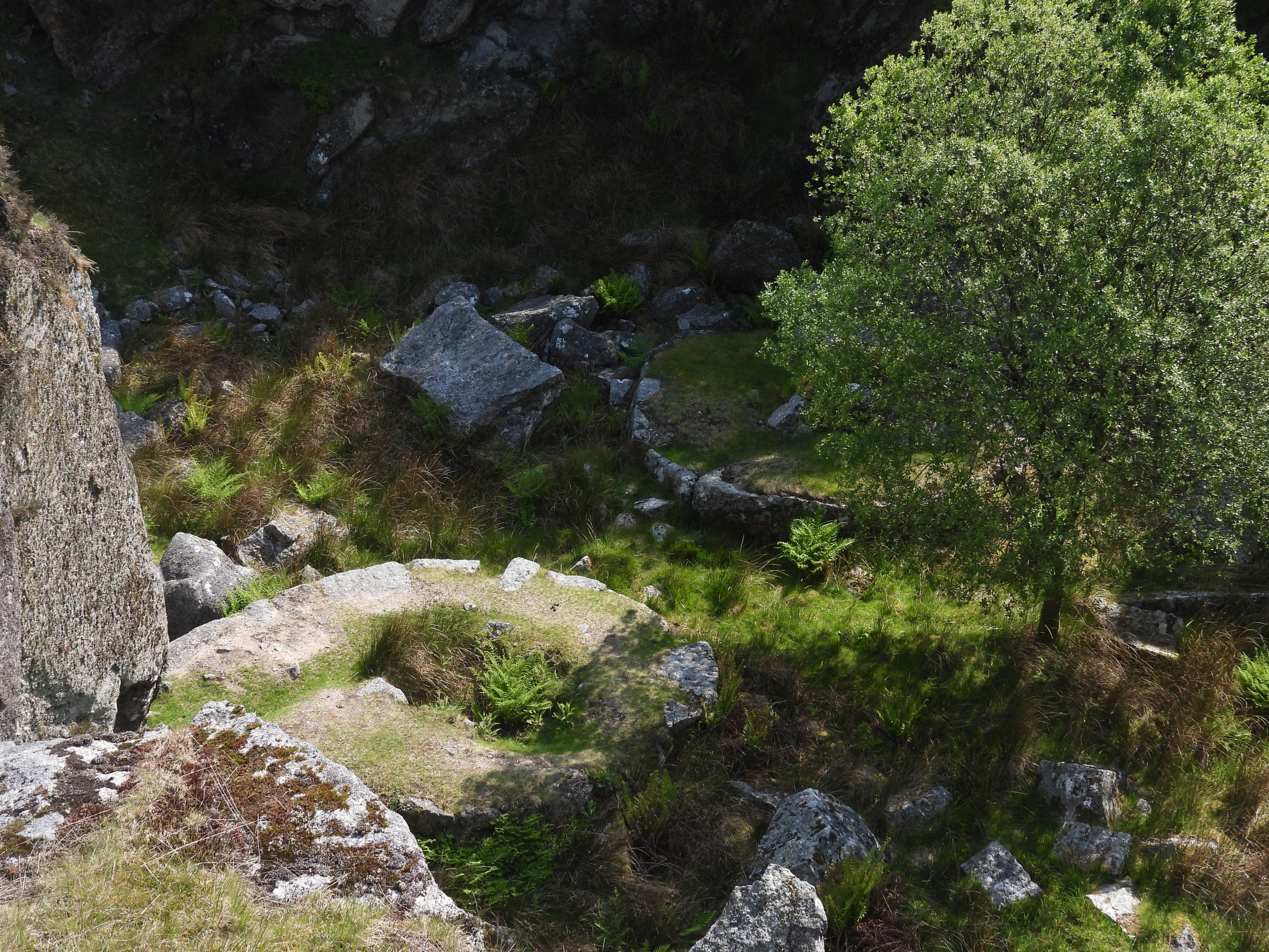
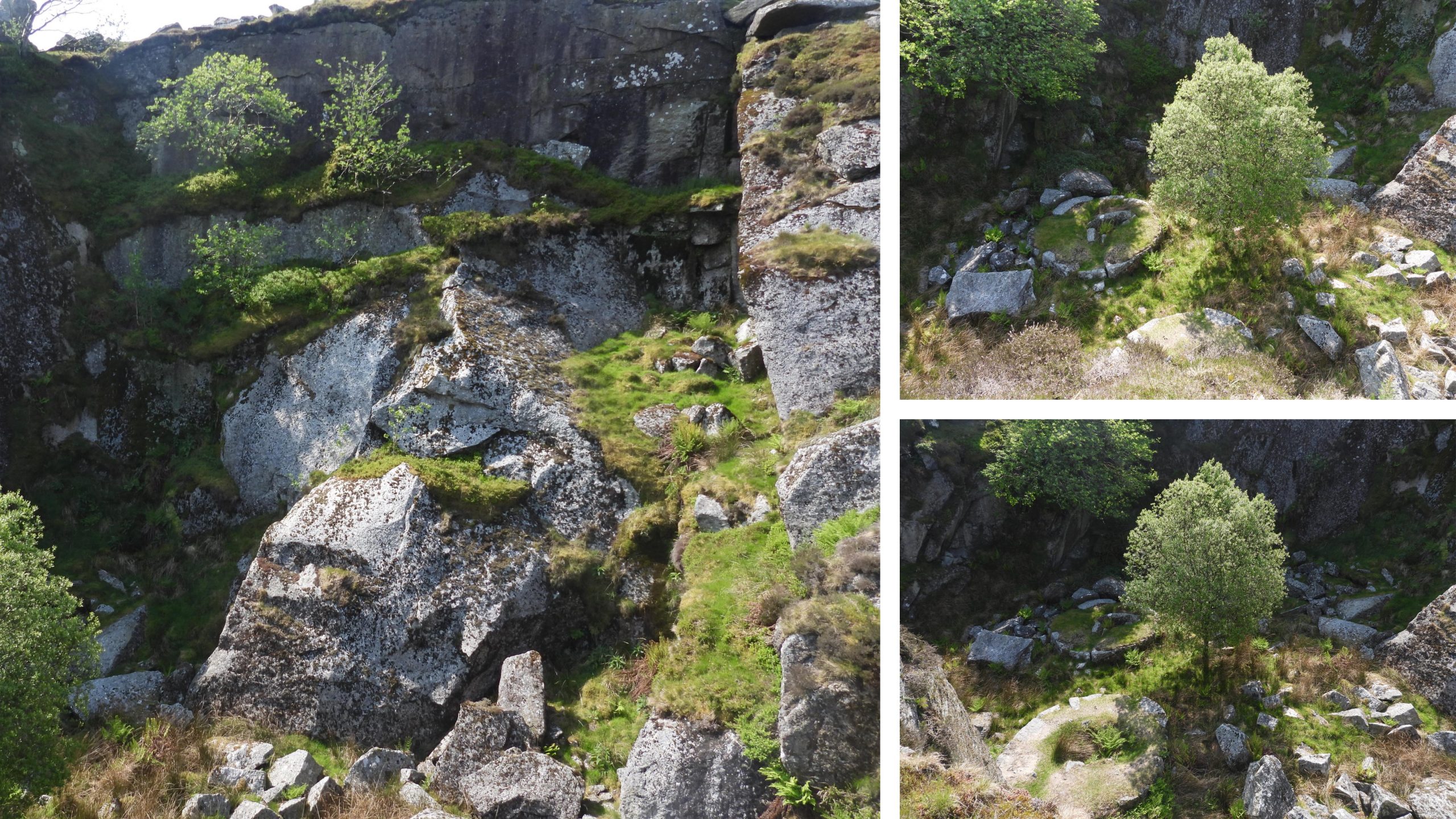
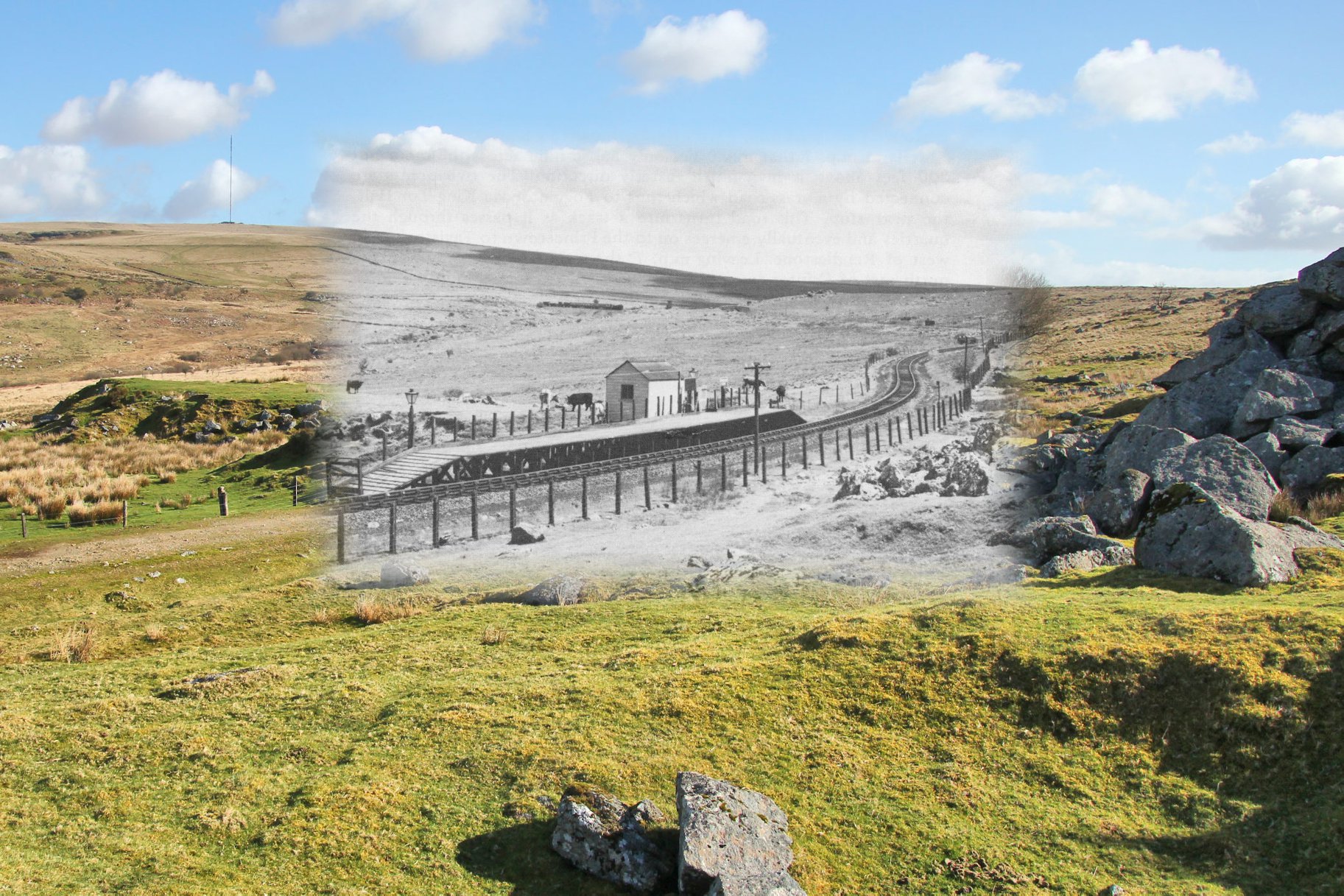
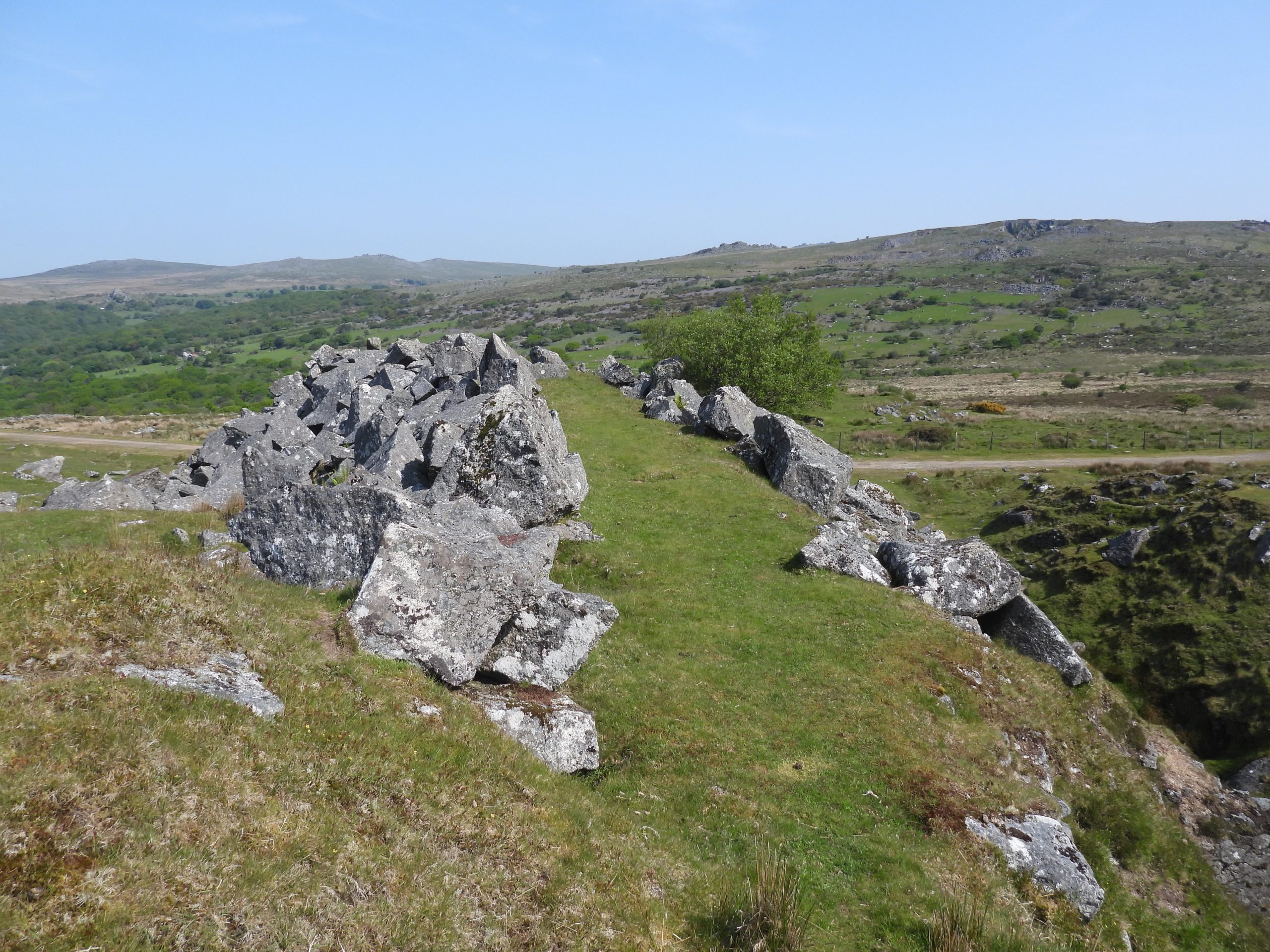
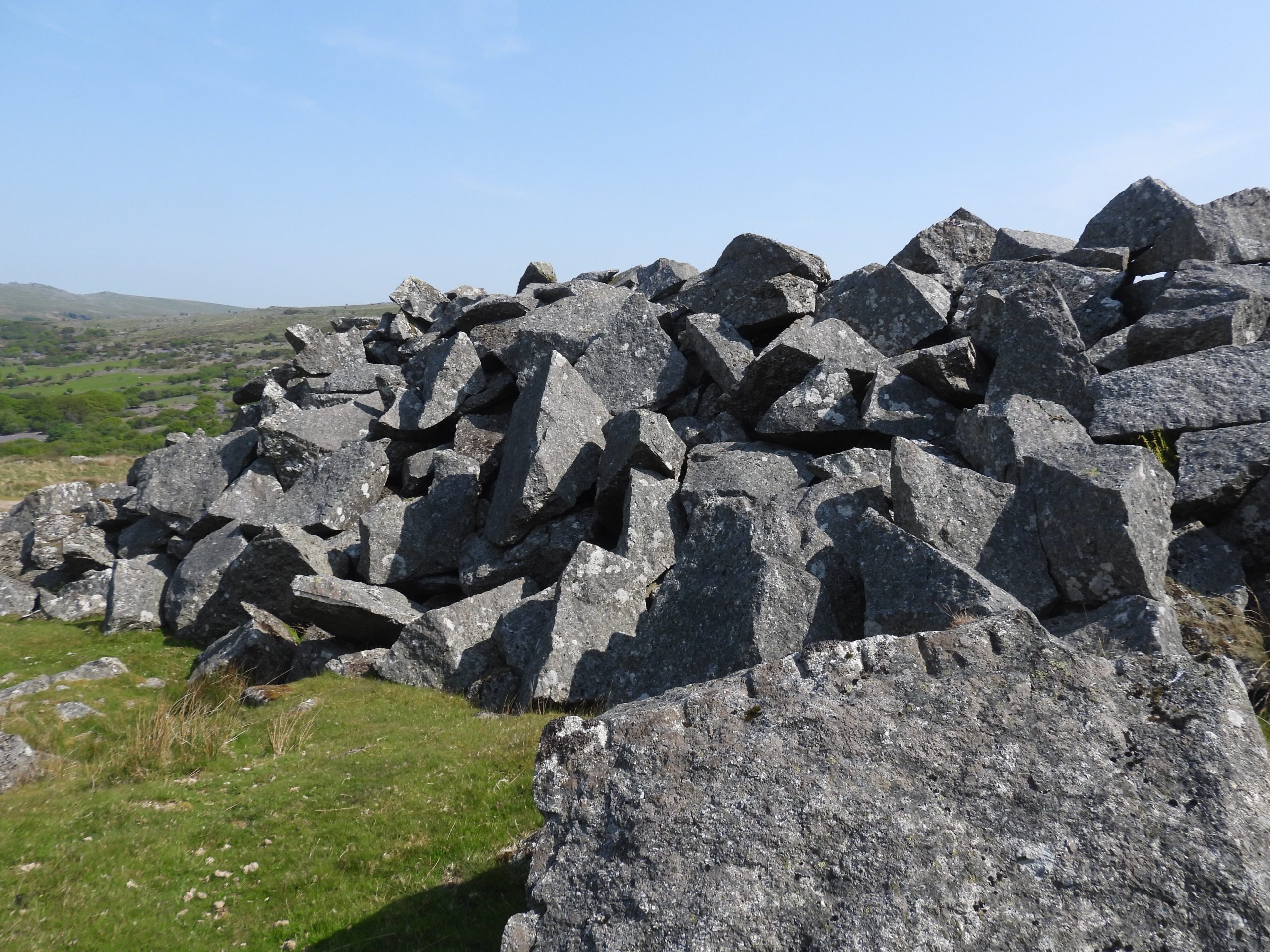
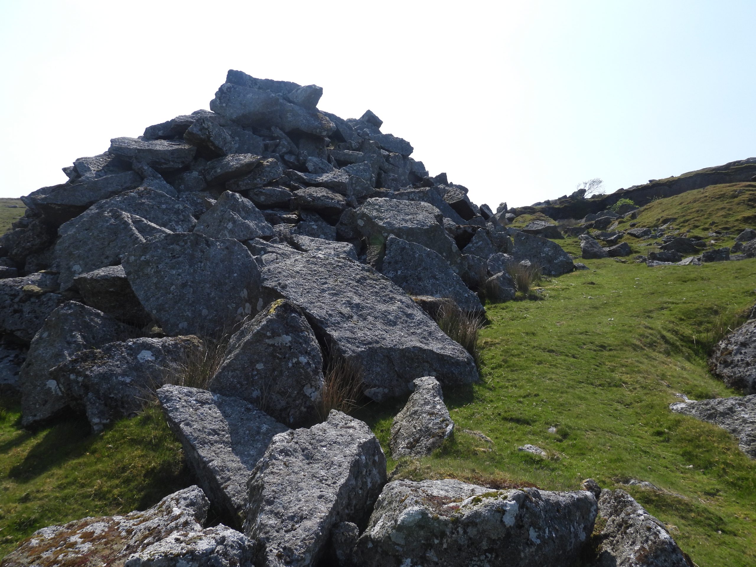
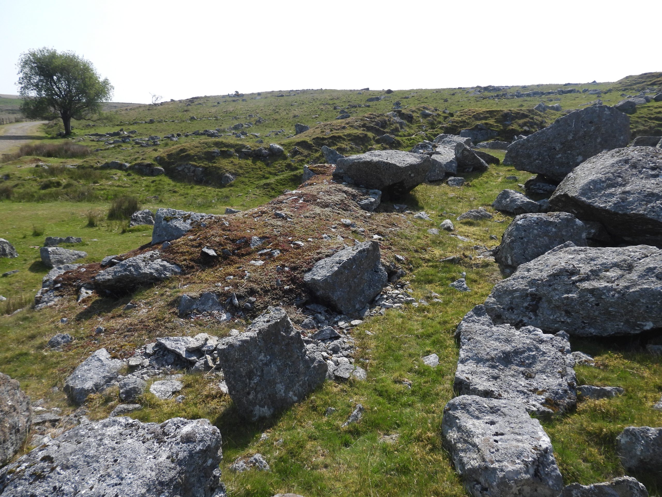
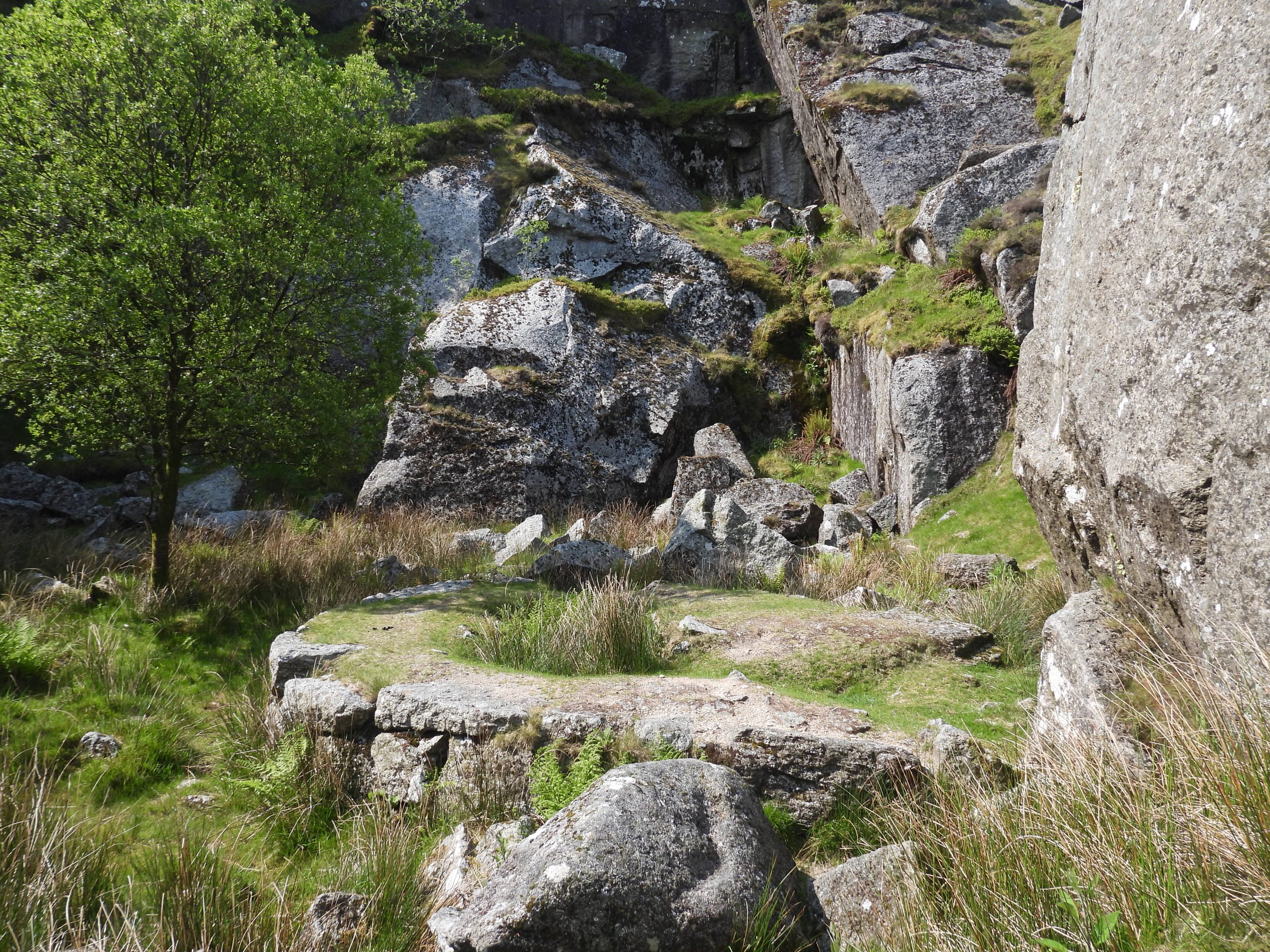
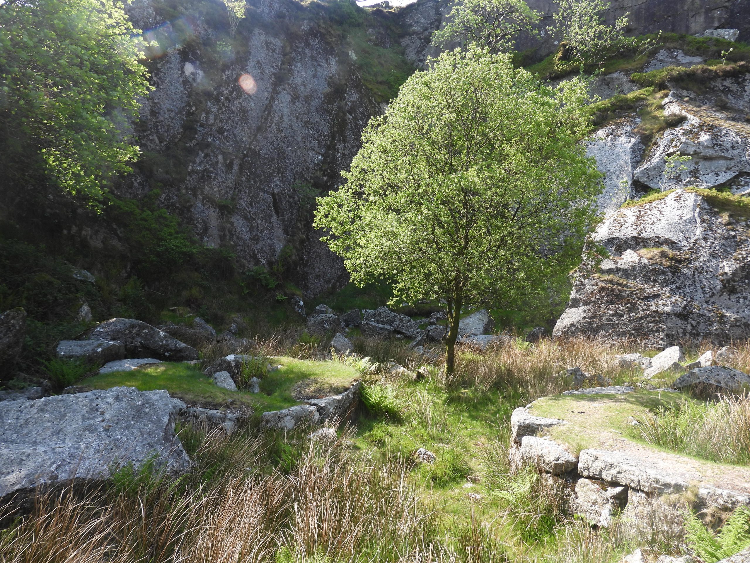
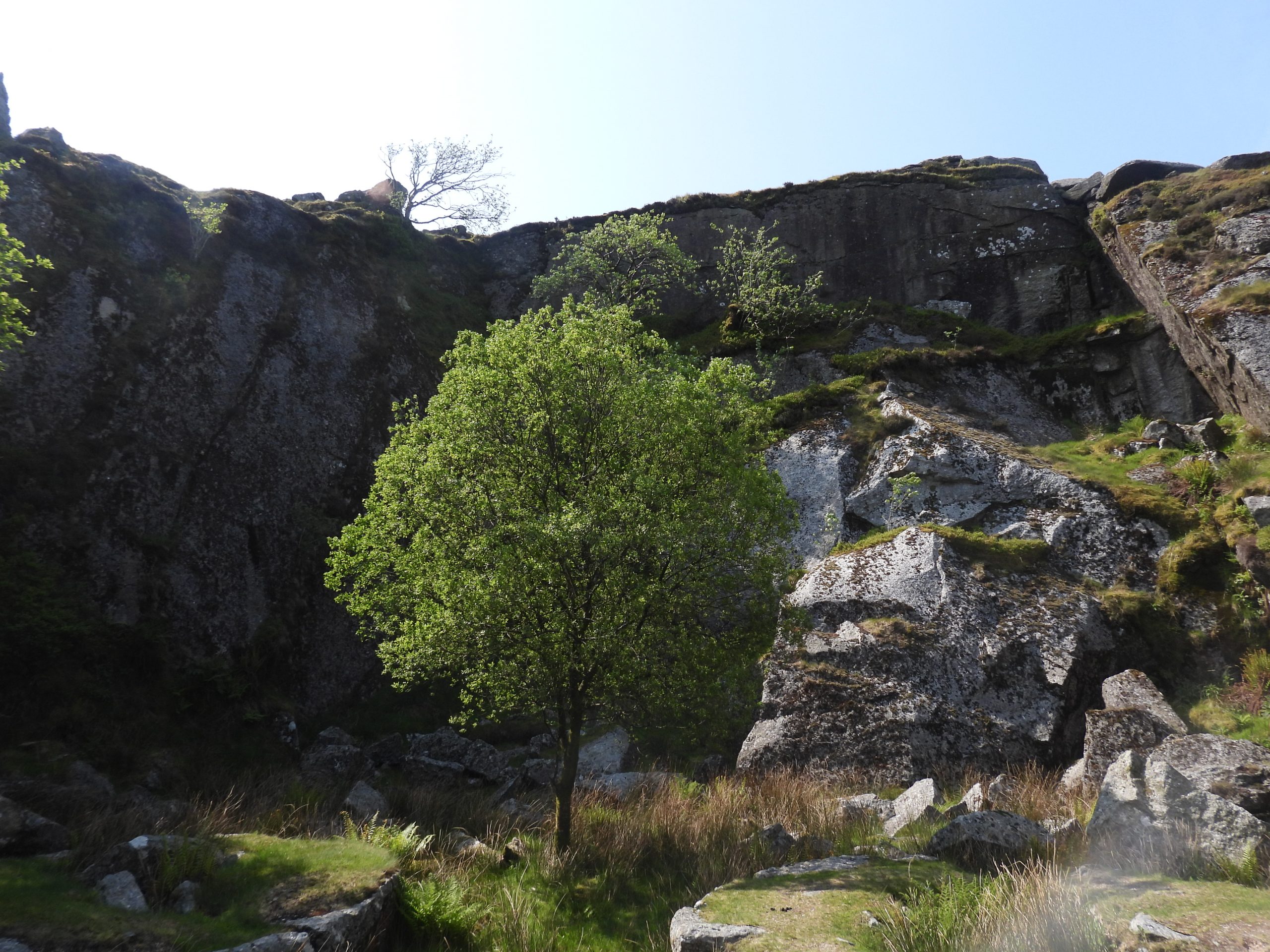
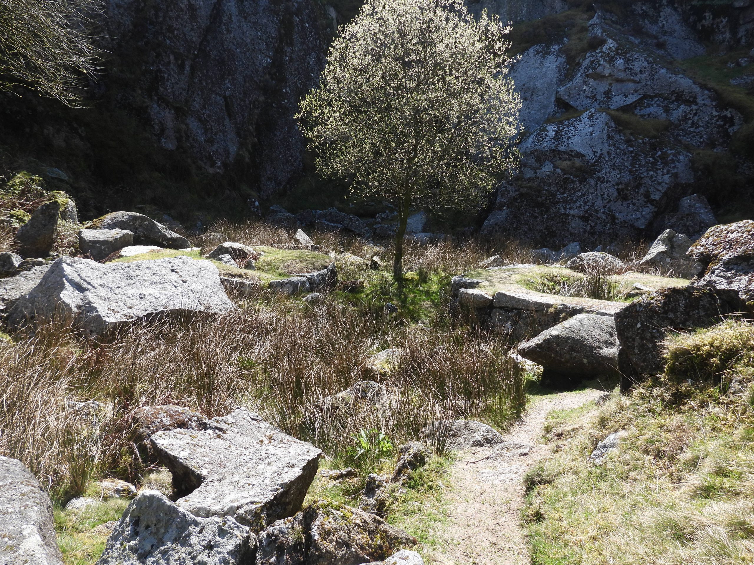
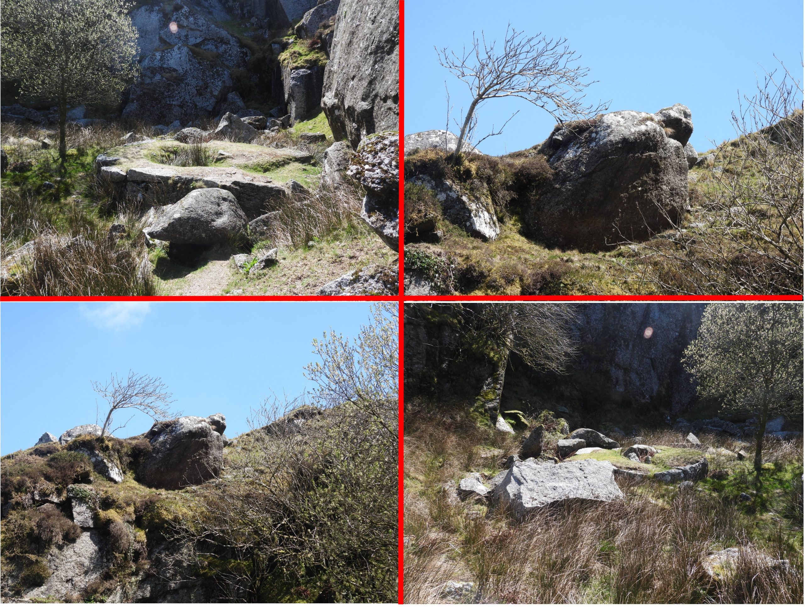
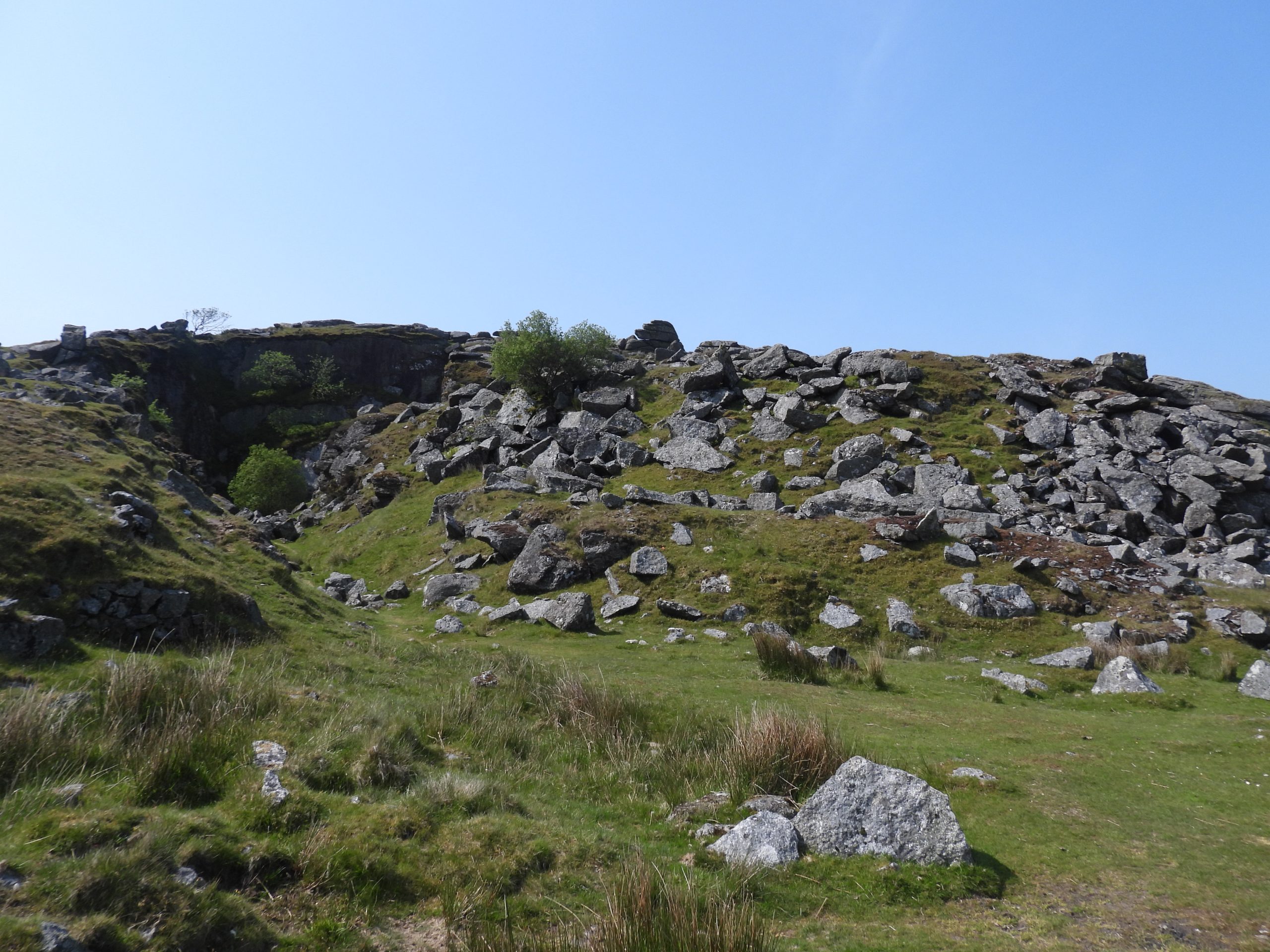
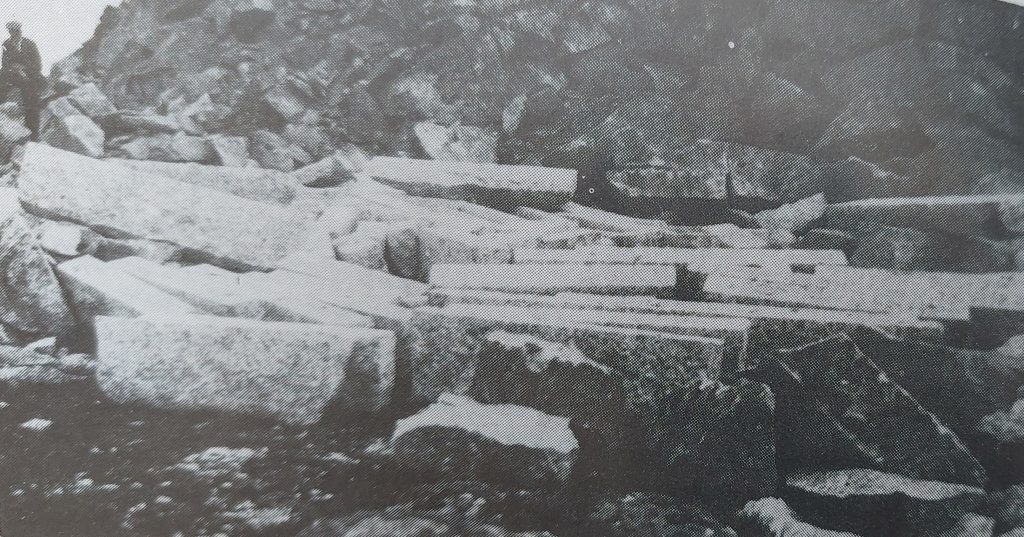
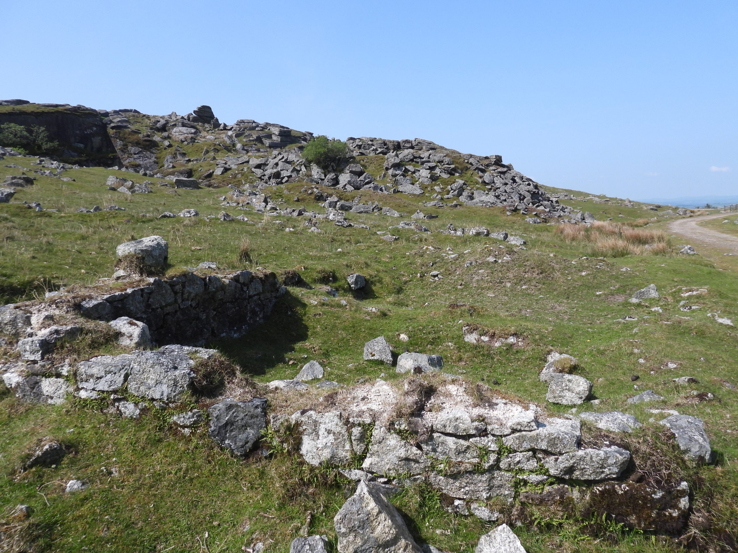
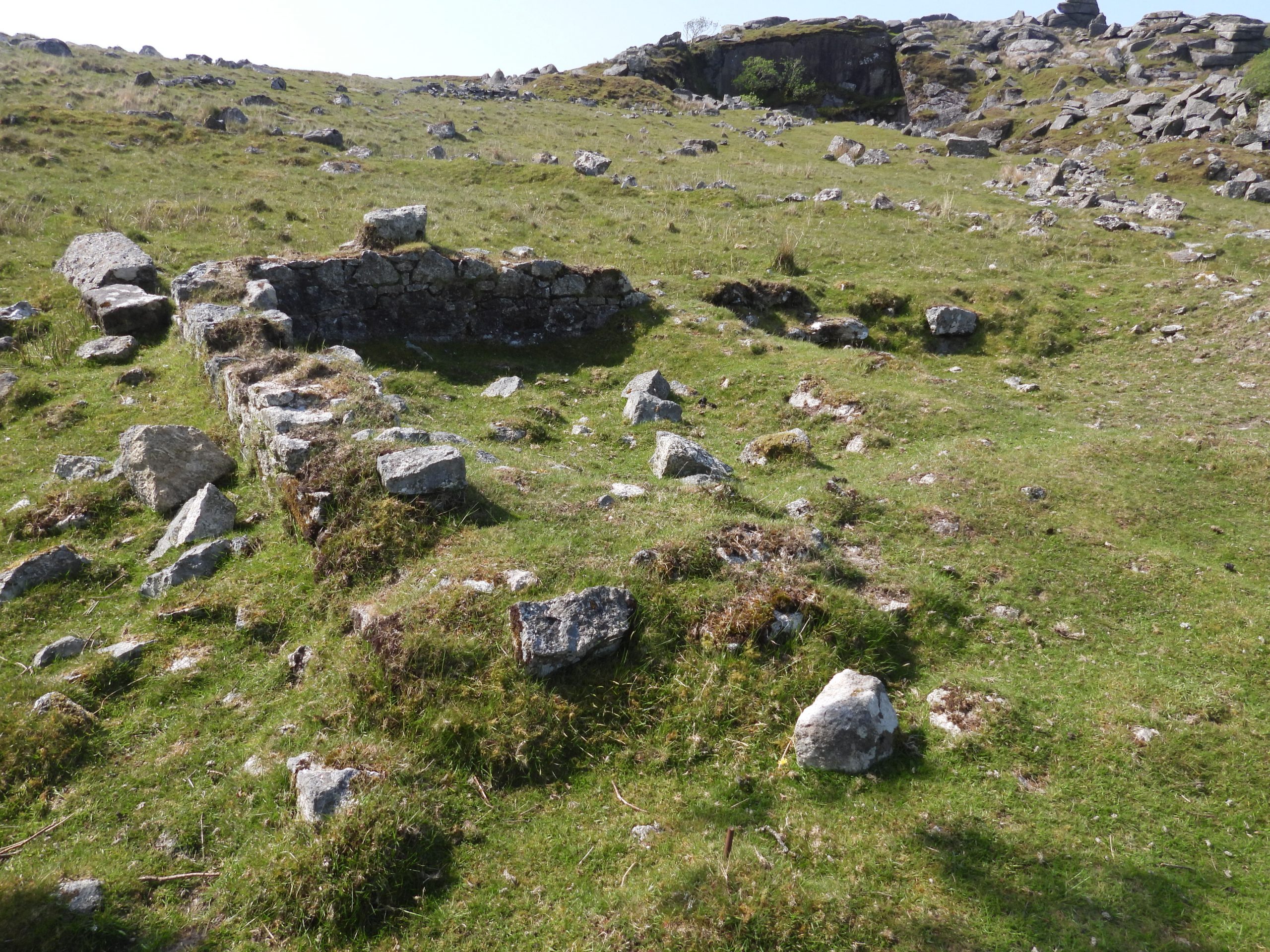
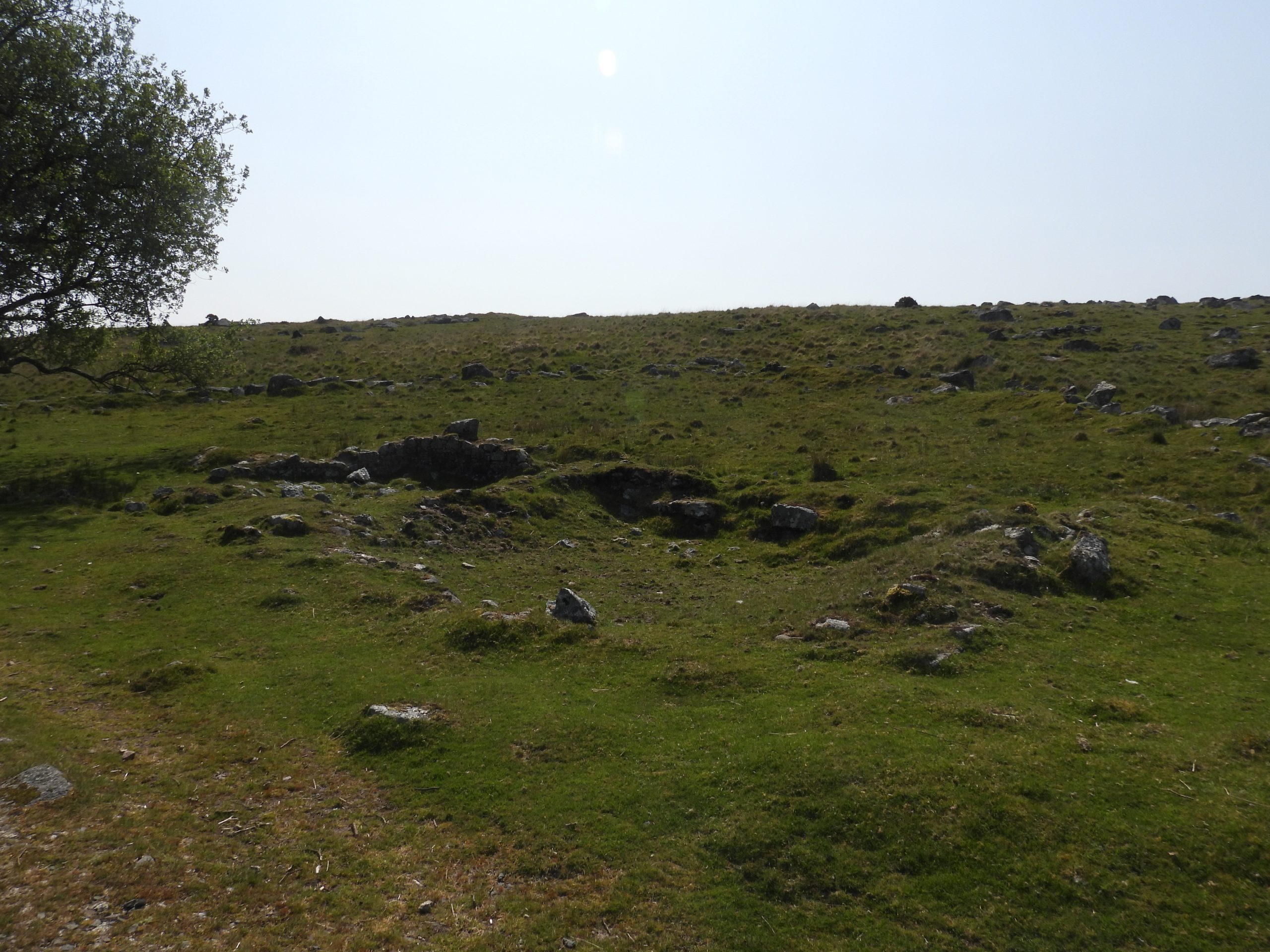
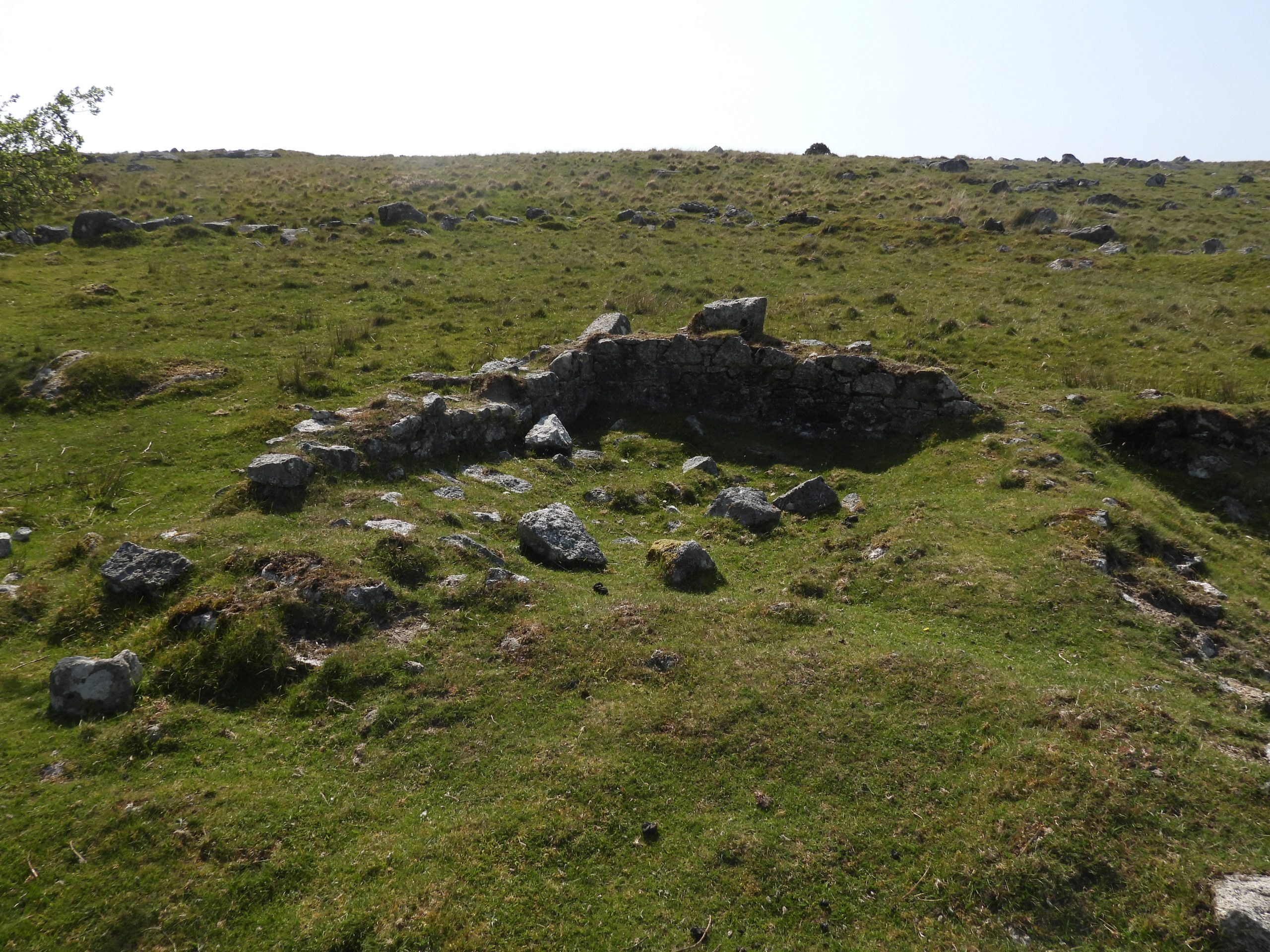
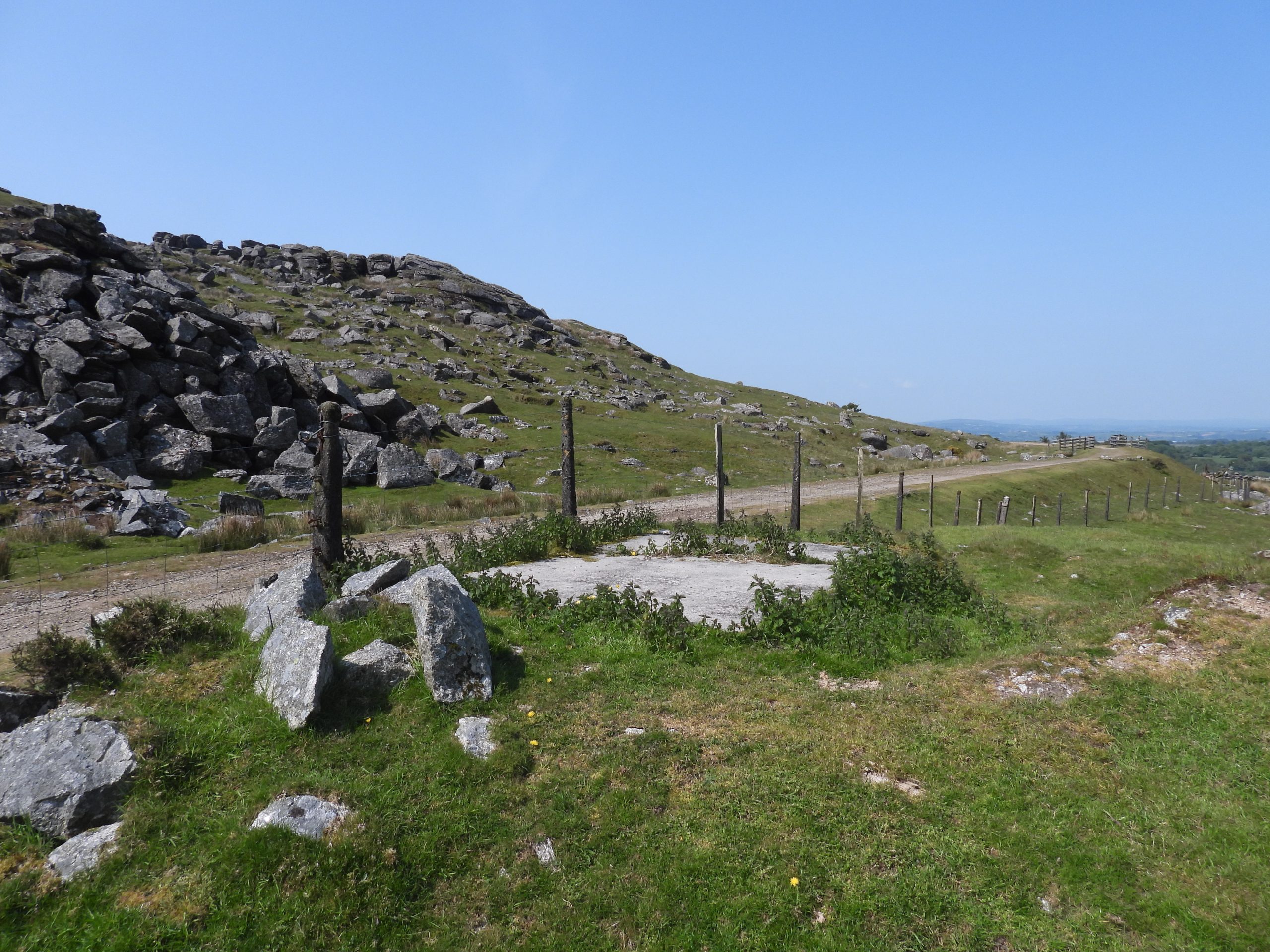
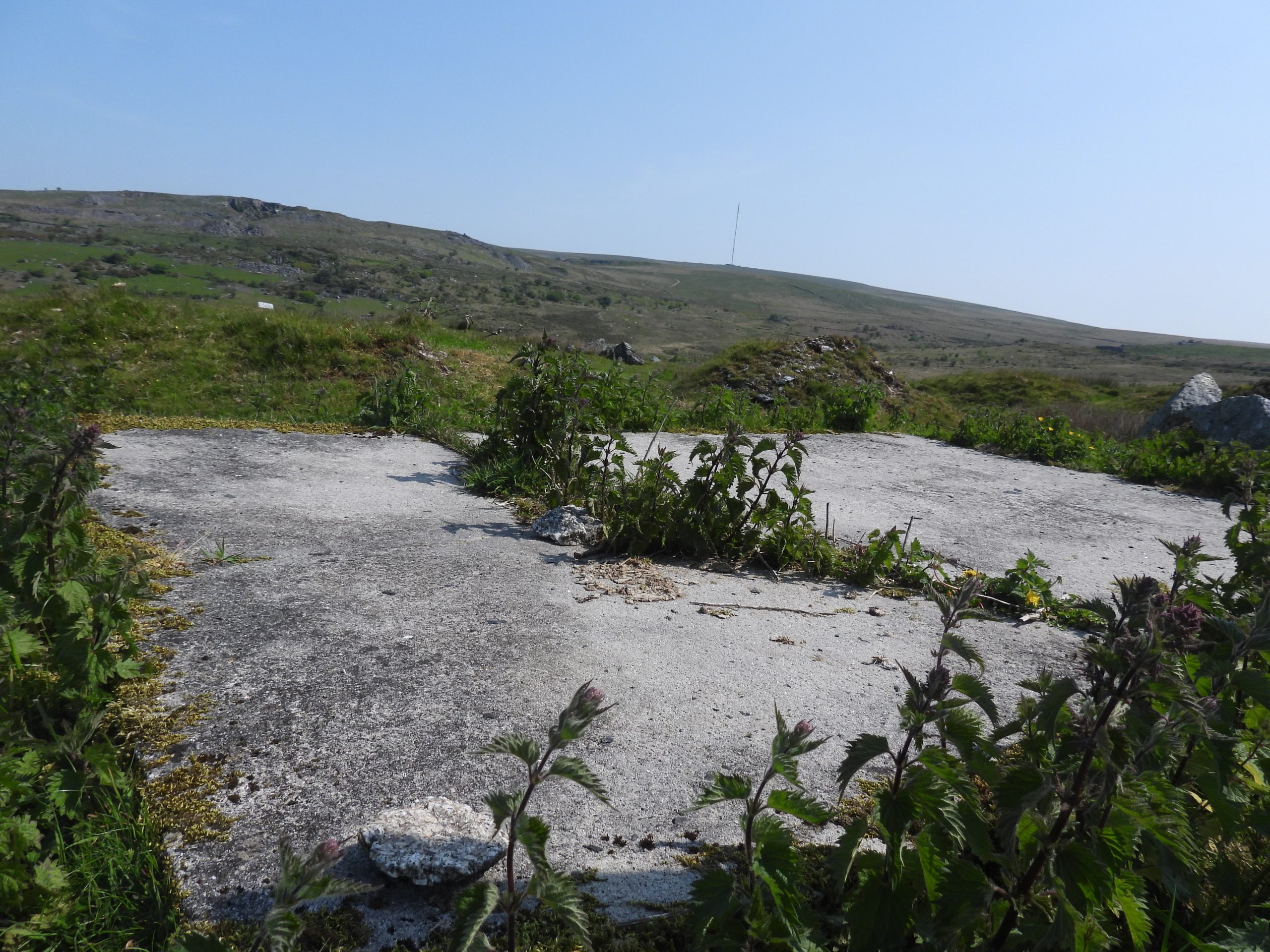
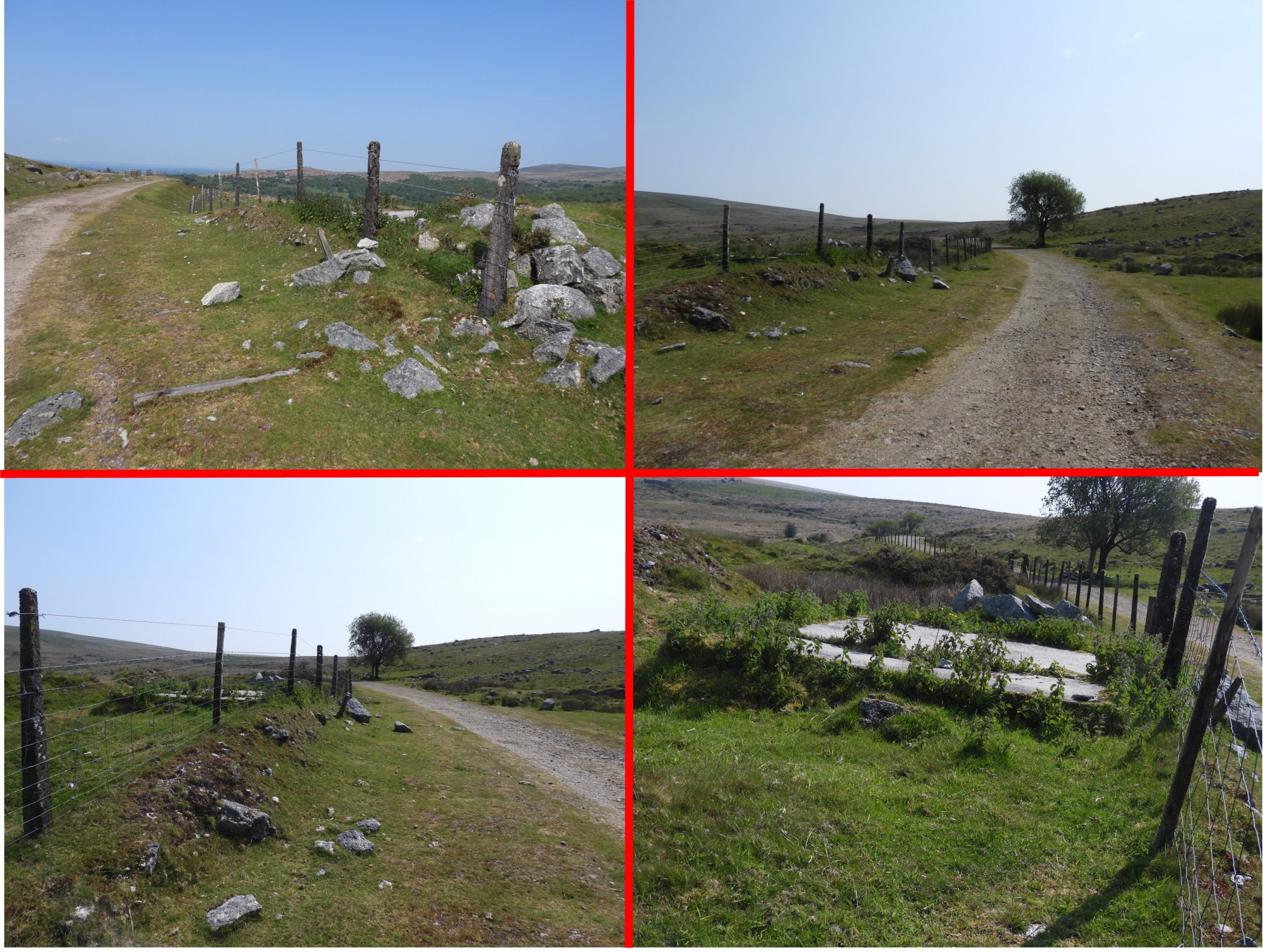
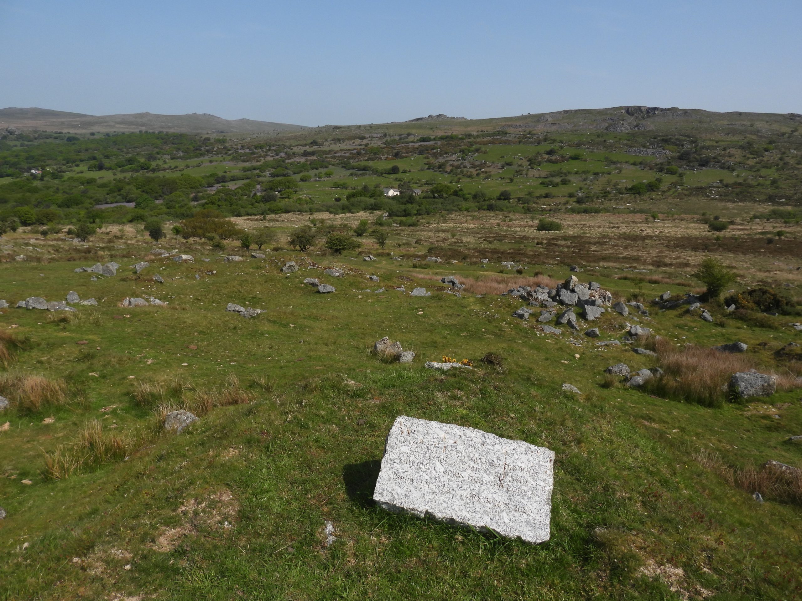
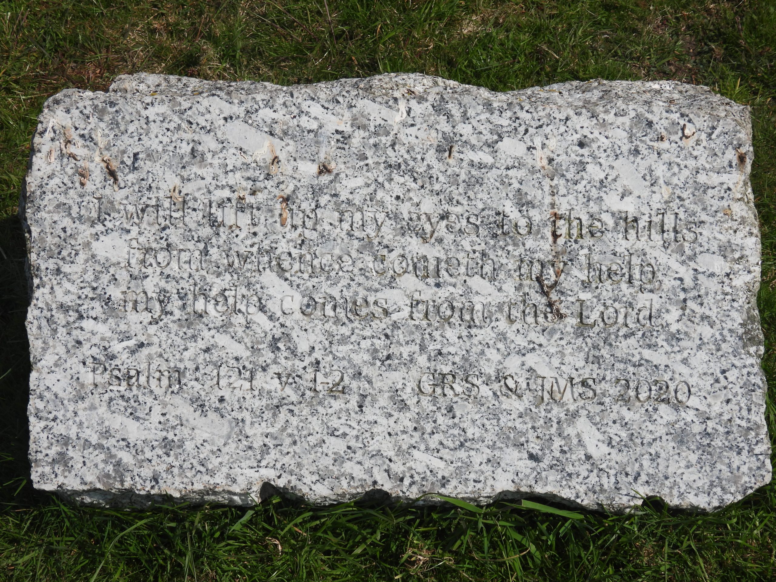
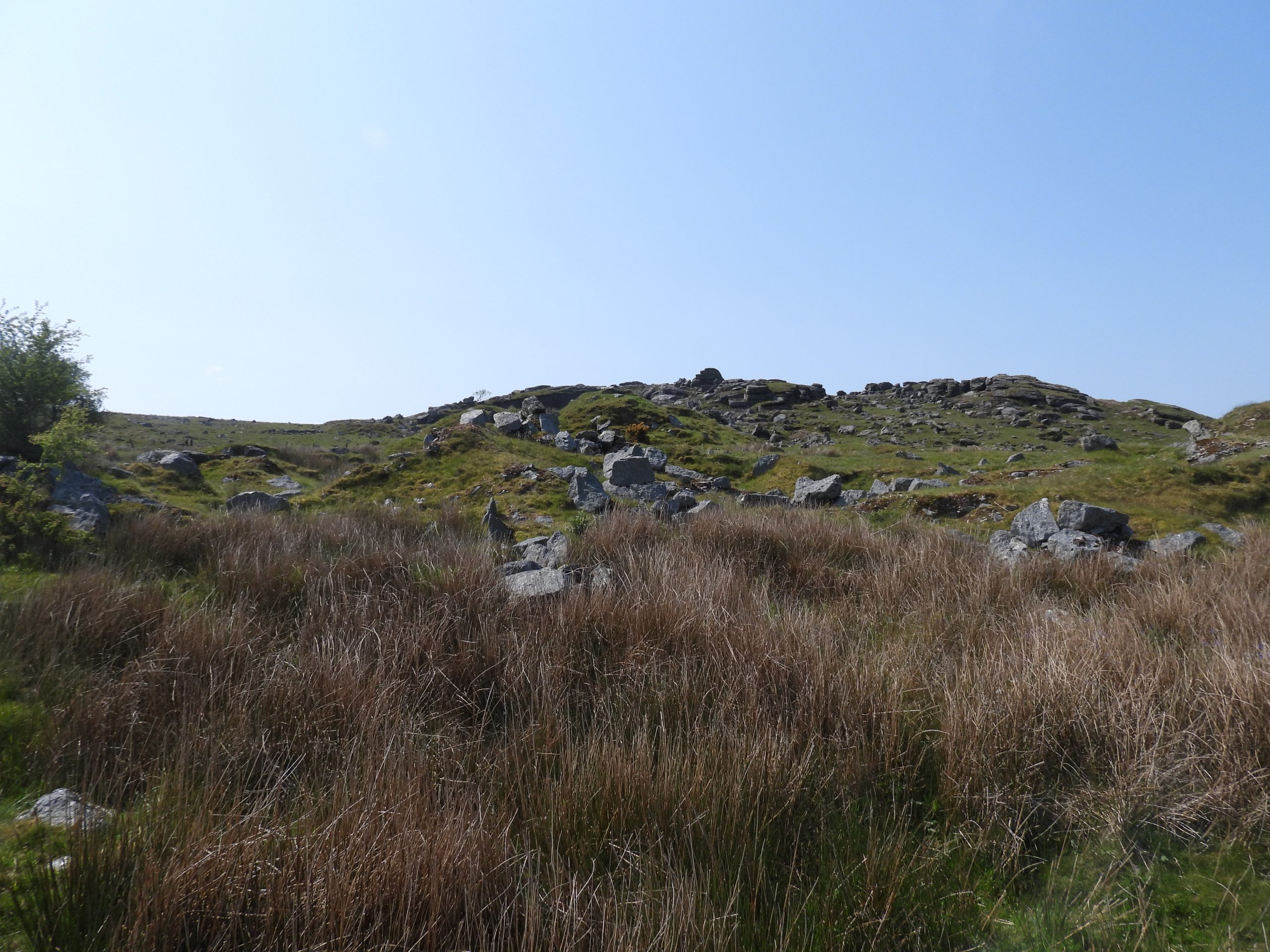
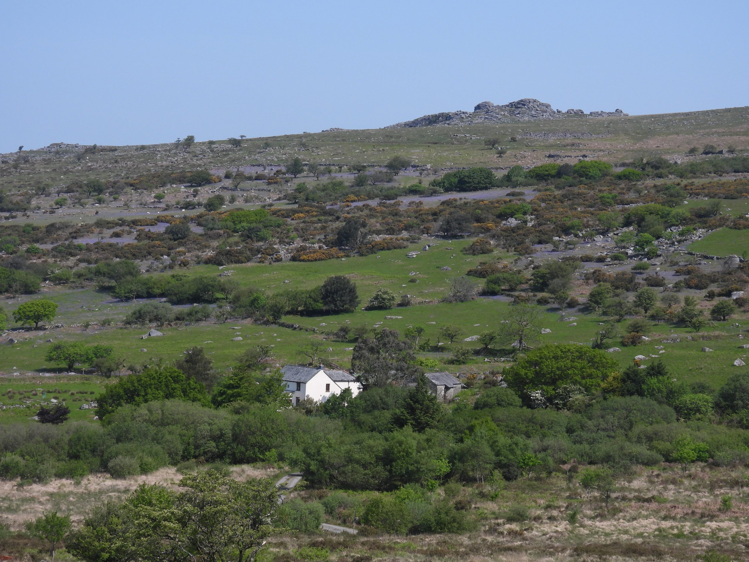
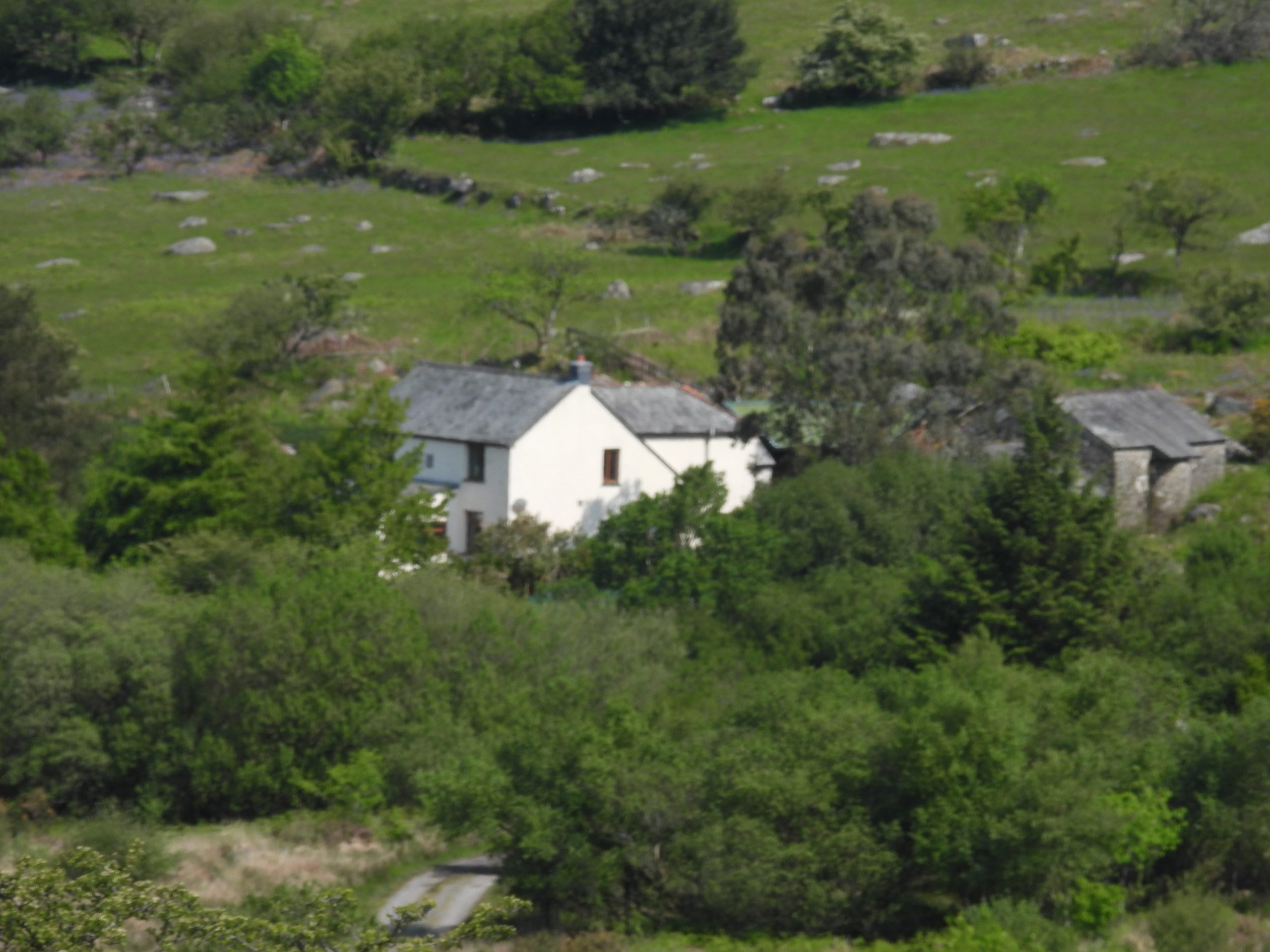
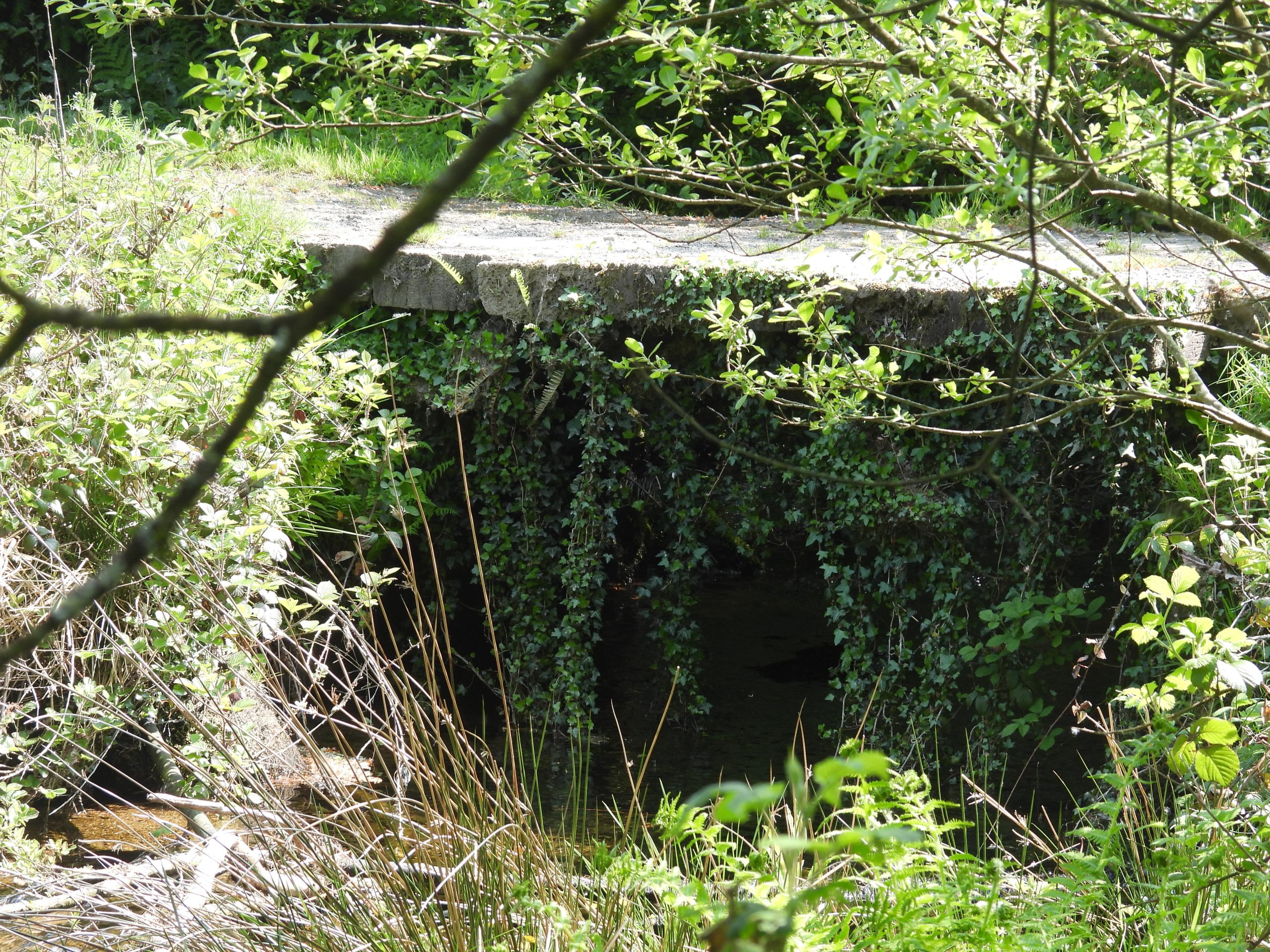
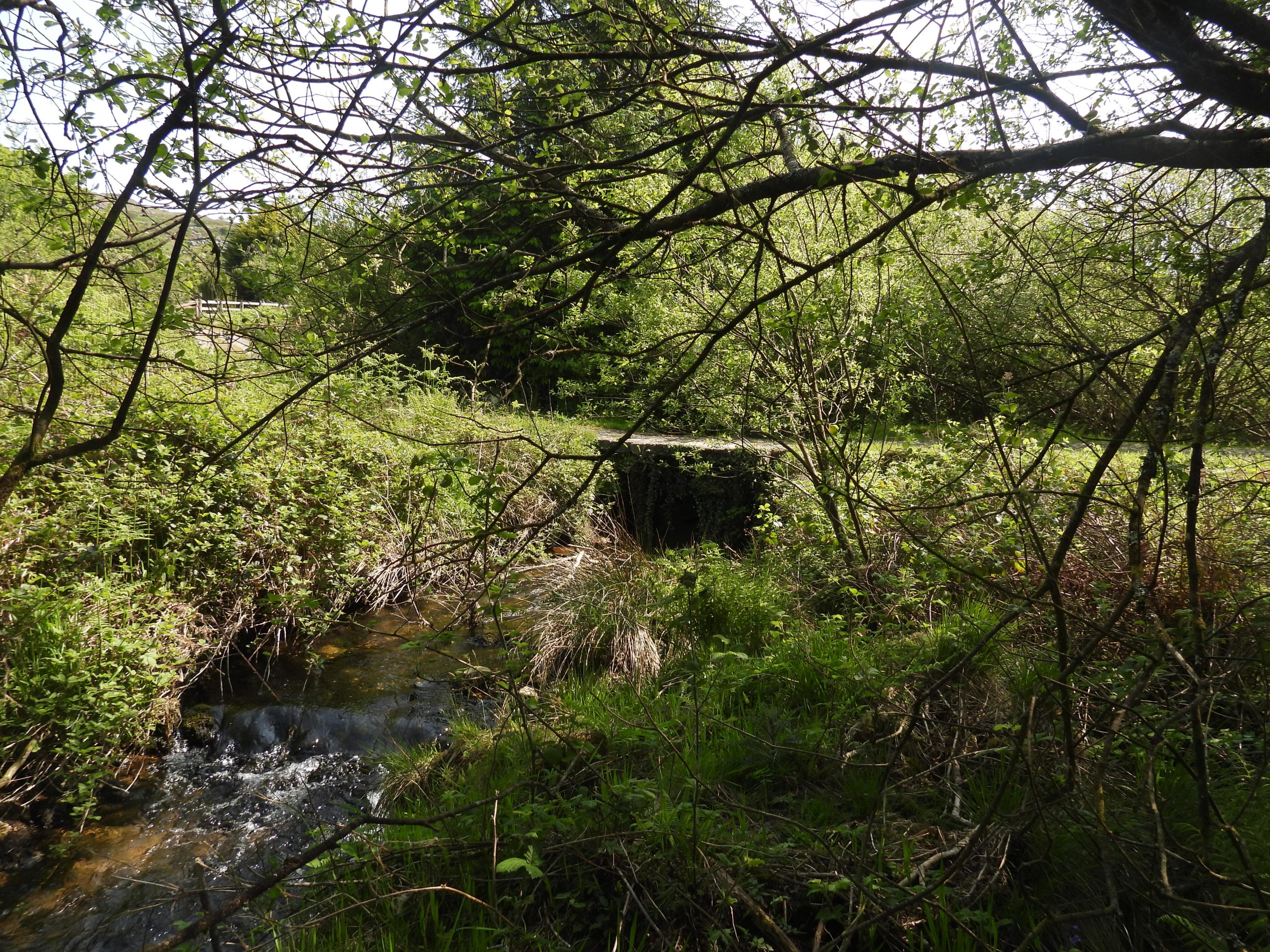
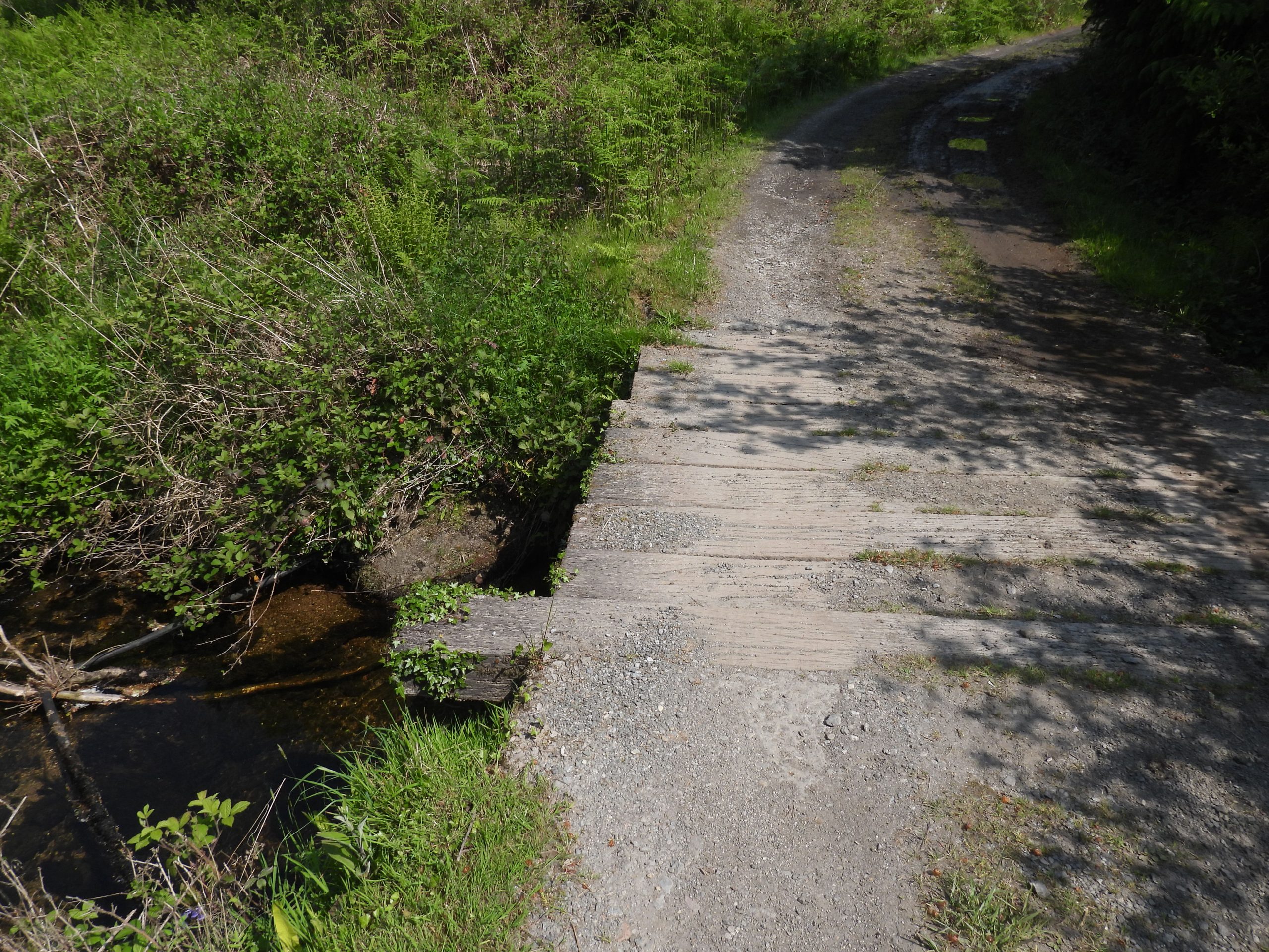
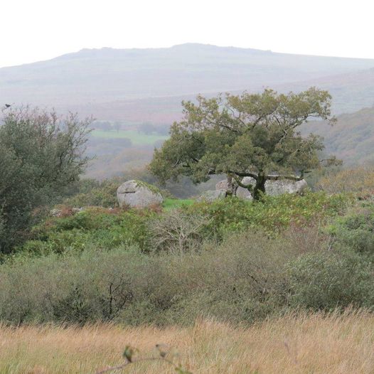
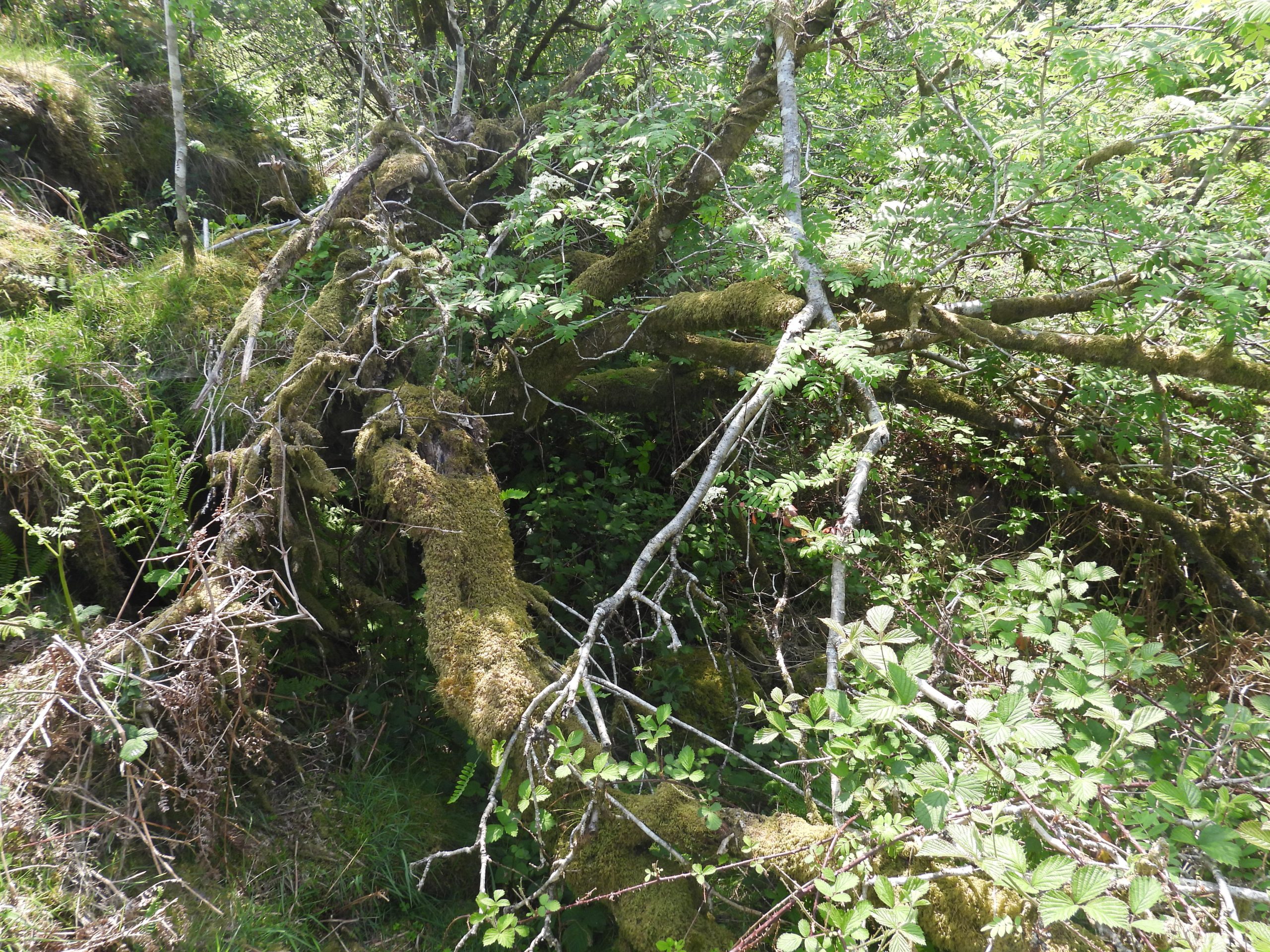
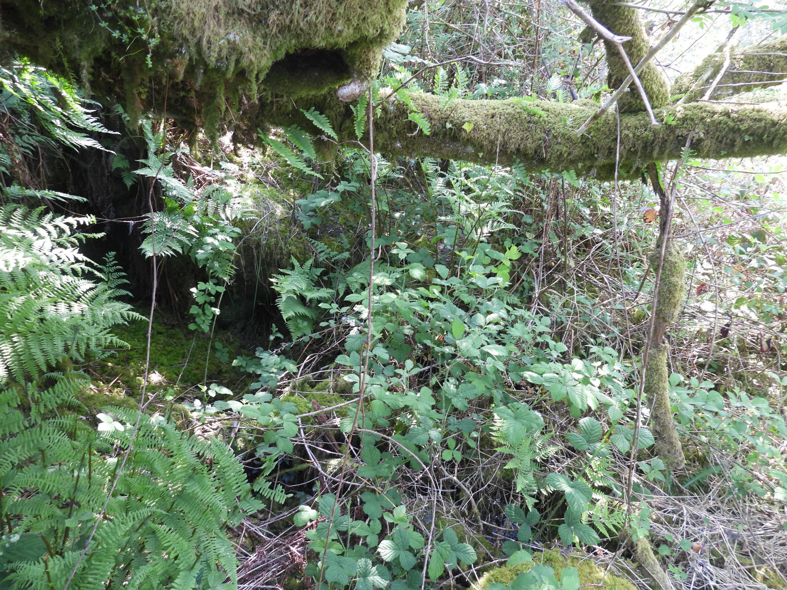
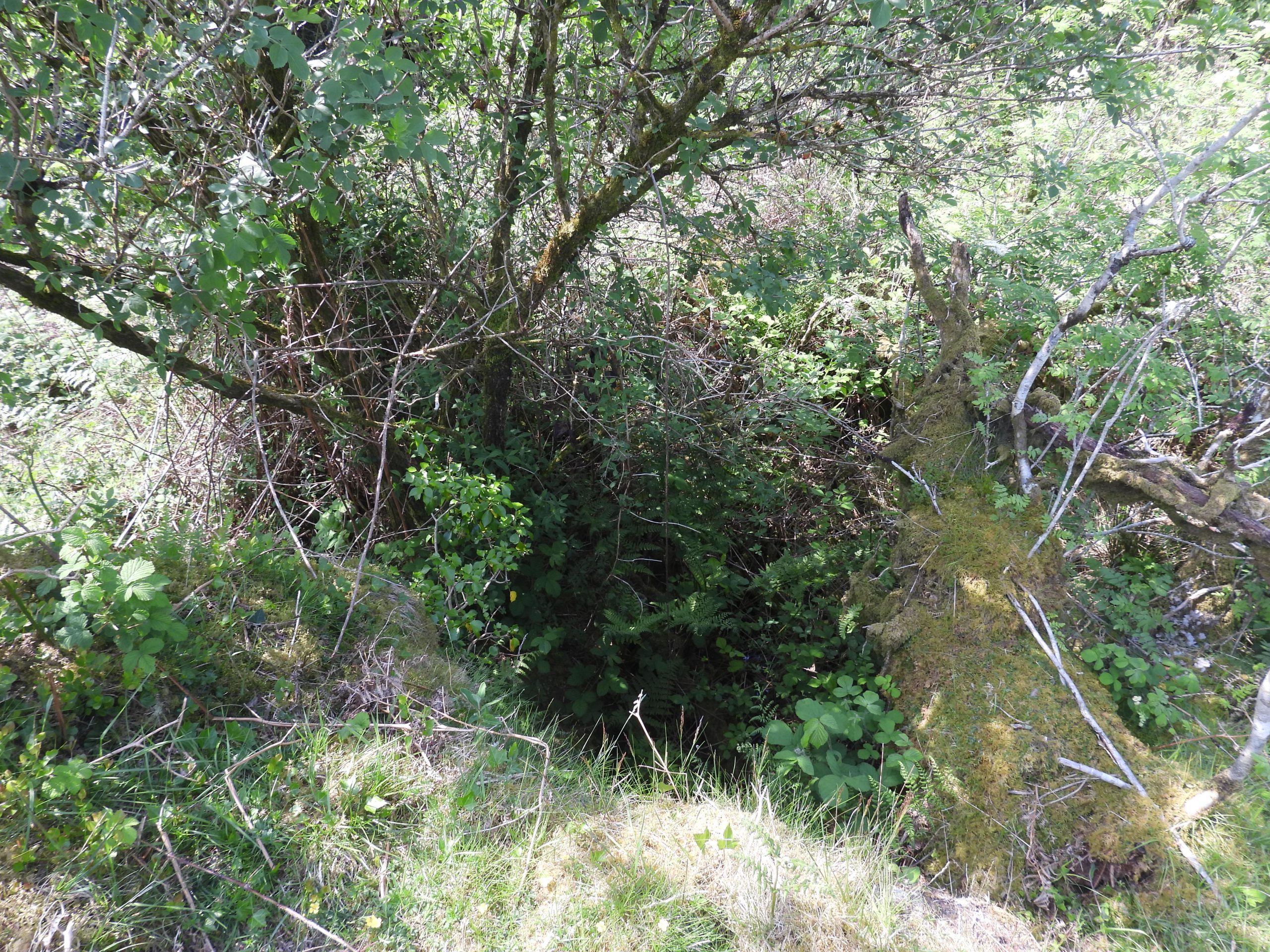
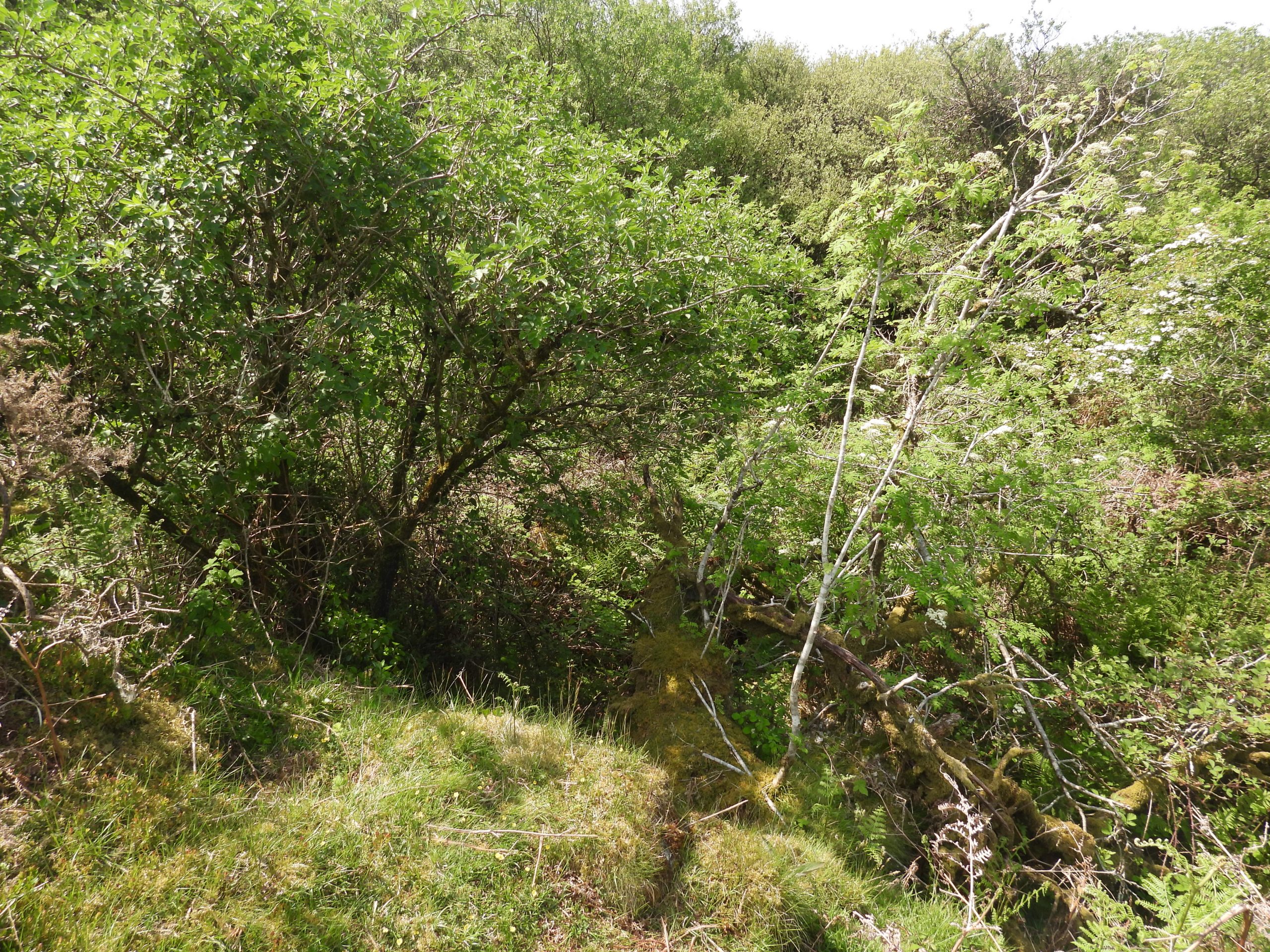
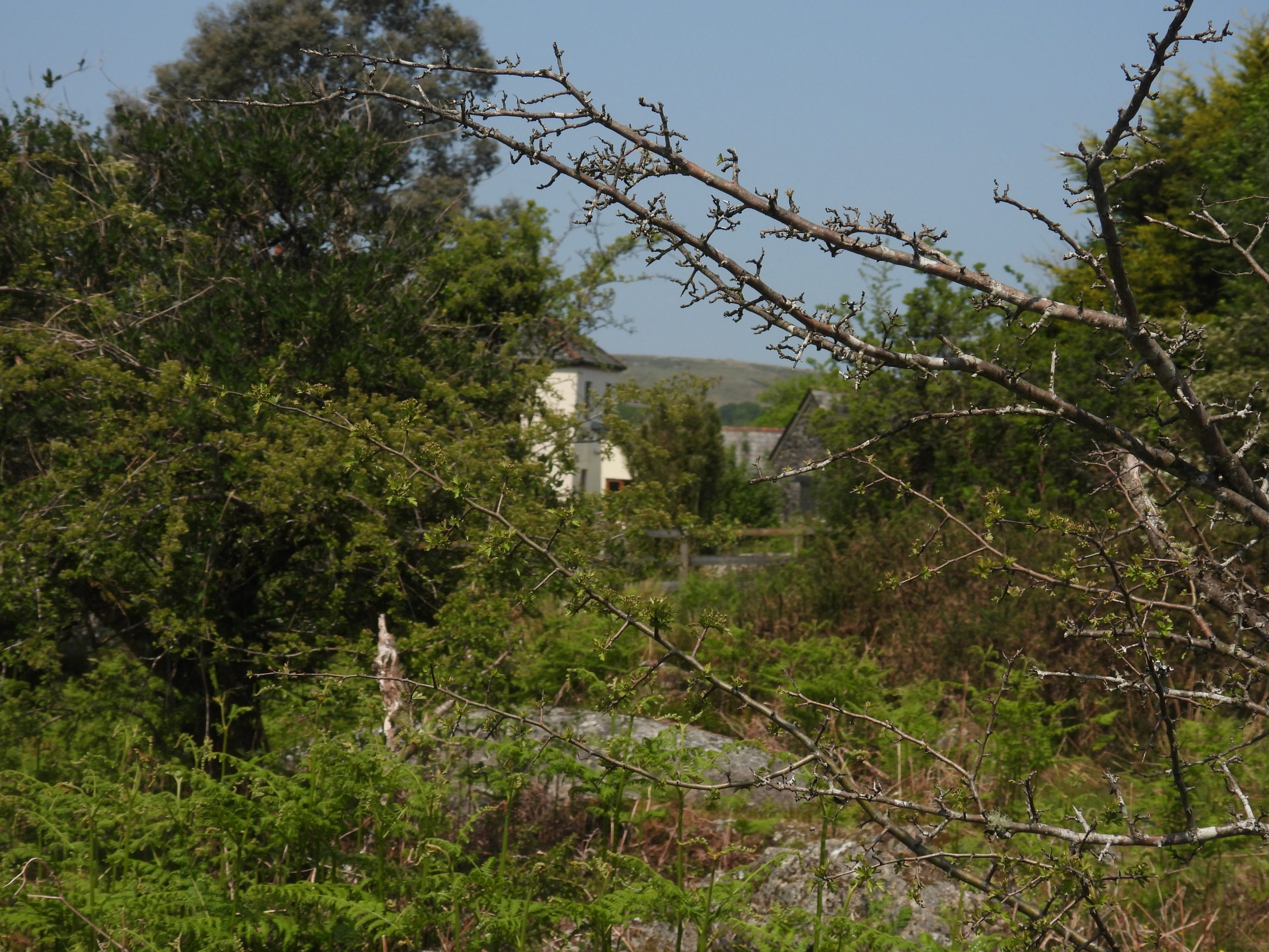
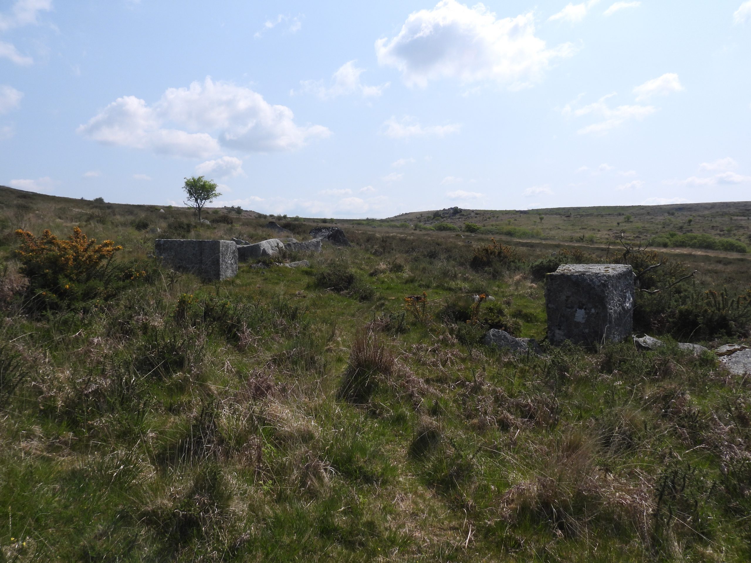
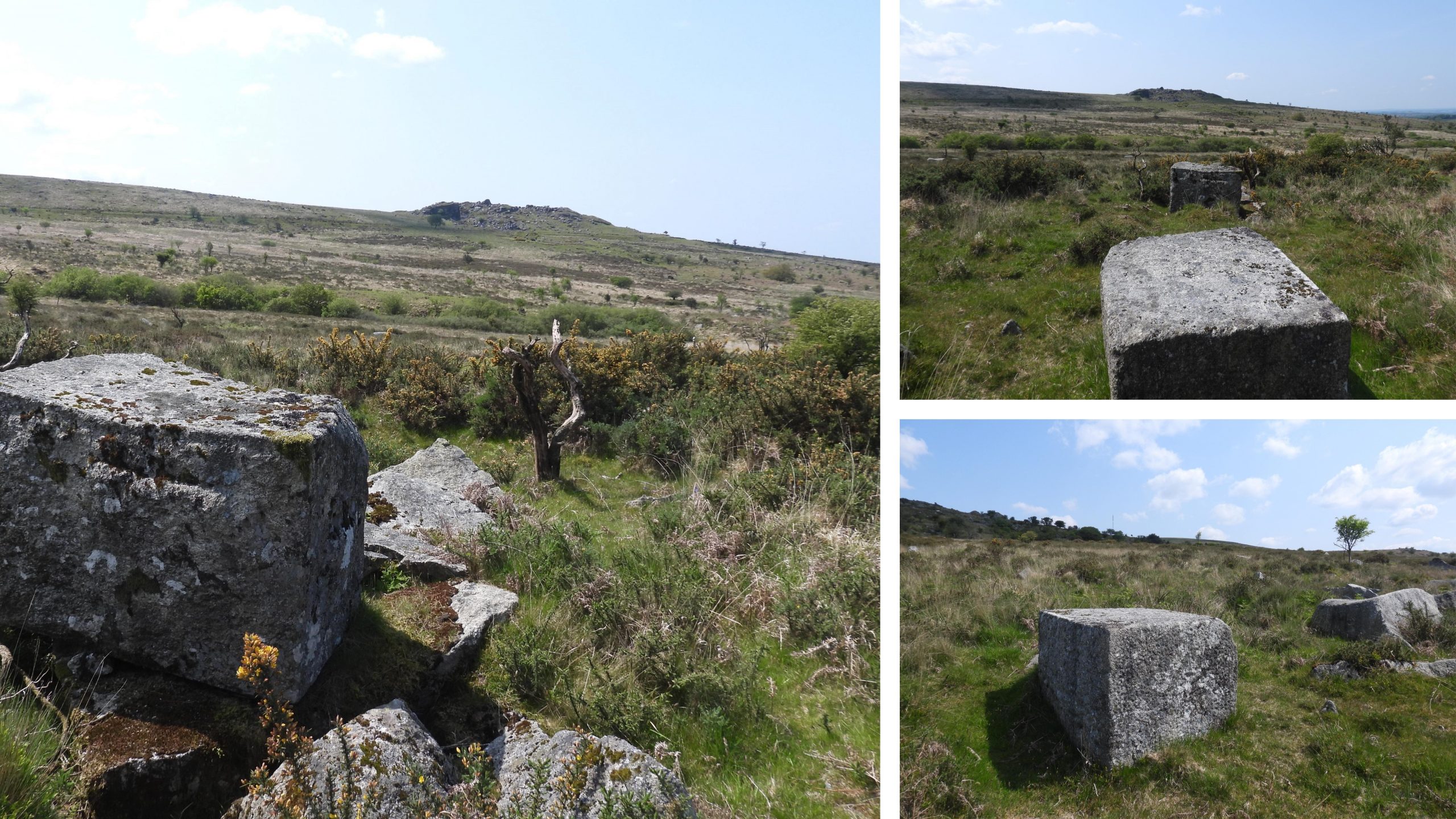
Sketch map showing the key features covered in this post at Ingra Tor and its immediate environs.The Great Western Railway branch from Yelverton to Princetown and its predecessor the Plymouth and Dartmoor Railway (P&DR) were inextricably linked to the Ingra Tor area, so the author makes no apologies by adding several old photographs of the line in this post. This old photograph (with modern background) was taken on 3rd March 1956 on the last day the line ran with commercial traffic. Due to the number of carriages attached on the last day of operation, the train had to be hauled by two 45XX tanks (Nos 4568 and 4583). The crews were Enginemen W.Gough and F.Coles, the Firemen were C.Stephens and R.Hext. The guard was K.Gray. The picture shows Ingra Tor in the distance on the Routrundle curve. The picture is courtesy of Nigel Machin.Closure of Railway Notice – Yelverton to Princetown branch. The closure date was 5th March 1956. However, the last commercial train ran two days earlier on Saturday 3rd March 1956.Approaching Ingra Tor on the old GWR track bed, which was built over the original P&DR track bed. Routrundle Farm lies to the left (west) of this picture.Ingra Tor, just before the old track beds curve from S-N to W-E to encircle itNext to the old track bed there are two sets of foundations. This first set of foundations is located at SX55351 72019Contextual picture of the foundations in relation to the track bed.Another view of the first set of foundations. Pew Tor (and cottage) are in the distance towards the top right of the photographThe second set of foundations lie approx 25m north from the first set of foundations. The author believes these foundations may have been for a platelayer’s hut.This picture is from 15th June 1926 and is near the mile post 6 and the author believes is the platelayer’s hut. The train appears to be mixed freight and passengersThe platelayer’s hut foundations are located at SX55342 72046Platelayers’ Hut Foundations. A platelayer, a fettler or trackman is a railway employee who inspects and maintains the permanent way of a railway. A platelayers’ hut was a lineside shelter in which a platelayer would historically be based. During the days of steam, a platelayer might be assigned to each mile or two miles of track, with a platelayers’ hut as his shelter and working base. He would regularly patrol his section of track. Platelayers’ huts were generally a single room, immediately adjacent to the running lines, equipped with a table, chairs, and a simple heating stove. The author is ware of another platelayers’ hut near Swelltor QuarryView from the top of Ingra Tor looking north.Criptor Farm Criptor Farm zoomed in. There was a Longhouse here which is now a farm building. It dates from 16th or possible 17th century date but was altered in late 19th / early 20th century.Ingra Tor quarry from near top of Ingra TorLooking into the quarryThe crane bases in Ingra Tor QuarryGeneral views of Ingra Tor QuarryWest side of Ingra Tor Quarry (south spoil heap on right side of the photograph). This picture of Ingra Tor halt was taken on 5th July 1955, just 10 months before the line closure. The halt and line were located between two spoil heaps (the north heap can be seen on left side of photograph). The ‘combined’ photograph is courtesy of Nigel Machin.The south spoil tipThe south spoil tip (west side) with evidence of rock splitting.South spoil tipOn the east side of the south spoil tip, near the quarry entrance, there is evidence of a ‘sett makers banker’. In the publication by Simon Dell and John Bright (2008): Dartmoor’s Sett Makers’ Bankers (An industrial mystery solved?) it is described as a “Standing banker on east side of spoil heap“. This is located at SX55566 72198Inside the quarry, one of the two crane basesInside the quarry, the two crane basesInside the quarry. The walls are very sheer.Inside the quarry, there is still some tumbled granite and a couple of mature treesWhen viewed from a certain angle, one large rock on the side of the quarry looks like a frog.The quarry entranceThe quarry entrance. Kerbstones from between 1936 and 1941The author believes this building was used by the quarryman between 1936 and 1941 as described in the Kath Brewer publication (The Railways, Quarries and Cottages of Foggintor). In that publication it is described that the building as being near the railway line. Of note it is quite close to the quarry entrance.The quarryman’s building looks like it was two roomed. The walls were two courses wide. The quarryman’s building is at SX55621 72205The wall remains on the quarryman’s building are up to 1.5m highIngra Tor Halt from near the quarryman’s building. The picture is from summer 1955 and shows engine 4410 and a single carriage. The ‘combined’ picture is courtesy of Nigel MachinIngra Tor Halt sign. The Halt was famous for its unique wooden sign that read: ‘Great Western Railway Company – Notice – In the interests of game preservation and for their protection against snakes etc. dogs should be kept on a lead. By Order.’ The author would be grateful in receiving a photograph copy of this sign.The base of Ingra Tor Halt. The halt was operational for only 20 years and 1 day (2nd March 1936 to 3rd March 1956).The ‘slab’ of Ingra Tor Halt is located at SX55569 72215General view of Ingra Tor HaltThis memorial is on the north spoil heap on the north side of the railway line near Ingra Tor Halt. It is rather conspicuous and appears to have been placed here circa 2020 by or for ‘GRS & JMS’The Inscription reads: I will lift up my eyes to the hills From whence cometh help My help cometh from the Lord Psalm 121 v 1-2 GRS & JMS 2020Looking south at the (north) spoil tipCriptor Farm from the track leading down from Ingra Tor HaltCriptor Farm zoomed inBridge over Yes Tor Brook leading to Criptor Farm. On 26th May 1864, a John Martin agreed to build a bridge over Criptor Water. The author assumes that a) Criptor Water is another name for Yes Tor Brook and b) This was the location for which John Martin was paid £6 10sIf this is the bridge location where John Martin built his bridge, he had from 26th May (1864) to 24th June. As part of his contract, if he had failed within the time scale, he would have had to ‘Forfit one Sovreign’The ‘modern’ bridge over Yes Tor Brook is located at SX55577 72655Next to Criptor Farm is an outcrop, which to some is known as Crip Tor. That said, on the tithe map (Walkhampton Parish), there is a ‘Crip Tor’ stack is located near the powder house at SwellTor Quarries.A short distance upstream (right hand bank, Yes Tor Brook) from Criptor Farm is a possible (very overgrown) Tinner’s Mill, recorded by Dr Tom Greeves. He appears to have first visited it in 1970.Greeves records: “The site seems convincing as a mill complete with internal wheelpit. The internal dimensions of the structure are approximately 7.0 metres by 4.0 metres but the site is much obscured by vegetation and moss”. The site, which the author believes to be the Tinner’s Mill, is difficult to photograph. That said, it appears to be built into the bank.The possible Tinner’s Mill is located at approx. SX55643 72661View of Criptor Farm from near the Tinner’s MillA short distance to the east from the Criptor Farm and the Tinner’s Mill near the footpath leading to Swelltor quarries there are two very large shaped granite cuboid blocksThe cuboid blocks are located at SX55903 72707. The location of these blocks are interesting insofar as they are located between Ingra Tor Quarry and Swelltor Quarries. Another quarry, known as Criptor quarry is also located nearby. Why these blocks were shaped as they were and never delivered to their proposed location / customer is unclear.