A collection of walks, discoveries, insights and pictures of exploring Dartmoor National Park
July 6, 2023
Methern Brook, Foxholes and West Dart Tinner’s Huts and Cache
The area around Methern Brook, Foxholes (Dart Hole) and the West Dart near Crow Tor and Lydford Tor has significant evidence of medieval tin streaming and three associated Tinner’s Huts and a Cache. The ancient trackway of the Lych Path passes through this delightfully peaceful area, which also boasts a lovely kerbed cairn with a cist.
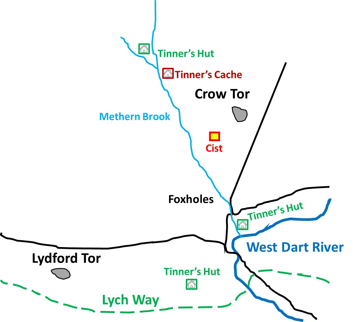
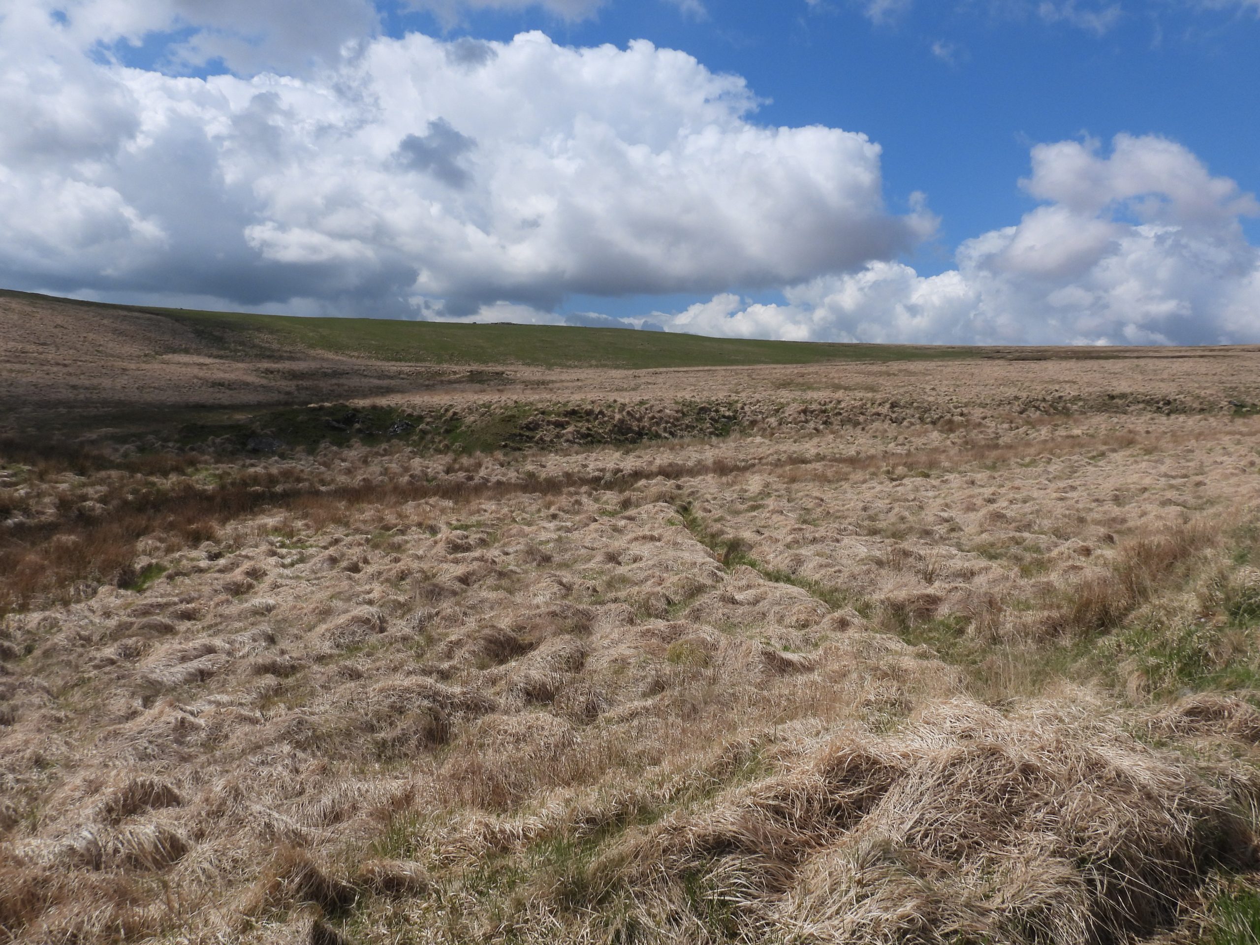
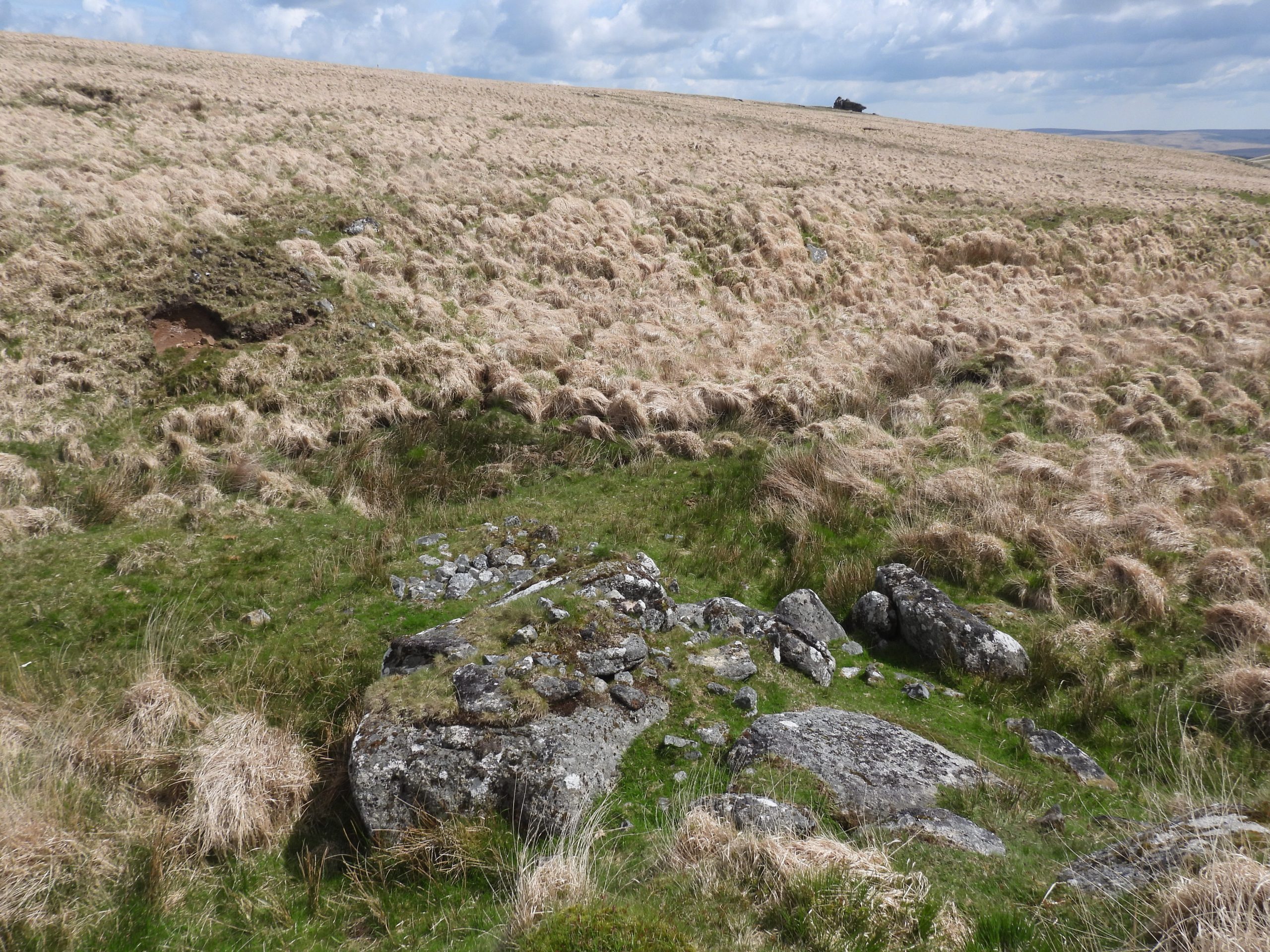
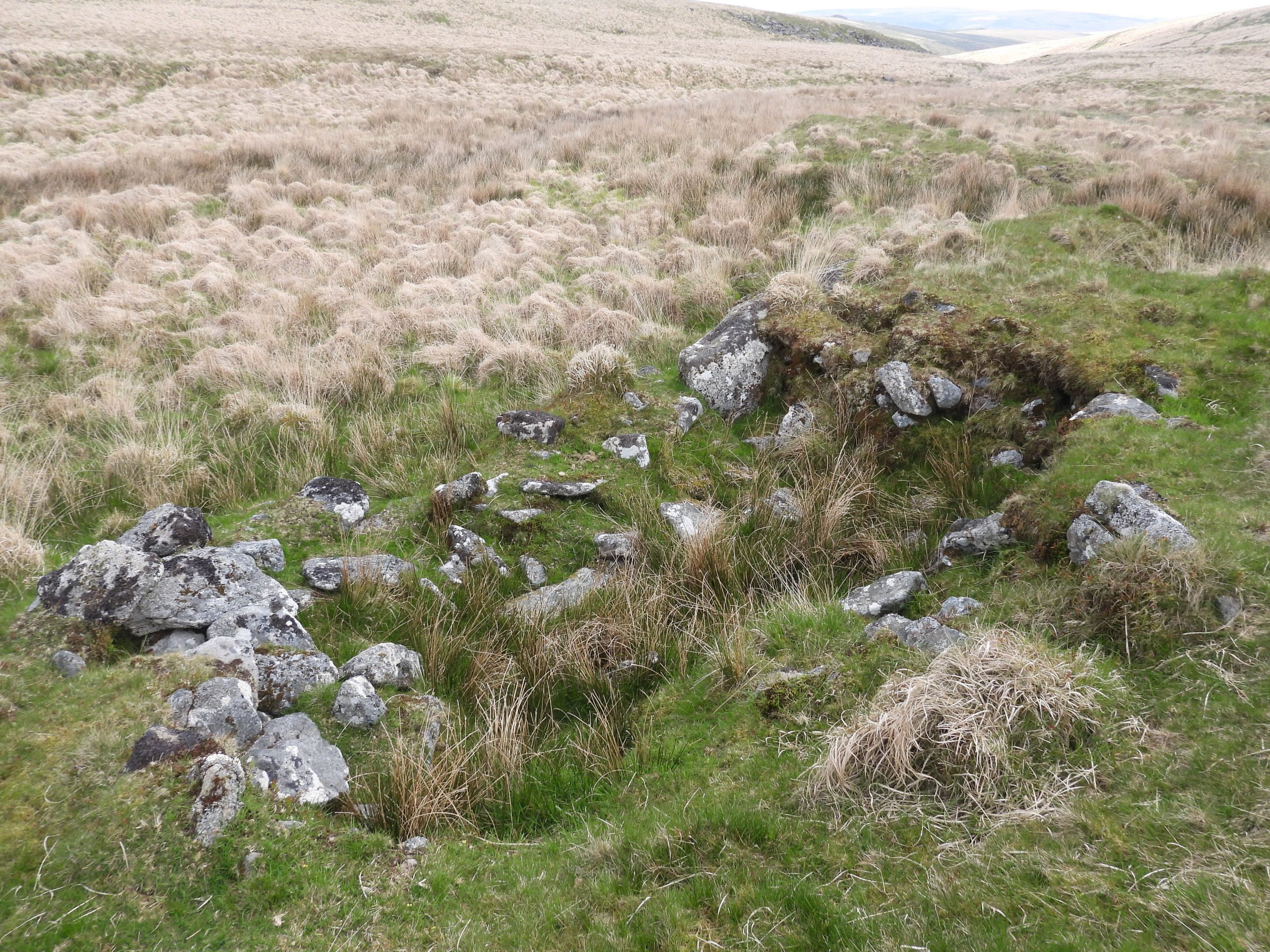
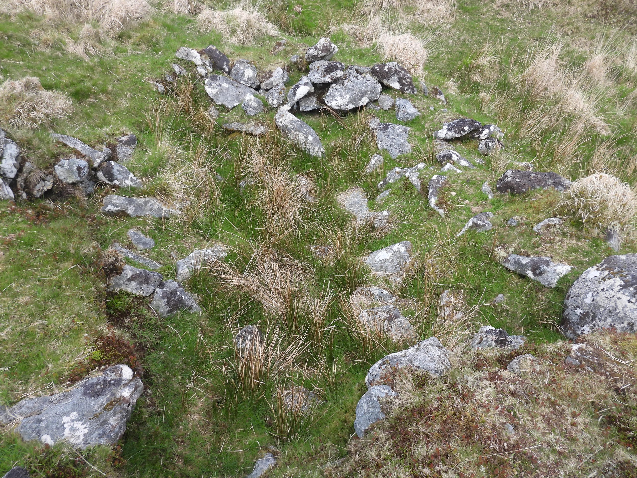
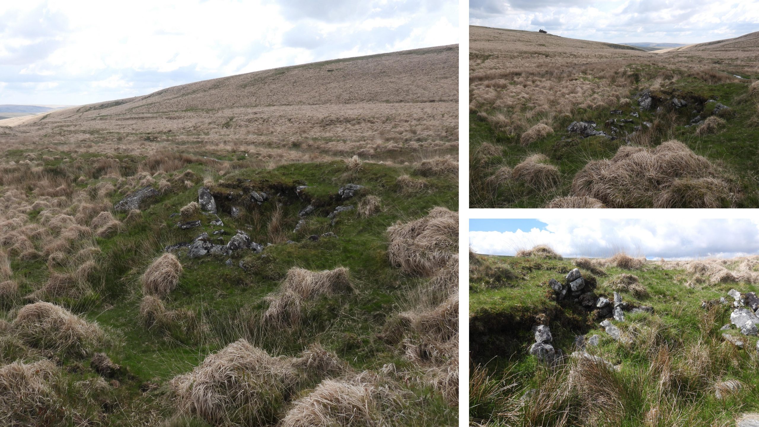
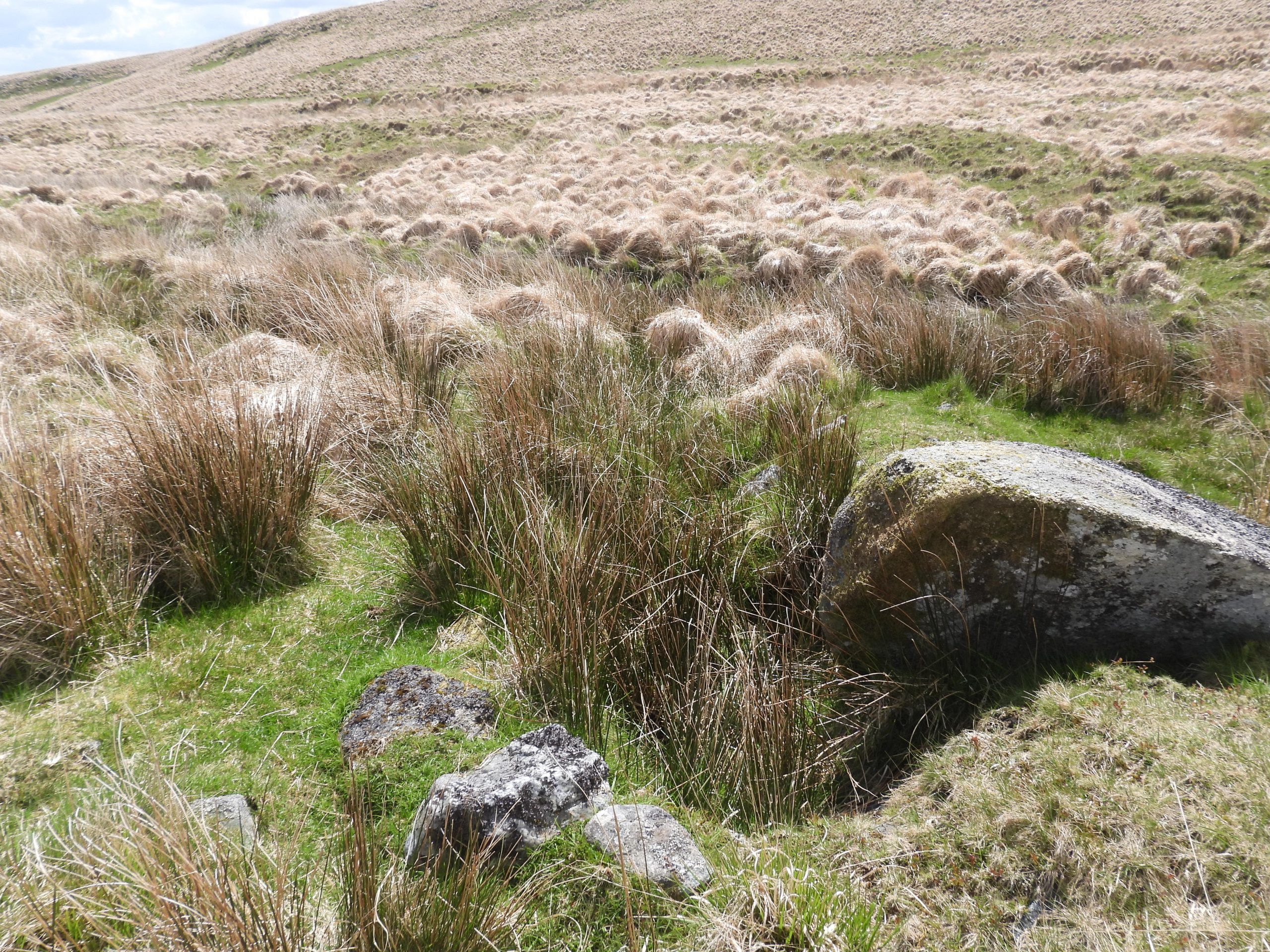
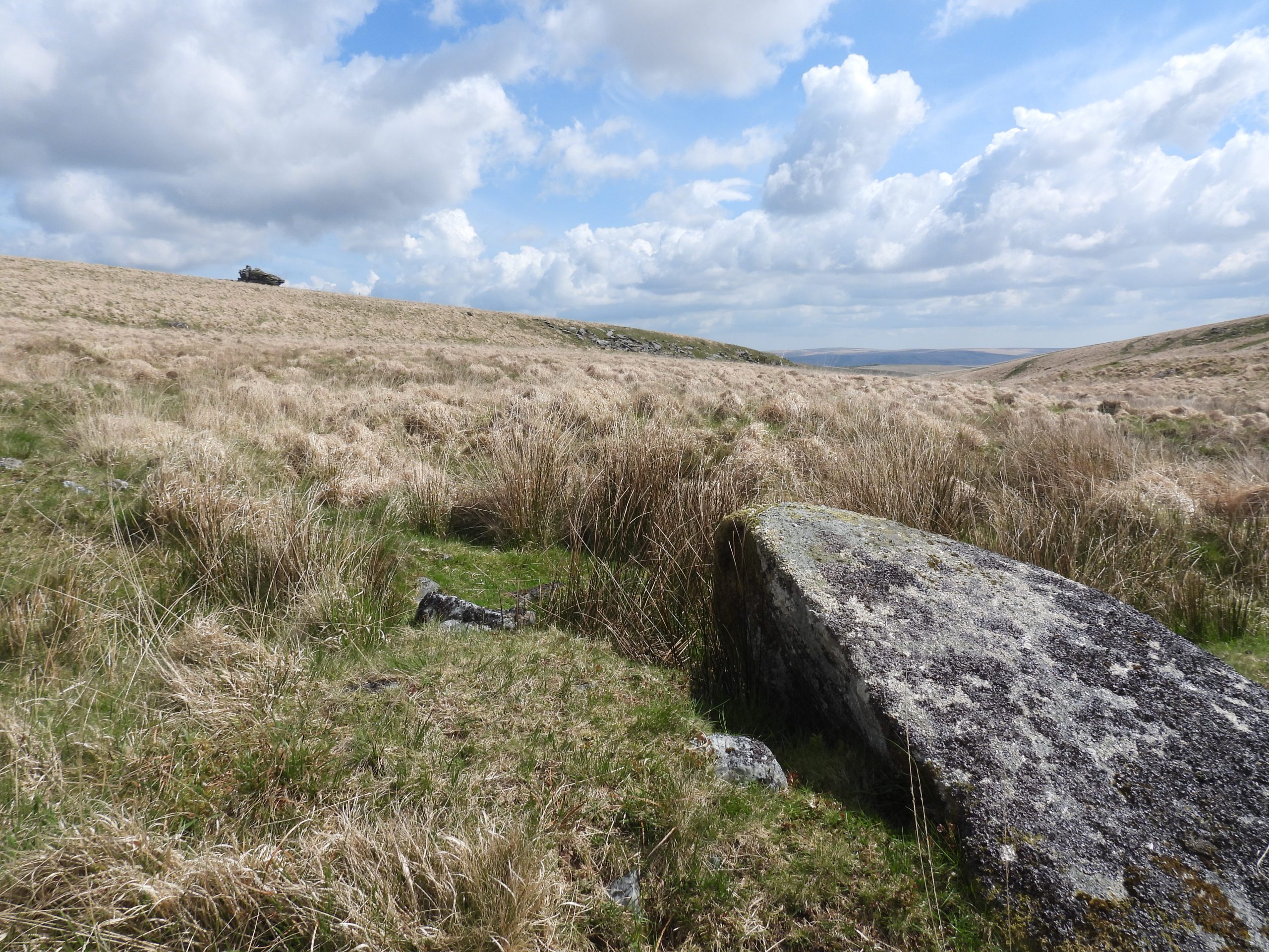
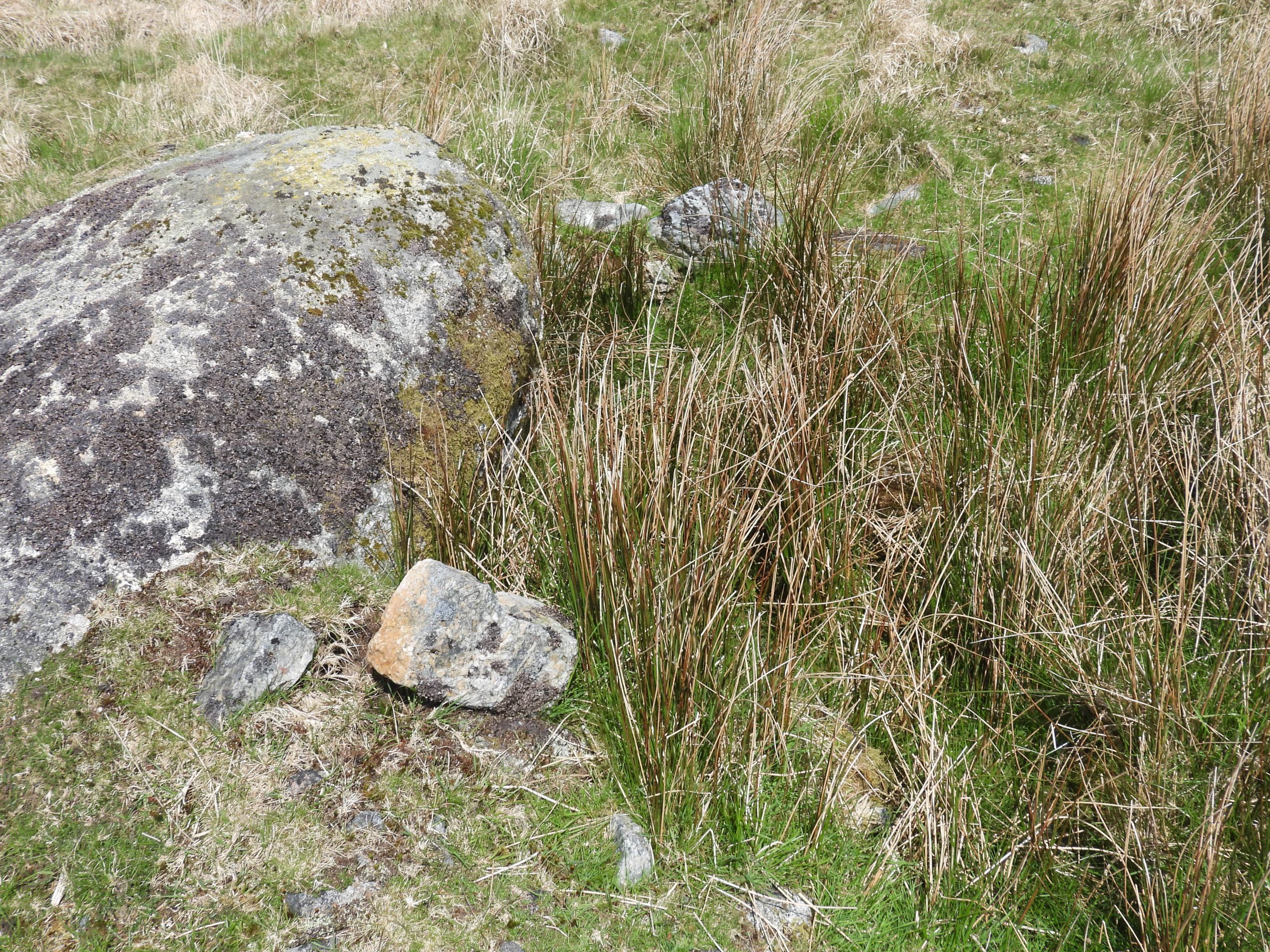
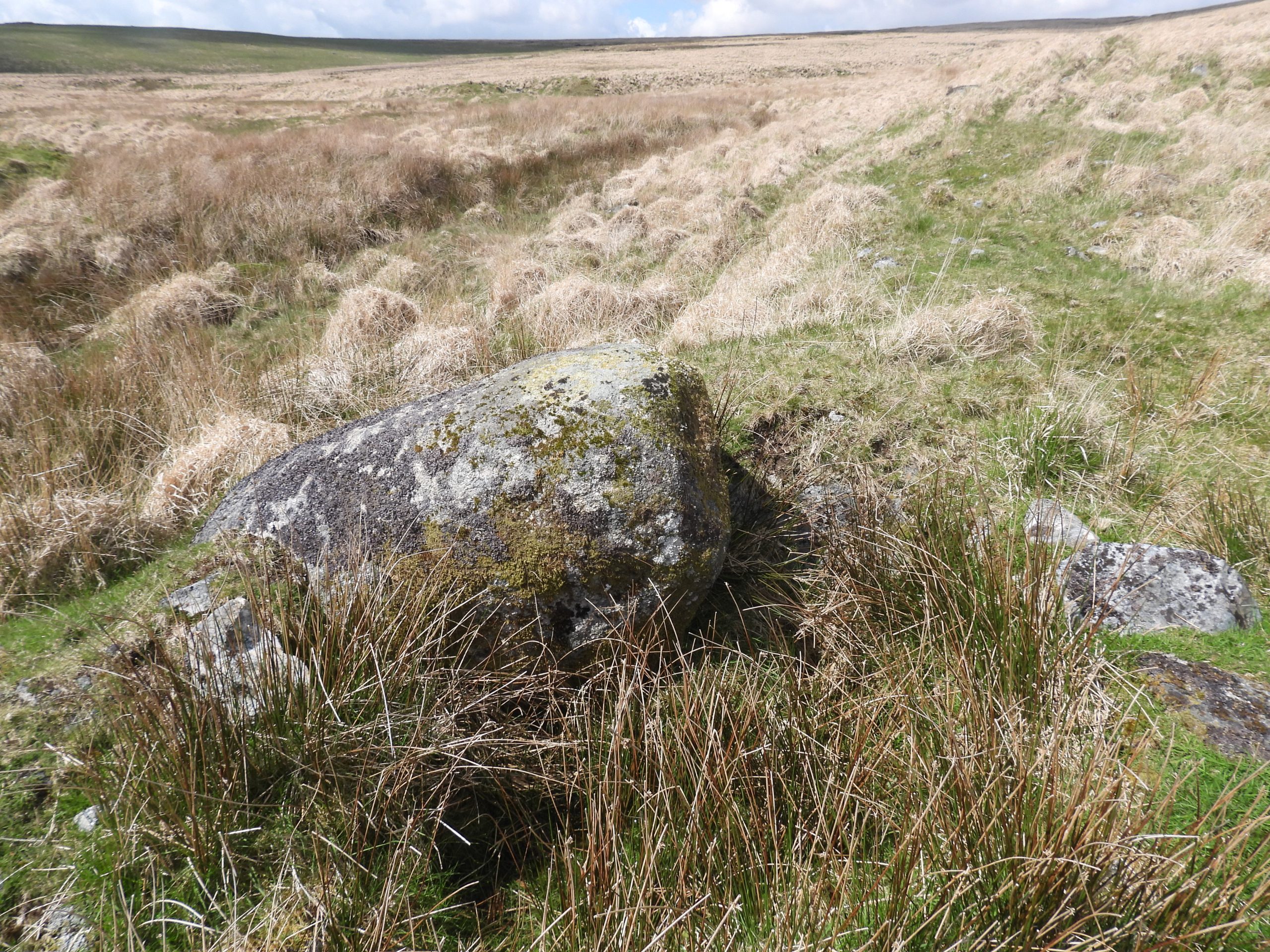
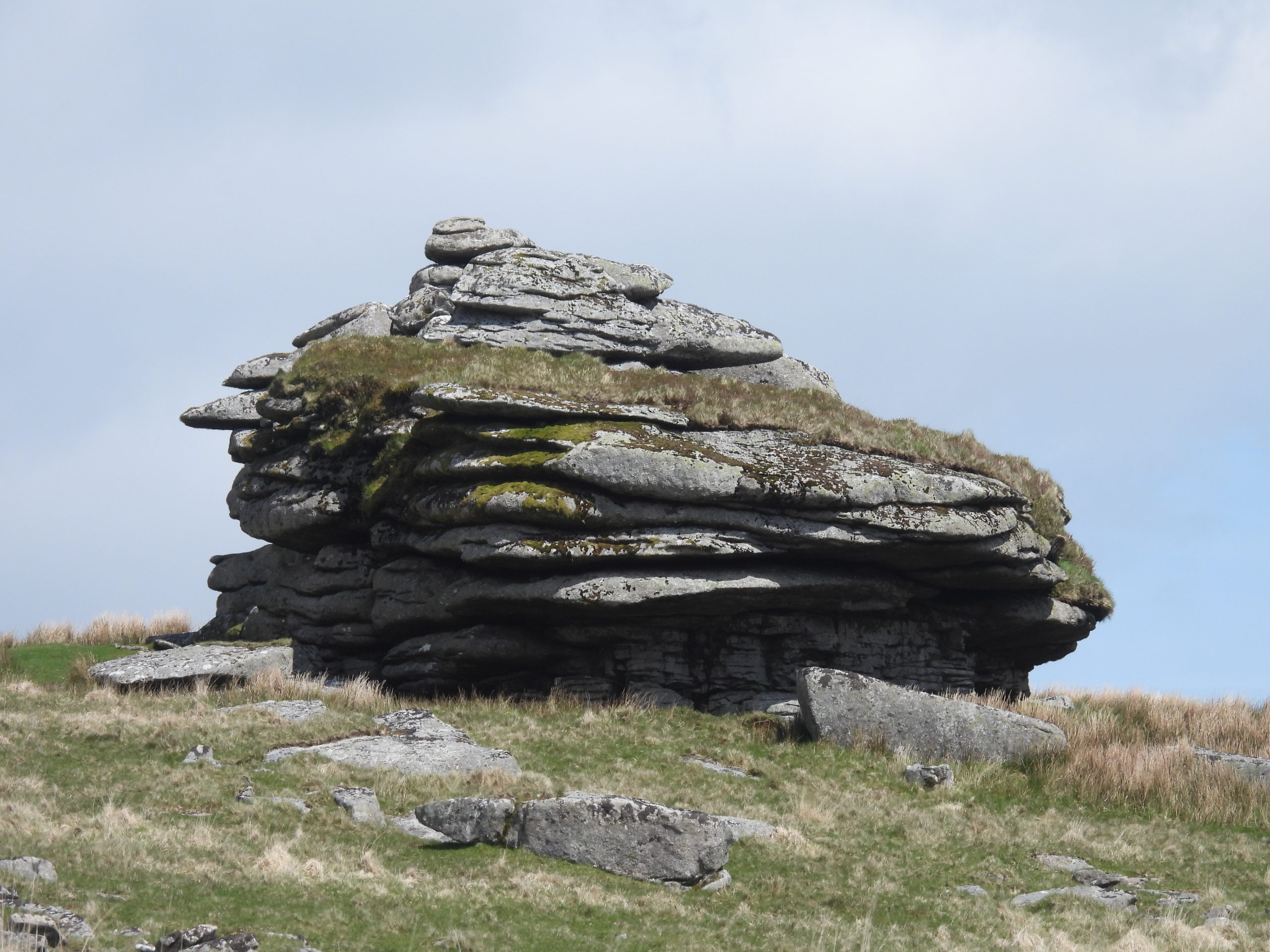
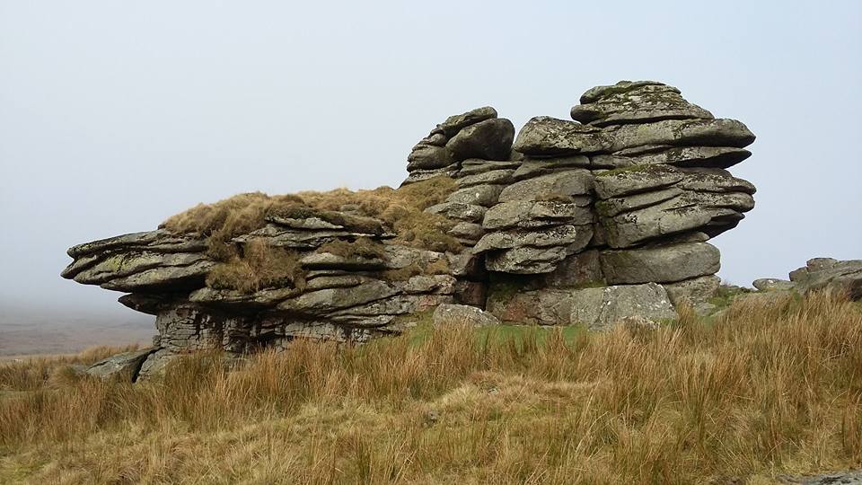
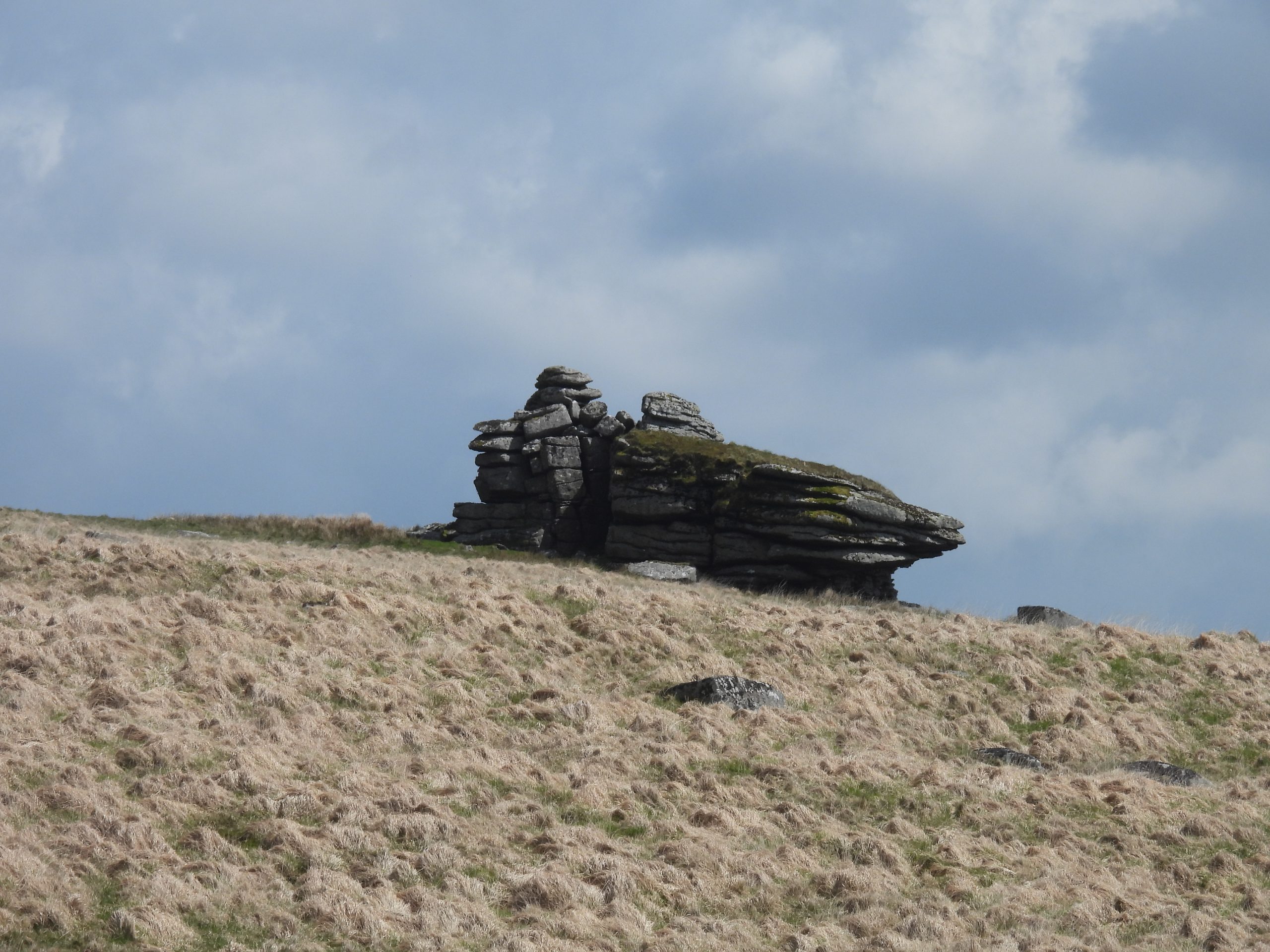
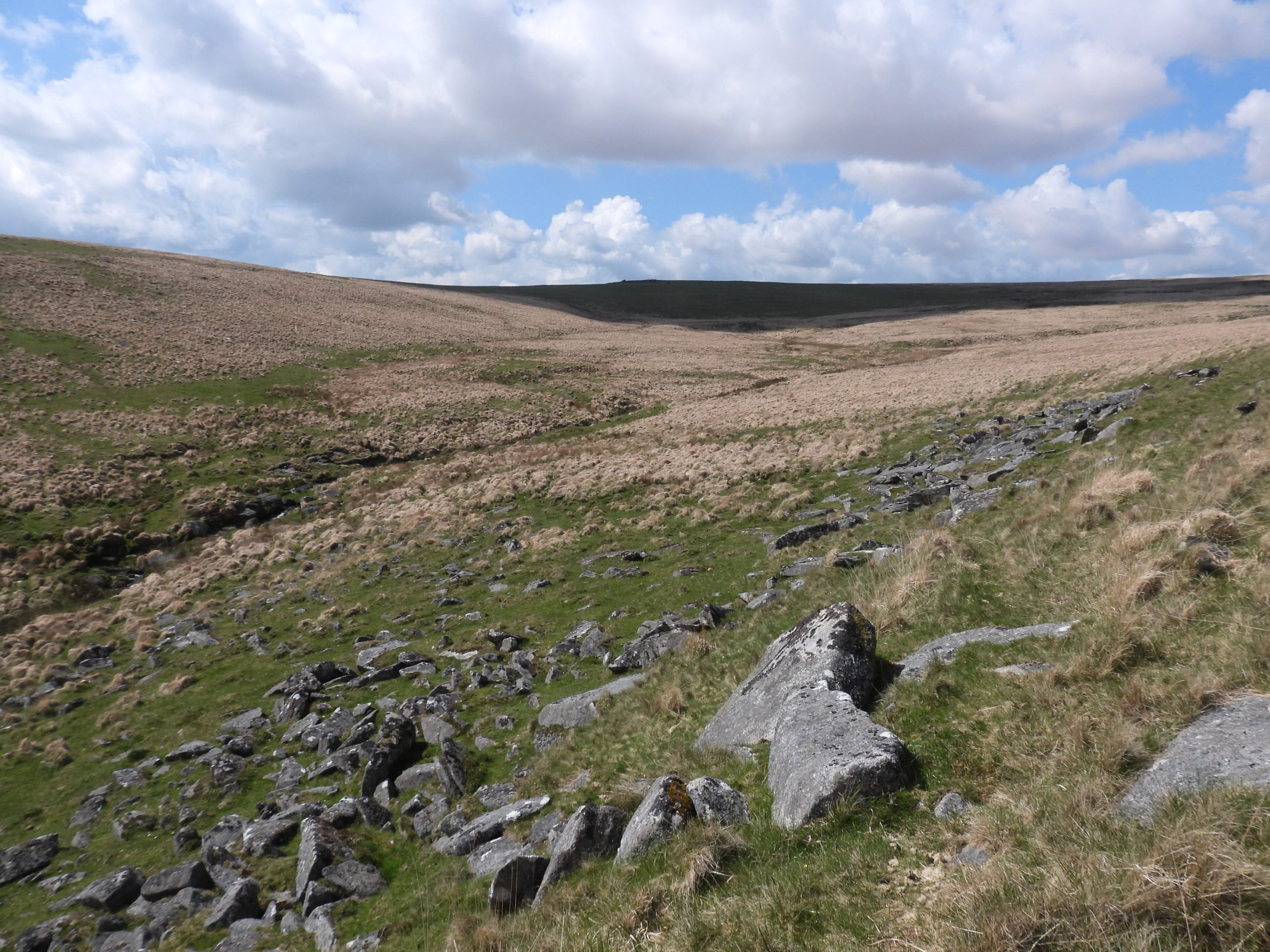
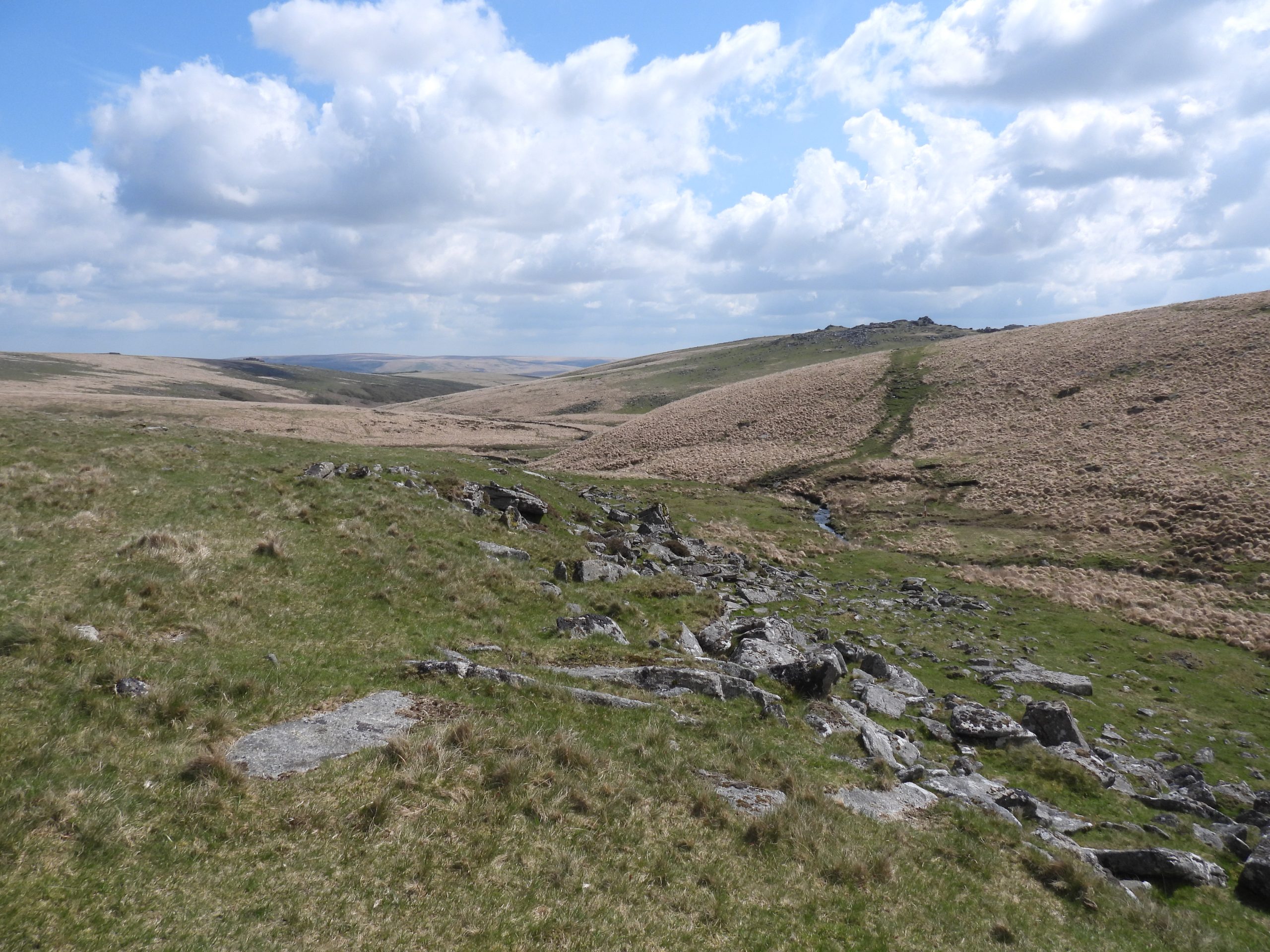
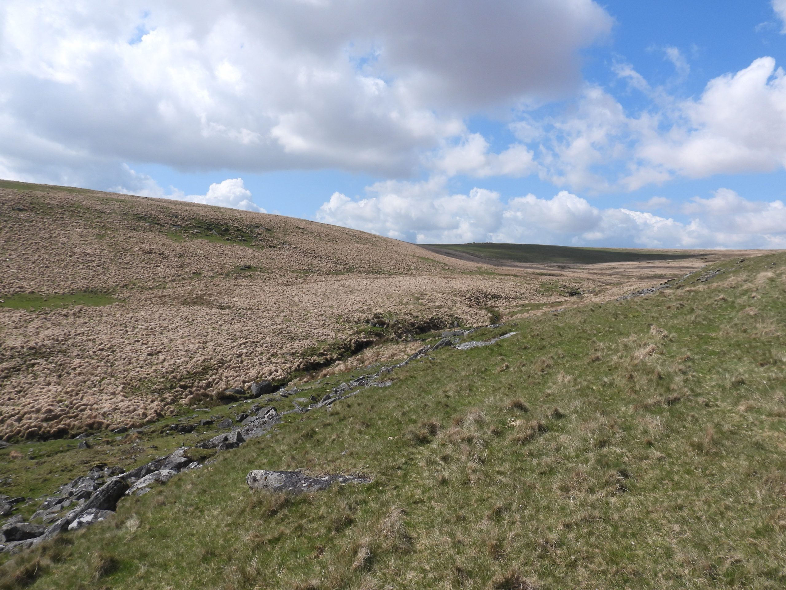
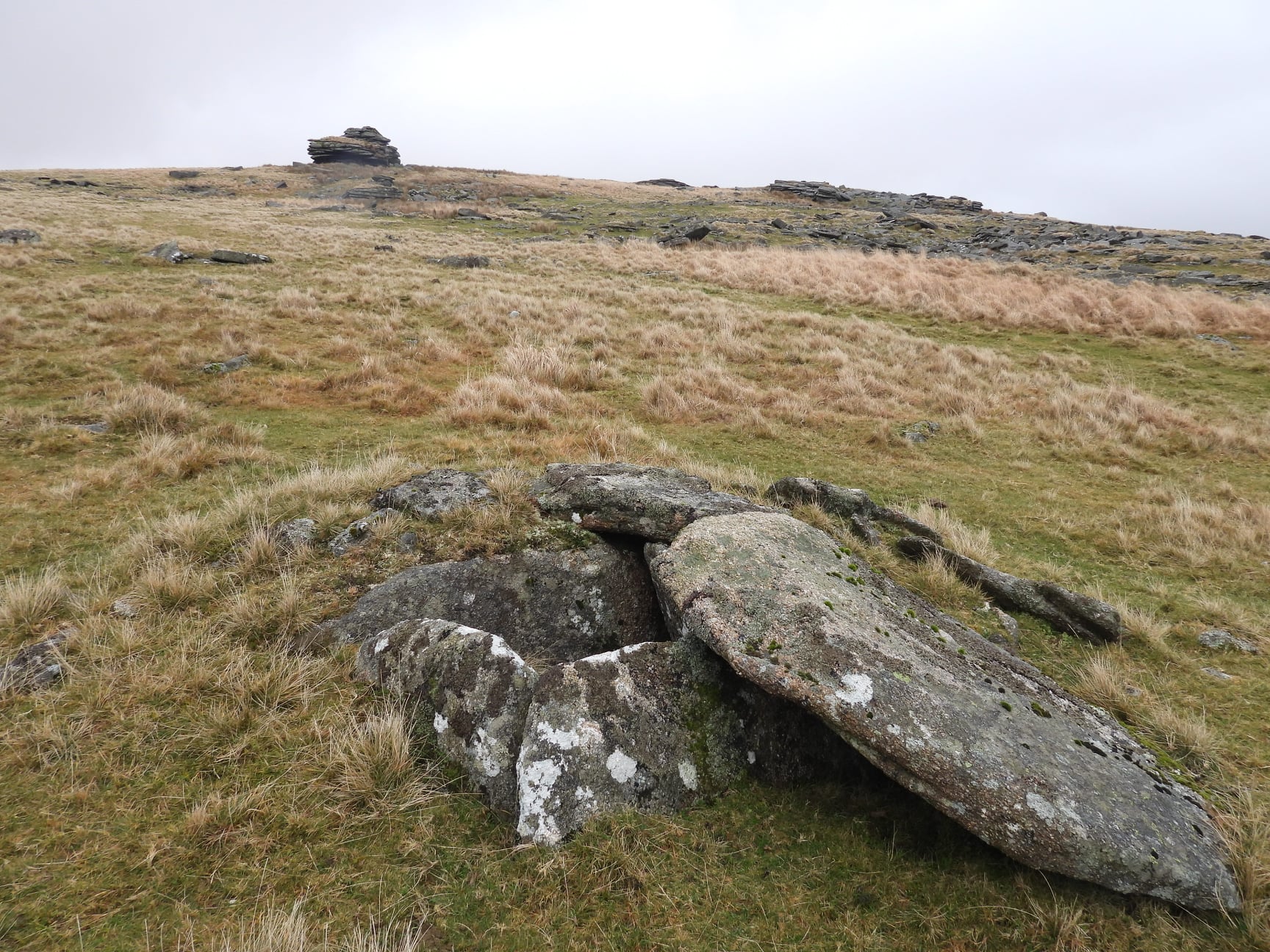
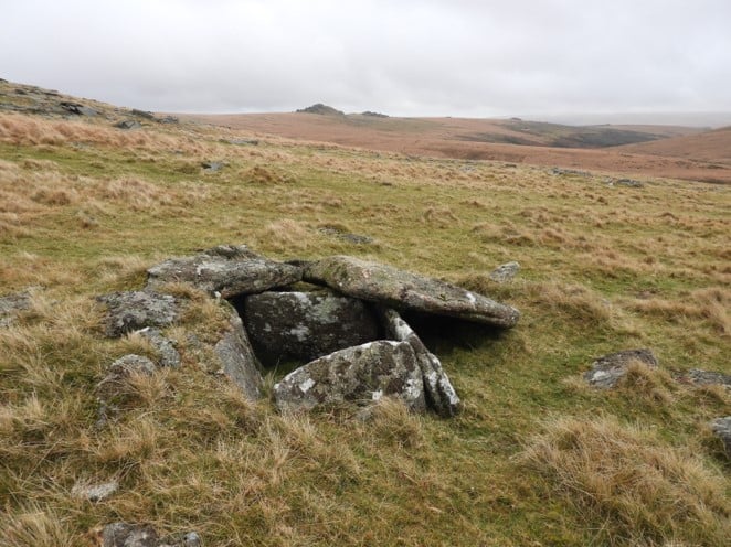
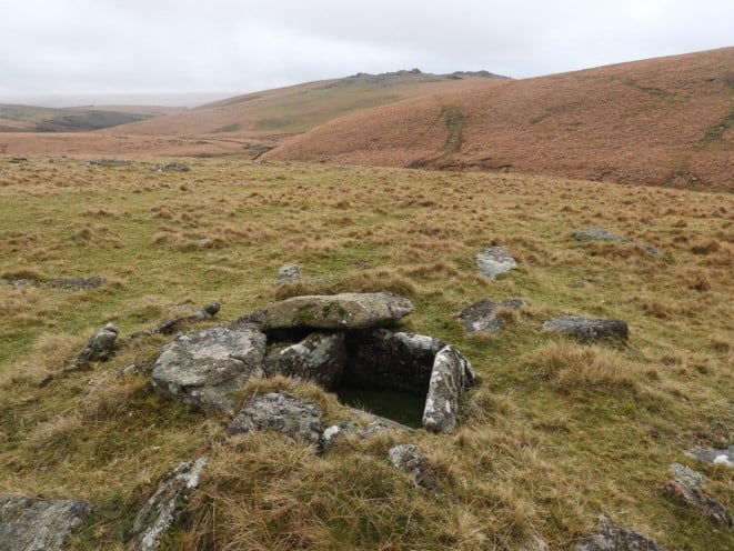
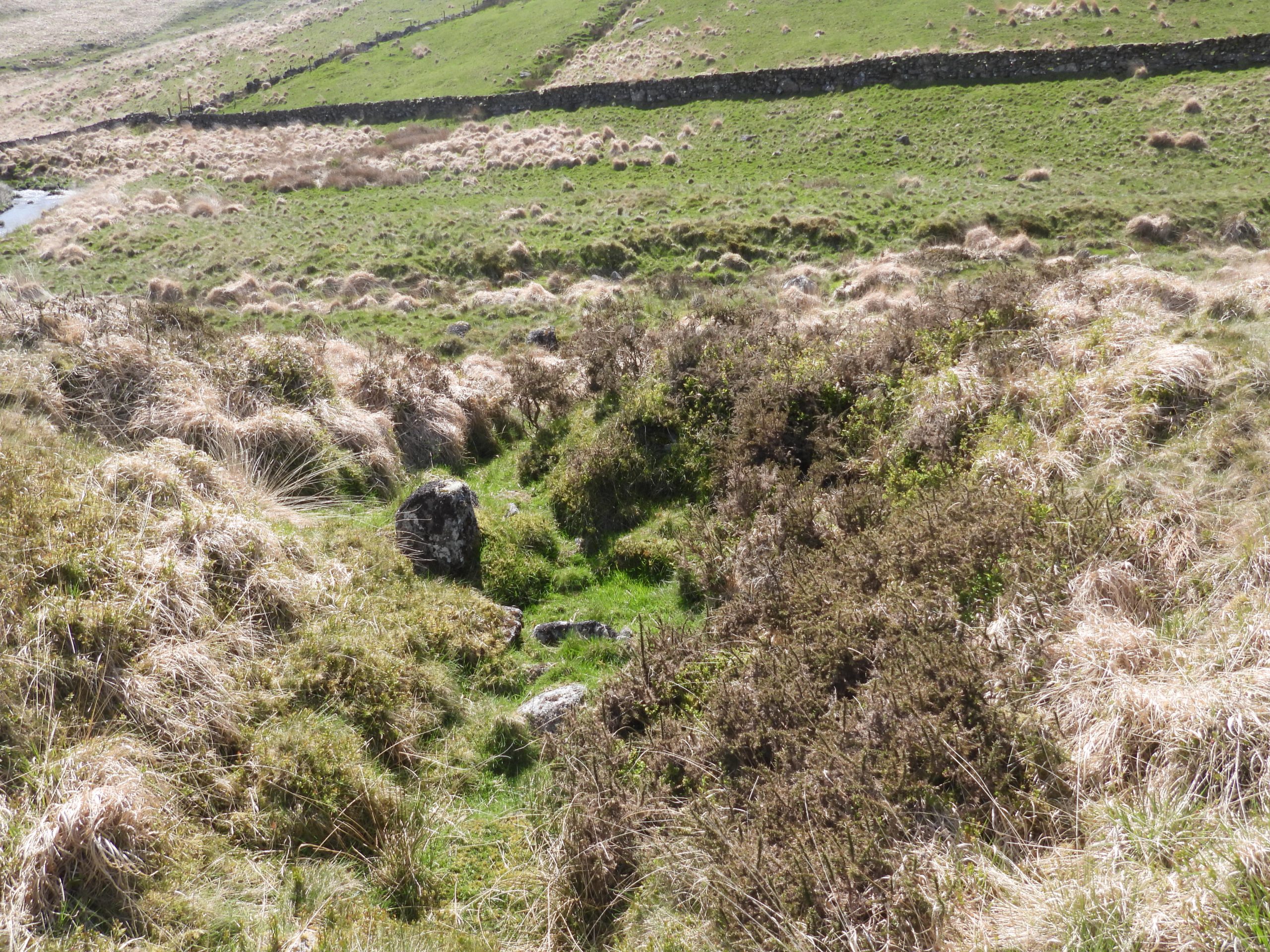
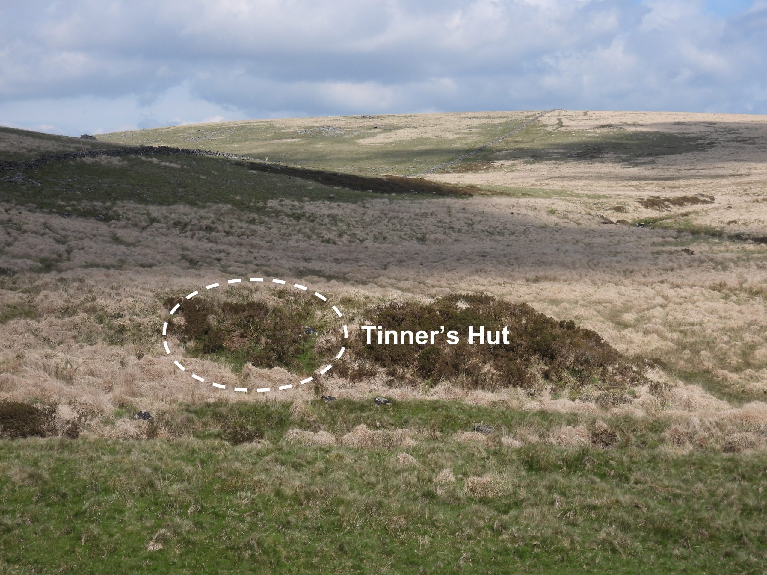
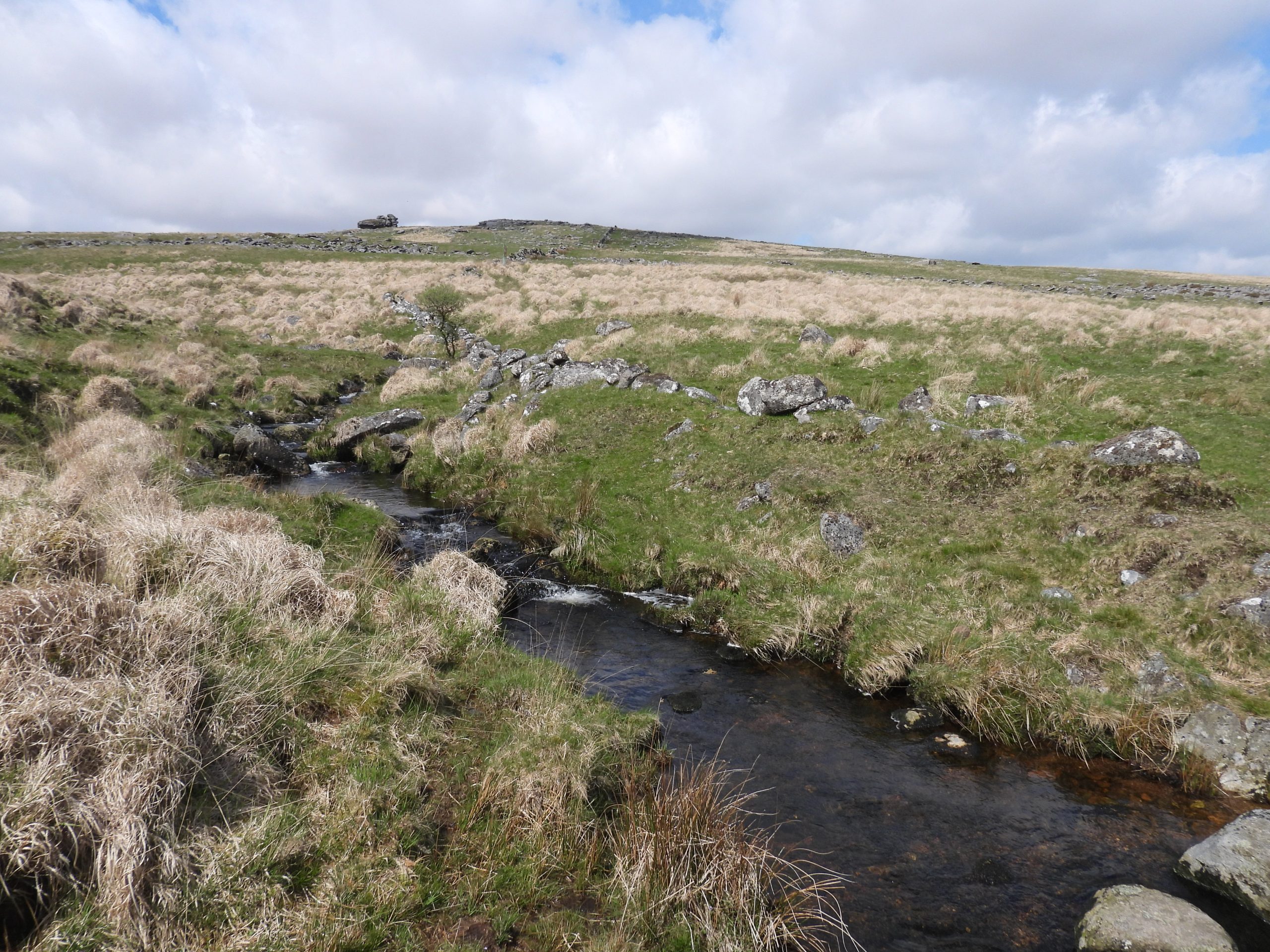
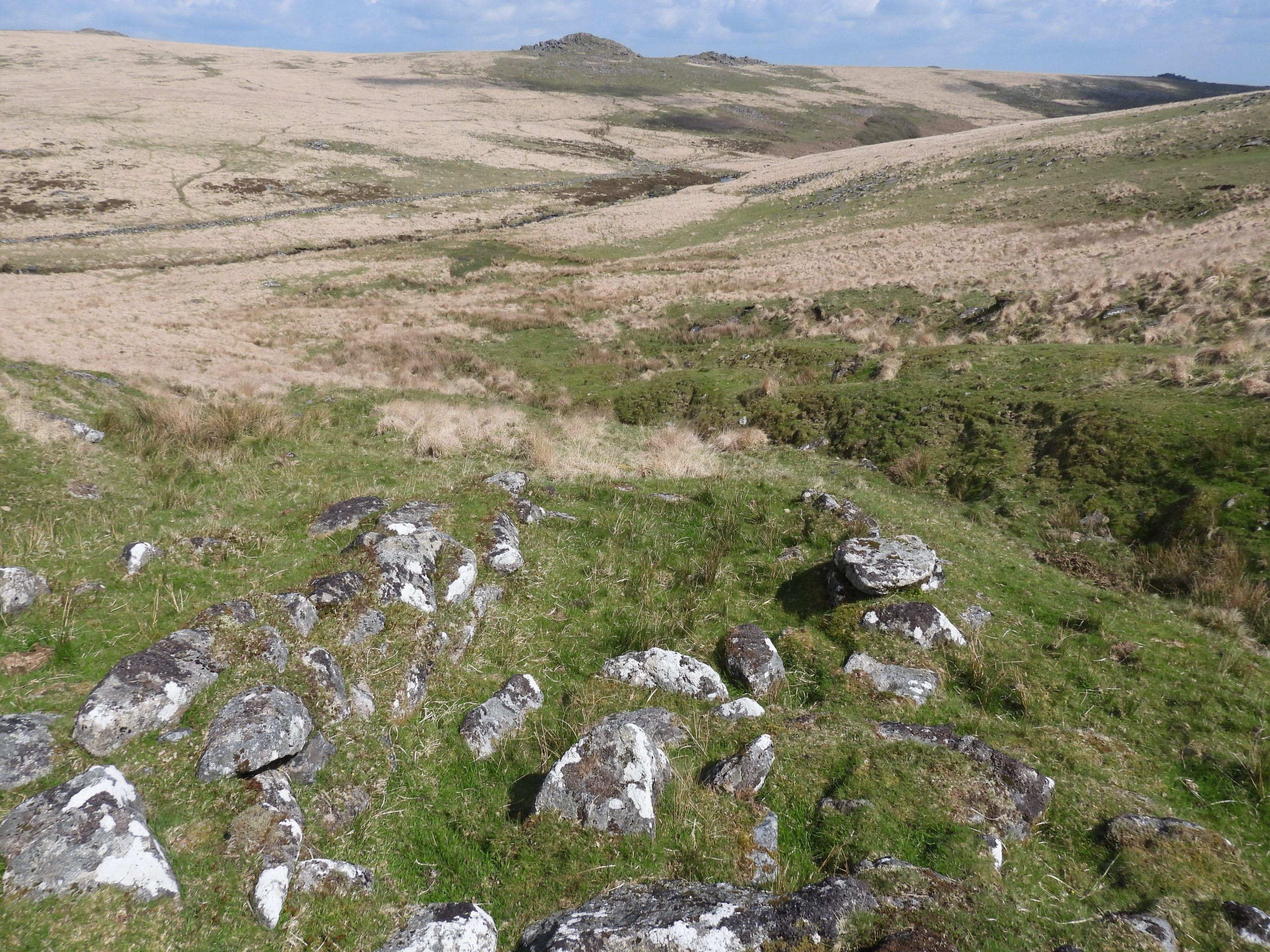
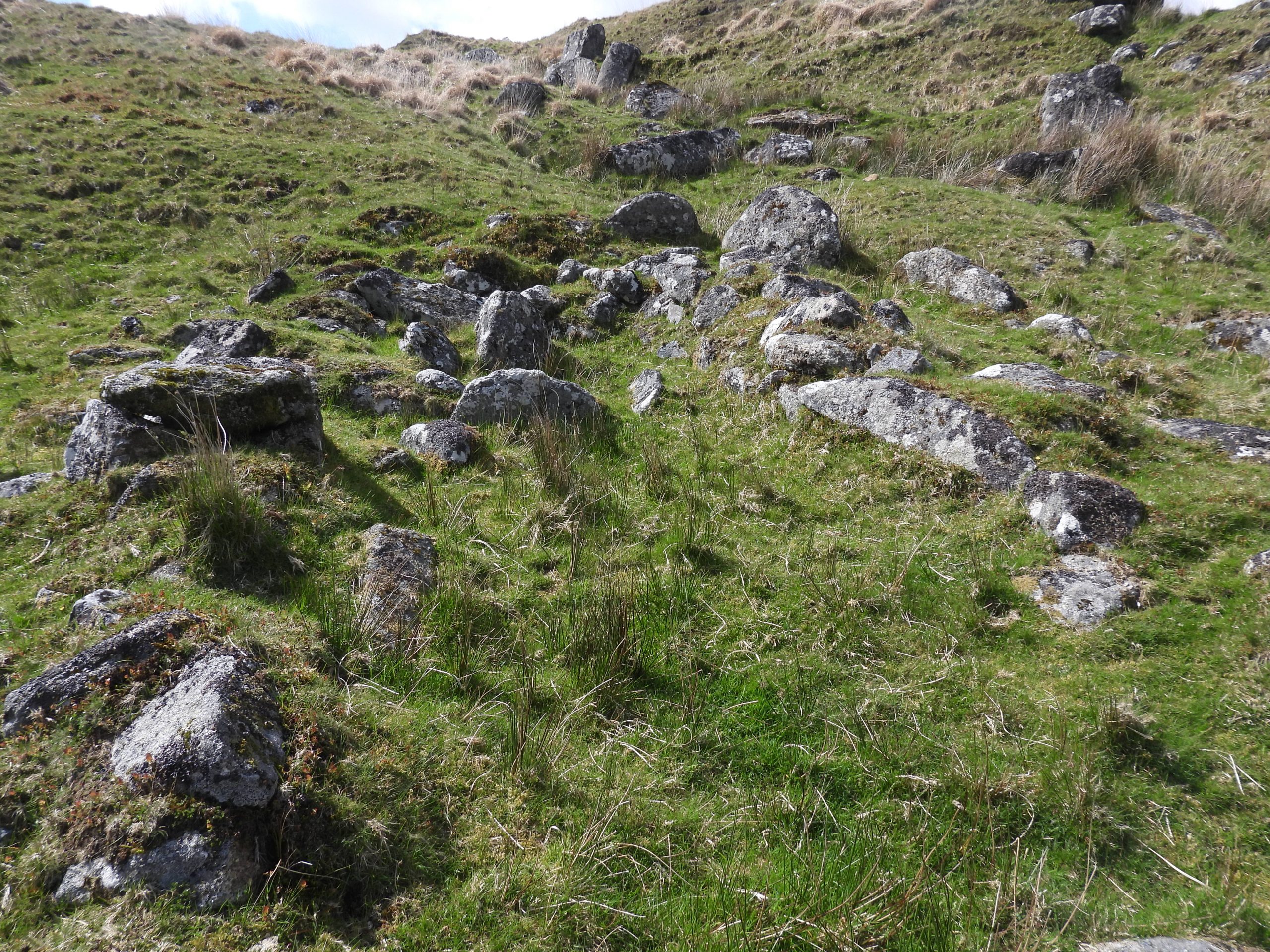
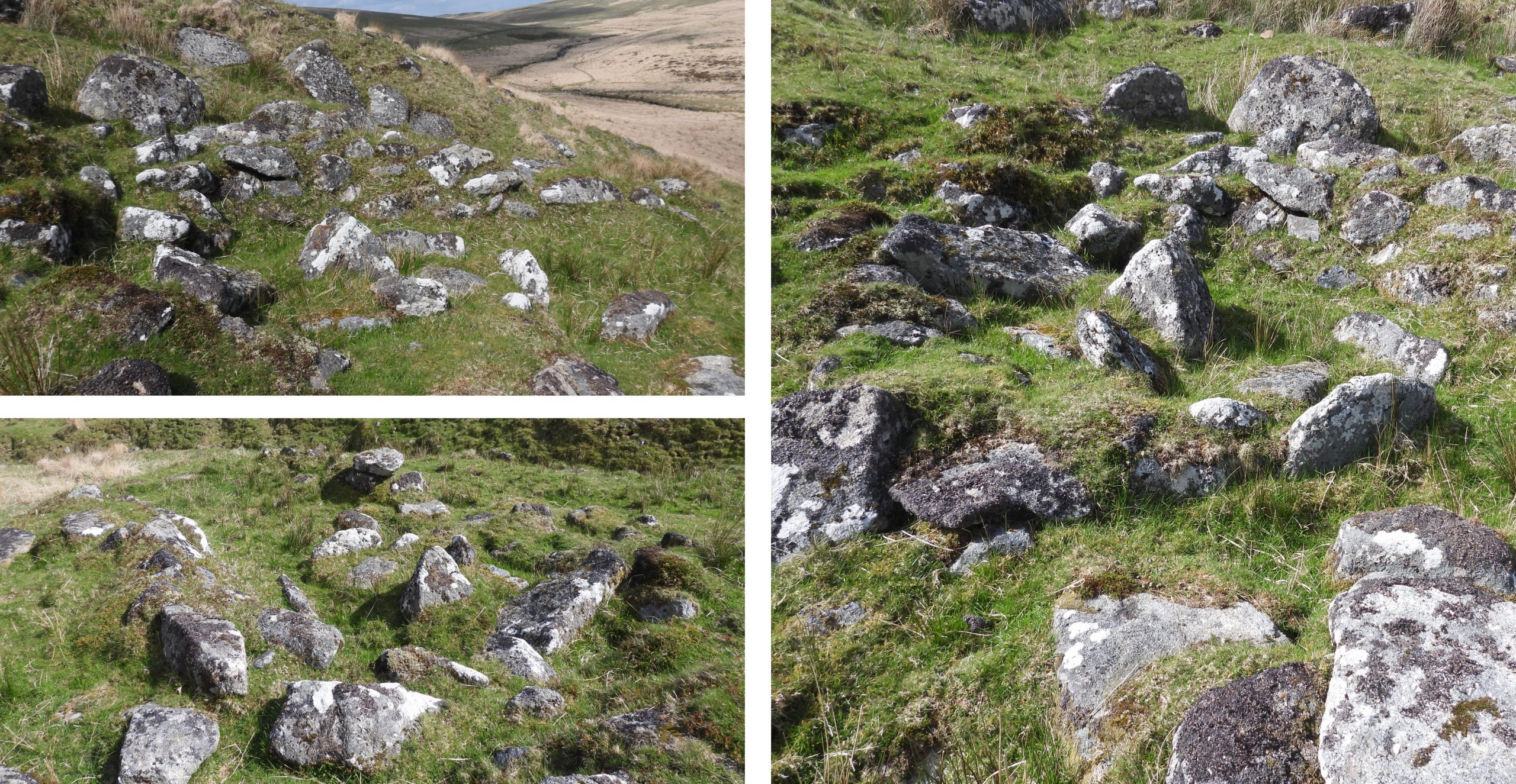
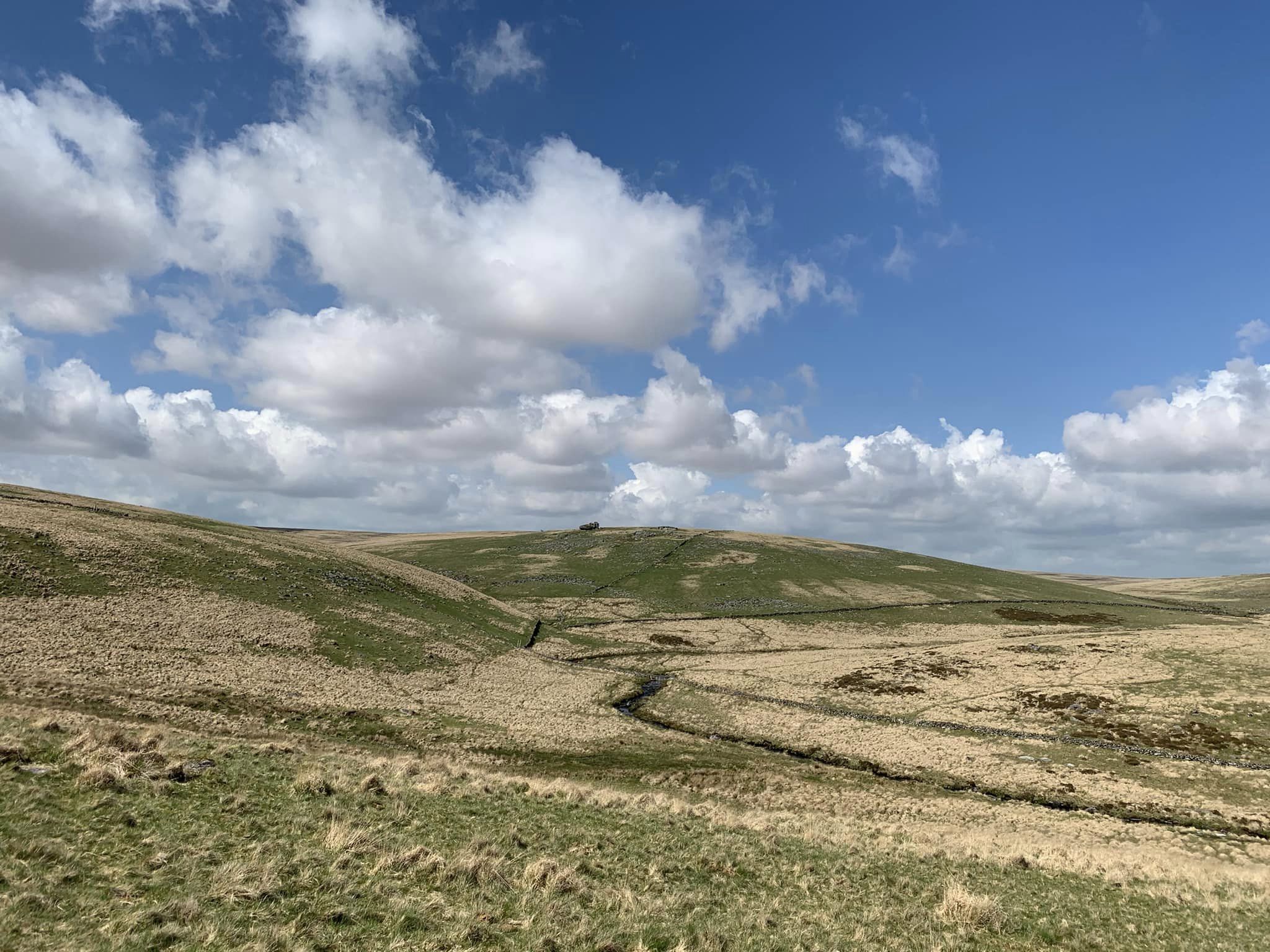
Sketch map of the features covered in this post. Methern Brook is so named by Eric Hemery in High Dartmoor (page 406), where he also mentions the ‘true hole’ of the this little valley was known for centuries as ‘Dart Hole’View looking north west up Methern Brook towards Devil’s Tor (sometimes called Foxholes Stream or Foxholes Water). This area can be quite boggy after rain. Hemery describes this a “Wild little glen”.Evidence from the Tinners along Methern Brook. Crow Tor can be seen in the backgroundThe Tinner’s Hut adjacent to Methern Brook is in quite good condition considering it is around 400 years oldBrian Le Messurier, recorded in 1979, that this tinner’s hut is: “At the fork of Foxholes Water in Dart Hole is a hut measuring 2.4m by 4.1m internally, with walls banked up on the outside. There is a probable fireplace on the west side. Tin streaming nearby and, if associated, the structure is probably pre-1700 in date”. The Tinner’s Hut is located at SX60257 79029Frog near Methern BrookA short distance downstream from the Tinner’s Hut is a Tinner’s Cache.The northern side of the Cache is made from two earthfast boulders and the other remaining wall is of dressed granite.The Tinner’s Cache is located at SX60314 78938The Tinner’s Cache measures 1.5 metres north-southCrow Tor has a very distinctive shape. To some, Crow Tor takes on the rough outline of a bird which may account for its name, although Eric Hemery disputes this.Crow Tor is also known as Crowtorre, Crewtor, Crewtorre, Crowter, Croughtor, Croughter (ref: Tors of Dartmoor). Crow Tor lies at 540m above sea levelView near Foxholes (OS map label), looking up Methern BrookFoxholes. Beardown Tors in the distanceFoxholes or Dart HoleThe cist near Crow Tor is actually a kerb cairn (with cist). The antiquity is described in the Heritage Gateway as being a: “low mound of 4.0 metres diameter by 0.3 metres high containing a granite cist with four sides surviving and a displaced capstone”. Worth described in 1902, in the 21st Report of the Barrow Committee, that this was excavated and a scraper was found in the cist. It is located at SX60525 78676Just below Foxholes near the West Dart is a rather unusual hut / shelter insofar as it is built into a large, mound. R.G Haynes, in the 1960’s described it as a “Tinner’s shelter at Foxholes. Built into a tinner’s heap is a two roomed drystone building, a probable tinners’ shelter”.Haynes further described this shelter as having a “passage entrance with a doorway flanked by two stones grooved to take wooden door posts”. One upright stone remains in what was probably the entrance.The Tinner’s Hut / Shelter is located at SX60637 78325. At the west end the remains of a room, are approx. 2.5m square View of the Tinner’s Hut / Shelter in its associated mound as viewed from the west. The foot of Methern Brook just before it cascades into the West DartThere is an area tin streamwork (about 1 hectare) on the east side of the ridge between Beardown and Lydford Tors. The working, is probably medieval or post-medieval in date (ref: Newman). There is one tinners’ hut sited within the working. The picture shows a view towards Longaford Tor (amongst others).This Tinner’s Hut was measured by Ordnance Survey as being 6.3m by 2.3m internally and is subdivided. It is located at SX60430 78098Probert (Royal Commission for the Historical Monuments of England) describes the antiquity as “Two upright granite slabs 0.4m high dividing the building into two rooms, 2.3m by 2.3m at the NW end and 3.1m by 2.3m at the SE end” Leaving the area covered in this post. The meandering West Dart can be seen in the centre with Crow Tor beyond.