A collection of walks, discoveries, insights and pictures of exploring Dartmoor National Park
May 5, 2023
Stormsdown Mine
Stormsdown Mine is located a few miles to the north east of Ashburton on private land in the Owlacombe Valley. The Dartmoor Tin Mining Research Group (DTRG) held an ‘Ashburton Parish’ event in late April 2023 which included a visit to the mine. The author was fortunate enough to attend these events and is grateful to Stephen Holley (DTRG Chairman), who led a walk to the mine and who provided a fabulous insight into its history and its operation. As well as DTRG information provided on the walk and from their website, further information on the mine used in this post was gleaned from the Hamilton Jenkin, Mines of Devon publication.
Mining is believed to have started in this area as early as the 16th century. The next documentary evidence of mining in the area came just before the 1840’s when some shallow exploratory adits were driven at Stormsdown, to trial the lodes previously worked in the medieval period. The main (significant) period of mining at Stormsdown appeared in the early 20th century. Stephen Holley of DTRG explained that financing of the mine in this period was unusual, insofar as it came solely from a private individual – namely a Mr Edward Herbert Bayldon. Mr Bayldon had retired (at the age of 36) and moved to Dawlish, having made his fortune as a stockbroker in London. The DTRG information suggests that the purchase on the lease / land took place at the end of the 19th century (1899) and that it was not until 1905 that work started on sinking the main shaft. (Note: Hamilton Jenkin suggests that it wasn’t until 1906 that a company took over the Owlacombe Sett including Stormsdown Mine). By 1906, the construction of the processing plant and dressing floors had started and at this time the main shaft had reached a depth of 30 fathoms (180 feet) from the surface and was drained by an adit. There were three levels (adit level, level 1 (12.5 fathoms below adit) and level 2 (15 fathoms below adit)). By January 1907, the main processing infrastructure was in place and a mine manager was appointed (an Ernest Terrell).
By July 1907, the production of tin concentrate and arsenic had commenced. The main shaft was deepened to 15 fathoms (90 feet) below the adit level and a new pumping engine was installed. The shaft finally reached a depth of 60 fathoms (360ft) in 1909 with the three levels thus: adit level at 30 fathoms (180ft), level 1 at 42.5 fathoms (255 feet) and level 2 at 57.5 fathoms (345 feet). Work was suspended at the mine in July 1909 and the majority of the workforce were laid off. At that time, pumping continued whilst attempts were made to sell the mine. In 1911, once again financed by Edward Herbert Bayldon underground works re-commenced with ore extracted being stock-piled at the shaft head. A year later, in July 1912 a new company was formed – Sigford Mines Ltd with one of the directors being Edward Herbert Bayldon. In December 1912, Bayldon died which effectively was the beginning of the end of the operation. The end of the mine saw stockpiles of ore processed in 1913 after which the materials from the mine and mill being auctioned in March 1914.
Mines of Devon – A.K. Hamilton Jenkin (pages 123/4)
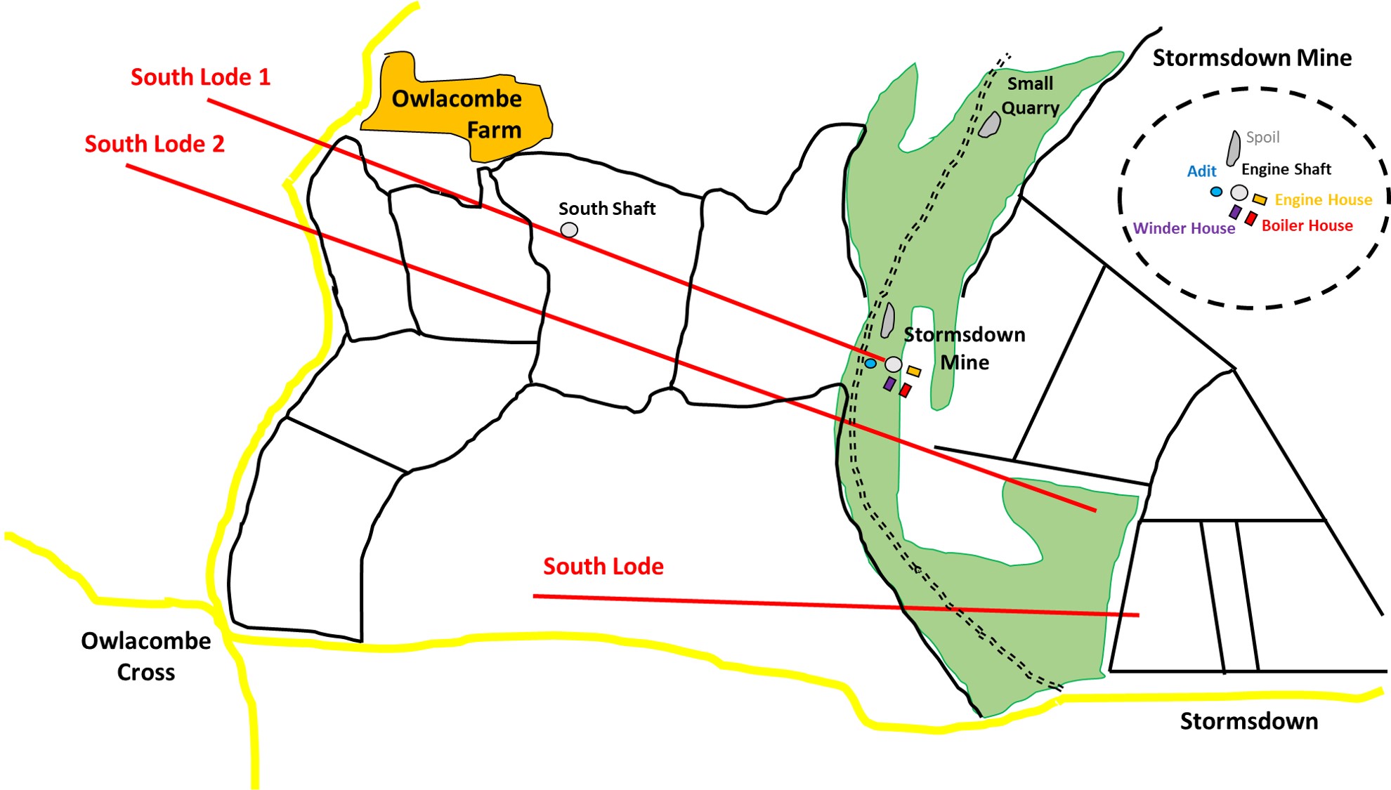
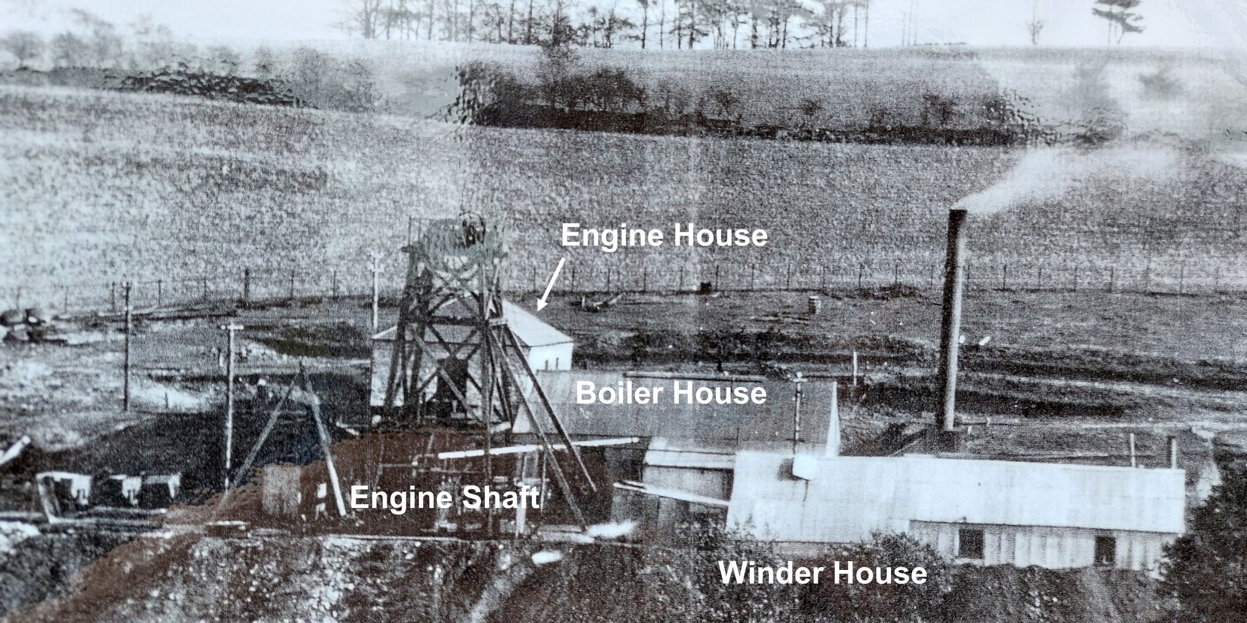
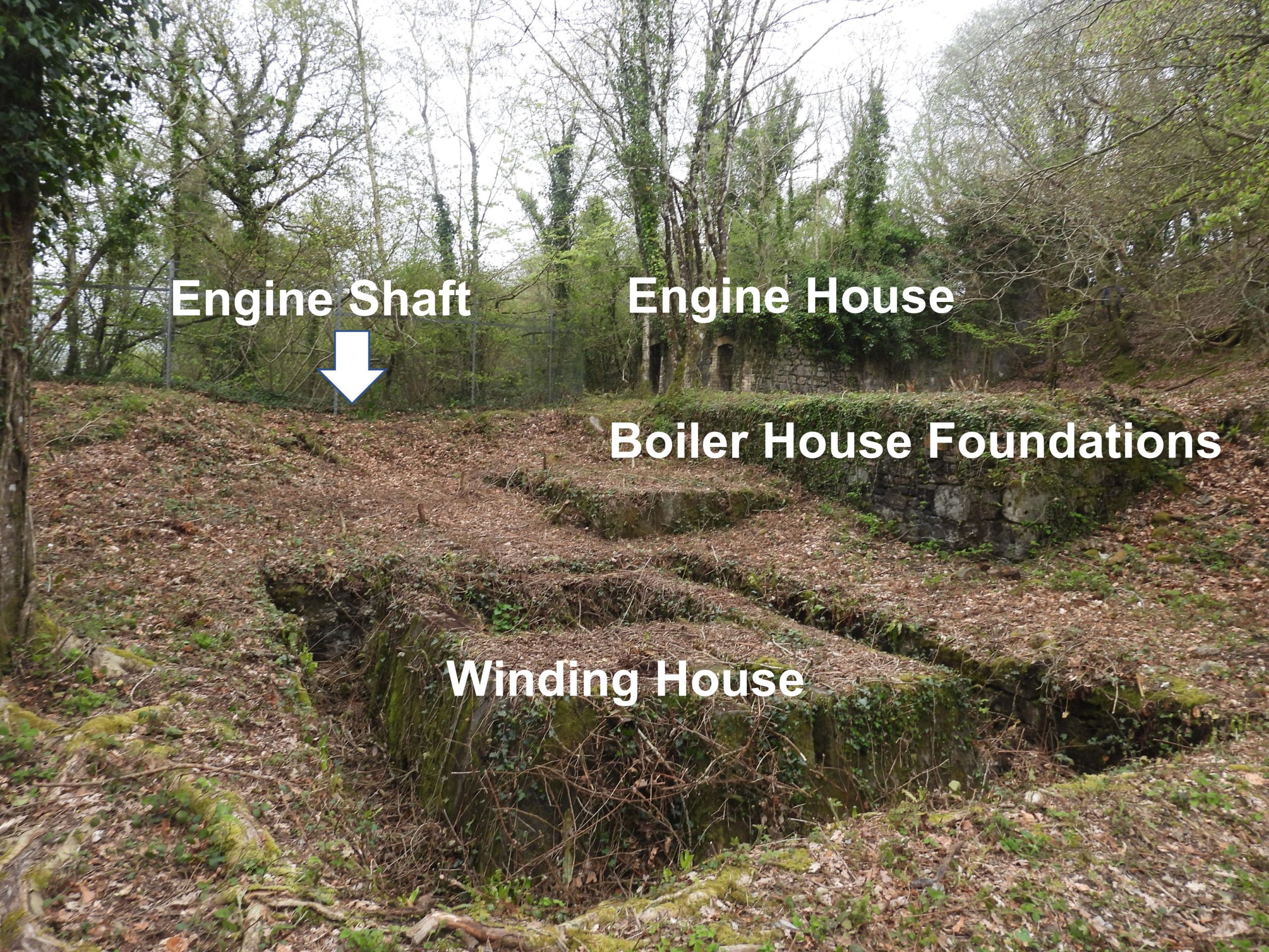
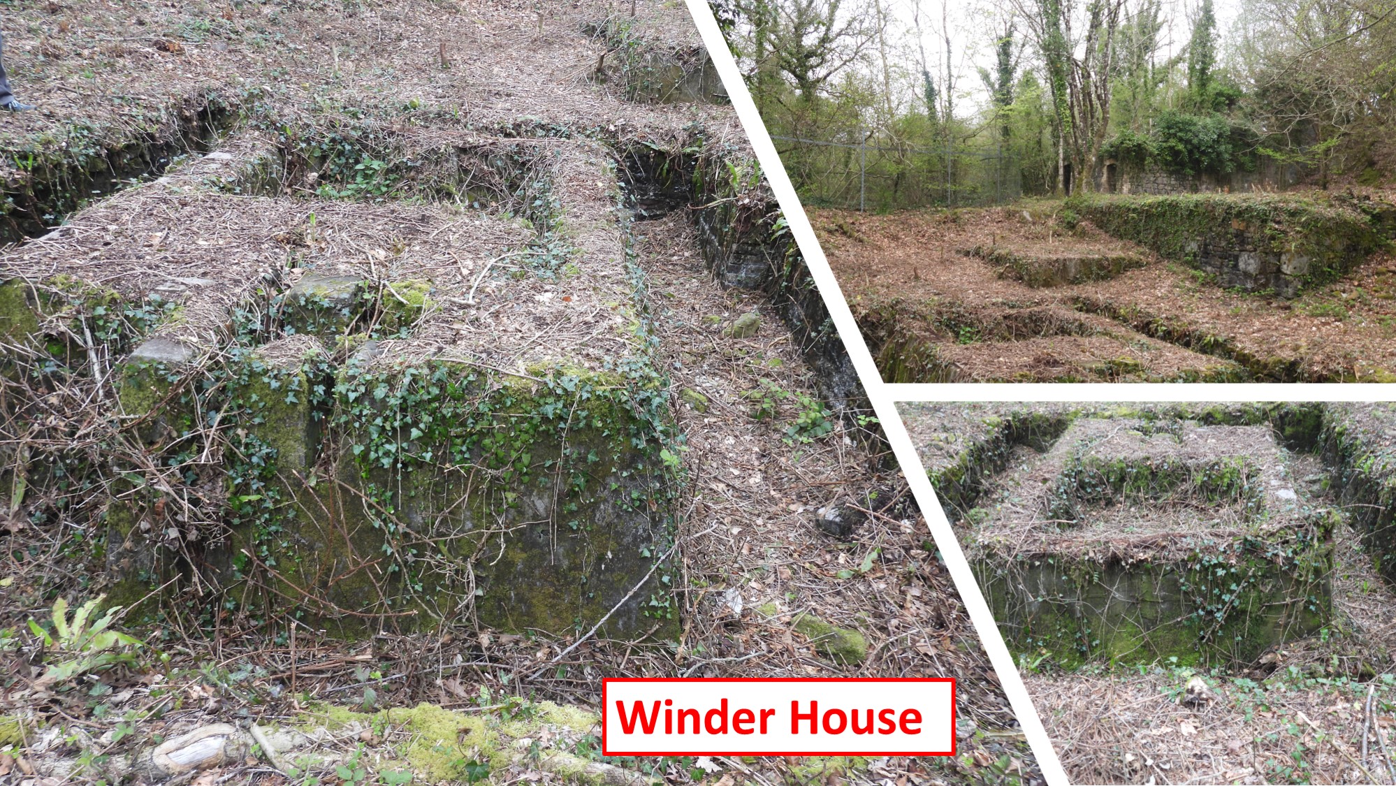
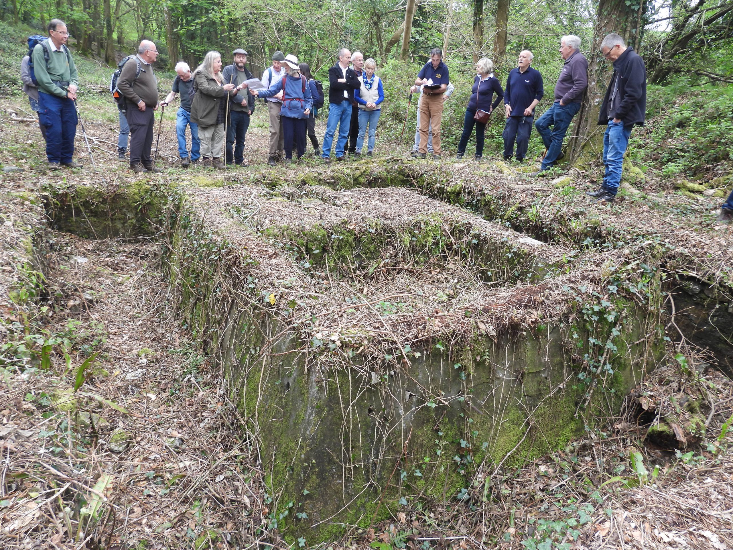
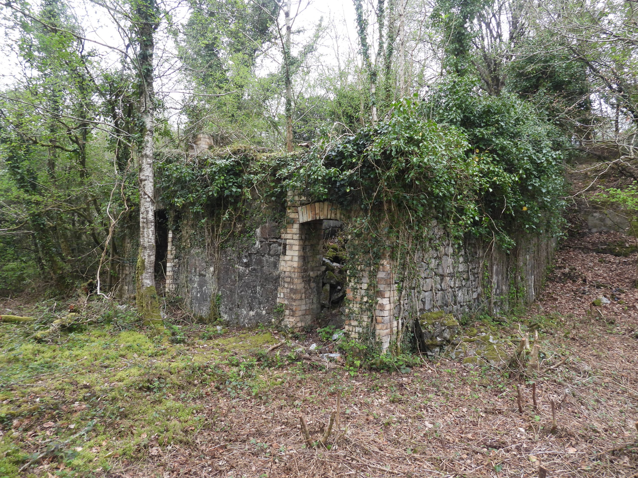
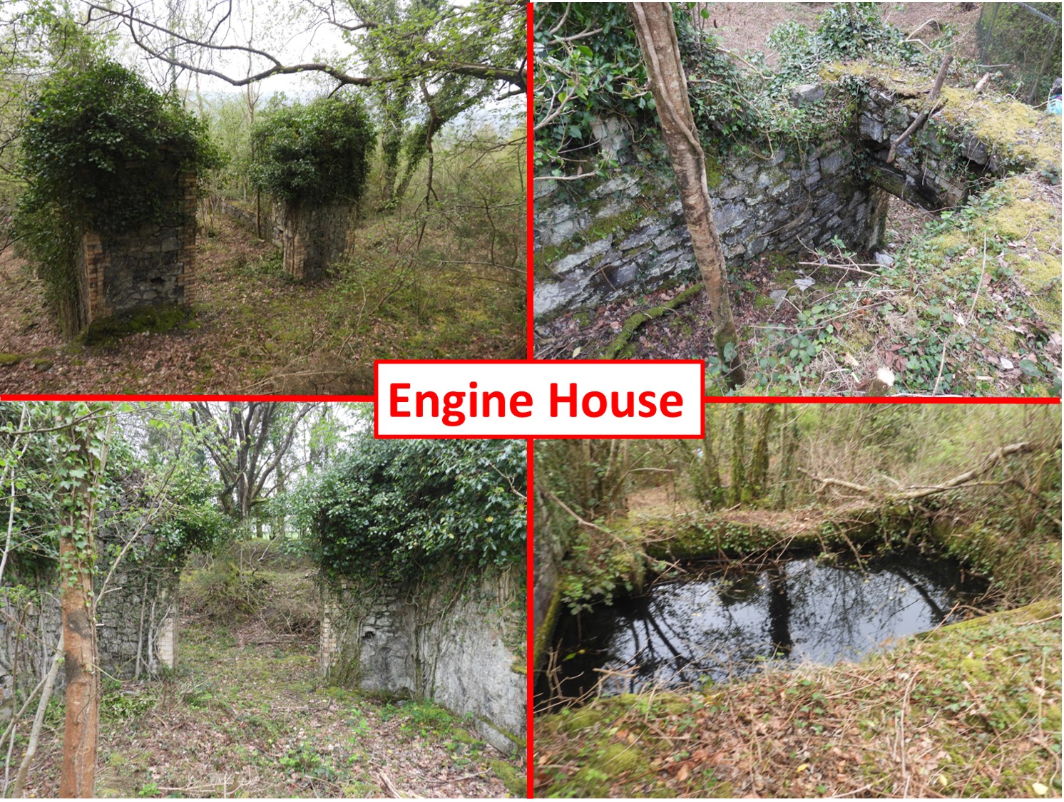
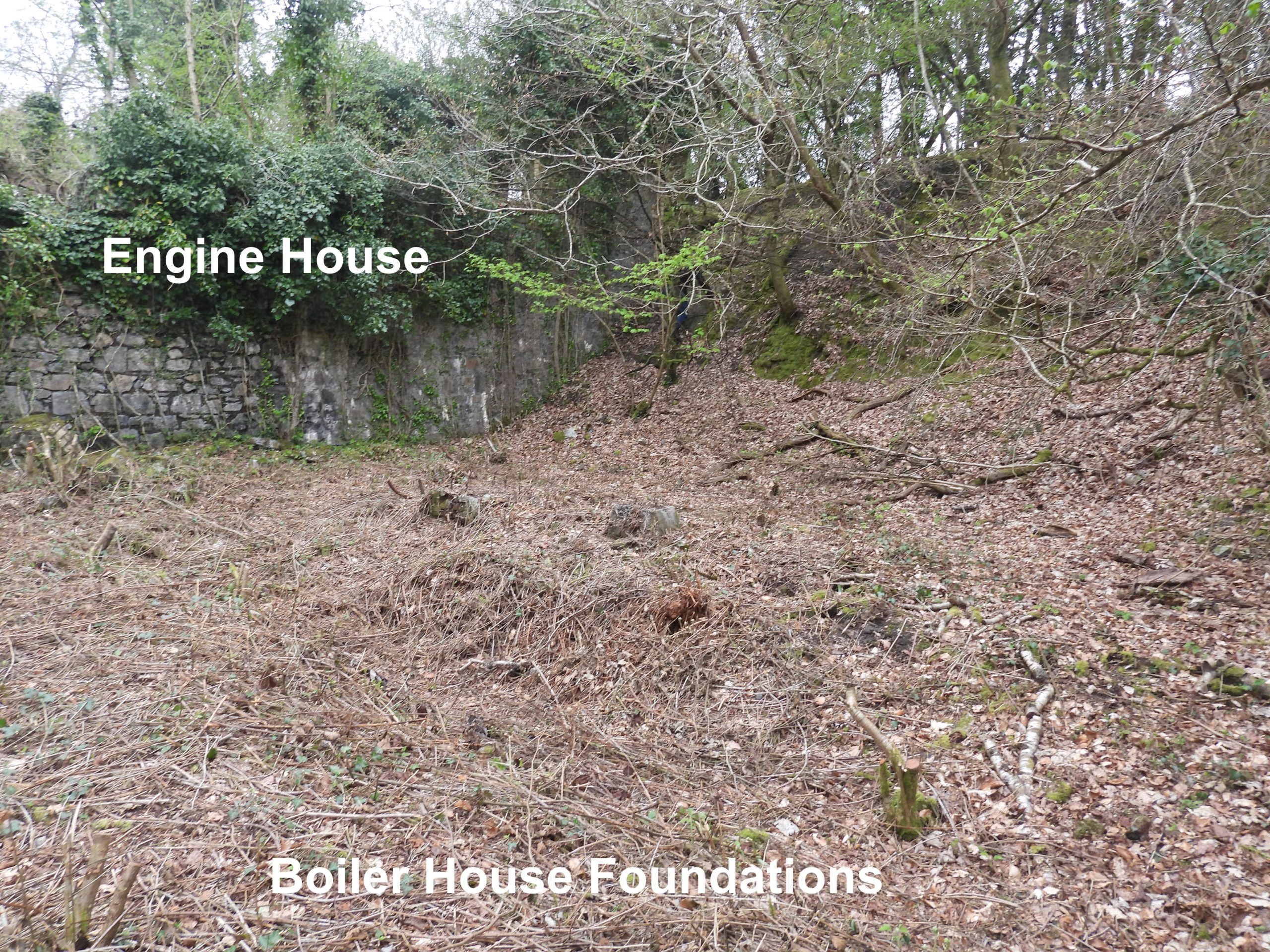
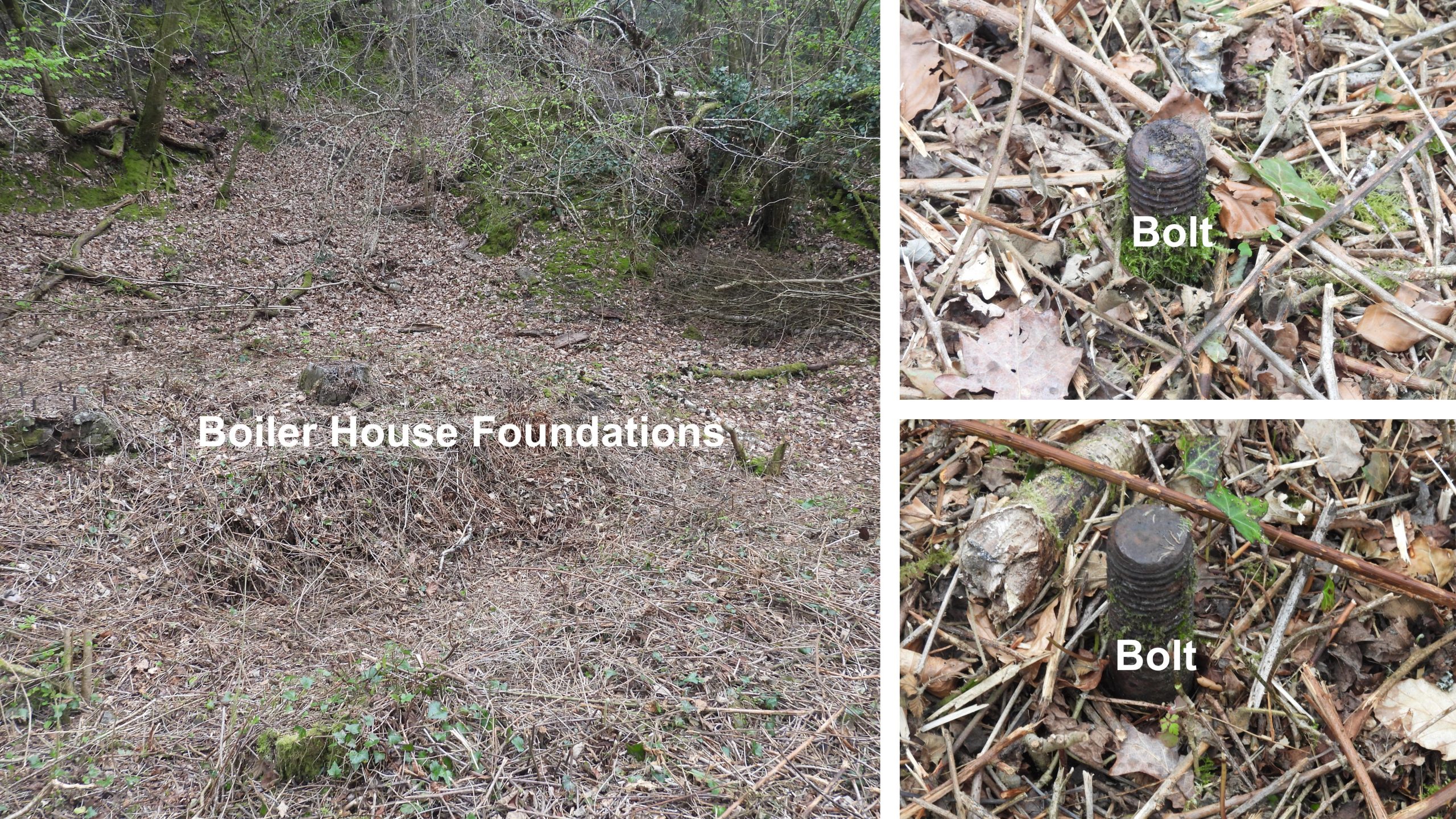
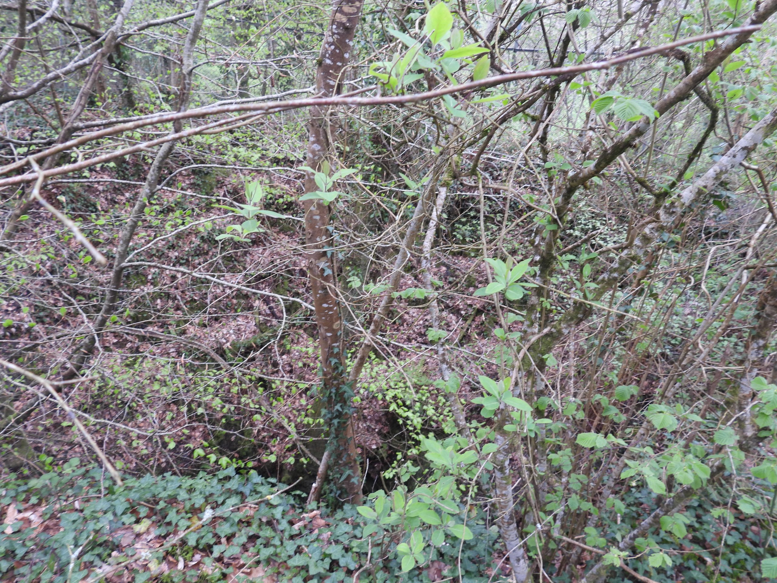
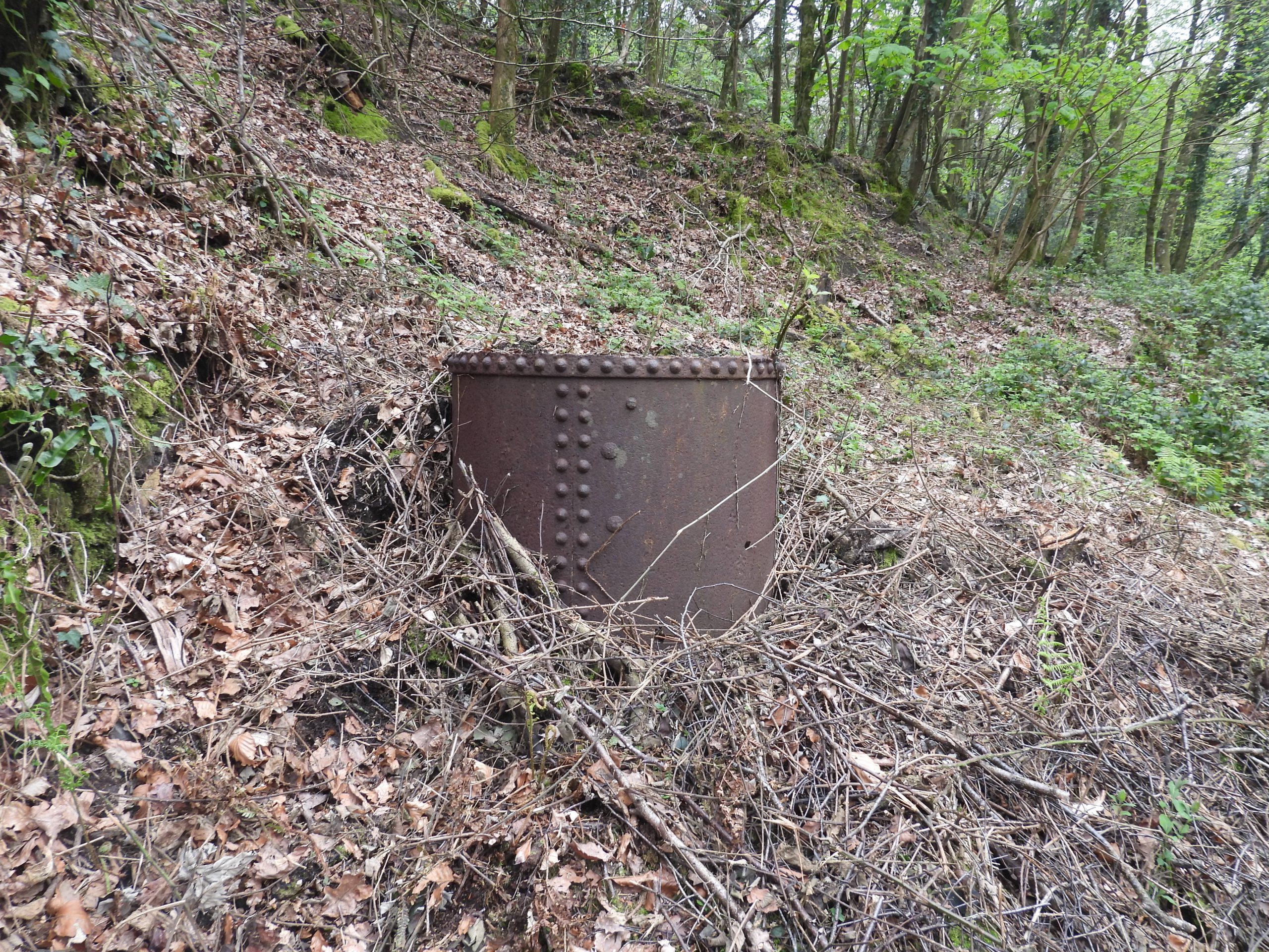
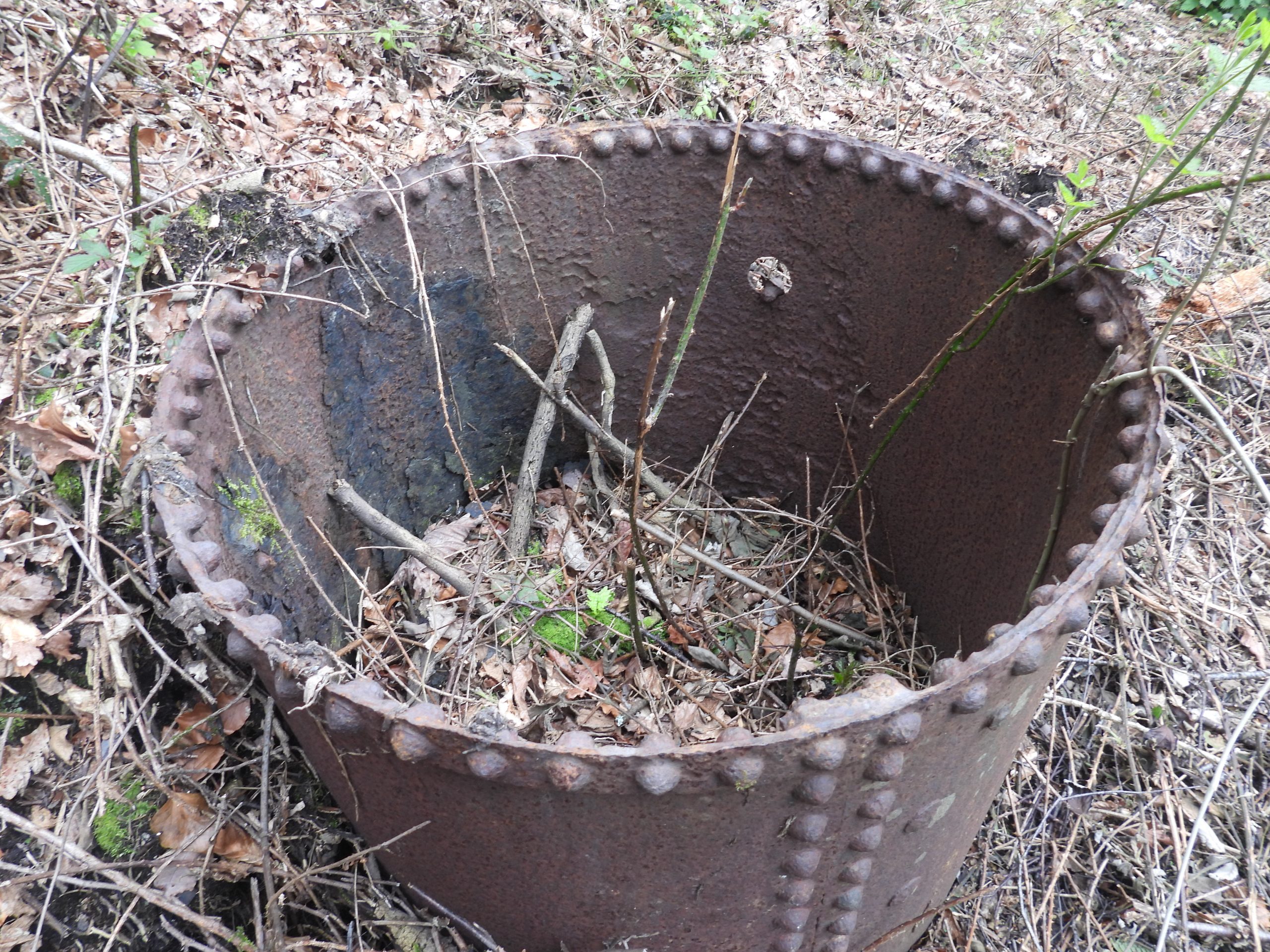
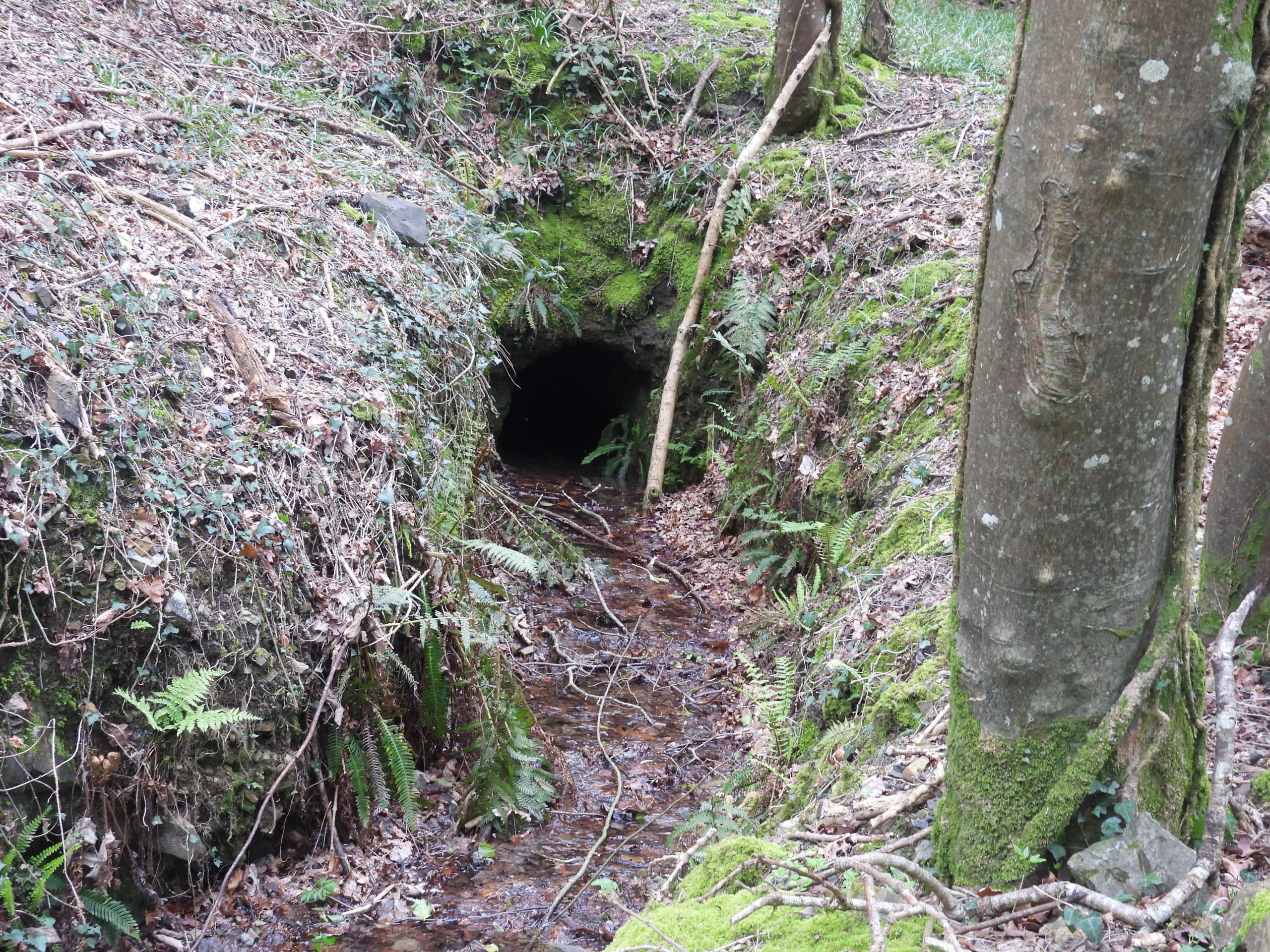
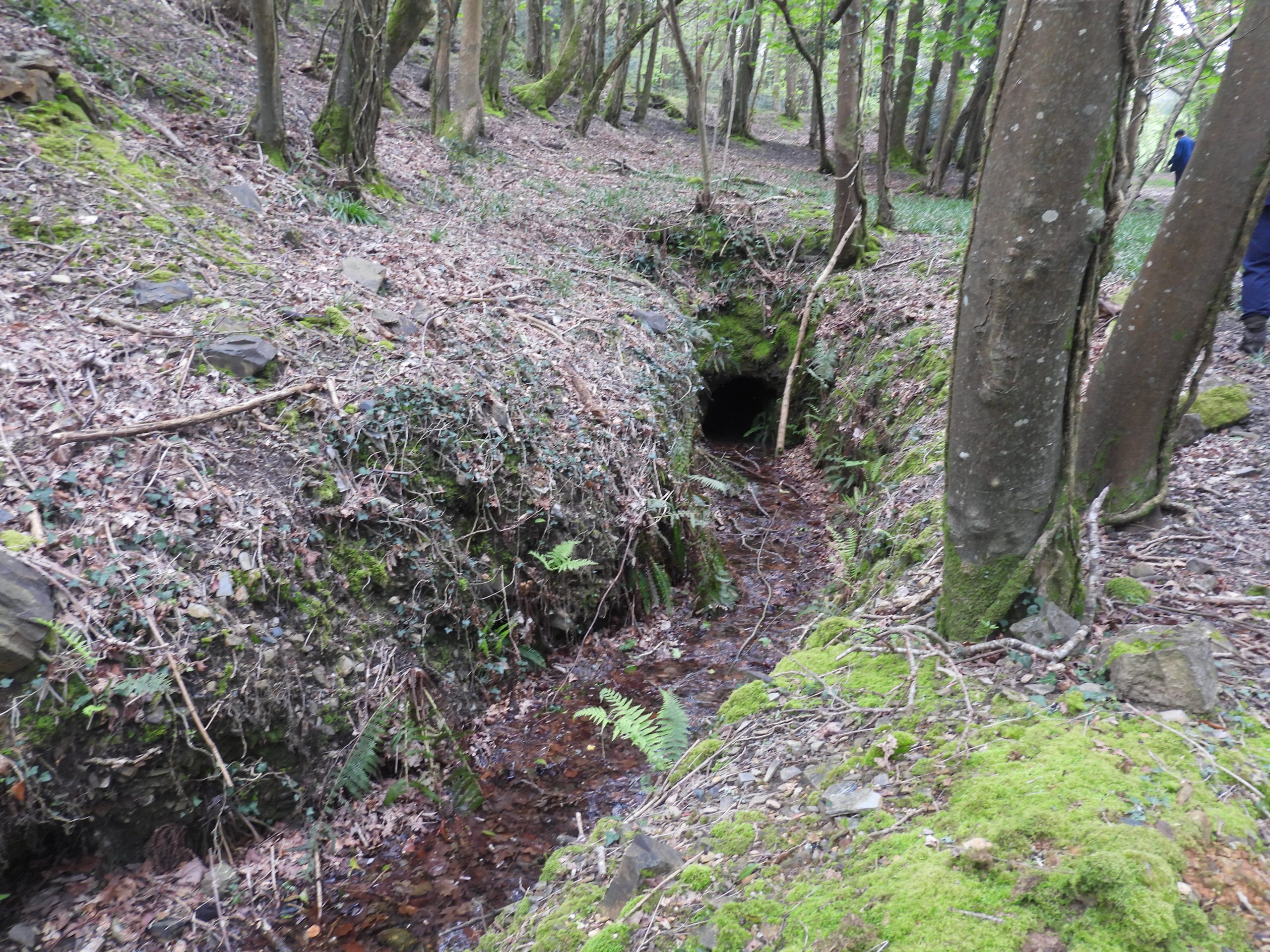
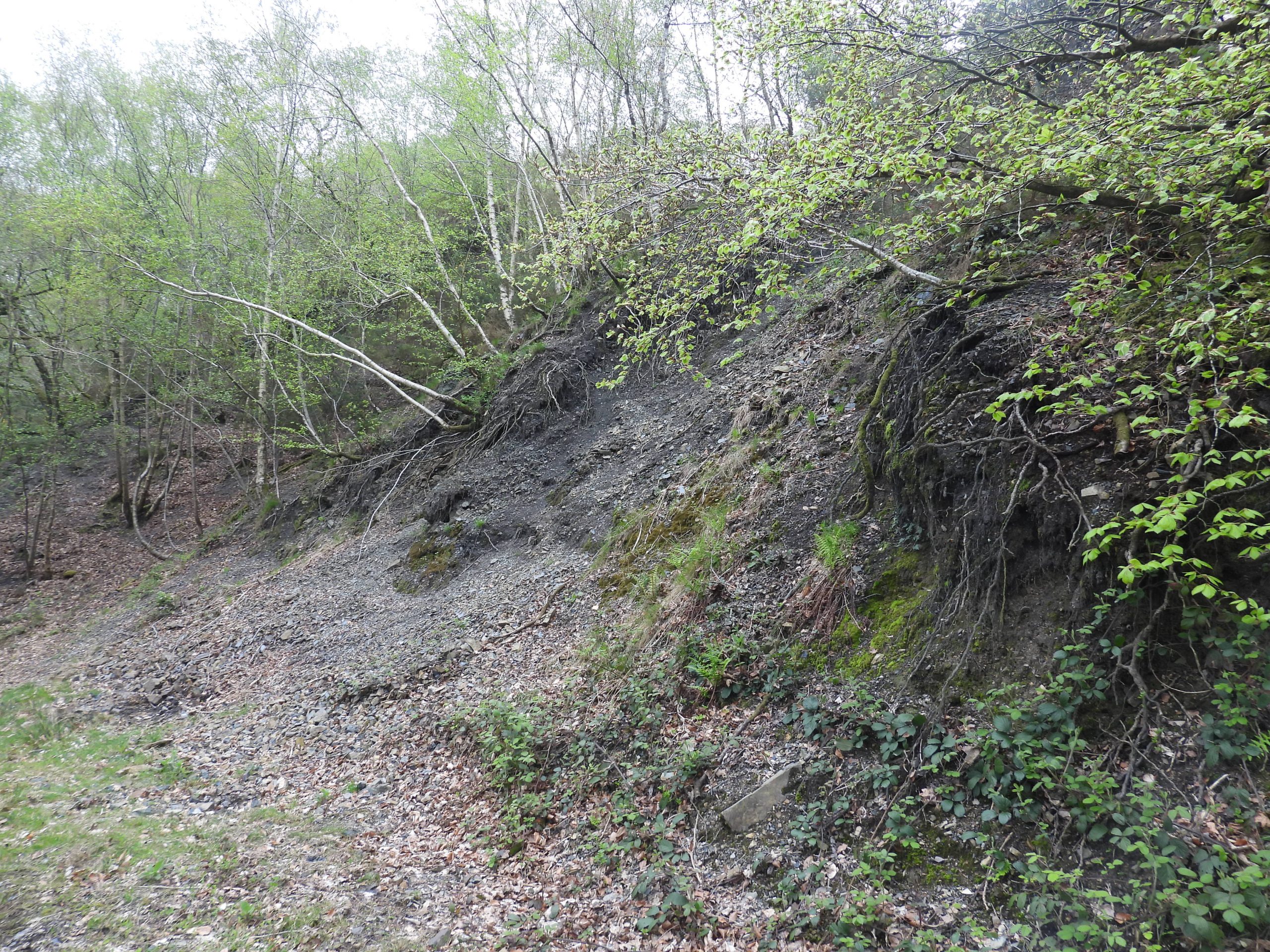
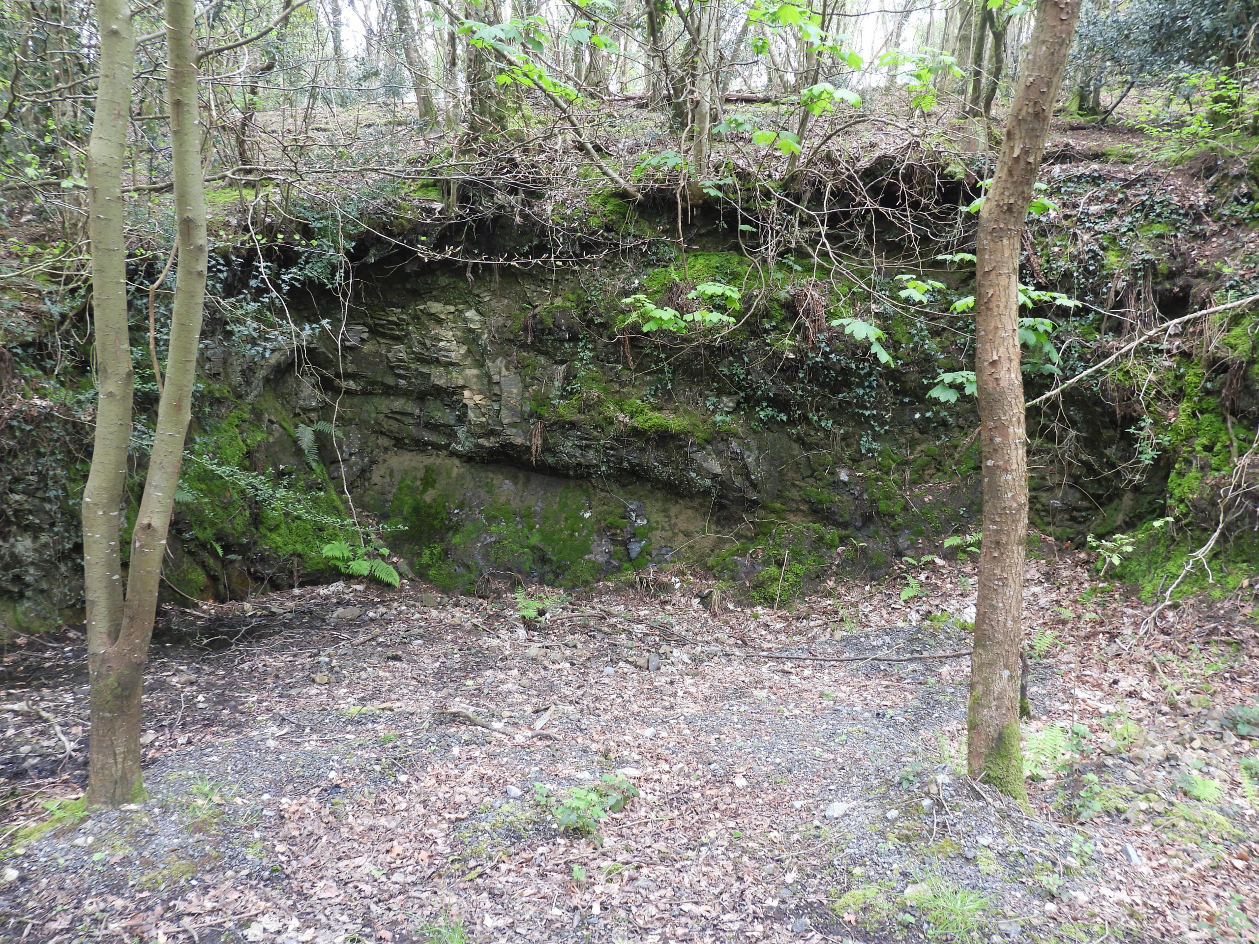
Using a DTRG annotated map of the ‘lodes’ in the areas, the author has overlaid this information onto the above sketch map and added features of the Stormsdown Mine. There were three lodes but only one was worked. Hamilton Jenkin records that the lode was very arsenical carrying tin. Level 2 was the most profitable regarding tin recording between 76lbs and 170lbs per ton of ore. The lode, however, was ‘patchy’ and overall barely 10lb per ton of ore was extracted. This picture was handed around by Stephen Holley and the title is Sigford Mine, which suggests it might have been taken in 1913. The author has annotated the picture based on a sketch map found on the DTRG website, viz: https://www.dtrg.org.uk/images2/stormsdown-drawing-large.pngThe main site of Stormsdown Mine where the main shaft, winding house foundations, boiler house foundations and engine house can be still identified.The winding house foundations at SX76967 72930. The DTRG records that “The building contained Scott Mountain double drum 30HP electric winding engine (the use of electric winders was cutting edge technology) and a Bickle & Co straight line single cylinder 7″ by 14″ stroke horizontal”. The DTRG walk. Stephen Holley (in light brown trousers) passing information around to the attendees.The ruins of the engine house taken from near the old boiler house foundations. This is the lower of two levels and was recorded as being at SX76969 72939For the technical : The engine house originally had a ‘Evans 7″ steam pump’ which was replaced by a ‘200HP Hathorn Davey compound differential pumping engine’ (the only one to be installed in a west country mine). Source: DTRG. The new pump will have been installed when the main shaft was deepened circa 1907. The engine house is on two levels, the pictures are from the upper level. The pool is located at SX76987 72946. The processing floors for the mine were situated in the valley bottom. To the north of the engine house / shaft the start of the remains of an 1800 feet incline can be found.View of the engine house from the boiler foundationsThere is very little left of the boiler house foundations. That said, there are a few bolts which remain, which must have been to secure the infrastructure to the footings.The main shaft is very overgrown and is very difficult to photograph and is is located at around SX76969 72935. The DTRG website records the production for the mine as “21694 tons producing 158 tons of tin concentrate and 750 tons of arsenic” . Furthermore, this gave returns of £13557 and £9888 respectively (= £23445 total). The total investment in the mine was in the region of £70,000 the majority of which was financed by Edward Herbert Bayldon. The overall loss in around 6 years would have been around £46,500 (or nearly £7M in 2023 terms).Metal cowl left on site.Was this metal cowl part of the chimney which was located here and connected to the boilers via a flue.Next to the track leading up from Owlacombe House is an adit, which is believed to be around 30 fathoms (180 feet) from the shaft head above. Water stills drains out of the mine over 100 years after its closure.The adit is located at SX76949 72903Spoil tip below the mine shaft, next to the track leading up from Owlacombe House. This small quarry is next to the track down from the spoil tip. One wonders what buildings / structures were build from the rock taken from here.