Dartmoor Explorations

A collection of walks, discoveries, insights and pictures of exploring Dartmoor National Park

Standon Steps (and Footbridge)

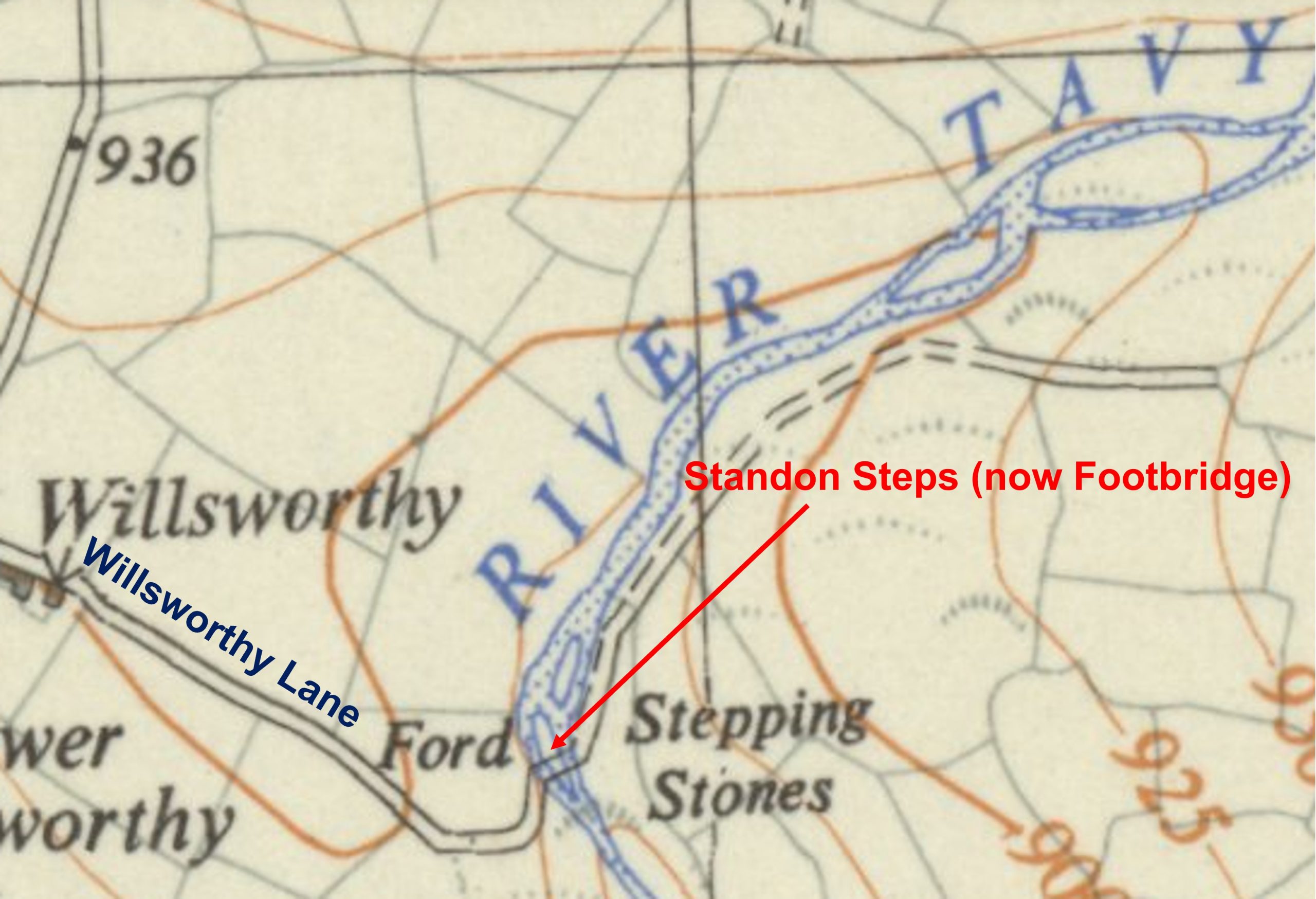
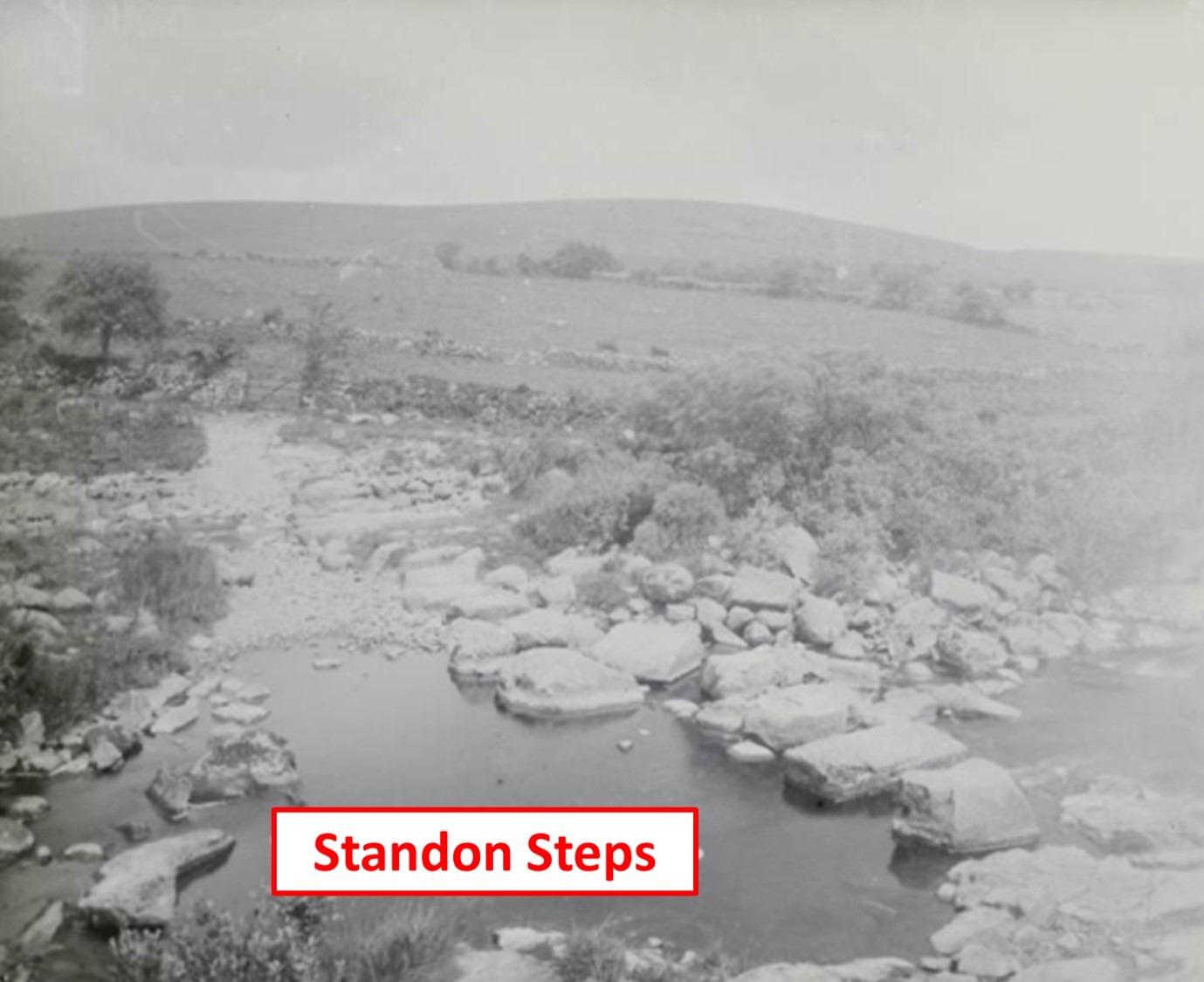
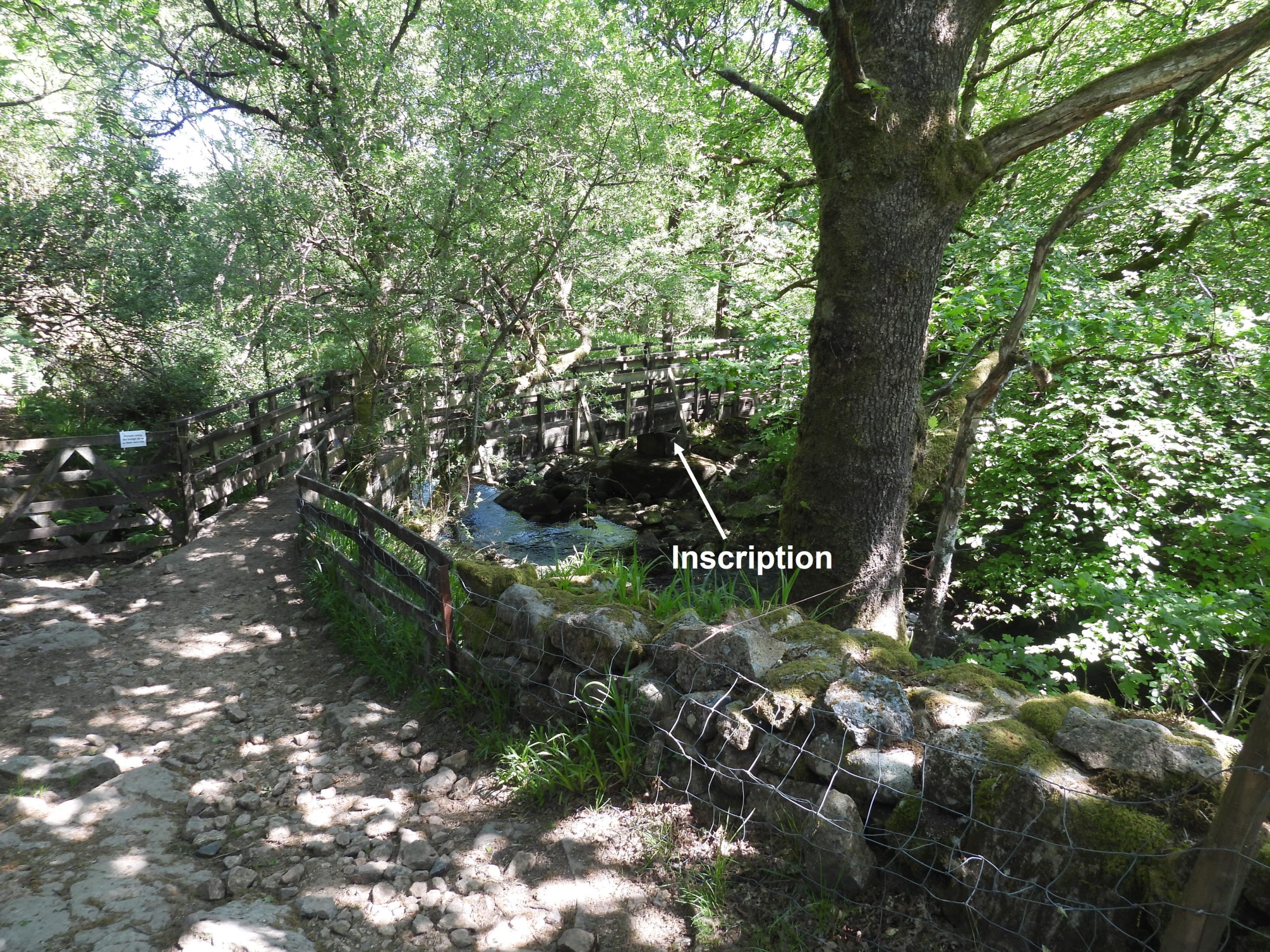
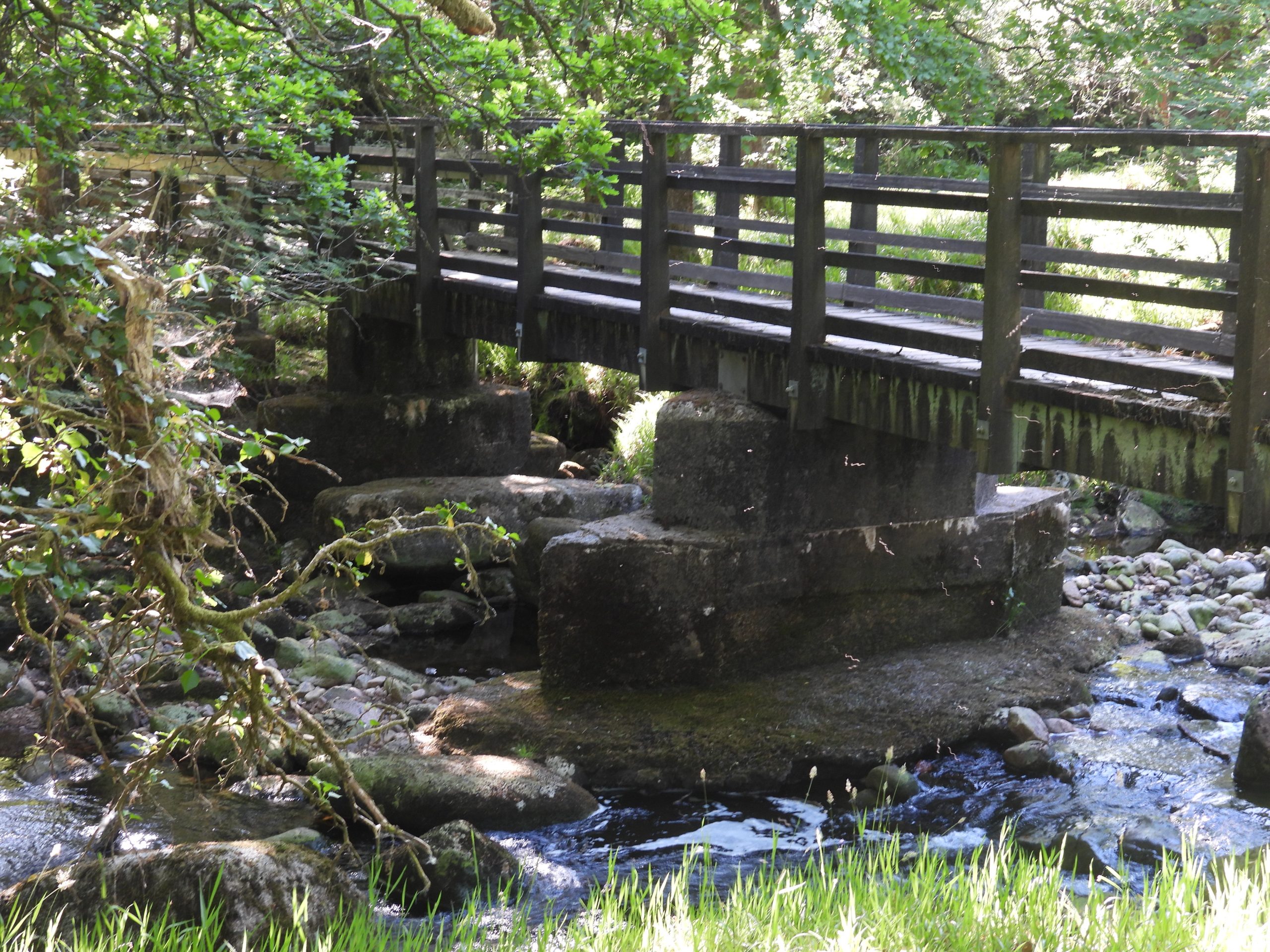
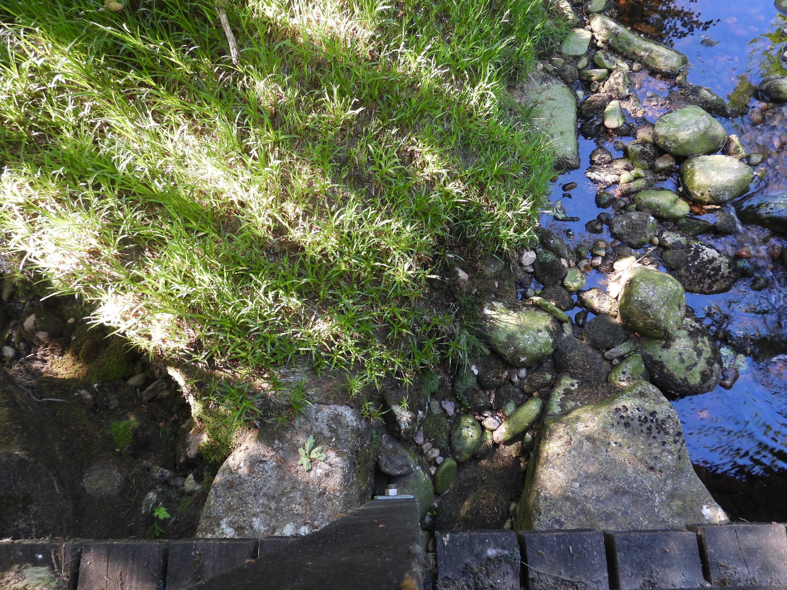
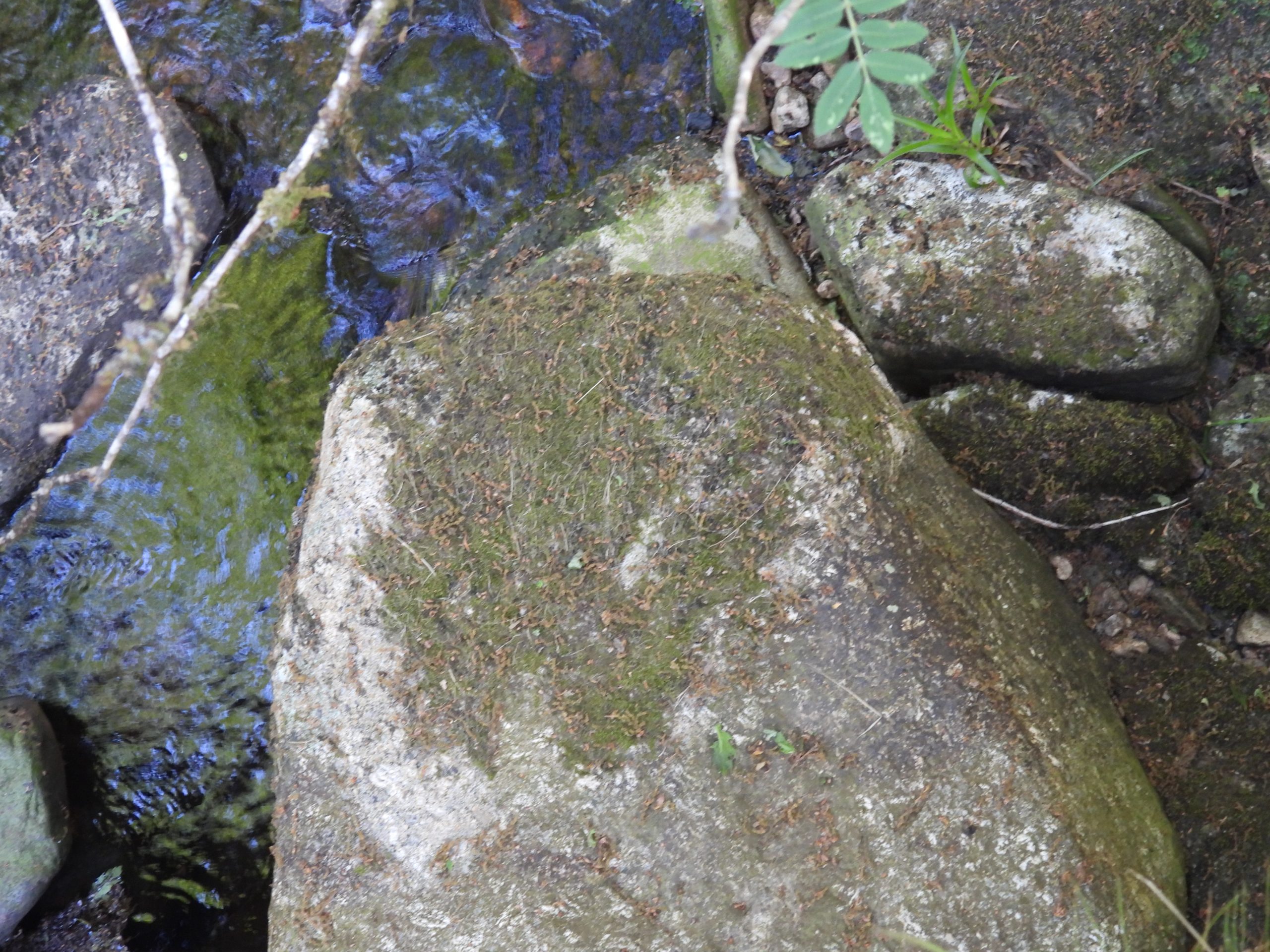
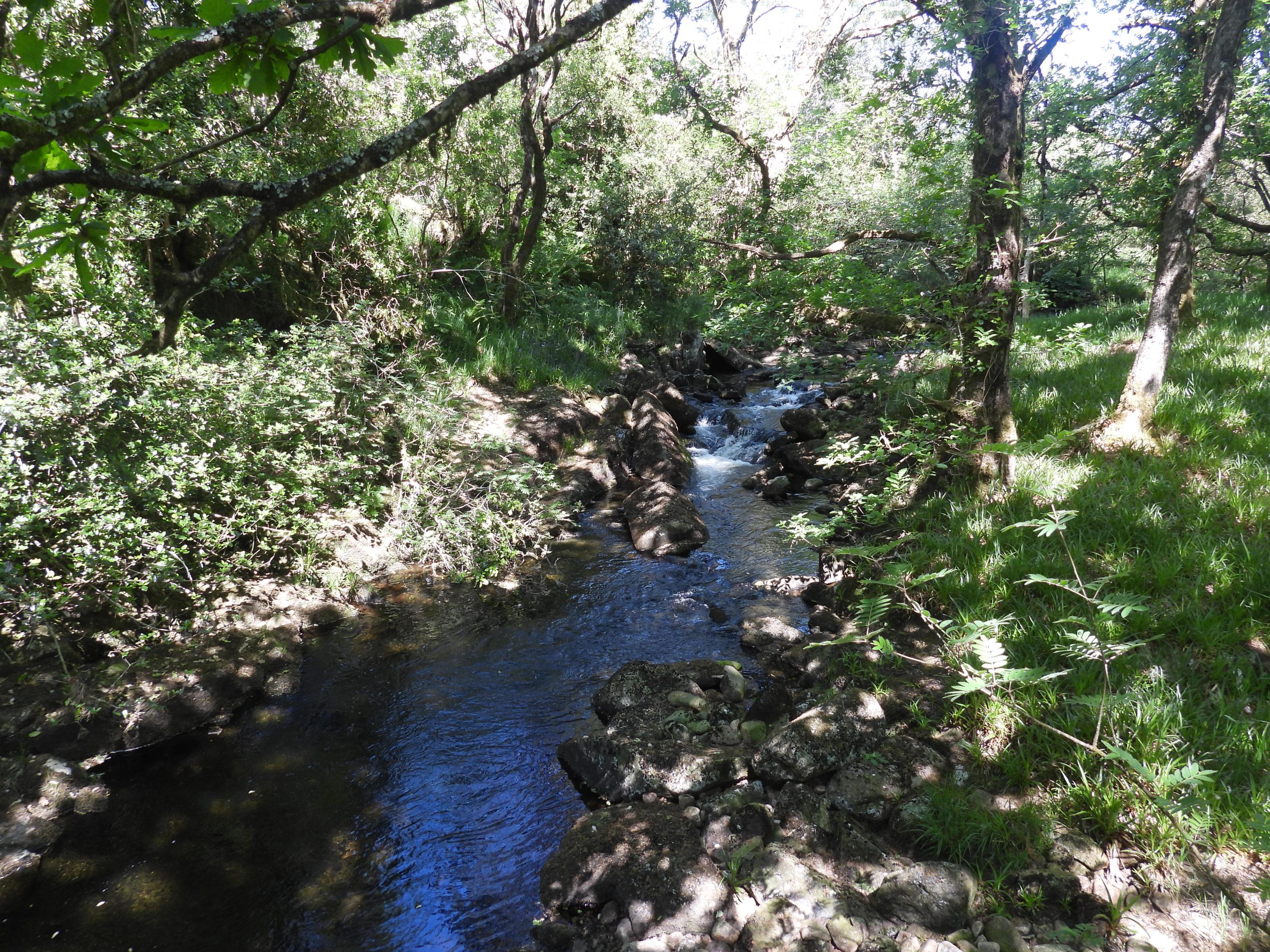
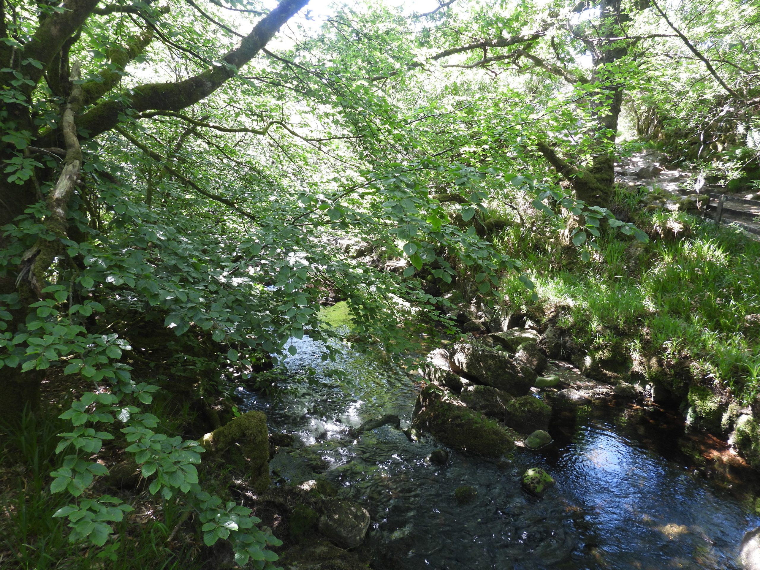
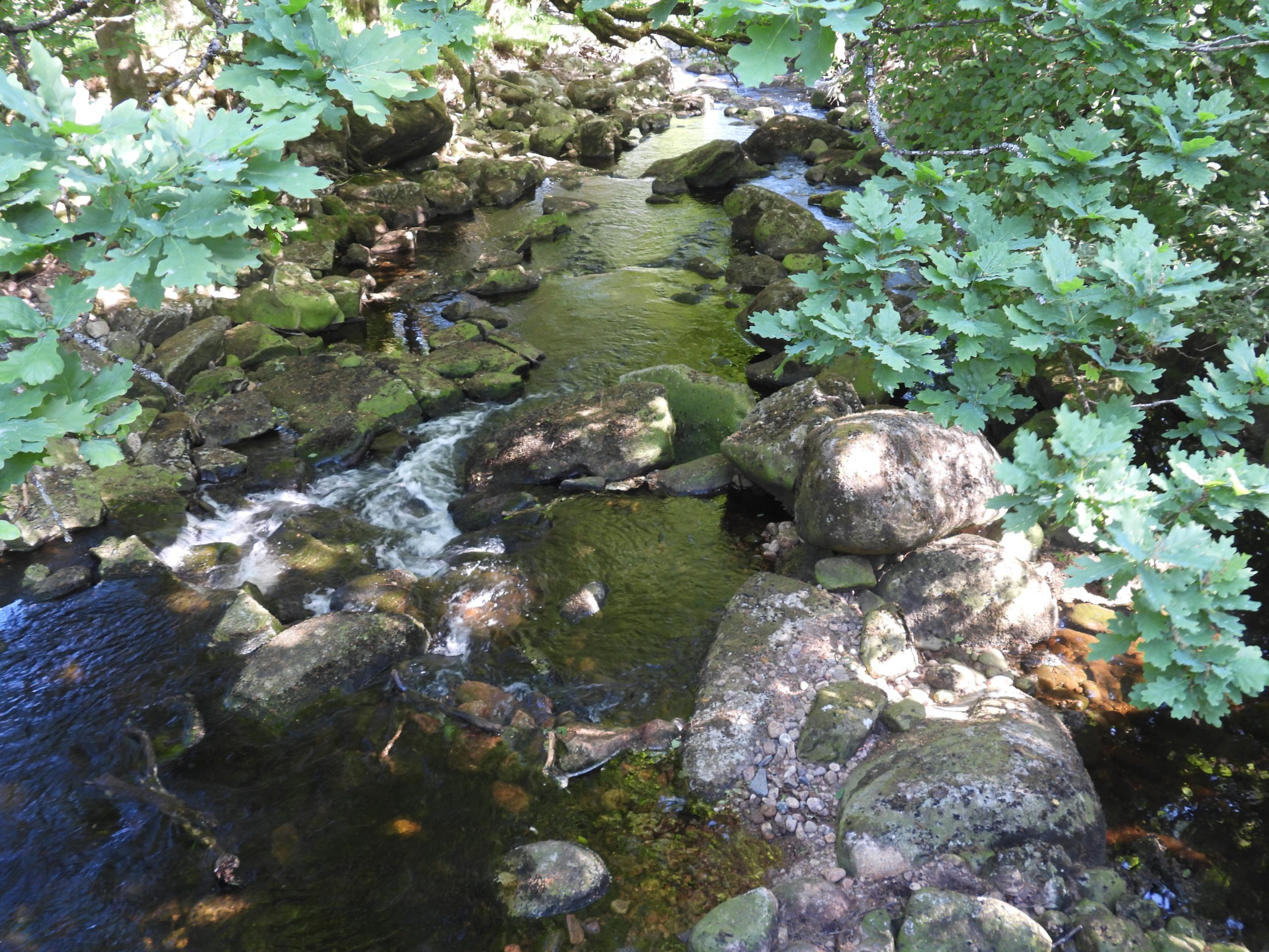
The historical Standon Steps (stepping stones) were located on the Lych Way, just down from Willsworthy along a rocky lane, as one of three possible crossing points of the Tavy; the other two locations for crossing the Tavy were Hill Bridge (if the river was in spate) and Cataloo Steps. Eric Hemery records in ‘High Dartmoor’ (page 947) that : “The alarming rapidity and volume of the Tavy (prior to the depletion by the large-capacity mine leat) was the motive in laying down the immense stepping-stones unique in the Dartmoor country”. He further describes that the stepping-stones needed to be of sufficient width to allow corpse-bearers to cross abreast as opposed to fore and aft.

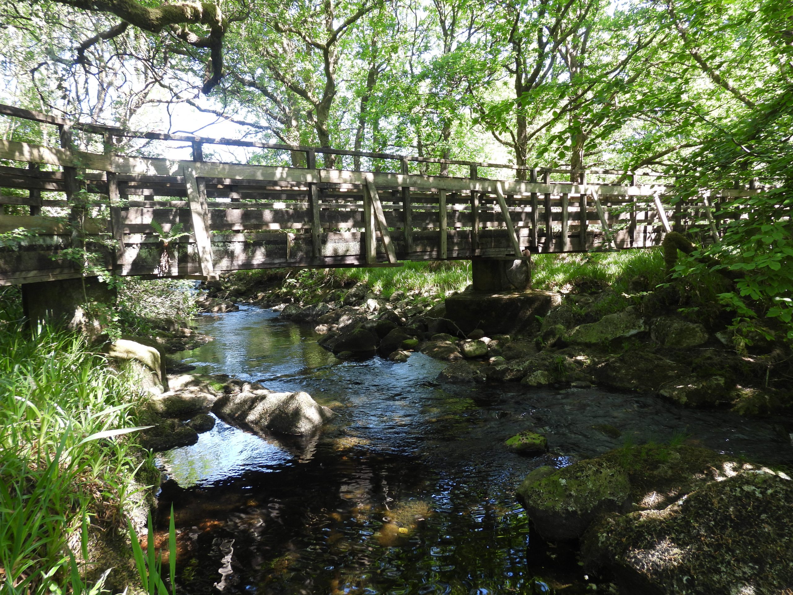
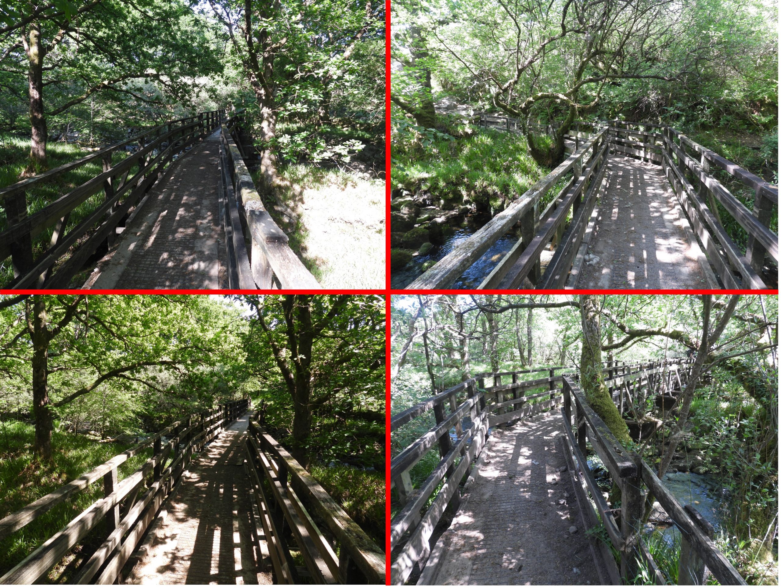
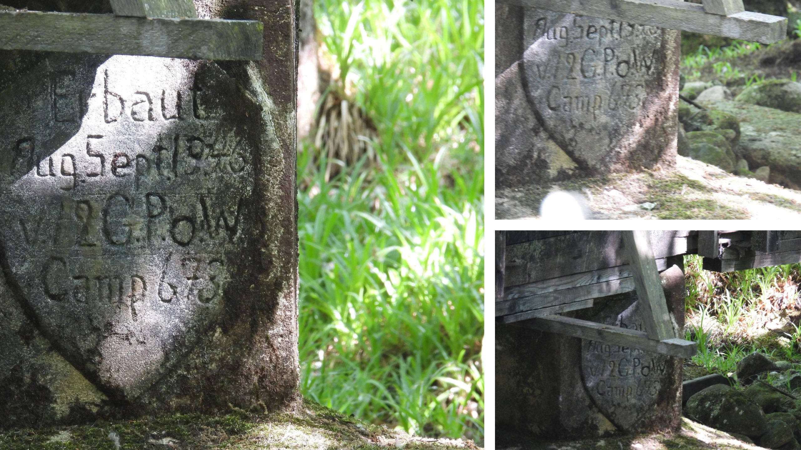
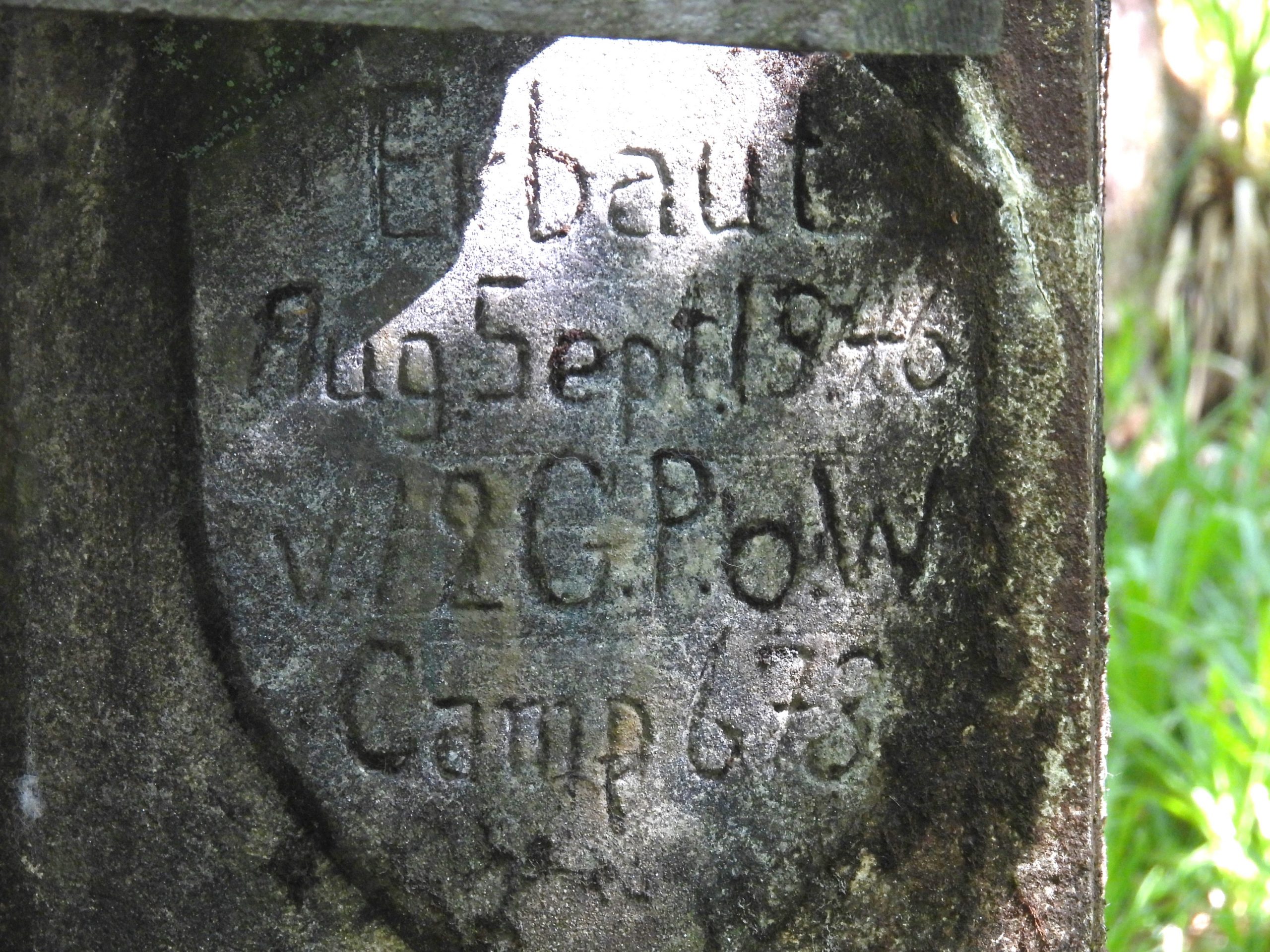
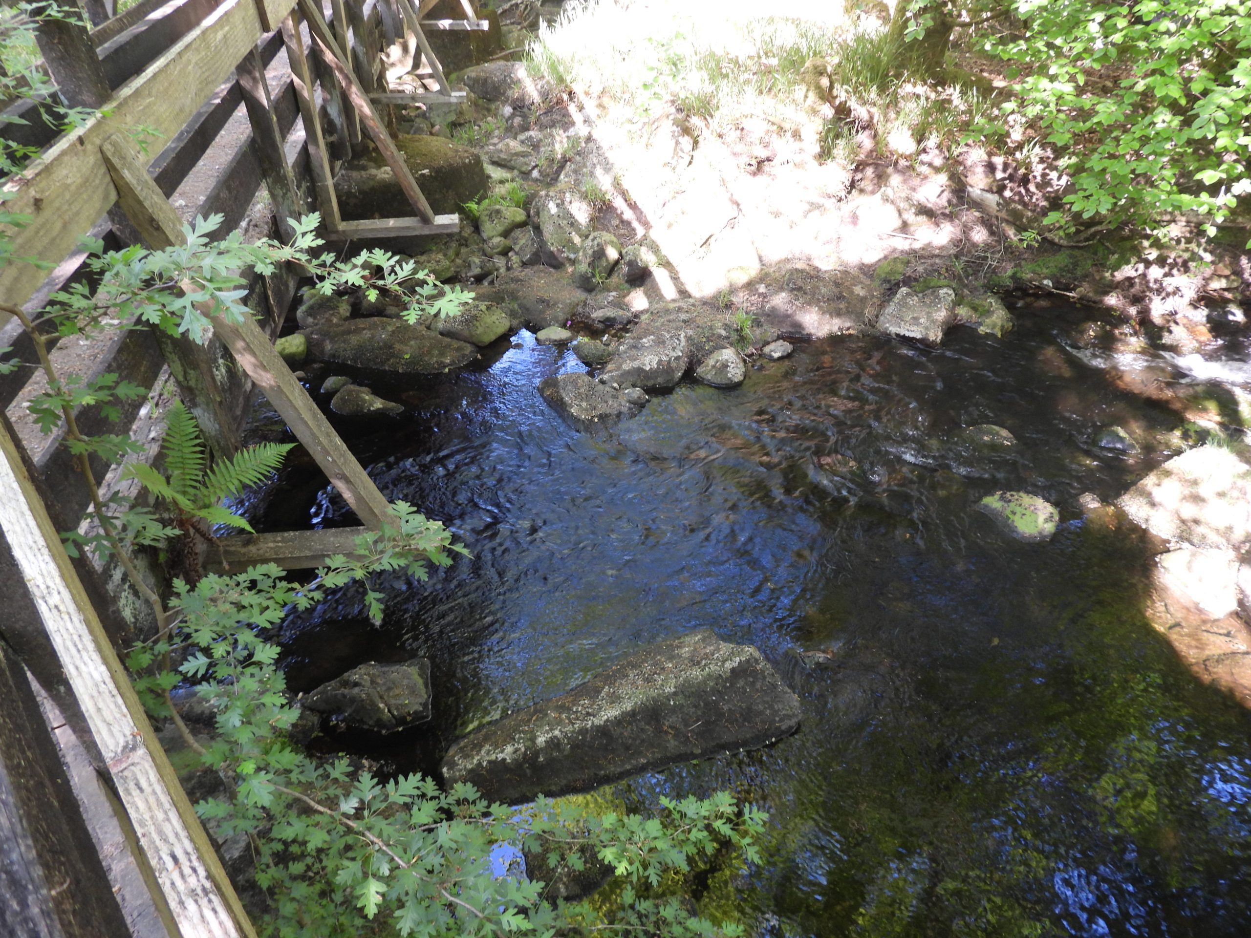
Today, the stepping stones are difficult to discern as a footbridge has been built on top of them. The build was carried out in August / September 1946 by German Prisoners of War, who held near Bridestowe. The date of the build is recorded on the central pillar of the footbridge which still can be seen today. The bridge was erected for Jack Evans of Standon, who was a range clearer for the Willsworthy range, because the river level was often too high to be provide safe passage for both horse and rider. The bridge was later rebuilt by the Ministry of Defence.

0. Map
Location of Standon Steps as shown on a mid-20th century map. The map is annotated with Stepping Stones as well as a Ford.
1. Original Steps
Black and White image of the Stepping Stones and Ford at ‘Standon Steps’ from early 20th century. The Tavy looks quite low when this picture was taken. Note the absence of trees that are here around 100 years later.
2. Bridge 1
The bridge (June 2023) from the west (Willsworthy side).
2. Bridge 2
General views of the bridge. Interestingly the bridge is curved and crosses onto a central island in the Tavy.
3. Inscription Location
The build was (originally) carried out in August / September 1946 by German Prisoners of War and there is an inscription of the central pier recording the event
4. Inscription 1
The inscription, which reads: “Erbout / Aug.Sept.1946 / v.12 G.P.o.W / Camp 673”. The word “Erbout” is German for “Built”. The author is not sure what the “v.12” refers to and would welcome any reader of this post to who knows would let him know. “Camp 673” refers to the Bridestowe P.o.W camp, which comprised (in 1946) German soldiers captured in France after D-Day in 1944.
4. Inscription 2
Close up of the inscription. The National Grid Reference for this inscription is SX53914 81574. More information regarding the P.o.W camp can be found here: https://repatriatedlandscape.org/england/pow-sites-in-the-south-west/pow-camp-673-bridestow/
5. Bridge Foundations
The pillars of the bridge (possibly located on the original stepping stones). The original bridge wasn’t built very well and it was severely damaged in a flood. The current bridge was built on the same site as the original from 1946 by the Ministry of Defence. Eric Hemery describes this as being a “perpetuating the spoliation of the historic steps”.
6. Original Steps 1
Immediately underneath the bridge are what look like the original stepping stones
6. Original Steps 2
Close up of possible original stepping stone
6. Original Steps 3
More views of some of the original stepping stones ?
7. Tavy 1
View from the bridge looking upstream (north)
7. Tavy 2
View from the bridge looking downstream (south)
7. Tavy 3
Are some of these stones part of the original stepping stones ?

Total Page Visits: 1028 - Today Page Visits: 3

Next Post

Previous Post

Leave a Reply

© 2024 Dartmoor Explorations

Theme by Anders Norén

Social media & sharing icons powered by UltimatelySocial