A collection of walks, discoveries, insights and pictures of exploring Dartmoor National Park
March 13, 2022
South Brent / Ugborough Parish Boundary Markers
The moorland section of the South Brent / Ugborough parish boundary extends from near Glazebrook House (Hotel) close to South Brent and follows the Glaze Brook to its head, where there is a boundary rock, before passing over Three Barrows. The boundary then follows a north(ish) route, which is marked by a series of un-inscribed rough boundstones to Petre’s Cross on Western White Barrow. From Petre’s Cross the South Brent parish turns north east then east taking in Little Petre boundstone before descending down to the River Avon at Buckland Ford. The Ugborough parish turns north west from Petre’s Cross and extends to Red Lake Ford. This post explores the location of the boundary markers from Little Petre boundstone in the north to the boundary rock at Glaze Head in the south. The author believes are likely to be 19th century in origin.
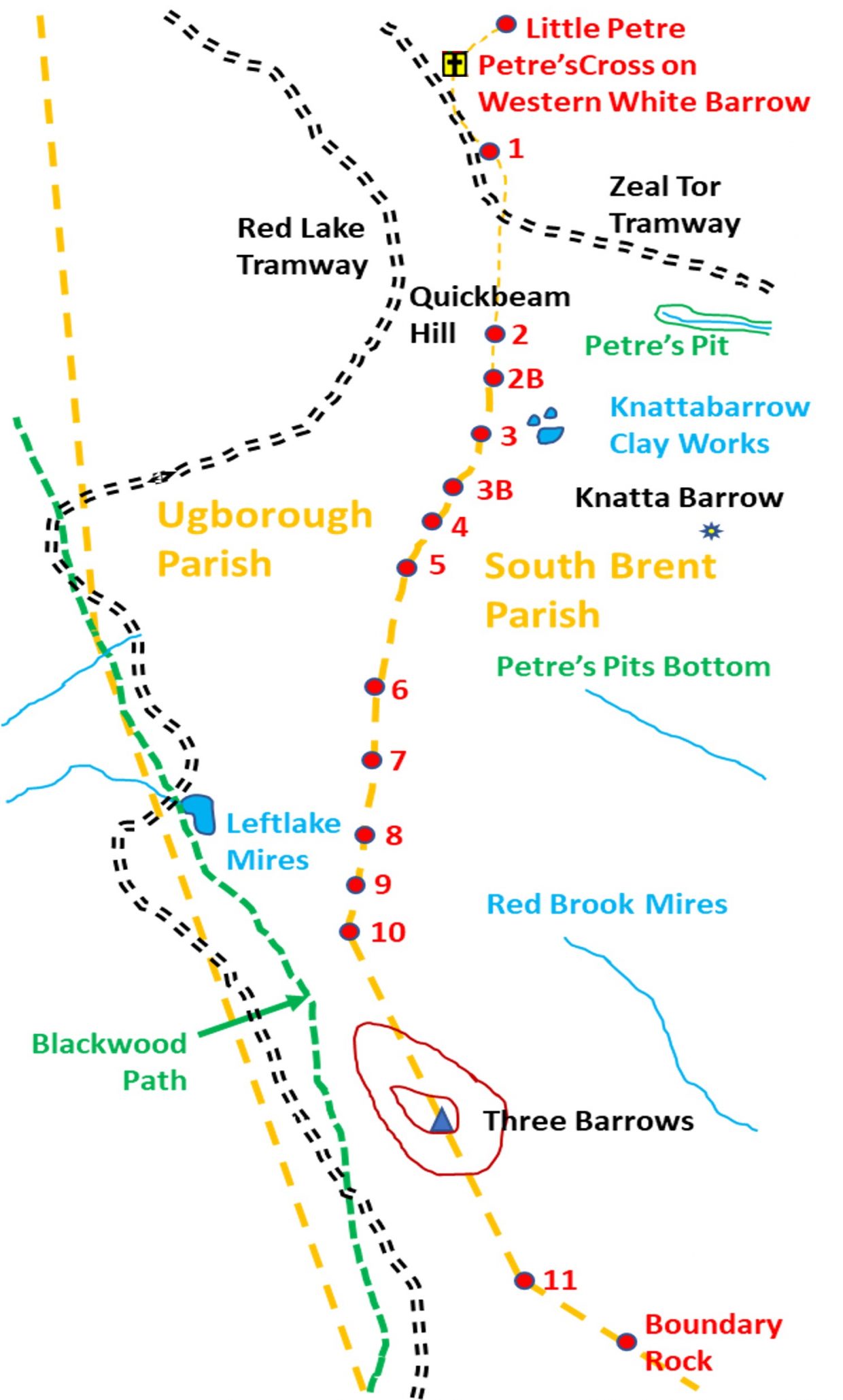
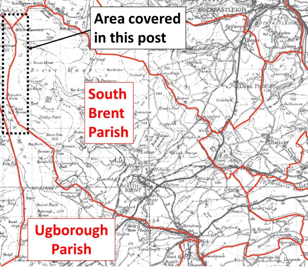
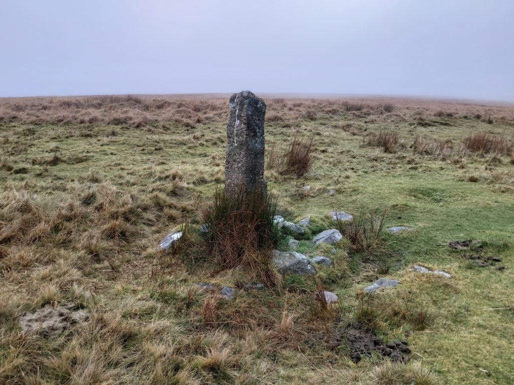
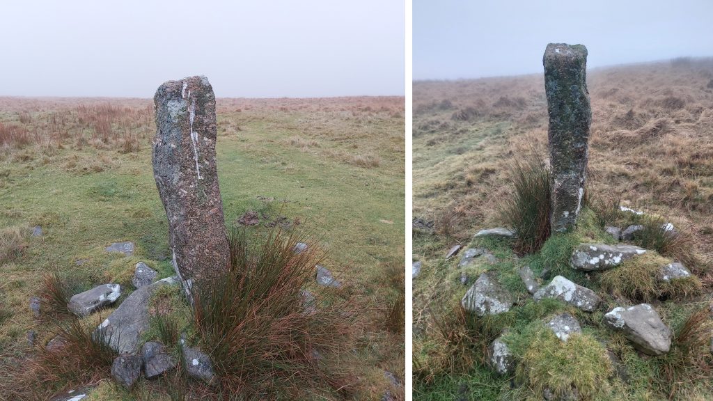
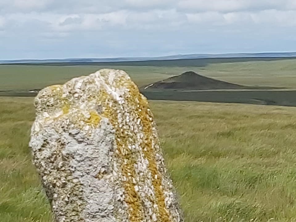
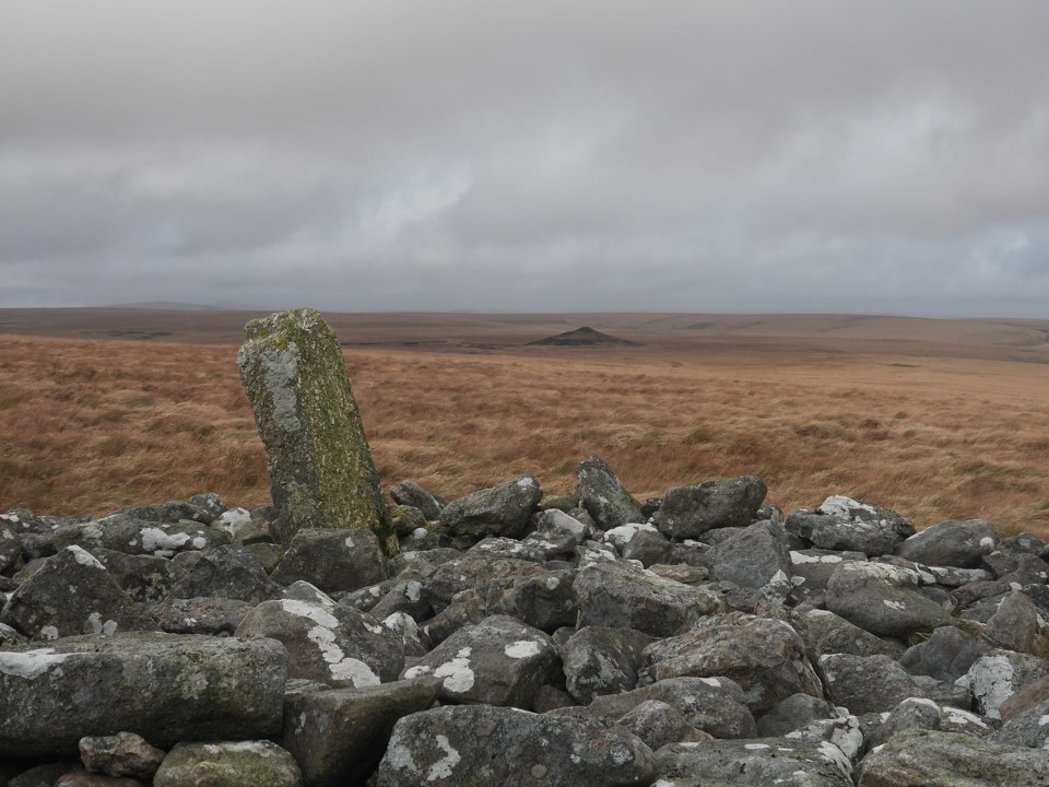
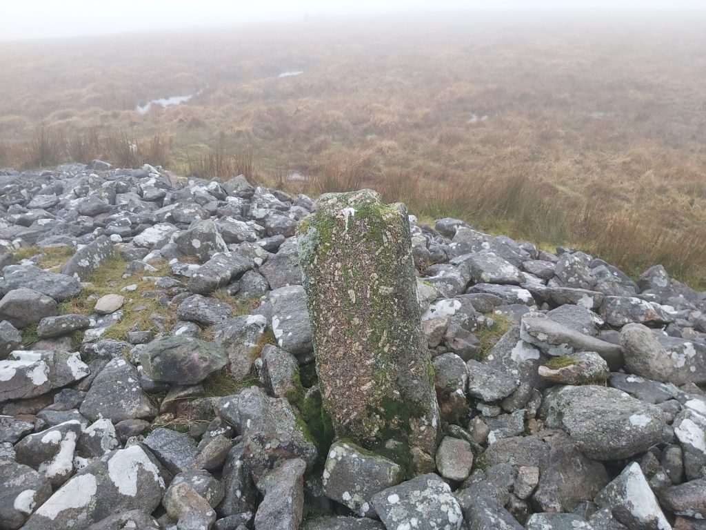
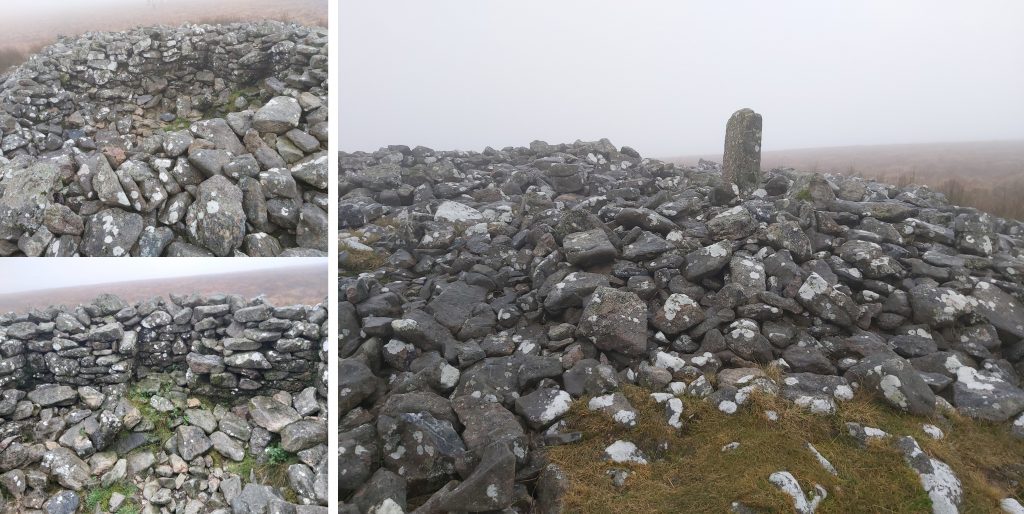
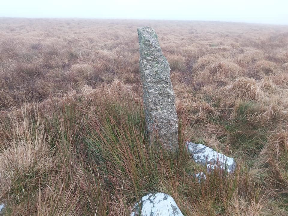
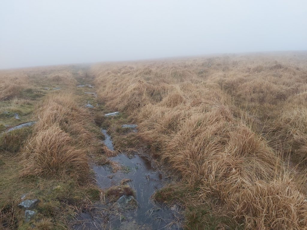
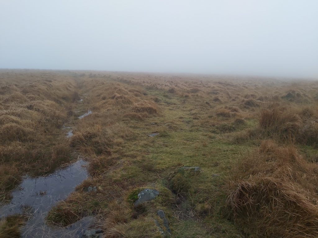
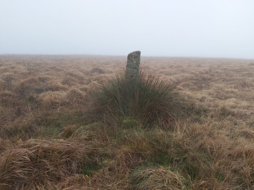
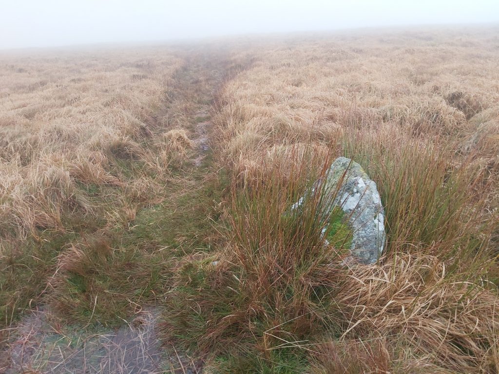
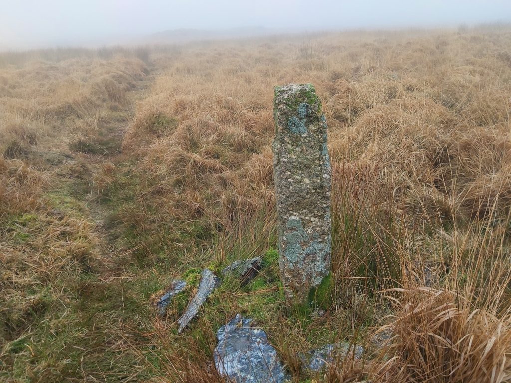
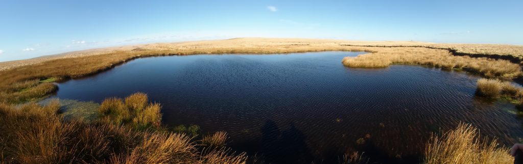
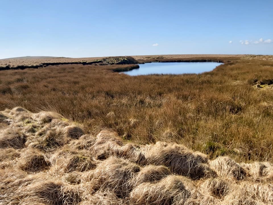
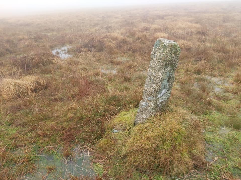
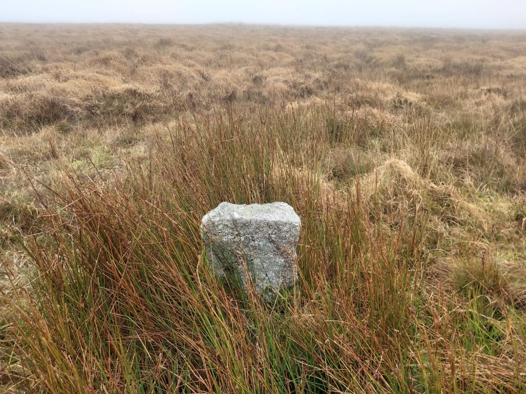
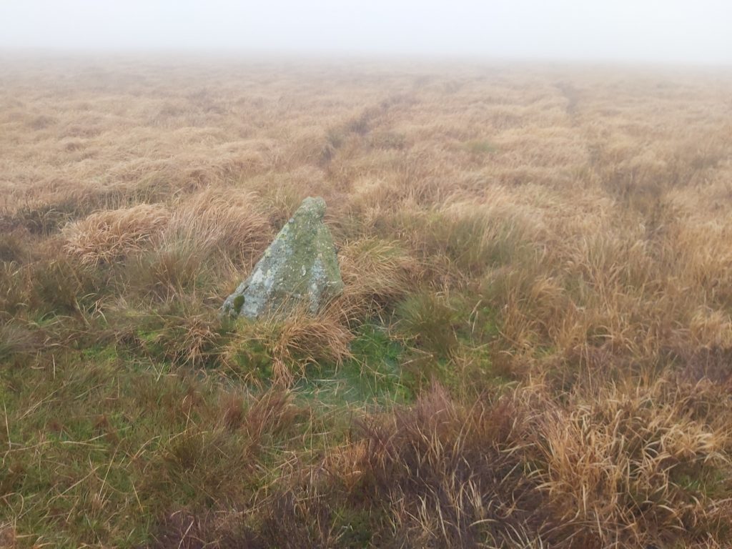
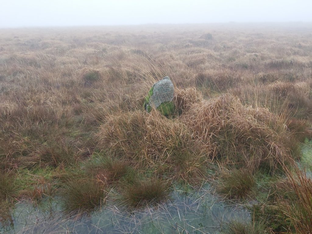
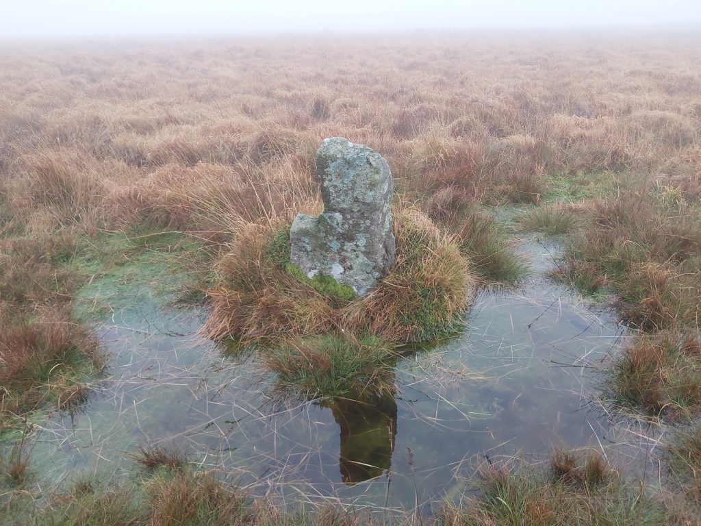
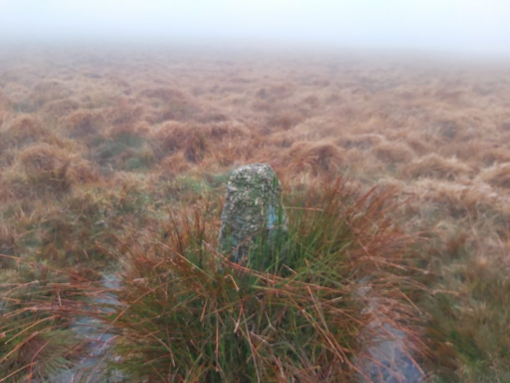
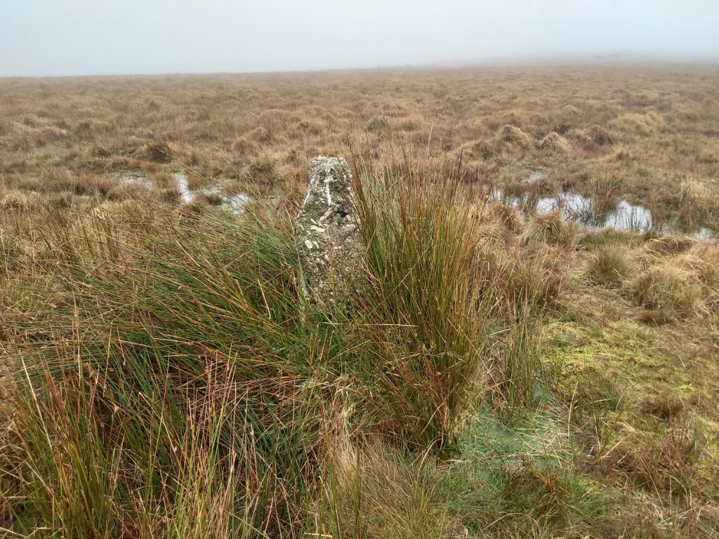
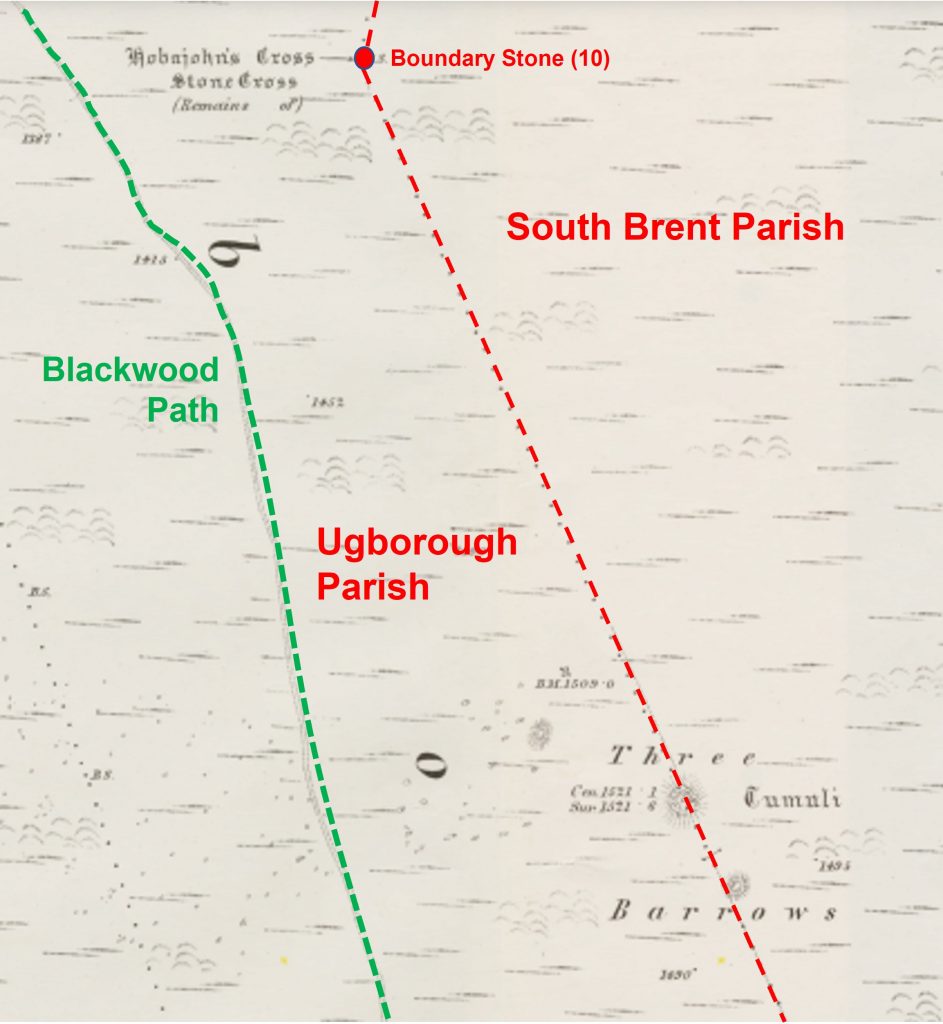
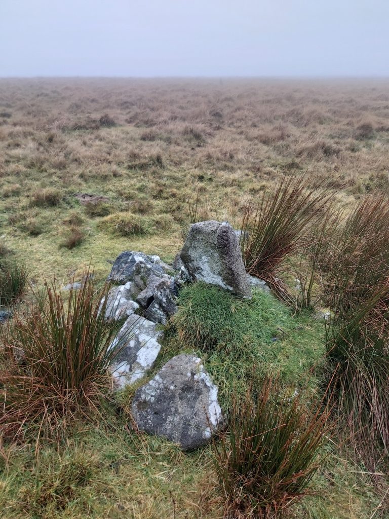
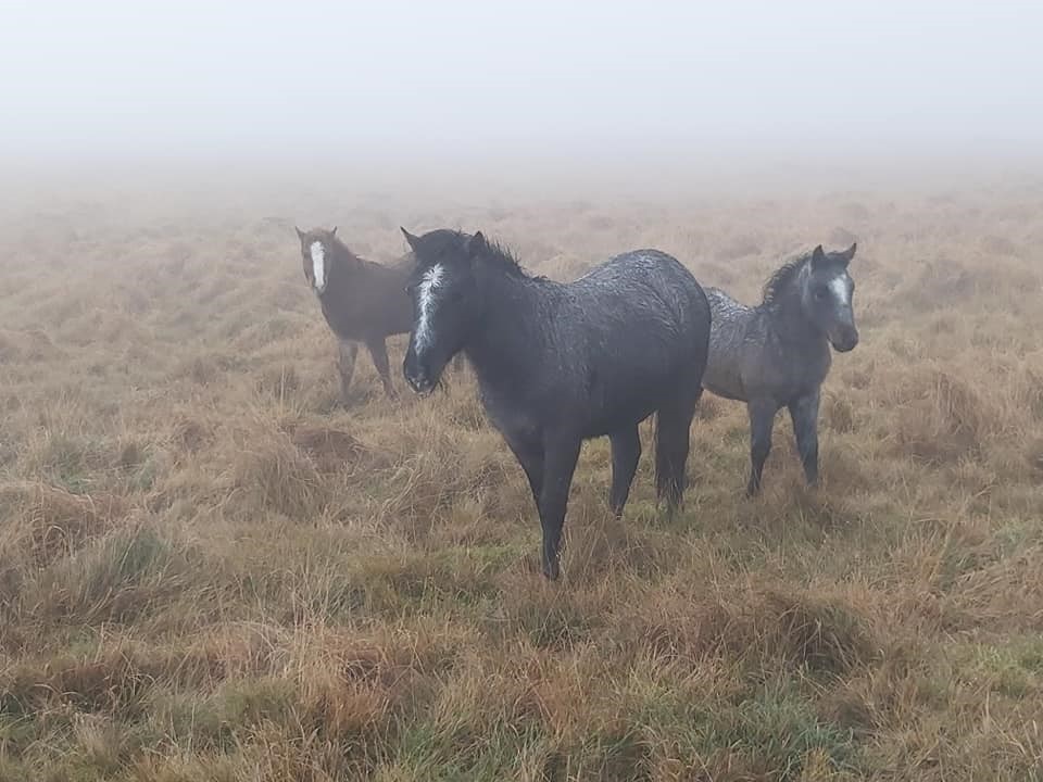
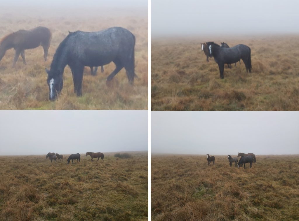
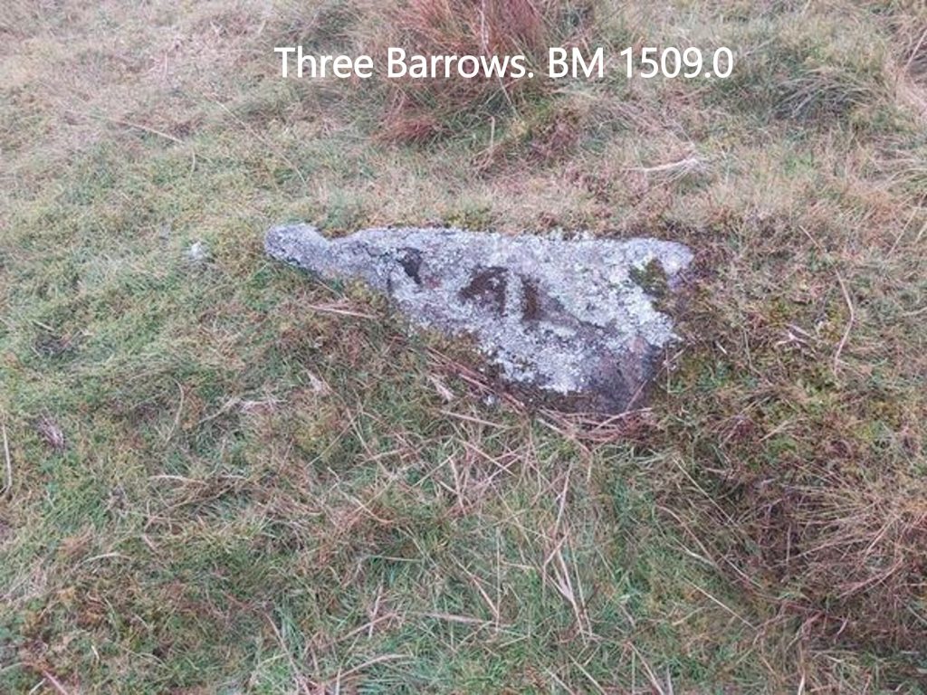
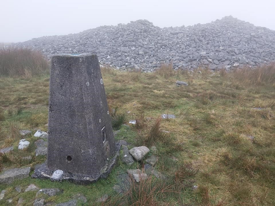
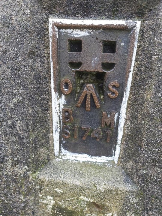
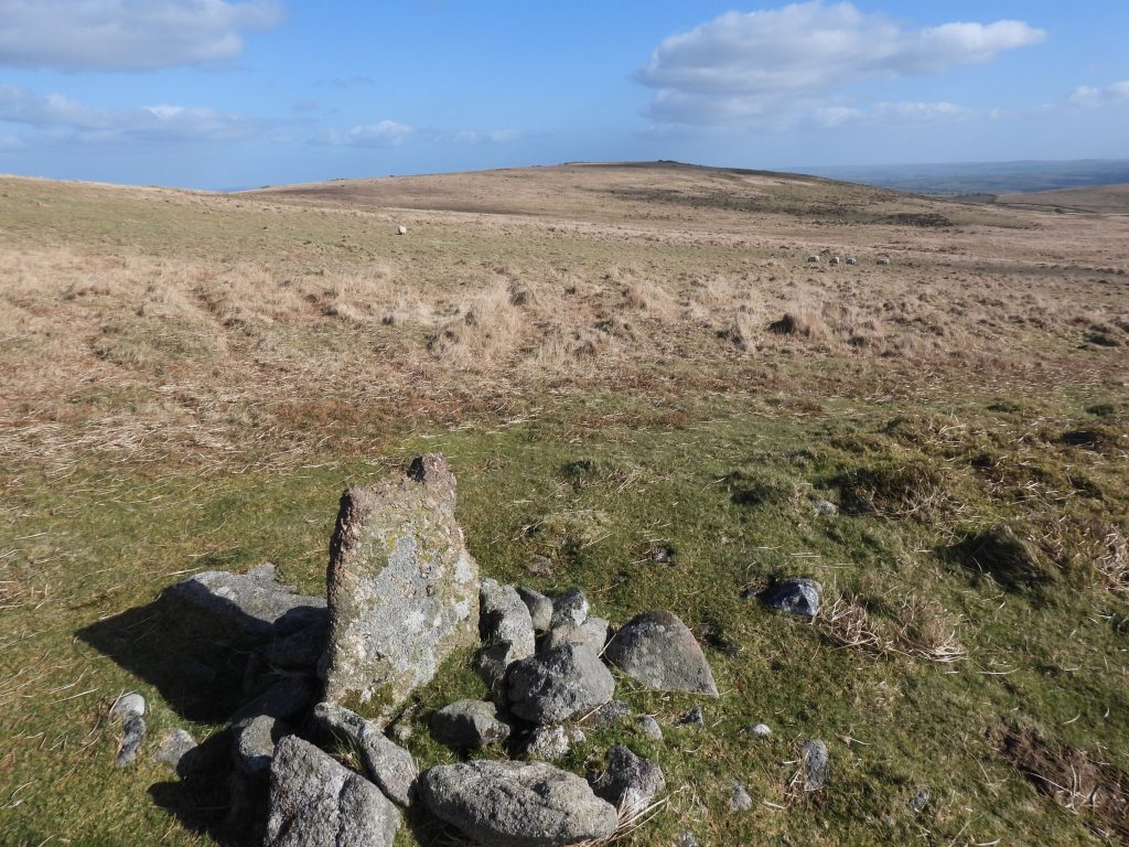
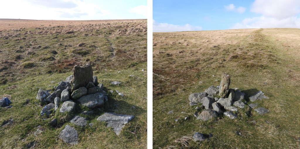
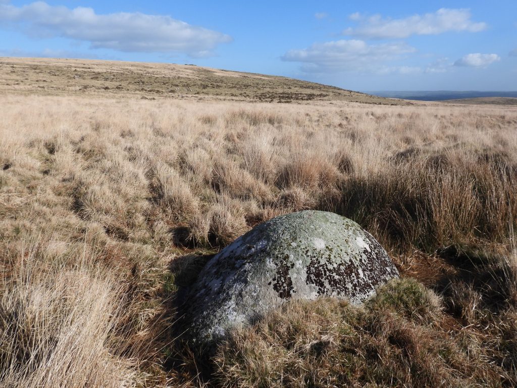
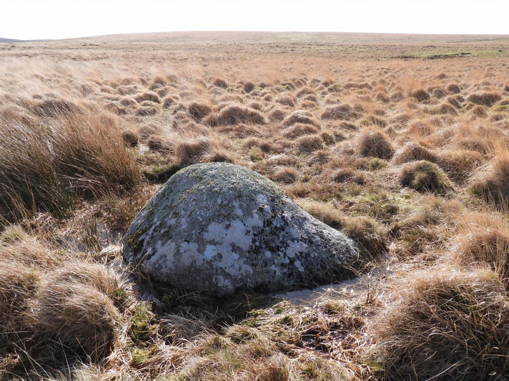
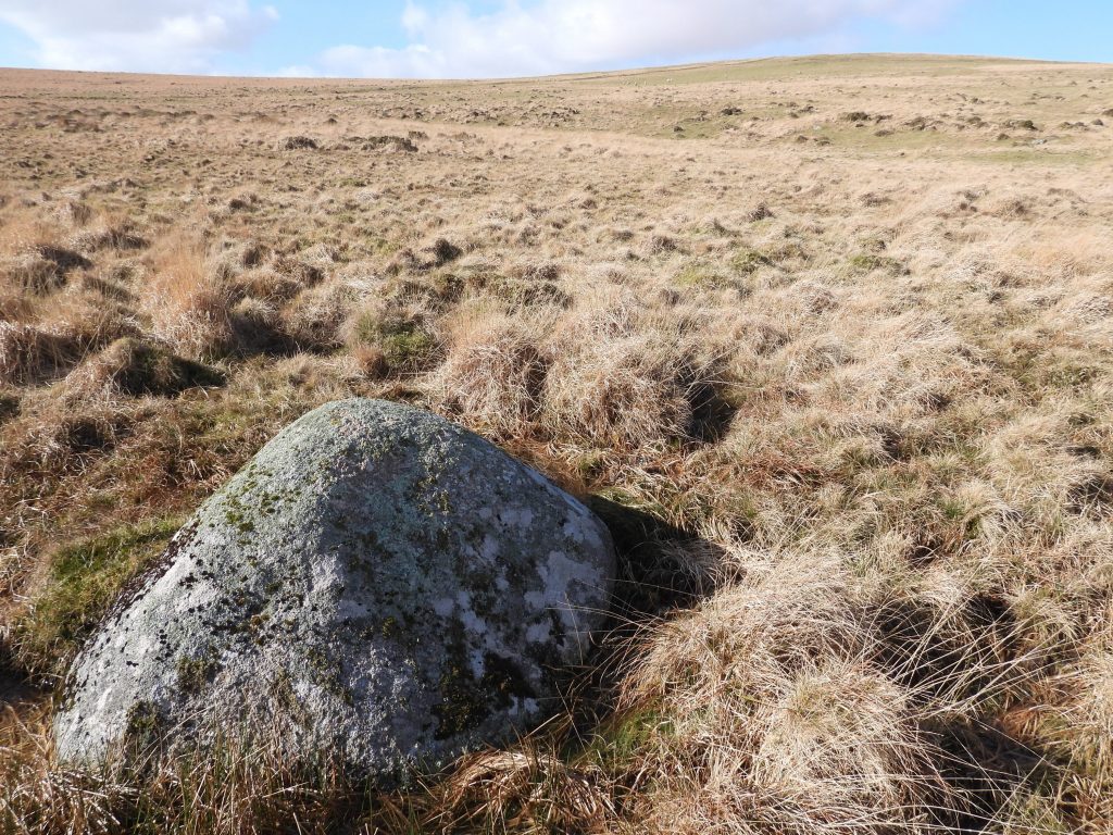
Map of the area covered in this post. Note the narrow “neck” of Ugborough parish at this point, which is barely a few hundred metres wide which is probably part of the reason why there are so many boundary markers in this area.Detailed sketch map of the points of interest on boundary. There is a “natural” boundary rock (at Glaze head) and 15 more boundary markers (including Petre’s Cross) which are covered in this post. The numbering of the boundstones has been obtained from Dartefacts (for consistency for any would be explorer) and whose labelling origin may have been done by Mark Fenlon or possibly Dave Brewer.Little Petre BS between Buckland Ford and Western White Barrow. This marker was erected by the Duchy. Little Petre B.S. can be found at SX65431 65579.Close up of Petre’s Cross shows a benchmark just before the “notch”. The benchmark is referenced B.M. 1580.5. The Red Lake sky tip can be seen to the north.Petre’s Cross is a reminder of the purchase of Brent Moor by Sir William Petre after the dissolution of Buckfast Abbey (ref Dave Brewer Dartmoor Boundary Markers). It measures 1.3 metres high with both arms broken off. It was one of four set up by Sir William Petre.Petres Cross (upside down, you can see the base notch) on Western White BarrowWithin Western White Barrow is a two roomed building constructed from the stones of the cairn by the workers at the Redlake peat ties from the mid-19th century. The cairn is recorded as measuring 21 by 17.5 metres wide with a maximum height of 1.7 metres.The Ugborough / South Brent Parish Boundstone, No.01 can be found close to Petre’s Cross / Western White Barrow at SX65434 65244The South Brent / Ugborough parish boundary moving south from marker no. 1The distinct path which follows the parish boundary can easily be followed in even the most inclement weather. An easy route to Three Barrows and Left Lake.Ugborough / South Brent Parish Boundstone, No.02 can be found at SX65448 64744The Ugborough/South Brent Parish Boundstone, No.02 B can be found at SX65452 64626.The Ugborough/South Brent Parish Boundstone, No.03 can be found at SX65419 64475.Knattabarrow pool(s) are said to be old claypits (ref. Crossing).Extract from the Dartmoor HER states: “The china clay route from knattabarrow pool to the dries near the glazebrook viaduct can be traced as a stone channel on the open moor and across Treeland Down”. Knattabarrow clay pools – The author has a post on the Brent Moor leat and clay channels which can be found at: https://dartmoorexplorations.co.uk/brent-moor-leat-systems-and-clay-channels/The Ugborough/South Brent Parish Boundstone, No.03 B can be found at SX65358 64321.Knattabarrow on Quickbeam Hill to the east of the parish boundary. The remains of a barrow has a central cairn which is recorded (Dartmoor HER) as being 20.0m in diameter and 1.7m high. It is recorded that it may originally have had a flat or platform top.The Ugborough / South Brent Parish Boundstone, No.04 is located at SX65307 64238.The Ugborough/South Brent Parish Boundstone, No.05 can be found at SX65240 64111.The Ugborough/South Brent Parish Boundstone, No.06 can be found at SX65159 63775.The Ugborough / South Brent Parish Boundstone, No.07 can be found at SX65148 63579.The Ugborough/South Brent Parish Boundstone, No.08 is located at SX65134 63375.The Ugborough/South Brent Parish Boundstone, No.09 is located at SX65123 63229.The location of the Ugborough / South Brent Parish Boundstone, No.10 is interesting insofar as it is labelled Hobajohn’s Cross on 19th Century maps. Hobajon’s (note no “h” in the spelling) Cross is labelled as being located at Piles Hill on modern OS maps (where there is a cross inscribed on an upright stone). An old path called “Blackwood Path”, which lead to Erme Pound, is located to the west of Three Barrows (note that this is before the Redlake Tramway was built).The Ugborough/South Brent Parish Boundstone, No.10 (Hobajohn’s Cross) is located at SX65104 63106.Some local residents between the Ugborough/South Brent Parish Boundstone, No.10 and Three Barrows.Ponies on the flank of Three Barrows Hill.Benchmark on the flank of Three Barrows Hill.Three Barrows trig and barrow at the summit.Three Barrow trig. The flush bracket is numbered S1741.The Ugborough / South Brent Parish Boundstone, No.11 is located at SX65505 62146.The Ugborough / South Brent Parish Boundstone, No.11 is on a feature marked “boundary work” leading up to Three Barrows.Boundary Rock at Glaze Head. In the Dave Brewer book, Dartmoor Boundary Markers (2002) there is an extract of the South Brent beating the bounds and is dated from 15th August 1903. It states that the moorland boundary had not been beaten since 1871. The 1903 beating the bounds was attended by approx 100 horsemen and walkers. They gathered on Corringdon Ball Gate with a Mr John Edmonds being the guide and initially followed the Glaze Brook to its Head.The account of the 1903 beating the bounds stated the “bounders” decided to mary (mark) a stone at the Head of the Glaze, which is the one now marked B Rock on modern OS maps.The Boundary Rock at Glaze Head can be found at SX65758 61965.