
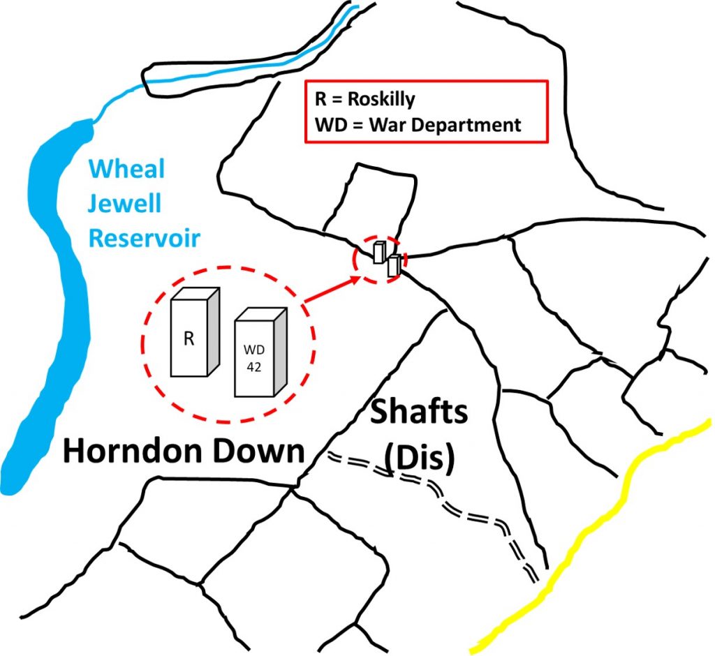
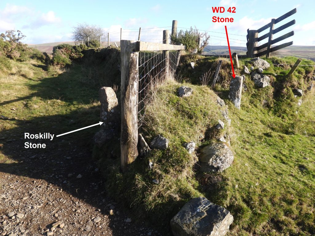
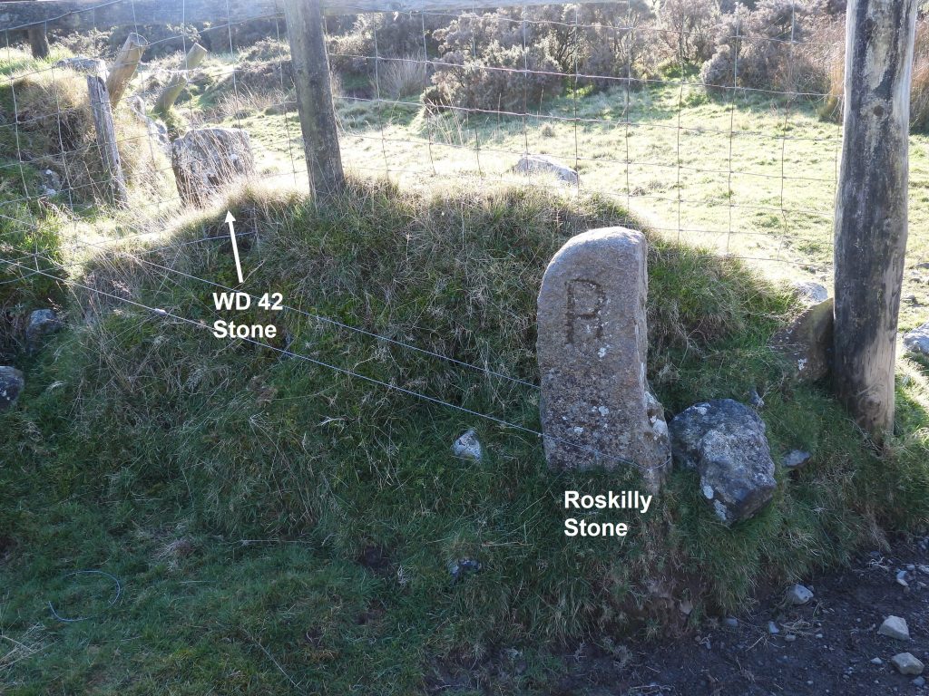
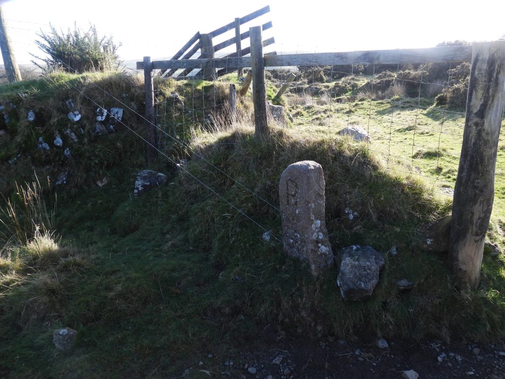
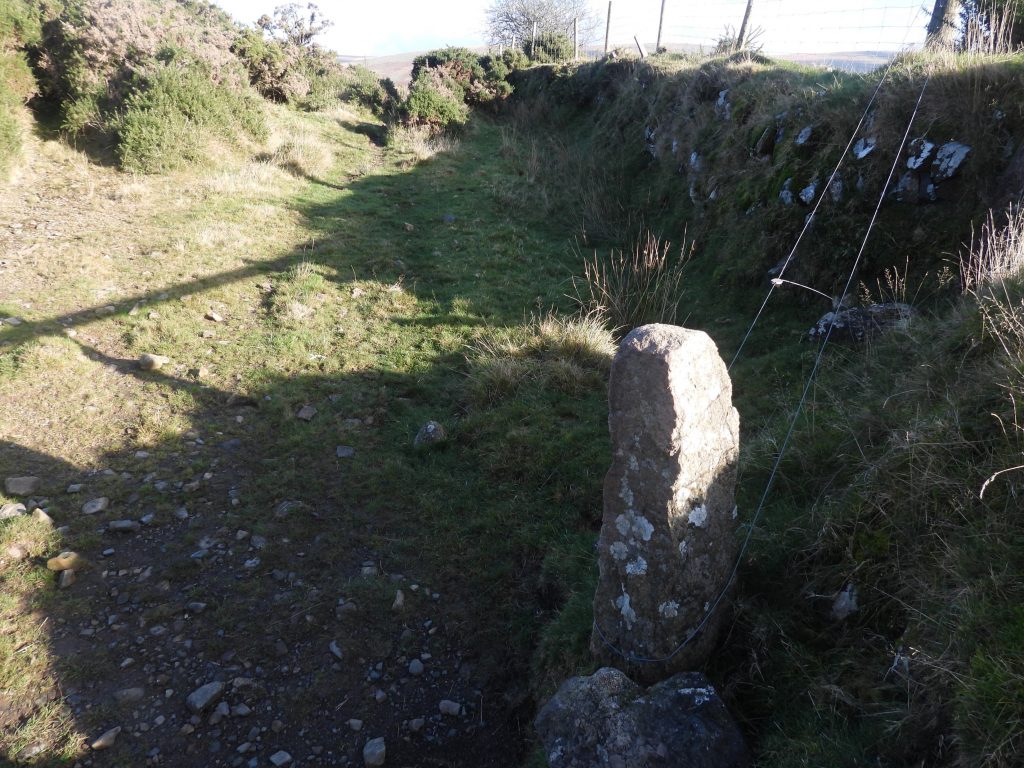
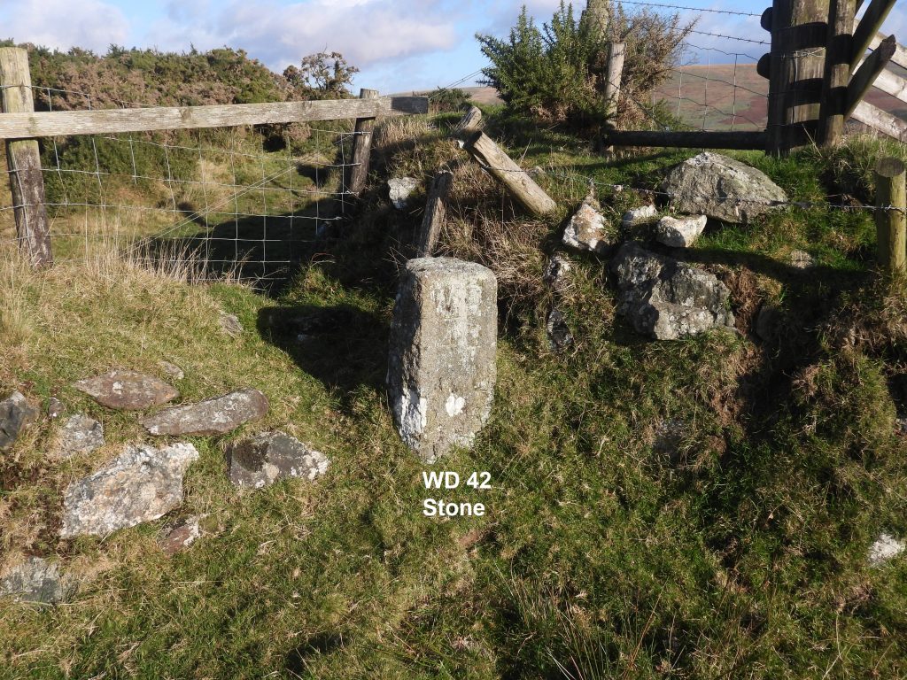
On the Peter Tavy / Mary Tavy parish boundary and the bounds of the old Willsworthy Manor Bounds next to farm enclosures lies two boundary stones inscribed “R” and “WD42”.
The “R” stone relates to the Roskilly family who farmed Willsworthy for several generations. The “WD42” stone is one of 45 Willsworthy Range “WD” standing stones (WD1-16 and WD18-46), which map out the tract of land that the War Department purchased in 1903. The route follows virtually the the line of the old Willsworthy Manor bounds, with some slight variations (of about 3200 acres) which were purchased from the Calmady-Hamlyn family. A post on the all the WD stones can be found at:
https://dartmoorexplorations.co.uk/willsworthy-range-wd-war-department-standing-stones/
![]() 0
0![]()
![]()
![]()
![]()
![]()
![]()