A collection of walks, discoveries, insights and pictures of exploring Dartmoor National Park
February 9, 2023
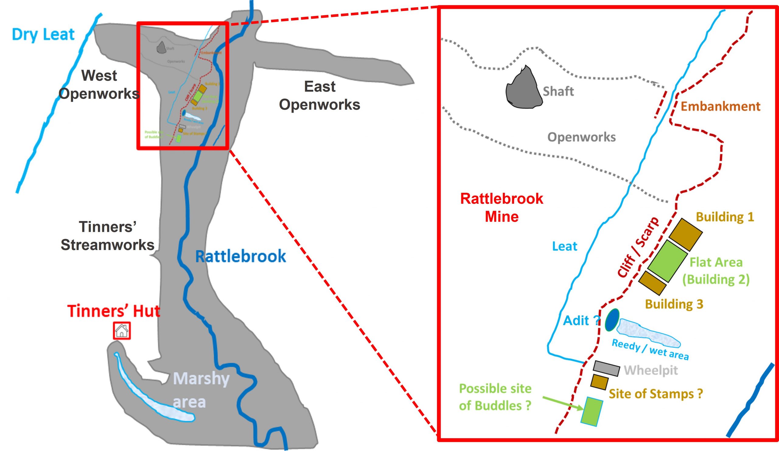
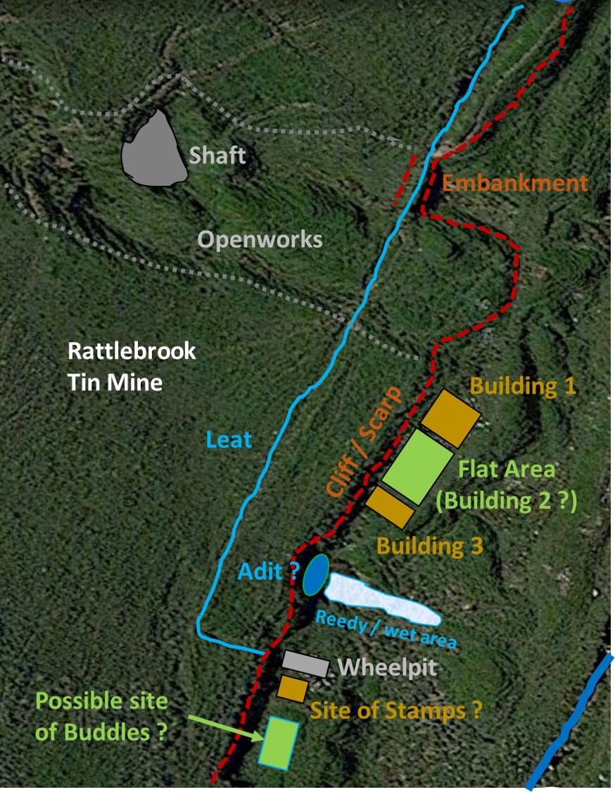
Rattlebrook Mine
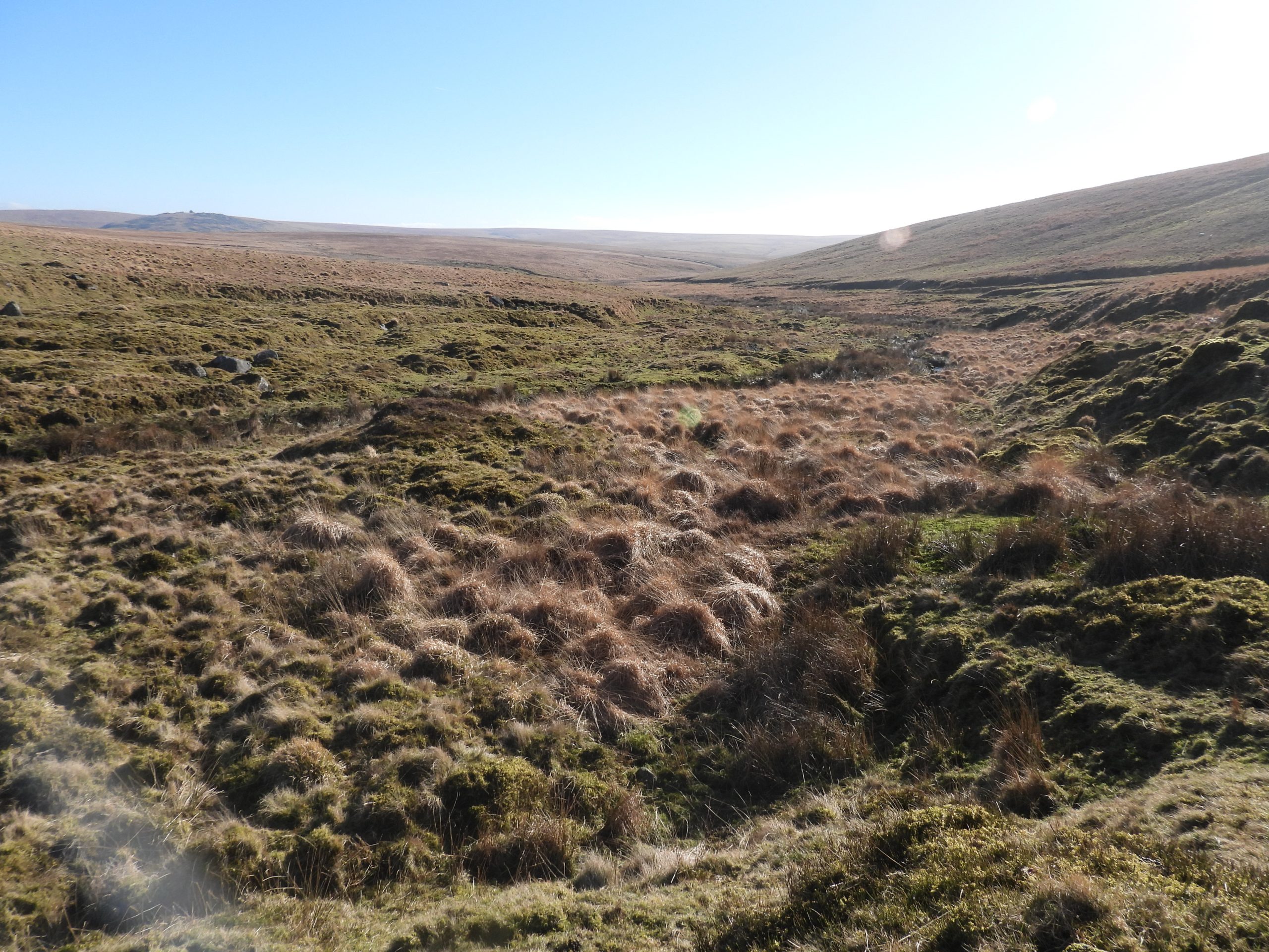
Rattlebrook Mine lies on the west bank of the Rattlebrook approx 5-600 metres downstream from Bleak House (Dunna Goat cottage). There are extensive Tinners’ Streamworks and Openworks in the area. The mine is located next to and exploits an earlier openwork that extends around 100 metres up the slope on the western side of the Rattlebrook valley.
The author has found very little in the way of information about the mine but notes that Dr Tom Greeves 2003/4 wrote that the mine formed part of the Wheal Frederick sett and was worked from the 1840s to the 1860s. Greeves further stated that the mine remains consisted of an adit, a shaft, a leat, a wheelpit, a dressing floor and several ruined buildings.
The author has been familiar with this area for around 35 years having hiked up and down the valley on numerous occasions and has always wished to know a little more about the mine. However, with limited ‘expert’ information, the author has resorted to attempt to interpret the site as best he could for this post, without confirmatory reference. Should anyone reading this post be aware of any errors or can supply additional information, the author would be grateful to receive it.
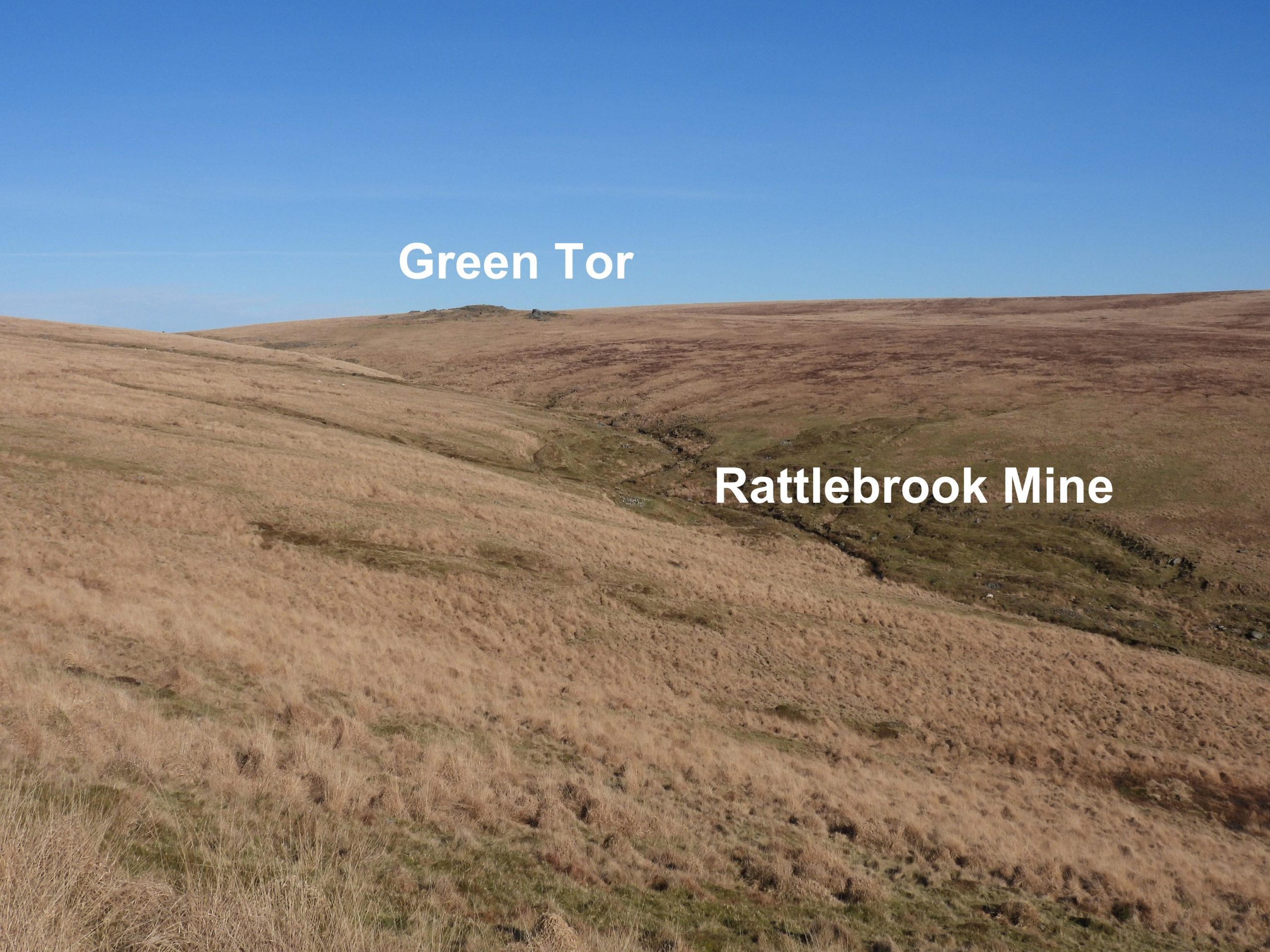
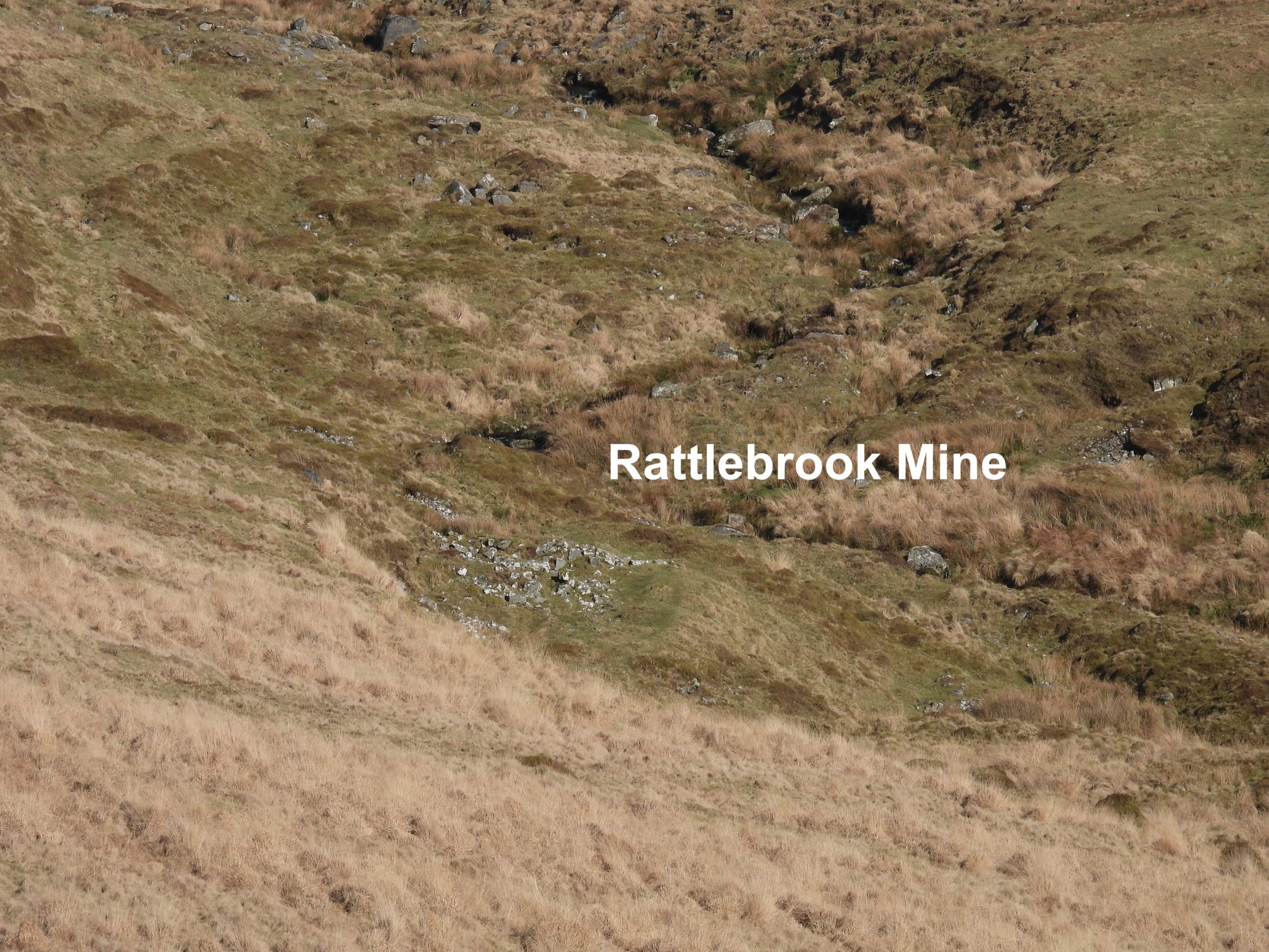
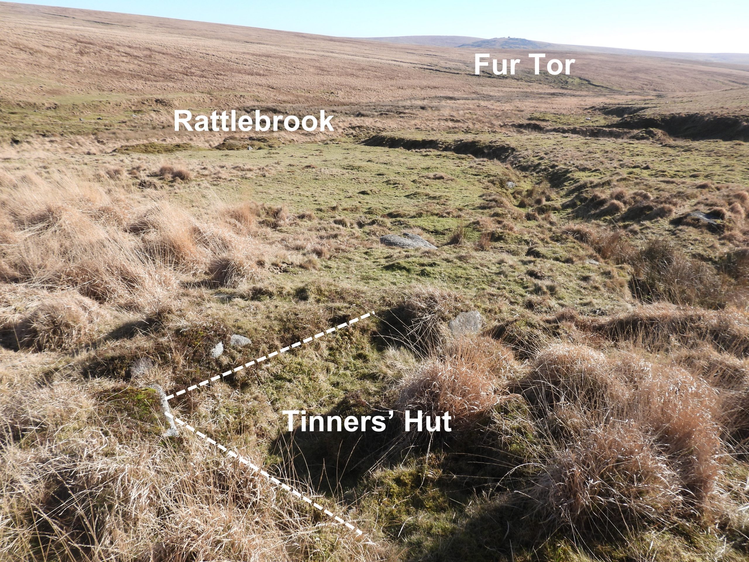
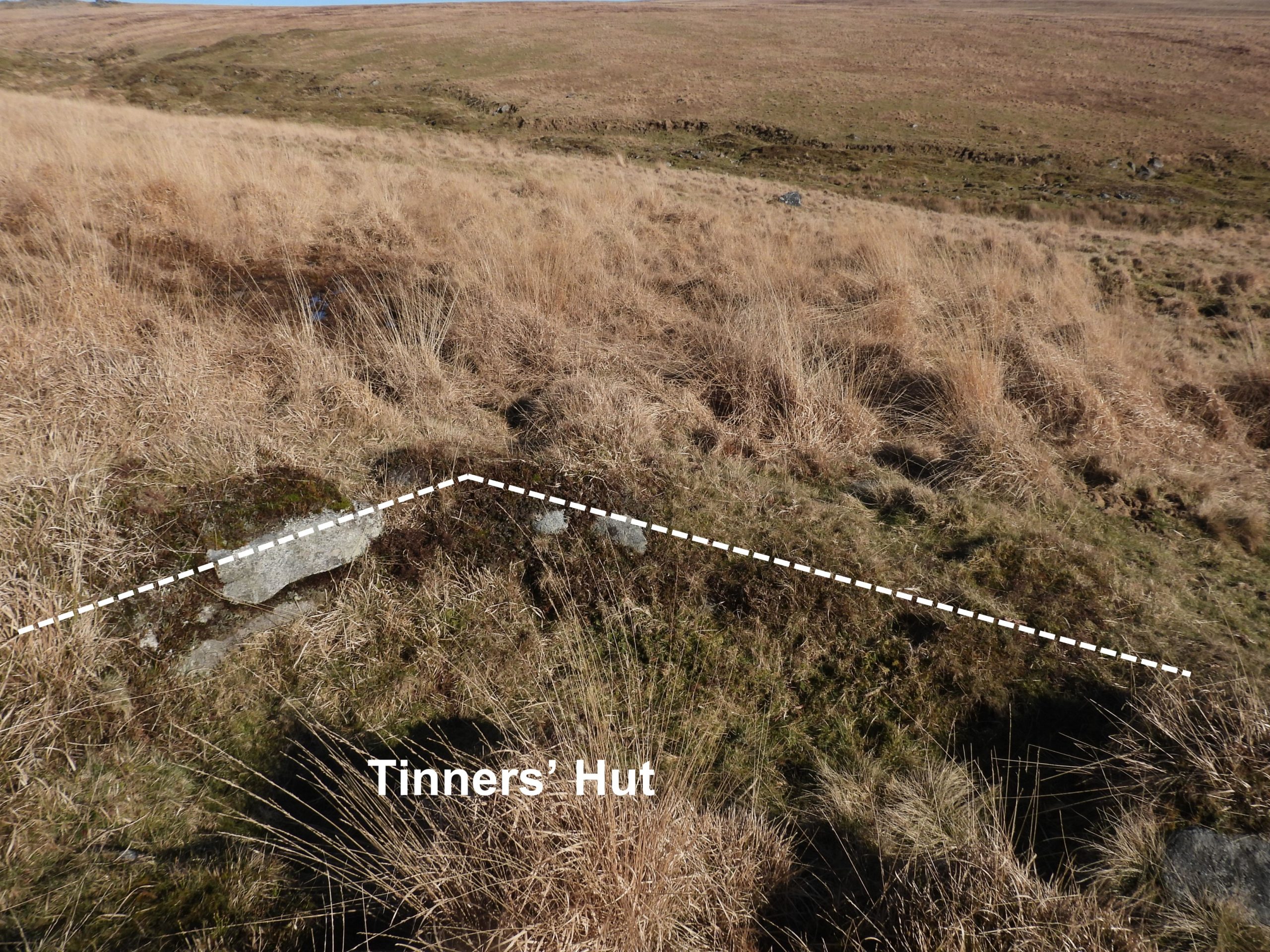
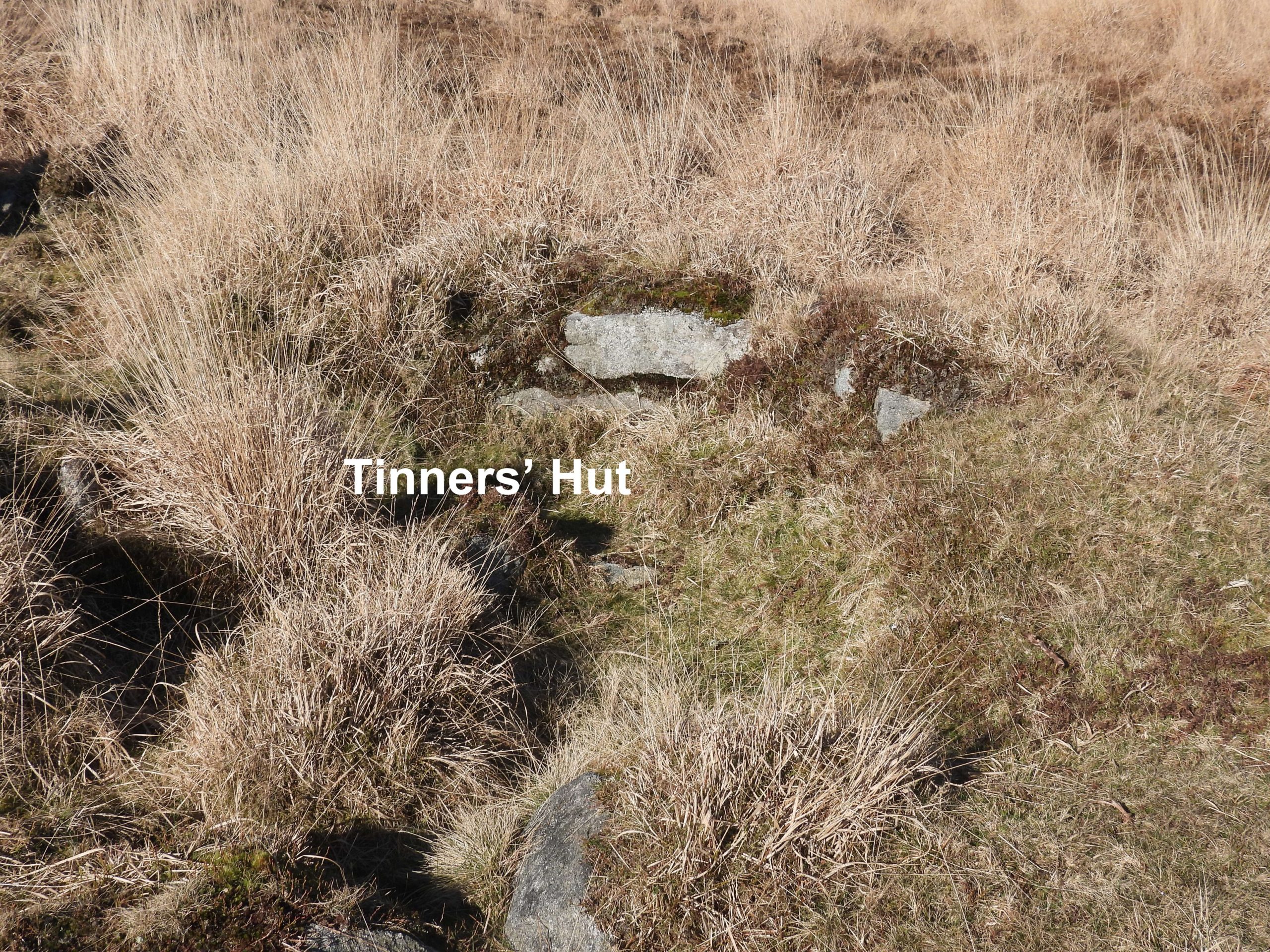
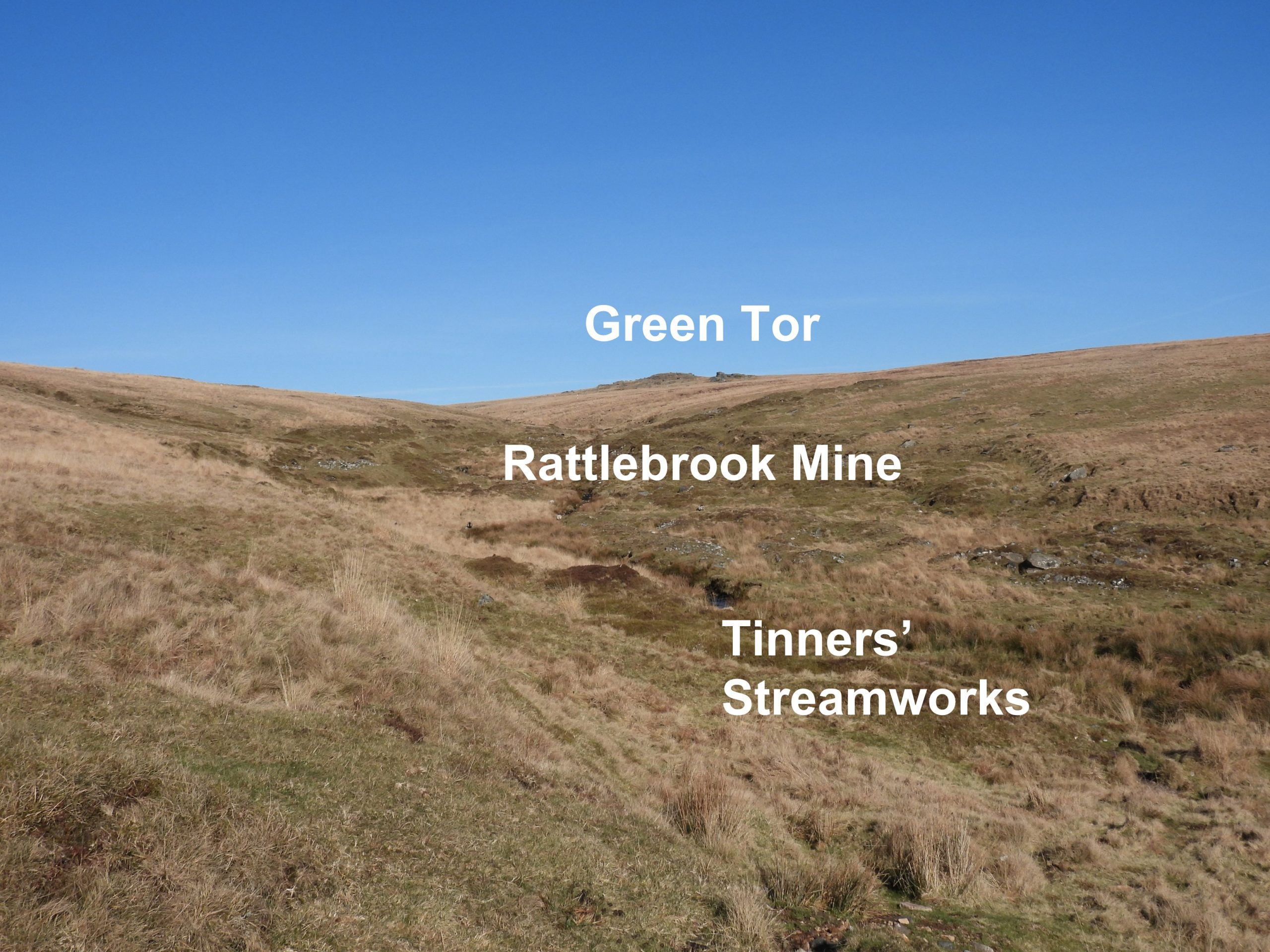
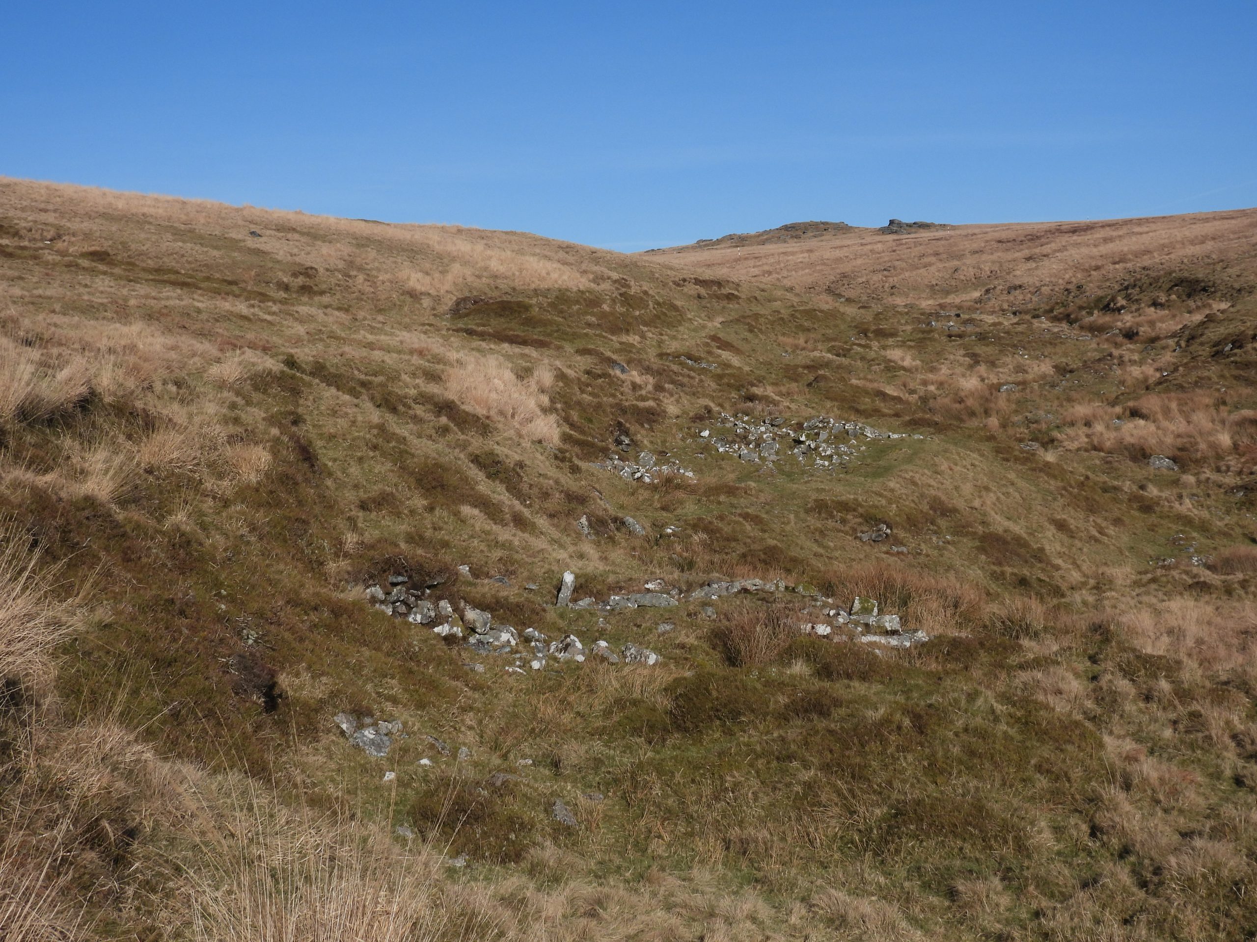
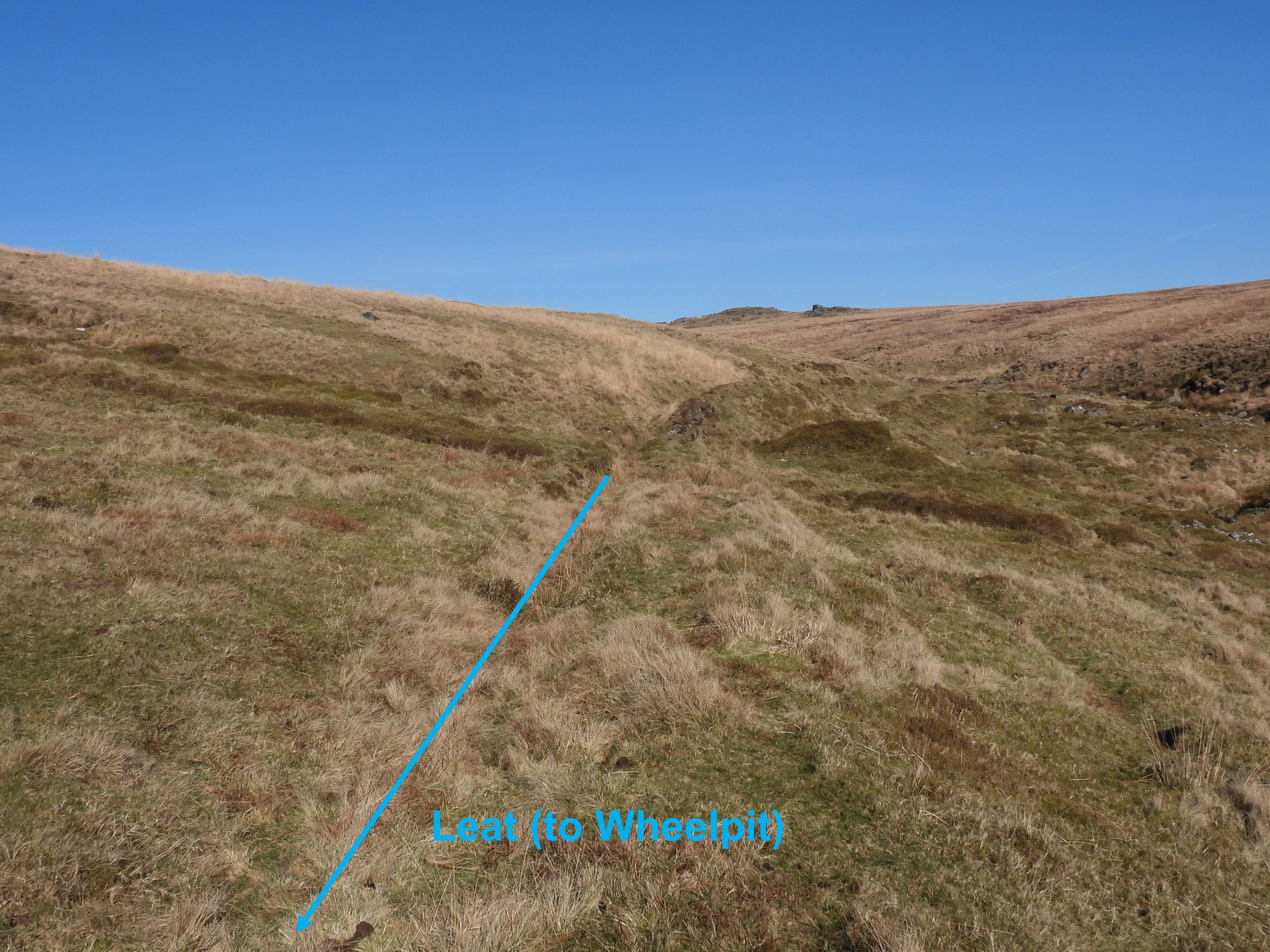
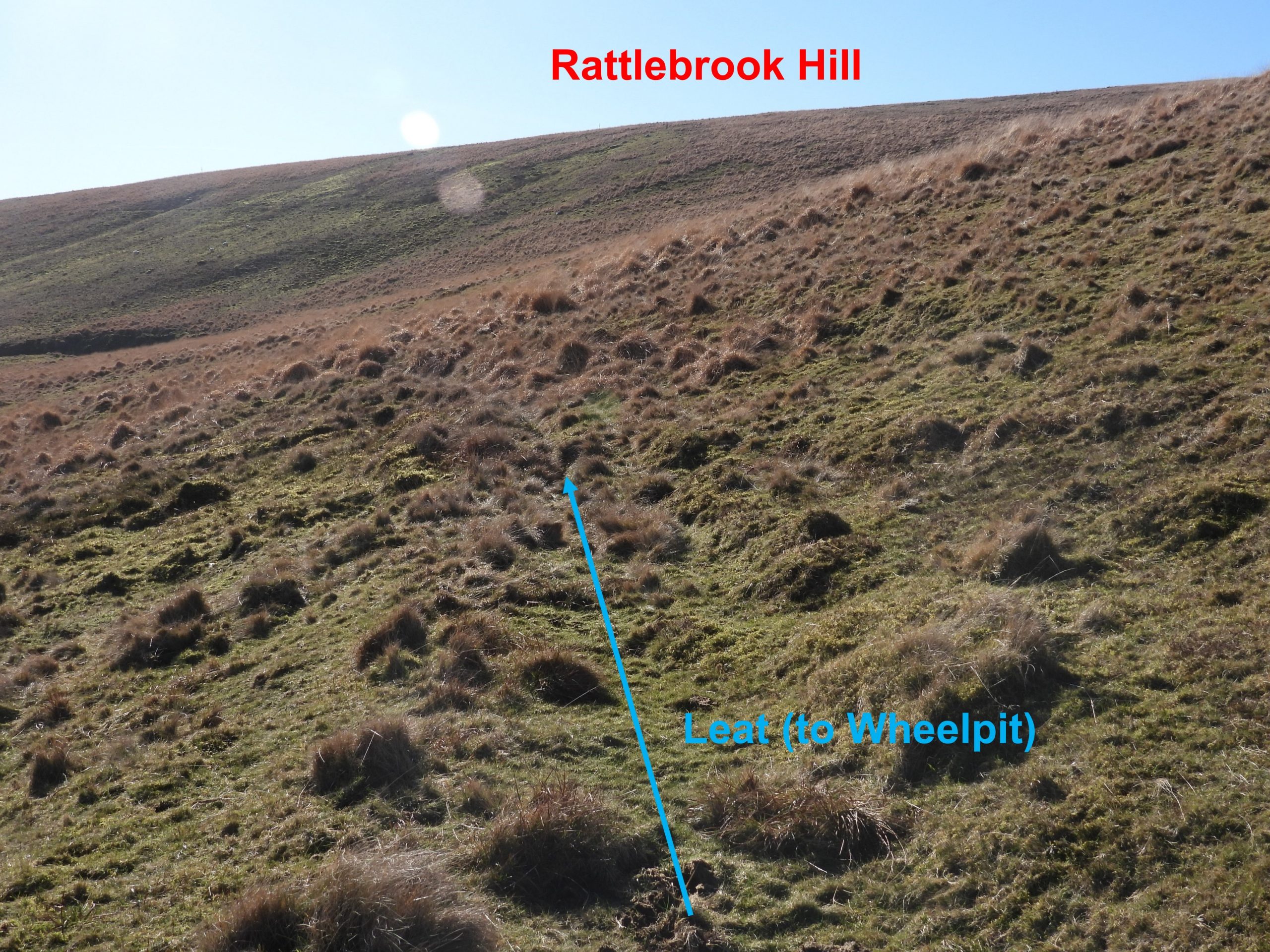
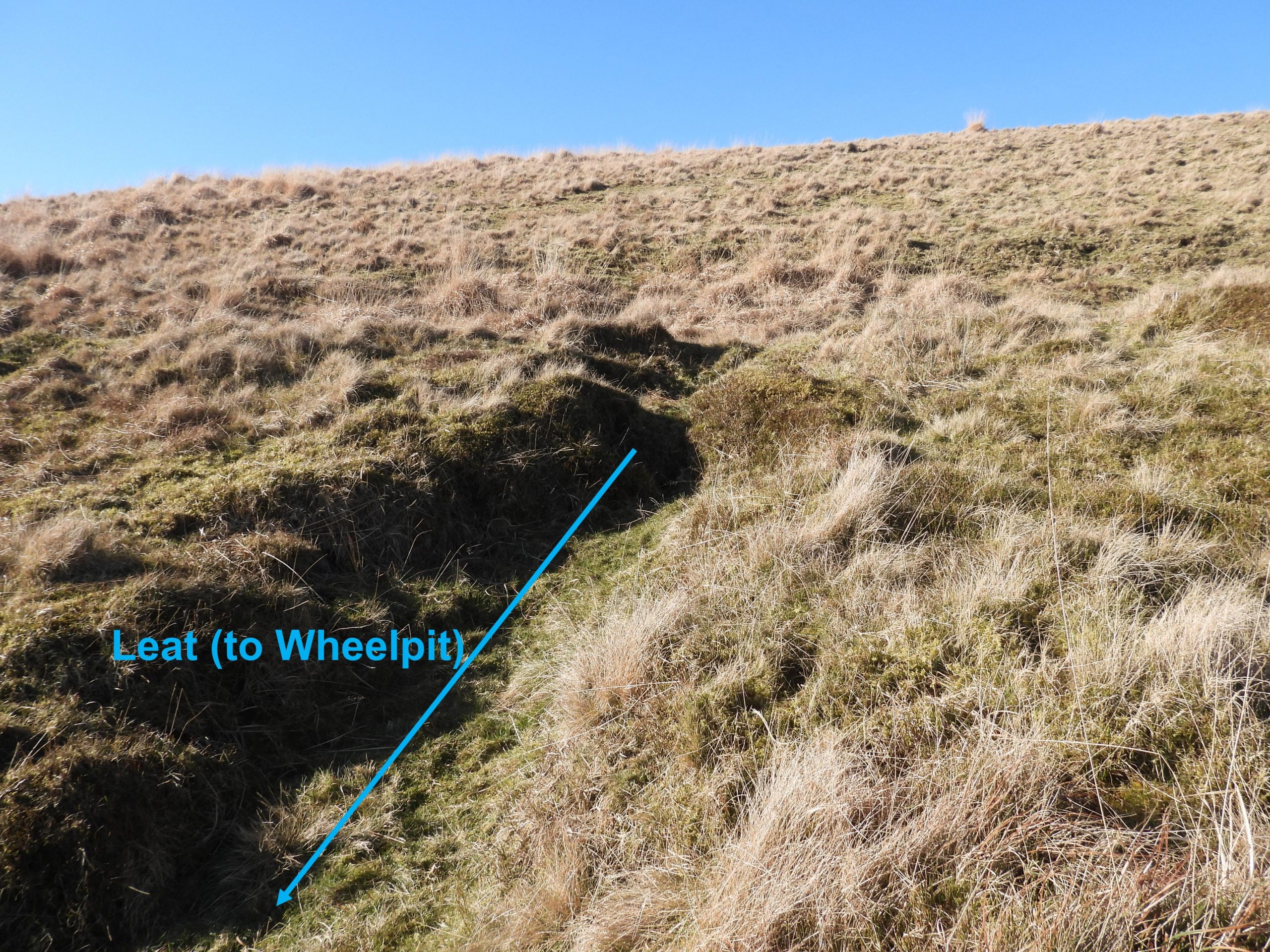
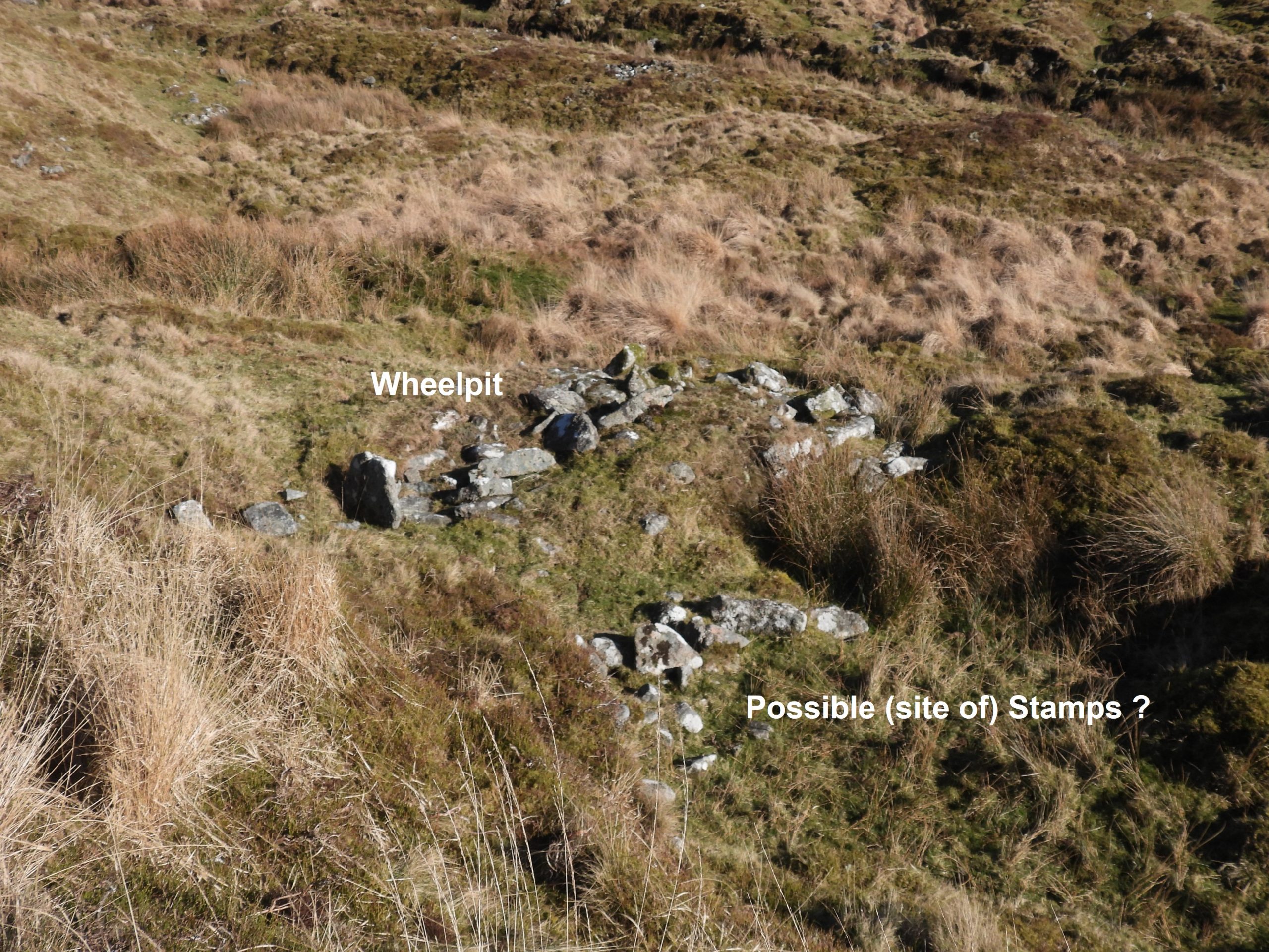
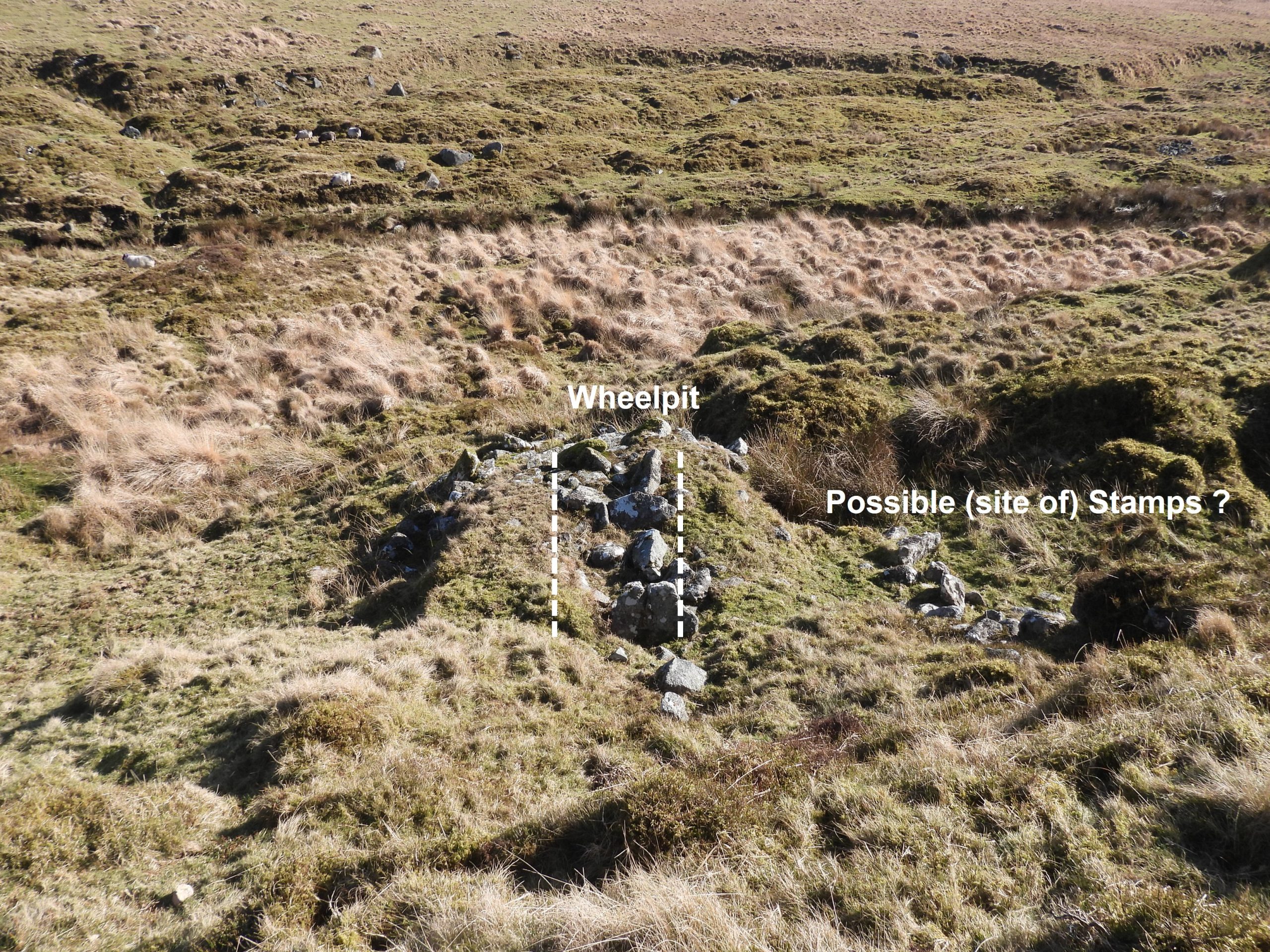
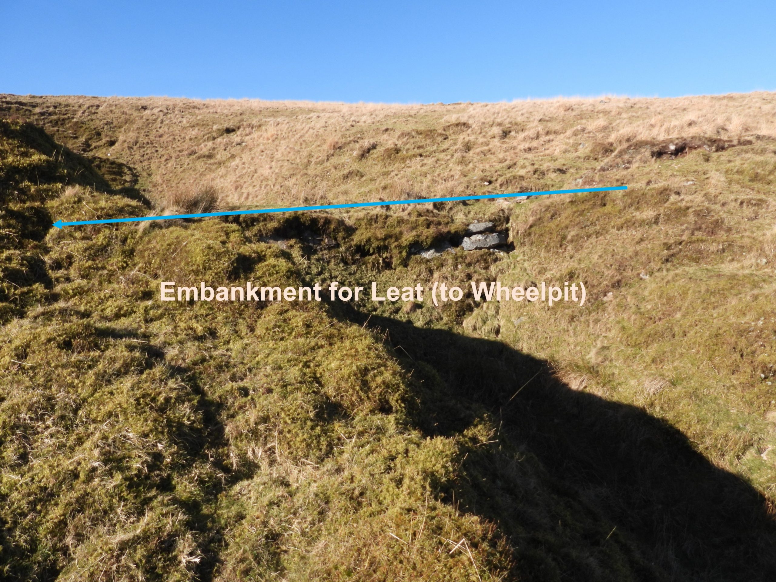
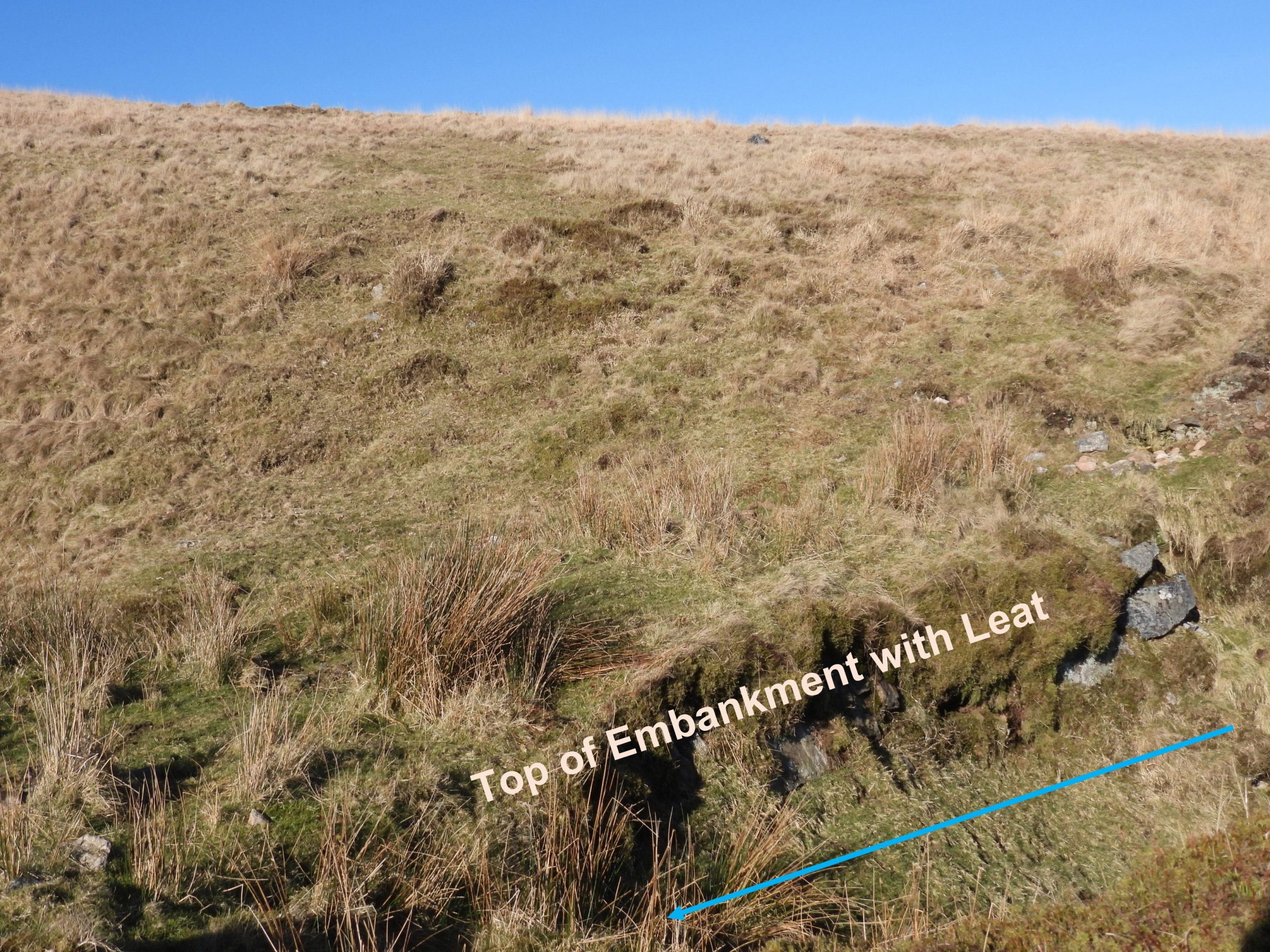
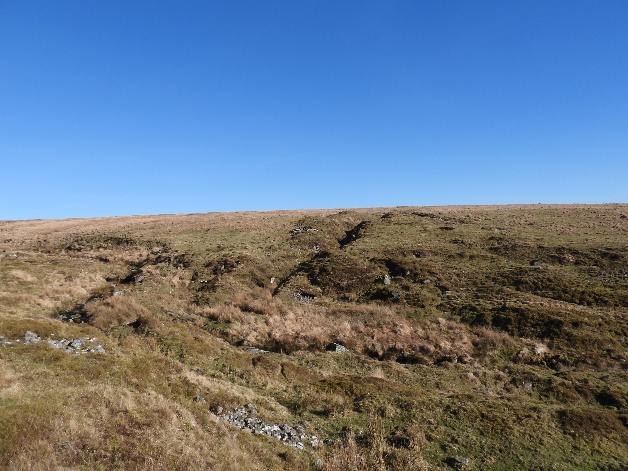
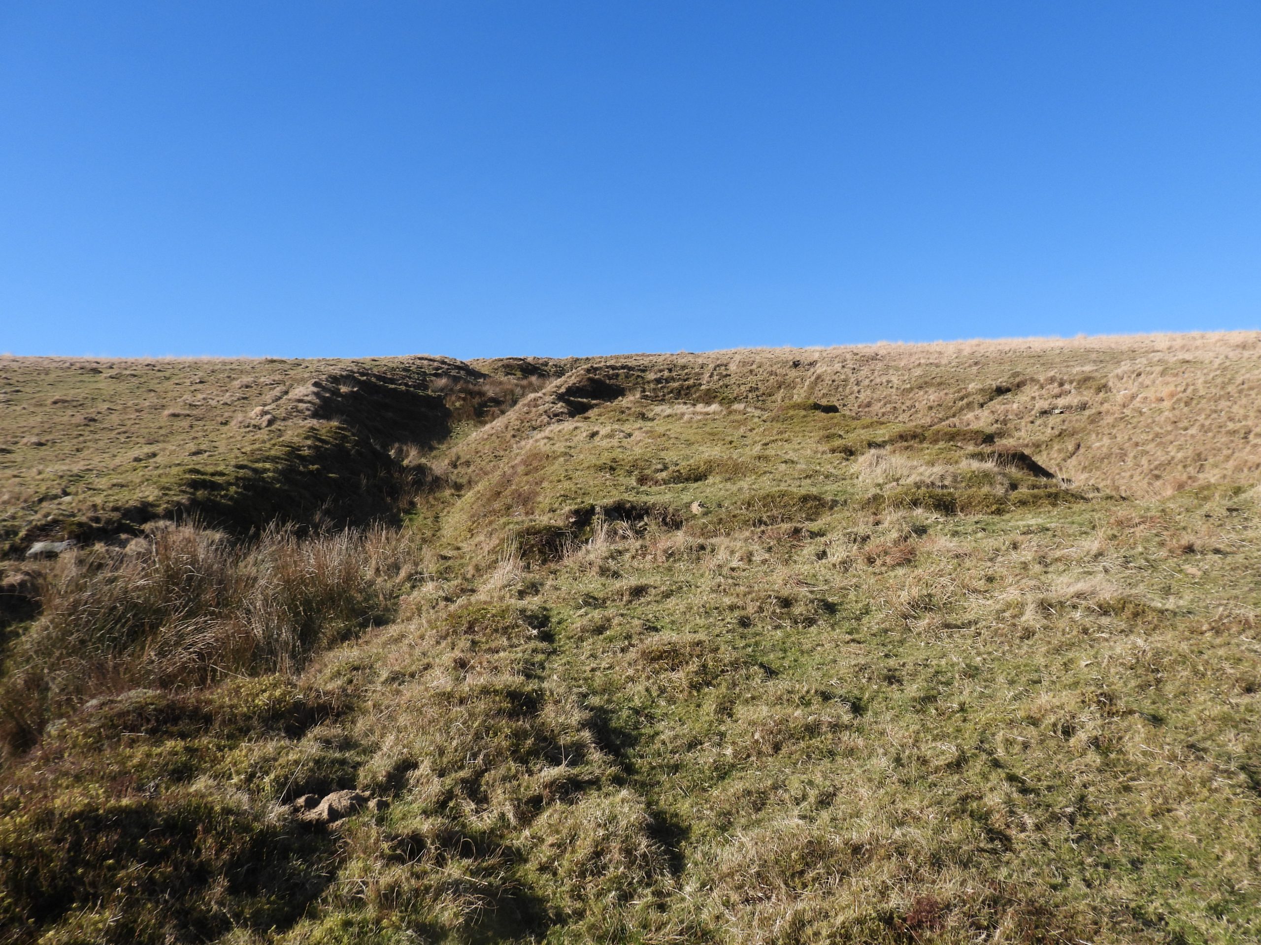
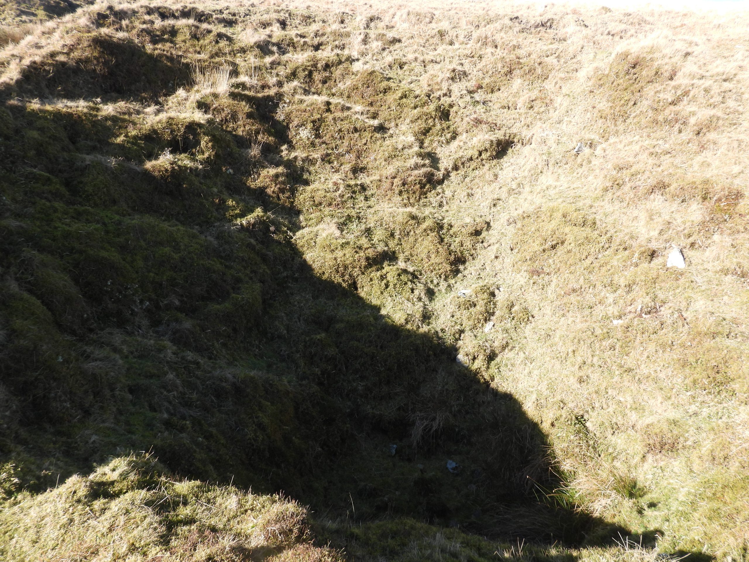
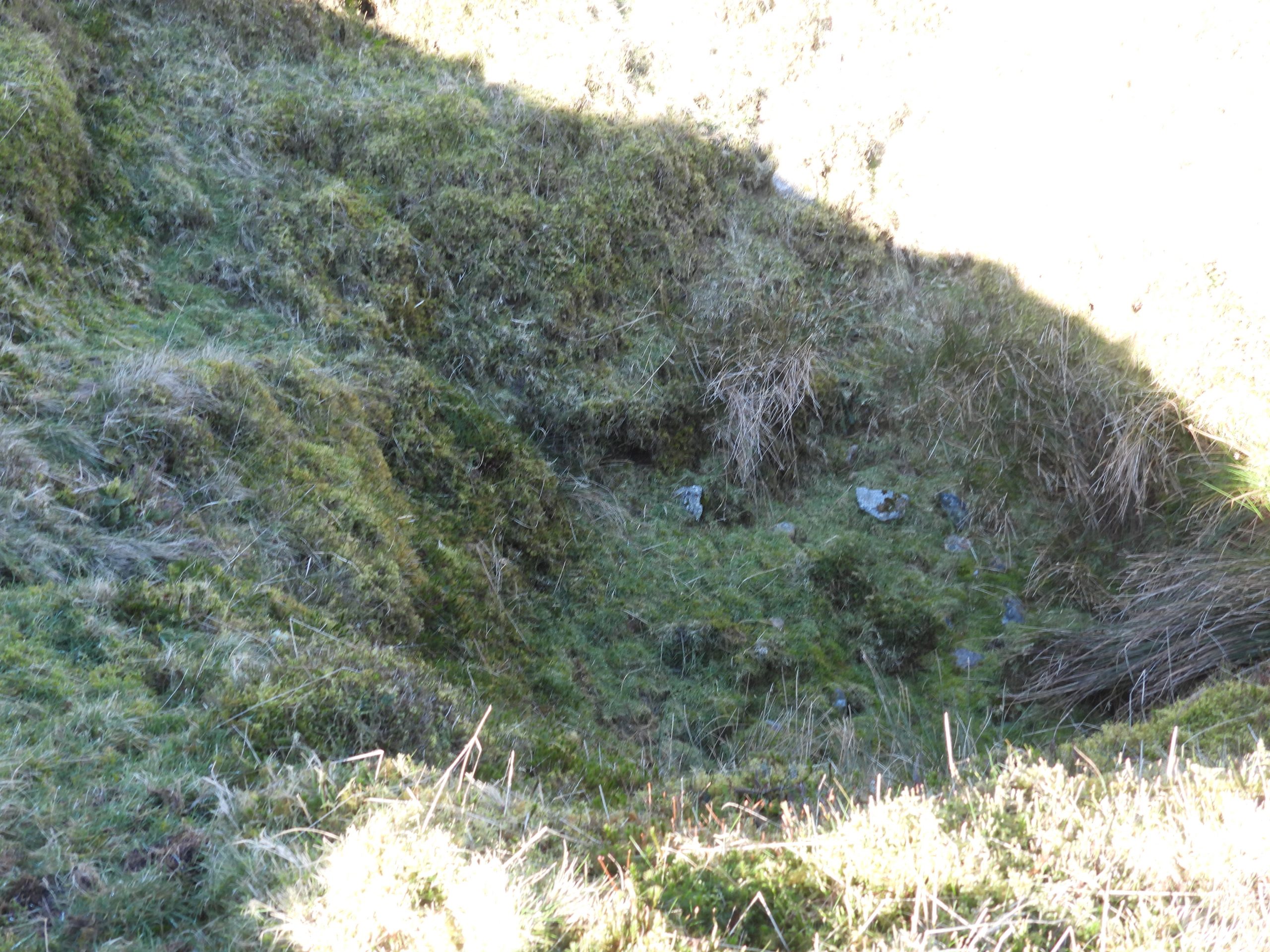
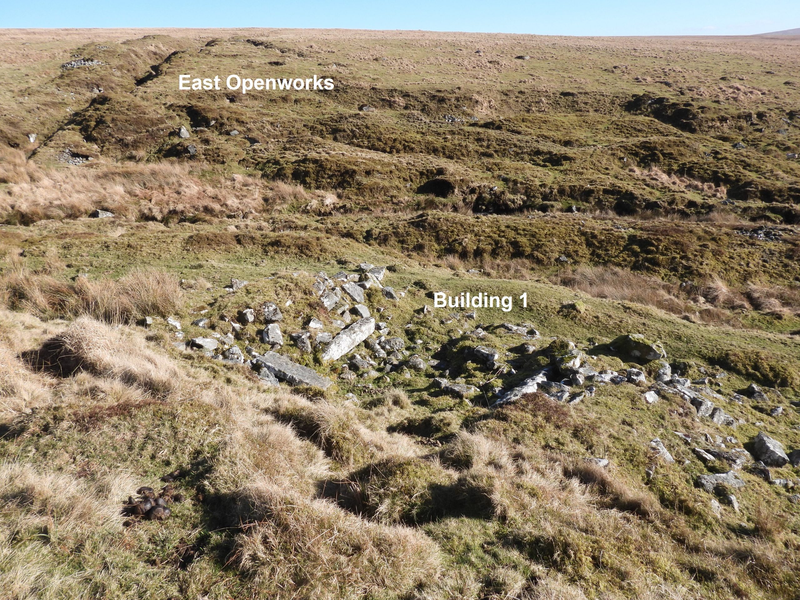
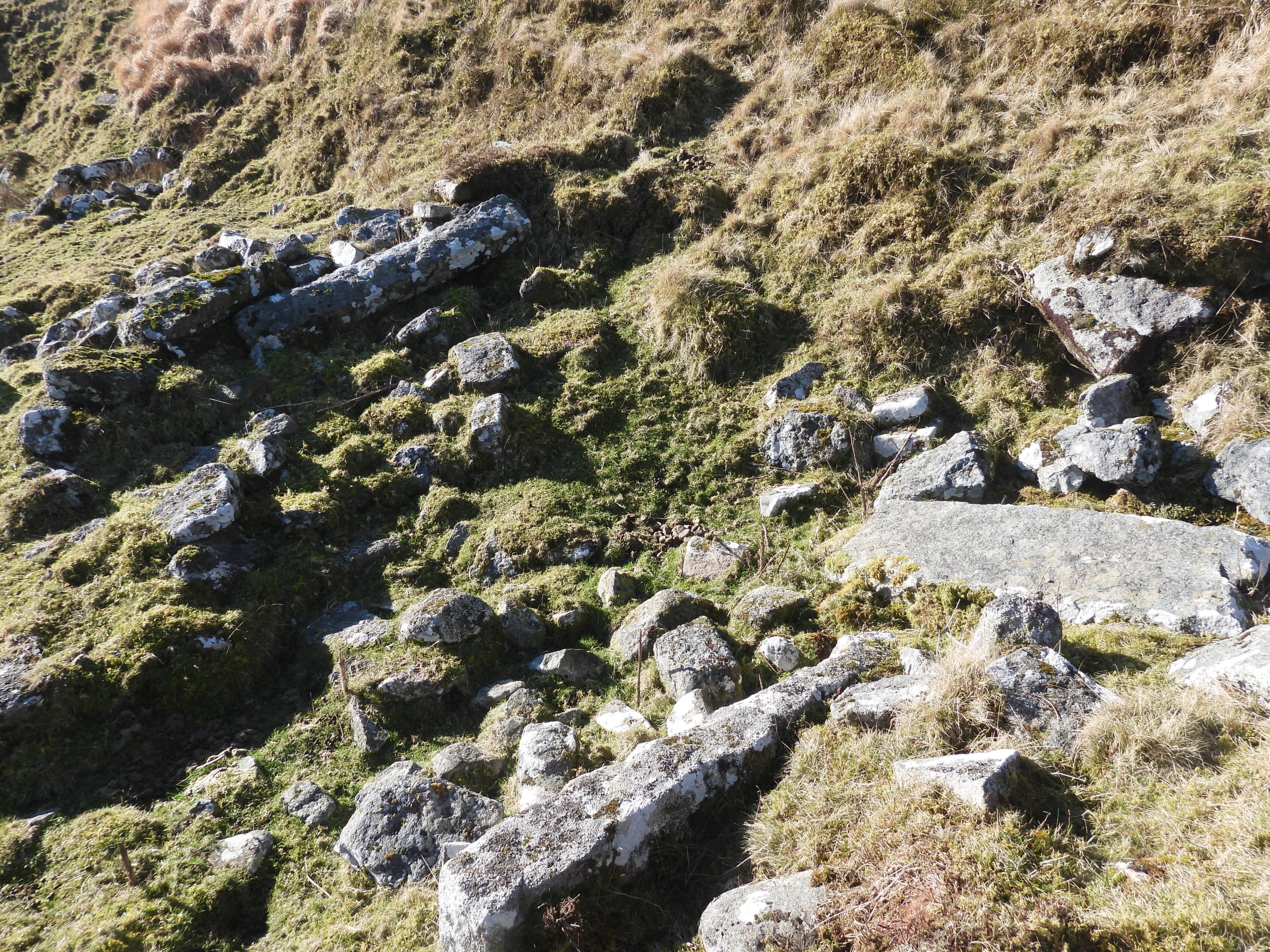
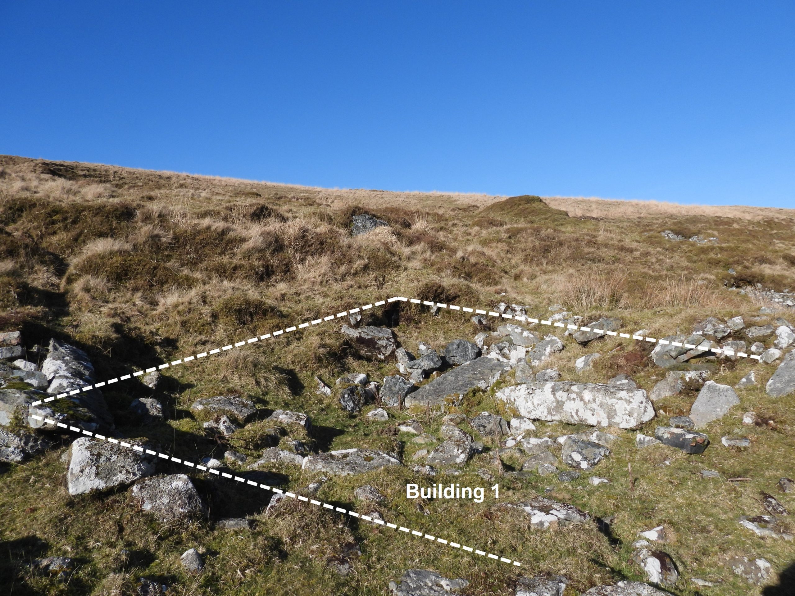
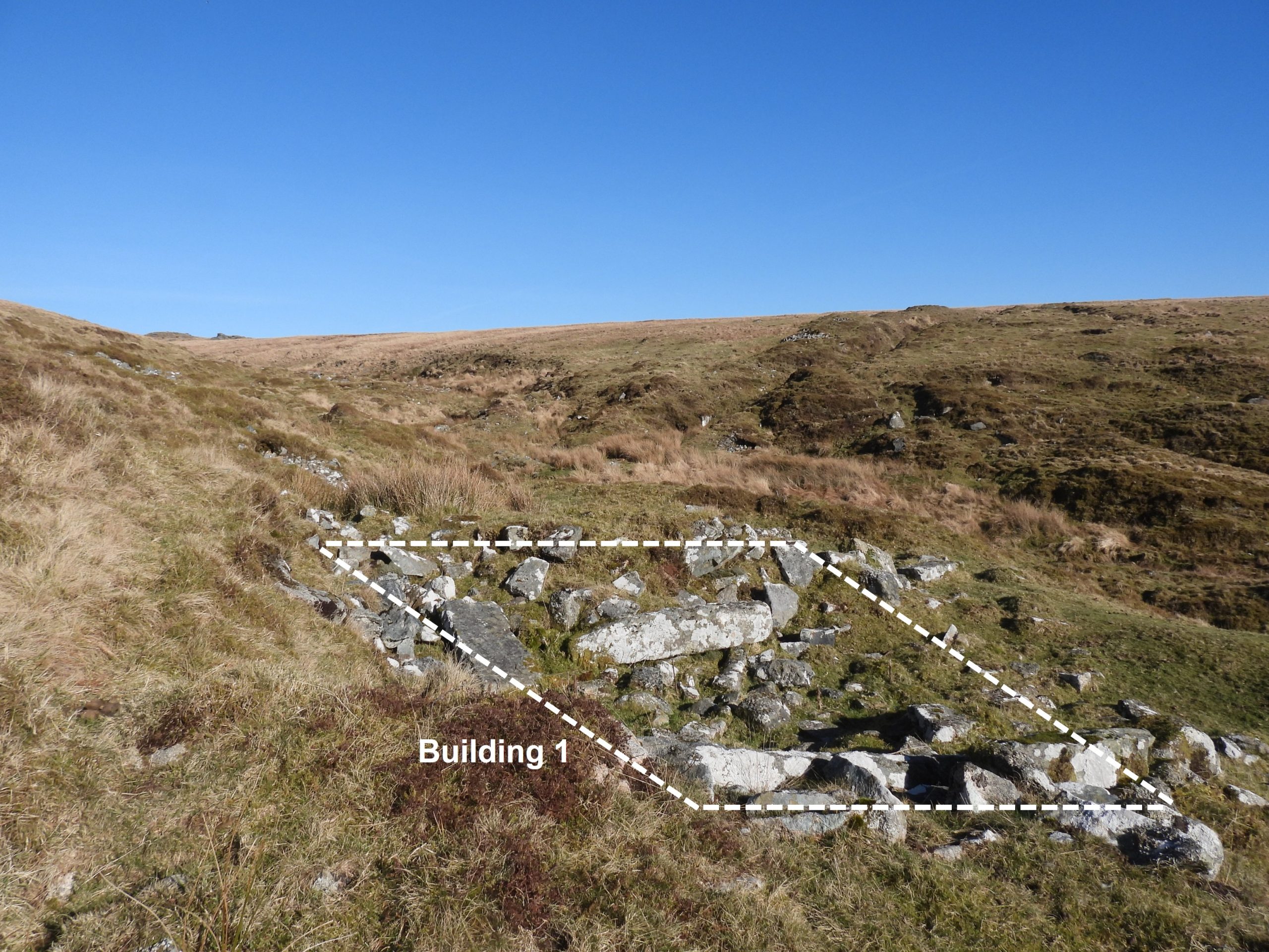
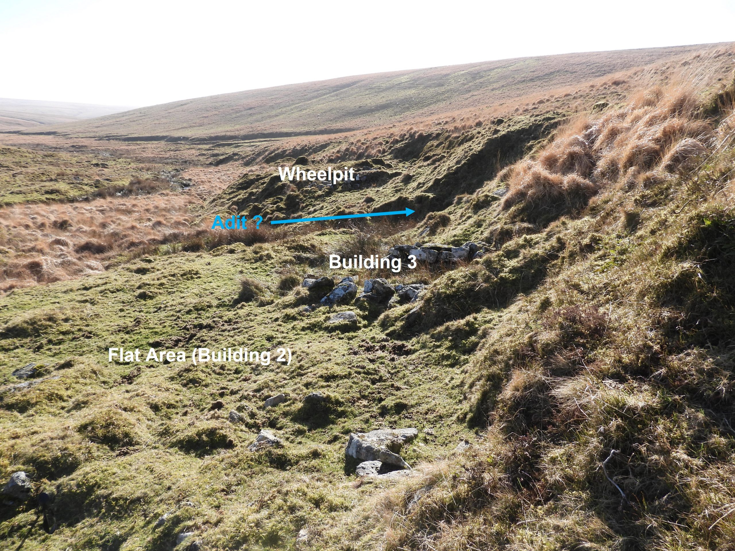
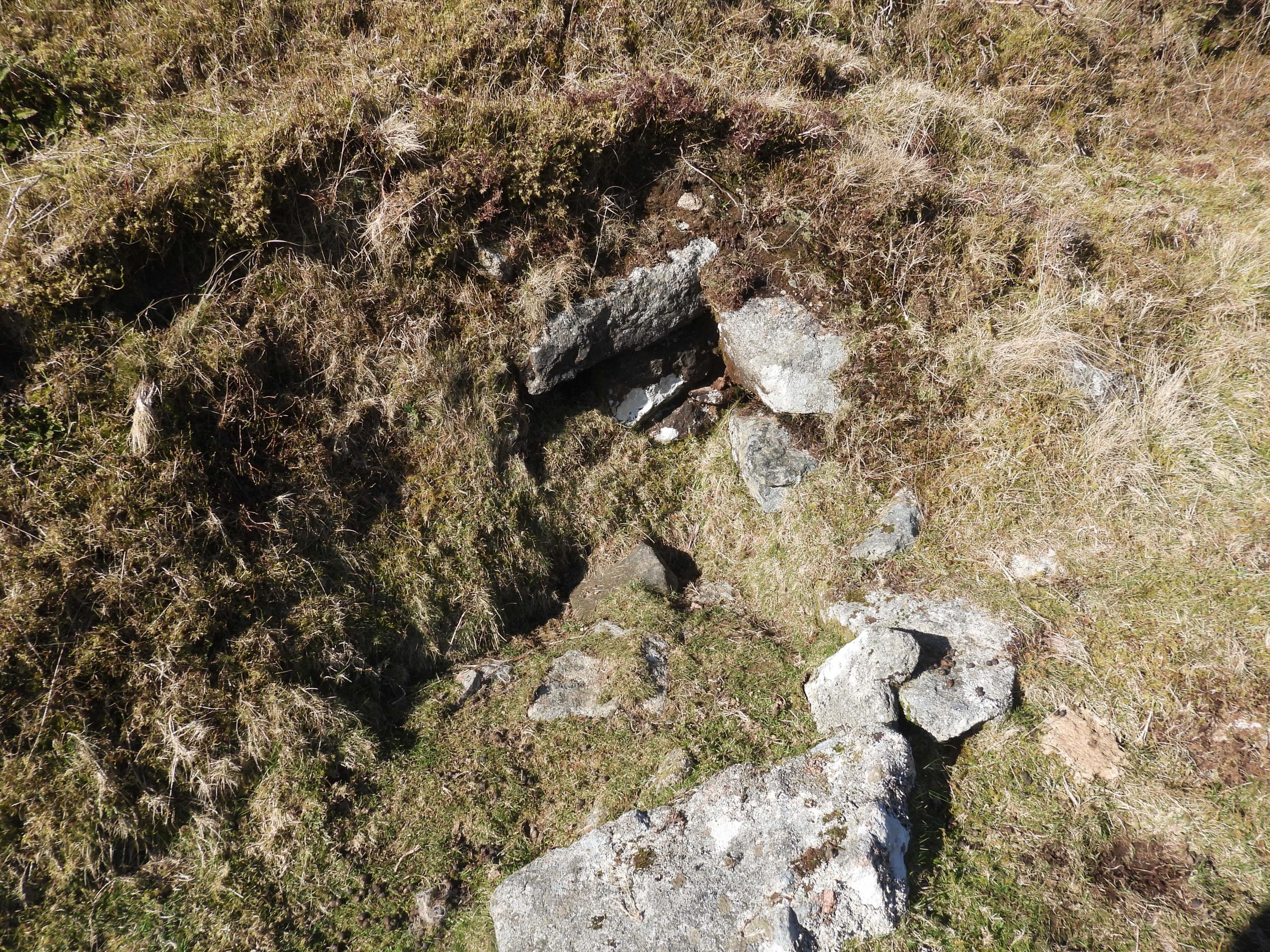
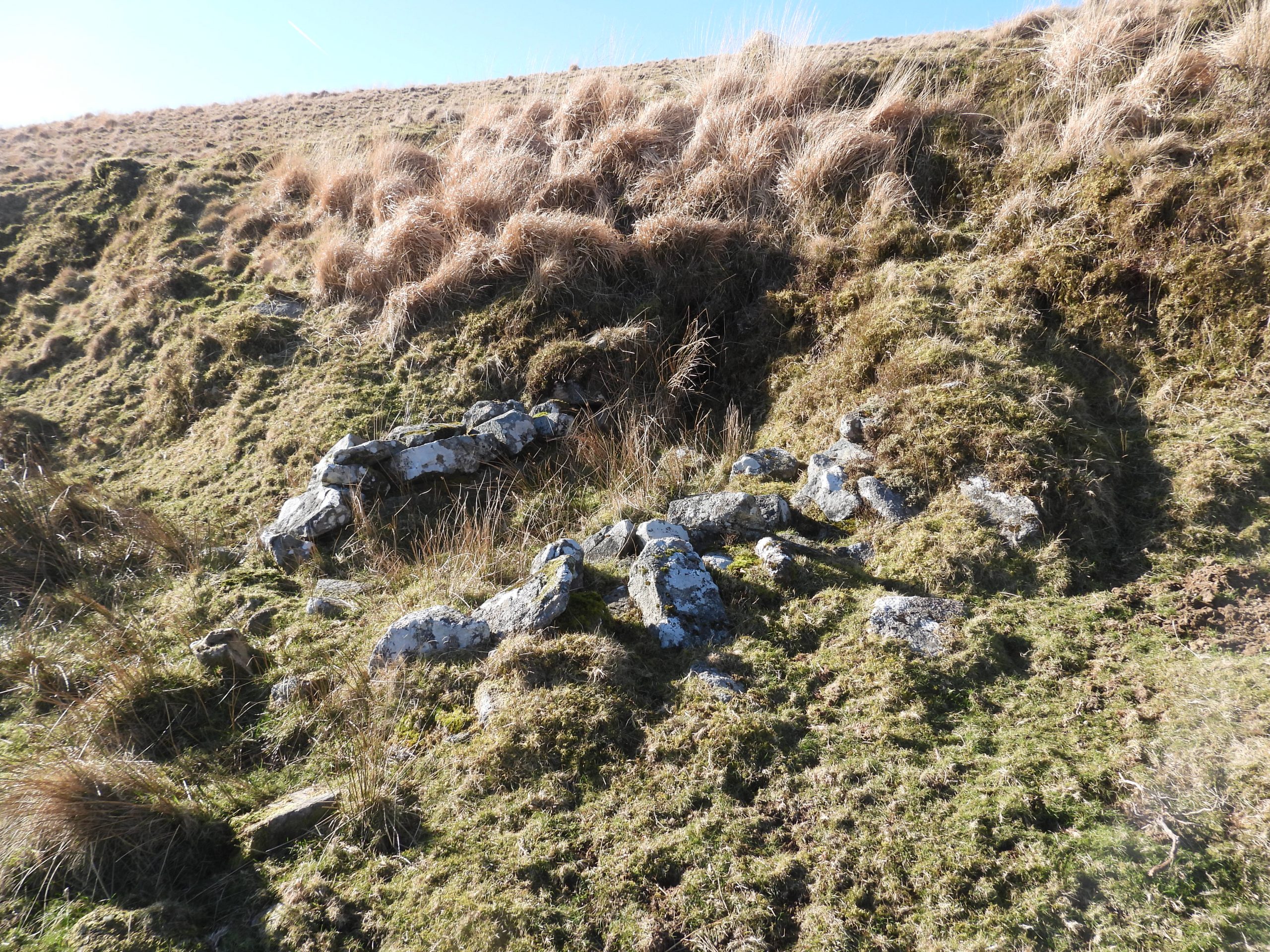
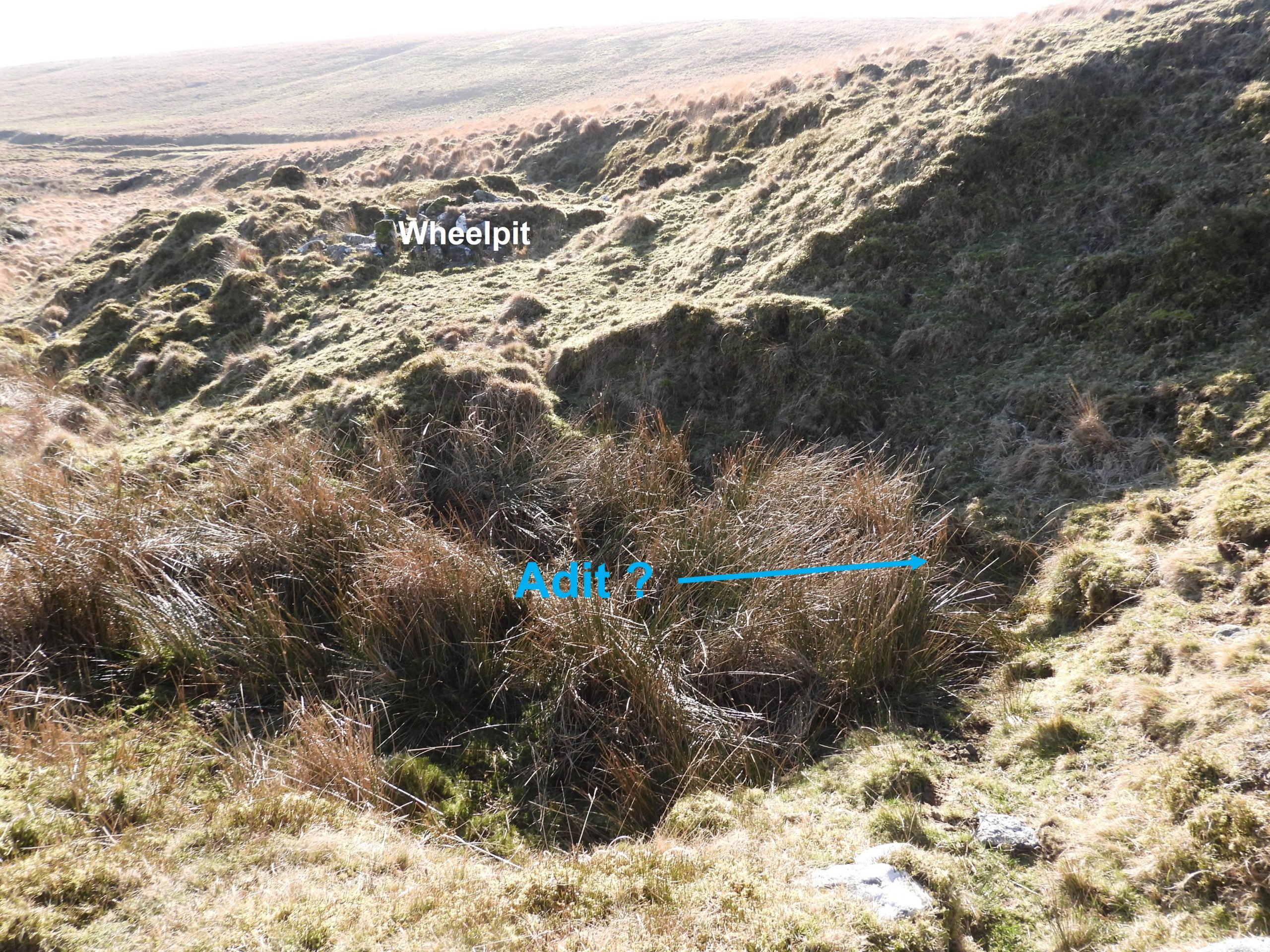
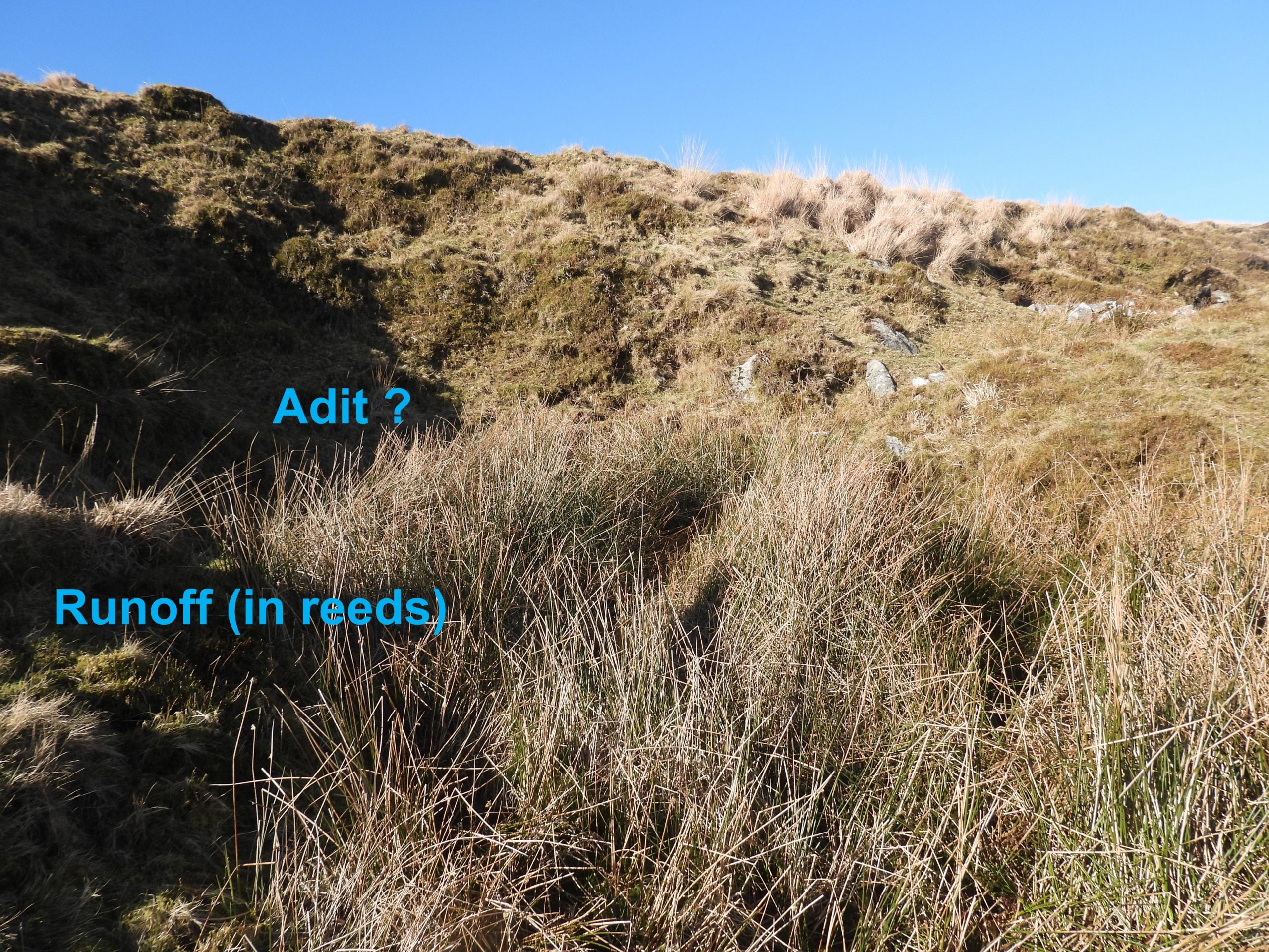
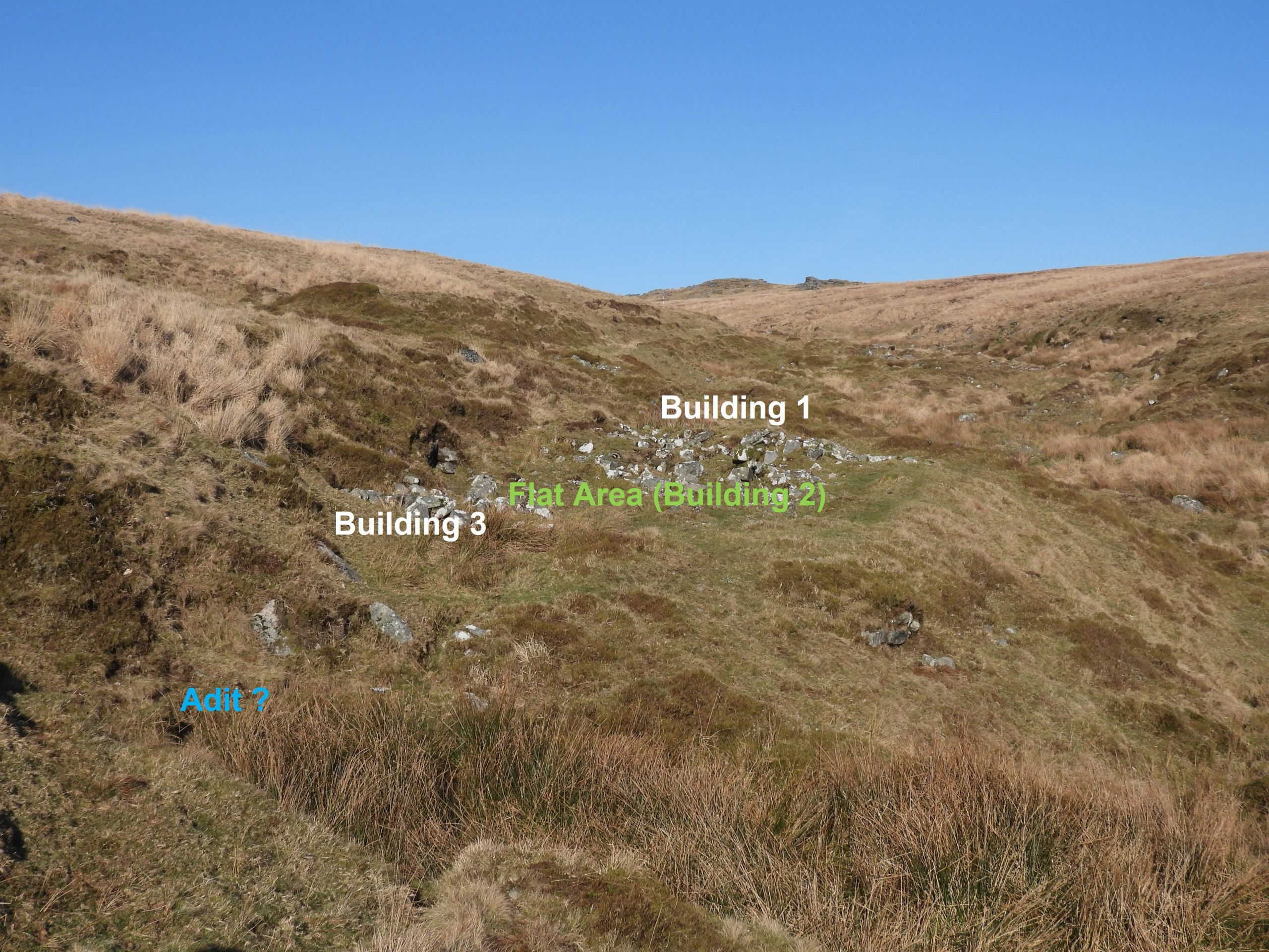
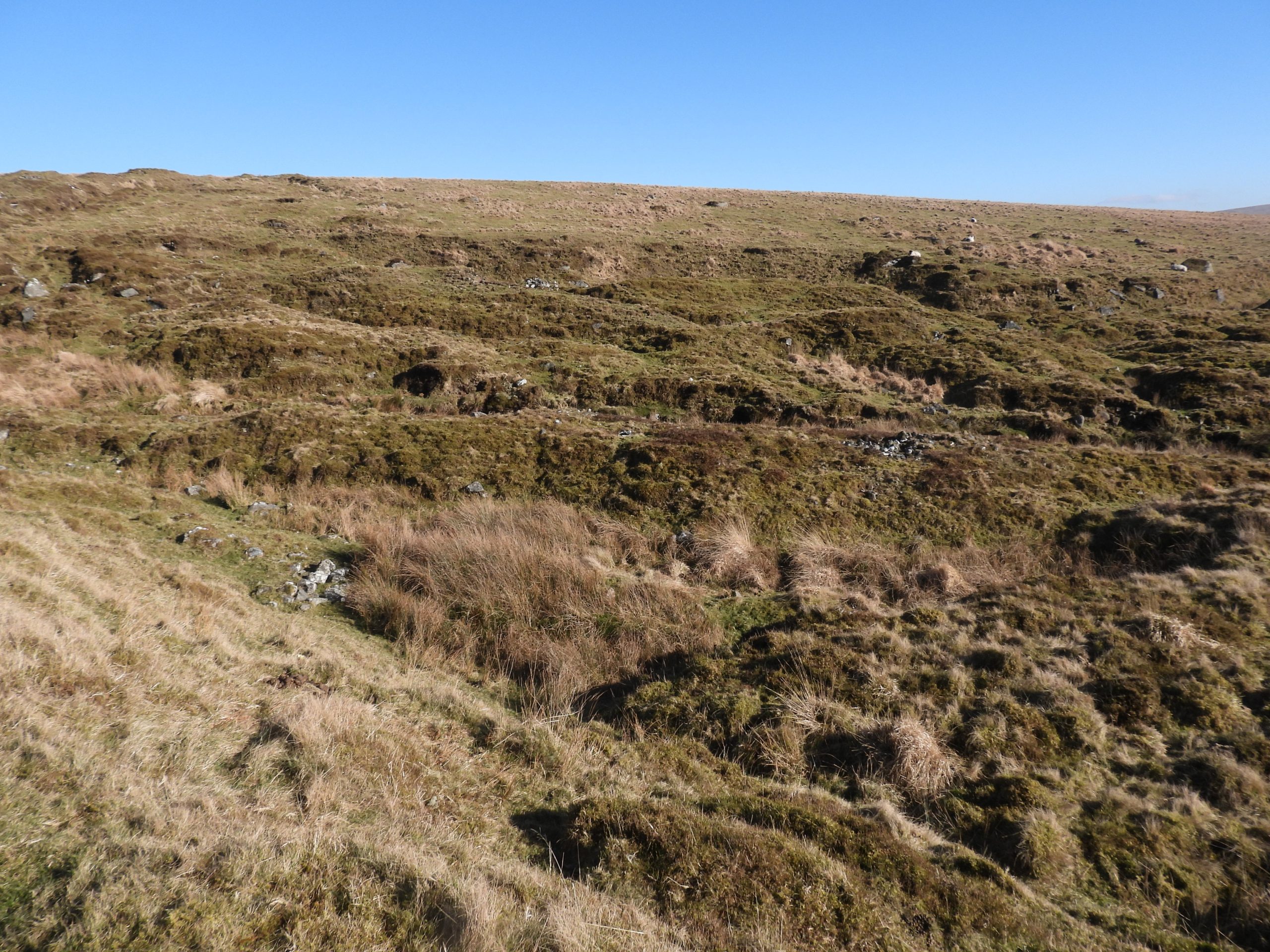
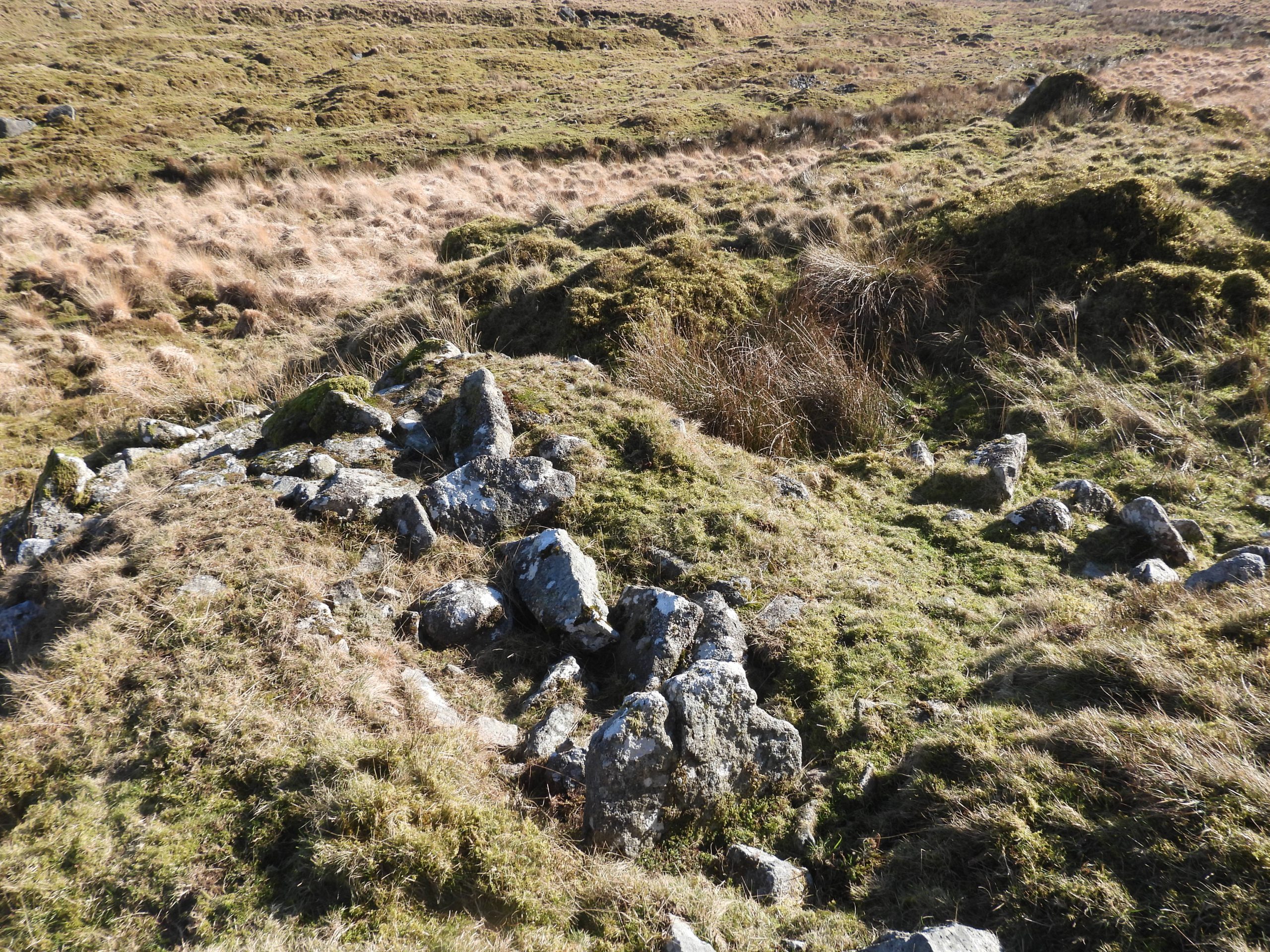
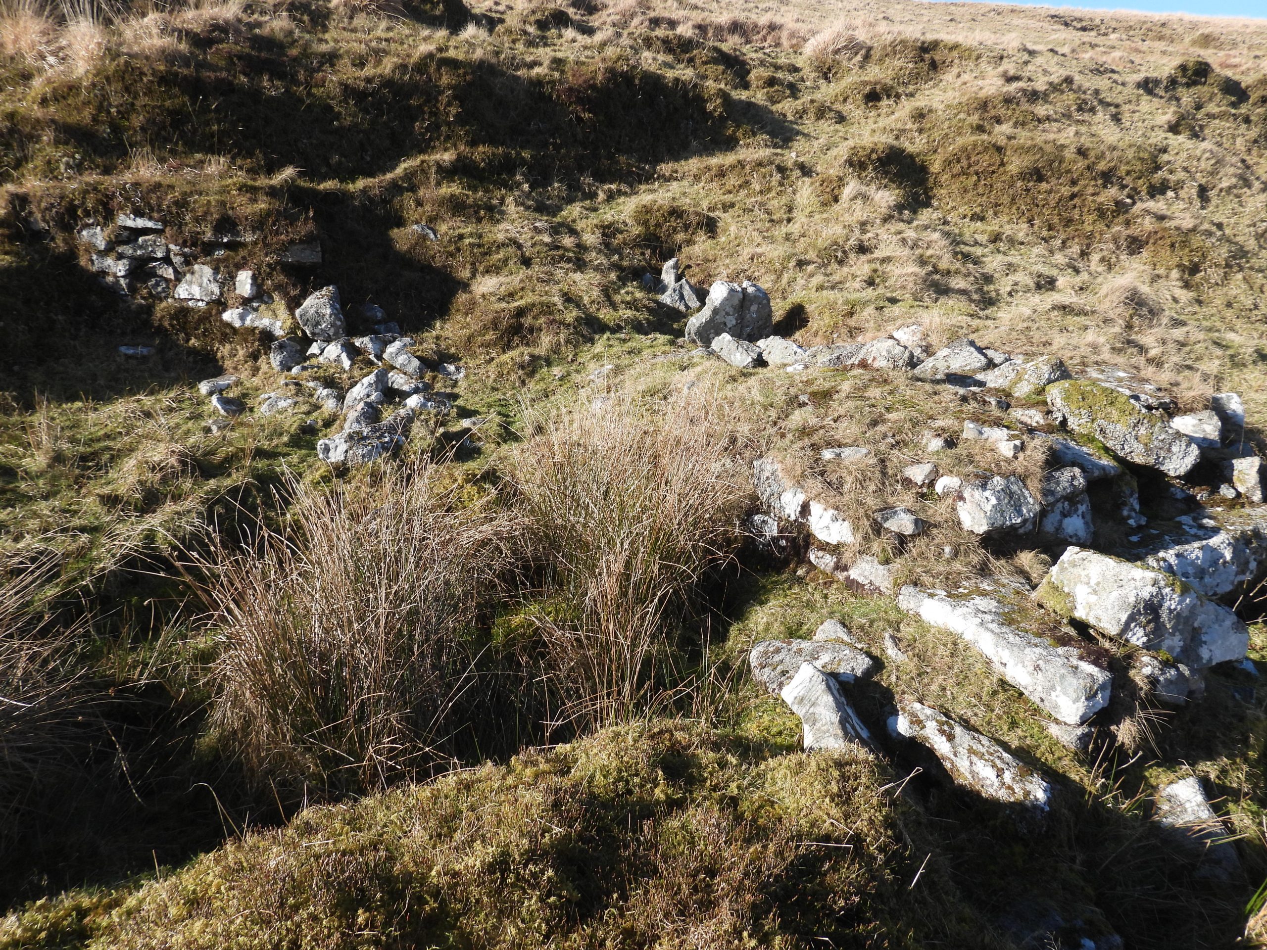
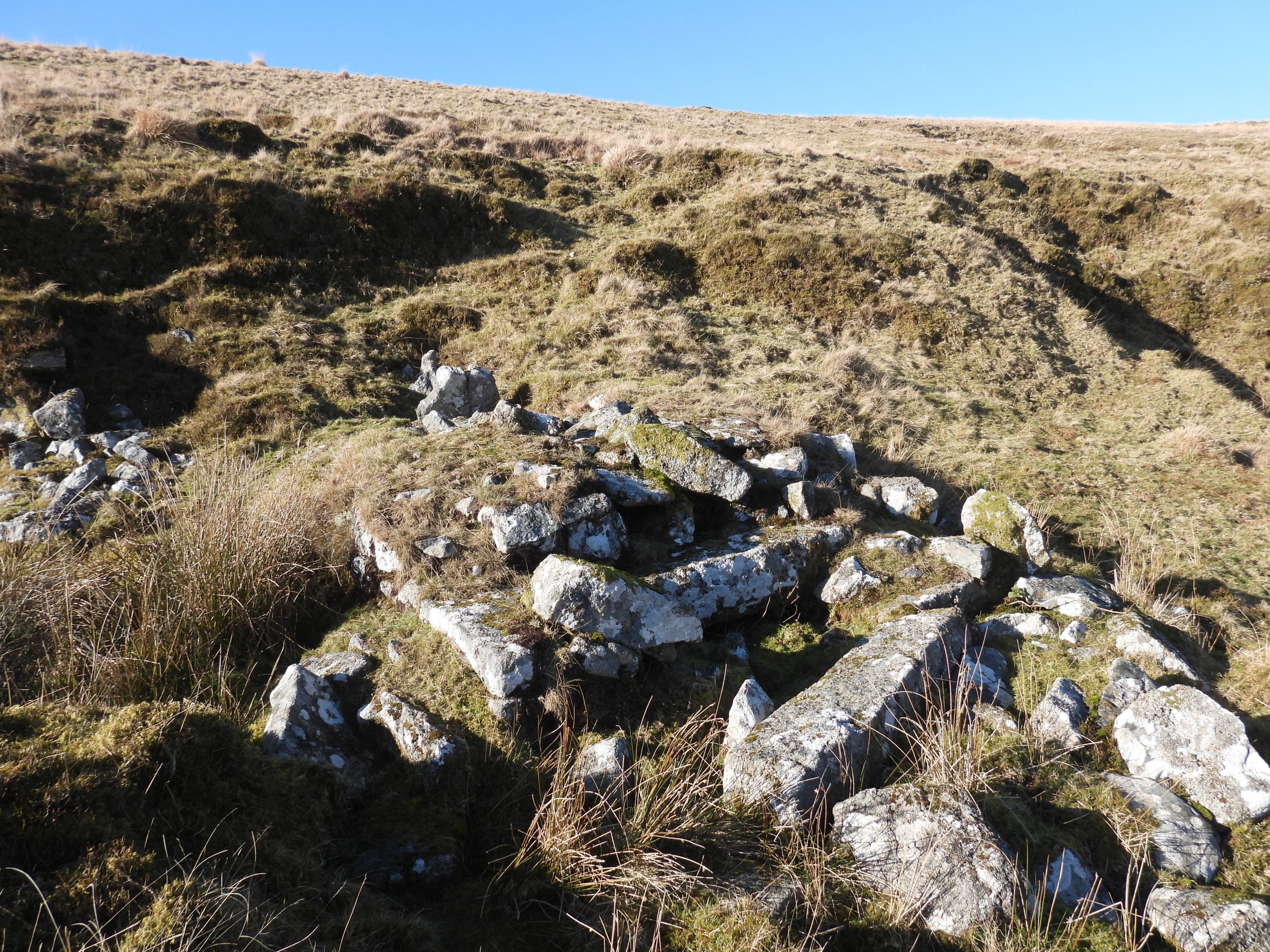
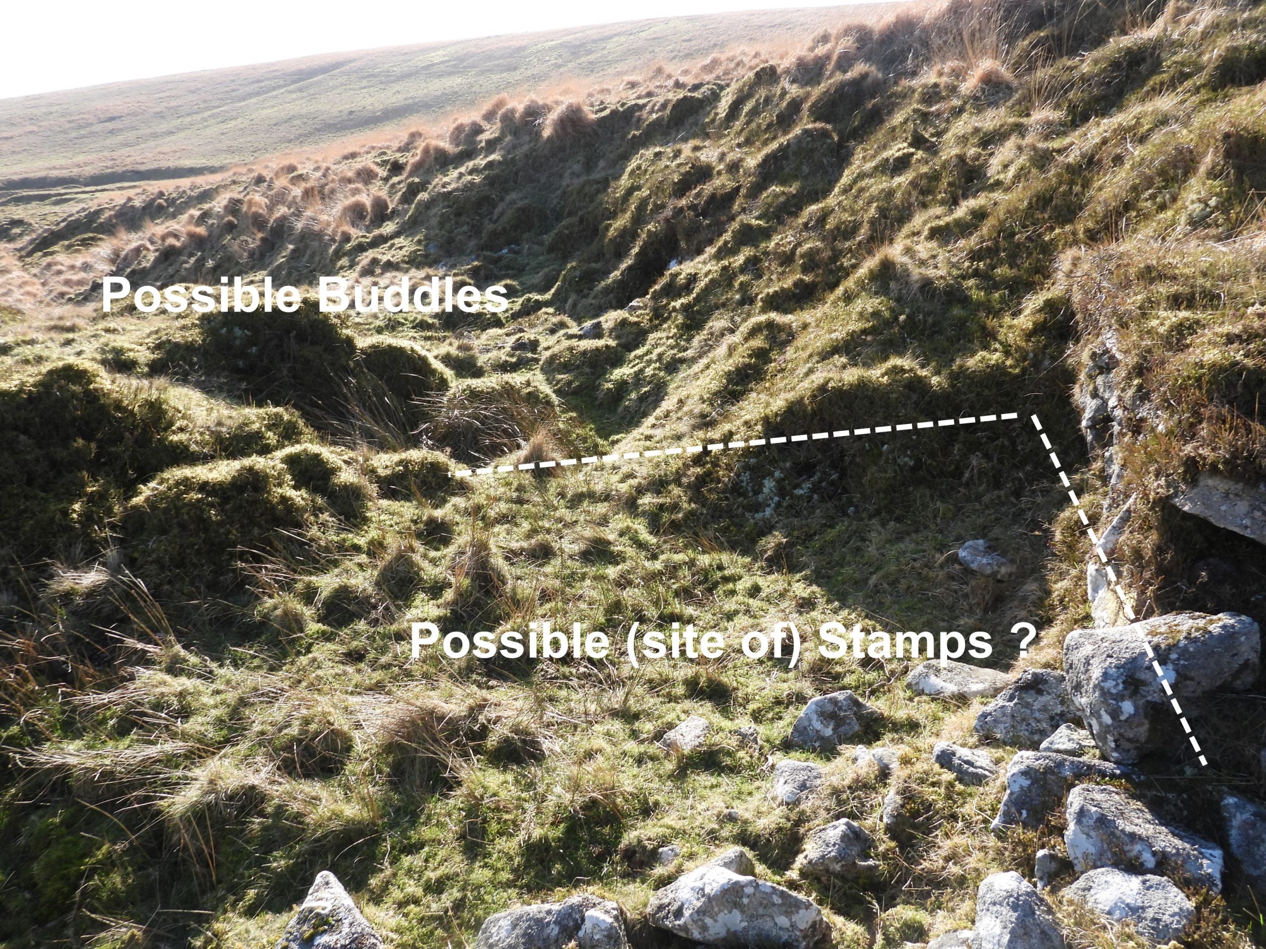
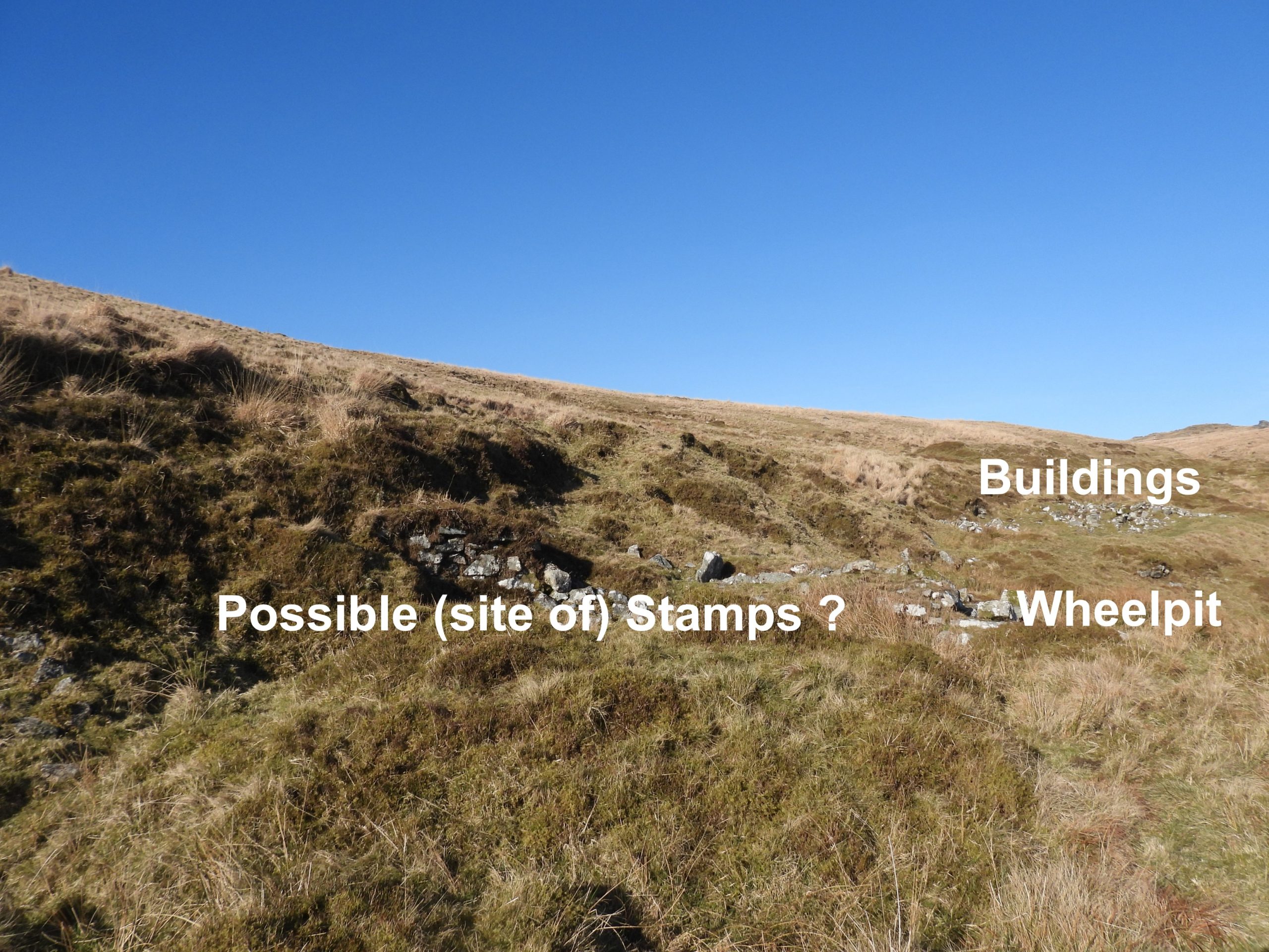
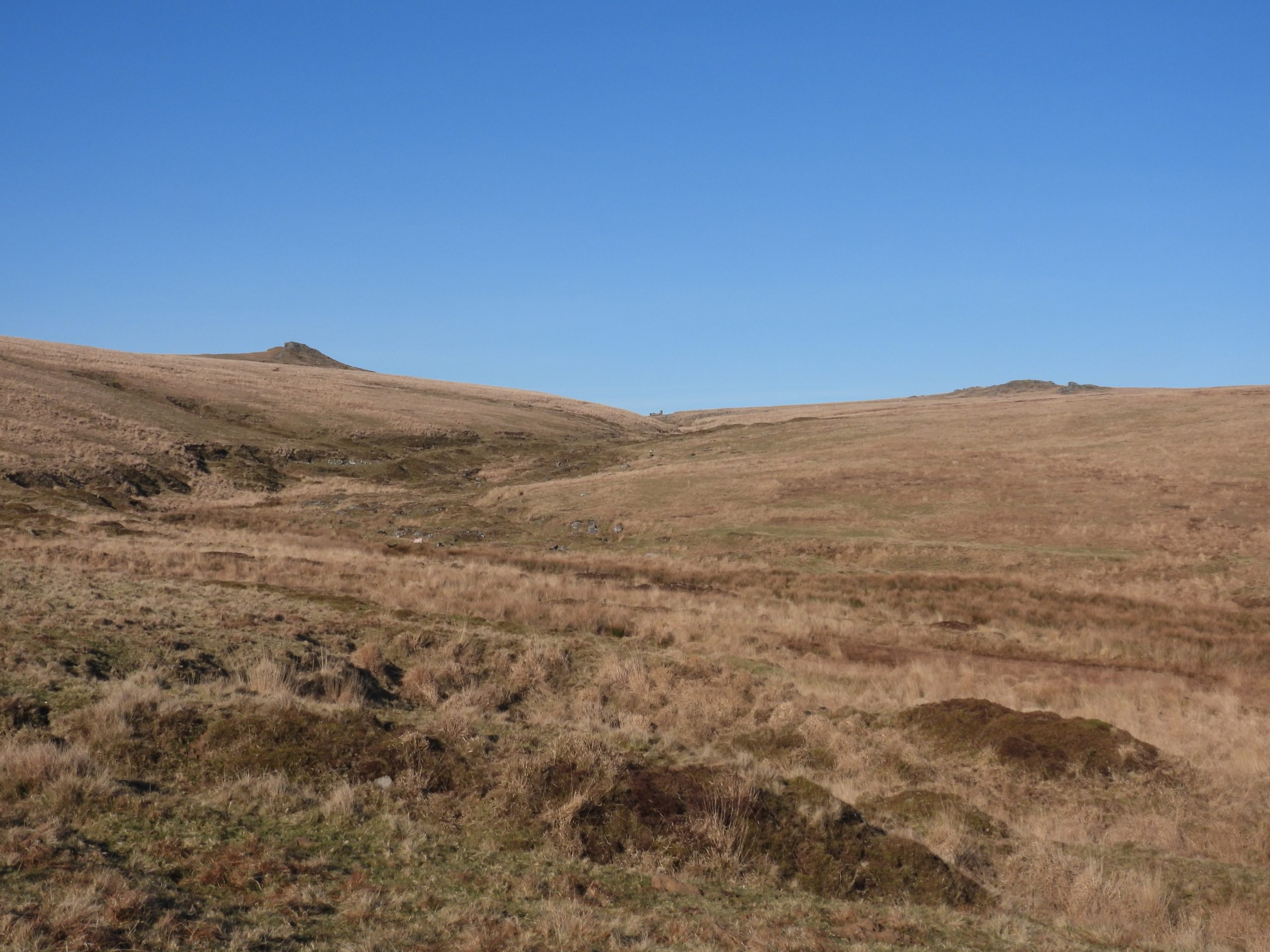
Sketch map of the area with the author’s interpretation of the site.Approaching the mine from Rattlebrook Hill.Zooming in on the area of the mineA few hundred metres down the valley from the mine there is a very small, single roomed structure described as a tinners’ hut.The tinners’ hut measures 2.5 metres x 1.5 metres with coursed boulder walls 1 metre wide and up to 0.5 metres high. The tinners’ hut with possible entrance (at bottom of the photograph). It is located at SX55844 85479Approaching the mine from the south, the tinners’ streamworks are very evident. The workings display the characteristic pattern of linear spoil heaps and water channelsThe main mine area as viewed from the south. The previous picture (annotated with the authors interpretation) of the main mine area. Although Dr Greeves didn’t suggest there were any stamps at the mine, the author speculates there may have been some to crush ore. Traditionally, water power in that period would have been used for either crushing, operating bellows or to assist with pumping.Annotated authors interpretation of the site on a Google Earth picture of the mine. Each item has been photographed and discussed in this post.Above the mine area a dry leat can be easily discerned, which most visitors to the area use as a footpath. The leat take off comes from the Rattlebrook to the north of the mine.Another view of the dry leat looking down the valleyThe leat takes a 90 degree (east) turn to feed the wheelpit (over a ‘cliff’ edge)The leat would have fed a wheelpit, alongside which there appears to be a possible site of an old stamps area.The wheelpit is evident when looked at ‘end on’ and is rubble filled. The stamps area is to the south and is strewn with granite blocks.A little further to the north, the dry leat can be traced to an embankment, which traverses the old ‘west’ openworks. This is evidence that the later tinners’ (1840-1860) needed to adapt prior terrain to get their water to the wheelpit.Close up of the ’embankment’ which carries the leat. It is a handy bridge in the 21st century for the footpath to traverse the old openwork.View across the Rattlebrook to the east openworks. It is assumed that the 19th century tinners may have left these alone and concentrated on the west openworks. This conjecture has been made because the one shaft in the area is on the west side.Looking up the west openworks from the dry leat. These openworks, do appear to be more extensively worked.Probable shaft in the west openworks approx 50m uphill from the dry leat.The shaft was recorded at SX55865 85715View from near the dry leat looking down onto the remains of what appears to be several buildings. The main building (annotated as building 1 on the sketch map and on the Google Earth map) is the largest on site.Building 1 is located at SX55900 85691. Could building 1 have been used as accommodation or even for multi-use purposes.Building 1 appears to have been quite substantial and has several large orthostats.Looking south from building 1, there is flat area, which the author suggests may have the location of a second building as there is some evidence of ‘cut in’ in the tinners cliff and deliberate levelling. Could a 2nd building here have been wooden or even been a simple linhay ?Beyond the flat area (of the 2nd building ?), there is evidence of a small building (building 3), which could have been a ‘store’, given its size. Building 3 has been cut into the tinners’ cliff and is around 2m wide by 4 metres long. It is located at SX55892 85681Between building 3 and the wheelpit is a wet reedy area, which suggested to the author that there was some run-off from the hillside. With no obvious discharge of water down the tinners’ cliff, the author concluded that this was a possible site of the mine adit. The possible adit is located at SX55887 85668Looking north across the mine area from the wheelpit.Rattlebrook tinners’ streamworks next to the mine.The wheelpit is approximated as housing a wheel about 1m wide and 5m diameter. A tail race from the wheelpit is evident.The wheelpit is located at SX55885 85655There are some large orthostats amongst the ruins surrounding the wheelpit. No axle grooves or holes were found.There is a construction to the south of the wheelpit, which is conjectured was possible the site of stamps, albeit no mortar stones appear to be present. Beyond the ‘stamps area’ lies what may have been the dressing floor (buddles). The possible stamps area is located at SX55882 85652Looking down the Rattlebrook valley from the south end of the mine.Final view of the Rattlebrook valley looking north across the tinners’ streamworks. Lower Dunna Goat Tor (left) and Green Tor (right) are dominant on the west and east sides of the valley. The ruins of Bleak House can (just about) be discerned in the top centre of the valley.