A collection of walks, discoveries, insights and pictures of exploring Dartmoor National Park
September 14, 2023
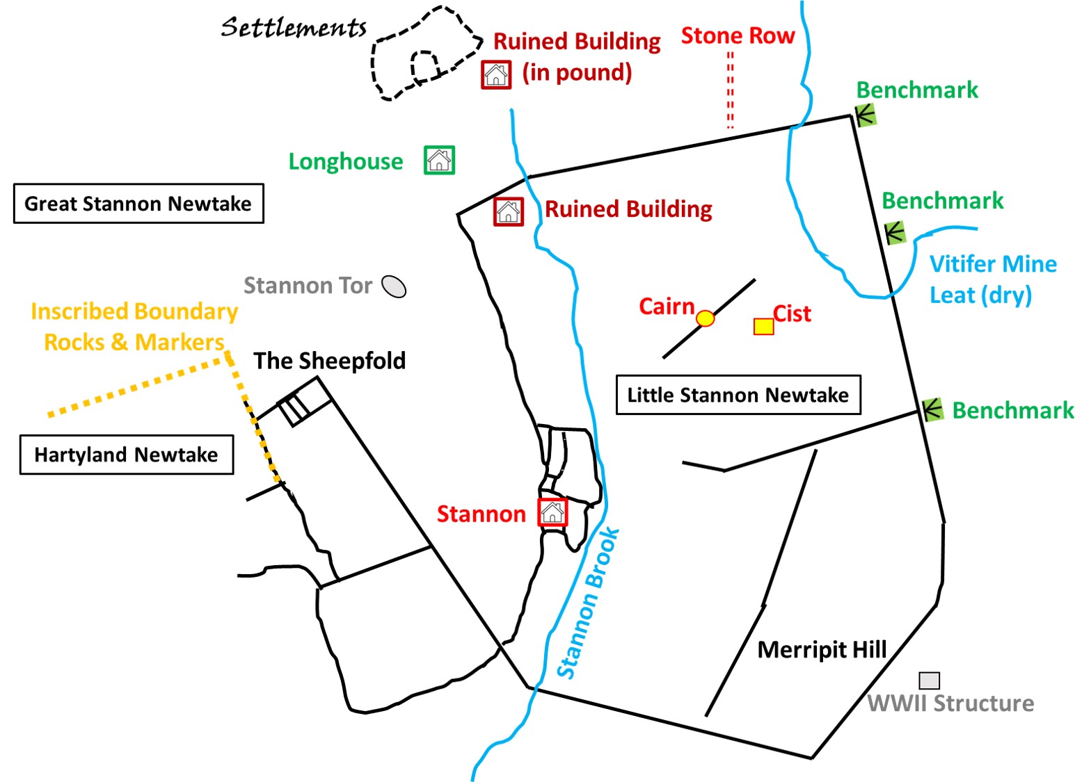
Little Stannon Newtake
Sometime after 1750, the Duchy leased some 3000 acres of land to a Mr Patterson in order to found Stannon Farm. However, he sold the lease(s) to a John and Thomas Hullett who went on to establish the two Newtakes of Great Stannon and Little Stannon in the early 19th Century, between 1807 and 1814.
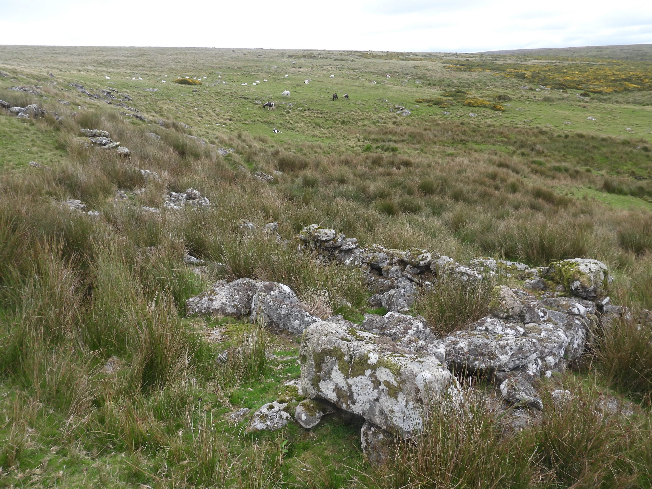
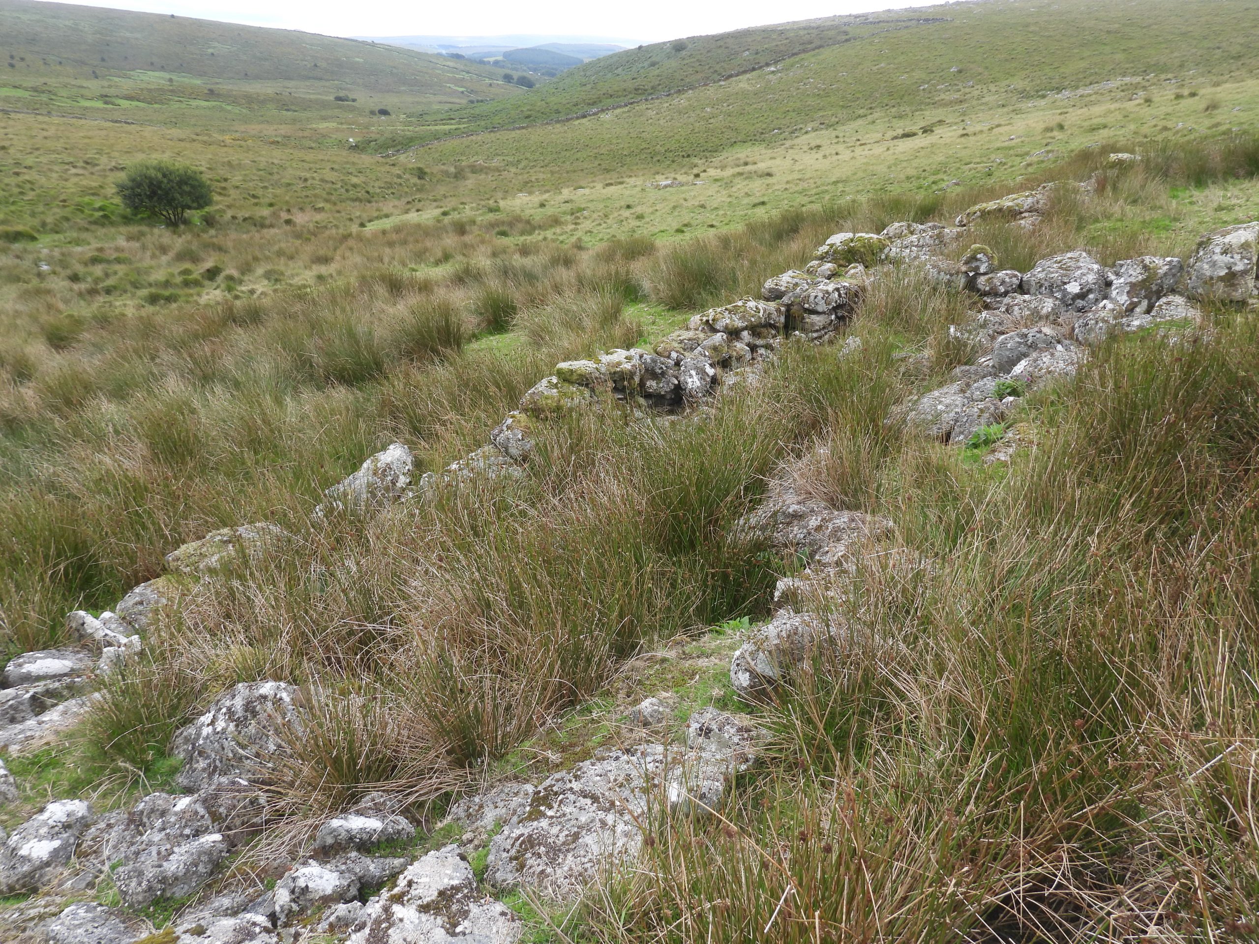
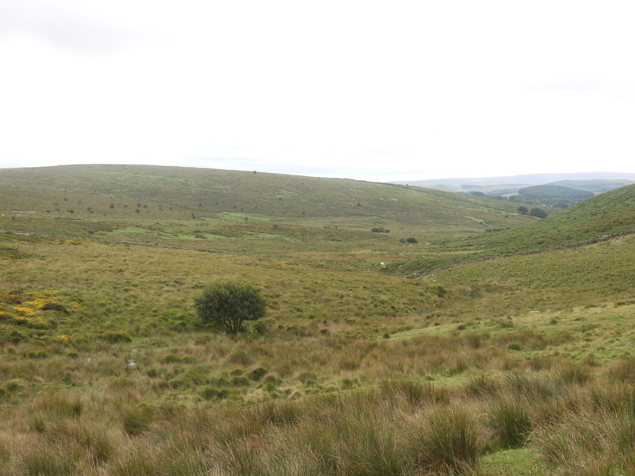
Little Stannon Newtake encloses a lovely quiet little valley with Stannon Brook flowing through it and it well worth a stroll through. An exploration of the Newtake and immediate surrounds offers the explorer; several ruined Buildings, a possible Longhouse, two Cairns (one with a Cist), an old Mine Leat, several Benchmarks, an old Settlement, a Tor, a Sheepfold, numerous inscribed rocks / boundary markers and an WWII structure on the nearby Merripit Hill.
There is also a small stone row, just outside the northern Newtake wall, which is very difficult to photograph as is very overgrown, so the author took a conscious decision to exclude it from this post as the photograph was just of long grass !
Bibliography:
Dartmoor Atlas of Antiquities – The North – Map 35 – Jeremy Butler (1991)
Dartmoor Boundary Markers – 2nd Edition – Dave Brewer (2002)
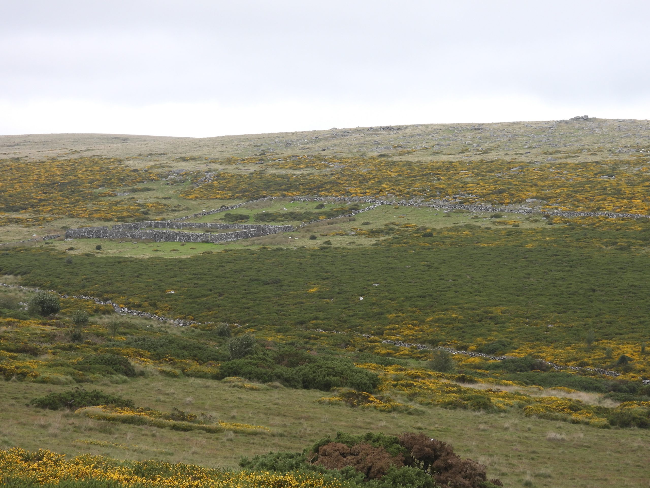
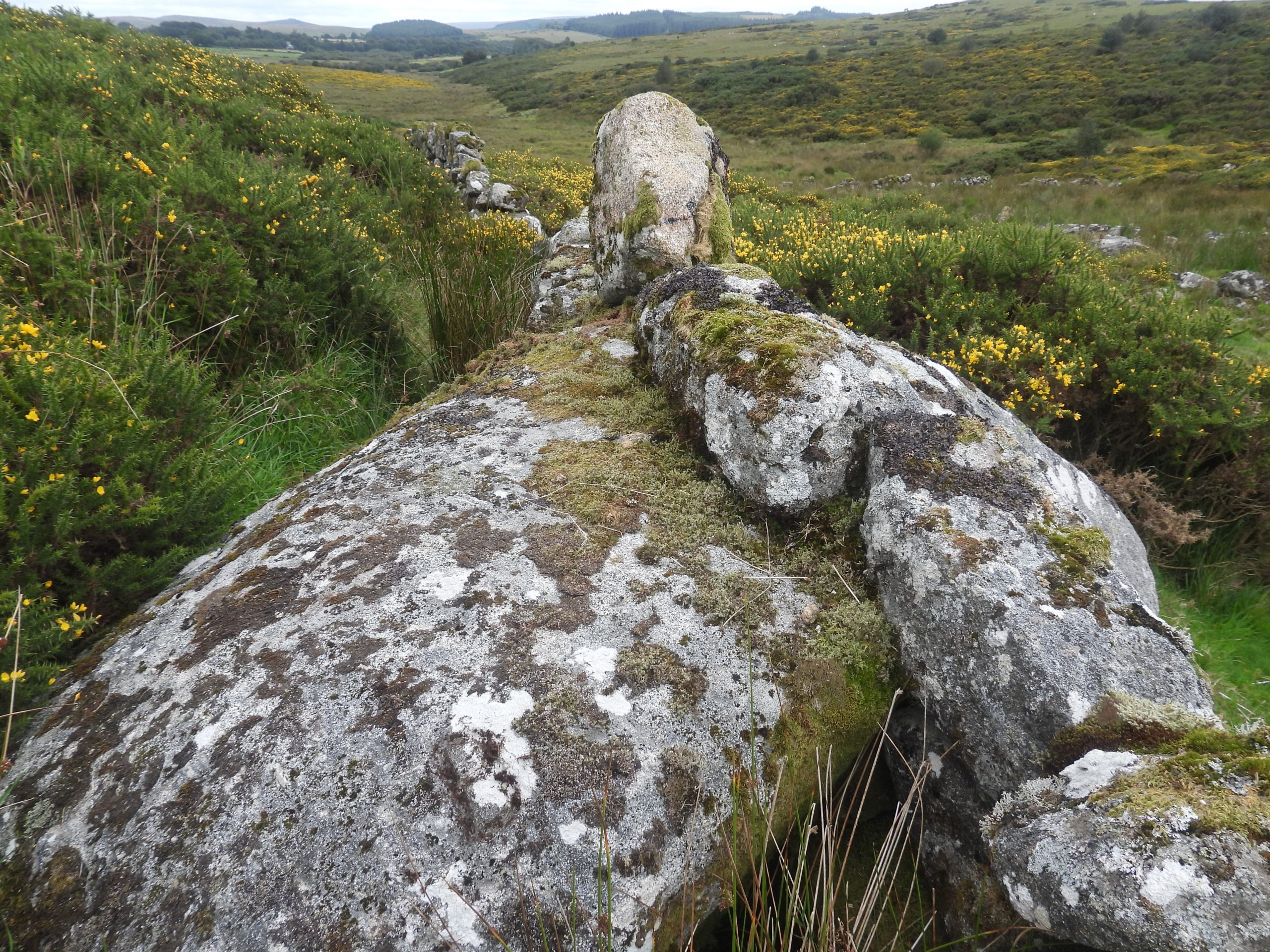
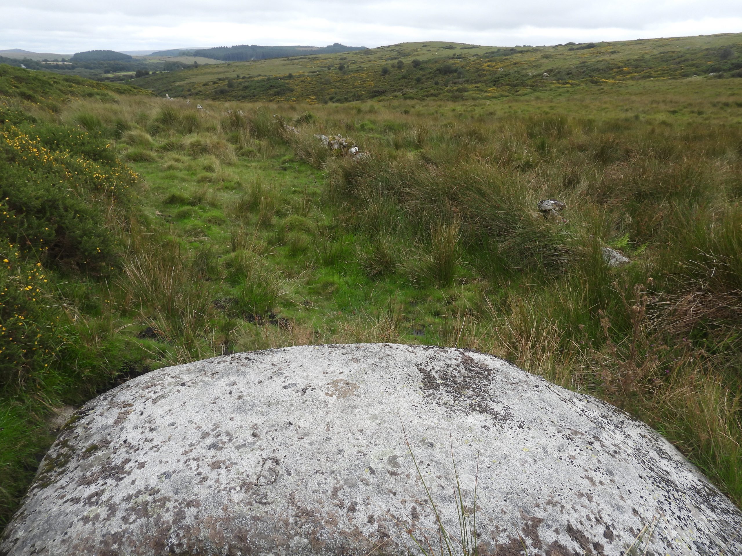
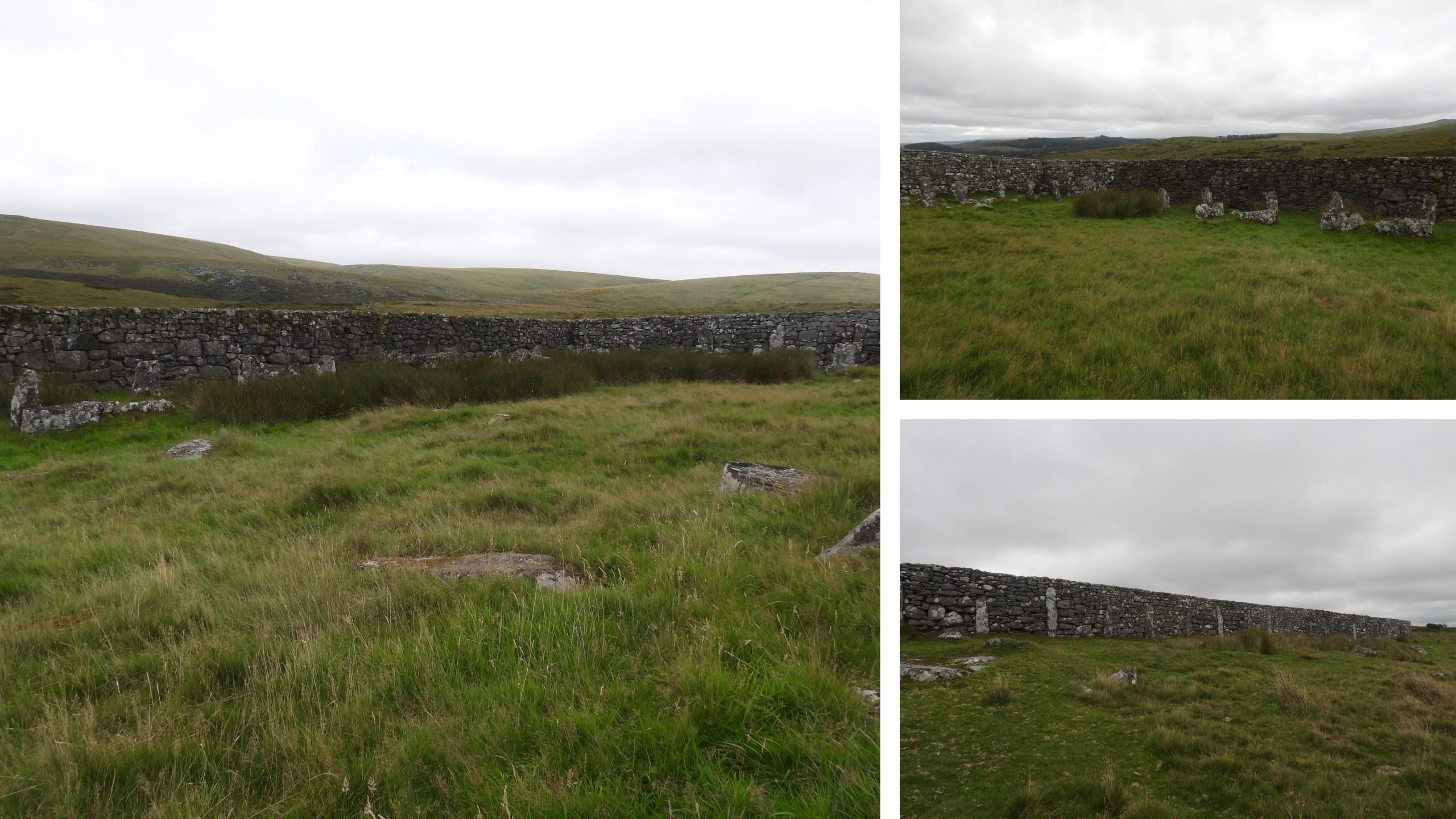
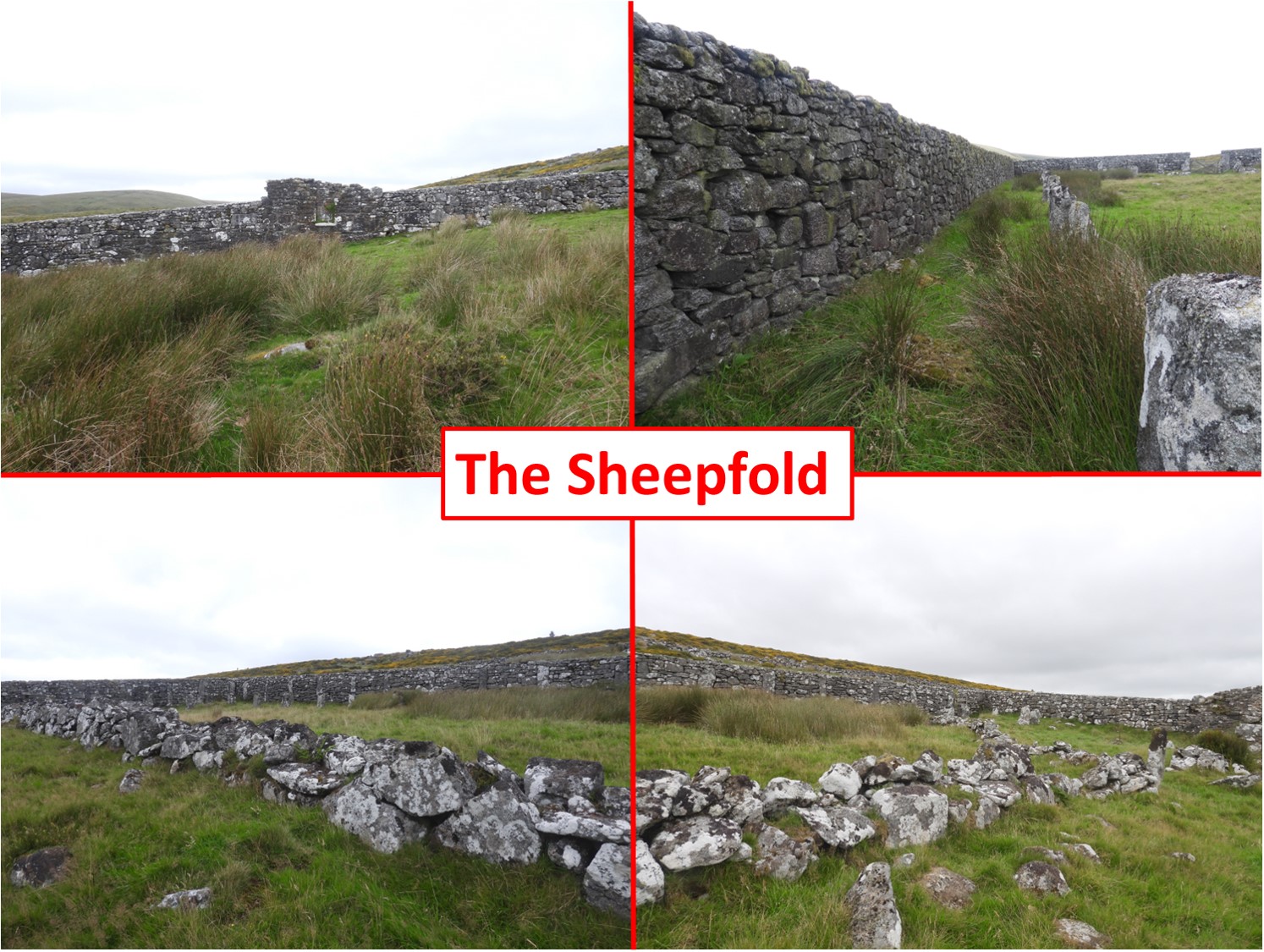
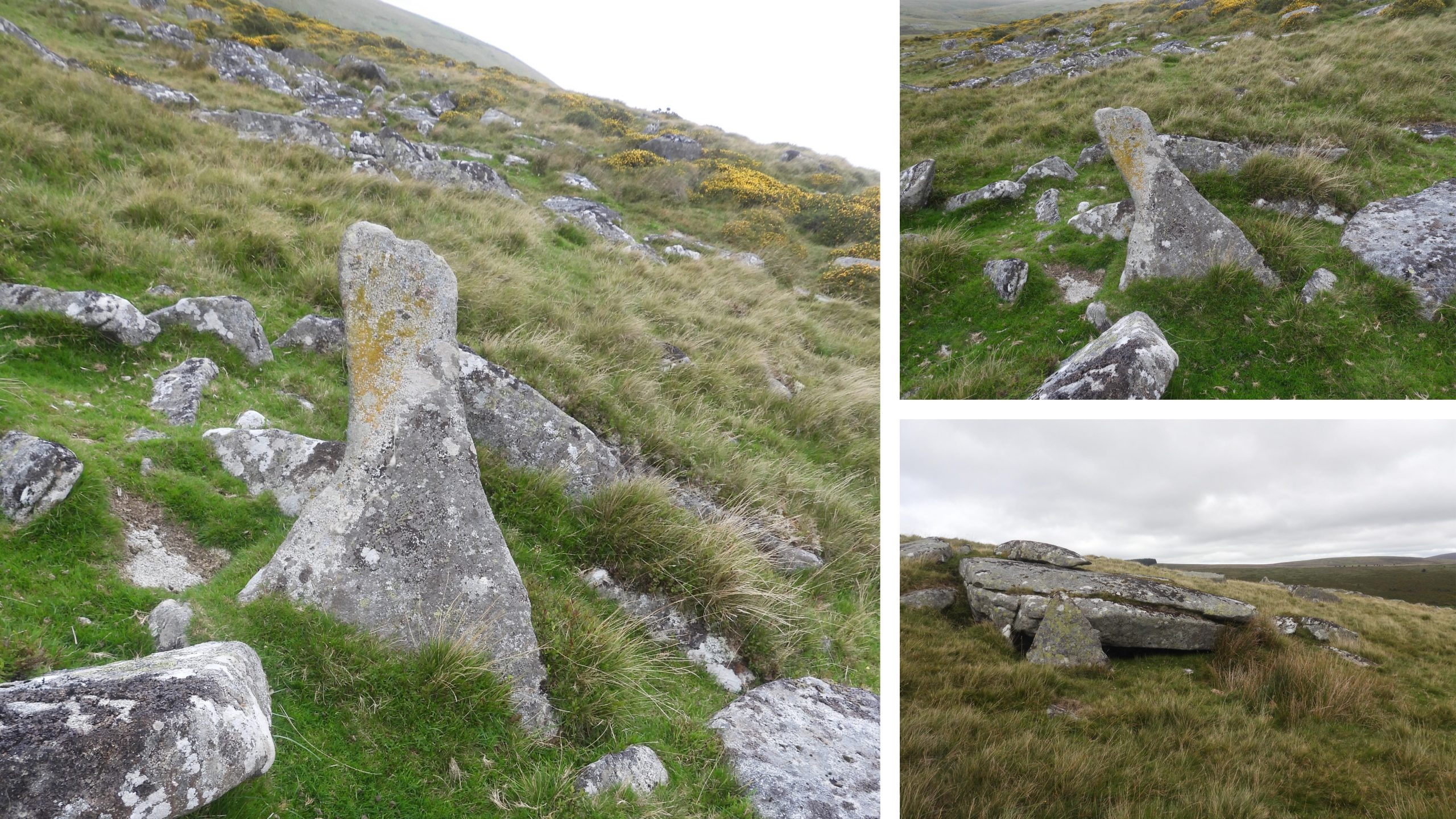
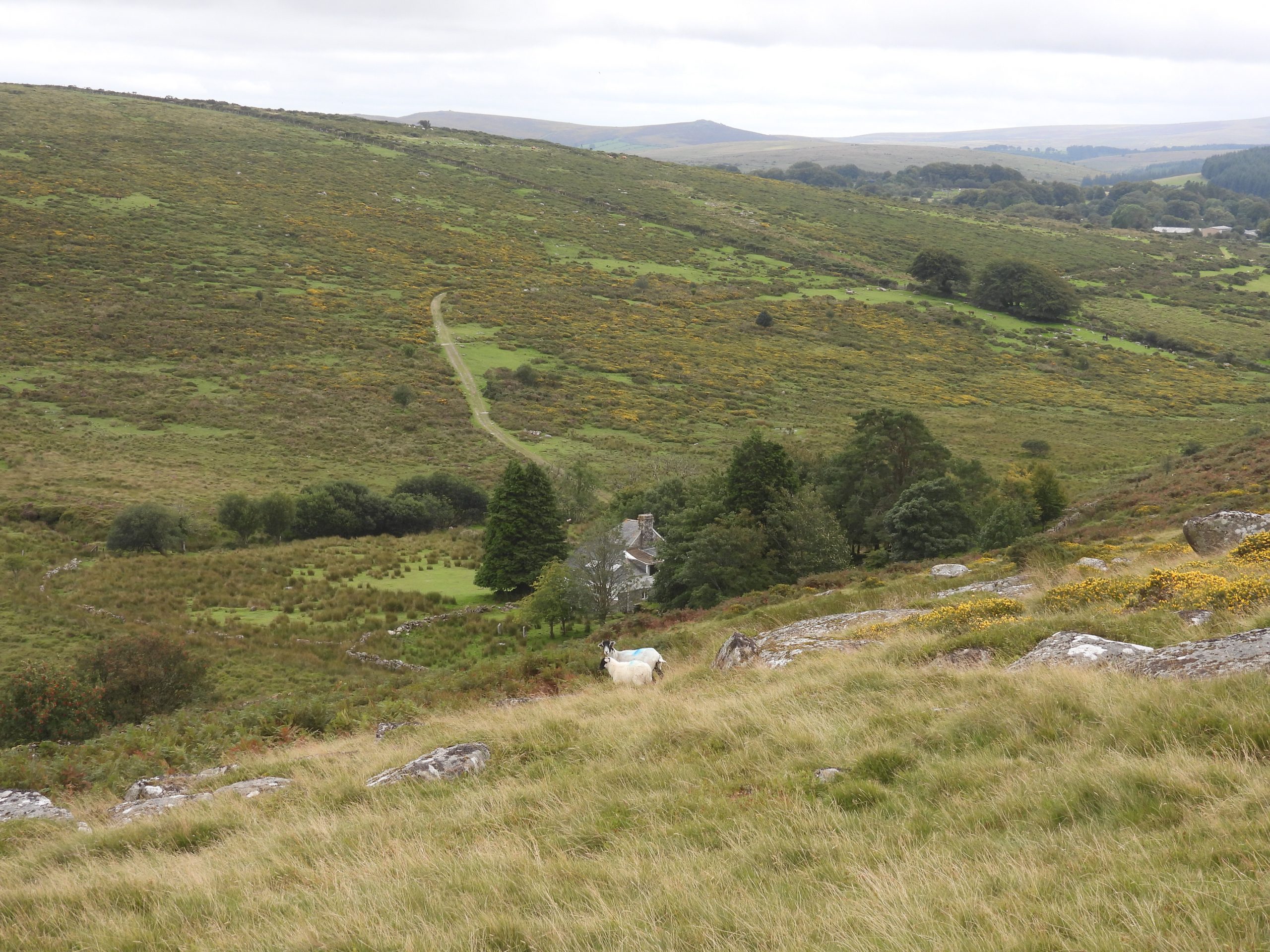
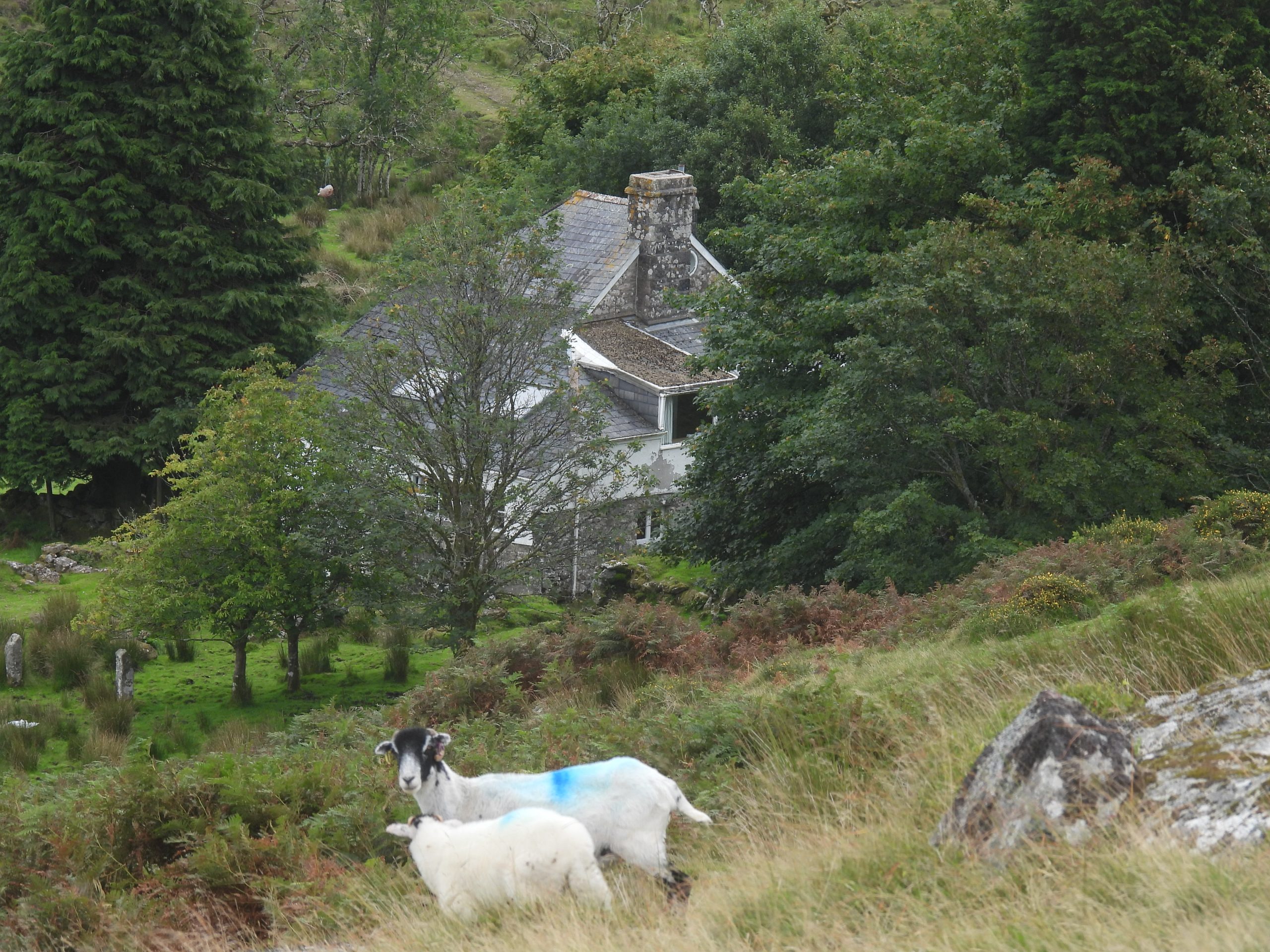
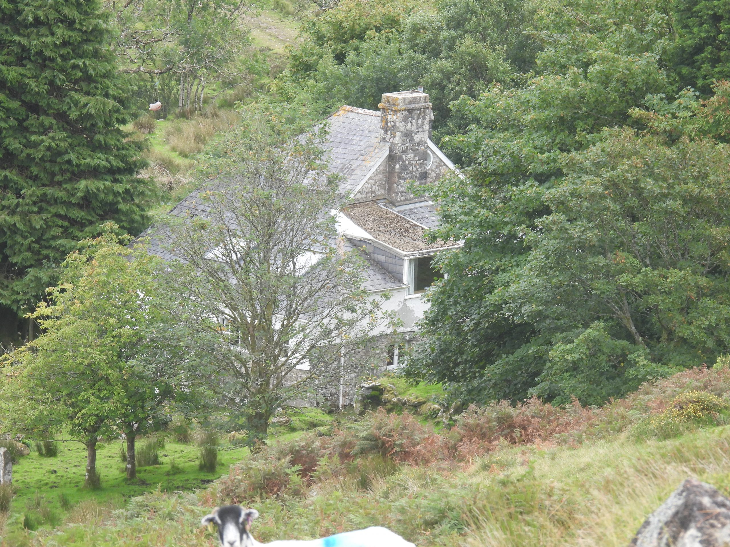
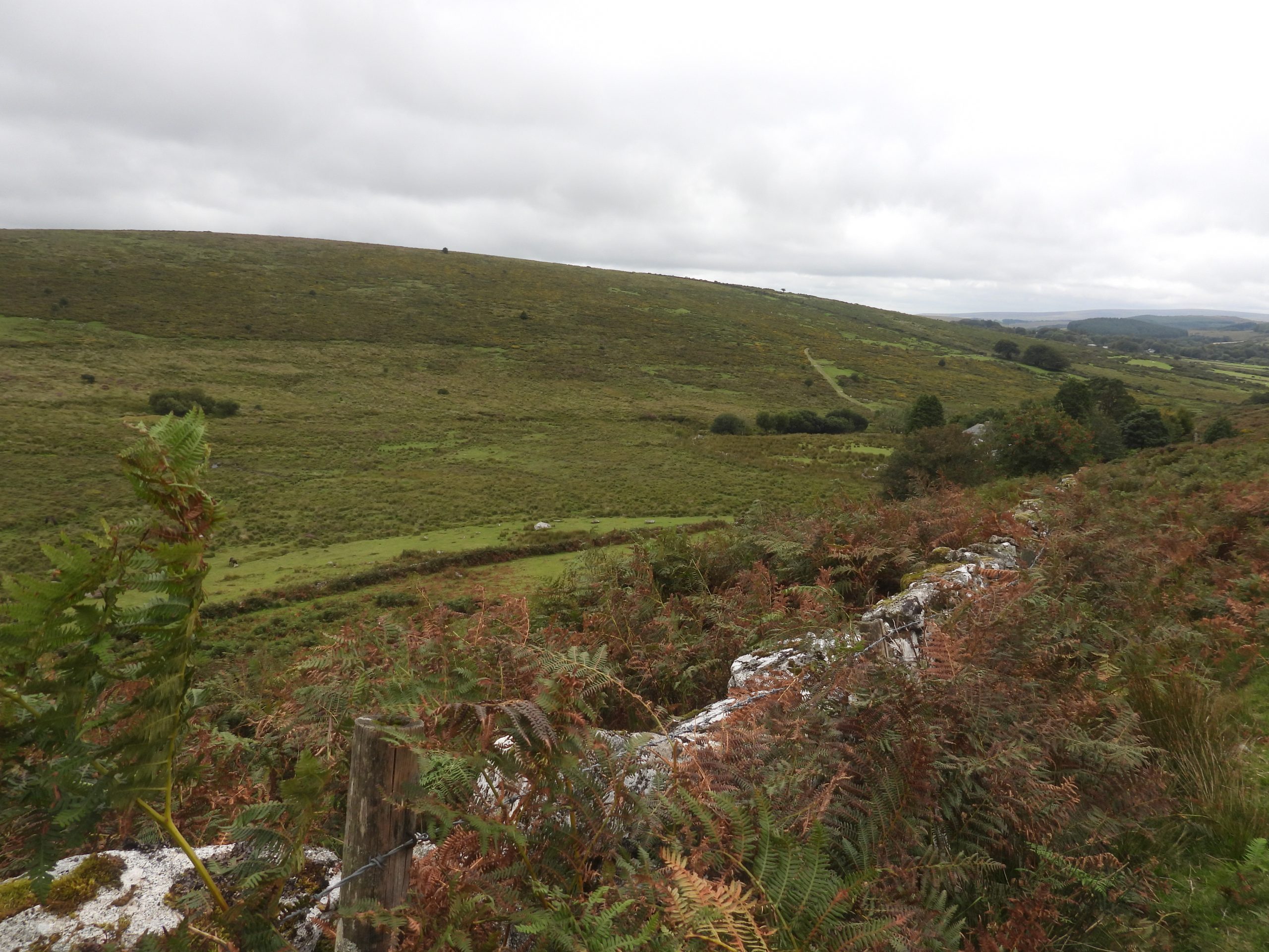
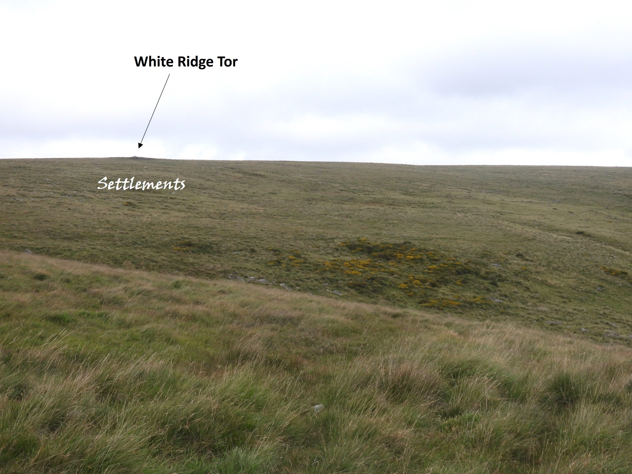
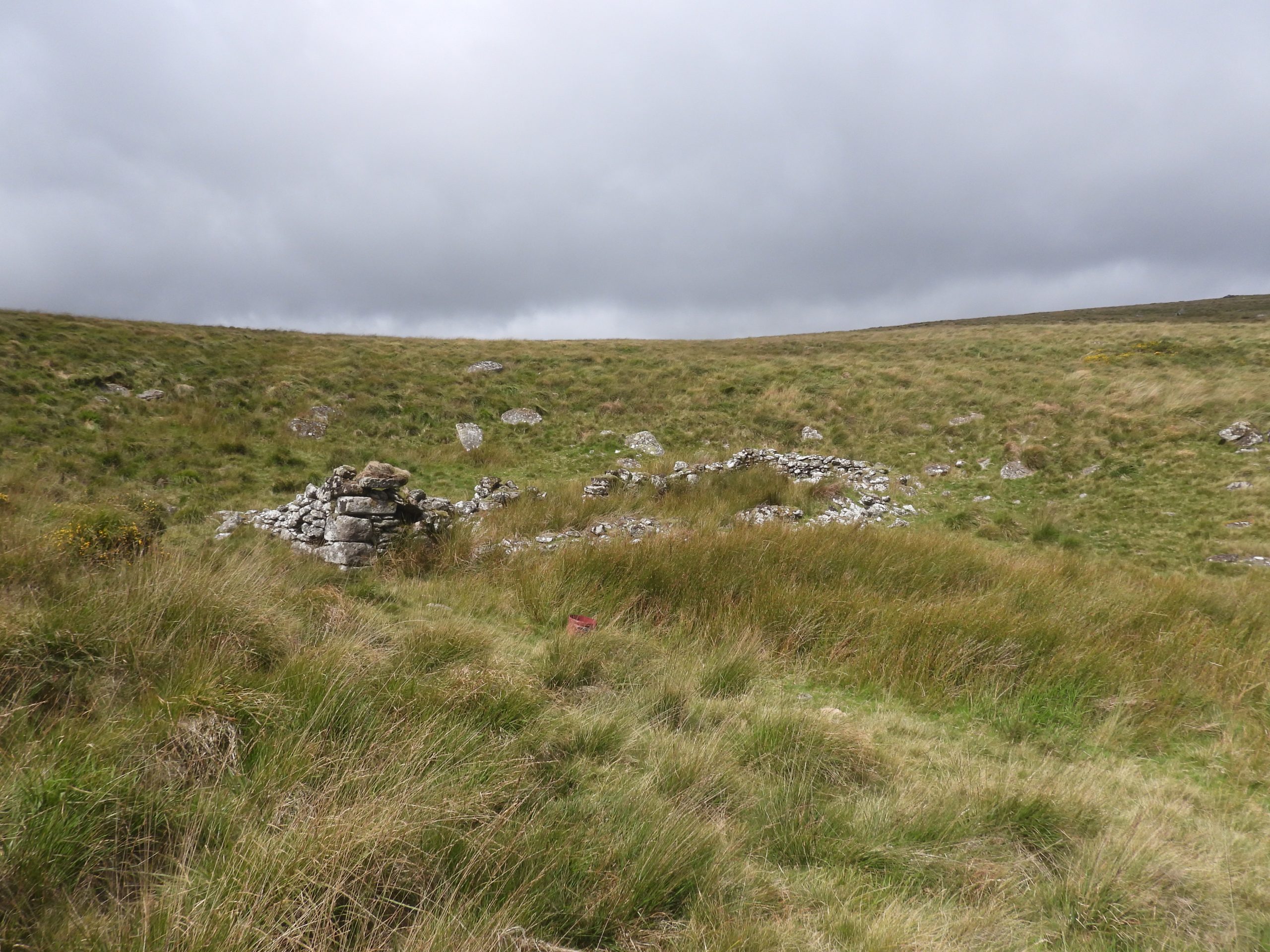
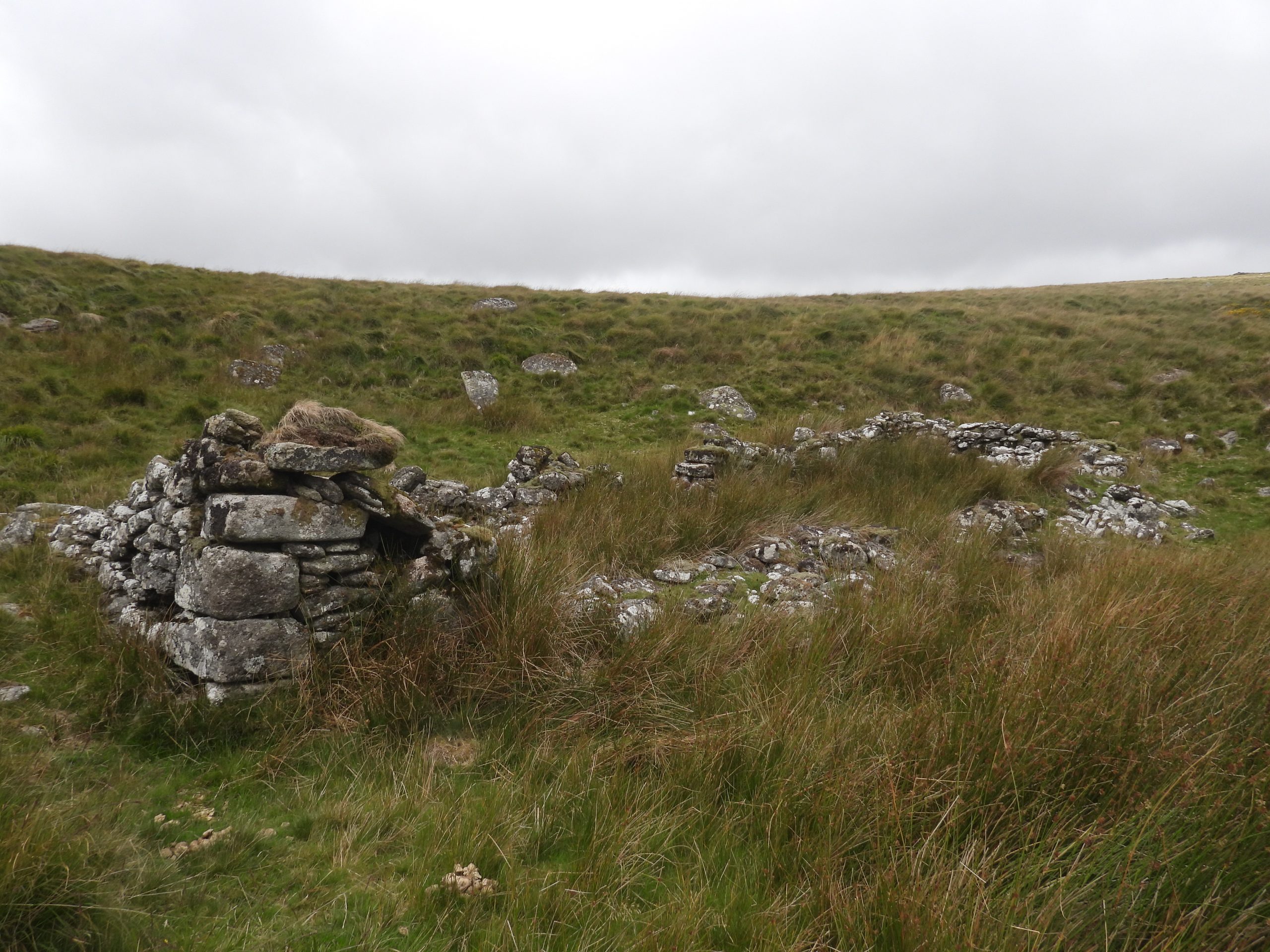
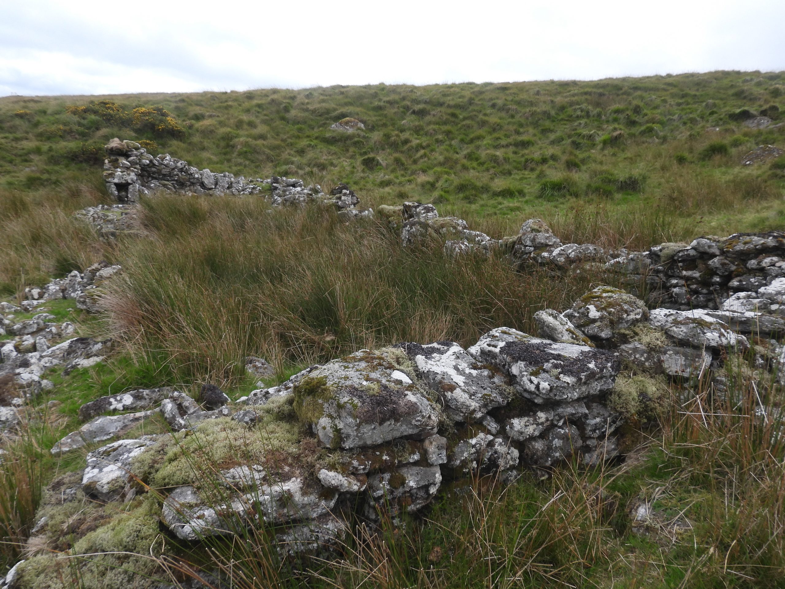
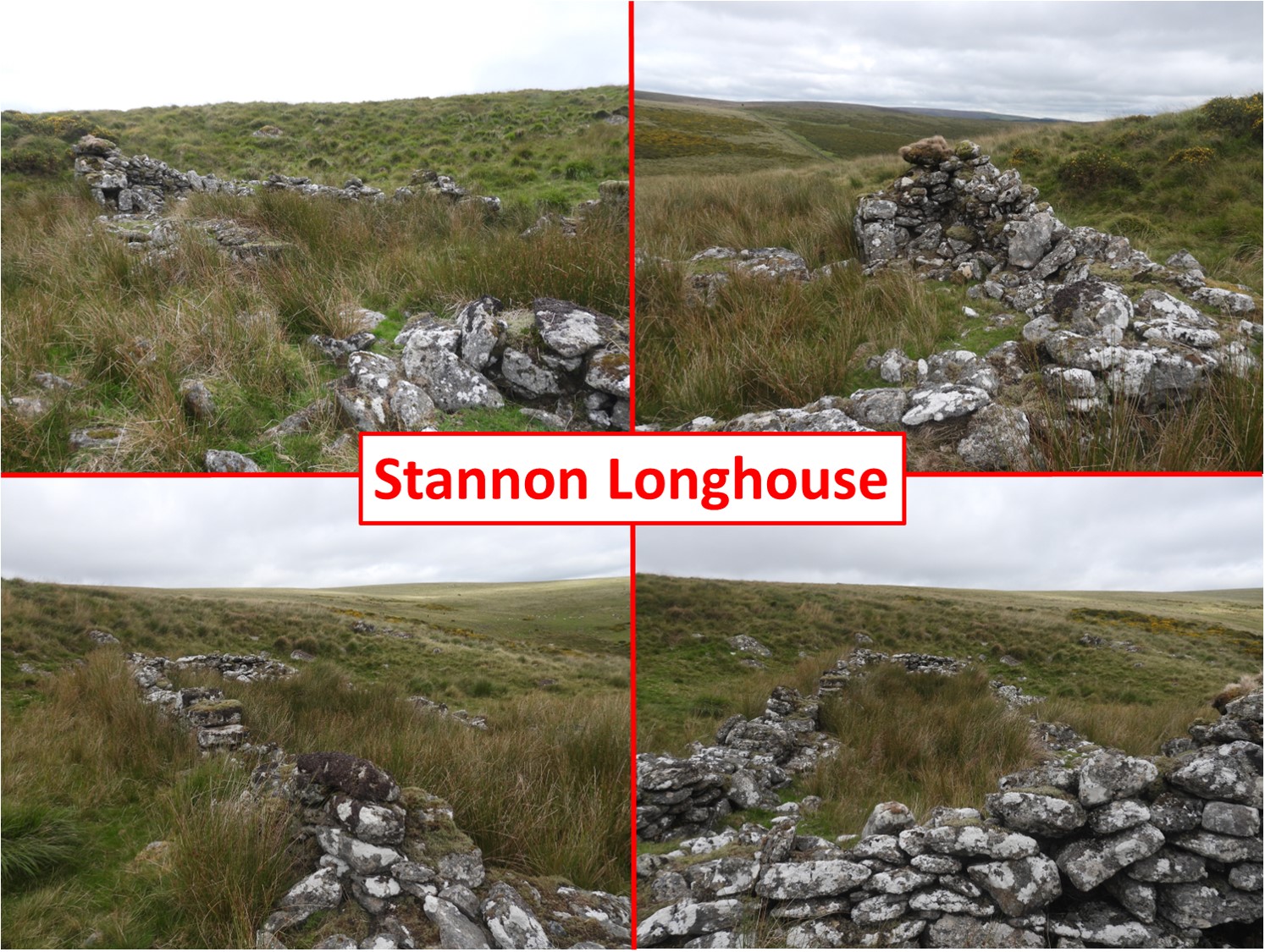
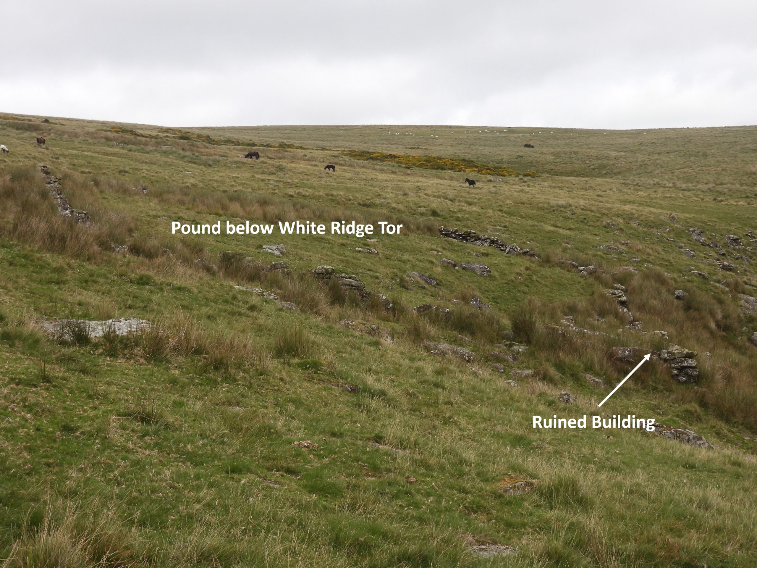
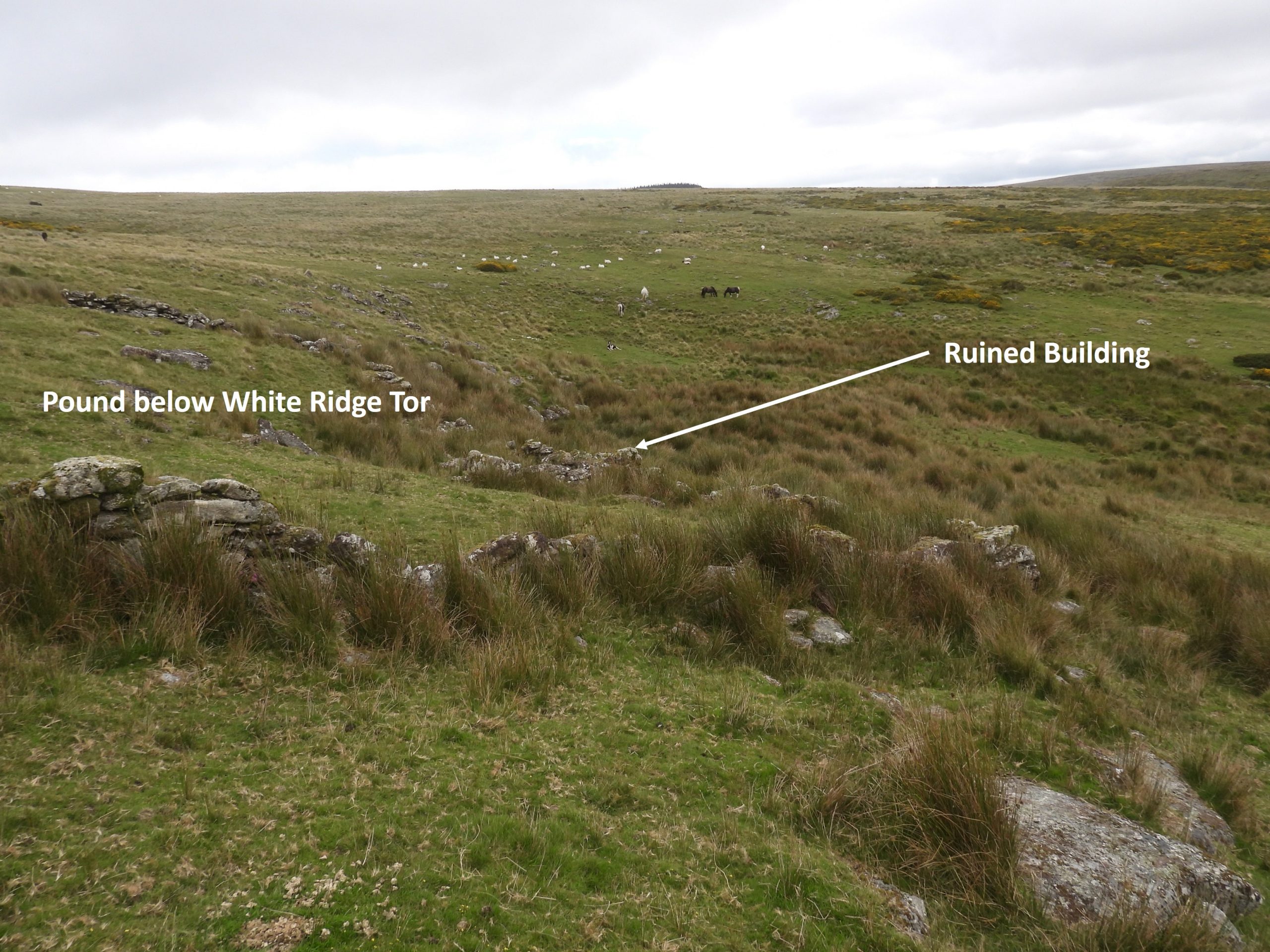
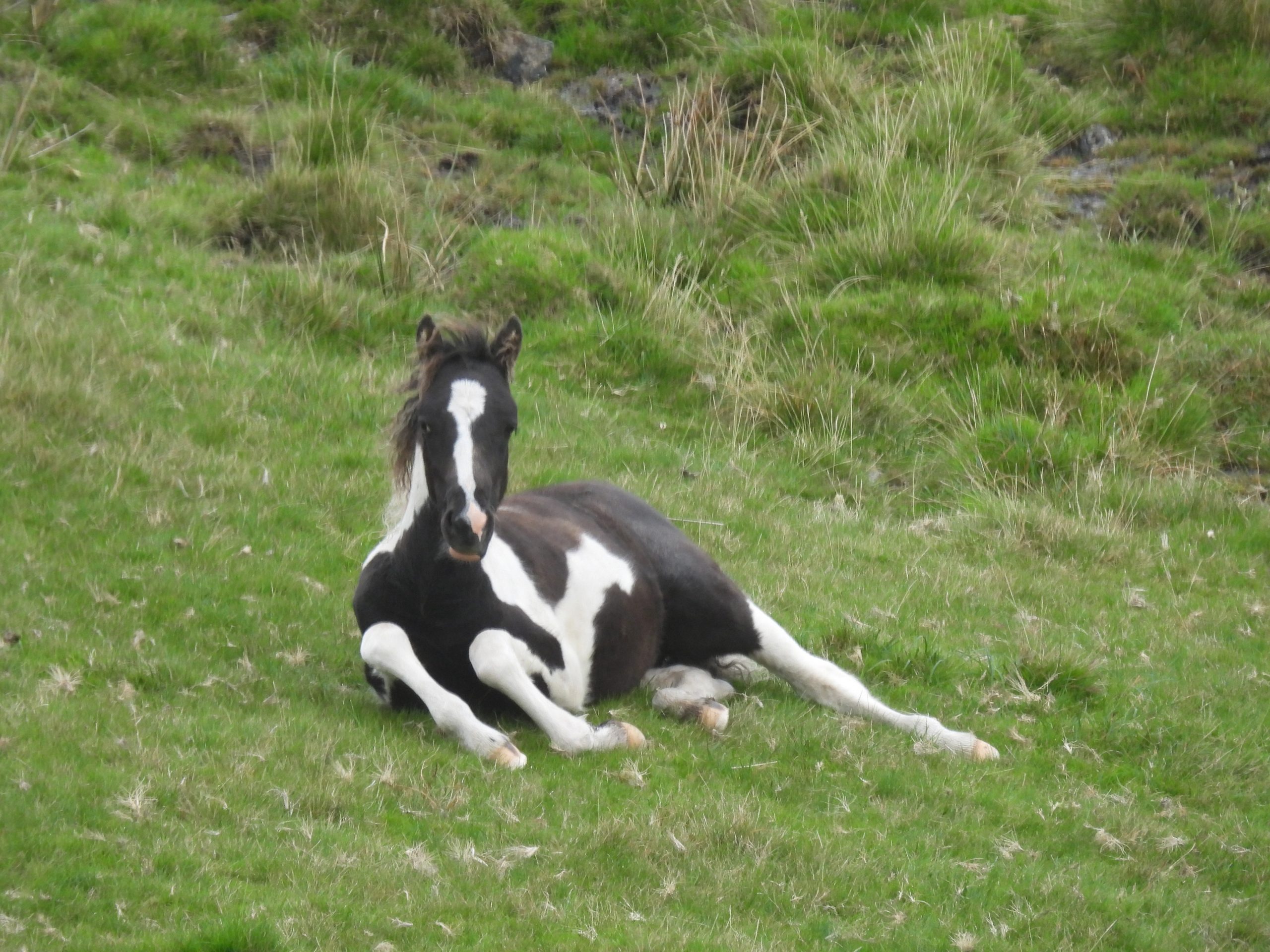
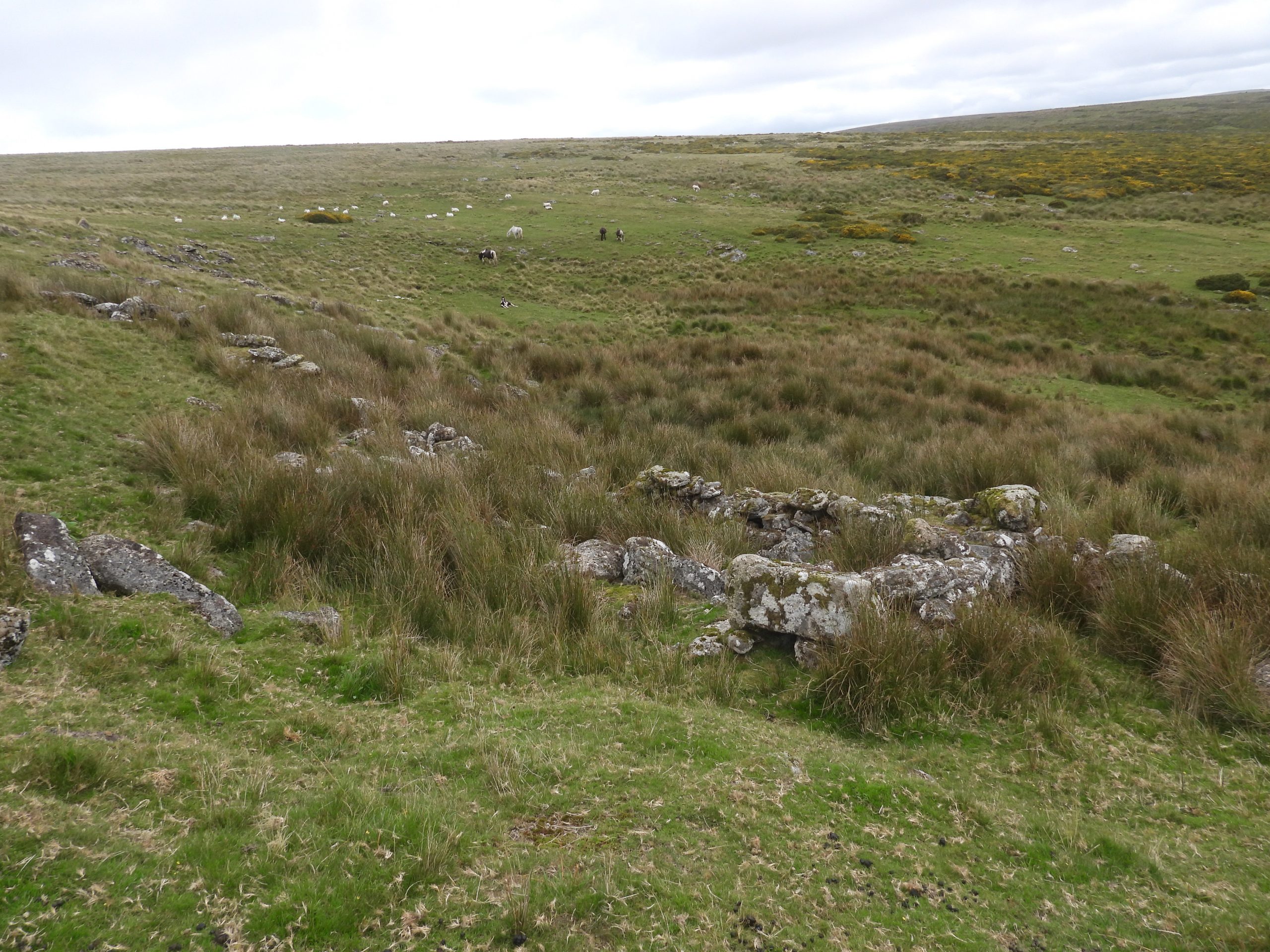
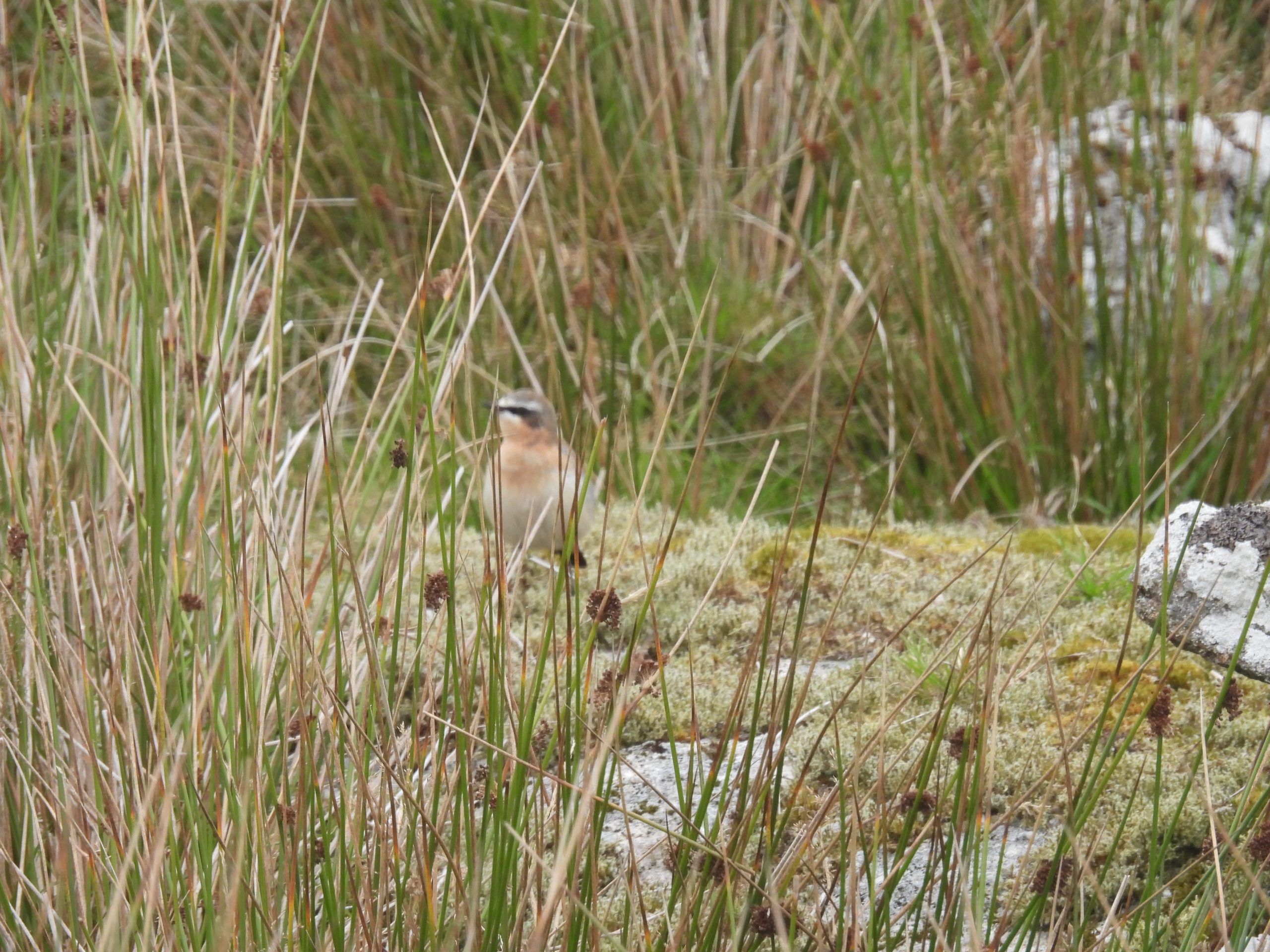
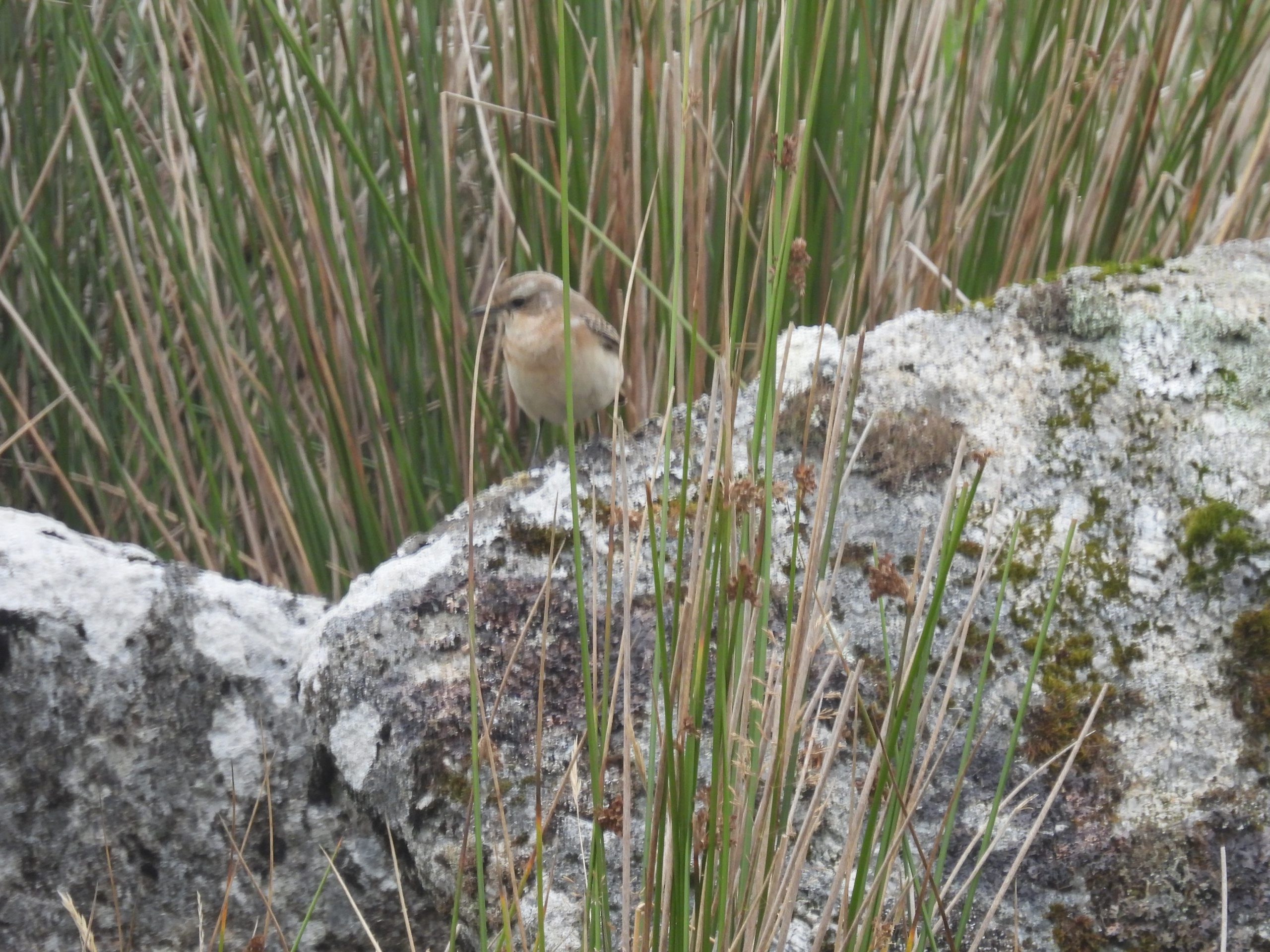
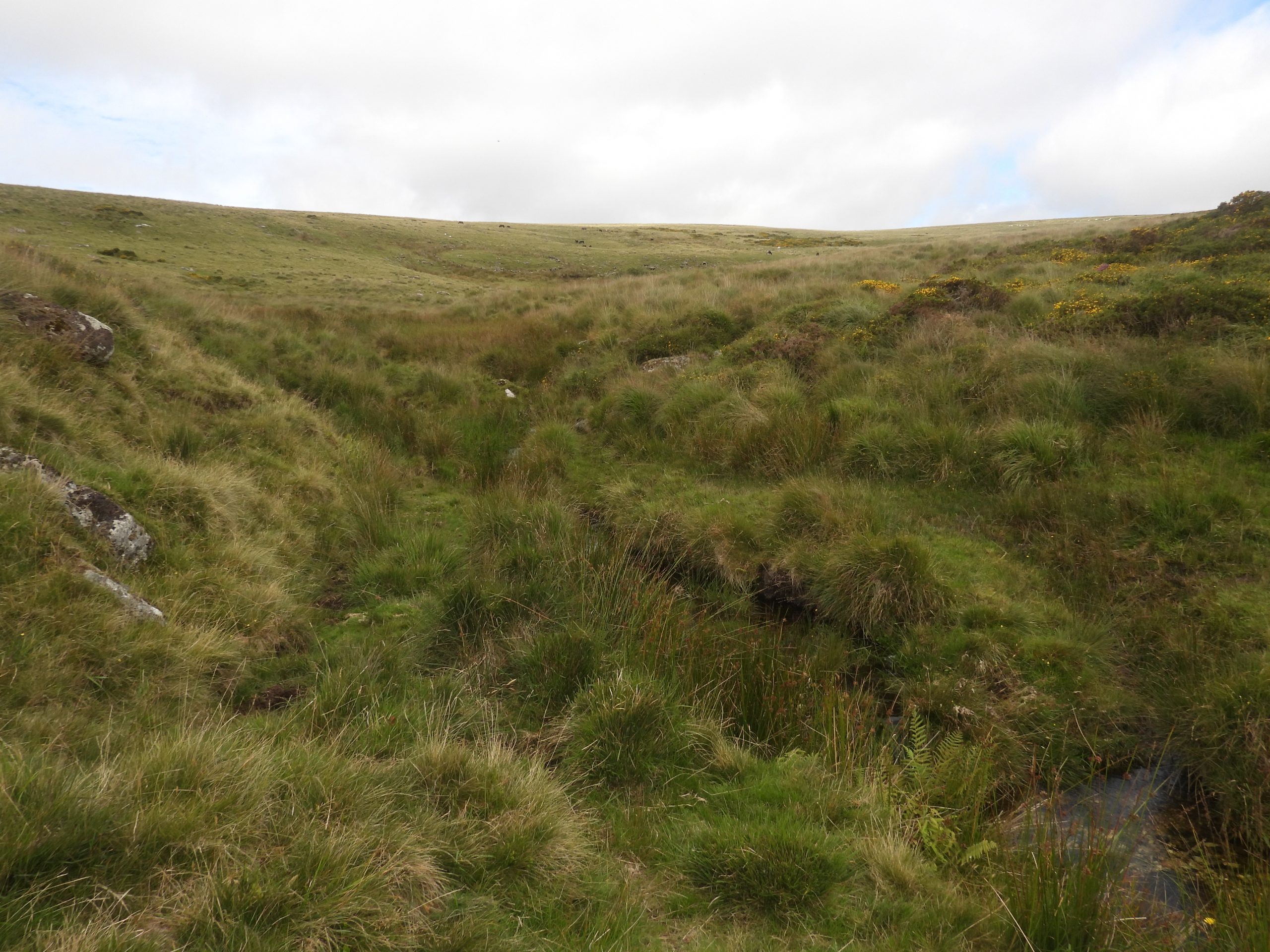
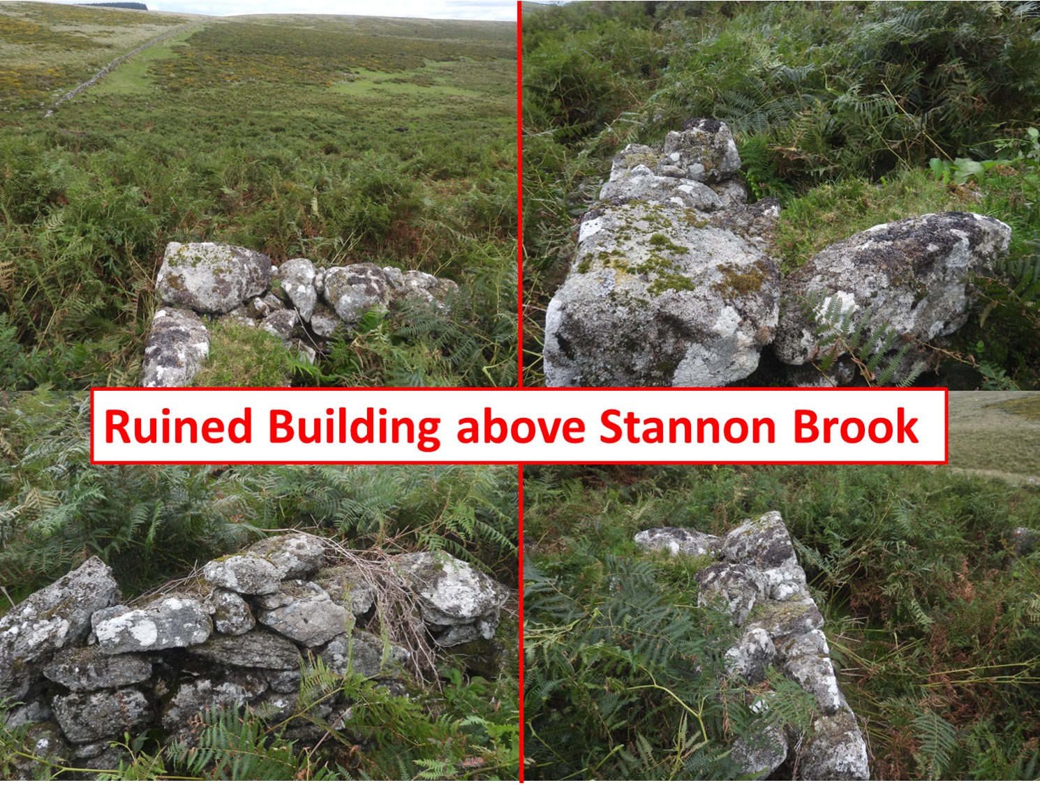
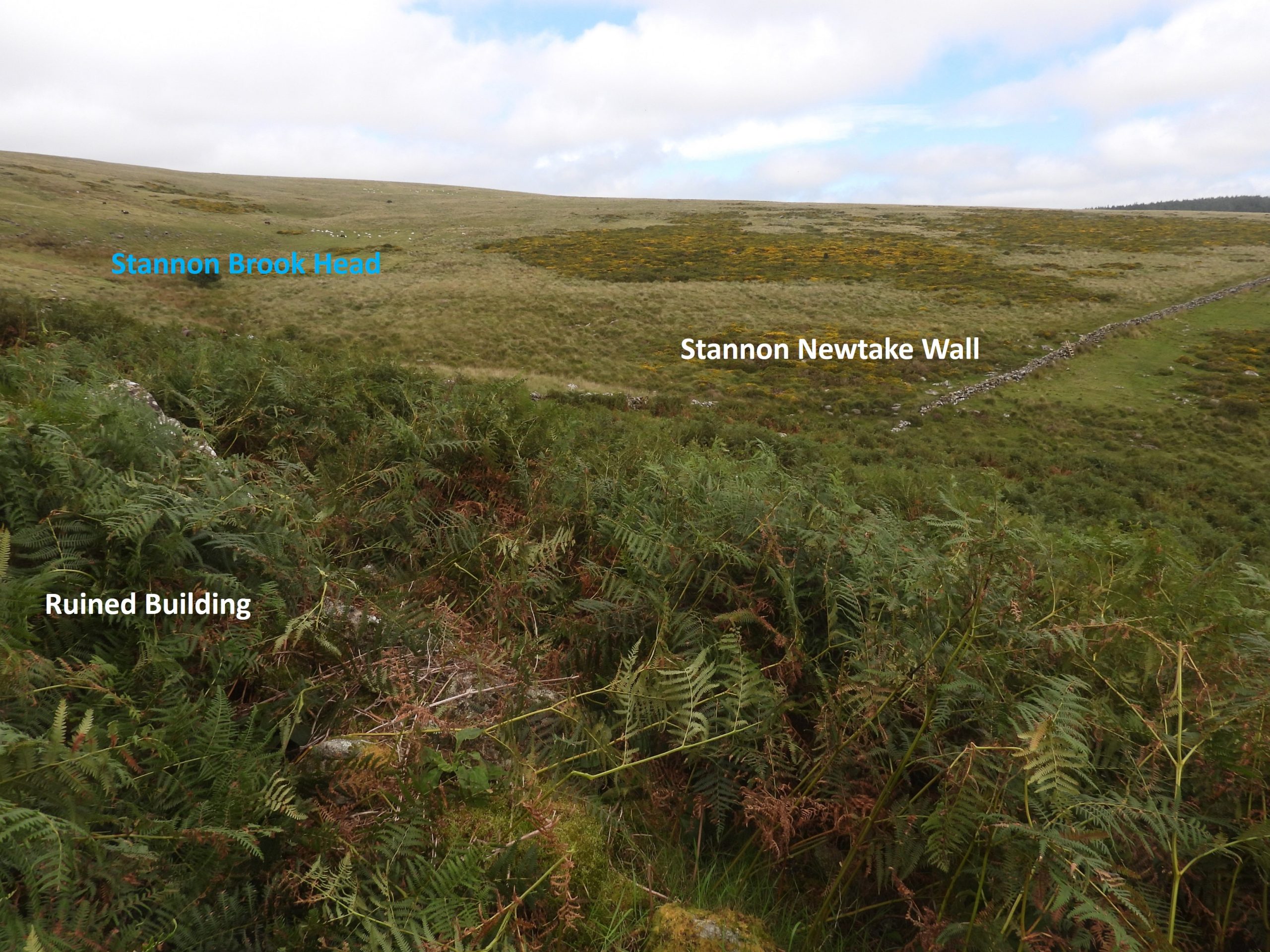
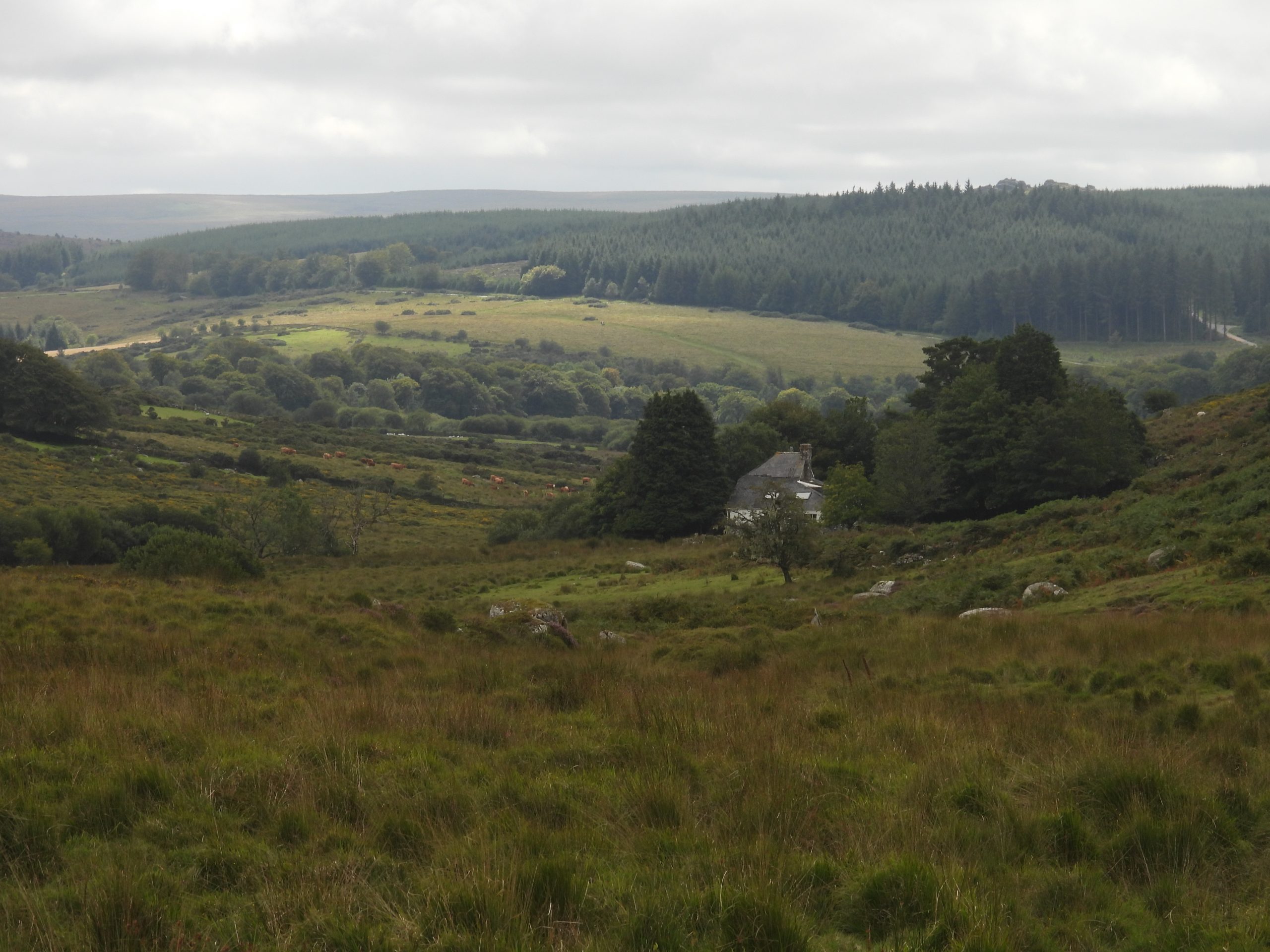
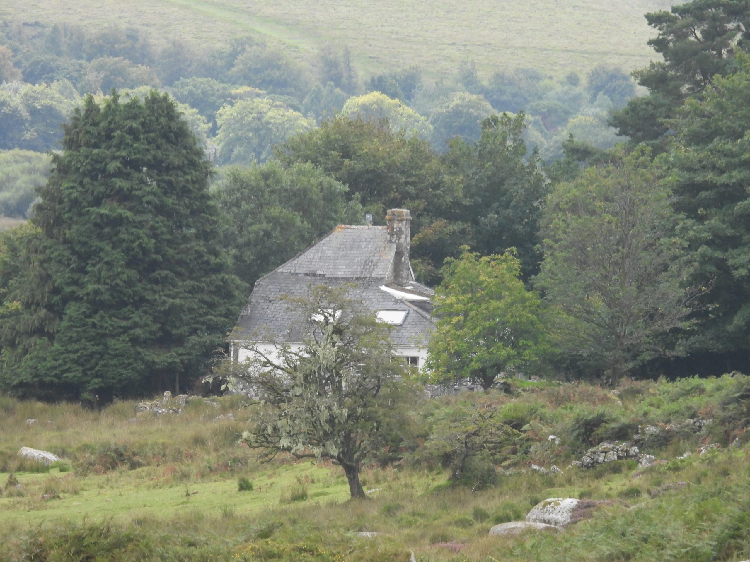
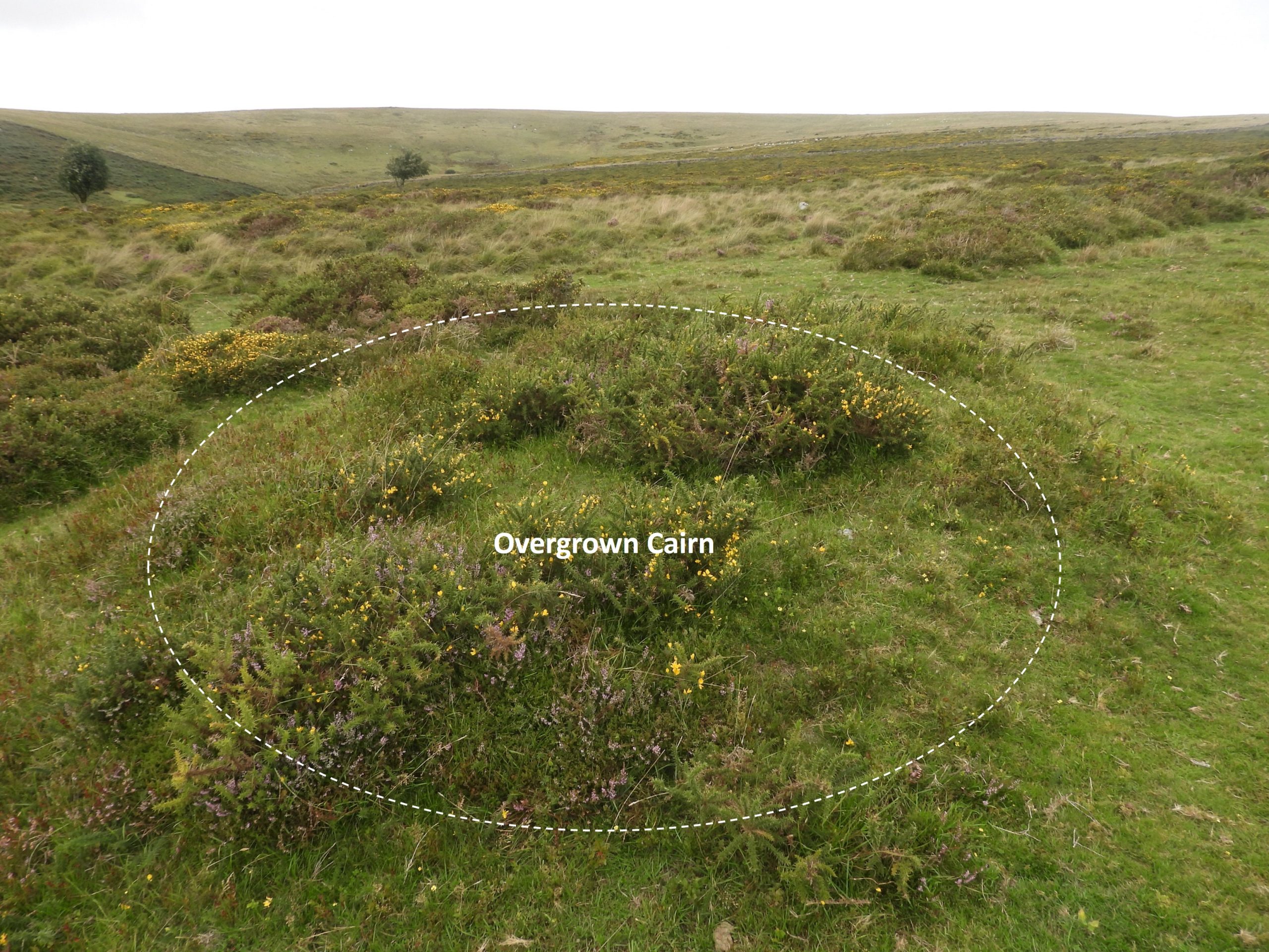
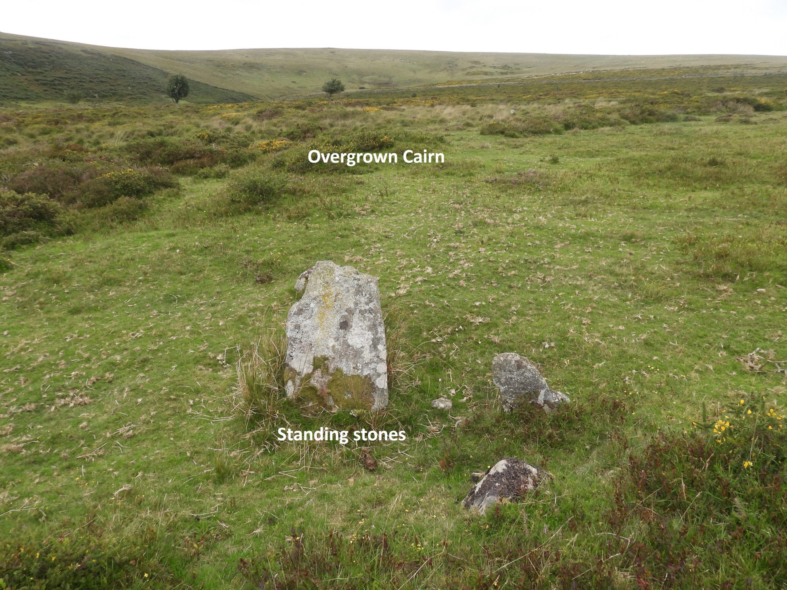
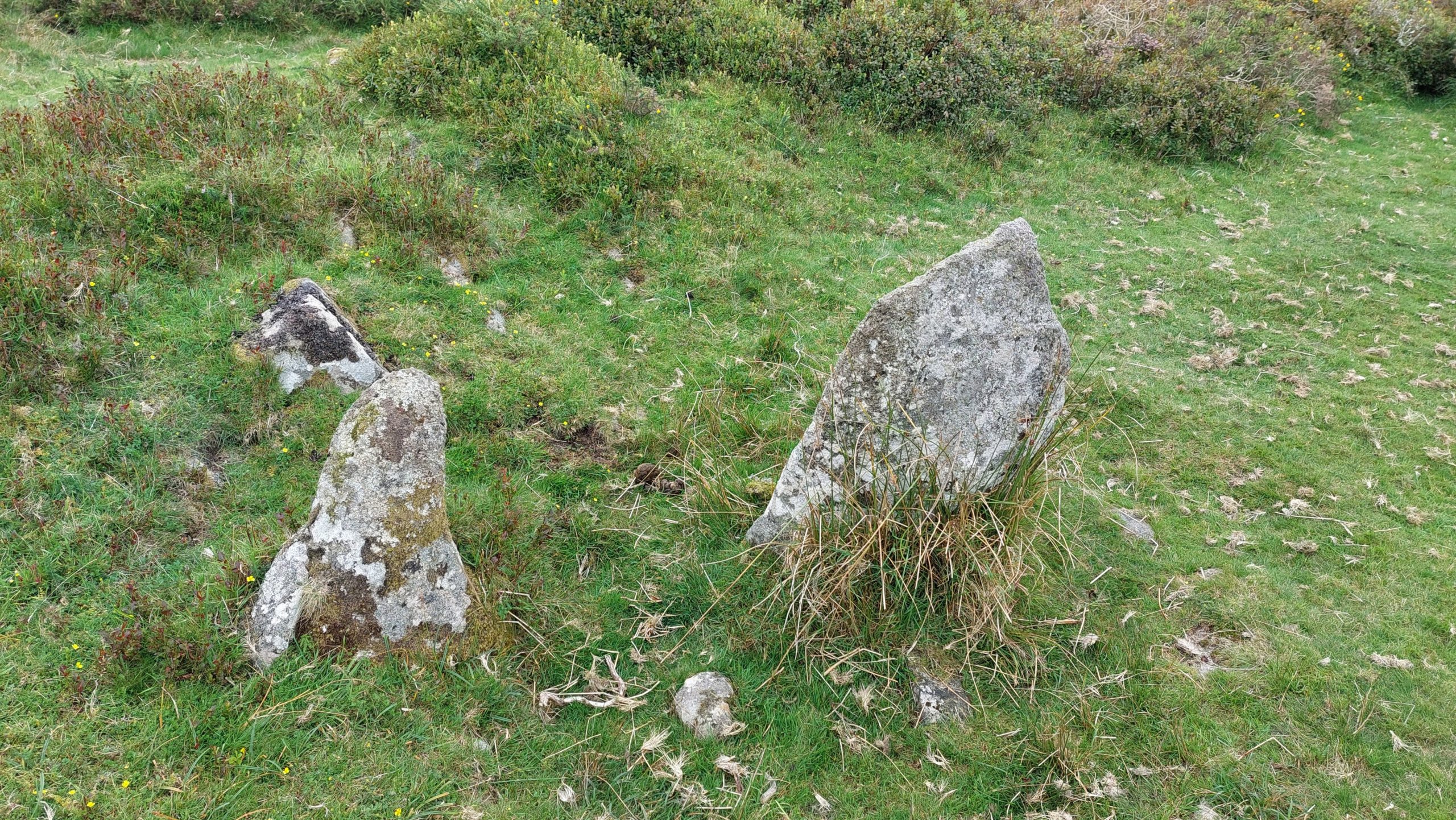
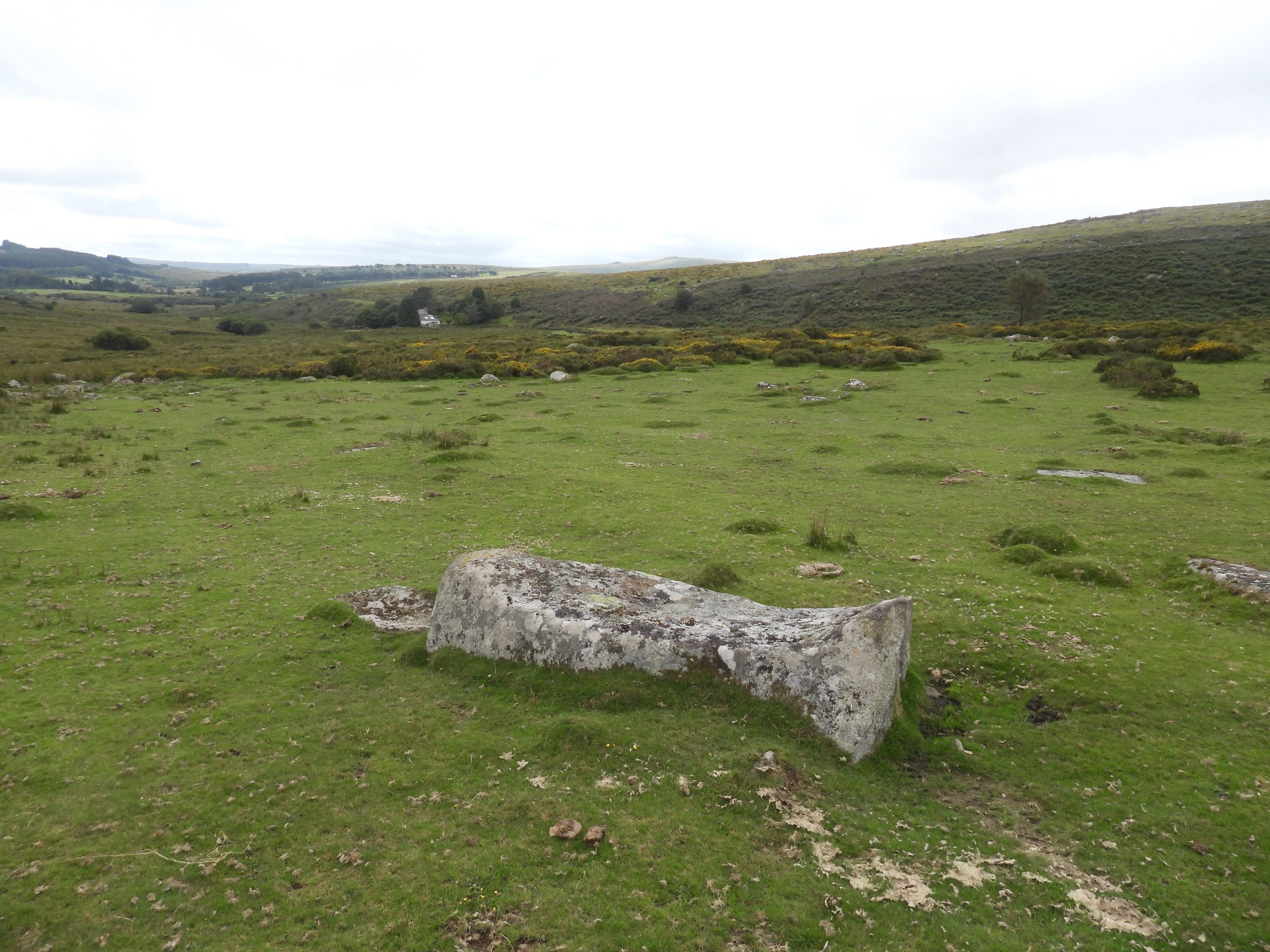
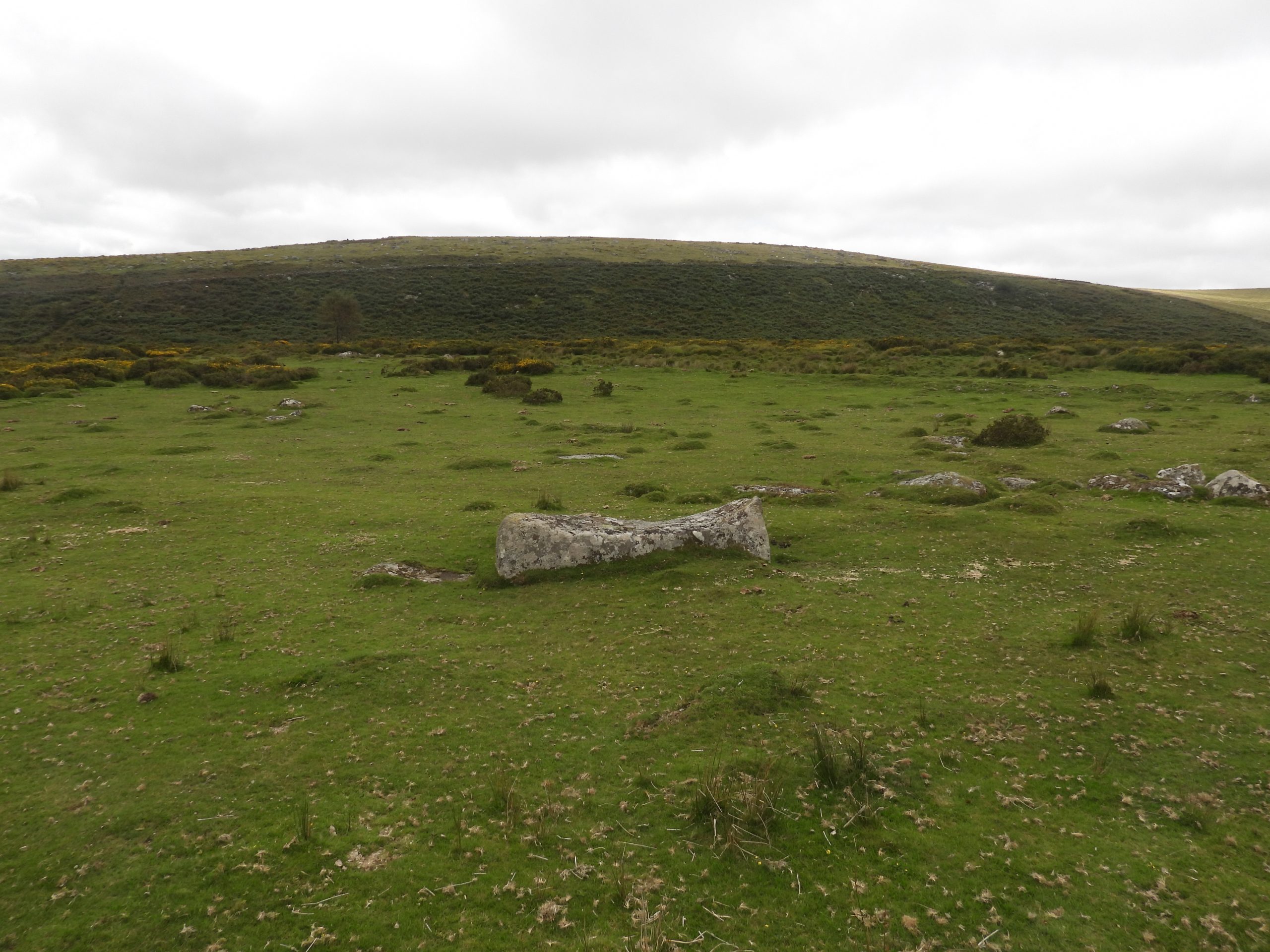
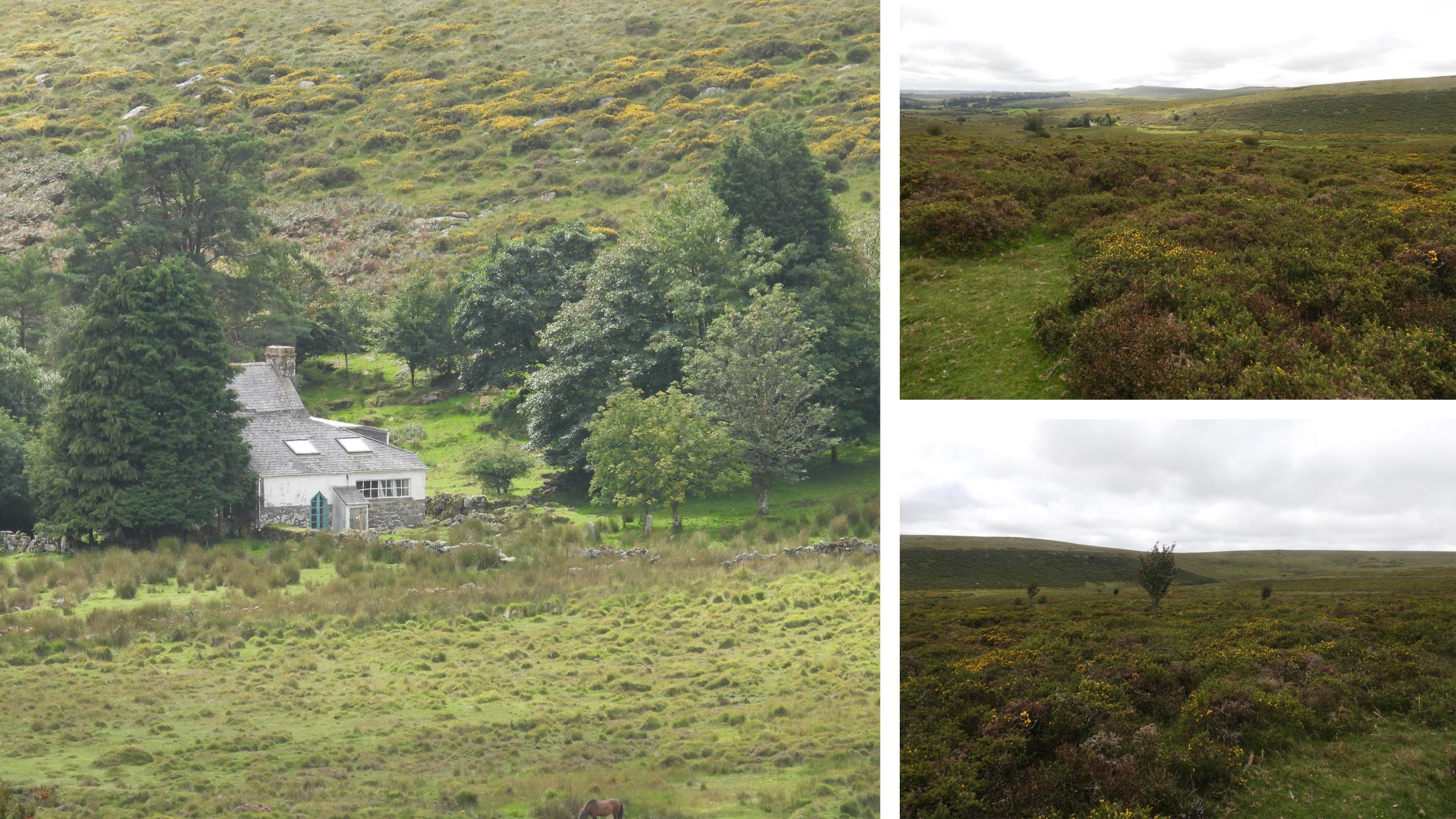
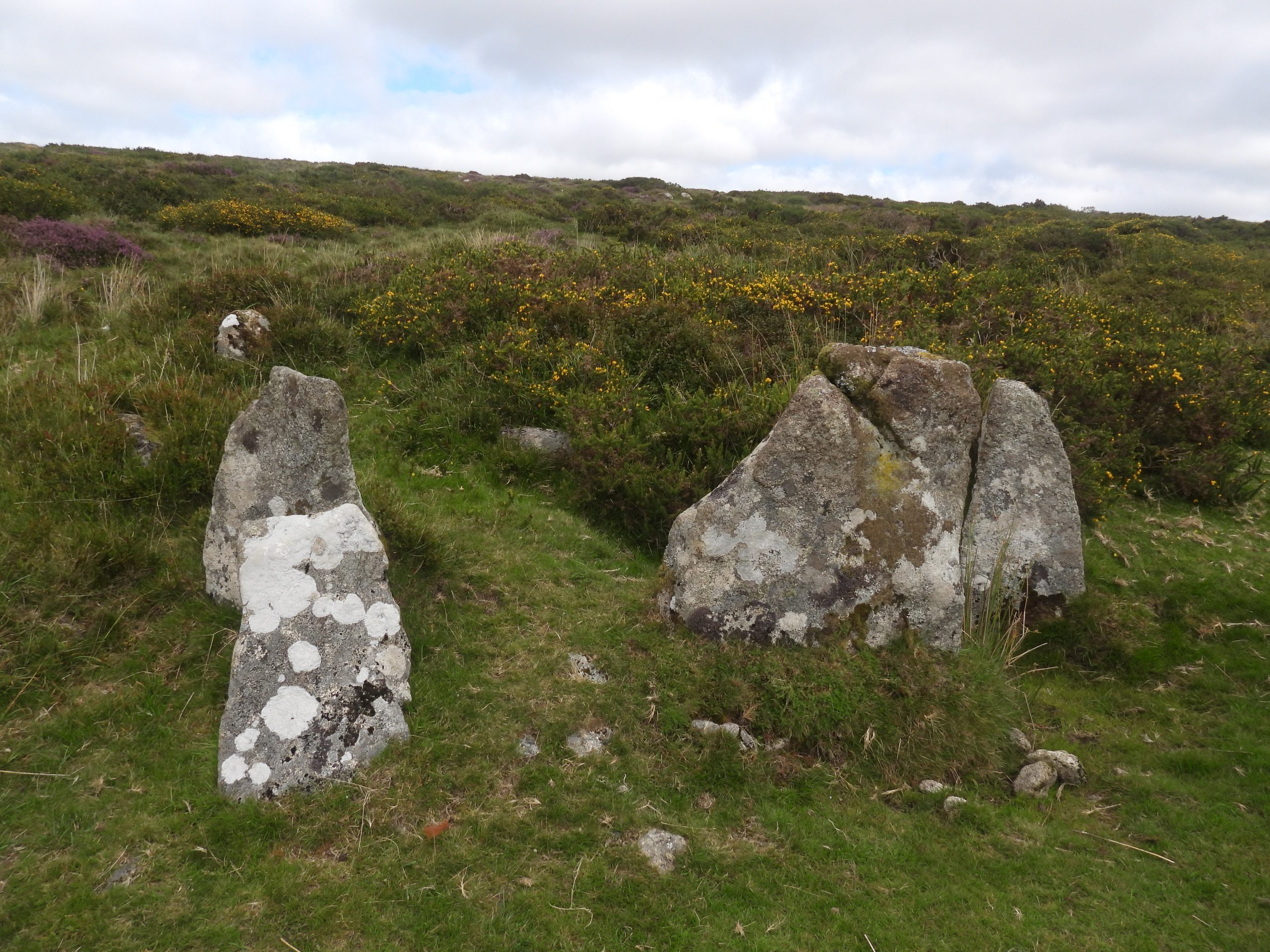
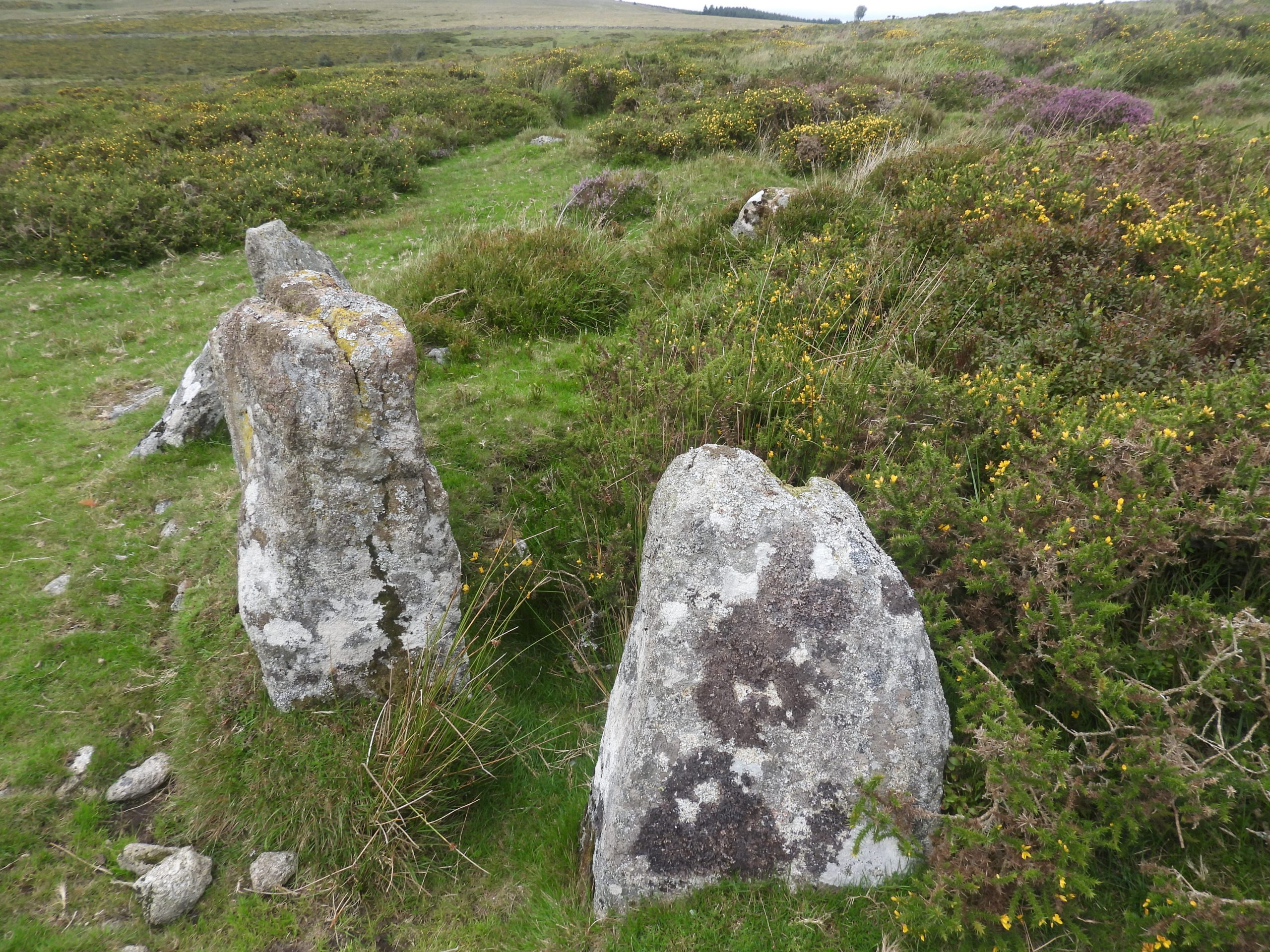
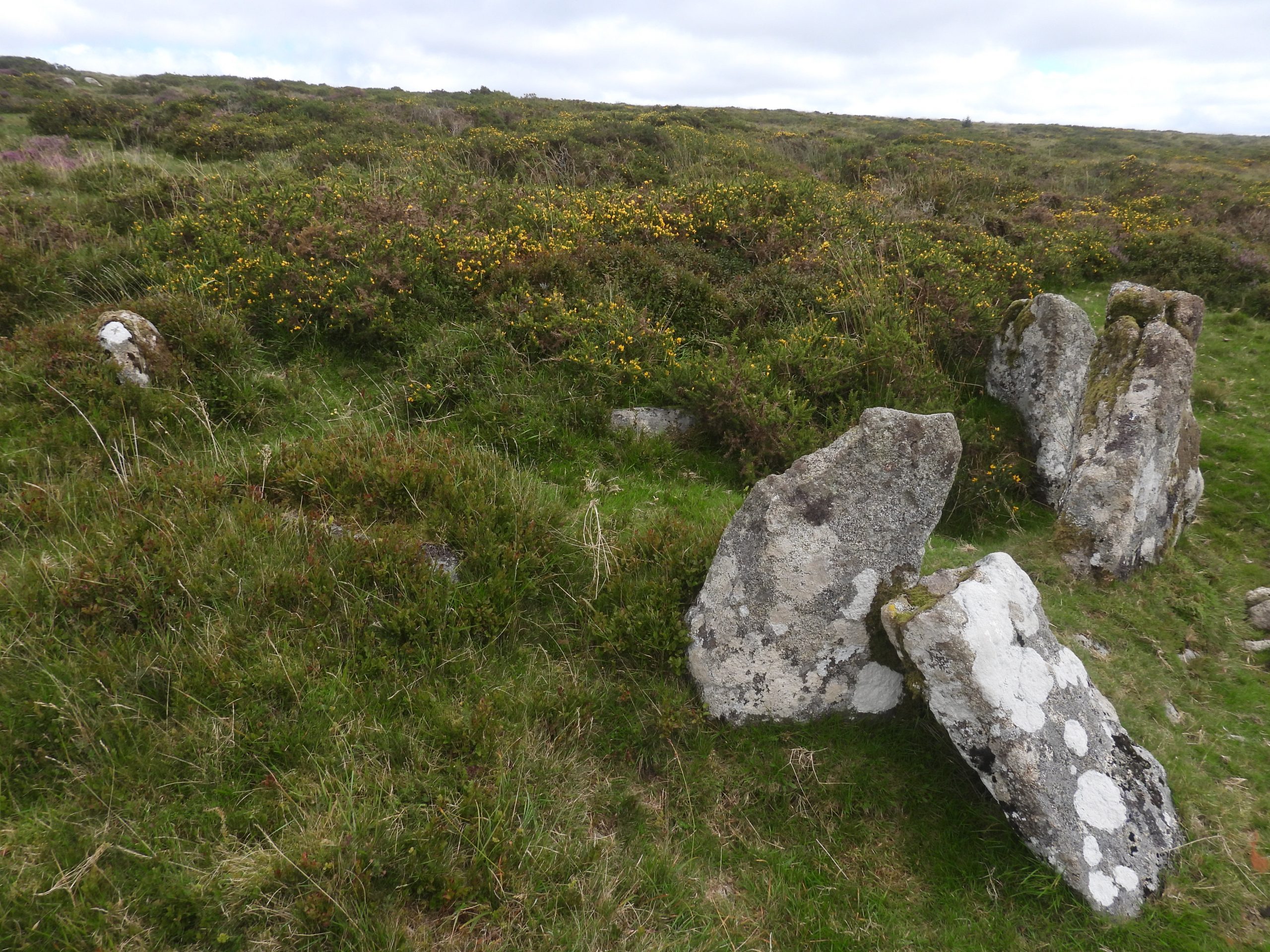
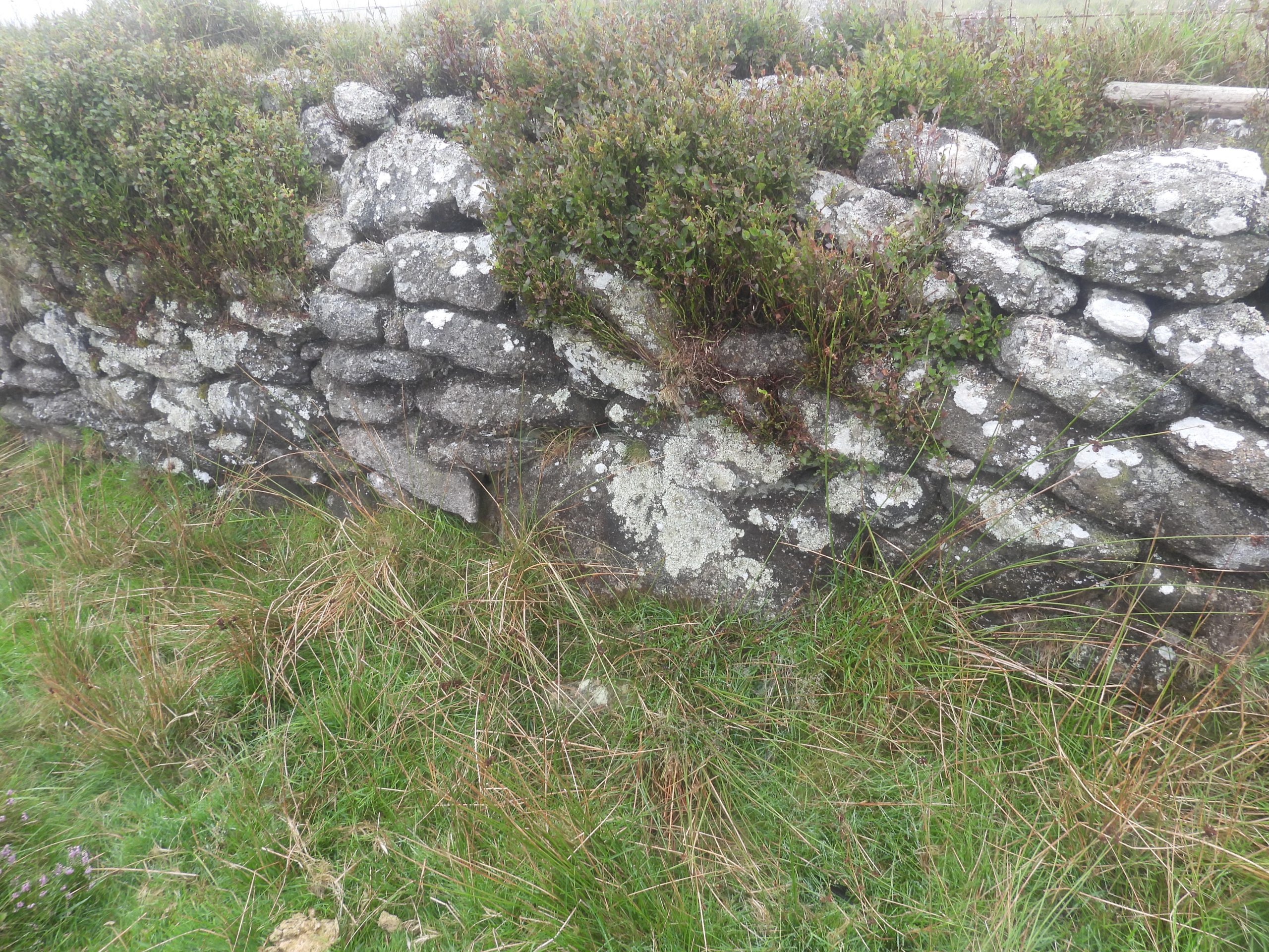
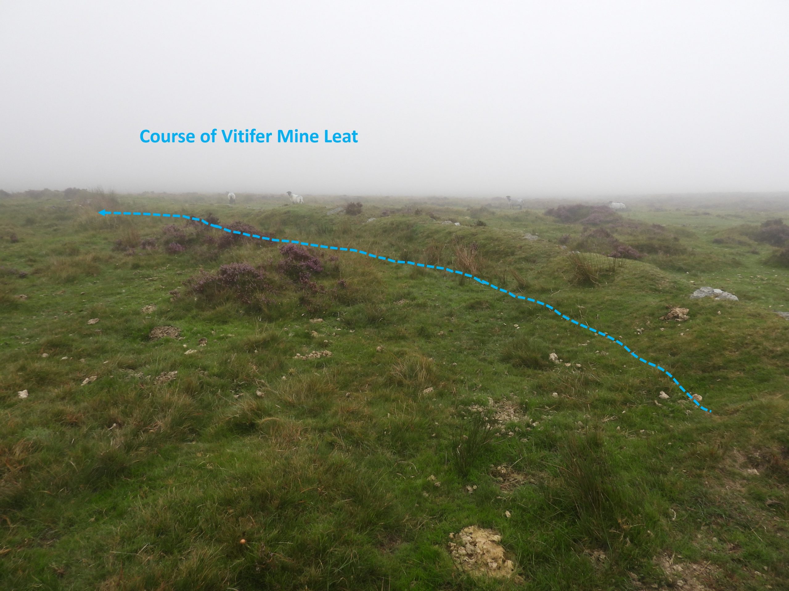
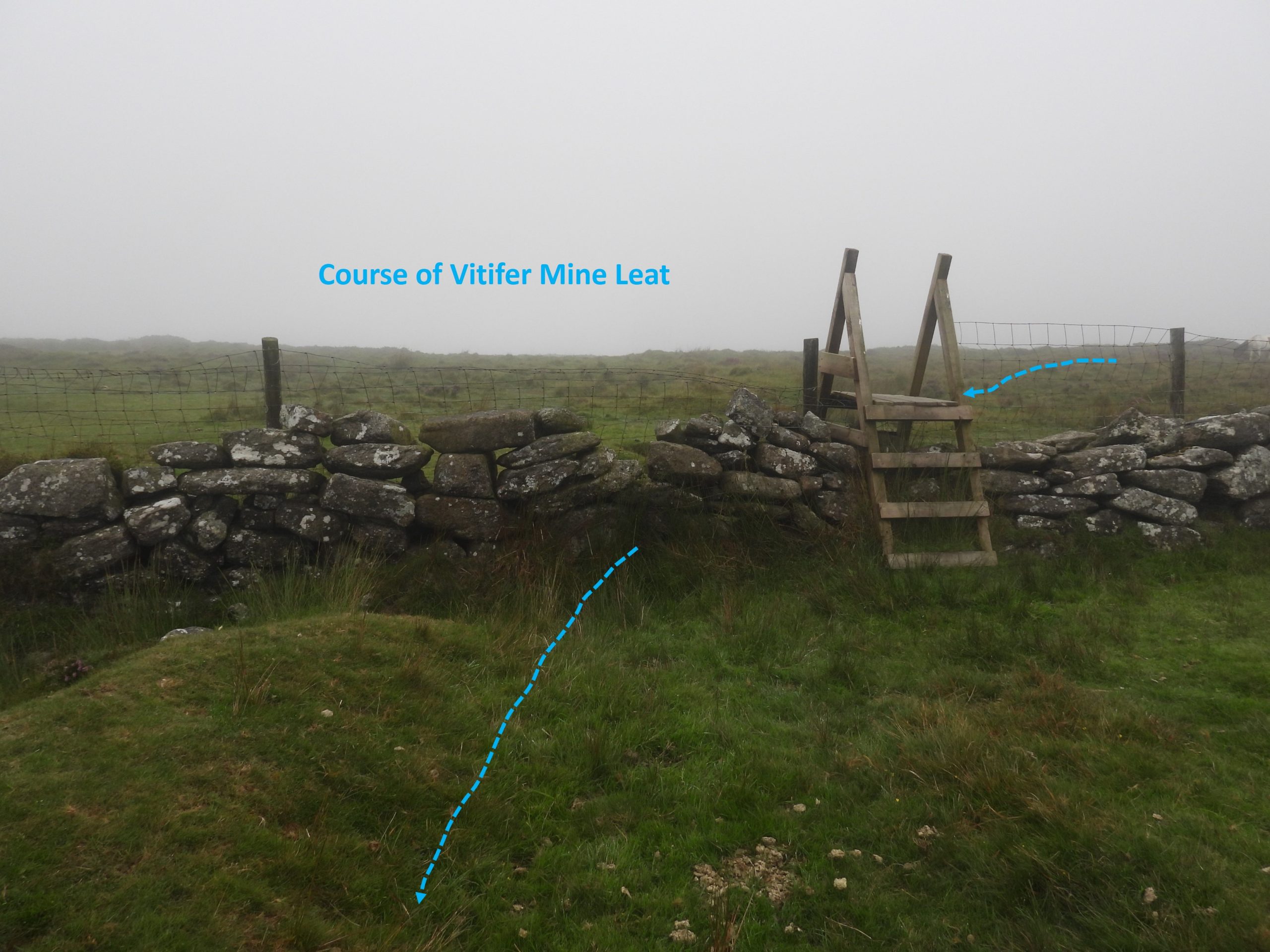
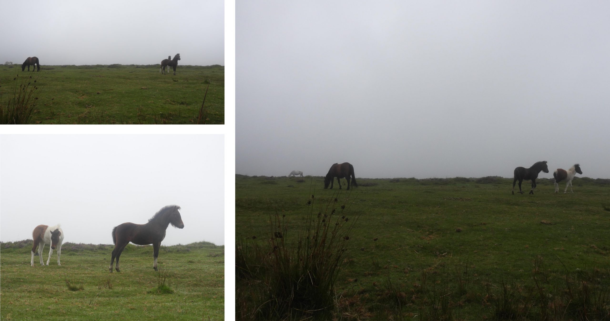
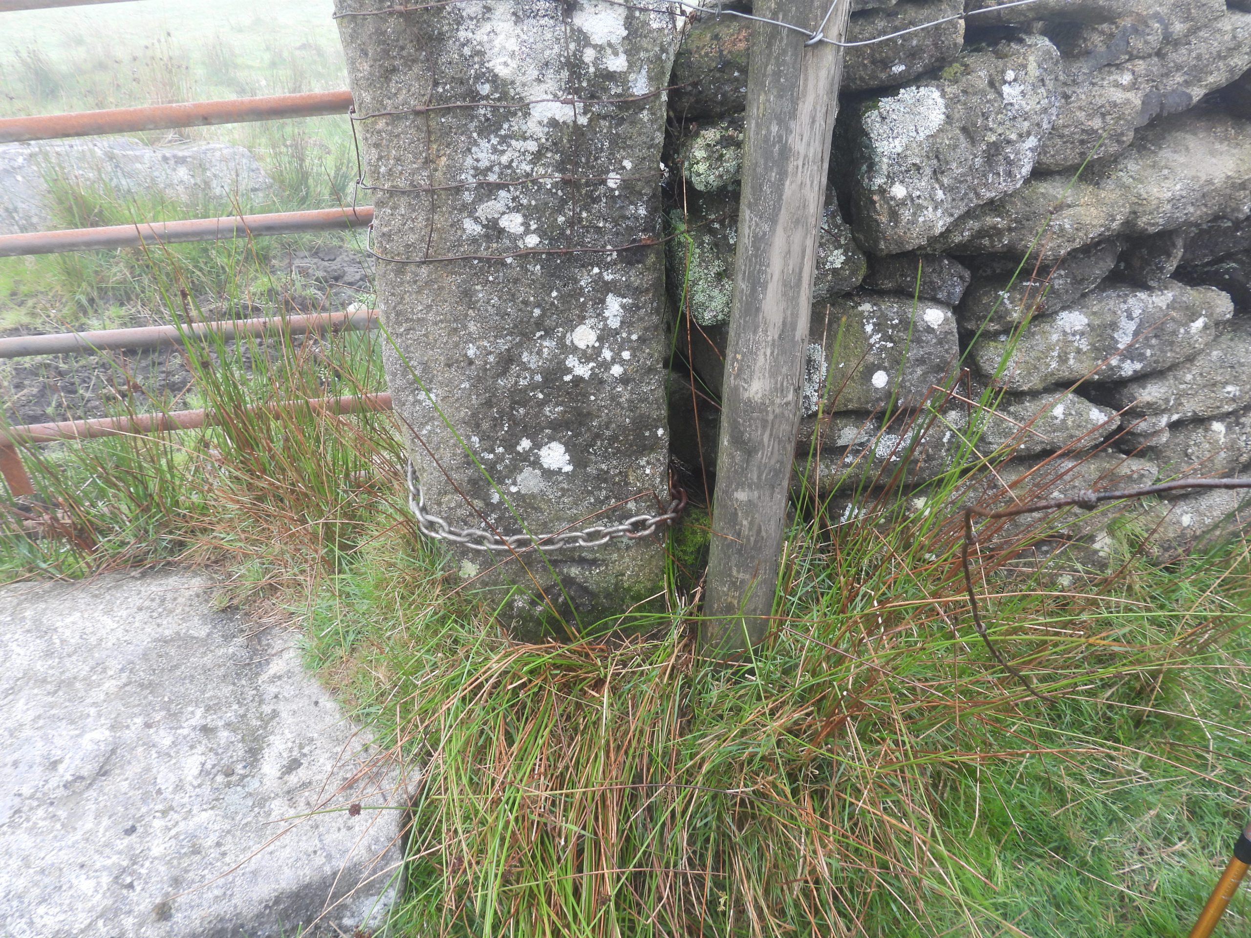
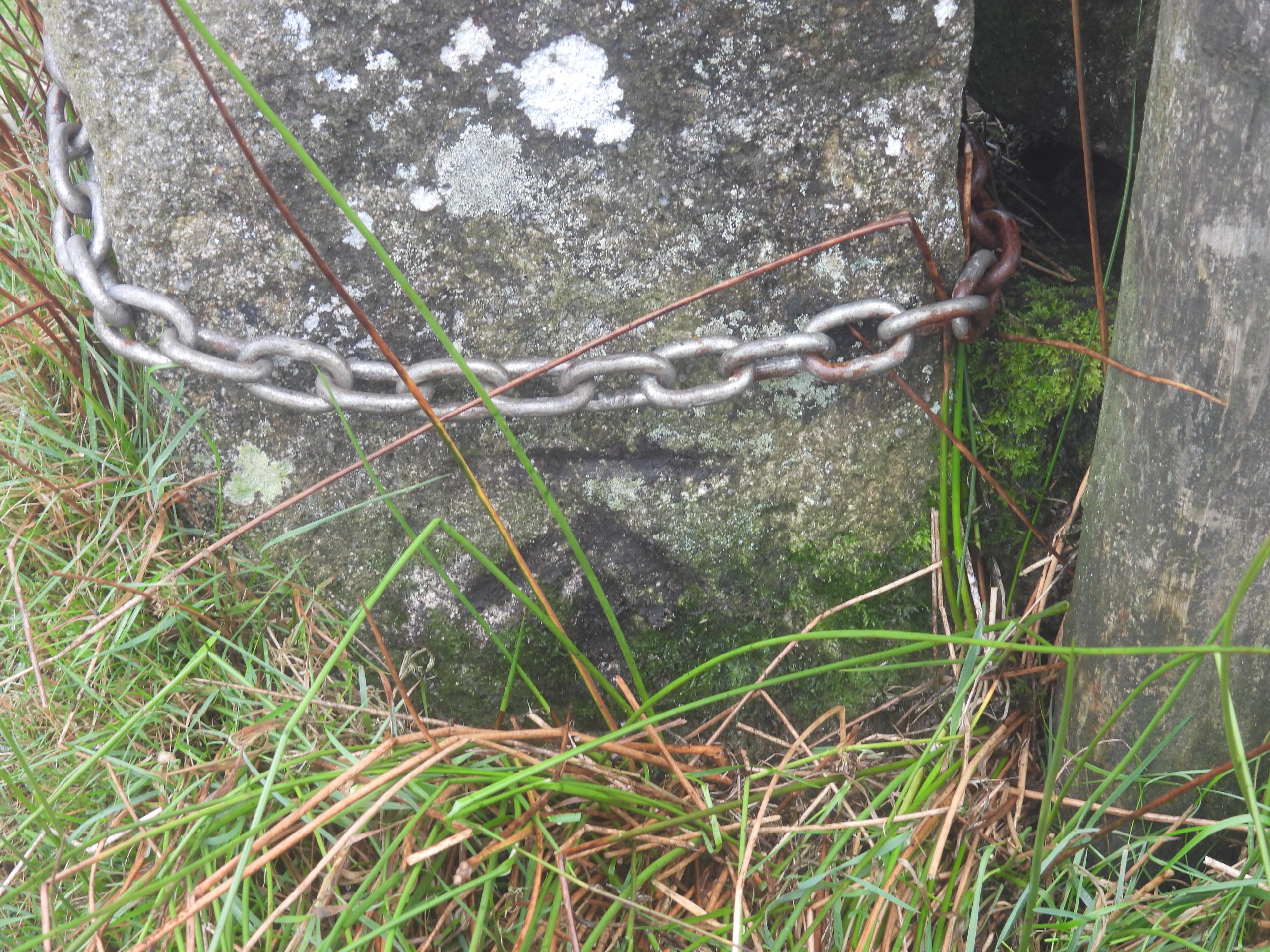
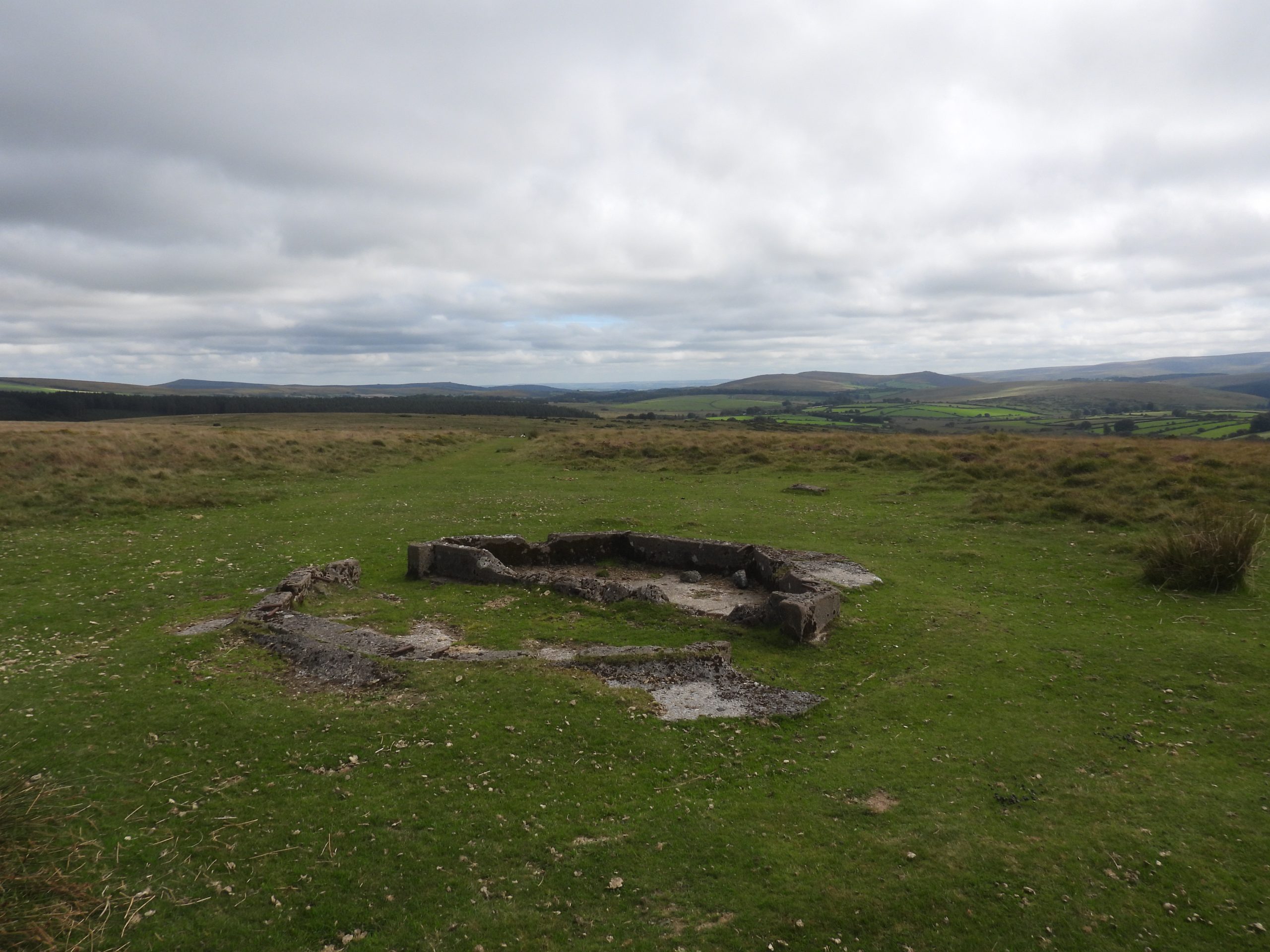
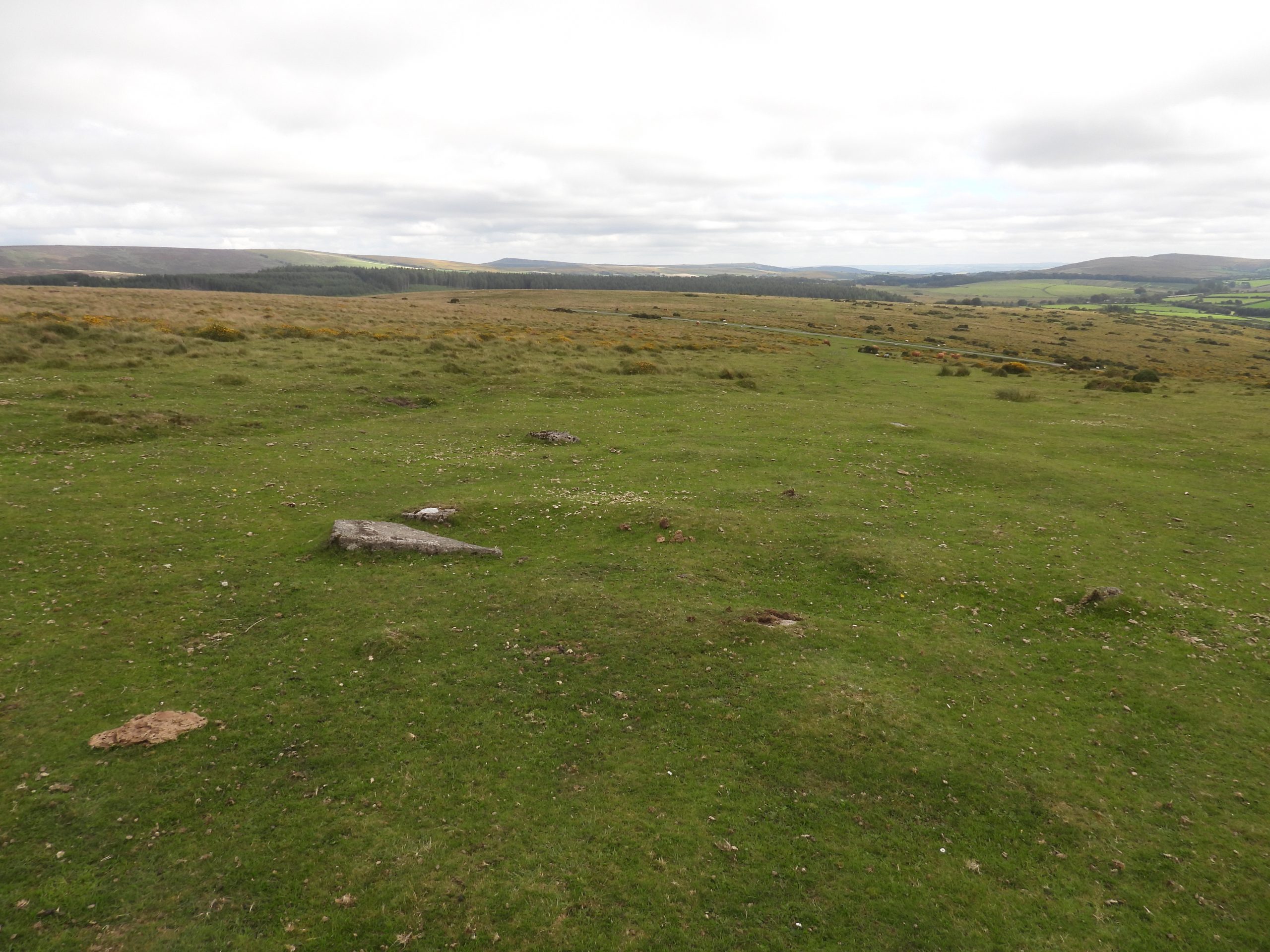
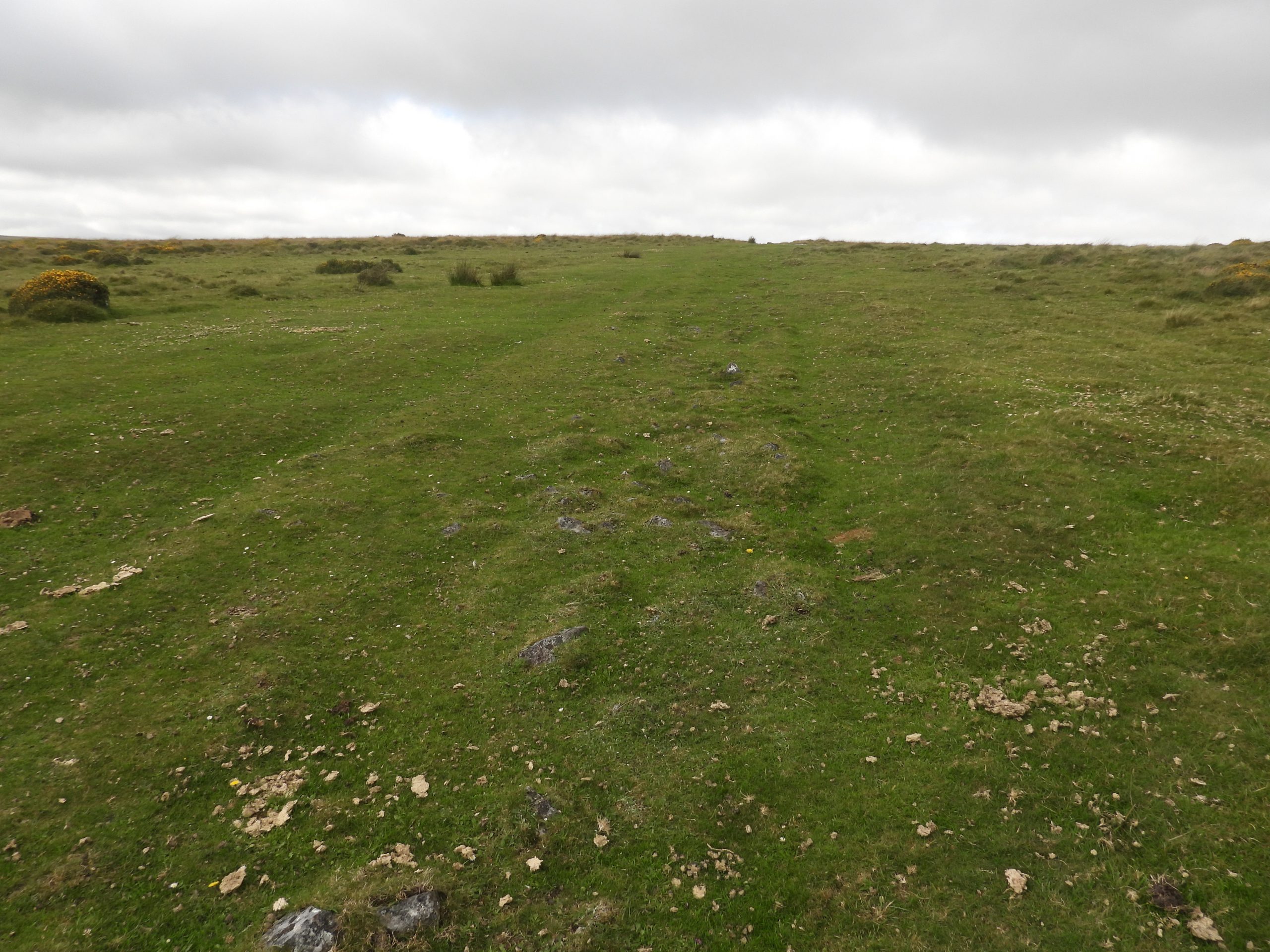
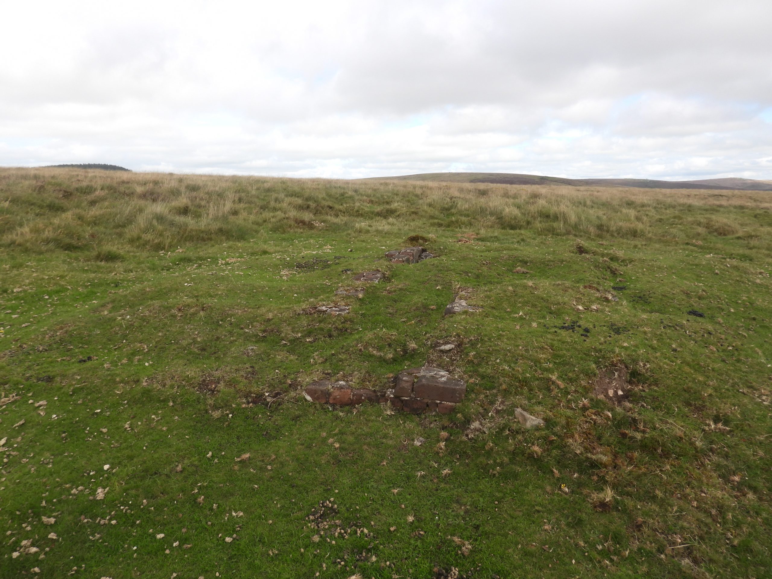
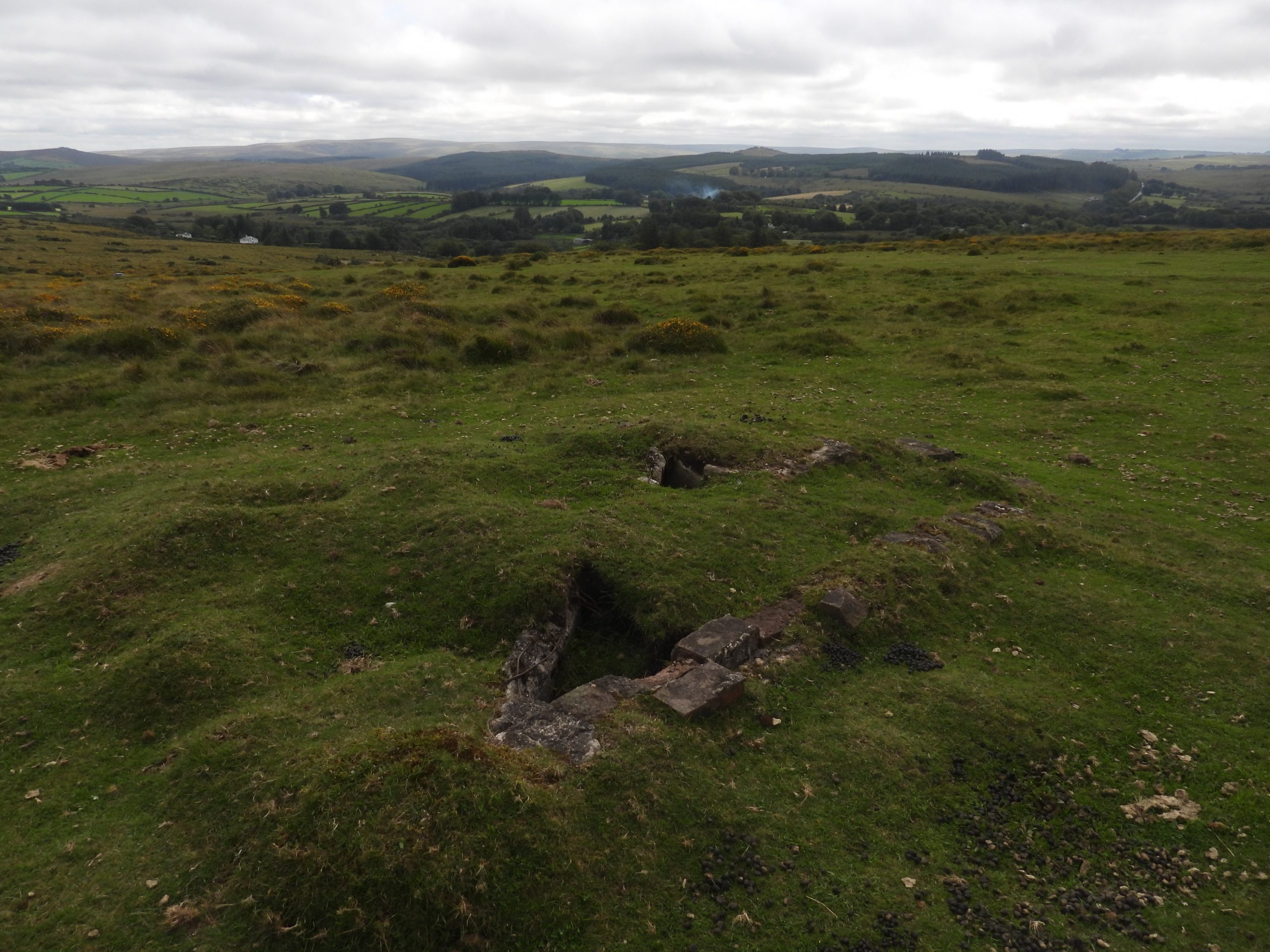
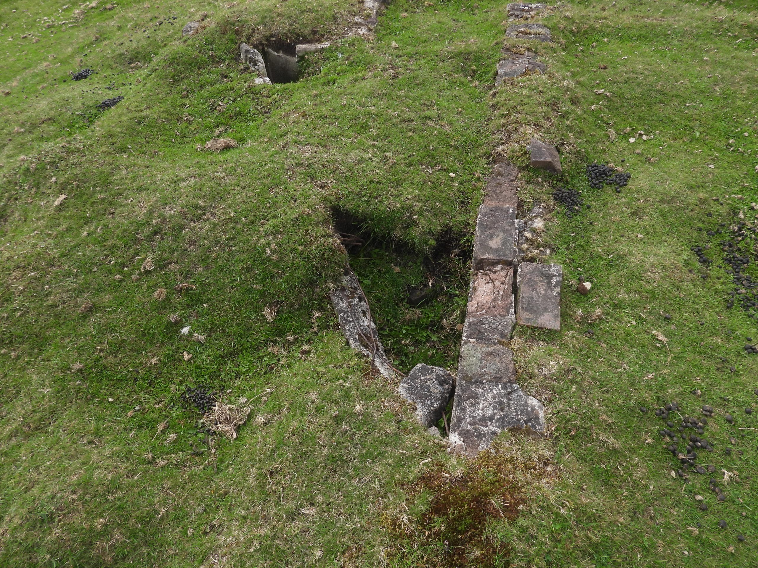
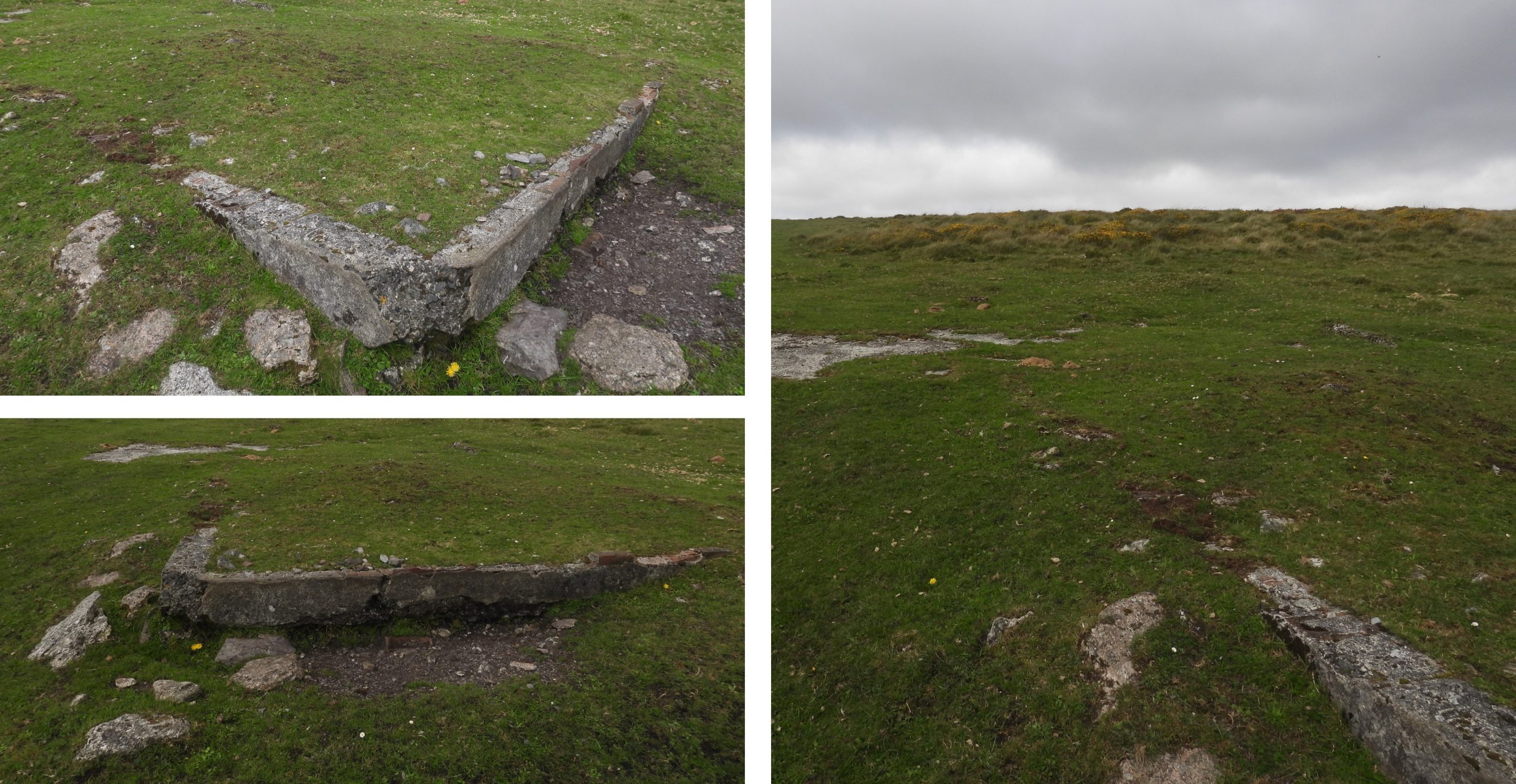
This sketch map indicates the area covered in this post. There are various stiles which enable the explorer to cross safely into and out of the Newtake.Approaching the Sheelpfold from the south-west en-route from Hartland Tor. The wall in the foreground is from Hartyland Newtake and has several inscribed boulders next to it, each inscribed ‘B’ which are believed to have been set up by the Duchy.One of the inscribed ‘B’ boulders next to the Hartyland Newtake wall. There are nine inscribed boulders / set boundstones in total. This boulder is located at SX64381 80757. Further information on Hartyland Newtake can be found here: https://dartmoorexplorations.co.uk/hartyland-newtake/Another boulder inscribed ‘B’ next to the Hartyland Newtake. This one is located at SX64356 80839The Sheepfold – At the time of the Napoleonic Wars, an attempt was made to produce starch (from potatoes – grown in Lazy Beds in the area). The structure has been known over the years as ‘The Starch Factory’ and is certainly cited by C.D.Lineham (1965) as such. Like many Dartmoor industries the starch production was short lived. The structure is very impressive being 50m N-S, by 34m E-W, with walls being 2.2m high and 0.7m thick. After the ‘Starch Factory’, the structure was used to over-winter sheep.At one end of the enclosure are the remains of a cottage with two pointed windows. The dwelling built into the Sheepfold was burned down in 1830 and was recorded in the Tithe Apportionment as ‘Cott, House and Garden chargeable to Stannon’ (albeit it was still empty in 1839). The wall construction of the Sheepfold has evidence of tare and feathered rocks dating it to the 19th Century. A further series of granite posts are set around 2m inside the N, E, and W walls, which presumably were to support roofing timbers for livestock shelters or pens. An amazing structure, well worth a visit.Rocks and boulders on the slopes of Stannon Tor. The upright ‘whale bone’ shaped rock is located at SX64743 80873Stannon Farmhouse. This 19th century cottage was the first residence on the Newtake Stannon was at one time thought to have had medieval origins, but is almost certain to have been erected by the Hulletts.The leases to Stannon and the Sheepfold passed to Rev. Vollans and then to J.N.Bennett after John and Thomas Hullett. The house is said to have been occupied by a member of the Rolling Stones in the 1970’s. It was also said to have been used as a retreat for the group with the lounge being used as a recording studio. The author is unaware of the authenticity of the story.Just inside the west wall of the Newtake is an abandoned plot of cultivation ridges located. These are probably 19th Century ‘Lazy Beds’. View from near the north west corner of Little Stannon Newtake. White Ridge Tor can be seen on the horizon with ‘settlements’ below. These settlements were excavated by Robert Burnard in 1883. This settlement contains at least five hut circles within a series of enclosures.This substantial ruin is sometimes known as Stannon Longhouse. However, the structure is most probably a farmstead of early 19th century origin. It occupies a sheltered position in a natural hollow and does not follow the normal convention of a Longhouse, insofar as it is built across the slope and not down the slope.The structure is recorded by the Royal Commission for the Historical Monuments of England (RCHME) as measuring “15.2 metres north to south by 3.6 metres internally with coursed drystone walling on average 0.8 metres high, however it is up to 1.7 metres high in the south-east corner”.The centre of the building was recorded at SX64755 81437. There are no plots or field walls visible in the vicinity of the buildingThe ‘Longhouse’ / ‘Farmstead’ has two entrances which face each other in the centre of the long sides, each being about 0.75m wide.Located on the southern boundary of a pound (which is believed to be a more recent enclosure than those at the ‘Settlements’ uphill), is a ruined building. The Pound measures around 32 metres by 25 metres. It’s crude drystone boulder walls are a maximum four to five courses high.The Pound and Ruined Building is located near the head of Stannon Brook. Pony near the Pound, just chilling outThe Royal Commission for the Historical Monuments of England record this ruined structure as being a possible a shepherds dwelling or barn. Jeremy Butler in Dartmoor Atlas of Antiquities records this as a Longhouse, albeit it is aligned along the contour. This building measures around 9 metres by 3 metres. The centre was recorded at SX64878 81601View of the building looking down Stannon Brook valley. The RCHME suggest the pound and its associated building are ‘almost certainly’ of early 19th century originStannon Brook HeadNear Stannon Brook Head. The author believes this is a male Wheatear but would be grateful for clarification or otherwise.Near Stannon Brook Head. The author believes this is a female Wheatear but would be grateful for clarification or otherwise.The infant Stannon Brook close to the northern boundary of Little Stannon NewtakeInside the Newtake are the ruins of a third rectangular building. They are located on a slight ‘shelf’ in the otherwise steep east-facing slope above Stannon Brook. The building, (as measured by RCHME) is internally 6.7 metres north to south by 3.7 metres east to west. It is located at SX64892 81339The third rectangular building was visited during August and this was engulfed with bracken. The photograph shows the context of its location. The function of the building is unknown although the author speculates it may have been a shelter. It is possible it was built by John and Thomas HulletThe walk through Little Stannon Newtake is delightful as one descends through the valley. Views to Stannon Farmhouse / Cottage can be had with Bellever Forest and Tor (just) beyondZoomed in view of Stannon Farmhouse. There is no evidence of, or known reference to, a Medieval farmstead being here. Interestingly there is a record that a lease for land here for 661 acres by Thomas Hullett dated 10th April 1807.A short distance to the east of Stannon Brook (amongst the gorse) is an overgrown cairn. It is around 6m in diameter and around 0.7m high (ref: Butler). It is said that Burnard excavated this cairn in 1896. He is said to have found charcoal and ash intermixed with a few pieces of burnt bone and a single flake of sharpened flint.The cairn is located at SX65325 81094. Its location in relation to Stannon Farmhouse can be seen in the photograph.A short distance away (around 10m) at SX65335 81083 are several standing stones, which with a further stone on the other (east) side of a prehistoric reave may well have formed a short stone row.Jeremy Butler records in the Dartmoor Atlas of Antiquities (North) Map 35 (figure 13) that these two standing stones are 0.9m and 0.6m tall and may have been blocking stones at the end of a double row. He further records that at least one of these stones has been re-erected as packing stones are visible at its base (NOTE: This looks like the taller of the two)This rock took the eye of the author as it is shaped like a Chaise Longue. The Chaise Longue rock is located at SX65288 80996There is a second cairn about 130m up the hill from the first one. However, the area has a lot of gorse, so the author would recommend taking the track (to the south of the first cairn) which ascends the hill before heading north towards the second cairn along another track. The photographs are views along the way with the amount of gorse being very evident.The second cairn is actually a retaining circle surrounding a cist (and is marked just ‘cist’ on the sketch map in this post)The retaining circle is recorded by Butler as being 3.9m in diameter.All sides of the cist survive but it is very overgrown. It is located at SX65454 81063On (or near) the eastern boundary of Little Stannon Newtake there are three benchmarks. This first (B.M. 1447.7) is located at SX65657 81538The second benchmark (B.M. 1460.5) is located at SX65718 81265Heading south towards Merripit Hill the banked remains of the Vitifer Mine Leat is encountered. The Leat ran from just above East Dart Waterfalls to the mine which is below Warren House Inn in Redwater ValleyThe course of the dry Vitifer Mine Leat runs across the eastern boundary wall of Little Stannon Newtake. The Vitifer Mine is recorded to date from 1750, albeit this was just surface work. However, by 1796, at least 13 shafts had been sunk, which would have required waterwheels for drainage (hence this leat). The Leat is most likely to have been completed in the late 18th century around a few decades before the Hullett Newtake’s and their walling.Ponies in the mist, inside Little Stannon NewtakeThe third benchmark (B.M. 1411.9) The benchmark is located at SX65803 80880Just south of Little Stannon Newtake on Merripit Hill there are three WWII structures. The author has found two possible explanations for the structures, namely; They were part of a searchlight installation or were part of a RAF Radio Direction Finding Station. The principle remaining feature is a raised octagonal plinth of shuttered concrete at SX65821 80295The octagonal concrete base has been recorded by some observers as being that of a Radio Direction Finding Station tower. The purpose was to send radio signals to aircraft to aid navigation. Other observers record that the threaded iron rods embedded in the perimeter of the plinth secured an upper structure said to be similar to a small light house. The structure measures 4m acrossBetween the three structures leading to / from the B3212 is a straight track, the surface of which was removed by the National Park Authority in about 1975. The track is up to 3.5 metres wide and constructed of limestone stones and boulders Foundations of a second structure, which appears to have been brick constructionThis structure may have served as a shelterThis structure is located at SX65910 80240The third and final structure comprises an L-shaped flat concrete construction. Nearby is a turf covered mound about 10m in diameter. The purpose of this structure is unknown but most likely the foundations of a building. It can be located at SX65950 80158