A collection of walks, discoveries, insights and pictures of exploring Dartmoor National Park
July 24, 2023
Kingsett Tin Mine / Tin Mills
A short distance up the Newleycombe Lake valley from Norsworthy Bridge, close to the ruins of Kingsett Farm are the sites of two possible Tinner’s Mills on both banks of the stream. The ruins on the left (southern) bank of Newleycombe Lake were possibly a part of a mining complex, likely early 19th century and could be part of a tin mine documented in 1810, which was known as ‘Kinsett Mine’ (Ref: Dr Phil Newman). Although, there are no direct features which establish the southern bank ruins to be a Tin Mill it is very possible that one was located here as a possible mould stone can be found here.
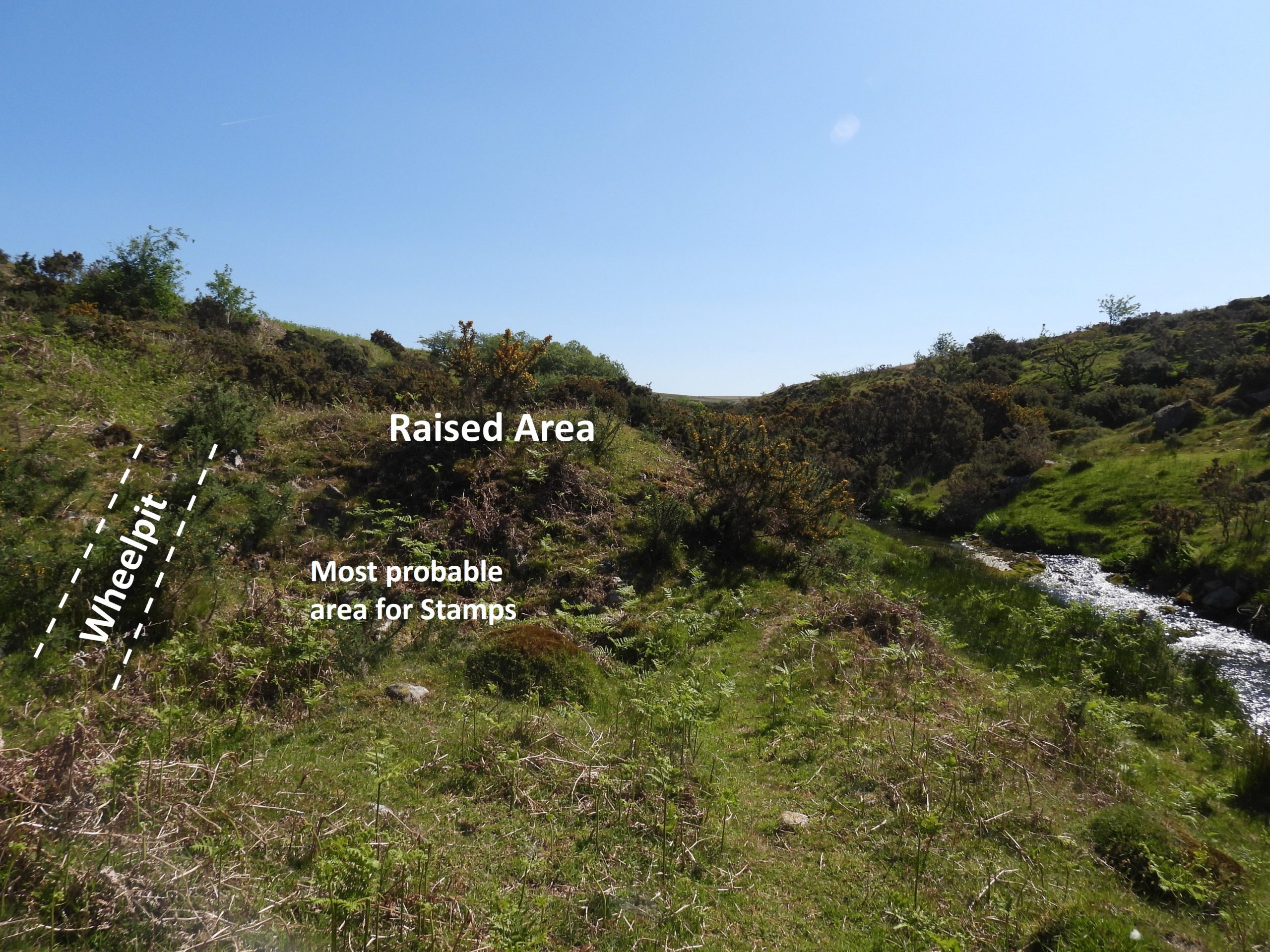
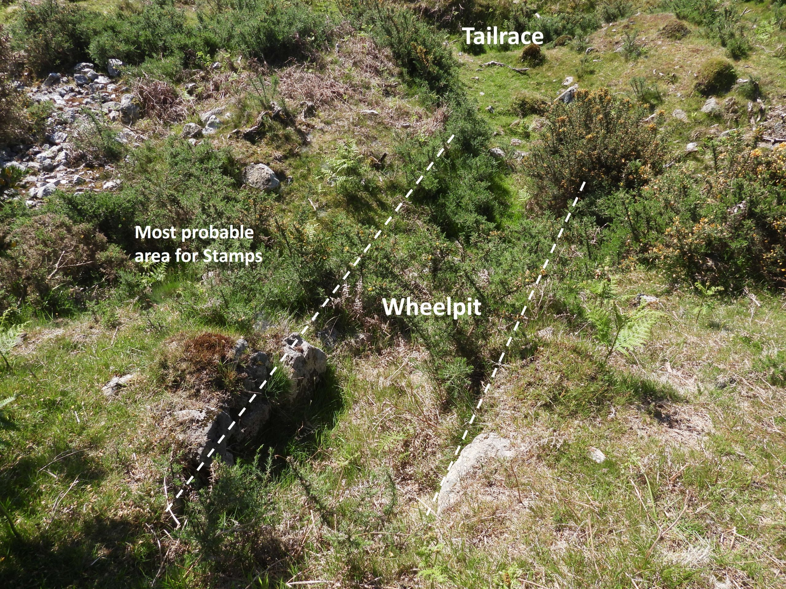
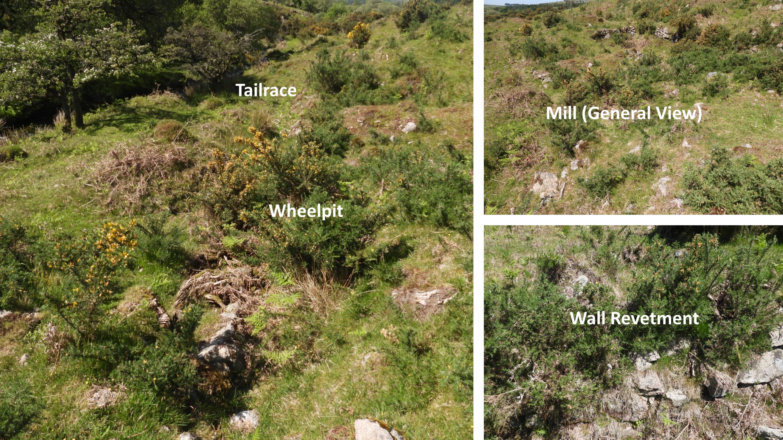
The ruins on the right (northern) side of Newleycombe Lake are a bit more obvious as a Tinner’s (Stamping) Mill, with a wheelpit and a revetment wall surrounding what was presumably a Dressing Floor. This post considers some of the key features in the area, which include Kingsett Farm, an old quarry, the Stamping Mill, the Mine Complex, the ruins of a Building and a possible Mould Stone.
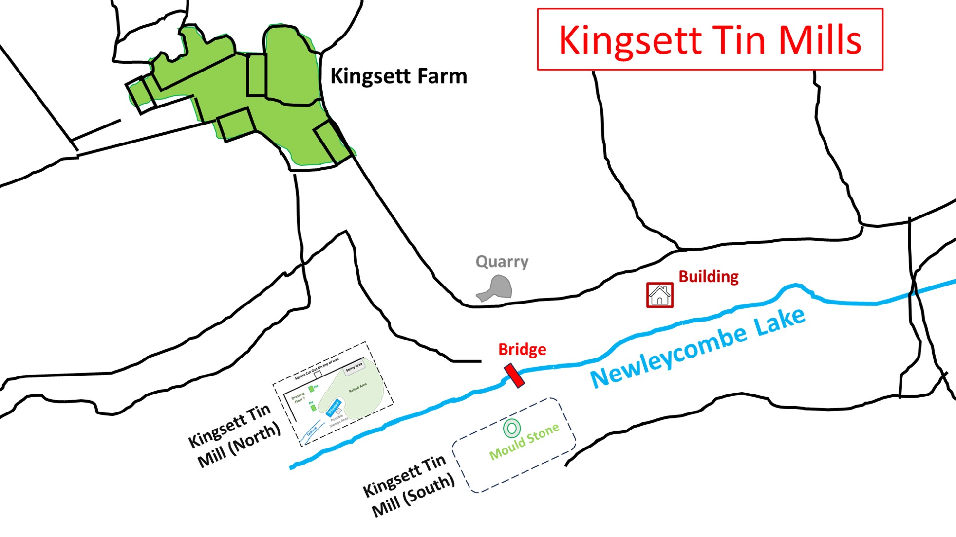
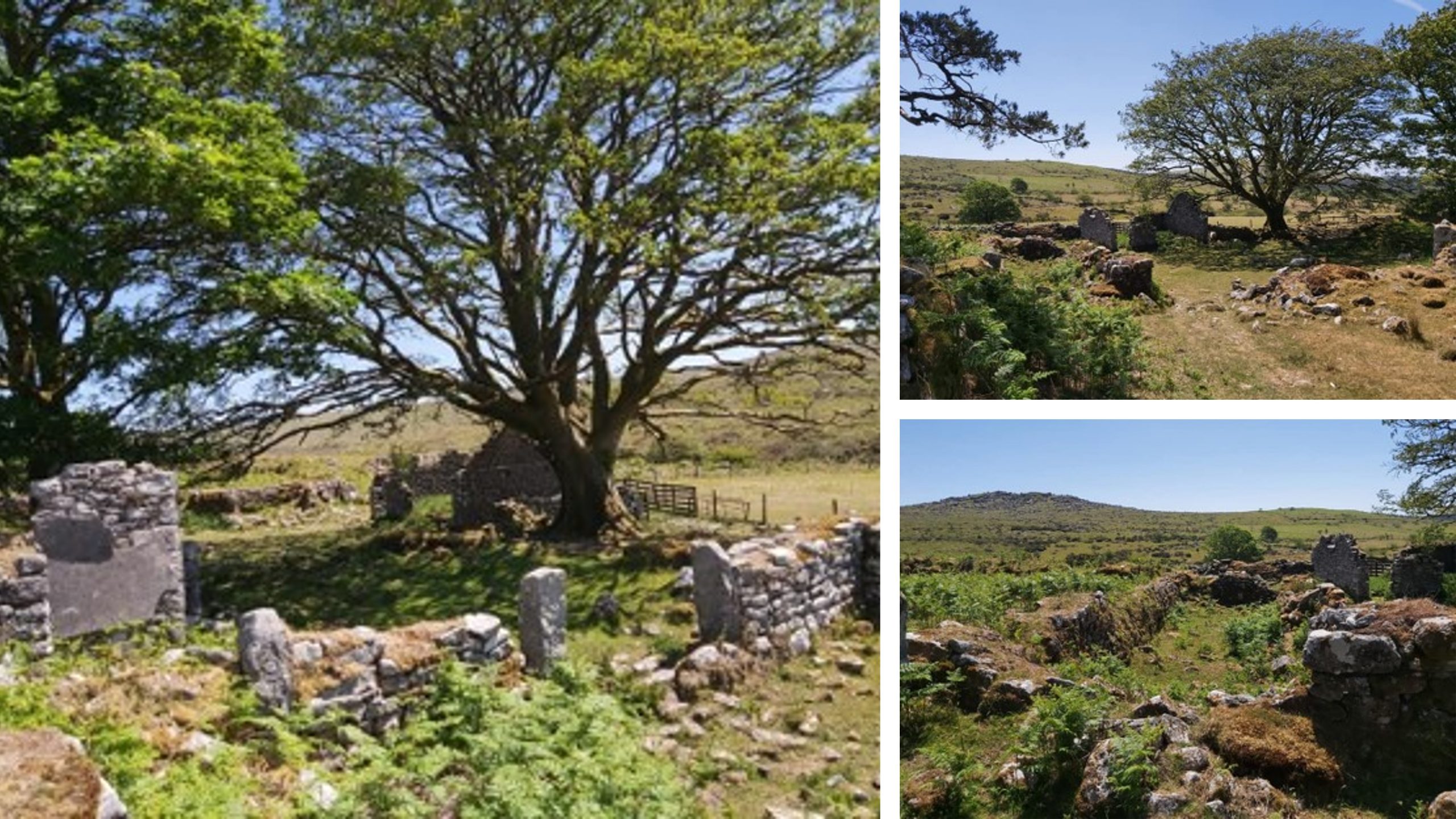
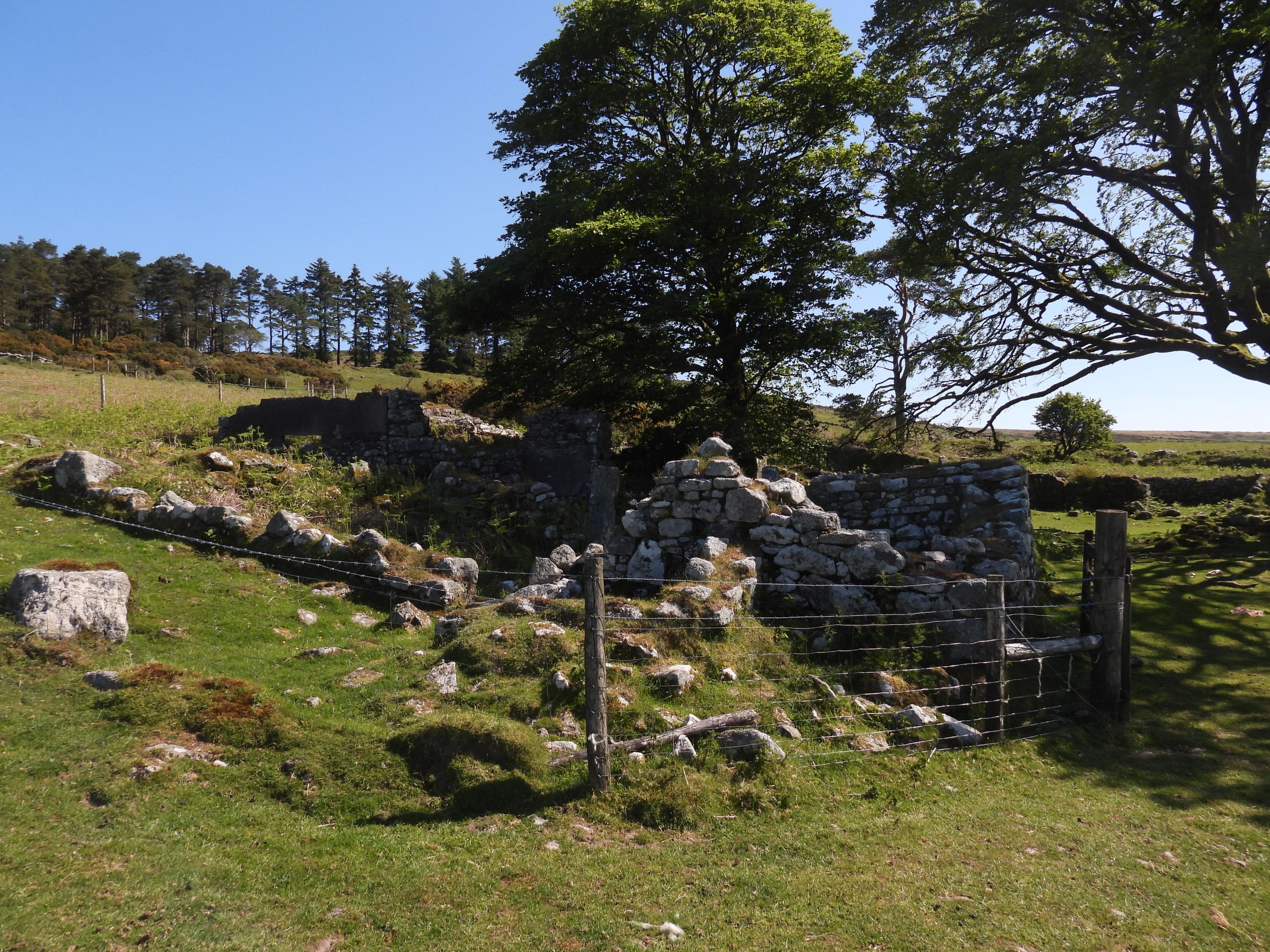
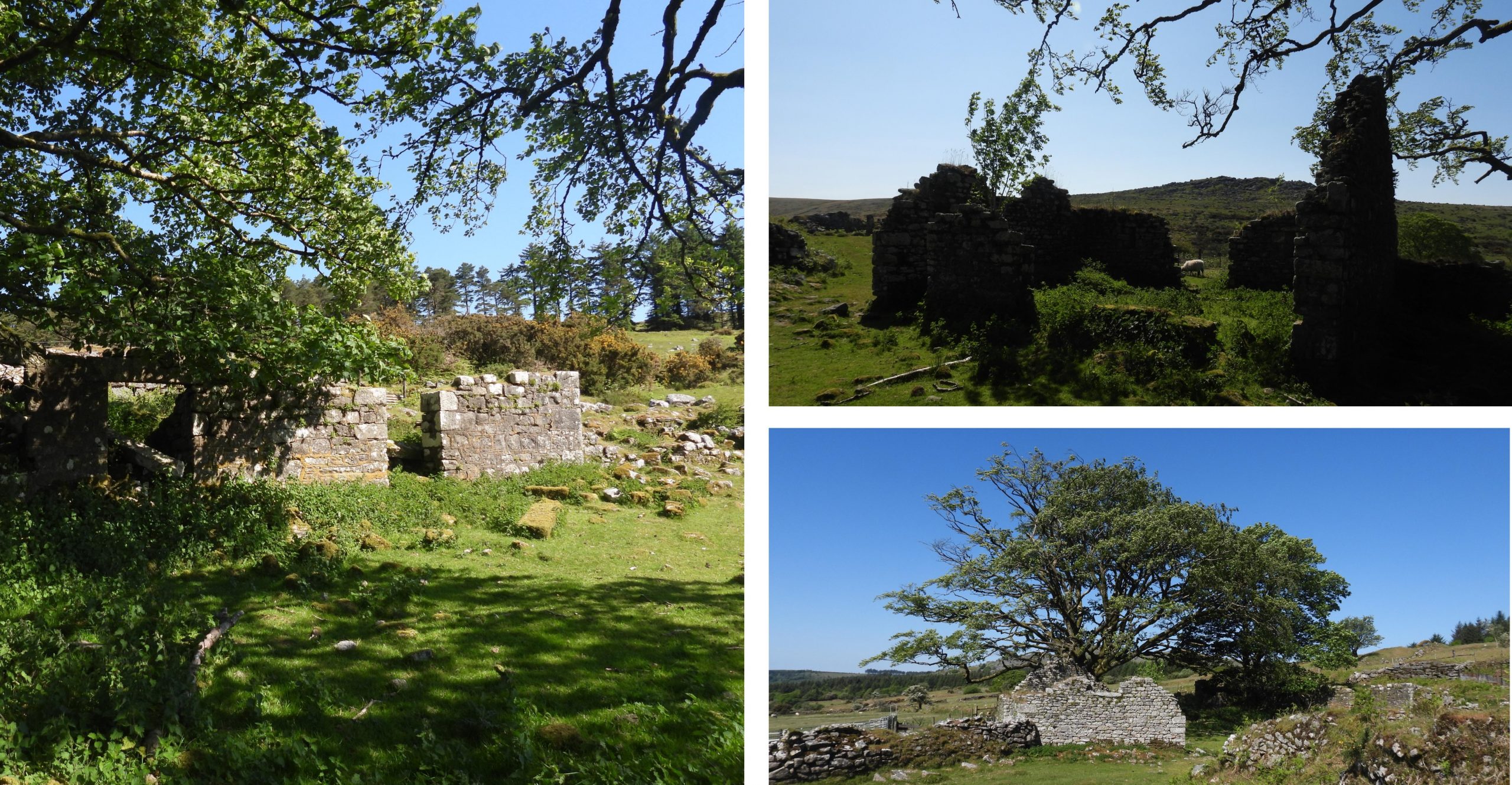
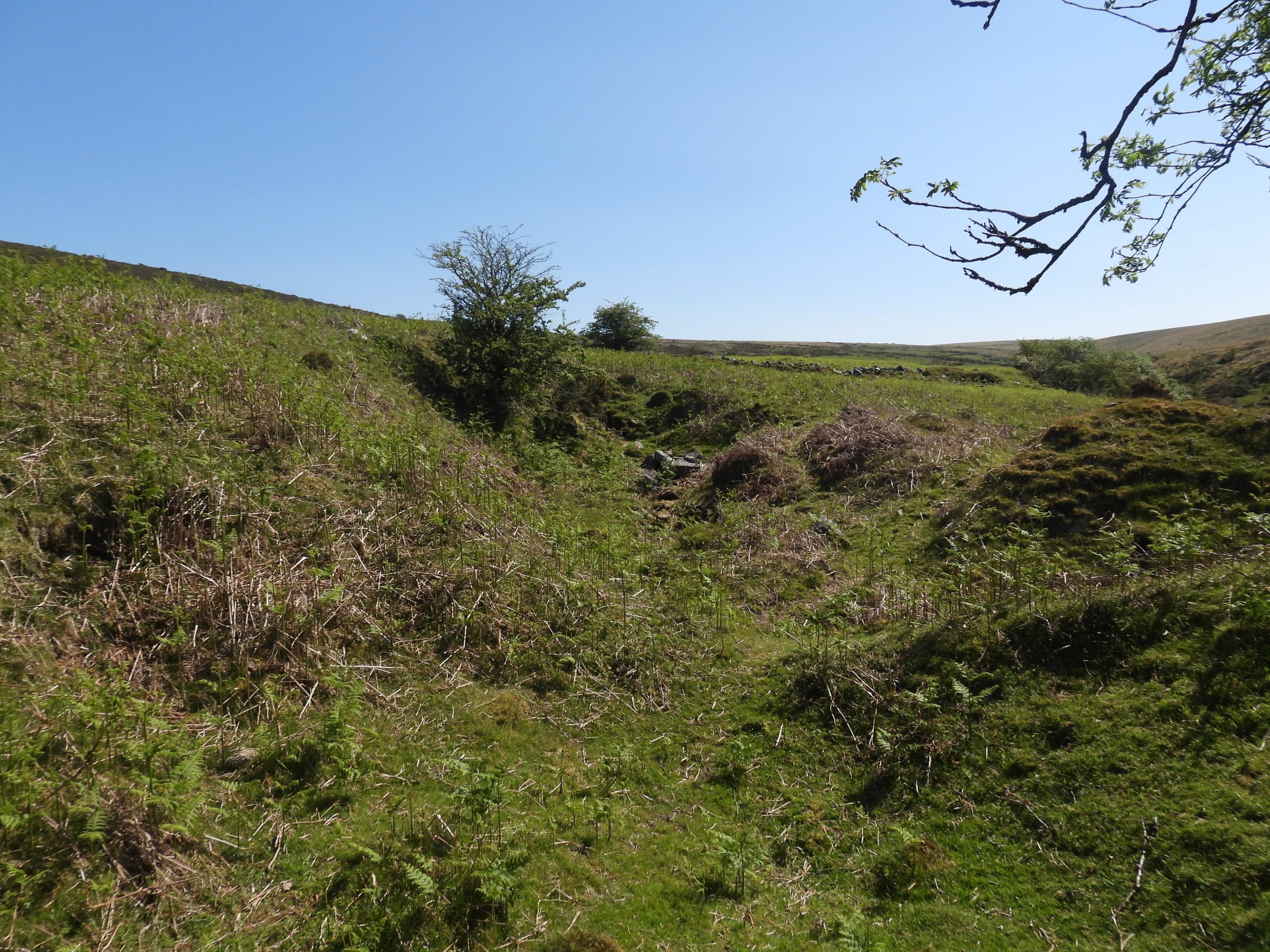
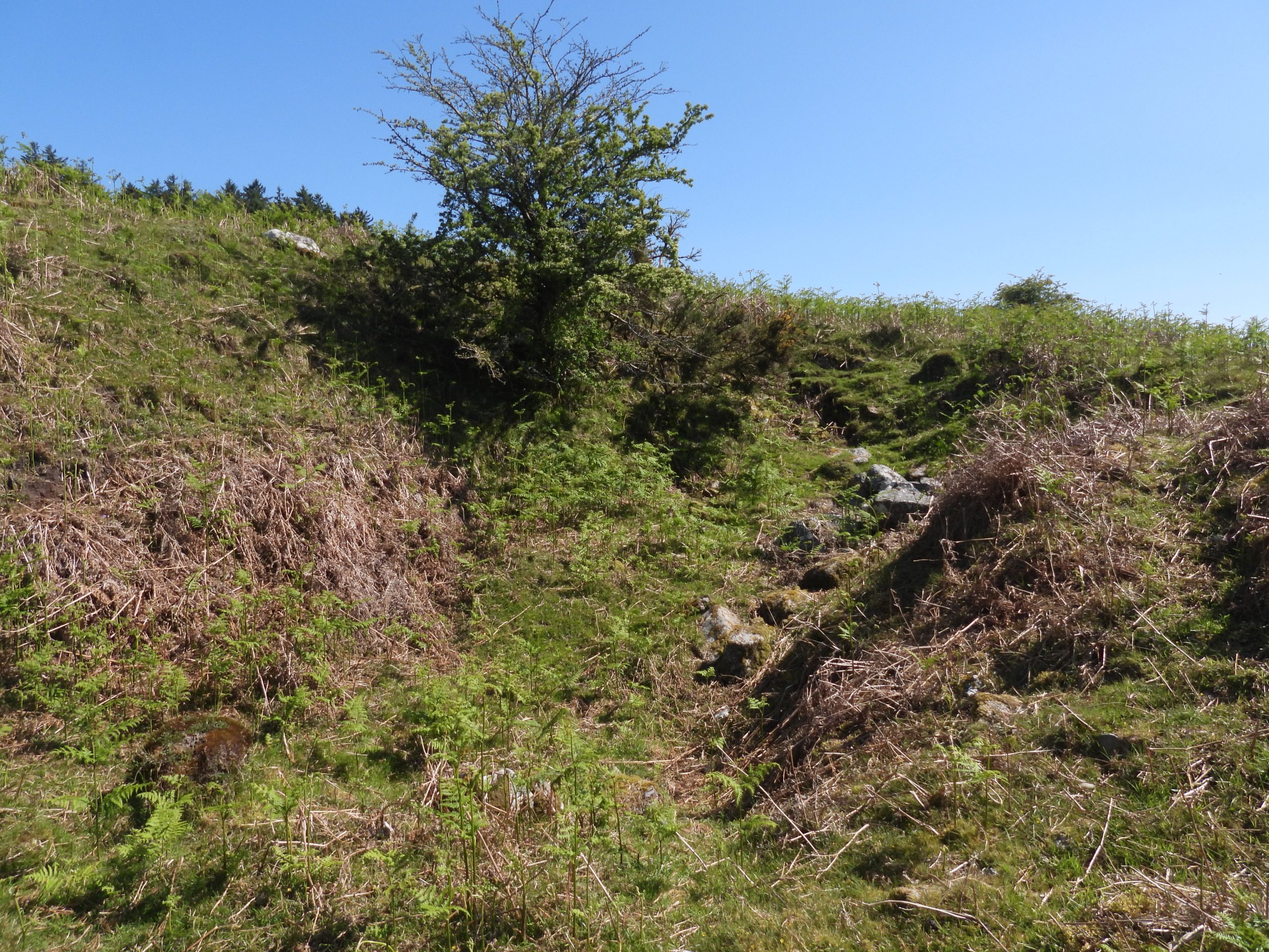
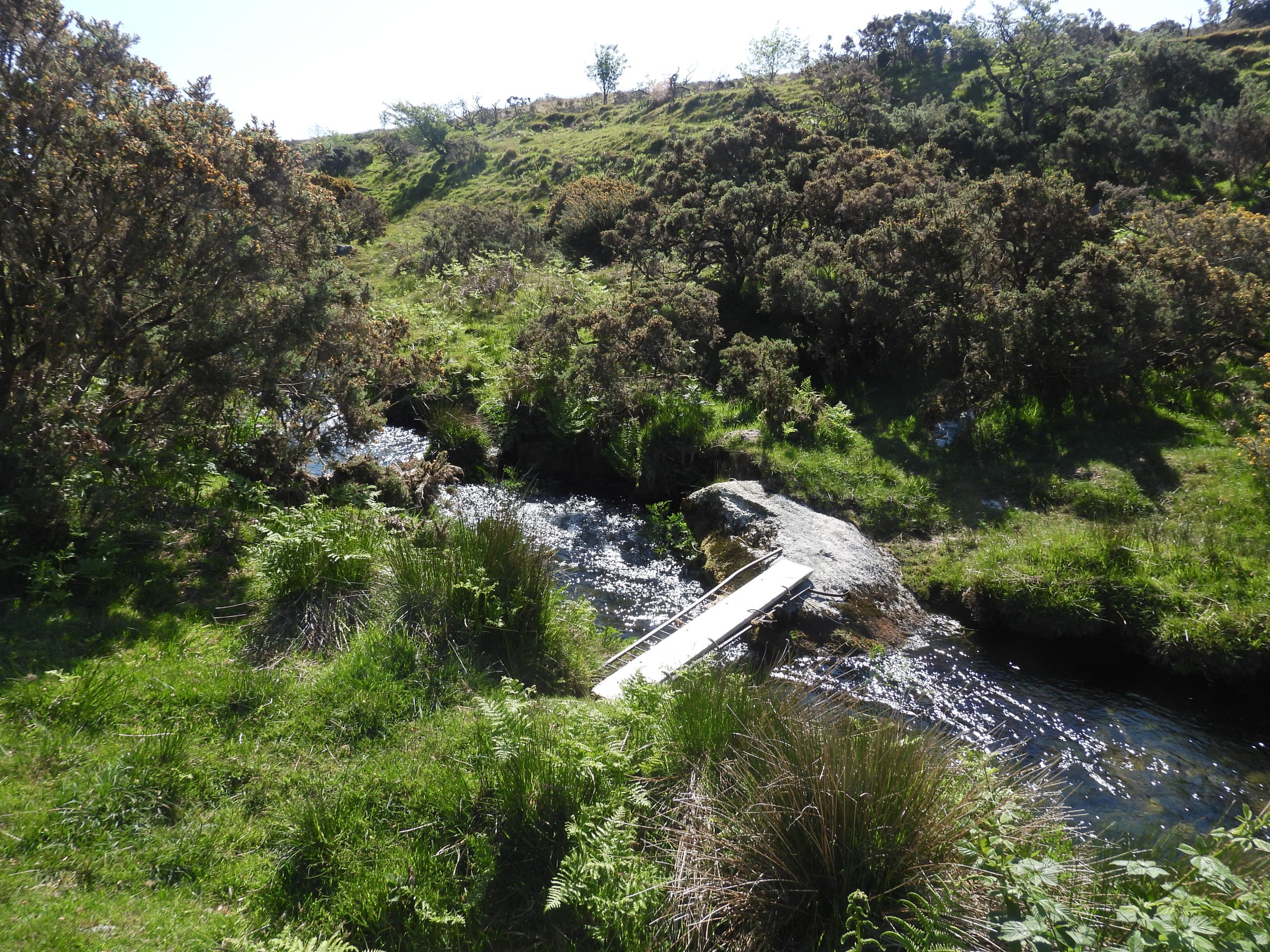
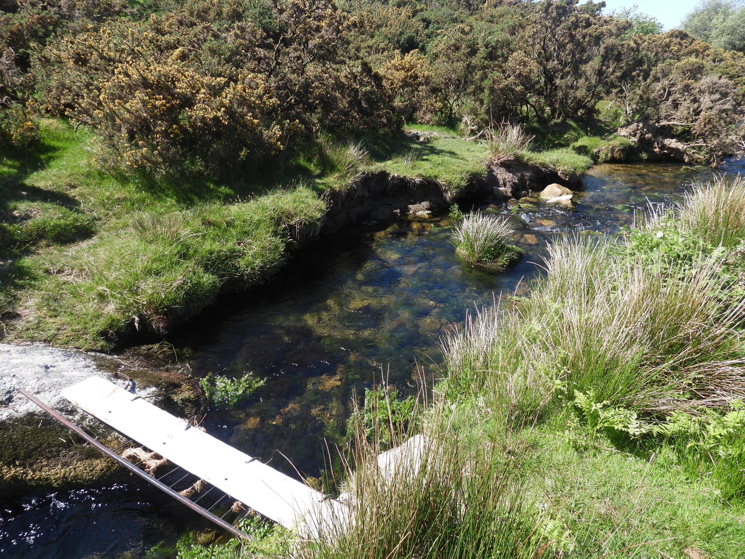
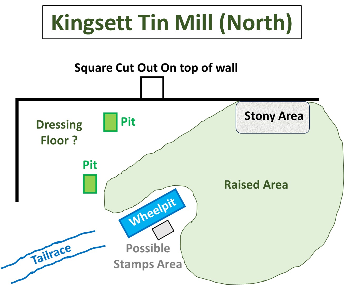
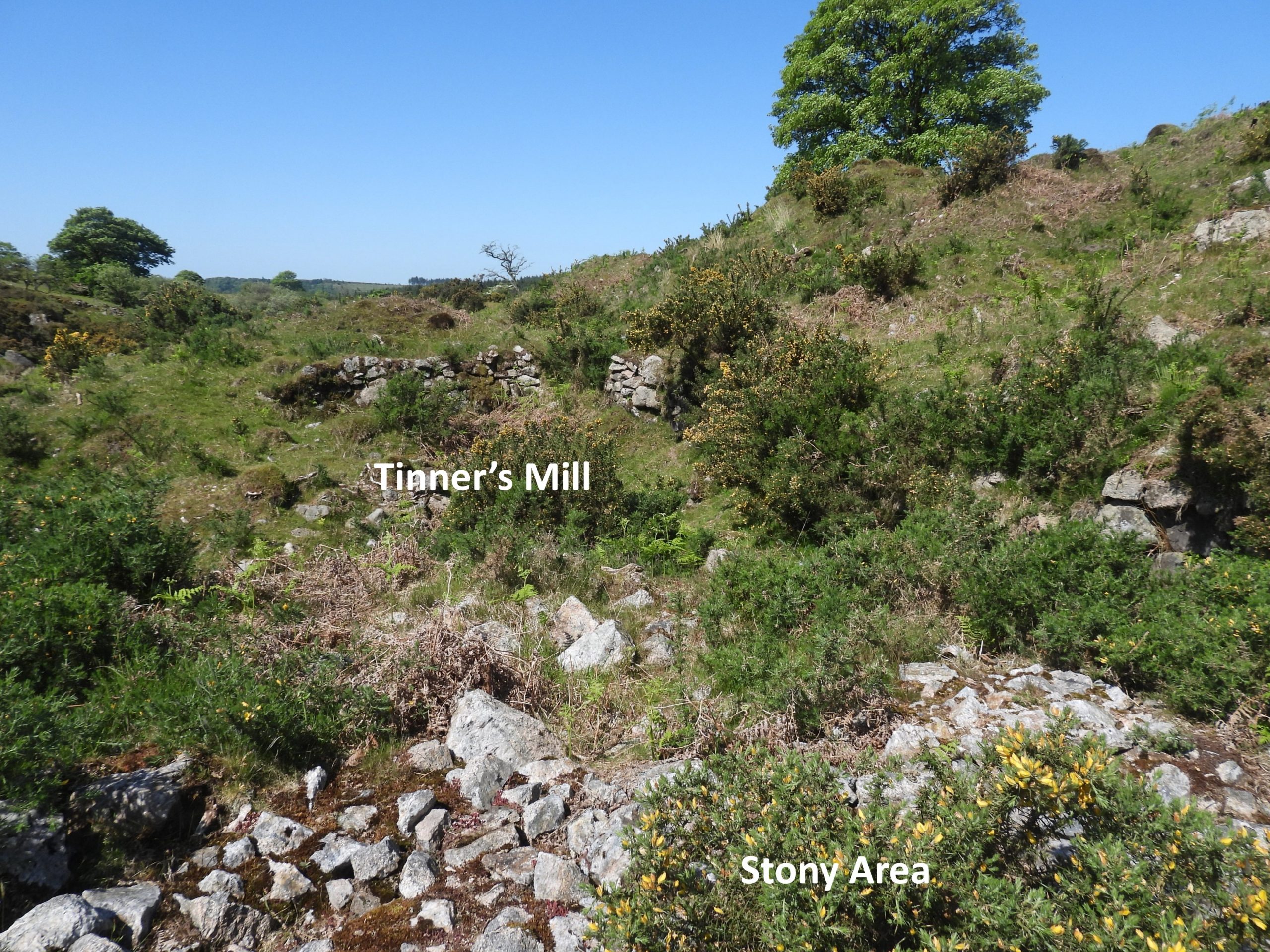
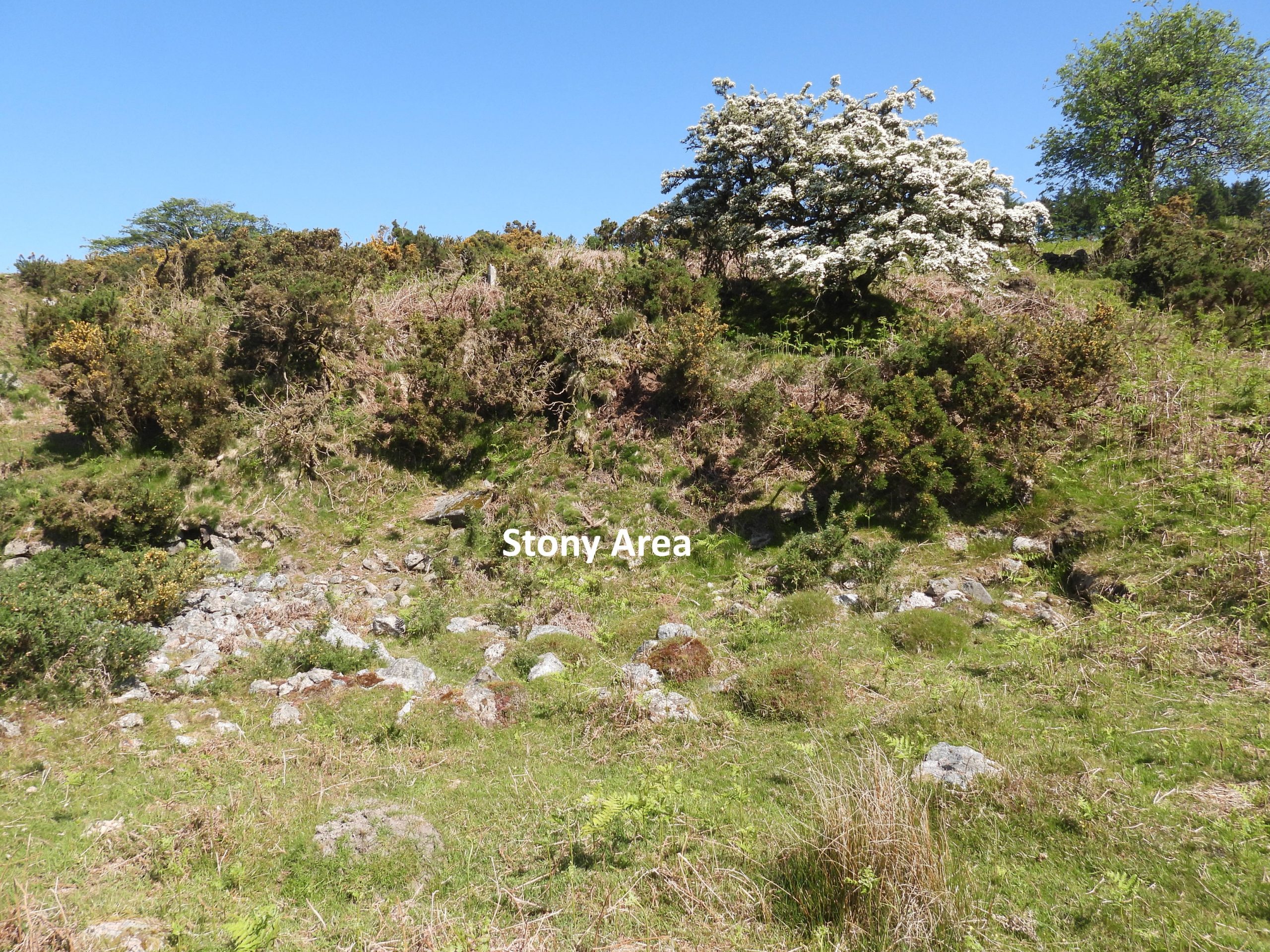
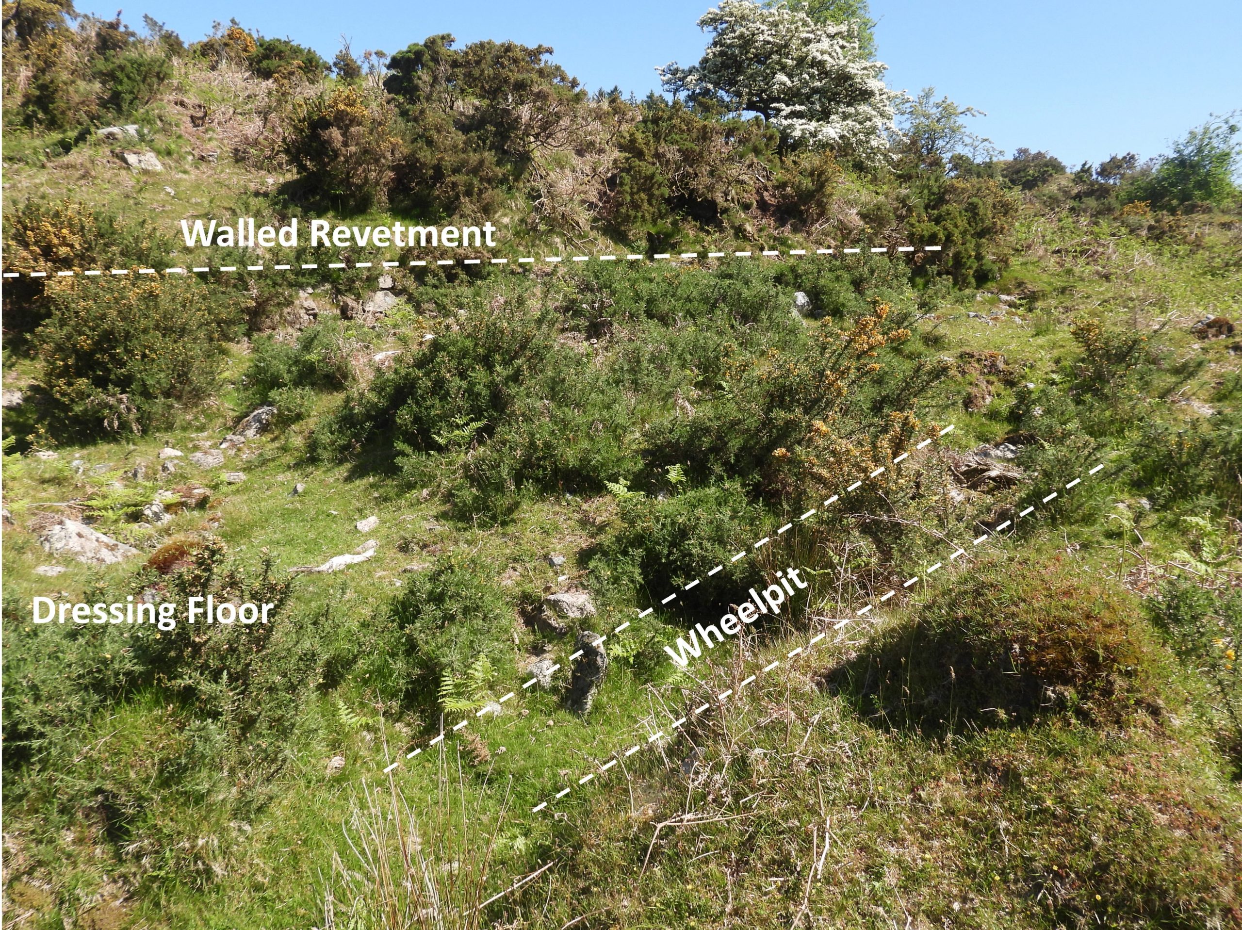
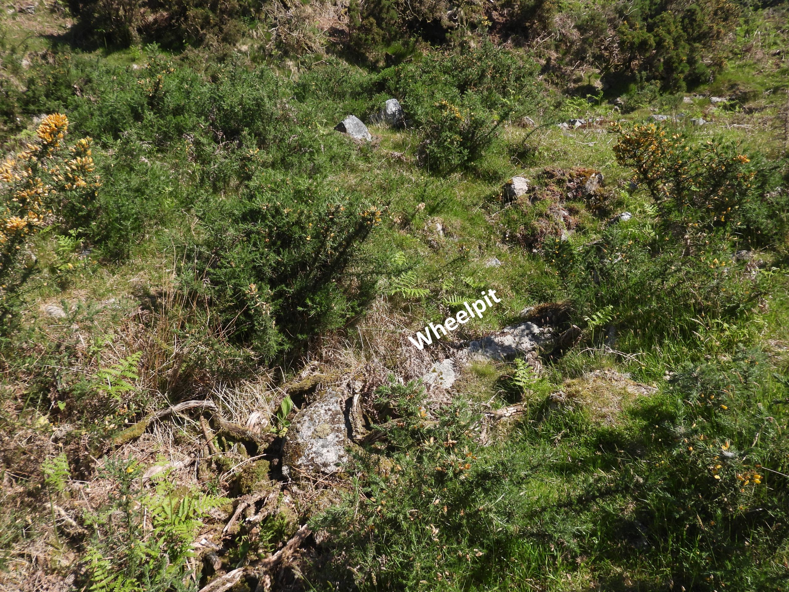
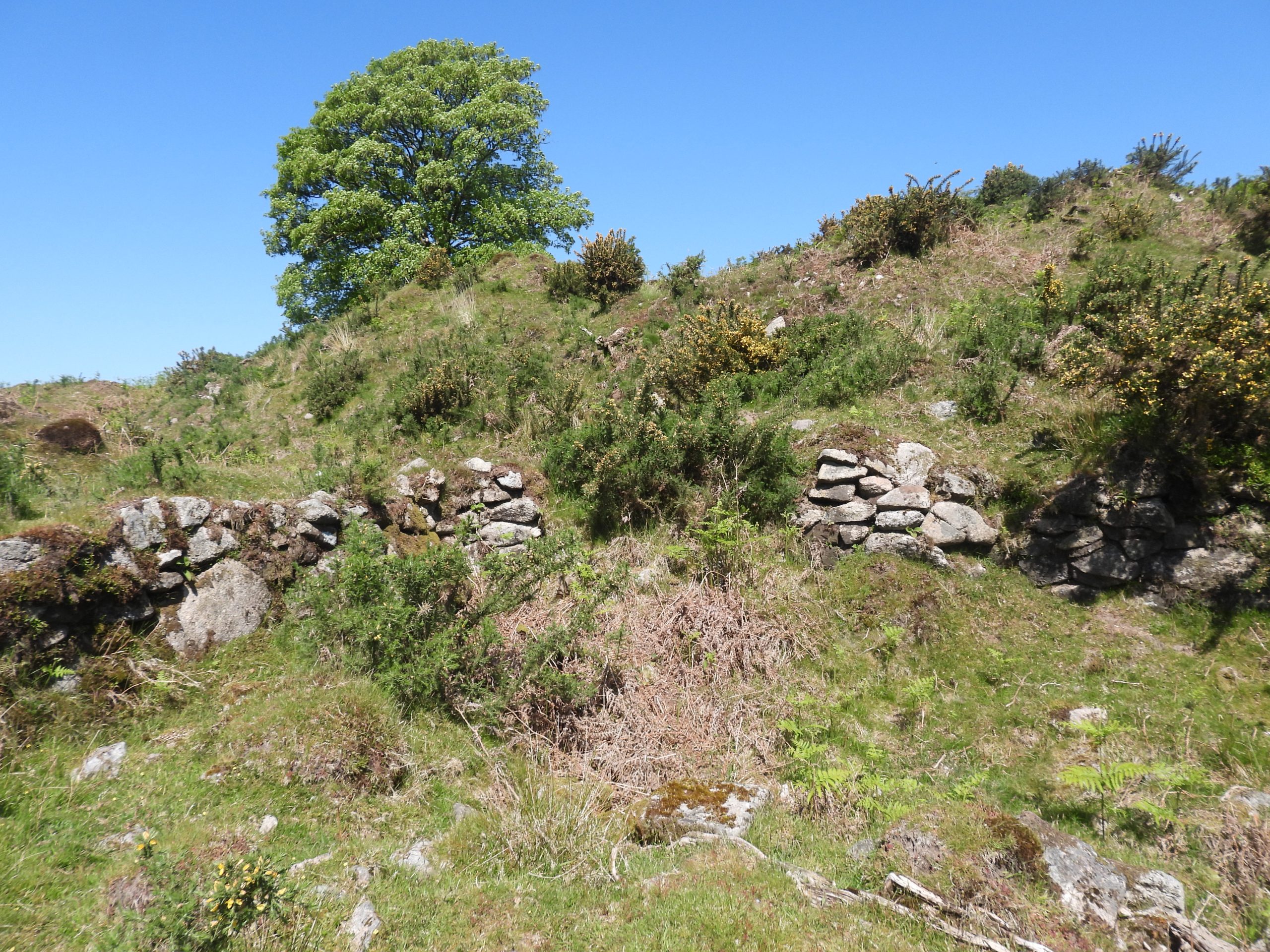
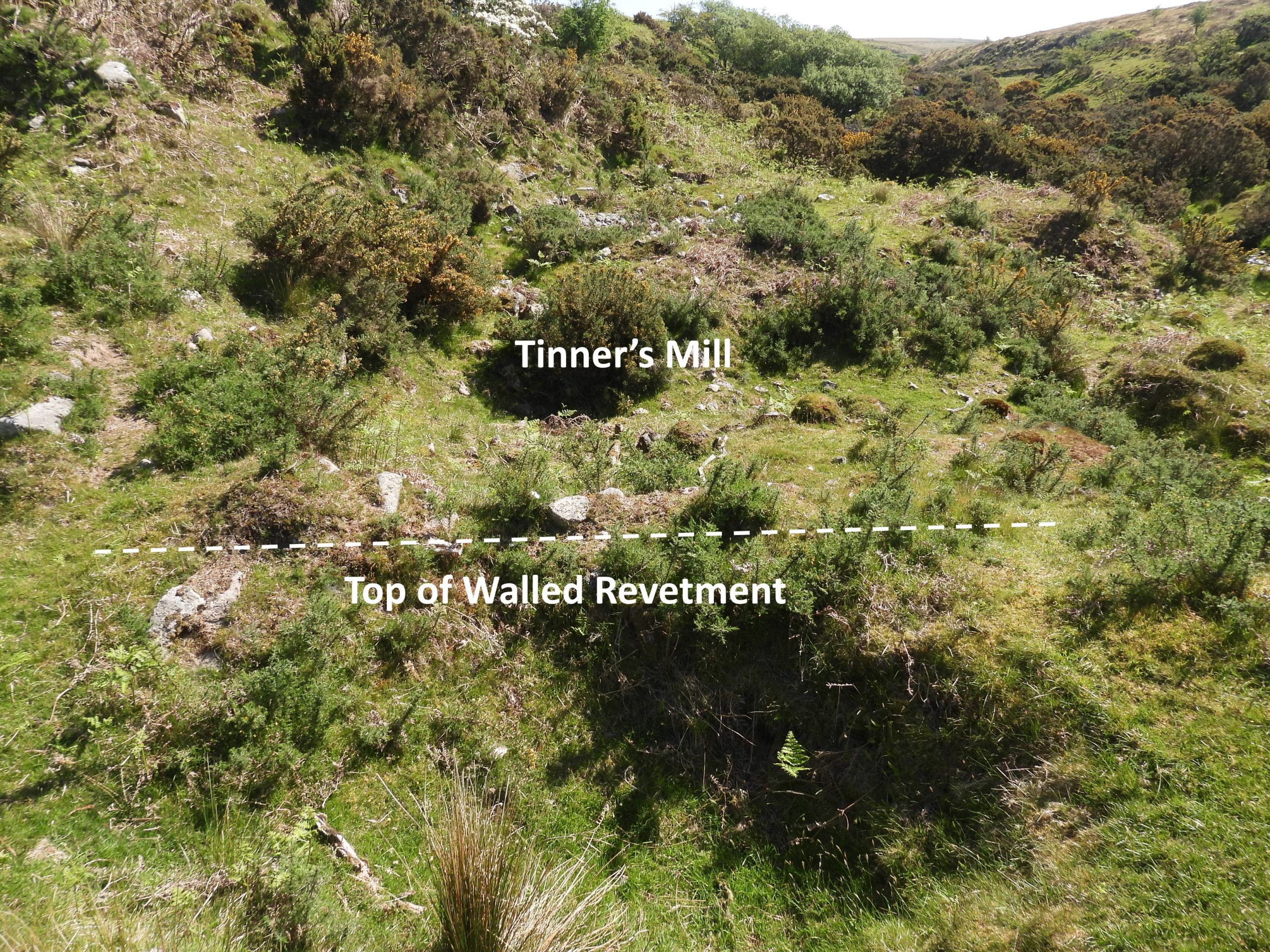
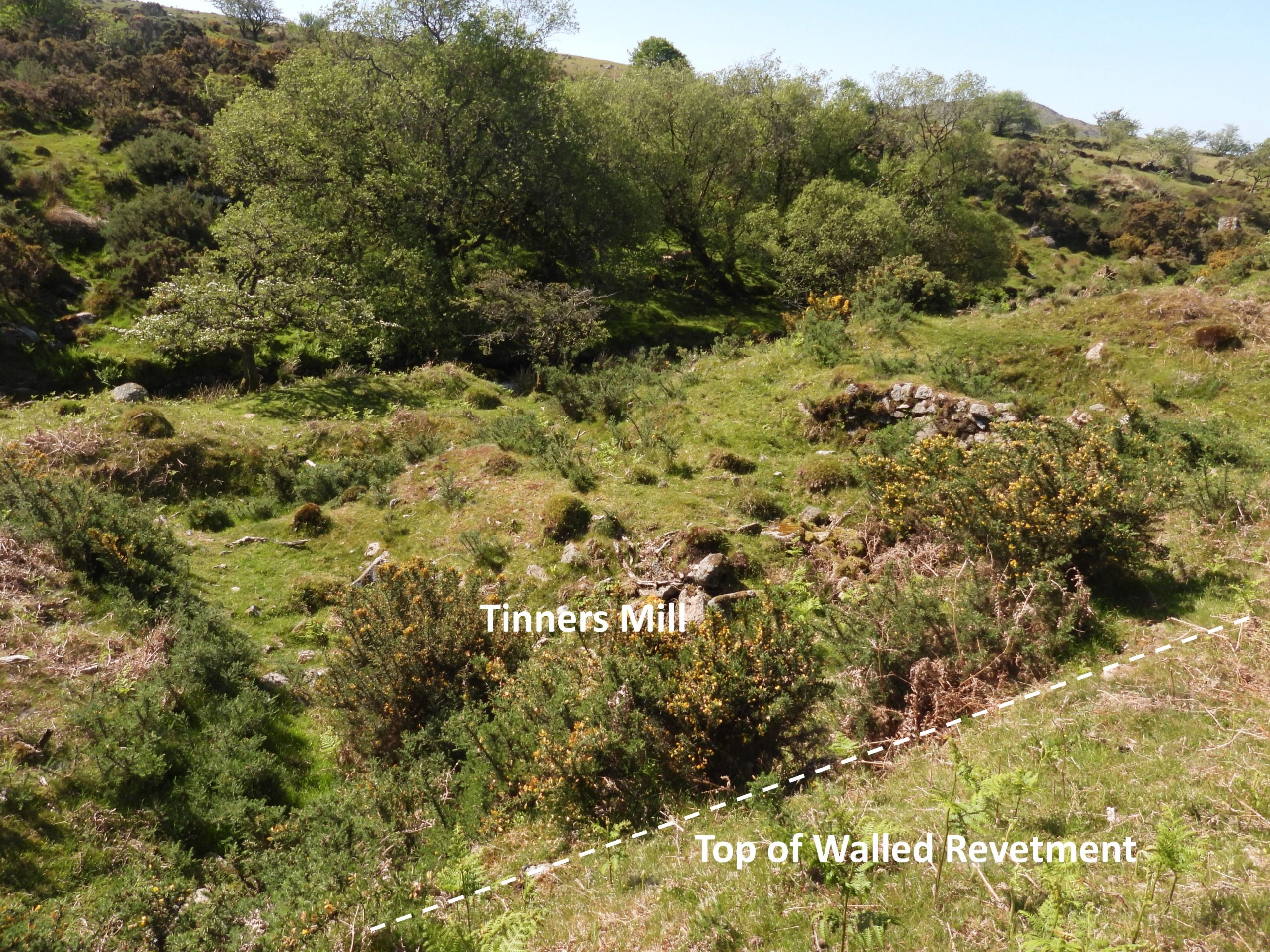
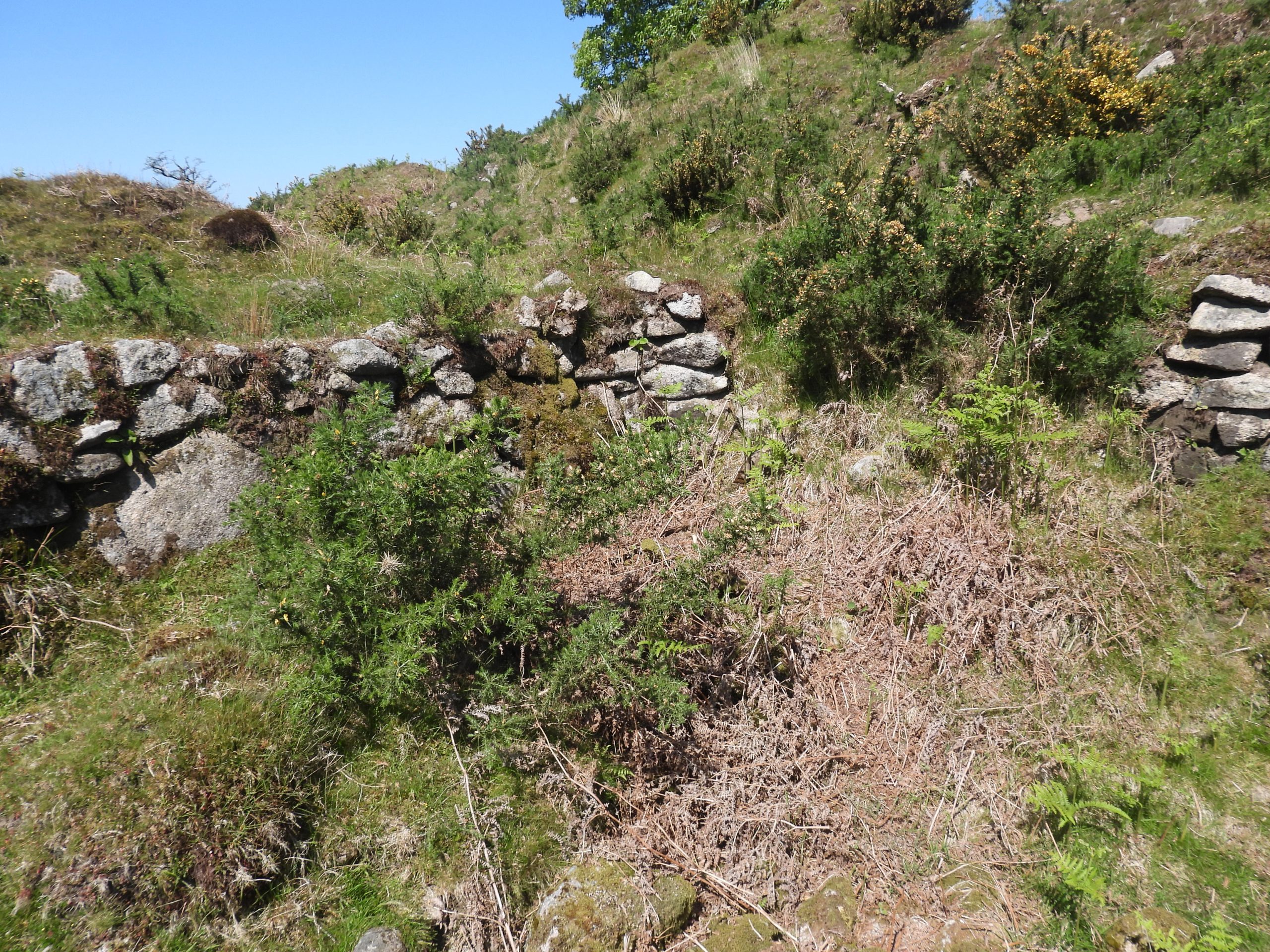
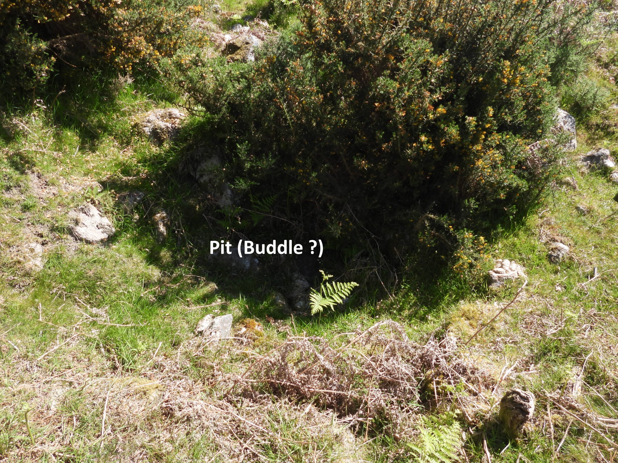
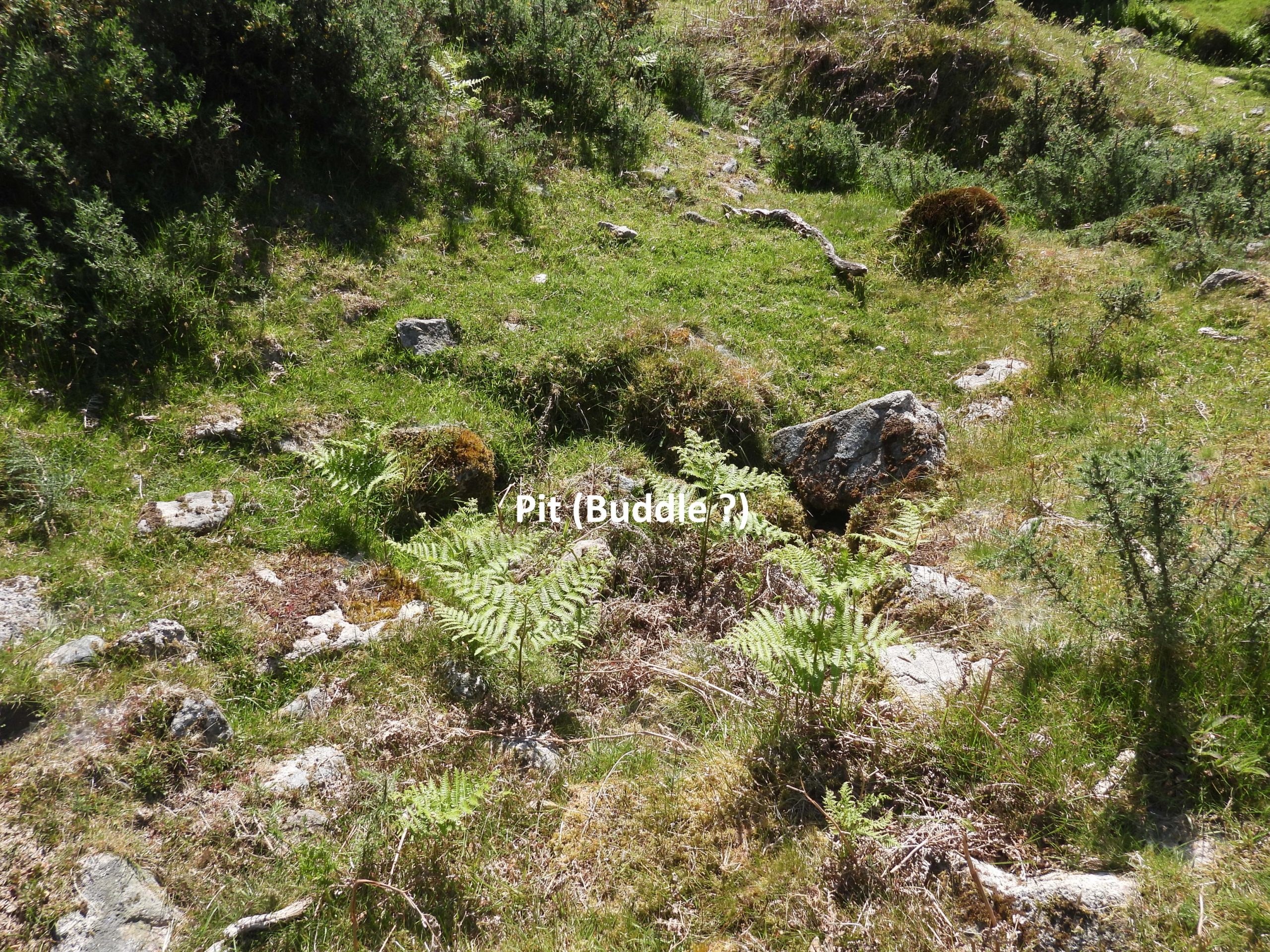
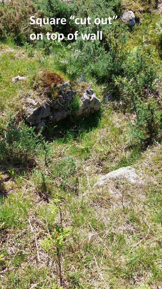
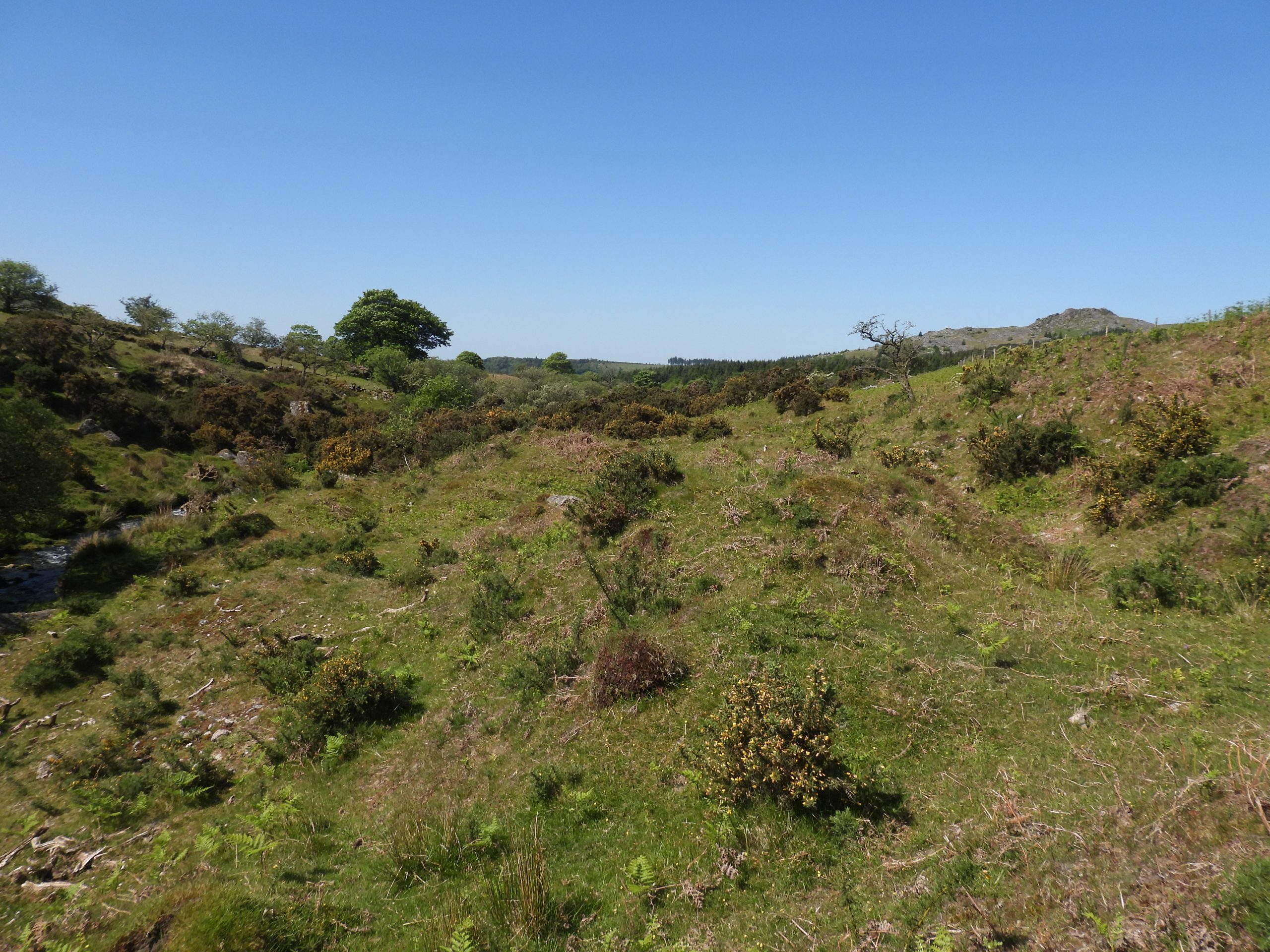
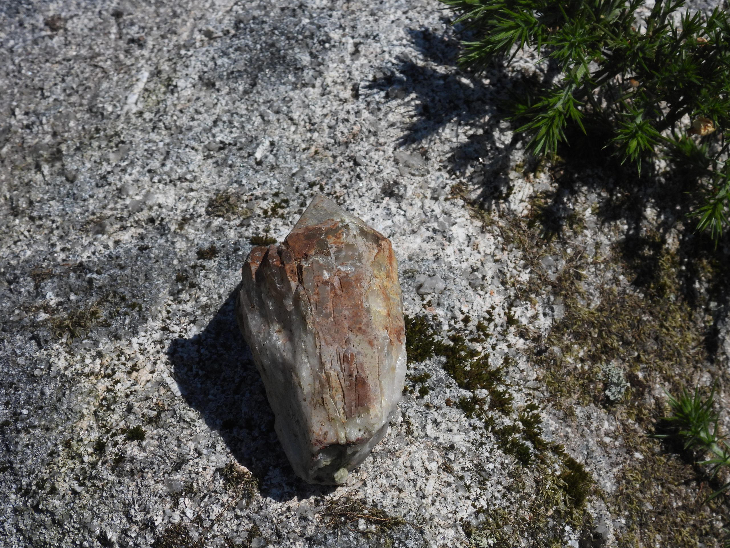
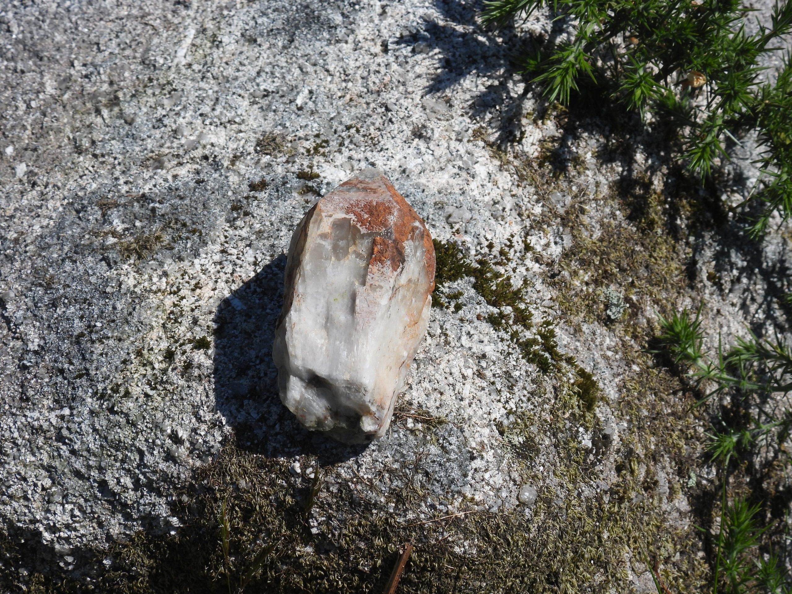
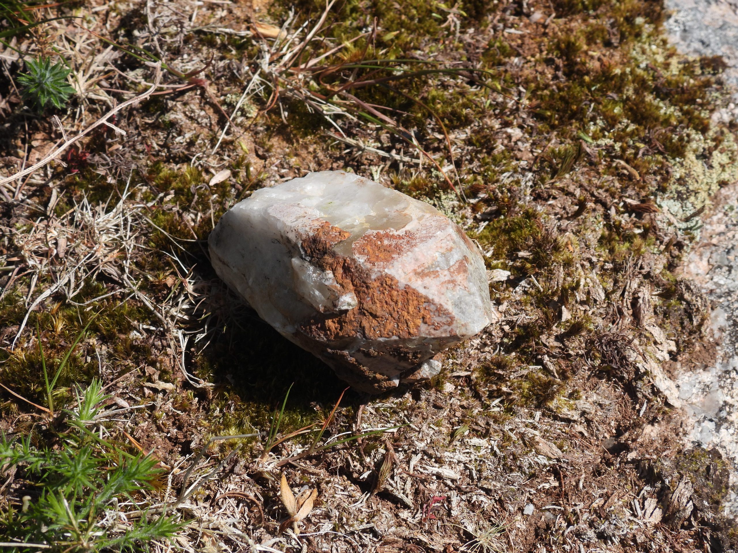
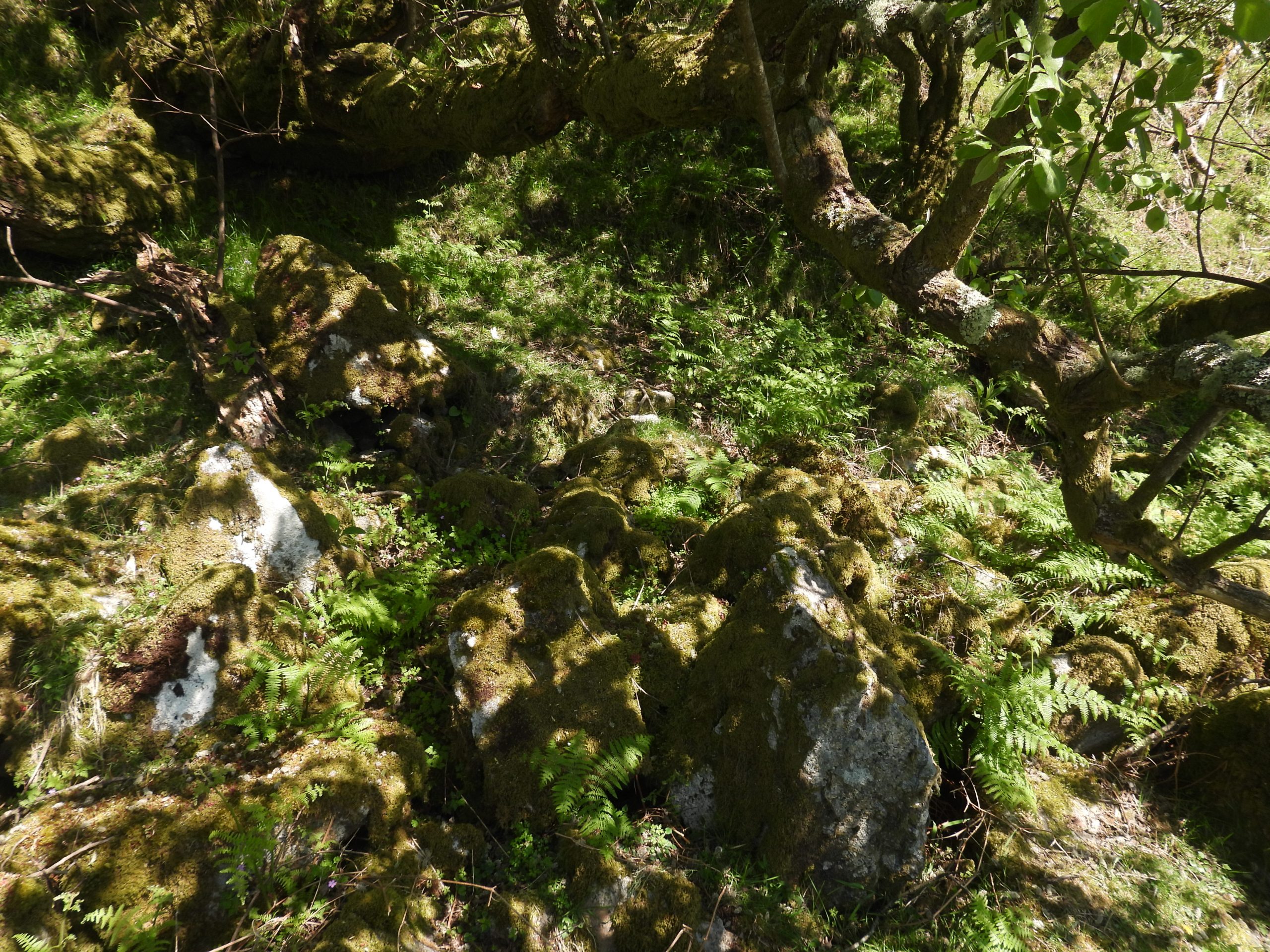
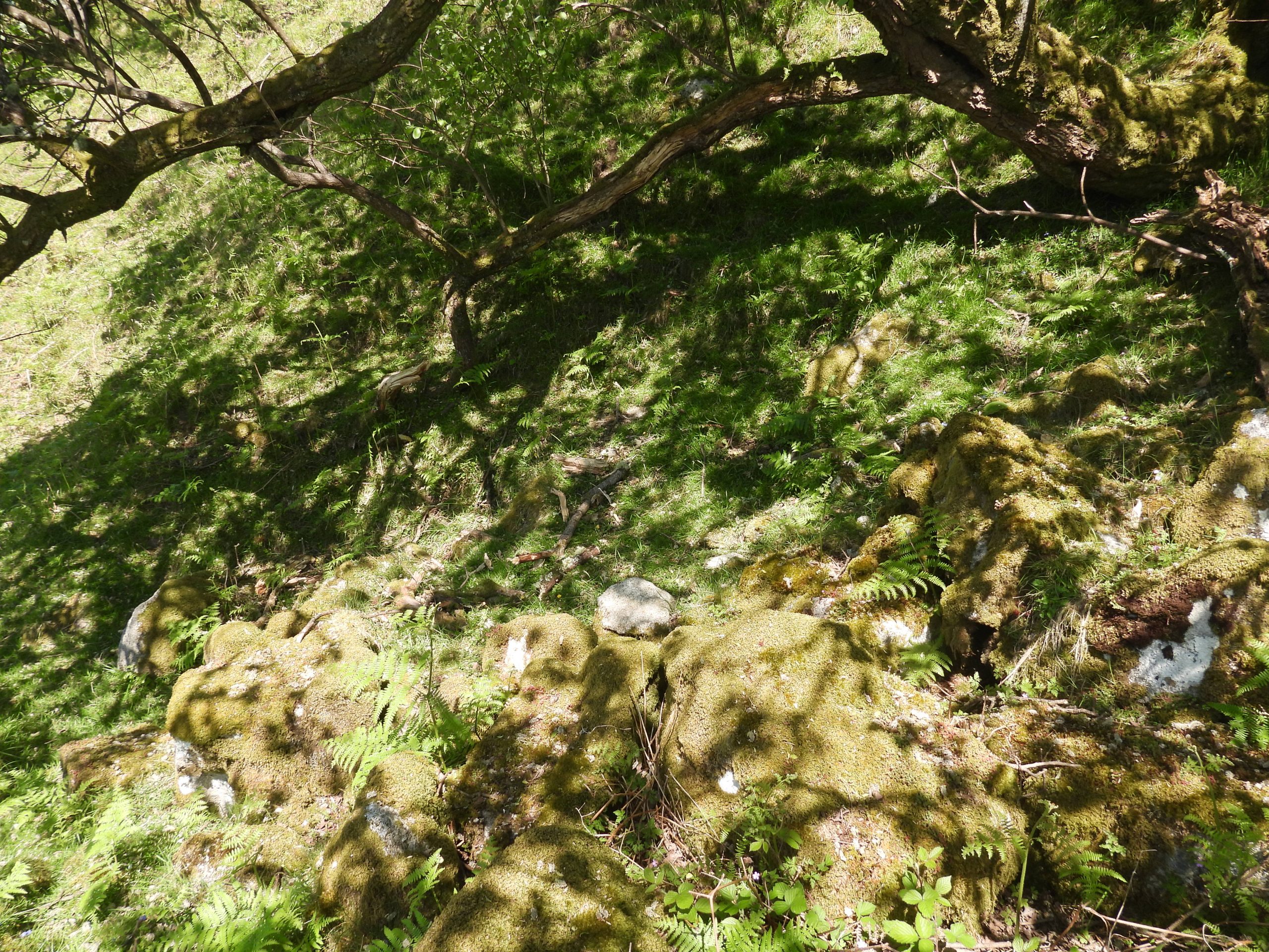
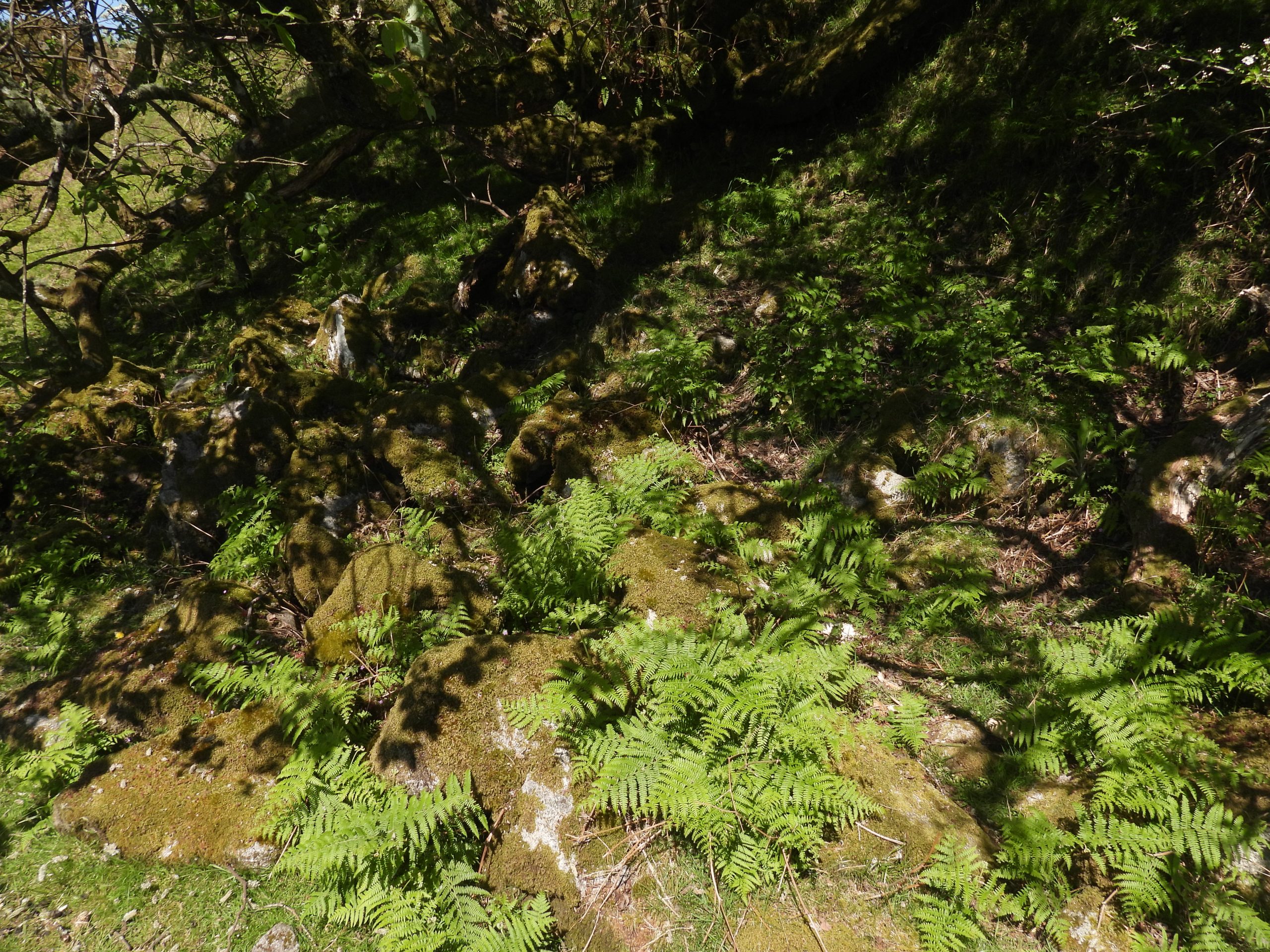
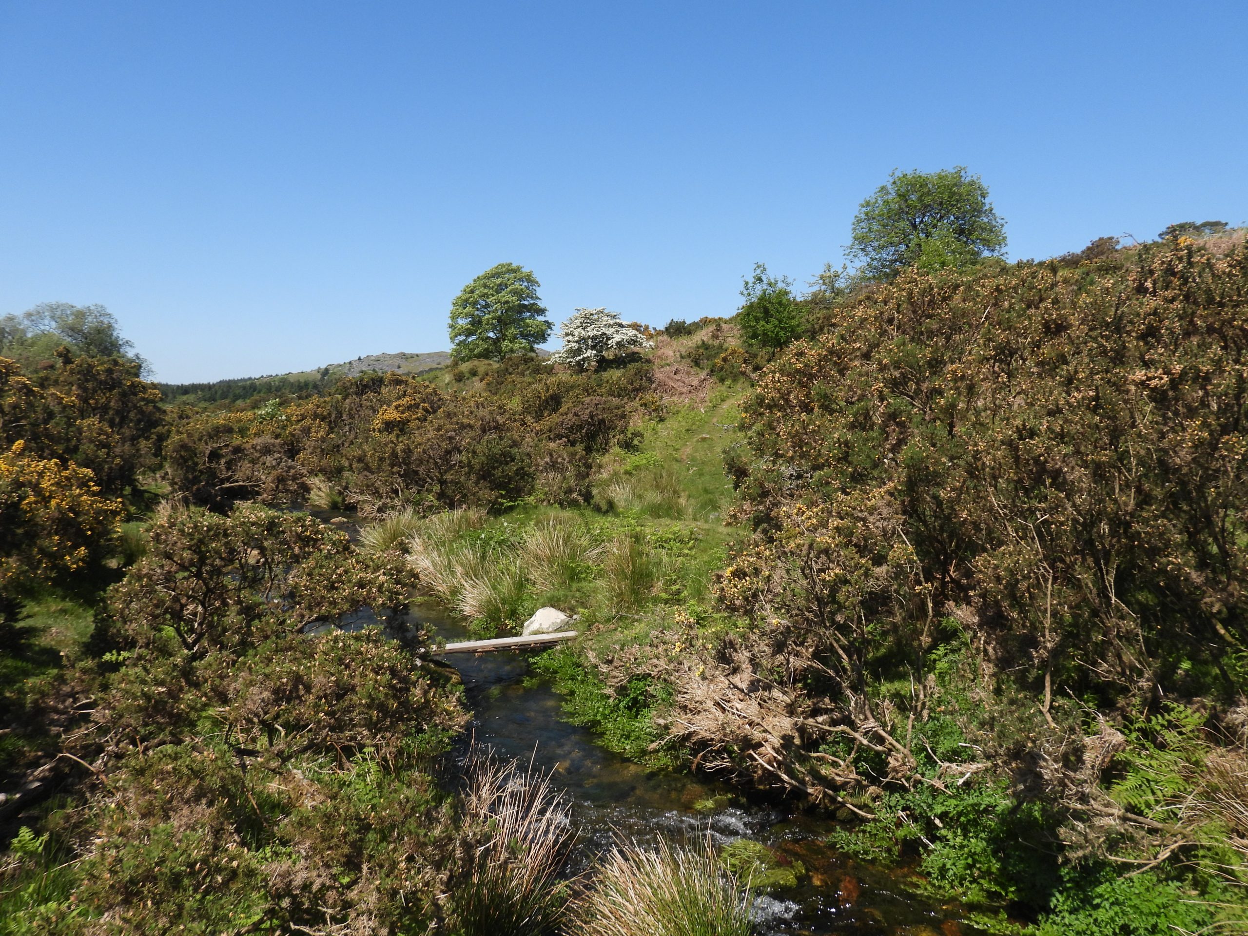
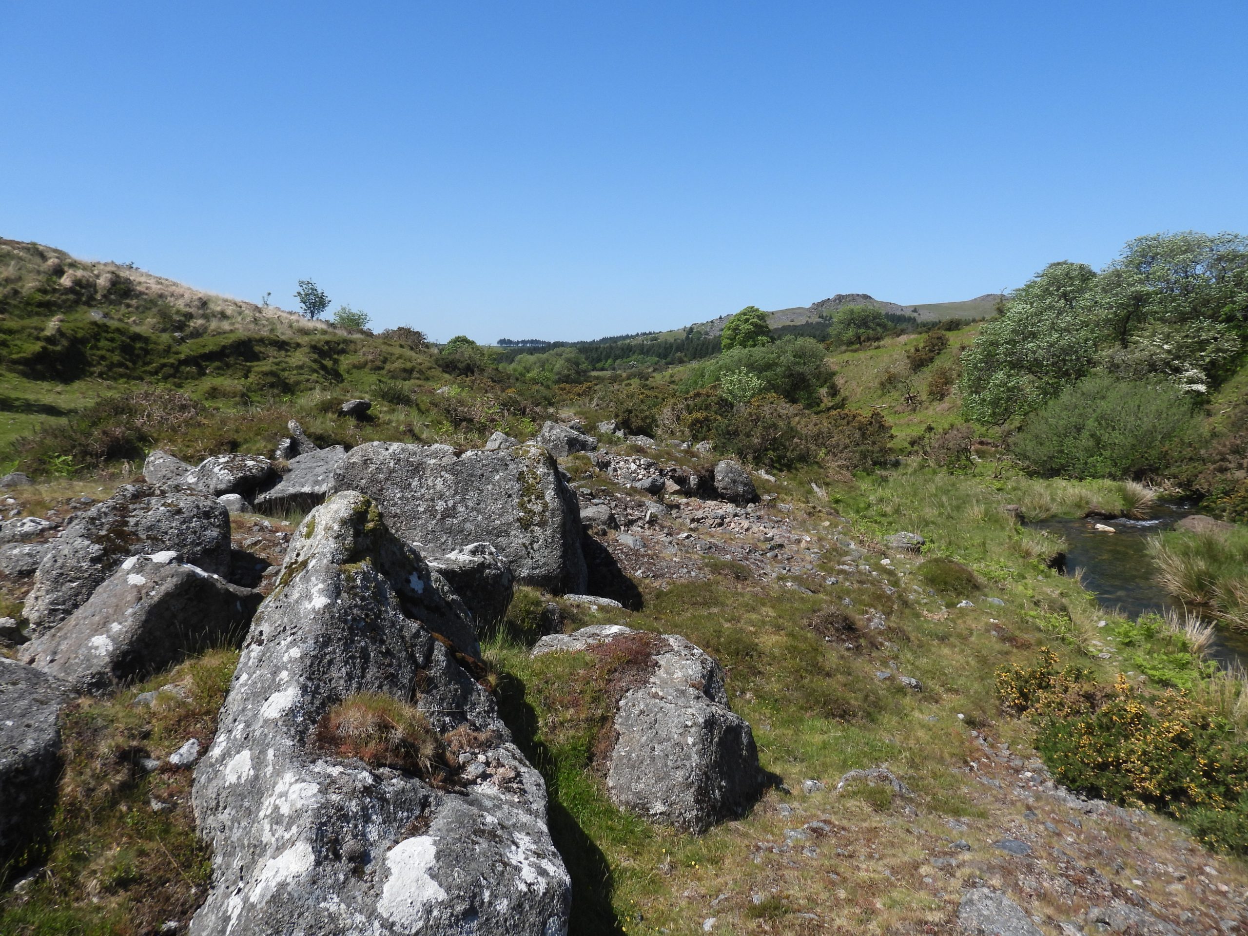
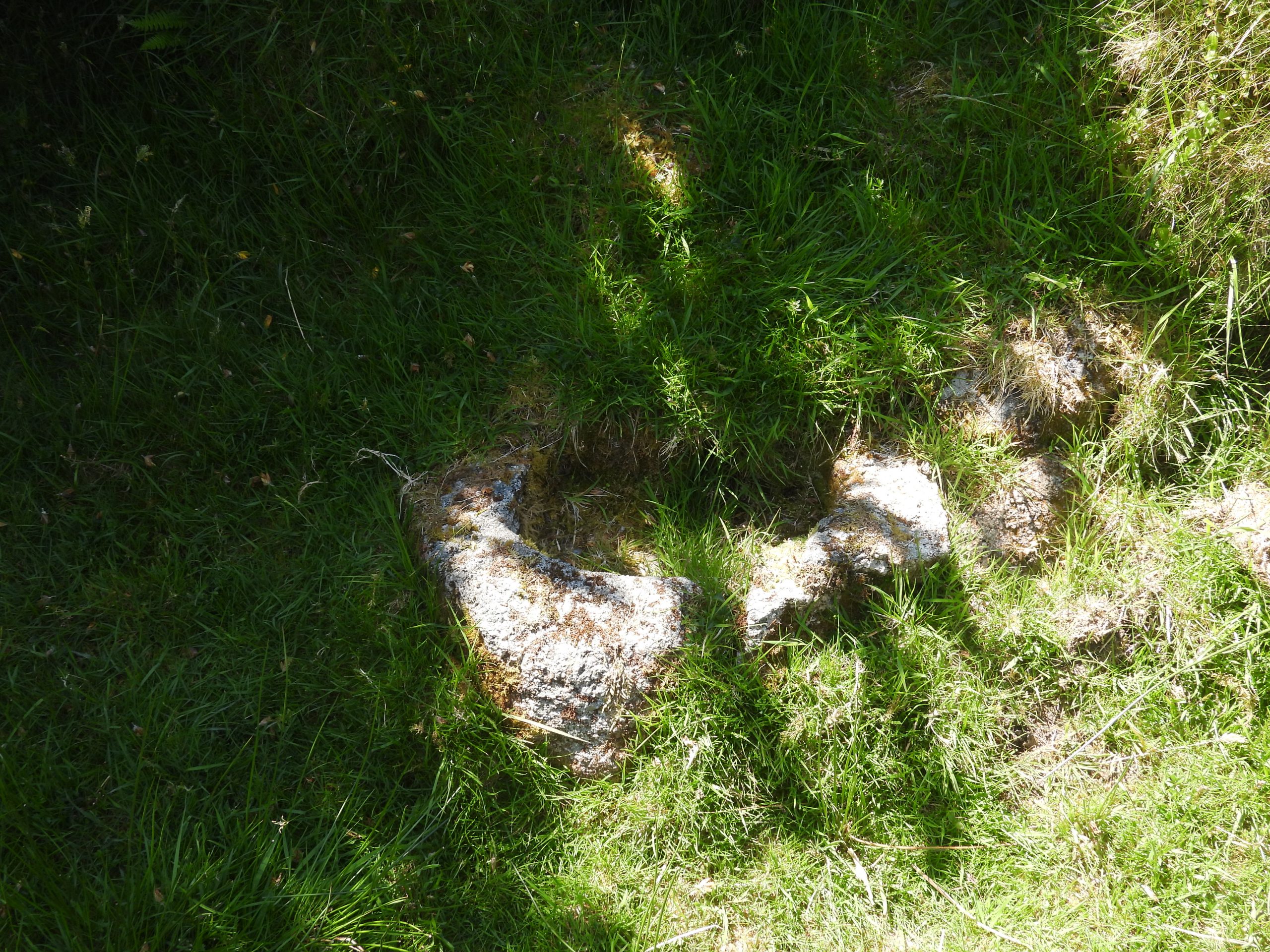
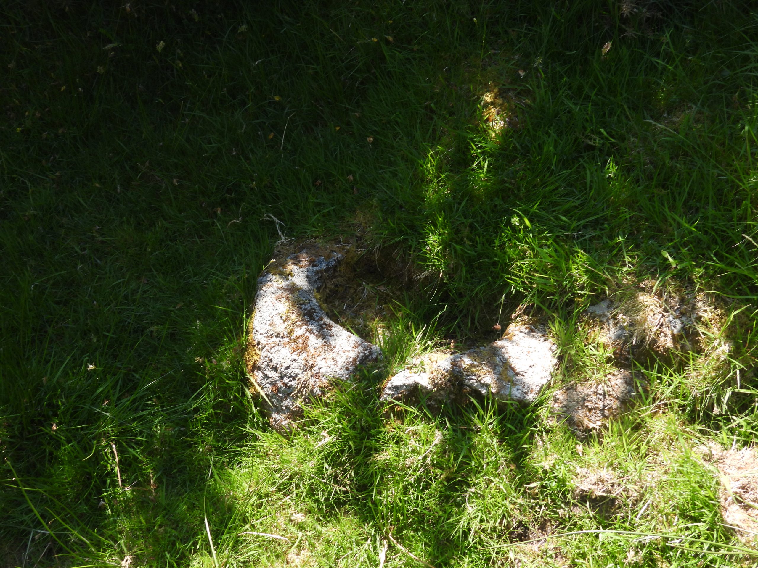
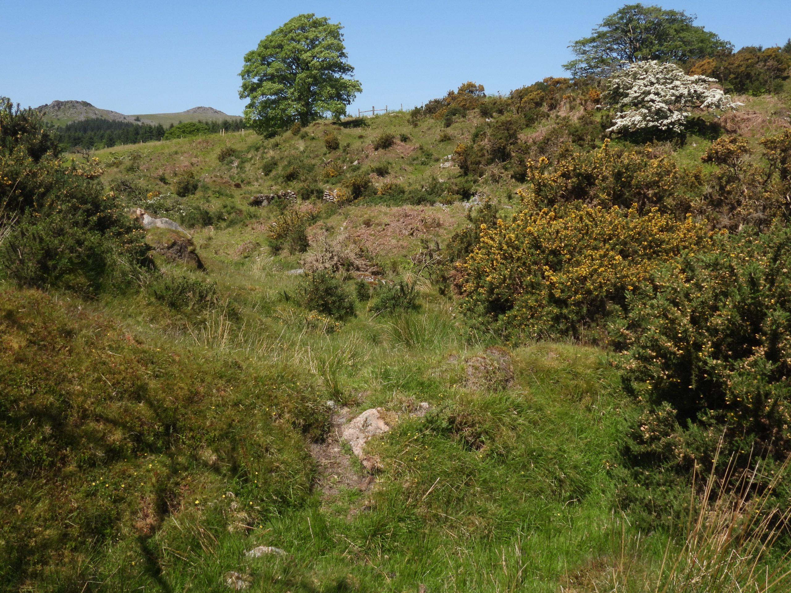
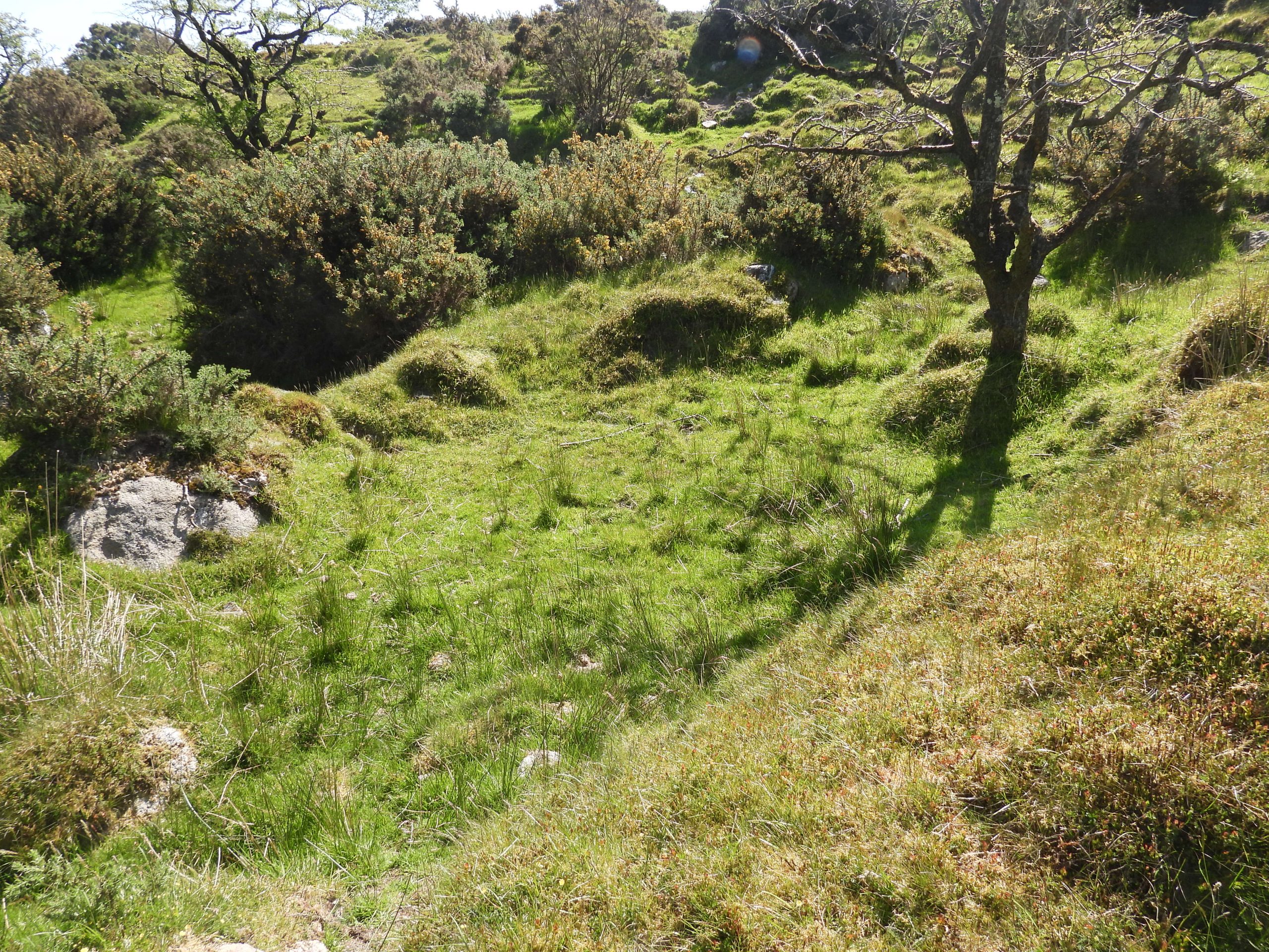
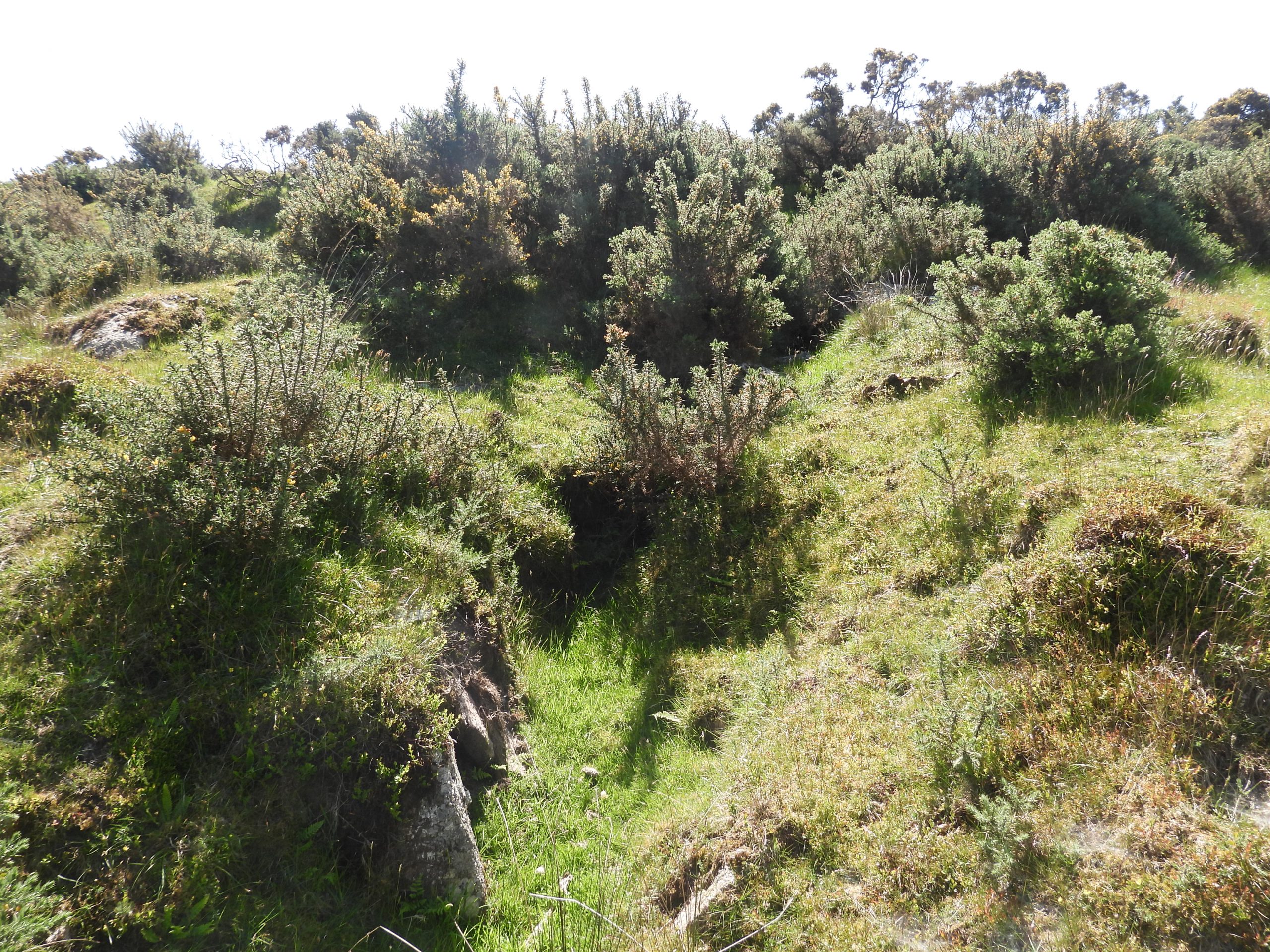
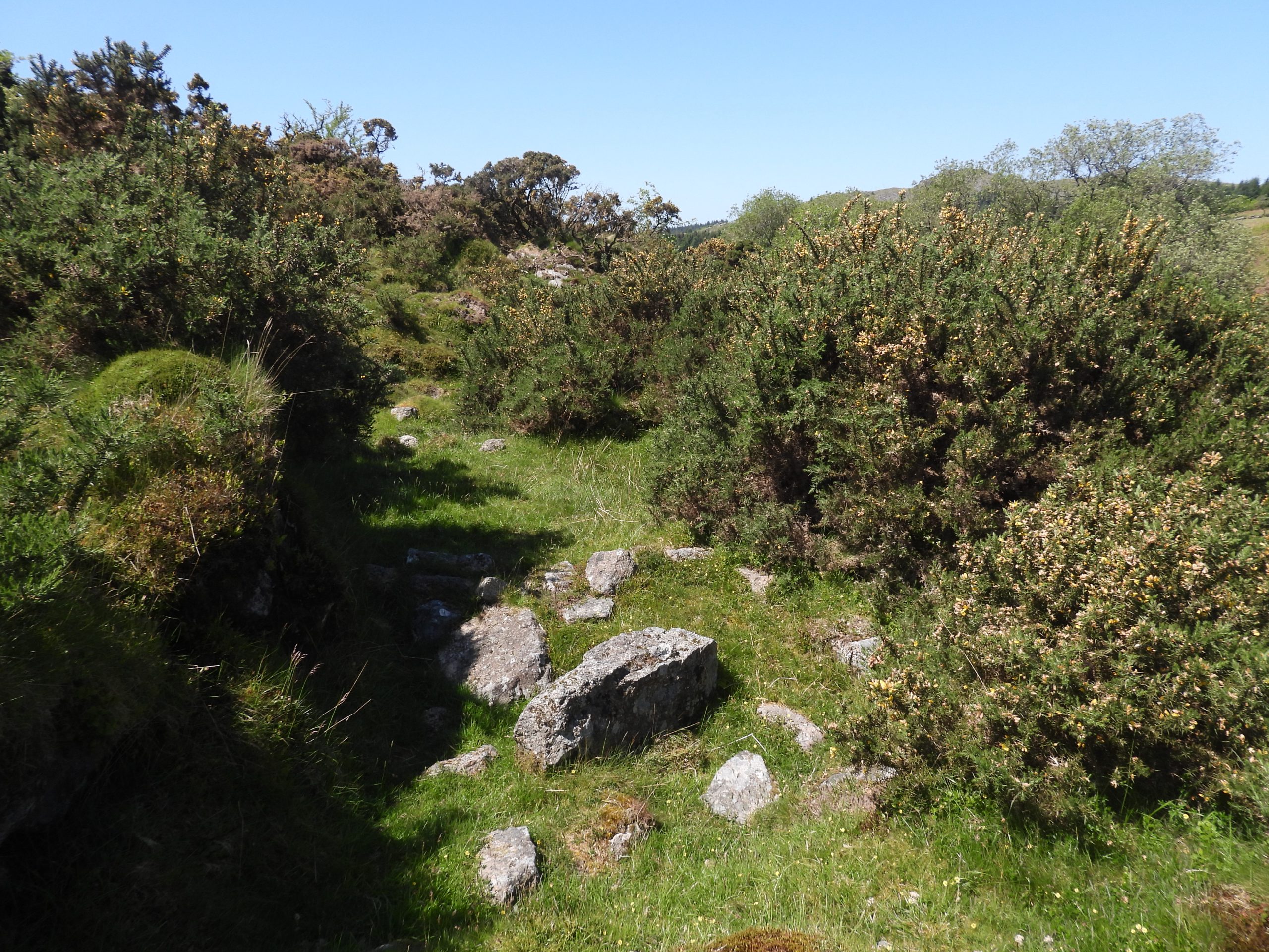
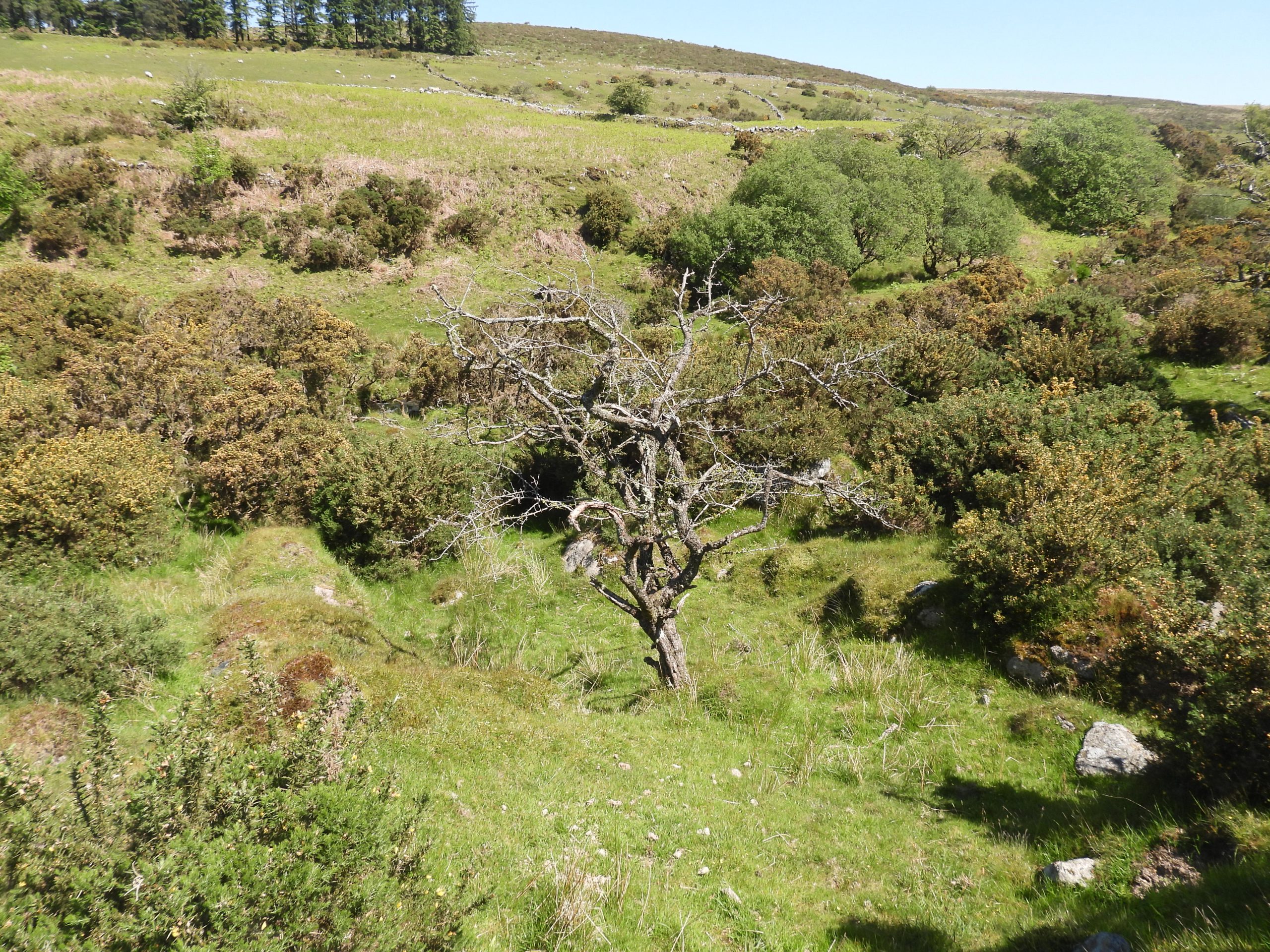
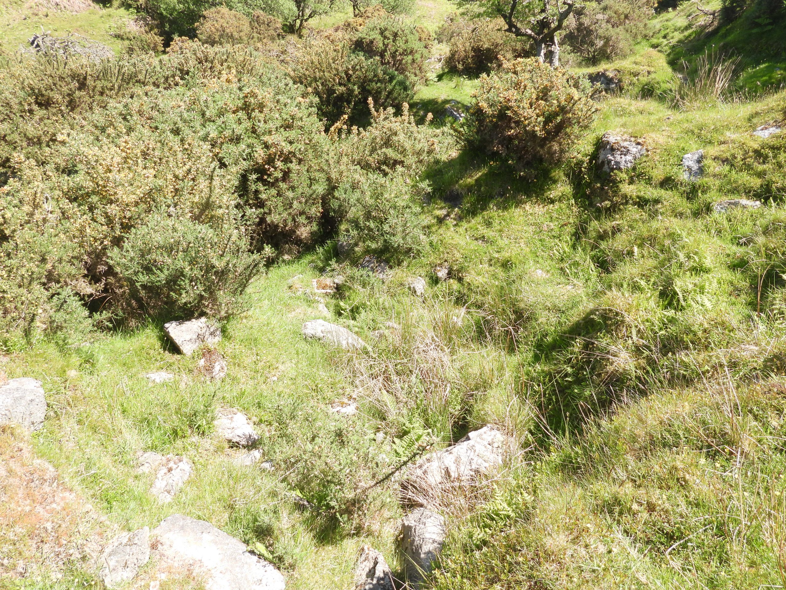
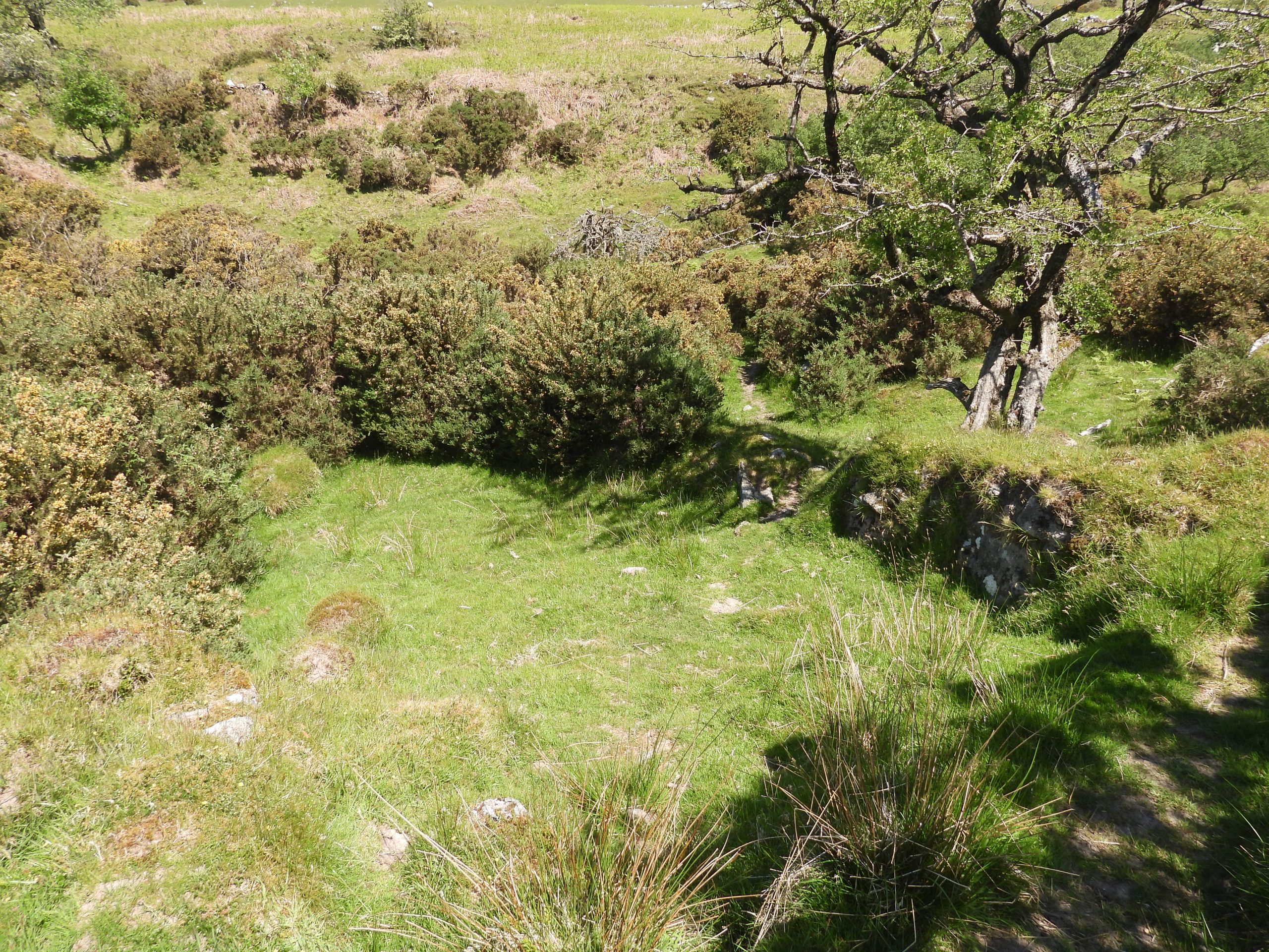
Sketch map of the features covered in this postKingsett Farm is the only farm in the area to have remained occupied into the 20th century, having finally been abandoned by 1924 / 5 by which time all other farms having been absorbed into it by 1900. The farm having been first recorded in 1333. On late 19th century maps the farm was labelled ‘Kingseat or Kingset’ by which time there had been two further buildings added to it since the Tithe Map depiction, to the east of the original three. ‘Kingsetts’ was the name depicted on the Tithe Map; 999 on the Walkhampton Apportionment. R.G.Haynes visited the farm in the 1960s and noted that it was a: “substantial ruin of a modern farm on a medieval site”. He further recorded that the : “House and outbuildings date from the 19th century, with the exception of the shippon at the east end of the yard”. He also noted there were Pig styes and possible dog kennel here.Gover, Mawer and Stenton, (circa 1931) in ‘The Place-Names of Devon: Part One’ tell us that the farm was first recorded as ‘Kyngessete’ in 1330 then ‘Kynggissete’ in 1337Leaving Kingsett Farm by way of a trackway between old walls, a small quarry can be found. This is on the east side of the track as it approaches Newleycombe Lake. The Quarry is shown on late 19th century maps. What the stone was used for can only be conjectured.The Quarry is located at SX57768 69863Just below the small quarry a convenient little bridge has been positioned to allow a safe (dry) crossing between the two sites of the Kingsett Mills / MineThe bridge is located at SX57791 69823A short distance downstream from the bridge are the remains of the Kingsett Tin Mill (north). The above sketch is crude representation of the site made by the author. One day, ones assumes the DTRG (Dartmoor Tin Research Group) will conduct a full plan table survey of the site.Approaching the Tinner’s Mill from the east. The first features seen are a ‘stony area’ and walling revetmentsAlluvial tin earthworks surviving around the mill indicates that it was built on an earlier tinwork (Ref: Historic England)A stone-faced wheelpit is cut into the the centre of a platform and is obvious from the tailrace which can be seen beyondBetween the Wheelpit and Newleycombe Lake (in the authors opinion) was the most likely place for the Stamps. There is a documented 16th century ‘knocking mill’ called ‘Keigelles borowe mylles’ (ref: Dr Phil Newman) but whether it was here or in the locale is unclear.The Wheelpit measures approx 7m long by 1.5m wide.Is this the area of a Dressing Floor in front of the two walled revetments ?View from the top of the western walled revetmentLooking down on the Wheelpit, probable site for Stamps and the obvious Tailrace leading back to Newleycombe Lake. The Wheelpit is located at approx SX57739 69817View of the mill from on top of the northern walled revetmentSite of Dressing Floor ?Possible Buddle at SX57734 69821Another possible Buddle / Settling pit at SX57734 69819On top of the western walled revetment is an unusual ‘square cut out’. Could this have been part of where a launder was fixed ? If so, the launder would have provided water to the wheel at a 90 deg angle !General views of the MillFrom the western revetment wall, this is the view looking downstream from the Mill.The author found this large piece of quartz near the top of the northern revetment wallThe piece of quartz is around 10cm long and 4-5cm wideAt the end of the quartz is a hexagonal pointA short distance upstream from the bridge near the northern (right) bank of Newleycombe Lake lie the scant ruins of a Building.These remains are likely to be part of ‘kinsett mine’ The ruined Building is located at SX57843 69851Crossing Newleycombe Lake to visit the ruins on the southern (left) bank. Note the tree with blossom, which is where the northern (right) bank Mill is locatedUpstream from the northern bank Mine Complex is evidence of tin workings / streamworksIn the northern bank ruins lies a probable mould stone. If this artefact is truly a mould stone and was used at this location then clearly this is evidence of a Blowing House. This conjecture is, however, not recorded on the Heritage Gateway. This might just be an old trough, albeit a small oneThe probable Mould Stone can be located at SX57778 69802View from the ruins (Mine Complex) of the southern (left) bank ruins to the Tinners Mill on the northern (right) bank. On this southern side of Newleycombe Lake, there are recorded to be five drystone buildings terraced into the hillslope with four narrow ditches. Due to the gorse growth the discerning of features is difficultOne of the ditches mentioned by English HeritageAnother view of the northern Tin Mill from the Mine ComplexPart of some mystery features in the Mine ComplexWalled features on the Mine Complex (foreground) with Raddick Plantation and Raddick Hill in the backgroundMore unknown features in the Mine ComplexWalls in the Mine Complex