A collection of walks, discoveries, insights and pictures of exploring Dartmoor National Park
July 21, 2023
East Nuns Mine and environs
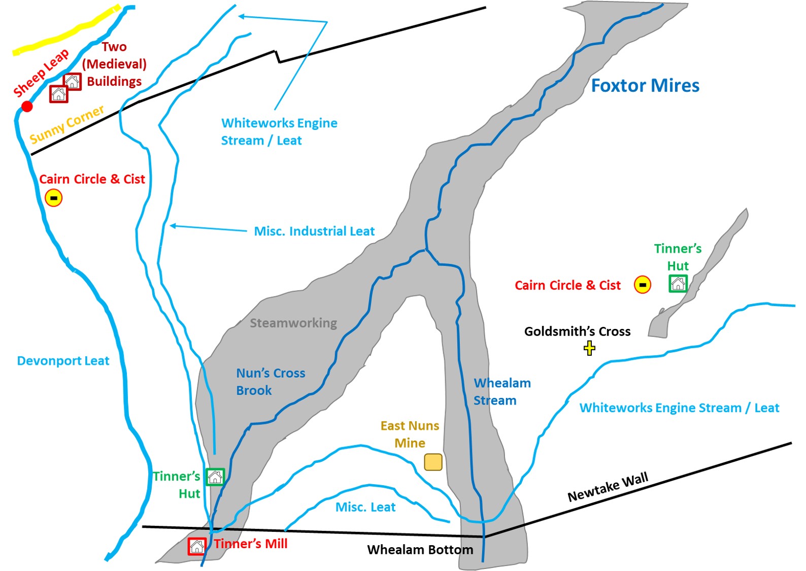
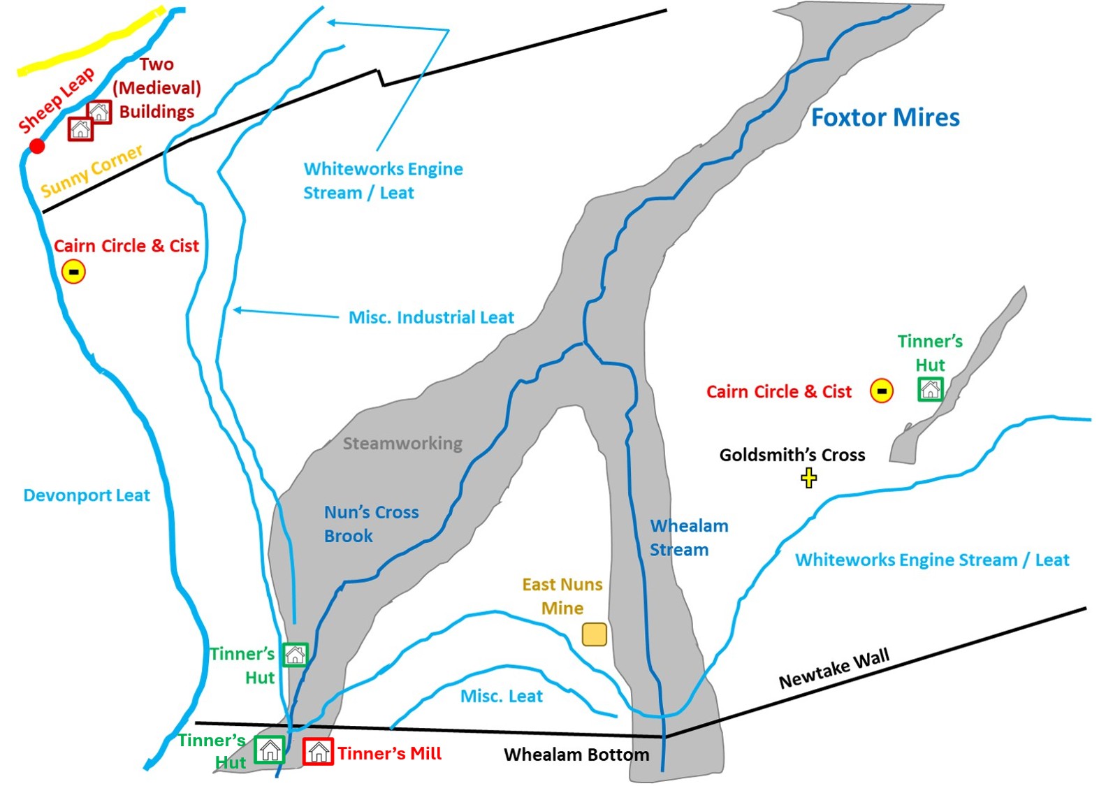
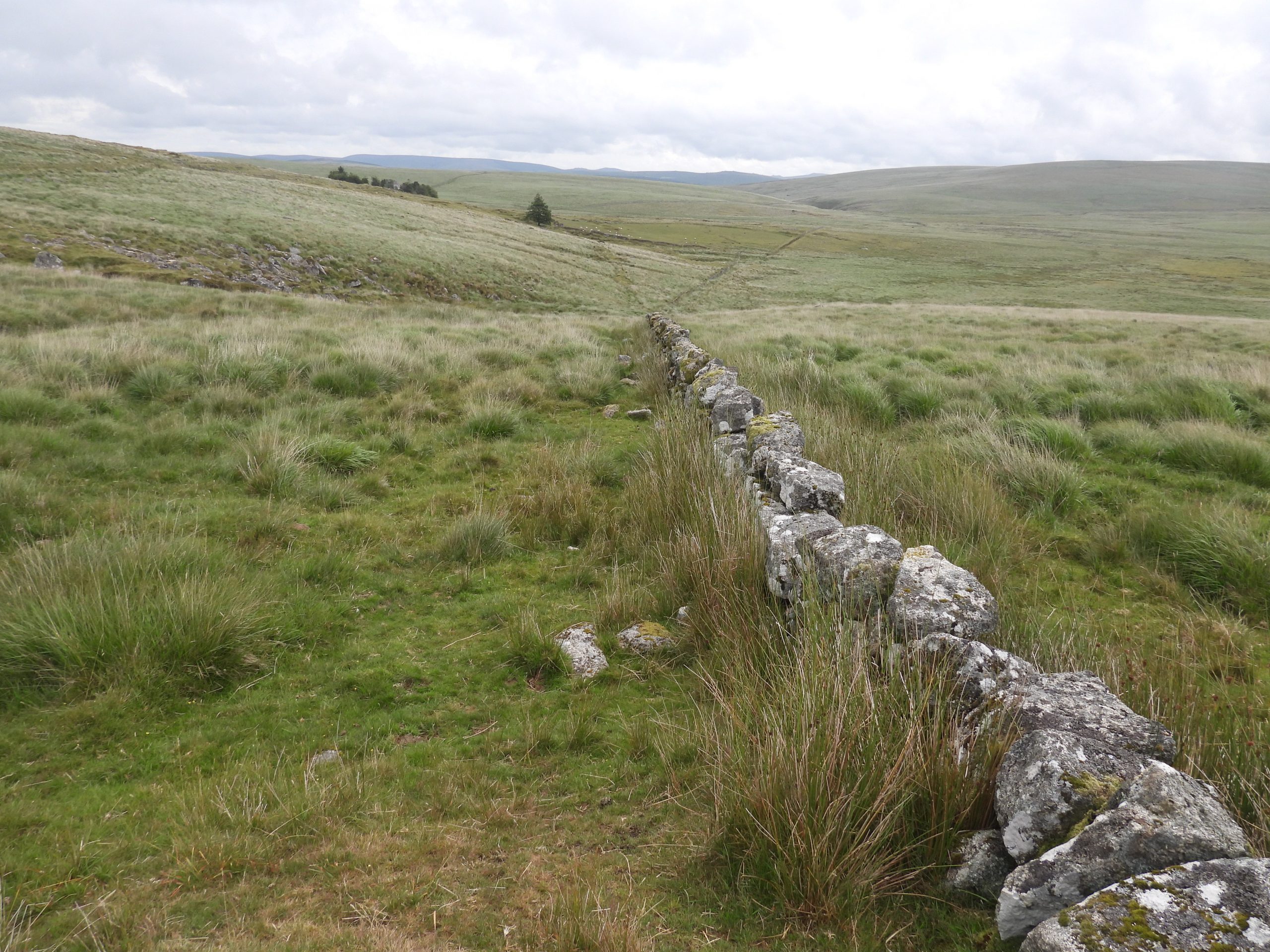
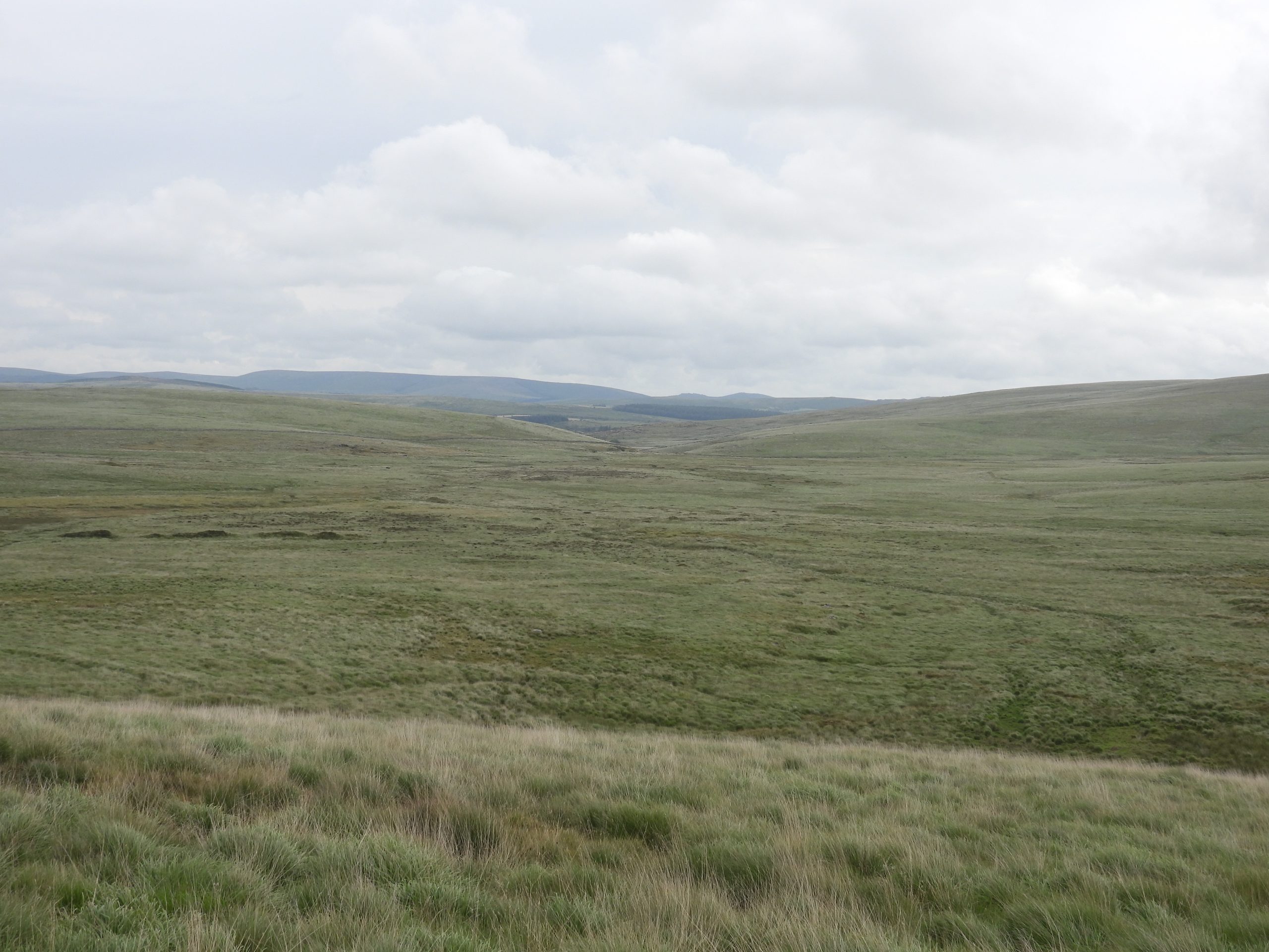
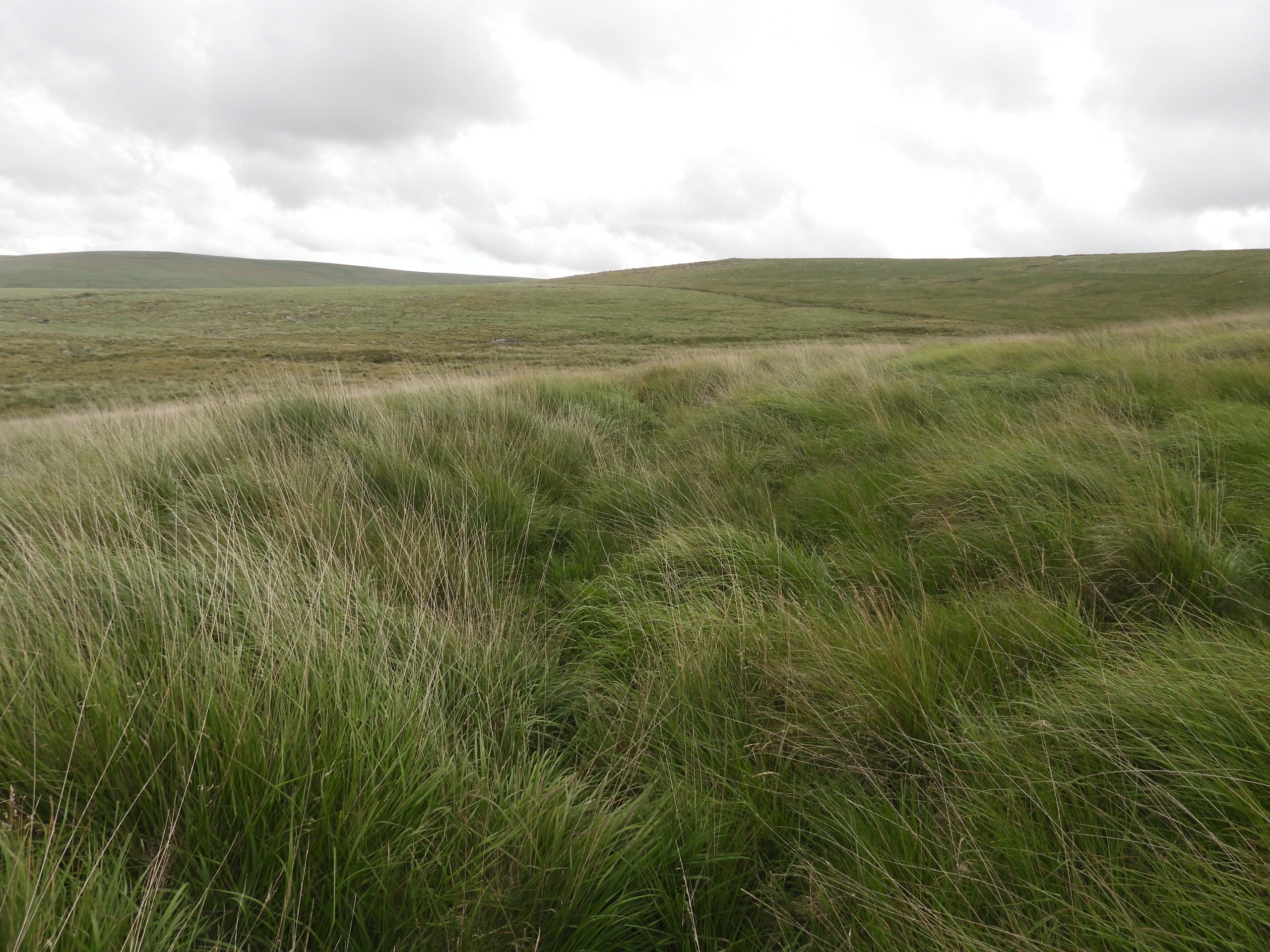
The Western half of Foxtor Mires, bounded by Devonport Leat to the West, newtake walls to the north and south, reveals to the explorer a remarkable number of interesting features. These include two (probable medieval) buildings, a sheep leap, two cairn circles (with cists), two Tinner’s Huts, a (possible) Tinner’s Mill, a mine, several old leats and an old cross. Many of these features can easily be missed if one just follows the ‘main’ paths along the Devonport Leat then alongside the southern newtake wall en-route to the Fox Tor and Childe’s Tomb area.
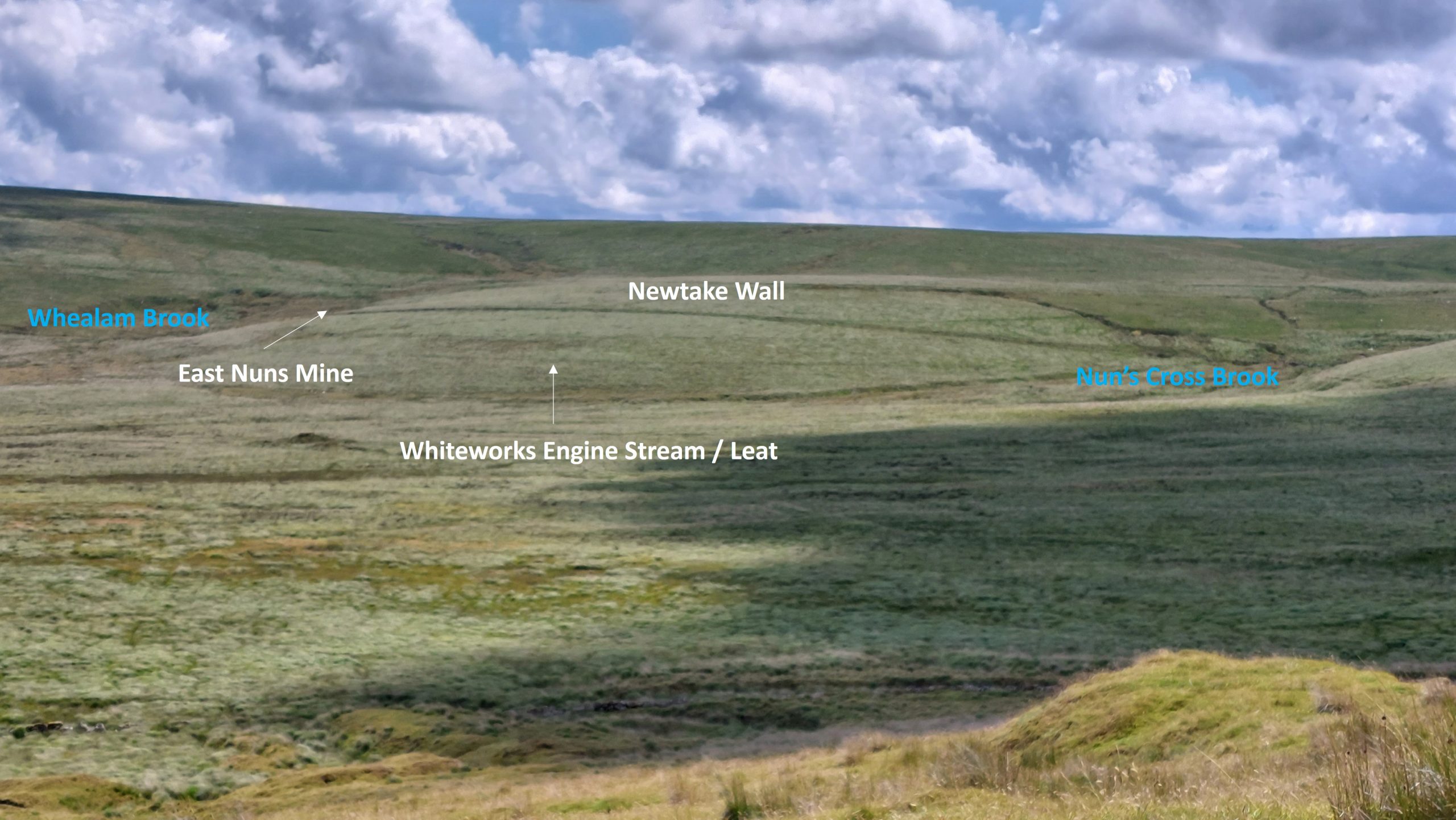
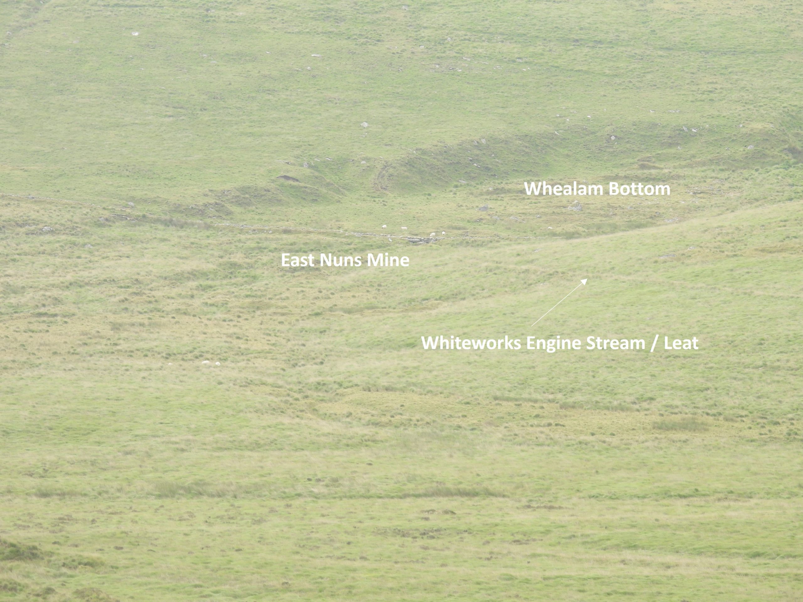
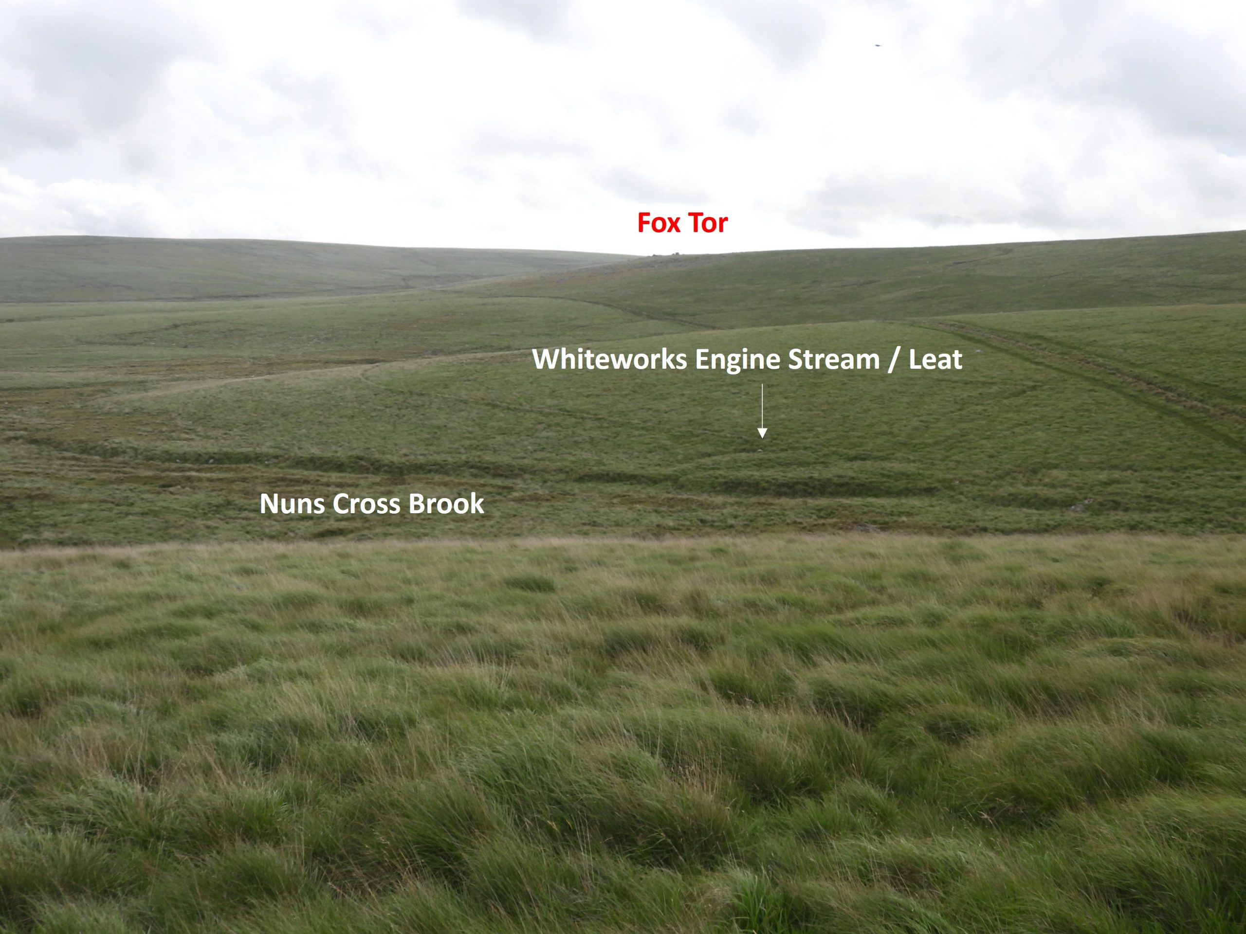
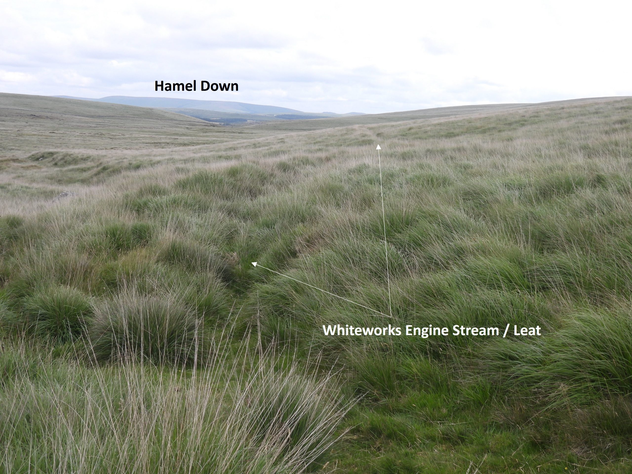
Of particular interest in the area, adjacent to Whealam Stream, is a small tin stamping complex, which is believed to have probably been associated with the late 18th century / early 19th century East Nun’s Mine, with its remains being quite ‘subtle’ but still recognisable. Snaking around the edge of the mire (virtually 270 deg) is the Whiteworks Engine Stream / Leat which is a remarkable piece of Engineering taking water from the infant Swincombe, then onto T Gert, Whealam Brook and Nun’s Cross Brook and would have fed water to East Nun’s Mine as well as Whiteworks Mine.
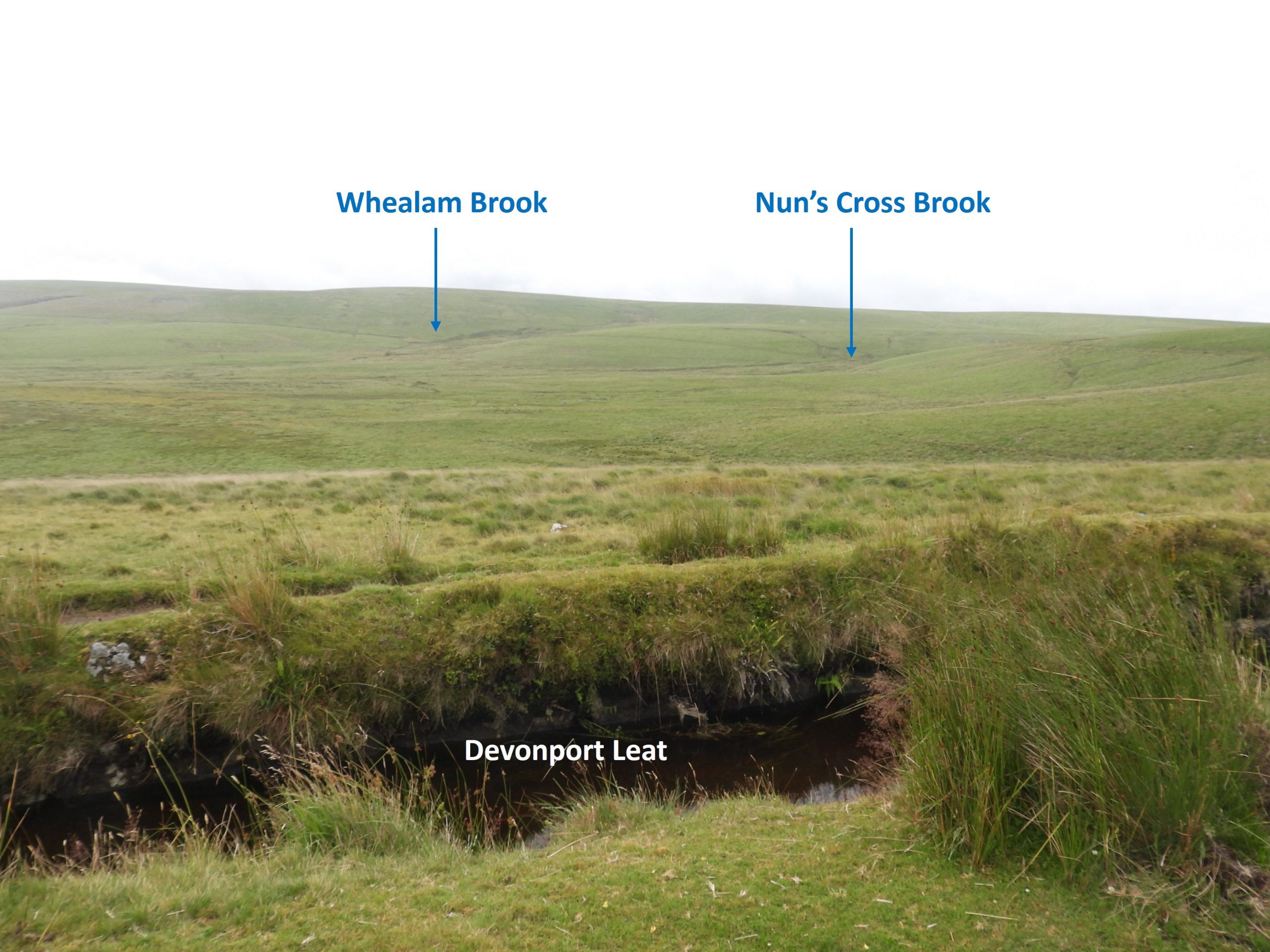
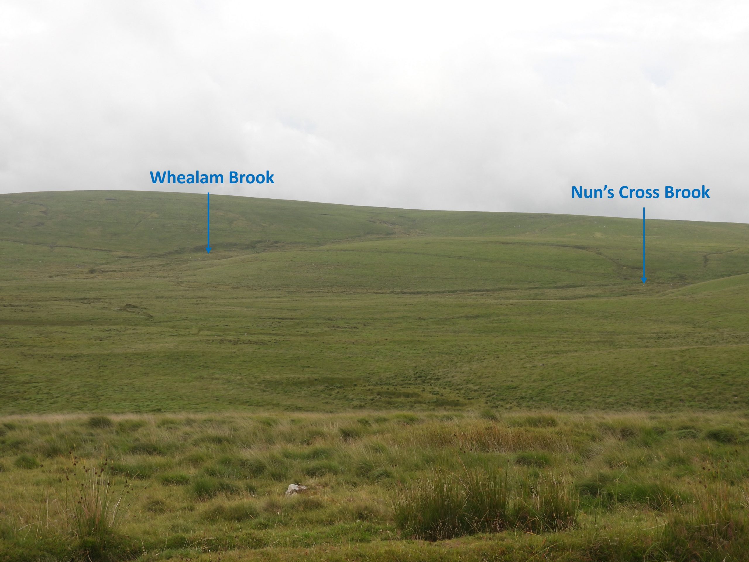
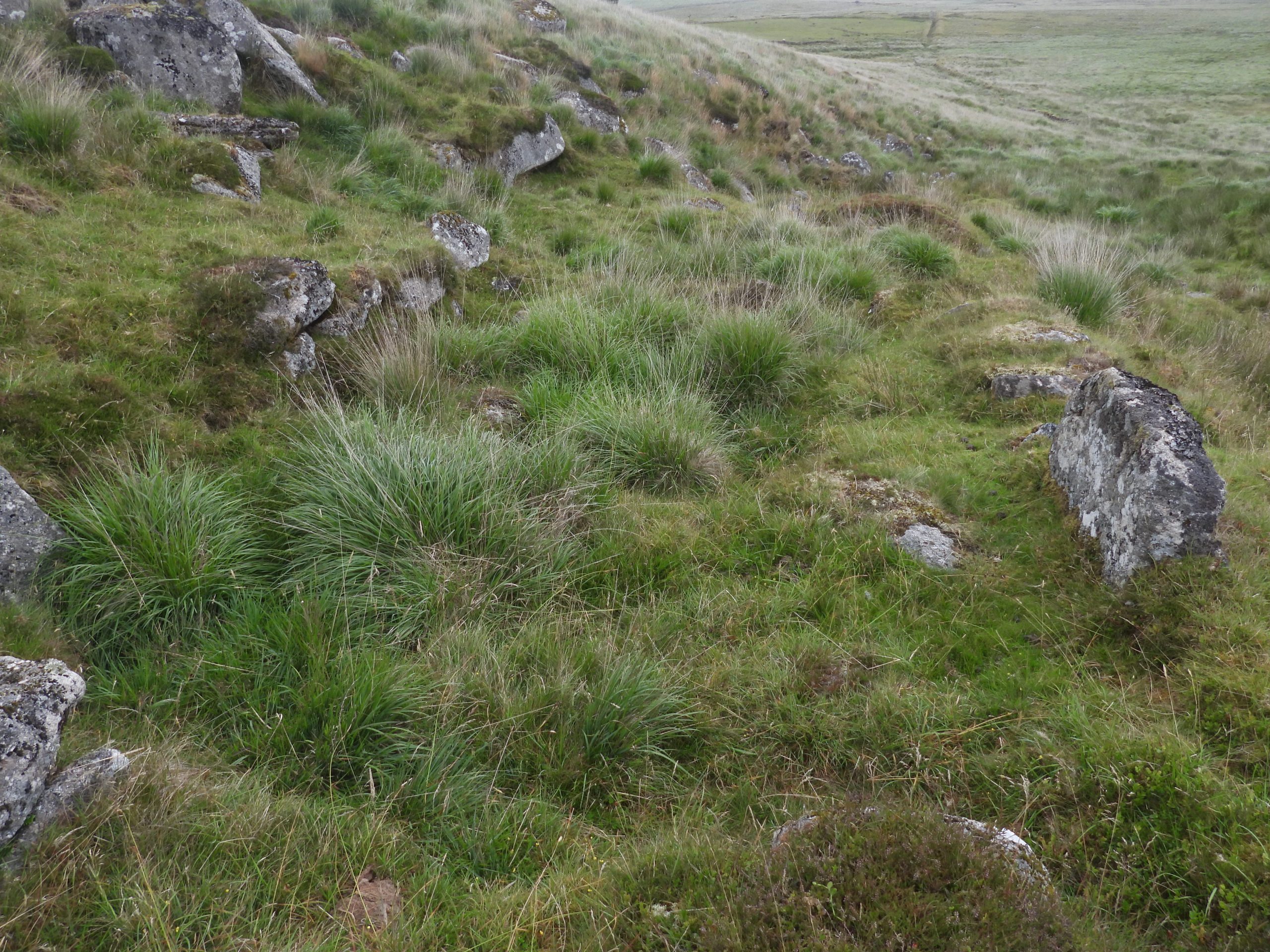
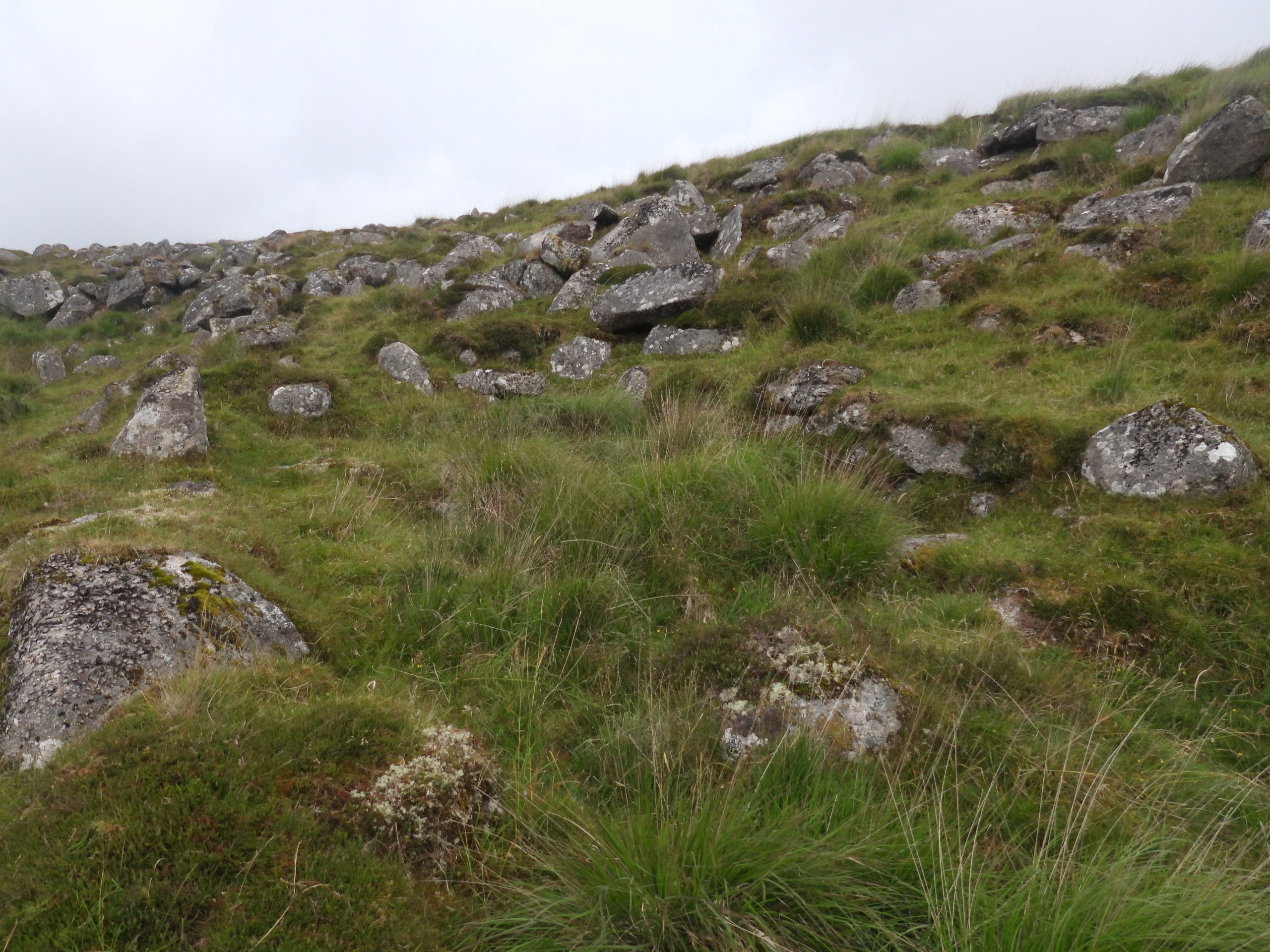
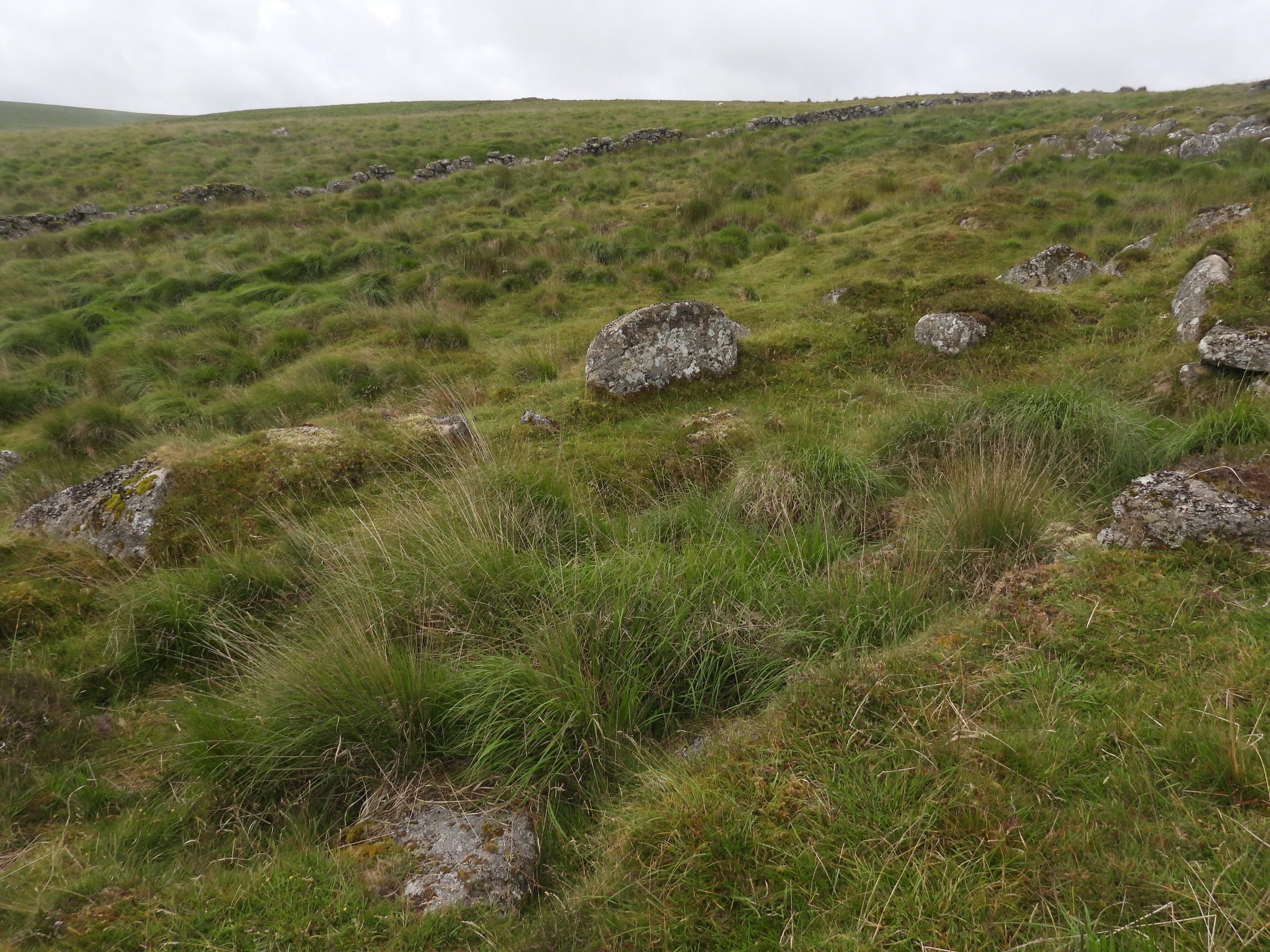
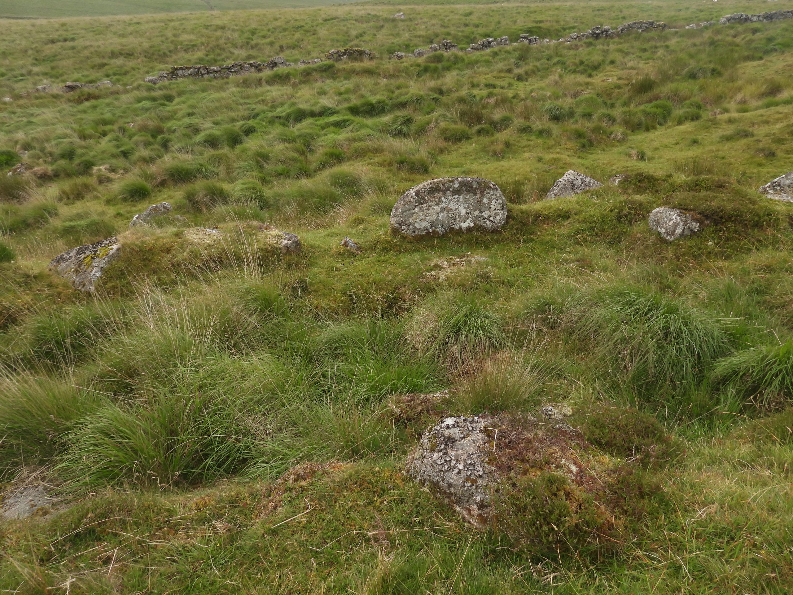
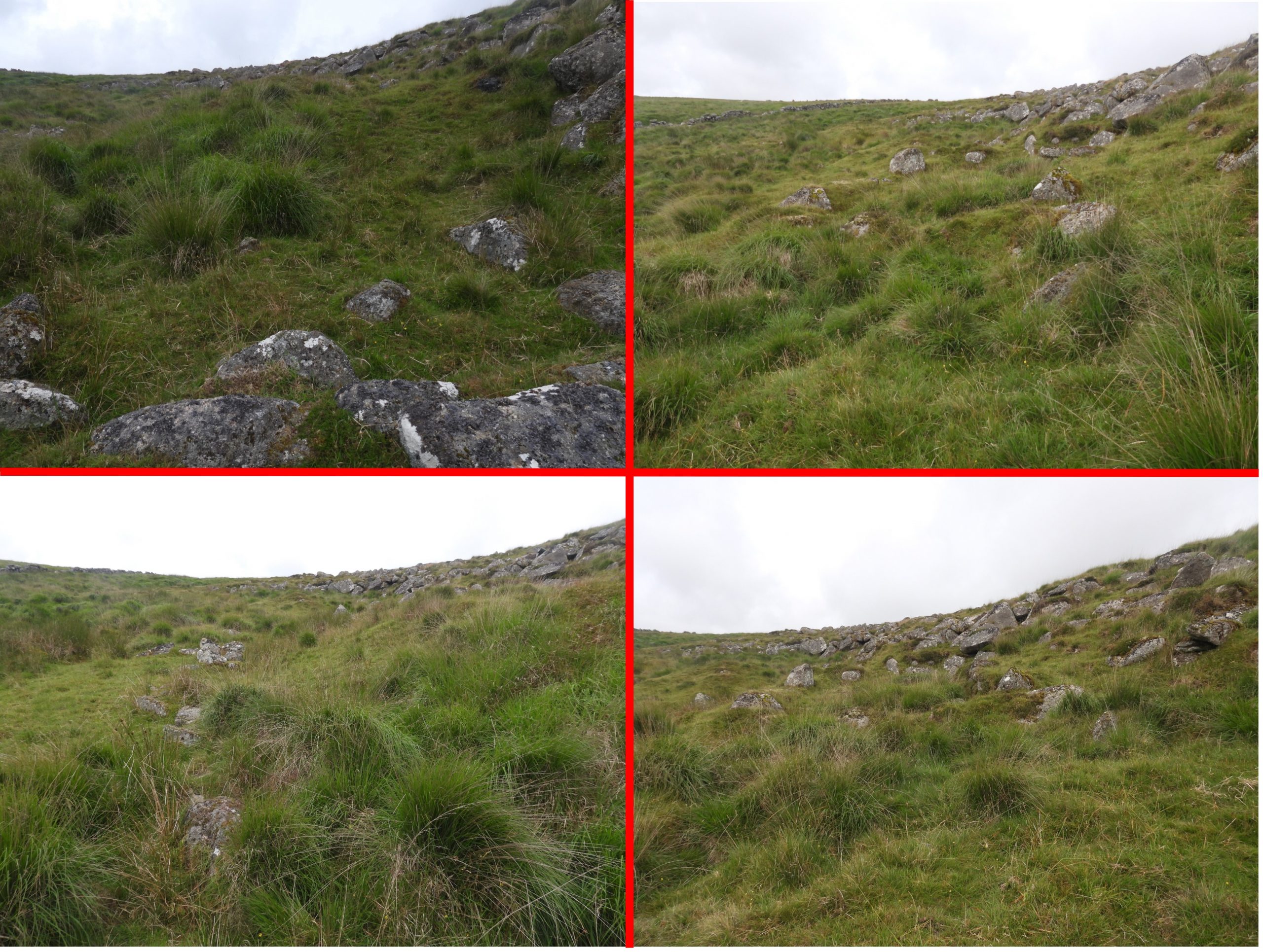
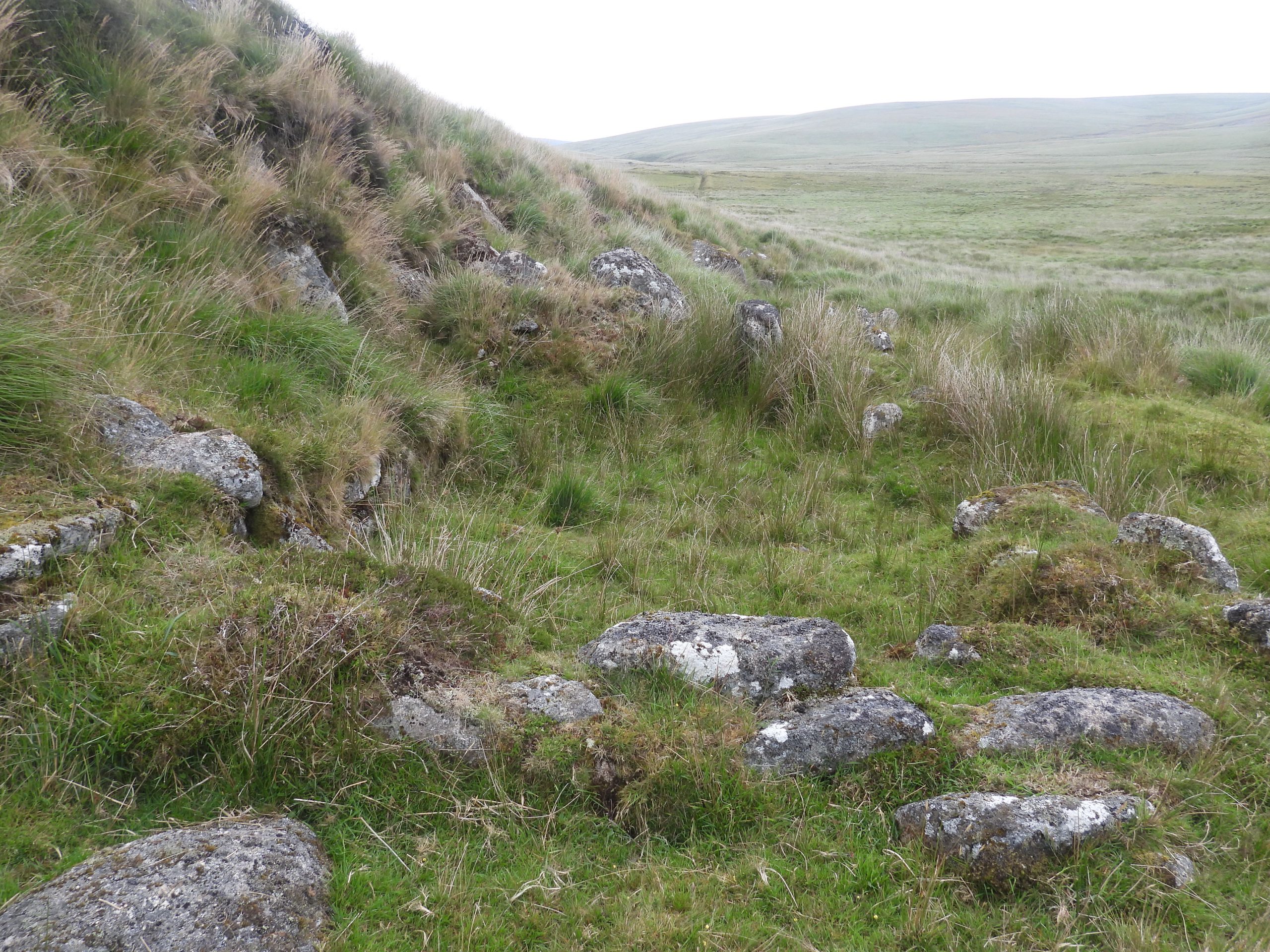
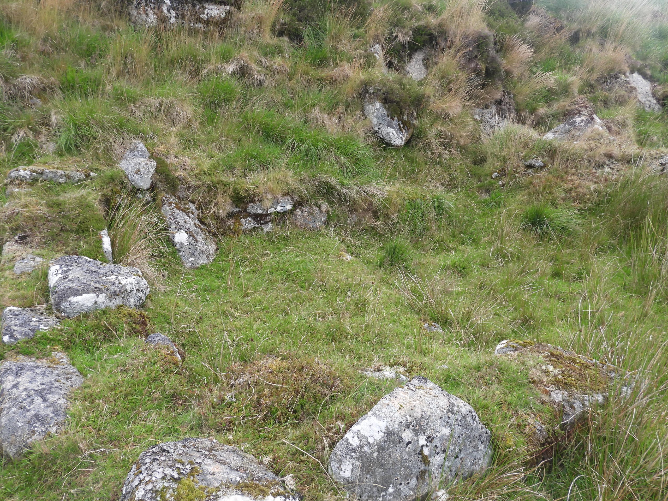
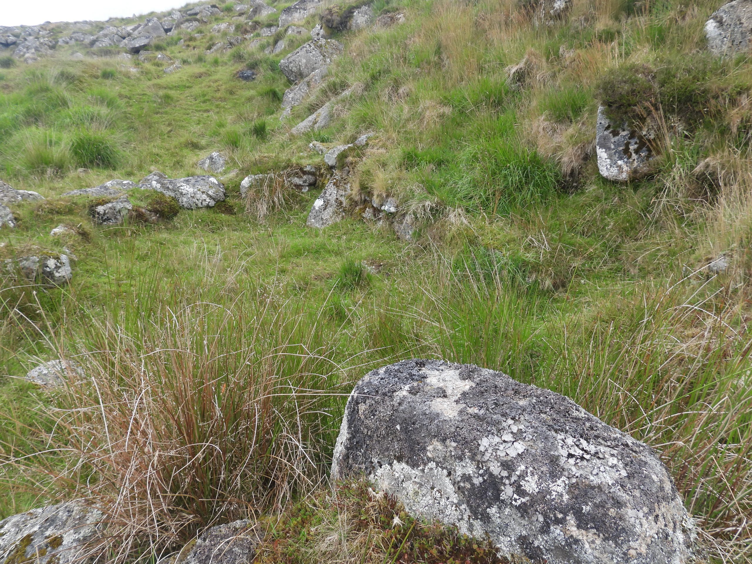
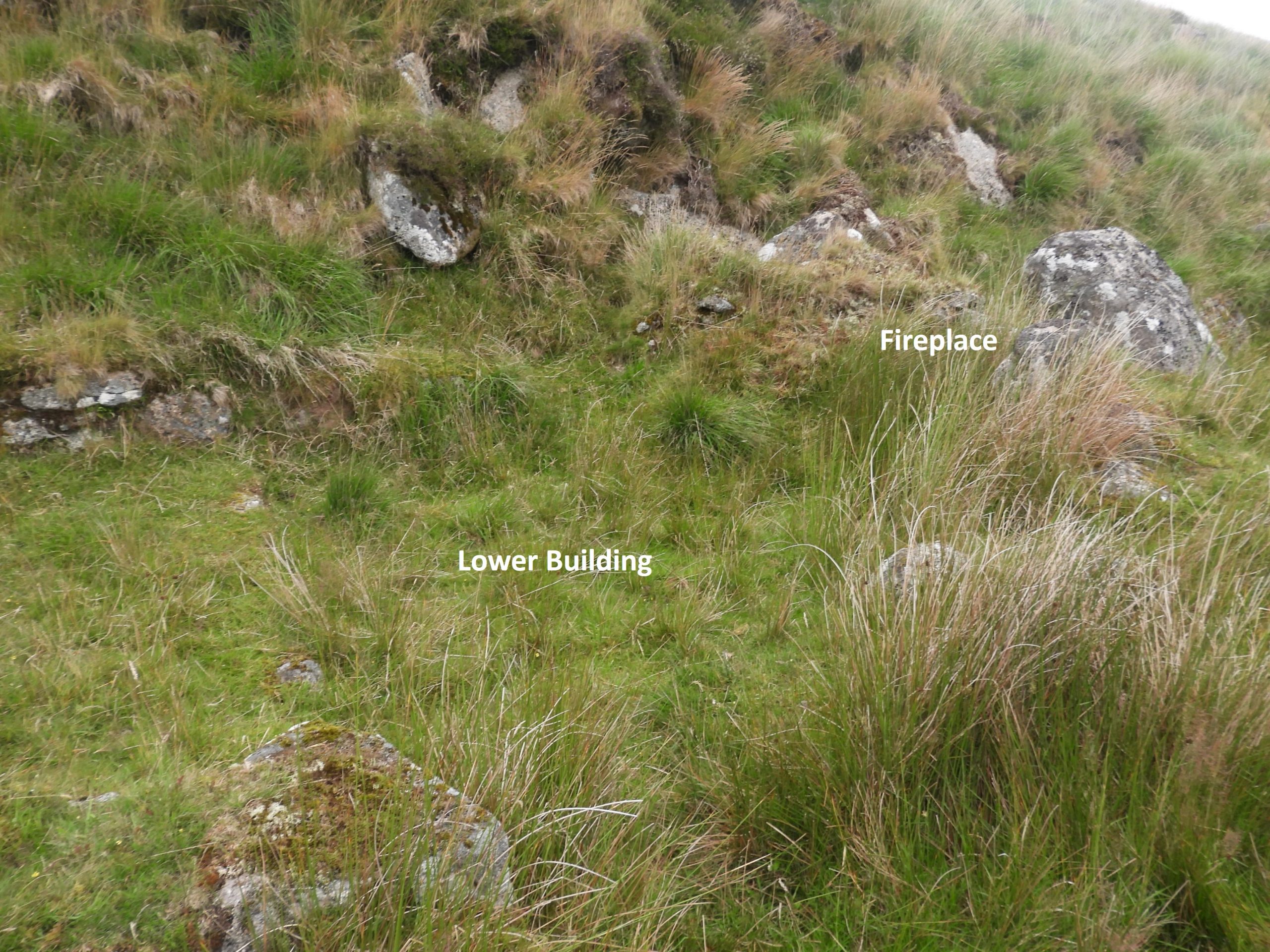
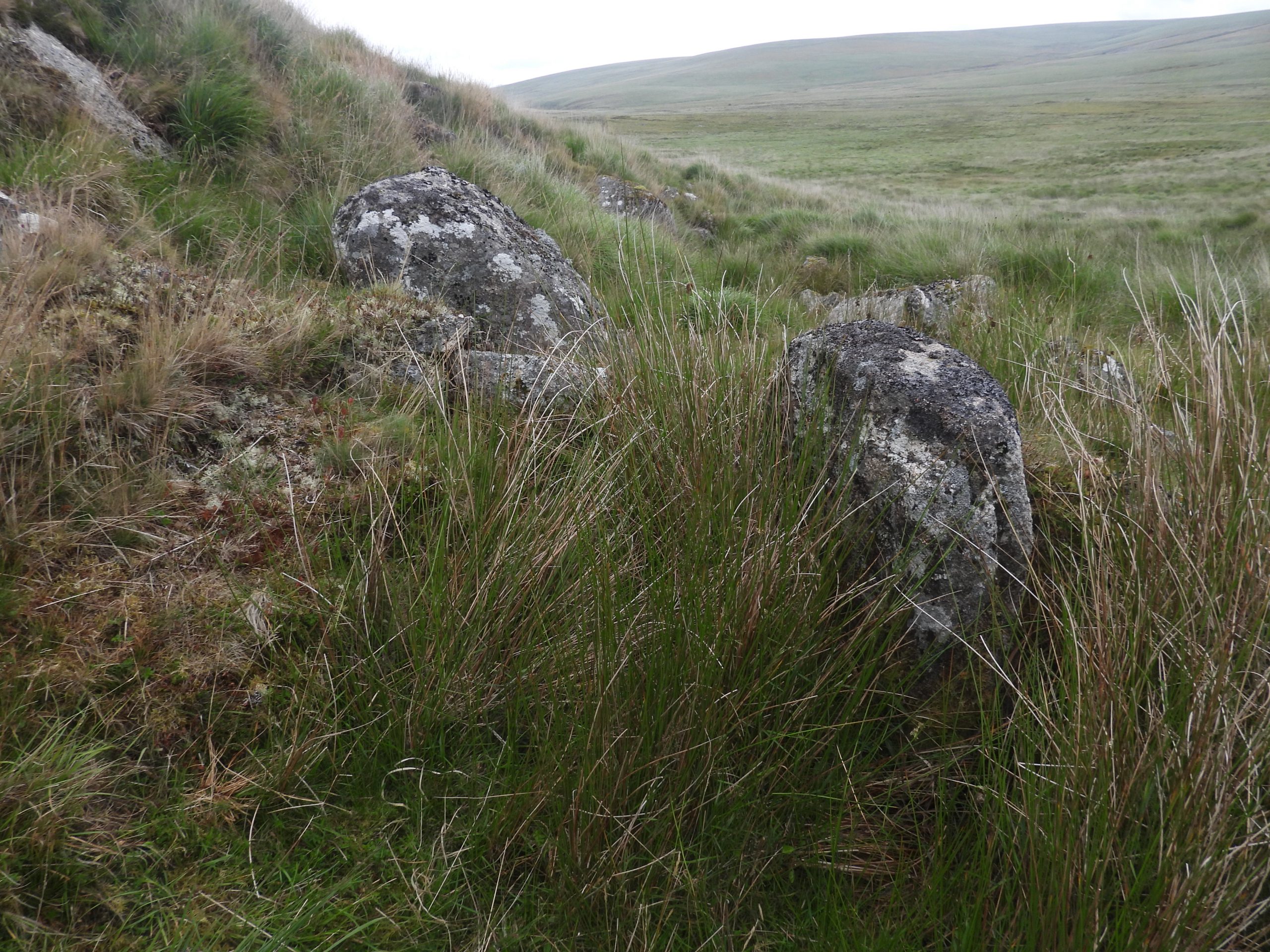
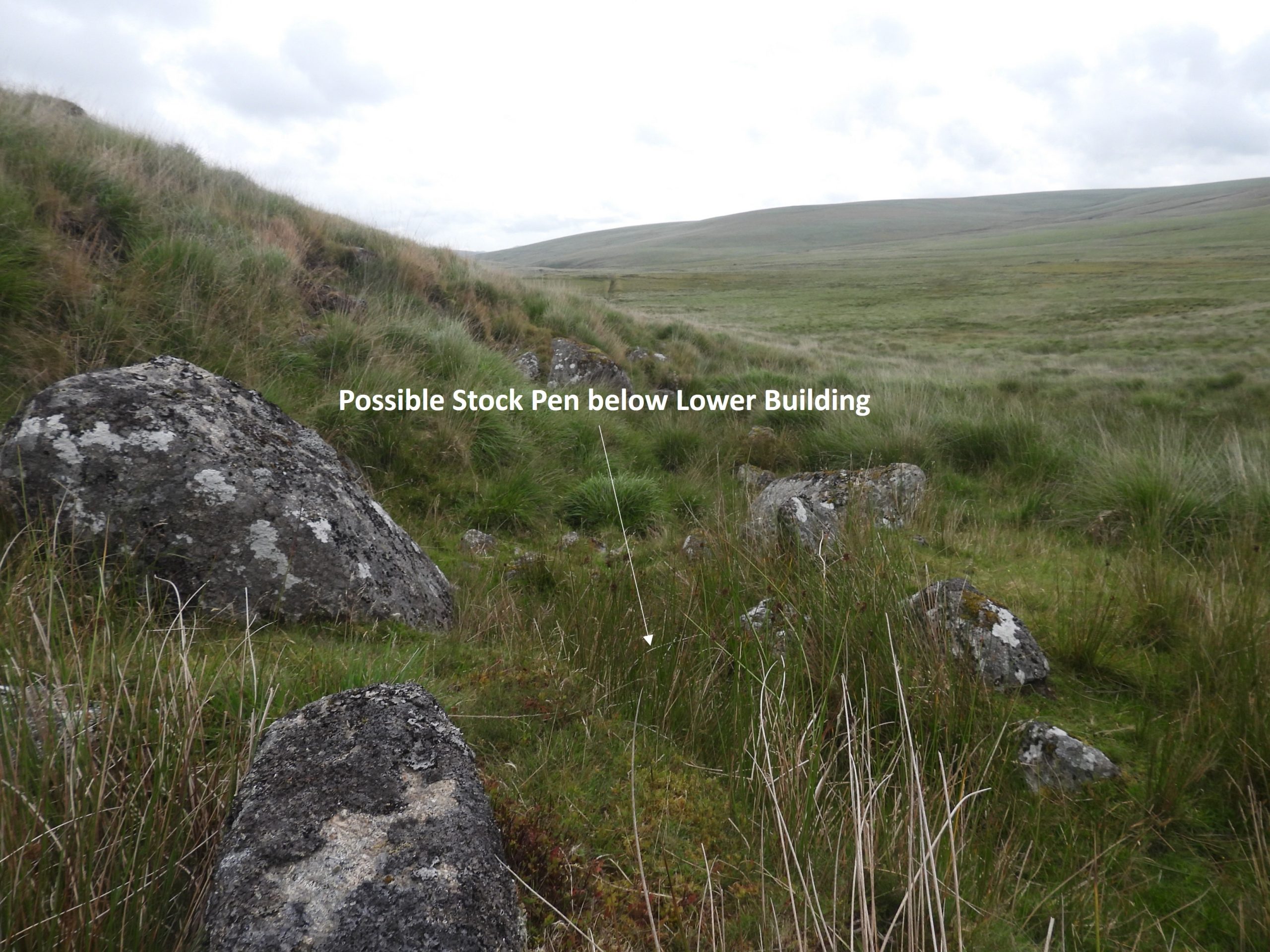
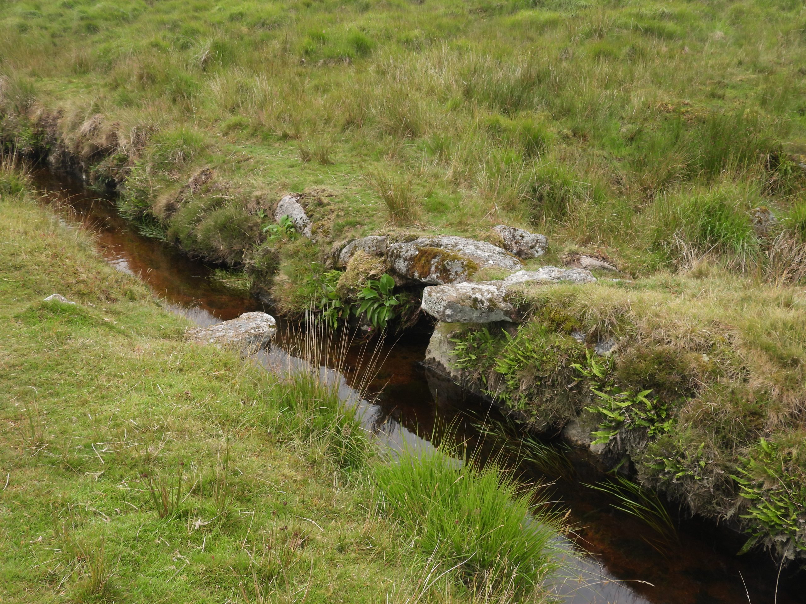
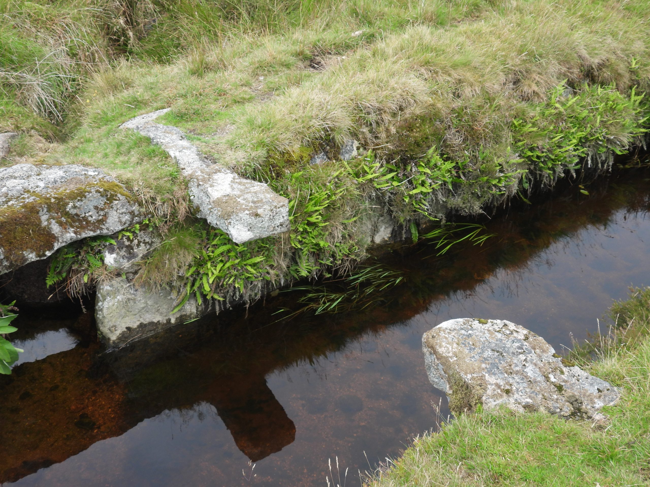
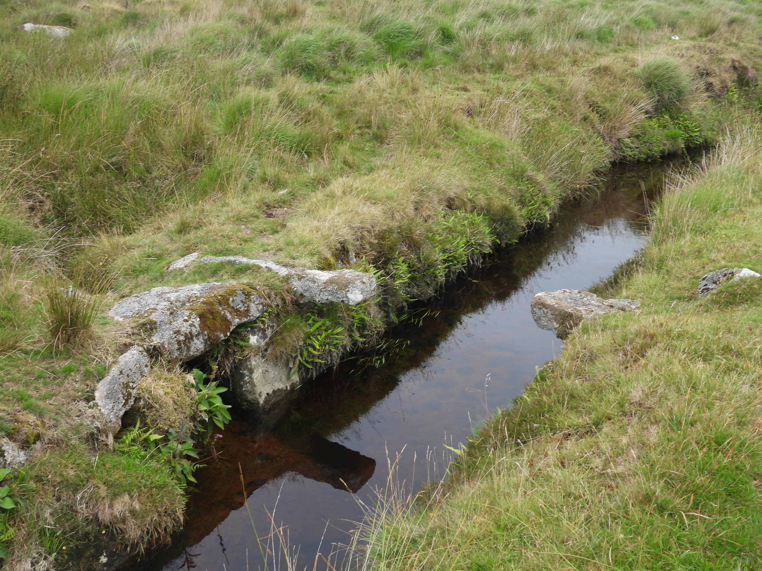
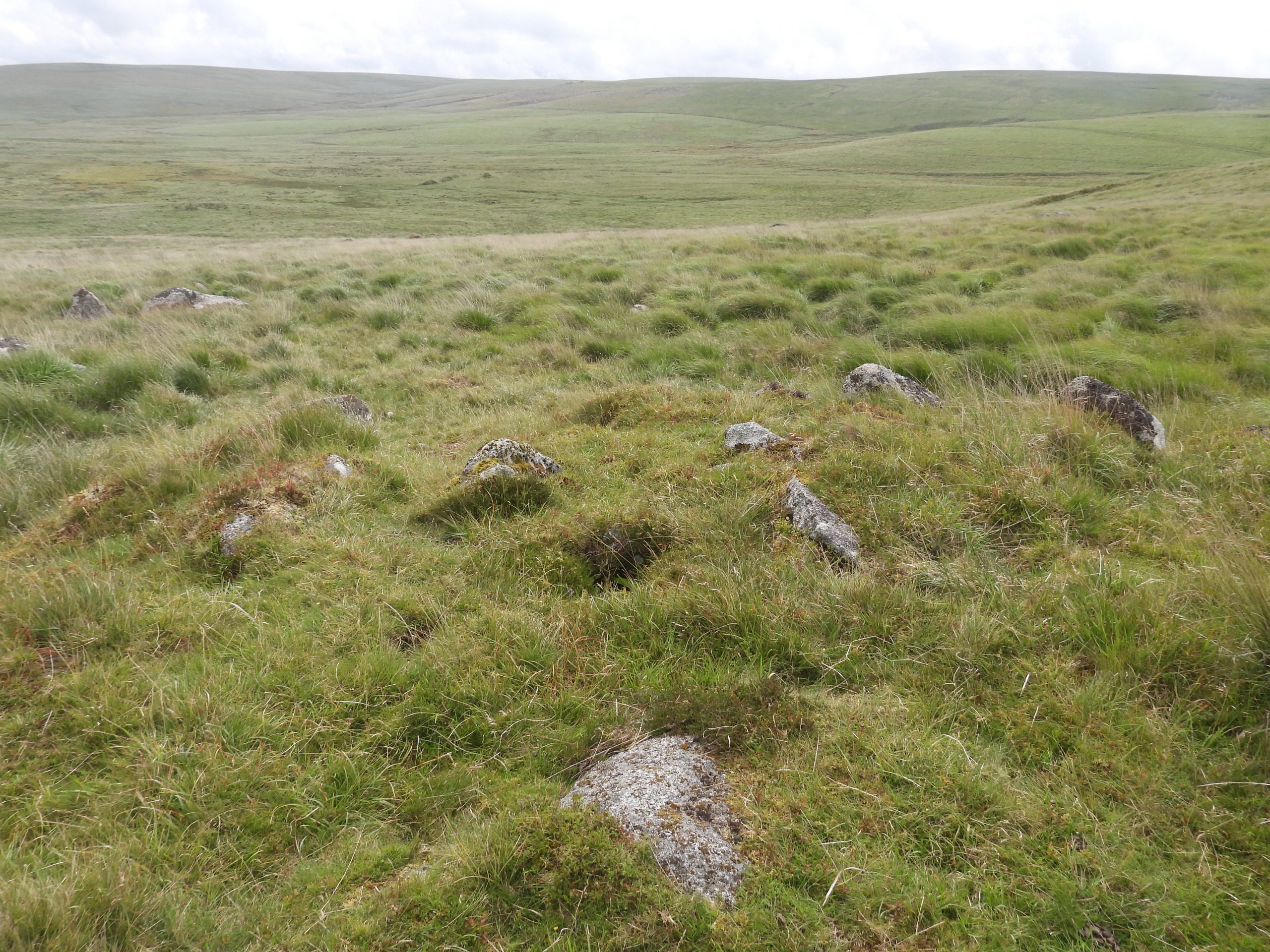
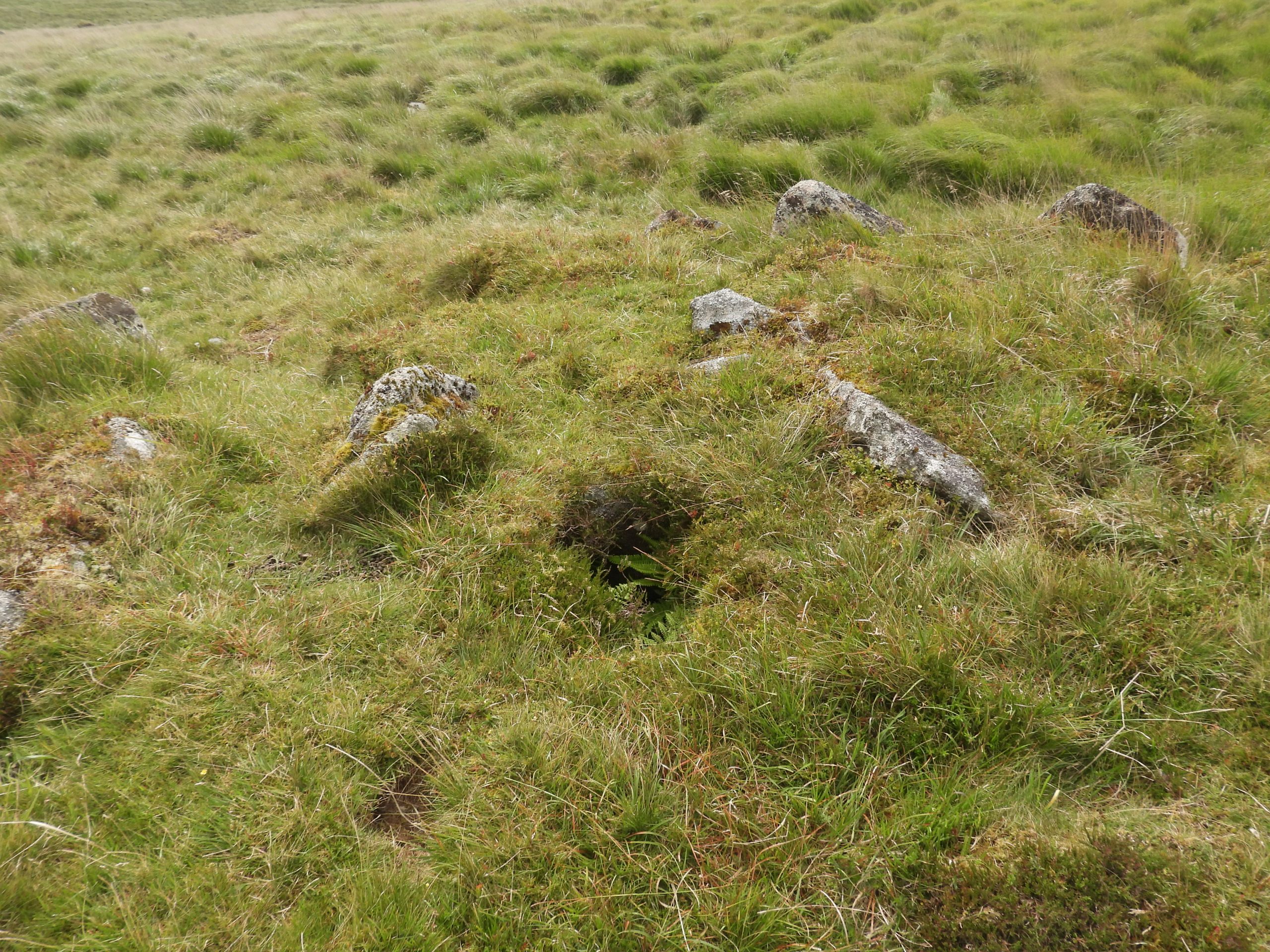
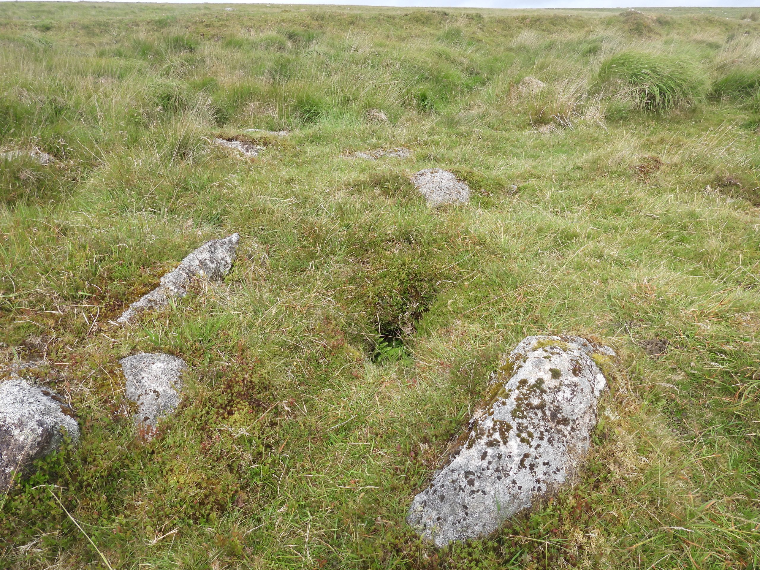
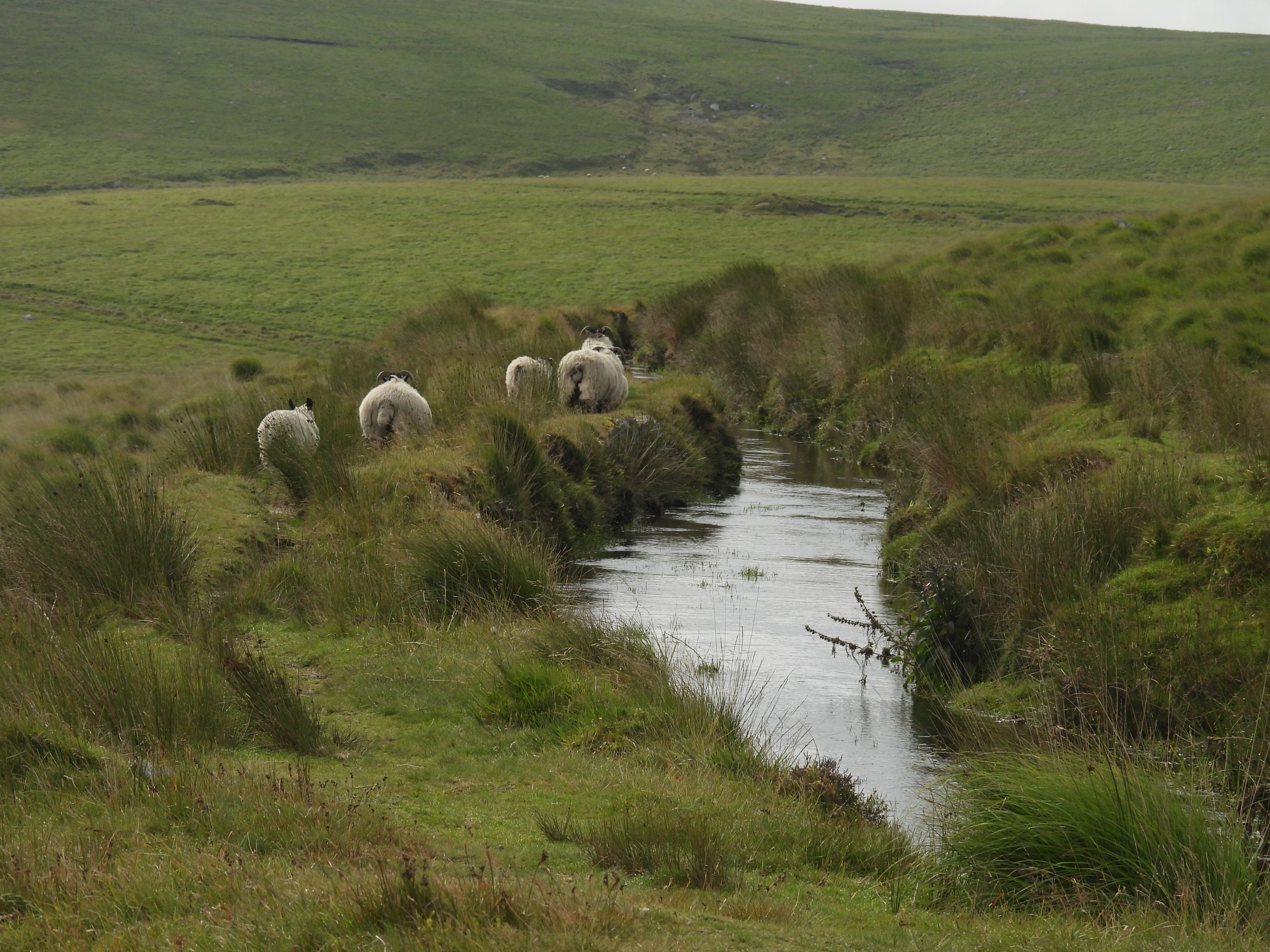
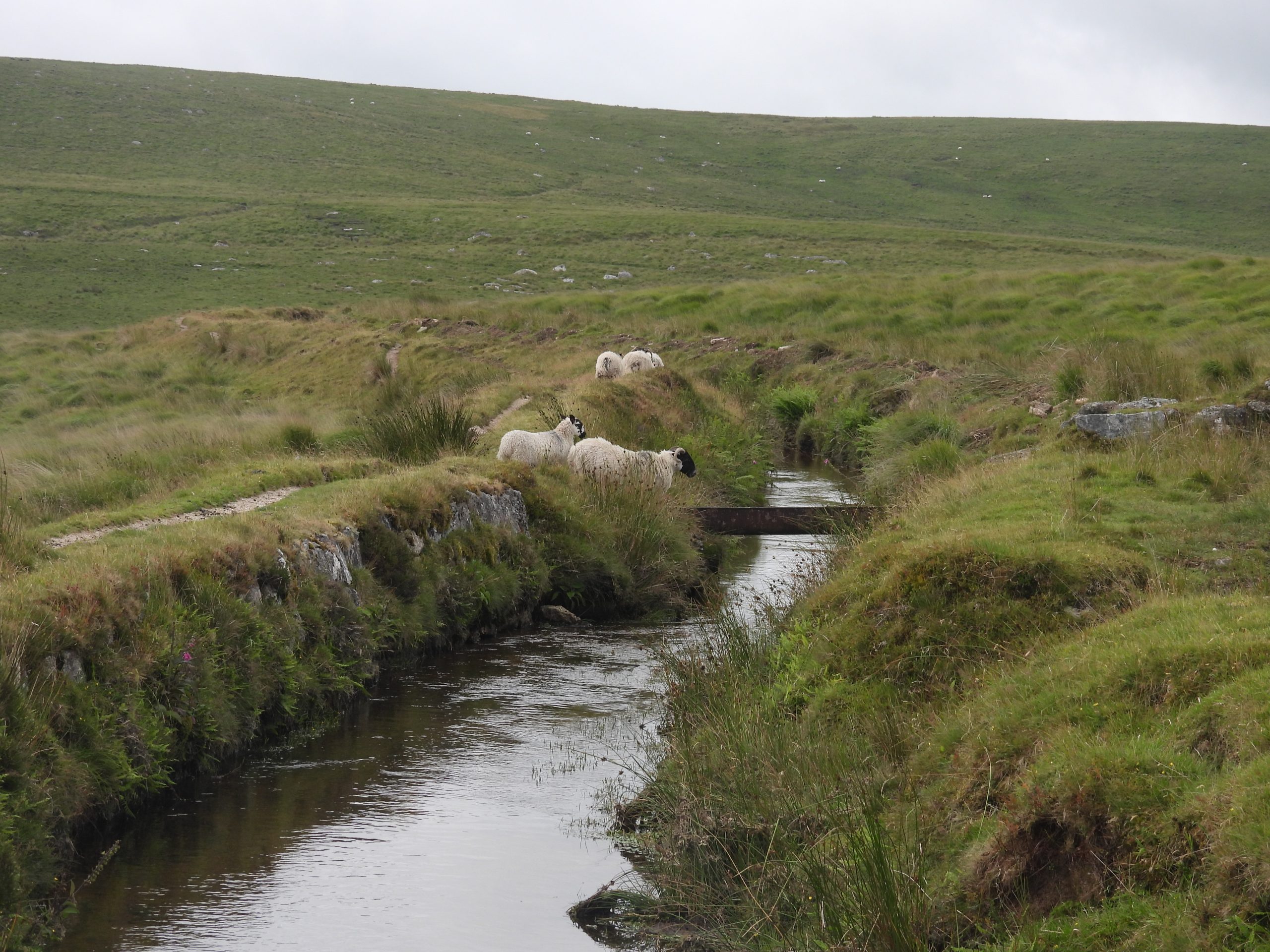
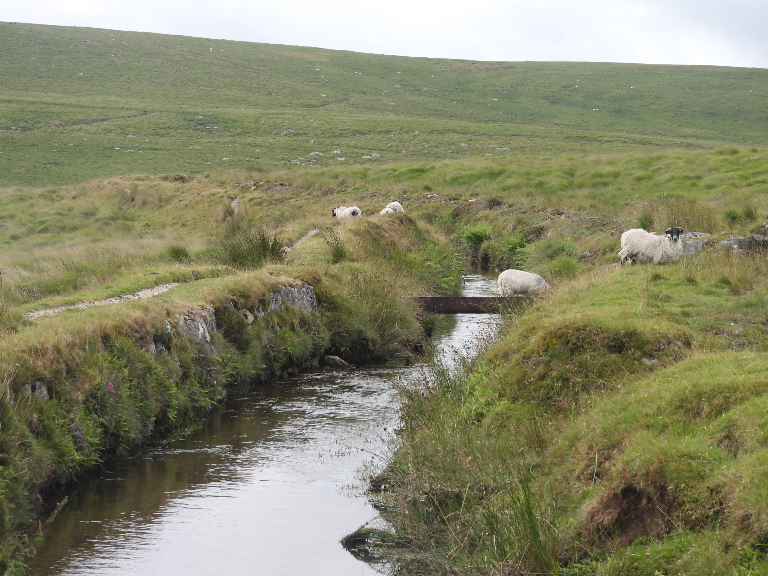
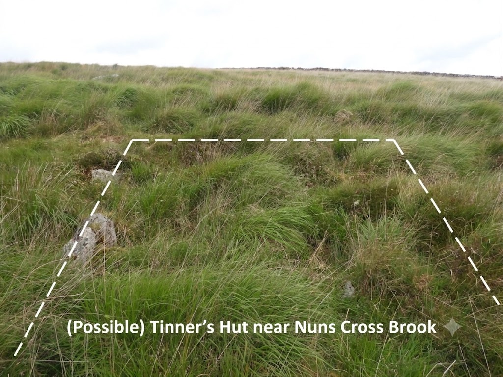
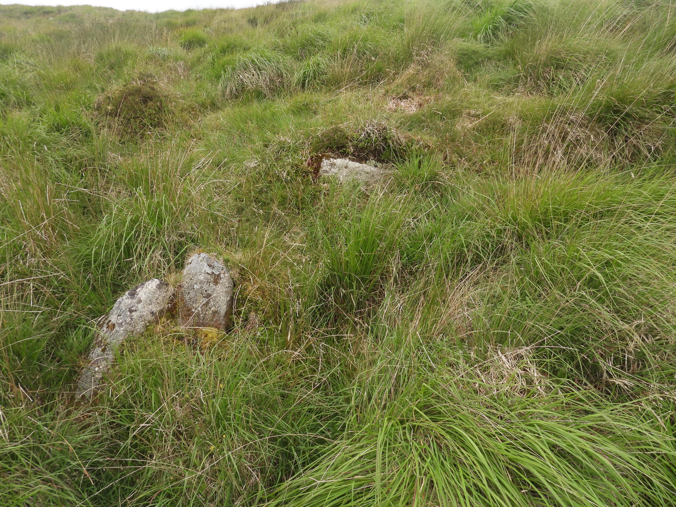
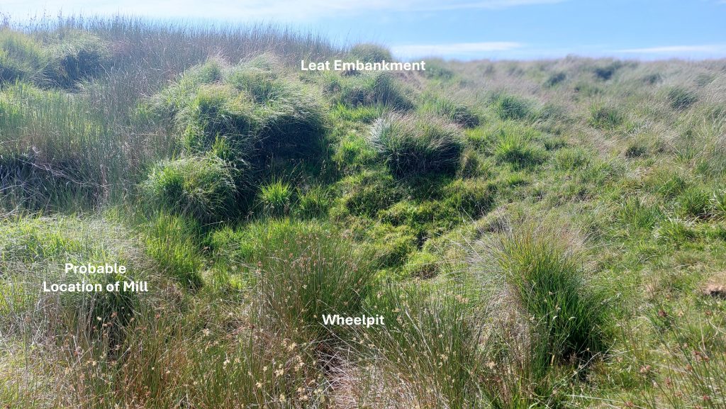
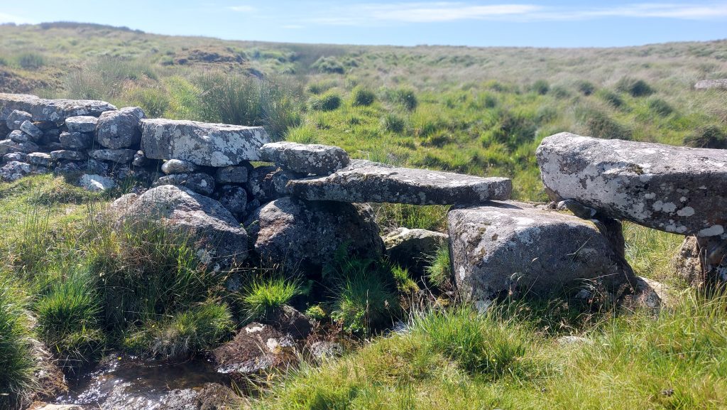
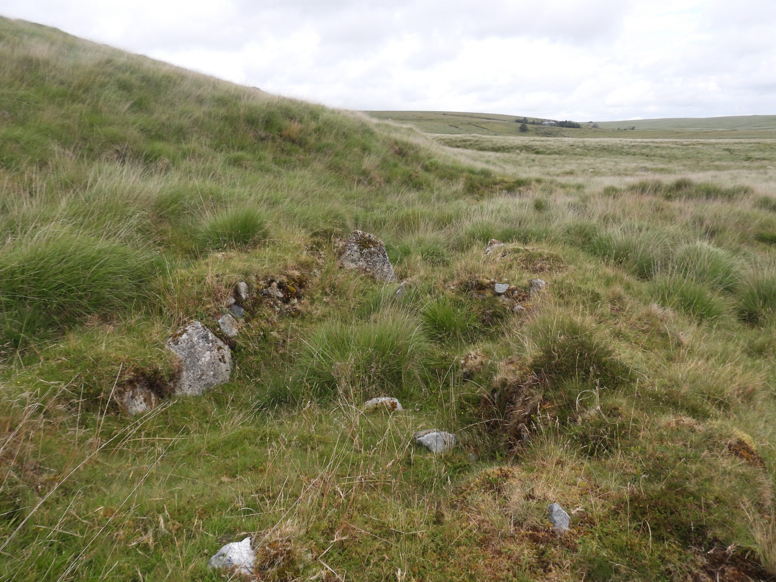
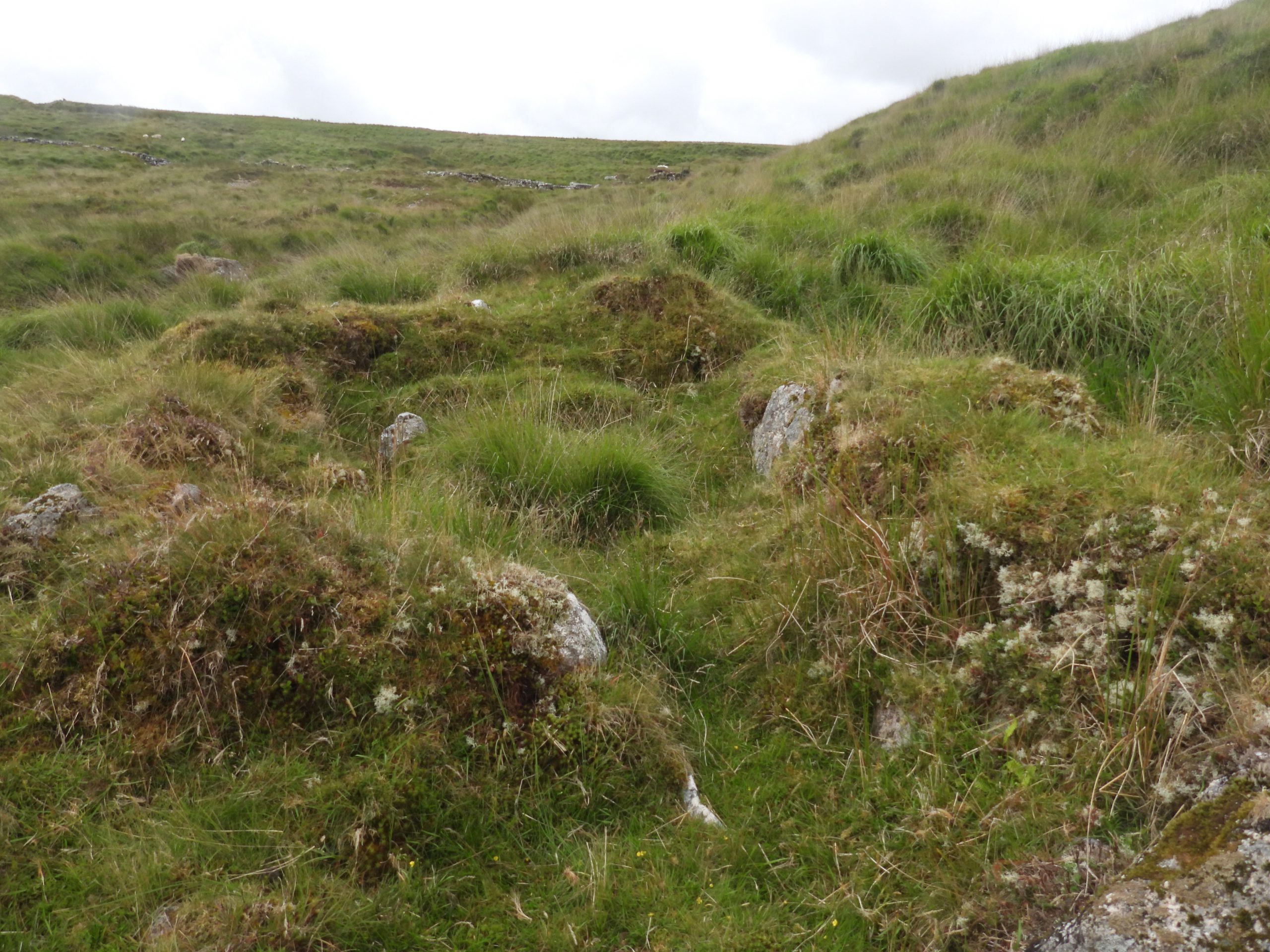
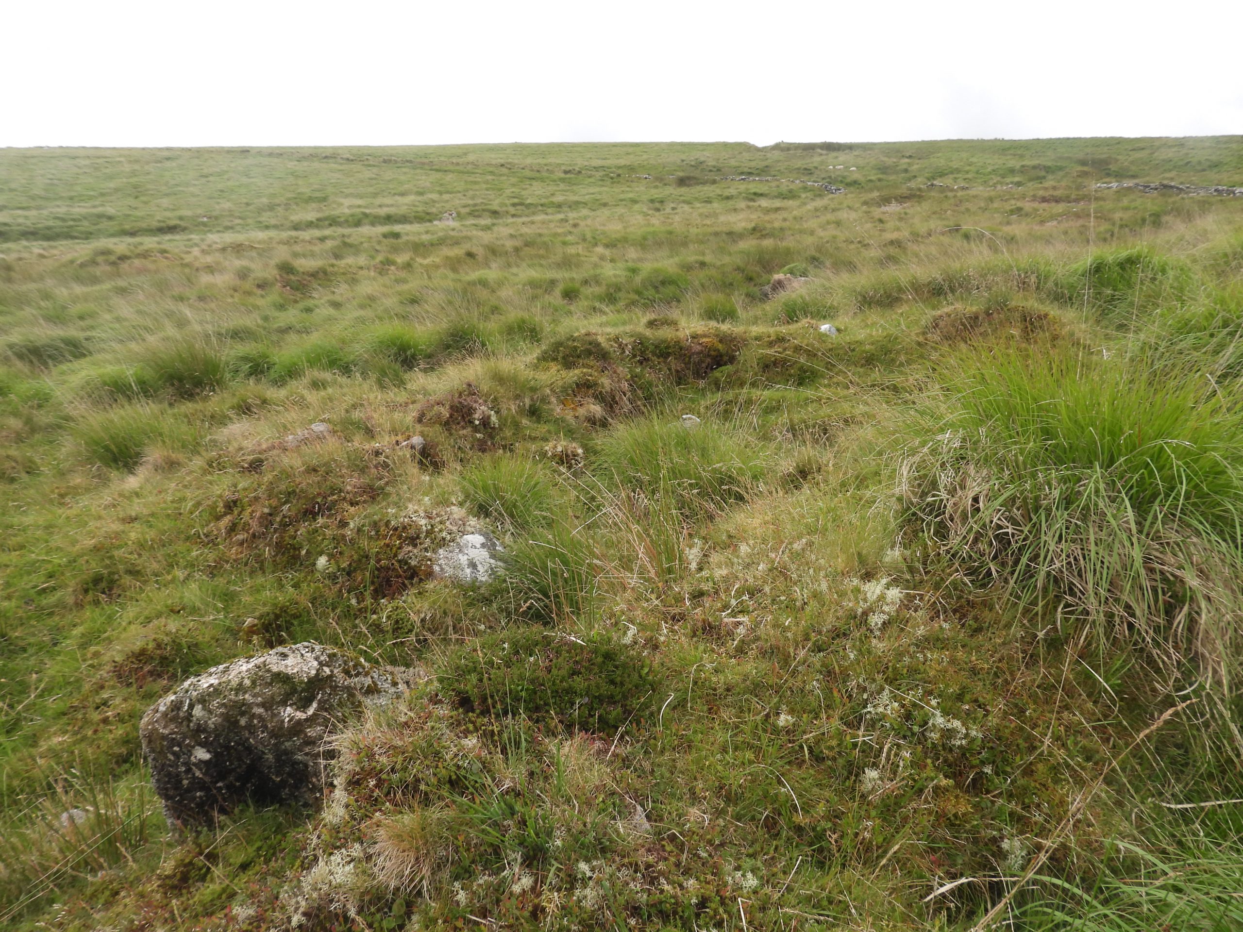
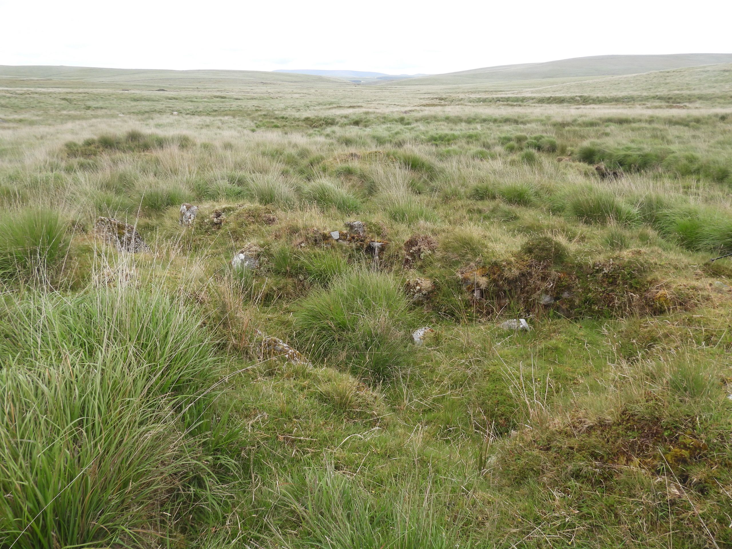
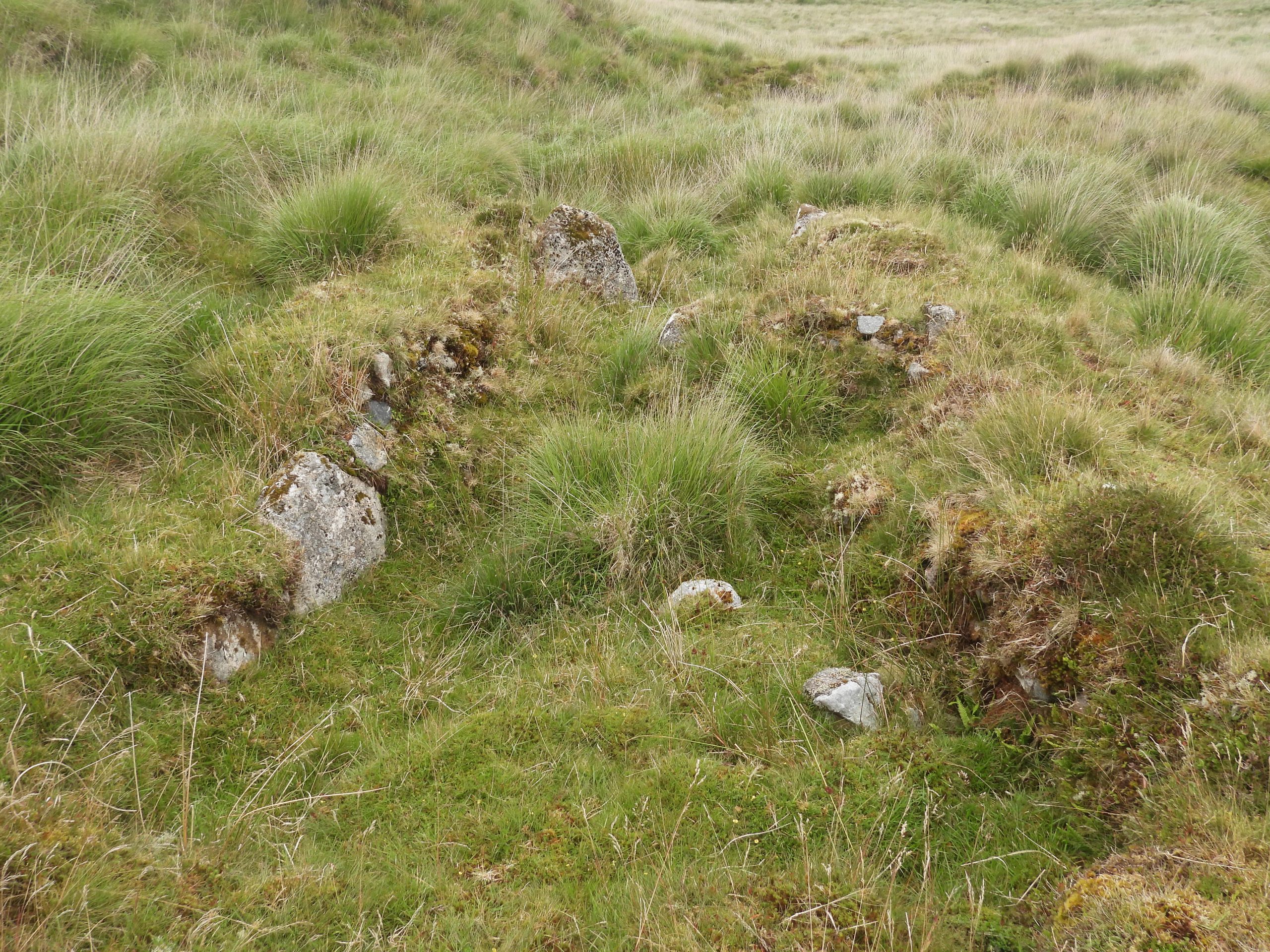
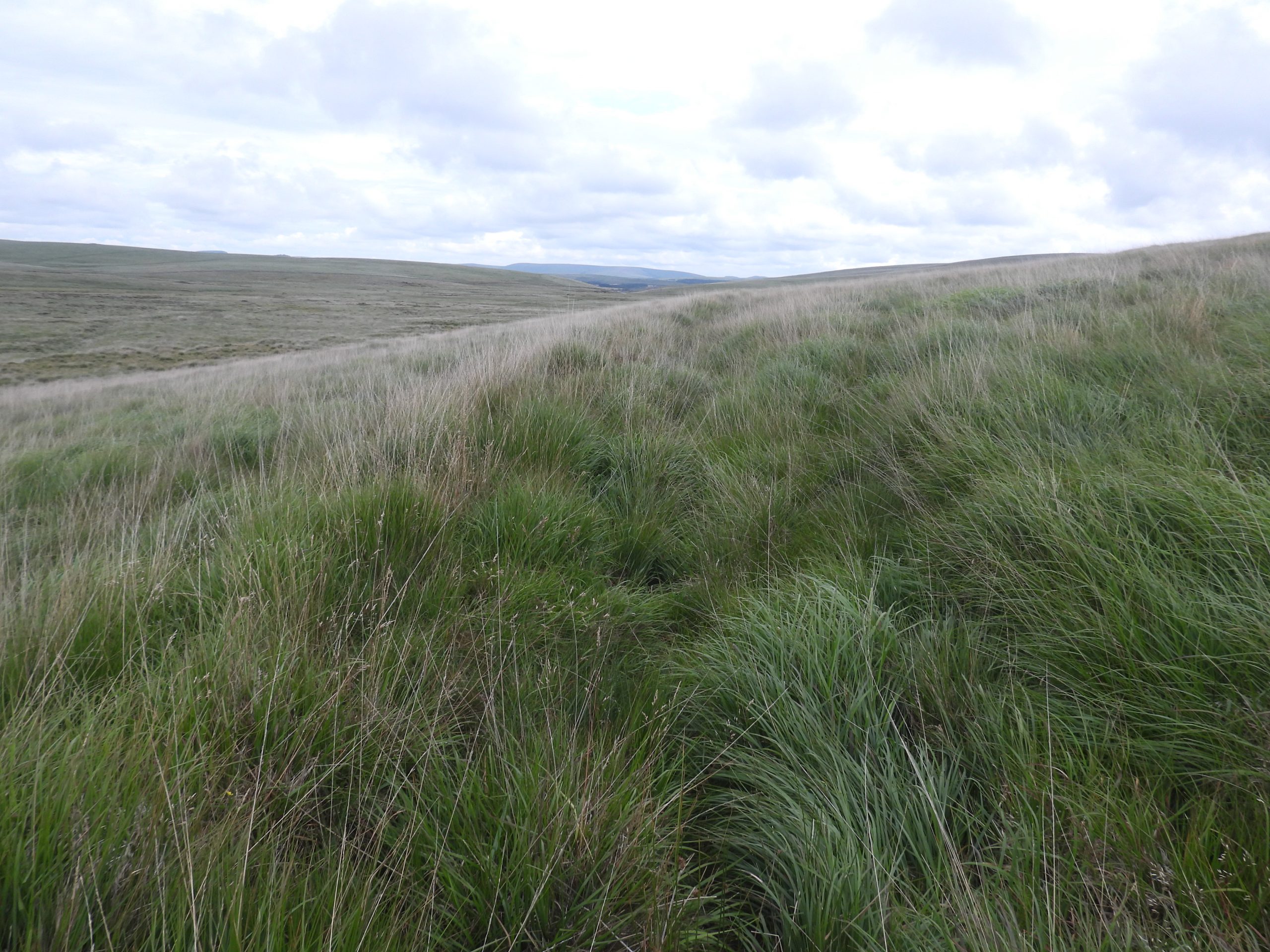
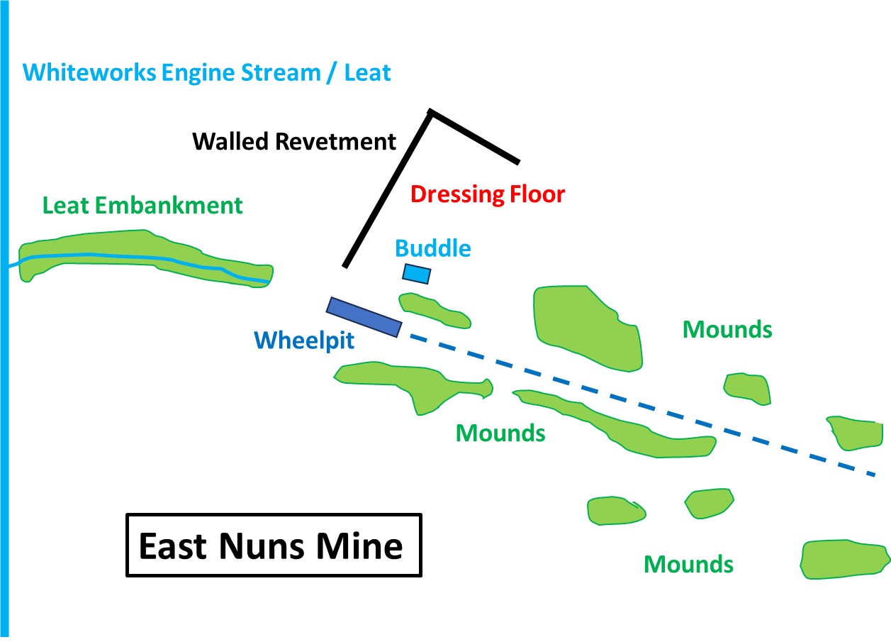
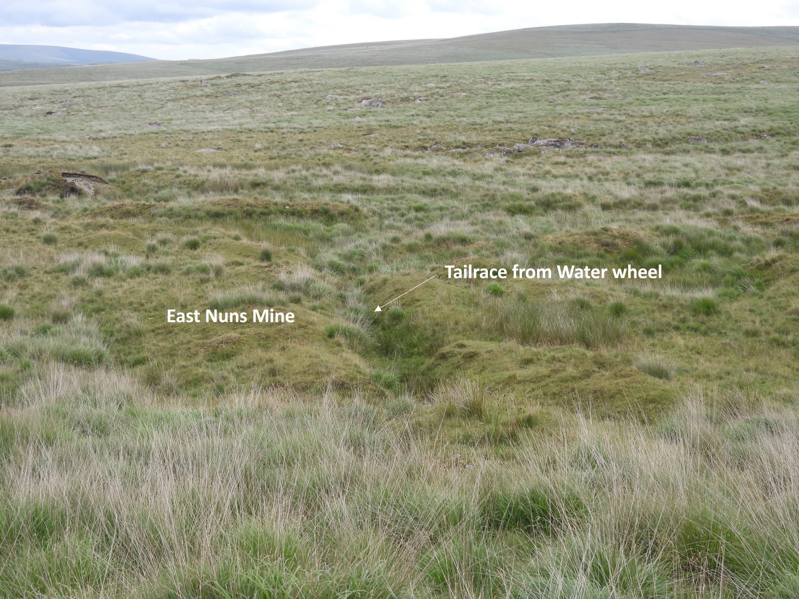
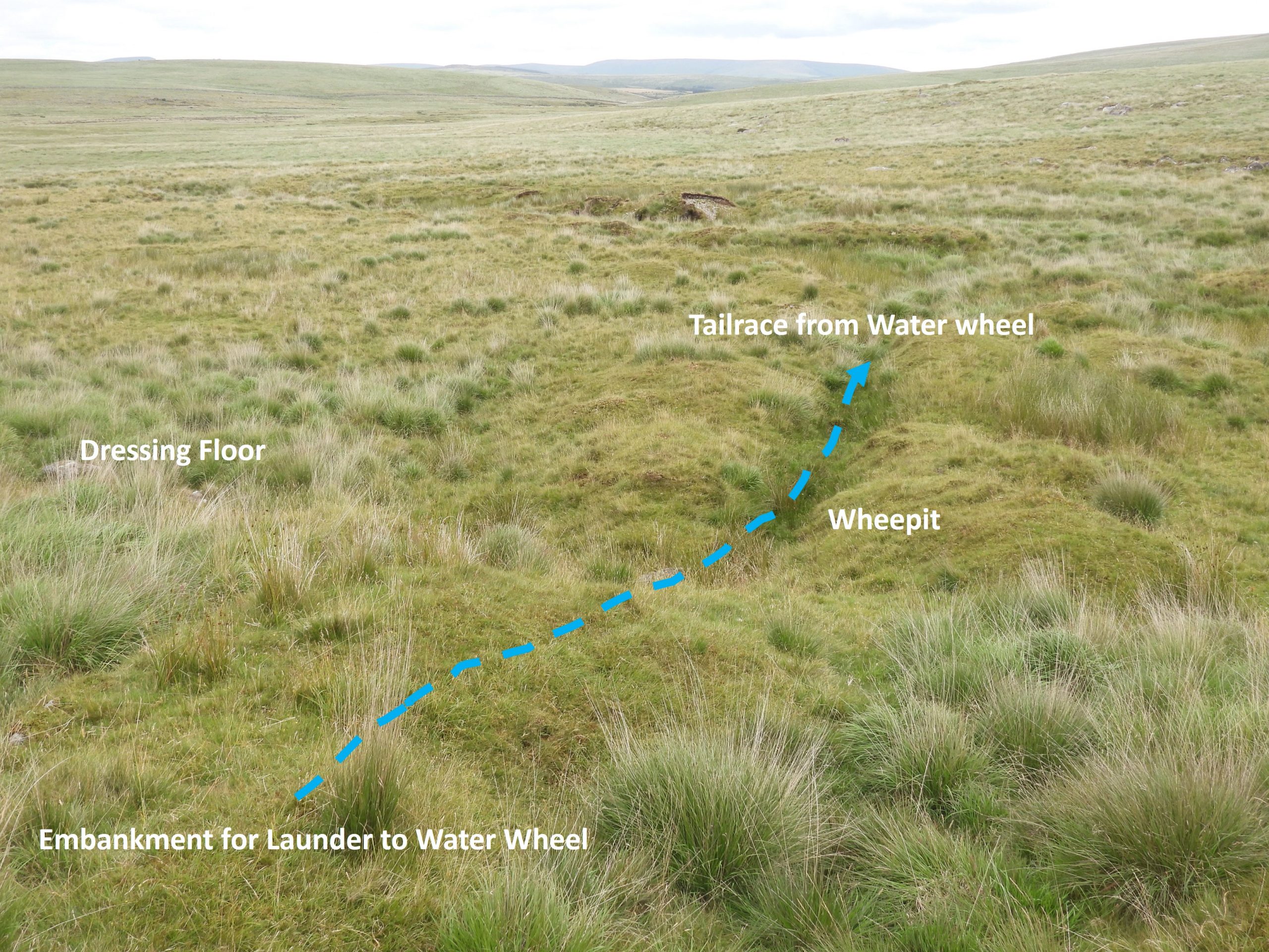
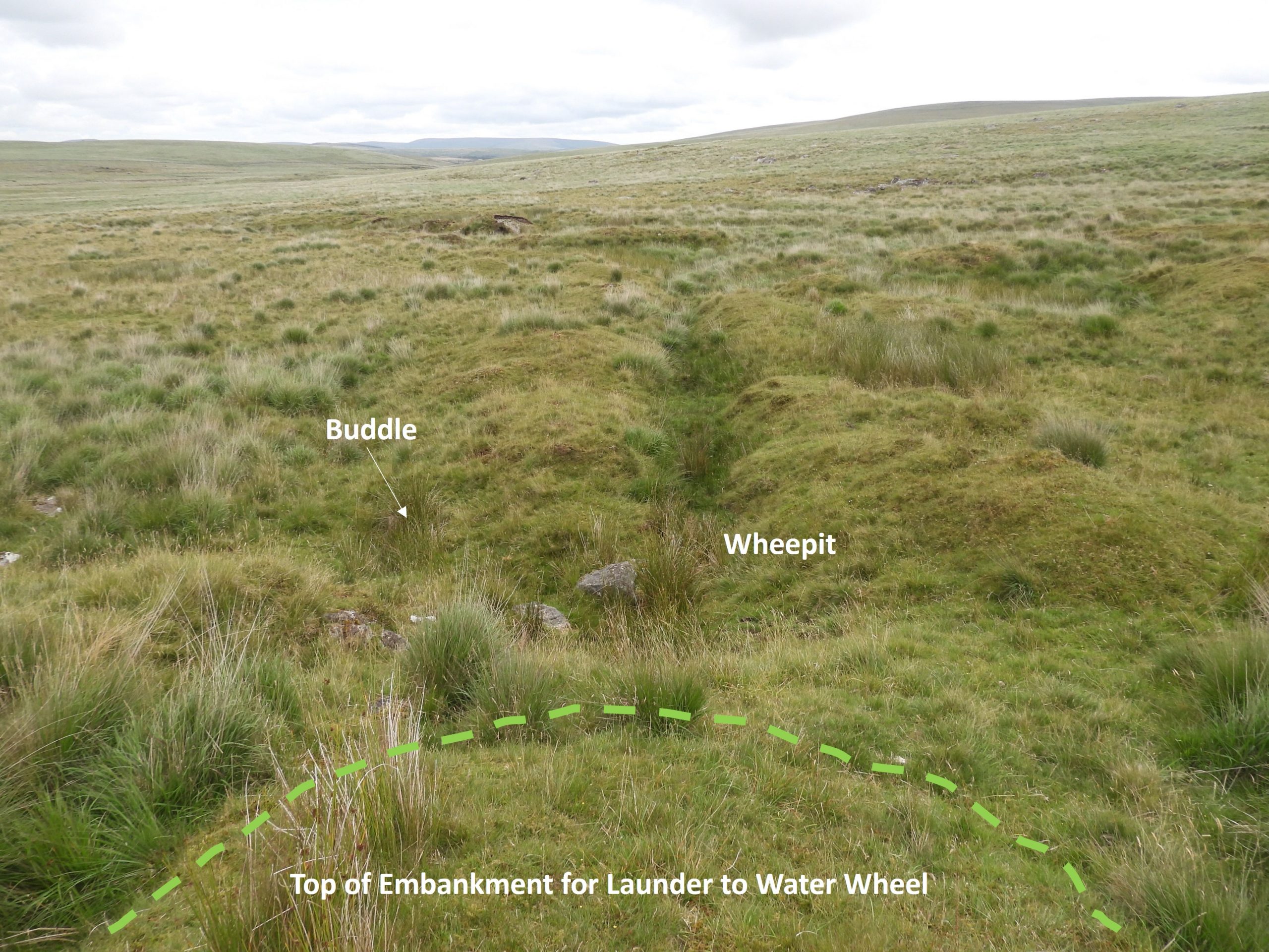
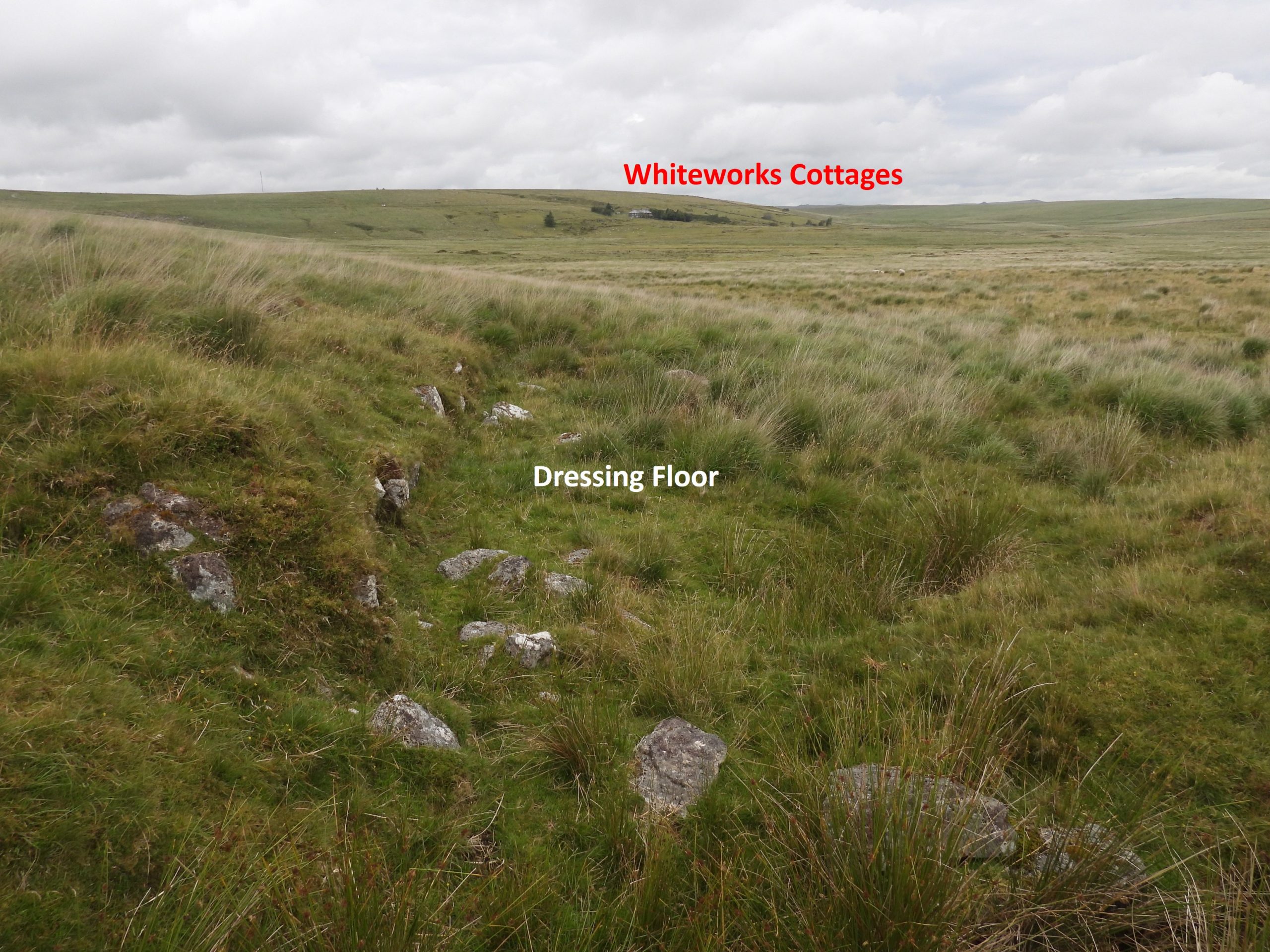
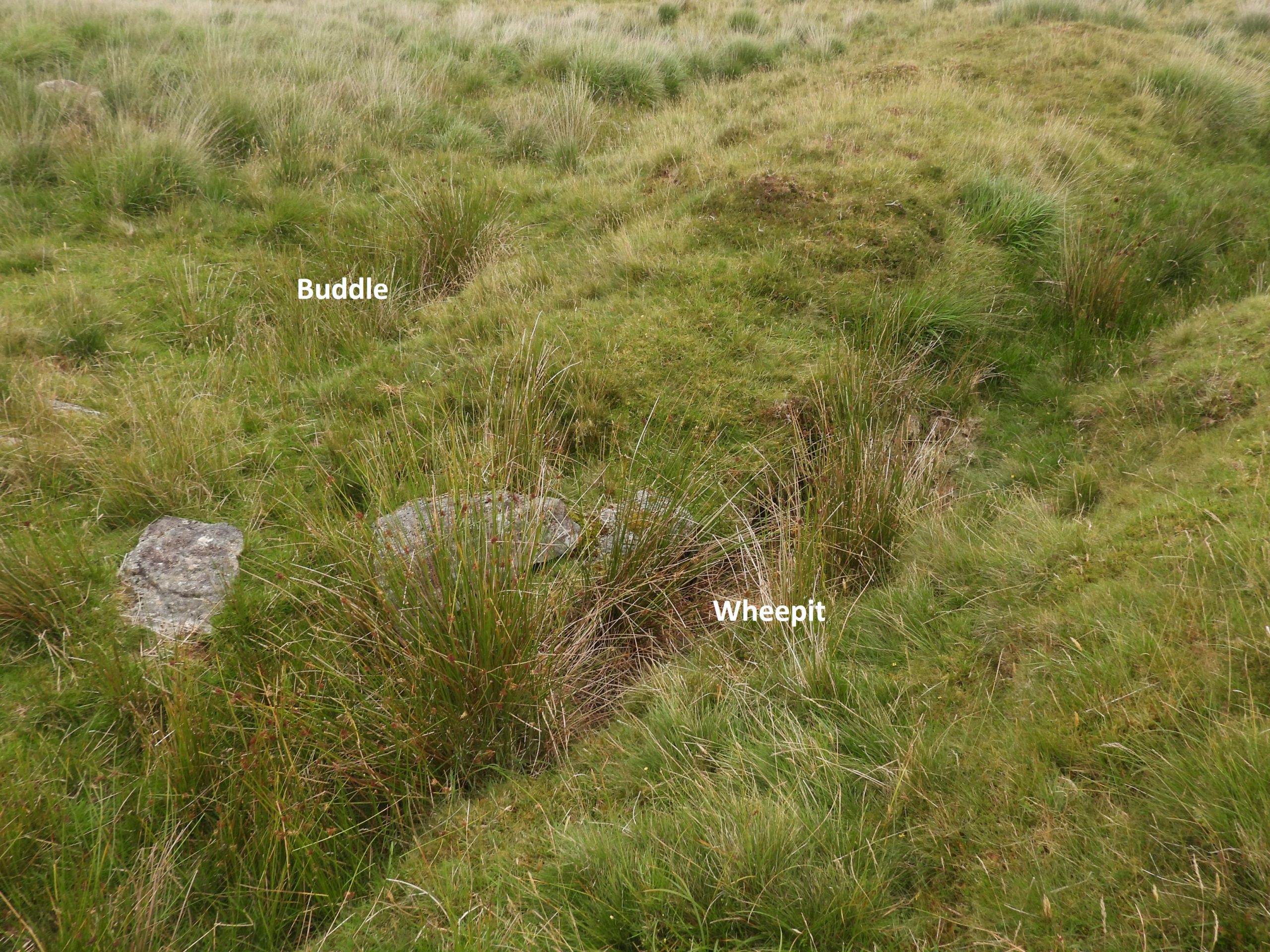
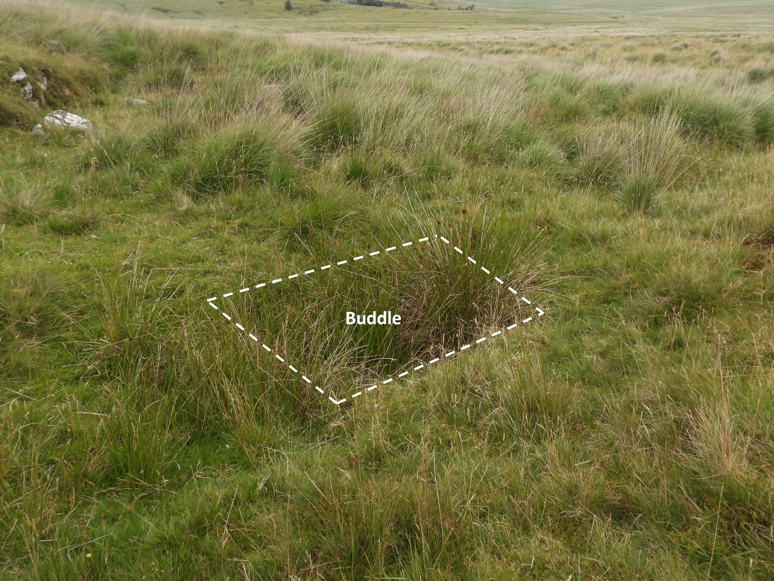
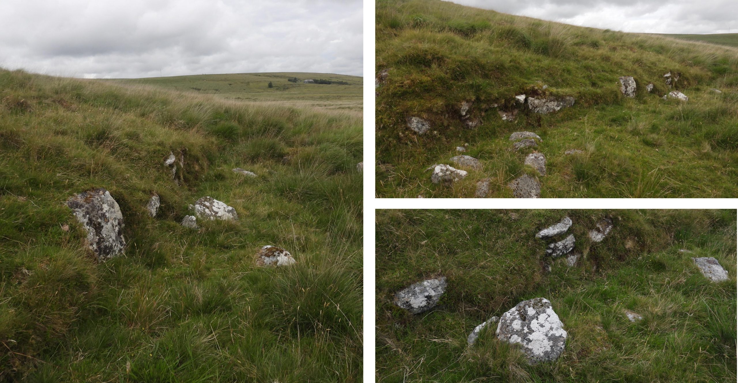
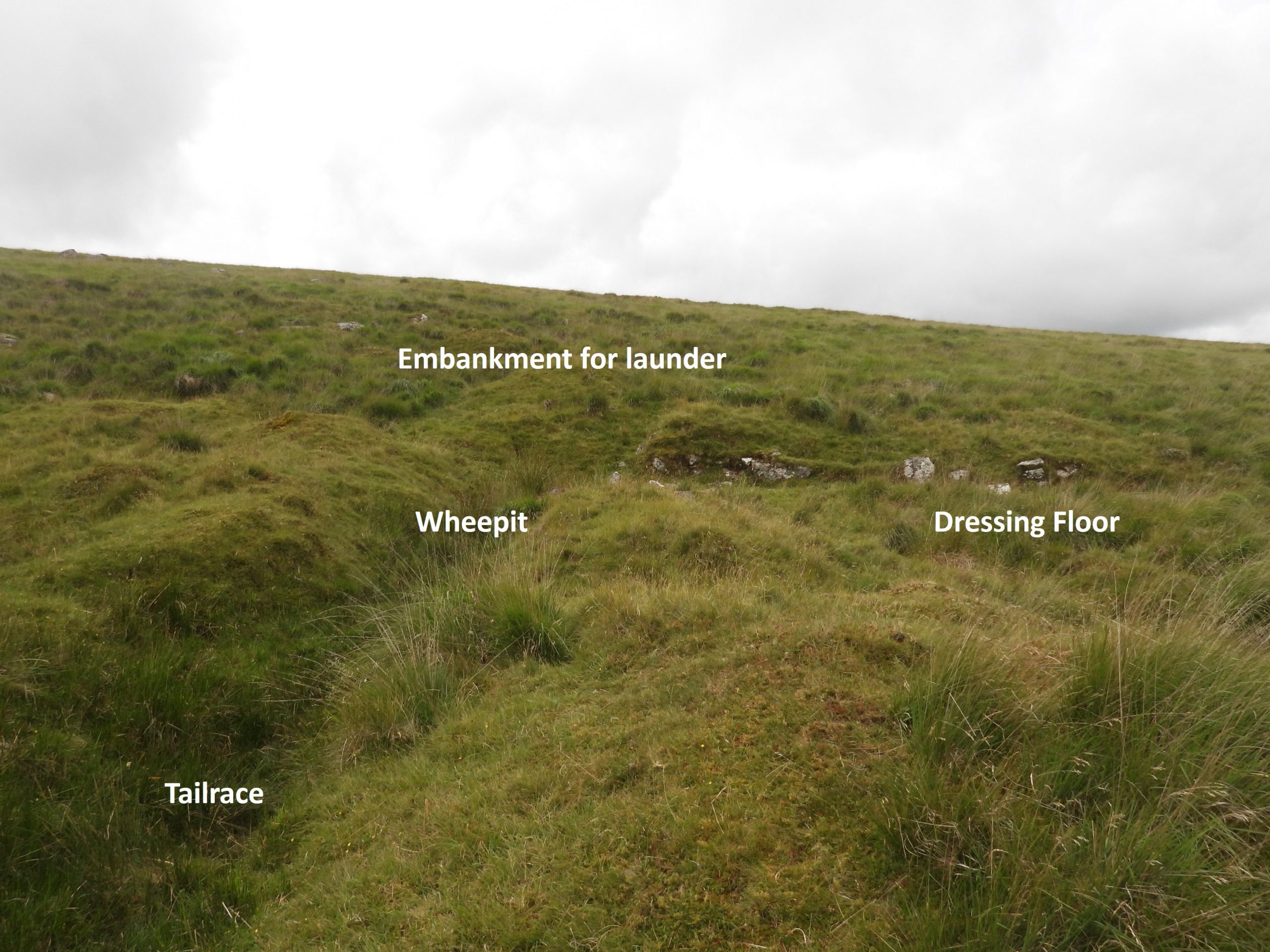
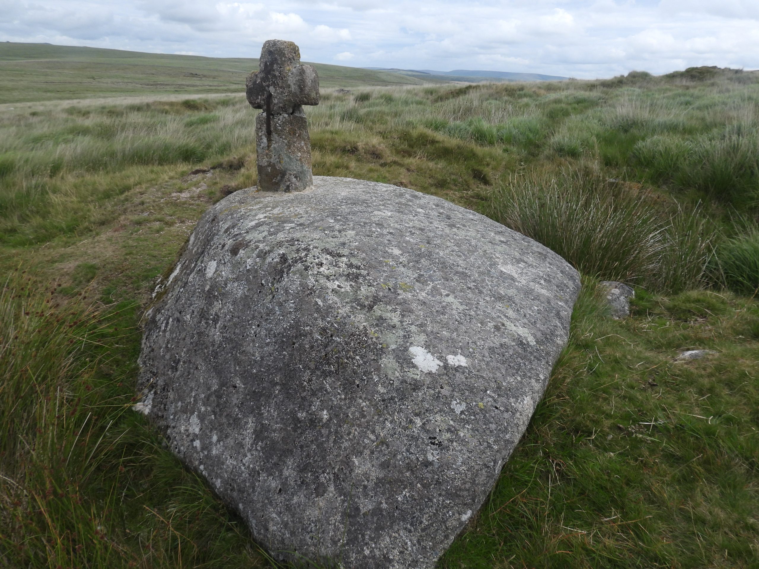
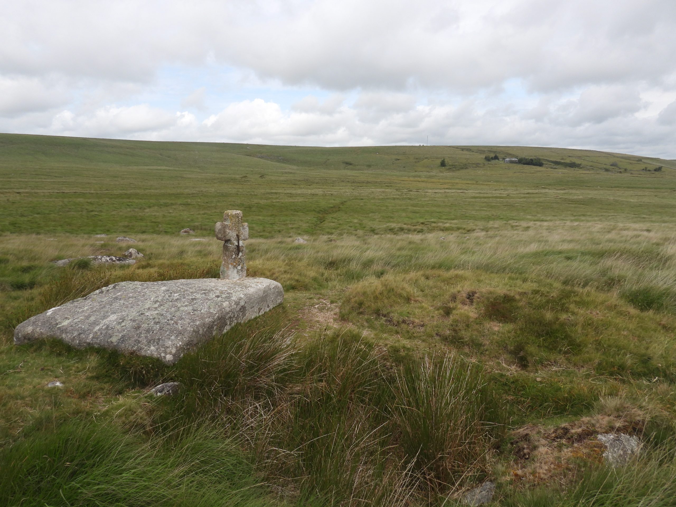
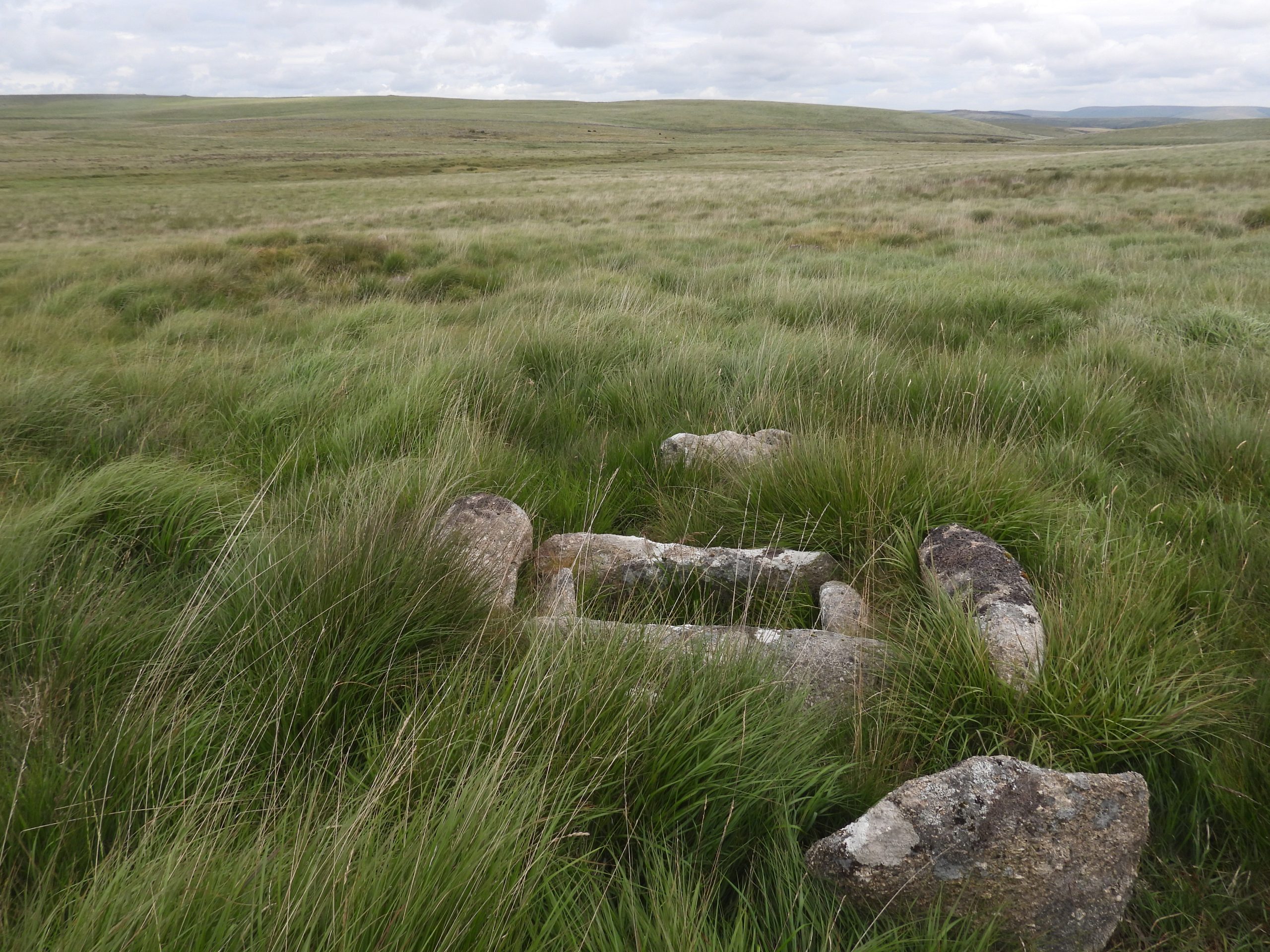
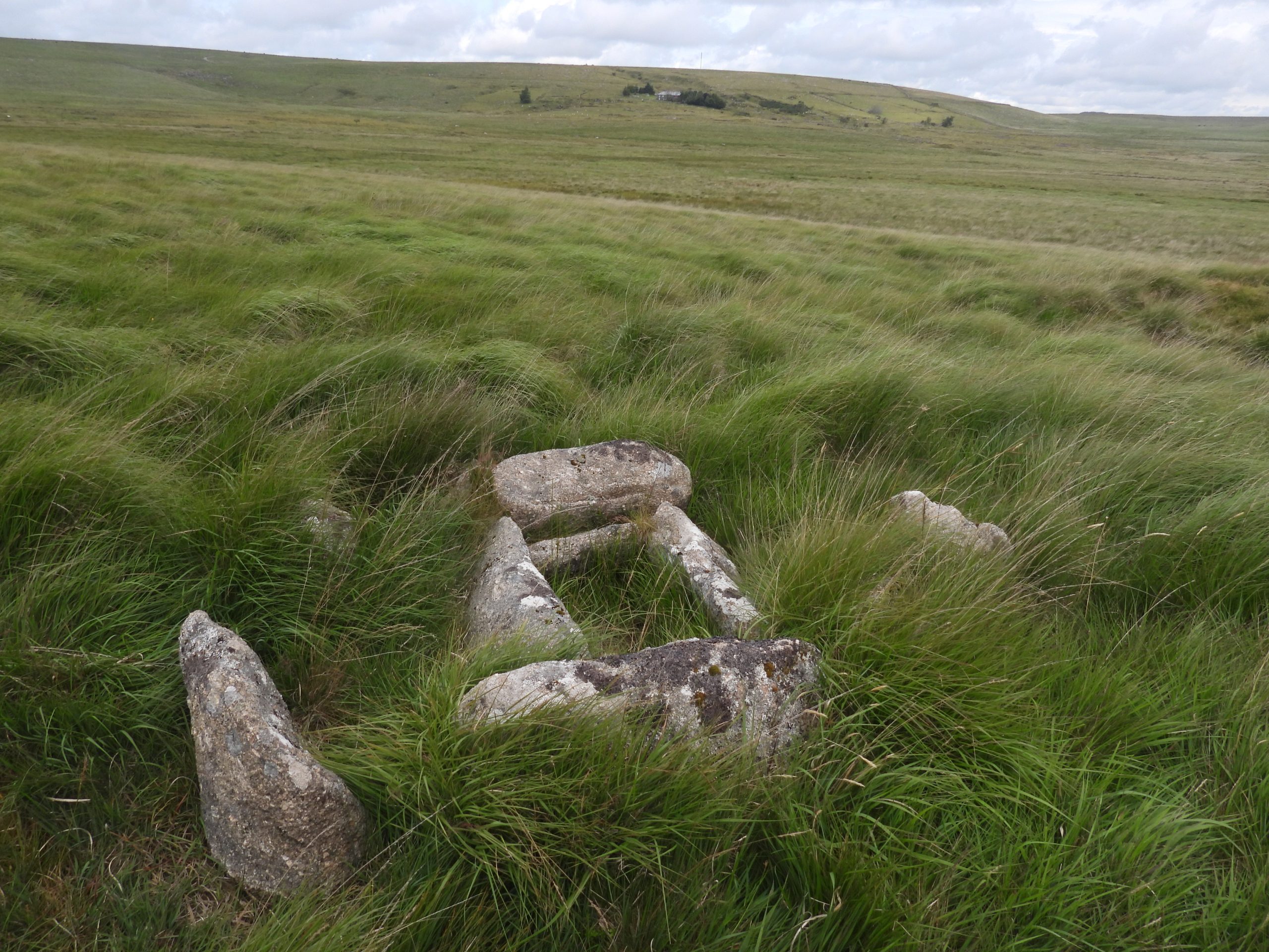
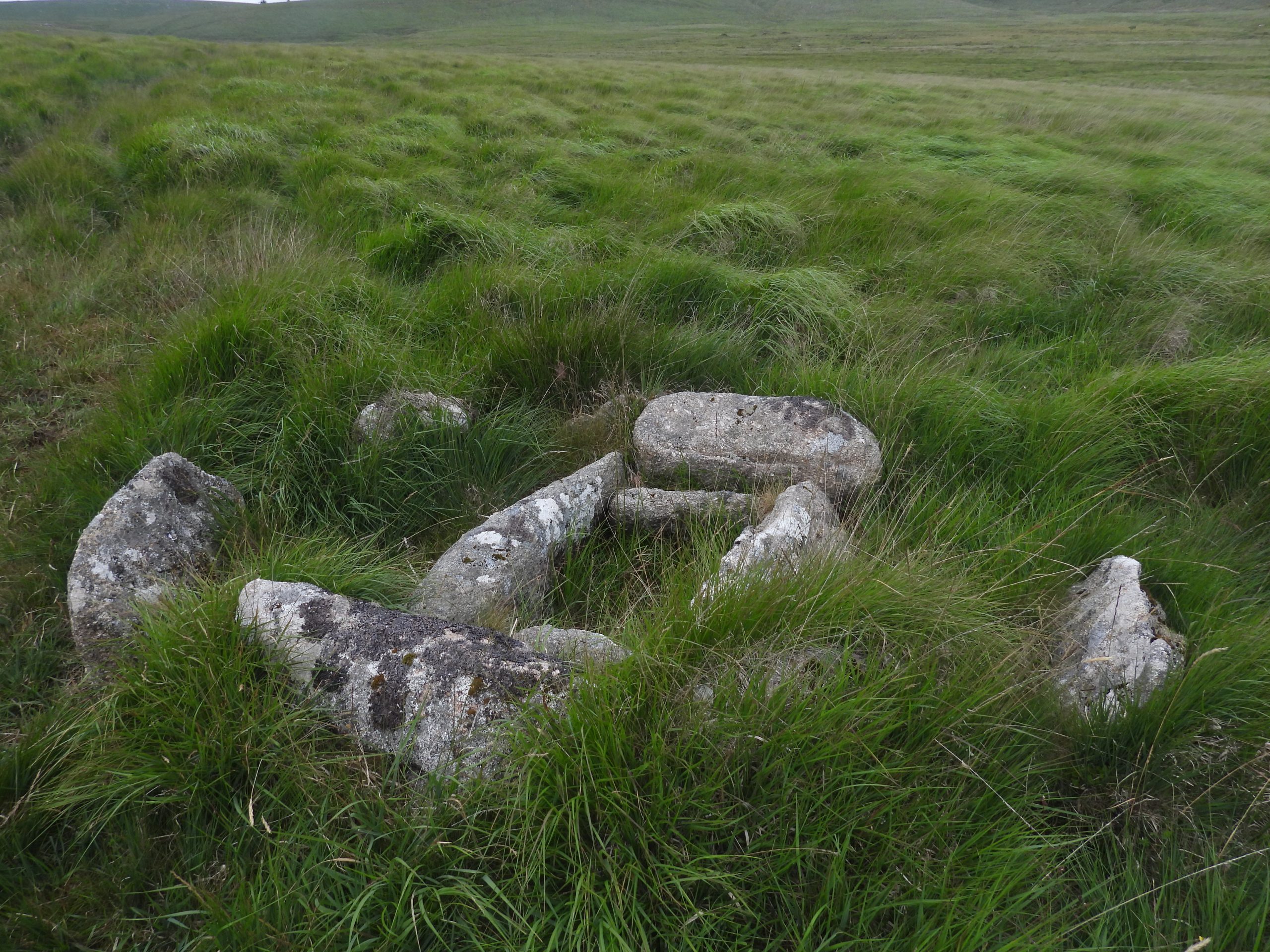
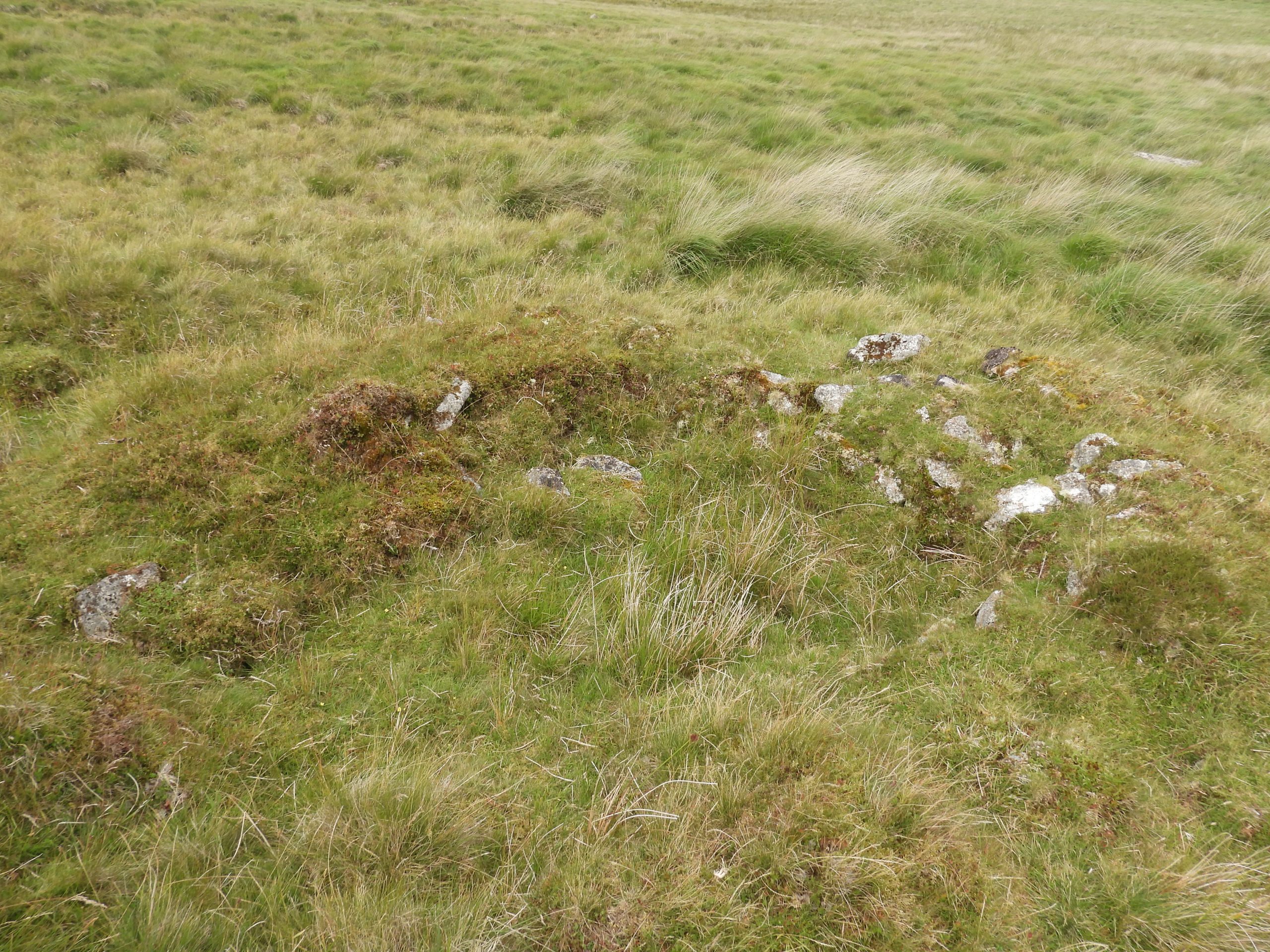
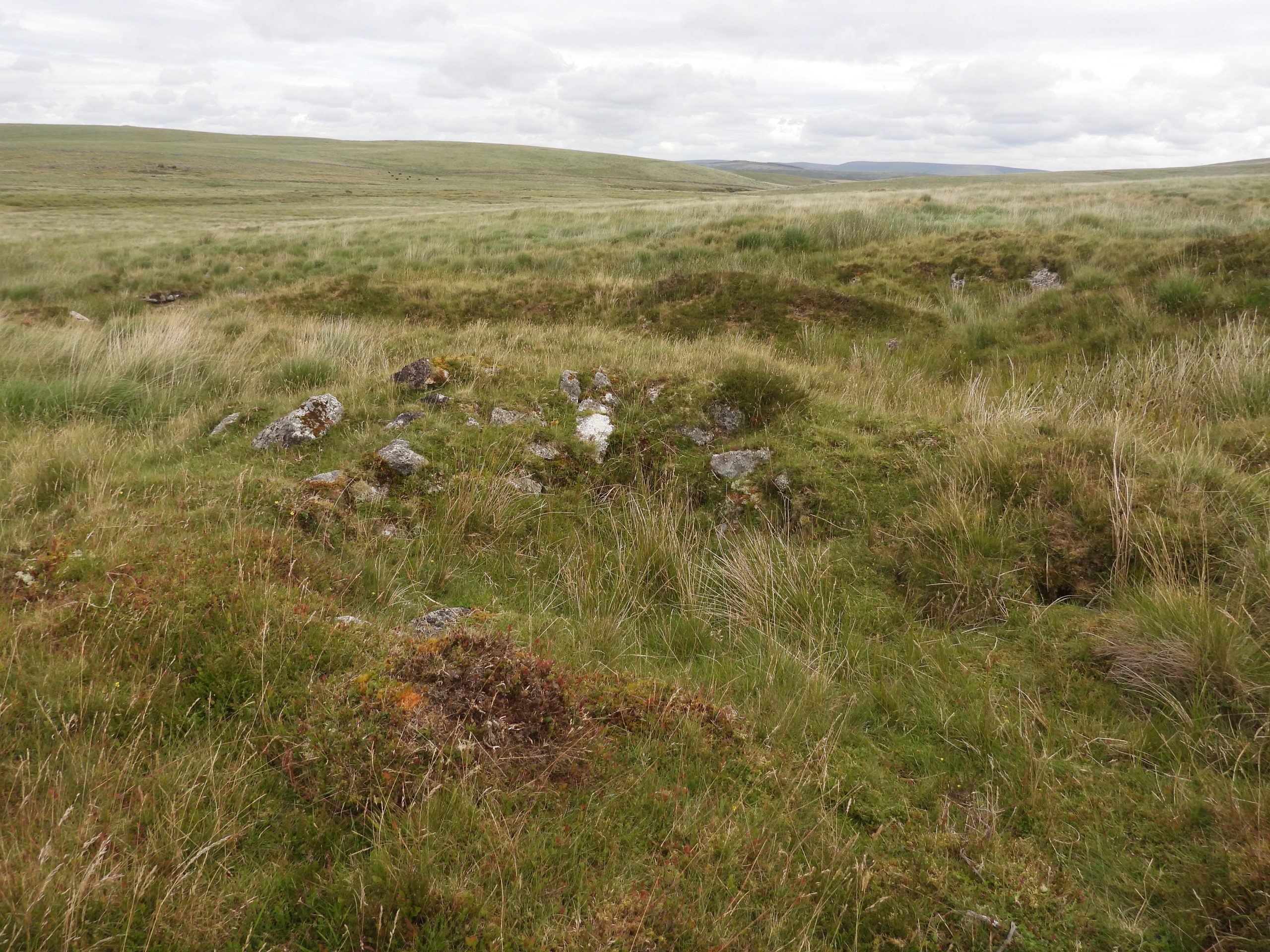
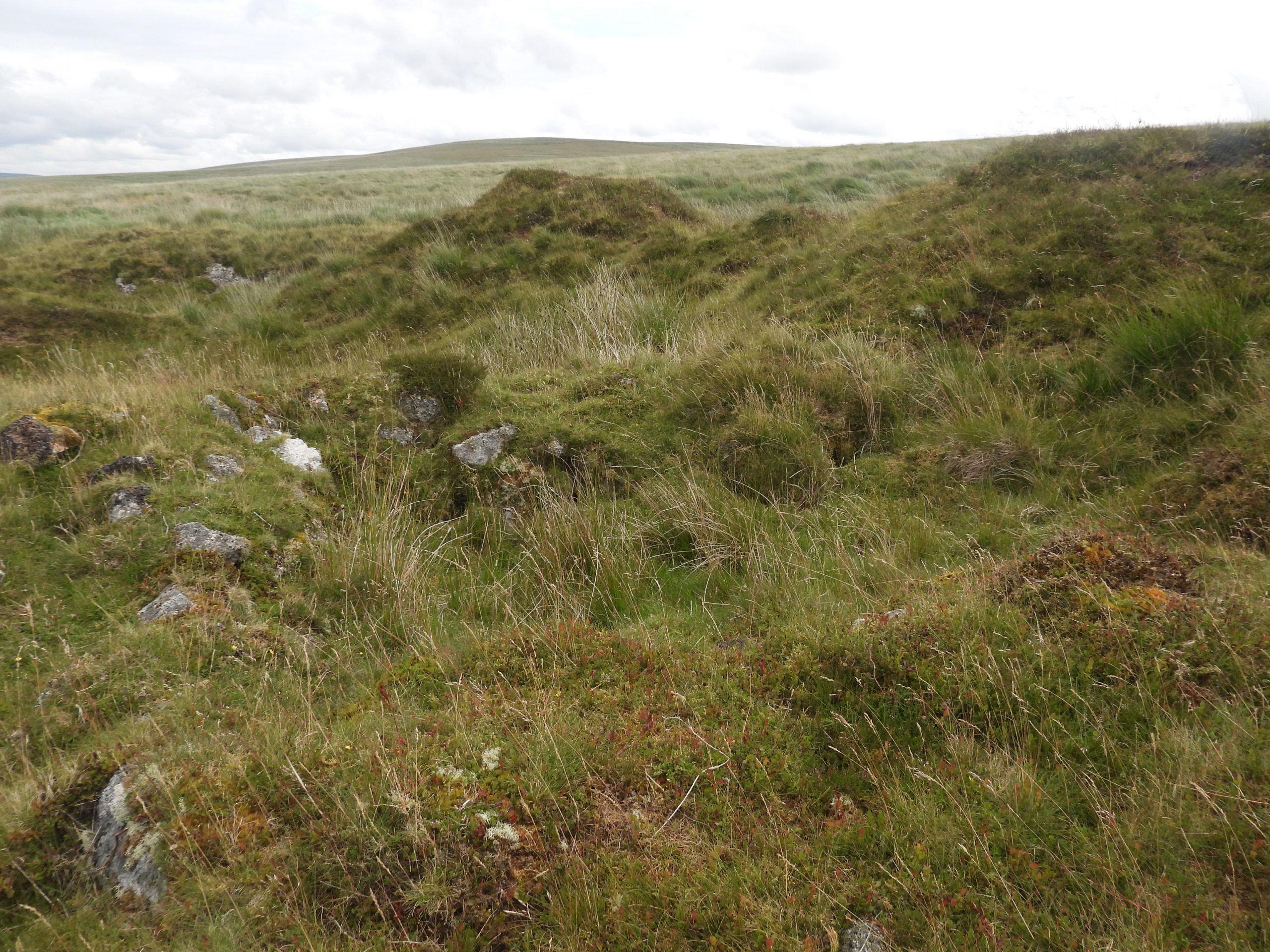
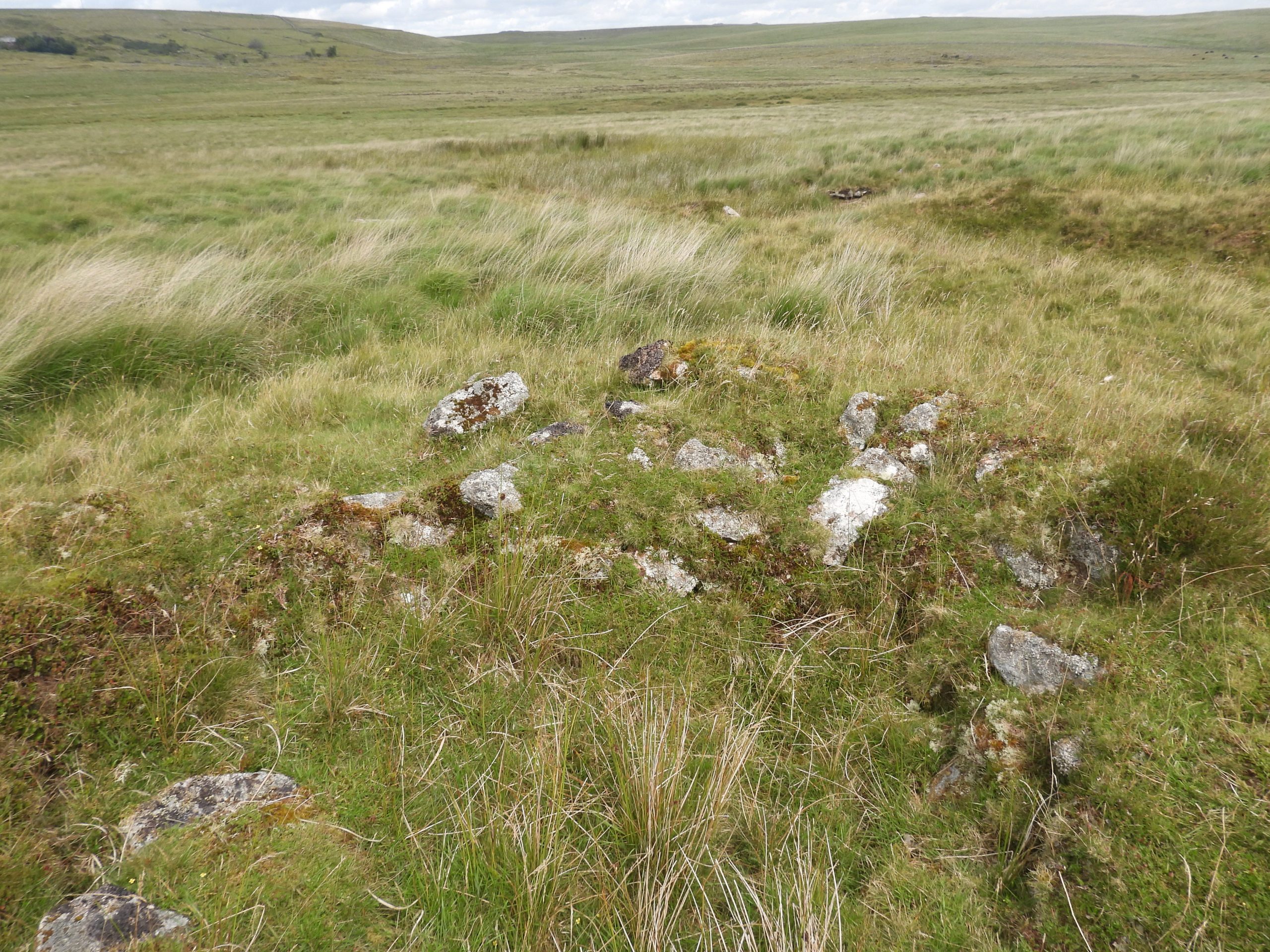
Sketch map of the features covered in this postAn ideal starting point for exploring the area is a small quarry ‘car park’, by the road bridge over Devonport Leat which, with sensible parking is large enough for three cars. The view of Foxtor mires from this point are magnificentFollowing the Devonport Leat path in a westerly direction initially, the shallow valleys of Nun’s Cross Brook and Whealam Brook are evident. These two brooks were extensively streamworked during the Medieval period and are depicted and described as ” Old Tin Stream Works” on an early nineteenth century map.Zooming in on the area between Nun’s Cross Brook and Whealam Brook the faint line of the Whiteworks Engine Stream / Leat can be discerned. East Nun’s Mine is located just below this leat sandwiched between it and Whealam BrookZoomed in area where East Nun’s Mine is located.Just below Devonport Leat (but out if sight of the path) are the remains of two (probable Medieval) buildings. The photograph show the West (upper) building which measures 8 E-W by 4.4m N-S internallyThis view of the upper building is looking West. The walling below the large boulders is recorded by Royal Commission for the Historical Monuments of England (RCHME) as having a fireplace in the W wall is flanked by coursed piers 0.7m high. Next to the fireplace is a possible entrance ‘0.6m wide off-centre in the W wall’. These descriptions can be interpreted when looking at the photograph is indeed in site.View of the upper building with the newtake wall of Sunny Valley beyond. The wall are unmortared and around 1m thick and up to 0.6m high.The RCHME record that since there is “no drill split stone apparent in these buildings (this) suggests an 18th century or earlier origin”. The author interpreted that the building may have been split into two (not recorded by RCHME) and that the lower portion may have formed the shippon (cattle shed).The centre of the upper (western) building is at SX60799 70626. The second (lower) building is around 20m to the east from the first (upper) building. Neither of the two buildings is depicted on a Duchy map of 1818 or on the Tithe Map of 1839.The lower building measures around 5.3m E-W by 3.3m N-S (ref: RCHME). This is the internal measurement and doesn’t include the possible stock pen to the east.With walls 0.8m wide and up to 0.6m high, the centre of the lower building is located at SX60821 70630Eric Hemery (High Dartmoor – 1983, page 340) suggests both buildings relate to Medieval tinners’ activities but further cites that the lower building has undergone later reconstruction. The entrance is 0.9m wide in the middle of the S wall (far left – centre part of the photograph)The lower building has a fireplace in the centre of the East wallLower building fireplace. The low boulder walls abutting the South West and South East corners of the lower building combined with the steep rocky hillside to the North forms small stock pens. The photograph shows the South East end of the lower buildingReturning to Devonport Leat, there is a (well known) sheep leap just before Sunny CornerThe Sheep Leap is located at SX60694 70605The author is aware of at least four other Sheep Leaps across Devonport Leat, namely; two at Bachelor’s Hall Tin Mine, one at Peat Cot and one below Beardown Tors.Sunny CornerJust below Devonport Leat to the south of Sunny Corner is a lovely cairn circle with cist. The author recall visiting this one many times during night walks. The cairn has been mutilated by Devonport Leat on its West edge. It is sometimes known as ‘Grandpa’s Grave’Probert recorded in 1988 that: “the cairn is 7.6m W-E by 7.0m N-S and 0.6m high”. He further states: “The cist, orientated roughly ENE-WSW is slightly to the N of centre of the cairn and is formed by four upright granite slabs. At the surface it measures 0.8m by 0.6m”. The cist is very overgrown and the upright stones are barely discernible.There is no obvious cover stone in the region of the cairn / cist. It is located at SX60770 70480Beyond (South) of the cairn / cist and sheep leap along Devonport Leat, the author was intrigued by these 5 sheep walking along the path.The rear two of the five sheep decided they’d had had enough being followed and decide to cross the leat at one of the iron ‘girder bridges’ First one successfully across, looked like ‘mum’…..…..the second one across looked like a ‘well-fed’ lamb. Mum looking back at the author !Looking East from Devonport Leat down to Nun’s Cross Brook and the Whiteworks Engine Stream / Leat. The leat was known as “Whiteworks Engine Stream” by 1818 and was probably in use until mining ceased in the area in late 19th century. View of the whole of Foxtor Mire from Devonport LeatIn the Jeremy Butler, 1993 publication, Dartmoor Atlas of Antiquities: Volume Four – The South-East Map 64, he records a Tinner’s Hut (TB 7). This may be the building recorded by Butler, and is located on the left bank of the stream, 50m SW of the newtake wall which crosses Nun’s Cross Brook. Butler records this Tinner’s Hut as being 4m x 2.5m, albeit it is very overgrown and difficult to get an accurate measurementThere has been some confusion between a tinners building (mill) recorded by Greeves (1991) on the right bank of Nun’s Cross Brook and this (probable) building recorded by Butler, located on the left bank of the stream, 50m SW of the newtake wall. The Tom Greeves grid reference for his mill is SX6105 6988. The author recorded SX60988 69840 for the ‘Butler Tinner’s Hut’. The author believes there are two structures in the two locationsThe Tinner’s Mill / Hut is located a short distance upstream from this tree next to Nun’s Cross BrookTinners Mill recorded by Greeves (1991) on the right bank of Nun’s Cross Brook, near the newtake wall. The Tom Greeves grid reference for this mill is SX6105 6988. The author recorded SX61055 69861 (at wheelpit)Newtake Wall crossing Nuns Cross Brook just below the Tinner’s MillMoving to the north of the newtake wall which crosses Nun’s Cross Brook this fine Tinner’s Hut can be found. It is recorded in the Jeremy Butler, 1993 publication, Dartmoor Atlas of Antiquities: Volume Four – The South-East Map 64, as Tinner’s Hut (TB 8). He records it as being 5.5m x 2m. Probert (in 1988) recorded the main room, as being 3.5m N-S by 2.1m E-W with the small porch being 2.1m E-W by 1.3m N-S.Unusually the Tinner’s Hut is two roomed. It is located in the tin-streaming debris on the flood plain of Nuns Cross Brook.Probert recorded the hut, as orientated N-S, with its entrance, 0.7m wide, in the North wall. This is unusual, insofar as entrances were more normal on the ‘long axis’ of such buildings.The West wall is nearly 1m high.The Tinner’s Hut is located at SX61050 69982. The building cannot be seen from where the newtake wall crosses Nun’s Cross Brook, so could easily be missed should the main track be followed.Leaving Nun’s Cross Brook by its right (Eastern) bank, the silted up course of the Whiteworks Engine Stream / Leat can be locatedFollowing the Whiteworks Engine Stream / Leat in a curving Easterly direction. The going underfoot is quite challenging here.Whiteworks Engine Stream / Leat curving in an Easterly direction as it approaches Whealam Brook. The Leat will take the explorer to above East Nun’s Mine, the next port of callSketch map of East Nuns Mine (as named by Dartmoor Tin Research Group). The map is based on the excellent Tanya and Barry Welch survey plan from 2020. The main features which remain on site are the Leat Embankment, the Wheelpit, a Buddle, the Dressing Floor and a TailraceView of East Nuns Mine as viewed from the Whiteworks Engine Stream / Leat. The mine has been referred to by some observers as Wheal Anne Mine but the author is unaware of the origin of either name (unless they are based on the mine’s location as opposed to any historic record)View from the top of the Embankment for the launder to Water Wheel. The Leat Embankment is 4.5m at its widest pointThe top of the Embankment is located at SX61444 69987The Dressing Floor was measured by Tanya and Barry Welch as being 11.9m x 8.1m. It is clearly defined as a walled revetmentThe Wheelpit at the mine reveals how narrow the Water Wheel would have been. The Wheelpit is just 0.5m deep, 5m long and 0.7m wide. The distance between the Wheelpit and the Buddle is 2.5m. The Wheelpit is located at SX61450 69992There is one (obvious) Buddle near the Wheelpit which is 2.3m x 1.1m. The RCHME record two ‘settling tanks’, albeit the DTRG do not. The Buddle is located at SX61450 69996The Dressing Floor revetment wall is up to 1m highView of the mine from near the Tailrace looking West. The Tailrace would have returned the water into the Whealam BrookLooking back at East Nuns Mine from the East en-route to Goldsmiths CrossThis Greek (Latin) Cross is known locally either as ‘Goldsmith’s Cross’ or ‘Foxtor Mires Cross’. The cross was possibly a waymarker to indicate a safe route across the mire from Whiteworks. Historic England record that the shaft has been repaired just below the arms and is cemented and joined with iron clamps. The photograph shows clearly that at this joint the two sections differ in width. Does this suggest that a section or two of shaft may be missing?Elisabeth Stanbrook, (ref: 2003, Ancient and Modern; Anniversaries for Two Dartmoor Crosses) records that ‘Goldsmith’s Cross’ was (re) discovered by Lieutenant M. Lennon Goldsmith, as it was lying recumbent. This was around 1903. Goldsmith recruited four sailors to cement the cross back in the socket. This event post-dates the year that William Crossing published his book on crosses (1902). Crossing did include it in the 1910 edition of his ‘Guide to Dartmoor’. In the locale of Goldsmiths Cross, Jeremy Butler and Probert record at least three cairn / cists. Two are barely visible and exceptionally overgrown, for which the author decided as the photographs were so poor, not to include in this post. That said, the author thought this ovoid cairn circle and a cist was worth recording. It comprises seven upright granite slabsThe cist is orientated north-west to south-east and measures 0.8 m by 0.5 m internally with a depth of 0.4 mThis cairn / cist is located at SX61799 70313A short distance (50m) from the cairn / cist is another Tinner’s Hut which is 2.8 m by 2.1 m aligned North to SouthThe walls are made up from small stones and are 0.5 m high. The walls are very thick at 1.7mThis Tinner’s Hut is located at SX61859 70315The hut is located in an area of deep Tinner’s workings
I notice from your diagram of the East Nuns Mine Layout you have the leat running directly to the Wheelpit in fact the whiteworks leat runs at right angles above the leat. sorry to be picky
nice site must have involved a lot hard work. If you would like to post a digital copy of our survey just let me know .
very best wishes Barry Welch and Tanya Welch Deceased
Many thanks for contacting me. I have long been an admirer of the fabulous surveys conducted by you and Tanya. They are real masterpieces.
I would be honoured to be sent a digital copy of the East Nuns Mine survey to add to my humble website (a retirement project of mine). Of course due acknowledgement would be given.
I apologise if my simple little map of the mine didn’t make it clear that leat runs at right angles to the wheelpit where there is an embankment and once a launder.


Barry Welch March 2, 2024
I notice from your diagram of the East Nuns Mine Layout you have the leat running directly to the Wheelpit in fact the whiteworks leat runs at right angles above the leat. sorry to be picky
nice site must have involved a lot hard work. If you would like to post a digital copy of our survey just let me know .
very best wishes Barry Welch and Tanya Welch Deceased
SteveGriggDartmoor March 2, 2024 — Post author
Hi Barry,
Many thanks for contacting me. I have long been an admirer of the fabulous surveys conducted by you and Tanya. They are real masterpieces.
I would be honoured to be sent a digital copy of the East Nuns Mine survey to add to my humble website (a retirement project of mine). Of course due acknowledgement would be given.
I apologise if my simple little map of the mine didn’t make it clear that leat runs at right angles to the wheelpit where there is an embankment and once a launder.
Kind Regards,
Dartmoor Explorations (Steve)