A collection of walks, discoveries, insights and pictures of exploring Dartmoor National Park
May 9, 2023
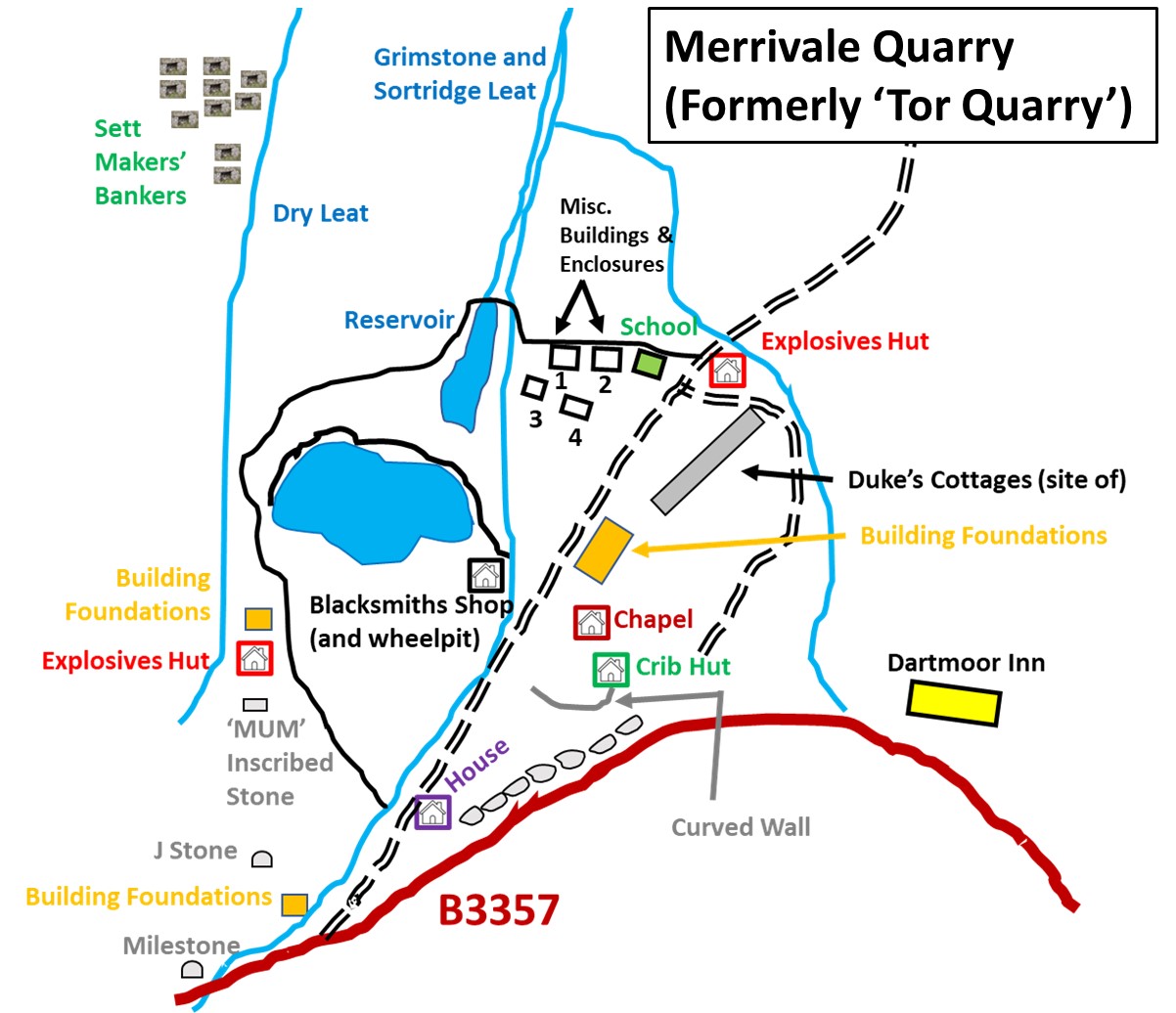
Merrivale Quarry (Tor Quarry) and nearby Sett Makers’ Bankers
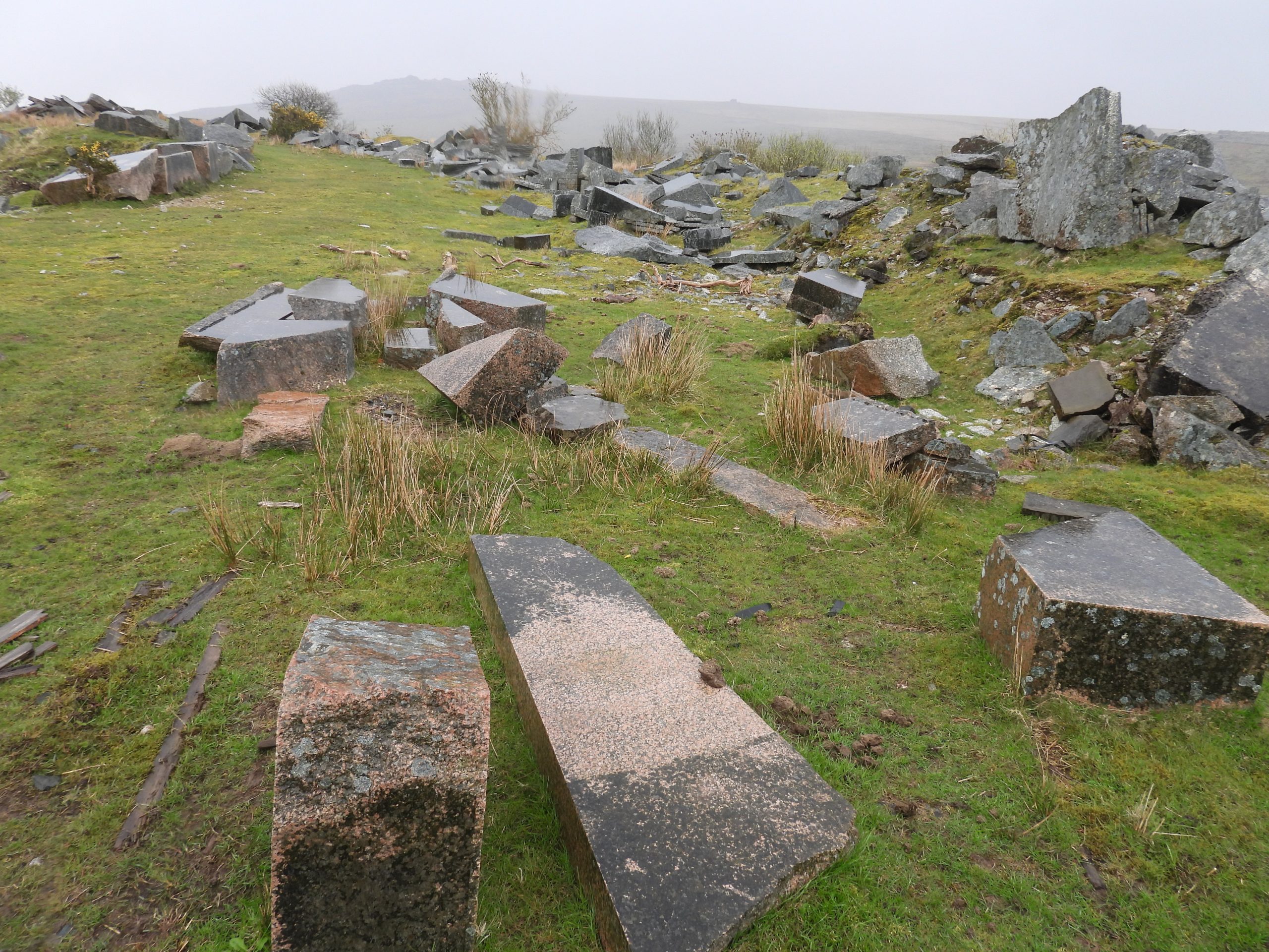
The Duke of Cornwall first granted a licence to quarry granite in this area in 1847, aside the summits of a couple of tors (Pew and Roos) being protected areas, being defined by inscribed marks on large boulders around them. Latterly (at Roos Tor) uprights were added to define the protected areas. At that time, the quarrymen were limited to taking surface granite. There is still evidence of their work with lots of tare / feather marked (splitting of granite) blocks still being seen . The demand for this granite had increased during the 19th century, especially for paving stones, kerbs and cobbles (or setts as they are known) as part of the revolution to improve roads especially around Plymouth and Tavistock.
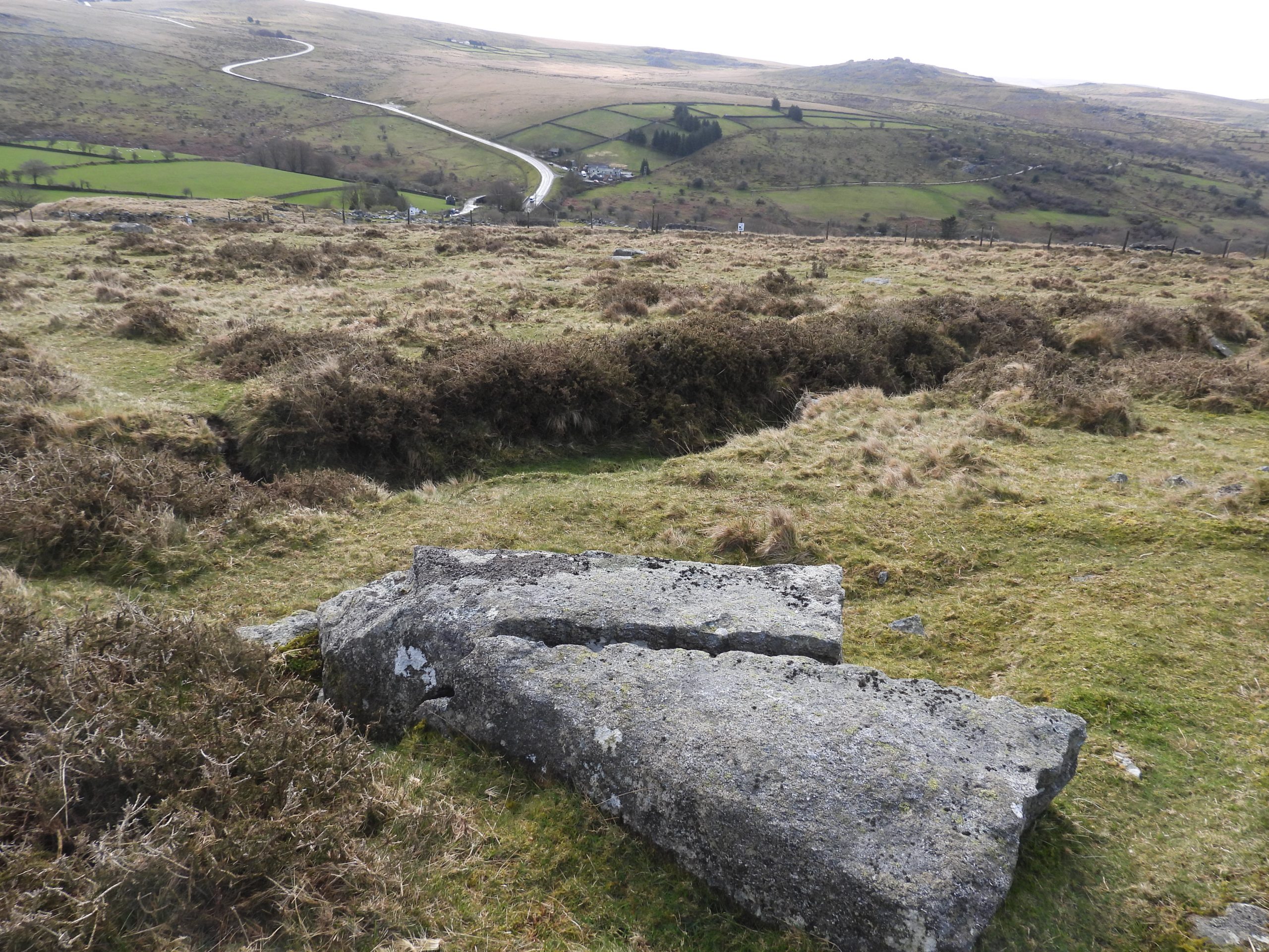
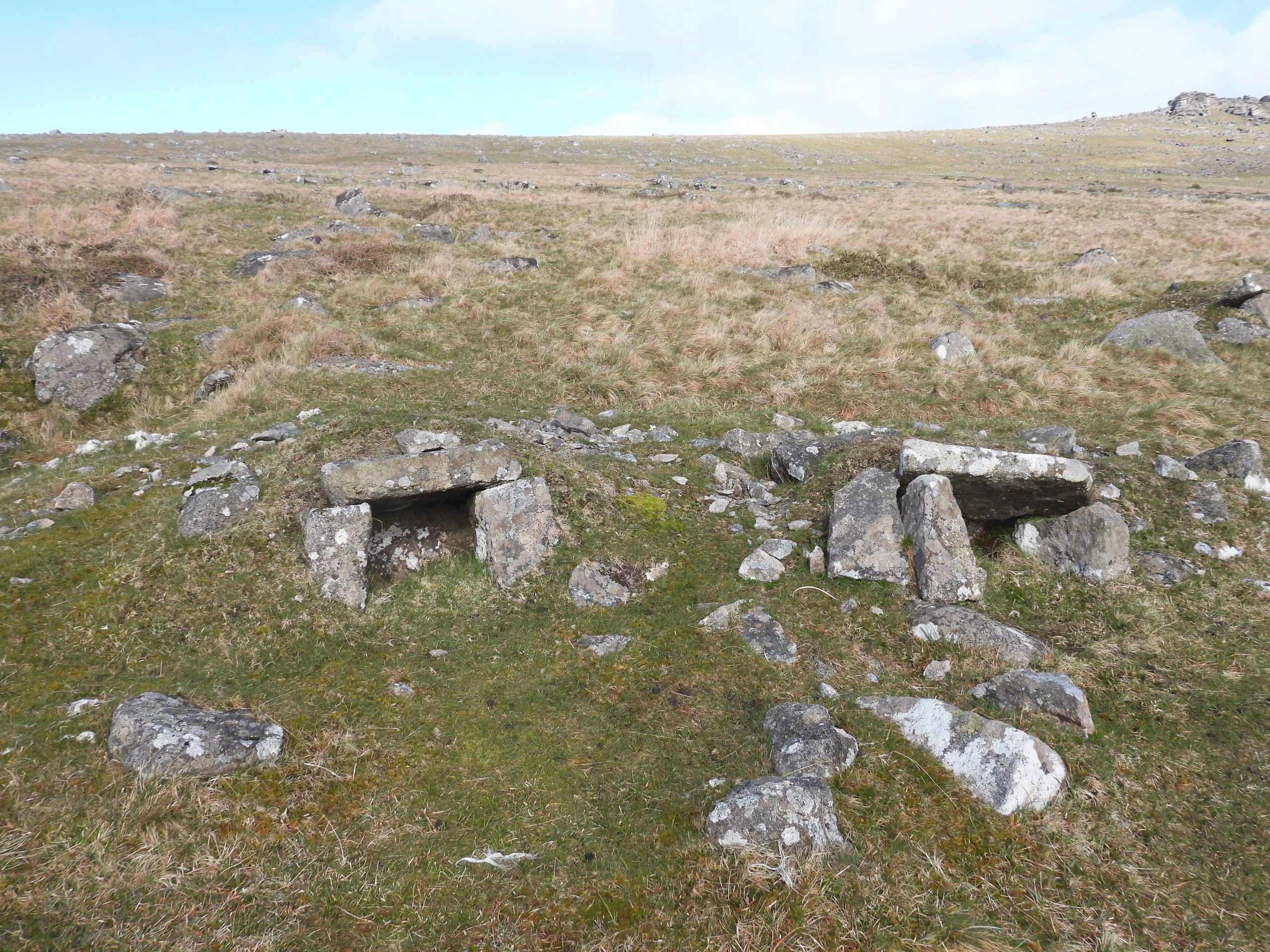
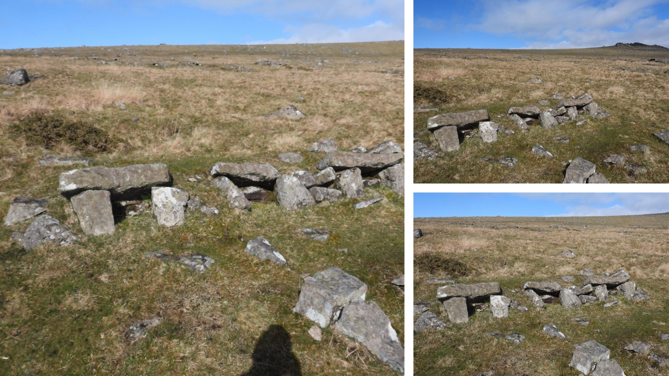
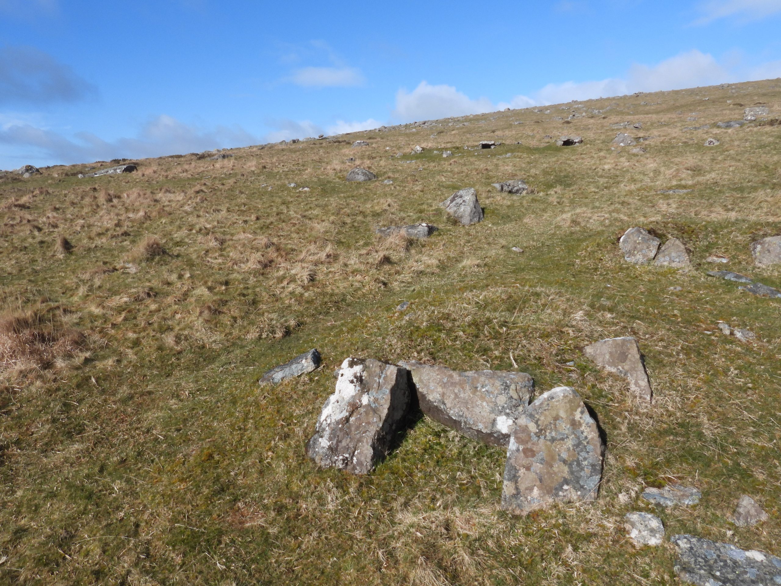
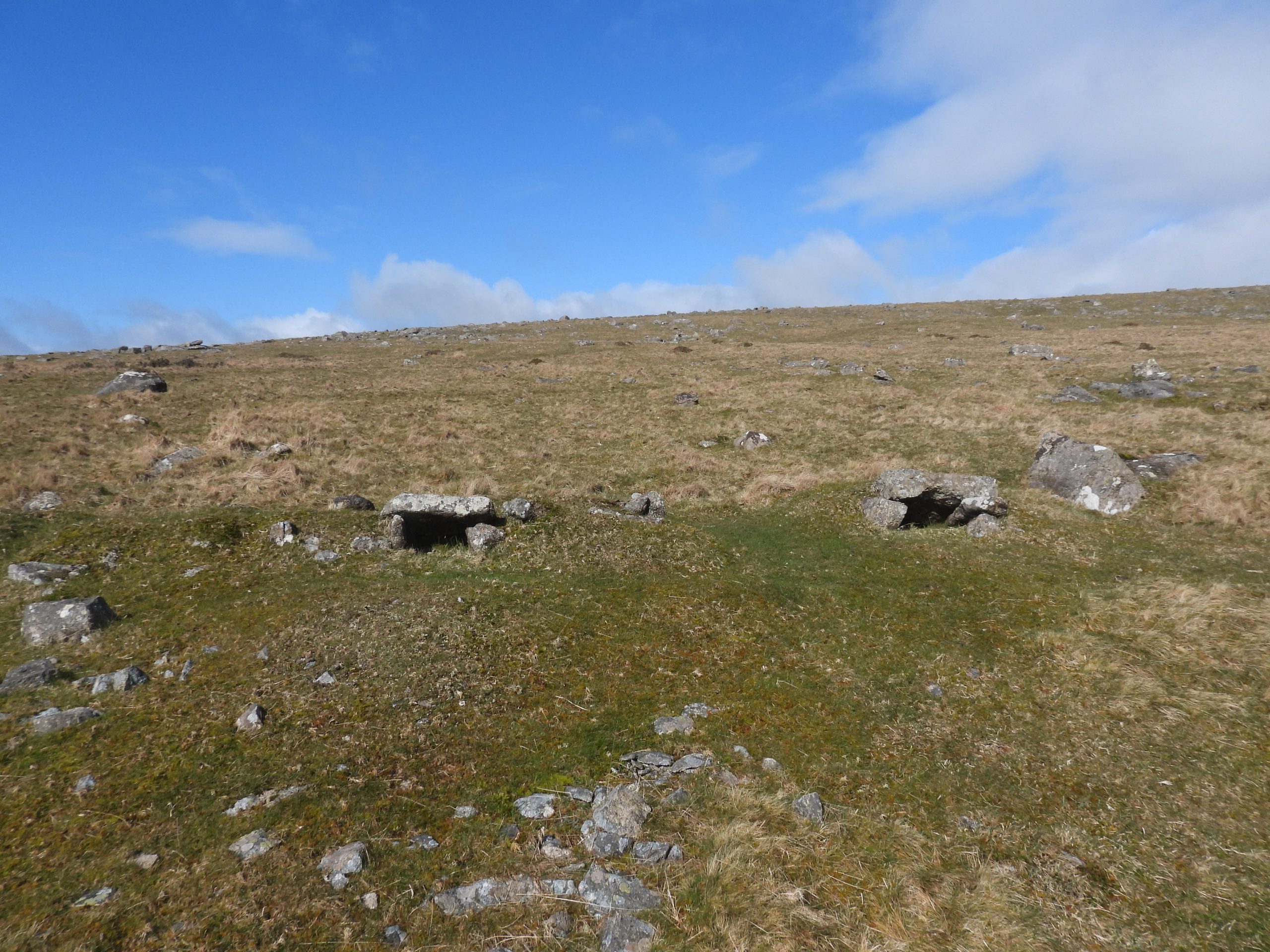
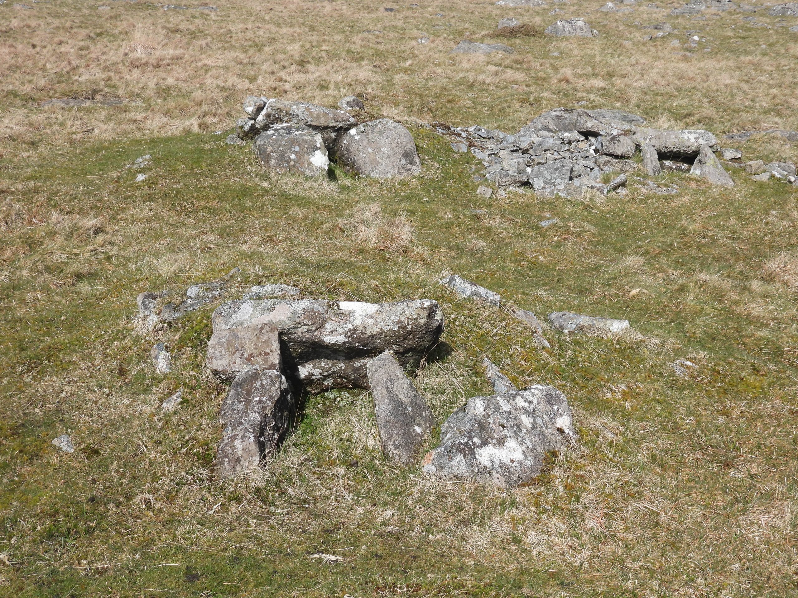
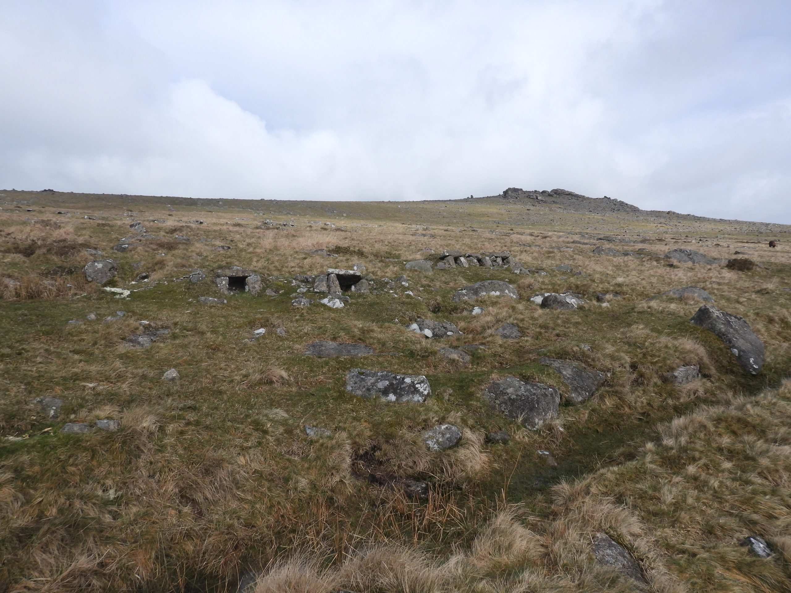
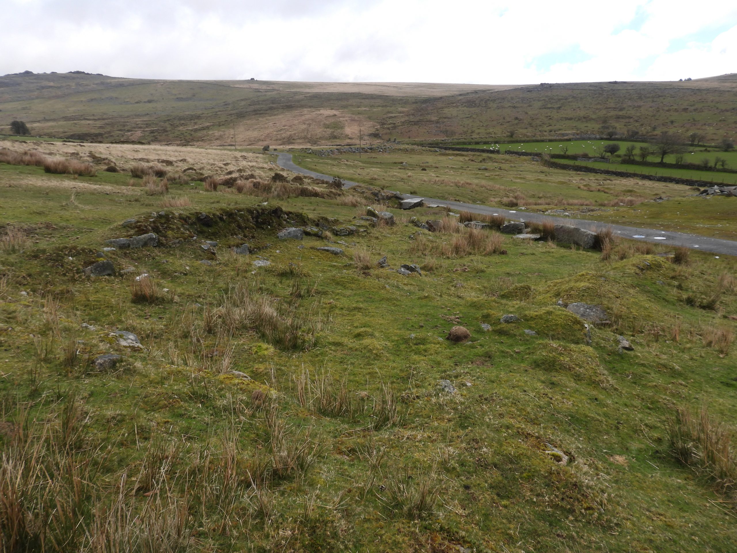
On the slopes of the Staple Tors (and other locales on Western Dartmoor), there are a considerable number of small granite structures (benches) which are believed to date from around 1870 (Helen Harris), although some suggest as early as 1850 – 60. These benches, known as Sett Makers Bankers, were used in the manufacture of the aforementioned kerbs and setts. The demand for granite setts appears to have out-stripped the sett makers ability to find suitable moorstone lying around slopes of tors and it is this which was the catalyst for the need to a quarry.
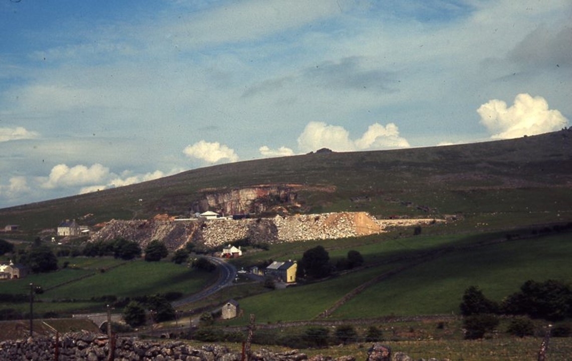
The demand for sett granite, lead to William Duke opening ‘Tor Quarry’ in 1875 (some observers state 1876). The enterprise was taken over by his son after his death. The quarry although originally known simply as ‘Tor Quarry’ has also been known as ‘Duke’s Quarry’ and of course latterly as ‘Merrivale Quarry’. The quarry was operational for around 120 years and eventually closed in 1997. In its final years the quarry had been operated by the Tarmac Group and was the last operational quarry on Dartmoor. It is recorded that granite from the quarry provided granite for New Scotland Yard, Portcullis House (in Westminster) and the paving of Trafalgar Square. Granite here was provided for the Falklands Island War Memorial commemorating the Falklands War of 1982.
Bibliography
A.J. Passmore, 2006, Archaeological Assessment of Historic Buildings at Merrivale Quarry
Helen Harris, 1968, Inductrial Archaelogy of Dartmoor
Simon Dell and John Bright, 2008, Dartmoor’s Sett Makers’ Bankers (an industrial mystery solved)
Mary Stanbrook, 1991, Old Dartmoor Schools Remembered
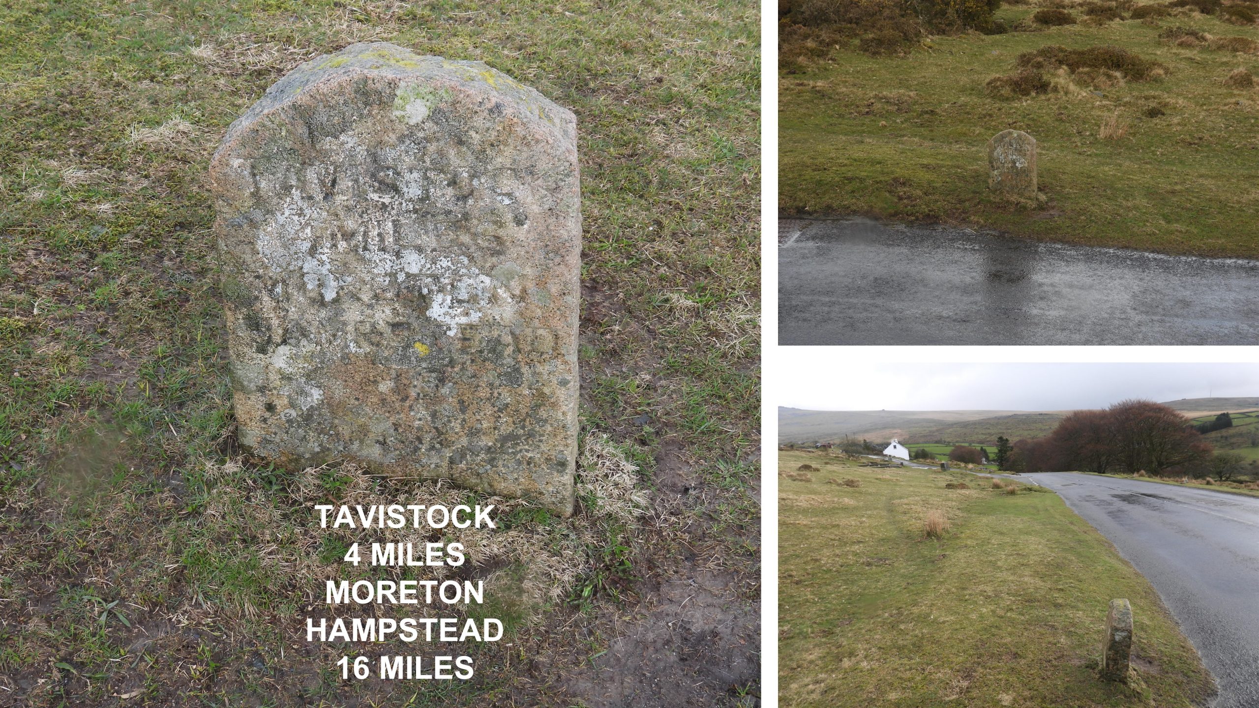
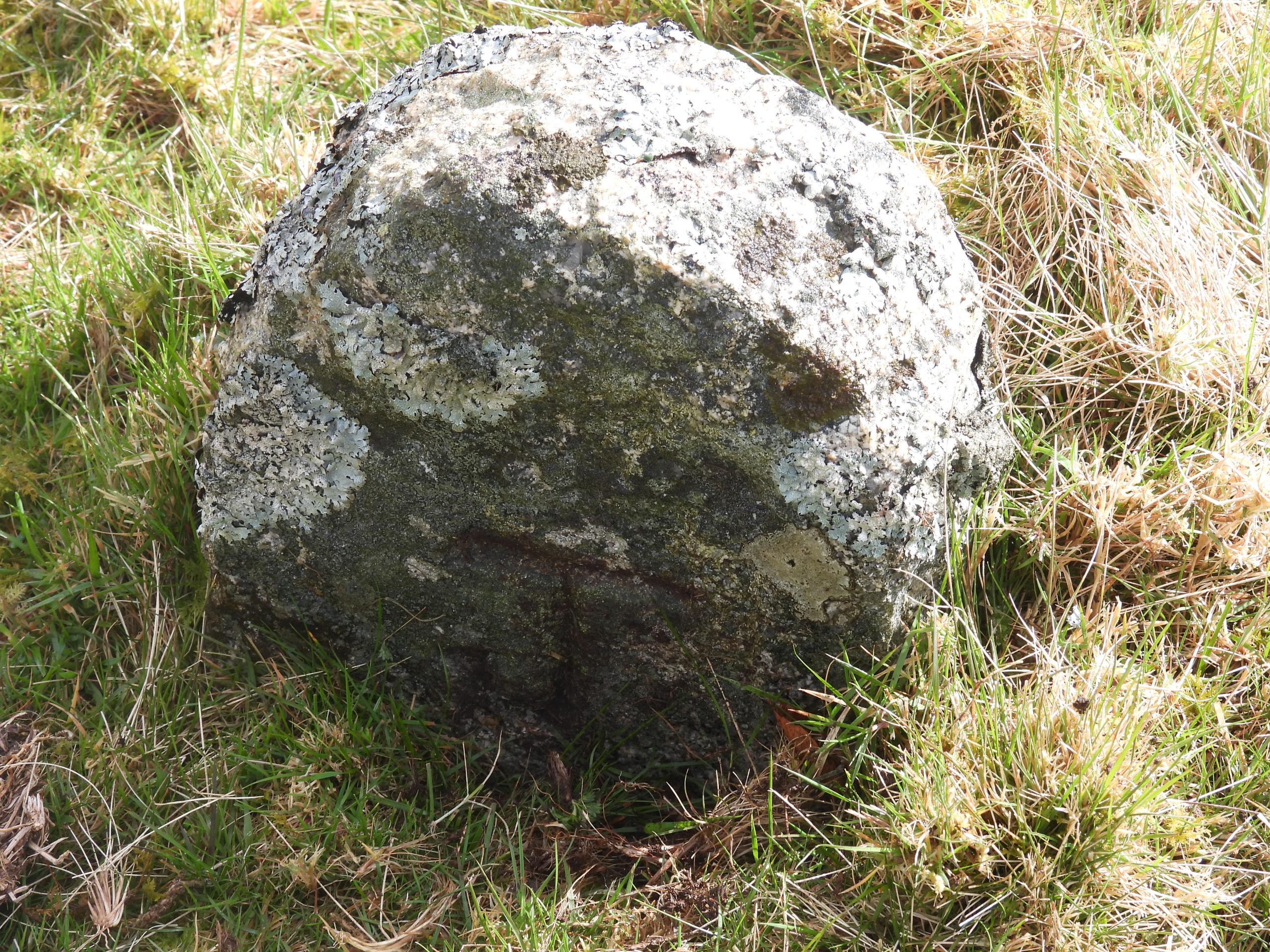
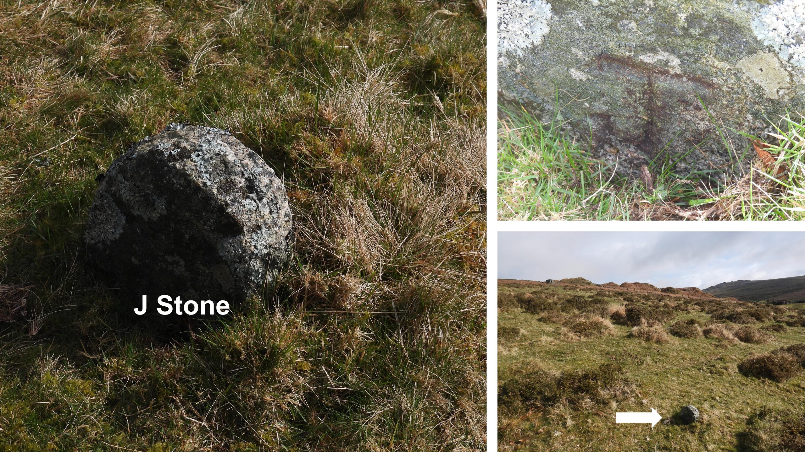
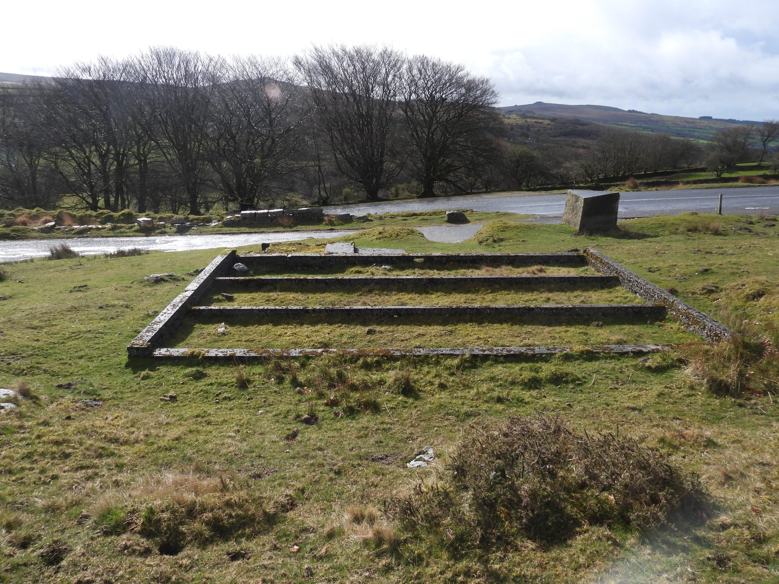
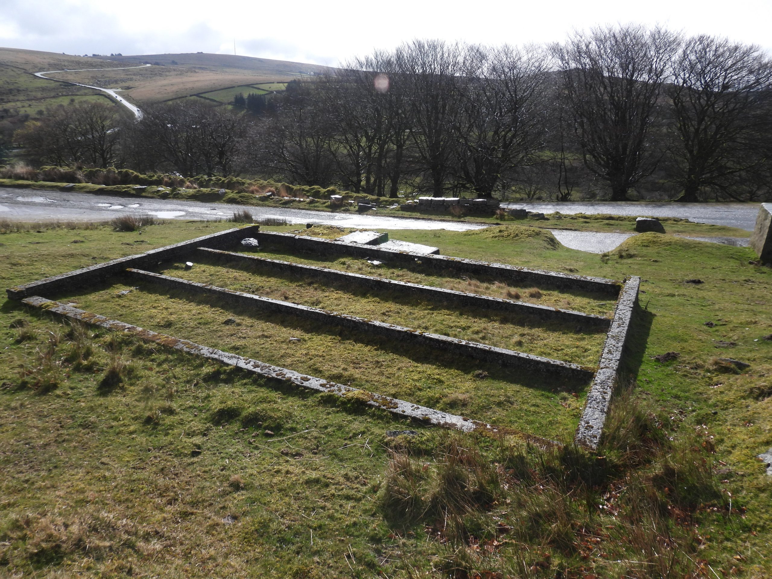
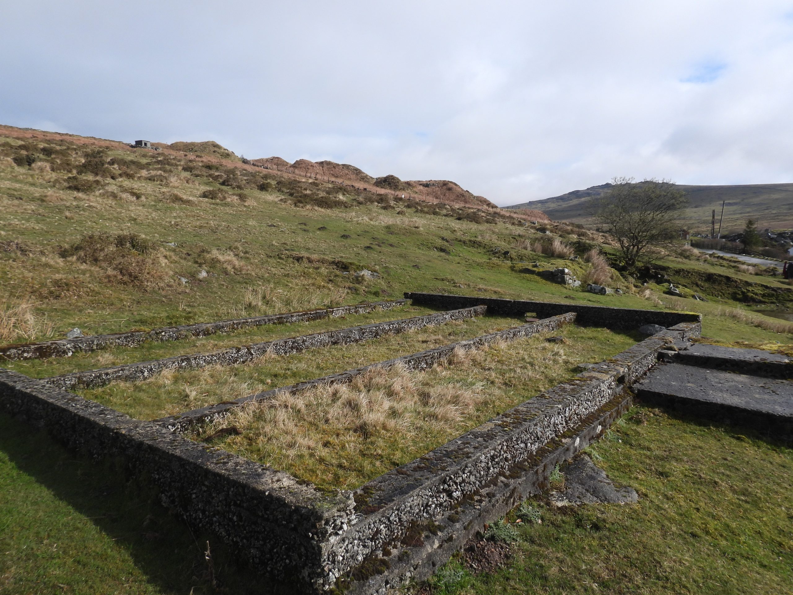
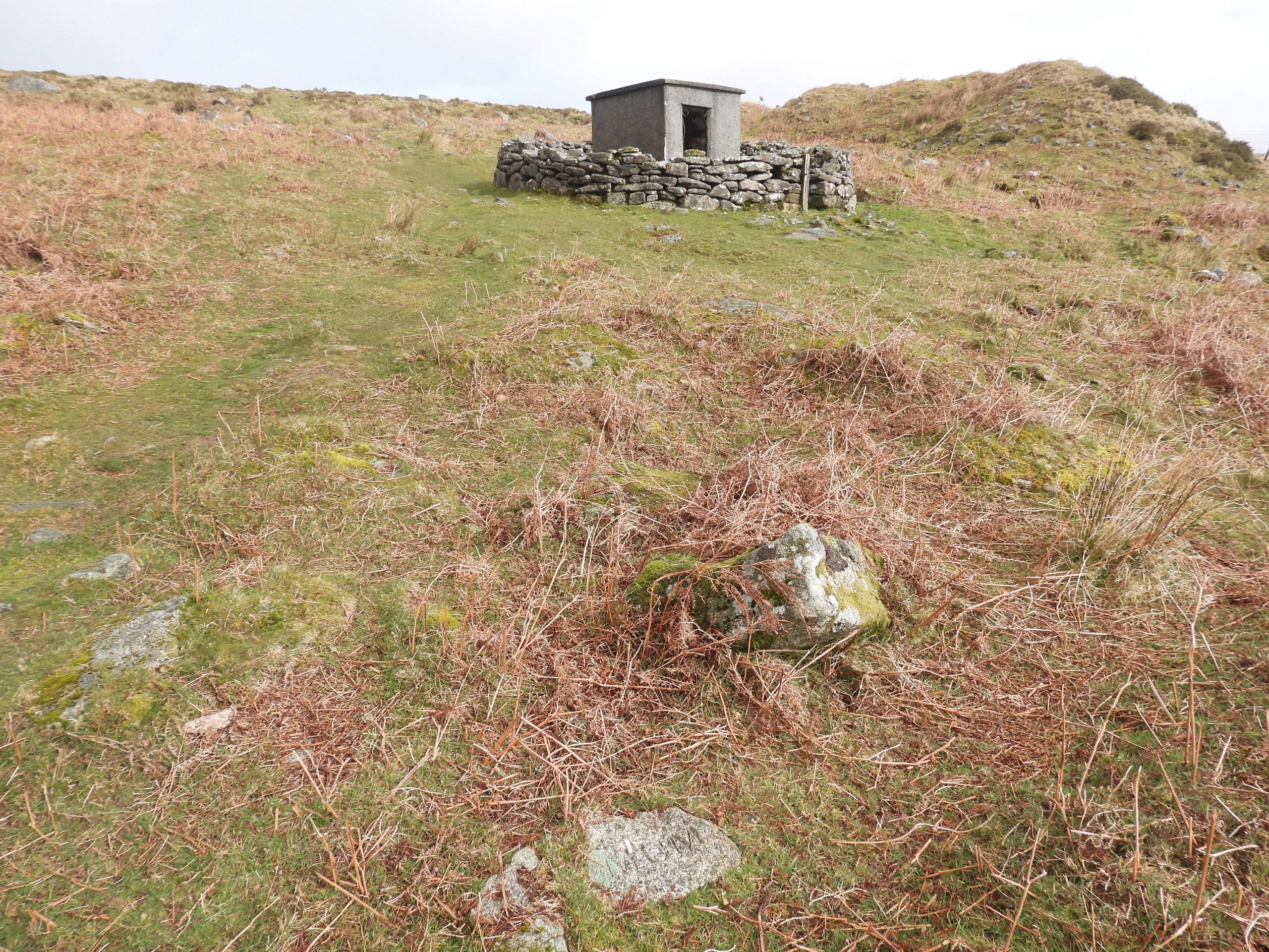
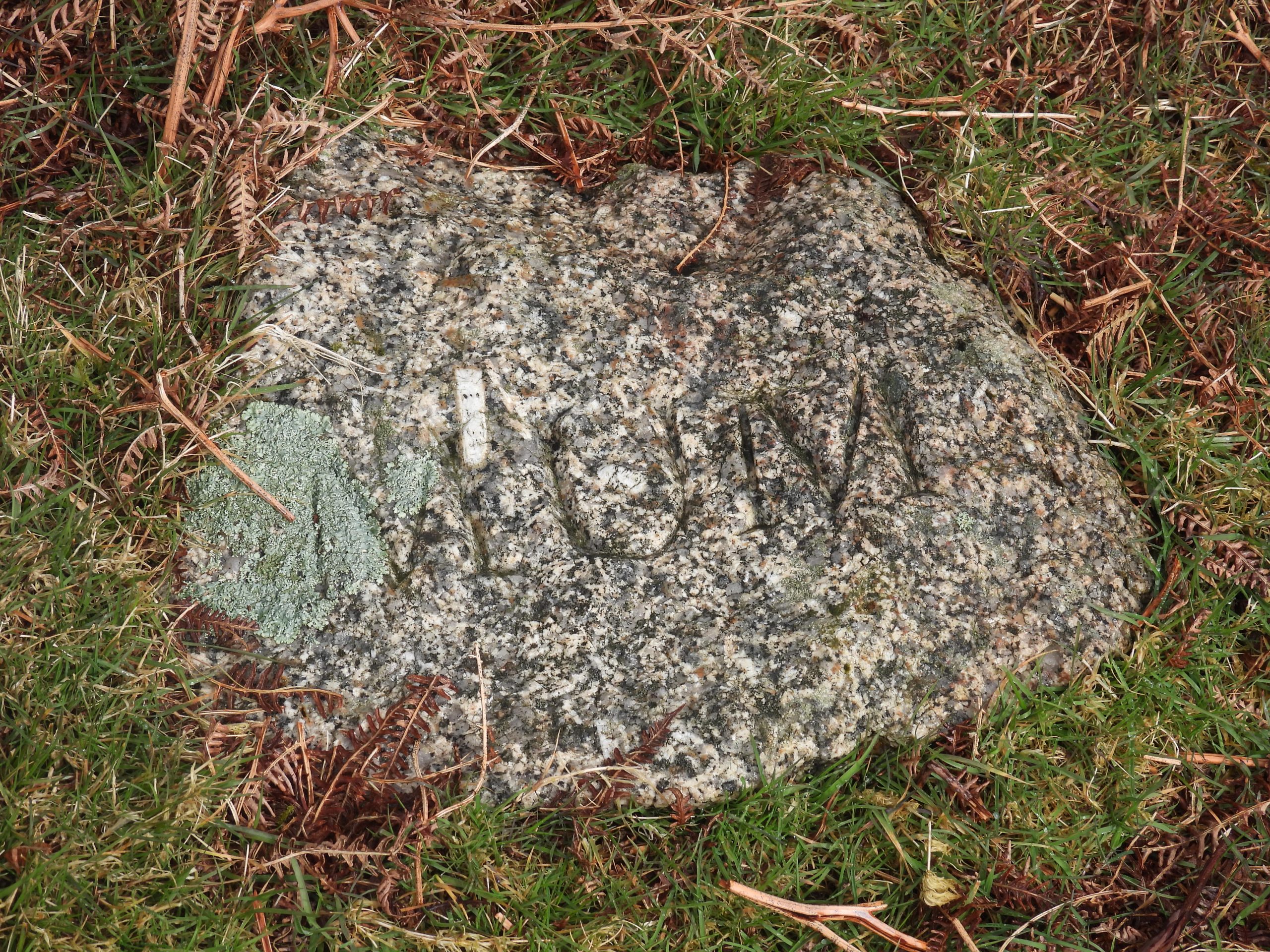
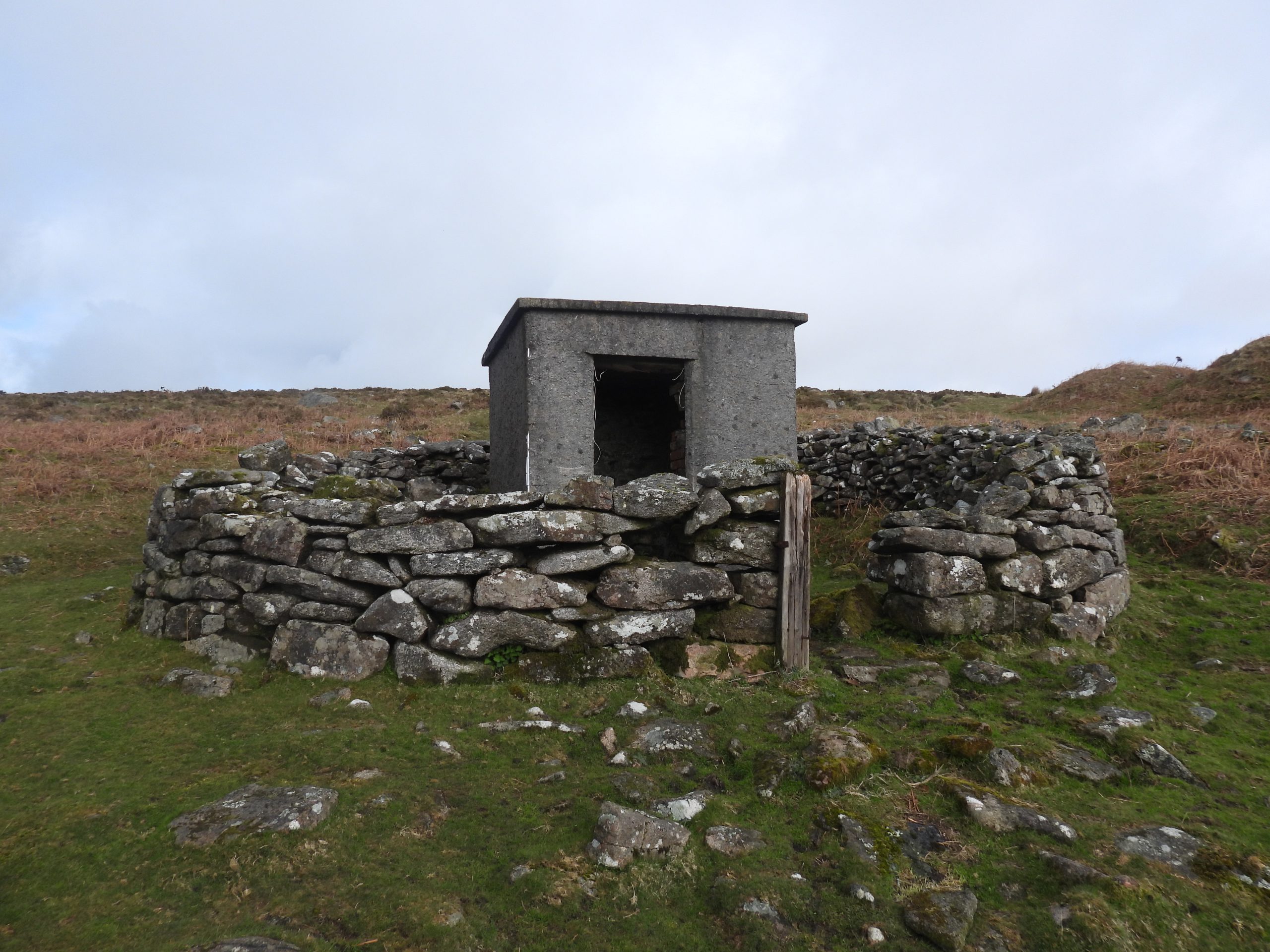
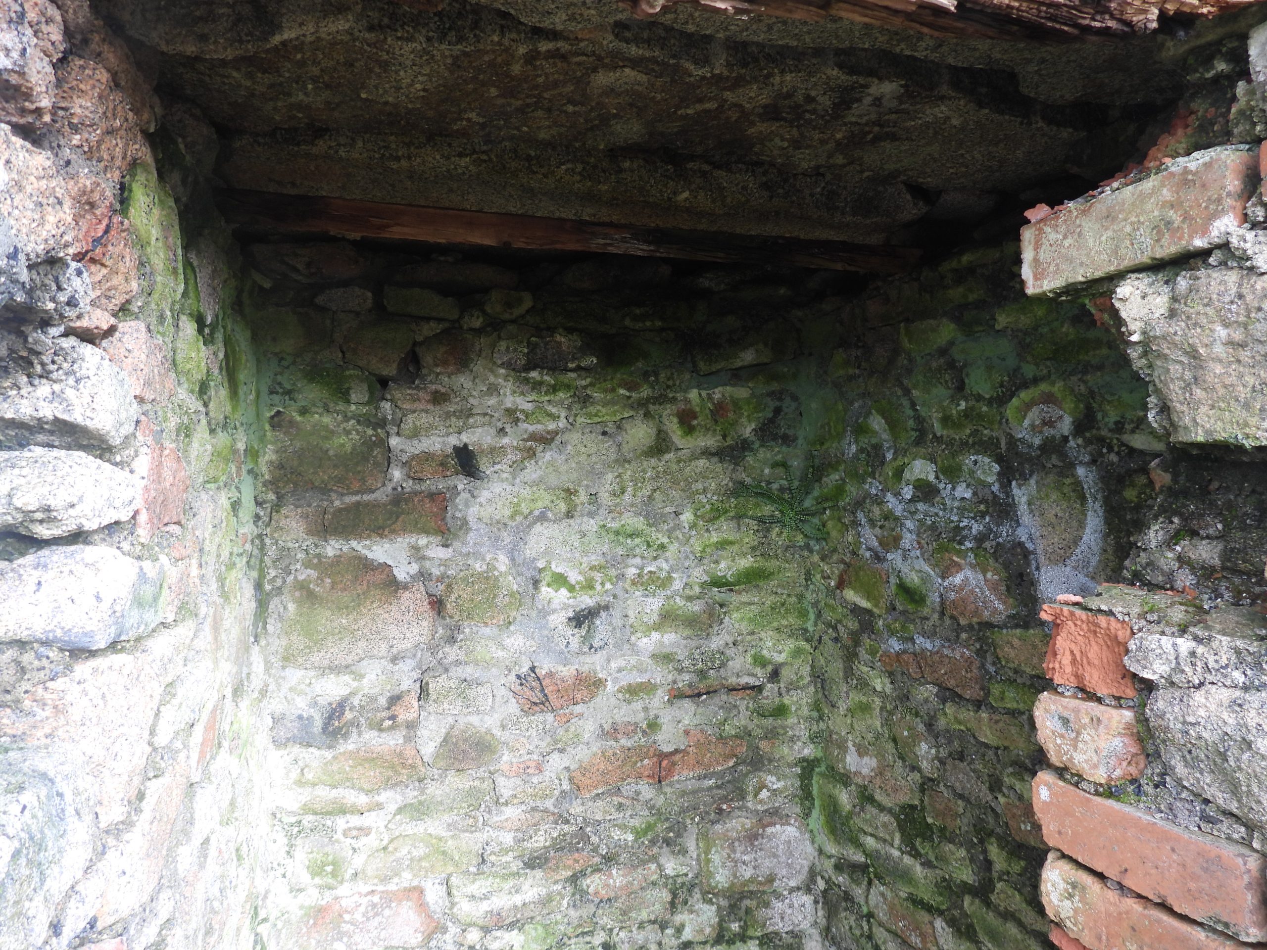
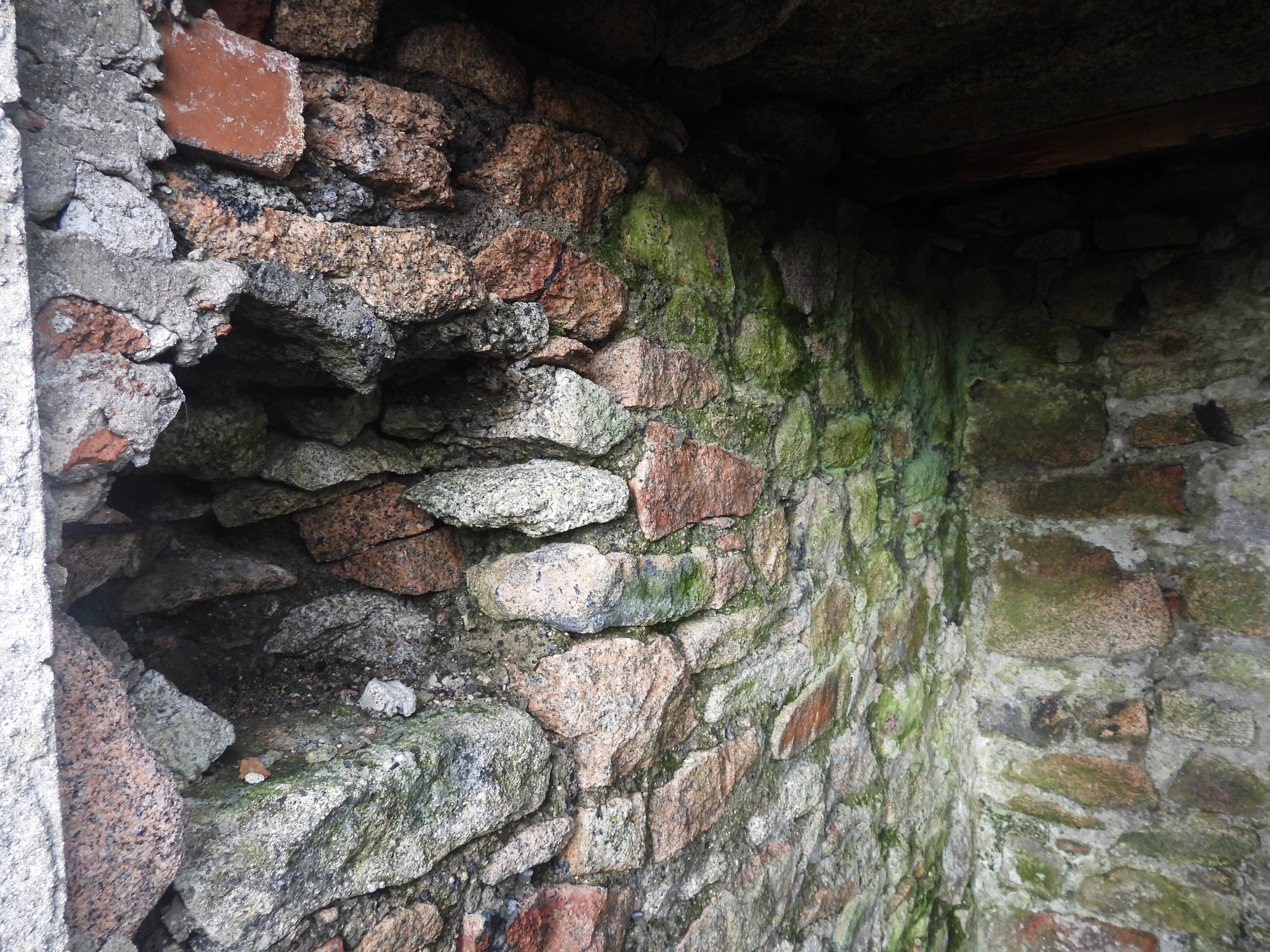
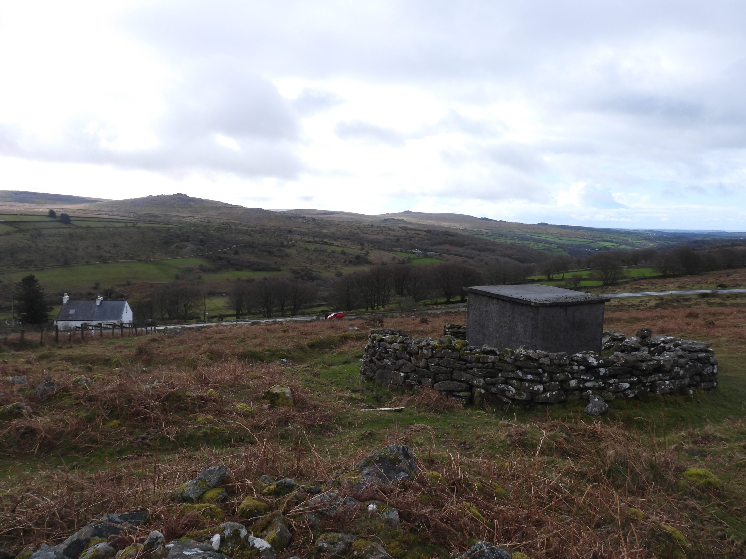
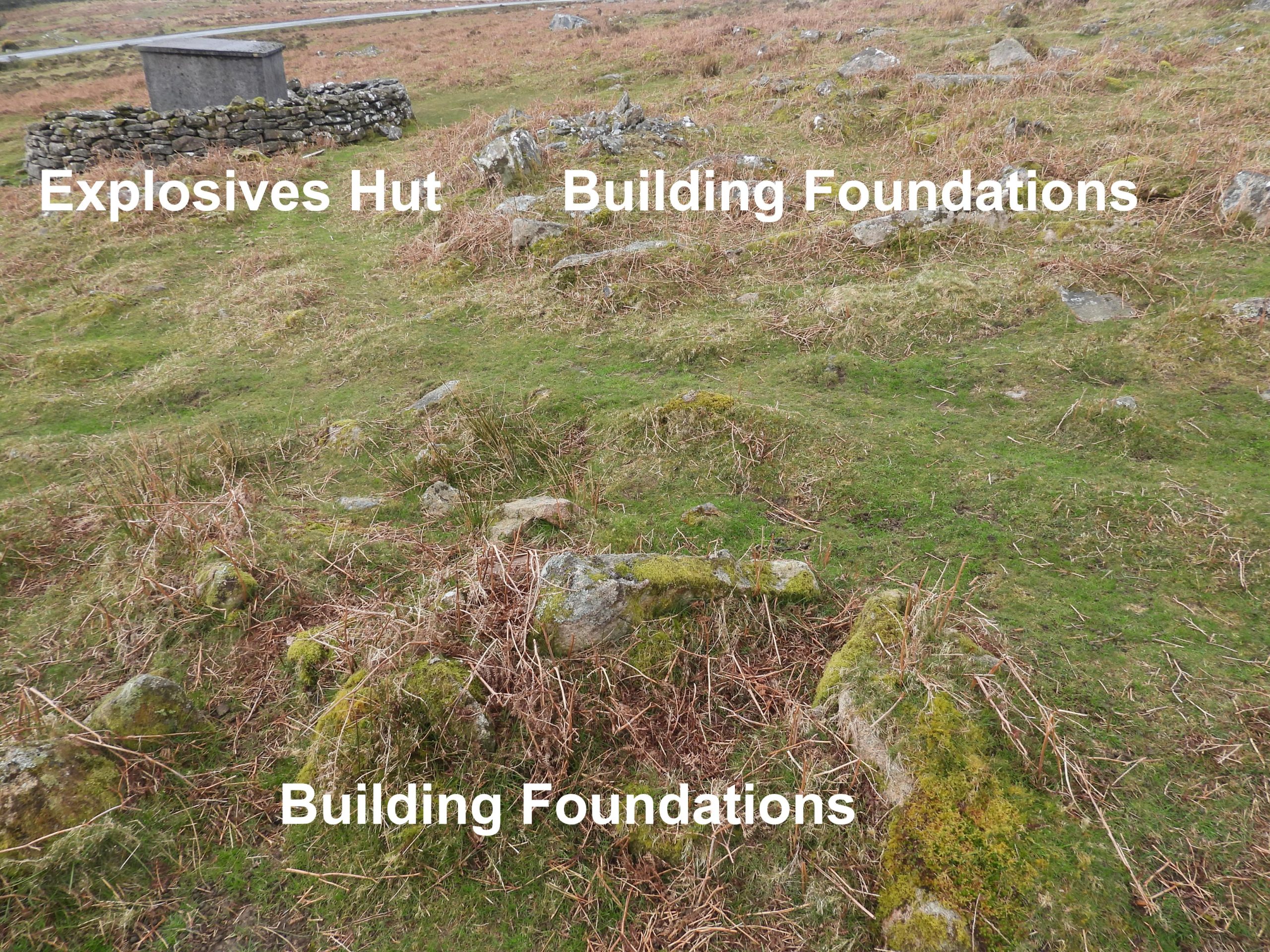
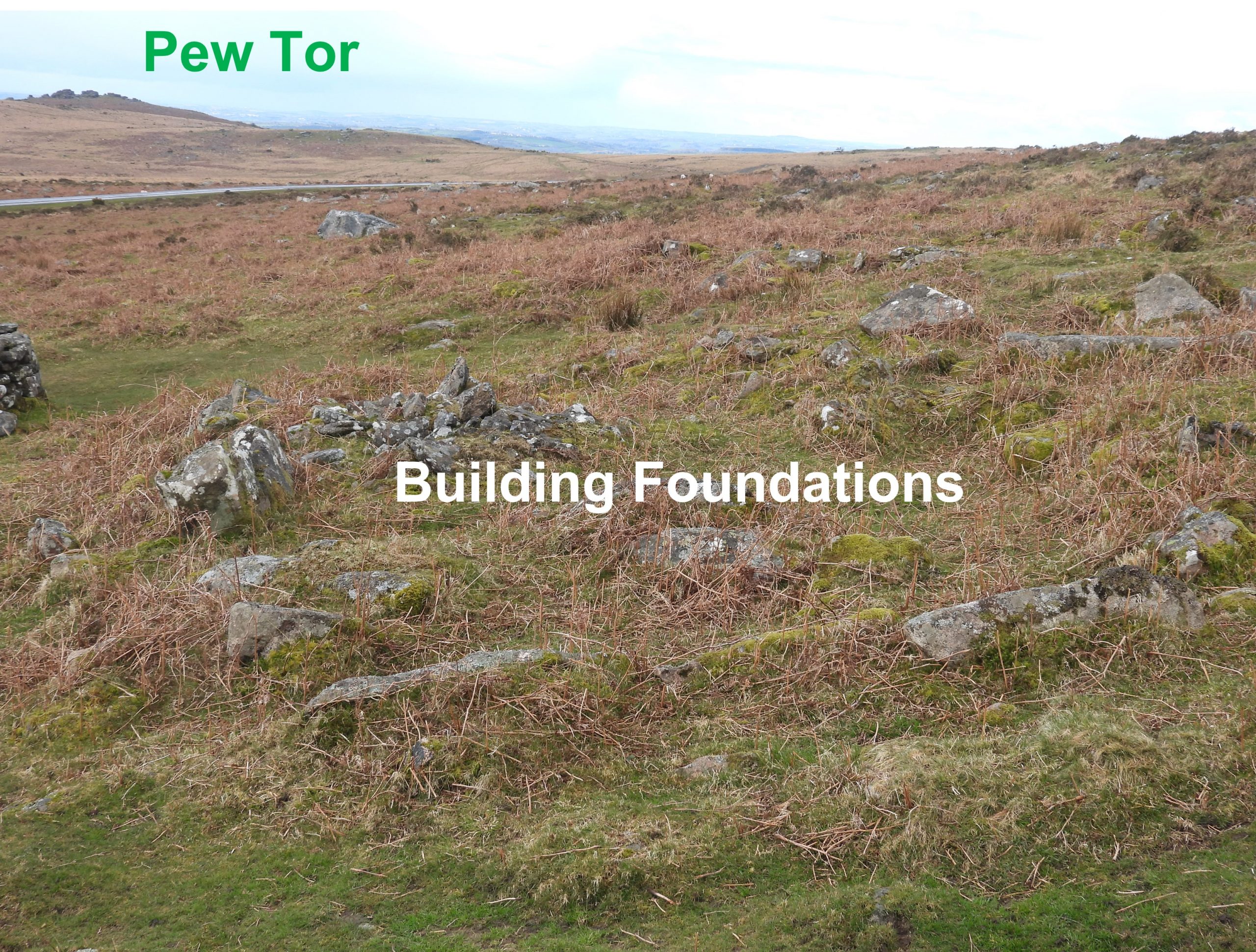
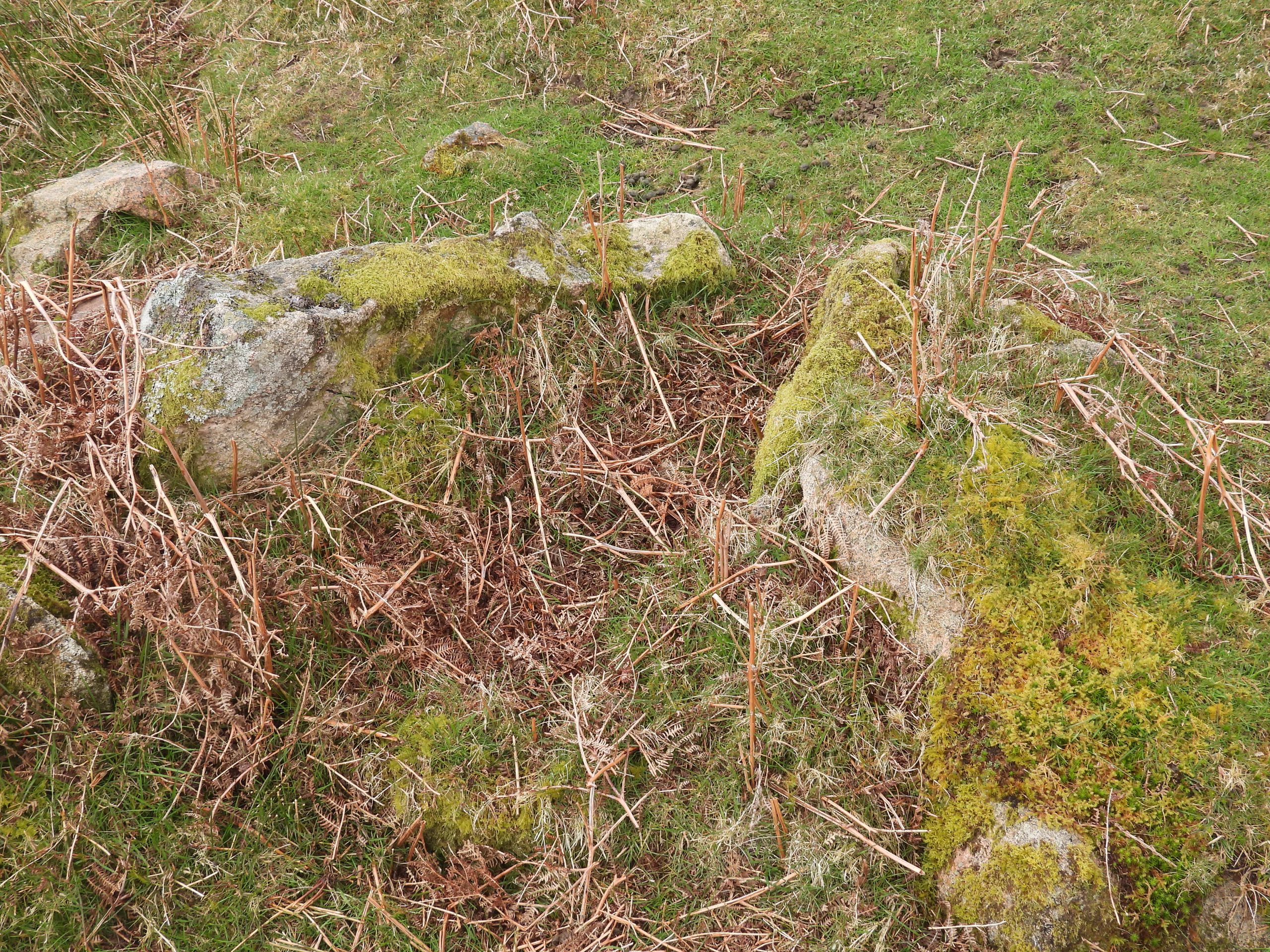
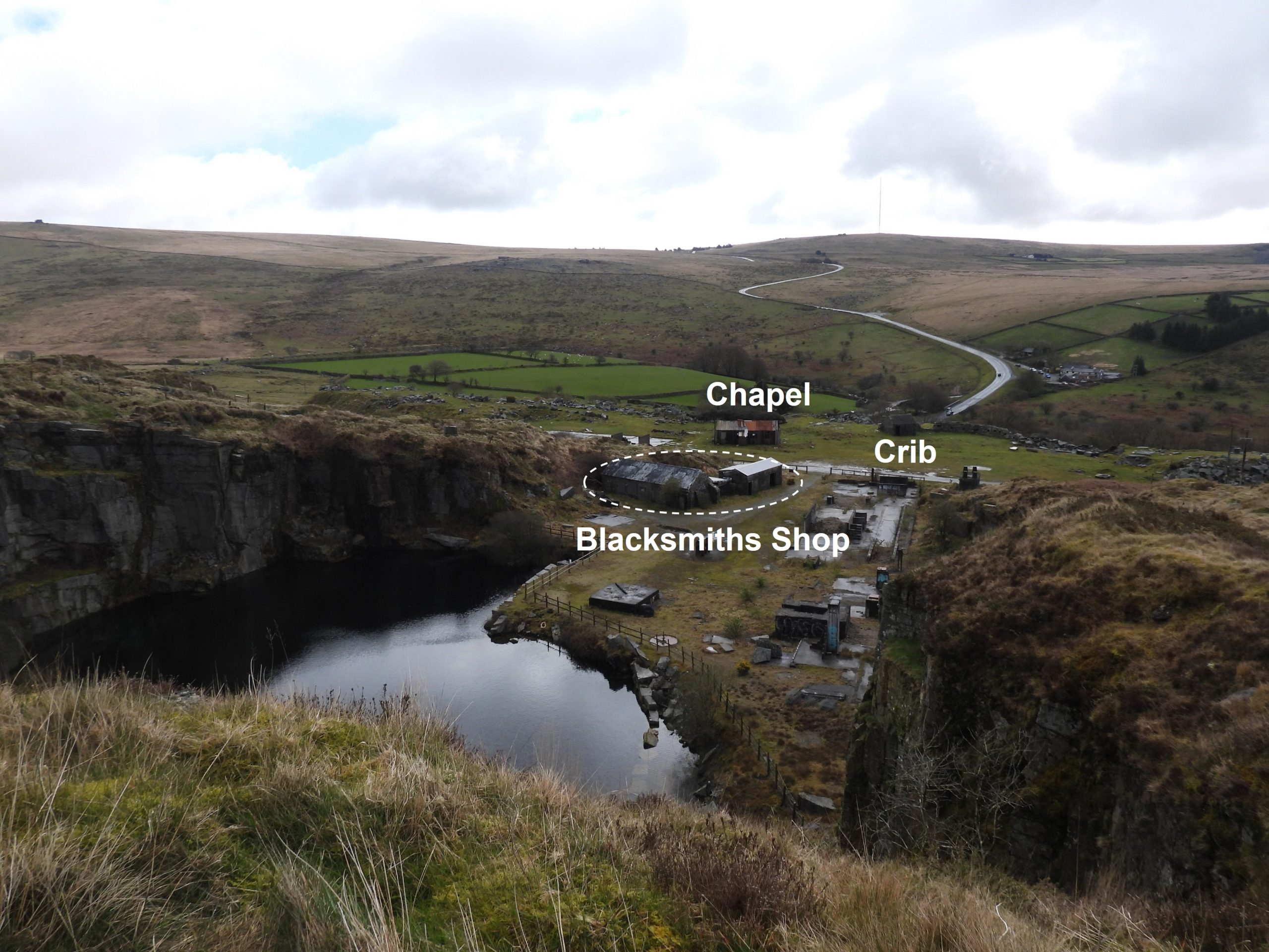
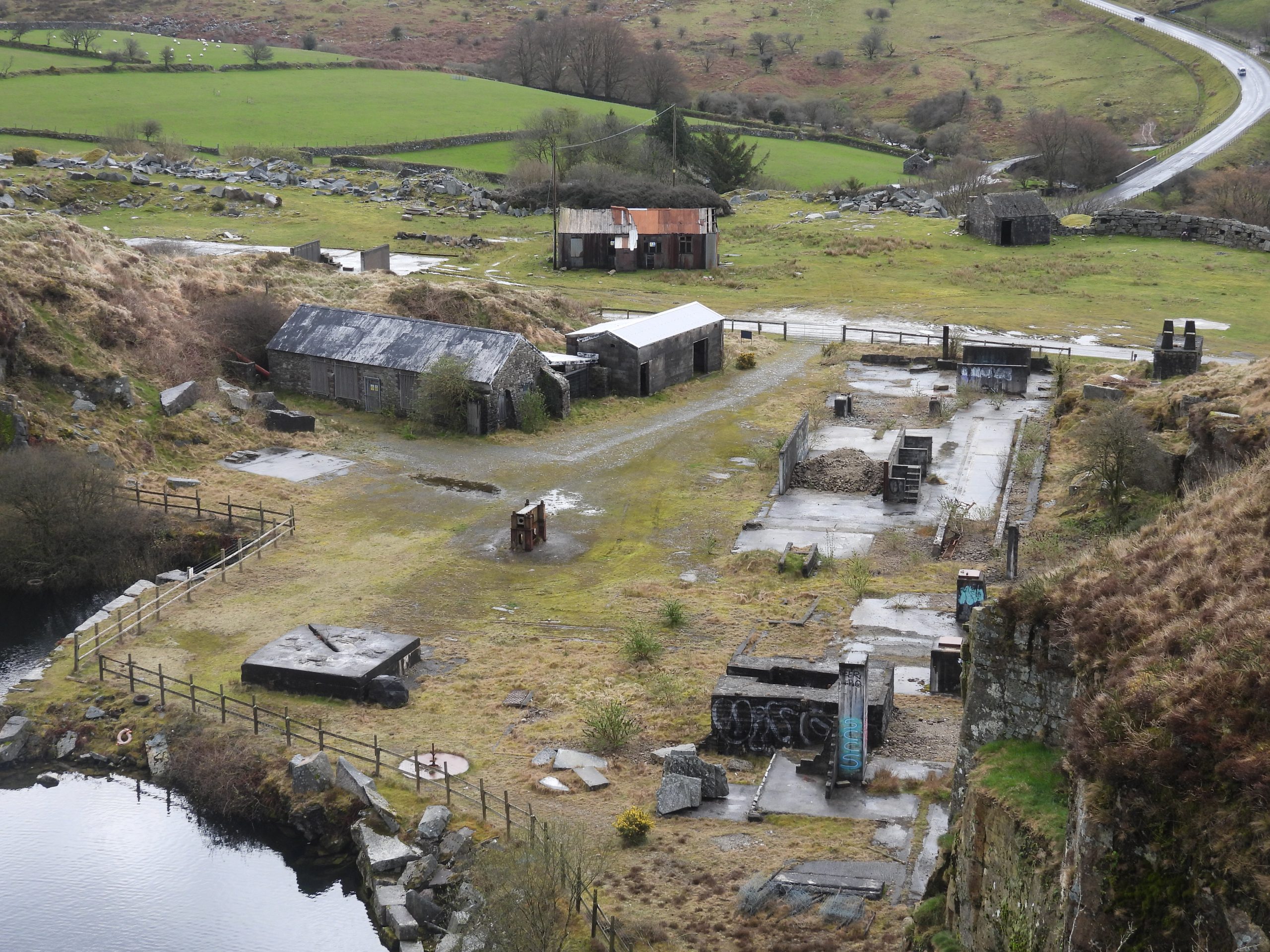
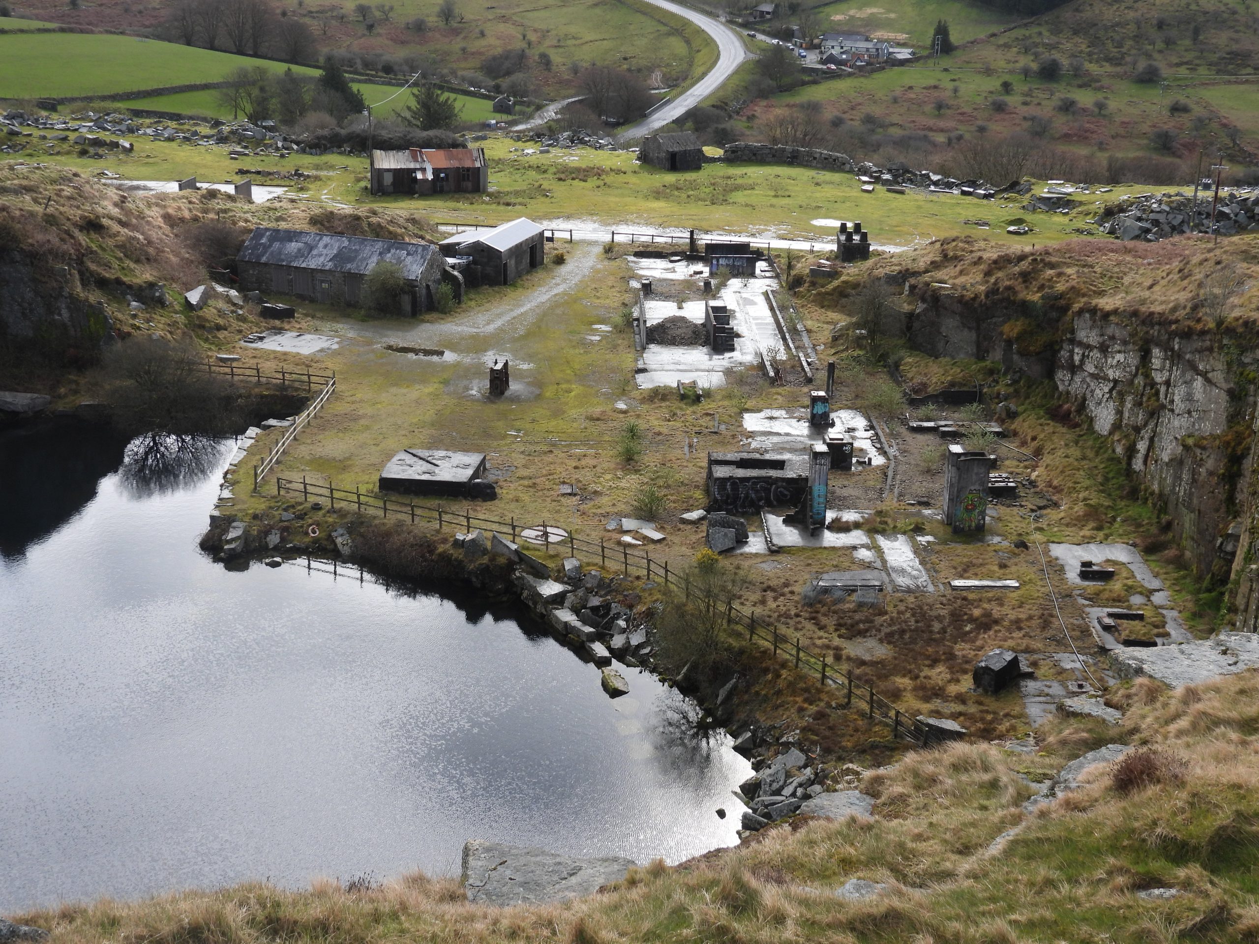
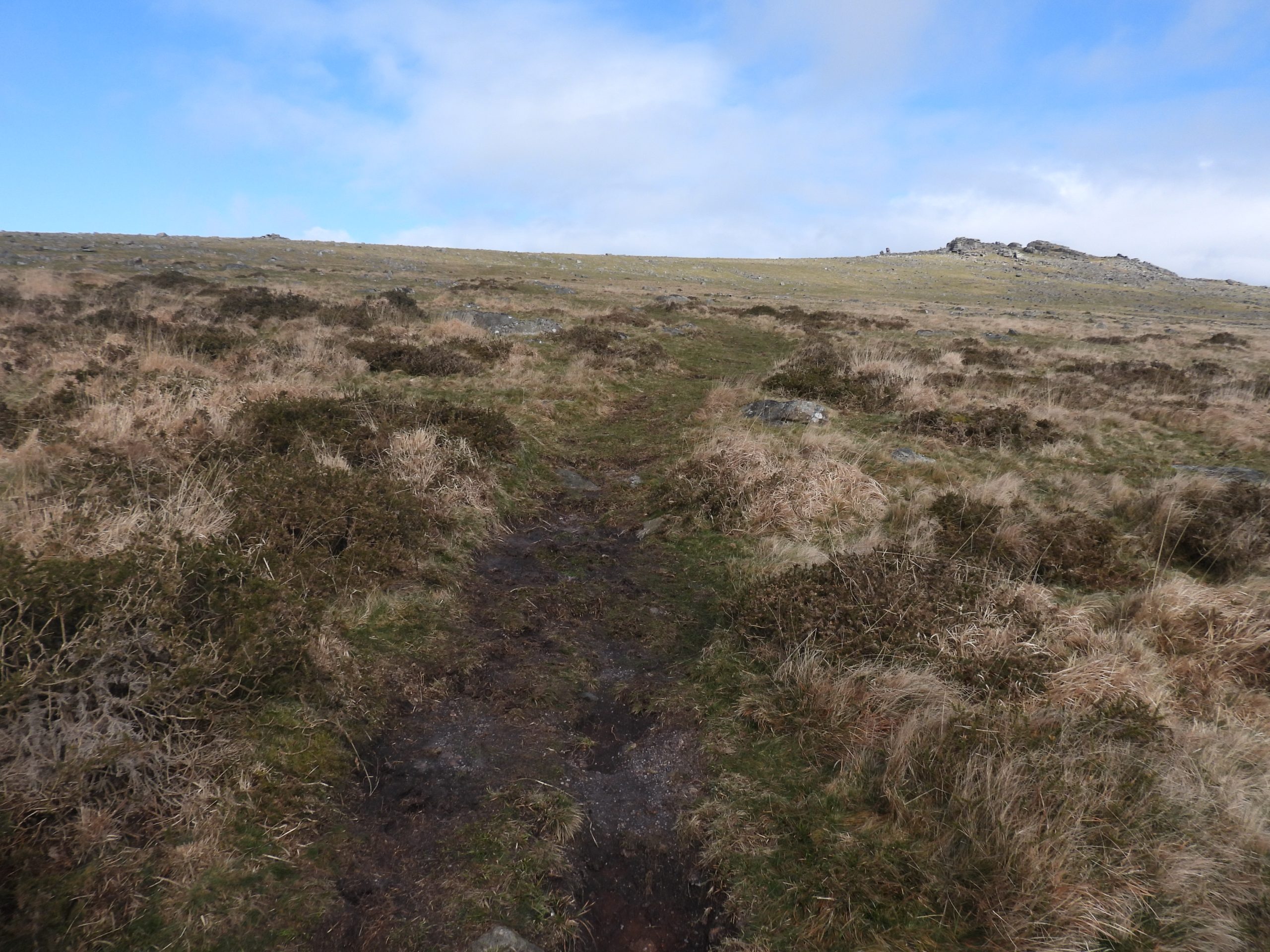
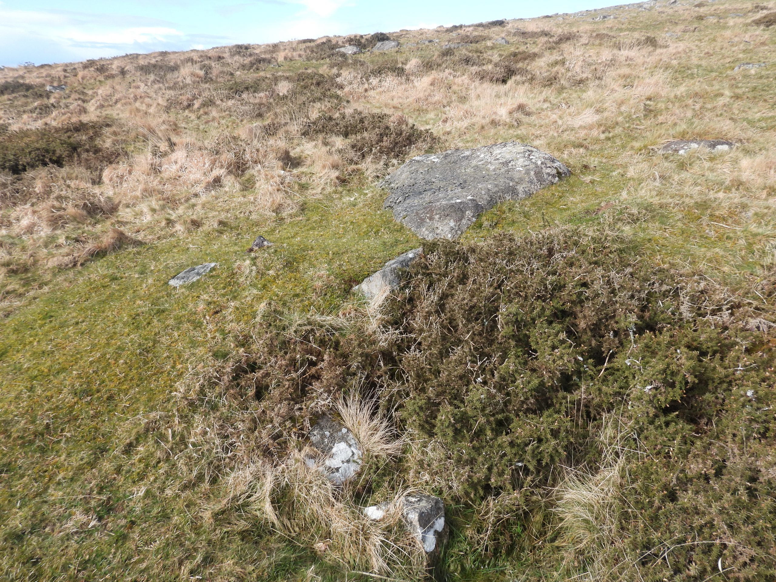
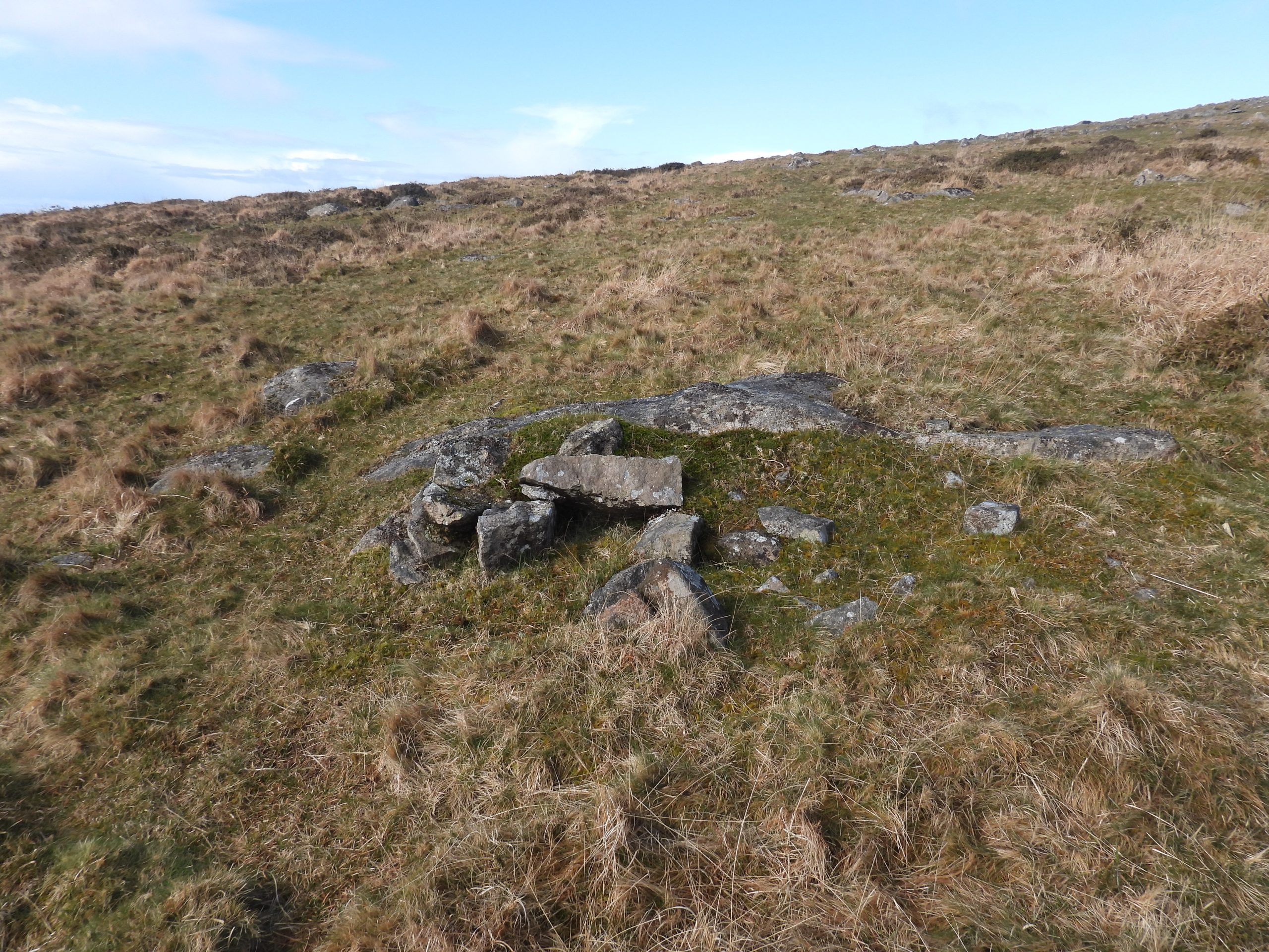
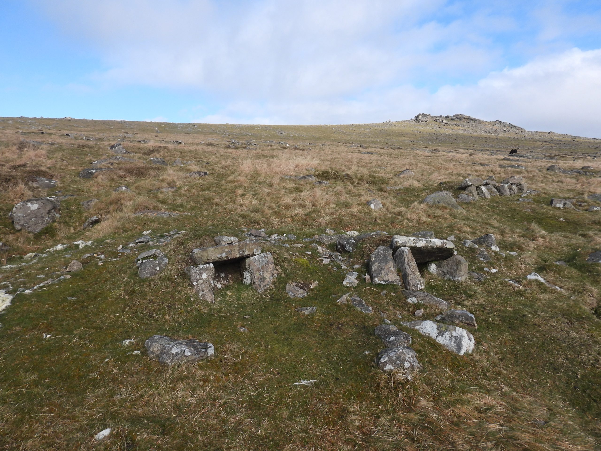
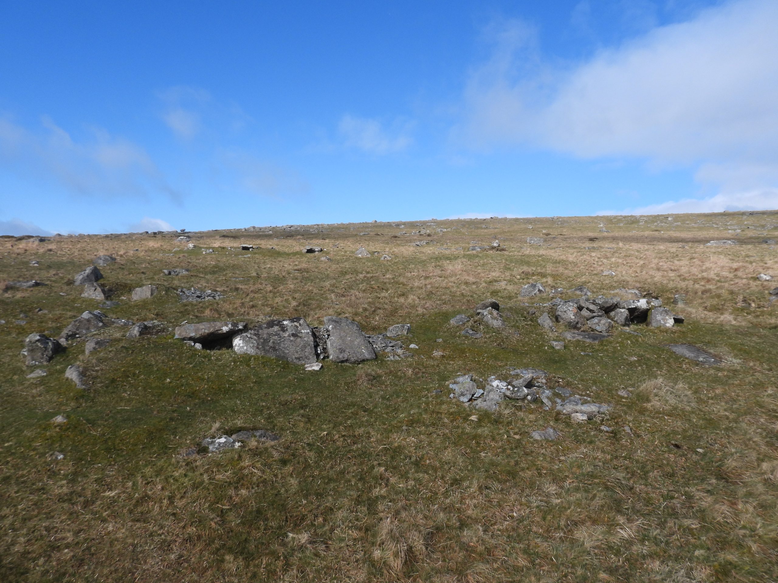
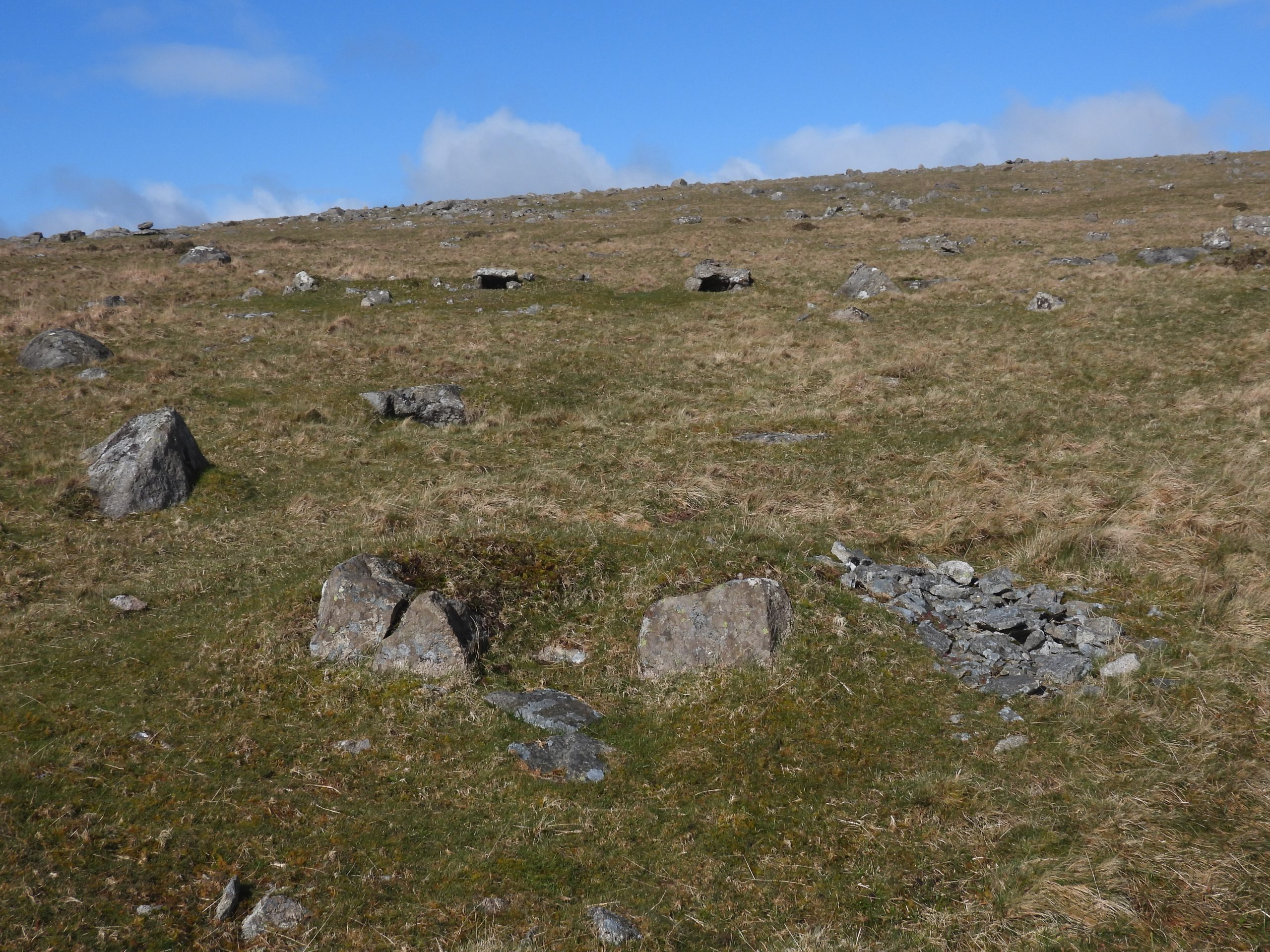
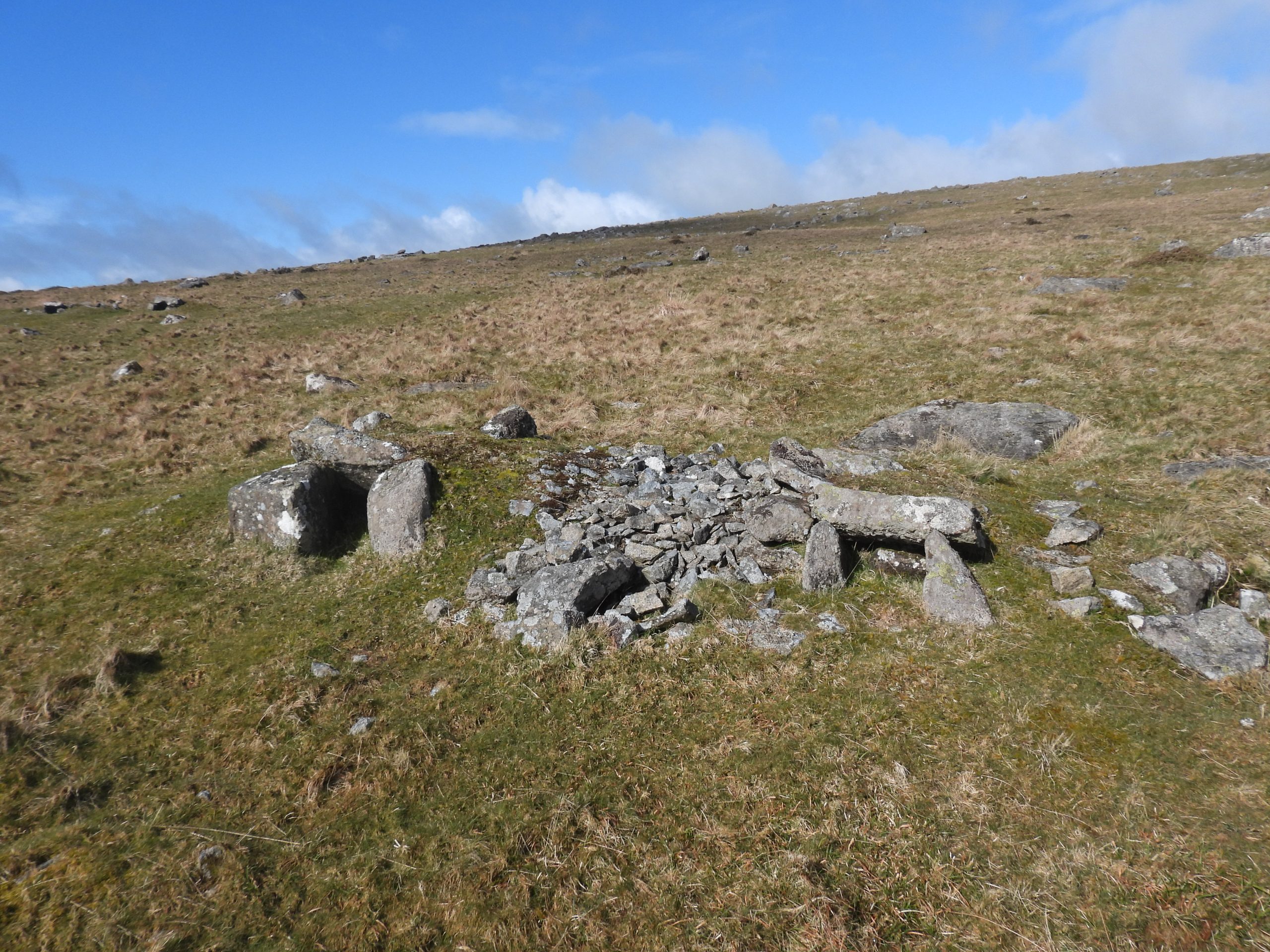
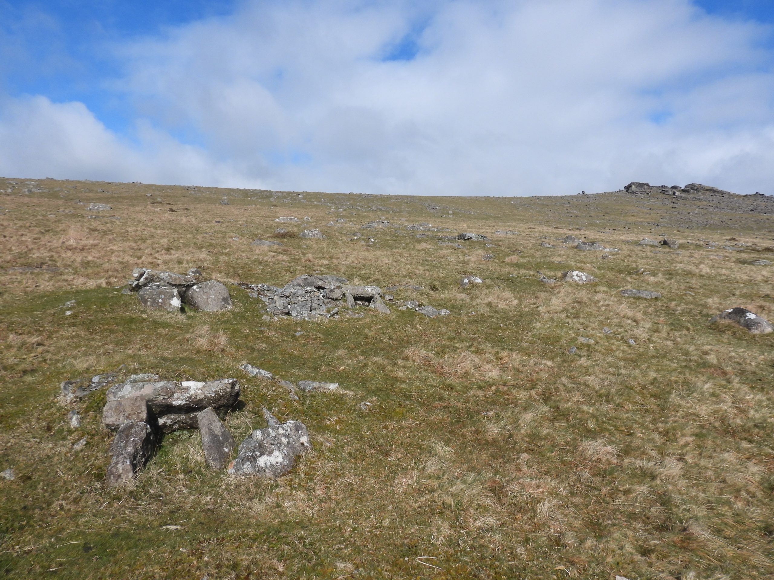
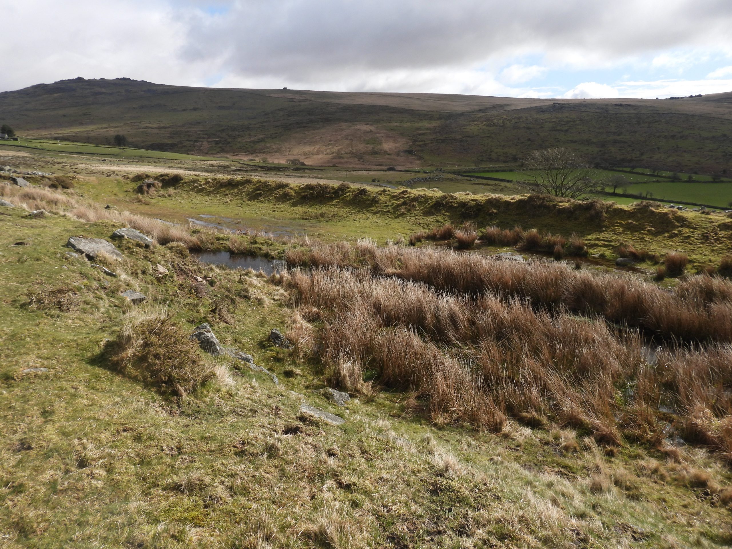
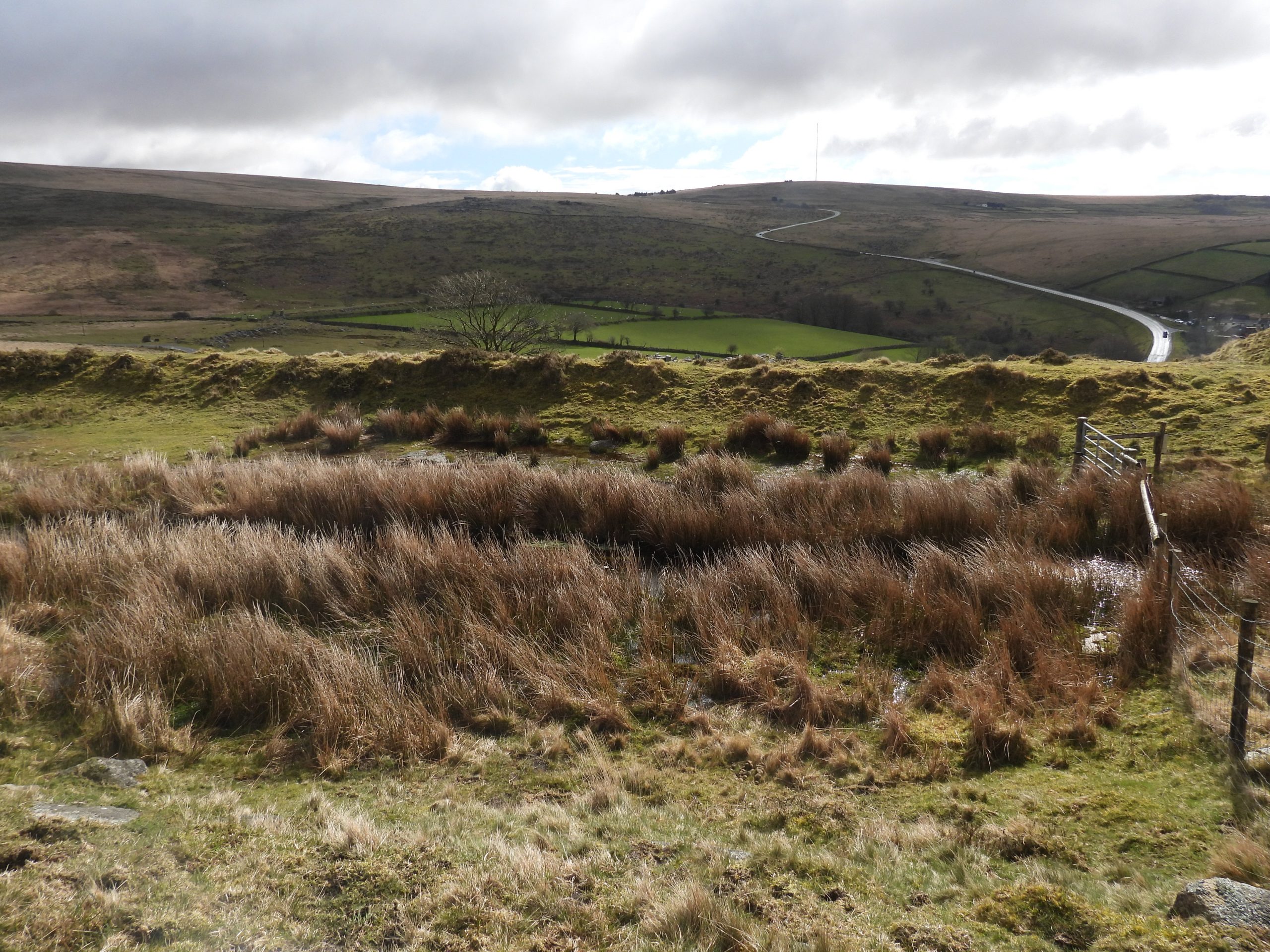
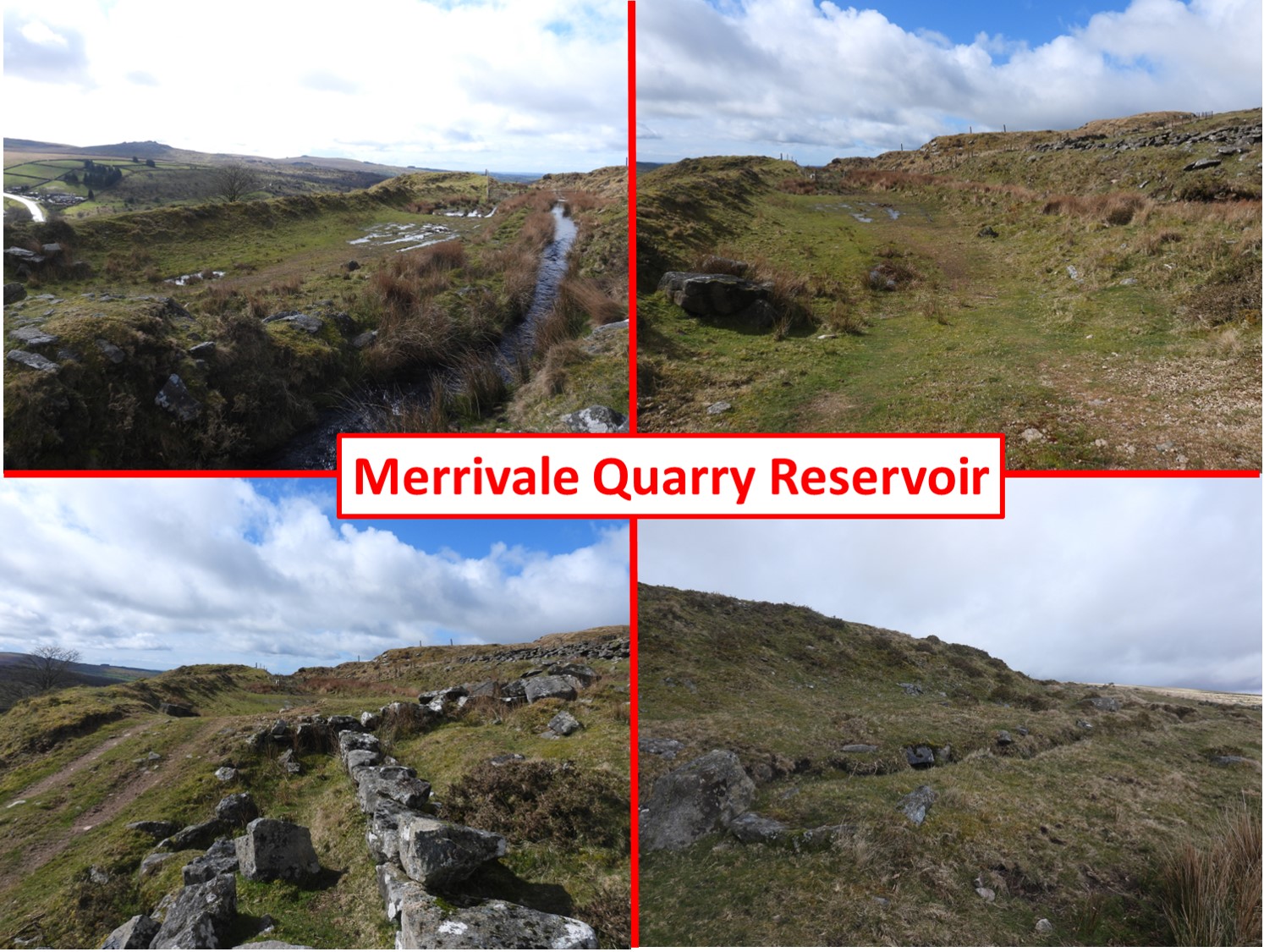
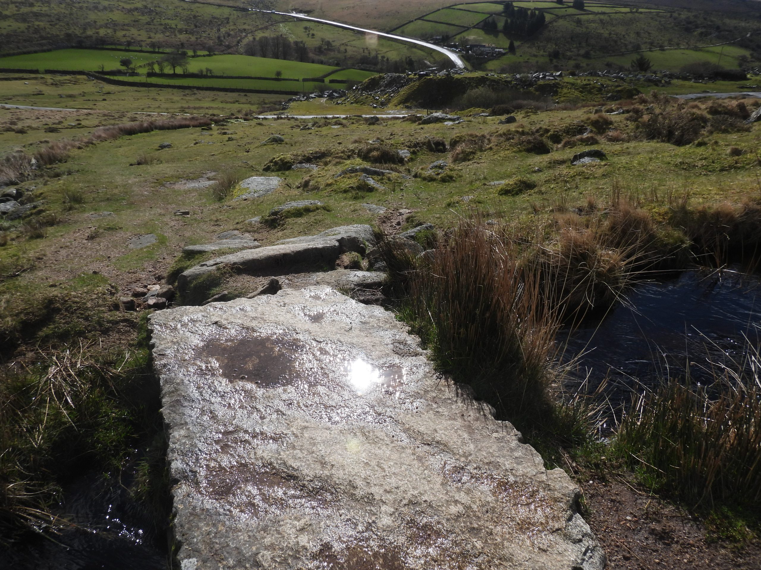
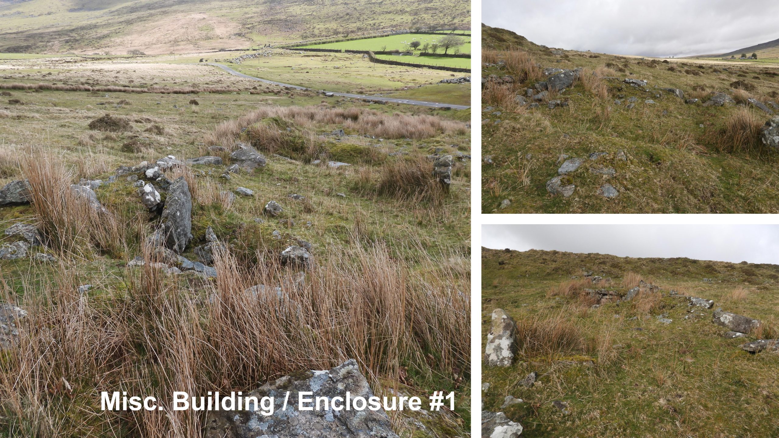
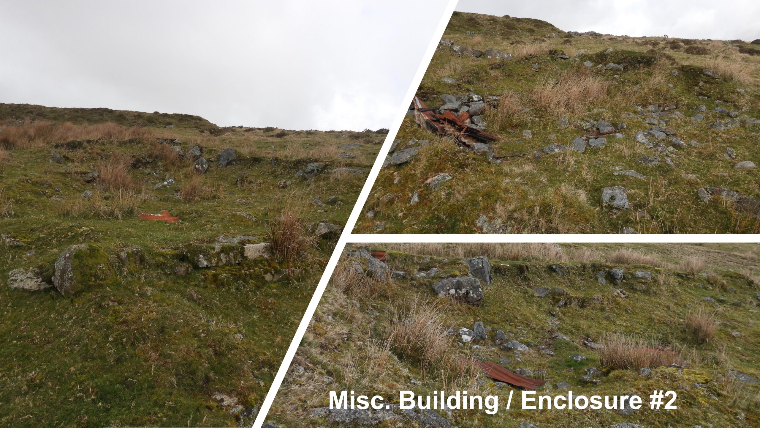
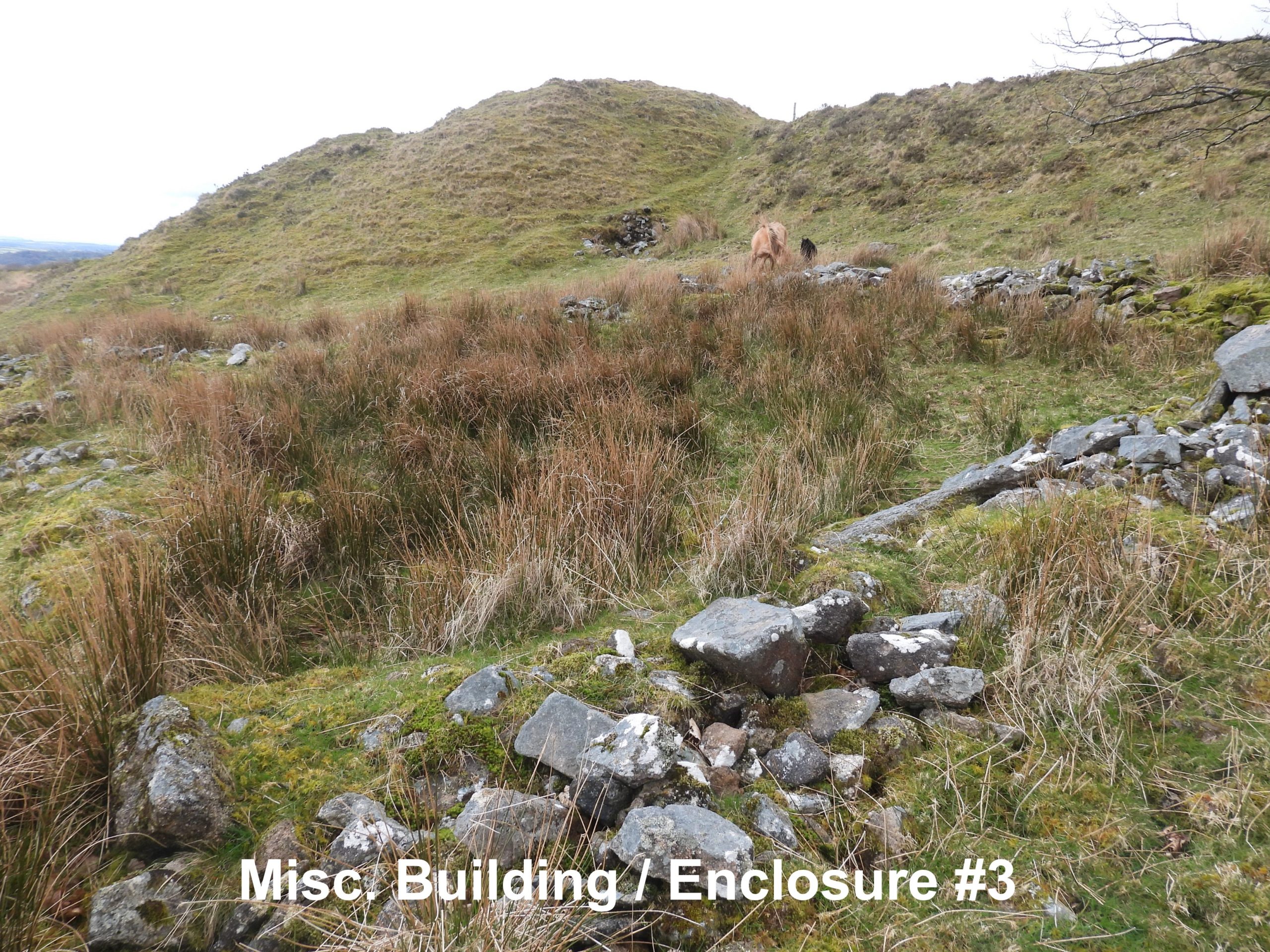
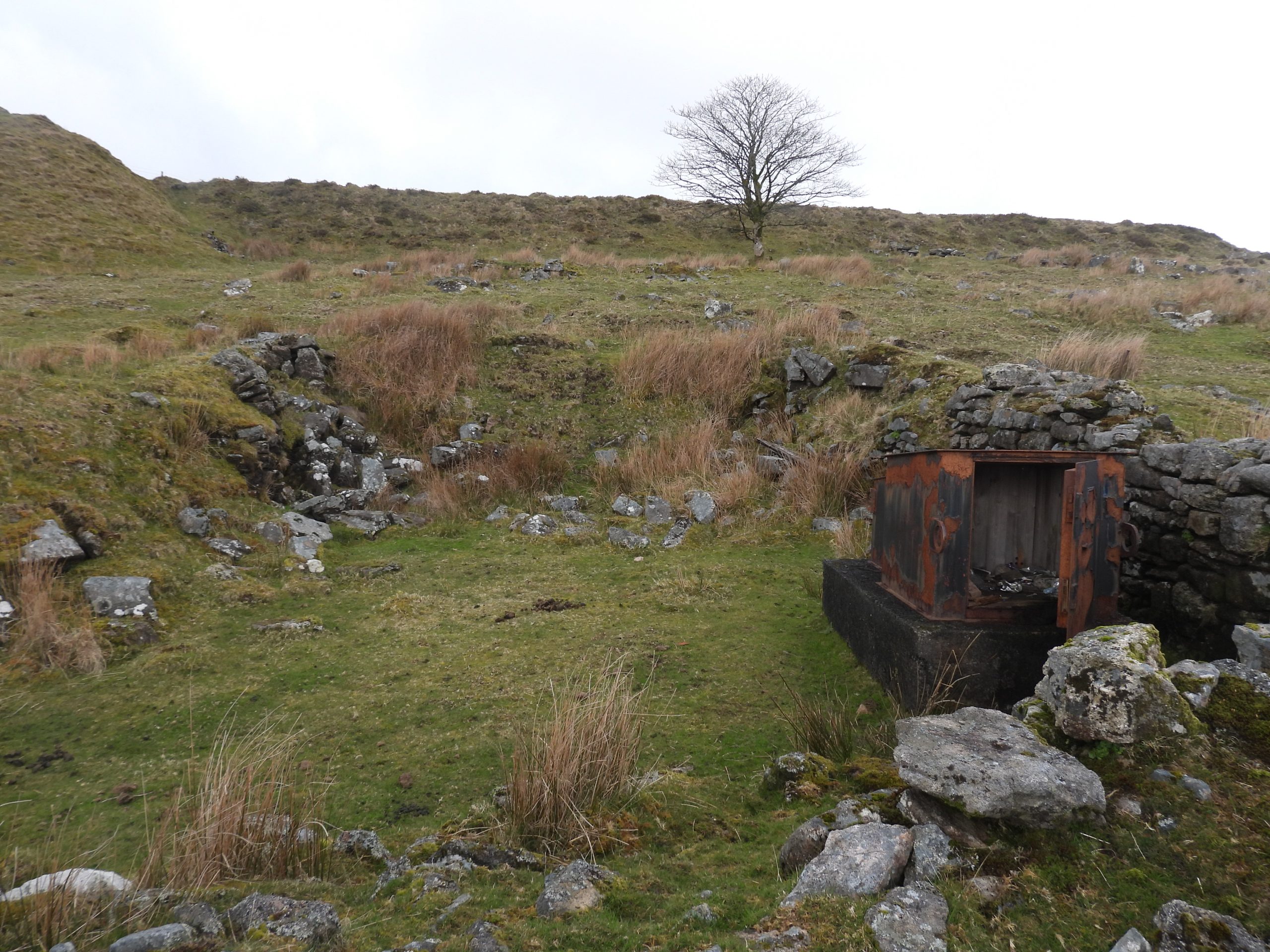
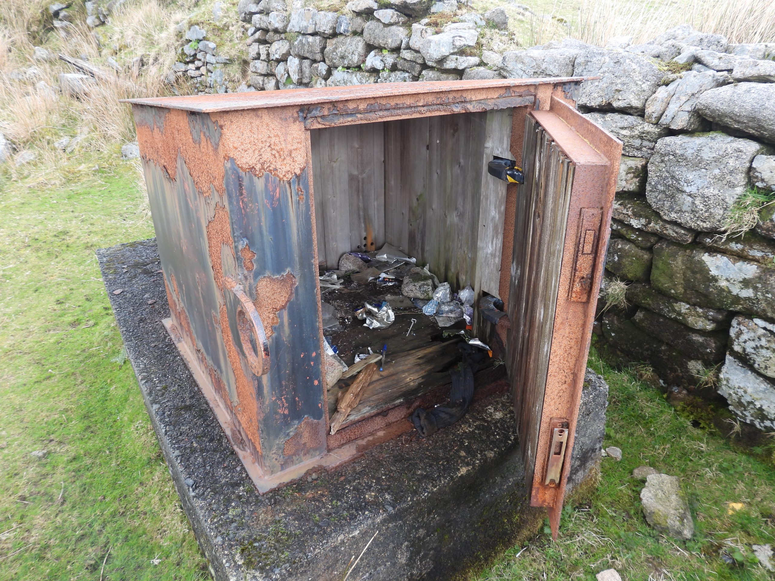
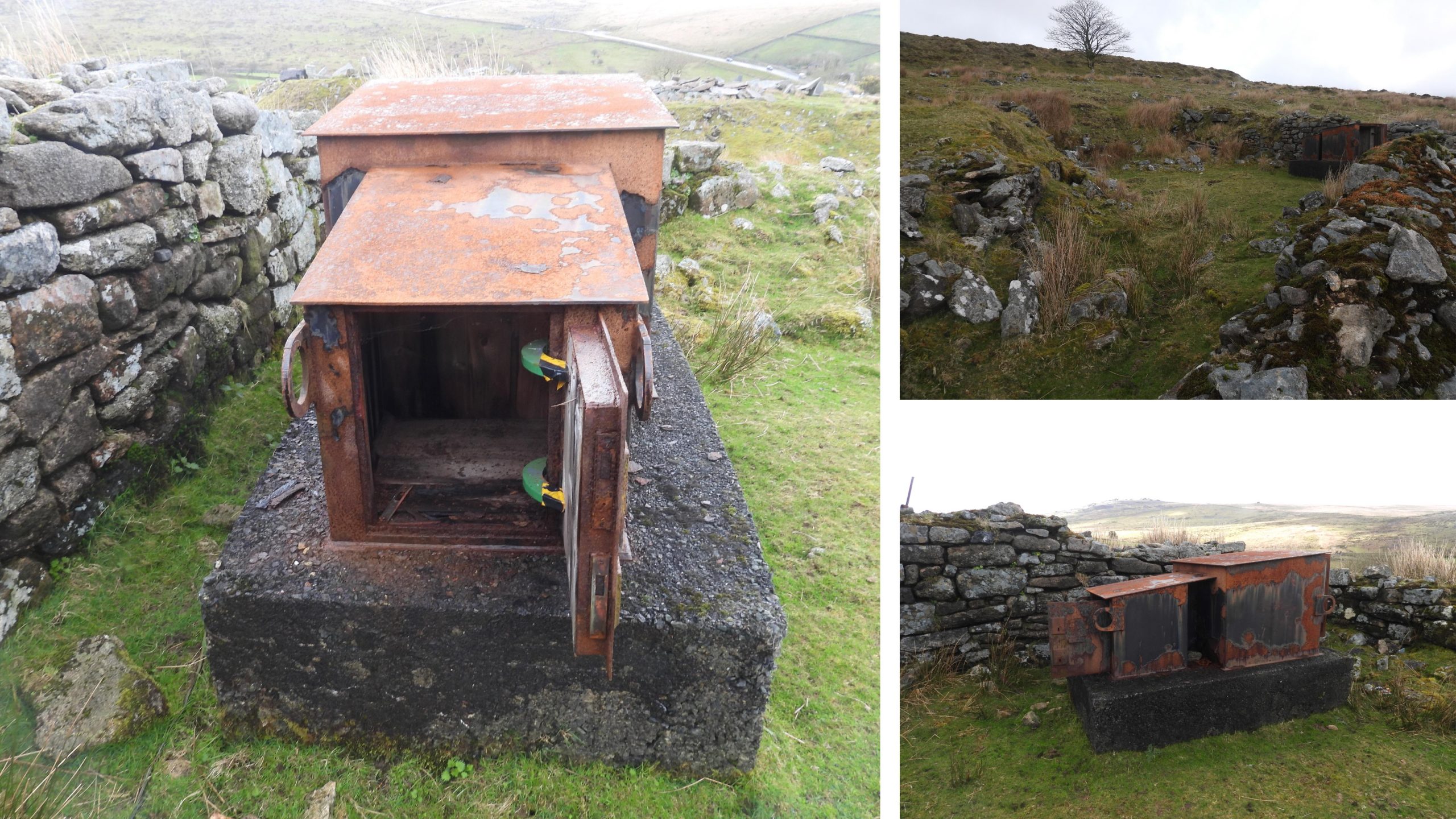
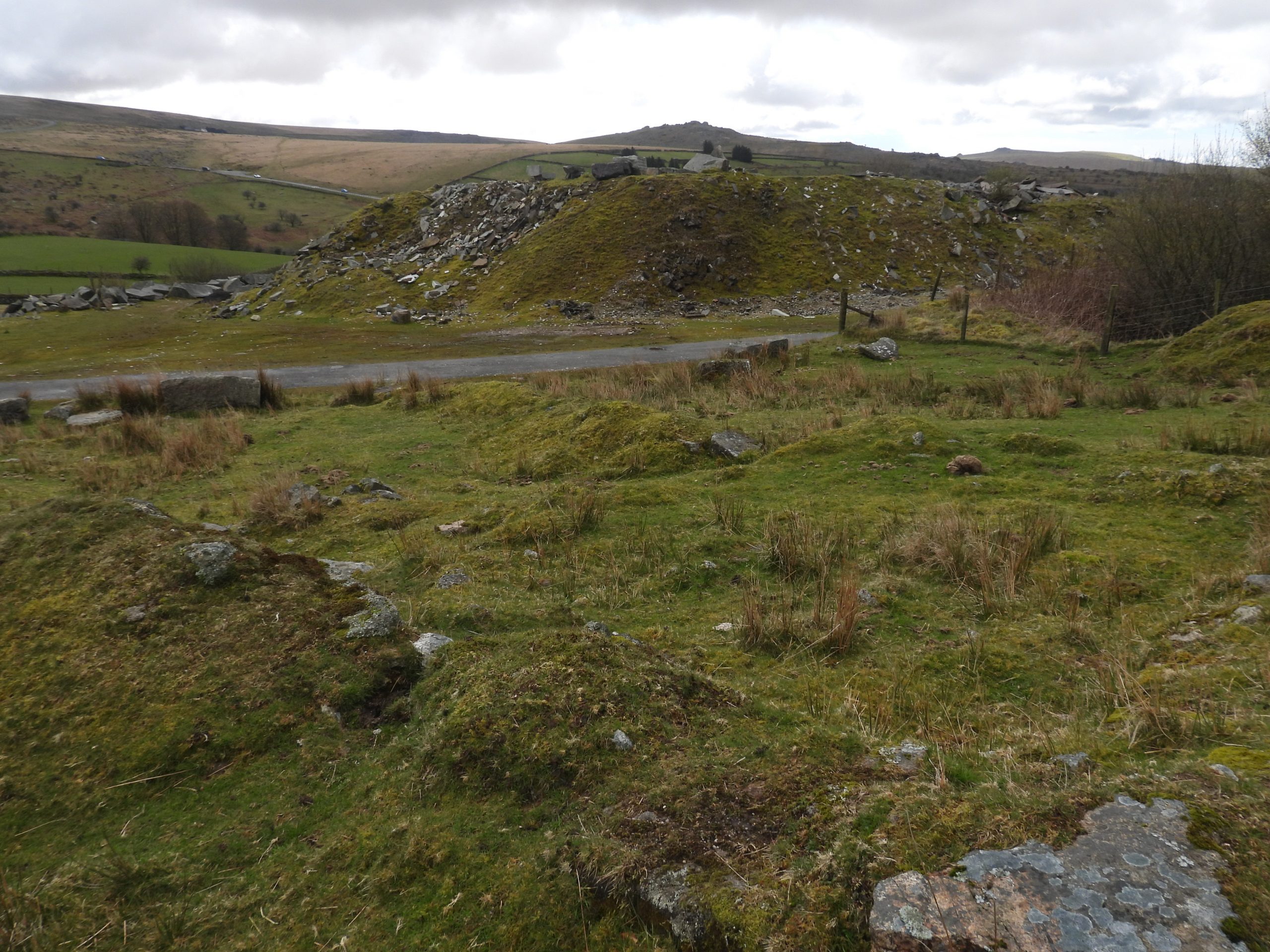
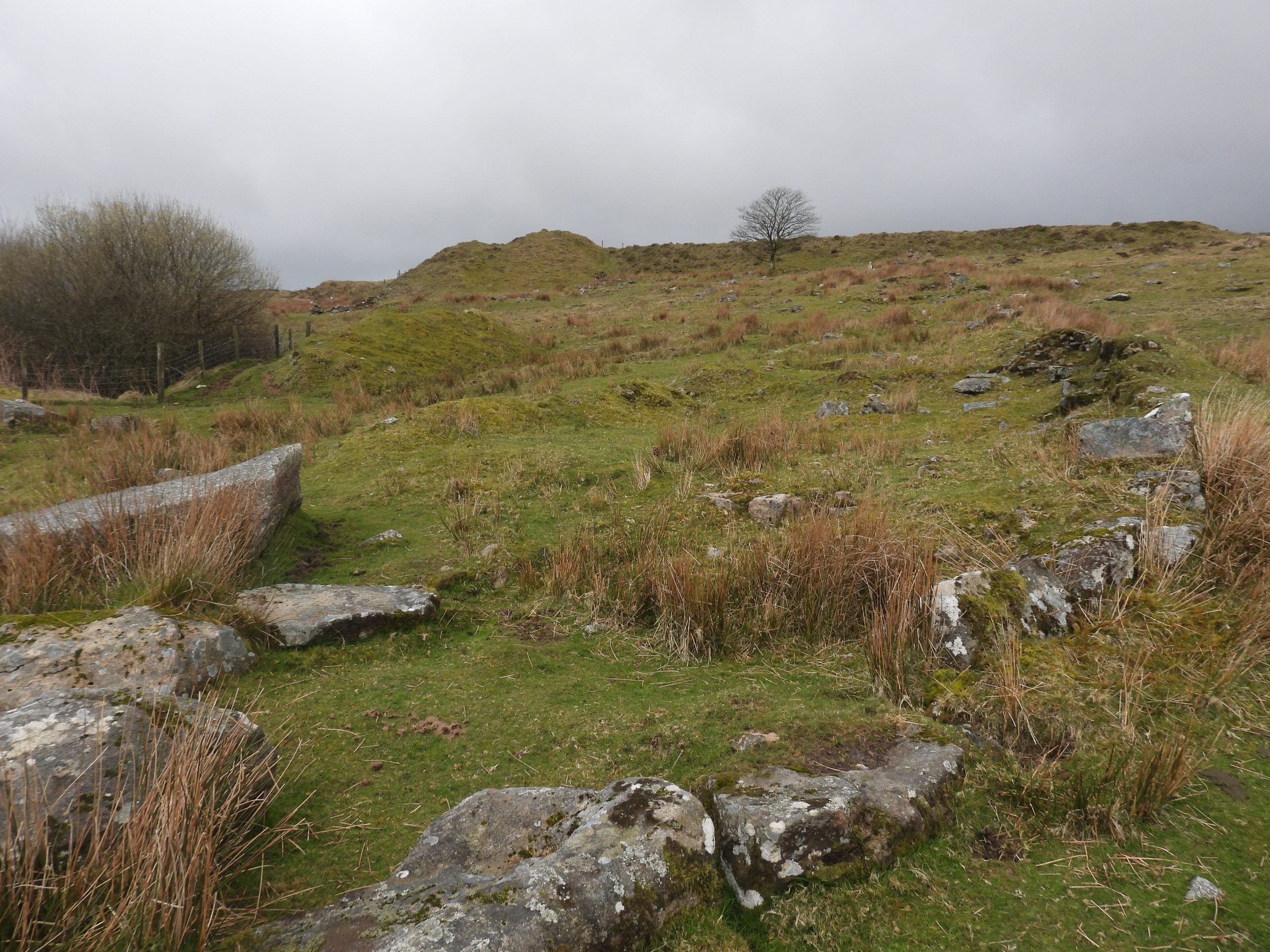
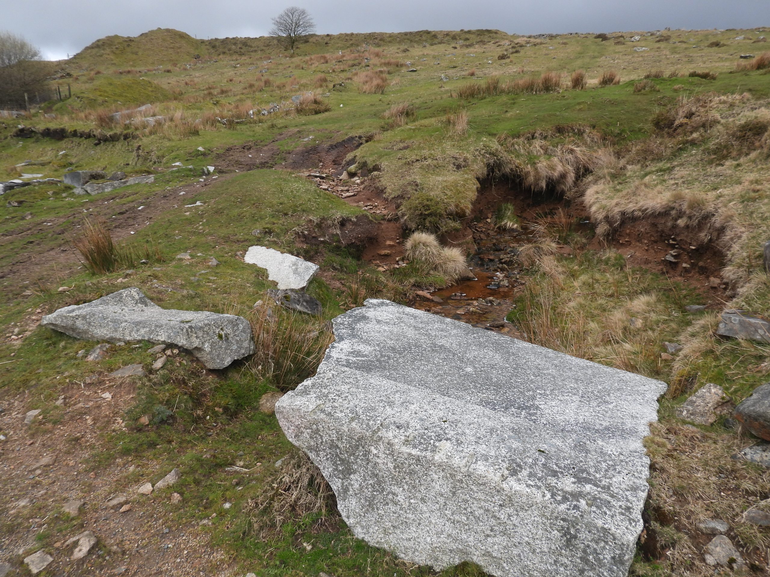
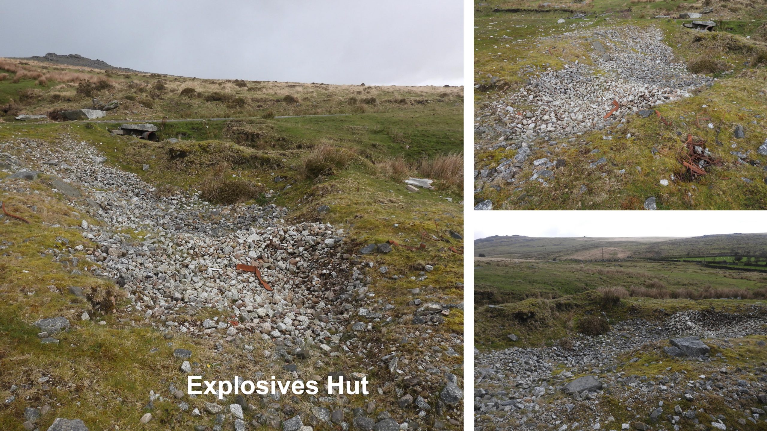
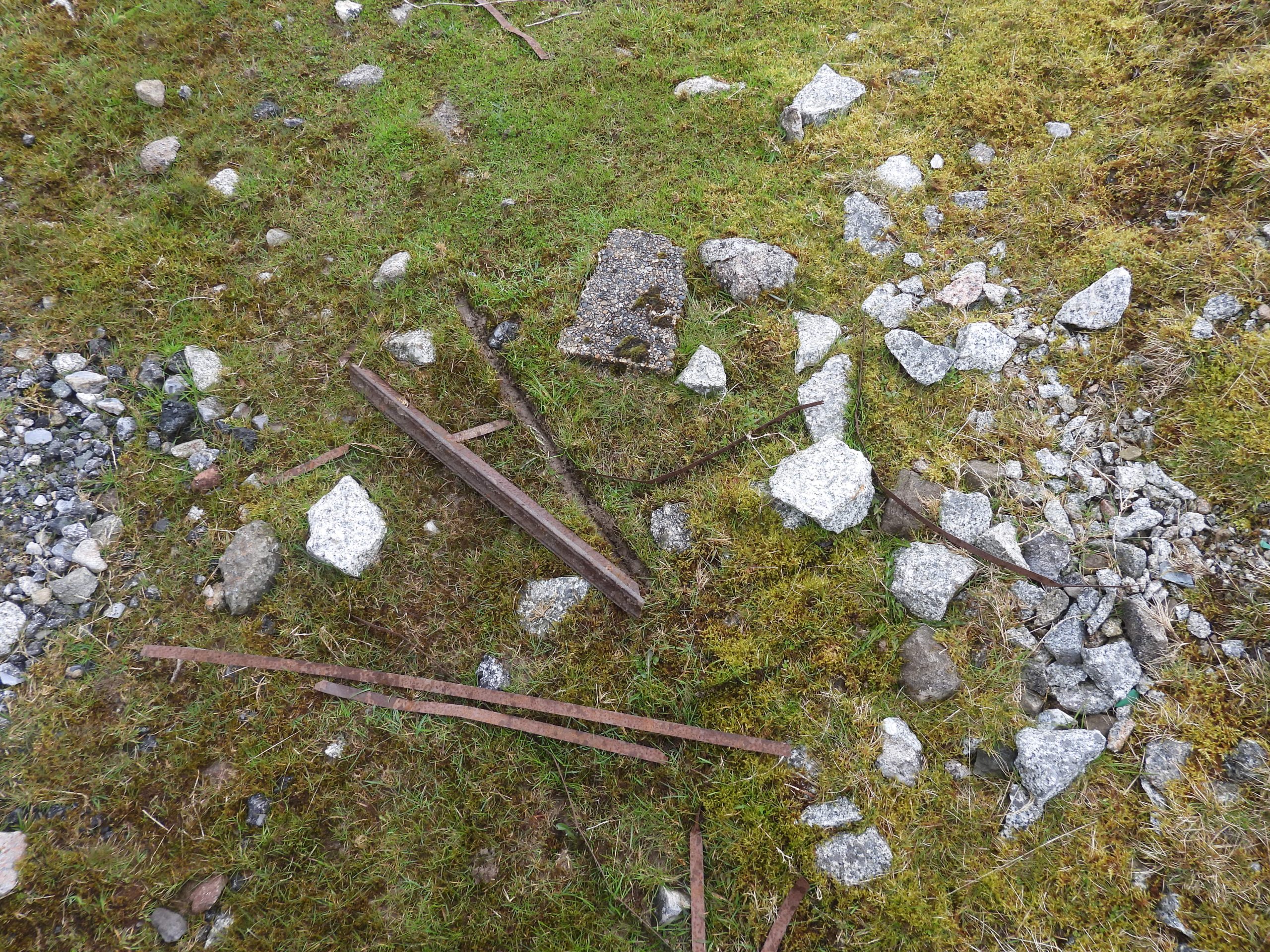
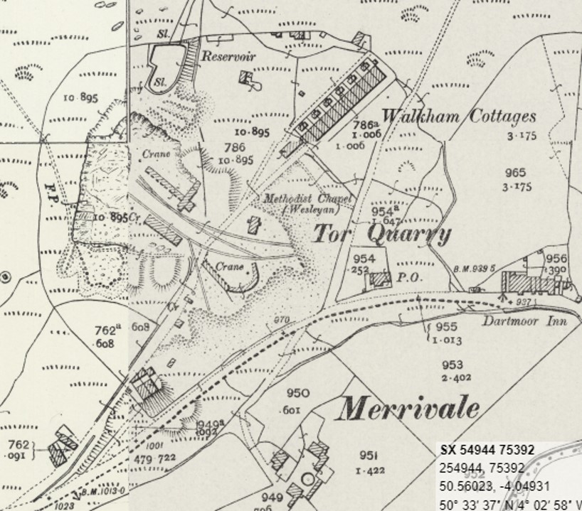
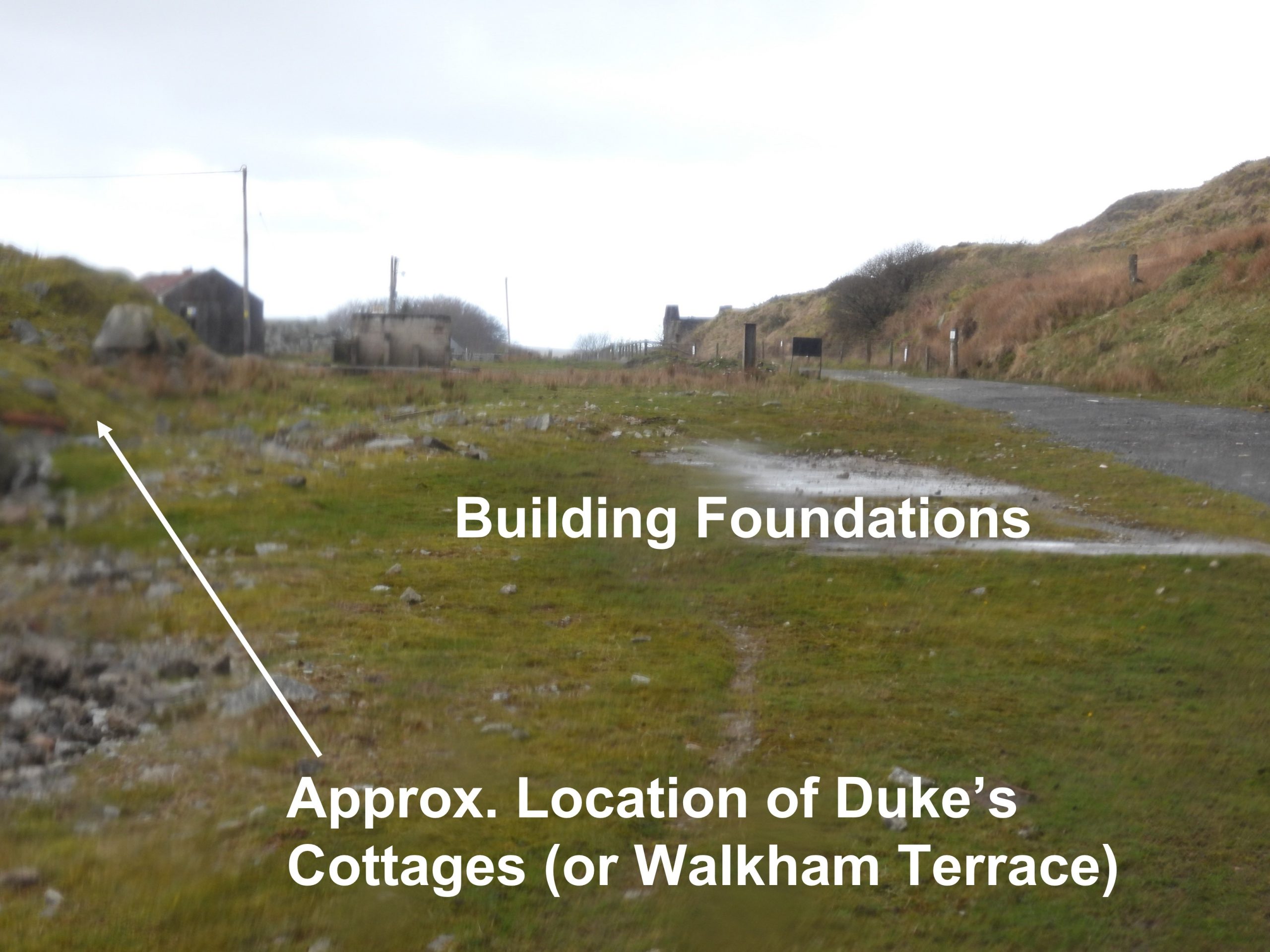
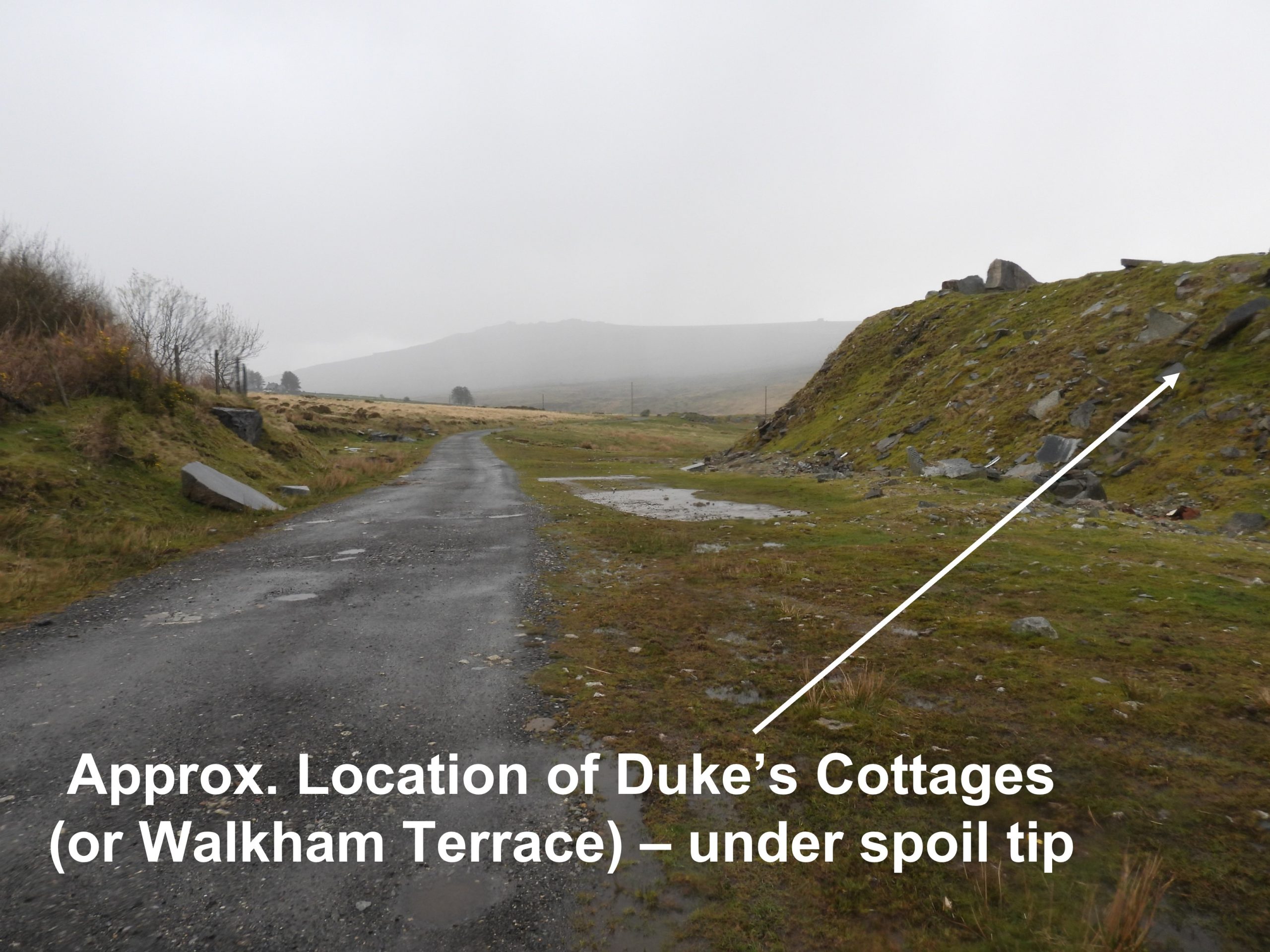
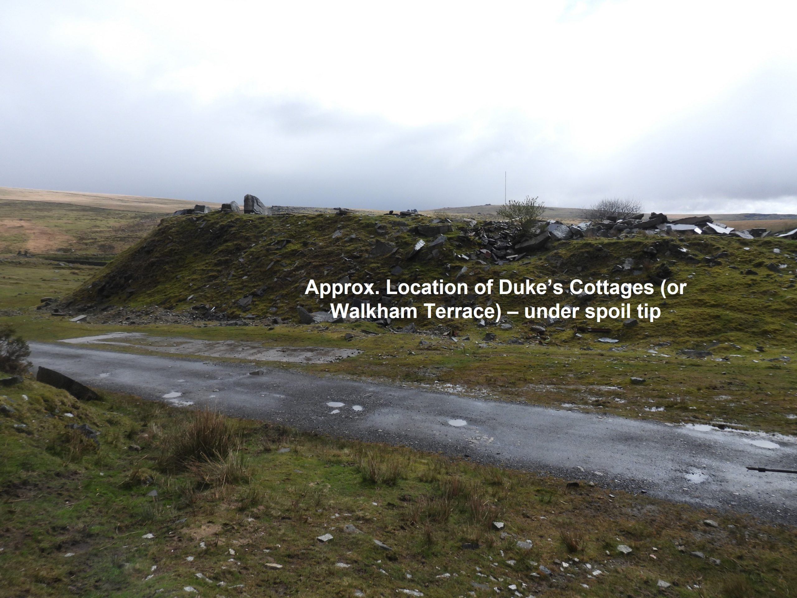
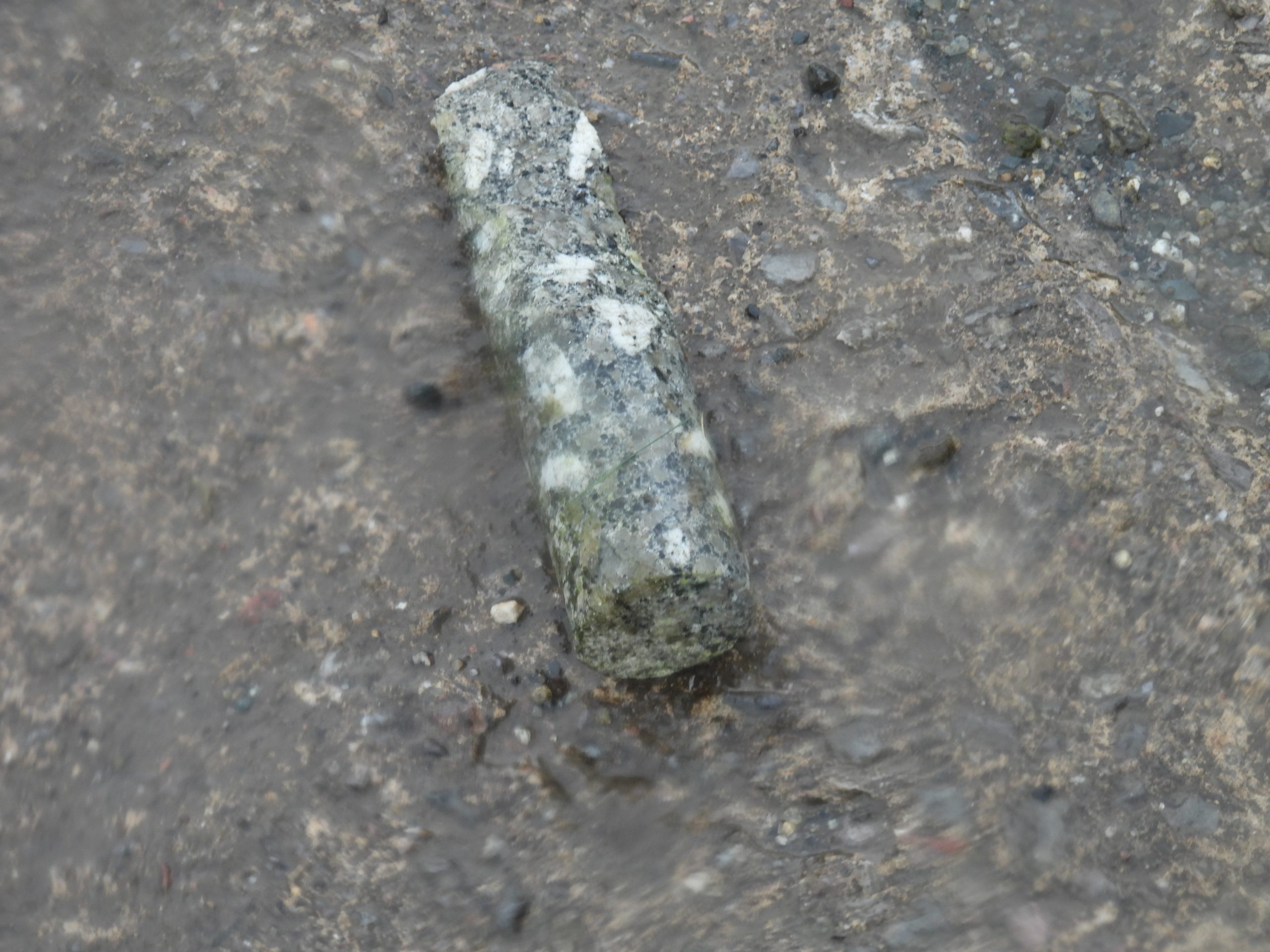
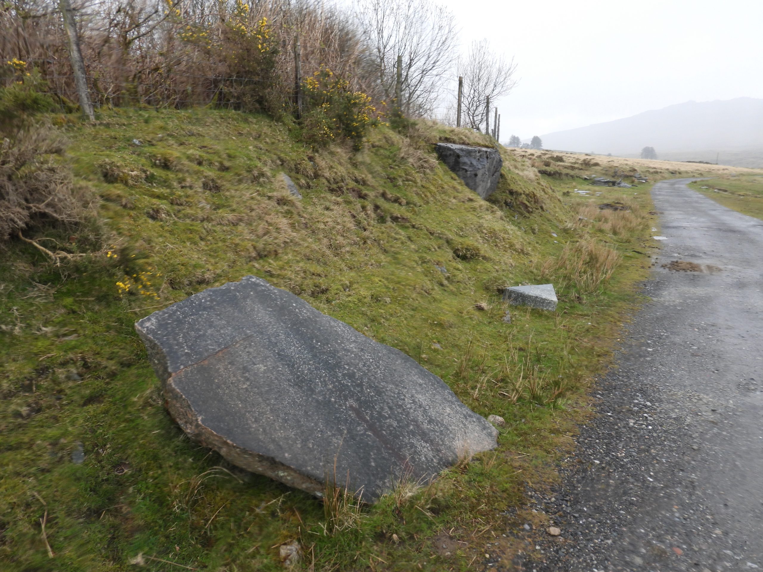
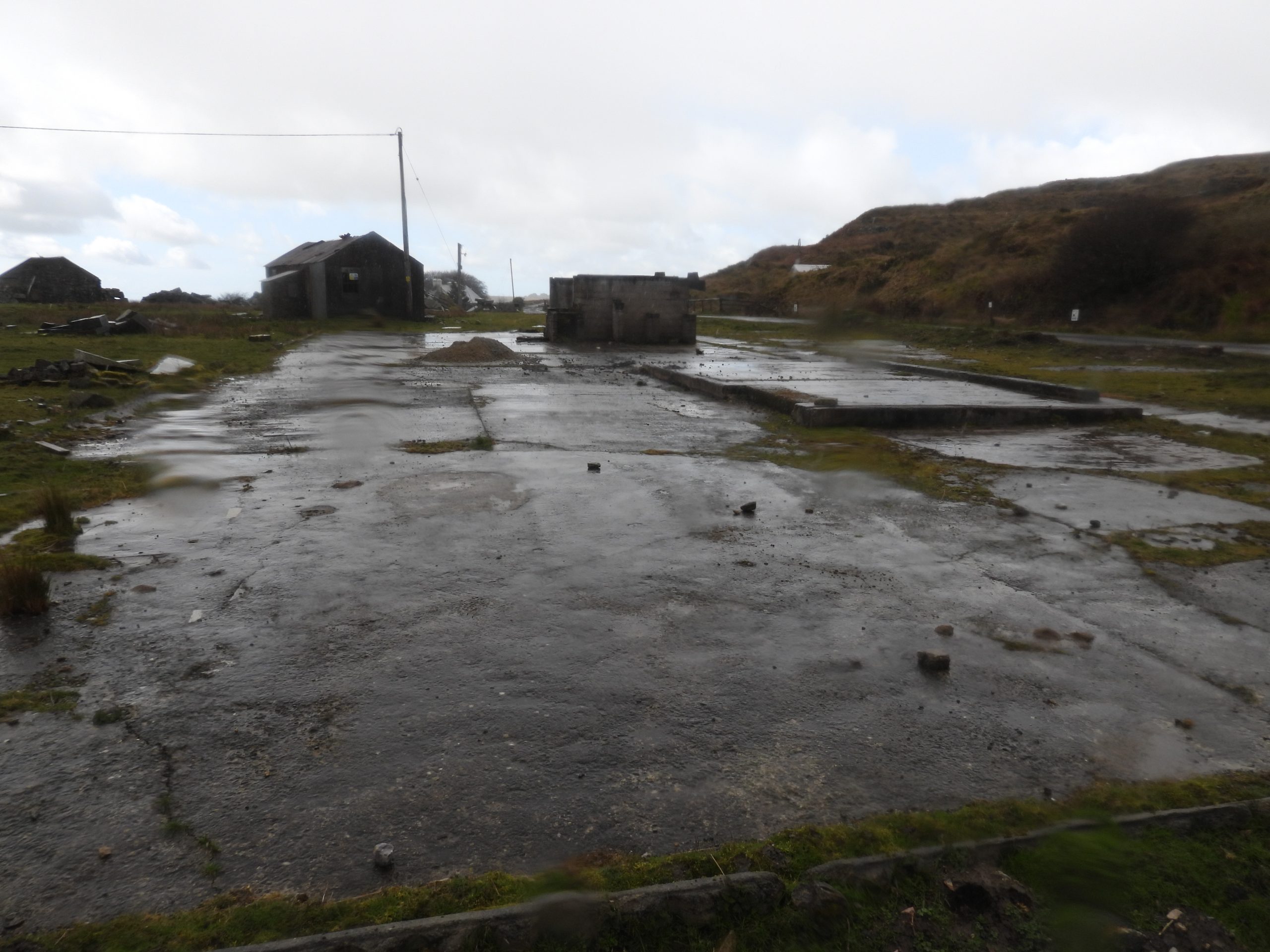
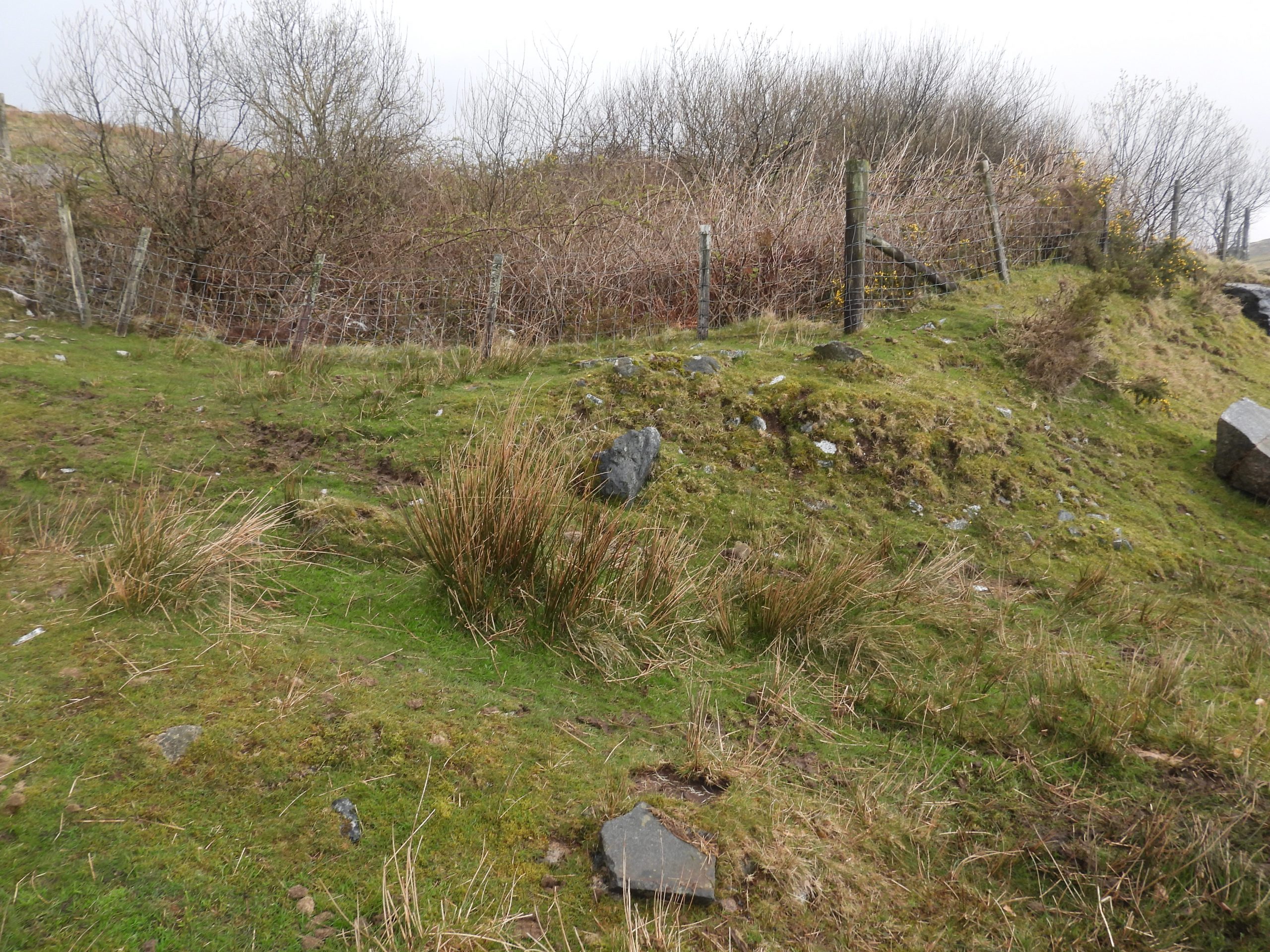
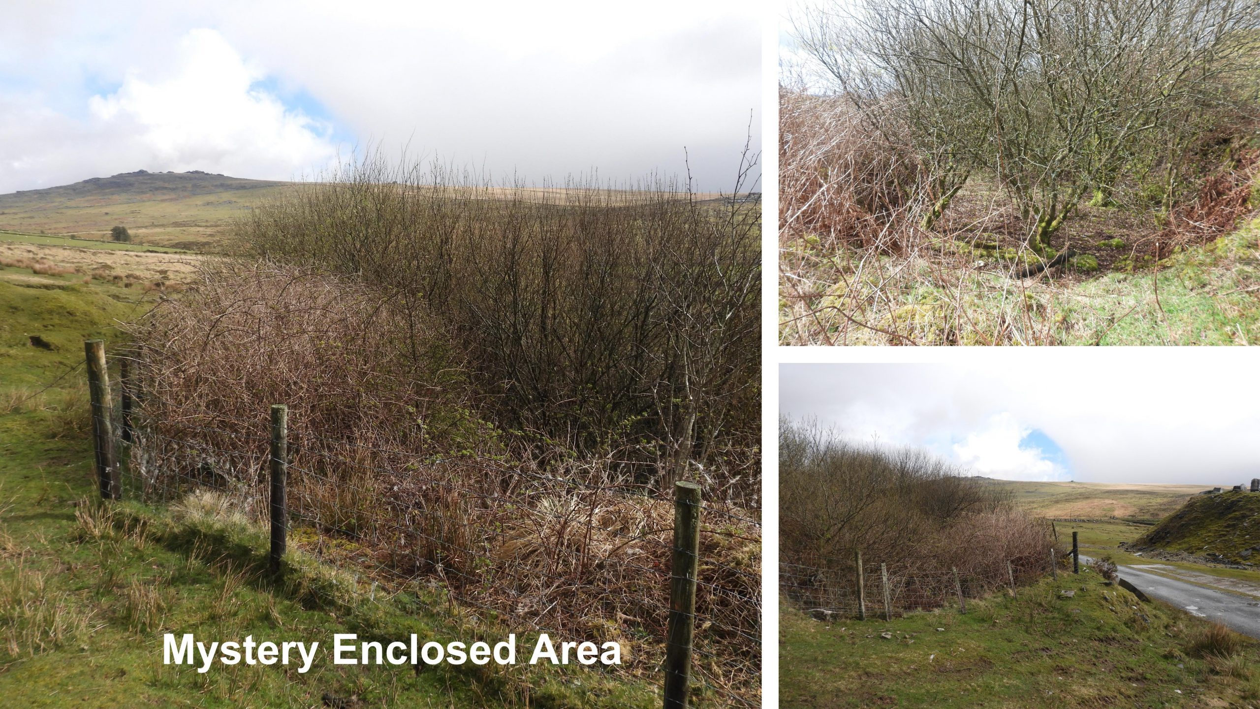
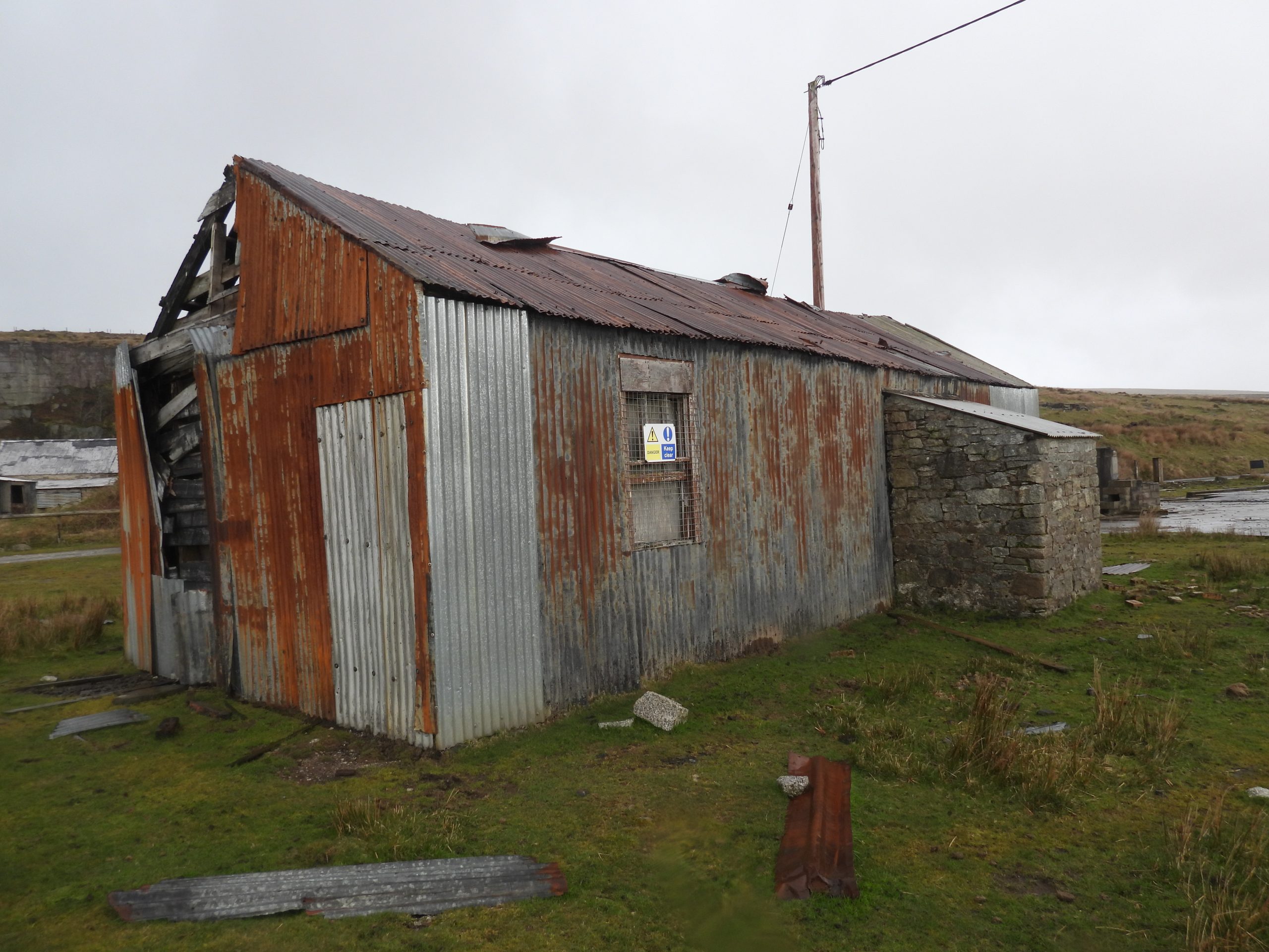
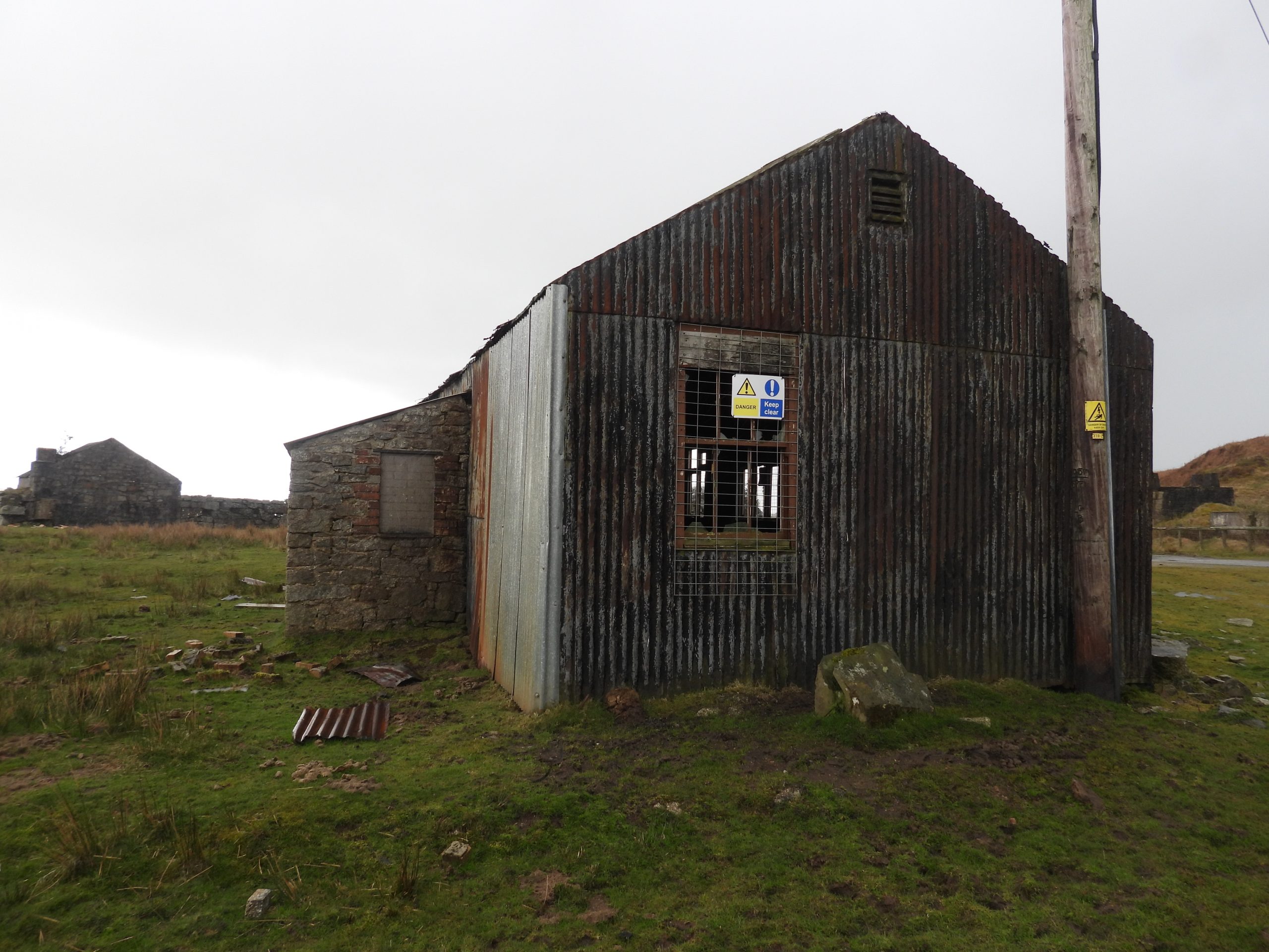
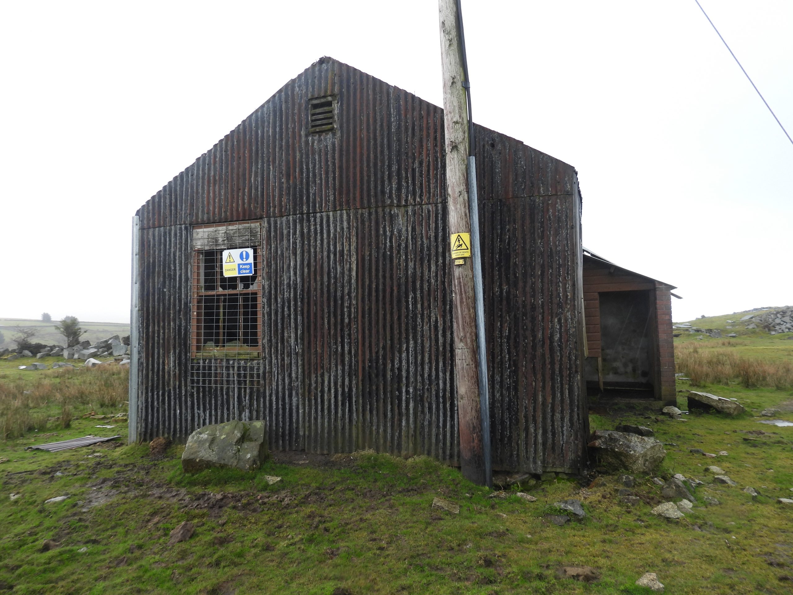
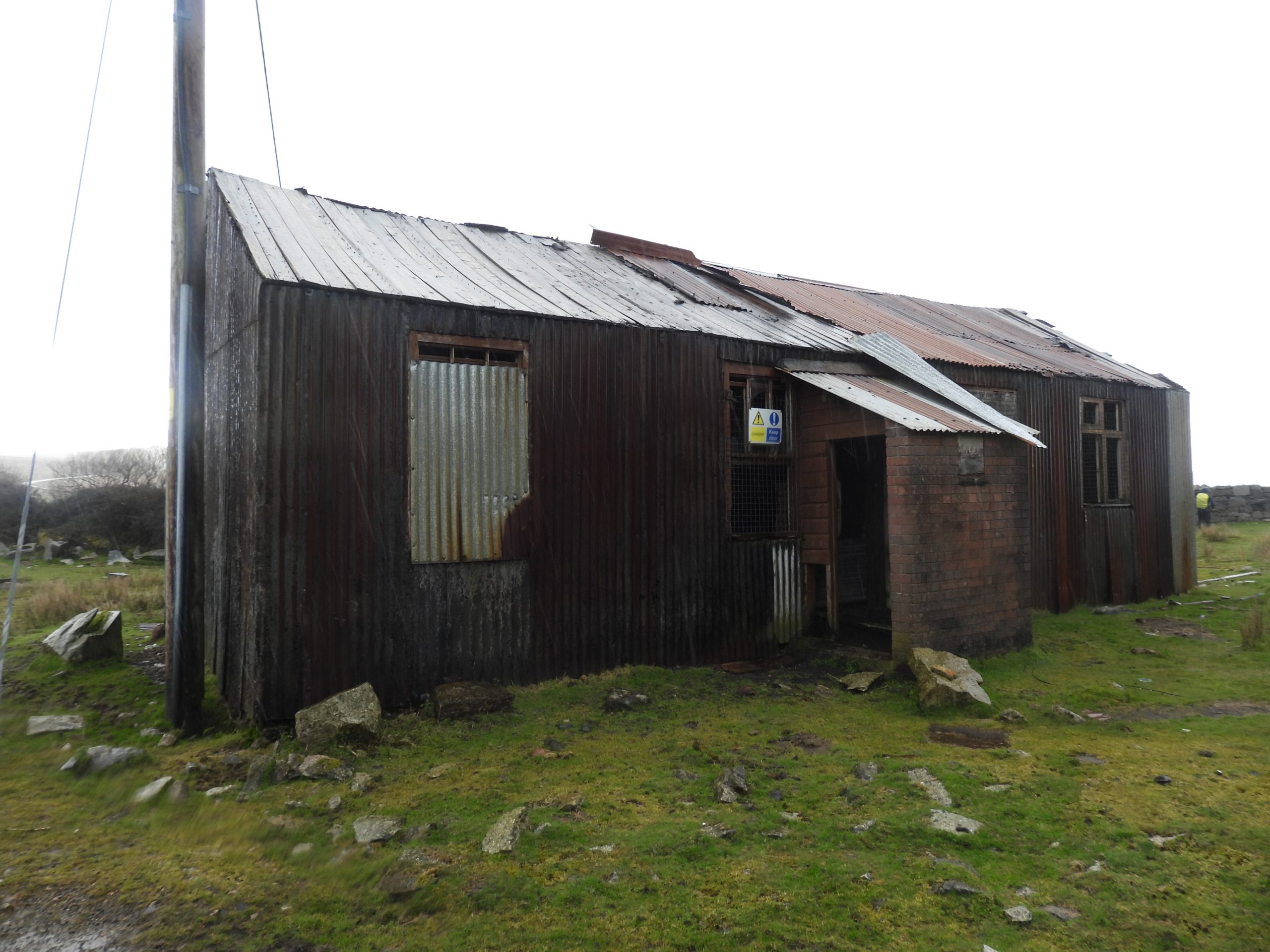
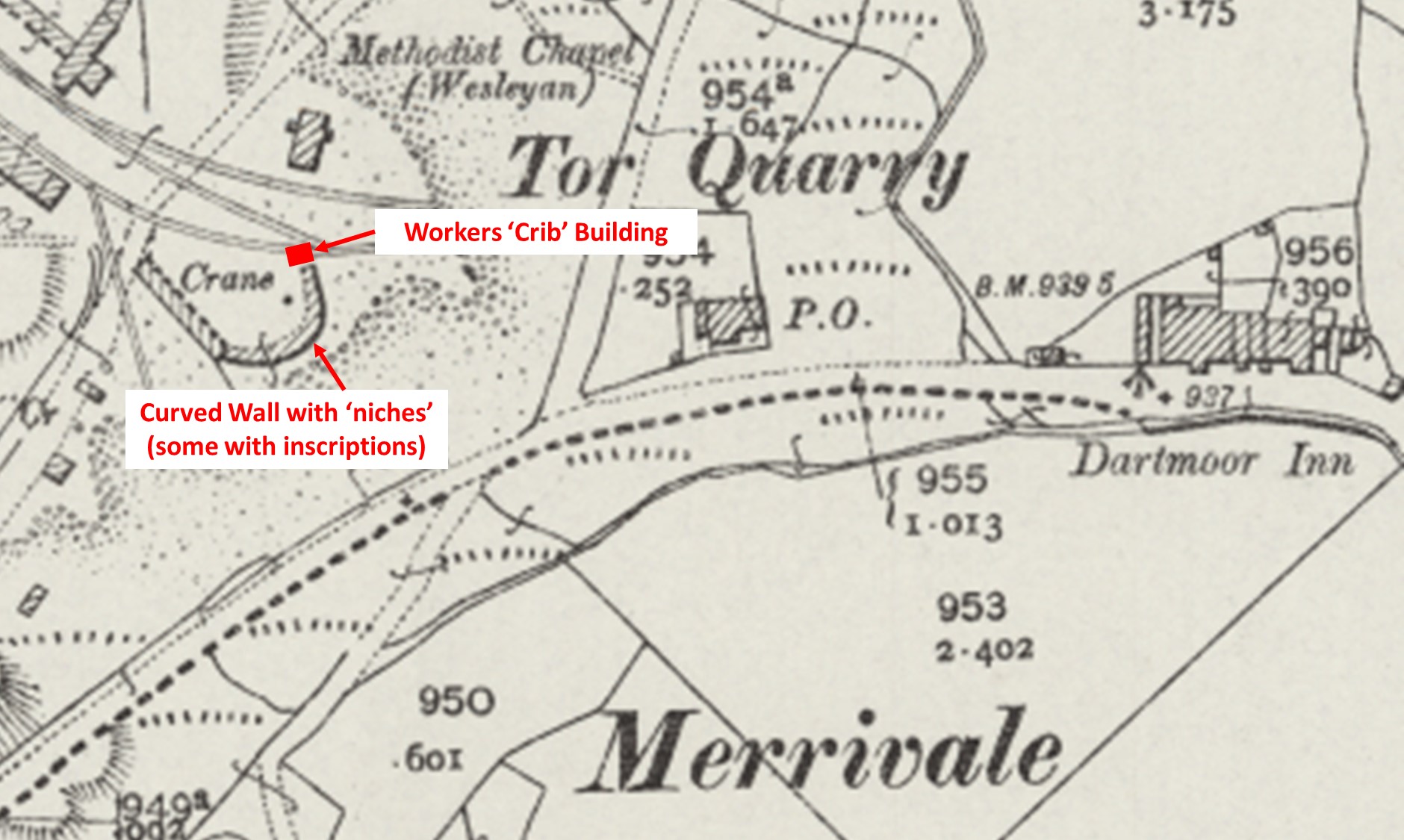
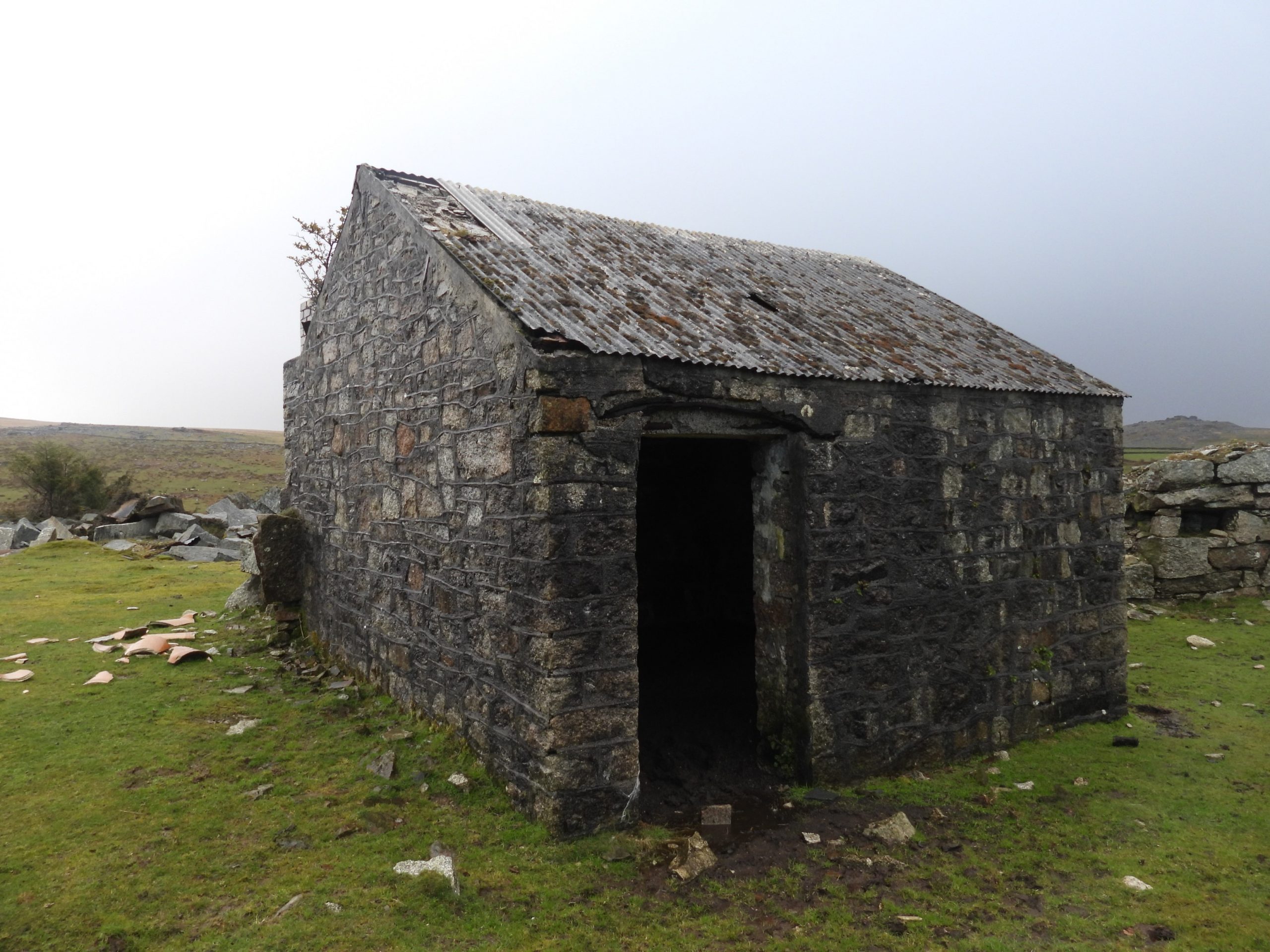
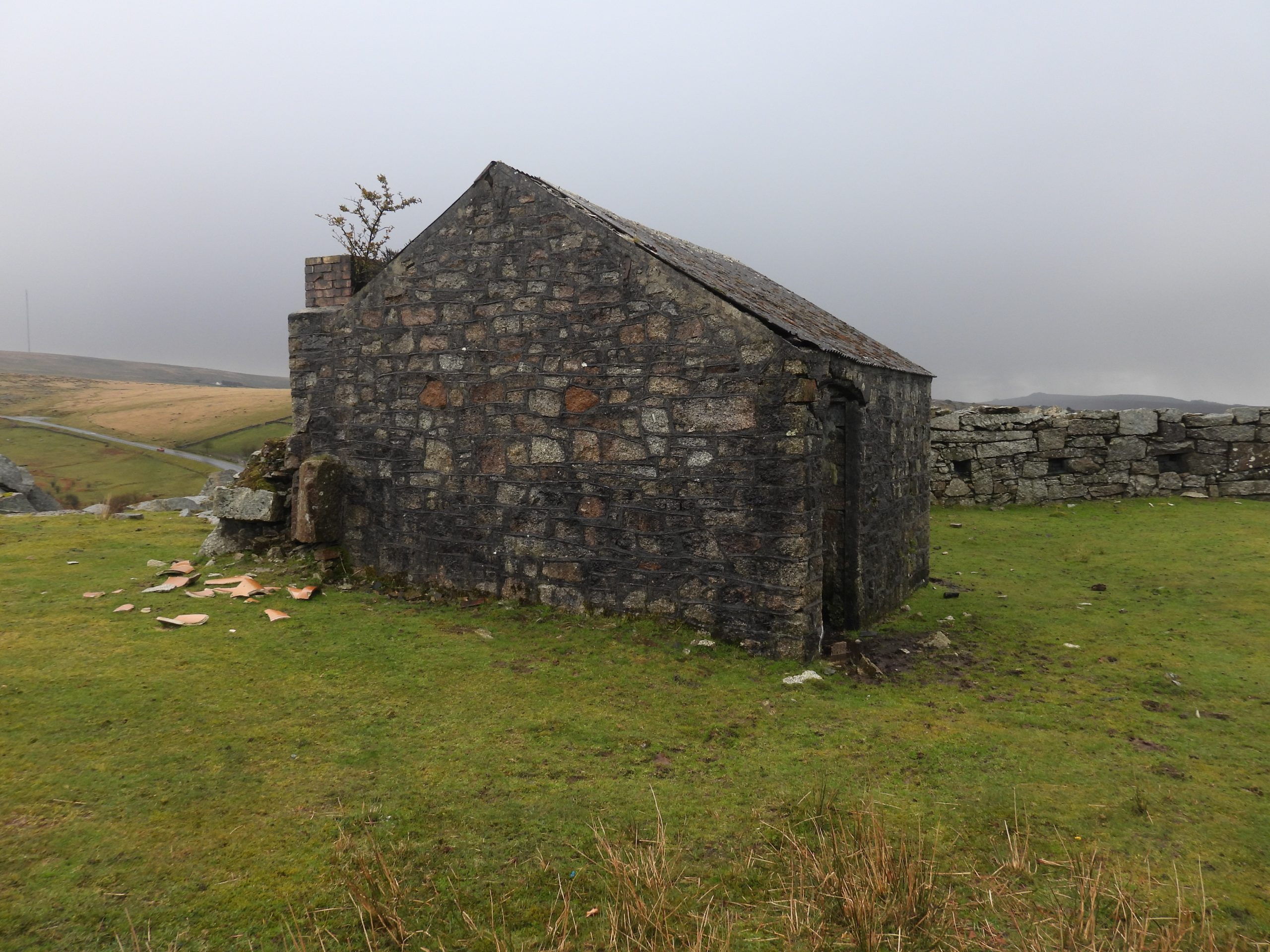
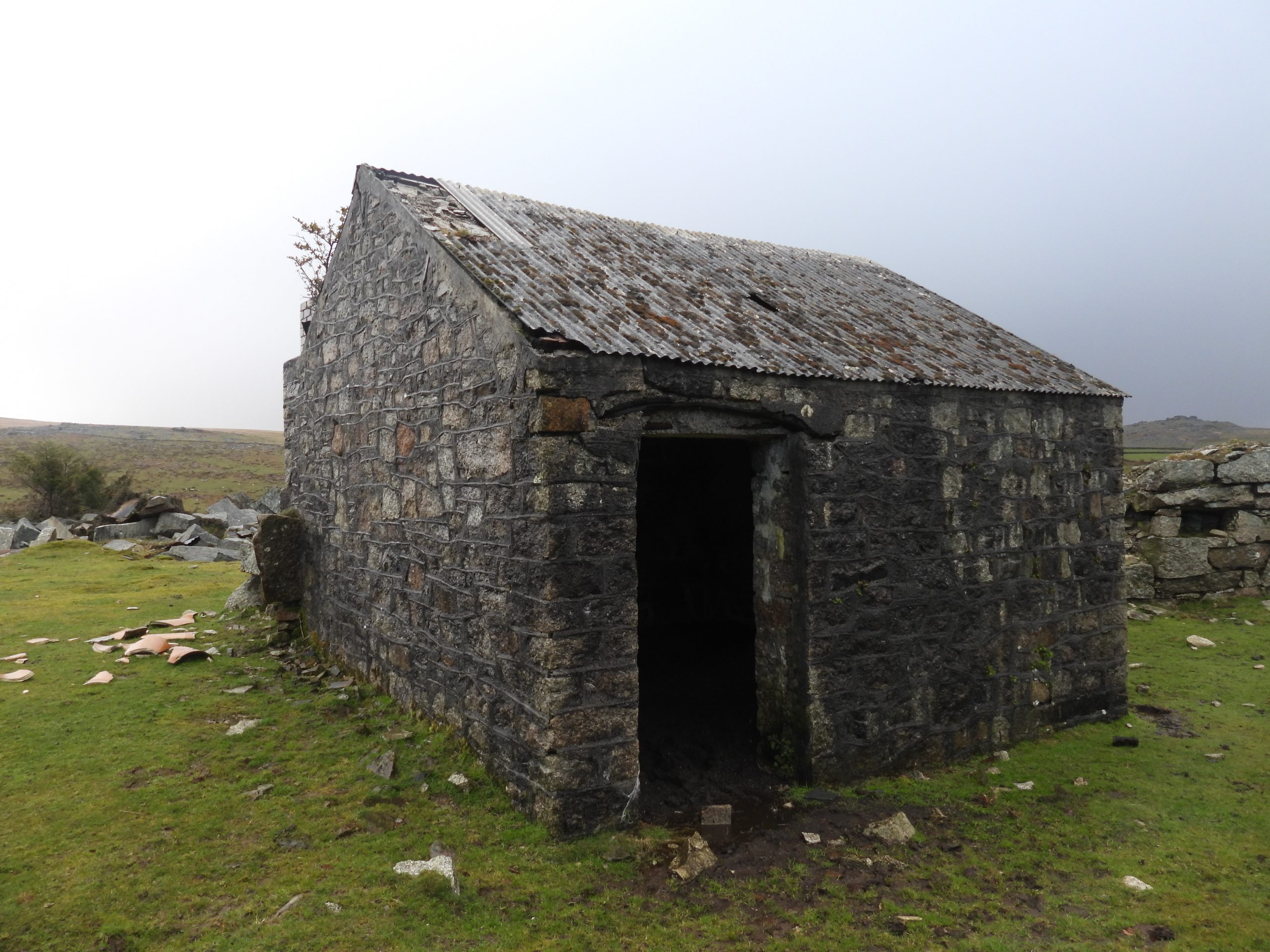
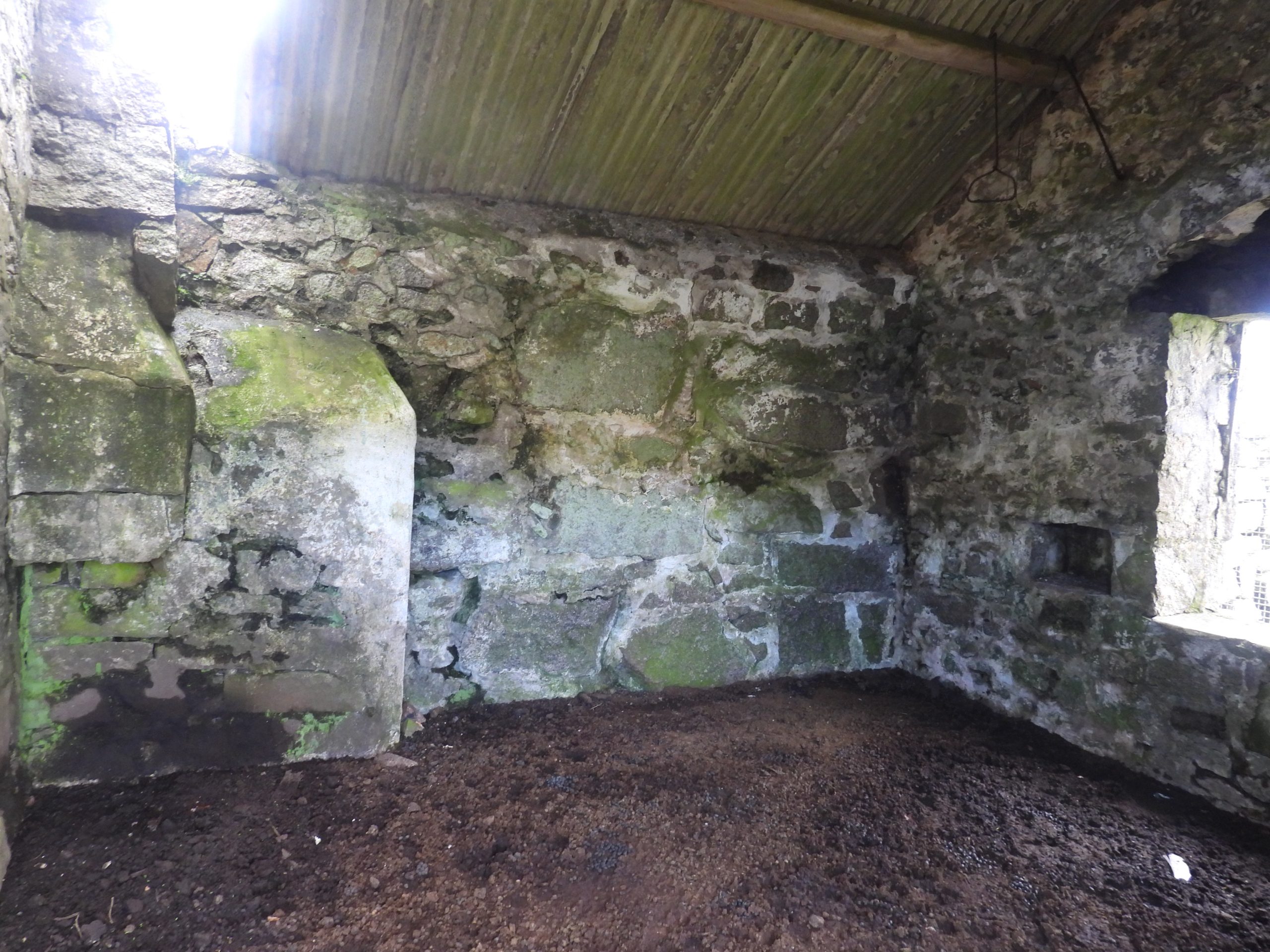
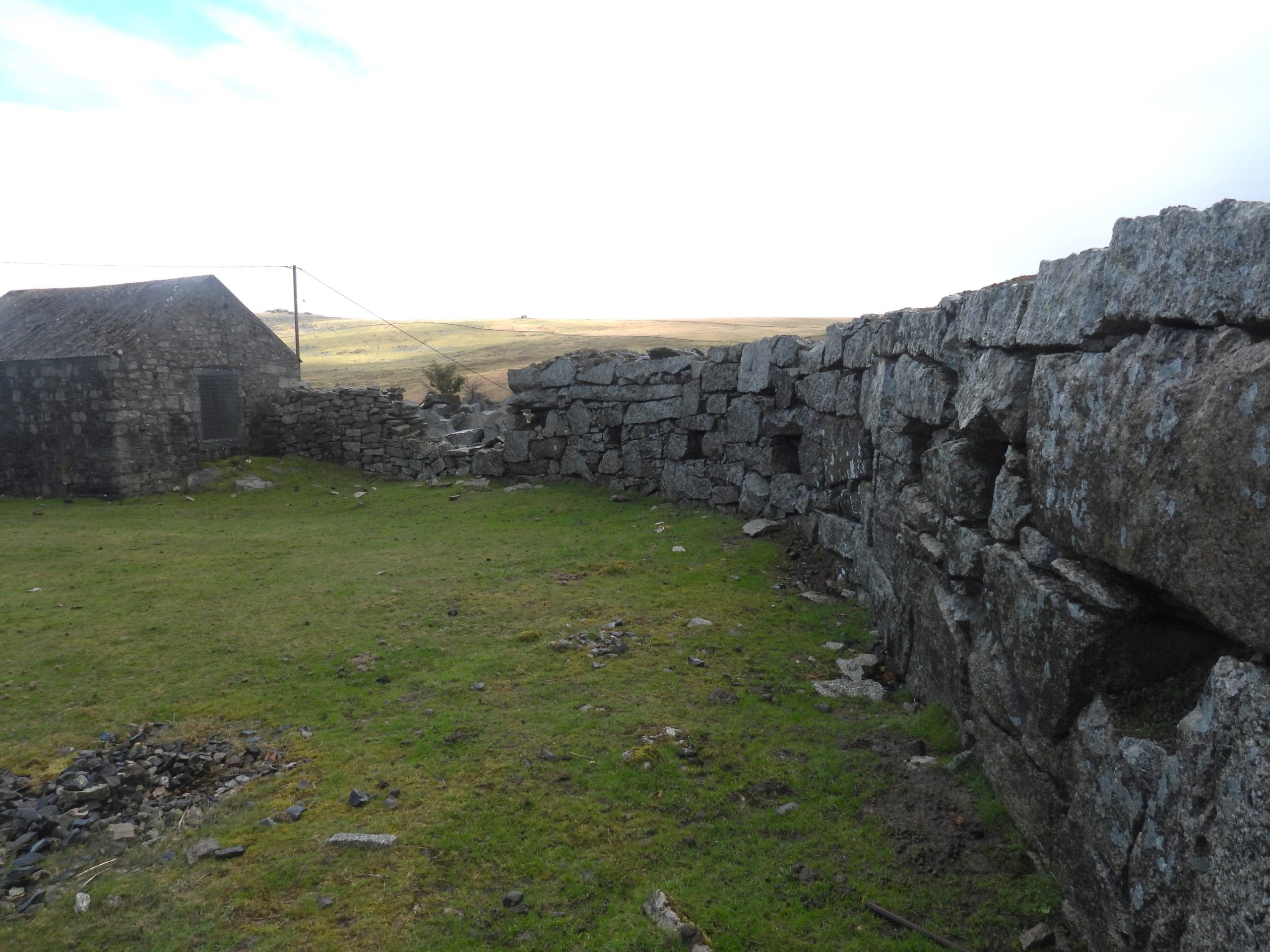
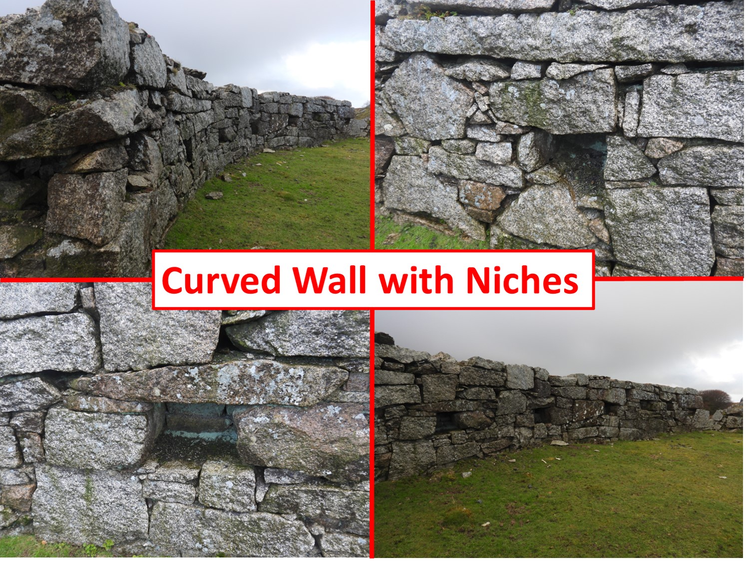
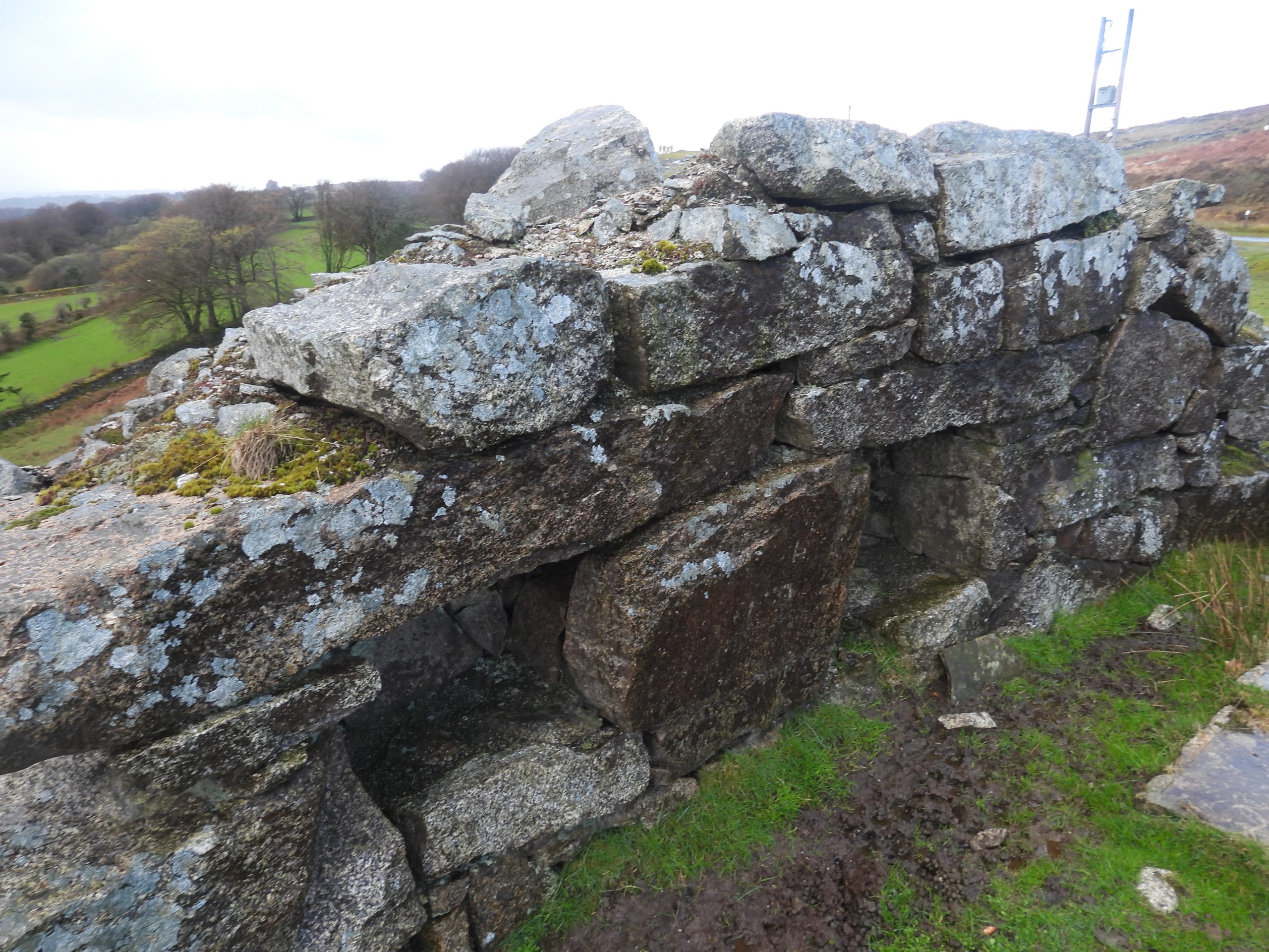
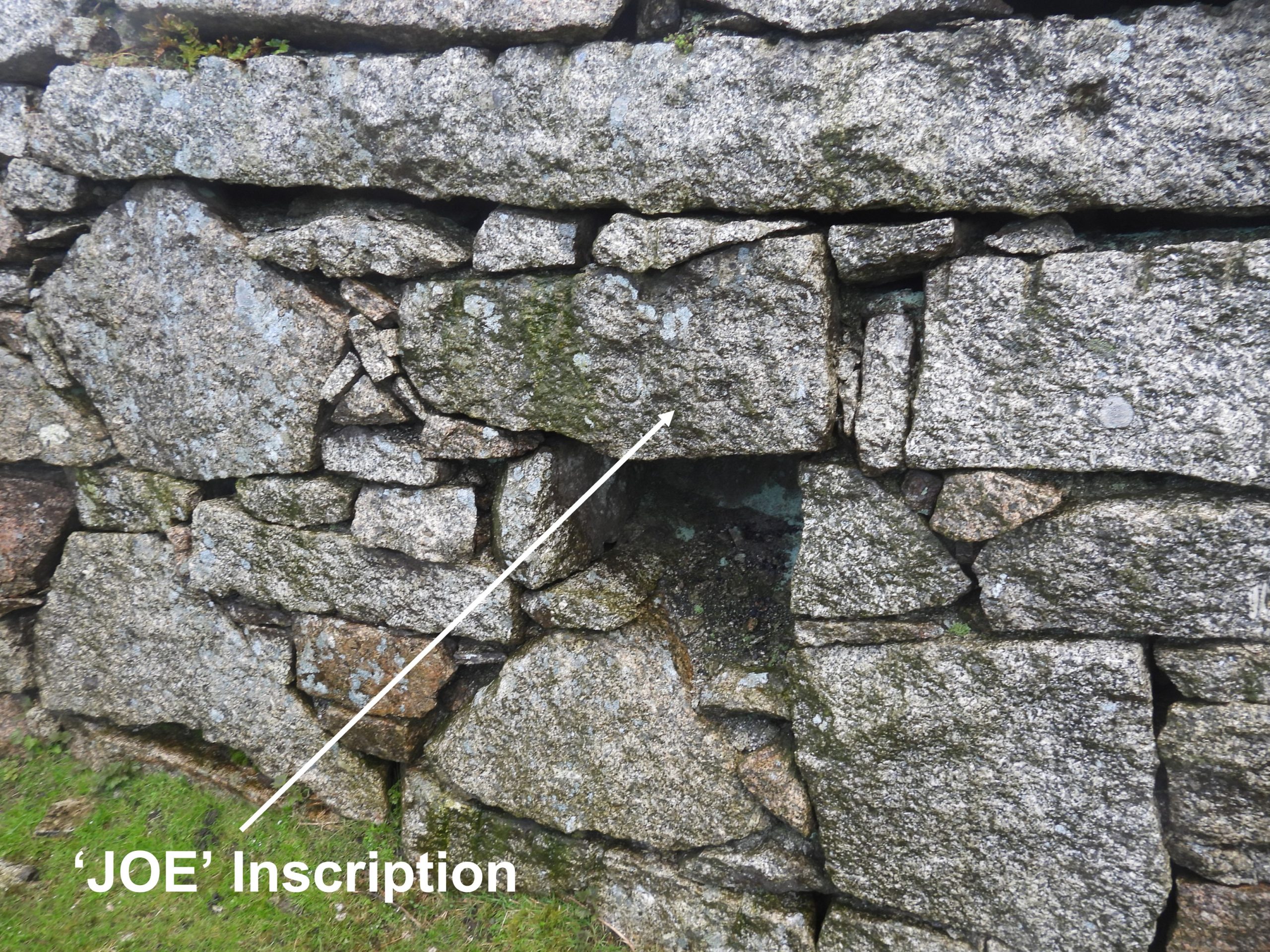
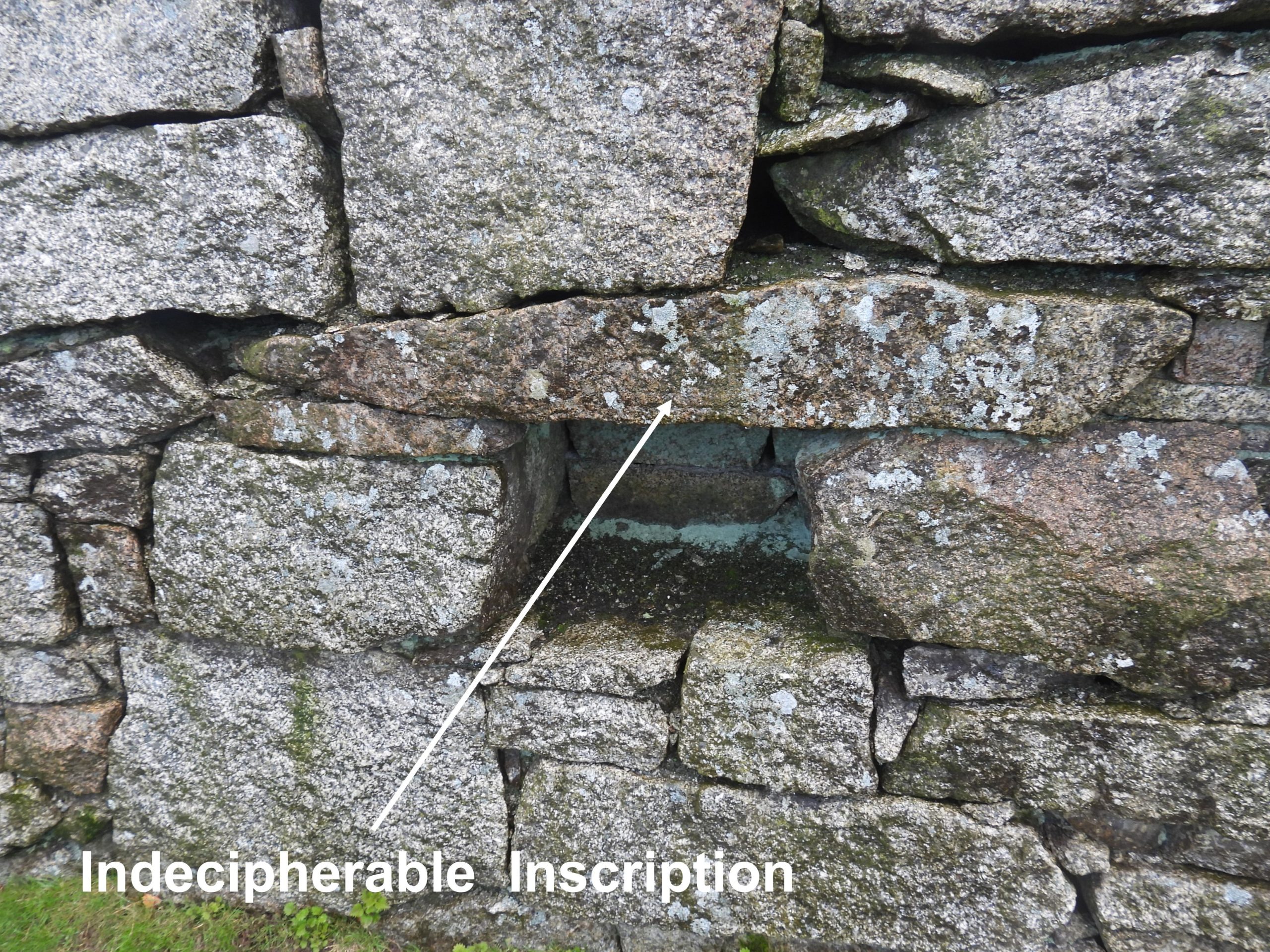
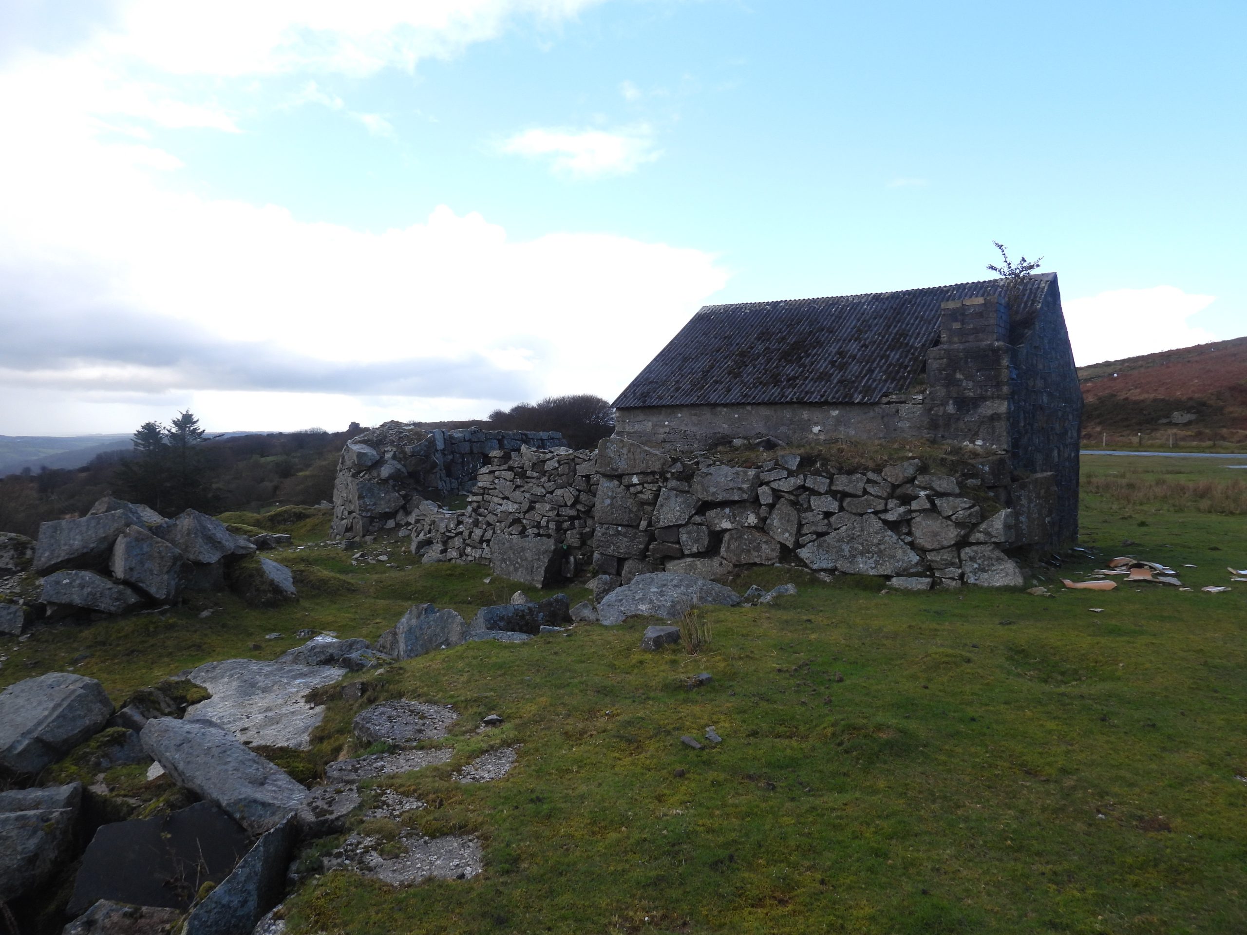
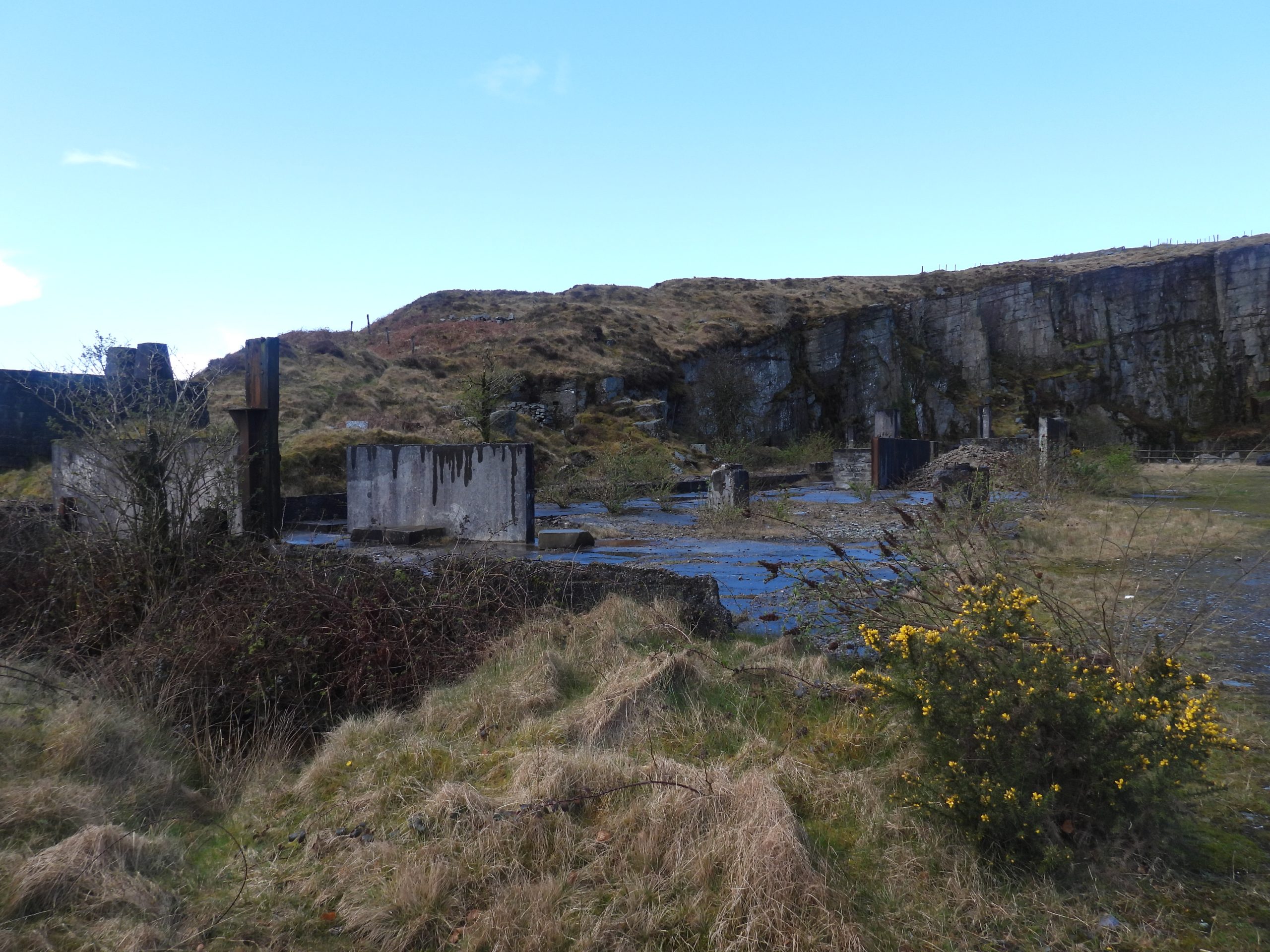
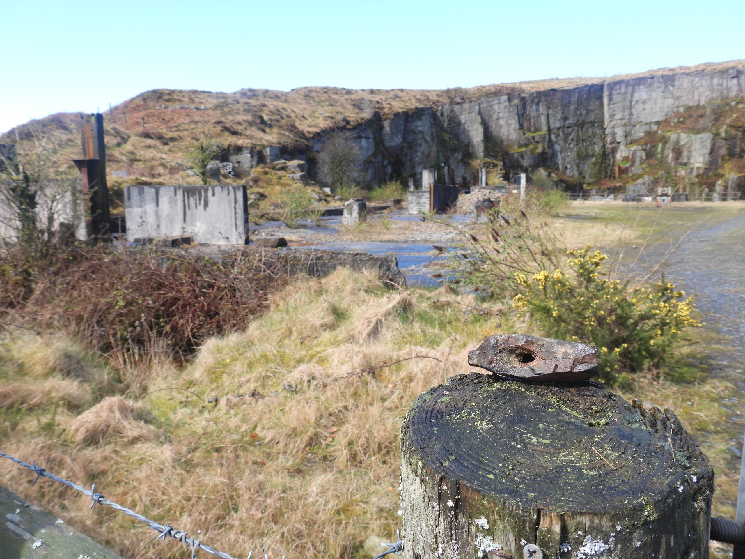
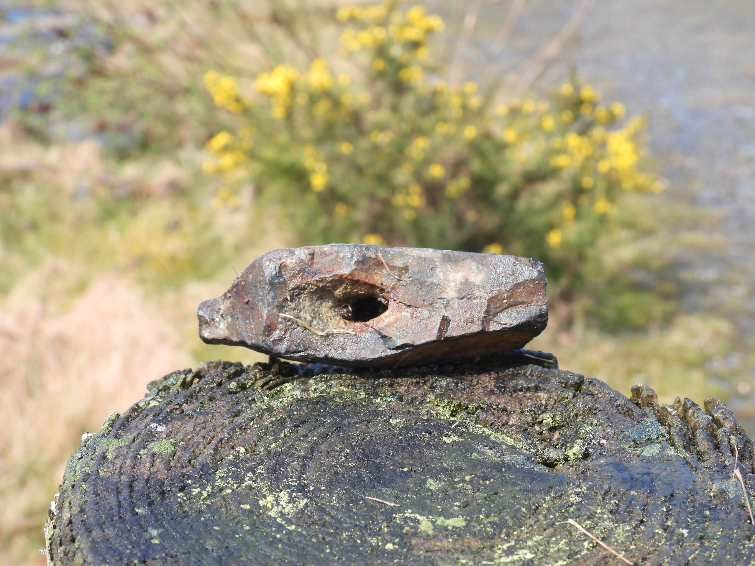
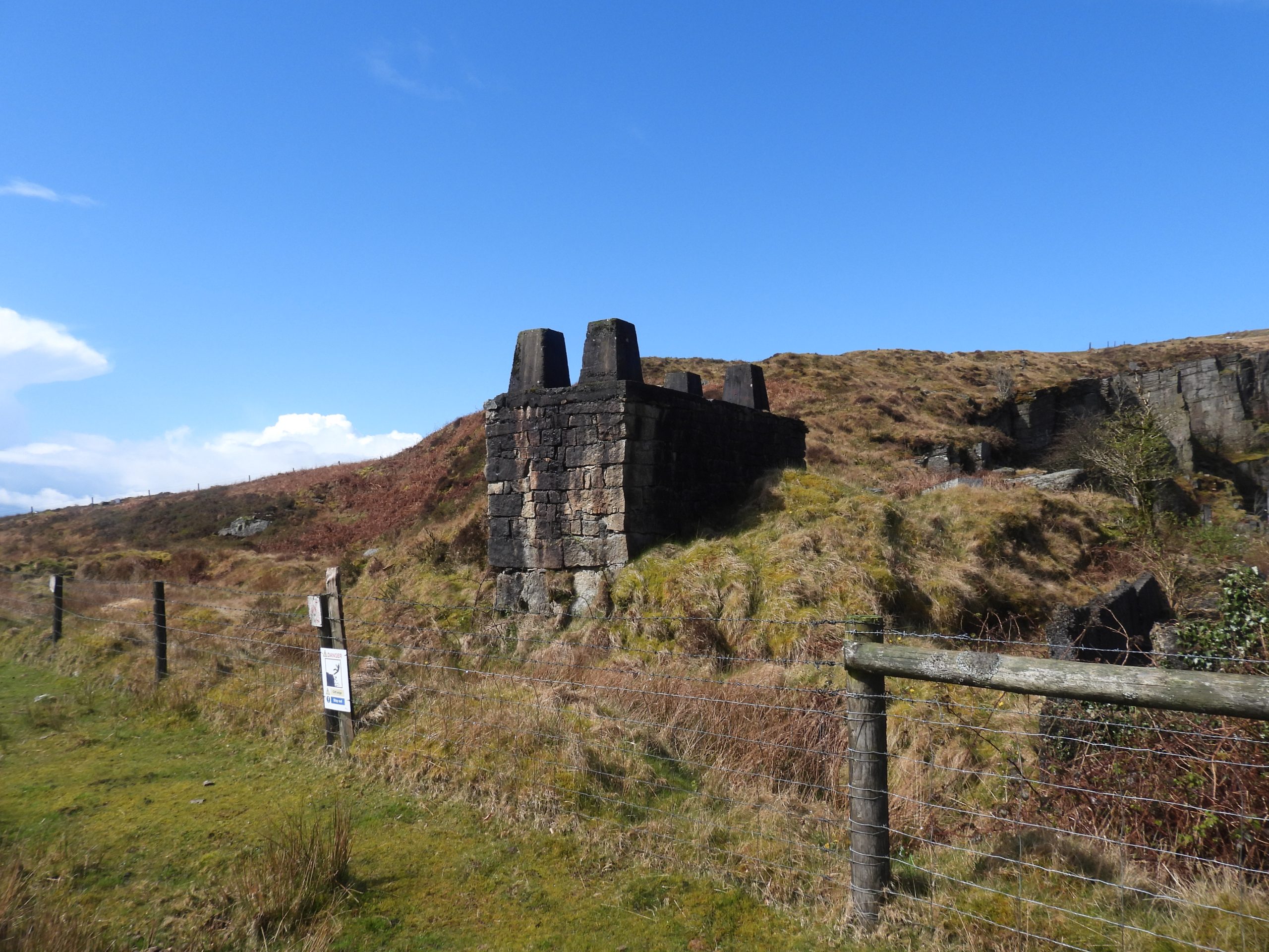
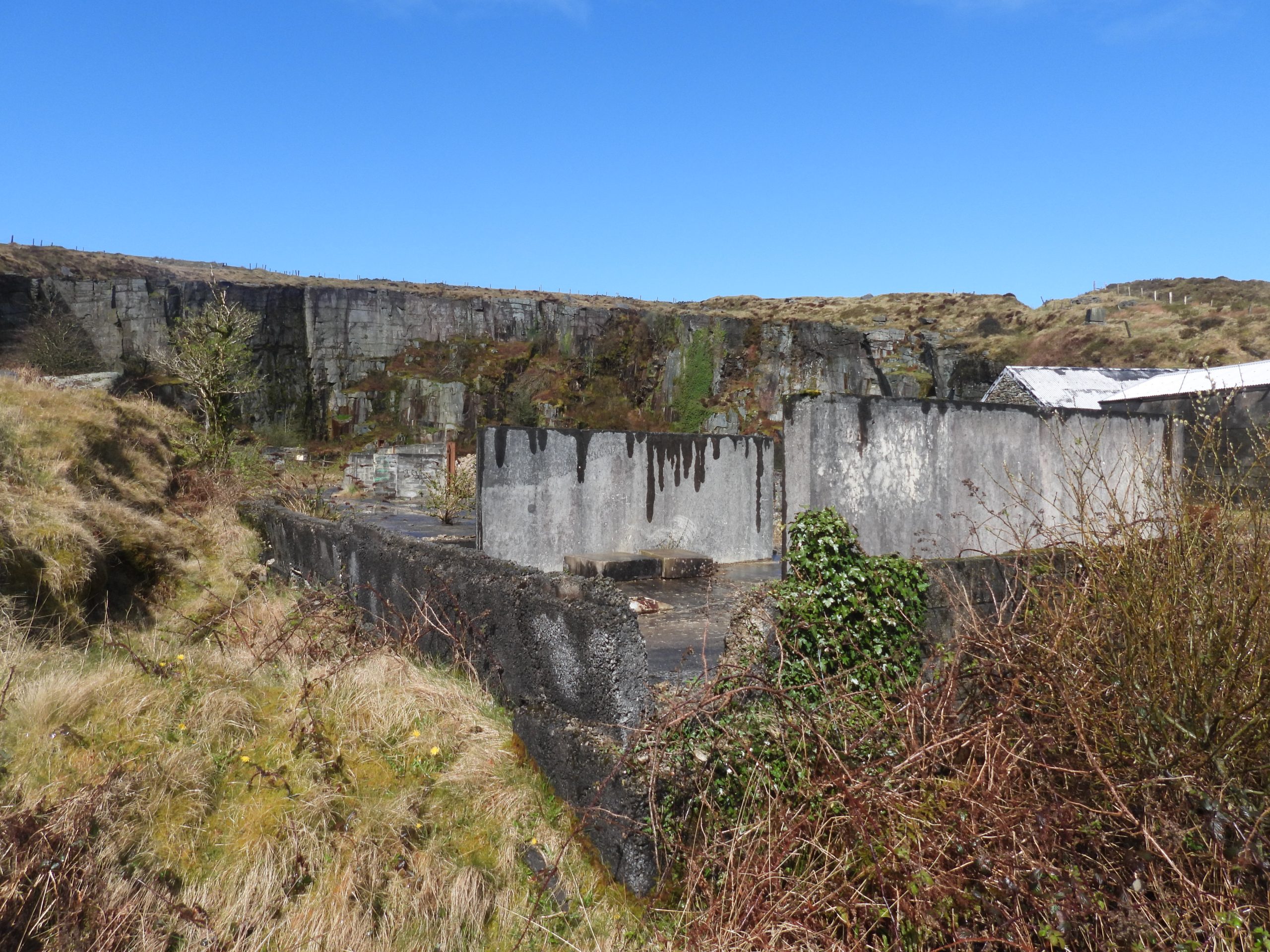
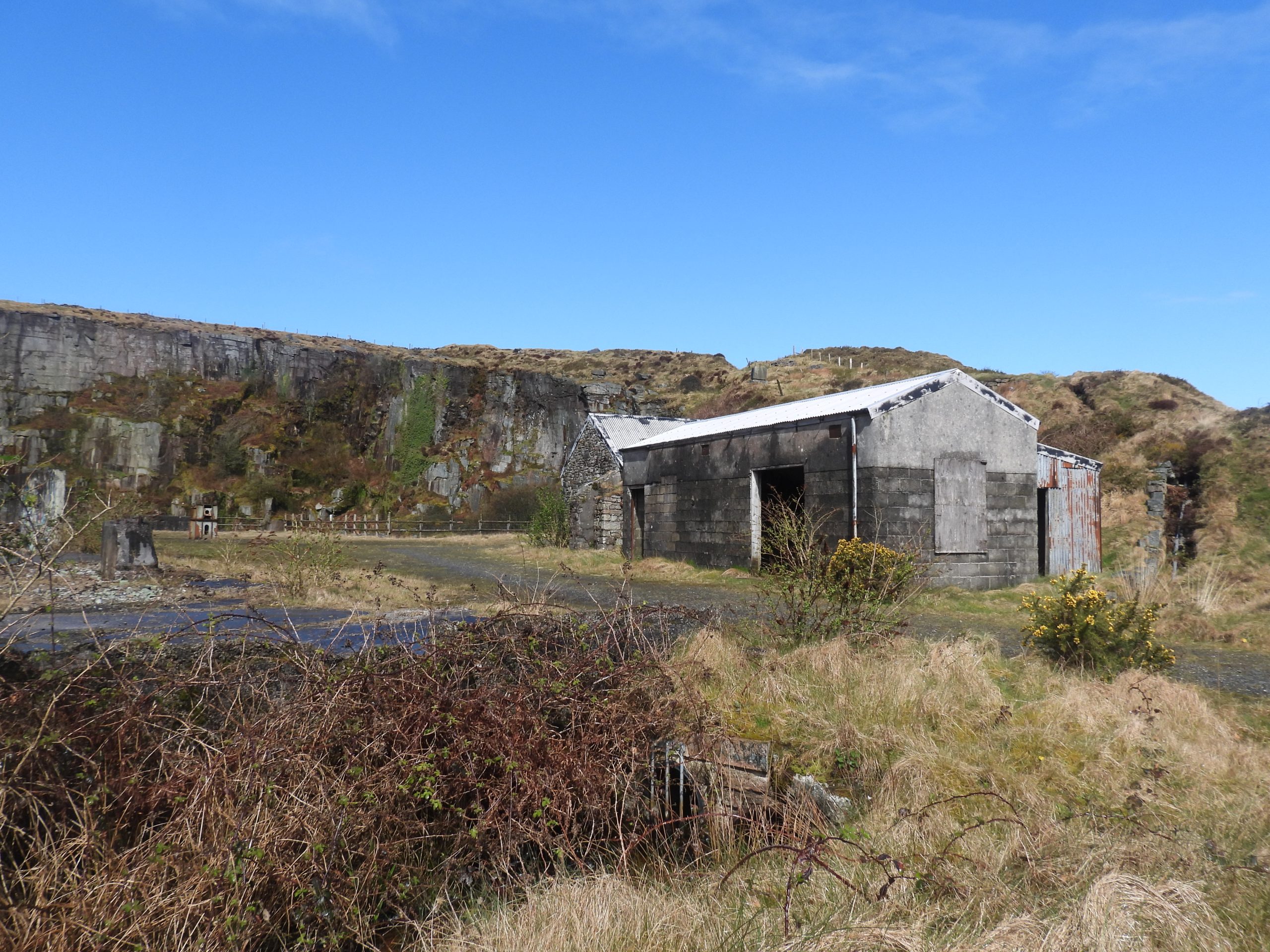
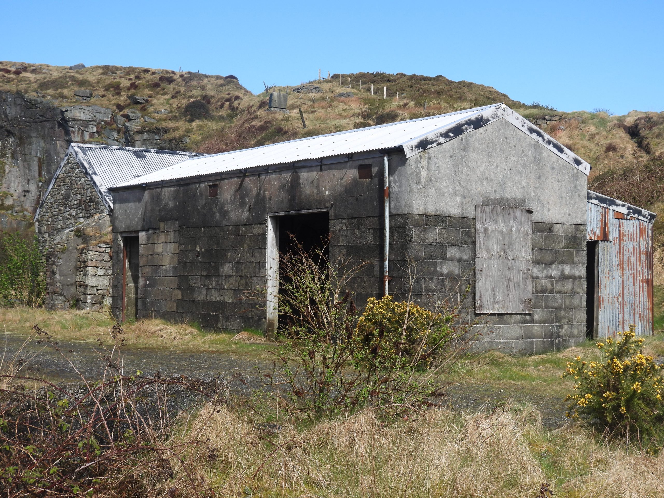
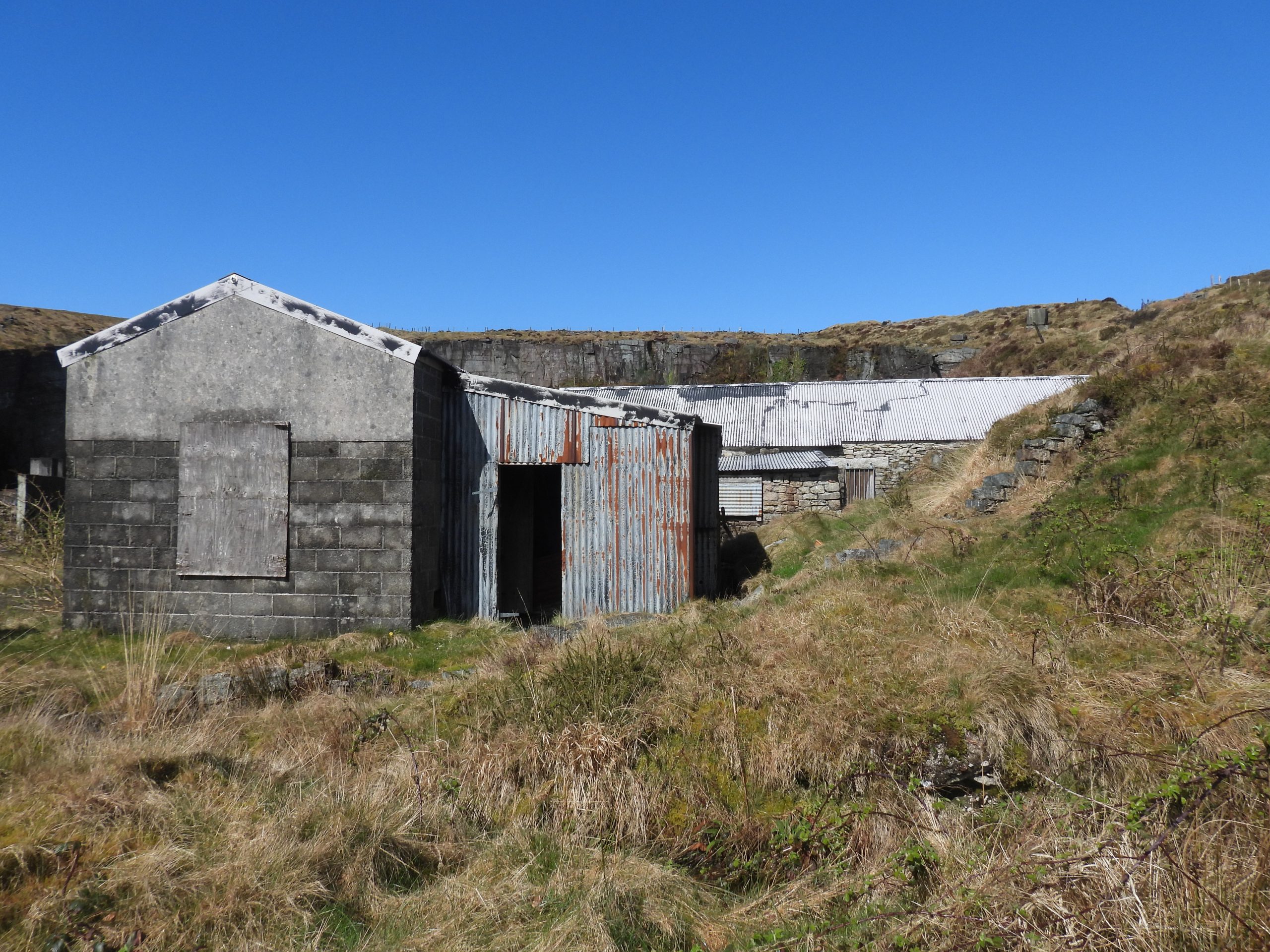
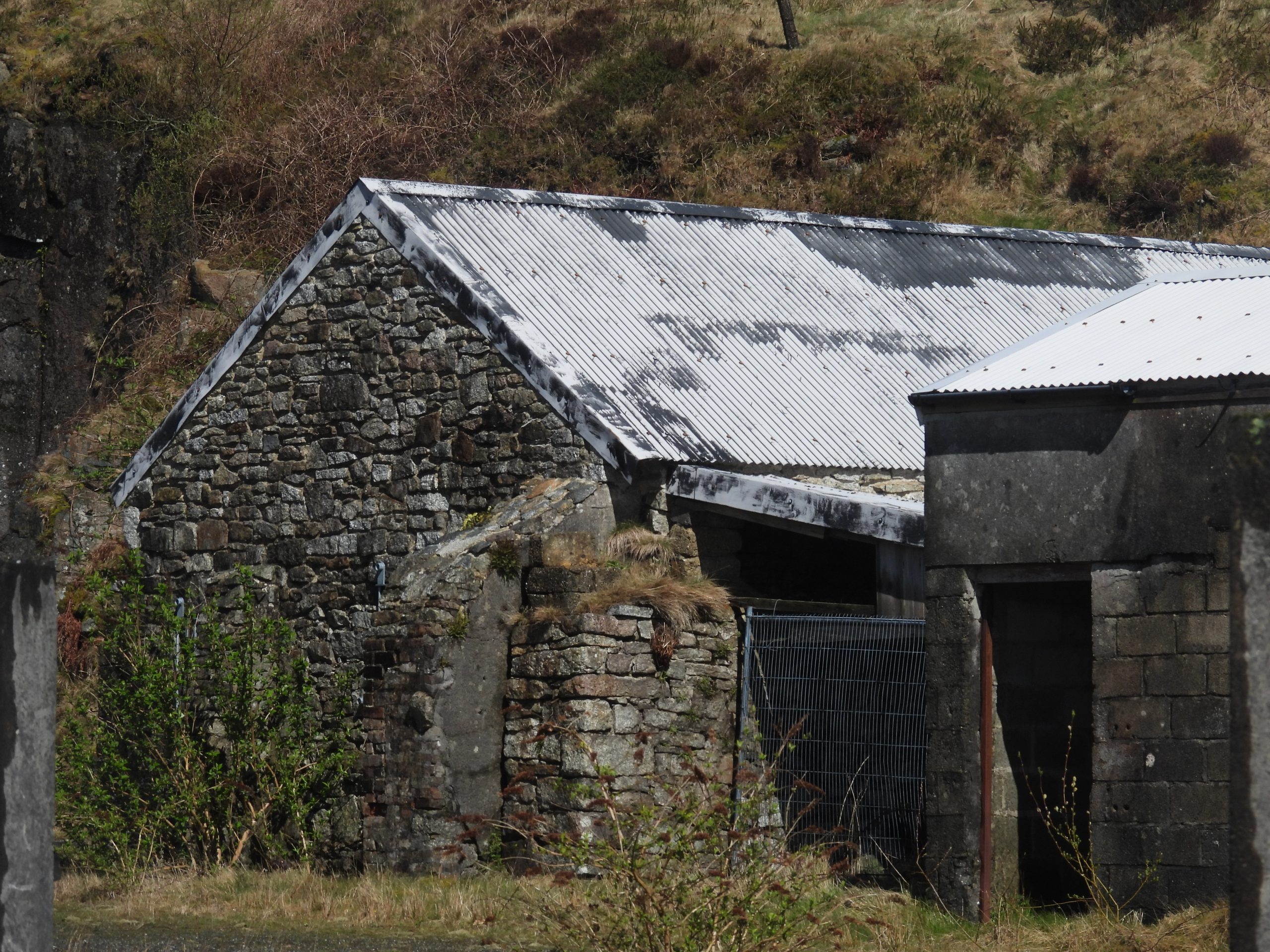
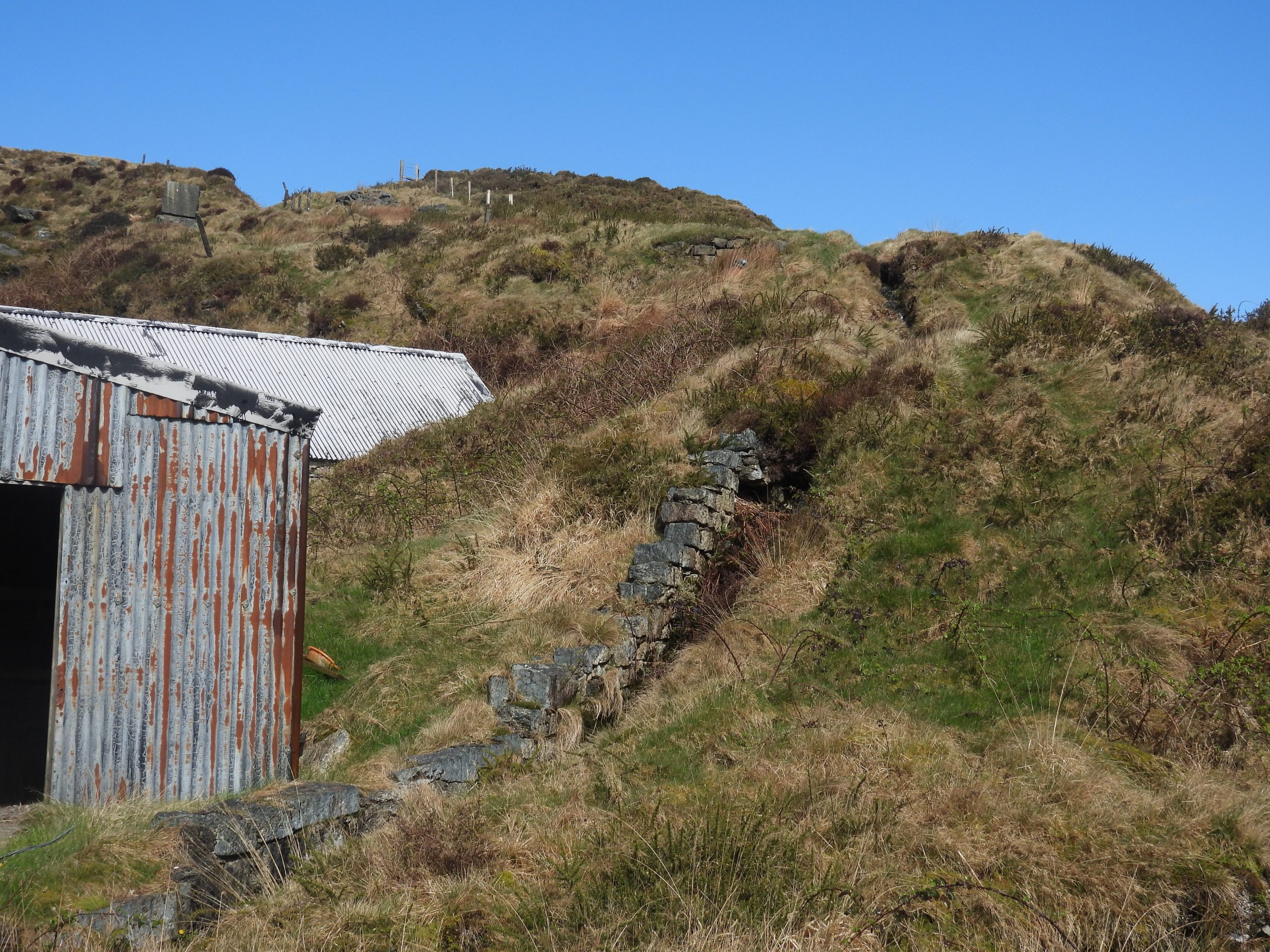
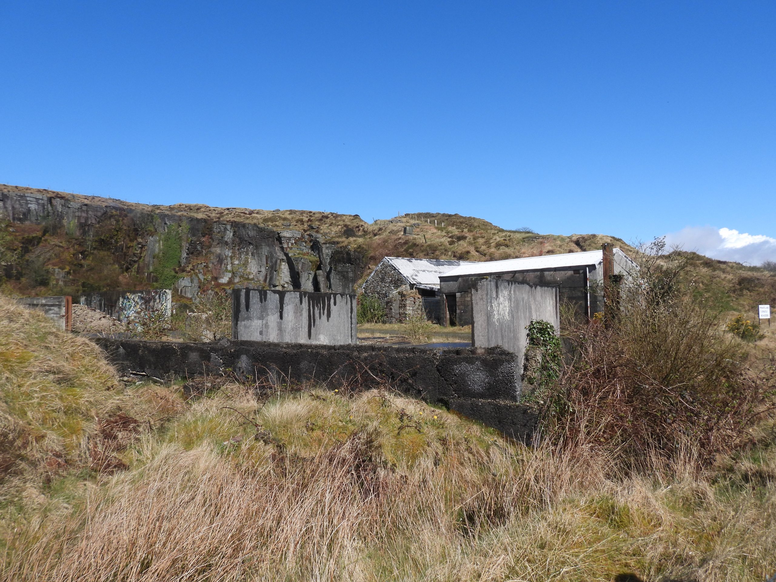
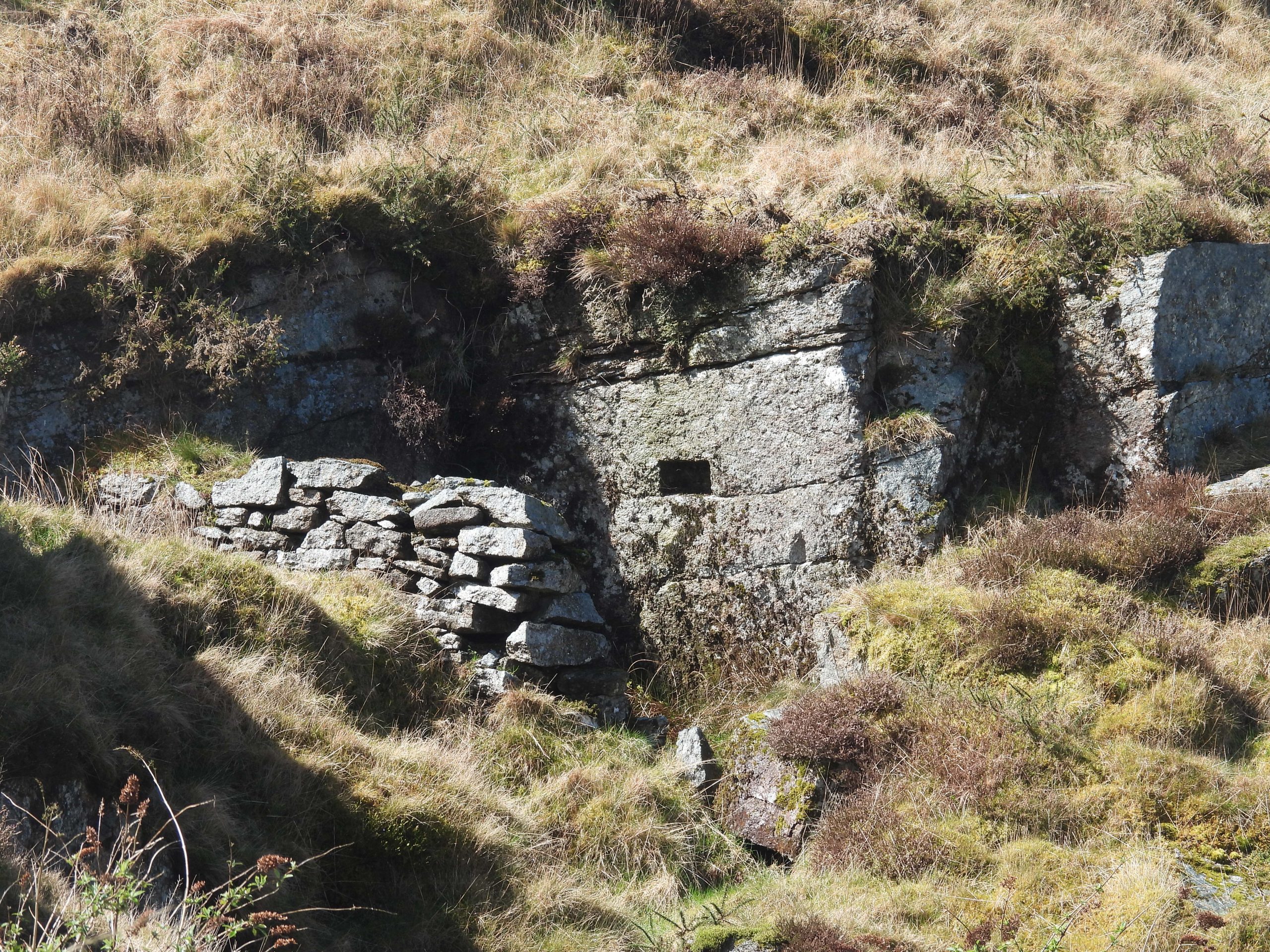
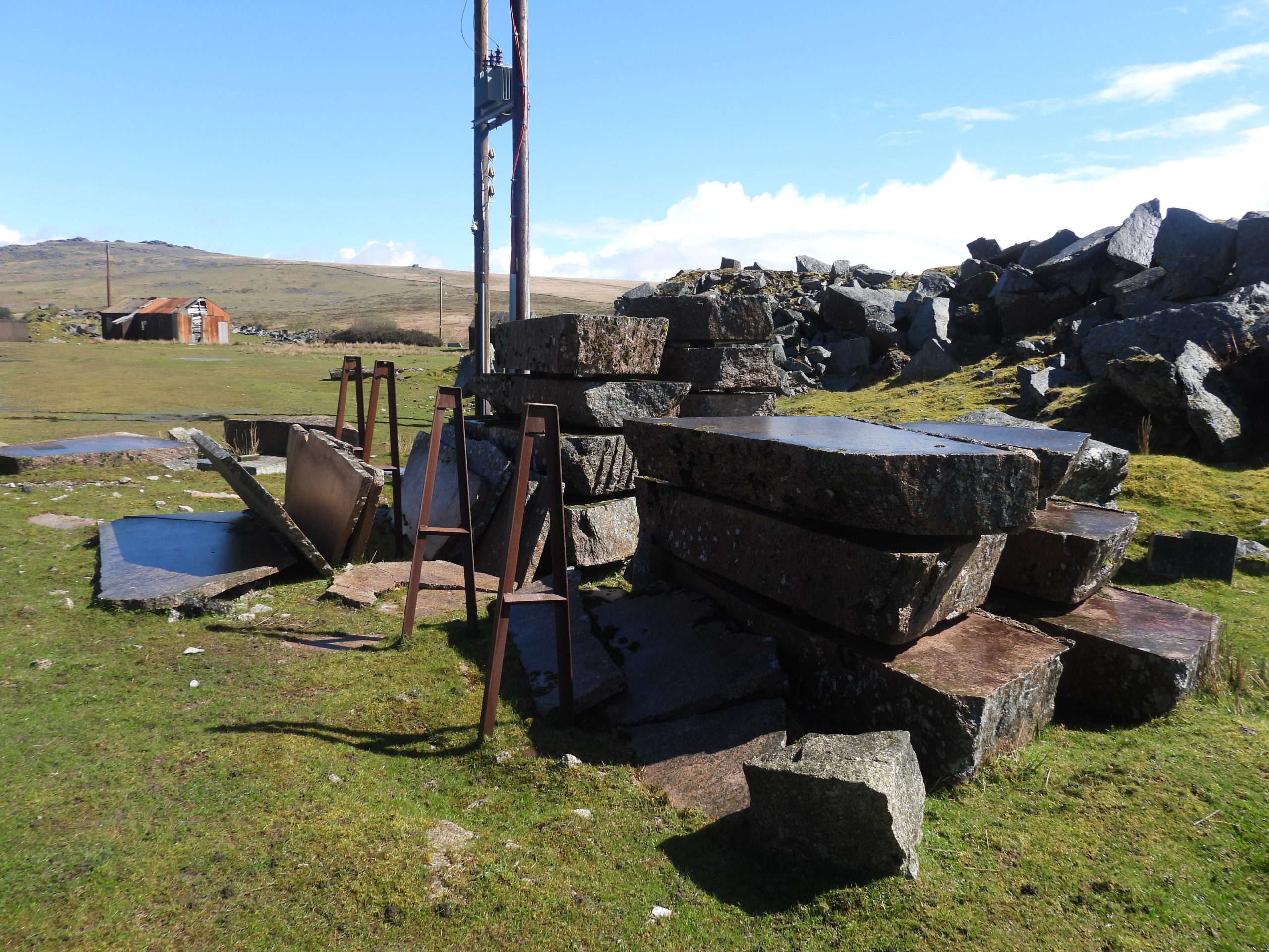
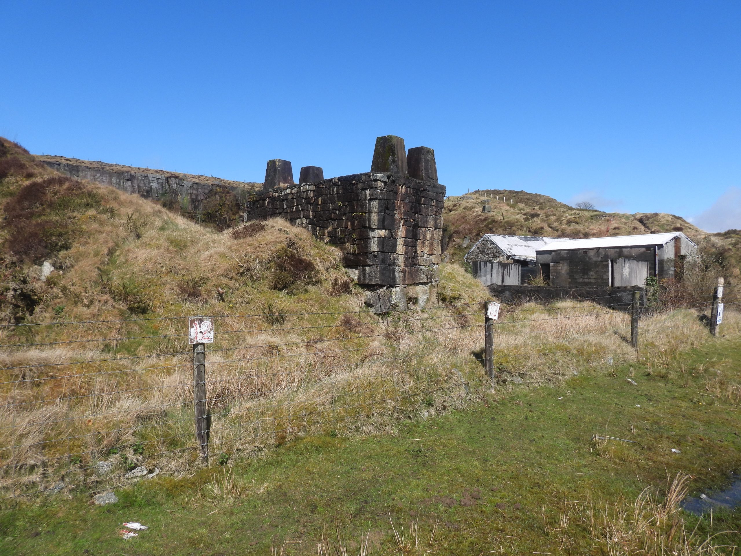
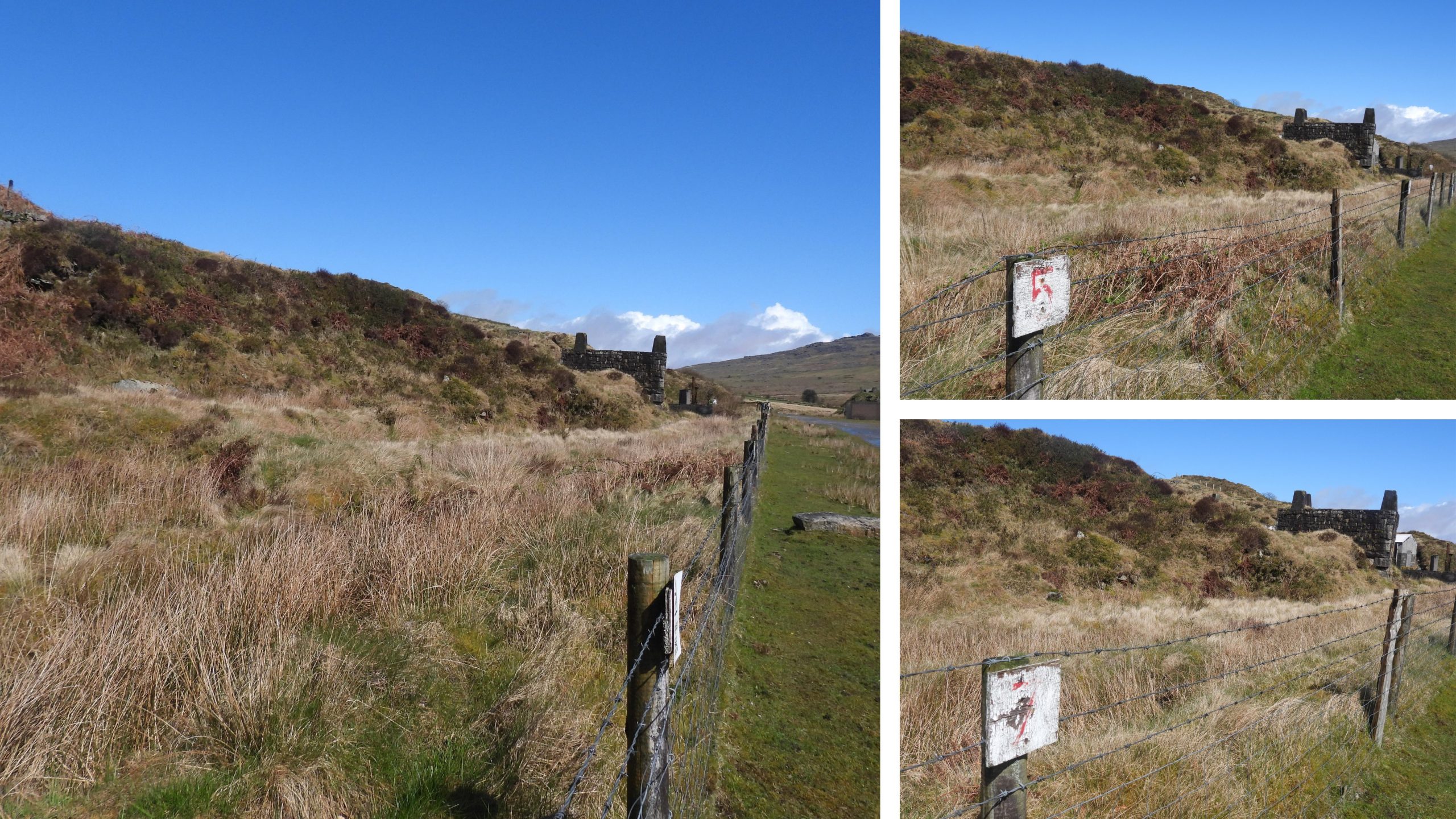
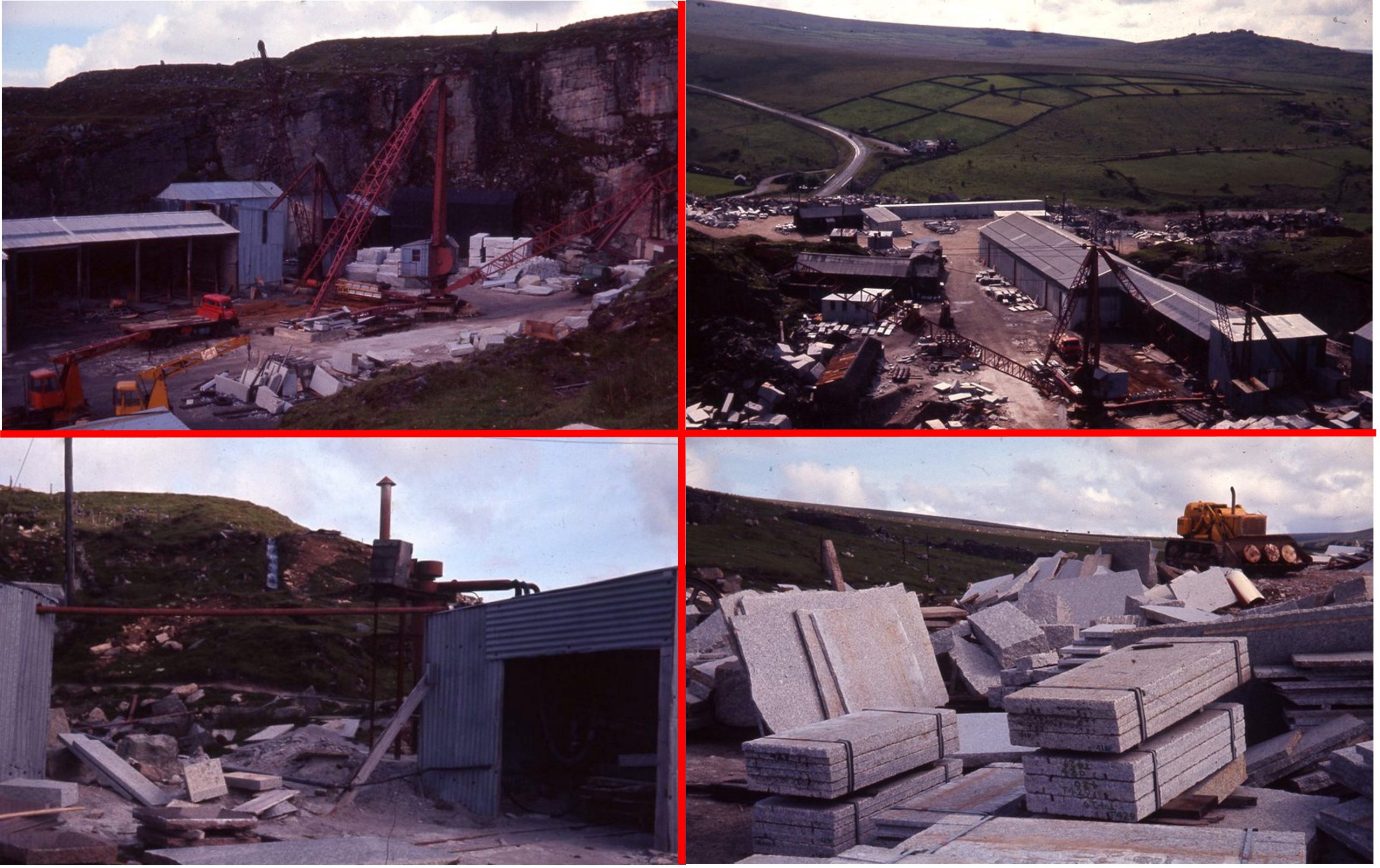
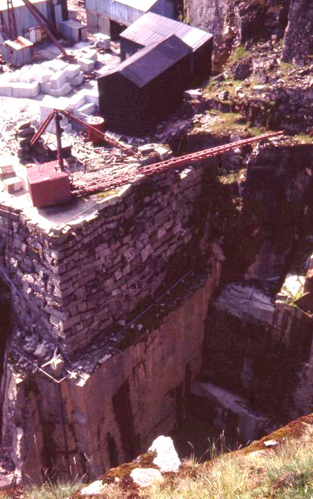
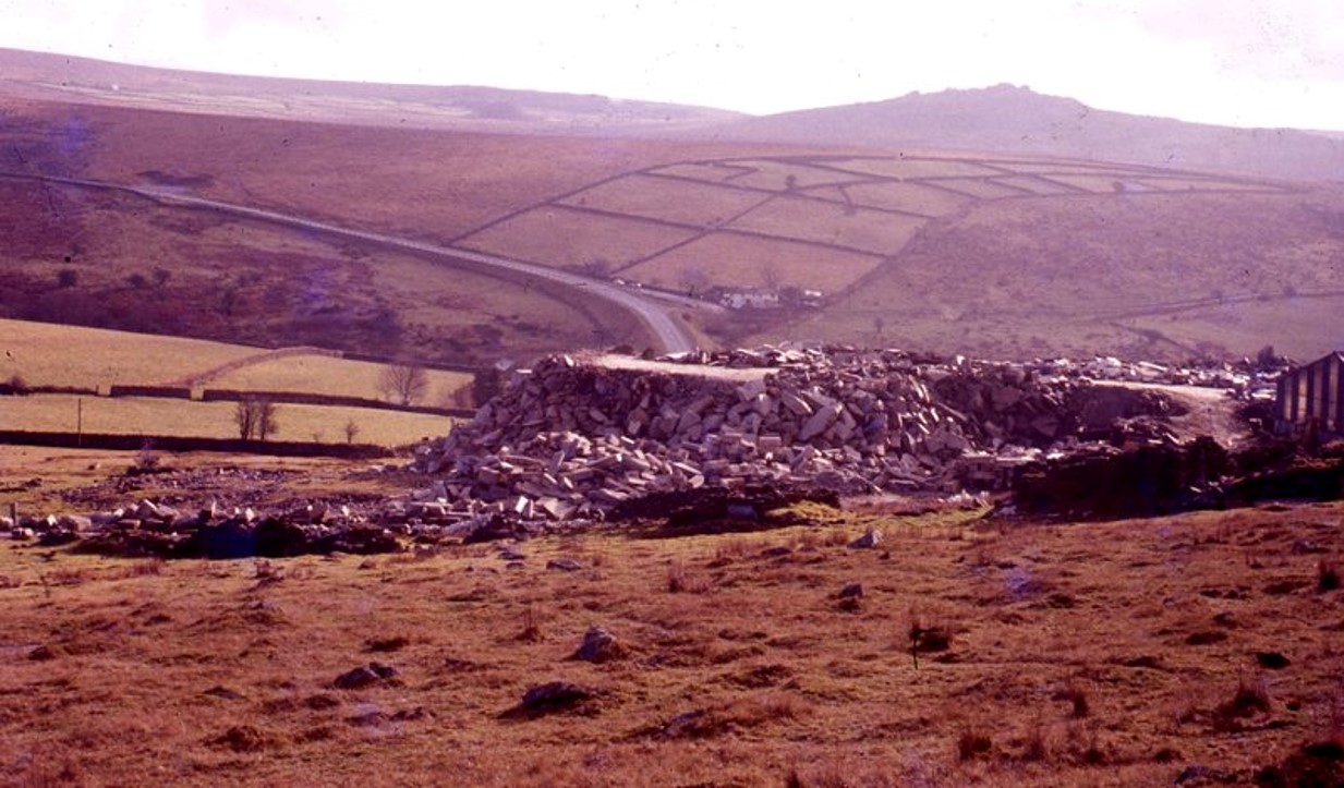
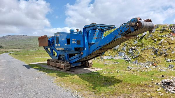
Sketch map of the features inside Merrivale Quarry and within the immediate locale.This 19th century milestones lies beside road just to the south-west of Merrivale Quarry. It is a round-headed granite block and is inscribed (with capital lettering) : TAVISTOCK 4 MORETONHAMPSTEAD 16. Apparently it is microchipped.This stone is believed to be a boundary stone for Merrivale Quarry. It is located just above the entrance track to the quarry and is inscribed with the letter “J”The “J” Stone is located at SX54538 75110Next to the entrance to Merrivale Quarry are the foundations of this building. It is likely that it was once a wooden construction perhaps with corrugated sheets. If anyone reading this post knows the history or has old pictures, the author would welcome seeing them.Due to its location (entrance to quarry), could this building have been used for some kind of reception / admin The building foundations are located at SX54541 75075To the south west of the quarry an explosives hut (aka ‘Magazine’) can be found. Close by (see bottom of photograph), there is an inscribed stone “MUM”. Close up of the inscribed stone “MUM”. It is likely to be a modern stone and is probably a memorial. It is located at SX54528 75192This structure is shown as a ‘Magazine’ (explosives hut) on early 20th century map. The map shows a small square building within a small circular enclosure. The ‘Magazine’ can be found at SX54530 75211Looking inside the ‘Magazine’ buildingLooking inside the ‘Magazine’ building there appears to be a niche, either by design or by collapse ?View from the ‘Magazine’ looking southTo the north of the ‘Magazine’ are some mystery building foundations. This structure (if that’s what it was) can be found at SX54532 75222These foundations (or structure) are located at SX54536 75230A view into the abandoned quarry from the west. On the horizon the mast at North Hessary can be seen as can the Little Mis Tor (top left of picture). Three buildings of interest remain within the site; The Blacksmiths Shop, the Chapel and the Crib (or mess room).A zoomed in view of the quarry. The largest building remains (still roofed and within the quarry) are those of the Blacksmith’s Shop, which was built in three phases. More details of this building appear later in the post.There were tracks within the quarry, which most likely were for cranes. The outline of these tracks can still be seen on the south west side of the quarry (right side of the photograph). To the north west side of the quarry, there is evidence of the quarrymen activities. These slabs lie next to a dry leat, to the west of which lie the group of sett makers bankersThis track is called the ‘Quarryman’s Path’. It is mentioned in Eric Hemery’s ‘High Dartmoor’ (pages 961-962). It was the route taken by workers who lived in Peter Tavy and who would walk to work each day. The track passes between Middle Staple Tor and Great Staple Tor before taking a route to the north of Cox Tor and down into ‘The Combe’ and onto Peter Tavy. The track becomes a terrace-way cut into the hillside after the Staple Tors. Following an exploration to the north west of the main quarry, the author has recorded 16 ‘Sett Makers Bankers’. There are many more of course and an excellent source of information regarding them can be found in the publication ‘Dartmoor Sett Makers’ Bankers (an industrial mystery solved ?)’ by Simon Dell and John Bright. This first banker was found at SX54519 75442.Sett Makers Bankers’ take the form of low primitive benches. This banker (number 2) was found at SX54518 75449Twin sett makers bankers (numbers 3 and 4) at SX54528 75473. The most photographed of the sett makers bankers (a group of three) can be seen toward a short distance away towards Great Staple Tor. The sett makers would have worked with pieces of granite 18in (46cm) x 9in (23cm) x 5in (13cm) to be cut into smaller sizes (source: Helen Harris). This piece of granite would have weighed about 20kg.Close up of the twin sett makers bankers (numbers 3 and 4)The ‘triple’ sett makers bankers are probably the most photographed in the area. For the purposes of this post the author has labelled them numbers 5,6 and 7. They are located at SX54526 75481. The payment to the workers was by the number of setts cut , which was 1d (£0.00417) each – Source Helen Harris. In modern terms this is about £0.64 ! Another pair of sett makers bankers at SX54482 75495. For the purposes of this post the author has labelled them numbers 8 and 9. It is said that a extremely good worker could make 60 setts a day and an average worker 40. Thus, typically between £25 and £38 could be made a day. A ruinous sett makers banker (number 10), identifiable by virtue of the ‘chippings’ alongside it. Location is SX54479 75491Sett makers banker number 11 at SX54481 75487Sett makers bankers 12 and 13 at SX54460 75492Sett makers bankers 14 and 15 at SX54483 75509Sett makers banker 16 (in foreground) at SX54486 75506Close up of sett makers bankers 14, 15 and 16Contextual view of sett makers bankers 3-7, the dry leat, Middle Staple and Great Staple Tors.Heading south east back towards Merrivale Quarry a rather large reservoir is located. The original flow into the reservoir came from the Grimstone and Sortridge Leat. It would seem logical that this reservoir was effectively a ‘header tank’ for the water wheel which was adjacent to the Black Smiths shop below and which is shown later in this post.General views of the Merrivale Quarry reservoir which is located at SX545660 75360Crossing the Grimstone and Sortridge Leat to the north of the reservoir at SX54679 75442To the north of the main quarry are four miscellaneous buildings / enclosures of unknown origin and are still shown as black rectangular shapes on modern OS Maps. The author (in the sketch map) has labelled these miscellaneous buildings / enclosures 1, 2, 3 and 4. #1 is located at SX54695 75374. It may be possible that these are part of a row of six or seven small detatched dwellings set at right angles to the main row (Duke’s Cottages) which are described on the Heritage Gateway. Miscellaneous buildings / enclosures 2, which also has some metal detritus is located at SX54719 75377Miscellaneous building / enclosure #3 is located at SX54682 75357By far and away the most interesting of the 4 miscellaneous buildings / enclosures is number 4. It is dug into the hillside to the south, west and north sides and has a concrete plinth within its borders with a metal (two doored) storage unit.The doors of the metal storage unit reveal that there was a double lock mechanism. The author conjectures that this unit may have stored the ‘charges’ for the explosives used in the quarry. If anyone reading this post knows the exact use of this, the author would be grateful in receiving any information.Both of the doors on the metal storage unit appear to have had a double lock. It is located at SX54709 75347A short distance from the four miscellaneous buildings / enclosures is another ruin, which is where a school was located.It is recorded by Mary Stanbrook, in her 1991 publication, ‘Old Dartmoor Schools Remembered’, that a Mrs Jewell taught around 40 children at Merrivale Quarry (some of whom transferred here temporarily from the school at the Mission Hall, north of Red Cottages around 1912/3). More information on schooling at Foggin Tor and the Mission Hall can be found here: https://dartmoorexplorations.co.uk/dartmoor-mission-hall-and-the-foggintor-quarry-school-wesleyan-chapel/The ruins of the (probable) school are at SX54750 75377Abandoned worked granite near to the old school.Across the track (east) from the school are the rubble remains of what is believed was an old explosives hut. This is located at SX54784 75375Old rails found amongst the detritus around the old quarry.Early 20th century map of Tor Quarry. The date is post 1904 (as that was when the Wesleyan Chapel was built).Apologies for the poor photograph with rain drops on the lens. The picture is looking south from the main track where there were once buildings and cottages.Looking at the late 19th / early 20th century maps a row of workers cottages at the quarry can be seen. There were 12 cottages built around 1895 and were originally named ‘Duke’s Cottages’ (after William Duke who opened the quarry in 1875). They were renamed ‘Walkham Cottages’ in around 1910. They appear to have been centred around SX54776 75322 (using side-by-side maps).The Dukes Cottages / Walkham Terrace were demolished around 1960, since which have been covered over by a large spoils tip.A granite ‘core’ from a drill found on site near the large spoil tip.Another abandoned worked piece of granite on the site.Very large concrete concrete foundations of what the author believes was a 20th century structure. The point where this photograph was taken was SX54733 75282Abandoned worked blocks at start of the spoil tip, which covers the foundations of Duke’s Cottages.A mystery overgrown enclosed area on the site can be found at SX54740 75336. Its purpose is unknown to the author.A levelled out and now overgrown enclosed area lies to the west of the track through the quarry. At first the author thought this was the location of Duke’s (or Walkham) Cottages but the grid reference was out by around 30 metres (east to west).Wesleyan Methodist Chapel was built in 1904 (Passmore) for the quarry workforce. Tavistock and District Local History Society, however, suggest it was built in 1901.The chapel was originally constructed as a corrugated iron building having which was intended to be only temporary until a new masonry chapel could be built. It is located at SX54711 75242The iron chapel continued in use until its closure in 1962 having never been replaced by a masonry building.The chapel is 12 metres long x 5 metres wide with granite footings beneath the floor joists. The Heritage Gateway (Passmore) records that the “original weatherboarding was protected with a bituminous roofing felt which was clad in corrugated iron when it failed”. Location of the early 20th century ‘crib’ building in relation to the curved wall where a crane once stood. The ‘crib’ building doesn’t appear on maps until well into the 20th century.The ‘crib’ or mess room with its west facing doorway.The ‘crib’ viewed from the north. The building is located at SX54722 75210The ‘crib’ roof is a modern replacement in corrugated (asbestos?) sheeting which is supported on wooden purlins.Inside the crib / mess room. It was the presence of a stove and associated with a chimneybreast and stack which indicated that the building was used as a crib or mess room.The ‘Crib’ is recorded as being constructed during the first half of the 20th century onto the northern end of an earlier wide curving drystone wall as can be seen in the picture. The ‘crib’ building has a window in the south elevation. The curved wall next to the ‘crib’ where the crane used to be located has around a dozen niches within it. The author has been told these were where the workers tools were stored. Close up of a couple of the niches.Some of the niches have inscriptions. This niche appears to have the inscription ‘JOE’. Another niches with an inscriptions. This niche inscription is indecipherable.North of the ‘crib’ building looking towards the spoil tip (foreground) with Little Mis and Great Mis Tors on the horizon.Polished and shaped granite not destined for a customerThe north eastern elevation of the ‘crib’ as shown in the photograph is formed by the earlier wall of large granite stones. These are overlain by smaller roughly squared blocks.Building remains within the main part of the quarry. Their use is unknown to the author.An unusual shaped stone was found, which looks like the head of a hammer (given its shape and hole drilled into it)Close up of a (possible?) hammer. Ironically found not far from the Blacksmiths shopAn unusual construction which would have been next to some rail lines located here. Was this part of an old crane?Close up of some more foundations within the main quarry.Old the north east side of the main quarry are the remains of the Blacksmith’s workshop which were built in four phases from late 19th / early 20th century to the second half of the 20th century (ref: Passmore). The waterwheel location can be seen to the right of the buildings in this photographFour phases of development at the ‘Blacksmith’s Shop’ at Merrivale Quarry were identified by A. J. Passmore in the 2006, ‘Archaeological Assesment of Historic Buildings at Merrivale Quarry’. Passmore writes: “Phase 1 was from the late 19th / early 20th century consisting of a rectangular east range with the northern corner is constructed against the quarry face. The building has thick granite walls and three forges with granite bases and sides. The northern forge constructed against the quarry face retains part of a stack”. Access (quite rightly due to safety concerns) is not possible.A.J. Passmore continues by writing : “Phase 2 (was) before 1904 (and) saw a small building added to the south-east wall and the roofline was raised. Much of the south-west elevation was rebuilt with new windows and door added”A.J. Passmore continues: “Phase 3 took place during the second half of the 20th century when the southern forge was abandoned and the hoods of the other furnaces were rebuilt. New stacks were added and the roof was replaced with corrugated asbestos sheets”.A.J.Passmore concludes: “Phase 4 in the early 1950s saw the extension replace by a new building. The waterwheel was retained but was supplied by a new high level piped water supply which would have created a more powerful overshot wheel that was used to drive a turbine which was probably housed in the rebuilt extension”. The author assumes the waterwheel mentioned may be the one shown in the photograph, albeit Passmore suggests there may have been a second wheel located with the Blacksmiths shop building at one time. General view across the buildings and foundations left at Merrivale Quarry.Tucked up on the south face of the quarry is what is probably and early building.More worked granite which was never delivered, some of which is still located on a metal cradle. The chapel can be seen in the background.On the fenceline outside the quarry are a number of posts which have been numbered. The post nearest the camera is numbered 12. Presumably this was a goods in or goods out storage location.The fenceline with the numbered posts, which are next to the gated entrance to the quarry site.Picture courtesy of H.H.Benning (date unknown) but likely to be prior to 1997 when the quarry was still operational. The building near the entrance was extant in this picture.Old pictures of the quarry (courtesy H.H. Benning) which give some insight into locations of buildings and cranes.An amazing picture (courtesy H.H. Benning) showing the depth of the quarrySpoil tip of the quarry (picture courtesy from H.H. Benning)May 2023 – a rock crusher is parked up. One wonders if there is any activity about to take place here ?
Brilliant website thank you.
I was immediately, on seeing this page thinking of this as a must do mission but as one of the last workers at South Crofty Mine Blacksmith shop before it shut the picture of that hammer head and the still standing building shop has moved this right up my to do list.
Paul Hoskin June 9, 2026
Brilliant website thank you.
I was immediately, on seeing this page thinking of this as a must do mission but as one of the last workers at South Crofty Mine Blacksmith shop before it shut the picture of that hammer head and the still standing building shop has moved this right up my to do list.