A collection of walks, discoveries, insights and pictures of exploring Dartmoor National Park
October 19, 2020
GREAT WHEAL ELEANOR
Steve Grigg and Frank Collinson
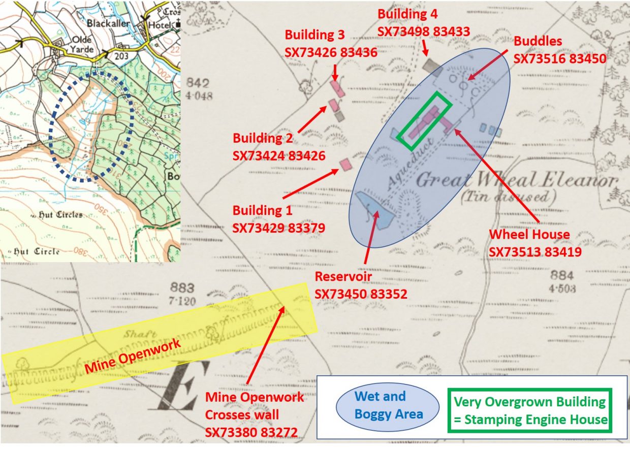
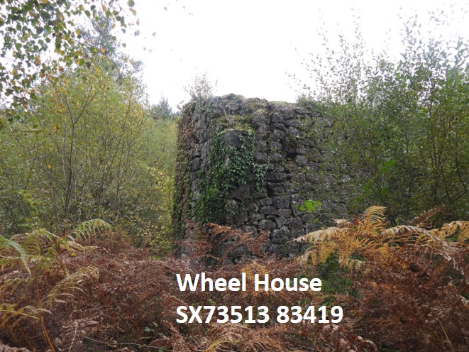
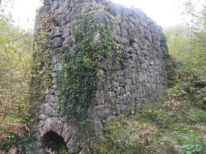
This tin mine is situated on the northeast slope of Easdon Down on (mainly) public access land. It was operated by the Great Wheal Eleanor Tin Mining Company from 1874 until being closed by 1884. The mine was largely a re-working of 15th-17th century openwork, although there were shafts sunk in the 19th century venture. The openwork does lie on private land but can be seen from the western boundary of the public access land. Of note on the site is the wheelhouse for a 40ft wheel, which in the authors opinion is probably the most impressive on public access land within the national park. Be prepared for negotiating wet and boggy conditions around the settling pits and wheel house.
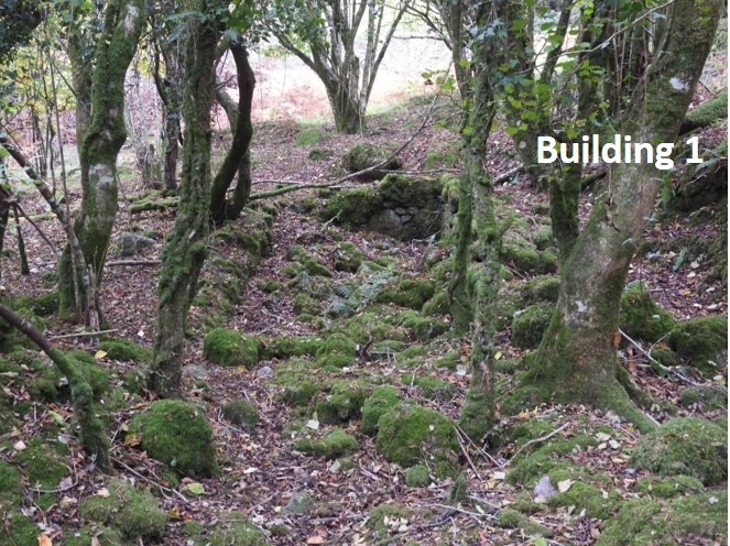
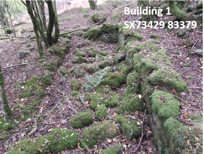
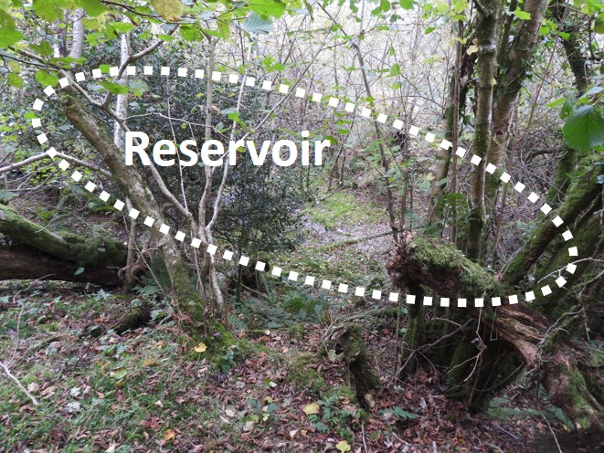
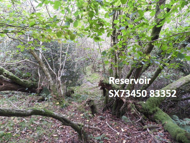
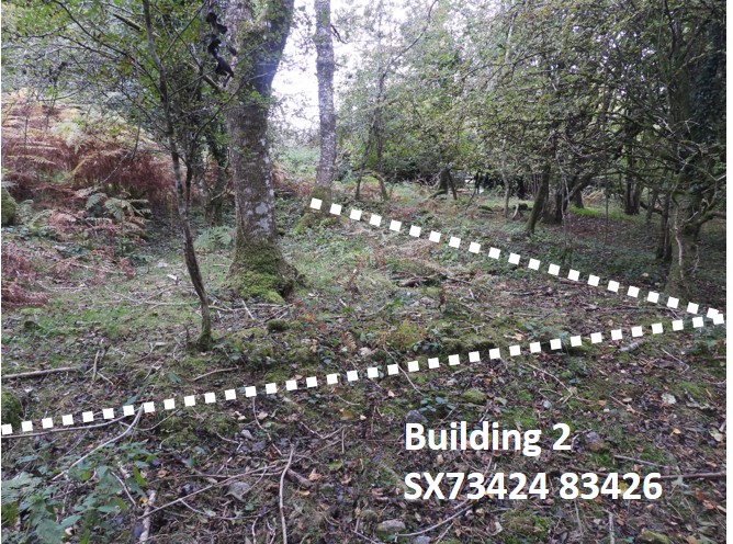
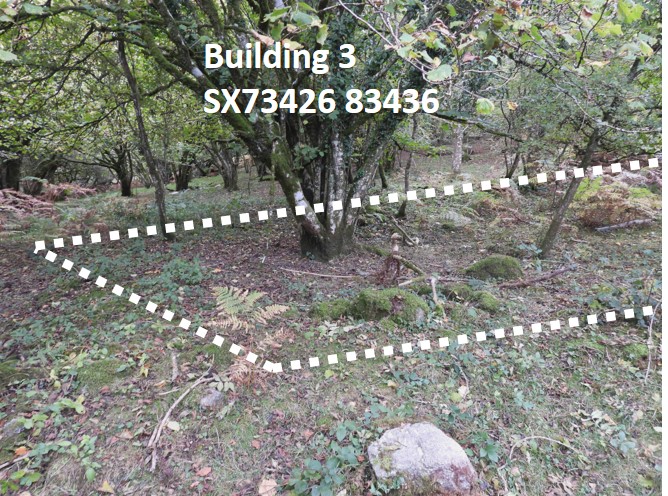
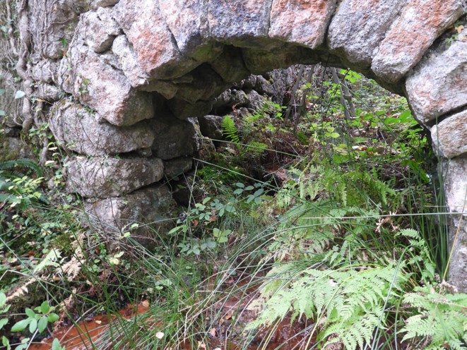
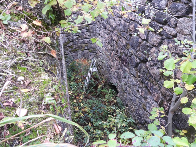
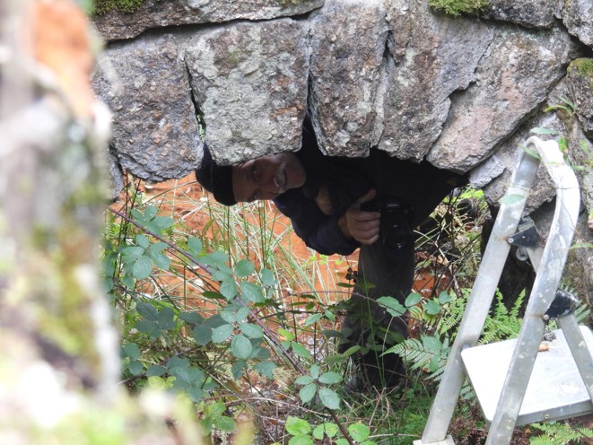
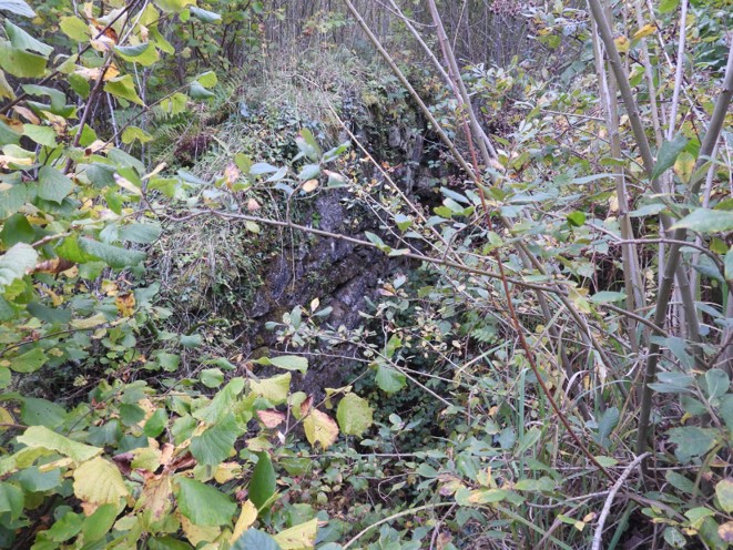
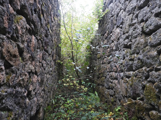
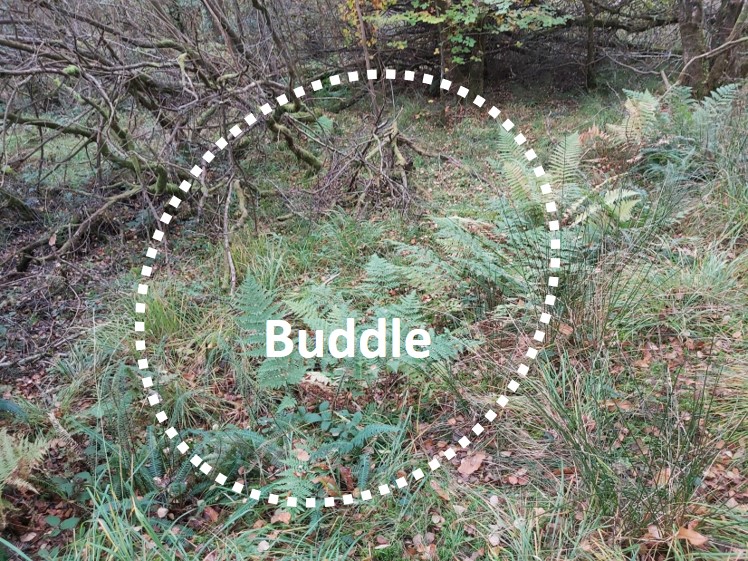
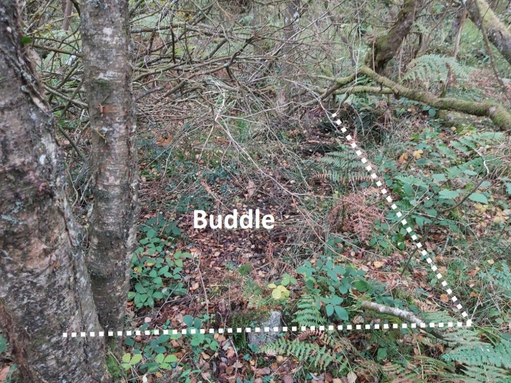
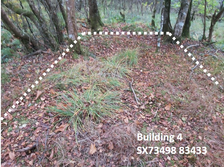
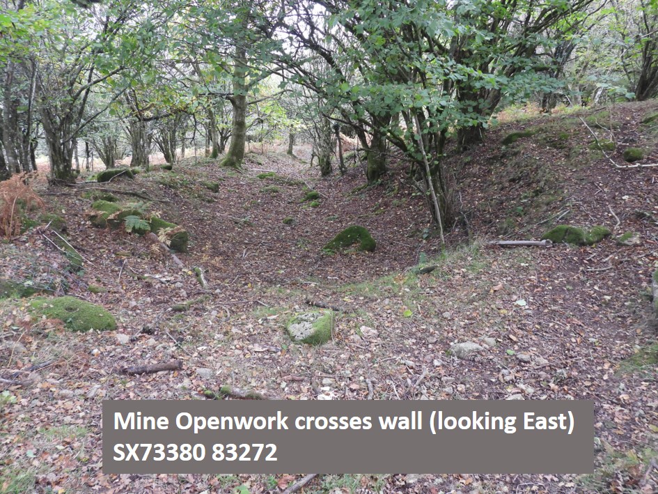
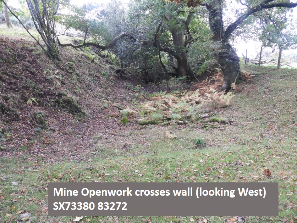
The above map is of late 19th century origin and shows all the buildings and infrastructure. Overlaid are the 10 digit NGR’s of key features and information relating to the wet / boggy area, a very overgrown area plus location of the openwork. The modern OS is shown as a thumbnail (top left) for location. Note, however direct access from Olde Yarde is not possible.Apart from the Wheelhouse, the only other building ruins of note are of “building 1” shown on the map. The site did include an office, a smithy, a drying house, a carpenter’s shop, and stables. It is unknown what this building was used for.Close up of Building 1The water wheel was supplied by water from a reservoir 70 metres to the southwest of the wheelhouse. The reservoir can be easily discerned.In the 19th century, in order to attract investors, a plentiful supply of water was a selling point. Taken from Dr Phil Newman thesis, it is quoted that the promoters of Great Wheal Eleanor in 1875 stated: “The position of the property, the nature of the land through which the lodes run, and the plentiful supply of water for working (Winter and Summer), the wheel and stamps, obviate all that most expensive outlay for Engines and Coals to work the same, the water power alone being fully sufficient to perform all the work necessary.”Building 2 is barley discernible and its use is unknown to the author. The mine is very close to North Bovey (approx. 1km as the crow flies) and is known to have at one point employed 15 men from the village (by 1880).Building 3, like building 2 is barley discernible and its use is unknown to the authorNegotiating the wet and boggy ground the Wheelhouse can be foundFrom the end of the wheel a flat rod system extended along the openwork to Engine Shaft. In 2007 there was an archaeological field survey of the mine. At that time, there appeared to be quite an extensive vegetation clearance around this area.Close up of the beautifully built archway, where the water would have exited from the wheel operation. If you look carefully, an aluminium step ladder can be seen inside, indicating (most likely), some vegetation clearance from the walls.Looking down into the wheelhouse, where the ladder is situatedZooming in, a ghostly figure appears under the archwayLots of vegetation atop the wheelhouse wallsNegotiating the arch, access into the wheelhouse can be made (feet likely to get wet). The 40ft waterwheel ran 16 heads of stamps as well as the flat rods. This power was augmented by a steam powered stamping mill, with a further 16 stamps.There looked like there were 3 buddles from the 19th century map. These are barely discernible in 2020. There is some evidence of ground disturbance indicating where they probably were.More evidence of ground disturbance. The ground here is very wet and boggyAccording to the 19th century map, there was a building next to the settling pits / buddles. This platform was found, probably indicating the location of that building.In the 2007 archaeological field survey it was described that the mine had “a linear, V-shaped trench approximately 350 metres long, aligned east-north-east to west-south-west.” It was further stated that the shafts sunk within the floor of the openwork (now on private land) represented the 19th century reworking of the openwork. The 19th century lode was situated 20 fathoms down in the Engine Shaft.In 1876, 3 tons of black tin was extracted. By 1878 the output from the mine had risen to 10.8 tons. However it was reported that by 1881 the output had dropped to just 5 tons and then to just 2 tons in 1882. By 1884 the mine had been abandoned.
Brilliant pictures and write up as usual, I have visited the site but as usual living not far from the site I have only once been there but always with good intensions to go again. My main interest is the industrial archaeolical sites of Dartmoor having been born and bred here. keep up the good work.

Mike Jeffery February 17, 2022
Brilliant pictures and write up as usual, I have visited the site but as usual living not far from the site I have only once been there but always with good intensions to go again. My main interest is the industrial archaeolical sites of Dartmoor having been born and bred here. keep up the good work.
SteveGrigg1961 February 17, 2022 — Post author
Thank you very much Mike