A collection of walks, discoveries, insights and pictures of exploring Dartmoor National Park
January 12, 2023
Great and East Sortridge Consols Mine
The Plaster Down area at first glance seems to be devoid on any features of note, especially the area to the west of the road between Riland Plantation and Warren’s Cross. The area was however, a hive of activity in the mid-19th century with (at least) two major shafts and many trial pits being dug in relation to the Great and East Sortridge Consols Mine. Hamilton Jenkin wrote in his book on the mines of Devon (Southern Area) that “South of Whitchurch Down lie the Sortridge Mines – Great Sortridge, Great Sortridge United, Great West Sortridge, East Sortridge, North Sortridge – which sprang up like mushrooms in the 1850s”.
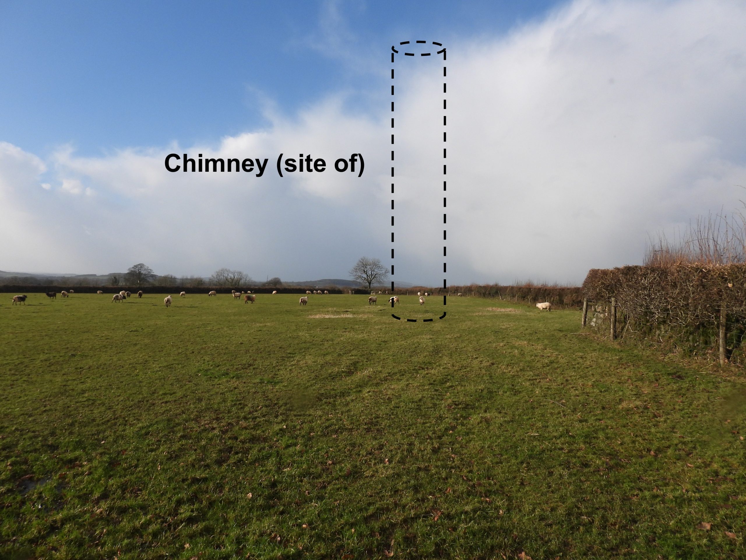
The Great Sortridge (or Plaister Down) Mine was once included in the Sortridge Consols sett (whose main workings were half a mile north of Horrabridge, near Sortridge Manor). The mine was originally set up to search for tin and by 1846 and adit had been driven 200 fathoms expecting to cut a lode at 12 fathoms from the surface. Records show that three shafts were initially sunk and small quantities of tin, native copper and spots of yellow ore were found. The position of the mine was formerly distinguished by a tall chimney stack (long since disappeared) which was adjacent to the main shaft.
By 1854, the mine is recorded as being named Great and East Sortridge Consols and was a copper mine (in spite deposits of tin having been found). It was at that time held under a lease for 21 years, at a royalty of 1-15th, granted by Colonel Harris, of Radford (Plymstock, near Plymouth). This post follows an exploration of the remaining features of these mine workings on Plaster Down and includes other notable features such as Higher Pennington Barn, two benchmarks, a milestone and aspects of Grimstone and Sortridge Leat.
Bibliography
Mines of Devon Volume – The Southern Area – A.K. Hamilton Jenkin
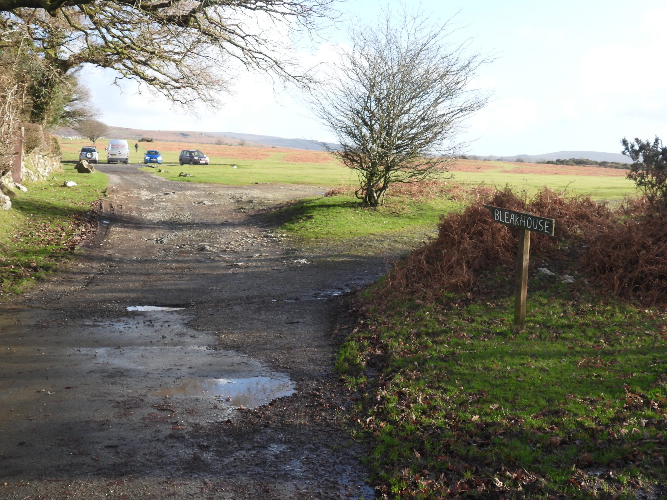
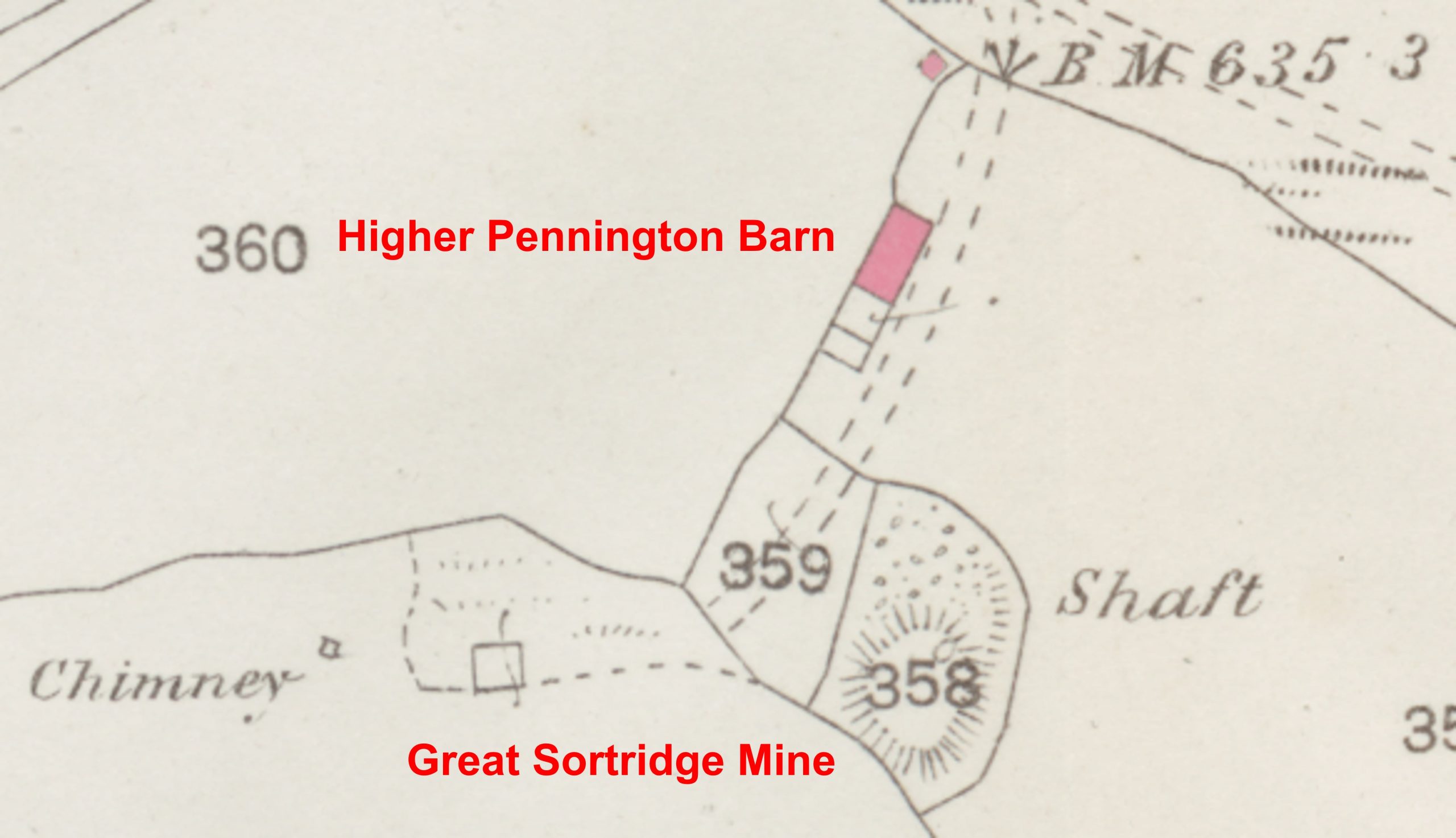
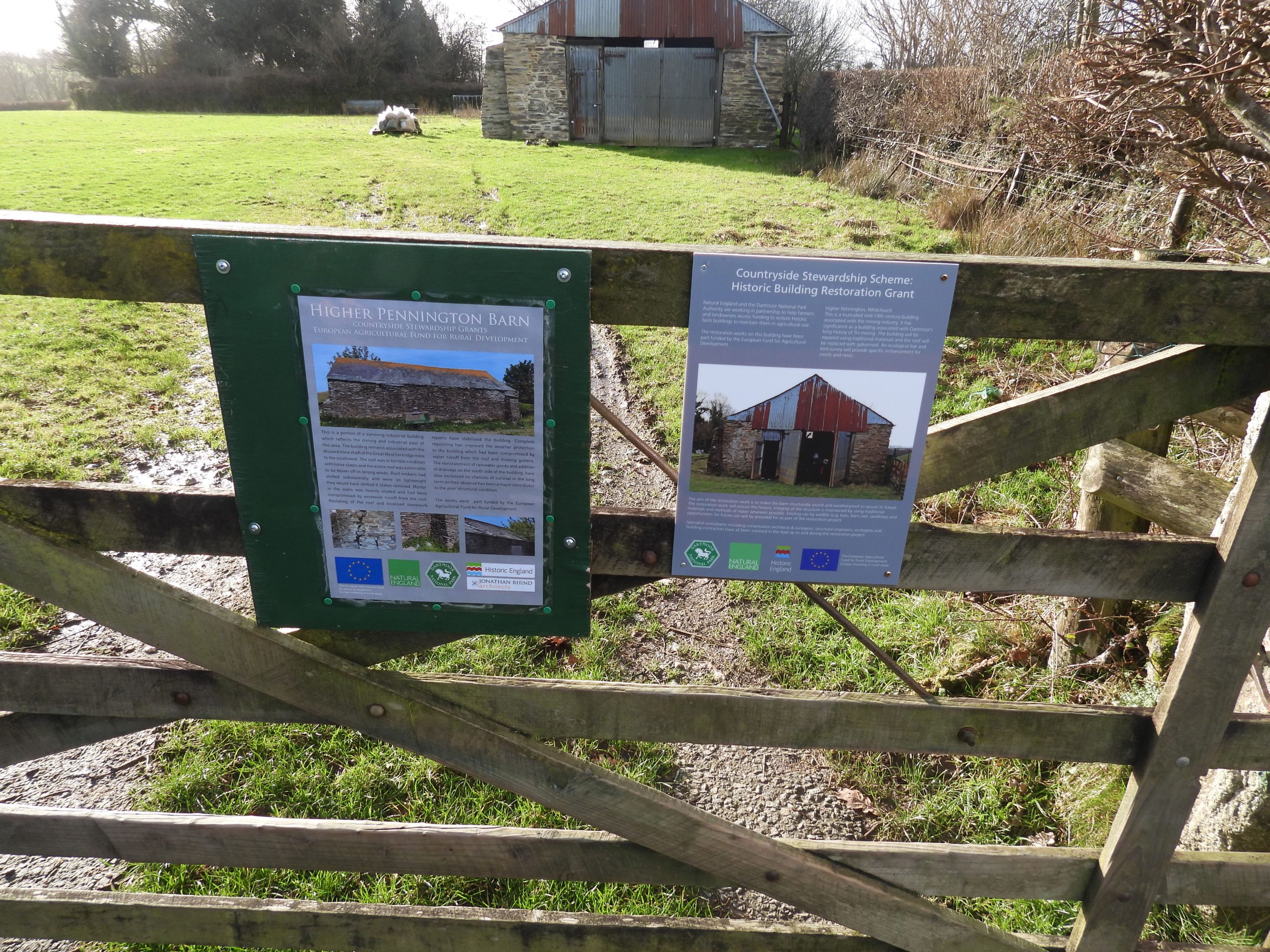
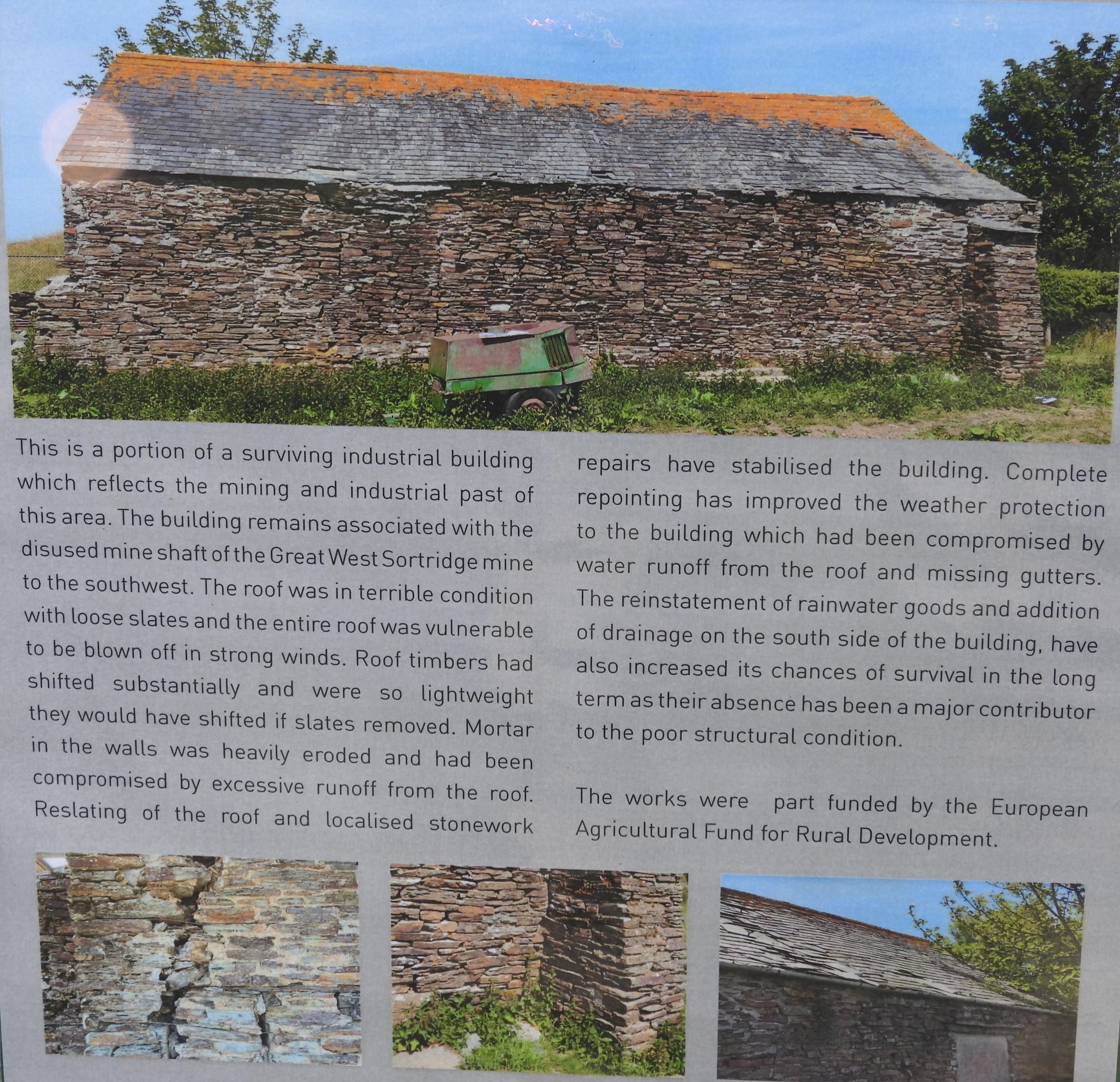
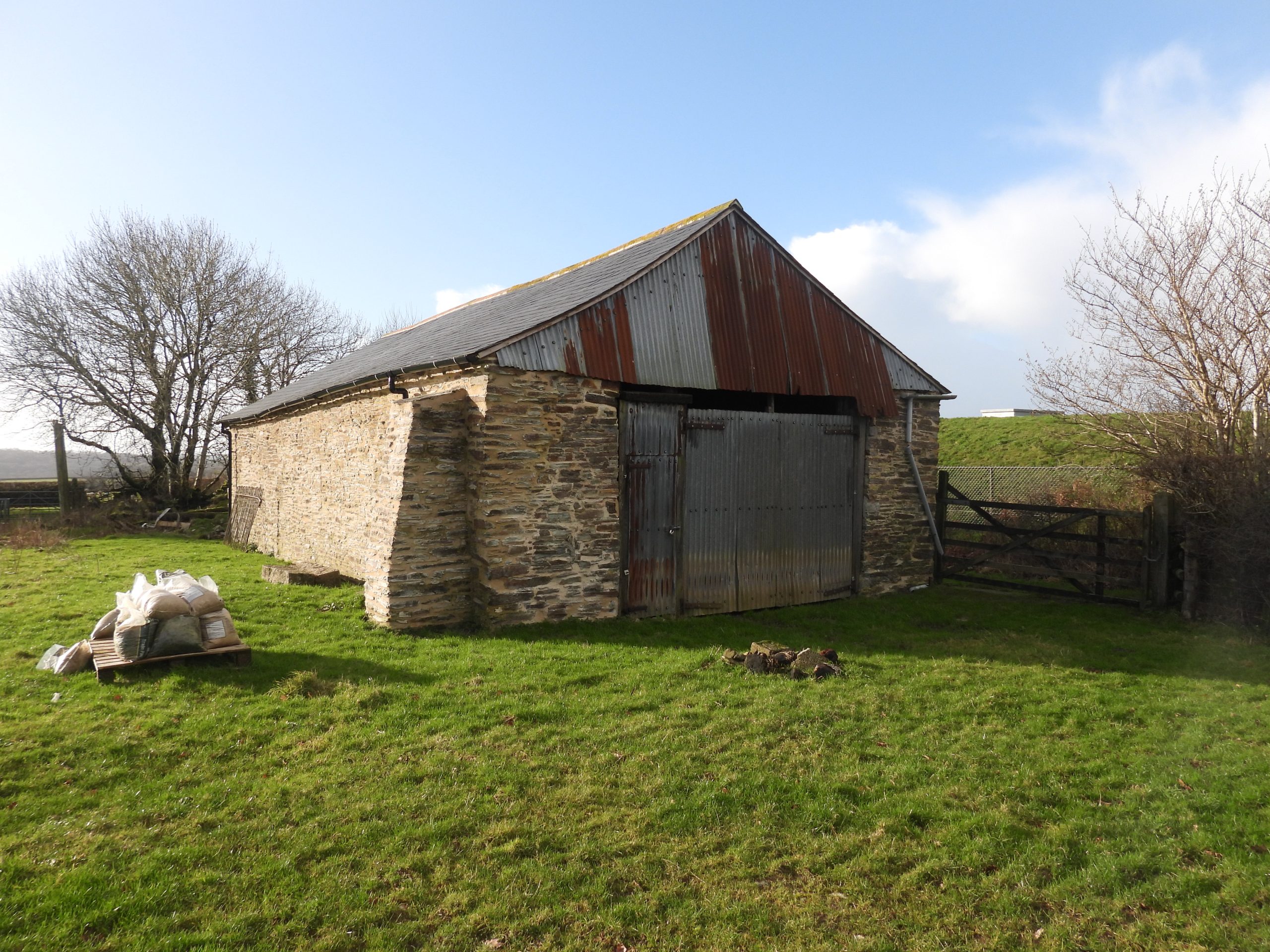
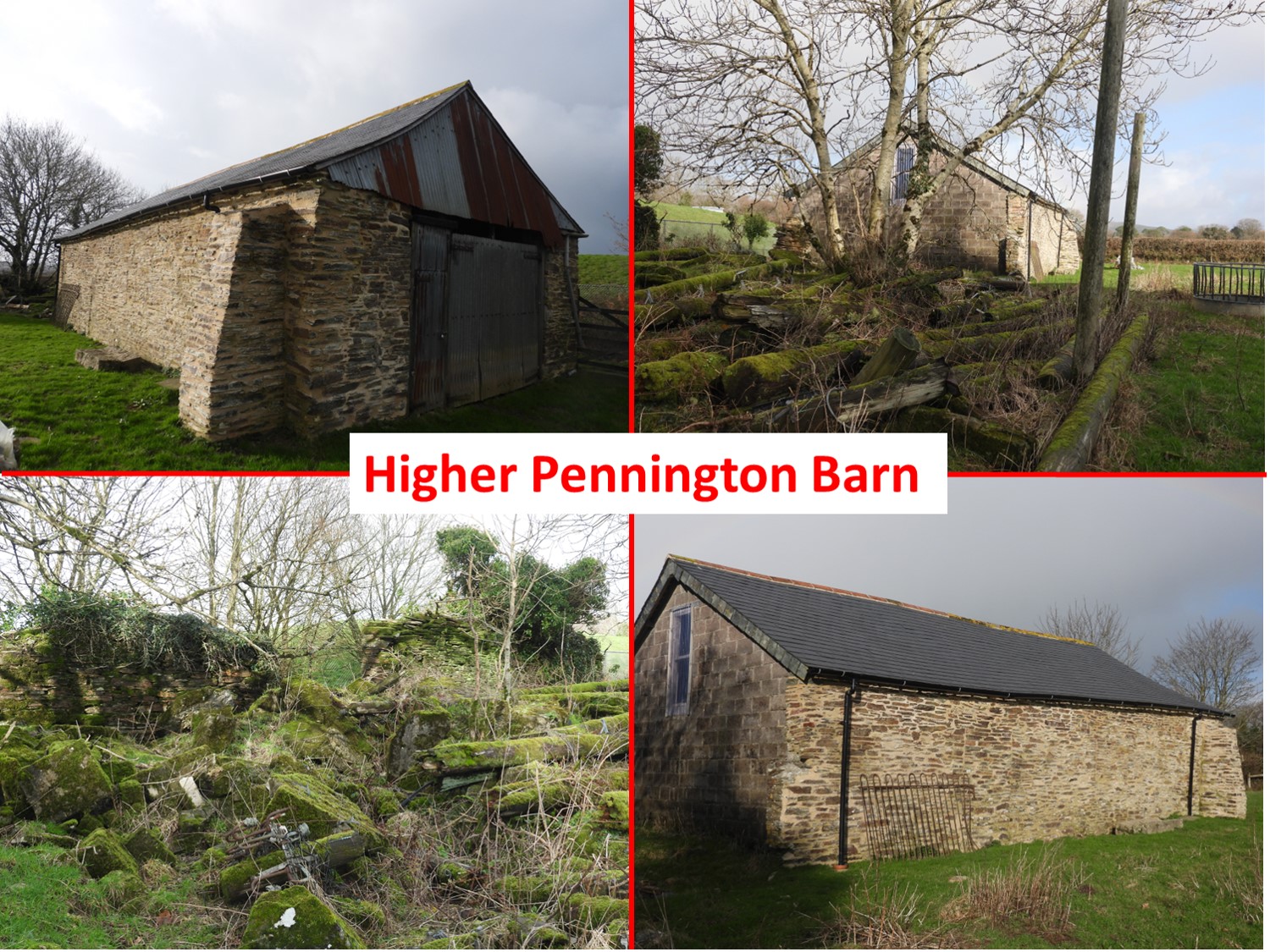
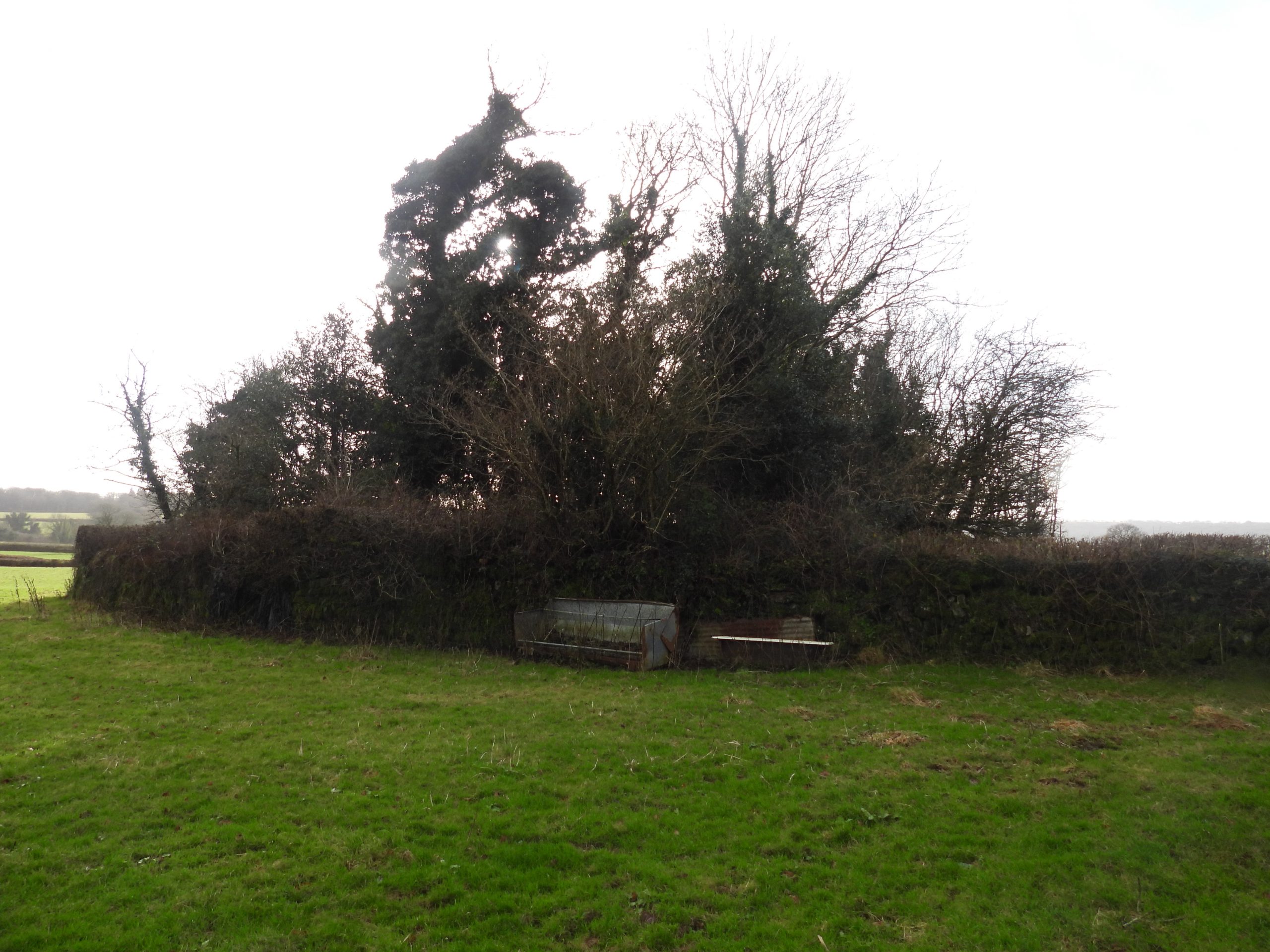
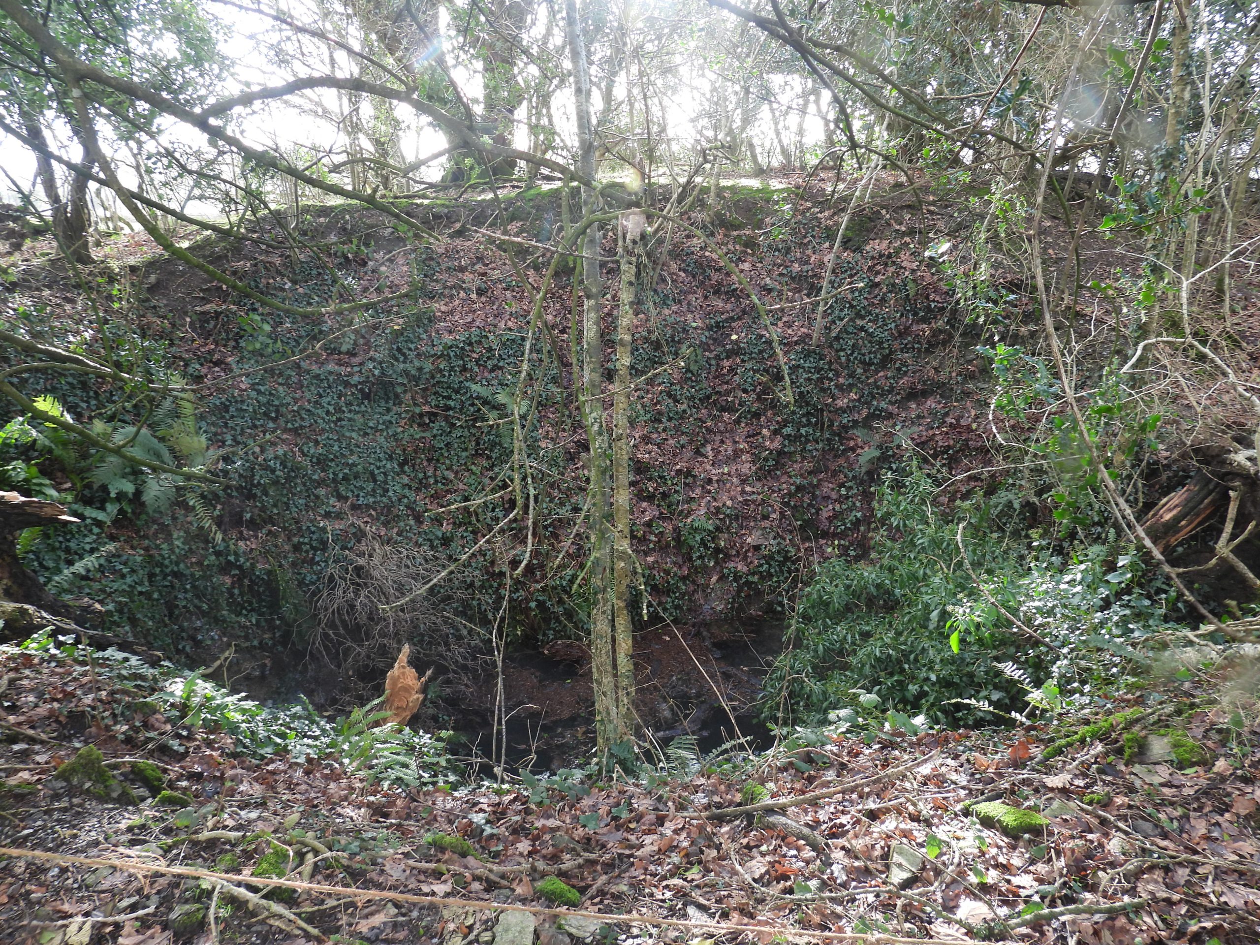
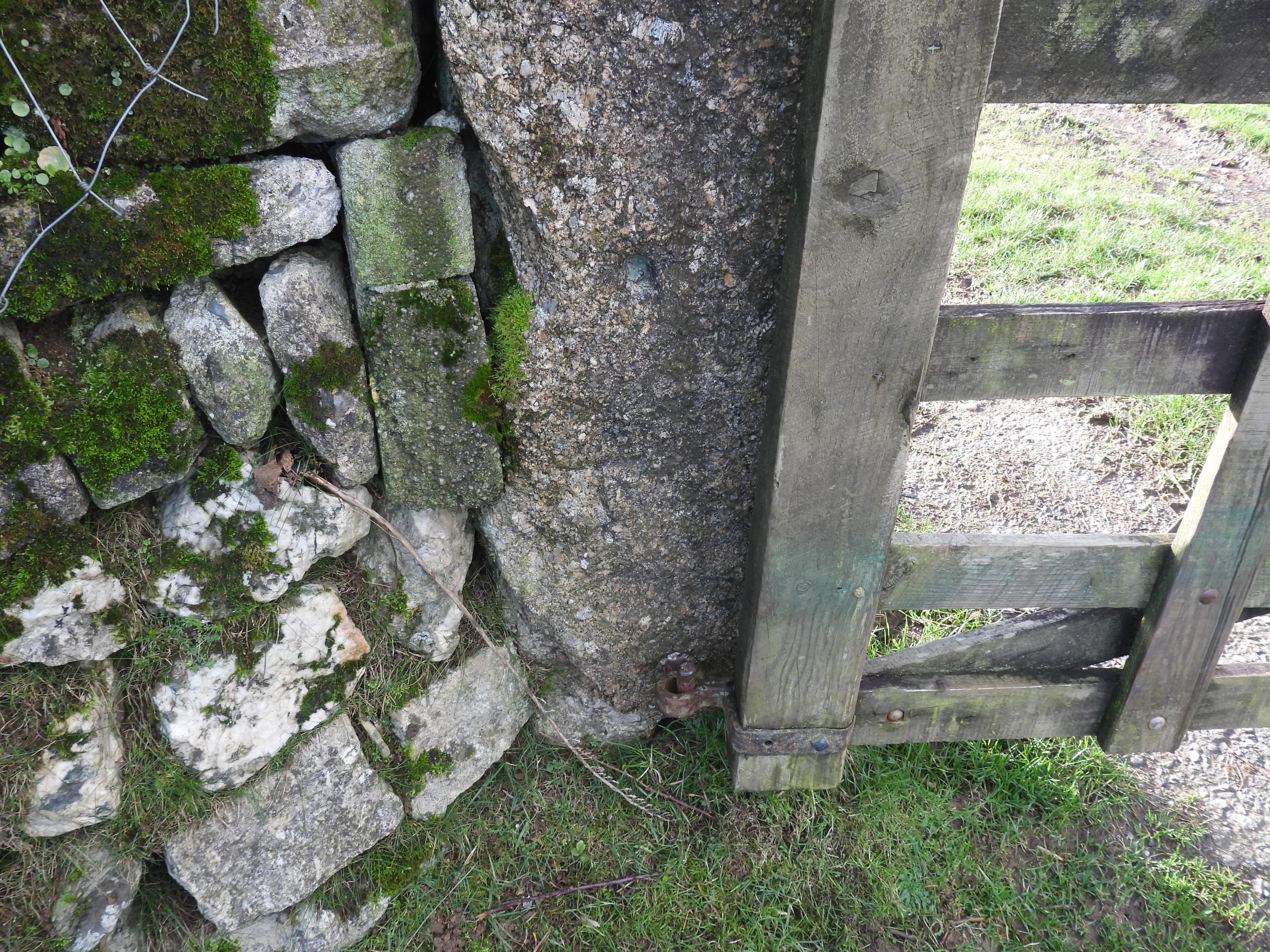
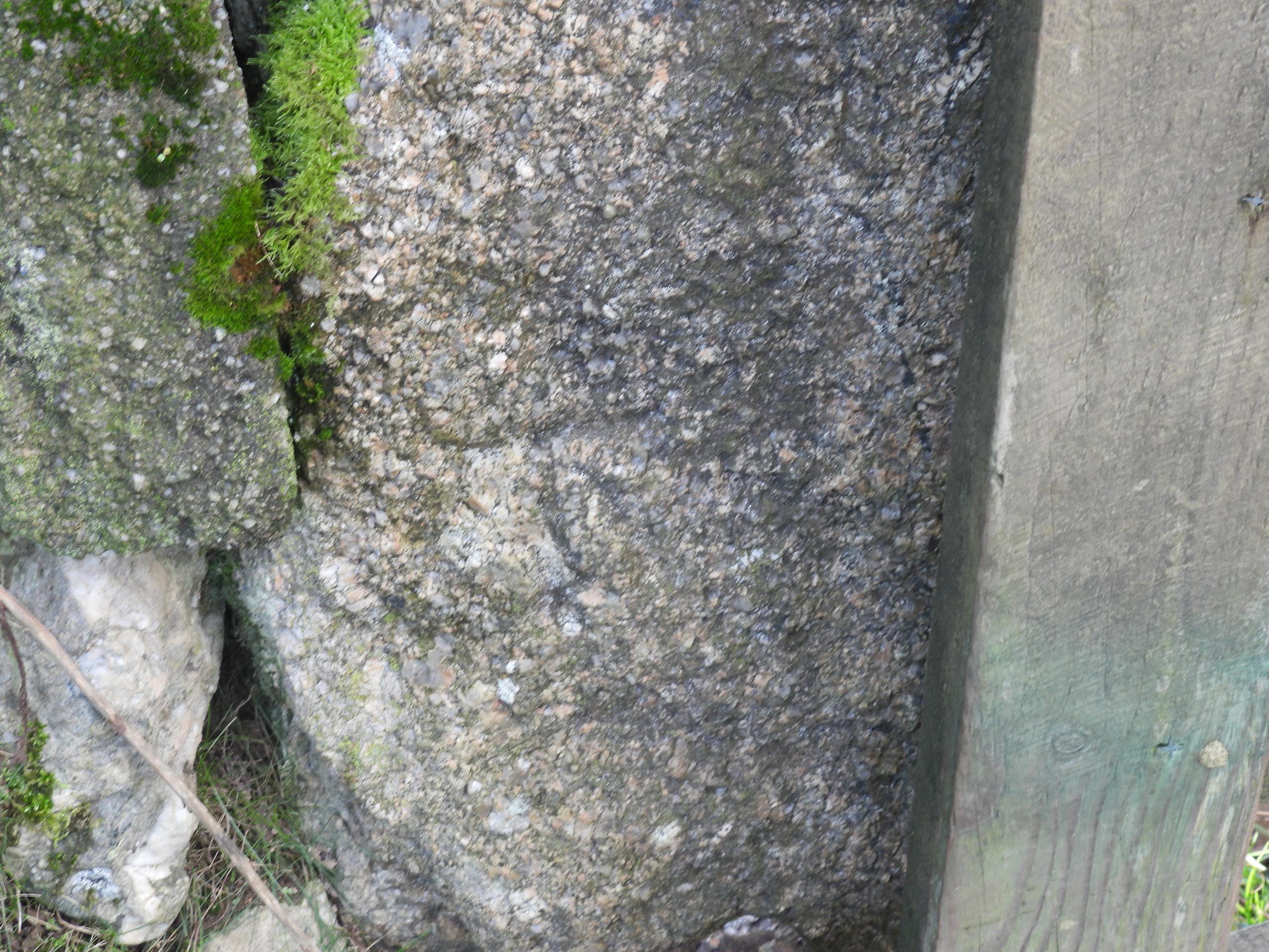
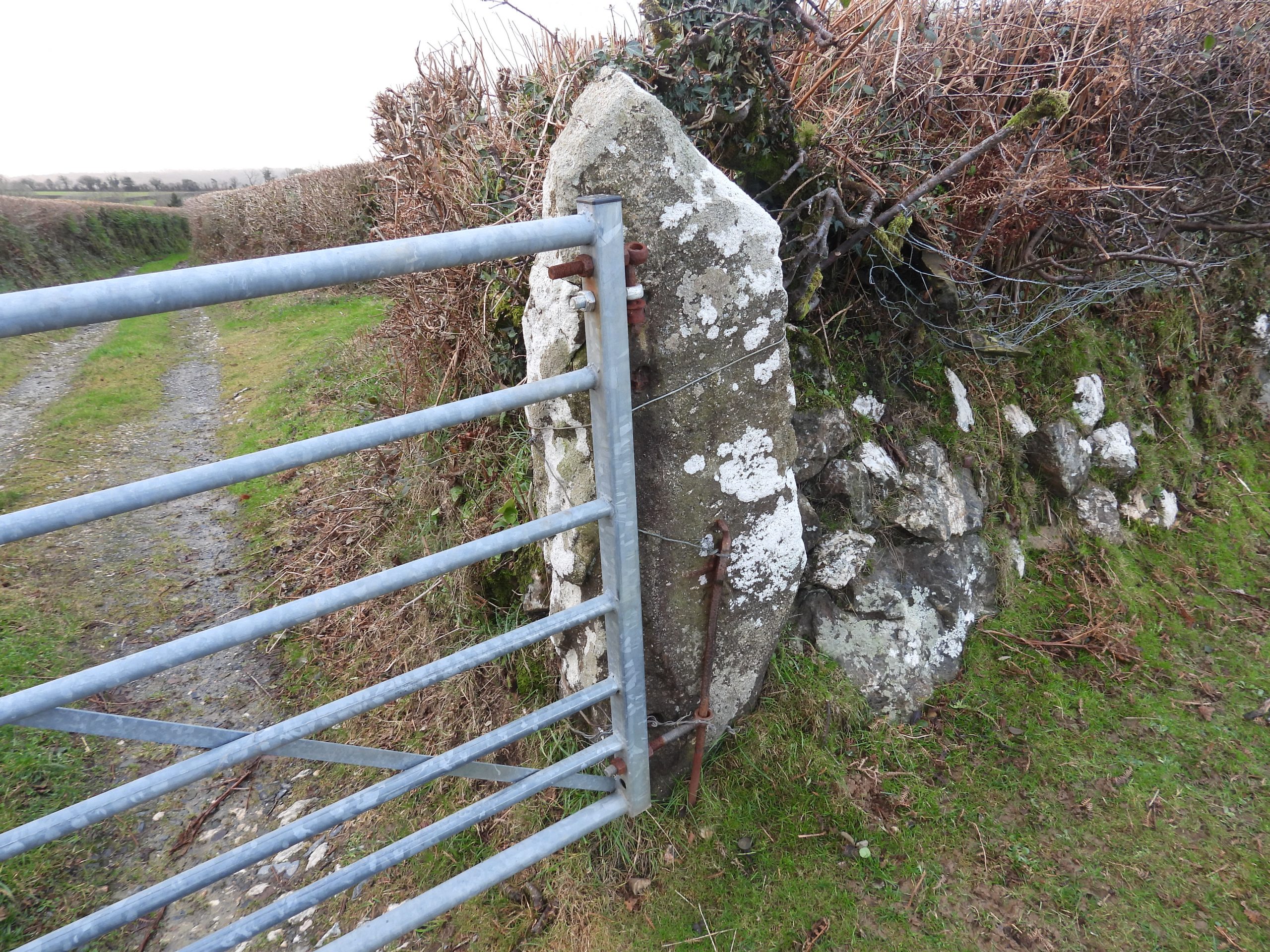
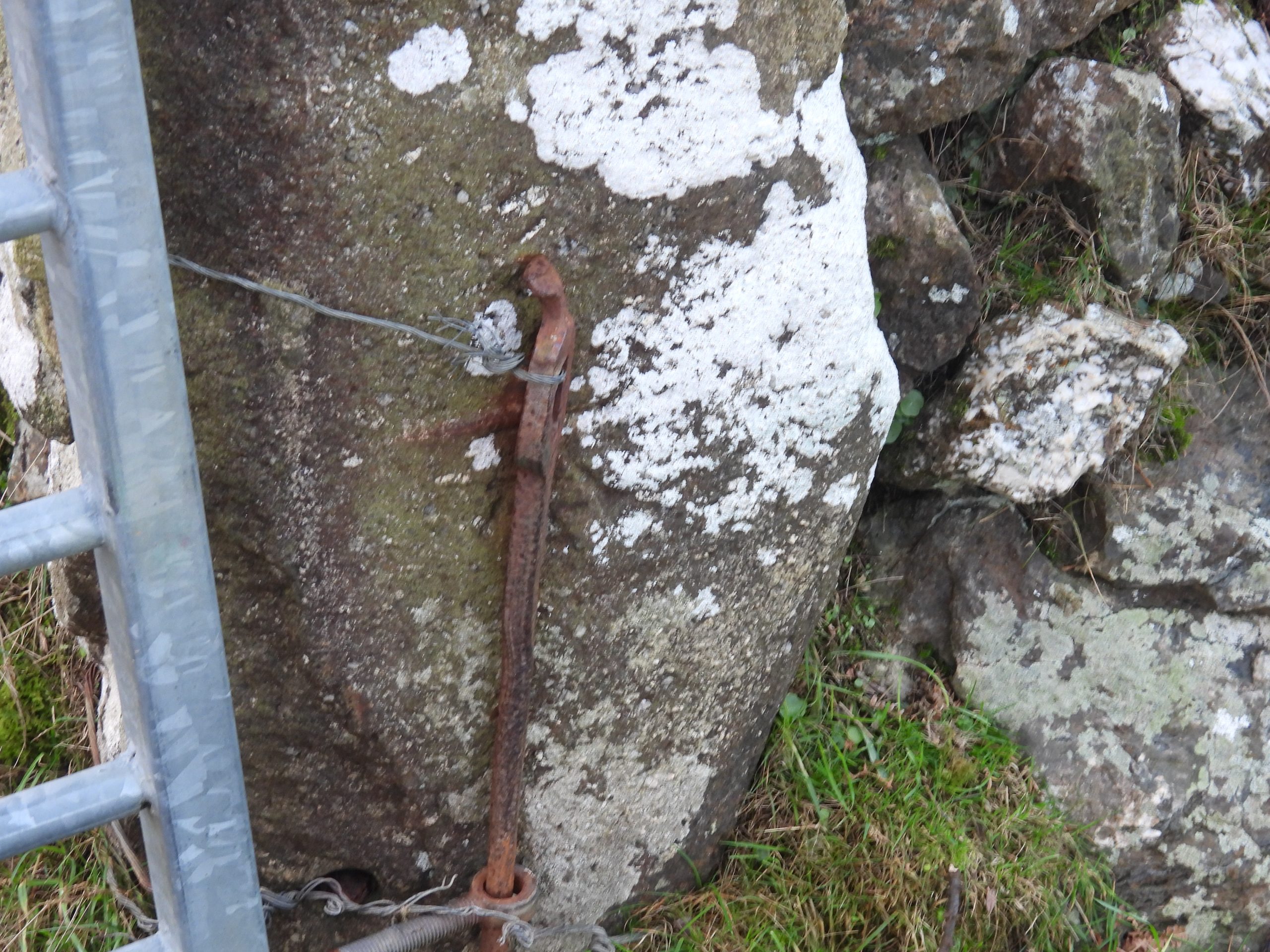
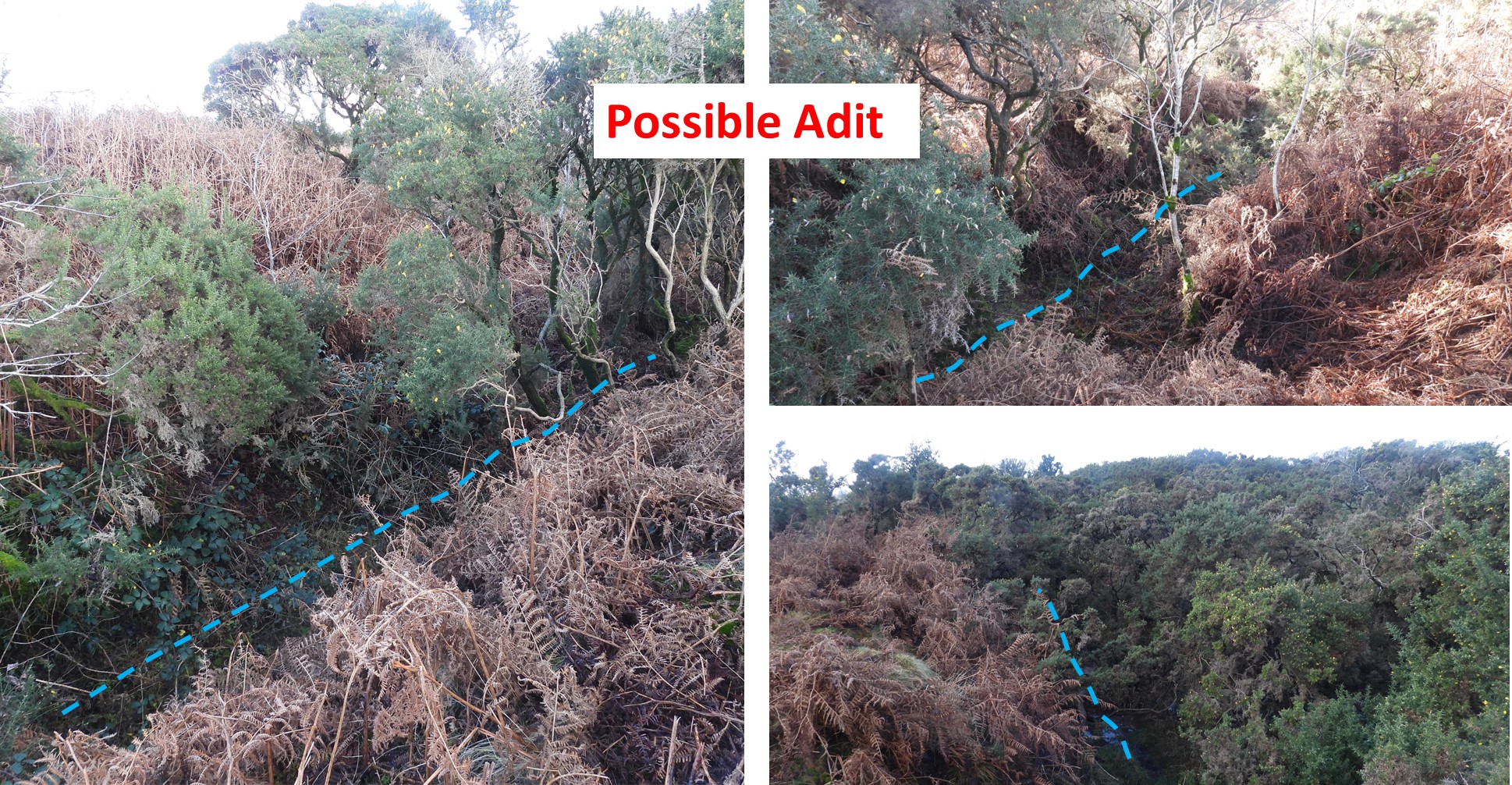
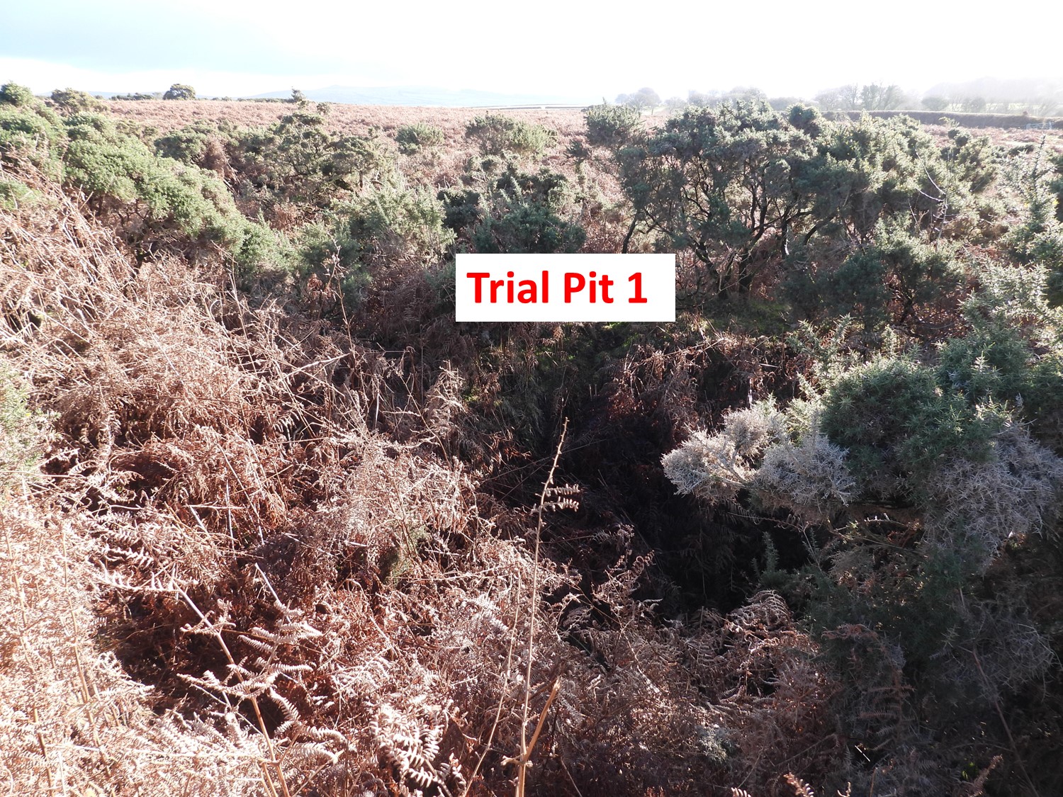
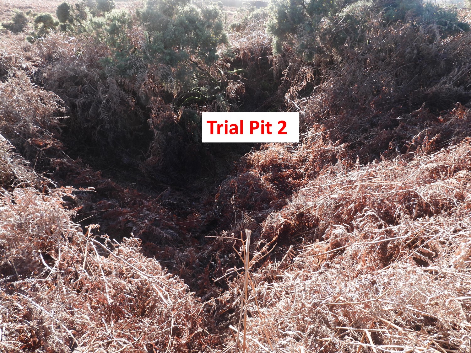
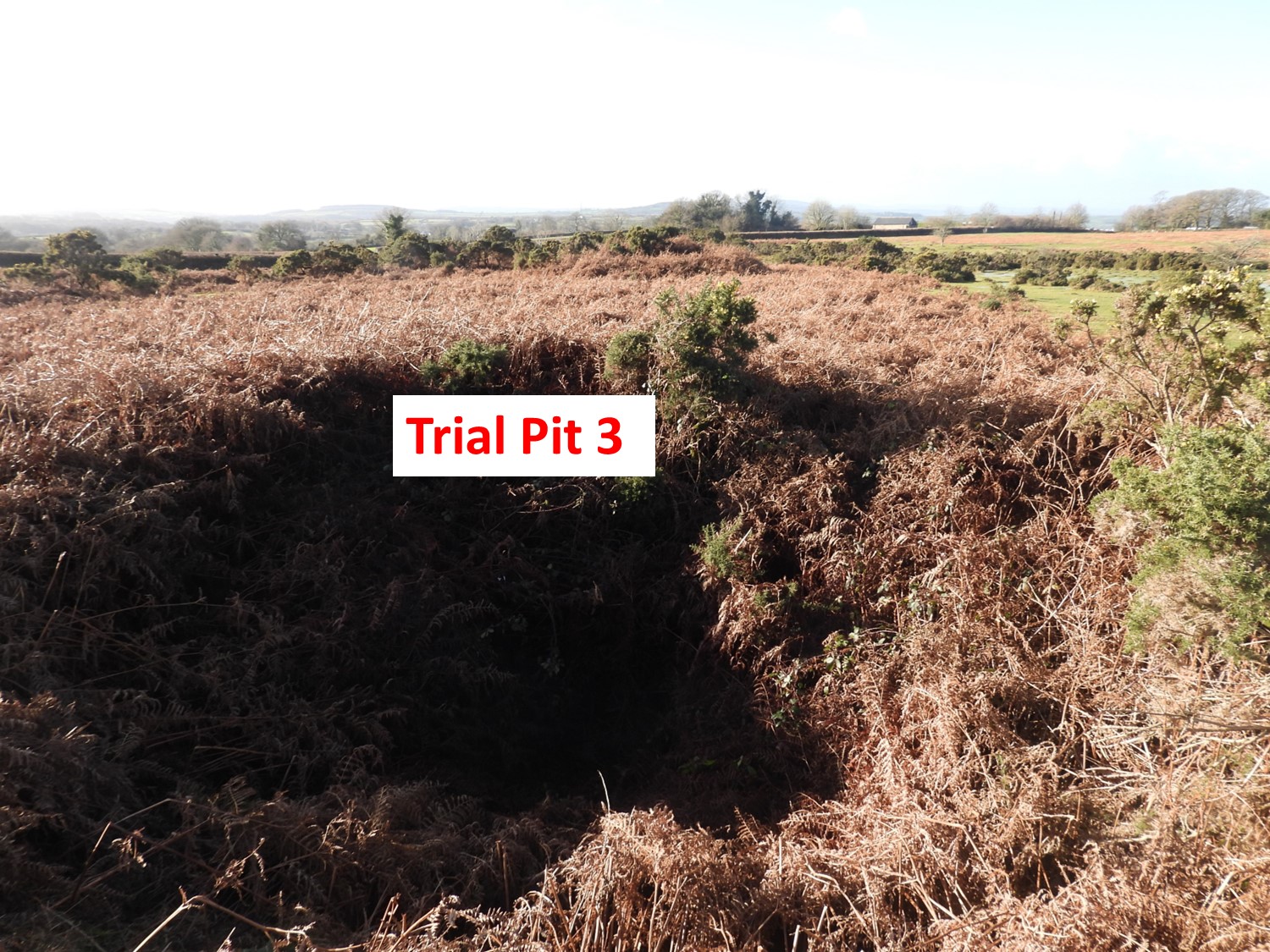
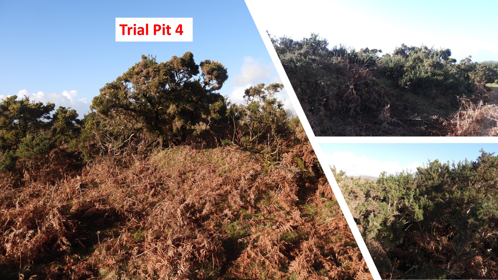
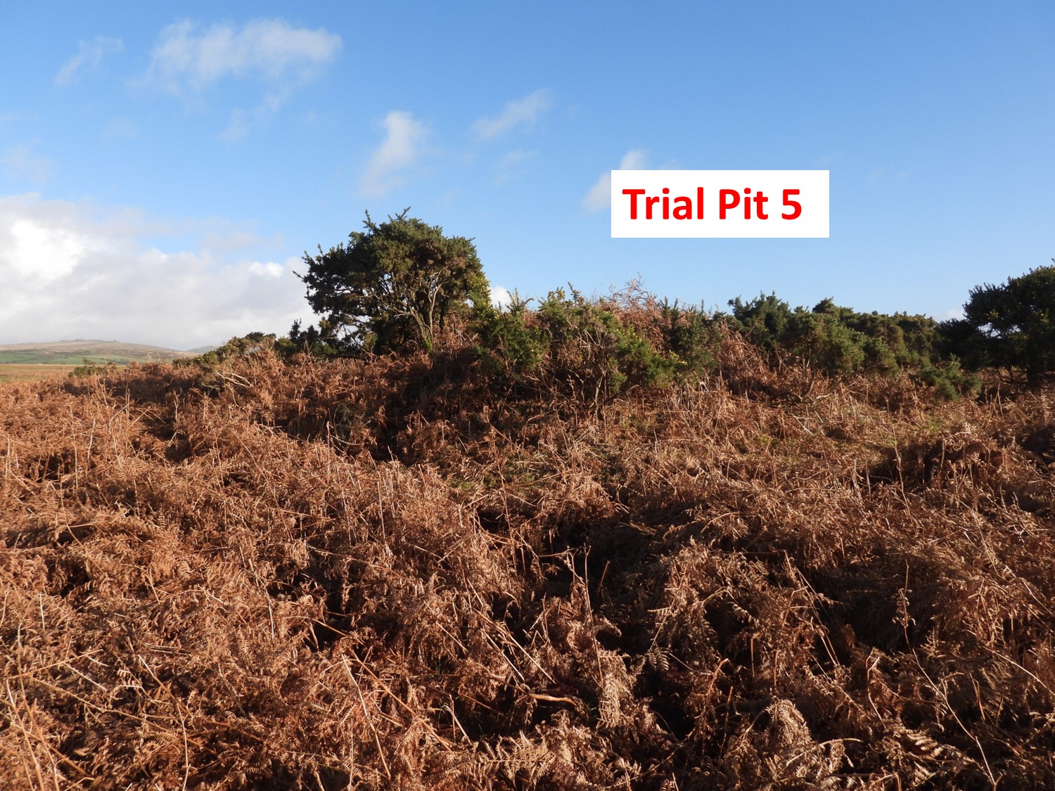
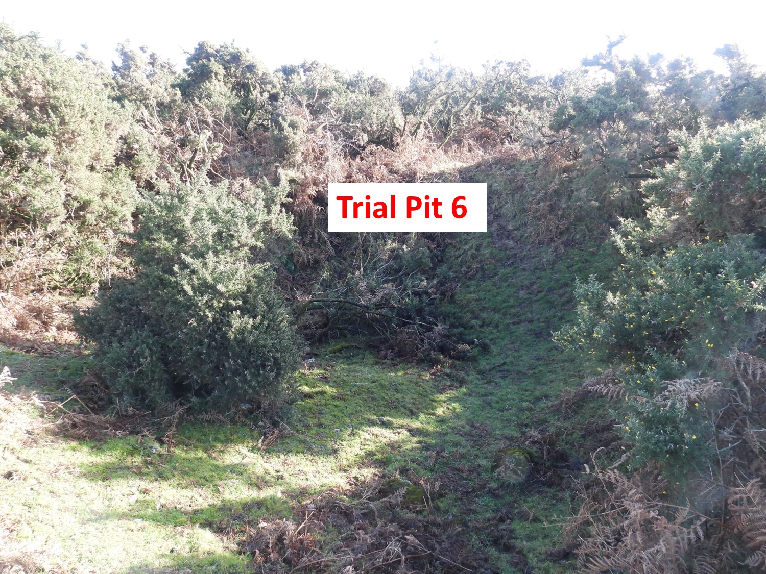
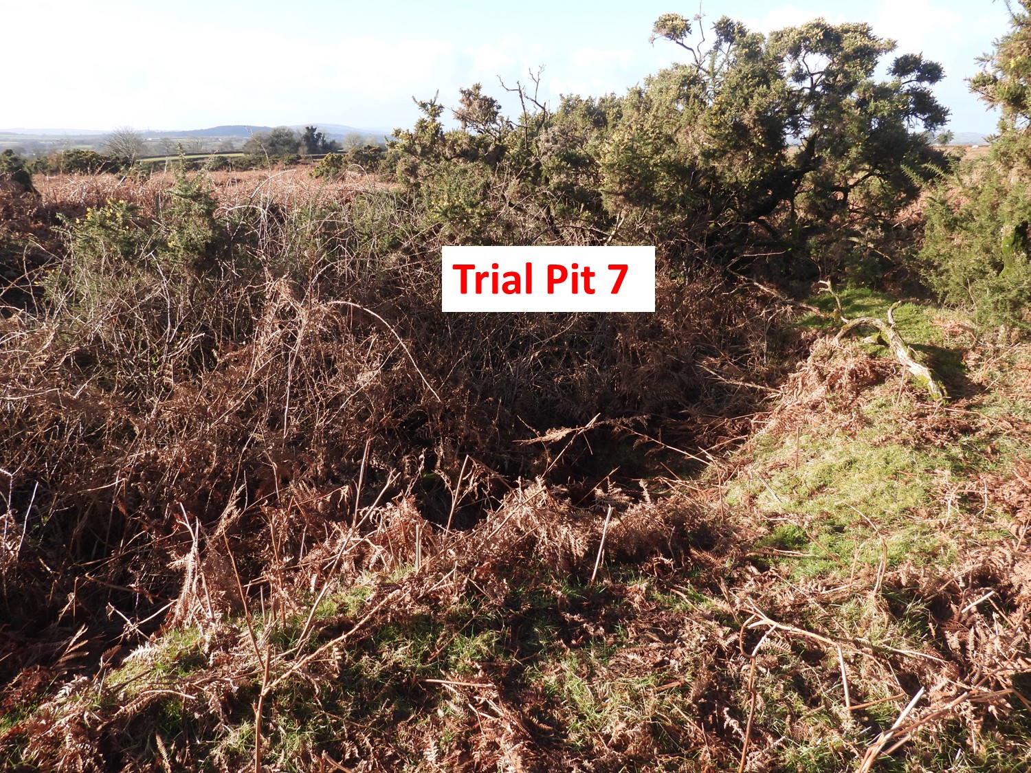
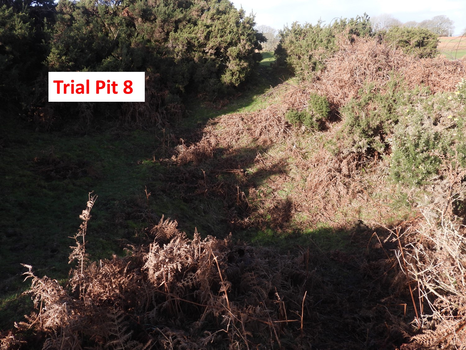
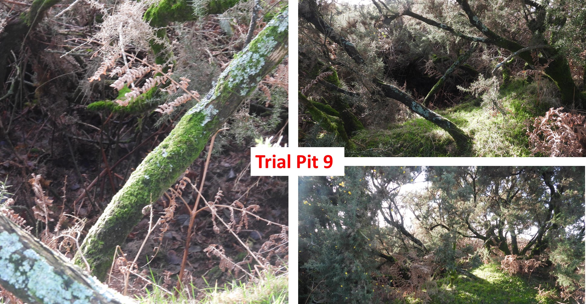
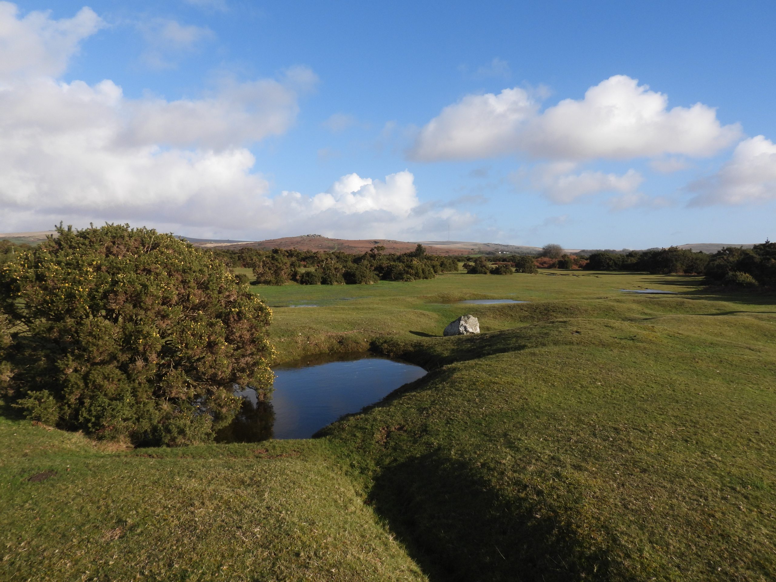
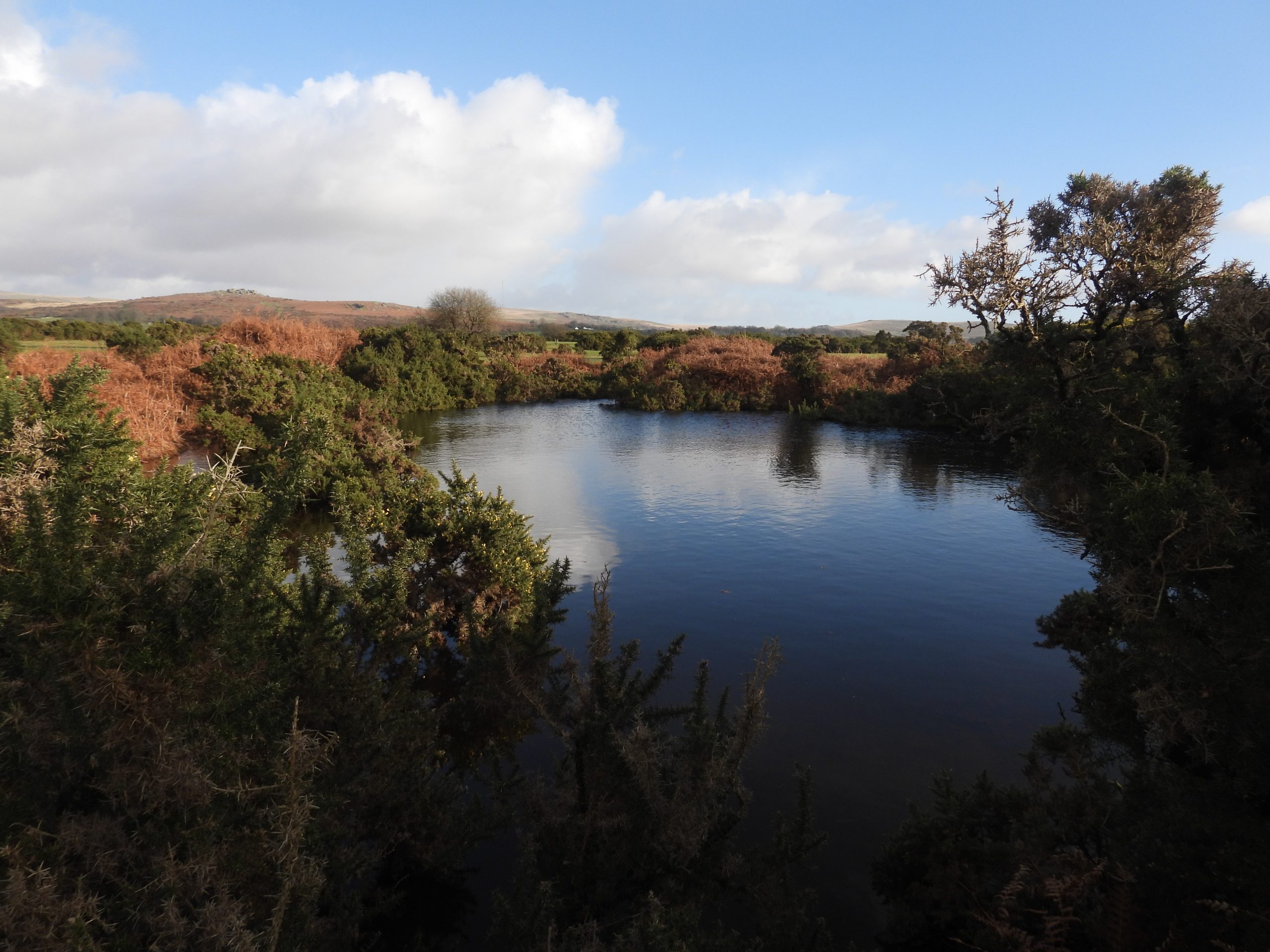
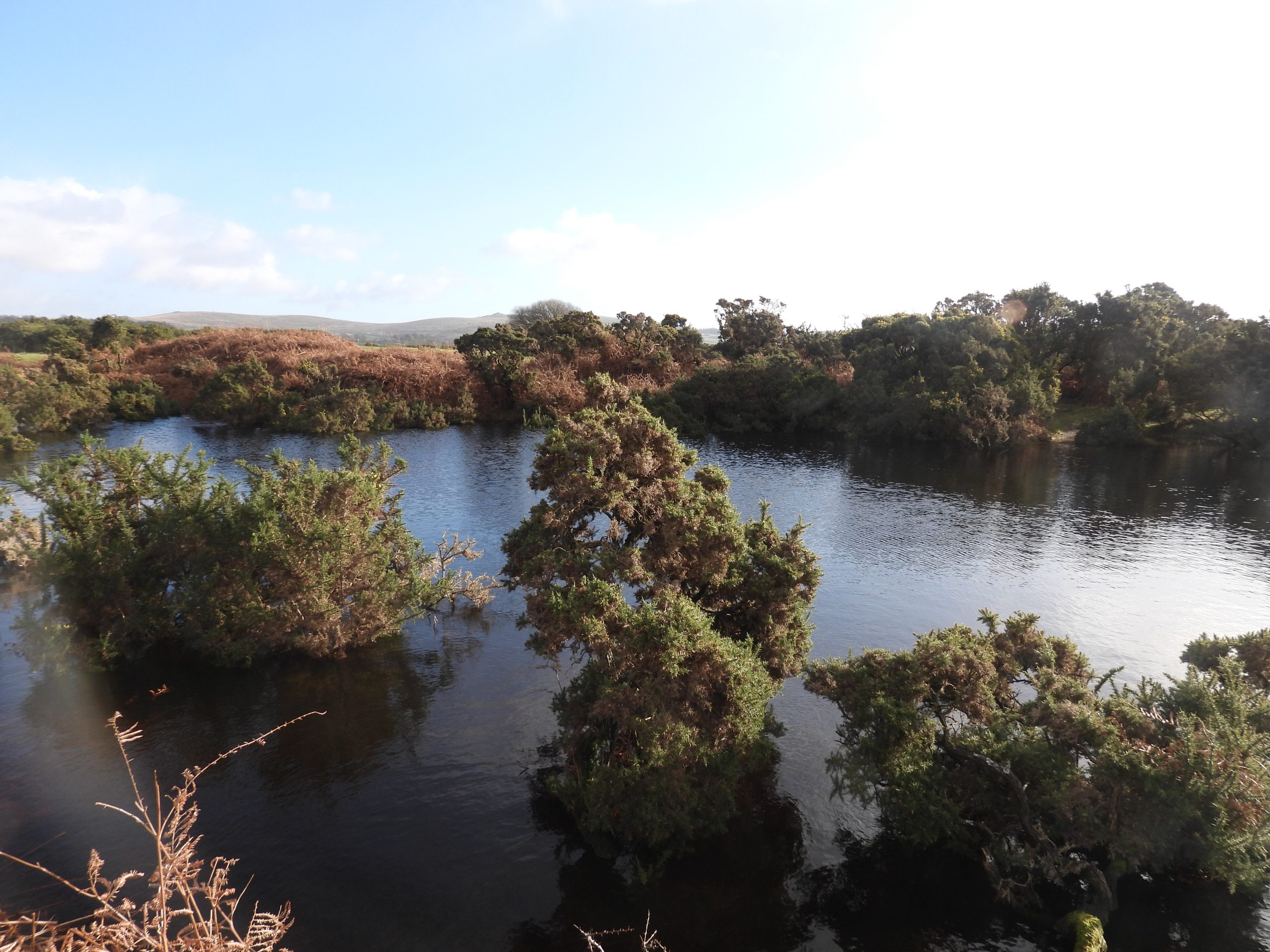
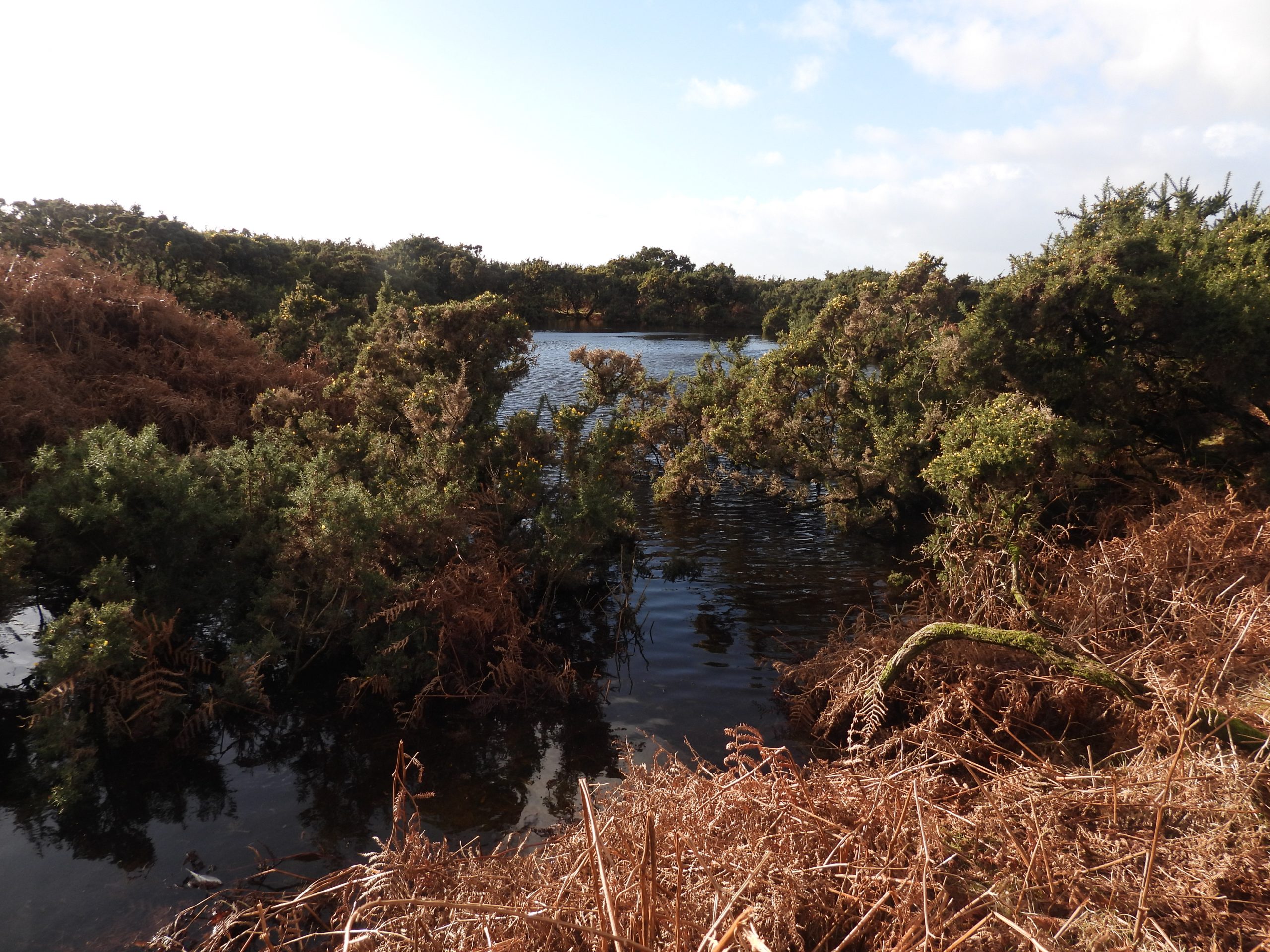
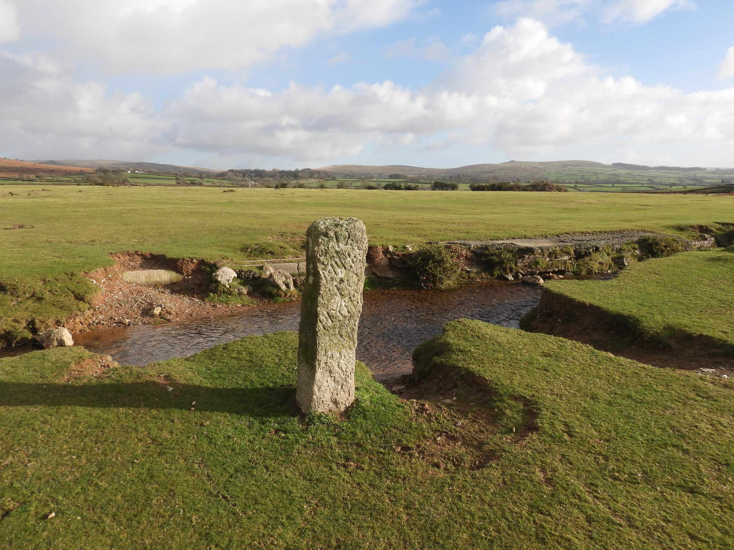
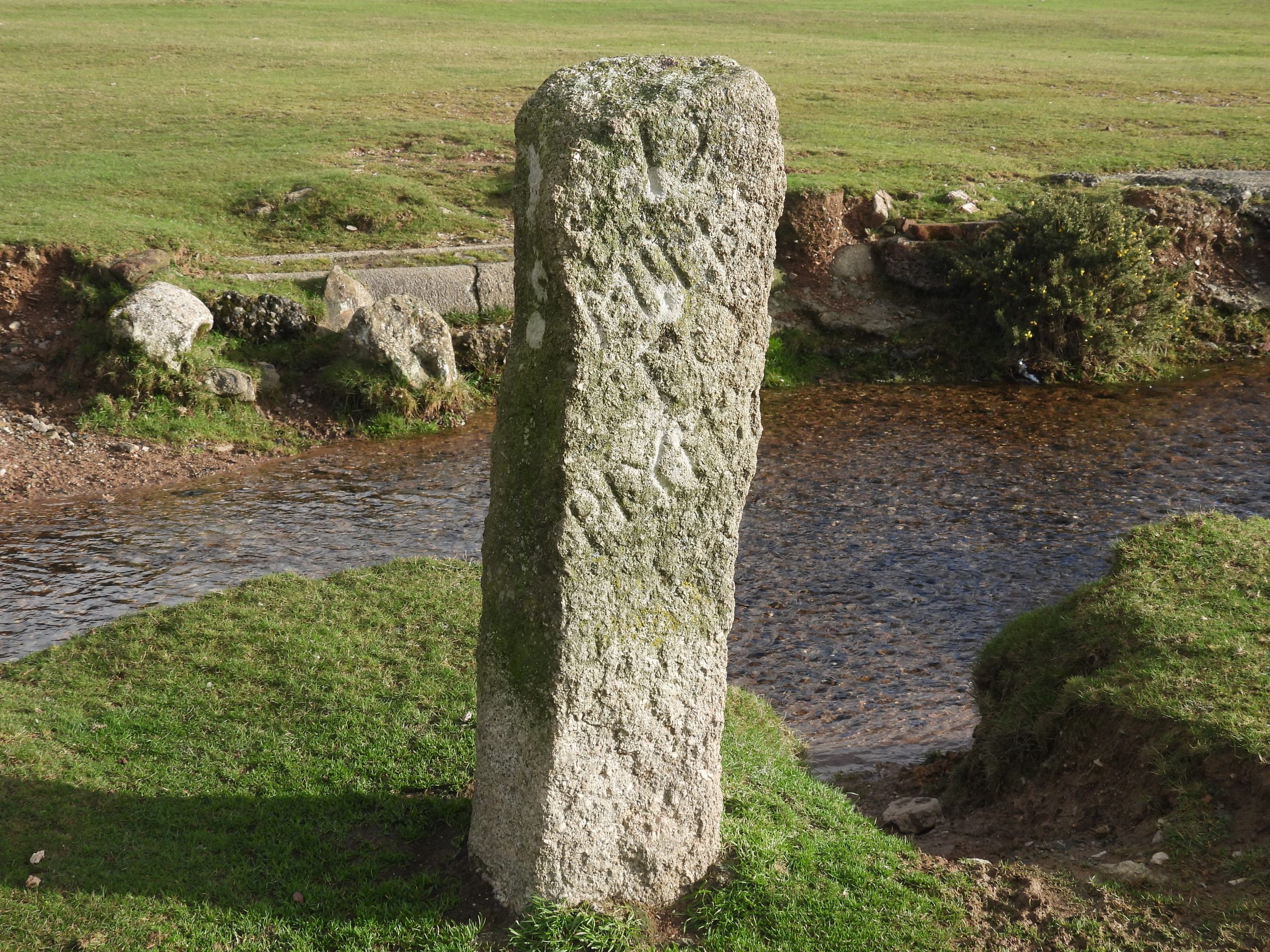
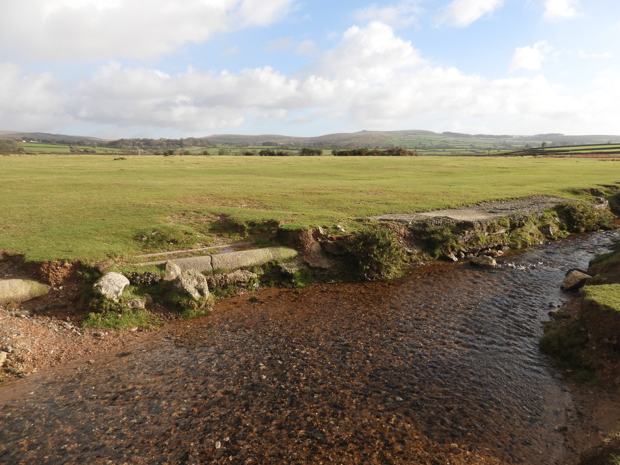
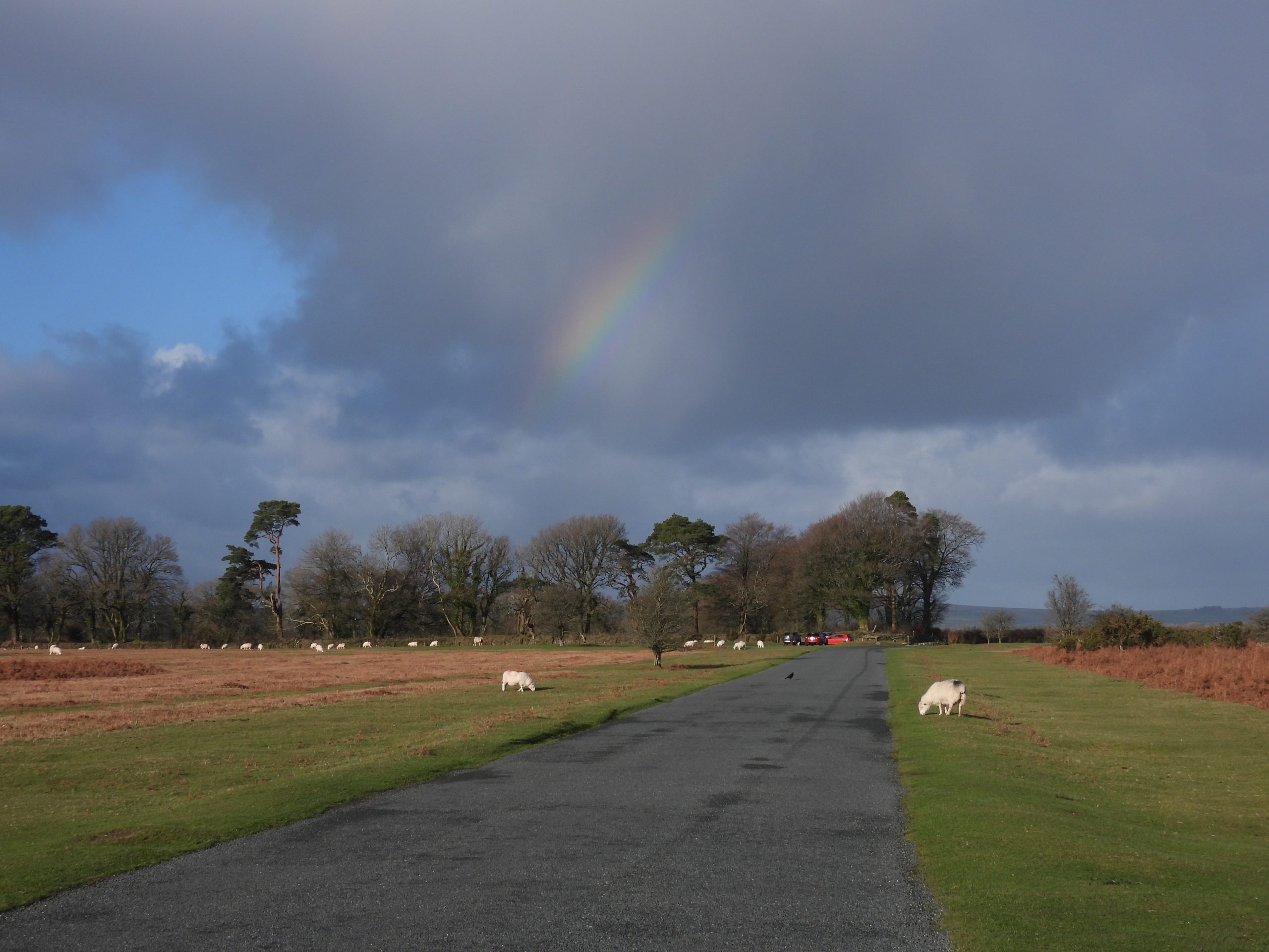
Sketch map of the area covered in this post. Using an 19th Century OS Map, the author identified there being at least 9 trial pits along with the main shafts of Great Sortridge and East Sortridge. Approaching the area from the North West (near Shorts Down), there is a small car park adjacent to a house called Bleak HouseThis annotated screen shot of an 1873 OS map shows the location of the Great Sortridge Mine shaft and adjacent chimney. To the north of the shaft is a building (now known as Higher Pennington Barn). A benchmark (B.M 635.3) is shown on the field line which borders Plaster Down.Gateway to Higher Pennington Barn and Great Sortridge Mine shaft.The information panel on the gate describe the remedial works being carried out on the barn, which was once part of the mine. Of interest is that the panel calls the mine ‘Great West Sortridge’. This name is quite confusing because ‘West Sortridge’ is known to have been ‘Gem Mine’ in the Walkam Valley (to the WEST of Sortridge Manor). Hamilton Jenkin calls the mine here just ‘Great Sortridge’ as does Mike Brown in his gazetteer.Higher Pennington Barn is loctated at SX50917 72418Higher Pennington Barn appears to have been much larger at one point (or even possibly two buildings) as there are some old walls to the west of the building (see bottom left picture). The west end of the current building adds evidence to this as it is block built and no doubt was constructed to preserve the integrity of what remained of the original.Inside Higher Pennington Barn – Septemer 2024 – access during a Dartmoor Tinworking Research Group walkSheepdip near Great Sortridge shaftThe shaft at Great Sortridge is now highlighted by the trees which surround the main shaftGreat Sortridge Mine main shaft. This is believed to have been the original engine-shaft sunk to 25 fathoms (ref: Hamilton Jenkin and Graces Guide). At the 25 fathom level, the lode was claimed to be between 8 and 14 fathoms wide. The Adit level was driven west 150 fathoms and the 20-fathom level, driven east 9 fathoms.Great Sortridge Mine main shaft. Hamilton Jenkin records that two further shafts, to 50 fathoms were planned but there is no evidence of them ever being sunk. The shaft is at SX50913 72365The mine was worked and drained by a 12-inch cylinder pumping-engine, with drawing-machine attached. One wonders how the chimney adjacent to the main shaft was incorporated into the operations.There is a benchmark (B.M 635.3) on the left (east) gate post of the boundary to Plaster Down. This would, in all likelihood have been inscribed at the same time as the mine was operational.Close up of the benchmark. SX 50931 72437A second benchmark (not recorded on OS maps) lies approx 200m to the south west of B.M 635.3. It is located behind rusty iron upright bar which has been used to support the gate hinge mechanics.Close up of the benchmark. SX51213 72269Although not recorded as such in documents referenced by the author, there is a small stream with an adjacent gully, which might have possibly been a shallow adit for the mine workings to the east of Great Sortridge. The author recorded a reference location of SX51158 72362. Recorded in the Dartmoor Historic Environment Record are a line of “seven trial pits on east slope of plaster down”. The author believes there are at least 9 trial pits between Great Sortridge and East Sortridge shafts (by virtue of looking at an old 1873 OS map). Trial Pit 1 was recorded at SX51178 72373Many of the Trial Pits are surrounded by gorse and bracken and if visited, it is suggested Winter is best. Trial Pit 2 was recorded at SX51196 72391Trial Pit 3 was recorded at SX51244 72397Trial Pit 4 is evidenced by its earth upthrust and was recorded at SX51274 72402Trial Pit 5 was recorded at SX51305 72415Trial Pit 6 is very shallow and was recorded at SX51349 72393Trial Pit 7 was recorded at SX51339 72404One assumes that the trial pits running (more or less) west / east were a probable forerunner to the shaft being sunk at East Sortridge. Trial Pit 8 was recorded at SX51349 72427Trial Pit 9 is buried amongst dense gorse and was recorded at SX51452 72400Whilst crossing the down, there is plenty of evidence of earthworks to be found, which one assumes were part of the 19th century activitiesEast Sortridge main shaft described by Turton and Weddell (Dartmoor HER) as being 55m east of the north – south road crossing Plaster Down, albeit there is no evidence at that location of any shaft. The pool shown in the photograph above is approx 100m from the supposed East Sortridge main shaft and is believed to be no more that just flooded openworkings.The pool (dry in summer) is located at SX51473 72422. During a Dartmoor Tinworking Research Group walk in September 2024, whilst taking with the local landowner (Pennington Barn), he recalled a story that around 1900 the owner of Bleak House (by the car park) made scaled models of steam ships and sailed them here. There is speculation that the owner of Bleak House created this pool. The author suspects if the model ship story is true then the owner of Bleak House, most probably only modified existing workings to adapt this flooded area.The pool is in the same line as all the trial pits from Great Sortridge. This pool is around 50m from the road.Recorded by Tim Jenkinson in a 2005 survey as a “Rough granite milestone erected by the Tavistock Turnpike Trust c1832 on Plaster Down c150m to the east of the road beside the Grimstone & Sortridge Leat. The 118cm tall stone is inscribed ’12/Miles/To/Plymo’. The stone had been moved away from the road…” Close up of the milestone. Behind the milestone and across the waters of the Grimstone and Sortridge Leat are some concrete pipes and foundations. These were part of the “Plasterdown Army Camp and Hospital which was established in 1943 and became the 115th Station Hospital. The hospital, dealt with wounded from D Day, continued to operate until 1945. The camp was demolished in 1976”. Ref: Tavistock Museum. Heading north towards Warren’s Cross with a lovely rainbow on a showery dayAnother view of the ‘growing’ rainbow as showers were sweeping in from the south west.


Clive Barnes January 29, 2023
Well done, another excellent and informative addition to your brilliant website. keep it up it’s really appreciated.👏👏👏
SteveGriggDartmoor January 29, 2023 — Post author
Hi Clive,
Many thanks for your kind comments.
With Regards,
Dartmoor Explorations (Steve)