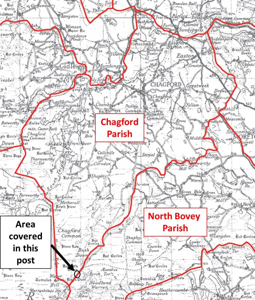
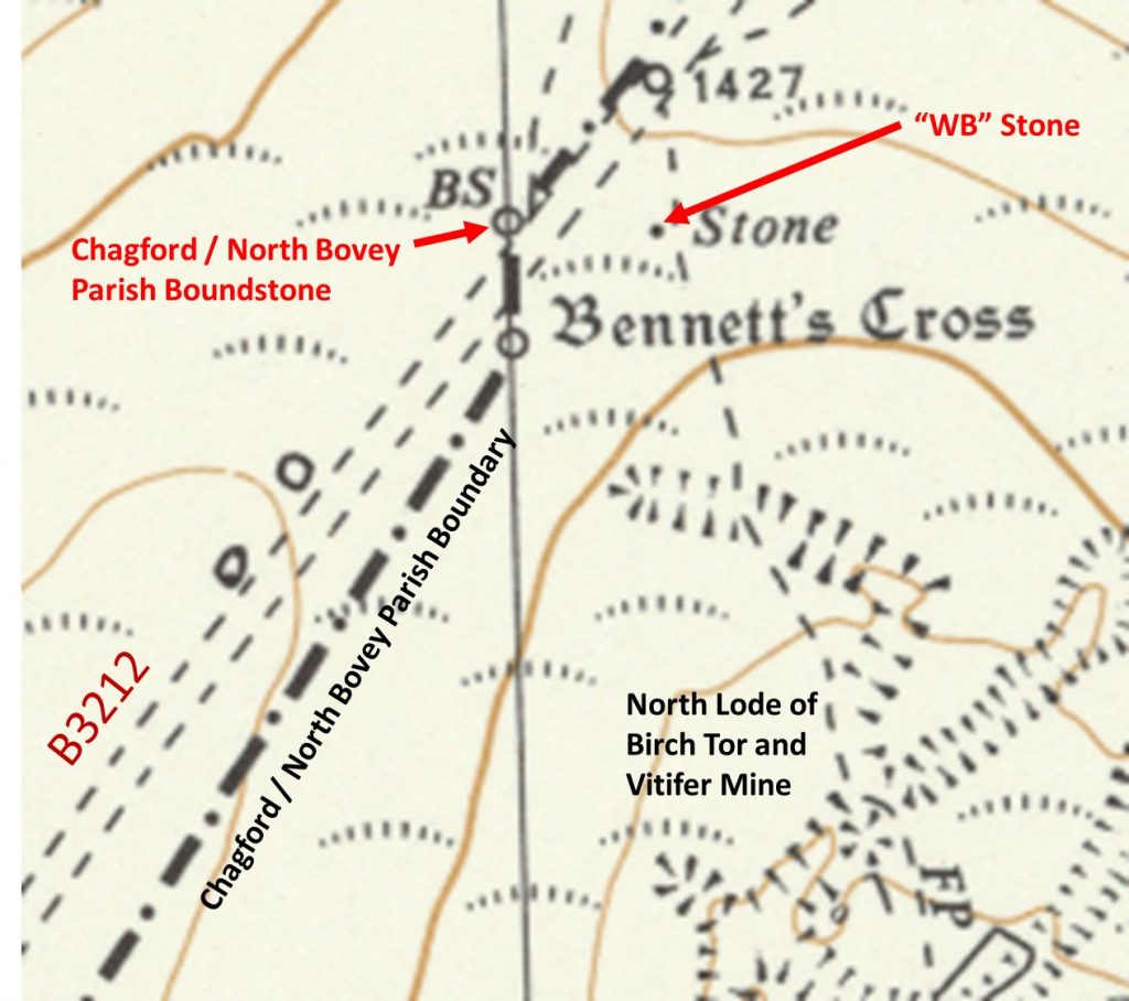
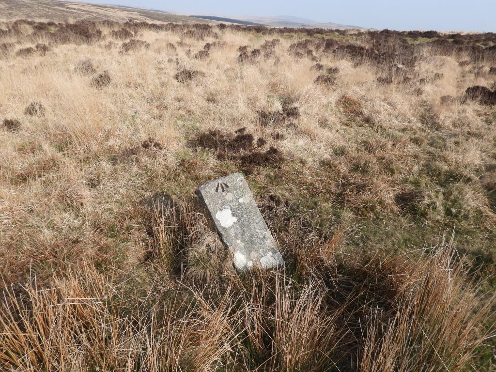
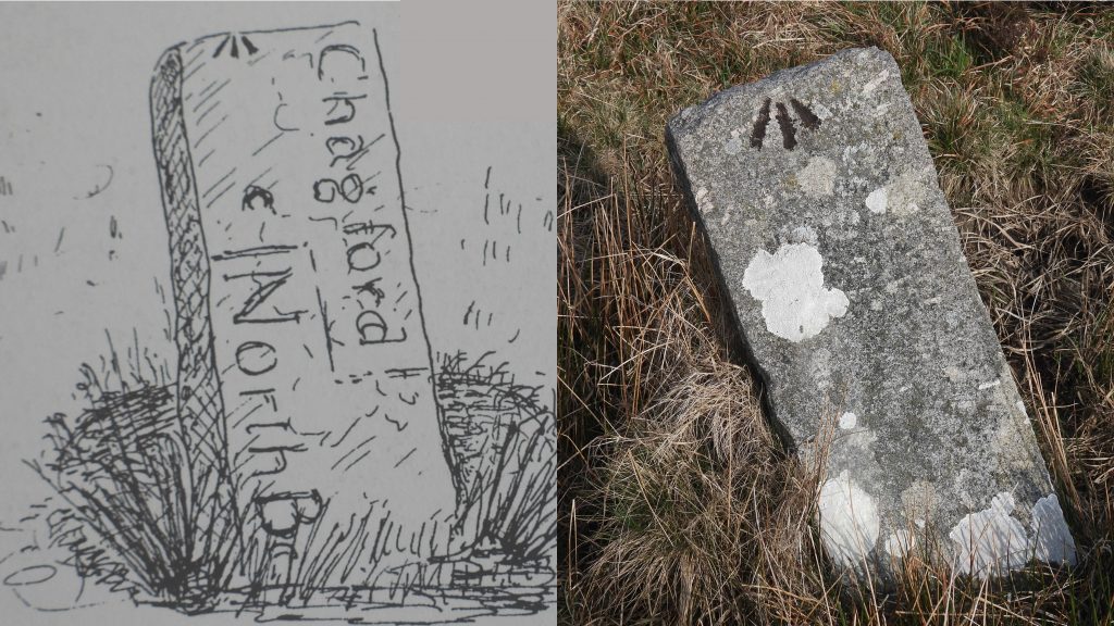
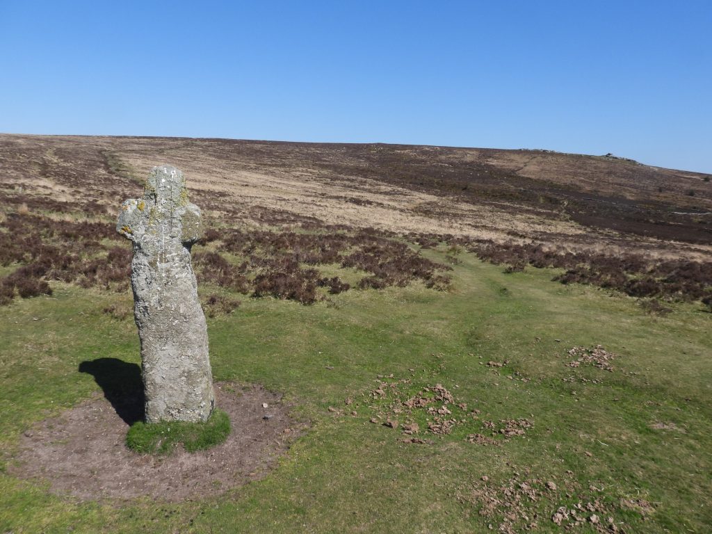
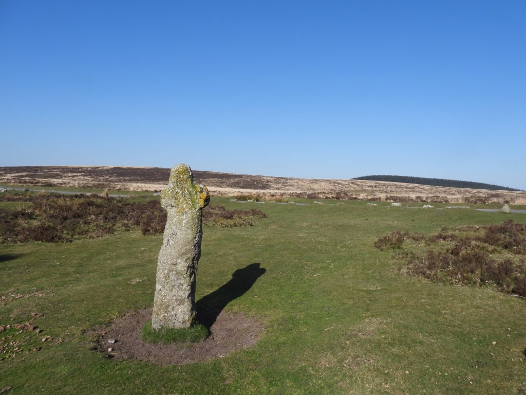
Where the Chagford / North Bovey parish boundary crosses the Moretonhampstead to Postbridge road (B3212) near Bennetts Cross is a boundstone which on first inspection appears to just a leaning unmarked slab. The slab is located on the Bush Down side of the road and on further investigation does have a very faint inscription and a benchmark. The “slab” is inscribed with “Chagford” and “North Bovey”. This post covers this boundstone and some other features which can be found in the immediate area.
![Parish Map](https://dartmoorexplorations.co.uk/wp-content/uploads/2022/04/Parish-Map-869x1024.jpg)
![Detailed Map](https://dartmoorexplorations.co.uk/wp-content/uploads/2022/04/Detailed-Map-1024x908.jpg)
![Parish BS1](https://dartmoorexplorations.co.uk/wp-content/uploads/2022/04/Parish-BS1-1024x768.jpg)
![Parish BS2](https://dartmoorexplorations.co.uk/wp-content/uploads/2022/04/Parish-BS2-1024x576.jpg)
![Bennetts Cross 1](https://dartmoorexplorations.co.uk/wp-content/uploads/2022/04/Bennetts-Cross-1-1024x768.jpg)
![Bennetts Cross 2](https://dartmoorexplorations.co.uk/wp-content/uploads/2022/04/Bennetts-Cross-2-1024x768.jpg)
![WB Stone](https://dartmoorexplorations.co.uk/wp-content/uploads/2022/04/WB-Stone.jpg)
![North Lode](https://dartmoorexplorations.co.uk/wp-content/uploads/2022/04/North-Lode-1024x768.jpg)