A collection of walks, discoveries, insights and pictures of exploring Dartmoor National Park
January 15, 2022
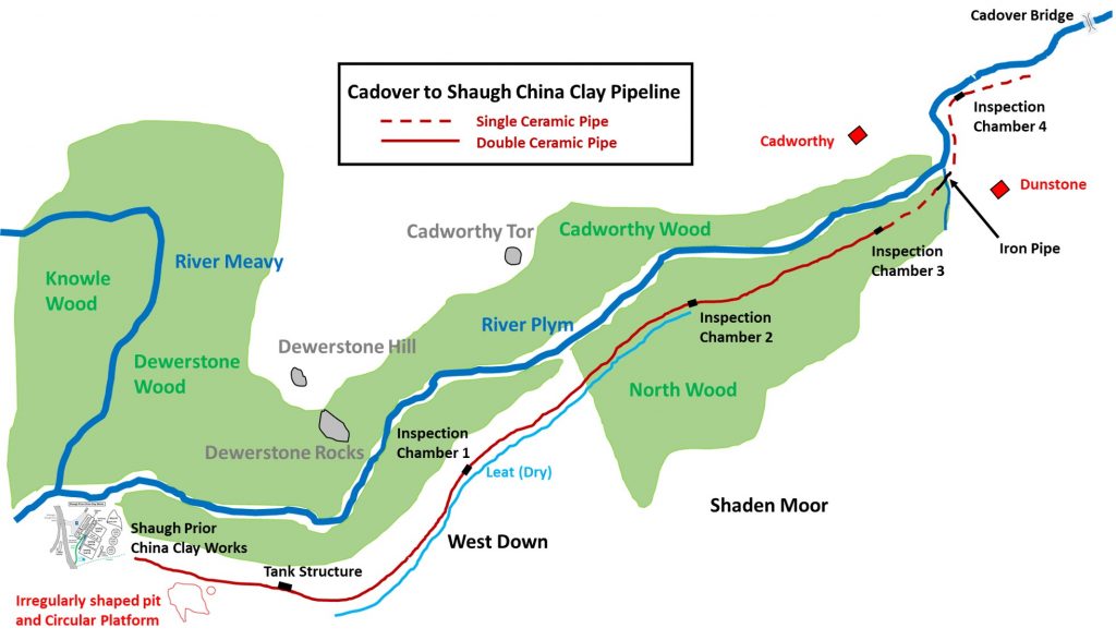
Cadover to Shaugh China Clay Pipeline
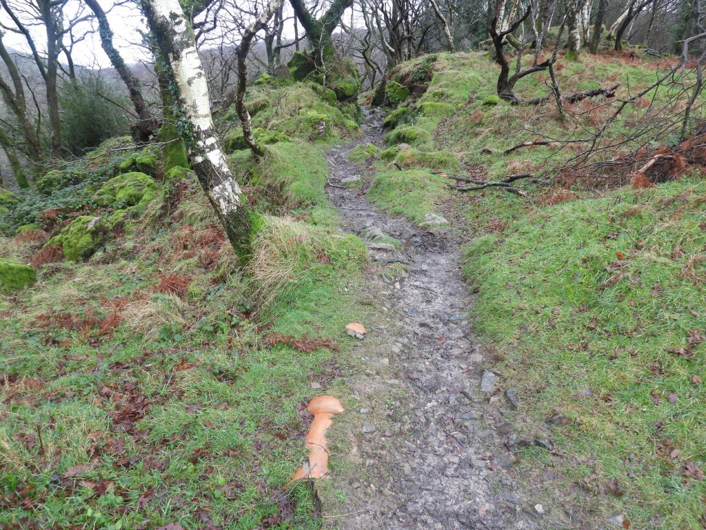
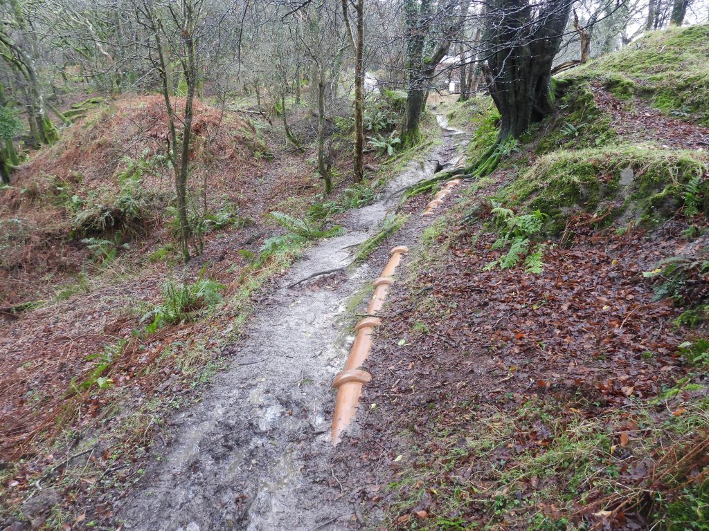
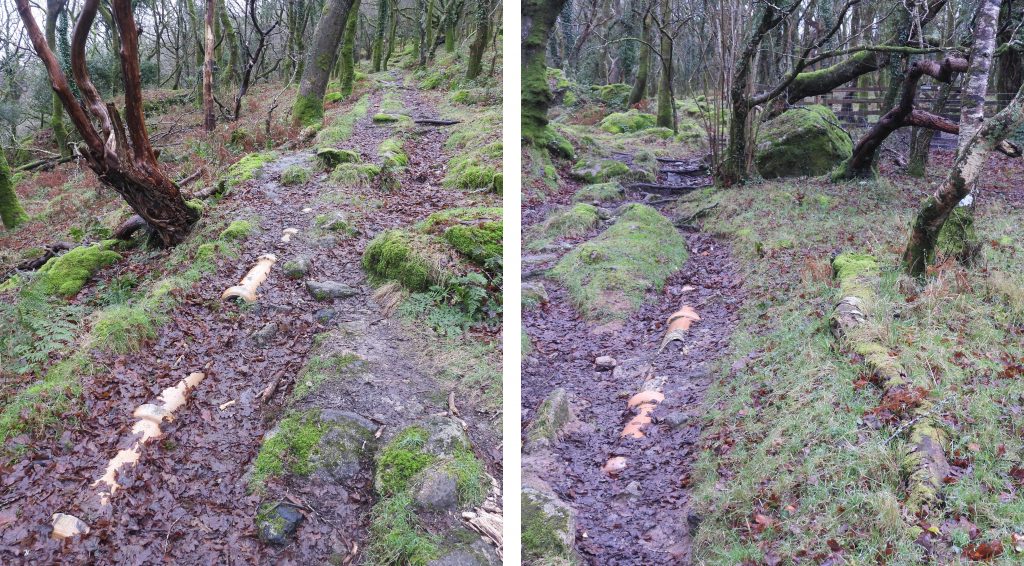
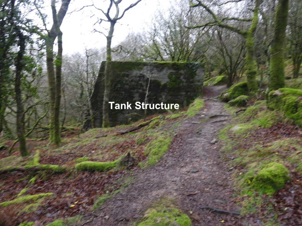
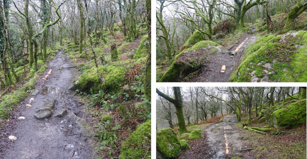
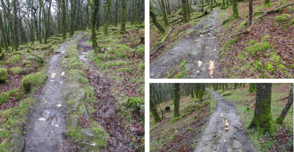
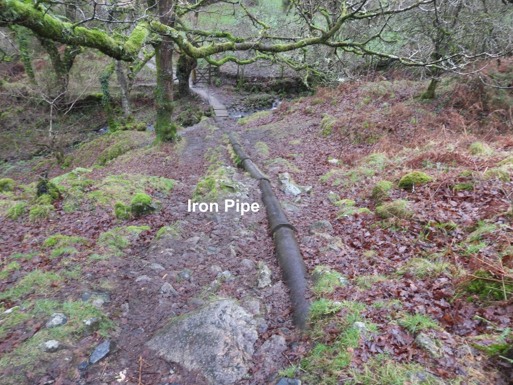
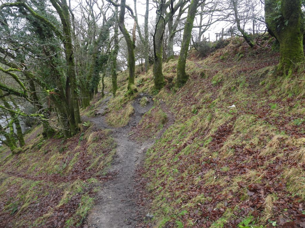
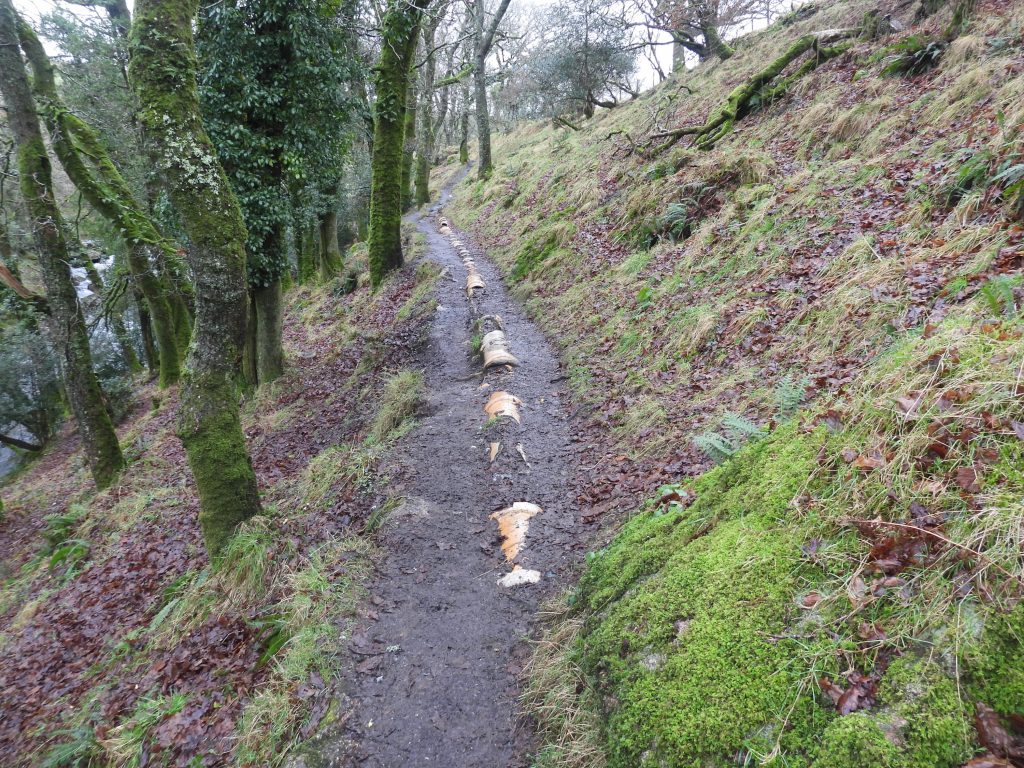
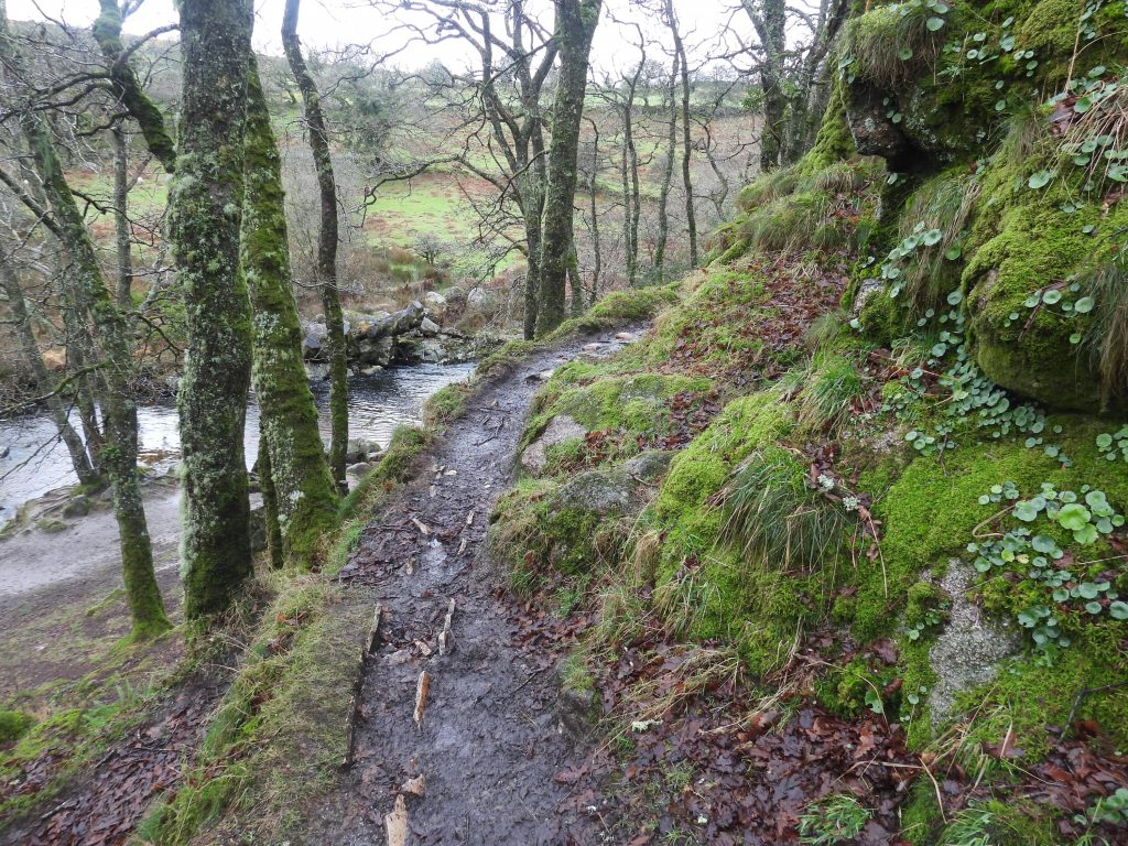
A two mile (3km) long china clay pipeline once conveyed waterborne clay (in suspension) down to the Shaugh Bridge china clay works from the Wigford Down – Shaugh Lake clay pits. The remnants of the pipeline can still be seen today alongside the footpath. The pipeline comprised a single ceramic pipe (internal diameter 0.2m) at the Cadover end before it traversed a stream in a small valley where a cast iron pipe (internal diameter 0.3m) was used. To the west of the iron pipe, the pipeline was mainly a double ceramic pipe. The clay pipeline lies on, or just below, the ground surface and in places a revetment holds it against the steep slope of the Plym valley. The clay pipeline has been broken in a lot of place, due to the high footfall of the path. There are at least four inspection chambers en-route and a “tank structure” plus evidence of former clay extraction. This post covers the two mile journey west to east (Shaugh to Cadover) highlighting many of the features and points of interest.
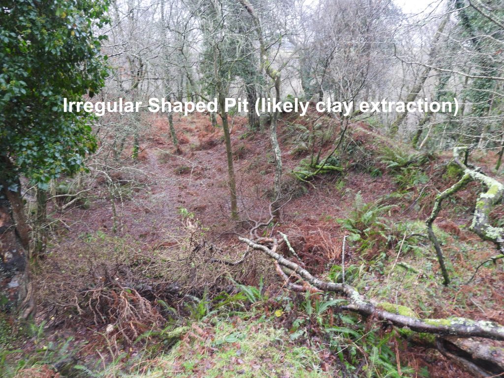
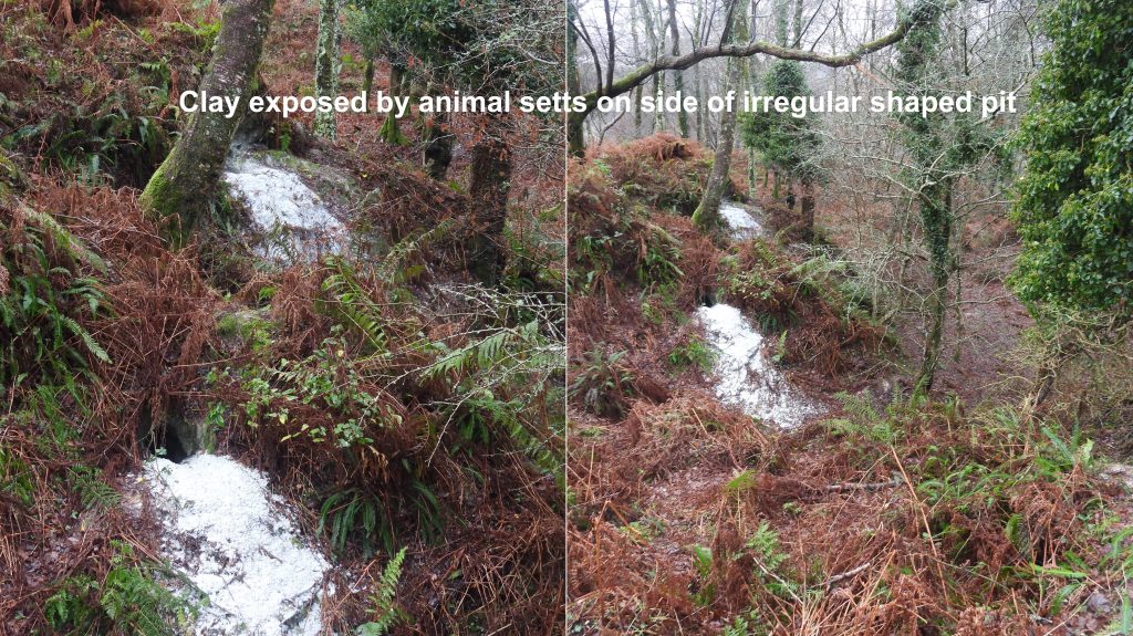
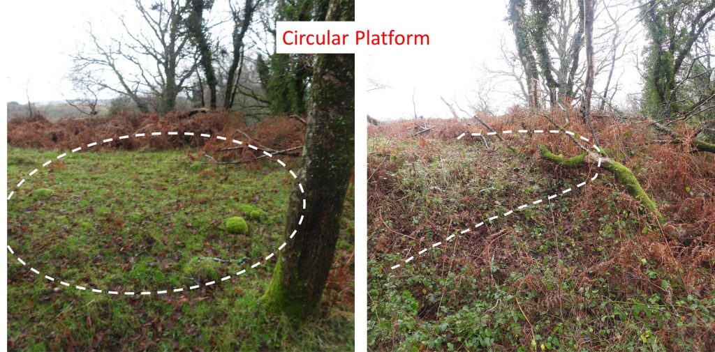
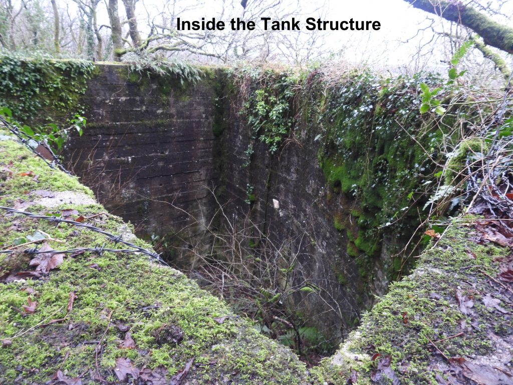
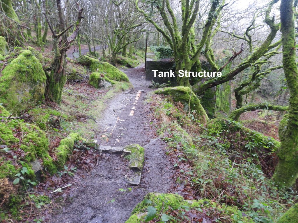
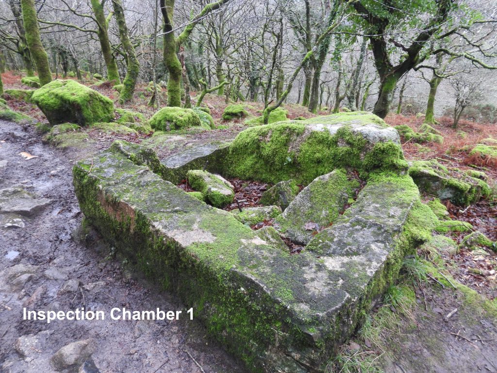
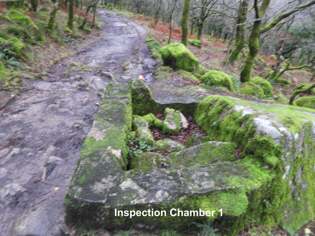
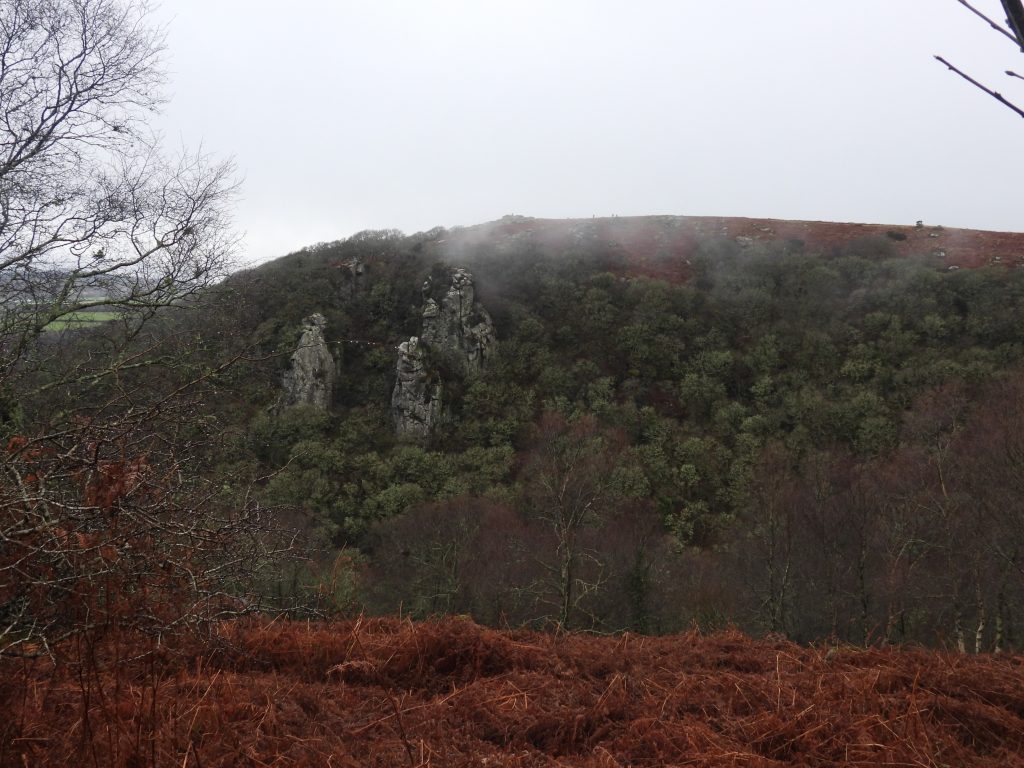
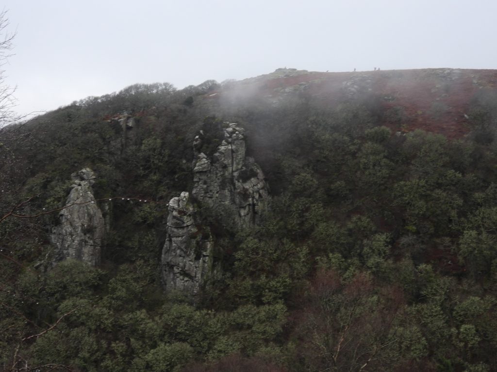
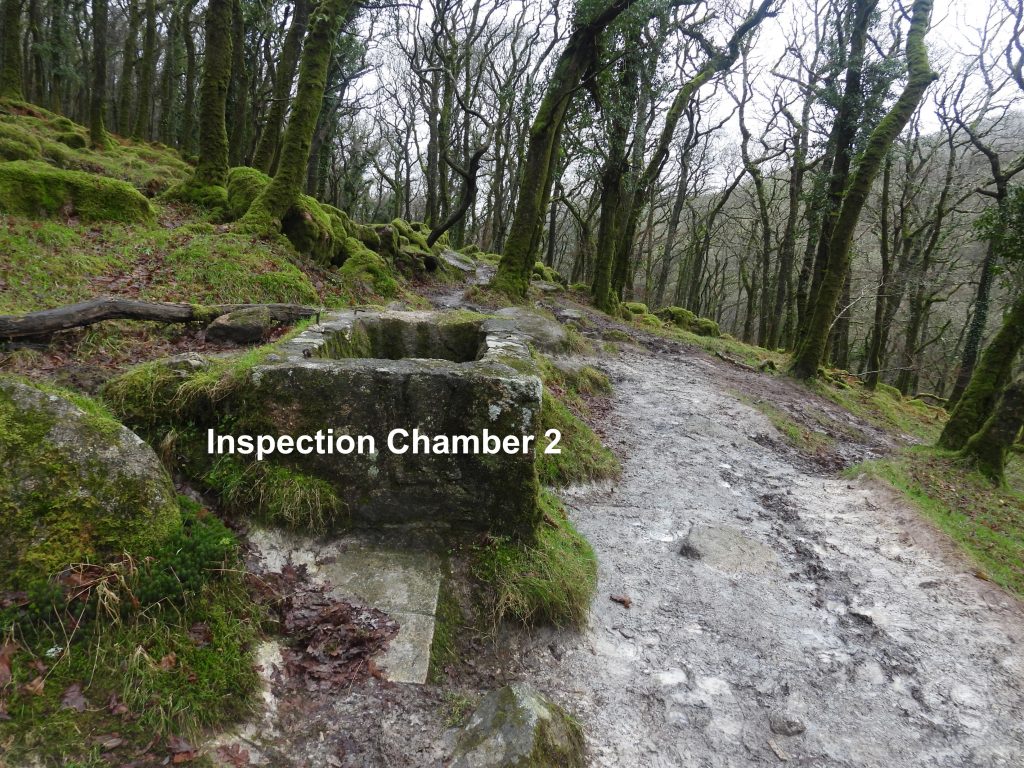
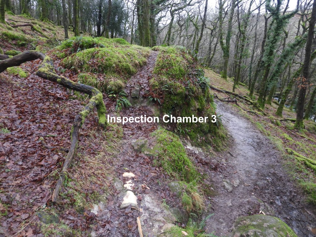
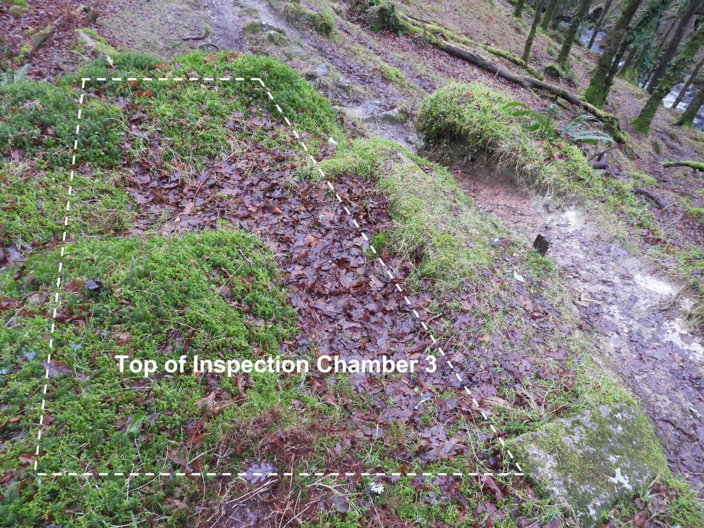
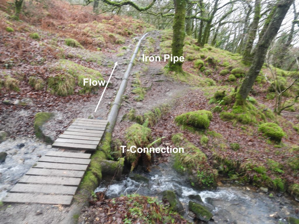
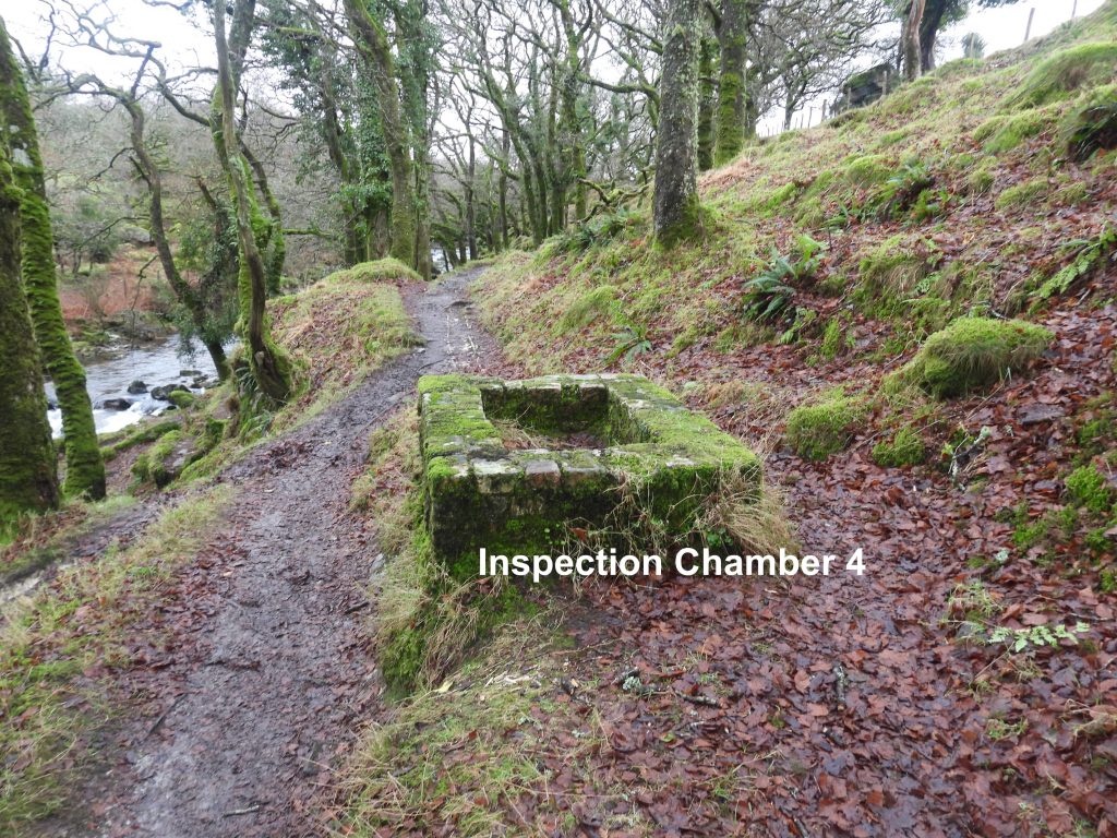
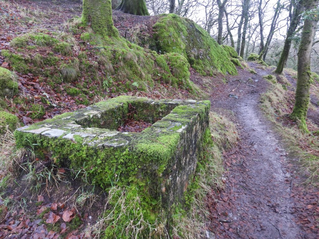
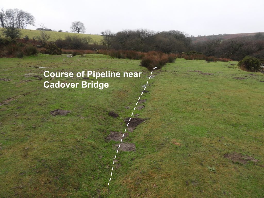
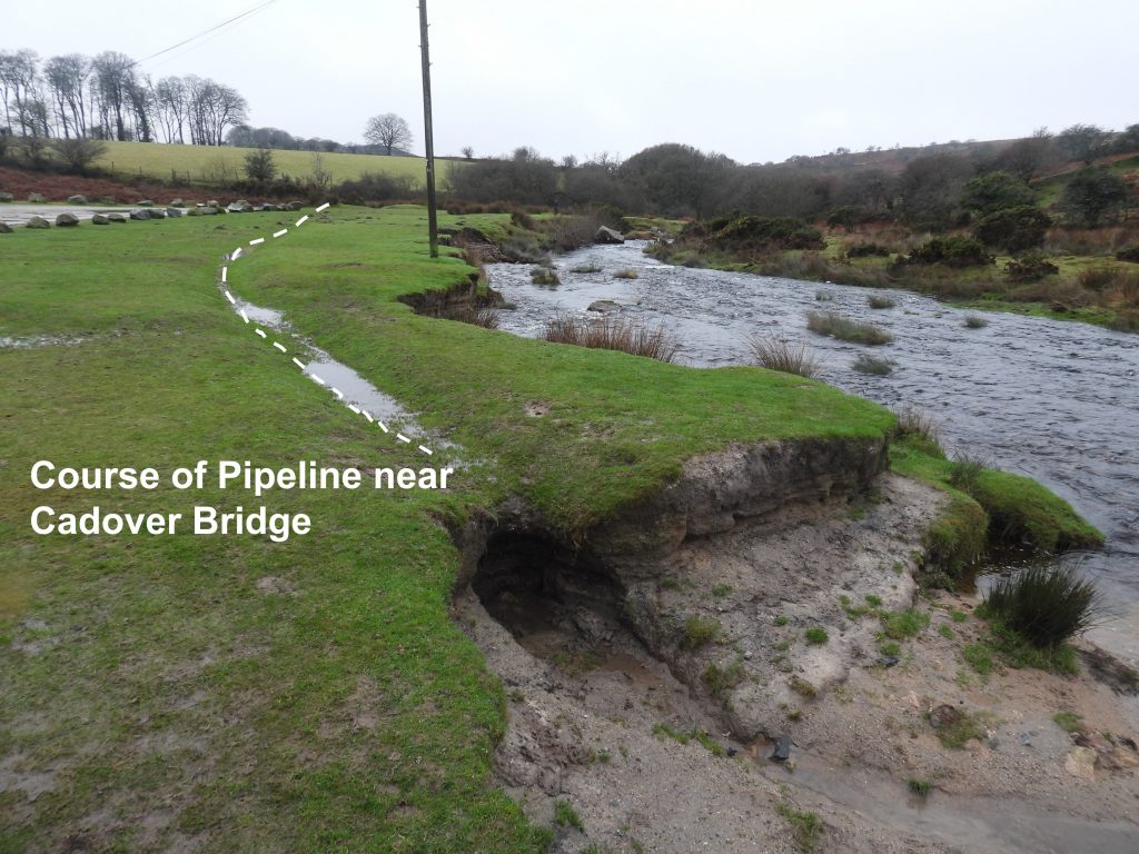
Sketch map showing the course of the pipeline between Cadover Bridge and Shaugh plus approximate locations of the features en-route.Just to the east of the Shaugh China Clay Works lies a large irregular pit which is at least 50m across in places. This earthwork is probably an old clay extraction point, albeit not shown on 19th century maps.Evidence that the large irregular pit may have been an old clay extraction area, lies in the fact that two animal setts (most likely badgers) show white clay.Just to the east of the irregular pit is a large (approx 15m diameter) circular platform. It is most definitely man-made and may have been associated with the clay industry.Near the circular platform and irregular pit, the first siting of the clay pipe can be found.The pipeline at SX53753 63475. The photograph shows one of the key issues the claymen had, namely the intrusion of roots.The pipeline had to be constructed through boulder fields and on a slope of the Plym valley. A roofless rectangular structure, which appears to be some kind of “tank” has been constructed next to the pipeline.The roofless rectangular “tank” structure is approx 10m x 7m and lies on the steep north-west facing slopes of West Down, making the down hill side of the structure very tall. The tank structure is located at SX53956 63482.To the east of the tank structure the double clay pipeline is evident as is a smaller rectangular structure. The clay pipes appear to enter the tank structure. There is then a downhill exit point for the clay pipes which continue their journey to Shaugh. Did this tank structure act as some kind of clay reservoir or settling tank ? The pipeline east of the tank structure.The first inspection chamber (if we ignore the small rectangular structure near the tank structure) lies at SX54106 63656.Each of the four inspection chambers are approx 2m long x 1m wide.Dewerstone Hill and Dewerstone Rocks as viewed from the pipeline across the valley.Close up of Dewerstone Rocks. More information can be found at : https://www.torsofdartmoor.co.uk/tor-page.php?tor=dewerstone-rockInspection chamber 2 is located at SX54592 64036. It is located in North Wood. It is recorded that workers had to regularly pull scrapers through the pipe to clear intruding tree roots. (Reference: Owens M 1994 ‘Industries beneath Dewer’ Dartmoor Magazine 35, 16-18). Presumably these inspection points were used for other access to identify where there were blockages – similar to the inspection points used on the Redlake Pipeline (albeit this pipeline would have pre-dated the Redlake pipeline).Evidence of the doubling of the ceramic pipeline to the east of inspection chamber 2.Inspection chamber 3 is elevated on a revetment at SX54972 64179From the top of the inspection chamber 3, the slope down the hillside to the River Plym can be appreciated.Where the pipeline traverses a stream in a small valley there is a cast iron pipe. If this pipe (as recorded in the Dartmoor HER) conveyed the clay it would have operated like a syphon as the east end (upstream) is higher that the west end (downstream).The iron pipe has two features worthy of comment. Firstly, there is a short T-connection at the lowest point which presumably was used to occasionally flush out the pipe. Secondly, and strangely, the pipe flange connection (of each piece) is at the unusual ‘flow-in’ end. The clay pipe and most other pipe connections follow the opposite convention.Just to the east if the iron pipe the path undulates and the clay pipe becomes less obvious. This point is near the small farmstead of Dunstone.Nearing the Cadover Bridge end the pipe re-emerges and is distinctly on a single clay pipe.The clay pipe was ‘engineered’ around this small outcrop.The fourth inspection chamber is located at SXSX55158 64439.The fourth inspection chamber remains well preserved.The course of the pipeline near the Cadover Bridge car park appears to be a depression crossing the area.At the end of the grassy area the course of the pipeline runs out. Where precisely the inlet was, is unknown.