A collection of walks, discoveries, insights and pictures of exploring Dartmoor National Park
August 7, 2026
Bradford Tinwork Leat and Gidleigh Mill Leat
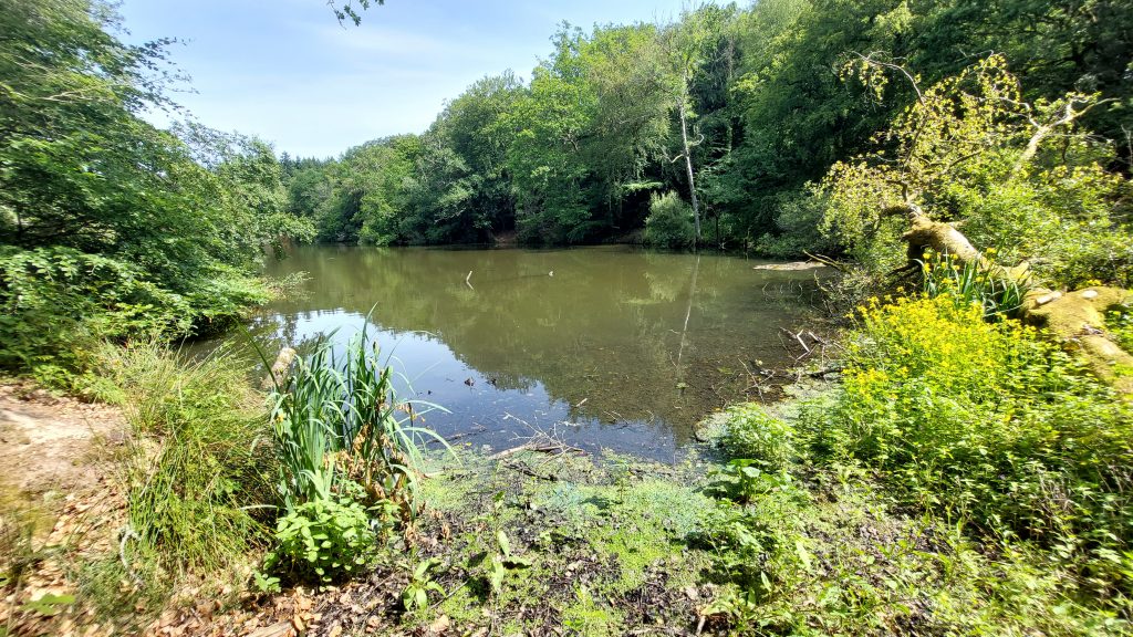
Bradford Pool (near Spinster’s Rock) is a large flooded opencut (tinworks) which measures circa 90 metres by 250 metres and 30 metres deep which was formed by a blocked drainage adit. The main period of (tin) extraction would appear to be the 16th century (1514) to the beginning of the 18th century (1701), with a period of closure between 1641 and 1687, most likely as a result of the English Civil War.
What is remarkable about this tinwork is that during its operational period, the requirement to obtain a constant supply of water was through the construction of a 12 mile (19km) leat, which is the longest (for any tinworking) on Dartmoor. The leat was constructed in the 16th century taking water from the Walla Brook and Gallaven Brook deep in the north moor between Rippa Tor and Watern Tor. Of course, there would have been other adequate water sources much nearer the tinwork, but all were utilised to power pre-existing mills and priority right to the water was enshrined in Stannary Law. The construction of the 12 mile leat indicating the potential for the tinworks much have been sufficient enough for such an undertaking of its construction.
The water was necessary to power machinery to process the ore and to drain the workings. The leat cost was £1,500, which for the 16th century would be equivalent to about £250k today. Following the English Civil War and towards the late 16th century the leat became unused by the tinners’ (circa 1641-1687) and consequentially was diverted (by Bartholomew Gidley) to supply his new corn mill at Gidleigh, this in spite the fact was available to him from Forder Brook nearby. When the tin operations started up again (circa 1687) there subsequently followed a 10 year tug of war between the tin mining company and the mill owner over the leat with each side diverting and rediverting the water. A convoluted court case ensued in 1697, which surprisingly decided in favour of the mill owner, Bartholomew Gidley. This effectively made the operation of the tinworks very difficult and they ceased working around 1701.
The author is grateful to the Dartmoor Tinworking Research Group (DTRG) for much of the information contained in this post
Bibliography
M.W. Moss – (2017) – The Bradford Tinwork Leat – Dartmoor Tinworking Research Group (DTRG) Newsletter 53, page 11 – 13
L.M. Costello – (1981), The Bradford Pool Case; Devonshire Association reports and transactions 113, Page(s) 58-77.
T. Grumley-Grennan and M. Hardy – (2000) – Gidleigh. A Dartmoor Village Past and Present, 43 (Monograph). SDV359347.
Stephen Holley – (June 2026) – Pers. Conv.
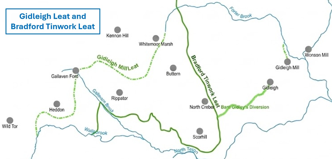
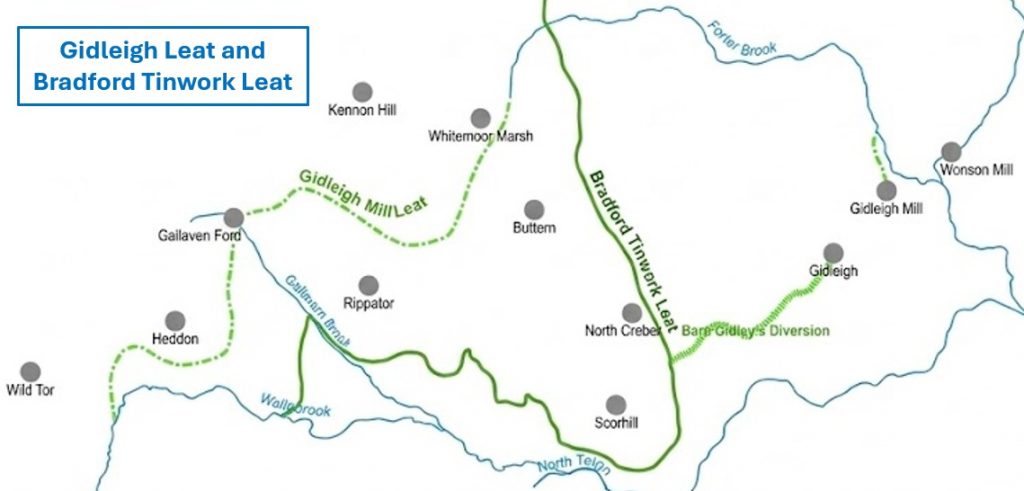
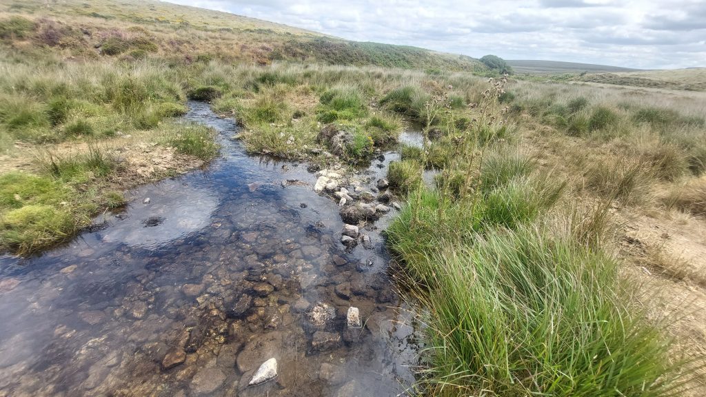
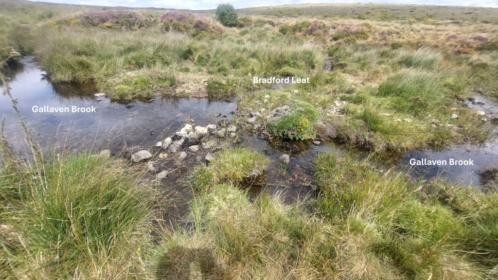
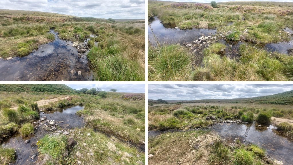
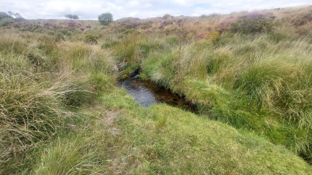
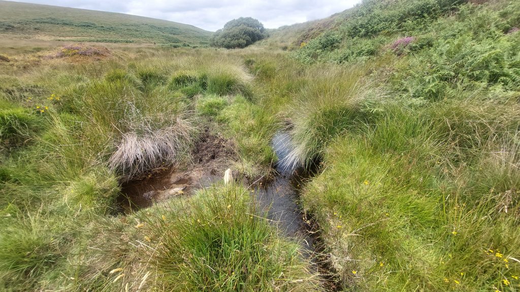
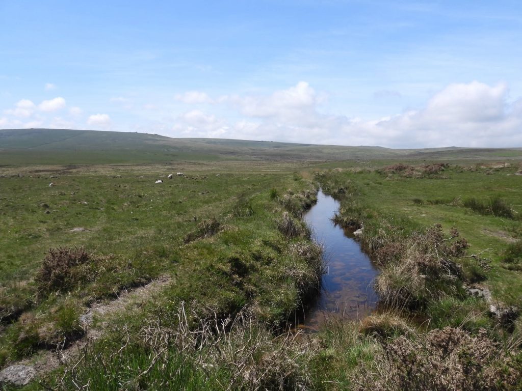
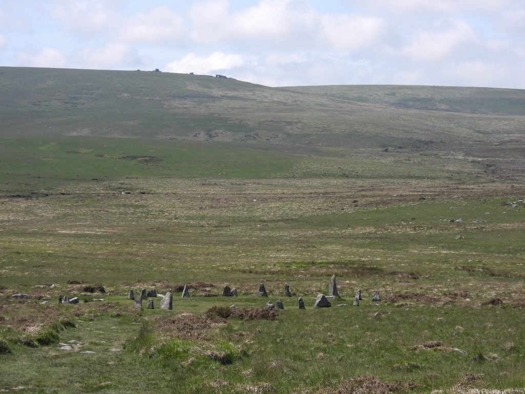
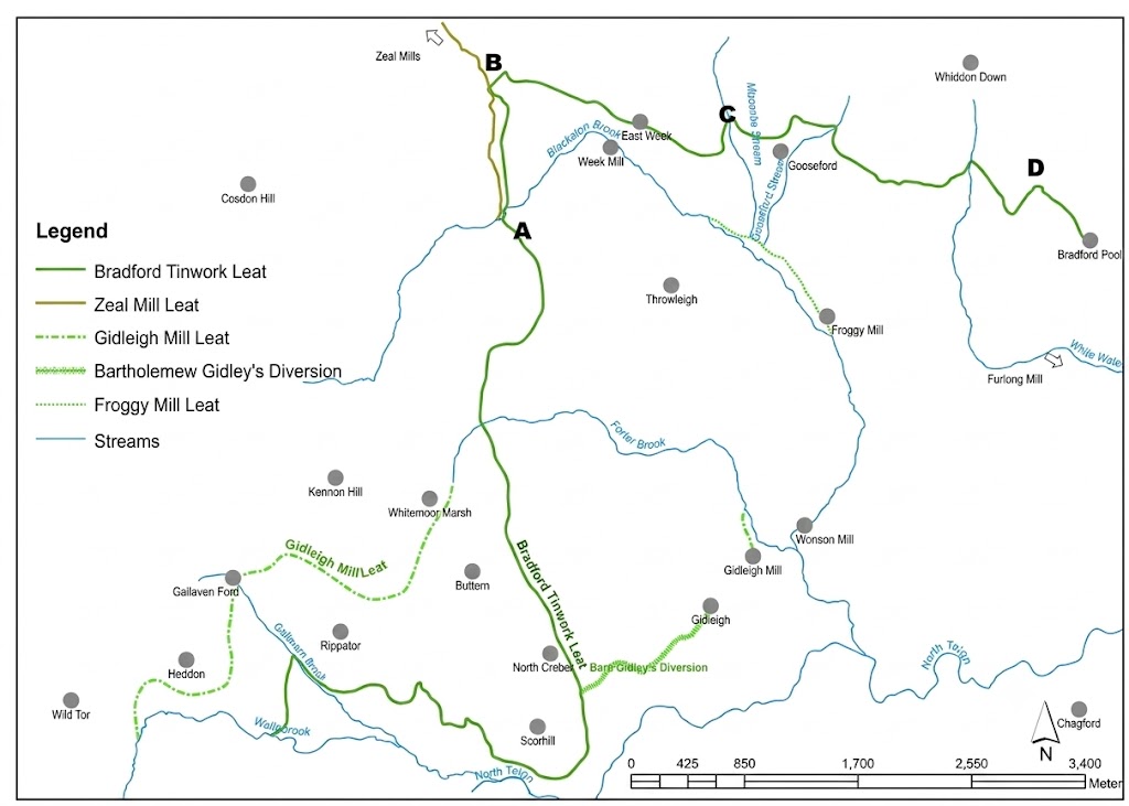
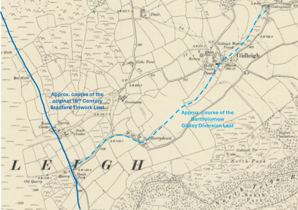
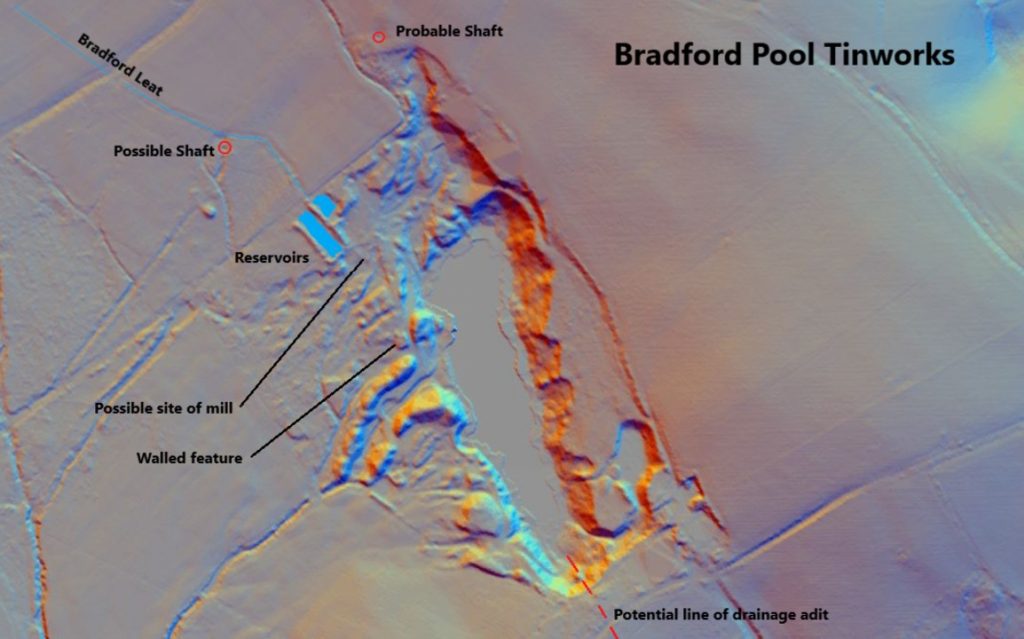
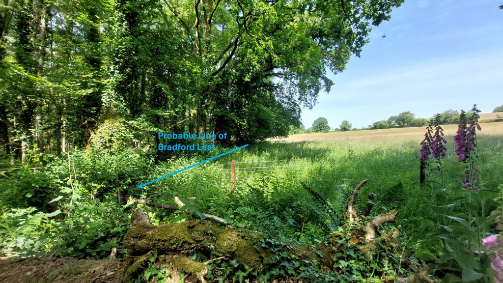
This simplified sketch shows the high moorland routes of the Bradford Tinwork Leat, the Gidleigh Mill Leat and the Bartholomew Gidley diversion. Looking at the simplified sketch, there possibly was more to the diversion than meets the eye – it would have been simpler just to divert the Bradford Tinwork Leat into Forder Brook (north east of Whitemoor Marsh) as it was this water source which fed Gidleigh Mill. Perhaps water was also being used in for farms and Gidleigh itself uphill from the mill ?Remarkably the Bradford Tinwork Leat is still flowing from Gallaven Brook through to the outskirts of Gidleigh near Scorhill Farm and Berrydown. The Walla Brook section which fed Gallaven Brook is now dry. The above picture is the Gallaven Brook take-off point, a simple stone damThis annotated picture shows the water courses at the take-off point. The Bradford Tinwork Leat take off from Gallaven Brook is located at SX63972 87969The leat in its first few hundred metres follows a route through a large tussocky area and is difficult to followThe leat banks appears to be ‘patched up’ with (as shown in the picture) a large stone enabling water to continue without seeping back into Gallaven Brook (which is on the left side of picture)The leat measures up to a few metres wide and up to one metre deep. The picture is the leat below Scorhill CircleLooking down upon Scorhill Circle. The leat passes just to the south. The line of Gallaven Brook can be discerned in the valley bottomThe Bradford Tinworks Leat was truly an impressive feat of engineering. Its circuitous route involving a wooden aqueduct (near West Week) said to be nearly a quarter of a mile (400 metres) in length. The leat needed to cross five streams (Forder Brook, Blackaton Brook, Milcombe Stream, Gooseford Stream and White Water). These water courses were all already in use as power sources to other mills.This annotated 19th century map shows the course of the original Bradford Leat as it passes through North Creber. The Bartholomew Gidley Leat diversion leat started near the modern day Scorhill Car Park at the end of the Scorhill Lane and passed Gidleigh Church and Castle en-route to Gidleigh MillThis annotated LiDAR image was created by Stephen Holley (DTRG Chairman) and shows where Bradford Tinworks Leat water came in from the north after its 12 mile journey. The leat fed two holding reservoirsLine of Bradford Leat alongside a field boundary before entering the area of Bradford Pool Tinwork area where the two earthwork reservoirs are located. The field is significantly named “Leat Merrifield”. Merrifield Lane is located to the northBradford Pool today, the site of the very large alluvial tin excavation. The excavations have been flooded since late 18th century.
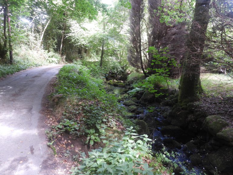
Forder Brook on side of road between Gidleigh Mill and Coombe Farmstead. The brook would have been diverted near this loctation to the mill. The water was supplemented by the Bradford Tinworking Leat in the mid -17th Century
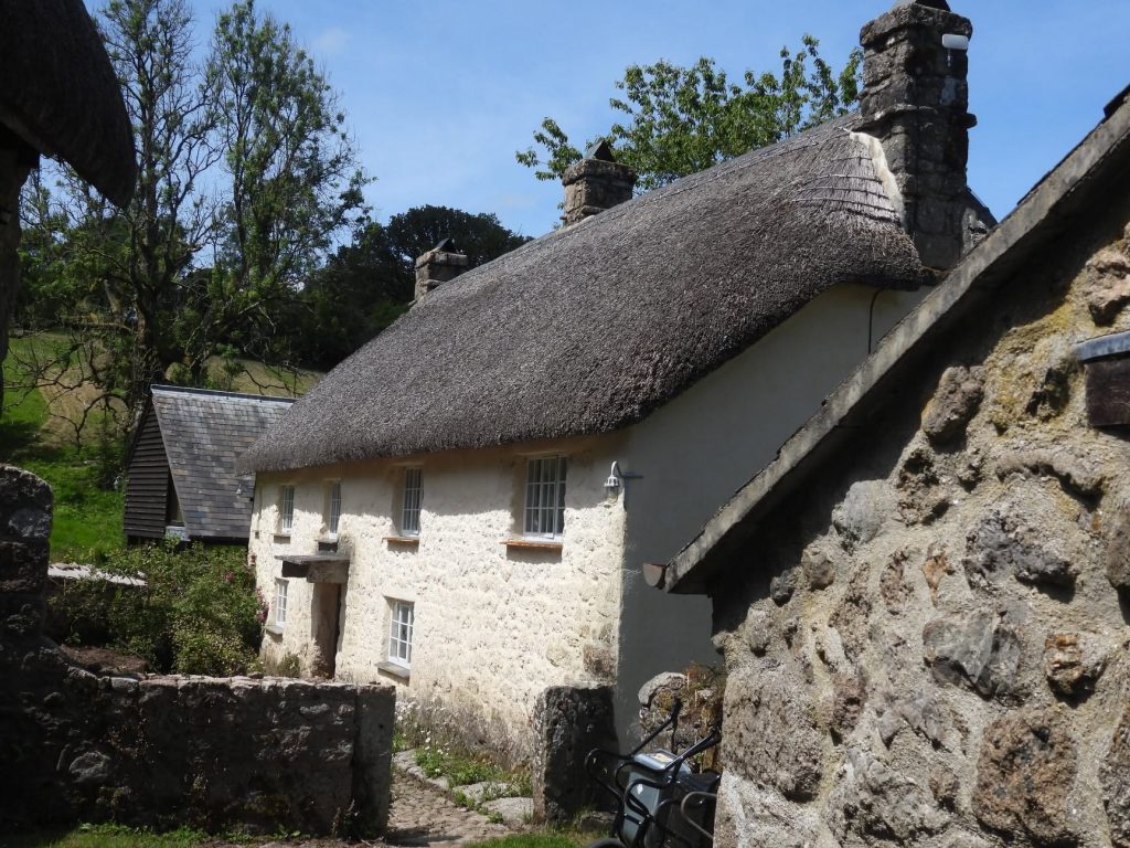
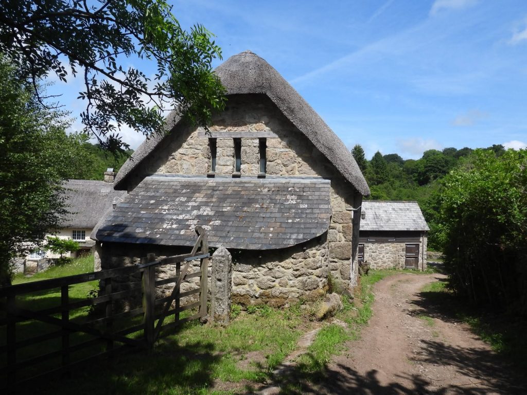
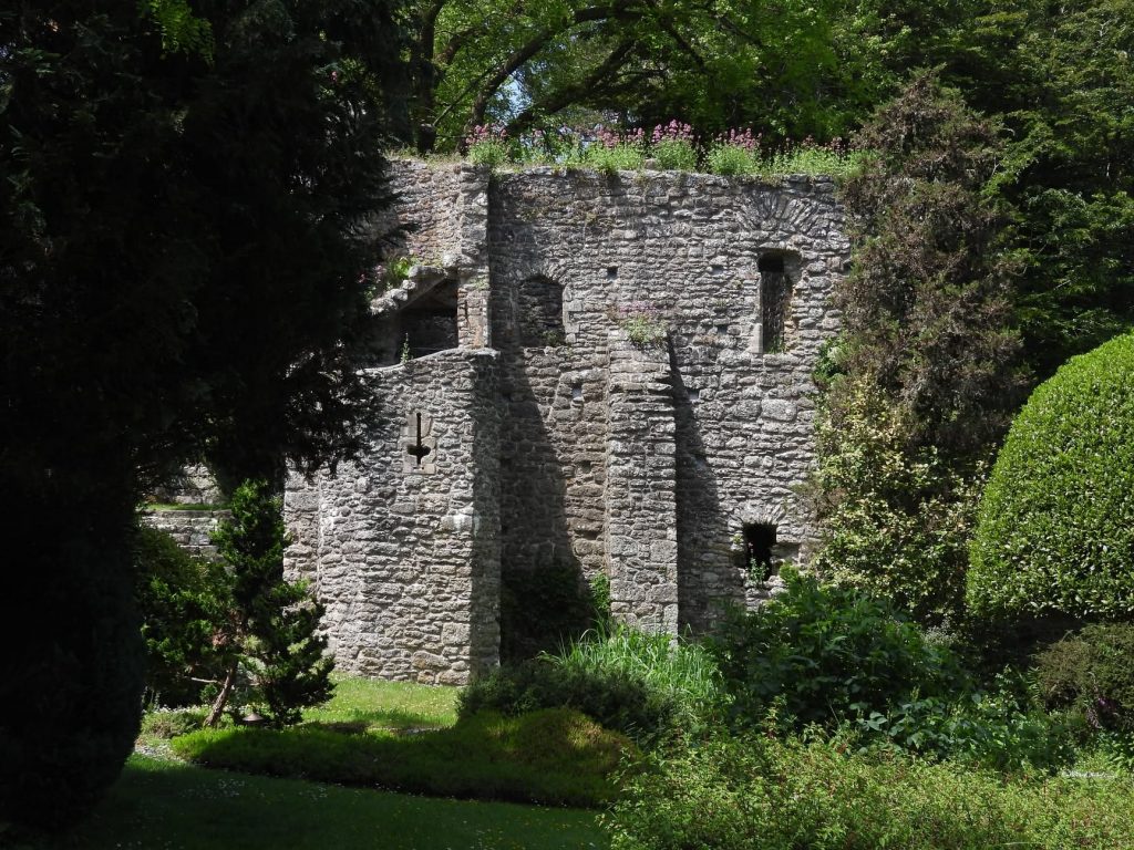
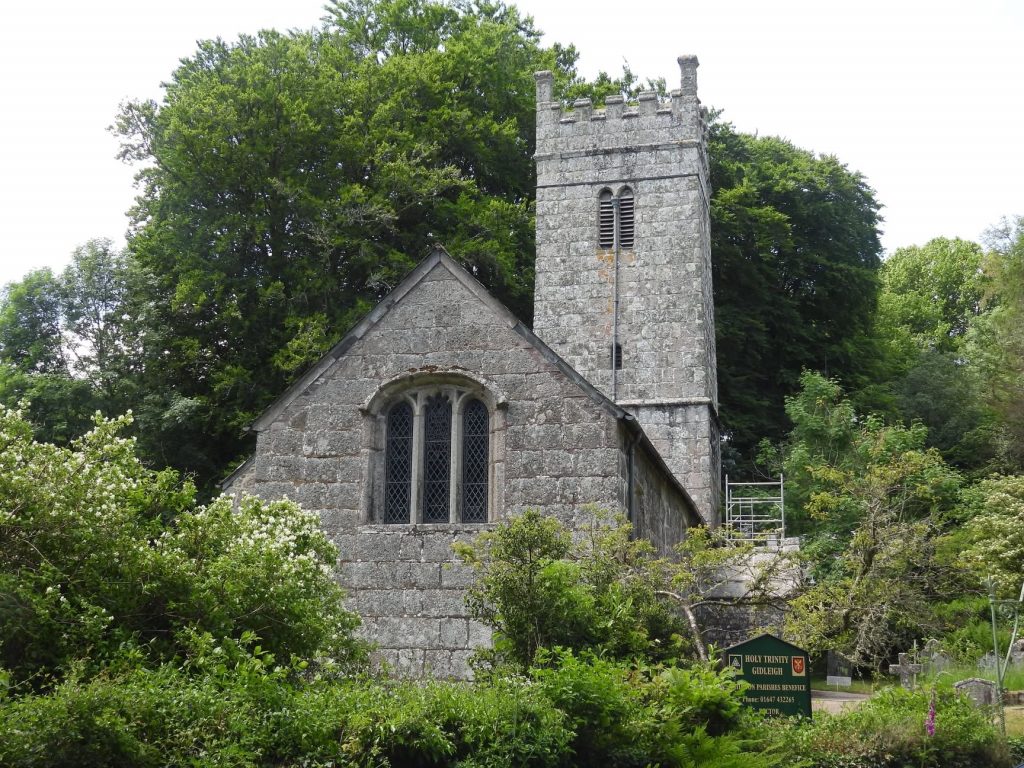
Farmhouse at Gidleigh Mill. This was the former Mill Building dating to at least the mid 17th century. The mill was bought by Bartholomew Gidley in 1638. There is no public access here but the author believes there are no remains of any millrace or water wheel. The mill is depicted on the Tithe Map (159 on the apportionment). On the tithe, two buildings are shown; a mill building/farmhouse on the northern side of the yard and barn structure aligned north-south on the eastern side. The mill would have originally have been served by water from Forder Brook until Bartholomew Gidley diverted the Bradford Tinworking Leat Barn at Gildeigh Mill. The building is located next to a footpath connecting Gidleigh and the road by Coombe. The building was once a threshing barn and had a round house connected to it. This is thought to indicate that animal power was used for a mill on the property. Gidleigh Castle was a former manor house. The Prouz family had held the manor of Gidleigh from at least the later half of the 12th century. The castle was probably built by Sir William Prouz. The Bartholomew Gidley Diversion Leat would have passed to the south.Holy Trinity Church, Gidleigh dates from the late 15th-century, and is Grade I listed. The Bartholomew Gidley Diversion Leat would have passed very close