A collection of walks, discoveries, insights and pictures of exploring Dartmoor National Park
January 6, 2022
Whittenknowles Longhouse
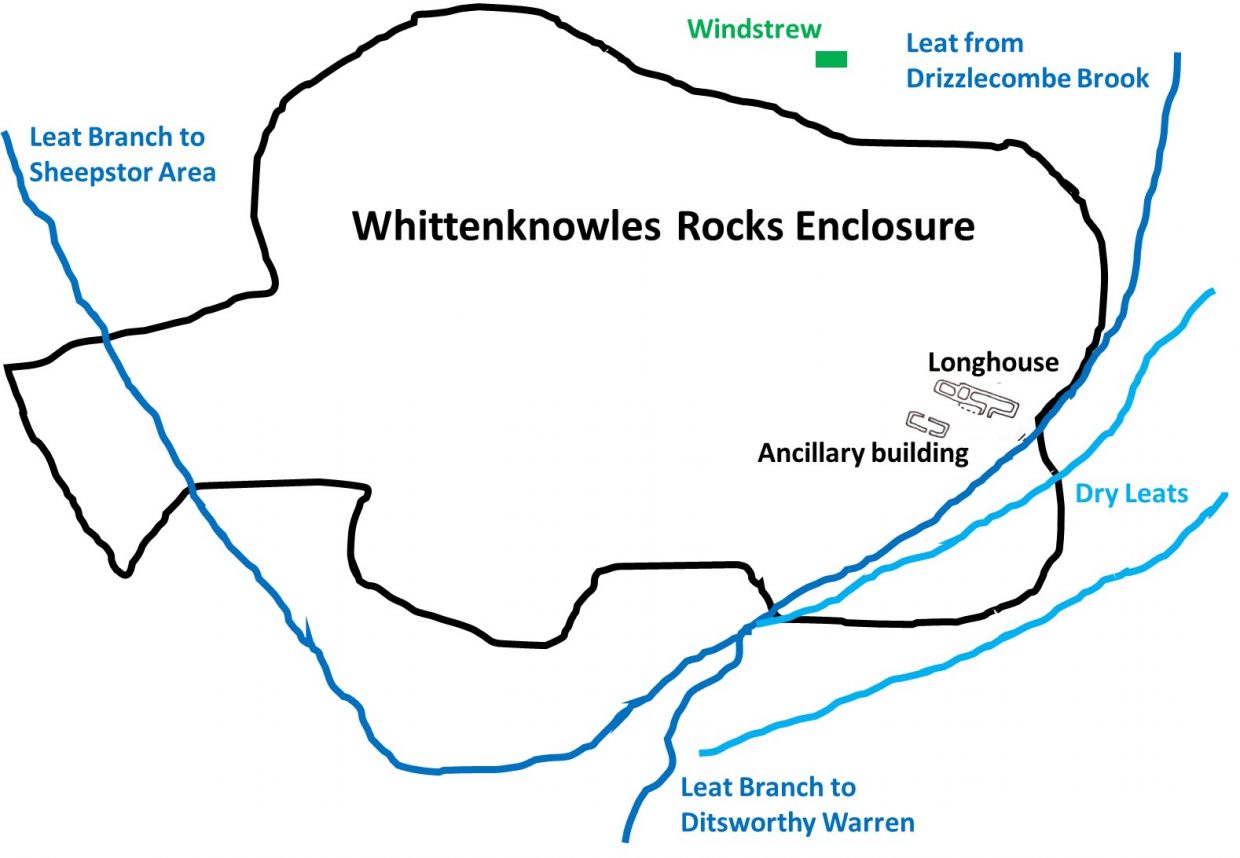
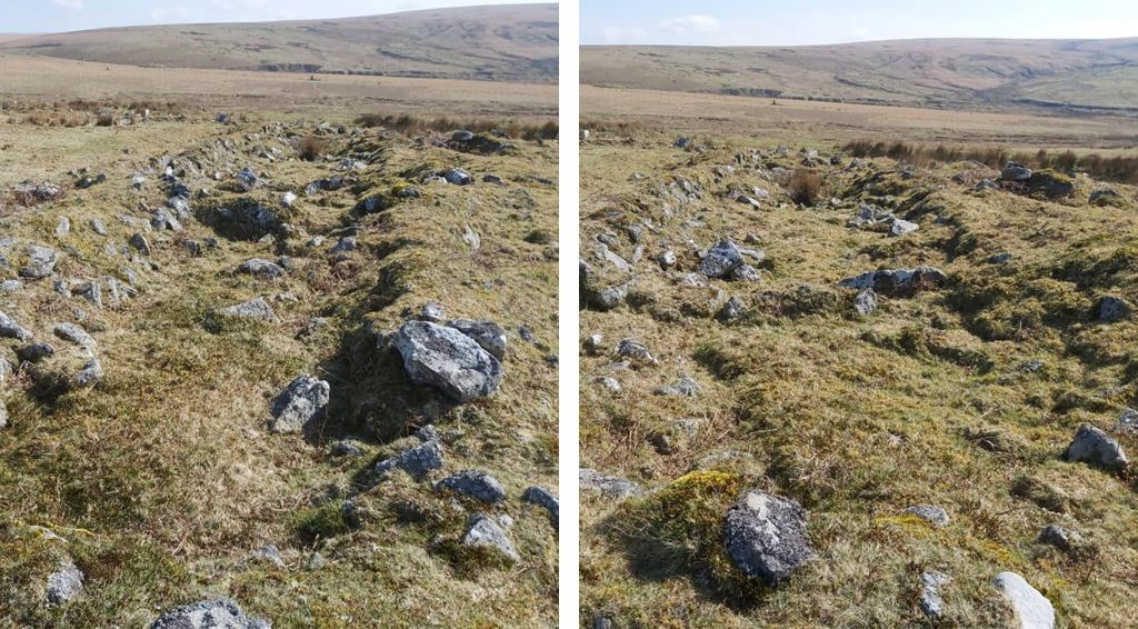
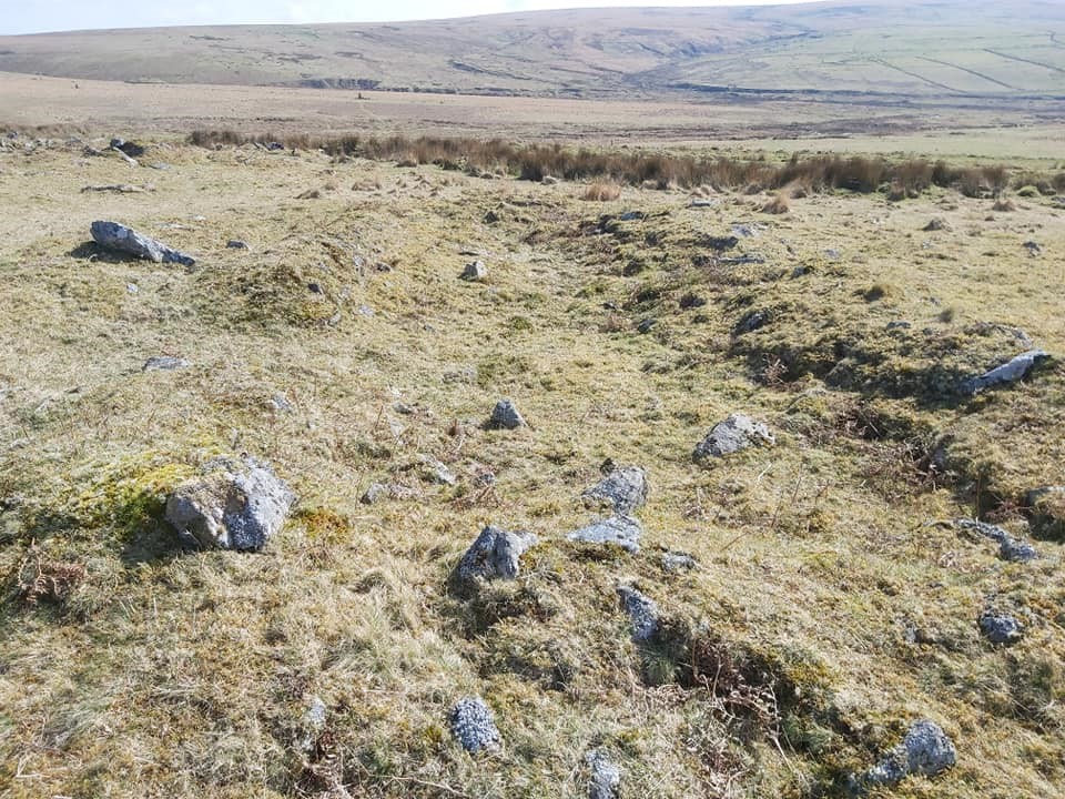
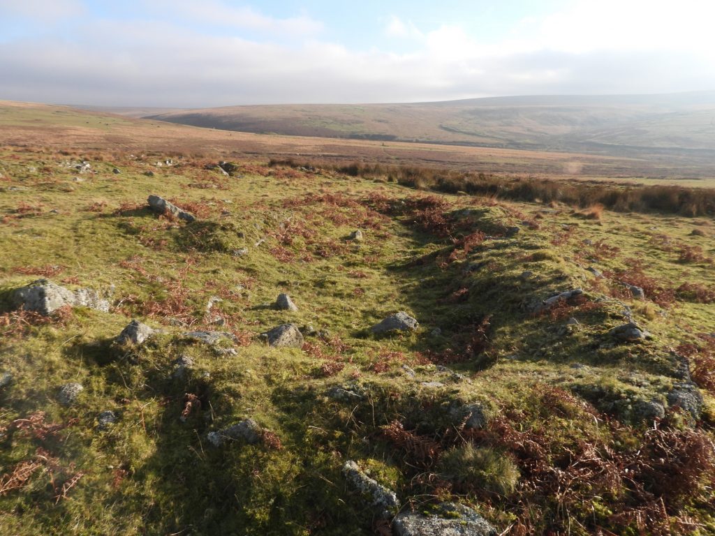
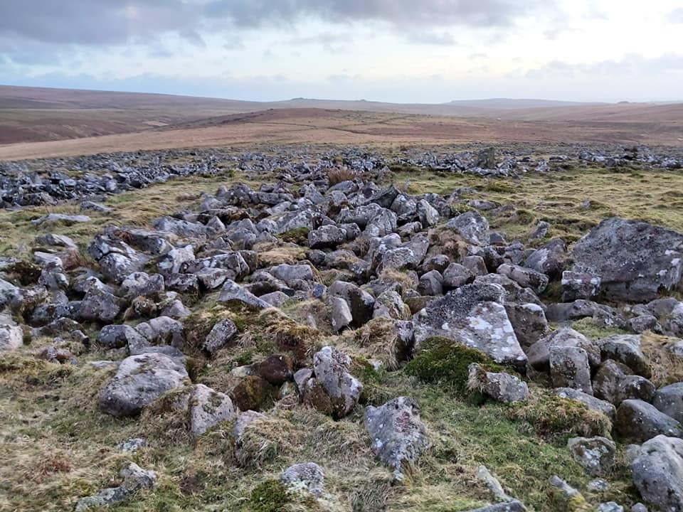
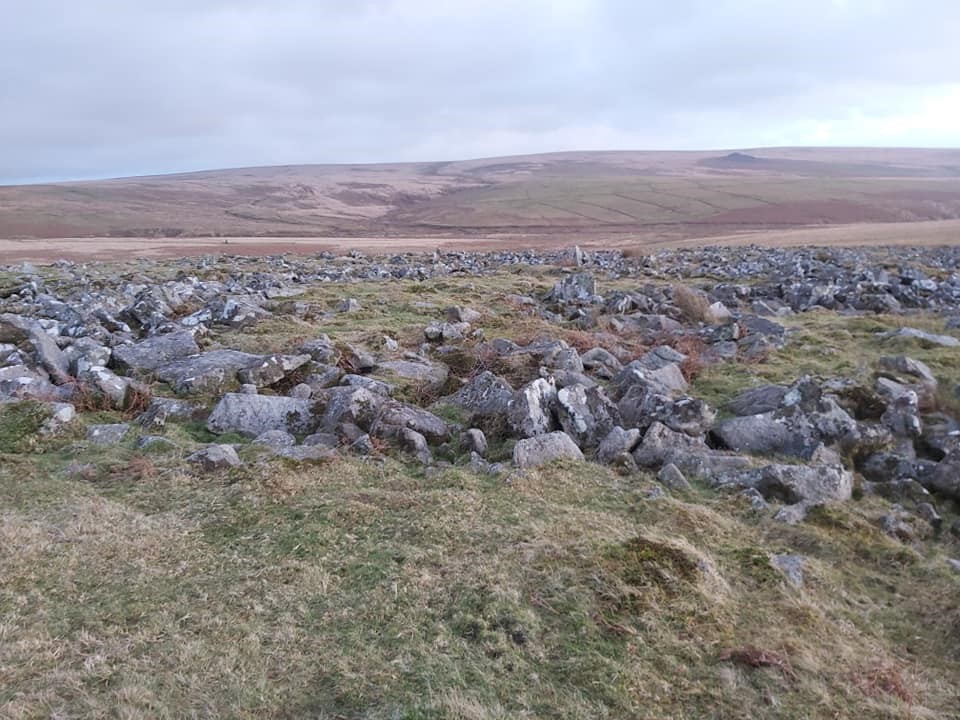
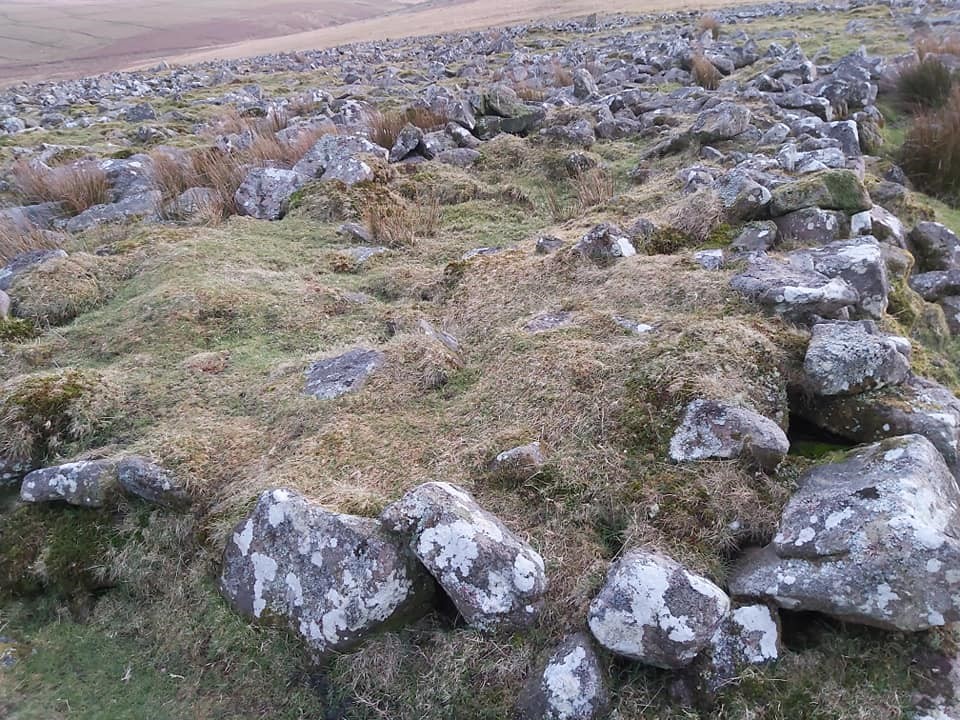
Whittenknowles Rocks Longhouse lies within the rocks enclosure of the same name. There area is well described in Jeremy Butler’s ‘Dartmoor Atlas of Antiquities: Volume Three – The South-West‘ where he states that the enclosure is a hut circle settlement over an area of 4.37 hectares and contains 38 hut circles linked by walling or natural lines of clitter subdividing the enclosed area into small paddocks. He further states that several extensions were added to the massive circuit wall on the south side and one of the main features In medieval times the site was re-used and a longhouse and ancillary buildings which were built on the east side of the settlement. Not mentioned by Butler is a “windstrew” feature, which lies just outside the enclosure.
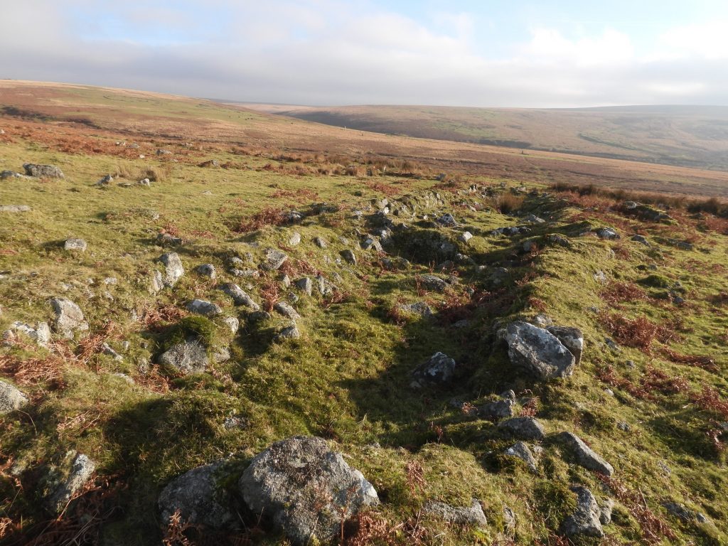
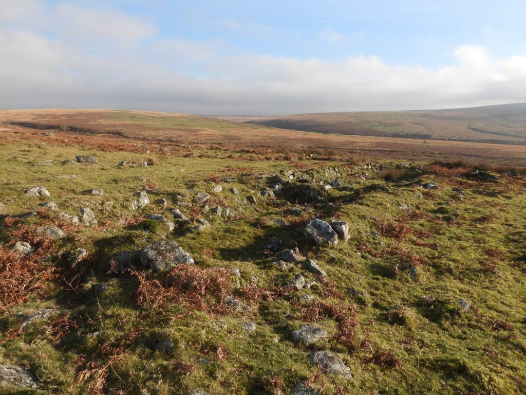
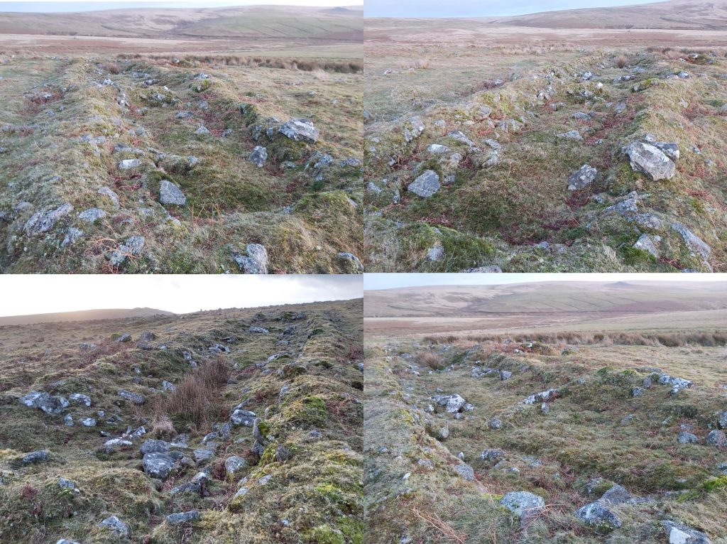
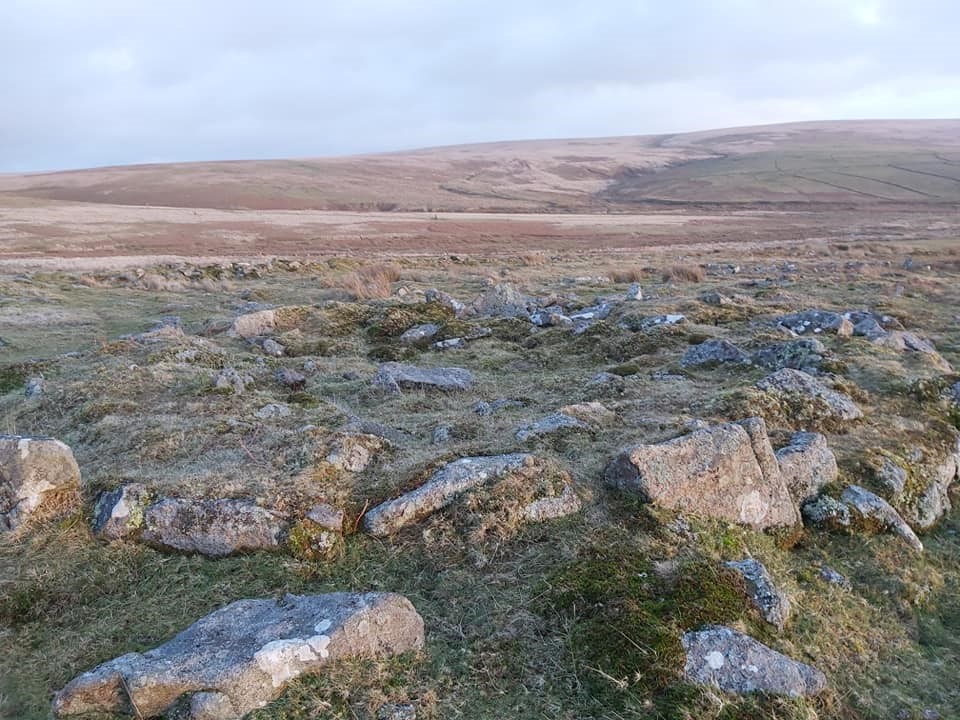
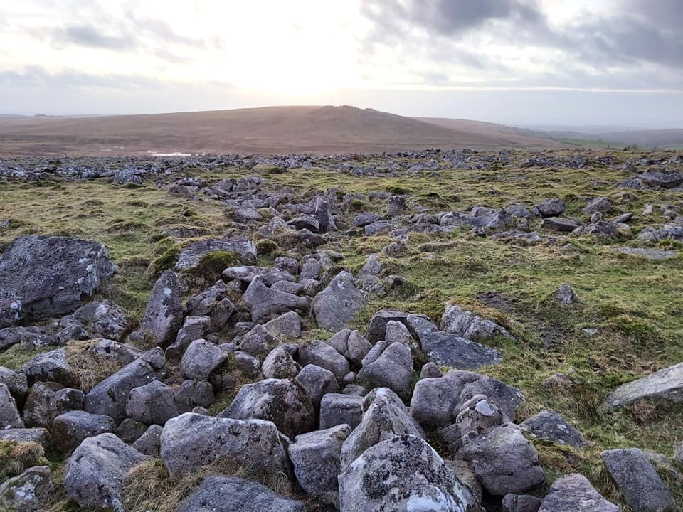
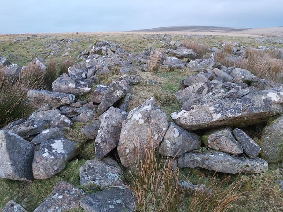
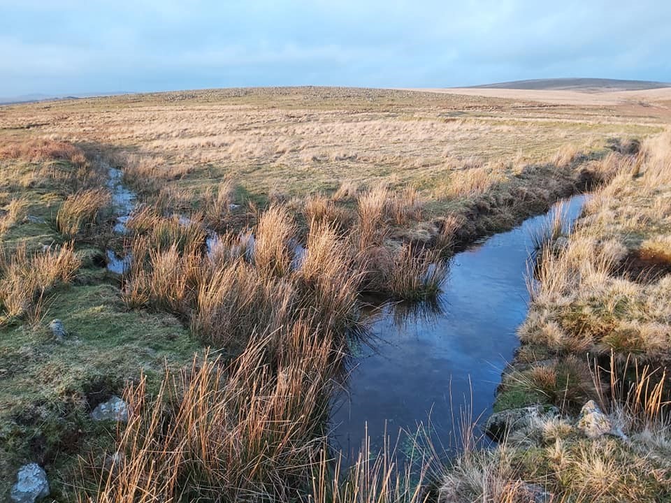
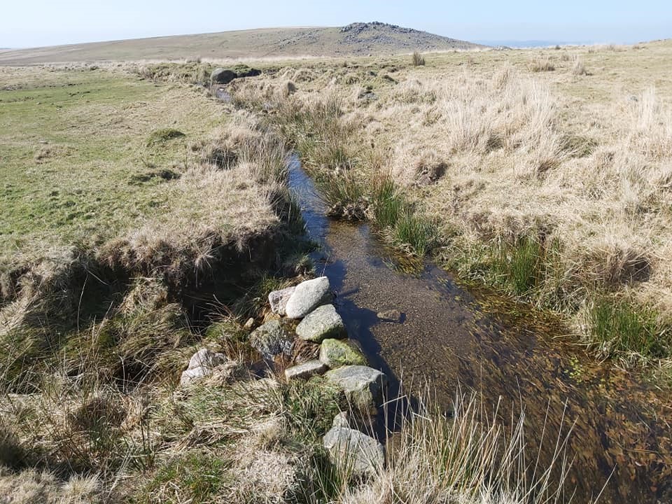
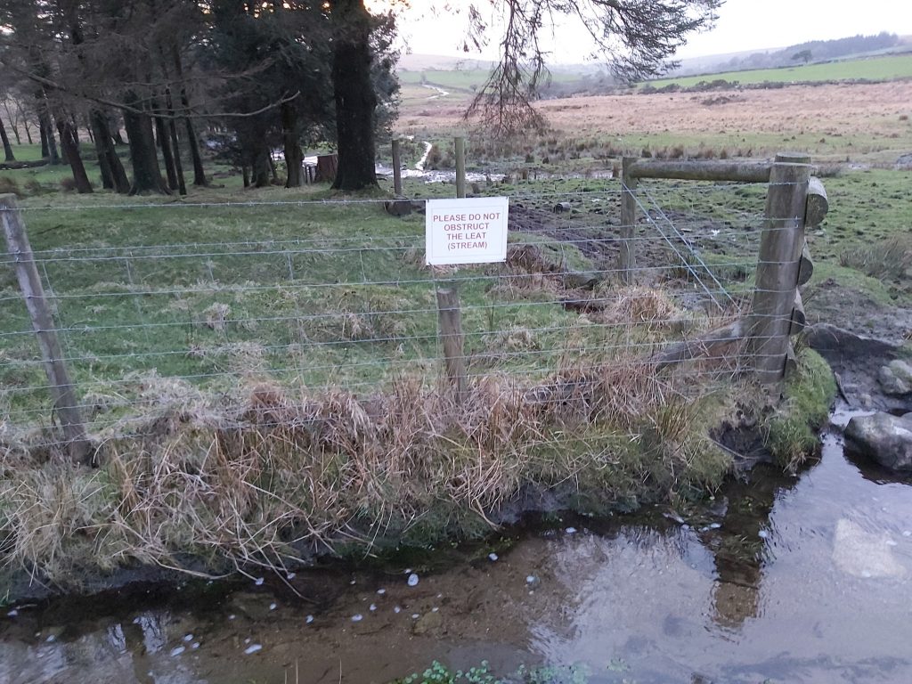
Sketch map showing the location of the Longhouse, ancillary building, windstrew and leats in relation to Whittenknowles Rocks. There is a further building to the north of the Longhouse not covered in this post.The longhouse is oriented east to west and is said to be 28 metres long internally (Probert, S. A. J., 1999, Whittenknowles Rocks (Report – Survey) SDV216768 or 26.5 metres long internally (Butler, J., 1994, Dartmoor Atlas of Antiquities: Volume Three – The South-West, 126-7, Map 49, Figure 49.11 . SDV137656) . Probert states it is divided into four compartments, whereas Butler describes it as being a long rectangular building with a porch on the south side and two small extensions to the west.The longhouse is cut into the gently sloping hillside to provide level floors and lies just a few metres from the leat on the eastern side of Whittenknowles rocks enclosure. Various views of the Whittenknowles Longhouse taken in February 2020. Top Left: with Shavercombe Brook in the background. Top Right; view looking towards Drizzlecombe. Bottom Left; with Gutter Tor on the horizon. Bottom Right; with the dark moody presence of Hen Tor looking across the Plym.Whittenknowles Longhouse – March 2020Ancillary building near to the Longhouse at SX58624 66992The ancillary building is recorded as being 13 metres to the south-west of the longhouse and is a single-roomed structure measuring 12.0 metres by 3.3 metres internally, oriented roughly east to west (ref Probert, Dartmoor HER) Typical Hut circle at SX58651 67085. Butler mentions there are 38 huts at Whittenknowles RocksGeneral view of Whittenknowles enclosure and huts, looking SouthAnother general view of Whittenknowles enclosure and huts looking West towards Gutter Tor.Another general view of Whittenknowles enclosure and huts looking South (ish) towards Hen Tor.A windstrew within Whittehknowles rocks. Note: A windstrew is a large granite platform used to enable threshers to flail the corn and then winnow the chaff with the assistance of the wind.Another view of the windstrew. SX58576 67158.The Ditsworthy branch of the leat looking towards Whittenknowles Rocks from the South (near Eastern Tor). Whittenknowles rocks are the shallow dome on the mid horizonLeat split at SX58560 66937. Ditsworthy Warren leat branch to the left (south) and Sheepstor area branch leat to the right (north). Gutter Tor in the background. This is referred to as Longstone Leat in Dartmoor HERSign adjacent to the scout hut enclosure next to the Sheepstor area branch of the leat.