A collection of walks, discoveries, insights and pictures of exploring Dartmoor National Park
May 25, 2020
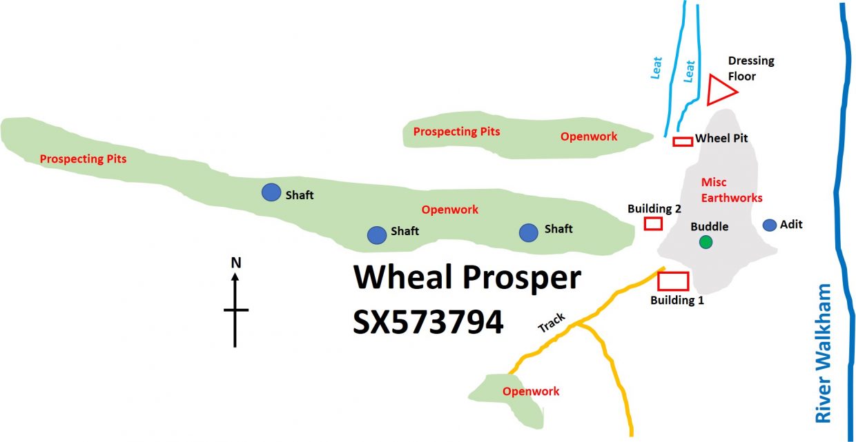
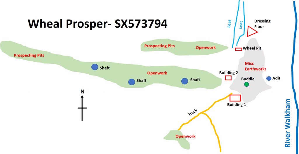
WHEAL PROSPER
Taking various sources from Heritage Gateway, it is believed this little known tin mine was operational from around 1790 through to 1854. The OS map today just show a small black square (main building) and the workings running in an E/W orientation but there is a lot to see and discern in the 4 hectare site.
Layout drawing of the site, showing all the key features and their approx locations.
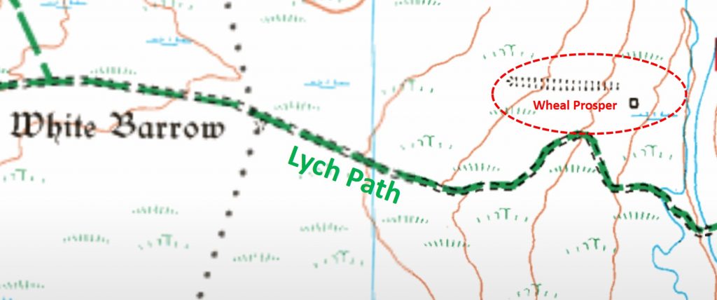
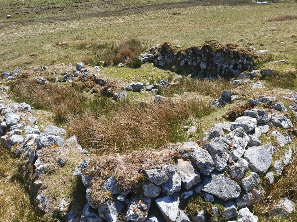
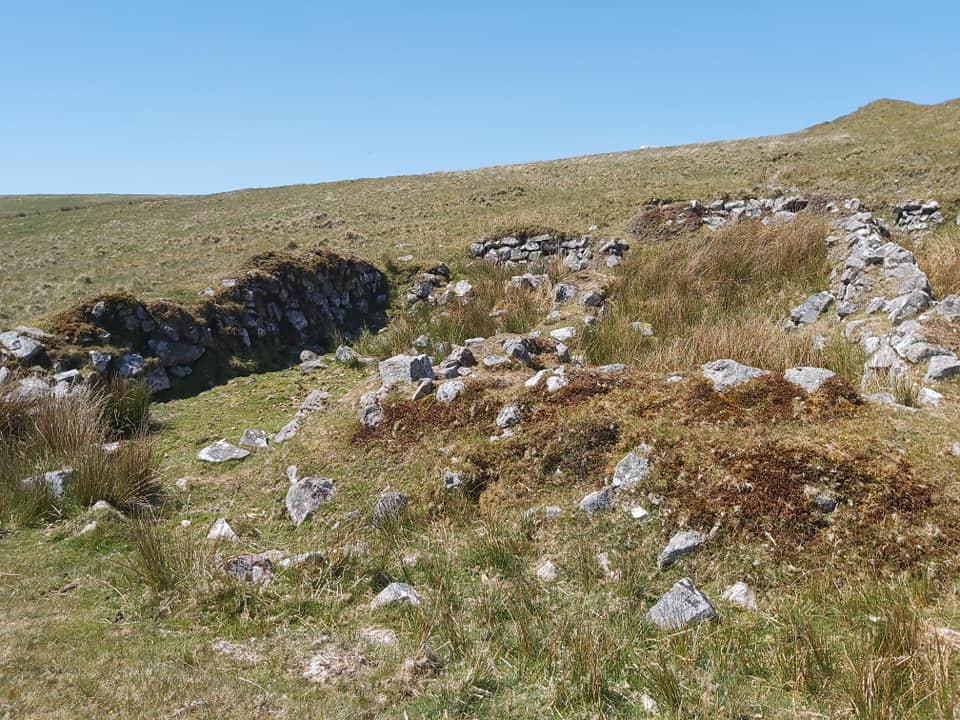
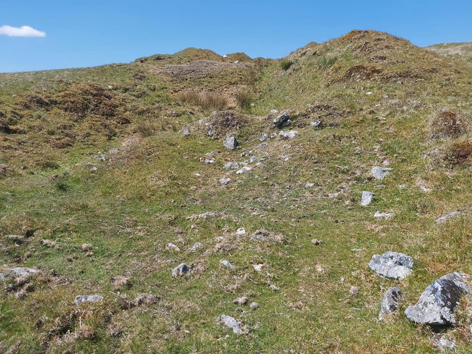
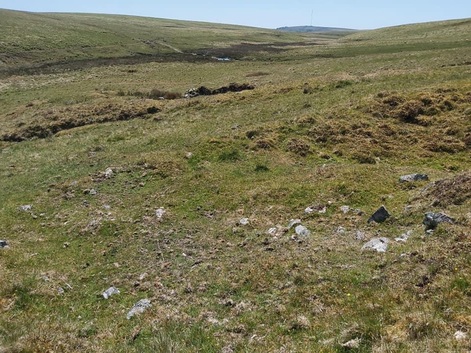
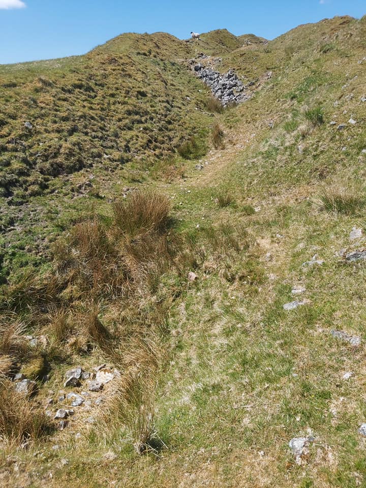
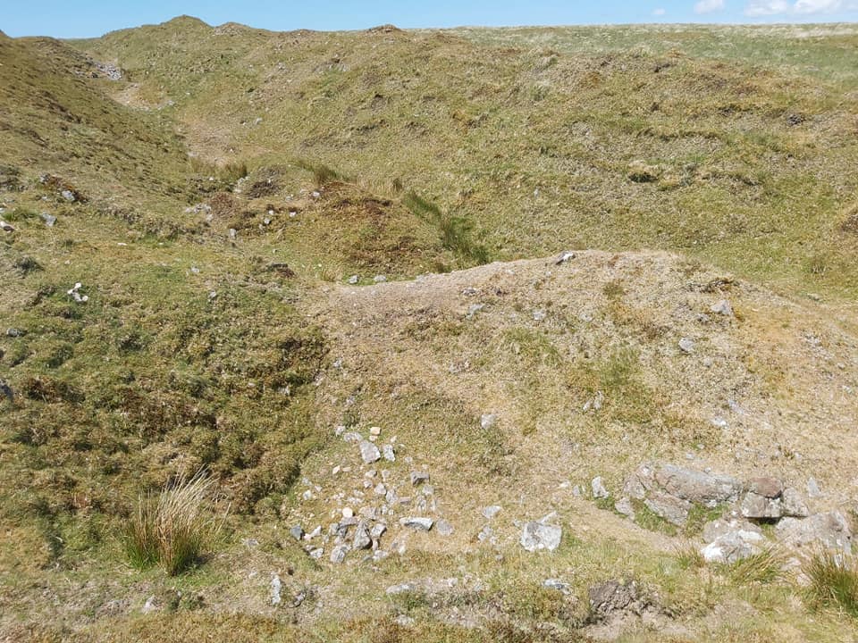
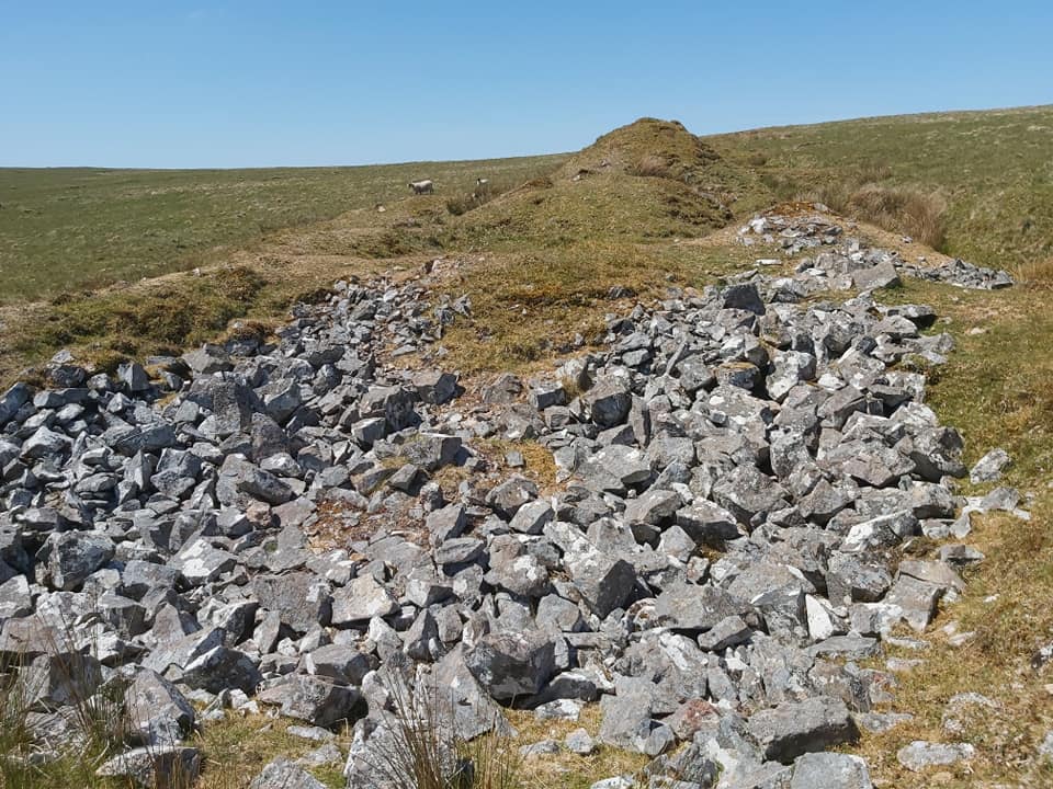
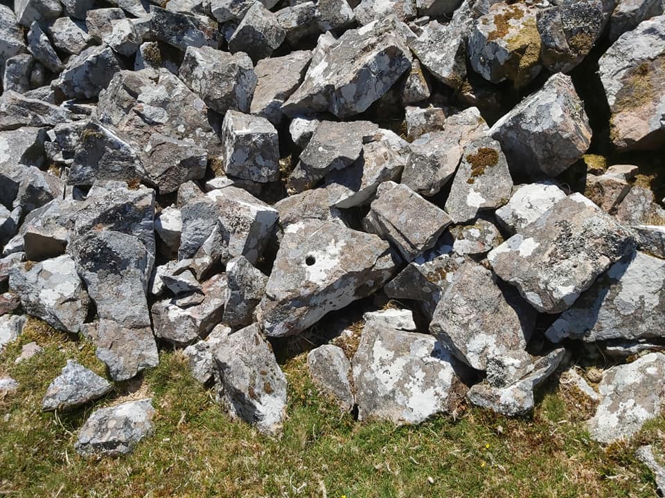
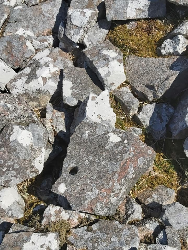
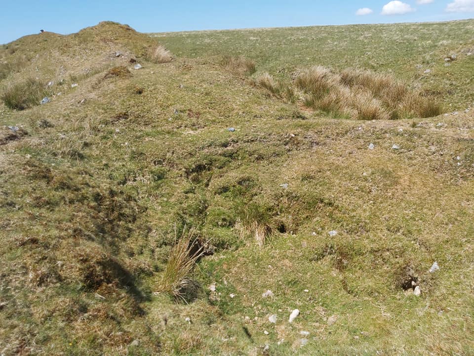
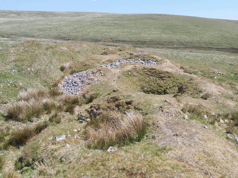
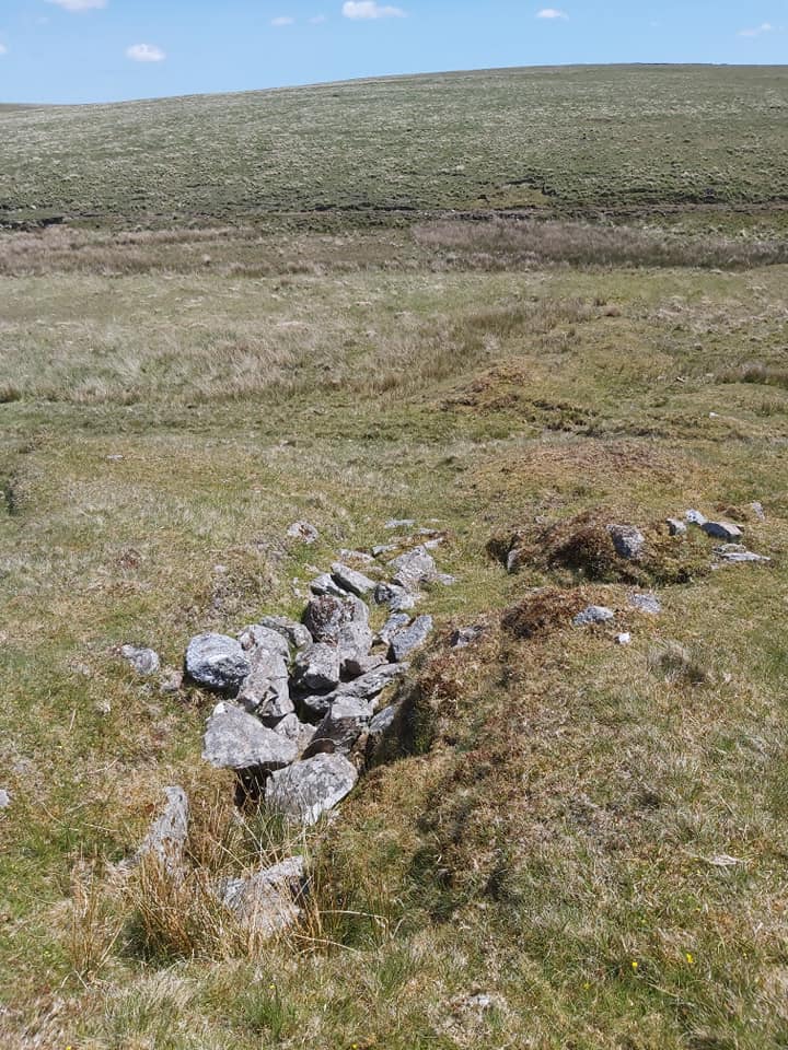
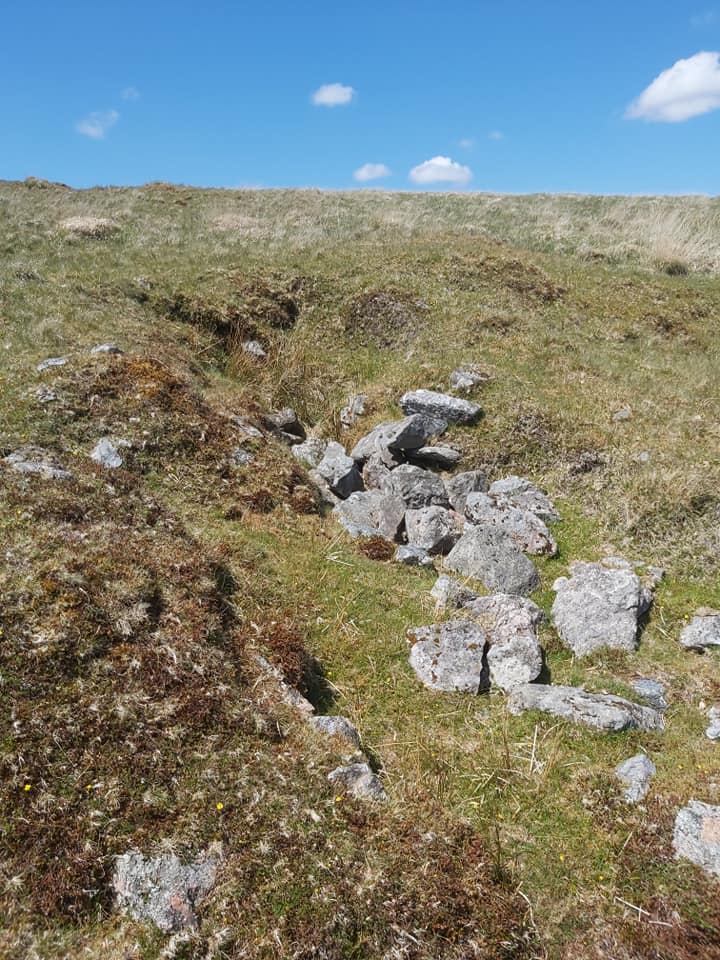
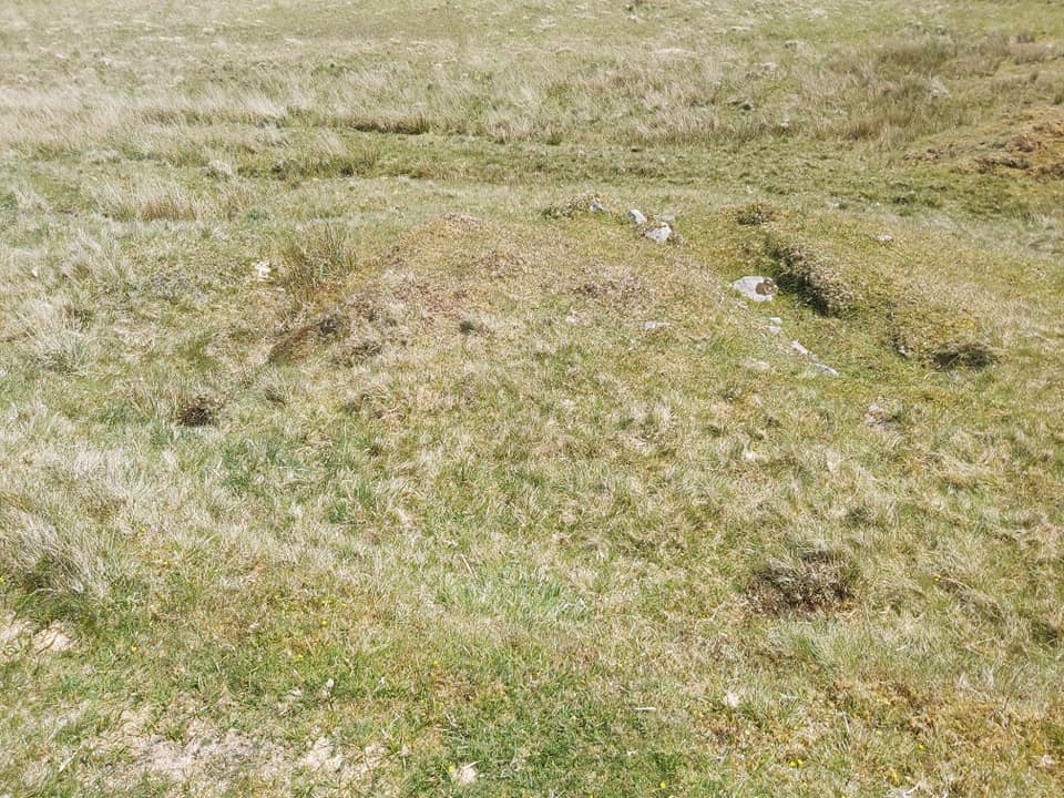
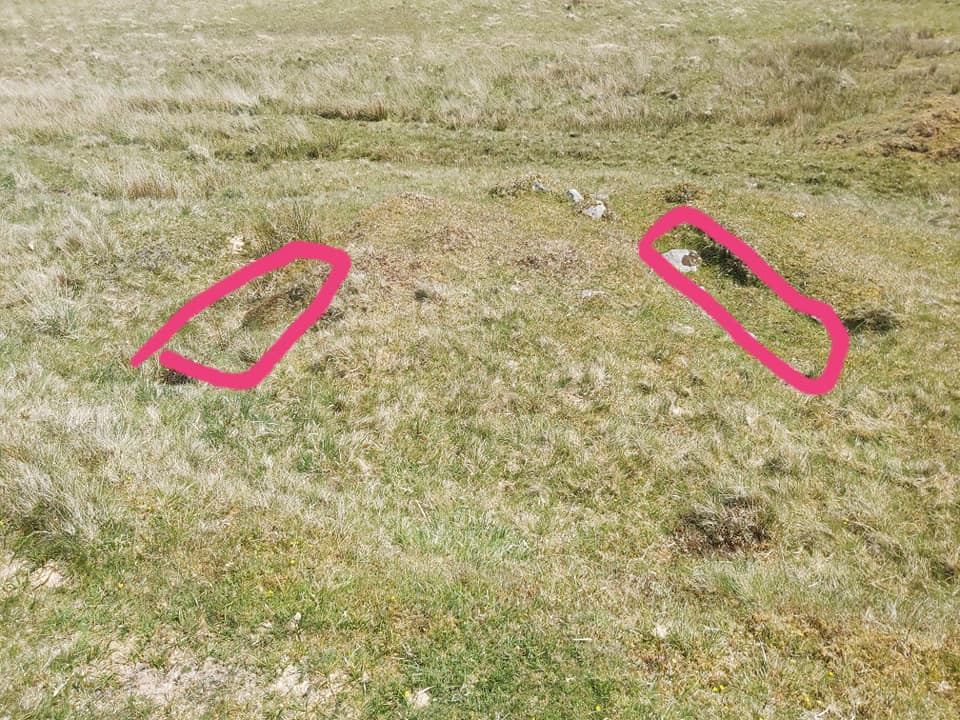
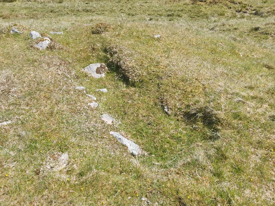
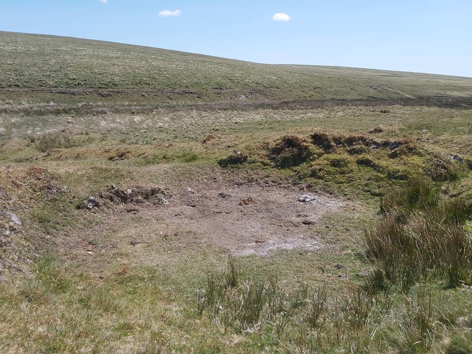
The main building, sub-divided down the centre. You can see thick, substantial walls. It is stated as being 9m square and muted to be accommodation, at least in some part. Located at SX57348 79341Another view, looking west, at the main building. You can just make out some of the workings in top right of the pictureFoundations of a second, less discernable building below the workings at SX57341 79363. It is approx 5m x 4m.View from second building looking towards the Lych Path ford on the Walkham. North Hessary mast can just be made out on the horizon.Bottom of the workings with a possible filled in shaft at SX57326 79358More views of the workings with possible Shaft at SX57290 79356Just a pile of granite rubble nearing the top of the main workings or does history reveal something else ? There are two “holed” stones here.Holed stone #1 SX57237 79363Holed stone #2 SX57240 79358Possible shaft at SX57228 79356Fabulous view looking East down the main workings towards the Walkham. Maiden Hill (top centre/right) and Spriddle Lake (top left of picture) can be seen.Stone lined and rubble filled wheel pit. Approx 5m long x 1m wide. The leat that fed the wheel is easily traced.View of the wheel pit from below. SX57362 79384A flat triangular shaped dressing floor adjacent to the wheelpit with two settling pits (or stamping mills?)The two settling pits (or stamping mills?)
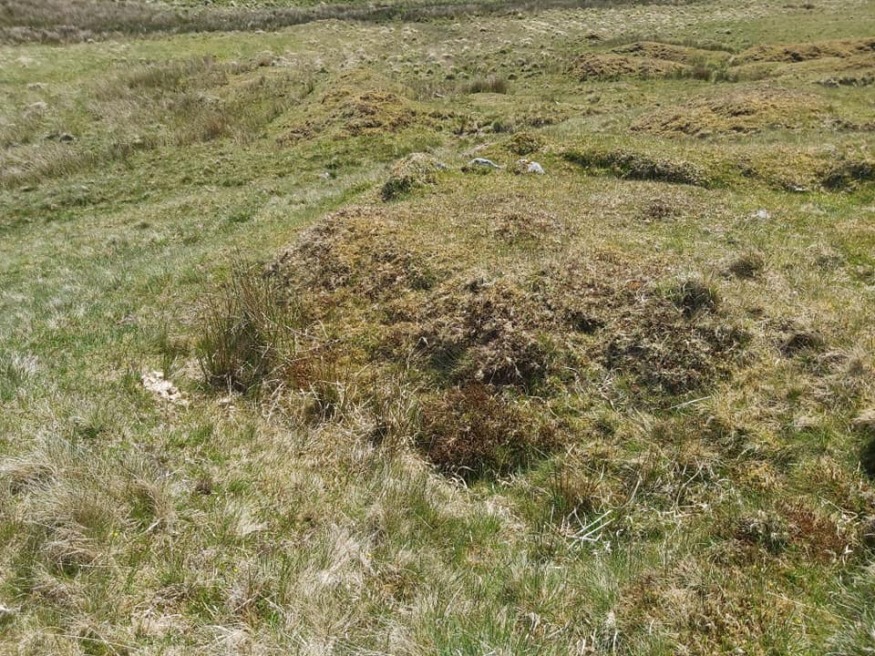
Settling pit (or stamping mill?) #1 @ SX57364 79388Settling pit (or stamping mill?) #2 @ SX57362 79393Probable buddle, approx 6m in diameter at SX57358 79354. A buddle was a purpose-built circular pit, constructed from stone or brick, cement and mortar, contained water, and a set of brushes, often powered by a water wheel, which rotated in the water in order to agitate the mixture, the result of which was that the heavier and denser material – i.e. the tin ore – tended to collect at the centre of the pit, from where it could be retrieved. The worthless “gangue” was then disposed of, often by draining. This site had an associated water wheel, which can be traced (as per my post), which would have provided the power.. I’ve added a b/w picture to show you what it might have looked like.Smaller (right angled) shallow working to the SW of the main site.