A collection of walks, discoveries, insights and pictures of exploring Dartmoor National Park
December 8, 2020
SOUTH BRENT / DEAN PRIOR PARISH BOUNDARY STANDING STONES BETWEEN DOCKWELL HOLE AND LONG-A-TRAW
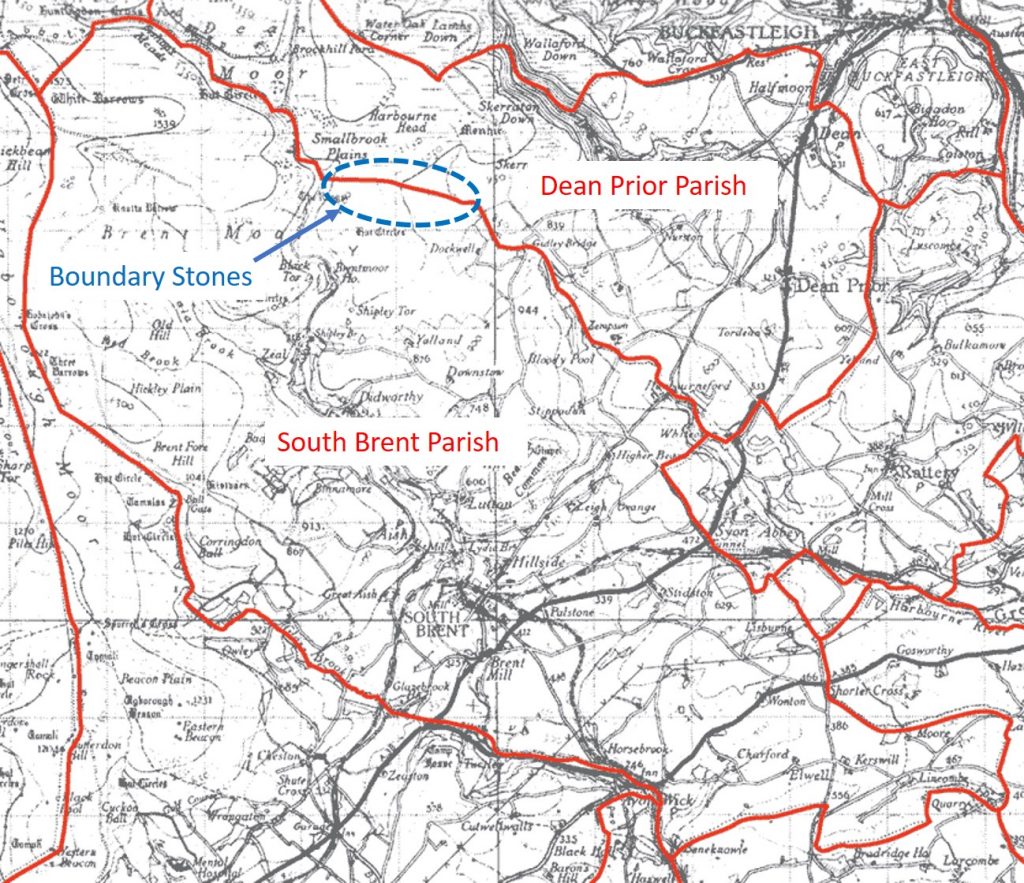
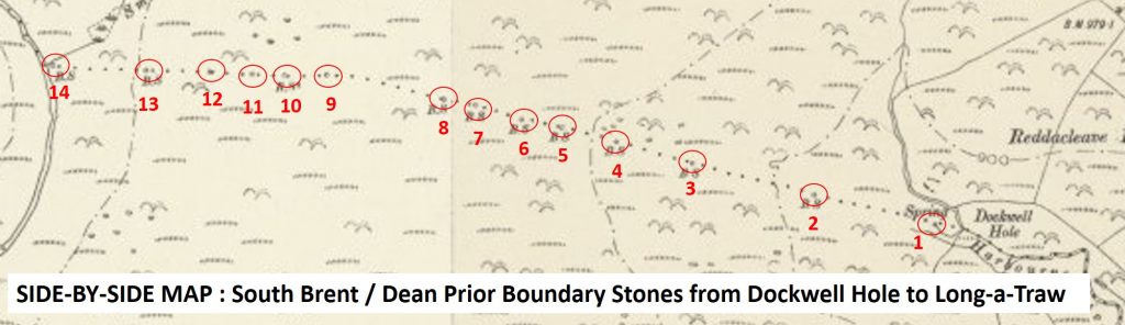
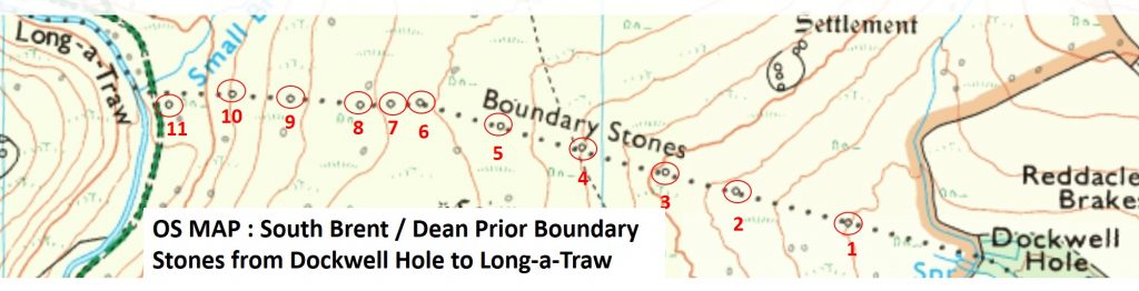
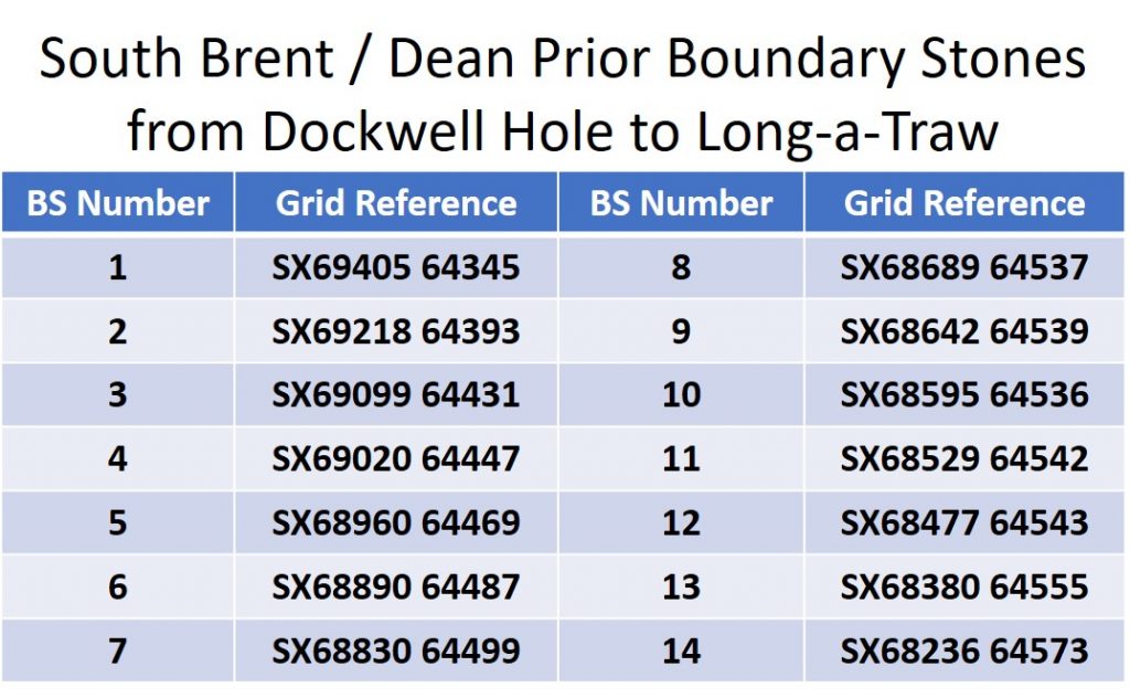
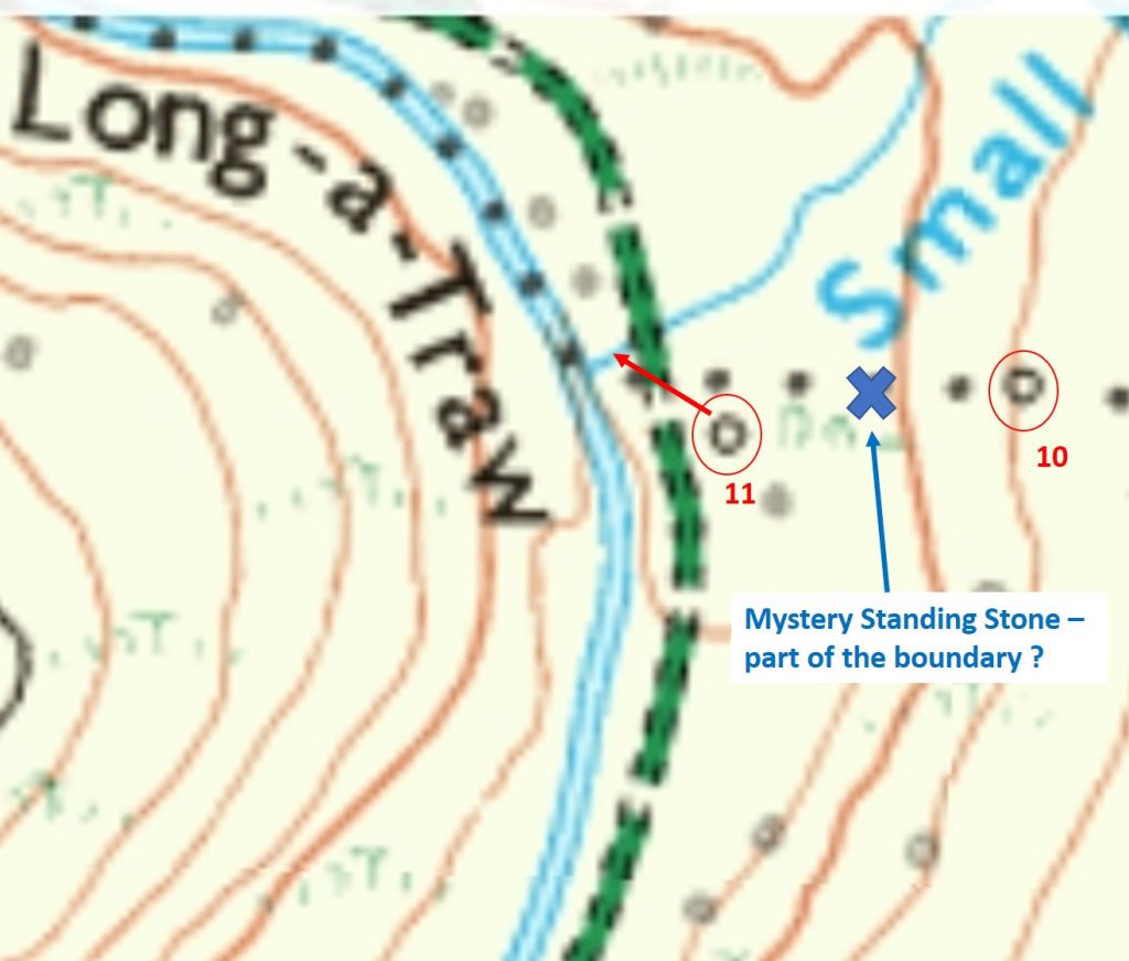
The South Brent parish northern boundary borders the neighbouring parish of Dean Prior. Where the parish boundary crosses the ridge between Dockwell Hole and Long-a-Traw (where Small Brook enters the Avon), there are a number of roughly hewn boundary marker stones. There are 11 boundary markers shown on the modern OS map. However on a late 19th century “side-by-side” map, there appears to be 14 stones. This post is a photographic record of all the 14 boundary marker stones (from the “side-by side” map and details 10 digit National Grid References (NGRs), where each is located. To add to the mystery, there appears to be a possible 15th stone…….
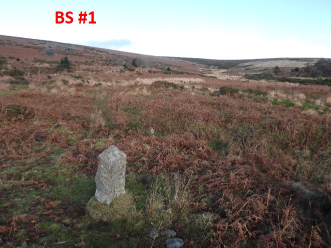
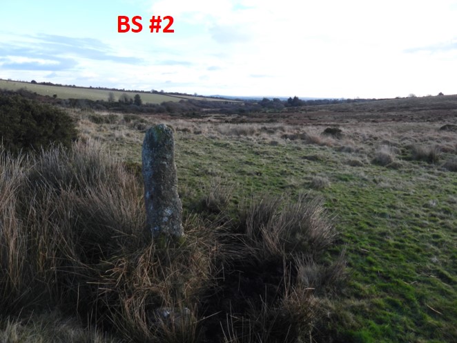
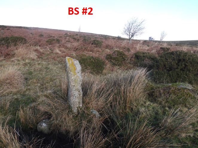
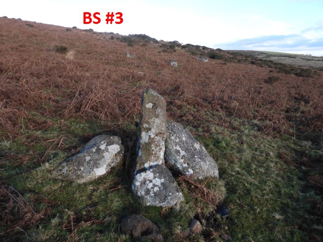
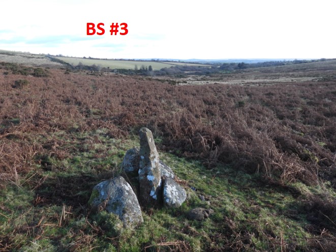
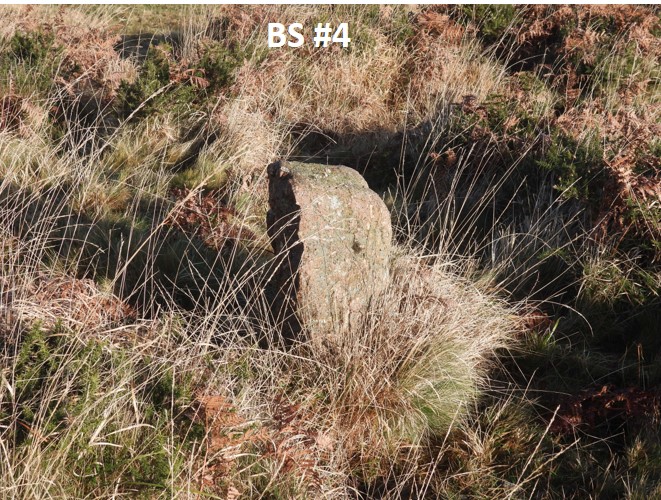
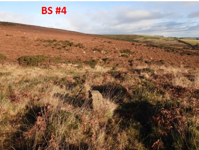
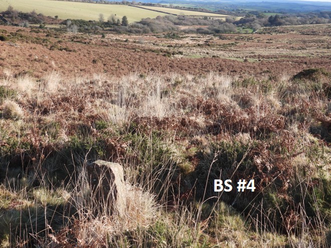
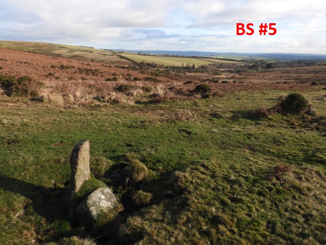
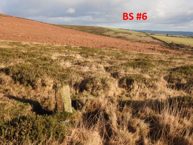
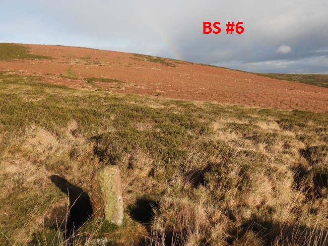
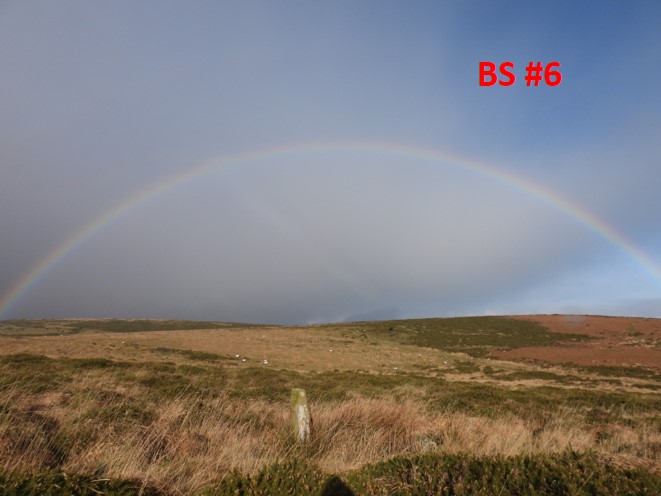
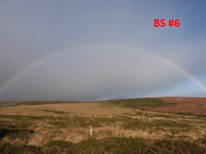
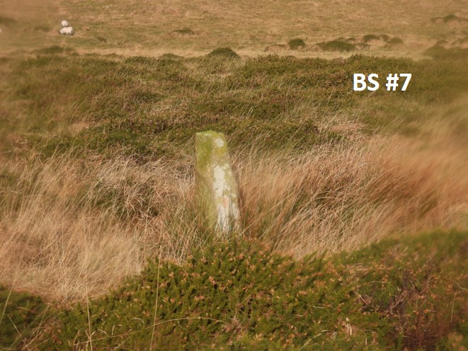
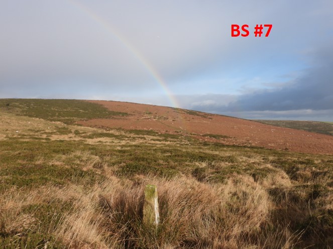
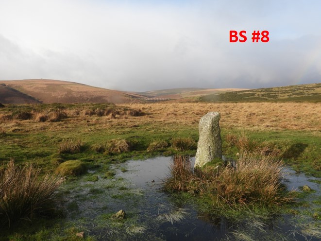
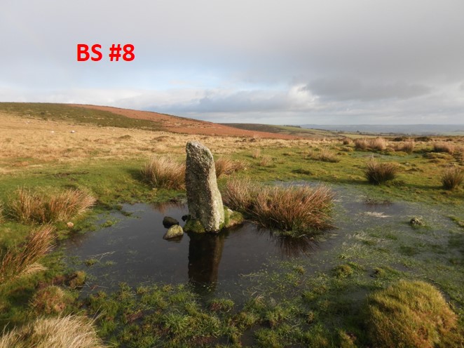
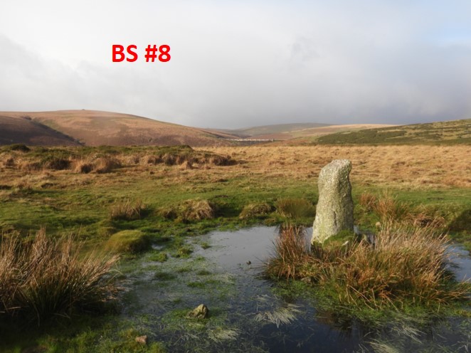
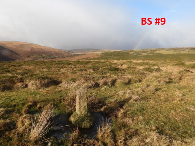
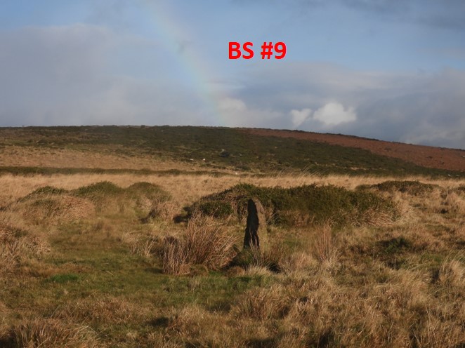
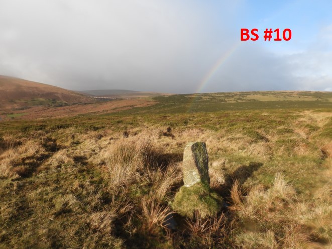
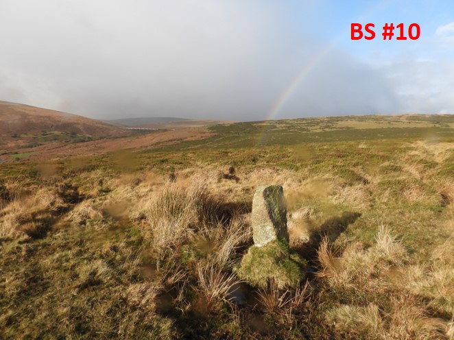
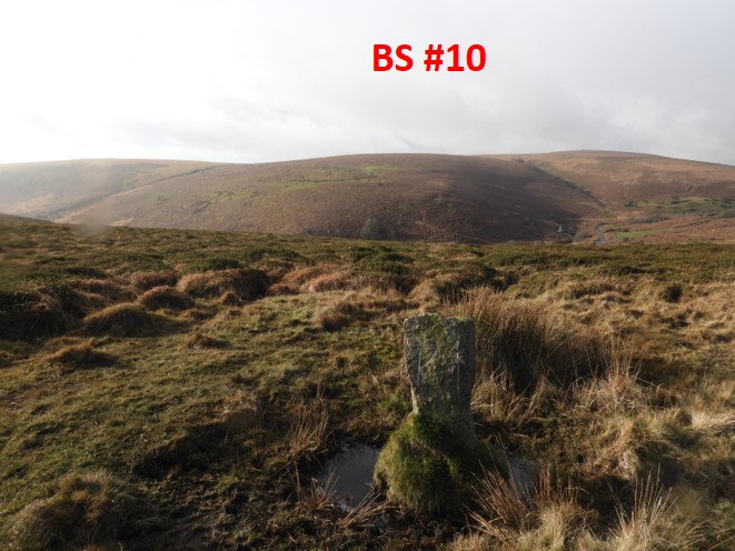
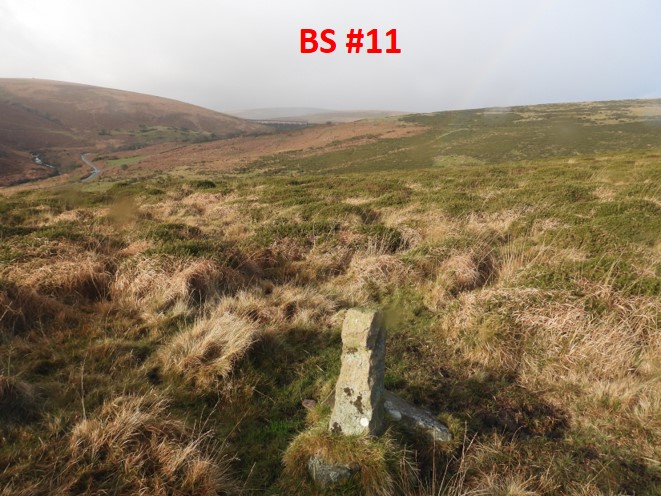
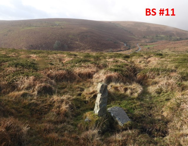
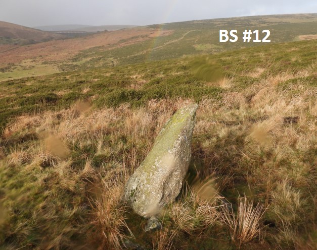
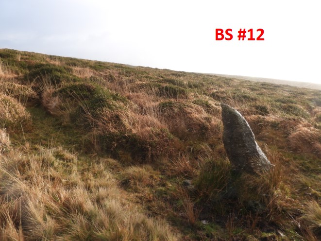
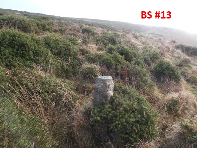
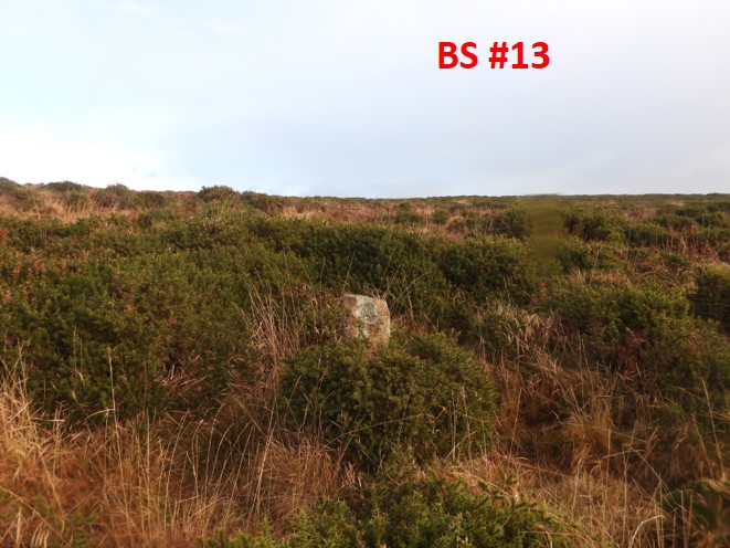
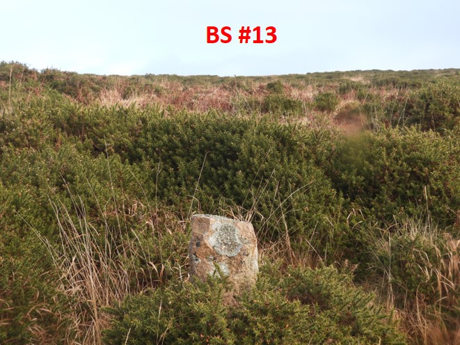
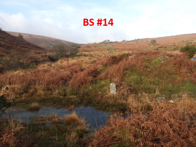
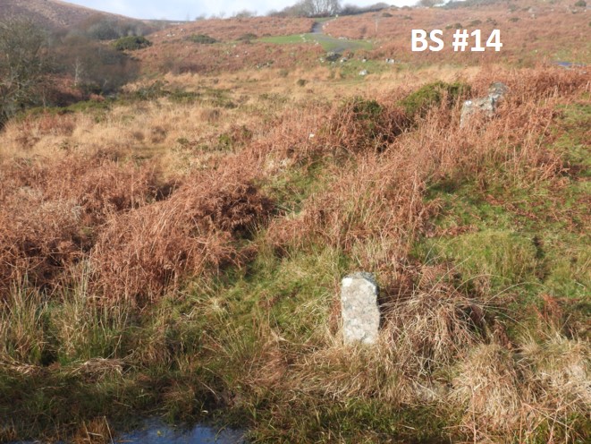
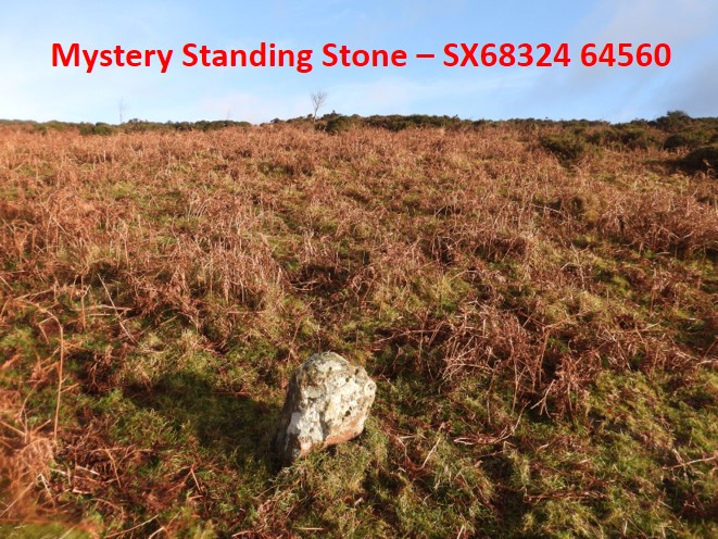
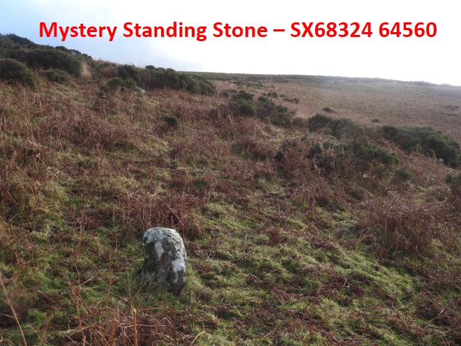
Location of the boundary stones from GENUKI mapThe “side-by-side” map showing 14 boundary standing stonesThe modern OS map only shows 11 stonesSo lets go….this is the first boundary stone near Dockwell Hole. This view is towards Harbourne Head (and man) looking east…..and onto stone 2, which can be seen from stone 1Boundary stone 2. The difference between stone 1 and stone 2 is startling. This theme continues with each stoneFrom Boundary stone 2, the third stone can be found just above a gully (west) side as the hill is climbed to the ridge lineThe third boundary stone looking back down the hill towards Dockwell HoleBoundary stone 4Looking east at Boundary stone 4. The theme of different sized and shaped stones continuesBoundary stone 4, looking down hill towards the first three stones and Dockwell HoleBoundary stone 5, looking east.Another view towards Dockwell Hole as the hill is climbedThe hill has some low lying gorse, which can be seen at Boundary stone 6Boundary Stone 6, another viewRainbow over Boundary Stone 6Another rainbow pictureBoundary stone 7, amongst the gorse (but easy to get to)A rainbow at Boundary stone 7…..and so to the top of the hill and onto the ridge at Boundary stone 8, with first views of the Avon Dam, Heap of Sinners and Eastern White Barrow. Another view of Boundary stone 8, with Gripper’s Hill and Wallaford Down in the backgroundBoundary stone 8, looking North-west…..now on the way down hill having crested the hill. Boundary stone 9, with the remnants of the rainbowBoundary stone 9 with Gripper’s Hill behindBoundary stone 10 with the rainbow once more.Boundary stone 10Boundary stone 10, looking over Rider’s Rings and Eastern White BarrowBoundary stone 11 with the tarmac road to the dam coming into view.Boundary stone 11, yet another roughly hewn stone so different from all the othersBoundary stone 12 is leaning !This angle, shows how much Boundary stone 12 is leaningBoundary stone 12 close upBoundary stone 13 amongst the gorseThis angle shows the extent of the gorse surrounding Boundary stone 13This stone is one of the shortest in the line of stonesBoundary stone 14, near Small Brook foot, where it drops into the AvonBoundary stone 14, looking up the Avon Valley known as Long-a-TrawBoundary stone 14. This is the last one noted on “side-by-side”. However, a 15th possible stone has been noted.10 digit NGRs on the 14 stones noted on side-by-side map and pictured in this post.Close up of the modern OS map. Stone 11 (or 14 on side-by side) isn’t shown in the correct location. It is clearly “off line” and when visiting that location there is nothing there. Also between stones 10 and 11 (or 13 and 14 on side-by-side), a mystery short standing stone was found, it didn’t look naturalIs this stone naturally upright? It looks like it has had the “hand of man” and could be a fifteenth stone in the lineAnother angle on the mystery stone.