A collection of walks, discoveries, insights and pictures of exploring Dartmoor National Park
May 14, 2021
RAF HAWKS TOR – World War 2 Chain Home Low Radar Station
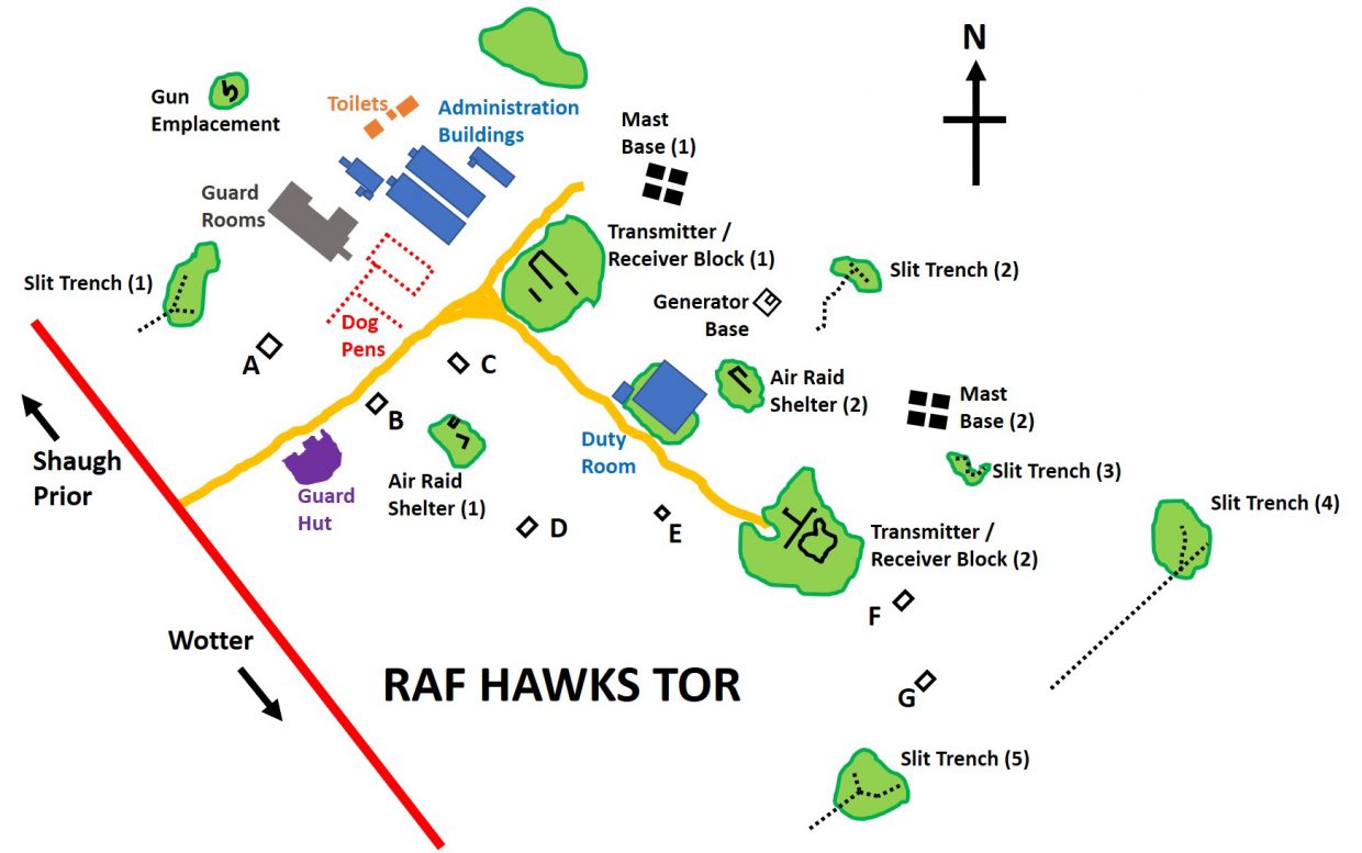
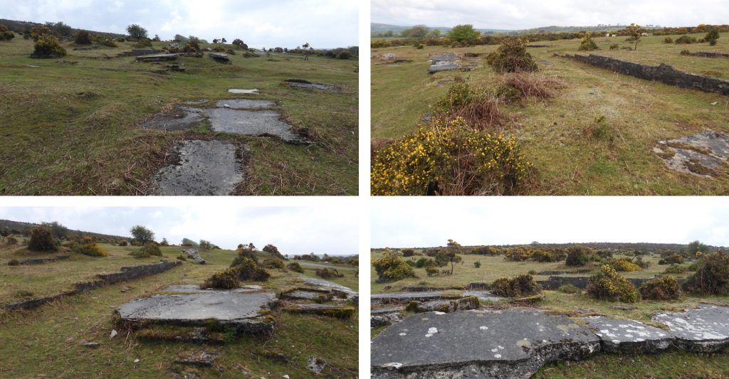
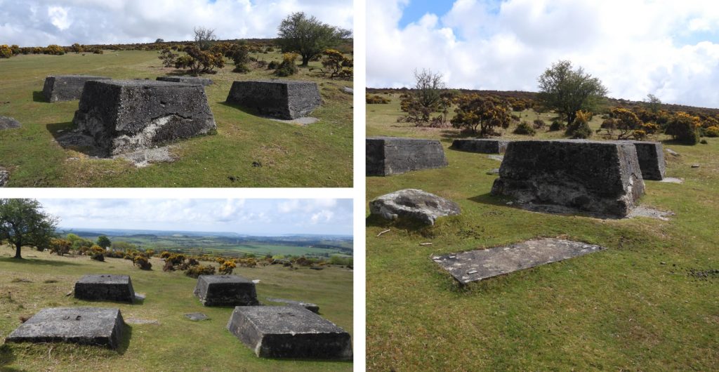
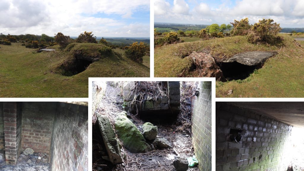
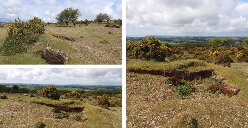
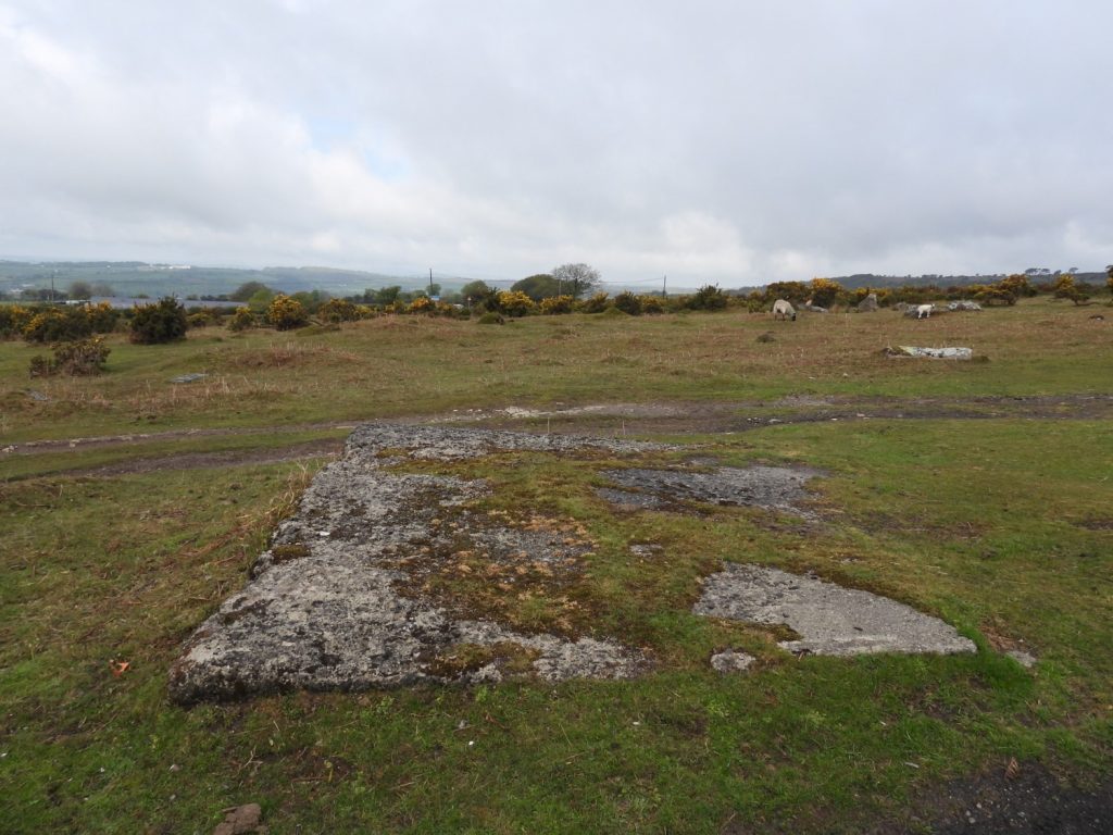
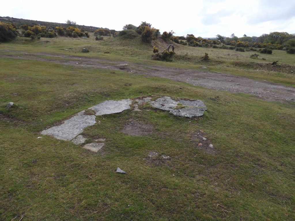
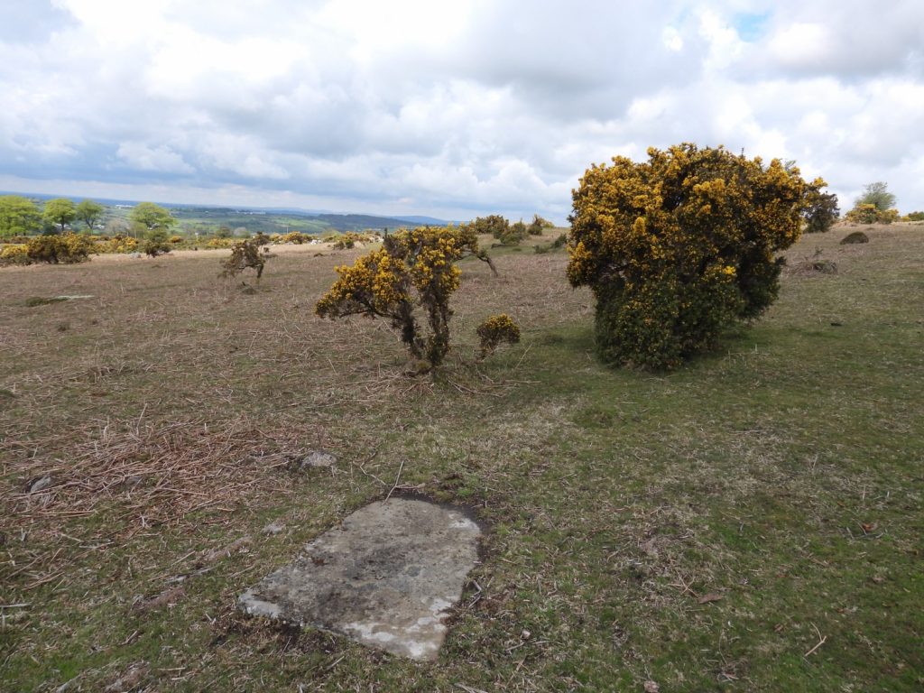
RAF Hawks Tor was a Chain Home radar station located below Hawks Tor on Shaugh Moor close to Beatland Corner and the Shaugh Prior / Wotter road. It was known as CH15M (in the chain) and was established by 18th April 1941. The demolition of the base wasn’t particularly thorough and most features are still very discernible to the visitor. The site formed part of the Chain Home RDF system (later known as radar). Principally, the site was used to detect approaching enemy aircraft. This post attempts to record all the salient features of the site which include the footings of : Mast Bases, Transmitter Receiver Blocks, Admin Blocks, Air Raid Shelters and Slit Trenches. The source of information for this post has primarily been from Dartmoor Heritage Gateway (ref 1123713) and ‘Field Archaeology of Dartmoor’ by Dr Phil Newman.
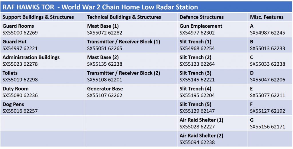
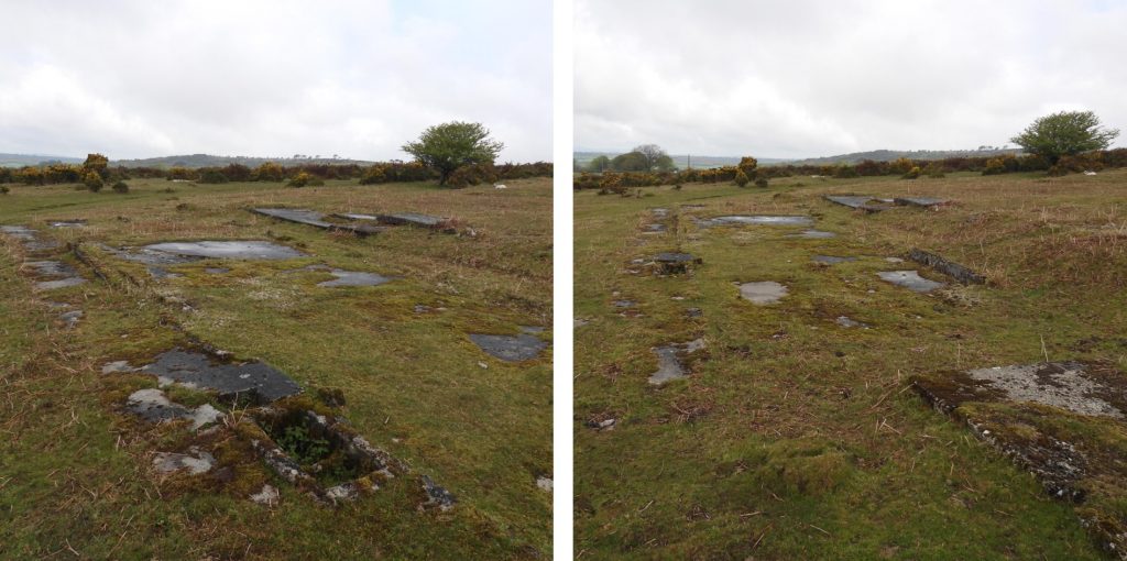
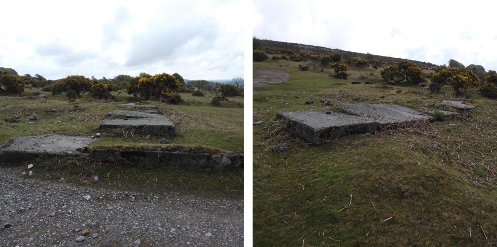
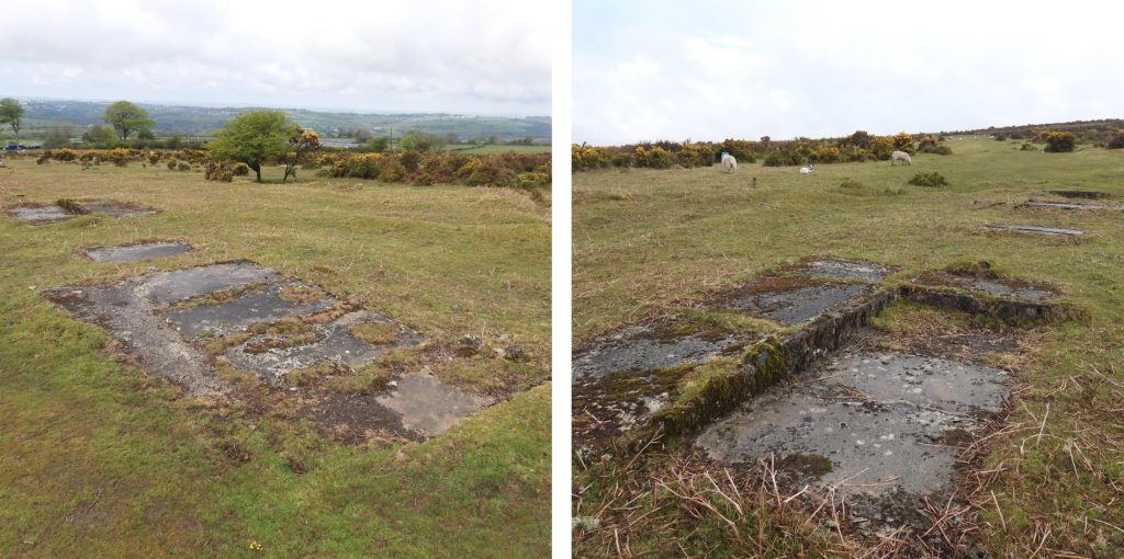
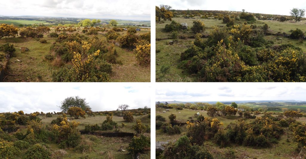
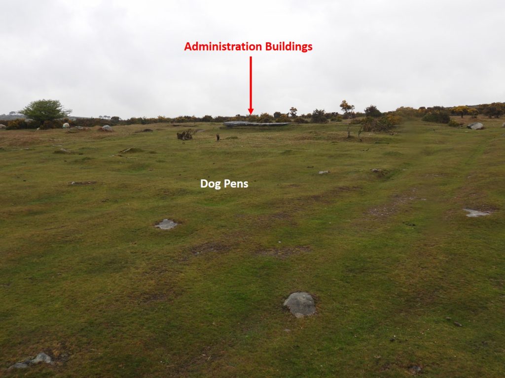
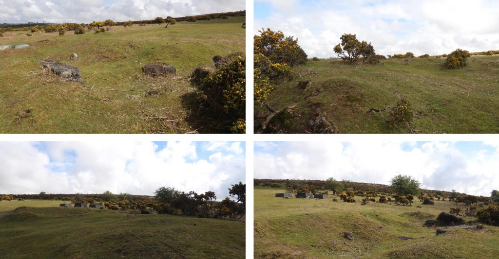
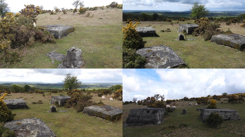
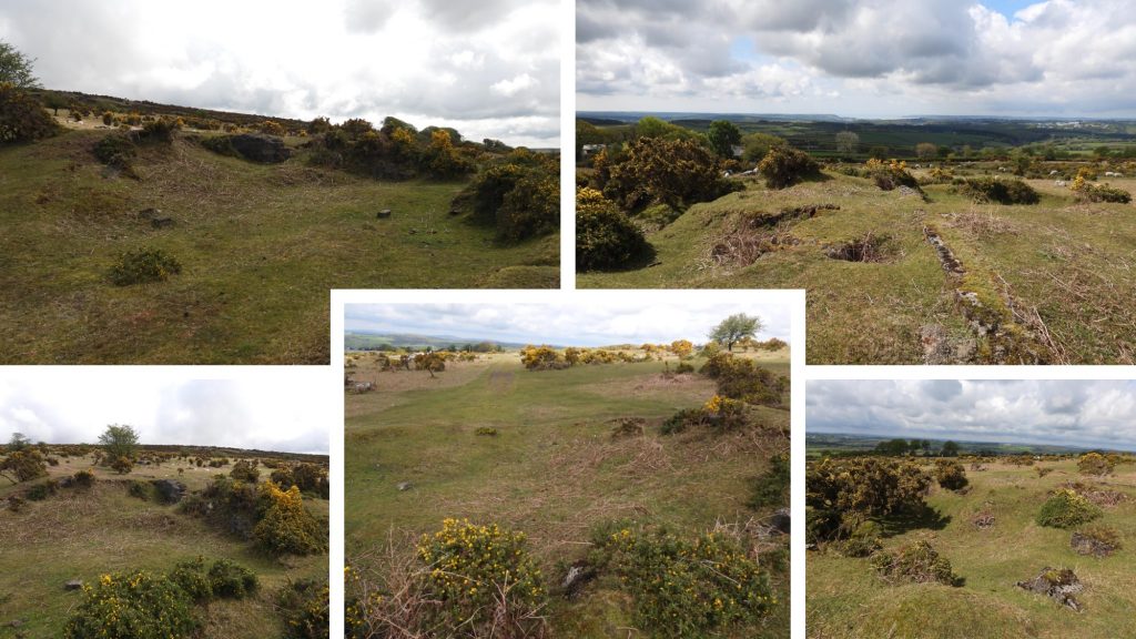
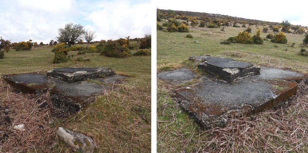
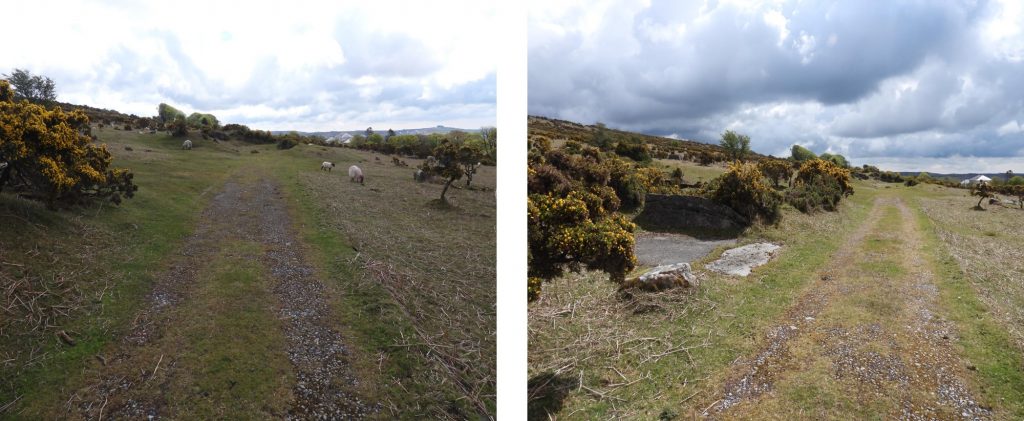
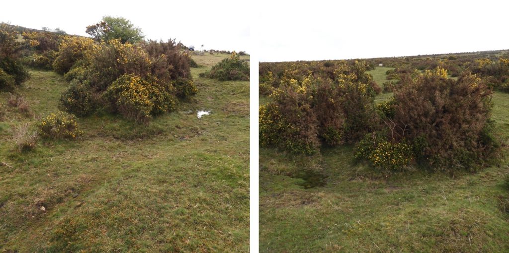
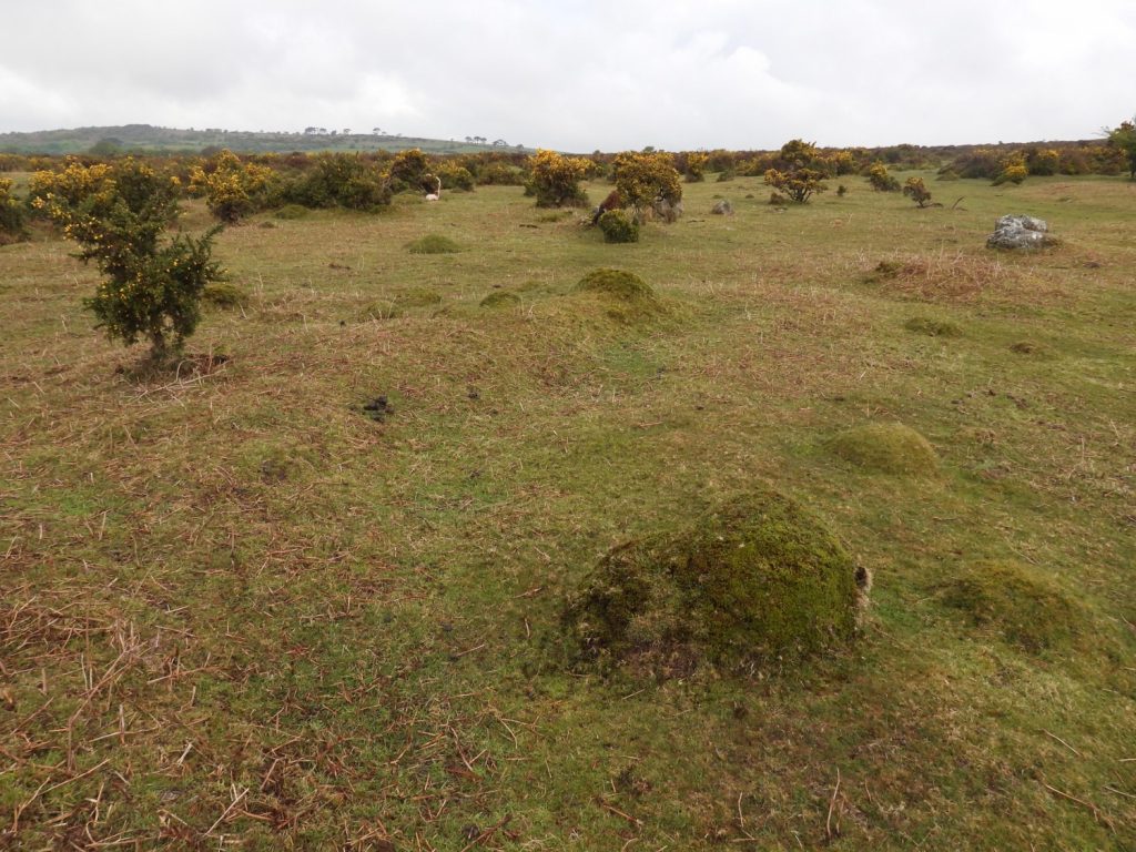
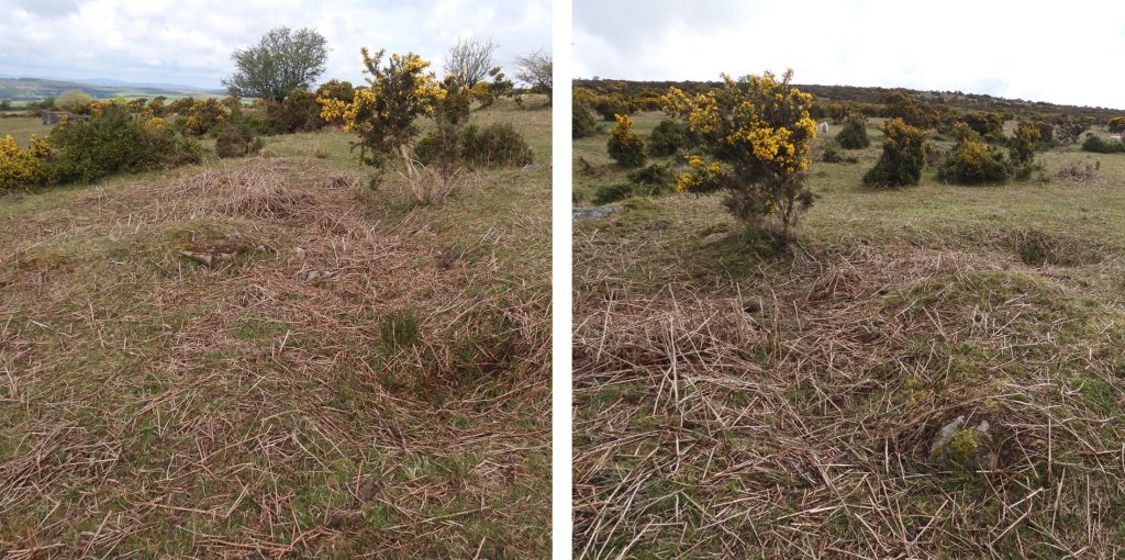
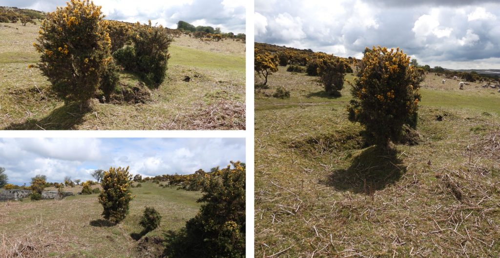
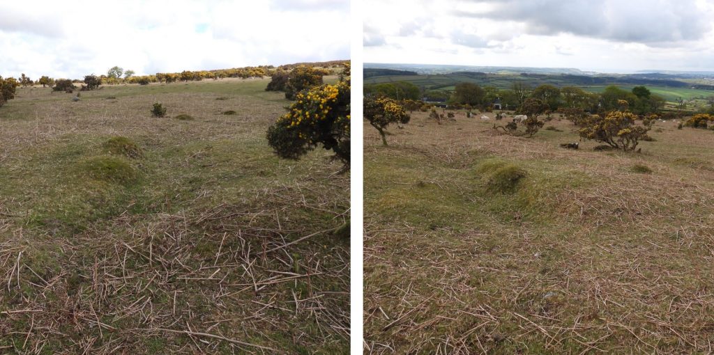
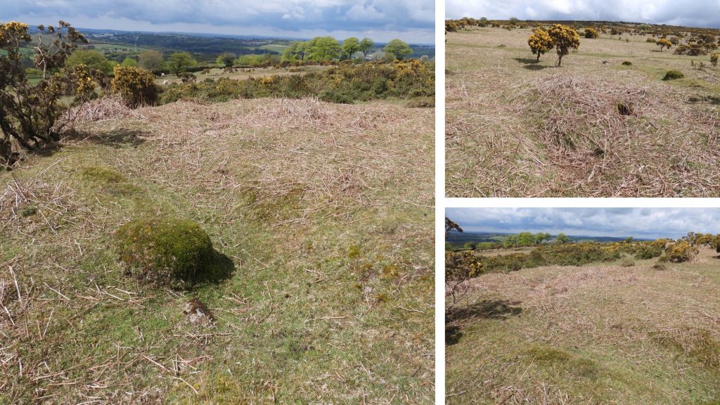
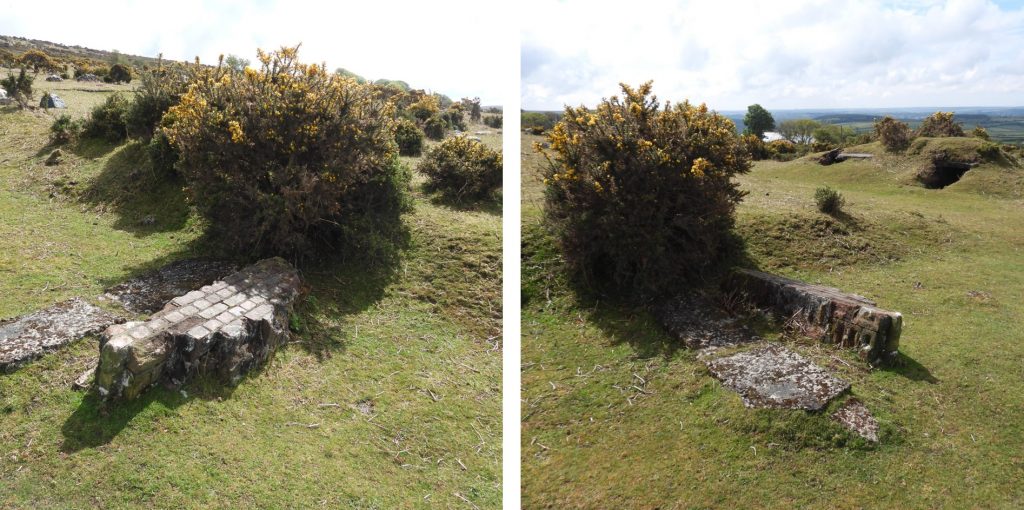
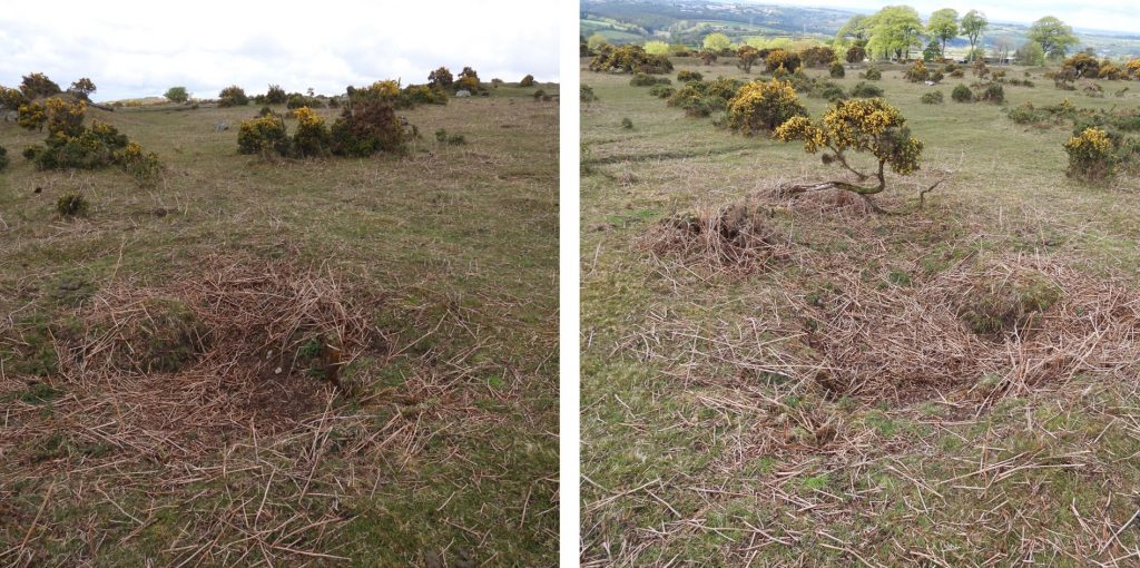
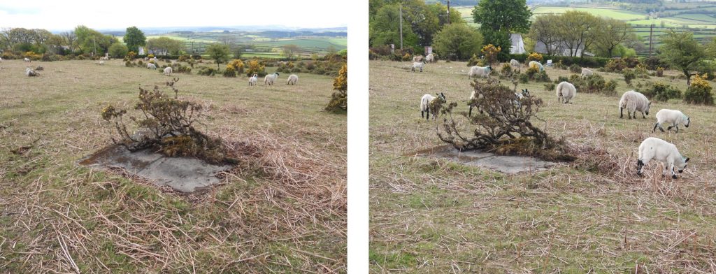
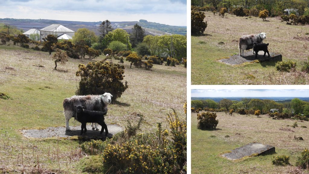
This plan is a adaptation from that found in the English Heritage sponsored ‘Field Archaeology of Dartmoor’ by Dr Phil Newman. Pictures of all the features on this plan are shown in this post.Table of 10 digit National Grid References for all the features shown on the plan. All NGR’s are 3m accuracy.The concrete bases for the Guard Rooms at SX55000 62269The concrete base of Guard Hut at SX54997 62221, at the entrance of the siteThere are several concrete bases suggesting there were several Administration Buildings (centred at SX55023 62278).Toilets at SX55019 62298 are located to the rear of the Administration Buildings.The Duty Room at SX55080 62236 can be found adjacent to the internal road (after a right angled bend from the entrance).The Dog Pens at SX55016 62257 are adjacent to the Guard Rooms and the Administration Buildings. The outline is still discernible to the visitor.Mast Base 1 at SX55072 62282. There were two transmitting and the receiving masts, each set on four large, tapering concrete blocks up to 1.0m high.Transmitter / Receiver Block 1 at SX55051 62265. Each Mast had a corresponding Transmitter / Receiver Block. Described in the Heritage Gateway thus: “they were single roomed of breeze-block construction with a concrete roof and set partly below ground each with two access points”.Mast Base 2 at SX55135 62238. It is believed that the masts were either wooden or steel construction and may have been up to 120m tall. The two masts on the site are 75m apart.Transmitter Receiver Block 2 at SX55108 62201. The badly damaged remains of a Transmitter Bunker and a Receiver Bunker were probably demolished by explosives.Between the mast bases is a concrete base which is believed to have housed a generator at SX55107 62262.Internal road with the Duty Room on the left and the Transmitter Receiver Block 2 at the end.This small circular earthwork to the north-west of the site is believed to have housed an anti – aircraft gun that served as the station’s air defences. It is located at SX54977 62302. Around the site are several low mounds containing slit trenches which would have originally been linked by rolls of barbed wire. The picture shows Slit Trench 1 at SX54968 62254. Slit Trench 2 at SX55123 62264Slit Trench 3 at SX55145 62221Slit Trench 4 at SX55195 62204Slit Trench 5 at SX55129 62147On the site there are two brick and concrete air raid shelters which have been badly damaged by explosives. The one in the pictures above is in a dangerous condition. Air Raid Shelter 1 at SX55028 62227Air Raid Shelter 2 at SX55094 62238As well as the concrete bases described there are 7 other “features” around the site, which are concrete construction, the function of which is unknown. Feature A at SX54987 62245Feature B at SX55013 62233Feature C at SX55033 62238Feature D is a depression which has stonework in the base. It can be found at SX55047 62206Feature E at SX55077 62211Feature F at SX55127 62192Feature G at SX55156 62171
I have a 1940’s dated map of the area that is believed to have come from DCC in which the contours have been hand drawn in red ink with several buildings or hutments in this general area.
I’m wondering if they are at all linked or if any interest to you?
I AM TRYING TO FIND OUT EXACTLY WHEN HAWKS TOR WAS BUILT AND WHEN IT FIRST BECAME OPERATIONAL. SPECIFICALLY BEFORE OR AFTER 6 JULY 1940. YOUR POST SAYS “ESTABLISHED BY 18 APRIL 1941, WHICH IS IMPRECISE. ITS NUMBER (15M) SUGGESTS IT WAS BUILT AFTER 14M (PRAWLE POINT) AND BEFORE 16 (DRYTREE) – BUT ONLY IF THE NUMBERING SCHEME PRECISELY INDICATES CONSECUTIVE ORDER OF CONSTRUCTION. CAN YOU ENLIGHTEN ME?
I cannot assist any further I’m afraid. There is more information on the HER from Fletcher, Probert, Dobinson, Passmore (M) and Passmore (A) but nothing that gives an exact date.

Paul Tancock June 17, 2022
I have a 1940’s dated map of the area that is believed to have come from DCC in which the contours have been hand drawn in red ink with several buildings or hutments in this general area.
I’m wondering if they are at all linked or if any interest to you?
SteveGrigg1961 June 17, 2022 — Post author
Hi, I would be very interested to see the map if that were possible.
Many thanks
Paul April 20, 2023
Hi Steve
Please e mail me do this can be done
SteveGriggDartmoor April 20, 2023 — Post author
Hi Paul,
I’m not sure I understand your last communication. Are you alluding to the map you’ve previously mentioned.
Many thanks,
Kind Regards,
Dartmoor Explorations (Steve)
Paul Tancock January 22, 2024
Yes
Simon House August 9, 2025
I AM TRYING TO FIND OUT EXACTLY WHEN HAWKS TOR WAS BUILT AND WHEN IT FIRST BECAME OPERATIONAL. SPECIFICALLY BEFORE OR AFTER 6 JULY 1940. YOUR POST SAYS “ESTABLISHED BY 18 APRIL 1941, WHICH IS IMPRECISE. ITS NUMBER (15M) SUGGESTS IT WAS BUILT AFTER 14M (PRAWLE POINT) AND BEFORE 16 (DRYTREE) – BUT ONLY IF THE NUMBERING SCHEME PRECISELY INDICATES CONSECUTIVE ORDER OF CONSTRUCTION. CAN YOU ENLIGHTEN ME?
SteveGriggDartmoor August 9, 2025 — Post author
SIMON,
SORRY FOR THE IMPRECISION.
I cannot assist any further I’m afraid. There is more information on the HER from Fletcher, Probert, Dobinson, Passmore (M) and Passmore (A) but nothing that gives an exact date.
Regards,
DE