A collection of walks, discoveries, insights and pictures of exploring Dartmoor National Park
April 5, 2023
Military Target Practice on the Langstone and Lints Tor
The history of military use of north Dartmoor for live firing is well documented with many specialised ranges and tramways using static and moving targets being used over the last 130 years following a permanent camp being established at Okehampton in 1892. One hundred years before this, the earliest record of the army training on Dartmoor was 1794 on Ugborough Down. In spite of the amount of dedicated infrastructure for firing, it is unfortunate that there are at least two locations (there are probably many more), where an ancient antiquity (a standing stone) and a natural object (a tor) have been used by the military as makeshift targets.
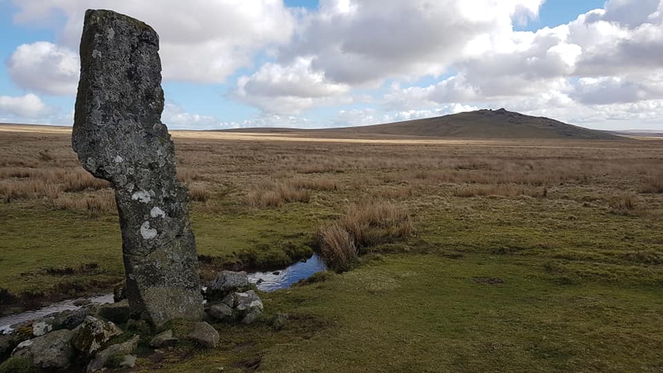
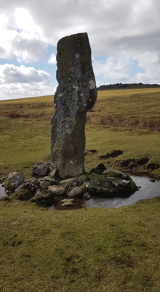
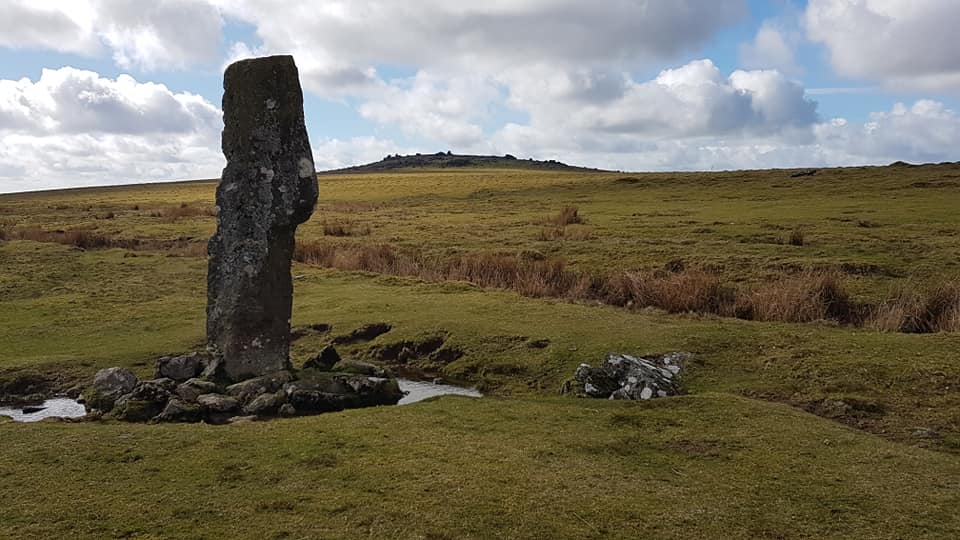
The first example relates to 1944, when American machine gunners are reported to have used the Langstone standing stone on Peter Tavy Great Common for target practice. The ‘pock’ marks can still be seen on the west face of this ancient antiquity today.
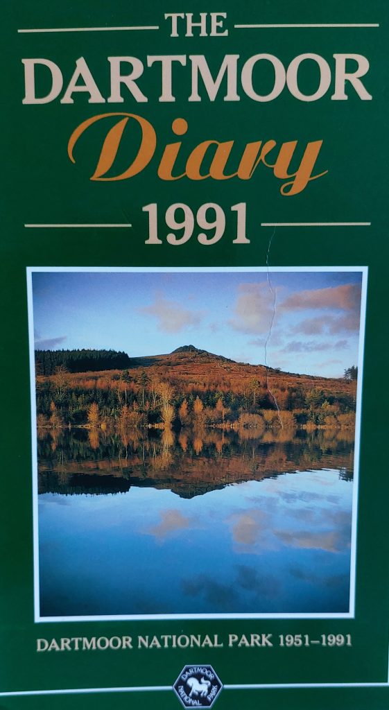
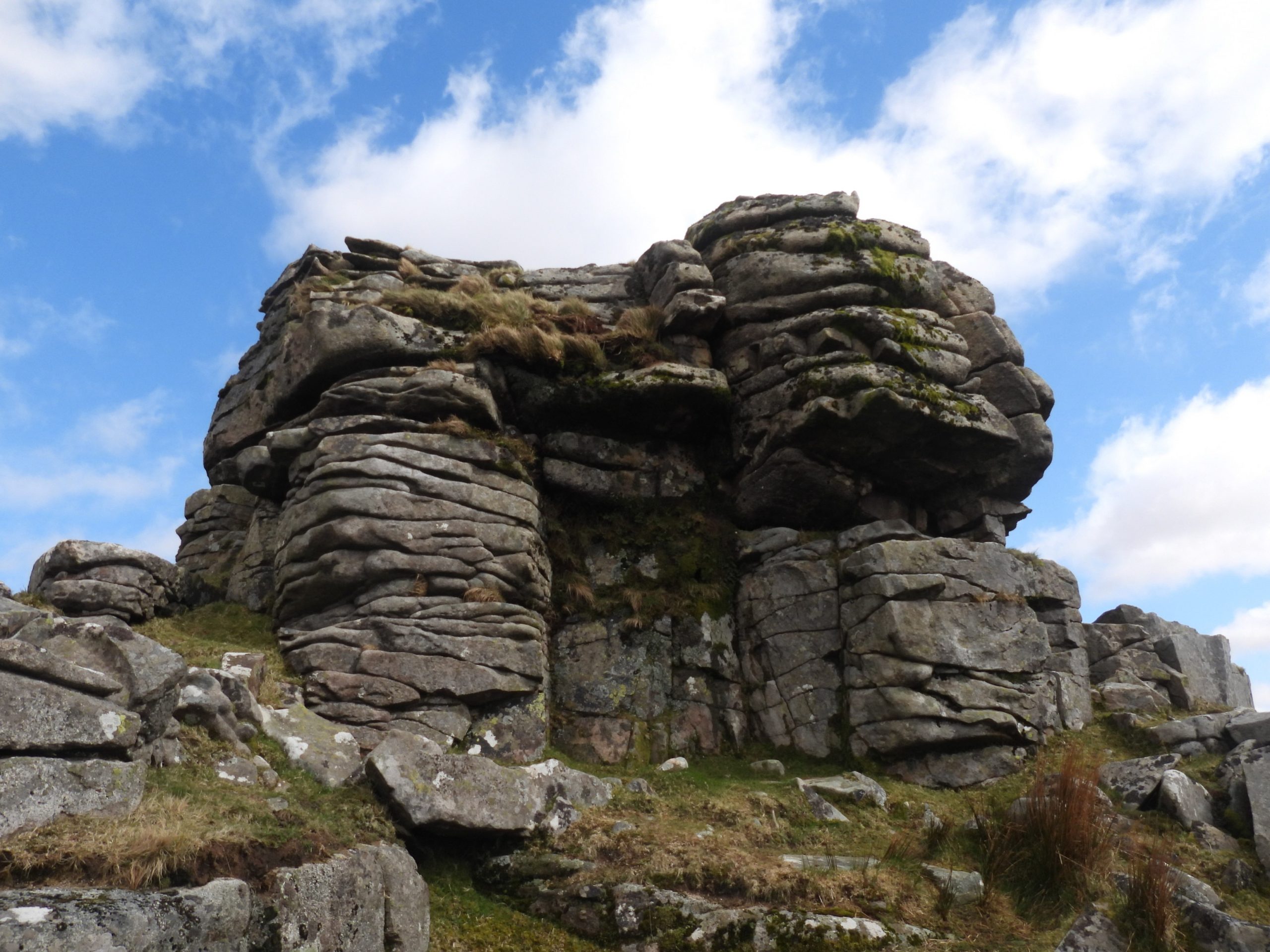
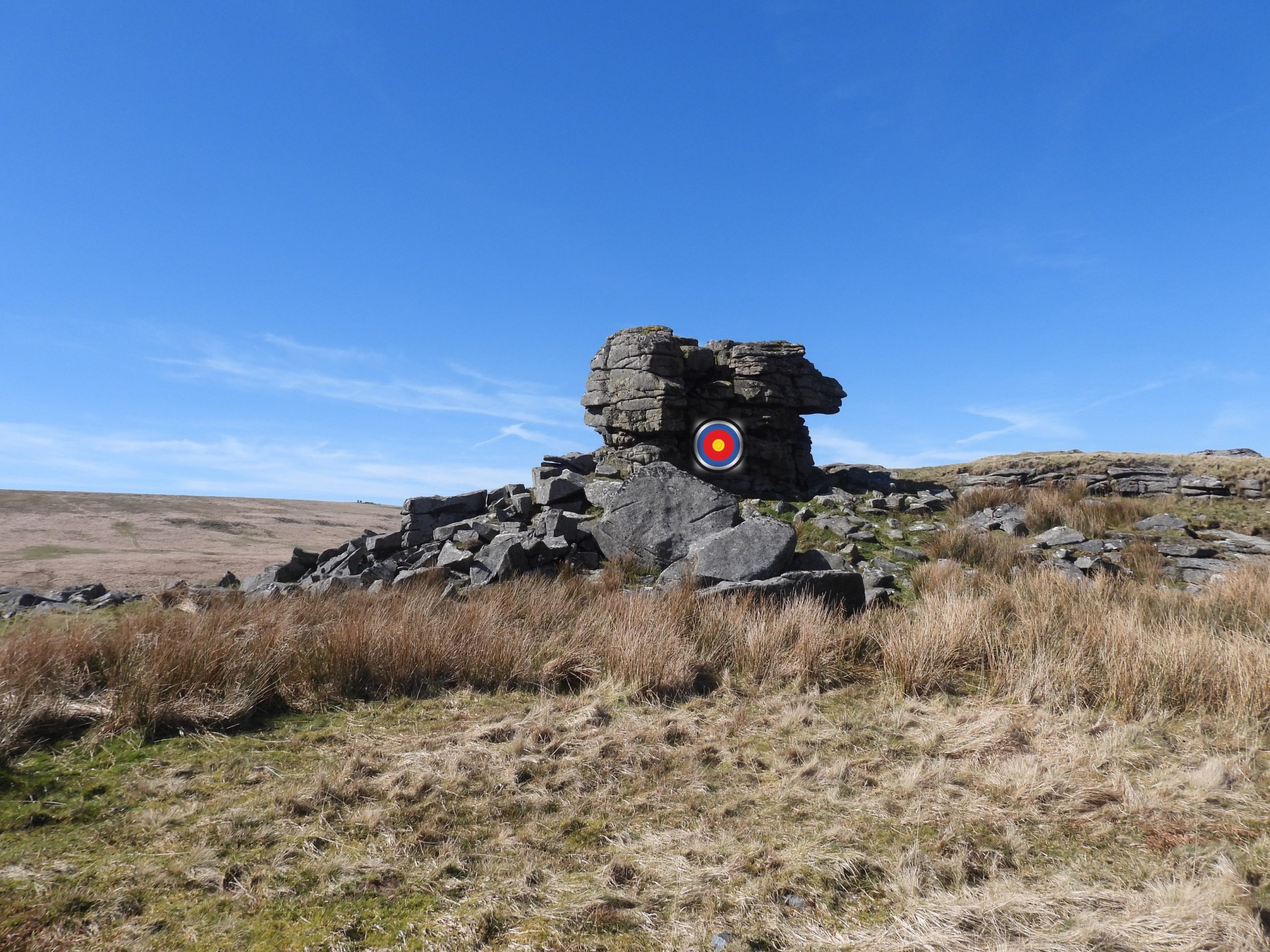
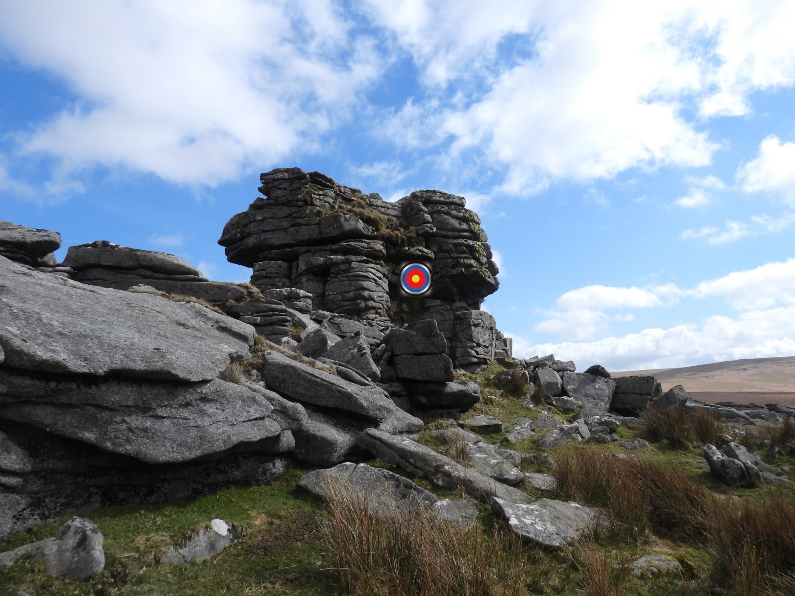
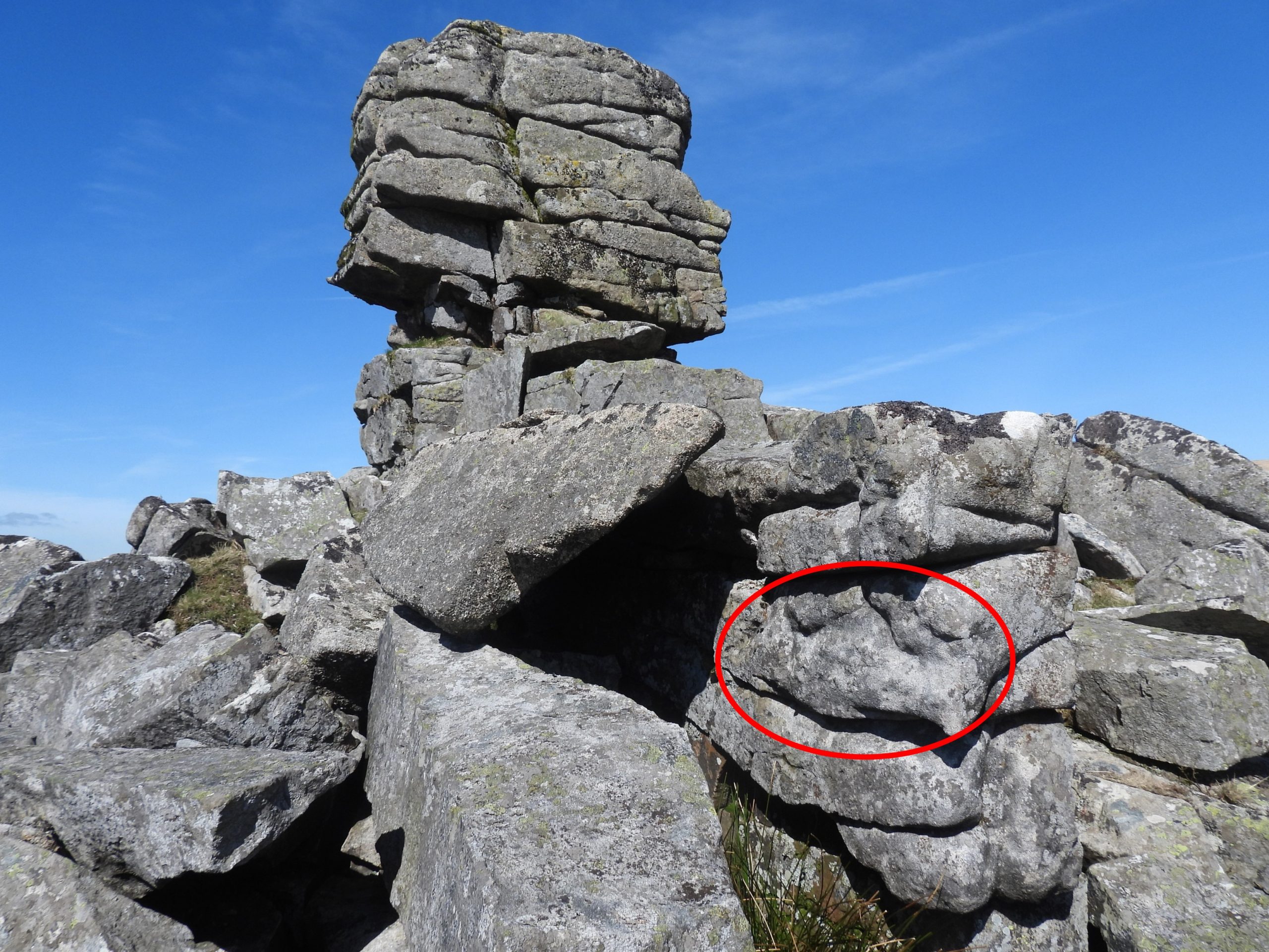
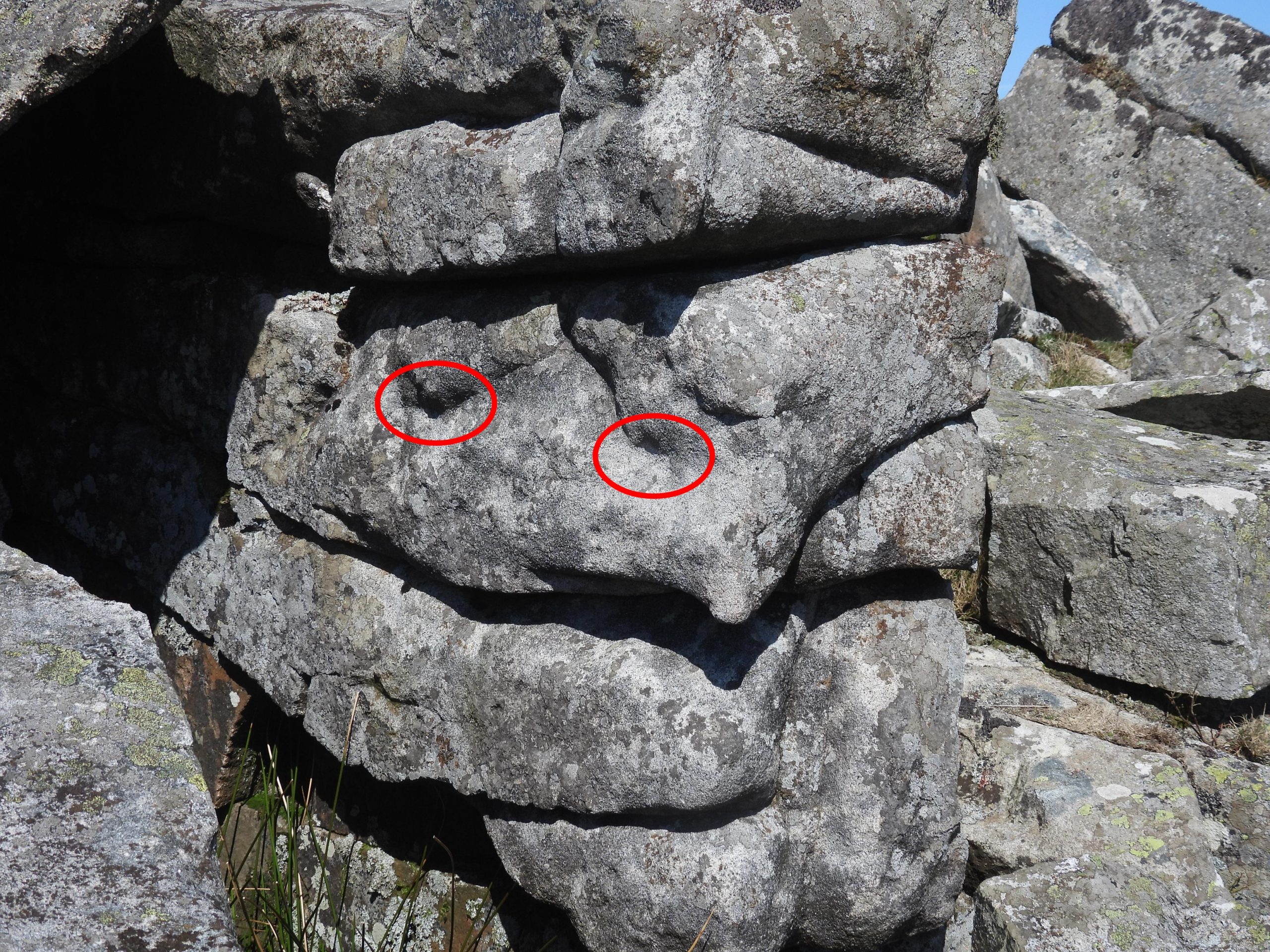
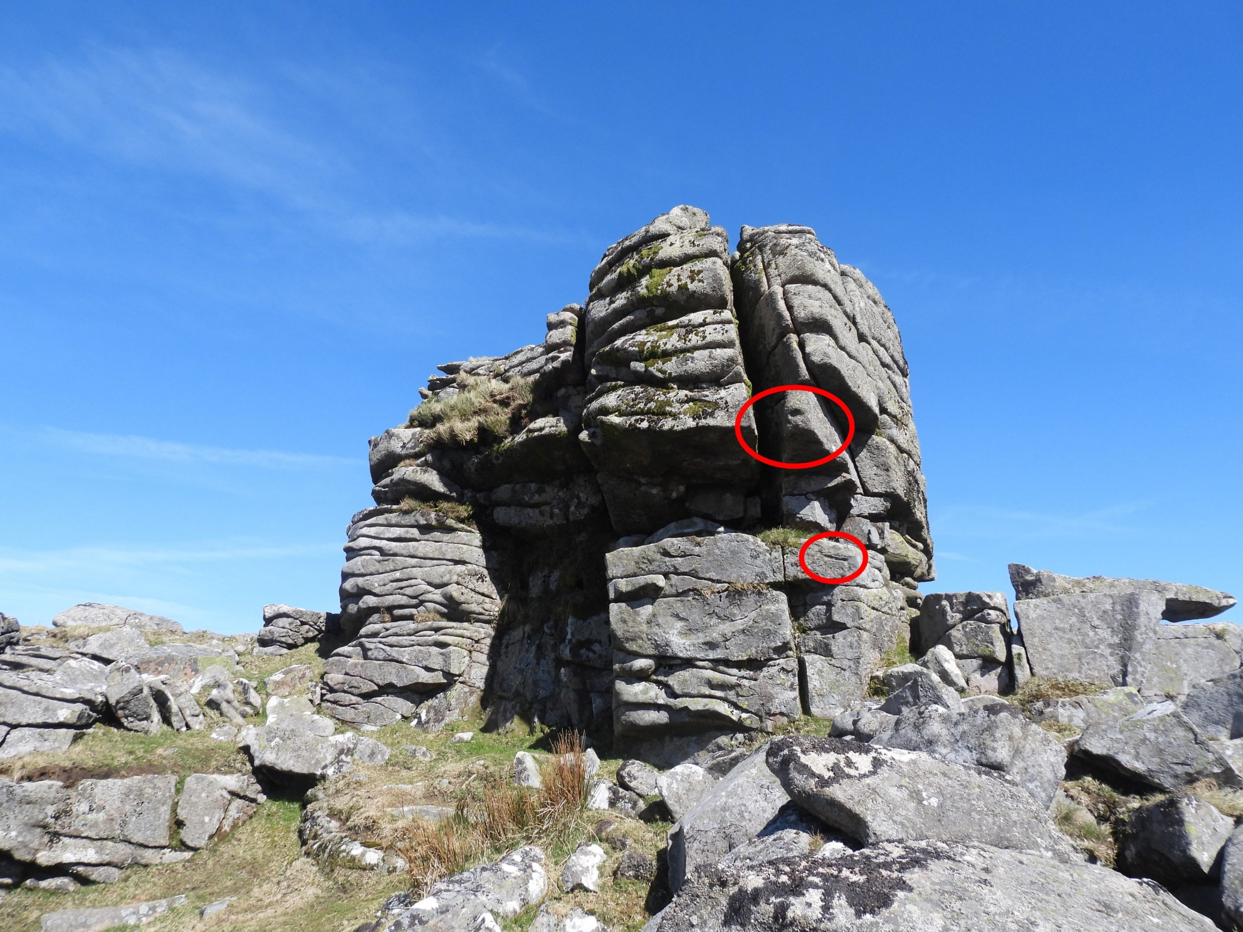
Unfortunately the second example of the military of military using makeshift targets, lead on 9th August 1961 to a member of the Dartmoor Rambling Club being injured at Lints Tor. The rambler in question received a serious hand injury, which required hospital treatment, when a piece of rock weighing about a hundredweight (around 50kg) fell from a fractured face of Lints Tor. The military had been using the tor as target practice and subsequently had weakened a part of the tor, which led to the accident. This information was published in ‘The Dartmoor Diary 1991’ by the Dartmoor National Park as part of their 40th anniversary year. The author has always been intrigued by this unfortunate episode from over 60 years ago and during a recent visit to the tor decided to see if there was any evidence of shell or bullet marks. The author researched the density of granite and found it to be 2700kg / m3, which means the piece of granite which fell on the hiker would have been around 0.3m x 0.25m x 0.25m (12in x 10in x 10in), which is pretty large.
This post includes photographs of both these locations, the latter (Lints Tor) being more of an exploratory record whilst looking for evidence of the 1961 incident.
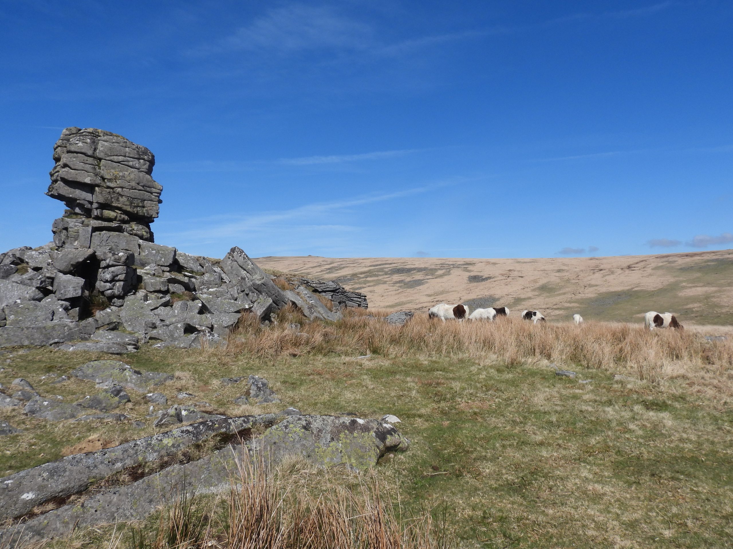
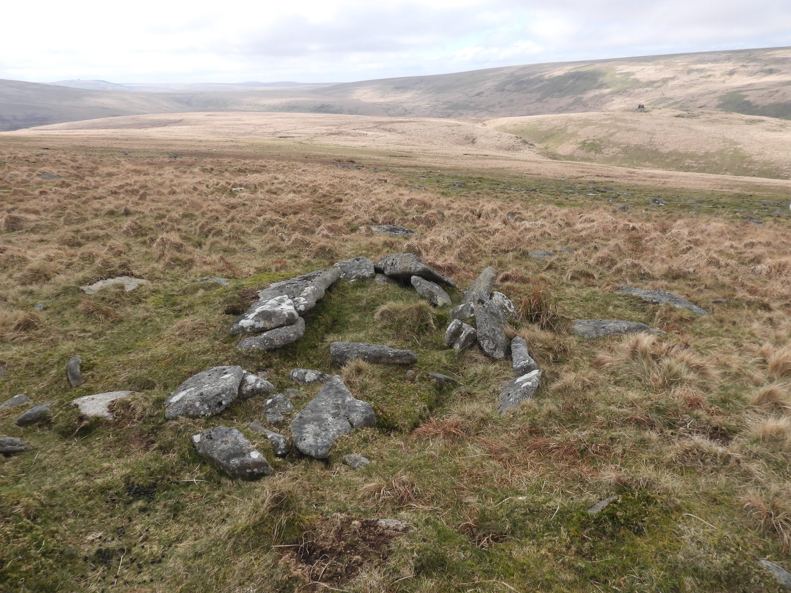
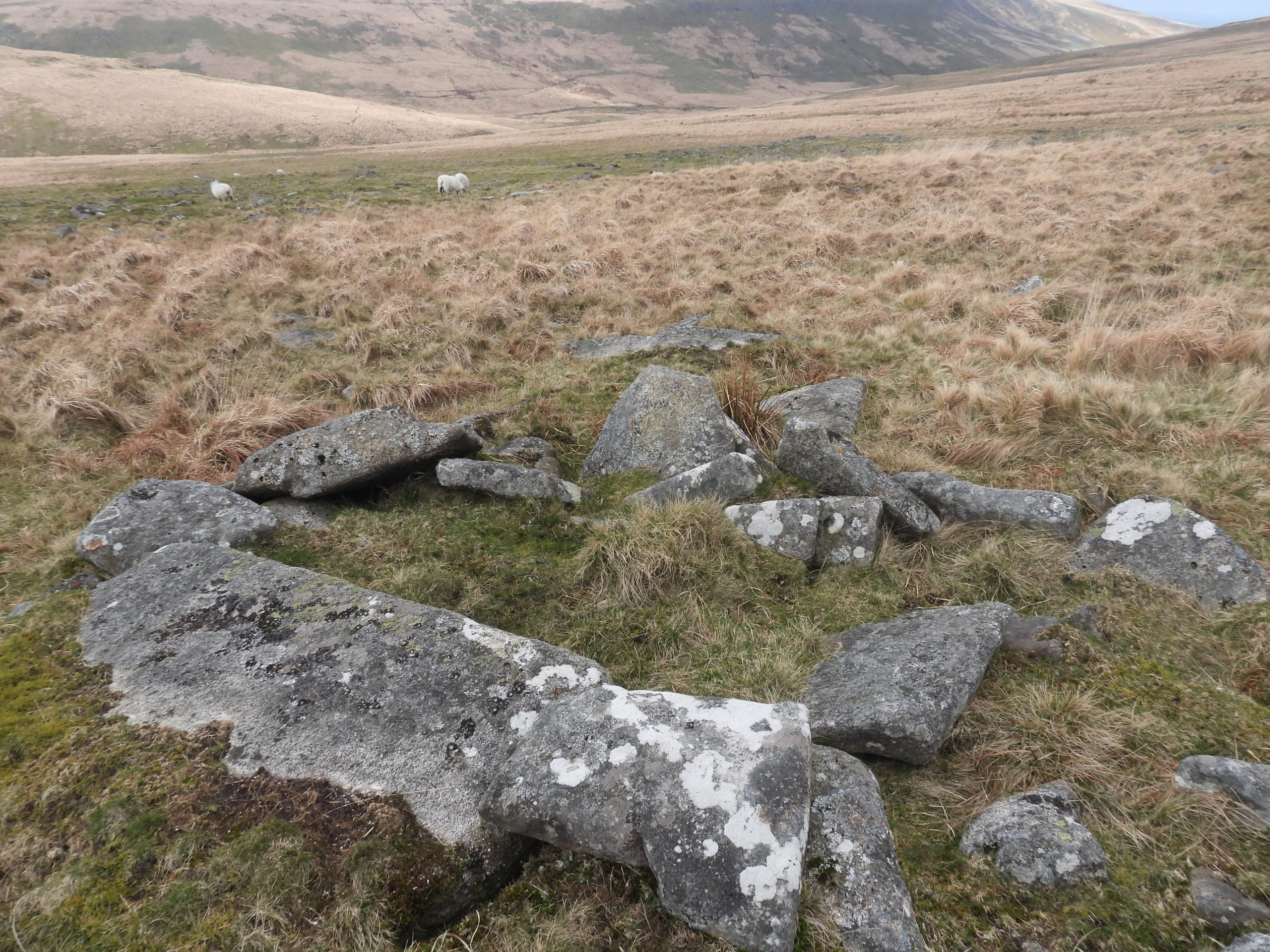
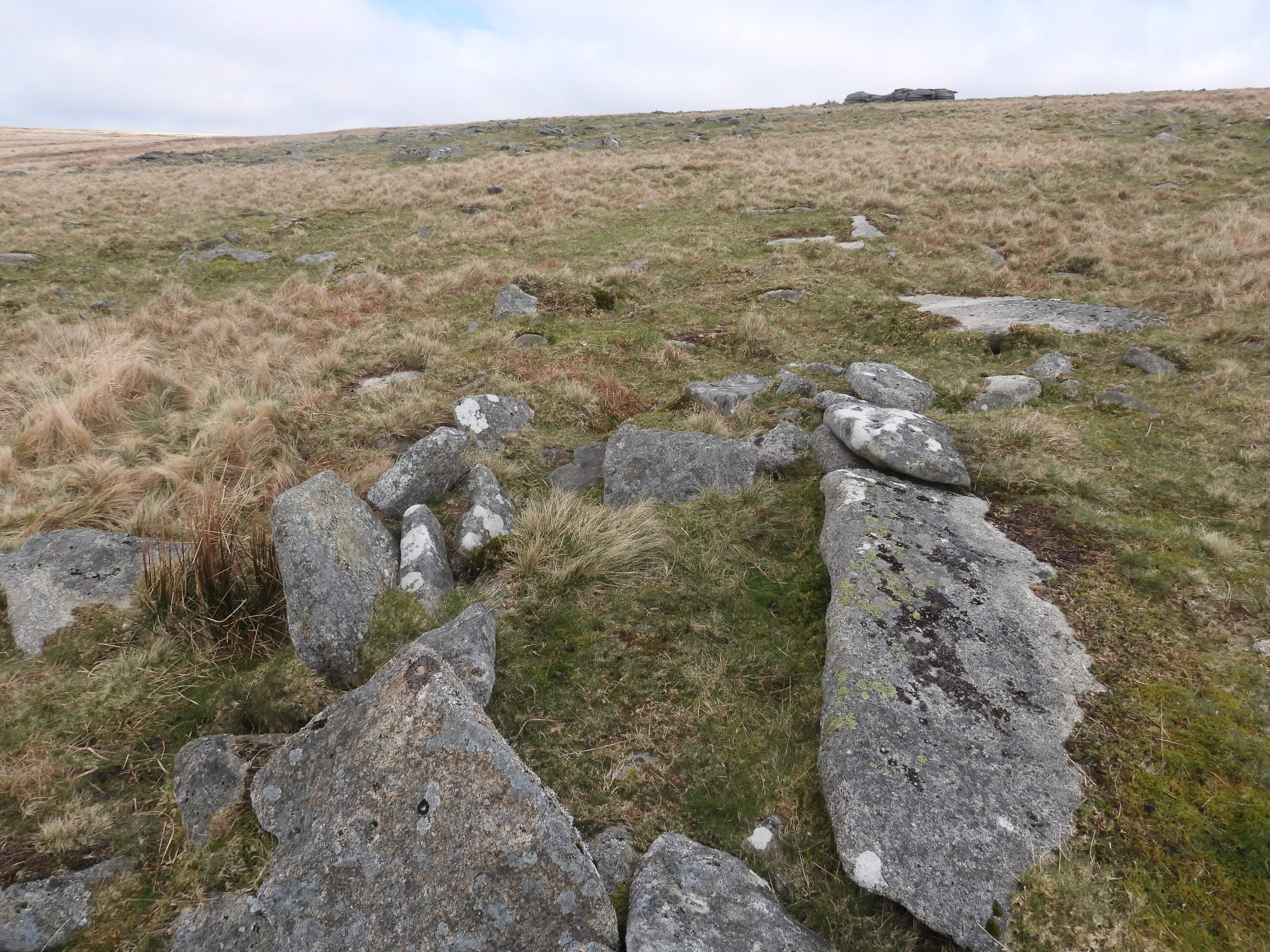
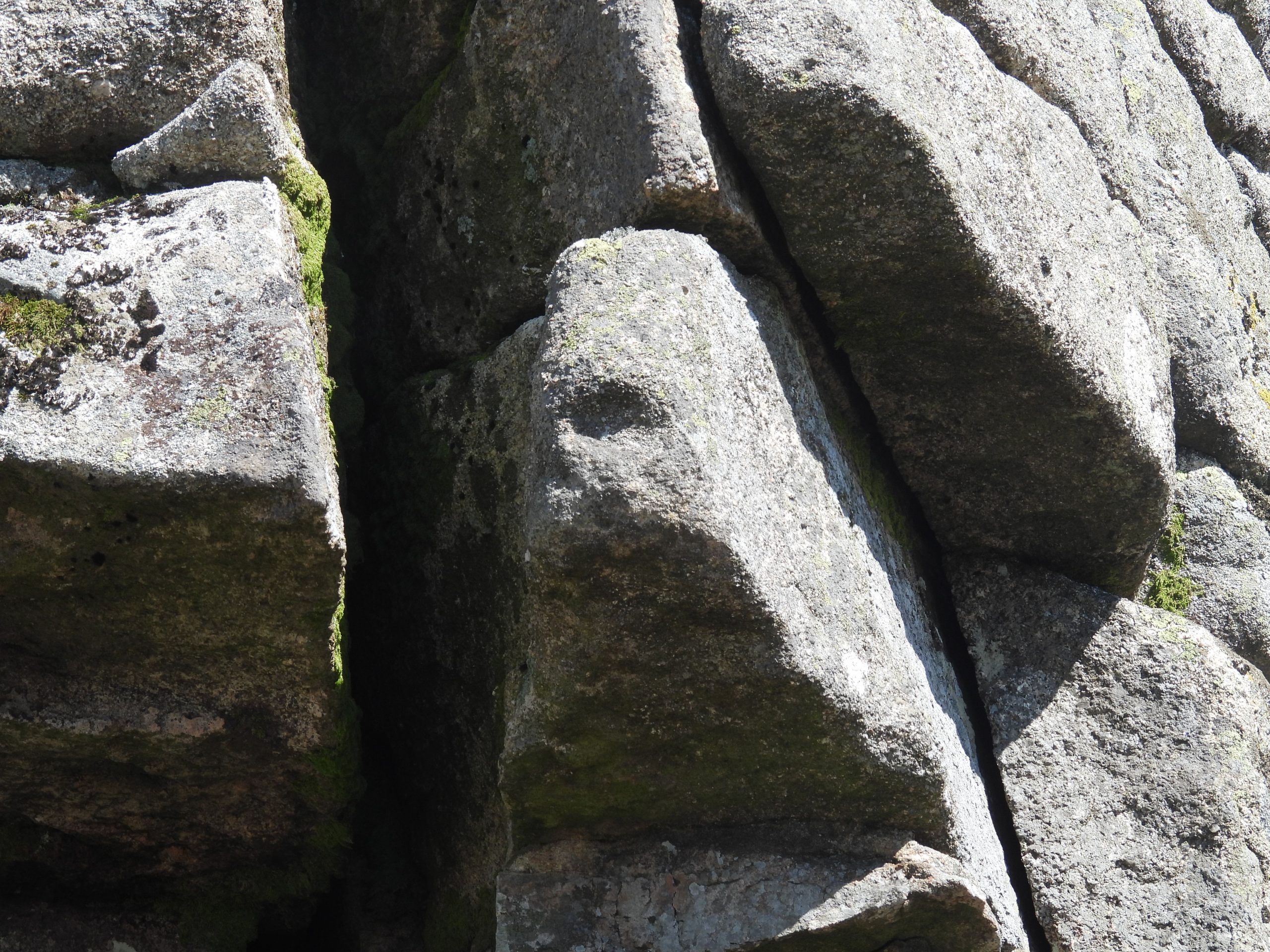
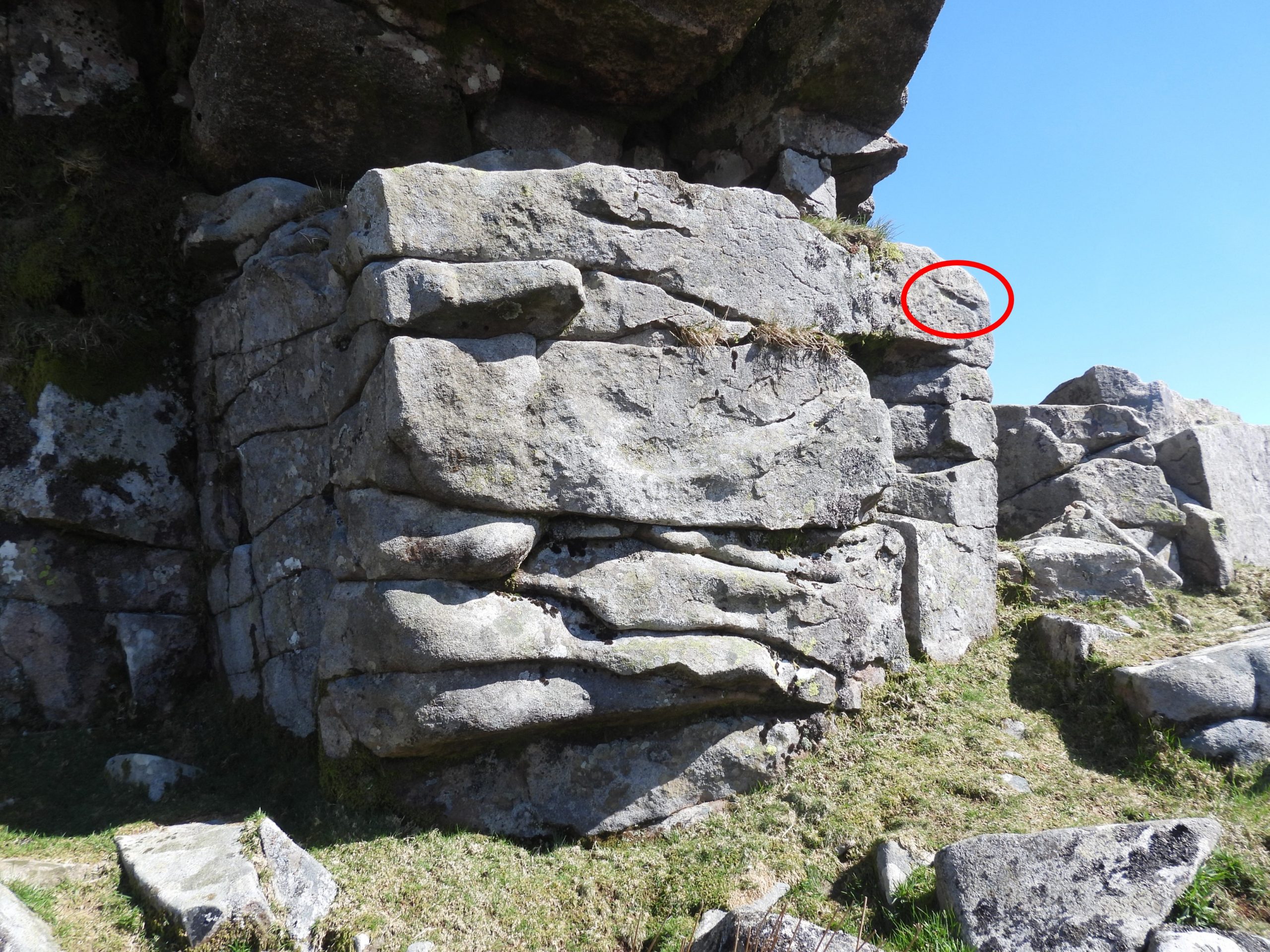
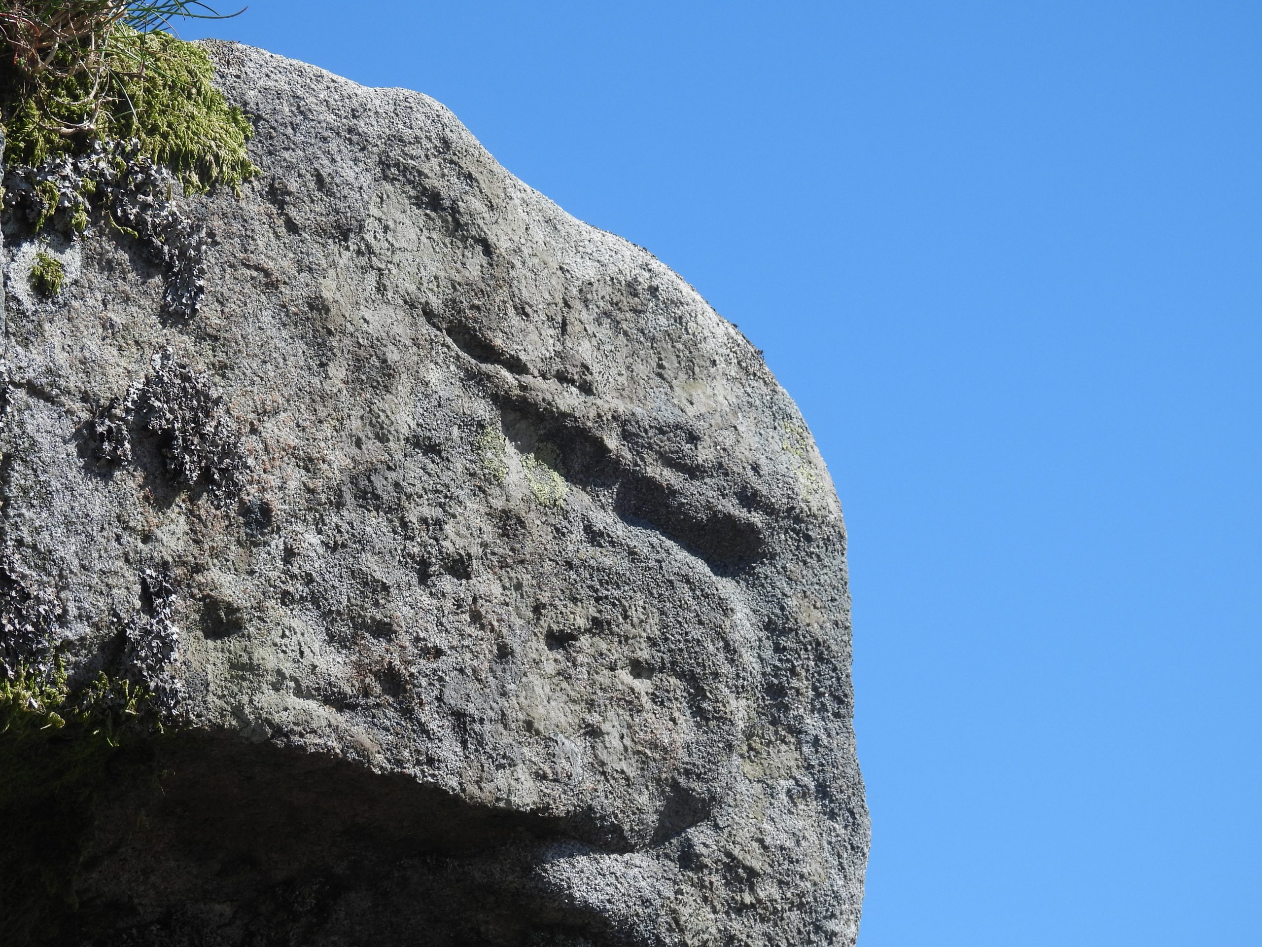
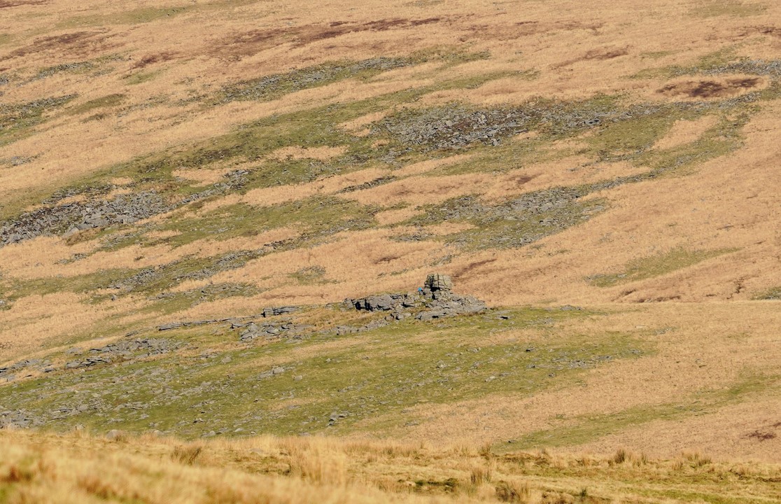
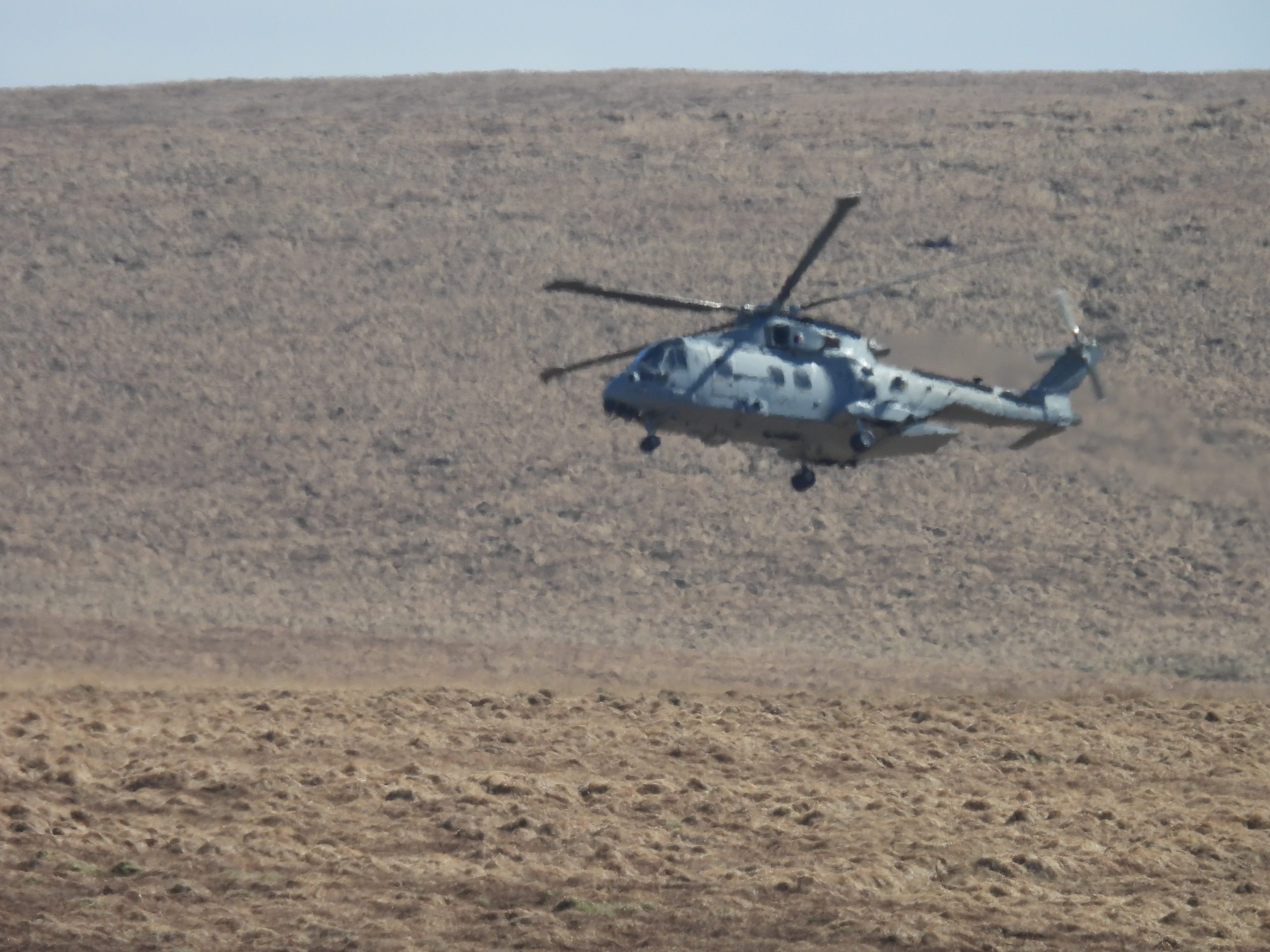
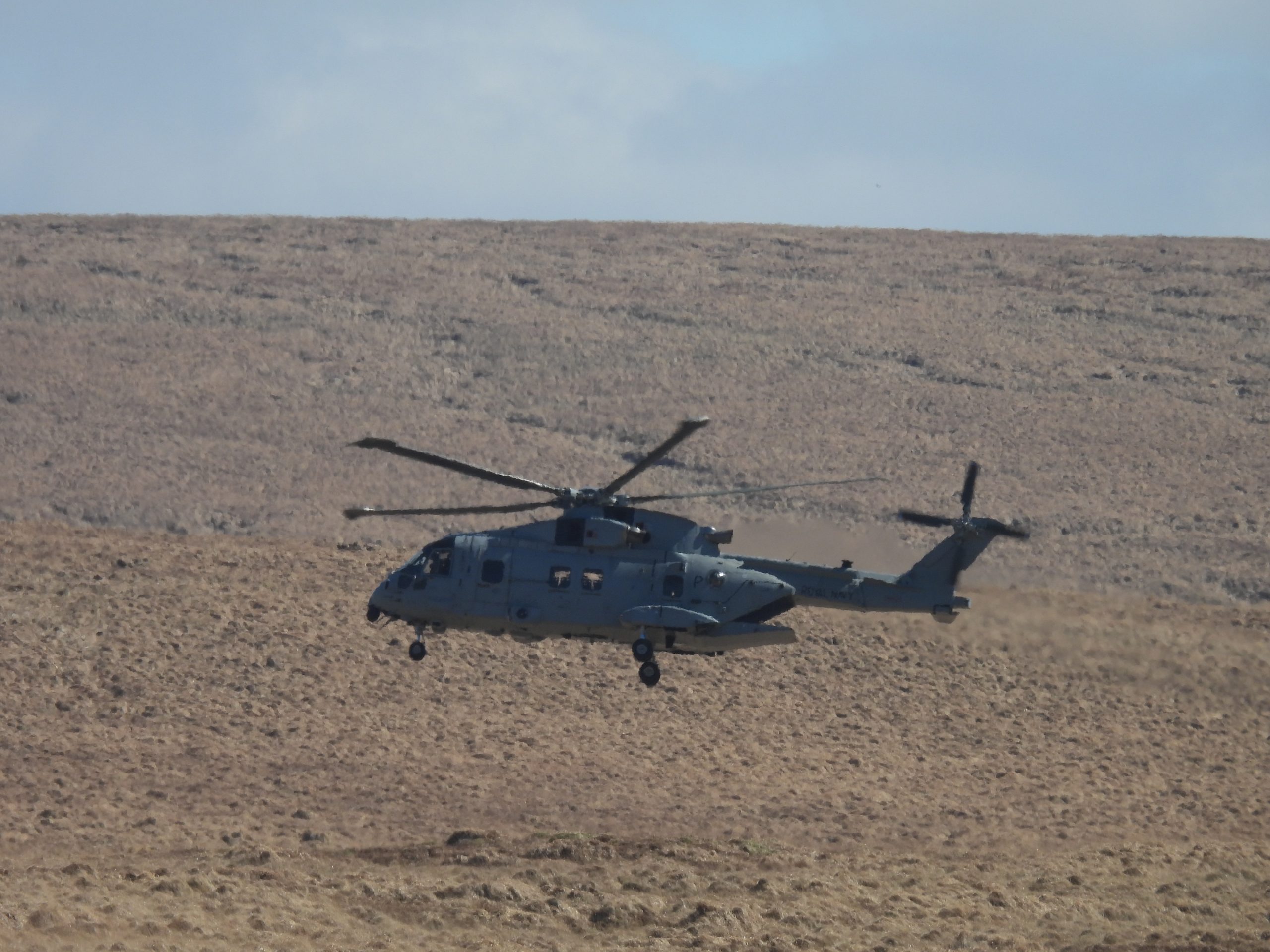
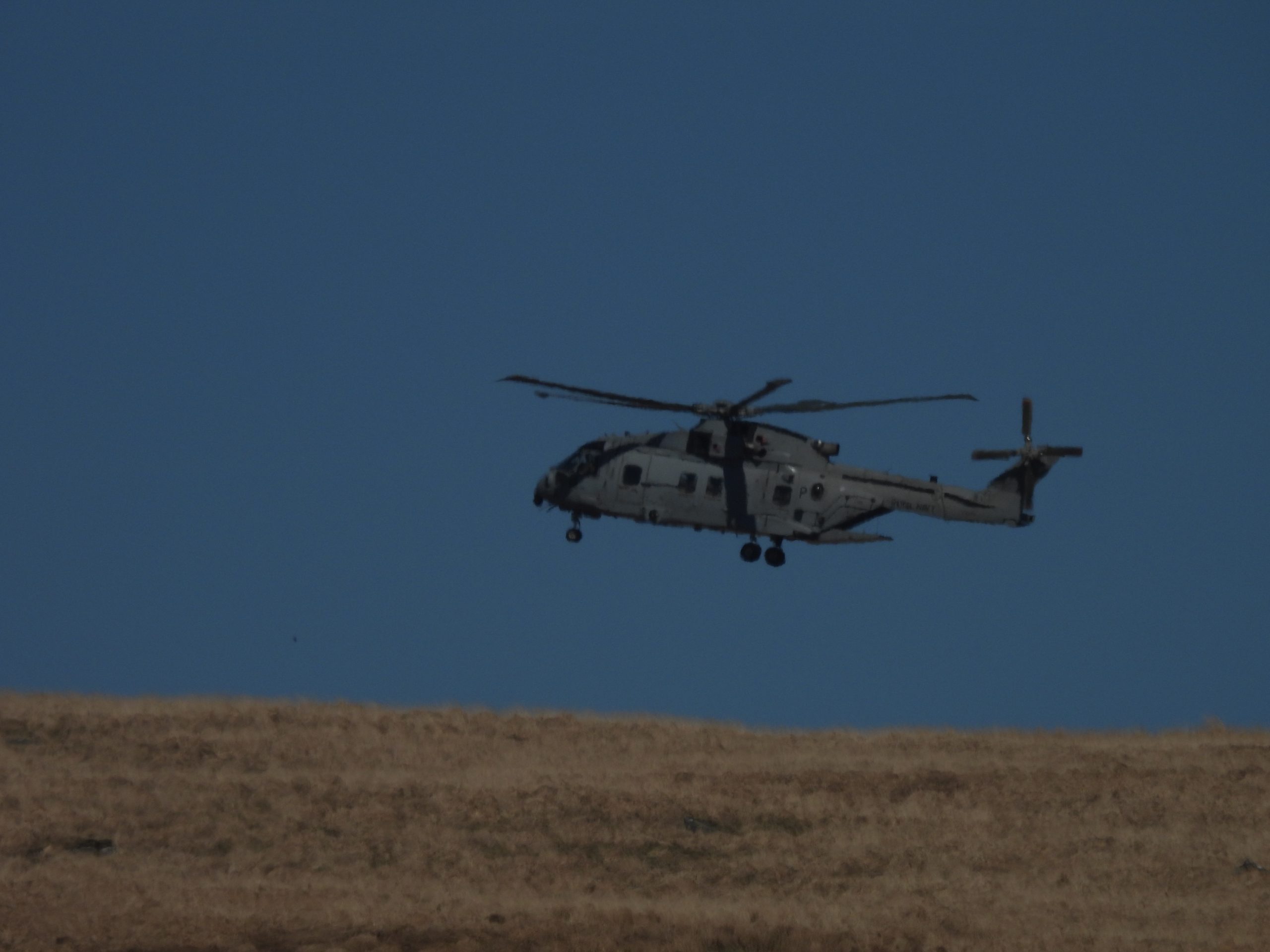
The Langstone with Great Mis Tor in the background. The bullet holes are still evident on this antiquity on its west face. The Standing stone is at the southern end of a stone row and was re-erected in 1893. The standing stone stands at a height of 2.75 metres.The Langstone with White Tor behind. This stone is believed that it might have formed one of the way-signs for the Lychway (Richard Hansford Worth). The use of the antiquity as a target, of course, pre-dated Dartmoor as a National Park. One wonders if Dartmoor had been a national park in 1944, whether this event would have happened.Richard Handsford Worth noted that this standing stone was made of local epidiorite (metamorphic rock local to White Tor) and recorded that it is the only standing stone on Dartmoor that is not granite.The front cover of the Dartmoor National Park publication from 1991, which contained the entry regarding the incident from 9th August 1961.The south side of LInts Tor. The High Willhays ridge can be seen in the horizon. The author thinks it would have been unlikely that this face would have been used for the military target practice all those years ago.The west side of Lints Tor which faces the West Okement valley and has views to Kitty Tor and Steng-a-Tor. Under this face is where it appears that there is evidence of some erosion, which probably indicates where hikers stop for a break.Just below Dinger Tor and looking down towards Lints Tor there are a few structures like the one above at SX58532 87957, which appear to be man-made and maybe are shooting stands / locations. Could this be evidence of the east side of Dinger Tor being used as target practice or is the author reading too much into these rocks?The possible shooting location looking up West Okement ValleyThe shooting stand / location looking back towards Dinger Tor.The east side of the tor, which is probably the most photographed. The author has heard the tor being referred to by some as ‘The Sphinx’ and by others as ‘The Camels Head’. This side of the tor faces Dinger Tor (across Lints Tor Hollow) and could have been used as a military target. No evidence of bullet / shell marks were found on this side of the tor.Having looked at the east face and not finding evidence of bullets / shells, the authors attention was drawn to the west side On the south west edge of the tor, the first (possible) evidence of bullet / shell marks were found.These marks, of course could be natural but did look like they were caused by projectiles. The location is SX57990 87457The west side of the tor also bears what looks like bullet / shell markings.This indentation looks very compelling as being evidence of damage caused by a projectile.Are these further marks caused by projectilesClose up of possible projectile marksHaving explored the main stack of Lints Tor, although not definitive, the author believes that when the military used the tor as a target it would have (most likely) been the west face. The (possible) projectile marks on the tor and the fact the west side seems to be the favourite break spot for hikers is best argument the author has to support the assumption. Of course, this is only an assumption and the reality may be something different. The main focus to the incident must of course be the unfortunate hiker who was injured. One hopes the injury wasn’t too severe and a full recovery was made.Whilst exploring Lints Tor regarding the impact the military had there, ironically a military helicopter swooped down into the Brim Brook valley before coming towards Lints Tor. The author is convinced the pilot wanted to set down on Lints Tor ridge (having seen one do so before) but the pilot decided to fly off (probably having seen the author and his walking buddy) and set down near High Willhays ridge.Heading towards High Willhays ridgeNear High Willhays ridge.