Dartmoor Explorations

A collection of walks, discoveries, insights and pictures of exploring Dartmoor National Park

Prison Water Rights Stones

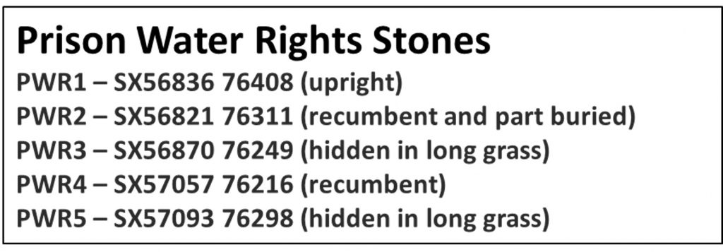
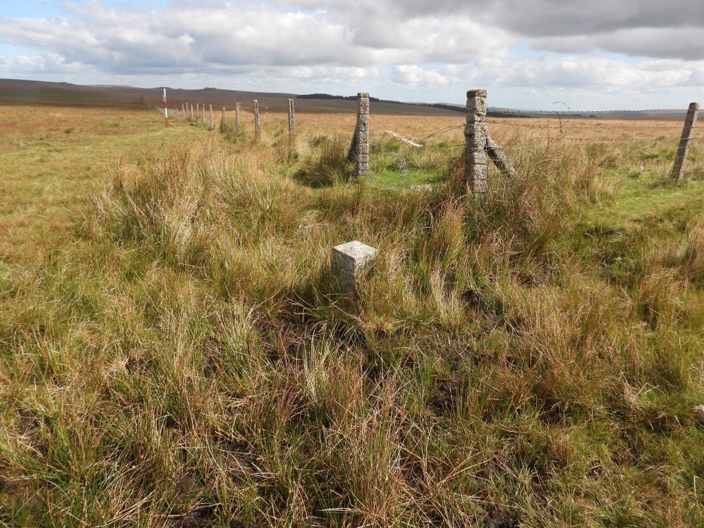
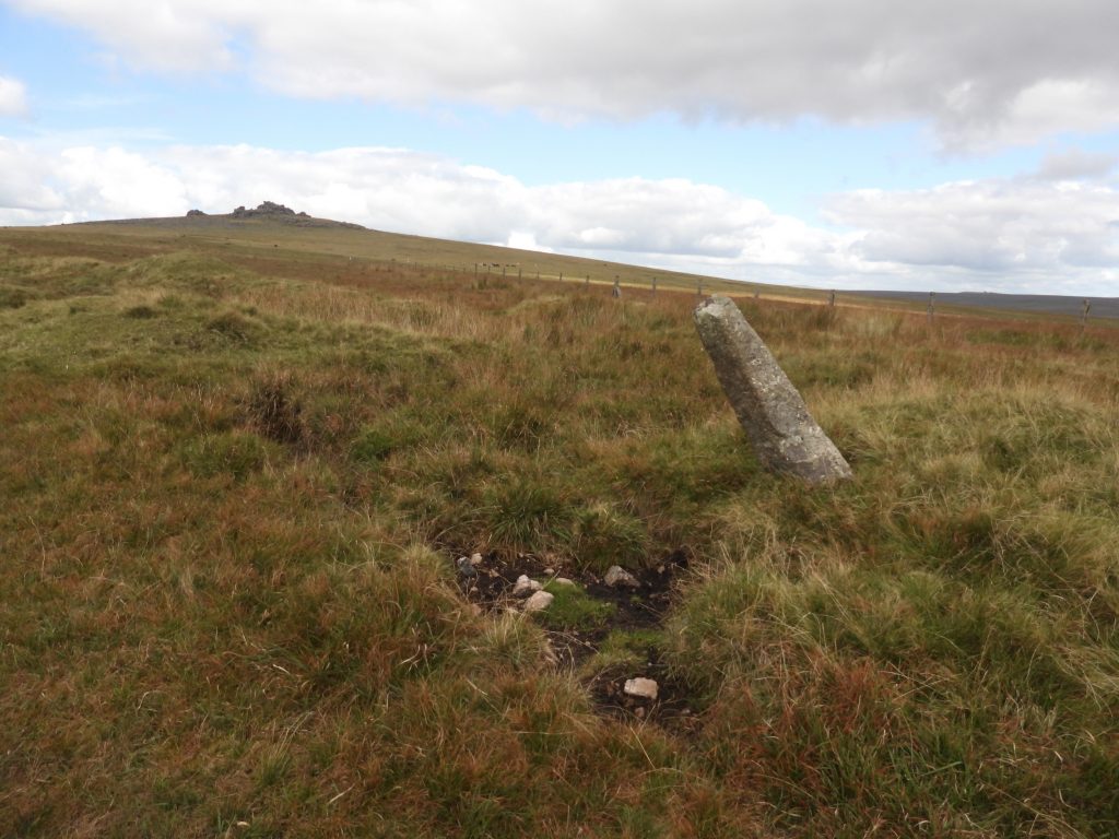
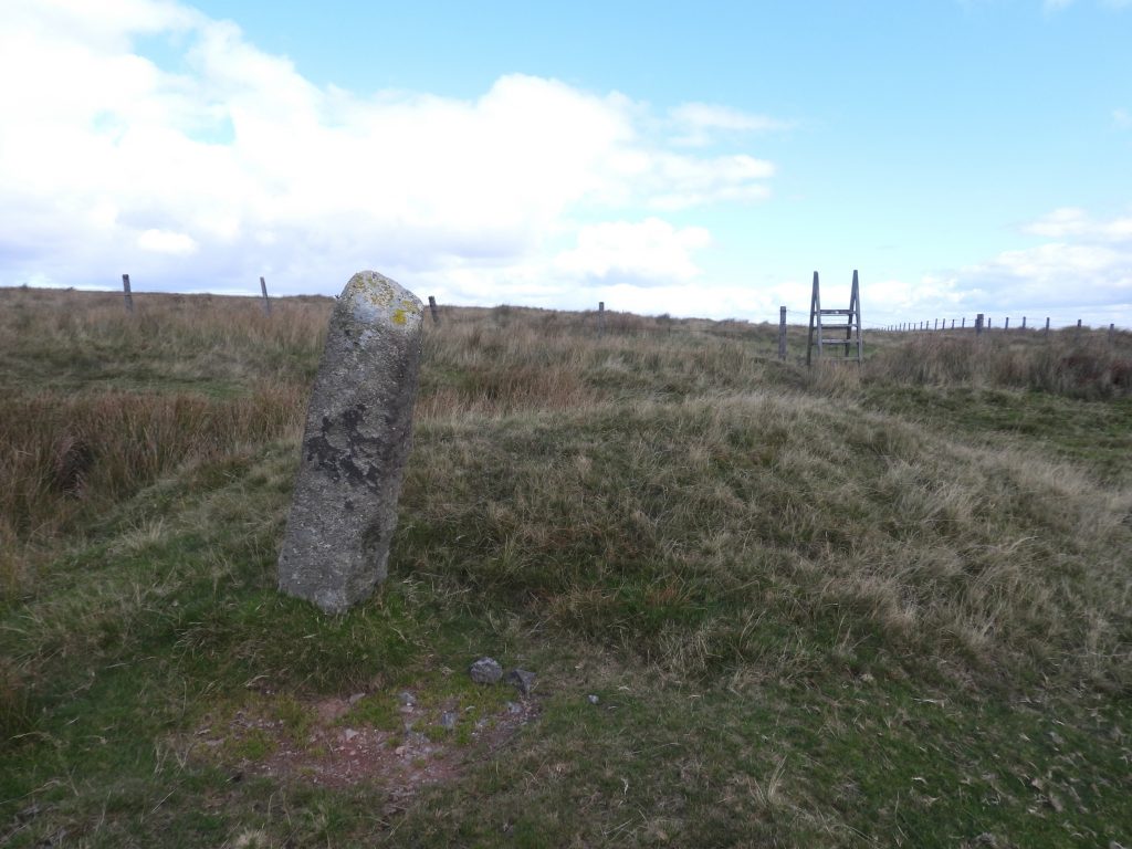
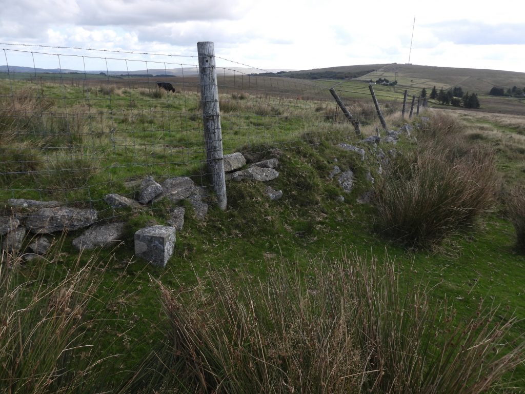
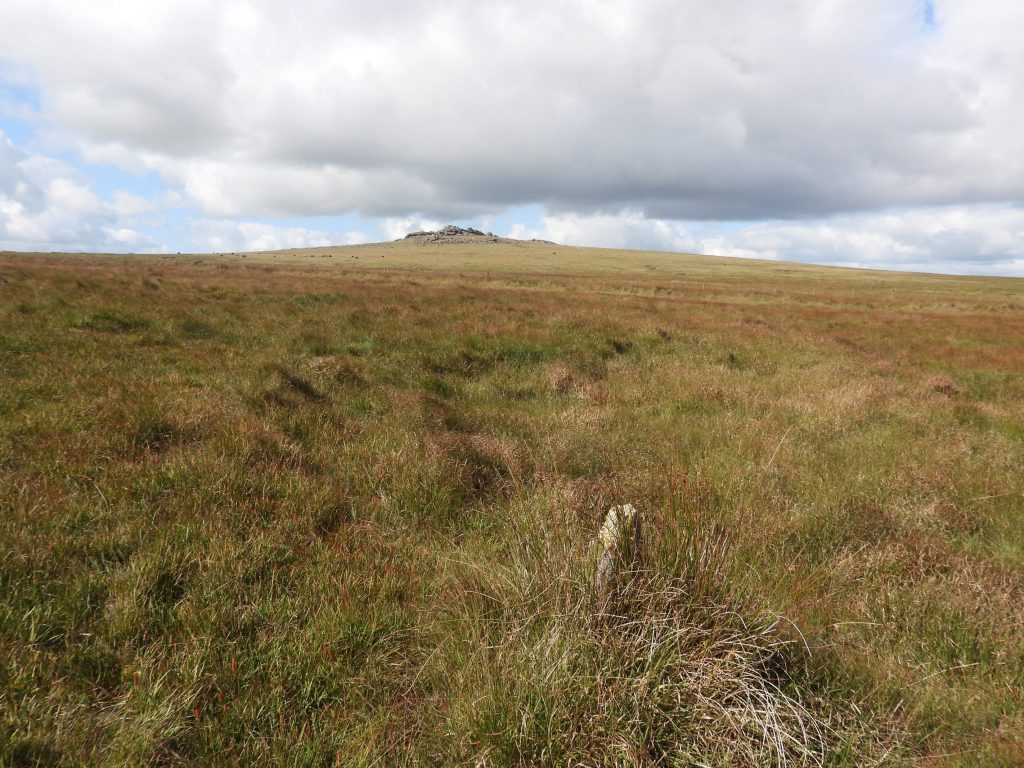
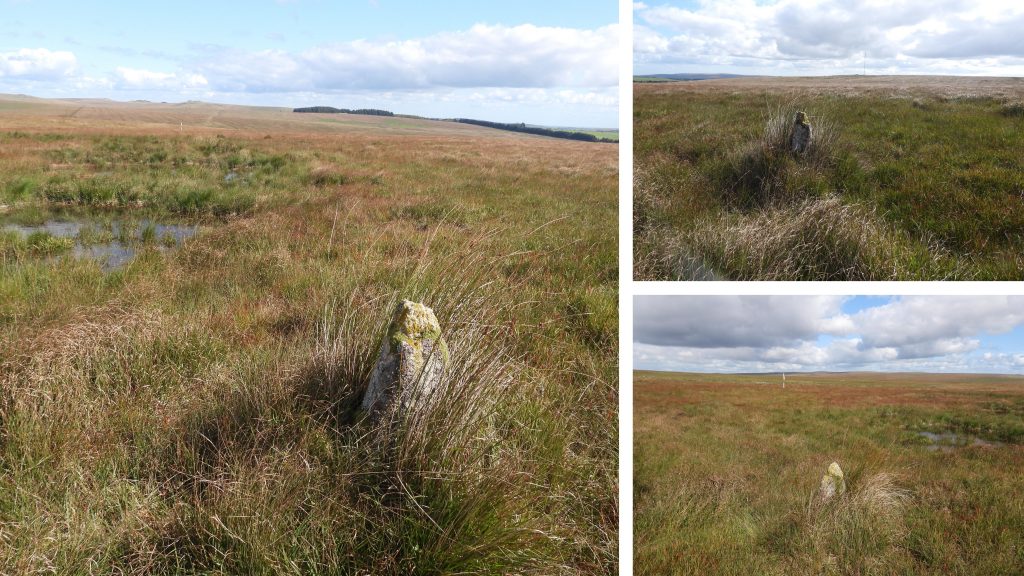
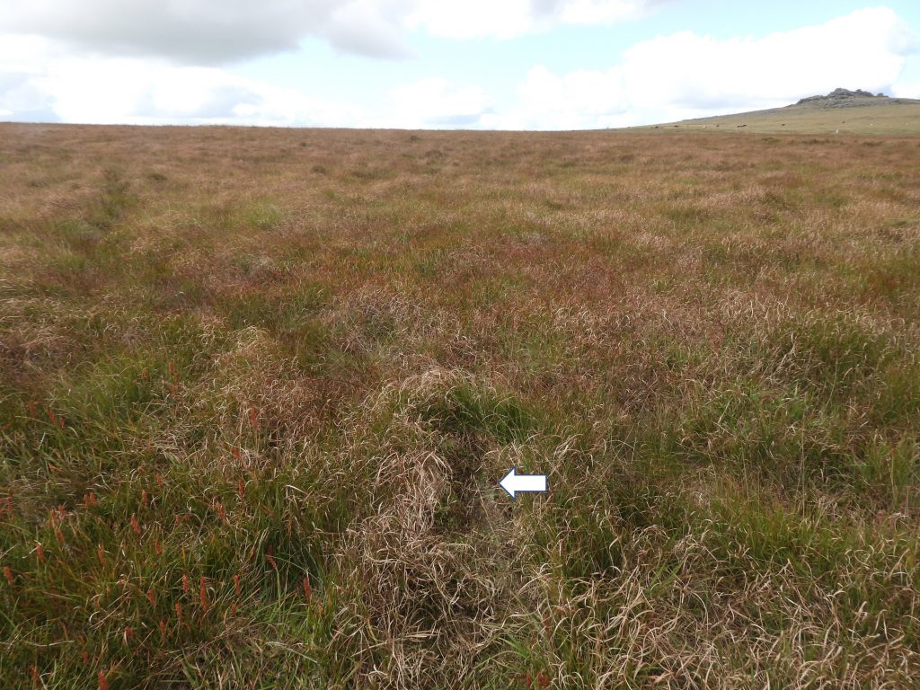
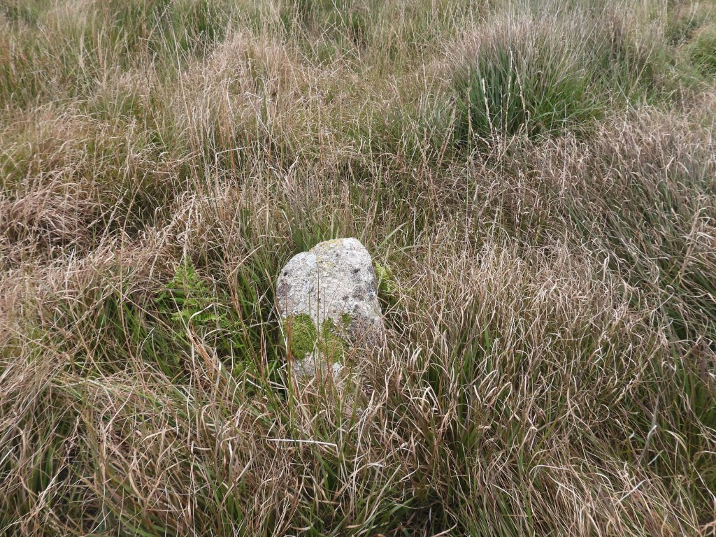
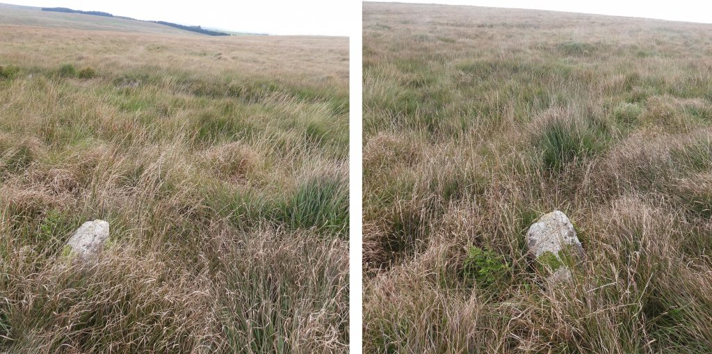
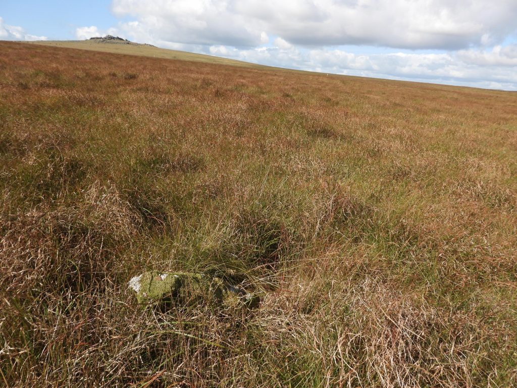
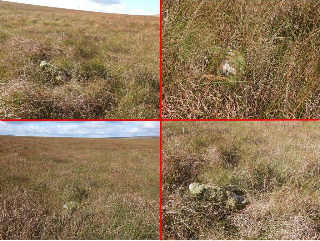
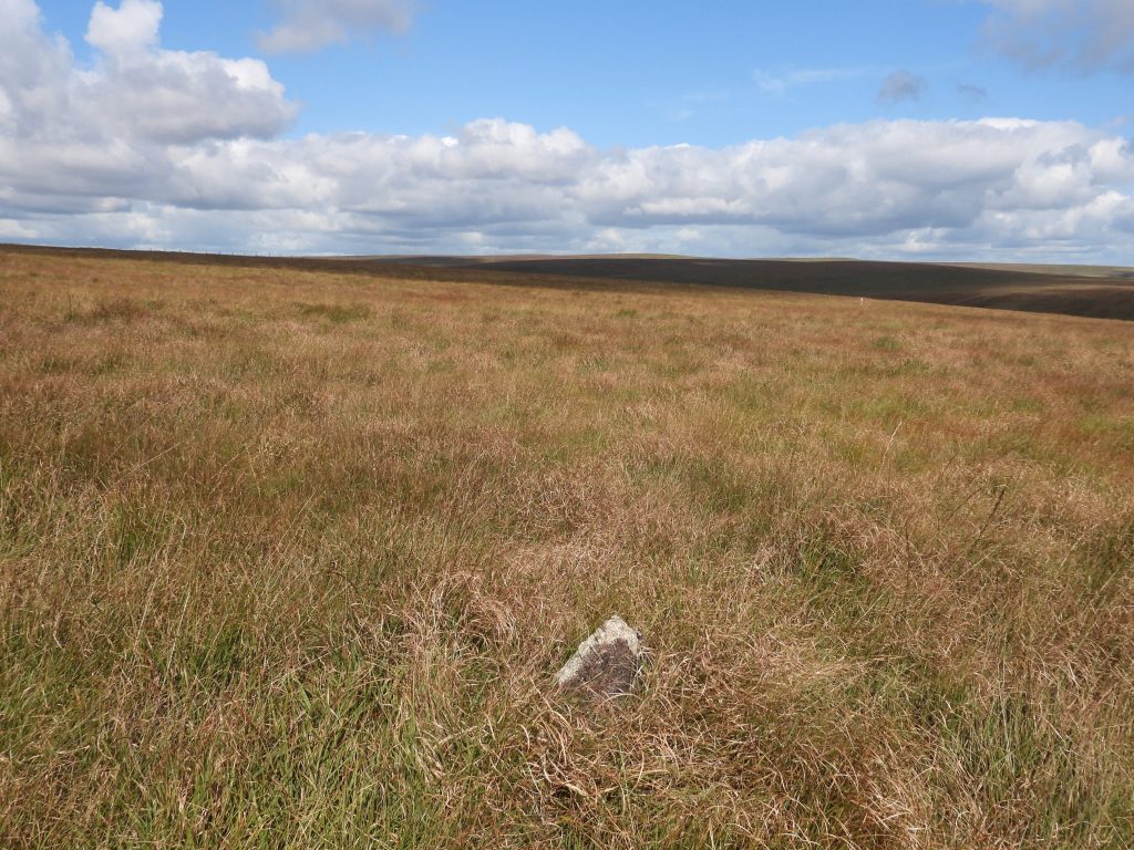
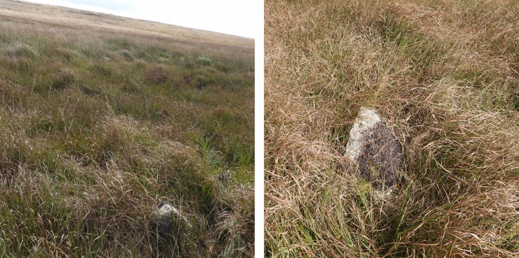
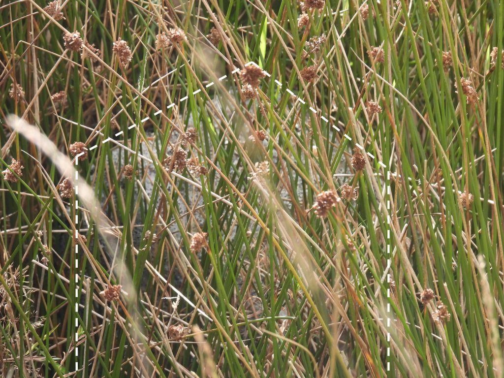
The original Dartmoor Prison bounds encompassed an area of 390 acres which was granted a 99 year lease. Its bounds were further extended in 1867 by 1000 acres under a fresh lease with the boundary marked by a series of DCP (Directors of Convicts Prisons) boundstones. Near the north west boundary of the 1867 prison bounds and close to New Forest Corner are 5 plain boundstones which mark one of the early sources of the prison’s water supply. These boundstones are shown on 19th century maps and are located in a rather marshy and tussocky area on a tributary of the Blackabrook to the west of the prison leat (constructed between 1806-09 to supply the war prison and soldiers’ barracks). Their specific date is unknown but most likely mid 19th century. This post covers the locations of the 5 plain boundstones plus covers other boundstones (ie 3 DCP stones and 2 Dartmoor Forest boundary stones) in the locale.

Map
Sketch map showing the locations of the boundary stones covered in this post. The area where the Prison Water Rights Stones are located lie within the Prison Newtake. The author was unsure about access on the north east side of the fence but used the ladder stile near one of the DCP and one of the Dartmoor Forest boundstones on the basis that the OS map doesn’t show this area as private (ORANGE Banding) and there is no “private” or “no public access” signs. Why would there be a stile if it wasn’t intended to be used ?
Table
In the Dartmoor HER, it suggests that only four stones are extant with PSWR2 possibly missing. The author found all five stones and has nominally labelled them PSWR1 through PSWR5. They are difficult to find (except PSWR1) amongst the marsh and tussocks. The author recorded their locations as shown in the table.
0. d DCP Stone 9
New Forest Corner with the DCP (Director of Convict Prisons) boundstone. This marks the north west corner of the 1867 prison boundary. The boundstone is inscribed ‘DCP’ and has an upward arrow on it.
0. c BS
A short distance south east from New Forest Corner is a large unmarked boundstone. The boundstone measures 1.4m high, 0.25m wide and 0.25m thick and marks the edge of the Dartmoor Forest.
0. b BS
A short distance from the ladder stile is another large unmarked boundstone. This boundstone measures 1.5m high, 0.4m wide and 0.3m thick. It also marks the edge of the Dartmoor Forest.
0. a DCP Stone 8
Next to a gate, which is very close to the ladder stile is another the DCP (Director of Convict Prisons) boundstone. This marks the north west corner of Mistor Farm within the 1867 prison boundary. The boundstone is also inscribed ‘DCP’ and has an upward arrow on it.
0. Ladder Stile a
The convenient ladder stile near the Forest Boundary boundstone and a DCP stone.
0. Ladder Stile b
The author looked for a sign confirming access was / was not permissible but none was found. There was a (white) disc on the ladder stile but had long since faded and couldn’t be deciphered.
1. PWRS 1a
PWR1 is the most north westerly of the Prison Water Rights stones and the easiest to find. The picture provides a contextual view to Great Mis Tor behind.
1. PWRS 1b
PWR1 stone is described in the Dartmoor HER (Probert – An archaeological survey and evaluation of Dartmoor Prison Farm) as : “A crude granite post 0.8m high, 0.3m wide and 0.15m thick in dense moorgrass above the right bank of a small tributary of the Blackbrook River”.
2. PWRS 2a
PWR2 stone is semi buried and lies in very long grass. The picture was taken after the grass was pushed back !
2. PWRS 2b
Close up of PWR2 stone. The recording of it being possibly missing (Dartmoor HER) is unsurprising.
3. PWRS 3a
PSWR3 lies in tall grass also, but can be easily seen if within a few metres.
3. PWRS 3b
Contextual view of PWR3 stone. The terrain is very evident in these photographs. PWR1, PWR2 and PWR3 are more or less in a line north – south (ish)
4. PWRS 4a
PWR4 stone is recumbent and is on the edge of the marsh.
4. PWRS 4b
PWR4 stone is the most southerly of the five stones and in an area which is very difficult underfoot.
5. PWRS 5a
PWR5 is the most north easterly of the stones. Between PWR4 and PWR5 the ground is very tussocky and very marshy as the route crosses the tributary of the Blackabrook.
5. PWRS 5b
PWR5 is well hidden in the tall grass.
6. DCP Stone 7
Talking of “well hidden” another DCP boundstone can be found on the boundary of the old Mistor Farm. Unfortunately it lies beyond a barbed wire fence and is only just discernible amongst some reads. The dotted white lines have been added in an attempt to give some clarity.

Total Page Visits: 1667 - Today Page Visits: 2

Next Post

Previous Post

4 Comments

  1. Mark F September 18, 2022

    Hi Steve,
    I have labelled the Water Rights markers as A to E, in a clockwise direction, starting from the one you have numbered 5. Good job in finding the elusive (D / 2) stone.

  2. Max Piper September 20, 2022

    Great post. I never knew about these stones. Dartefacts duly updated.

Leave a Reply

© 2024 Dartmoor Explorations

Theme by Anders Norén

Social media & sharing icons powered by UltimatelySocial