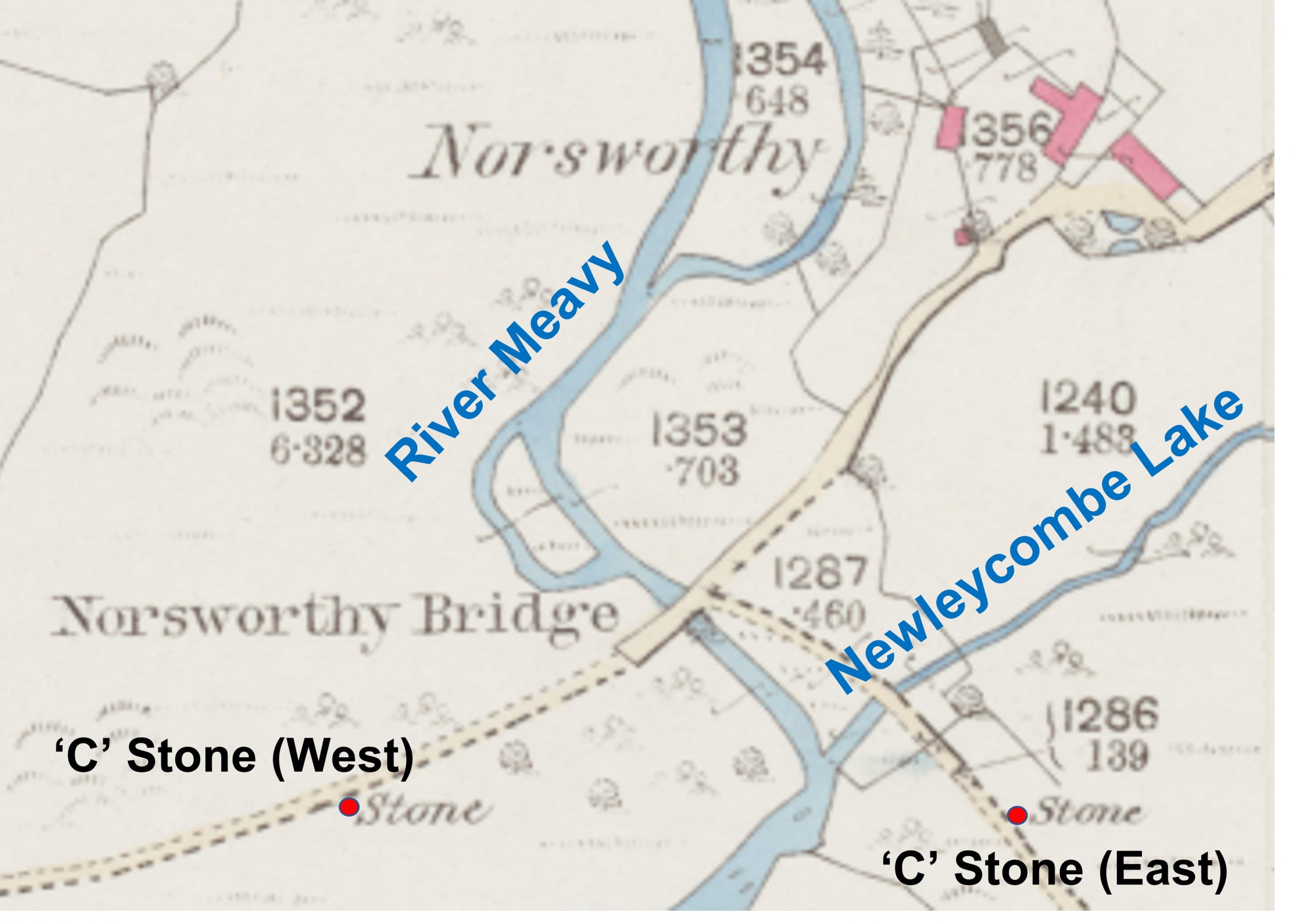
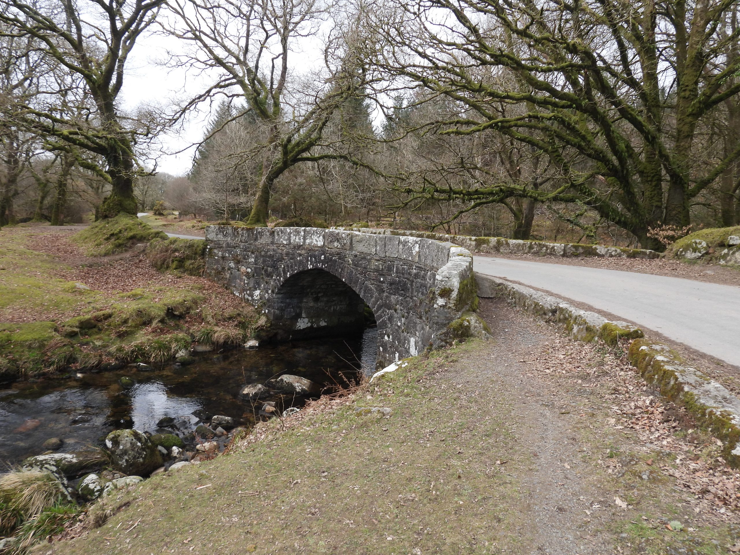
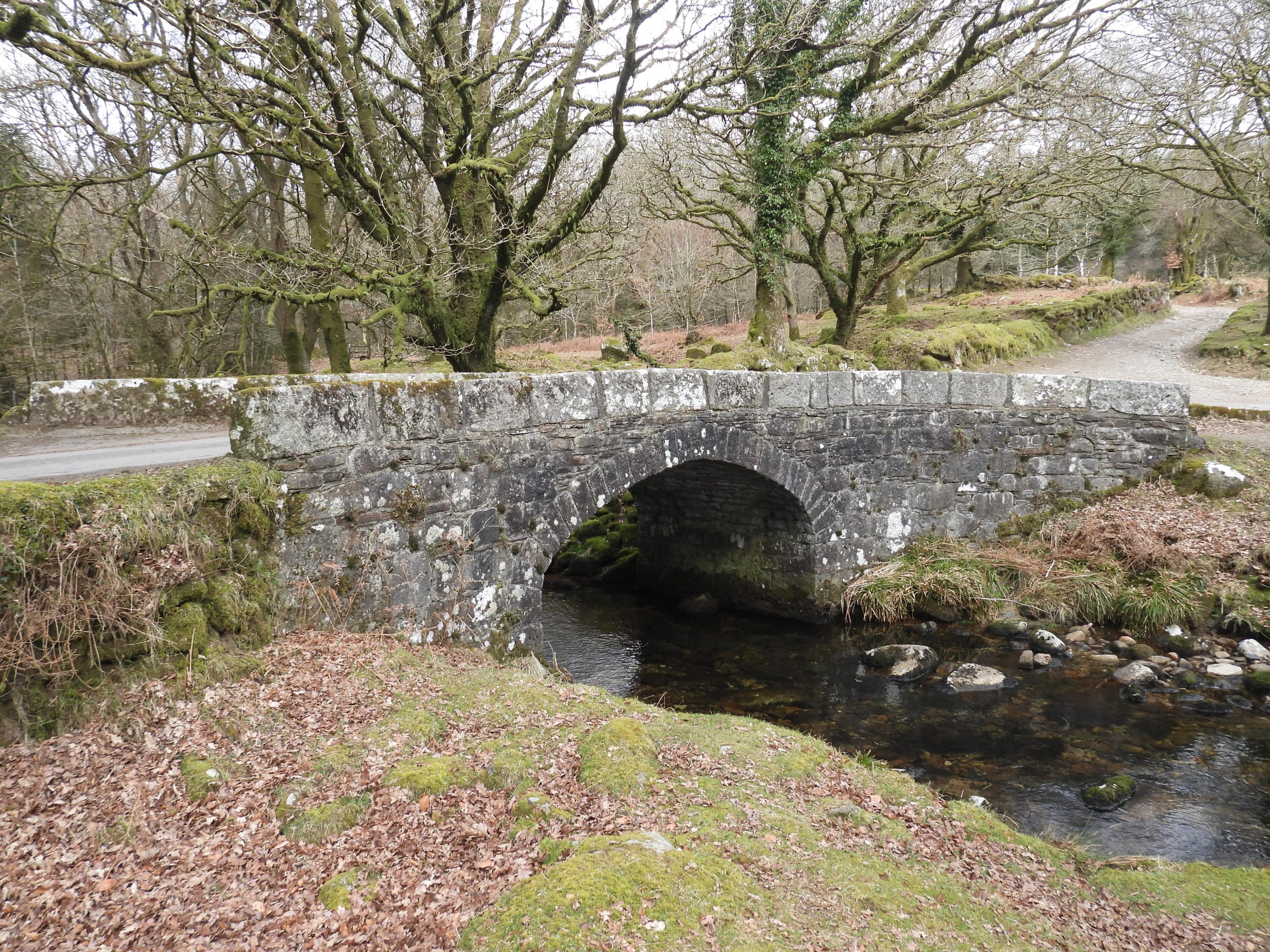
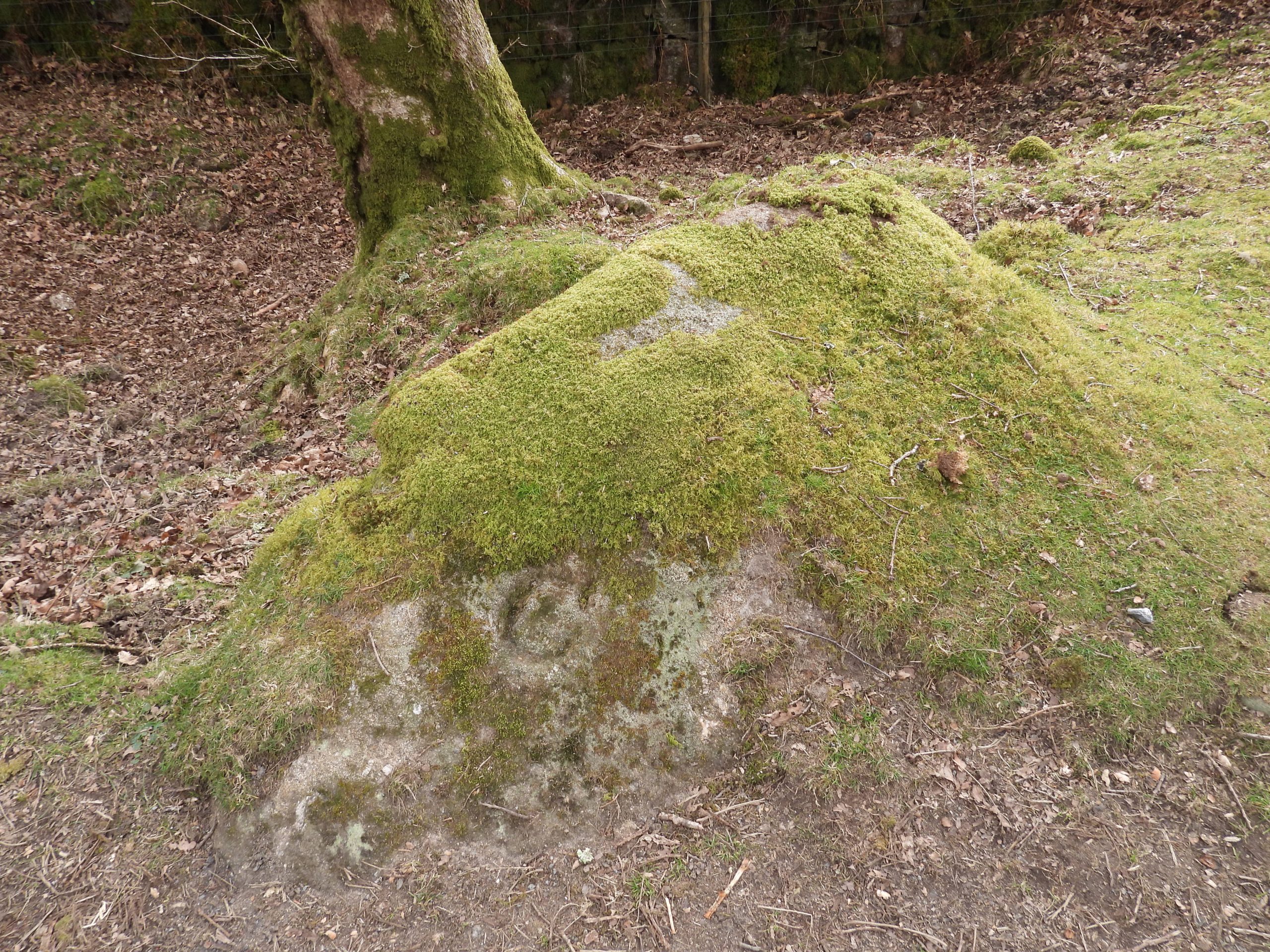
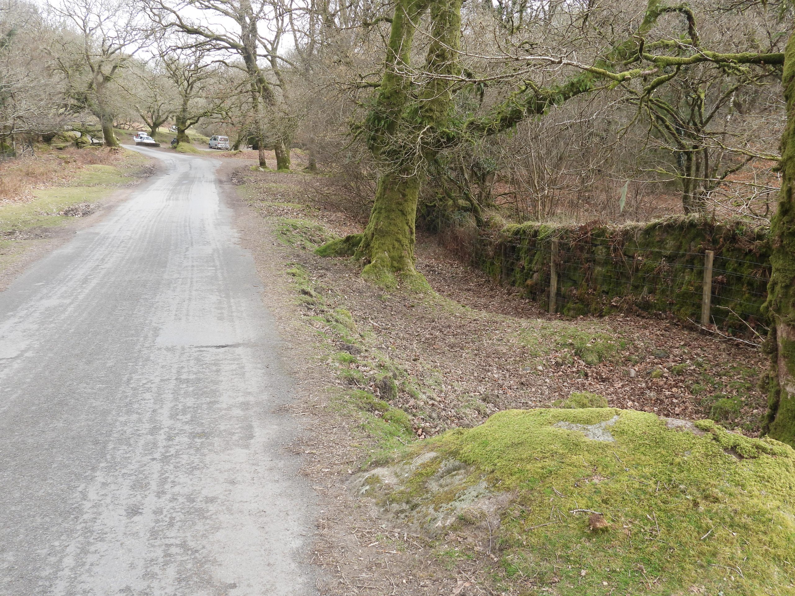
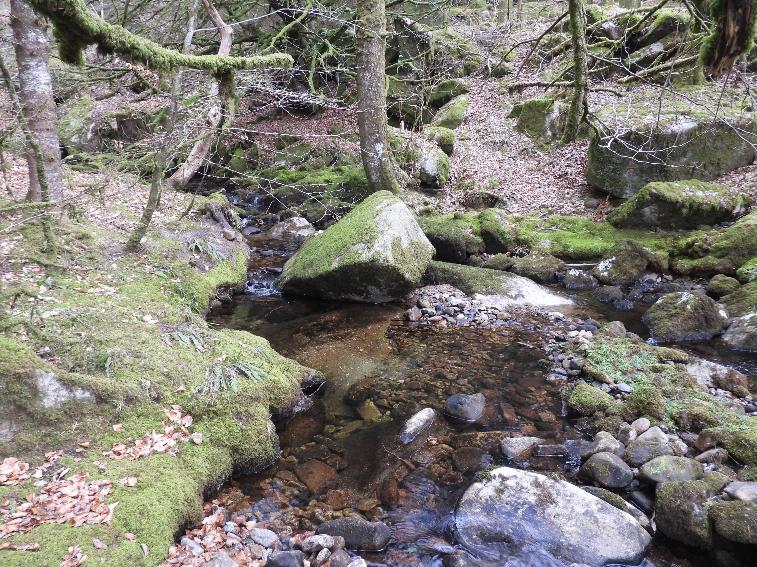
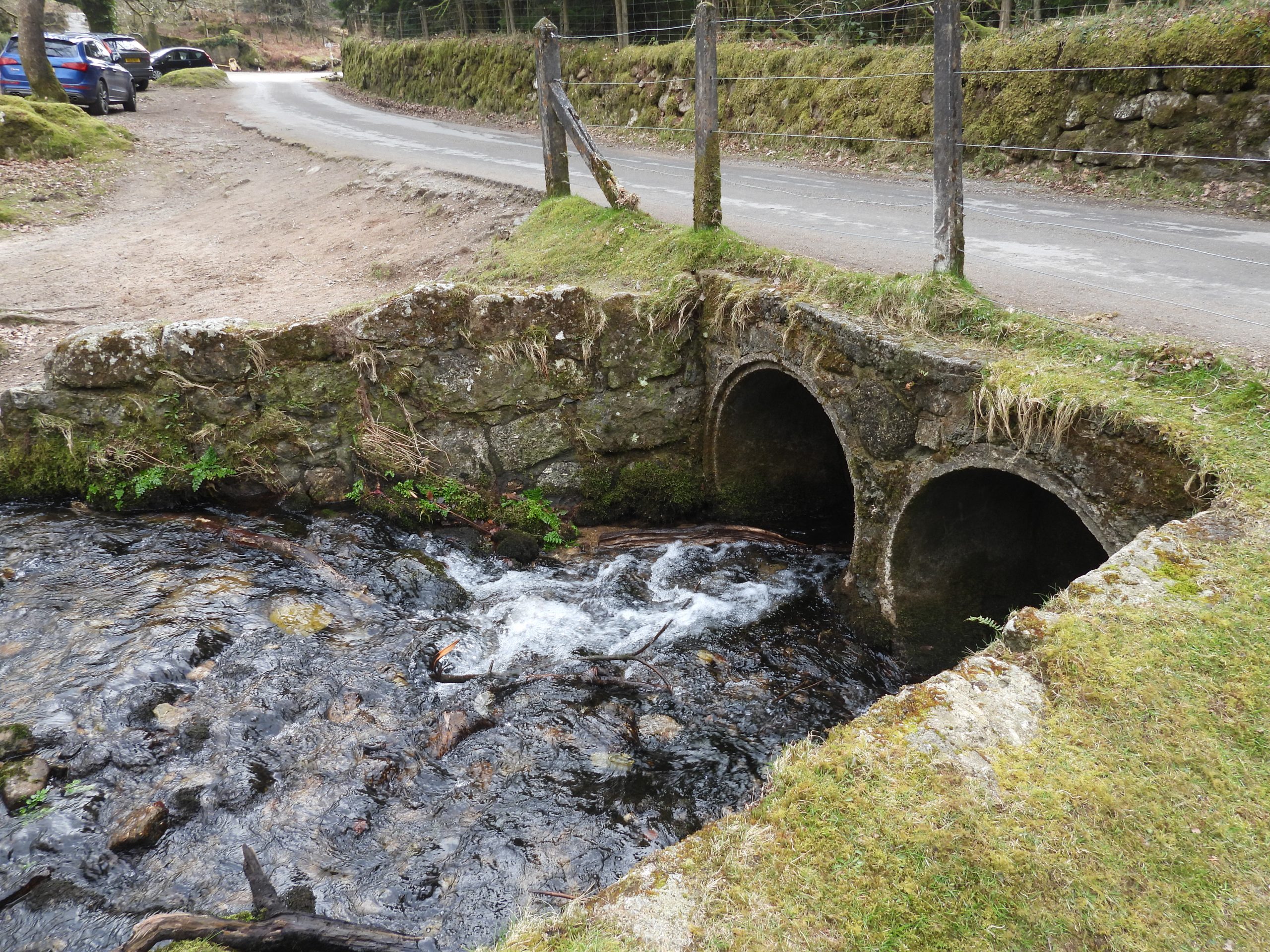
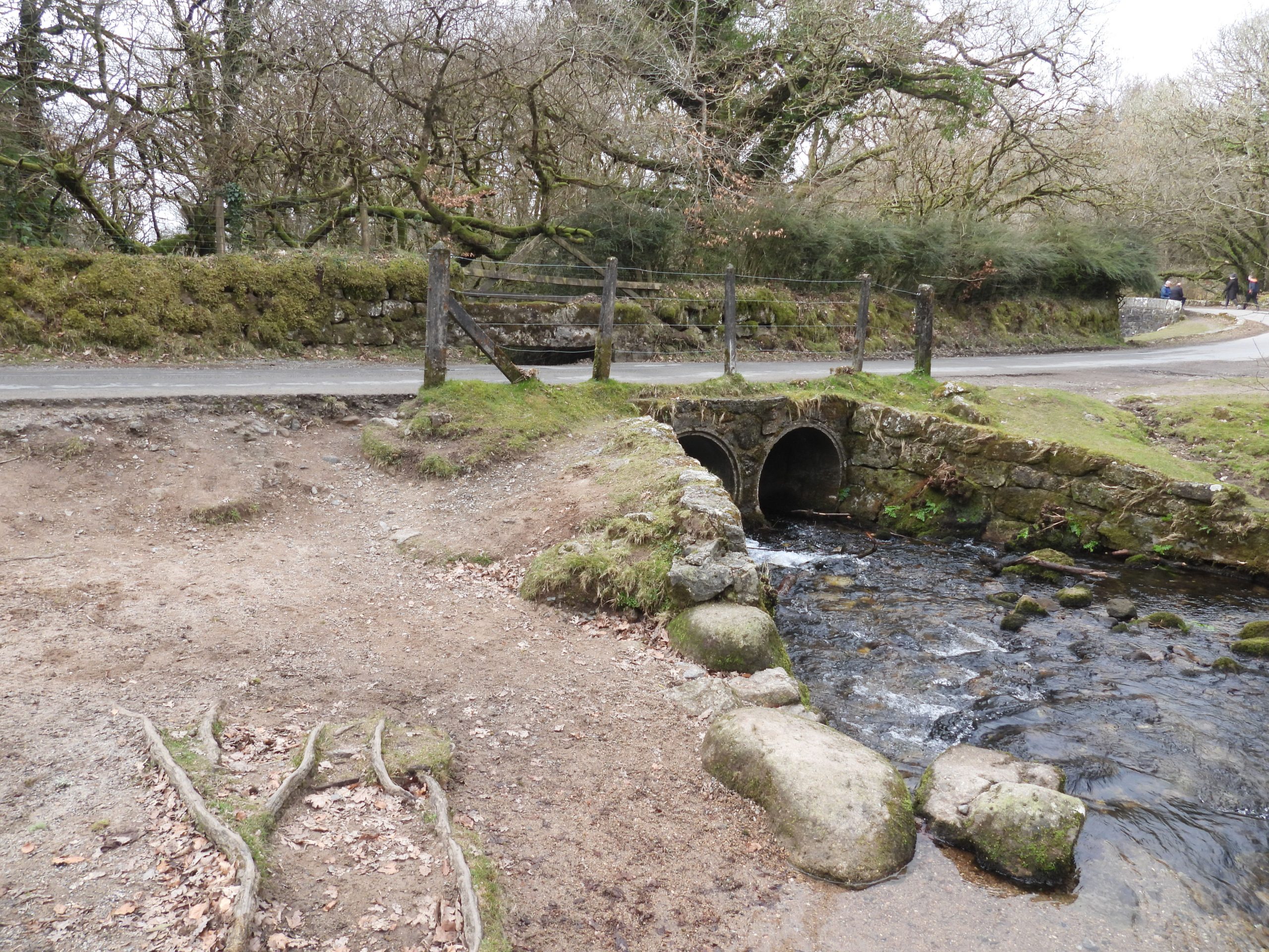
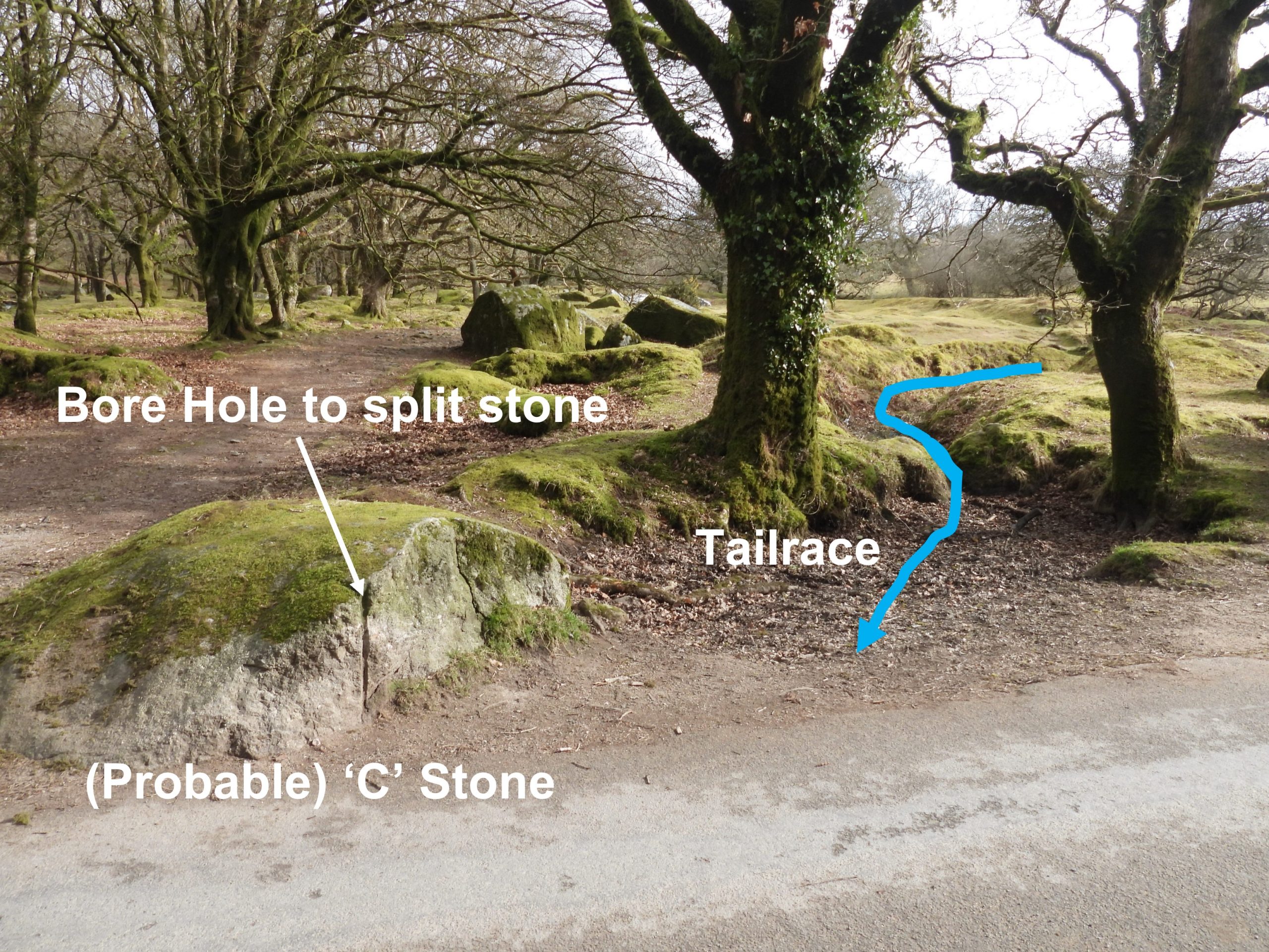
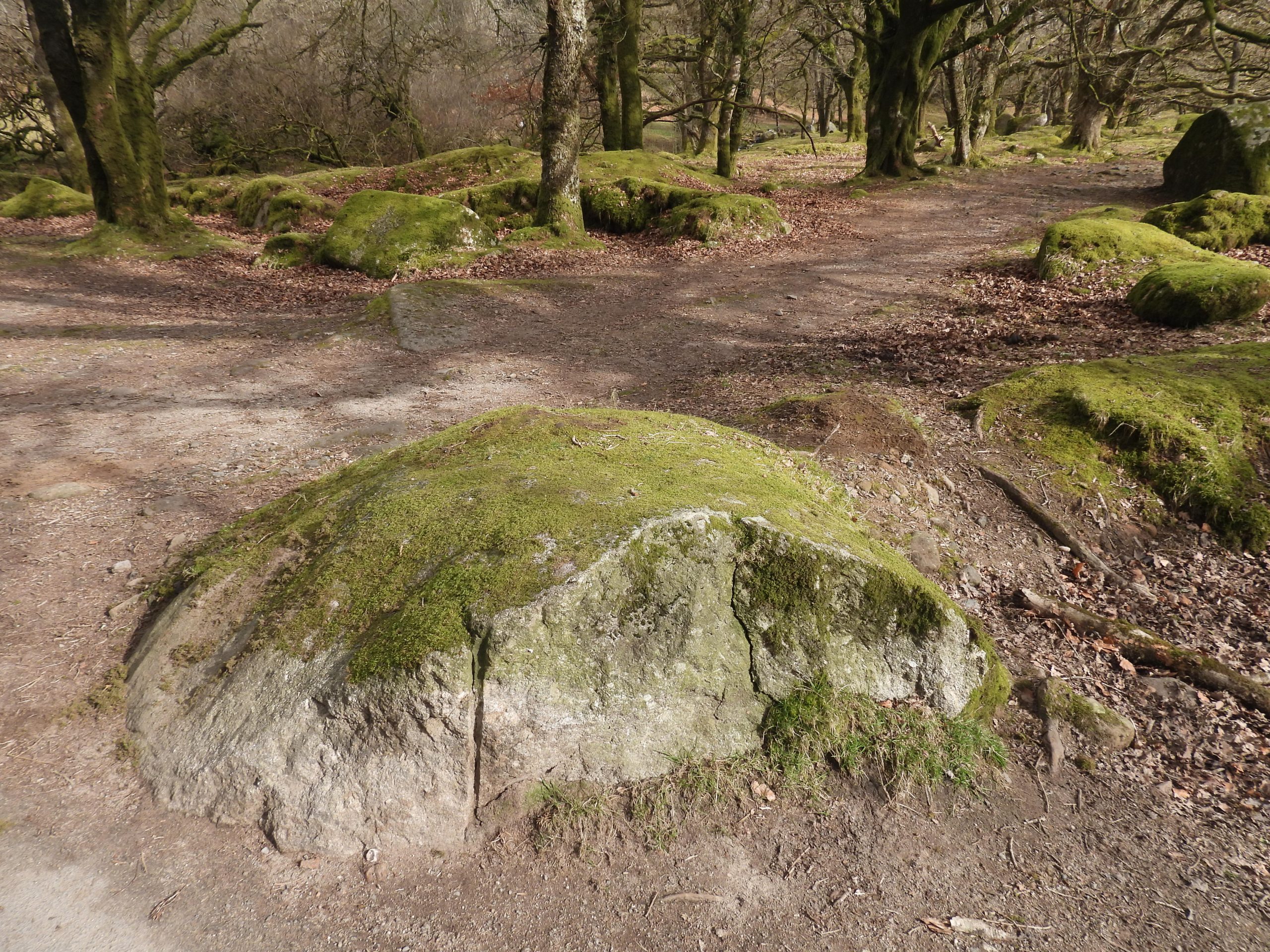
Norsworthy or Nosworthy Bridge spans the River Meavy just north of where Newleycombe Lake joins and where the two water courses spill into Burrator Reservoir. The current bridge dates from at least the early 19th century (it appears on the 1840 tithe map). As with many bridges across the moor (and county) there are or at least were two “C” (for County) inscribed stones approx 100m from each end of the bridge identifying that the county was responsible for maintaining the bridge and approaches between the two stones. The west stone and inscription is extant with the east stone being (most probably) extant but with the inscription missing due to the boulder on which it was located having been split.

![]() 0
0![]()
![]()
![]()
![]()
![]()
![]()
Total Page Visits: 4471 - Today Page Visits: 9
Esme January 31, 2025
why was it called “Norsworthy” Bridge. as I have this name in my family tree from around Dartmoor.
SteveGriggDartmoor January 31, 2025 — Post author
Hi Esme,
The name Norsworthy was first mentioned in the 12th Century (1384) relating to Norsworthy Farm. My understanding is that ‘Worthy’ means farm or enclosure, so it is likely there was someone called ‘Nors’ or a derivation of that had a farm or enclosure in the area.
I hope this helps.
Kind Regards,
Dartmoor Explorations (Steve)
Jennifer Norsworthy August 31, 2025
Esme, we are also Norsworthy’s! Our heritage backdates to this location as well. Hope to learn more about our lineage when we adventure across the “pond”. -Norsworthy from America!
SteveGriggDartmoor August 31, 2025 — Post author
Safe trip across the pond when you come
Kind Regards,
Dartmoor Explorations (Steve)
Jennifer Norsworthy August 31, 2025
Thanks, Steve!
We could definitely take suggestions on time of year and must do explorations.
SteveGriggDartmoor August 31, 2025 — Post author
Hi Jennifer,
I usually find the best (dry) months are May and September. That said, there are no definitive ‘wet’ or ‘dry’ months as such
Kind Regards,
Steve