Steve Grigg
Inspired by the section on Ilsington in the Dave Brewer Dartmoor Boundary Markers book (2nd Edition), this post follows an exploration of the area to photographically record each boundary marker. The labelling of each boundary marker follows the same nomenclature shown in the Dave Brewer book.
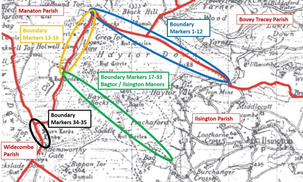
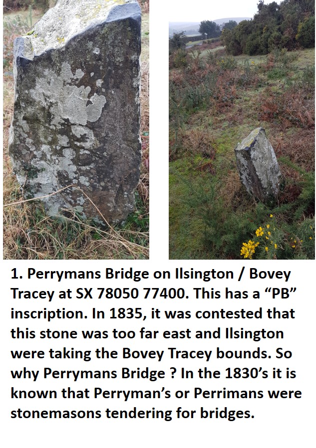
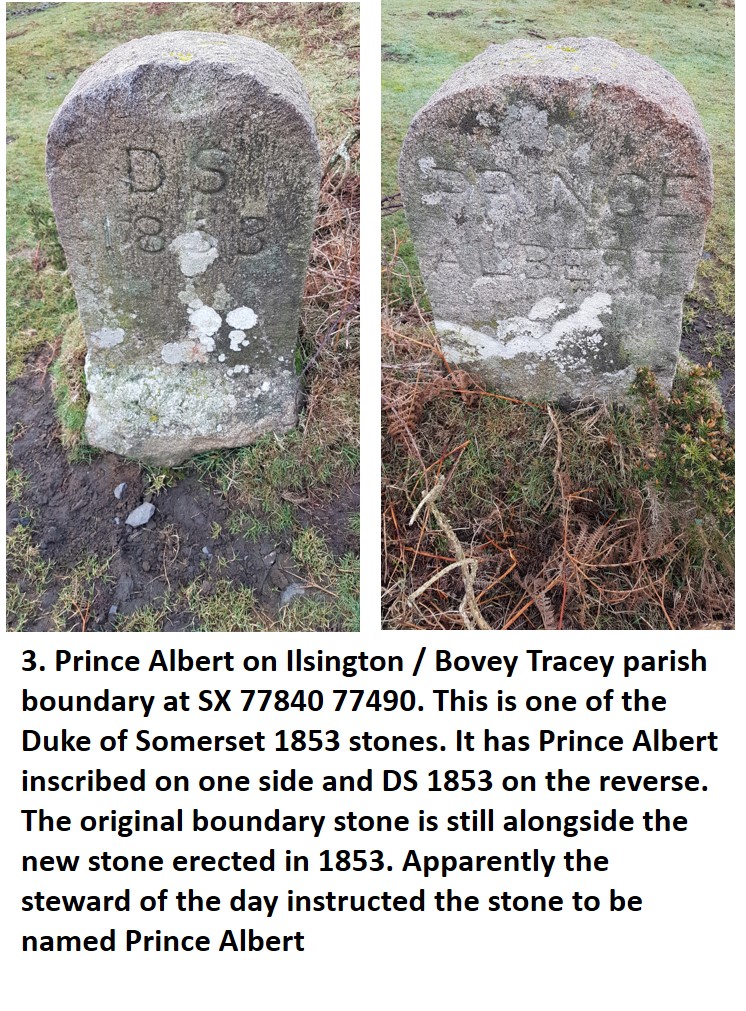
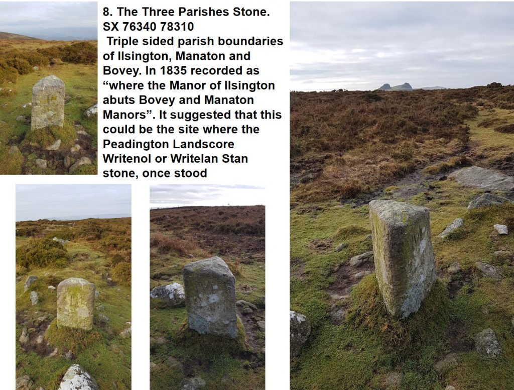
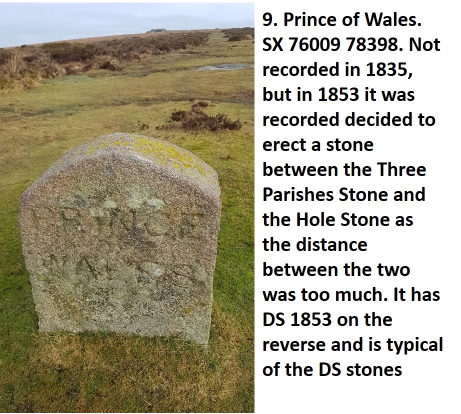
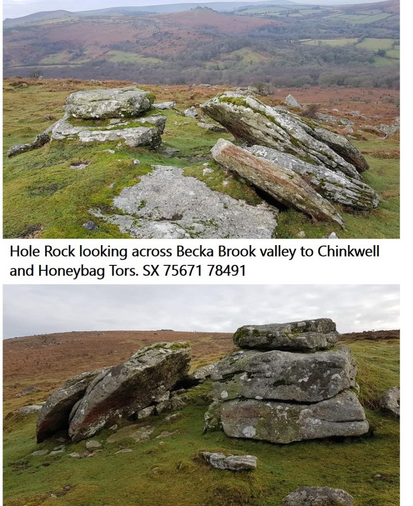
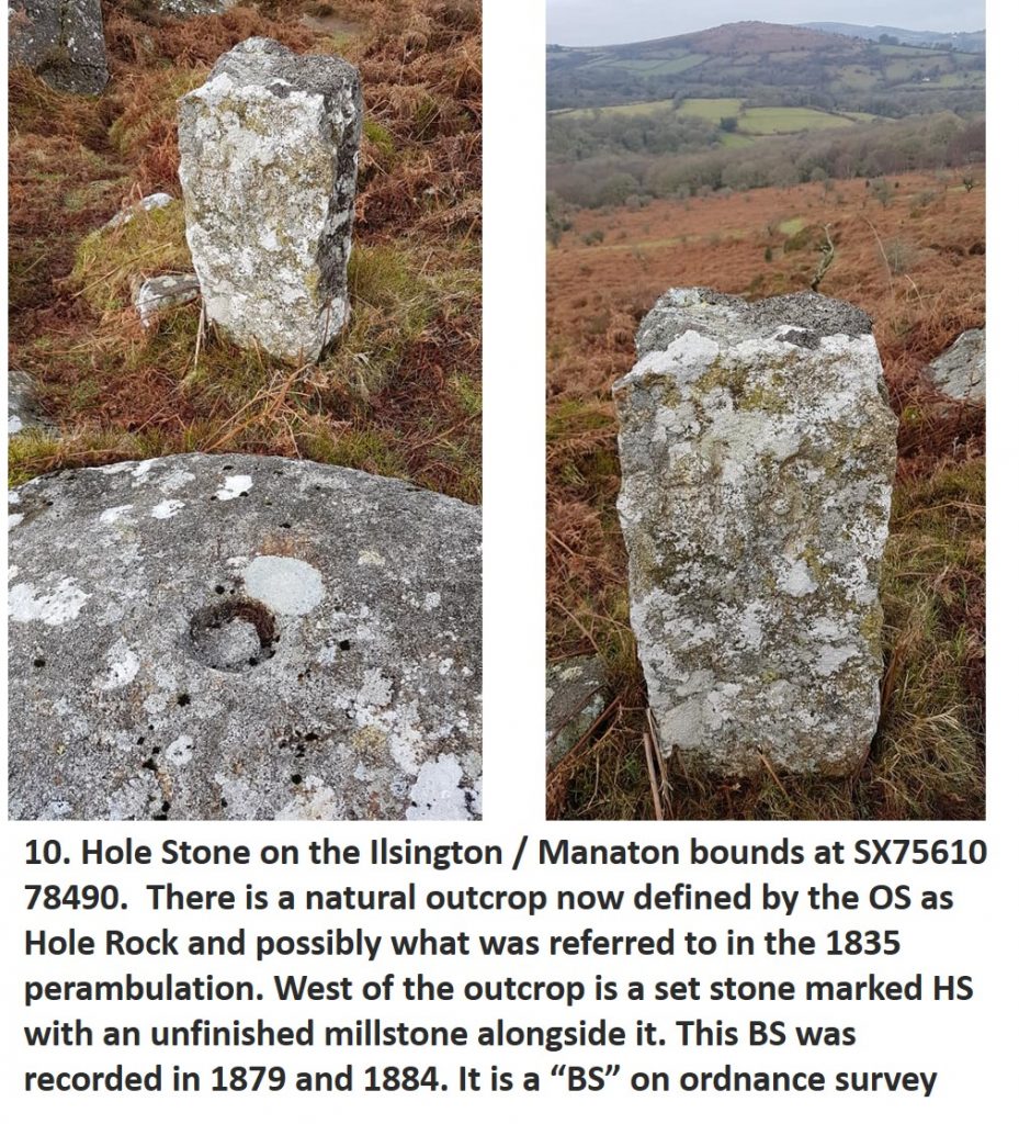
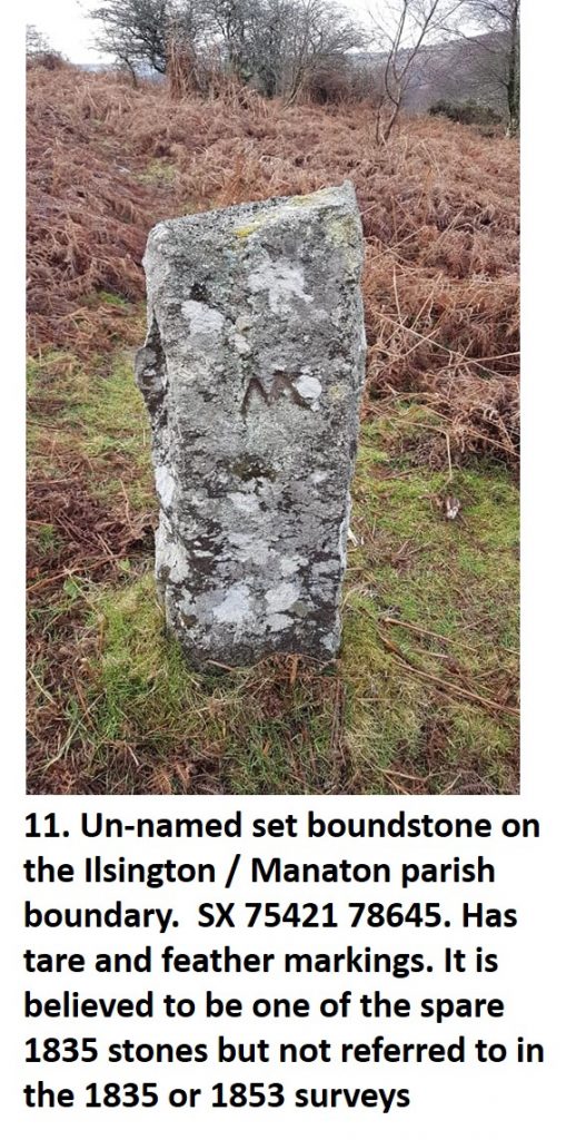
Boundary Markers 1-12 follow the Ilsington and Bovey Tracey then Manaton parish boundaries between Green Lane and the Becka Brook. These markers (1-12), are from Natsworthy, an ancient Saxon manor broken up in medieval times. In the 1850’s the then land owner, the Duke of Somerset had erected many shaped and named stones to emphasise his bounds. These were intermingled with some older parish set stones and natural rocks.
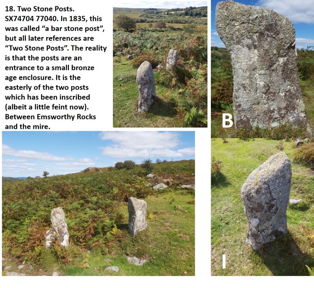
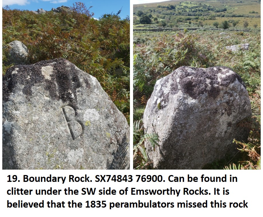
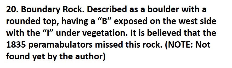
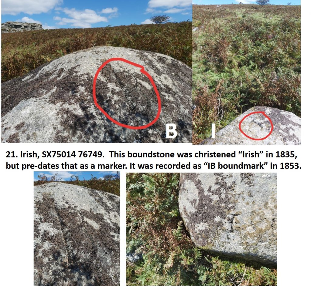
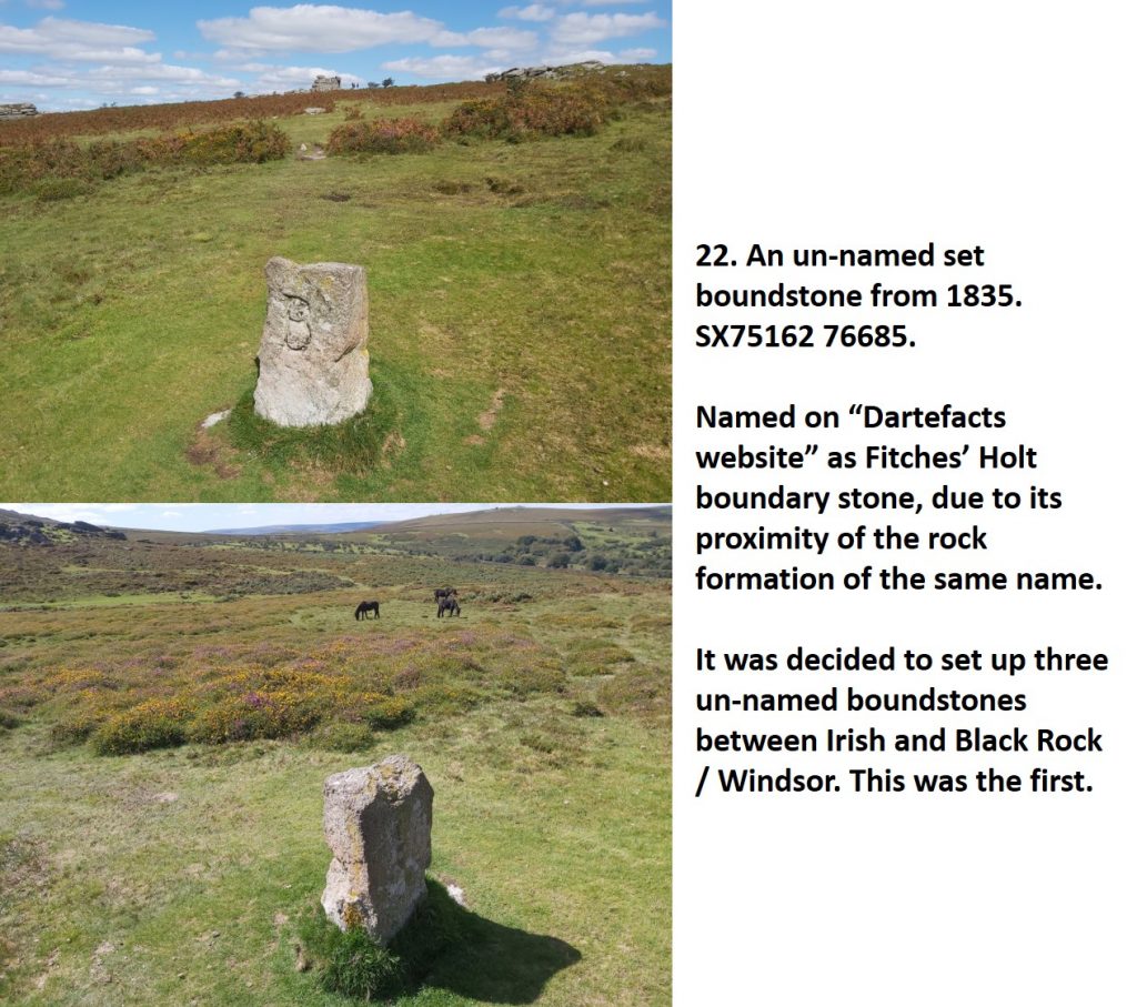
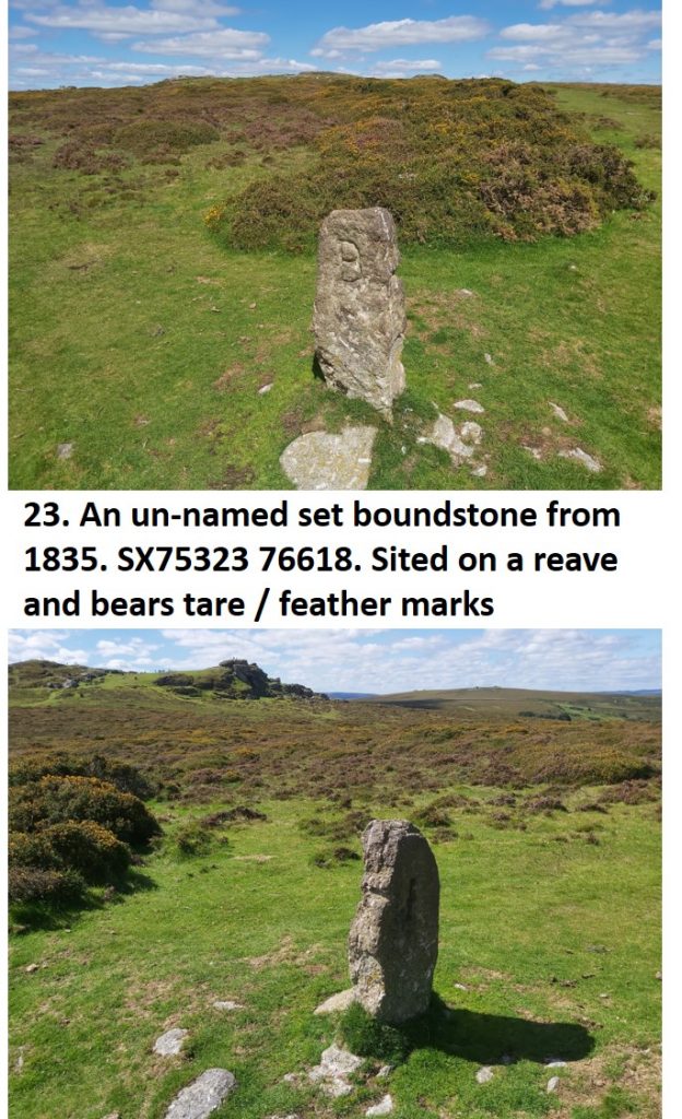
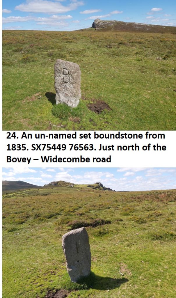
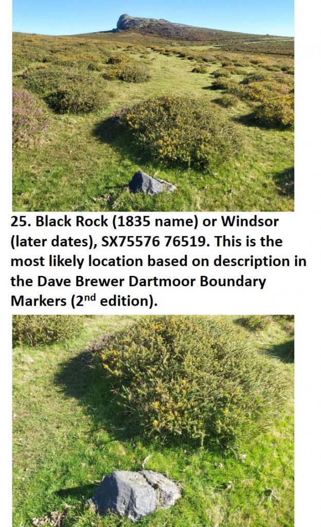
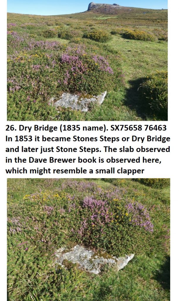
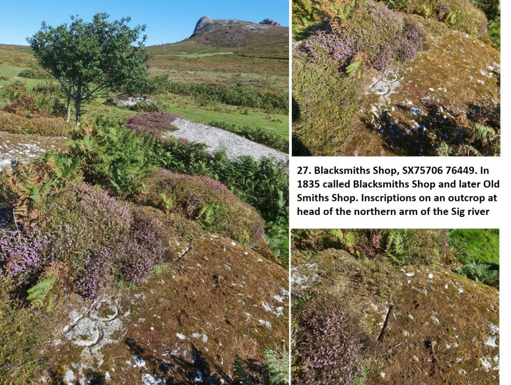
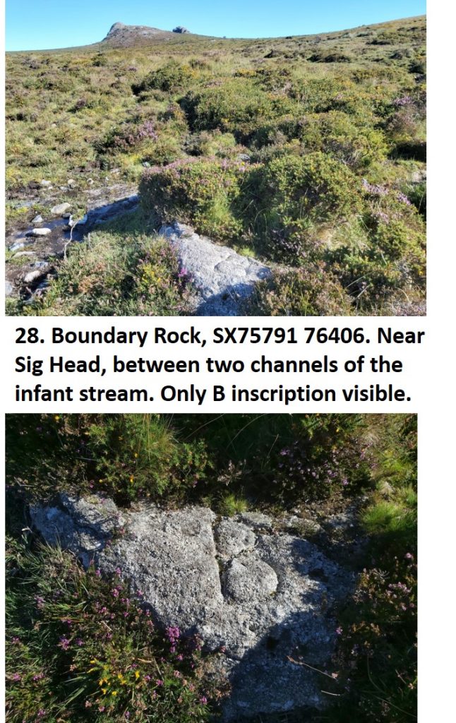
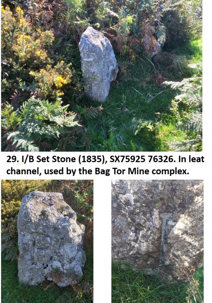
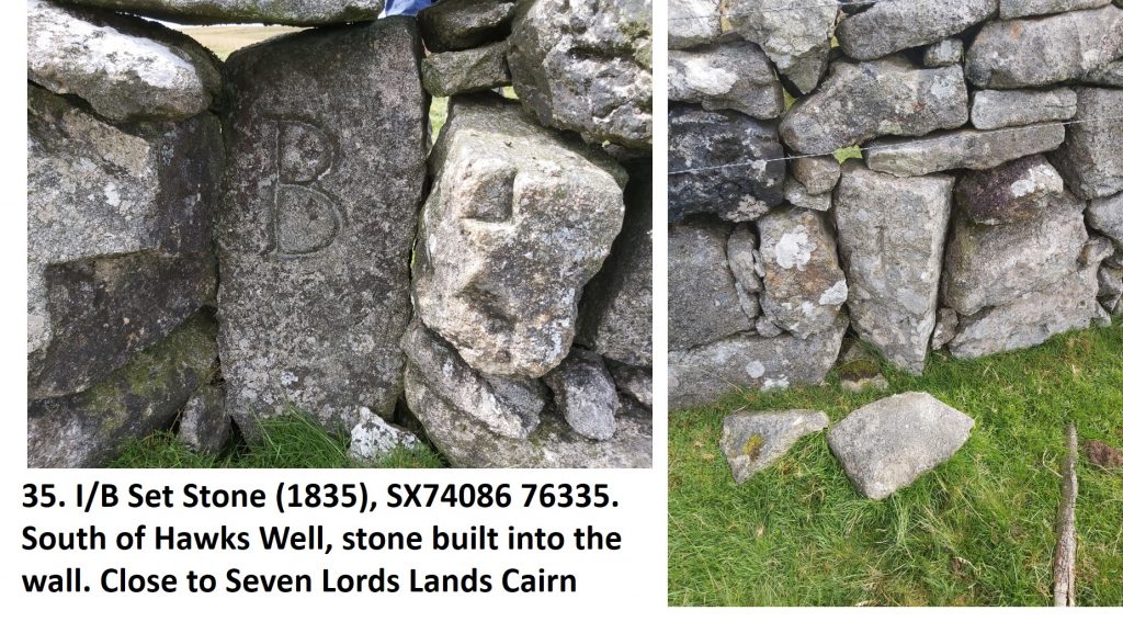
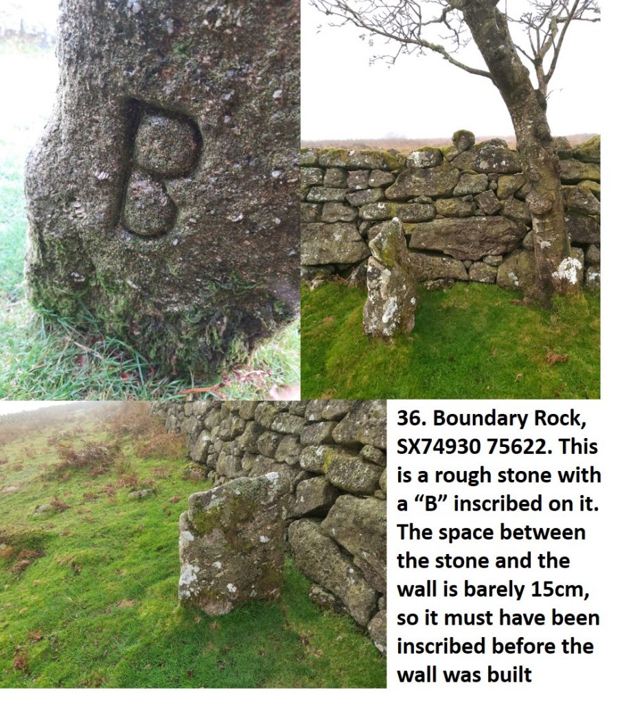
Boundary Markers 13-16 and 34-35 follow the Ilsington and Manaton parish boundary. Finally the Boundary Markers 17 through 33 follow the Ilsington / Bagtor Manor Boundaries. Each photograph has information gleaned from the fabulous Dave Brewer publication.
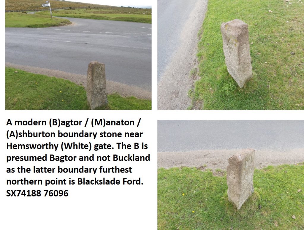
The post also shows a few boundary markers in the vicinity of those aforementioned, which have been erected since the Dave Brewer publication.

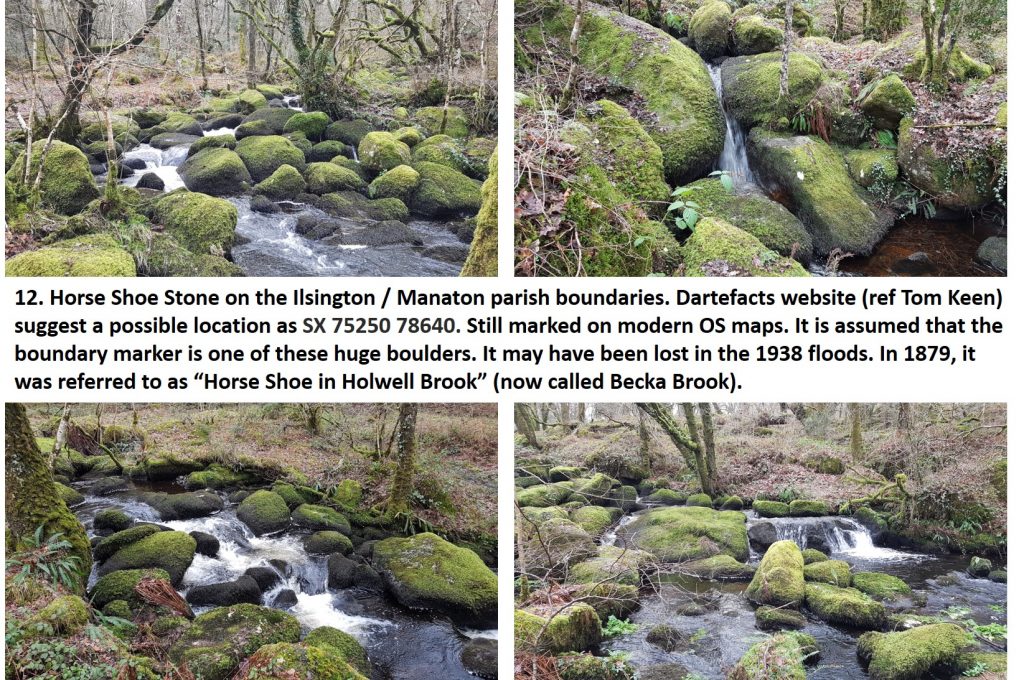
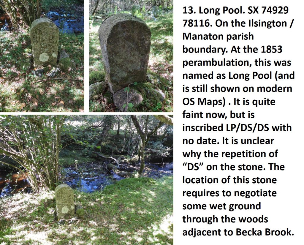
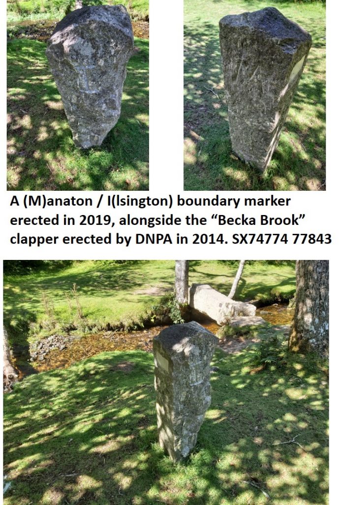
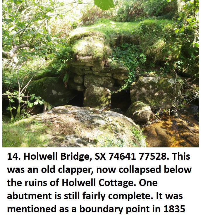
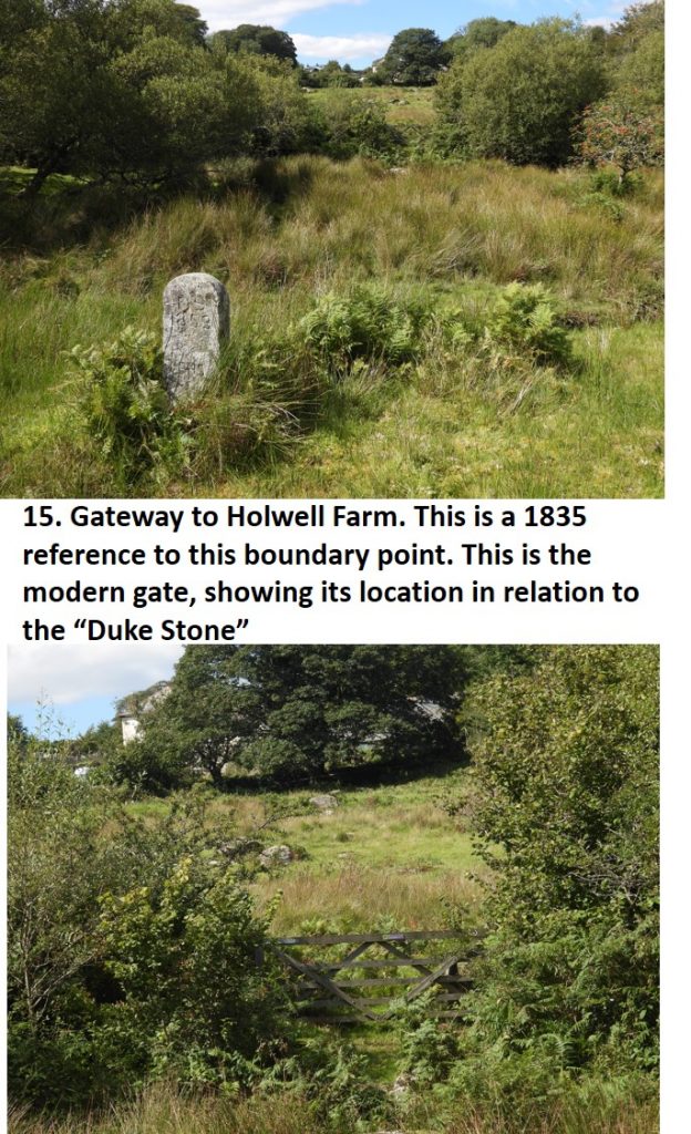
Now we follow the Becka Brook upstream to find boundary markers 13-16. The Becka Brook at one time was known as Hollow Brook
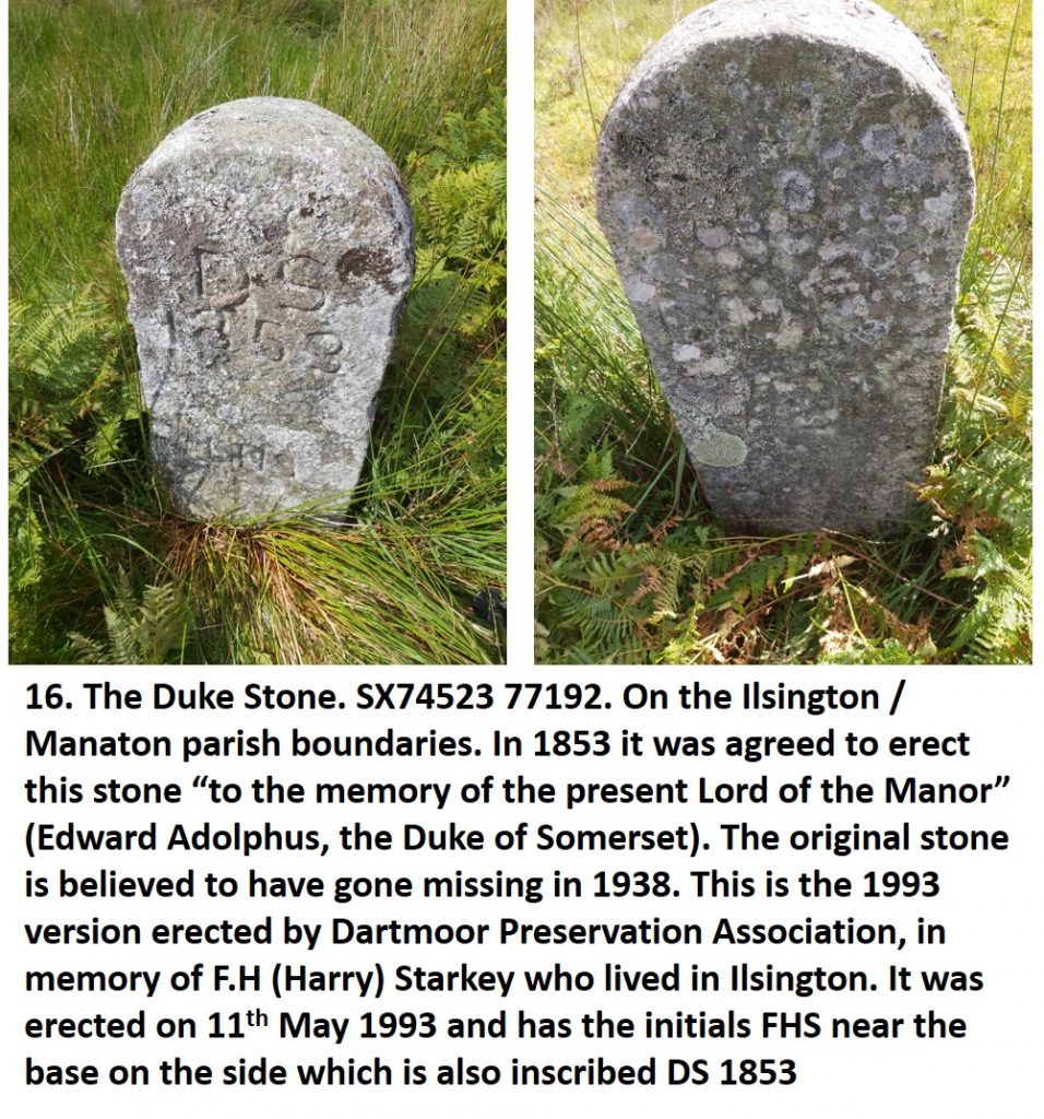
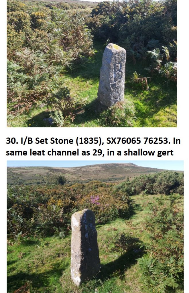
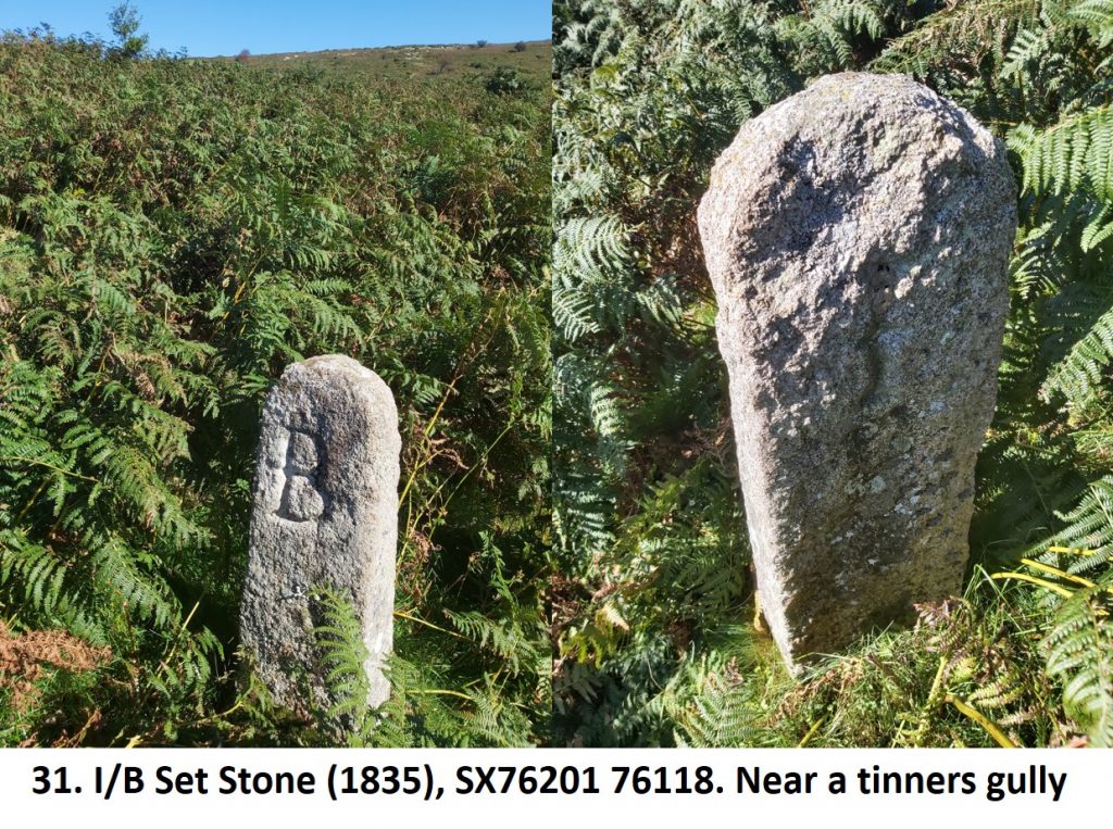
The Duke Stone is where the Manors of Ilsington and Bagtor met. From this point the boundary markers 17-33, follow a south east direction all the way to the stroll giving access to the commoners from Bagtor to Bagtor Mill, an ancient droveway.
32. Stone near Thorn Tree in Bagtor Well. The 1835 records state follow “the boundary of the old enclosures allowing a deer’s leep on the Bagtor side to the Crownley Works”. In 1853 “to a thorn tree at Crownley Works”. Dave Brewer states this stone is a slab near a larger than average tree, but not a thorn tree. (NOTE: The author has yet to locate this stone).
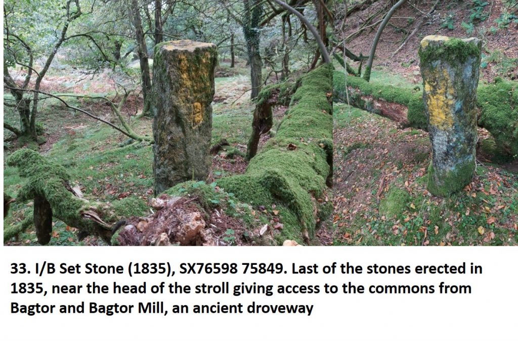
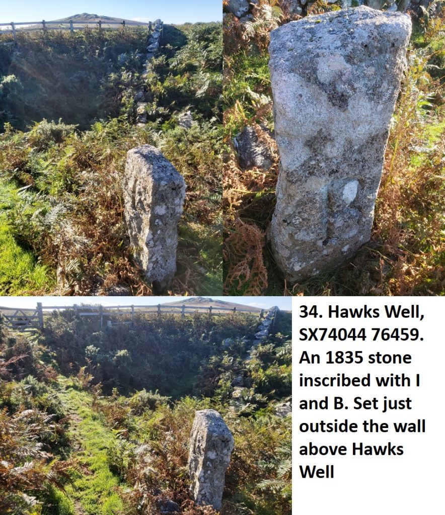
This completes the western boundary of the Ilsington manor and the eastern boundary of the Bagtor manor. Boundary markers 34-35 are located on the western boundary of the Bagtor manor and are shown below.
![]() 0
0![]()
![]()
![]()
![]()
![]()
![]()